Olompali: Miwoks, the Grateful Dead, and a Hippie Commune… The North Coast Tour

I photographed this picturesque oak tree at Olompali State Park. Later I discovered the same tree was featured on the cover of the Park's brochure. Acorns from oaks were a major source of food for the Miwok Indians.

I photographed this picturesque oak tree at Olompali State Park. Later I discovered the same tree was featured on the cover of the Park’s brochure. Acorns from oaks were a major source of food for the Miwok Indians.


When Peggy headed off to England with her sister in August to visit English gardens, I headed off to the north coast of California for a couple of weeks to see what mischief I could get into. Peggy has promised some guest blogs on her experiences. Here is the first of several blogs on mine. 

The small community of Novato lies 20 miles north of San Francisco along Highway 101. The little known California State Park of Olompali is just north of Novato. The staff at the Days Inn where I stayed didn’t even mention the park when I asked about interesting places to explore. “Go to the Marin Museum of the American Indian; explore historic Novato; check out the Marin French Cheese Company,” they told me. And I dutifully complied. My adventure started just outside my door.

To me, the coastal ranges of California provide some of the most scenic views in the world. This was behind the Days Inn where I stayed in Novato. I love the contrast between the gold of the grass and the green of the oaks.

To me, the coastal ranges of California provide some of the most scenic views in the world. This view was behind the Days Inn where I stayed in Novato. I love the contrast between the golden brown of the grass and the dark green of the oaks.

One evening I went out and captured the same shot as the sun went down.

One evening I went out and captured the same shot as the sun went down.

It is a good thing that the Marin Cheese Factory isn't located near my home. I'd end up weighing 300 pounds. Its brie cheese is to die for.

It is a good thing that the Marin French Cheese Factory isn’t located near my home. I’d end up weighing 300 pounds. Its brie cheese is to die for.

As for Olompali, I had to find it on my own. It was a mile up the road from the motel, just past the US headquarters of Birkenstocks. It proved to be a very interesting place, indeed.

Once, the area had been home to the Miwok Indians. They had been living in the region for over 3000 years when Sir Francis Drake landed at nearby Point Reyes. Although he was something of a pirate, and would have been an illegal alien by today’s definition, Drake claimed the land for Queen Elizabeth. The Spanish arrived a few years later and claimed the land for Spain. The Miwoks weren’t invited to participate in either decision.

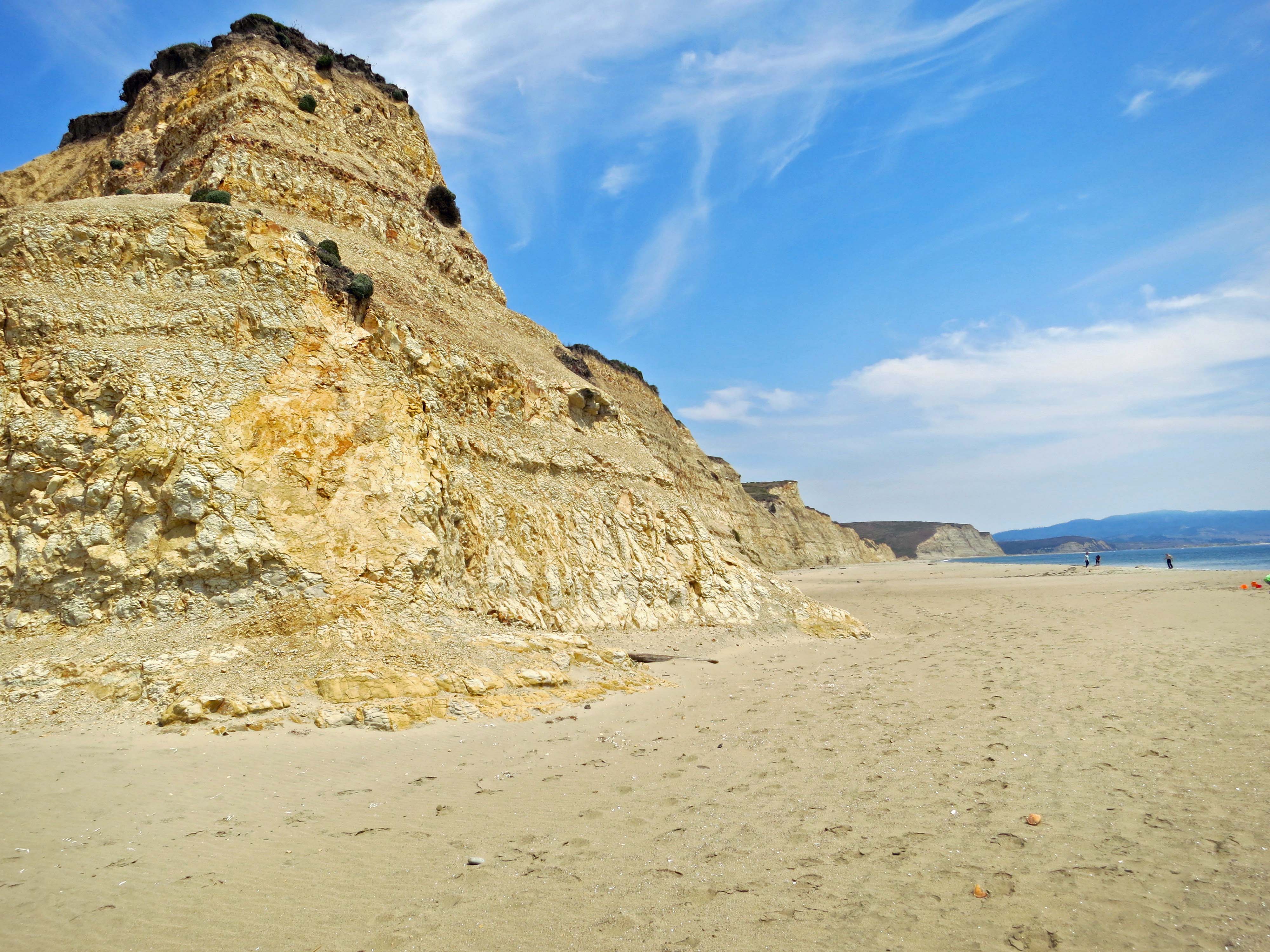
These distinctive cliffs at Drakes Bay in Point Reyes National Seashore were used to help identify where Sir Francis Drake landed in

These distinctive cliffs at Drakes Bay in Point Reyes National Seashore were used to help identify where Sir Francis Drake landed in the late 1500s. The tracks in the foreground speak to how popular this beach is in the summer. I had a difficult time capturing a photo that wasn’t packed with people.

By 1776, when Americans were fighting for independence from Great Britain, the Spaniards were busy establishing their first missions north of San Francisco, an effort that was a continuation of the work of Junipero Serra. In return for supplying ‘civilization and salvation’ to the Miwoks, the Catholic priests expected the natives to work for nothing in what can best be described as a system of slavery. Going home to visit family without permission, or even going fishing, could earn a whipping and a jail sentence. And, if ‘civilization and salvation’ weren’t enough, the Spaniards brought the European diseases with them that more or less wiped out the native population and opened the area for white settlement. It’s small wonder that California’s remaining Native American population didn’t celebrate the recent canonization of Junipero Serra with enthusiasm.

The Miwok, for the most part, were a gentle people who lived in close harmony with the land. An area of Olompali State Park has been put aside to display the native plants and housing the Miwoks used. The natives practiced house cleaning in the extreme: They burned down their houses once a year to get rid of bugs and vermin that had taken up residence.

The Miwoks built some of their homes with redwood siding, or at least redwood bark. This example of a Miwok shelter is located at Olompali.

The Miwoks built some of their homes with redwood siding, or at least redwood bark. This example of a Miwok shelter is located at Olompali.

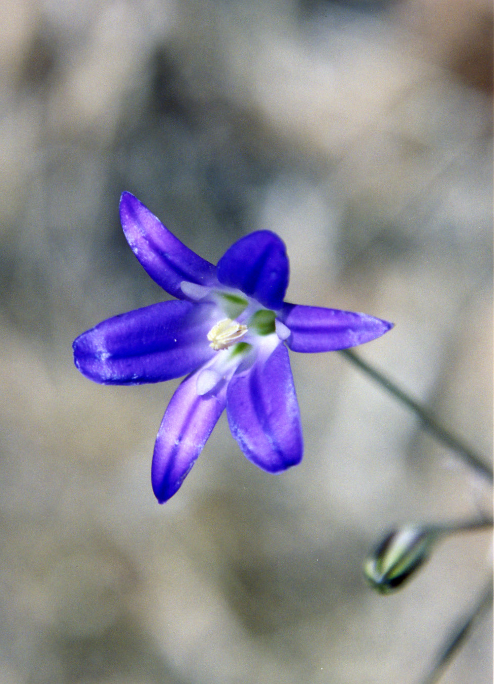
While most of the plants on display were suffering from the drought, an attractive Bay Laurel caught my attention. A signpost reported that the Miwok had eaten the fruit raw. Nuts were dried and then pounded into flour that was used for bread. The leaves were used for spice. A tea made from the leaves was used for stomach-aches, colds and sore throats. Fresh leaves were put on the head for headaches and an infusion of the leaves was used for washing sores. Shoots growing from the tree were used as arrow shafts. Visiting the Bay Laurel, it seemed to me, would have been like making a trip to the grocery store. I found several of the plants the Miwoks made use of, such as the California Buckeye and Harvest Brodiaea, were also common to the Central Valley of California and the Sierra Nevada Mountain foothills where I lived for many years.

The drought that has California in such a tight grip, didn't seem to impact this Bay Laurel that was growing in the garden of native plants important to the Miwok.

The drought that has California in such a tight grip, didn’t seem to impact this Bay Laurel that was growing in the garden of native plants important to the Miwok.

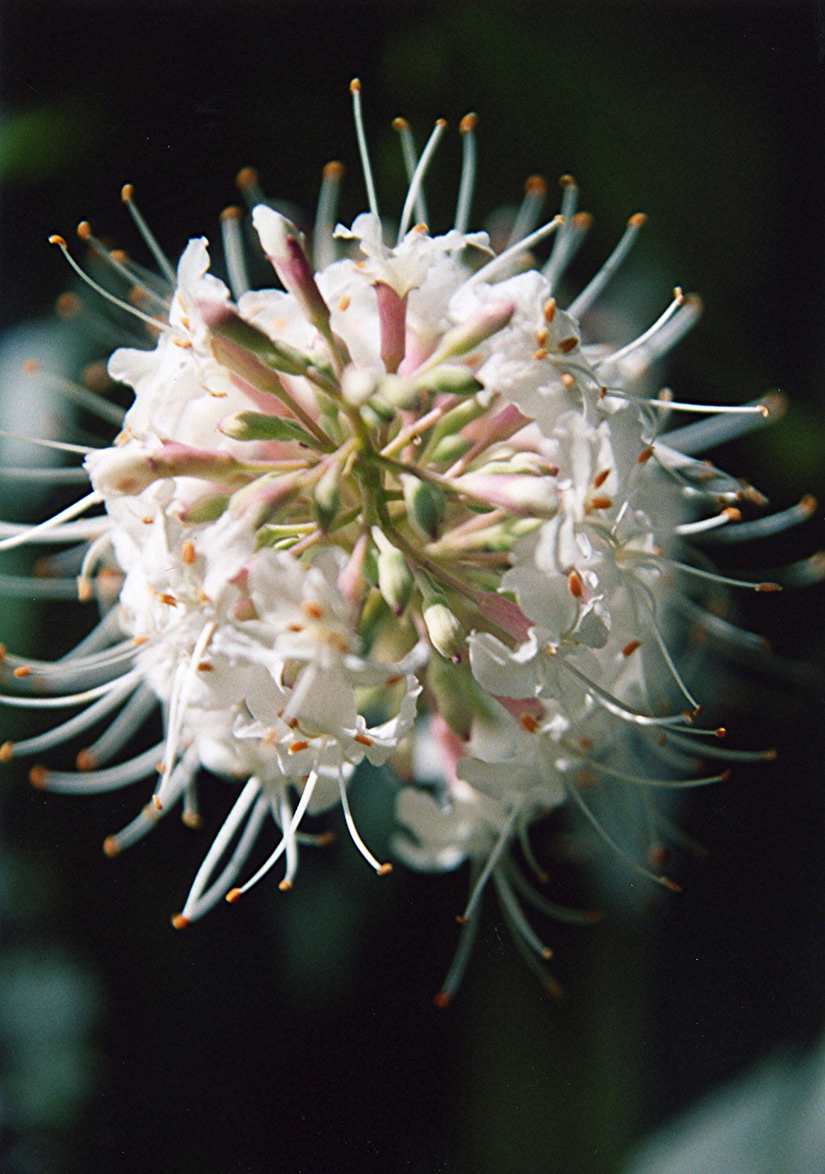
Buckeye trees in bloom along the American River Parkway in Sacramento. Buckeyes, well leeched to remove poison, served as back up food when acorns were scare.

Buckeye trees in bloom along the American River Parkway in Sacramento. Buckeyes, well leached to remove poison, served as back up food for the Miwoks when acorns were scarce.

A close up I took of buckeye flowers while hiking along the American River Parkway. The fruit of the buckeye was also crushed by the Miwok and thrown into streams to knockout fish that were then gathered for food.

A close up I took of buckeye flowers while hiking along the American River Parkway. The unleached fruit of the buckeye was crushed by the Miwok and thrown into streams to poison fish that were then gathered for food.

Bulbs of Harvest Brodiaea were baked, boiled or eaten raw by the Miwok. This is another photo I took along the American River Parkway.

Bulbs of Harvest Brodiaea were baked, boiled or eaten raw by the Miwok.

Wild animals, like native plants, were central to the existence of the Miwok. An informative book by Betty Goerke, Discovering Native People at Point Reyes, notes that the Miwok considered Coyote the creator of their world. As in much Native American lore, Coyote was also a trickster god, often getting into mischief. His god-like status kept him from getting eaten, however. Other animals didn’t fare as well, but even they deserved respect. “It was necessary and a common courtesy to honor an animal when it was killed,” Goerke notes. Beads were thrown into a fire to honor a dead bear. Even a small bird would receive a dance— “so it wouldn’t feel bad.” I’m not sure the dead bird appreciated the dance, given an option, but I like the sentiment behind it.

NEXT BLOG: How Olompali moved from being home territory for the Miwoks to a temporary home for the Grateful Dead and then the site of one of California’s most famous hippie communes.


Backpacking into the Grand Canyon… Part II

Looking down from Lipan Point at the start of the Tanner Trail. Then sharp bend in the Colorado River... far away, is where I am heading. (The photos of the trail down I actually took several years later when I backpacked down with Peggy.)
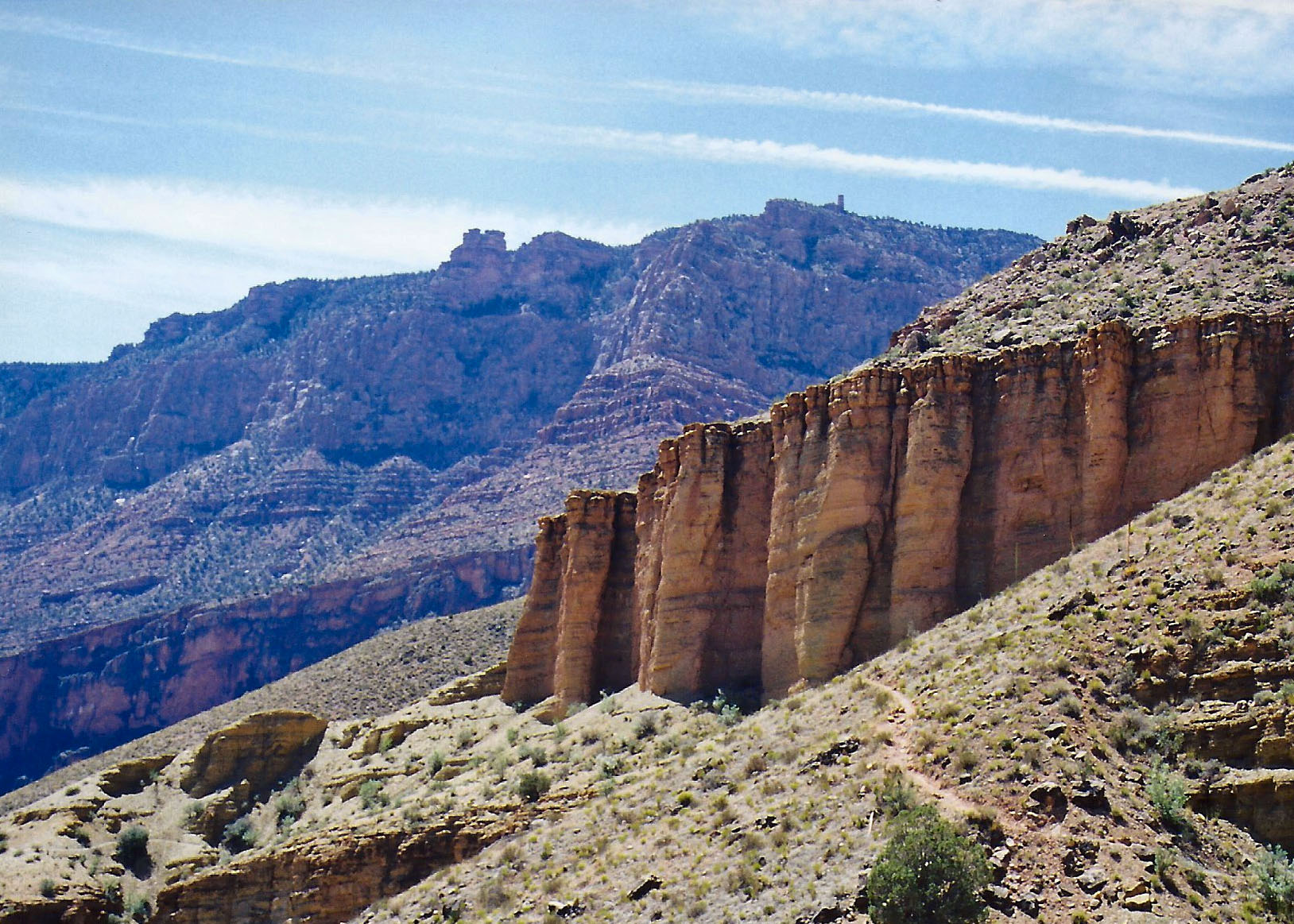
Looking down into the Grand Canyon at the start of the Tanner Trail.  By the end of the day I would be near the sharp bend in the river. At the beginning, my body was having serious doubts about whether it wanted to go there. It wasn’t the distance. It was the drop of several thousand feet which can be tough on both knees and downhill brakes.

You may (or may not) recall that I left you hanging on the edge of the Grand Canyon when I took my summer break from blogging starting in July. I had hoisted my 60-pound pack and was preparing to drop off the edge of the world following one of the Canyon’s toughest and least traveled trails several thousand feet down to the Colorado River. My body was having a serious discussion with my mind over the wisdom of the decision. You may want to go back and read Part I of the Grand Canyon Odyssey to refresh your memory.

Tanner trail dropped away under my feet as I began my journey and descended through millions of years of earth history. About a half of mile down it disappeared, having been washed away by winter rains. “I told you so,” my body whispered loudly as I mentally and physically hugged the side of the Canyon and tentatively made my way around the washout.

Although this photo is a little blurry and from another Grand Canyon trail, I included it because it provides a perspective on the trails into the Canyon that receive minimal attention from the Park service. Main tourist trails are like freeways in comparison.
Although this photo is a little blurry and from another non-maintained Grand Canyon trail, I included it because it provides a perspective on the trails into the Canyon that receive minimal attention from the Park Service. Main tourist trails are like freeways in comparison.
Steep drop offs are a common factor in all trails leading into the Grand Canyon. The first trails were created by Native Americans. Later miners, rustlers, and companies interested in promoting tourism would enhance the original trails and create new ones.
Steep drop offs are a common factor in all trails leading into the Grand Canyon. The first trails were created by Native Americans. Later miners, rustlers, and companies interested in promoting tourism would enhance the original trails and create new ones. The top of the photo reflects the different rates of erosion that create bluffs.

I am not sure when my legs started shaking. Given the stair-step nature of the trail and the weight on my back, not to mention an extra 20 pounds of winter fat, my downhill muscles were not having a lot of fun. Fortunately, Mother Nature provided a reprieve. The erosive forces of wind and water that have sculpted the mesas and canyon lands of the Southwest are less challenged by some types of rocks than others.

Somewhere between two and three miles down I came upon the gentle lower slopes of the Escalante and Cardenas Buttes, which allowed me to lollygag along and enjoy the scenery. I escaped from the sun beneath the shadow of a large rock, drank some of my precious water, nibbled on trail food, and took a brief nap. It would have made a good place to camp. Others had obviously taken advantage of the shade and flat surface, but the Colorado River was calling.

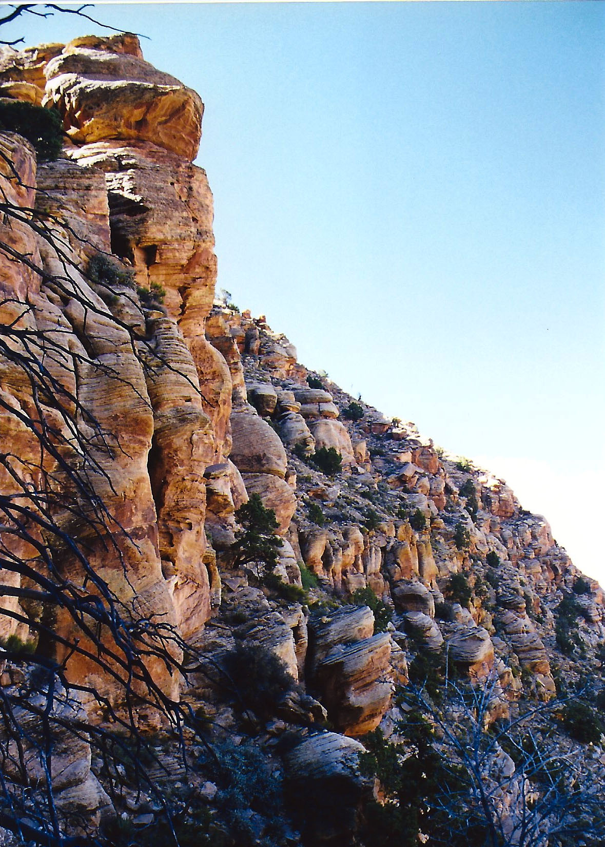
Ignoring the screams of my disgruntled body parts, I headed on. At mile five or so my idyllic stroll came to a dramatic halt as the trail dropped out of sight down what is known as the Red Wall. (It received this imaginative name because it is red and looks like a wall.) Some fifty million years, or 625,000 Curtis life spans, of shallow seas had patiently worked to deposit the lime that makes up its 500-foot sheer cliff. It is one of the most distinctive features of the Grand Canyon.

My trail guide recommended I store water before heading down so I could retrieve it when I was dying of thirst on the way out. I could see where people had scratched out exposed campsites here as an excuse to stop for the night. The accommodations weren’t much but the view was spectacular.

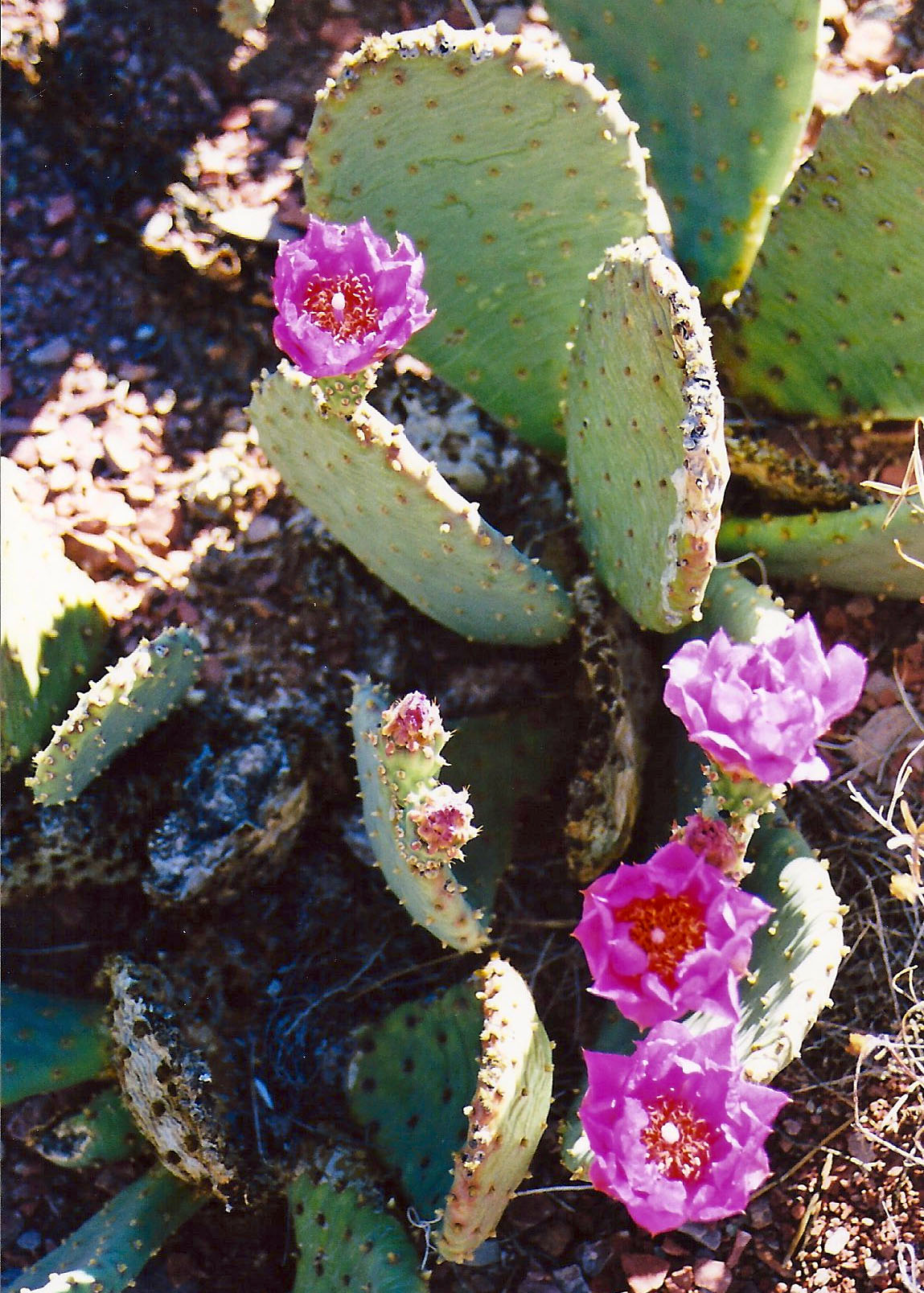
The rest of the five-mile/five month journey was something of a blur. (It was closer to five hours but time was moving very slowly.) I do remember a blooming prickly pear cactus. I grumbled at it for looking so cheerful. I also remember a long, gravelly slope toward the bottom. My downhill muscles had totally given out and the only way I could get down was to sidestep. I cackled insanely when I finally reached the bottom. I was ever so glad the Sierra Club guy (see Part I) wasn’t around to see me.

As tired as I was, I enjoyed the beauty of the inner Canyon.
I was so tired, I could hardly enjoy the beauty of the inner Canyon. (These photos are from a later trip I took down with Peggy. I waited until after she said “I do” before introducing her to the Tanner Trail. Otherwise she might have said “I don’t.”)
I smiled at the Prickly Pear Flowers on my way out of the Canyon that I had growled at coming in.
I growled at a prickly pear for looking so cheerful.
Looking back up the trail provided a perspective on how far I had come. The small, needle-like structure is Desert View Tower.
Looking back up the trail provided a perspective on how far I had come. The small, needle-like structure is Desert View Tower, about a mile away from the Tanner trailhead.

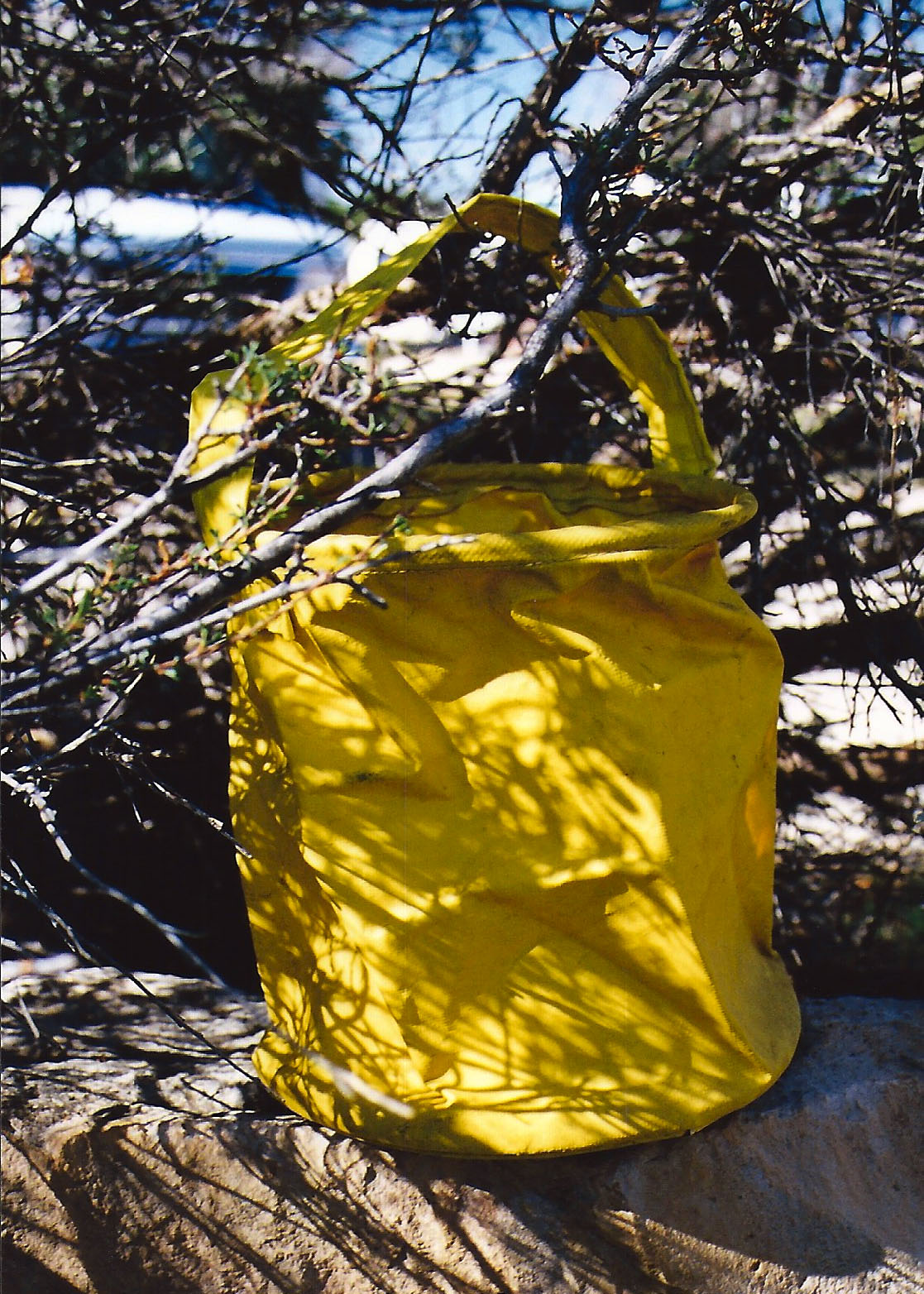
Setting up camp that night was simple. I threw out my ground cloth, Thermarest mattress, and sleeping bag on a sandy beach. Then I stumbled down to the river’s edge and retrieved a bucket of brown Colorado River water that appeared to be two parts liquid and one part mud. I could have waited for the mud to settle but used up a year of my water filter’s life to provide an instant two quarts of potable water.

My old yellow bucket, a veteran of dozens of backpacking adventures, holding Colorado River water. It retired after my second trip
My old yellow bucket, a veteran of dozens of backpacking adventures, holding Colorado River water. It retired after my second trip down the Tanner Trail.

All I had left to do was take care of my food. Since people camped here frequently, four-legged critters looked on backpackers as a major source of food. I could almost here them yelling, “Dinnertime!” when I stumbled into sight. Not seeing a convenient limb to hang my food from, i.e. something I wouldn’t have to move more than 10 feet to find, I buried my food bag in the sand next to me. Theoretically, anything digging it up would wake me. Just the top was peeking out so I could find it in the morning.

As the sun went down, so did I. Faster than I could fall asleep, I heard myself snoring. I was brought back to full consciousness by the pitter-patter of tiny feet crossing over the top of me. A mouse was worrying the top of my food bag and going for the peanuts I had placed there to cover my more serious food.

“Hey Mousy,” I yelled, “Get away from my food!” My small companion of the night dashed back over me as if I were no more than a noisy obstacle between dinner and home. I was drifting off again when I once more felt the little feet. “The hell with it,” I thought in my semi-comatose state. How many peanuts could the mouse eat anyway?

The river water I had consumed the night before pulled me from my sleep. Predawn light bathed the Canyon in a gentle glow. I lay in my sleeping bag for several minutes and admired the vastness and beauty of my temporary home. The Canyon rim, my truck and the hoards of tourists were far away, existing in another world. My thoughts turned to my visitor of the previous evening.

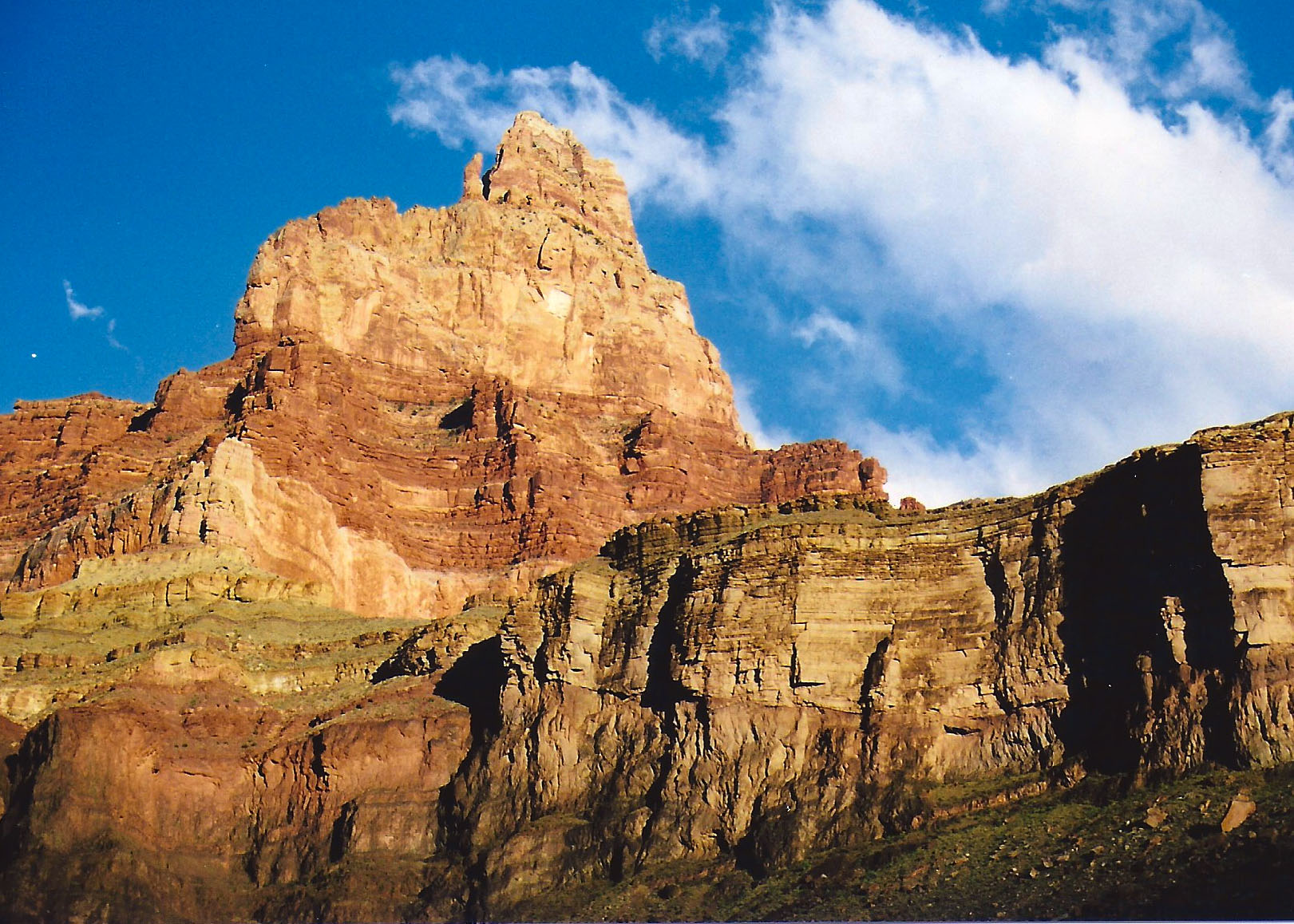
I finished my last blog with a picture of the view across the Colorado River from my camp near Tanner Rapids. This and the photo below demonstrate how much colors change depending on the time of day.
The early morning view from my camp site near Tanner Rapids on the Colorado River.

Out of curiosity, I reached over for my food and extracted the bag of peanuts. A neat little hole had been chewed through the plastic but it appeared that most of my peanuts were present and accounted for. My small contribution had been well worth my solid sleep. I then looked over to the right to see if I could spot where the mouse had carried its treasure. Something on the edge of my ground cloth caught my eye. It was three inches long, grey, round and fuzzy.

It was Mousy’s tail!

Something had sat on the edge of my sleeping bag during the night and dined on peanut stuffed mouse. Thoughts of a coyote, or worse, using my ground cloth as a dinner table sent a shiver down my spine. I ate a peanut in honor of Mousy’s memory and threw a few over near his house in case he had left behind a family to feed. I also figured that the peanuts would serve as an offering to whatever Canyon spirits had sent the night predator on its way.

I visited a bush to meet the demands of my bladder, fired up my MSR white gas stove, and soon had a cup of coffee in my hand and hot morning gruel (oatmeal) in my tummy. I dutifully downed my daily ration of five dried apricots. (This may be more than you need to know, but they help keep you regular, an important consideration in wilderness travel.)

With breakfast out of the way and a second cup of coffee to enjoy, it was time to get out my topographic map and contemplate the adventure of the day. My intention was to work my way up the Colorado River following the Beamer Trail to where it was joined by the Little Colorado. The odds were I would have it to myself. The trail was named after a prospector who had searched the area for gold in the 1800s but it also incorporated ancient sections of trail the Hopi Indians had used to reach their sacred salt mines.

Hopi legend claims that their ancestors emerged into this world from a cave in the bottom of the Little Colorado River Canyon. I found the combination of history, mythology, isolation and scenery quite attractive and was eager to get underway. Unfortunately, my body had other plans. It was going on strike.

NEXT BLOG: I declare a layover day where I hardly move and then begin to explore the beauty of the inner Canyon.

There Is Much More to Mt. Rainier National Park than a Mountain

A waterfall in Mt. Rainier National Park. Photo by Curtis Mekemson.

Mt. Rainier National Park has much more that its majestic mountain to offer visitors. Ancient forests, glacial rivers and tumbling waterfalls are found throughout the Park.

At 14, 410 feet (4,392 meters), Mt. Rainier is the tallest volcano in the Cascade Mountains, a range that starts in northern California and works its way through Oregon and Washington before ending in southern British Columbia. The range is part of the famous, or perhaps I should say infamous, Ring of Fire that surrounds the Pacific Ocean and represents the epic crashing of oceanic and continental tectonic plates. Volcanic eruptions, earthquakes and tsunamis are its legacy.

Mt. Shasta in northern California. Photo by Curtis Mekemson.

Starting at Mt. Shasta (shown here) and Mt. Lassen in northern California, the Cascade Mountain Range of volcanoes works its way northward into southern British Columbia.

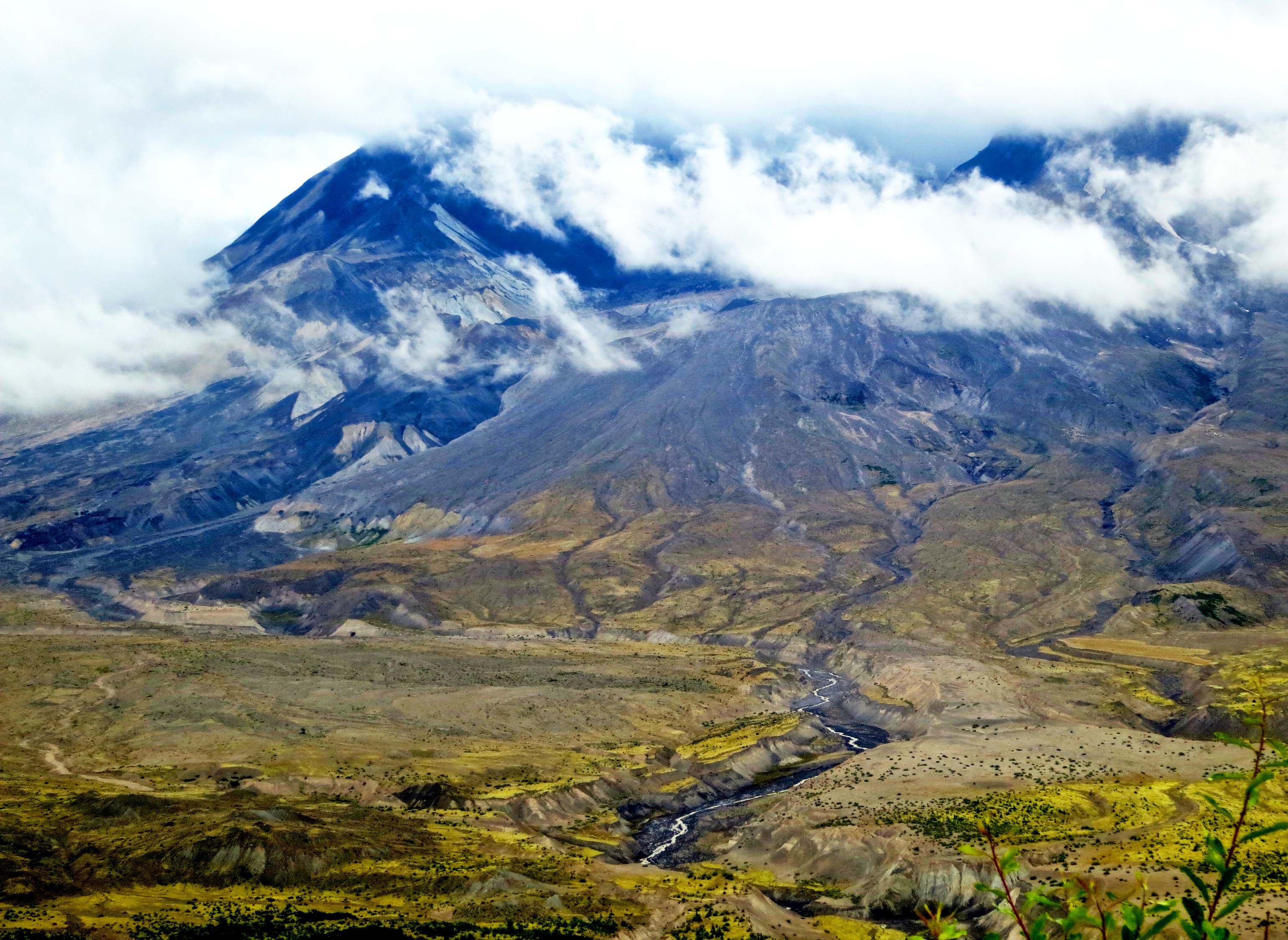
Rainier is an active volcano, which means it is capable of blowing its top at any time. Every volcanic eruption in the last 200 years that has taken place in the contiguous United States (outside of Hawaii and Alaska) has happened in the Cascade Range. The most recent was Mt. St. Helens in southern Washington, which exploded in 1980. I flew over the mountain a few weeks after the eruption. The destruction was unimaginable.

Mt. St. Helens in Washington. Photo by Curtis Mekemson.

Mt. St. Helens today, its once majestic peak now a crater. The river has carved a canyon through the mudflow the volcano left behind. I took this photo two years ago.

Jet stream driven storms coming off the Pacific Ocean bring the rain that the North West is justifiably famous for. During the winter, this rain turns to snow as the storms are forced up and over Mt. Rainier— lots of snow. During the winter of 1971/72, 1,122 inches of snow fell. This translates into 93.5 feet or 28.5 meters. It set a world record at the time. The snow is responsible for the 14 named glaciers that slowly work their way down from the top, grinding up rocks as they go, and creating several rivers.

Photo of Mt. Rainier Glacier taken by Curtis Mekemson.

Fourteen named glaciers make their way down Mt. Rainier.

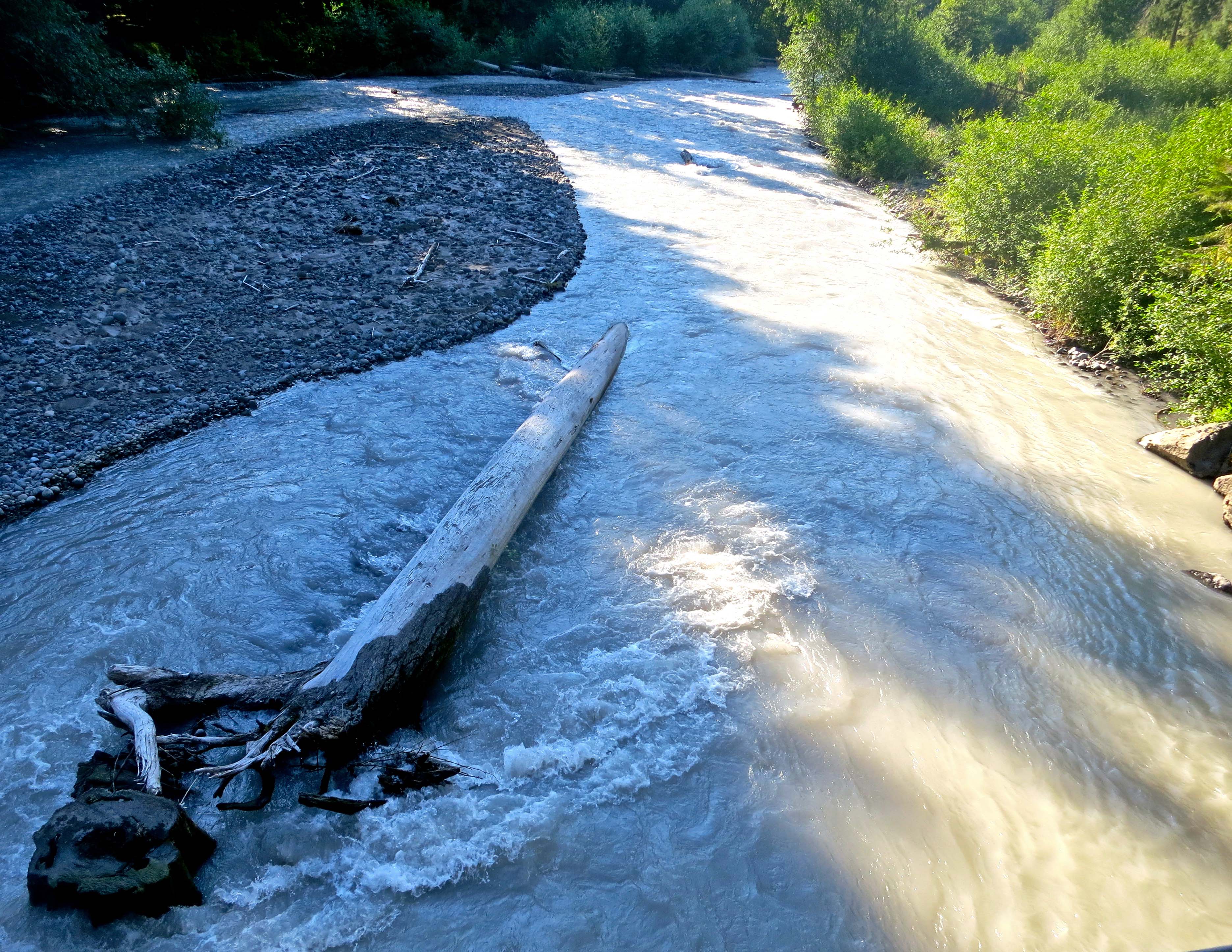
Fed by the Emmons, Frying Pan and Winthrop Glaciers, the White River is given its color by ground glacial rock dust.

Fed by the Emmons, Frying Pan and Winthrop Glaciers, the White River is given its color by ground glacial rock dust. BTW: Ancestors of my mother barely missed being massacred by indians on the White River around the time Seattle was founded.

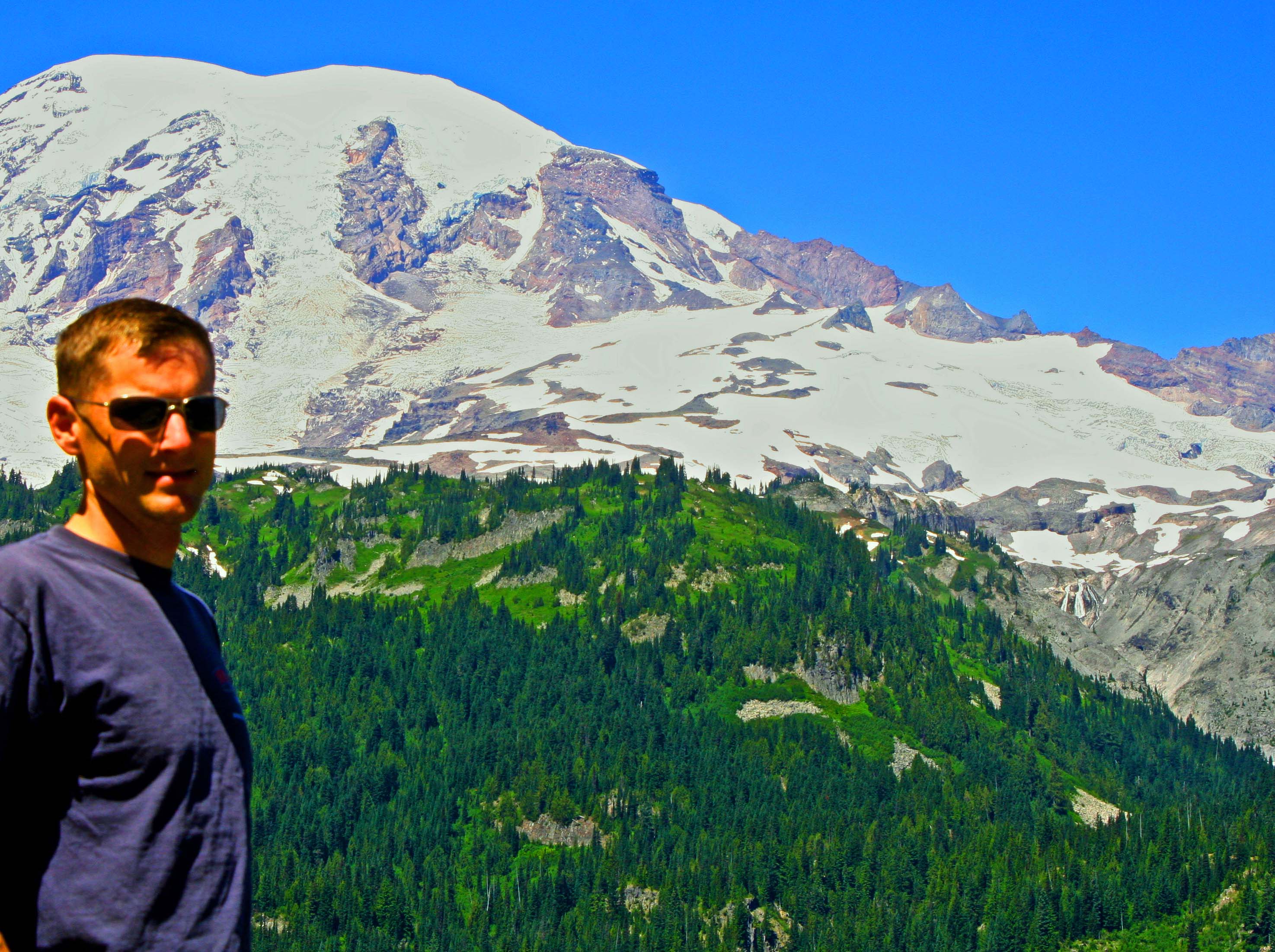
Peggy and I, along with our son Tony, worked our way clockwise around the mountain from the Sunrise Visitor Center to the Henry (Scoop) Jackson Memorial Visitor Center, covering about a third of the mountain. The road has enough twists and turns to hassle a snake and has more picturesque scenes than a National Geographic photographer could capture in a month. Misty waterfalls and an ancient forest competed with the snow-topped mountain for our attention. We finished off our exploration of Mt. Rainier with a breath-stealing hike that climbed up 1400 feet behind the Jackson Memorial Visitor Center.

Roots of a downed giant in the Grove Of Patriarchs, Mt. Rainier National Park. Photo by Curtis Mekemson.

You would expect to find large trees in an area called the Grove of Patriarchs. We weren’t expecting this. Peggy is perched inside the roots of a downed patriarch. Or maybe it was a matriarch.

Creek reflects green of surrounding forest in Mt. Rainier National Park. Photo by Curtis Mekemson.

This creek flowing through the Grove of Patriarchs immediately made me think of a Claude Monet Impressionist painting.

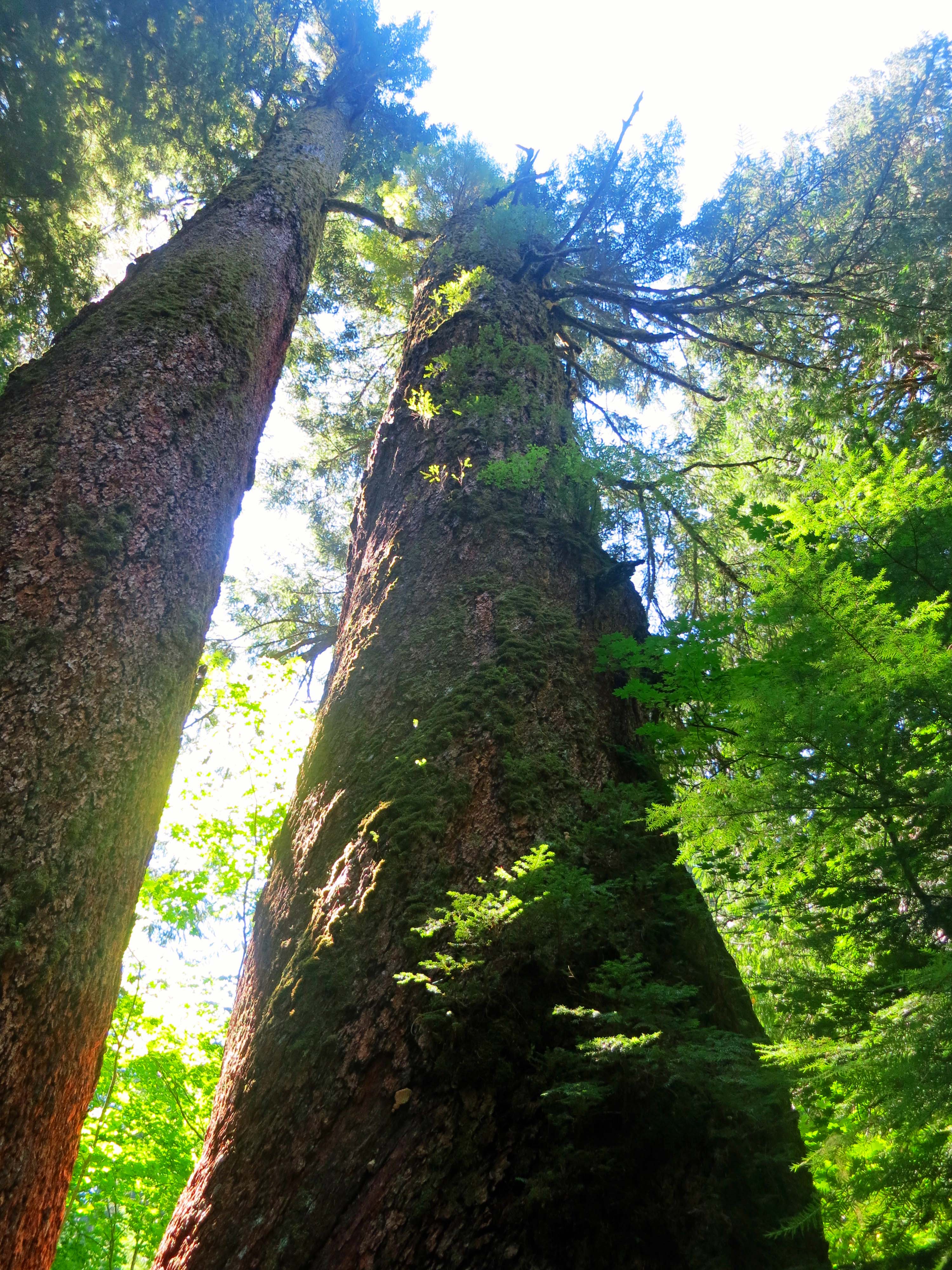
Since we are in the Grove of Patriarchs, a photo of big trees is required.

Since we were in the Grove of Patriarchs, a photo of big trees is required.

Wood grains on a downed tree in Patriarch Grove, Mt. Rainier National Park. Photo by Curtis Mekemson.

Whirls of wood grain appeared on a downed tree in the Grove. I was reminded of a 3-D topographic map.

Saffron robed monk throws snowball on trail above Jackson Memorial Center at Mt. Rainier National Park. Photo by Curtis Mekemson.

We came across a saffron robed monk throwing snowballs as we hiked on the trail above the Jackson Memorial Visitor Center. “Throw one at me,” I urged with camera poised.

View from Mt. Rainier above the Jackson Memorial Center. Photo by Curtis Mekemson.

One of many views we had climbing up the trail. As I recall, Peggy broke out singing Climb Every Mountain. It was a Julie Andrews’ moment.

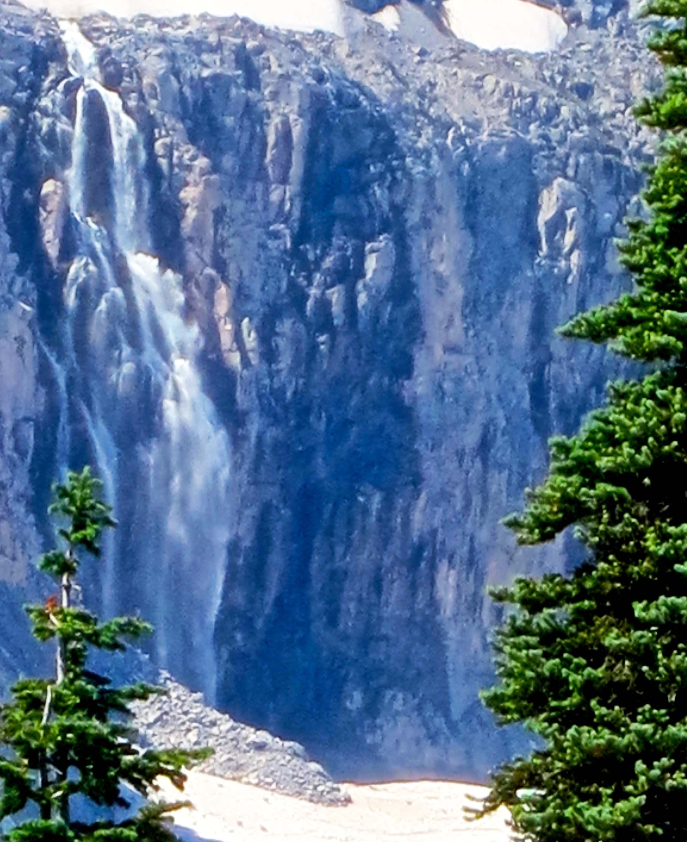
Looking around we saw several waterfalls tumbling off the mountain.

Looking around we saw several waterfalls tumbling off the mountain.

Peggy captures Tony at our turn around point on the trail. He definitely wanted to keep on going. (Photo by Peggy Mekemson.)

Peggy captured Tony at our turn around point on the trail. He wanted to keep going to the top of the green hill but was outvoted by Mom and Dad. (Photo by Peggy Mekemson.)

Phlox flowers at Mt. Rainer National Park. Photo by Curtis Mekemson.

I took time to photograph these cheerful Phlox flowers on the way down.

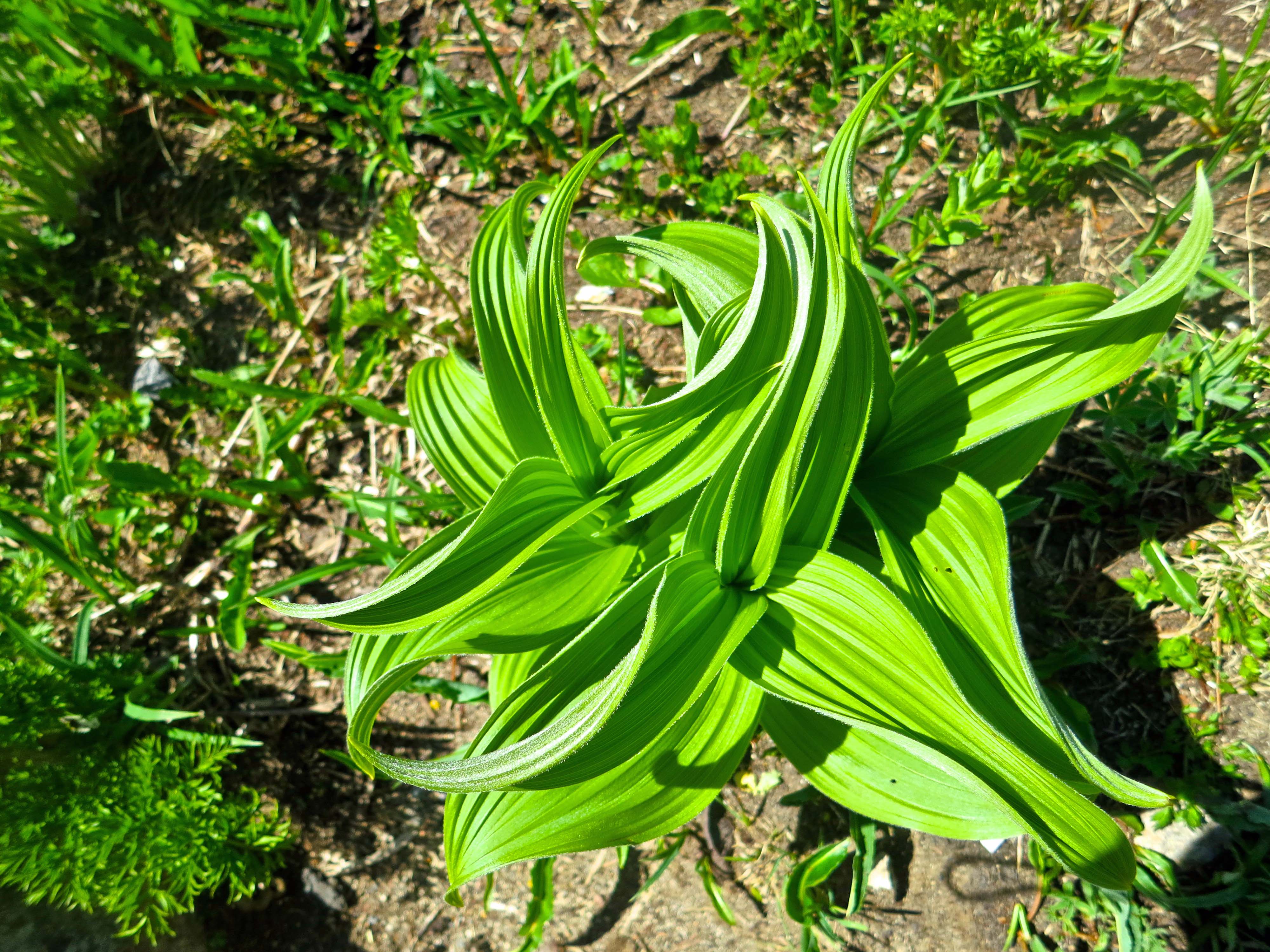
Corn lily growing on the side of Mt. Rainier. Photo by Curtis Mekemson.

And this wonderfully wild corn lily.

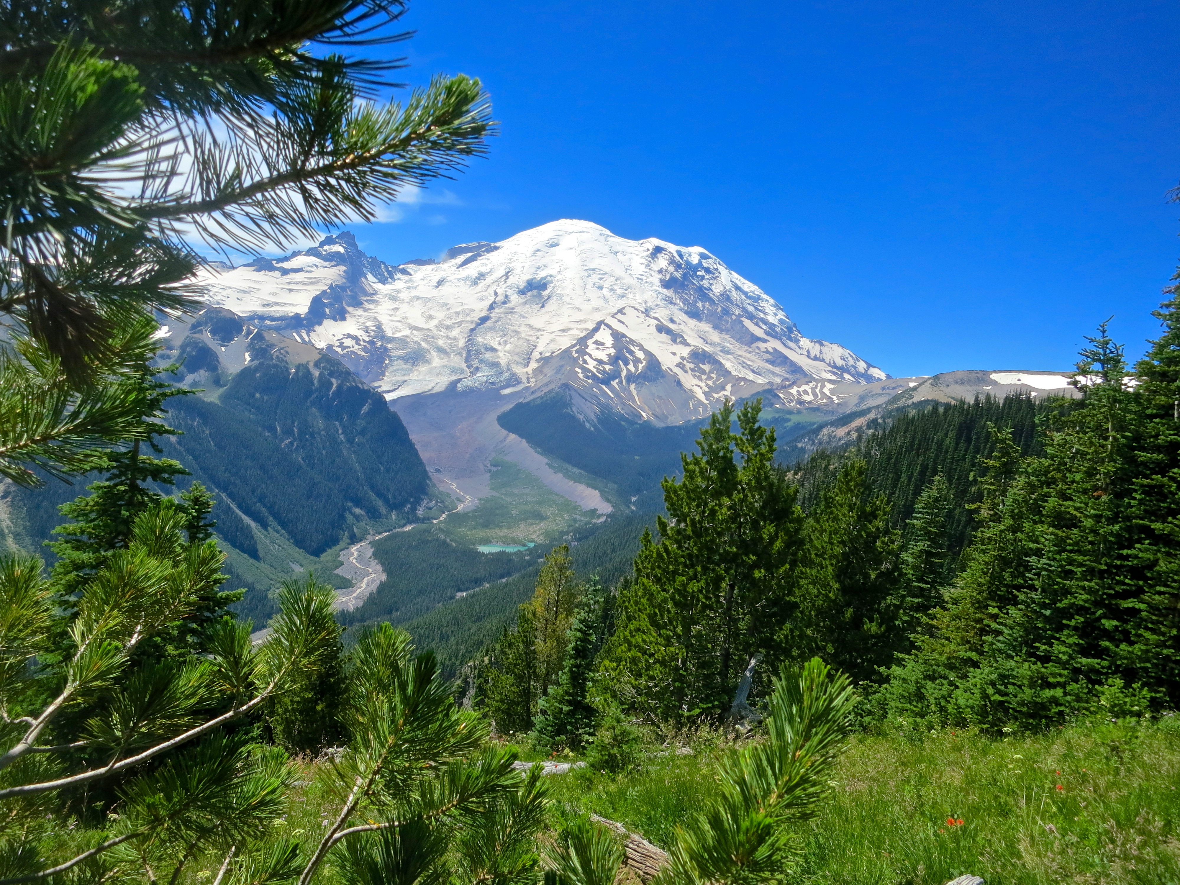
A goodbye view of Mt. Rainier.

A final goodbye view of Mt. Rainier. Next Blog: We begin our kayak adventure and search for Orca Whales off the north coast of Vancouver Island.


“Now, that’s a glacier…” Mt. Rainier National Park

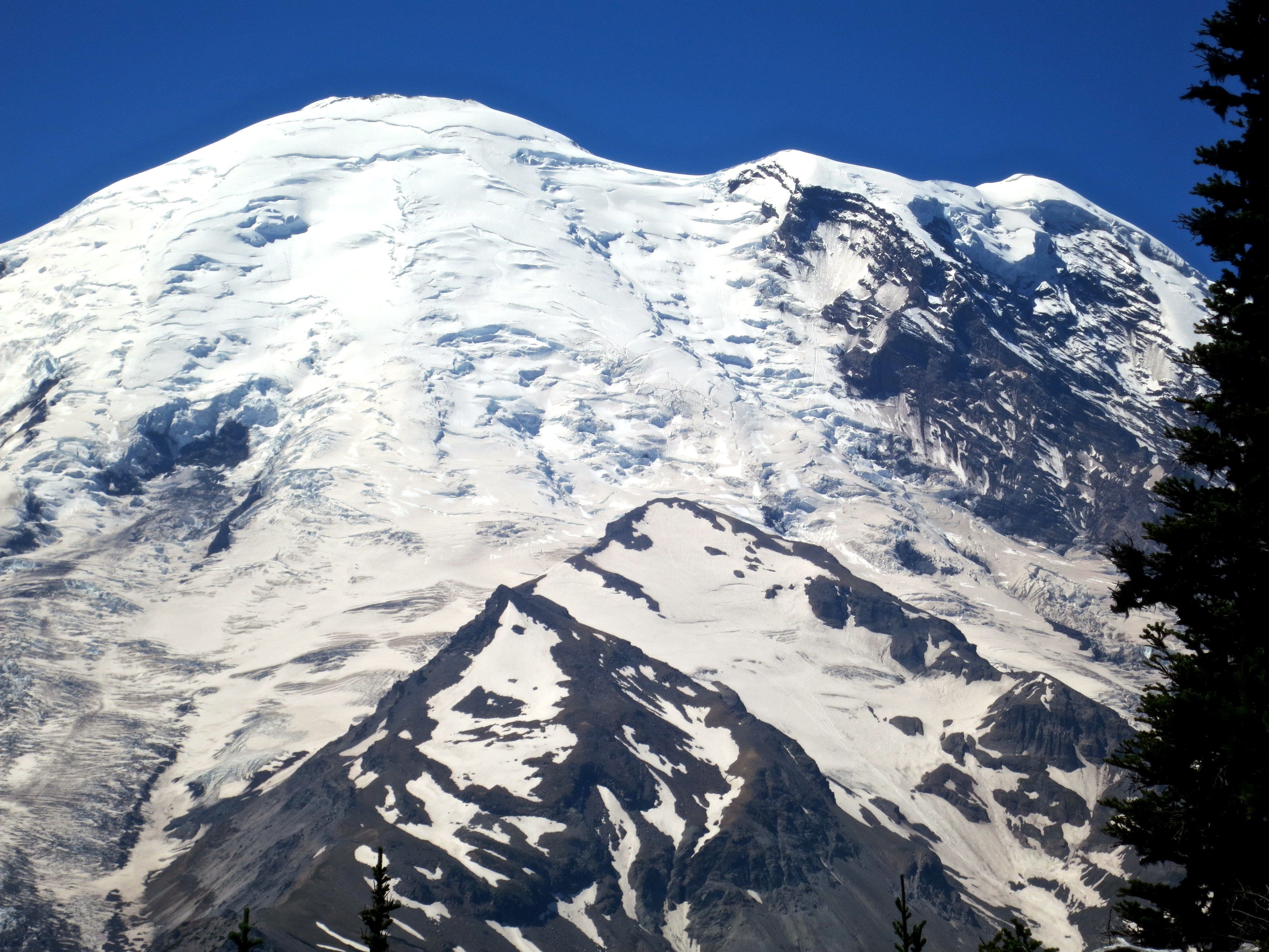
Mt. Rainier National Park. Photo by Curtis Mekemson.

Mt. Rainier is the most glaciated mountain in the lower 48 states of the US.

It was supposed to be a laid-back summer. Our daughter Tasha would come out from Tennessee with our grandsons Ethan and Cody for a week or two in June. And then we would go to Burning Man in late August. In between, we’d hang out at our home in the mountains, relax, and explore more of Southern Oregon— if we had the energy.

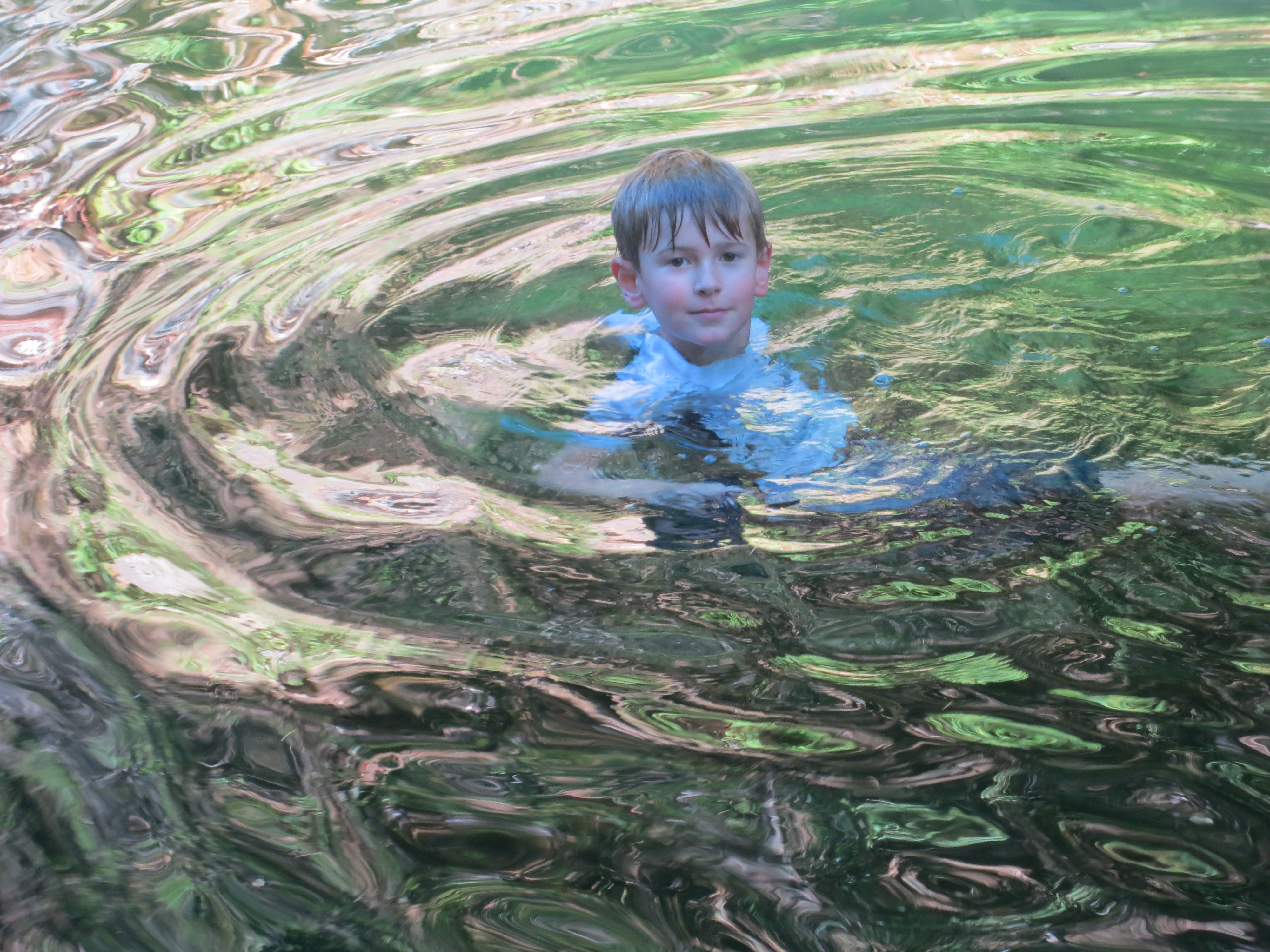
Our grandson Ethan enjoys a dip in the Applegate River this summer a few miles from our house .

Our grandson Ethan enjoys a dip in the Applegate River this summer a few miles from our house.

Then Edie called. Edie is Peggy’s old high school friend who lives in Anchorage, Alaska. She and her husband David had found what sounded like a great sea-kayak adventure looking for Orcas off the northern tip of Vancouver Island in August. Would we like to go? How could we resist? It would make our trip to Burning Man tight, but it was still doable.

Tony, our son who flies helicopter rescue missions for the Coast Guard off Kodiak Island, was next. He had helicopter crash training in Spokane in early August. This is where a huge machine takes a helicopter and dumps it upside down in a large pool of water so the pilot and crew can practice their escape routines. Wouldn’t it be great if we could pick him up at the Seattle airport before the training and head out for a few days of camping and hiking at Mt. Rainier? Yes it would, declared Peggy, doing a happy-mother dance. I wasn’t to worry that the Rainier trip backed up on the kayak trip that backed up on Burning Man.

Then Tasha called. She couldn’t come in June but had found some great tickets to fly out in July for a couple of weeks. Oops, said Mom. The latter part of the trip was double booked with the Tony trip. Not to worry, said Tasha. She’d only stay for a week and a half. If we hurried we could get to Seattle the day before Tony arrived so we could grab a campsite before they all disappeared. We found a campsite, barely. What disappeared was our laid-back summer.

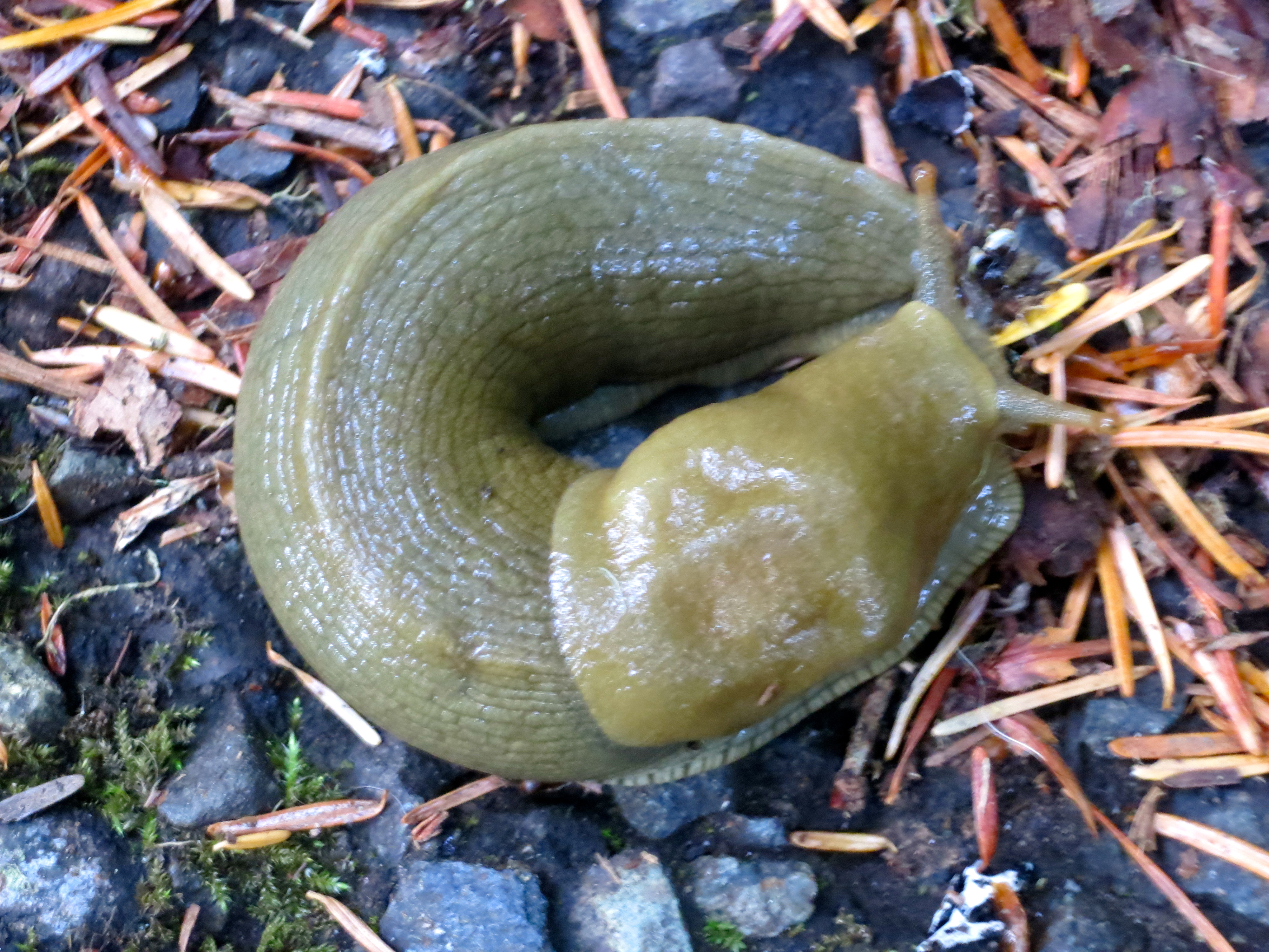
Photo of large slug at Mt. Rainier by Curtis Mekemson.

This slug we found at Mt. Rainier National Park was traveling at just about the pace I had hoped we would enjoy our summer. It wasn’t to be.

Join Peggy and me on my next two posts as we explore Mt. Rainier with Tony. After that, we will zip off on a search for whales with Edie and David.

View from Sunrise Visitors center at mt. Rainier National Park. Photo by Curtis Mekemson.

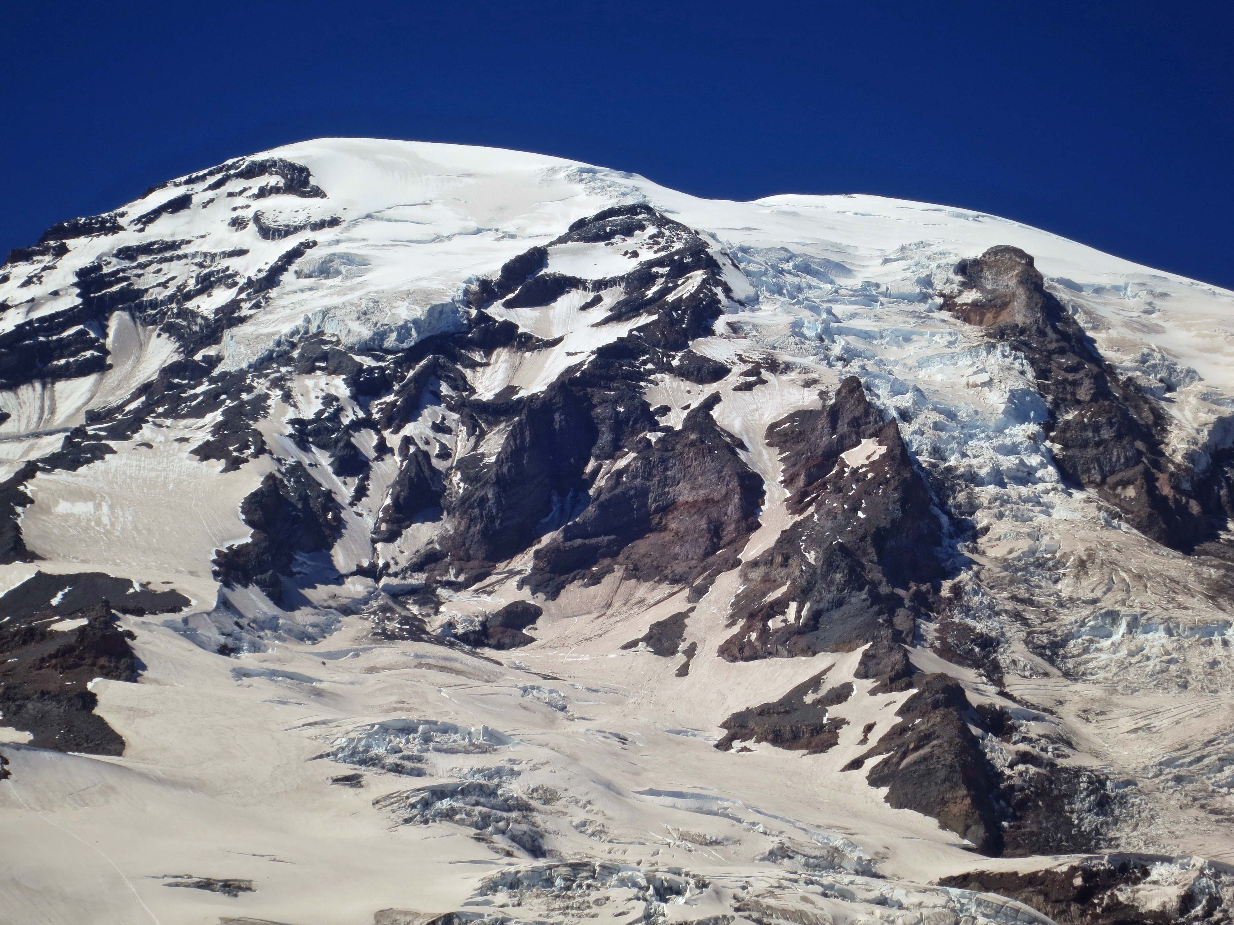
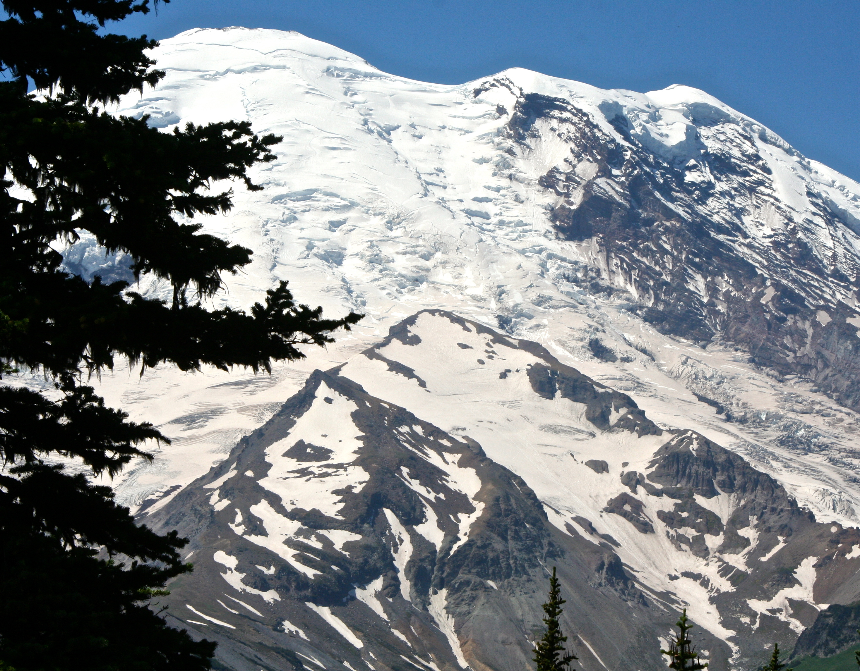
Looking up at Emmons Glacier from the Sunrise Visitor’s Center at Mt. Rainier.

Close-up of Emmons Glacier at Mt Rainier National Park. Photo by Curtis Mekemson.

A close-up of Emmons Glacier.

Peggy and Tony pose fro a picture near the Sunrise Visitor Center at Mt. Rainier National Park.

Peggy and Tony pose for a picture near the Sunrise Visitor Center at Mt. Rainier National Park.

Indian Paintbrush at Mt. Rainier. Photo by Curtis Mekemson.

A short walk along the Silver Forest Trail from Sunrise Center included fields full of flowers as well as spectacular views of the mountain. This is Indian Paintbrush.

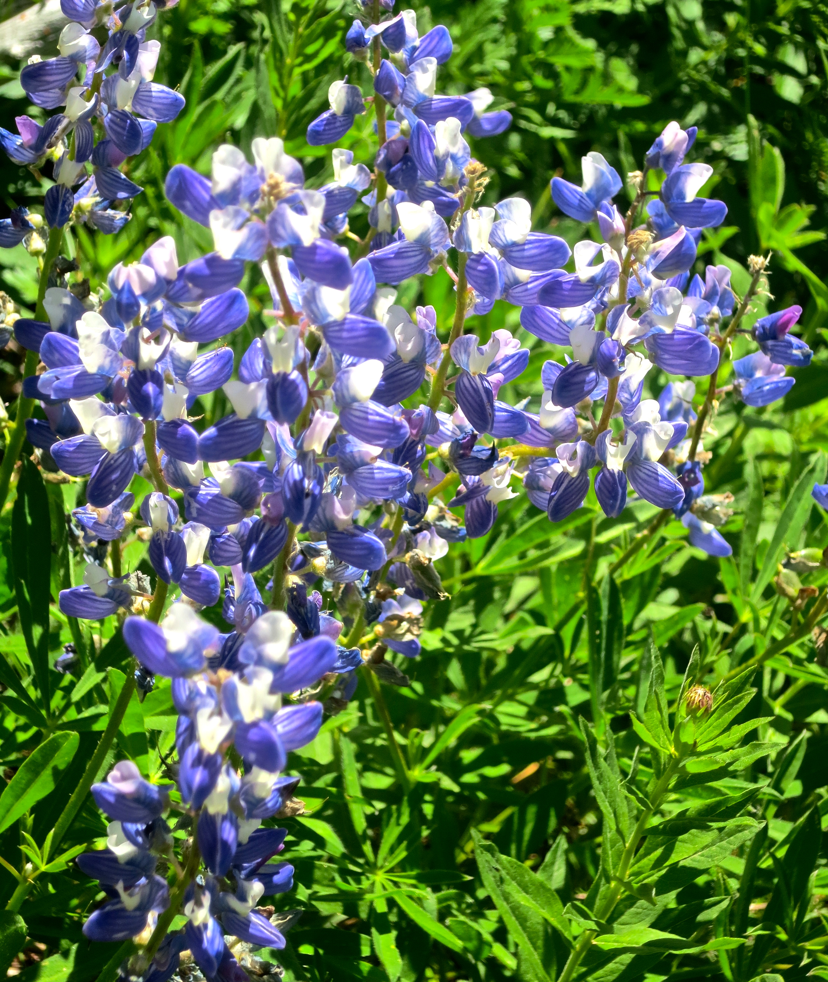
Lupine at Mt. Rainier National Park. Photo by Curtis Mekemson.

Lupine.

A strange and fuzzy Western Pasqueflower. Photo by Peggy Mekemson.

A strange and fuzzy Western Pasqueflower. Photo by Peggy Mekemson.

Aged tree root near Sunrise Center at Mt. Rainier National Park. Photo by Curtis Mekemson.

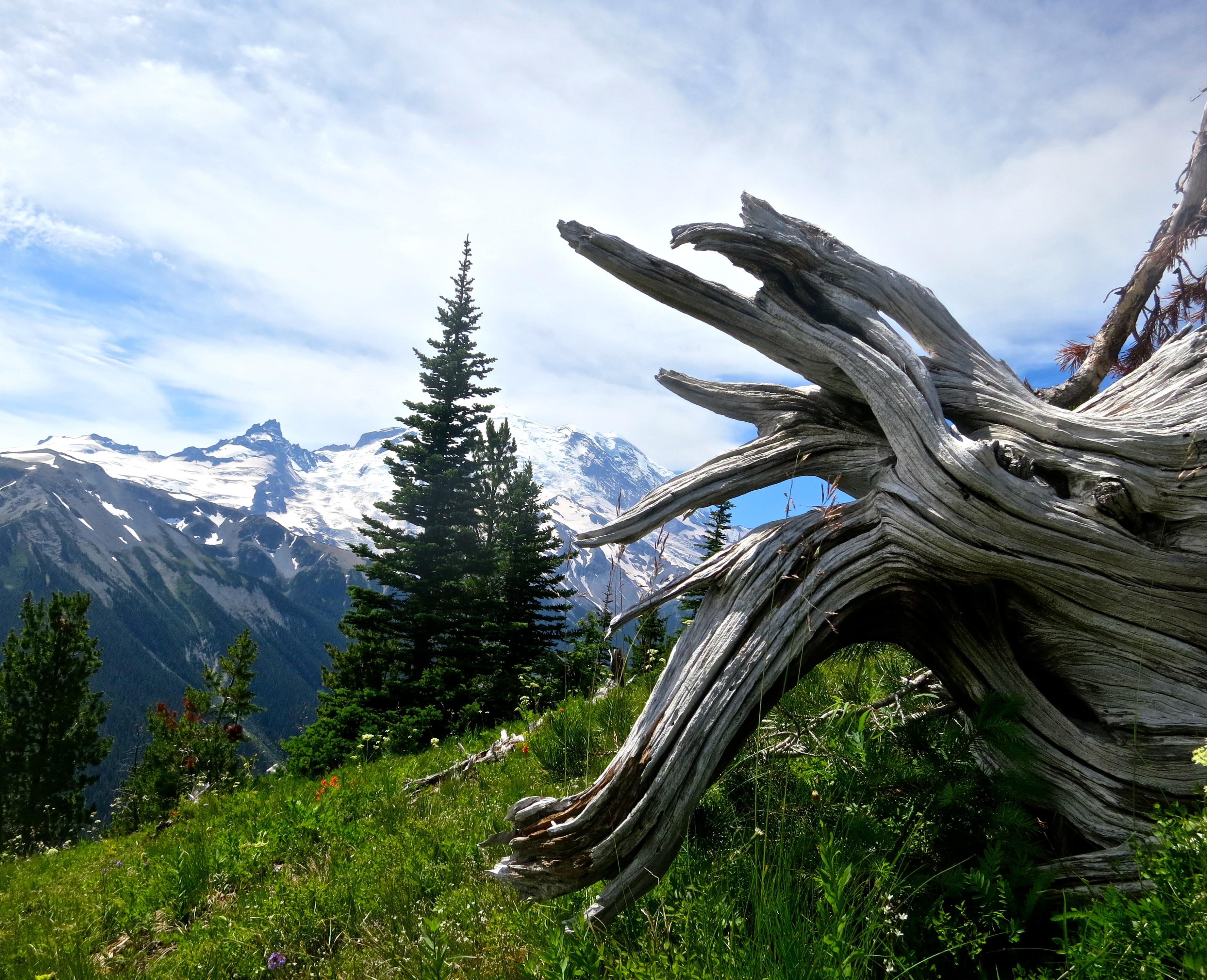
This aged tree root with its magnificent backdrop caught my attention.

Dead tree outlined against the sky in a black and white photo at Mt. Rainier National Park. Photo by Curtis Mekemson.

As did this dead tree.

A final view of Emmons Glacier. Next Blog: A giant forest, beautiful falls, and more views of Mt. Rainier. (Photo by Peggy Mekemson.)

A final view of Emmons Glacier. (Photo by Peggy Mekemson.) Next Blog: A giant forest, beautiful falls, and more views of Mt. Rainier. 

A Journey Underground… Oregon Caves National Monument

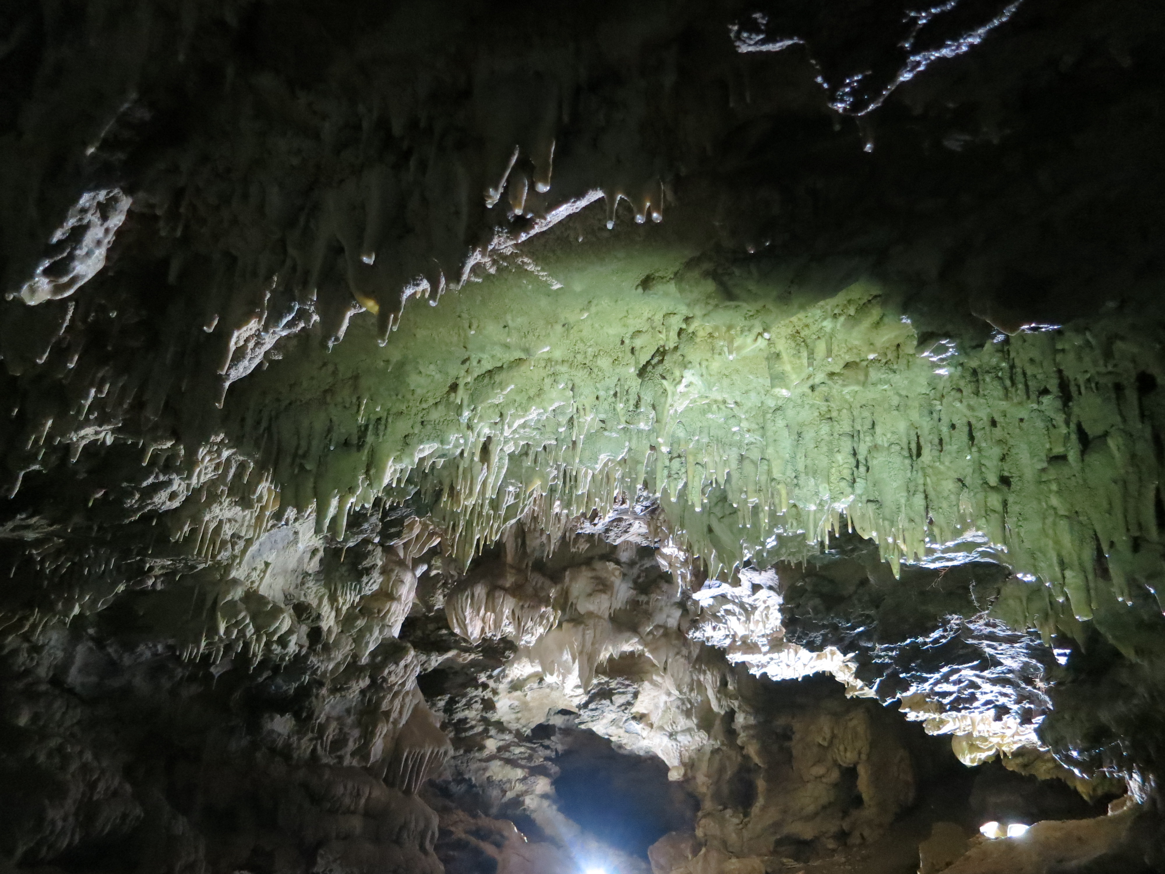
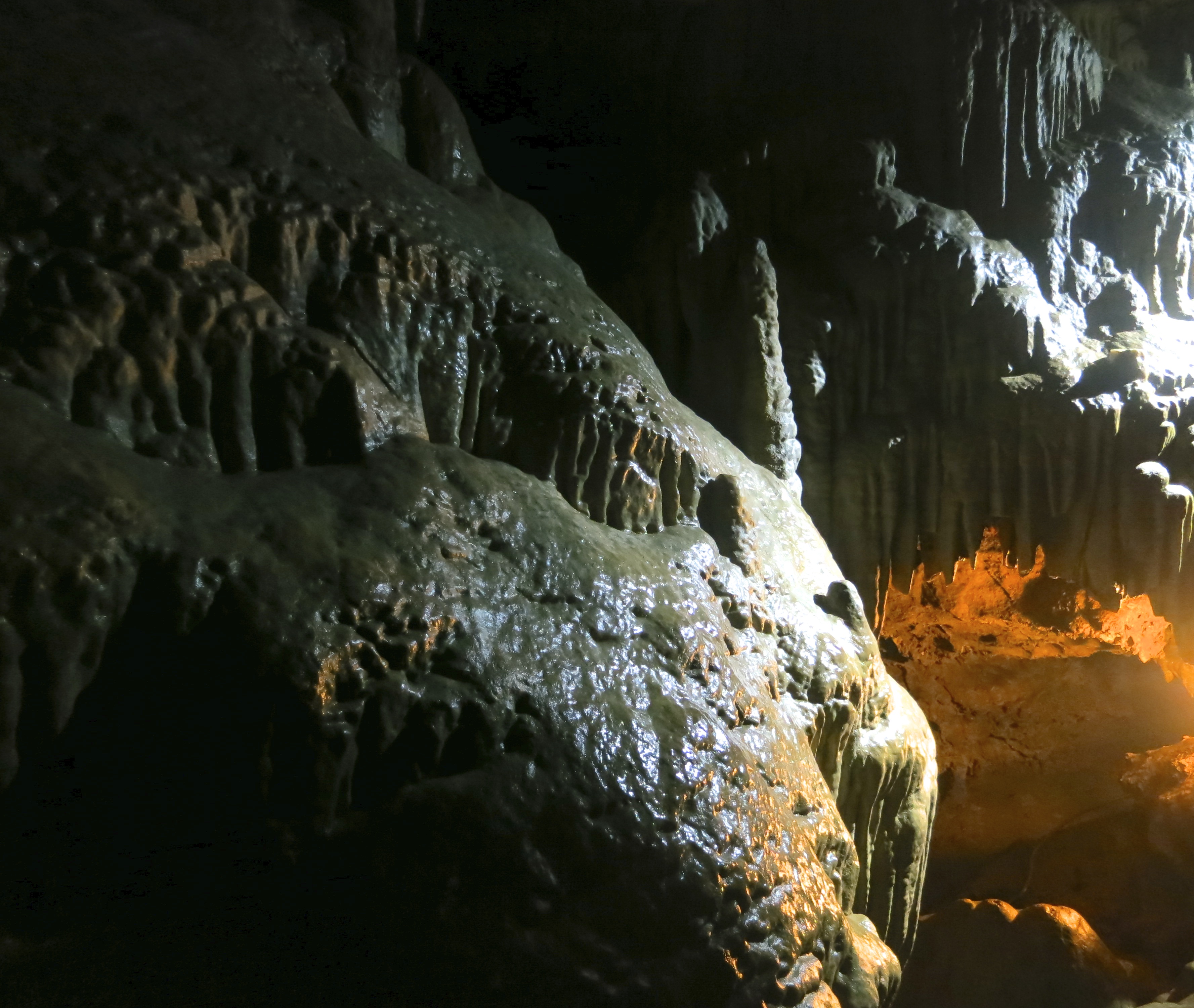
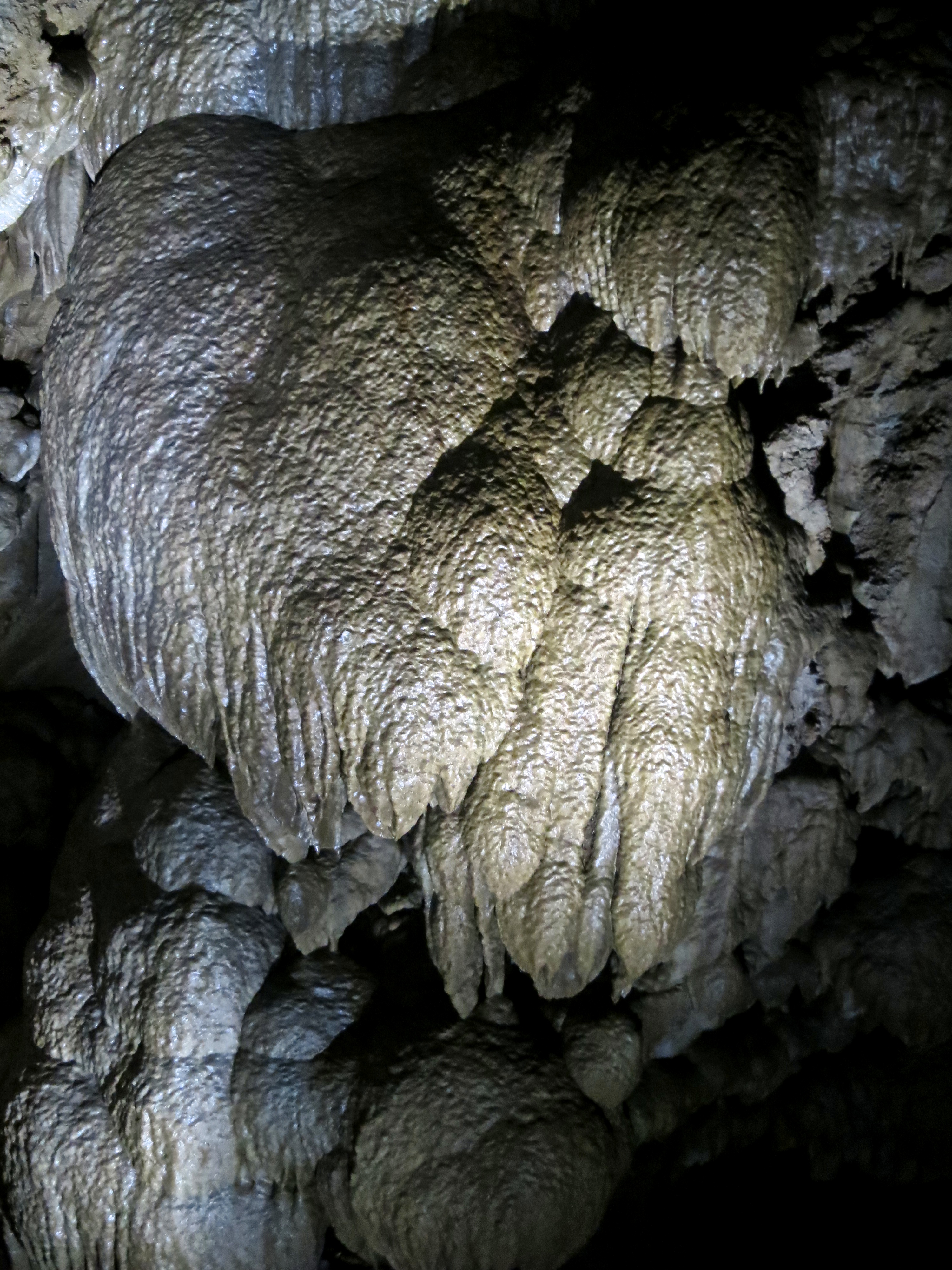
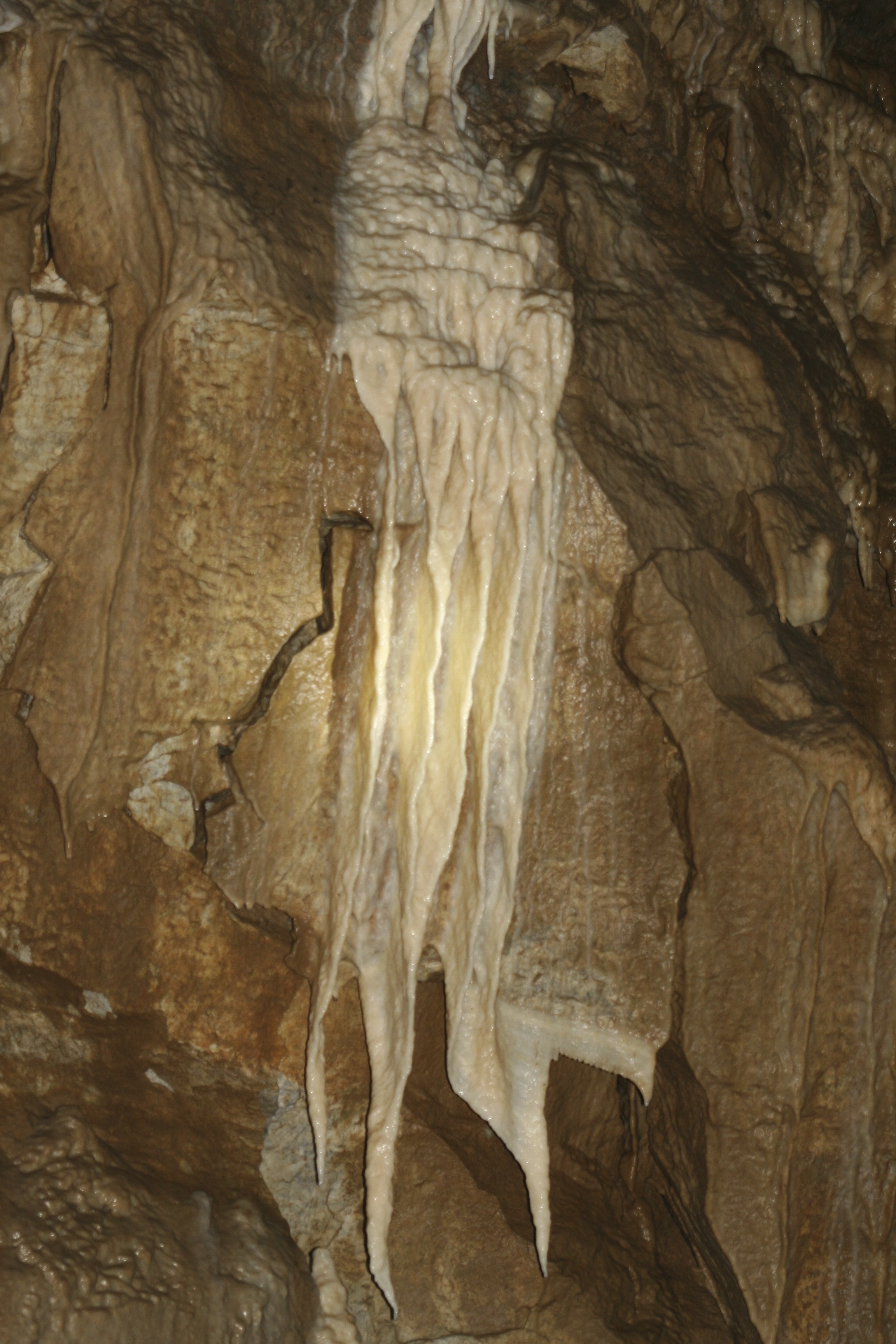
Rock formations in Oregon Caves National Monument.

Unusual rock formations created by minerals from dripping water led the Oregon Caves to be set aside as a national treasure in the early 1900s.

Claustrophobia: A fear of confined places

Acrophobia came up in my blog about Mt. Whitney. No surprise there, thousands of feet are between the hiker and a rather unfortunate landing. Splat! It’s a reasonable fear. Claustrophobia is just as real as fears go, but more irrational. The odds of being squished in a tight space— unless you are Indiana Jones or a misplaced wookie caught in a starship’s garbage disposal unit— are between slim and none. Don’t sweat it, right?

Try telling that to someone who is claustrophobic. I suggest you don’t stand between her and the exit. I get it. I am not particularly fond of enclosed spaces myself, whether they are physical or mental. I don’t like driving through tunnels and I hate freeway construction where imposing cement barriers shrink down to your vehicle’s width and provide a view of what hell is like. And that’s even before the gigantic truck comes barreling down on you and breathes fire up your tail pipe because you insist on driving 45 MPH in a 45 MPH zone. At least I can take my revenge when they put up plastic cones instead of cement barriers, as Peggy might tell you. Crunch. Curt strikes another blow for freedom.

Where does this leave me with caving, or spelunking, as the sophisticates call it? How do I feel about getting down on my belly and crawling through a space my skinny fourteen-year-old body would have gotten stuck in several hundred feet under ground? Not a problem; it’s not on my to-do list. But for some unfathomable reason, the standard well-known cave tours don’t bother me. In fact, I find them fascinating. Stalactites and stalagmites tickle my fancy and stir my imagination.

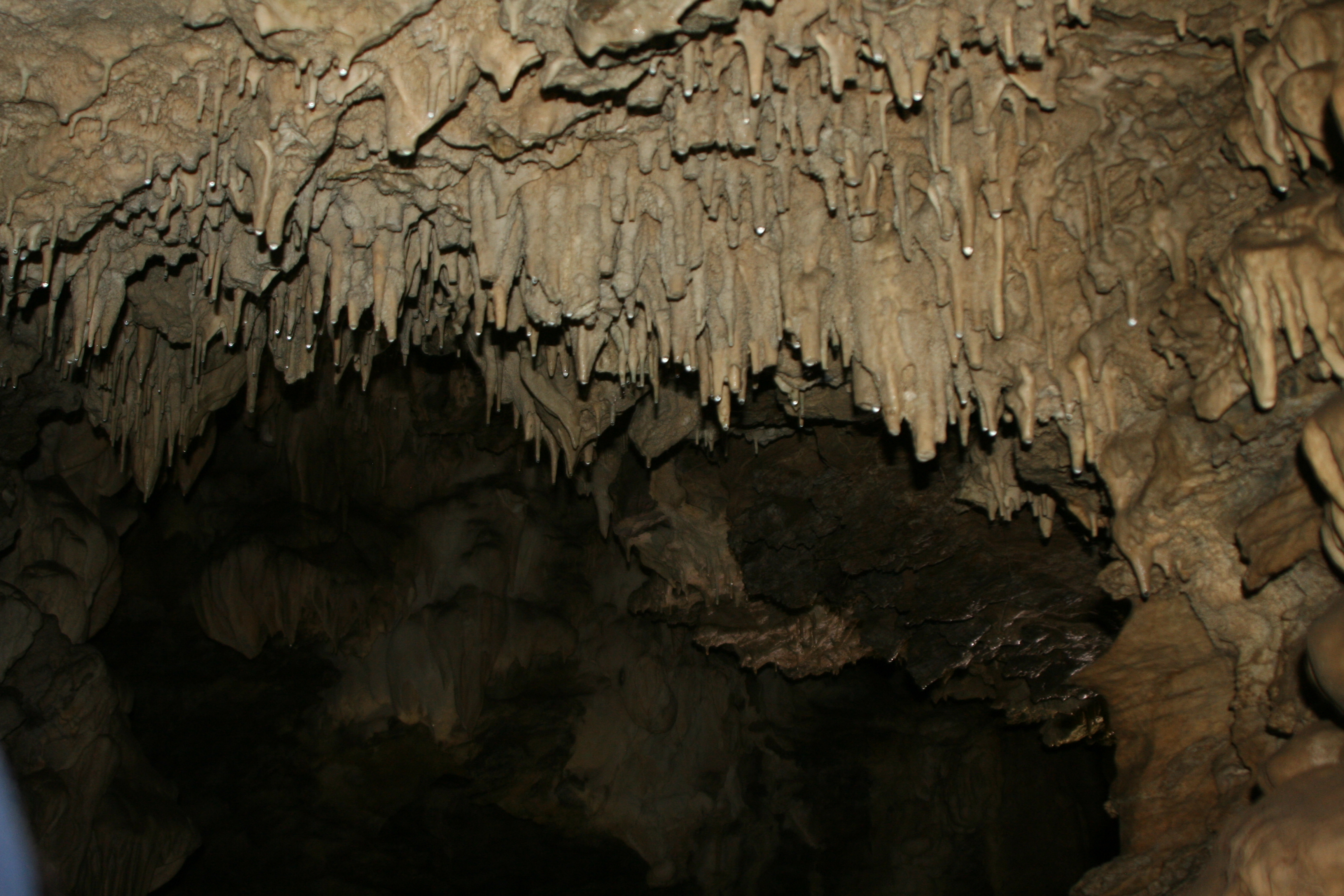
Photo showing how stalactites grow in Oregon Cave National Monument.

These small stalactites show tiny drops of mineral laden water that come down from a tube in the center of the stalactite. They will add about an inch of growth in a thousand years. (Photo by Peggy Mekemson.)

This photo from Oregon Cave National Monument shows the development of stalactites (coming down) and stalagmites (coming up). Eventually they meet, as demonstrating on the left. (Photo by Peggy Mekemson.)

This photo from Oregon Cave National Monument shows the development of stalactites (coming down) and stalagmites (going up). Eventually they meet, as demonstrated on the left. (Photo by Peggy Mekemson.)

So when Peggy suggested we head off to the Oregon Cave National Monument for her birthday a couple of weeks ago, I readily agreed. We’d been talking about it ever since we moved to Oregon. Except for the last few miles of the road that shot up a mountain and redefined the meaning of curves, the hour and a half drive was quite pleasant.

A ranger greeted us and gave us the bad news. We should expect a two-hour wait. He also wanted to know if we had been in any eastern caves in the last five years. If so— no go. White nose syndrome was wiping out eastern bats. So far their western cousins had lucked out. It had been six years since we had visited Mammoth Cave in Kentucky. We were in by a cat’s whisker.

Our wait turned out to be just over an hour. There was barely time for lunch and a look through the visitor’s center before we found ourselves at the cave entrance shivering from a blast of 44˚ F air. “Cave’s breathe,” our guide stated. He also told us about the 500 narrow stairs we would be negotiating and the low ceilings. I would be bent over double with my size 14 shoes balanced precariously on wet slippery rocks. I looked enviously at a small girl who would be standing up straight with her feet resting solidly on the narrow stone steps. She gave me an impish grin.

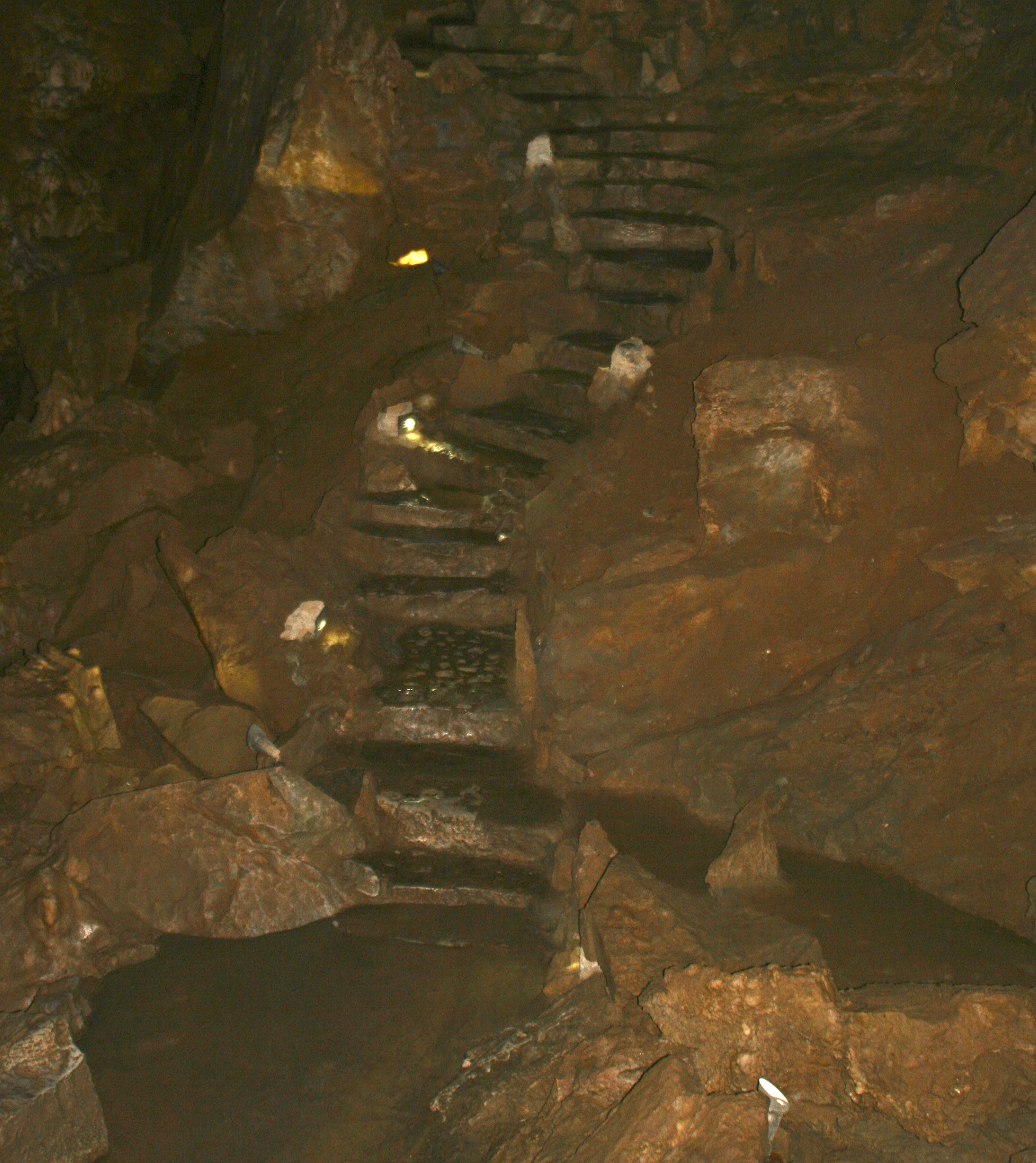
Stone steps in Oregon Caves National Monument

Dimly lit stone steps make their way up from what is known as Ghost Cave. The narrowest ones were about half the depth of my size 14 shoes. (Photo by Peggy Mekemson.)

The Oregon Caves are somewhat unusual in that they are made out of marble. Once upon a time they were a coral reef far out in the Pacific. Plate tectonics sent the Pacific Plate diving under North America and scraped off portions of the ocean floor some 100 million years ago, adding new land to the continent. The tremendous heat and pressure involved changed the lime into marble. Folding, faulting and water created the caves.

This map shows the location of Oregon Caves National Monument.

This map shows the location of Oregon Caves National Monument. (Center Right)

Lit up stalactites in Oregon Caves National Monument.

Artificial lighting adds to the magic of caves.

Another example of the impact of lighting. The rock on the left had been signed by all of the members of a geology class that had visited in the 1800s. Strict rules are now in place to protect the cave.

Another example of the impact of lighting. The rock on the left had been signed by all of the members of a geology class that had visited in the 1800s. Strict rules are now in place to protect the cave.

Unusual stone structure in Oregon Caves National Monument.

This unusual structure caught my camera’s attention.

Ghostly rock waterfall at Oregon Caves National Monument.

Peggy captured this ghostly rock waterfall. (Photo by Peggy Mekemson.)

Cave exit at Oregon Caves National Monument.

A view of where we came out from our 90 minute tour.

Standing on top of the mountain that contains Oregon Caves National Monument.

Tour over, Peggy and I stand on top of the mountain that contains the caves. This photo gives a perspective on the surrounding countryside.

NEXT BLOG: Peggy and I are headed off for a brief hiking tour at Mt. Rainier National Park for the next several days so I may be out of computer range. When I come back I will report on my recent experience as a chicken farmer: The Chicken Whisperer.

The Panamint Range of Death Valley: A Rattlesnake, Flowers, and Very Large Kilns… The Desert Series


Panamint Rattlesnake in Death Valley.

We found this rather handsome fellow on our way up to Wildrose in Death Valley. Check out the shadow! (Photo by Peggy Mekemson.)

I crossed over the Panamint Range once on a bicycle. It wasn’t fun. Or let me put it this way, the nine-mile climb up out of Panamint Valley wasn’t fun. It was at the beginning of my 10,000-mile solo trip around the US. I only had seven days of cycling behind me so I was still getting in shape (massive understatement).  Adding to the challenge, I was carrying over 50 pounds of gear, everything I needed to survive six months on the open road.

Standing out of the saddle in my lowest gear, and exerting every bit of muscle power I could, I averaged two miles an hour. And yes, it would have been much easier to get off my bike and push. But I am a stubborn when it comes to things physical. The ride down, on the other hand, was lovely and about 20 times as fast.

Our Toyota Tacoma thought nothing of the climb out of Death Valley to the Emigrant Canyon Road and on to Wildrose Canyon. In fact the pickup loves a challenge and likes to be on the road as much as Peggy and I do. Or maybe I am anthropomorphizing a bit too much here. (And don’t you just love that word, all 18 letters of it.)

We were lollygagging along on the Wildrose road and stopping often to photograph flowers when we passed the rattlesnake. Peggy was driving. “Stop, back up,” I urged. Laughing, Peggy complied. She’s used to my fascination with rattlesnakes. I’ve had dozens of encounters over the years. One of my favorite tricks is to get down on my belly in front of them to take photos as they crawl toward me. Unfortunately, my headshots are usually blurry. Could it be that I am backing up too fast?

Panamint Rattlesnake in the Panamint Mountains, Death valley.

Having determined that we weren’t edible, the large snake went on his way. Isn’t the head magnificent? It shouts pit viper.(Photo by Peggy Mekemson.)

This guy was a beauty, a Panamint rattler (Crotalus stephensi), and I would guess almost record size. He was on the driver’s side of the truck so I handed Peggy her camera and she snapped three shots. And then, before I could get out to the truck for some close-ups, she stepped on the gas and we were out of there. Can you imagine that? I whined for an hour.

The flowers soon assuaged my disappointment, however. At our elevation of around 5,000-7,000 feet, they were everywhere. While we were too late to catch flowers blooming in the valley, our trips up to Dante’s View and Wildrose more than made up for it.

Desert flowers in the Panamint Range of Death Valley.

I was taken by this old desert road that cut off the main road and was covered with flowers as far as the eye could see.

Hill covered with flowers in the Panamint Range of Death Valley.

And how about this hillside?

Prickly poppies growing in the Panamint Range of Death Valley.

These prickly poppies were attractive. Petals were tissue paper thin. The red beetle was quite busy.

Death Valley flower.

I don’t know what this striking yellow beauty was. Maybe one of my readers can identify it. (Finally found it in one of my field guides. It’s called Desert Plume and is a member of the mustard family.)

Lupine growing in the Panamint Range of Death Valley.

This lupine, however, is an old friend. It is common throughout the west. Peggy is even growing some. What was amazing about this plant was its size. I would say around four feet tall.
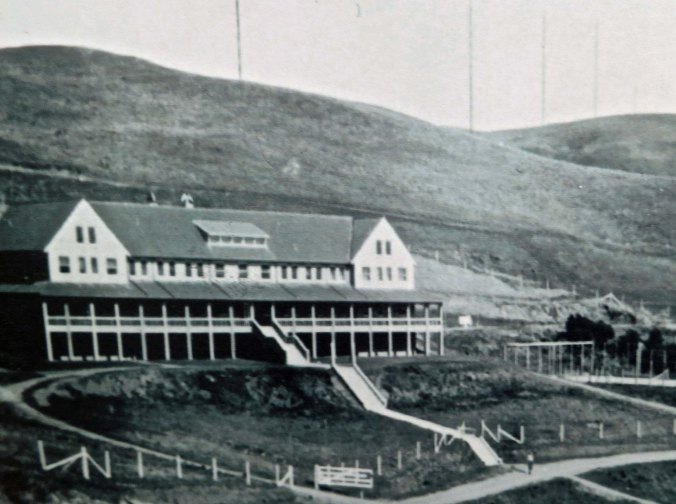
Beyond the rattlesnake and the flowers, the highlight of the tour was the ten charcoal kilns built in by the Modoc Consolidated Mining Company in 1877 to prepare charcoal to be used in smelters at its lead-silver mine about 25 miles away. Local pinion pines and junipers were cut down and hauled to the kilns. It took approximately four cords of wood to fill one kiln. After 6-8 days for burning and another 5 days for cooling the charcoal was then transported by an army of jackasses.

Charcoal kilns located in Death Valley.

The kilns, which were used for about three years, have sat quietly for over a century. Navajo Indian stonemasons from Arizona restored the kilns in 1971. (Photo by Peggy Mekemson.)

An interesting aside is that George Hearst was the principal investor in the mining company. His son, William Randolph Hearst, would go on to found the Hearst media empire. And it was his great grand-daughter, Patty Hearst, who was kidnapped by the Symbionese Liberation Army in the 70s. Where this is going is that I met Patty and her abductors in the Sierra Nevada Mountains. I was up with some friends scouting out streams for trout fishing when a van roared around us and got stuck in a snow bank, which we found rather amusing. A group of folks came tumbled out of the van including a young woman who came over to talk with us while her companions tried to dig out of the snow.

“Do you have any guns in your car?” she asked. “My friends have been teaching me how to shoot automatic weapons in the Bay Area and we are up here for practice today.” That’s when the alarm bells started going off for me. We were talking to Patty Hearst and her ‘friends’ were SLA members. When Patty wandered off to check on the van’s progress, I whispered my concerns to my friends and suggested we help get the van on its way, which is what we did.

But so much for the detour (grin). I was either going to tell you stories about rattlesnakes today or the Patty Hearst. Patty won. Back to the kilns.

Charcoal kiln in Panamint Mountains in Death Valley.

Peggy provides perspective on the size of the kilns that are 25 feet tall.

Back view of charcoal kilns in Death Valley.

Back view of kilns showing window where smoke escaped. You can still smell the smoke inside.

View looking out from inside a charcoal kiln in Death Valley.

View from inside the kiln looking out at the pines.

A final view from Wildrose. What appears to be puffy white clouds on the horizons are the snow covered Sierra Nevada Mountains.

A final view from Wildrose. What appears to be puffy white clouds on the horizons are the snow-covered Sierra Nevada Mountains.

NEXT BLOG: What’s a desert without a ghost town, or two. We head off to the old mining town of Rhyolite sitting on the edge of  Death Valley.

Death Valley Part II: We Are At Zabriskie Point but Where Is R2-D2… The Desert Series

Erosion of rocks created in an ancient lake bed gives Zabriskie Point its unique look.

Erosion of rocks gives Zabriskie Point its unique look.

Zabriskie Point is one of the most photographed spots in Death Valley. Tour busses stop here and disgorge thousands of passengers annually. Everyone comes armed with a camera, or at least a cell phone camera. Twenty shots or so later they are on their way, scurrying back to the bus and Death Valley’s next must-see sight. We are more leisurely in our approach, but we also take a more photos. Erosion is king here, wearing away rocks that were deposited in a lakebed some five million years ago– back before tectonic forces created Death Valley and back before the region became a desert.

Zabriskie Point Death Valley.

As in other parts of Death Valley, the rocks of Zabriskie Point are multi-hued. (Photo by Peggy Mekemson.)

Manly Beacon in Death Valley.

Manly Beacon or Point, is another popular view from Zabriskie Point. Justifiably so.

Peggy and I were at Zabriskie Point in the late afternoon. The rocks above Manly Beacon seemed to take on an inner glow.

Peggy and I were at Zabriskie Point in the late afternoon. The rocks above Manly Beacon seemed to take on an inner glow.

The volcanic caprock provides an interesting contrast. (Photo by Peggy Mekemson.)

The volcanic caprock provides an interesting contrast. (Photo by Peggy Mekemson.)

A three-mile trail leads down to the Valley floor from Zabriskie Point and passes through Golden Canyon on the way. For fans of Star Wars IV, segments of the movie were filmed in Golden Canyon. The diminutive, eye glowing Jawas captured R2-D2 and C-3PO there.  So you can think of Death Valley as Tatooine, the home planet of Luke Skywalker. (Tunisia was also used for scenes on Tatooine.)

Golden Canyon looking out toward Death Valley

Golden Canyon looking out toward Death Valley. This photo and the one below were taken from an earlier trip. R2-D2 and C-3PO were captured in the canyon by the Jawas.

Golden Canyon in Death Valley

Golden Canyon looking up toward Zabriskie Point. I am on the trail. (Photo by Peggy Mekemson.)

Here’s some Star Wars trivia I picked up when doing research for this blog that you can use to wow your friends: sounds made by dogs, bears, lions, tigers and walruses were combined to create Chewbacca’s voice.

The Twenty Mule Team Canyon that I blogged about in my last post starts a mile or so above Zabriskie Point. A few miles farther, a road jogs off to the right that leads to Dante’s View, which towers some 5000 feet above the valley floor. The last part of the road is steep and narrow but the view is worth it.

Looking down into Death Valley from Dante's View.

Looking down into Death Valley from Dante’s View.

Dante's View provides a spectacular view of Death Valley.

Another perspective.

Given the higher elevation at Dante's View, Spring Flowers were still blooming.

Given the higher elevation at Dante’s View, spring flowers were still blooming.

Indian Paintbrush at Dante's View in Death Valley National Park.

This is an Indian Paintbrush.

I took this photo to capture the very impressive alluvial fan spreading out on the Death Valley floor far below Dante's View. Debris coming down off the mountain had built this fan up over thousands of year.

I took this final photo from Dante’s View to capture the very impressive alluvial fan spreading out on the Death Valley floor far below. Debris coming down off the mountain had built this fan up over thousands of year.

NEXT BLOG: Traveling into the Panamint Range of Death Valley: wild flowers, huge charcoal kilns, and one very large, irritated rattlesnake.

Death Valley: Part I: The Twenty Mule Team Canyon… The Desert Series

Prepare to be dazzled with a kalaidiscope of color on a drive through Twenty Mule Team canyon in Death Valley.

Prepare to be dazzled with a kaleidoscope of color on a drive through Twenty Mule Team Canyon in Death Valley. Various minerals are responsible for the colors.

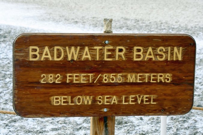
Death Valley is a land of superlatives. Think hottest, lowest, and driest place in North America. It holds the world record for heat at 134 ˚ F (57˚ C). Ground temperatures have actually been measured at 201˚ F. As for rainfall, there are years without any and the annual average is 2.36 inches (60 mm). Finally, a trip into Badwater Basin, easily reachable by car, will drop you down to 282 feet below sea level.

Given these extremes, a person might wish to travel to Death Valley for the sole purpose of saying he or she has been there. (Or conversely avoid Death Valley passionately.) But from my perspective, the reason for visiting Death Valley is its exotic beauty. Over the past three weeks, I’ve taken you to the Valley of Fire and Red Rock Canyon. Not bad on scenery, eh? Consider it a warm up.

I’ve been to Death Valley numerous times and have blogged about it in the past. On our recent trip, we climbed out of the valley and explored other parts of the National Park including Twenty Mule Team Canyon, Dante’s View, Zabriskie Point and the unusual Charcoal Kilns high up in the Panamint Mountains.

Today, we will begin our journey with a drive through the colorful badlands of Twenty Mule Team Canyon. Imagine for the moment, taking 18 mules and two horses, hitching them to a huge wagon, and hauling 10 tons of borax over desert terrain for 160 miles. That is how borax was hauled out of Death Valley between 1883-1889 and it has become part of the local lore and legend. Francis Smith, the founder of Pacific Borax was also a first class promoter and sent his mule teams out to major cities across the US to push his soap products.  At one point, they paraded down Broadway in New York City.

This early, unattributed photo in the public domain, provides a view of the team with its Death Valley backdrop.

This early, unattributed photo in the public domain, provides a view of the 20 mule team with its Death Valley backdrop. The driver had a very long bullwhip to encourage his mules along the way.

Old Dinah steam tractor in Death Valley National Park.

The mules were eventually replaced by a steam tractor. “Old Dinah” is featured at Furnace Creek. Dinah, in turn, was replaced by a railroad.

Twenty Mule Team Canyon was never part of the route the mules followed. So why the name? It could have been to honor the teams but I suspect it was the bright idea of a tour agent. Whatever, no harm was done. Twenty Mule Team Canyon provides a kaleidoscope of color, a laboratory of erosion, and a fun drive.
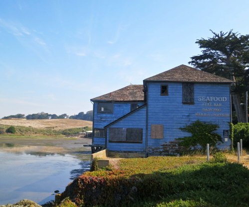
Road through Twenty Mule Team Canyon in Death Valley.

The 2.8 mile road through Twenty Mule Team Canyon is a fun drive but it isn’t made for large RVs or fifth wheels. (Photo by Peggy Mekemson.)

Scene on Twenty Mule Team Canyon road in Death Valley. Photo by Curtis Mekemson.

Every corner you turn brings a new view and most are quite dramatic…

Dramatic view along Twenty Mule Team Canyon road in Death Valley.

Case in point.

Road shot traveling through Twenty Mule Team Canyon in Death Valley National Park.

Another road shot. (Photo by Peggy Mekemson.)

View along the Twenty Mule Team Canyon road in Death Valley.

I liked the effect of these contrasting light and dark colors.

Photo of blue skies with puffy clouds provides backdrop for Twenty Mule Team Canyon in Death Valley.

Blue skies, light clouds provide a backdrop for gold, reddish-brown and tan rocks.

Trail in Twenty Mule Team Canyon, Death Valley.

A number of trails wander off into the rocks, inviting visitors to stay for a while and explore. (Photo by Peggy Mekemson.)

Funeral Mountains provide a dramatic backdrop in Twenty Mule Team Canyon, Death Valley.

Mountains provide the backdrop here. These, BTW, are the Funeral Mountains.

Distant mountains appear purple in Twenty Mule Team Canyon, Death Valley.

More distant mountains appear almost purple. (Photo by Peggy Mekemson.)

Peggy Mekemson checks out the view at Twenty Mule Team Canyon in Death Valley.

Peggy admires the view.

A final view of the riotous colors found in Twenty Mule Team Canyon.

A final view of the riotous colors found in Twenty Mule Team Canyon.

NEXT BLOG: We check out what is probably the most photographed area of Death Valley, Zabriskie Point, and climb 5000 feet above the valley to Dante’s View floor for a bird’s eye perspective.

A Photographic Journey through America’s National Parks… Series Conclusion

Grand teton photo by Curtis Mekemson.

National Parks in the United States and throughout the world protect and preserve many of our most scenic natural areas. This photo is of the Grand Teton Mountains in Wyoming.

Peggy and I decided to take a year off from work in 1999 and travel around North America. I worked as a consultant/citizen advocate on health and environmental issues when I was behaving like a serious adult, and led wilderness treks when I wasn’t. Peggy was fully adult and served as an assistant principal at a middle school.

People were more or less resigned to the fact that I came and went. You might say I was self-employed and self-unemployed. The only person I really had to check with was myself. Peggy’s situation was different, but the school district really wanted to keep her. They offered her an unpaid sabbatical. We bought a travel van and off we went.
We left on July 1. Planning was close to zero. Our only obligations were to meet up with friends for backpacking and kayaking in Alaska and to join Peggy’s parents in Florida for Thanksgiving. Beyond that we could be wherever we wanted to be and do whatever we wanted to do.

Early on, we decided to visit National Parks, Seashores, Monuments and Historical sites whenever we had the opportunity. It was a goal we continued when Peggy retired from being an elementary school principal in 2007 and we wandered in our van for another three years. As a result, we have visited the majority of America’s National Parks as well as many in Canada.

Over the past three weeks I have blogged about a few of the parks we visited. I hope you have enjoyed the journey. Today, I will wrap up this series with photos from several more. I will return to the National Park theme from time to time in the future.

Volcano Natioanl park photo by Curtis Mekemson.

A view of Volcano National Park on the island of Hawaii. The white steam in the background is coming from an active volcano.

Big Bend National Park photo by Curtis Mekemson.

A view of the Rio Grande River as it winds through Big Bend National Park in Texas. Peggy and I spent Christmas at the park.

Exit Glacier in Kenai Fjord National Park. Photo by Curtis Mekemson.

Exit Glacier at Kenai Fjords National Park. I ended backpack treks I led across the Kenai Peninsula near here.

Sunset at Grand Canyon National Park in Arizona. (Photo by Peggy Mekemson.)

Sunset at Grand Canyon National Park in Arizona. (Photo by Peggy Mekemson.)

Niagara Falls photo by Curtis Mekemson.

Niagara Falls is not a National Park but it is a National Heritage Site.

Luna Moth on Natchez Trace.

We found this colorful Luna Moth on the Natchez Trace, a National Historic Highway that winds through Mississippi and Tennessee. No commercial traffic is allowed on the road, which makes it great for bicycling. (Photo by Peggy Mekemson.)

This brick outhouse found on the Natchez Trace is included because it is my favorite brick outhouse in the world. I hid out in it with my bicycle as a tornado tore up the countryside nearby.

This brick outhouse found on the Natchez Trace is included because it is my favorite brick outhouse in the world. I hid out in it with my bicycle as a tornado tore up the countryside nearby.

Photograph of Rocky Mountains National Park by Curtis Mekemson.

Rocky Mountains National Park in Colorado.

Photograph from inside Mammoth Cave by Curtis Mekemson.

A view from inside of Mammoth Cave National Park in Kentucky.

Photograph of Newspaper Rock by Curtis Mekemson.

A small section of Newspaper Rock National Historic Site in Utah. Native Americans have been leaving messages on this rock for over a thousand years. Note the guy shooting the elk in the butt with an arrow.

Photo of Painted Desert National Park in Arizona.

Painted Desert National Park in Arizona.

I'll conclude for today with this photo Peggy took of Capitol Reef National Park in Utah. (Photo by Peggy Mekemson.)

I’ll conclude for today with this photo Peggy took of Capitol Reef National Park in Utah. (Photo by Peggy Mekemson.)

NEXT BLOG: We are off to Puerto Vallarta, Mexico and the beginning of a new series. First up will feature photographs of Pelicans diving for fish in Banderas Bay. We were fortunate to be close to the action and caught some great shots. You won’t want to miss this blog.

The Redwoods… A Photographic Journey through America’s National Parks

A giant of the forest.

A giant of the forest: “an ambassador from another time.”

“The redwoods, once seen, leave a mark or create a vision that stays with you always. No one has ever successfully painted or photographed a redwood tree. The feeling they produce is not transferable. From them comes silence and awe. It’s not only their unbelievable stature, nor the color which seems to shift and vary under your eyes, no, they are not like any trees we know, they are ambassadors from another time.”

                                                                                                                                                                                                         John Steinbeck

Like John Steinbeck, I am in awe of the Redwoods. These giants of the forest can live for two thousand years and grow to over 300 feet tall. The so-called Big Tree in Redwood National Park, for example, is 304 feet tall, has a circumference of 68 feet and an estimated age of 1500 years.

Our home in Southern Oregon is a short three-hour drive from the coastal redwoods of Northern California so Peggy and I have visited them three times in three years. My first visit to the Redwoods was as a child and it is still a clear memory. Our last two visits we had our grandkids with us. My hope is that their memory of the visit will be like mine– and pull them back, time and again.

Peggy provides a perspective on the actual size of a giant redwood.

Peggy provides a perspective on the actual size of a giant redwood.

California's rugged North Coast. Photo by Curtis Mekemson.

Redwoods National Park is located along California’s rugged North Coast. Stormy seas had left behind piles of driftwood.

Redwood tree root on Northern California coast. Photo by Curtis Mekemson.

Among the driftwood was this large redwood tree root.

Driftwood at Redwood National Park. Photo by Curtis Mekemson.

Most of the driftwood was small but also quite attractive. It was easy to imagine the various shapes as creatures…

Driftwood shapes at Redwood National Park. Photo by Curtis Mekemson.

I thought of this piece as a wood duck.

Downed tree root in Redwood National Park.

Back to the forest, my friend Ken Lake and I stand next to another massive root. (Photo by Peggy Mekemson.)

Moss coverend tree at Redwood National Park. Photo by Curtis Mekemson.

The moss growing on this tree is a reminder that Redwood National Park receives 60-80 inches of rain per year, thus making it a rainforest.

Large clover leaf in Redwood National Park. Photo by Curtis Mekemson.

The size of clover is another reminder that things grow big in Redwood National Park– as my favorite model demonstrates below…

Peggy Mekemson wears a Redwood National Park clover in her hair. Photo by Curtis Mekemson.

Foxglove growing at Redwoods National Park.

Beautiful Foxglove is also found growing among the redwoods. (Photo by Peggy Mekemson.)

Fern growing in Redwoods National Park. Photo by Curtis Mekemson.

Another perspective on the rainforest look of Redwoods National Park.

Two final views of the magnificent redwoods.

Giant redwood tree at Redwoods National Park. Photo by Curtis Mekemson.

Tops of redwoods at Redwoods National Park. Photo by Curtis Mekemson.


NEXT BLOG: Wrap up of park series (for the present) with photos from several different parks.