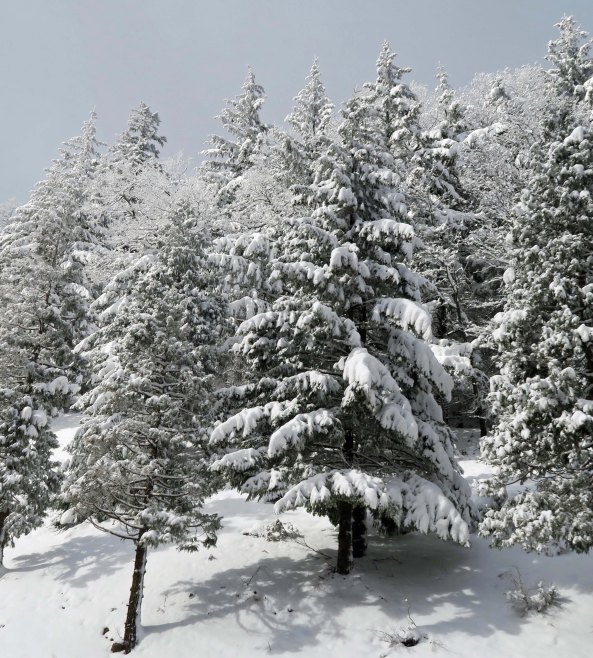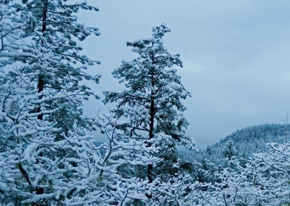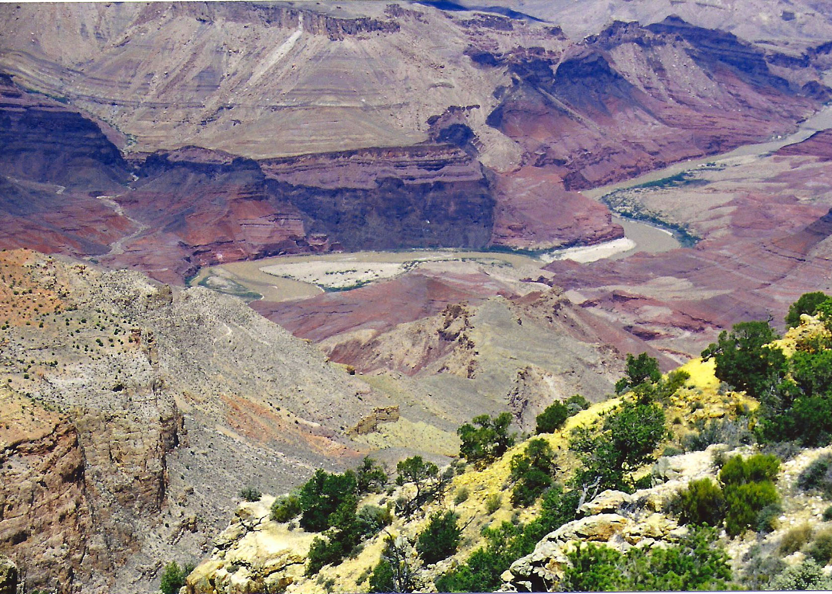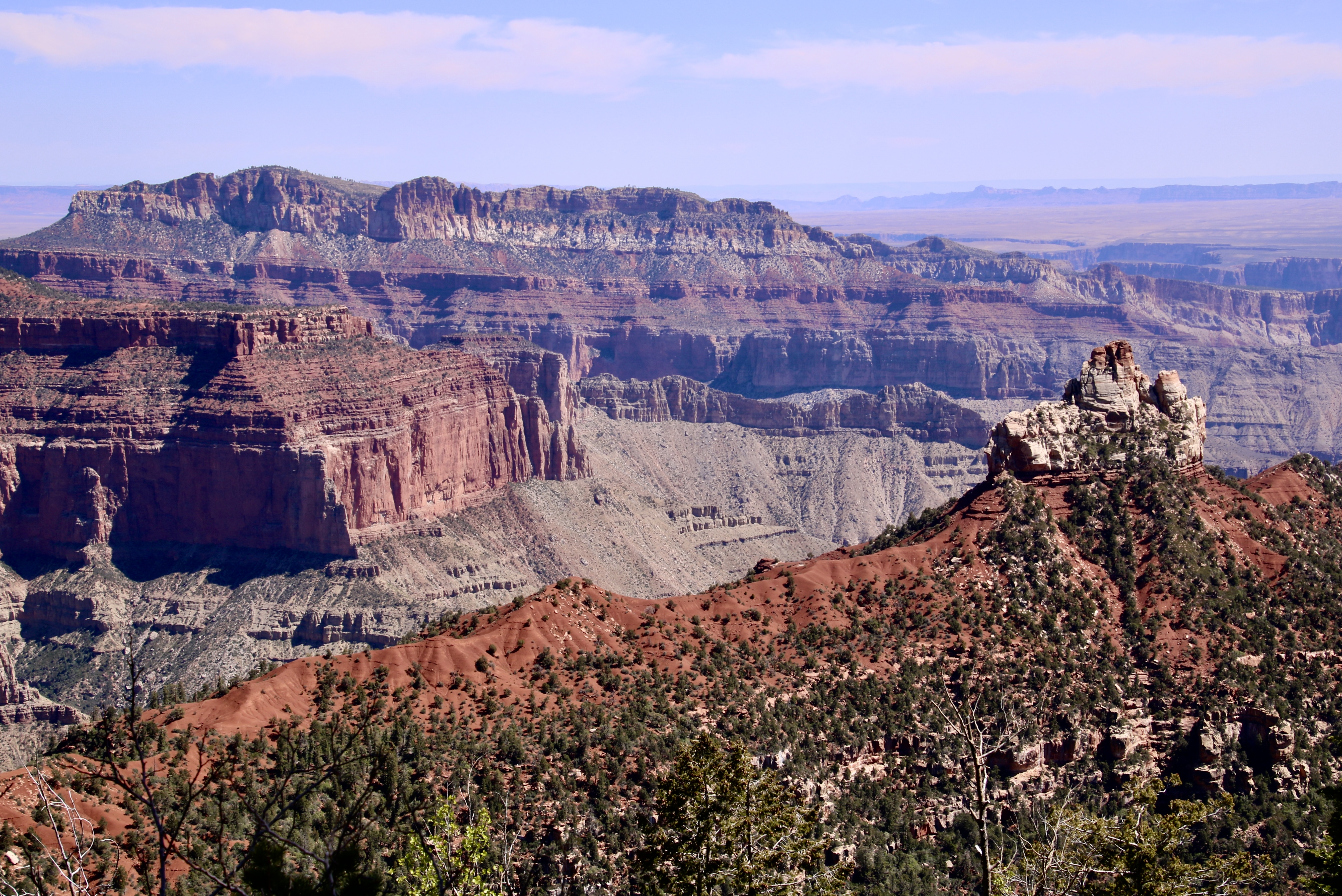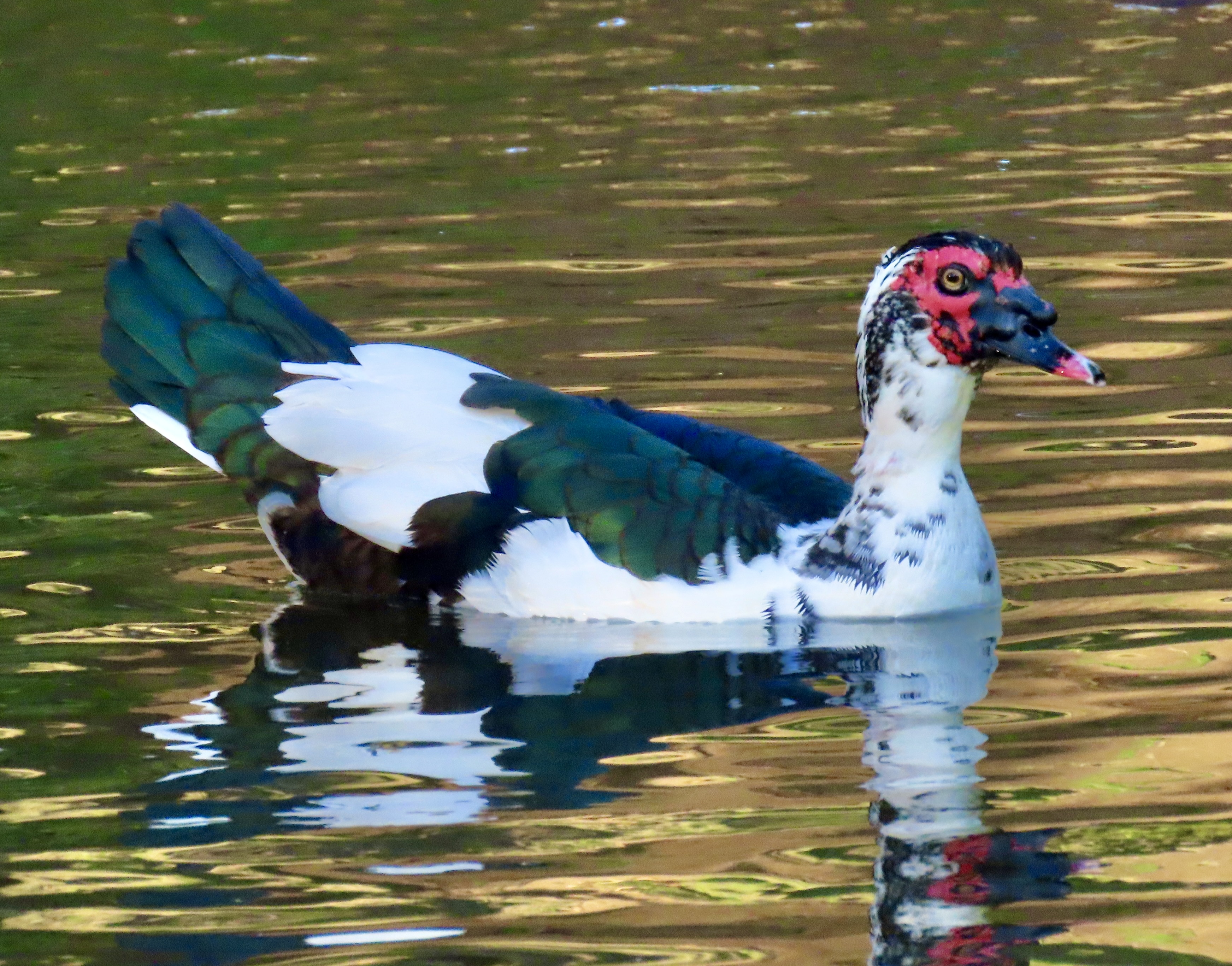
The Alaska wilderness experience is significantly different from what you experience in the ‘Lower 48.’ One of my primary reasons for moving to Alaska in 1983 was to explore the difference.
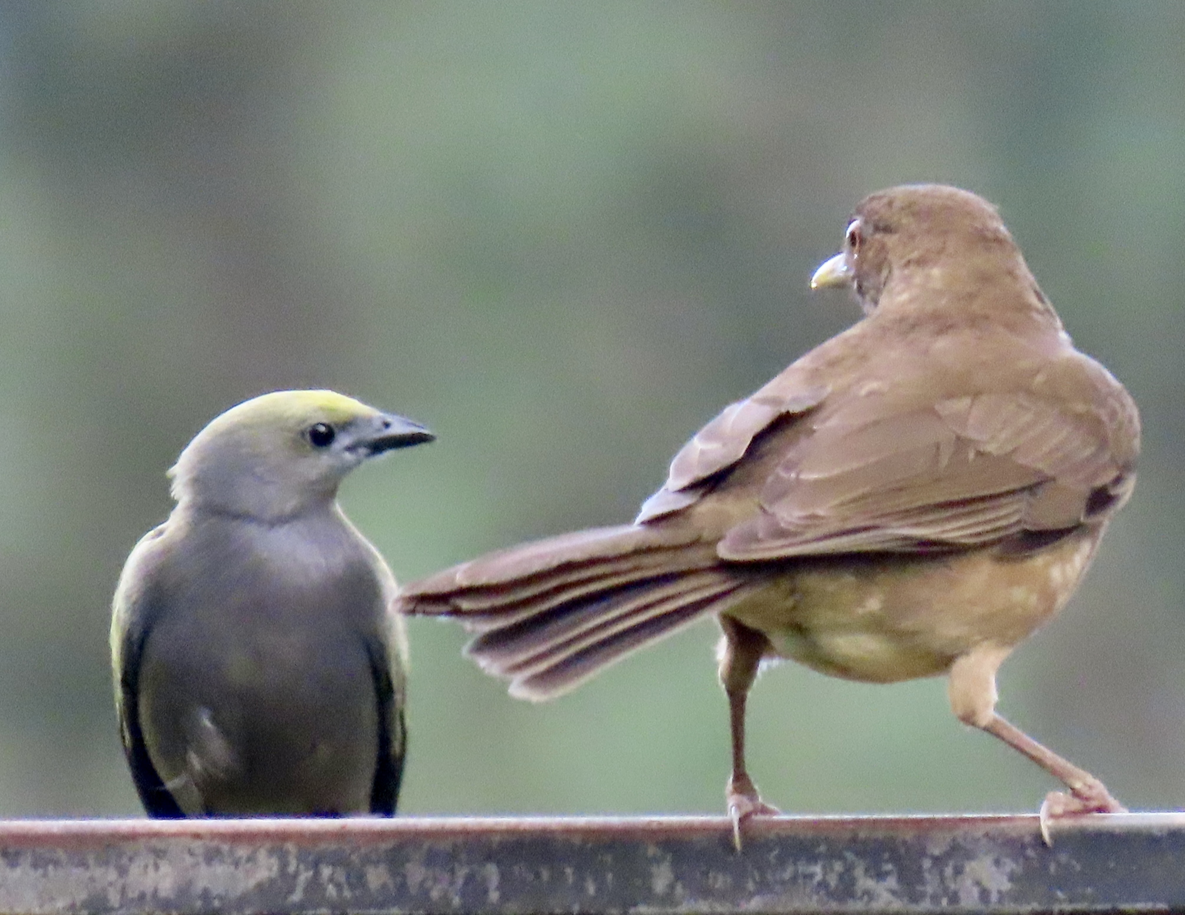
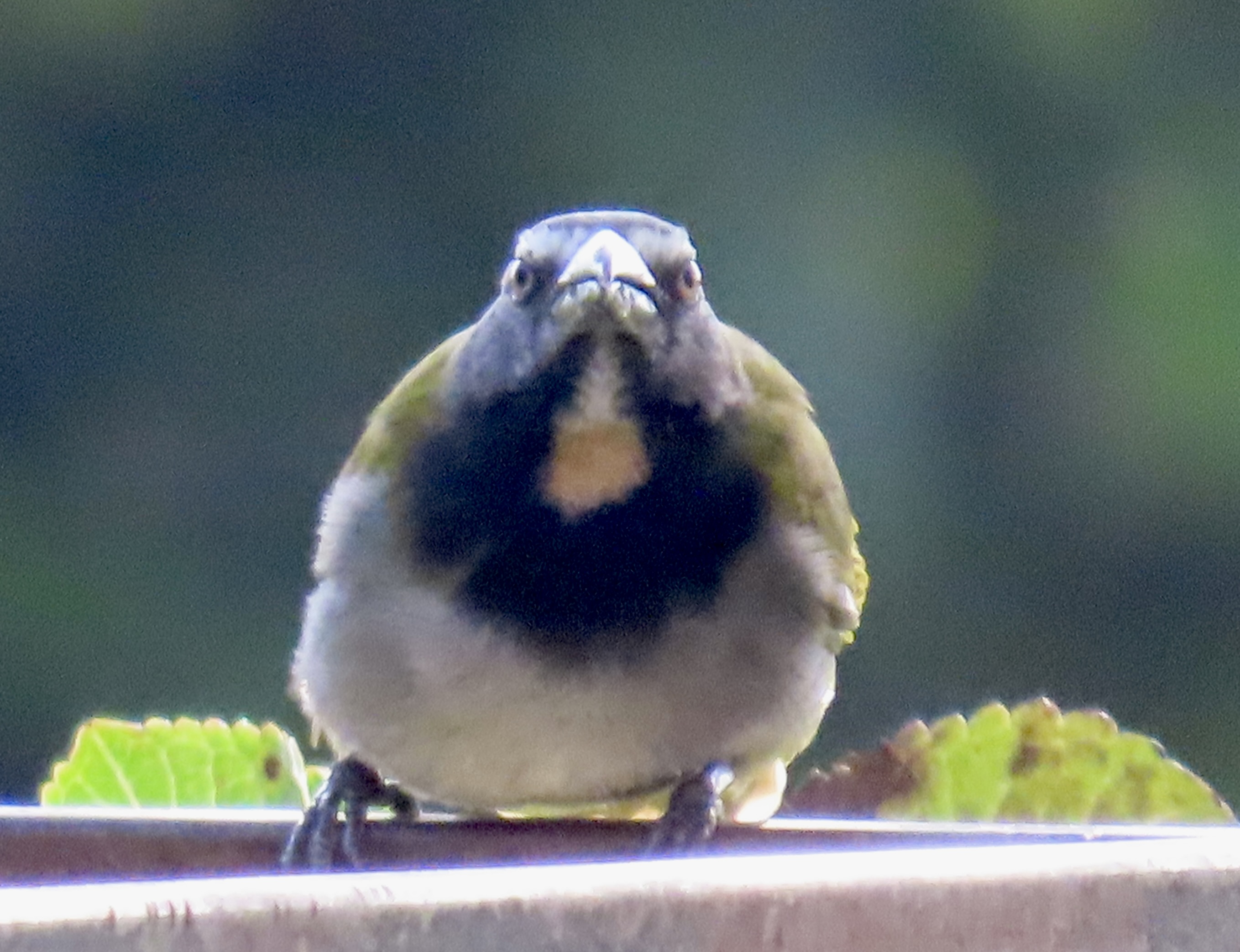
There is a sense of vastness when you slip on your backpack and head away from your car in Alaska, a possibility that you can hike for days and not see another person. And there is an element of danger. Few well-maintained trails and trail signs are there to guide you. The weather is always a factor. Large storm systems march across the state and bring rain and mists in the summer and biting cold and snow in the winter. Plus there are large animals out there, large animals with big teeth, big claws, big hoofs and big horns.
“The better to eat, scratch, trample or gore you, my dear.”
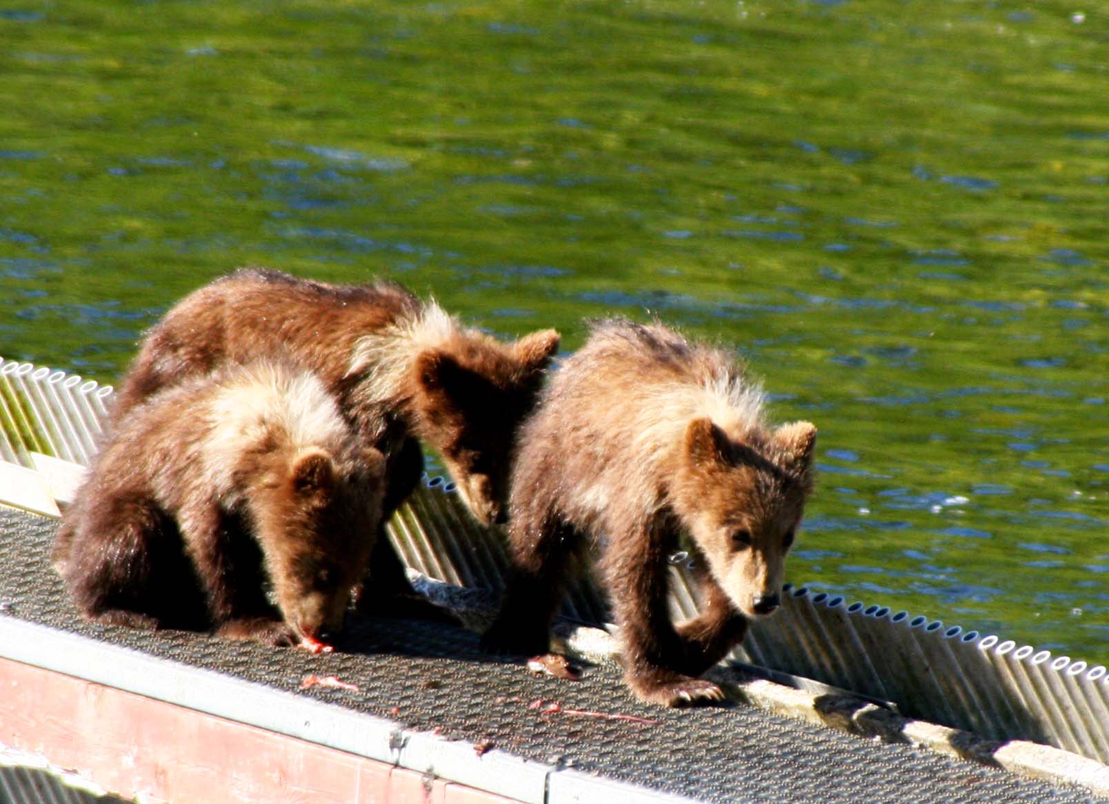
It isn’t that the animals are out to get you. They just don’t have the same level of tolerance their southern cousins do. Recognizing this, I always went out of my way to be polite when wandering in their territory. The number one rule with bears is no surprises. Bears weigh several hundred pounds and have suspicious minds. Their tendency is to bite first and ask questions afterwards when surprised. So, you make lots of noise when walking through dense brush. Almost all of the wilderness shops sold bells to wear, but I regarded them as dinner bells. Cows wear bells, right? And grizzly bears like to eat cows. I preferred to sing. Cows don’t sing. And believe me on this one: There is nothing like a large pile of steaming bear shit to make you sing loudly. Peggy is known to break into a rousing chorus of 99 Bottles of Beer on the wall.
The number two rule is don’t run away. Behaving like food implies you are. Also, as part of this rule, stand tall. Look like a human being. Such behavior suggests to the bear that you know something it doesn’t. Why would a 100-200 plus pound creature stand up to a 500-1000 pound plus creature? It makes the bear more cautious. Possibly something else would taste better.
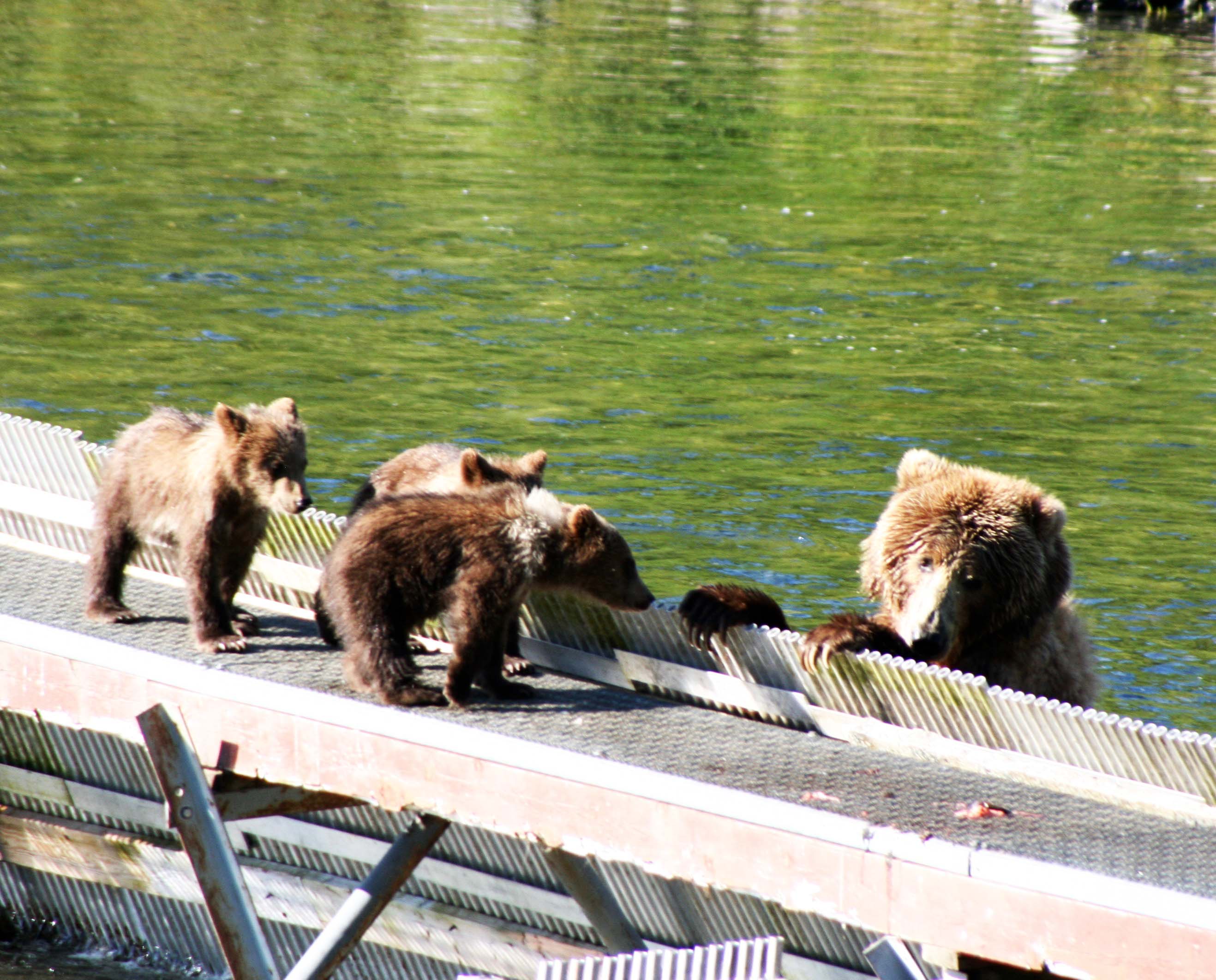
Be particularly wary if you encounter a female with cubs. Do not approach the cubs or get between the mother and her cubs. It’s a guaranteed recipe for disaster.
Carry bear spray. If that doesn’t work, play dead. Fortunately, I’ve never had to use bear spray or made it to rule number three. (I don’t count the bear standing on me in Yosemite as an attack. I think he was merely curious about what might happen if you stand on a human. Call it a scientific experiment.)
My first journey into grizzly bear country occurred when I went to Alaska in 1981 to help the American Lung Association set up its Trek Fund Raising Program I had created. A friend came along to go backpacking with me in Denali National Park and canoeing on the Kenai Peninsula. Before we headed out on our adventure, the Lung Association Board Member who had brought me to Alaska, took us aside for some advice.
“You will want to carry a weapon with you, Curt, in case a grizzly bear attacks,” he warned. Now there was a comforting thought.
“I don’t have a weapon,” I told him. “And, furthermore, I would probably just piss the bear off or shoot myself.” But he was not going to let us go off unarmed. He broke out his 357 magnum pistol and handed it to me along with a handful of bullets. With that much fire power, I could at least seriously piss off a bear. I took the gun and bullets and dutifully stuffed them into different compartments in my pack.
I thought of a use for the pistol shortly after we headed off into the backcountry of Denali. My friend was walking in front and was primarily in charge of making noise.
“Here bear, here bear,” she kept repeating, “eat the one in back of me. He’s fatter.”
It was our canoe trip on the Kenai Peninsula that led me to finally break out the weapon. It was early in the evening. I was peacefully sitting back, reading a book and sipping a cup of tea when the silence of the evening was shattered.
“SCHIWISSSSH!”
“What the…” I thought, dropping my book and knocking over my tea.
“SCHIWISSSSH!”
Loosing the tea really irritated me. It included a shot of my 151 proof rum. I made a dash for my pack, the pistol and the bullets.
“SCHIWISSSSH!”
Whatever it was, it was getting dangerously close to camp. I could dimly see a large figure through the thick trees. I fumbled through loading the pistol with eight thumbs and two fingers, took it in both hands movie style, and made a heart pounding stalk through the forest, the Great Hunter personified.
“SCHIWISSSSH!”
A large, ungainly moose (all moose are large and ungainly) was methodically stripping the leaves off of a tree. He would grab one end of a limb in his gargantuan mouth and work his way down, ripping off leaves as he went, schiwissssh. My 457 and I high tailed it back to camp in hopes that the moose would find greener leaves elsewhere. Old timers n Alaska will tell you that the moose is more dangerous than the grizzly.

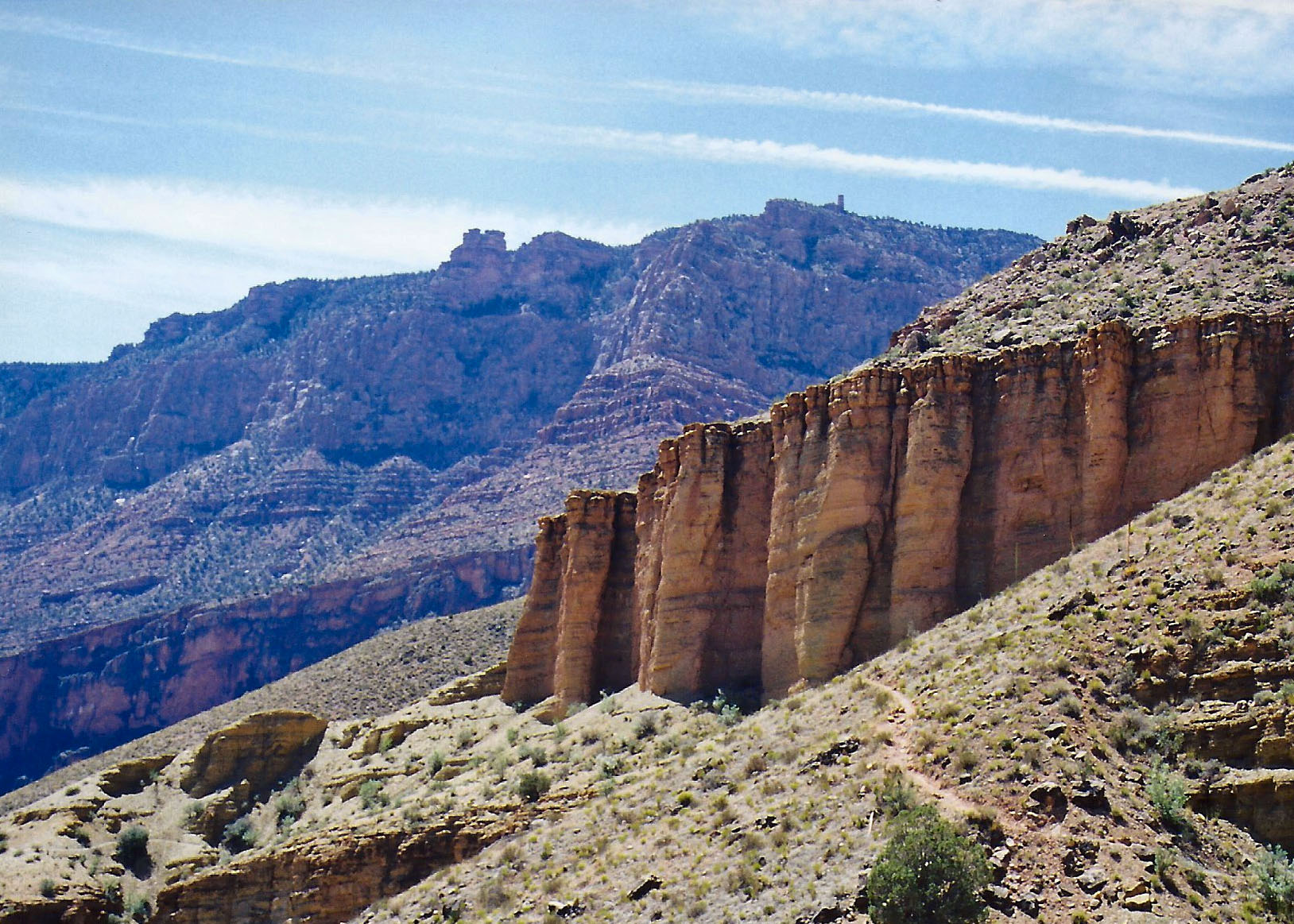
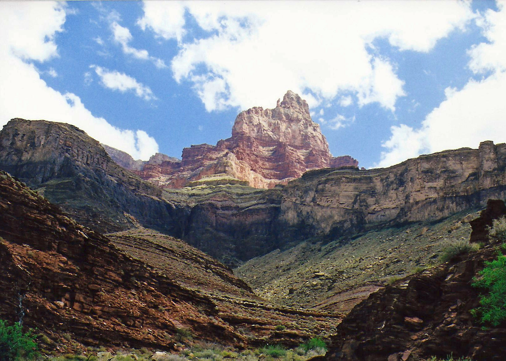
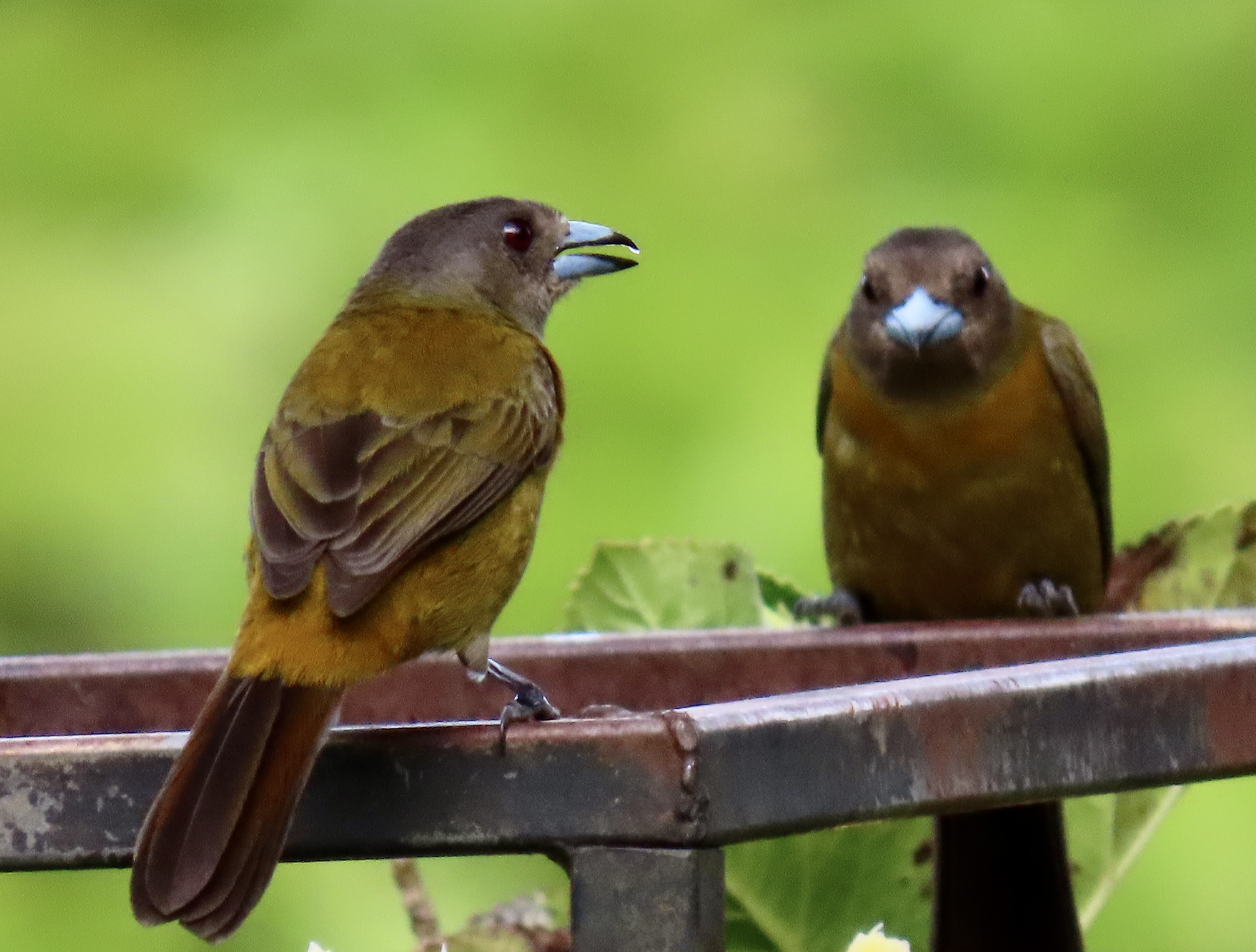
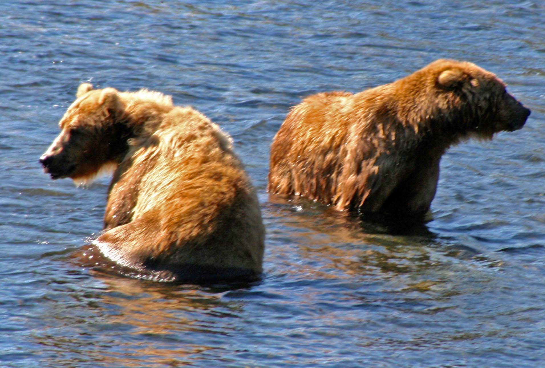
My actual encounter with bears waited for when I moved to Alaska. Two involved grizzlies and the third a larger Alaskan brown bear. The first happened on an off-trail trek I was planning to raise funds for the American Lung Association of Alaska. I decided going cross country would be fun and selected a section of the Alaska Range for the adventure. I invited two people, Margaret Timmerman and her friend Tracy, along to help preview the route.
Both were experienced Alaskan outdoor people. Tracy was a glacier guide and Margaret taught mountain climbing for the local community college. She was also my travel agent. Once, when I visited her to arrange for a trip to New Orleans, she related an experience she had leading a group on an expedition up Mt. Denali. They had been caught is a serious whiteout storm on the mountain side and been tent bound for several days. Since I couldn’t imagine leading groups up Denali much less being stuffed up in a tent for that long, I recruited her to be one of my Trek leaders.
Other than fighting off the usual hoards of insects and spending hours walking in the rain, our Trek review went smoothly. But that was before we ran into the bear.
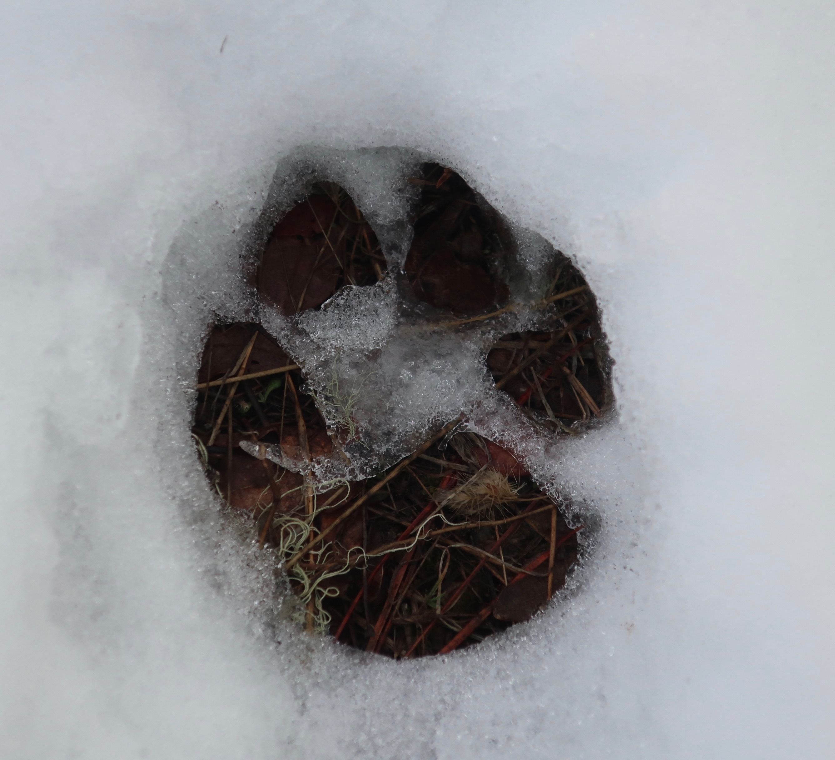
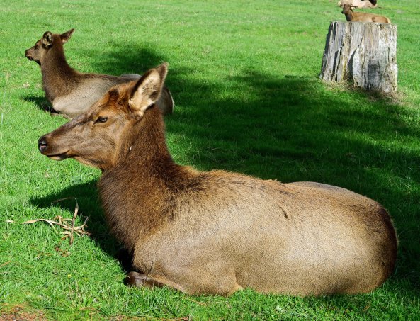
We were hiking happily along on a rare sunny day through relatively open country when a caribou came flying out of a small valley. I mean it was moving. We had seen several earlier. They would bounce up to us, take a look, and bounce off. They weren’t worried and neither were we. But this guy had a problem. Within seconds he had disappeared over a ridge. We looked over in to the valley but didn’t see anything except some snow that hadn’t quite succeeded in melting. I could see tracks in the snow, though, and persuaded Margaret and Tracy to climb down with me and take a look. The story of what had happened was obvious, at least to me.
“Do you guys see what happened here?” I asked. They replied “no,” so I gave them a quick lesson in animal tracks 1a.
“Look over there,” I suggested, pointing down the valley. “See the Caribou’s tracks. He is strolling along without a care in the world. Now look up on the hillside coming out from the brush. See the snow thrown every which way. Something big came barreling out of there heading straight for the caribou. Now look at the caribou tracks here.” The caribou’s nice little stroll has turned into huge bounds. It had gone from 3 to 30 mph in 3 seconds.
“Guess what?” I asked with a nervous grin.
“What?” came the mutual query.
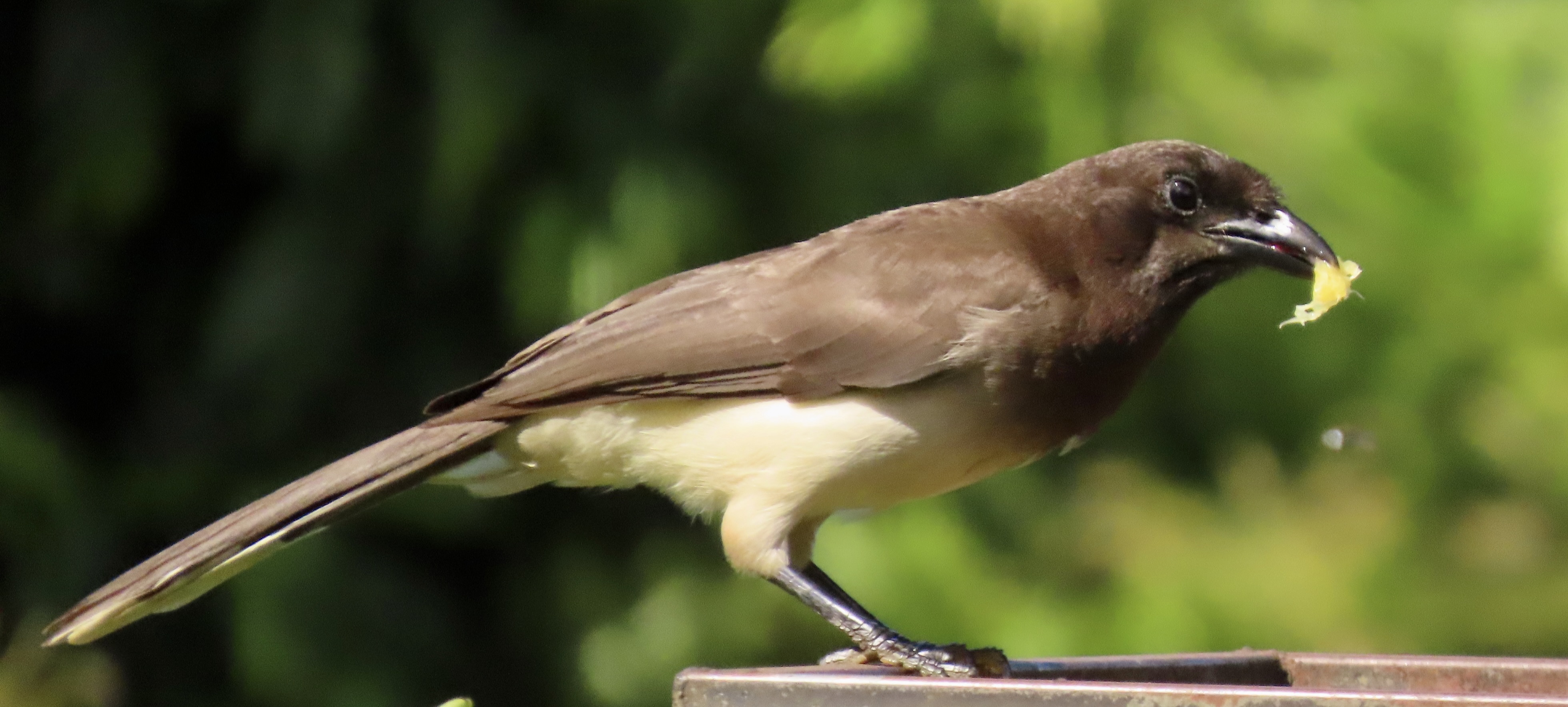
“Somewhere close to here is a hungry, irate grizzly bear.” Three pairs of eyes suddenly got very busy searching the surrounding area. We spotted him almost immediately. He was sniffing around on a hillside looking for marmots to crunch. I pitied the poor marmot he found, but figured better the marmot than us. Besides, I knew that marmots are pretty good at taking care of themselves.
I once watched a grizzly try to catch one in the Canadian Rockies. I had backpacked into a remote area with a geologist from the University of Arizona in Tucson who was doing a study on the origin of the Rockies. The bear provided after dinner entertainment one evening.
He had chased a marmot down its hole about 50 yards away from our camp and was pursuing it with all the passion of a 300 pound NFL lineman pounding after a skinny quarterback behind the line of scrimmage. Dirt and rocks were flying everywhere. After about five minutes, the marmot poked its head up out of another hole a few feet behind the frenzied bear, watched with interest for a minute or so, and then whistled. The grizzly whirled and leapt in one blinding motion but the marmot was faster. Once again the air was clouded with flying debris as the frustrated bear doubled its efforts. Three minutes later the marmot poked his head out from yet another hole and whistled again. I swear it was playing with the bear. “Come on over here big boy.”
Tracy, Margaret and I didn’t wait to see whether our irate friend found its marmot. We quietly exited stage left.
My next post will involve two more encounters. Both were much more close and personal than the one described above. In the first, I am stalked by a grizzly bear. In the second I work to persuade an Alaska brown bear I am not a menu item.