On Being Stalked By a Grizzly
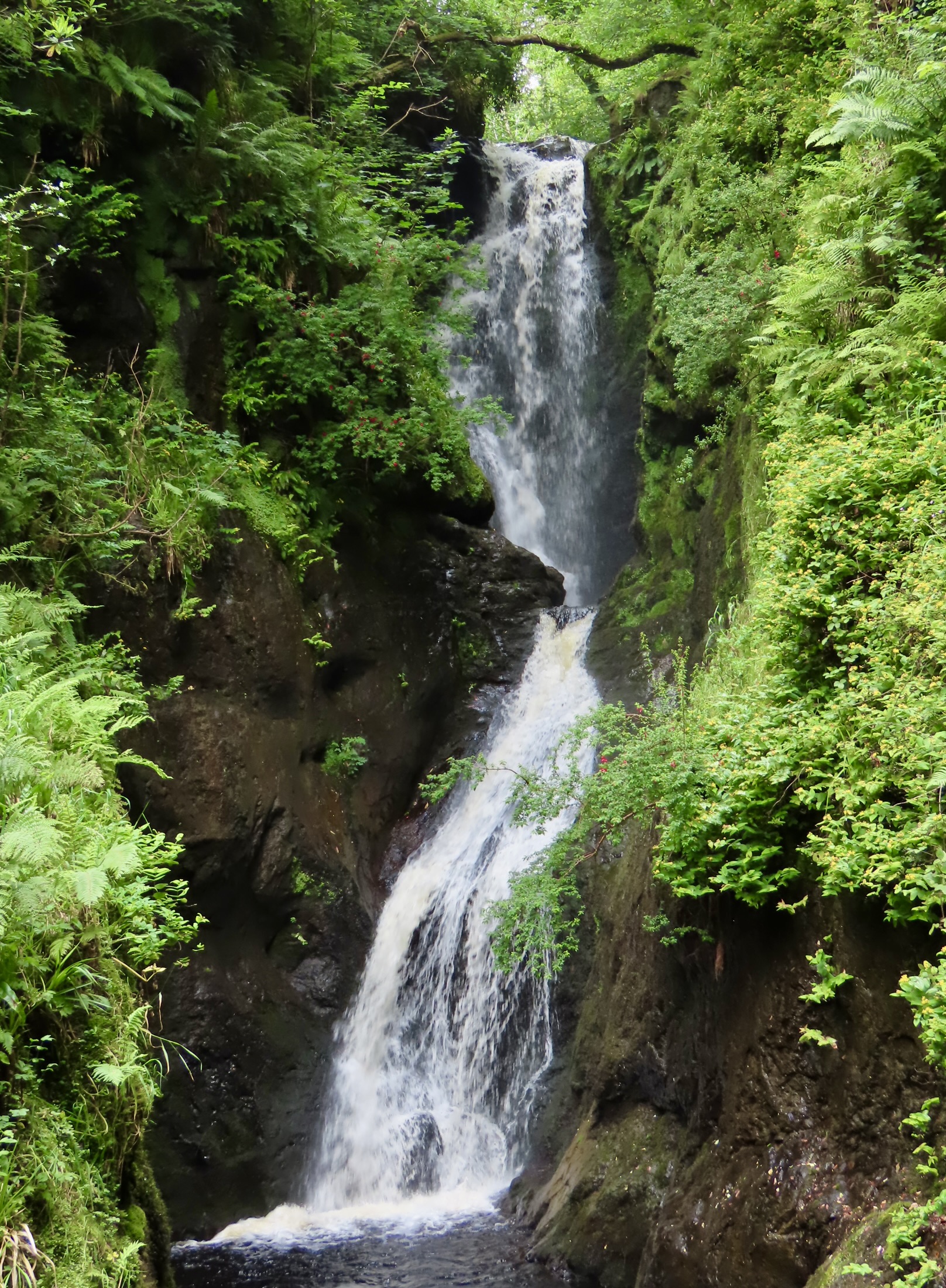
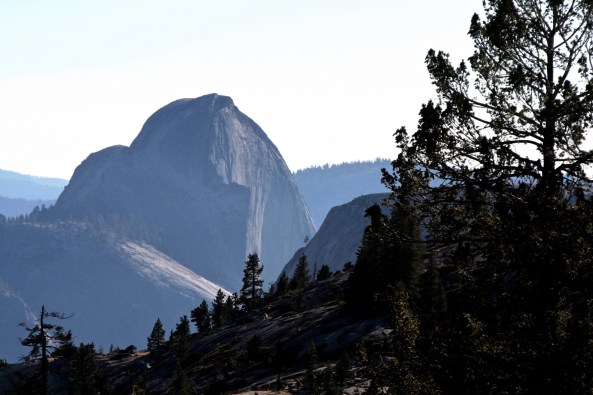
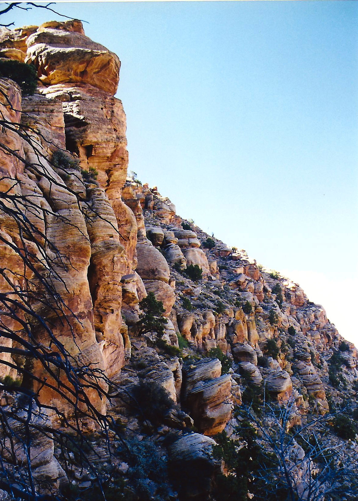
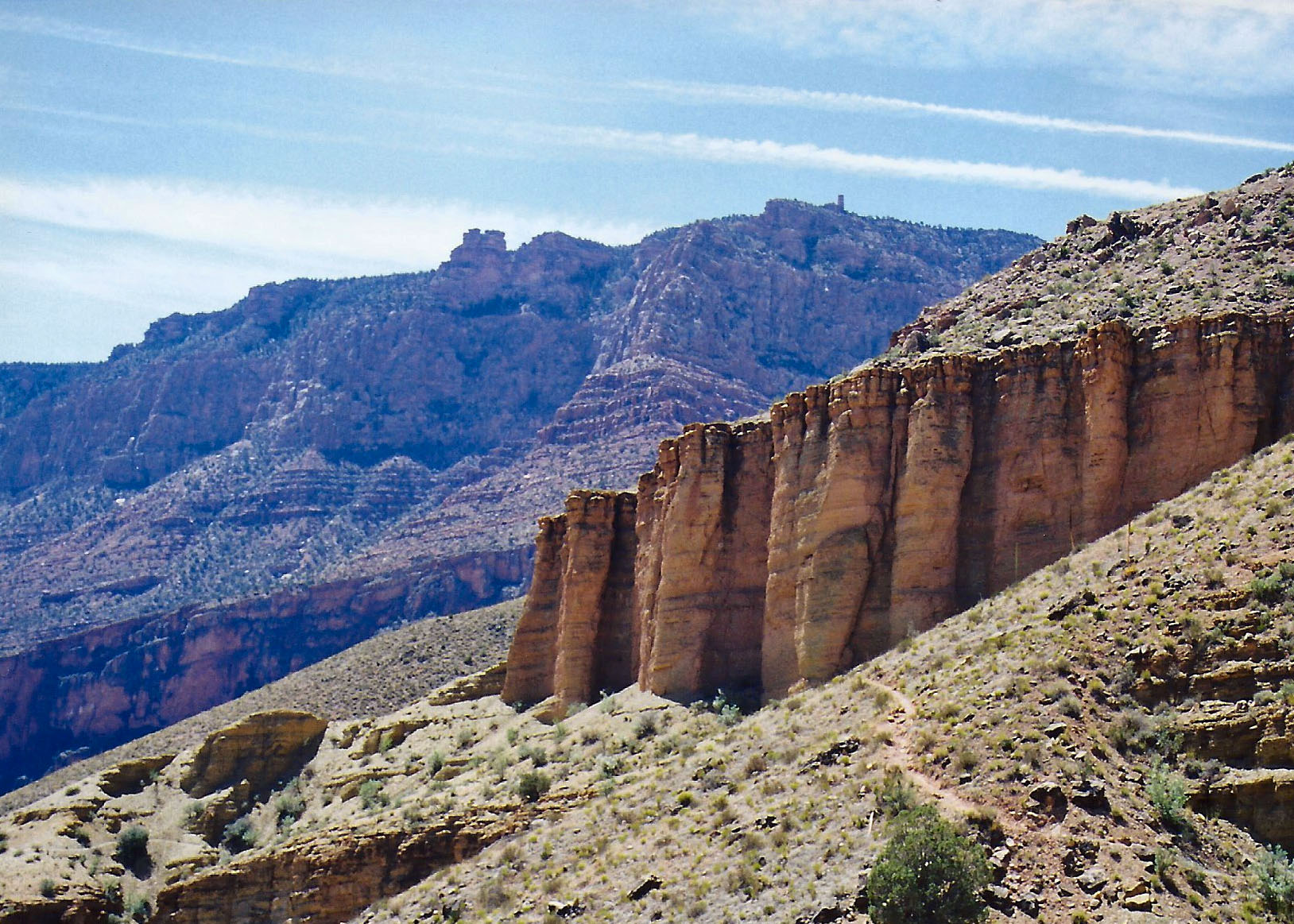
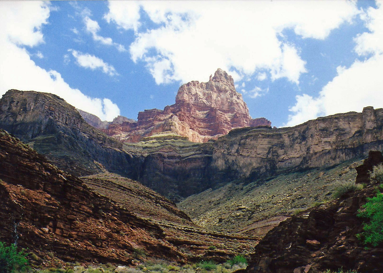
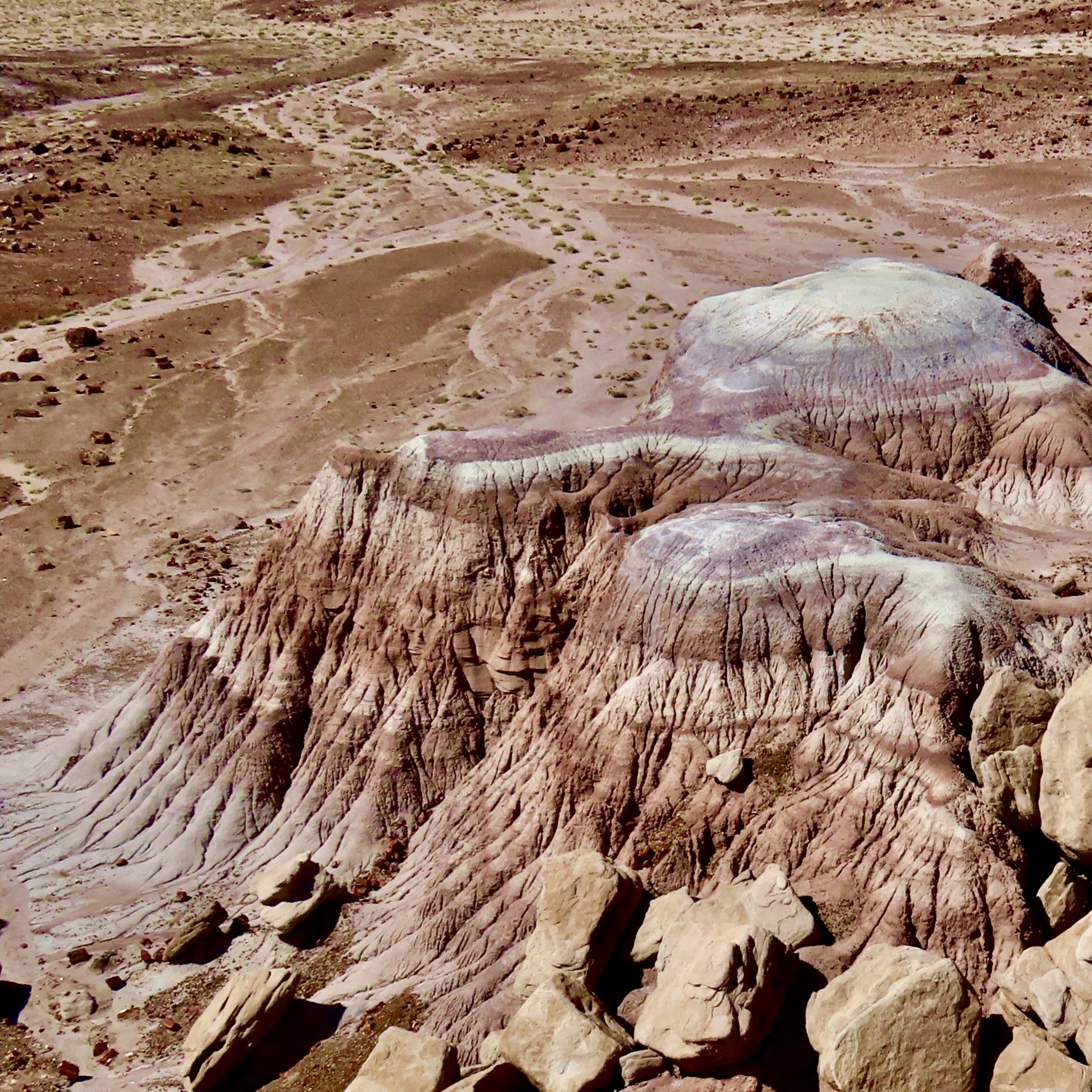
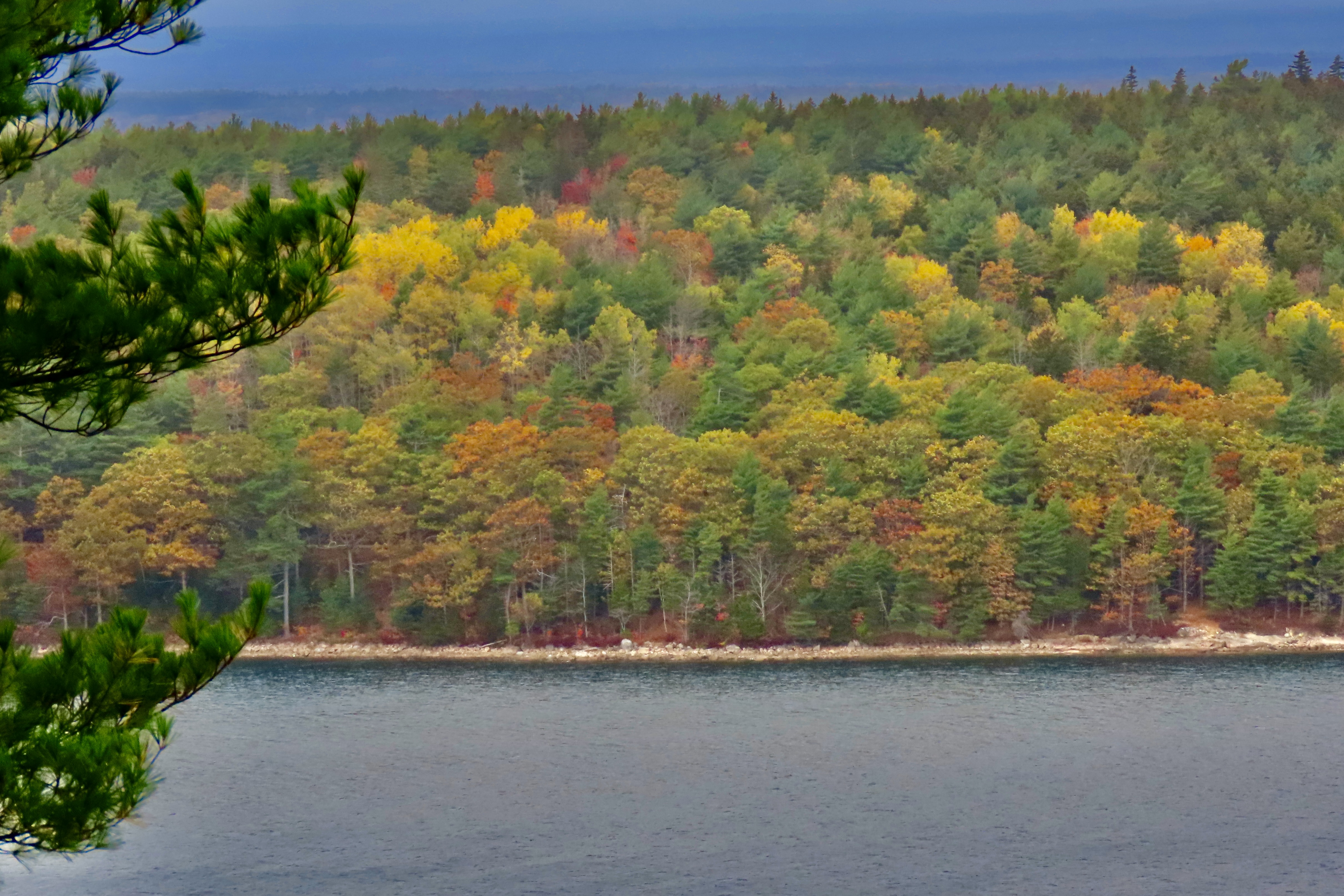
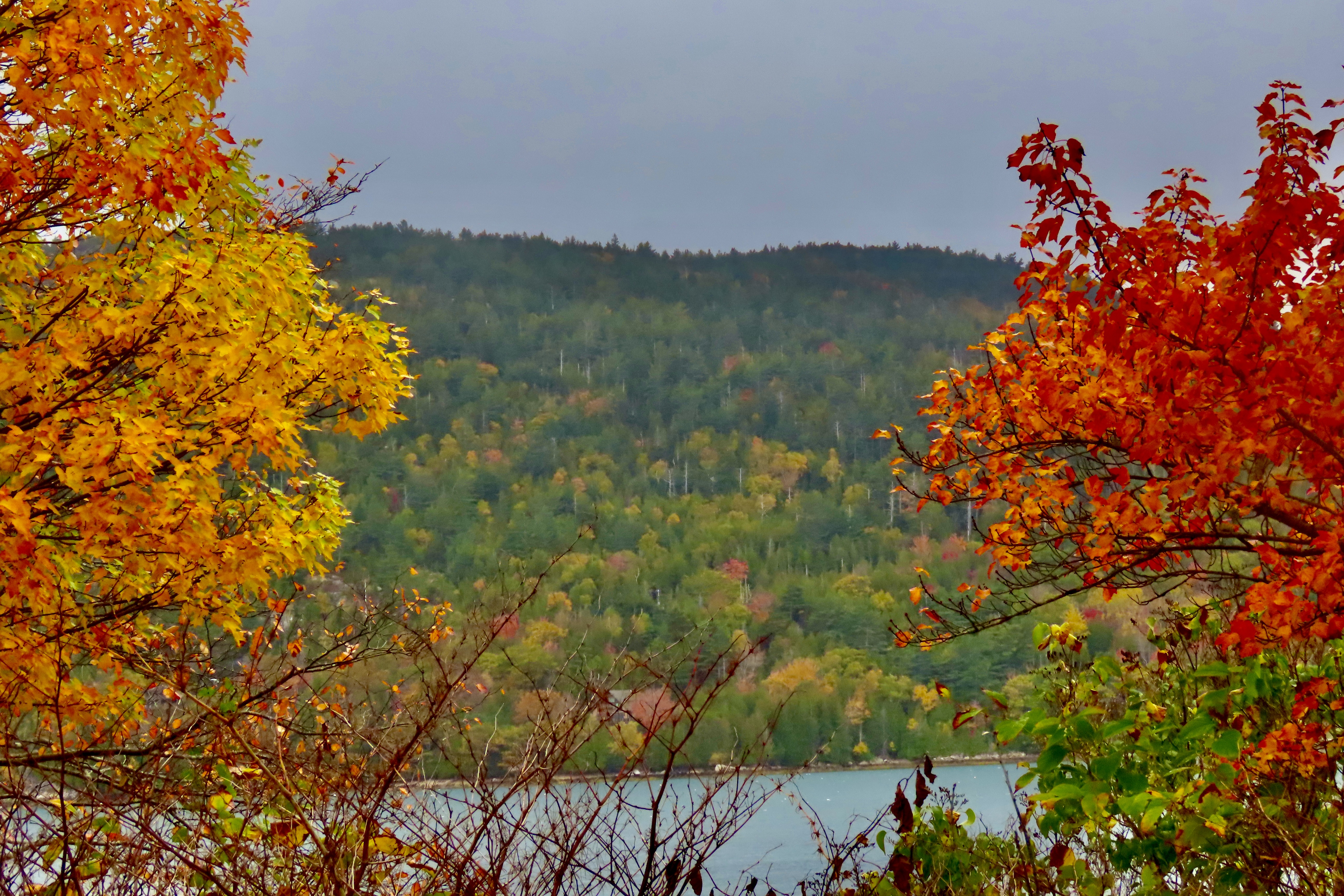
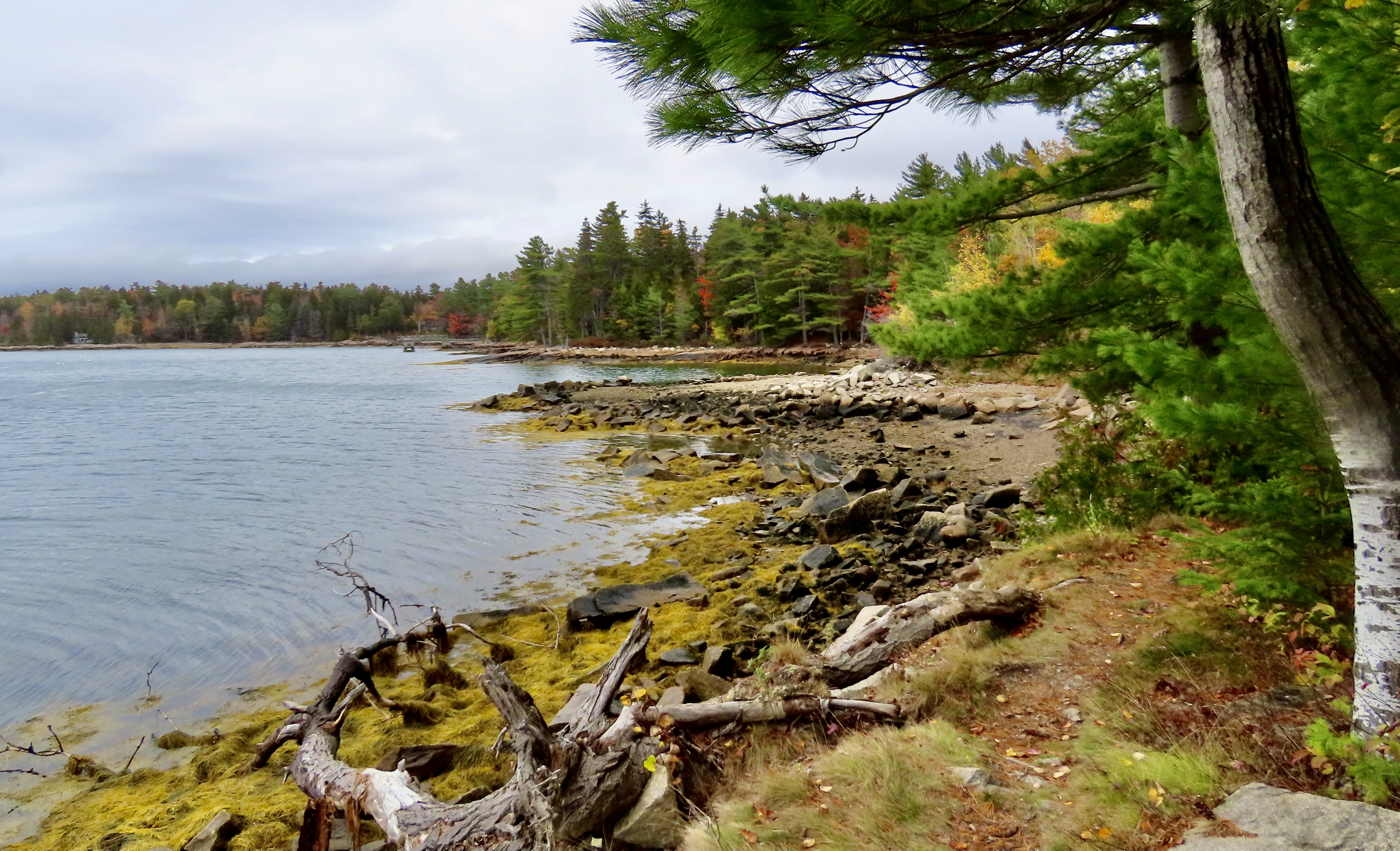
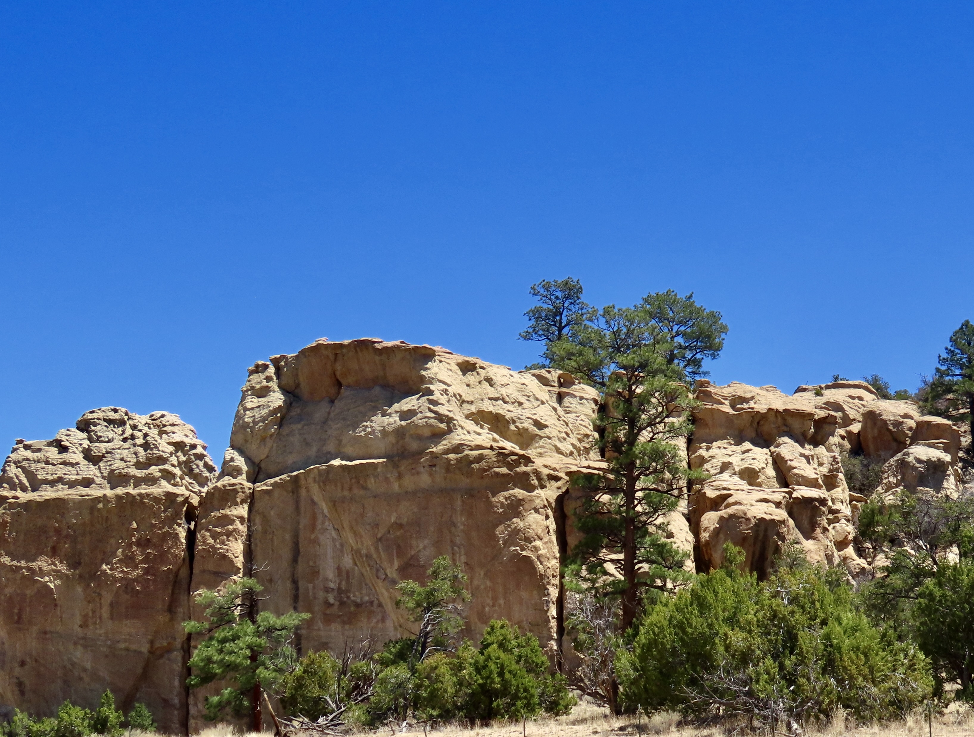
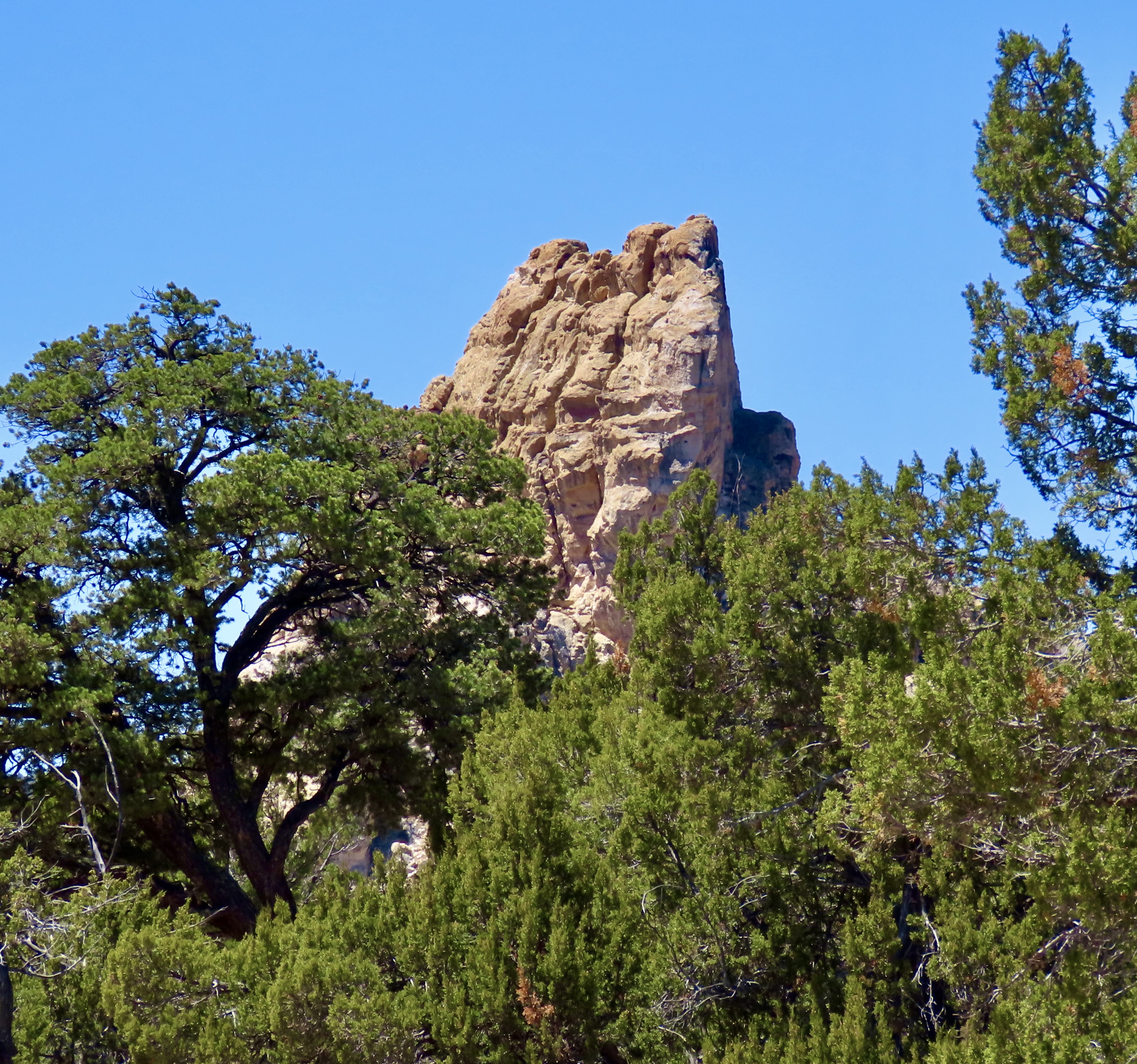
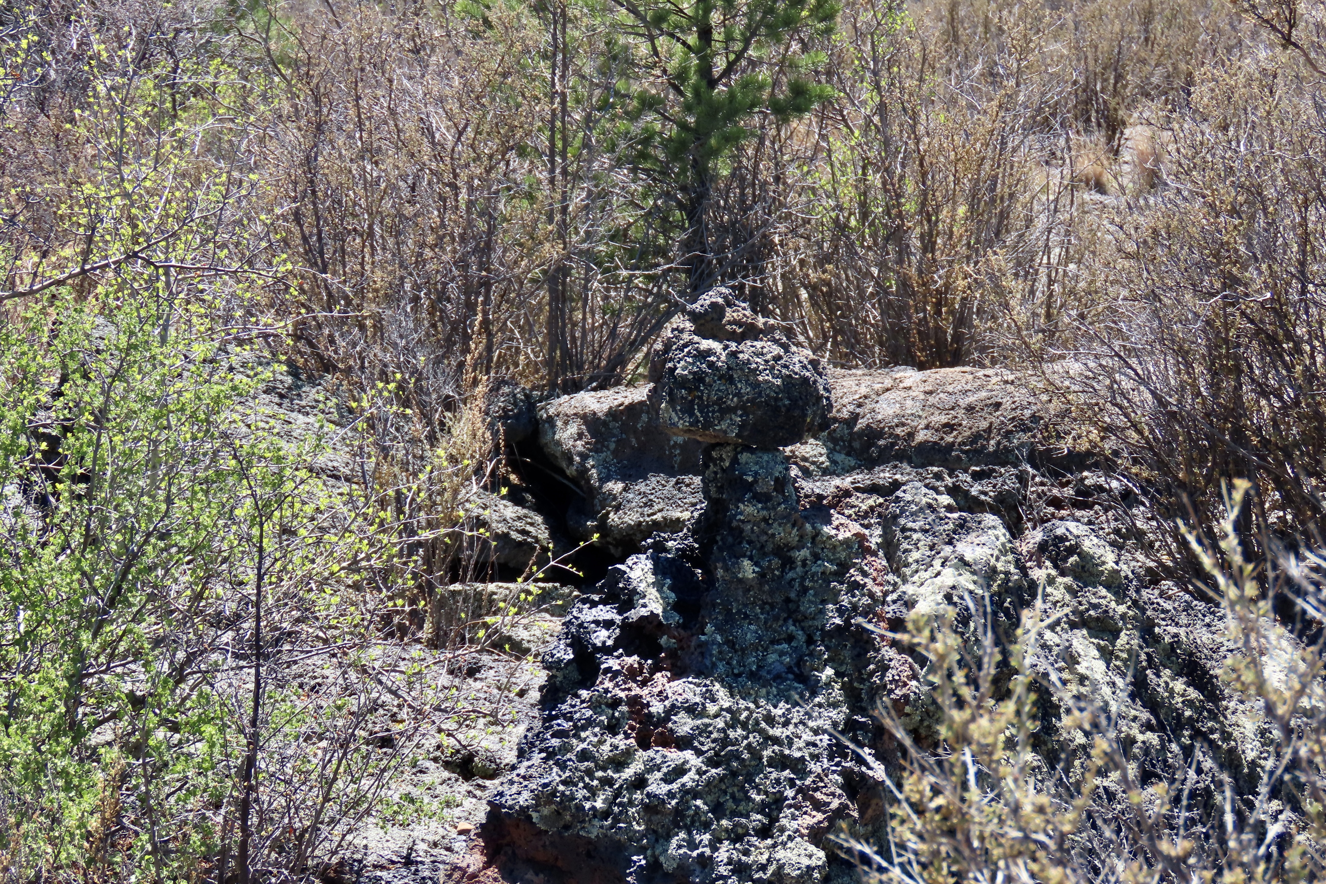
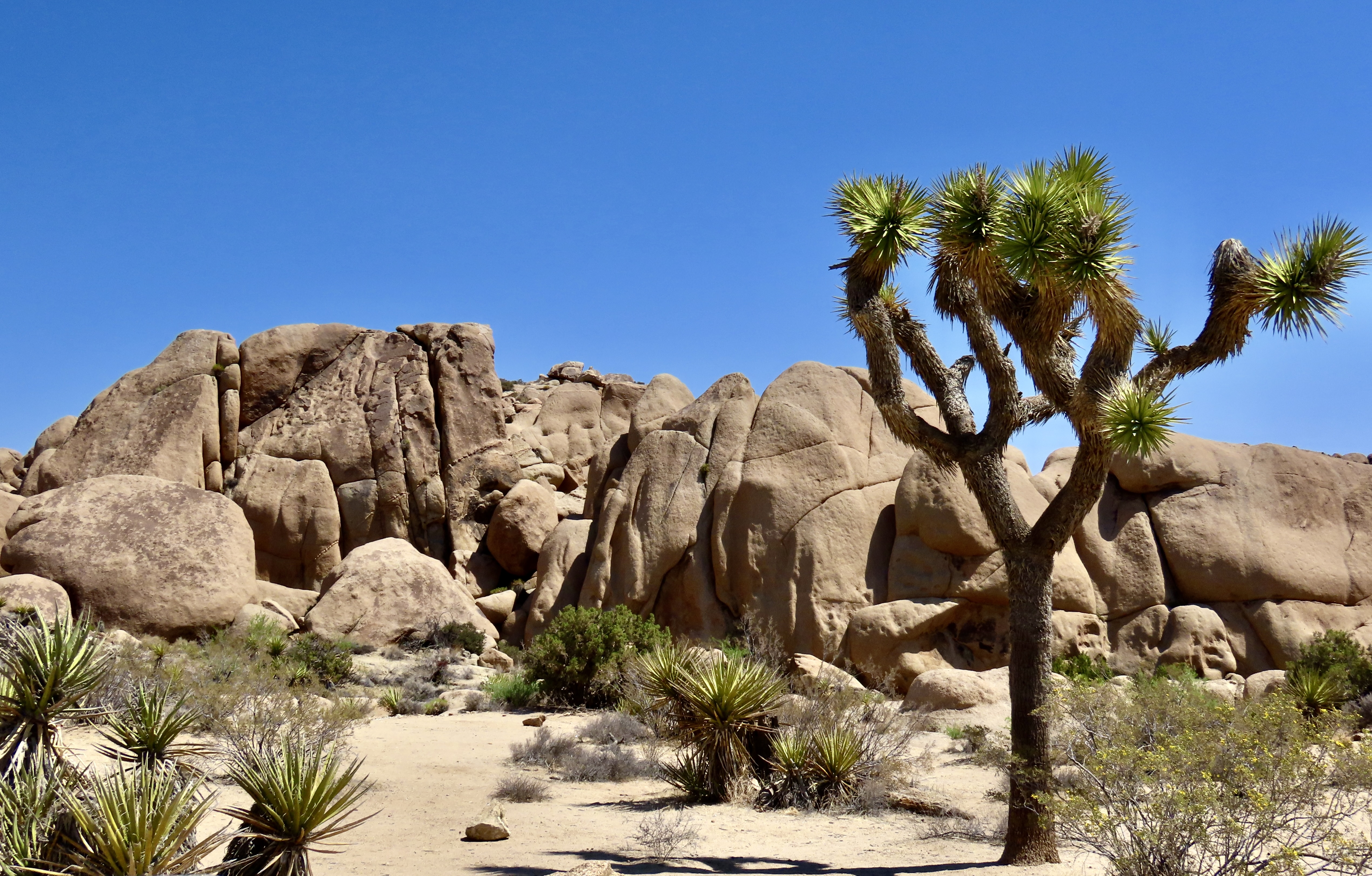
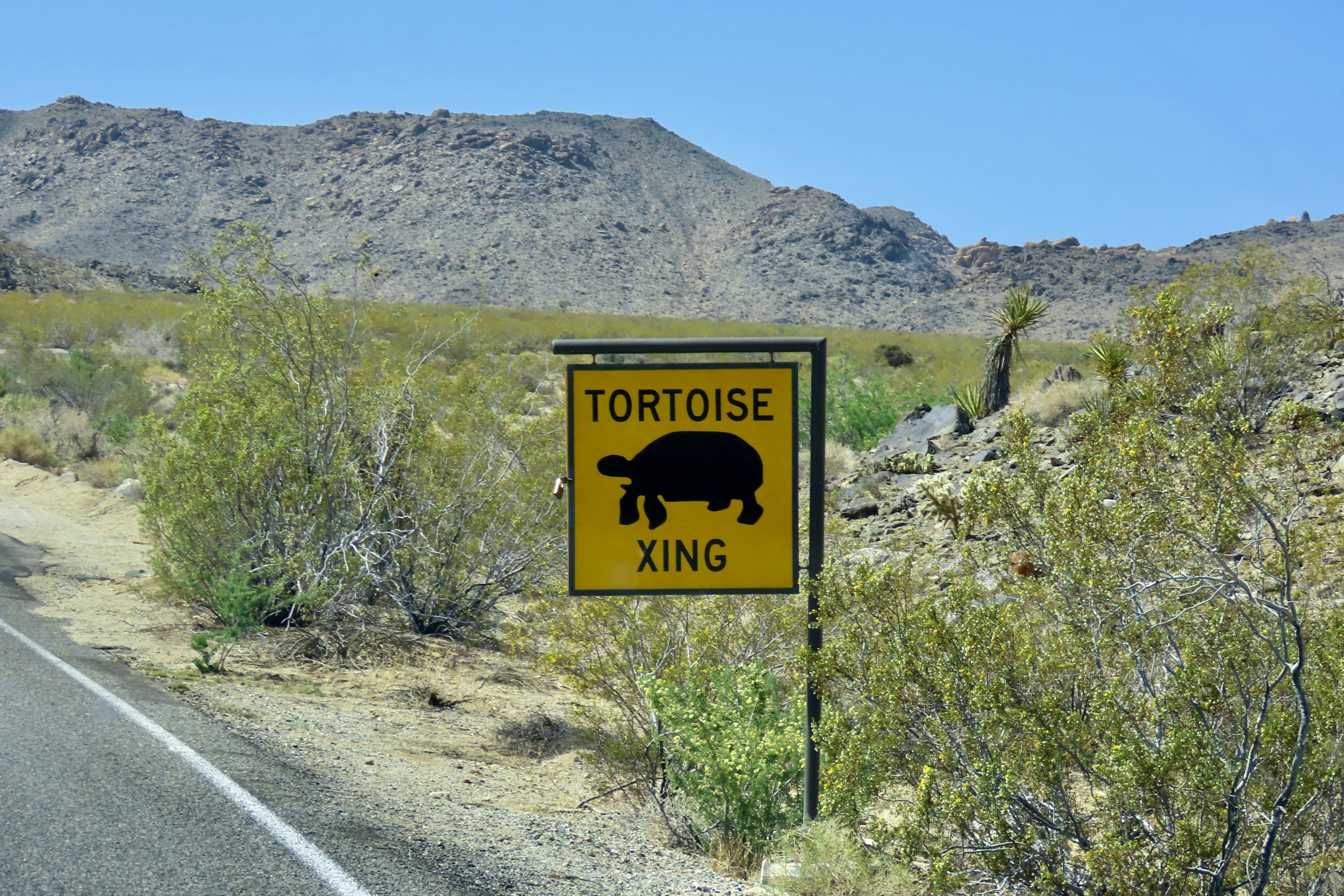
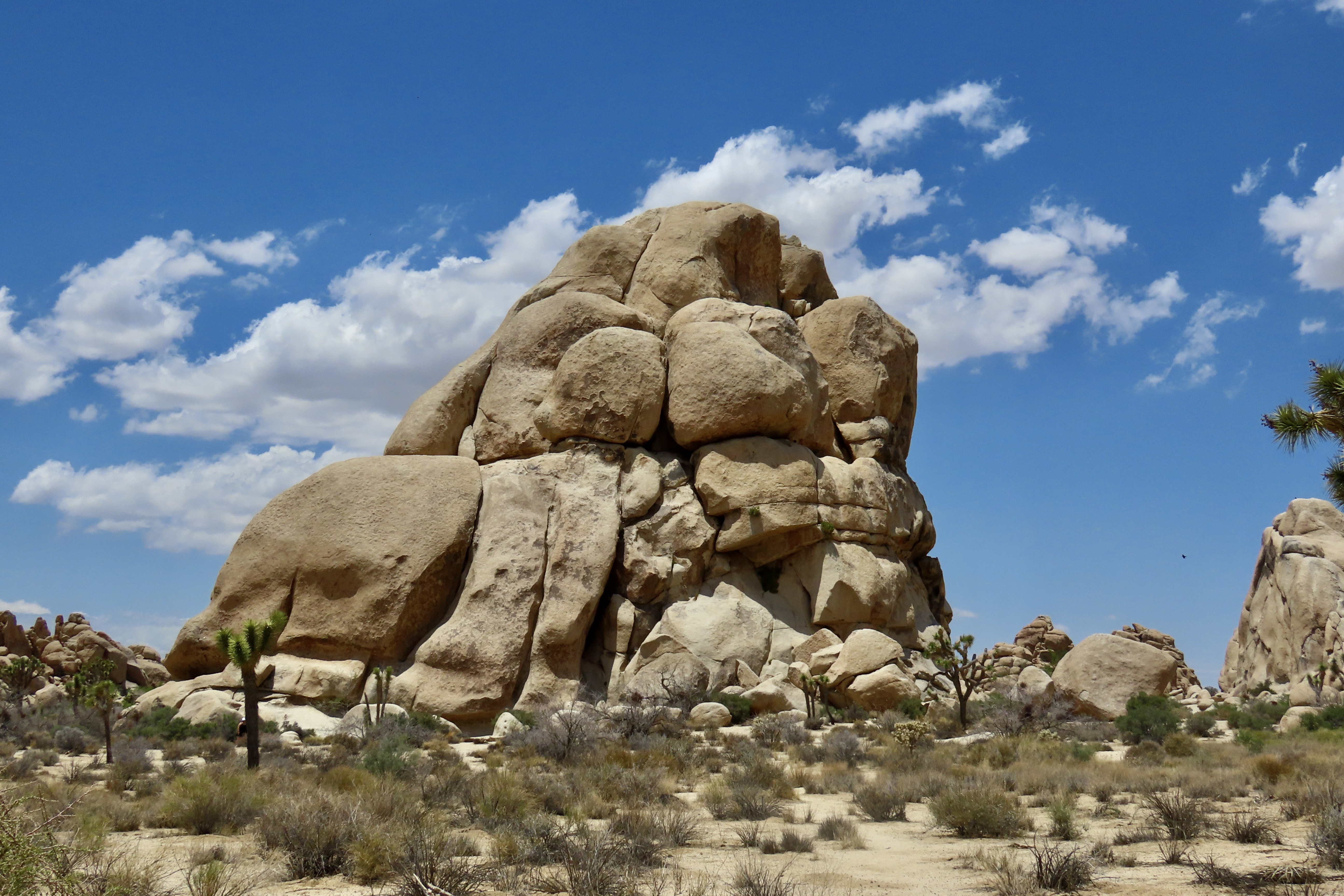
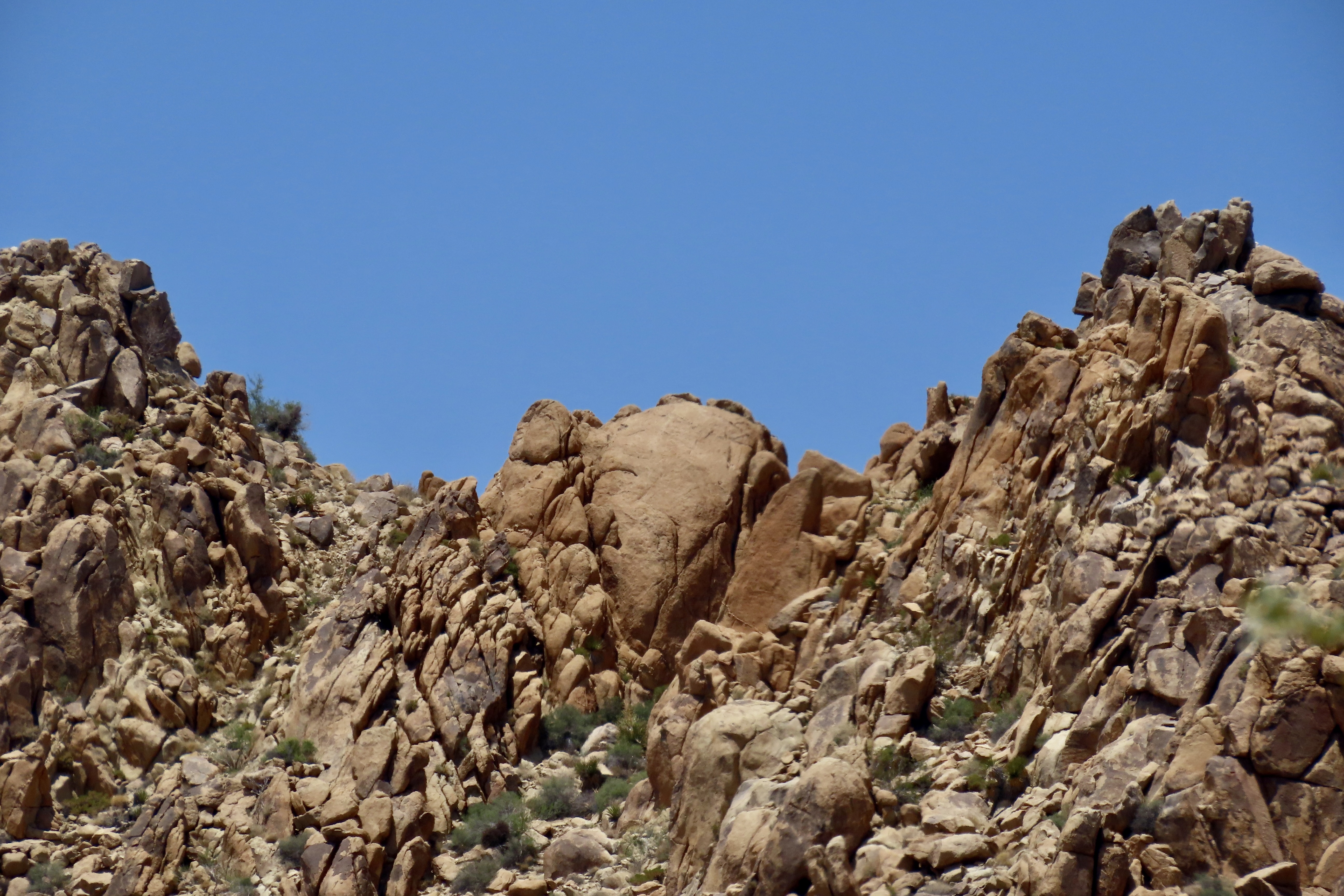
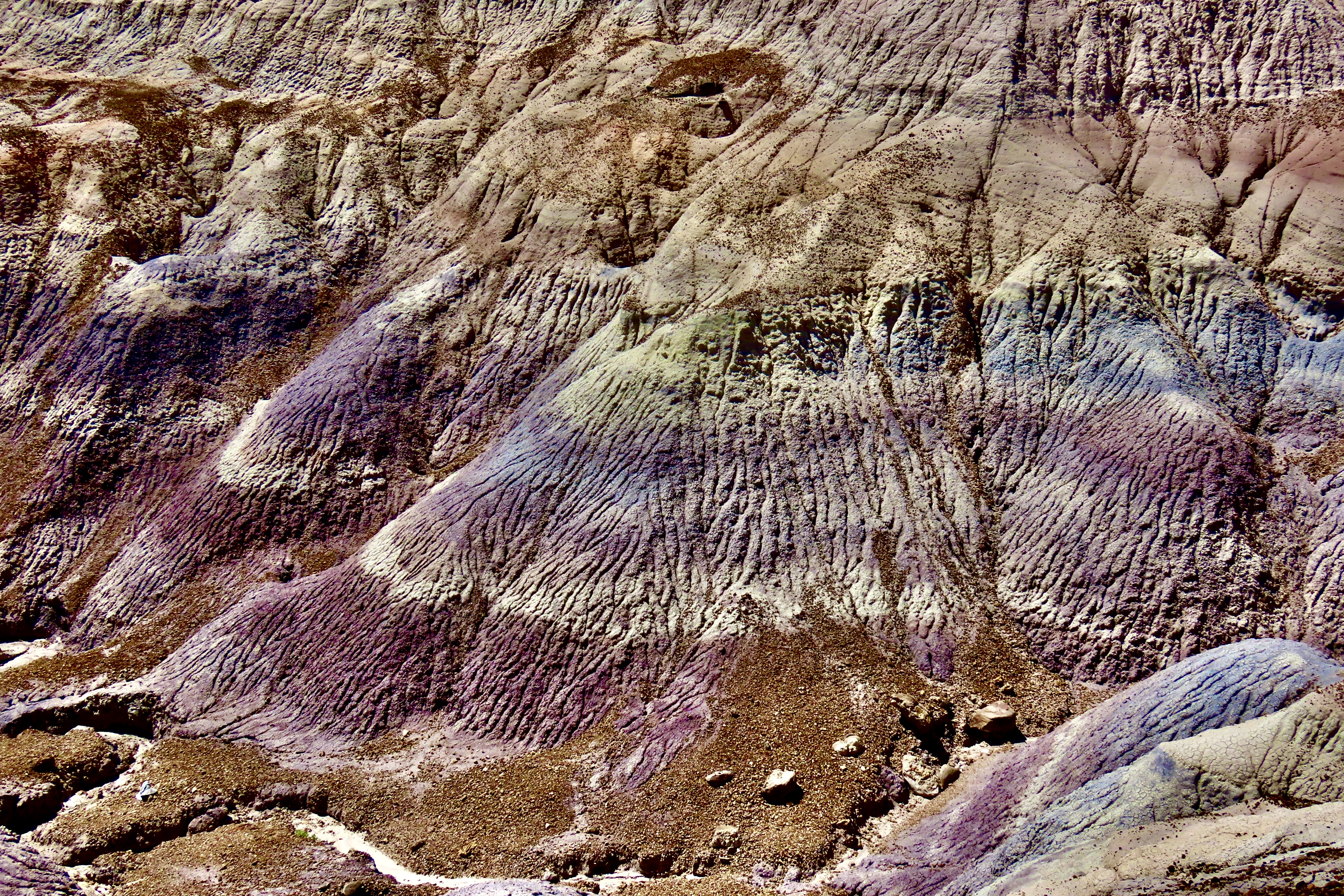
I related a couple of tales about grizzly encounters last week. They were worrisome, but nothing in comparison to being stalked by one. That happened when I was leading a 100 K trek across Alaska’s Kenai Peninsula in 1985 as a fundraiser for the Alaska Lung Association. We started at Hope on the Turnagain Arm south of Anchorage, followed the Resurrection Pass Trail through the Kenai Mountains to Cooper’s Landing, and then picked up the Russian Lakes/River Trail to Seward. It’s known for both its beauty and bears.
As always, on my Treks in Alaska, I checked in with the US Forest Service to see if there were any issues I should be aware of. There were a couple. A large grizzly was working the area and had treed one of their rangers near Seward two weeks before the trip. Even scarier, earlier in the season, a black bear had bitten through the sleeping bag of a woman ranger and wounded her leg, in the same area. Both had nightmare potential. They had shot the leg-eating bear, however. All I had to worry about was a large, marauding grizzly.
I vowed to keep my group together and make lots of noise on the Russian Lakes/River Trail.
It worked— at least until the last day. The night before, we had come across a forest service cabin. You can reserve and rent them. I’d done neither, but no one was there, and I decided the USF wouldn’t complain about our using it, given that the grizzly incident had taken place about a quarter of a mile away. It was cozy given our group size but bear proof. I figured we were out of the woods, so to speak.
Early the next morning I was awakened by one of my trekkers getting up. I figured she had to go outside and pee, but checked with her. I didn’t want her wandering far from the cabin. “Actually, I want to go for a short walk,” Debbi explained to me. She was a single mom and had loved her week of escape while her mother handled babysitting duties. Or maybe it was her Ex. She missed her kids on the one hand, but didn’t want the trip to end on the other. The walk was her compromise.
I wouldn’t let her go alone, but volunteered to walk with her. I woke up my assistant leader and told him where we were going. We had fun. I liked Debbi. She was bright, had a great sense of humor, and never complained. We laughed a lot. I figured it would keep the grizzly from being surprised if he was around. We hiked for maybe 20 minutes and came to a roaring creek with a bridge over it that we had crossed the day before. We sat down and enjoyed the river for another 20 minutes chatting about our lives. “Time to go,” I said. I wanted to be back by the time the rest of the group was getting up.
We hadn’t walked more than 50 yards when I heard something big moving through the brush on the side of the trail. “What’s that?” Debbi gasped. Whatever it was, it was hidden. And then I saw it. The distinctive hump on the back of a grizzly. A big grizzly! He was moving parallel through the brush, stalking us. “Oh, crap!” I declared.
“What do we do now? Run!?”
I mentioned in an earlier post about not running. Bears think you are food. Plus Debbi was a marathon runner and fast. While she might not be able to outrun the bear, she could outrun me. I suggested we turn around, walk over the bridge we had just crossed and find a tall tree. If the bear appeared and started across the river, we would climb the tree. Quickly. I had spotted a likely candidate the day before. It might very well have been the tree the ranger had climbed.
Thirty minutes later there was still no sign of the bear. I decided it was worth risking the trip back. Two very nervous people began the very long 20 minute hike. Debbi grabbed my hand. She had an iron grip. A mouse in the brush might have given us heart attacks! But we made it with no sign of the bear.
People were finishing breakfast. I quickly apologized for being late and explained the reason. “Yeah, sure Curt.” was the response, looking knowingly at Debbi and me.
Yeah, sure.
I Chat with a Brown Bear Over Menu Choices
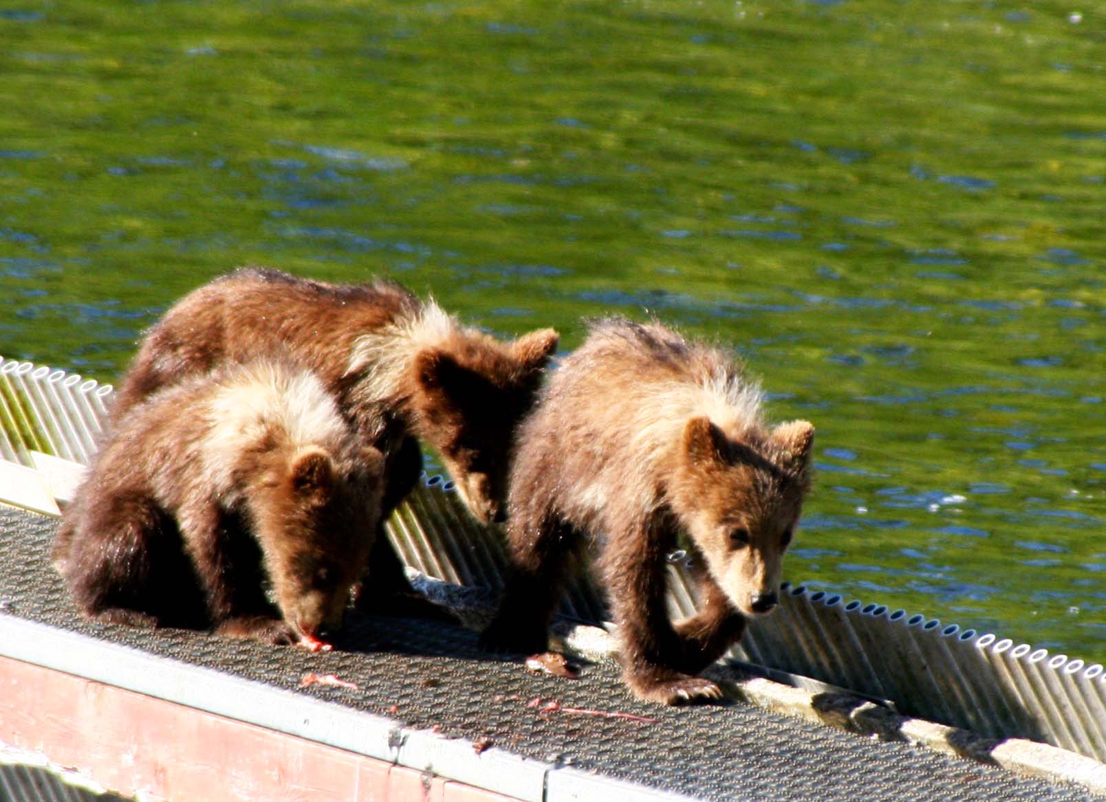
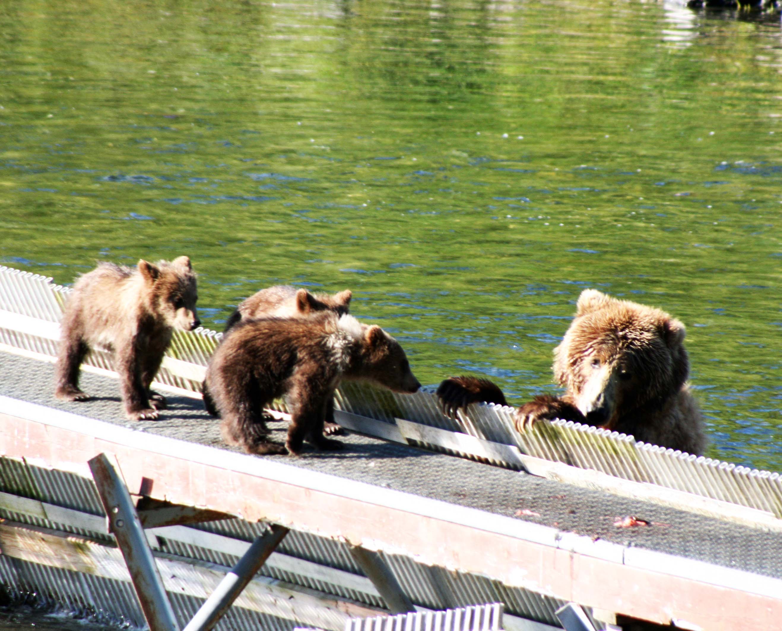
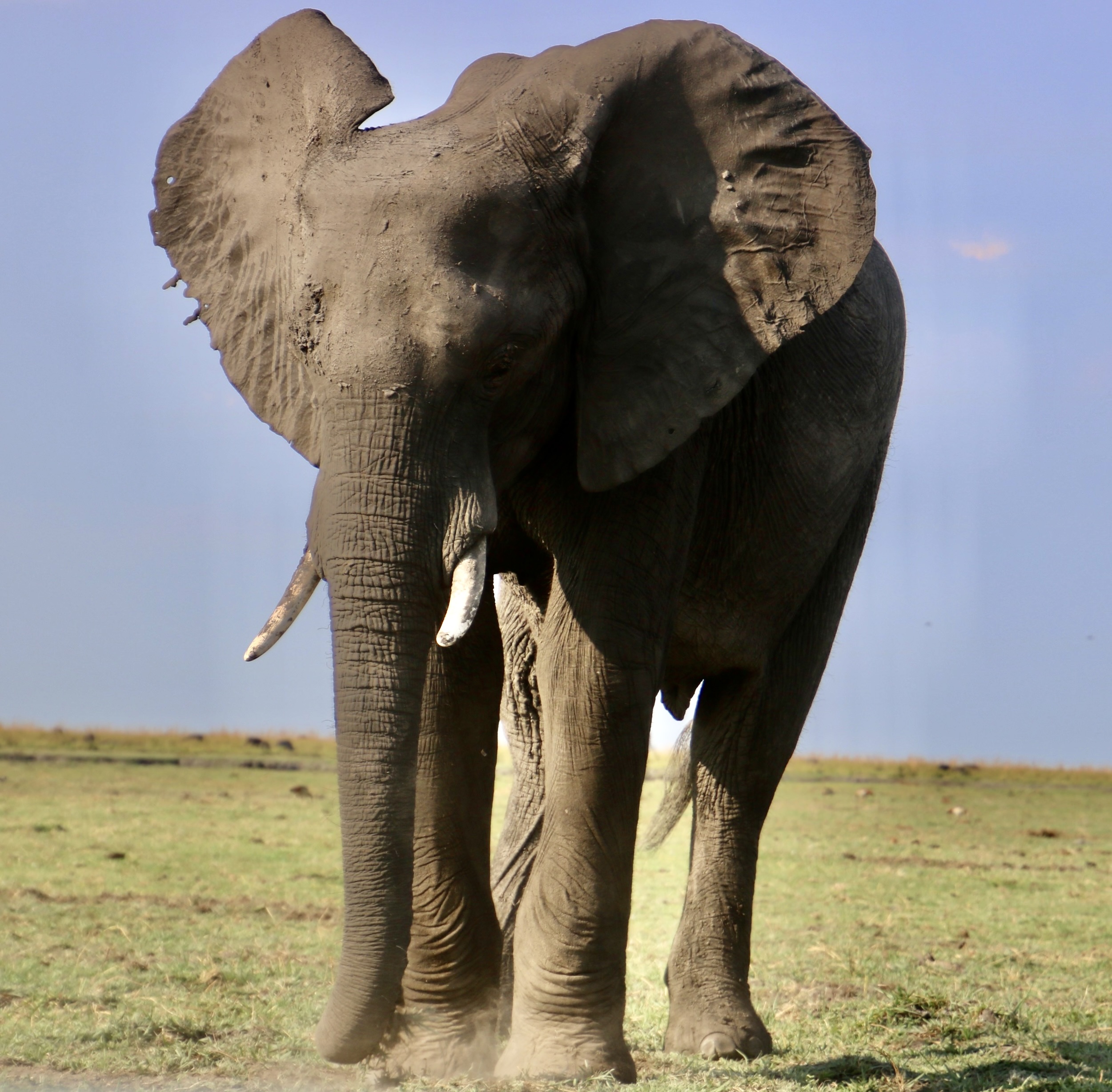
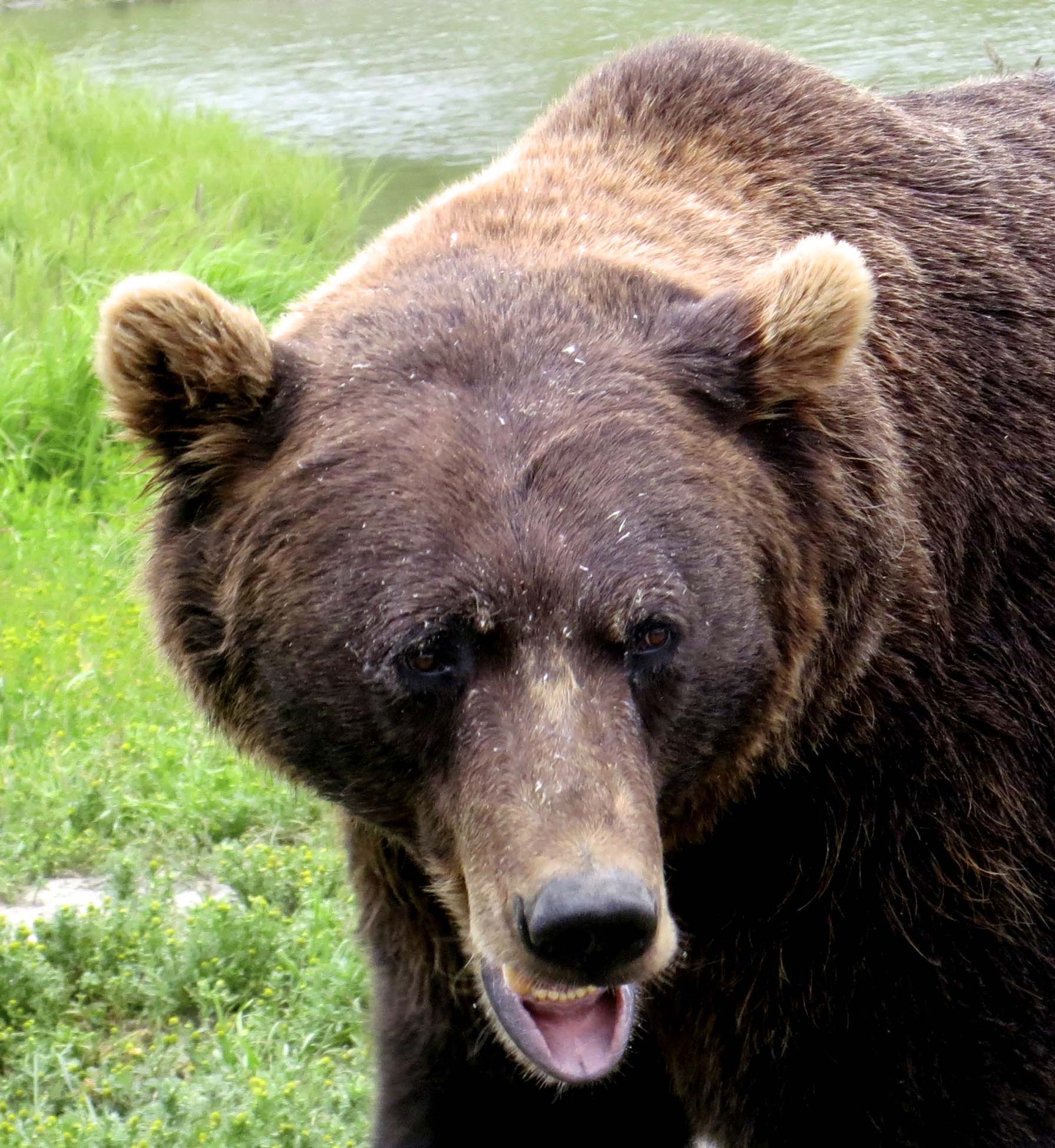
Alaska Brown Bears are giants of the bear world. They can weigh up to 1500 pounds and stand 10 feet tall on their hind legs. My first encounter with them was in Katmai National Park, located at the beginning of the Aleutian Peninsula. It’s a wild, remote area known for its trophy size trout. Fisherman come from all over the world to try their luck at catching them. And brown bears grow to their immense size eating them.
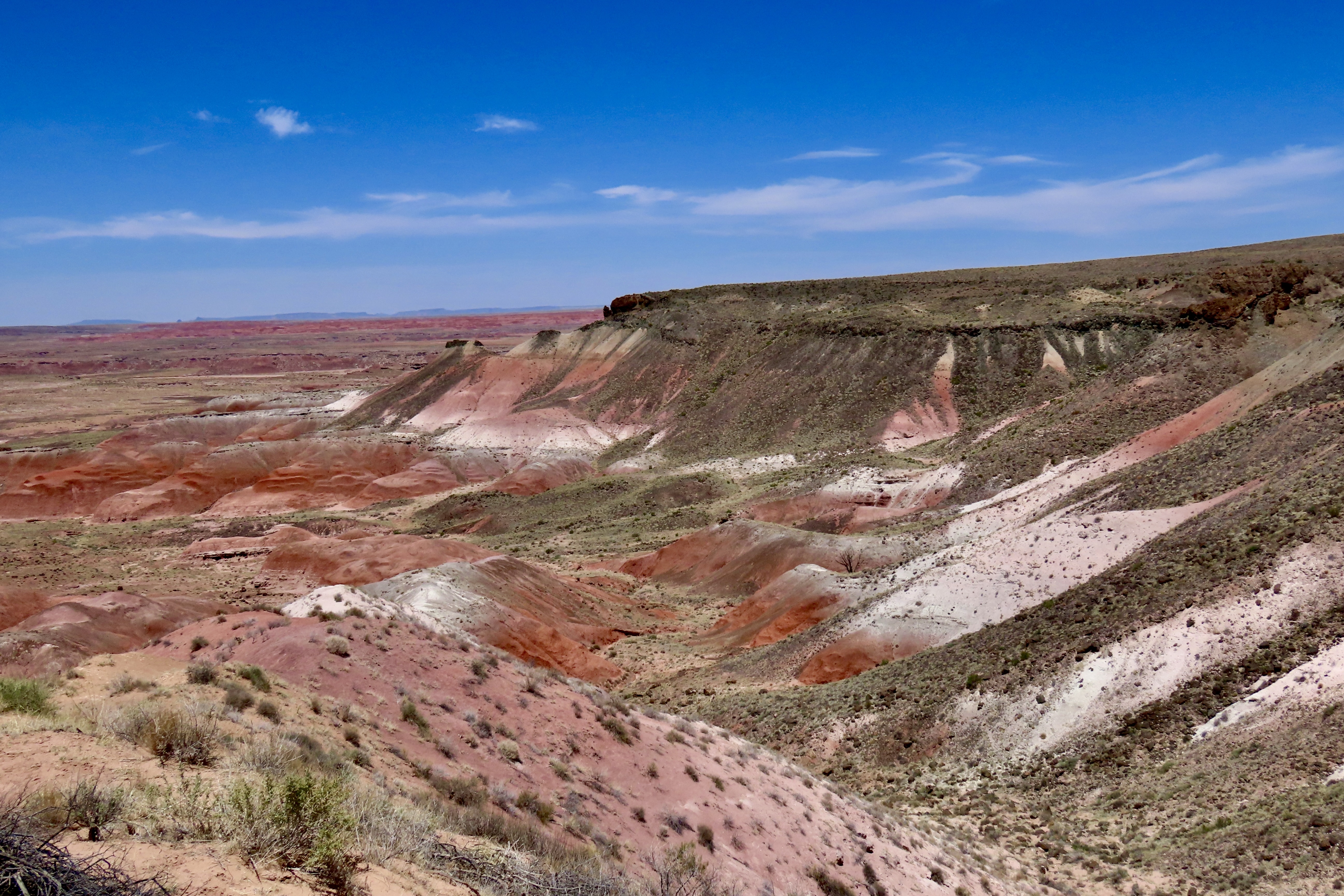
I had traveled from Anchorage with a friend to go backpacking. The backcountry where we were heading was the site of a huge volcanic eruption in 1912 and has a beautiful, almost surreal feel to it. The National Geographic had called it the Valley of 10,000 Smokes shortly after the eruption from all of the fumaroles. A number continue to smoke. You can hear your footsteps echoing as you walk over lava tubes. A bit creepy. During rainstorms, volcanic rocks (pumice) float down the river. The river, btw, is named the Lethe after the river of forgetfulness from Hades of Greek Mythology where the dead go. “Souls drink from its waters to completely erase the memories of their earthly lives.”
We had flown over to Kodiak on Alaska Air and then taken a large float plane to Katmai. Four fishermen from Germany and two from Japan traveled with us. We were all met by a ranger when we deplaned. “I’m here to explain proper bear etiquette,” he told us. The large number of giant bears hanging out and feasting on the trout meant human-bear encounters were inevitable. His first directions applied to the fisherman. “If a bear is fishing in a hole you want to fish in, go find a different hole. If you have a trout on your line and a bear shows up, cut your line. If you reel it in, the bear will take the fish— one way or the other.” The ‘other’ sounded ominous.
Then he gave advice that applied to all of us. “Don’t camp on a bear trail,” he admonished. “It irritates the bears. They may remove the tent and you, if you are in it.” And how in the heck do you know a bear trail? It isn’t hard. They are the freeways of animal trails with two distinctive side by side ruts.
The second bit of advice was “If you meet one on the trail, talk to it and slowly back away.” “Talk to it???” What do you say to a thousand pound creature with long, sharp claws, and big teeth that might be having a bad day?
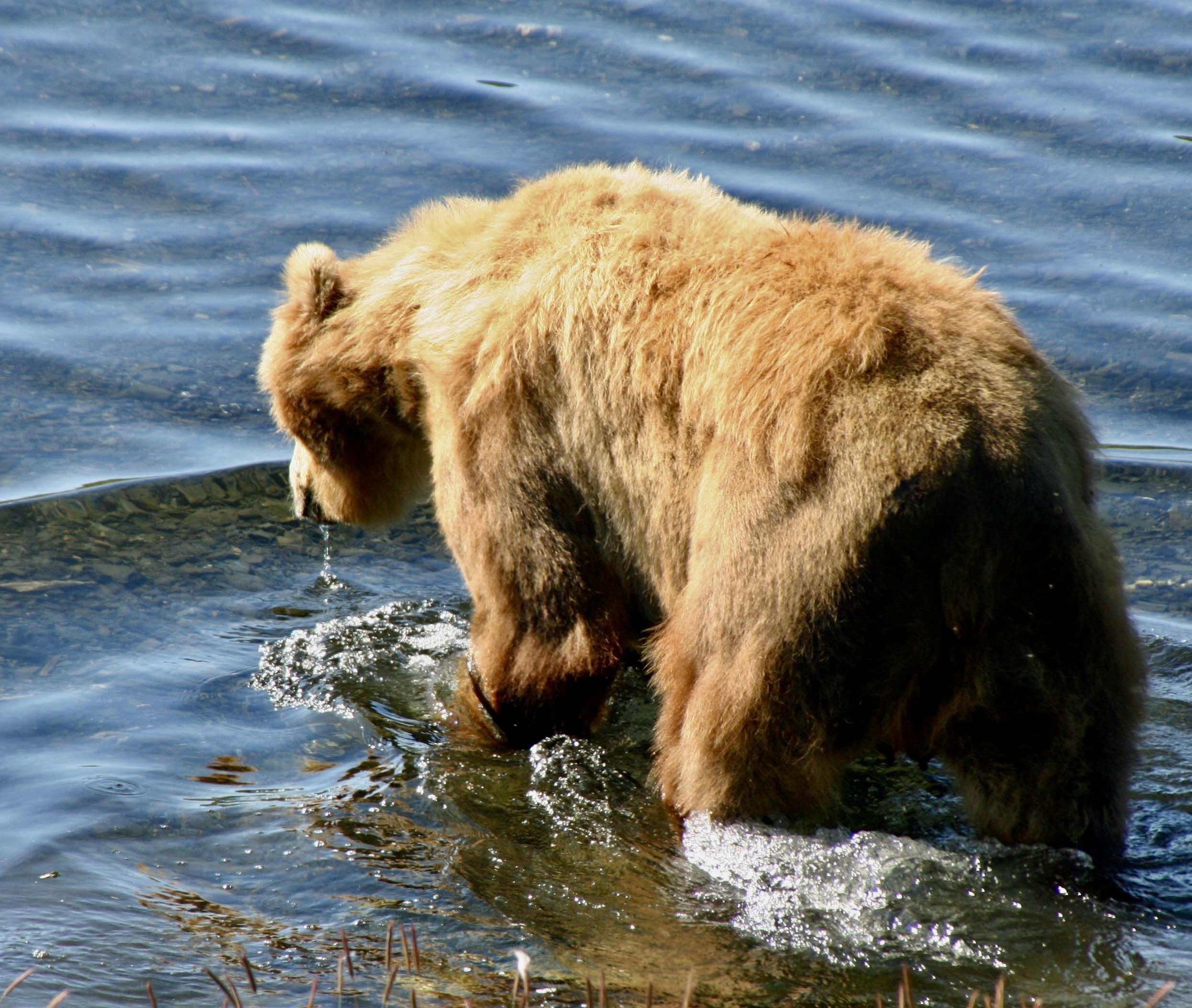
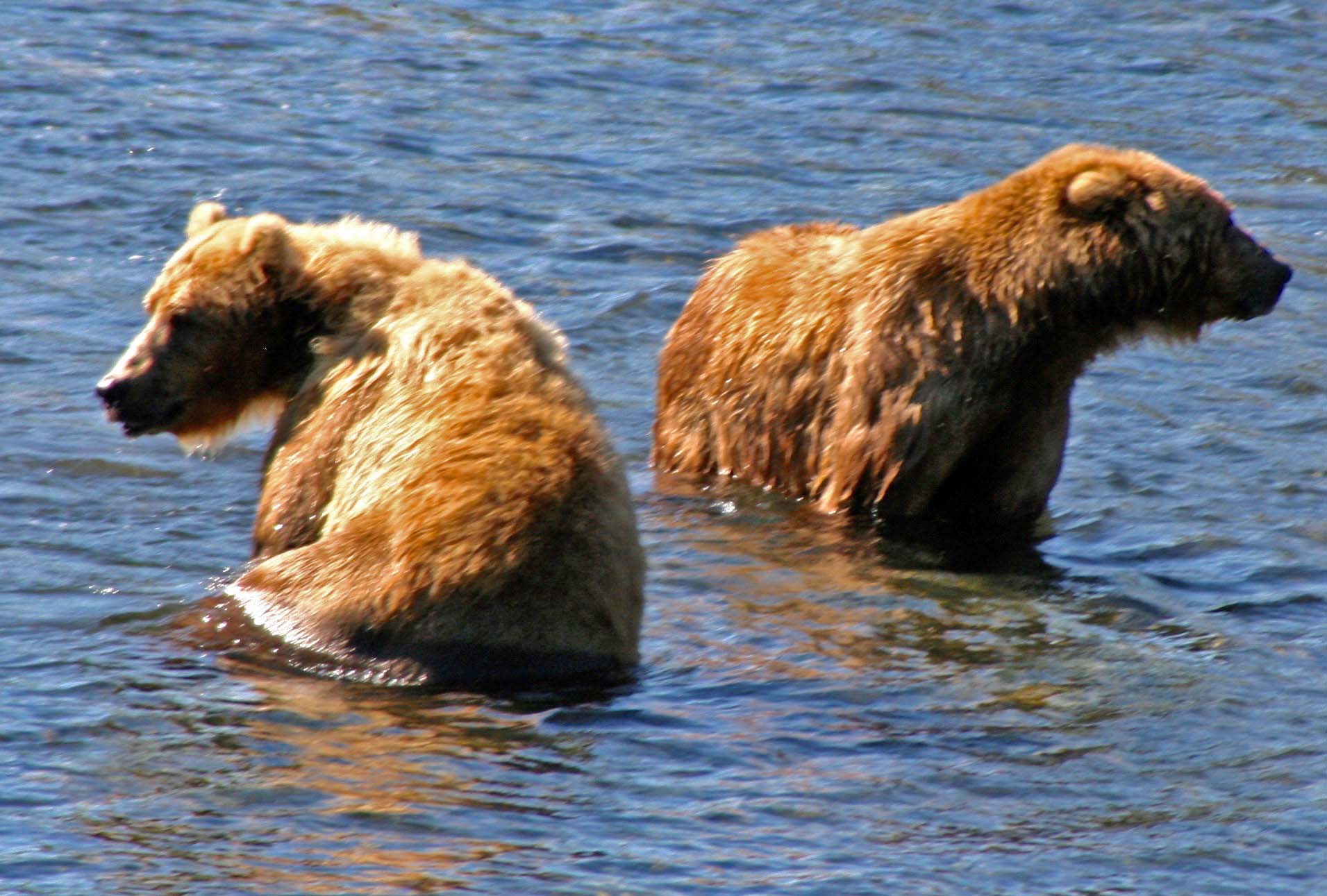
Our first bear encounter was peaceful, at least for us. Not so much for fish. A large pool above the campground had a granddaddy of a brown bear fishing in it. He wasn’t standing on the edge and flipping salmon out like you see in many documentaries, however. He was quietly walking around in the pool about five feet deep with his head under the water. Only his back was showing. Woe to the large trout that swam by. He would strike with all the speed of a snake, and then sit up for a more leisurely feast. The bear held the fish in his paws and ate it like you or I might gnaw on a corn cob— if we were eating the cob as well as the corn. We could hear him crunching away. Then he was off to catch another one. Over and over. It was prime fishing. No wonder brown bears grow so big.
Right about the time we saw him down his third fish, a younger brown bear came along and decided to join in the fun. Not. Granddaddy charged. It was his pool and his fish! The youngster skedaddled. You’ve likely heard that bears can run fast. The smaller bear was faster than that. The two jumped out of the pool and dashed down the trail through our camp. I’m glad I wasn’t in their way, or peacefully sitting outside our tent eating dinner.
That evening I went out for a short walk. Other than mosquitos, black flies and no-see-ums, it was a pleasant trail. I had it to myself— until I rounded a corner and came upon a brown bear going the opposite direction. We both stopped immediately and stared at each other, from about 15 feet away. While not as large as the Grandaddy bear, he was still appeared huge! The trail was narrow and he seemed to be irritated. Maybe it was the bear that had been chased out of the pool earlier.
“Talk to the bear, Curt,” I admonished myself. But what to say? Smart ass that I am, I punted…
“Um, good evening Mr. Bear,” I stuttered respectfully. “I am an Alaskan, just like you. You don’t want to eat me. If you are hungry, I understand there is some great Japanese food on the menu. Or you might want to try the German.”
The bear stared at me for a long two minutes, barked a growl of annoyance, and detoured off the trail. I quickly returned to whatever safety my tent offered. No Japanese or Germans were eaten that night. Or, at least I didn’t hear any screaming. Happily, when we backpacked into the Katmai wilderness the next day, we encountered no bears.
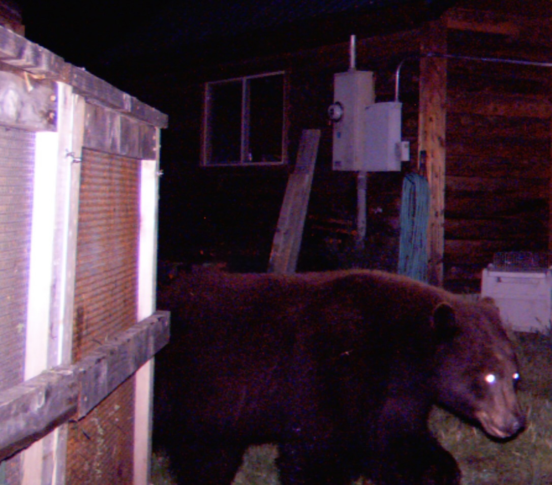
I’m about to wrap up my bear stories, but I do have one more. So far I’ve been featuring bears I have met up with in the woods, but what happens when they come to visit you at your house, as they did in Oregon. They came by to dine out of our garbage can or steal sunflower seeds from our bird feeders. One decided to open my Weber Grill… The bear way.