STRANGE PLANTS THAT EAT BUGS: Glasgow’s Botanic Gardens
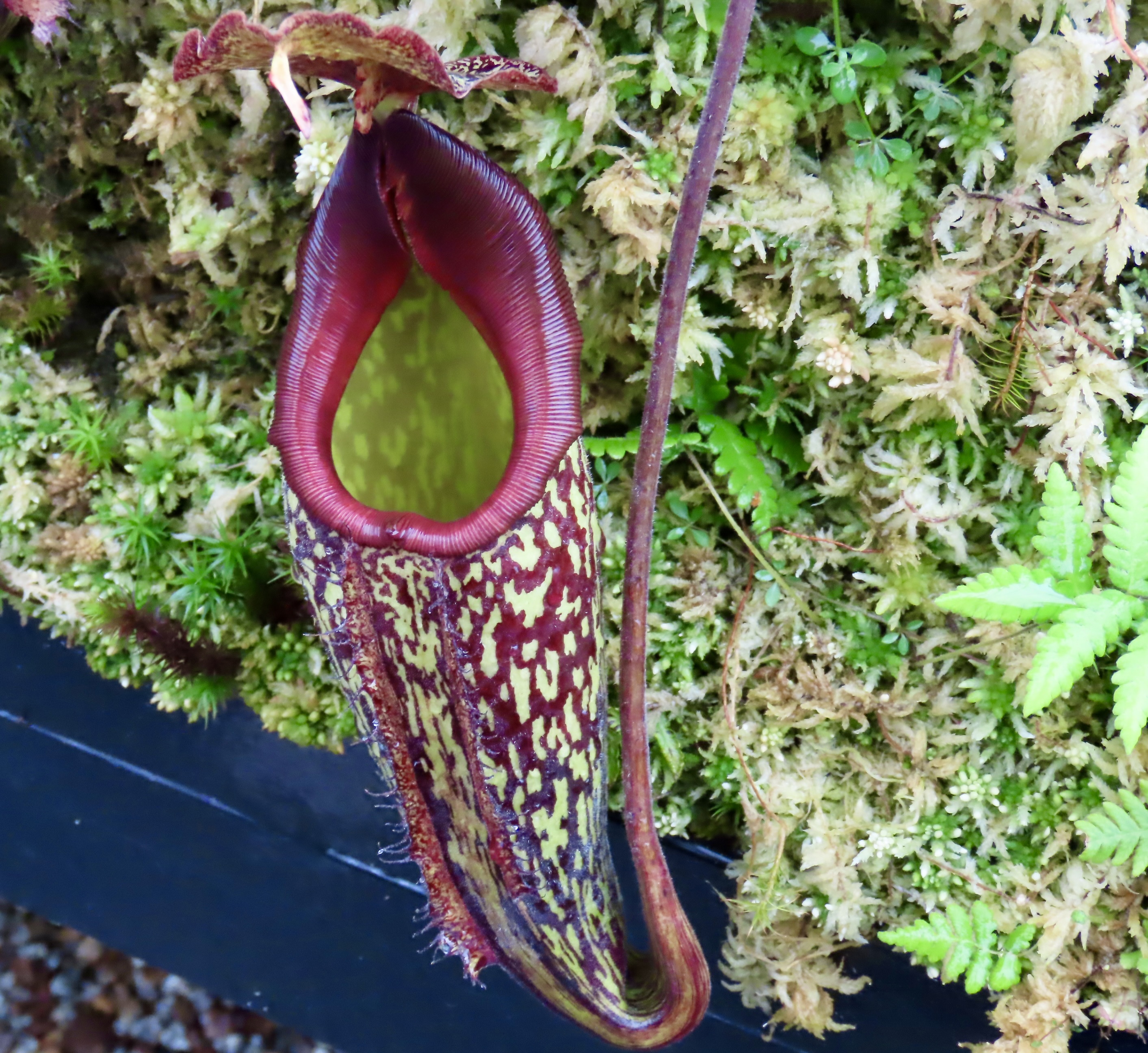
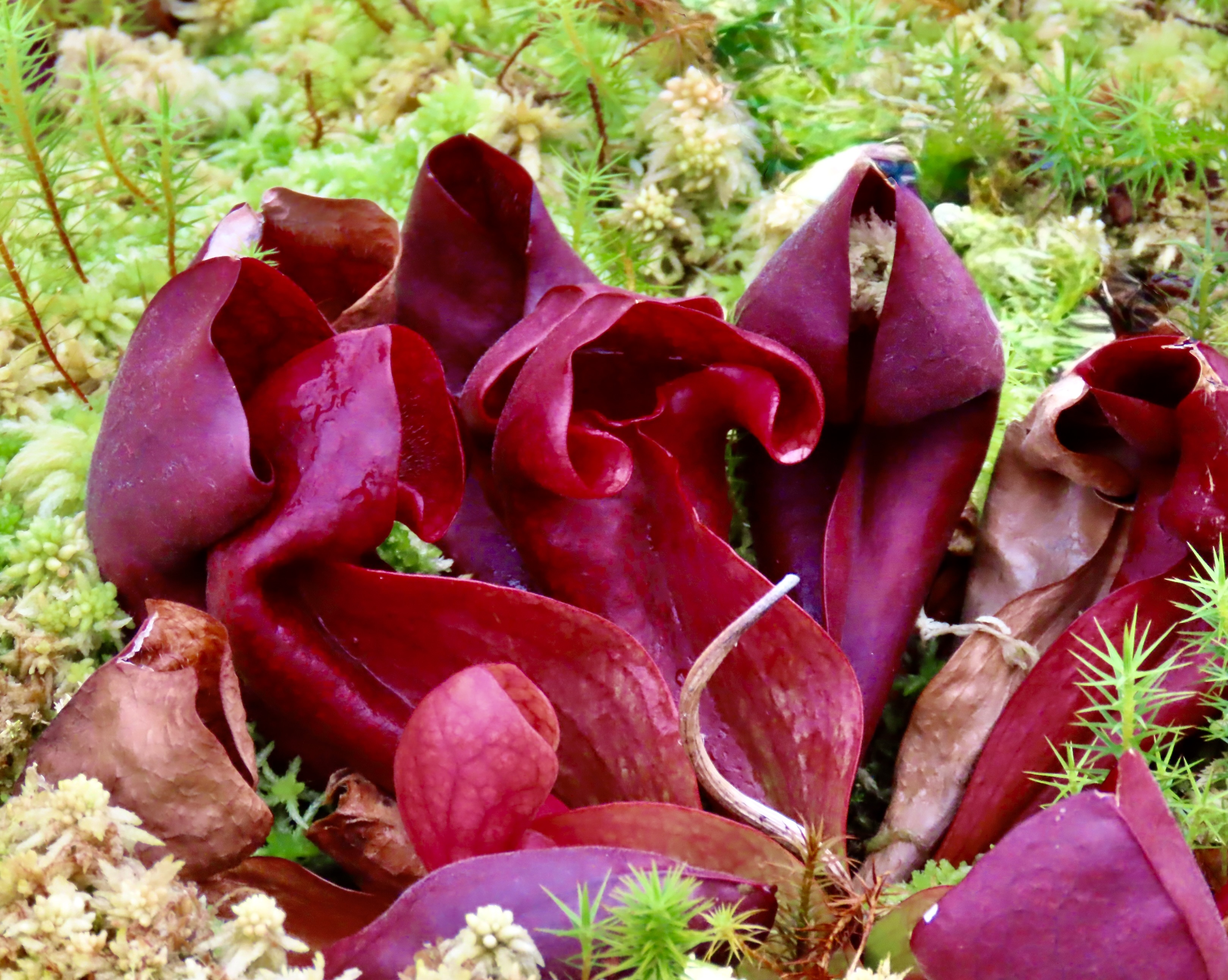
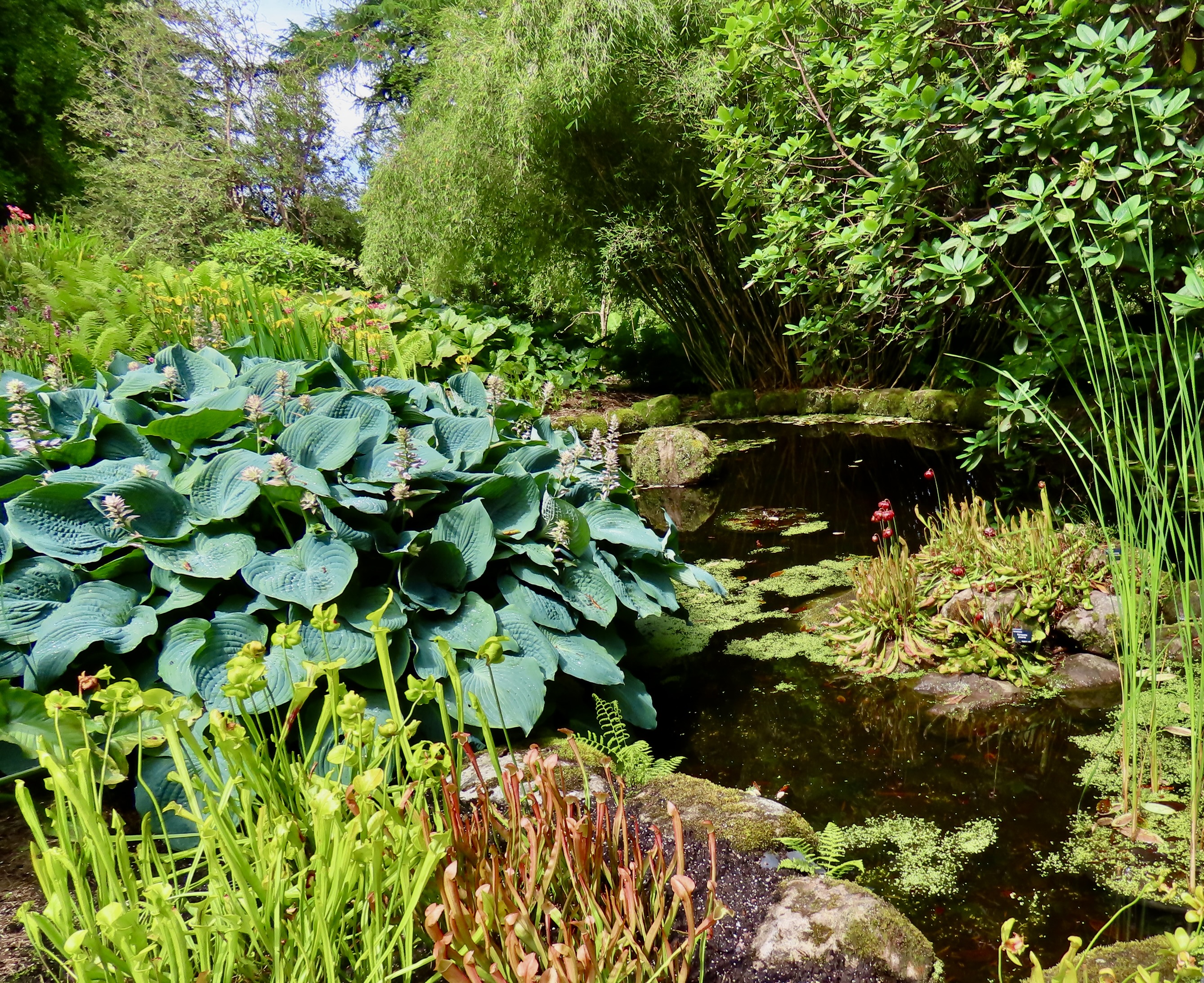
I’ve always been fascinated by carnivorous pitcher plants that lure insects into an untimely demise by attracting them with nectar into specialized, cup-shaped leaves, and then dissolving them in digestive fluid. Sounds a bit like a horror plot out of a B-movie. This beauty, as well as several others were featured at the Kibble Palace/Glass House of the Glasgow Botanical Garden.
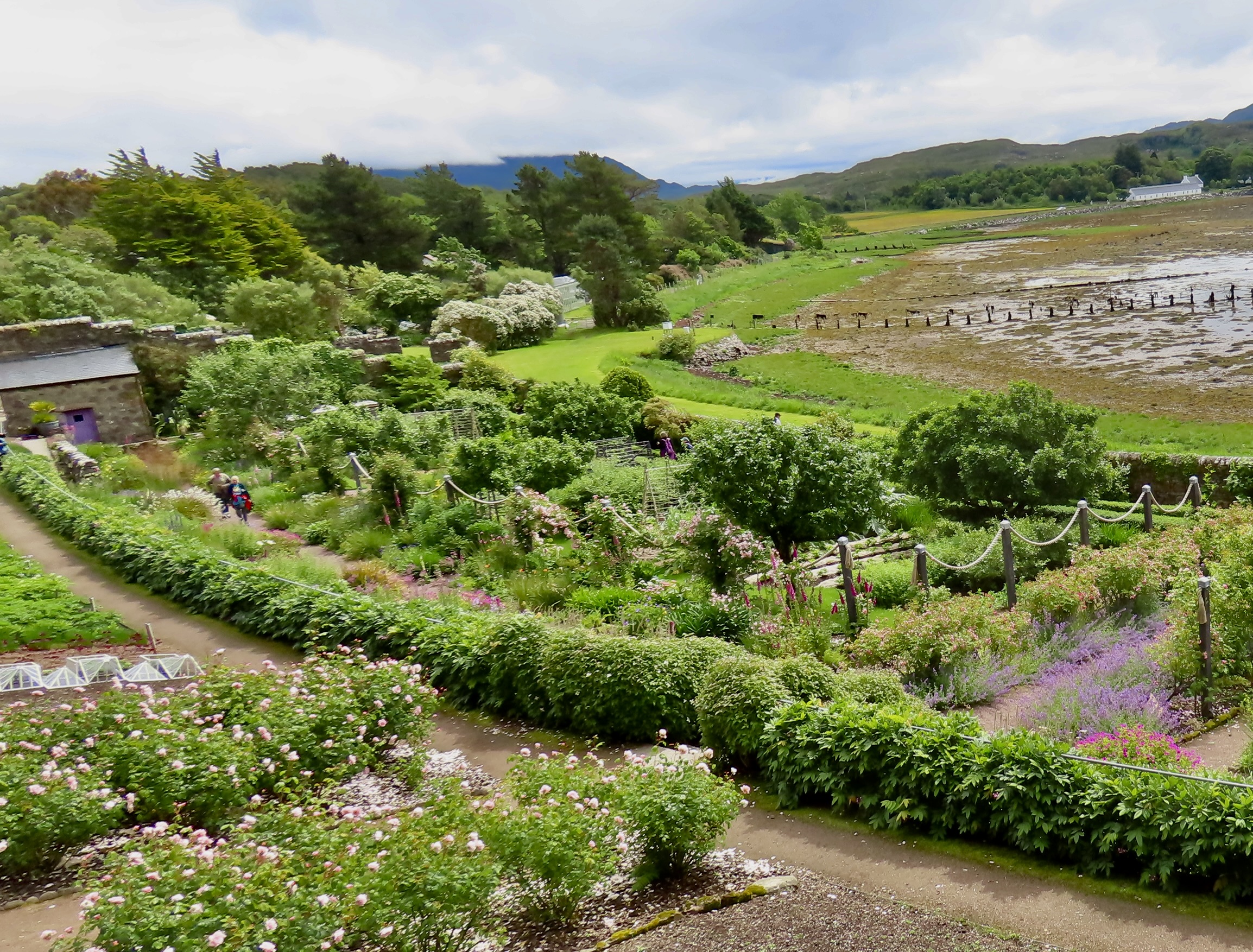
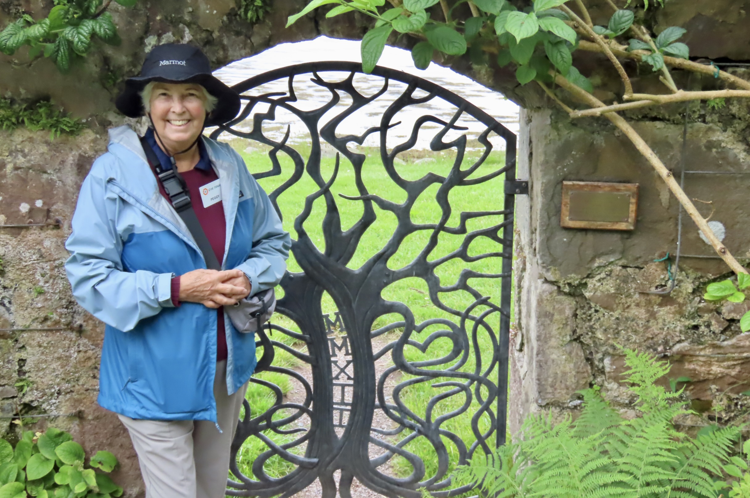
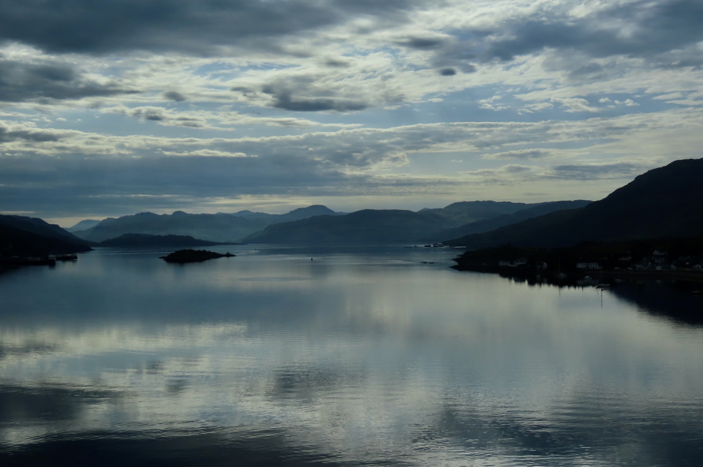
In our last Scottish Highlands post, we took you on a tour of the areas natural scenic beauty. This time we are going to feature human efforts to beautify the country: attractive landscapes, colorful flowers, and interesting plants. We’ve already included some of these as we have explored Scotland’s castles and communities. Today, we are going to visit the Botanic Gardens located in Glasgow and the Inverewe Gardens located in the northwestern Highlands. Both feature plants and flowers that come from around the world as well as native plants. Unless otherwise noted, all photos in this post were taken by Peggy, our grandson Cody, or me on a CIE bus tour we took of the Scottish Highlands this summer.
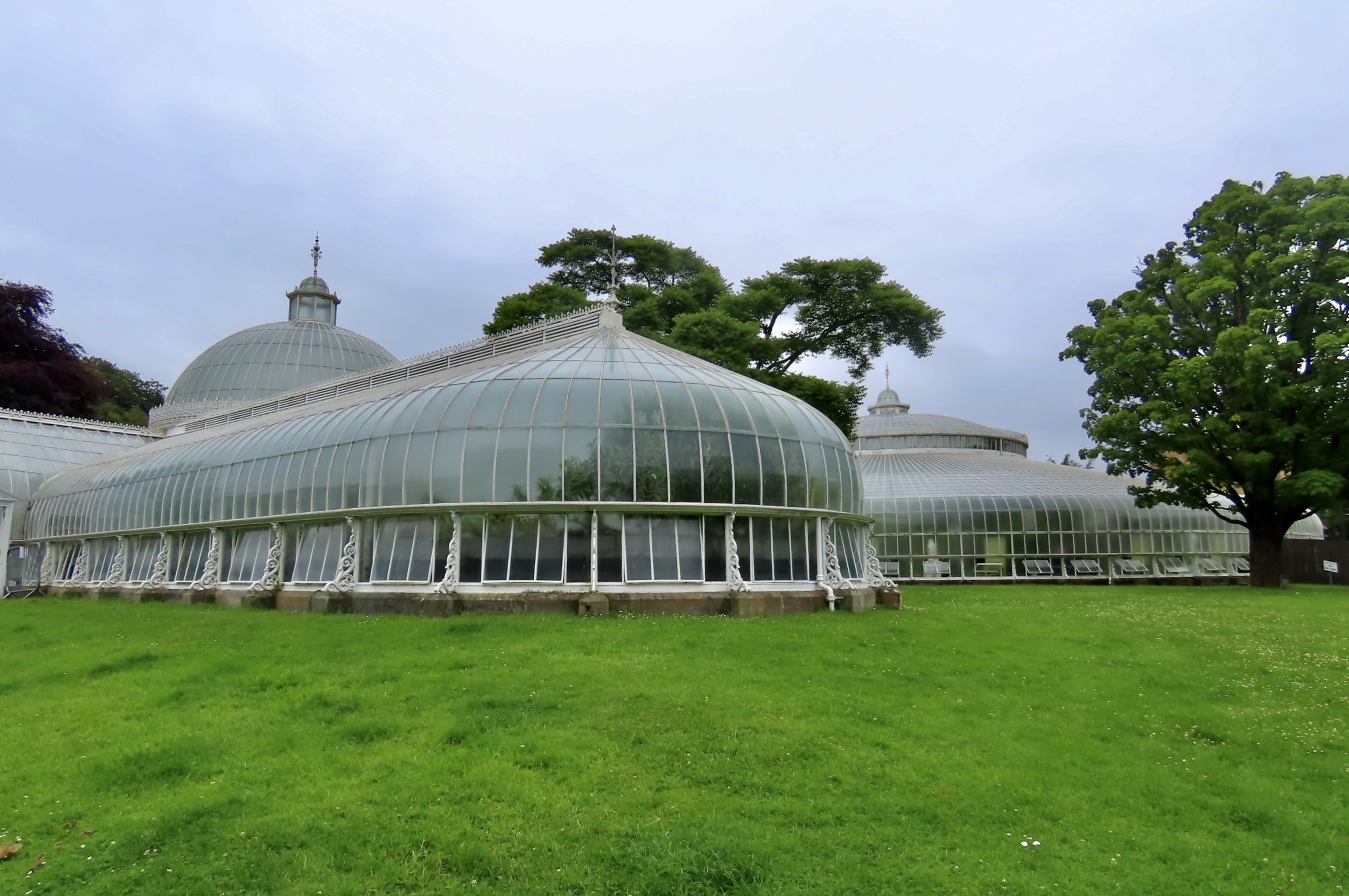
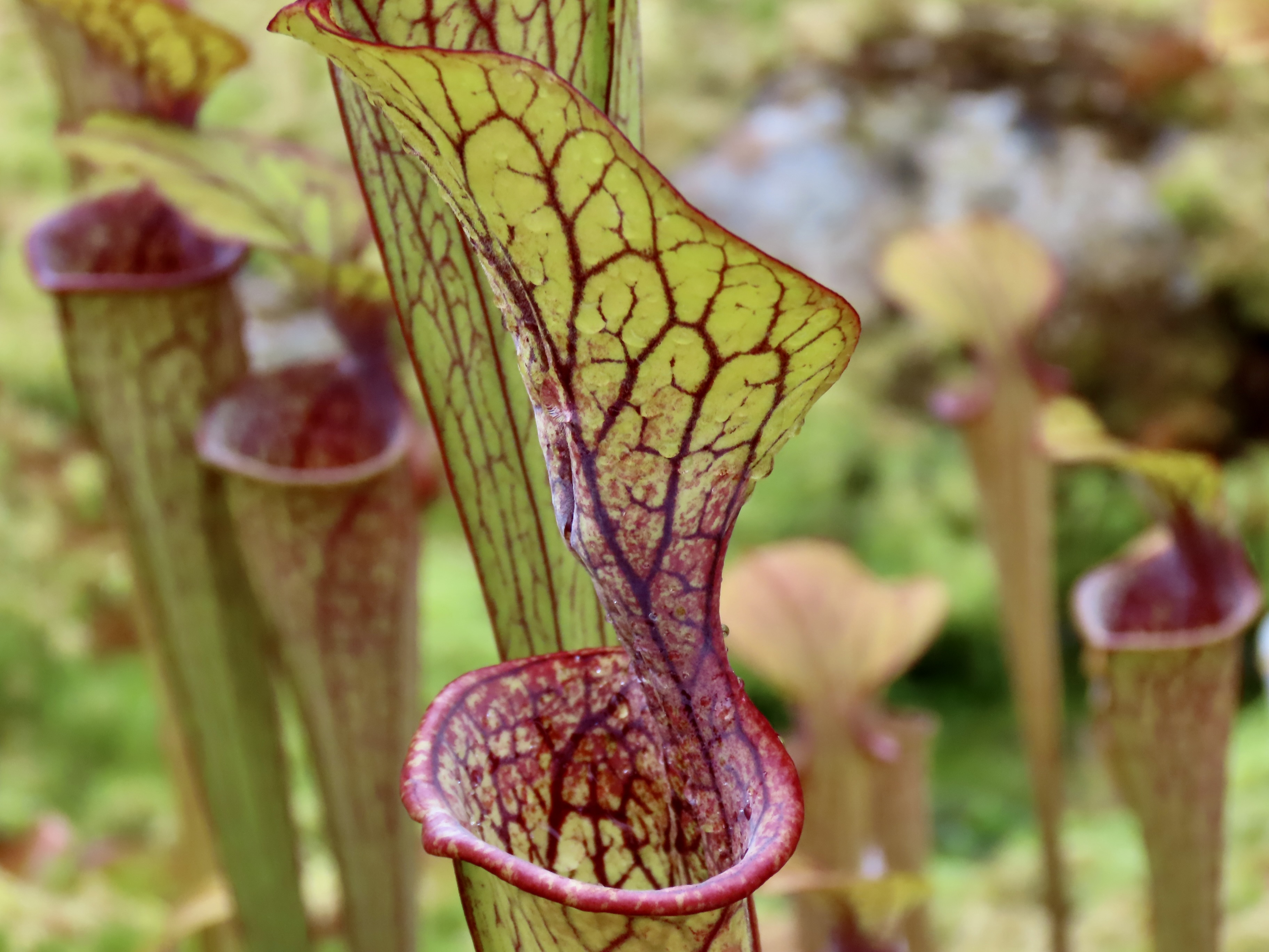
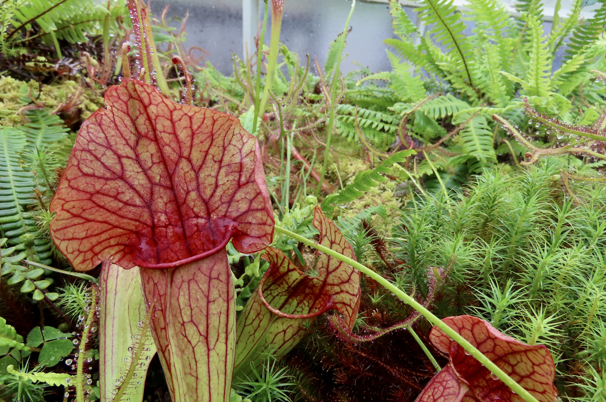
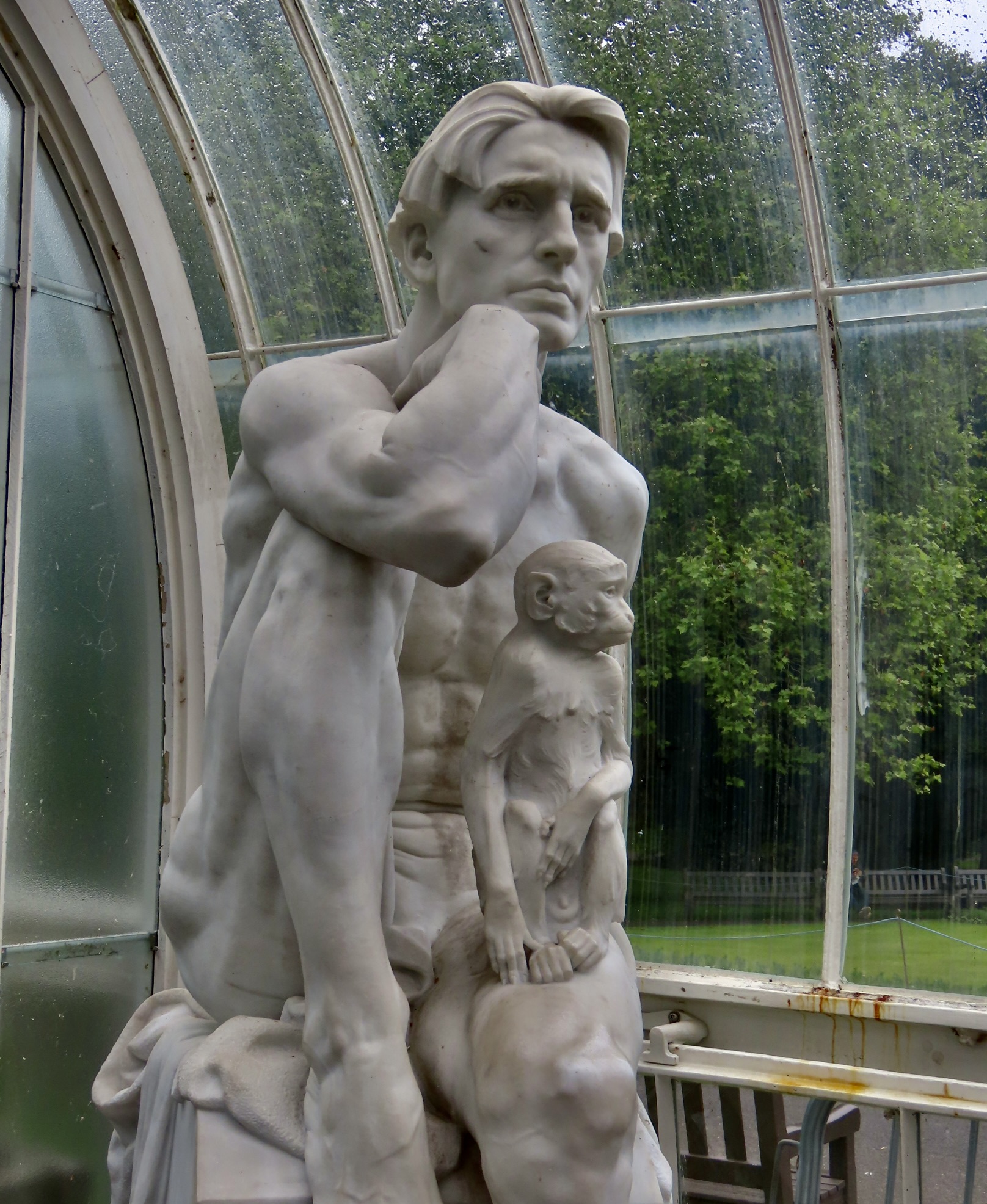
The Kibble Palace/Glass House of Glasgow’s Botanical Garden was built for housing tropical plants. Several of these large, ornate glass structures were built during the 1800’s Victorian era throughout the British Isles and in a number of major cities worldwide.Displaying red/purple veins. The leaf-like structures on top of pitcher plants—known as the lid or operculum, serve to attract insects and prevent excessive rain from entering the plant, diluting its digestive juices.A rather showy operculum that advertises ‘Come this way bugs!’This lime-green species provides more cover. If the operculum fails on this pitcher plant, or others, and fills with rain, the plant folds over from the weight, dumps the water, straightens back up, and produces more digestive juice. Sorry, bugs. Close to-the-ground crowded pitcher plants.Also small and crowded but red with an attitude! (hoodies)We found this Rodin-like statue of The Thinker created by Scottish sculptor George Henry Paulin in Glasgow’s glass house. The monkey, assuming a similar pose, added a touch of humor.
INVEREWE GARDENS: An around-the-world collection of exotic flowers and plants in a botanical garden created by Osgood Mackenzie starting in 1862 on an undeveloped 2100 acre parcel of land given to him by his mother. It is now owned and operated by the Scottish Land Trust.
The two Grahams, our guide and bus driver, dropped us off and gave us three hours to explore the 2100 acres on our own, following the numerous paths that wandered through the garden. (The prefix ‘inver‘ in Scottish place names, BTW, refers to where the mouth of a river meets the sea, a loch or another river. In this case, it was the River Ewe flowing into the Loch Ewe. In case you are wondering about Ewe, no female sheep were involved. It’s the Scottish Gaelic spelling for the yew tree.)
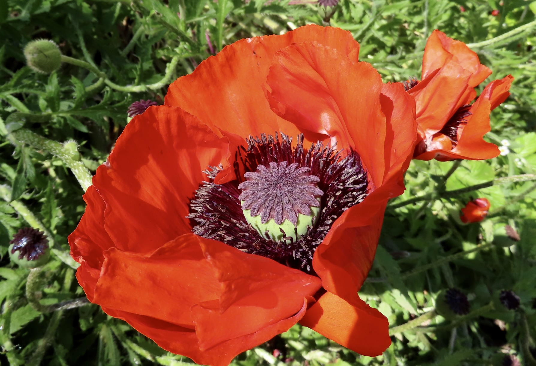
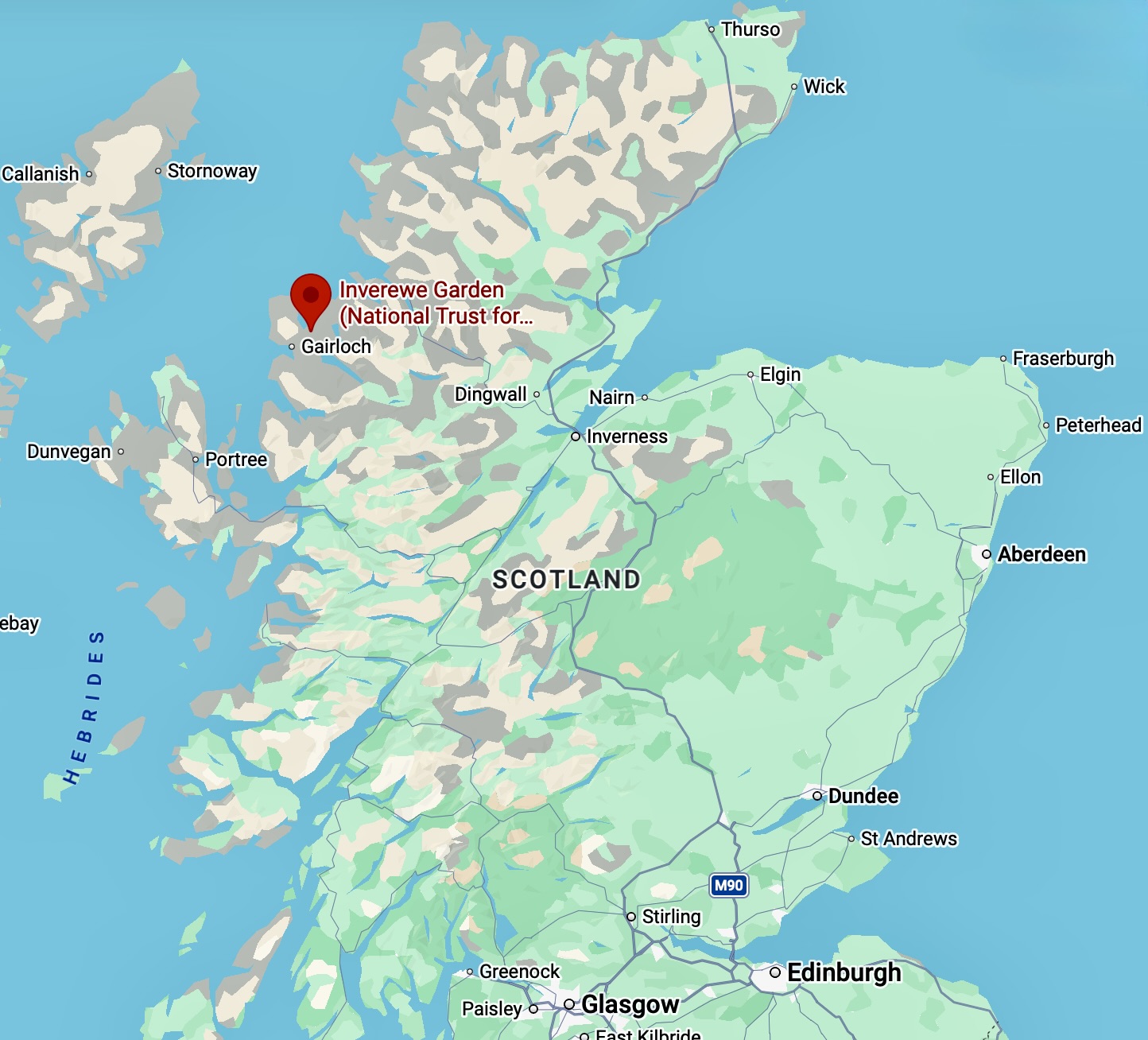
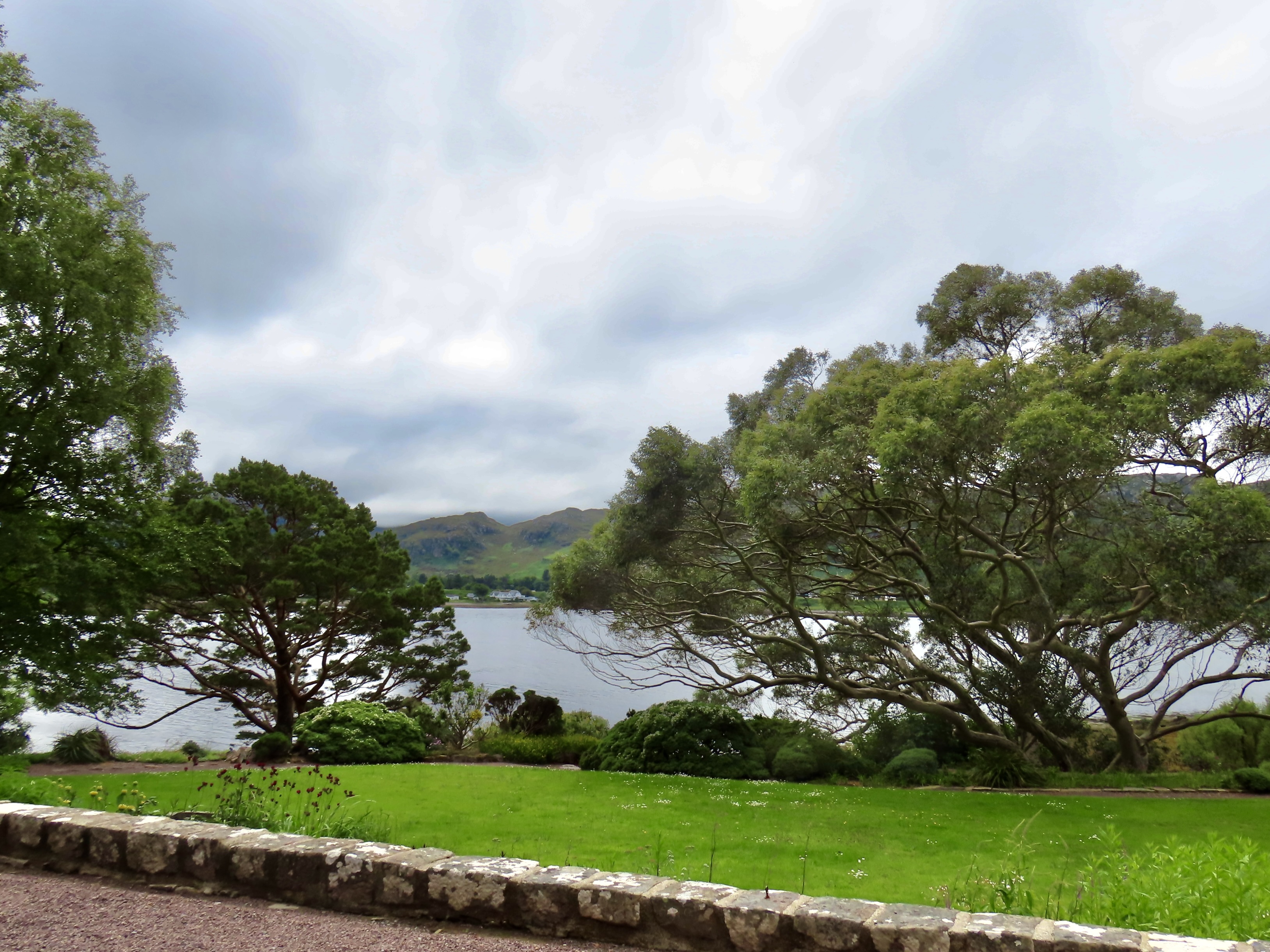
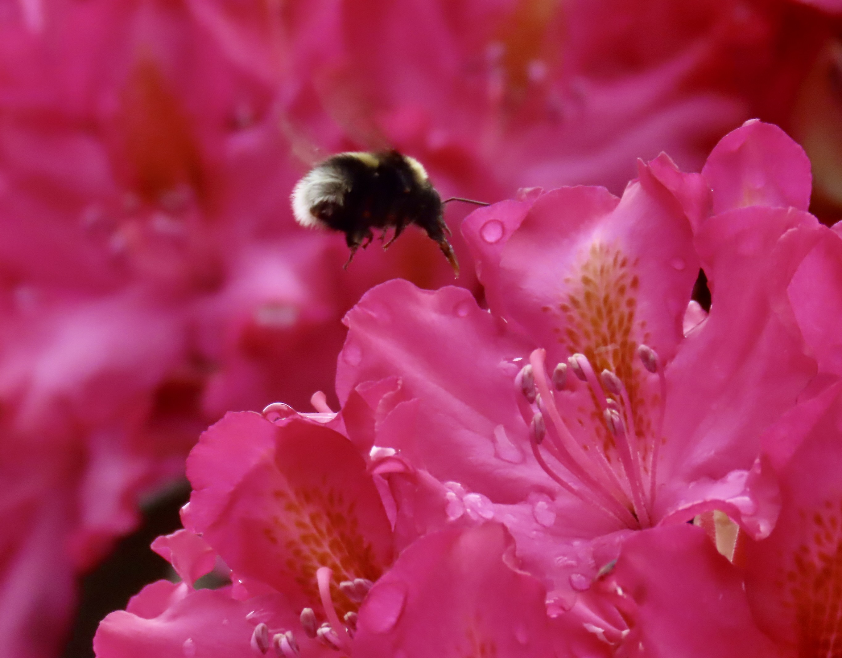
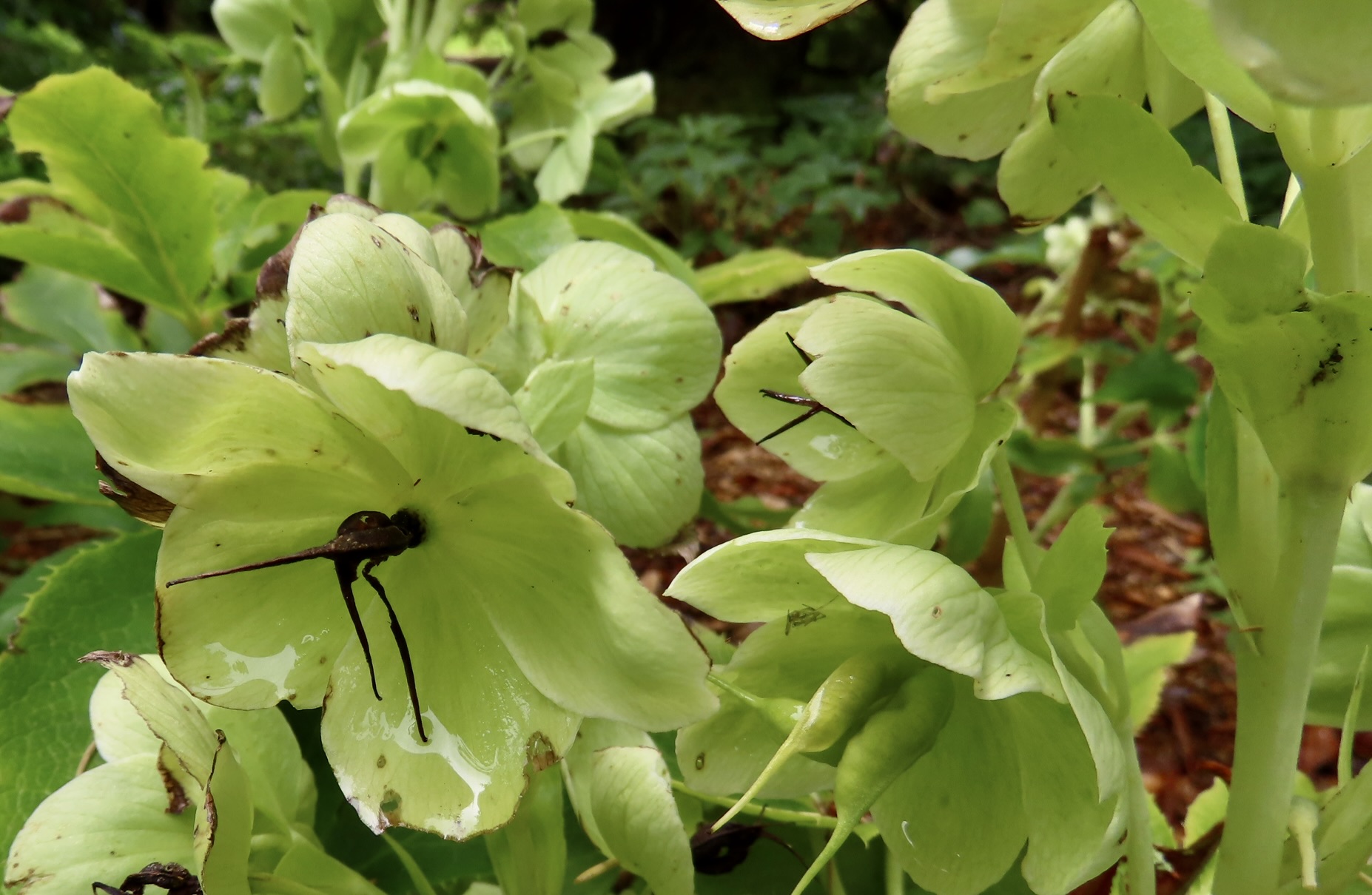
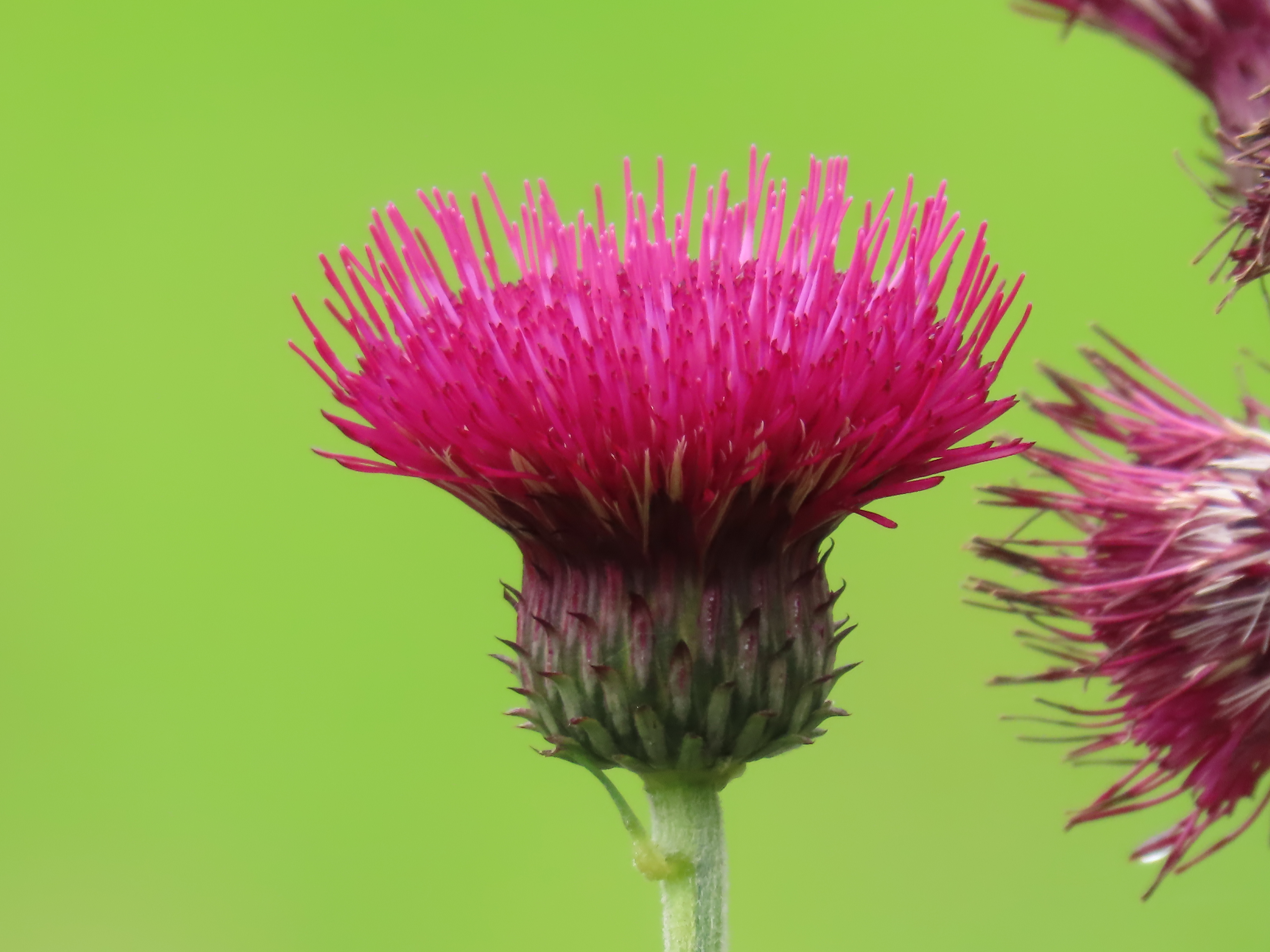
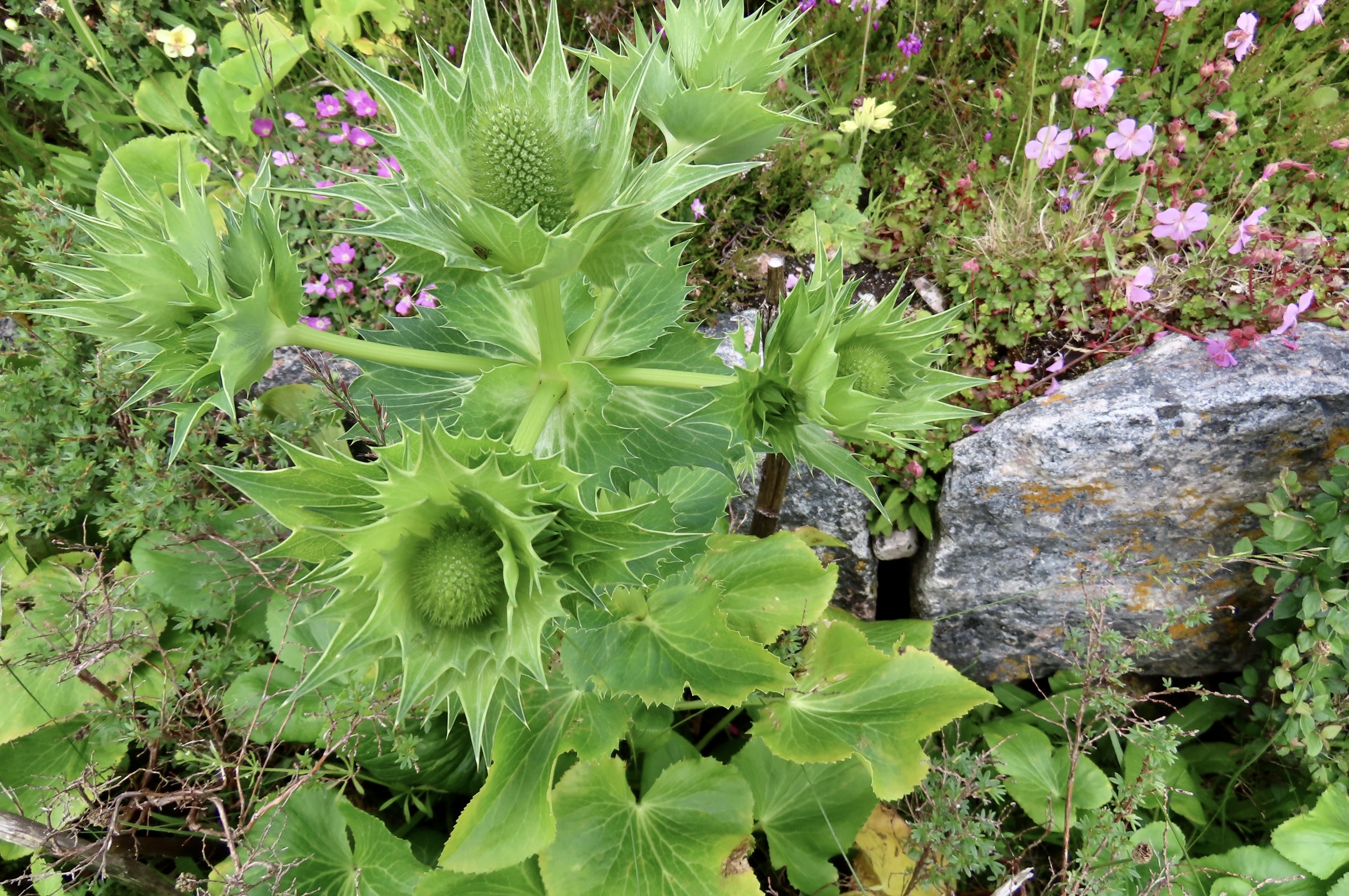
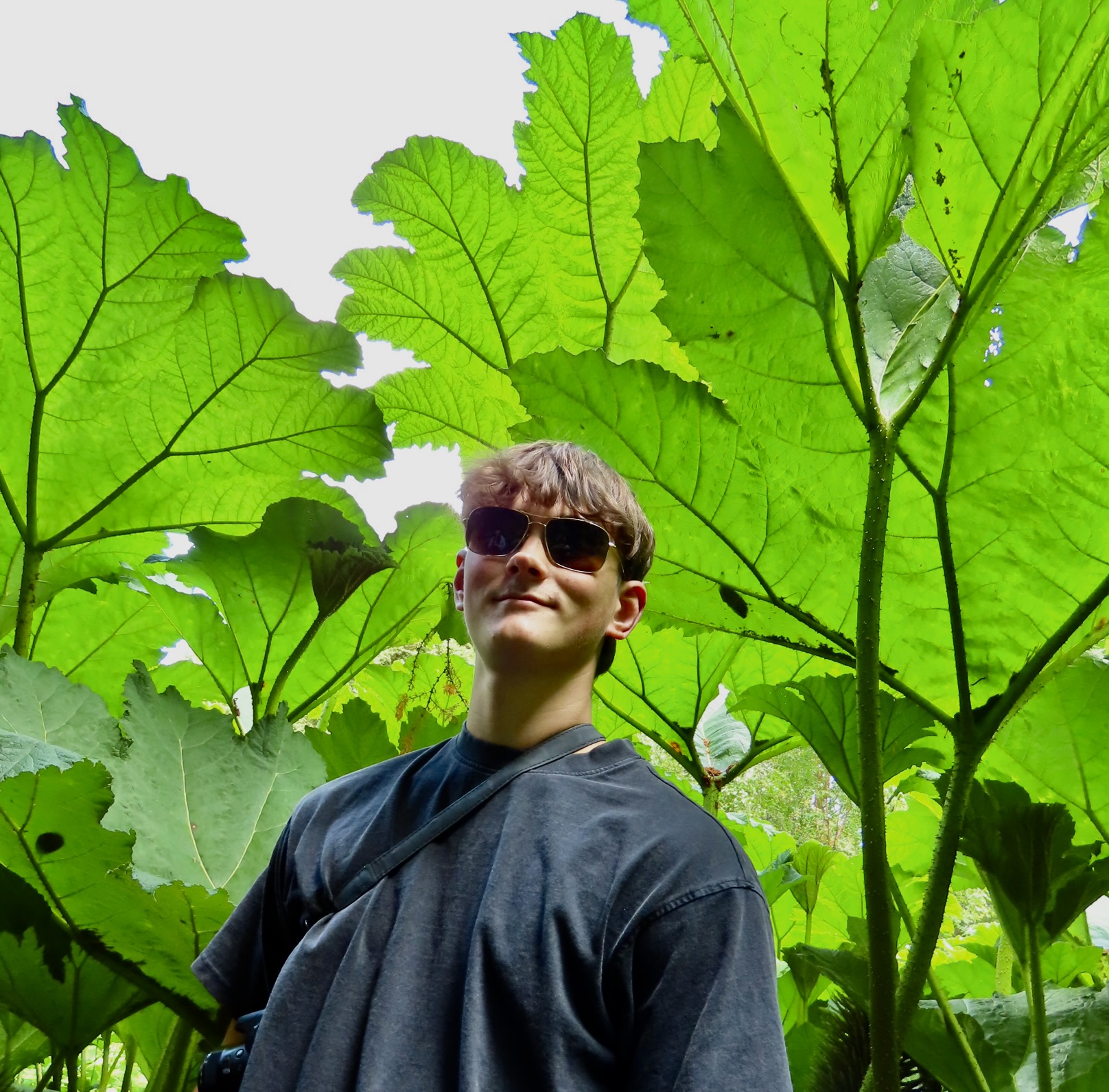
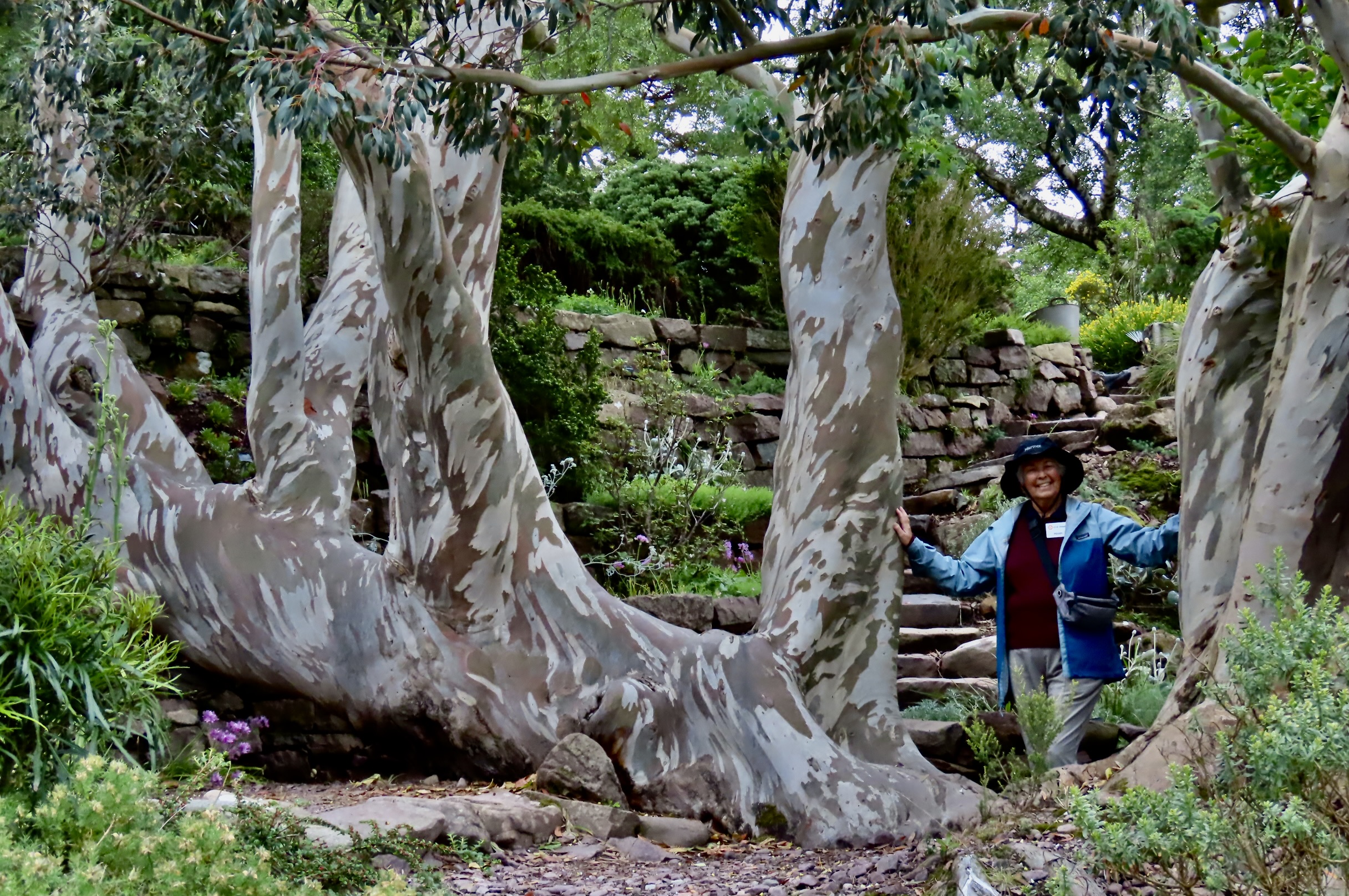
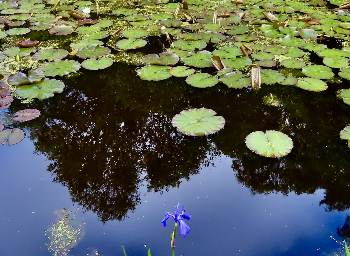
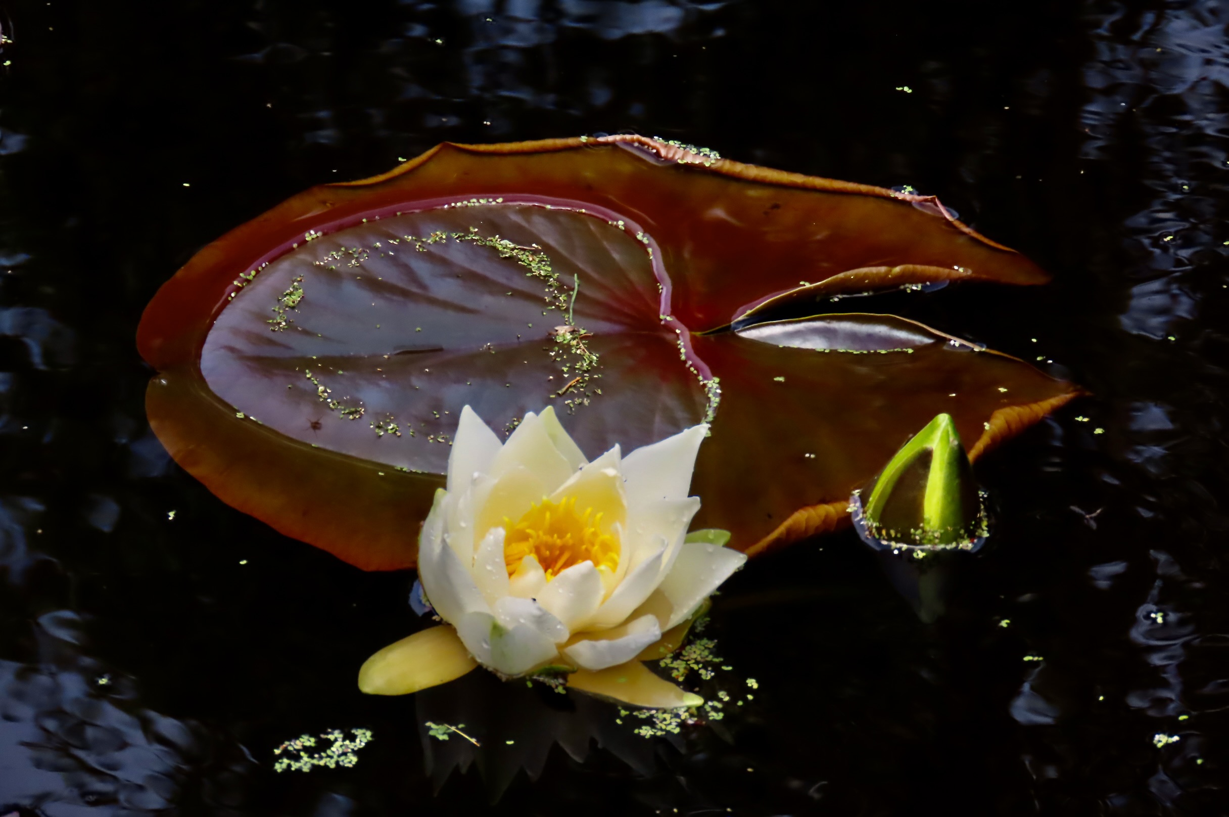
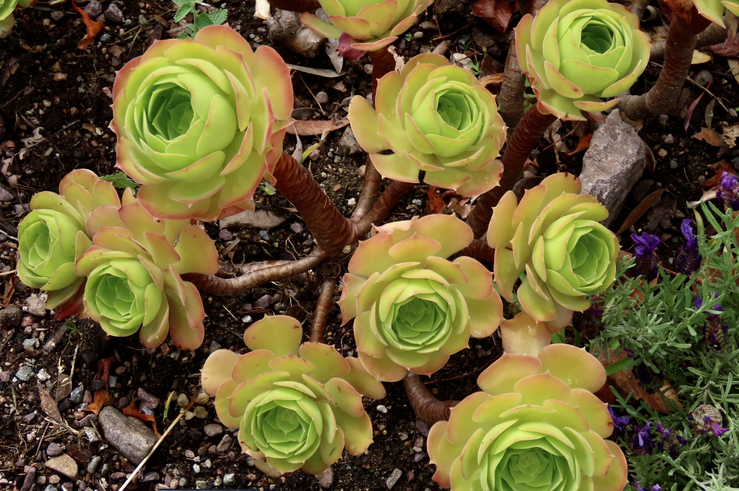
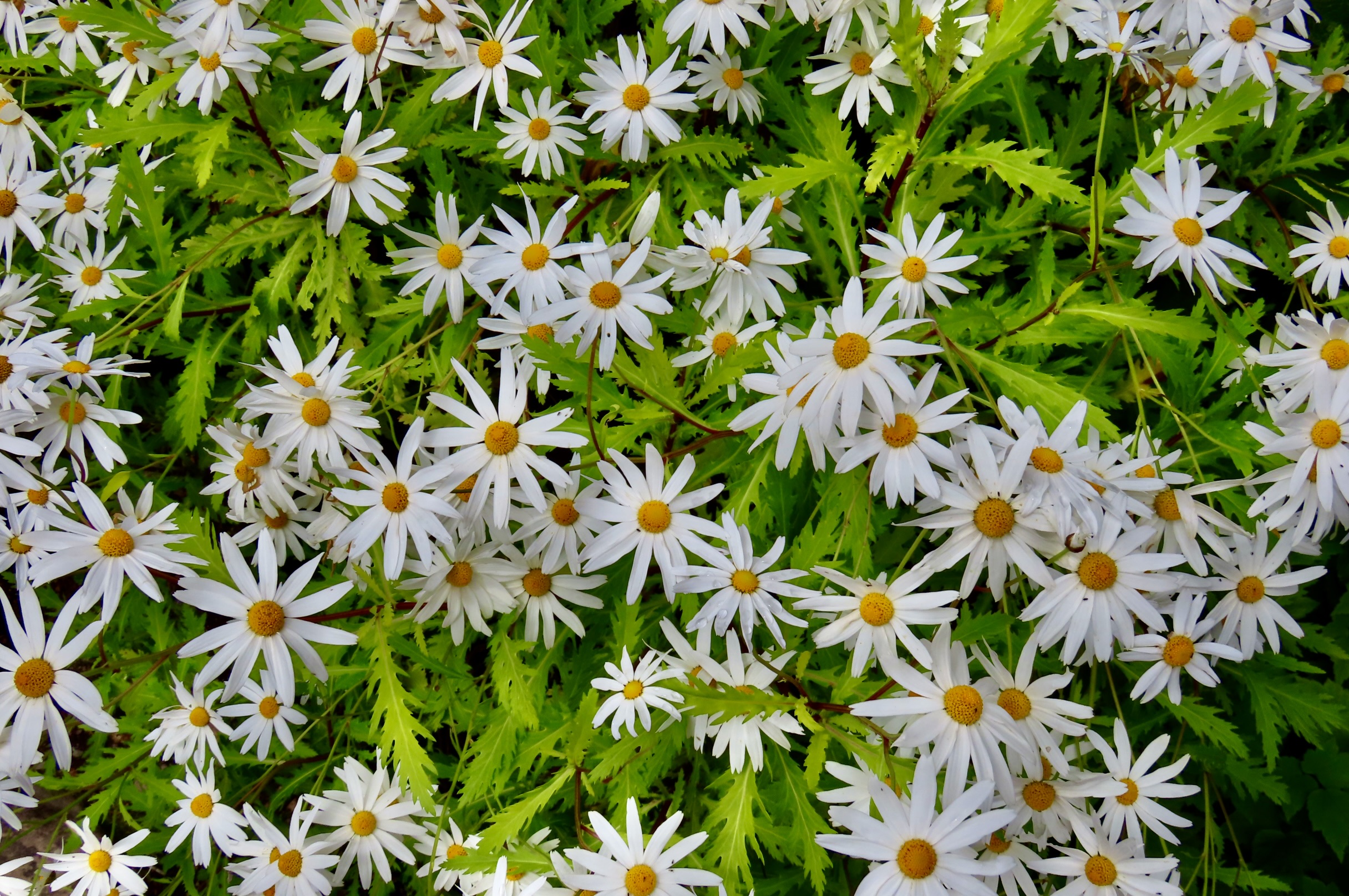
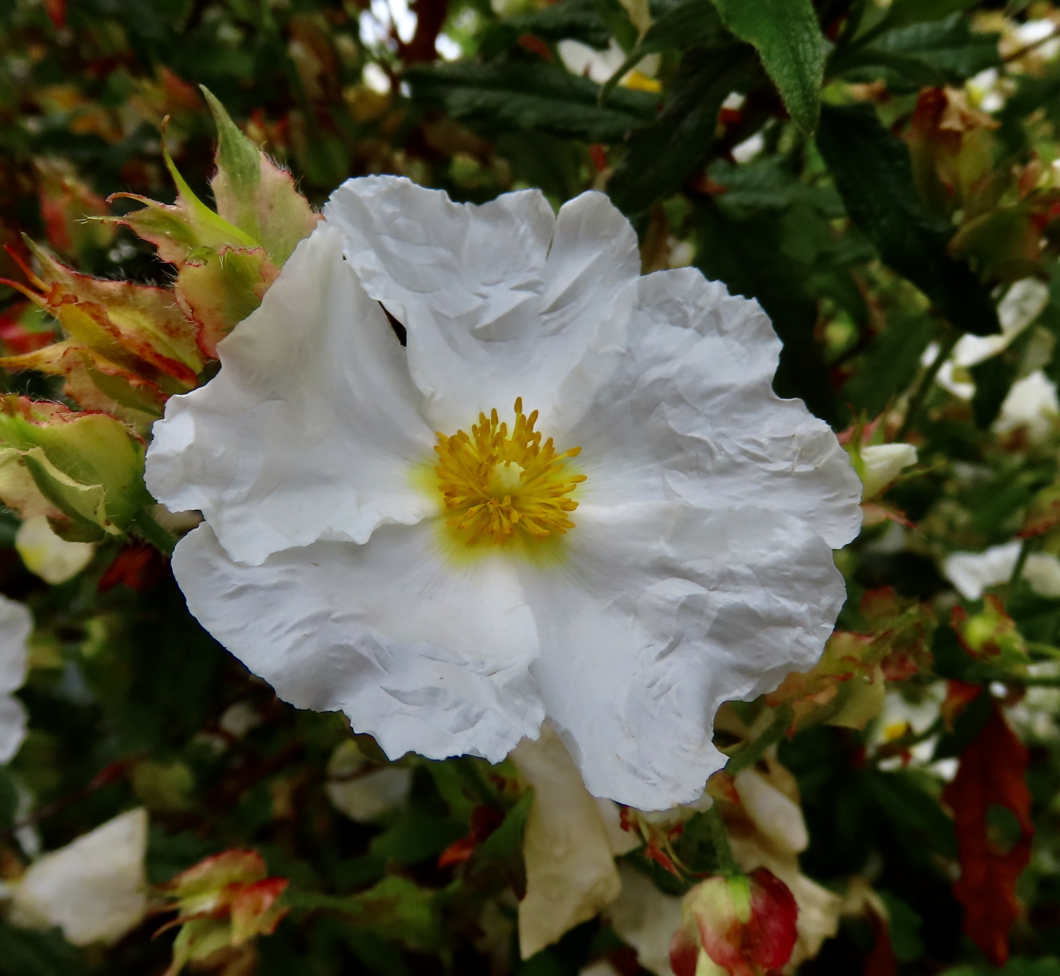
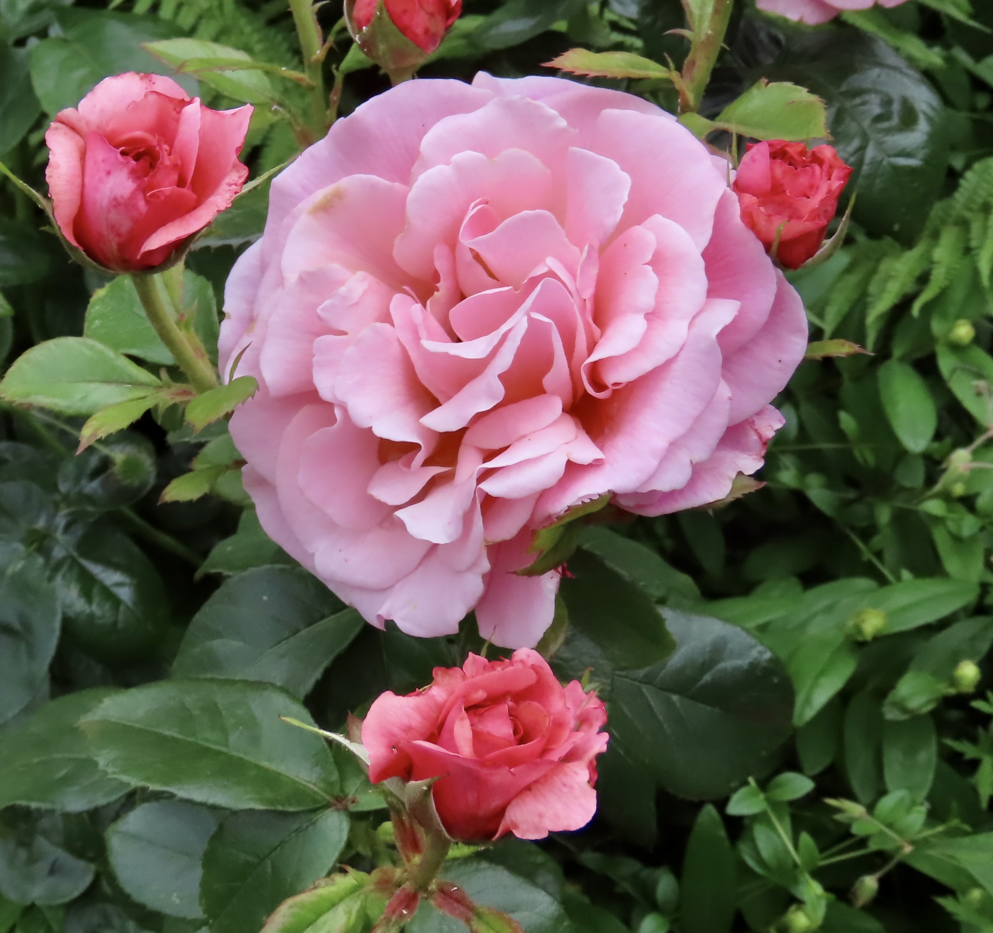
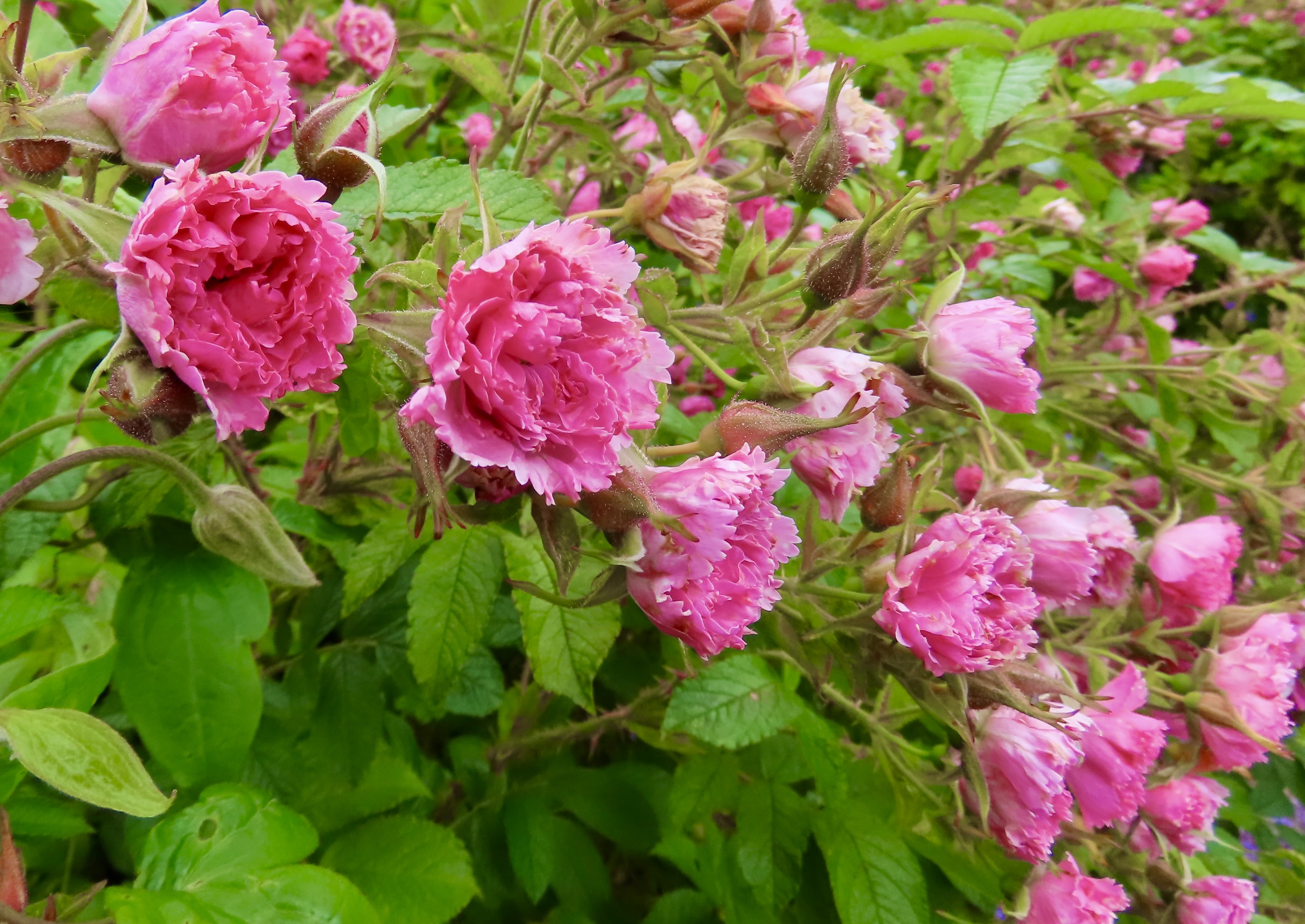
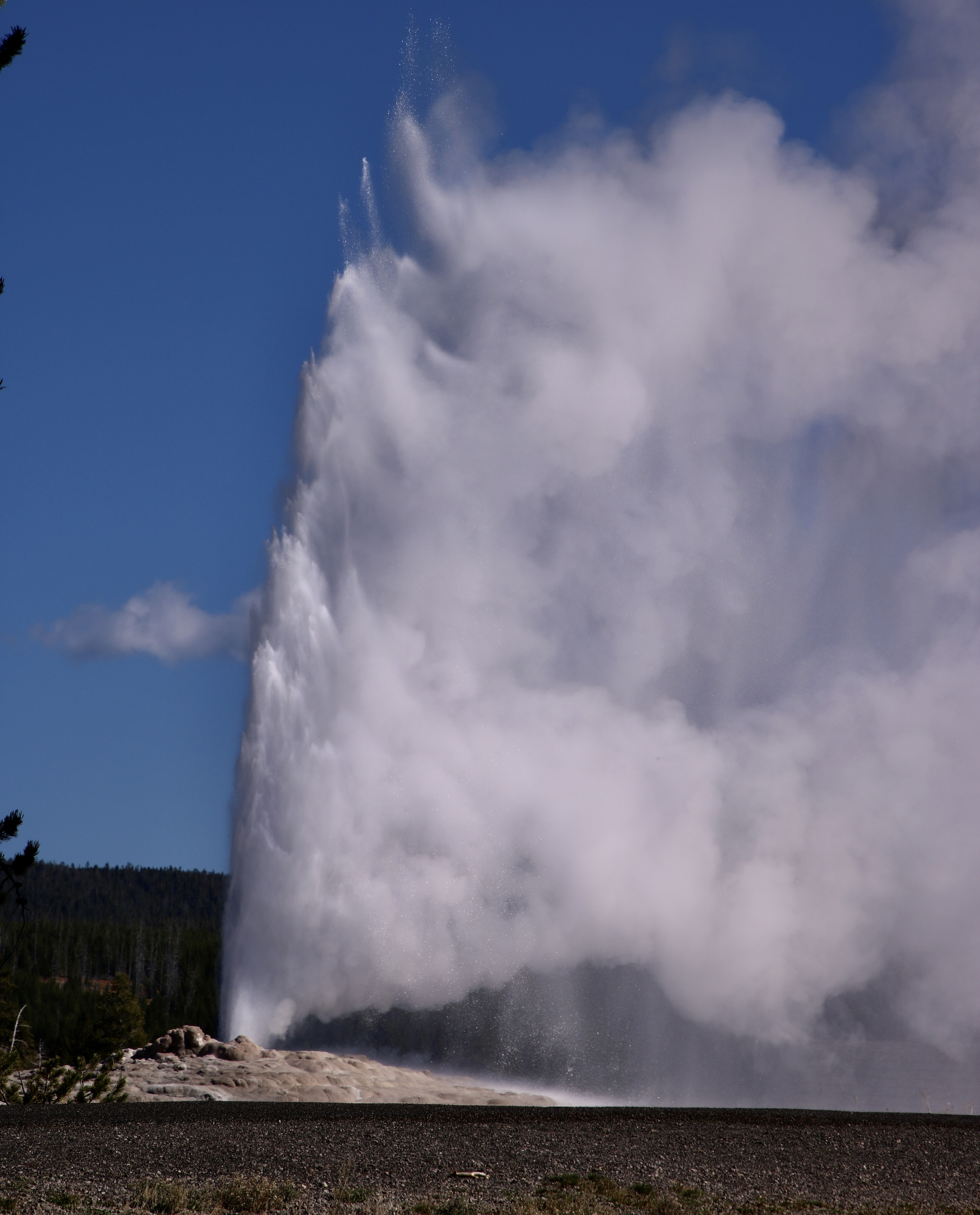
Inverewe Gardens provided us with numerous flowers, shrubs and trees to admire, but no ancient yew trees. Too bad, Scotland’s Fortingall Yew, is estimated to be around 5,000 years old, making the oldest non-clonal tree in Europe. Trails that started through a highly organized garden, soon led off to the more ‘wild’ sections.The location of Inverewe Garden as shown on a Google map. Overlooking Loch Ewe, the garden sits on a north-facing bay that takes advantage of the warm ocean currents of the Gulf Stream, which provides the climate that the various tropical plants can thrive in at the same latitude as Hudson Bay in Canada.Looking out on Loch Ewe from the Inverewe Garden.The garden is well known for its Rhododendrons. Here, a bumble bee makes a visit. While its identity is easily established…What is this?! Any ideas? Is it an insect with its head and front legs buried deep in the pistil, leaving a stinger like tail and dangling legs outside? Or could it be part of the plant? The only reason I ask that question is because the flower just above it to the right, and the flower just below it on the right suggests the possibility??? The flower, according to my plant ID app is stinky hellebore.A thistle. According to the Scottish Land Trust, “The thistle is Scotland’s oldest recorded national flower and iconic emblem, symbolizing resilience, strength, and defense.”I get the defense part.In the ‘wilder’ part of the garden, Cody found some giant leaves to stand under. I wonder if they would serve as an umbrella in a rainstorm?And Peggy found an unusual eucalyptus tree to hold up.A quiet pool on the wild side caught my attention.It was filled with water lilies.Including this blooming fellow with a bud to the right and a dead leaf behind it. The water gathering on the leaf caused an interesting see-through effect.On this succulent, with the common name of Darley Blush, the outer leaves do seem to be blushing.We went from flower to flower like a hungry hummingbird. Did you know that hummingbirds can visit between 1-2,000 flowers per day?They stood alone…Were surrounded…Came tumbling down…Popped up…Were skirted…And unusual.There was much more to see but our bus would be waiting and we wanted to eat first. It was time to look for an exit.We had options. That’s it for today. Next up is the incomparable Yellowstone NP, the third in our series of visiting 25 world renowned national parks in the US honoring the nations 250th Birthday.Old Faithful letting off steam!
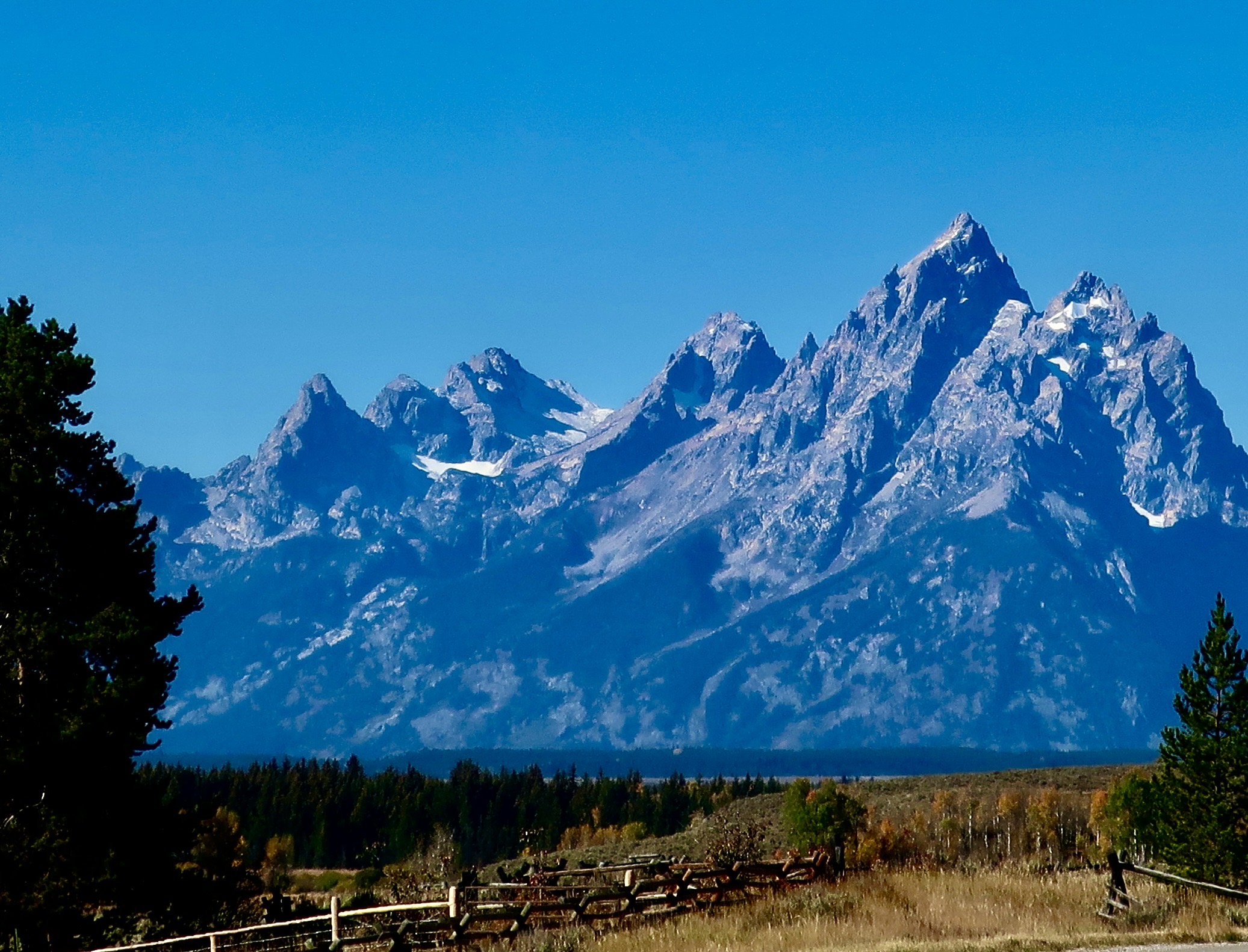
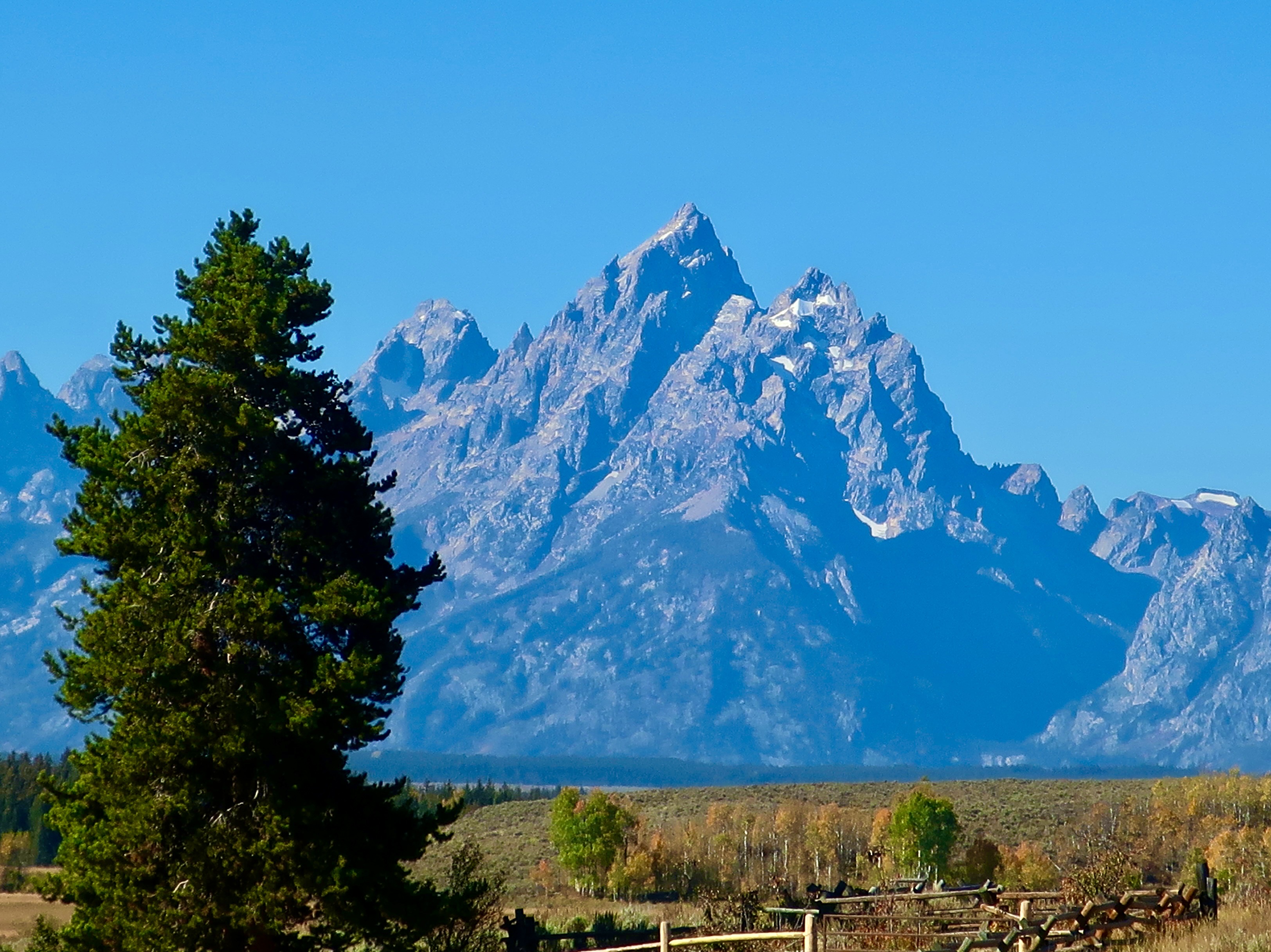
Peggy and I are continuing our exploration of 25 of America’s most beautiful national parks in celebration of America’s 250th Birthday. Today we are journeying to northern Wyoming and visiting Grand Teton National Park with its spectacular mountain range: Our second national park.
I have good news. I mentioned in a recent blog that the Washington Post had reported that Major League Baseball, working in conjunction with the Trump Administration, was exploring the possibility of building a baseball stadium in the Park. Local government and community leaders dashed off a resounding “NO” to MLB and Trump. The idea was dropped faster than a 100 MPH pitched baseball can travel. Concerned citizens can make a difference!
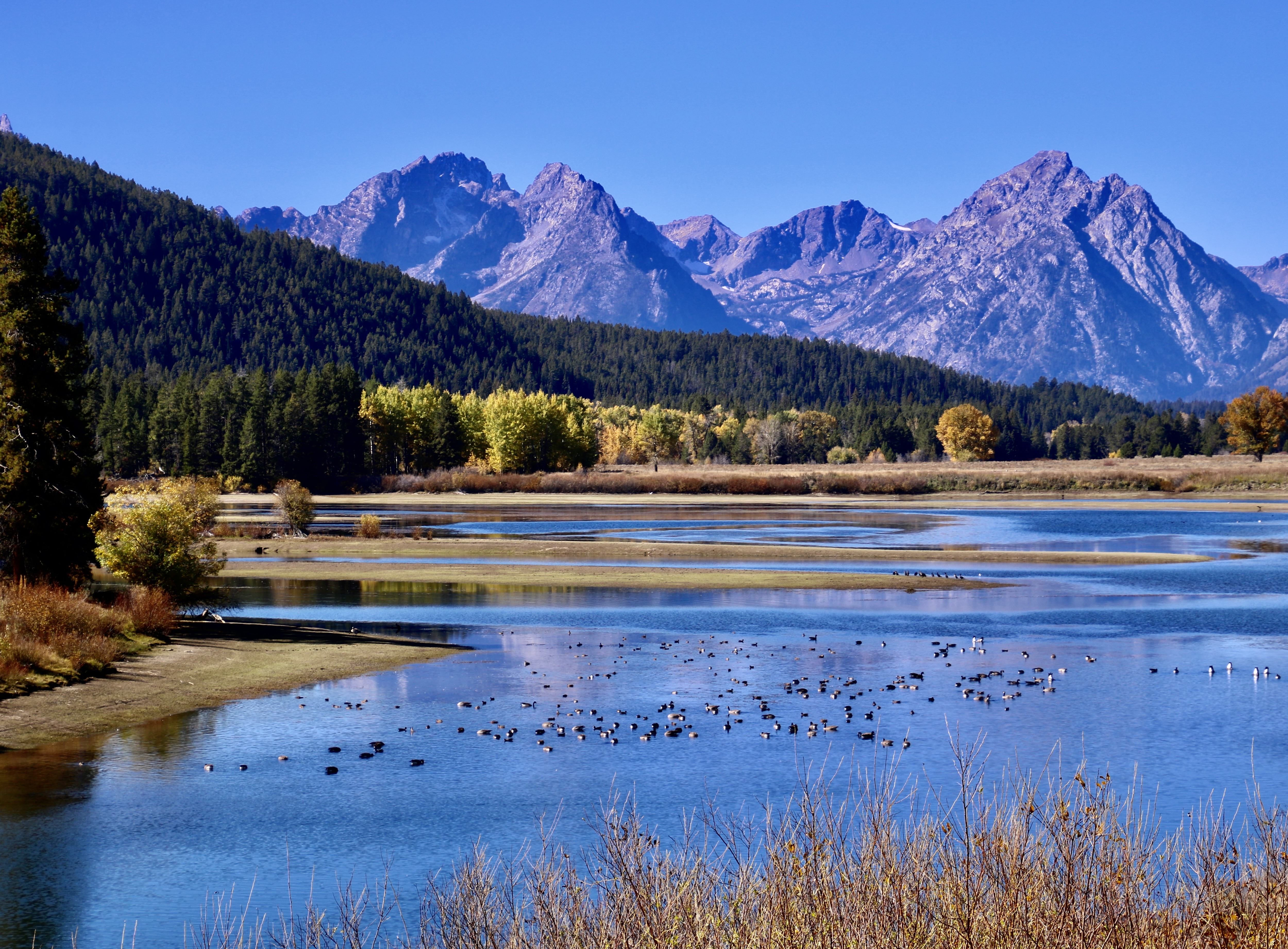
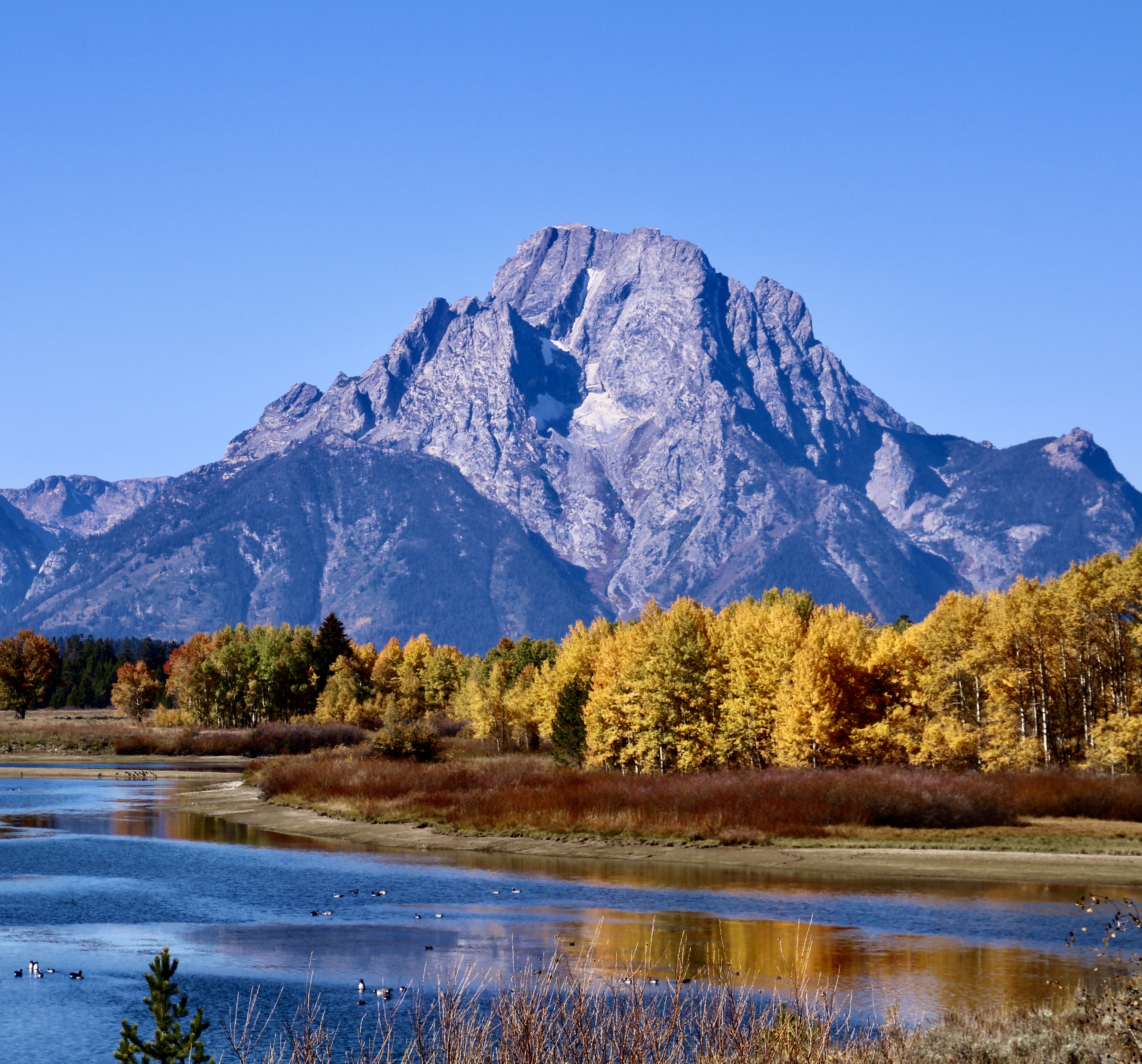
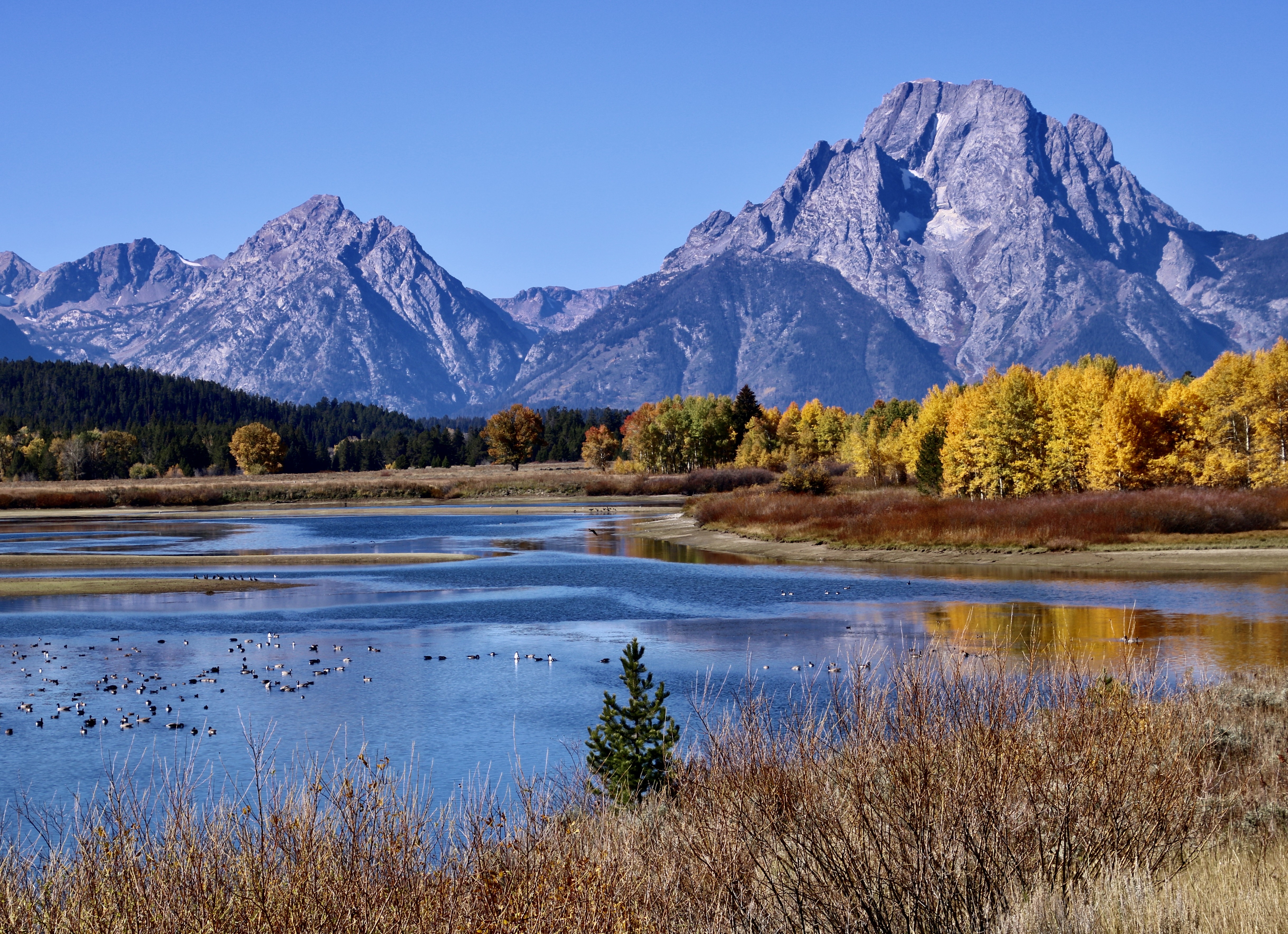
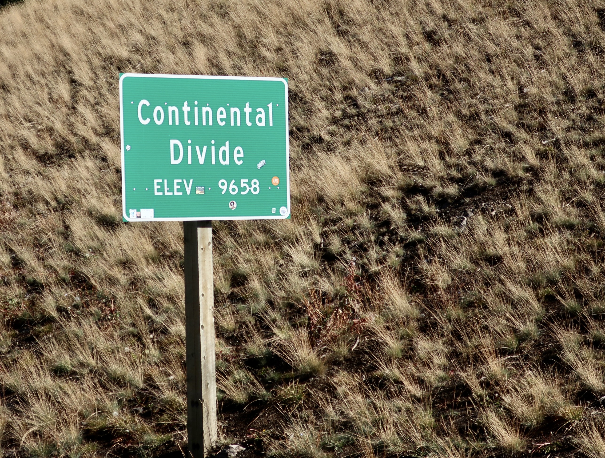
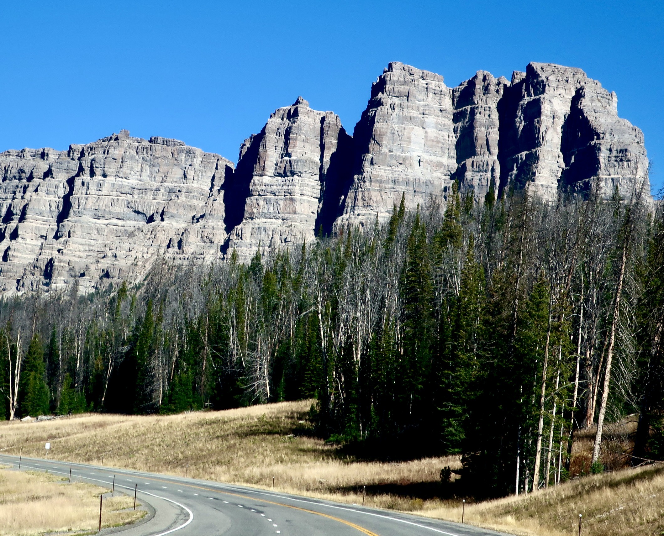
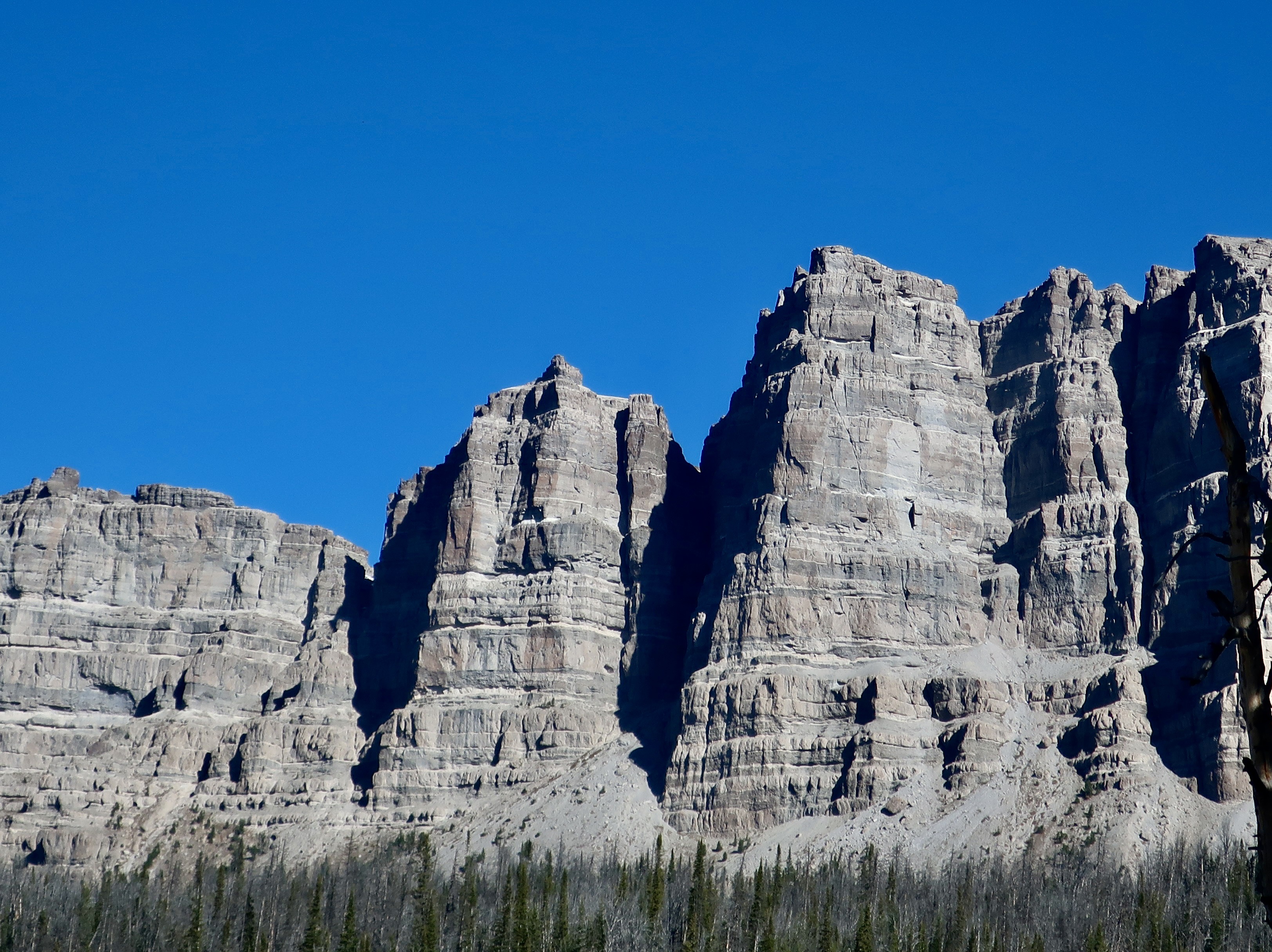
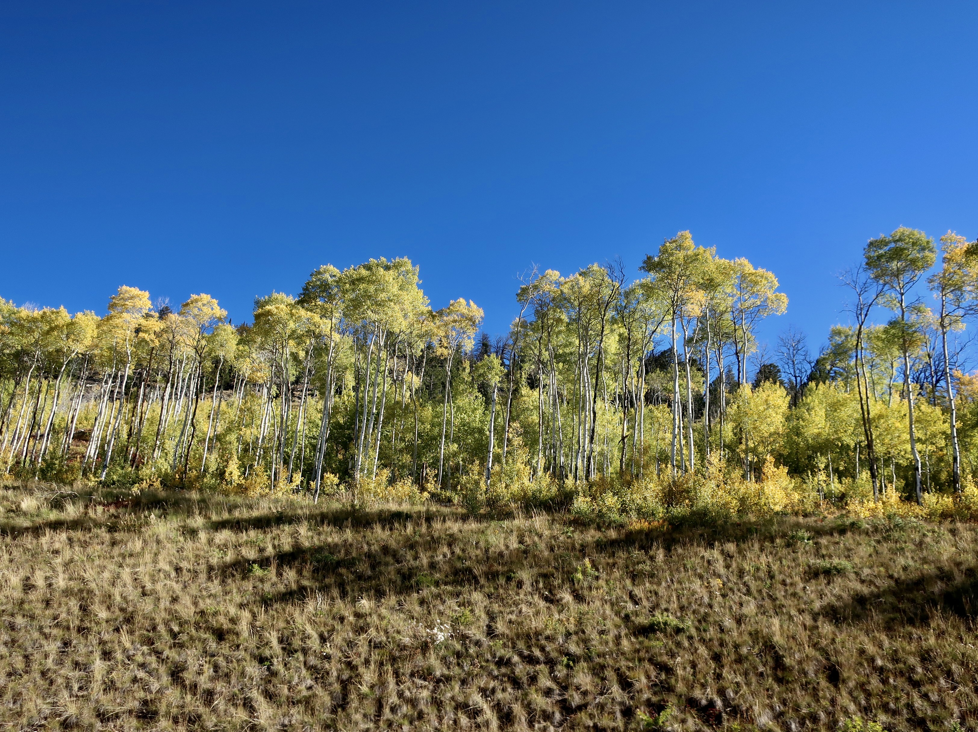
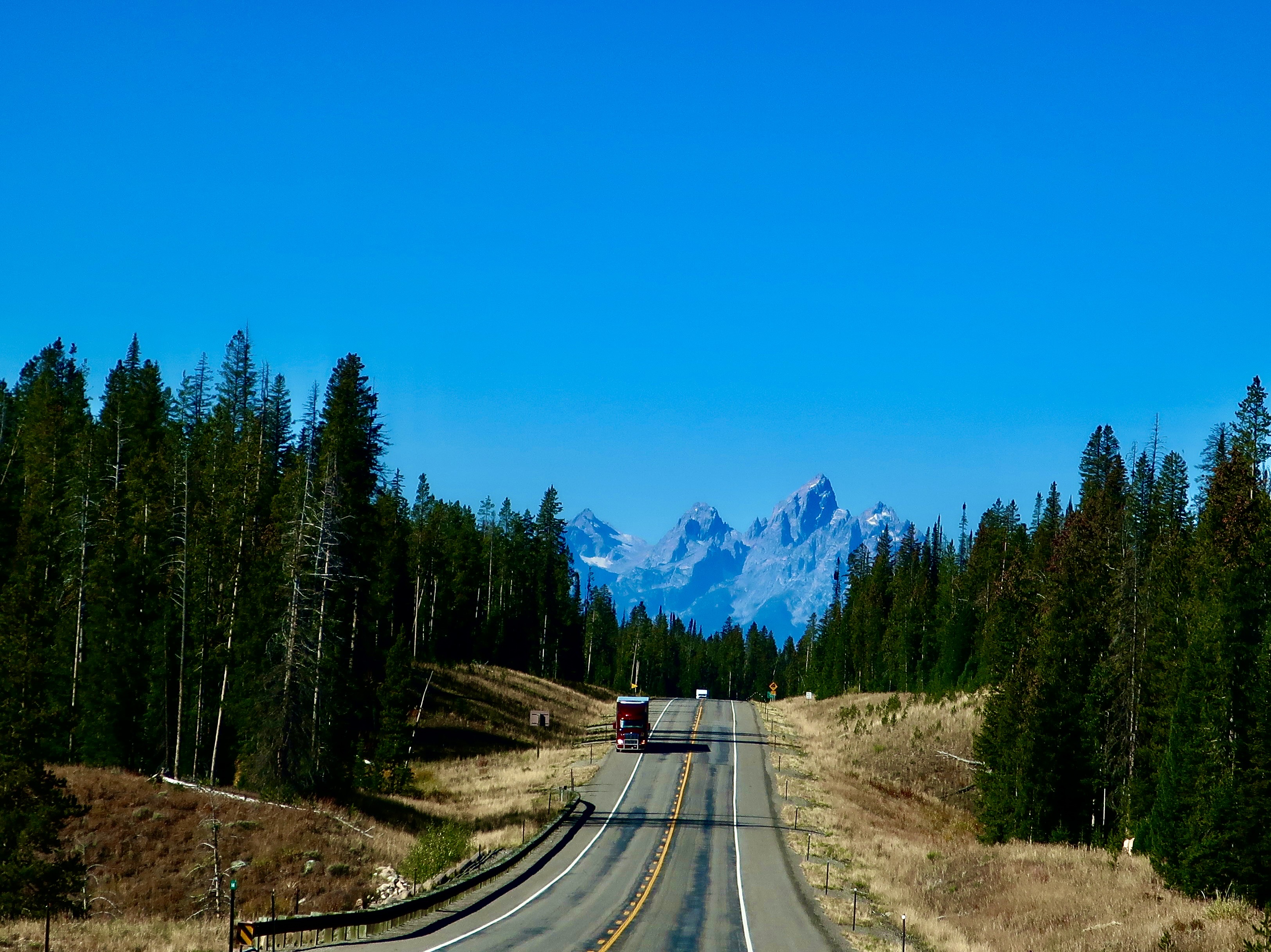
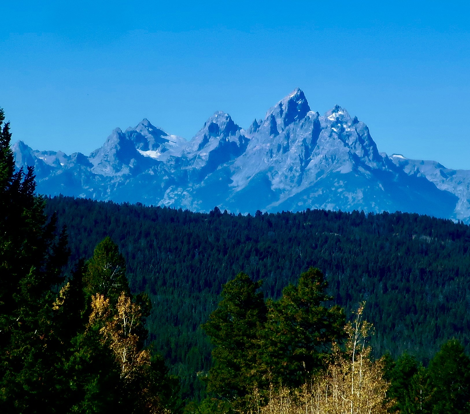
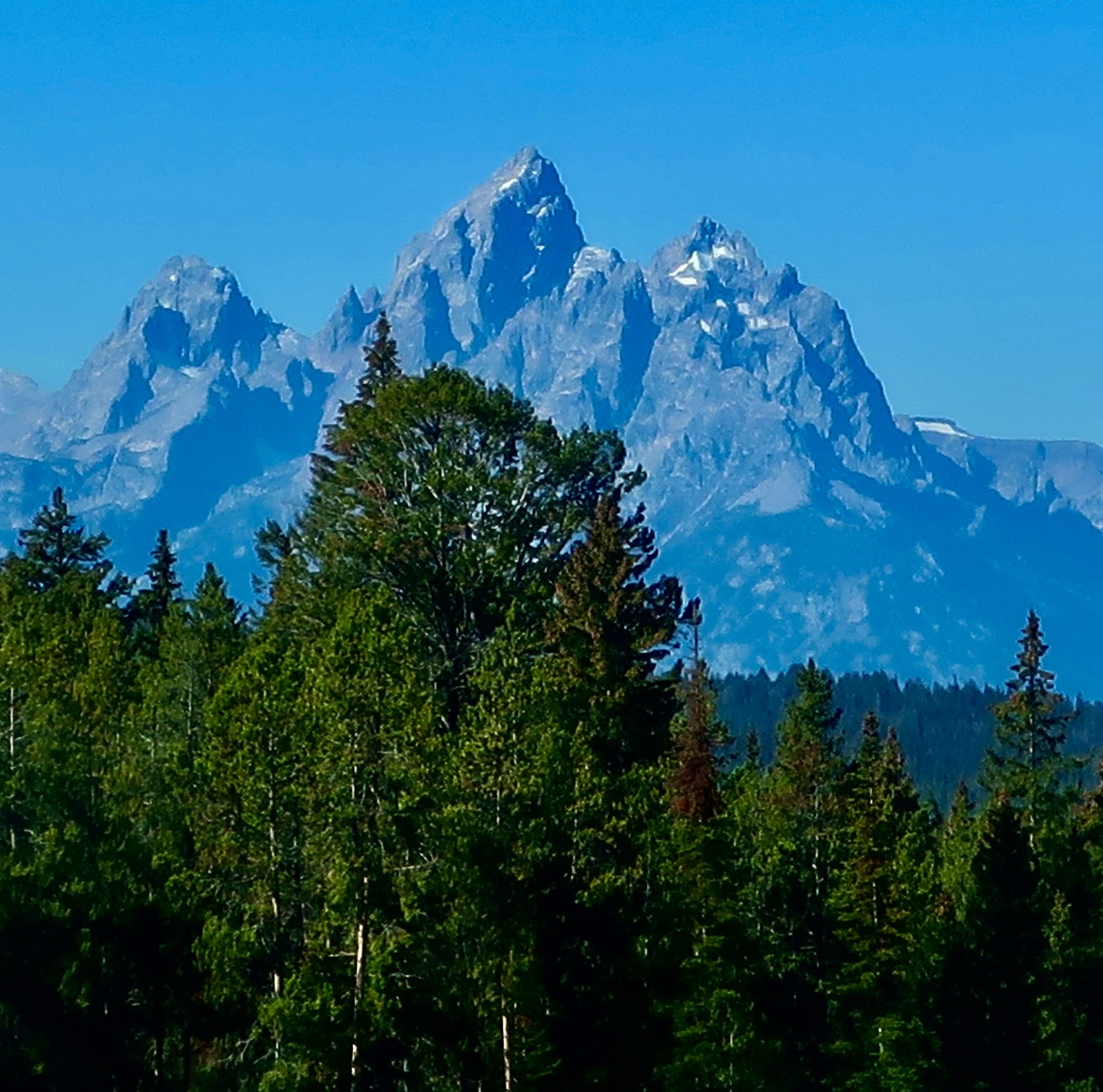
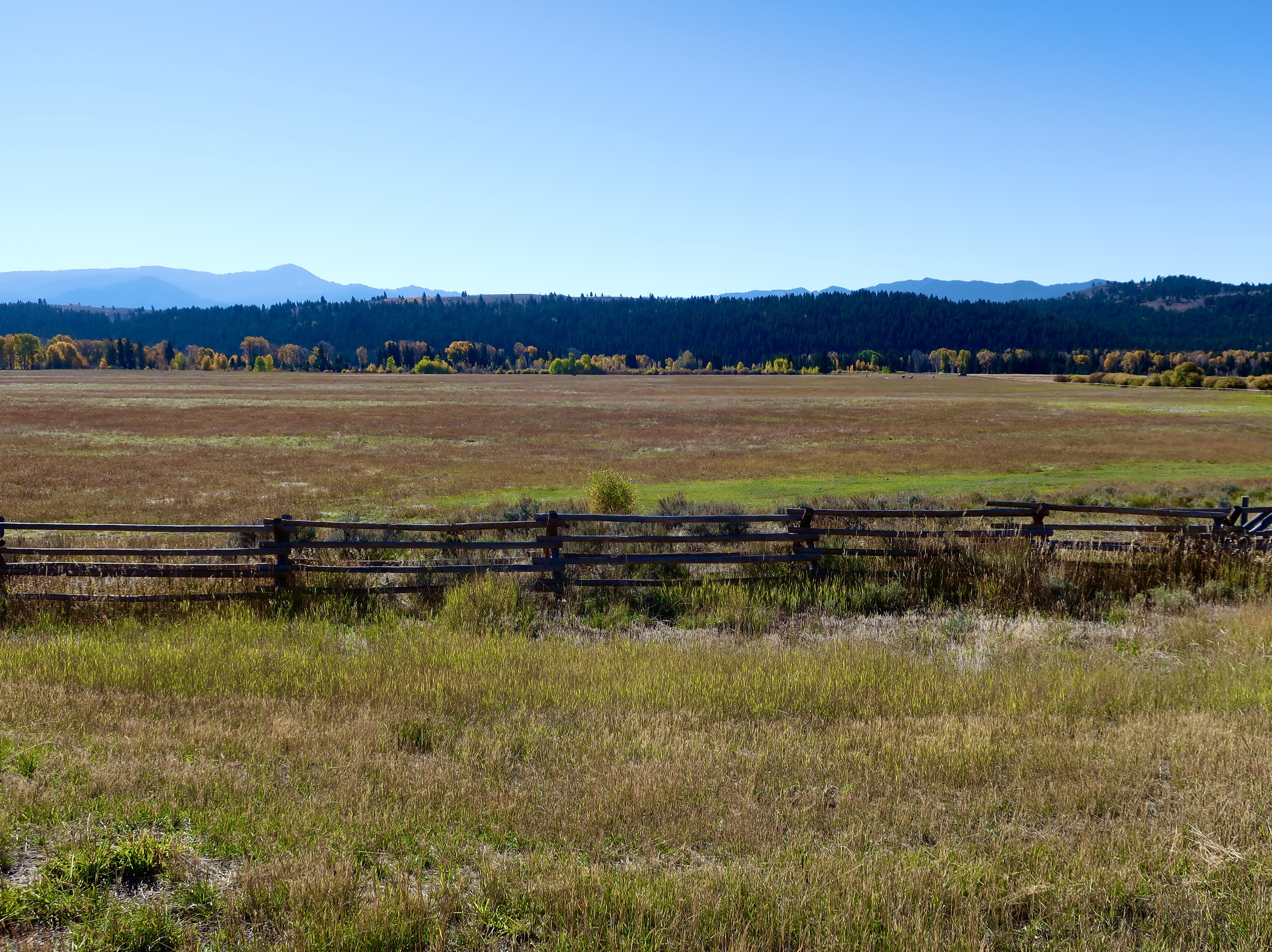
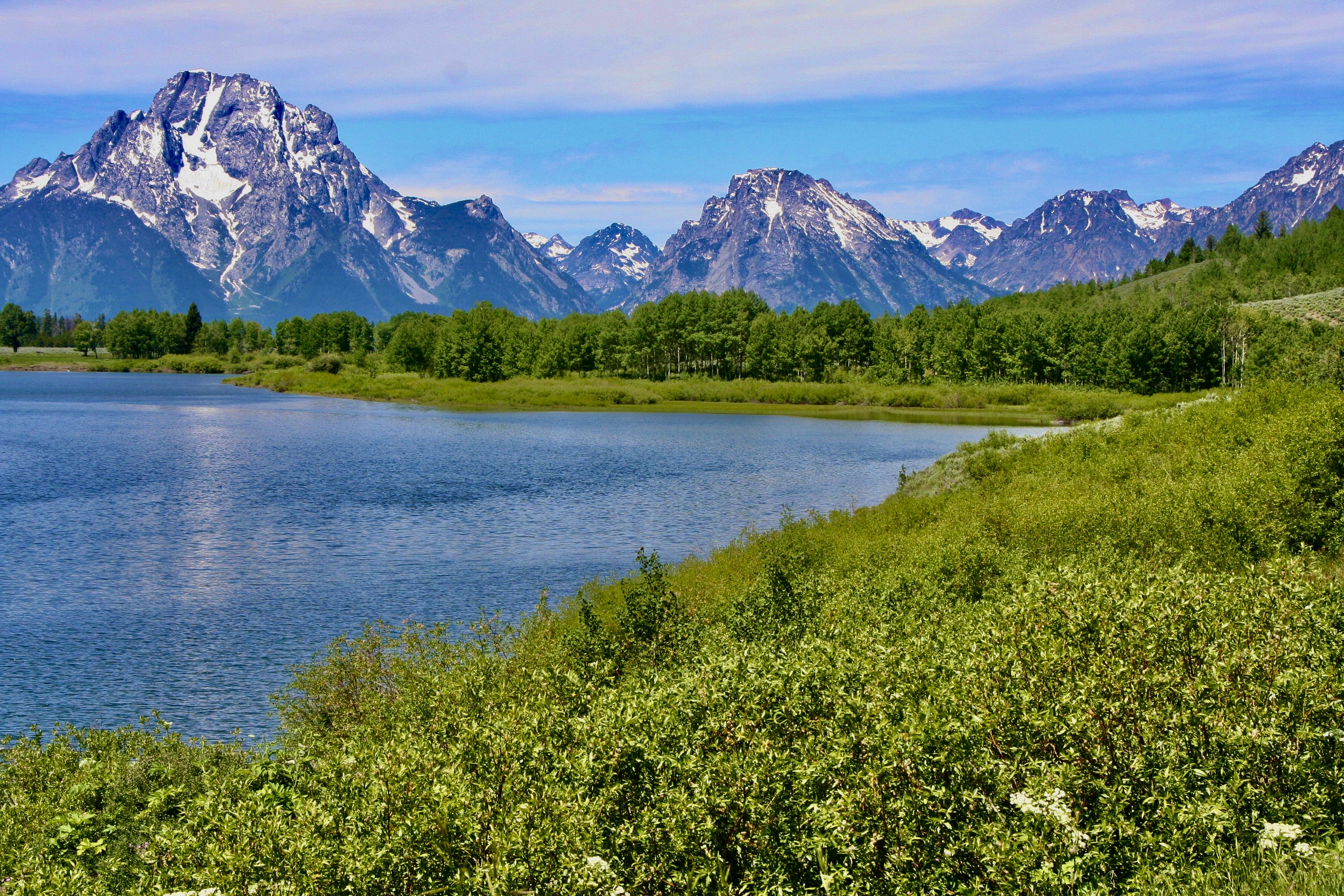
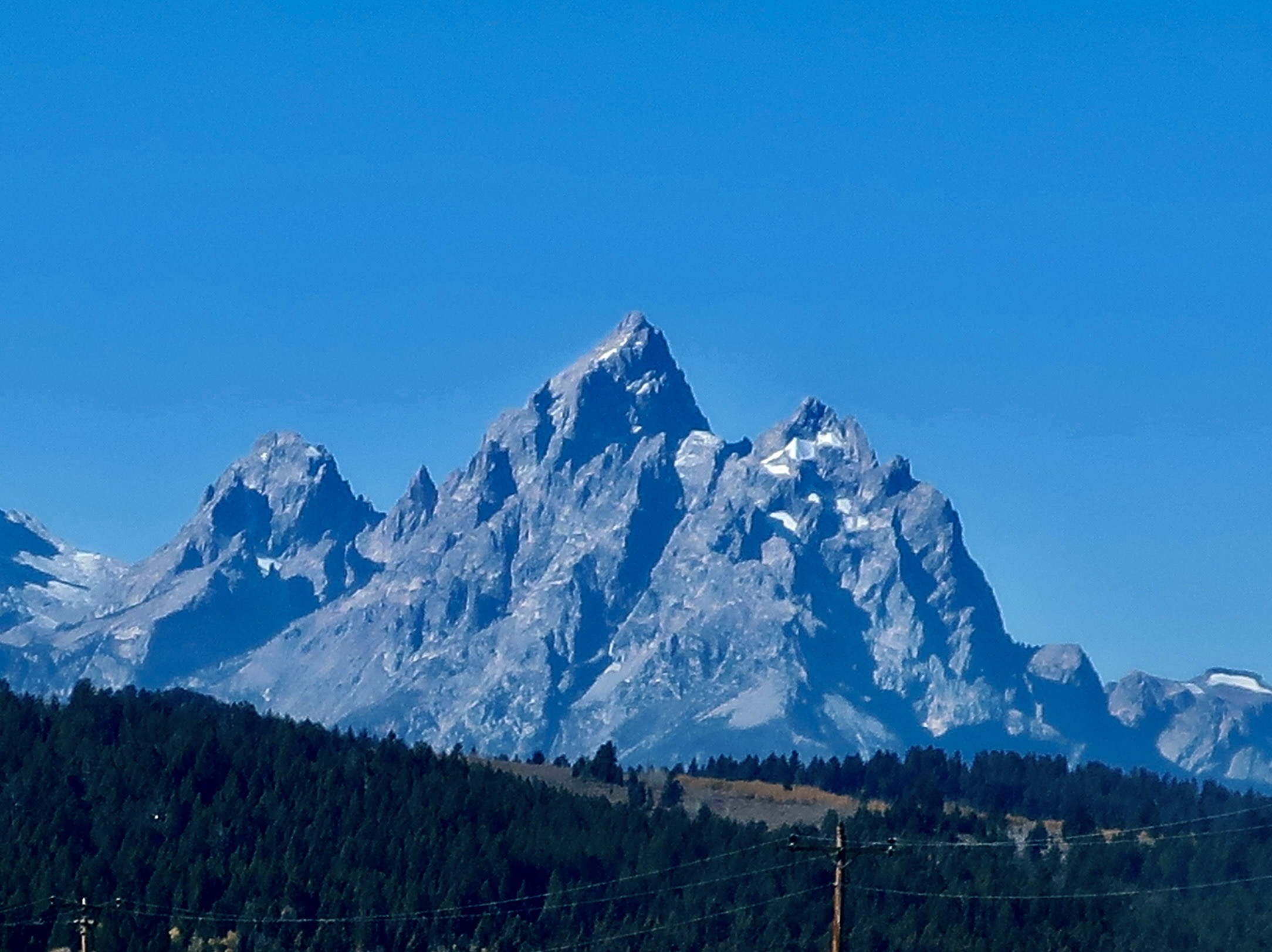
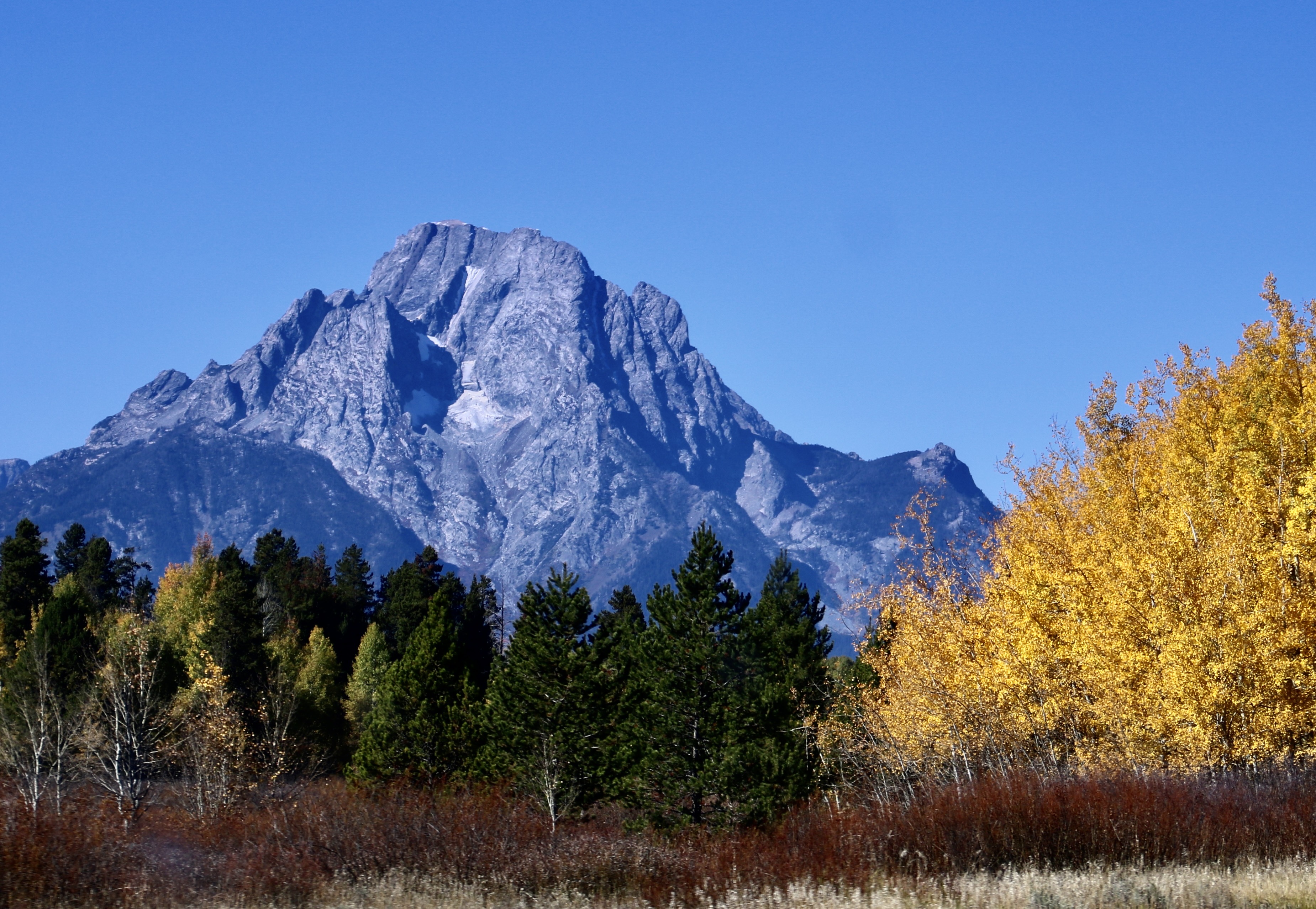
An unobstructed fall view of the Grand Teton mountains with their great natural beauty. Plus ducks. Probably hanging out on their way south.Visitors and wildlife won’t have to cope with thousands of more people clogging the narrow two lane highways and park if a baseball stadium had been built. One can only wonder what would happen if a grizzly attended a baseball tailgate party! One thing’s for sure: It could have had its choice of snacks.Staring to rise 6-9 million years ago, the Grand Teton Mountain Range is the youngest mountain range in North America. The Rocky Mountains developed between 55-80 million years ago and the Appalachians 480 million years. Even the baby Sierra Nevada Mountain Range of California is a million or so years older.And the Grand Tetons are still growing, one earthquake at a time. The latest occurred 5,900, 8,000, and 10,000 years ago. The earthquakes happen along the Teton Fault that runs 40 miles along the eastern side of the mountains. Each quake sees about 10 feet (3 meters) in uplift with the mountain rising 5 feet and the Jackson Hole Valley dropping 5. Is it time for another one? It has the potential of about 7.0 to 7.5 in magnitude.The last time we visited Grand Teton NP we followed Highway 26 out of Casper, Wyoming. Our first view of the Tetons would have been shortly after we passed over Togwotee Pass sitting on the Continental Divide at an elevation of 9,655 feet. Togwotee is a Shoshone word meaning expert spear thrower.Before we could spot the Grand Tetons, we saw these impressive breccia peaks to the north of Highway 26 near the Togwotee Pass. (My father painted these mountains once.)Professional photographer Glen Fishback took this photo of my dad painting the Absaroka Range in the 1980s. Pop, as we knew him, had wandered around the country with his sister, Elanor, a few years earlier.Breccia consists of sharp, angular fragments of various minerals and rocks cemented together within a crumbly matrix of volcanic ash. The peaks are between 10 and 11 thousand feet high.Aspens were also found near the pass. We were definitely being treated to fall colors.Our first view of the Tetons on Highway 26 coming down from the Continental Divide into Jackson Hole Valley.They grew quickly in size and clarity.A closer valley view of the southern Tetons.Now picture yourself as French fur trappers after a winter of being isolated all winter in a single room cabin without female companionship trapping beaver, and you come across your first view of these mountains in 1818. Legend has it that their reaction was something like, “Sacrebleu! Regardez les grand tétons! (Sacred Blue! Look at the great tits!)” Both their imagination and testosterone were running rampant. The mountain range and the future national park got its name. The center peak shown here is the Grand Teton of the park with an elevation 13, 776 feet (4200 meters).I thought this view of the Jackson Hole Valley was rather attractive and looking fall-ish.While the Teton Mountains are young, the rocks that make them up are some of the North America’s oldest, dating back some 2.7 billion years, before there was any life on earth. This photo was from an earlier trip we made to the park (July, 2009). No fall colors! This is looking toward the northern end of the park. The large mountain on the left is Mt. Moran.A final photo of Grand Teton mountain.And a final photo of Mt. Moran. This wraps up our second national park out of 25. Next we will drive up the road from the Grand Tetons and visit Yellowstone National Park. But first— We’ve checked out the natural beauty of the Scottish Highlands; it’s time to check out some of the gorgeous landscaping and flowers of Scottish castles, parks and arboretums.Water lily garden in Scottish Highlands.
Today, Peggy and I are wrapping up Arches NP as the first in our series featuring 25 national parks as a way of celebrating America’s 250th Birthday.
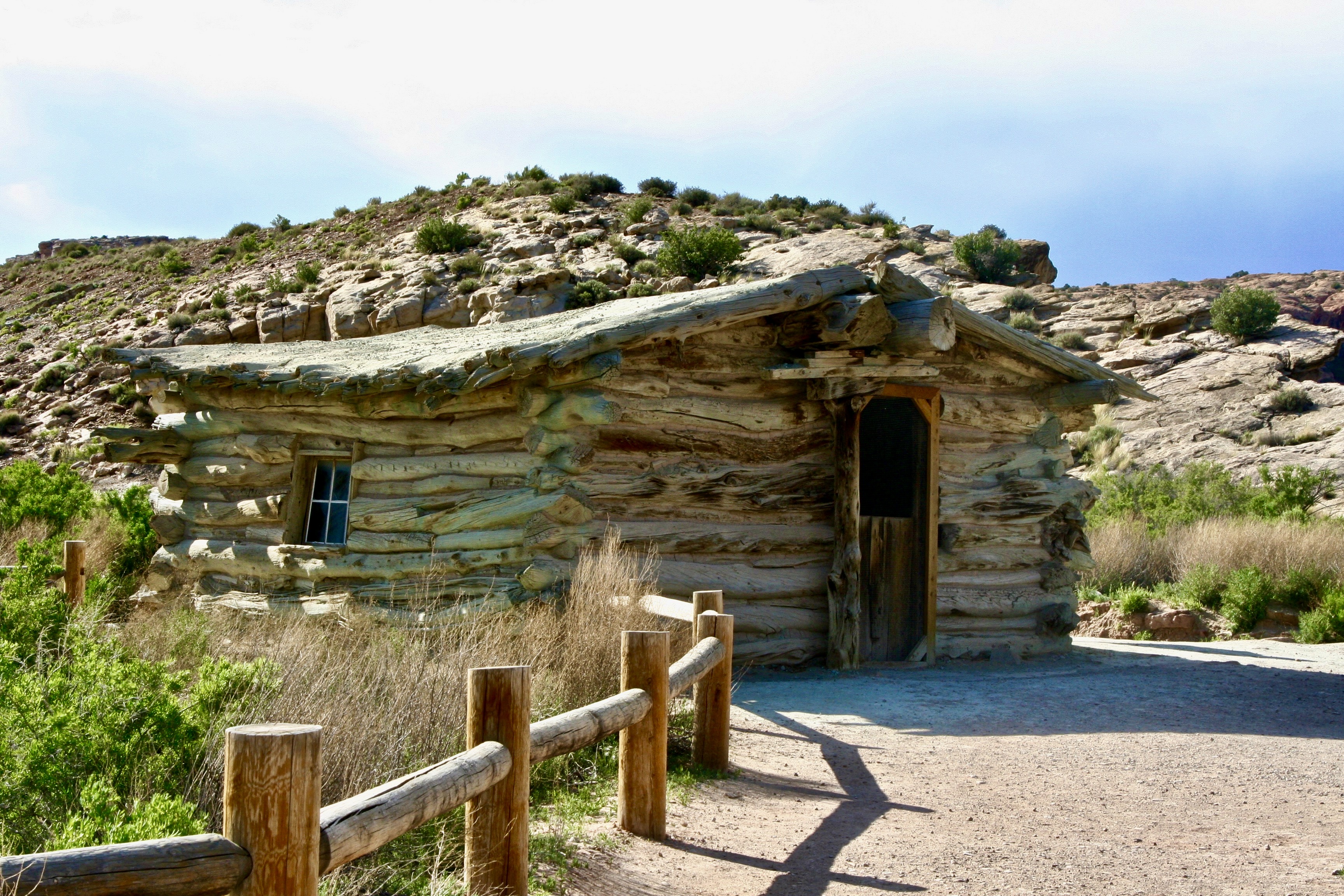
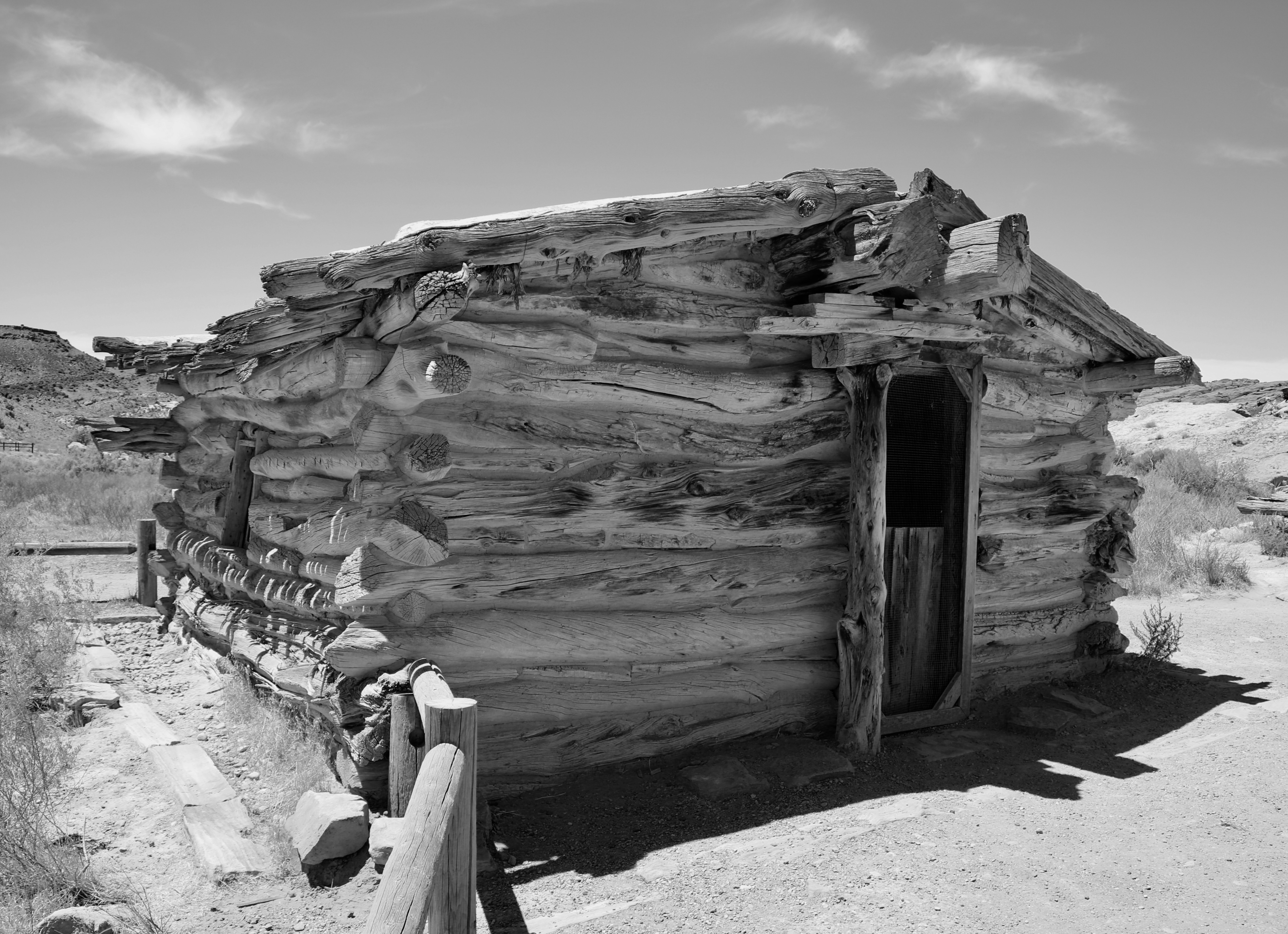
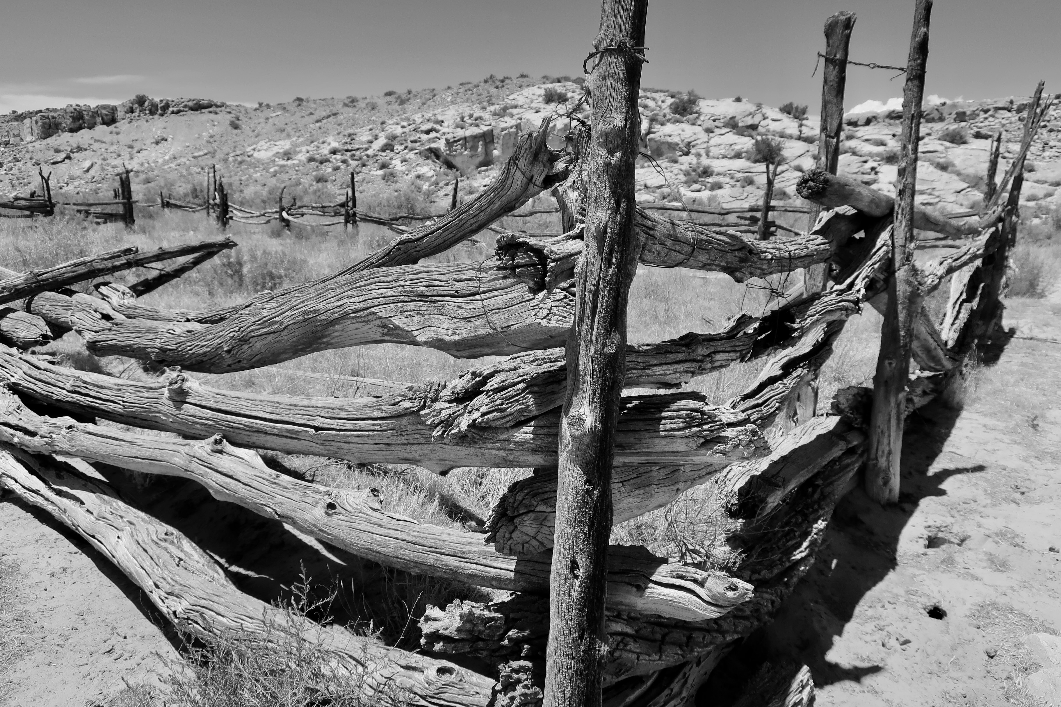
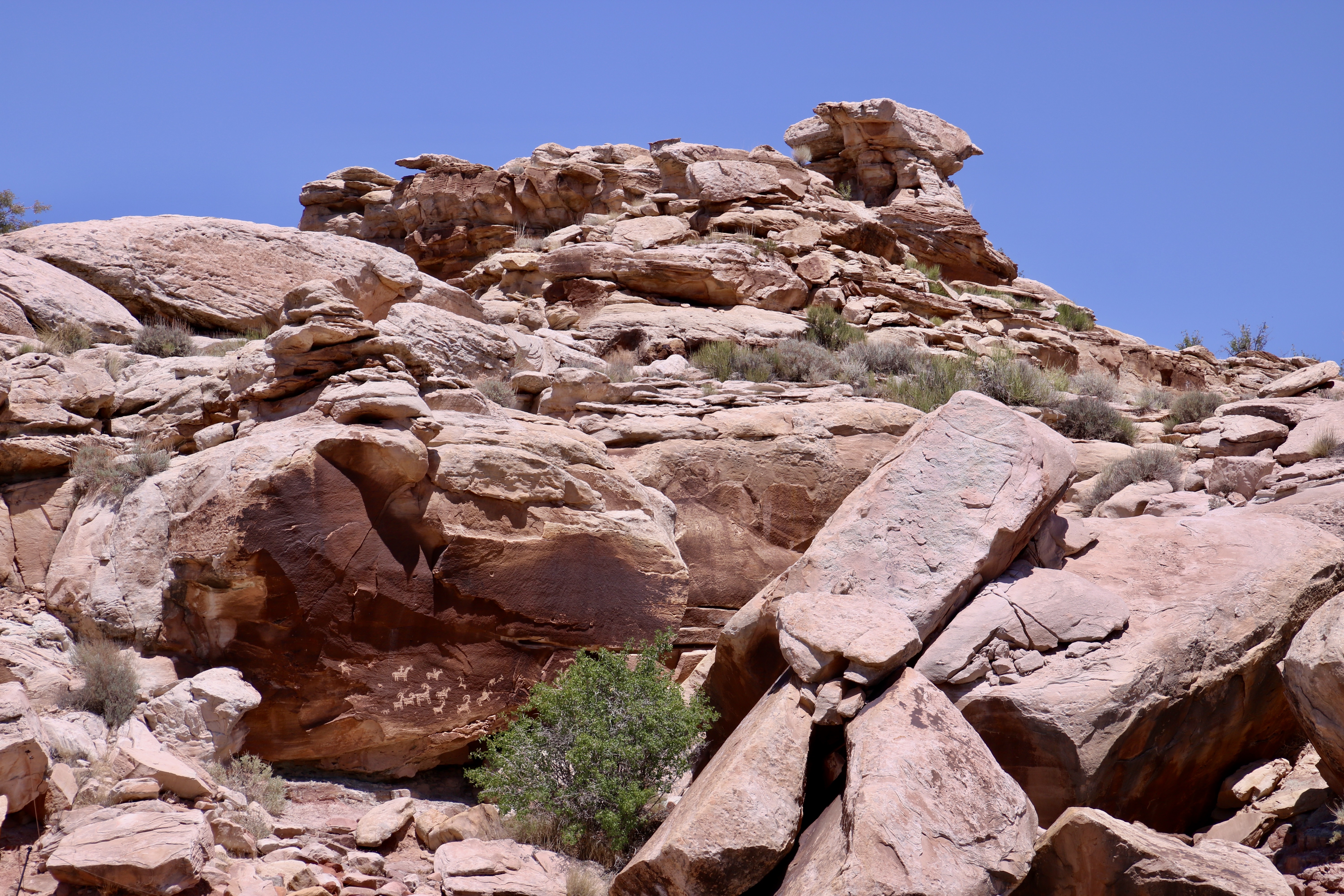
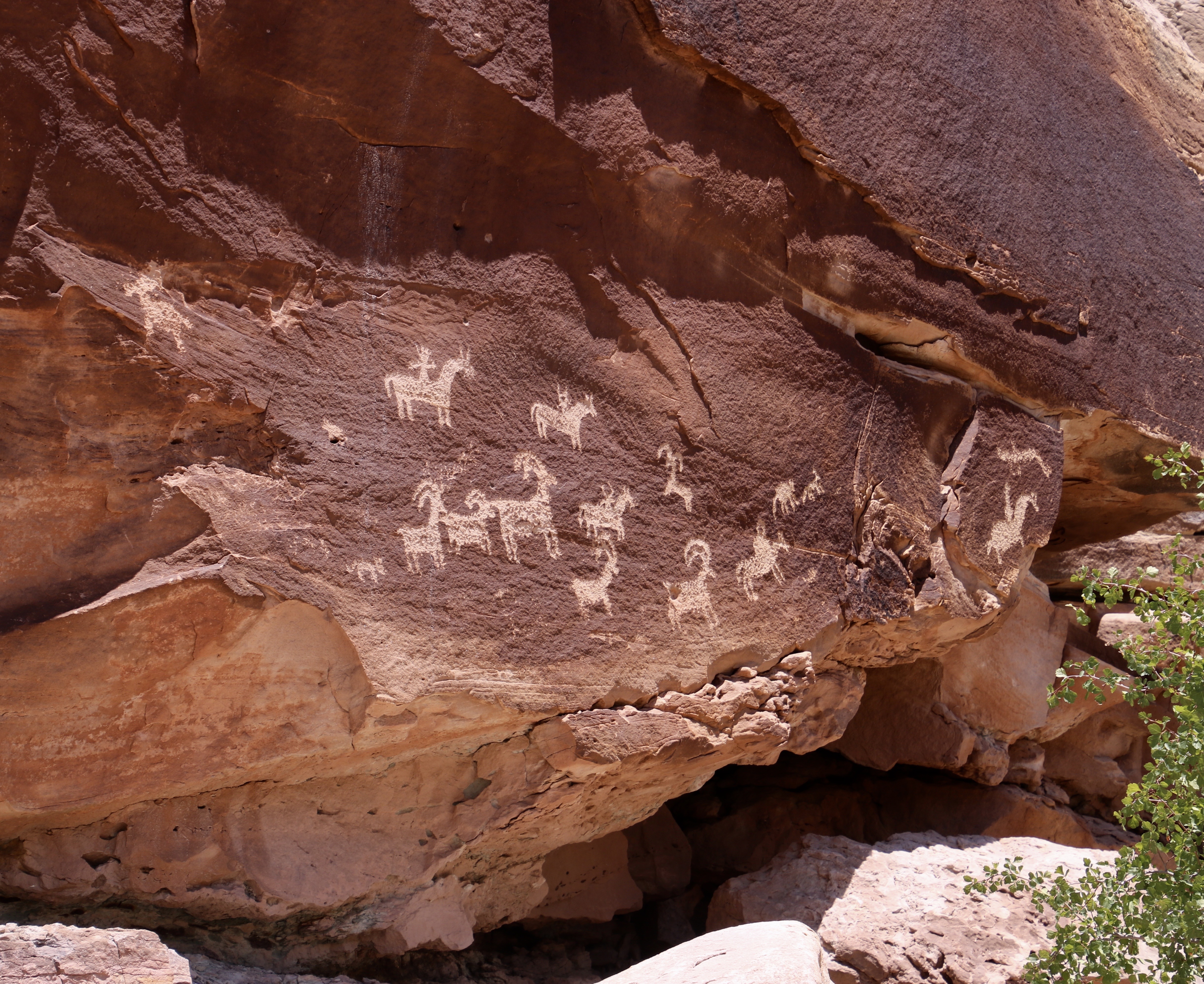
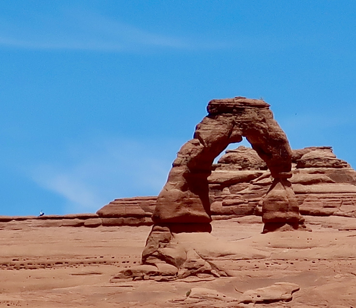
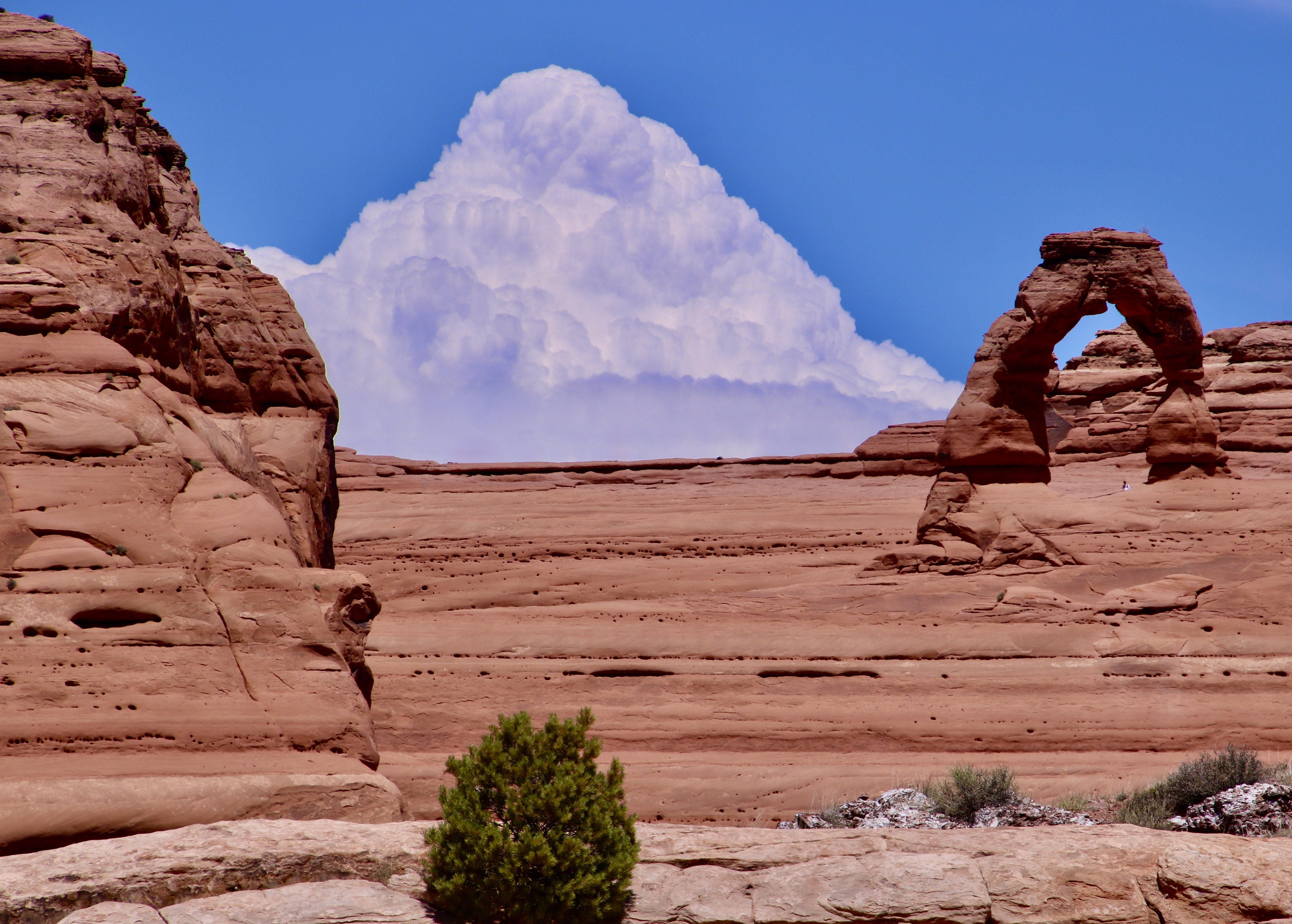
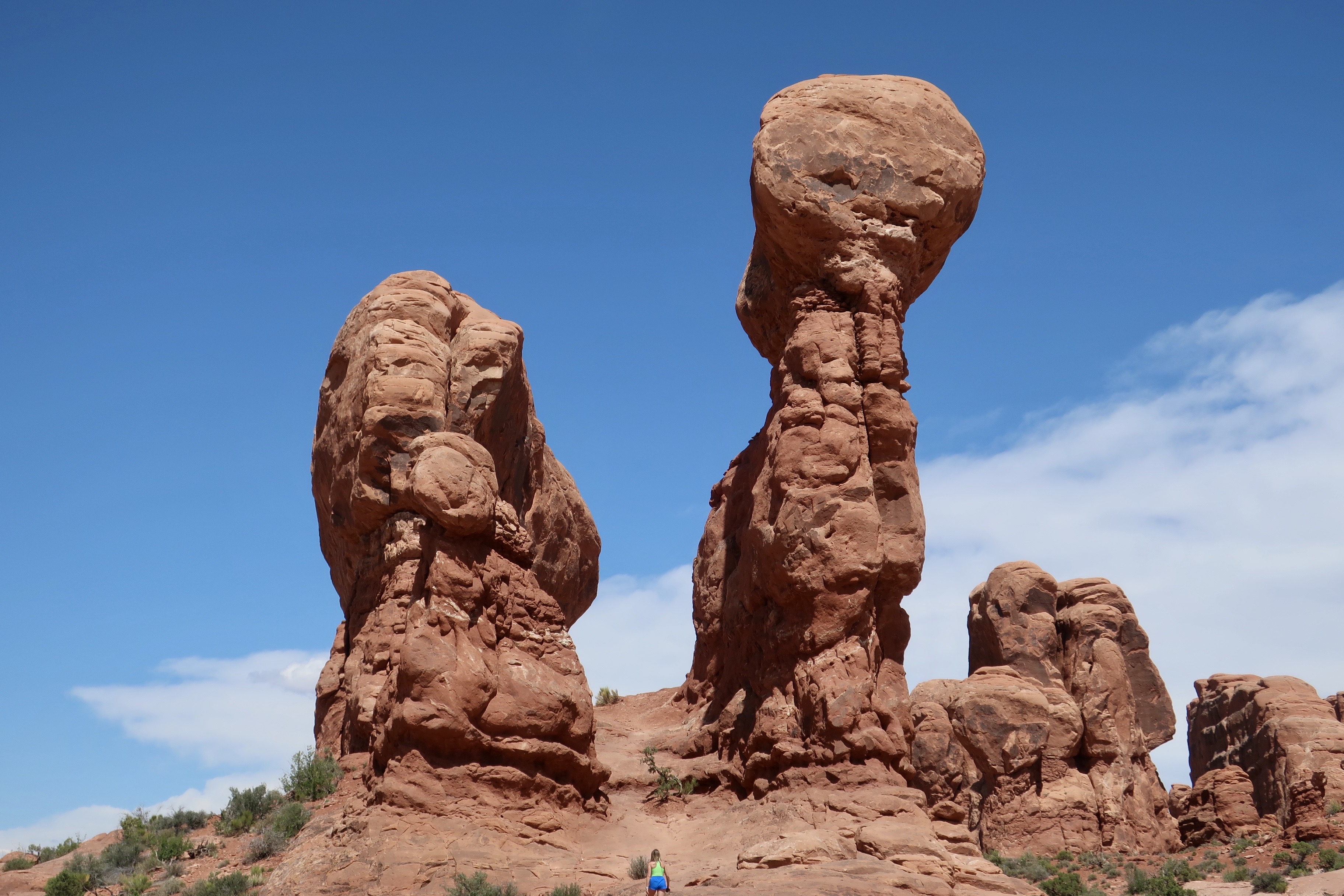
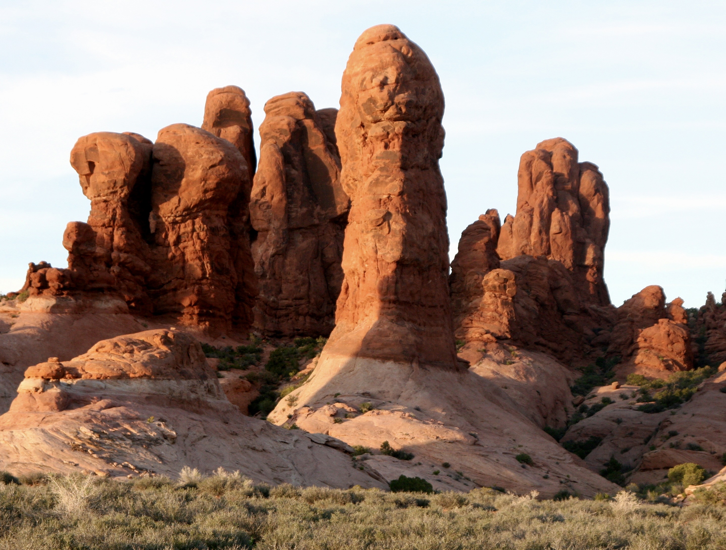
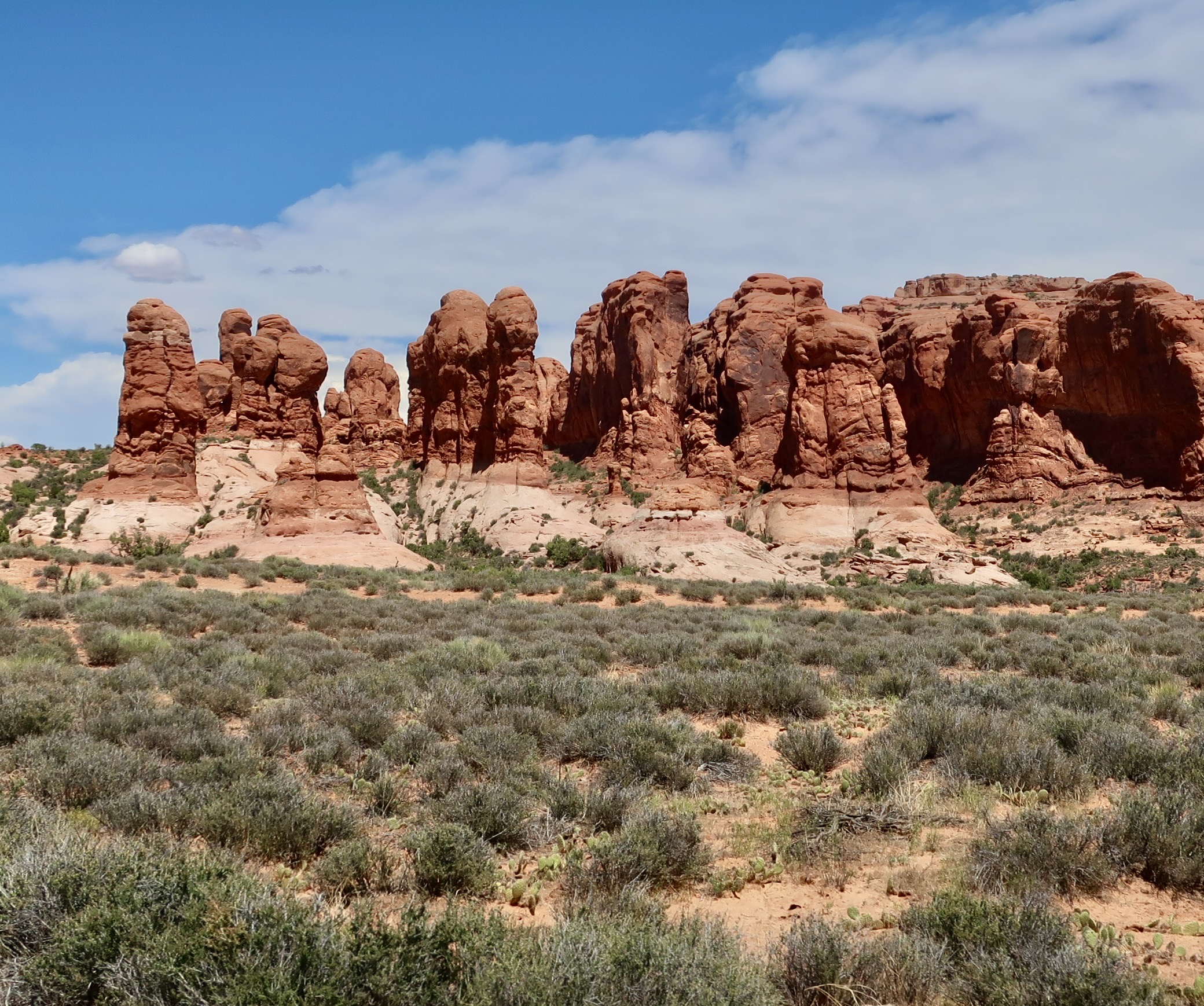
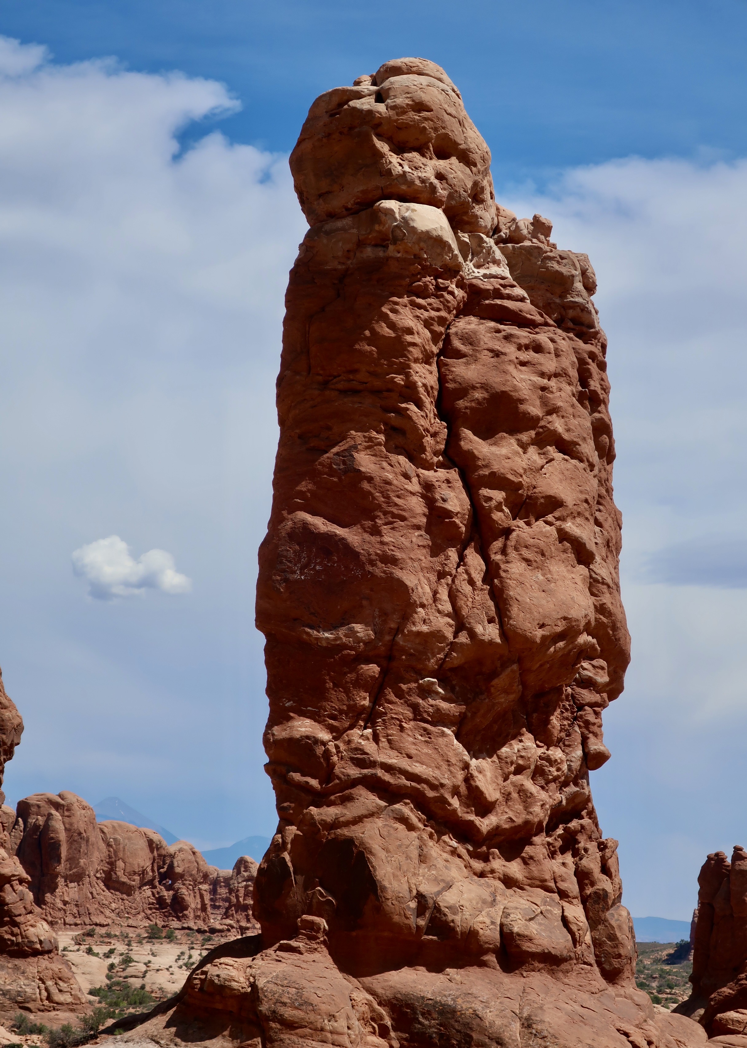
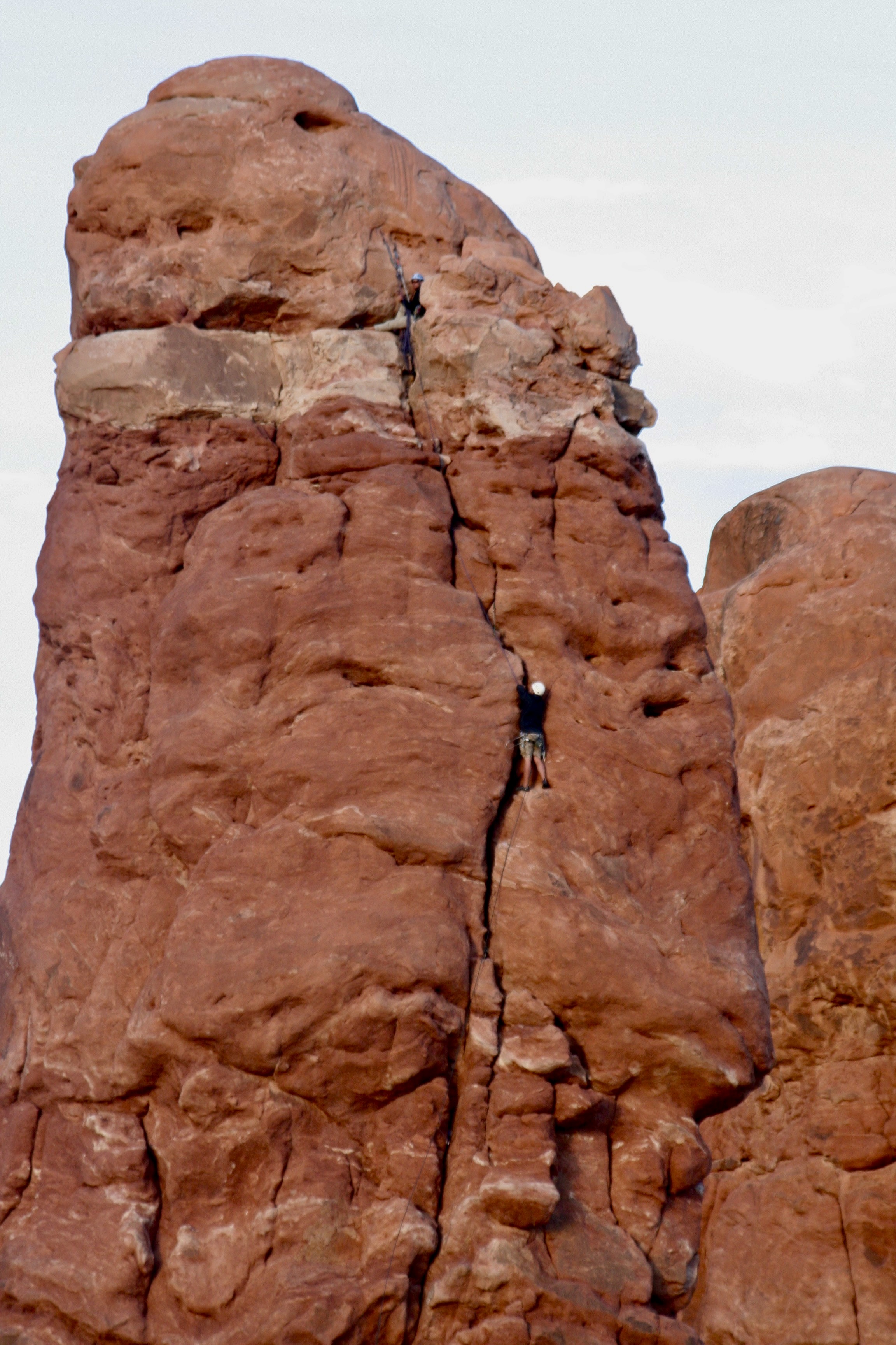
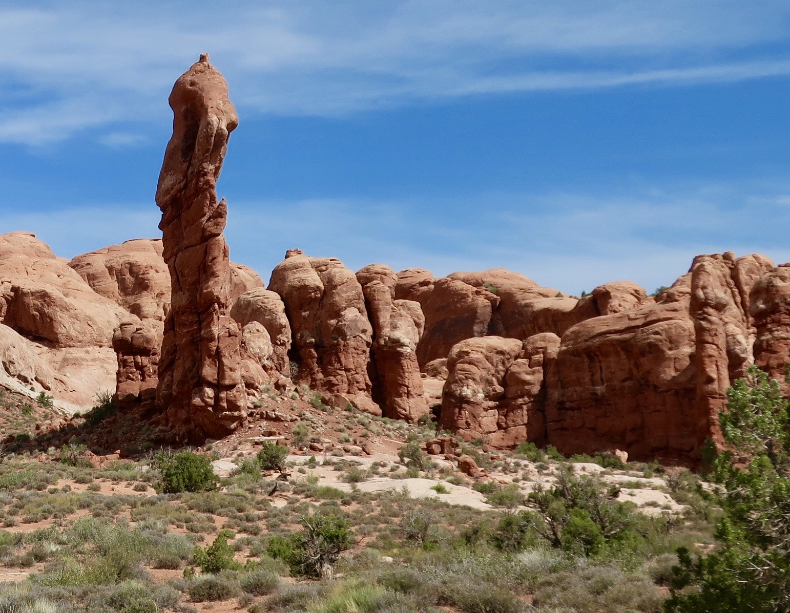
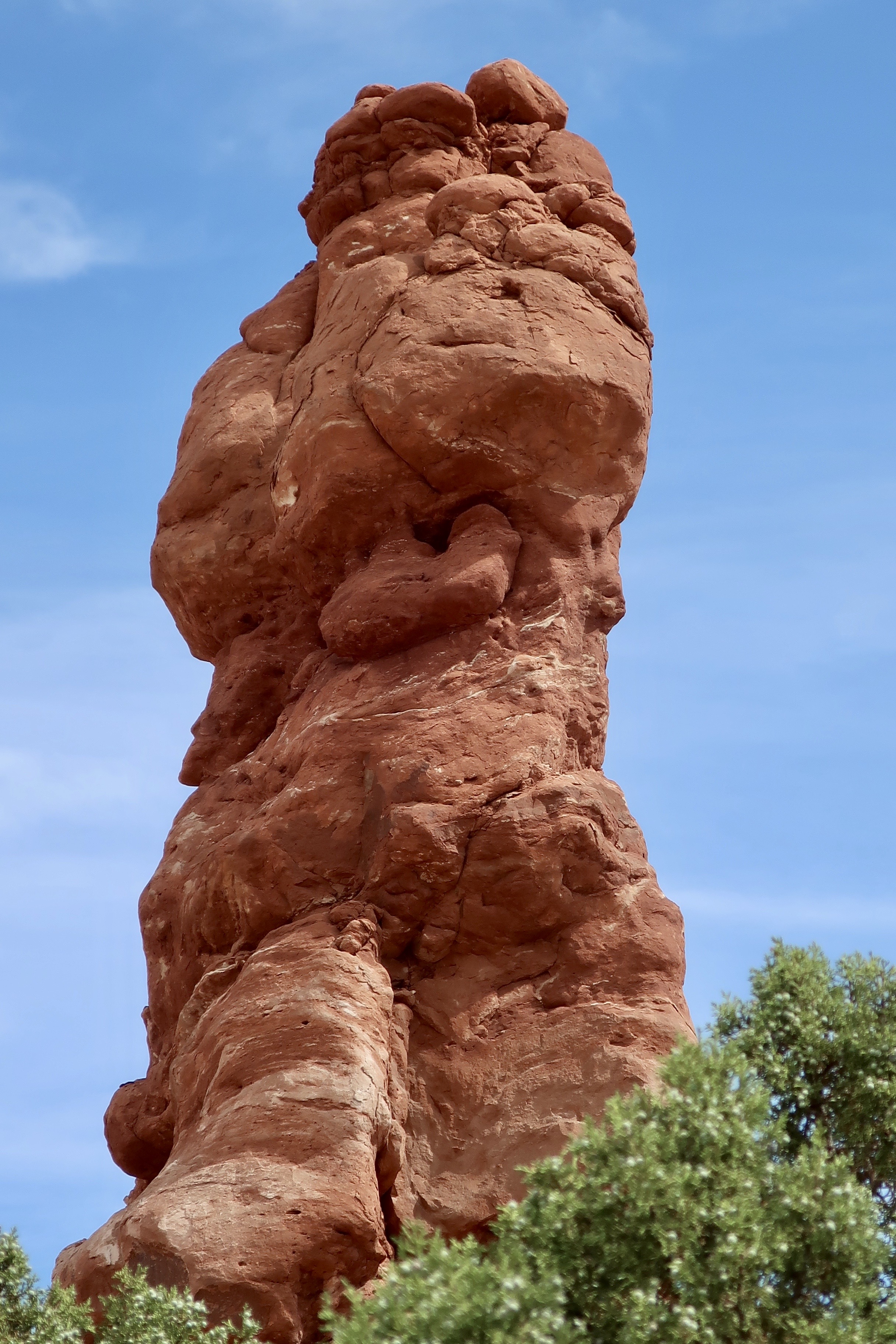
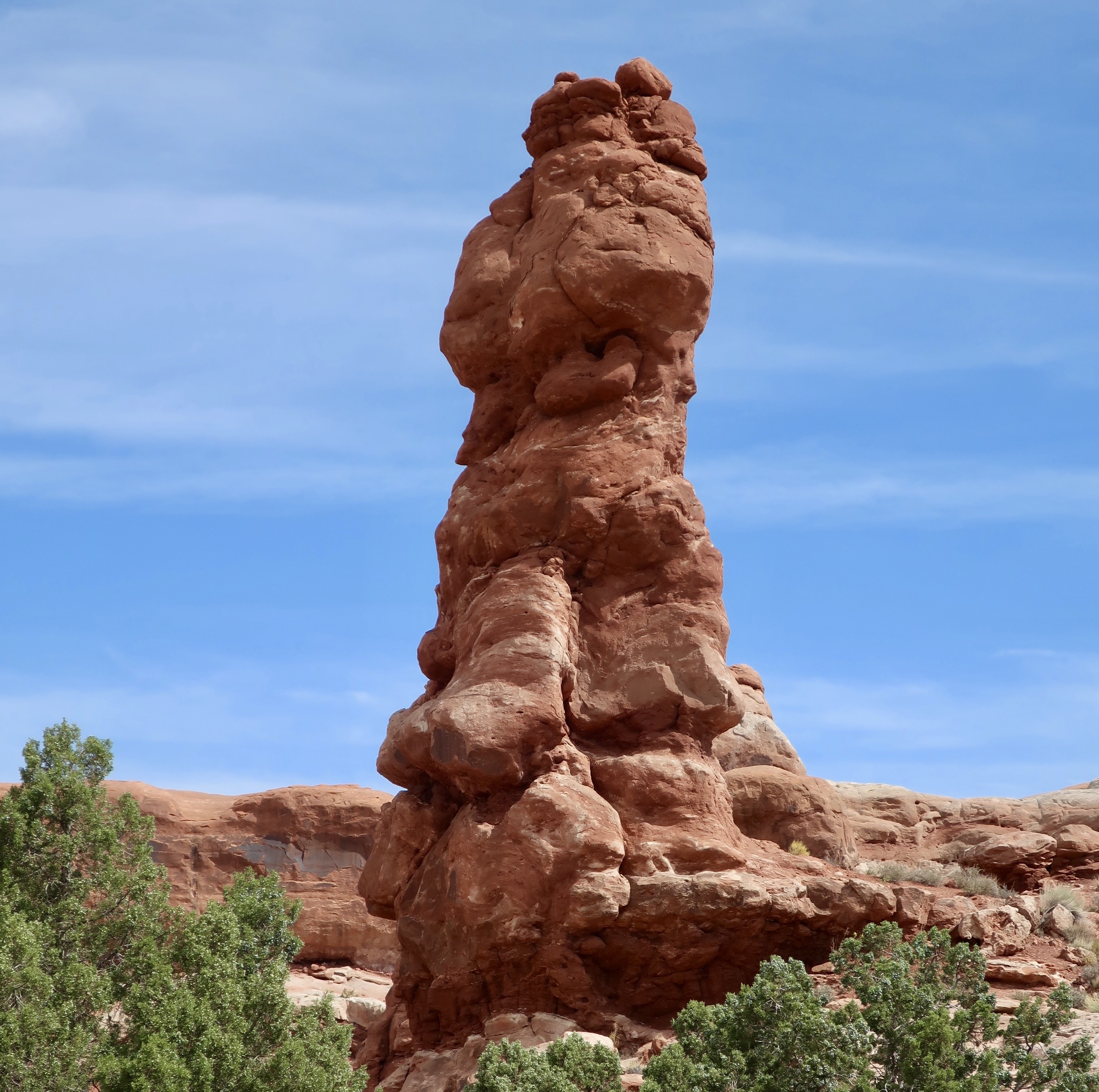
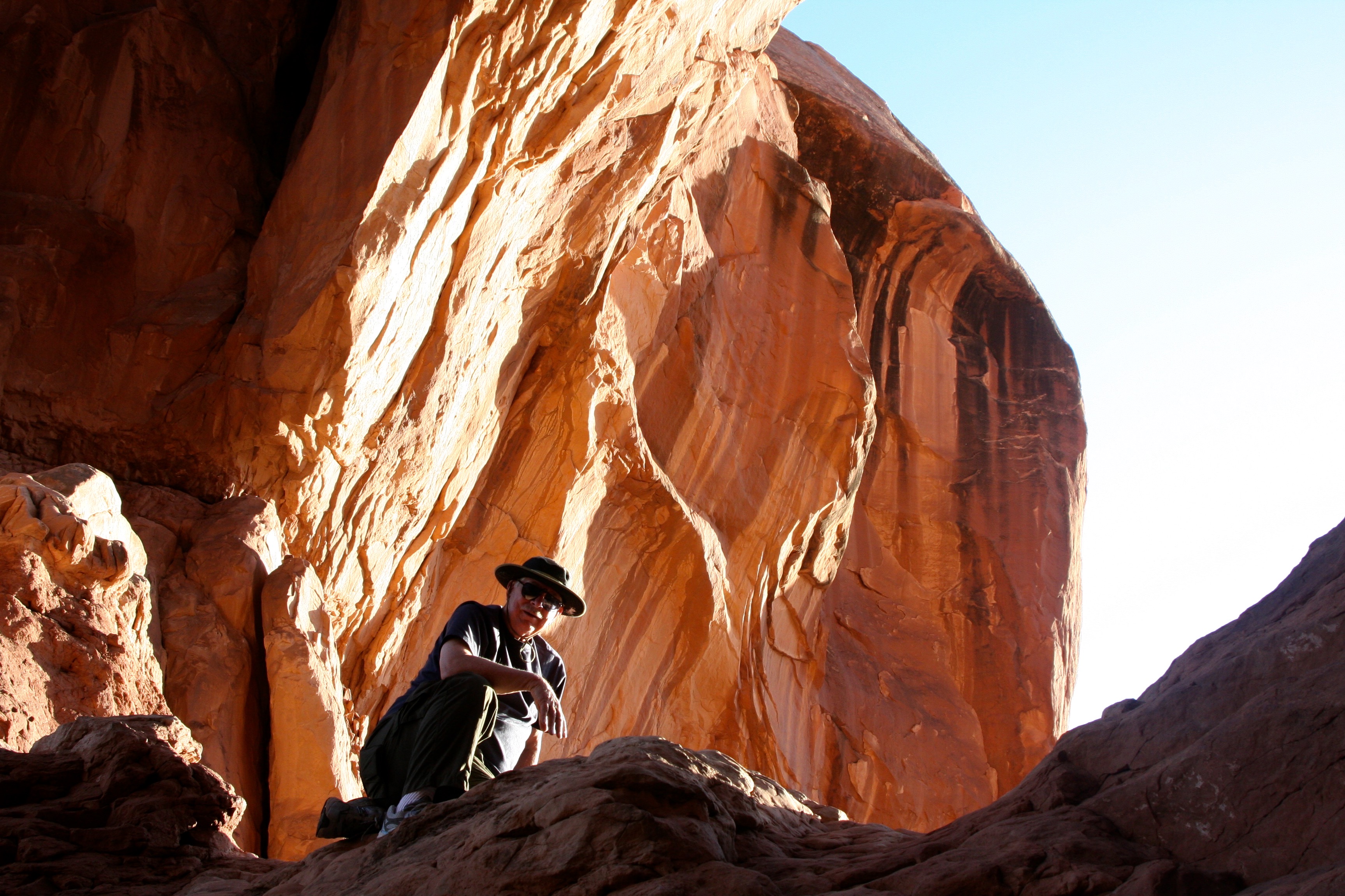
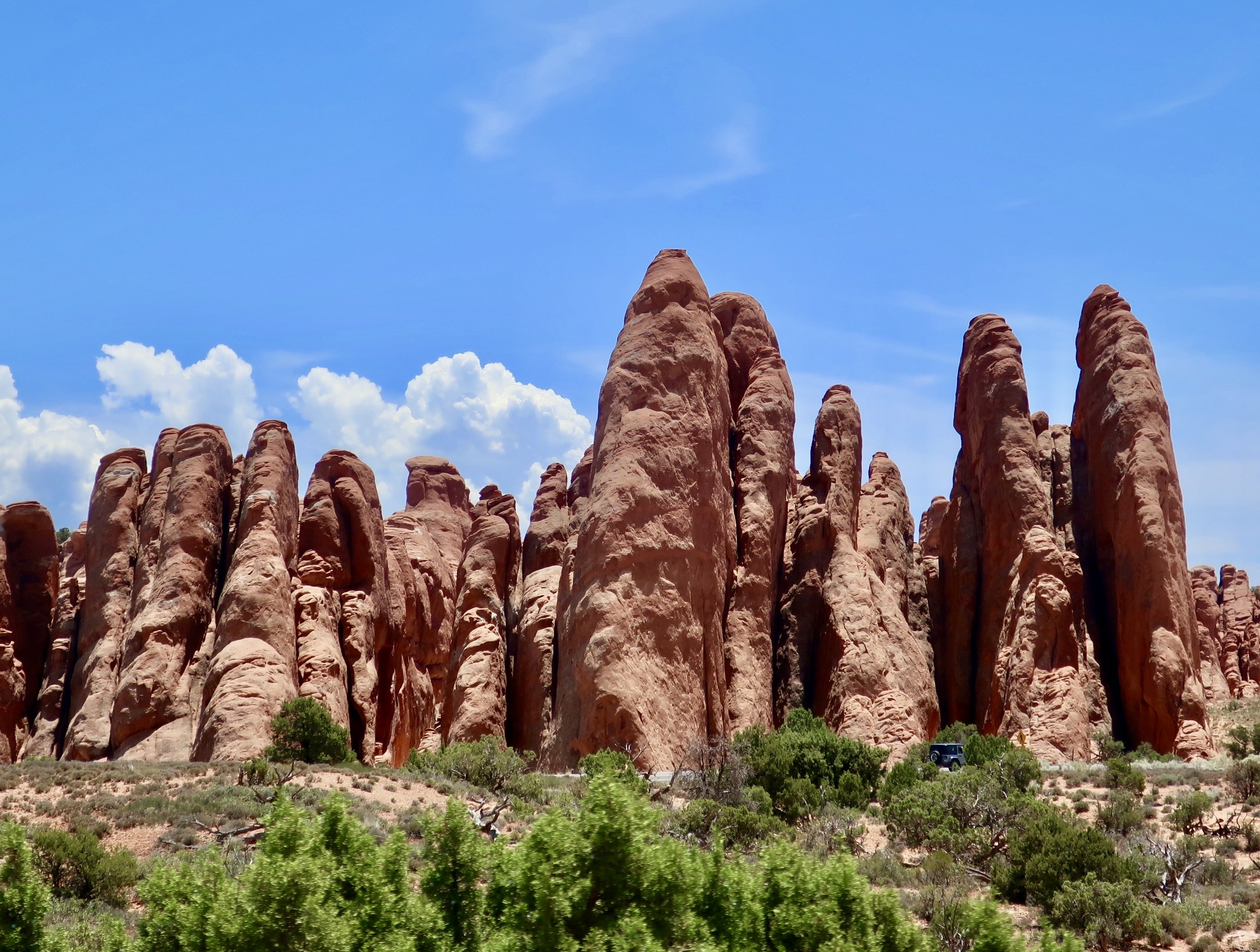
Driving out from the Devil’s Garden, which I covered in my last post, Peggy and I stopped at the historic Wolfe Ranch. It is also the site of Ute Indian pictographs, and the Delicate Arch. Arriving here in 1898 with his son Fred, the 69 year old veteran of the Civil War, John Wesley Wolfe, established a 100 acre ranch where he raised cattle for 10 years.The Old West age of the cabin led me to render it in black and white.Which I also did with the ranch’s original cattle pen.Before Wolfe’s time, the Ute Indians and other tribes had occupied the area, taking advantage of the same spring Wolfe used. The Utes left behind an interesting panel of pictographs that is located above the cabin. Peggy and I have often found petroglyphs and pictographs near water sources in our wandering through the Southwest. These would have been created sometime between 1650 and 1850. The 1650 date comes from the fact that the Utes were riding horses. Horses were not available in North America until they were introduced by Spanish treasure hunters in the 1600s.The Utes riding horses and a dog seem to be herding bighorn sheep, probably toward some type of trap. At least, that’s my interpretation based on the arm positions of the Utes and the location of the dog, possibly to a corral or over a cliff, a trick used by natives with buffalo. The edge of the rock may have signified the cliff. It’s hard to imagine bighorn being herded, however. And it’s easy to imagine their escaping to places the horses couldn’t go. “You want me to jump? Fine. One of my favorite ledges is just over the cliff!”Wolfe’s cabin is also the start of the trail that leads up to Delicate Arch. It is the National Park’s best known arch and an icon for Utah— appearing on license plates, road signs, and in tourist campaigns to encourage people to visit the state..When we arrived, the clouds that we had watched in Devil’s Garden continued to provide a dramatic backdrop. White throated swifts nest in crevices on the Delicate Arch in the summer.If you are following this blog, you will have already visited the Fiery Furnace and the Devil’s Garden in Arches National Park. It’s time to visit the Garden of Eden. My understanding is that early pioneers felt that these two figures resembled Adam and Eve and the surrounding rocks represented a fertile garden. I don’t know about the garden, but they certainly had fertile imaginations. Maybe if one wanders around in a desert long enough… Could Eve be holding up the apple and Adam looking off in the distance as an angel wings and a fiery sword approaches? If you dug around under the rocks, you would probably find a snake to tempt Eve, a rattlesnake. My guess is it would have offered her a dead rodent instead of an apple, however. Or a rock. A person in the foreground provides perspective on size.Is this the fertile garden? An irreverent thought crossed my mind. Maybe it was Adam the first time he saw Eve.Definitely part of the garden. Lots of apple trees, I’m sure. Every garden needs an owl, right? I read that this so-named hoodoo in the Garden is looking down at you. Maybe it’s thinking ‘dinner.’Apparently, climbing the tall hoodoos is a popular sport in Arches. Climbers must have permits and adhere to strict rules that eliminate environmental damage to the rocks.This tall, skinny hoodoo with a man bun is also located in the Garden of Eden.This large hoodoo was along the road between the Wolfe Ranch and the Windows Section. I believe it was opposite the Panorama Point shown on the lower map below. Its size and look earned it a place in this post.Another view.
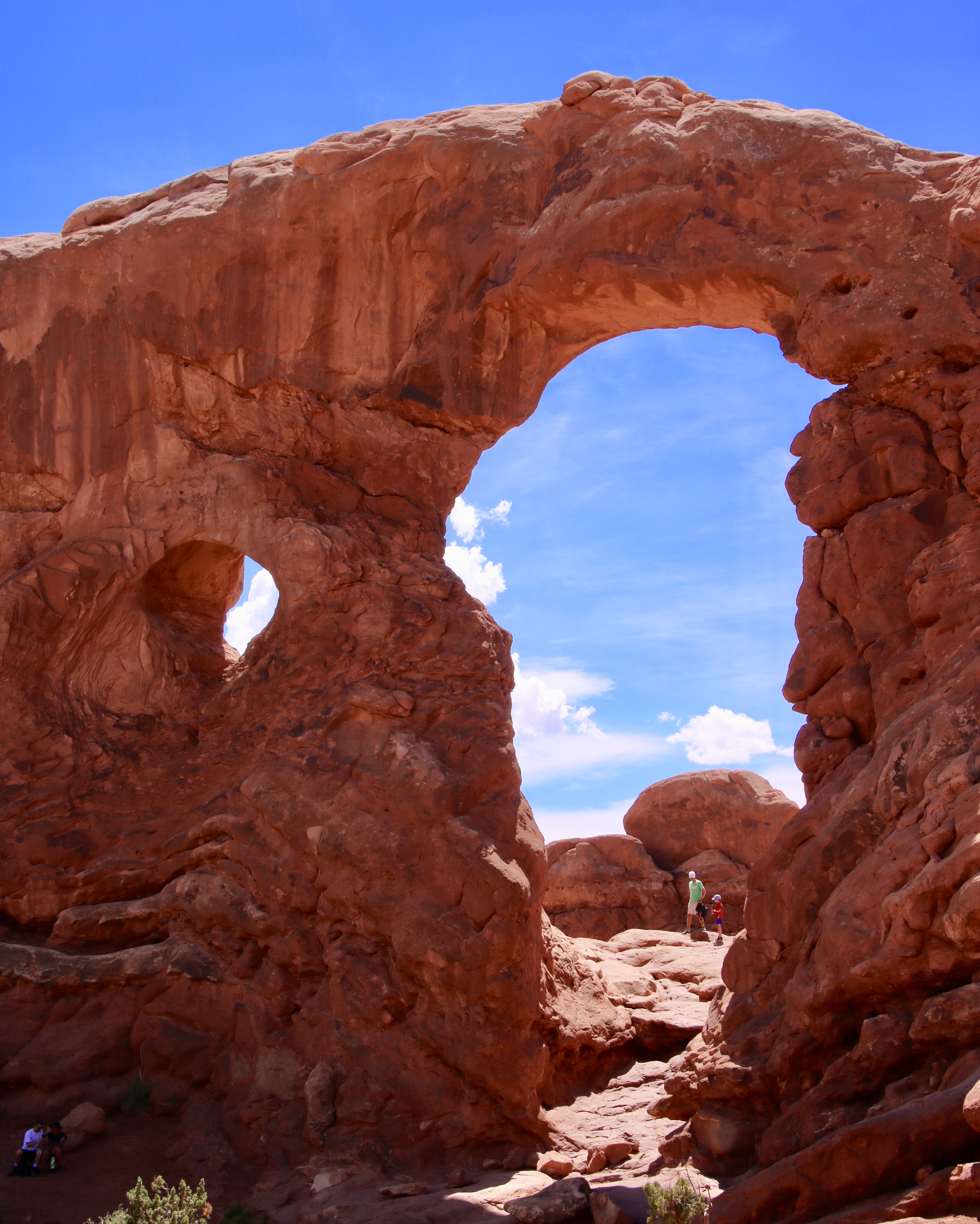
And now onto what most people think of when they think of Arches NP: Arches. There are over 2000 in the park. It’s the highest concentration of stone arches in the world. The qualification to be an arch is that it must be at least 3 feet in diameter in all directions. I’ve selected six of the most famous arches for today’s post. I’ve already featured the Delicate Arch. Three more are in the Windows section of the park. The other two are between the Delicate Arch and Windows. We missed one of the most famous by cutting our Devil’s Garden walk short: The Landscape Arch. It’s over 300 feet long, making it the longest arch in North America. I’m sorry we missed it.
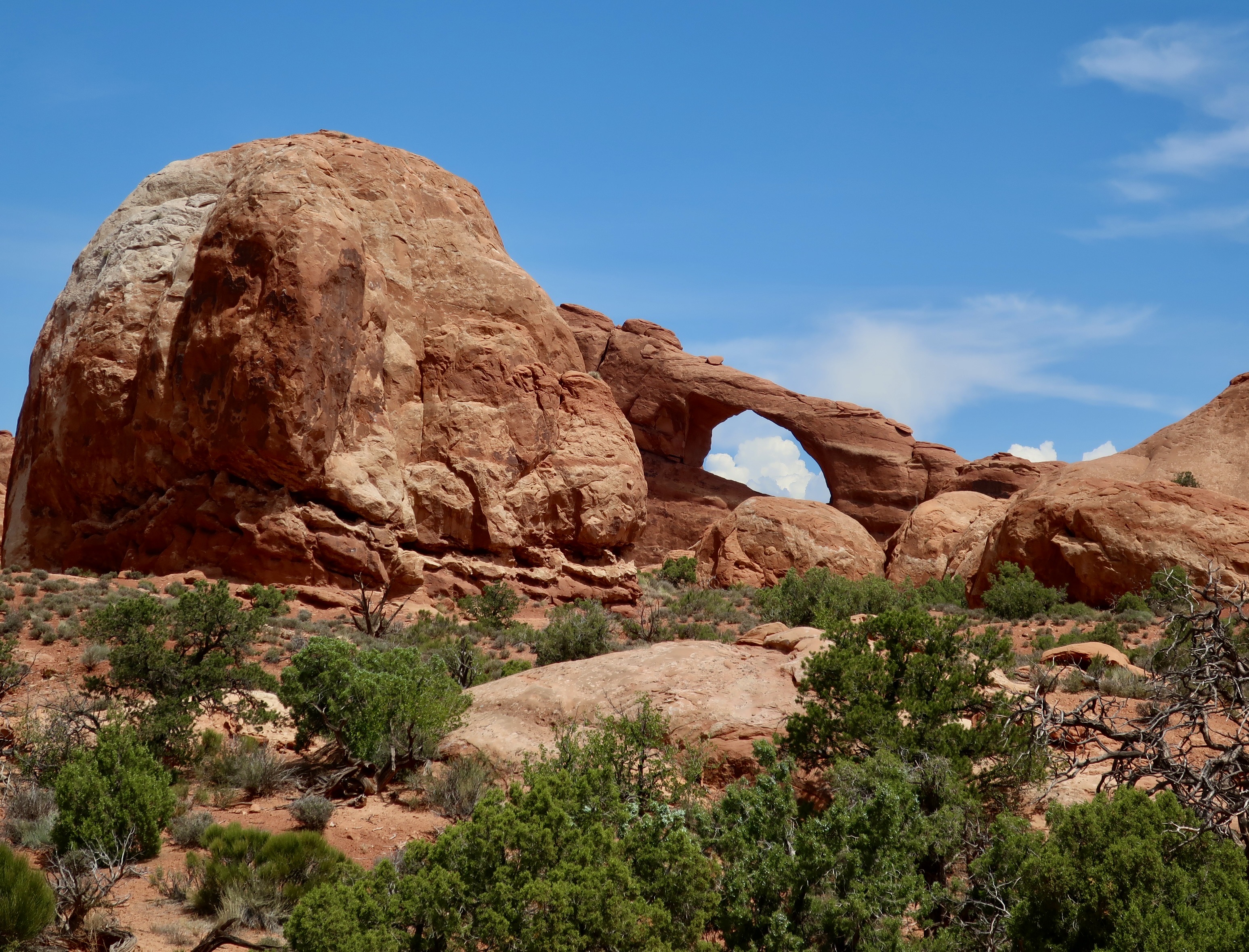
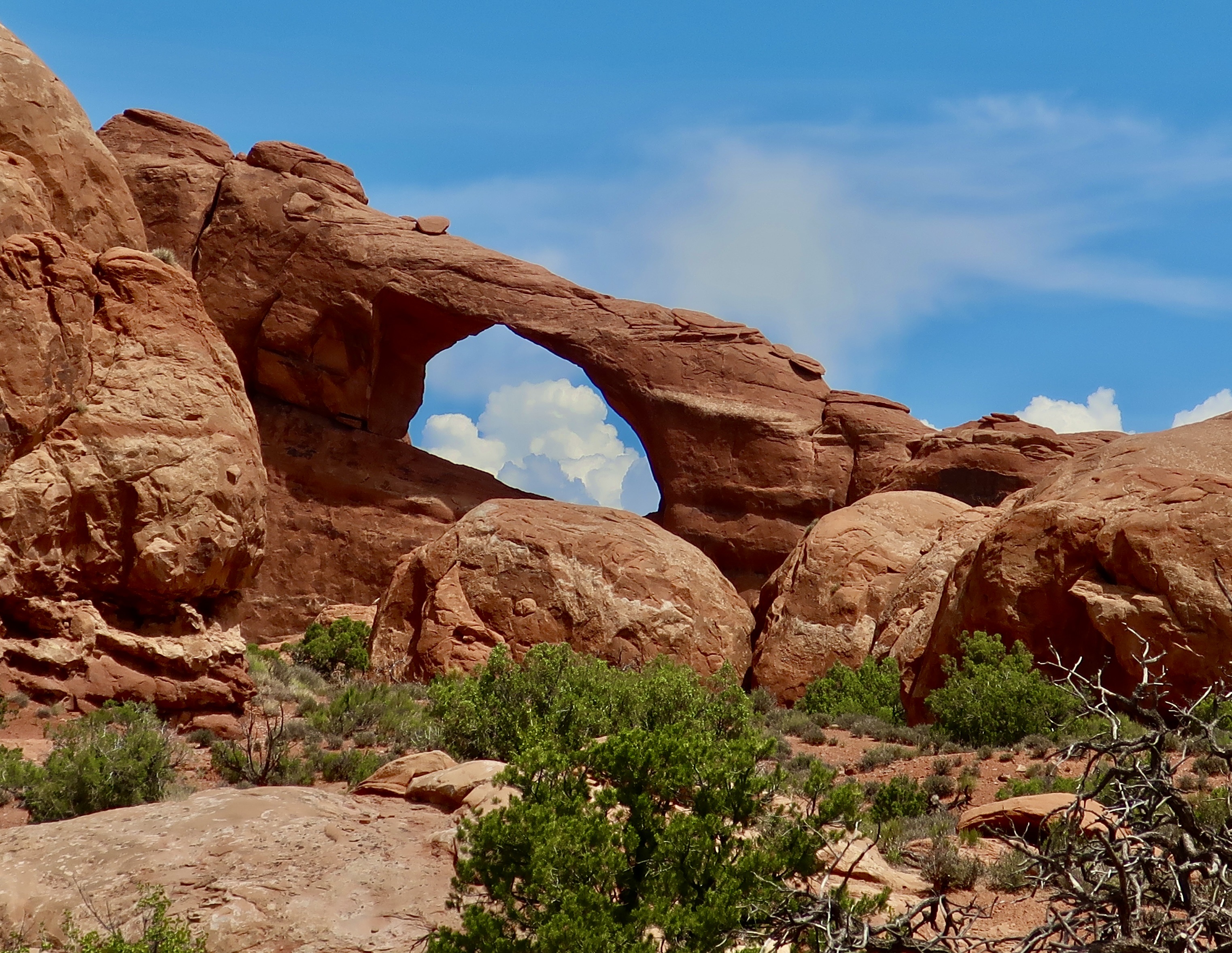
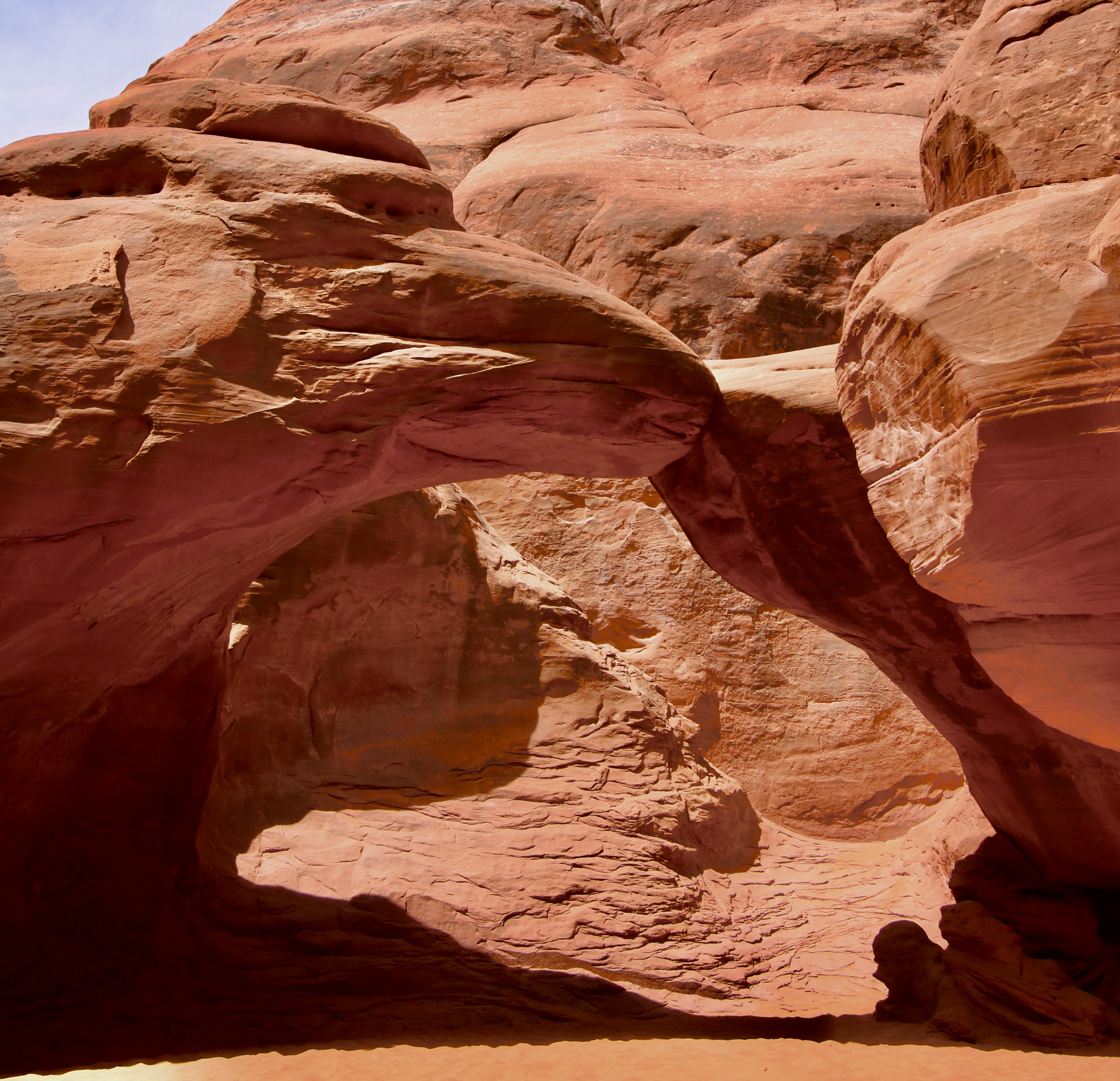
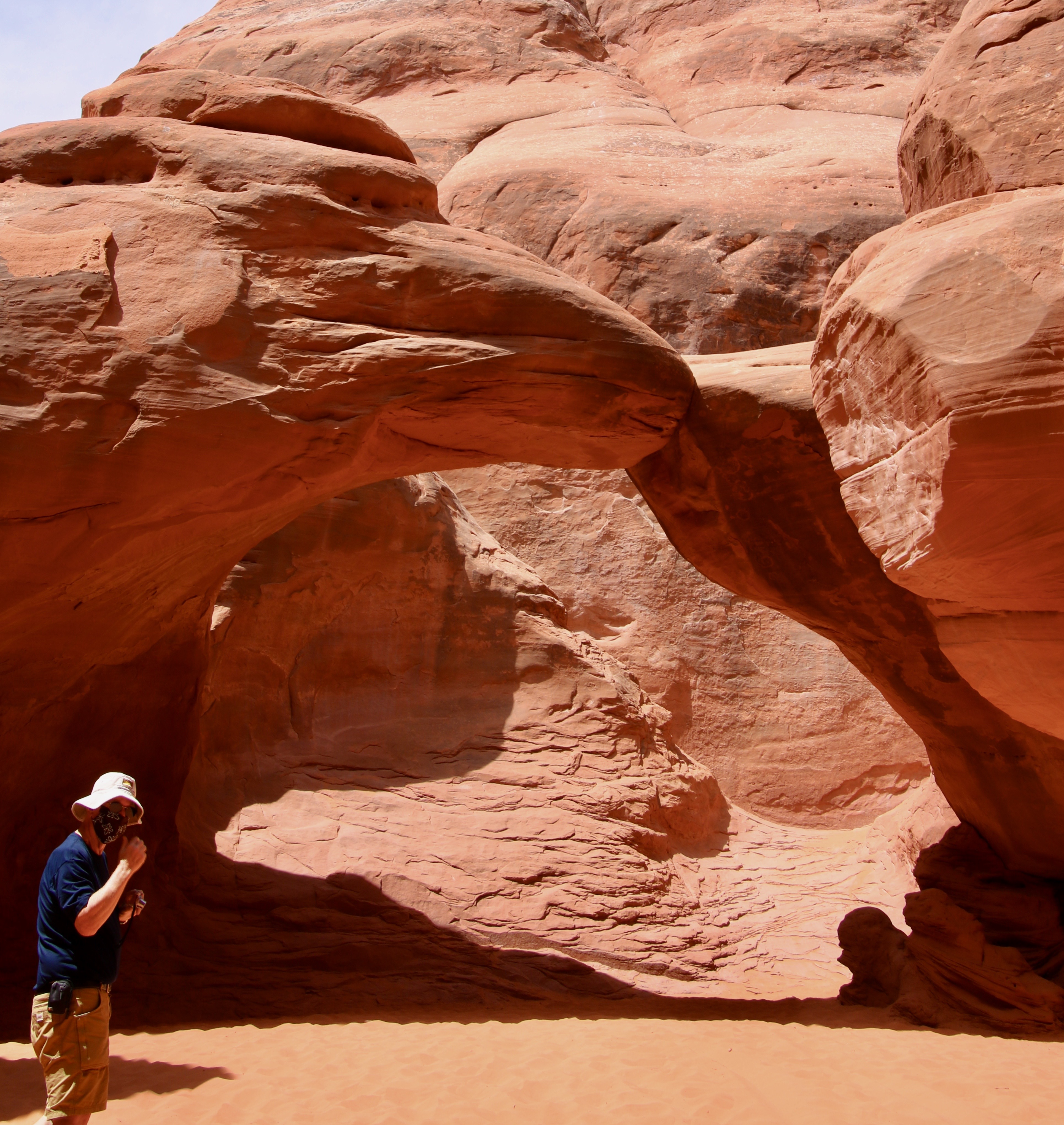
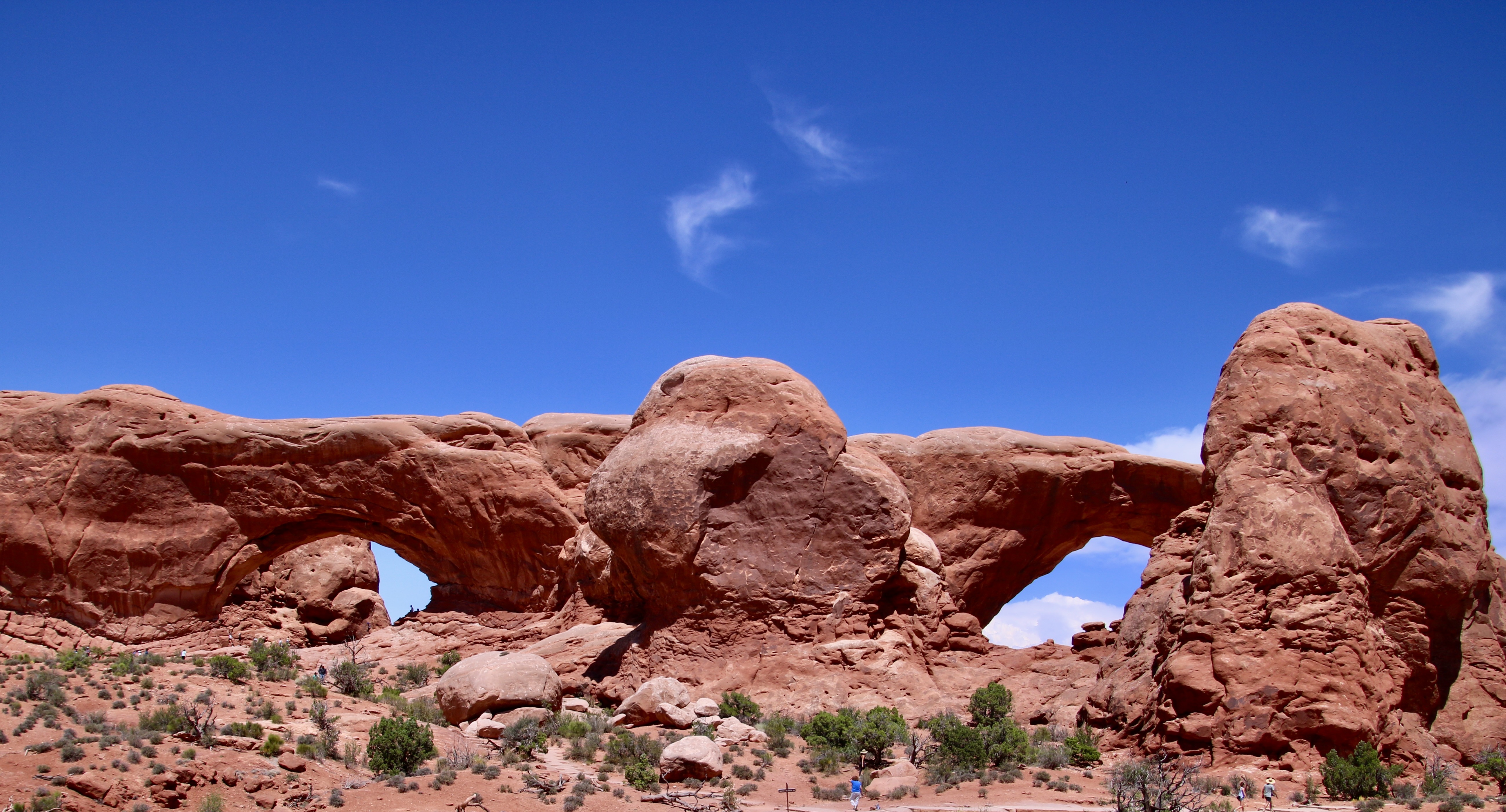
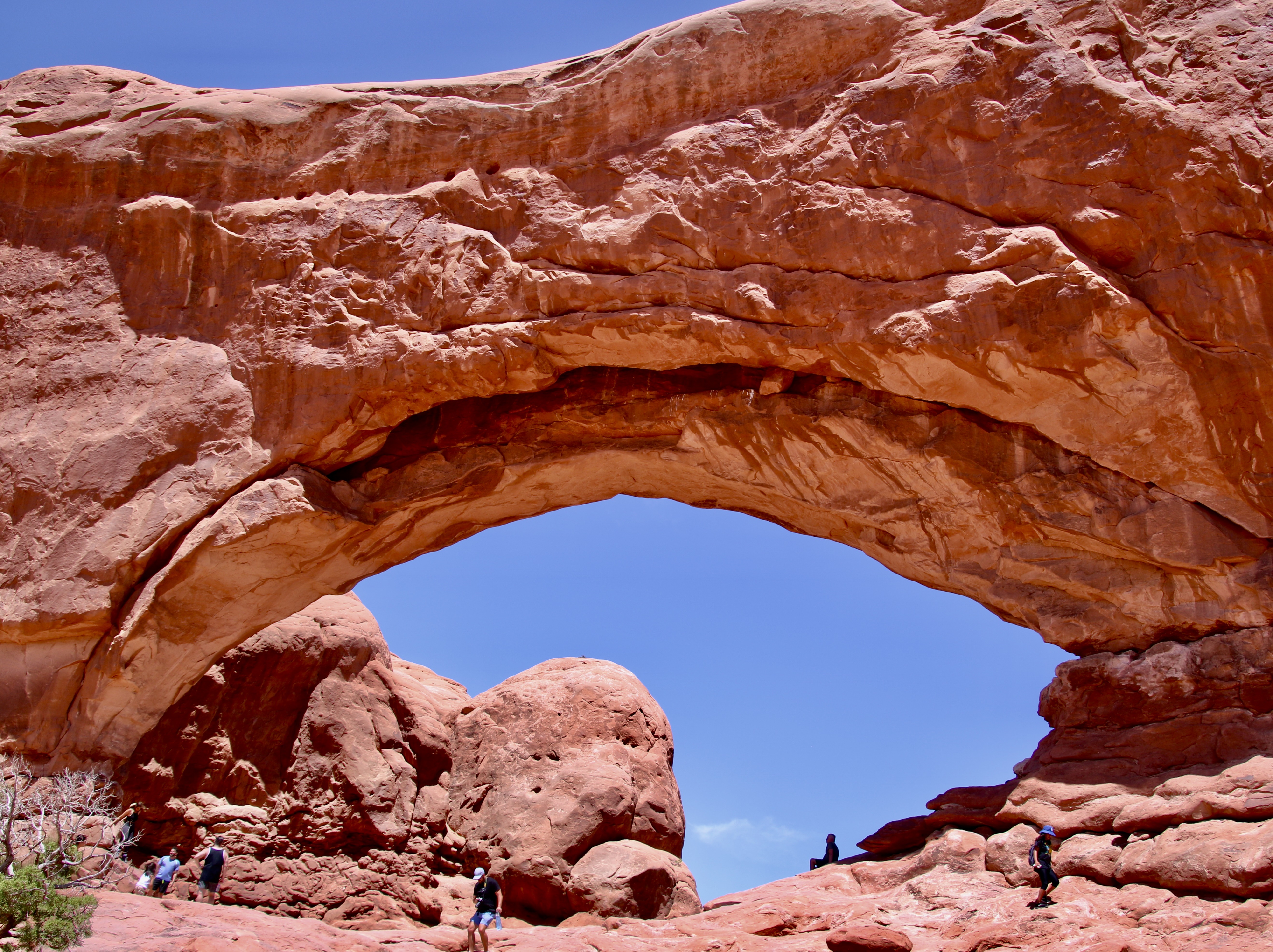
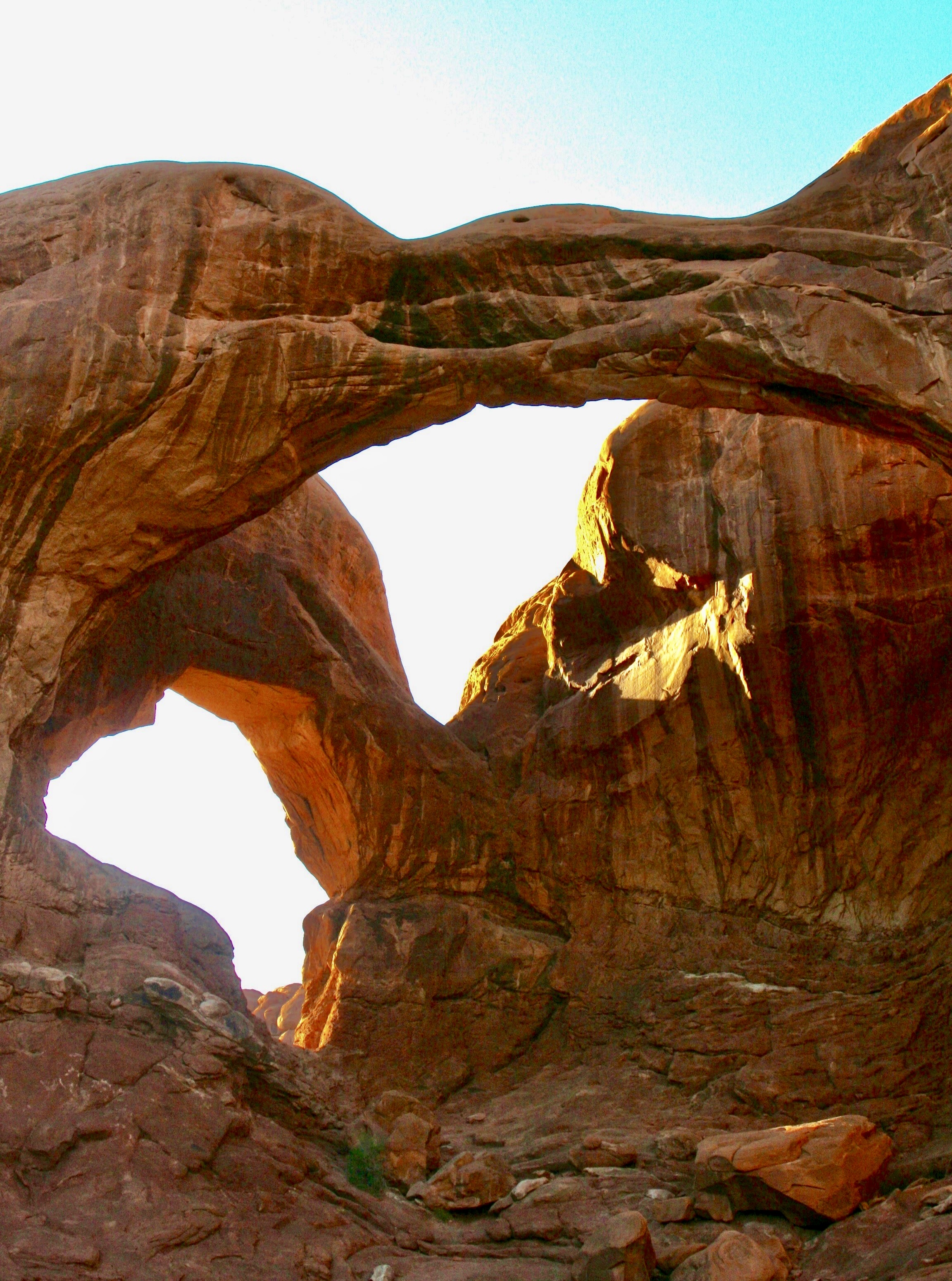
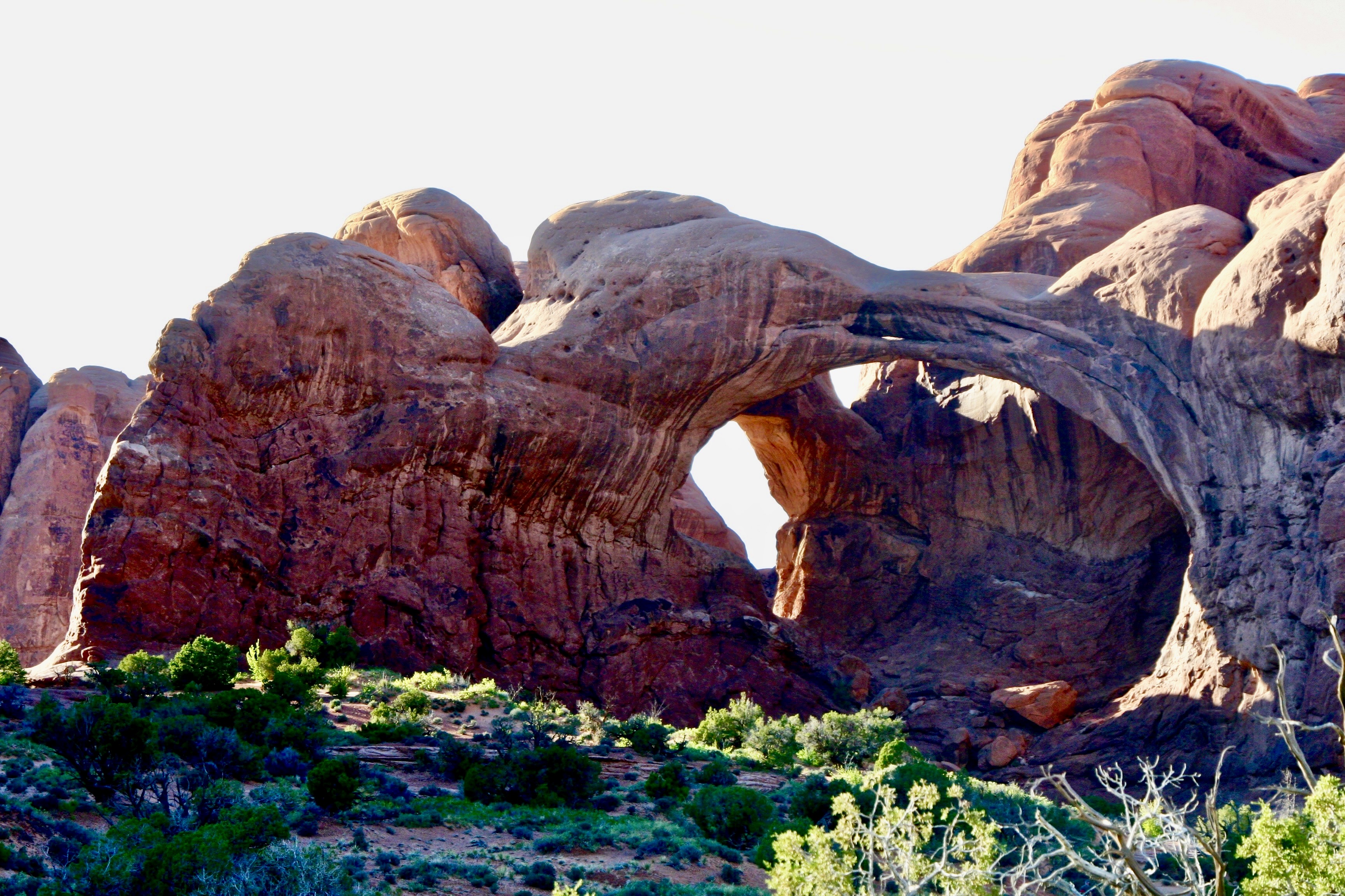
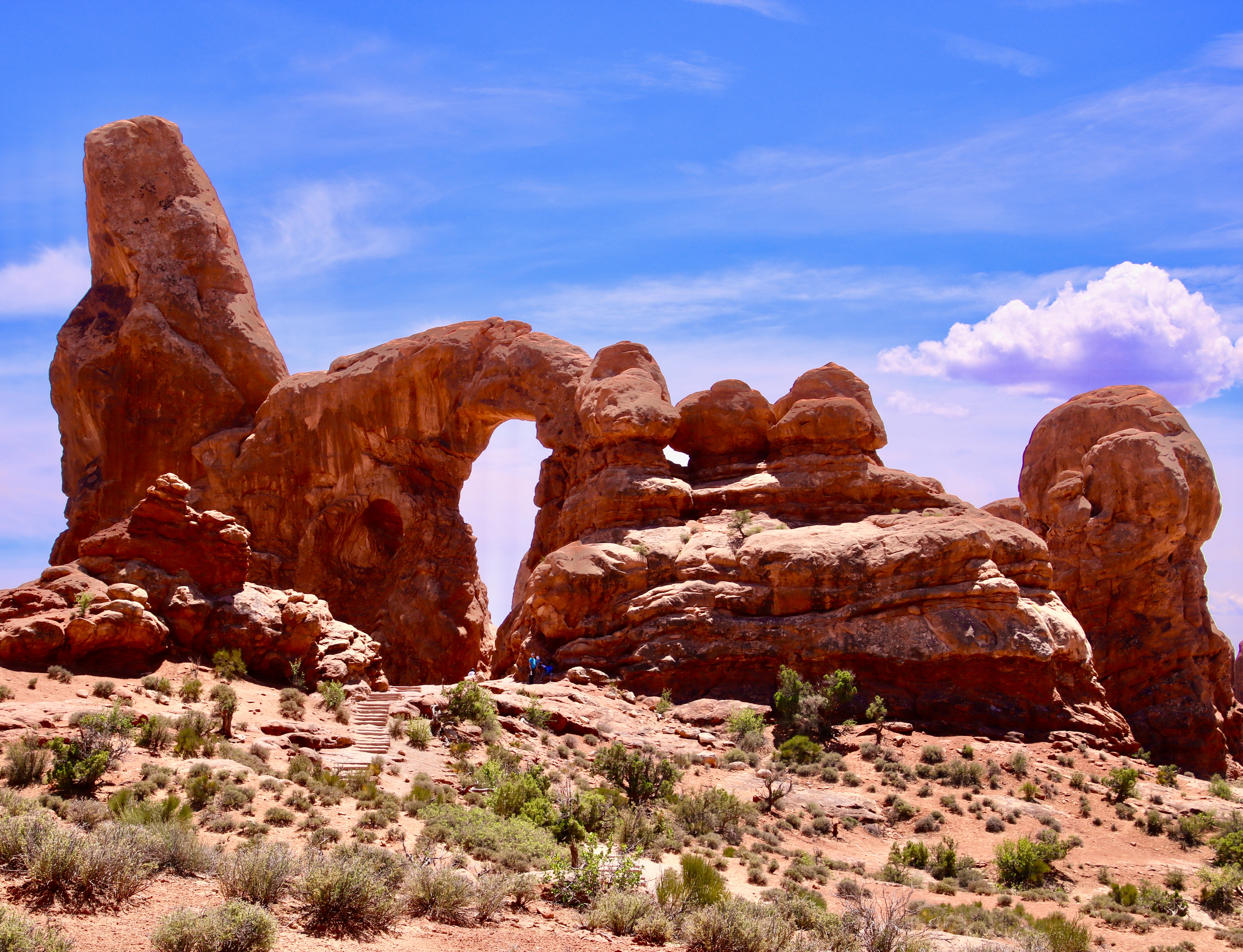
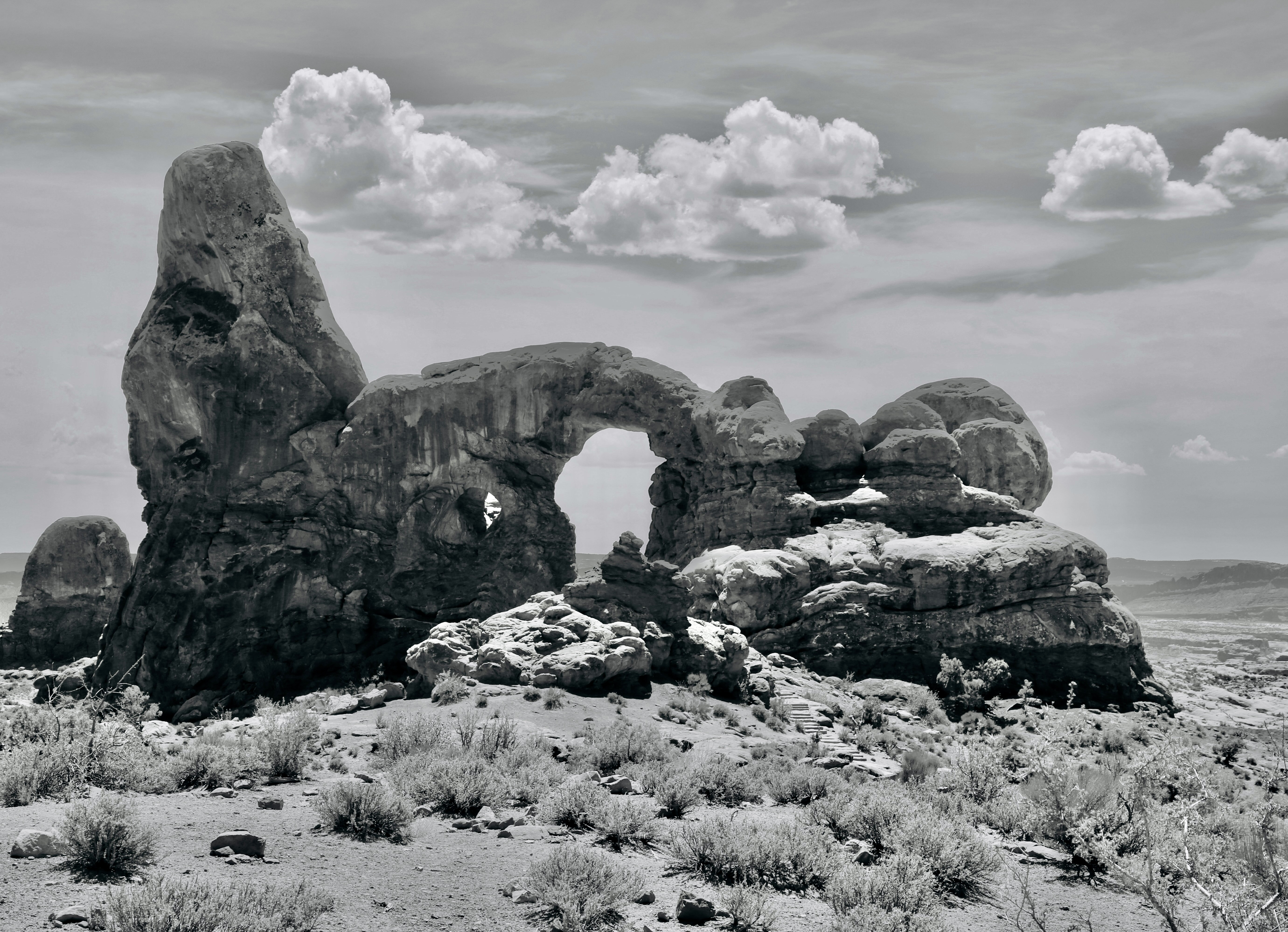
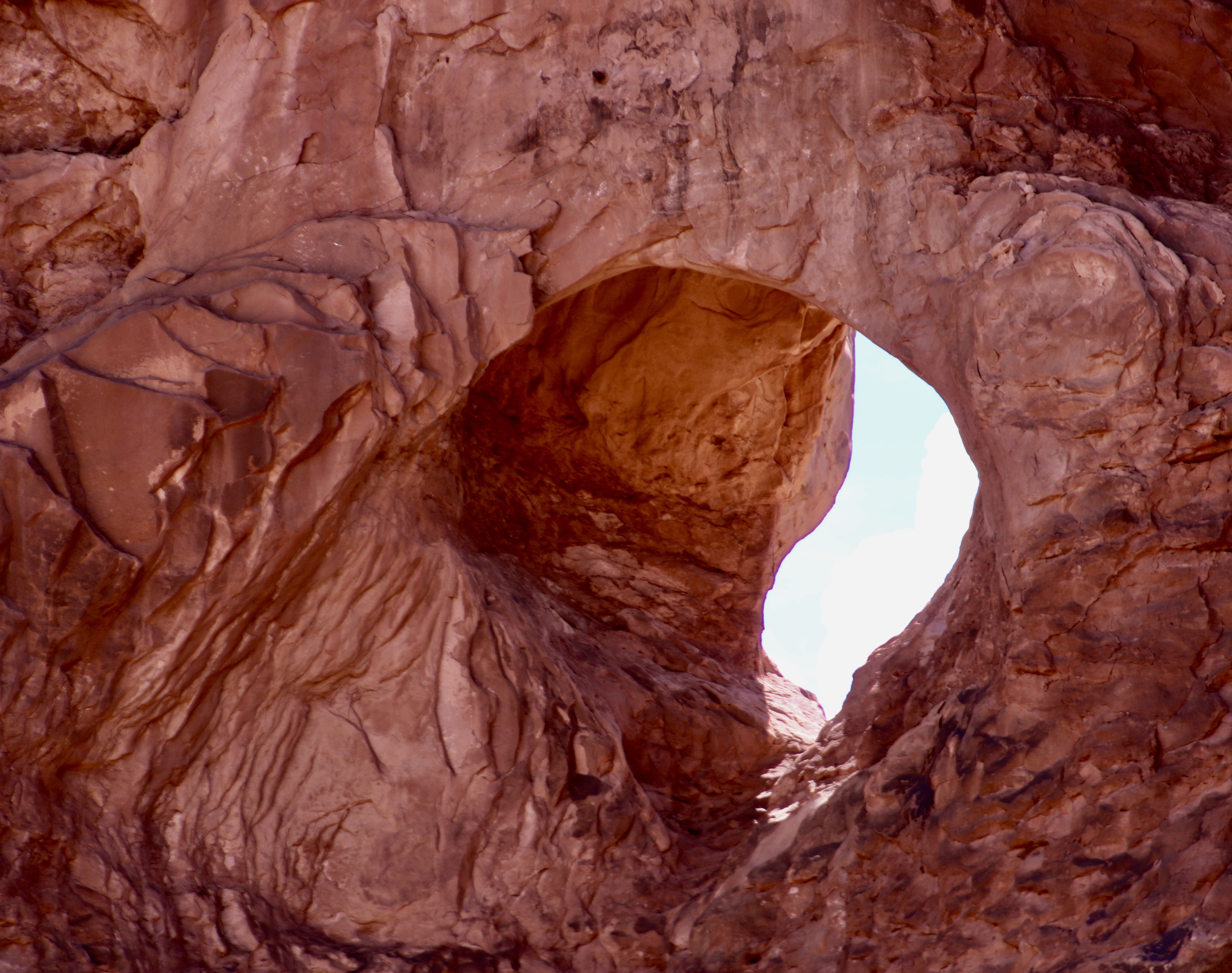
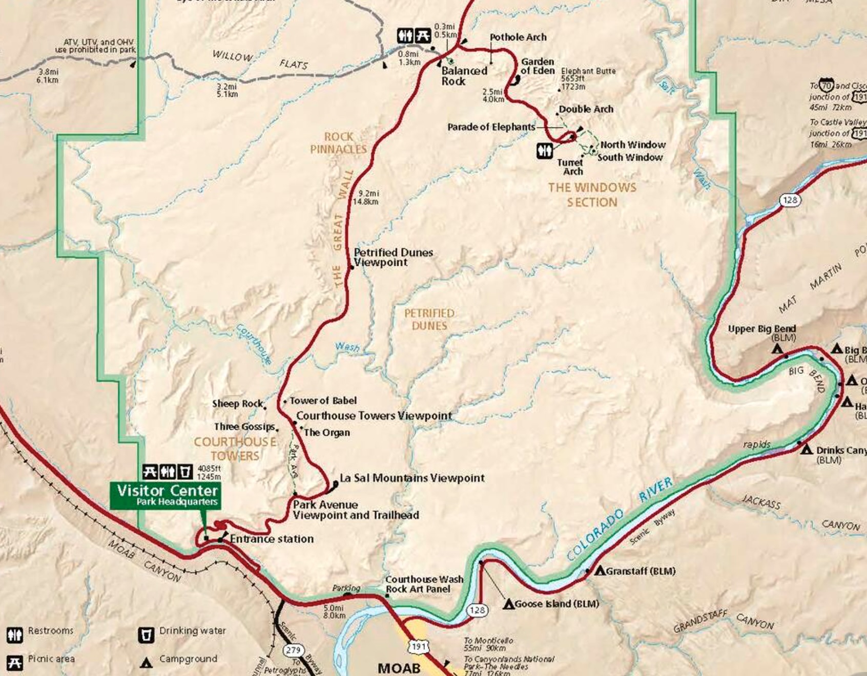
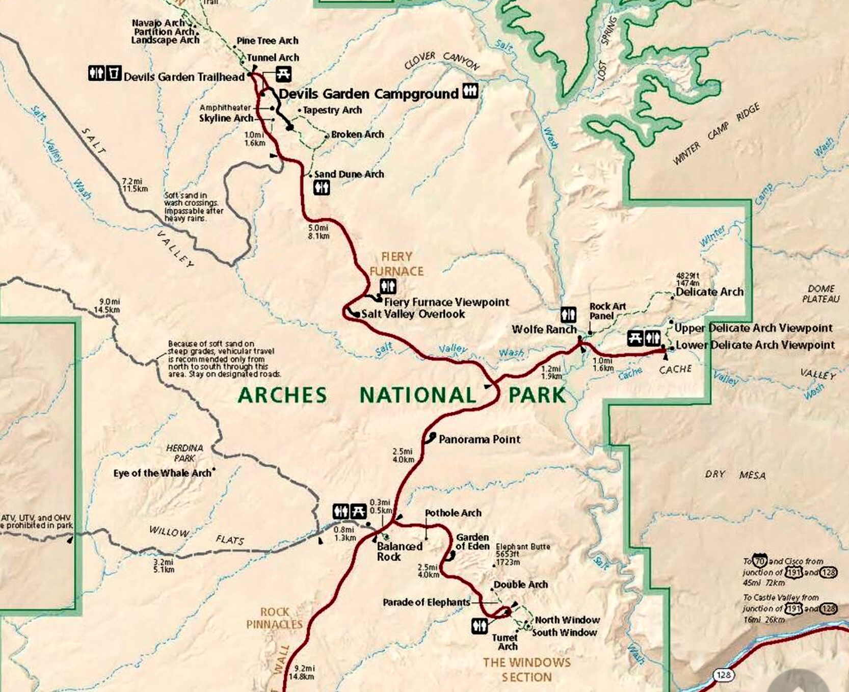
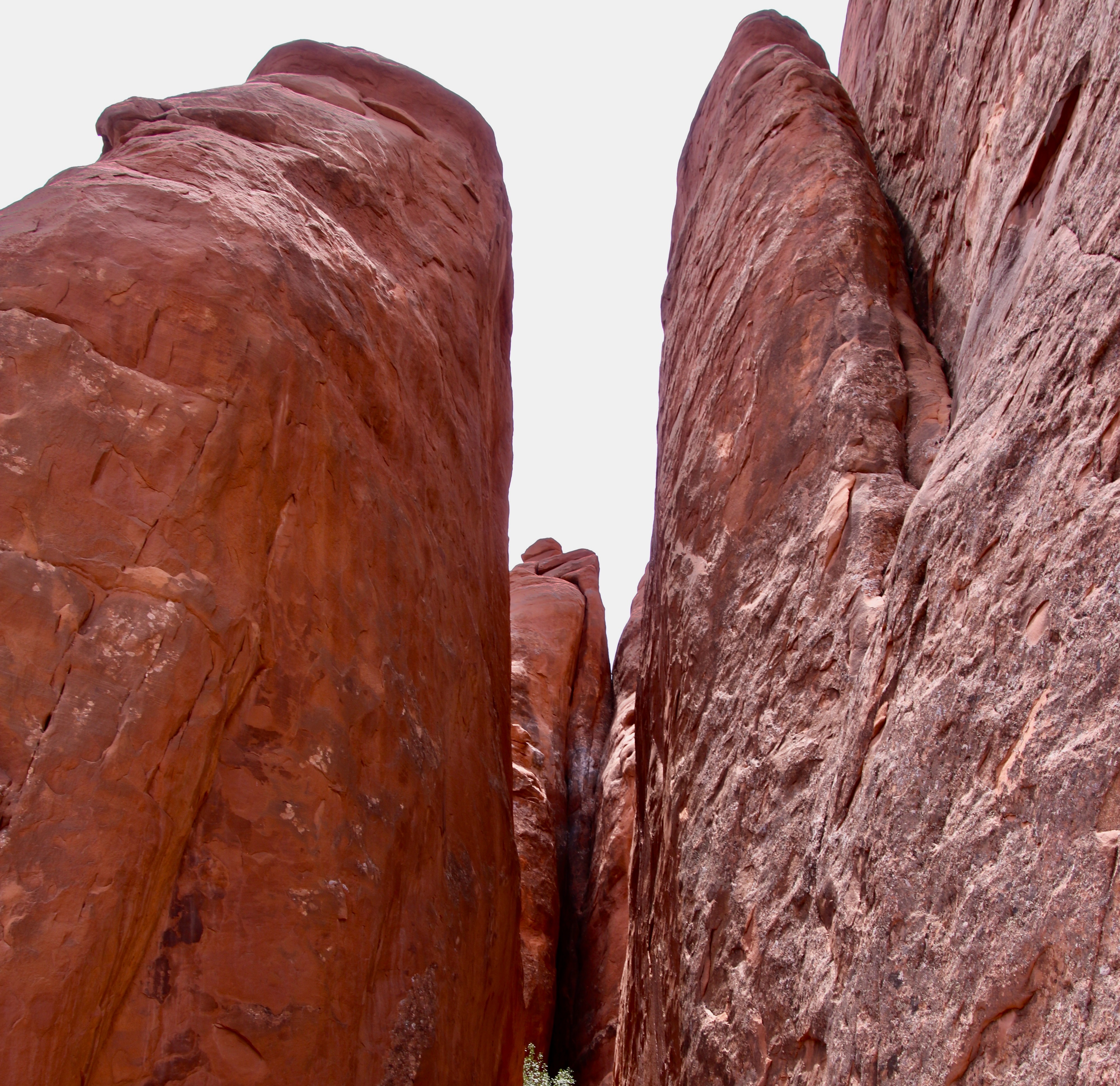
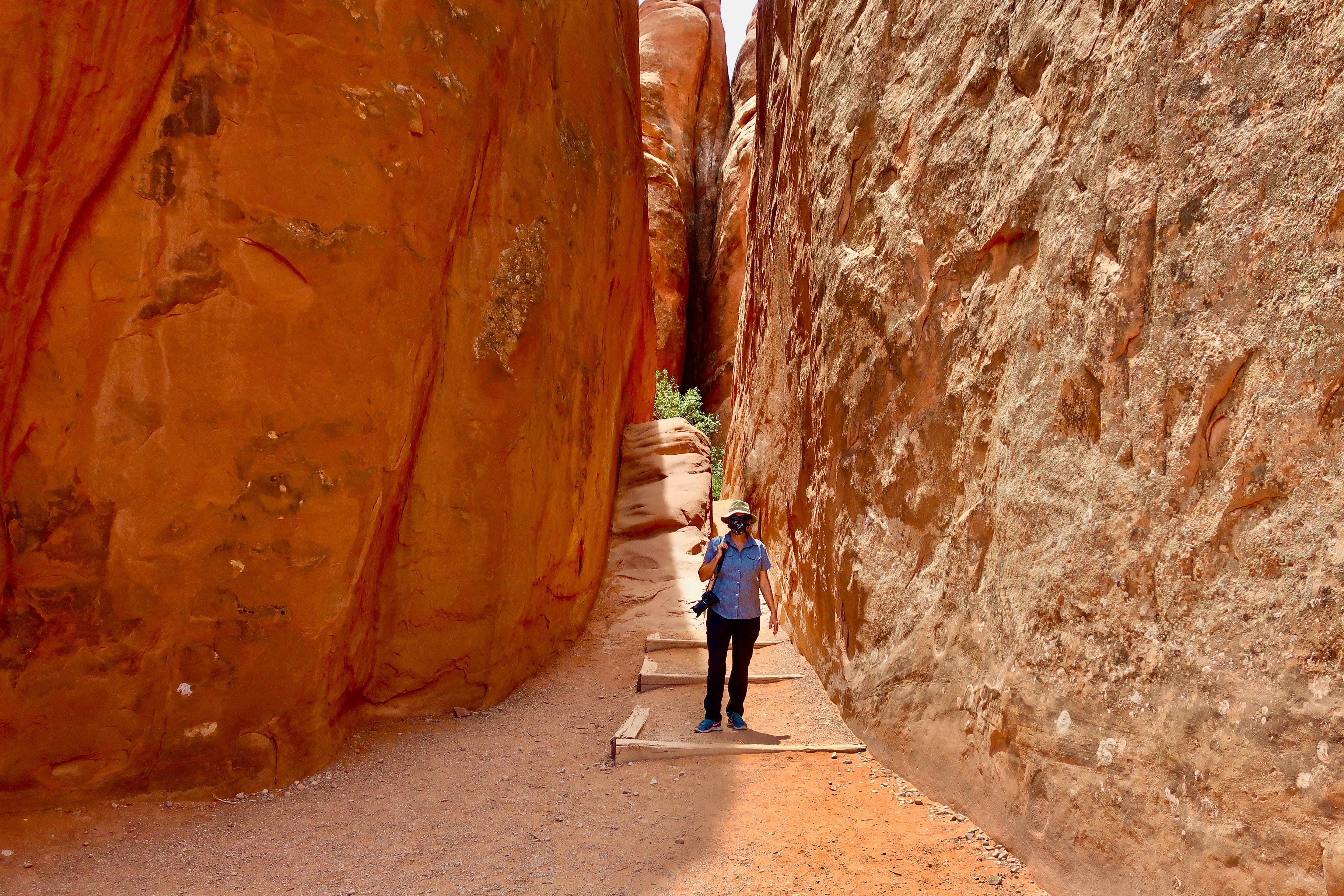
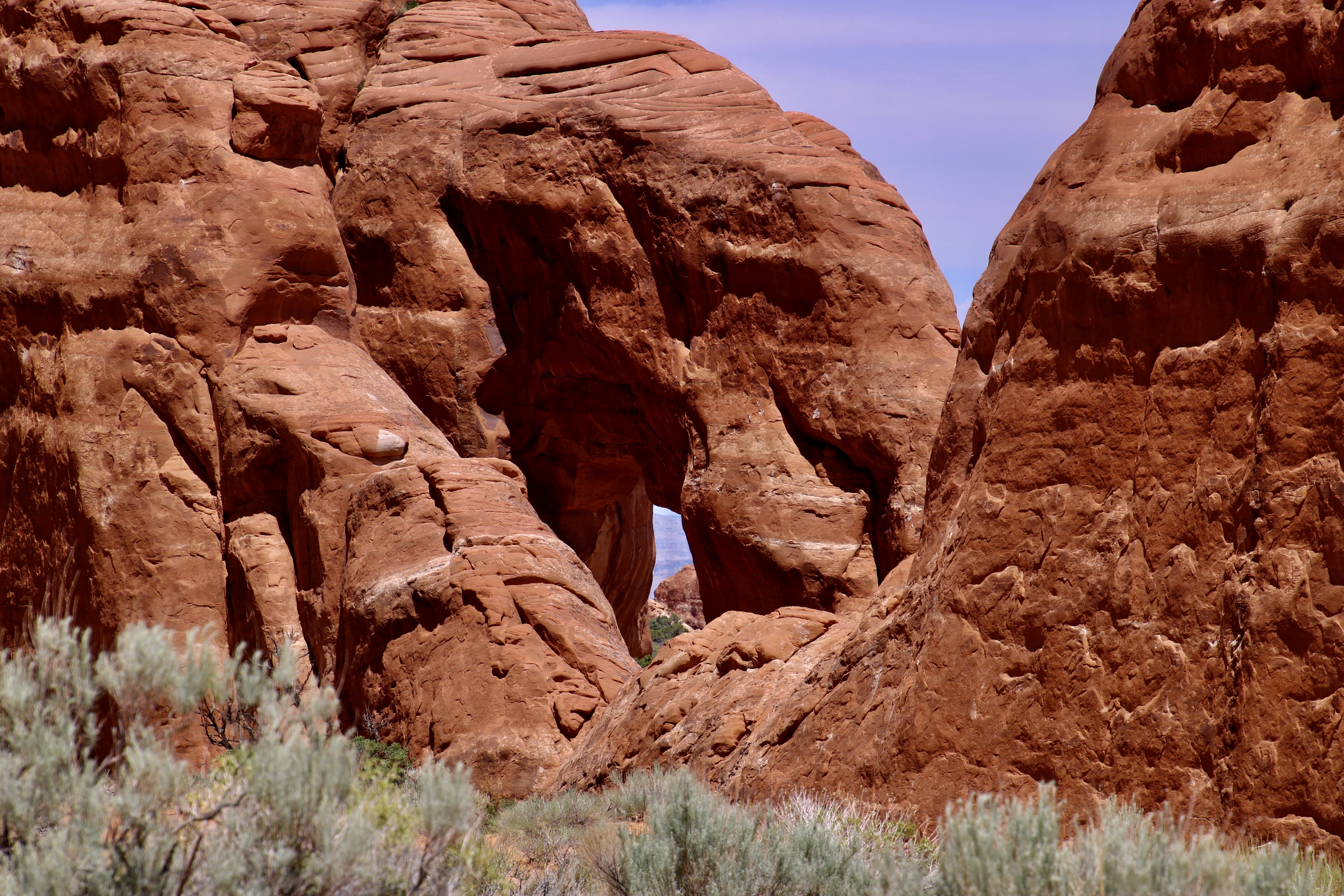
Skyline Arch is visible along the road between Delicate Arch and the Windows Arches. Again, the clouds were adding a fun background for the photo.A closer look at the arch with its looming thunderhead.We found Sand Dune Arch on the walk through what I thought was part of the Fiery Furnace in my last post. Actually the walk was just outside of the Fiery Furnace.I’m here, giving Peggy a thumbs up, to provide perspective on its size. It was during covid, so I was wearing a mask. Next: The Windows section of Arches NP.The North and South Windows here are what give the Windows section of Arches NP its name. The windows here provide views of the rocks and clouds behind them. We thought eyes would work as well as windows.A close up of the North Window. All of the arches in the Windows section are easily available by trail. As one would expect, there are lots of visitors who take advantage of the fact. Of course, I saw a face in the rock behind the window.Double Arches in the Windows section of Arches NP may be equally famous as the Delicate Arch. A million photos famous. Indiana Jones explored these two arches as a Boy Scout in the movie Indiana Jones and the Last Crusade. There are also several other views of Arches at the beginning of the movie.I’m perched up on the side of one of the arches in 2010, probably close to where the young Indiana looked down on the robbers stealing the Cross of Coronado. The movie was filmed in 1988, some 22 years earlier. Another photo of the Double Arches taken in the middle of the day.My favorite: Turret Arch. The name came from early visitors who thought the large hoodoo on the end resembled the turret of a castle. The stairs leading up to it are part of the trail from the nearby parking lot.Turret Arch rendered in Black and White.A head-on view of Turret Arch. People provide perspective on size. Note the arch just to the left of the main arch.It was quite colorful.This final view of Turret Arch with clouds provides a fitting end for our series on Arches NP. We hope you’ve enjoyed it. There are 24 more incredible national parks to go!This US Geological map and the map below provide the locations of the places we visited and featured in Arches. The lower half of Arches NP.The upper half of Arches National Park. (Source: US Geological map)The second national park in our series of 25 will be Grand Teton National Park. I’ve chosen it because I read this morning in the Washington Post that President Trump is exploring the possibility of building a baseball park within the park somewhere on the land you see in front of you. Imagine having to look over a baseball stadium to get this view. It matches the President’s proposal to cut a road through Yosemite National Park so a resort can be built inside the park by the private equity firm Kingsbarn Realty Capital out of Nevada.In our next post, however, before traveling to the Grand Tetons, we will take you back to the Scottish Highland and its beautiful scenery!
Peggy and I are continuing to look at Arches NP today as part of our series on 25 of America’s national parks as a way to honor the nation’s 250th Anniversary. One thing that we have always noted in our visits to these parks, is that people come from all over the world to enjoy them, which is as it should be. These parks, and national parks around the world, are treasures to be maintained, protected and enjoyed by everyone!
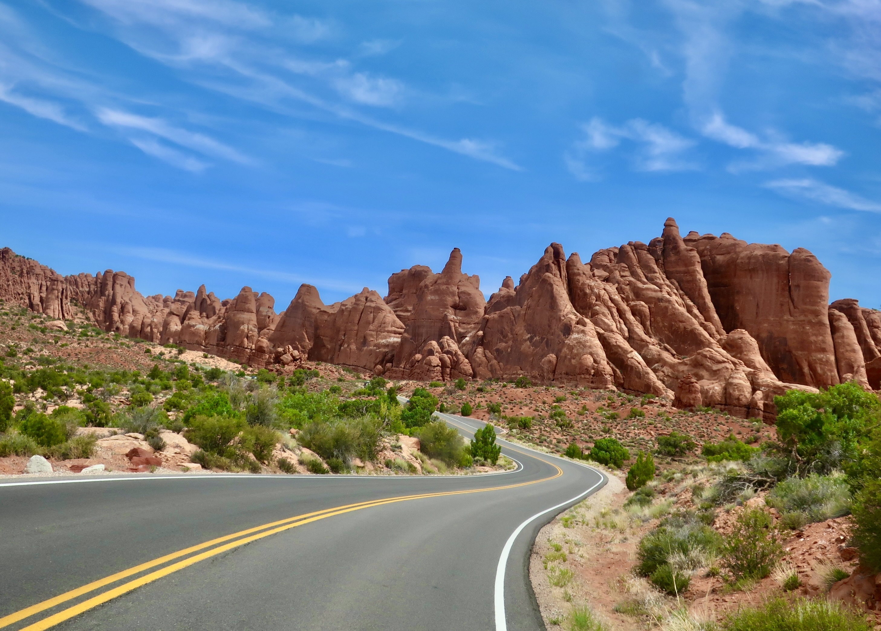
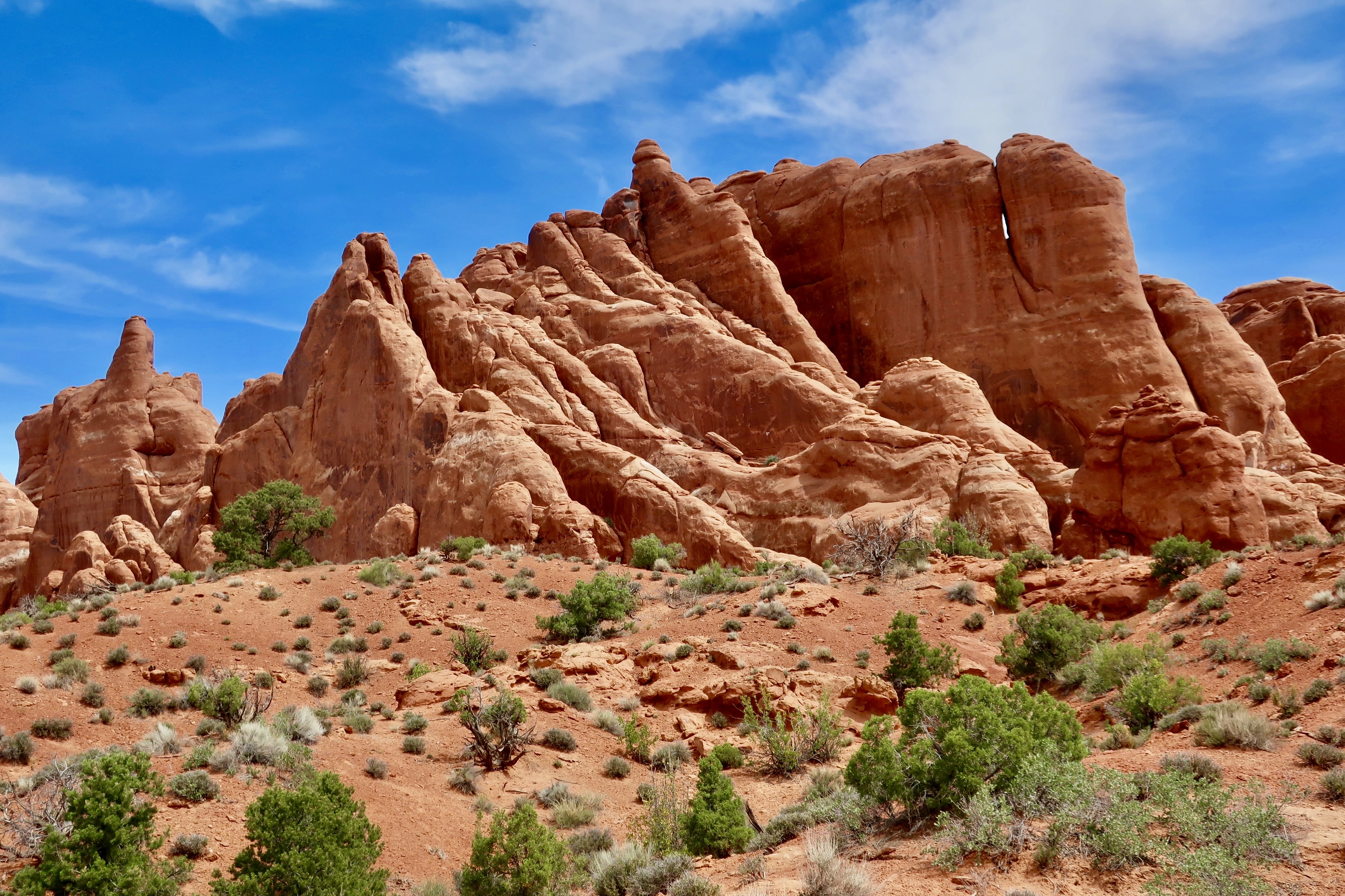
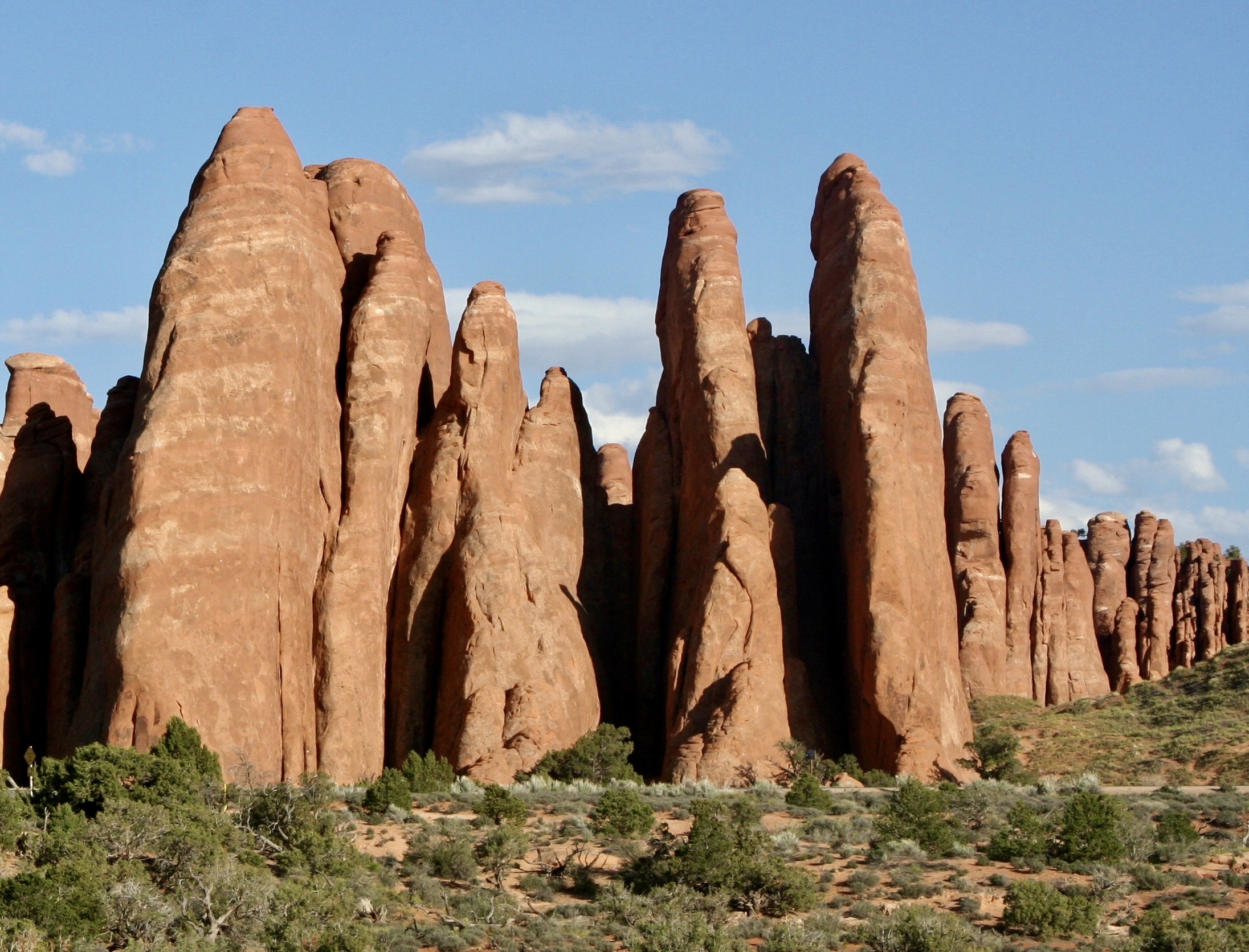
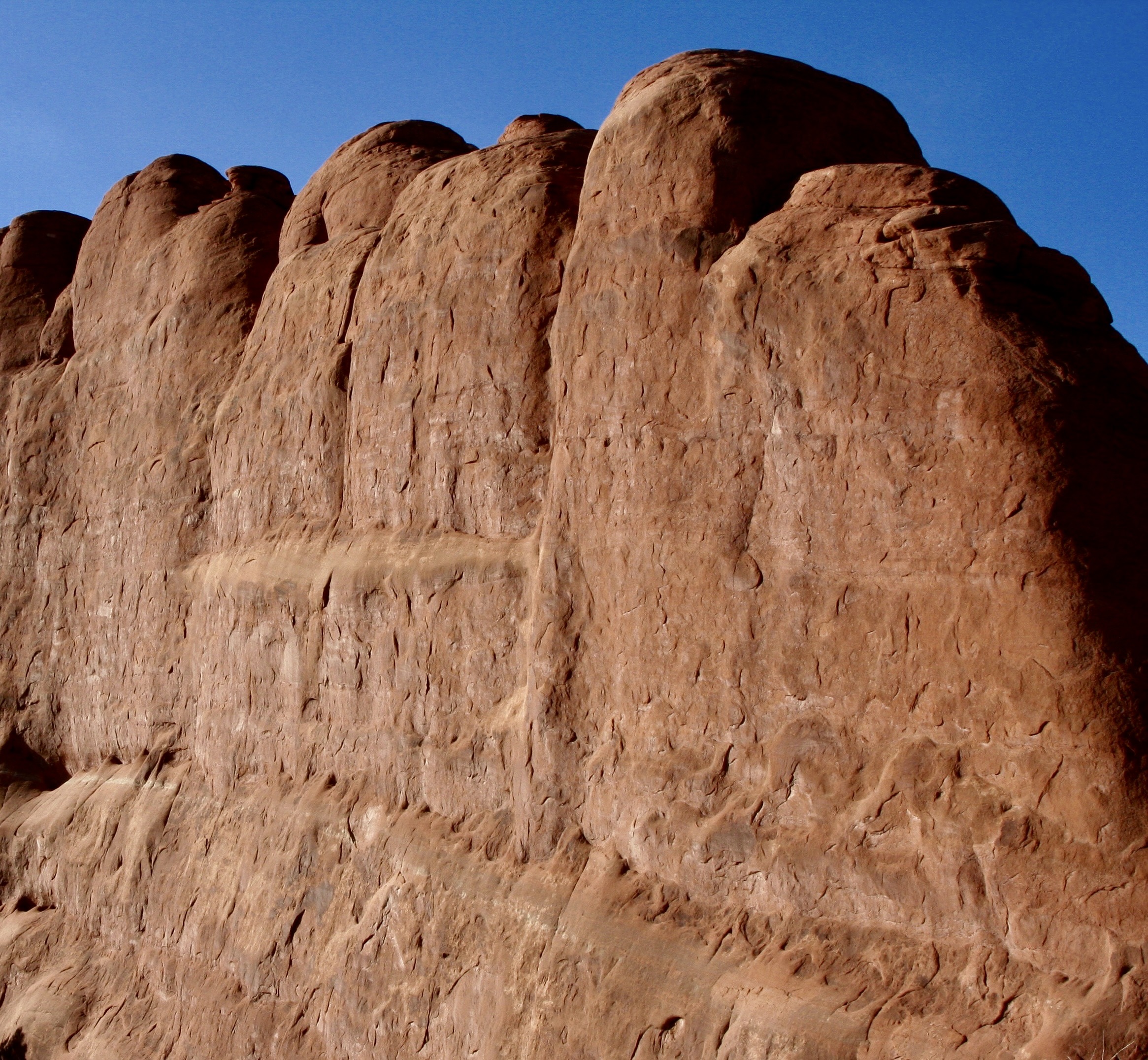
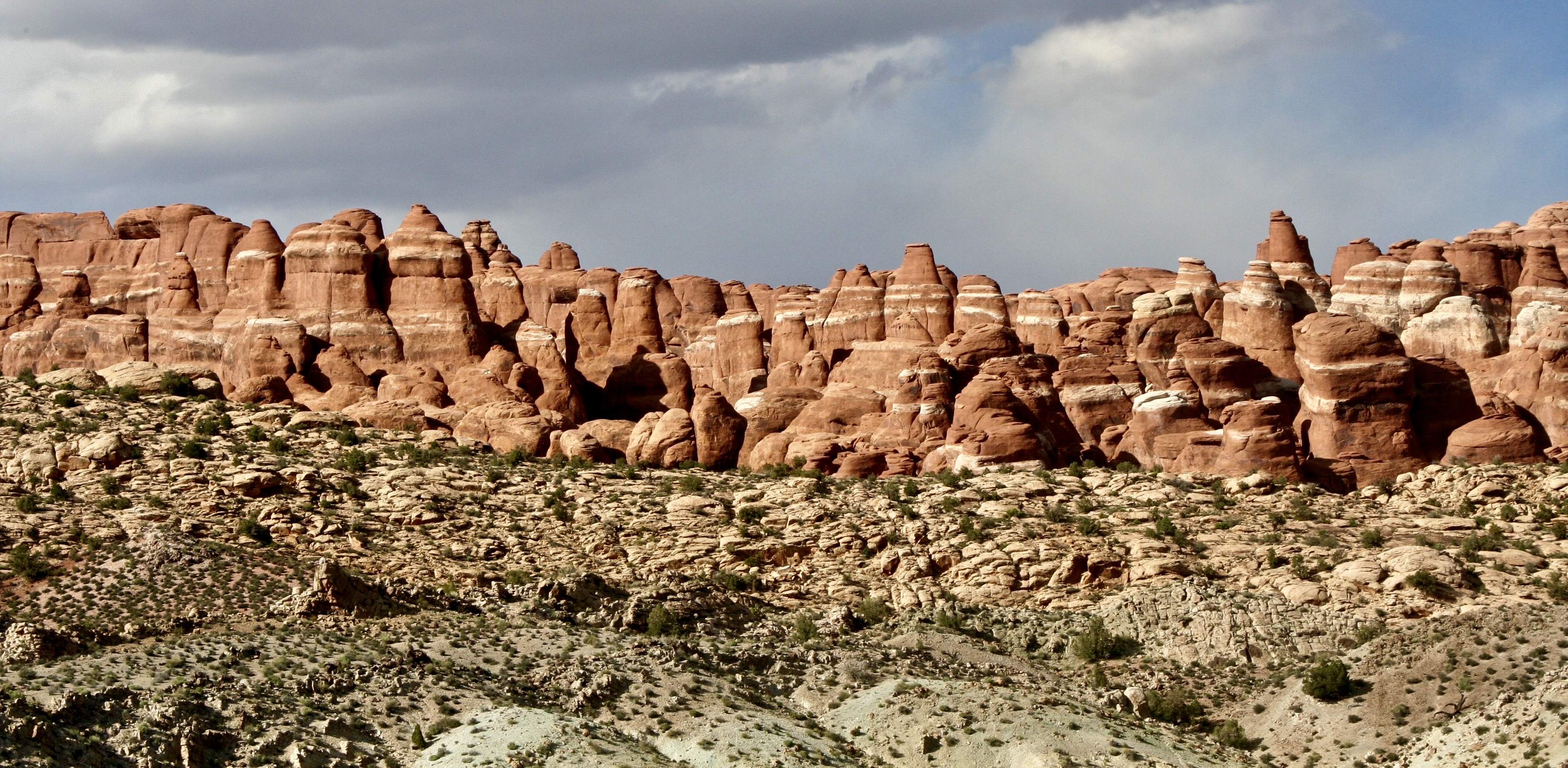
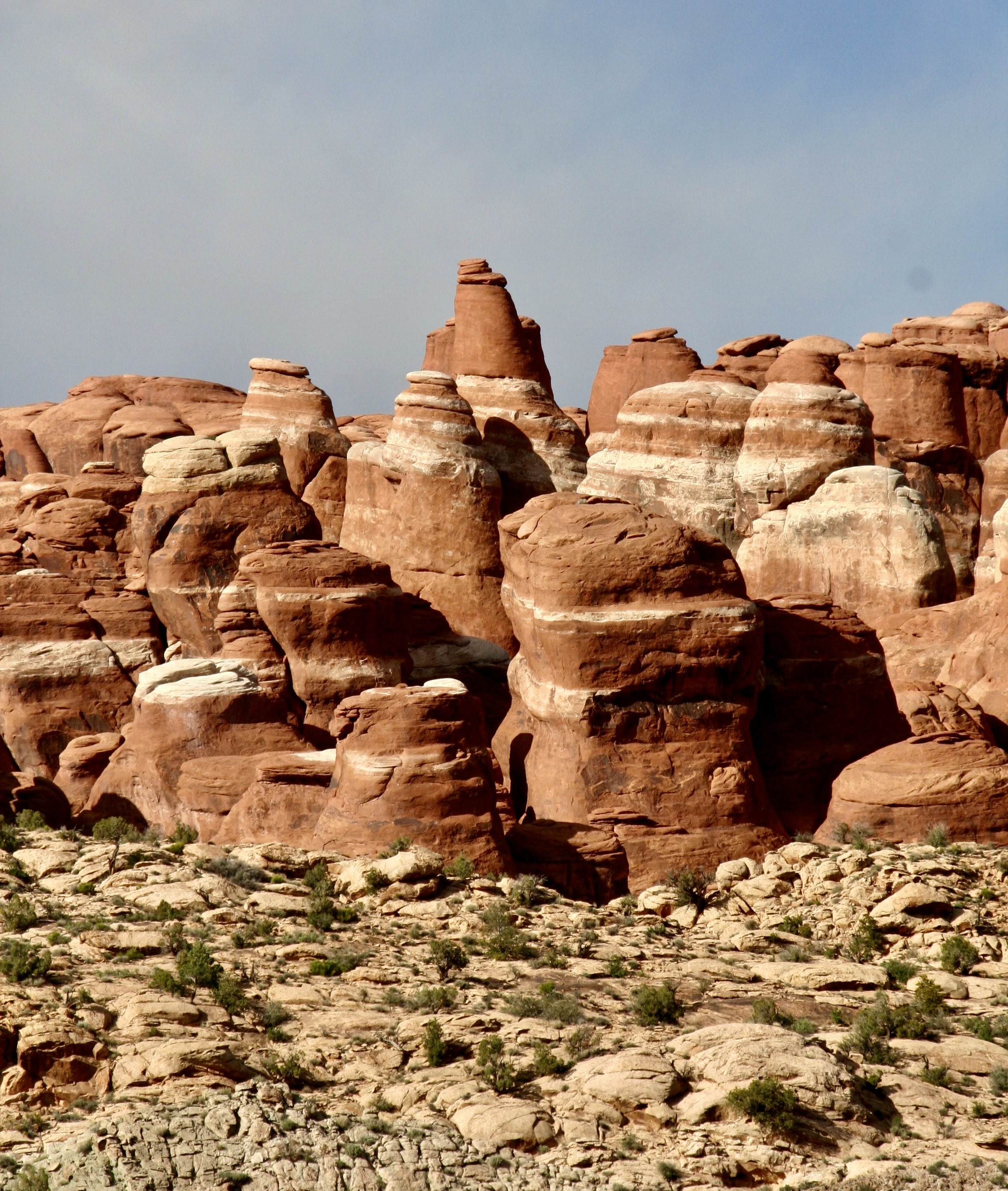
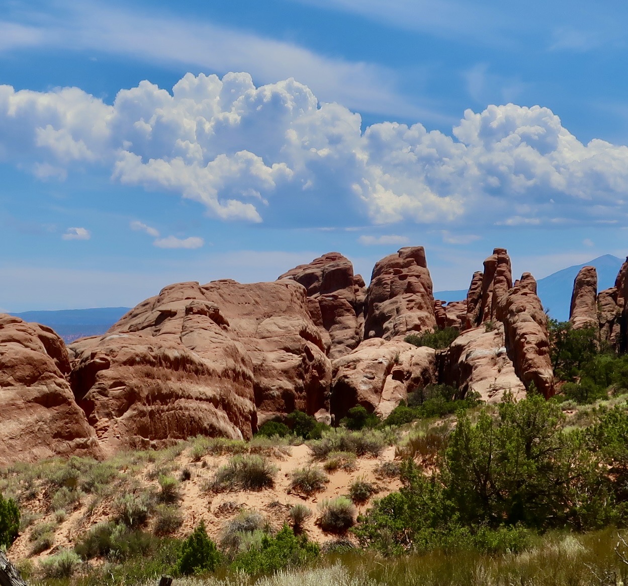
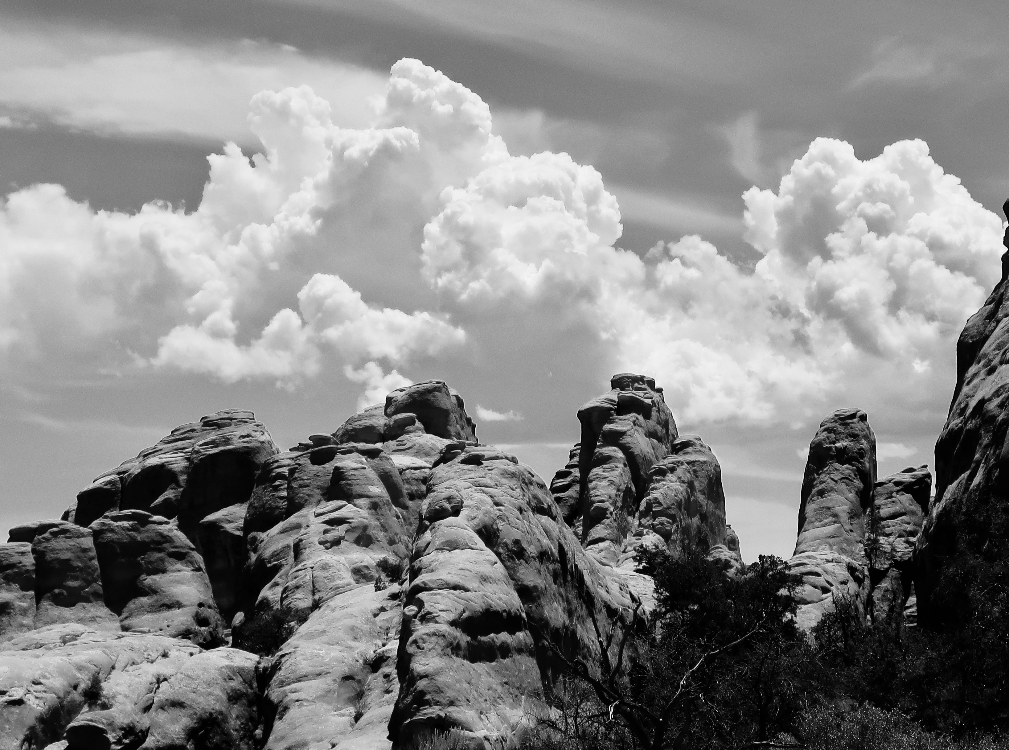
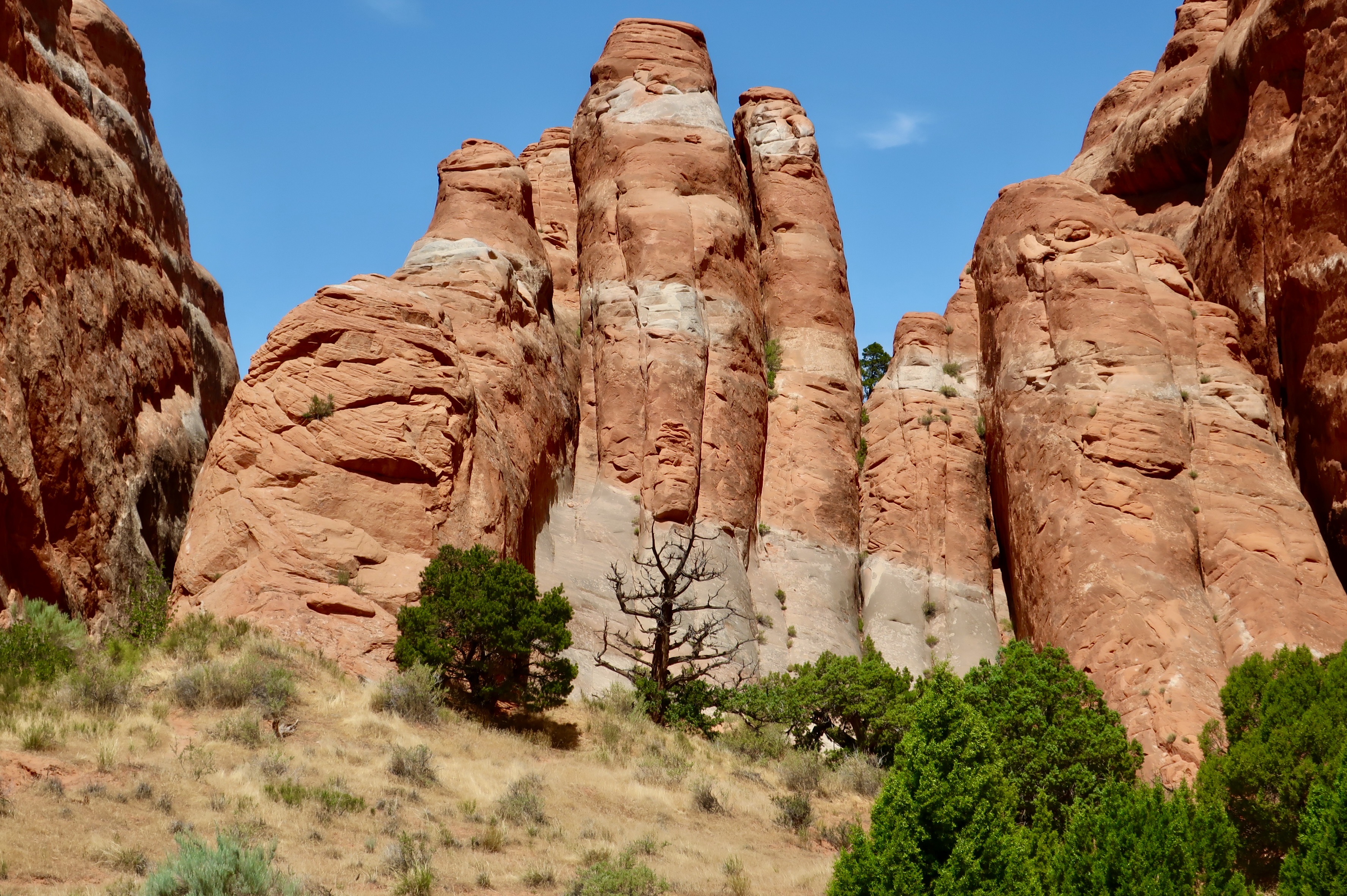
Driving through Arches National Park provides numerous scenic views. This is a look at the Fiery Furnace section. The area gets its name from the color the rocks change to as the sun goes down. It’s like looking into a furnace, or a campfire, when it has burned down to embers.The primary rock formation in the Fiery Furnace is fins. Like a shark’s. Lots of them. The fins are made up of Entrada Sandstone that was initially laid down when the area was covered with vast sand dunes. The sandstone overlayed several thousand feet of salt that had come from ancient seas—a figure that is staggering to think about. As new deposits were laid down on top of the sandstone, the weight caused the salt to flow, almost like liquid, and this caused the sandstone to fracture along parallel lines. Tectonic forces caused the area to rise and erosion wore away the upper rocks, eventually exposing the sandstone. Water was able to seep into the fractures and caused the erosion shown above! And below…Creating what, for Peggy and me, is great beauty.This photo provides a good view of how the parallel fractures have impacted erosion.On our visits to Arches, Peggy and I made a point of visiting at different times of the day to capture the impact of the changing colors caused by the position of the sun. If you visit the National Park, we highly recommend that you go early in the morning and late in the afternoon as well as midday, when the above photo was taken.Horizontal as well as vertical cracks in the rocks allow for erosion to take place in two directions.Looking down into the Fiery Furnace provides a clear look at the impact of the horizontal and vertical fracturing. Plus the green trees add a nice color contrast. This photo also shows the possibility of finding trails through the Fiery Furnace. The word maze fits here quite well. A permit is required for exploration.Imagine wandering through canyons made up of this rock through narrow passages.Peggy walking along a short trail in the Fiery Furnace. It was during covid and she was wearing a mask. All other trails through the area are unmarked, and, like I noted, a maze. People get lost. It’s part of the adventure. Cell phones and GPS don’t work because of the canyon effect. The park labels it a ‘temporary disorientation.’ Box canyons or fallen debris force you to turn around. The limited size of the Fiery Furnace means you will eventually get out. Some fun, huh.The contrasting fractures and uneven erosion can lead to a variety of rock forms in the Fiery Furnace that add to the area’s character.We could not help but think ‘troll,’ when we saw the rock on the right!This added yet another look to the Fiery Furnace. I felt it was almost surrealistic. The white is where water with organic matter, creating a weak acid, has worked its way through the horizontal fractures and bleached the red iron oxide out of the sandstone.A close up. And now, on to the Devil’s Garden…I thought that this pinnacle would make an appropriate introduction to the Devil’s Garden.An inviting trail leads visitors into the Devil’s Garden.Past towering fins.And towering pinnacles.And more fins.There was even a small arch. A larger arch awaited us, but there was much more to see in the park so we turned around.Gathering clouds suggested a possible thunderstorm in our future.This black and white rendering gave it a more threatening look.We will close today with one of our favorite views of the Devil’s Garden. The dead juniper tree in the foreground with a ‘devilish look’ added a nice touch. Next up, an 1800’s ranch, the Garden of Eden, and several arches.
We are starting a new series today on America’s National Parks and Monuments which we will be running in addition to posts on our travels this summer in Greece, Scotland, and Ireland. First up, is Arches National Park in Utah.
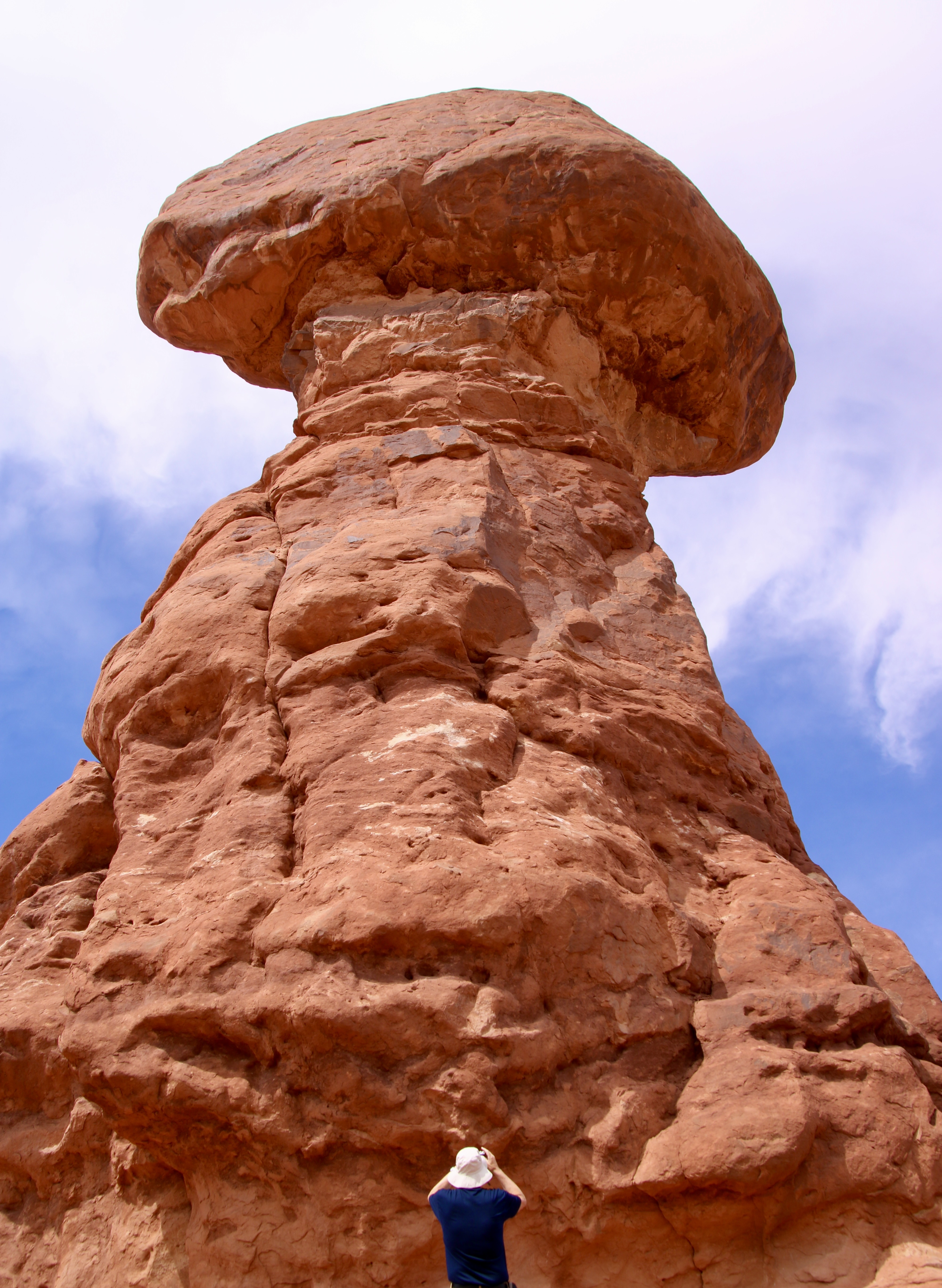
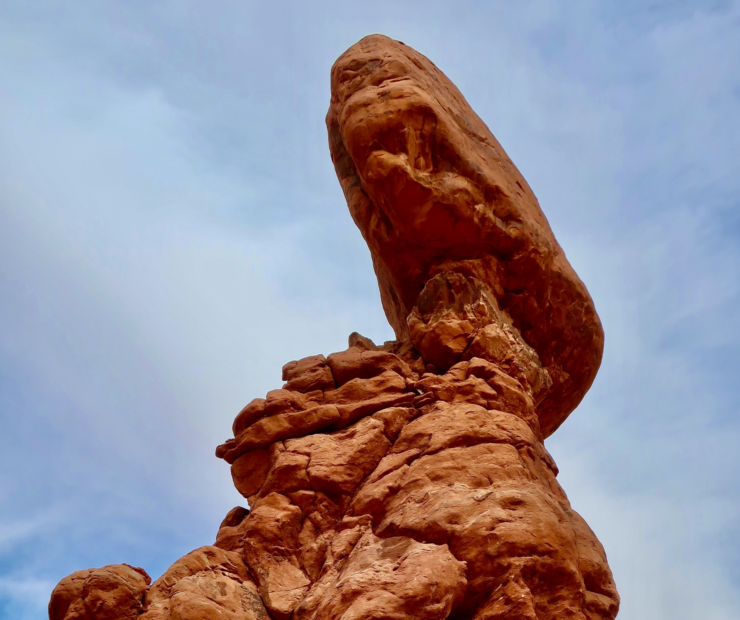
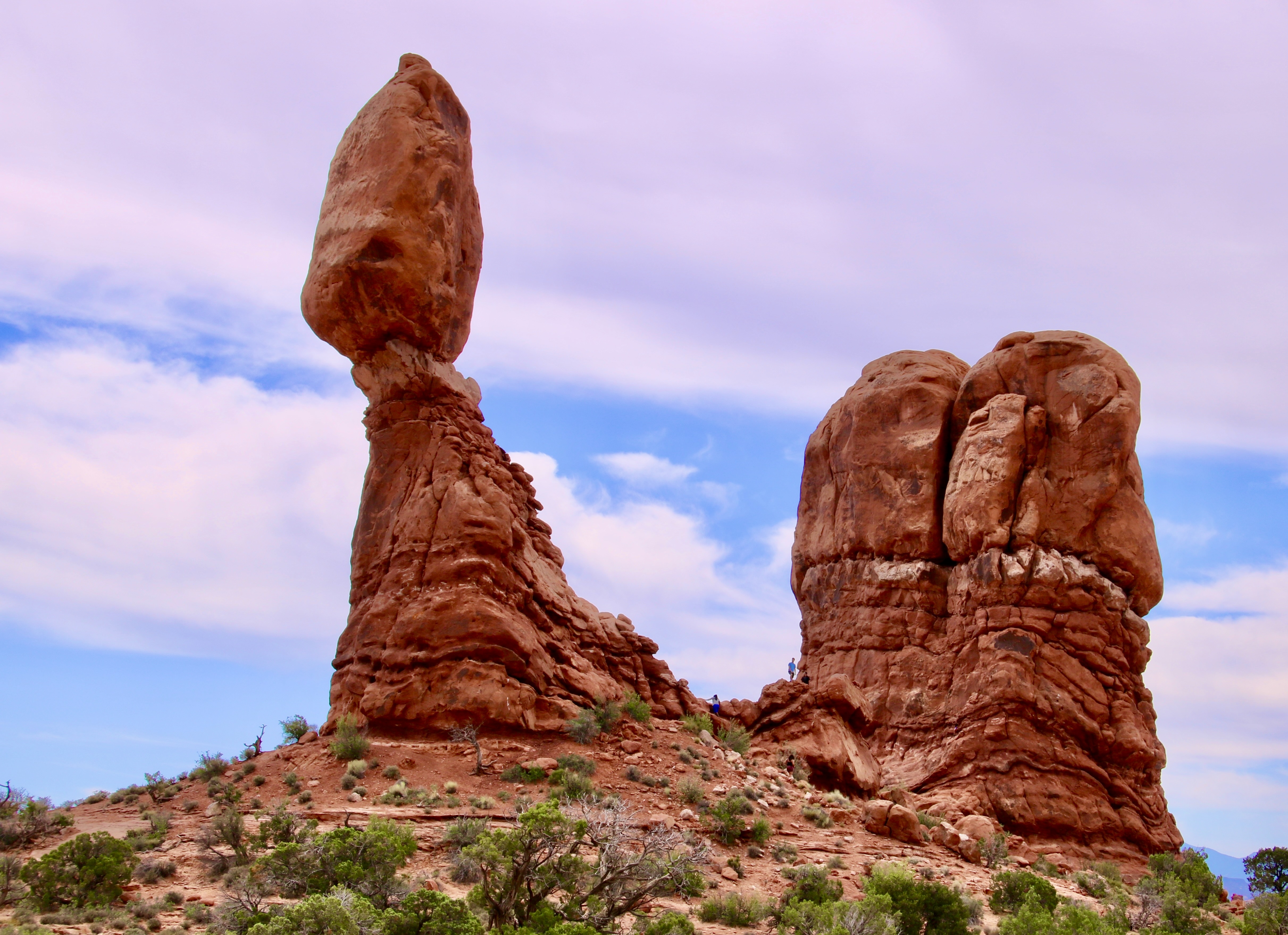
There is more than arches to Arches National Park. Balanced Rock is a prime example. It is one of the main attractions in the park. Here, Peggy caught a photo of me shooting straight up from the bottom. Her photo provides perspective on the size of the giant.
Peggy and I have always been drawn to the great natural beauty of our country and the world’s wild areas. In 1999/2000 we both took sabbaticals from our work with a primary goal of exploring the majority of America’s national parks. We ended up visiting 52 from Alaska to Florida. (Our trip also including enjoying the spectacular national parks in the Canadian Rockies.)
Our love for National Parks has continued up to today. Over the past 15 years we have returned to visit and photograph 42 national parks and 20 national monuments— many of which we feel deserve national park status.The parks we will be featuring in this series are all included in this time frame. Most of these parks we have visited at least twice and some, like the Grand Canyon, Redwoods, Death Valley, and Pt. Reyes National Seashore, several times.
We were disappointed that national parks weren’t more of a focus during the 250th Anniversary Celebration. Instead, the Trump Administration pulled tens of millions of dollars in National Park Service funds—primarily from visitor entrance fees—to finance projects in Washington, D.C. and activities like the massive fireworks display, mixed martial arts event called UFC Freedom 250, and the The Freedom 250 Grand Prix. This isn’t meant to criticize the events per se, which were enjoyed by thousands of people, but merely to note that the funds should not have been taken out of much needed national park funds. Sadly, this reflects a number of actions that the Administration has carried out in relation to national parks and monuments.
I will be discussing some of these issues in this series, but my primary purpose will be to celebrate their beauty, wildlife, history and diversity for our 250th Anniversary. The bottom line: Wouldn’t it be wonderful if Americans and people from throughout the world could be celebrating the parks and monuments that exist today— plus any more that will hopefully be added— for the nation’s 500th Anniversary.
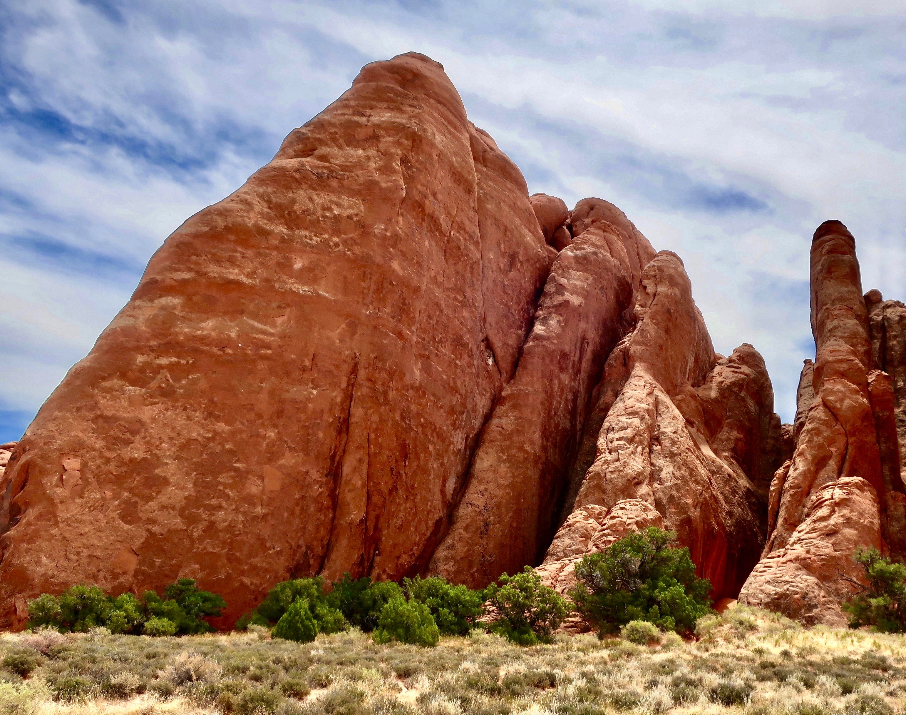
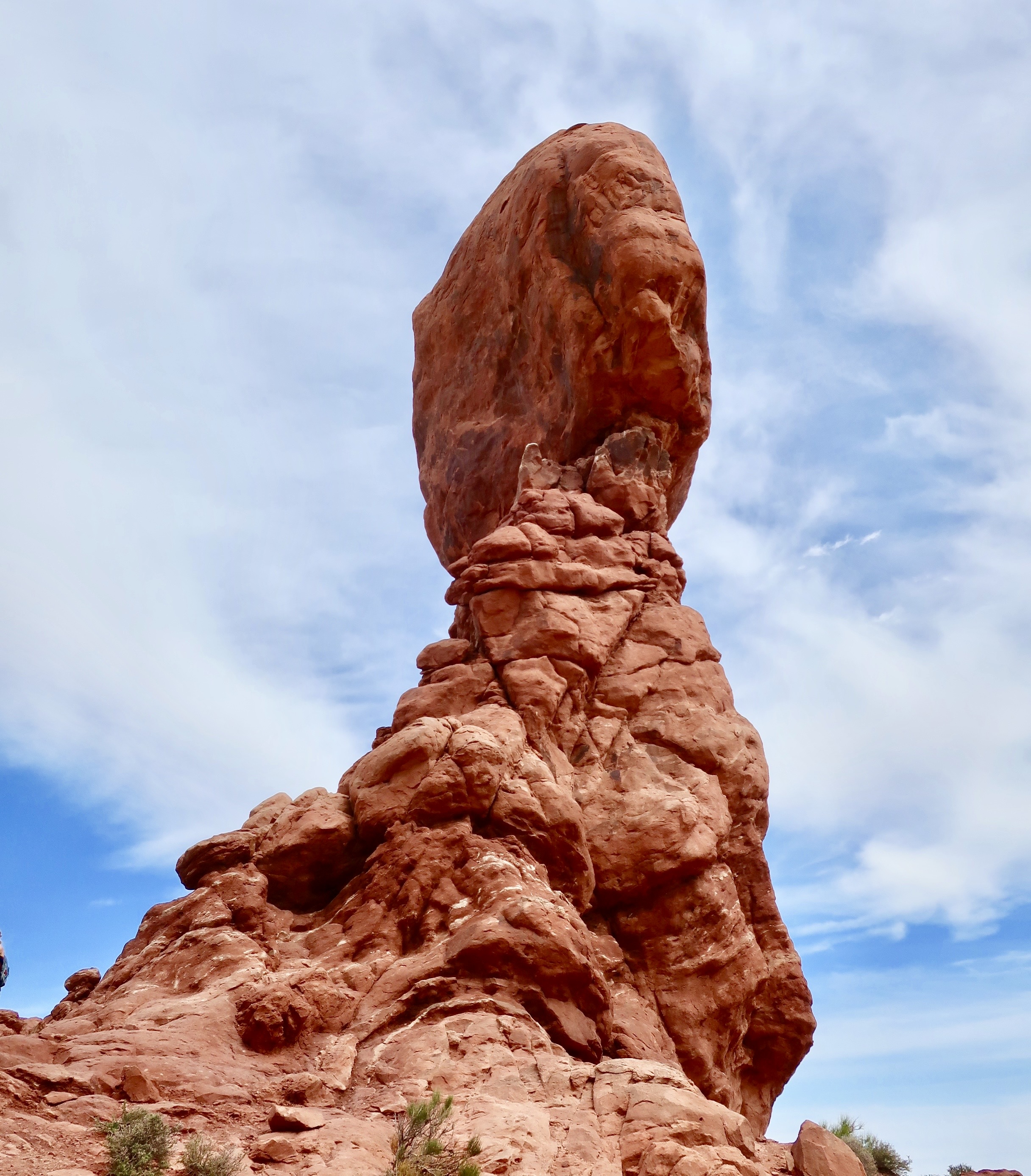
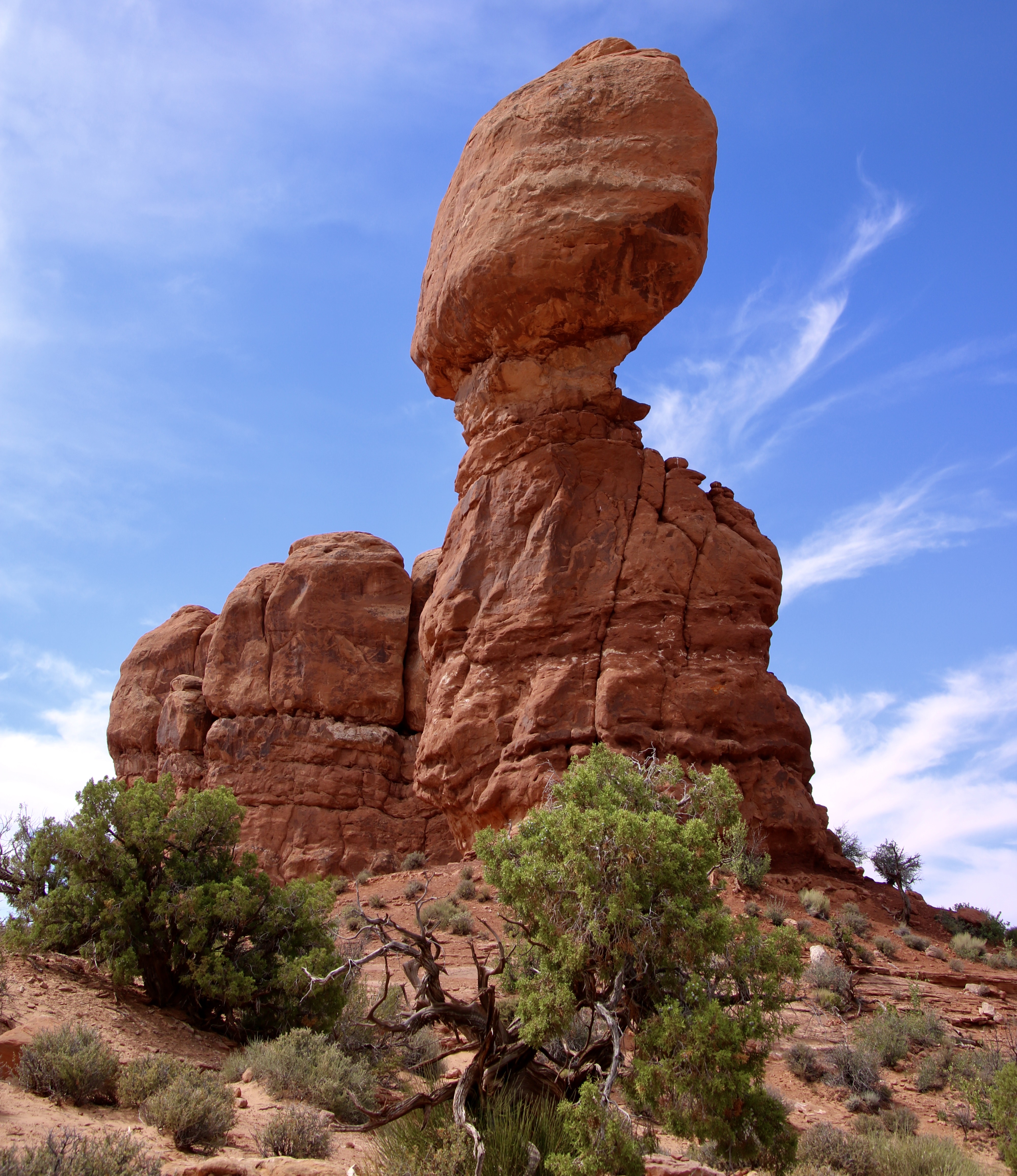
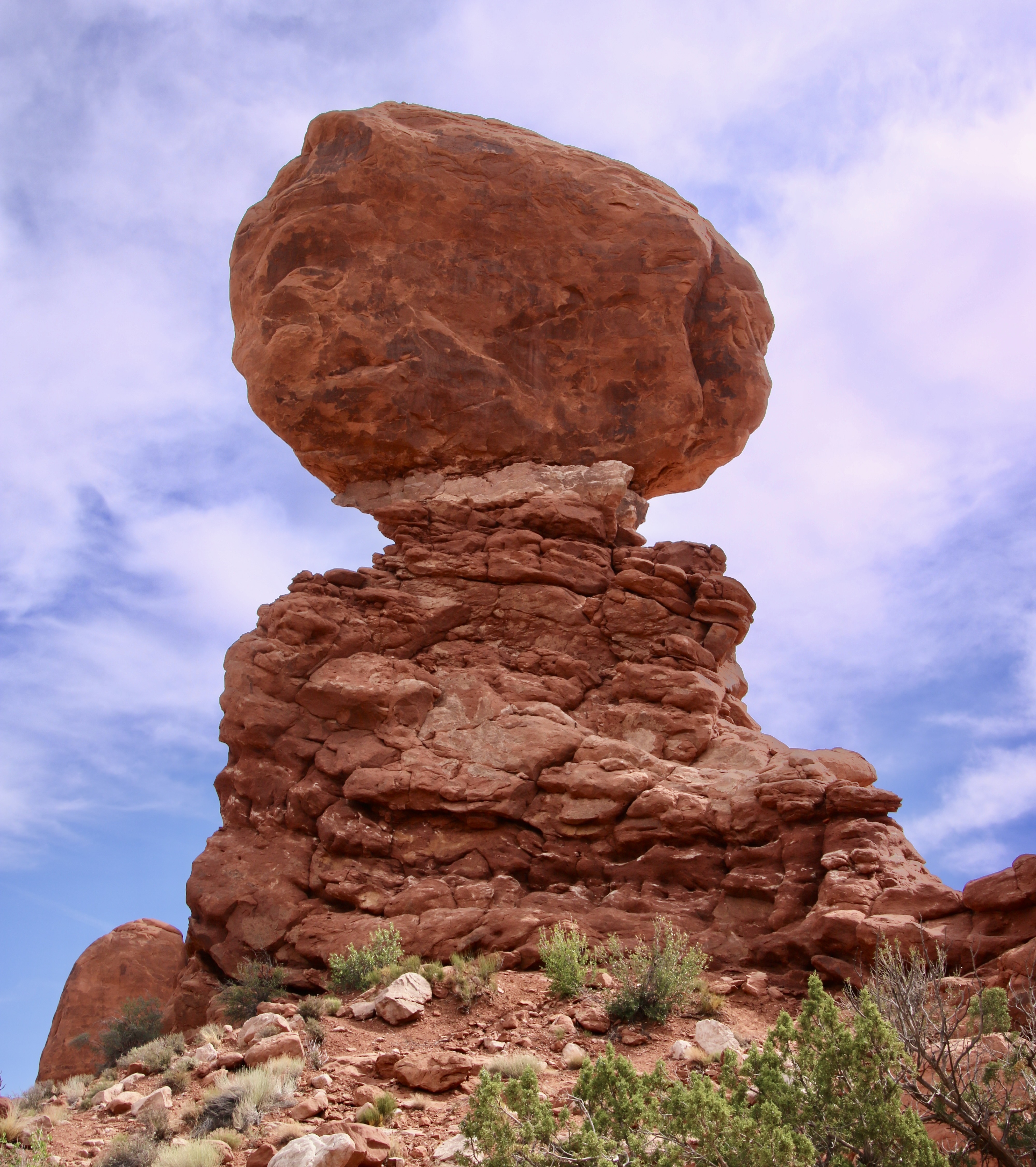
My objective in photographing the monument from bottom up was to work my way around the monument capturing views like this. One of our goals in this series is to show the beauty of the national parks from different, as well as the same, perspectives that are usually seen.This is a more traditional photo of the rock and its beauty. The total height of the monument is 128 feet (39 meters). The boulder on top is 55 feet (17 meters) and weighs 3500 tons. One wouldn’t want to be under it when this perilously perched peak comes tumbling down tomorrow— or a thousand years from now, a mere drop in a bucket when considering geological time.
The first deposits that Arches NP were created from date back over 300 million years, when sea salt from ancient oceans was laid down. Since then vast deserts, materials eroded from surrounding mountains, shallow seas, lakes and rivers have all played a part. Buried under thousands of feet of rock, geological forces would eventually bring these deposits to the surface, cracking them along the way and leading to the fractures, which, aided by erosion, created the fins, arches, and pinnacles seen today. A process that is continuing.
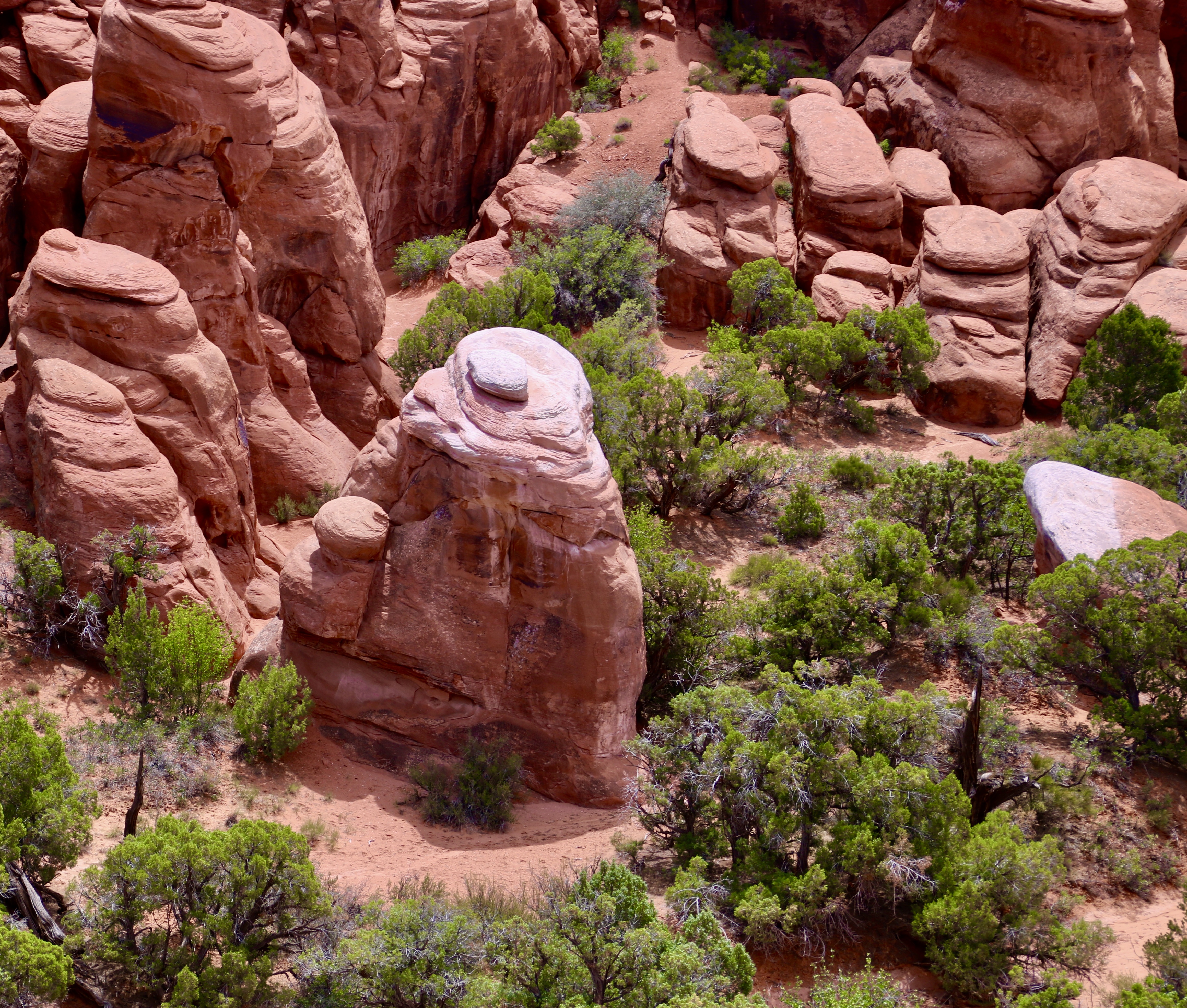
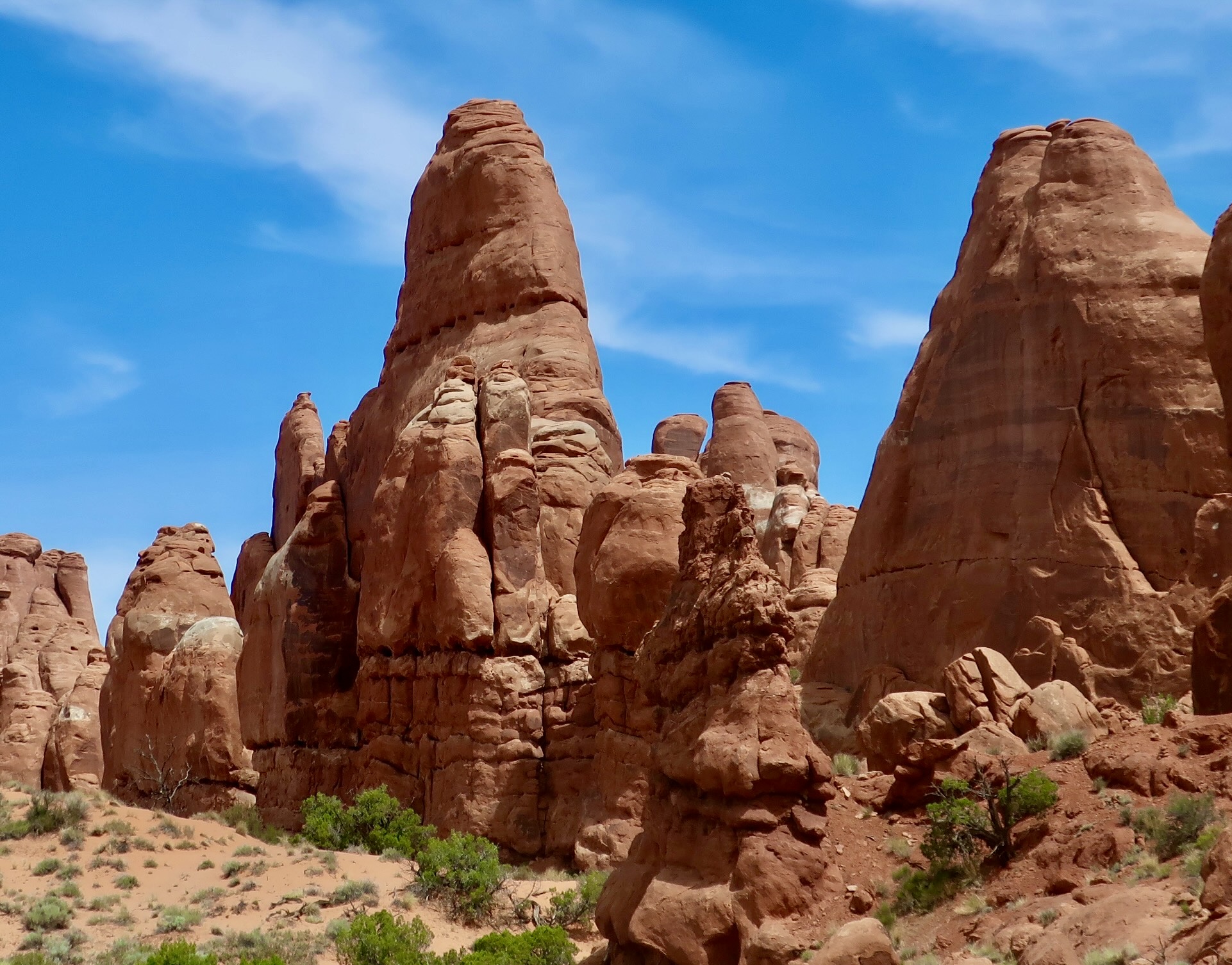
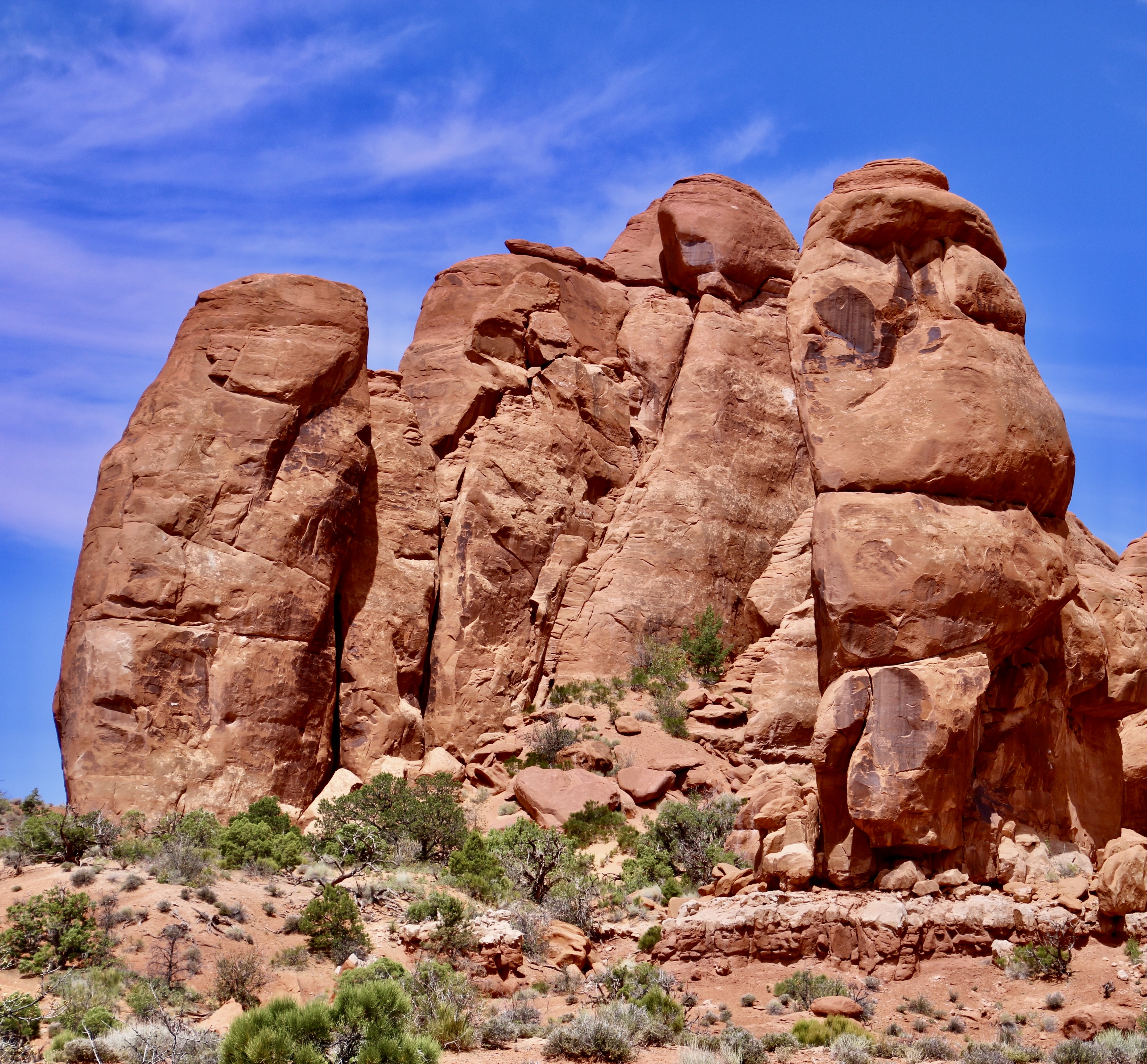
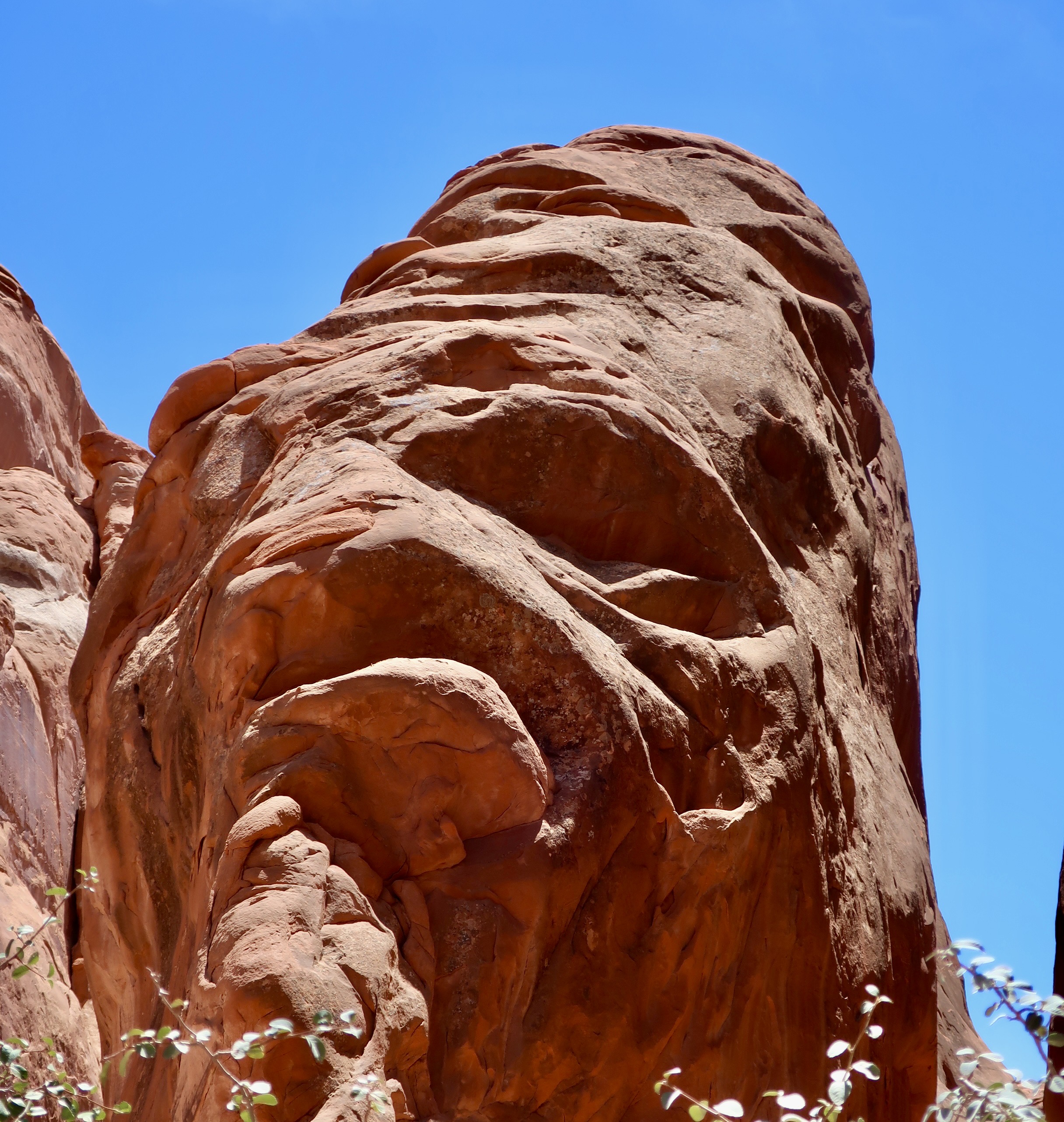
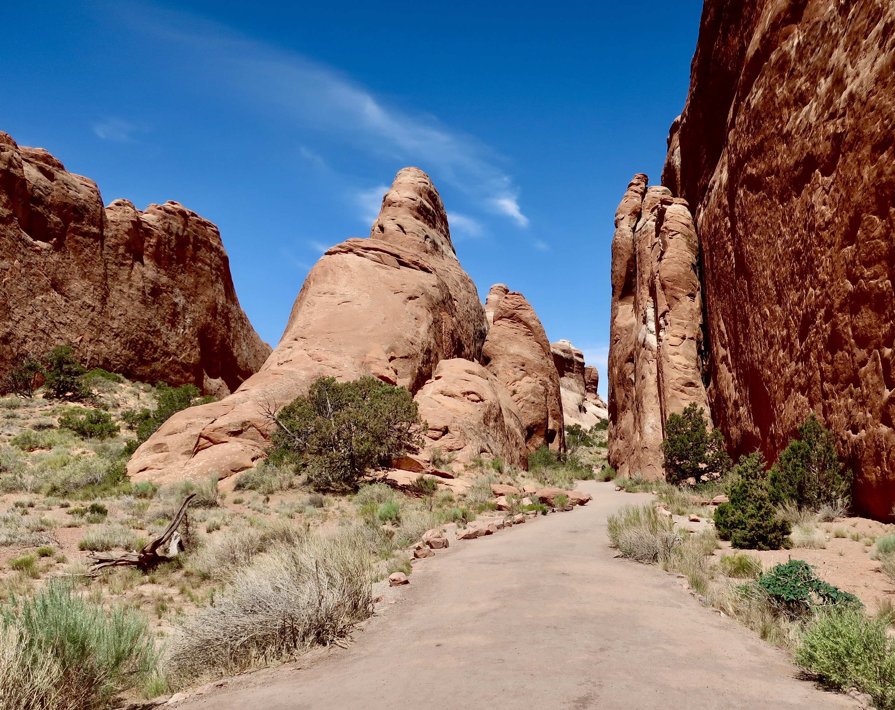
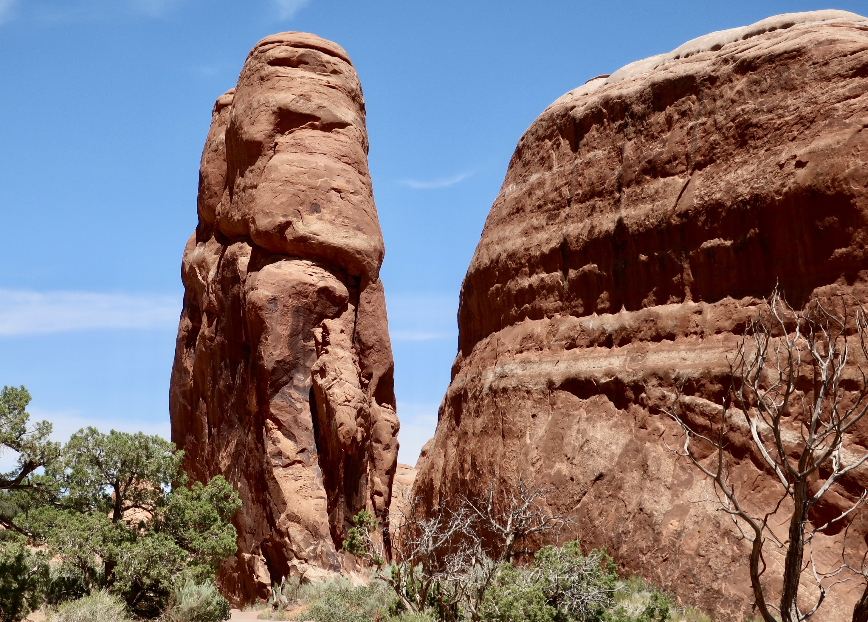
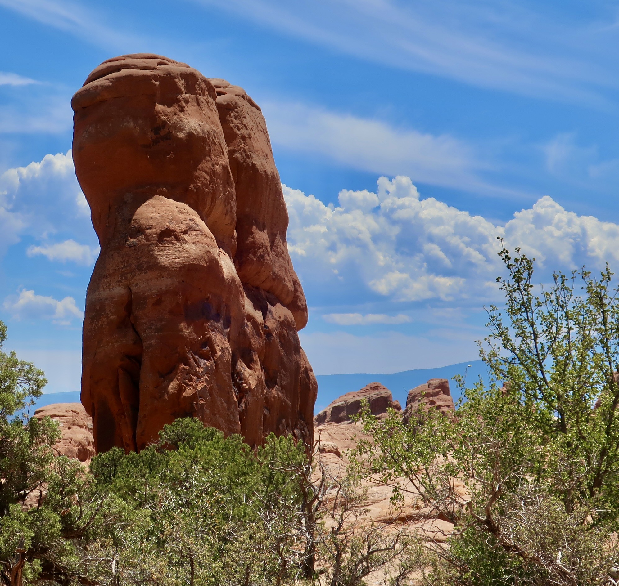
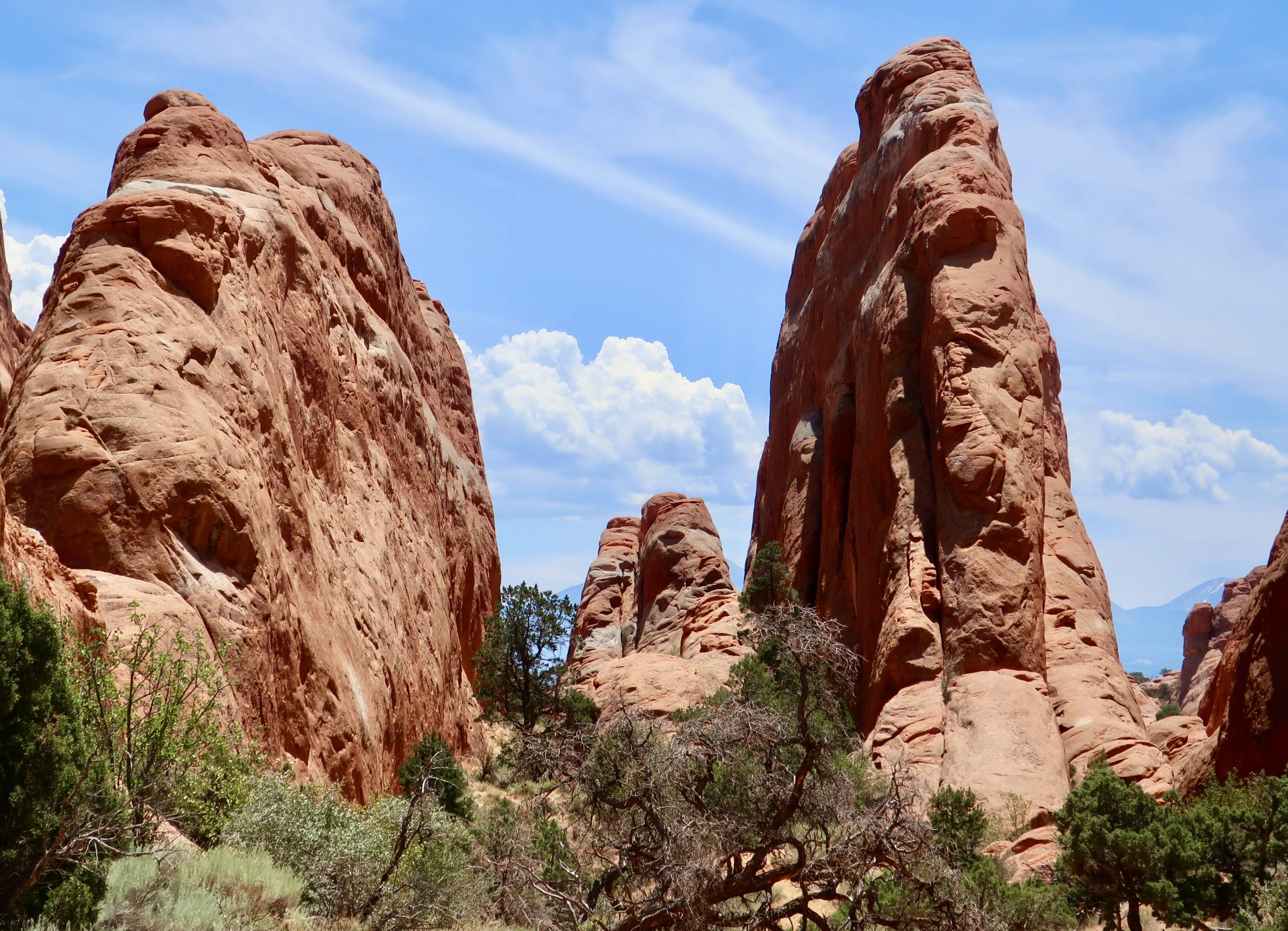
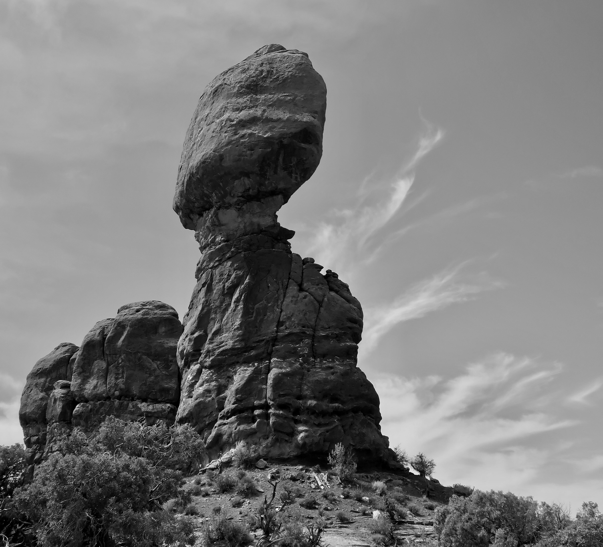
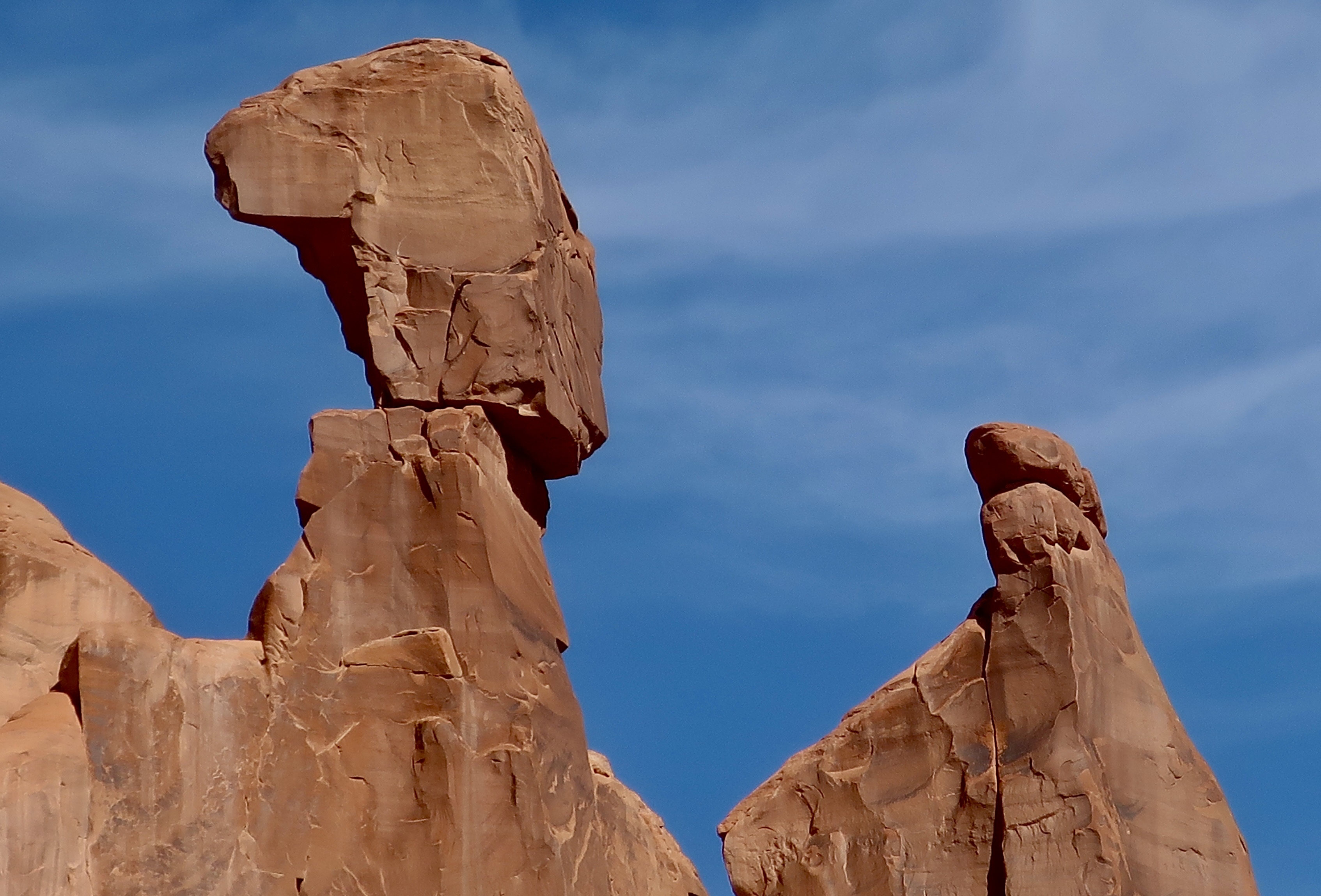
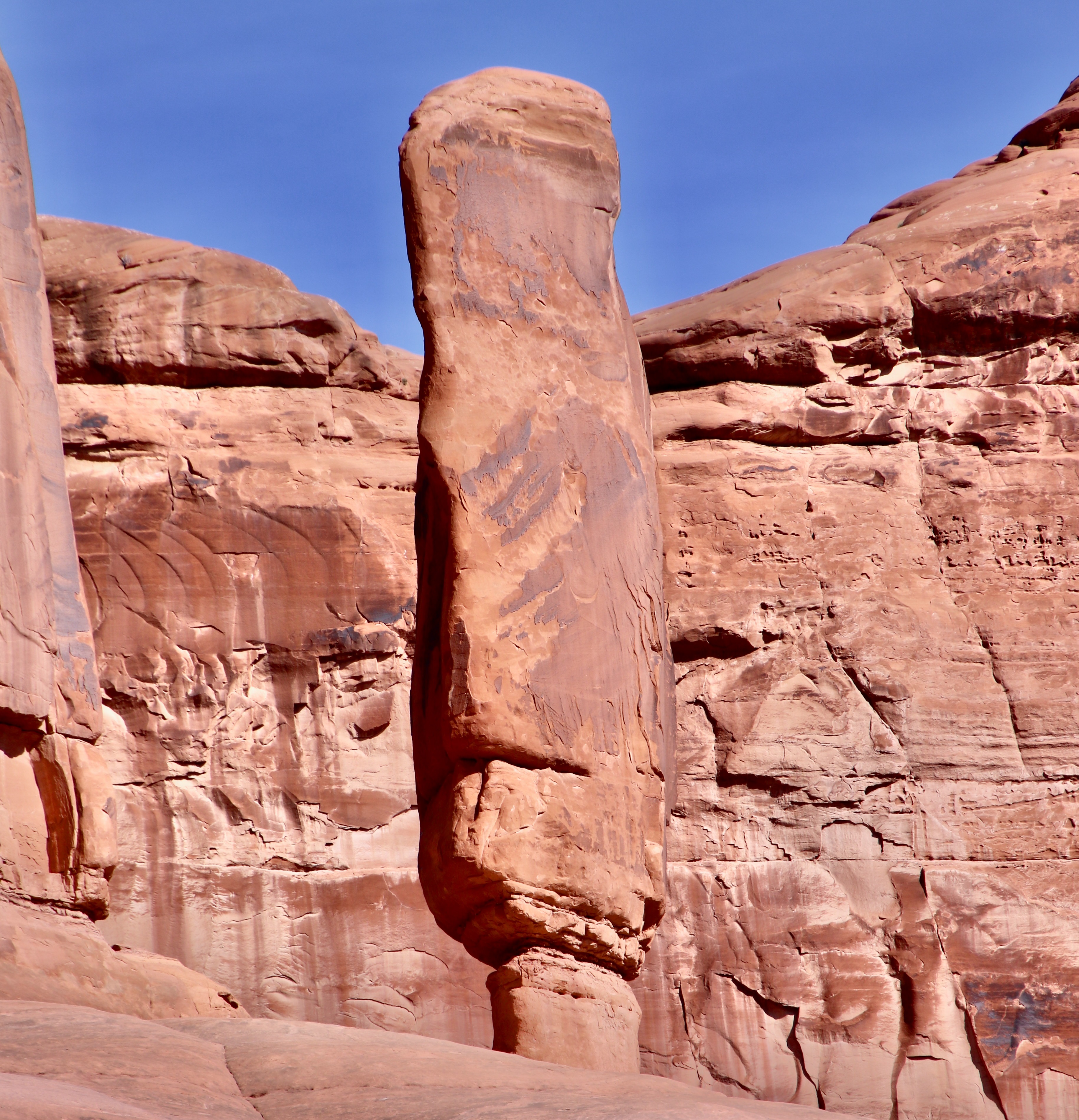
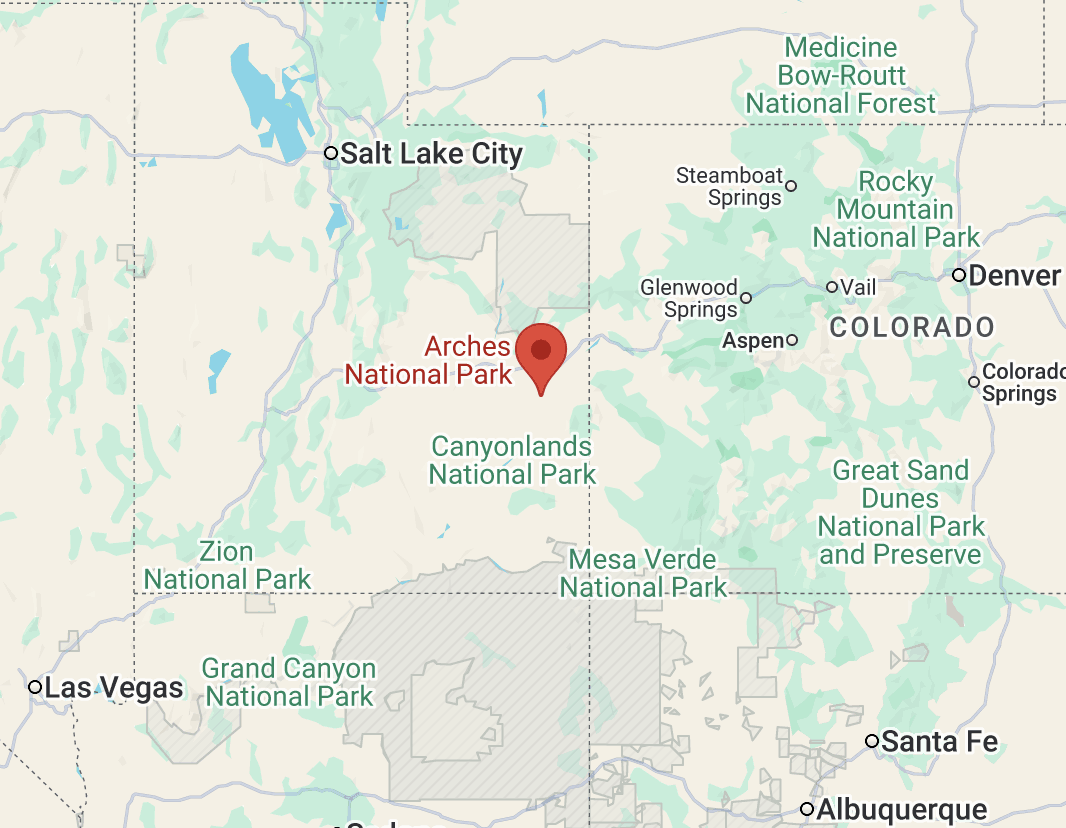
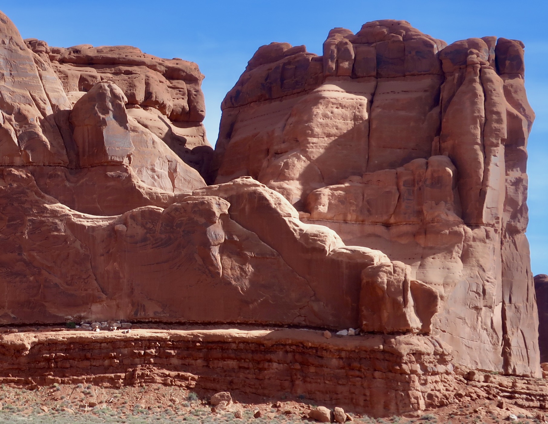
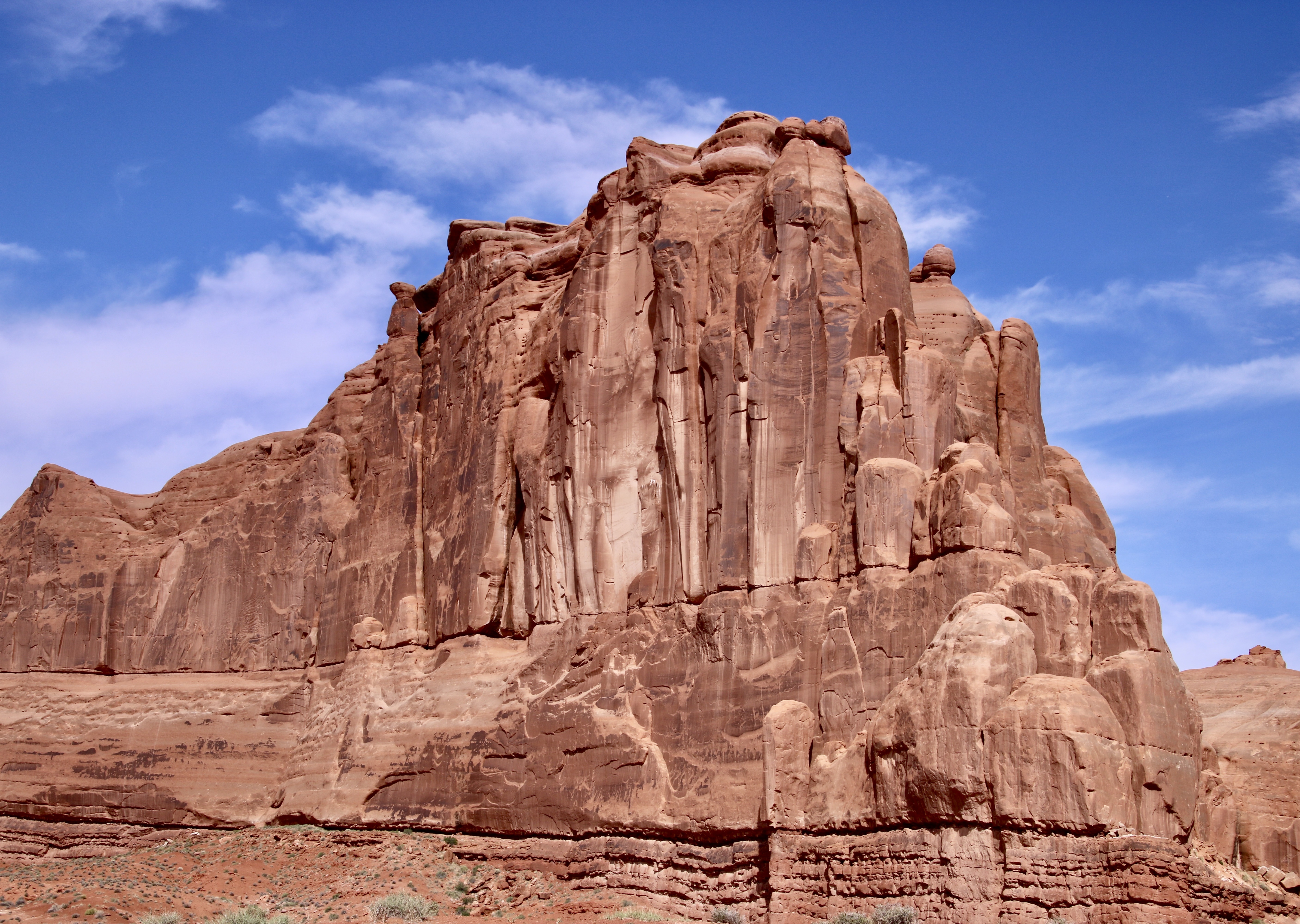
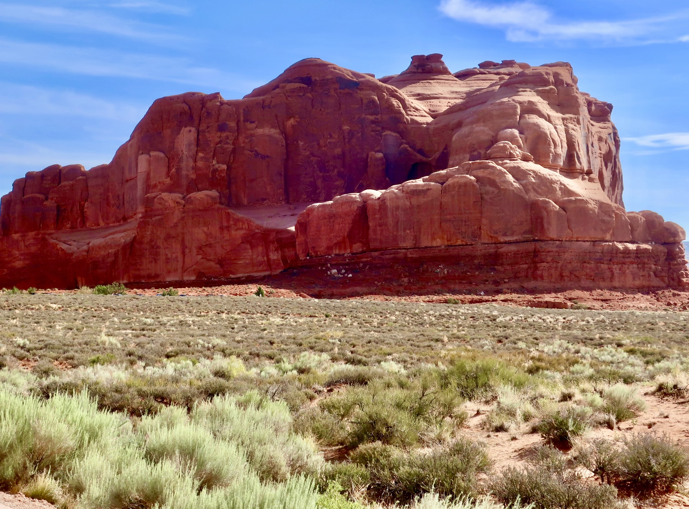
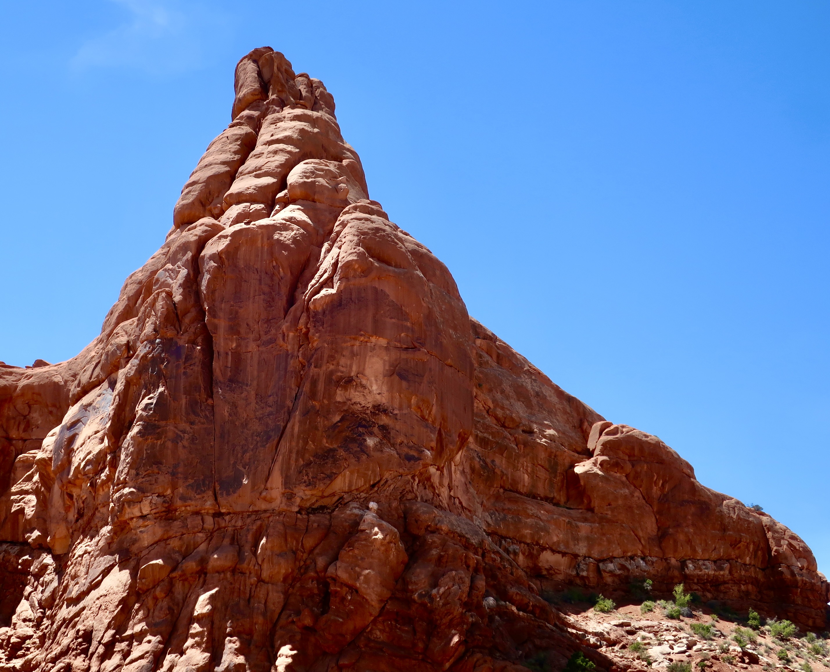
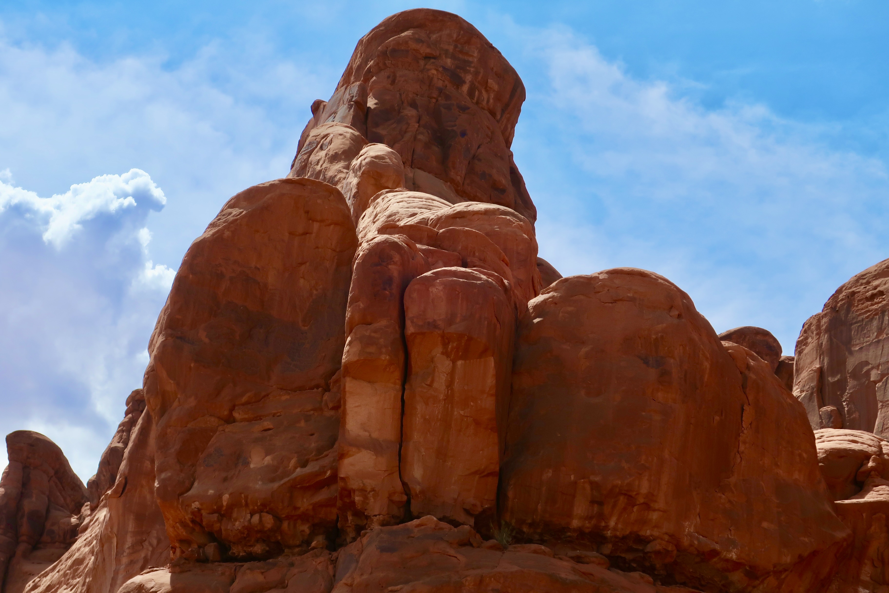
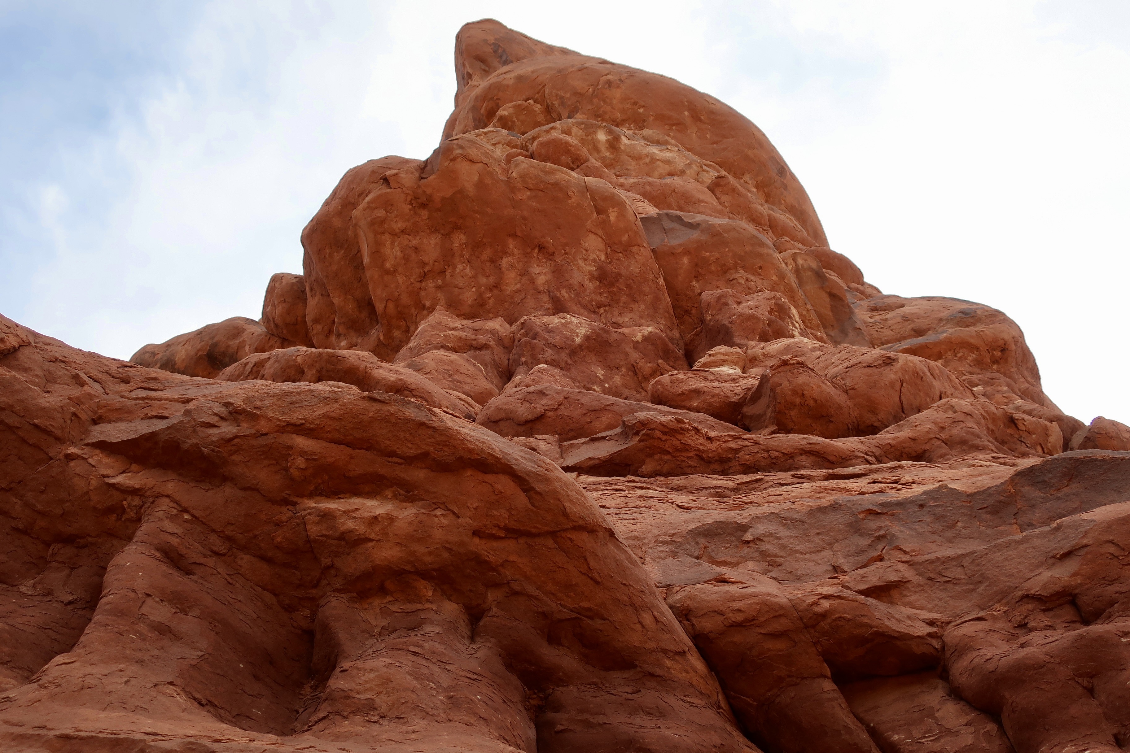
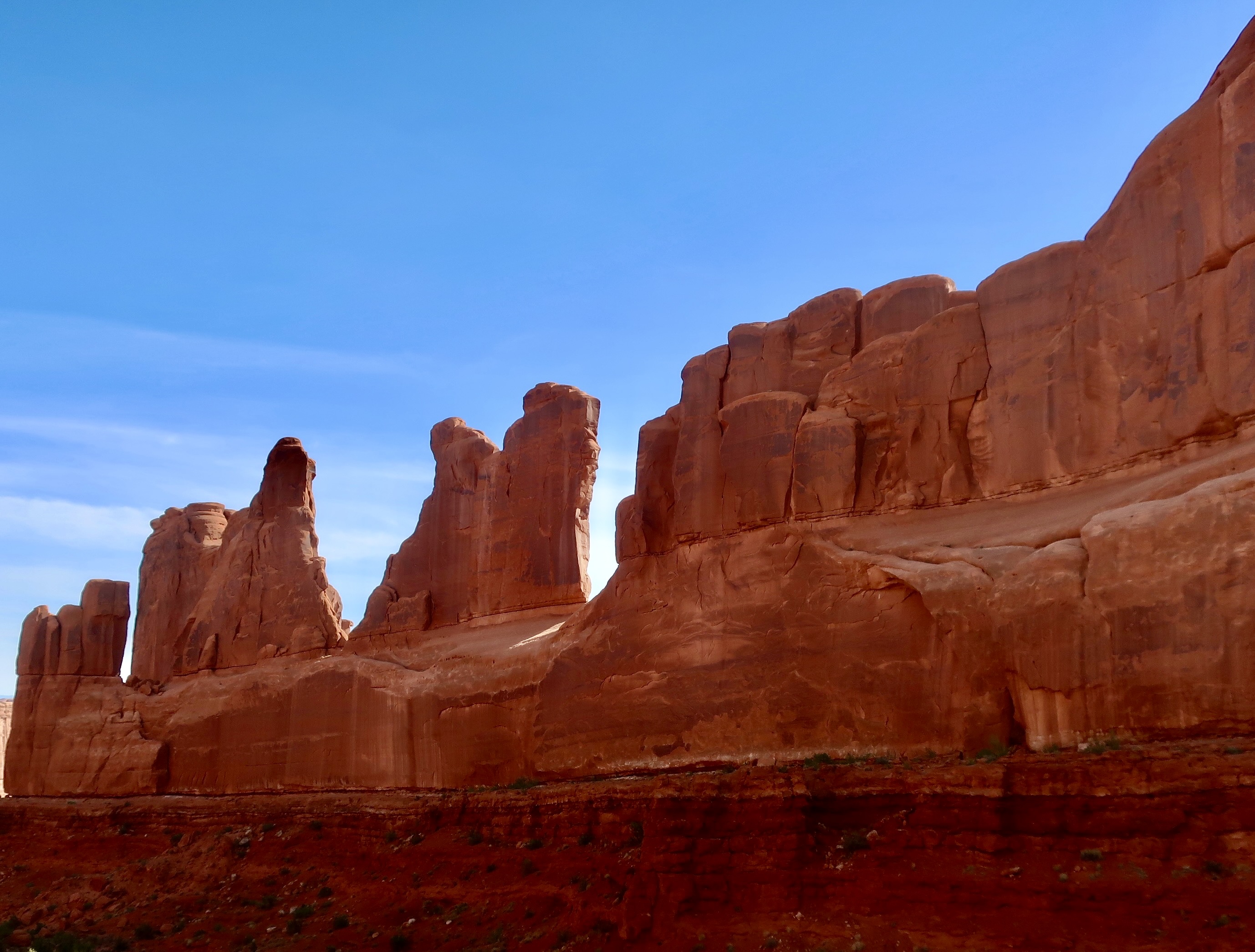
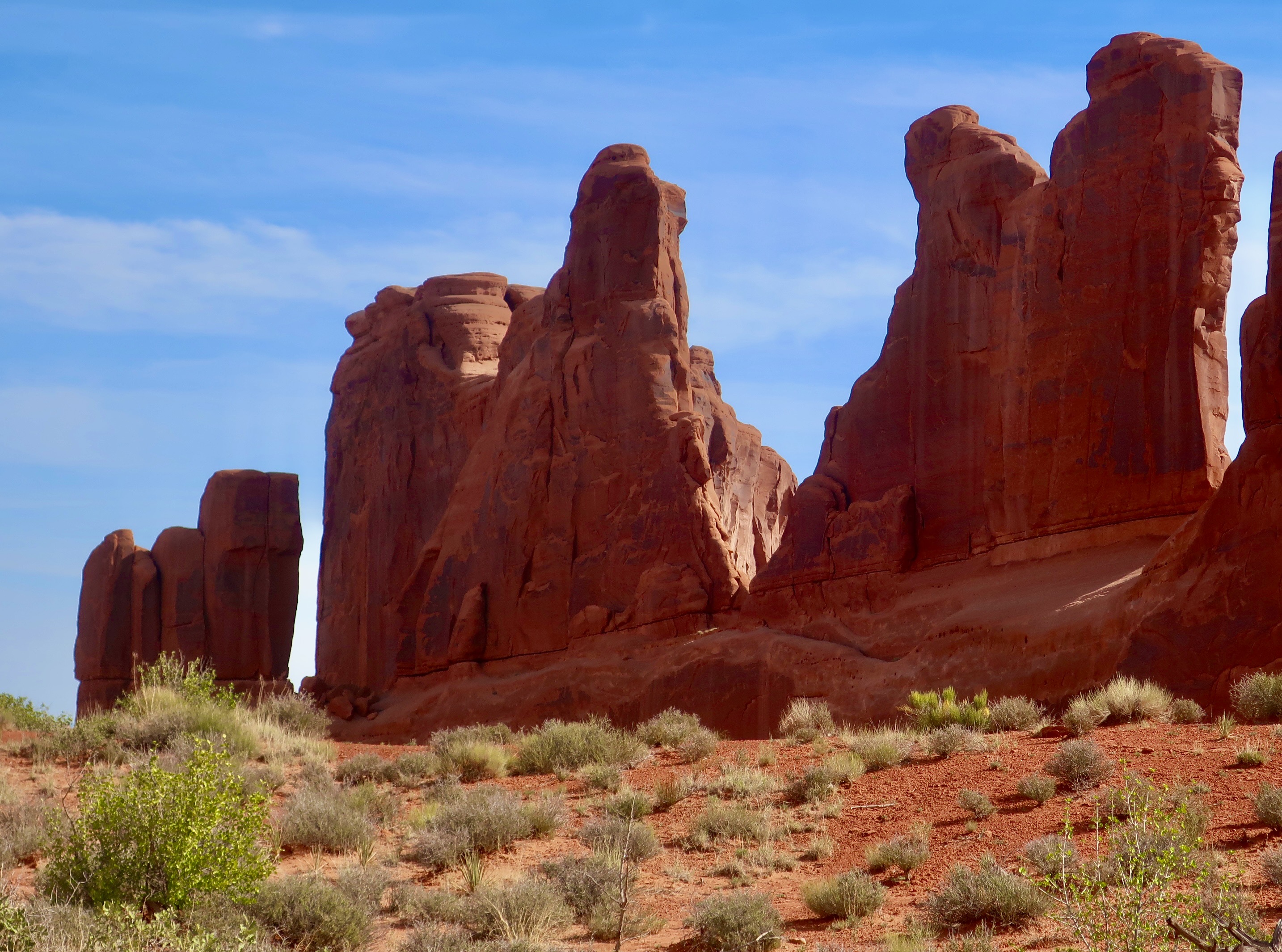
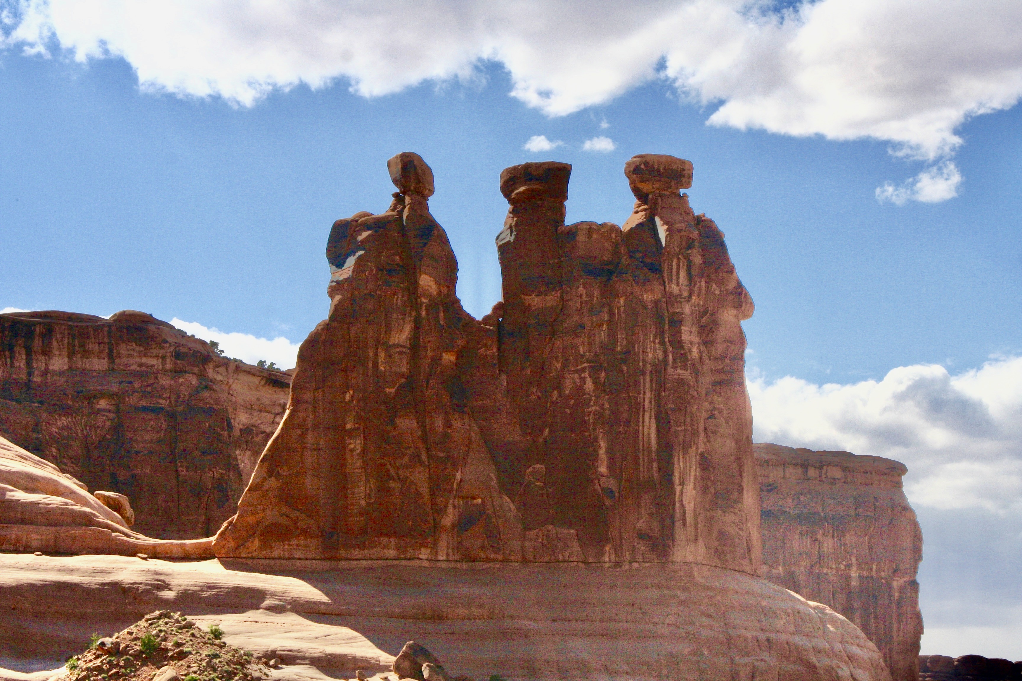
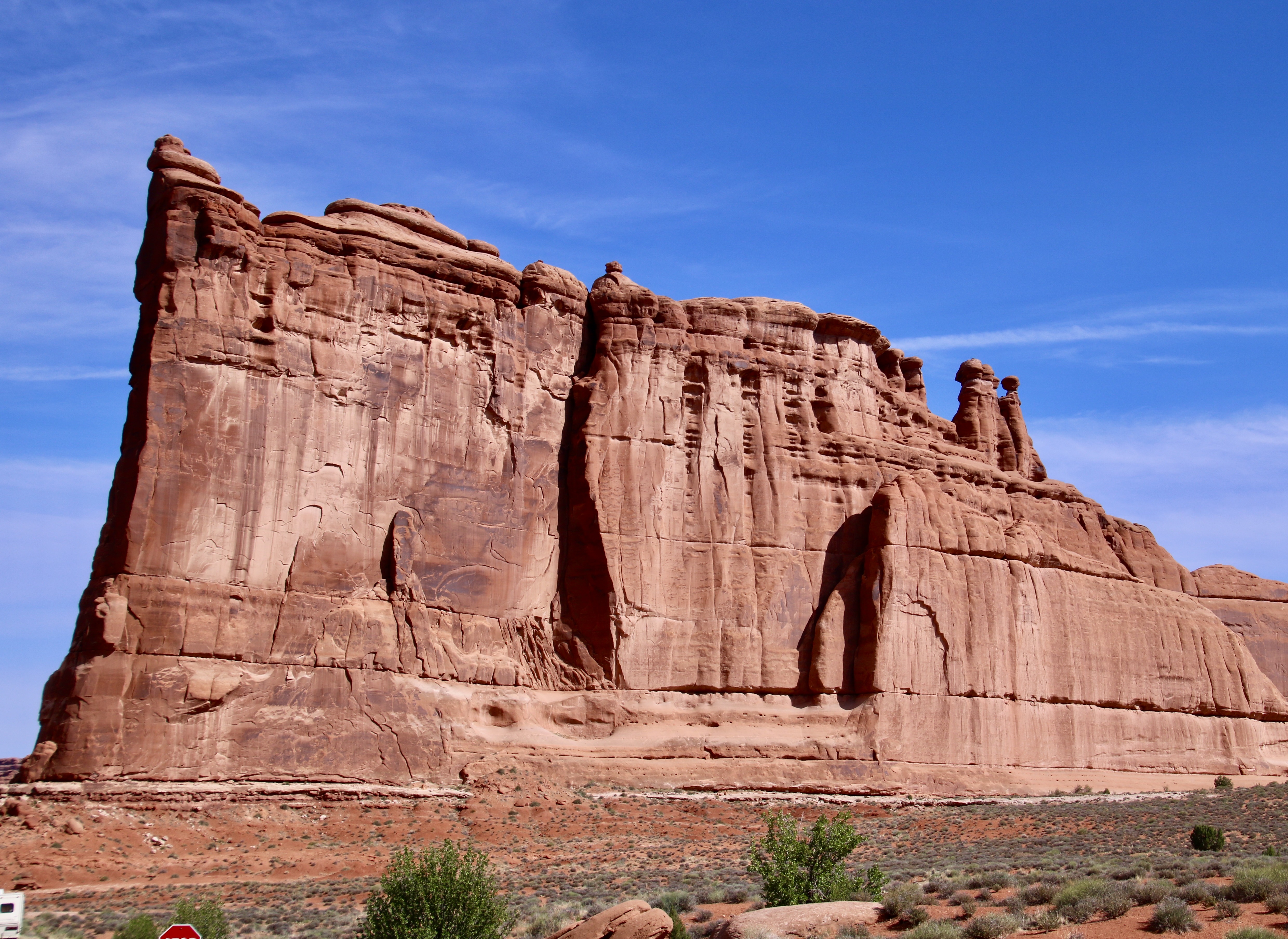
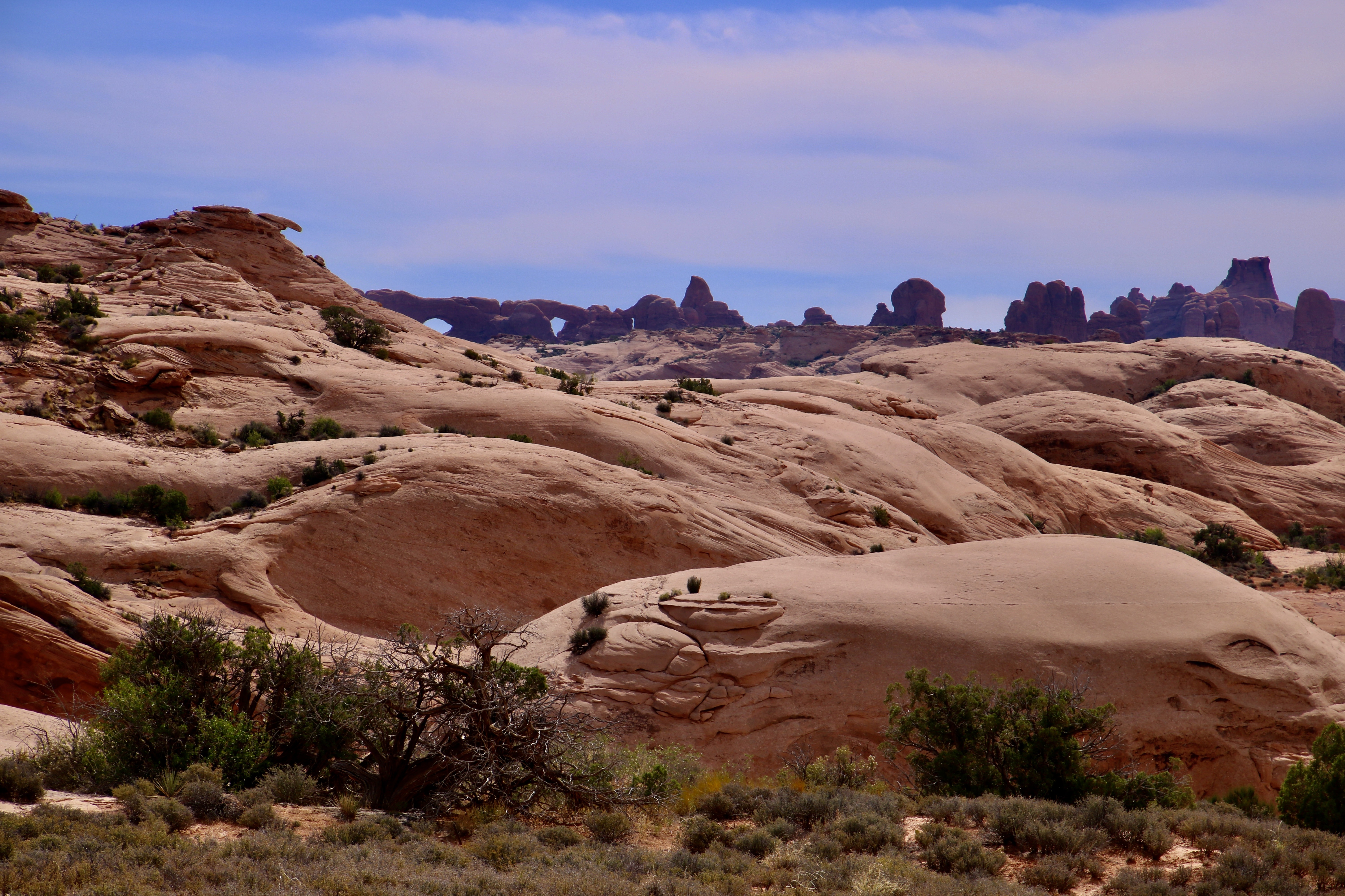
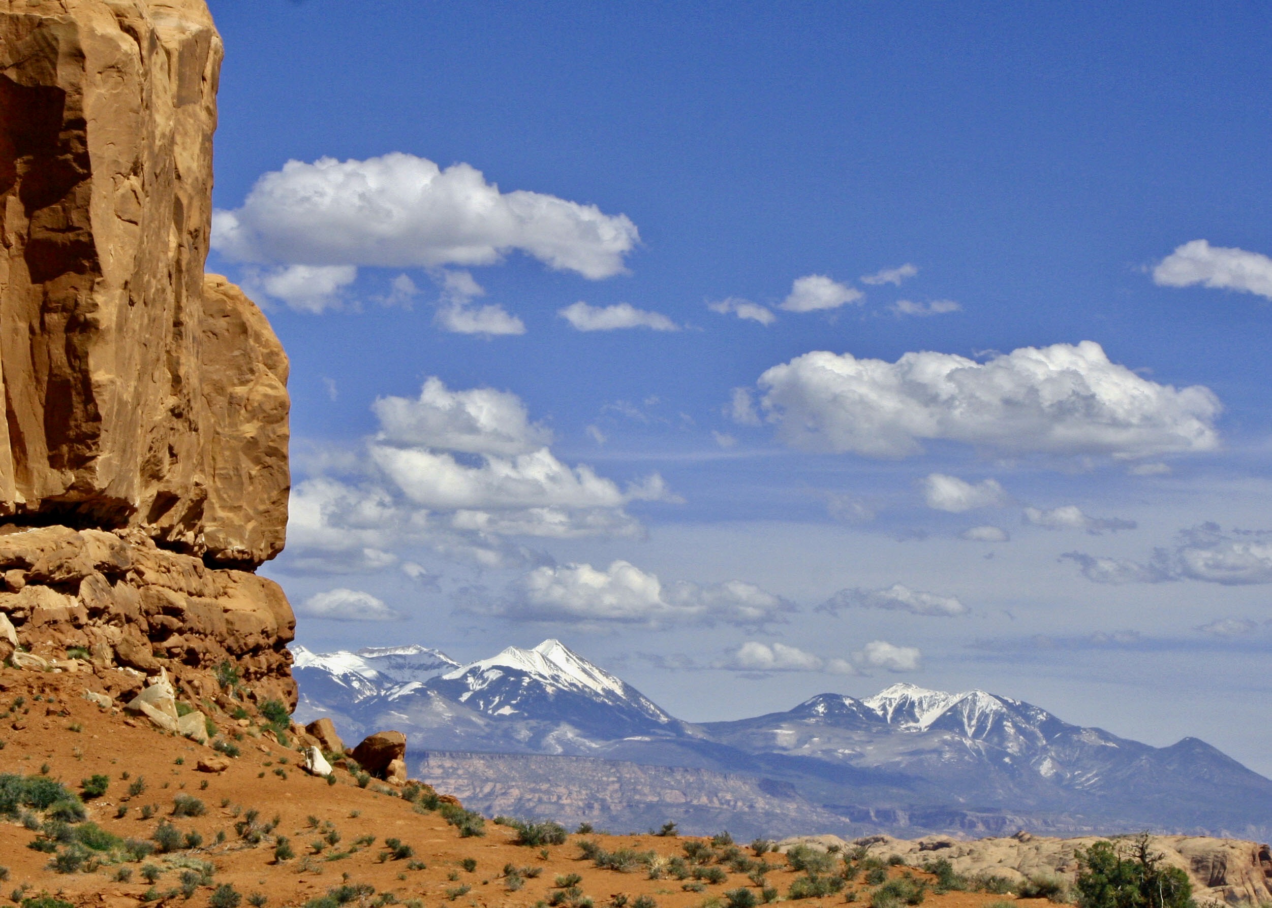
A similar photo to the one above rendered in black and white. We will be including black and white photos throughout this series. All of the photos are taken by either Peggy or me unless otherwise noted.Peggy and I often amuse ourselves by seeing animals, faces or other imagined creations in rock forms. Balanced rock makes a great dinosaur. We aren’t alone in this tendency. Many of the monuments in Arches have been given names depending on what someone thought they looked like.We found the opposite end of the boulder even more interesting. Scary? Work your way up on the left side from the chin, to the open mouth (with teeth), to the nose and eyes (mainly hidden by prominent cheek bones). We took this photo from behind a small hill next to the monument.Other balanced rocks can be seen throughout the park.Another example. Note the size of the pedestal compared to the rock.A last photo of the Balanced Rock.The location of Arches National Park in central eastern Utah as shown on a Google map. A number of other national parks and monuments are within a 1-2 days driving range.Massive rock structures appear as soon as you drive into the park.They range in size from large…To extra large.And come in a variety of shapes. From peaked…To rounded.The beginning of arches can be seen on the left here. And, if you look closely on the very top. Think of looking up someone’s nostrils.Named monuments are also found a few minutes from the entrance. One of the first is Park Avenue. A half-mile canyon is hemmed in by towering red rocks that reminded early explorers of New York City’s famed street. A close up of the sky scrapers. Some imagination may be required.Meet the Three Gossips busily chatting away.Following the religious theme, this is the Tower of Babel. Arches even has sand dunes— fossilized sand dunes. The eyes staring at you from the horizon are known as The Windows. We will be visiting them later.The La Salle Mountains provide a beautiful backdrop to Arches. I’ll close today’s post here. We have two more coming on Arches. The next post will look at the areas known as the Fiery Furnace and the Devil’s Garden, a gruesome twosome, if you will. We will wrap up Arches with the Garden of Eden and a look at several of the arches that give Arches NP its name. My next post on the Scottish Highlands will be to feature its natural beauty.
Peggy and I are in the Scottish Highlands of Northern Scotland now, and continuing our summer adventure of exploring Greece, Scotland, and Northern Ireland. Today’s tale from my WordPress blog-a-book, UT-OH!, is about the time I woke up at 4 a.m. with a bear standing on top of me.
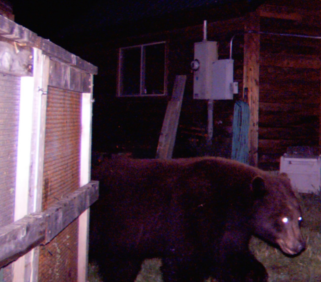
Black Bears aren’t nearly as big— or as likely to attack you as their bigger cousins, grizzlies and brown bears. This doesn’t mean they can’t be scary, especial when you wake up with one standing on you. This guy was wandering around our neighborhood when we lived in Oregon.
Bears like me, or at least they haven’t eaten me. They’ve had numerous opportunities over the years. It goes with the territory of backpacking throughout North America for six decades. My scariest encounter took place in the summer of 1969.
By the fifth year of the 100 mile Sierra Trek I did as a fundraiser for the American Lung Association, I had worked my way southward from Lake Tahoe into Yosemite National Park. Since we were utilizing a new route from Yosemite to Kennedy Meadows, I had to preview it. (Besides being another excuse to head out into the wilderness and get paid for it, I didn’t like to take people out on a trail I wasn’t familiar with.)
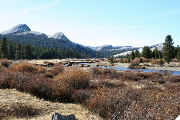
My friends Ken Lake and Tom Lovering joined me on the first three days from the Yosemite Valley floor to Tuolumne Meadows. Day one found us climbing several thousand feet out of the Valley and camping above the Little Yosemite Valley. The bears dropped by for a visit on our first night in the Park.
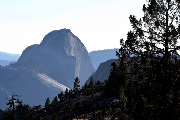
Half Dome, Yosemite. Little Yosemite Valley is on the other side.
After carefully hanging our food bags from a cable provided by the park service and burying the left over fake freeze-dried raspberry cobbler (it was made from apples), we trundled ourselves off to our sleeping bags. The problem was we buried the food a little too close to Lake. I think Tom may have been up to his usual mischief.
The next morning, a very excited Ken asked if we had seen the bears in our camp the previous night. Neither of us had and we attributed his sighting to an overactive imagination. Believe me, if a bear had been digging up food next to my head, my two companions would have known about it, immediately.
Day two was tough. What I hadn’t counted on was the amount of snow still left on the ground. The fact that it was melting simply made the hike more challenging. We spent most of our time slipping, sliding and slogging through it. By three in the afternoon, Tom was ready to set up camp right in the middle of a snowfield. Ken and I threatened to leave him with the bears and he committed to another hour. Fortunately, that night was bear free. They would have found little resistance from the three of us.
Eventually, we made it into Tuolumne Meadows where I was faced with another challenge: hiking over 70 miles of snow-covered trails by myself while Ken and Tom returned to Sacramento and work. The journey was fraught with opportunities for breaking a leg, or losing the trail, or being washed away when crossing streams raging with water from melting snow. None of the above was a desirable outcome for someone hiking alone.
Tuolumne Meadows in the summer.
My other option was to return to Sacramento with Ken and Tom, which was not acceptable. I had a week off to wander in the woods and I was going to wander in the woods for a week. I compromised by heading back over the mountains toward Yosemite Valley. My fractured logic concluded that it was better to break a leg and get lost where I had been than where I was going. I also promised myself to be really careful. This included keeping my food from bears.
Hiking out of Tuolumne Meadows took me back around Cathedral Peaks shown here.
The first day was non eventful and the second idyllic. I was exploring new country, doing what I most love to do. As evening approached, I found a delightful campsite on the Cathedral Fork of Echo Creek. Amenities included a babbling brook to put me to sleep, a flat space for my sleeping bag and a great food-hanging tree with the perfectly placed limb. A hot dinner topped off by tea spiced up with a shot of 151-proof rum and I was ready for sleep.
I carefully hung my food bags at the recommended 12 feet off the ground and 9 feet away from the tree trunk and then snuggled down in my sleeping bag. As was my habit at the time, I slept out in the open, only using my tent when rain threatened.
It was somewhere around 4 am and very dark when I awoke with a pressure on my chest. I couldn’t see very far but I didn’t have to. Approximately five inches away from my face was a long black snout sniffing at me. It was filled with grinning teeth and topped off by a pair of beady eyes that were staring at me with a hungry look.
I let out a blood-curdling scream and vacated the premises, in like three seconds!
As I flew in one direction, the equally surprised young bear that had been standing on me flew in the other. I don’t even remember getting out of the bag. The next thing I knew I was standing up, yelling and shining my flashlight into the woods where not one, but two pairs of orange eyes were staring back at me. I lost it. Never have so many rocks been hurled with so much vigor in such a short period of time. The bears wisely decided to head off over the mountain.
But the damage was already done. My camp was a disaster area. My carefully hung food was scattered all over the ground with literally every meal torn open and sampled. All I had left was a chunk of cheese and it had one large bear bite out of it. I hid the cheese under a heavy rock.
As a further insult, one of the bears had chomped down on my plastic rum bottle and all of the rum was gone. I couldn’t even drink. With that option eliminated, I policed the area, crawled back in my bag and went back to sleep. When I awoke in the morning it was obvious that the bears had come back into camp to clean up anything they had missed. Once again the previous night’s trash decorated my campsite. At least the bears let me sleep this time. And they had missed my cheese.
So I ate it for breakfast, cleaned the area again, packed up my gear and hiked 18 miles into the Yosemite Valley to resupply. But my week wasn’t over; neither were my bear experiences. The summer had only begun.
I’m going to be off from blogging for a week or two. We flew back from Greece to attend our grandson Cody’s graduation and naturally I had to catch a bad cold while traveling. Now we are in Scotland getting ready to explore the Scottish Highlands for two weeks and have a full schedule. After that we will be in Northern Ireland for a more relaxed visit and I should be able to catch up!
Peggy and I are continuing our journey through Greece, the Scottish Highlands and Northern Ireland. Today’s tale from my WordPress blog-a-book, UT-OH!, is about the time my friend Bob Bray, got lost in a snowstorm…
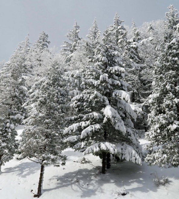
There is beauty in freshly fallen snow, but there can also be danger. Avalanches, hypothermia, and getting lost are three frightening possibilities. (Photo by Peggy Mekemson.)
Over the years I’ve had a number of challenging experiences in the snow. They have ranged from being buried under three feet fresh snow in an emergency snow shelter to camping out in 30° F below zero weather in the Alaska wilderness. I know what it is like to be on the edge of hypothermia and to cross country ski through avalanche country.
Only once, however, have I been involved in a search and rescue effort during a snowstorm.
I was out hunting with my friends Bob Bray, Hunt Warner, and Phil Dunlop in the early 70s. As usual, I regarded hunting as an excuse to be out in the woods with friends, not a reason to shoot a deer.
Deer season had come down to its last weekend. Pushing the season to its limit meant risking bad weather. We were hunting north of Highway 50 in El Dorado National Forest one Saturday afternoon in late October when the snowflakes started drifting lazily out of the sky.
It wasn’t much to worry about. We zipped up our coats and continued hunting. If anything, the gently falling snow added an enjoyable element to the trip. But it kept snowing and the flakes became more serious. After a couple of hours there were six inches of the white stuff on the ground and my tracks were beginning to disappear. I decided it was time to make a judicious retreat to the T-bone steaks that were waiting for us back at the jeep. I soon ran into Hunt who was walking with Phil.
“Have you seen Bob?” I asked. He and I had parted an hour earlier at the edge of a large thicket of brush where Bob had been convinced he would jump an evasive buck.
“I haven’t seen him since it started to snow,” was Hunt’s reply. Phil hadn’t see him since lunch. Normally we wouldn’t have been overly concerned. We were used to traipsing around through the woods on our own. But evening was coming, the temperature was dropping, and the snow was continuing to accumulate.
“Maybe Bob has more sense than we do and has already returned to the jeep,” Phil suggested. That seemed logical so we made the short 15-minute walk back to it. No Bob.
“This is getting worrisome guys,” I said in a definitely worried tone. It wasn’t like Bob to be late for dinner. “Let’s go back to where I saw him last and see if we can find his tracks.” The advantage of snow is that it leaves a trail even a city slicker can follow, assuming that it hasn’t already covered the tracks. Even then, there are usually dimples in the snow.
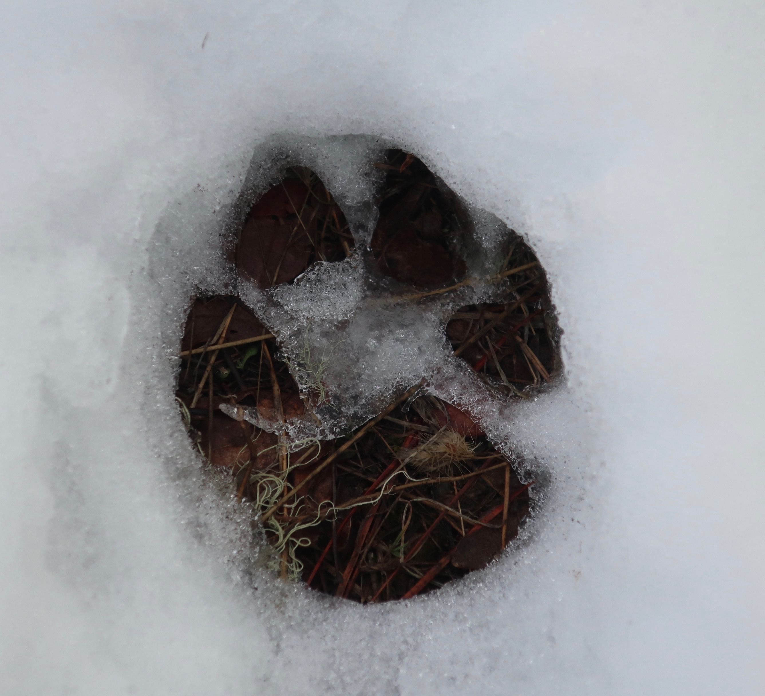
This cougar track from our backyard when we were living in Oregon shows how clear tracks can be in fresh snow.
Unfortunately, no tracks or convincing trail-like dimples were to be found. I did spot the tracks of a very large deer, but they disappeared at the edge of the thicket.
“It looks like the buck stops here,” I said to Phil and elicited a weak groan. I suggested we split up and look around.
“We need to meet back here in 30 minutes,” I urged. “Don’t go far, and pay attention to where you are going. It is getting close to dark and the last thing we need is a second person missing. If you come across Bob’s tracks, fire your rifle and we will join you.” My degree of concern was reflected in my bossiness. Normally we were a very democratic, almost anarchical group.
Ten minutes later I had made my way to the other side of the thicket and found nothing. Neither had I heard any rifle shots announcing that either Hunt nor Phil had success. Discouraged, I turned around to rejoin my fellow searchers. It was then I spotted tracks leading out of the thicket. Up went my Winchester and I fired off a shot.
“Bang!” the sound of another rifle being fired resounded from the direction Bob’s track had headed. I quickly levered in another bullet and fired again. There was no response. I did hear Phil and Hunt making their way through the brush toward me, though. They sounded like a pair of large bears. We held another council. Once again, we decided to split up.
Phil would return to the road where the jeep was parked and flag down a car. His job was to get a message through to the El Dorado County Sheriff’s Department that Bob was missing. Hunt would cut back through the thicket and wait on the jeep trail where the thicket began in case Bob made his way back there. He’d fire his rifle if Bob appeared. I was going to follow Bob’s tracks until dark to see if I couldn’t catch up with him. There were only about 30 minutes of daylight left so the odds were slim. My concern was that Bob had somehow injured himself and was stranded, or that he had become disoriented and become lost.
Following the tracks was a challenge. They would be clear for a few yards and then disappear under the snow. It was continuing to fall and beginning to drift, whipped on by a strong breeze. Each time I lost the tracks, I would work forward in a zigzag pattern until I found them again. It didn’t help that Bob was tending to wander or that I was tired from a full day of tramping over mountains. Dusk was rapidly approaching when I came across another set of tracks that crossed the trail I was following. They were fresher, and they were Bob’s! I yelled but the only response was the silence of the snow filled woods. It seemed to me that Bob was beginning to follow the classic lost person syndrome of wandering in circles.
I wanted to go on, needed to go on, but knew that the decision would be the wrong one. Dark had arrived to reduce an already limited visibility. I was tired, close to exhaustion, and cold. Hypothermia was a real threat. Ever so reluctantly I turned around and begin to make my way back toward Hunt, leaving Bob behind to face whatever fate the dark and snow and cold had in store for him.
The realization of how tired I was really hit me when I came to a downed tree and couldn’t persuade my leg to step over. We had quite the discussion. I reached down, grabbed my pants cuff and gave the reluctant appendage a boost. Hunt was waiting where we agreed and I filled him in on my findings as we made way back to the jeep through the ever-deepening snow.
Phil had had more luck. The vehicle he flagged down had a CB Radio and the driver was able to contact the Sheriff’s office. A team with snowmobiles would be at our jeep at first light, prepared for a full search and rescue operation. Bob, who was manager of Placerville’s newspaper, The Mountain Democrat, was well-known and liked in the community. We knew we would have lots of support in our search.
There wasn’t anything else we could do. We were too tired to set up the tent so we climbed in the jeep, grabbed a bite to eat, downed a Bud, and prepared for a long night. Hunt got the front seat—it was his jeep. Phil and I shared the back. It was beyond uncomfortable and even exhaustion couldn’t drive me to sleep. Somewhere around two I finally managed to doze off only to be awakened at 5:30 by Hunt’s cussing about how damn cold it was. And it was. Our sleeping bags hadn’t kept us warm and the doors had frozen shut. We had to kick them open.
We soon had our Coleman lantern blasting out light and our Coleman stove cooking up a mass of bacon, eggs and potatoes. We were expecting a long day and knew we would need whatever energy the food could supply. The storm had passed, leaving an absolutely clear sky filled with a million twinkling stars.
The Sheriff’s team arrived just as the sun was climbing above the Crystal Range of the Sierra Nevada Mountains, exactly on time. Introductions were made and snowmobiles unloaded. We filled the team in on our efforts of the previous day. The deputy sheriff in charge asked me to climb onto the back of his snowmobile and take them to the point where I had left Bob’s tracks the night before. It was to be my first ever snowmobile ride. Except it wasn’t.
Just as the search team was firing up their engines, a wraithlike figure wearing a plastic poncho came slowly hiking up the hill toward the jeep. He looked like a bad guy out of an early Clint Eastwood western. It was Bob. As soon as the sun provided a hint of dawn, he had managed to orient himself and start walking back toward the jeep. Yes, he was freezing, but he was alive. We knew just how alive he was when he demanded his share of breakfast. As we cooked up another mass of bacon and eggs (fortunately we hadn’t eaten everything), Bob told us his story.
He had become disoriented after coming out of the thicket and headed off in the direction he thought would take him back to the jeep. It didn’t. He fired his rifle several times to get our attention but the sound of shots is fairly common in the forest during hunting season. We just assumed a deer hunter had gotten lucky. Bob continued wandering and eventually came across his own tracks. That was when he seriously began to worry.
Knowing he was lost and knowing night was coming on, he gathered wood for a fire. The wood was wet and refused to start burning. Bob’s lighter ran out of fuel but he still had a few matches. He took his lighter apart, placing the innards under the wet wood and used his last matches to light it. The good news was that the fire started. The bad news was that the wind and snow put it out almost immediately. It was some time during this process that I had fired my rifle and Bob had used his last shot to respond. Out of options, he had dug out a packrat’s nest to provide shelter and prepared for the longest night in his life. He had survived in lodging that made Hunt’s ancient jeep seem like a five-star hotel.
“I even fell asleep once or twice,” Bob managed to get out around a mouthful of eggs.
Of course, the Mountain Democrat ran a major story on Bob and he had to take considerable ribbing in Placerville over the next several months. It was a small price to pay considering the alternatives. That Christmas, Bob received several compasses for gifts. It was years before he had tolerance for any temperature below 70.
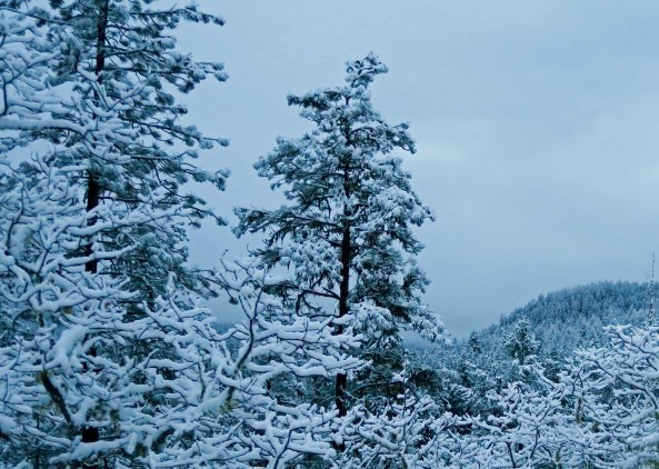
I took this photo out my front door of our home in Oregon. And then went back inside…
Next Post: You will get to meet both ancient and modern cats of Greece. They were everywhere.
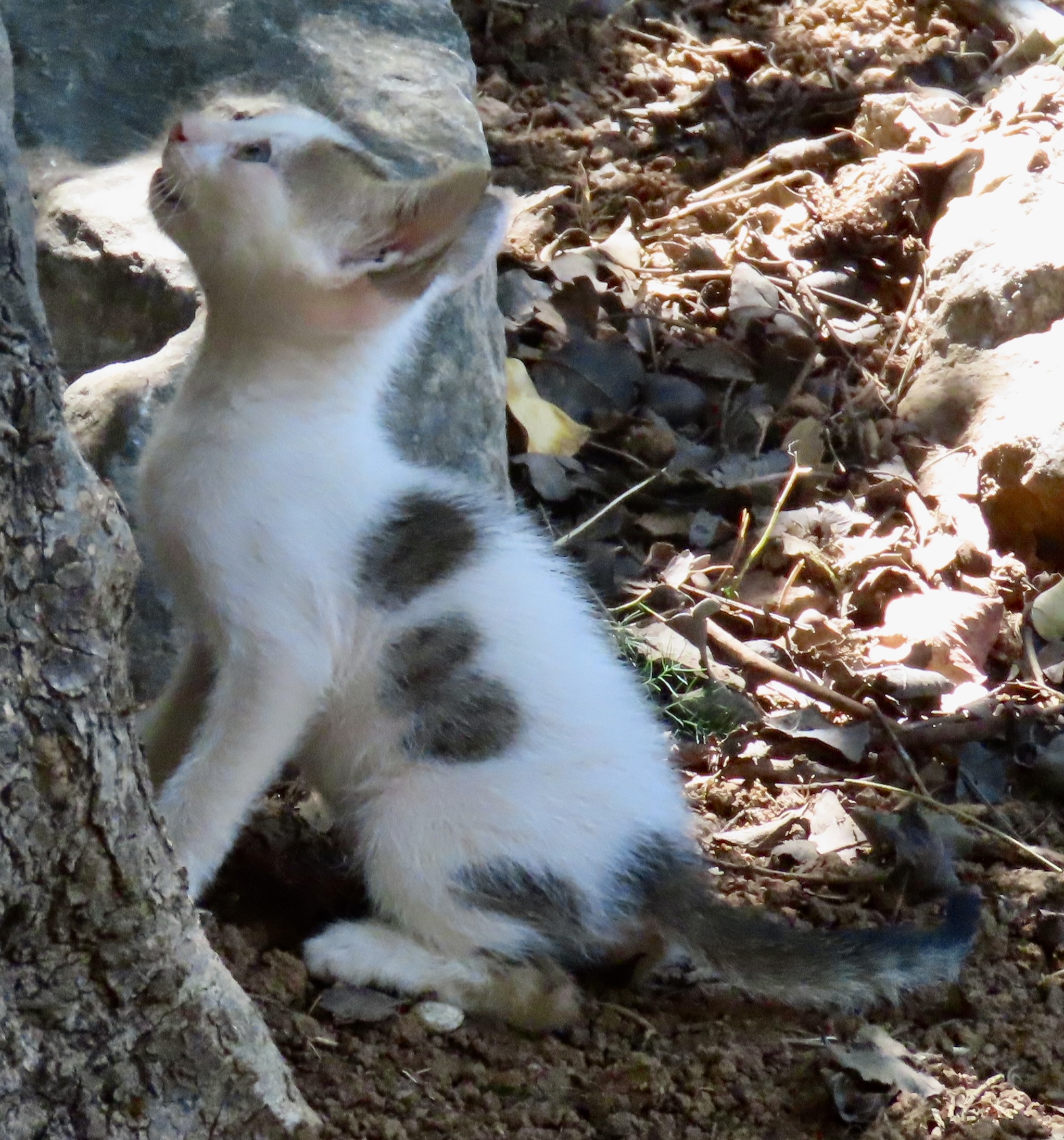
A bird had caught this kitten’s attention. It was laughing at it.
Peggy and I are presently traveling through Greece, Scotland and Northern Ireland. While we travel, I am posting stories that will be in my WordPress blog-a-book: UT-OH! Today’s tale is about a 1965 confrontation with a terrorist group on a remote road in the Sierra Nevada Mountains of California.Few things get much more Ut-Oh-ish.
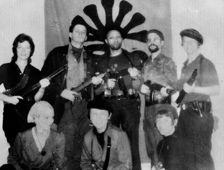
The Symbionese Liberation Army released this photo with its star recruit.
“Death to the fascist insect that preys on the life of the people.” —Motto of the Symbionese Liberation Army
In the spring of 1975, two friends and I went on a scouting trip. We had driven up into the Sierra Nevada Mountains early in the spring to look for likely fishing holes. Trout season was only a few weeks away. The mountains were still coated with snow. Following Highway 50 up from Sacramento toward Lake Tahoe for 60 plus miles, we took Ice House Road into the ElDorado National Forest. We carefully made our way along the ever-narrowing road until a snow bank suggested that further progress was best left up to animals with big furry feet. We stopped and got out to stretch our legs.
We had wandered a few feet when a white van came roaring up from behind and tried to slip by the right side of our car without slowing down. Normally it wouldn’t have been more than an irritation, but the narrowness of the road combined with the snow left just enough room for one and one half cars. Not two. We watched in slow motion disbelief as the van barely missed our vehicle, slid into the snow, and became seriously stuck.
“Yes!” we said in unison, “There is justice in this world!” Right about then the side door of the van opened and disgorged a polyglot group of rough-looking characters. “Whoa,” I mumbled more quietly, “we had better keep our opinions to ourselves.” While two or three of the men bent down to look under the van, a not so rough, in fact an attractive young woman, disentangled herself from the group and came strolling over to where we were standing.
“I am in love,” Hunt mumbled. Phil and I joined the admiration society while an elusive thought began tugging at the back of my mind.
“Hi, guys,” she smiled at us, becoming even lovelier. “Do you have any guns in your car?”
My tiny elusive thought suddenly became a very large insistent nag. Attractive young women don’t normally start conversations by asking whether you are carrying weapons. Hunt, on the other hand, was beaming. He liked guns and— even more— he liked women that liked guns.
“I have a twenty-two along,” he announced proudly.
“Oh,” she replied, apparently a little disappointed at the size of Hunt’s gun. “My friends taught me how to shoot automatic weapons in the Bay Area. We are up here to practice.” It was stated with the same type of pride a new mother might talk about her child’s first steps or words. My large, insistent nag turned into a five-stage fire alert.
Meanwhile Hunt had suggested that he and his new friend take the twenty-two out for a little target practice since it was obvious that the van wasn’t going anywhere quickly. I don’t remember how I managed it, but I pulled my friends aside sans beauty for a very quick and quiet conversation.
“I am not one hundred percent sure,” I began, “but I think the young woman who likes big guns is Patty Hearst, aka Tania, and that her friends over at the van are members of the SLA. If I am right, we are in a very dangerous situation.”
The SLA, or Symbionese Liberation Army, was one of the more bizarre and misled of the radical groups to be born out of the ferment of the late 60s and early 70s. Viewing itself as an urban guerrilla movement, SLA’s first action of note had been to gun down Dr. Marcus Foster, the black Superintendent of Oakland Schools, and seriously wound his deputy, Robert Blackburn. Blackburn had earlier served as Peace Corps Director of Somalia and then gone on to work for the Philadelphia School System. He had recruited my first wife, Jo Ann, and me as teachers in Philadelphia when we left the Peace Corps. It would have been hard to find two people more committed to helping disadvantaged inner city kids in America than Foster and Blackburn.
SLA’s next major public statement was to kidnap Patty Hearst, heiress to the newspaper tycoon William Randolph Hearse, while she was a student at UC Berkeley. At some point, Patty switched from being an unwilling kidnap victim to willing participant in SLA and adopted the name of Tania (the name of Che Guevara’s girlfriend). The common assumptions were that Hearst was brainwashed or a victim of the Stockholm syndrome, a psychological response through which a kidnap victim comes to associate with his or her captors. Certainly, the young woman we talked with, was proud of her skill with automatic weapons and had the freedom to come over and chat with us. She was not an unwilling prisoner.
In 1974 Patty participated in a San Francisco bank robbery and then moved to Los Angeles with the SLA where several members of the group met their death in a fiery confrontation with LA police. Some 400 LAPD officers had surrounded a house occupied by SLA and emptied over 5,000 rounds into the structure. (Over kill?) Patty, who wasn’t there, watched the whole confrontation on television. She, along with William and Emily Harris, then fled to Pennsylvania for several months before making their way to Sacramento and another bank robbery.
There was enough similarity with Hearst and the SLA that I suggested we go over to the van and help the nice folks get unstuck— which we did. They drove up to the end of the road, turned around, carefully edged by our car and headed off down the mountain. We waved and smiled vigorously as they disappeared.
Was it Patty Hearst and the SLA? The timing was right, the young woman looked like Patty, and the group could have fit a description of the SLA. Patty reported later that the group had taken their van into the mountains for weapons practice. In May of 1975, the SLA robbed a bank in Sacramento (Carmichael) and a young mother, Myrna Opsahl, was shot and killed. Patty Hearst drove the get-a-way vehicle. It was one more sad and sordid event in the history of the SLA. In most ways this group of want-to-be revolutionaries was a group of losers. Their murder of Marcus Foster was regarded with disgust by most members of the radical community. It was their kidnapping of Patty Hearst and, even more so, the fiery shootout in LA that gave their organization legendary status.
As for Hearst, I have no doubt that the Stockholm syndrome played a role in her behavior. But I am also convinced there was more. The atmosphere of the time encouraged radical thinking and Patty, who was something of a rebel, was living in a cauldron of dissent at Berkeley. I suspect it wasn’t all that hard to slip into a role of radical chic.
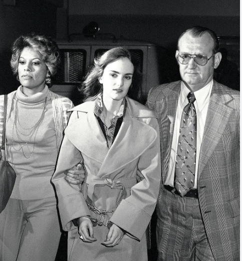
Patty’s crime spree came to an end in the fall of 1965 when the FBI tracked her down in South San Francisco. Here she is shown with agents and in hand cuffs. (AP photo)
Wednesday’s Post: My friend Bob Bray gets lost in a snowstorm when we are out hunting. Night falls before we can find him…
Peggy and I are off journeying through Greece, Scotland and Ireland over the next several weeks, so there won’t be much time for blogging. I’ve decided to republish some of my favorite posts from the past 15 years that will eventually make it into the book I am blogging: UT-OH!.
Today’s post follows my adventure with the beaver in the Wind River Mountains of Wyoming. I drove south down into NewMexico for a backpacking trip into the Gila Wilderness of New Mexico next to the Cliff Dwellings National Monument in southern New Mexico.
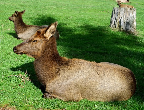
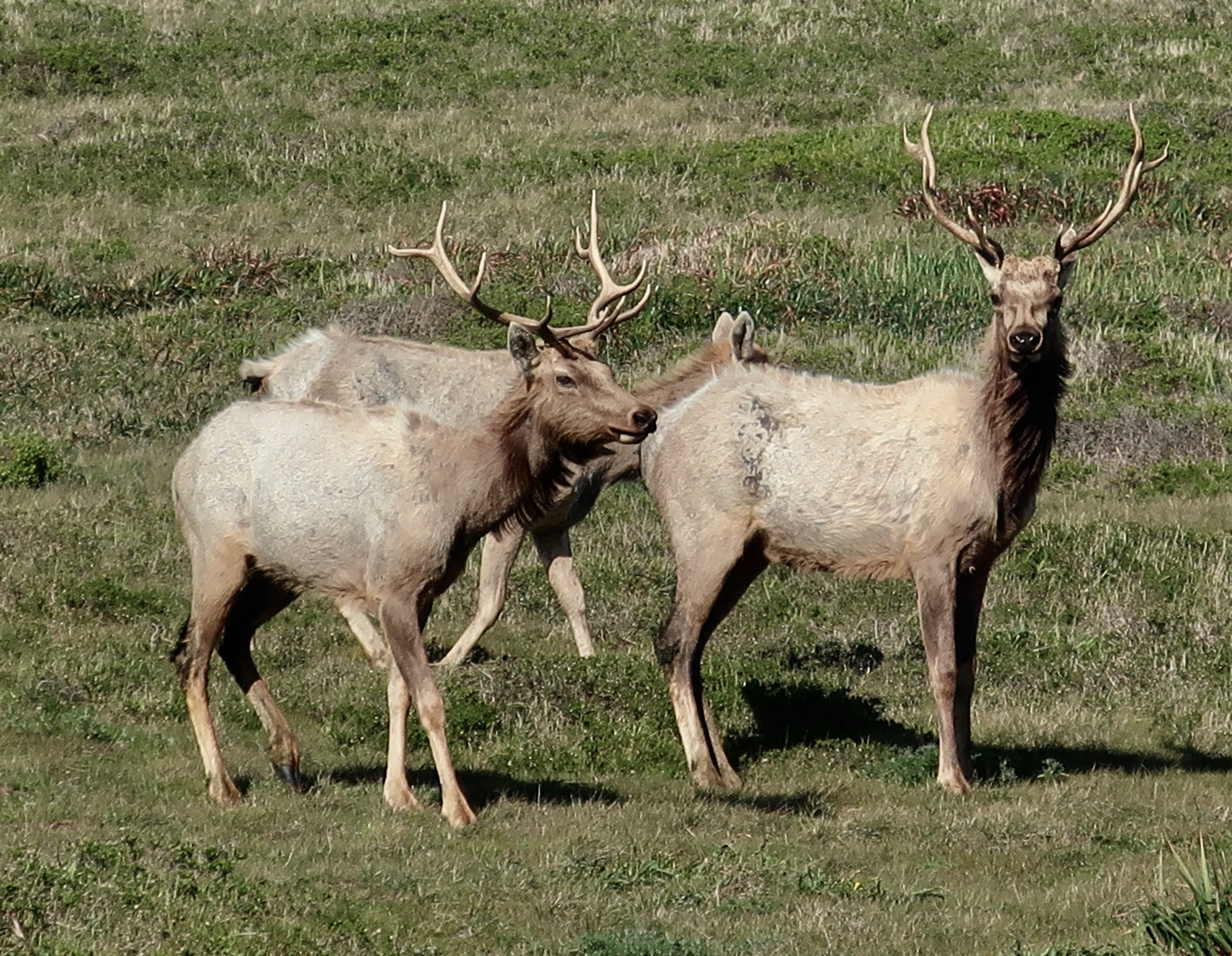
Peggy photographed this herd of elk near the Redwoods.
I thought I was prepared for everything when I started my backpack trip into the Gila Wilderness. Little did I know…
My pack was loaded with a week’s worth of food and six topographic maps, more than enough to let me wander wherever I wanted and hopefully avoid getting lost. I had started off up the West Fork of the Gila River in the Cliff Dwellings National Monument, but soon came across a trail jogging out of the canyon to the right.
Looks good to me, I thought to myself and started climbing. I was determined that wherever I went for the week would be based on random decisions. So much of my wilderness experience had involved leading groups or scouting out potential routes for organized trips that the sense of abandon felt delicious.
Consequently, years later, it isn’t exactly clear to me where I went. I was more than happy to hike 4 to 5 miles in one direction and then 6 or 7 in another. The only thing I tried to avoid was backtracking. I do remember wandering through Woodland Park and Lilly Park as well as climbing in and out of several canyons.
Southern New Mexico is UFO Country, so I had brought along two science fiction books for evening and early morning entertainment. I was also carrying my usual field ID book and one serious read, Aldo Leopold’s “Sand Country Almanac.” Leopold had been responsible for the creation of the Gila Wilderness in 1924, making it the first specifically designated wilderness area in the United States, and, I might add, the world. People who love wild country and understand its intrinsic value owe a great debt to the man for his vision. I had read the book before but reading it again in the Gila Wilderness added a special significance. I declared a layover day so I could savor it all at once. I was camped on a small stream located in a minor canyon and hadn’t seen a soul for four days. It was the perfect setting for getting lost in a book.
At some time in the early afternoon, a loud “Woooeee” shattered the silence.
Big Bird, I thought to myself. Big Bird on steroids. Aldo Leopold would have been up in a flash to discover the source. Of course, he would have had his rifle with him. He was quite the hunter. As usual, my only weapon was a three-inch pocketknife. Still, the mountain man in me demanded I get off my lazy tail and go exploring. I grabbed my binoculars and climbed out of the canyon. I was greeted by a broad, flat expanse of Ponderosa Pines but no Big Bird. “Woooeee,” I heard receding into the distance. I put on my stalking cap and begin to sneak through the forest.
“Woooeee!” Big Bird shouted behind me. I whirled around only to catch a glimpse of something disappearing behind a bush. Big Bird it wasn’t. Nor was it the ghost of Geronimo, whose territory I was wandering through. It looked suspiciously like a cow elk that had morphed from stalkee to stalker. I wasn’t sure that I liked my new role but decided to play along.
“Woooeee,” I called out and jumped behind a Ponderosa.
“Woooeee,” I heard a delayed three minutes later. I stepped into the open to discover that my female companion had come out from behind her bush and was staring intently at my tree.
“Woooeee,” I shouted at her as she once again disappeared. We had a game. A cow elk was wooing me.
Years earlier I had discovered that much of the higher animal kingdom is quite curious about humans that don’t act like humans. I once had a similar experience to my elk chat with a coyote on the American River Parkway in Sacramento. First I would hide and then he would hide. Finally, out of frustration, the coyote plopped down in the middle of the trail, raised its head, and began howling. I plopped down in the trail as well, raised my head and joined him. We had quite the discussion.
The elk and I continued our game for about 15 minutes when I changed the rules. I sat down in plain sight with my back against the tree. Instead of hiding, she stood watching me for several minutes. I could tell the wheels were grinding away in her mind.
Suddenly she charged. I didn’t move from my seat but my adrenalin cranked up several notches. She was all of 10 feet away when she slammed on her brakes, lowered her head, stared me in the eye, and woooeeed again. Half fascinated and half frightened, I didn’t budge. Several hundred pounds of frustrated female were looming over me. I had zero doubt that she could kick the stuffing out of me. She held my gaze, snorted in disgust, shook her head, and trotted off.
While smaller than the bull elk, there is nothing puny about the females. (Photo by Peggy Mekemson.)
Whatever conversation we had been having was over. I breathed a sigh of relief and returned to camp. My first chore was to get out my guidebook. Female elk, it noted, can become rather aggressive and dangerous in the spring when they have calves. I’d been both ignorant and lucky.
After dinner, I went for my evening walk following an animal path that ambled along beside the creek. I heard a snort and looked up. Five elk were standing on the canyon rim staring down at me. The old girl had recruited some buddies to check out the weird human. Unfortunately, this time I knew enough to be worried. I was an intruder in their territory, a possible threat to their precious babies.
My worry level turned to panic when all five came charging down the canyon wall. One moose had been scary; now I had the whole damn thundering herd! Running was out of the question. Think, Curtis, went dashing through my brain. The only thing I could dredge up was something I had fantasized I might do if charged by a grizzly bear in the wilds of Alaska. I started jumping up and down, scratching my armpits, pounding on my chest, and screaming ooh, ooh, ooh! It worked for great apes, why not me.
For the second time that day, I heard the screeching of elk brakes. This time there was no standing and staring, however. The herd turned as one and charged back over the canyon rim, disappearing into the night. Somewhat satisfied with myself, I returned to camp and the security of my tent.
I wandered around for another two days, keeping an eye out for UFO’s, steering clear of cow elk, and visiting sites where this or that pioneer had been killed by Apaches. The pioneers also did a pretty good job of killing off each other, not to mention the Indians. With my food running low, I finally ceased my wandering ways and hiked back to the National Monument.
NEXT BLOG: I finish my series on three of the backpack trips after my return from Alaska by going back to my first one: Backpacking into the Grand Canyon. After barely surviving my trip into the canyon, an unknown creature visits me in the night and dines on the edge of my sleeping bag.
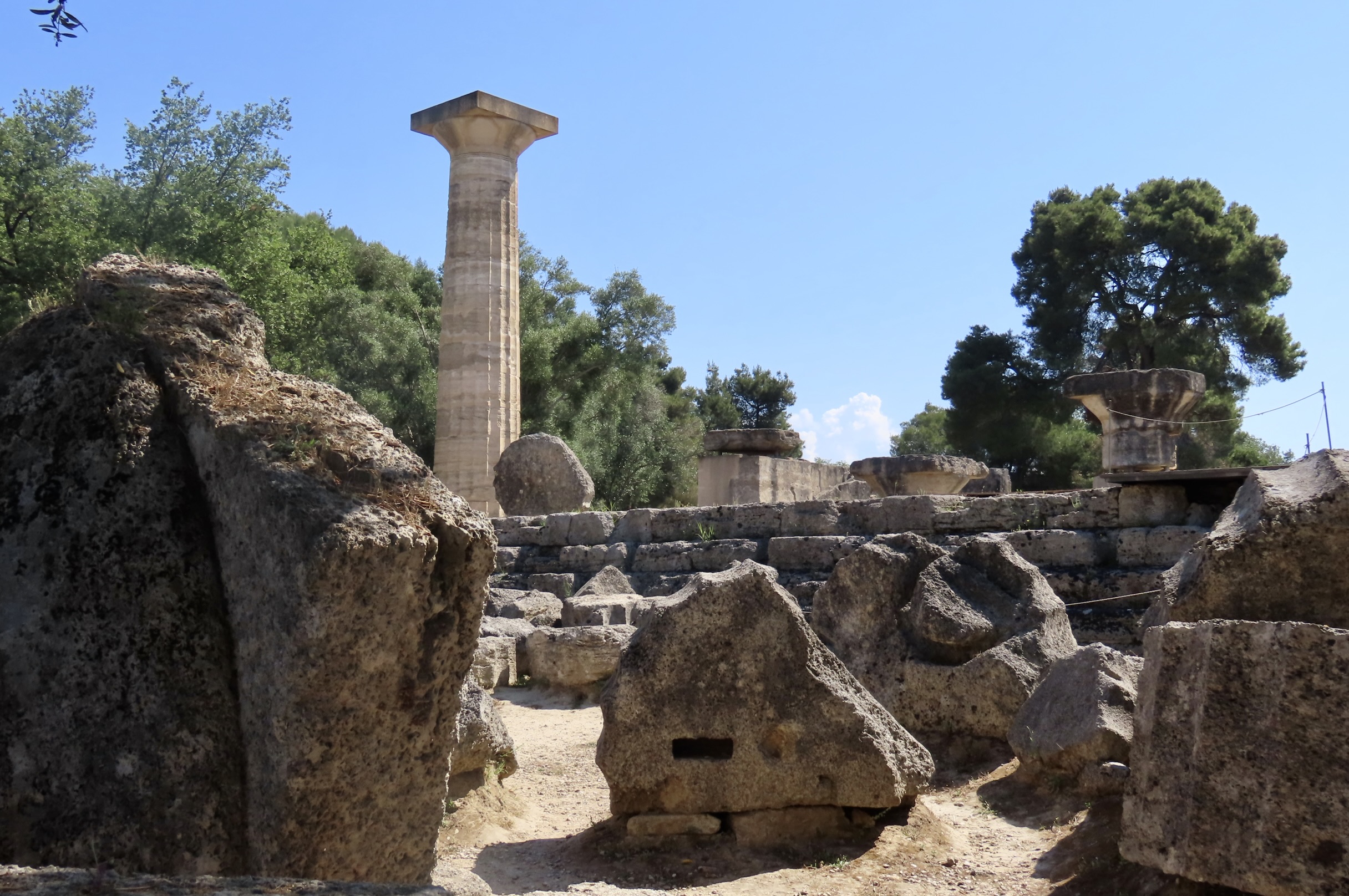
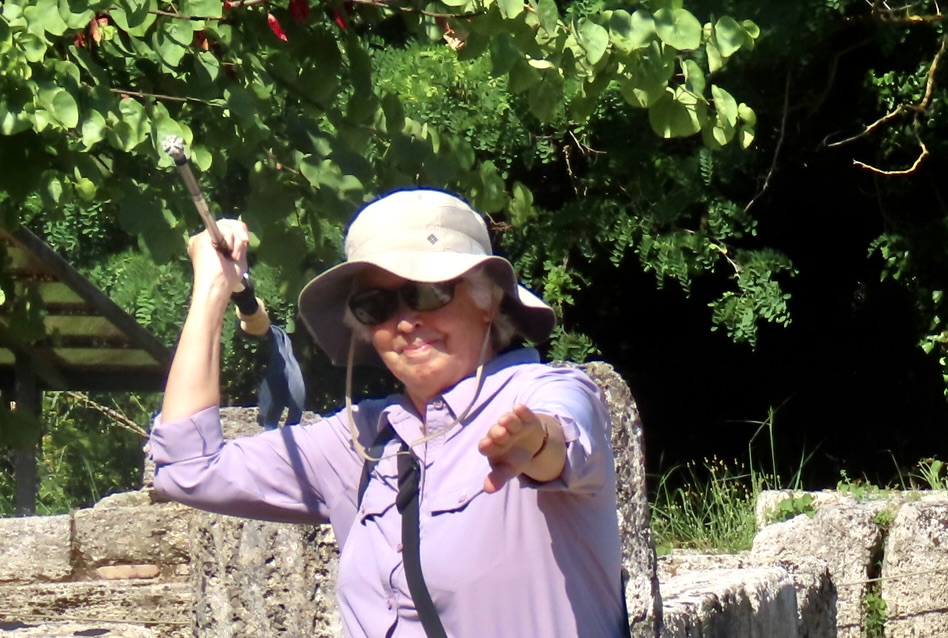
Peggy and I are now at the site of Ancient Olympia on the Peloponnesian Peninsula where the Olympics were born in 776 BCE.. The large column is part of the Temple of Zeus completed in 456 BCE. The column was rebuilt for the Summer Olympics hosted by Greece in 2004.Peggy uses her walking stick to demonstrate how javelins were thrown at the Ancient Olympics in Greece. Women, however, were not allowed into the games. An exception was made if you were the daughter of the gods. I had my suspicions…
Peggy and I are off journeying through Greece, Scotland and Ireland over the next several weeks, so there won’t be much time for blogging. I’ve decided to republish some of my favorite posts from the past 15 years that will eventually make it into UT-OH!.
Today’s post is about a solo backpacking trip I took in 1986 into the Wind River Mountains of Wyoming. After three years of intense work in Alaska, I was taking six months off to go on solo adventures throughout the West. Several involved backpacking trips. This week, I am going to feature trips into the Wind River Mountains, the Gila Wilderness of New Mexico, and the Grand Canyon of Arizona. All involved worthy Ut-Oh experiences. A beaver stars in today’s tale.
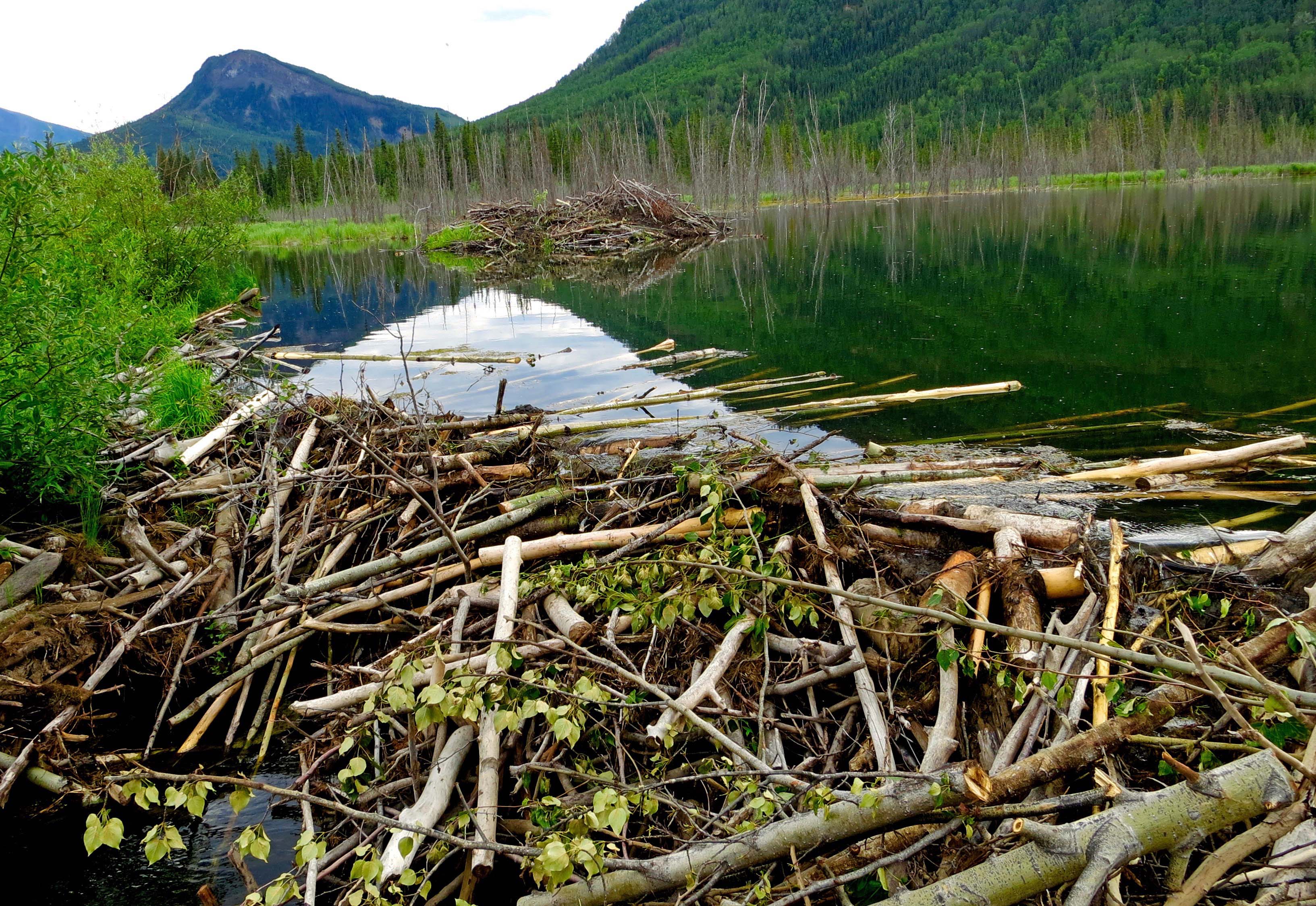
‘Busy as a beaver’ was once a common description of someone trying to accomplish a lot in a short amount of time. Beavers are known for their industrious ways. Peggy and I took this photo on one of our trips up and down the Alaska Highway. A colony of beavers had dammed this creek to create a pond for their home, which you can see out in the background.
The adventure started at the small town of Pinedale, Wyoming where Mountain Men once gathered for their version of a spring fling. After a winter of living alone in one room cabins covered in snow while they trapped beaver, it was time to sell the pelts they had collected and party! Think rotgut whiskey, Virginia tobacco and women. It was a wild time. One report I read had men playing poker on a deadman’s chest. Another talked of a rabid wolf that wandered into the event and bit several people before someone shot it.
From Pinedale I drove up into the mountains above the town to Fremont Lake. A trailhead to a small lake looked promising. Whether I arrived at the lake or a different one is open to debate.
To start with, I was traveling with a United States Forest Service map instead of my usual detailed topographic maps. Contour lines on topographic maps provide a preview of the route ahead and help identify prominent landmarks. You can then use the landmarks to make compass sightings and determine your location. (Today’s hikers just use their GPS. It wasn’t an option then.) Forest service maps are more oriented toward road travel. Still, my map would have been adequate except for the snow.
Whatever trail I was following quickly disappeared. Normally, I would have searched around and found it. Tree blazes, rock cairns, and patches of clear ground all help. This time I didn’t care.
I was a make-believe mountain man exploring uncharted territory in search of beaver. My route would be the one of least resistance. I did use my compass to maintain a general direction. There is a significant difference between being sort of lost and hopelessly lost.
A couple of hours later I discovered a lovely small lake free of ice and snow. I set up camp and went for a quick dip to rinse off the day’s grime. I can guarantee it was quick because the lake’s water had been snow a few hours earlier.
Warm sun and my Thermarest air mattress enticed me into taking advantage of my splendid isolation for a tad of nude sunbathing. I had drifted into a nap when a young couple walked into camp.
The woman’s surprised “Oh!” woke me up.
“Hi, how are you doing,” I said to their disappearing backs as they quickly made their way around to the opposite shore to set up camp out of sight. So much for splendid isolation…
I decided to go exploring. My camp was nestled up against the south side of a peninsula and my first action was to hike across it. Much to my delight, a beaver hut was located on the small inlet. Even more intriguing, Mother Nature had provided a tempting bridge of rocks out to the well-built stick house.
Never having stood on top of a beaver’s home, I decided why not.
The inhabitant was not pleased. He shot out of his underwater door and surfaced about ten feet out, whipping around to glare at the strange intruder roosting on top of his house. Appearing disgruntled, he paddled off around the peninsula toward my camp.
“Aha,” I fantasized, “he is going to go stand on top of my tent to show me what it is like to have someone perch on your house.” I quietly made my way over the peninsula to check out my theory.
The beaver was indeed near my tent but he was busily munching away on tender young willow shoots. A mid-afternoon snack, it seems, was more important than revenge. I strolled back to camp, retrieved a book and settled in so I could read and keep a watchful eye on my gnawing neighbor. Thirty minutes later he had made his way 20 yards down the edge of the lake and embarked on a strange project.
I watched him dive under the water and resurface with his front paws full of mud he had scooped up from the bottom of the lake. He made his way on to shore and carefully sculpted the mud into a mound.
That’s when things got really interesting. He peed on his pile.
As I watched him dive into the water for more mud, it suddenly dawned on me he was creating a scent pile, a personal want ad of the woods: “Strong young beaver with prominent buck teeth and great smelling pee seeks beaverette for long-term relationship.”
Either that or his mound served as a no trespassing sign for the competition. Maybe both.
“This,” I thought, “I have to see up close.” Using the young willows for cover, I got down on my hands and knees and carefully worked my way toward the beaver over the cold, soggy ground. The mountain men would have been proud of me. I was proud of me.
Naturally, right at this time, the young couple chose to reappear.
They couldn’t see the beaver. All they could see was the guy who had been nude an hour earlier down on his hands and knees crawling through the willows in the general direction of their camp. I waved and pointed at the beaver but they had already disappeared.
Fifteen minutes later they had packed up their gear and were hightailing it home. It was the fasted job of breaking camp I’ve ever witnessed. It would have been interesting to hear the story they told their friends about the wild, and possibly deranged, man in the mountains. I suspect they spent their next vacation on the crowded beaches of Hawaii. I admit to feeling a tinge of guilt. One of my goals in life is to encourage folks to enjoy the wilderness, not frighten them off.
None of this stopped the beaver and me from enjoying our solitude. I continued my wandering, lost ways for another week.
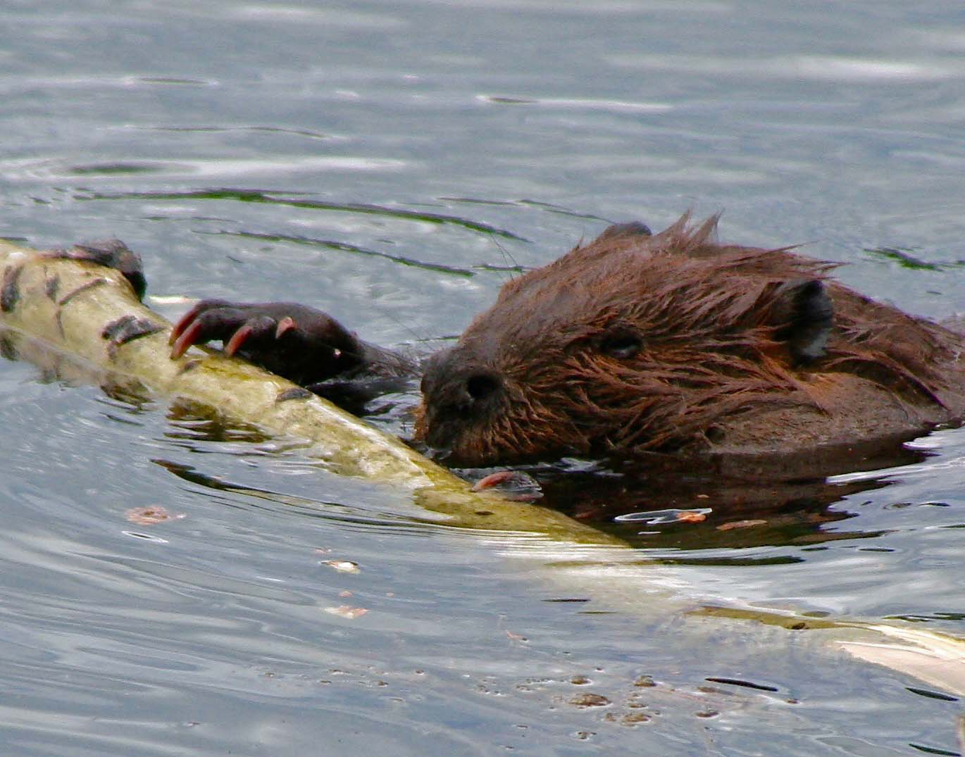
Several beavers were at work at the Alaska Highway pond. This one was pushing a tree trunk to add to the dam. I watched him stop and nibble on the trunk, eating while he worked.
NEXT POST: Backpacking in the Gila Wilderness of New Mexico, I am charged by a herd of elk! But first, I had a long discussion with a cow elk.
Elk are large animals. When several decide to charge you at once, it’s an UT-OH! moment for sure. I took this photo at Pt. Reyes National Seashore. Unlike the elk I encountered in New Mexico, these guys were merely curious. Dealing with people was a daily, ho-hum, occurrence for them.
My first backpacking trip wasn’t in the Wind Rivers or Gila River, it was hiking into the Grand Canyon. It’s UT-OH! is the tale of a tail. And surviving.
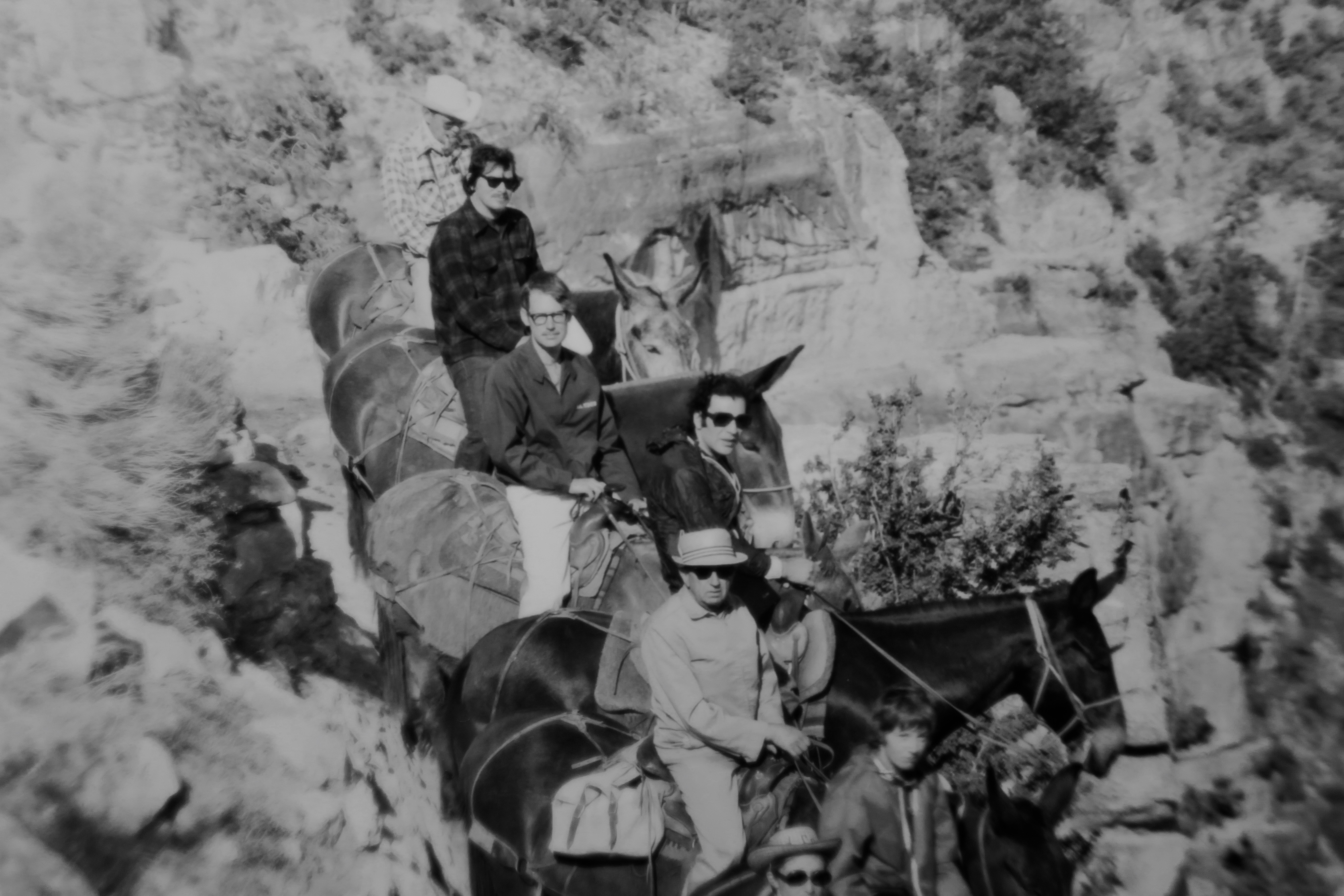
There are several ways to explore the Grand Canyon. Over the years, I’ve tried most of them. My first trip in was by mule in the late 60s. I’m second from the top in this photo with a dark, plaid shirt and sunglasses. I could barely walk afterwards. The physical challenge was nothing in comparison to my solo backpack trip down in 1986. The great beauty of the Canyon, fascinating geology and close to mystical setting easily made up for difficulty, however.