


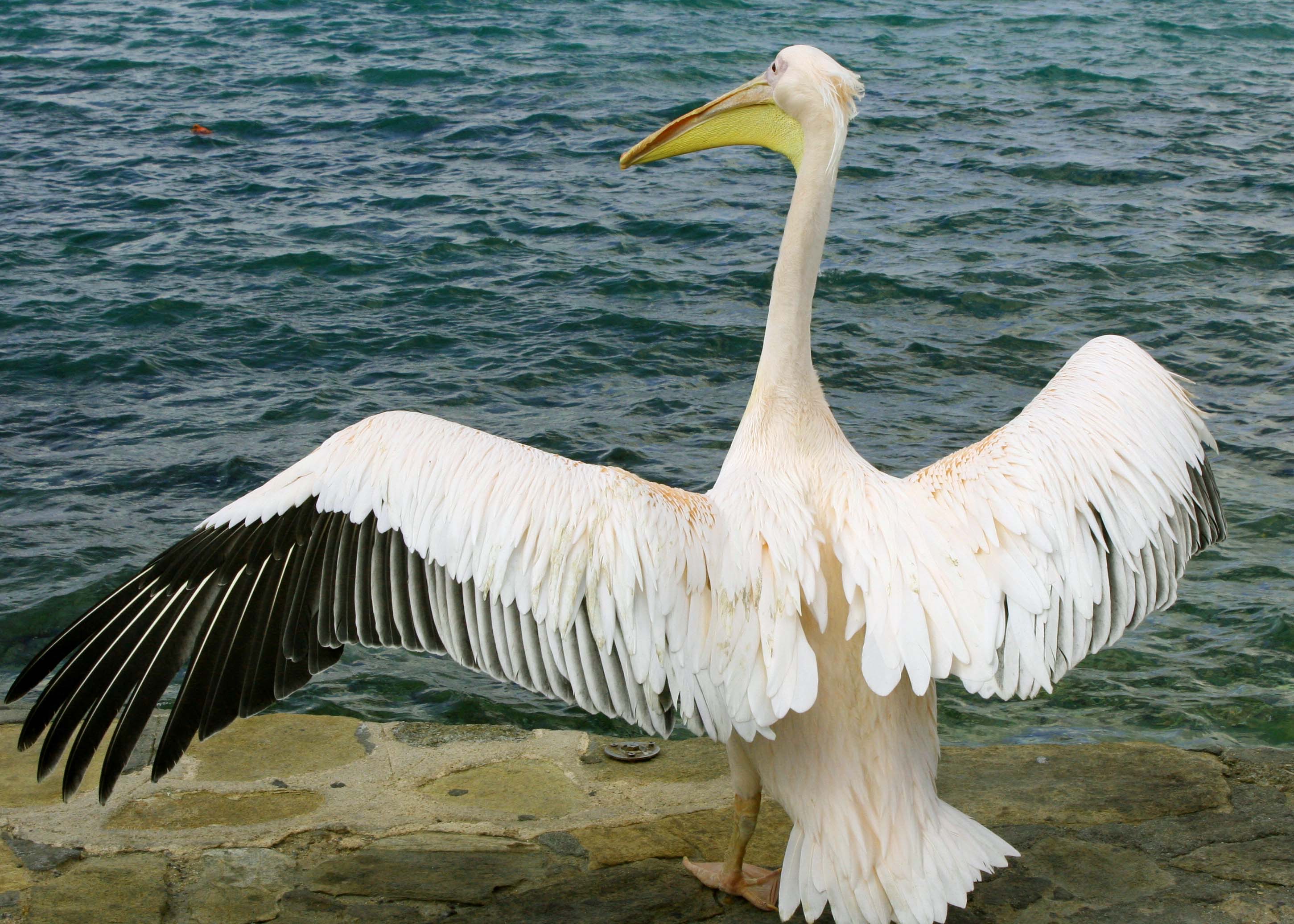
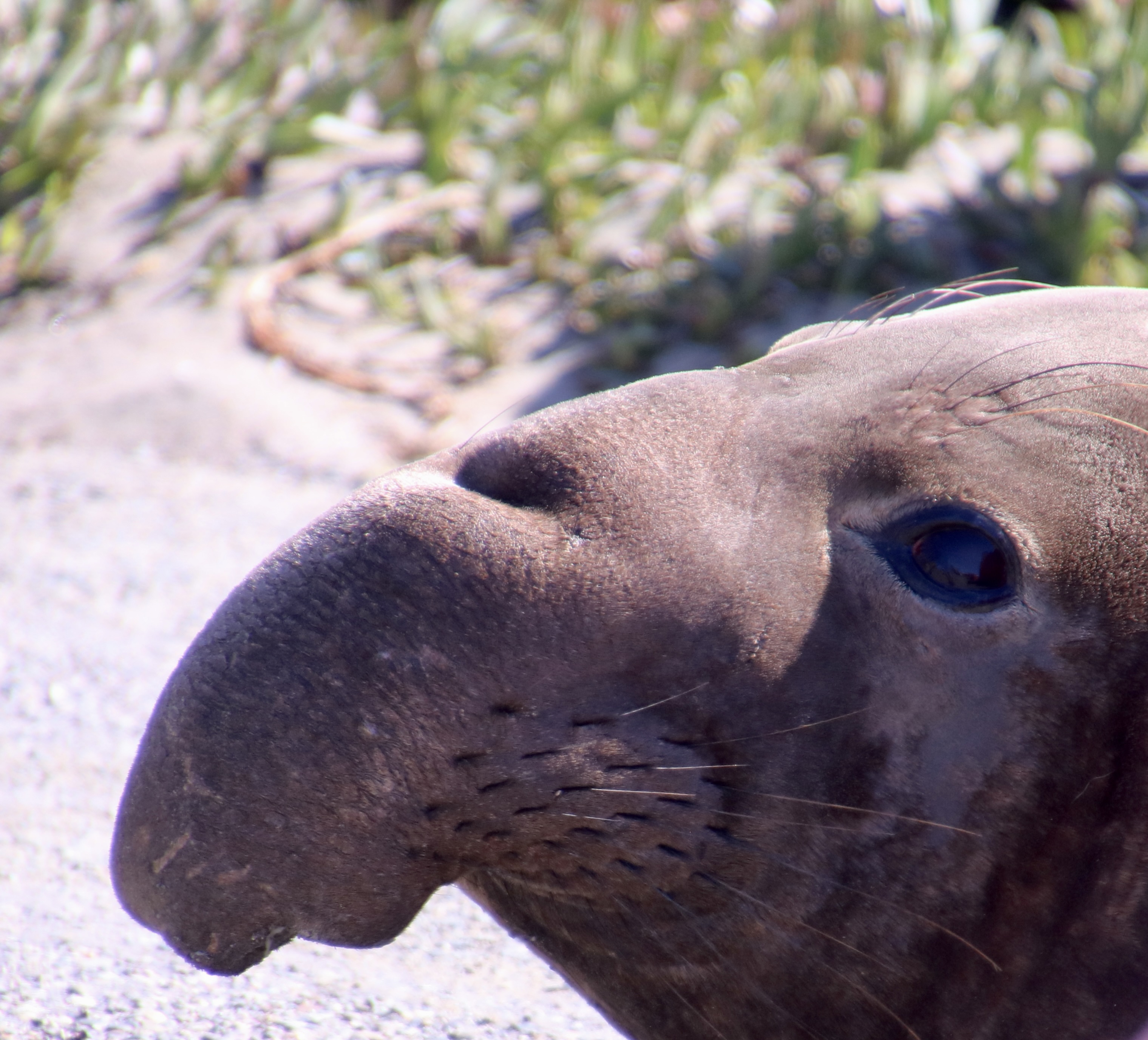

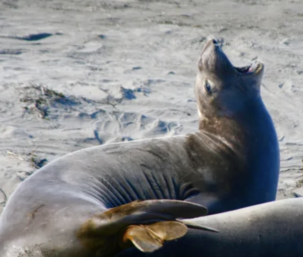
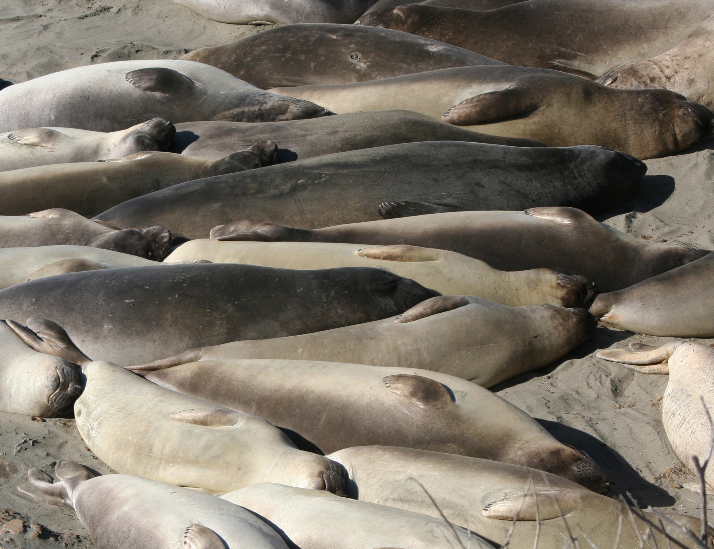
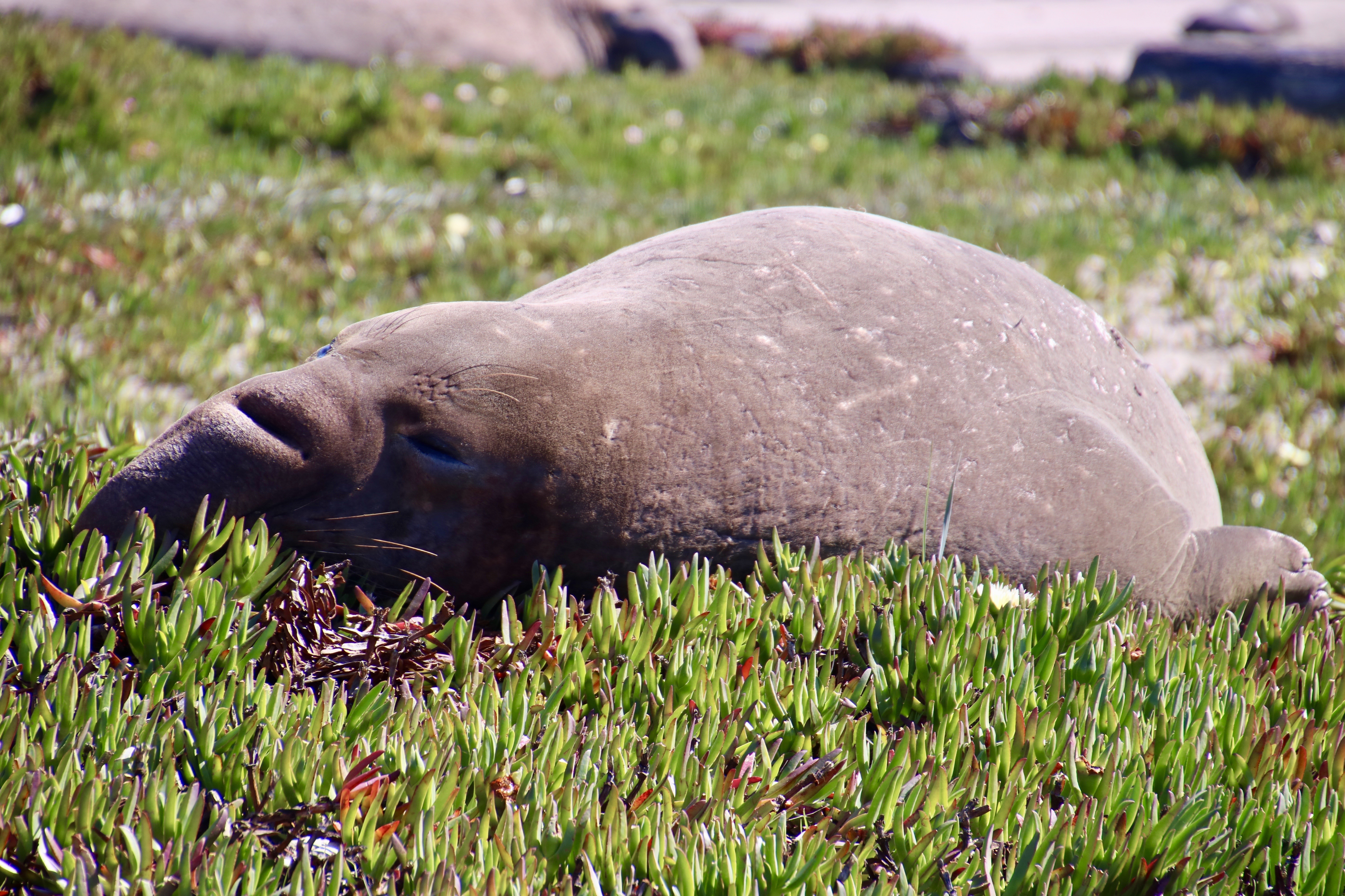

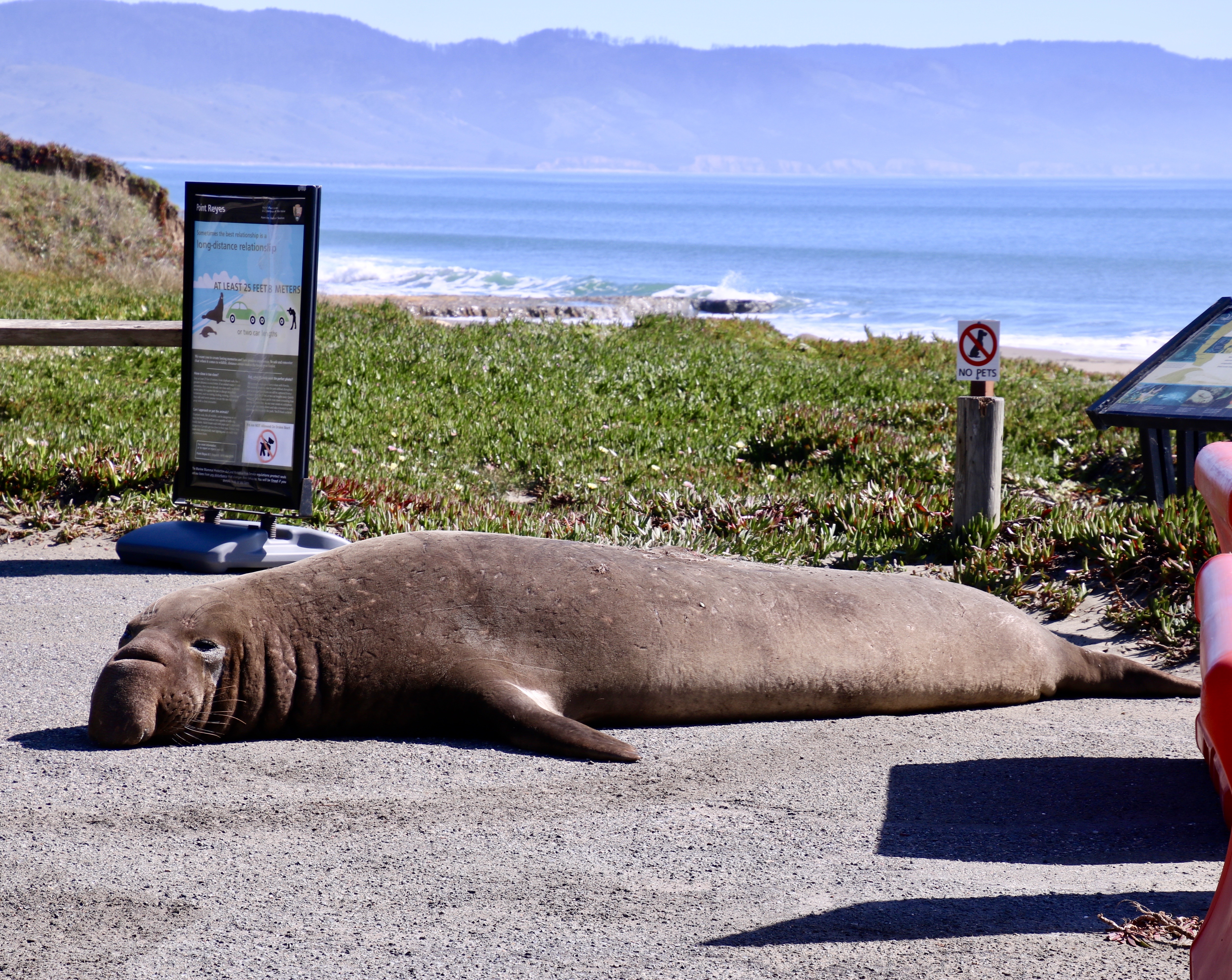
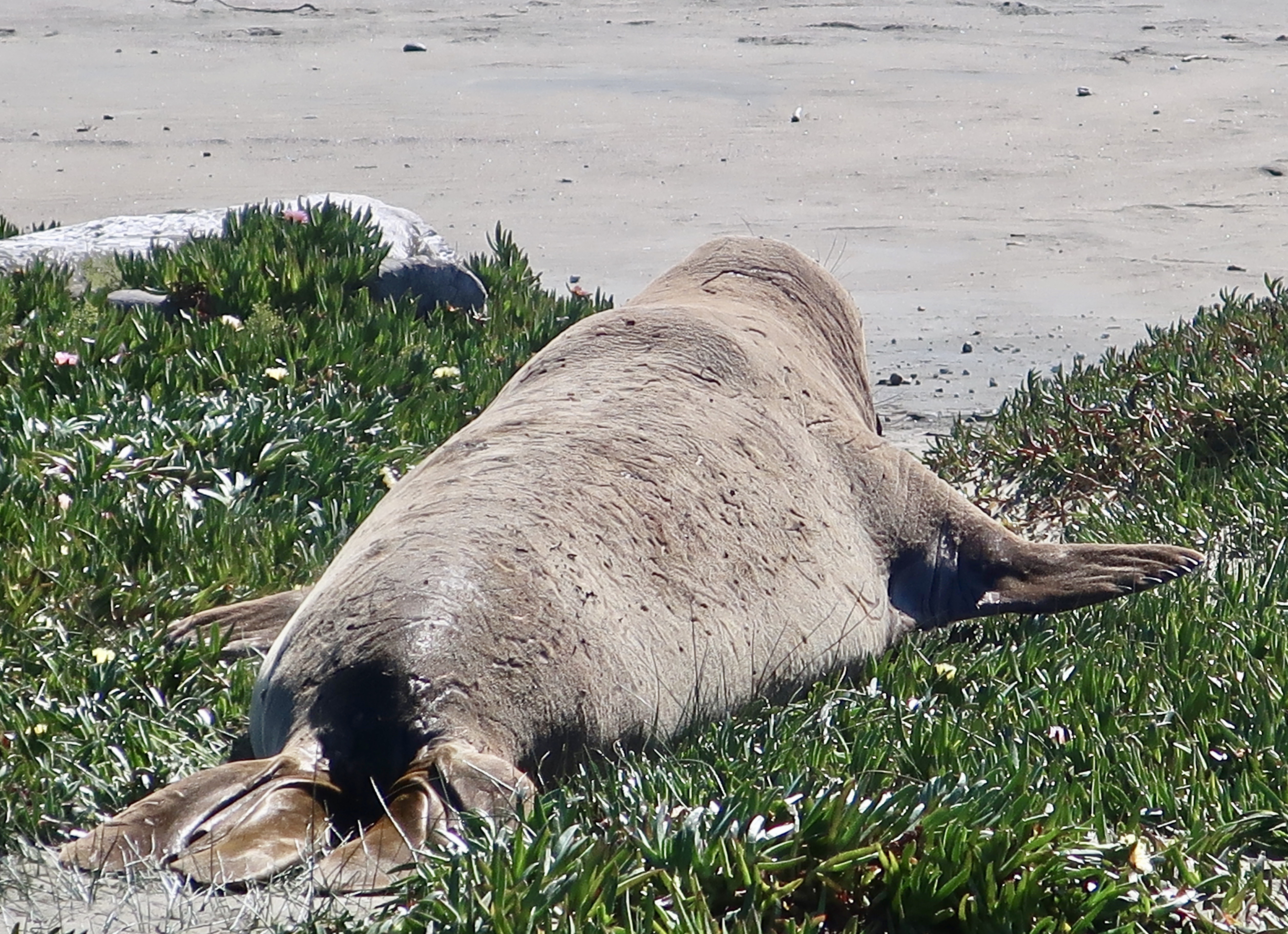
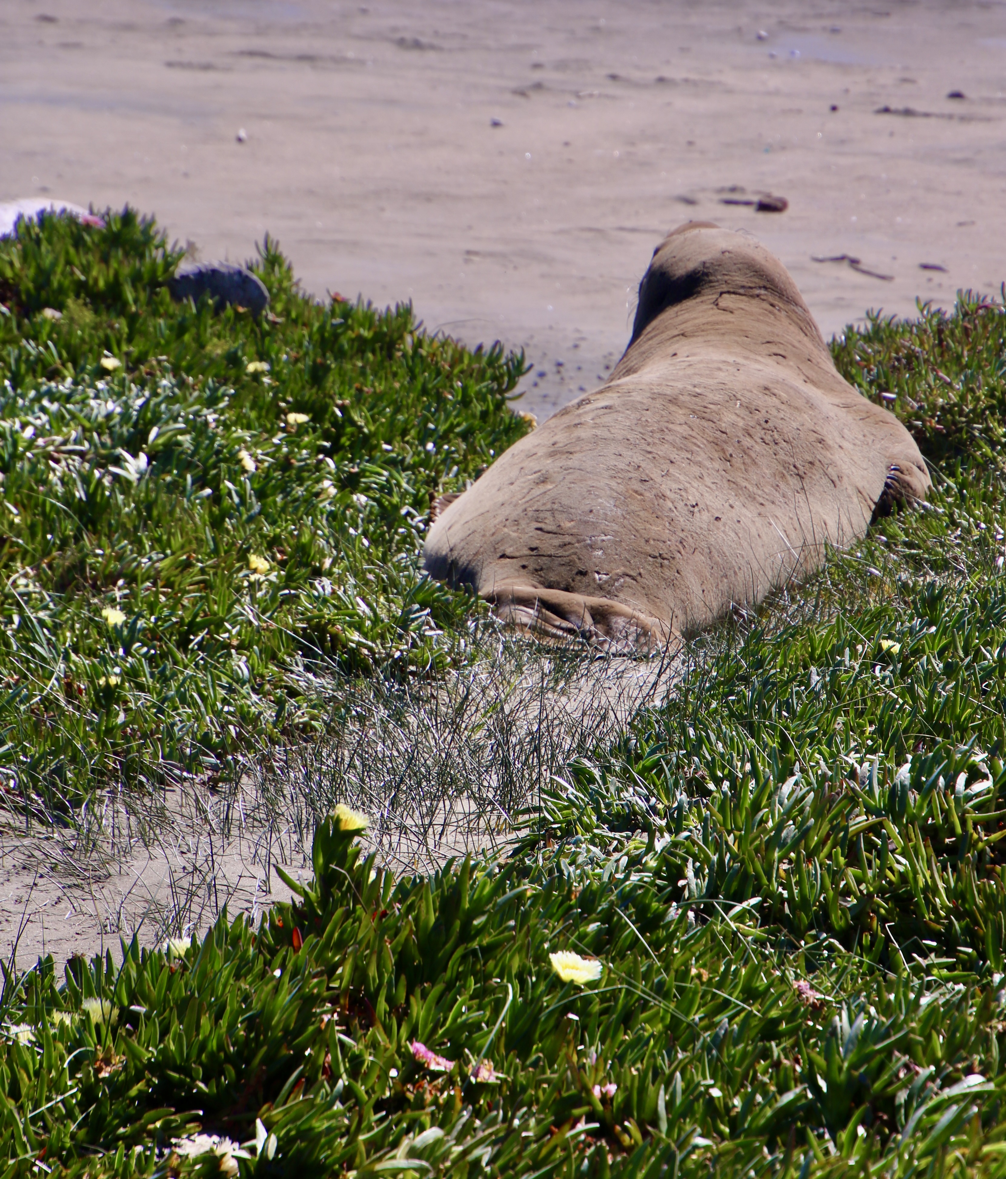
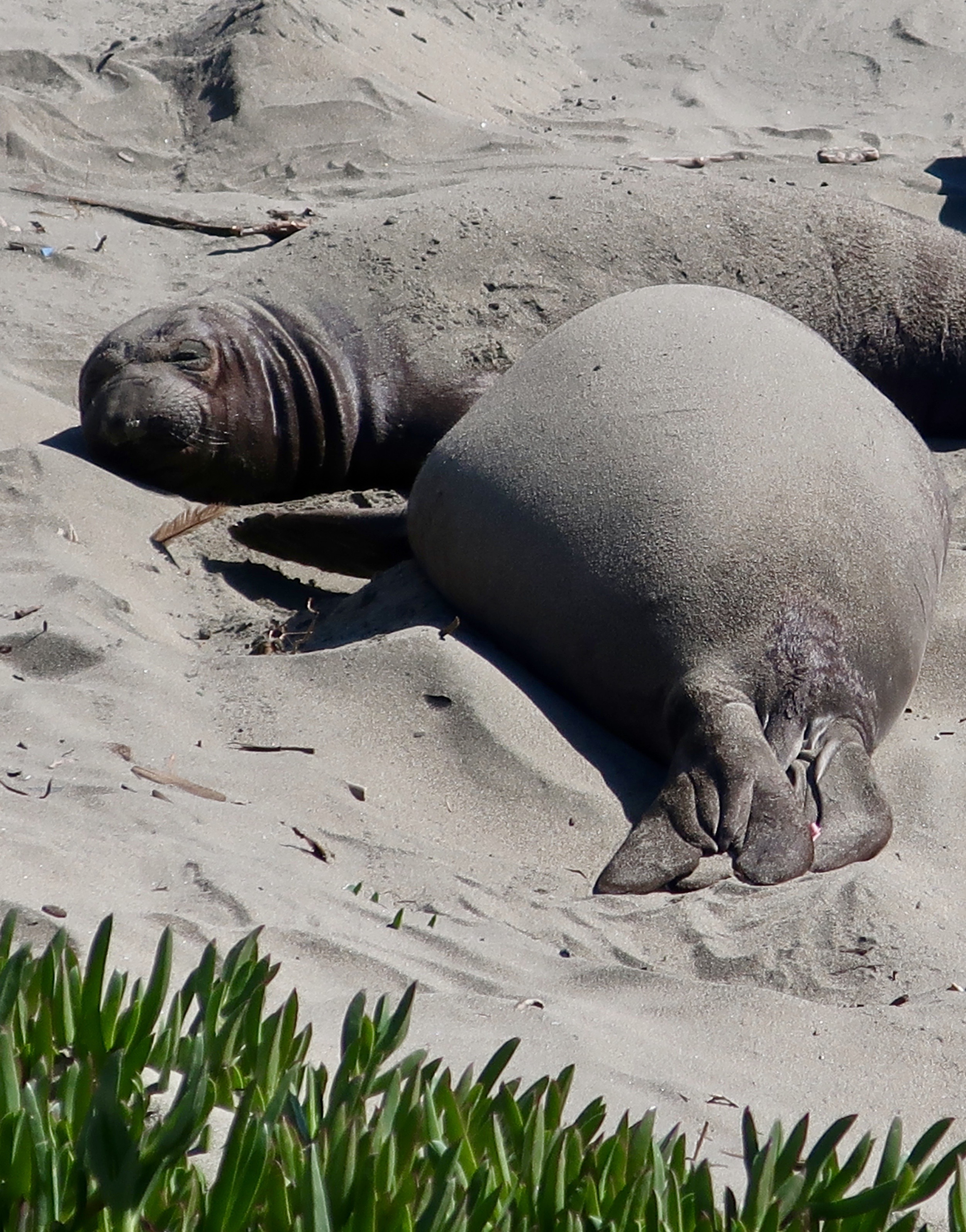
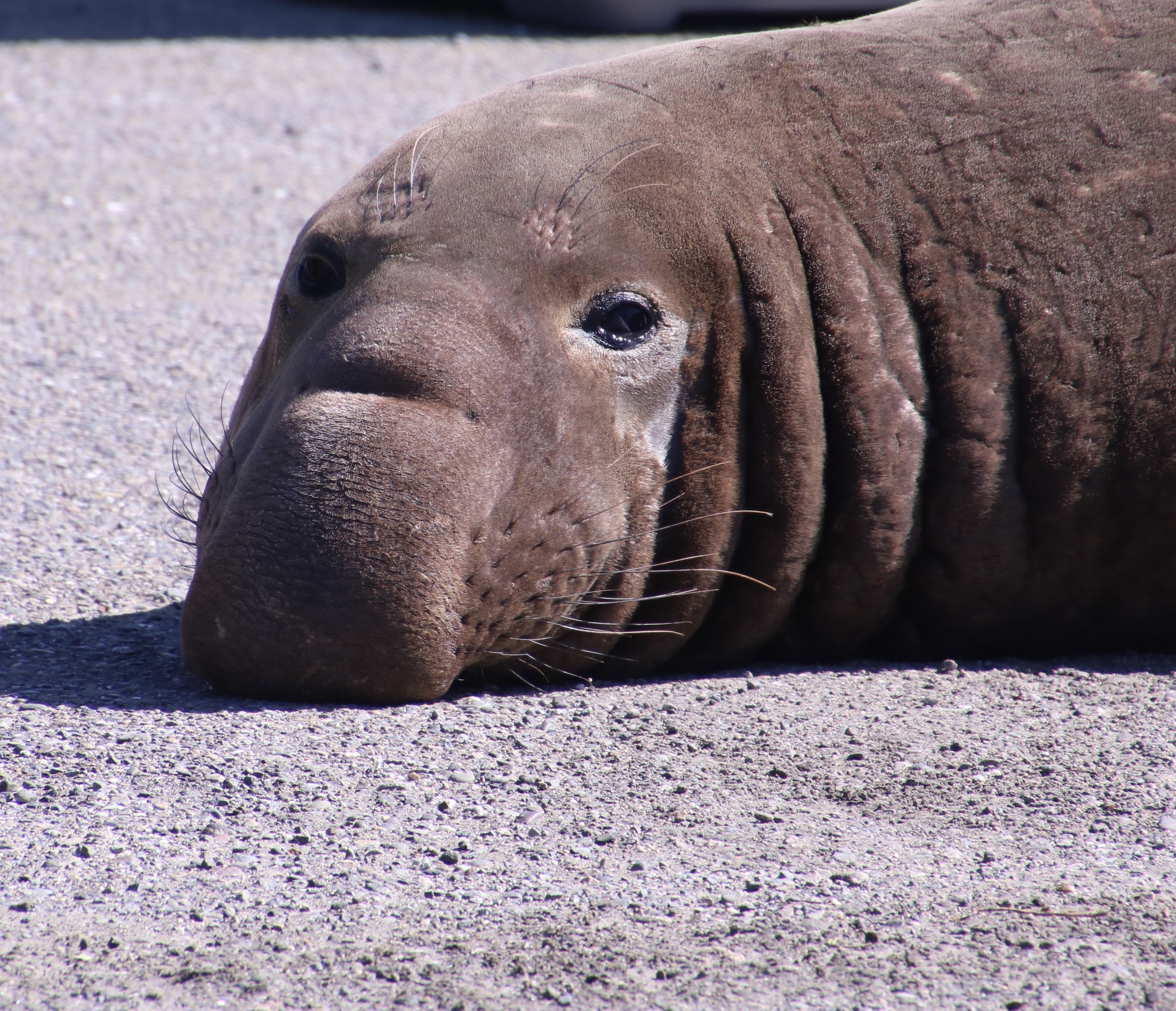
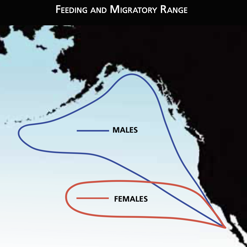
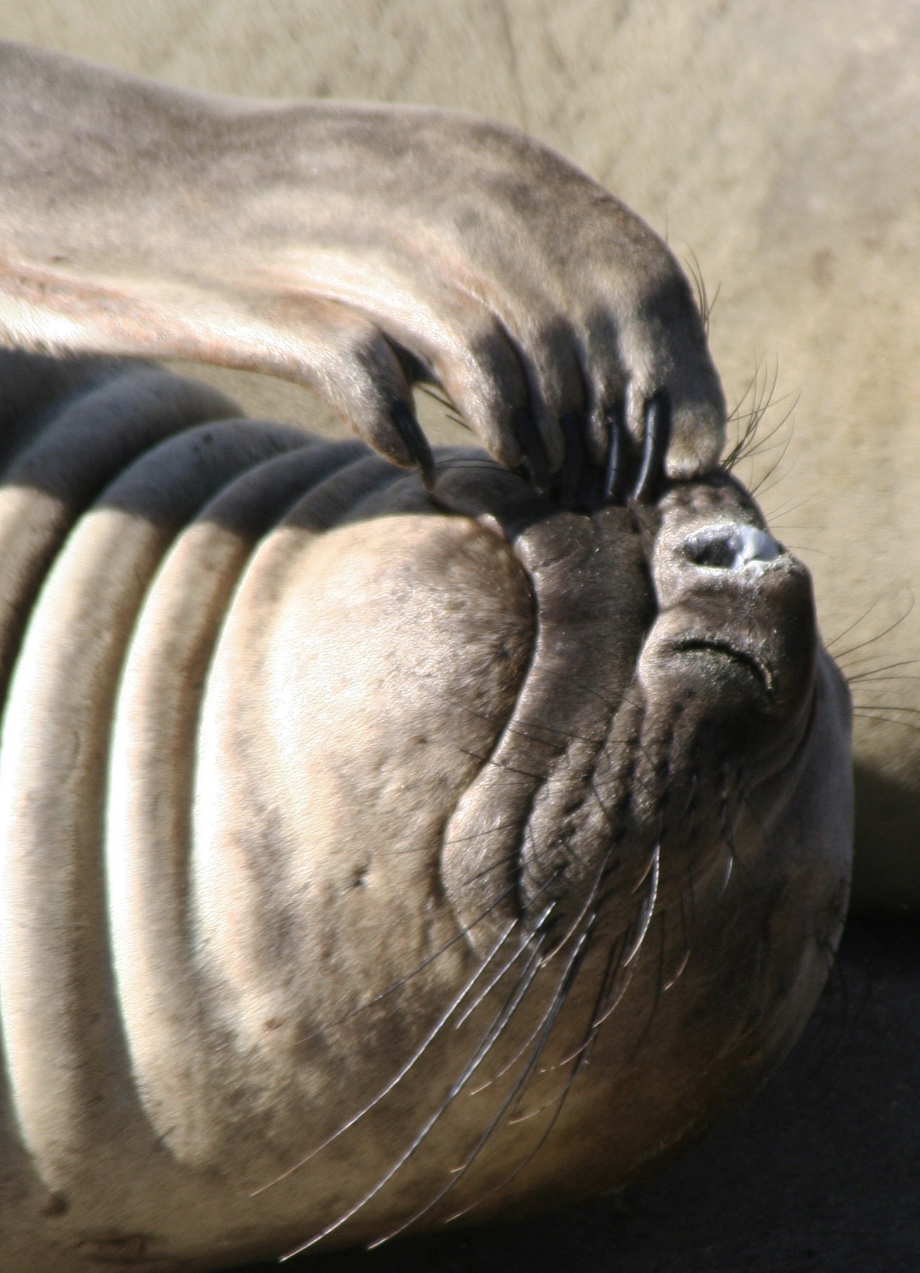
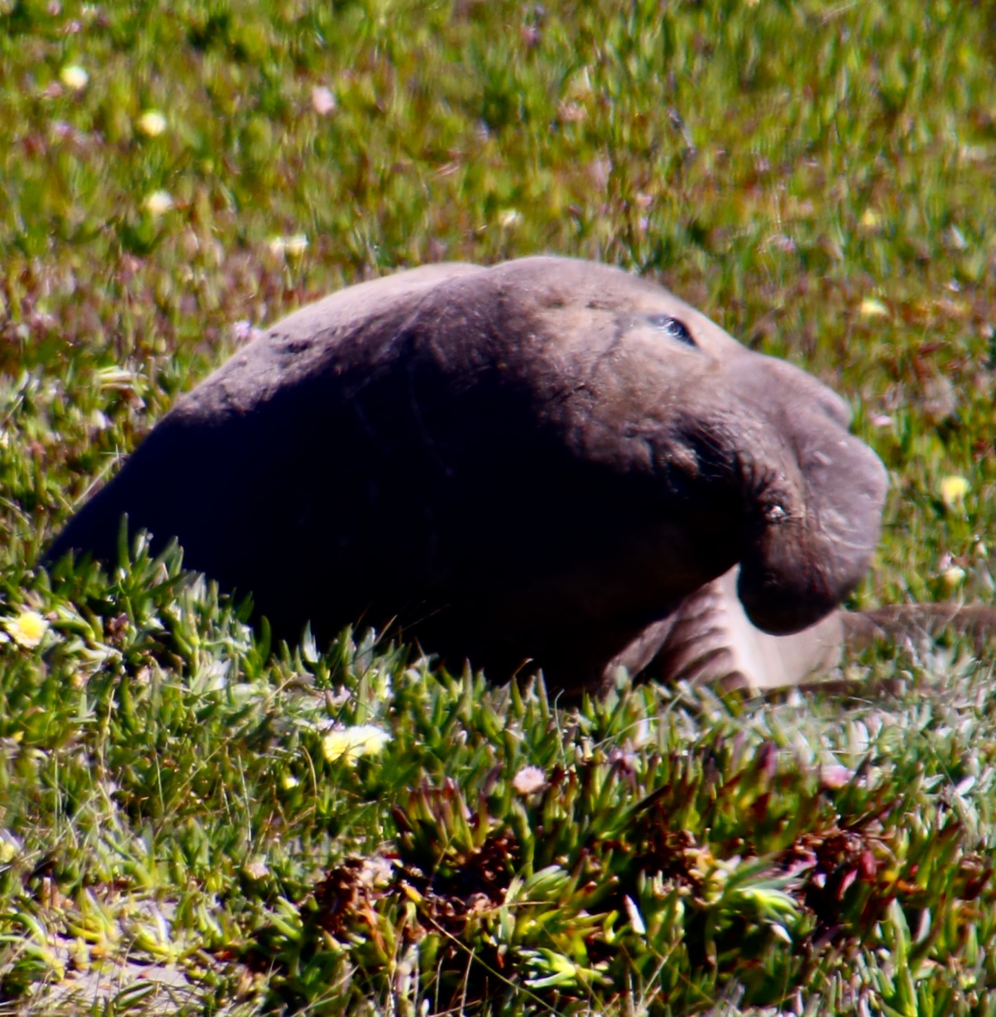
They are uniquely qualified for the dives. For example, while you or I take a deep breath before we dive, elephant seals expel theirs to avoid having their lungs crushed by the tremendous pressure that exists at 1000 plus feet under the sea. Instead, they store extra oxygen in their blood. They have three times as much blood as we do on a per pound basis, i.e. lots, and and their blood is much richer in hemoglobin. They also reduce their heart rate when they dive and focus the majority of their blood on servicing their vital internal organs. Using these evolutionary modifications they are able to dive for 30 plus minutes per time, resurfacing for a short 3 minutes. Elephant seals continue to forage constantly during the migrations between their primary feeding ranges and where they travel to breed, have pups, and molt. It’s a good thing. When they arrive, they fast for the time they are on shore, (2-3 months), living off of the fat they have stored.
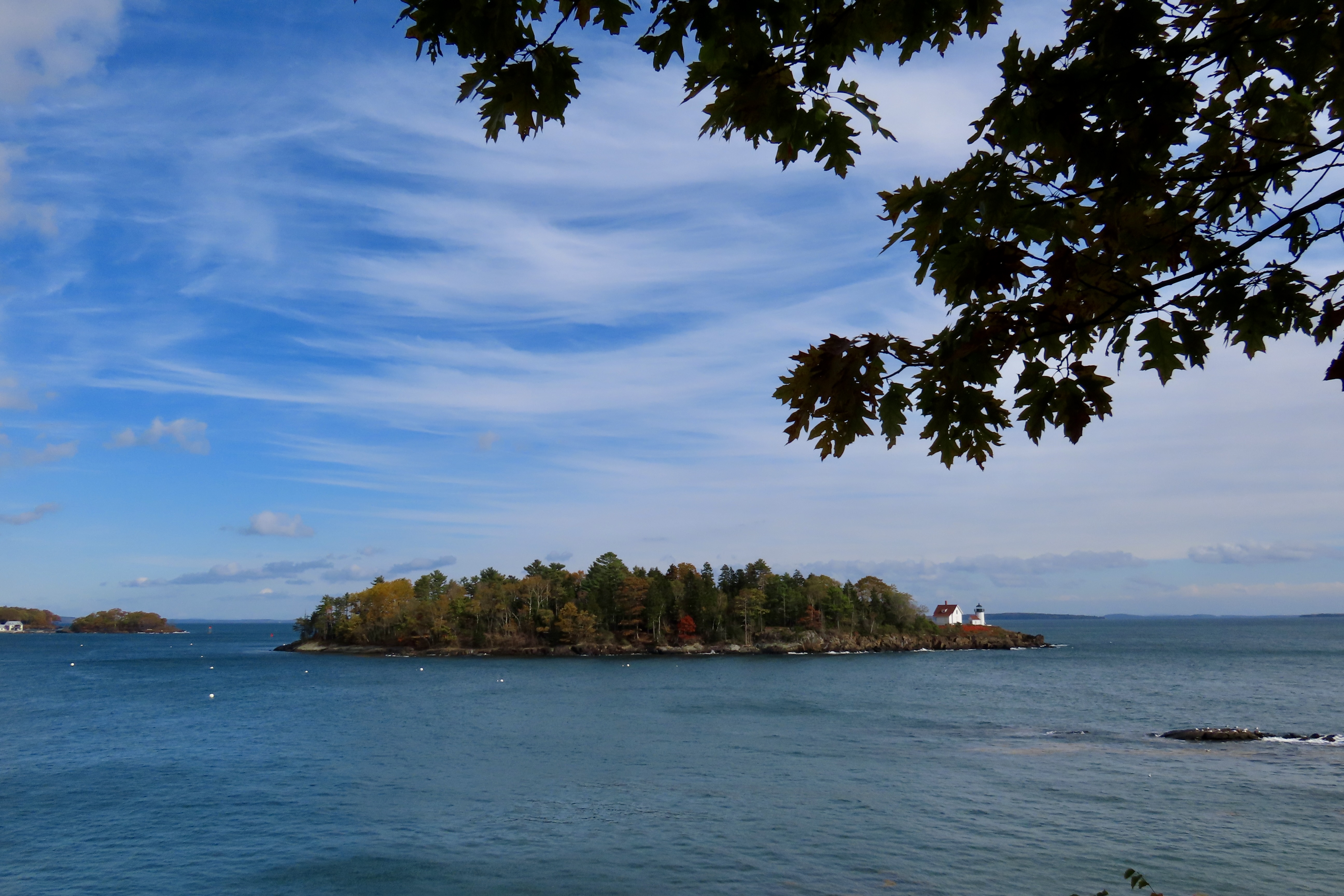
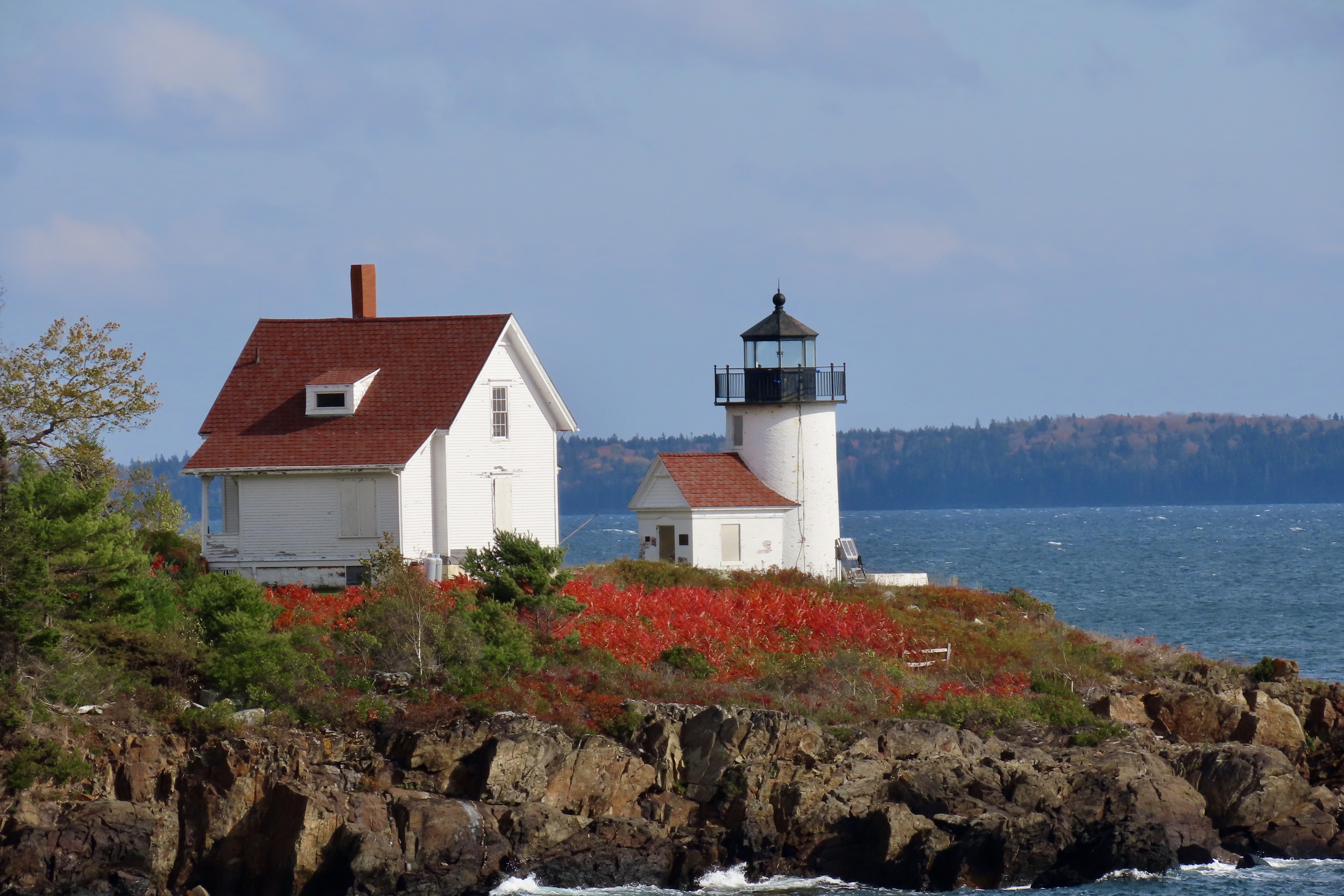
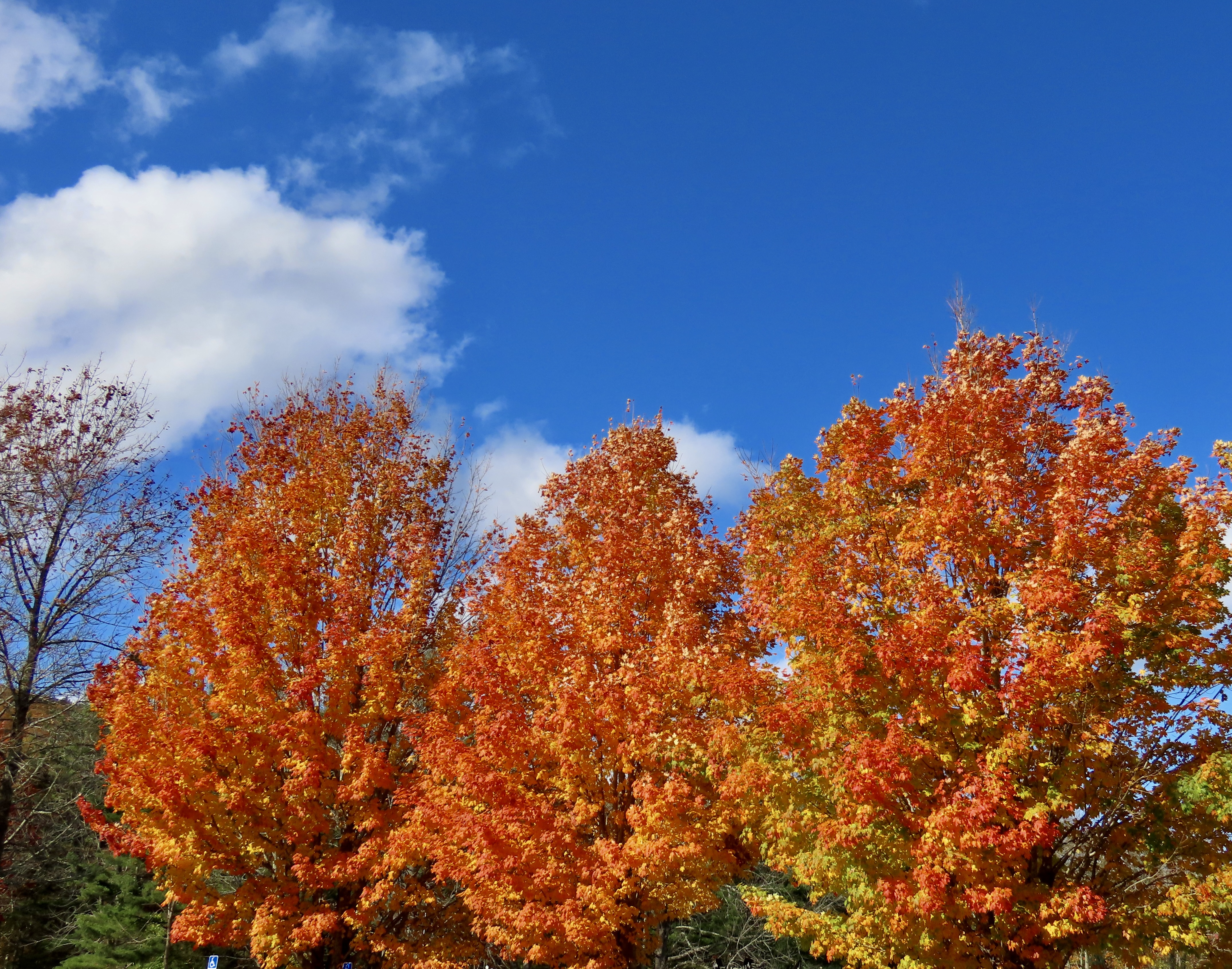
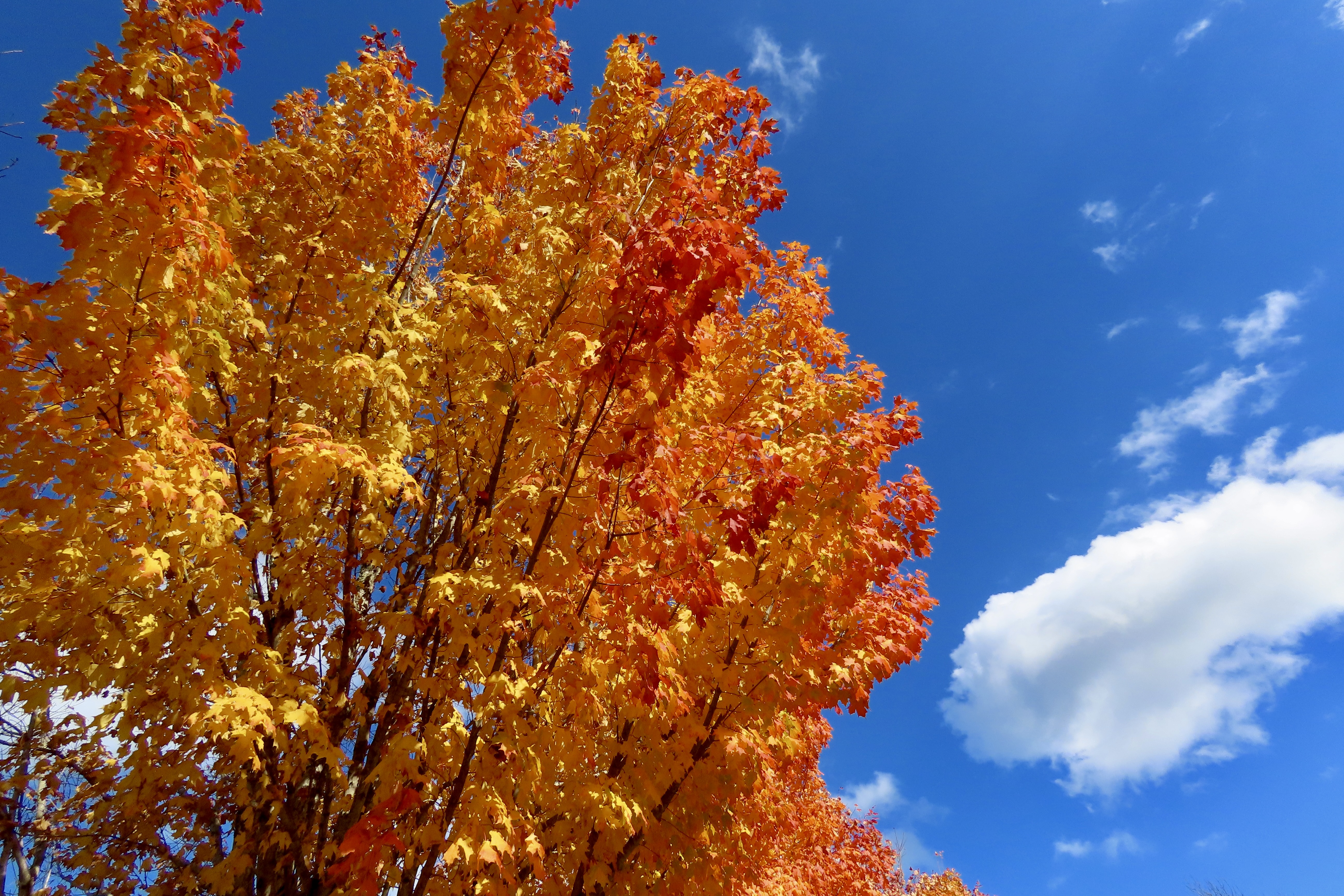
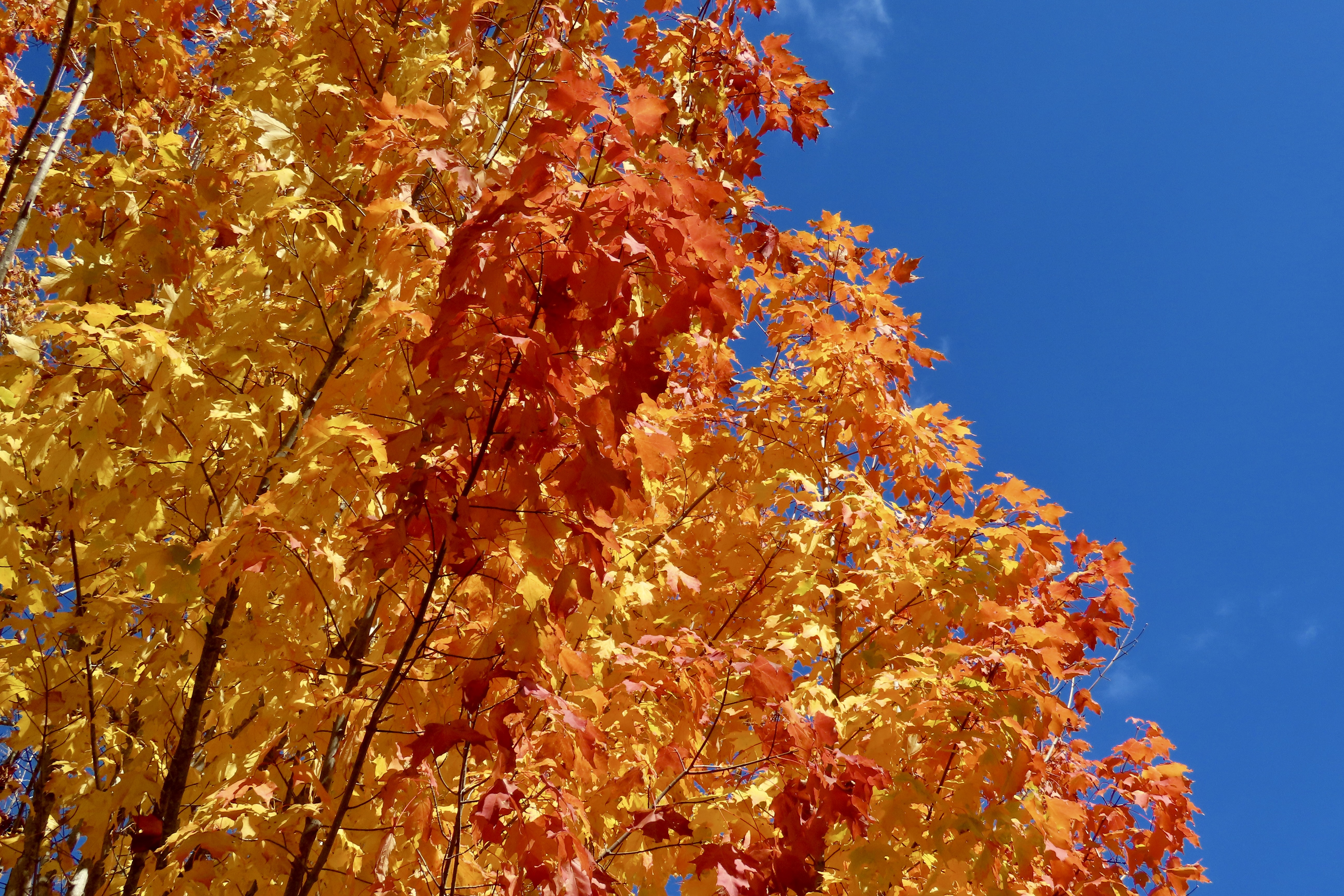
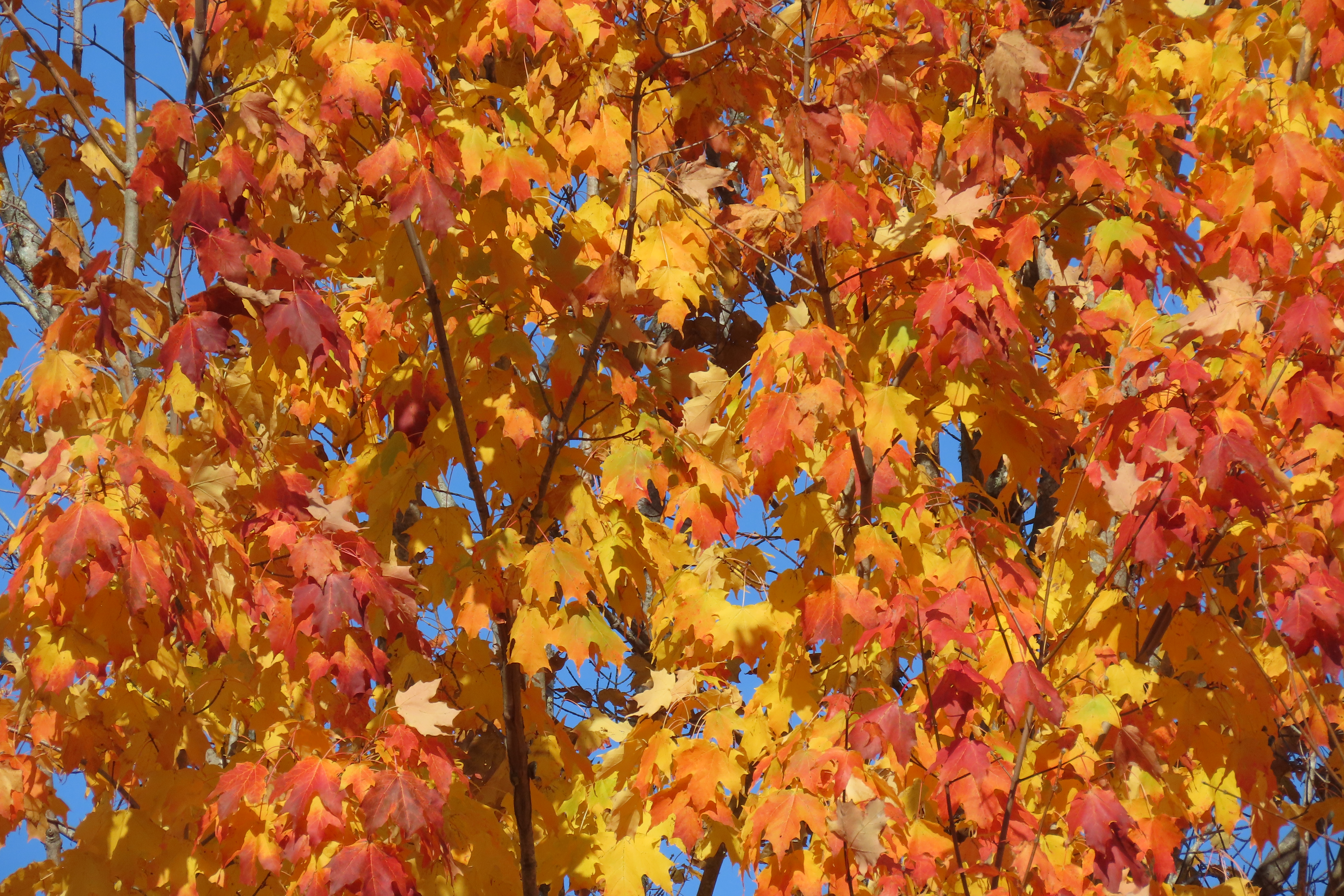
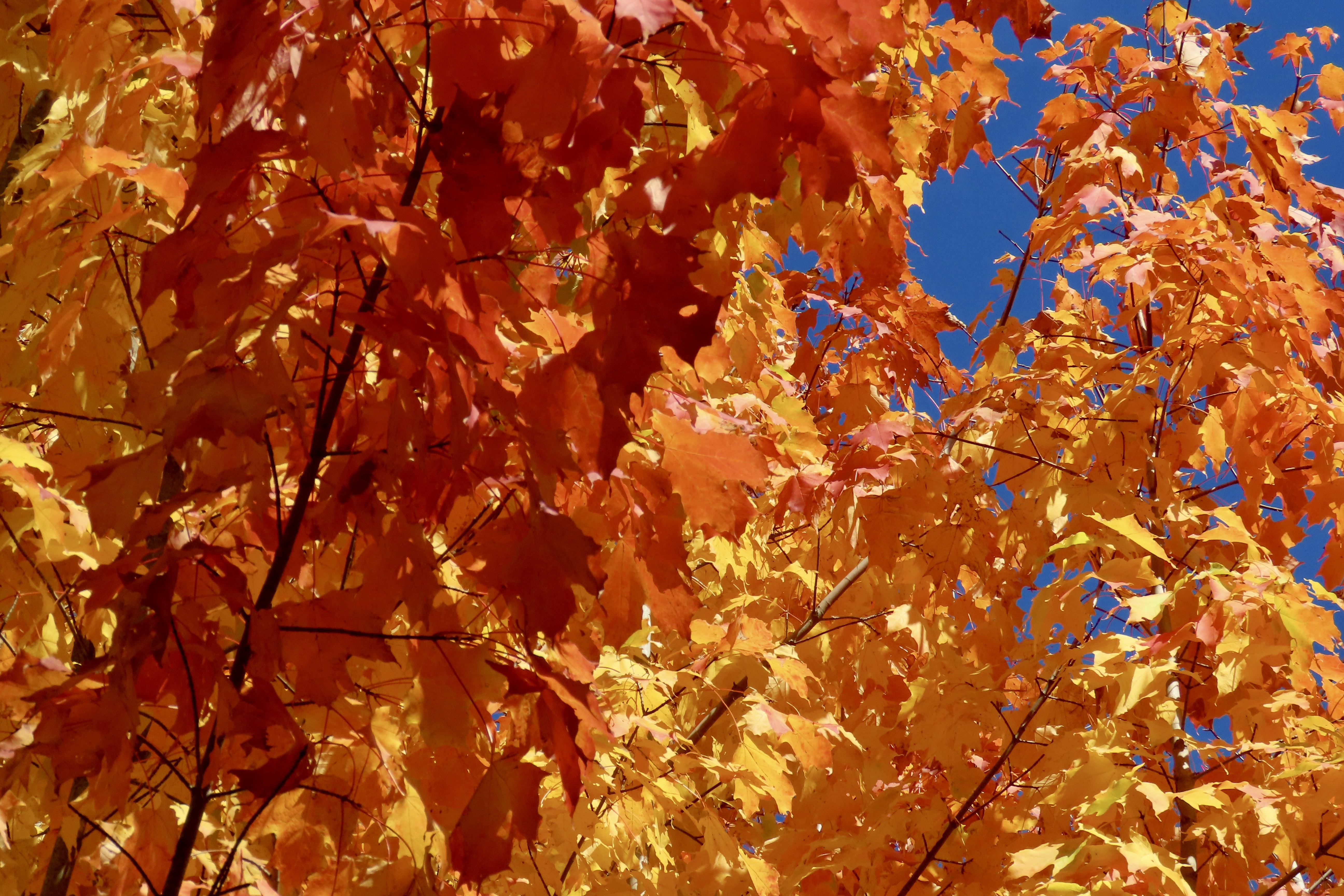
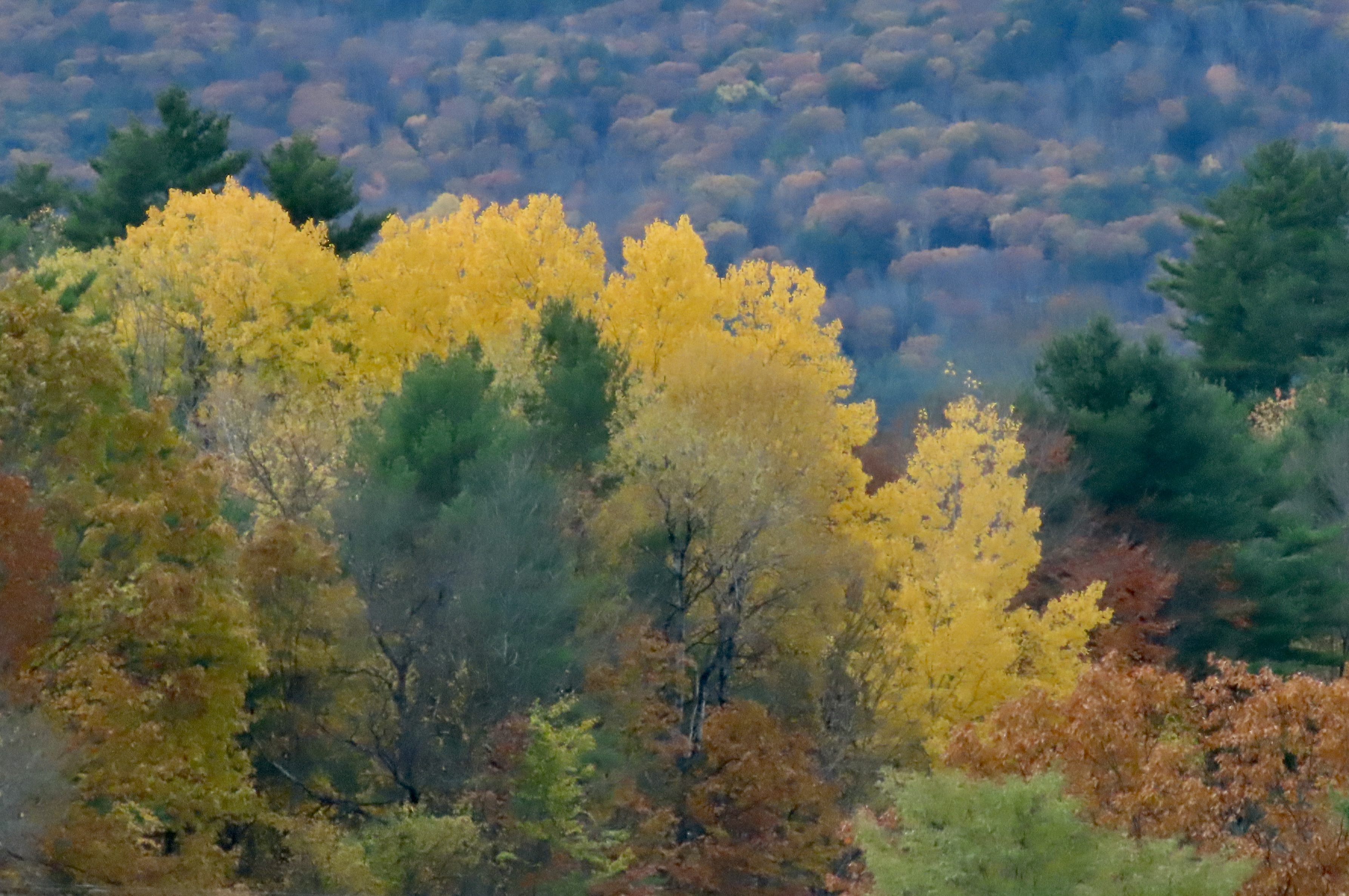
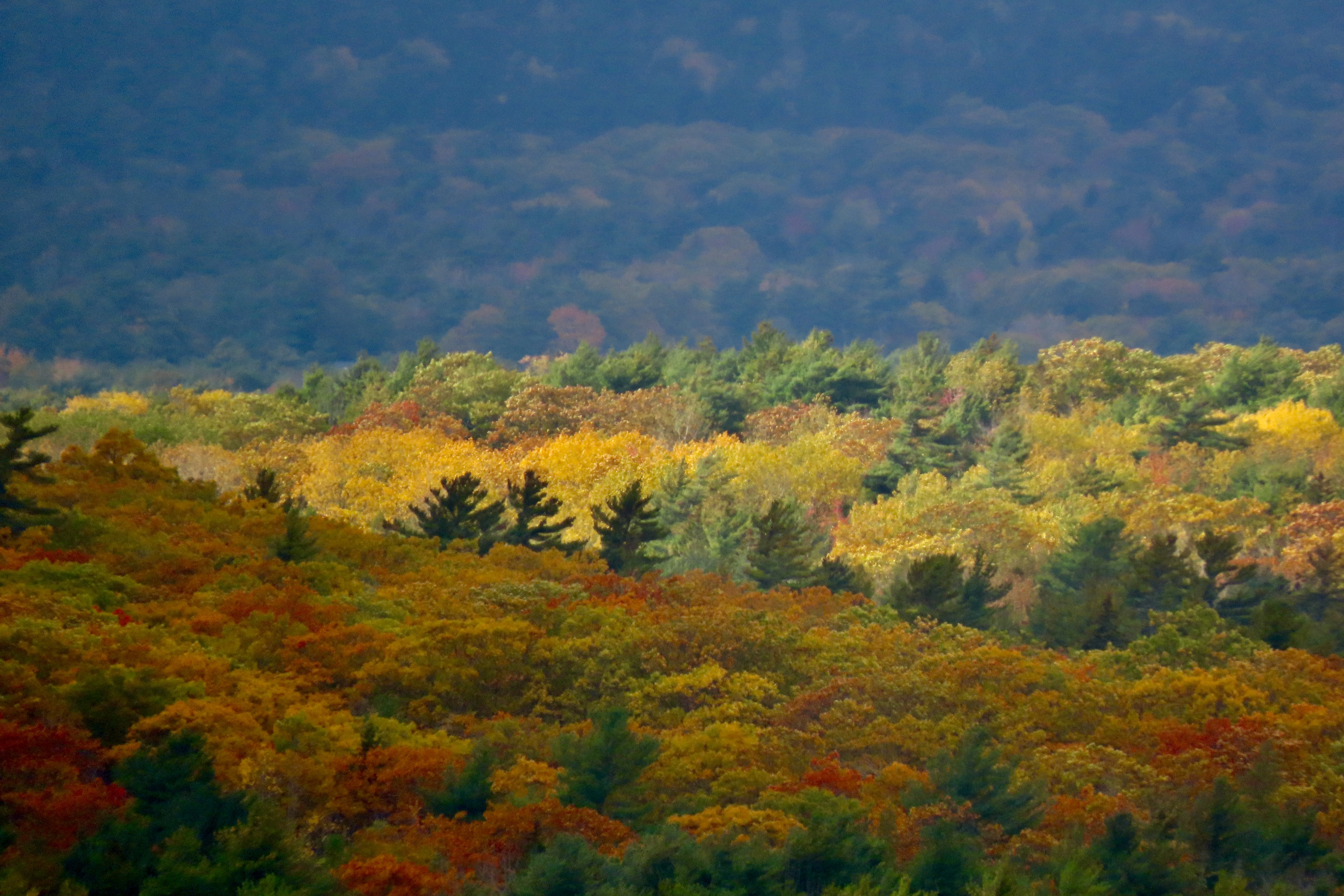
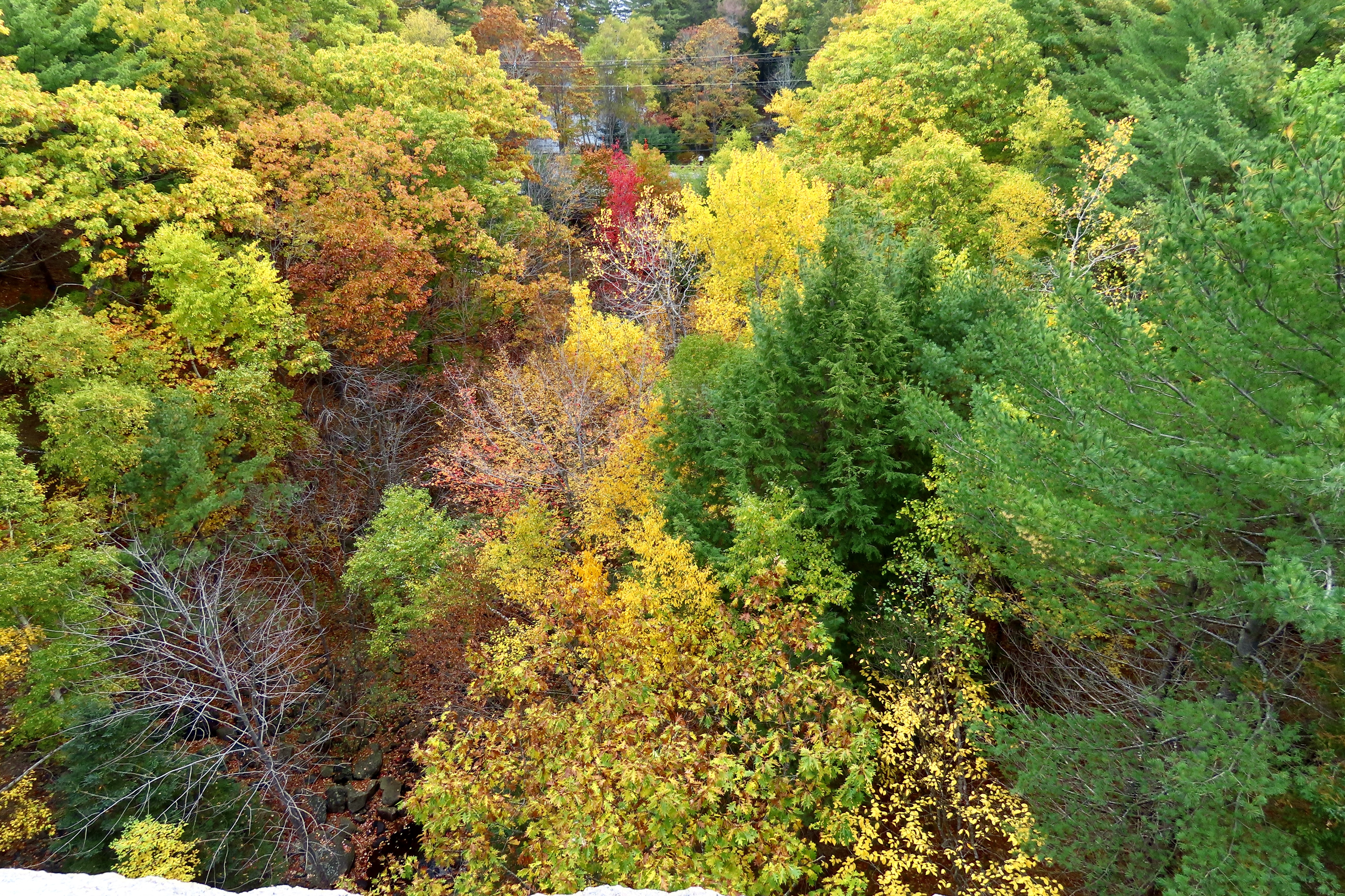
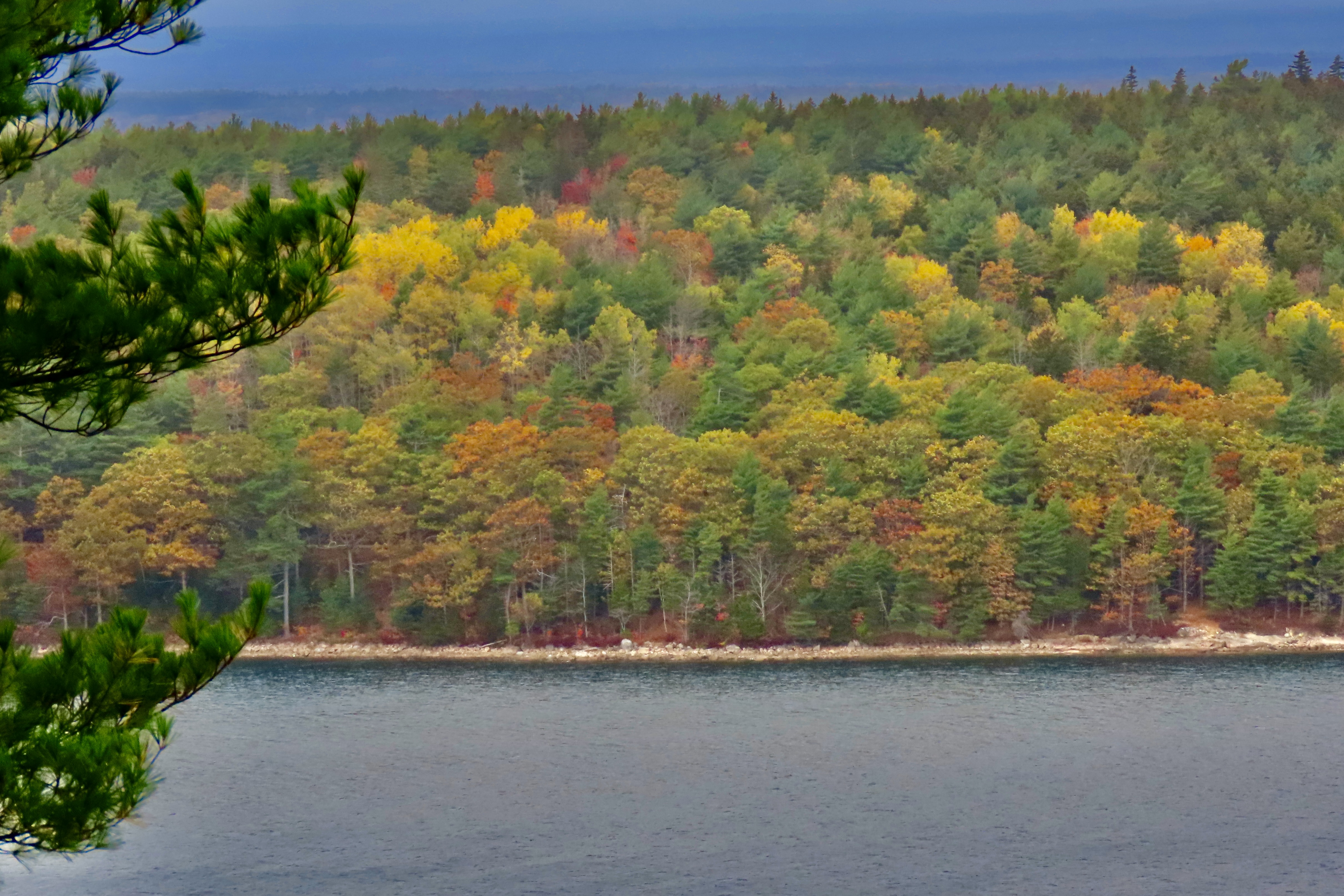
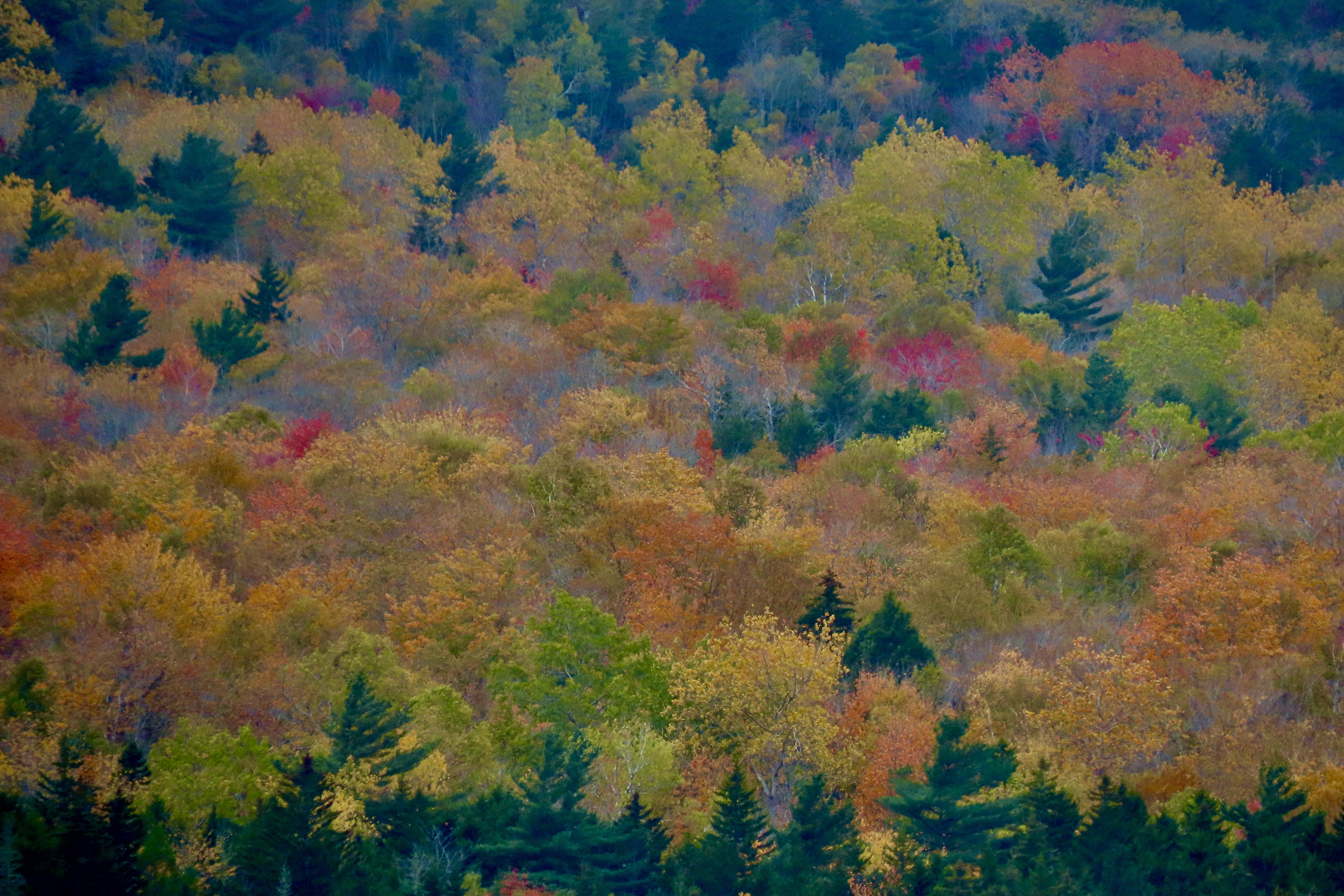
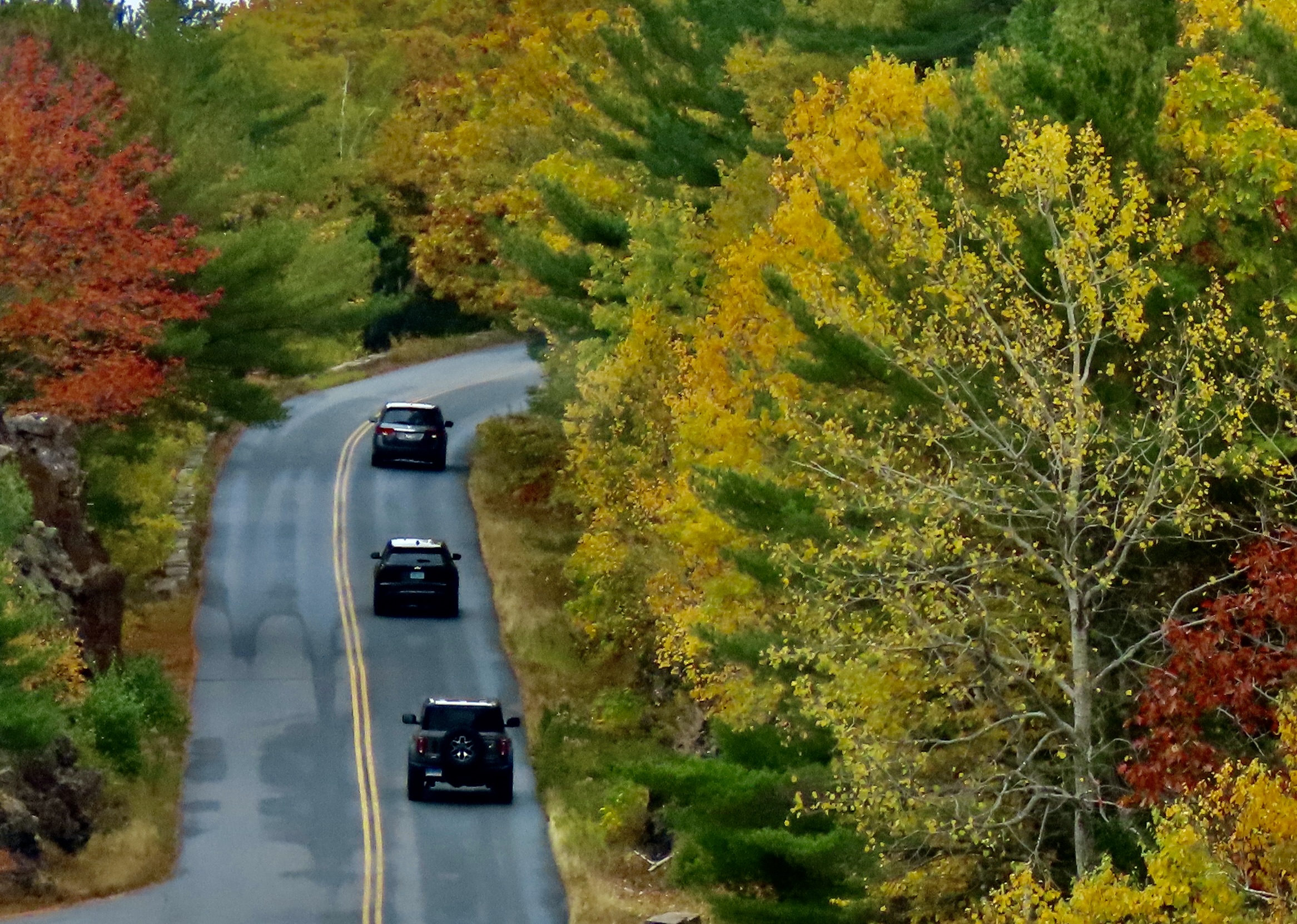
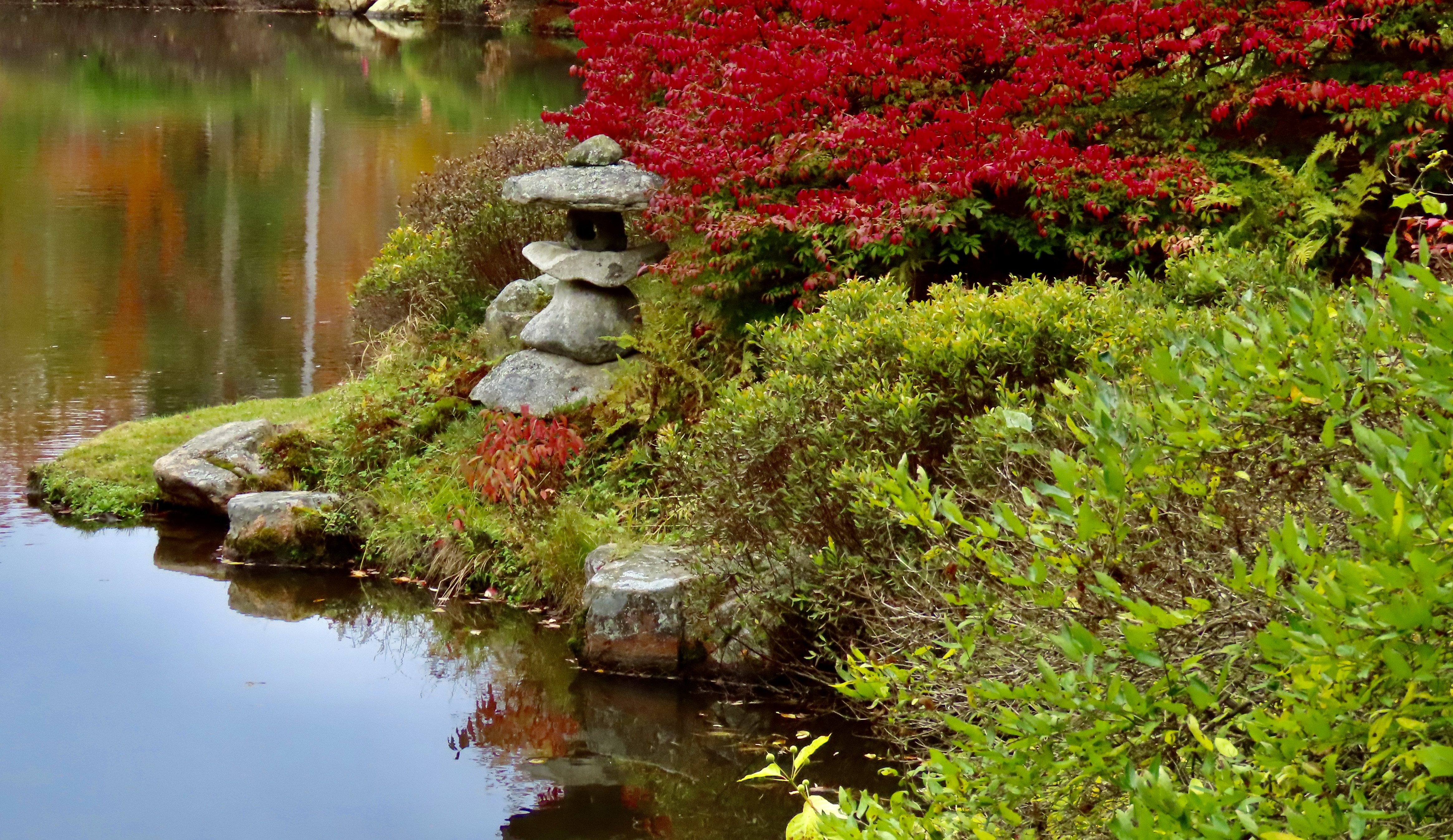
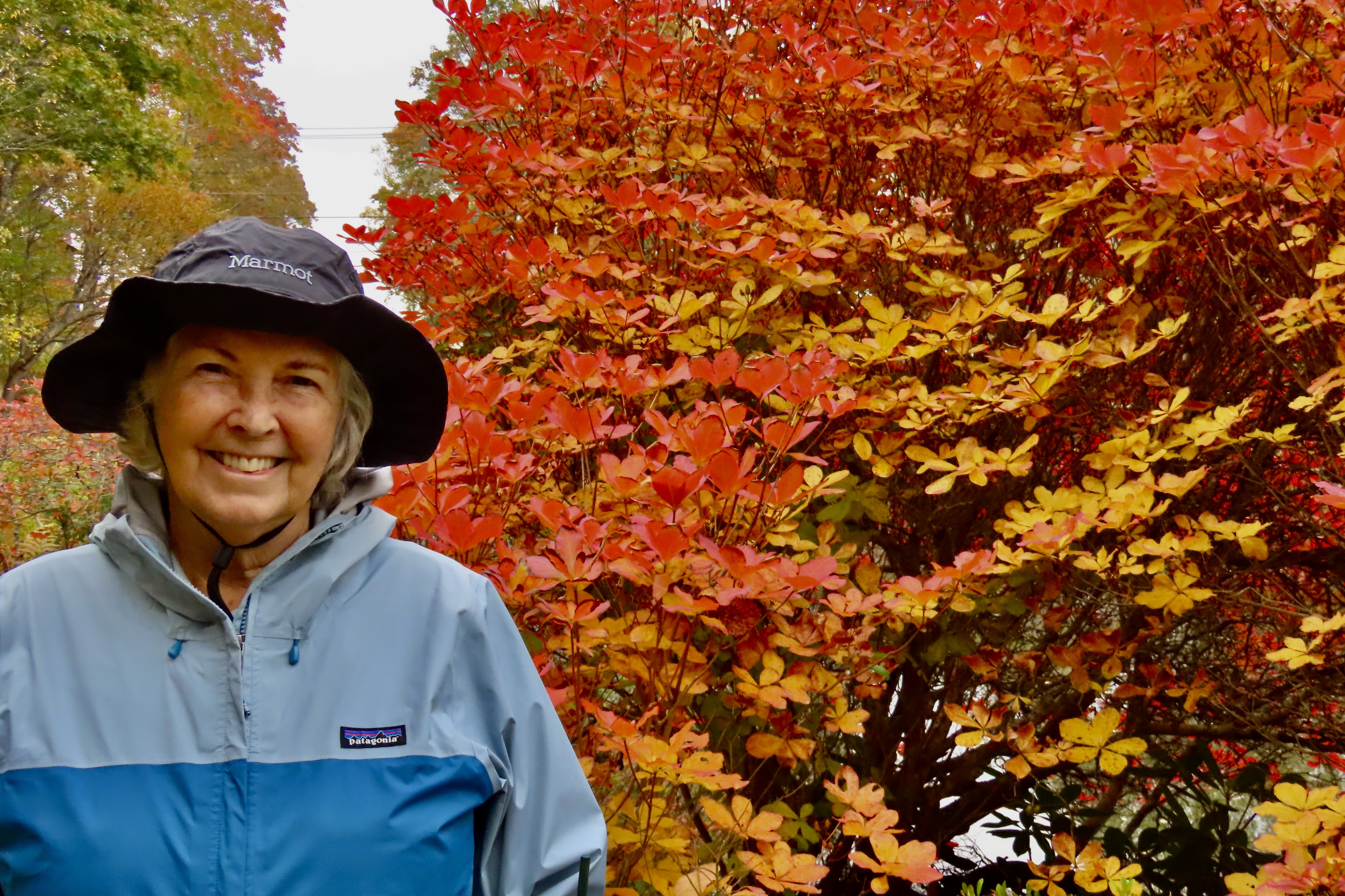
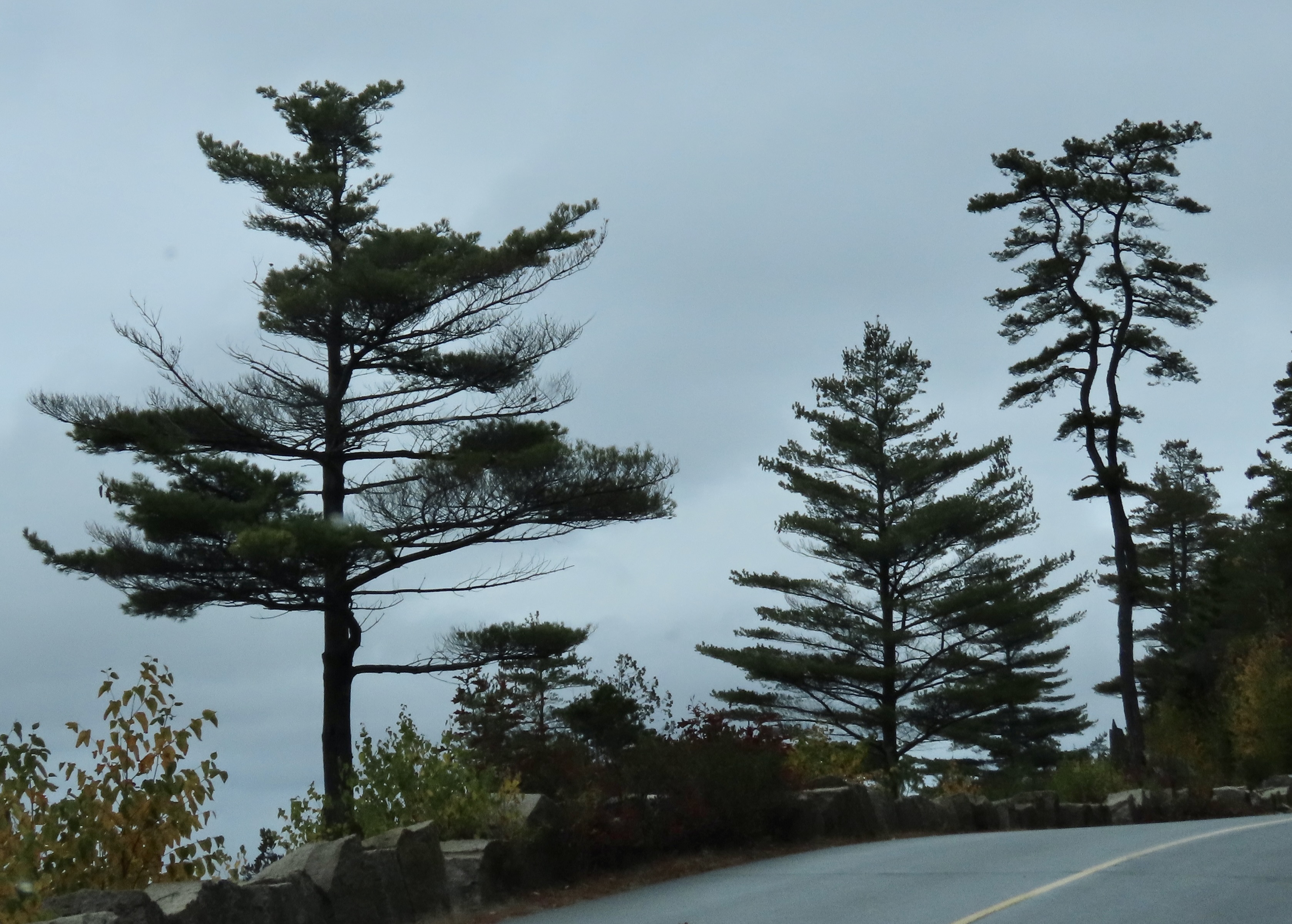
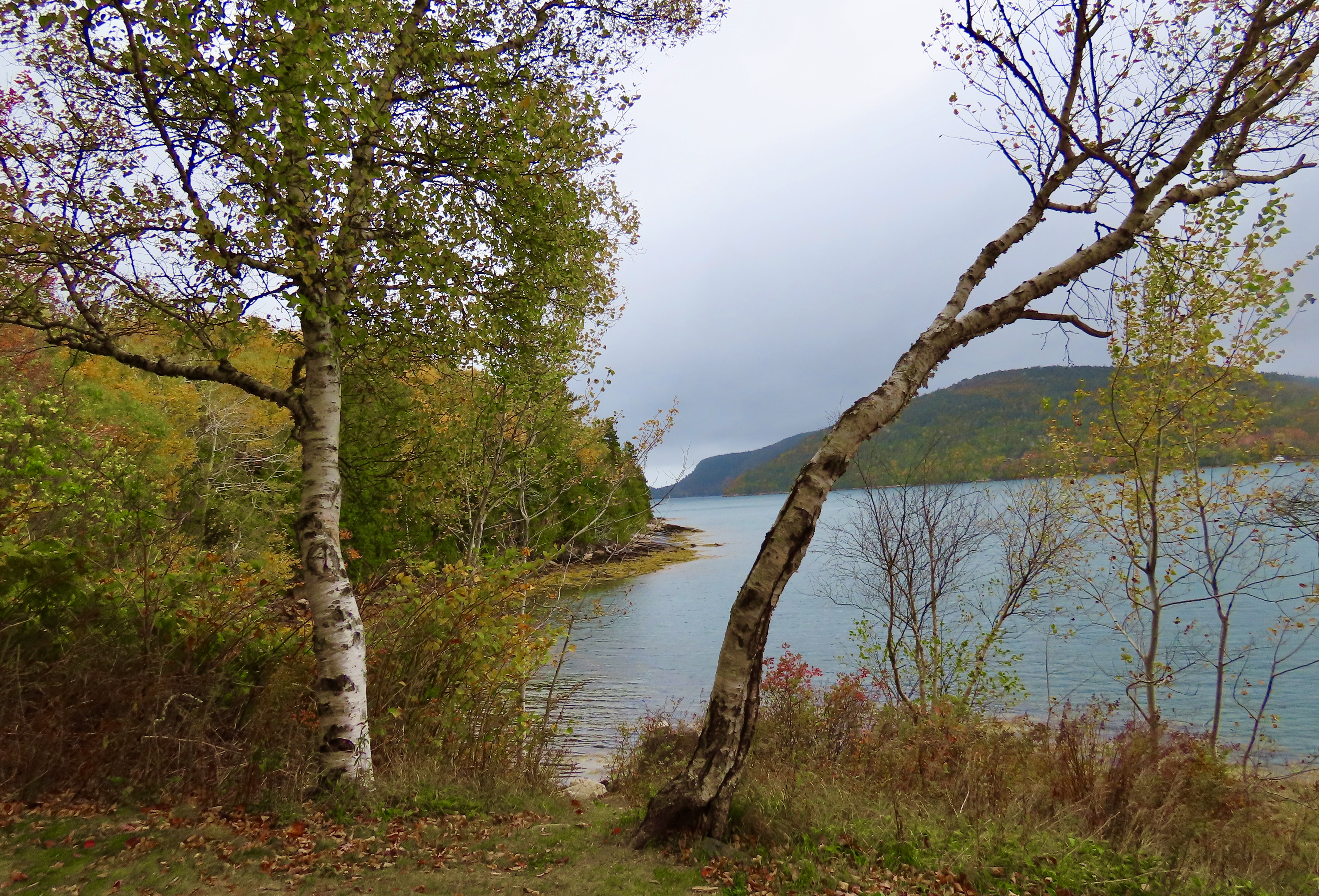
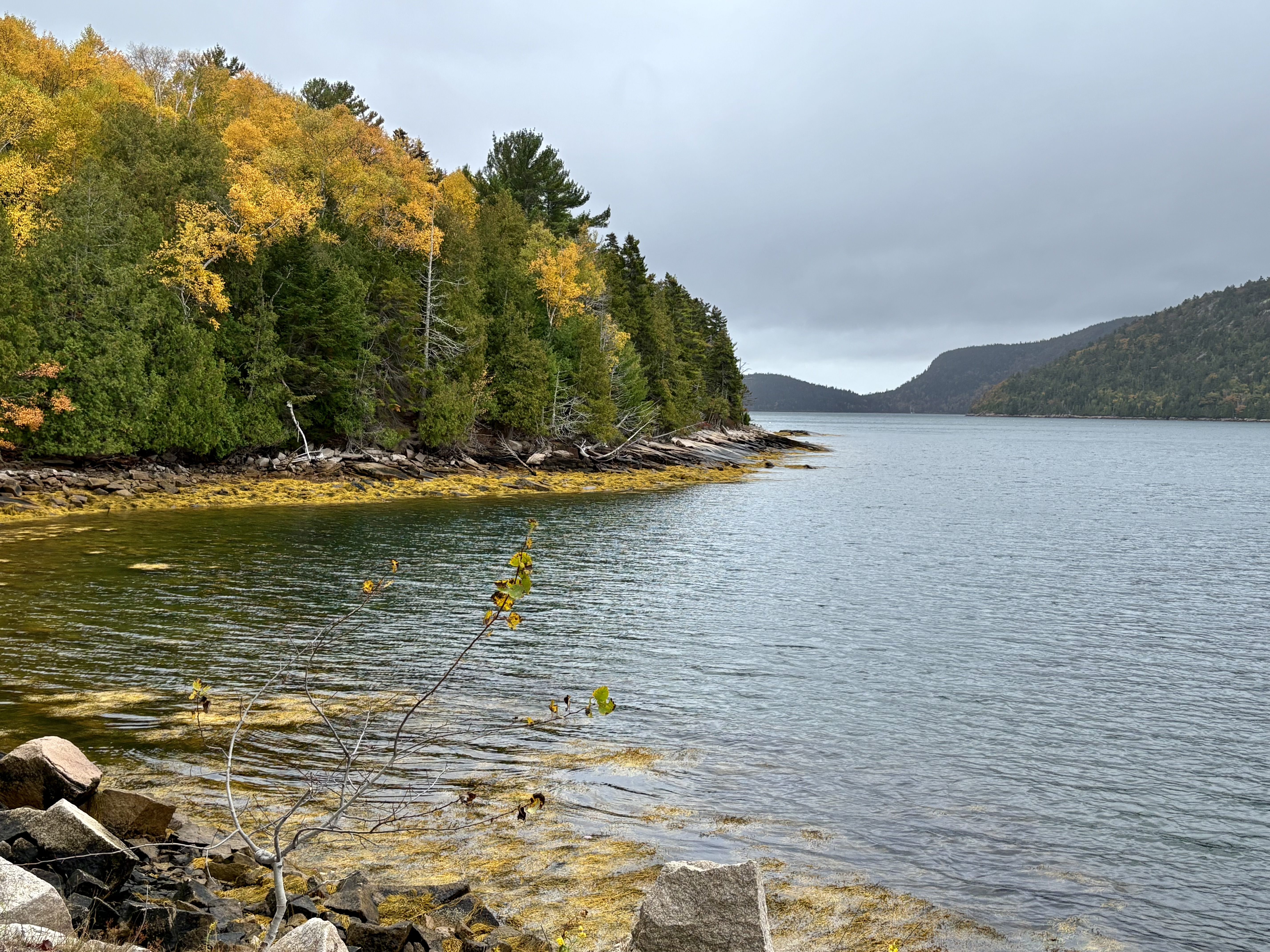
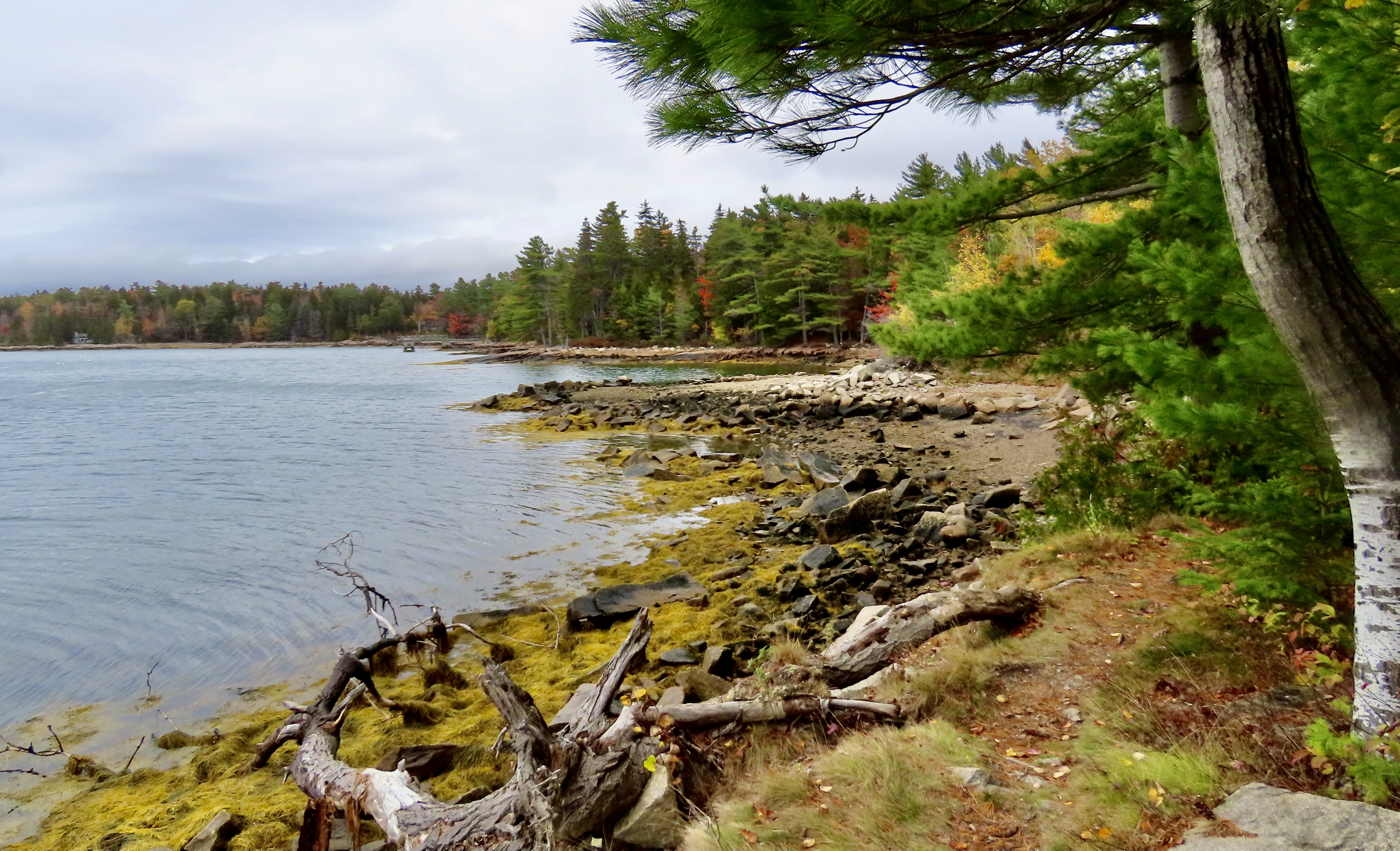
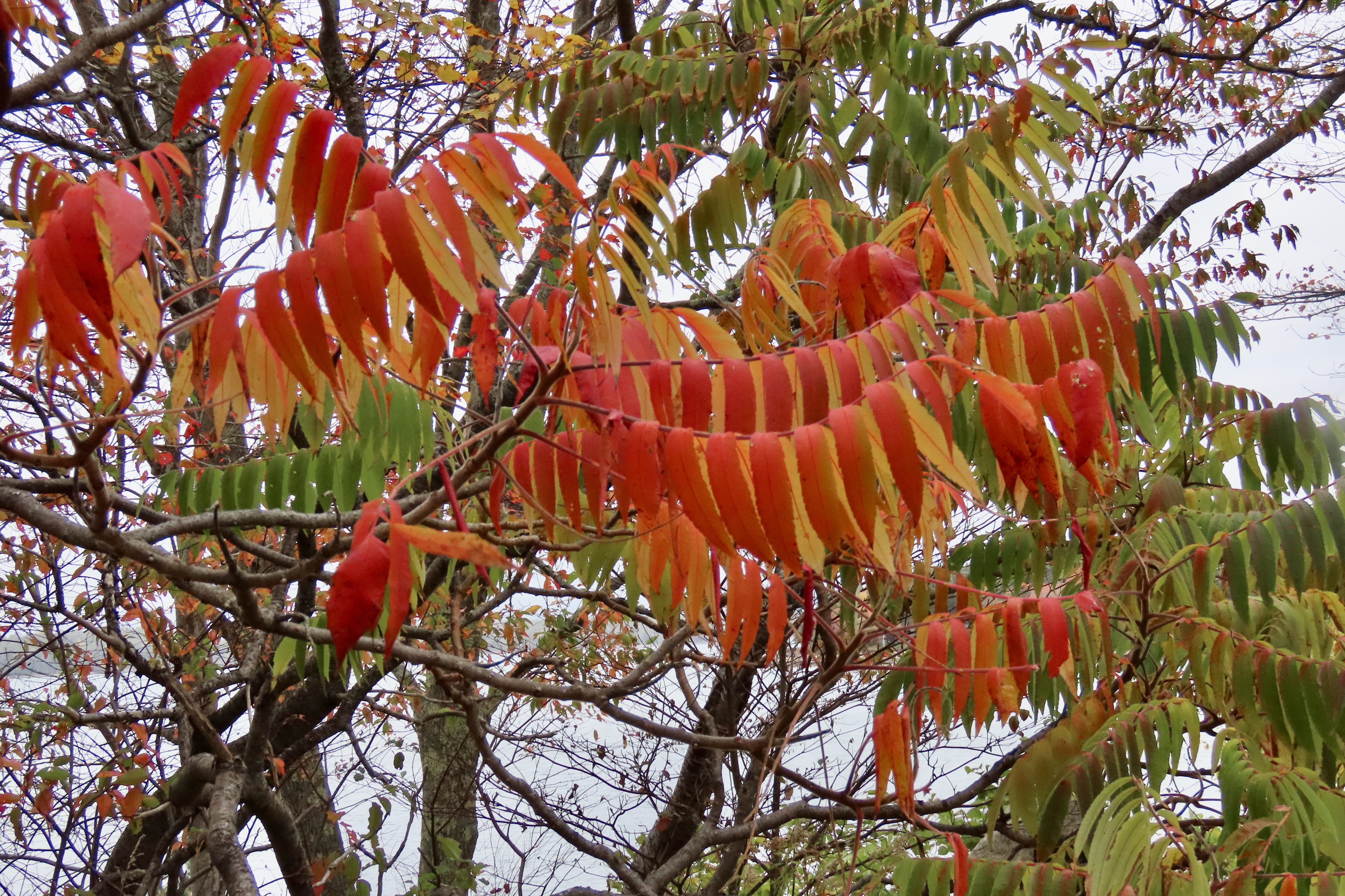
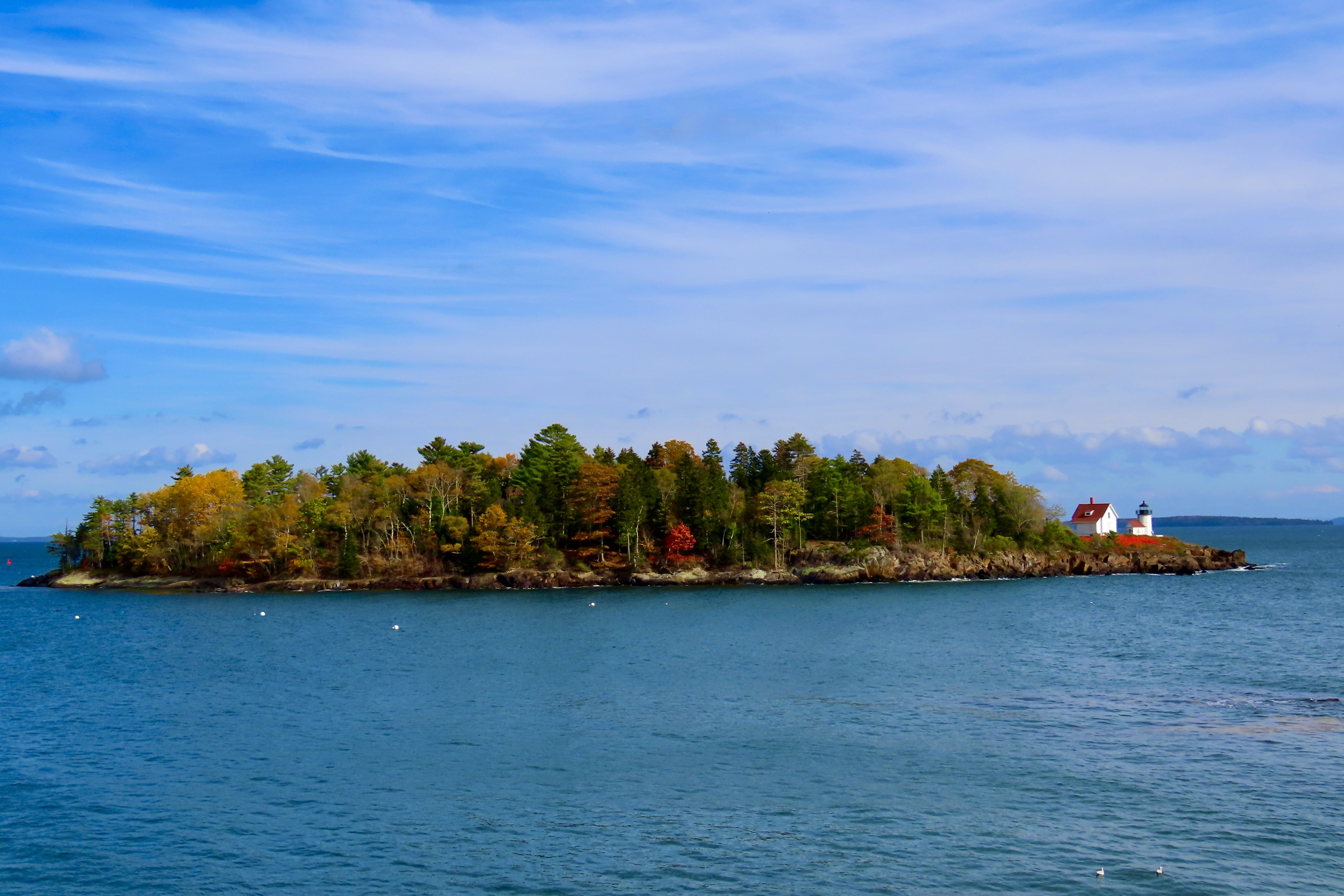
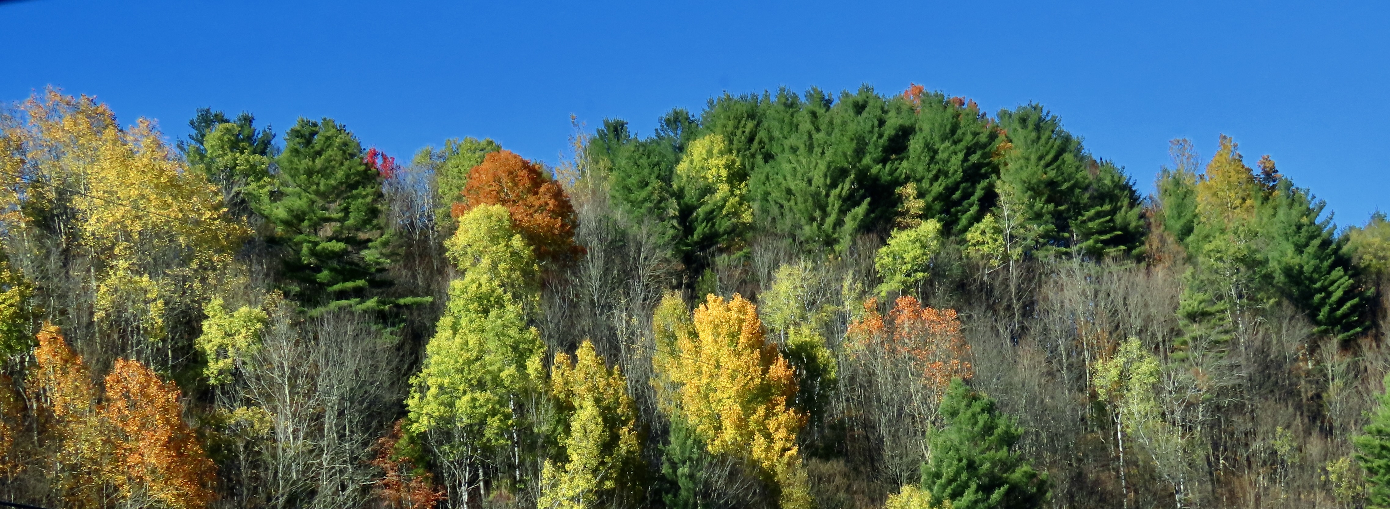
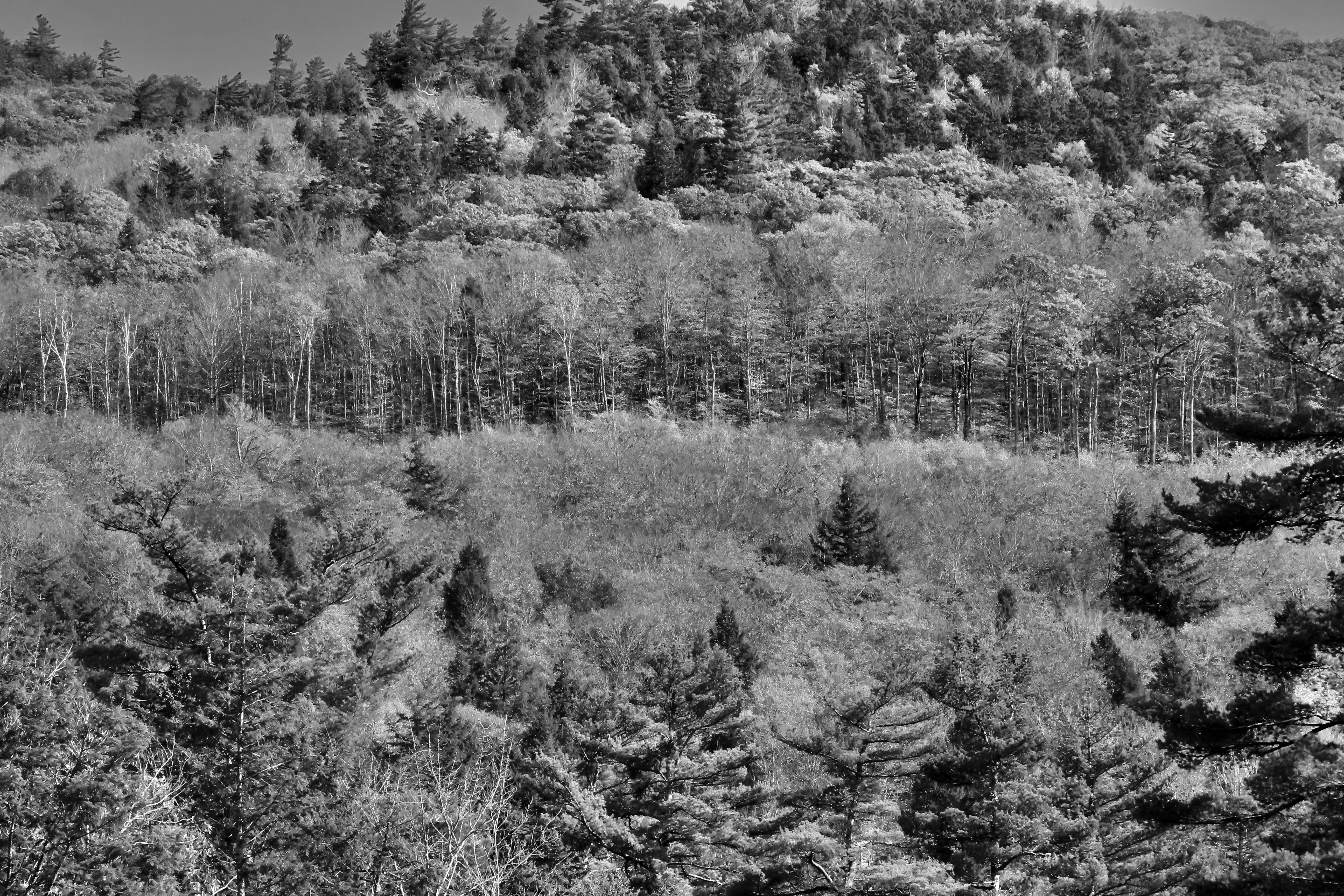
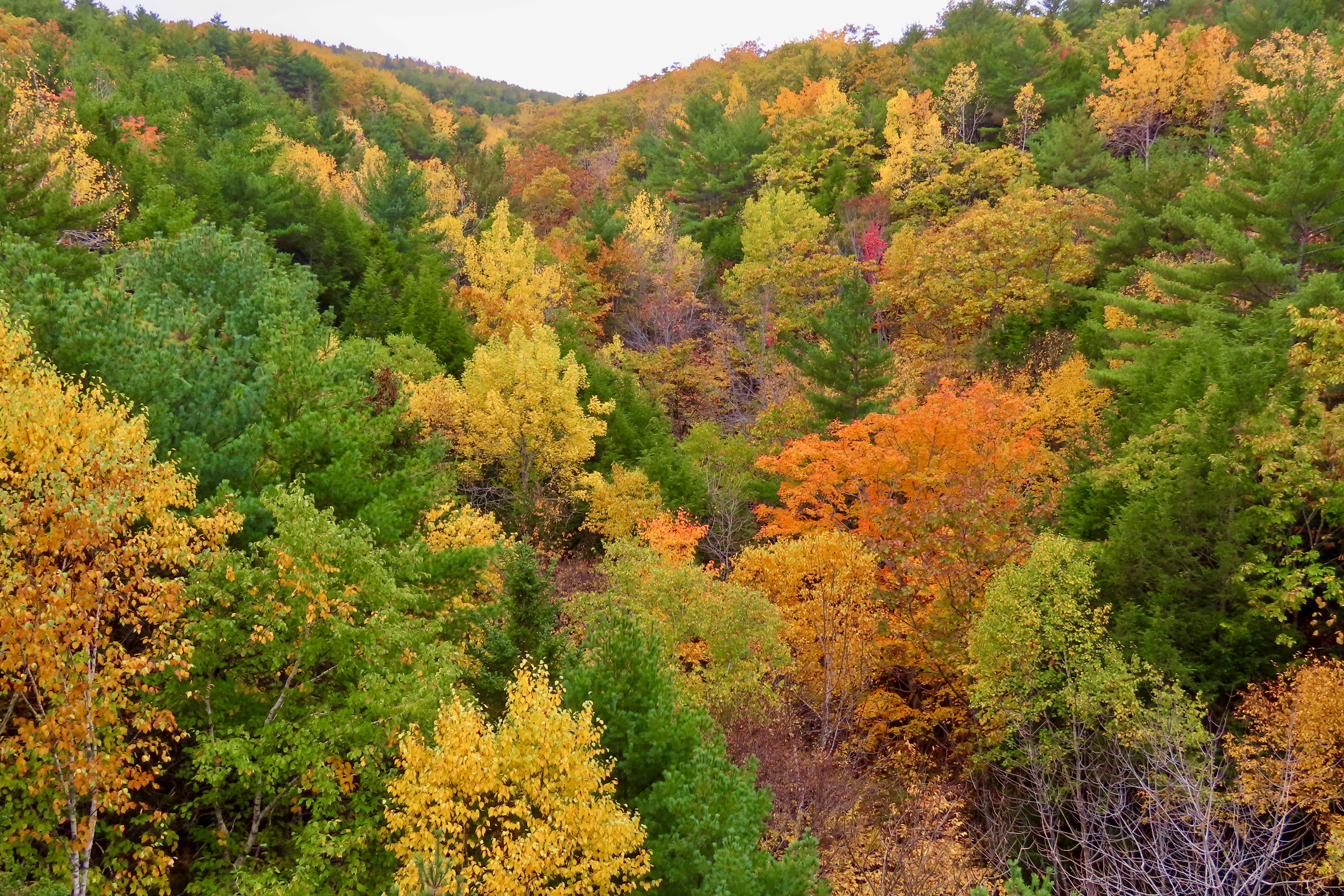
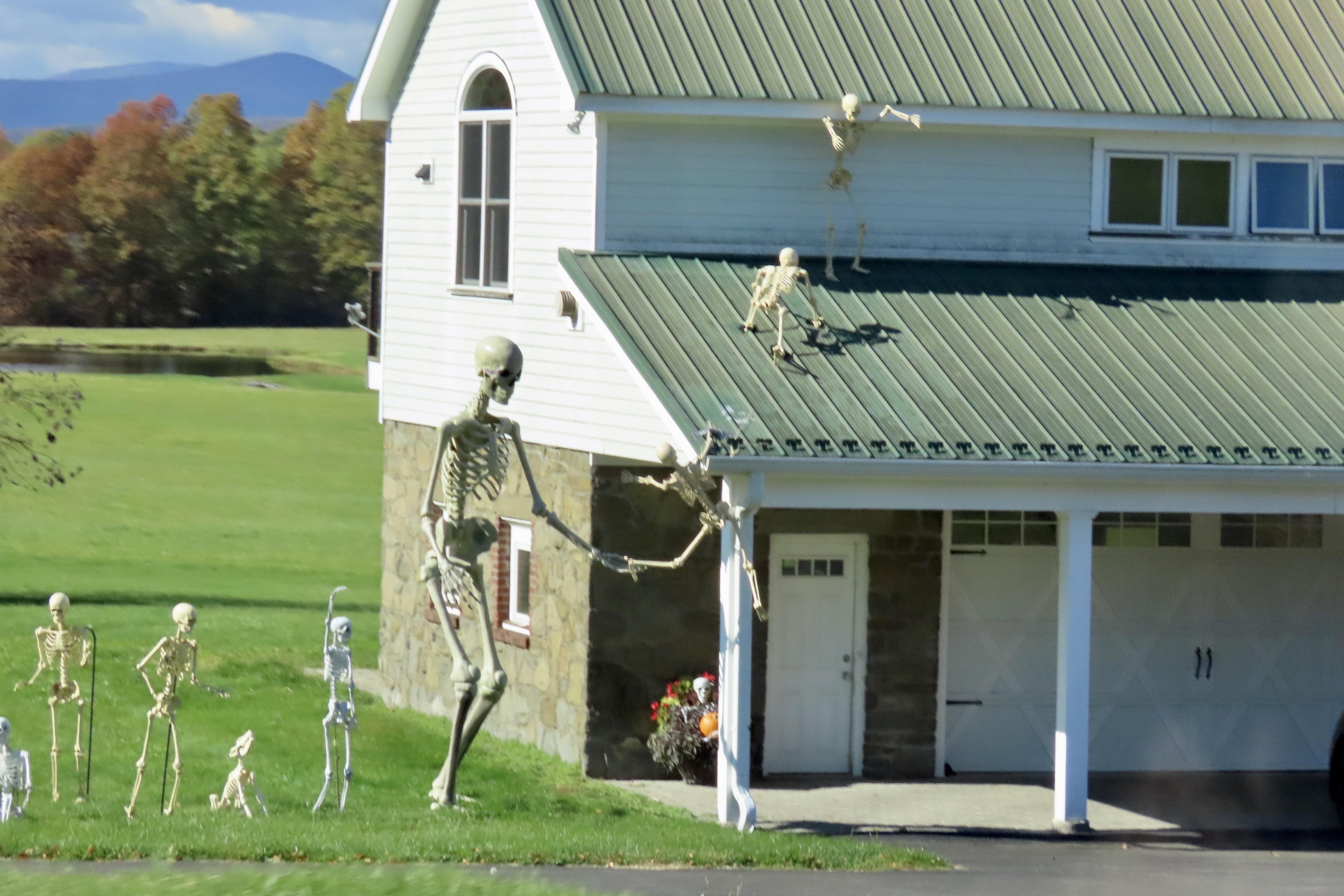
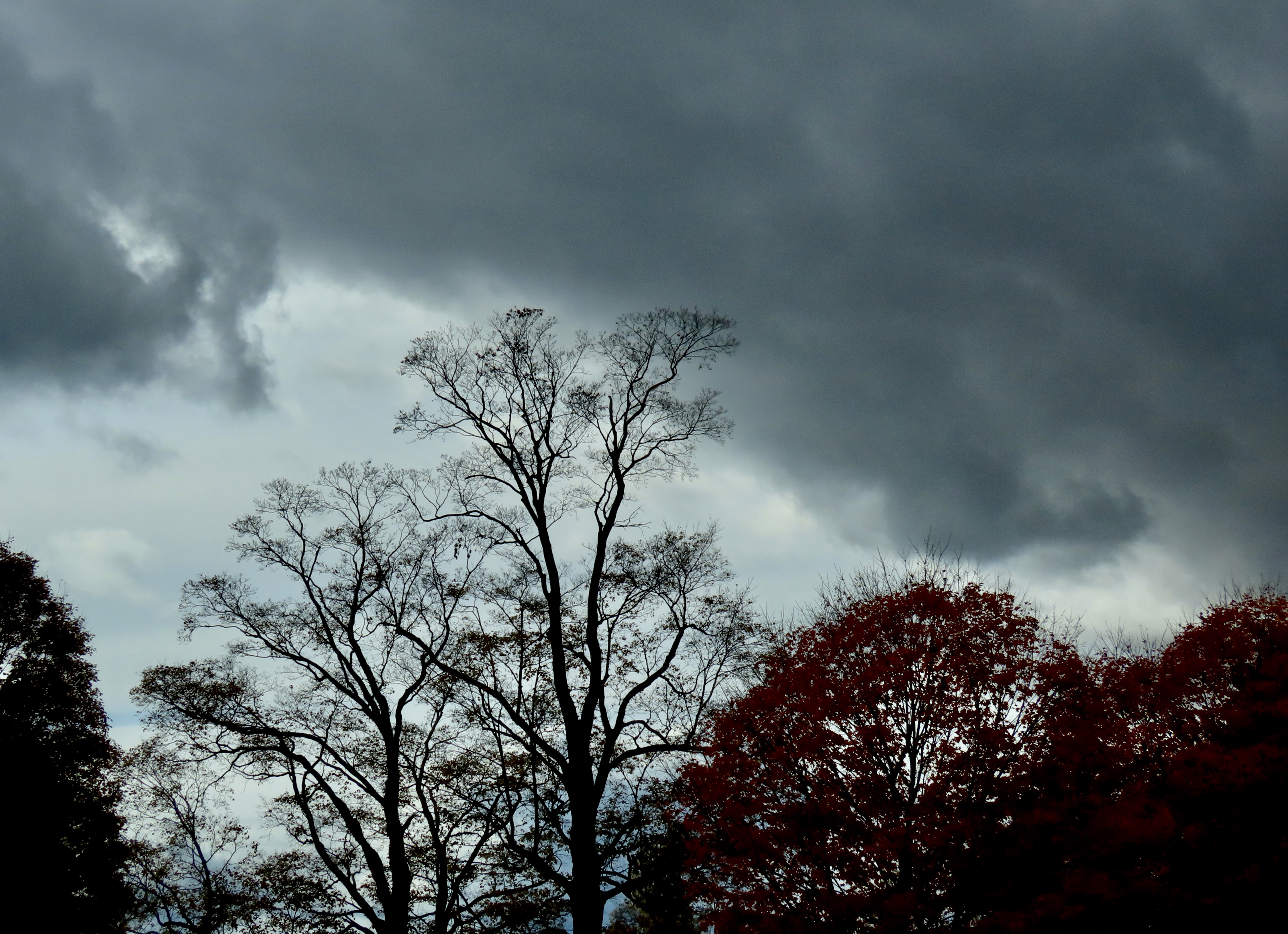
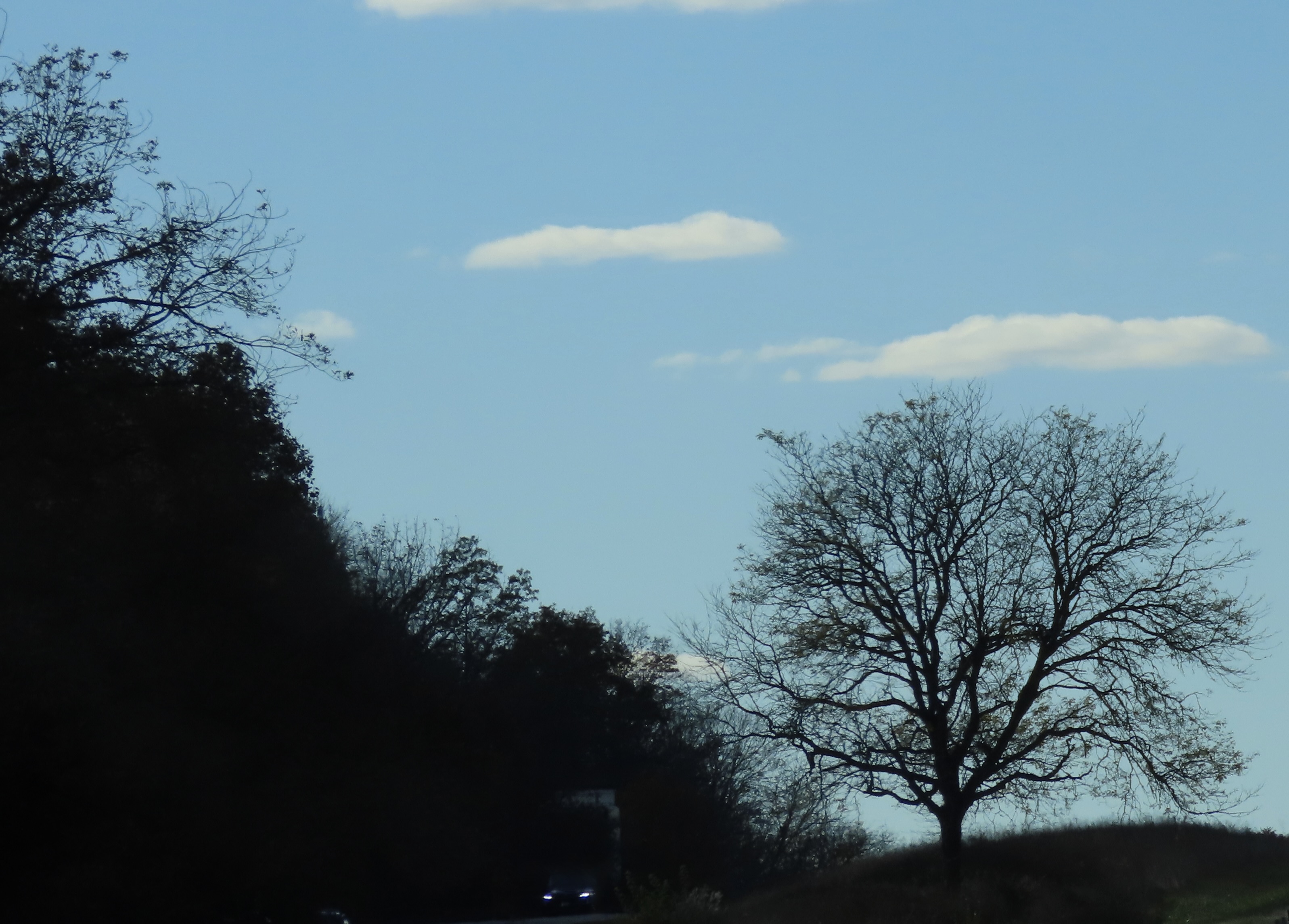
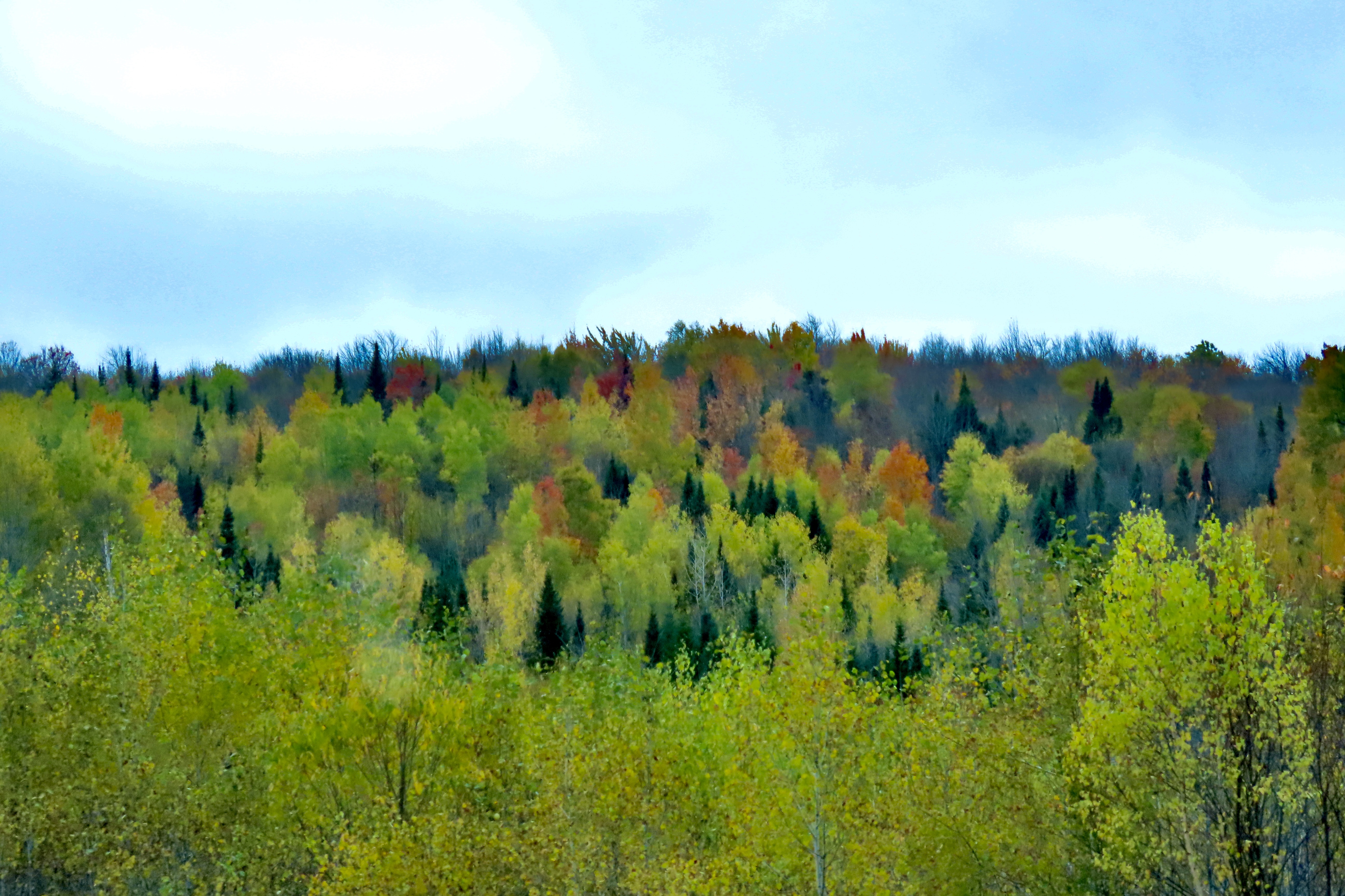
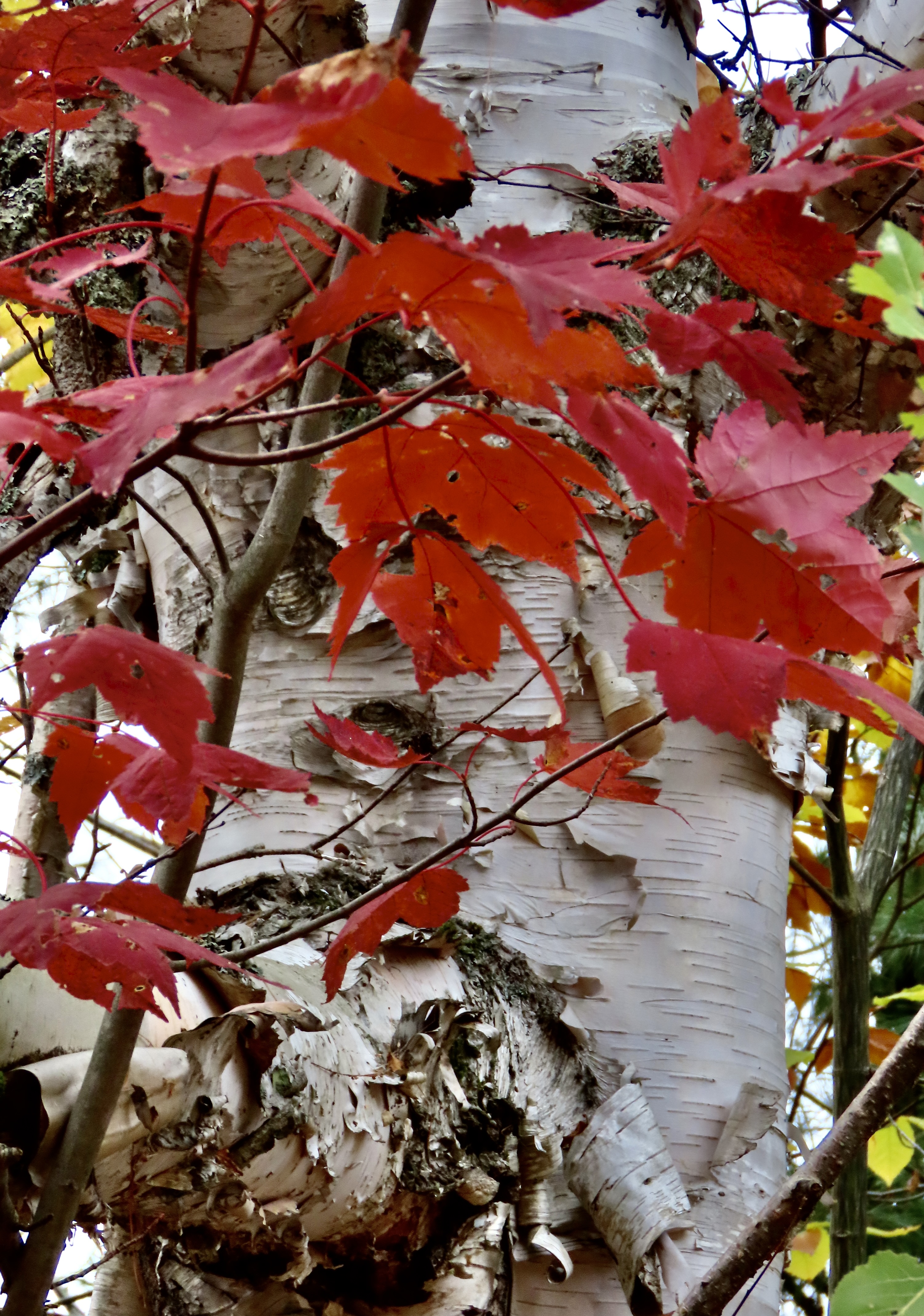
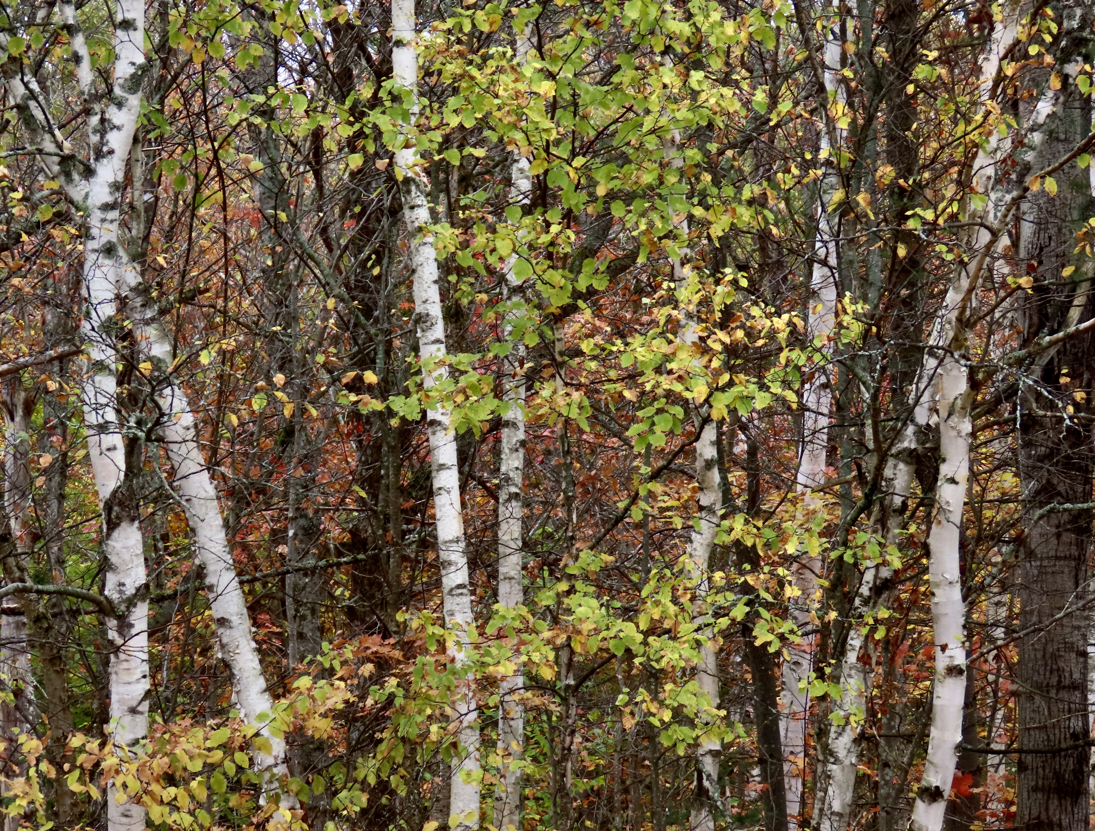
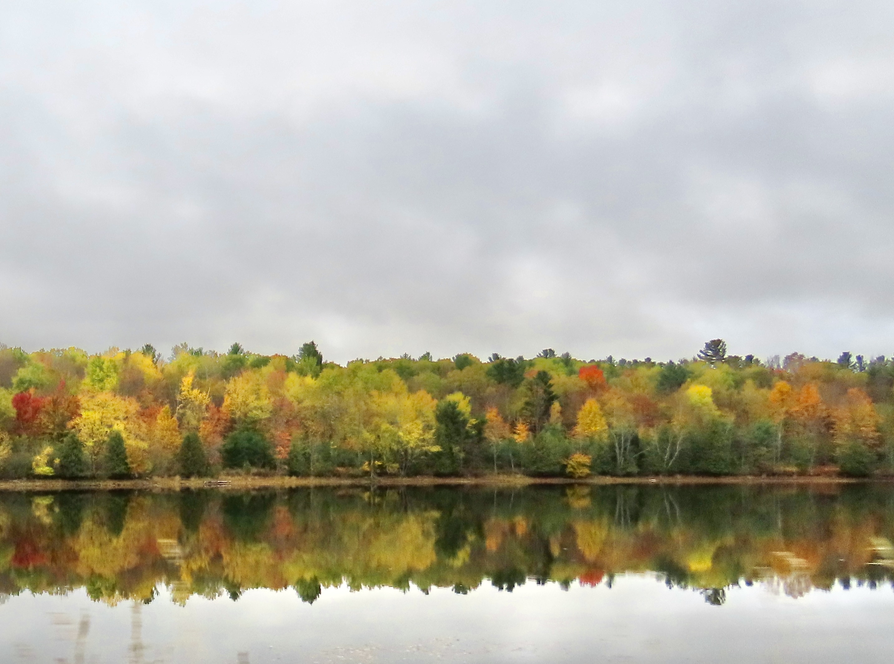
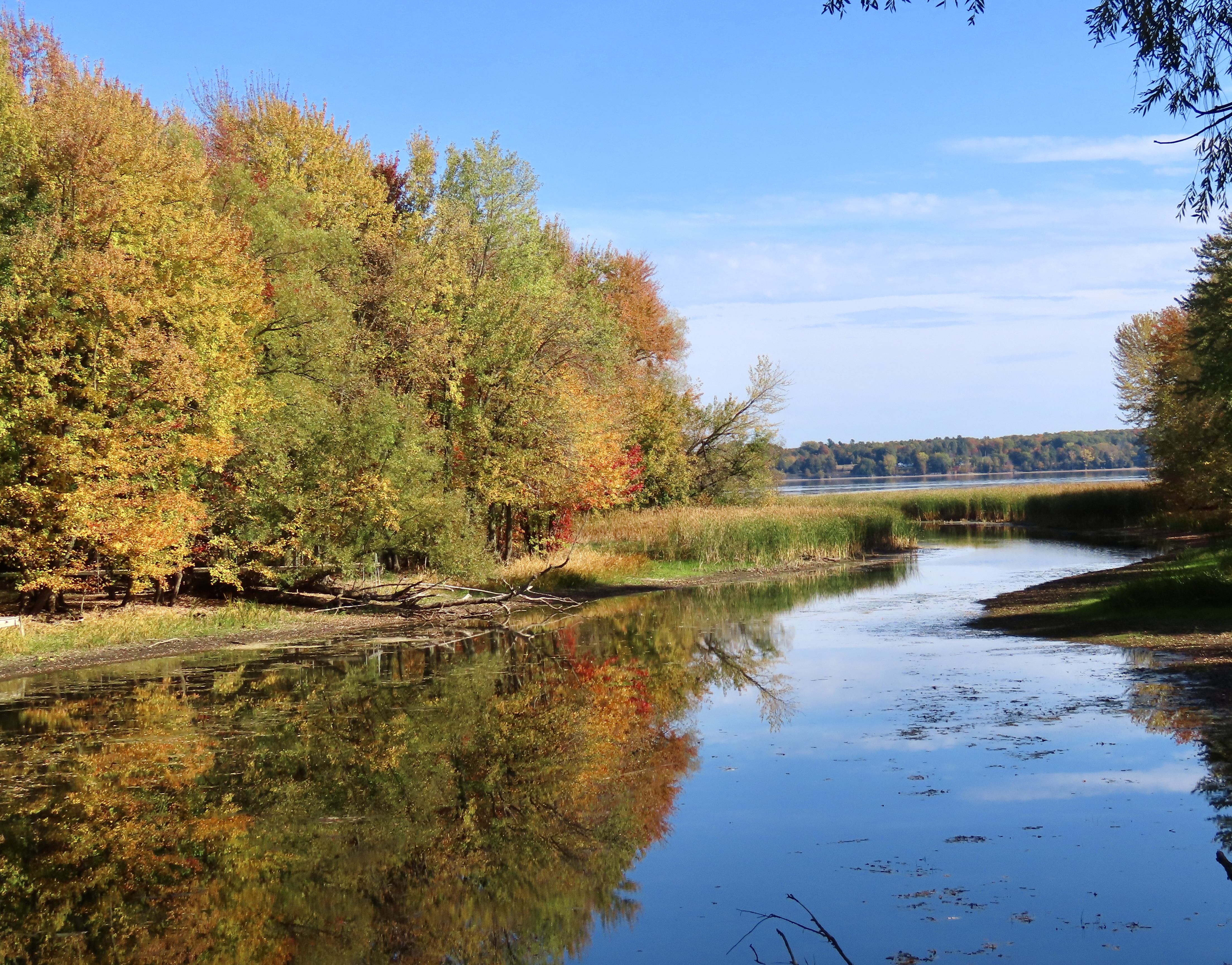
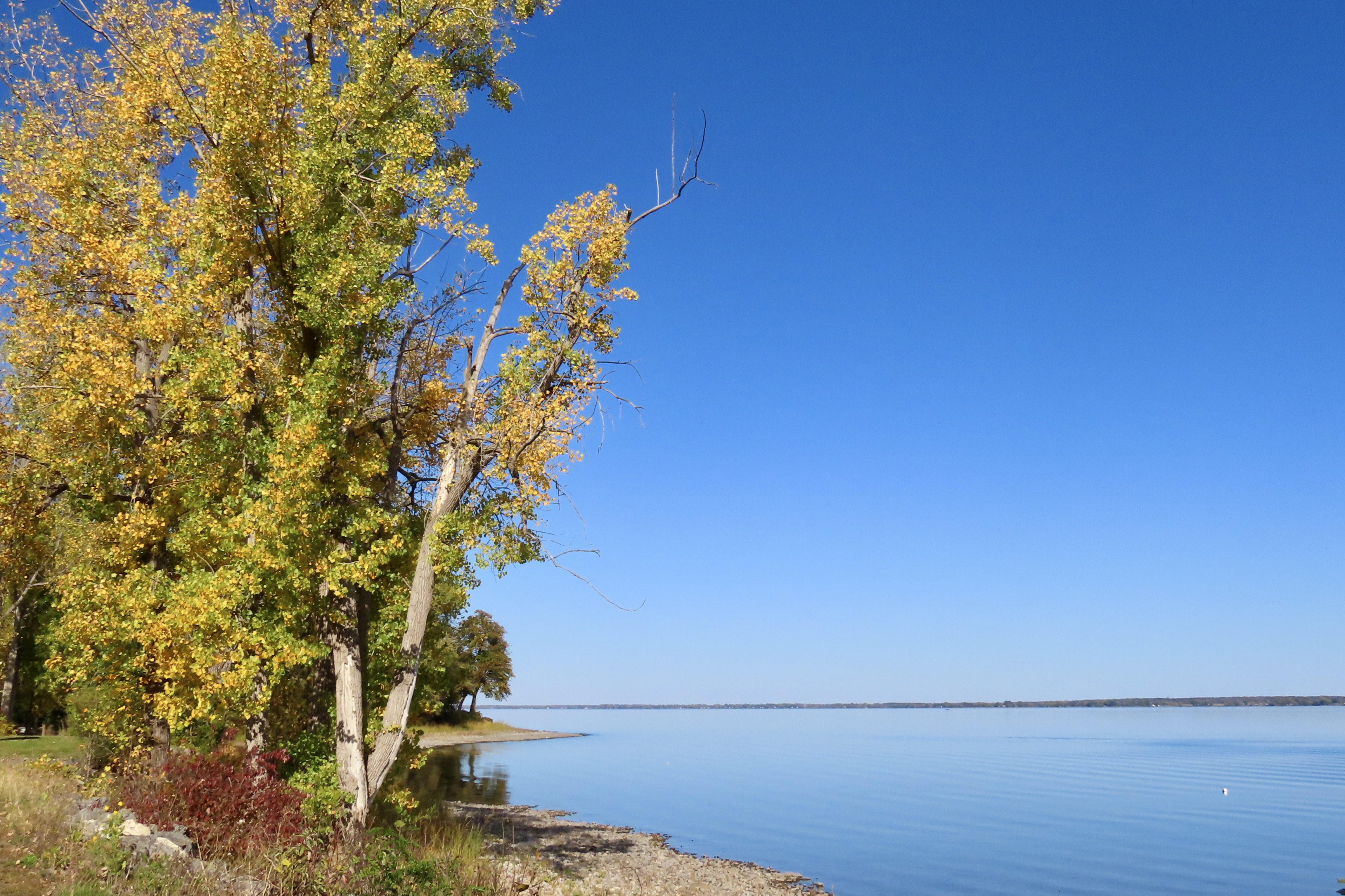
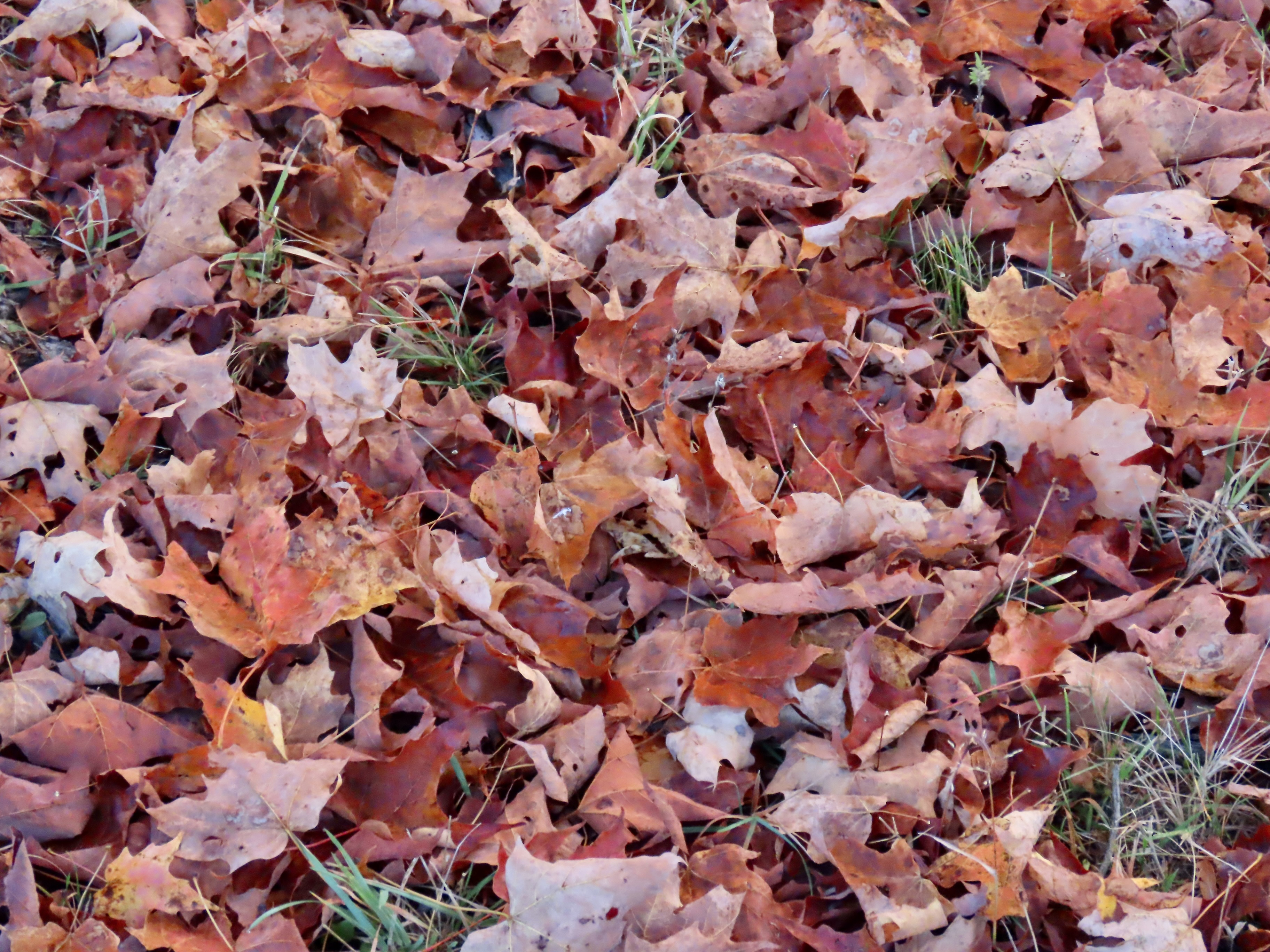
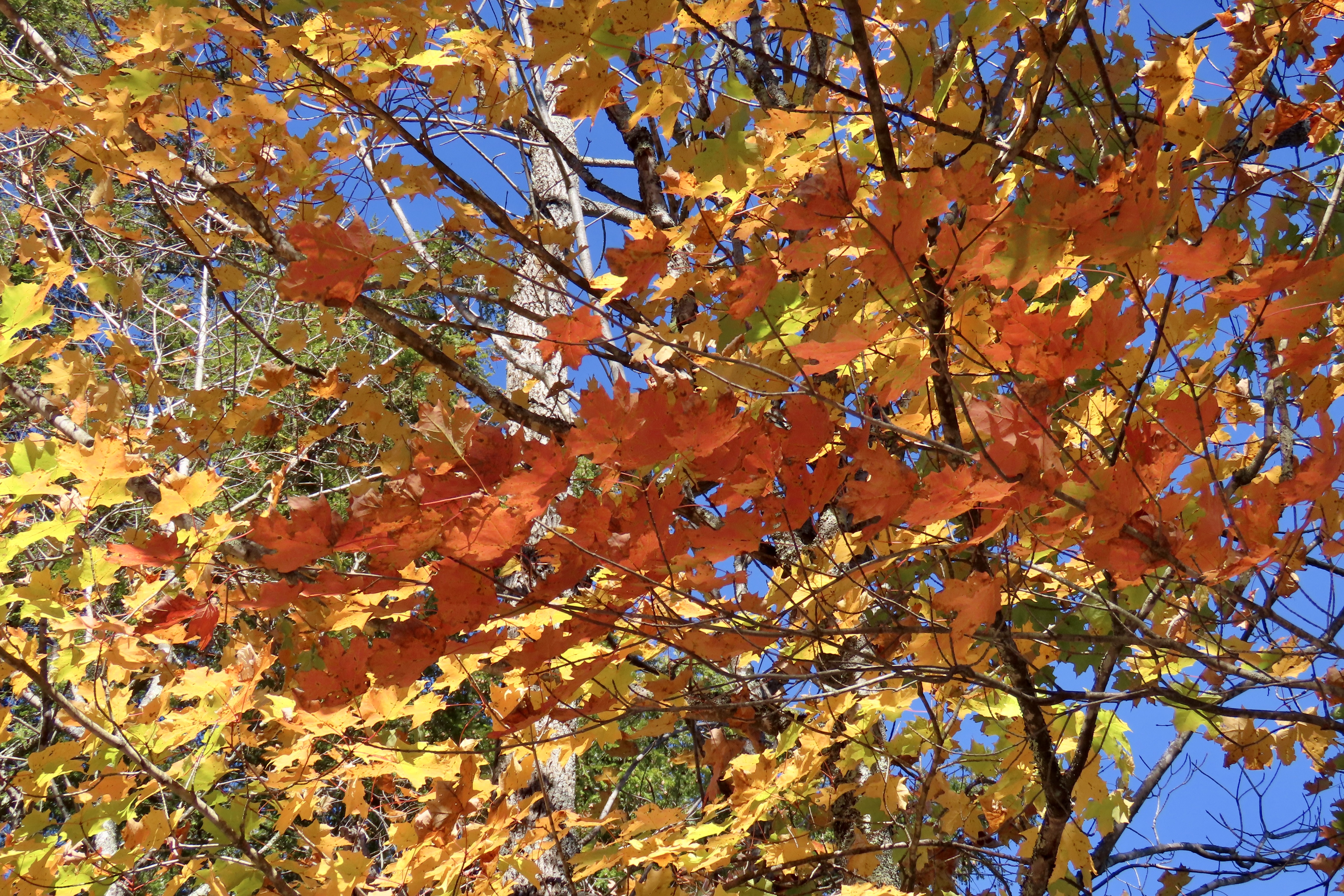
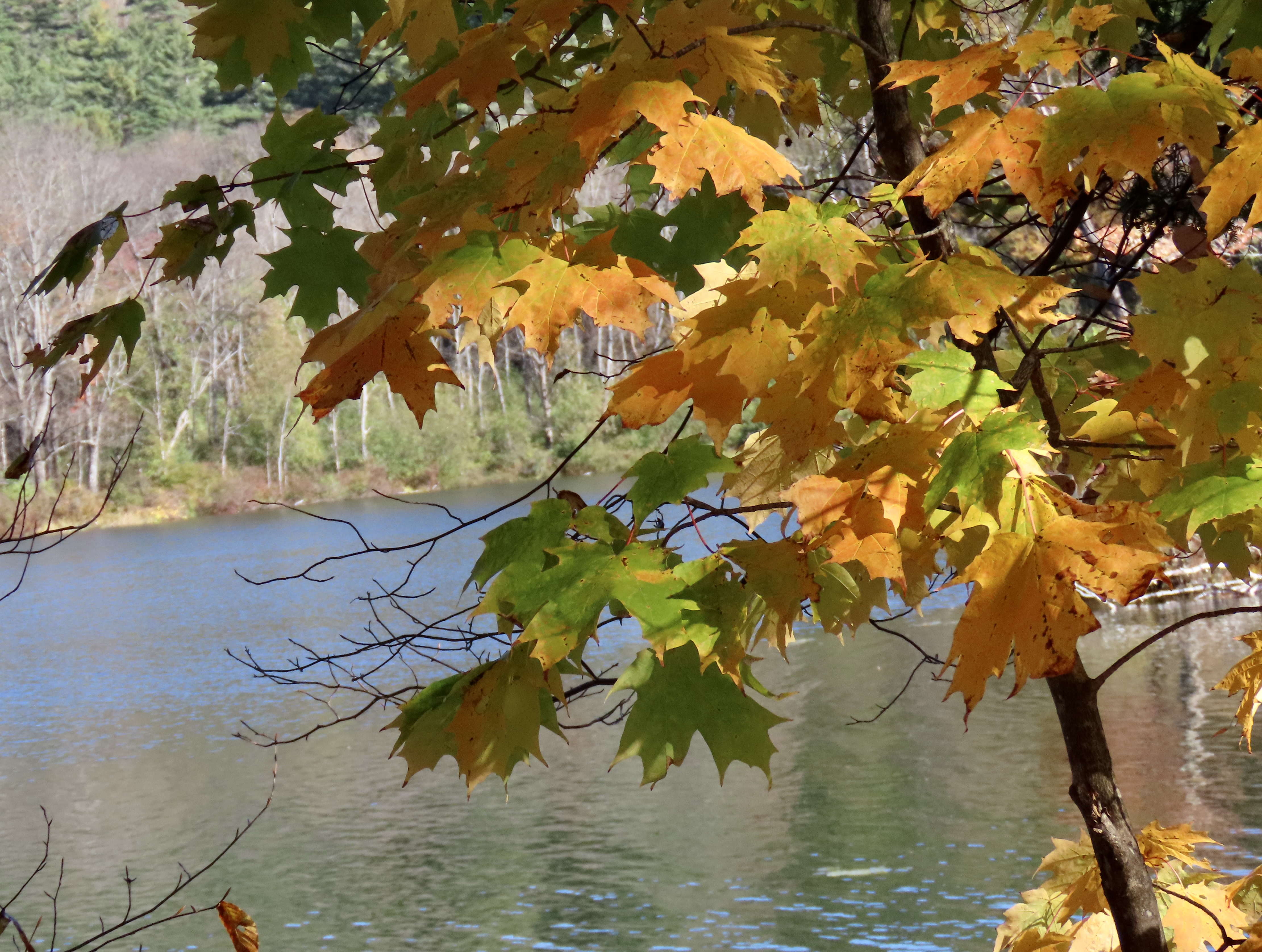
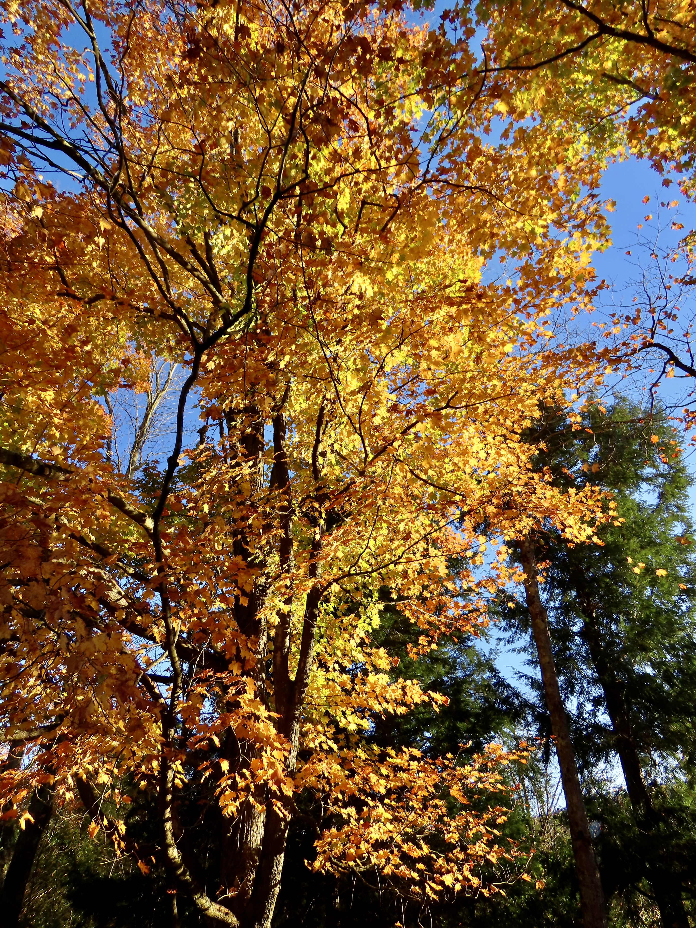
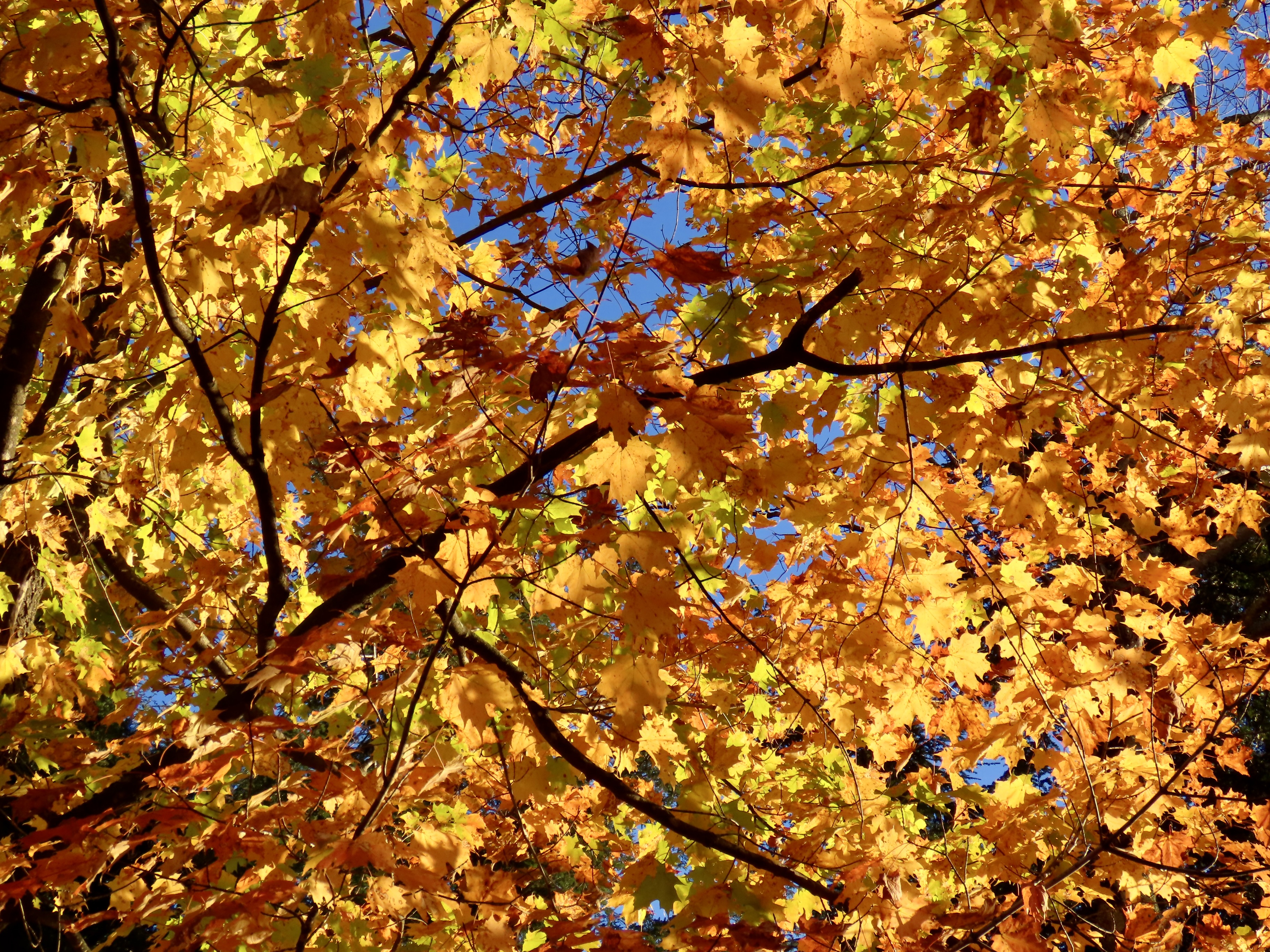
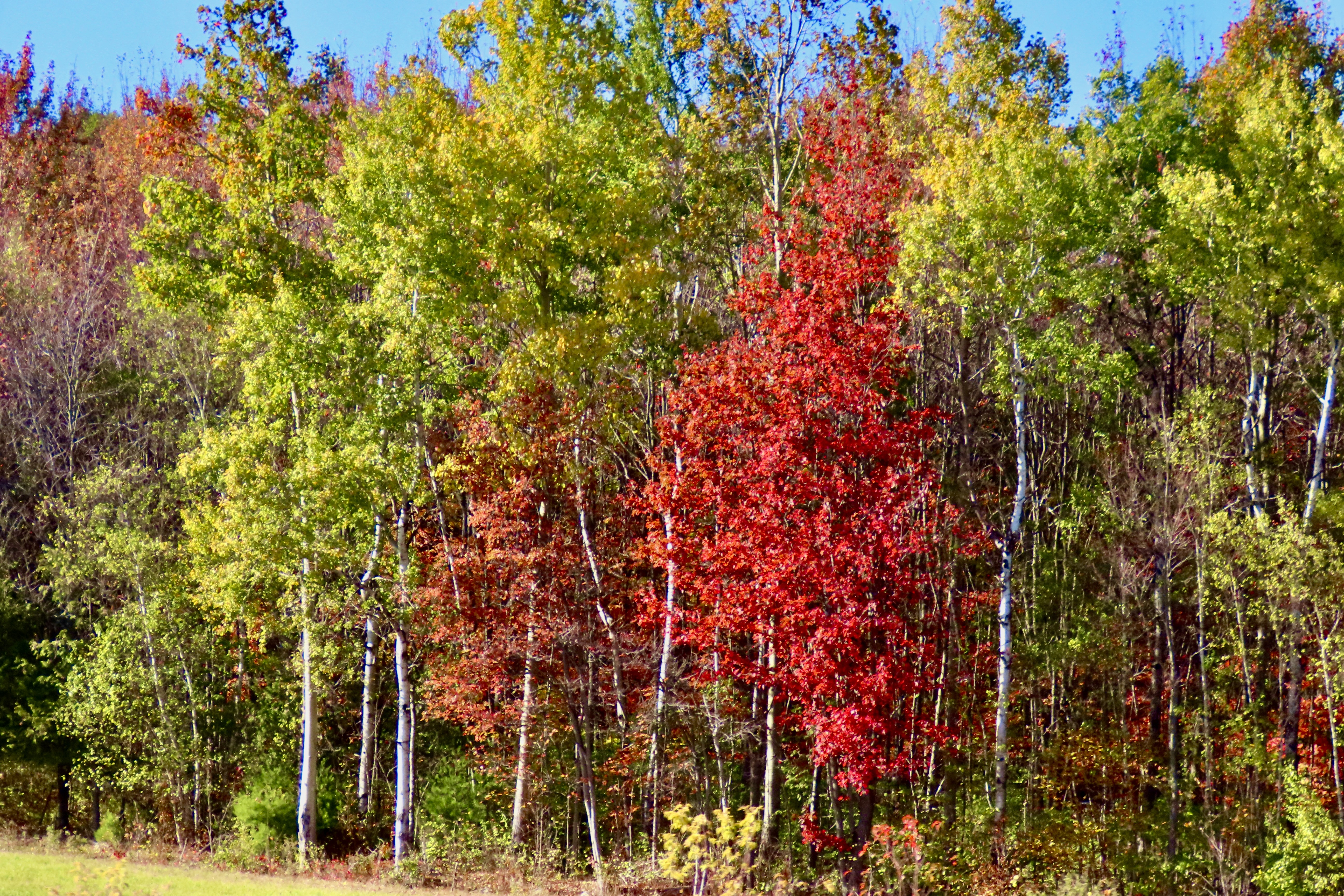
We are wrapping up our leaf-peeping tour of New England tour today. I’ll close out the series with photos of the Island and three spectacular trees at Camden Hills State Park. And then add a few more as we travel back to Virginia.
Curtis was the creator of the Ladies Home Journal and the Saturday Evening Post. Both have interesting stories. Legend has it that when Curtis first published the Ladies Home Journal he gave a copy to his wife, Louisa Knapp, for review. She more or less told him it was crap. His response was “Do you think you can do any better?” Hers, “Yes,” His, “Fine, you do it.” During its day, the Journal became the most widely circulated women’s magazine in the U.S.
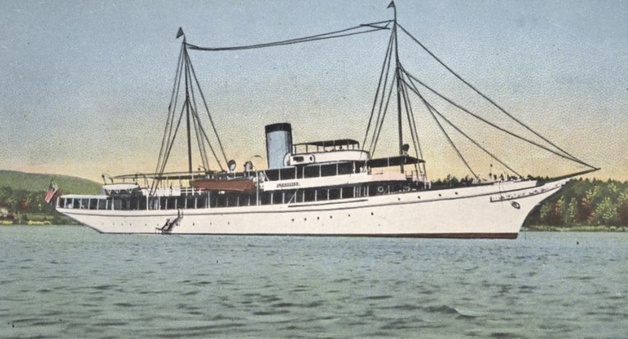
The Saturday Evening Post had its beginnings some 80 years before Curtis purchased it in 1897. It traces its beginning back to 1821 when it was printed out of the same shop and using the same print type that Benjamin Franklin had used for the Pennsylvania Gazette. It achieved its highest circulation with 90,000 nationwide subscribers in the 1860s. Curtis pushed this up to the highest circulation of any magazine in the world by the 1920s. His wealth was calculated at $43 billion in today’s dollars. No wonder he could afford the yacht. He actually had three built, all with the name Lyndonia. Two of them would actually do military service. One in WW I and the other in WW II.

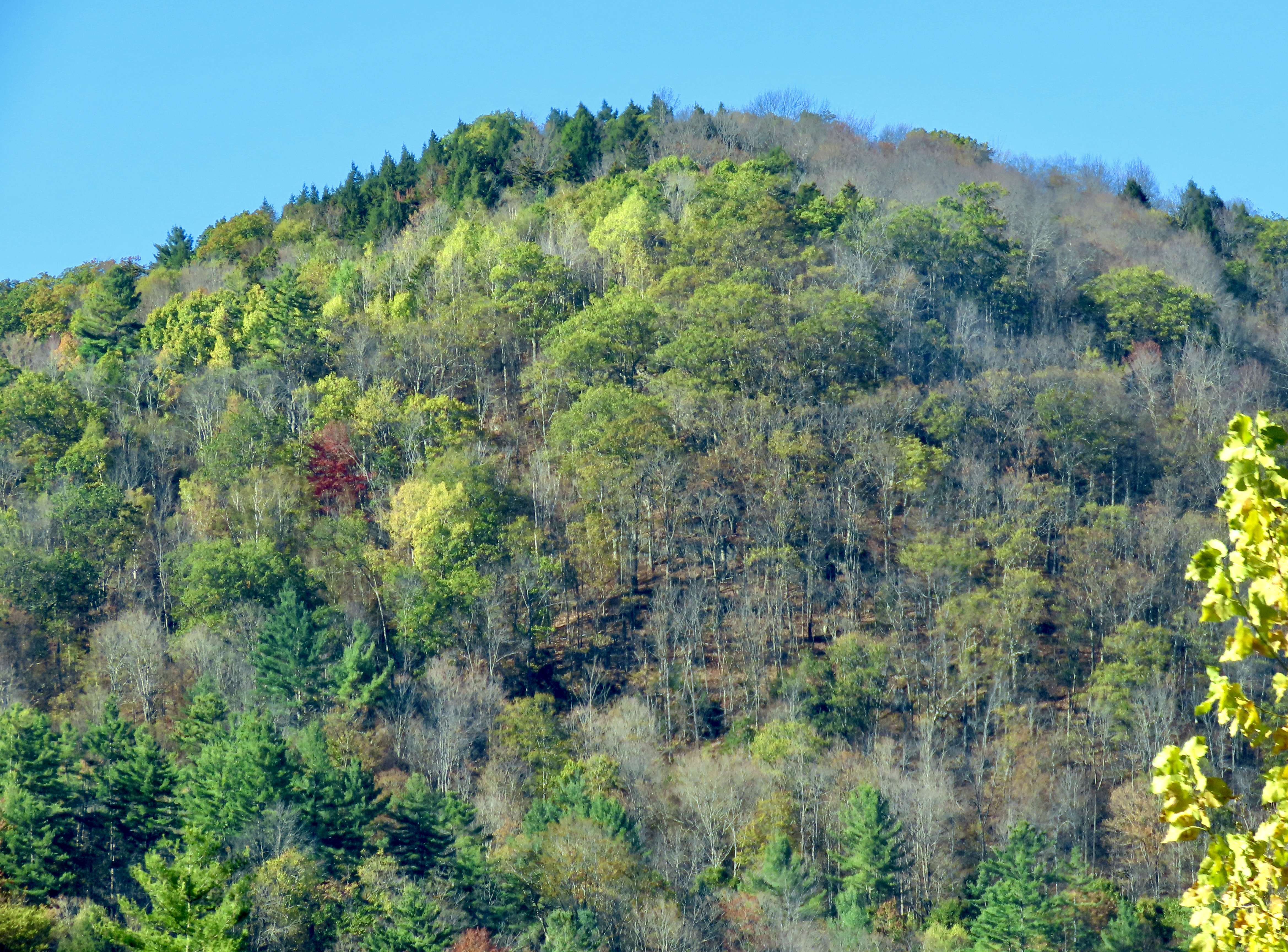
This was our second time visiting Acadia during leaf peeping season. The first took place in 1999 when Peggy and I both took sabbaticals from our jobs to explore North America with a focus on National Parks. (We visited 50.) Before reaching Maine, we had already been enjoying fall colors for three months! Our adventure had started in June with a drive up the Alaska Highway to Alaska. By the time we finished exploring the state, backpacking, and kayaking, it was mid-August. The leaves were already changing. We followed the advent of fall down through western Canada and across the northern tier of midwestern states to Maine. It was color the whole way. And It continued for another 2000 miles as we traveled down the Appalachian chain of mountains into Georgia.


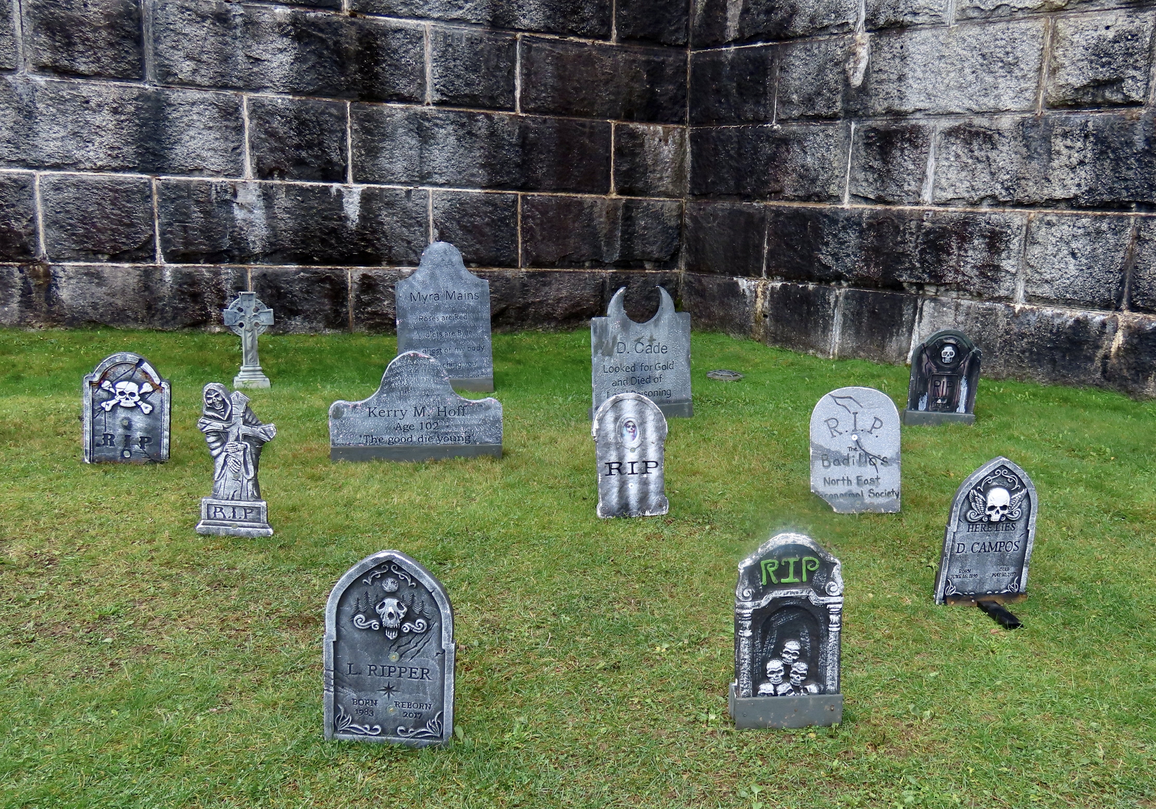
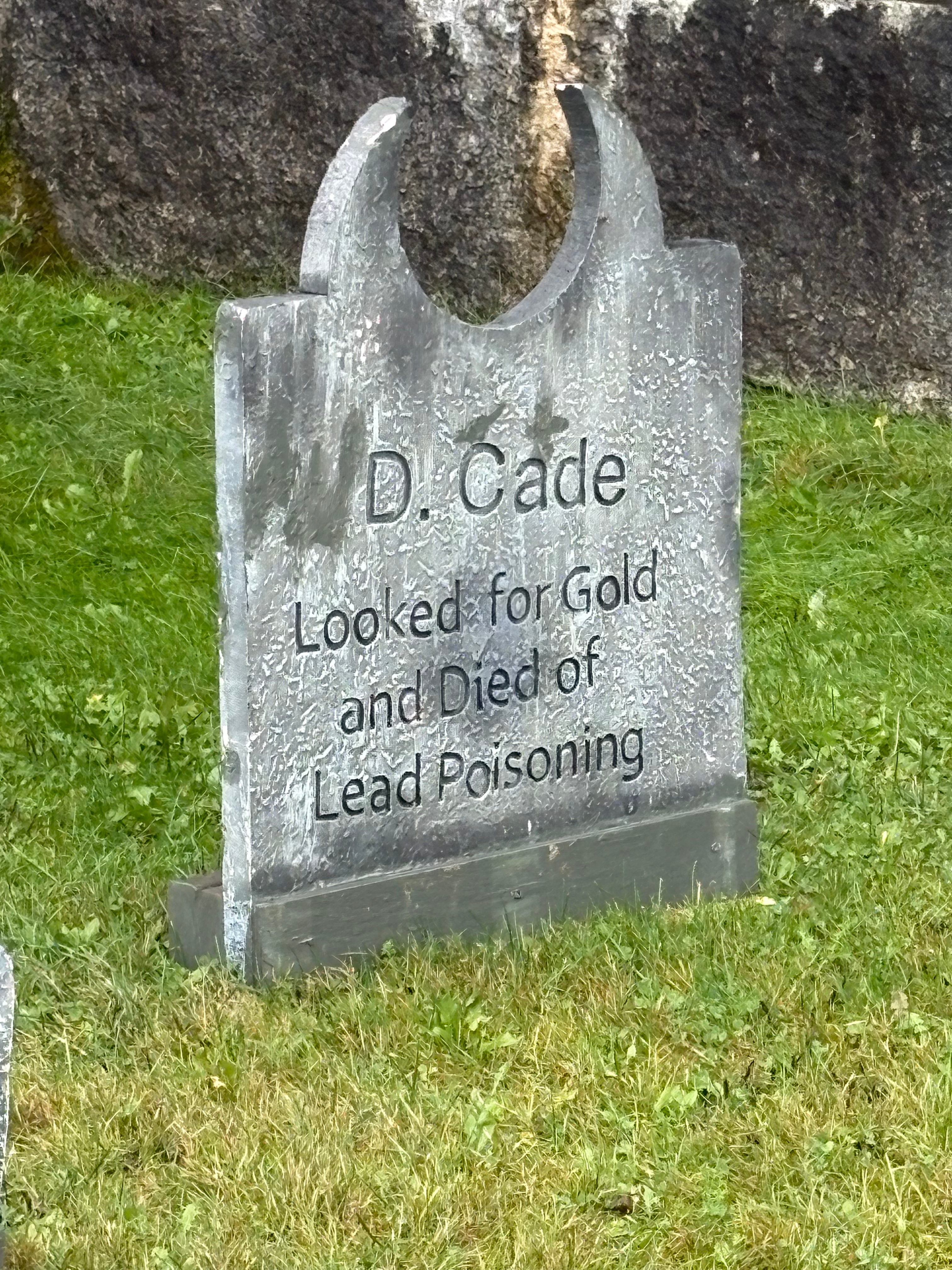
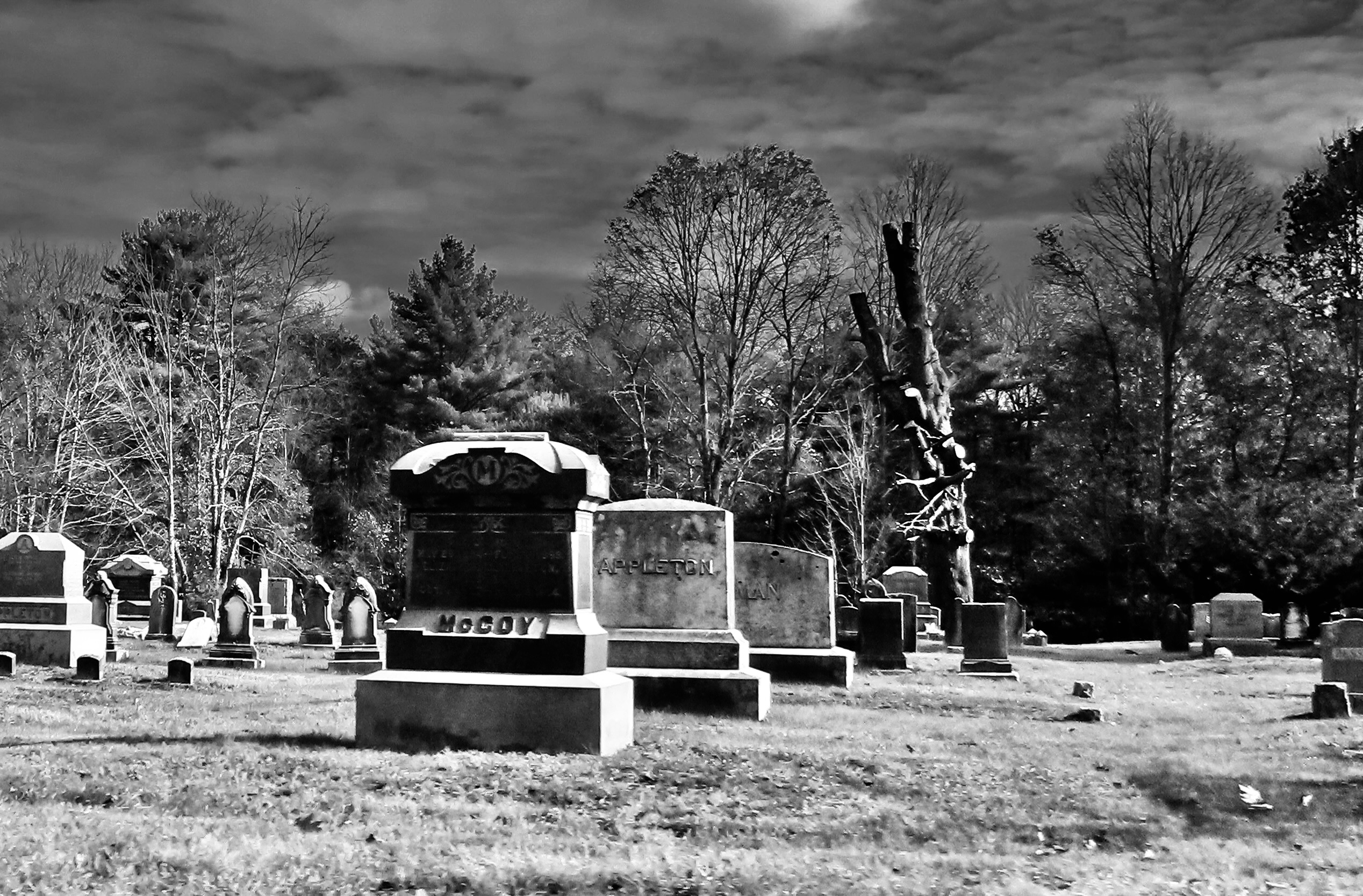
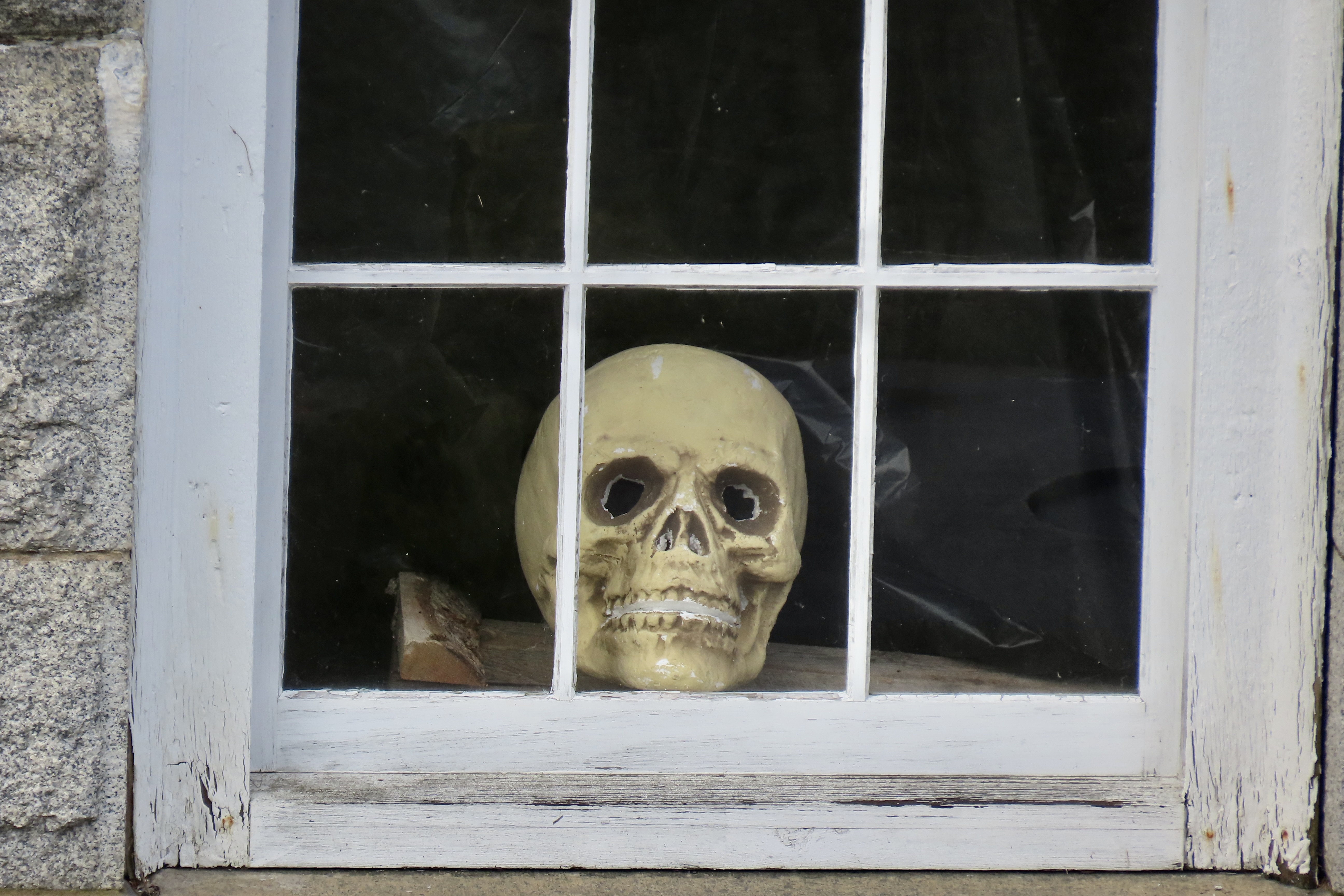
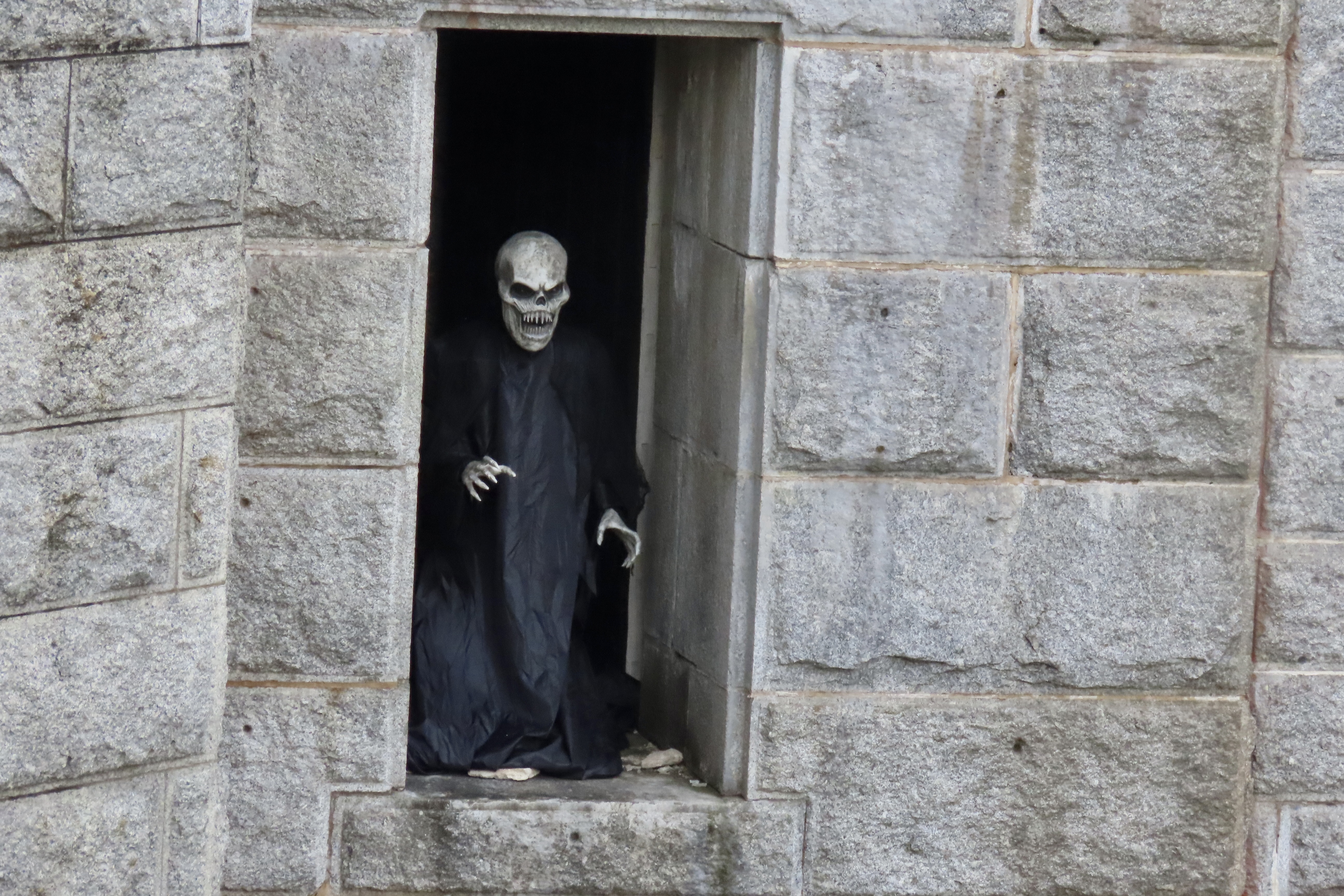
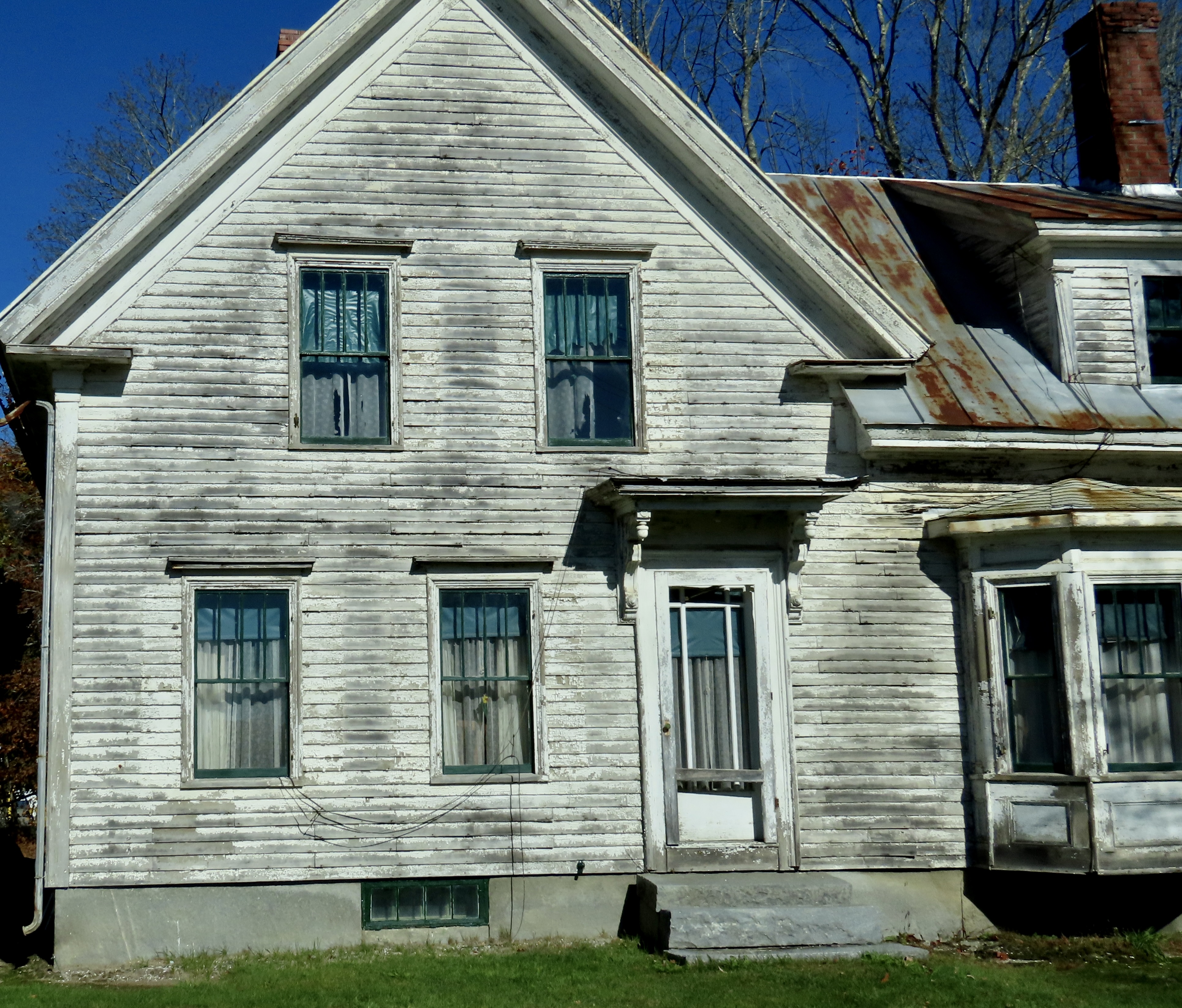
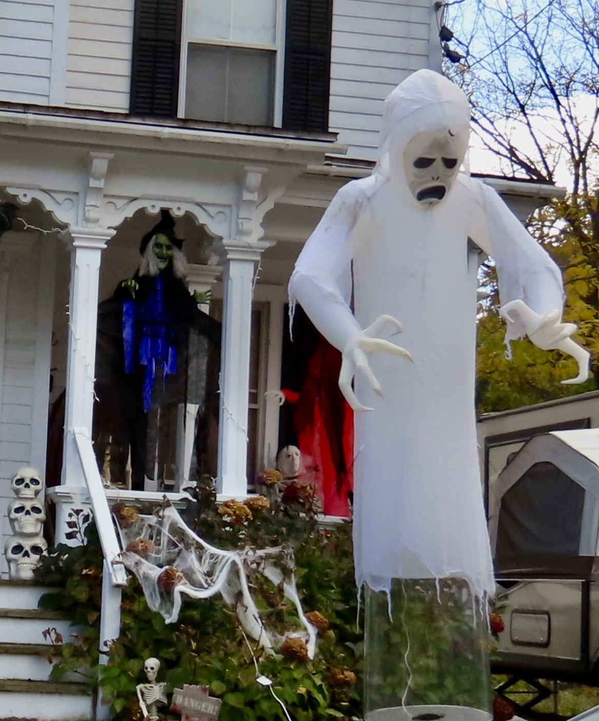
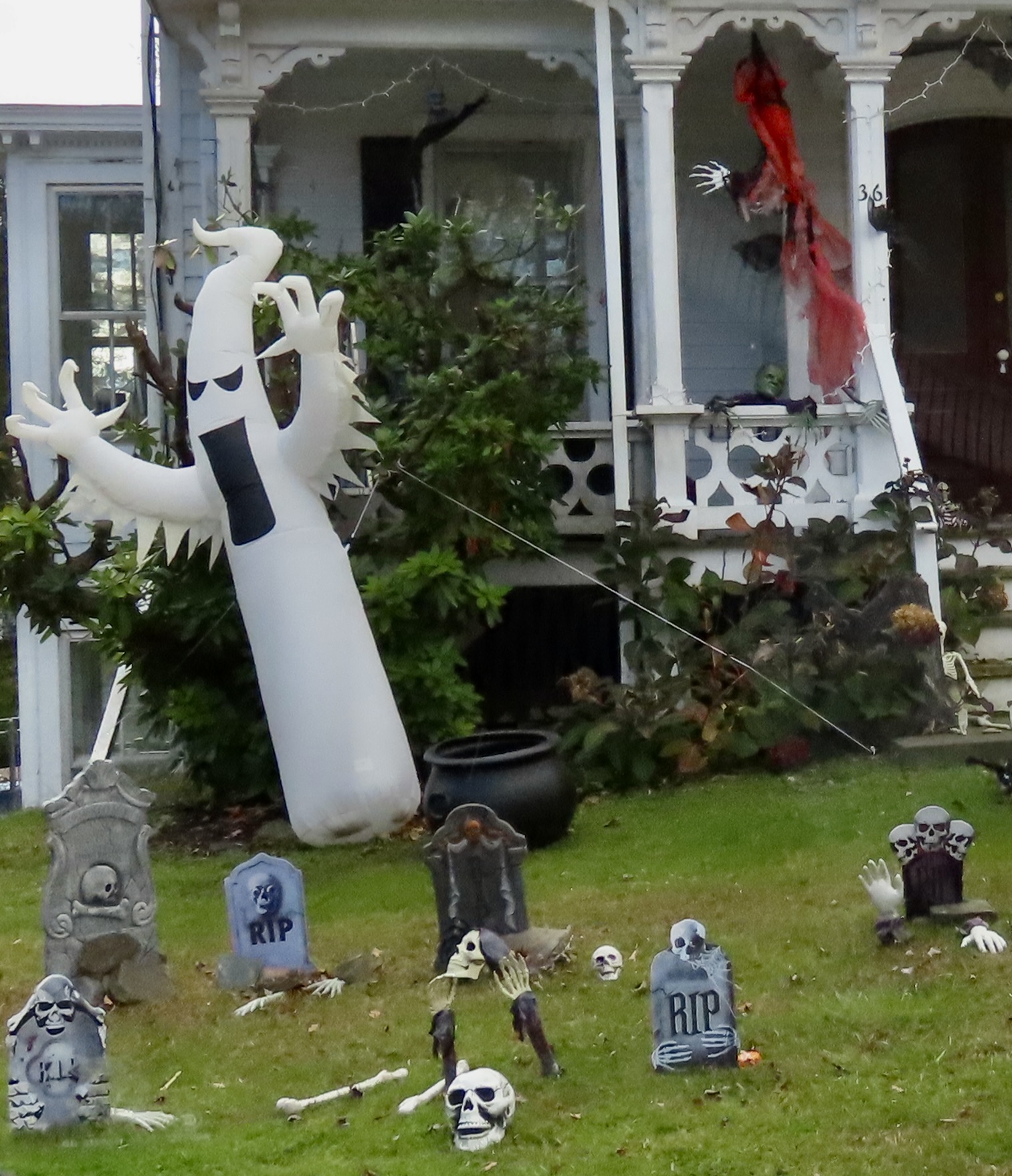
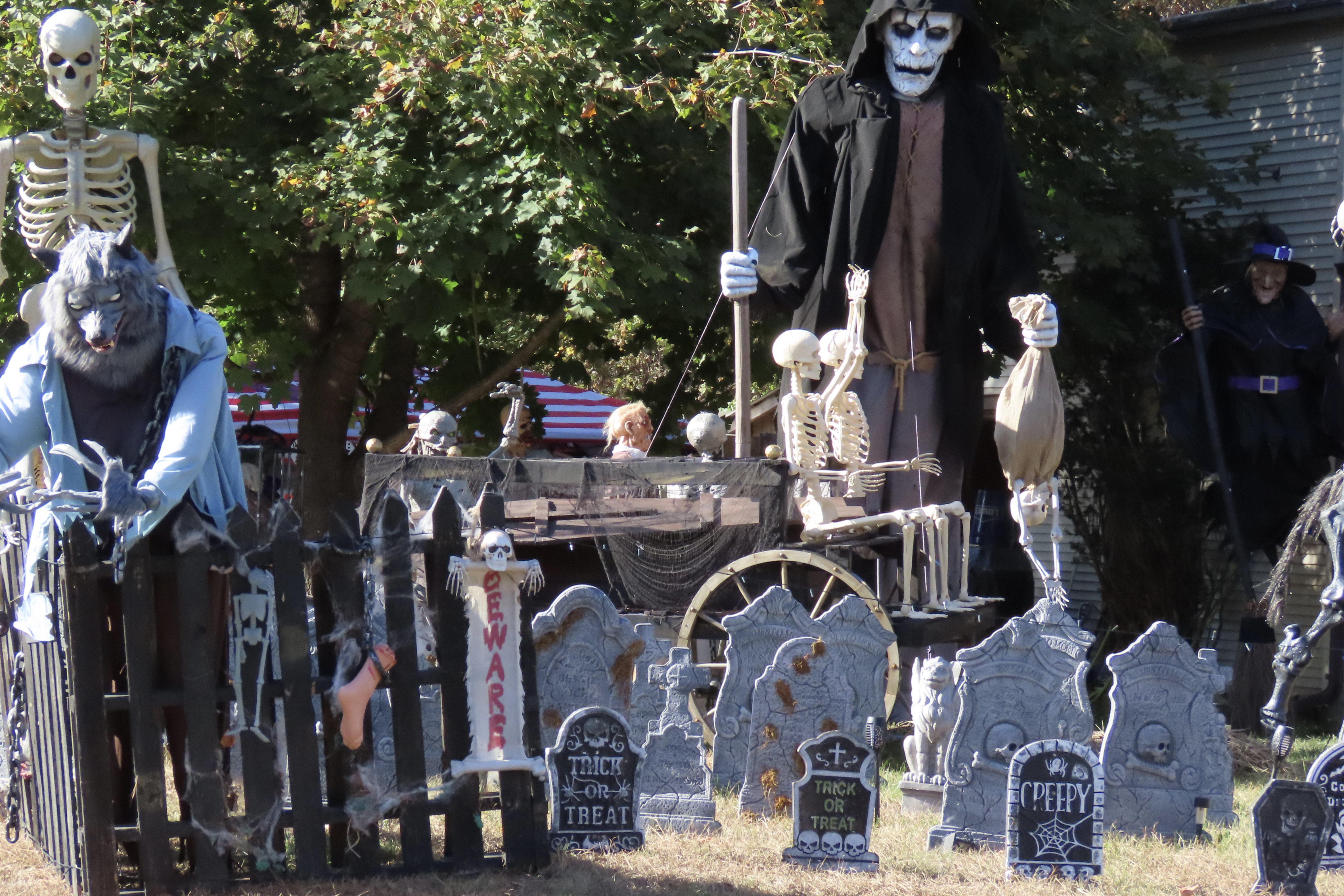
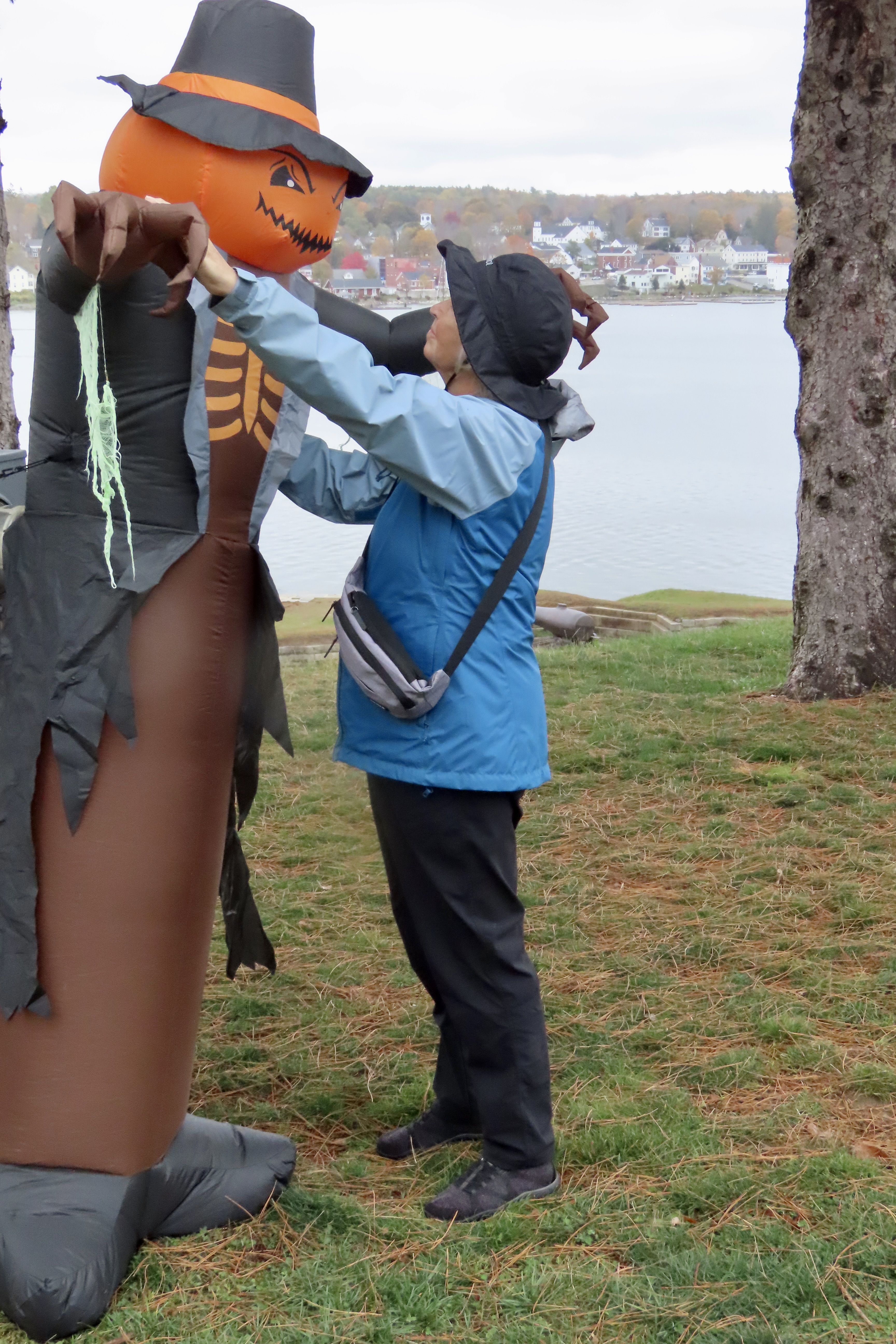
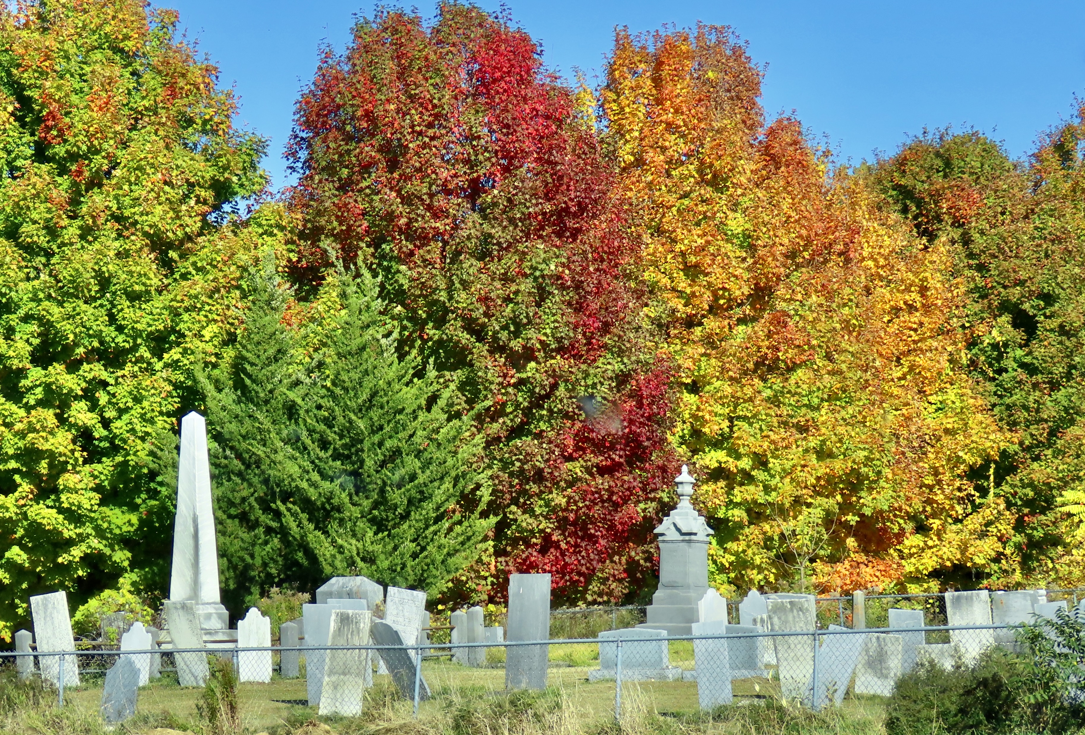
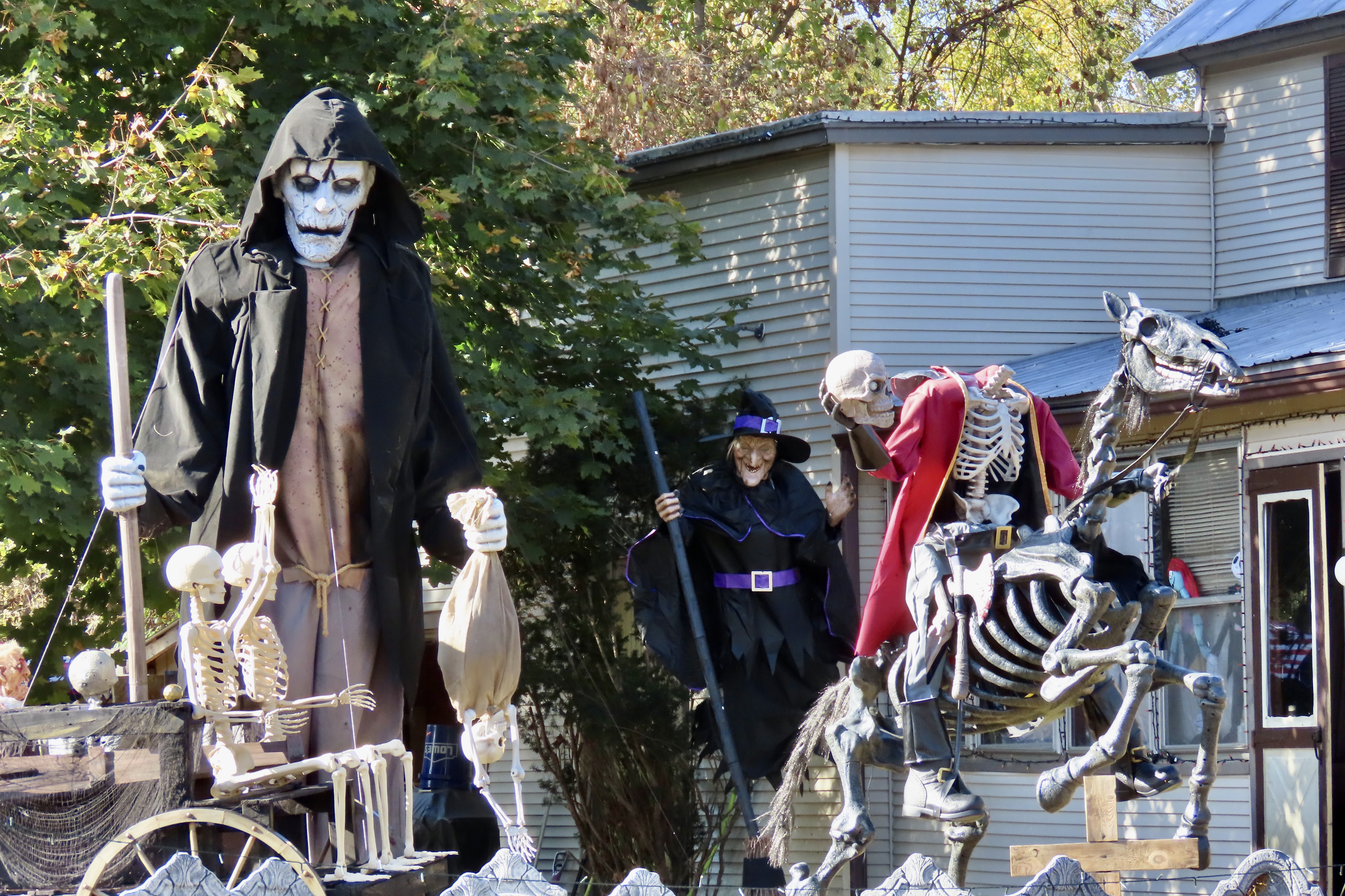
I know something about scary graveyards. I was raised next to one and have blogged about the experience several times. To say it was overgrown is a serious understatement. During the day, it became a jungle playground populated with ferocious tigers, bone crushing boas, and half-starved cannibals. My brother Marshall and I played there often. Since it was within easy calling distance of the house, our parents didn’t worry. Either that or they were glad for the peace and quiet brought on by our absence.
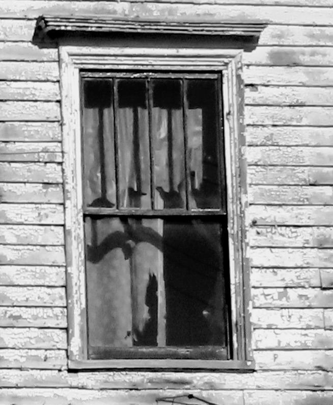
Night was different. The Graveyard became a place of mystery and danger. Dead people abandoned their underground chambers and slithered up through the ground. A local test of boyhood bravery was to go into the Graveyard after dark and walk over myrtle-hidden graves, taunting the inhabitants. Slight depressions announced where they lived. Marshall, who at nine was two years older than I, persuaded me to accompany him there on a moonless night. I entered with foreboding: fearing the dark, fearing the tombstones, and fearing the ghosts. Halfway through I heard a muzzled sound. Someone, or thing, was stalking us.
“Hey, Marsh, what was that?” I whispered urgently.
“Your imagination, Curt,” was the disdainful reply.
Scratch, scratch! Something was digging behind a tombstone and it was not my imagination. Marshall heard it too. We went crashing out of the Graveyard with the hideous creature of the night in swift pursuit. Wagging her tail.
“I knew it was the dog all of the time,” Marsh claimed. Yeah, sure you did.


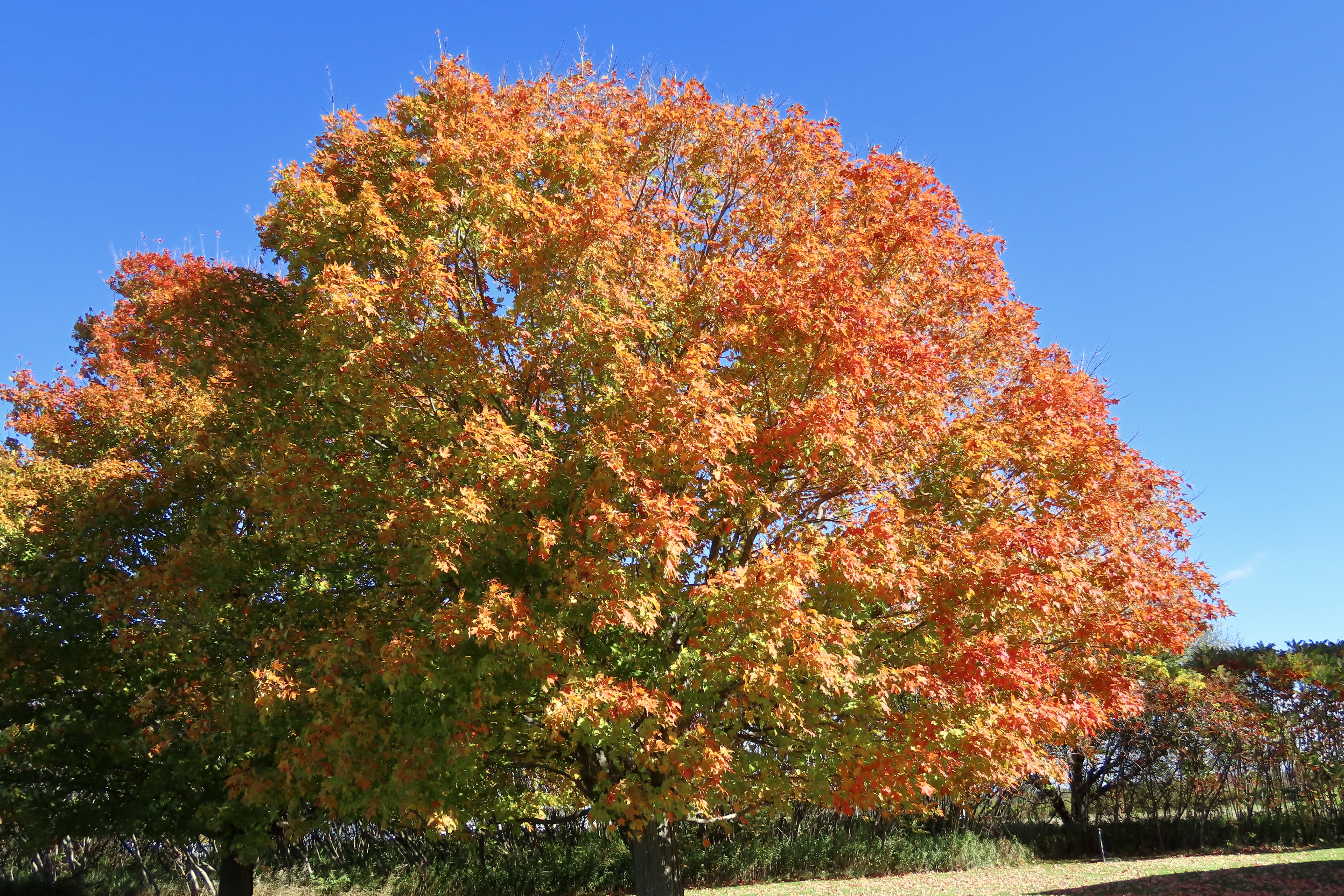
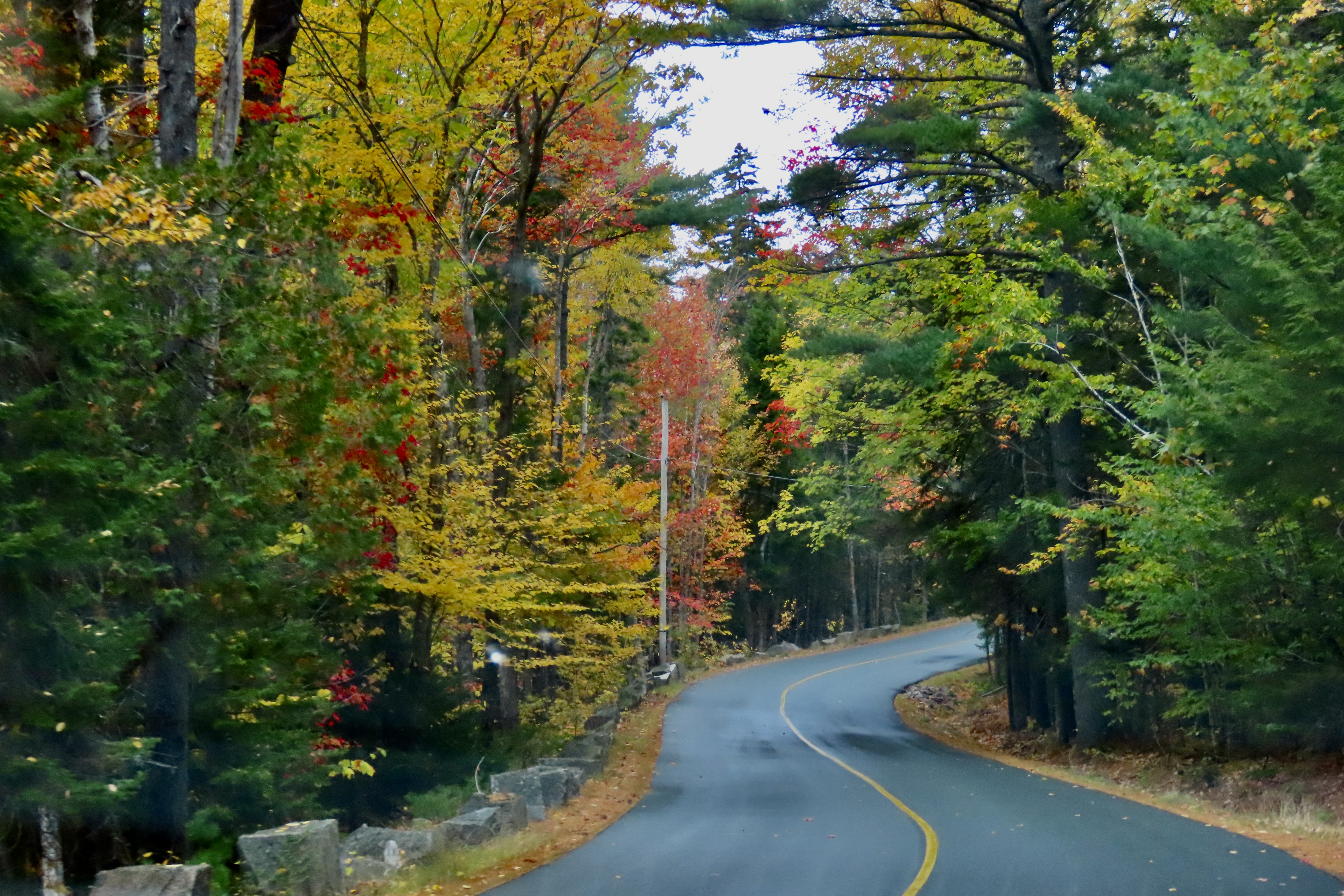
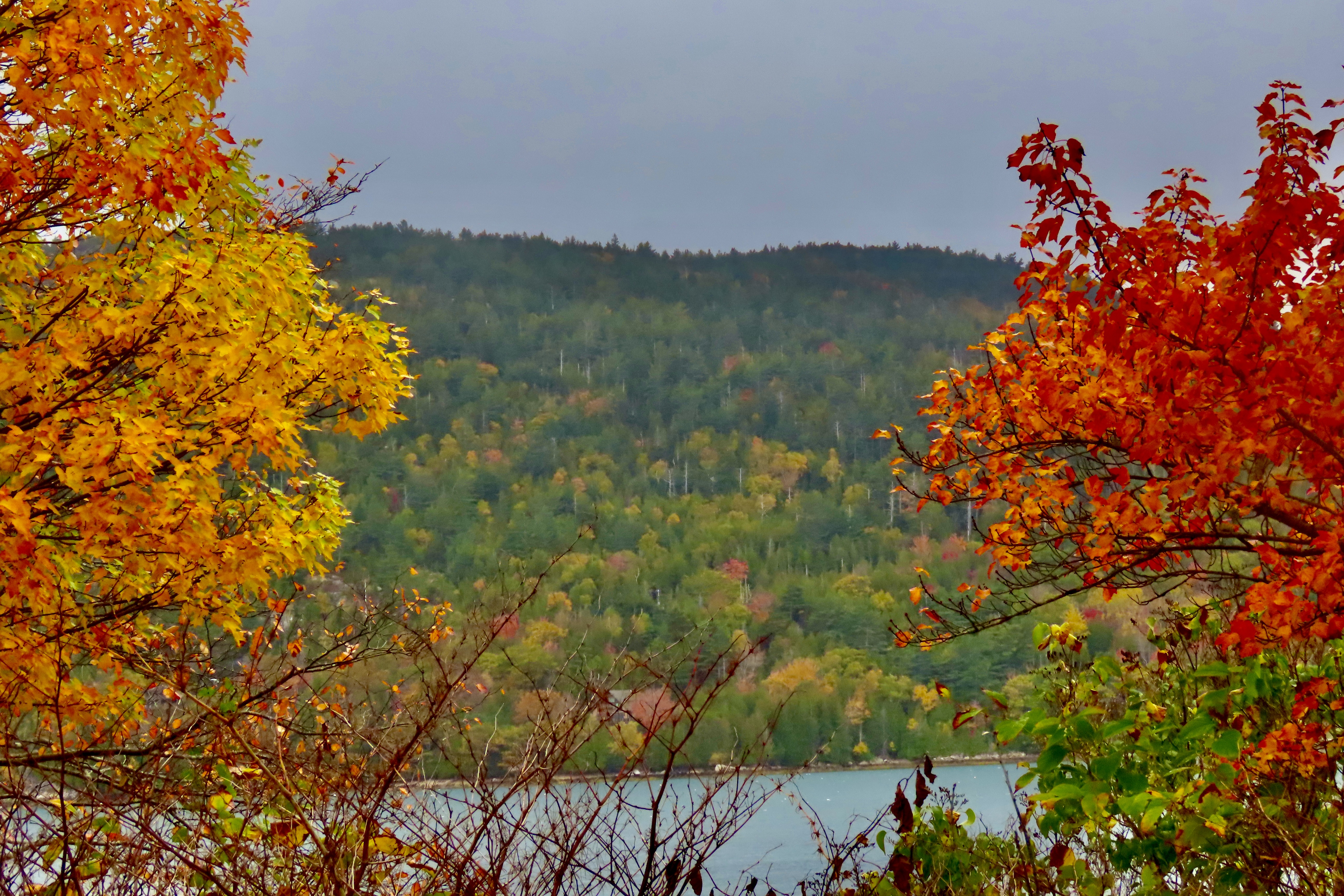
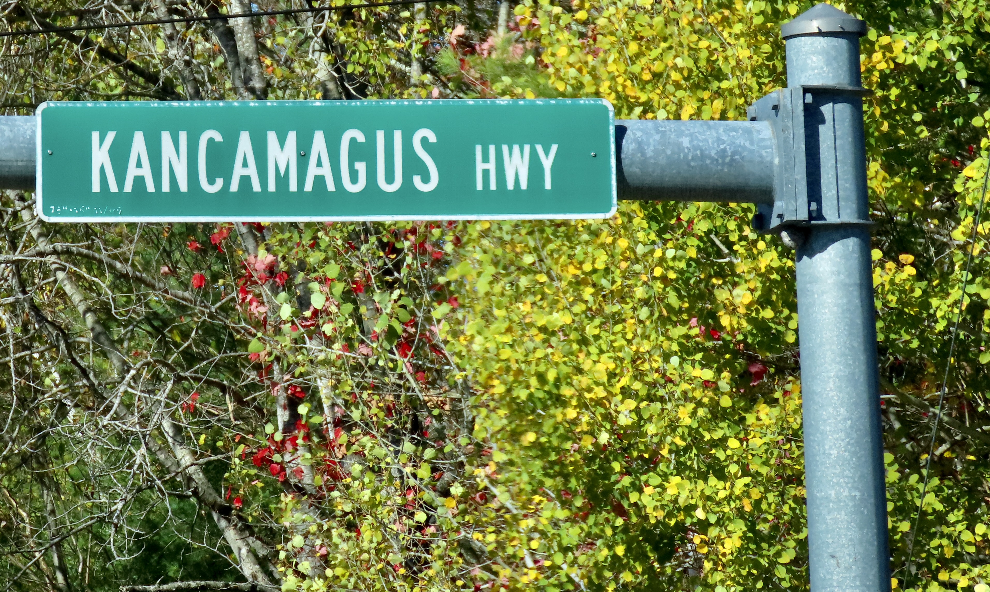
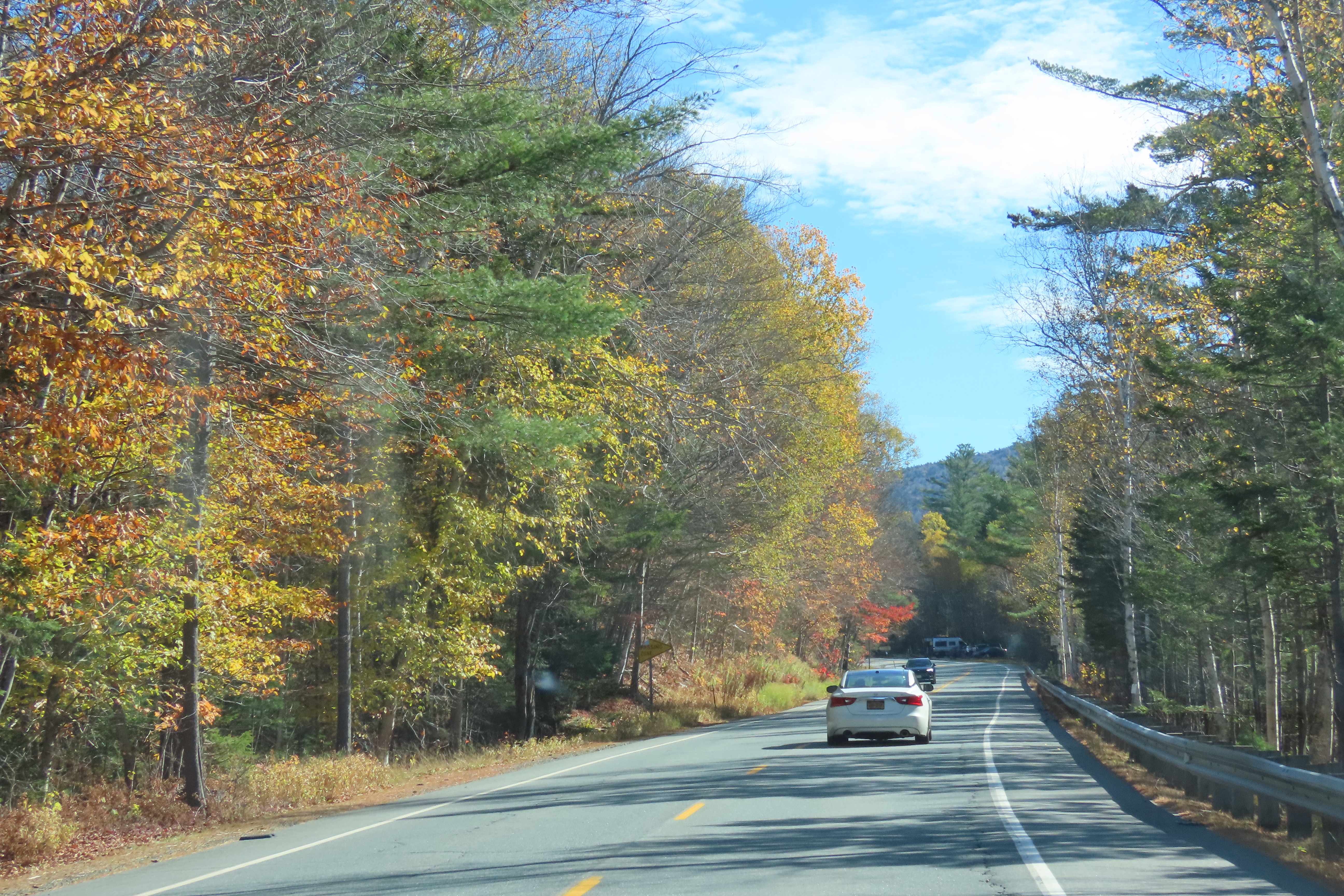
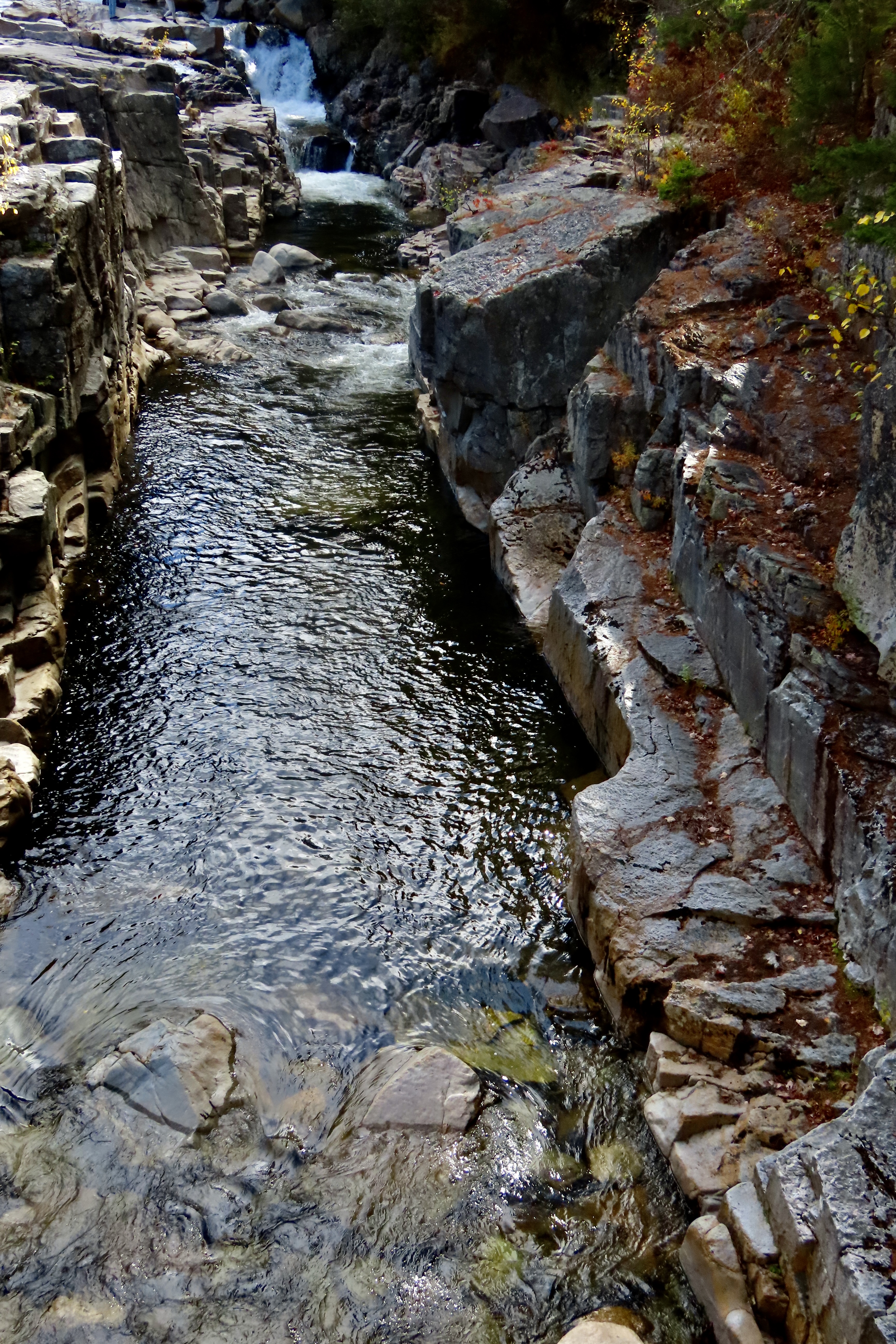
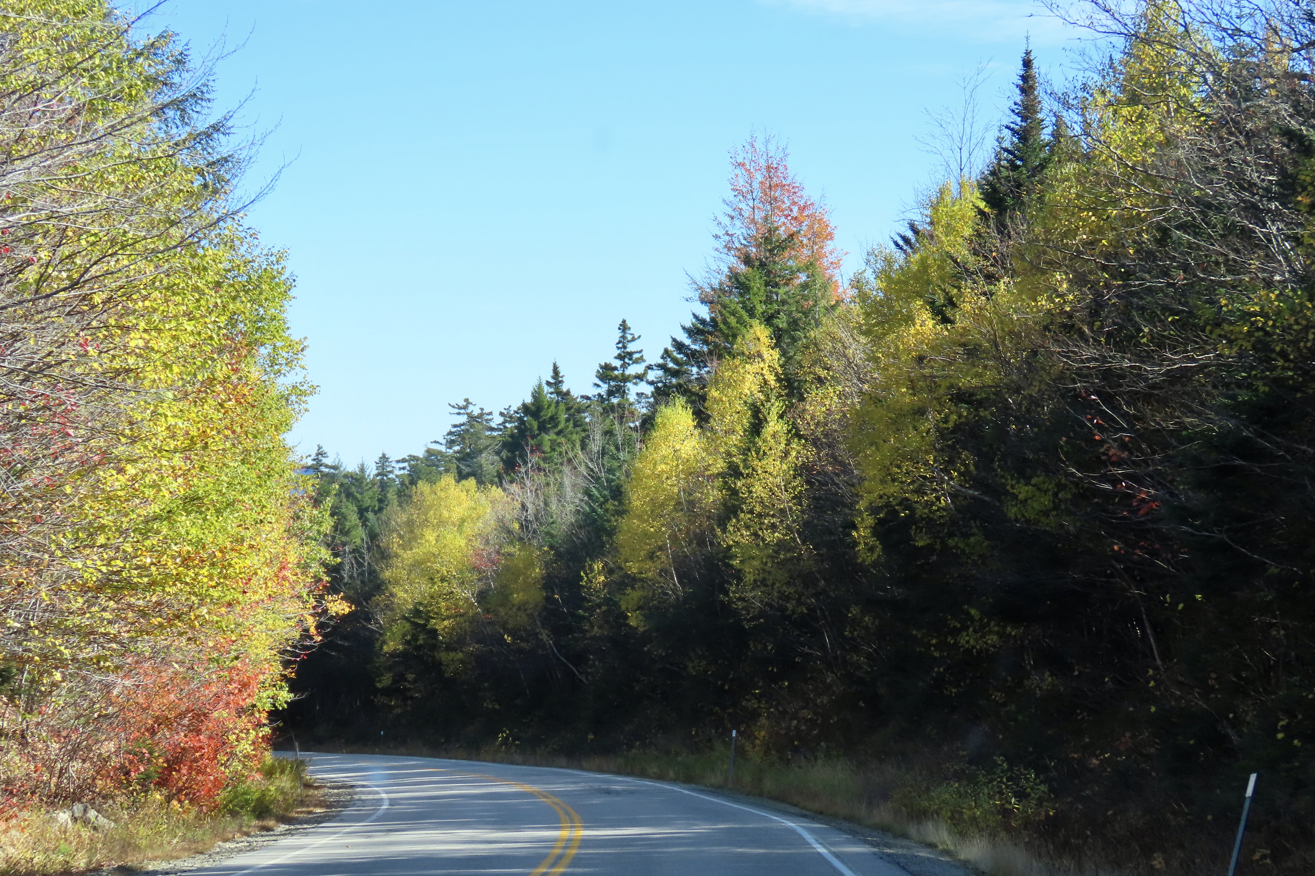
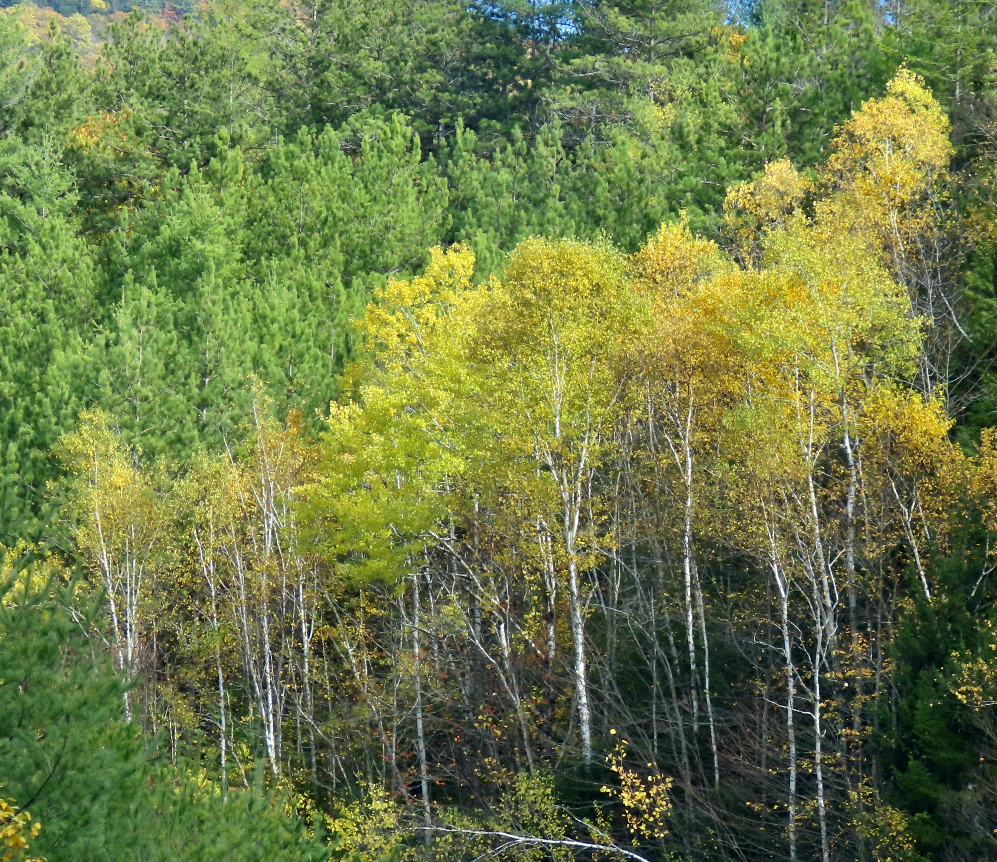
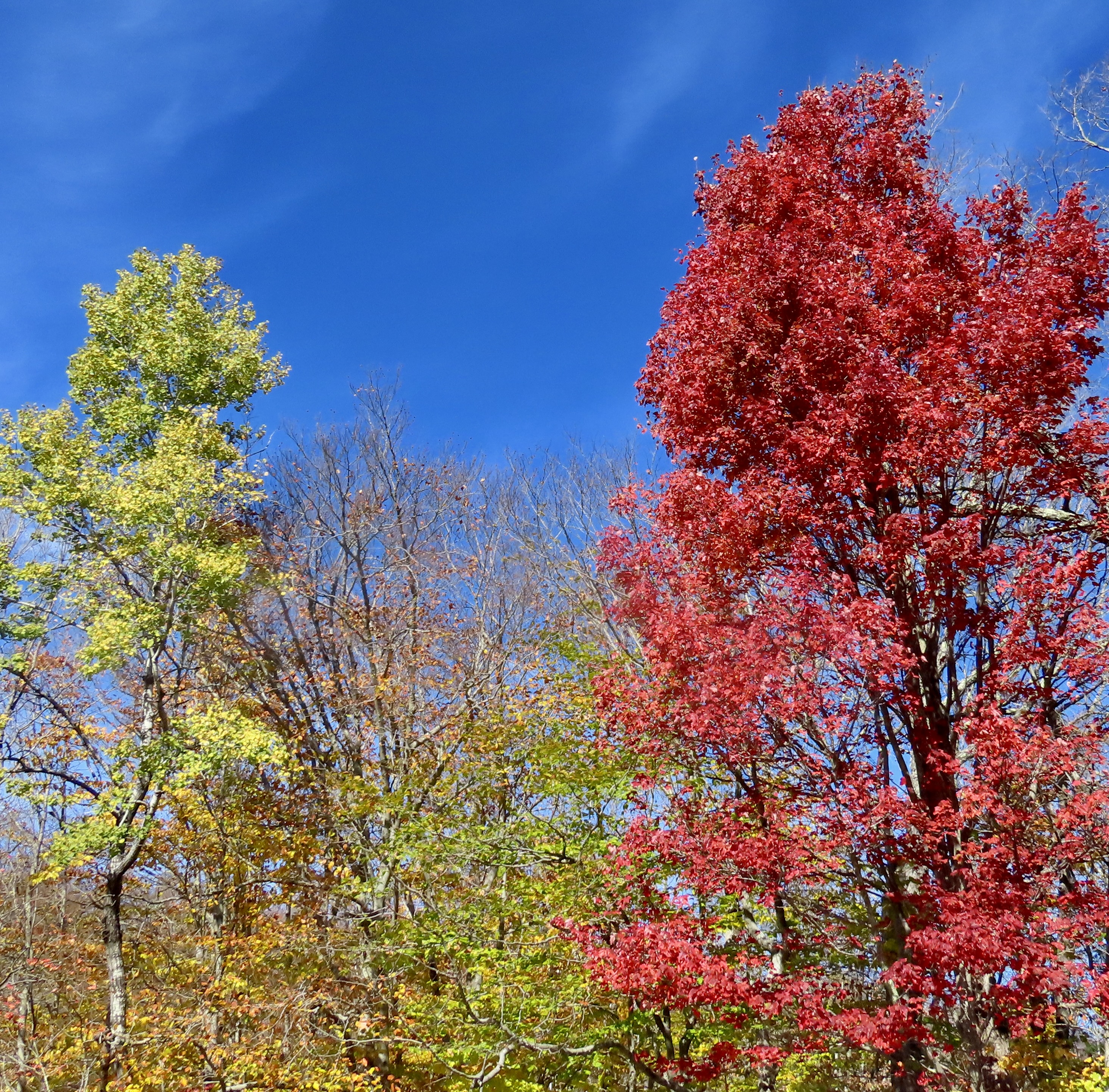
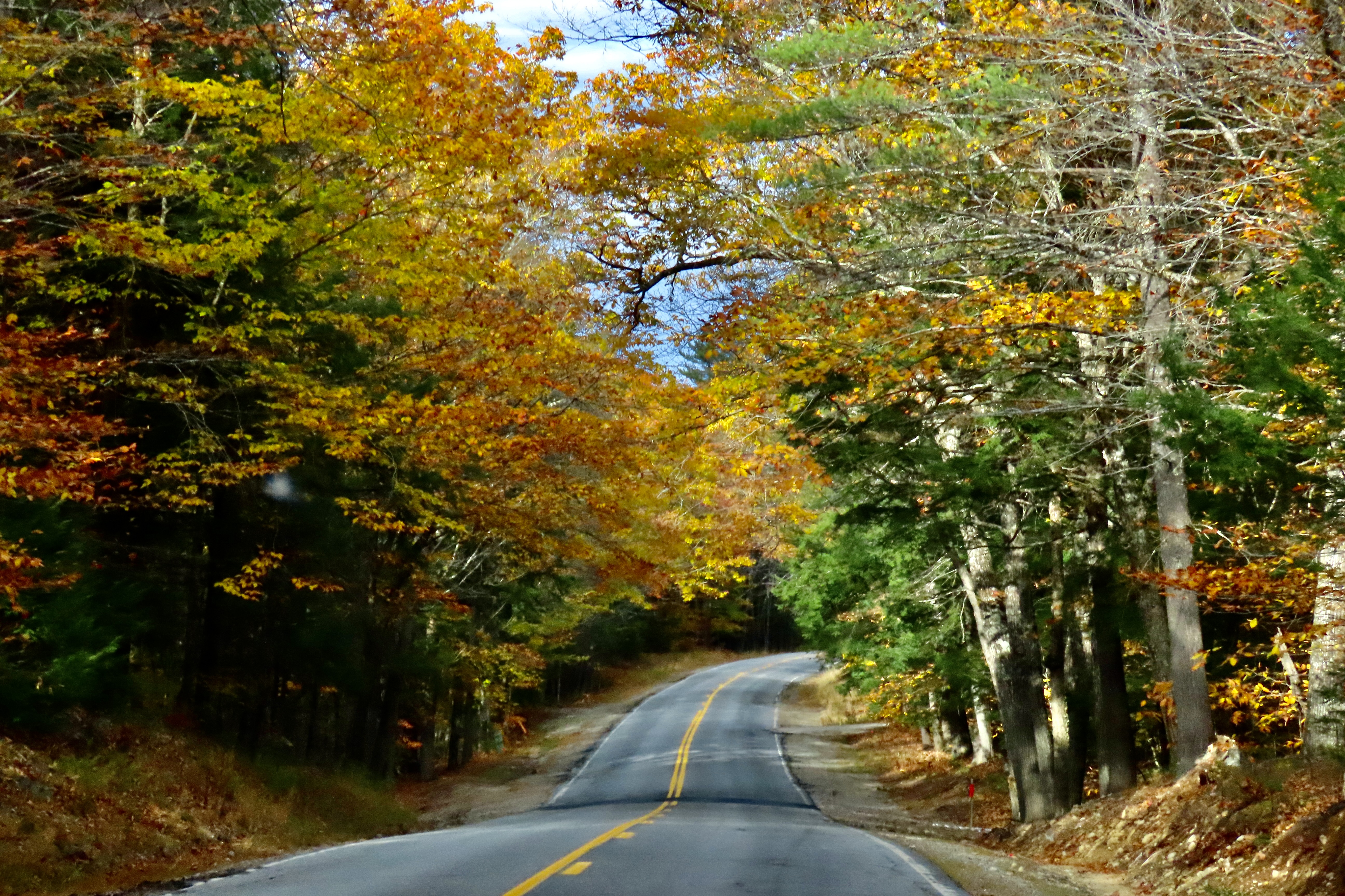
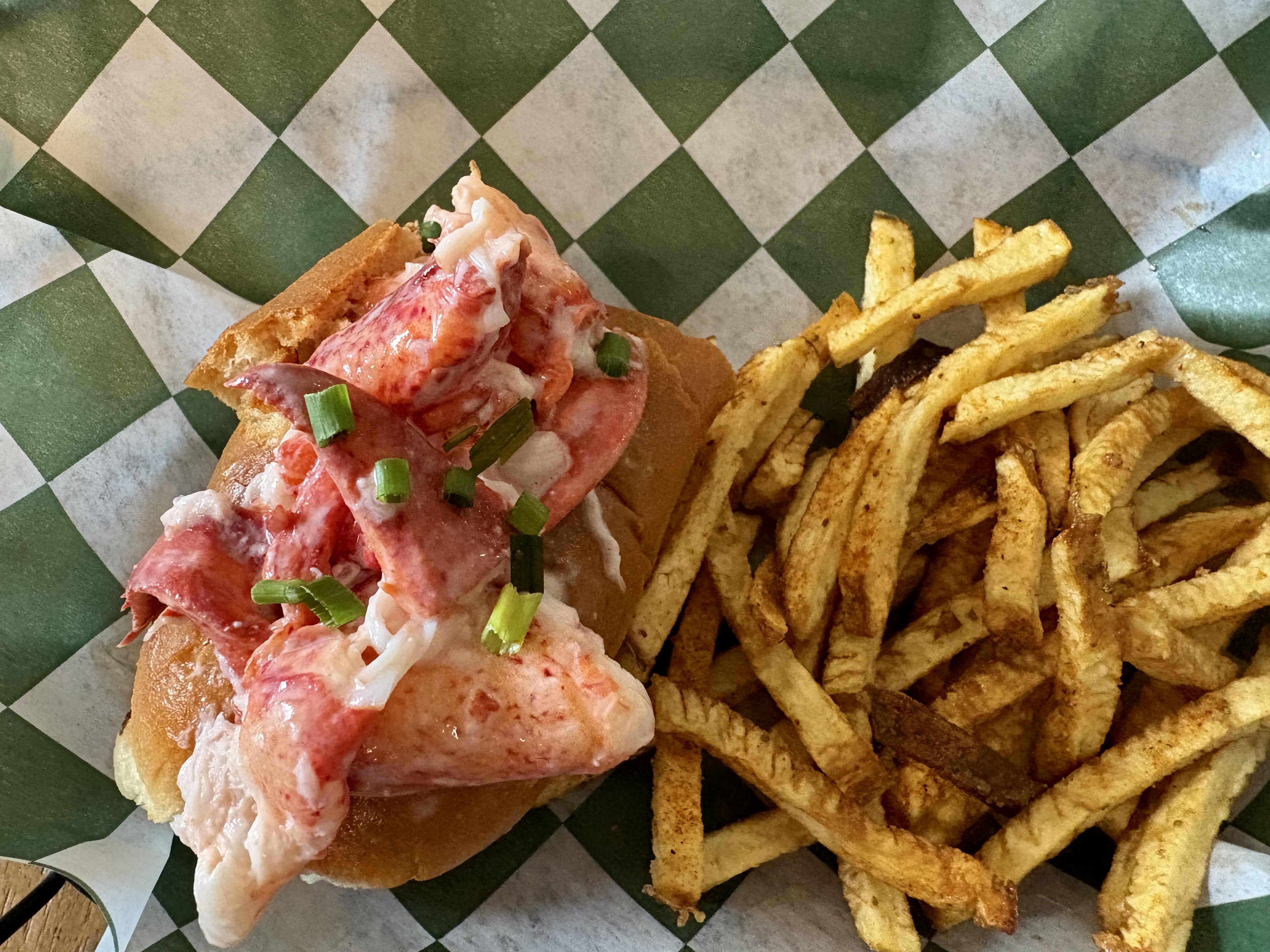
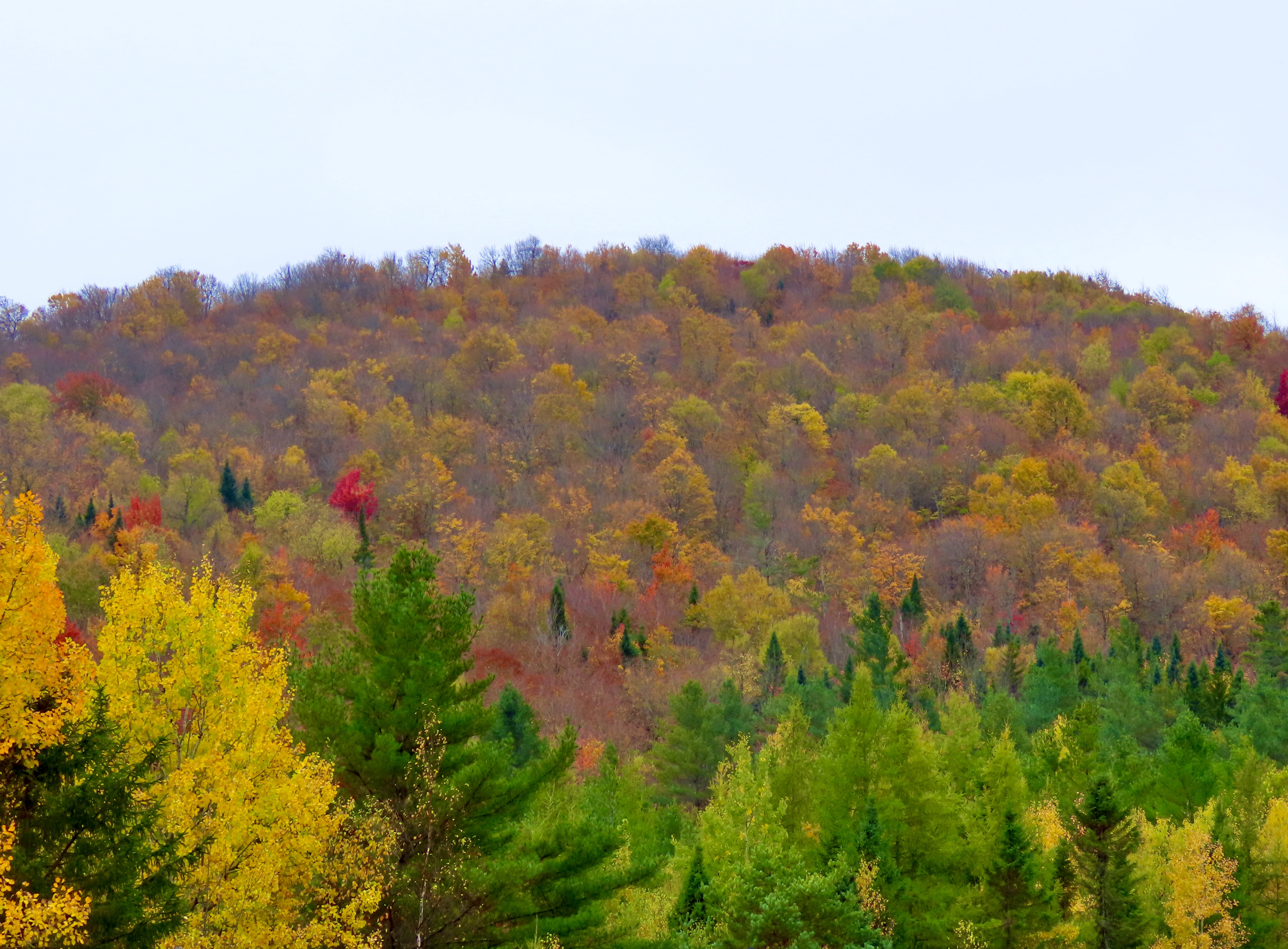
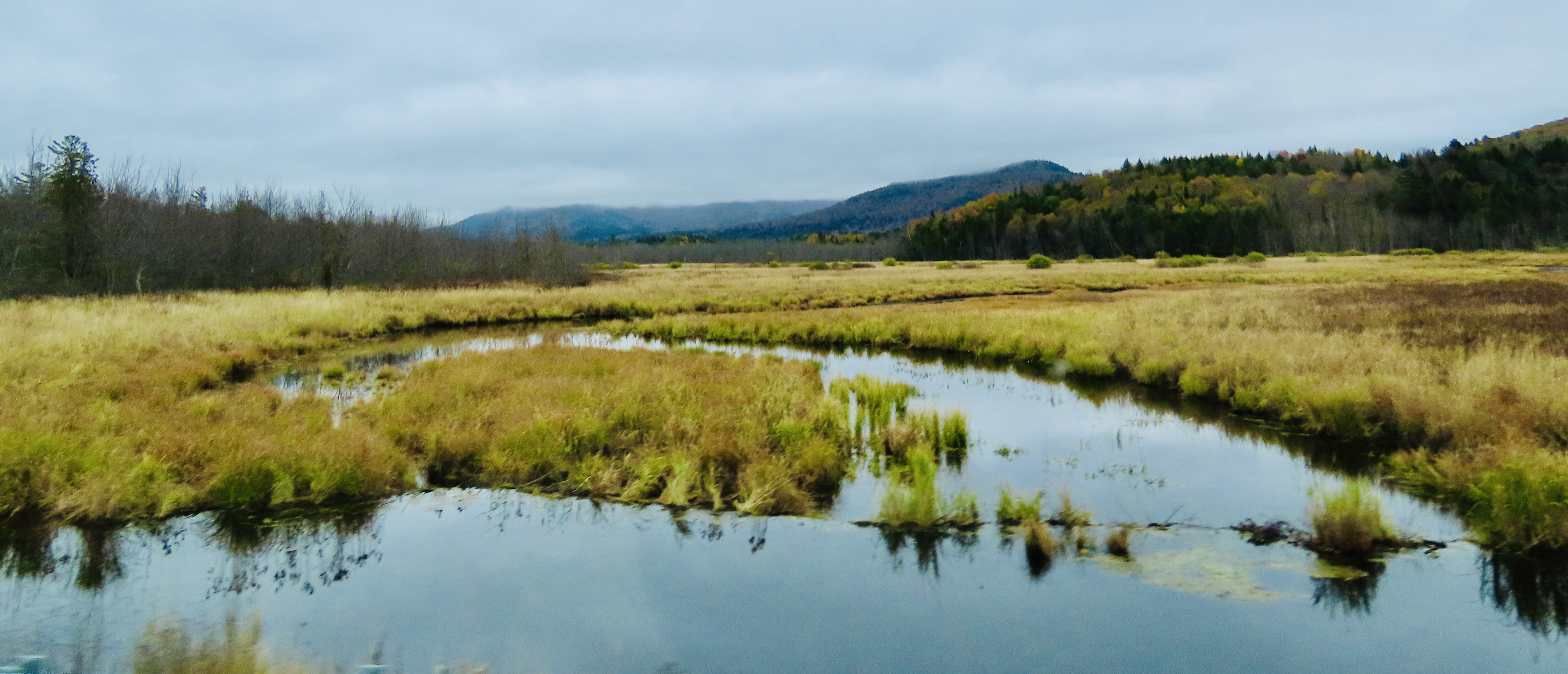
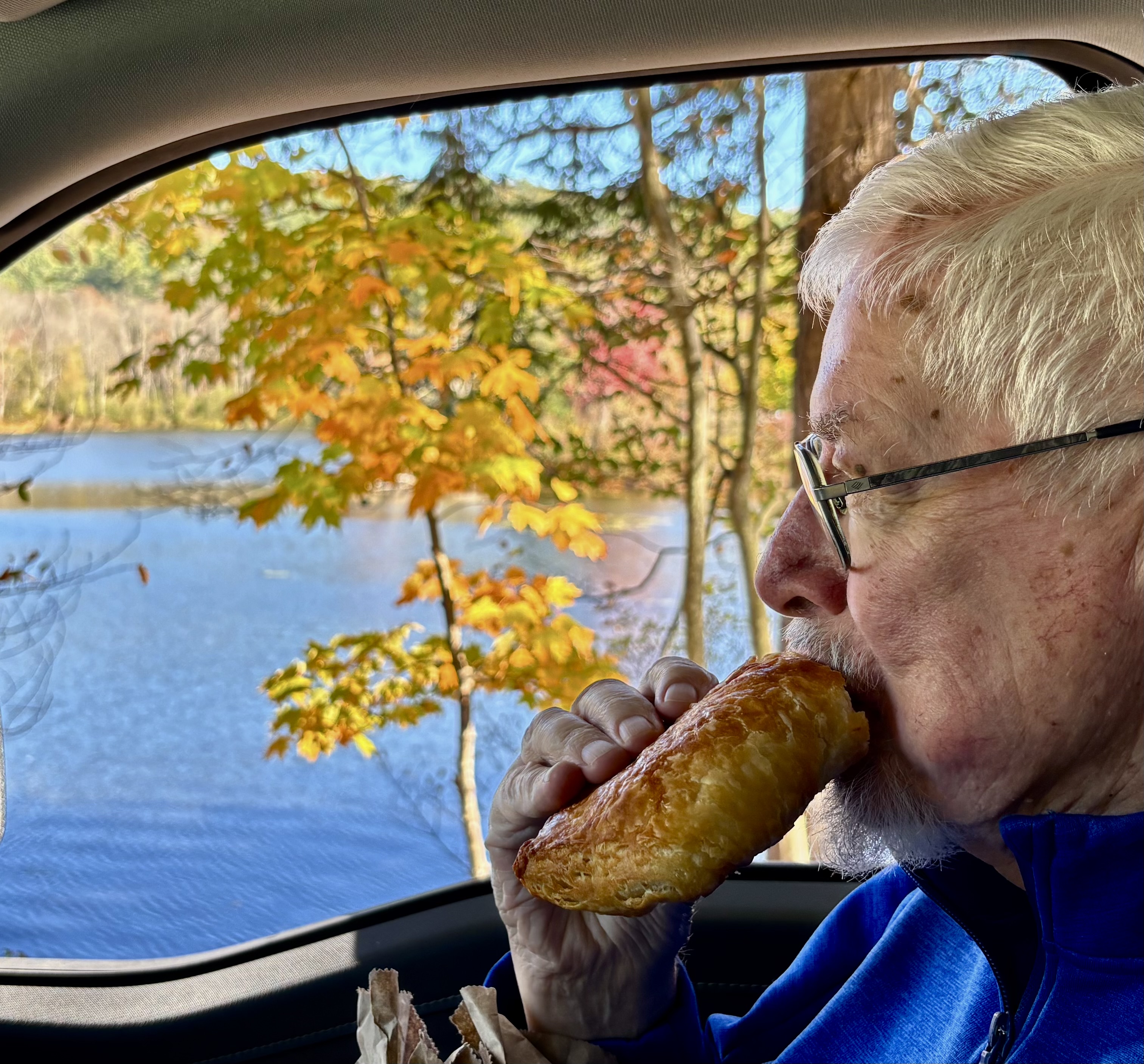
Today, Peggy and I are going to feature our trip into the Adirondacks of New York. We have now explored northern Vermont, traveled across New Hampshire, and made our way to coastal Maine, which included a trip into Acadia National Park. We’ve found so much color that our cameras have become picky about what they will photograph. New England definitely has its fall mojo back. We’ve turned to other things, like stuffing ourselves on lobster rolls. It’s a quintessential Maine experience. Did you know that the state provides over 90% of America’s lobsters?
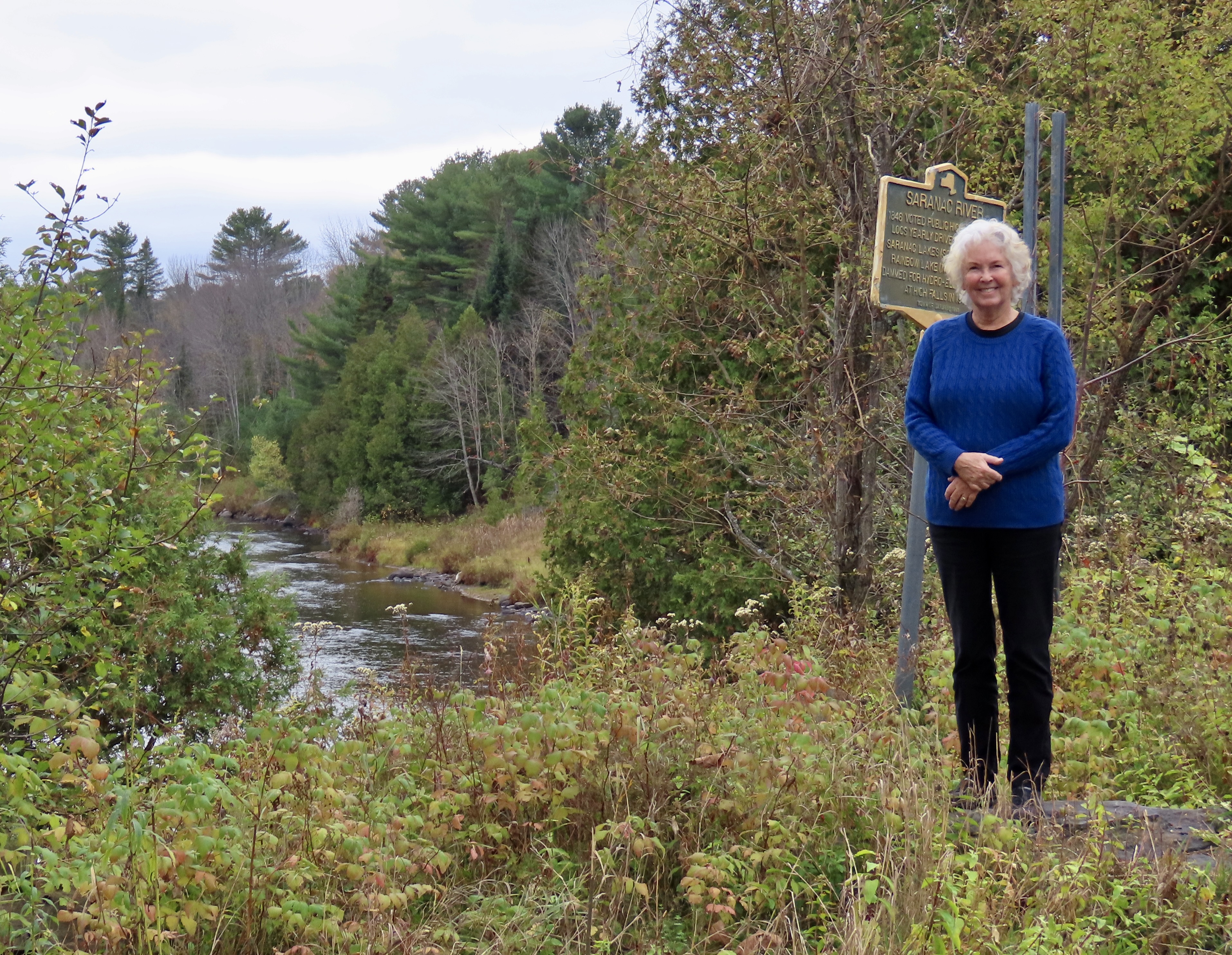
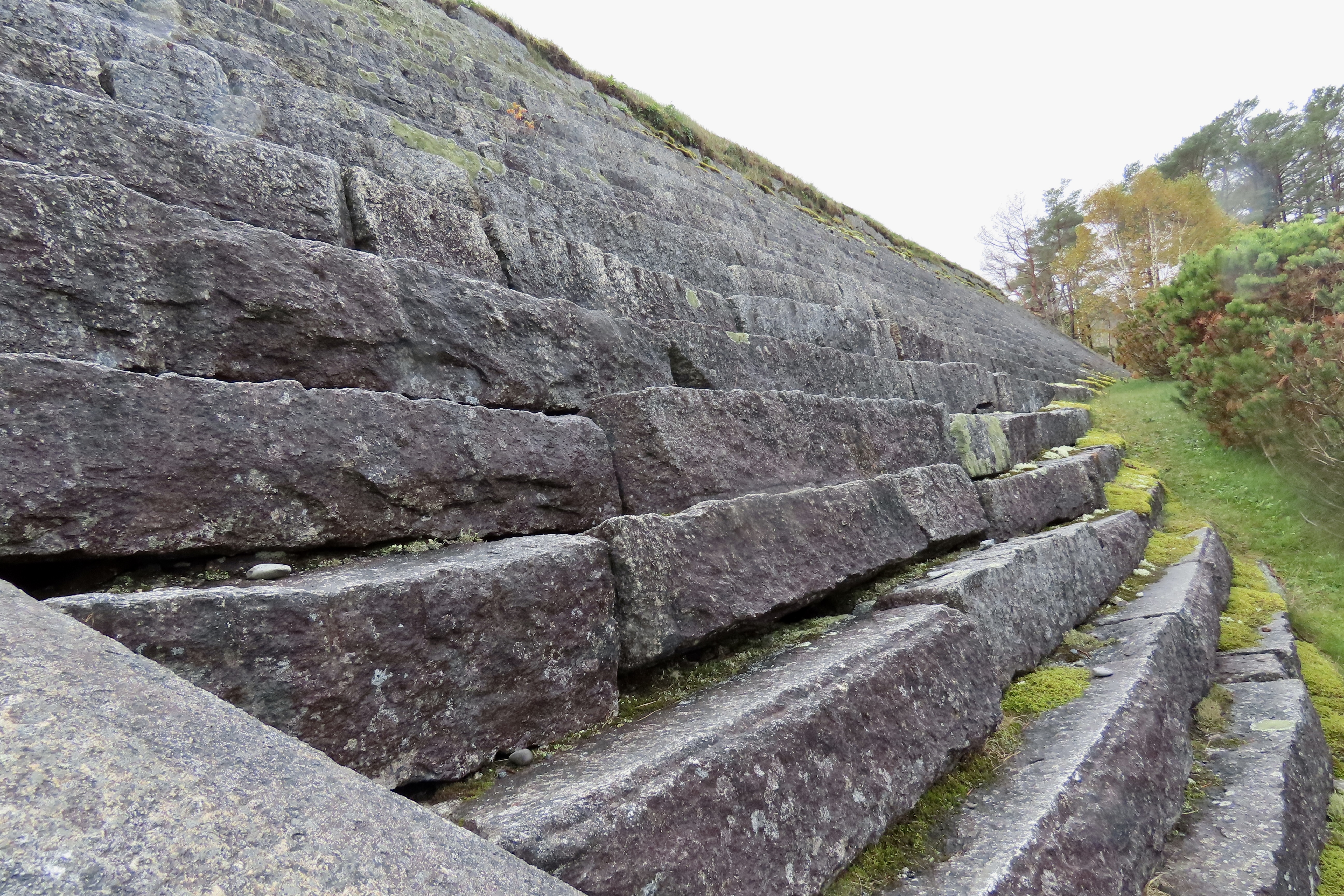
First considered wild and inaccessible by the early European settlers, the Adirondacks later became a major logging area. The sign behind Peggy noted that some 200,000 logs were sent down the Saranac River behind her in 1846. By the early 1900s the Adirondacks had become a playground for the wealthy including the likes of the Vanderbilts, J.P. Morgan, Andrew Carnegie, and the Rockefellers.
Today, the Adirondacks Park is known for its size and who owns it. Not only is it larger than any national park in the contingent 48 states in the US, it is made up of a blending of public and private ownership. Another unique fact about the area is that its ancient mountains are actually rising, something that was considered long over among eastern US mountains. Like two hundred million years long over. Apparently, there is a bulging volcanic hot spot under the Adirondacks.
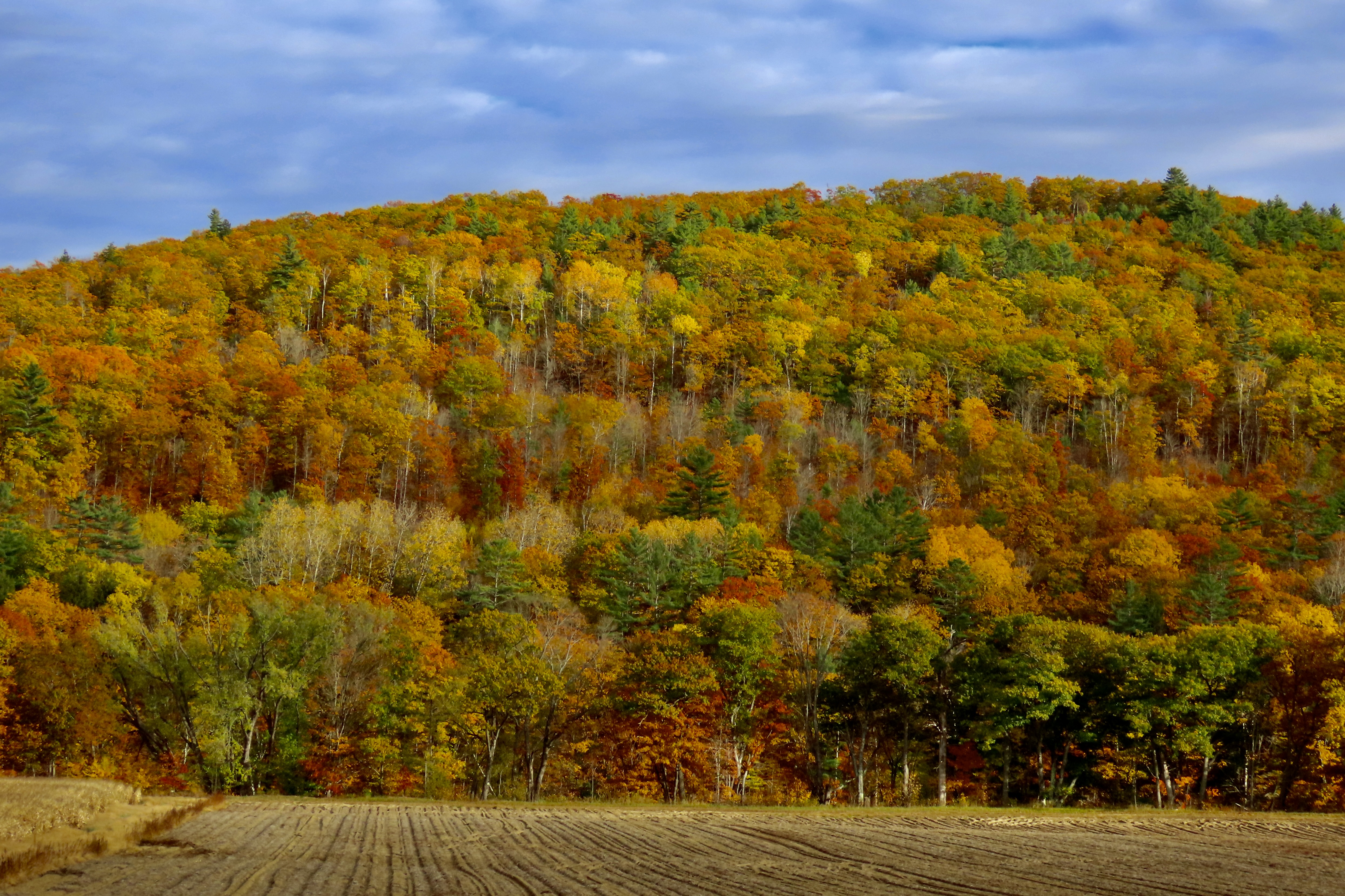
Peggy and I made a trip through New England in the fall 25 years ago when we had both taken a year-long sabbatical from our jobs. We decided it was time to visit the beautiful fall foliage again with Vermont and New Hampshire as our destination plus a side trip to Acadia National Park and a few of the scenic towns along Maine’s coast.
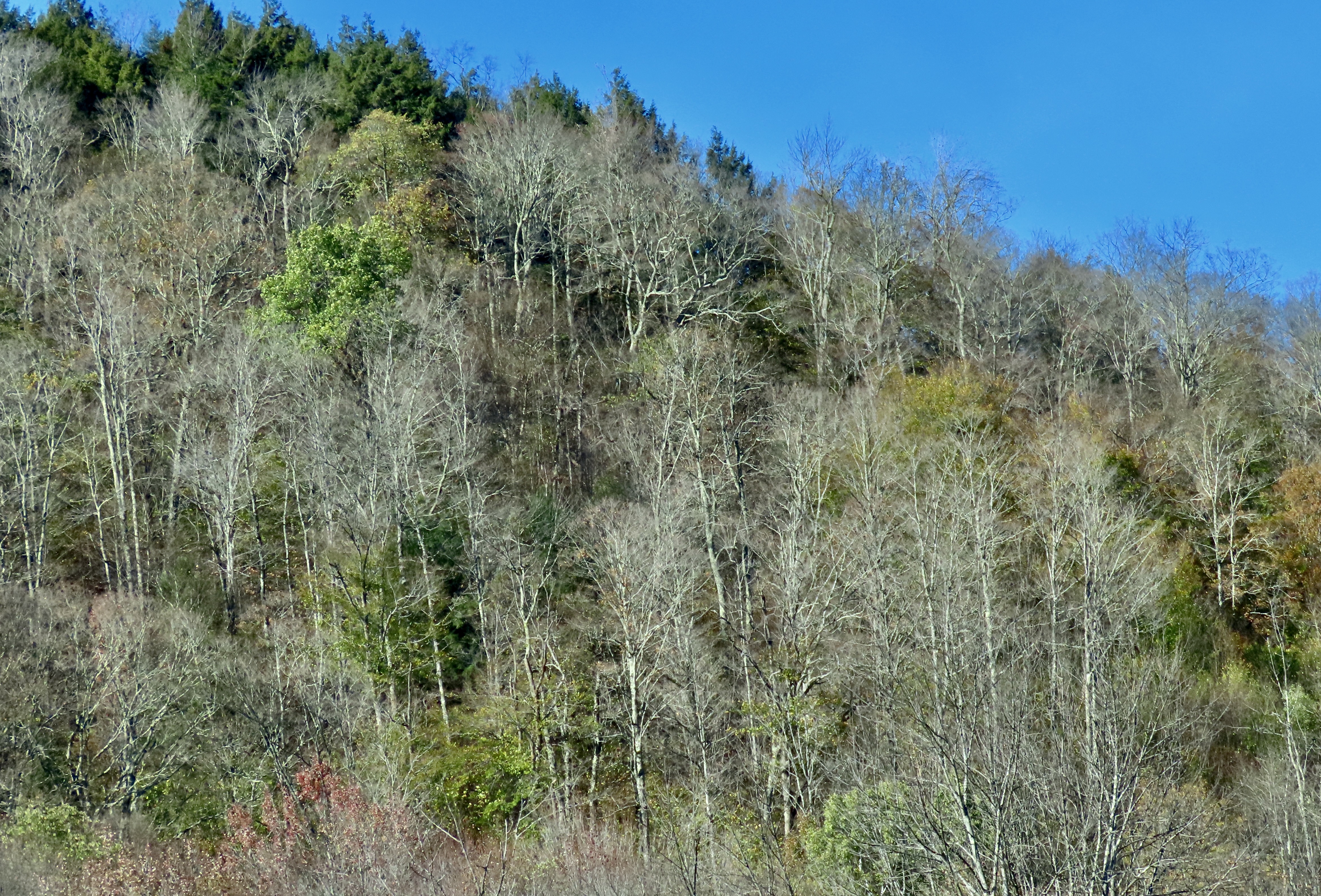
One of the clerks at the store told us that the peak of the fall color was the previous week. She suggested we drive over to Lake Champlain on Vermont’s western border to catch more color. That’s why I kicked this post off with photos from the lake.
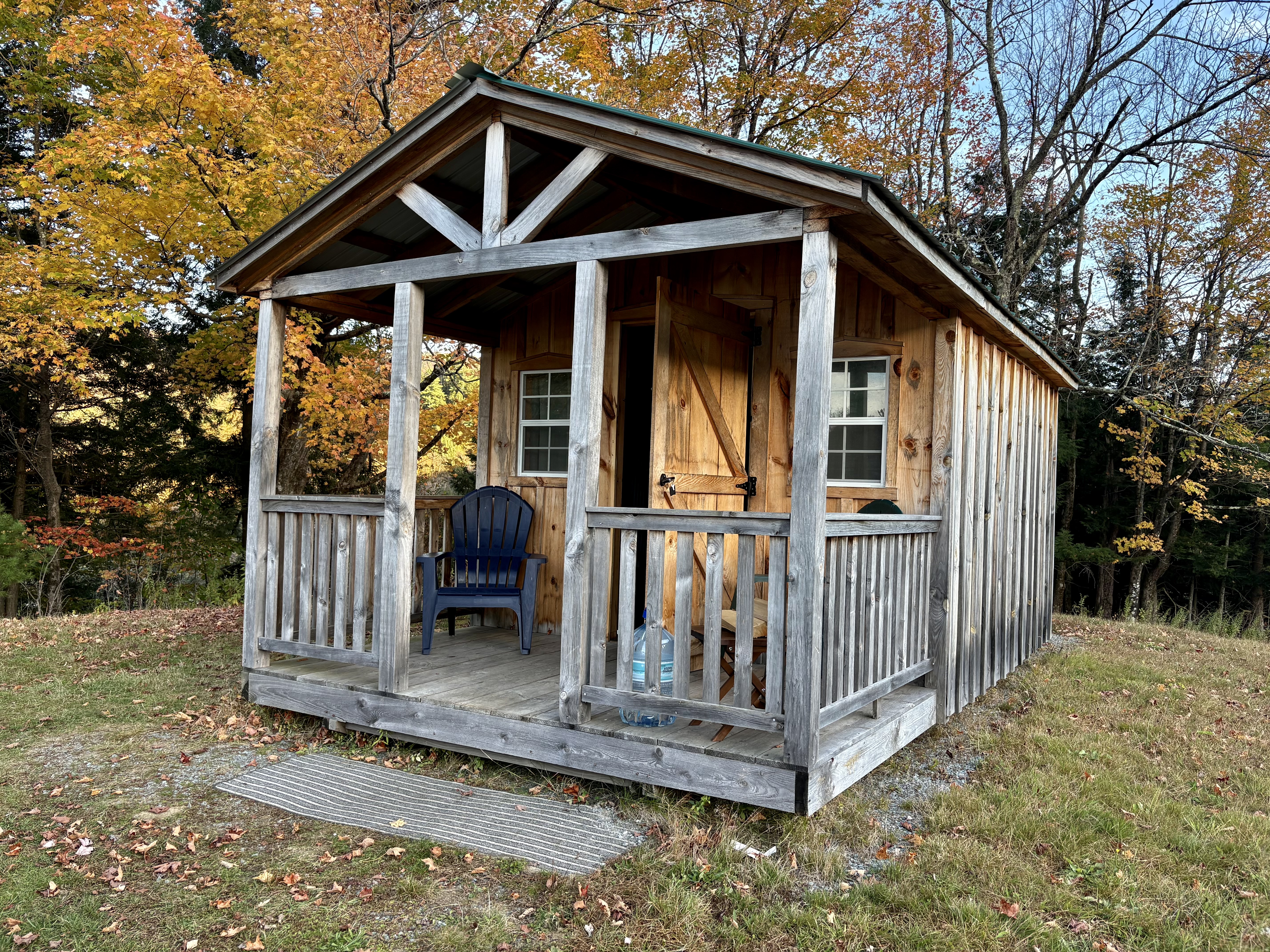
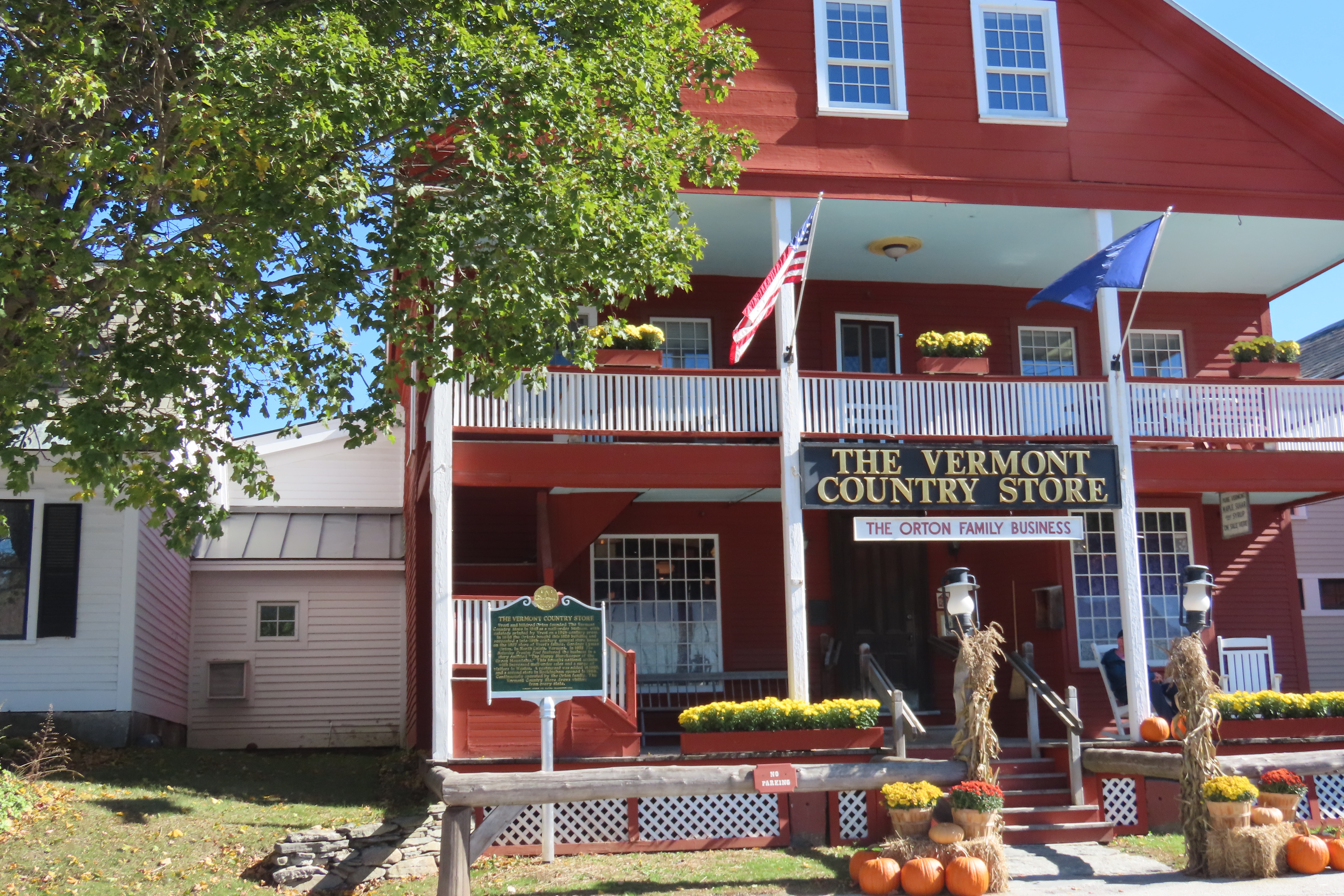
Our original plan had been to stay in Stowe, Vermont. It’s considered the most picturesque of the Vermont towns. When I saw the $300-350 prices per night of available places left to stay, sticker shock set in. I started looking at the surrounding areas. This small cabin was about 25 miles to the north and came in at under $100. It was love at first sight. “Go for it!’ my buddy exclaimed. We like cabins in the woods. “Bring warm blankets,” the owner urged, which suggested that heating might be a problem. We threw in four quilts, a down cover and our backpacks.
Beyond that, I apparently didn’t read the small print.
After a pleasant drive over country roads, we arrived at the cabin. As promised, the owner had left the key in the door. Inside, we discovered our furniture was a double-bed sized futon and a coffee table. Electricity was a battery connected to a small lamp. Our water was in a large bottle on the porch. As for a bathroom, it was an outhouse located about 25 yards away. None of this mattered to us. We are backpackers. We even had an extra lantern, a backpacking stove and headlamps along.
The real challenge was the cold. Temperatures were dropping below freezing and the cabin came with air conditioning, i.e. gaps in the structure that guaranteed that the temperature inside matched the temperature outside. Somehow, I ended up with one blanket. Peggy ended up cozy. I’ve never been able to figure out how she does that. It was a warm blanket, however. My biggest problem was cold feet. I put on my slippers. The other problem was having to pee, not once, not twice, but three times. I rarely have to go twice and never 3 times! Out I dutifully went each time, at least off the porch.
Peggy woke up at 12:30 after my second trip and we renegotiated the blanket distribution. I actually slept warm and cozy up to 5:30 and my third adventure into the great outdoors. I managed three hours of sleep throughout the night. Not bad, considering.
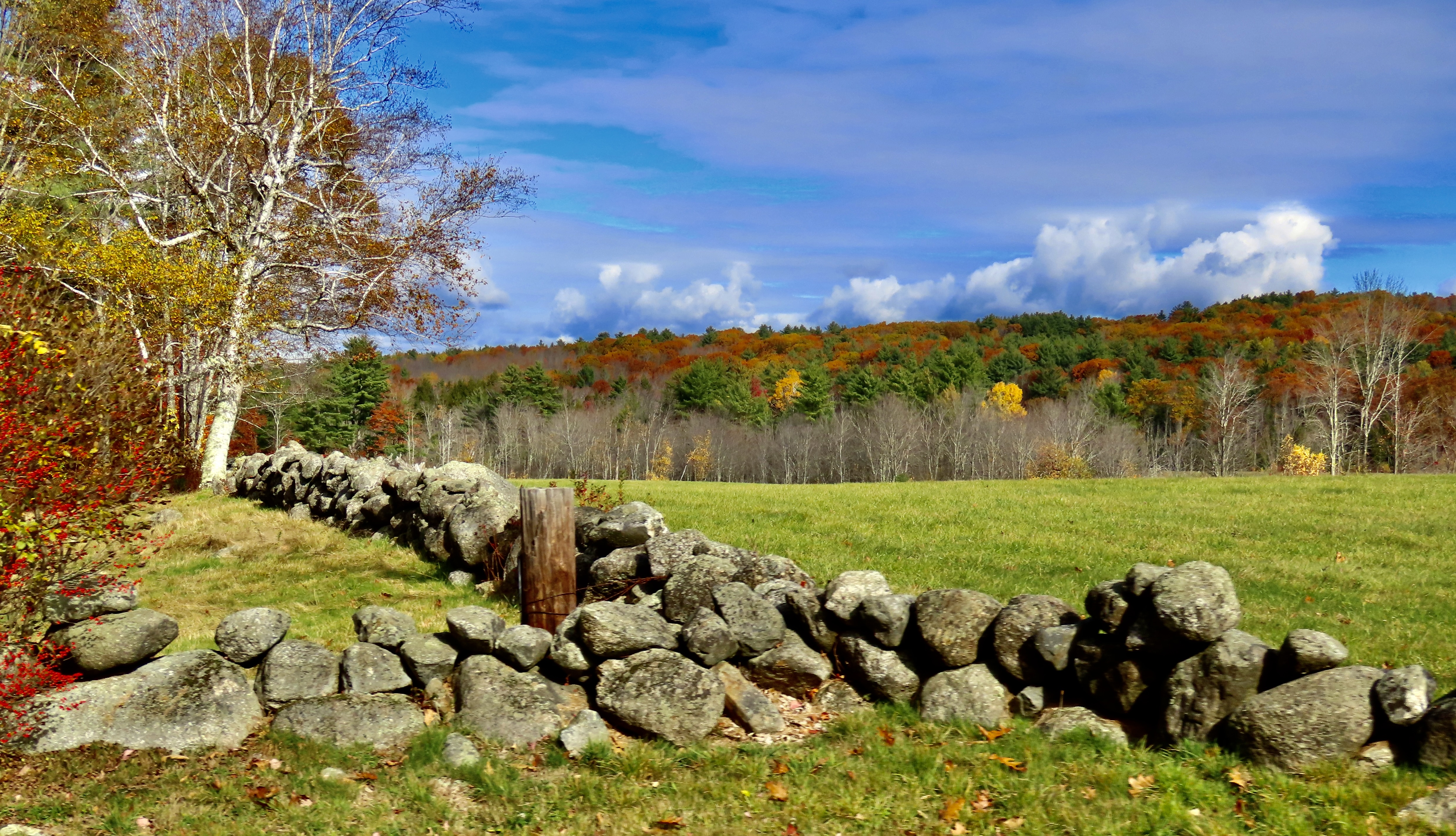
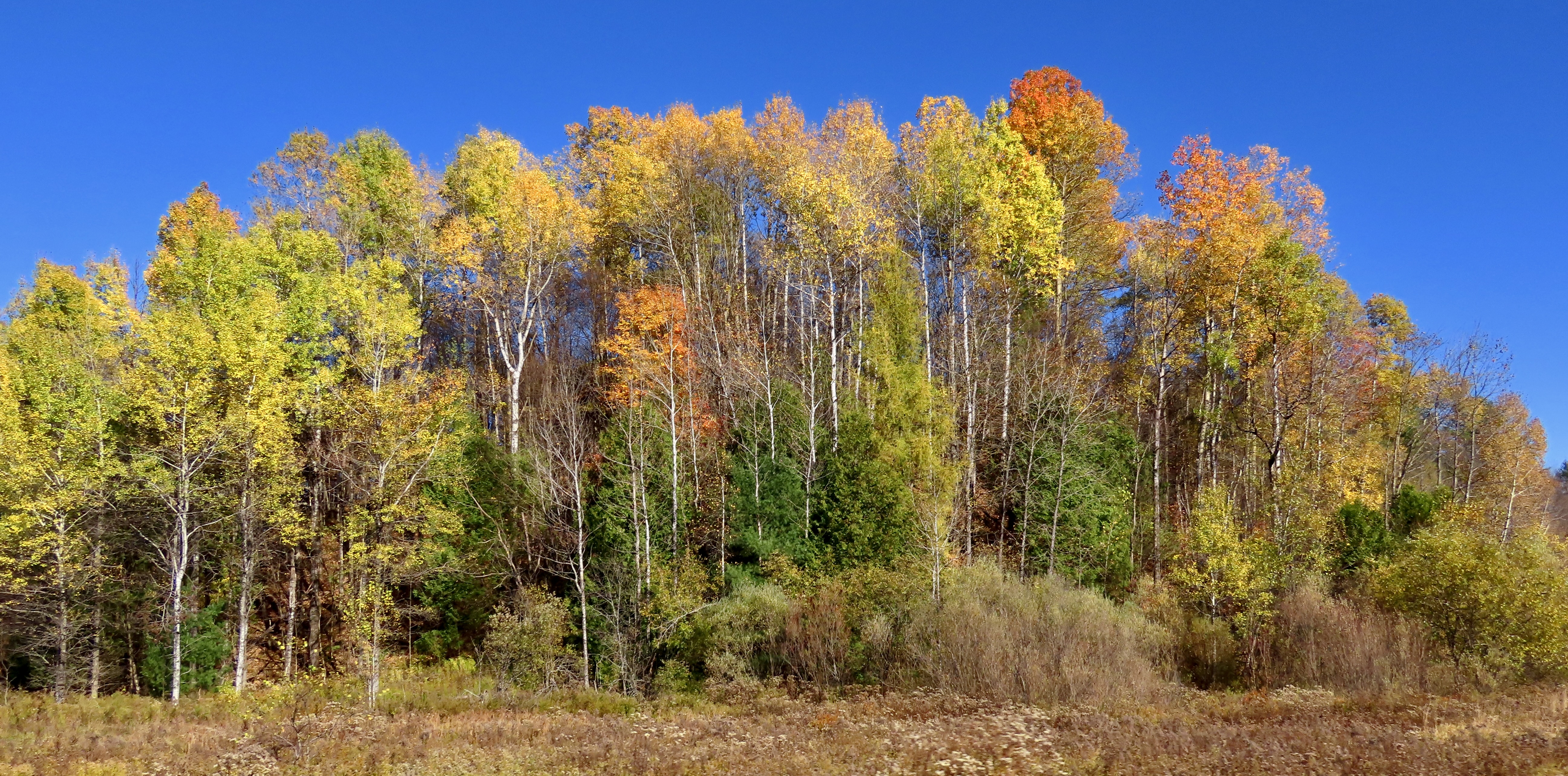
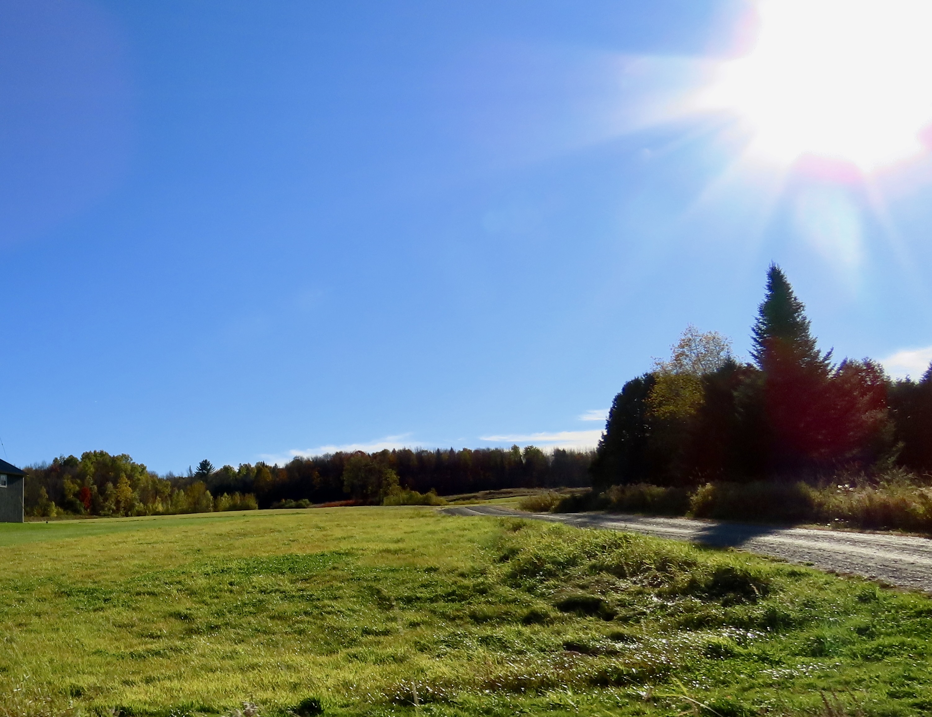
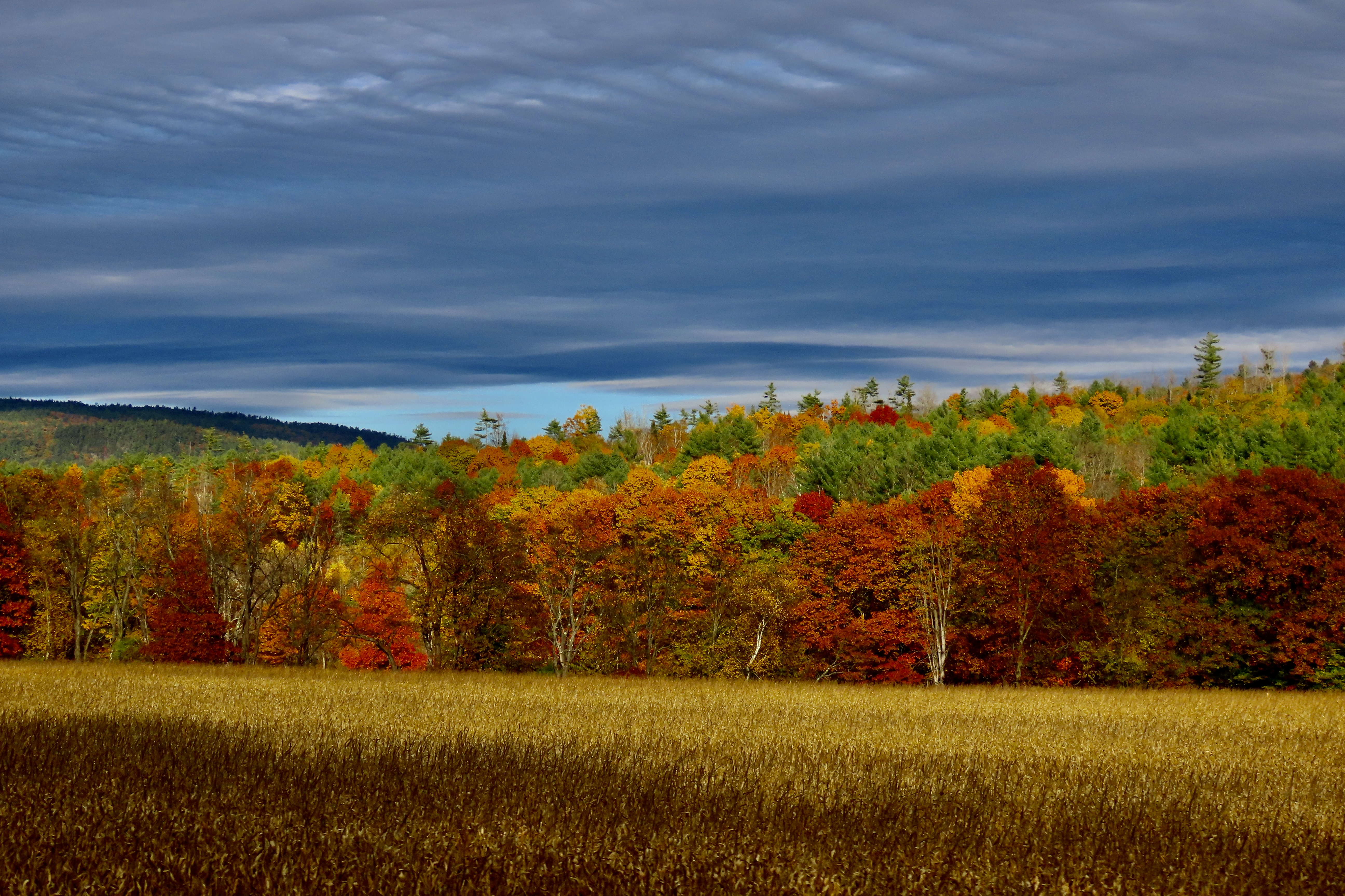
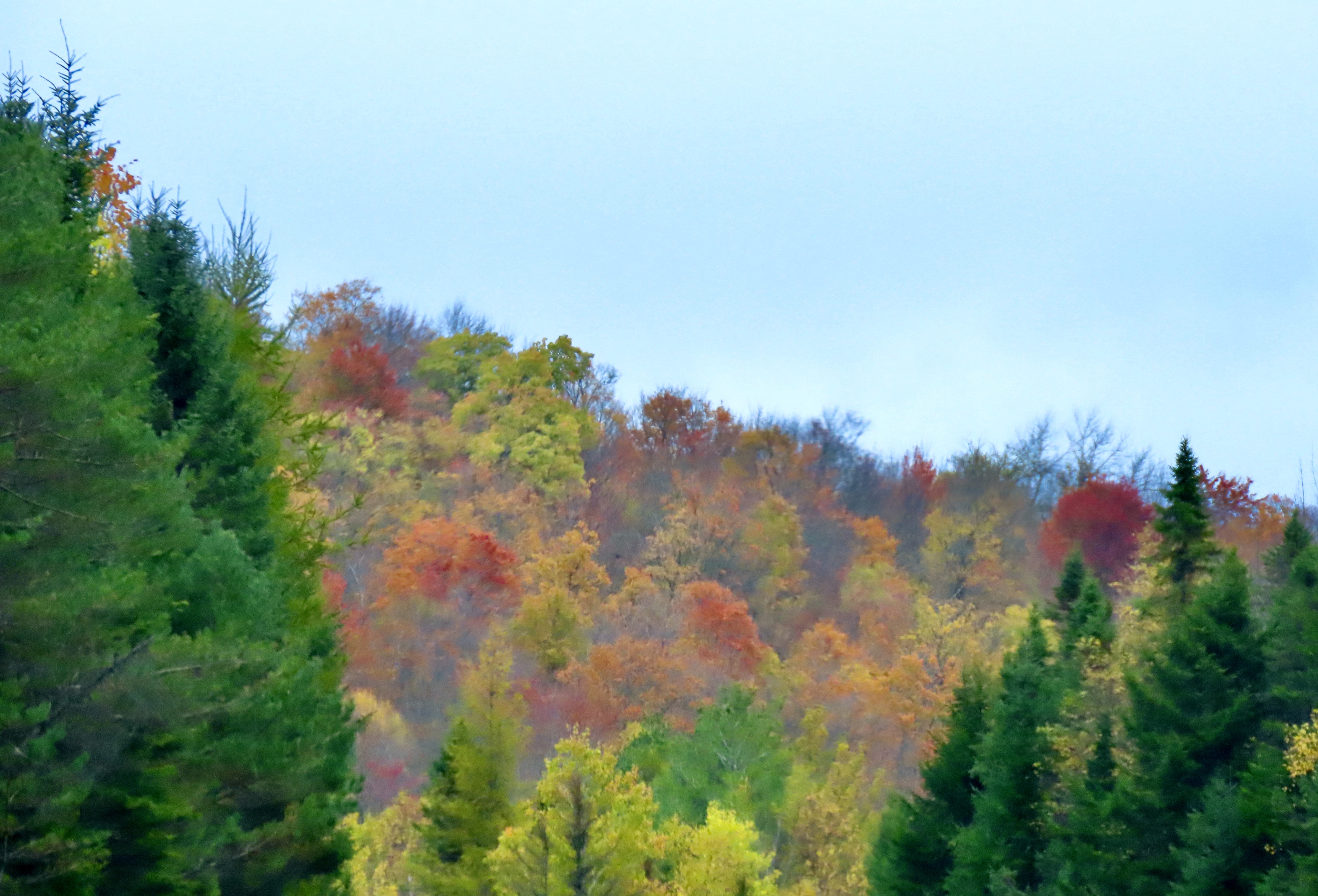
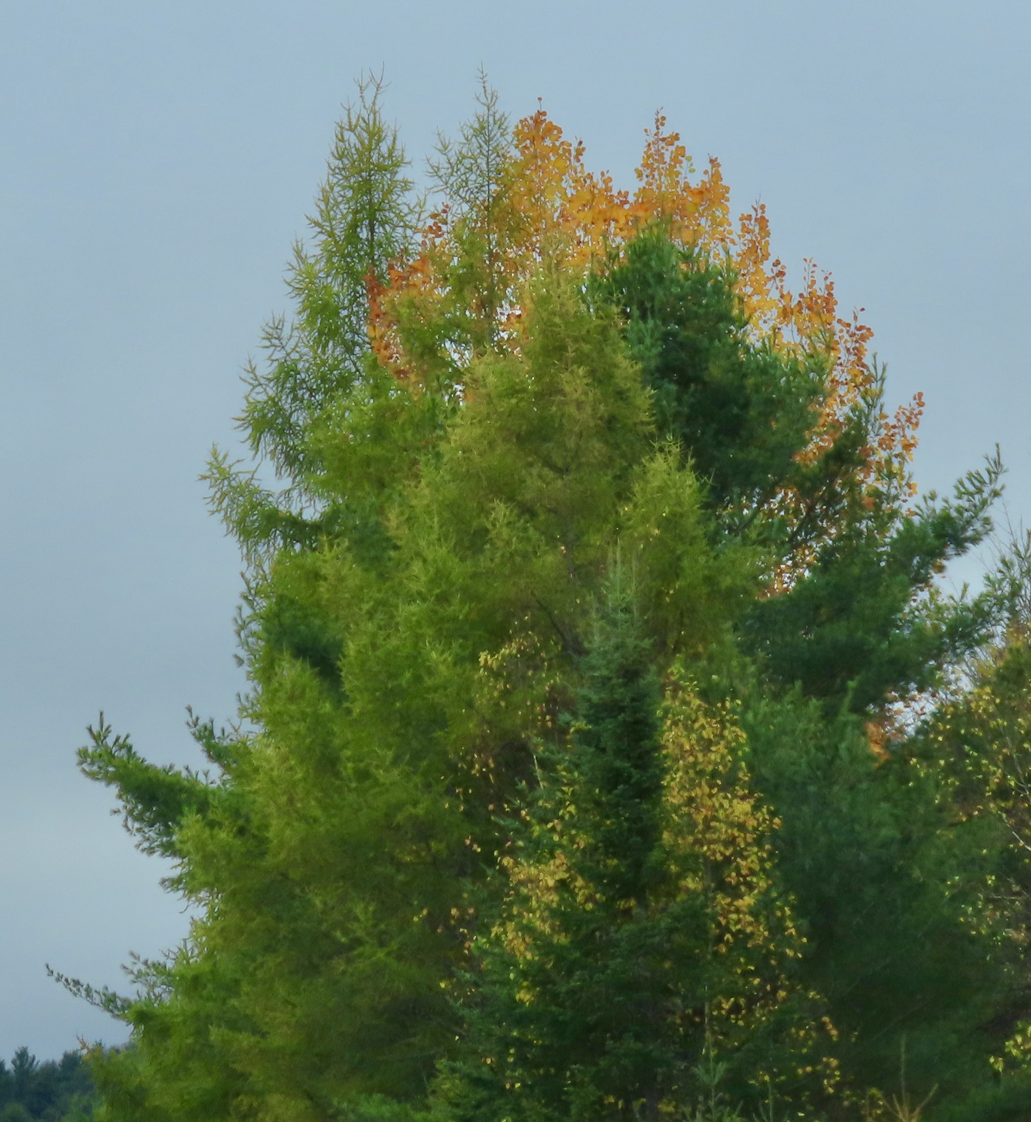
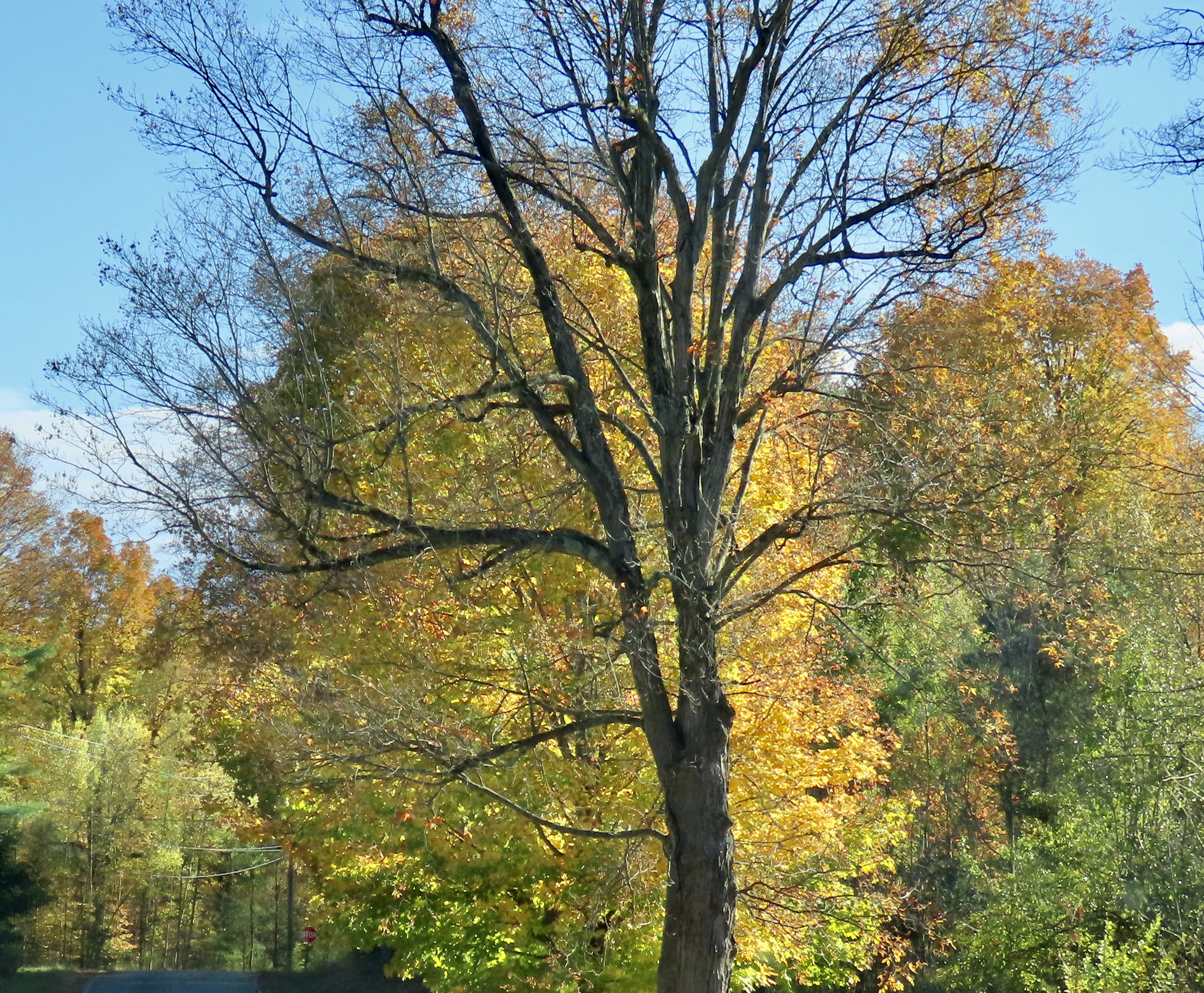
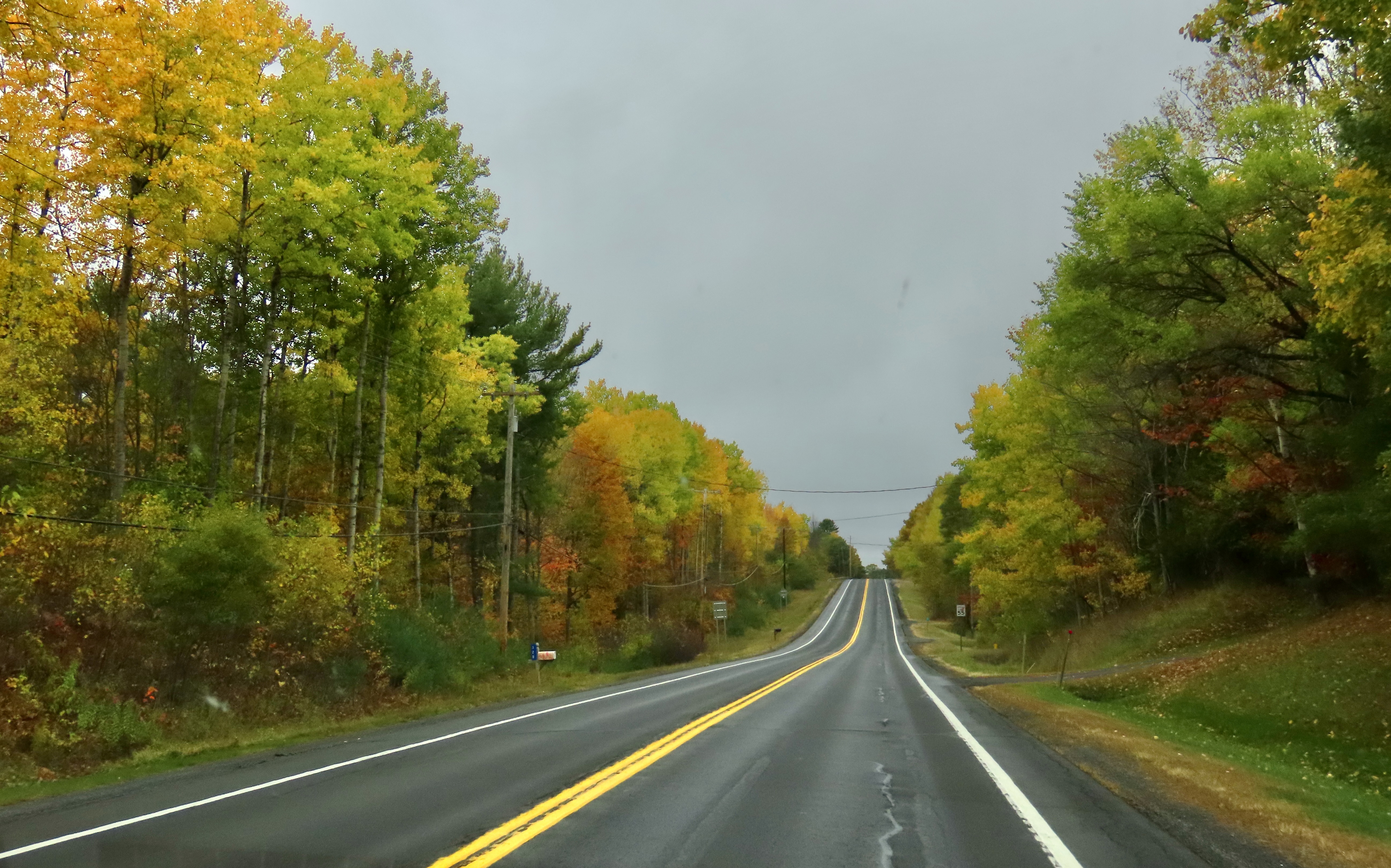
I’ll conclude with a few fall photos we took near Chazy, NY, where we stayed after our Vermont cabin.


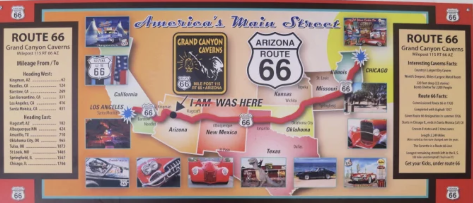

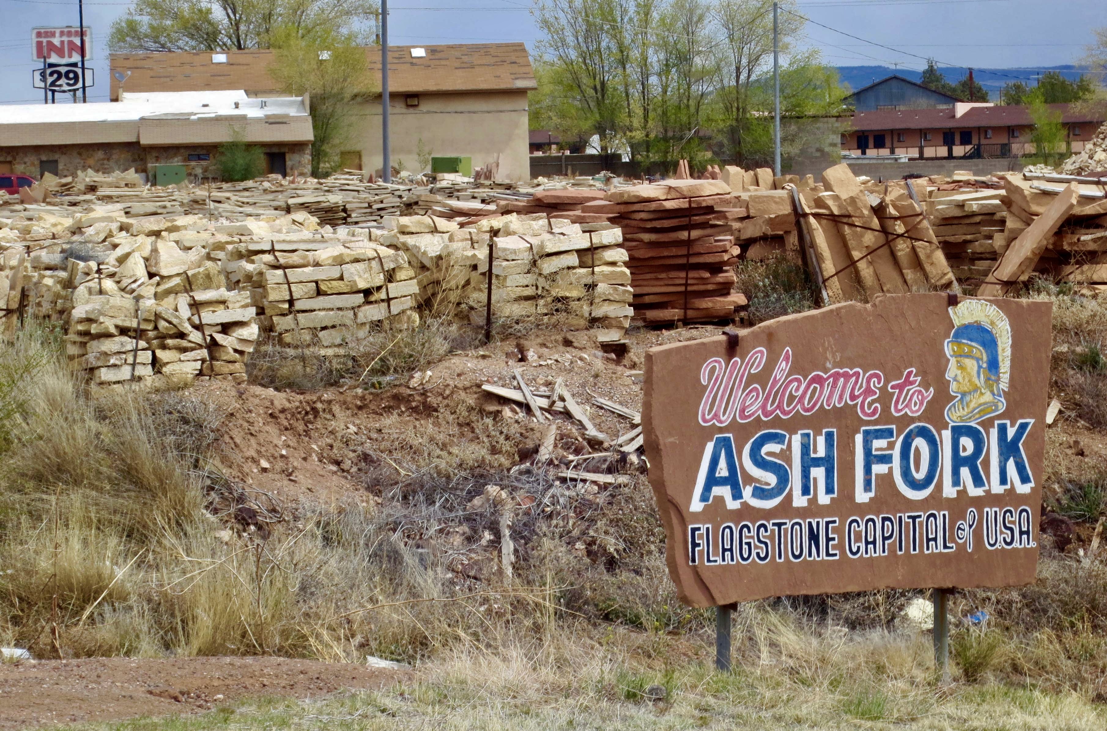
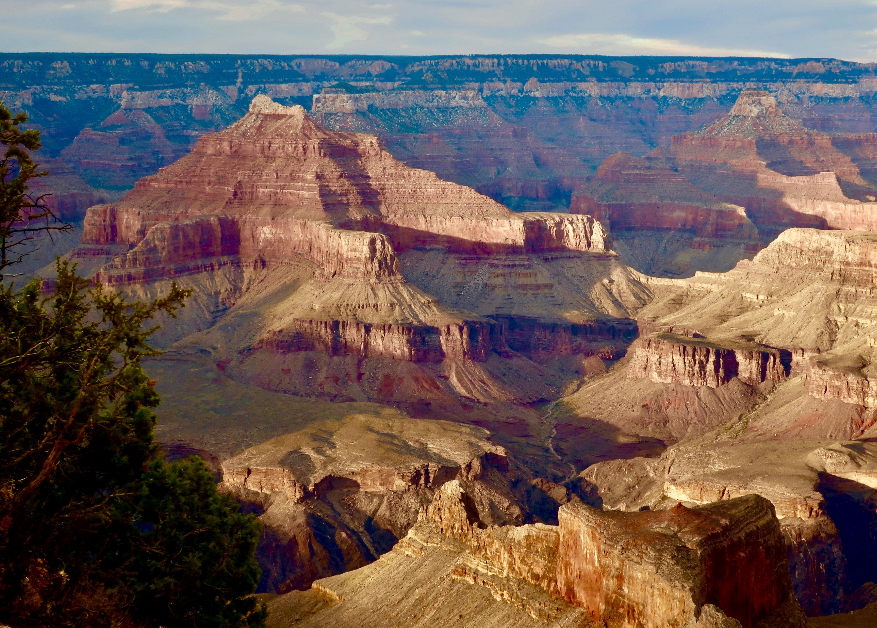

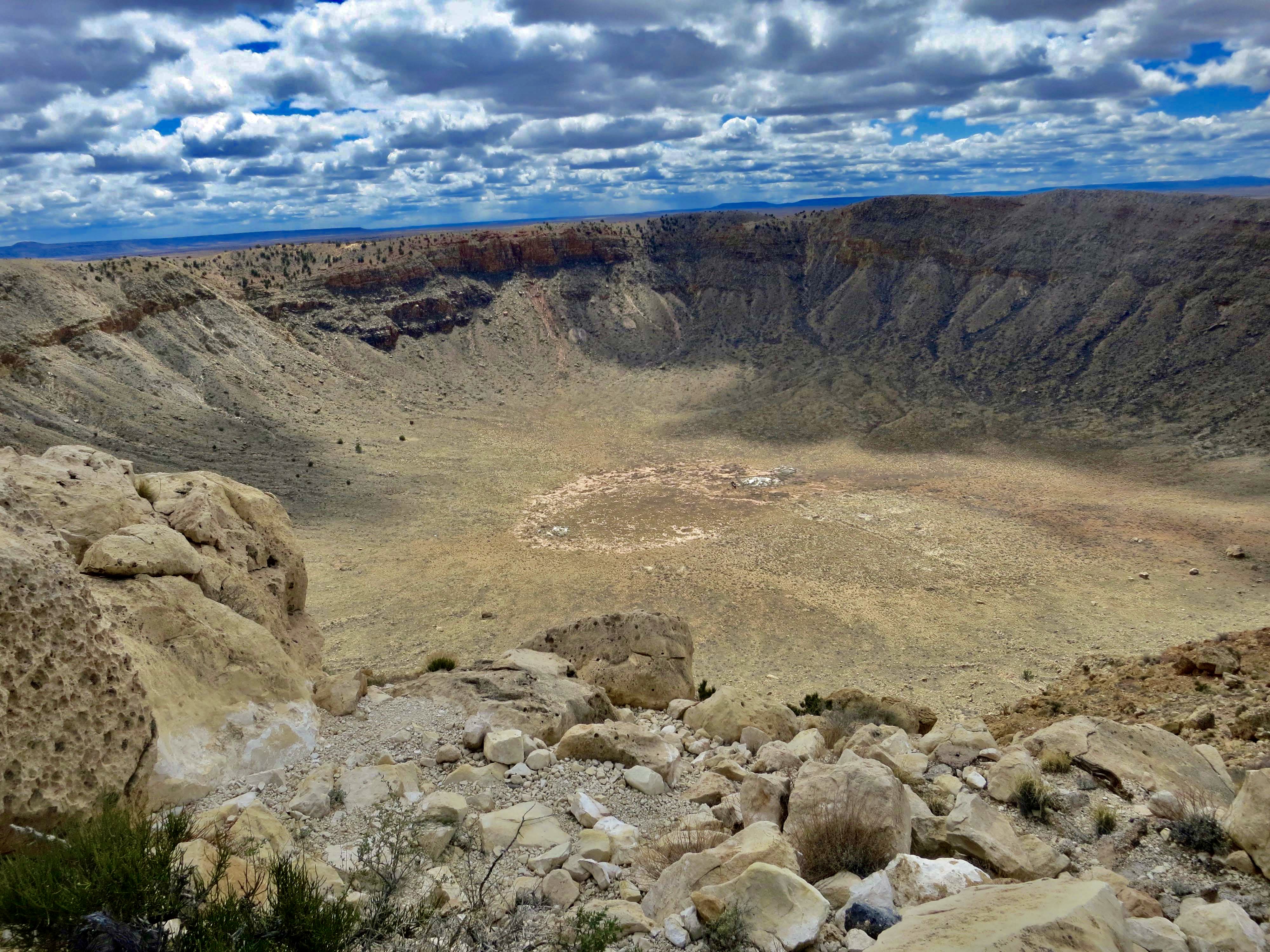
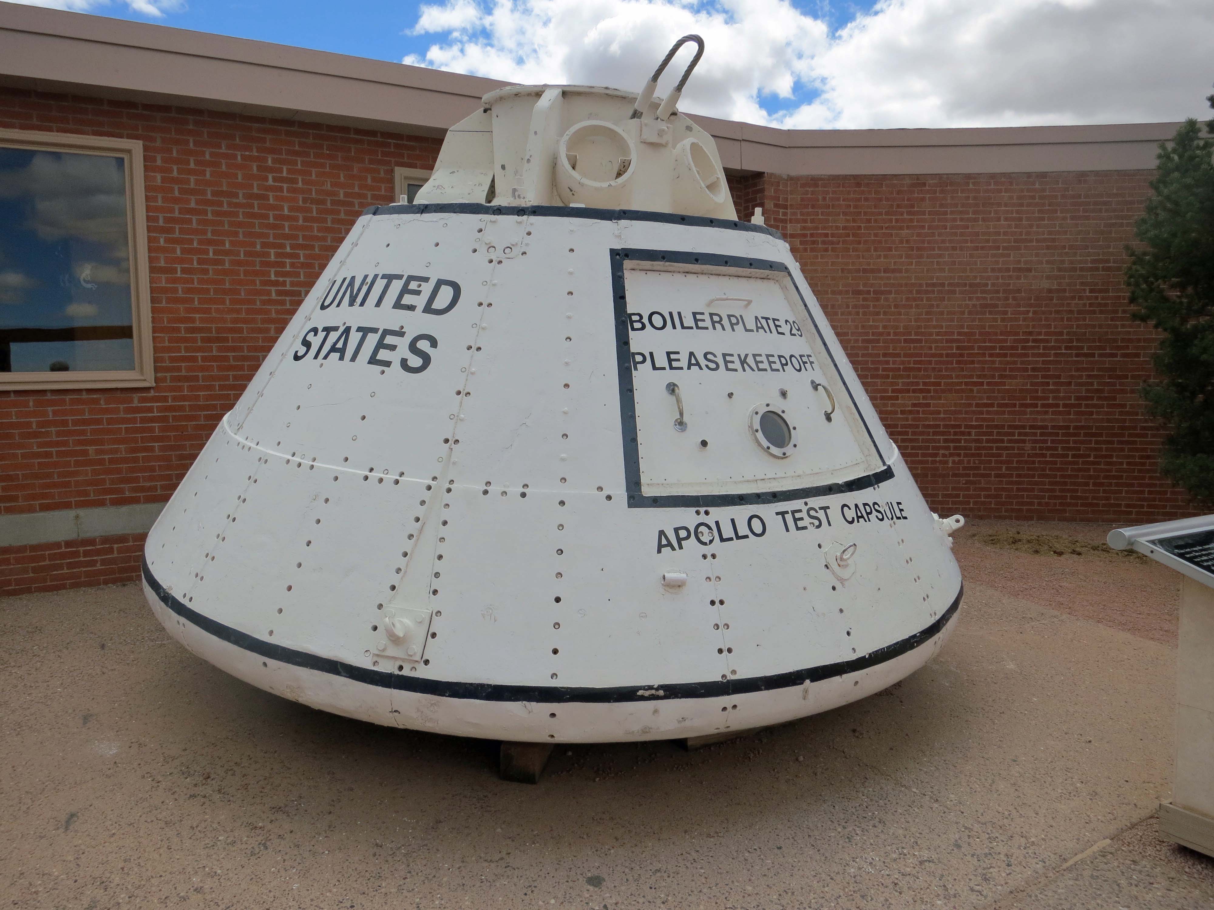
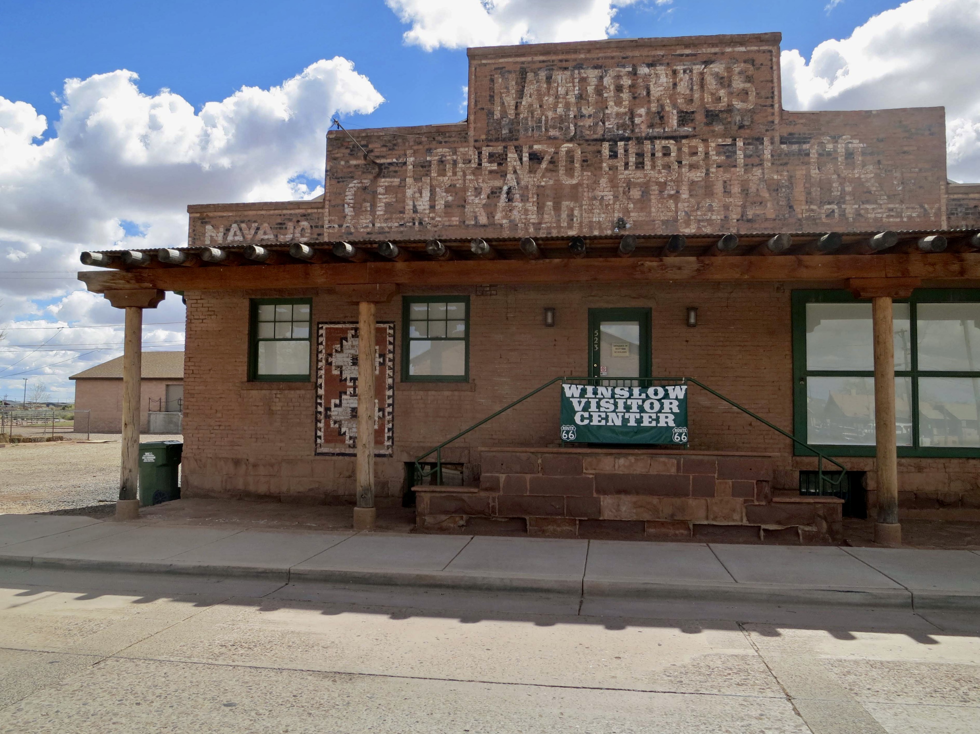
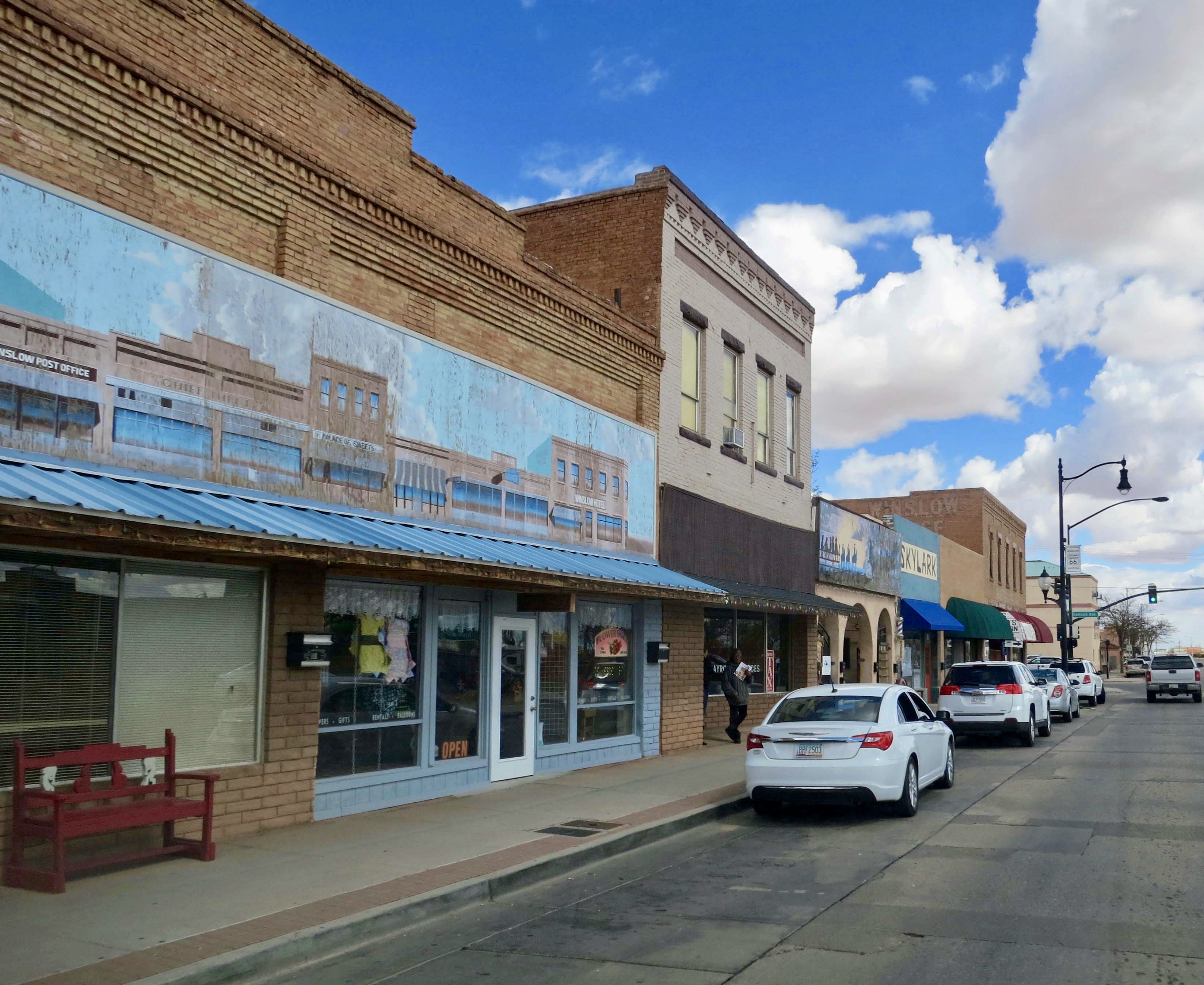

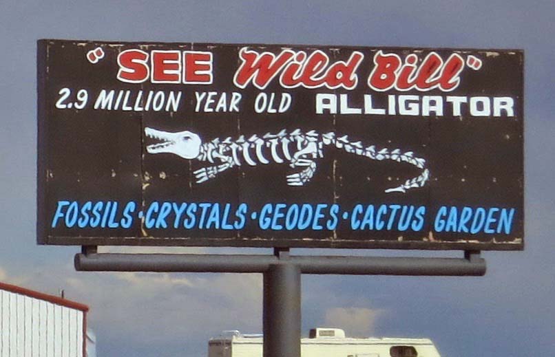
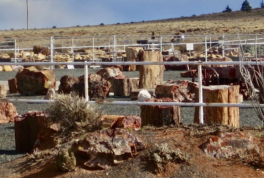

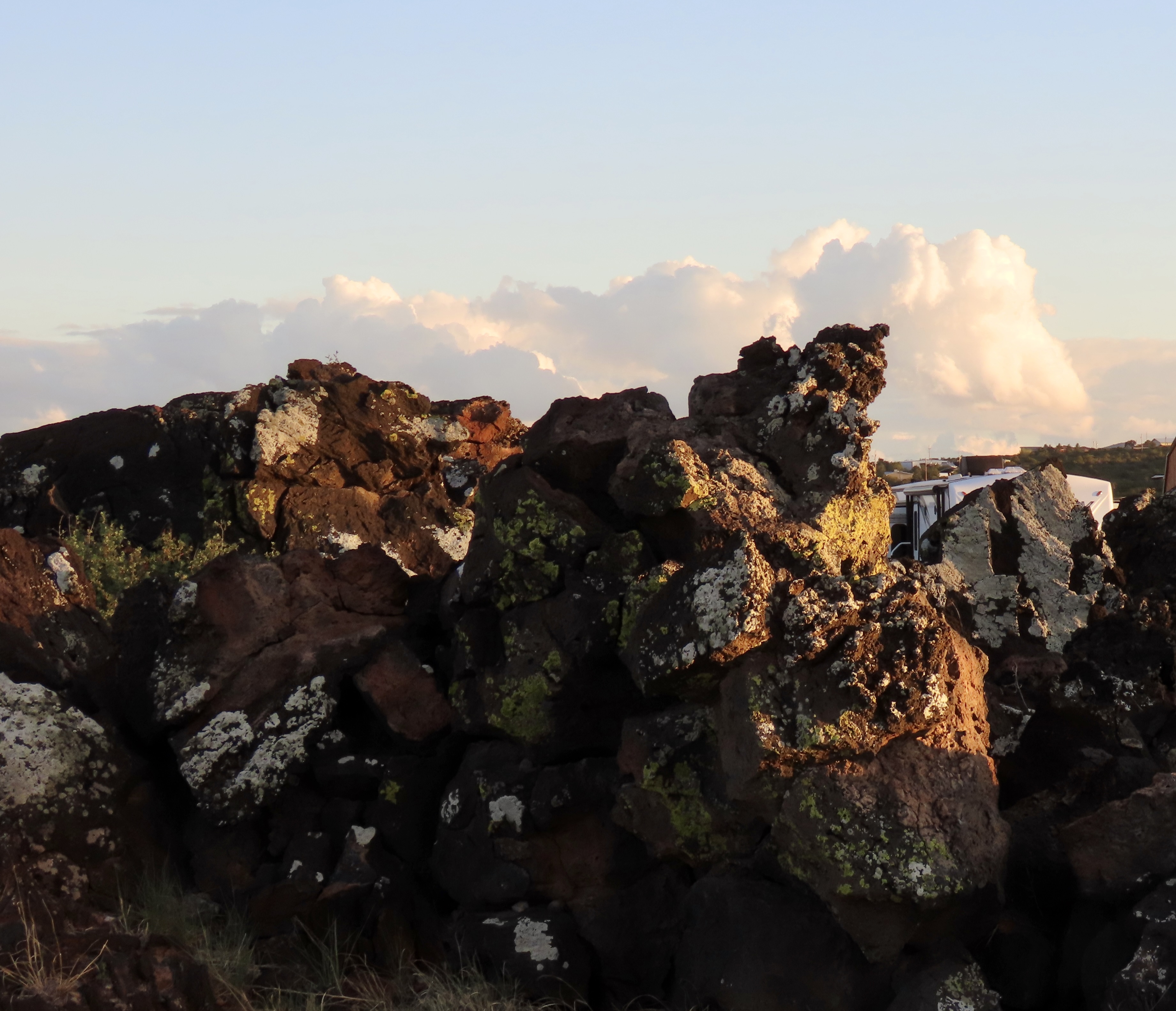
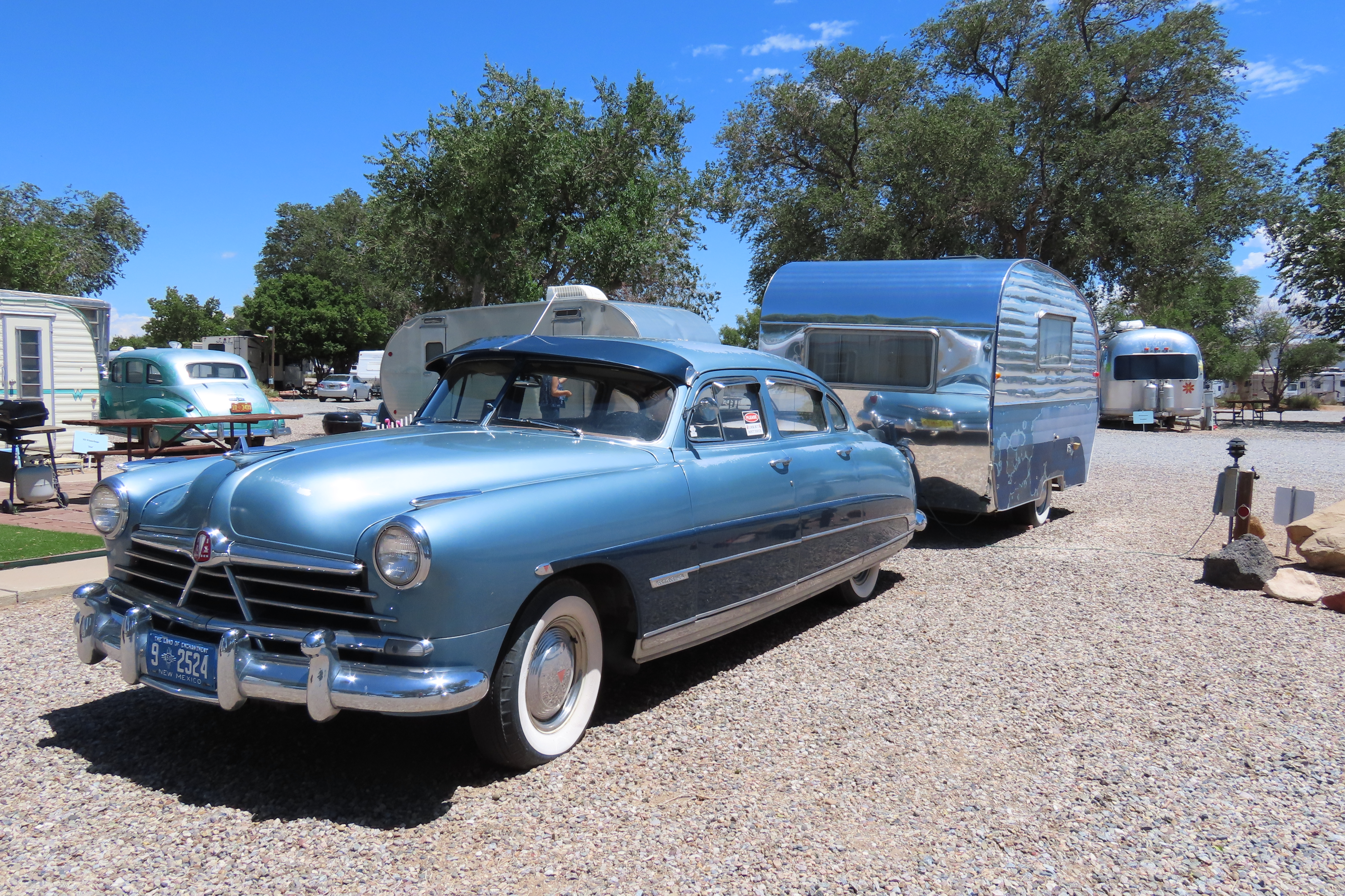
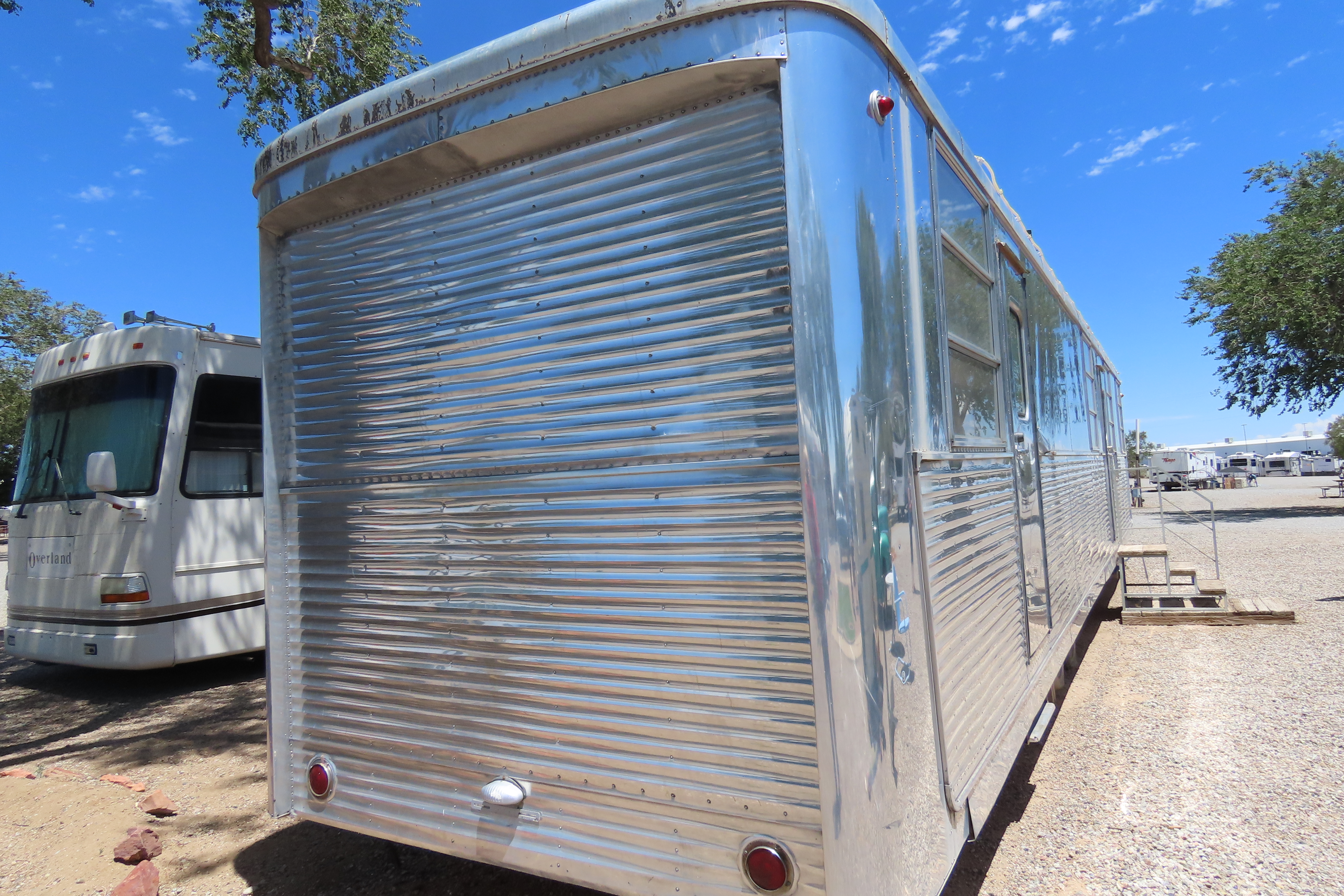
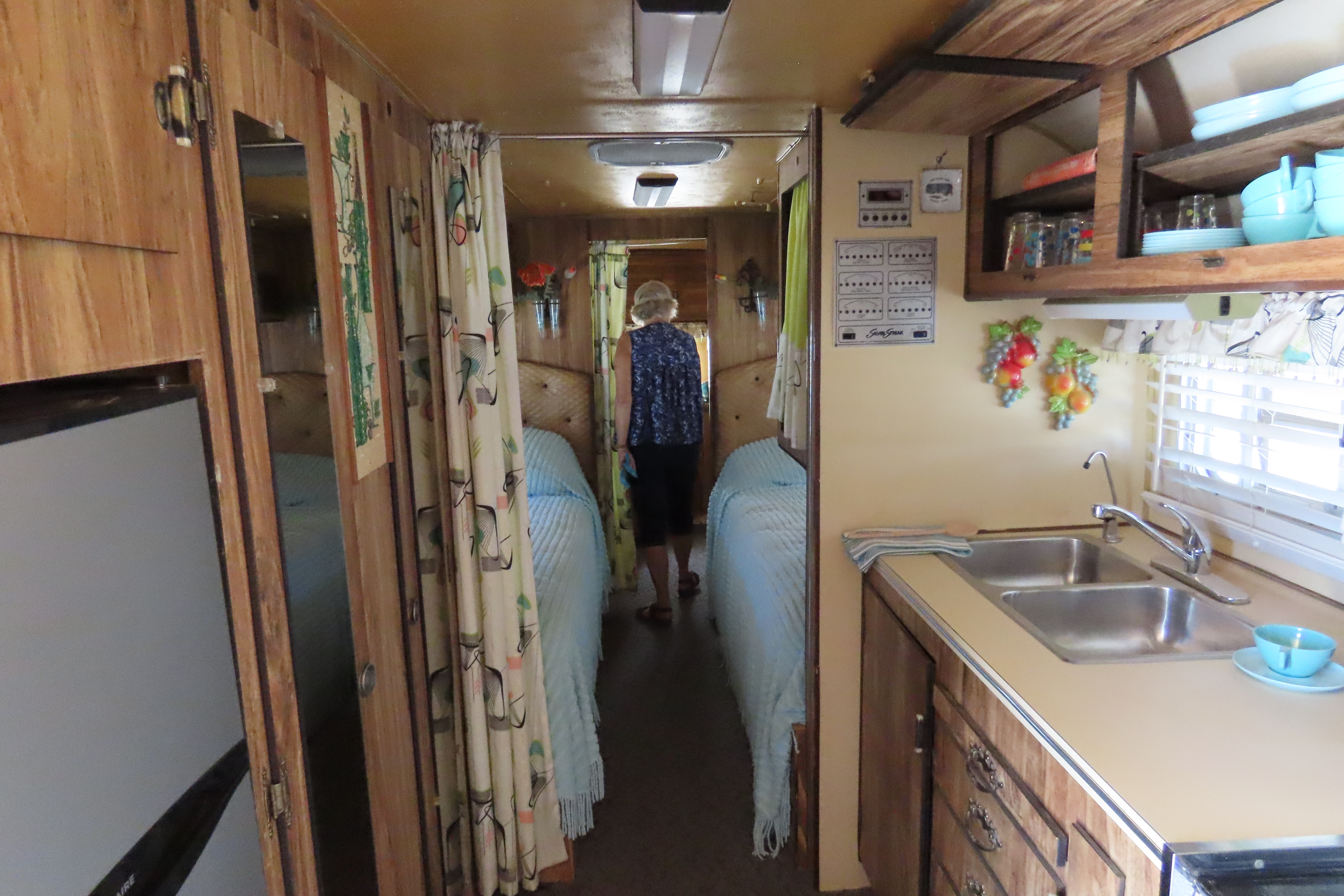
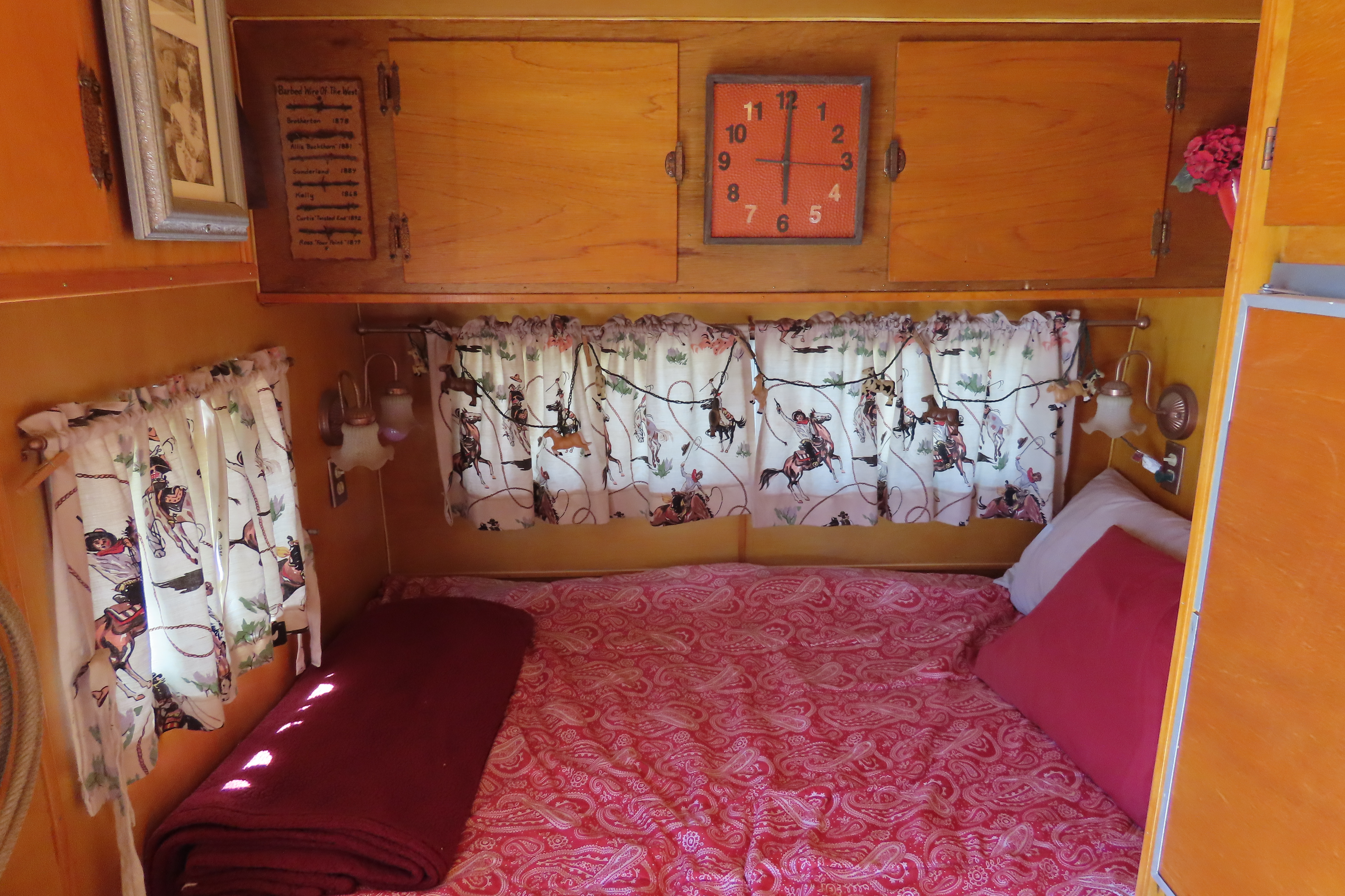
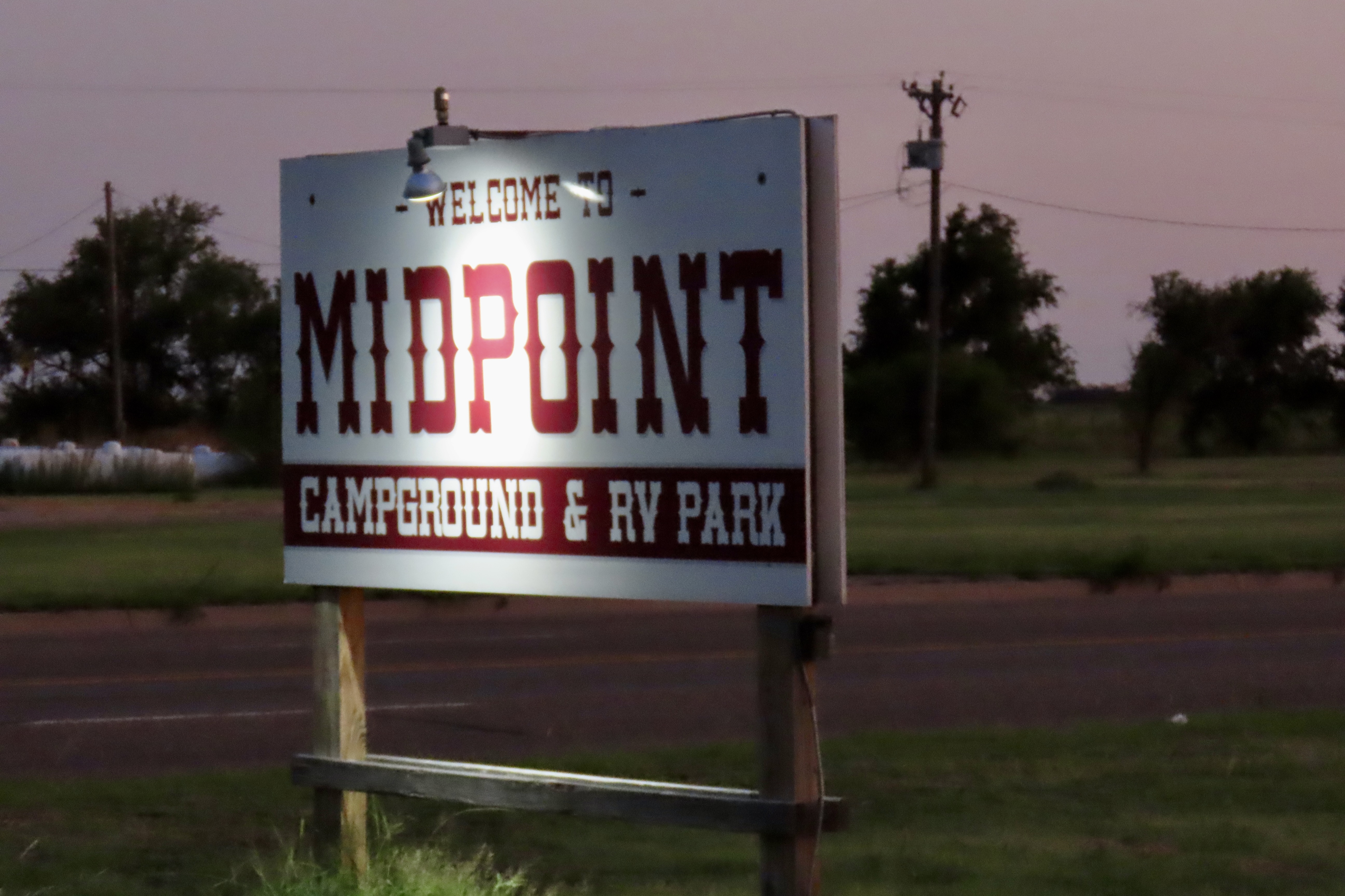
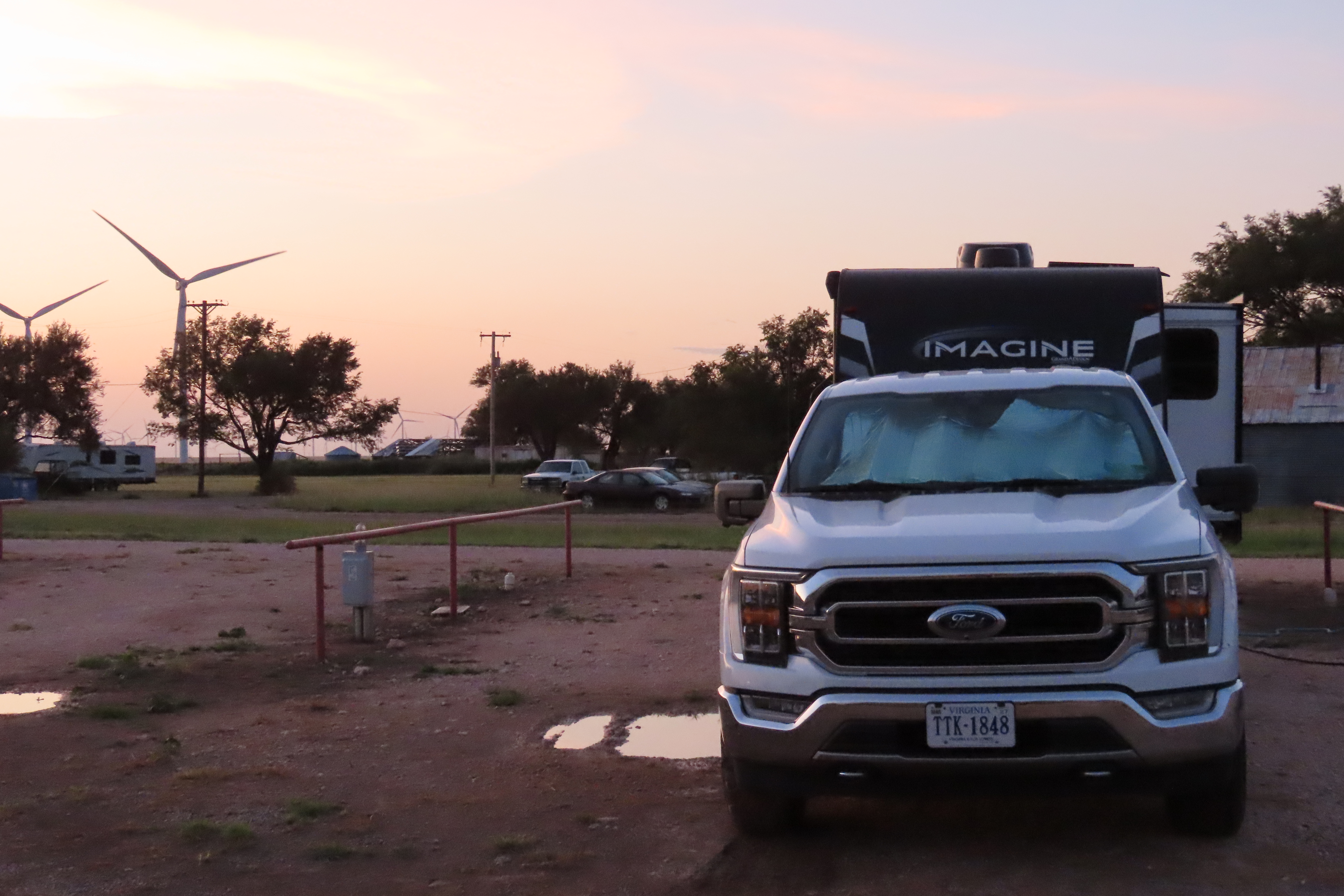
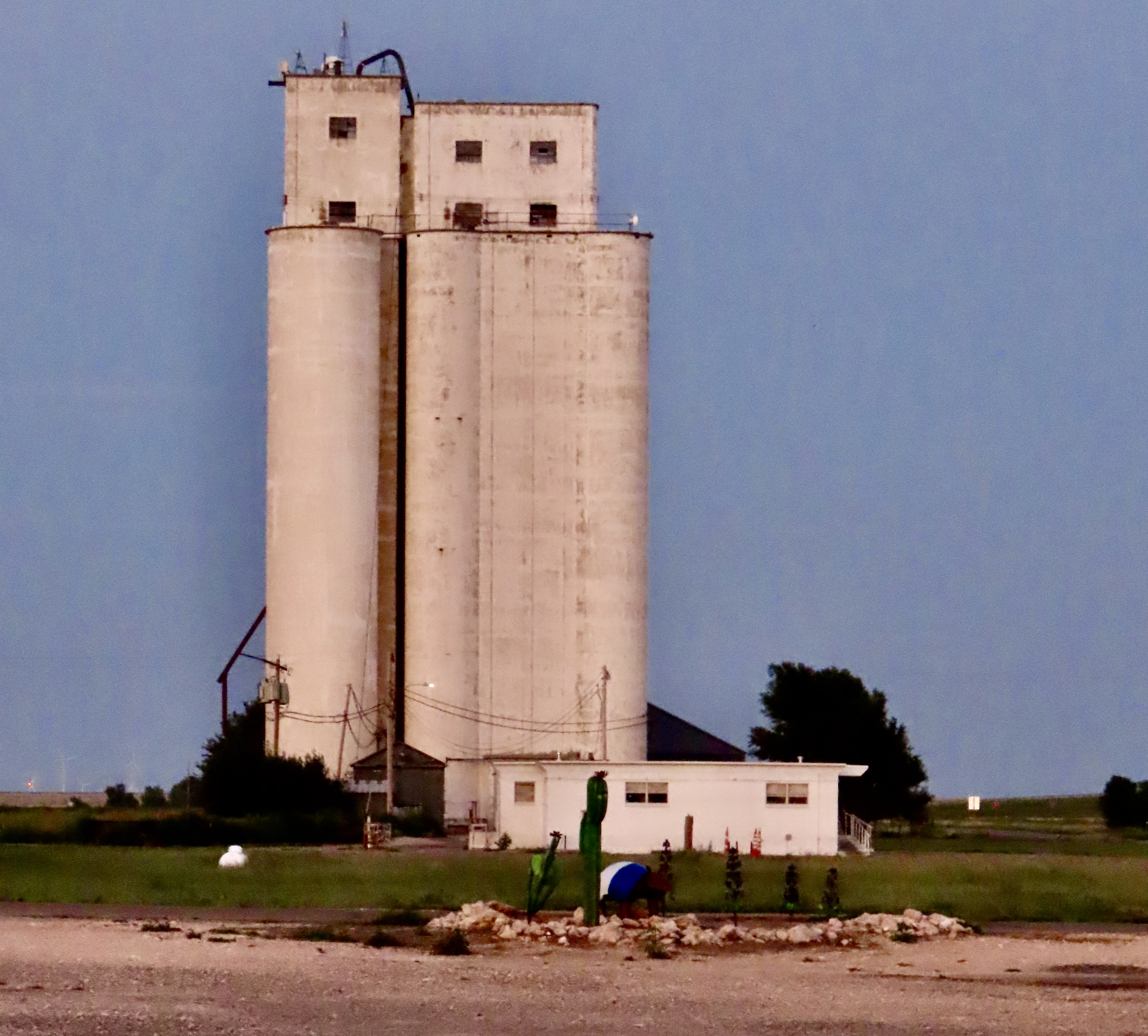
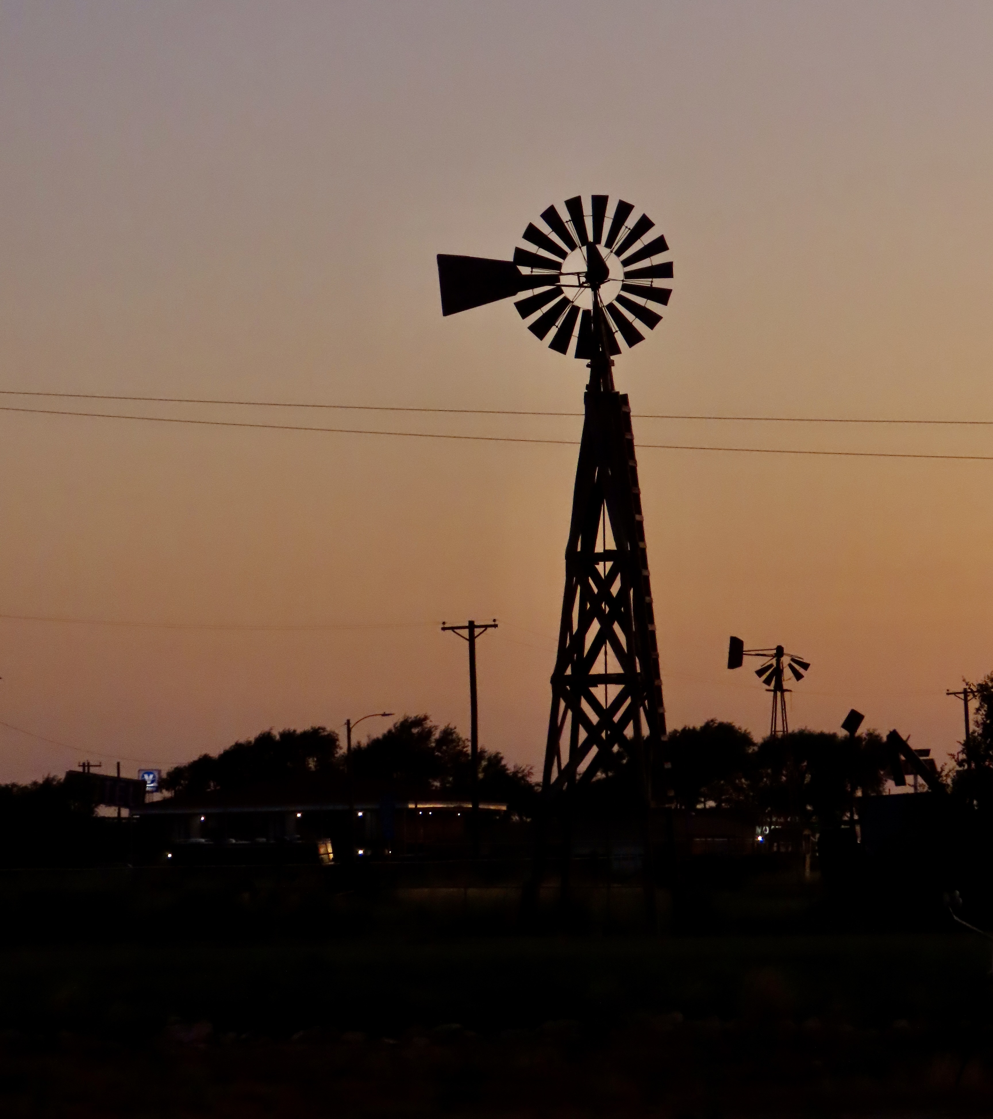
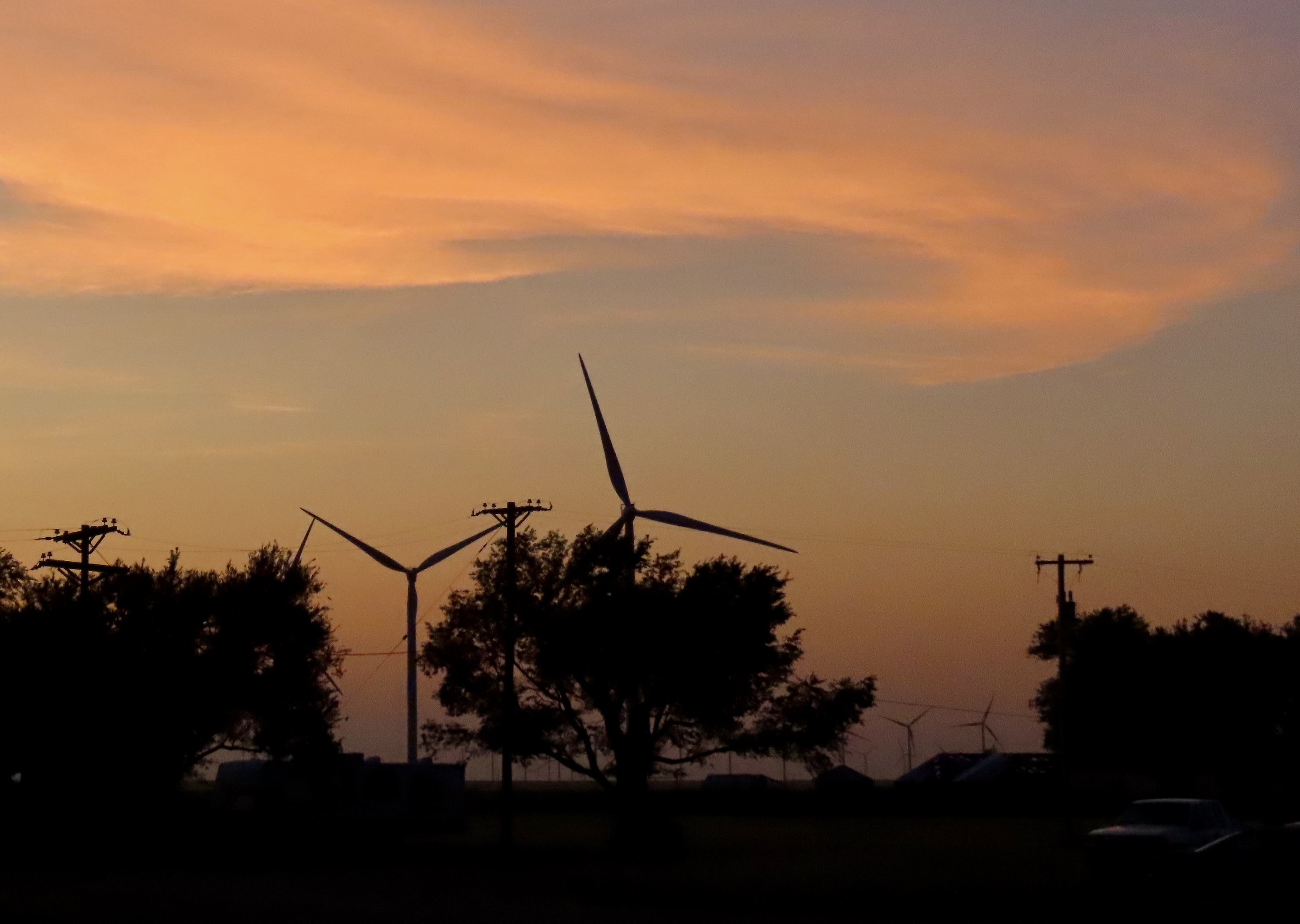
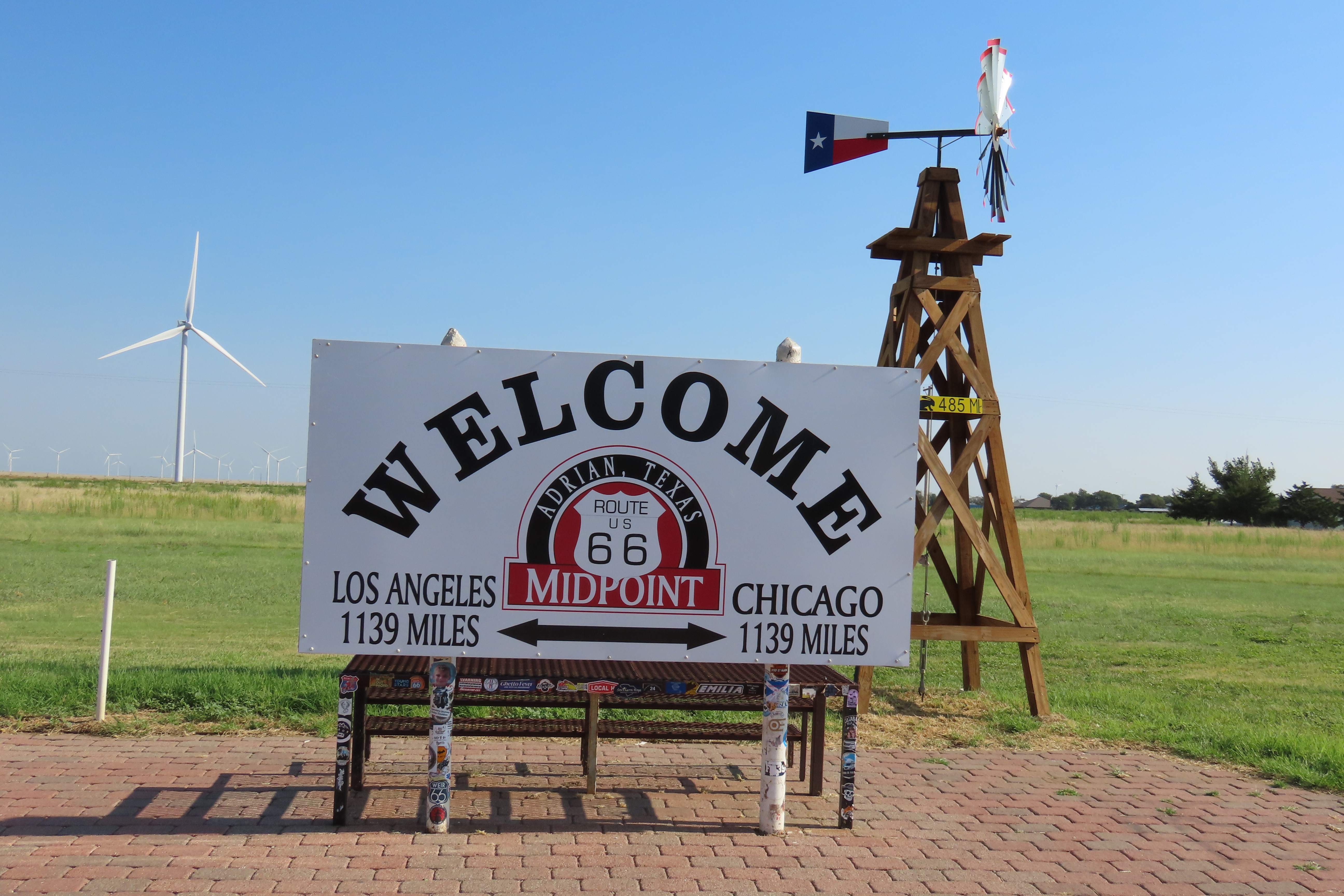
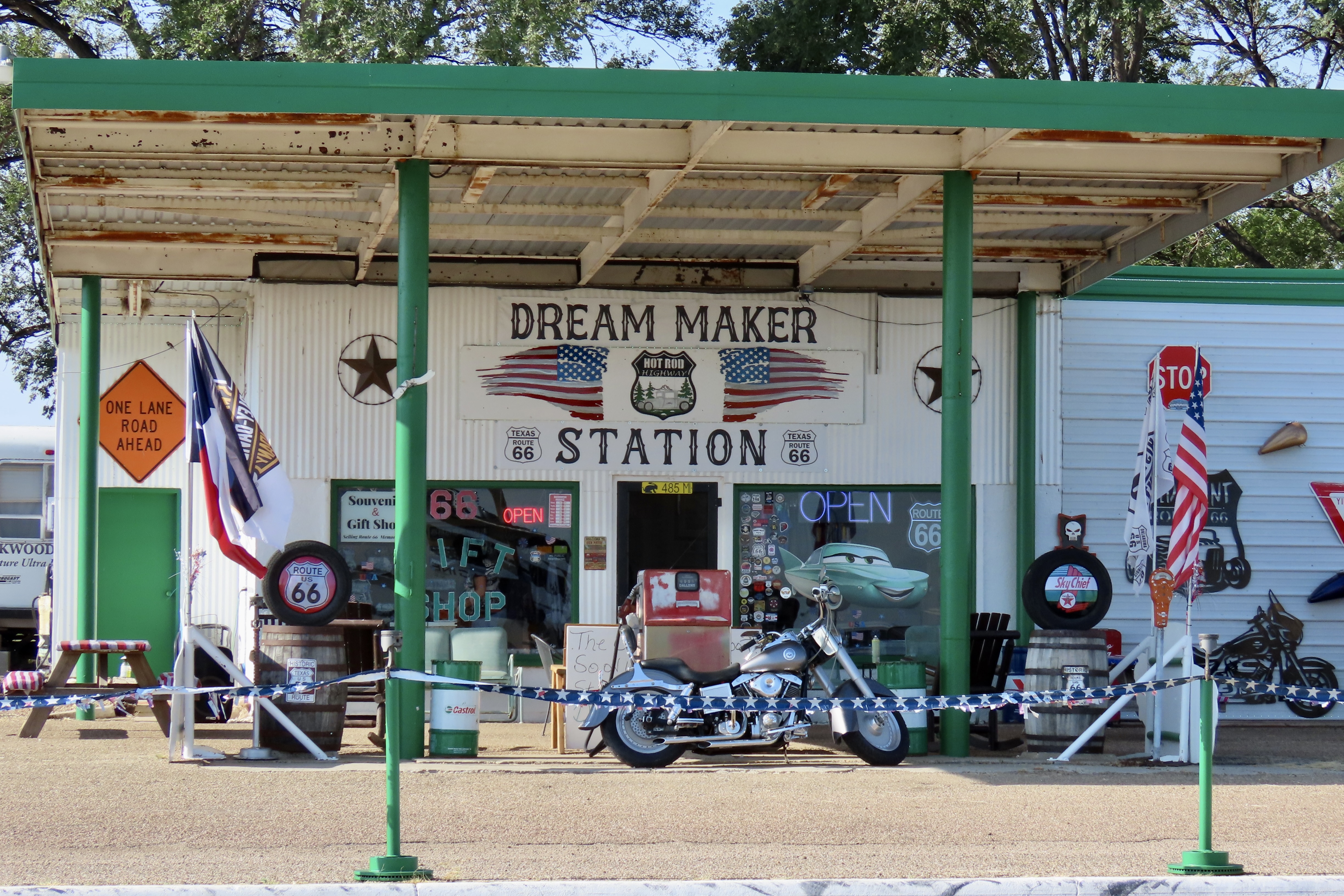

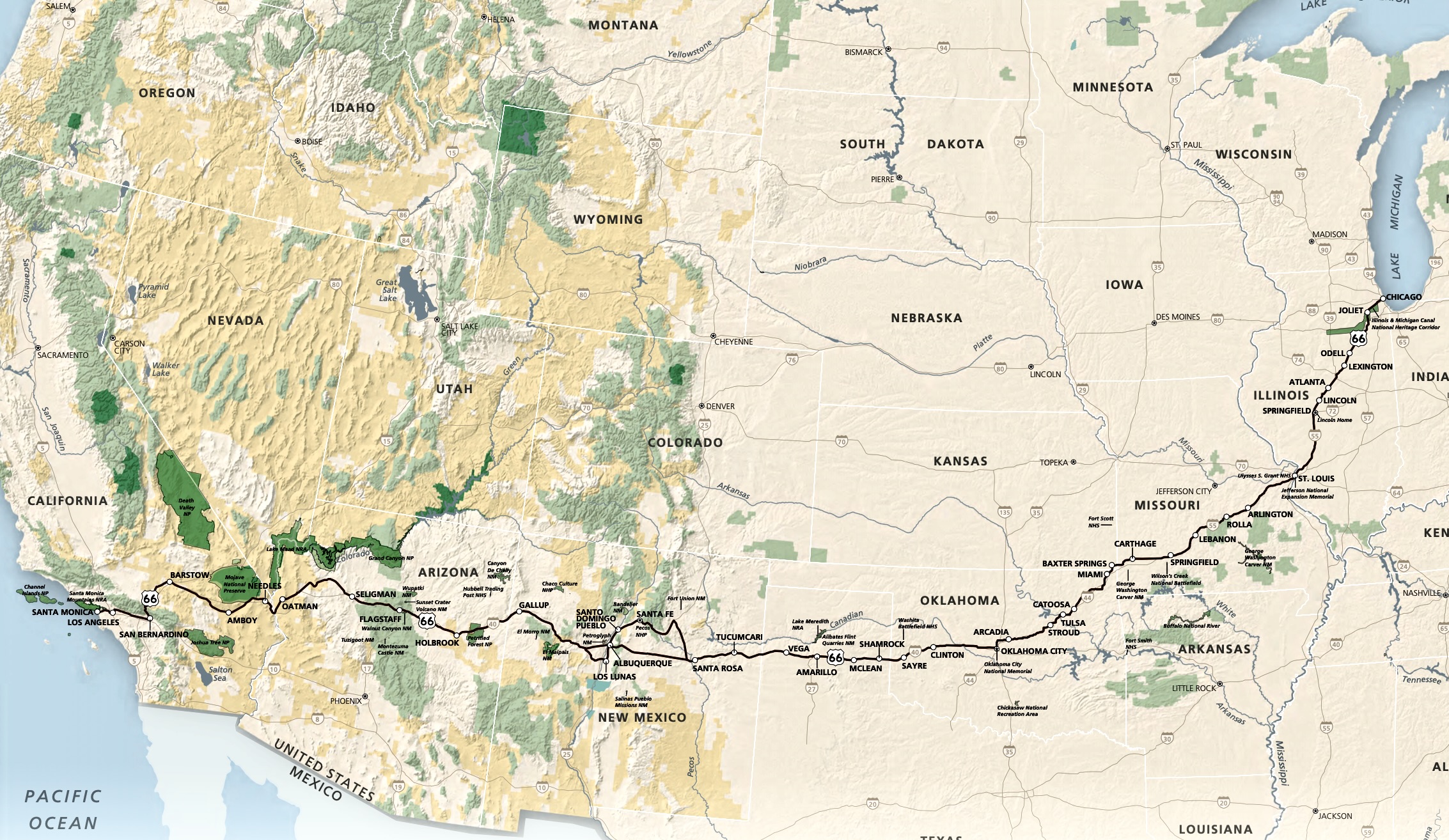
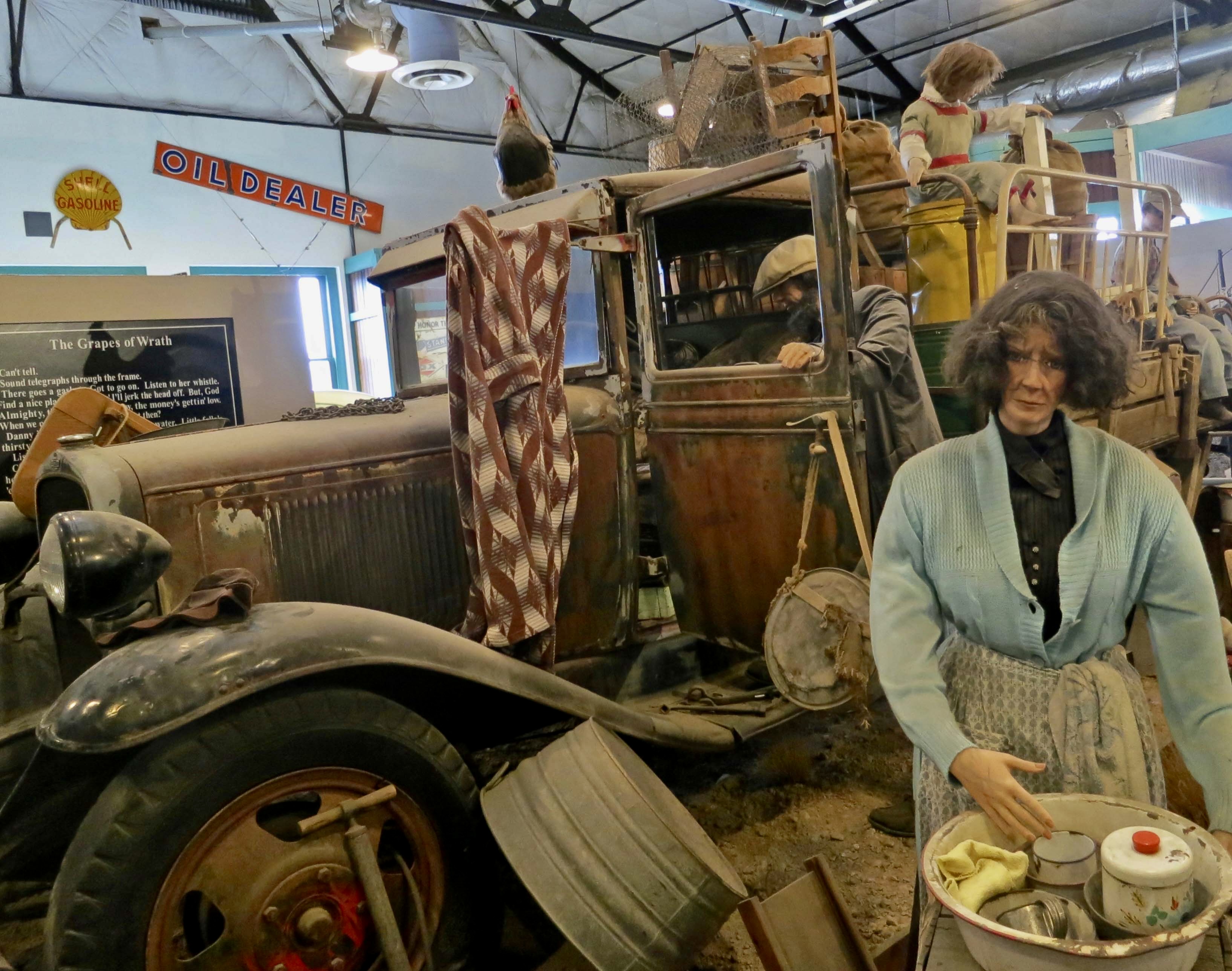
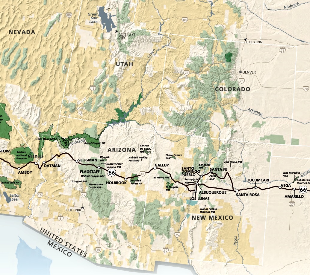
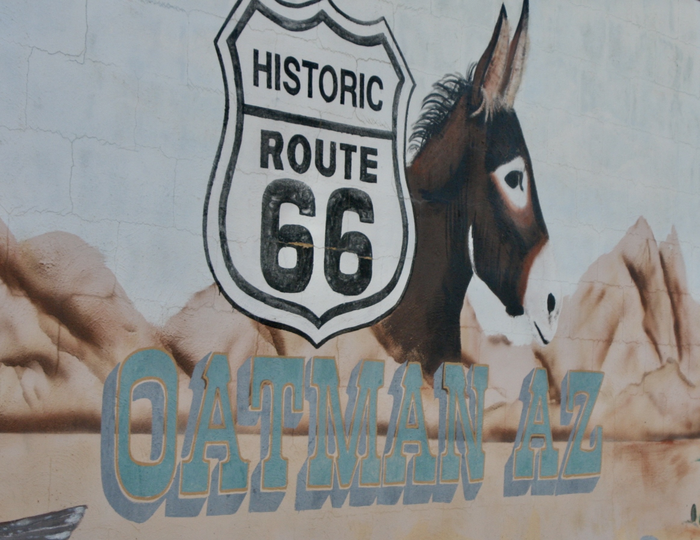
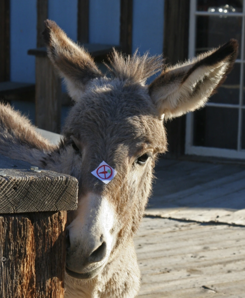
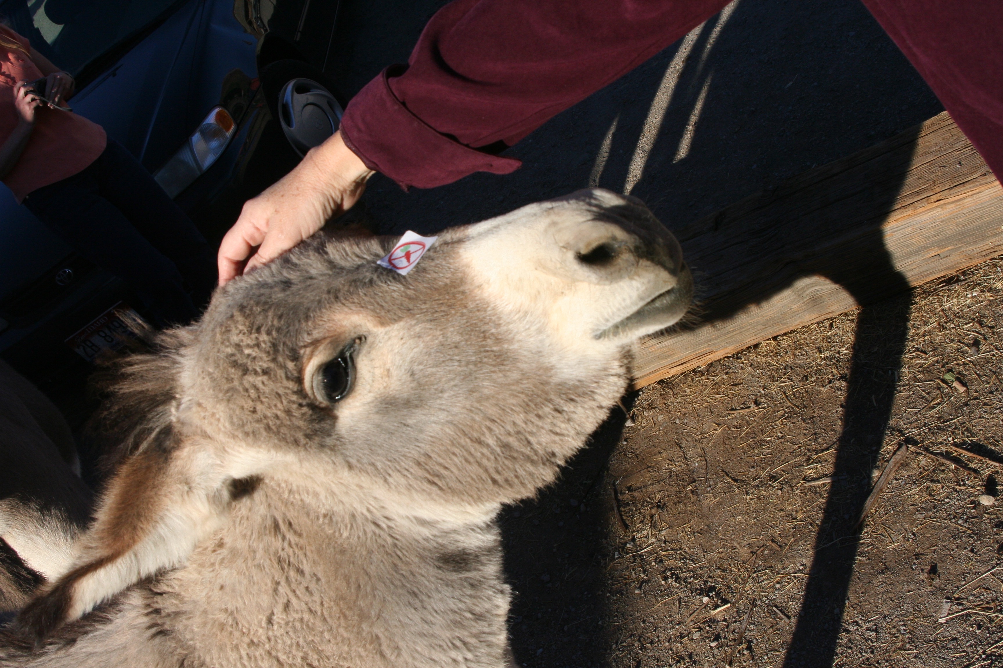
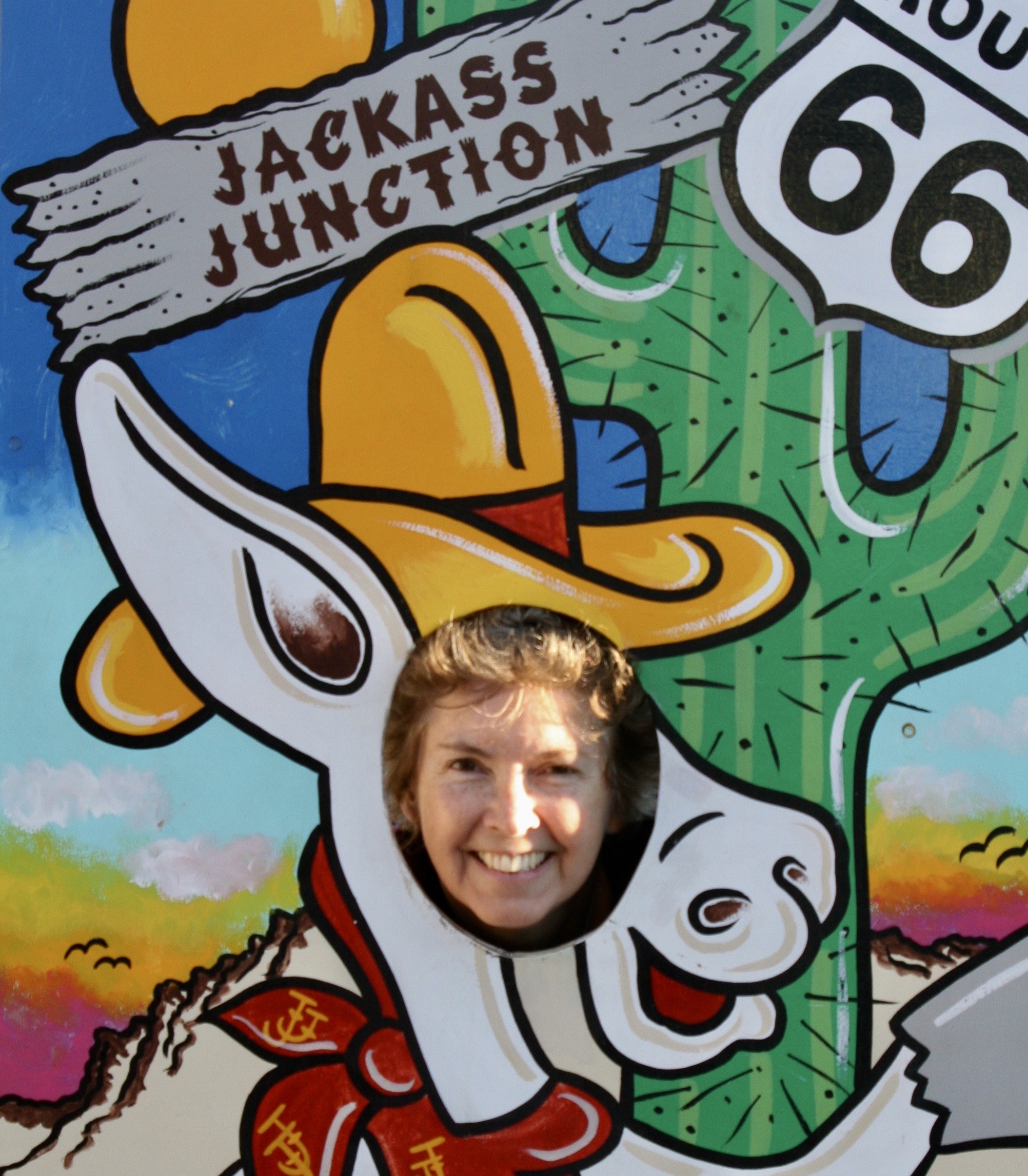
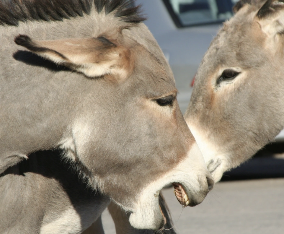
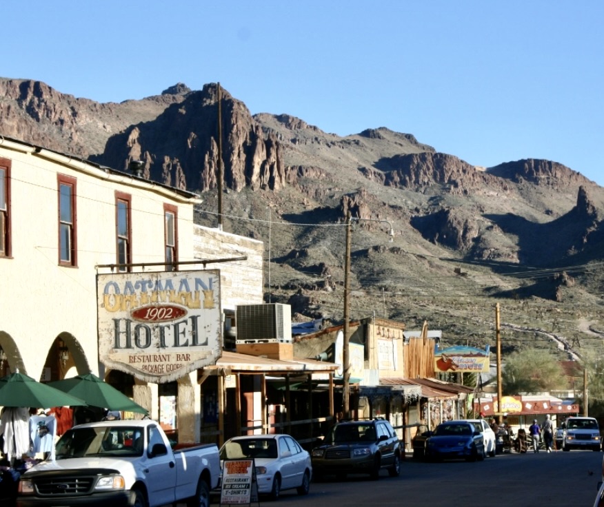
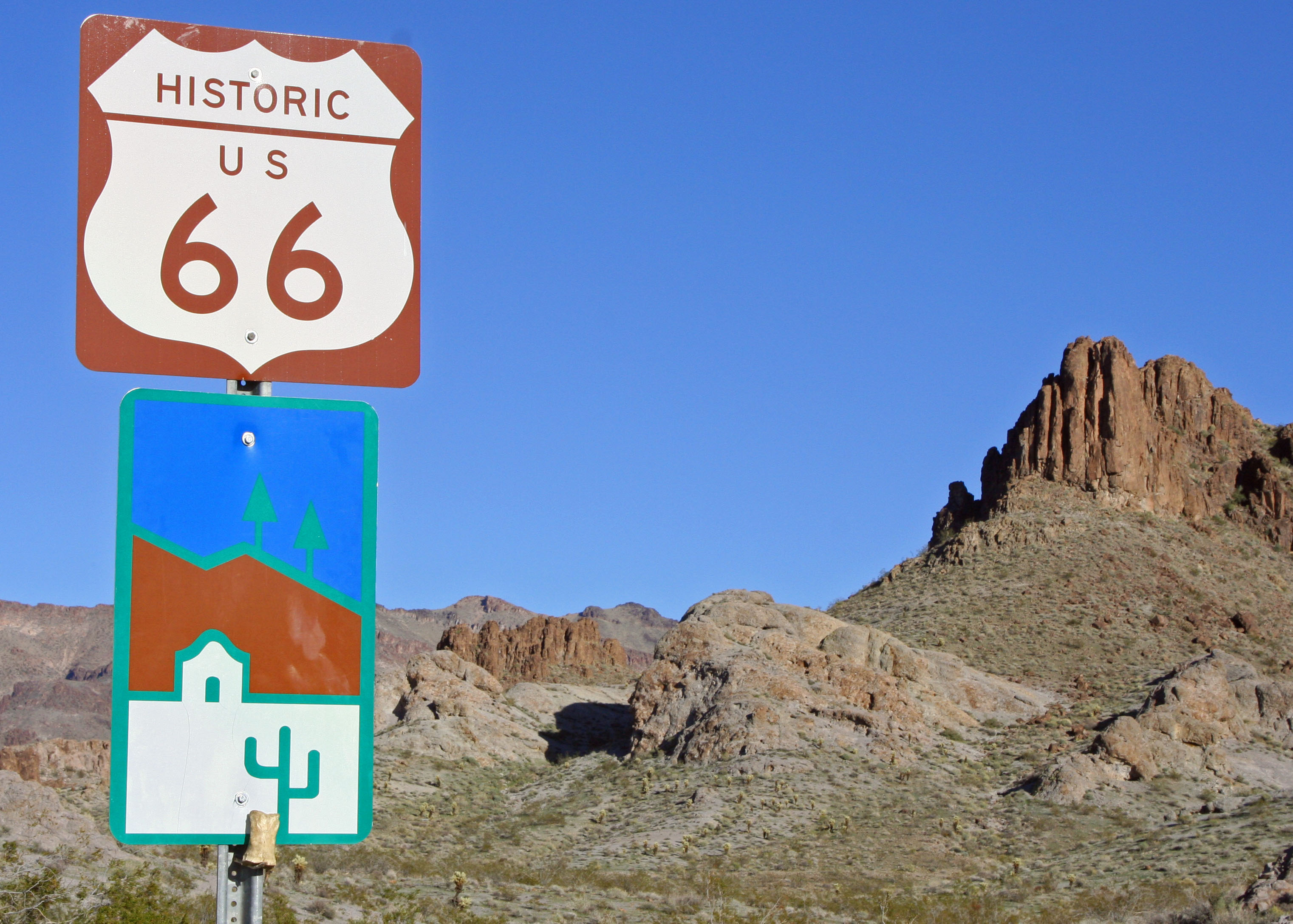
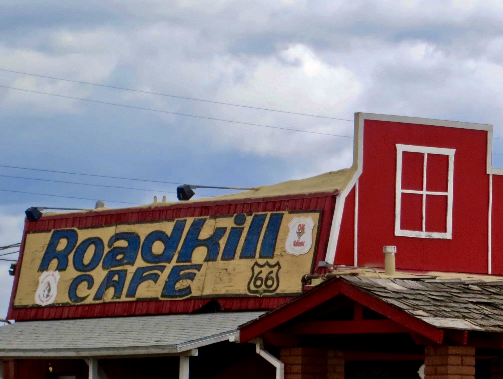
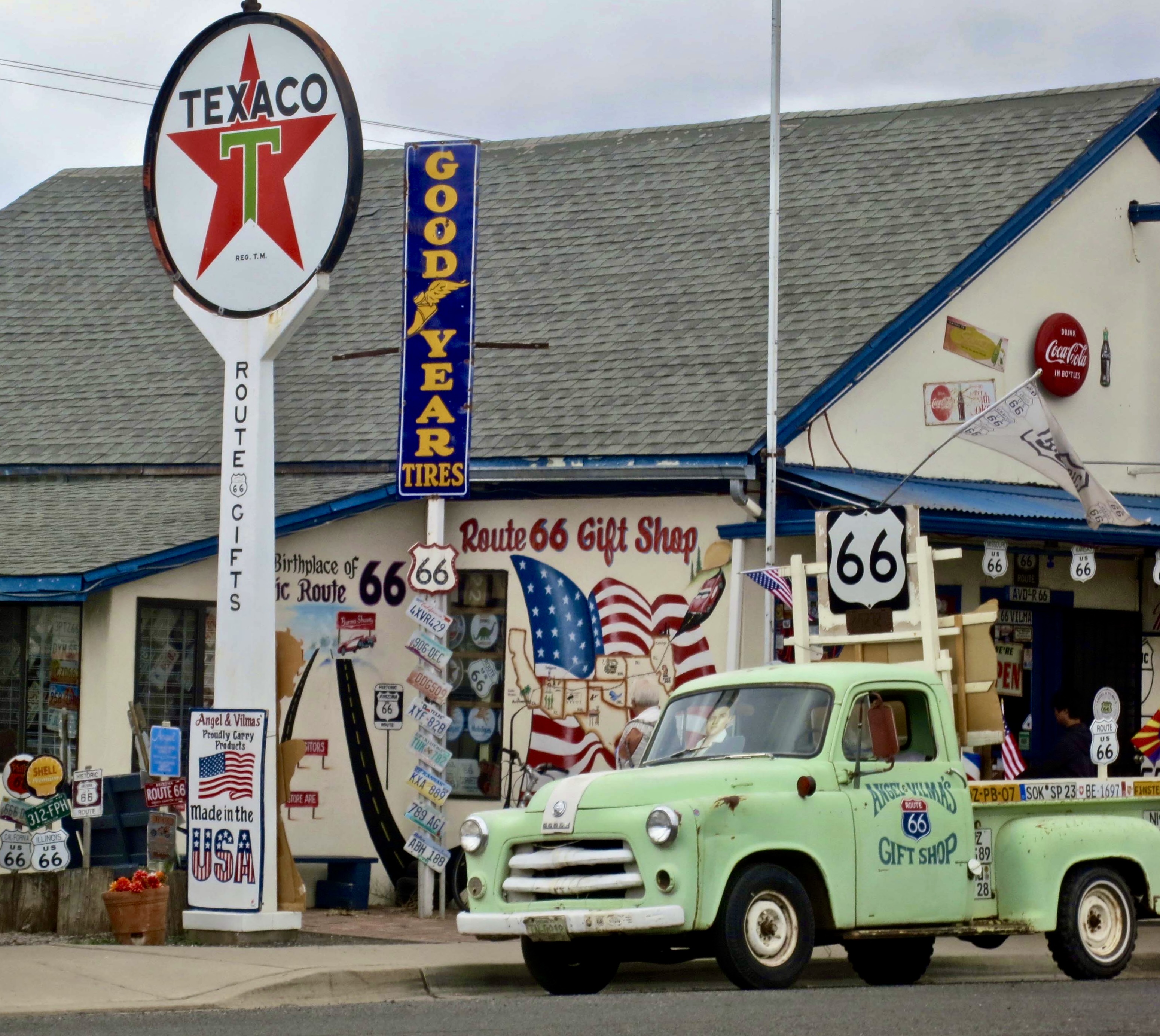
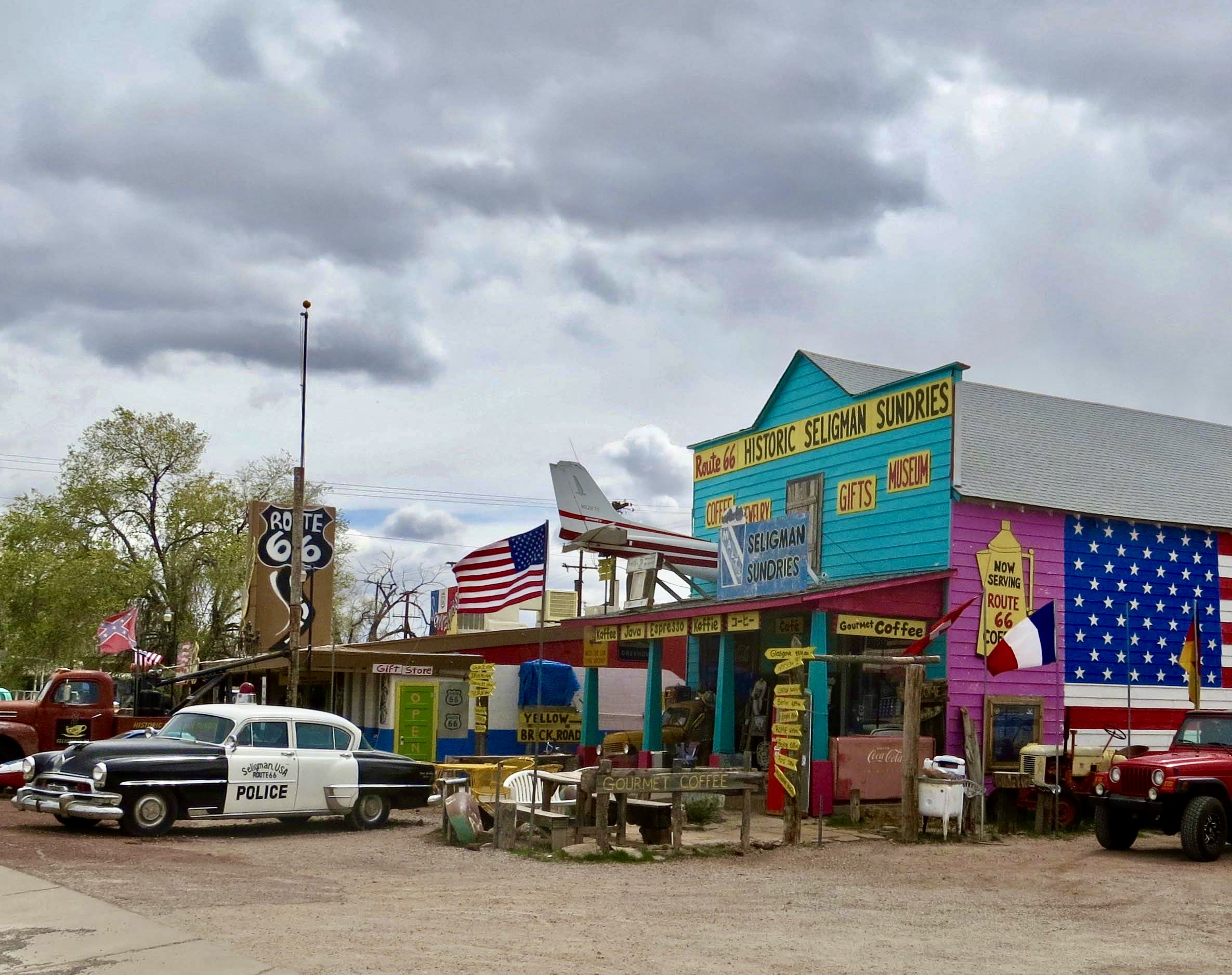
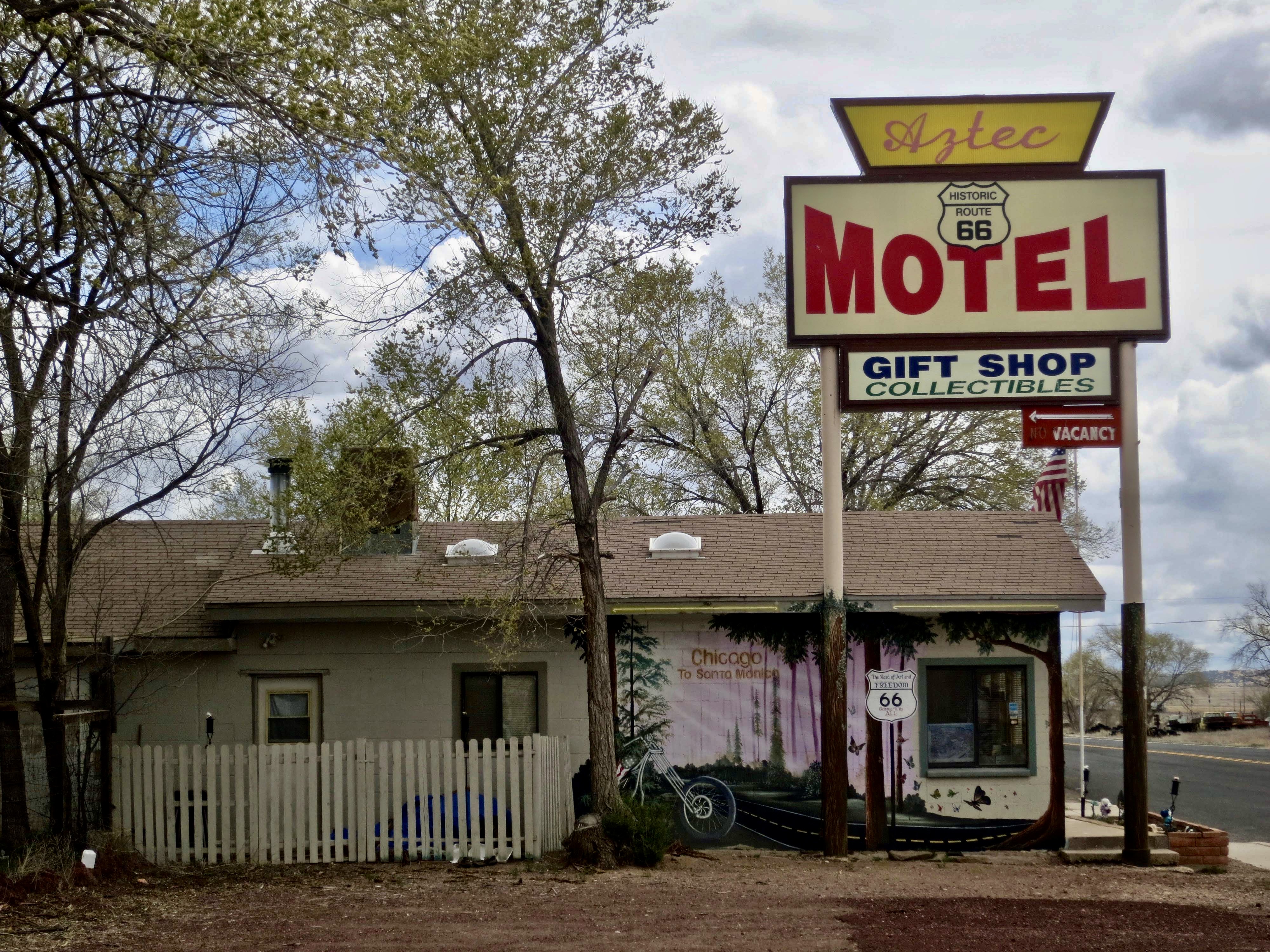
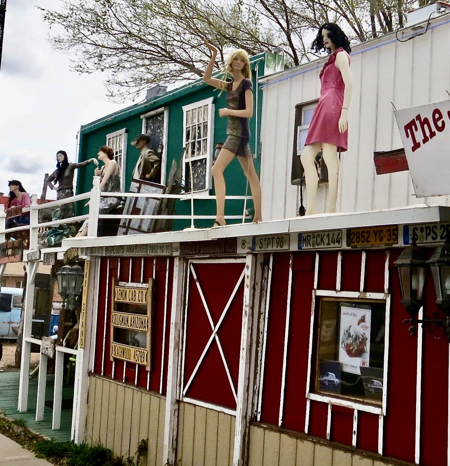
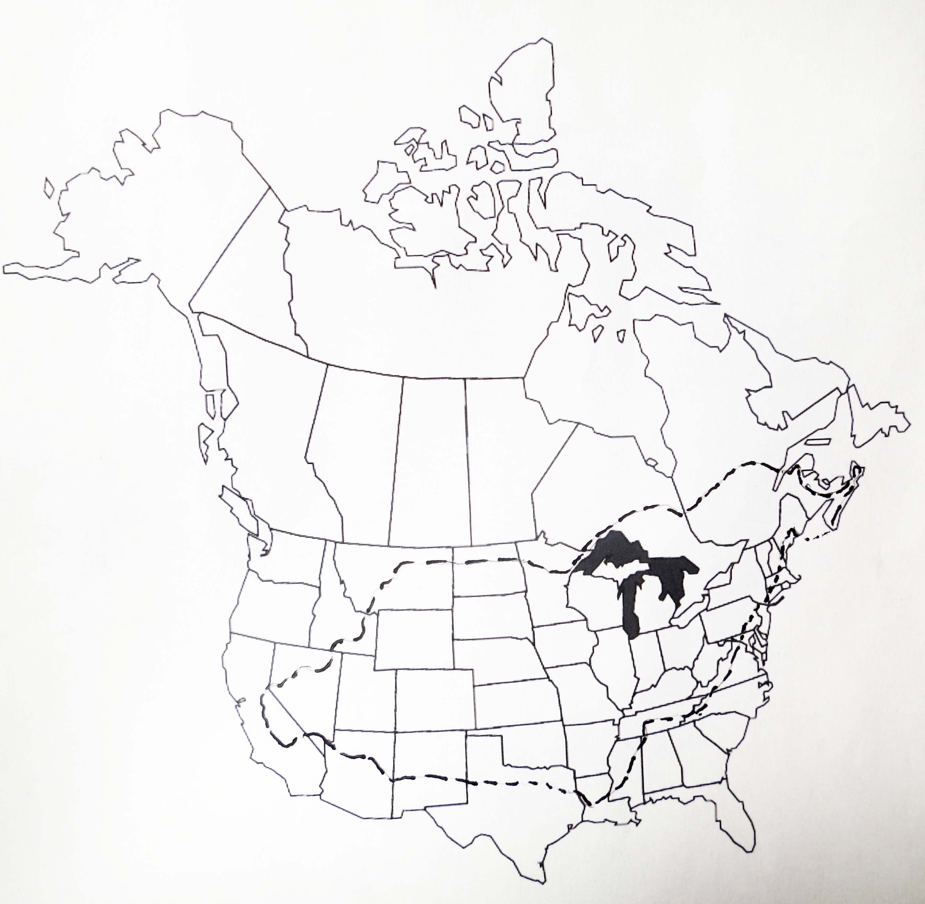
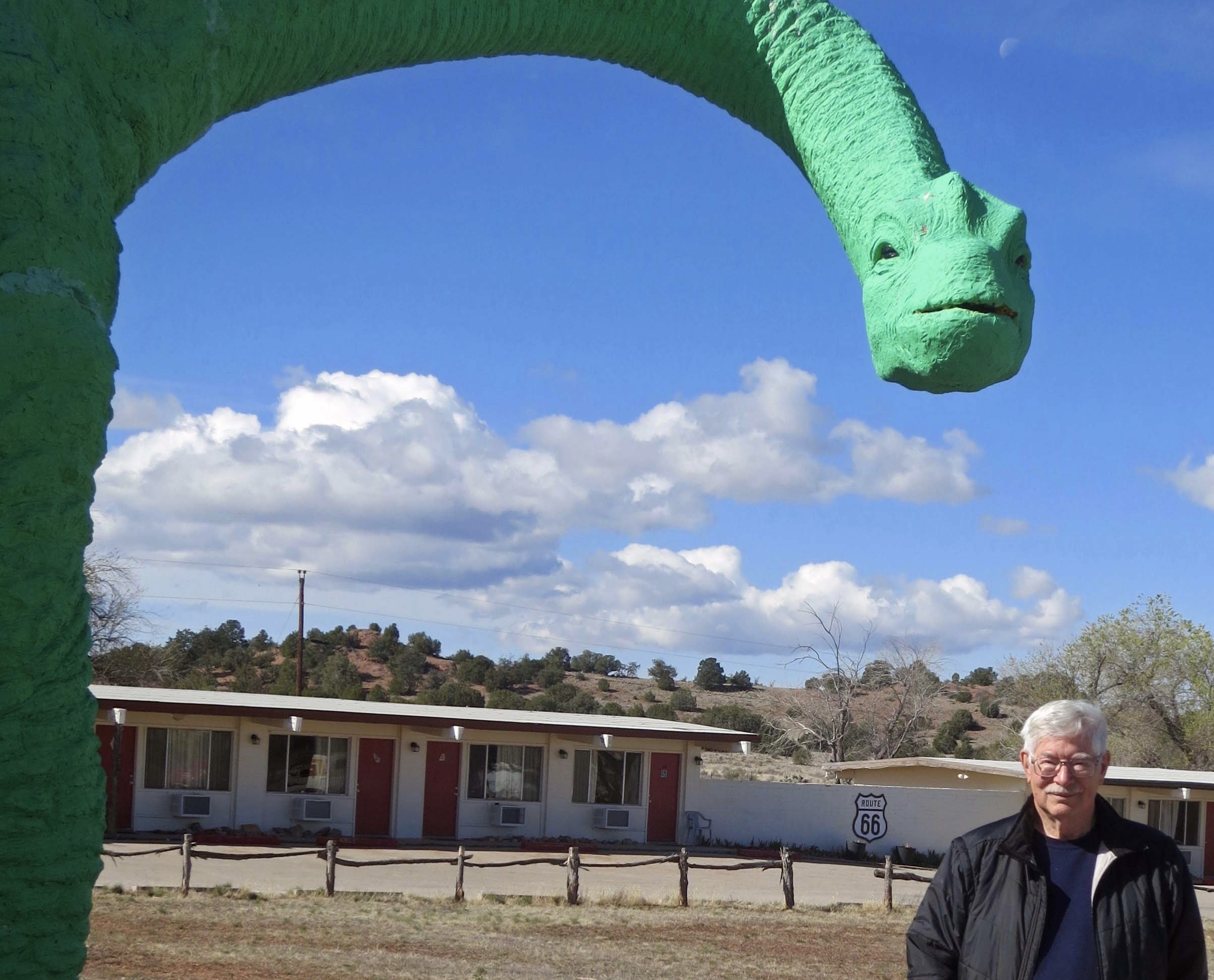
On our recent trip to the Southwest, we camped in six different locations along the historic highway: Kingman, Ash Fork, and Holbrook in Arizona, Grants and Albuquerque in New Mexico, and Adrian in the Panhandle of Texas. I’ll be incorporating some of them in the next two posts plus other visits we have made to the area over the years.