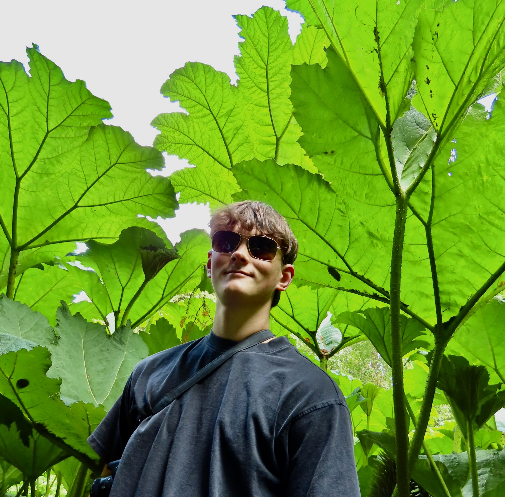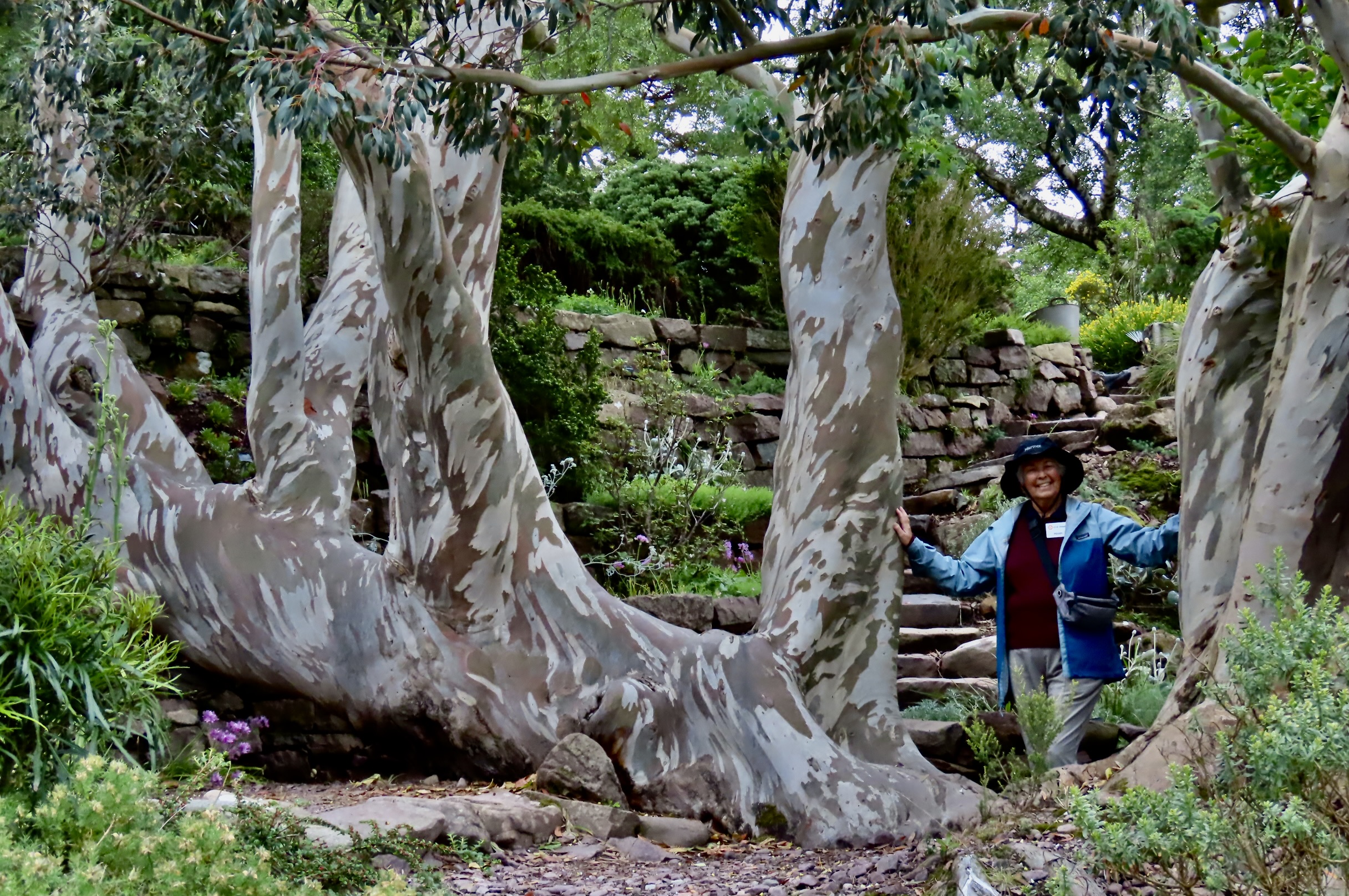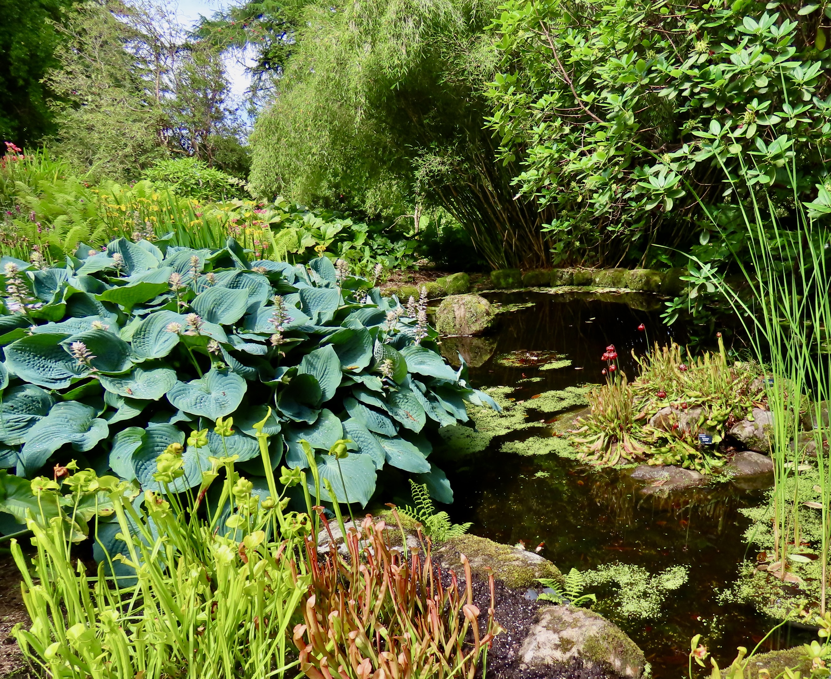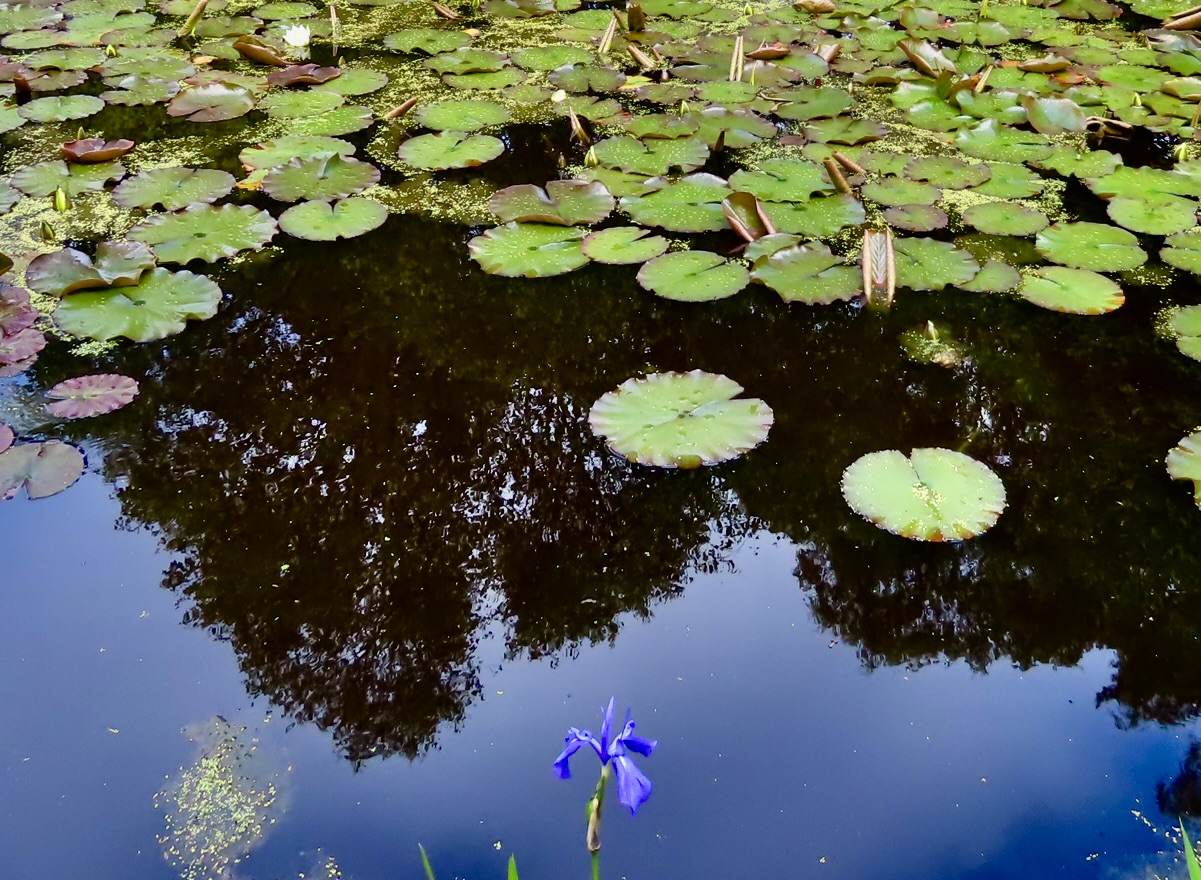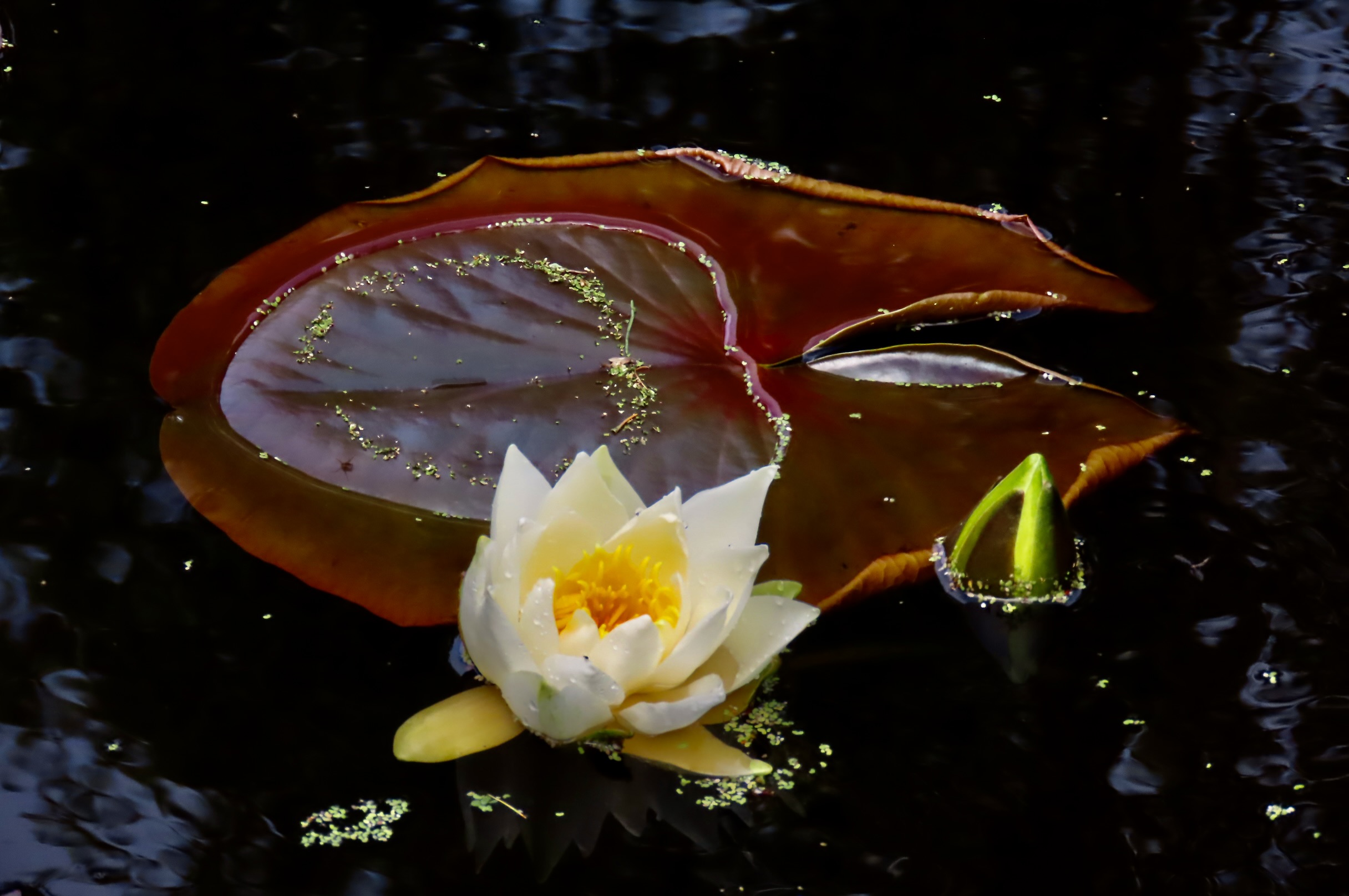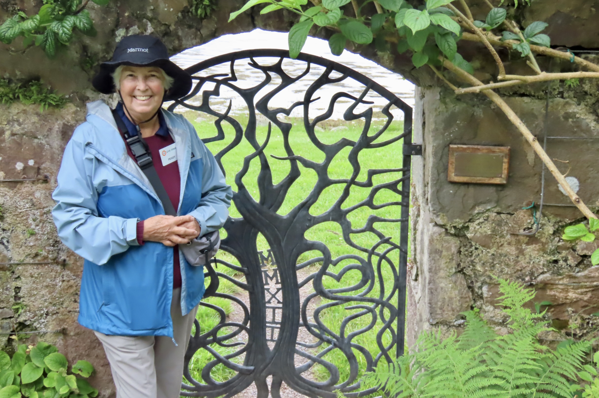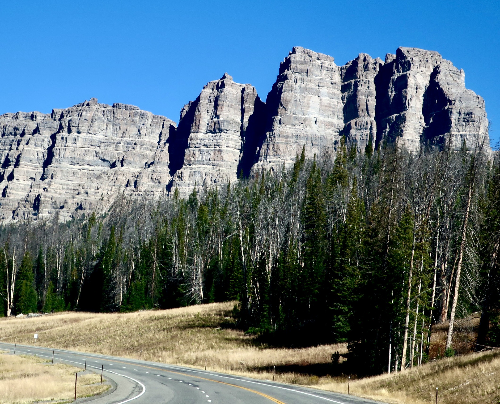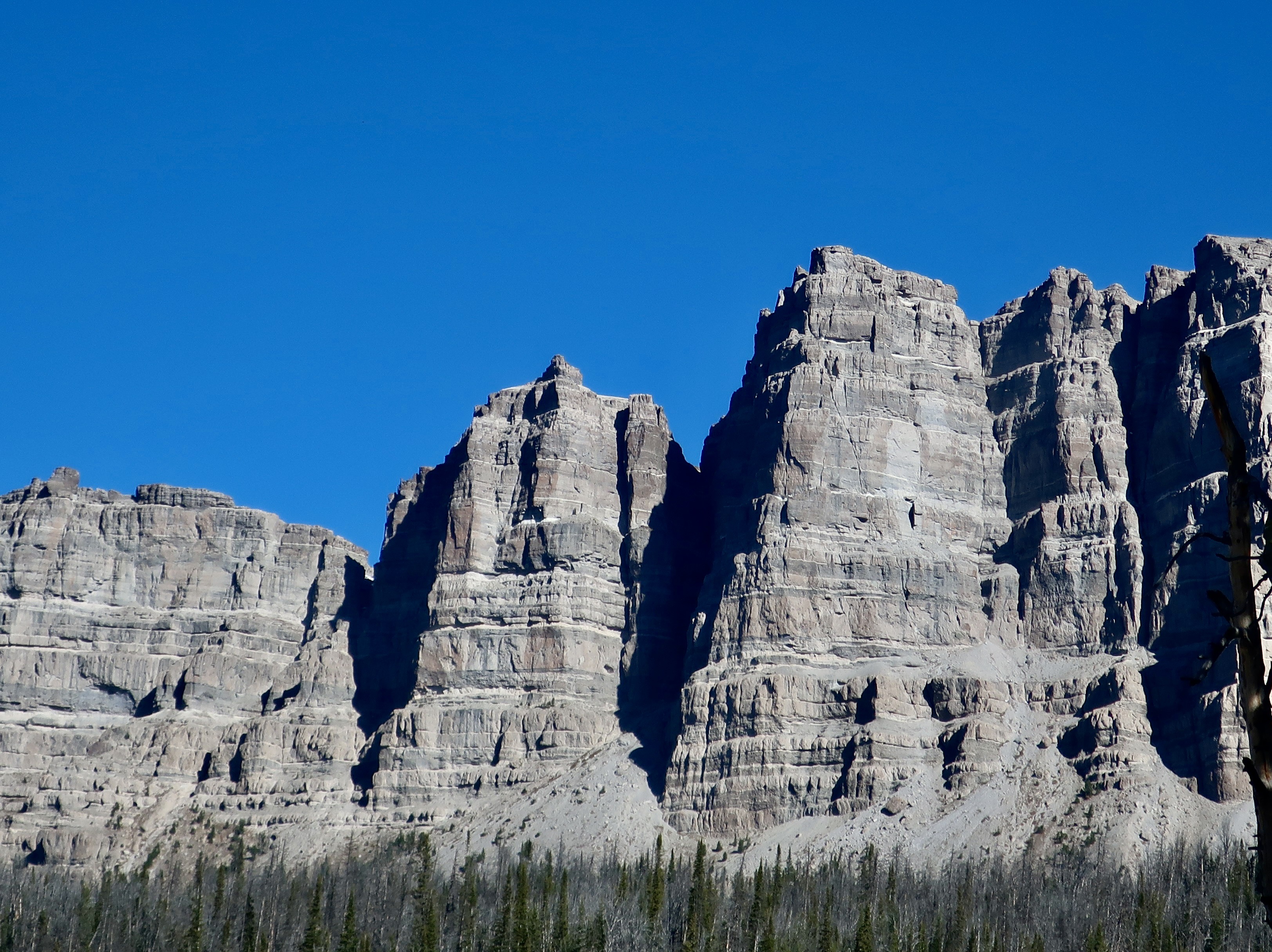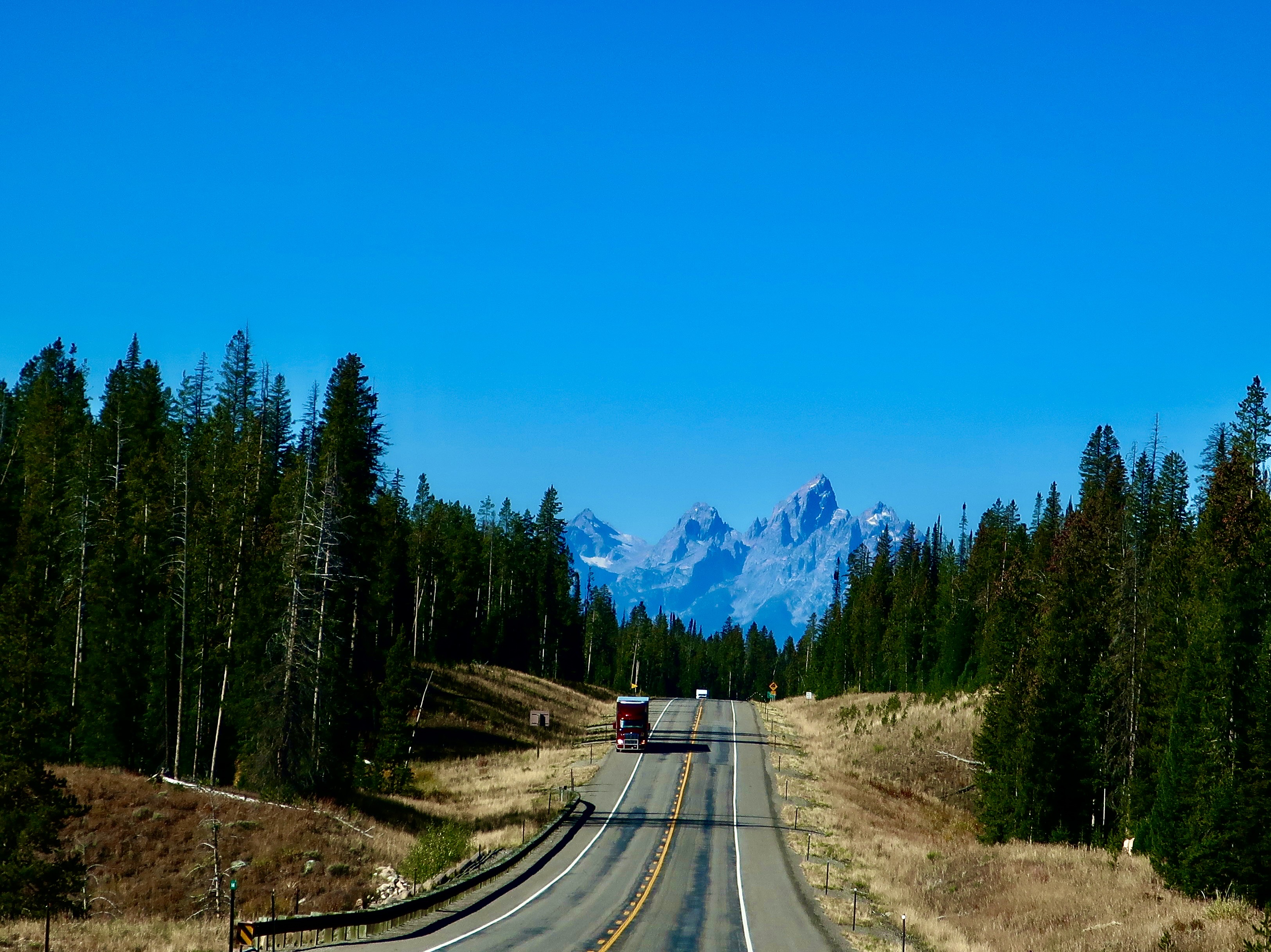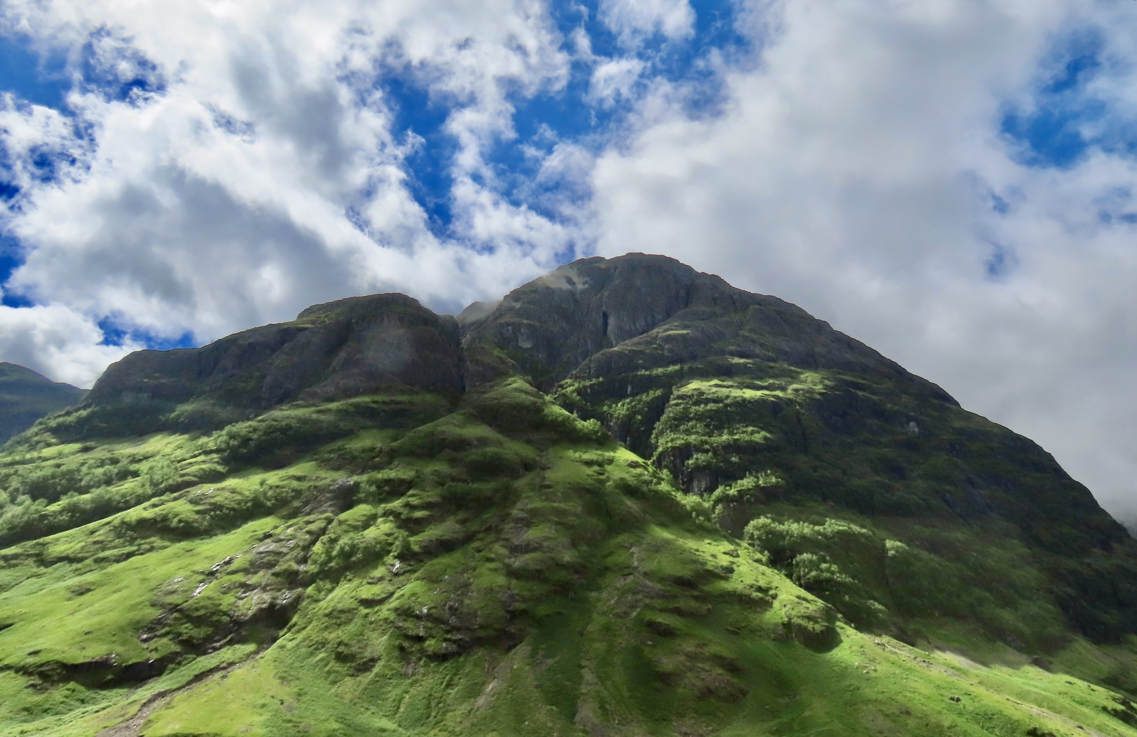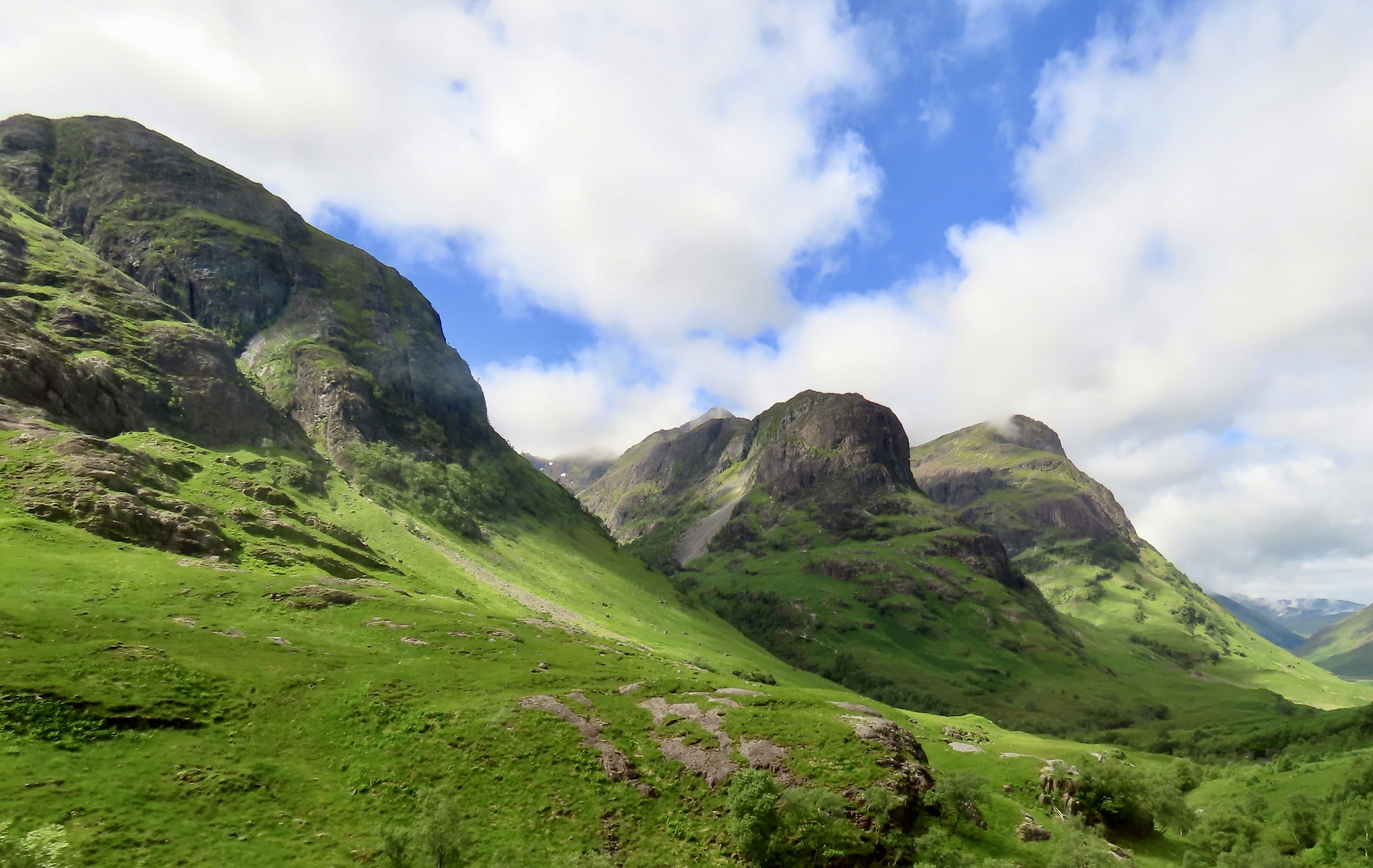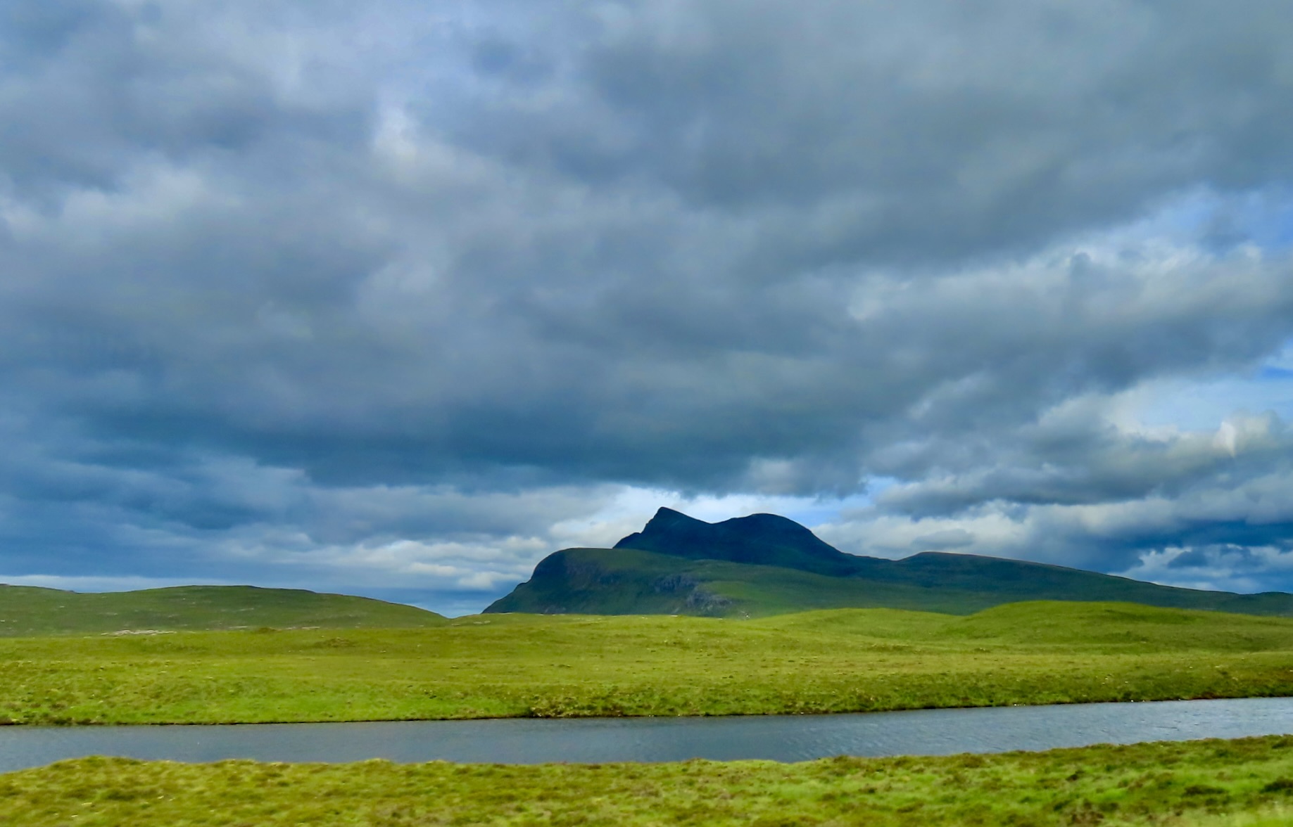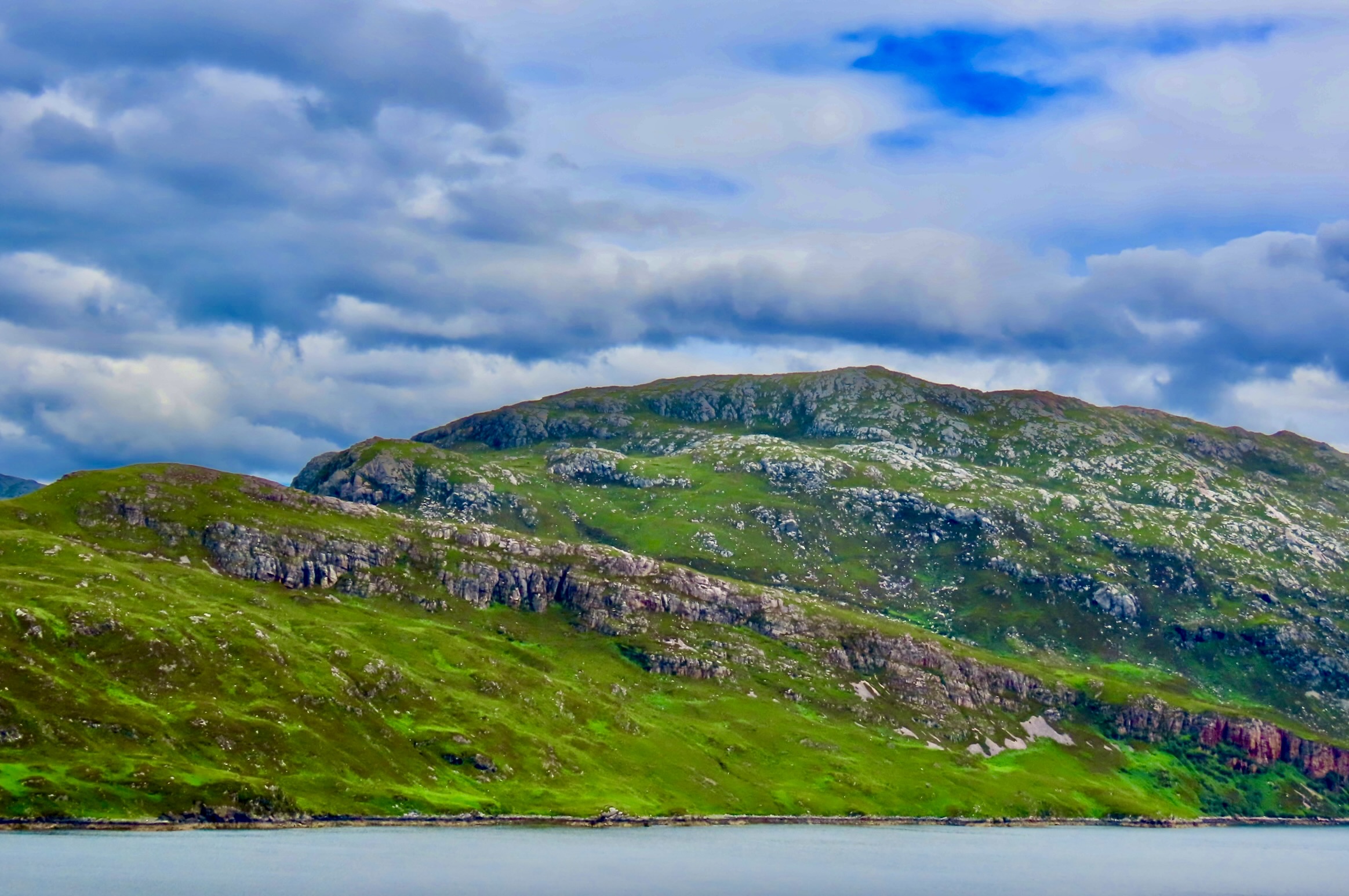
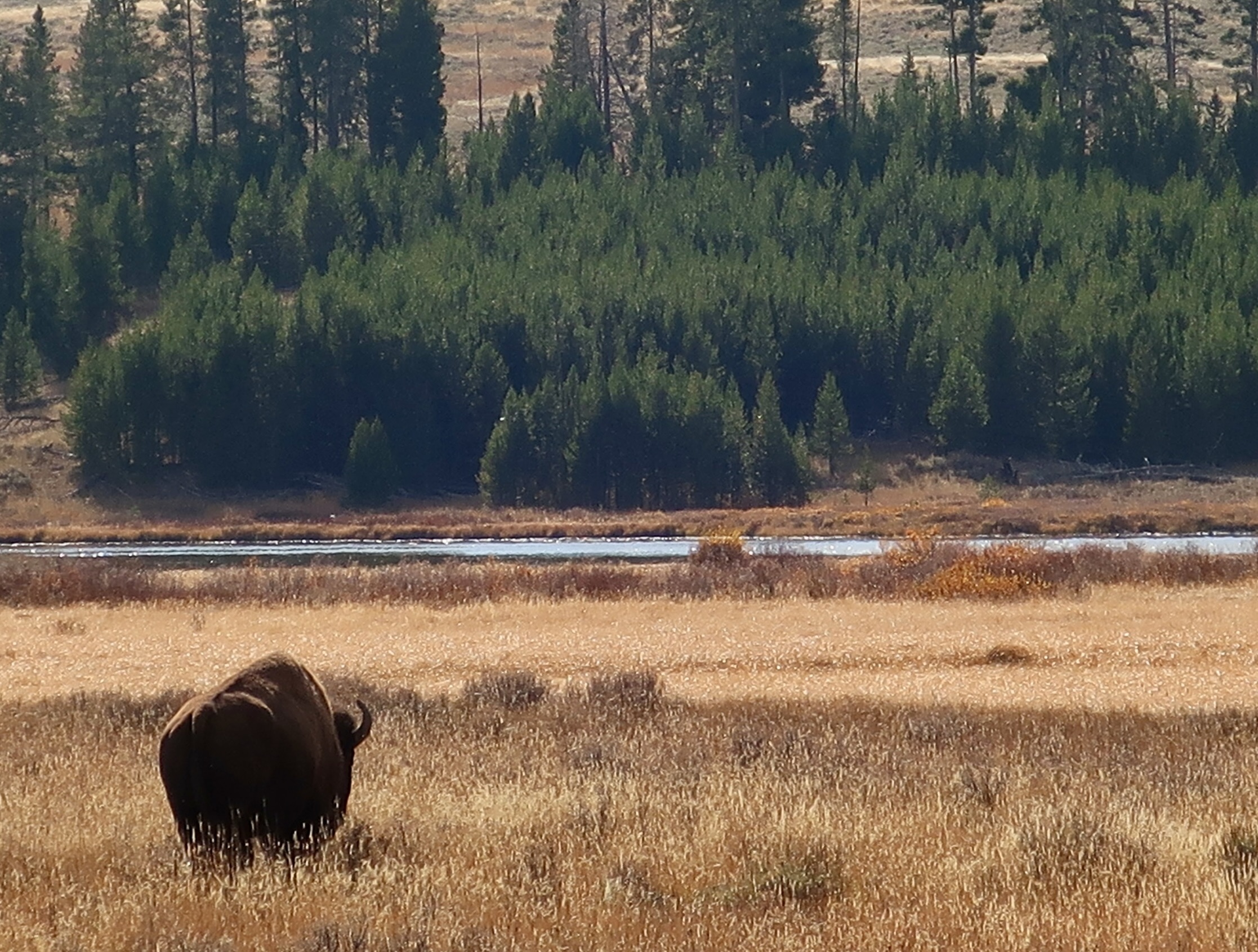
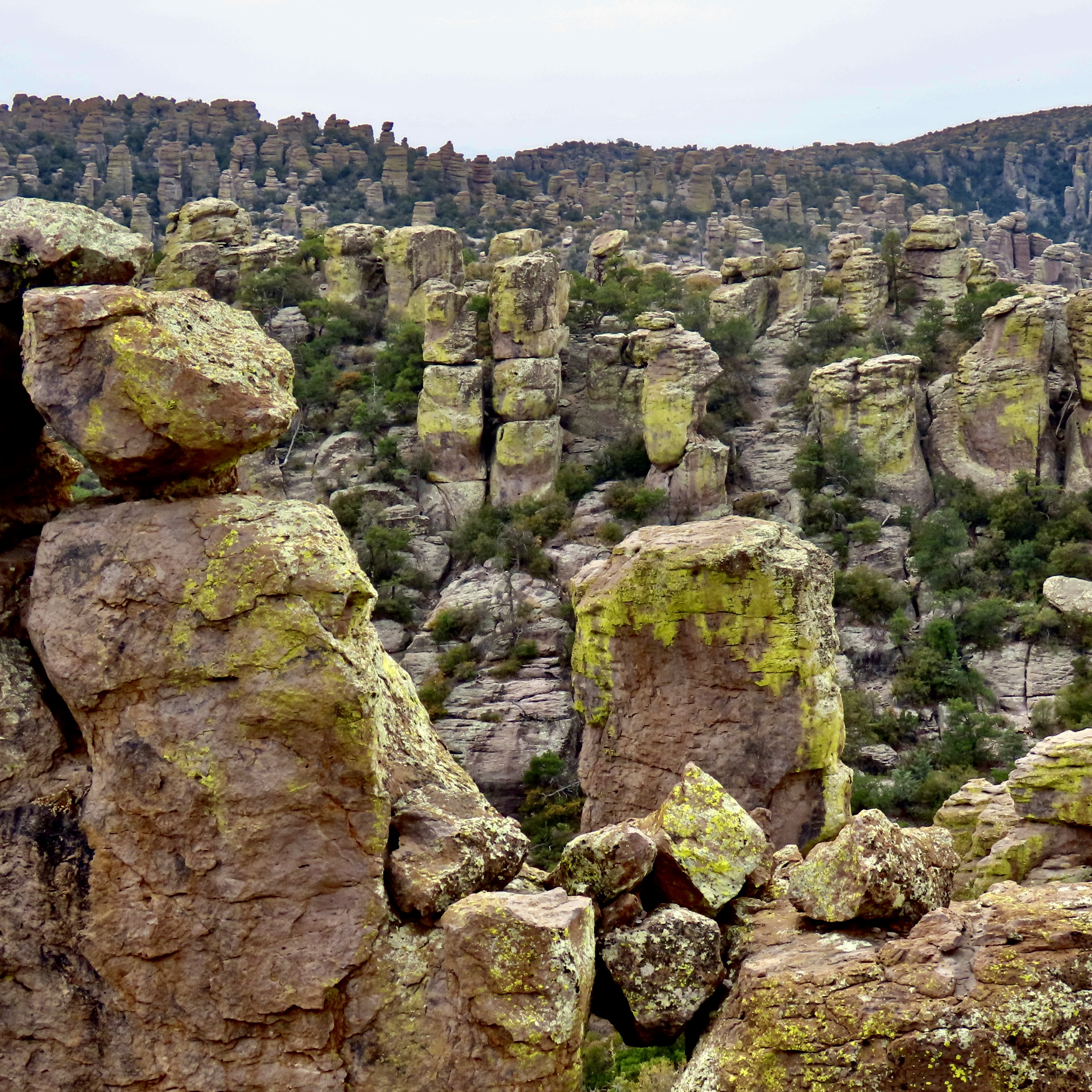
We are returning to our CIE Scotland tour that Peggy and I took along with our grandson Cody this summer. Today, I will be featuring the scenic beauty of the Scottish Highlands. All photos are taken by Peggy, Cody or me unless otherwise noted.
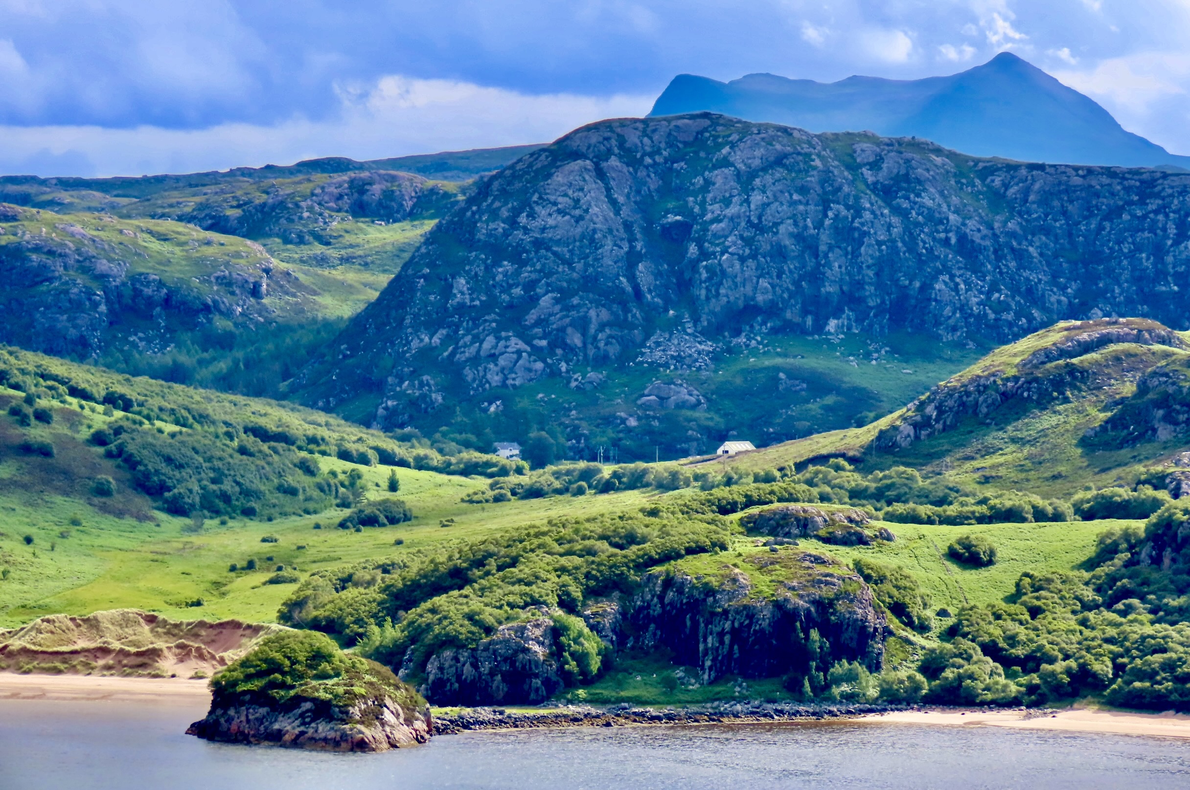
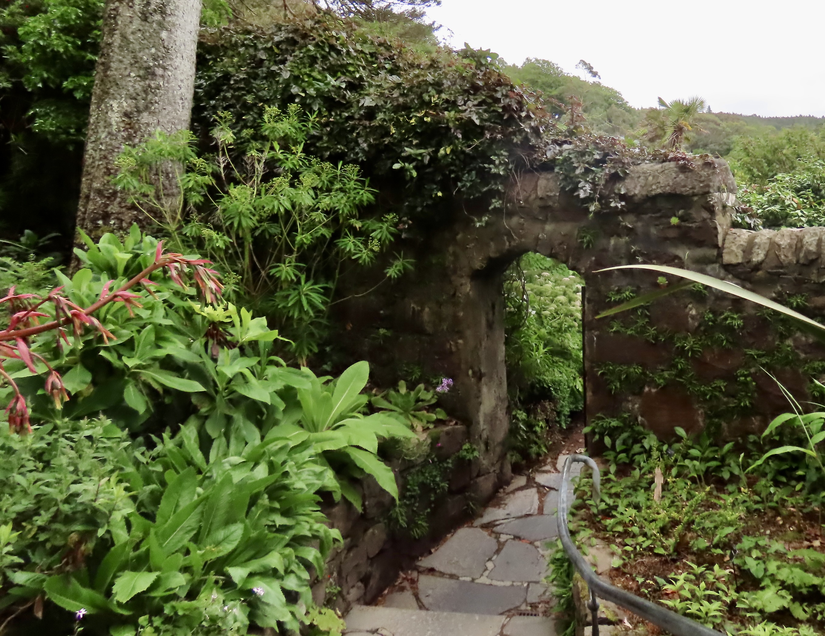
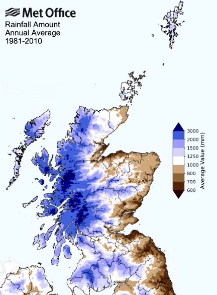
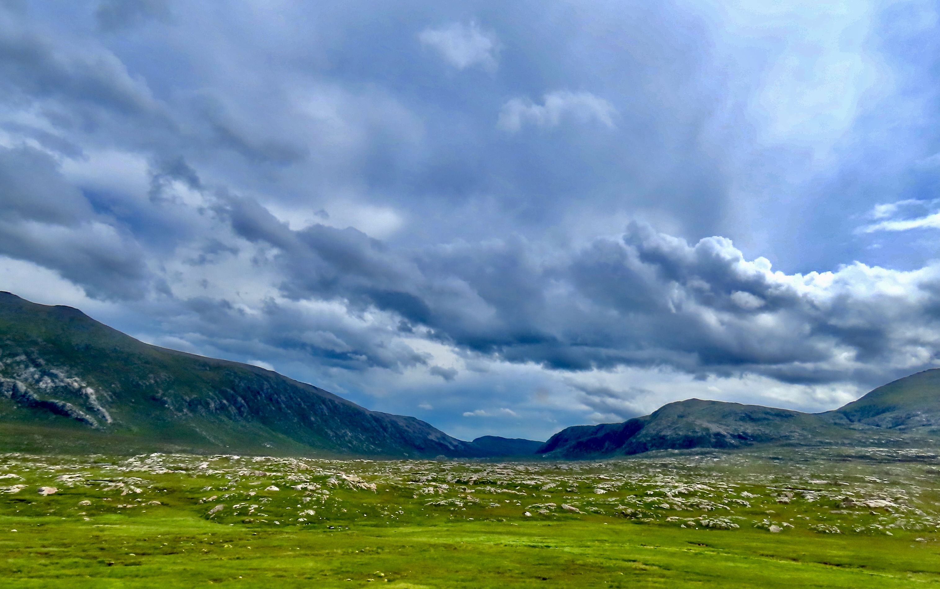
Between towering mountains, rocky, green landscapes, hanging cliffs, plunging waterfalls, lochs, and firths, the Scottish Highlands are world renown for their rugged beauty. They also feature vast open spaces with few people. Once there were more, but the wealthy landlords who owned the property forced the tenant farmers off of their ancestral communal lands because they could make more money off of large scale sheep and cattle farms in what was known as the Highland Clearances between 1750 and 1860. They were a dark blot on Scotlands History.There is a simple reason for all of the green. The highlands get a lot of rain: 118 to 177 inches (3,000 mm to 4,500 mm ) a year in the western mountains making them the wettest place in Europe. If you are visiting, expect to get wet. Bring appropriate clothing. Our tour was close to rain-free, however, even though dark clouds often hovered above us. Cody swore that it was the good luck he brought with him. We may have to travel more with the kid to test the theory.This UK Government map shows the rainfall in Scotland. It’s heaviest in the mountainous western region of the Highlands. The reason is the same as the reason for the heavy rainfall in Northern California, Oregon, and Washington where I lived and played for most of my life.
The jet stream flowing from west to east passes over the Pacific and Atlantic Oceans and soaks up evaporated moisture. When it reaches the mountainous regions of both the north coast of the US and the Scottish Highlands, it is driven up by the mountains and cooled, which reduces the amount of water the air can hold. Rain, snow, sleet, hail, etc. are the results. It’s called orographic relief if you want to impress your friends. I think of having a full bladder and dashing for a restroom. Relief! Less rain on the east side of the mountains is called the rain shadow effect. There are two reasons. One, obviously, the air has lost much of its water. Two, as the air rushes down the mountains, it heats up and can hold more. The annual rainfall on the east coast of Scotland ranges from 28-31 inches (700-800 mm).
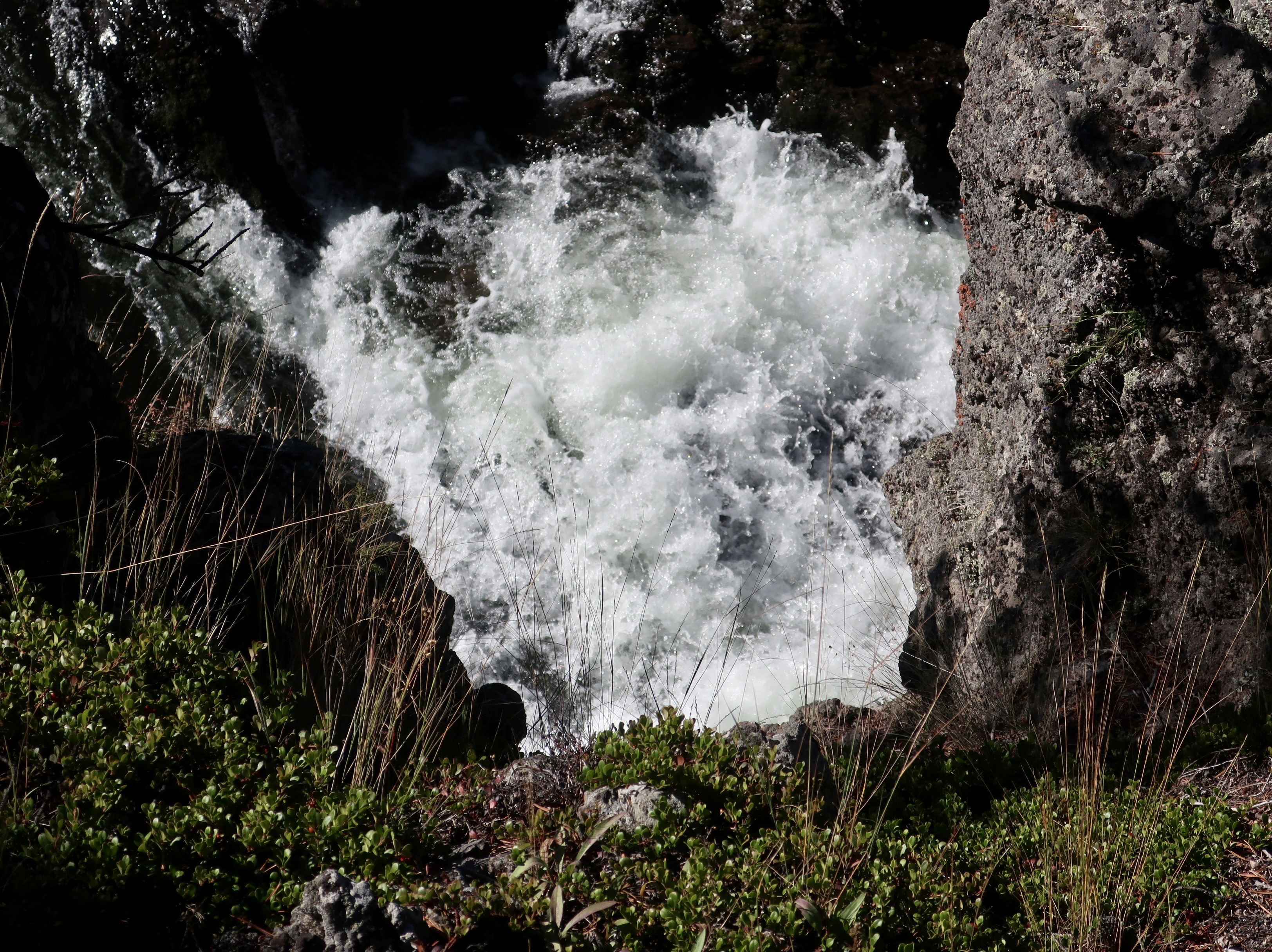
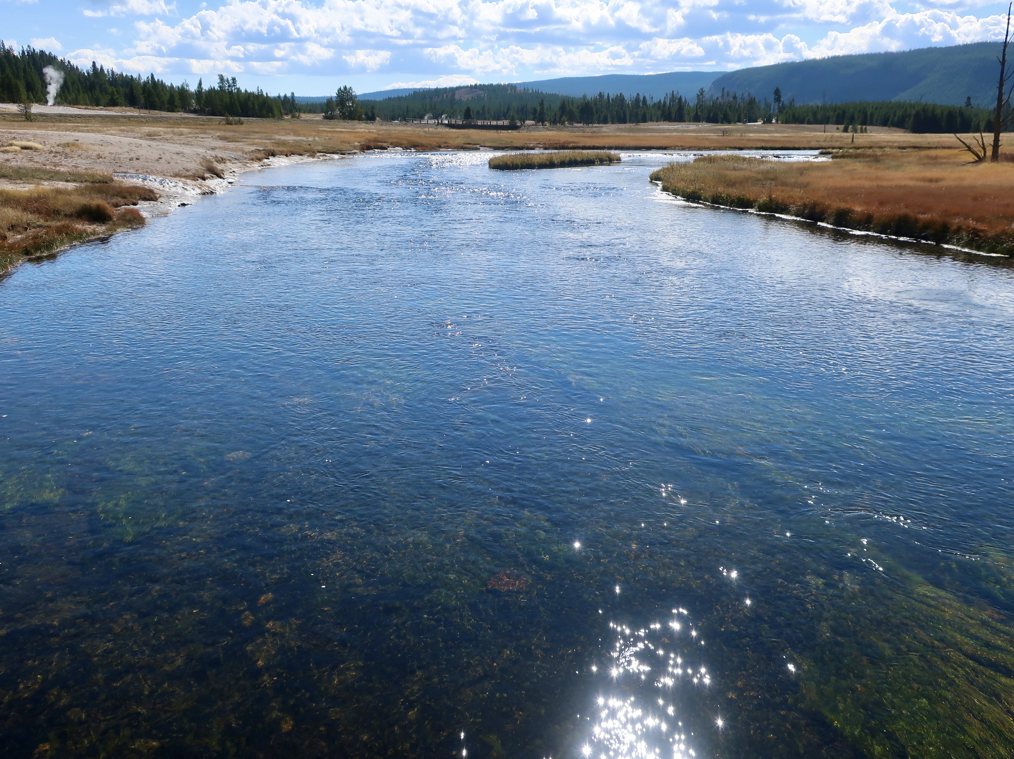
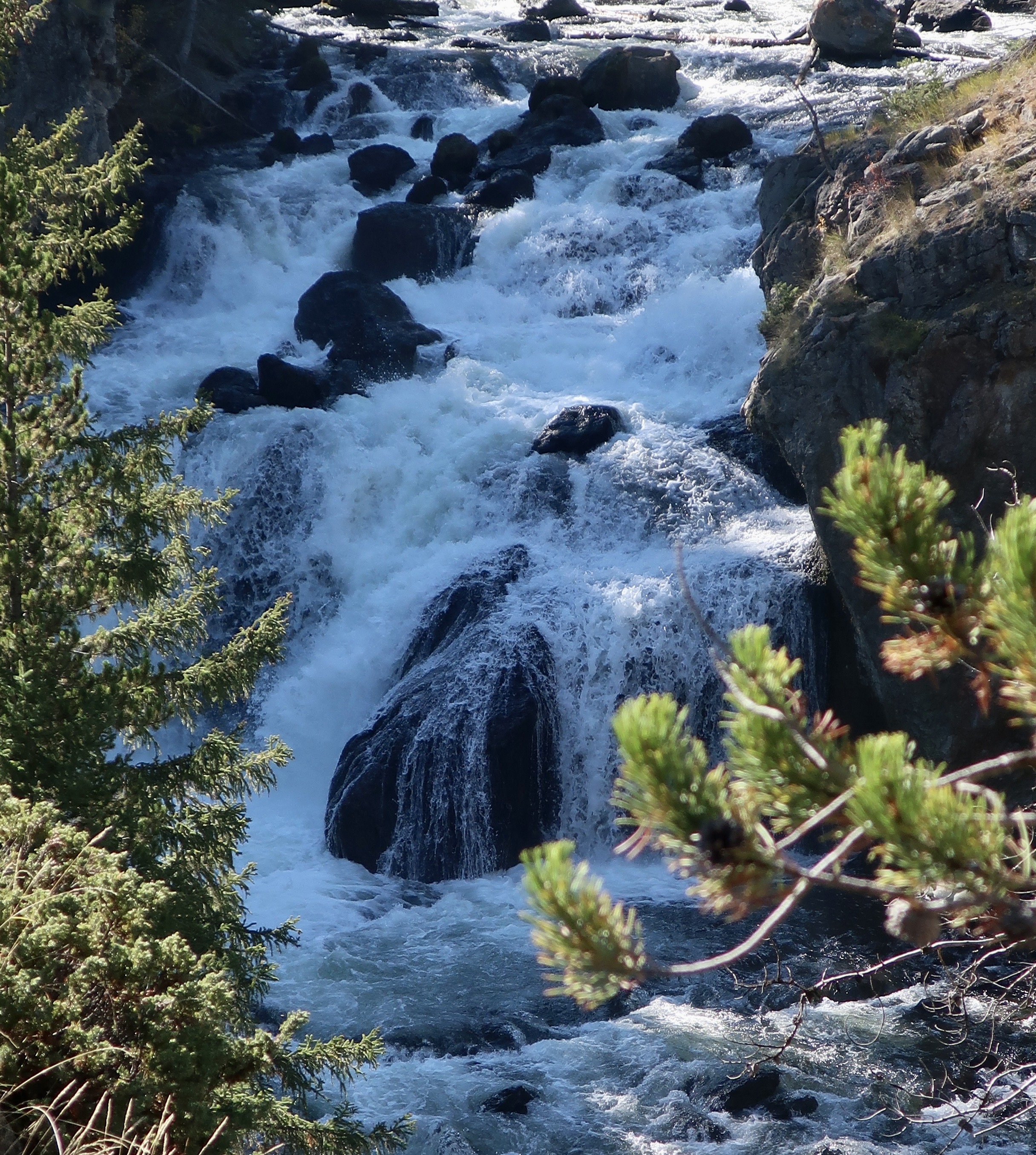
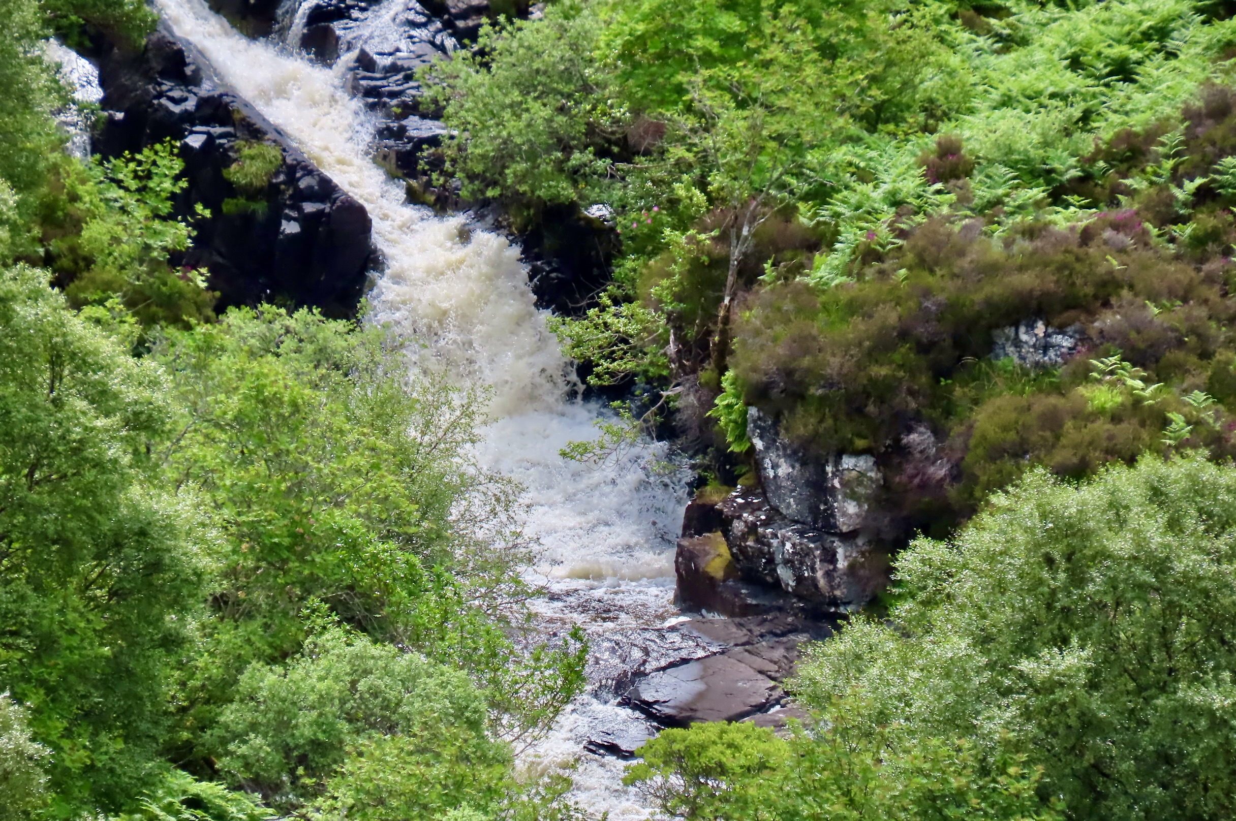
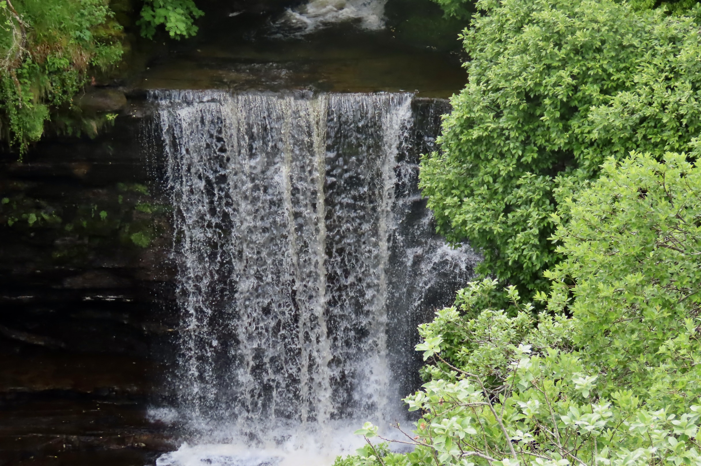
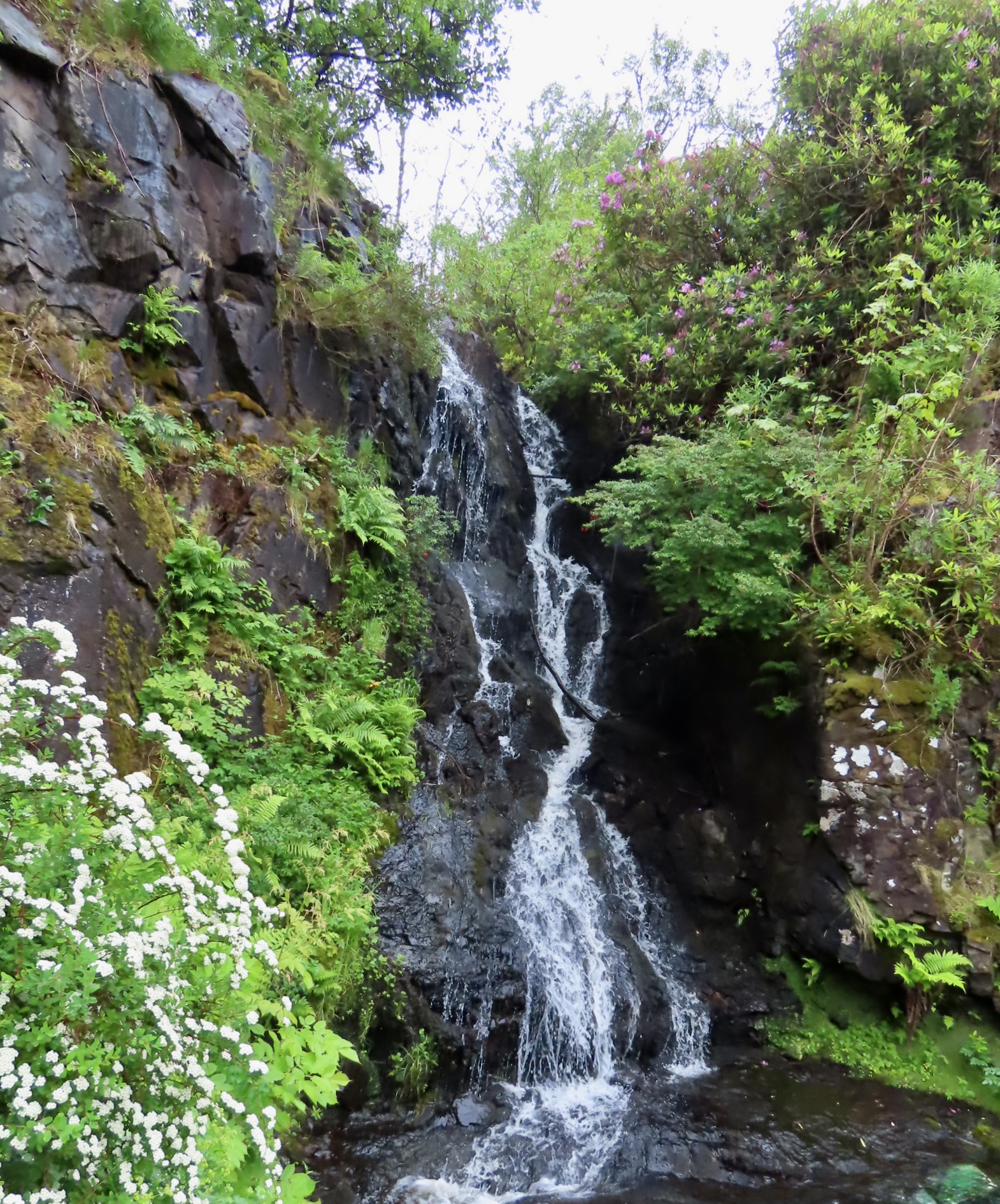
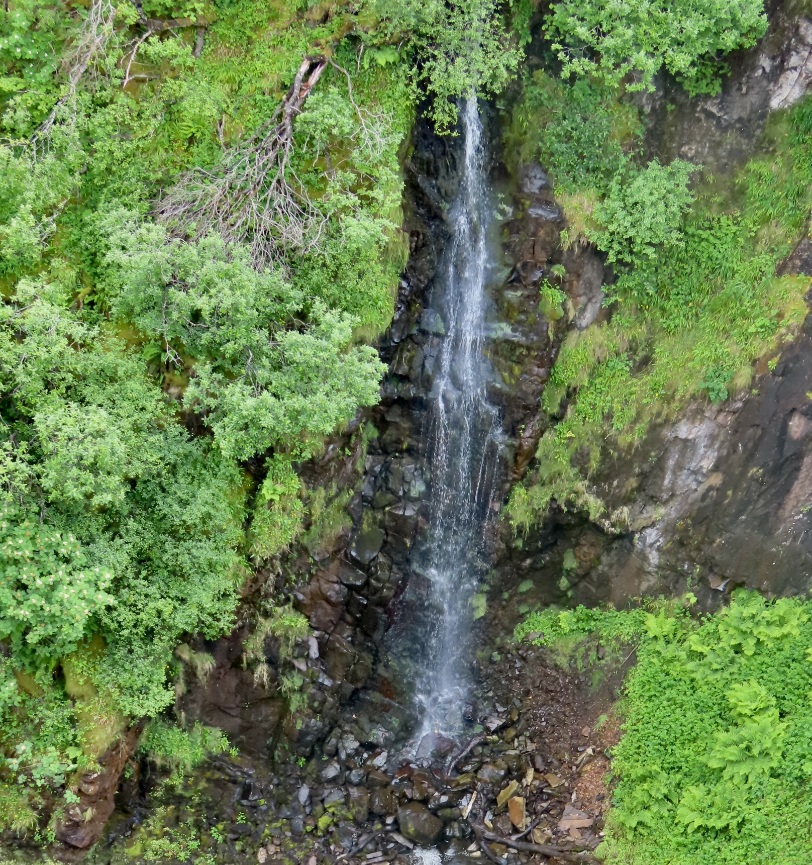
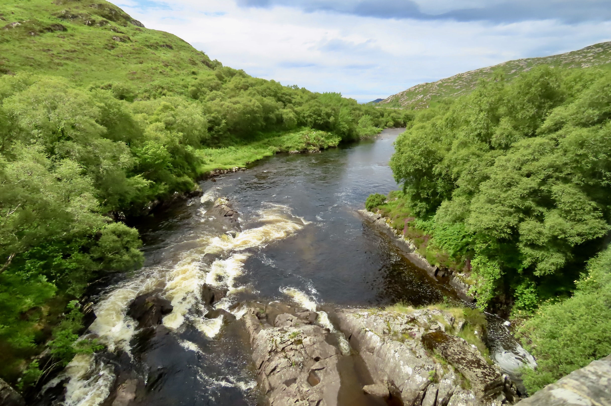
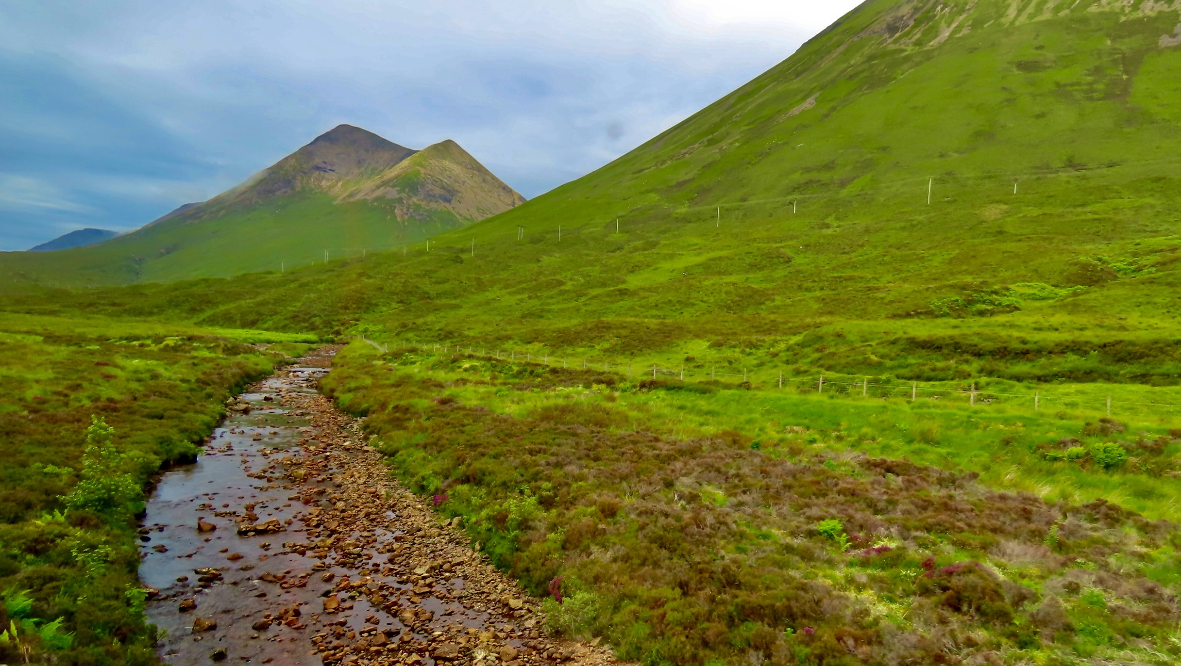
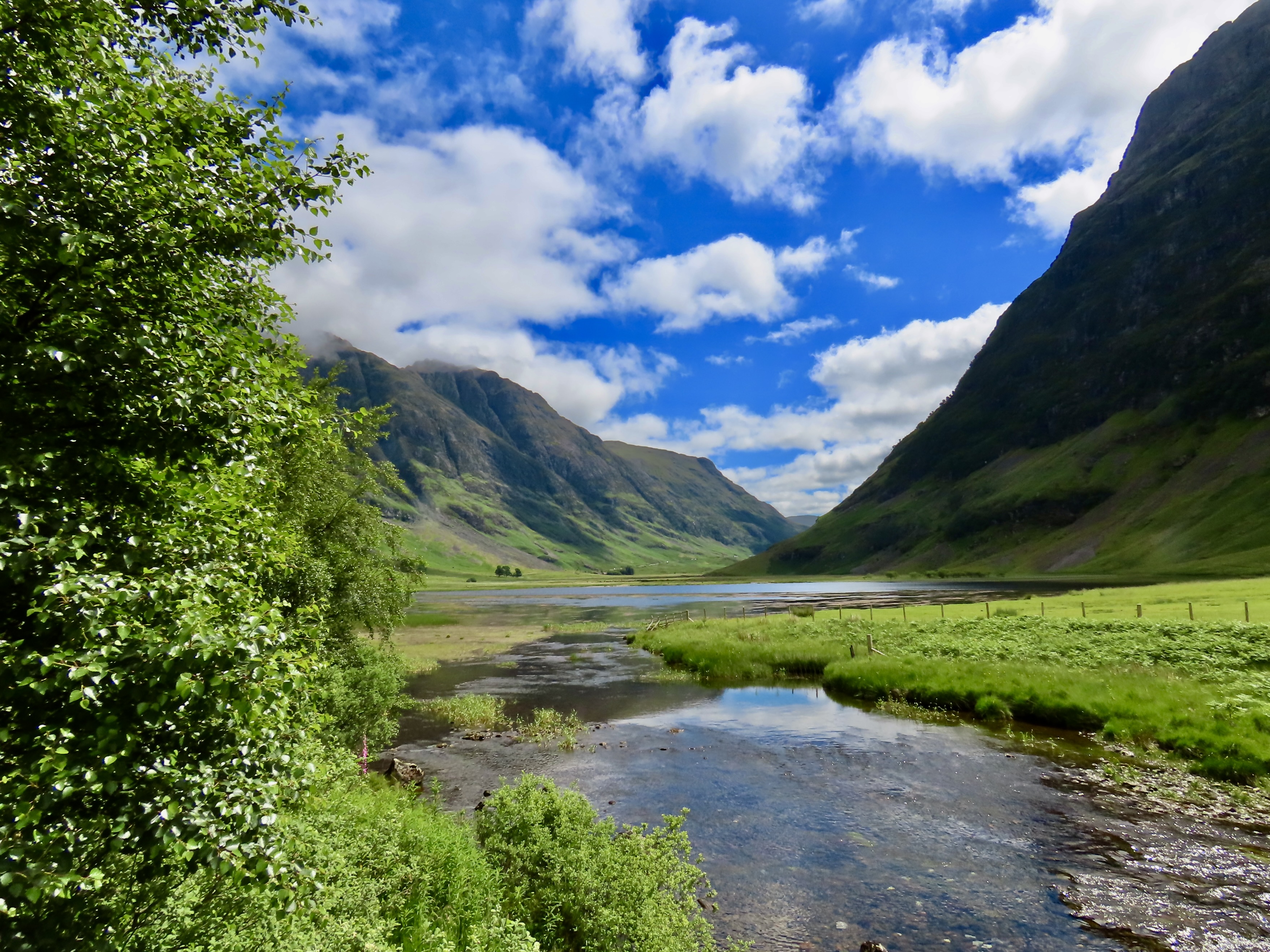
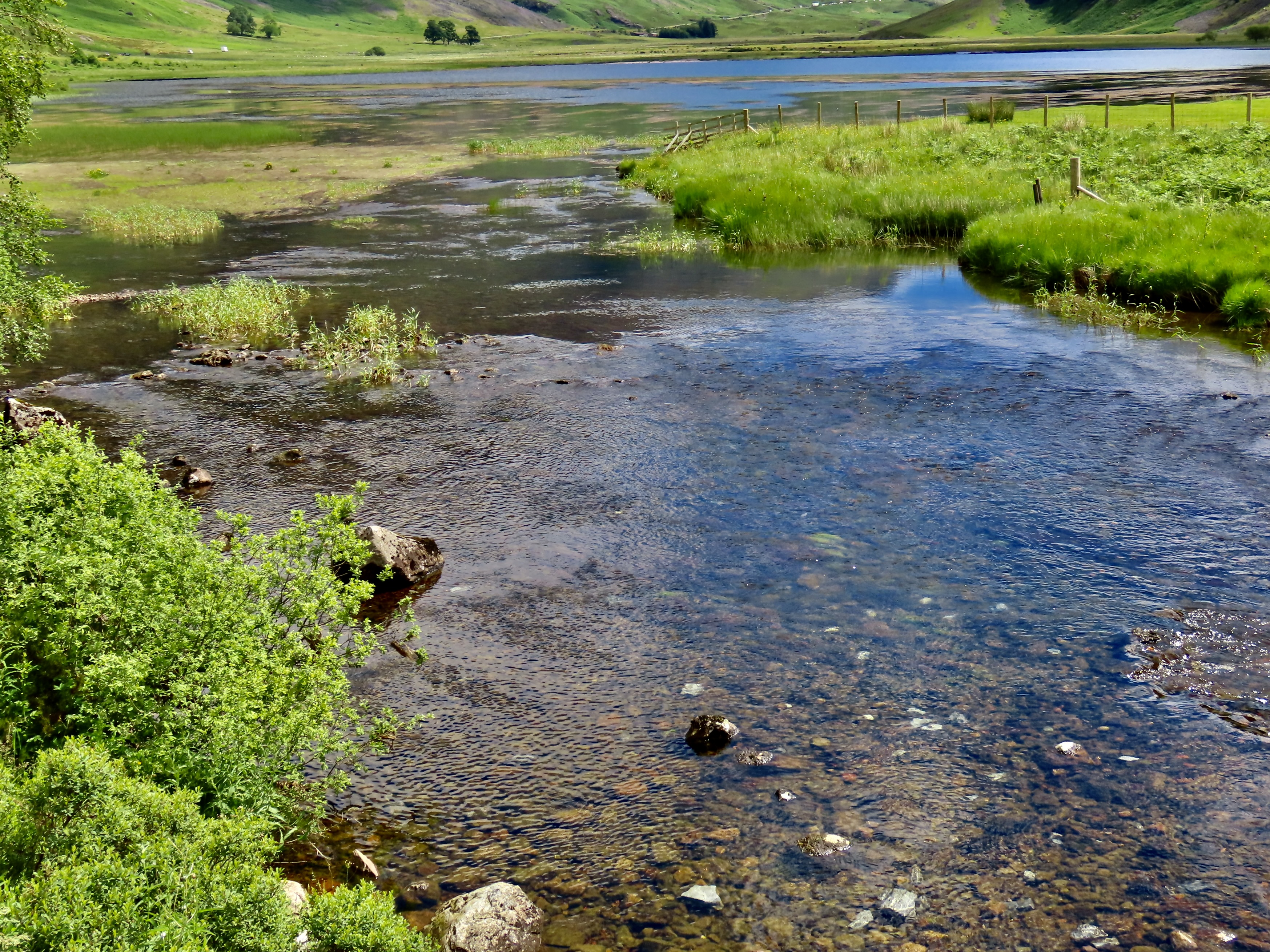
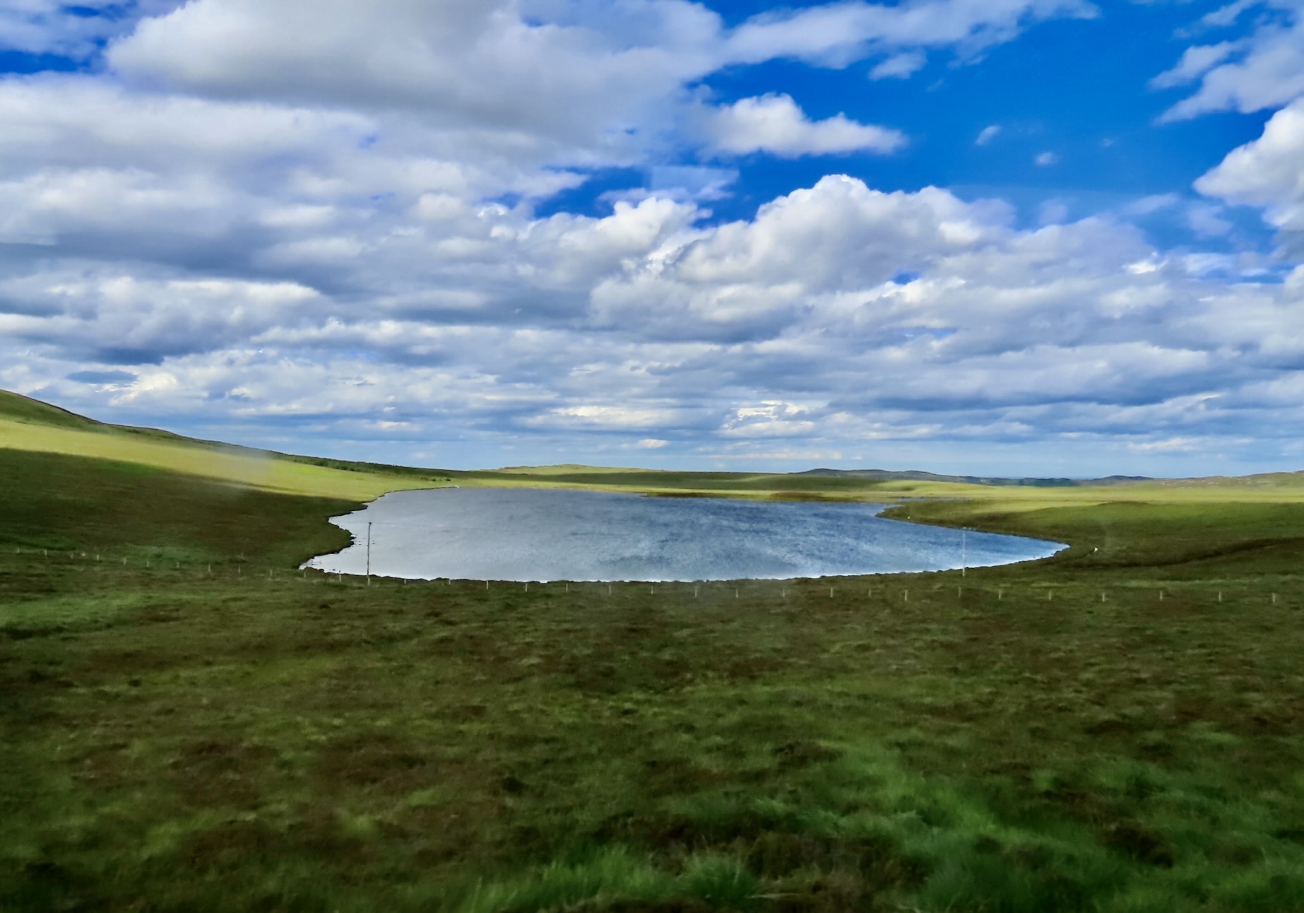
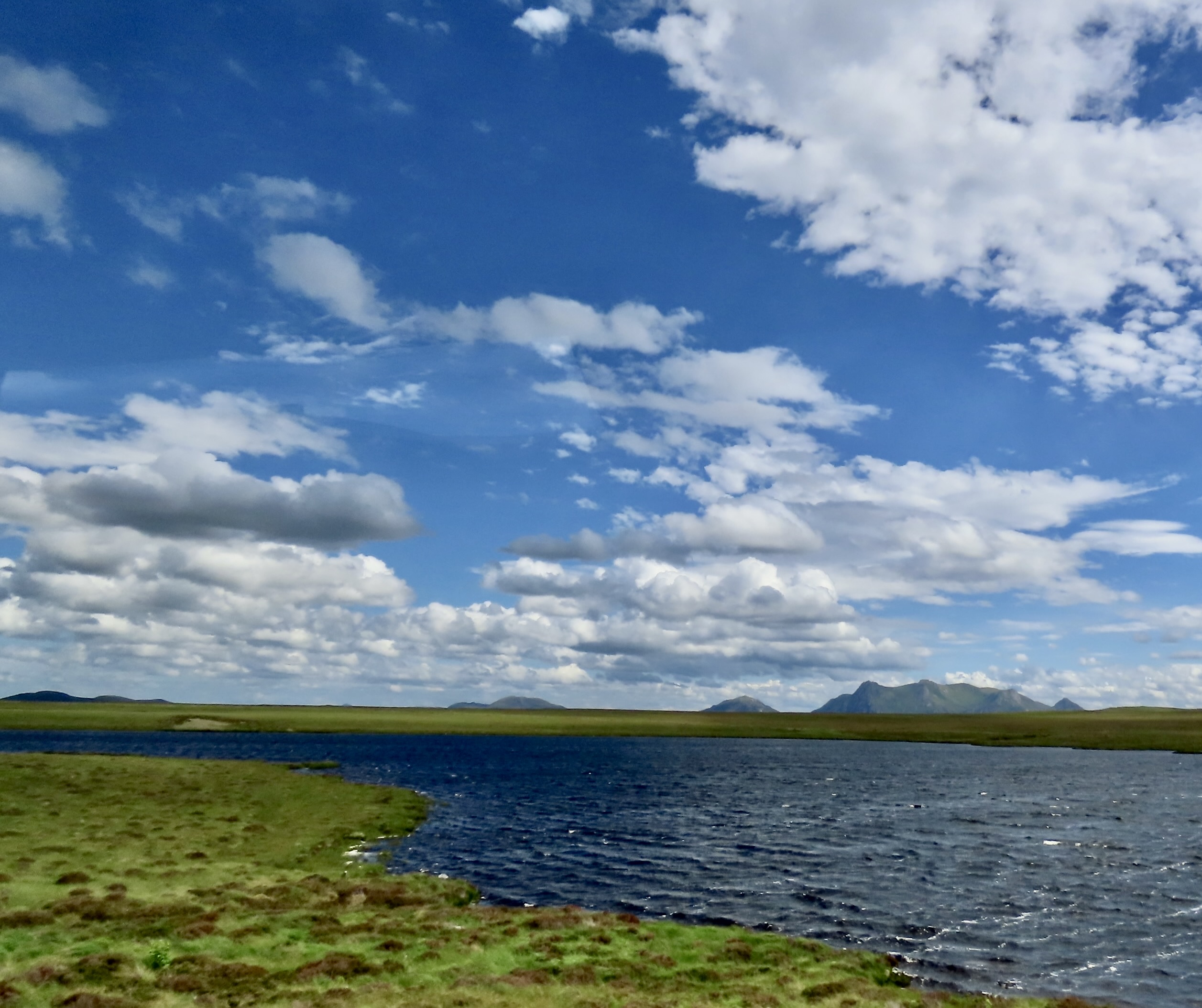
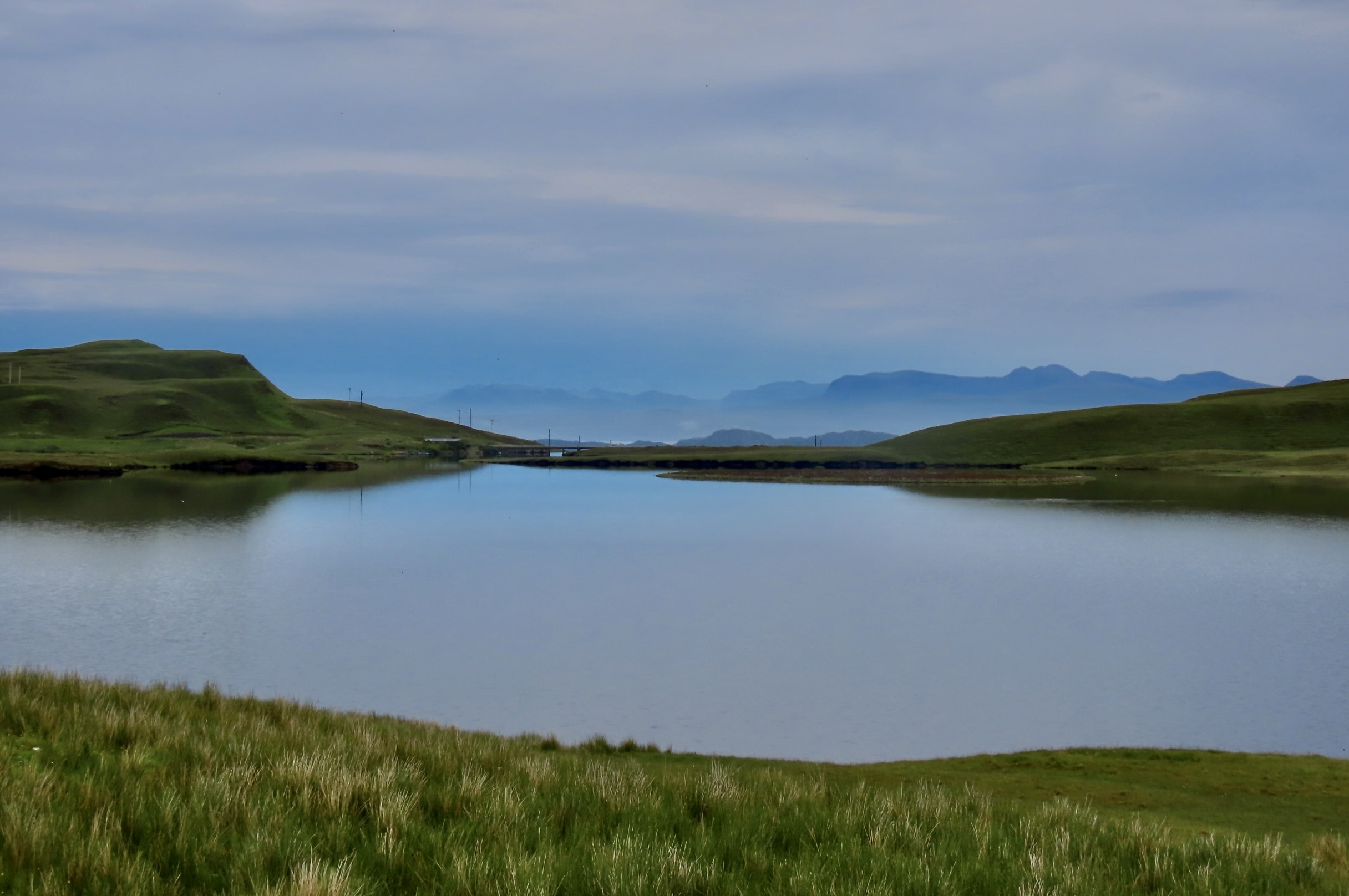
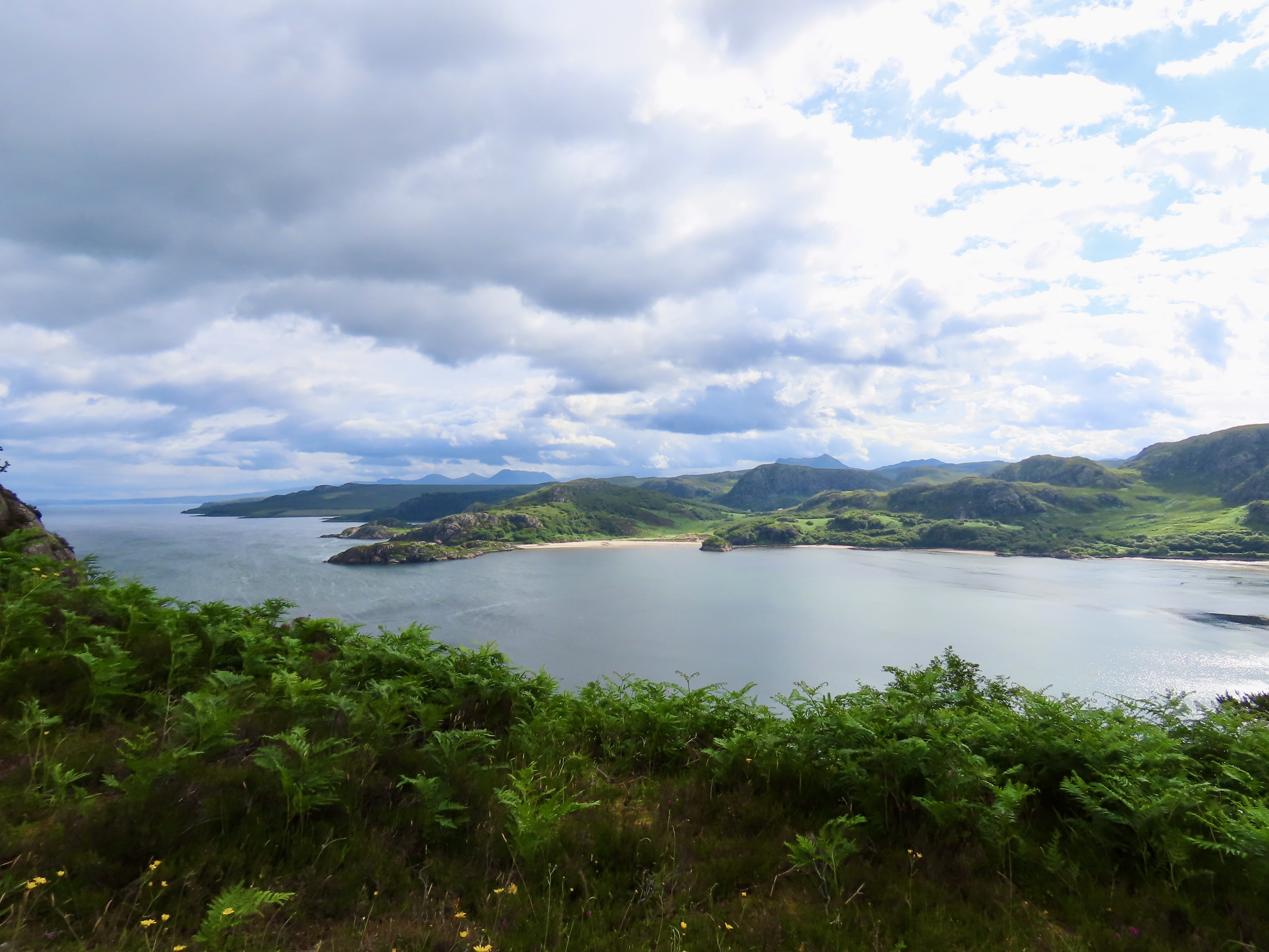
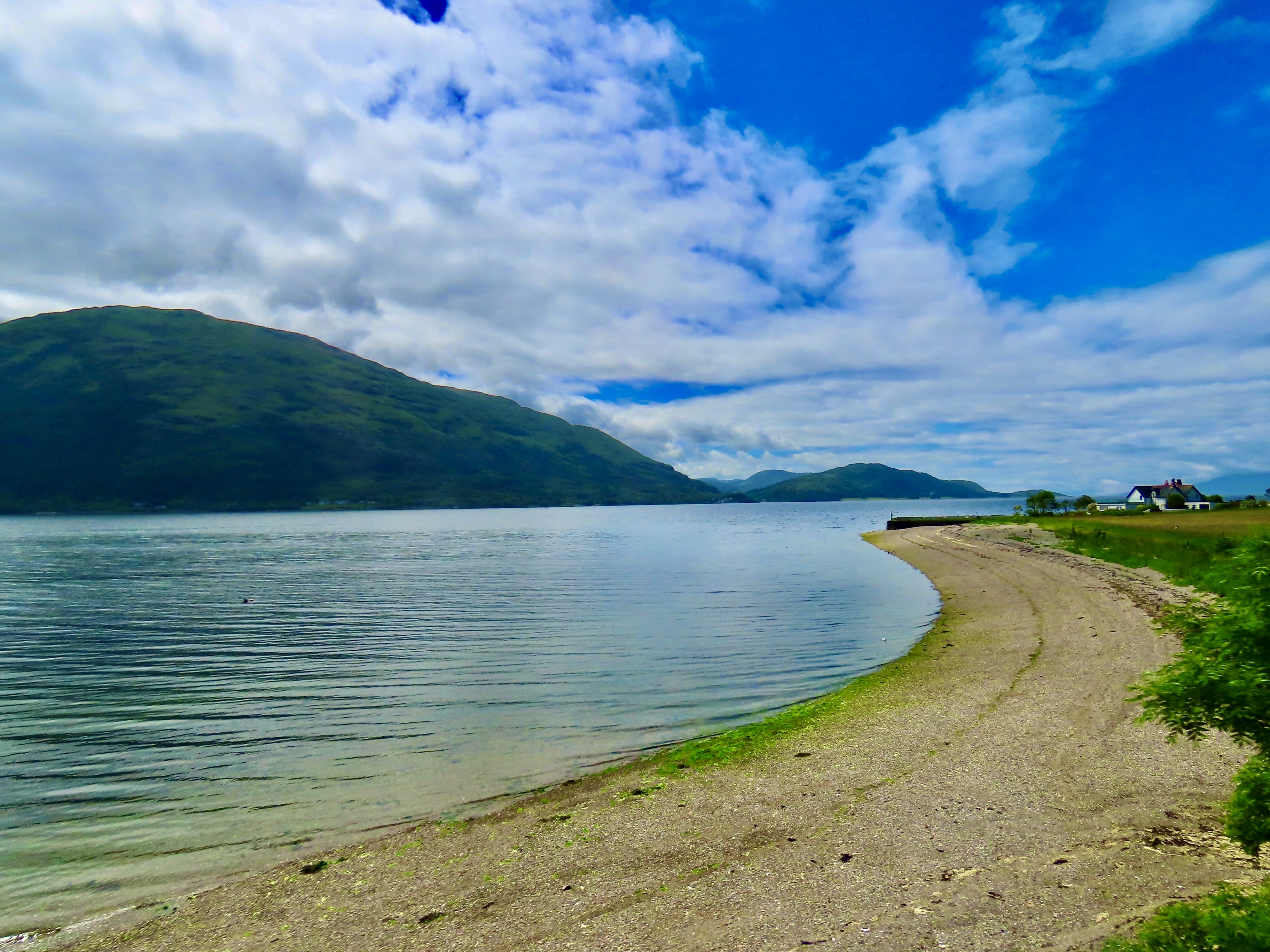
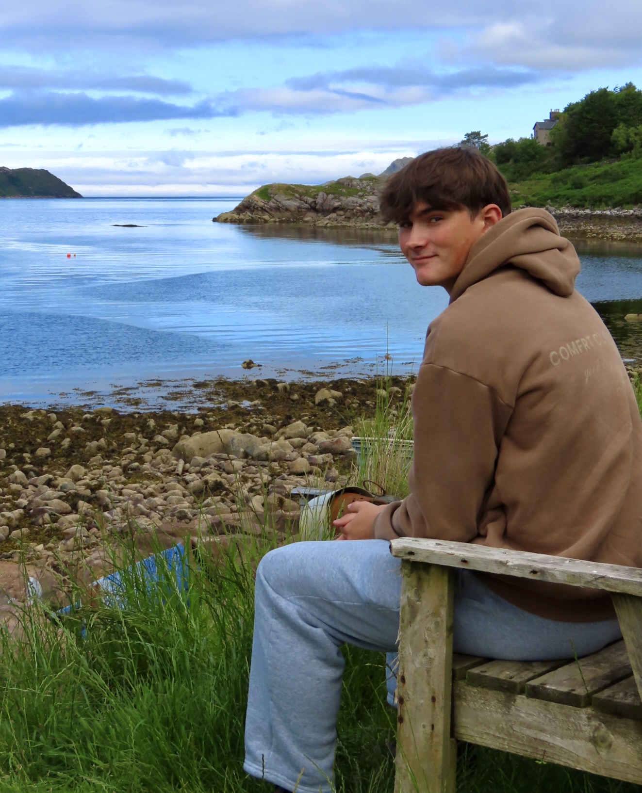
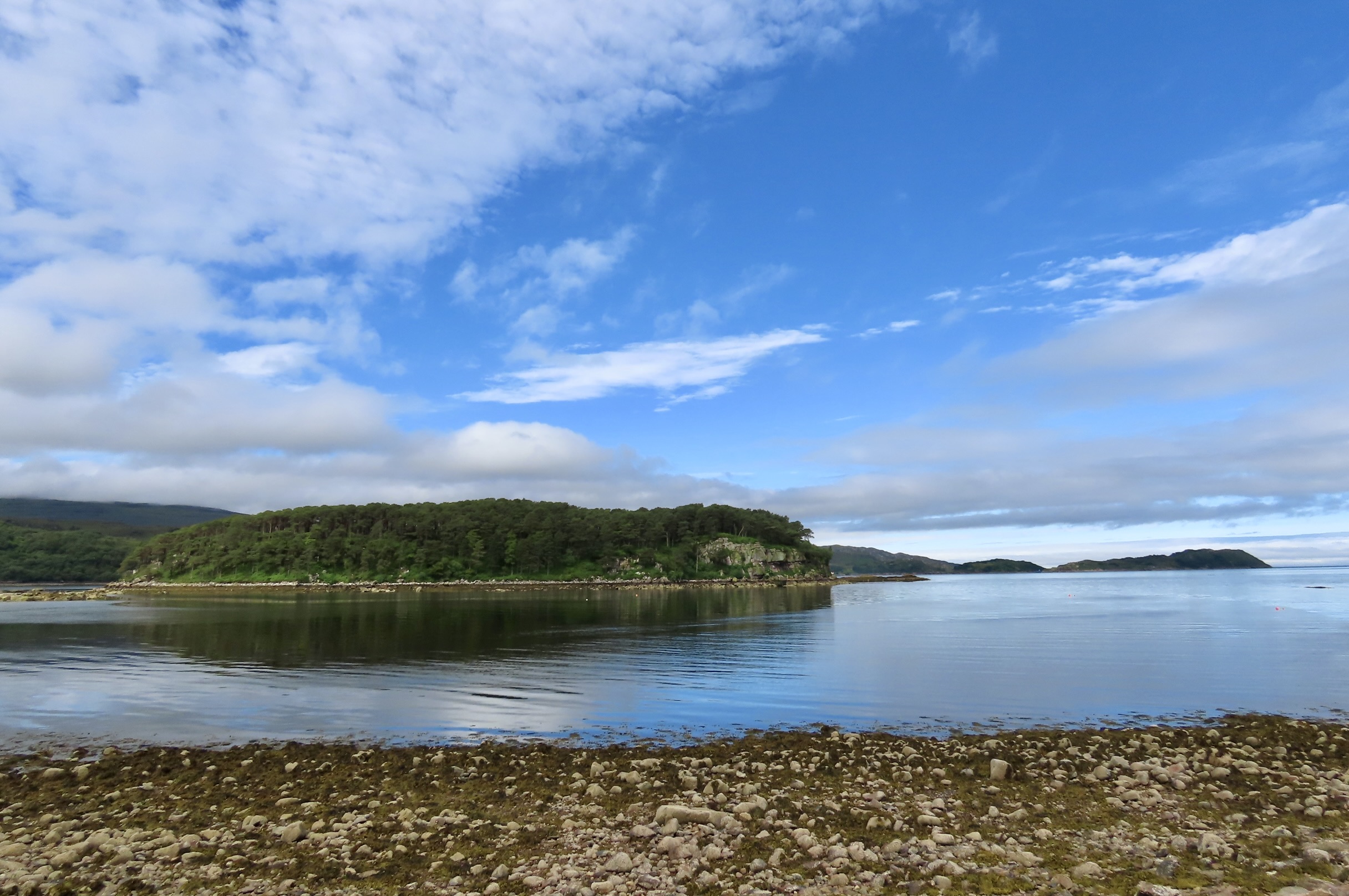
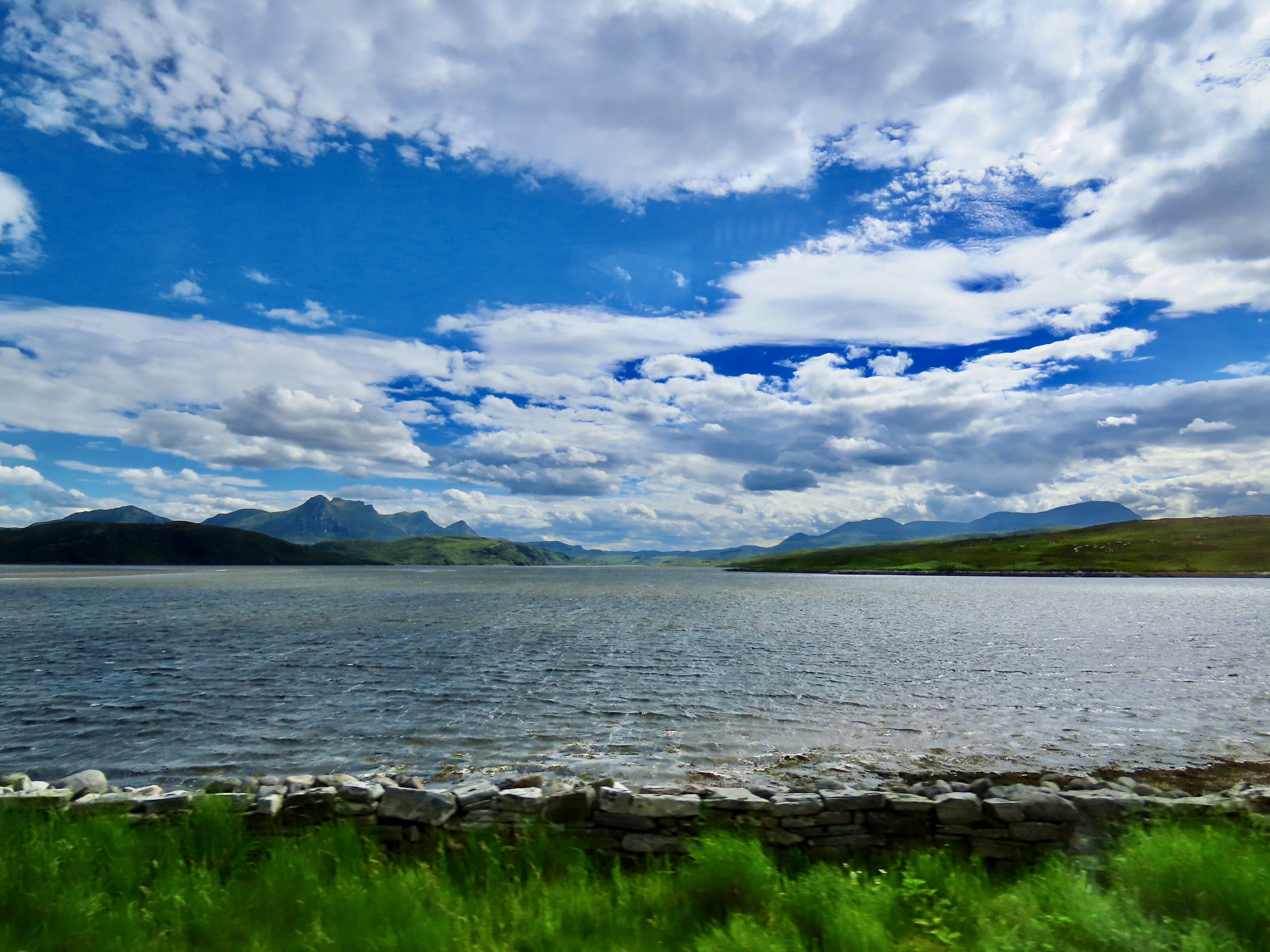
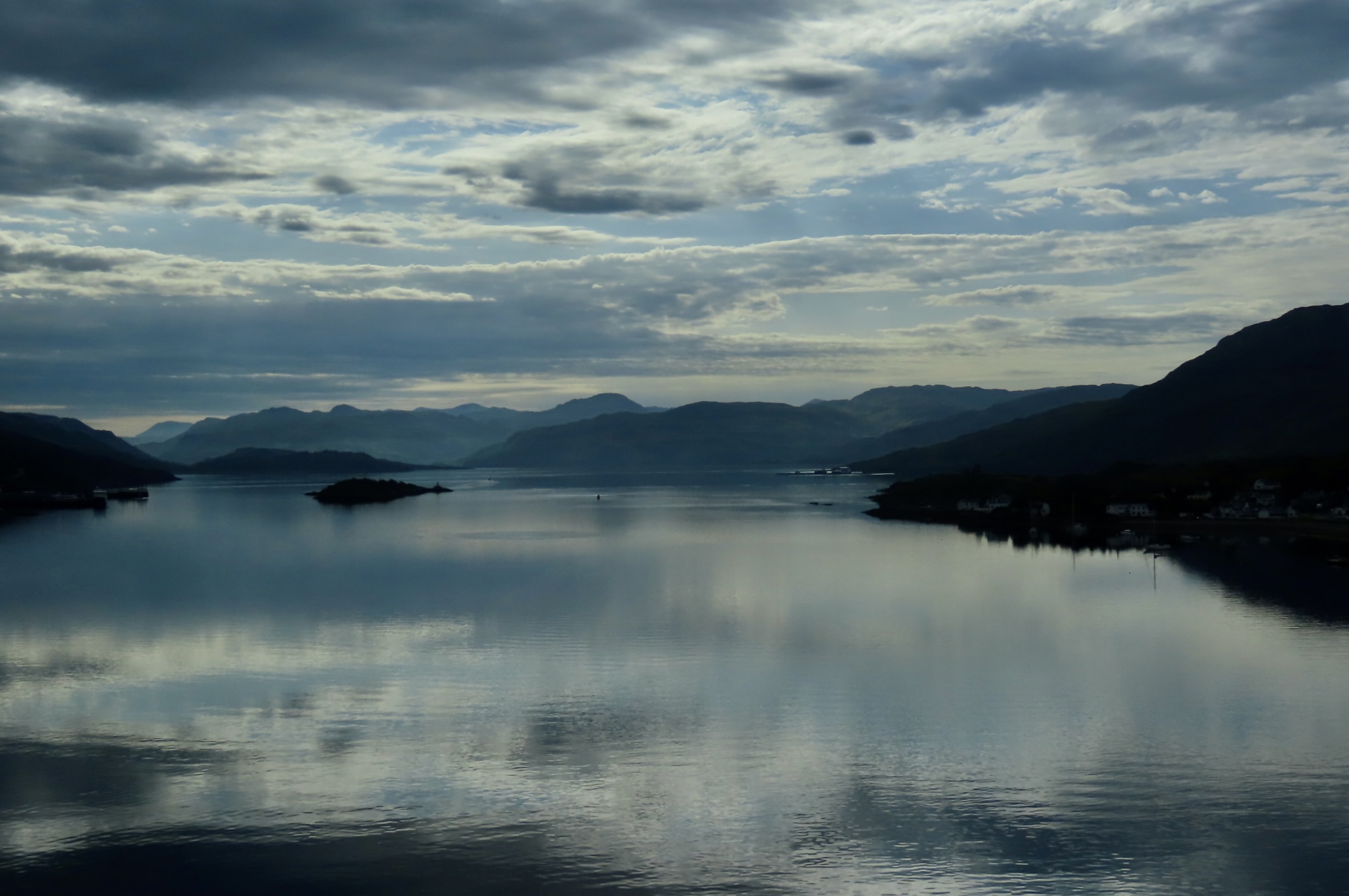
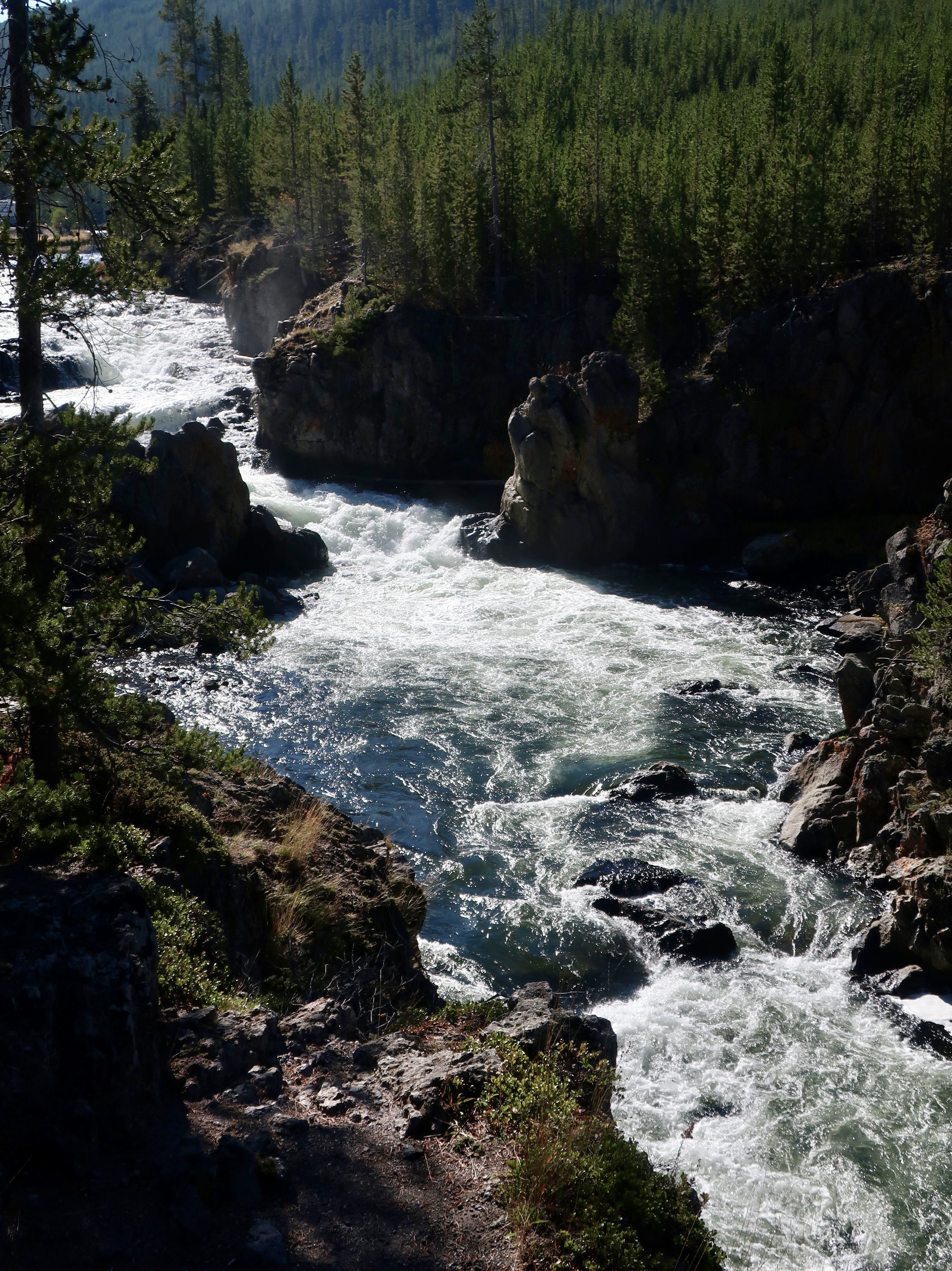
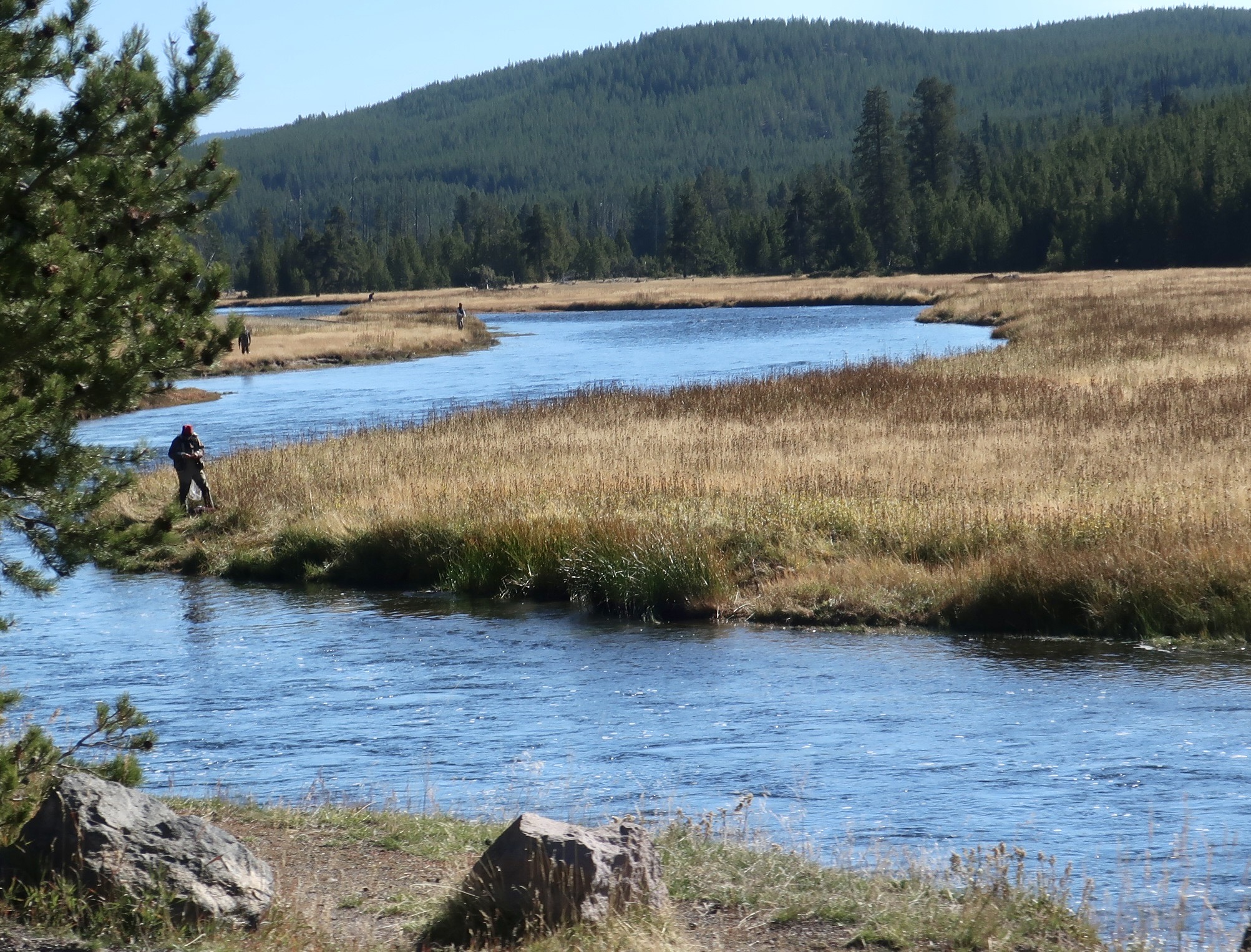
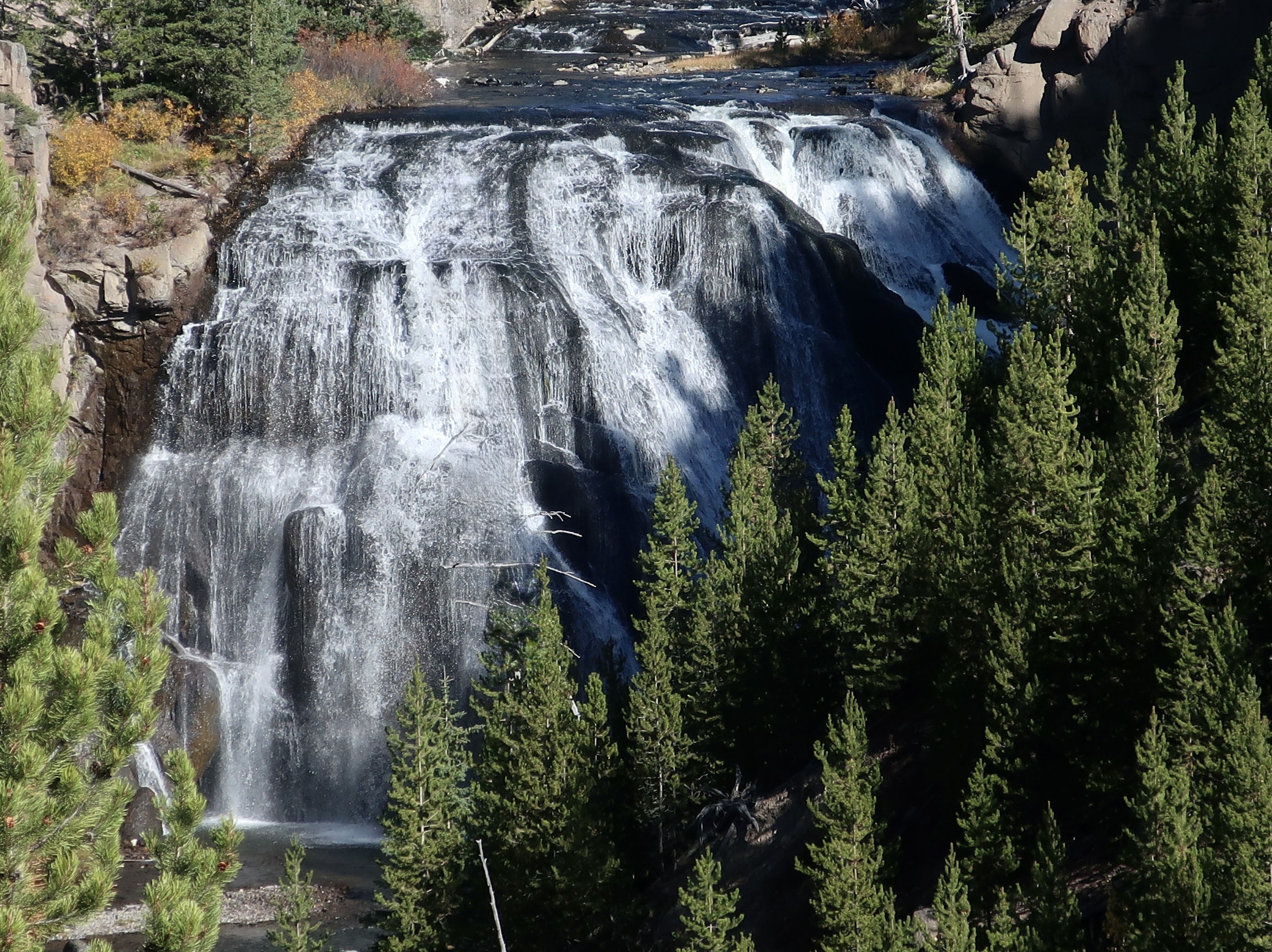
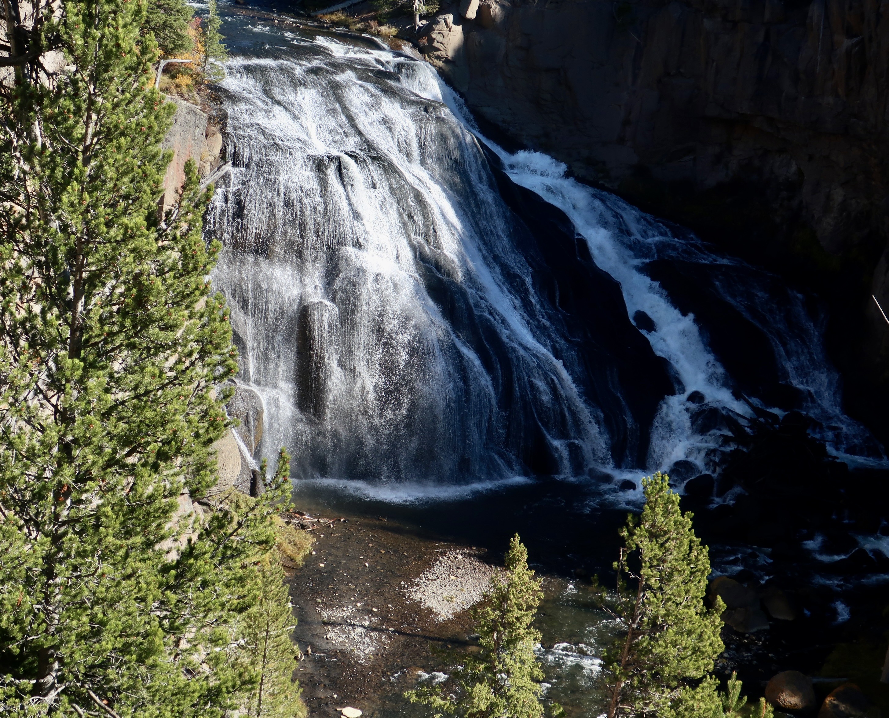
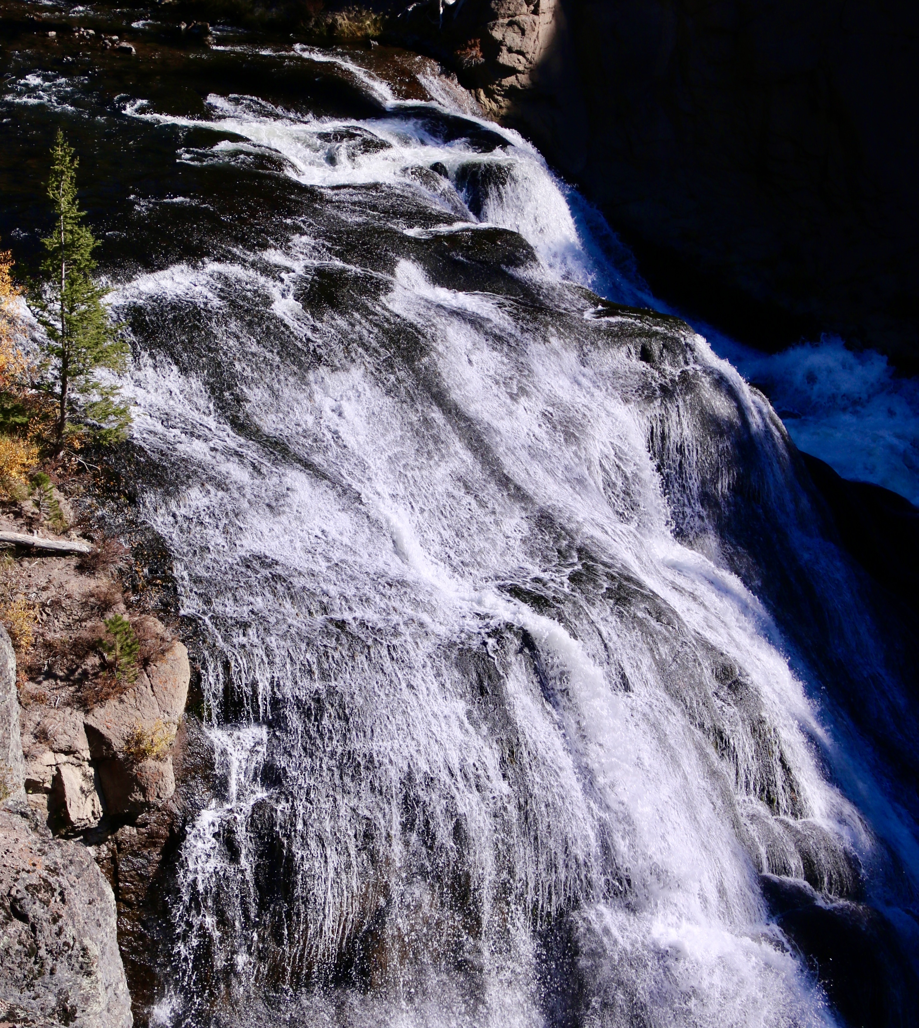
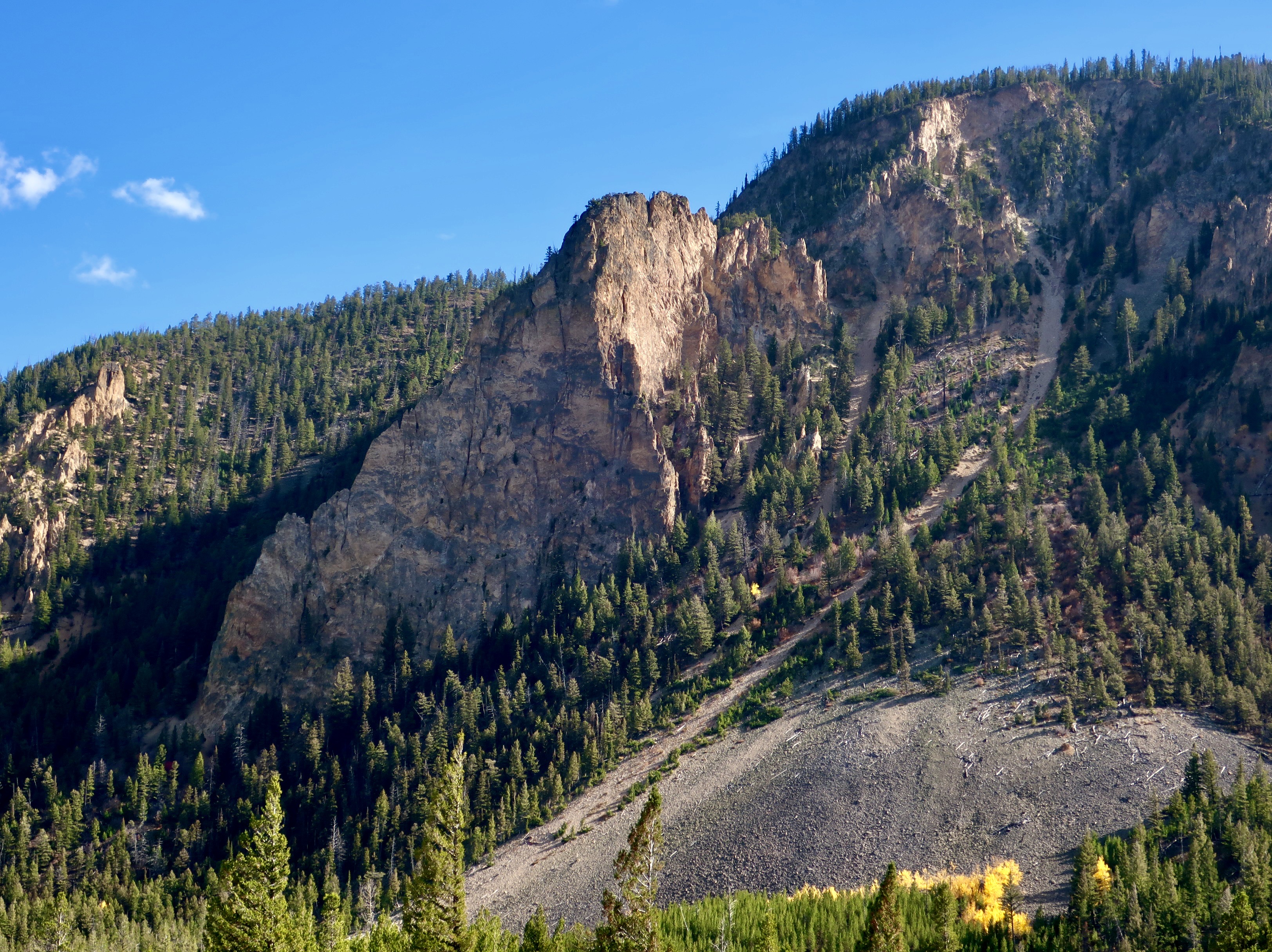
All of the water rushing down the mountains can lead to crashing waterfalls.And more quiet…But still beautiful…Waterfalls.The rainfall also leads to roaring rivers…Quiet streams, and…Lochs (lakes to the uninitiated). They are everywhere. This one combines a loch, a stream and mountains.A closer view of the stream.One of my favorite lochs.And one of Peggy’s.This was another beauty. I think it was a loch, although it might have been part of a firth. A firth is the Scotch/English word for a long, narrow inlet from the sea, like San Francisco Bay.Given that Scotland is surrounded by oceans, it isn’t surprising that there are numerous firths. Like lochs, they add to the beauty of Northern Scotland.This one came with a long, sandy beach. The lone home at the end of the beach speaks to the vast open spaces of the Scottish Highlands with few people. Once there were more, but the wealthy landlords who owned the property forced the tenant farmers off of their ancestral communal lands because they could make more money off of large scale sheep and cattle farms in what was known as the Highland Clearances between 1750 and 1860. They were a dark blot on Scotland’s History. The homes of the tenant farmers were usually burned down so the farmers wouldn’t return. Thousands ended up migrating. Others scratched by as best they could on small farms, crofts, along the coast.This firth came with Cody.It also featured an attractive island.Another favorite photo.While the green landscape, rivers, lochs and firths are an essential part of the Highlands’ beauty, we are talking Highlands— and that translates into mountains.
While they only reach 3000 feet (914 meters) in height, their lack in elevation does not take away from their beauty and ruggedness. Here’s something to contemplate: They were once as high as the Himalayas, around 20,000 feet (6,100 meters). Four hundred million years of erosion can wear you down a bit, however. It’s apparent in this photo that a lot of erosion is still taking place. The mountains were created when Scotland and England crashed into each other around 500 million years ago. They didn’t always hang out together. Once they were part of two different continents separated by the no longer existing ocean of Iapetus. Northern Scotland belonged to the ancient continent of Laurentia, occupying a landmass with North America. England was part of a smaller continent far to the south known as Avalonia. Plate tectonics did away with Iapetus and brought Scotland and England crashing together in the Caledonian Orogeny, the event that raised the Scottish Highlands to their Himalayan heights.
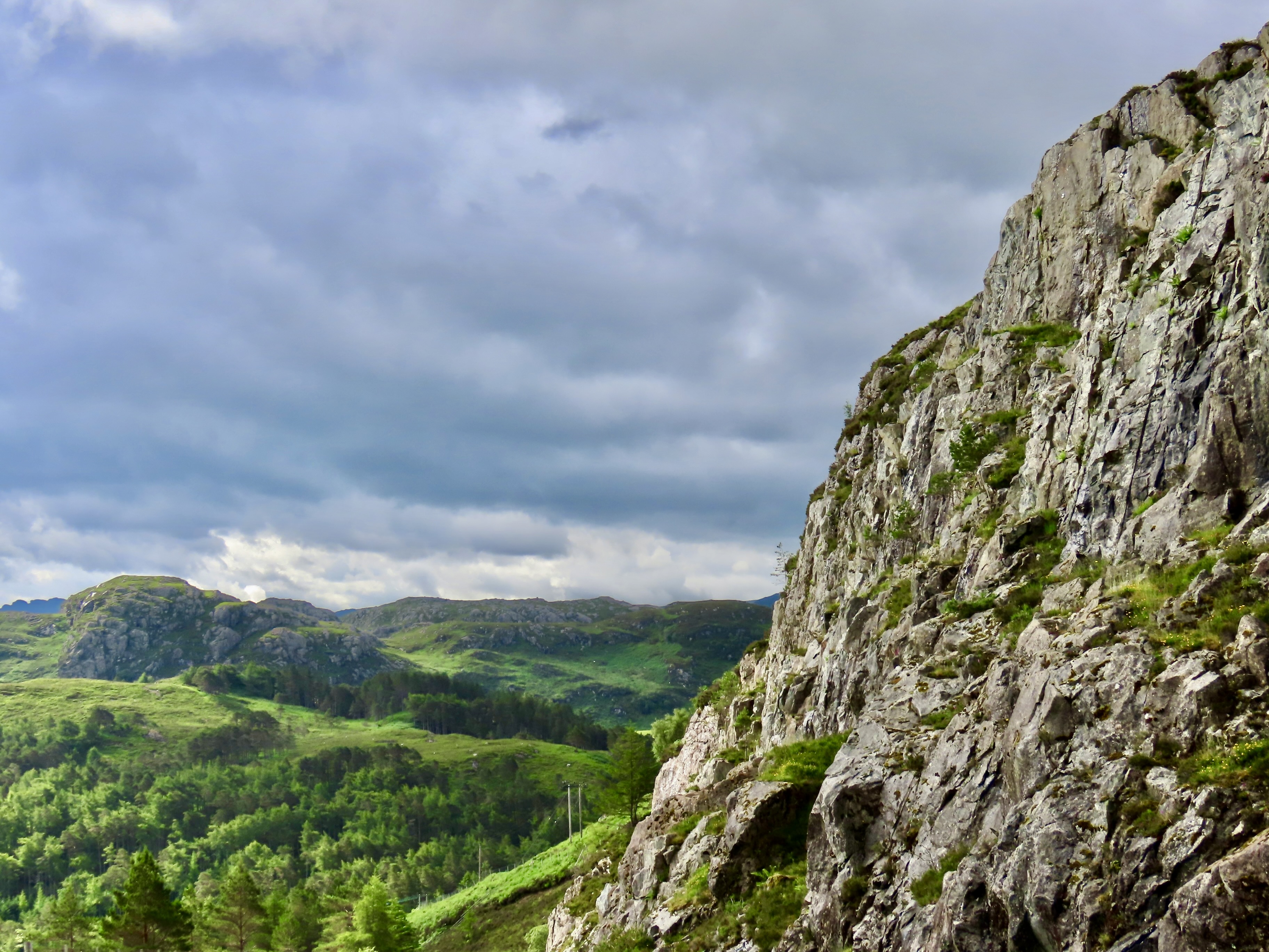
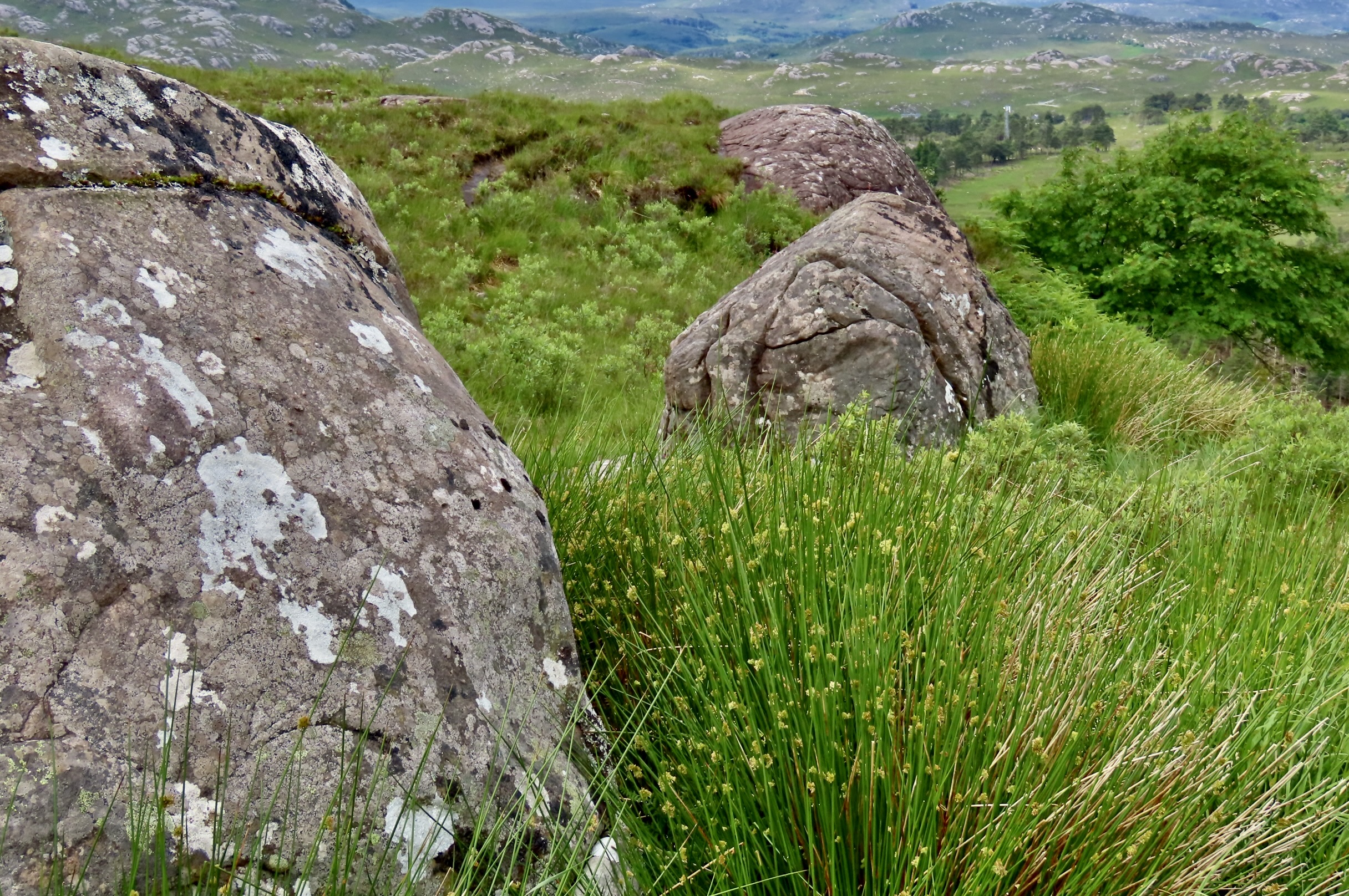
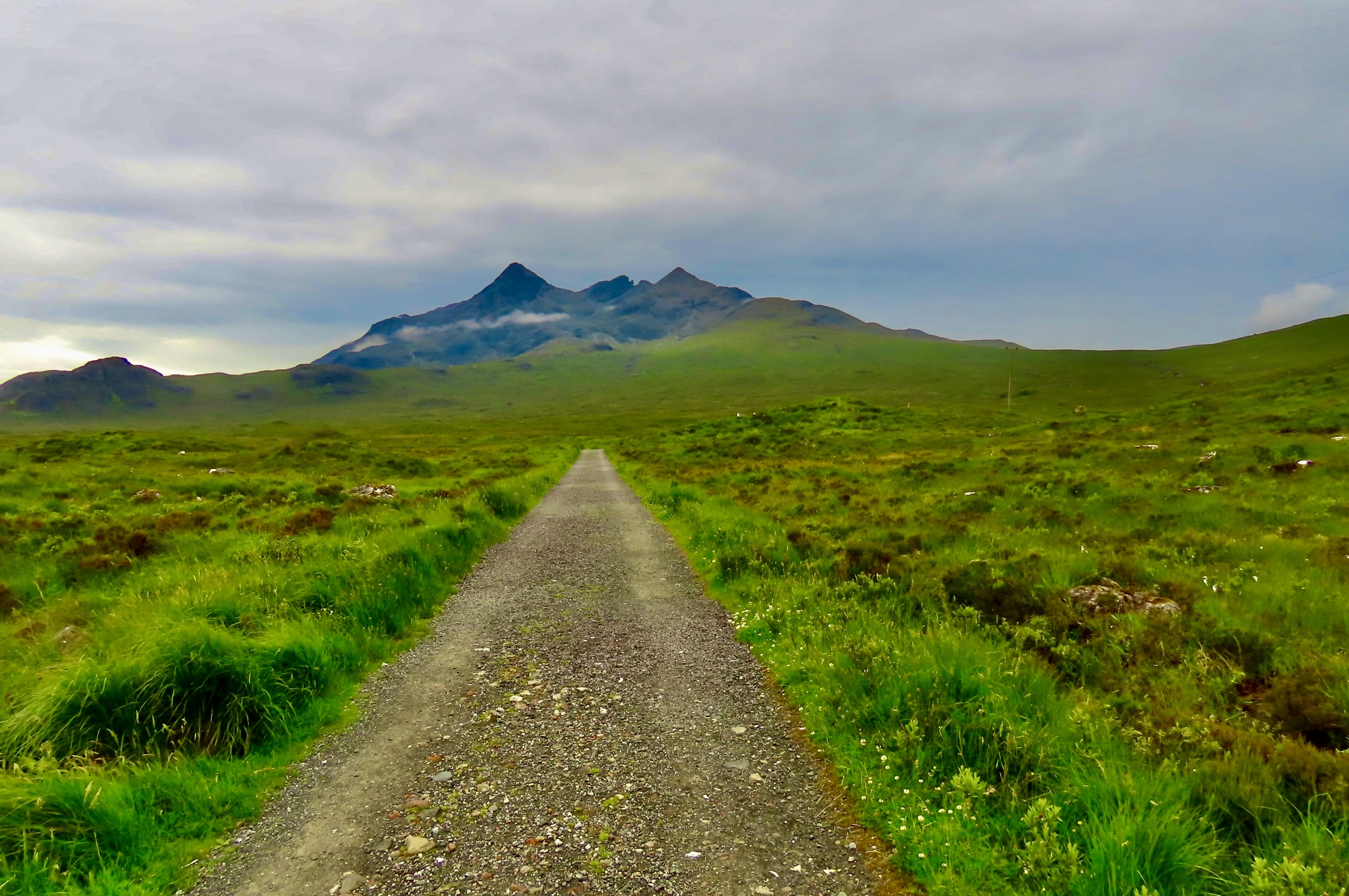
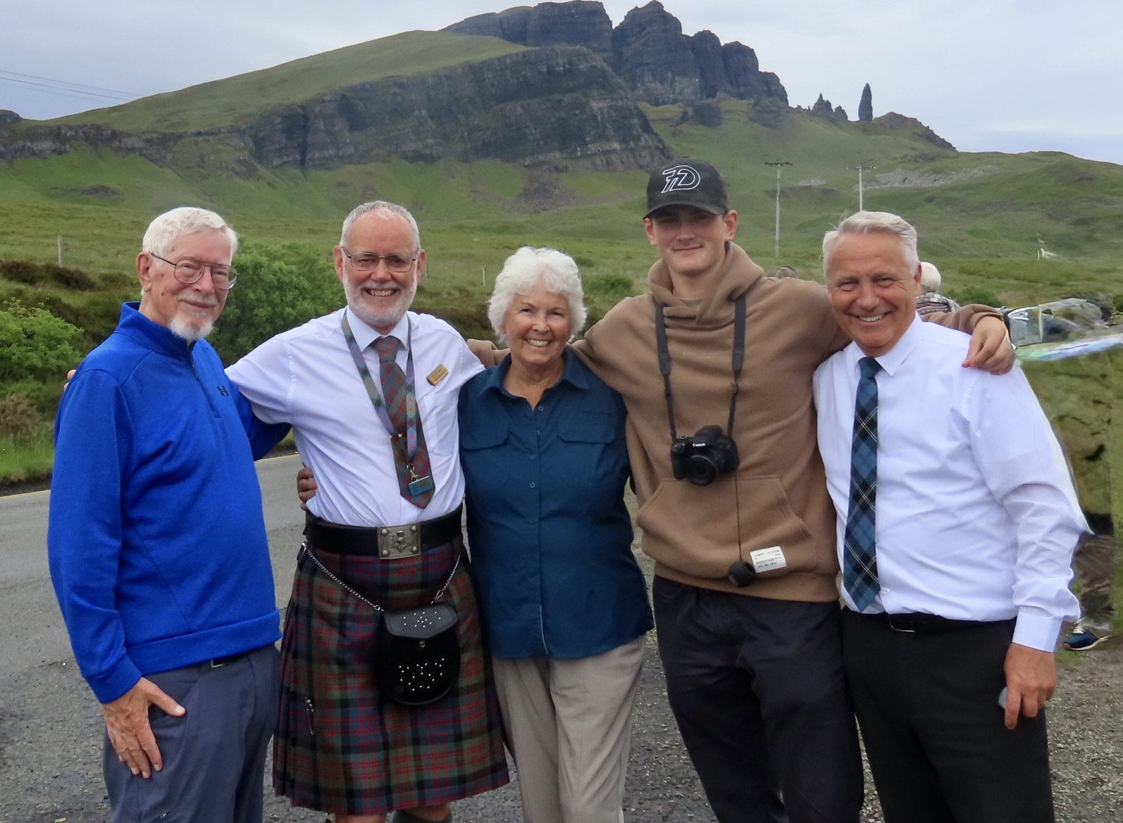
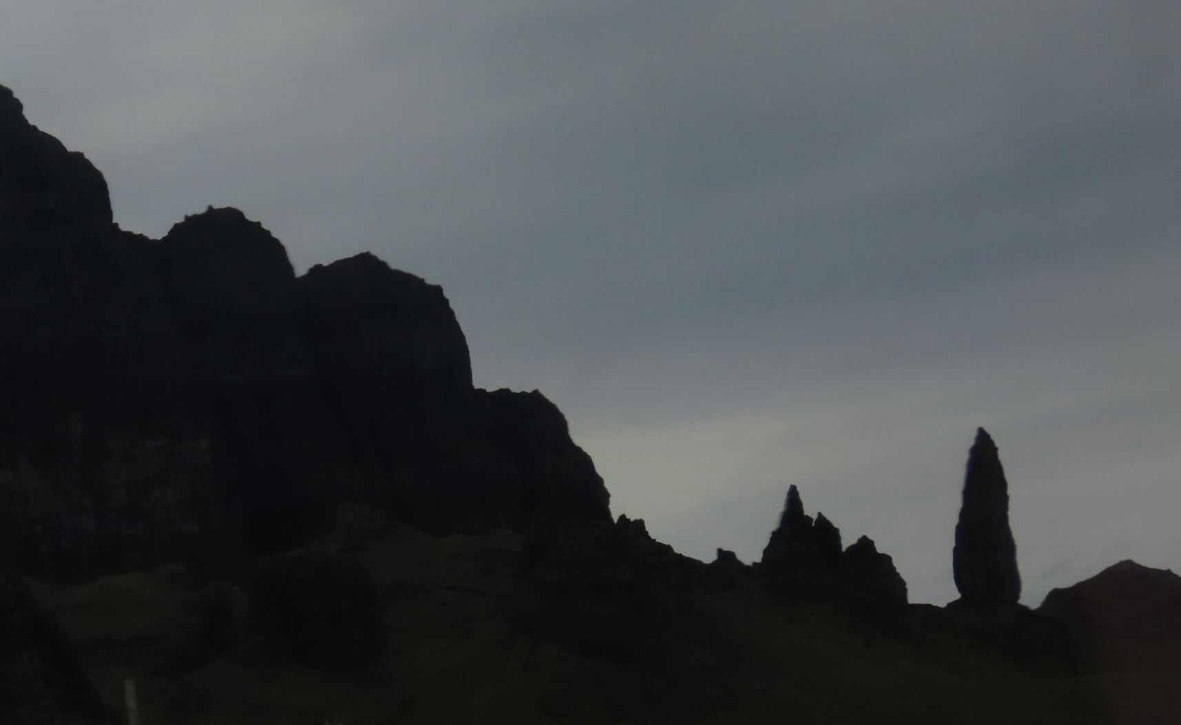
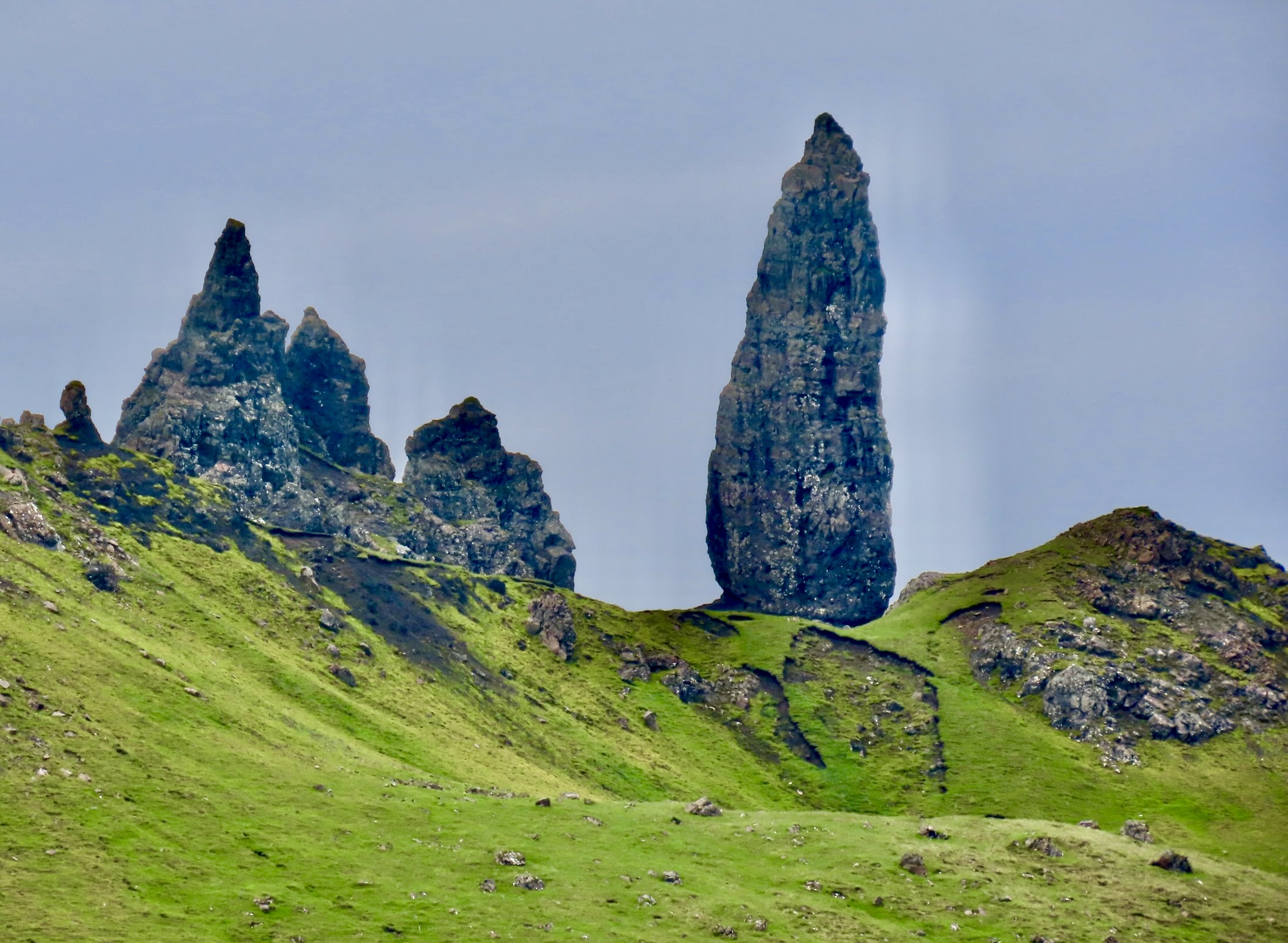
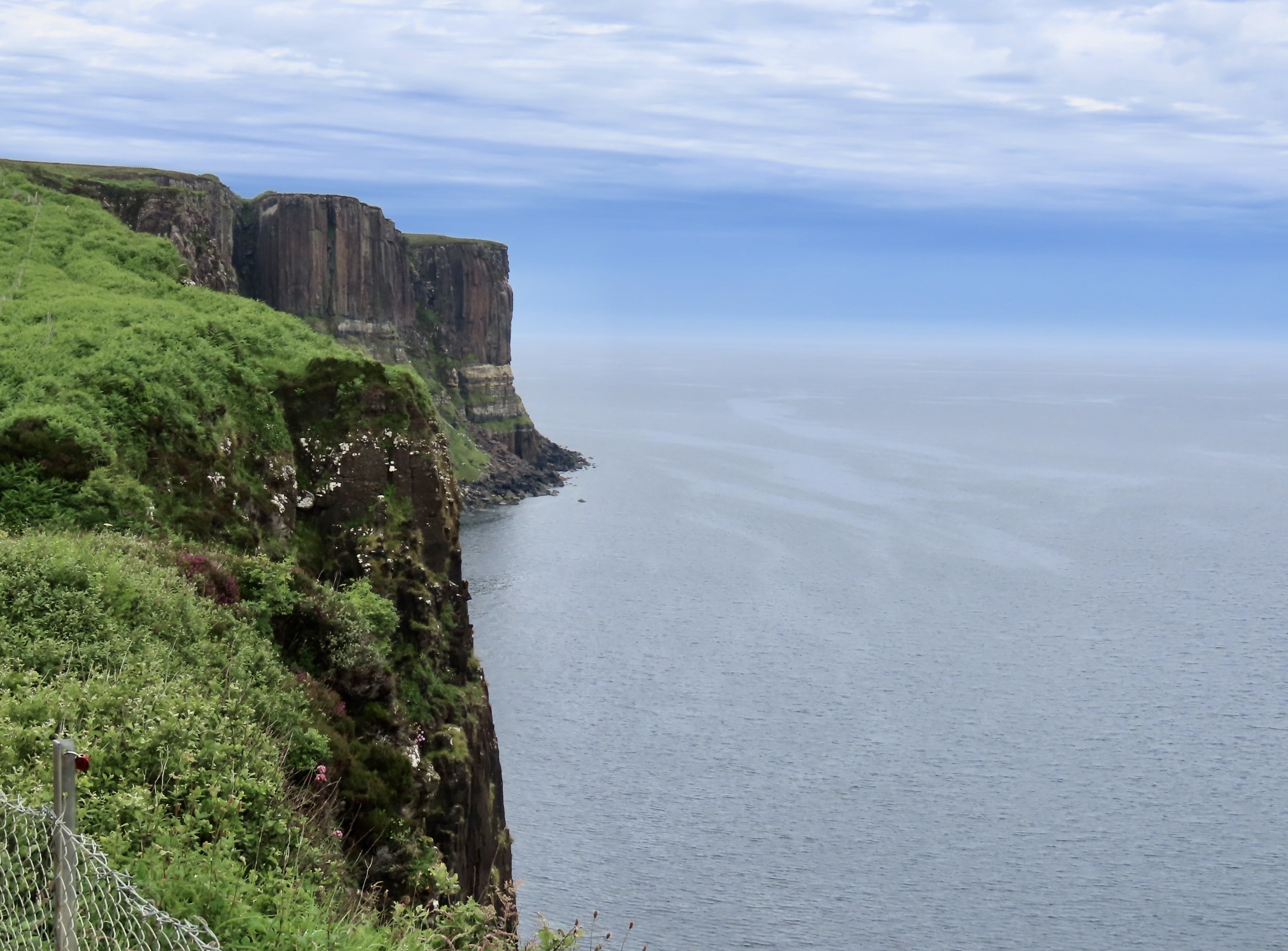
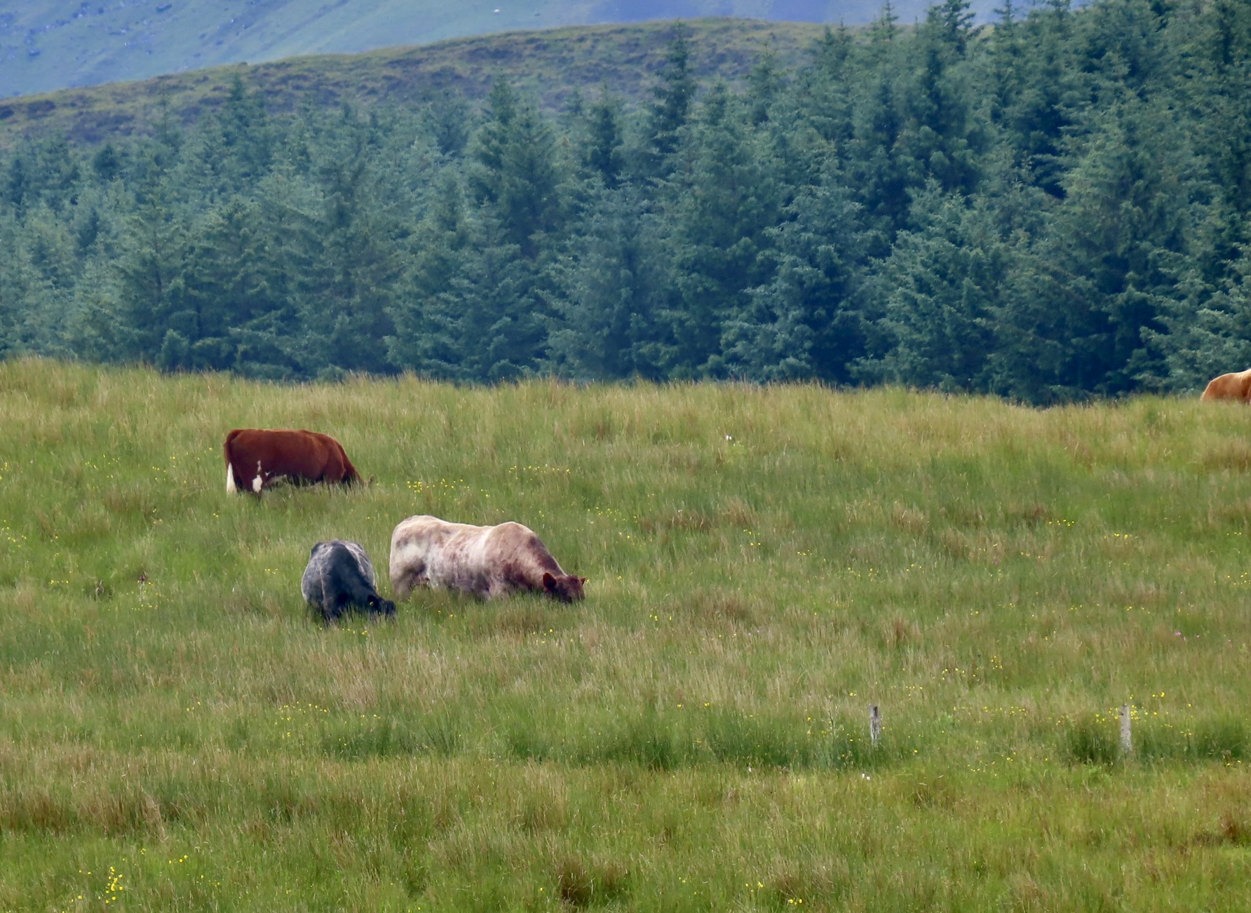
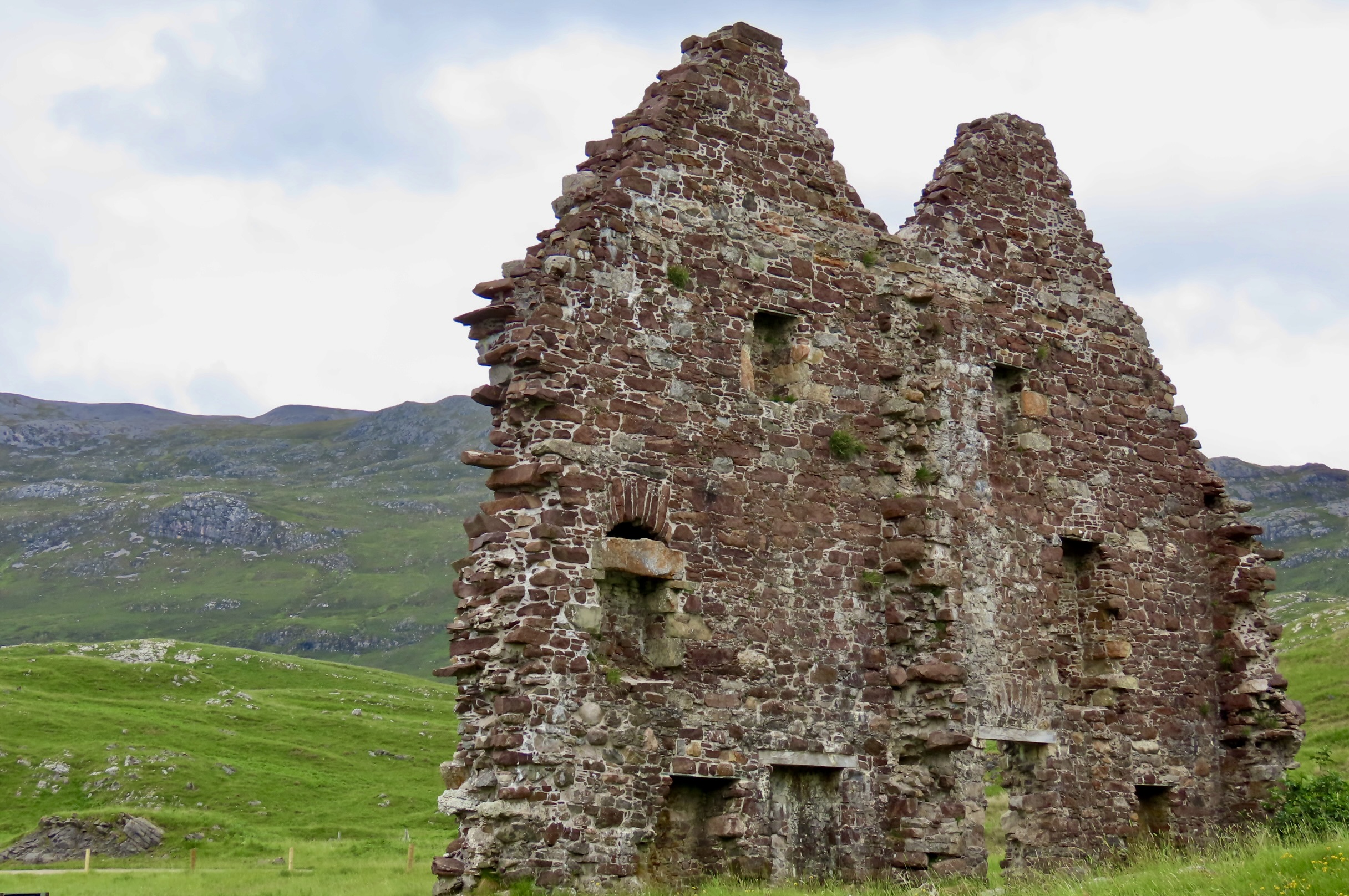
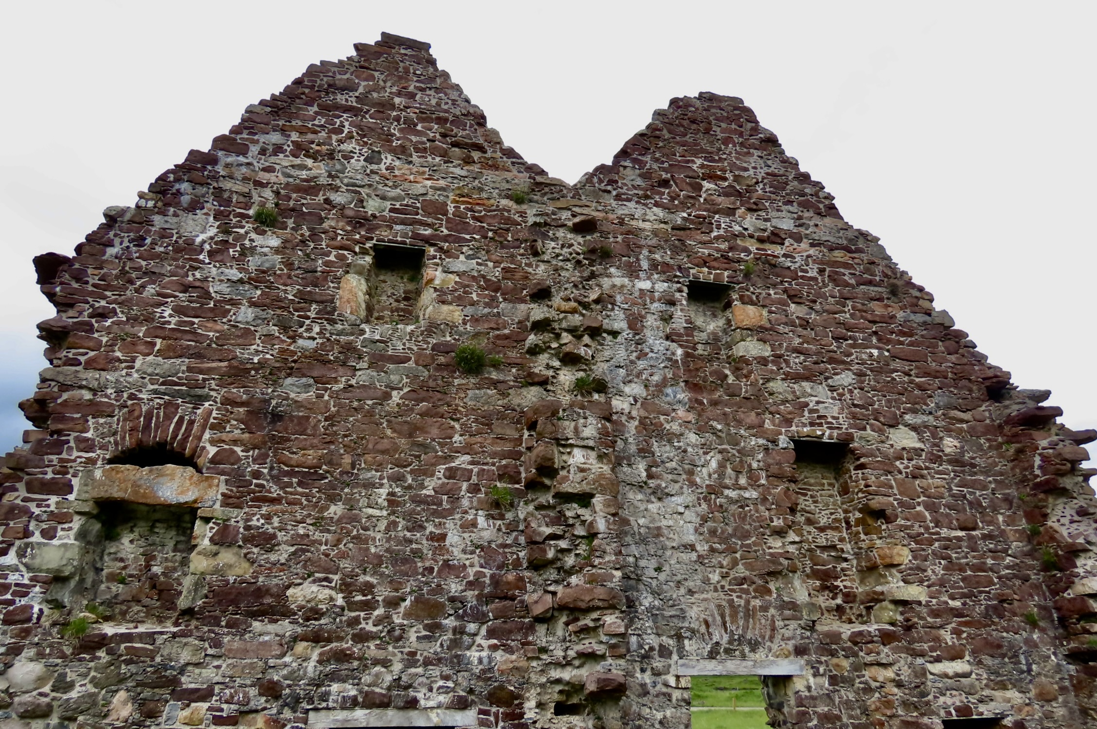
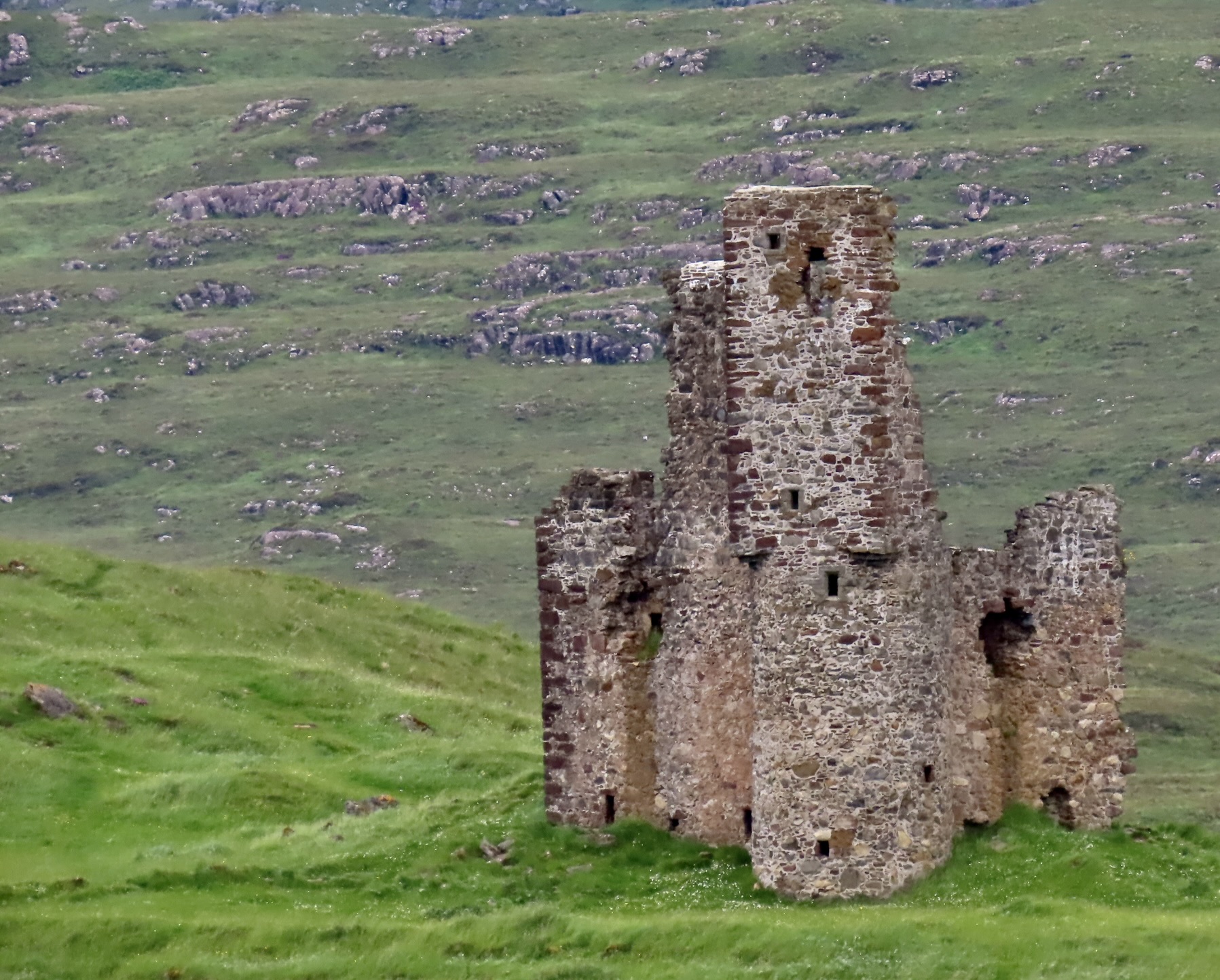
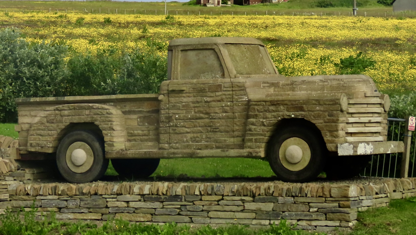
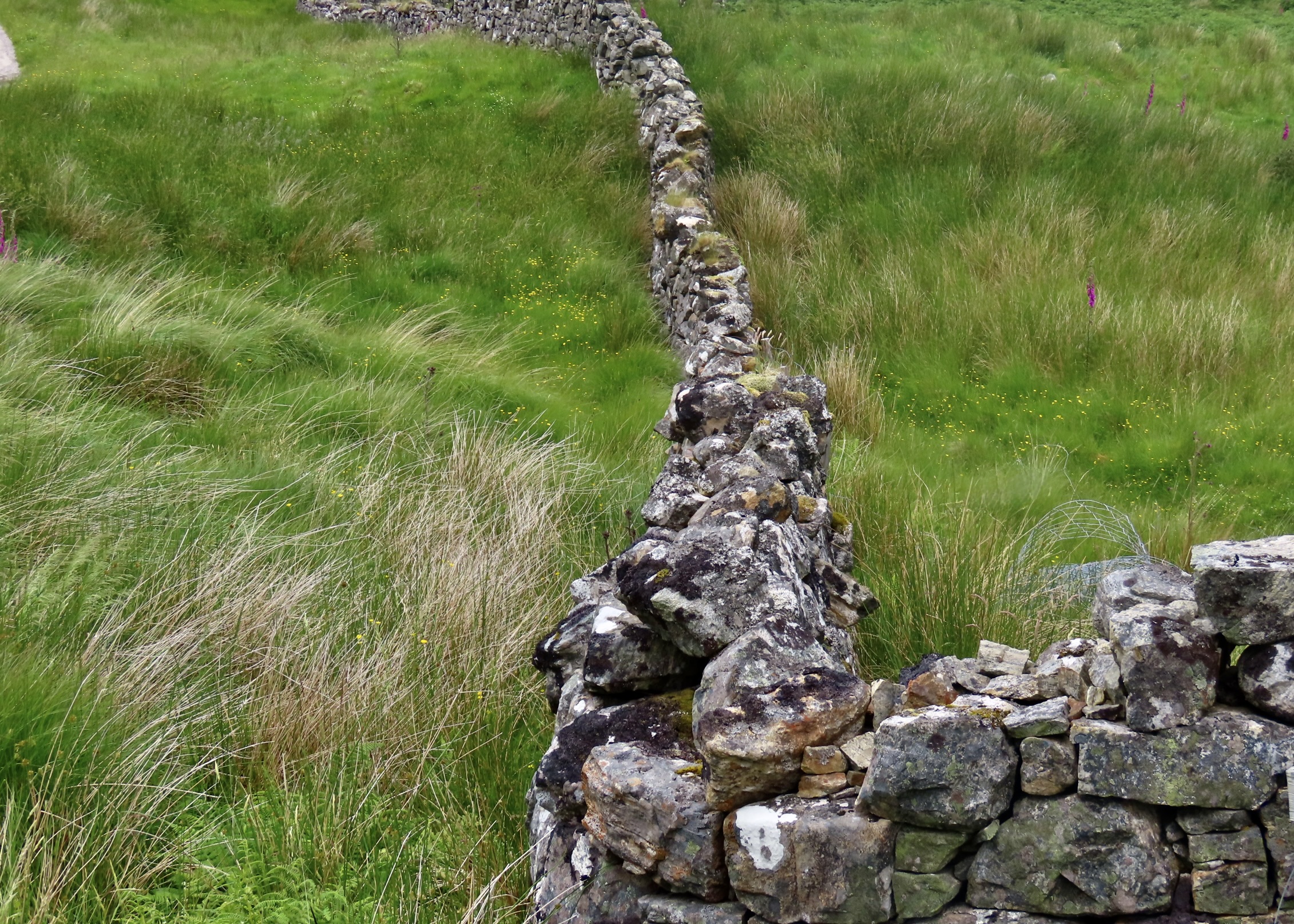
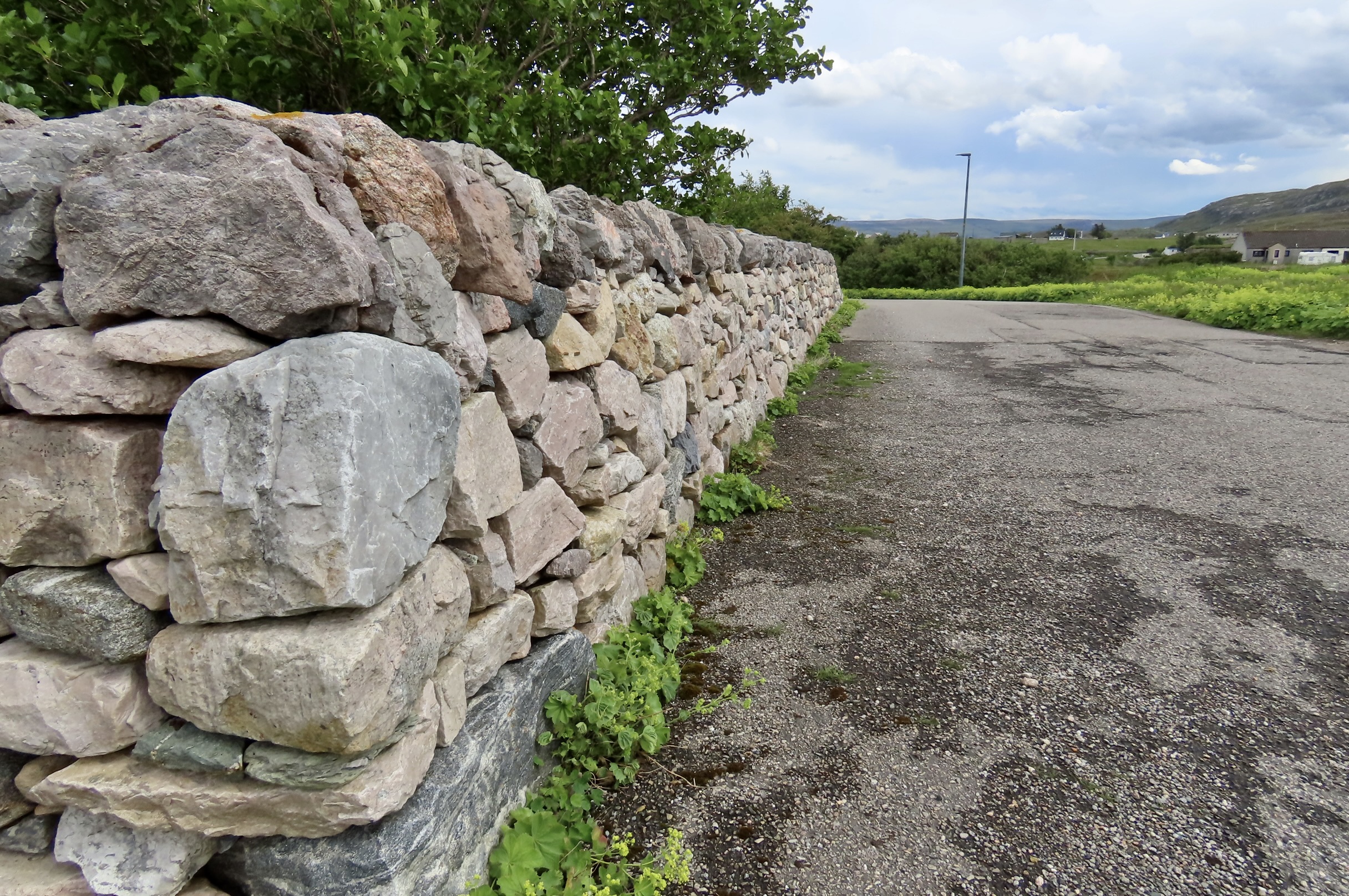
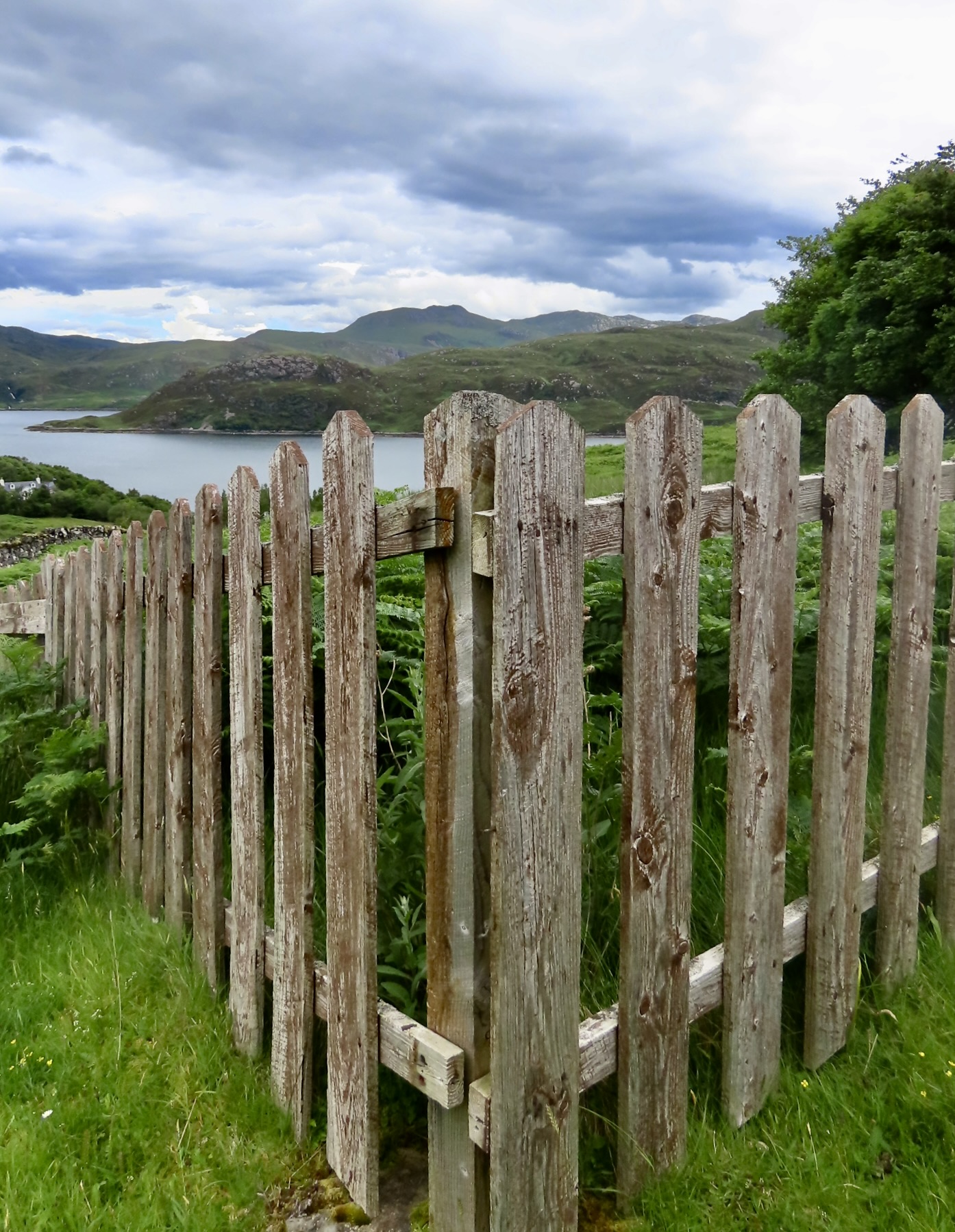
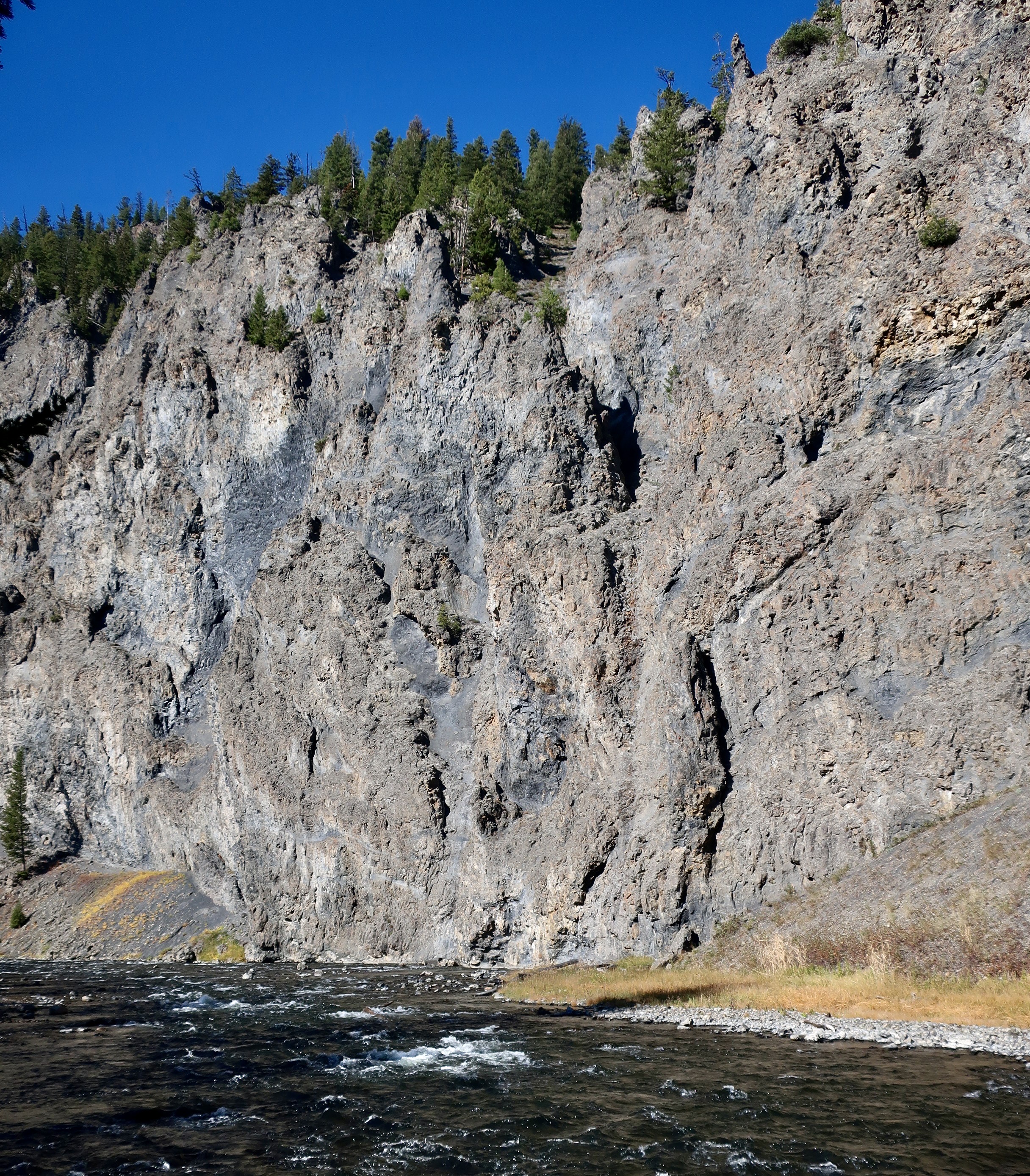
Mountains were in view almost everywhere on our CIE bus tour of the Highlands.A face in the mountains.Many of the mountains were quite rocky. Because of their different origins, the rocks of Scotland are different than the rocks of England. As are the fossils. The unique geology of Scotland led Scottish geologists to play an important role in the development of modern geology including concepts of deep time (the age of the earth), plate tectonics and structural mapping (vital in reconstructing the deformation history of the Earth’s crust).A rocky cliff face.I was impressed by the way these rocks led into this photo of mountains.These large boulders with their lichen were perched above a firth.Roads like this call my name. “Follow me, Curt,” they demand. We were on the Isle of Skye and my tour bus guide would have been unhappy if he would have had to chase me down. Sigh. I behaved. Instead….We took a photo of us along with our guide and bus driver. They were both named Graham. Our guide is between Peggy and me and our bus driver is standing next to Cody. The rock pinnacle in the background is called the Old Man of Storr. Storr, the volcanic ridge to the right, was given its name by the Vikings. It means great or large.The sunlight behind the Old Man of Storr gave it a shadowy appearance.This Old Man of Storr from the other side. They say if you have the right angle, the rock looks like an old man. I’m fairly good at seeing faces, people, animals and monsters in rocks. Nothing stood out here for me. Must have been the wrong angle. Judging from the light outline on the righthand side, maybe he ghosted me.Because of the volcanic flows of basaltic rock on the Isle of Skye, there are a number of dramatic sea cliffs like this one located near the Old Man of Storr. The flow is obvious, sitting on top of the cliff. Being harder than the rocks under it, it forms a cap. As the lower rock eroded back into the cliff, the basalt cracks and falls into the ocean, forming the steep cliff. The fence in the foreground is designed to keep visitors from wandering over to the edge to look down, or worse, take selfies on the edge. “Look at me, look at me! Whoops!”There is more to scenery than nature, however. We took lots of photos of cattle and sheep.Historic ruins always caught our attention.Another perspective.This small castle was nearby. It was designed for defense.We found this unique bit of ‘scenery’ on Orkney Island. It’s a 1950’s era Chevy pickup. Its creation dates back to Covid, when the Orkney stone mason John Hamilton found himself with a lot of spare time on his hands. Operating under the inspiration of Don McLeans 1971 “Drove my Chevy to the levee but the levee was dry” he built his pickup to the exact size of an original Chevy pickup using only stones and masonry (no standard bricks). Visitors are invited to take all the photos they want— and make a contribution to local charities. It’s a win-win.Winding things down here, given all the stones there are in the Highlands, is it any surprise there are lots of stone fences? As fences go, they are close to impossible to beat in terms of scenic value. I’d be remiss if I didn’t include this stone wall in the small northern community of Durness, Scotland. It was built by our guide, Graham Bruce, who had been headteacher in the local school there for 29 years.An old wooden fence runs a close second, however. That’s it for today. You may be saying, finally! Our next post will feature the towering mountains of Grand Teton National Park in Wyoming’s Rocky Mountains.
On a personal note, I was working on this post when Peggy exclaimed, “Curt, your blog had now received over one million views since you started !” It was worth noting. We celebrated.
Today, Peggy and I are wrapping up Arches NP as the first in our series featuring 25 national parks as a way of celebrating America’s 250th Birthday.
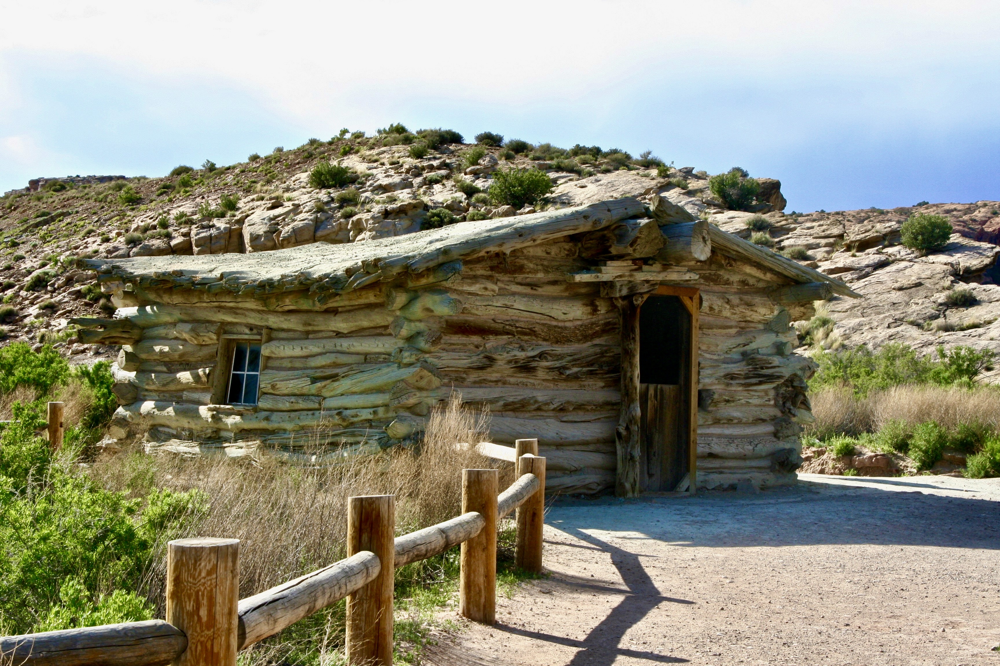
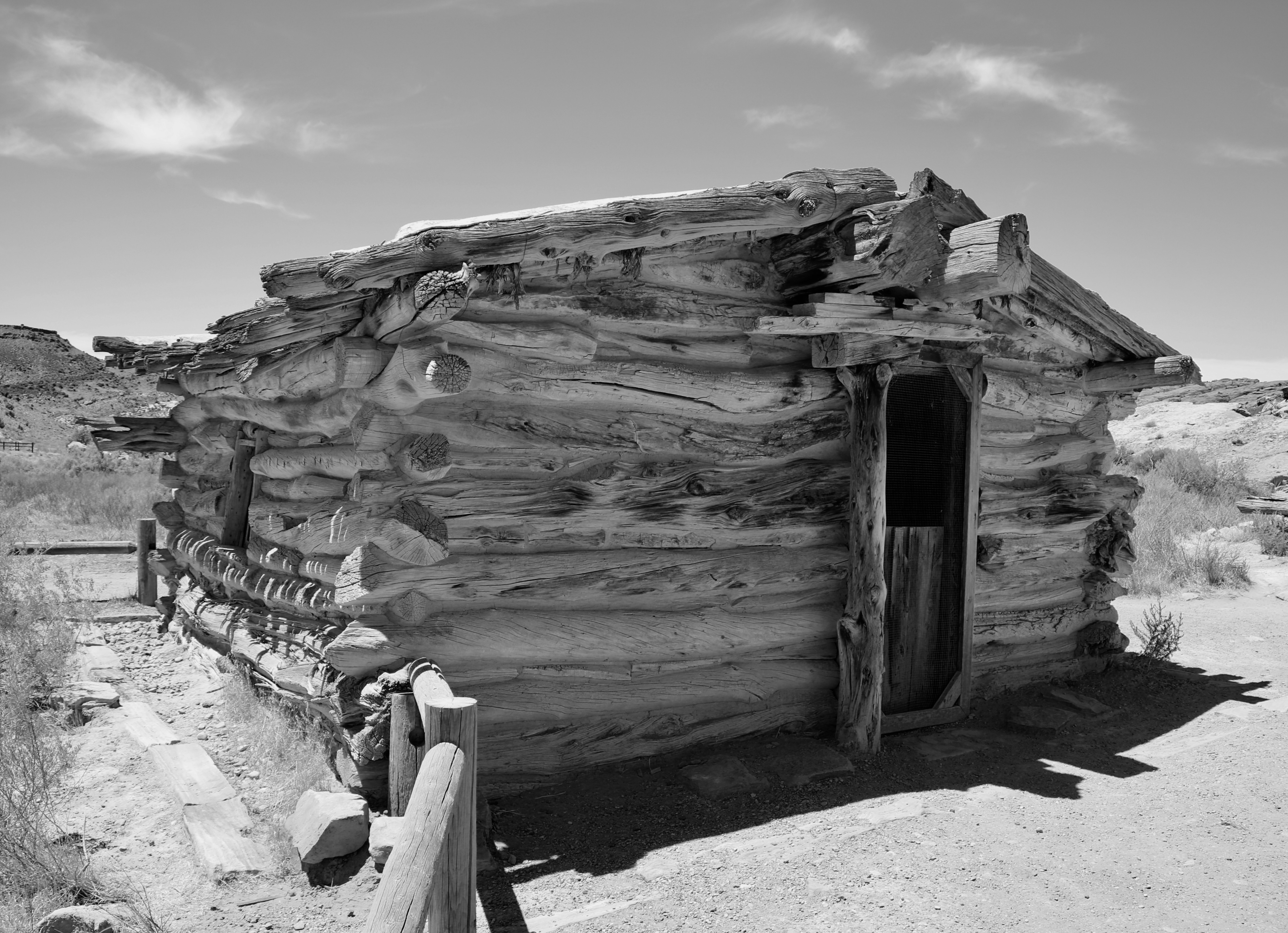
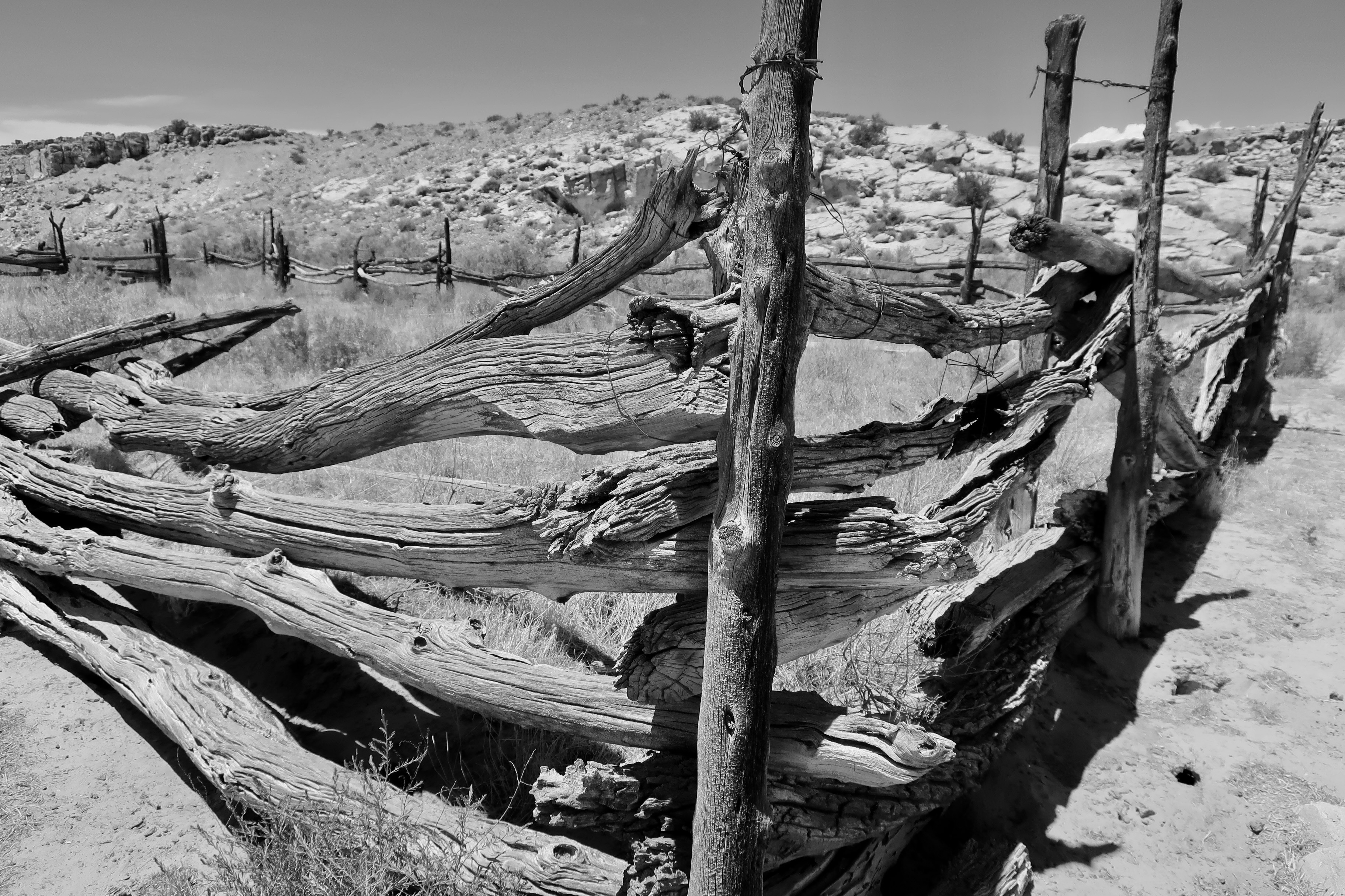
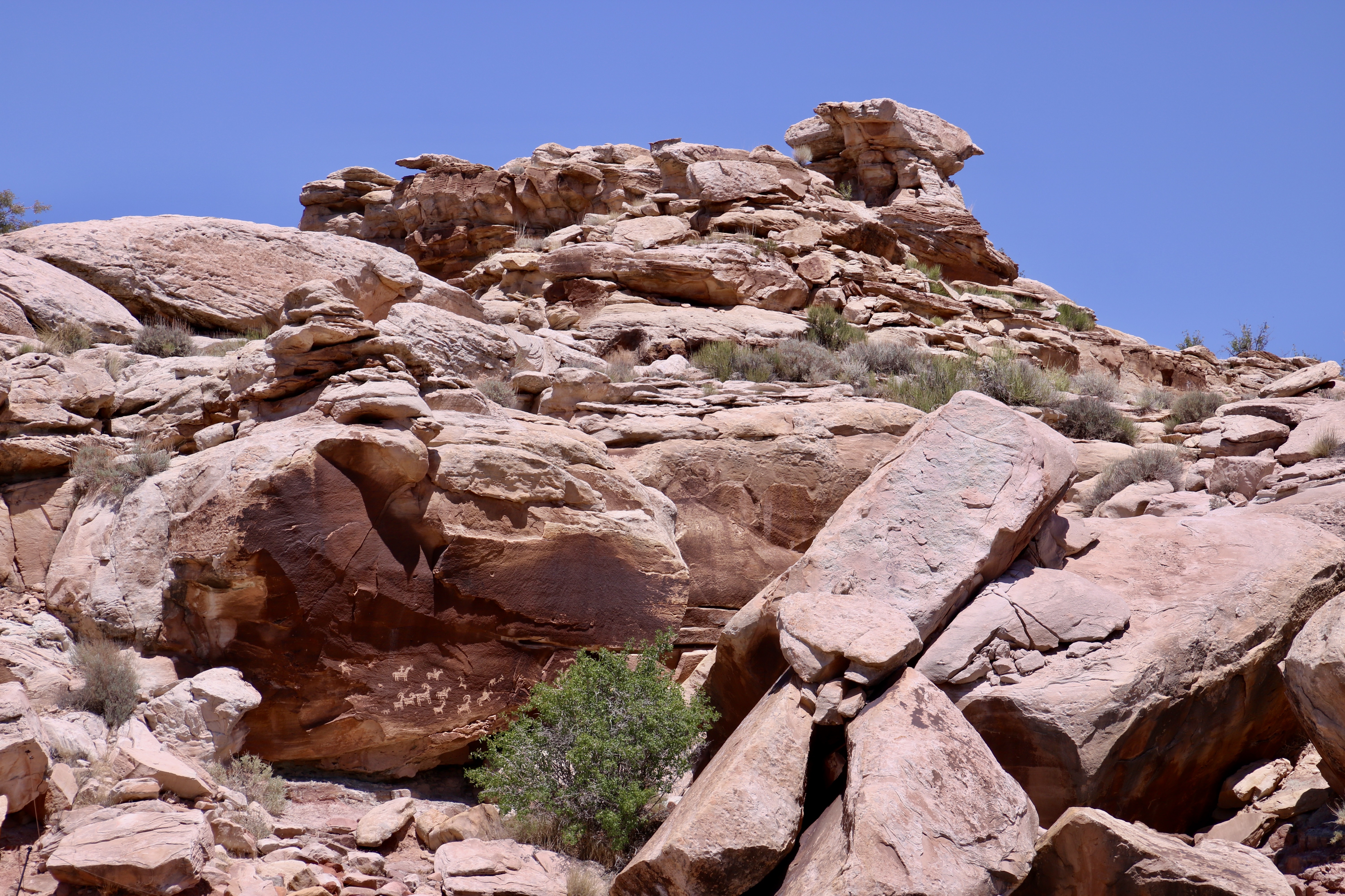
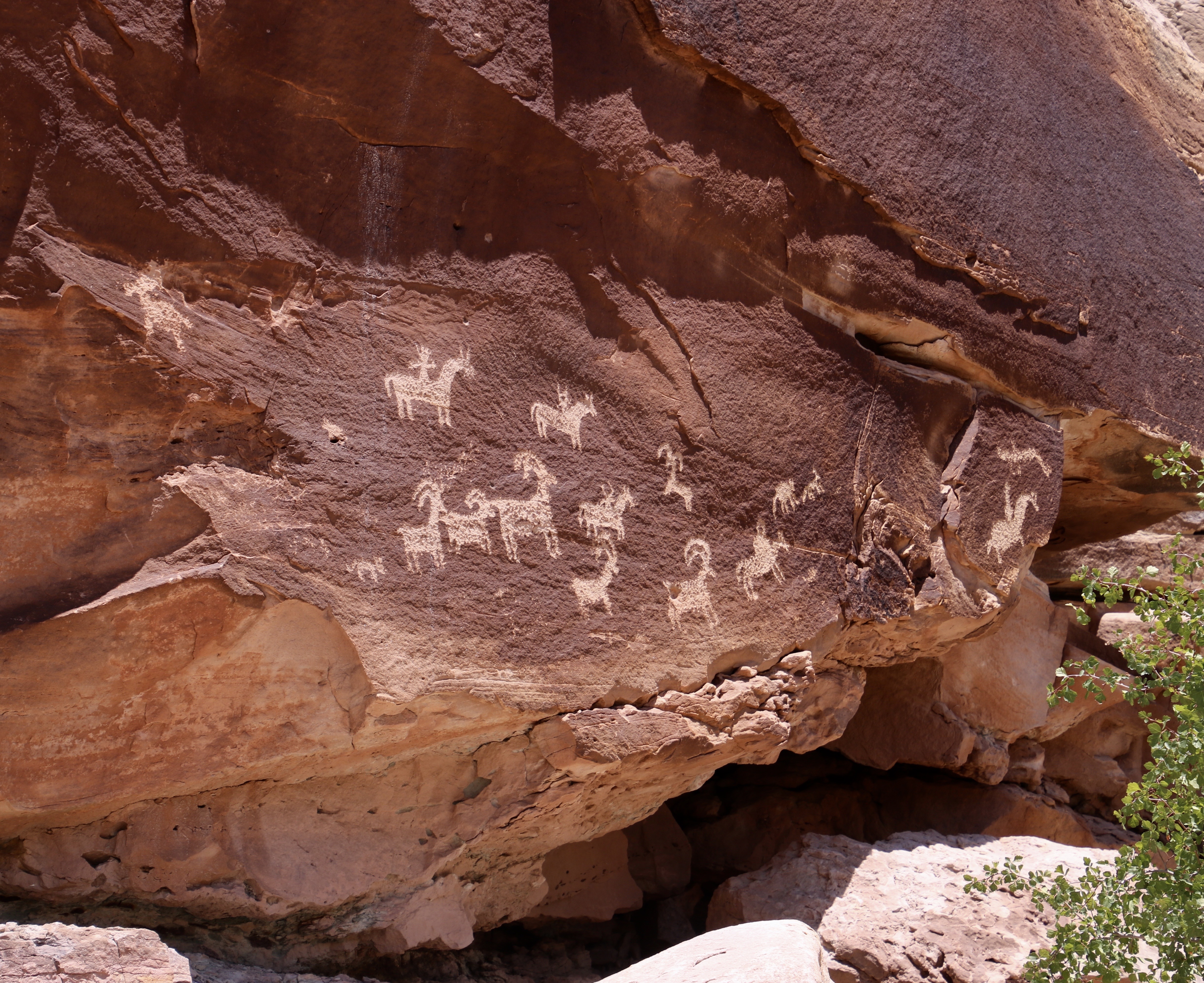
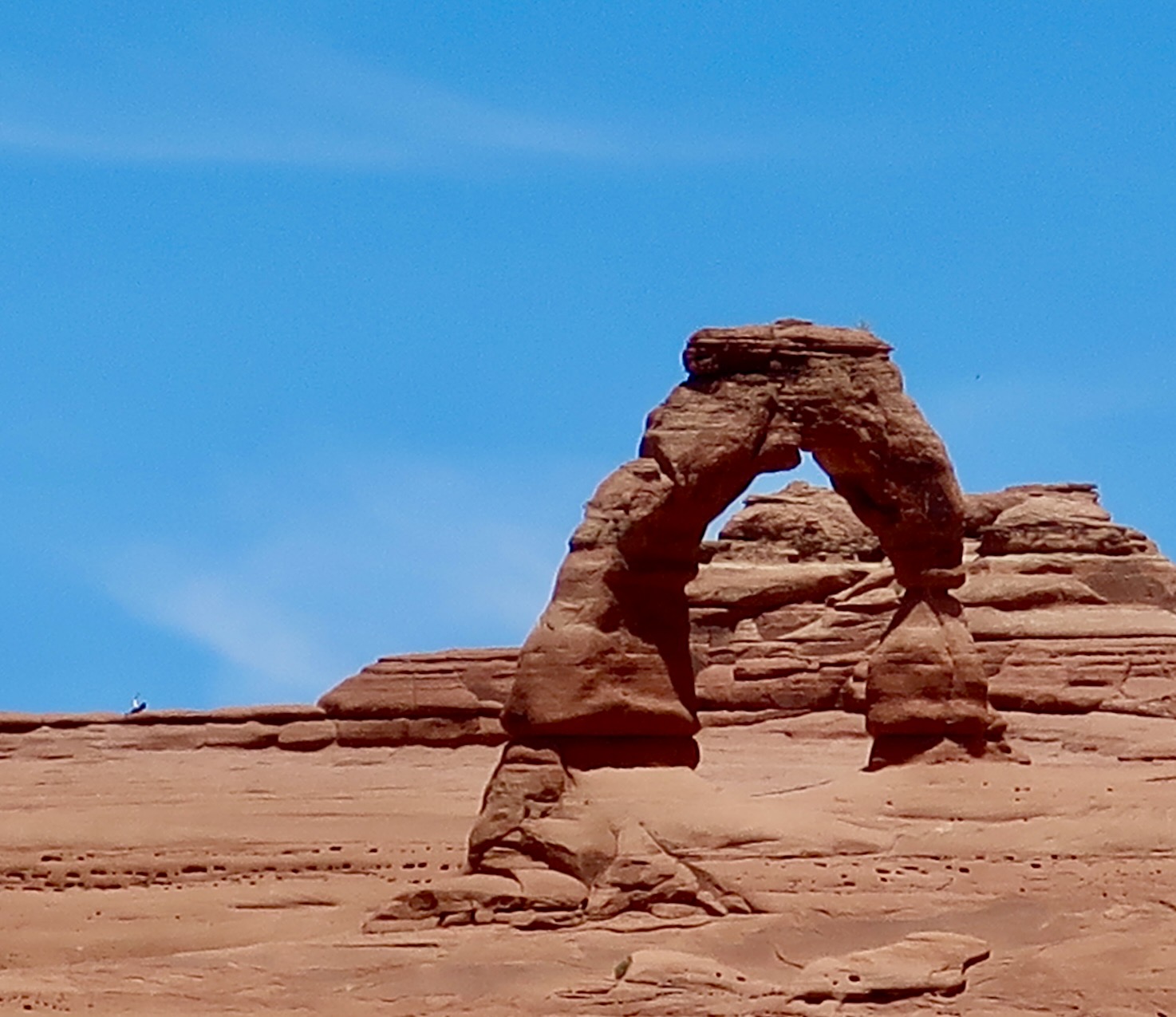
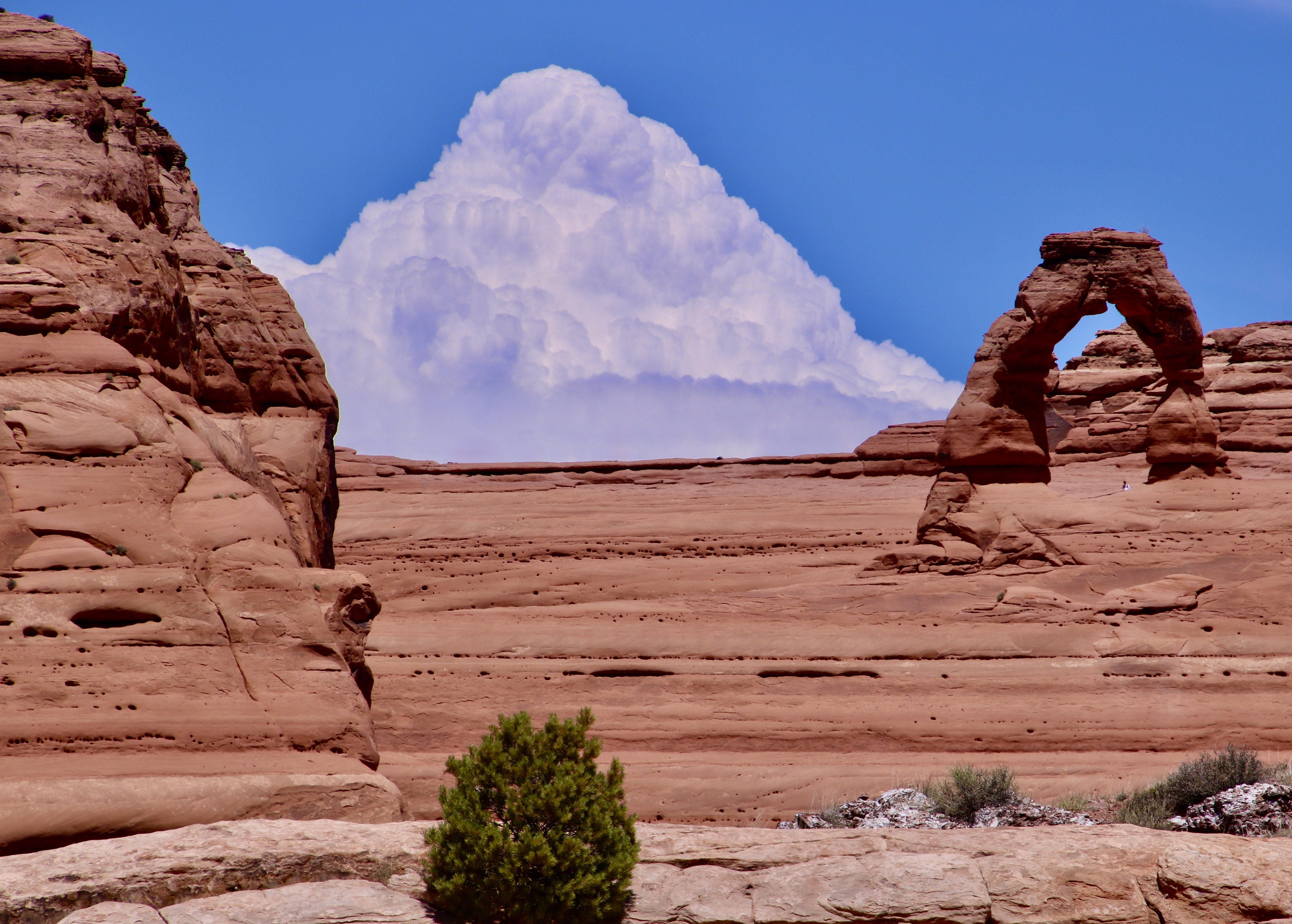
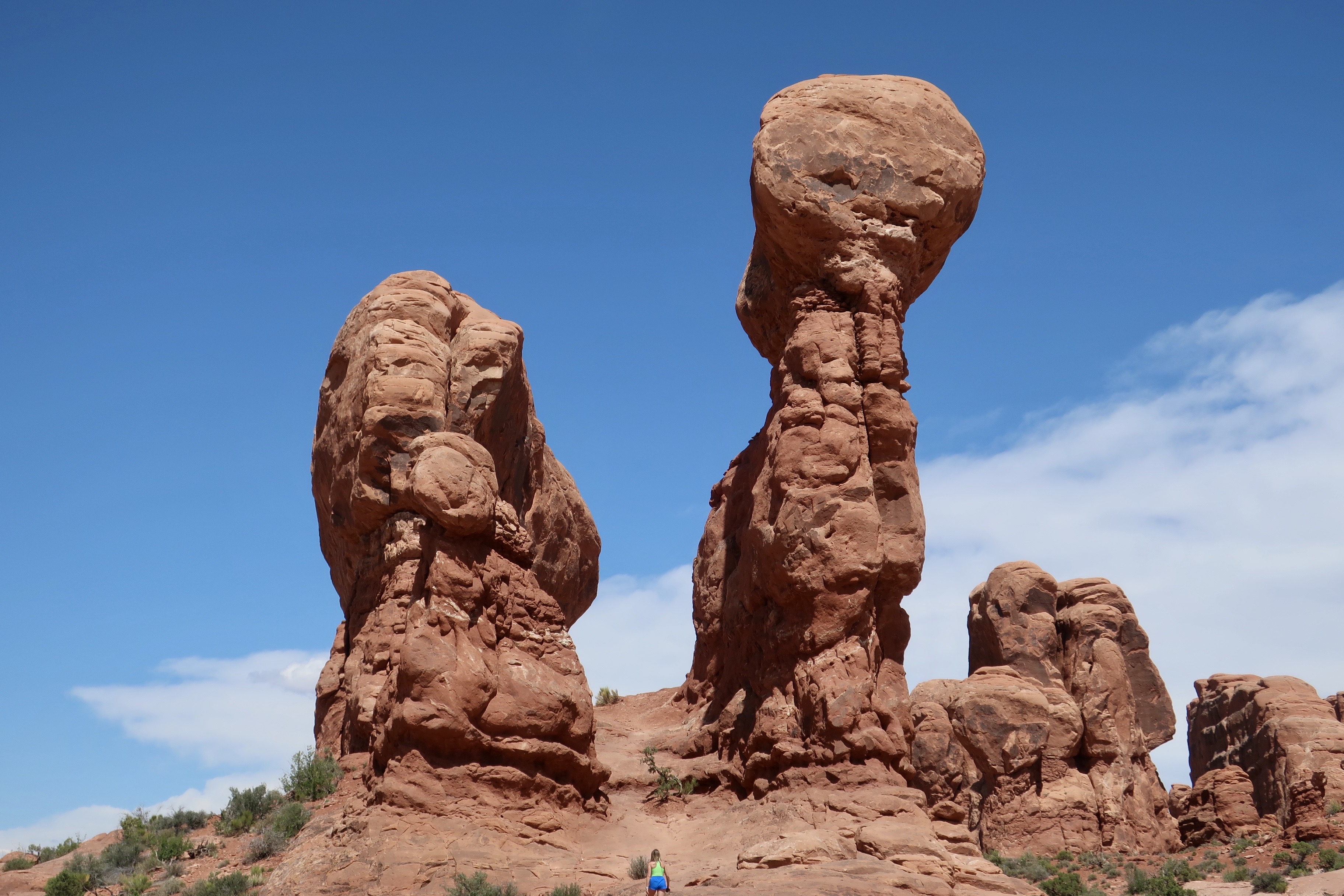
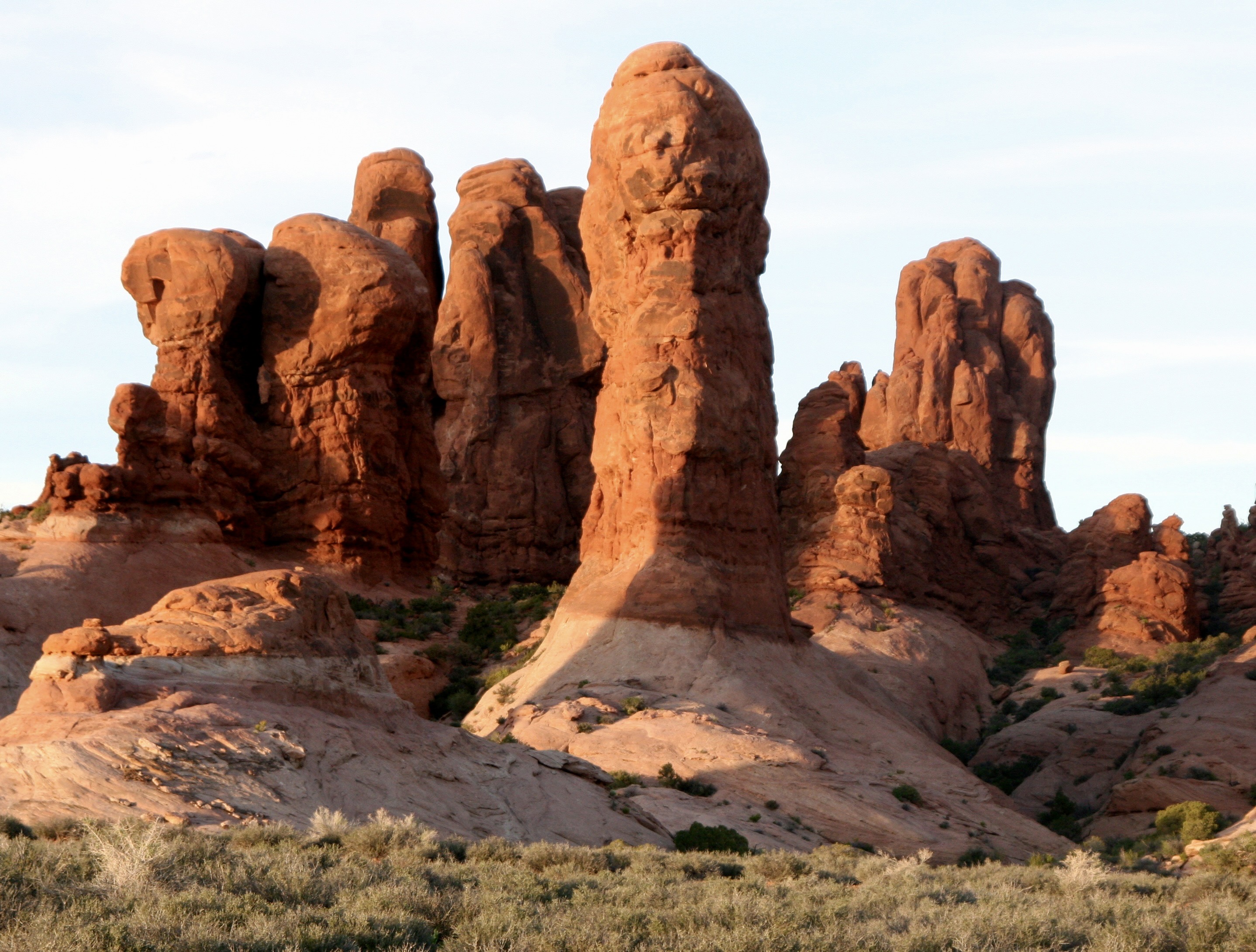
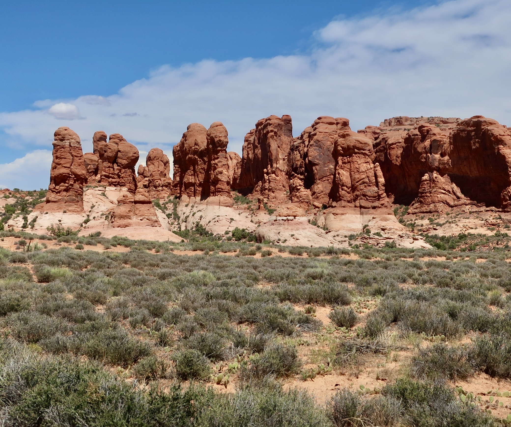
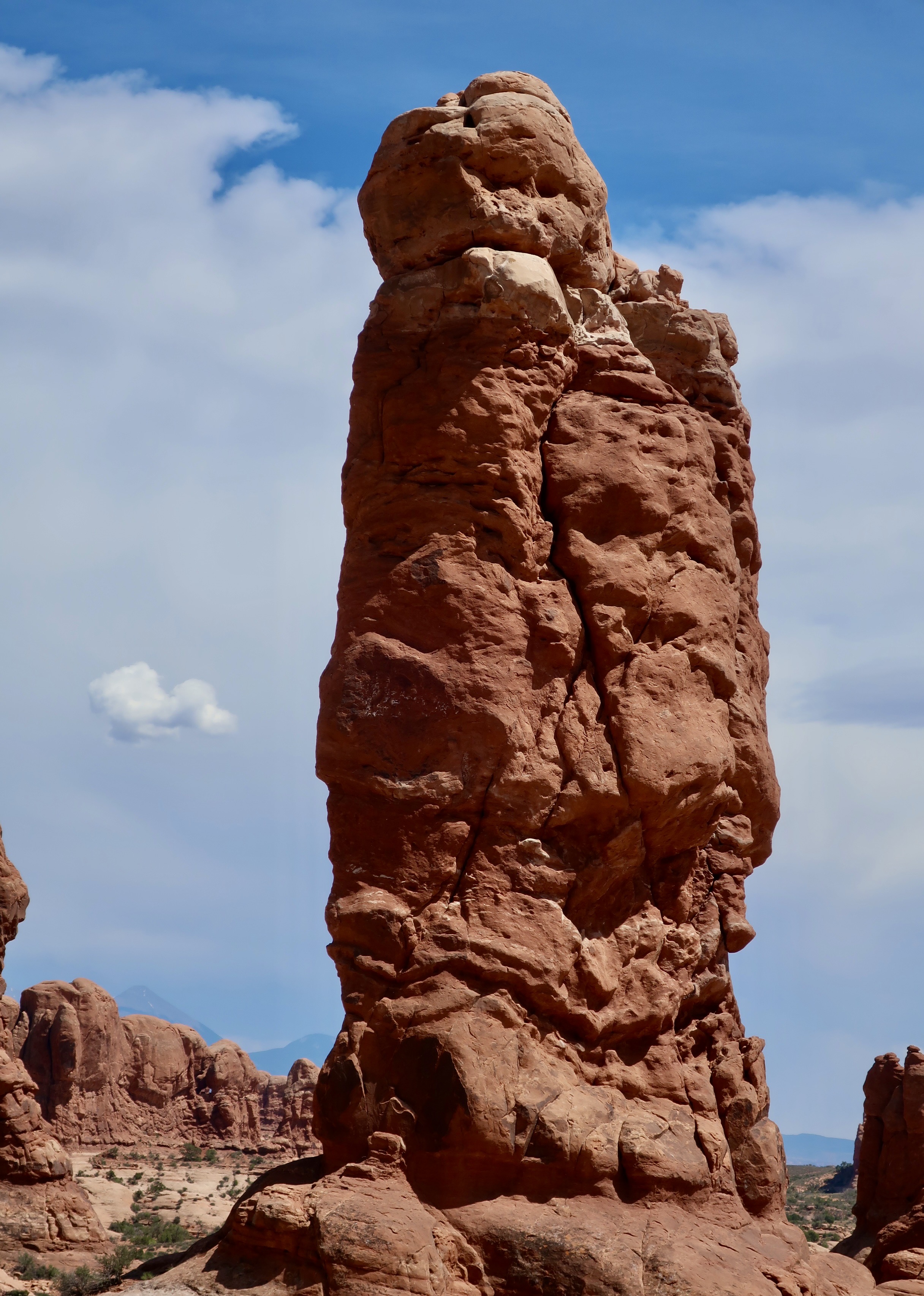
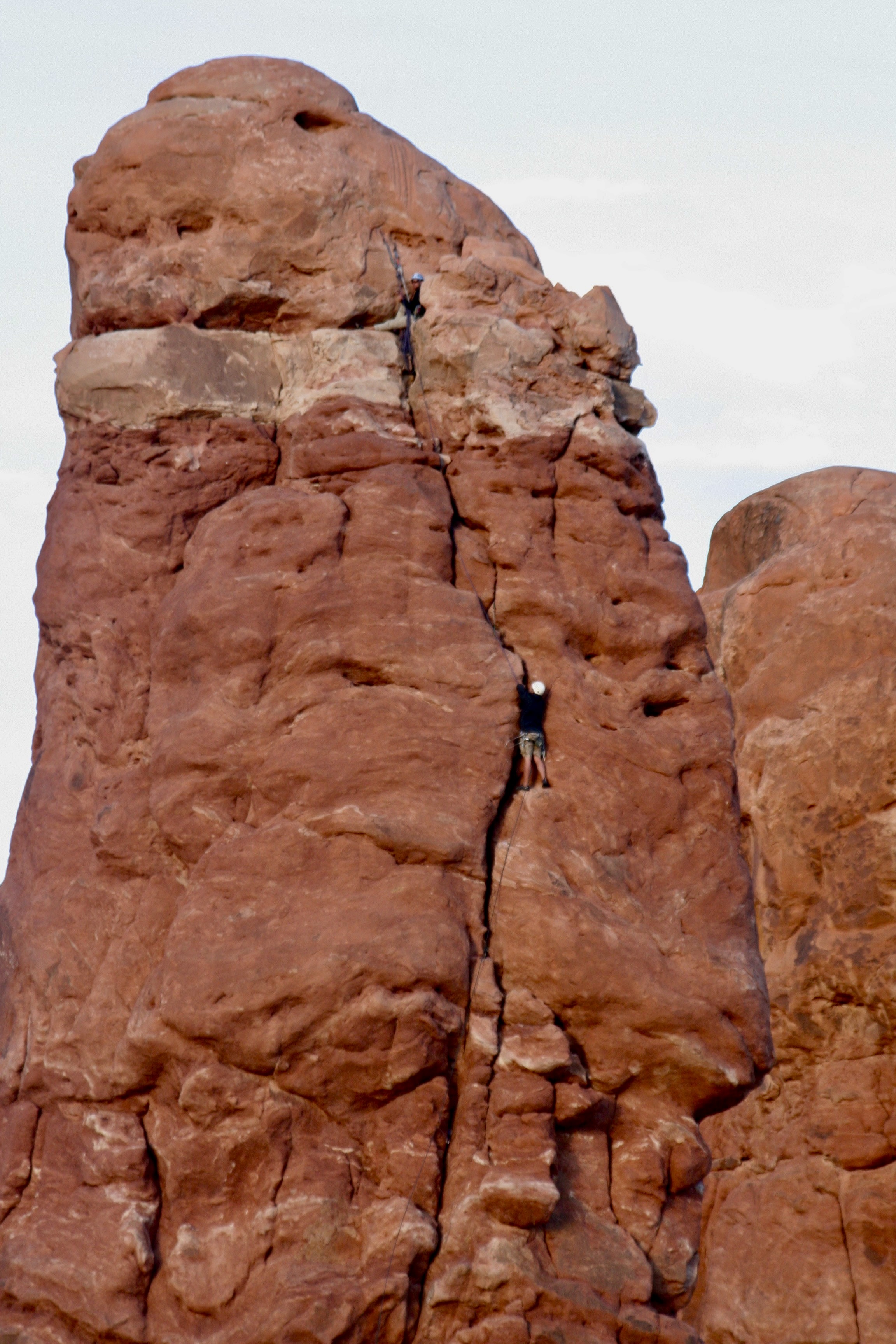
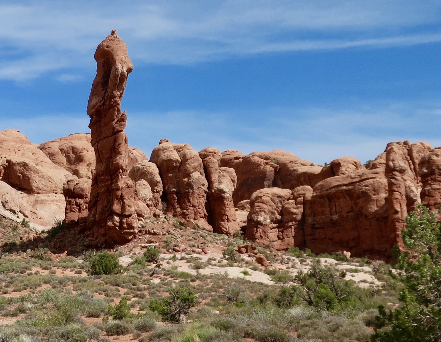
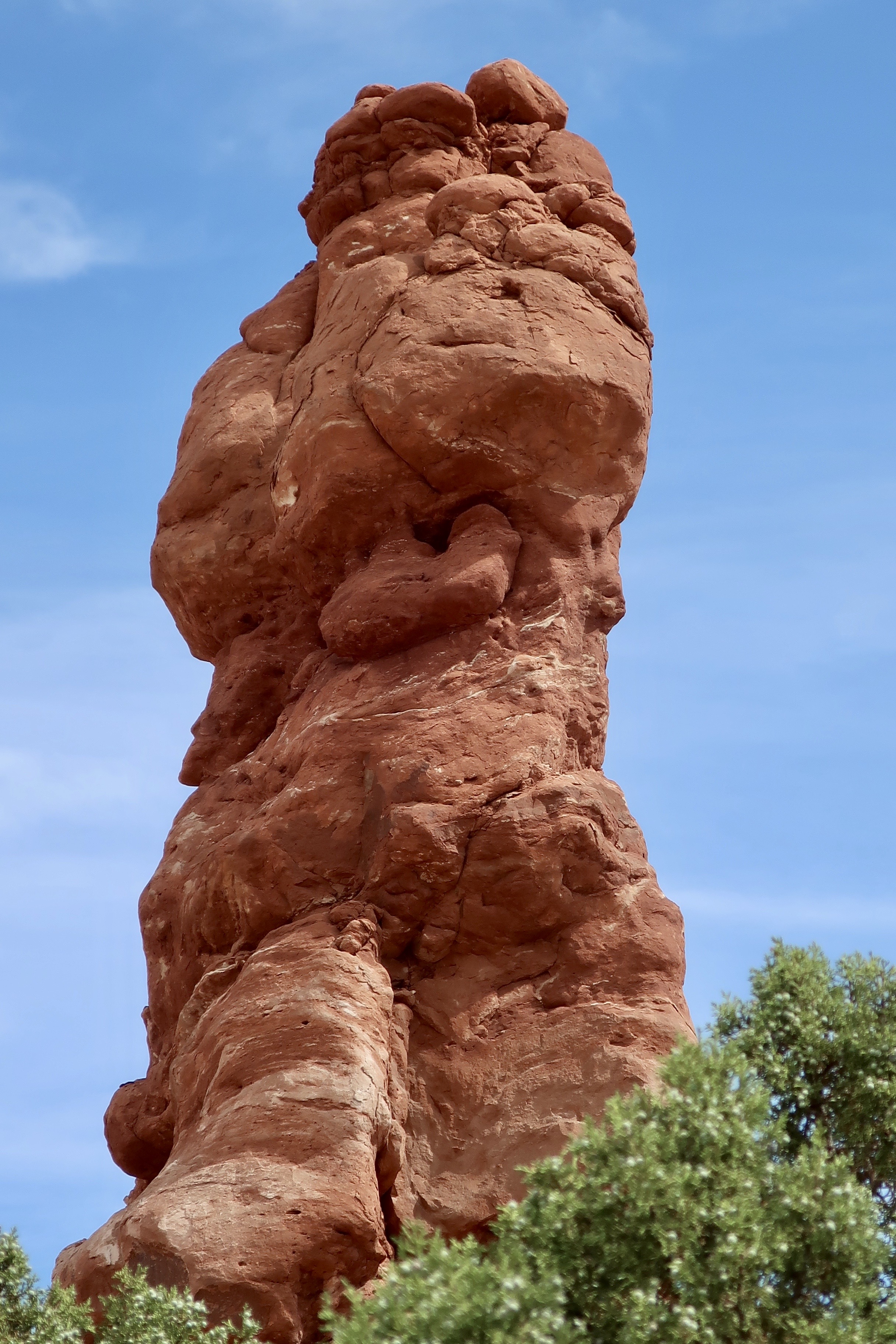
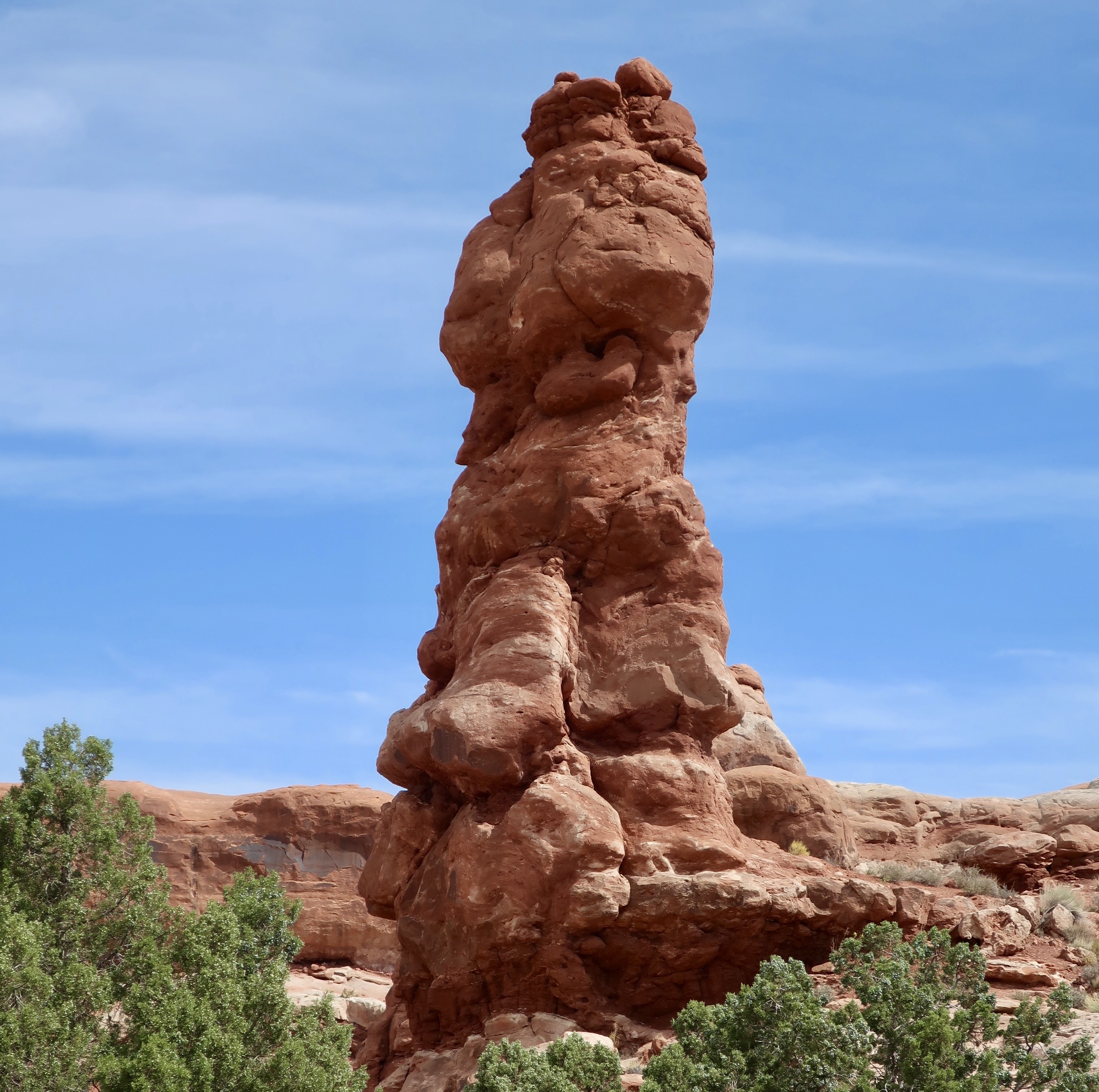
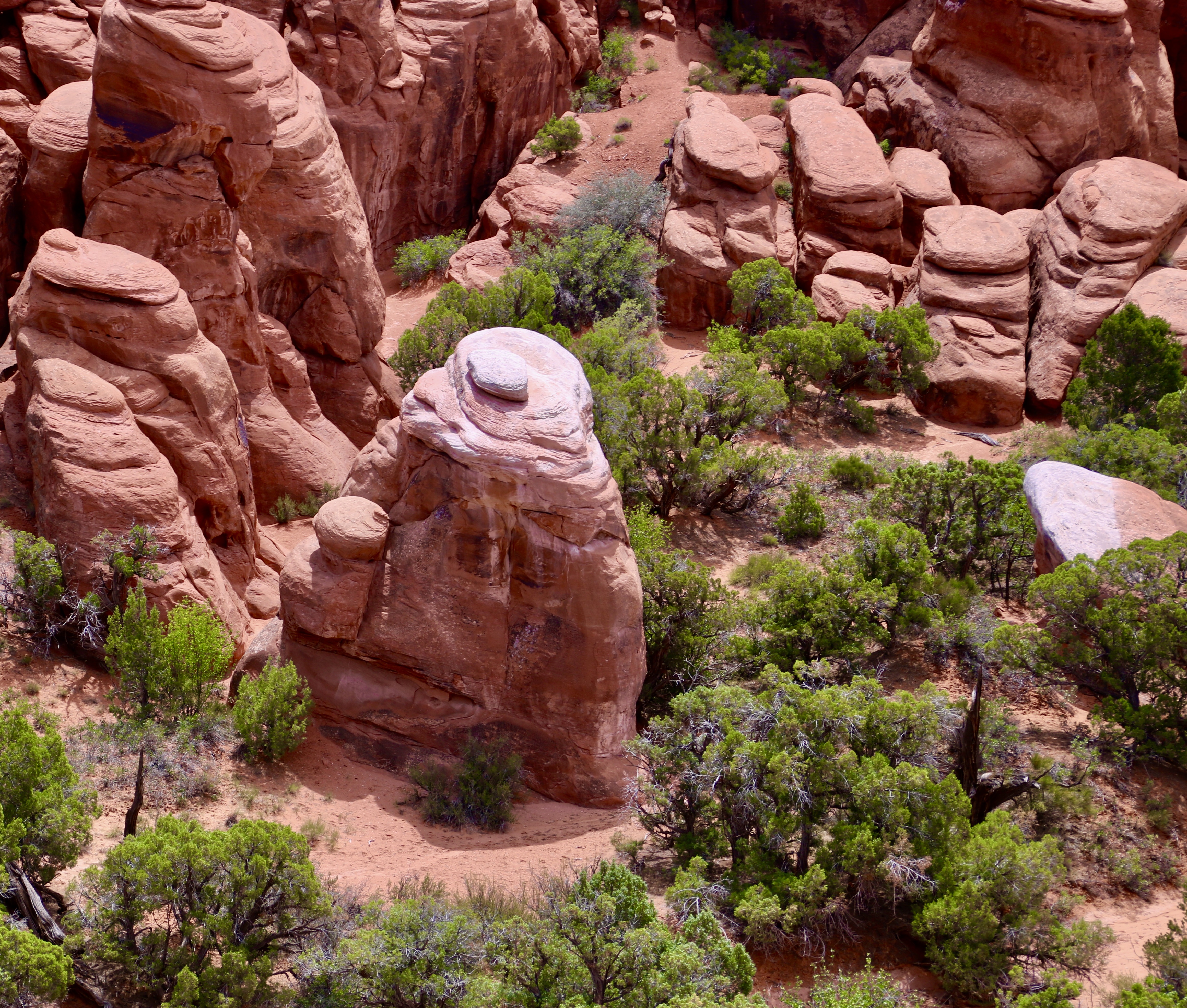
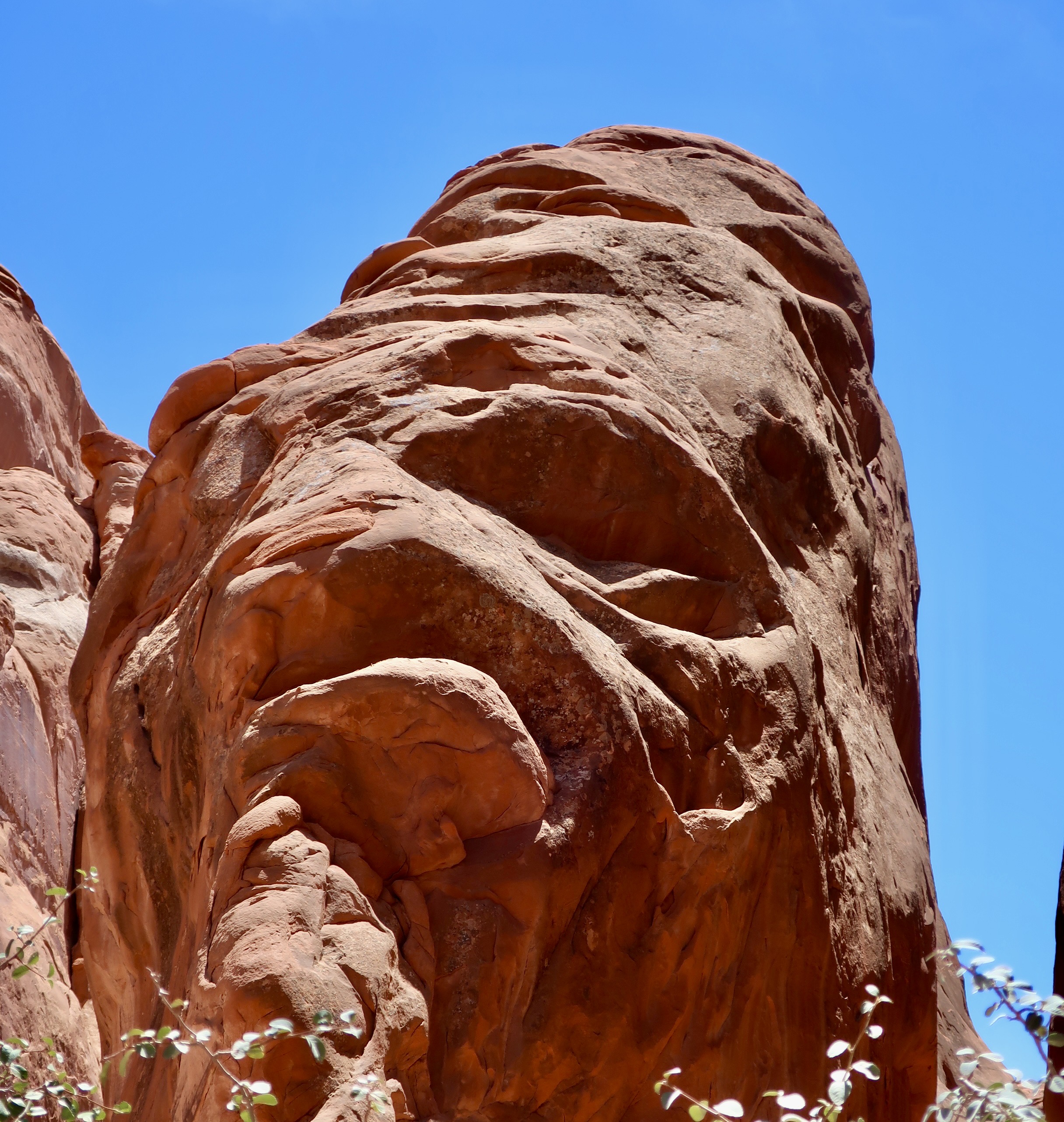
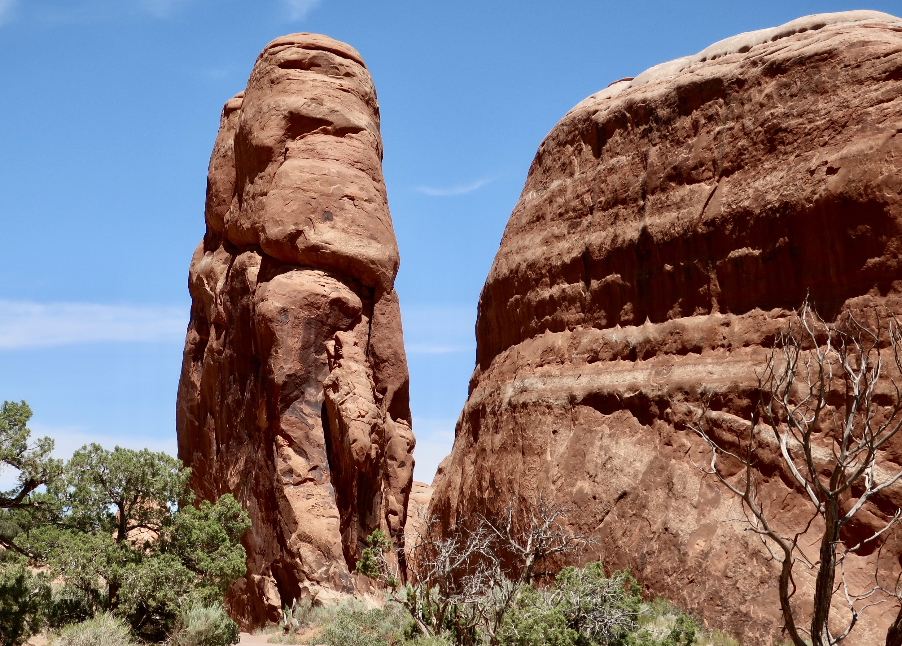
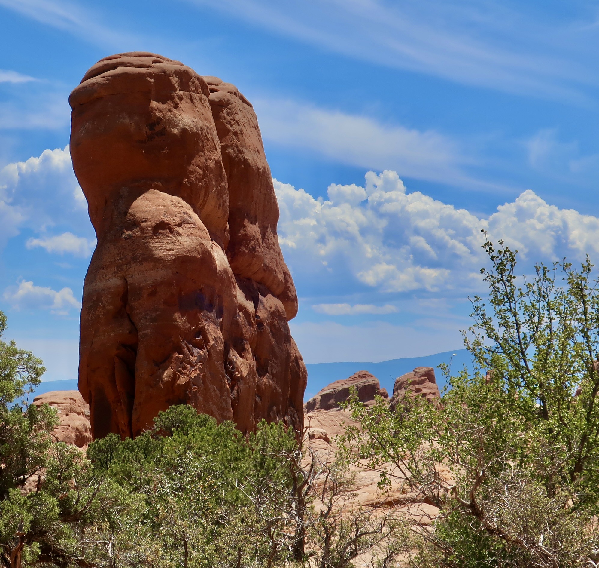
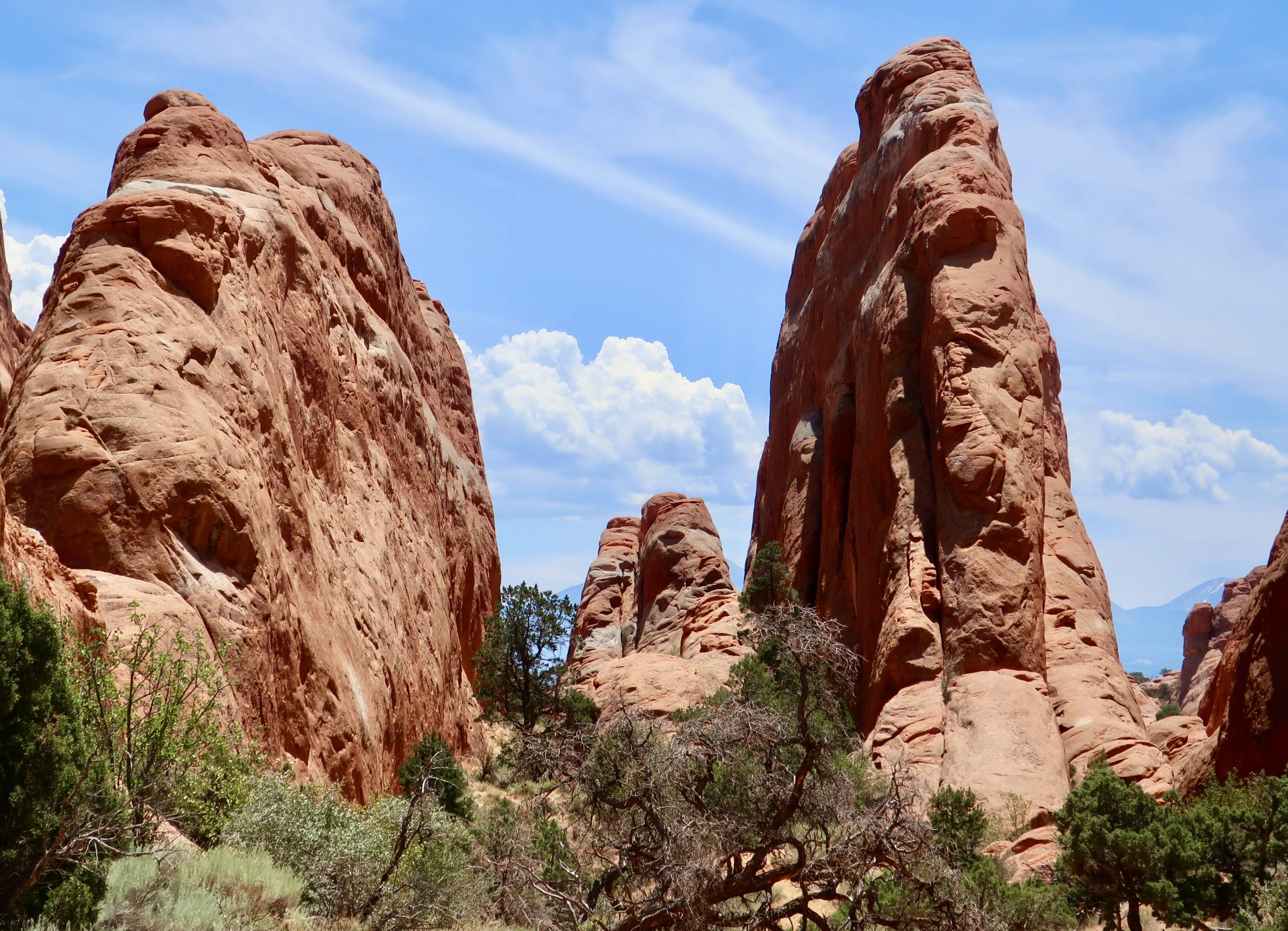
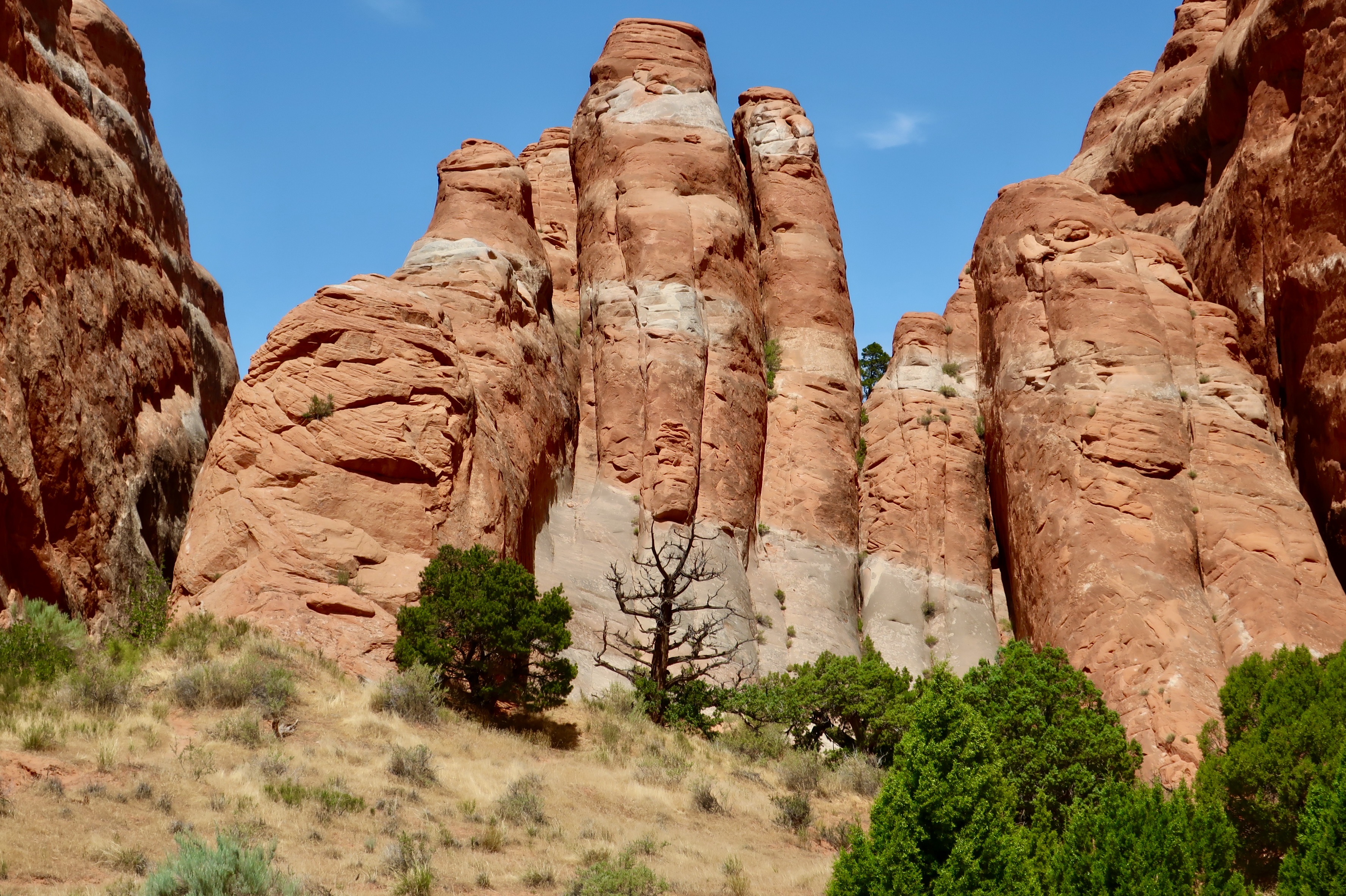
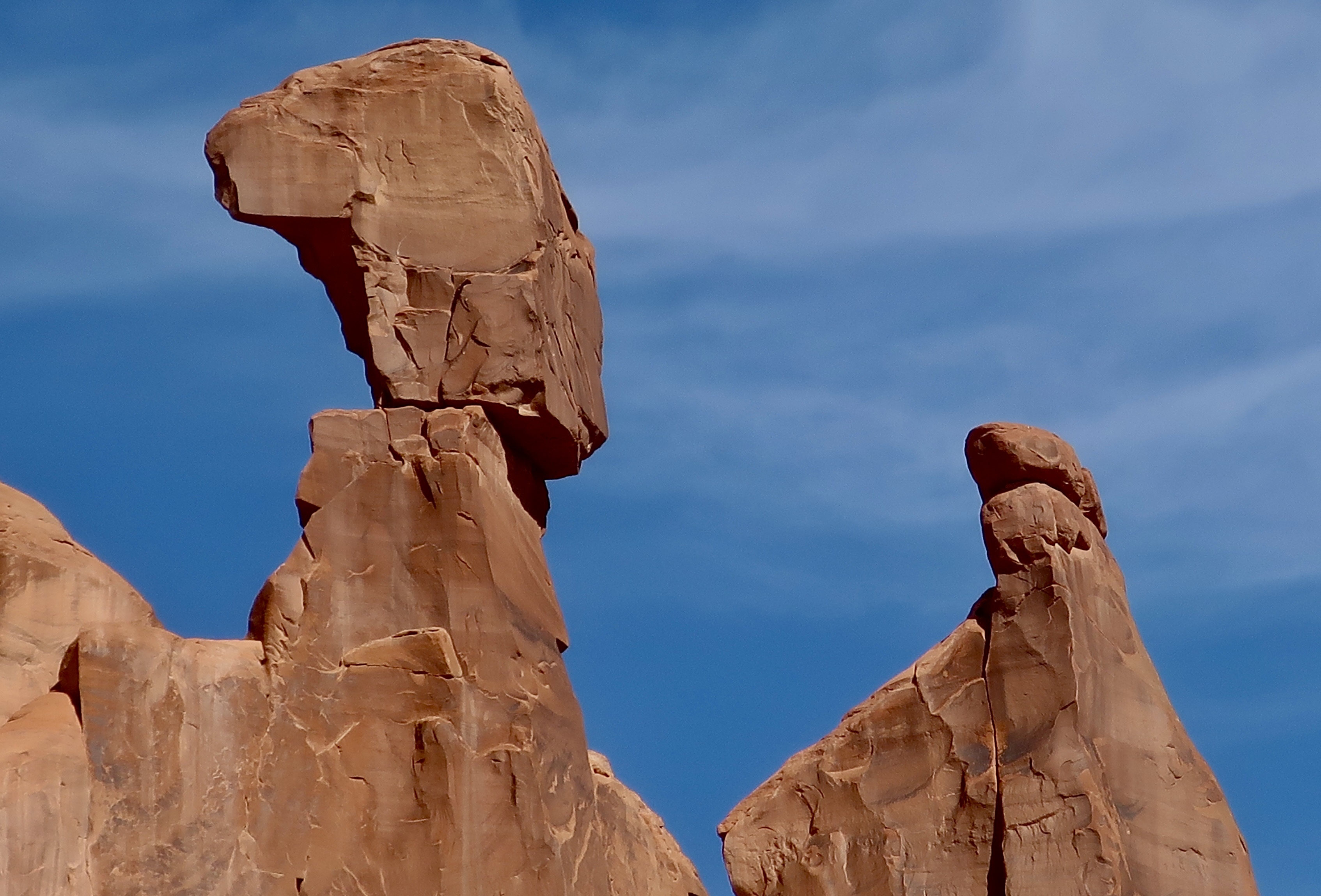
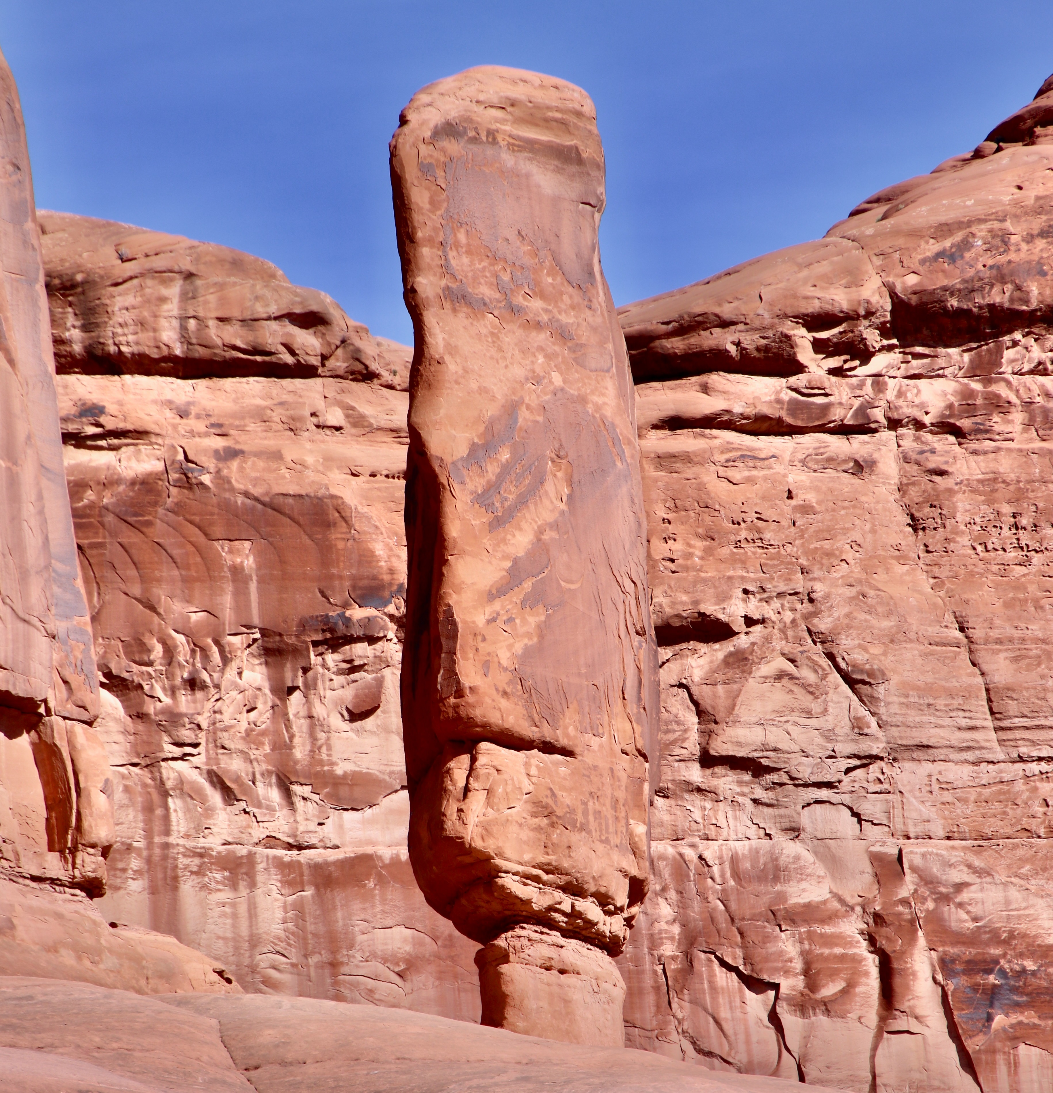
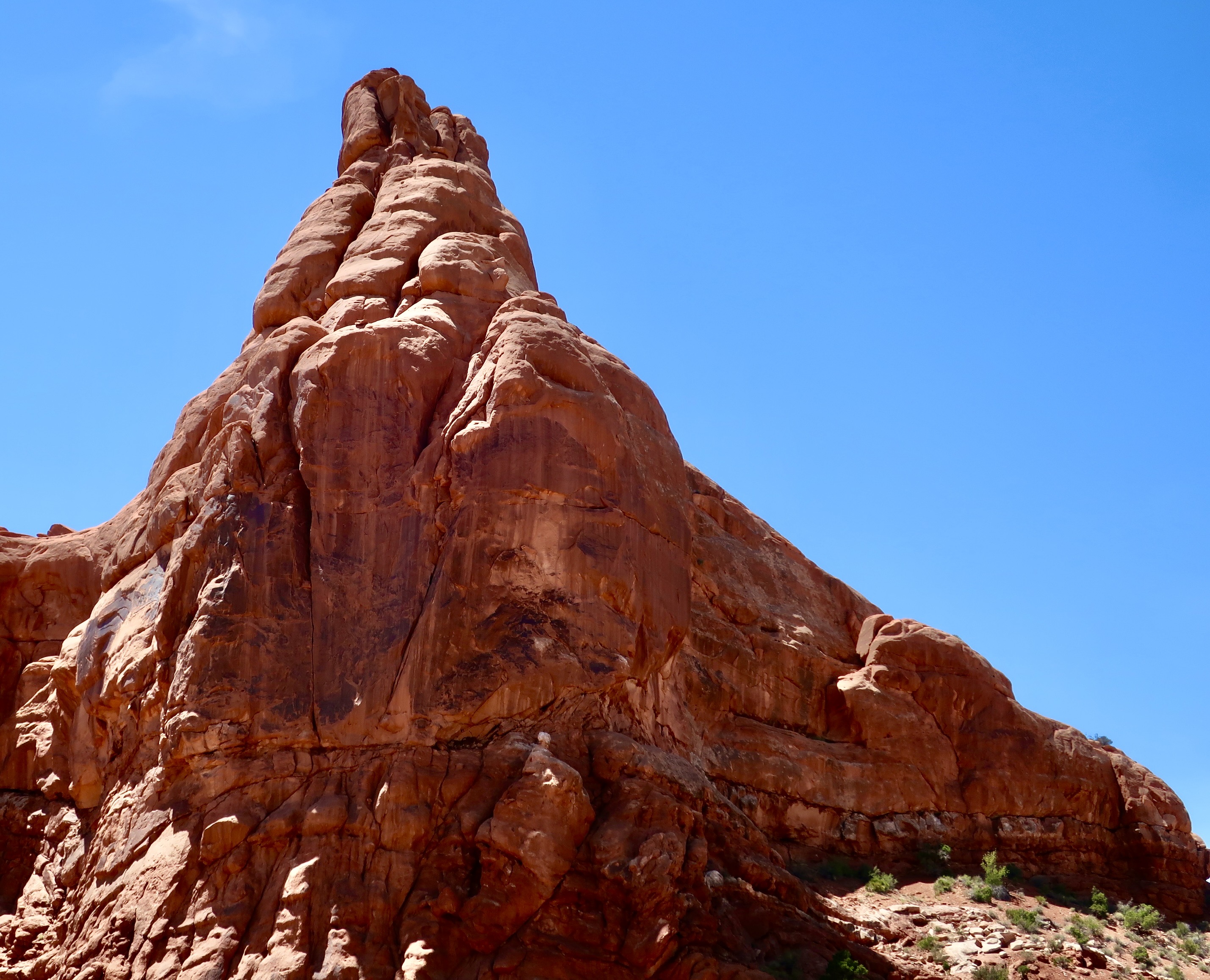
Driving out from the Devil’s Garden, which I covered in my last post, Peggy and I stopped at the historic Wolfe Ranch. It is also the site of Ute Indian pictographs, and the Delicate Arch. Arriving here in 1898 with his son Fred, the 69 year old veteran of the Civil War, John Wesley Wolfe, established a 100 acre ranch where he raised cattle for 10 years.The Old West age of the cabin led me to render it in black and white.Which I also did with the ranch’s original cattle pen.Before Wolfe’s time, the Ute Indians and other tribes had occupied the area, taking advantage of the same spring Wolfe used. The Utes left behind an interesting panel of pictographs that is located above the cabin. Peggy and I have often found petroglyphs and pictographs near water sources in our wandering through the Southwest. These would have been created sometime between 1650 and 1850. The 1650 date comes from the fact that the Utes were riding horses. Horses were not available in North America until they were introduced by Spanish treasure hunters in the 1600s.The Utes riding horses and a dog seem to be herding bighorn sheep, probably toward some type of trap. At least, that’s my interpretation based on the arm positions of the Utes and the location of the dog, possibly to a corral or over a cliff, a trick used by natives with buffalo. The edge of the rock may have signified the cliff. It’s hard to imagine bighorn being herded, however. And it’s easy to imagine their escaping to places the horses couldn’t go. “You want me to jump? Fine. One of my favorite ledges is just over the cliff!”Wolfe’s cabin is also the start of the trail that leads up to Delicate Arch. It is the National Park’s best known arch and an icon for Utah— appearing on license plates, road signs, and in tourist campaigns to encourage people to visit the state..When we arrived, the clouds that we had watched in Devil’s Garden continued to provide a dramatic backdrop. White throated swifts nest in crevices on the Delicate Arch in the summer.If you are following this blog, you will have already visited the Fiery Furnace and the Devil’s Garden in Arches National Park. It’s time to visit the Garden of Eden. My understanding is that early pioneers felt that these two figures resembled Adam and Eve and the surrounding rocks represented a fertile garden. I don’t know about the garden, but they certainly had fertile imaginations. Maybe if one wanders around in a desert long enough… Could Eve be holding up the apple and Adam looking off in the distance as an angel wings and a fiery sword approaches? If you dug around under the rocks, you would probably find a snake to tempt Eve, a rattlesnake. My guess is it would have offered her a dead rodent instead of an apple, however. Or a rock. A person in the foreground provides perspective on size.Is this the fertile garden? An irreverent thought crossed my mind. Maybe it was Adam the first time he saw Eve.Definitely part of the garden. Lots of apple trees, I’m sure. Every garden needs an owl, right? I read that this so-named hoodoo in the Garden is looking down at you. Maybe it’s thinking ‘dinner.’Apparently, climbing the tall hoodoos is a popular sport in Arches. Climbers must have permits and adhere to strict rules that eliminate environmental damage to the rocks.This tall, skinny hoodoo with a man bun is also located in the Garden of Eden.This large hoodoo was along the road between the Wolfe Ranch and the Windows Section. I believe it was opposite the Panorama Point shown on the lower map below. Its size and look earned it a place in this post.Another view.
And now onto what most people think of when they think of Arches NP: Arches. There are over 2000 in the park. It’s the highest concentration of stone arches in the world. The qualification to be an arch is that it must be at least 3 feet in diameter in all directions. I’ve selected six of the most famous arches for today’s post. I’ve already featured the Delicate Arch. Three more are in the Windows section of the park. The other two are between the Delicate Arch and Windows. We missed one of the most famous by cutting our Devil’s Garden walk short: The Landscape Arch. It’s over 300 feet long, making it the longest arch in North America. I’m sorry we missed it.
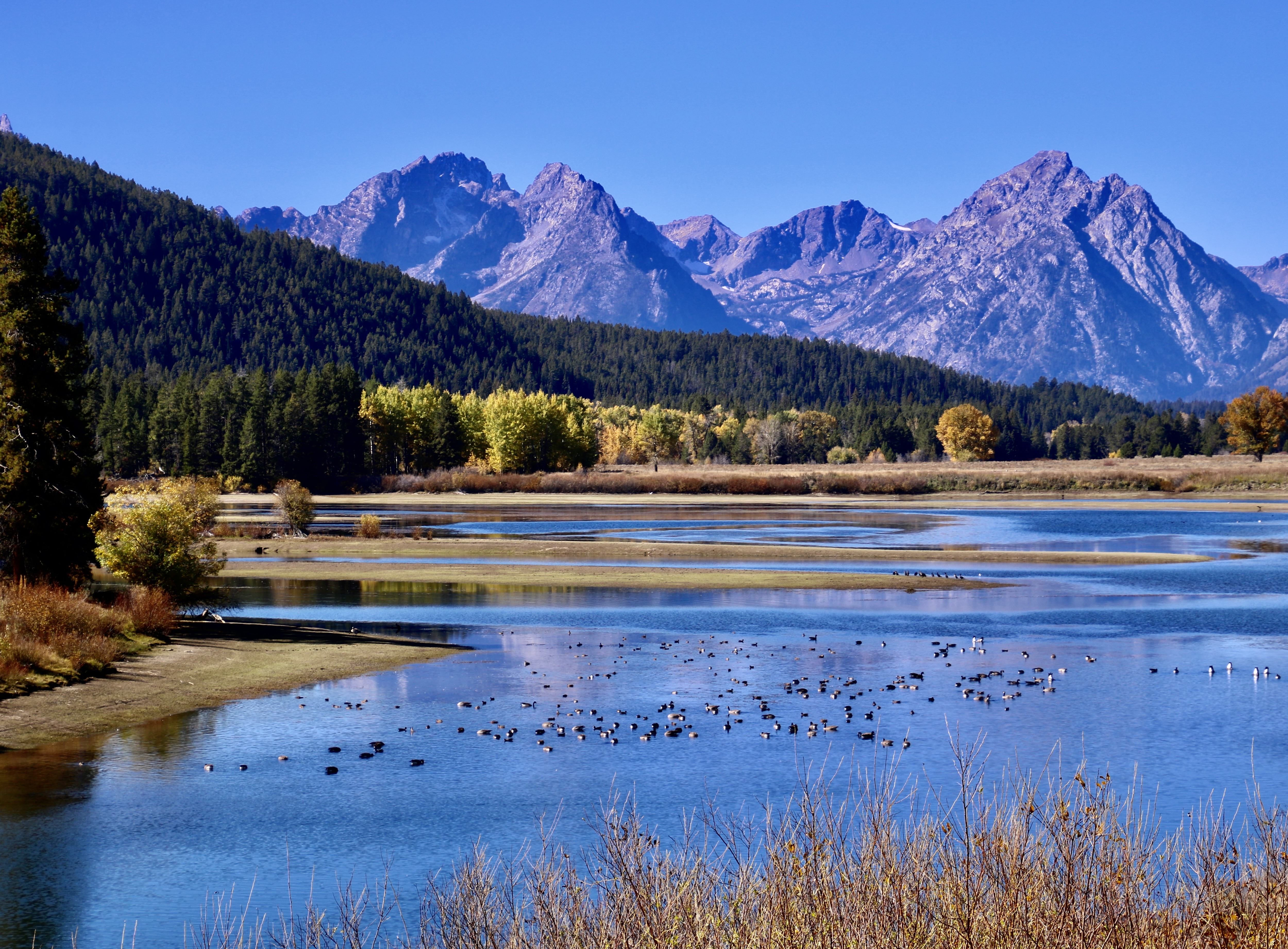
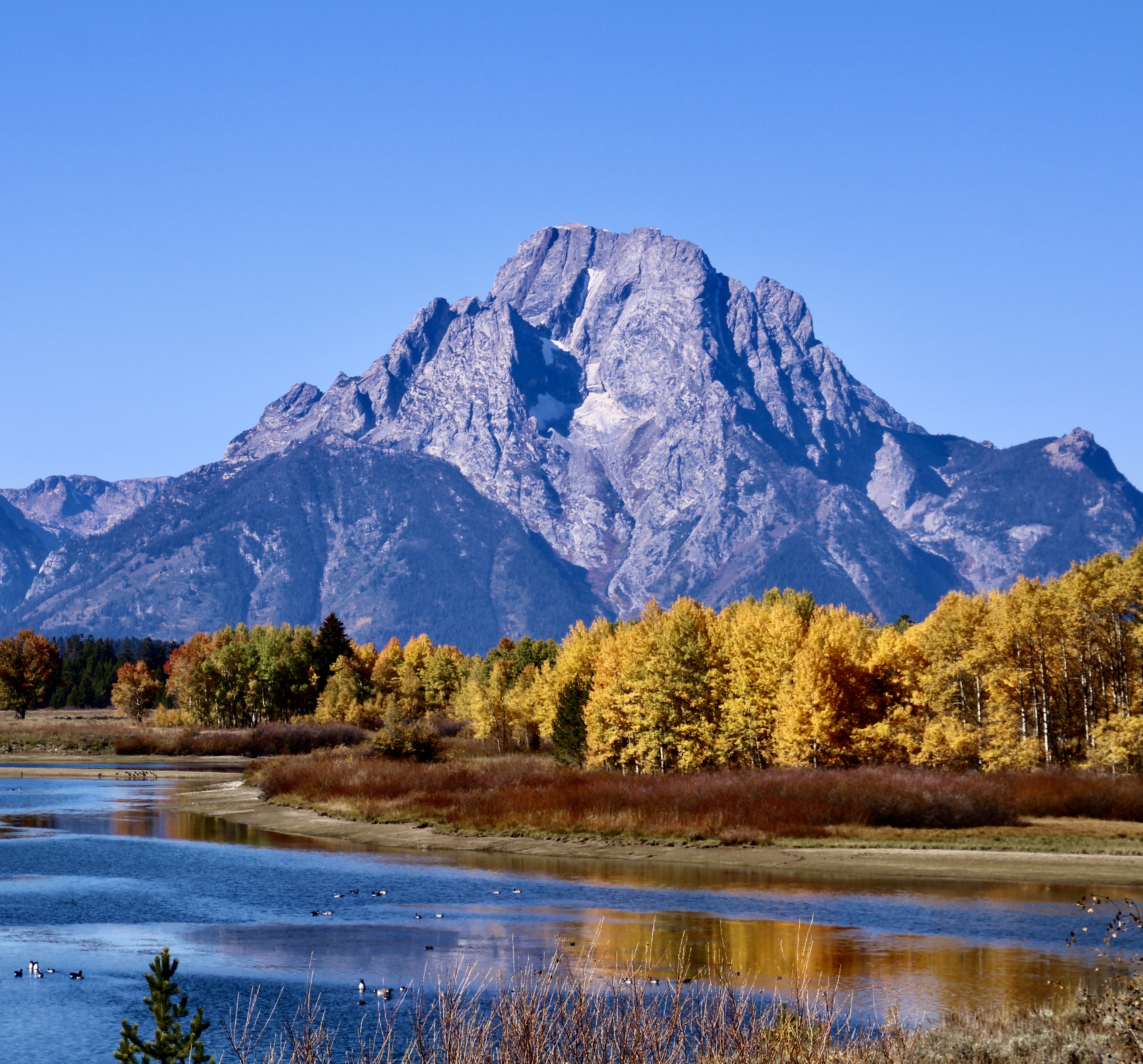
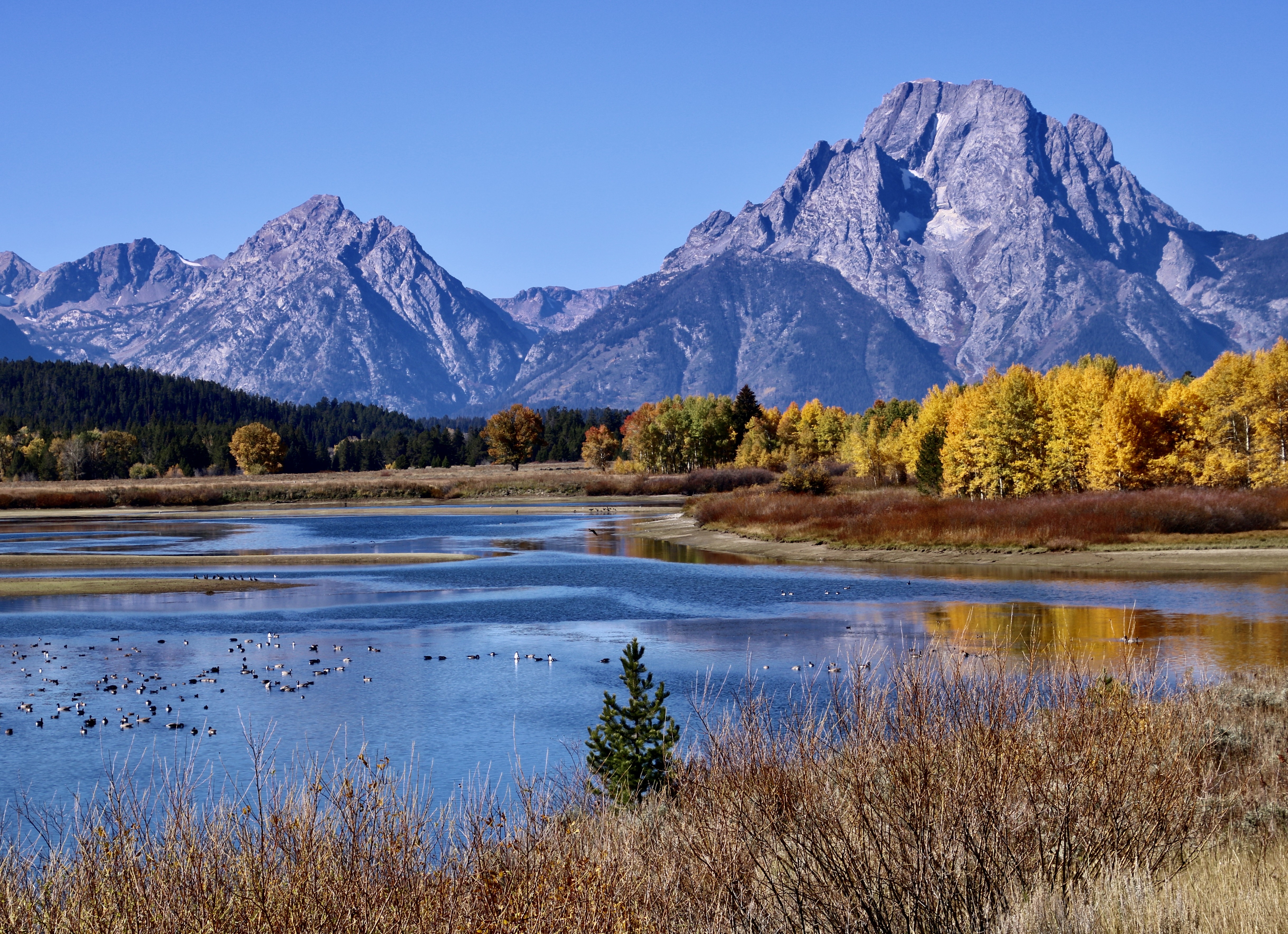
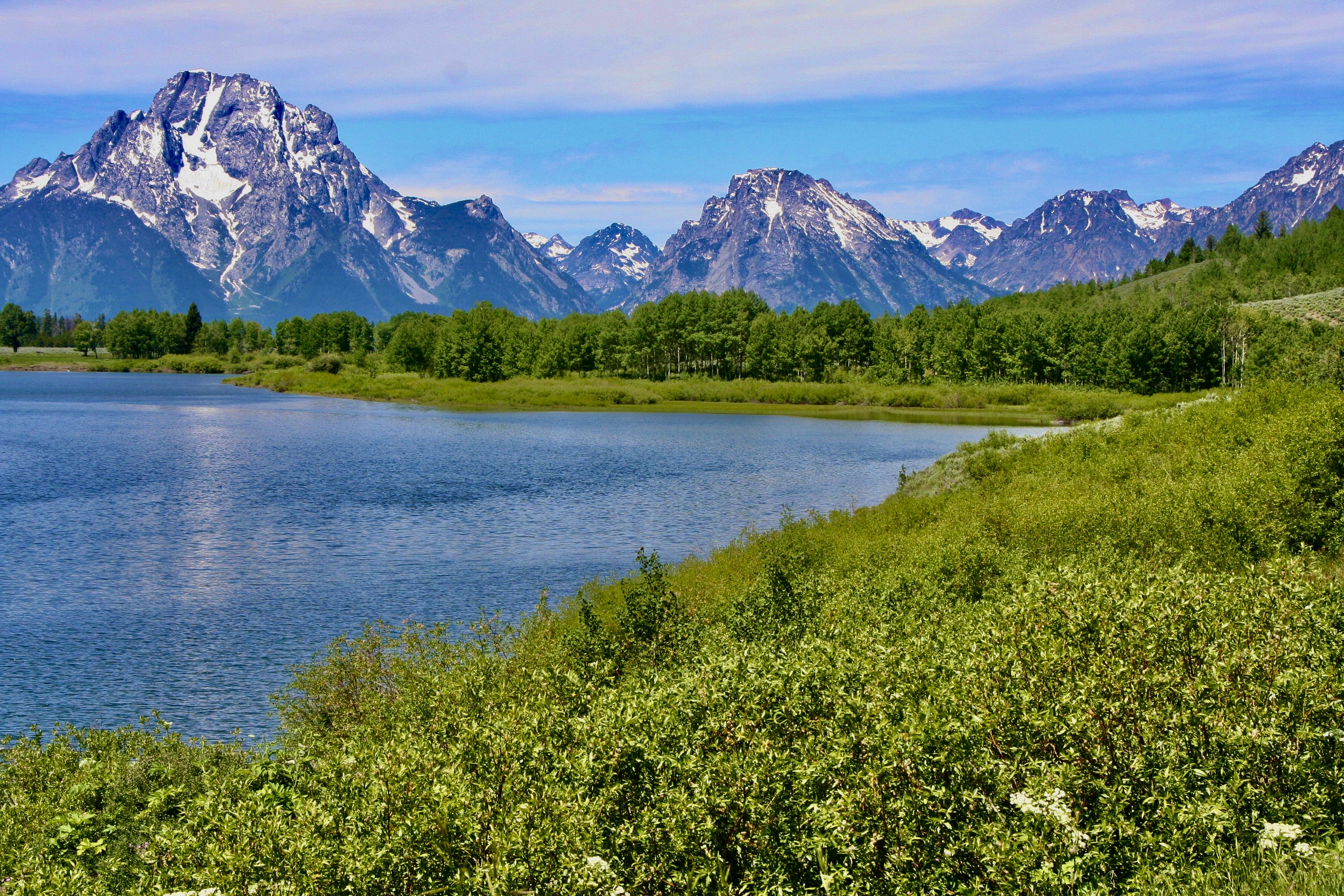
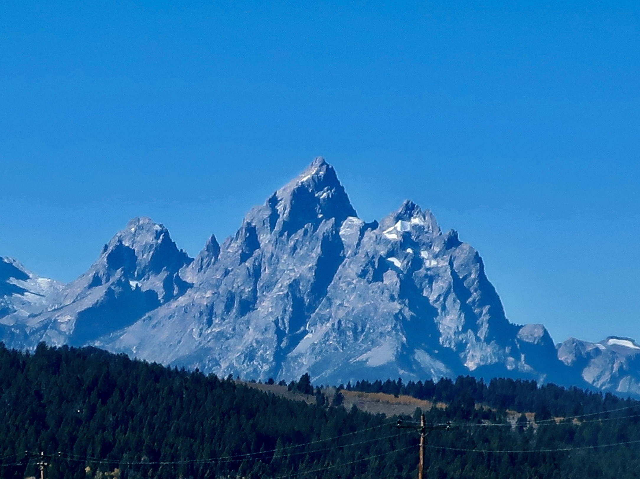
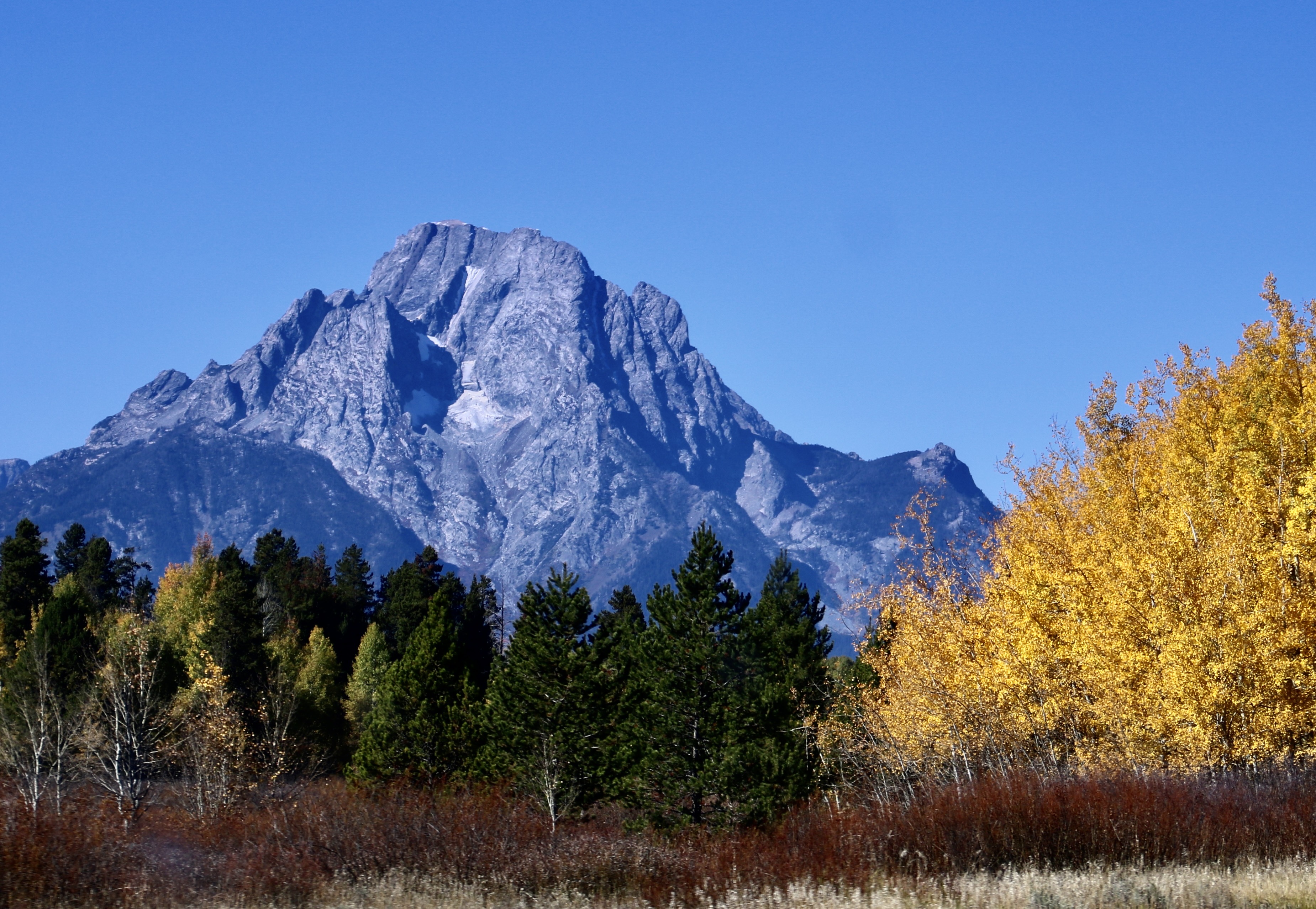
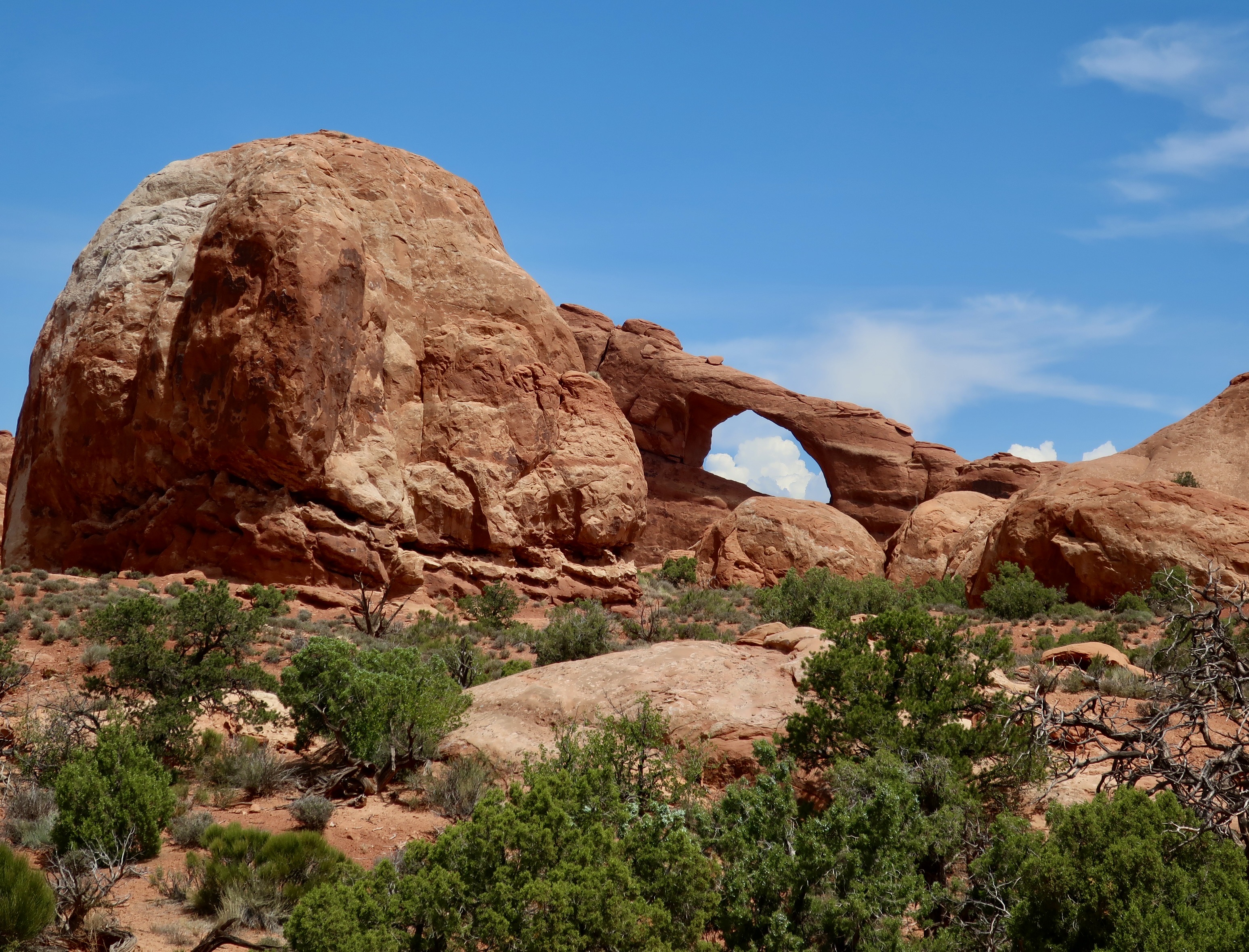
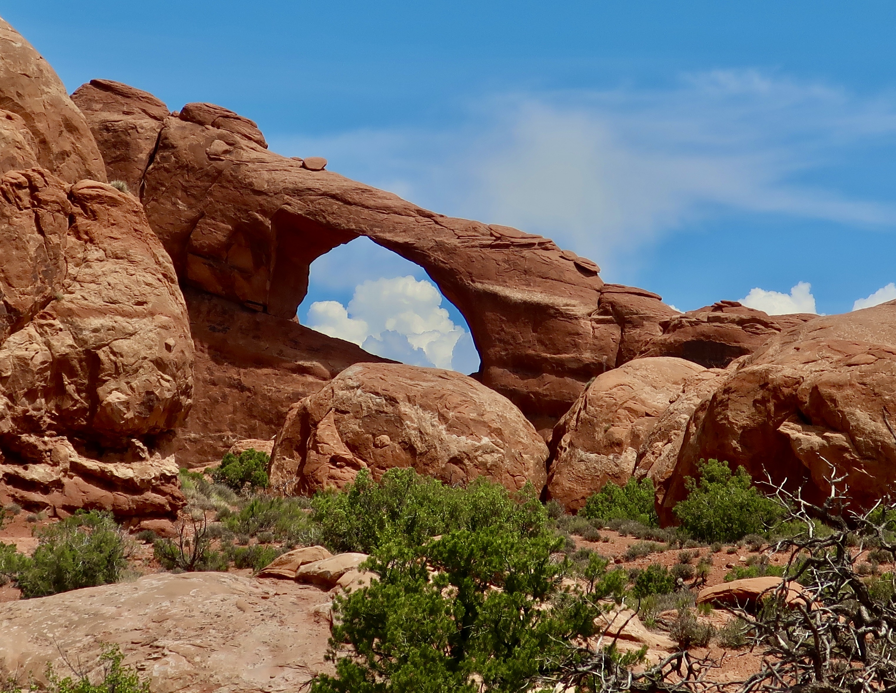
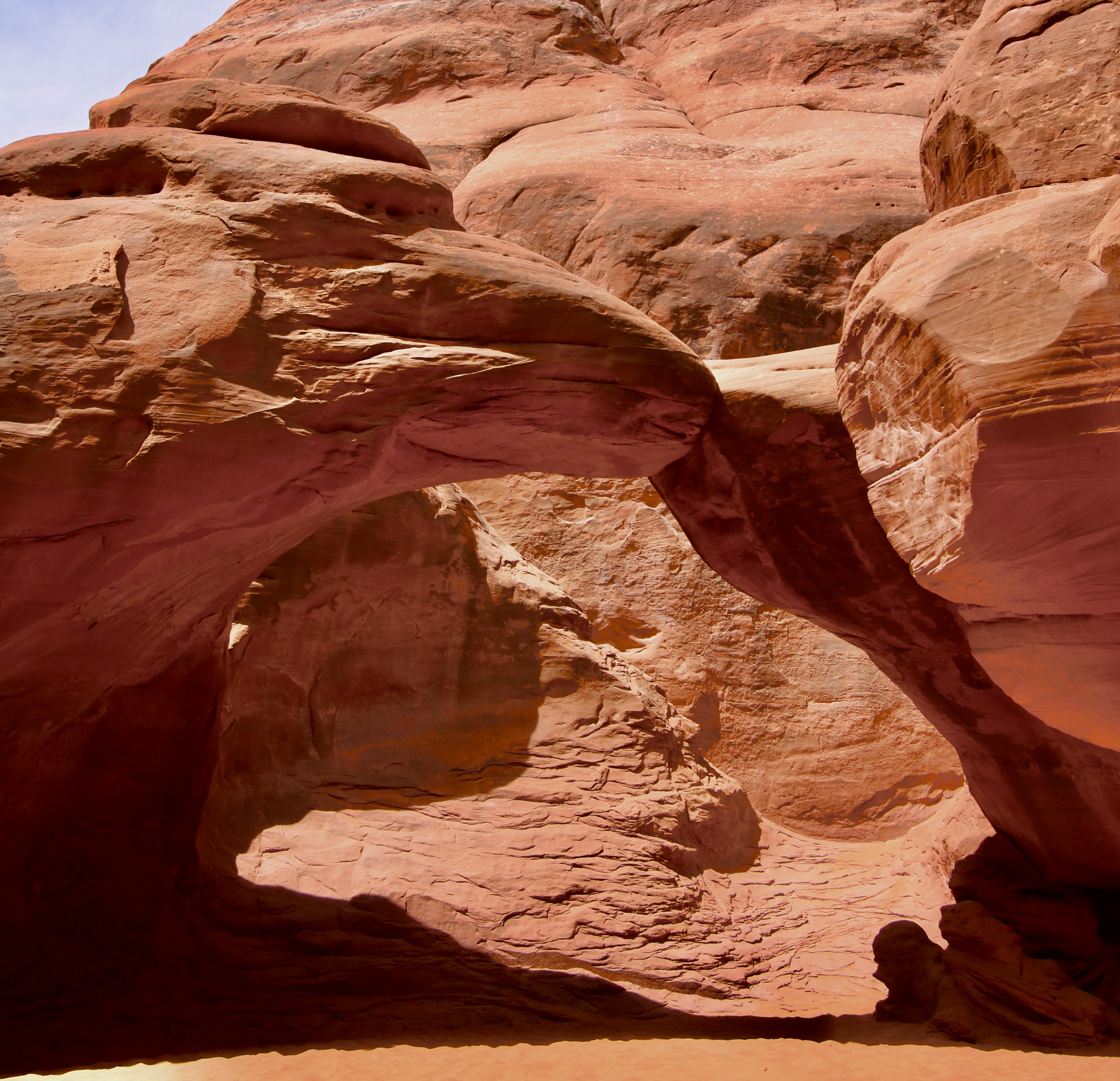
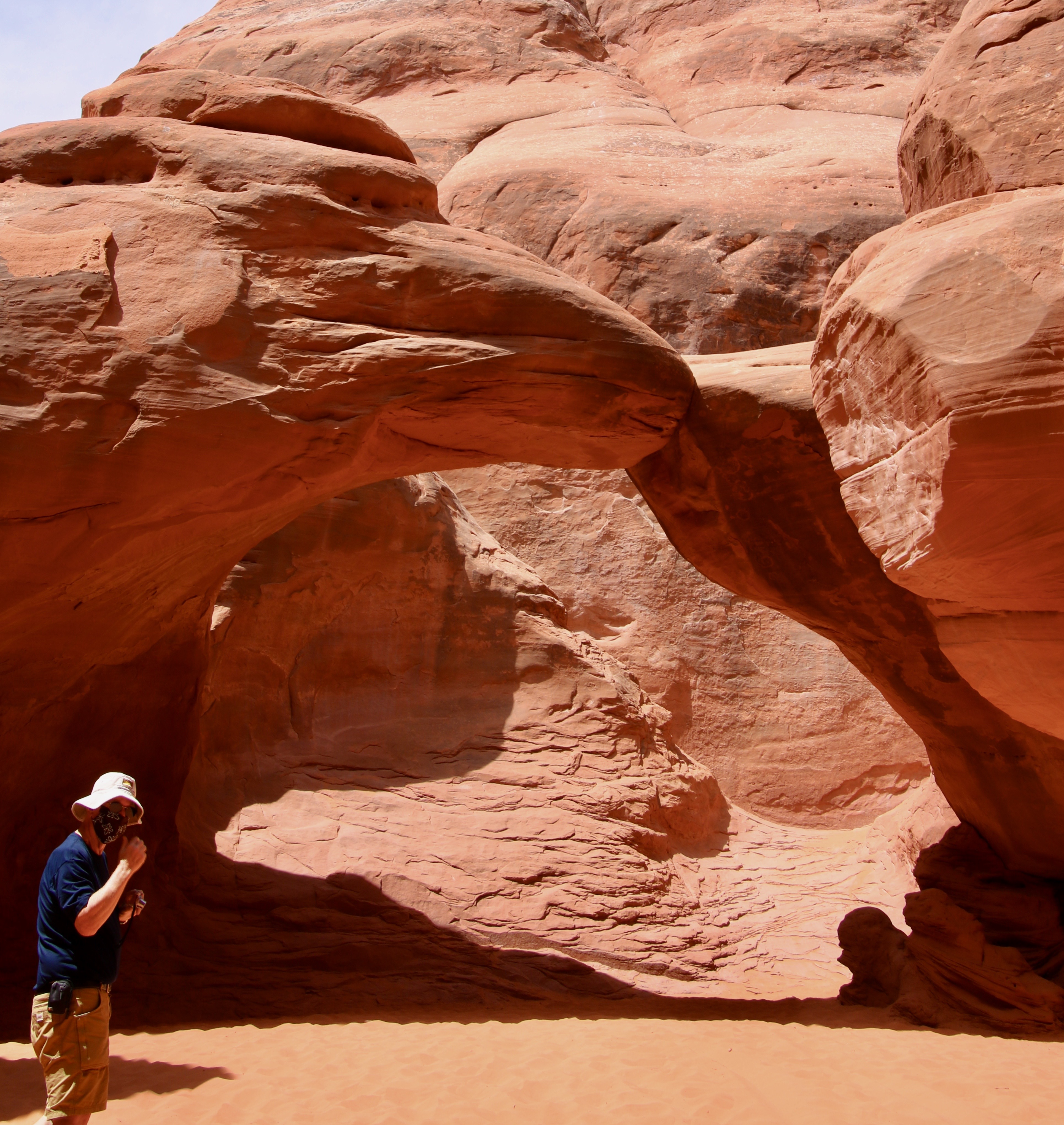
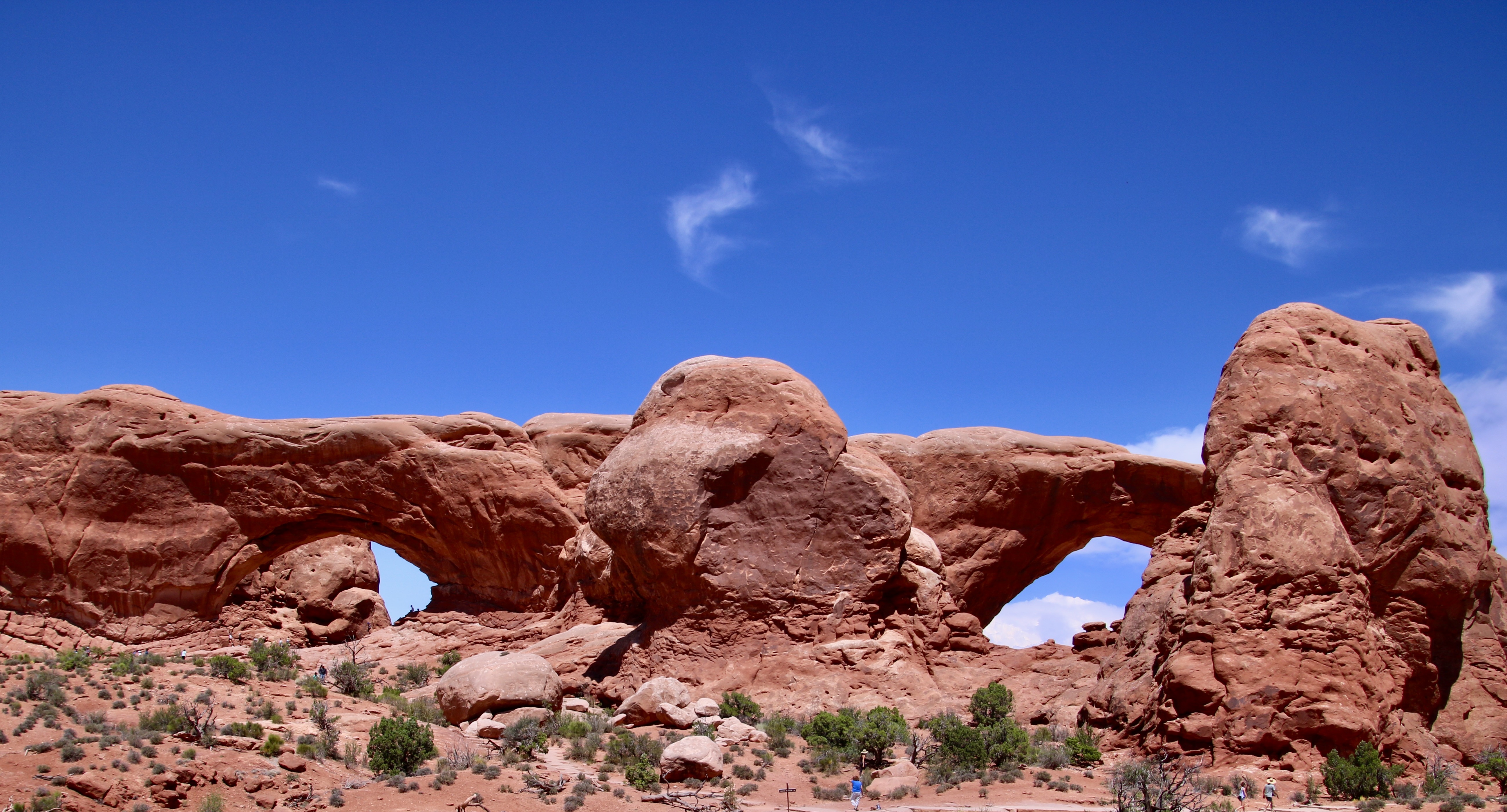
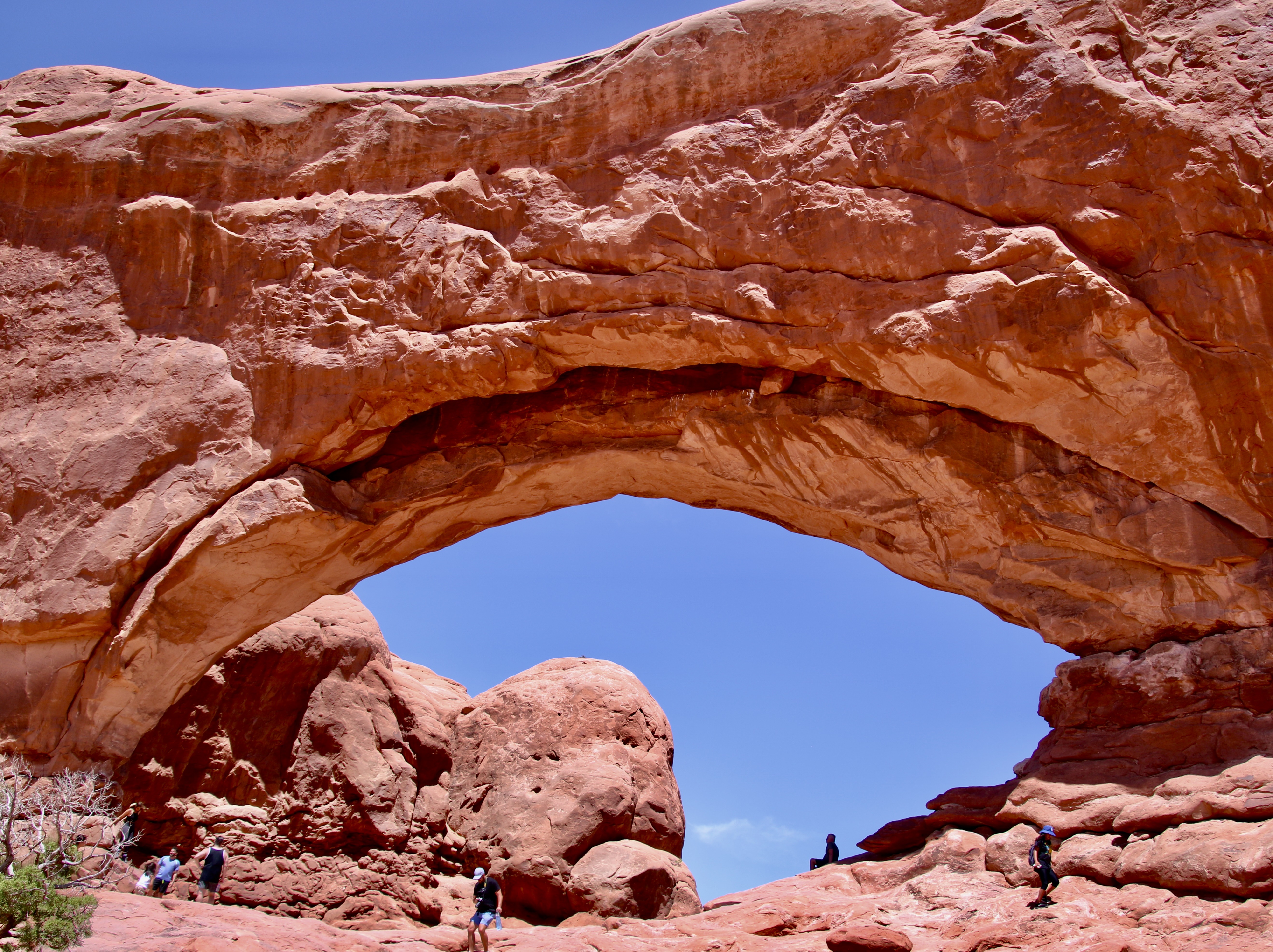
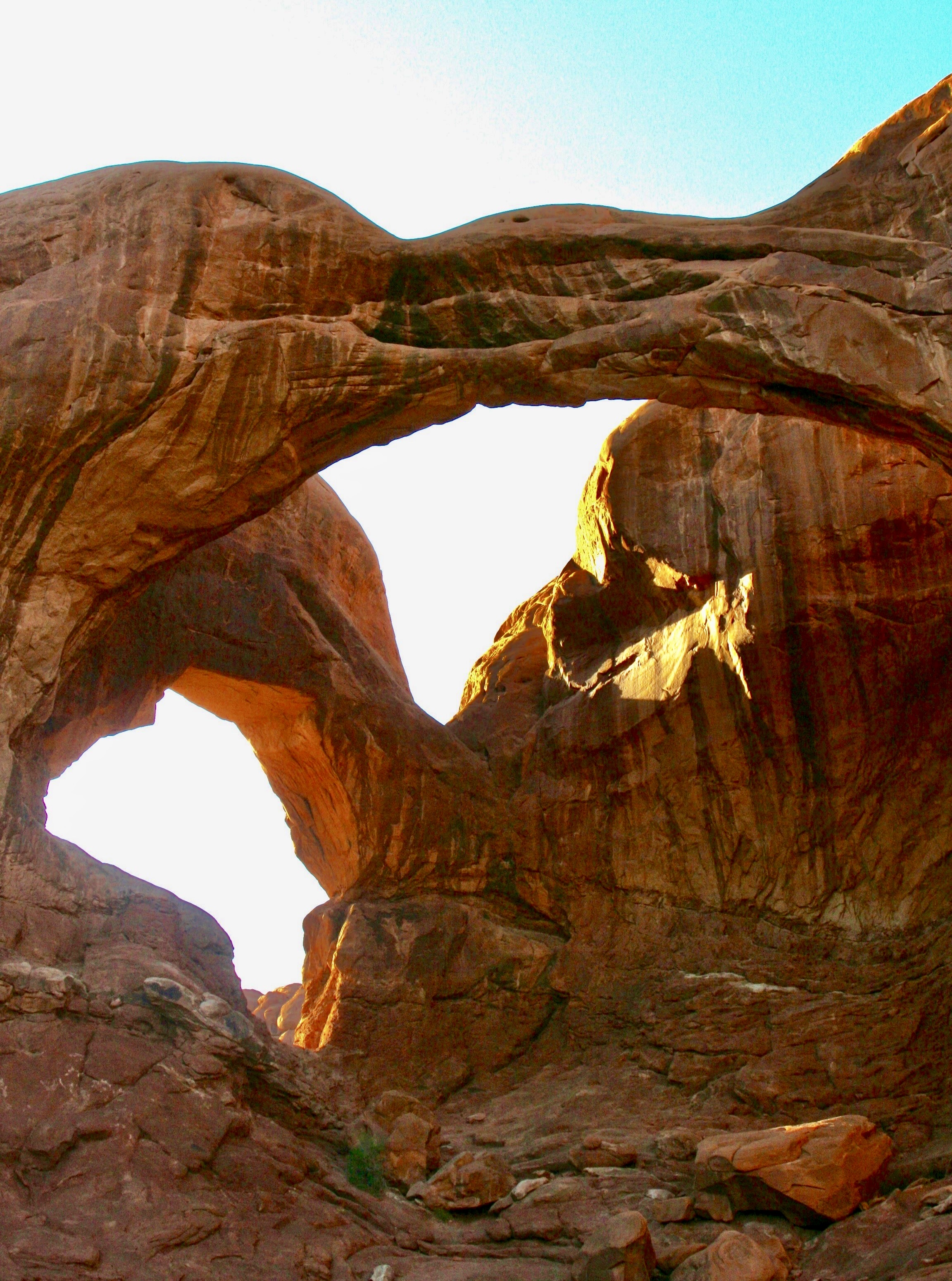
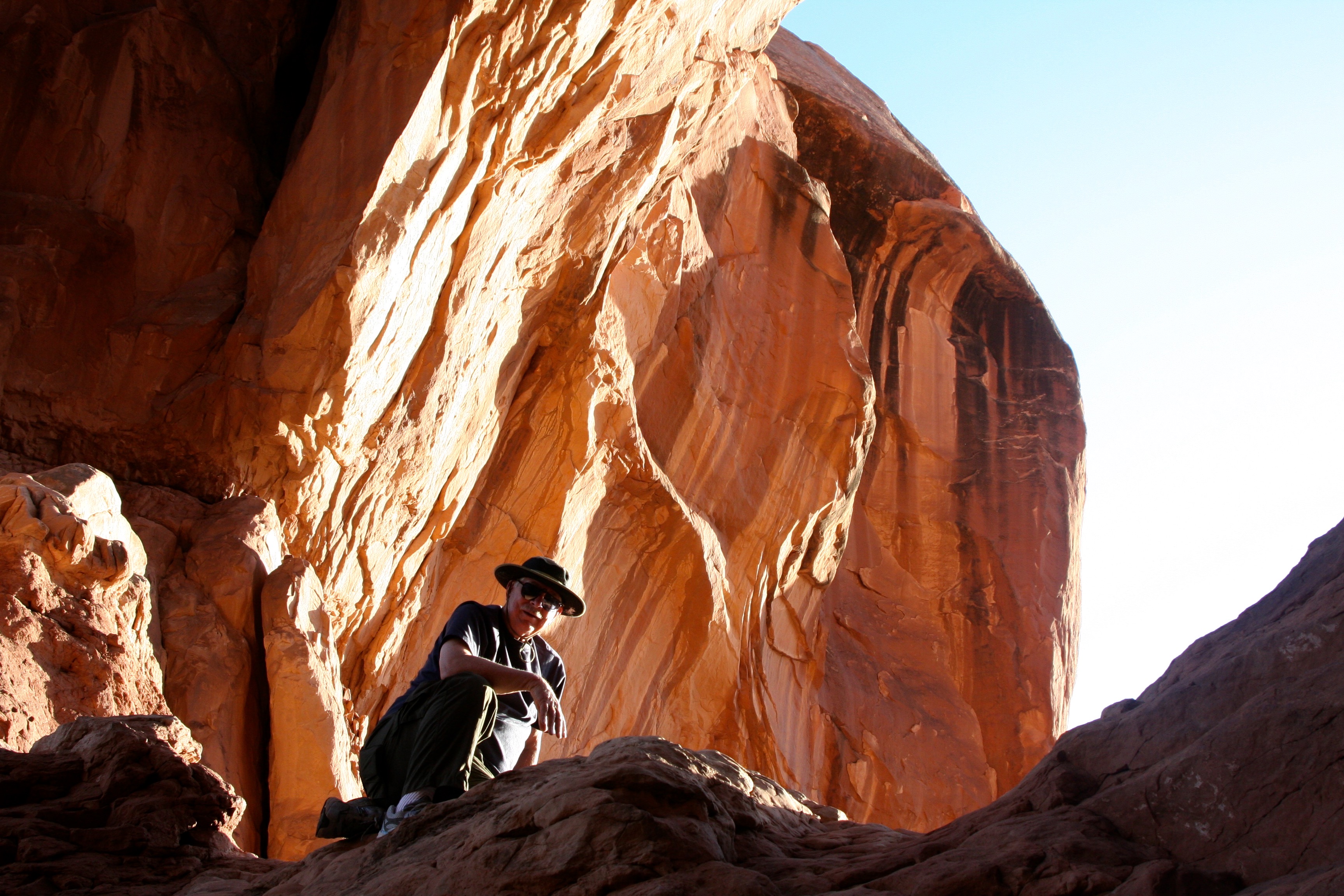
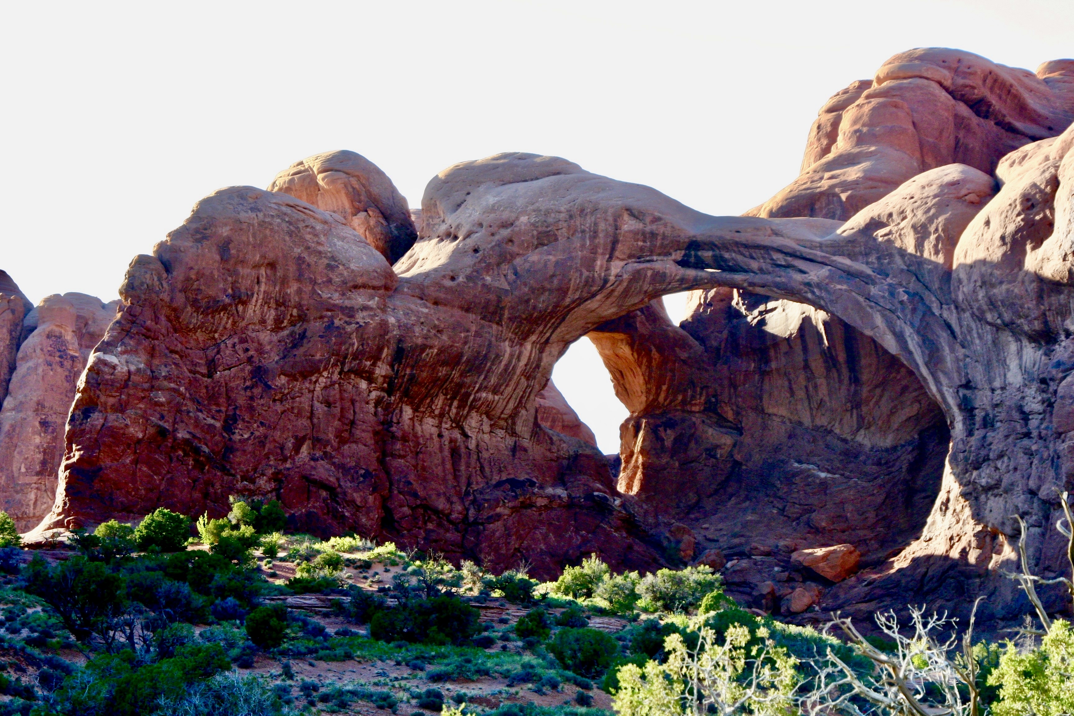
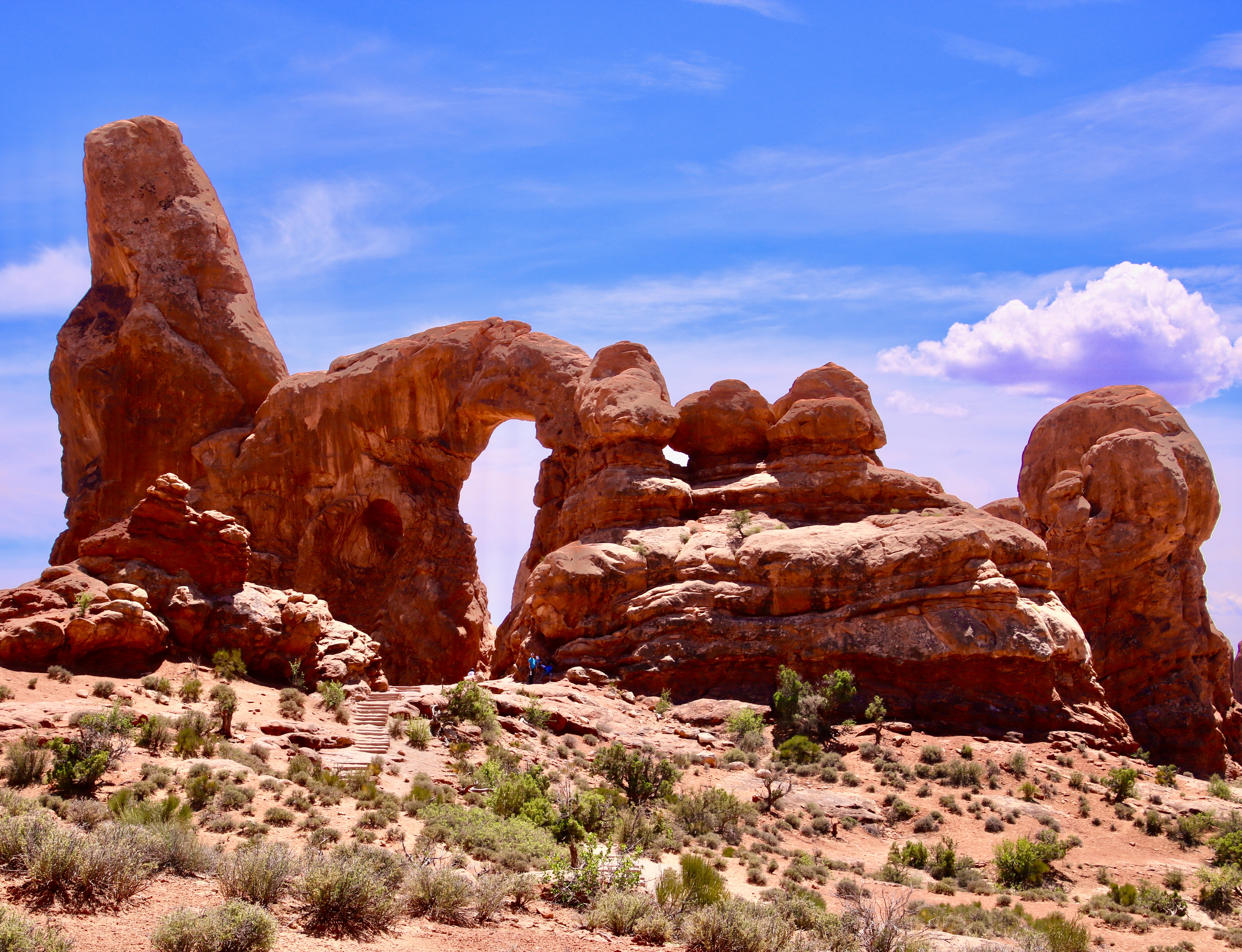
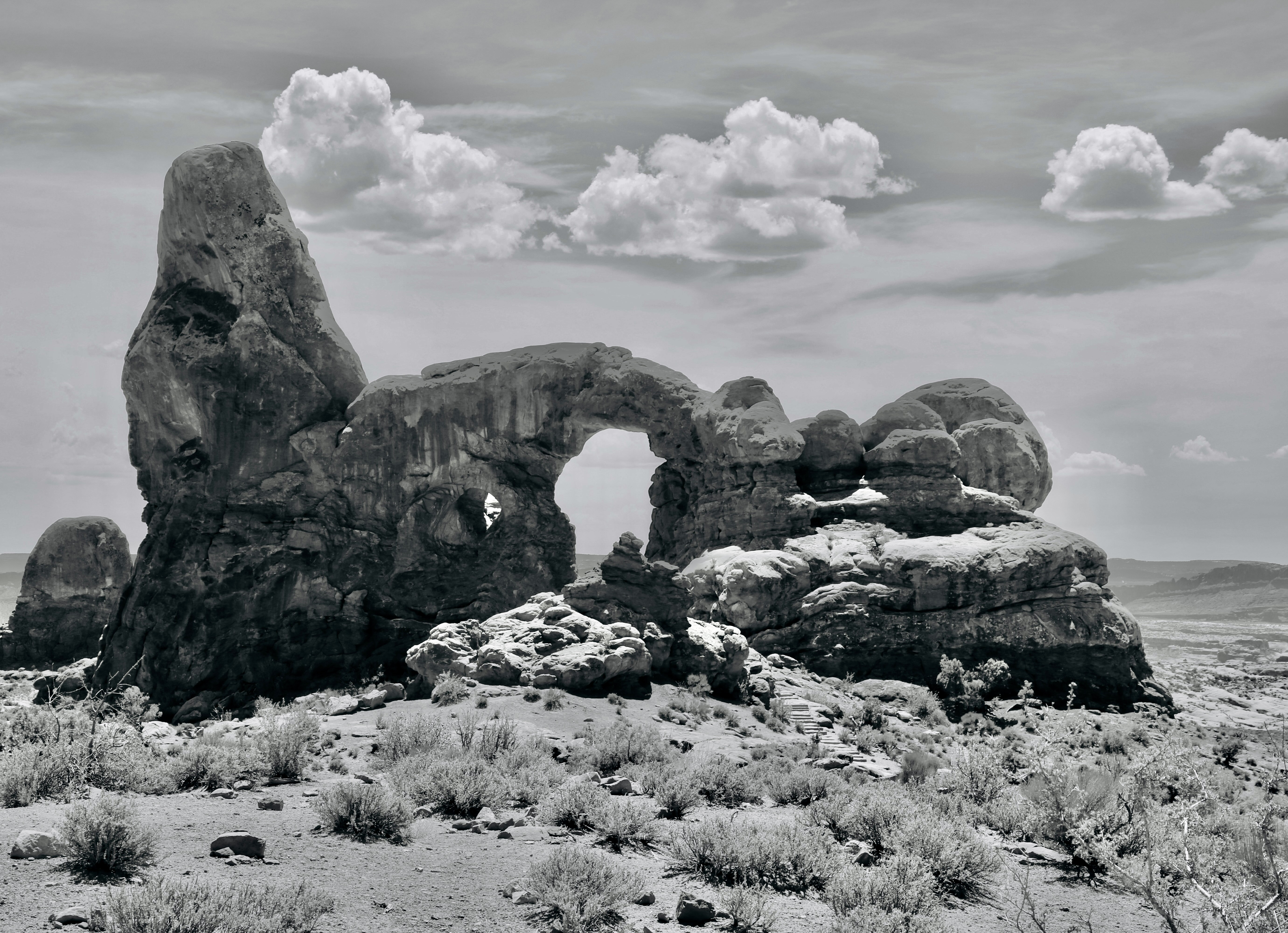
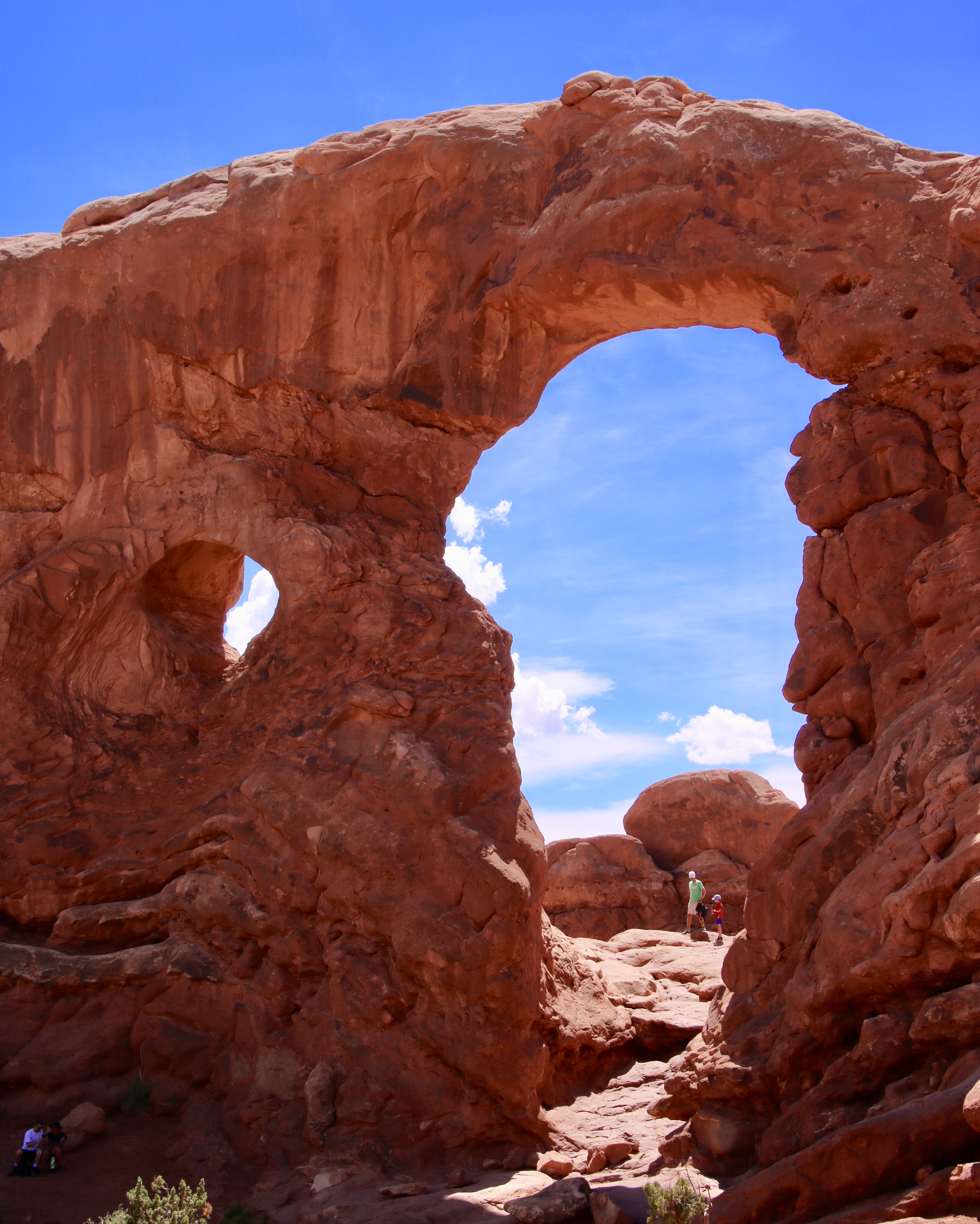
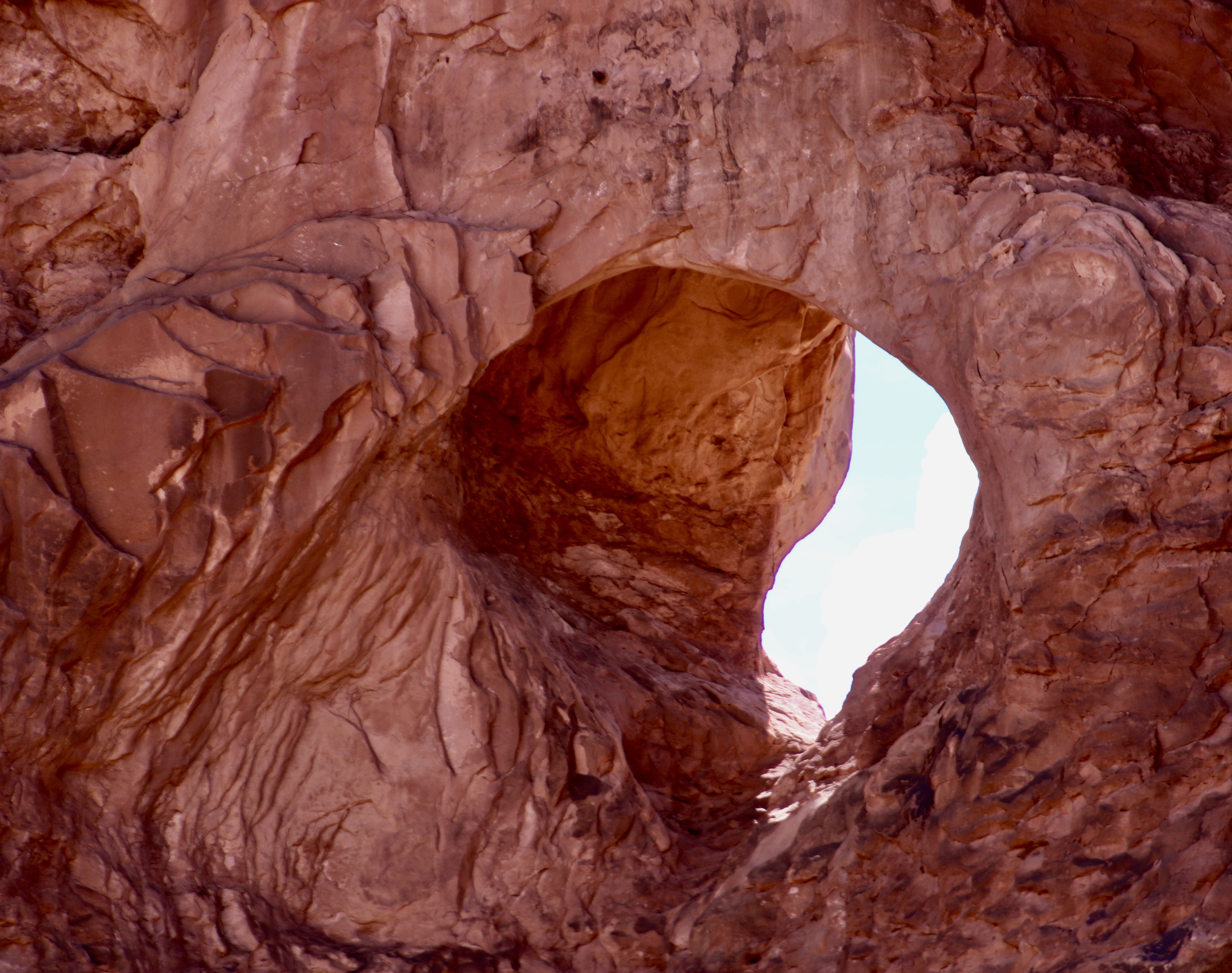
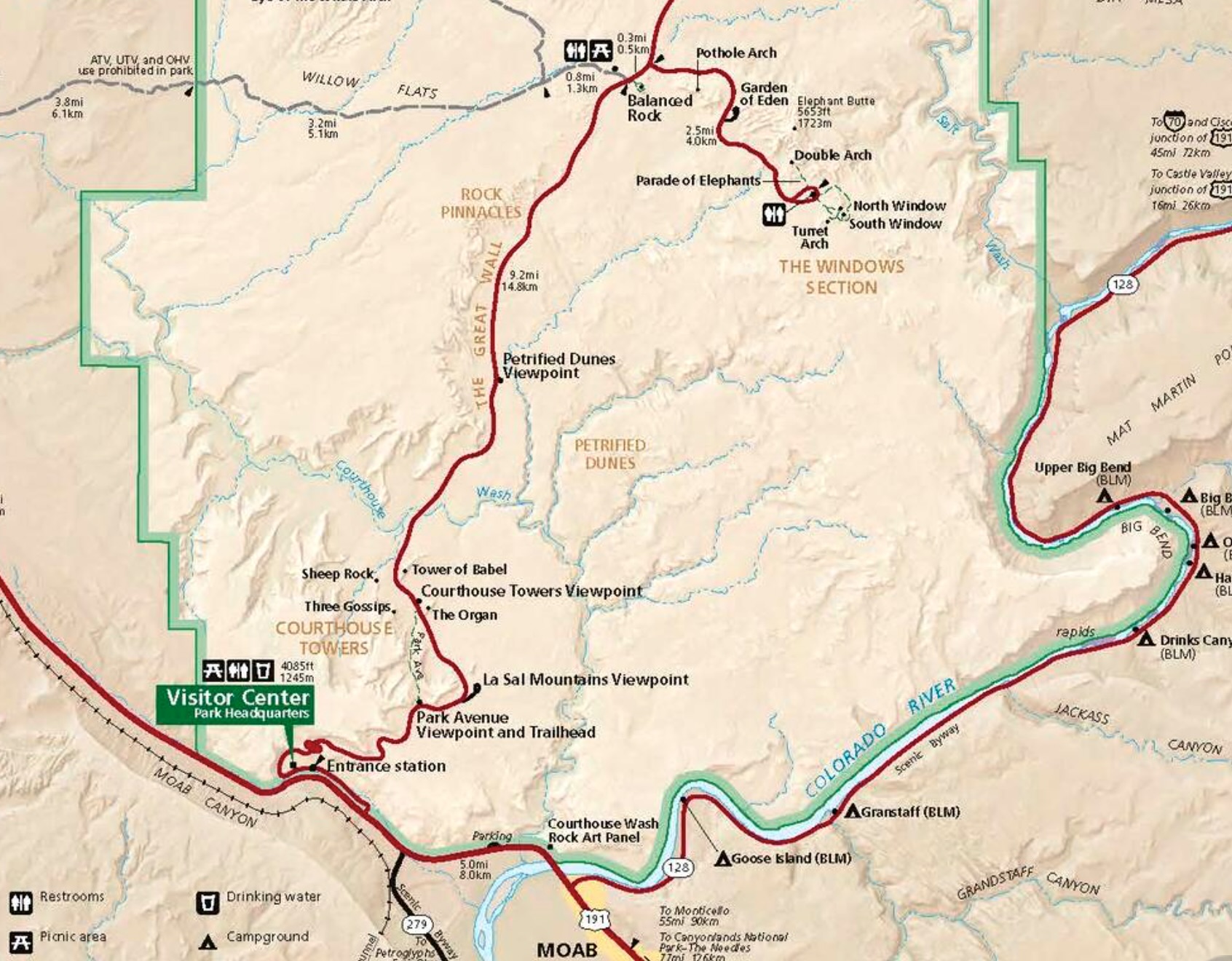
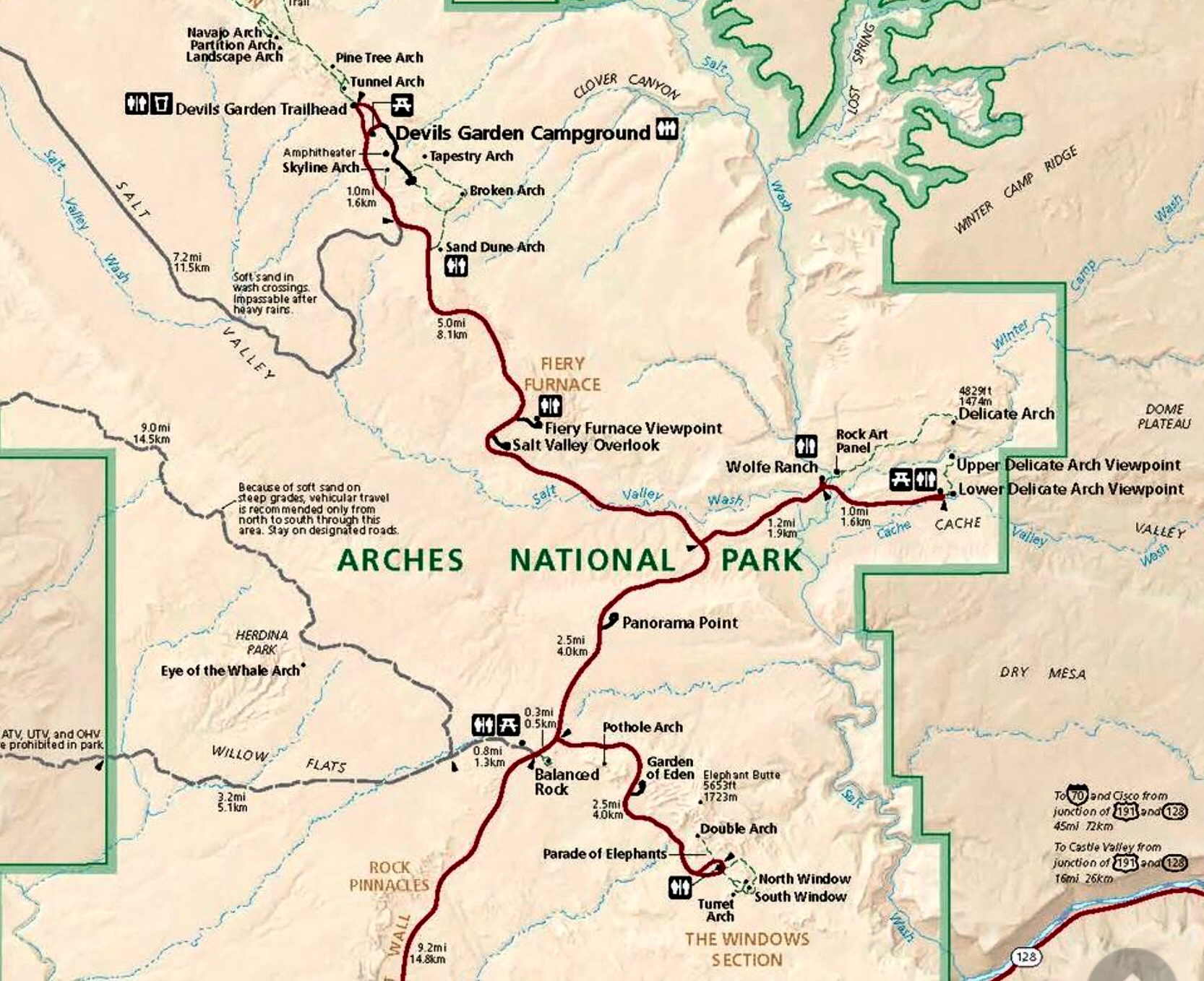
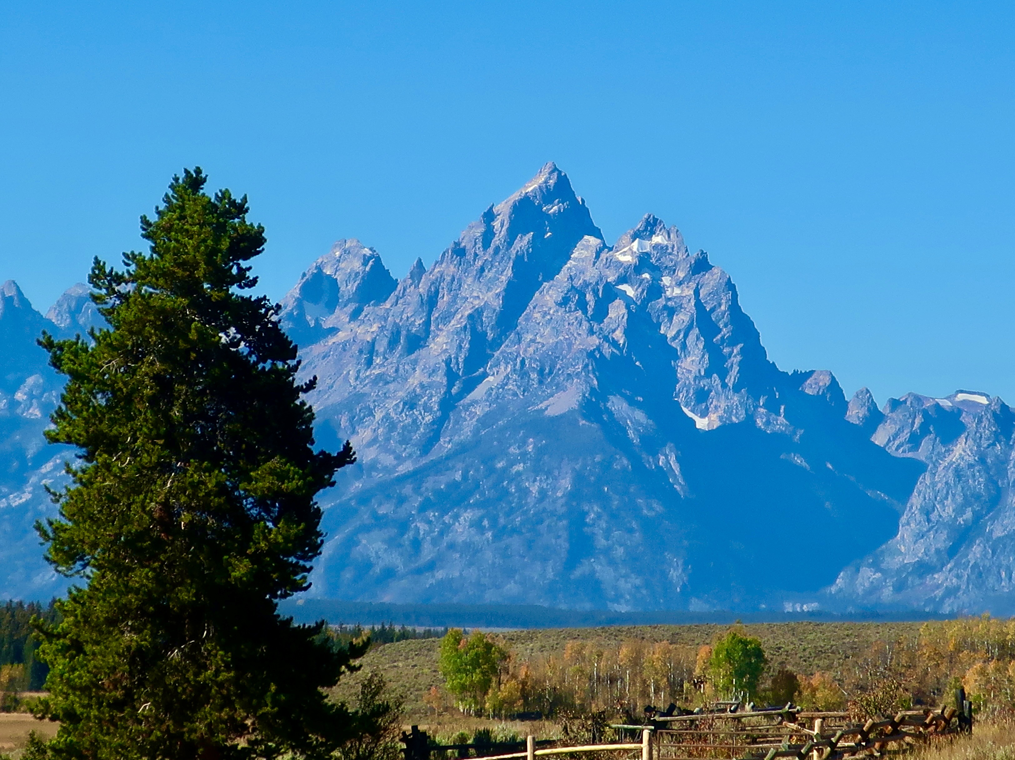
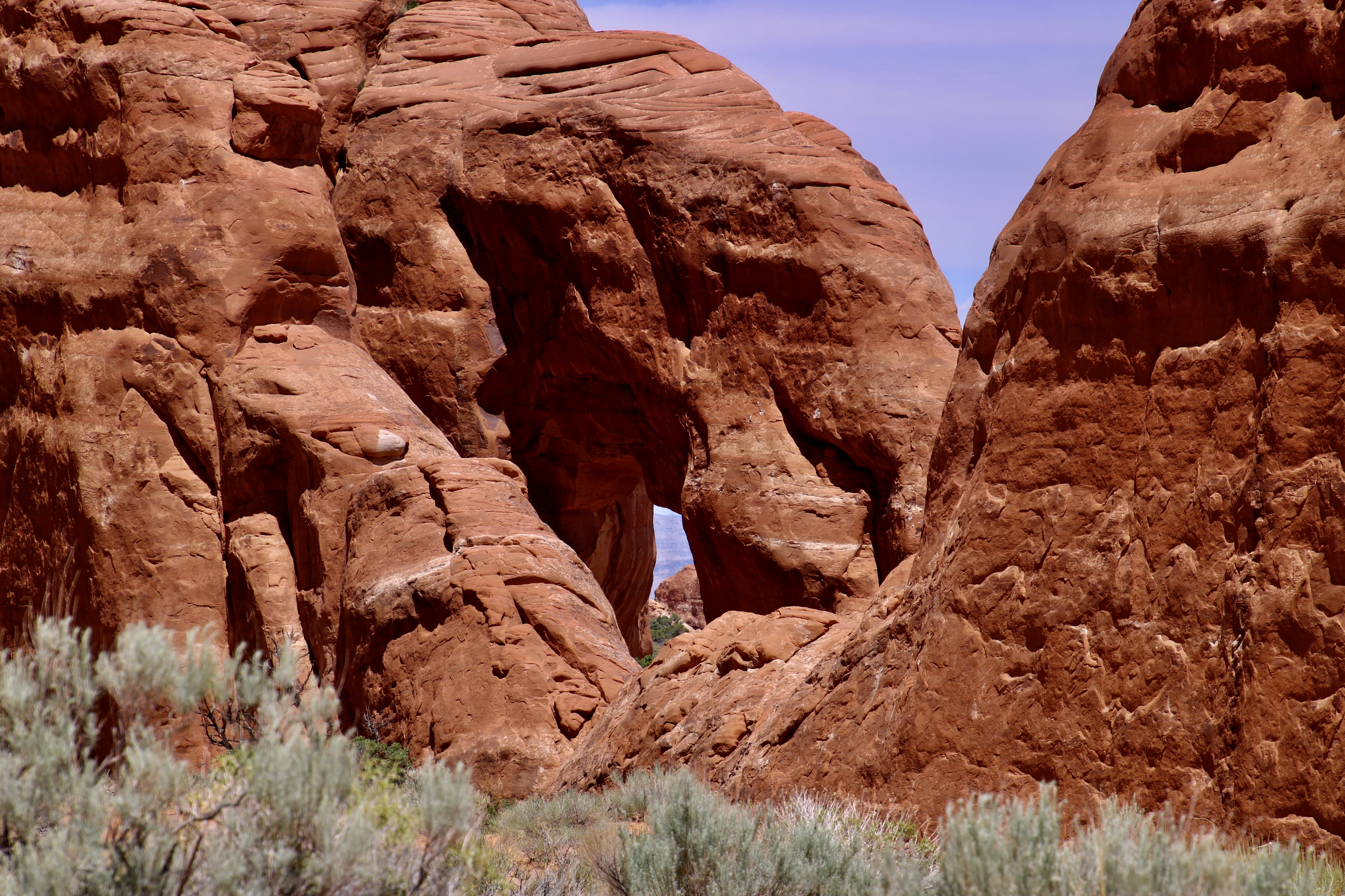
Skyline Arch is visible along the road between Delicate Arch and the Windows Arches. Again, the clouds were adding a fun background for the photo.A closer look at the arch with its looming thunderhead.We found Sand Dune Arch on the walk through what I thought was part of the Fiery Furnace in my last post. Actually the walk was just outside of the Fiery Furnace.I’m here, giving Peggy a thumbs up, to provide perspective on its size. It was during covid, so I was wearing a mask. Next: The Windows section of Arches NP.The North and South Windows here are what give the Windows section of Arches NP its name. The windows here provide views of the rocks and clouds behind them. We thought eyes would work as well as windows.A close up of the North Window. All of the arches in the Windows section are easily available by trail. As one would expect, there are lots of visitors who take advantage of the fact. Of course, I saw a face in the rock behind the window.Double Arches in the Windows section of Arches NP may be equally famous as the Delicate Arch. A million photos famous. Indiana Jones explored these two arches as a Boy Scout in the movie Indiana Jones and the Last Crusade. There are also several other views of Arches at the beginning of the movie.I’m perched up on the side of one of the arches in 2010, probably close to where the young Indiana looked down on the robbers stealing the Cross of Coronado. The movie was filmed in 1988, some 22 years earlier. Another photo of the Double Arches taken in the middle of the day.My favorite: Turret Arch. The name came from early visitors who thought the large hoodoo on the end resembled the turret of a castle. The stairs leading up to it are part of the trail from the nearby parking lot.Turret Arch rendered in Black and White.A head-on view of Turret Arch. People provide perspective on size. Note the arch just to the left of the main arch.It was quite colorful.This final view of Turret Arch with clouds provides a fitting end for our series on Arches NP. We hope you’ve enjoyed it. There are 24 more incredible national parks to go!This US Geological map and the map below provide the locations of the places we visited and featured in Arches. The lower half of Arches NP.The upper half of Arches National Park. (Source: US Geological map)The second national park in our series of 25 will be Grand Teton National Park. I’ve chosen it because I read this morning in the Washington Post that President Trump is exploring the possibility of building a baseball park within the park somewhere on the land you see in front of you. Imagine having to look over a baseball stadium to get this view. It matches the President’s proposal to cut a road through Yosemite National Park so a resort can be built inside the park by the private equity firm Kingsbarn Realty Capital out of Nevada.In our next post, however, before traveling to the Grand Tetons, we will take you back to the Scottish Highland and its beautiful scenery!
Peggy and I are continuing to look at Arches NP today as part of our series on 25 of America’s national parks as a way to honor the nation’s 250th Anniversary. One thing that we have always noted in our visits to these parks, is that people come from all over the world to enjoy them, which is as it should be. These parks, and national parks around the world, are treasures to be maintained, protected and enjoyed by everyone!
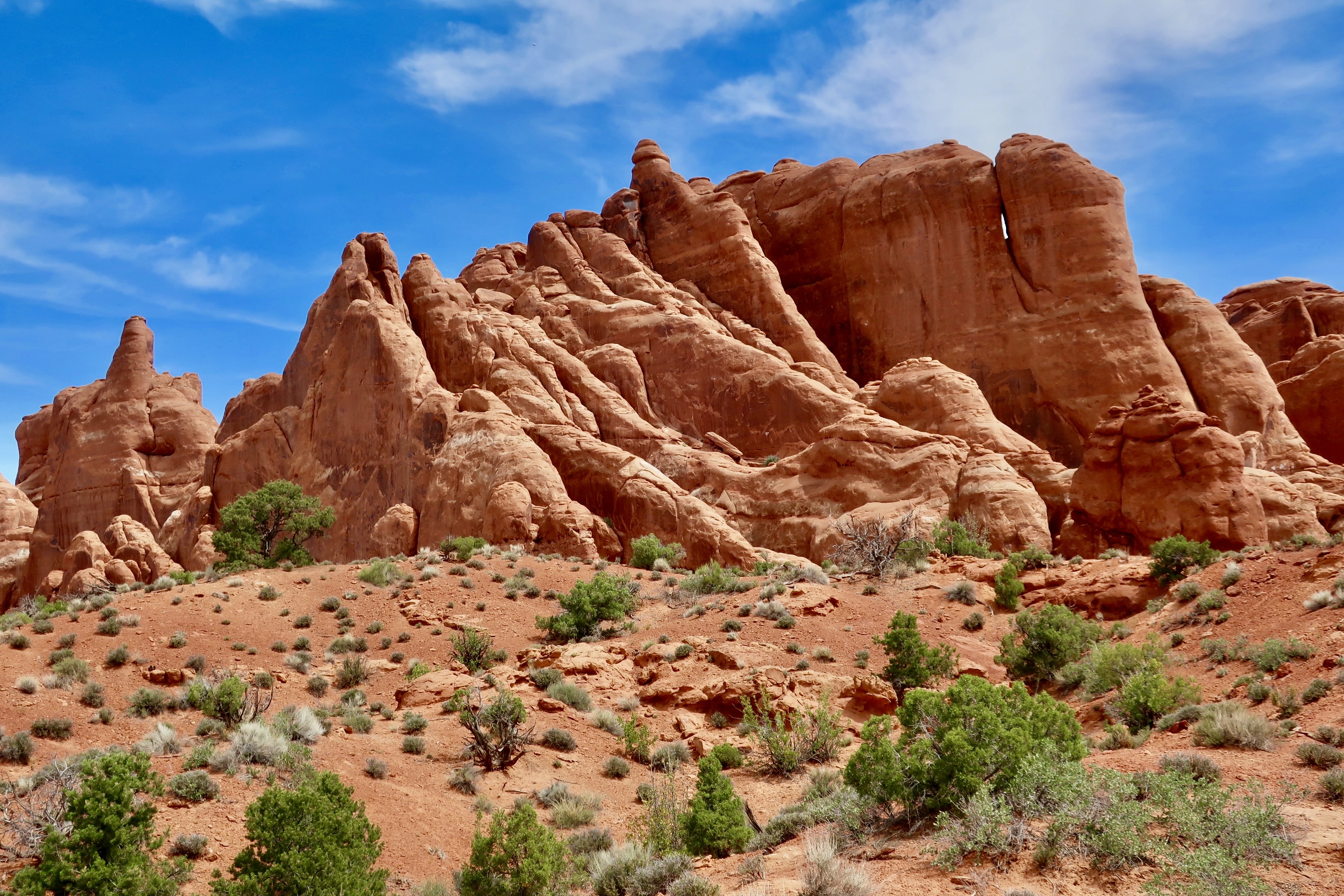
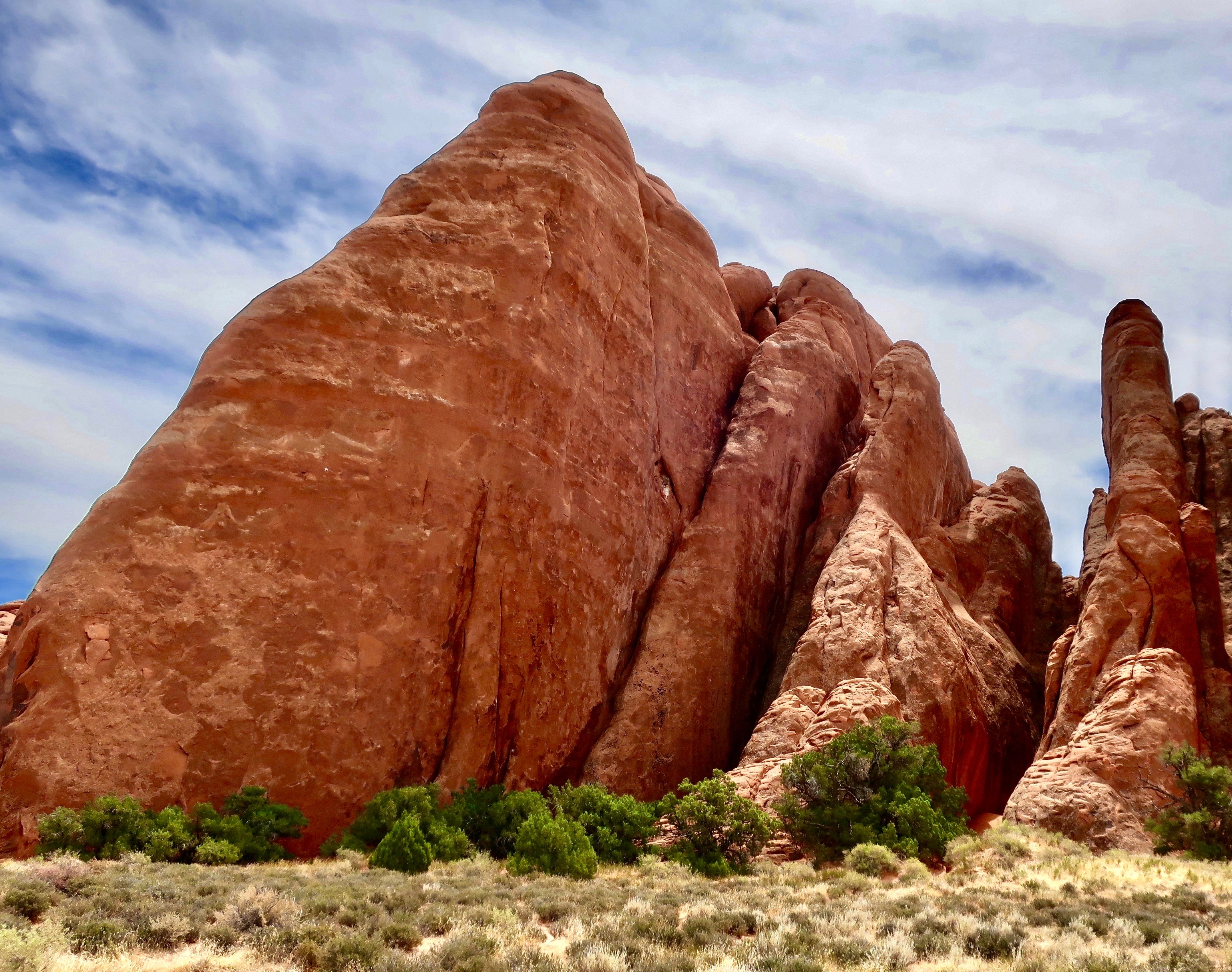
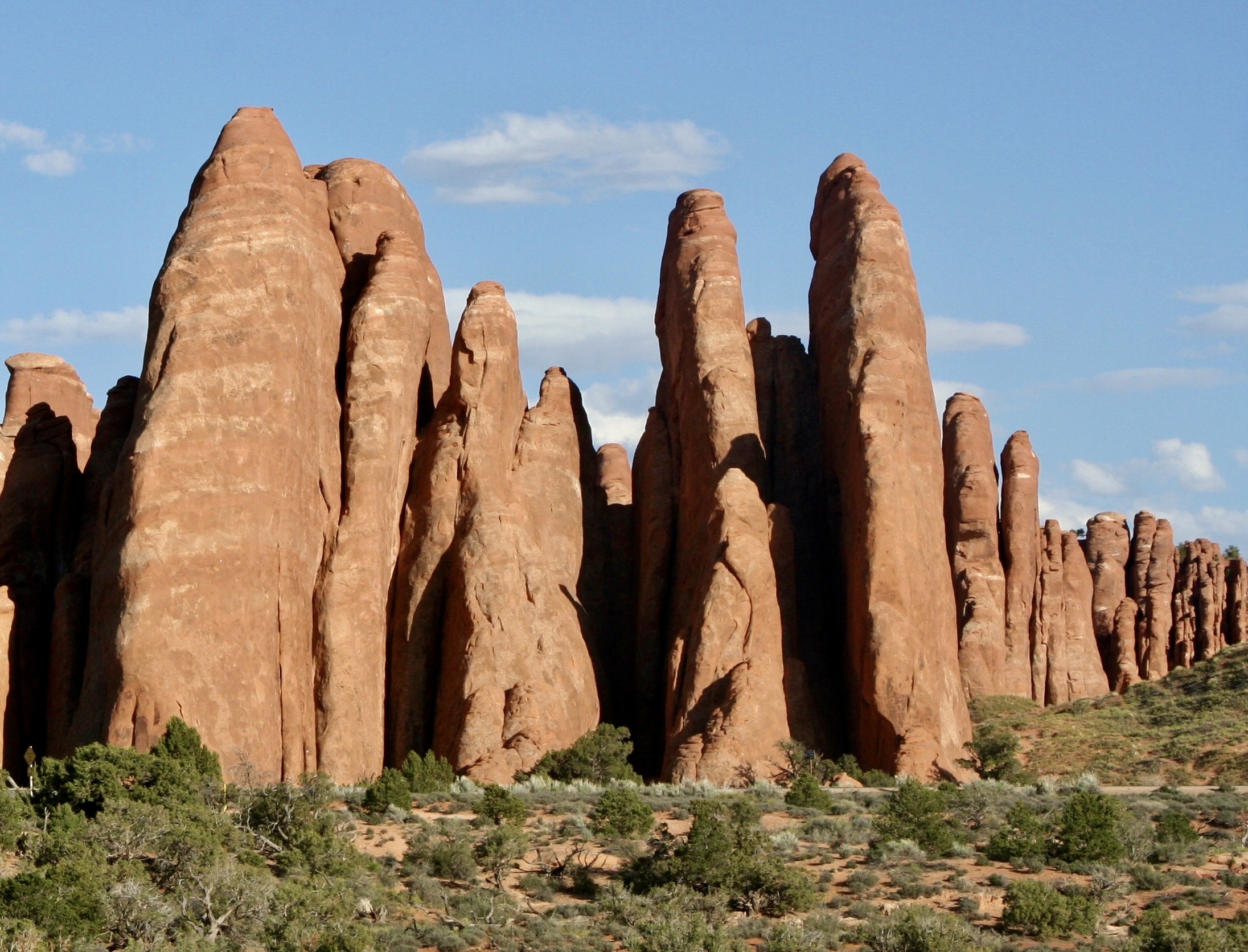
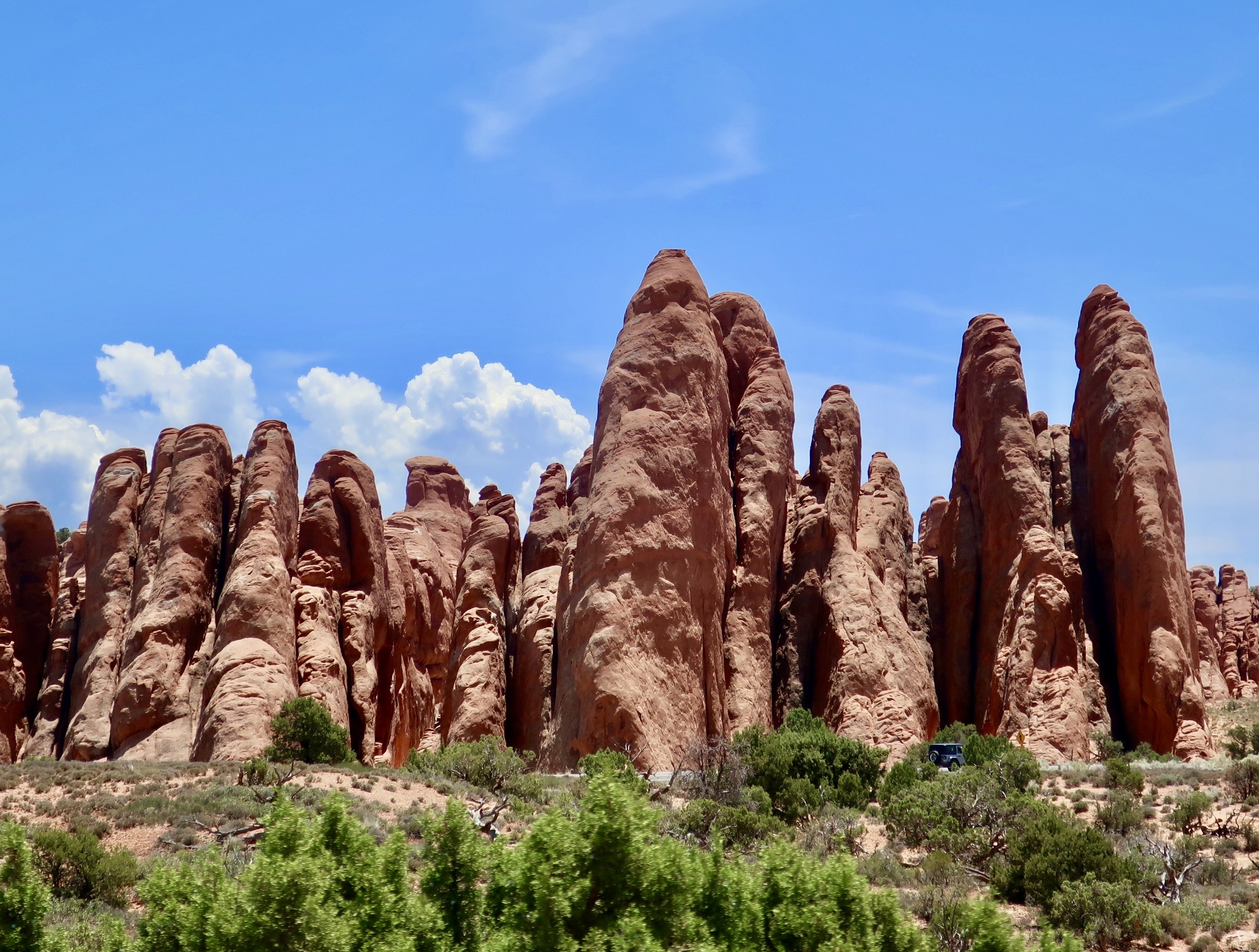
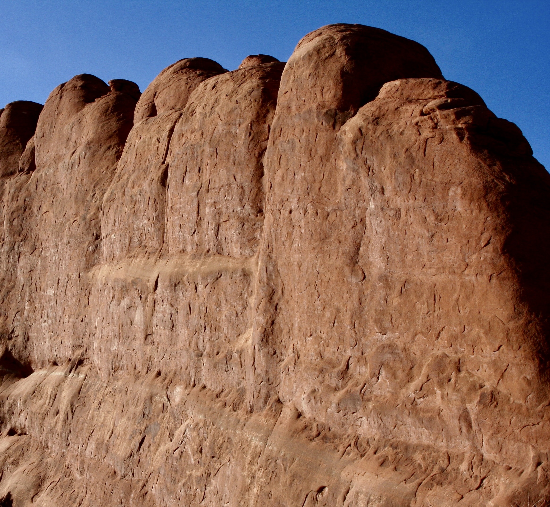
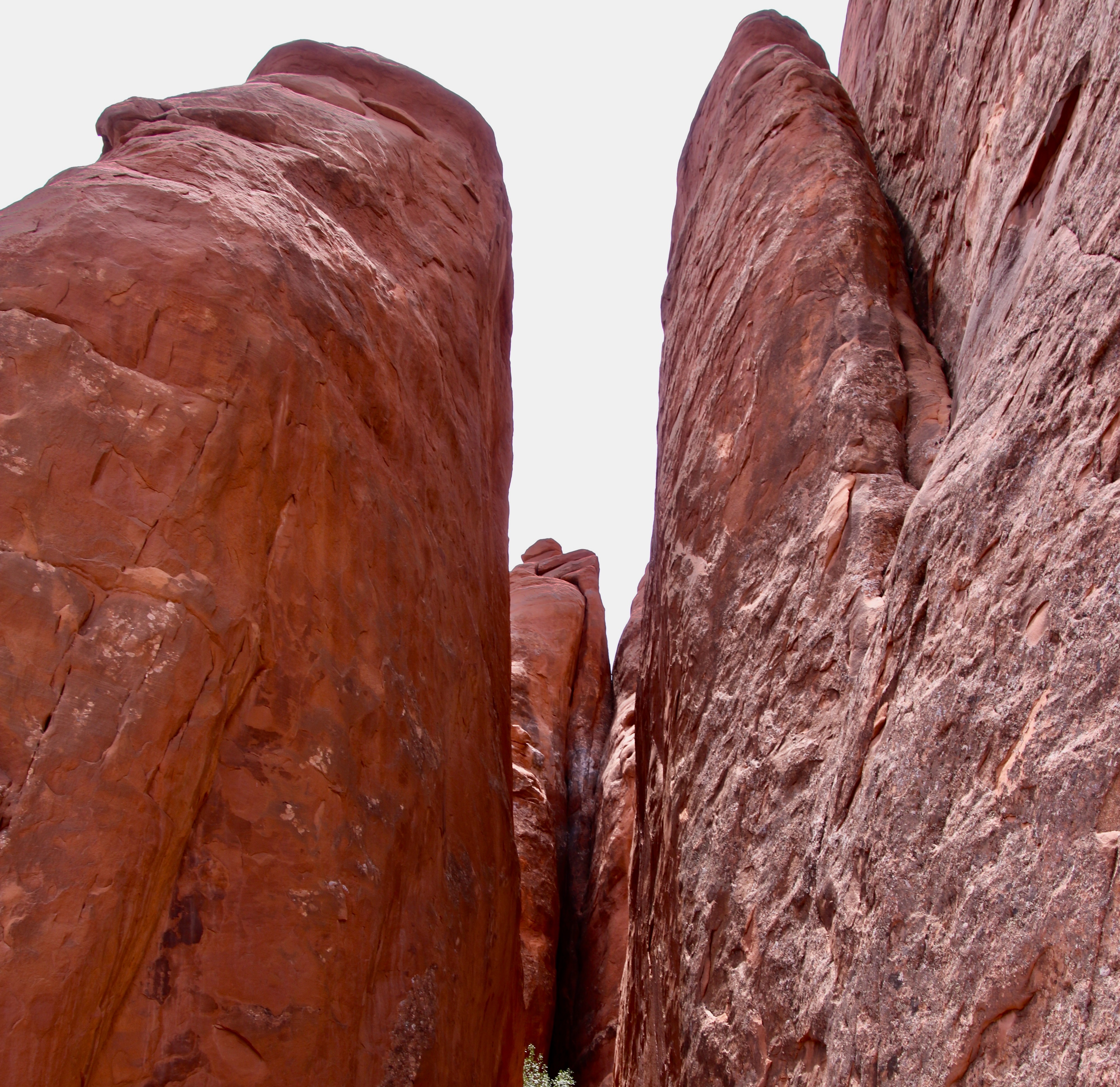
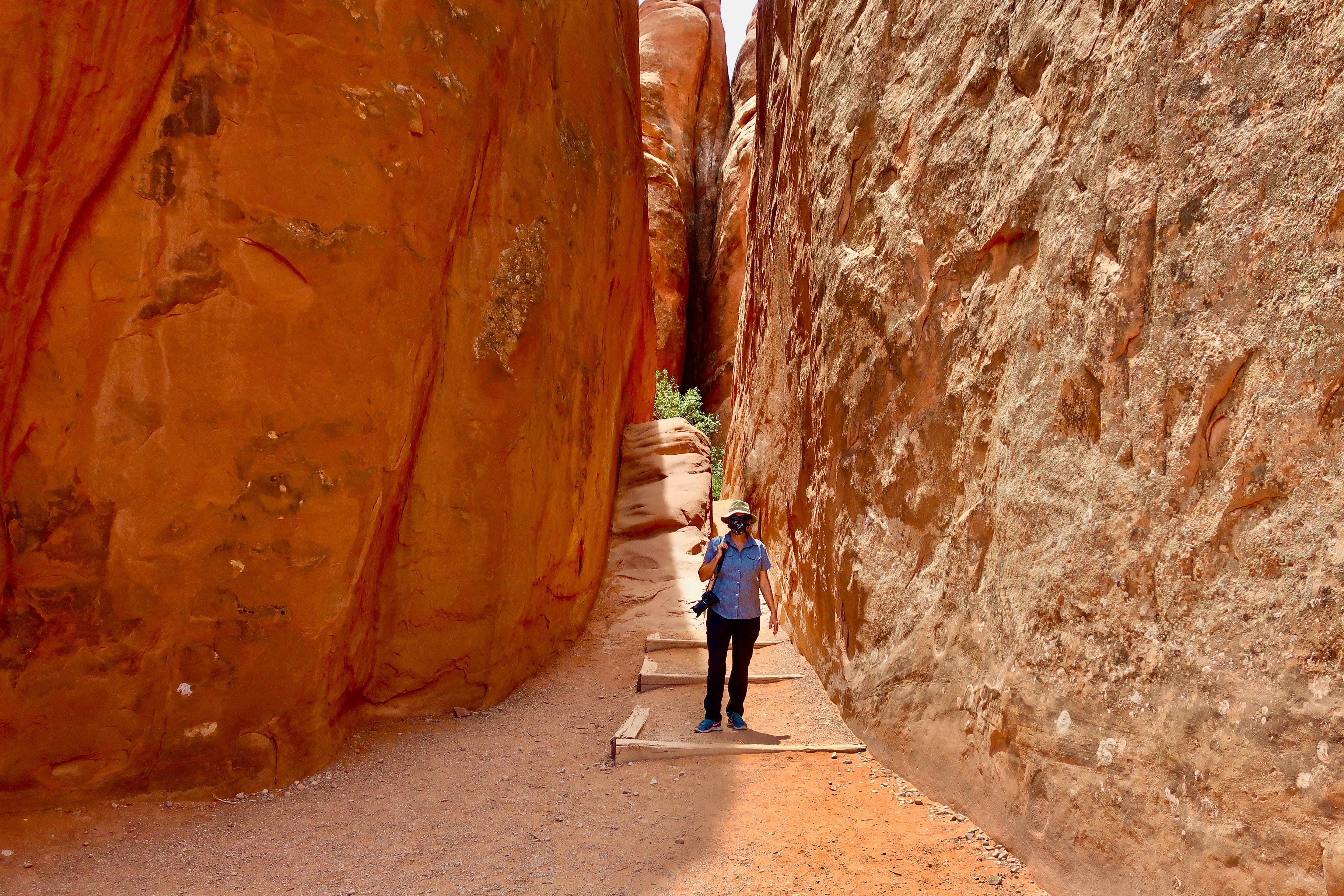
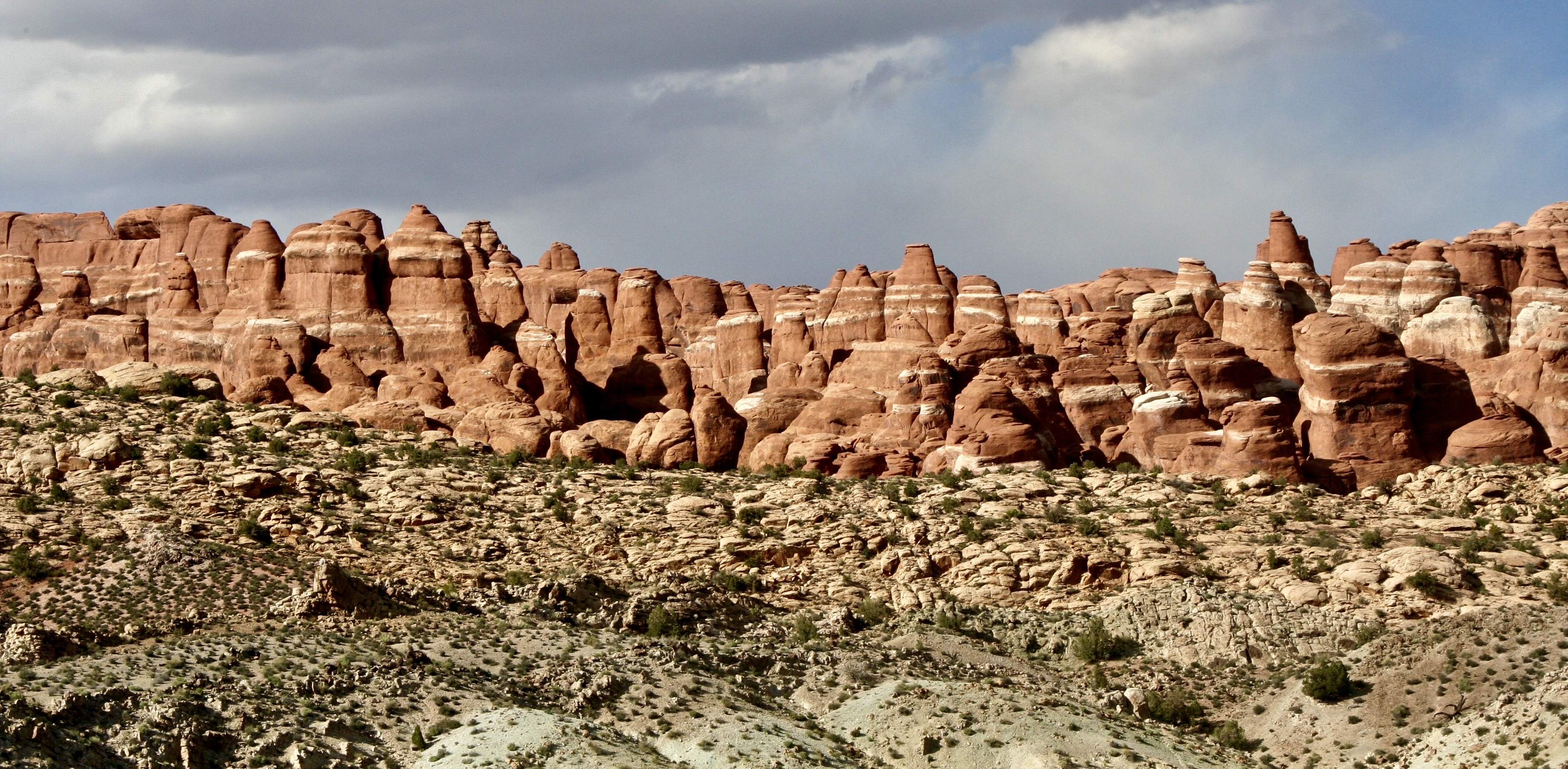
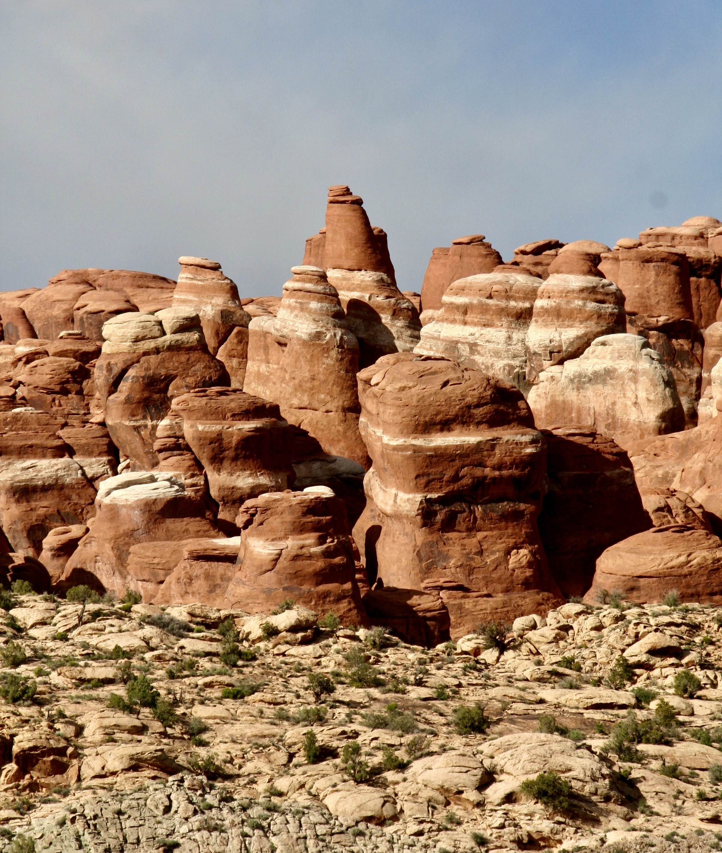
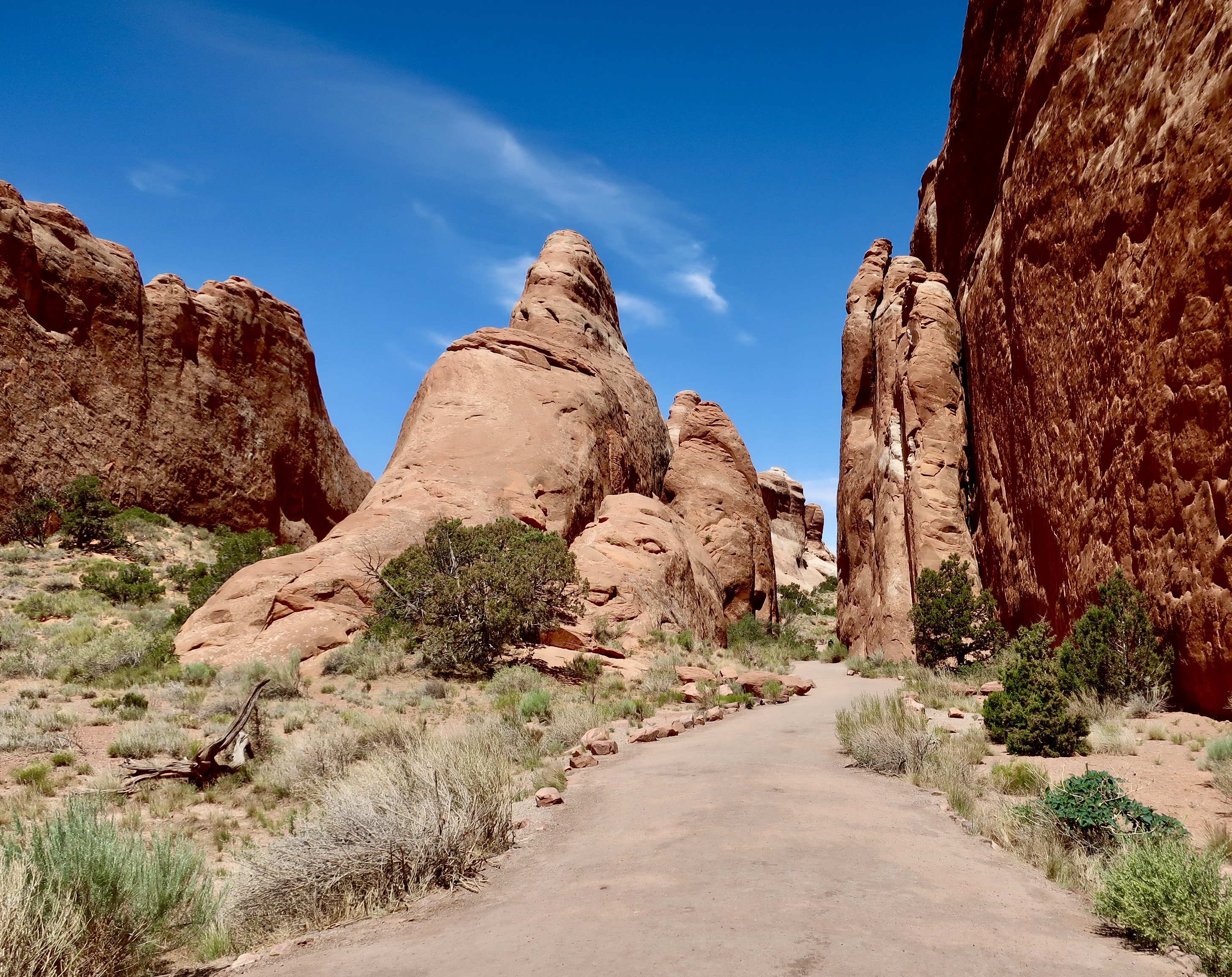
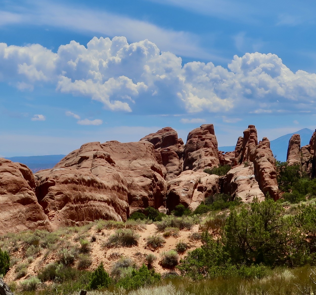
Driving through Arches National Park provides numerous scenic views. This is a look at the Fiery Furnace section. The area gets its name from the color the rocks change to as the sun goes down. It’s like looking into a furnace, or a campfire, when it has burned down to embers.The primary rock formation in the Fiery Furnace is fins. Like a shark’s. Lots of them. The fins are made up of Entrada Sandstone that was initially laid down when the area was covered with vast sand dunes. The sandstone overlayed several thousand feet of salt that had come from ancient seas—a figure that is staggering to think about. As new deposits were laid down on top of the sandstone, the weight caused the salt to flow, almost like liquid, and this caused the sandstone to fracture along parallel lines. Tectonic forces caused the area to rise and erosion wore away the upper rocks, eventually exposing the sandstone. Water was able to seep into the fractures and caused the erosion shown above! And below…Creating what, for Peggy and me, is great beauty.This photo provides a good view of how the parallel fractures have impacted erosion.On our visits to Arches, Peggy and I made a point of visiting at different times of the day to capture the impact of the changing colors caused by the position of the sun. If you visit the National Park, we highly recommend that you go early in the morning and late in the afternoon as well as midday, when the above photo was taken.Horizontal as well as vertical cracks in the rocks allow for erosion to take place in two directions.Looking down into the Fiery Furnace provides a clear look at the impact of the horizontal and vertical fracturing. Plus the green trees add a nice color contrast. This photo also shows the possibility of finding trails through the Fiery Furnace. The word maze fits here quite well. A permit is required for exploration.Imagine wandering through canyons made up of this rock through narrow passages.Peggy walking along a short trail in the Fiery Furnace. It was during covid and she was wearing a mask. All other trails through the area are unmarked, and, like I noted, a maze. People get lost. It’s part of the adventure. Cell phones and GPS don’t work because of the canyon effect. The park labels it a ‘temporary disorientation.’ Box canyons or fallen debris force you to turn around. The limited size of the Fiery Furnace means you will eventually get out. Some fun, huh.The contrasting fractures and uneven erosion can lead to a variety of rock forms in the Fiery Furnace that add to the area’s character.We could not help but think ‘troll,’ when we saw the rock on the right!This added yet another look to the Fiery Furnace. I felt it was almost surrealistic. The white is where water with organic matter, creating a weak acid, has worked its way through the horizontal fractures and bleached the red iron oxide out of the sandstone.A close up. And now, on to the Devil’s Garden…I thought that this pinnacle would make an appropriate introduction to the Devil’s Garden.An inviting trail leads visitors into the Devil’s Garden.Past towering fins.And towering pinnacles.And more fins.There was even a small arch. A larger arch awaited us, but there was much more to see in the park so we turned around.Gathering clouds suggested a possible thunderstorm in our future.This black and white rendering gave it a more threatening look.We will close today with one of our favorite views of the Devil’s Garden. The dead juniper tree in the foreground with a ‘devilish look’ added a nice touch. Next up, an 1800’s ranch, the Garden of Eden, and several arches.
We are starting a new series today on America’s National Parks and Monuments which we will be running in addition to posts on our travels this summer in Greece, Scotland, and Ireland. First up, is Arches National Park in Utah.
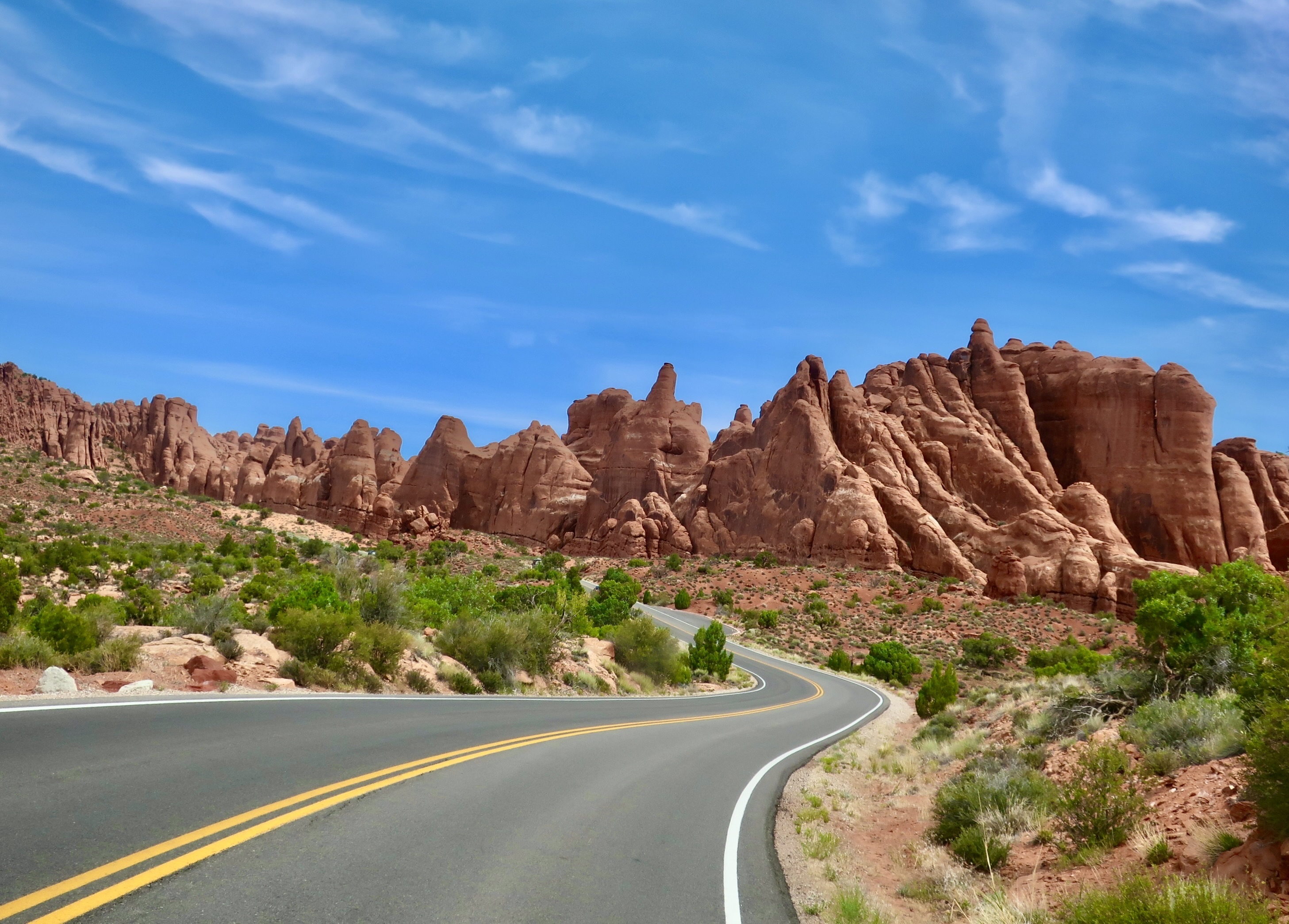
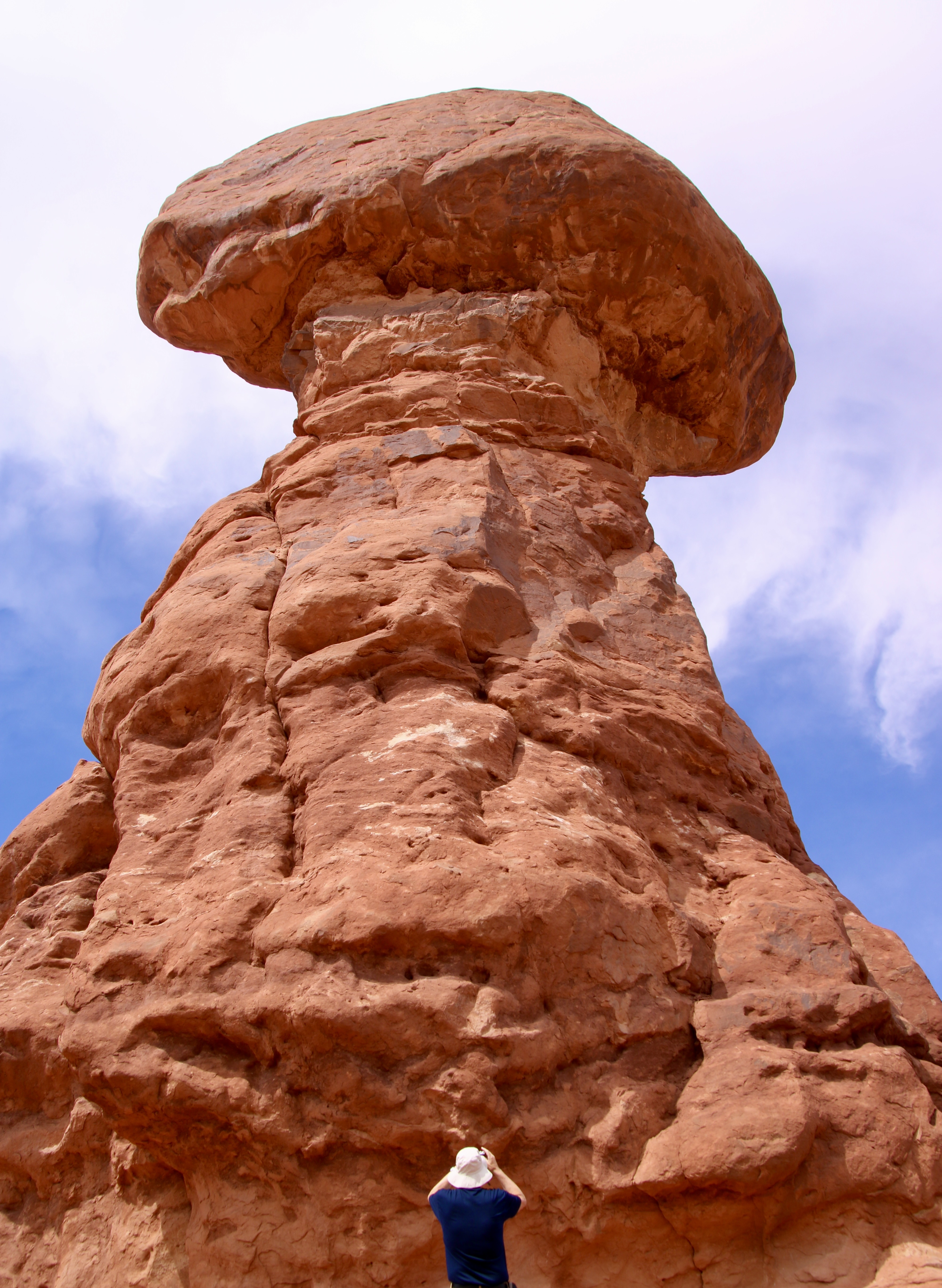
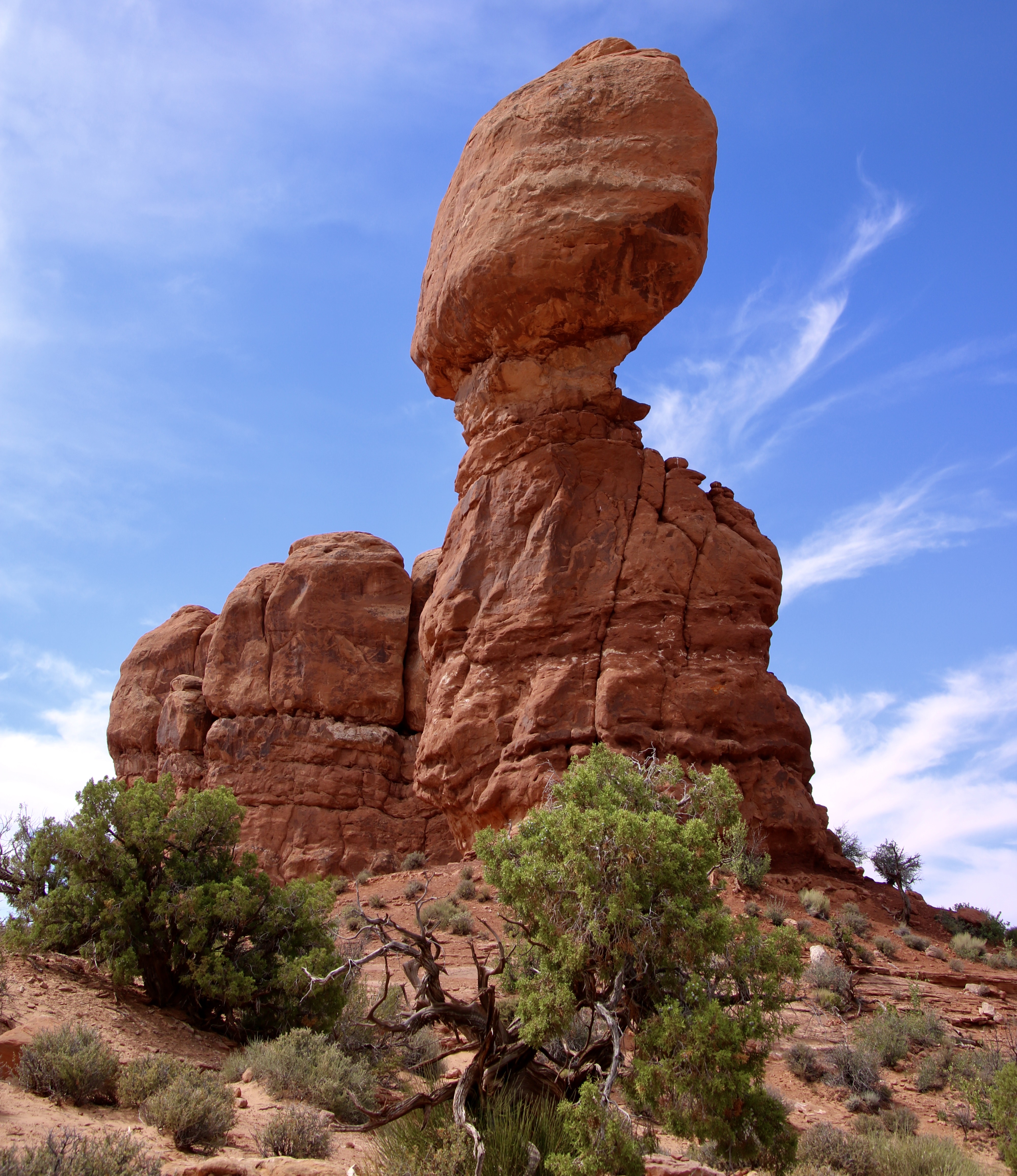
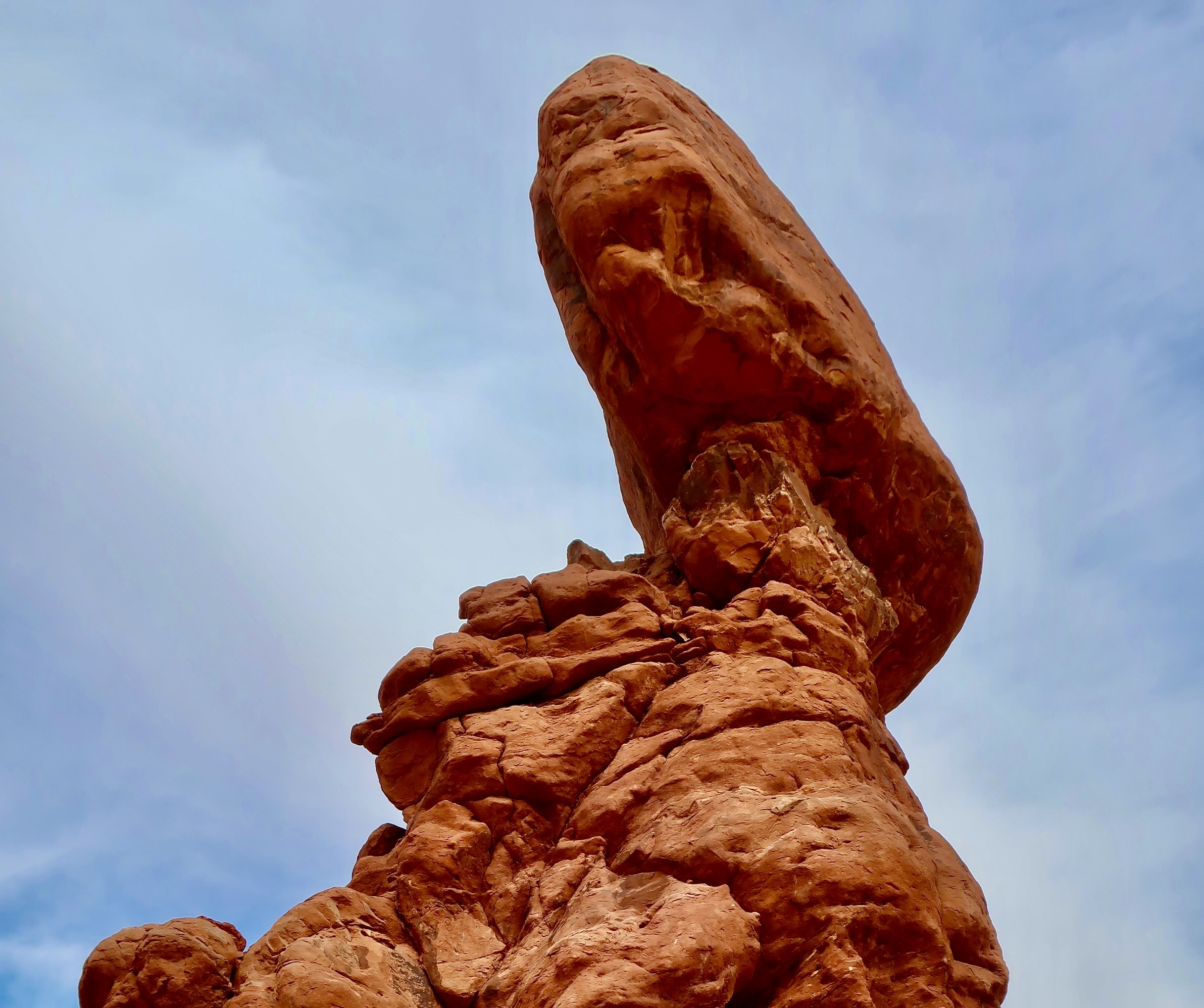
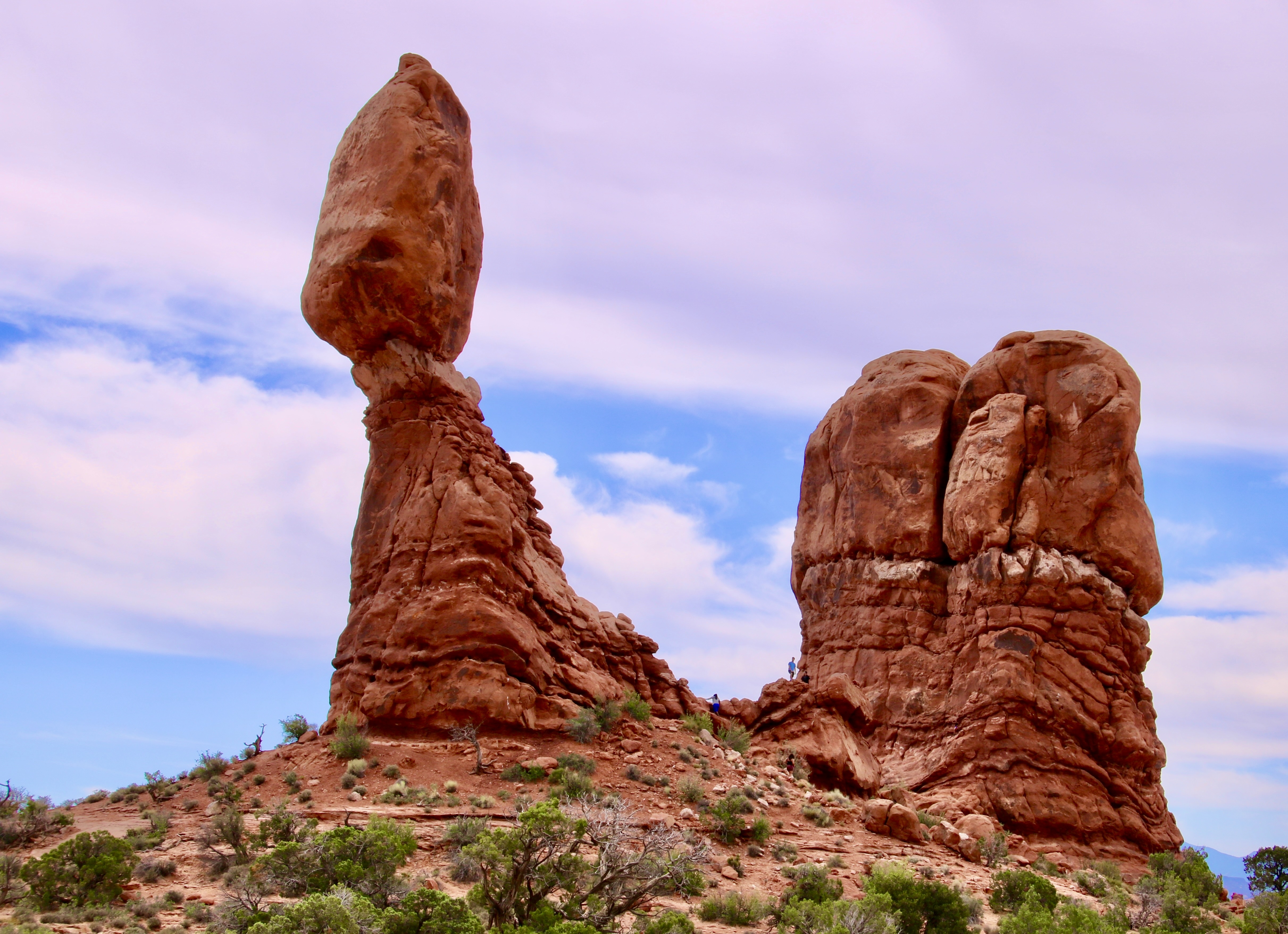
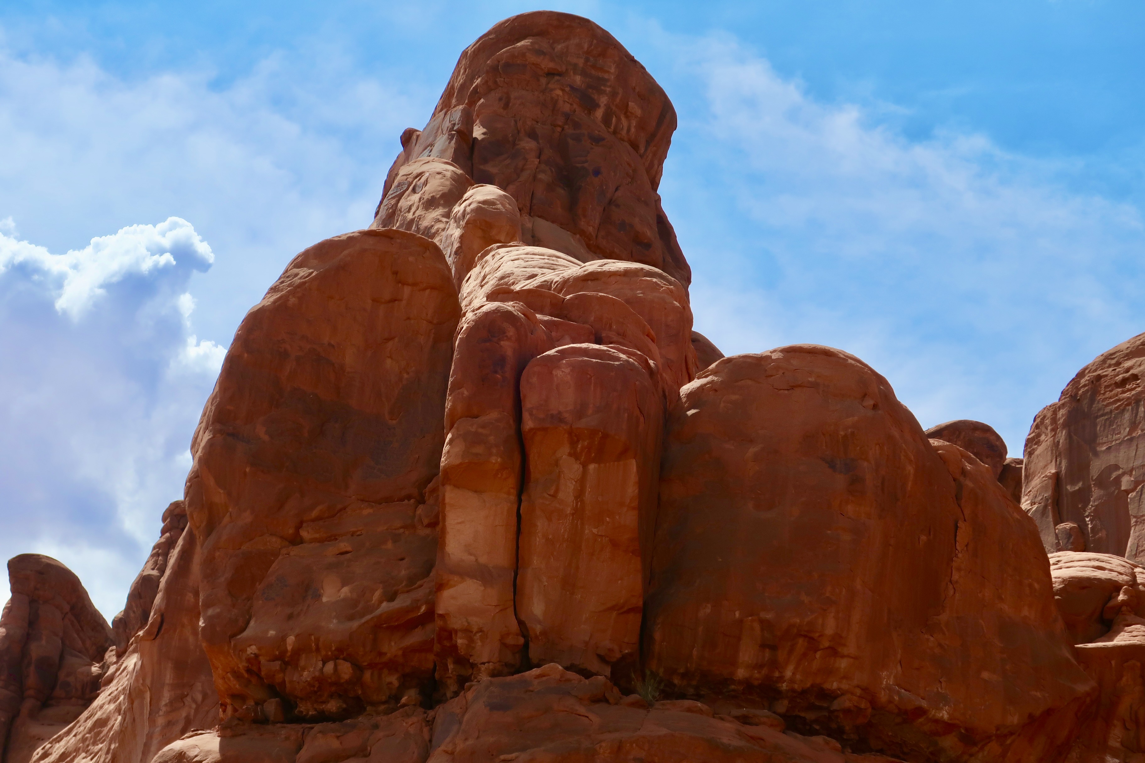
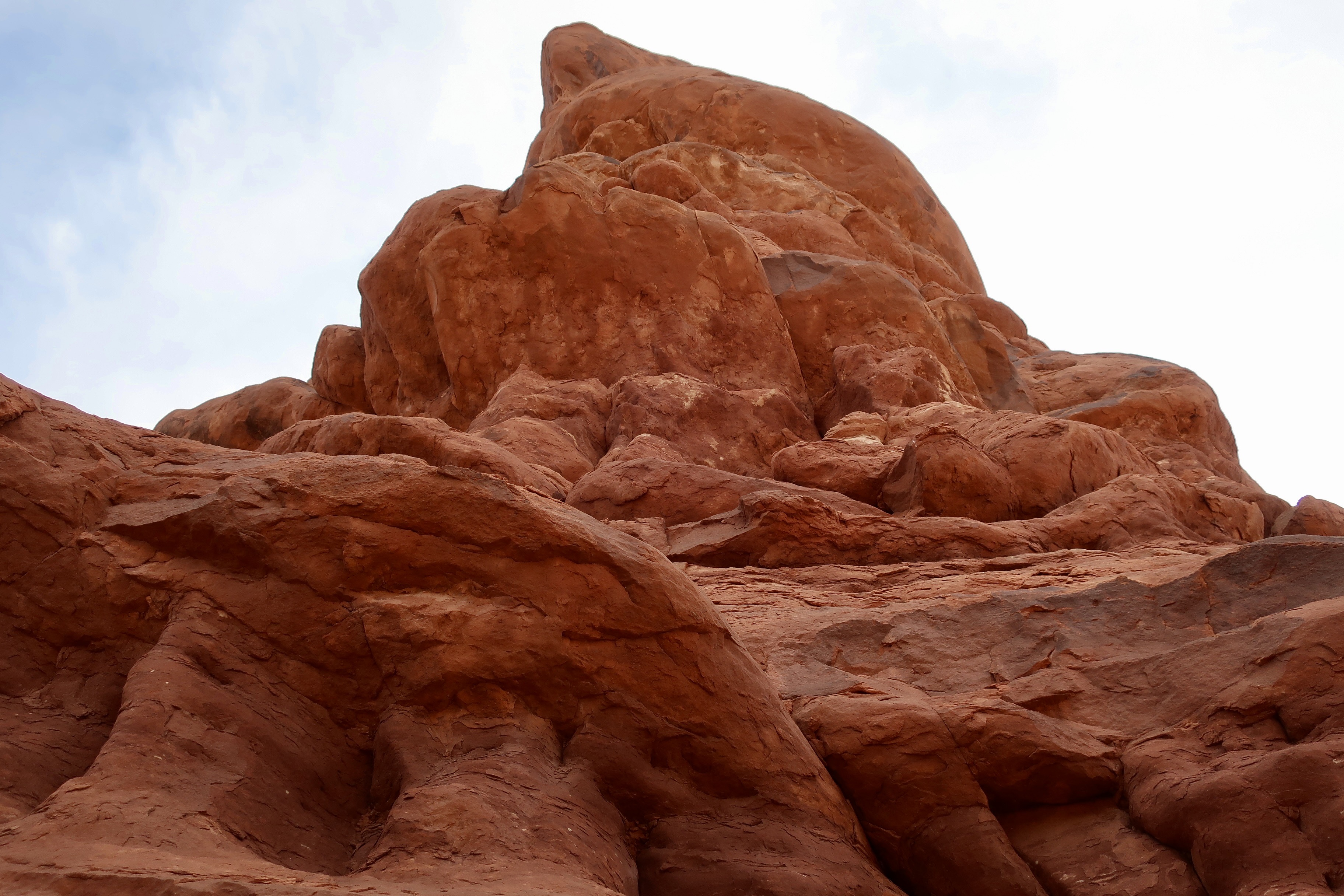
There is more than arches to Arches National Park. Balanced Rock is a prime example. It is one of the main attractions in the park. Here, Peggy caught a photo of me shooting straight up from the bottom. Her photo provides perspective on the size of the giant.
Peggy and I have always been drawn to the great natural beauty of our country and the world’s wild areas. In 1999/2000 we both took sabbaticals from our work with a primary goal of exploring the majority of America’s national parks. We ended up visiting 52 from Alaska to Florida. (Our trip also including enjoying the spectacular national parks in the Canadian Rockies.)
Our love for National Parks has continued up to today. Over the past 15 years we have returned to visit and photograph 42 national parks and 20 national monuments— many of which we feel deserve national park status.The parks we will be featuring in this series are all included in this time frame. Most of these parks we have visited at least twice and some, like the Grand Canyon, Redwoods, Death Valley, and Pt. Reyes National Seashore, several times.
We were disappointed that national parks weren’t more of a focus during the 250th Anniversary Celebration. Instead, the Trump Administration pulled tens of millions of dollars in National Park Service funds—primarily from visitor entrance fees—to finance projects in Washington, D.C. and activities like the massive fireworks display, mixed martial arts event called UFC Freedom 250, and the The Freedom 250 Grand Prix. This isn’t meant to criticize the events per se, which were enjoyed by thousands of people, but merely to note that the funds should not have been taken out of much needed national park funds. Sadly, this reflects a number of actions that the Administration has carried out in relation to national parks and monuments.
I will be discussing some of these issues in this series, but my primary purpose will be to celebrate their beauty, wildlife, history and diversity for our 250th Anniversary. The bottom line: Wouldn’t it be wonderful if Americans and people from throughout the world could be celebrating the parks and monuments that exist today— plus any more that will hopefully be added— for the nation’s 500th Anniversary.
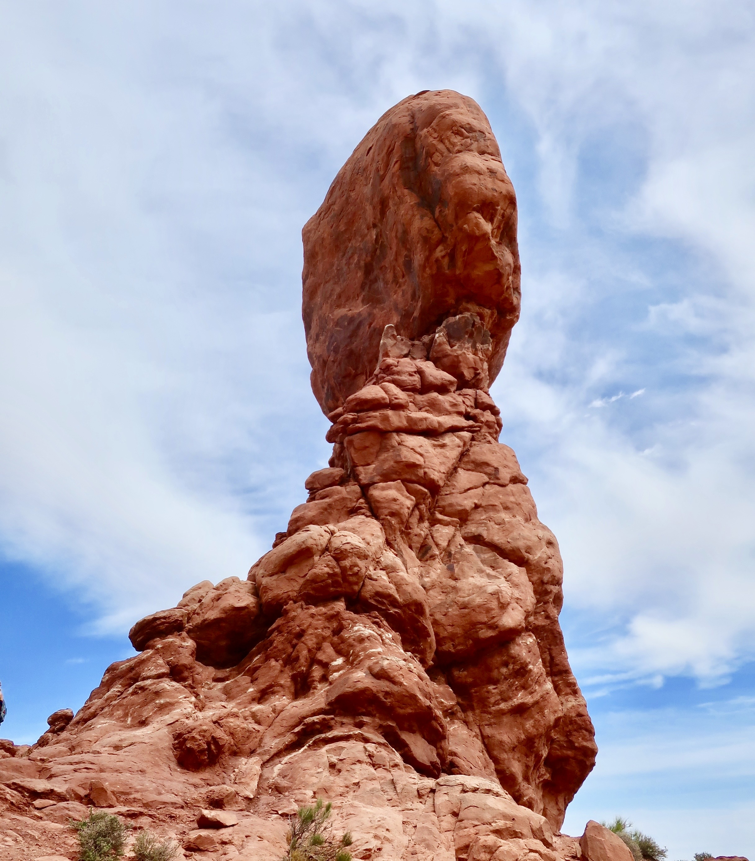
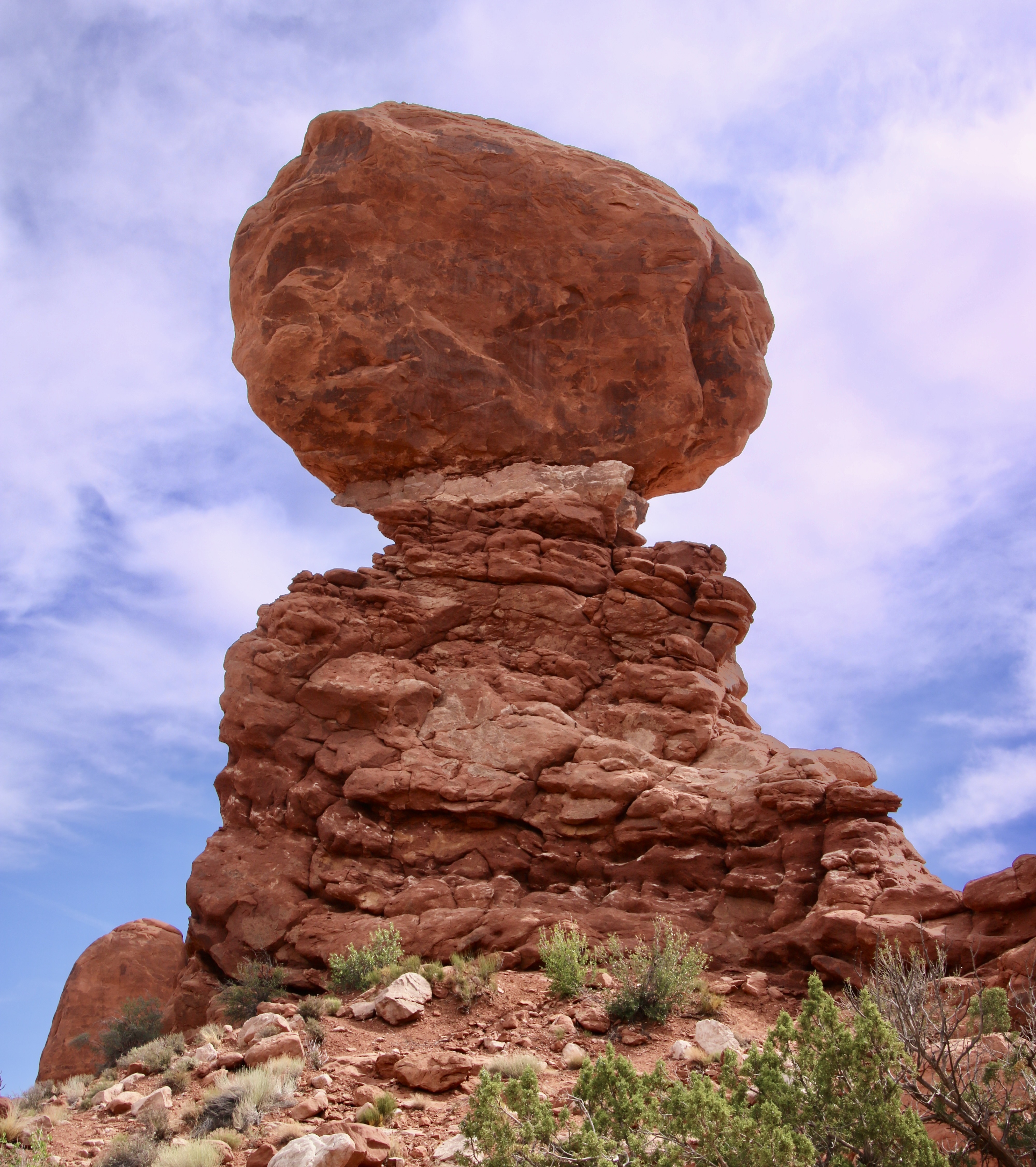
My objective in photographing the monument from bottom up was to work my way around the monument capturing views like this. One of our goals in this series is to show the beauty of the national parks from different, as well as the same, perspectives that are usually seen.This is a more traditional photo of the rock and its beauty. The total height of the monument is 128 feet (39 meters). The boulder on top is 55 feet (17 meters) and weighs 3500 tons. One wouldn’t want to be under it when this perilously perched peak comes tumbling down tomorrow— or a thousand years from now, a mere drop in a bucket when considering geological time.
The first deposits that Arches NP were created from date back over 300 million years, when sea salt from ancient oceans was laid down. Since then vast deserts, materials eroded from surrounding mountains, shallow seas, lakes and rivers have all played a part. Buried under thousands of feet of rock, geological forces would eventually bring these deposits to the surface, cracking them along the way and leading to the fractures, which, aided by erosion, created the fins, arches, and pinnacles seen today. A process that is continuing.
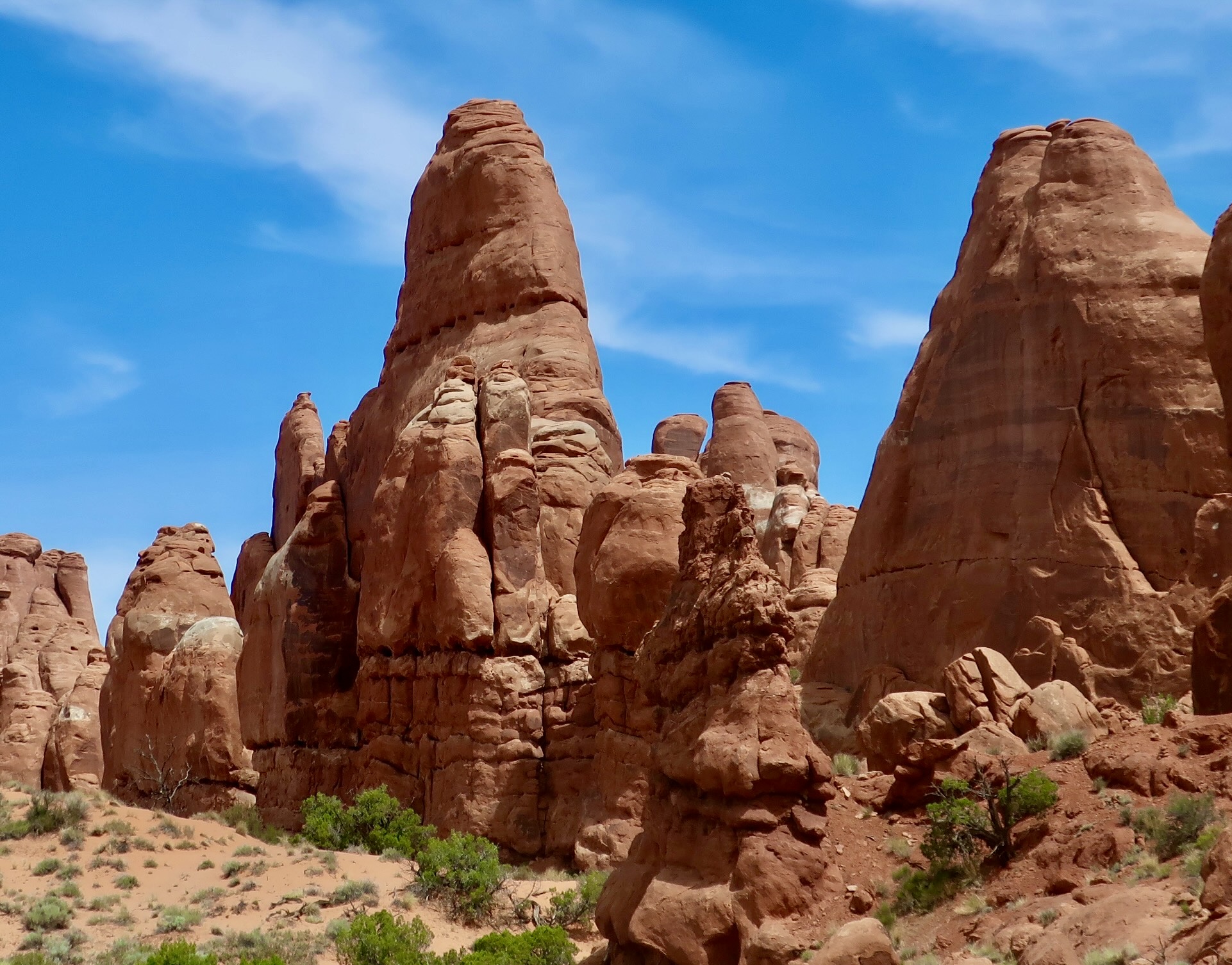
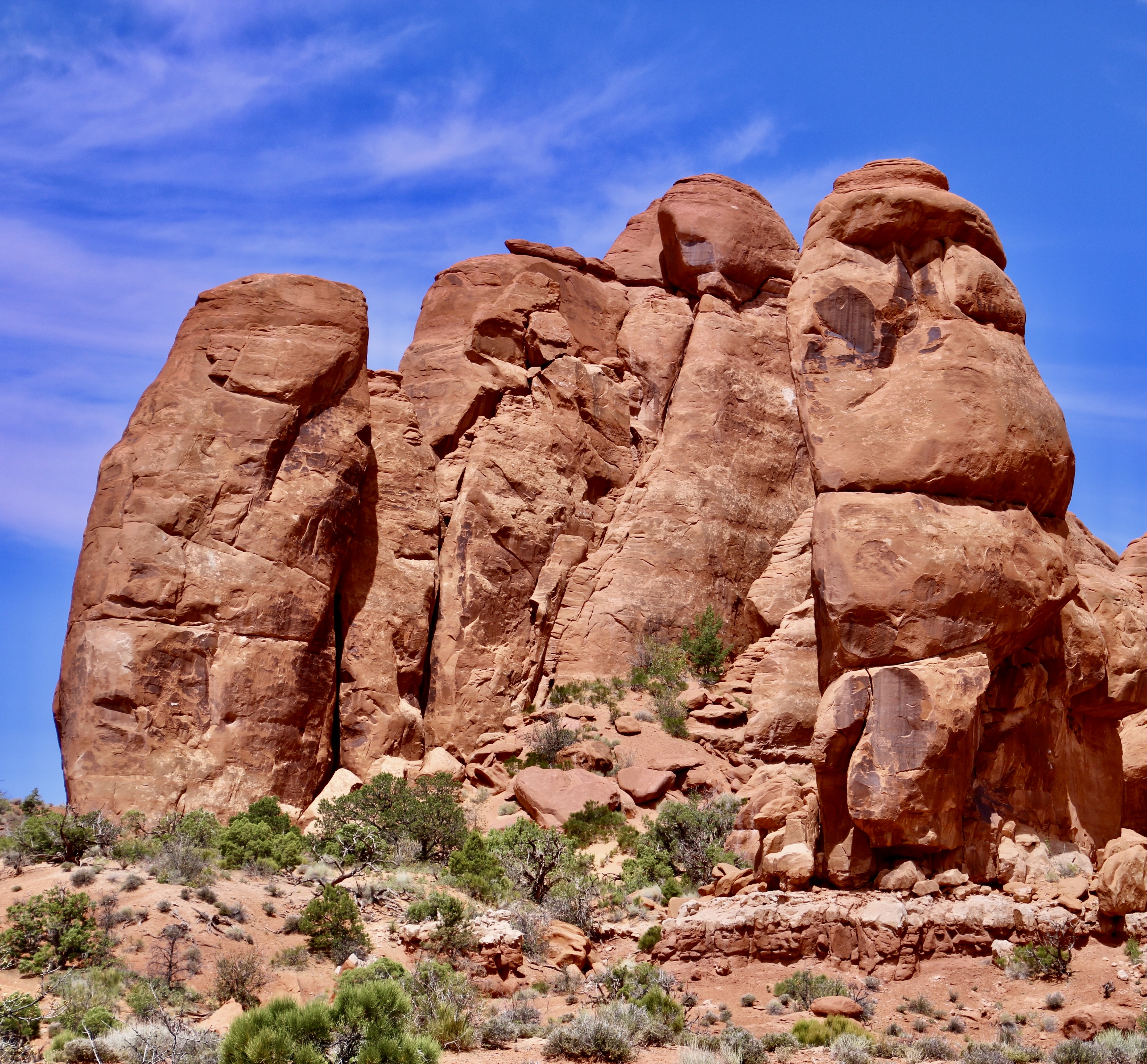
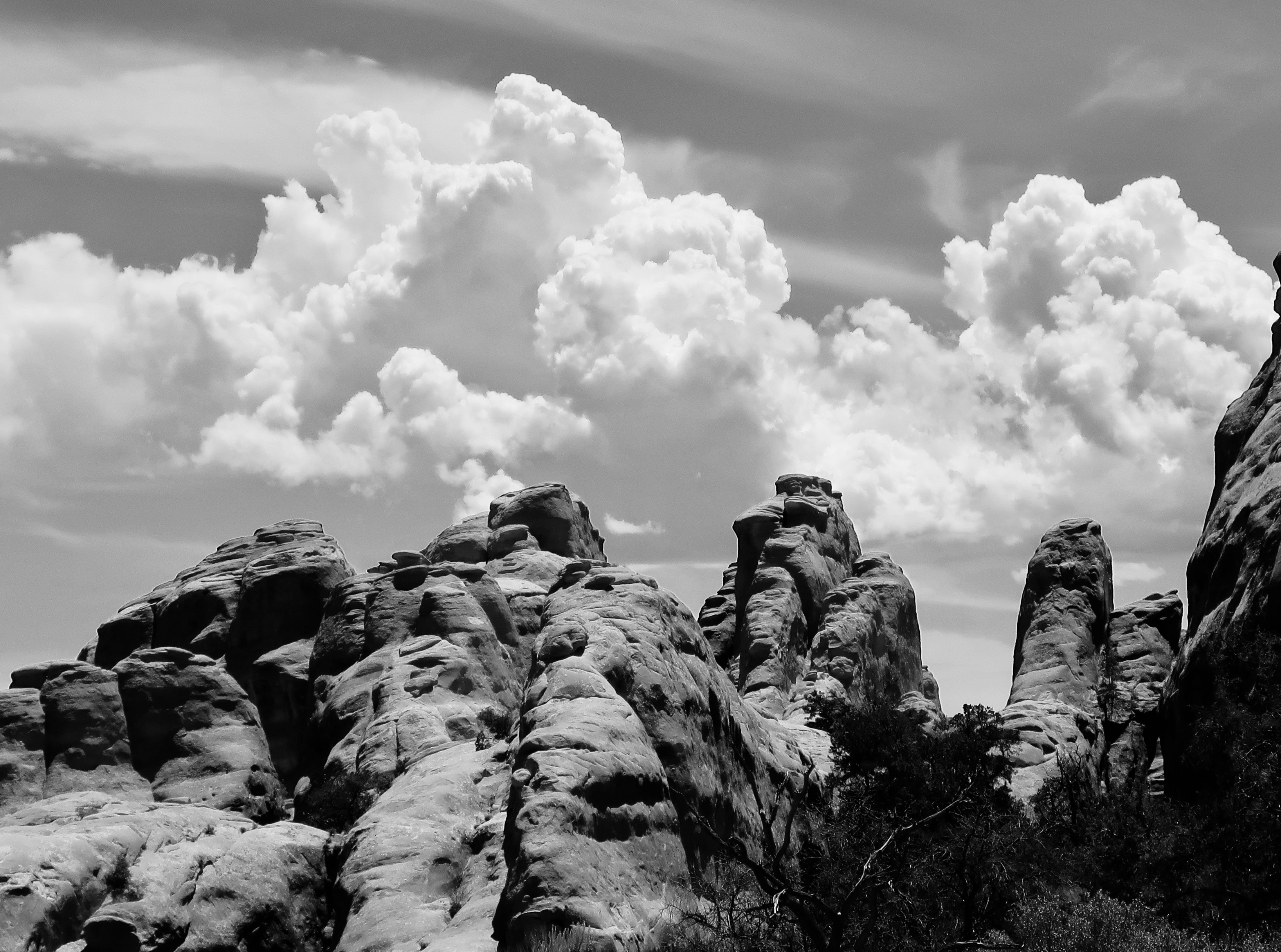
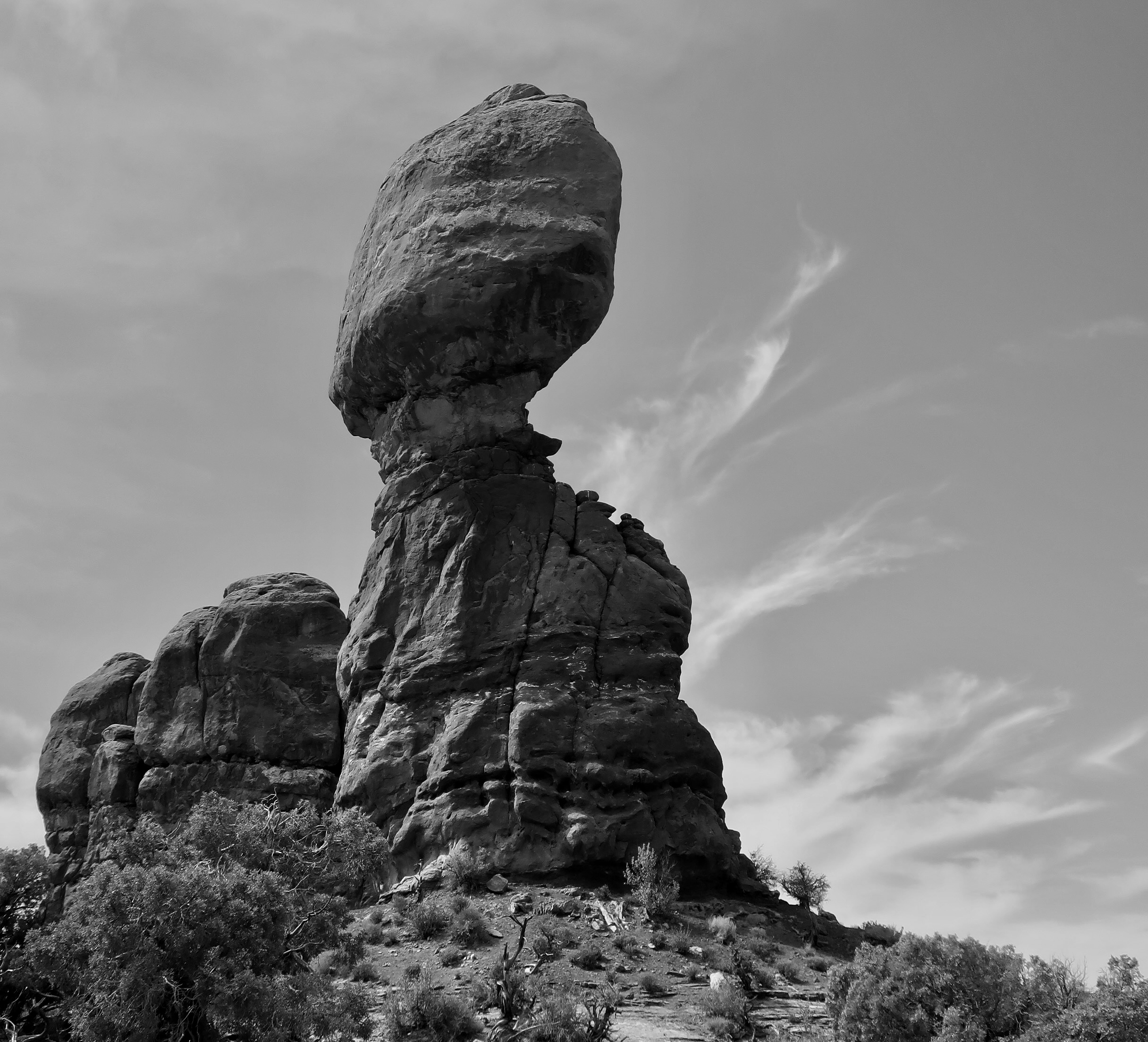
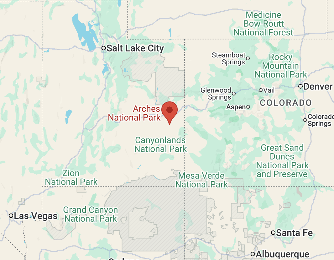
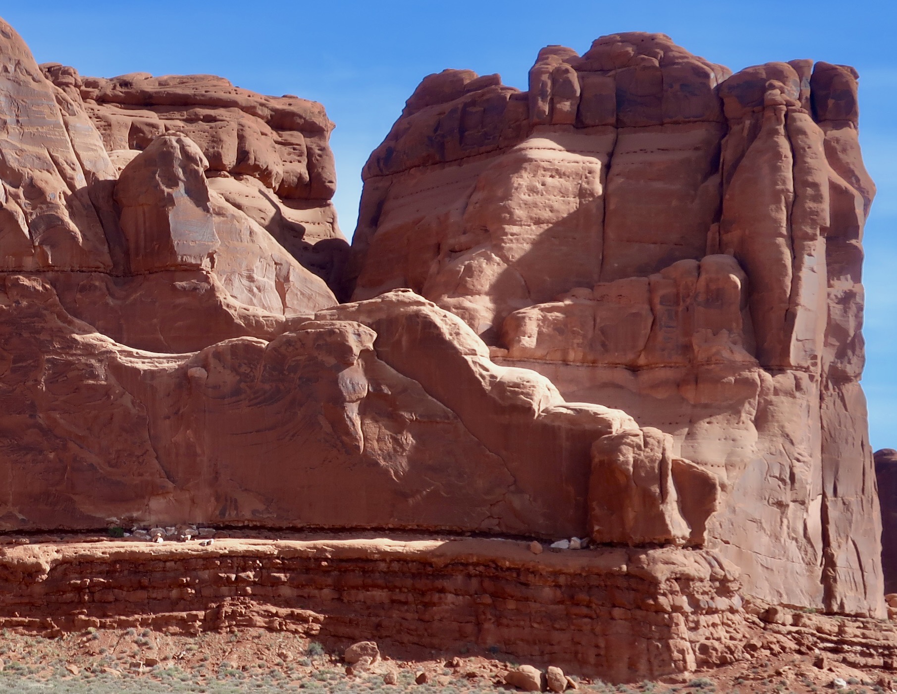
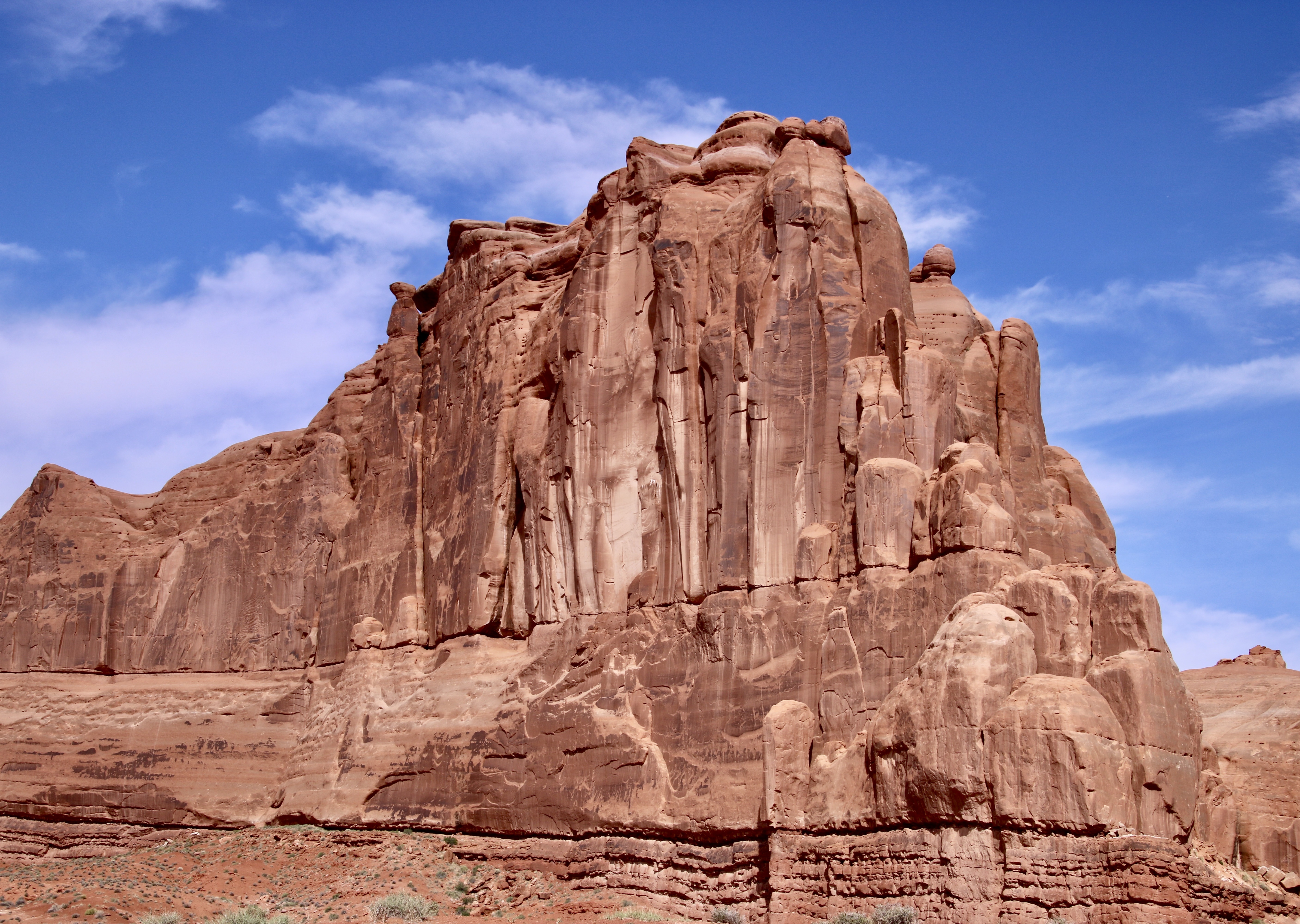
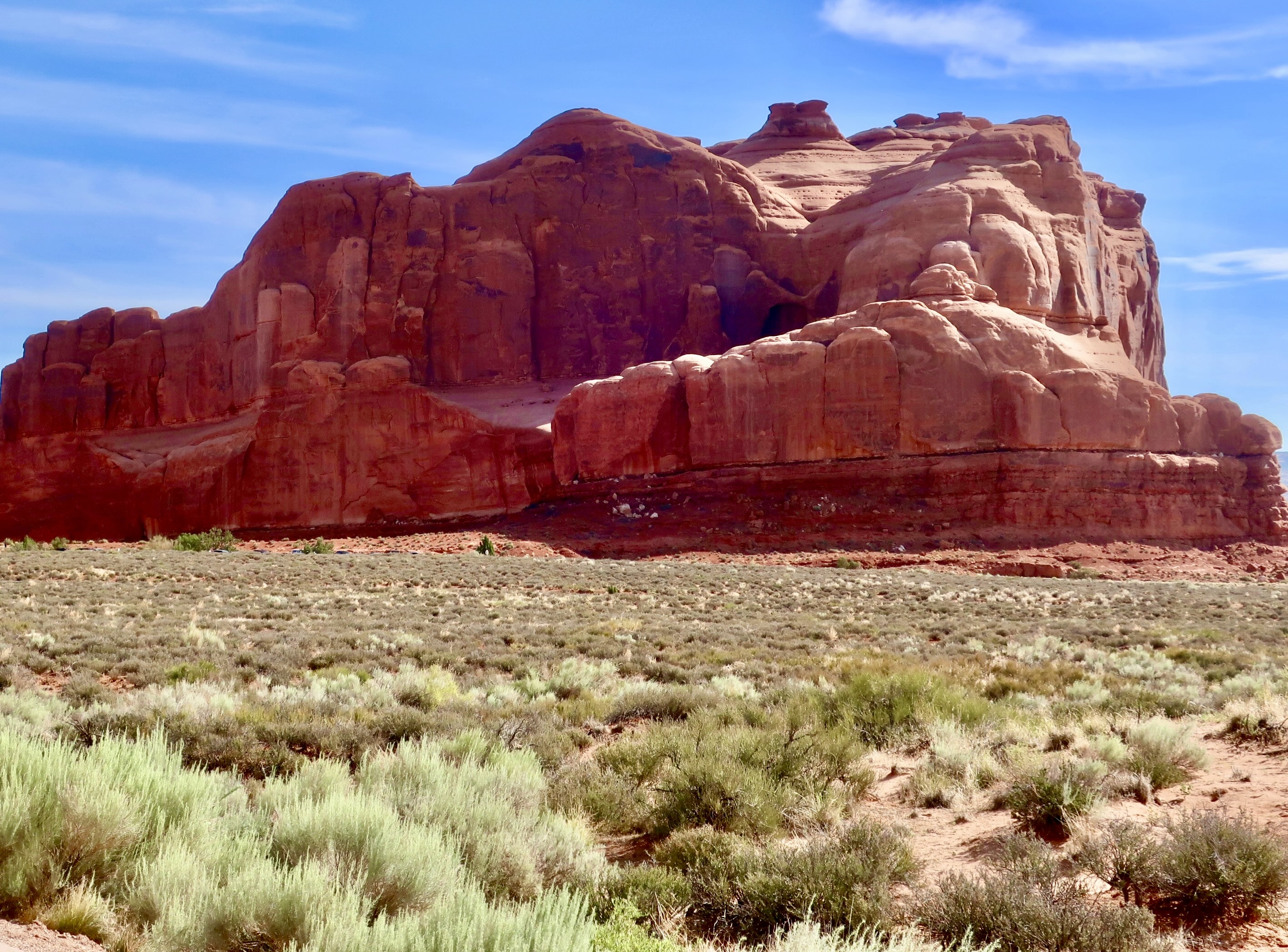
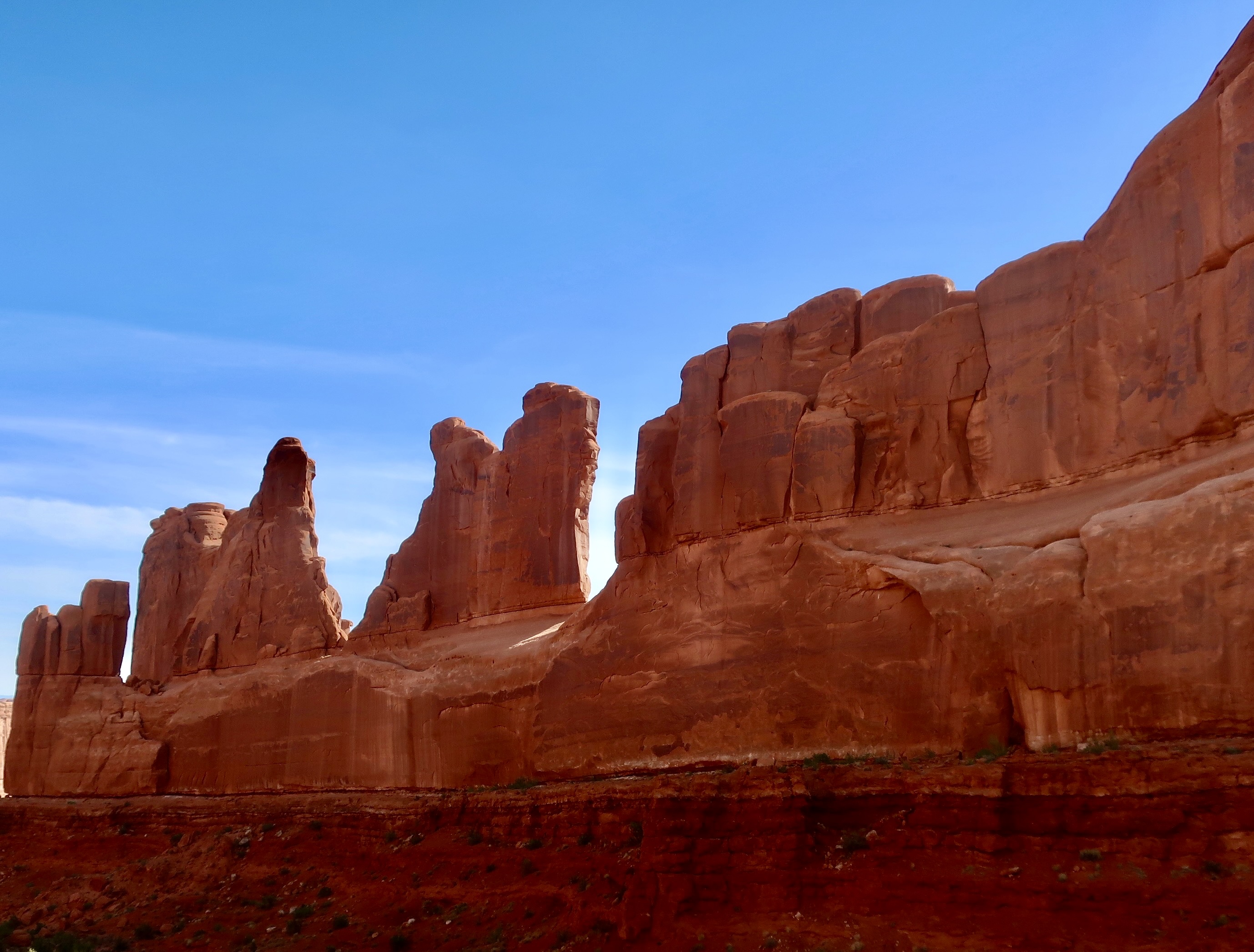
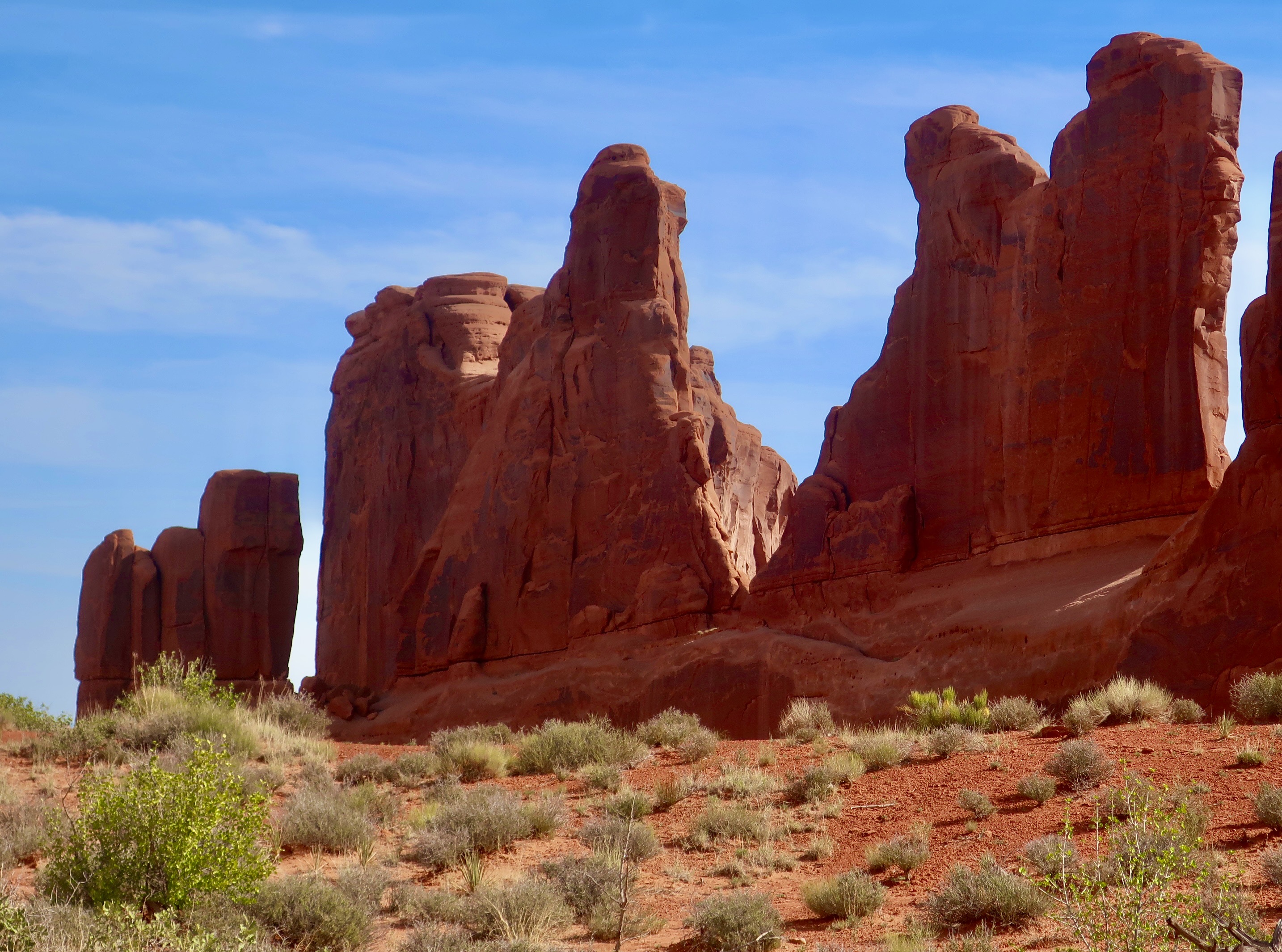
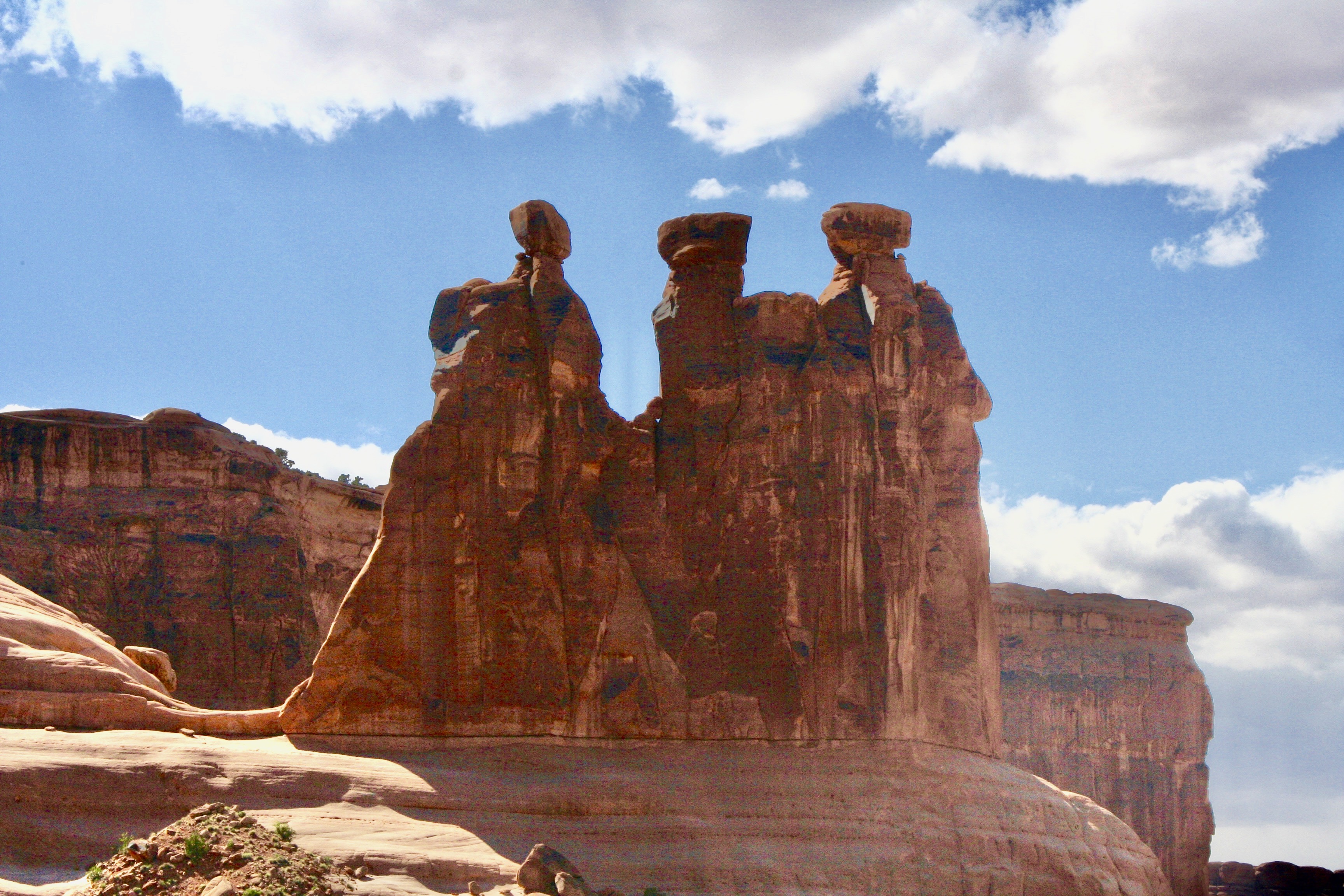
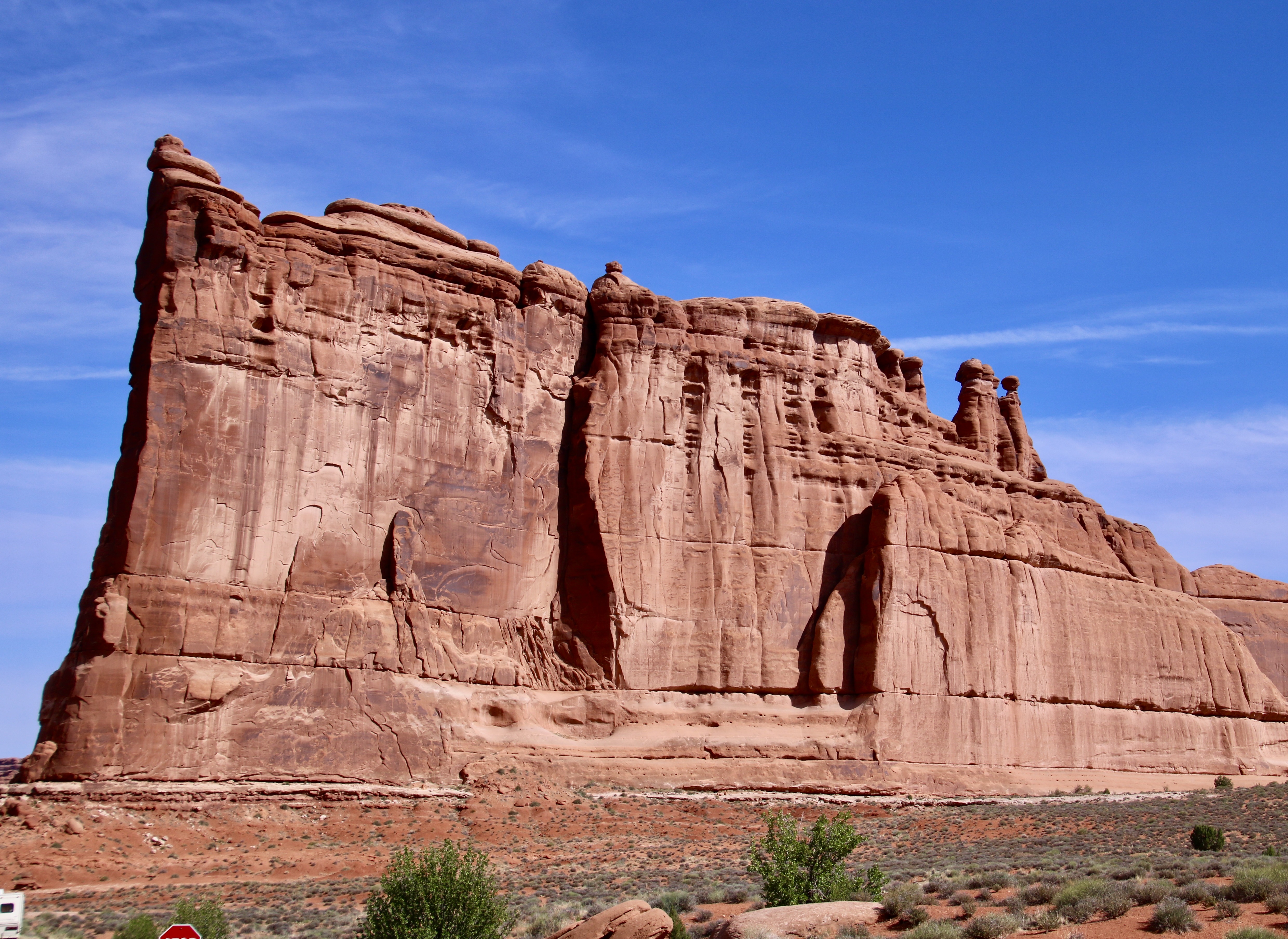
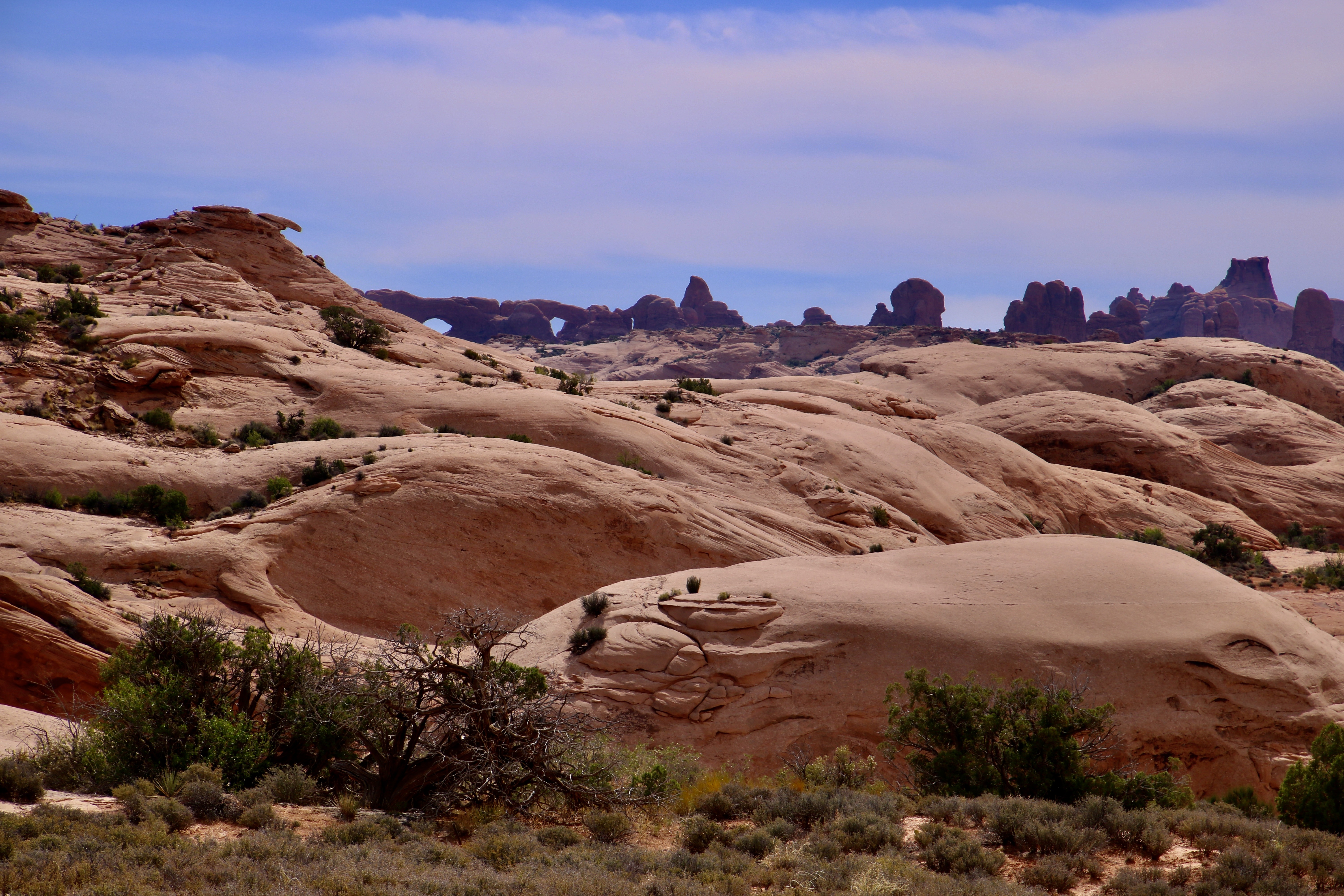
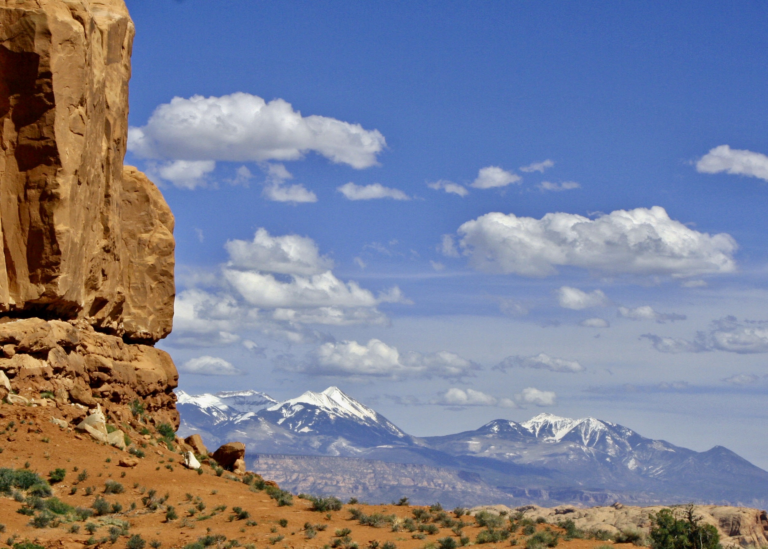
A similar photo to the one above rendered in black and white. We will be including black and white photos throughout this series. All of the photos are taken by either Peggy or me unless otherwise noted.Peggy and I often amuse ourselves by seeing animals, faces or other imagined creations in rock forms. Balanced rock makes a great dinosaur. We aren’t alone in this tendency. Many of the monuments in Arches have been given names depending on what someone thought they looked like.We found the opposite end of the boulder even more interesting. Scary? Work your way up on the left side from the chin, to the open mouth (with teeth), to the nose and eyes (mainly hidden by prominent cheek bones). We took this photo from behind a small hill next to the monument.Other balanced rocks can be seen throughout the park.Another example. Note the size of the pedestal compared to the rock.A last photo of the Balanced Rock.The location of Arches National Park in central eastern Utah as shown on a Google map. A number of other national parks and monuments are within a 1-2 days driving range.Massive rock structures appear as soon as you drive into the park.They range in size from large…To extra large.And come in a variety of shapes. From peaked…To rounded.The beginning of arches can be seen on the left here. And, if you look closely on the very top. Think of looking up someone’s nostrils.Named monuments are also found a few minutes from the entrance. One of the first is Park Avenue. A half-mile canyon is hemmed in by towering red rocks that reminded early explorers of New York City’s famed street. A close up of the sky scrapers. Some imagination may be required.Meet the Three Gossips busily chatting away.Following the religious theme, this is the Tower of Babel. Arches even has sand dunes— fossilized sand dunes. The eyes staring at you from the horizon are known as The Windows. We will be visiting them later.The La Salle Mountains provide a beautiful backdrop to Arches. I’ll close today’s post here. We have two more coming on Arches. The next post will look at the areas known as the Fiery Furnace and the Devil’s Garden, a gruesome twosome, if you will. We will wrap up Arches with the Garden of Eden and a look at several of the arches that give Arches NP its name. My next post on the Scottish Highlands will be to feature its natural beauty.
Today, Peggy, our grandson Cody, and I are continuing the series on the CIE bus tour we did of the Scottish Highlands. All photos are taken by either Peggy, Cody or me unless otherwise noted.
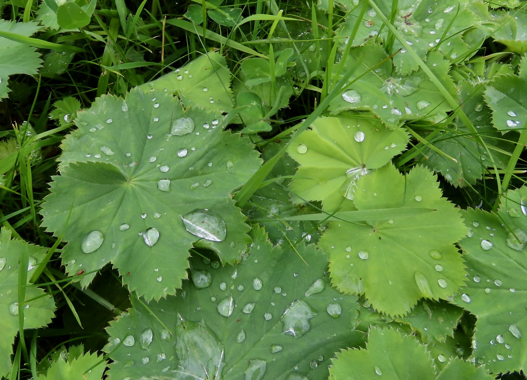
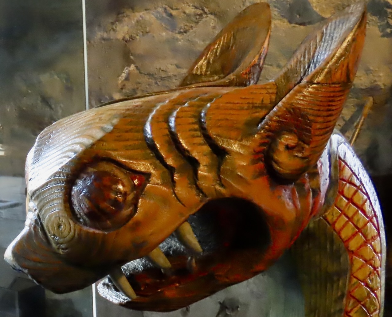
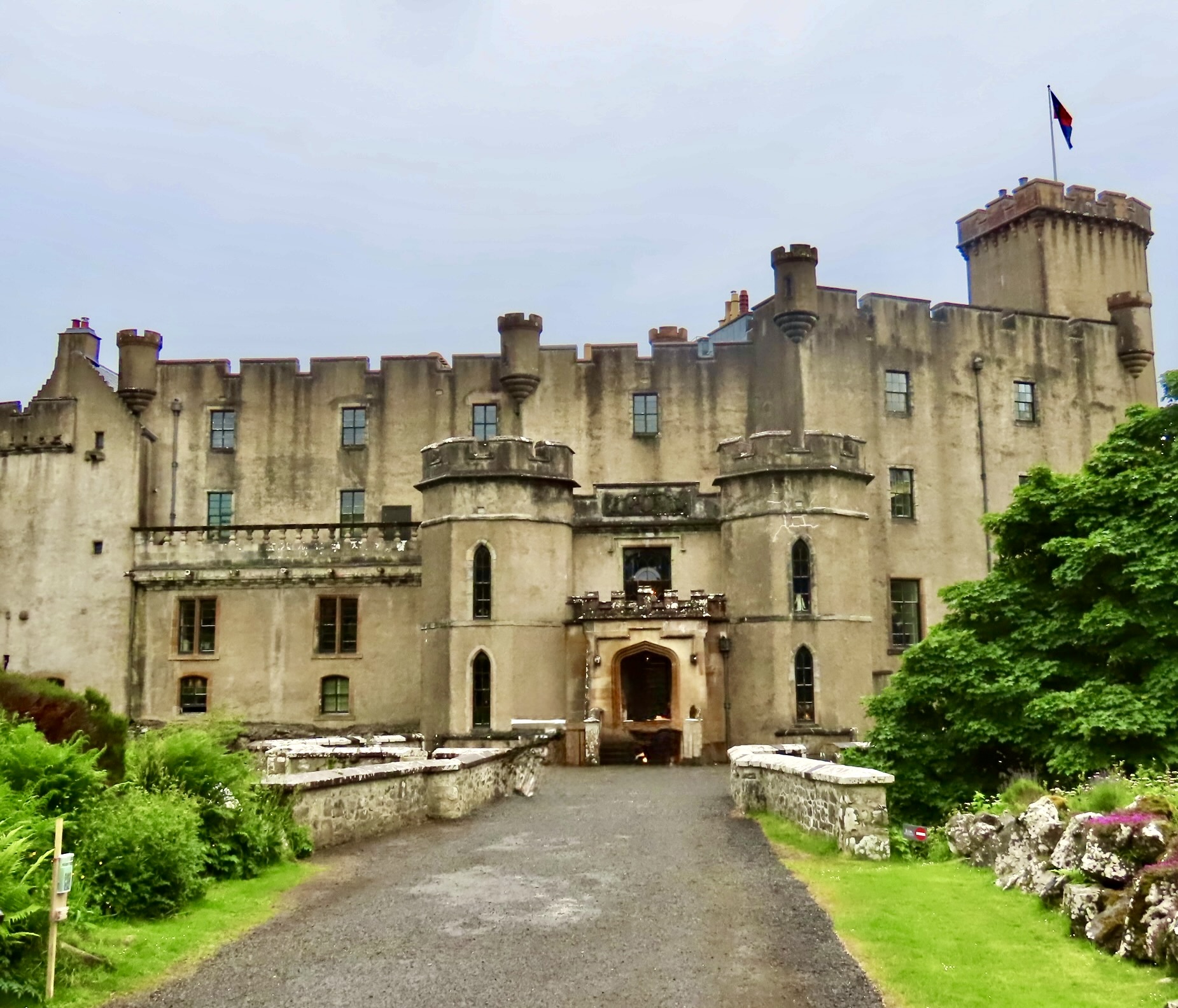
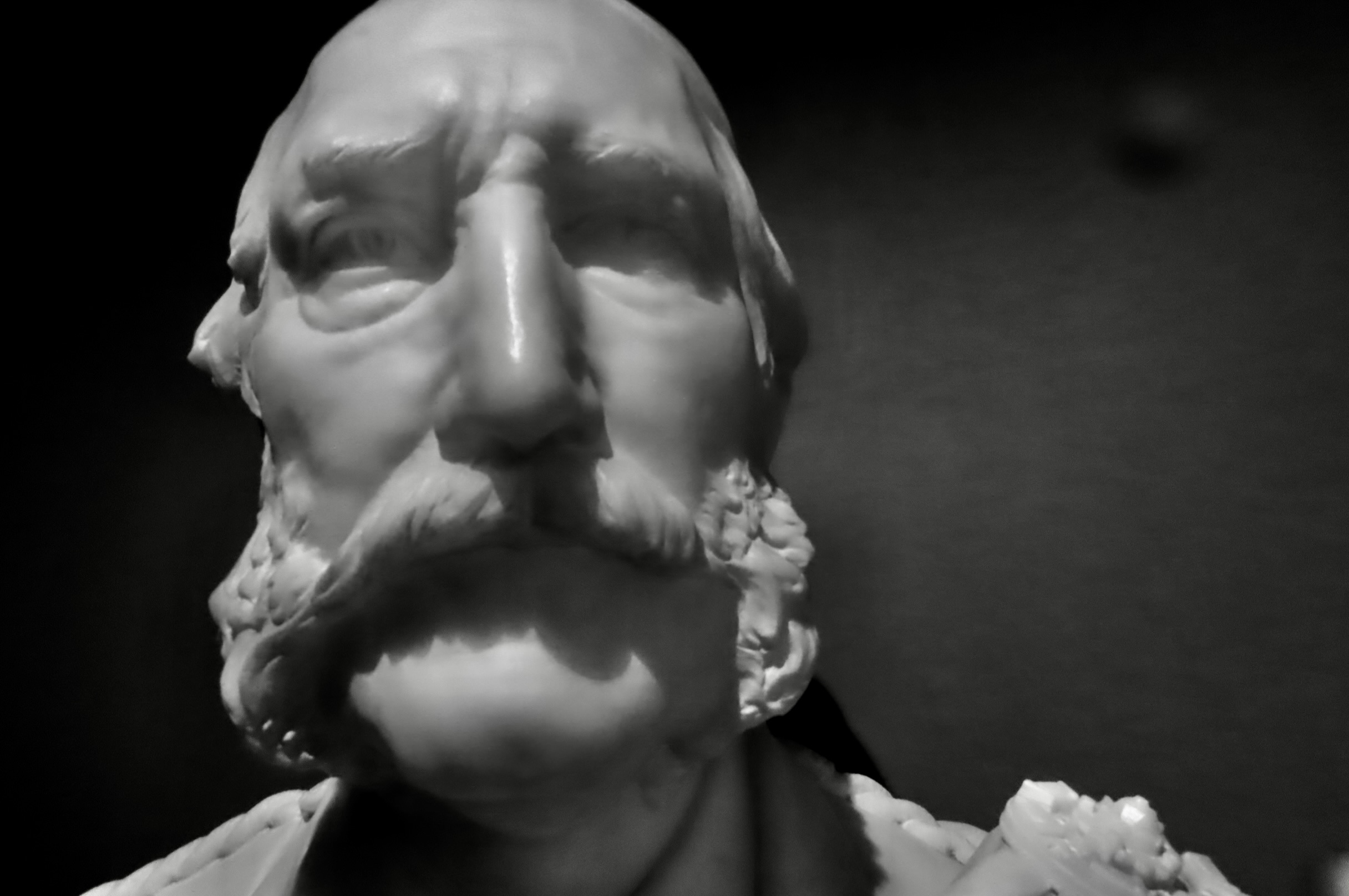
Clouds and lack of sun combined for a few minutes to give Eilean Donan Castle a look that the director of a horror flick might find appealing: Dark, brooding, and threatening.It’s likely that the namesake for the Eilean Dolan Castle was the Irish Bishop Doland who came to Scotland around 580 CE and may have established a small monastic cell there. I thought that this statue of him looked scary enough the fit in with the photo above. Imagine: You knock on the castle’s door and he answers. Possibly a vampire was lurking in the area. Or a Viking.The castle was actually built during the 13th Century CE to discourage Viking raids. A replica of a figurehead from a Viking ship is kept on display at the castle as a reminder.A Google map shows the location of the castle. Its position at the head of Loch Alsh and Loch Long would have provided valuable protection for areas behind it that the Vikings might have otherwise ravaged.This view out from the Castle, including a small boat on the Loch, shows why Vikings would have had a difficult time slipping by.While the Castle succeeded in its efforts at discouraging Vikings, it wasn’t so lucky in its support for the Jacobite rebellion. It was occupied in 1719 by Spanish soldiers who were allies of the Jacobites in their efforts to restore the exiled Stuarts to the English throne. They were thwarted by the power of the British Navy. Three warships spent three days bombarding the castle until its surrendered. The British then used 16 barrels of gunpowder stored by the Jacobites to blow the castle apart.The castle remained in ruins for nearly 200 years until 1912, when Major John MacRae-Gilstrap undertook the challenge of rebuilding it. This historical photo of Eilean Donan on the Castle’s website shows what it looked like as a ruin.The massive rebuilding project took nearly 20 years. The result is what we see today. For some reason, the normal tour of the living quarters was not open the day we visited. Consequently, we spent most of our time admiring the Castle from the outside.A view from the parking lot.I borrowed this excellent diagram from the Great Castles Website, which is dedicated to protecting castles. We started our exploration from crossing the bridge (1) to the castle.This was our view after crossing the bridge. The walkway to the left took us to the entry door. The right took us around the outside of the castle.The castle’s portcullis (15), is the historical entry to the castle. It would have featured a heavy, spiked gate that could be dropped quickly to keep out invaders. I wonder if they ever used it on tourists? Grin. Actually, we entered from a much smaller door in the building on the left and explored the ground floor, which displayed the historical information shown above.The Keep as viewed from the inner courtyard (10). What appears to be stone steps lead up into the Keep. If so, I think I would pass. One thing for sure, an invader would have a tough time making it to the top.A gateway from the courtyard provided the view out to the loch that I used above.View looking north from Eilean Donan Castle showing the surrounding countryside.Following the pathway (3) to the right provided different perspectives on the Keep.A final view. I think that the building to the right was the west guard tower (9). Now, on to the Island of Sky and the Dunvegan Castle.If you are searching for a castle with the ‘original’ look of a Scottish castle during Medieval times, you need look no further than Dunvegan. It’s a bit of fake news, however. The unified battlements that run along the top of the castle were added by Norman MacLeod (the 25th Chief of Clan MacLeod) during the 1840s. This Baronialisation, as it is known, was quite popular in Scotland during the Nineteenth Century. Prior to MacLeod’s remodleing effort, the castle had consisted of several different buildings with the first being built during the 1300s.Another view of the remodeled castle.The location of Dunvegan Castle as shown on a Google map. Eilean Donan is nearby off to the right. Both castles saw their initial start in the 1300s: Eilean Donan to discourage Viking invaders and Dunvegan Castle by the descendants of Viking invaders.A marble bust of Norman MacLeod, chief of the Clan MacLeod during the middle of the 19th Century, was located just inside the castle doors. A bust of his sister, Emily Sarah MacLeod, was also located there. Both were instrumental in using the family’s personal fortune to feed, employ, and care for his clan’s 8,000 tenants on Skye during Scotland’s potato famine. They deserve great credit for their efforts.We were also greeted with this bull’s head when we entered the castle. There’s a story, naturally. The words up on top say “Hold Fast.” It is the motto of the MacLeod Clan. It, along with the bull, makes up the MacLeod crest. According to the legend, Malcolm MacLeod, the 3rd Chief of the clan, was returning from an affair with the wife of a rival clan chief when a wild bull attacked him in the woods. His clan members, too far away to help, yelled “Hold Fast, MacLeod!” He did, wrestling the bull to the ground by the horns and stabbing it with his dirk. Thus the motto and the crest. As we wandered through the castles we came across a bouquet of peacock feathers…And a bouquet of flowers. As we had discovered in each castle we visited, portraits of various family members were on prominent display.I found this portrait of Joan MacLeod at Dunvegan particularly well done. She was one of the first women to graduate from Oxford University.This lion wasn’t bad either.Looking up a blocked stairway we spotted the fake rat sneaking up on a real key. The red eye means he is one bad rat! I think.Farther up the stairs was a scary looking maid delivering food. Or was she a ghost?A couple of historical artifacts were of particular interest. One was this tattered Fairy Flag. Legends claimed it was a gift from the fairies to an infant chieftain, or as a reward for defeating an evil spirit, or as a gift to a chief from a departing fairy-lover. Powers ranged from protecting various clan members, to curing a cattle plague, to bringing herring into the sea loch at Dunvegan. It was versatile to say the least. I don’t have a clue what the red line relates to.A cannon on the ramparts pointed out toward the Dunevan Loch, which is the direction invaders by sea would have attacked. These were mainly rival clans, which, if having affairs with rival clan chiefs’ wives like Malcom MacLeod did was common, isn’t surprising. Next, on to the Earl’s Castle, or Palace, as he apparently preferred.There is something about ancient ruins that attract me, and most people, I think. They speak of another time, a different world. The Earl’s Palace was built by Robert Stewart, the first Earl of Orkney starting in 1569. Robert was the illegitimate son King James V and his mistress Euphemia Elphinstone, which sounds like a great name for a mistress to me— picturing a stoned, euphoric elf. Admittedly, I have a strange mind. Euphemia actually derives from Greek and means well-spoken. Elphinstone refers to a farm/region and is a Scottish Clan name. This Google map shows the location of Earl’s Palace on Orkney.The occupation of the palace was short-lived— ending with the overthrow of the Stuart Earls in 1615. Gun holes at ground level in the walls surrounding the palace indicate that the Earls were expecting trouble. By 1700, the roof had caved in. An inside photo of the palace’s ruins.A photo of Peggy inside the castle. Various signs were posted around the palace explaining what the various rooms were used for.Outside, I found this cocky fellow wandering around the yard and wondered if he might be the reincarnation of the Earl.If so, maybe this was the Countess.This quonset hut facing the palace also caught my attention. I was drawn to the old red doors. Several bloggers I follow frequently feature doors. I wondered what the signs said. No Parking. Isn’t it a great door? But what was the smaller sign about?Who needs a guard dog when you have a ferocious rabbit?Not just any rabbits were protecting the property. These were highly trained rabbits. Our grandson, Cody, caught a photo of the rabbits a few miles away ( I used it in an earlier post).They were absolutely ferocious, wouldn’t you say. Or do they have something else on their minds… This is a good place to end this post!
Our next post on the Scottish Highlands will feature its great scenery and quaint towns. Before that I am going to start a new series featuring the beauty of America’s national parks in celebration of the nations 250th Anniversary. First up will be Arches National Park.
The hydrangeas couldn’t disguise or hide the House of Stuart’s castle-like appearance.From any angle.Taking the long view.Or the top one. The roof even included turrets, which are great for providing wrap-around views of invading enemies. (Although one might wonder why it featured stained glass windows instead of cannon ports. But maybe the round windows were fake news.)The creme de la creme of the Stuart House’s castle-like appearance were two medieval lions perched above the entrance.Both with their tongues sticking out. The tongue means they are roaring and are ready to fight! The message is “To get to the castle, you have to go through us!” See below.Would you challenge this lioness with her mouth stretched wide, fangs showing, and tongue sticking out! We certainly didn’t— even though, as it turns out, it was nap time and she was yawning. We took this photo when we were on a safari in southern Africa.
Entering the ‘castle,’ changed our mind about its pedigree. It was a house, after all. A very big house.
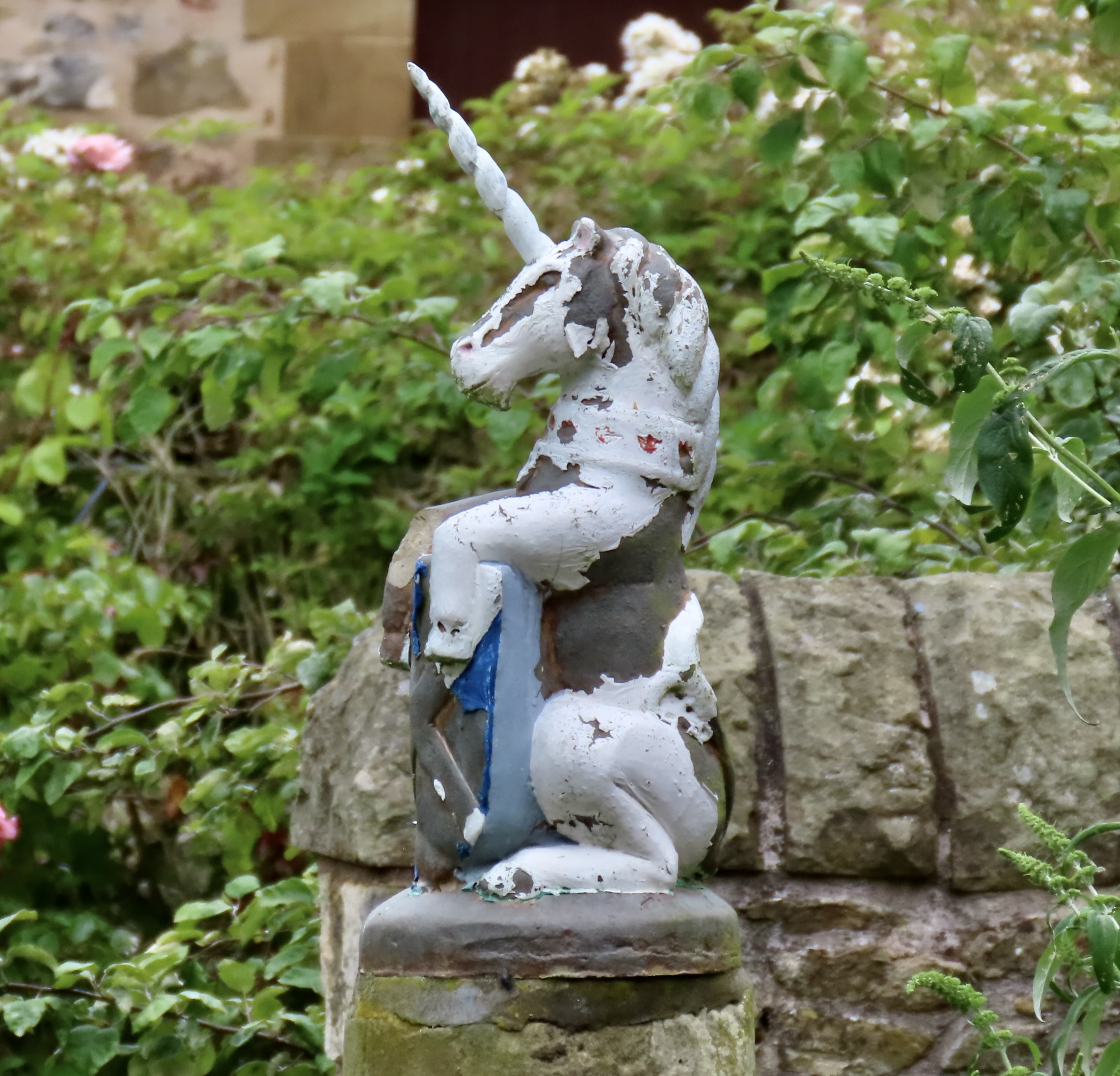
What castle comes with a star studded roof featuring constellations?Ursa Major can be seen on the left.Or turn a ferocious lion into a chaise lounge by covering it with a thick, soft, furry blue blanket and invite visitors to sit on it.Or uses stained glass windows for depicting myths. This is the golden fleeced ram who became the zodiacal Ares while its fleece became the object of Jason and his argonauts’ quest. There’s a back story: “The cloud nymph Nephele placed her children, Phrixus and Helle, on the flying ram to save them from sacrifice. Helle fell into the sea and drowned, but Phrixus safely reached the distant land of Colchis.” He sacrificed the ram to Zeus in thanks and gave the fleece to the local king. How’s that for gratitude? Zeus did send the ram’s spirit off to the stars.A unicorn needs no introduction. Note how the star theme from the roof is continued in the stained glass windows. There are a number of other fun and interesting stained glass windows.Several tapestries reflected life at the castle and within the Highland Society. This is the Highland Games version of shot put using a rock instead, i.e. rock put.
As it turns out, the Mount Stuart House is a Neo-Gothic mansion designed by Sir Robert Rowland for the 3rd Marquess of Bute, John Patrick Crichton-Stuart, who, at the time, was considered the richest man in the world. He was also something of a Renaissance man. In addition to being a Scottish Landlord with vast holdings, he was an industrial magnate, scholar, antiquarian, architectural patron, and philanthropist. (And don’t we wish our modern crop of billionaires were more like him.) His interest are reflected in both the exterior and interior of the house. The mansion was the first home in Scotland to be lit by electricity and was an early adopter of a telephone system and central heating. It also claims to be the first house ever to have a heated swimming pool inside. Located in the basement, we didn’t get to see it.
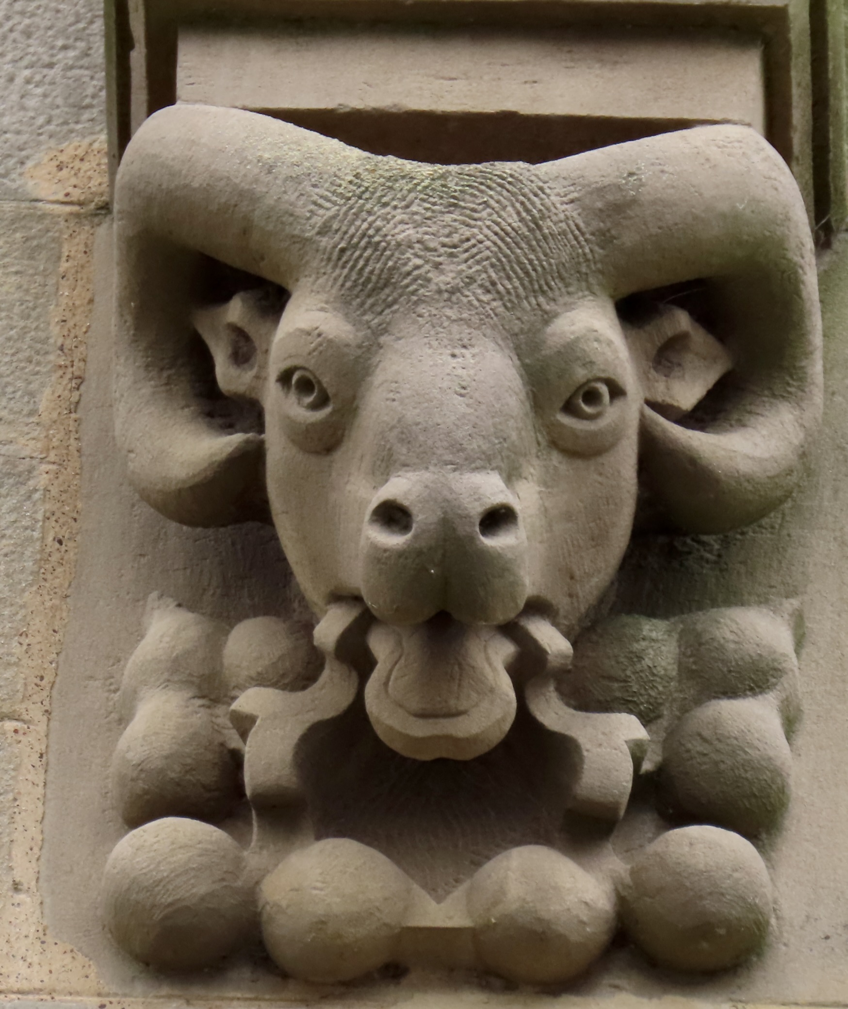
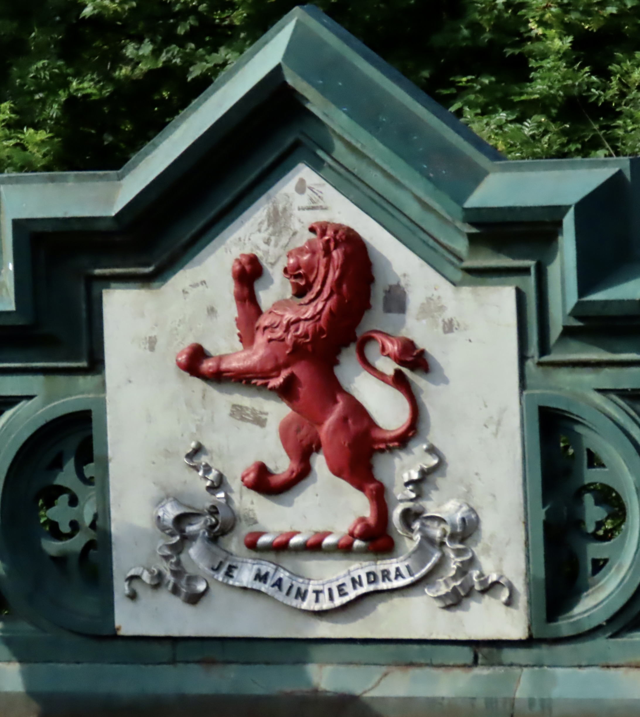
This is the location of the house. A ferry boat took us over to the island.In addition to the stained glass windows and tapestries, we found a number of other items of interest in the castle, such as this bed. The coat of arms behind it is the combined coat of arms of John Patrick Crichton-Stuart and of his wife, Gwendolen Mary Anne FitzAlan-Howard, representing the joining of the two families.A close up. Note that the lions have their tongues sticking out. One blue and one red, matched by their claws. The blue or azure tongue comes from the Crighton-Stuart Family and the red or gules tongue from the Fitz Alan-Howard Family.A large library of over 25,000 books on a variety of subjects ranging in age from 1477 up until today. It’s easy to picture myself sitting in that red chair reading away. A beautiful marble staircase connected the first and second floor.Peggy, Cody and I also took time to explore the extensive grounds surrounding the Stuart House. Here, Cody caught Peggy and me walking across the large lawn in front of the house to check out the Firth of Clyde. Looks like I have a big foot! (Actually I do: Size 14.)Where sailors were enjoying a pleasant day on the water.The back of the house had extensive landscaped gardens.Which were quite beautiful.A close up.Cody even found a loaded camel! That’s it for today. Next up from Scotland: Three castles in one post.
We are continuing our exploration of the Scottish Highlands that we went on this summer along with our grandson Cody. Today we are visiting Castle Dunrobin. All photos on this post were taken by either Peggy, Cody, or me unless otherwise noted.
I chose Peggy’s photo of the castle because it also features the Versailles-like gardens below. She used her iPhone, which demonstrates the phone’s capacity as a camera— not to mention Peggy’s eye for photography. The castle has 189 rooms, making it the largest ‘house’ in the Scottish Highlands. And why is the Disney theme song playing in my head?
Peggy and I can never pass up visiting castles, so we were excited when the CIE tour of the Scottish Highlands featured five. I’ll do another post that includes the other four, but today is Dunrobin’s turn. The original castle, built in 1235 CE, was a square keep with thick walls, obviously built for defense. It has come a ways since! Dunrobin owes its present incarnation to Sir Charles Barry, the architect famed for designing London’s House of Parliament. It was his vision in the 1800s that changed the medieval fortress into what we now see now.
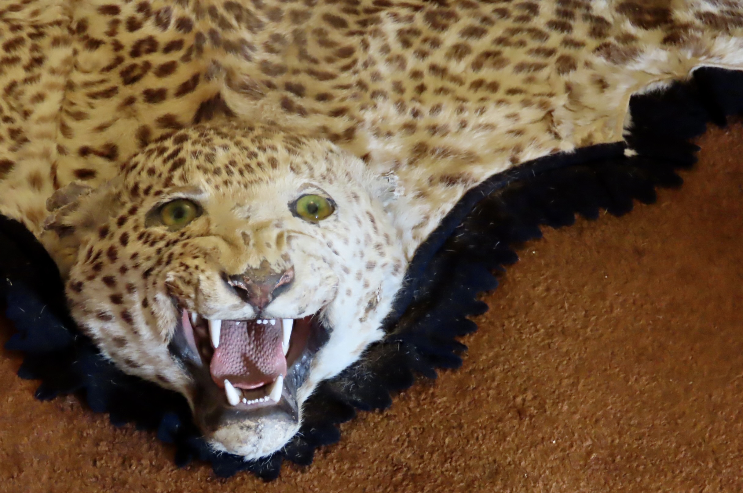
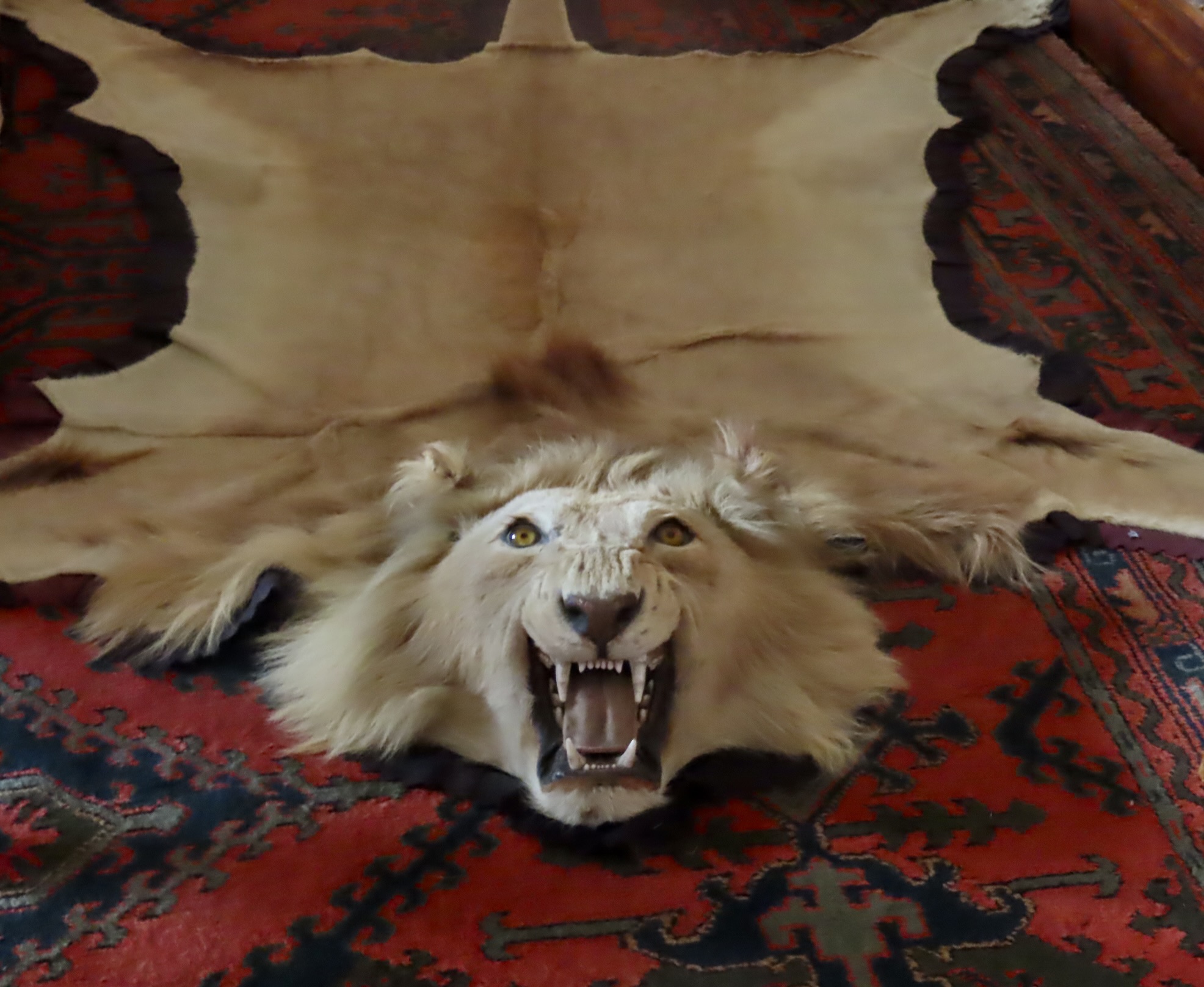
The google map above shows the location of Dunrobin in the Scottish Highlands.When we arrived at Dunrobin, a daily show that demonstrates falconry was taking place. We hurried down the 70 or so steps to catch it. You can see the crowd that had gathered to watch the demonstration across the garden on the right. Barry was also responsible for designing the garden.I stopped to photograph the tunnel.Andy Bunting is the resident falconer at Dunrobin. He’s been doing the demonstrations two times daily during tourist season for several years. Among the birds of prey he features are falcons, hawks, eagles, and owls. This is a Harris Hawk. Note the gloved hand. Those talons are sharp. You don’t want them digging into your hands or arms. The straps hanging down from the legs are called jesses. They help the falconer keep control of his birds. Hawk set off by Andy’s white hair! I couldn’t resist including this photo. Falconry has been around for 3-4,000 years. It started as a way to catch food in ancient Mesopotamia, Central Asia, and Mongolia, and morphed into the ‘sport of kings’ during the Middle Ages. Laws were even developed to classify which classes could fly which birds. The curved beak helps assure that caught food/game doesn’t escape.“Hello.” “Where’s dinner? Show me a bird with a red breast and it will be a Done-Robin.” Harris hawks eat small mammals like rabbits and squirrels, reptiles, and birds.There weren’t any birds, rabbits, or snakes to eat, but Andy had a volunteer run across the field dragging a ‘rabbit’ behind him.If you have a dog that likes balls, sticks, frisbees, etc. thrown for them, you will recognize this look. “Throw it! Throw it! Throw it.”The ‘rabbit’ didn’t get far!“Mine!” The hawk seemed to devour it. I suspect there were goodies hidden on it. Birds weren’t the only wildlife to be featured at Dunrobin Castle. After the falconry we explored the castle on our own and found…And found a lion.It was flat.And a flat lioness. The dukes and other nobility connected to Dunrobin Castle were avid hunters. Their castle was filled with reminders.I have seen dozens of stuffed and mounted deer heads in my life. But I have never-ever seen a fully stuffed buck!A close up. I don’t think you would want to argue with this fellow. I wonder if its ghost wanders the castle at night searching for the person that shot him and had him stuffed. Or maybe…He goes to visit his herd. Each one of these heads had a plaque beneath it that tells who shot it, when, where, and its size. One announced that the deer had been killed by the Duke of Sutherland in Dunrobin Forest on September 28, 1932. It had 10 points (antlers with 5 on each side) and weighed 25 stone. Translated 350 lbs, 158 kg, or, for fun, 5600 ounces.There were also sculptures of hunted animals. Fox hunting was big among nobility. This was presented to the Marquis of Stafford. For those of you not up on your nobility rankings it goes: Duke / Duchess, Marquess / Marchioness, Earl / Count / Countess (Earl in England/Count in Europe), Viscount / Viscountess, and Baron / Baroness. Now you know how low to bow. The official job of the Marquess in earlier times, btw, was to be located on the most dangerous border and keep the enemy out.I get the sculpture of the fox. It’s rather handsome. But why someone would want the sculpture of a dying heron with an arrow through it, escapes me.As we wandered through the castle, there was a fair amount of art. Much of it was portraits of family members.We liked this view of the children and their dogs. Note the girl feeding the deer! That’s a twist on the family theme.A mother and child, Madonna-like scene, carved in marble. (Looking at it just now, I was struck by the thought, “Does the baby have an erection?” Forget the Madonna idea. A future Duke perhaps?)This young woman carved from marble is worried about something. It’s likely from a myth. I’m thinking Artemis and Actaeon where Actaeon comes upon the goddess bathing and she turns him into a stag. If she was embarrassed by one man, what about the thousands that see her every year now. Watch out guys! You know what happens to stags in this neck of the woods.What’s a castle without a tapestry?We were all impressed with the beautiful flower arrangements found throughout Dunrobin.Speaking of being impressed, the library had over 10,000 books. Wandering through the various rooms gave us an idea of life in the castle. A separate wing of the Dunrobin Castle is still maintained as a family residence. It is currently occupied by Alistair Charles St. Clair Sutherland (the 25th Earl of Sutherland and Chief of Clan Sutherland), and his wife Gillian.The dining room showed the usual look and elaborate settings of most formal dining rooms we have seen in castles.My preference is always for the informal dining room. But hey, I’m a country boy.Nice hobby horse in the kids’ room. A dapple grey? You can bet that it came with a full time nanny.This is the seamstress room. Rumor has it that it once came with a ghost. The Earl of Sutherland in the 16th Century captured a beautiful girl and wanted to her to marry him. She said “no,” so he locked her up in the seamstress room to reconsider her decision. When he came back to see her, he found that she had fashioned a rope out of cloth and was escaping to the ground. Out of anger he whipped out his sword and cut the rope, causing her to fall to her death. She came back to haunt him. Rightfully so.Every historic castle worth its beans, has to come with a room dedicated to war including what the soldiers wore, the weapons they used and, often, where they fought. Dunrobin was no exception.I had a question about number 4, however.Checking out the views from the castle is always interesting. This was looking down on a section of the gardens. The gardens were actually made narrower as they went out to create a perspective of greater distance.This window provided an unusual focused view of the old Castle walls that Barry had added to. As we left, I caught a photo of the front of Castle Dunrobin and its clock tower. A person to the right of the greenery provides a perspective on the size of the castle.It was time for us to move on to our next adventure in the Scottish Highlands, and time for me to wrap up this post.
Peggy, our grandson Cody, and I visited the main Orkney Island in June as part of our CIE tour of the Scottish Highlands. Seeing ginger haired coos (cows) and Neolithic standing stones and villages were the highlights of our visit to the island. The photos in this post were taken by Peggy, Cody, or me. The maps are from Apple Maps.
You’ve heard of Stonehenge and likely seen photos and even documentaries featuring these ancient and mysterious standing stones in southern England. But have you ever heard of the Ring of Brodgar on the Island of Orkney in the far north of Scotland? Erected in 2500 BCE, at approximately the same time Stonehenge was being built, 60 stones formed a circle that stretched for 340 feet (104 meters) across. 36 of these stones remain standing today in an impressive array. The clouds provided a dramatic backdrop.We took a ferry from the town of Thurso on mainland Scotland up to Stromness and then crossed the main island of Orkney to Kirkwall where we stayed. The road distance between Stromness to Kirkwall is 15 miles, which provides a perspective on the size of the island. The Ring of Brodgar was one of four neolithic sites we visited on Orkney, which also included the Standing Stones of Stenness plus the villages of Barnhouse Settlement and Skara Brae. All four are part of the UNESCO World Heritage Site: The Heart of Neolithic Orkney. The red pin on the bay above Stromness to the left is the location of Skara Brae. The one to the right between the two lochs/lakes is the Ring of Brodgar.This provides a closer view. The upper red dot between the two lochs/lakes is the Ring of Brodgar. The lower red dot is the location of the Stones of Stenness and the Barnhouse Settlement, which is next to it. The distance between the two red dots is approximately 1 mile. Skara Brae is located on the lower side of Skaill Bay at the top left corner, about 5 1/2 miles from the Ring of Brodgar.The stones of the Ring of Brodgar are impressive— either as a whole or looked at singularly— standing up to 15 feet tall, each with a unique personality. Visitors are invited to follow a path that leads around the complete 1,250 foot circle. A nine foot deep ditch surrounds the pillars. Known as a henge— think Stonehenge, it was carved out of sandstone by the original inhabitants.A view of 8 of the stones.The unique looks add to the mystery of what purpose the stones served.Opposites attract?The chief?A number of stones had triangular tops. Which provided great perches. Cody took this photo. In fact Cody took a lot of photos that included birds! “They just show up,” he claimed. We are glad they did. The numerous lichens on the rocks added to their photogenic quality. Lichens, BTW, are among the oldest living organisms on earth, the oldest reaching over 8000 years. They have been hanging out in Scotland for some 400 million years!The walk around the Ring of Brodgar also includes a burial mound as shown on the left of this photo. A number of burial mounds are found within the Heart of Neolithic Orkney UNESCO World Heritage Site. Another one can be seen in the distance. The most famous is Maeshowe, which we didn’t visit. Traveling one mile south from the Ring of Brodgar over a stream that connects the sea water Loch of Stenness with the fresh water Loch of Harray, you come to the Stones of Stenness. Once consisting of 12 stones, it now has 4. It is thought to be the oldest henge site in the British Isles, dating back to 3100 BCE, some 500 years before Stonehenge and the Ring of Brodgar.An ancient hearth that is believed to have been utilized for ceremonial purposes (such as burning the bones of the dead and sacrificed animals) is located in the center of the stones.The ceremonies carried out at the hearth would have been connected to the Neolithic Barnhouse Settlement found a short walk away. Excavated between 1986-1991, the bases of at least 15 houses were discovered, each containing a central hearth, beds built against the walls, stone storage areas and internal drains. We felt they were quite sophisticated, especially considering that they dated back some 5,000 years. Another structure at the Barnhouse Settlement.Out trip north to Skara Brae on the Atlantic Coast of Orkney showed houses with a similar structure to the houses at the Barnhouse Settlement. Beds are in the lower right and upper left. A hearth is in the center and a storage area on the upper wall. People lived at the site from approximately 3180 BCE to around 2500 BCE. It is recognized as Europe’s most complete Neolithic village. The furniture is similar in several of the houses.The village looks out on Skaill Bay which opens up to the Atlantic Ocean.Skaill Bay.Paths and tunnels connected the various houses.Cody found his obligatory bird at Skara Brae, displaying a fat, juicy bug and a wild feather look.He also found these two rabbits snuggling up. Were baby rabbits in their future?
Peggy and I have long been fascinated with ancient cultures and found the standing stones and villages of Orkney of considerable interest. In many ways, we were reminded of our trips through the Southwestern United States searching petroglyphs left behind by the Anasazi and other ancient peoples.
This is a good time to remind my readers of Peggy’s word search book on petroglyphs: Artistic Word Searches Unique and Magical Discovering Petroglyphs from the South West. As puzzle solvers work their way through the puzzles, petroglyphs will emerge. This makes an excellent gift for retired seniors (and others) who love word games (and helps keep senior minds sharp—grin). The book can be obtained through Amazon.
The solution to the Kokopelli puzzle is an example of how the images appear as the puzzle is solved.
It was a dark and stormy day with sprinkles when we went on a search for Nessie on Loch Ness with CIE Tours. We were ready to make history by spotting the illusive, legendary monster. And possibly Big Bucks$$$. Any object on the lake was fraught with possibilities. Wait. Is that Nessie poking her head out of the water ahead of us!?
I’m continuing our series on our recent bus trip through the Scottish Highlands that Peggy, our grandson Cody, and I did with the CIE Tours. Today we are traveling by boat onto Loch Ness in search of Nessie. Our imaginations did a great job of finding her. Sigh. My super telephoto lens soon showed the Nessie featured above to be a boat. But there would be more opportunities. Plus there was a beautiful lake to enjoy, monster or not. The photos in this post are all taken by either Peggy, Cody or me.
It was sprinkling when we left the small harbor and followed the channel that would take us out to Loch Ness. Many of the boats in the harbor were devoted to also providing Nessie spotting tours on the lake. She does a monster of a job when it comes to attracting tourist dollars.The rain gave a preview of the beauty to come.And history. This is the Dochfour Estate, owned by the same family since the mid 1400s. A bit of sunshine illuminated the waves made by our boat, shore, and warped reflections, like a mirror in a carnival. We soon came to the opening of the lake. So much for stormy. The lake was as unruffled as a marine made bed. The Aldourie Castle could be seen on the shore. It actually has rooms for rent but only rents to groups. So gather 26 of your best friends and prepare to party. It can be yours for only $32,000-42,000 (US dollars) per night! And meals are included!The shoreline stretched off into the distance. If Nessie were around, we would see her for sure!Looking up the right side.And to the left. “Not a creature was stirring, not even a mouse.”A village along the shore.In addition to keeping a sharp eye out for Nessie and enjoying the scenery, we entertained ourselves by watching the wake and waves made by the boat. Some people note that we are easily entertained, and yes, we resemble that. It’s a good thing.Smooth…Checkered.And straight. But what is that escaping off to the right beyond the waves? Could it be? Is it possible? Don’t know. Didn’t see it until I just uploaded this photo. We will have to go with between highly unlikely and overactive imagination. Eventually, the captain announced it was time to head back toward the harbor. We were ‘making tracks’ but still keeping our eyes peeled.Dark skies continued to hover over us with the boat wake and waves providing interesting views.A wave close up. Surf’s up. Have you ever water skied behind a fast boat crossing back and forth over the wake? Some fun.I was pleased that our cameras could catch the action!It was not hard to turn this wave action into the long, sinuous body of Nessie right down to the tip of her tail! Many a tourist has. Why shouldn’t we? Most eyewitness and folklore accounts put her at around 20 feet long. Does she exist? Most tour operators answer with a resounding yes! Quite happy with our tour even though we came back with no earthshaking photos; we returned to our harbor. We were most of the way back when I glanced off to the edge of the shore and saw this:Had we discovered where Nessie hangs out when she is off duty!? Your imagination is in charge here!On our next post, we will venture to the far north of Scotland to Orkney Island where another Ancient mystery exists, a massive Neolithic stone circle built between 2500 and 2000 BC. Unlike Nessie, however, there is no question of its existence. Its purpose? That’s the mystery.
Last month, Peggy and I went on a CIE bus tour of the Scottish Highlands, along with our grandson Cody. Photos in this series were taken by Cody, Peggy and me.
Harry Coos are just about on everyone’s to-see-list for visitors to the Scottish Highlands. Their thick ginger fur and impressive horns are the two chacterisitcs that most people note. The slender, curvy horns suggest that this coo is a female. Check out the ears as well.
Given the popularity of coos, we were surprised they weren’t everywhere. We only spotted them a half-dozen or so times during our recent bus tour exploration of the Highlands! And only had two opportunities to stop and check them out. One was on the northern island of Orkney, the other next to the Culloden Battlefield. While there are over a million cattle in Scotland, coos number only in the thousands. The fact that their milk involves an acquired taste and that their meat is very expensive are important reasons. Besides, one coo might attract 10,000 visitors (or more), but how many people could it feed.“Why is it that people always look at me as an object and only think meat and milk. Why can’t they think of me as handsome or beautiful?’
So while coos are much harder to find than normal cows, I doubt that there is a tourist shop in Scotland that doesn’t promote them. Paintings, key chains, coffee cups, shot glasses, scarves, coasters, t-shirts… you name it, you will likely find one with a coo on it. We brought home two.
A coaster for me…And a seasonal weather gauge for Peggy.
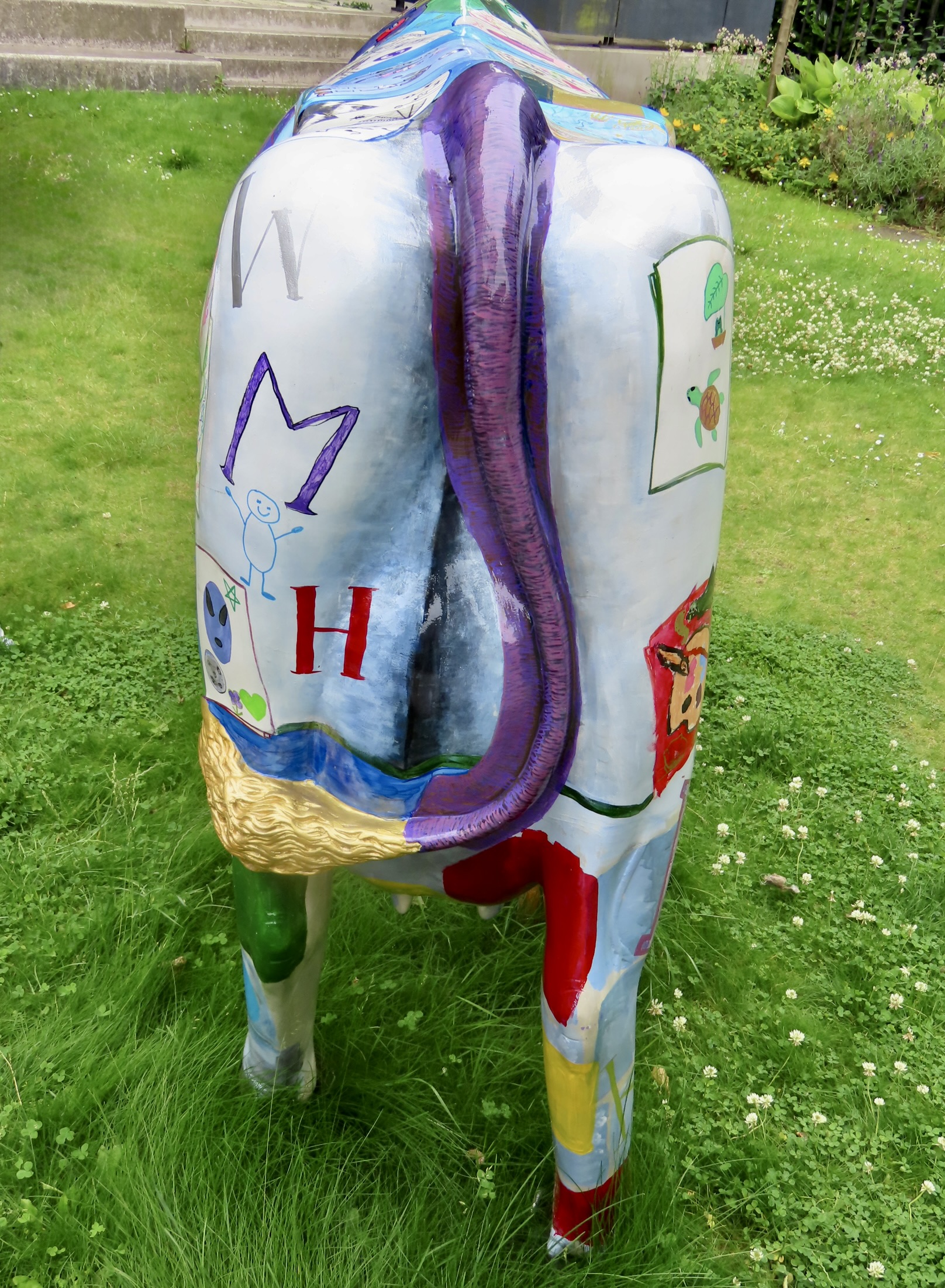
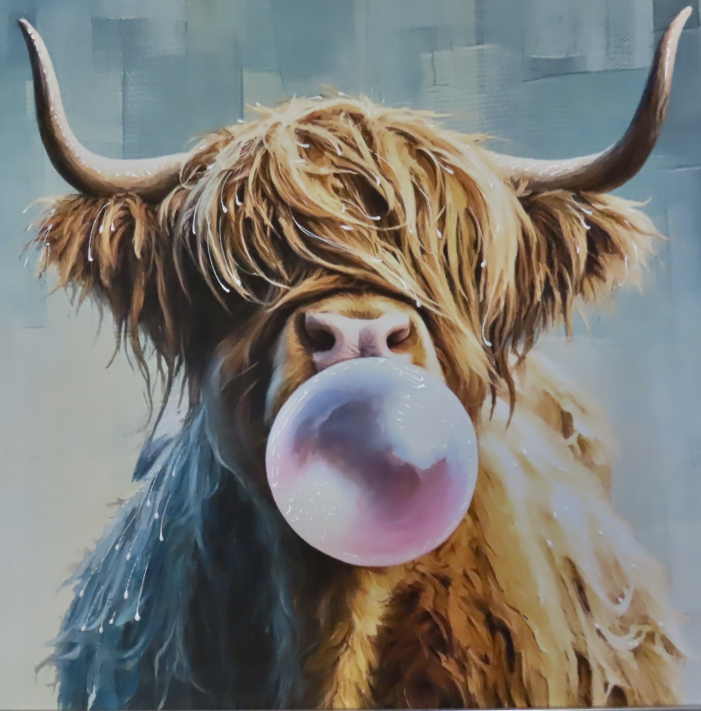
We found this fellow hanging out in a tourist shop. And no, we didn’t bring him home. Judging from the glasses going through his ears, it’s probably AI generated.
Roadside attraction.The horns are more than weapons. For example, a good scratch. They are also used to break through the snow in winter to get to grass. These guys can eat up to 140 pounds of it per day. I think that’s an oyster catcher looking on. We saw lots of them on Orkney.Harry coos is an apt description for these cows— from their head right down to their tails! They actually have two layers of fur, the shaggy looking outer layer which is oily and somewhat rain repellent and a softer warm, inner coat. Both come in handy for the long, cold highland winters. They’ve had a long time to adjust to the weather. They were first domesticated in 6th century CE in the Outer Hebrides off Scotland.Head shot.Tail shot.Ear shot.Me shot.Don’t know where the horns went on this harry coo lying down. Will assume they were cut off. Had it been a bad coo? Peggy caught a video on her iPhone of it chewing its cud. Just click on the photo/video below.
When we were finished touring the Culloden Battlefield, I ran over to capture a few photos of the Coos next to the battlefield. This is where I found this sign.One thing that stood out was a black coo. There was a time when the coos came in several colors. Then Queen Victoria visited the Highlands and stated she was quite taken by the ginger colored coos. That’s when the farmers started focusing on breeding coos with ginger coats. This is a boy, BTW. Horns are straighter and more stout.It’s just possible this lady coo was having a bad day. A cold perhaps with a runny nose? Or a chapped nose. Click the photo/video below and you can decide for yourself. (I don’t know why WP decided to put in The?)
She was licking her nose.Since we brought up Nessie above, that’s where we will go next: To Loch Ness, fabled home to the ancient monster. It was a dark cloudy day, perfect for our search.