Bryce Canyon and the Hoodoos… A Photographic Journey through America’s National Parks

Bryce Canyon photograph by Curtis Mekemson.

Bright colors combine with interesting rock formations to make Bryce Canyon.

There is nowhere in the world quite like Bryce Canyon. This is a place where you can let your imagination run as wild as it wants to run. I am always struck first by the colors of the rocks and then immediately afterwards by their shapes.

Thousands of years of ice-driven erosion have created a fantasy world of amphitheaters filled with hoodoos and other rock formations climbing down the side of the Paunsaugunt Plateau in Southern Utah.

The best way to experience the canyon is to hike down the trails but even a quick drive-through is rewarding. Early morning and evening are best times to catch the colors. Snow adds another dimension.

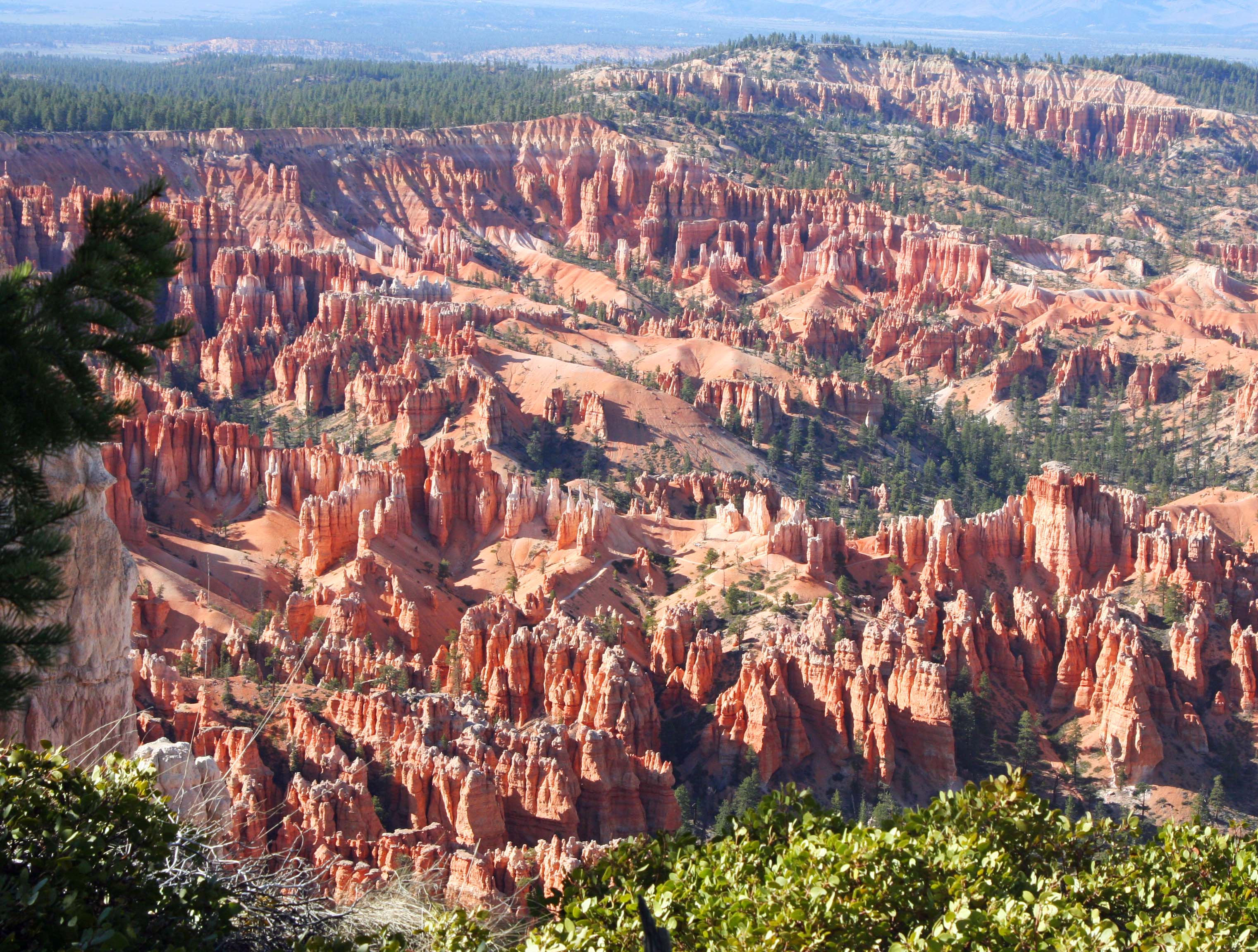
Bryce Canyon overlook. Photo by Curtis Mekemson.

An overview of Bryce Canyon from one of the major overlooks.

Bryce Canyon Amphitheater. Photo by Curtis Mekemson.

Bryce Canyon is actually not a canyon created by a river but is a series of amphitheaters dropping on of the Paunsaugunt Plateau.

Walls, Fins and hoodoos at Bryce Canyon. Photo by Curtis Mekemson.

Hoodoos are stand alone rocks created by the process of erosion. A thick wall becomes a fin. Arches are created in the fin and then cave in, leaving hoodoo behind.

Hoodoo formation at Bryce Canyon. Photo by Curtis Mekemson.

A close-up of hoodoo formation. The rock in the foreground is showing cracks and a small arch that will eventually fall in and form a hoodoo.

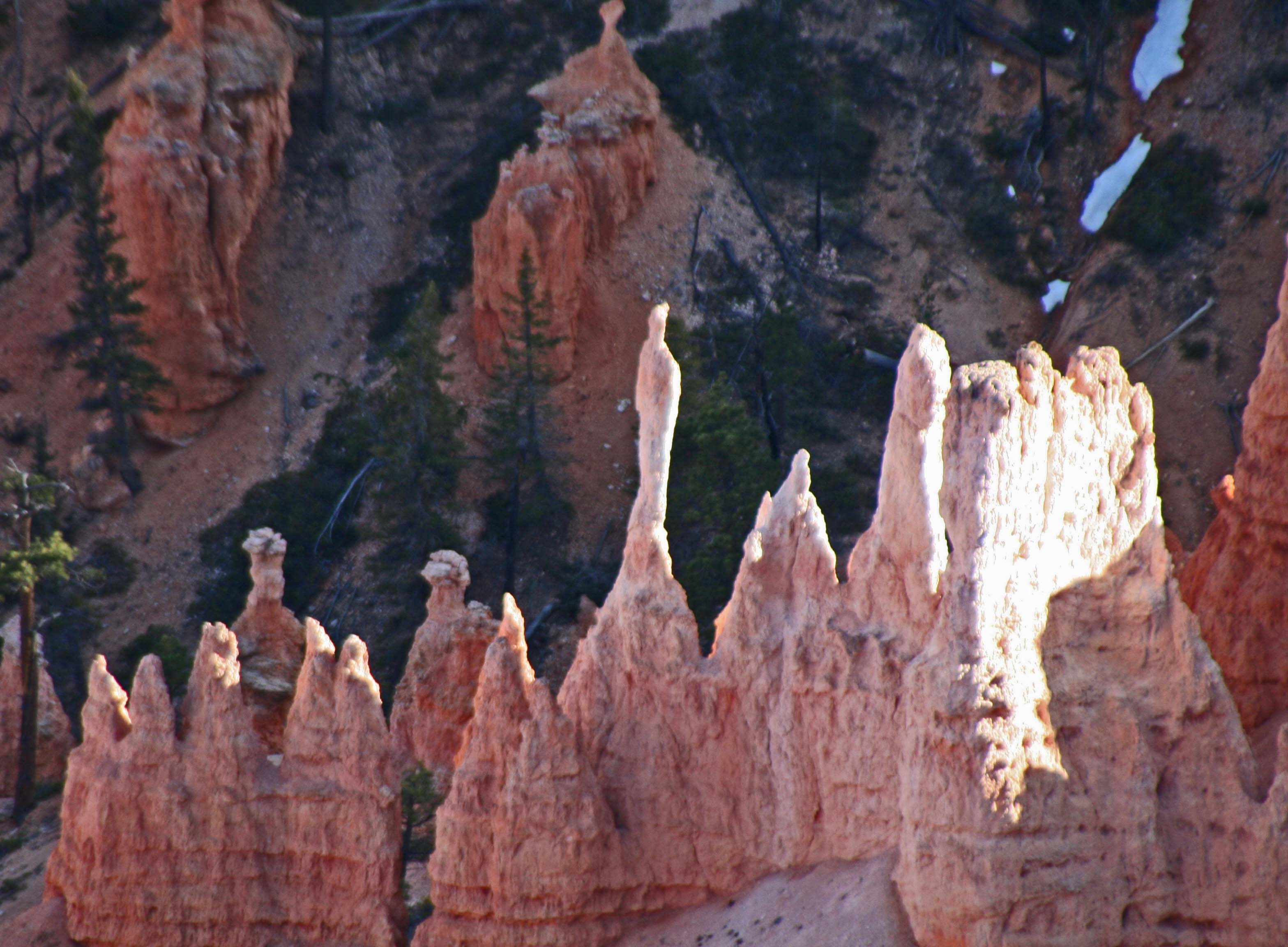
A hoodoo at Bryce Canyon National Park. Photo by Curtis Mekemson.

A ghostly hoodoo.

More views of Bryce Canyon:

Bryce Canyon photo by Curtis Mekemson.

Bryce Canyon photo by Curtis Mekemson.

Bryce Canyon photograph by Curtis Mekemson.

NEXT BLOG: A visit to the Redwoods.


Dinosaur National Monument… A Photographic Journey through America’s National Parks

Dinosaur National Monument is filled with quiet beauty.

Dinosaur National Monument is filled with quiet beauty.

Located on the border between Colorado and Utah, Dinosaur National Monument is known for it’s large deposit of Dinosaur Bones. The Park also features a quiet beauty and an interesting collection of Native American petroglyphs. The Yampa and Green Rivers snake their way through the canyons of the park and attract white-water rafting enthusiasts– including several of my friends.

So there is a little bit of something for everyone in this little known National Monument.  Hopefully, this blog will encourage some of my readers to visit. You won’t regret the decision.

Asters in Dinosaur National Monument. Photo by Curtis Mekemson.

Bright asters decorated the roadside on our way into camp.

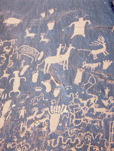
Petroglyph at Dinosaur National Monument. Photo by Curtis Mekemson.

This person with his/her large hands and dogs is one of my favorite petroglyphs.

Green River flowing through Dinosaur National Monument. Photo by Curtis Mekemson.

Shadows stretch across the Green River while the evening sun gently bathes the cliffs above in light. Not a bad view from our camp!

Dinosaur bone in cliff at Dinosaur National Monument. Photo by Curtis Mekemson.

This large dinosaur bone was sticking out the edge of a cliff.

Lizard petroglyph in Dinosaur National Monument. Photo by Curtis Mekemson.

I thought this Native American petroglyph was particularly appropriate for the park.

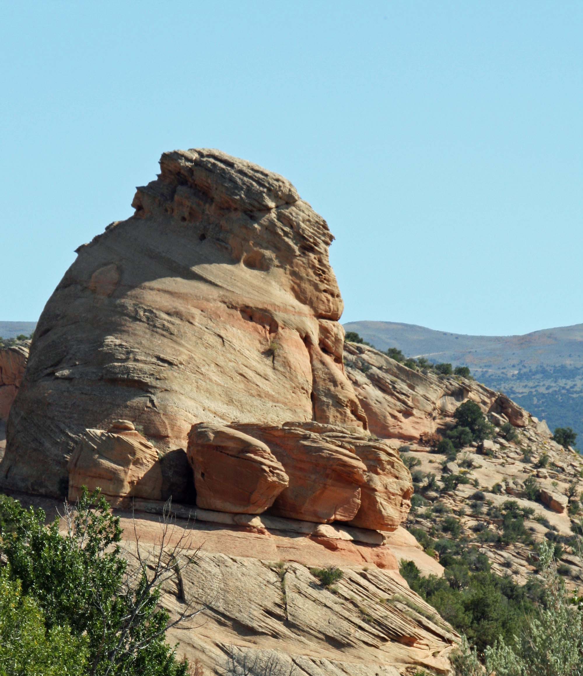
Elephant Toes rock at Dinosaur National Monument. Photo by Curtis Mekemson.

Rock monuments are given names in Dinosaur National Monument, as they are throughout the West. What would you name this? The local answer is below.

Cliff of petroglyphs in Dinosaur National Monument. Photo by Curtis Mekemson.

Peggy sits beside a series of petroglyphs we found high above the road.

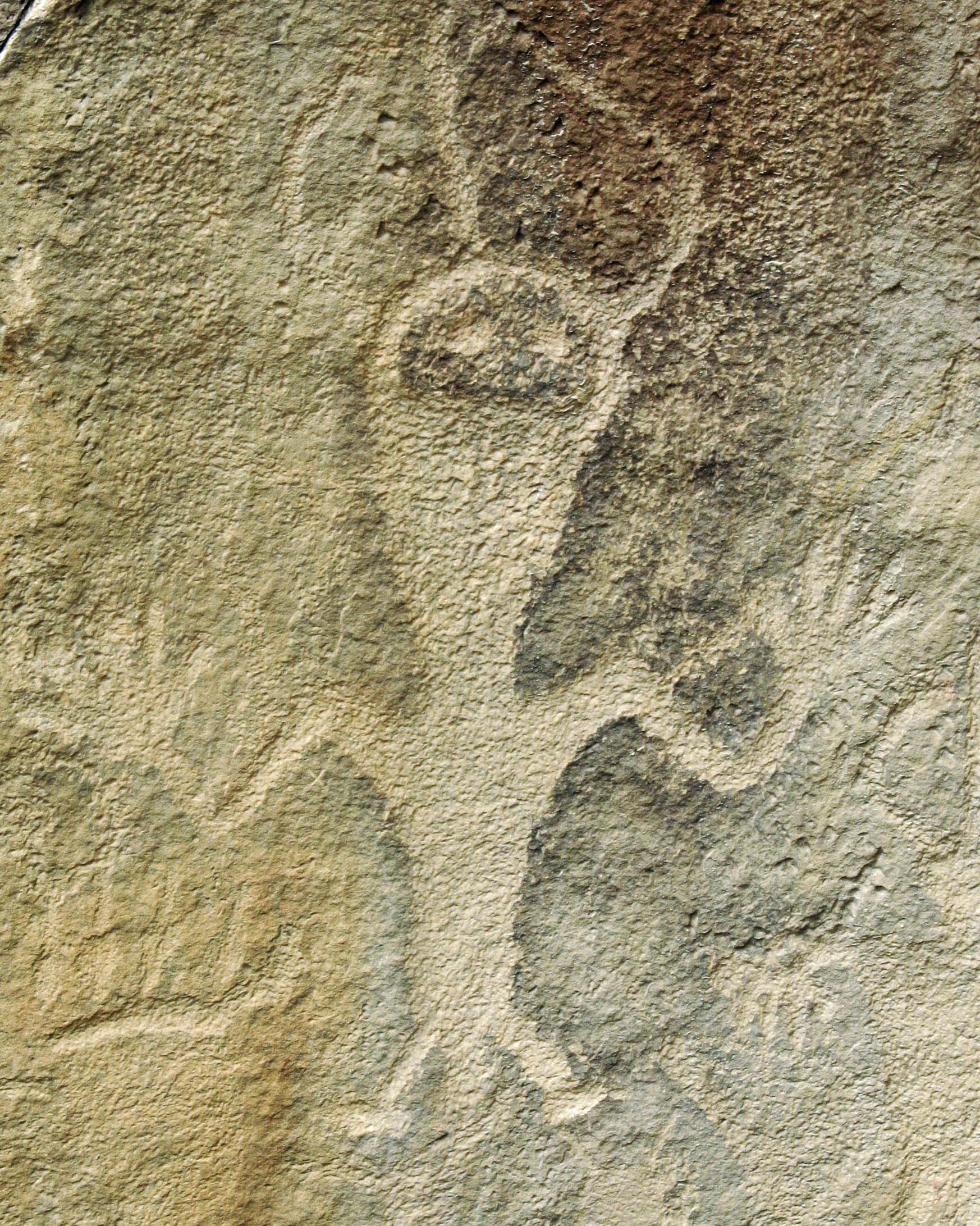
Petroglyph at Dinosaur National Monument. Photo by Curtis Mekemson.

An alien petroglyph?

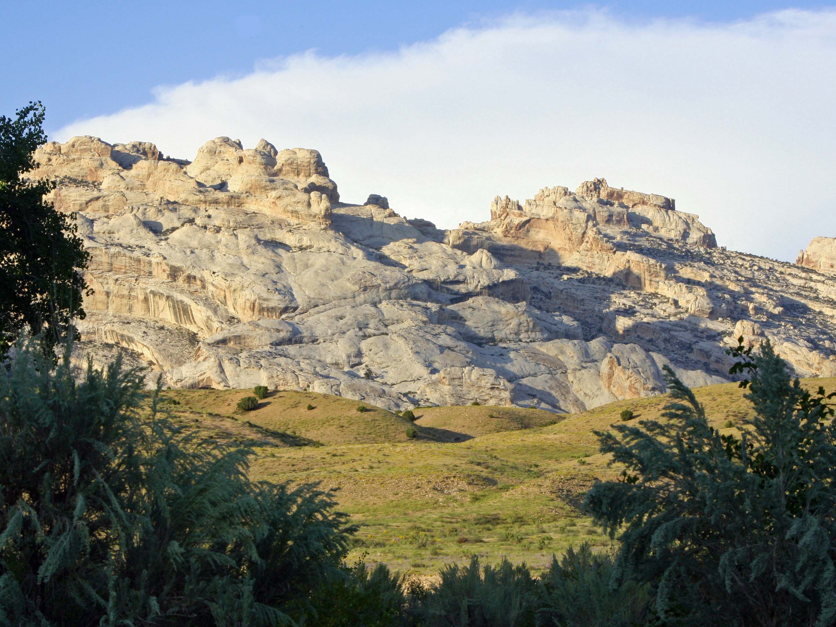
Dinosaur National Monument. Photo by Curtis Mekemson.

A final scene from our campsite.

The monument was named Elephant Toes. NEXT BLOG: The incredible rocks of Bryce Canyon National Park.

Organ Pipe Cactus National Monument… A Photographic Exploration of America’s National Parks

Saguaro Cactus in Organ Pipe National Monument. Photo by Curtis Mekemson.

While Organ Pike cactus give the National Monument its name, Multi-limbed Saguaro give it character. The power lines in the background are headed for the Visitors’ Center.

Organ Pipe National Monument had been on my bucket list for a long time. I liked its remote feel, how it hugged the Mexican Border, and how the only way to get there was via a small, rural road.

What surprised me were the number of Border Patrol police and their extensive network of roadblocks. I felt like I had left the US and entered a police state. People with guns to shoot you, dogs to sniff out your innermost secrets, and X-ray machines to probe your car make me nervous.  It didn’t matter if I was innocent, I felt guilty.

On top of the national paranoia over illegal immigrants, there was Arizona’s unique twist on the issue. Mexican-Americans and Mexicans were guilty until proved innocent.

As an aside, Peggy and I were on a bus to the small Mexican town of San Sebastian in the Sierra Madre Mountains last week. Our guide asked where we were all from and one couple announced they were from Arizona.

“Aha!” the guide proclaimed to the couple, “You must show me your passports.” He was joking and we all laughed, including the couple. But his point was made. What if people from Arizona had to carry special papers when they traveled in Mexico and were regularly stopped by police?

Politics aside, Organ Pipe Cactus National Monument was, um, filled with cacti. There were mighty Saguaro, whip-like Ocotillo, Barrel Cactus, Organ Pipe Cactus, Cholla, and round Prickly Pears that something with a large mouth had been eating. We got up early in the morning to miss the midday heat and followed a winding trail out into the desert. Dark clouds hung over the mountains; birds were busy announcing the day. Curiosity pulled us off the trail but sharp thorns required that we walk with care. The dark of early morning gradually gave way to bright sun.

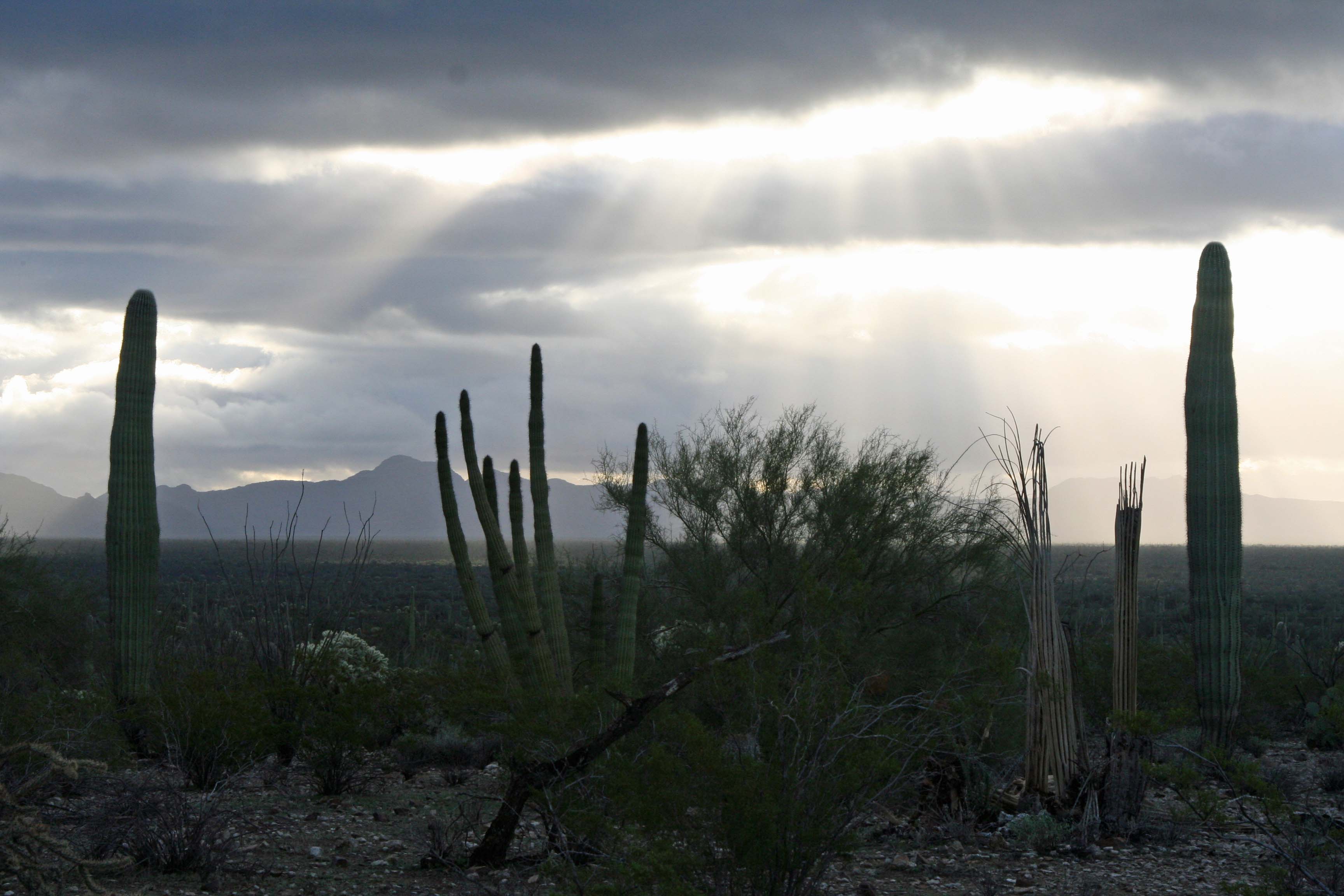
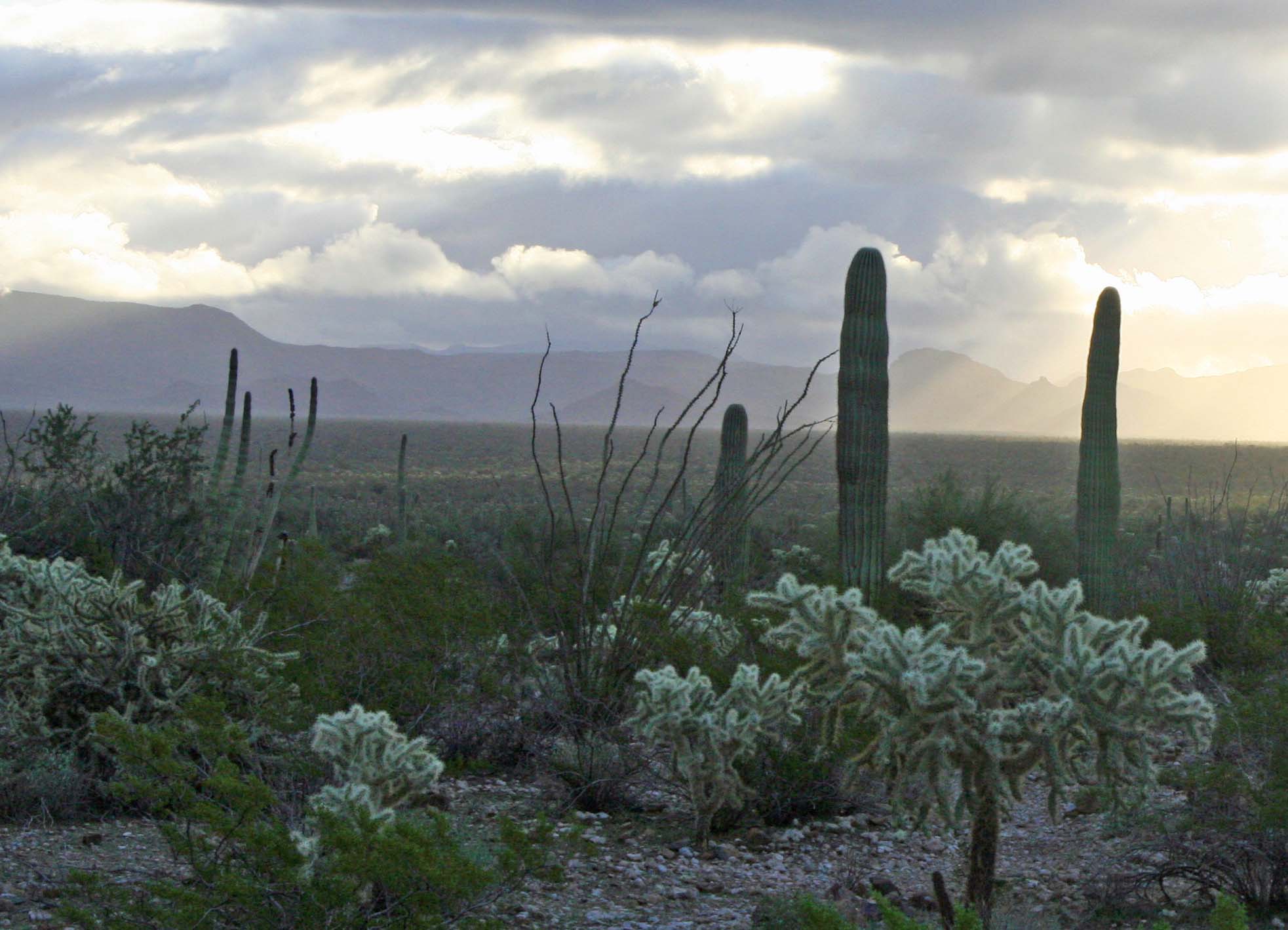
Organ Pipe National Monument in early morning light. Photo by Curtis Mekemson.

Early morning sun broke through the dark clouds and provided enough light to walk by. Sort of. Running into cactus thorns is not fun.

Two Saguaros and an Organ Pipe Cactus in Organ Pipe national Monument. Photo by Curtis Mekemson.

An Organ Pipe Cactus grows between two Saguaros.

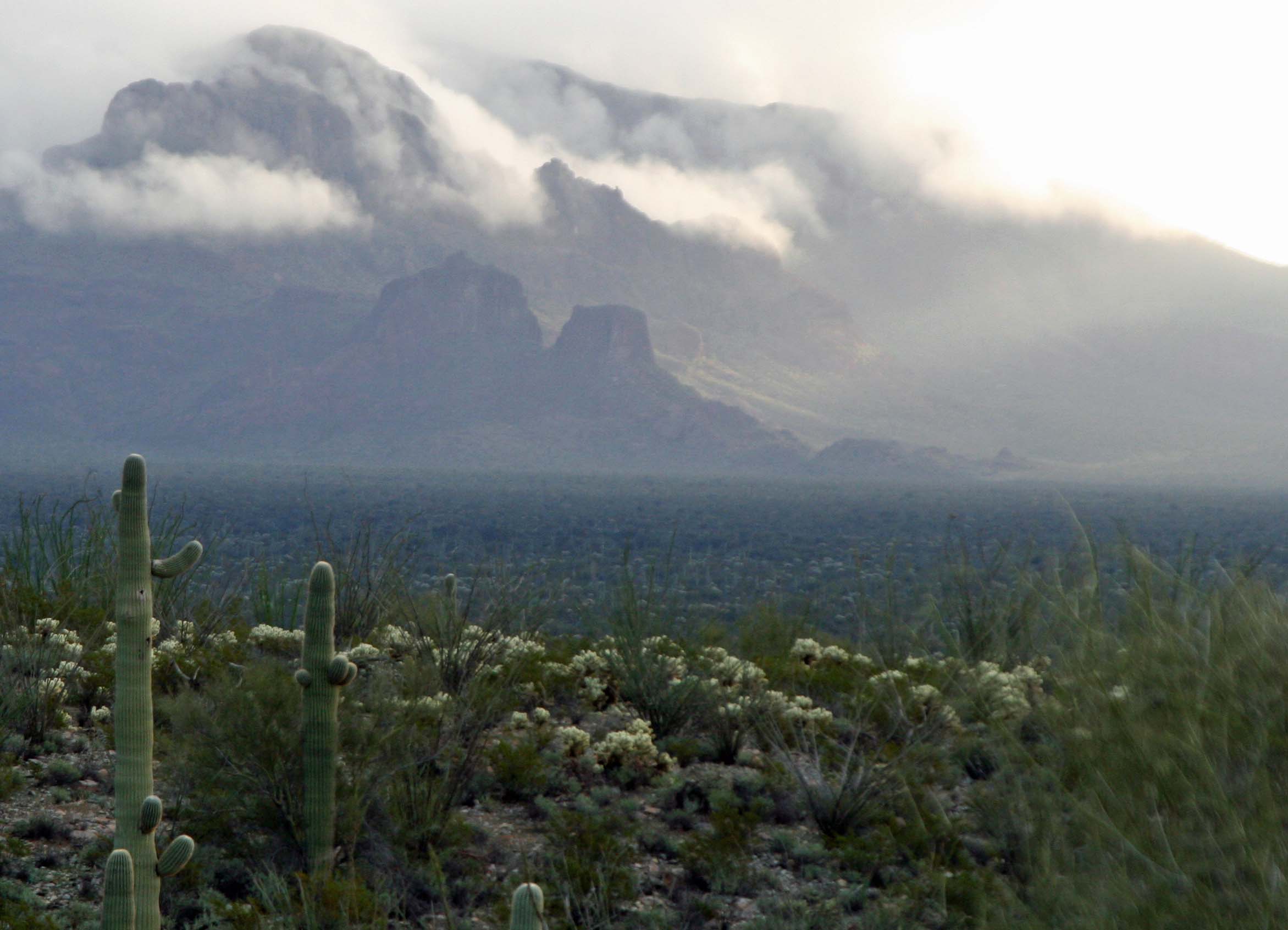
Misty mountains in Organ Pipe National Monument. Photo by Curtis Mekemson.

I loved this photo of the misty, almost mystical mountains.

Organ Pipe National Monument. Photo by Curtis Mekemson.

Whip-like Ocotillo Cactus grows behind fuzzy Cholla.

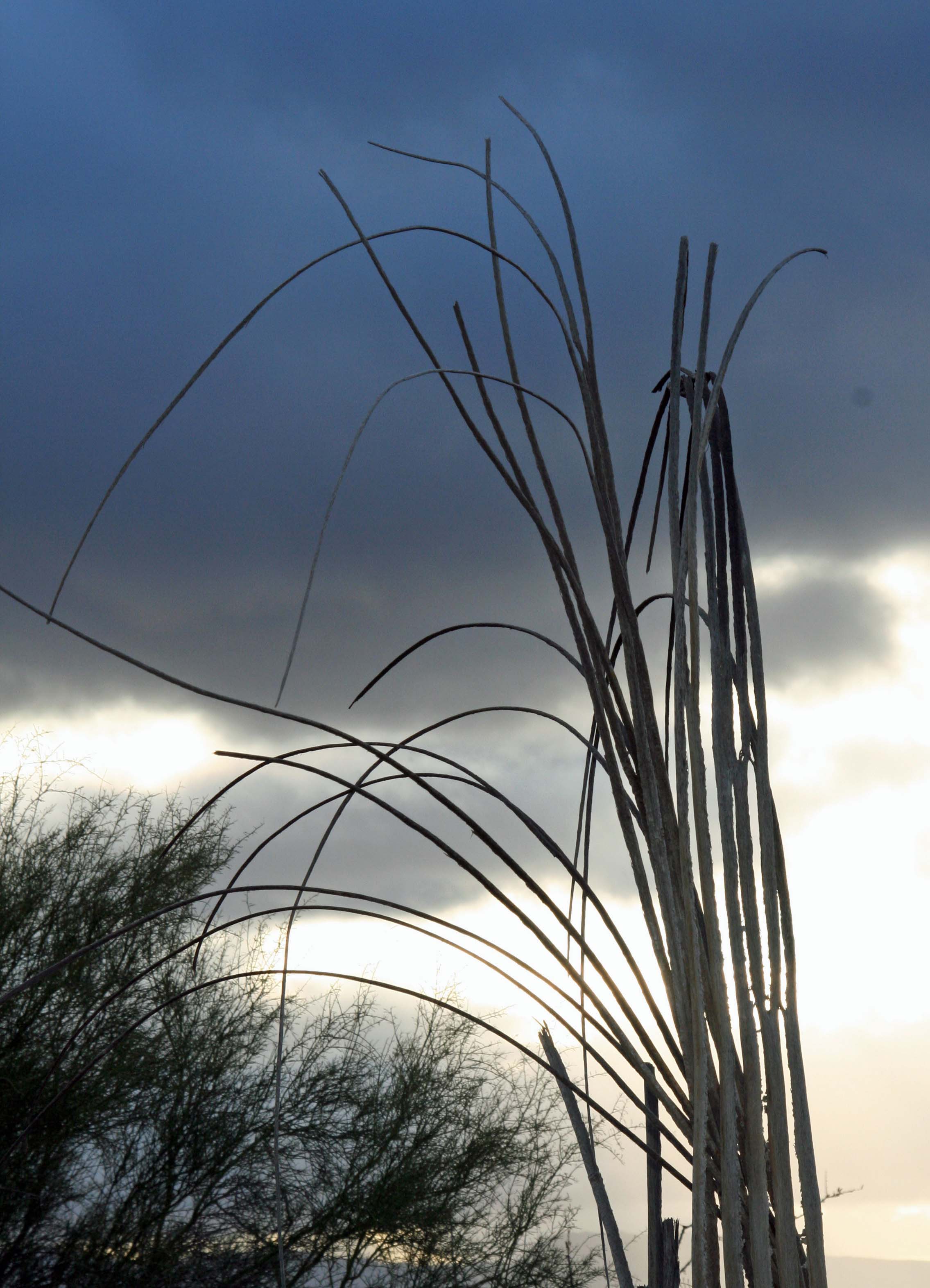
The "bones' of a Saguaro at Organ Pipe Cactus National Monument. Photo by Curtis Mekemson.

The “bones” of a Saguaro.

Cactus garden in Organ Pipe Cactus National Monument. Photo by Curtis Mekemson.

A cactus garden with an Organ Pipe Cactus on the left. It’s easy to see why care is required when walking off trail.

Organ Pipe Cactus in Organ Pipe National Monument. Photo by Curtis Mekemson

A mature Organ Pipe Cactus. Note the small holes in the top where birds nest.

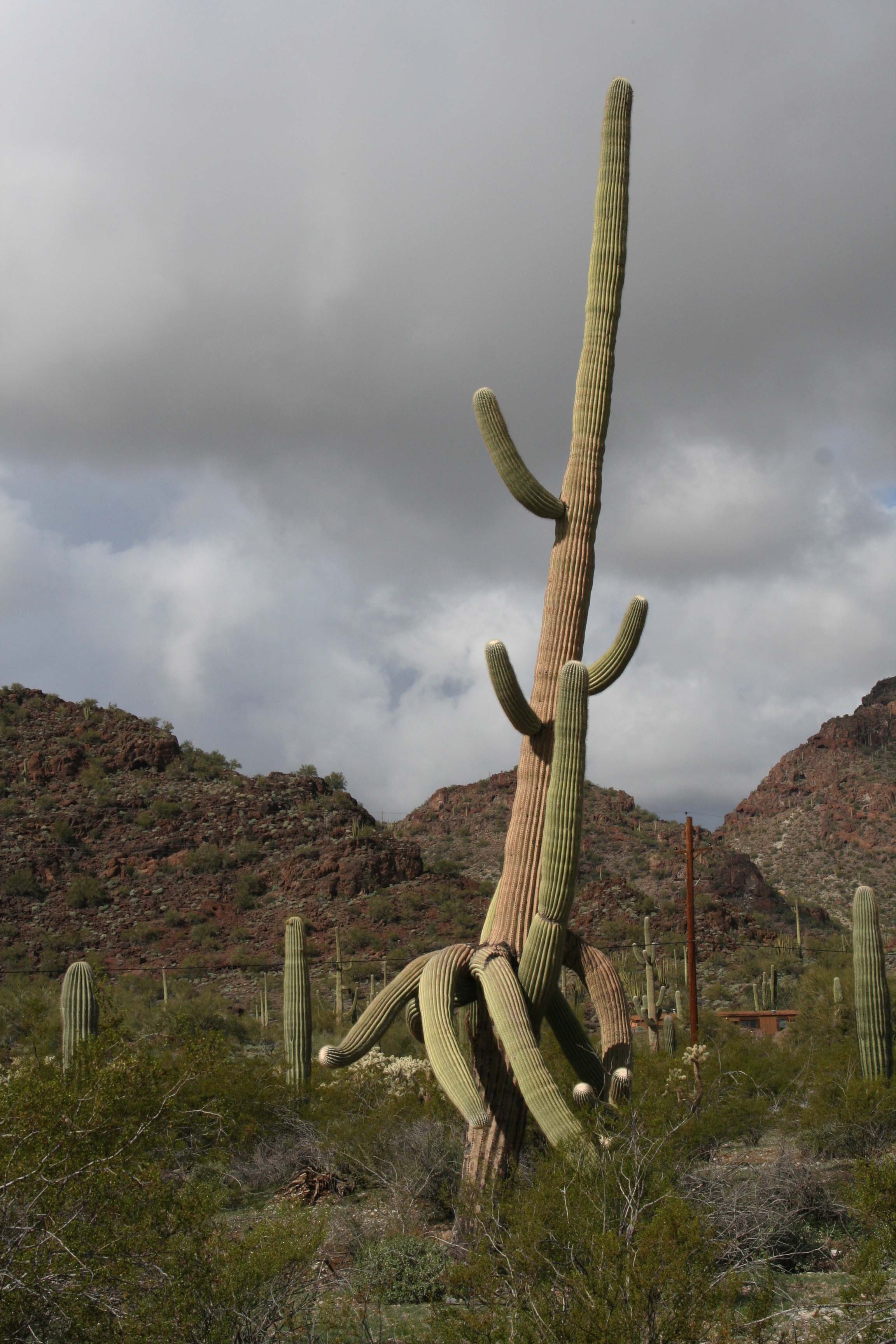
Multi-armed Saguaro Cactus in Arizona. Photo by Curtis Mekemson.

I’ll close today’s blog with a Saguaro who didn’t quite know what to do with its arms.

NEXT BLOG: We are off to Dinosaur National Monument where the big lizards roamed.


The Everglades… A Photographic Exploration of America’s National Parks

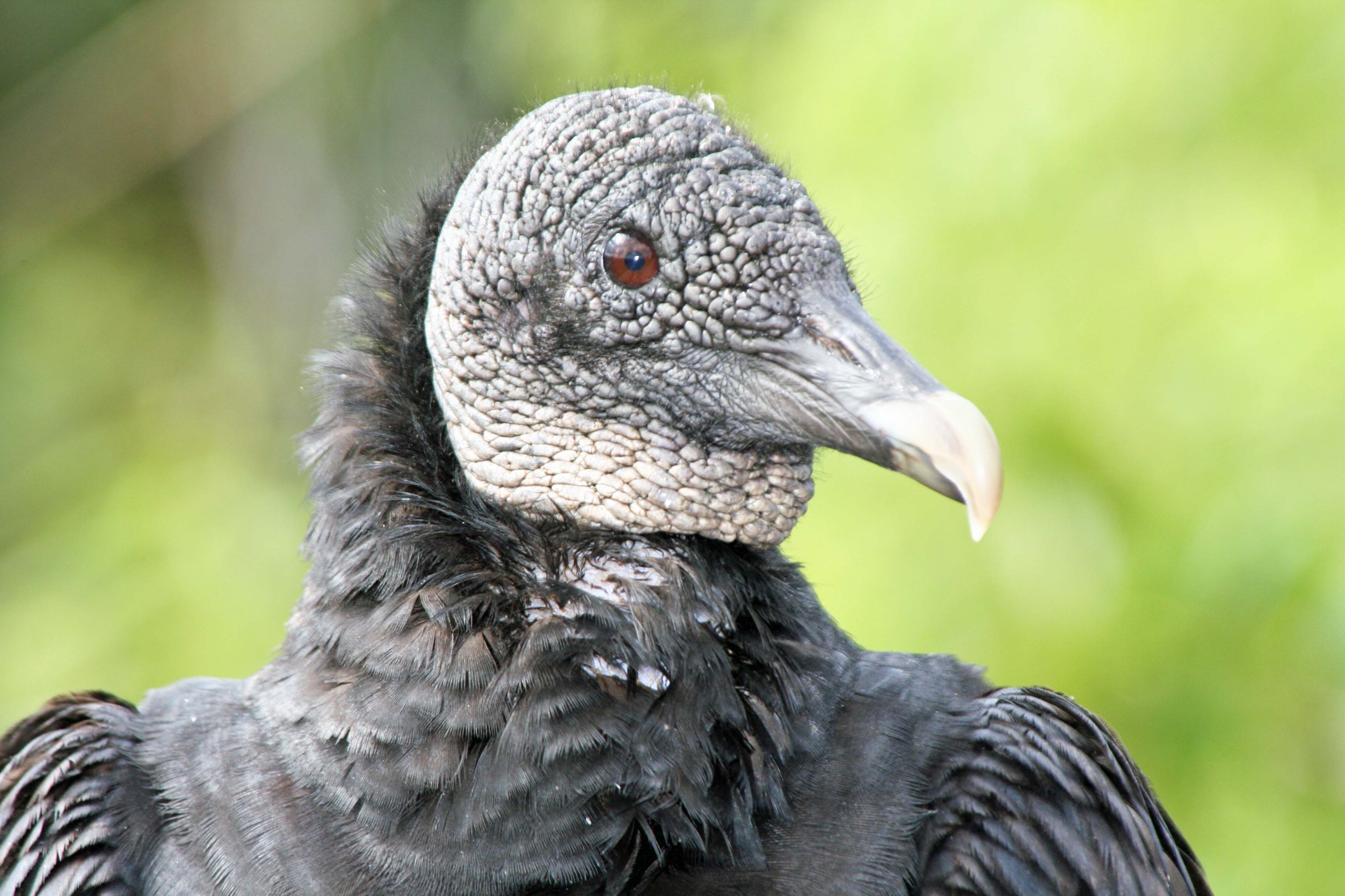
Photo of a Black Buzzard in Everglades National Park. Photo by Curtis Mekemson.

I’ve blogged about Black Buzzards before, but these characters deserve a repeat visit.

Peggy, in her former life, which I refer to as BC, before Curt, bought some swampland in Port Charlotte, Florida with dreams of a handsome profit. Eventually, over a period of about 20 years, the land reached the value she and her ex-husband had paid for it. In the heady years of the early 2000s, the property shot up to triple the original investment. We were able to dump (oh, I mean sell) it before the 2006 housing crash to a land speculator. We split the profits between our kids, the realtor, and Uncle Sam.

I tell this story because the property provided an excuse to visit Florida. It was one of three. The second was that Peggy’s parents had retired to the state from Ohio, joining the relentless flood of people from the Midwest whose elderly bones had lost their sense of humor about freezing cold winters. My brother, Marshall, a homeless man with a bank account and a van, provided the third excuse. He included Florida on his migration route. Marshall, in fact, gave us advice on when to sell the property. In the days before he had decided being homeless was more fun, he had owned a successful real estate appraisal business.

Our regular trips to Florida gave us a chance to explore the state, which can be quite scenic if you can see around the billboards and like orange trees. It’s long sandy beaches are very attractive. Peggy loves them. As a general rule, the state is too flat for me. I can gain more elevation in the twenty-minute walk to our mailbox than I can from driving to the top of Florida’s highest hill.

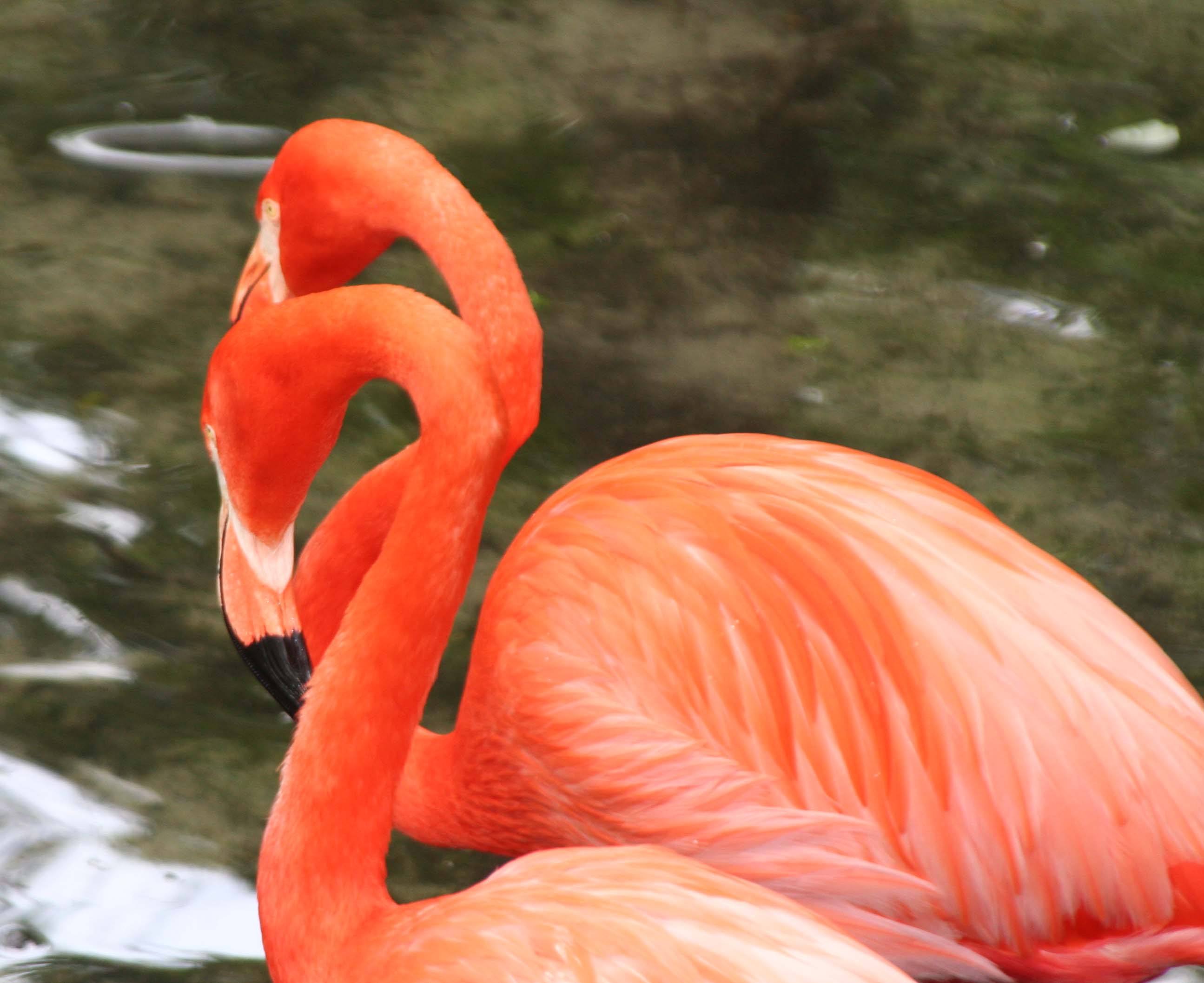
The low elevation and flat land make for  extensive wetlands in Florida, however. And I find this quite attractive. The swamps are filled with fascinating wildlife such as Black Buzzards, Pink Flamingos and the lurking alligators. Everglades National Park provides an excellent opportunity to explore what Florida has to offer.

Photo of Flamingos by Curtis Mekemson.

You are much more likely to see photographs about Flamingos than Black Buzzards when reading about the Everglades. I suspect you have never seen a yard featuring plastic buzzards.

Anhinga in Everglades National Park.

This Anhinga was drying his feathers and presented another photo-op. (Photo by Peggy Mekemson.)

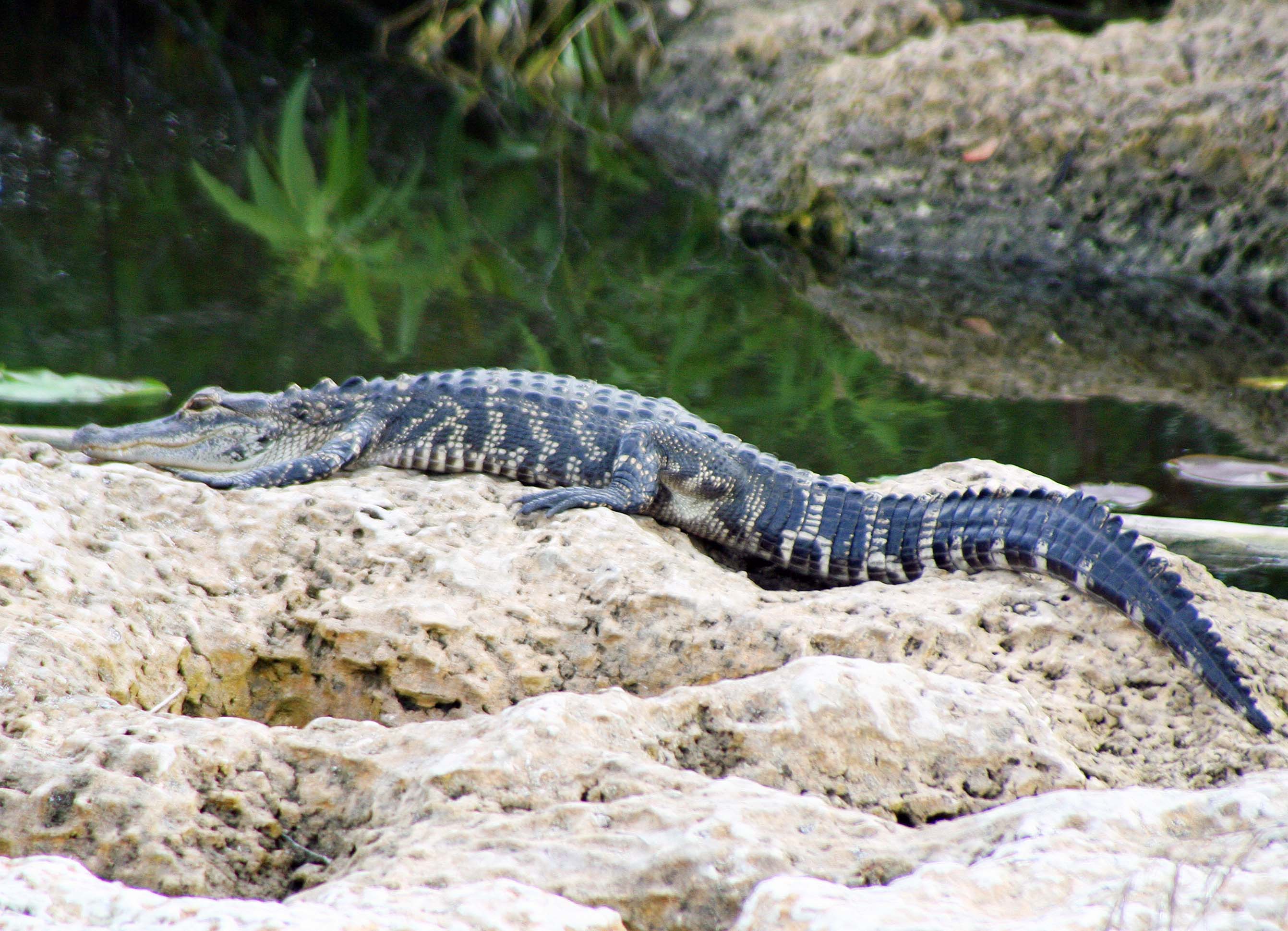
Alligator sunbathing in the Florida Everglades.

We came on this alligator sunbathing. It would be hard to appear more relaxed. (Photo by Peggy Mekemson.)

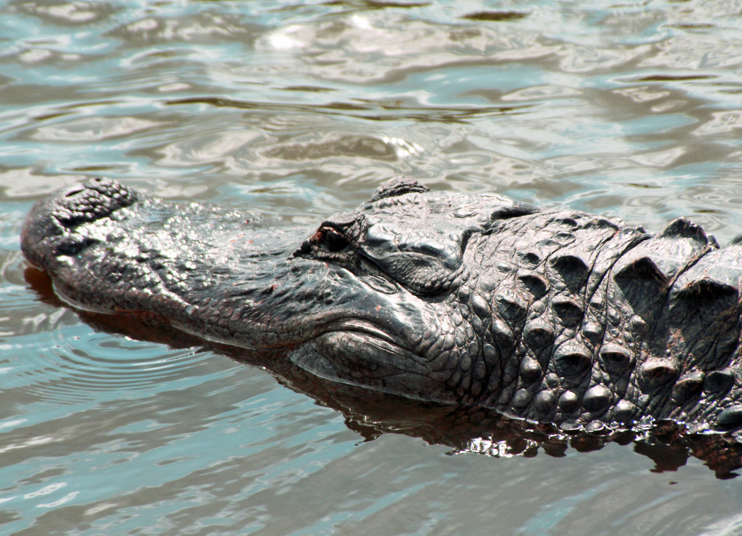
Alligator swimming through water in Florida Everglades. Photo by Curtis Mekemson.

I photographed this guy as he swam under a wooden bridge the park had built out above the wetlands.

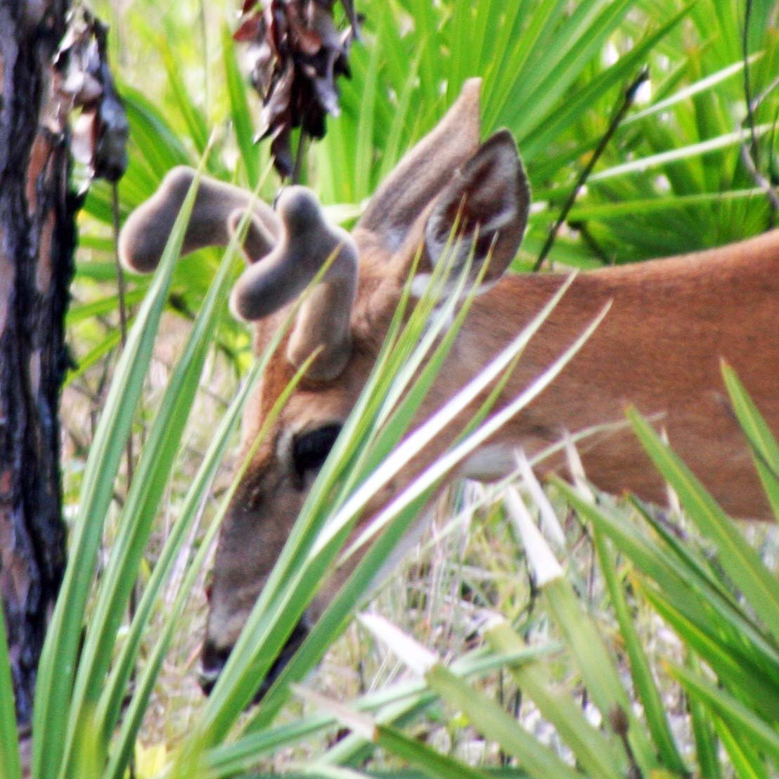
Everglade deer photographed by Curtis Mekemson.

This buck, whose antlers were still in velvet, came by to visit our campsite.

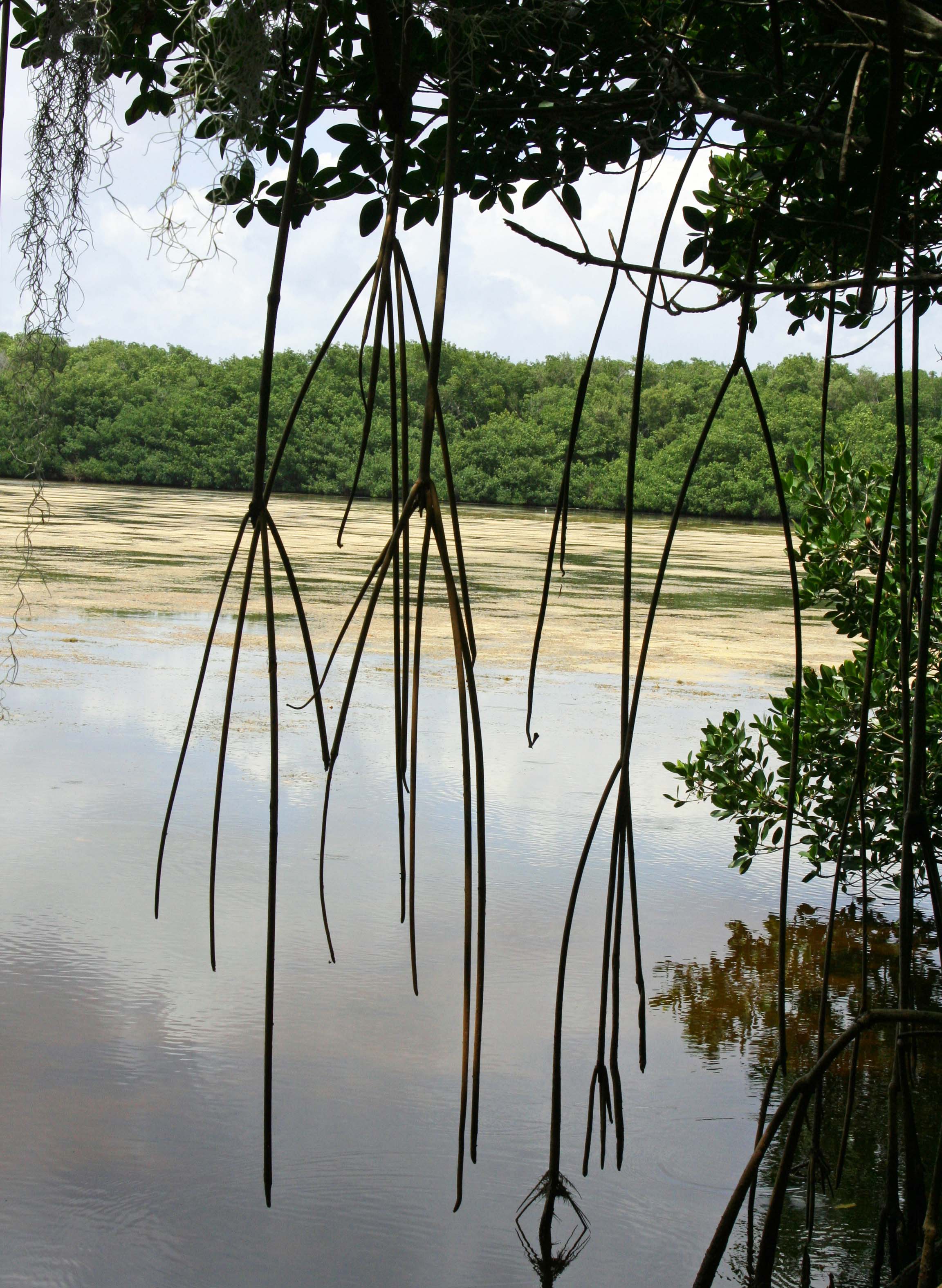
Everglades lake photo by Curtis Mekemson.

The Everglades teem with life. Our binoculars showed that the trees across the lake were filled with birds.

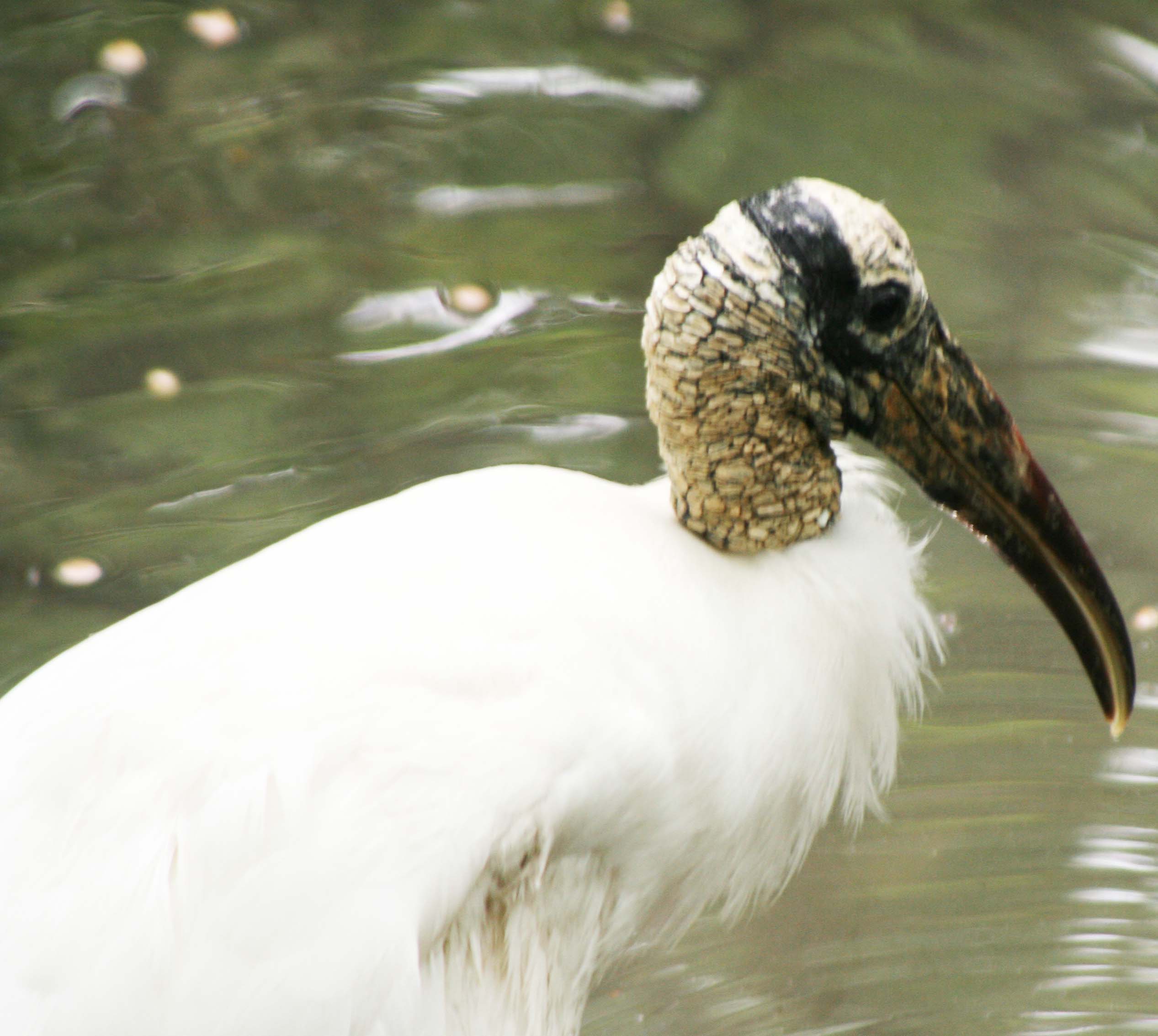
Photo of Wood Stork in Everglades by Curtis Mekemson.

This fellow, with his definitive neck and bill, is a Wood Stork.

Everglades Black Buzzard. Photograph by Curtis Mekemson.

I’ll close this brief visit to the Everglades with two more photos of the Black Buzzards.

Florida Everglades Black Buzzard take a bow. Photo by Curtis Mekemson.

Taking a bow. The buzzard and I thank you for following this blog. (grin)

NEXT BLOG: Since we’ve been hanging out where it is really wet, let’s dry out and head for Organ Pipe Cactus National Monument in Southern Arizona next to the Mexican Border.

Death Valley… A Photographic Journey through America’s National Parks

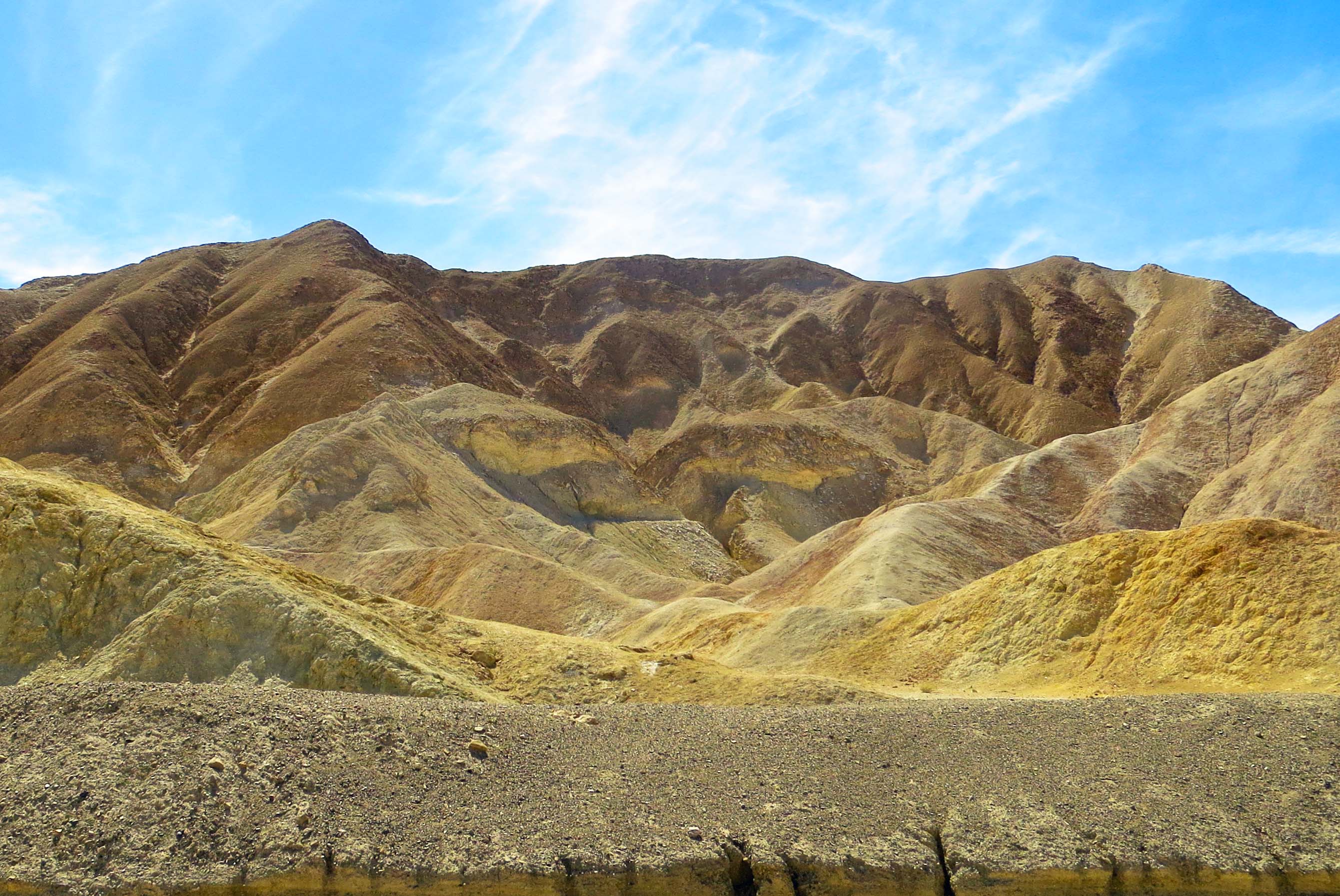
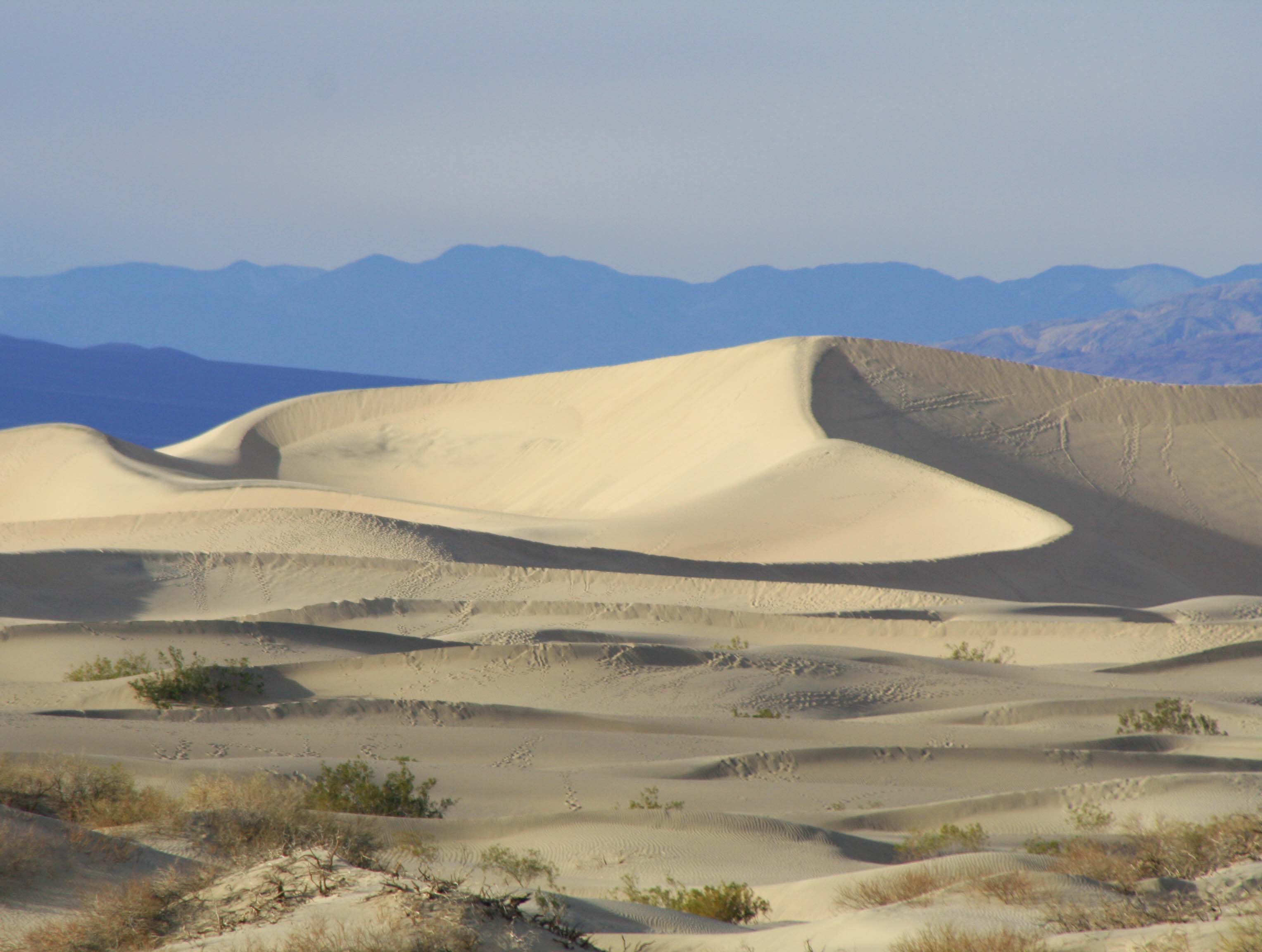
Sand dunes in Death Valley. Photo by Curtis Mekemson.
Tall sand dunes with their graceful curves loom up near Stove Pipe Wells in Death Valley National Park. It is quite an experience to walk out and climb to the top of the dunes.

I rode through Death Valley on my bicycle once. It was part of the six-month 10,000-mile solo trip I made around the US and Canada in 1989.

I had started my adventure in the small town of Diamond Springs near Sacramento, California, bicycled down the Central Valley, climbed up and over the Sierra Nevada Mountains from Bakersfield and, dropped down into Panamint Valley.  The climb from Panamint Valley to Death Valley was the toughest of my whole trip. I was out of the saddle, standing on the pedals, and travelling at 2-3 miles per hour under a relentless sun.

Halfway up there was a large water tank for cars that overheated and couldn’t make it. There was nothing for bicyclists. I was on my own. The climb was burned into my memory banks. But I made it, crossed the valley, and biked on to Maine, where I turned around and started back.

I had been to Death Valley several times before I made the bike trip and have been back several times since. The National Park’s solitude, stark beauty, history and geology have brought me back, time and time again.

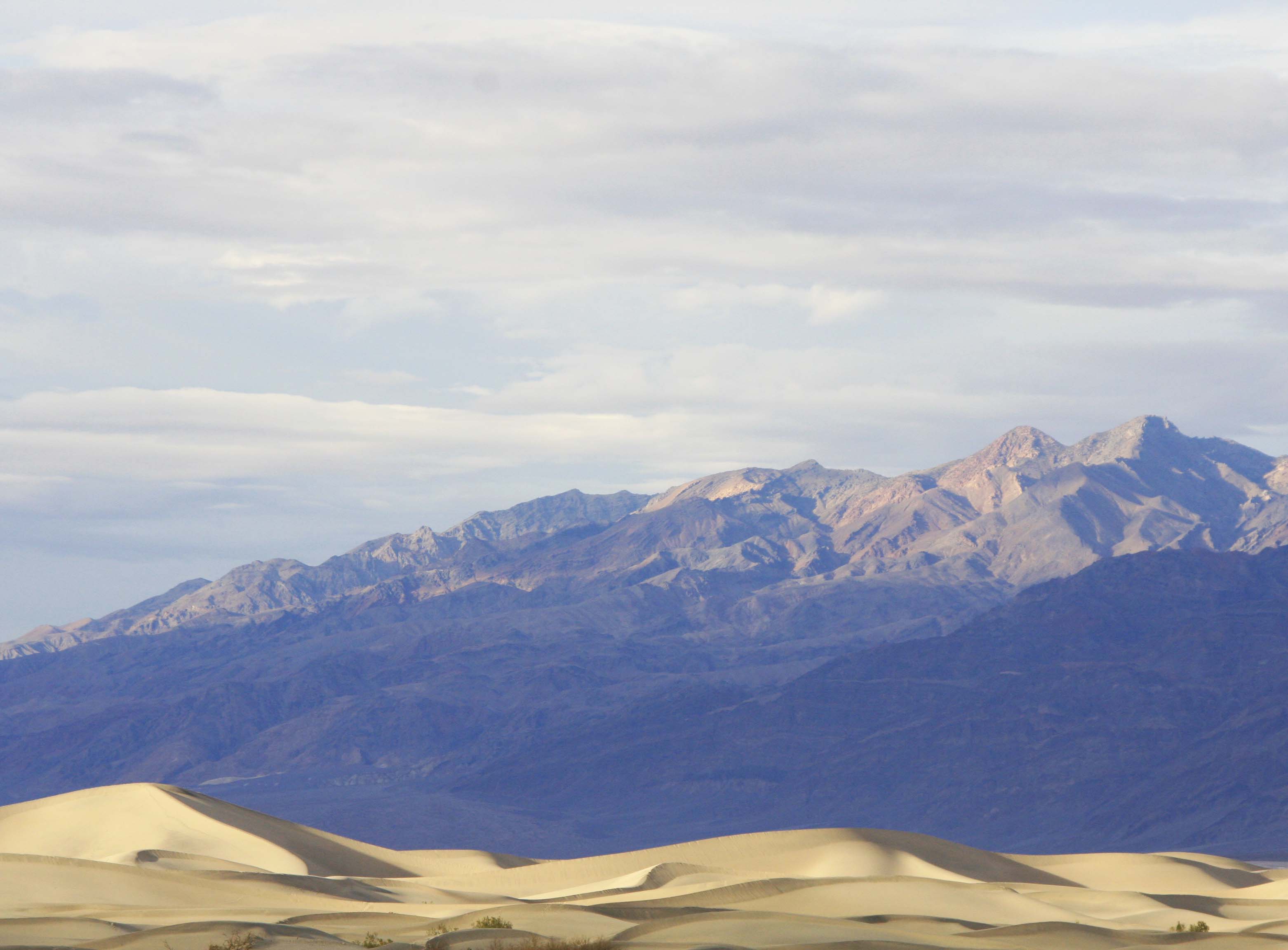
Photo of sand dunes and mountains near Stove Pipe Wells in Death Valley by Curtis Mekemson.

I like this photo because of the contrast between the golden dunes and purple mountains in evening sunlight.

Devil's Golf Course, Death Valley. Photo by Curtis Mekemson.
They call this section of Death Valley the Devil’s Golf Course. It’s easy to see why. Salt deposits left behind by an evaporated lake go down several thousand feet. (Photo by Peggy Mekemson.)

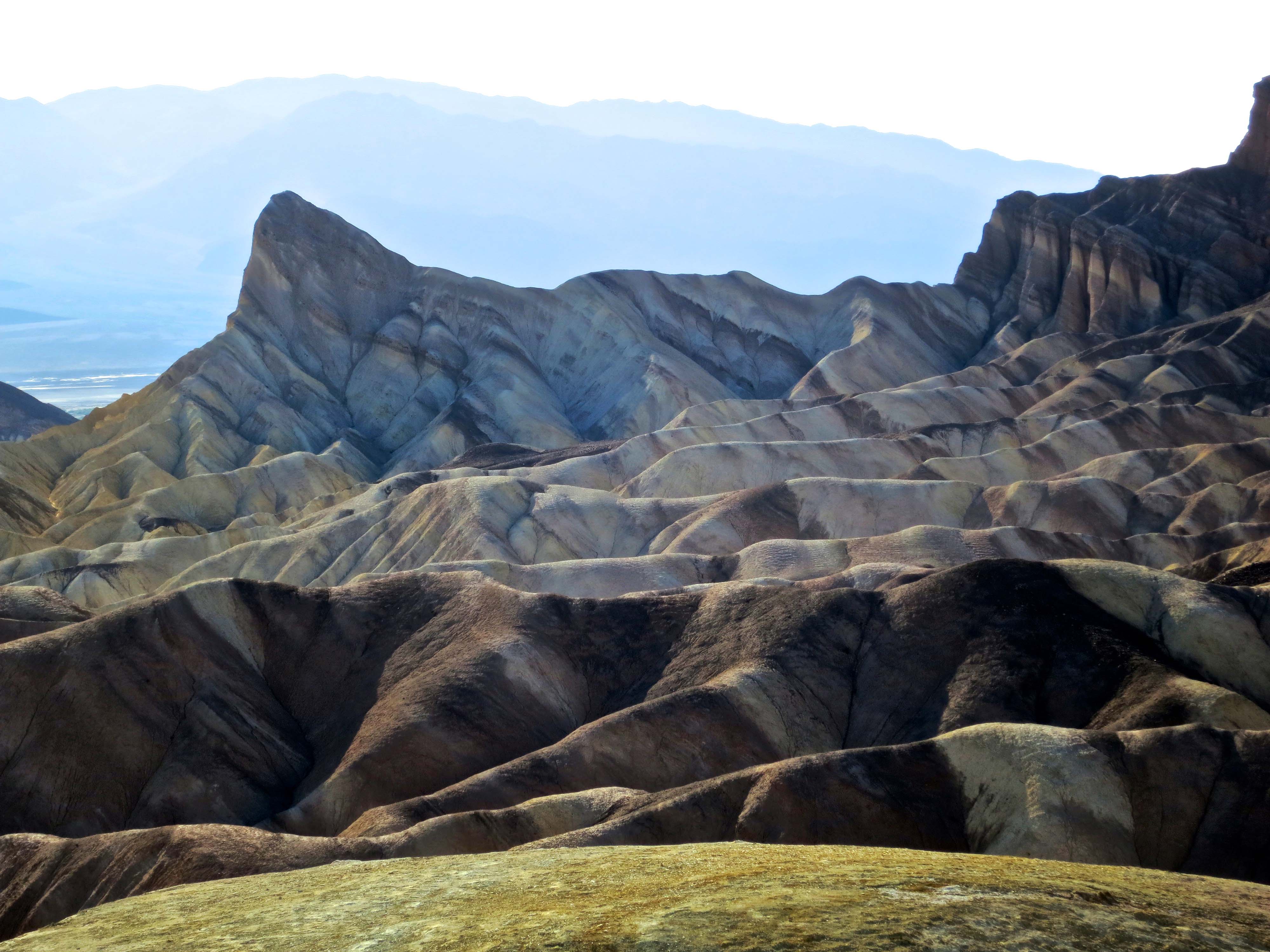
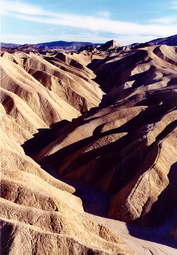
Zabriskie Point, Death Valley. Photo by Curtis Mekemson.

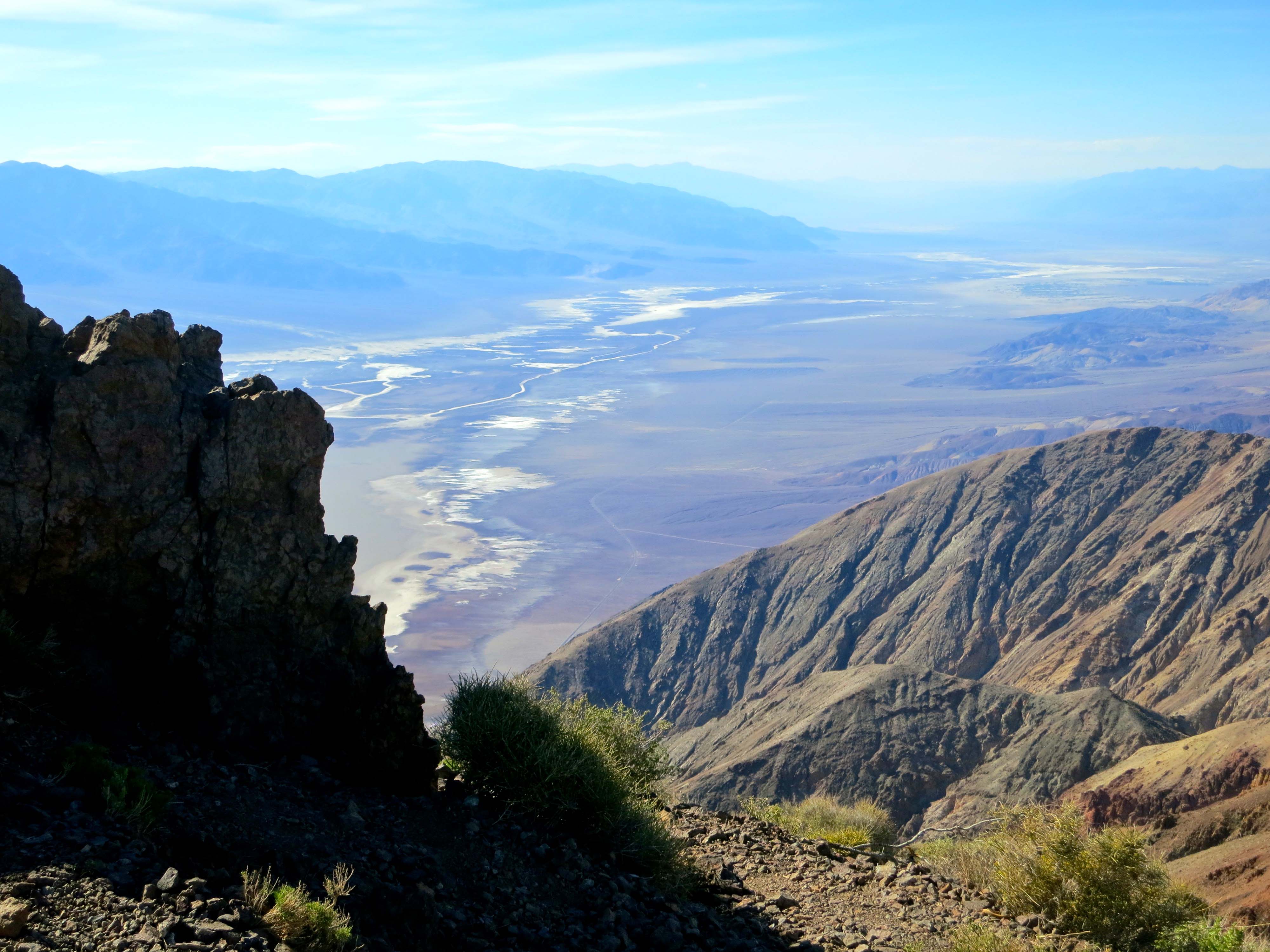
It is difficult to imagine the variety of landscapes in Death Valley unless you have been there. This photo was taken looking down from Zabriskie Point.

Photo of Zabriskie Point, Death Valley taken by Curtis Mekemson.

Another photo taken from Zabriskie Point. This one looks out across Death Valley.

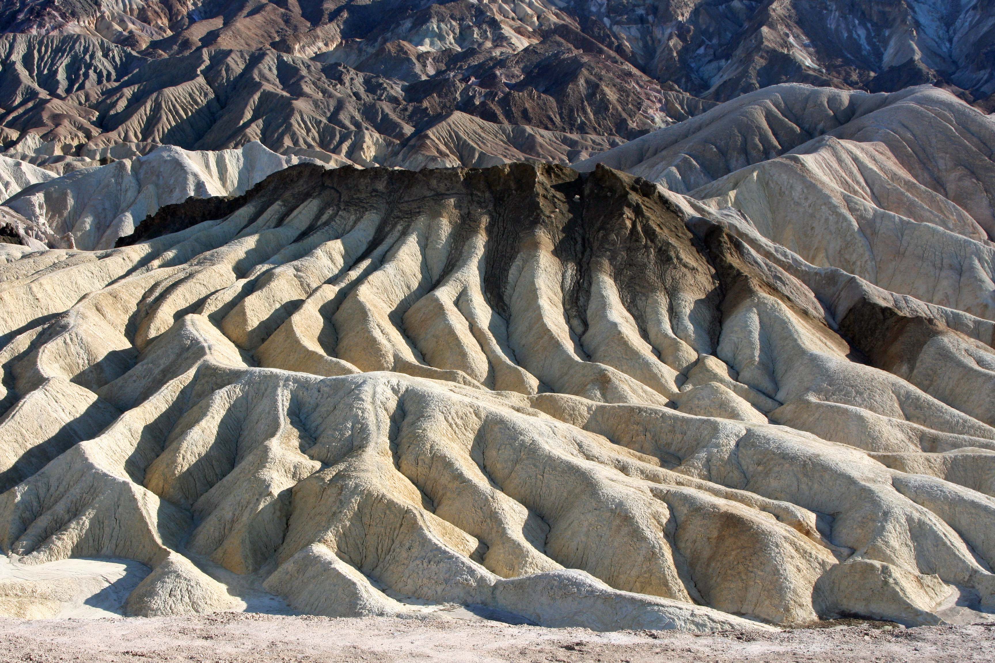
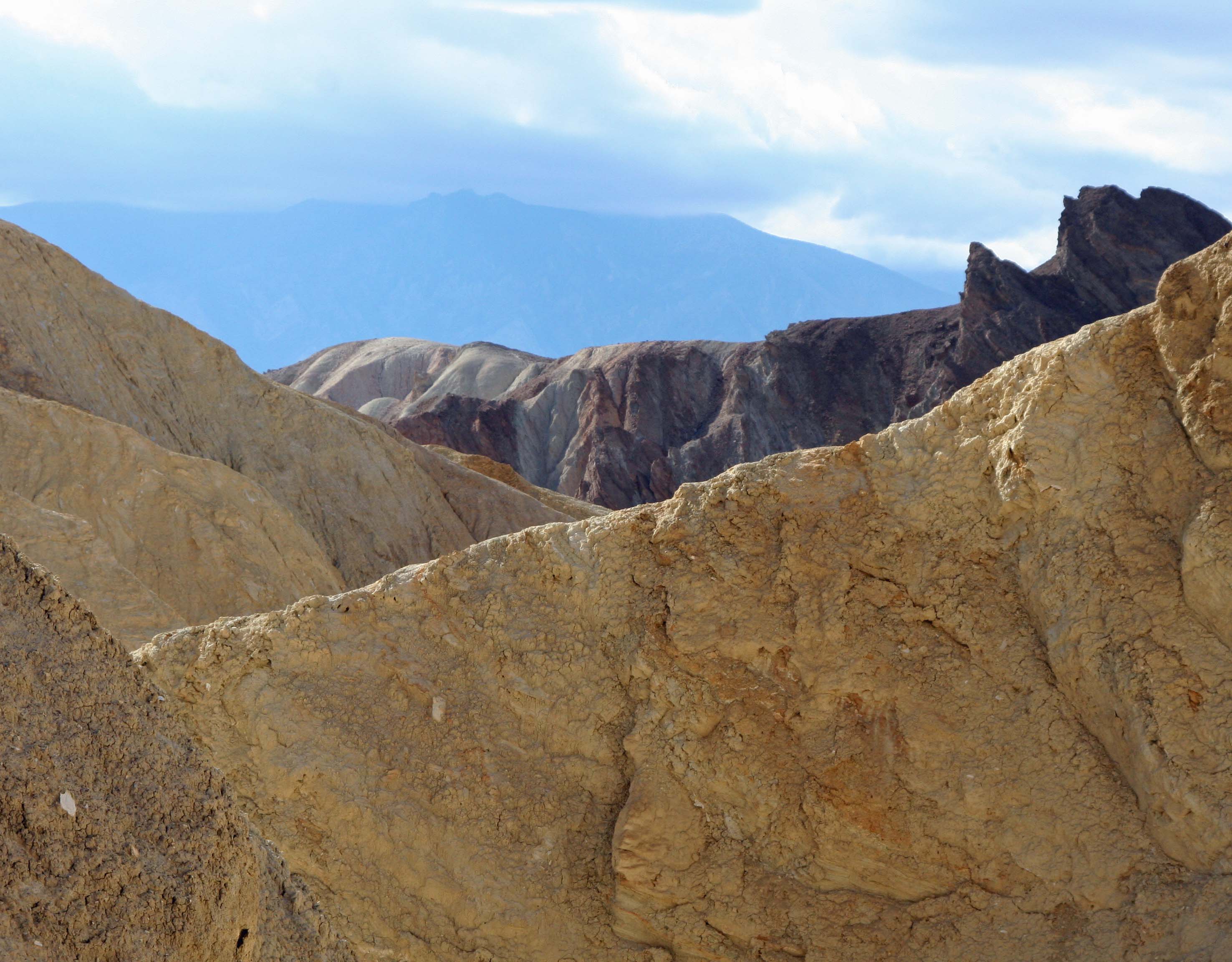
Golden Canyon, Death Valley. Photo by Curtis Mekemson.

You can hike up to Zabriskie Point following an old road that goes up through Golden Canyon. Part of the original Star Wars movie was filmed in this canyon. I kept a sharp lookout for Luke.

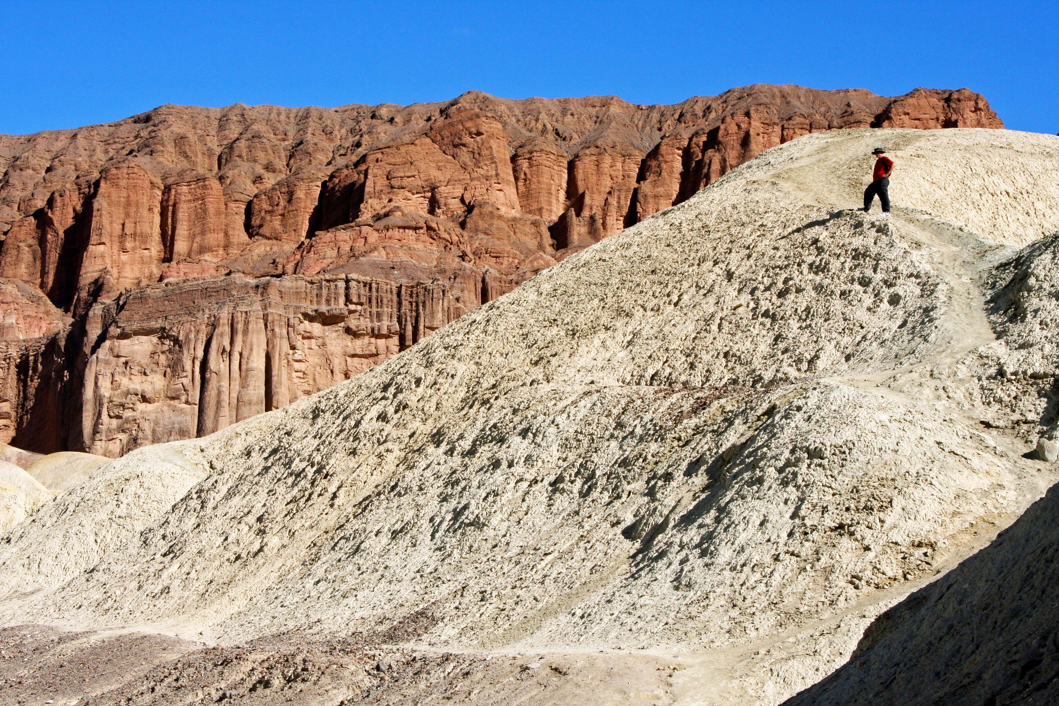
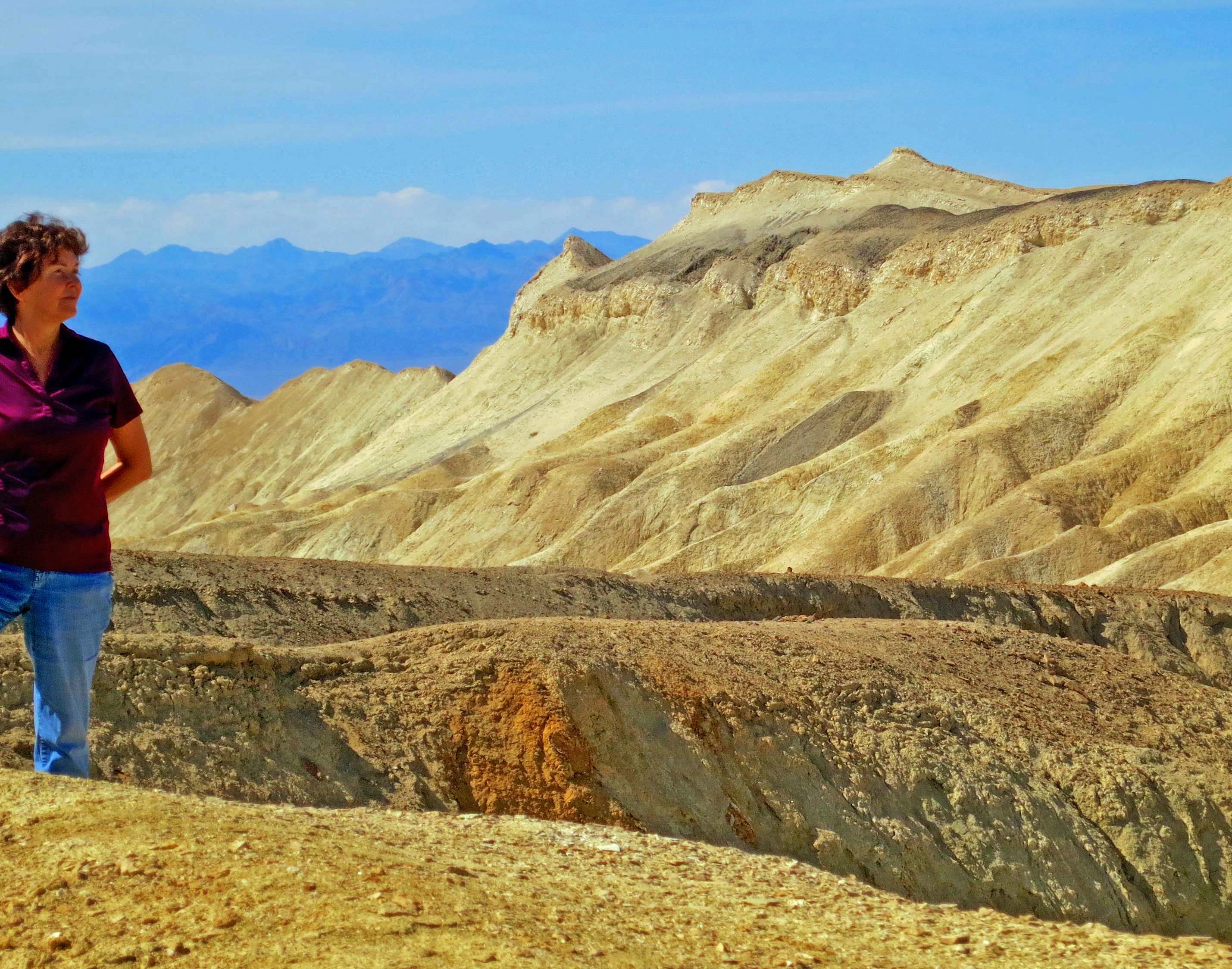
Here, Peggy caught a shot of me following the trail toward Zabriskie Point. The hiking was ever so much easier than my bicycling experience. (Photo by Peggy Mekemson.)

Here, Peggy caught a shot of me following the trail toward Zabriskie Point. The hiking was ever so much easier than my bicycling experience. (Photo by Peggy Mekemson.)

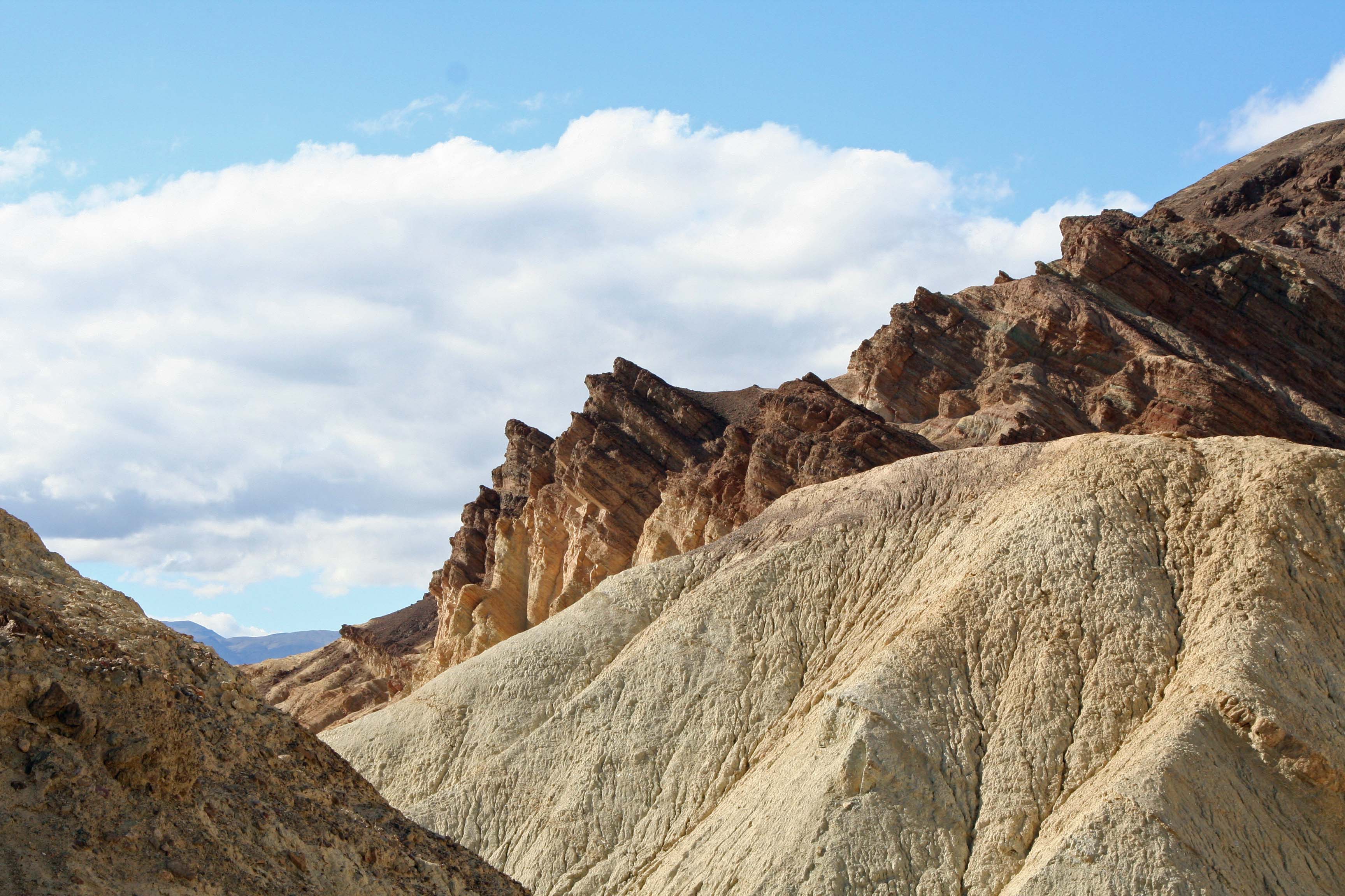
Golden Canyon, Death Valley. Photo by Curtis Mekemson.
Our view on the way down Golden Canyon.

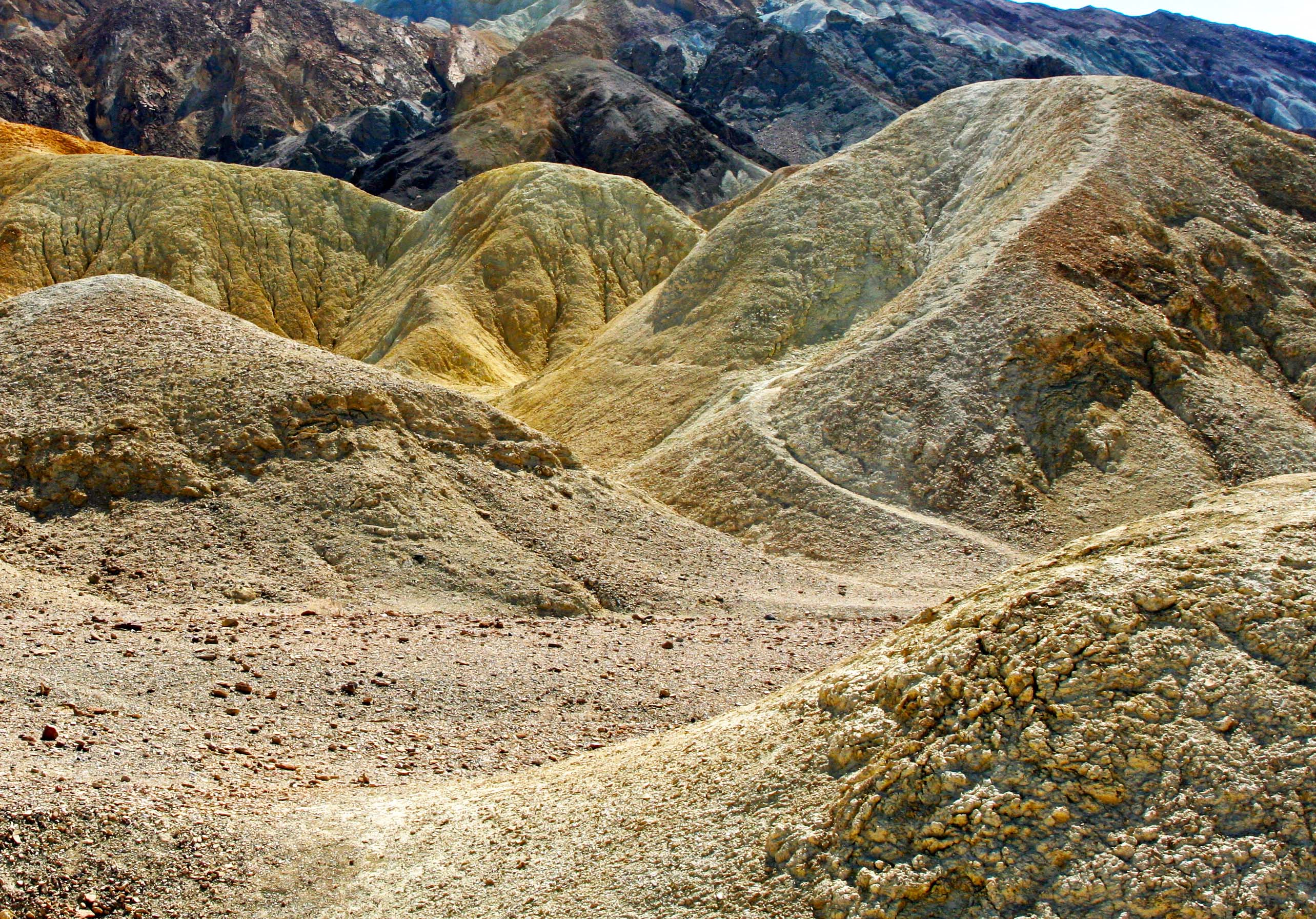
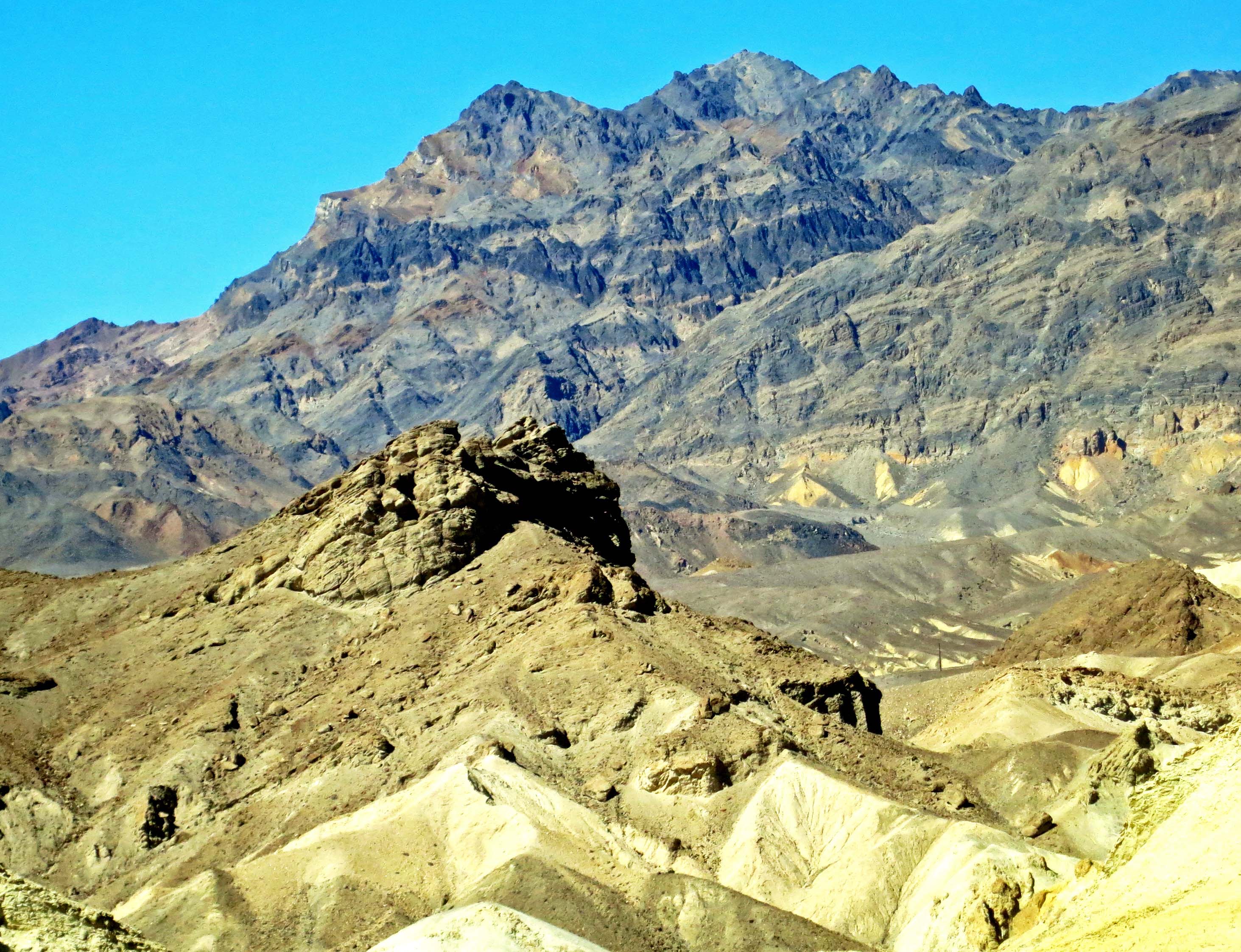
Artist's Palette, Death Valley. Photo by Curtis Mekemson.
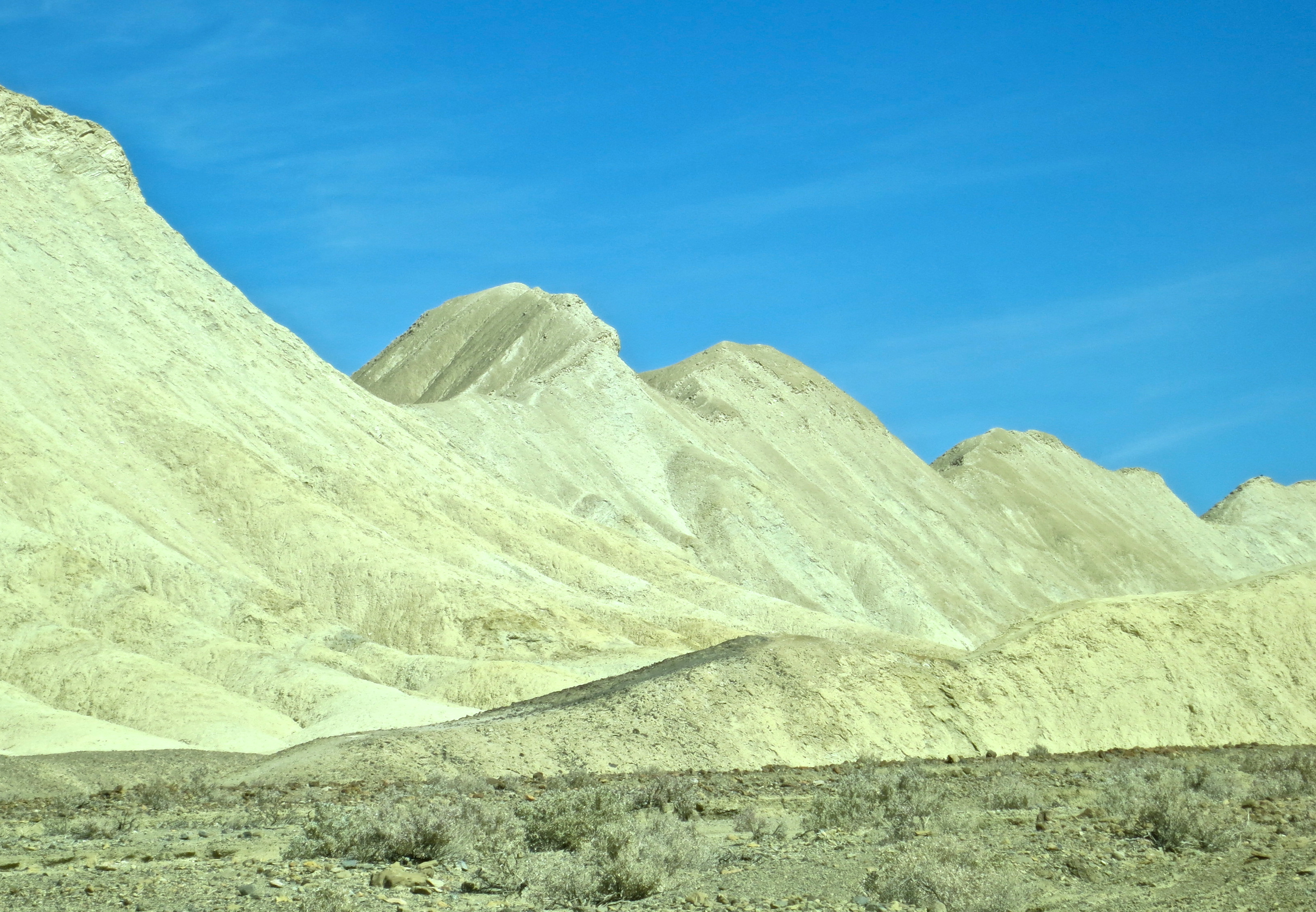
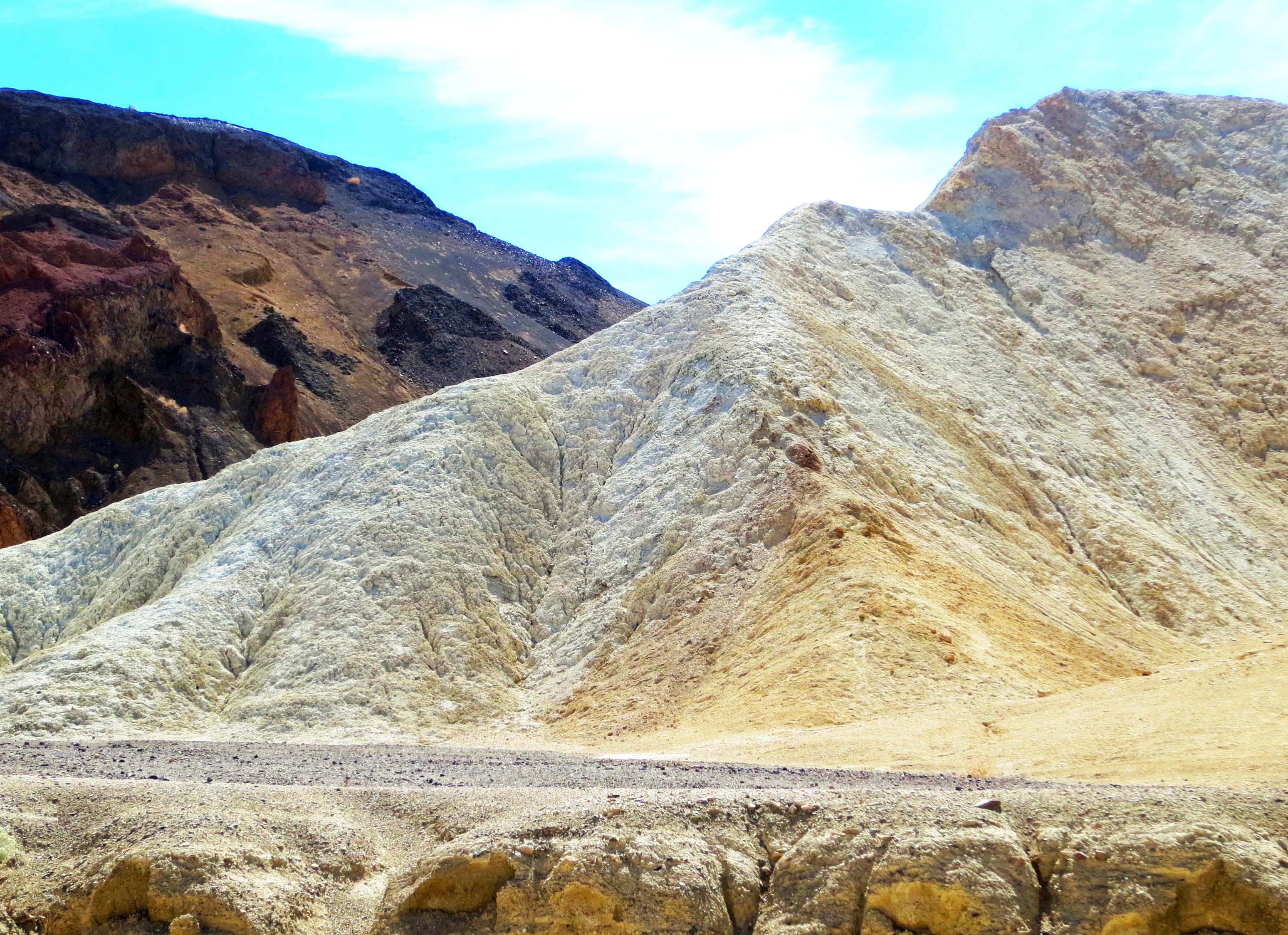
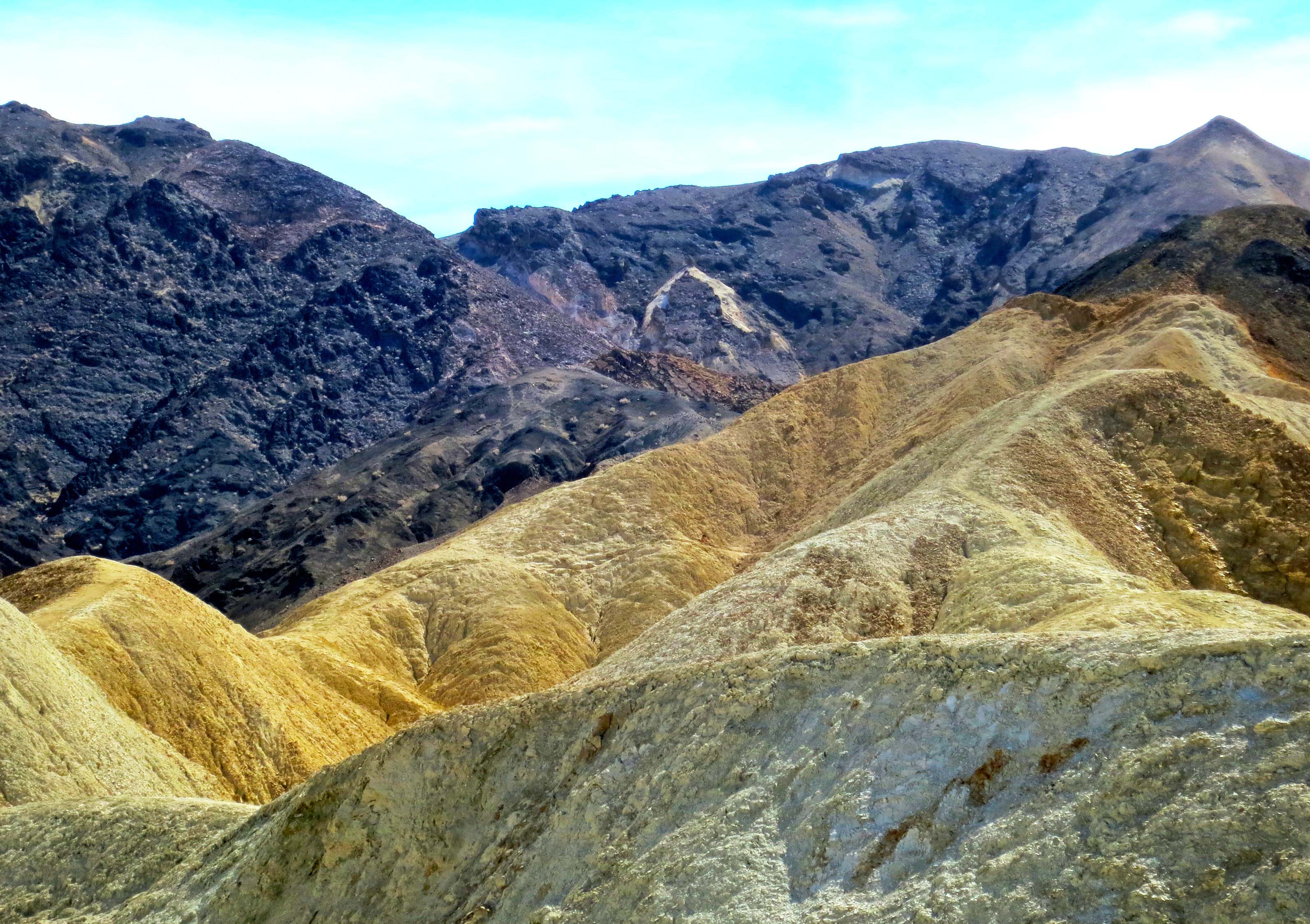
The colors here are created by different minerals in the rocks. Because of the color, this site is known as Artist’s Palette.

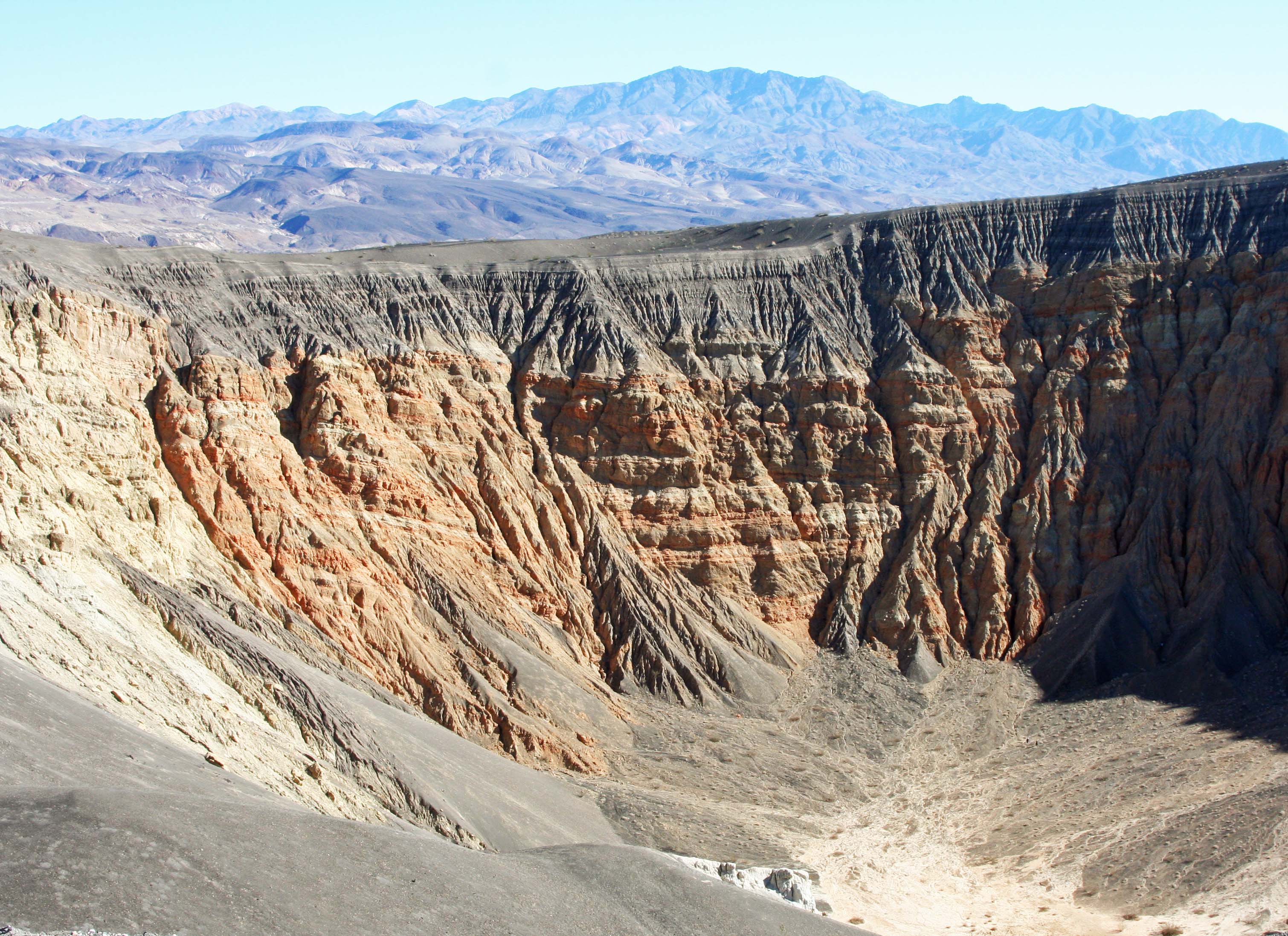
Traveling north, we come to Ubehebe Volcanic Crater, another of Death Valley's geological wonders. (Photo by Peggy Mekemson.)

Traveling north, we come to Ubehebe Volcanic Crater, another of Death Valley’s geological wonders. (Photo by Peggy Mekemson.)

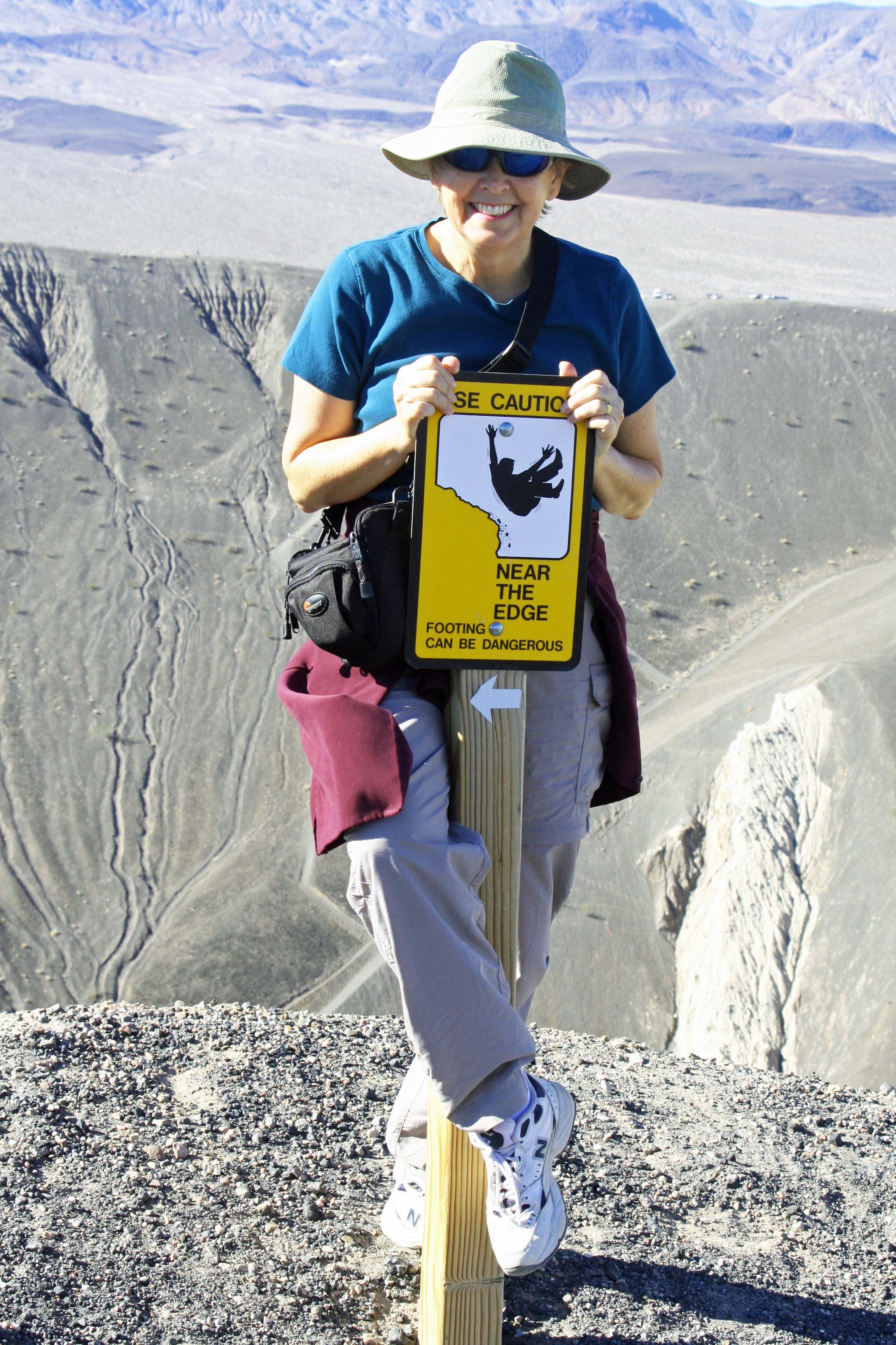
Warning sign at Ubehebe Crater, Death Valley. Photo by Curtis Mekemson.

You are welcome to walk into the crater. Falling is not recommended, as demonstrated by Peggy.

Small crater next to Ubehebe Crater in Death Valley. Photo by Curtis Mekemson.

A smaller crater next to Ubehebe.

Erosion patterns near Ubehebe crater. Photo by Curtis Mekemson.

I think the erosion patterns near Ubehebe are fascinating.

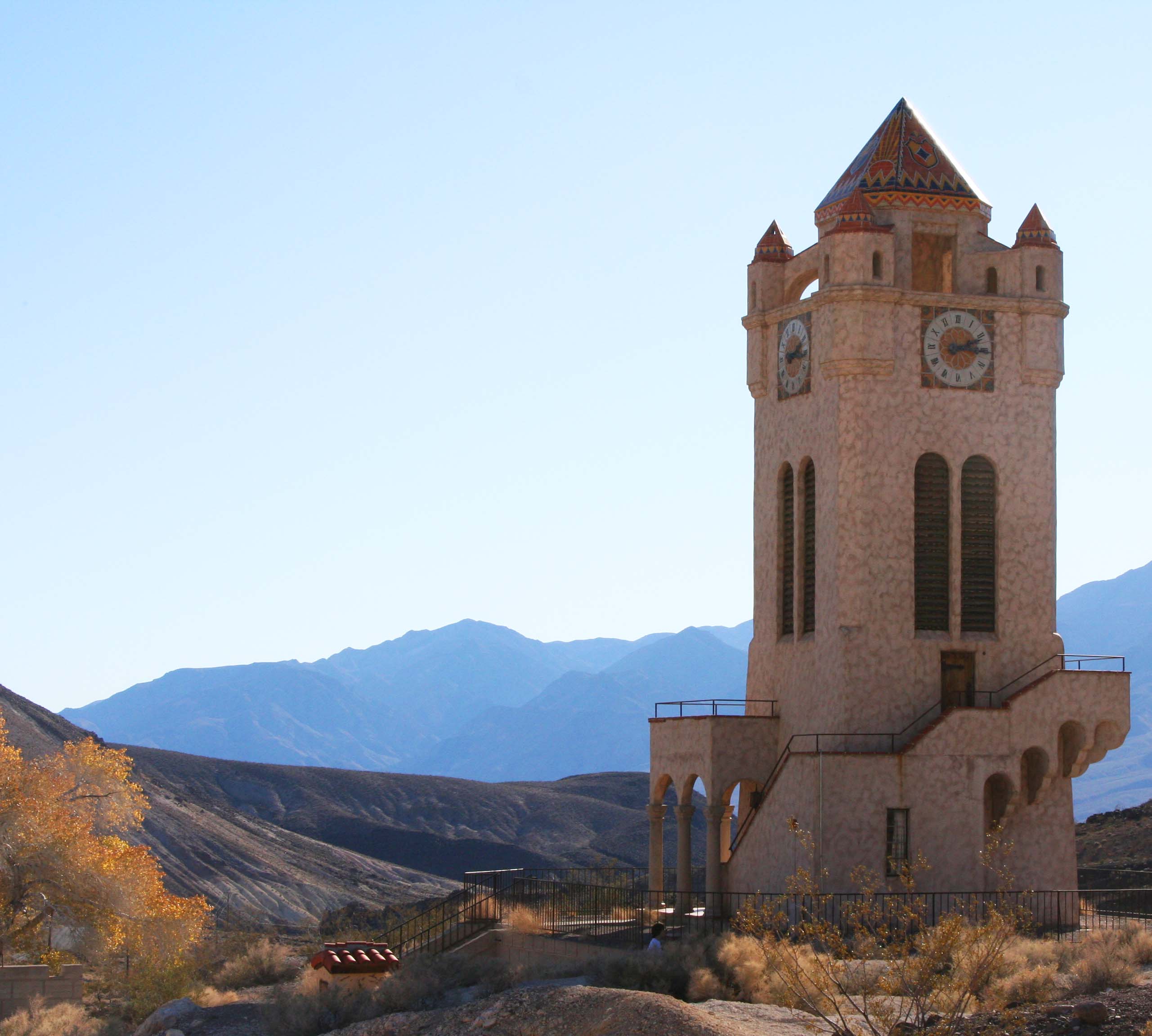
Scotty's Castle, Death Valley. Photo by Curtis Mekemson.

Scotty’s Castle. The history of Death Valley is filled with characters and none was greater than Scotty. Born Walter Scott, Scotty was a first class con-man who persuaded Albert Johnson to build the castle and then claimed it was built with money from his own gold mine. Albert, who loved Death Valley and liked Scotty, went along with the tale.

Scotty's Castle at Death Valley. Photograph by Curtis Mekemson.

The clock tower at Scotty’s Castle.

NEXT BLOG: We will journey east to the Everglades and I will introduce you to my all-time favorite buzzard.

Yosemite… A Photographic Journey through America’s National Parks

Yosemite's Half Dome captured on a hazy day. Photo by Curtis Mekemson.

Half Dome captured on a hazy day.

One of our goals over the past several years has been to visit all of America’s National Parks. We’ve been to all 50 states in pursuit of this objective. There are a couple in Alaska still on our “to do list.” Since Peggy and I are presently wandering in Mexico, I’ve recruited some of our favorite National Park photos to fill in while we are gone. Enjoy.

 My feet know a lot about Yosemite. For years I led backpack trips that included sections of the National Park as I wandered from Lake Tahoe in the north to Mt. Whitney in the south on journeys ranging from 70-360 miles. The latter I did to celebrate my 60th birthday.  This is the land of John Muir and Ansel Adams: towering granite mountains, sparkling lakes, snow-fed streams, forested slopes and vistas that go on forever.

Forest giant on northern edge of Yosemite National Park. Photo by Curtis Mekemson.

I captured this forest giant on the Pacific Crest Trail, which along with the John Muir Trail, provided my major routes through Yosemite.

Pacific Crest Trial sign in Yosemite National Park. Photo by Curtis Mekemson.

Trail signs are always welcome reminders that you are on the right route. This Pacific Crest Trial sign has been up long enough to be buried in the tree.

Pacific Crest trail downed tree displays beautiful grains of wood in its roots. Photo by Curtis Mekemson.

Downed tree along Pacific Crest Trail displaying beautiful grains of wood.

Falls on Tuolumne River in Yosemite National Park. Photo by Curtis Mekemson.

Falls along the Tuolumne River. Peggy, our daughter Tasha, and I had spent the night before below the falls chasing a mother bear and her two cubs out of our camp.

Tuolumne River flows through Tuolumne Meadows in Yosemite National Park. Photo by Curtis Mekemson.

Fall photo of Tuolumne River flowing though Tuolumne Meadows.

Tuolumne Meadows in Yosemite National Park. Photo by Curtis Mekemson.

Another fall photo of Tuolumne Meadows.

Granite in Yosemite National Park. Photo by Curtis Mekemson.

Granite rules in Yosemite!

A Yosemite meadow at a lower elevation. (Photo by Peggy Mekemson.)

Black and white photo of Yosemite Valley. Photo by Curtis Mekemson.
A final view looking down into Yosemite Valley. I utilized black and white here to honor the great Yosemite photographer Ansel Adams.

NEXT BLOG: A trip into Death Valley.


Arches… A Photographic Journey through America’s National Parks

Photo of stone sculpture and mountains in Arches National park. Photo by Curtis Mekemson.

Arches National Park is known for its soaring arches carved from stone, but that is only the beginning of its beauty.

One of our goals over the past several years has been to visit all of America’s National Parks. We’ve been to all 50 states in pursuit of this objective. There are a couple in Alaska still on our “to do list.” Since Peggy and I are presently wandering in Mexico, I’ve recruited some of our favorite National Park photos to fill in while we are gone. Enjoy.
Arches National Park is located in eastern Utah. While the towering rock arches are indeed striking, other rock sculptures are equally, if not more, impressive.

Stone sculptures at Arches National Park. Photo by Curtis Mekemson.

These stone sculptures stand like sentinels.

Shadow outlines of rock sculptures at Arches National Park. Photo by Curtis Mekemson.

With dark rapidly approaching, only shadowy outlines could be seen. I am thinking the Three Wise Men.

Wall of stone at Arches National Park. Photo by Curtis Mekemson.

This wall of stone greets visitors upon their arrival to Arches National Park. (Photo by Peggy Mekemson.)

Family of rock sculptures at Arches National Park. Photo by Curtis Mekemson.

I thought of this collection of rock sculptures as a family… Mom and the kids.

Sedimentary layers shown at Arches National Park. Photo by Curtis Mekemson.

This collection shows different sedimentary rocks laid down in ancient times.

Rock sculpture at Arches Natioal park. Photo by Curtis Mekemson.

Another photo that captures sedimentary layers and shows the impact of weather on various rocks. Different rocks erode at different speeds, thus creating the wonderful sculptures seen throughout the Southwest..

Evening sun turns a rock sculpture red in Arches National Park. Photo by Curtis Mekemson.

Caught in the evening sun.

Photo of joining arches at Arches National Park. Photo by Curtis Mekemson.

Naturally, any photo essay on Arches National Park has to include some arches.

Two arches at Arches National Park. Photo by Curtis Mekemson.

The same arch caught 30 minutes later.

Under and arch at Arches National Park. Photo by Curtis Mekemson.

Looking up from under the arch. I knew the rock was solid but still felt nervous.

Arches National Park photo by Curtis Mekemson.

A final arch.

NEXT BLOG: We will head west to Yosemite National Park.

Bolinas: A Recluse Kind of Town… Pt. Reyes National Seashore

Mural of early Bolinas, California. Photo taken by Curtis Mekemson.

A mural depicting how Bolinas would have looked in the 50s. Not much has changed. The artist added a touch of humor with the blue surfboard the man in the brown sports coat is carrying.

Marin County had a problem. Its highway department would put up a sign on Highway 1 pointing west toward the town of Bolinas and the residents of the small coastal community would tear it down. Again and again. Located 30 miles north of San Francisco and just south of Pt. Reyes National Seashore, the town didn’t want anyone to know where it was; the town was a recluse.

Finally, out of frustration, Marin County held a vote: Did or did not the townspeople want the signs? They voted no. Today, nothing points toward the community. But a map or GPS will get you there.

I first made my way to Bolinas in the early 70s. Surfers, hippies, commune members, artists, writers and other alternative types called it home. I was running an environmental center in Sacramento at the time. Being ex-Berkeley and ex-Peace Corps, I more or less fit in. “I could live here,” I thought to myself.

The town was also known for its nude beach. I won’t incriminate myself other than to note that there are some places on the body it’s best not to get sunburned.

Ken, Leslie, Peggy and I made our way to Bolinas after we left Pierce Ranch. Other than a new park in the middle of town, I was happy to find that the community had changed little. The park, I was proudly informed by a shop owner, had been donated by one of the town’s billionaires. Big money had found its way to this small community, which is pretty much the story of Marin County. Extreme wealth and a laid back lifestyle go hand in hand. In Bolinas, VW Vans and BMW’s seemed to happily co-exist.

We wandered through town poking our heads in various shops and looking for a bookstore. It’s become a tradition whenever we travel. We love books and we like to support local bookstores. We found one on the edge of town next to the post office. It was quite unique; the owner was elsewhere and shoppers were invited to price their own selections. Seven suggested categories ranged from “unbelievably really great” for $20 to “ordinary” for a buck. It was possible (though not likely) that Peggy’s really great might be my ordinary. A small, metal box with a slot on top was set up for payment. A statue of the Virgin Mary fronted the box. I wasn’t sure whether she was there to say thank you or to haunt our conscience if we paid five bucks for a book we believed was worth ten.

Bolinas, California unique book pricing recommendations. Photo by Curtis Mekemson.

A sign with suggested prices for books in Bolinas, California that depended on your assessment of the book.

Bolinas Book Store photo by Curtis Mekemson.

Ken deposits $5 for a “great book” in the Virgin Mary box while Peggy, reflected in a mirror, looks on.

Bolinas, California  book store photo by  Curtis Mekemson.

I assume this was the missing owner’s office. I believe he painted the pictures.

Leslie, Ken and Peggy stand in front of the Bolinas Bookstore named Books.

Leslie, Ken and Peggy stand in front of the Bolinas Bookstore named Books.

Our visit also included stopping off at a stuffed-to-the-ceiling antique store, admiring quaint houses that had been around since day one, taking photos of murals and visiting a small shop featuring incense, eastern music, and a Humpty-Dumpty Buddha.

Photo of Bolinas California taken by Curtis Mekemson.

Bolinas today, which I did in black and white to give it a 70’s feeling. Take away the cars and the billboard building and you’ll find the Bolinas featured in the mural at the top of the post.

The Grand Hotel Shop and Gallery in Bolinas, California. Photo by Curtis Mekemson.

The Grand Hotel Shop and Gallery was stuffed top to bottom with antiques.

Mannequin in Bolinas, California. Photo by Curtis Mekemson.

I was intrigued with this aging mannequin I found looking out the window of the shop.

A home in the town of Bolinas, California. Photo by Curtis Mekemson.

The old homes in town have aged well.

Back in a hot-flash sign in Bolinas, California. Photo by Curtis Mekemson.

Incense, Eastern music, and this sign pulled us into a shop.

Eclectic Bolinas, California shop. Photo be Curtis Mekemson.

The laughing Buddha face on the upper left shelf made me think of Humpty Dumpty. The items in the shop were, um, eclectic…

Inside of shop in Bolinas California. Photo by Curtis Mekemson.

Very eclectic.

Bolinas Shrine. Photo by Curtis Mekemson.

We found a shrine next door that the community had put up after 9/11.

Surf shop ad in Bolinas, California. Photo by Curtis Mekemson.

A Bolinas surf shop advertised using broken surf boards featuring Native American/First Nation art.

Halloween pumpkin in Bolinas California. Photo by Curtis Mekemson.

This pumpkin reminded me that Halloween had just passed…

2013 gas prices in Bolinas, California. Photo by Curtis Mekemson.

And this sign reminded me that we would be buying our gas elsewhere. This station matched what I was paying in the Yukon territory this summer.

NEXT POST: Peggy and I heading off to Mexico for three weeks. To fill in, I’ve decided to put up photos that Peggy and I have taken in America’s National Parks. We’ve made a point of visiting close to all of them. I’ll close out my Pt. Reyes’ series with a Bolinas mural that I think reflects the area: ocean, wilderness, and a touch of magic.

Mural of mountain lion and mermaid in Bolinas, California. Photo by Curtis Mekemson.

Socrates Digs South Beach… Pt. Reyes National Seashore

Photo of Socrates the Basset Hound by Curtis Mekemson

Socrates the Basset Hound fell in love with digging opportunities at South Beach, Pt. Reyes National Seashore.

Peggy and I didn’t make it out to North and South Beach this time. Three days were not nearly enough to visit all of my favorite Pt. Reyes sites. I have a few photos from my pre-blogging days, however, so I decided to do a quick post.

These two beaches are actually one. If you enjoy crashing waves and long, lonely beach walks, this is the place to go. I still remember my first hike along the shoreline. My companion at the time was a long-eared, short-legged basset hound named Socrates.  It was before leash laws were established so the dog ran free over the sand. Sort of– Basset hounds aren’t noted for their long, graceful gaits.

For example, Soc loved to chase jackrabbits. The only time I ever saw him catch one was when the rabbit was rolling on the ground and laughing so hard he couldn’t escape. (Kidding.)

But there was another reason for our slow progress down the beach. Soc had a passion for digging. He could move more dirt in an hour than a bulldozer could in a day. (Slight exaggeration.) Given what he could do with dirt, you can imagine what he did with the sand. I was hoping for a high tide to hide his destruction.

When I urged the Soc to stop hassling whatever poor creature he was after, he whined and start digging harder. I was in danger of being buried under an avalanche of sand. The dog had Zen-like focus; it didn’t matter that he never caught anything. I’d get him away from one hole and he would start another 50 feet down the beach. Our slow progress made for a long walk but it was totally worth it for the joy the dog found in digging holes and the pleasure I took in watching him and, of course, the beautiful Pacific Ocean.

Waves at South Beach, Pt. Reyes National Seashore. Photo by Curtis Mekemson.

Waves come crashing in at South Beach.

Years later I discovered that North Beach was a great place for writing. I would park facing the ocean, get out my laptop, and start typing. The rolling ocean, an occasional whale, diving pelicans and raucous gulls served as my muses.

Photo of waves at South Beach, Pt. Reyes National Seashore. Photo by Curtis Mekemson.

Another thunderous wave.

Ice plant at South Beach, Pt, Reyes National Seashore. Photo by Curtis Mekemson.

This ice plant formed the border between the parking lot and the beach.

Close up of ice plant at South Beach, Pt. Reyes National Seashore.

It demanded I take a close up.

Raindrops captured by lupine leaves at South Beach, Pt. Reyes National Seashore. Photo by Curtis Mekemson.

These lupine leaves displayed captured rain drops.

Iris growing near South Beach, Pt. Reyes National Seashore. Photo taken by Curtis Mekemson.

I also found this iris quite attractive.

The winds at North and South beach provide excellent loft for kite flying. I enjoyed the dragon but it distracted me from my writing.

The winds at North and South beach provide excellent wind for kite flying. I enjoyed this dragon but it distracted me from my writing. I wonder what the gulls thought about it?

Tules near North Beach, Pt. Reyes National Seashore.

I discovered these tules on Bull Point trail near North Beach. Miwok Indians used these plants in making baskets.

NEXT BLOG: The hippie town that tries to hide: Bolinas. Here’s a final photo of South Beach.

Waves pound the beach at South Beach, Pt. Reyes National Seashore. Photo by Curtis Mekemson.


The Historic Pierce Ranch and a Herd of Tule Elk… Pt. Reyes National Seashore

Lichens found on a fence on Pierce Ranch at Pt. Reyes National Seashore. Photo by Curtis Mekemson.

Lichens, adorning a fence on the historic Pierce Ranch at Pt. Reyes National Seashore, remind visitors that it has been 46 years since the last cow mooed.

Marin County land speculators, real estate firms, and local governments had a dream in the 1950’s. They were going to turn Pt. Reyes into one vast housing tract. Mouth-watering profits were to be made. Local tax dollars would increase proportionately. Everyone would gain.

Well, not quite.

Local ranchers saw a life style they had loved for over a century disappearing. The Sierra Club saw one of the world’s richest natural environments falling under the blades of bulldozers. The National Park Service saw it’s dream of opening the beautiful coast and forests of the area to the public being replaced by a forest of no trespassing signs.

An alliance was formed. Environmentalists and ranchers joined together with visionary local and national leaders to devise a plan that would protect the environment, allow ranchers to continue ranching, and give the National Park Service the opportunity to create one of America’s premier parks, a gift to America and the world that would last for generations. In 1962, John Kennedy signed the legislation that would create the Pt. Reyes National Seashore.

The Pierce Ranch, located out on Tomales Point, ceased operation in 1973. Three years later it became part of the park as a historic representative of the dairy ranches at Pt. Reyes that had been milking cows and shipping butter to the Bay Area since 1866.

In 1978 a herd of Tule Elk was reintroduced to the area as part of the Tomales Point Tule Elk Reserve. Native to California, Tule Elk had once roamed throughout the state in substantial numbers. By 1900 they were close to extinction. Saved by a Bakersfield rancher, over 20 protected herds are now located in California.

Photo of a lichen covered fence at Pt. Reyes National Seashore.

Another photo of the lichen covered fence. It’s like a strange forest.

Photo of cypress tree wind break on Pierce Ranch inPt. Reyes National Seashore. Photo by Curtis Mekemson.

Possibly the mother of all cypress tree windbreaks stands above Pierce Ranch.

Photo of barn at Pierce Ranch, Pt. Reyes National Seashore.  Photo by Curtis Mekemson.

A number of buildings make up the ranch, including this old barn.

Photo of one-room school house at Pierce Ranch, Pt. Reyes National Seashore including Leslie Lake and Peggy Mekemson. Photo by Curtis Mekemson.

Isolated out on Tomales Point, Pierce Ranch formed a small community that included a store and this school-house. Since our friend Leslie Lake spent many years as a third grade teacher and Peggy worked as an elementary school principal, I’ve included them in the photo.

Looking inside school at Pierce Ranch on Pt. Reyes National Seashore. Photo by Curtis Mekemson.

Once filled with laughing children learning their abc’s, the school is now vacant and the windows are covered with cobwebs– ghostly reminders of the past.

Old cattle pen at Pierce Ranch at Pt. Reyes National Seashore. Photo by Curtis Mekemson.

Once upon a time cattle would have been penned up within these fences, ready to be loaded on to trucks using the blocked ramp at the top of the photo.

Aging fence at Pierce Ranch, Pt. Reyes National Seashore. Photo by Curtis Mekemson.

A close up of the fence.

Bunk house at Pierce Ranch on Pt. Reyes National Seashore. Photo by Curtis Mekemson.

This small bunk house would have accommodated ranch hands. Up to 20 were employed at the height of milking season.

Photo of dairy house at Pierce Ranch, Pt. Reyes National Seashore by Curtis Mekemson.

This dairy house was where butter was prepared to be shipped off to San Francisco in large kegs. Butter from Pt. Reyes was considered to be very high quality and was sold in gourmet shops and used in the best restaurants.

Old farming equipment at Pierce Ranch on Pt. Reyes National Seashore. Photo by Curtis Mekemson.

What’s a farm without equipment? This piece had morphed into a planter.

Close up of old farm equipment at Pierce Ranch on Pt. Reyes National Seashore. Photo by Curtis Mekemson.

A close up.

Old soil tiller at Pierce Ranch, Pt. Reyes National Seashore. Photo by Curtis Mekemson.

This tiller also caught my attention.

Rusted gear and chain on soil tiller at Pierce Ranch, Pt. Reyes National Seashore. Photo by Curtis Mekemson.

Rusted gear teeth and chain on tiller.

Tule Elk grazing on a hill at the Tule Elk Preserve at Pt. Reyes National Seashore.

Having toured Pierce Ranch we climbed the hill next to the ranch in search of Tule Elk. We found them a long ways off. (Photo by Peggy Mekemson.)

Photo of bull Tule Elk at Pt. Reyes National Seashore Tule Elk Reserve. Photo by Curtis Mekemson.

Here’s how one looked a little closer.

NEXT BLOG: North and South Beach where the Pacific Ocean crashes ashore. Here’s a final shot of the Tule Elk. One of the big guys had obviously taken an interest in me. I was hoping it wasn’t personal. –Curt

A pair of Tule Elk at Pt. Reyes National Seashore. Photo by Curtis Mekemson.