One of our goals over the past several years has been to visit all of America’s National Parks. We’ve been to all 50 states in pursuit of this objective. There are a couple in Alaska still on our “to do list.” Since Peggy and I are presently wandering in Mexico, I’ve recruited some of our favorite National Park photos to fill in while we are gone. Enjoy.
My feet know a lot about Yosemite. For years I led backpack trips that included sections of the National Park as I wandered from Lake Tahoe in the north to Mt. Whitney in the south on journeys ranging from 70-360 miles. The latter I did to celebrate my 60th birthday. This is the land of John Muir and Ansel Adams: towering granite mountains, sparkling lakes, snow-fed streams, forested slopes and vistas that go on forever.
I captured this forest giant on the Pacific Crest Trail, which along with the John Muir Trail, provided my major routes through Yosemite.
Trail signs are always welcome reminders that you are on the right route. This Pacific Crest Trial sign has been up long enough to be buried in the tree.
Downed tree along Pacific Crest Trail displaying beautiful grains of wood.
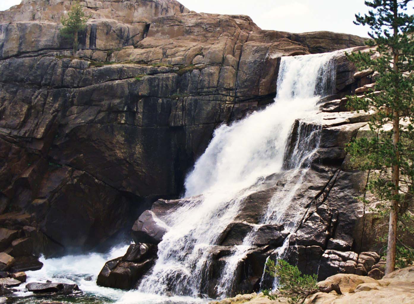
Falls along the Tuolumne River. Peggy, our daughter Tasha, and I had spent the night before below the falls chasing a mother bear and her two cubs out of our camp.
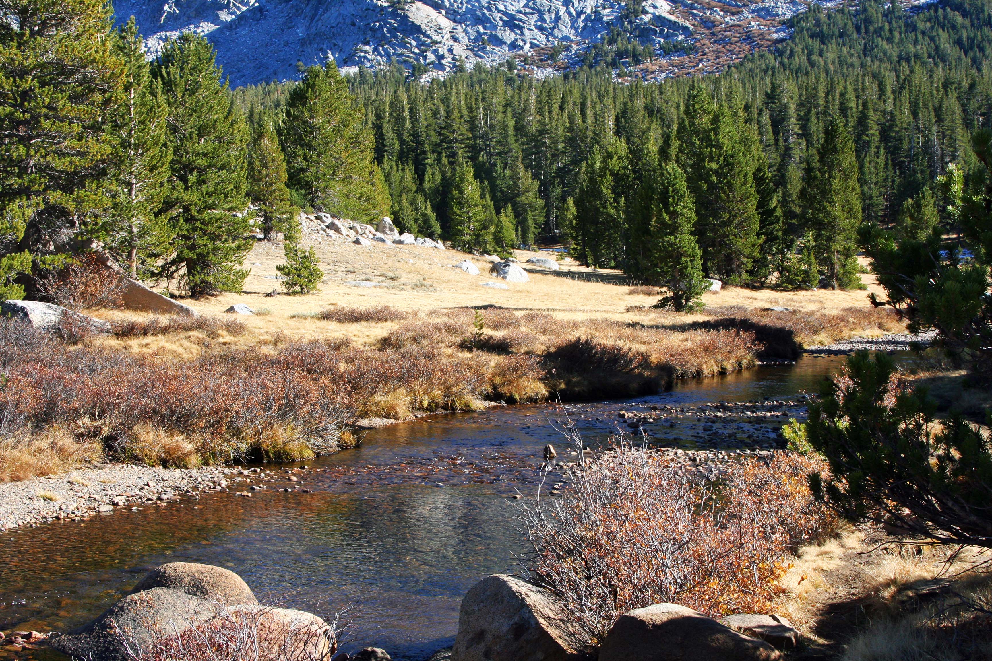
Fall photo of Tuolumne River flowing though Tuolumne Meadows.
Another fall photo of Tuolumne Meadows.
Granite rules in Yosemite!
A Yosemite meadow at a lower elevation. (Photo by Peggy Mekemson.)
A final view looking down into Yosemite Valley. I utilized black and white here to honor the great Yosemite photographer Ansel Adams.
Arches National Park is known for its soaring arches carved from stone, but that is only the beginning of its beauty.
One of our goals over the past several years has been to visit all of America’s National Parks. We’ve been to all 50 states in pursuit of this objective. There are a couple in Alaska still on our “to do list.” Since Peggy and I are presently wandering in Mexico, I’ve recruited some of our favorite National Park photos to fill in while we are gone. Enjoy.
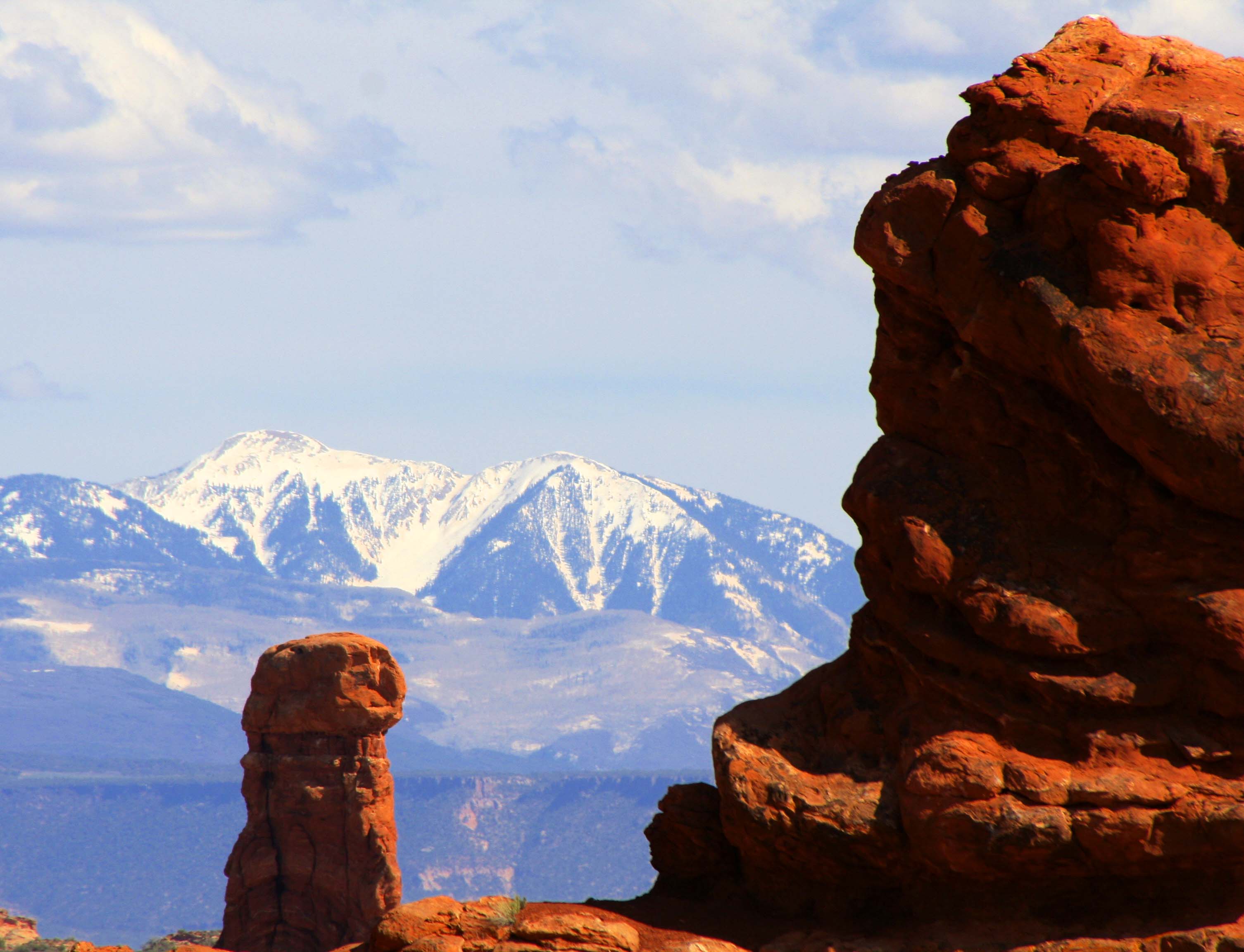
Arches National Park is located in eastern Utah. While the towering rock arches are indeed striking, other rock sculptures are equally, if not more, impressive.
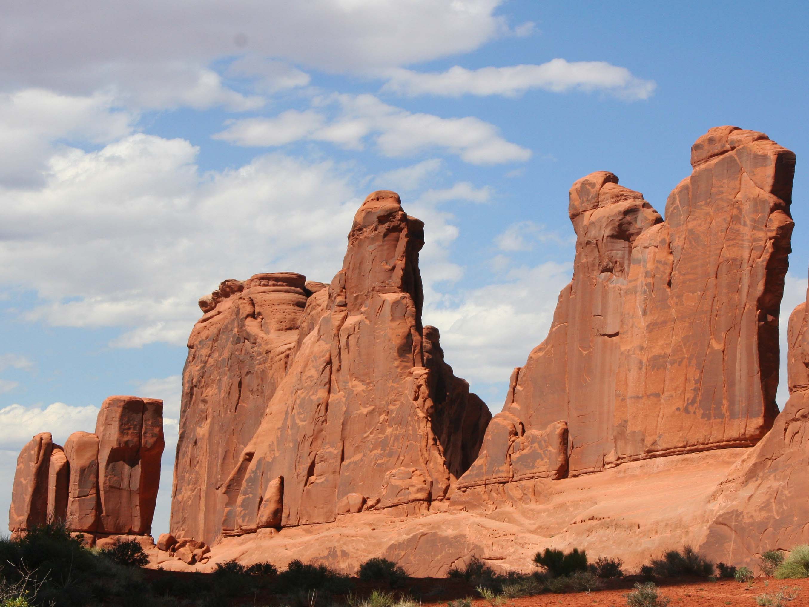
These stone sculptures stand like sentinels.
With dark rapidly approaching, only shadowy outlines could be seen. I am thinking the Three Wise Men.
This wall of stone greets visitors upon their arrival to Arches National Park. (Photo by Peggy Mekemson.)
I thought of this collection of rock sculptures as a family… Mom and the kids.
This collection shows different sedimentary rocks laid down in ancient times.
Another photo that captures sedimentary layers and shows the impact of weather on various rocks. Different rocks erode at different speeds, thus creating the wonderful sculptures seen throughout the Southwest..
Caught in the evening sun.
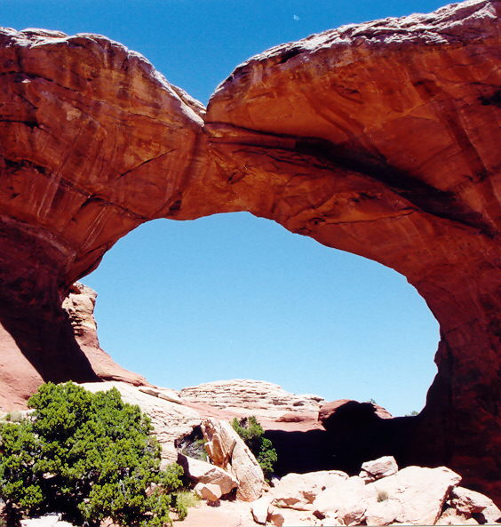
Naturally, any photo essay on Arches National Park has to include some arches.
The same arch caught 30 minutes later.
Looking up from under the arch. I knew the rock was solid but still felt nervous.
A final arch.
NEXT BLOG: We will head west to Yosemite National Park.
A mural depicting how Bolinas would have looked in the 50s. Not much has changed. The artist added a touch of humor with the blue surfboard the man in the brown sports coat is carrying.
Marin County had a problem. Its highway department would put up a sign on Highway 1 pointing west toward the town of Bolinas and the residents of the small coastal community would tear it down. Again and again. Located 30 miles north of San Francisco and just south of Pt. Reyes National Seashore, the town didn’t want anyone to know where it was; the town was a recluse.
Finally, out of frustration, Marin County held a vote: Did or did not the townspeople want the signs? They voted no. Today, nothing points toward the community. But a map or GPS will get you there.
I first made my way to Bolinas in the early 70s. Surfers, hippies, commune members, artists, writers and other alternative types called it home. I was running an environmental center in Sacramento at the time. Being ex-Berkeley and ex-Peace Corps, I more or less fit in. “I could live here,” I thought to myself.
The town was also known for its nude beach. I won’t incriminate myself other than to note that there are some places on the body it’s best not to get sunburned.
Ken, Leslie, Peggy and I made our way to Bolinas after we left Pierce Ranch. Other than a new park in the middle of town, I was happy to find that the community had changed little. The park, I was proudly informed by a shop owner, had been donated by one of the town’s billionaires. Big money had found its way to this small community, which is pretty much the story of Marin County. Extreme wealth and a laid back lifestyle go hand in hand. In Bolinas, VW Vans and BMW’s seemed to happily co-exist.
We wandered through town poking our heads in various shops and looking for a bookstore. It’s become a tradition whenever we travel. We love books and we like to support local bookstores. We found one on the edge of town next to the post office. It was quite unique; the owner was elsewhere and shoppers were invited to price their own selections. Seven suggested categories ranged from “unbelievably really great” for $20 to “ordinary” for a buck. It was possible (though not likely) that Peggy’s really great might be my ordinary. A small, metal box with a slot on top was set up for payment. A statue of the Virgin Mary fronted the box. I wasn’t sure whether she was there to say thank you or to haunt our conscience if we paid five bucks for a book we believed was worth ten.
A sign with suggested prices for books in Bolinas, California that depended on your assessment of the book.
Ken deposits $5 for a “great book” in the Virgin Mary box while Peggy, reflected in a mirror, looks on.
I assume this was the missing owner’s office. I believe he painted the pictures.
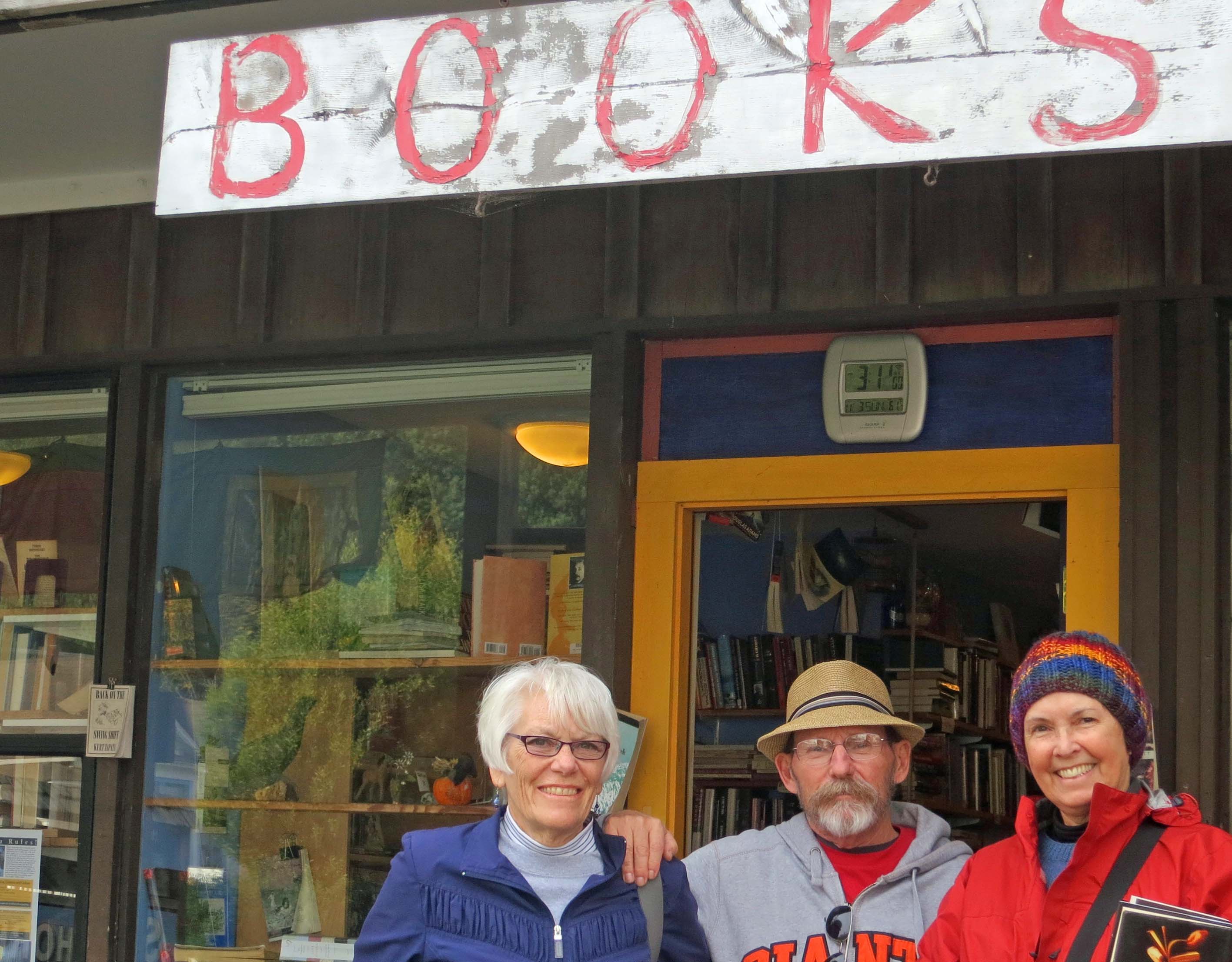
Leslie, Ken and Peggy stand in front of the Bolinas Bookstore named Books.
Our visit also included stopping off at a stuffed-to-the-ceiling antique store, admiring quaint houses that had been around since day one, taking photos of murals and visiting a small shop featuring incense, eastern music, and a Humpty-Dumpty Buddha.
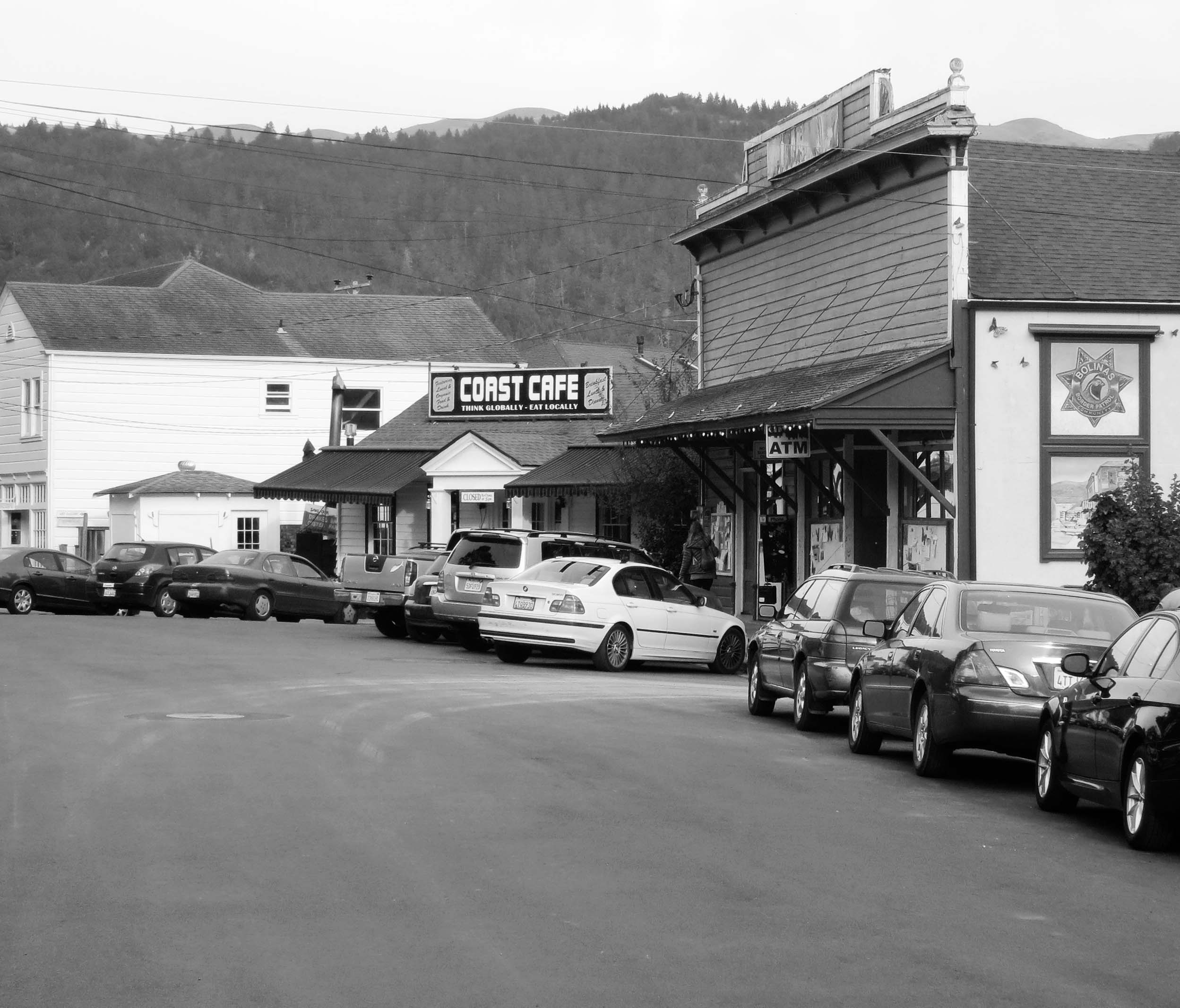
Bolinas today, which I did in black and white to give it a 70’s feeling. Take away the cars and the billboard building and you’ll find the Bolinas featured in the mural at the top of the post.
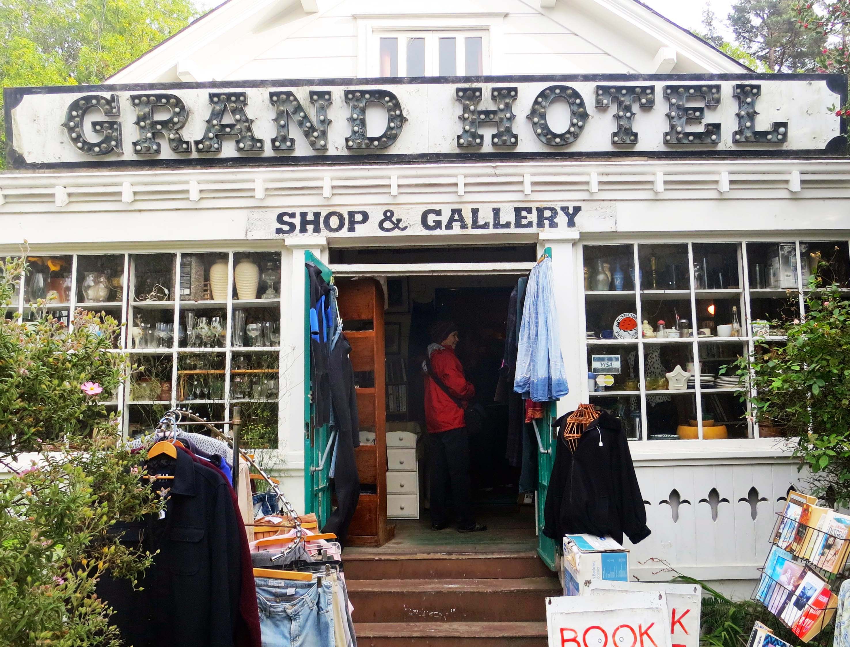
The Grand Hotel Shop and Gallery was stuffed top to bottom with antiques.
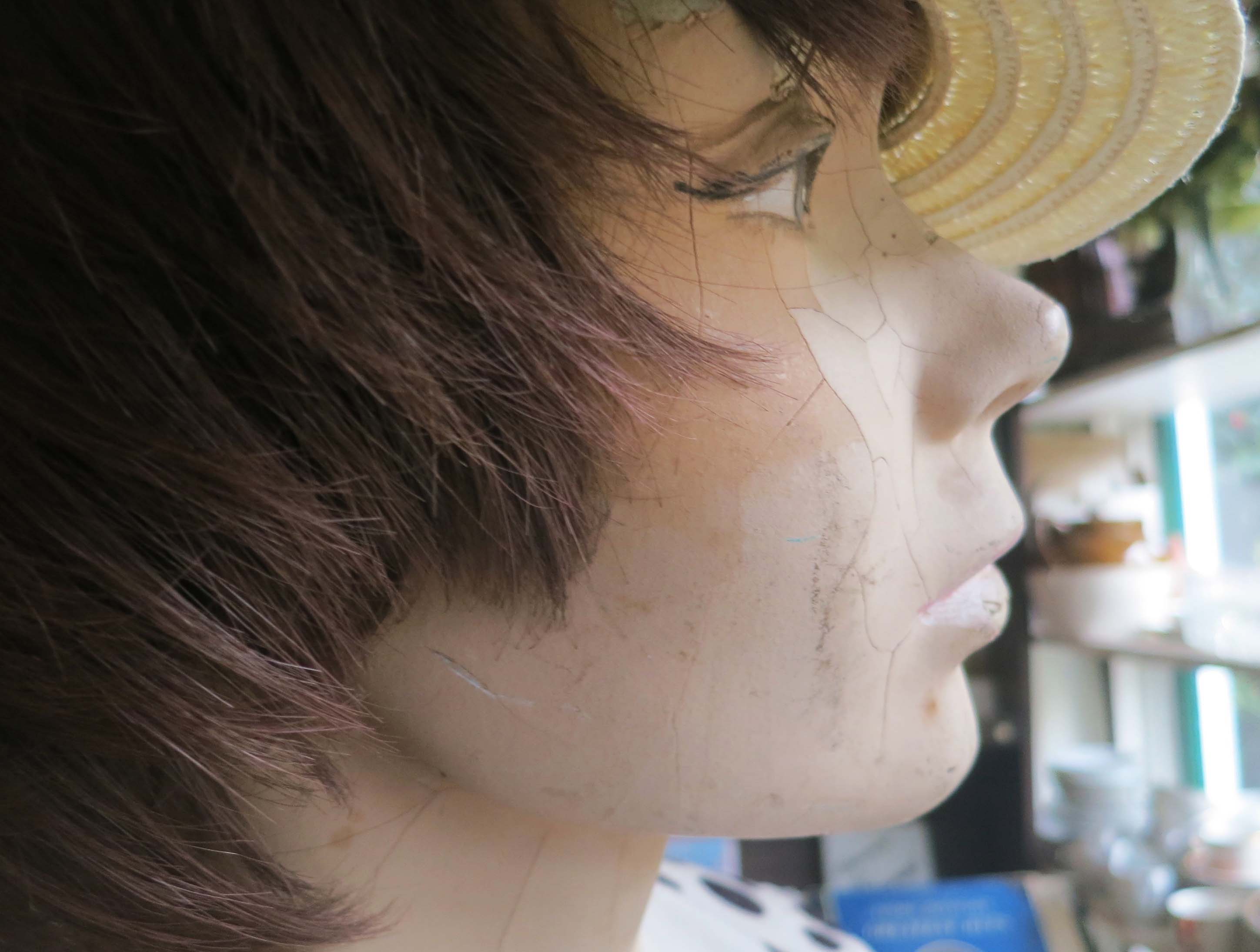
I was intrigued with this aging mannequin I found looking out the window of the shop.
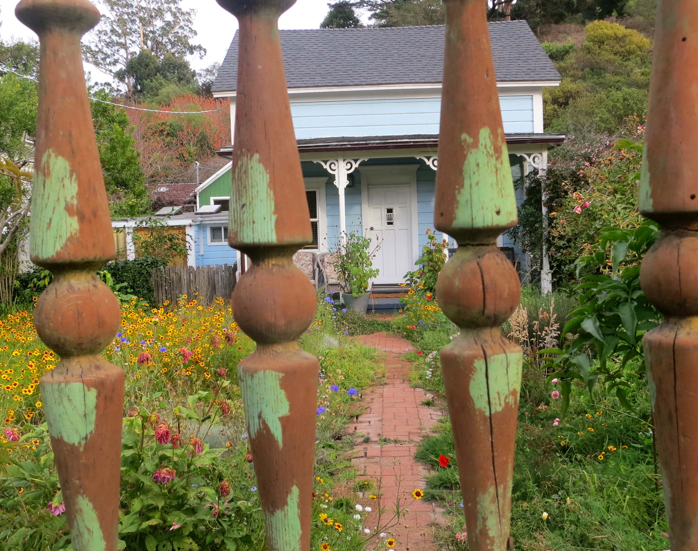
The old homes in town have aged well.
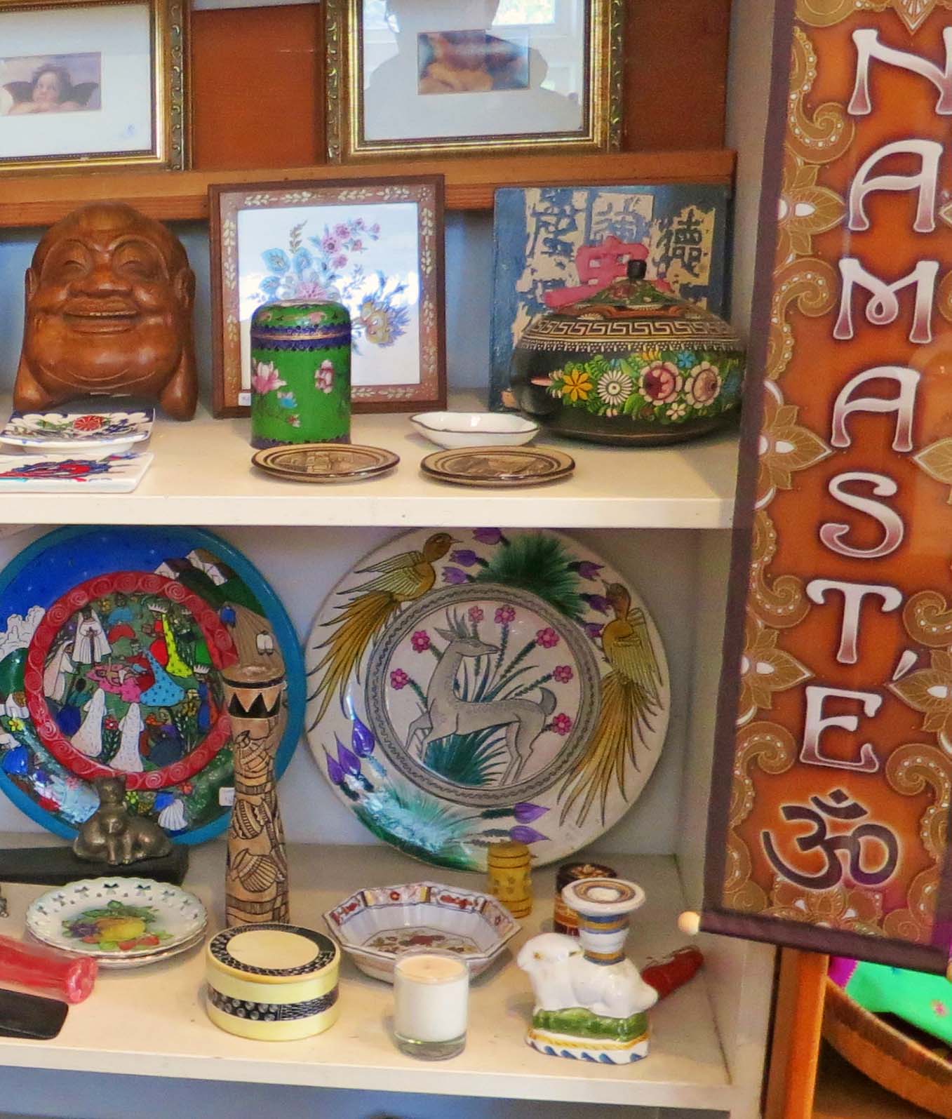
Incense, Eastern music, and this sign pulled us into a shop.
The laughing Buddha face on the upper left shelf made me think of Humpty Dumpty. The items in the shop were, um, eclectic…
Very eclectic.
We found a shrine next door that the community had put up after 9/11.
A Bolinas surf shop advertised using broken surf boards featuring Native American/First Nation art.
This pumpkin reminded me that Halloween had just passed…
And this sign reminded me that we would be buying our gas elsewhere. This station matched what I was paying in the Yukon territory this summer.
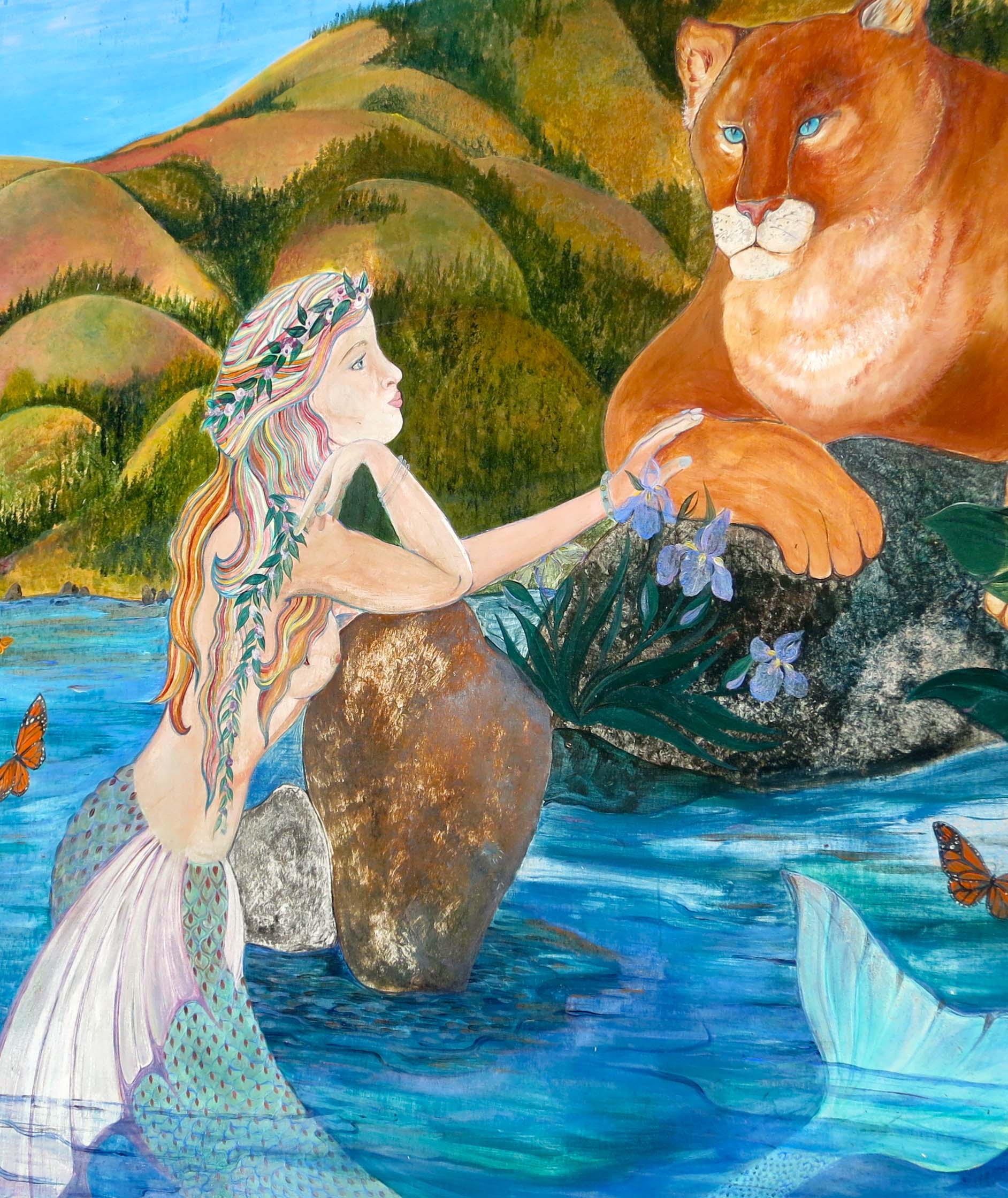
NEXT POST: Peggy and I heading off to Mexico for three weeks. To fill in, I’ve decided to put up photos that Peggy and I have taken in America’s National Parks. We’ve made a point of visiting close to all of them. I’ll close out my Pt. Reyes’ series with a Bolinas mural that I think reflects the area: ocean, wilderness, and a touch of magic.
Socrates the Basset Hound fell in love with digging opportunities at South Beach, Pt. Reyes National Seashore.
Peggy and I didn’t make it out to North and South Beach this time. Three days were not nearly enough to visit all of my favorite Pt. Reyes sites. I have a few photos from my pre-blogging days, however, so I decided to do a quick post.
These two beaches are actually one. If you enjoy crashing waves and long, lonely beach walks, this is the place to go. I still remember my first hike along the shoreline. My companion at the time was a long-eared, short-legged basset hound named Socrates. It was before leash laws were established so the dog ran free over the sand. Sort of– Basset hounds aren’t noted for their long, graceful gaits.
For example, Soc loved to chase jackrabbits. The only time I ever saw him catch one was when the rabbit was rolling on the ground and laughing so hard he couldn’t escape. (Kidding.)
But there was another reason for our slow progress down the beach. Soc had a passion for digging. He could move more dirt in an hour than a bulldozer could in a day. (Slight exaggeration.) Given what he could do with dirt, you can imagine what he did with the sand. I was hoping for a high tide to hide his destruction.
When I urged the Soc to stop hassling whatever poor creature he was after, he whined and start digging harder. I was in danger of being buried under an avalanche of sand. The dog had Zen-like focus; it didn’t matter that he never caught anything. I’d get him away from one hole and he would start another 50 feet down the beach. Our slow progress made for a long walk but it was totally worth it for the joy the dog found in digging holes and the pleasure I took in watching him and, of course, the beautiful Pacific Ocean.
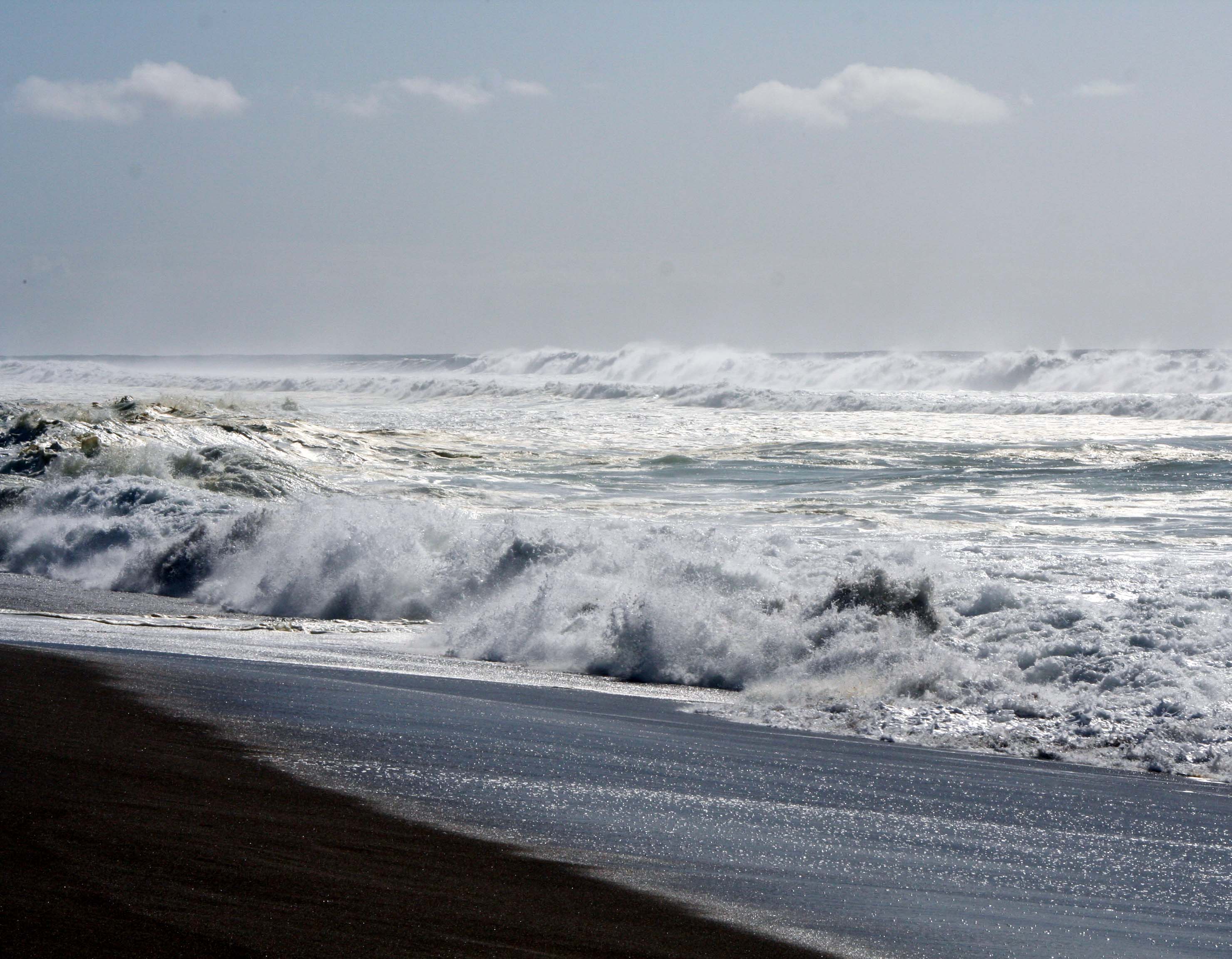
Waves come crashing in at South Beach.
Years later I discovered that North Beach was a great place for writing. I would park facing the ocean, get out my laptop, and start typing. The rolling ocean, an occasional whale, diving pelicans and raucous gulls served as my muses.
Another thunderous wave.
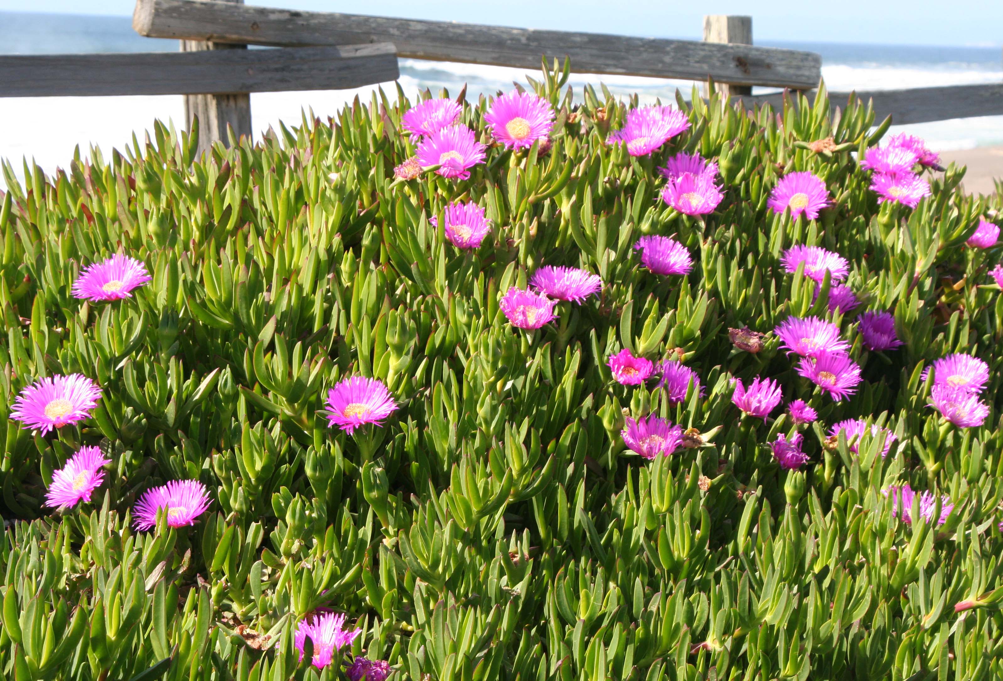
This ice plant formed the border between the parking lot and the beach.
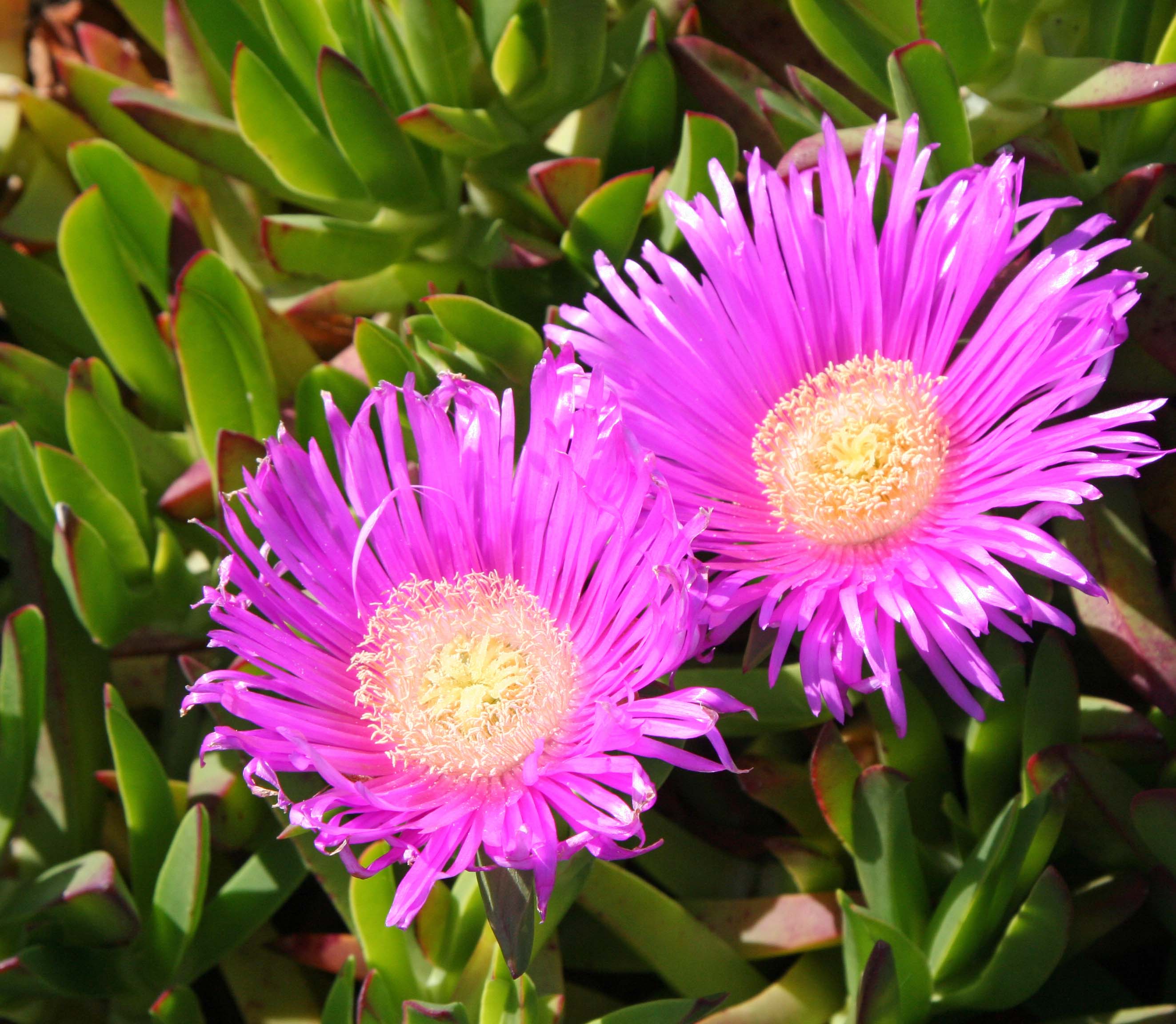
It demanded I take a close up.
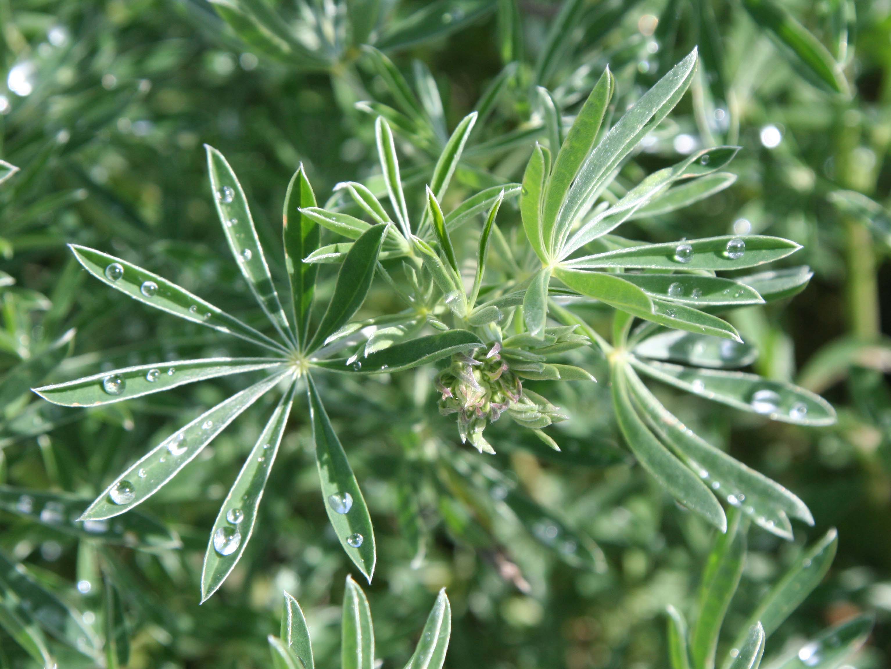
These lupine leaves displayed captured rain drops.
I also found this iris quite attractive.
The winds at North and South beach provide excellent wind for kite flying. I enjoyed this dragon but it distracted me from my writing. I wonder what the gulls thought about it?
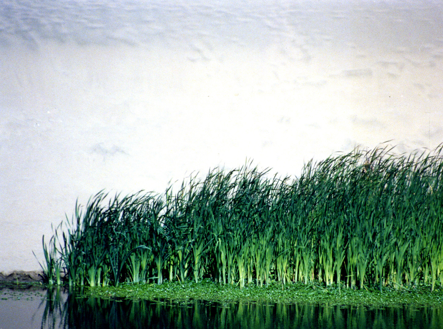
I discovered these tules on Bull Point trail near North Beach. Miwok Indians used these plants in making baskets.
NEXT BLOG: The hippie town that tries to hide: Bolinas. Here’s a final photo of South Beach.
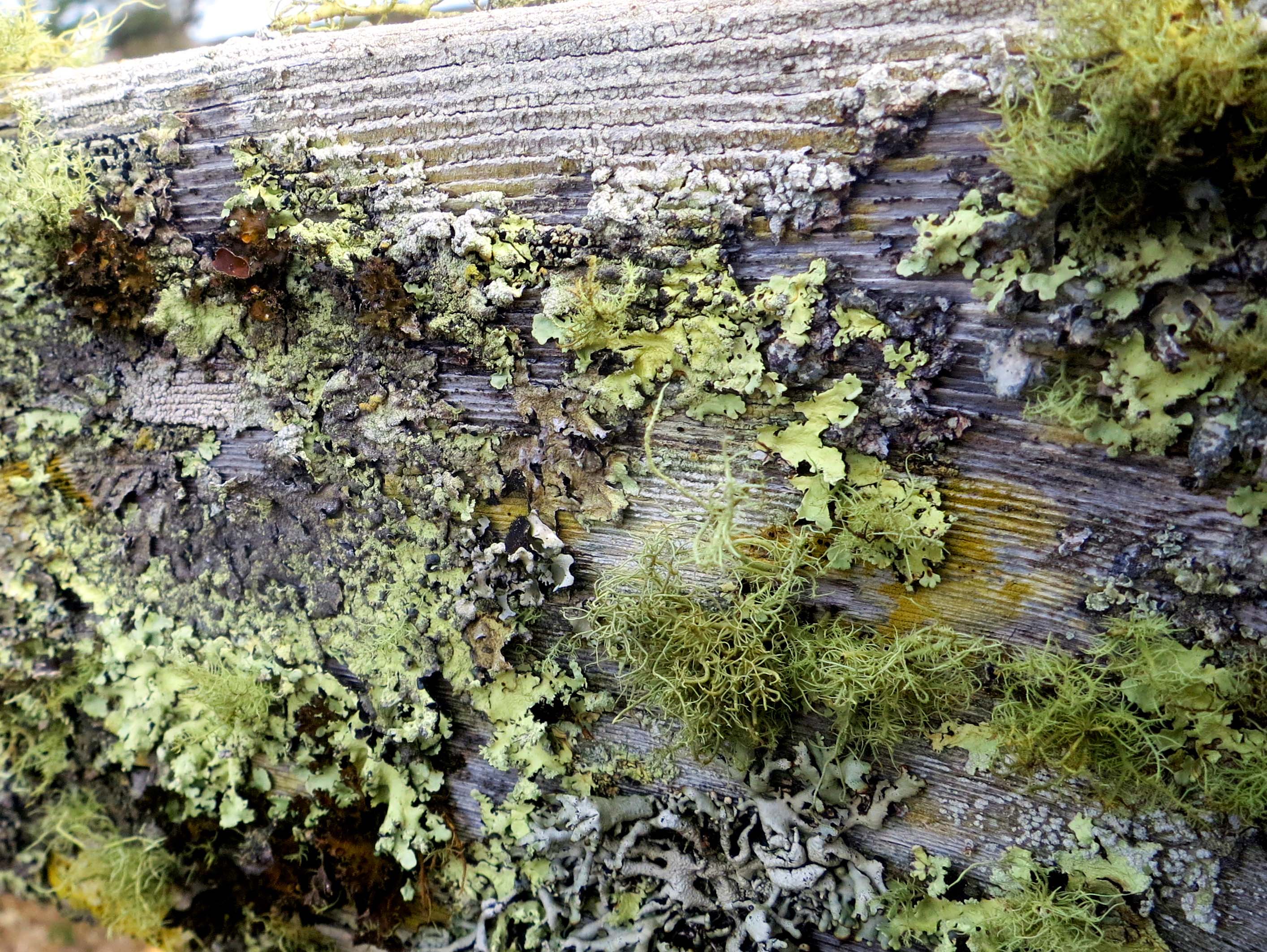
Lichens, adorning a fence on the historic Pierce Ranch at Pt. Reyes National Seashore, remind visitors that it has been 46 years since the last cow mooed.
Marin County land speculators, real estate firms, and local governments had a dream in the 1950’s. They were going to turn Pt. Reyes into one vast housing tract. Mouth-watering profits were to be made. Local tax dollars would increase proportionately. Everyone would gain.
Well, not quite.
Local ranchers saw a life style they had loved for over a century disappearing. The Sierra Club saw one of the world’s richest natural environments falling under the blades of bulldozers. The National Park Service saw it’s dream of opening the beautiful coast and forests of the area to the public being replaced by a forest of no trespassing signs.
An alliance was formed. Environmentalists and ranchers joined together with visionary local and national leaders to devise a plan that would protect the environment, allow ranchers to continue ranching, and give the National Park Service the opportunity to create one of America’s premier parks, a gift to America and the world that would last for generations. In 1962, John Kennedy signed the legislation that would create the Pt. Reyes National Seashore.
The Pierce Ranch, located out on Tomales Point, ceased operation in 1973. Three years later it became part of the park as a historic representative of the dairy ranches at Pt. Reyes that had been milking cows and shipping butter to the Bay Area since 1866.
In 1978 a herd of Tule Elk was reintroduced to the area as part of the Tomales Point Tule Elk Reserve. Native to California, Tule Elk had once roamed throughout the state in substantial numbers. By 1900 they were close to extinction. Saved by a Bakersfield rancher, over 20 protected herds are now located in California.
Another photo of the lichen covered fence. It’s like a strange forest.
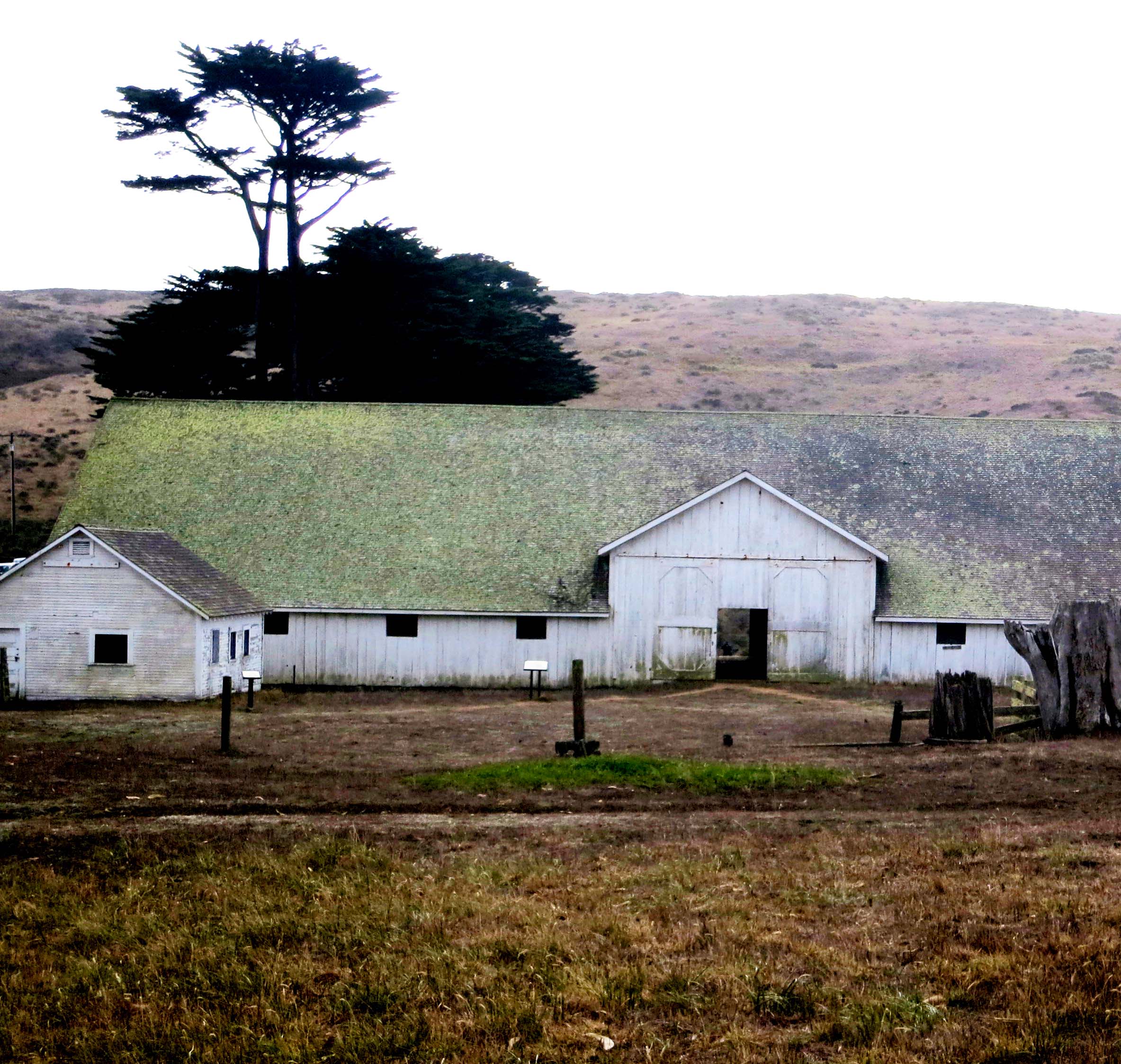
Possibly the mother of all cypress tree windbreaks stands above Pierce Ranch.
A number of buildings make up the ranch, including this old barn.
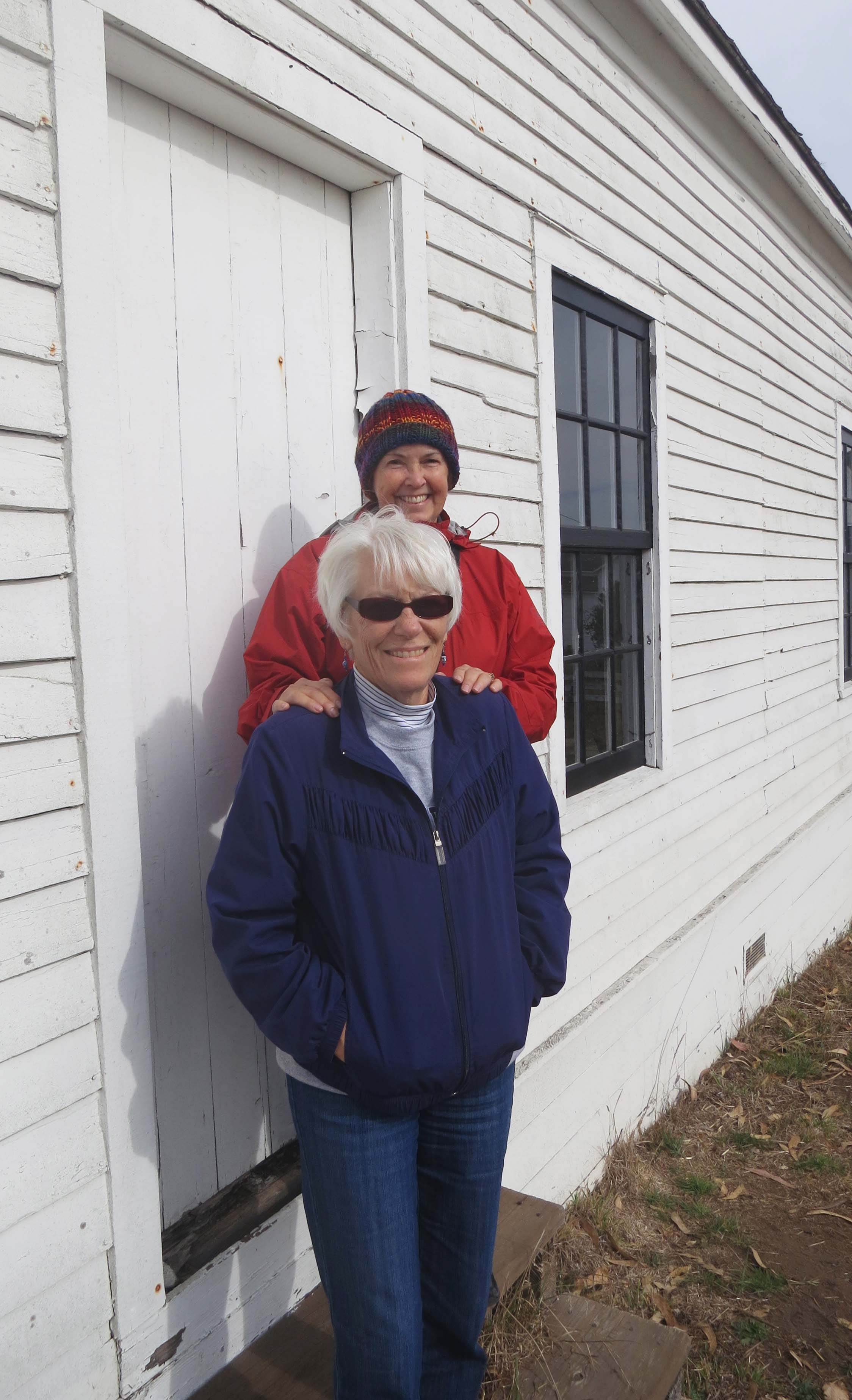
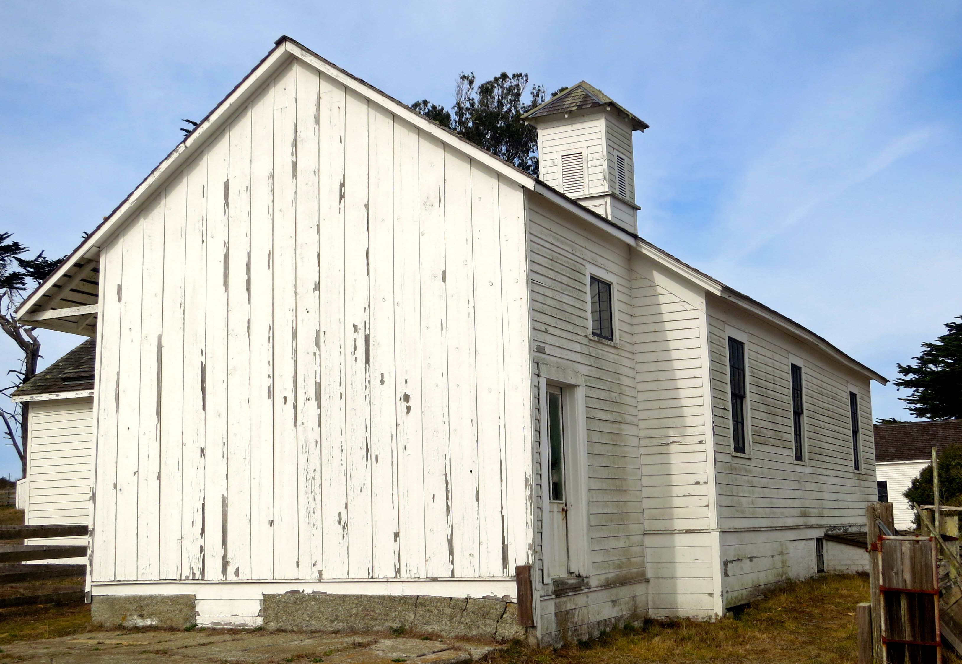
Isolated out on Tomales Point, Pierce Ranch formed a small community that included a store and this school-house. Since our friend Leslie Lake spent many years as a third grade teacher and Peggy worked as an elementary school principal, I’ve included them in the photo.
Once filled with laughing children learning their abc’s, the school is now vacant and the windows are covered with cobwebs– ghostly reminders of the past.
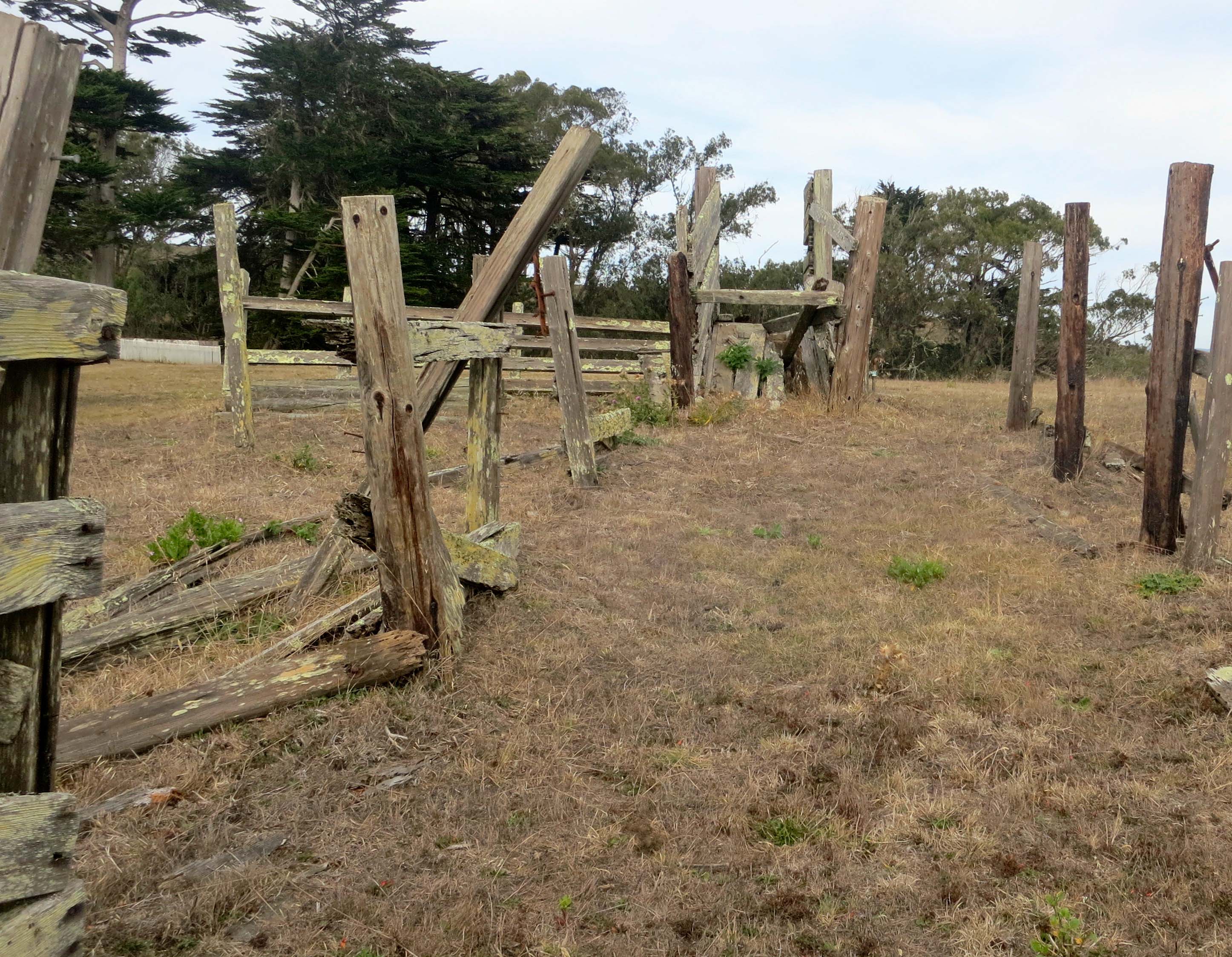
Once upon a time cattle would have been penned up within these fences, ready to be loaded on to trucks using the blocked ramp at the top of the photo.
A close up of the fence.
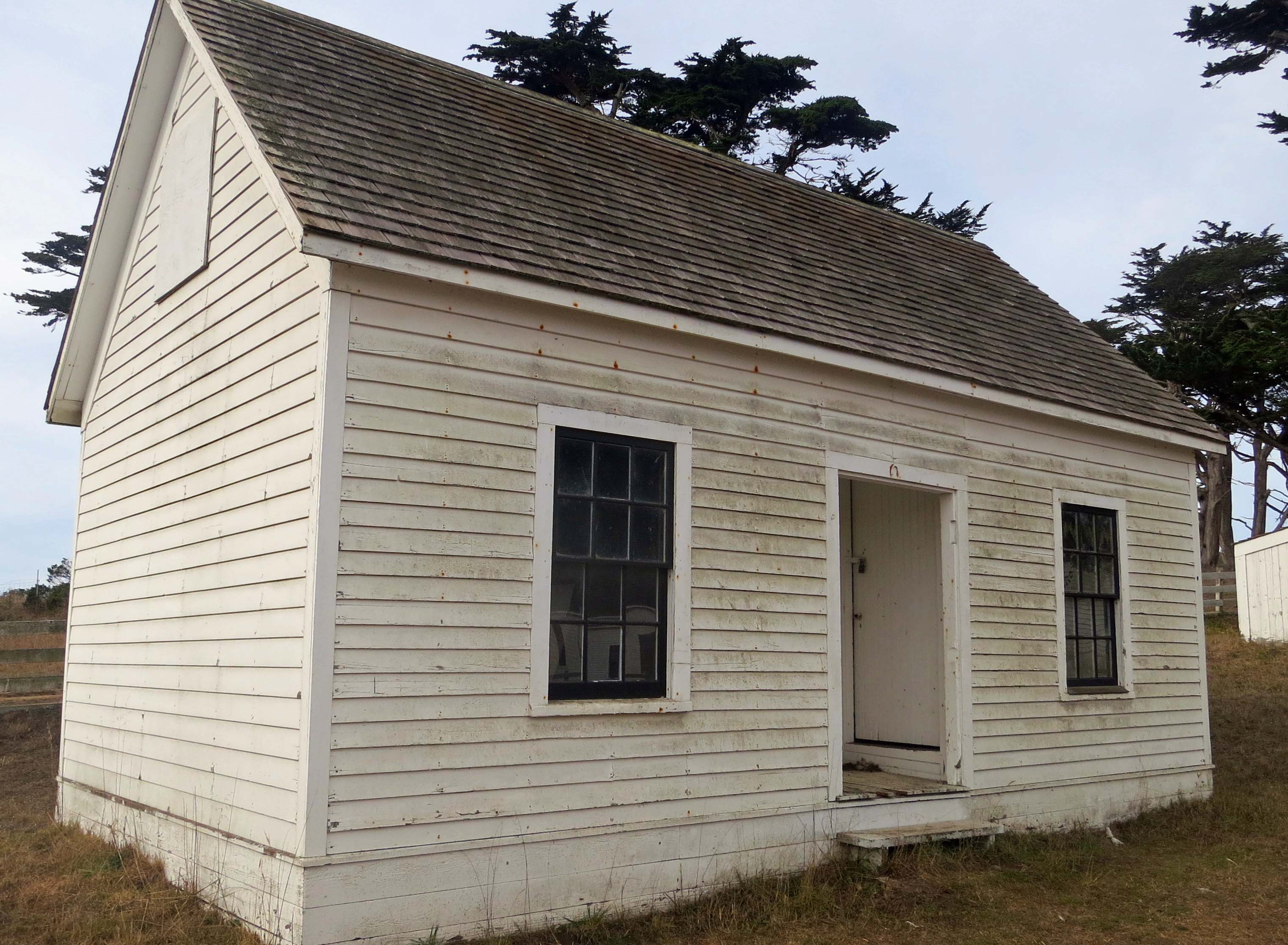
This small bunk house would have accommodated ranch hands. Up to 20 were employed at the height of milking season.
This dairy house was where butter was prepared to be shipped off to San Francisco in large kegs. Butter from Pt. Reyes was considered to be very high quality and was sold in gourmet shops and used in the best restaurants.
What’s a farm without equipment? This piece had morphed into a planter.
A close up.
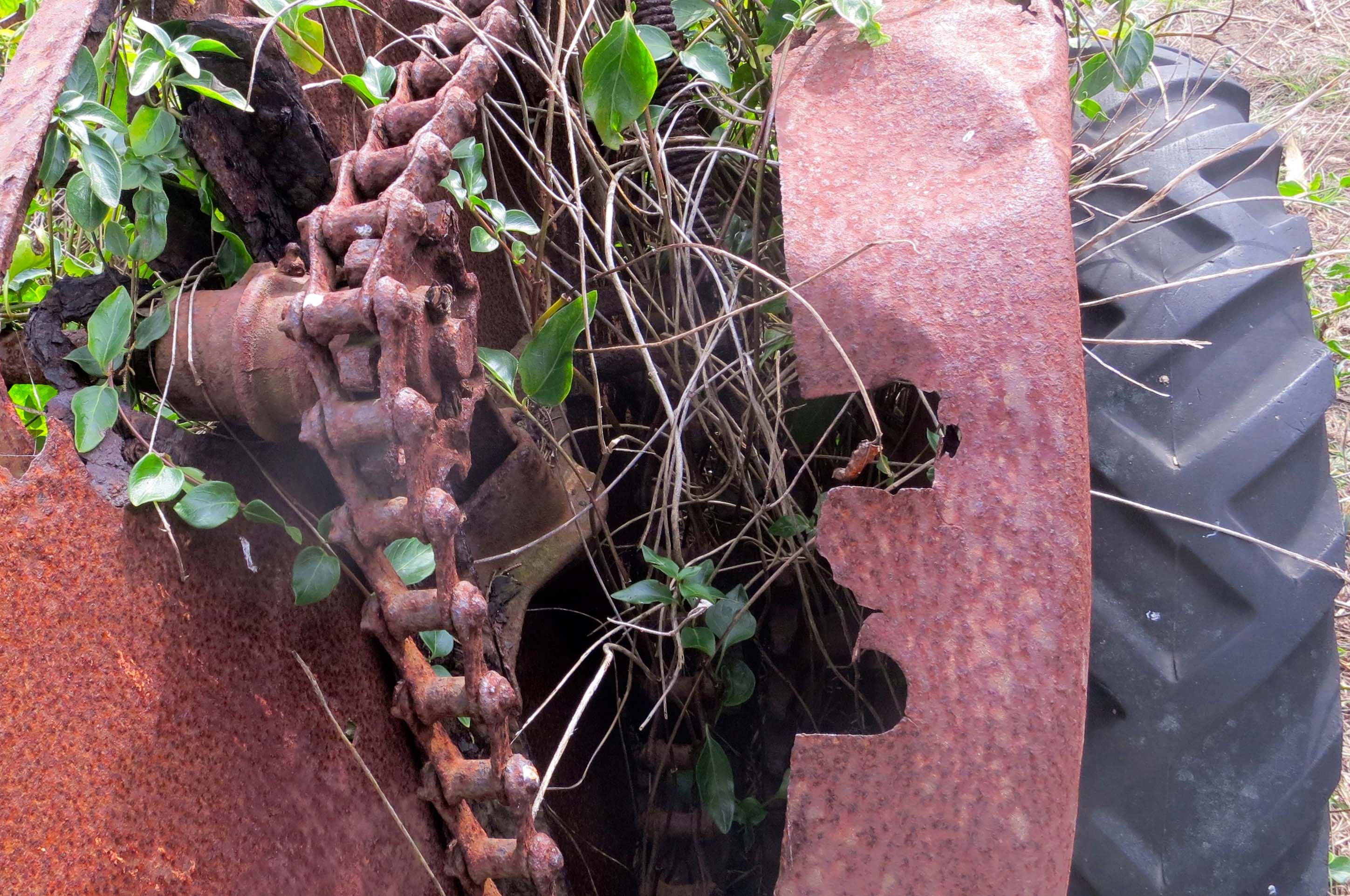
This tiller also caught my attention.
Rusted gear teeth and chain on tiller.
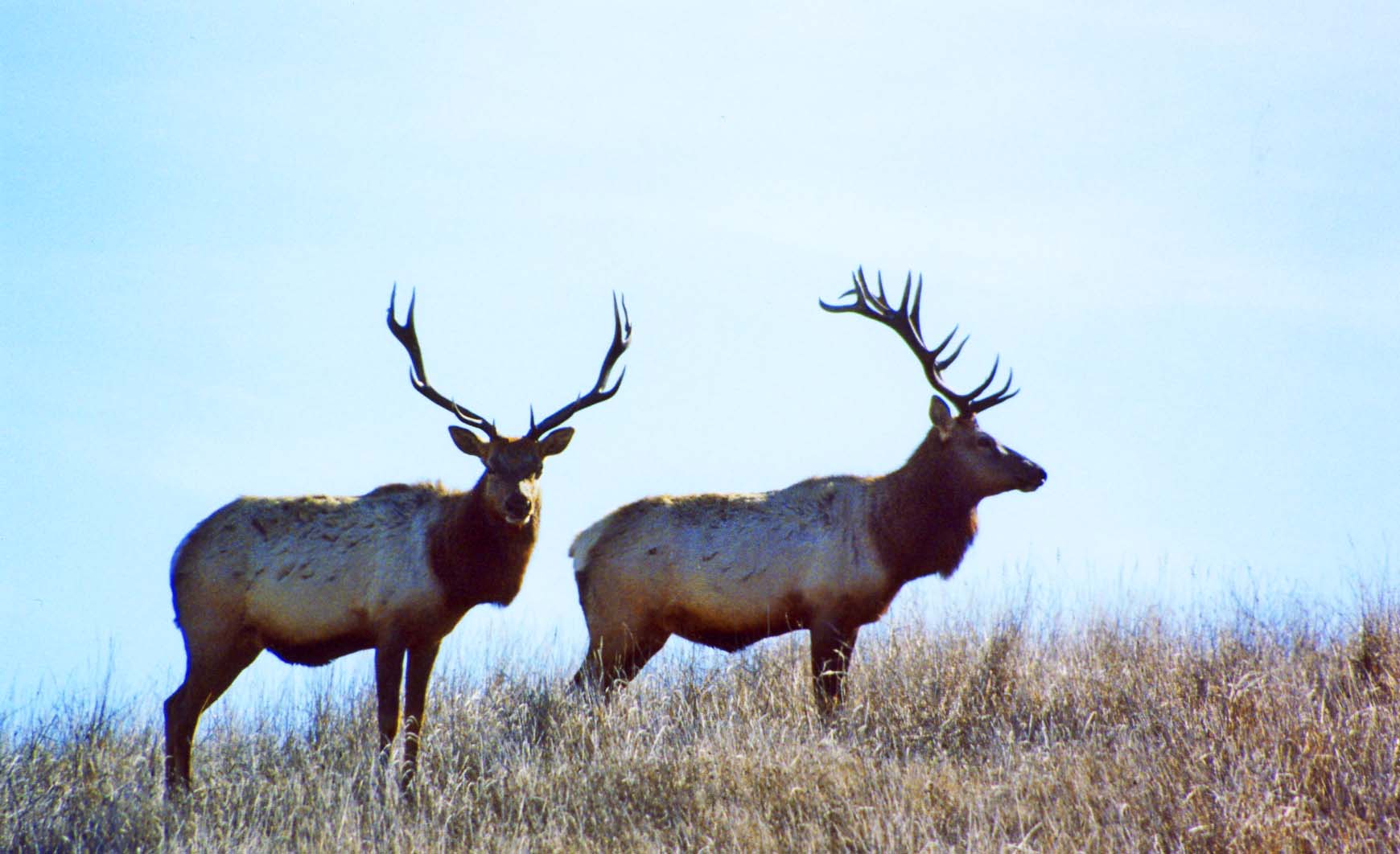
Having toured Pierce Ranch we climbed the hill next to the ranch in search of Tule Elk. We found them a long ways off. (Photo by Peggy Mekemson.)
Here’s how one looked a little closer.
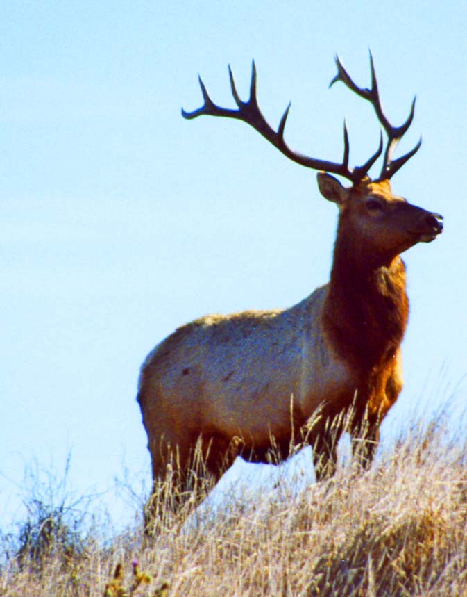
NEXT BLOG: North and South Beach where the Pacific Ocean crashes ashore. Here’s a final shot of the Tule Elk. One of the big guys had obviously taken an interest in me. I was hoping it wasn’t personal. –Curt
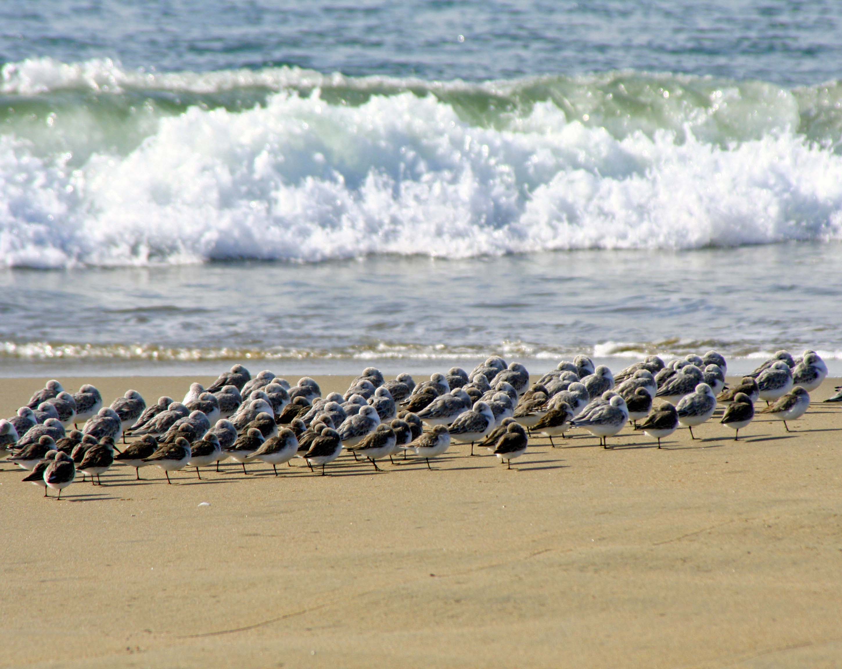
Shore, sea and Sanderlings meet on Limantour Beach at Pt. Reyes National Seashore. (Photo by Peggy Mekemson.)
A steep ridge runs most of the length of Pt. Reyes National Seashore. The road to Limantour Beach is all business as it climbs up and over. Who needs switchbacks? A sign tells trailers to stay off. Our van Quivera has made the journey several times but always complains. Our friend Ken Lake’s truck laughed at the challenge.
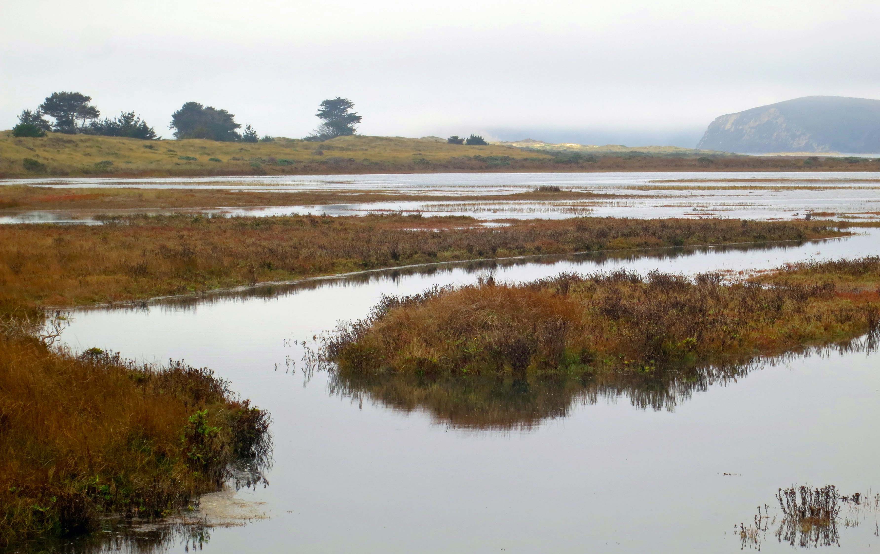
The journey across provides an introduction to most of Pt. Reyes’ ecological zones. Seeing a Kodak moment, I asked Ken to stop up on top. Fog and sun were battling with each over who would rule the day. Grass, brush, trees and canyons joined the drama. I searched the canyon for wildlife to add to my photo. Tule Elk and Black Tail Deer are commonly seen during the day, as are hawks and omnipresent buzzards. Nothing presented itself. All I found was some aging, hair-filled bobcat scat (poop) with a pile of fresh raccoon scat on top. I figured the raccoon was making a statement. I also figured that the scat didn’t need to be part of my photo. (“Good decision,” Peggy adds.)
Sun and fog were part of the landscape in this photo I took from Limantour Road.
Looking south from Limantour Road at where the deer and elk roam.
The road down to Limantour Beach is almost as steep as the road up and one section would scare a roller-coaster. Topping the last hill provides a broad view of Drake’s Bay, Limantour Beach and the Limantour Estero. A long narrow spit separates the Bay from the Estero. I suspect the view isn’t tremendously different from what Sir Francis Drake would have found when he sailed into the Bay in 1579, the first European to visit the area. Miwok Indians, who had called the region home for thousands of years, greeted the British explorer/noble/naval hero/pirate.
We parked the truck, crossed a walking bridge over the Limantour Estero, hiked down to the beach and walked north along the shore. Sea gulls, Sanderlings, crab shells, driftwood, animal tracks, sunning buzzards, gentle waves and distant vistas entertained us.
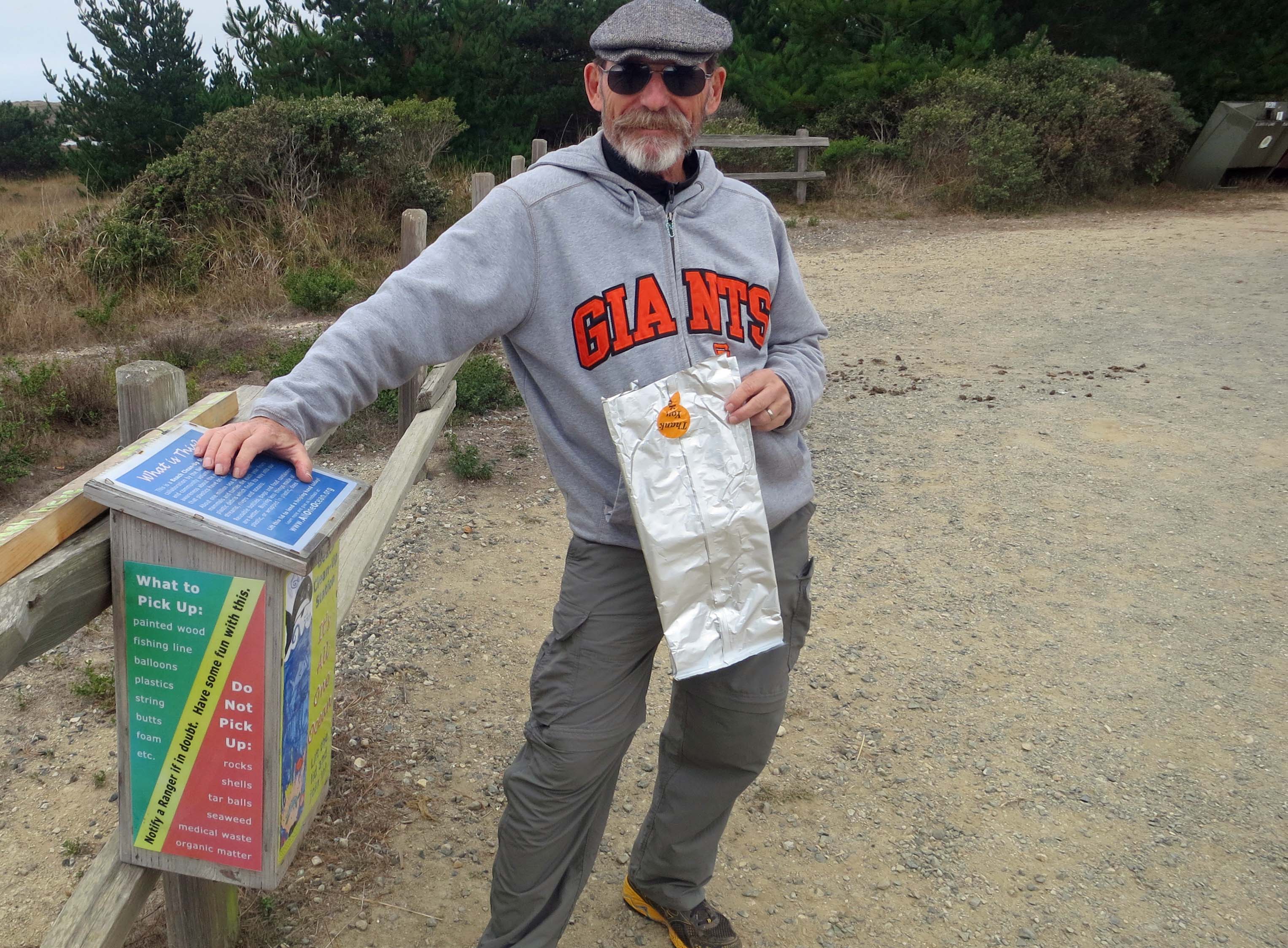
A great idea: The National Park Service provided bags so people could pick up trash as they walked along the beach. Ken immediately grabbed one and we all helped fill it. Note: Ken never lets anyone doubt his team loyalty.
A bridge provided a view up the Limantour Estero or estuary. Estuaries are where fresh and ocean water mix, creating a rich environment for fish and birds. The Pt. Reyes headlands in the distance offers a great vantage point for whale watching. It is also home to Pt. Reyes’ Elephant Seal population.
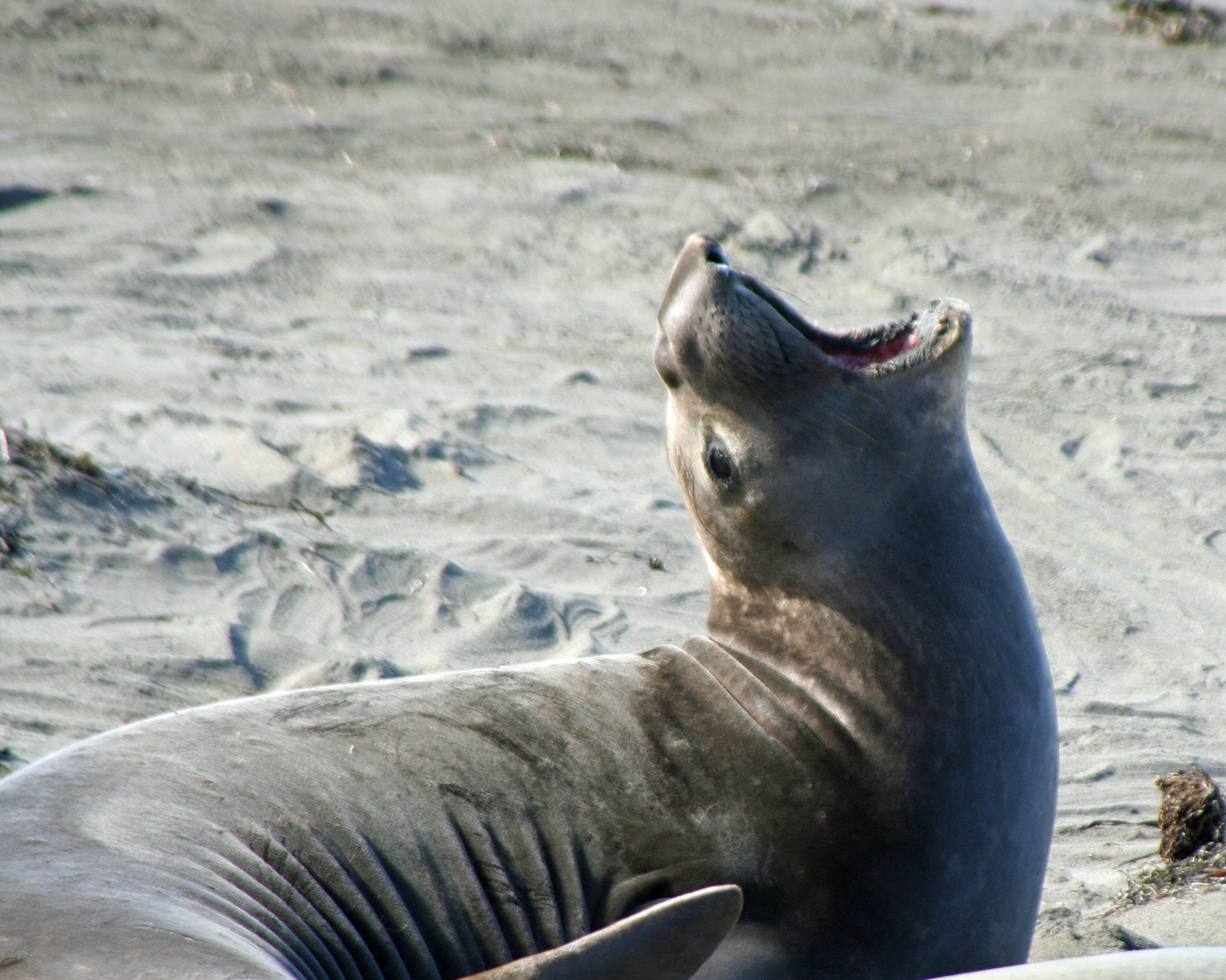
I love elephant seals. These magnificent creatures spend the majority of their lives at sea and 90% of that time under water. They travel thousands of miles annually and can dive up to 2000 feet deep. This photo came from a blog I did about the Elephant Seals of Piedras Blancas.
Another view of the Limantour Estero, this one from the spit that separates the Estero from Drake’s Bay.
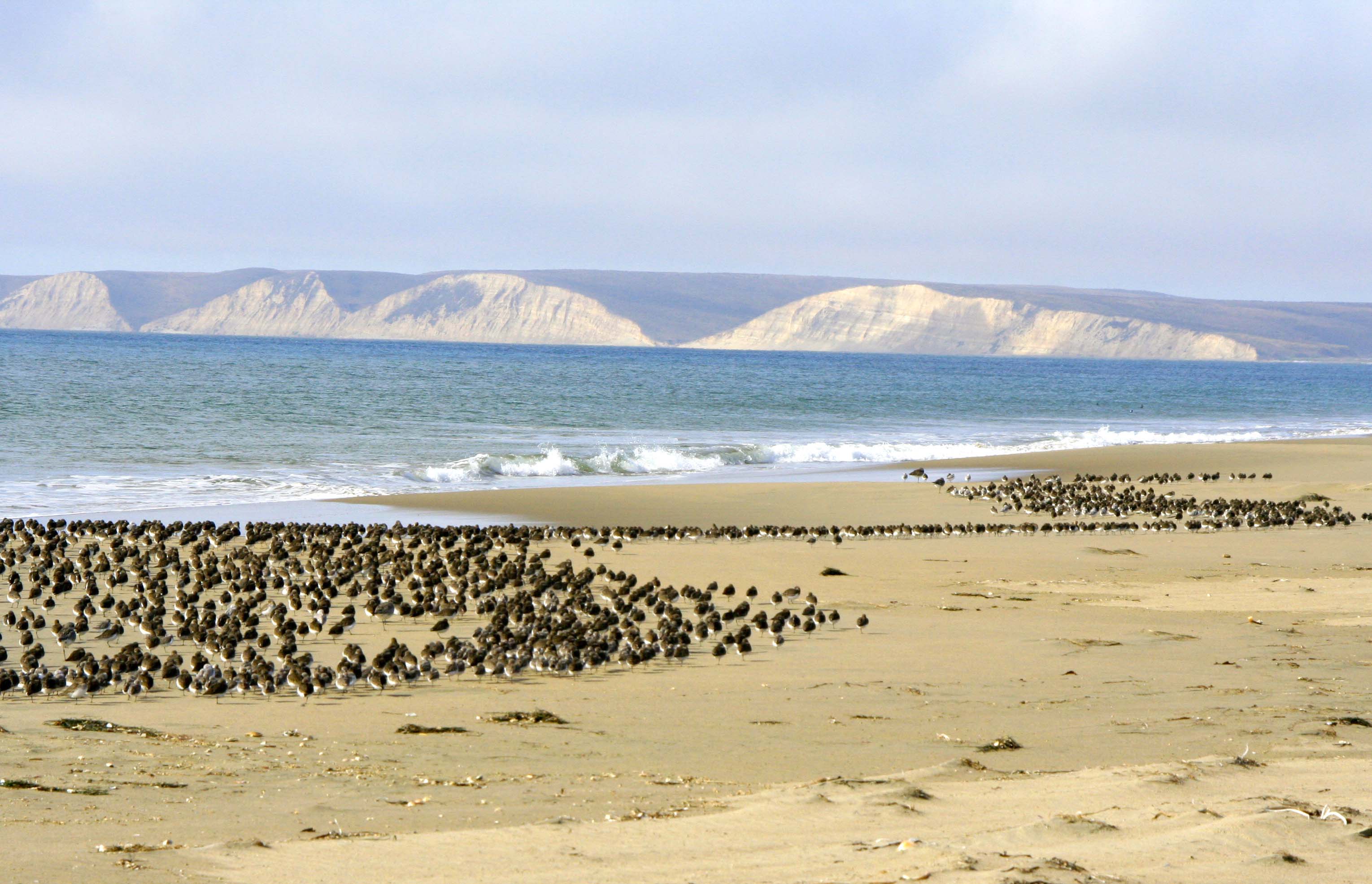
Looking north up Limantour Beach across Drakes Bay. Sir Francis Drake named the area Nova Albion, New England, probably because the sandstone cliffs reminded him of the Cliffs of Dover. (Photo by Peggy Mekemson.) The small mounds or sand dunes are created by plant matter.
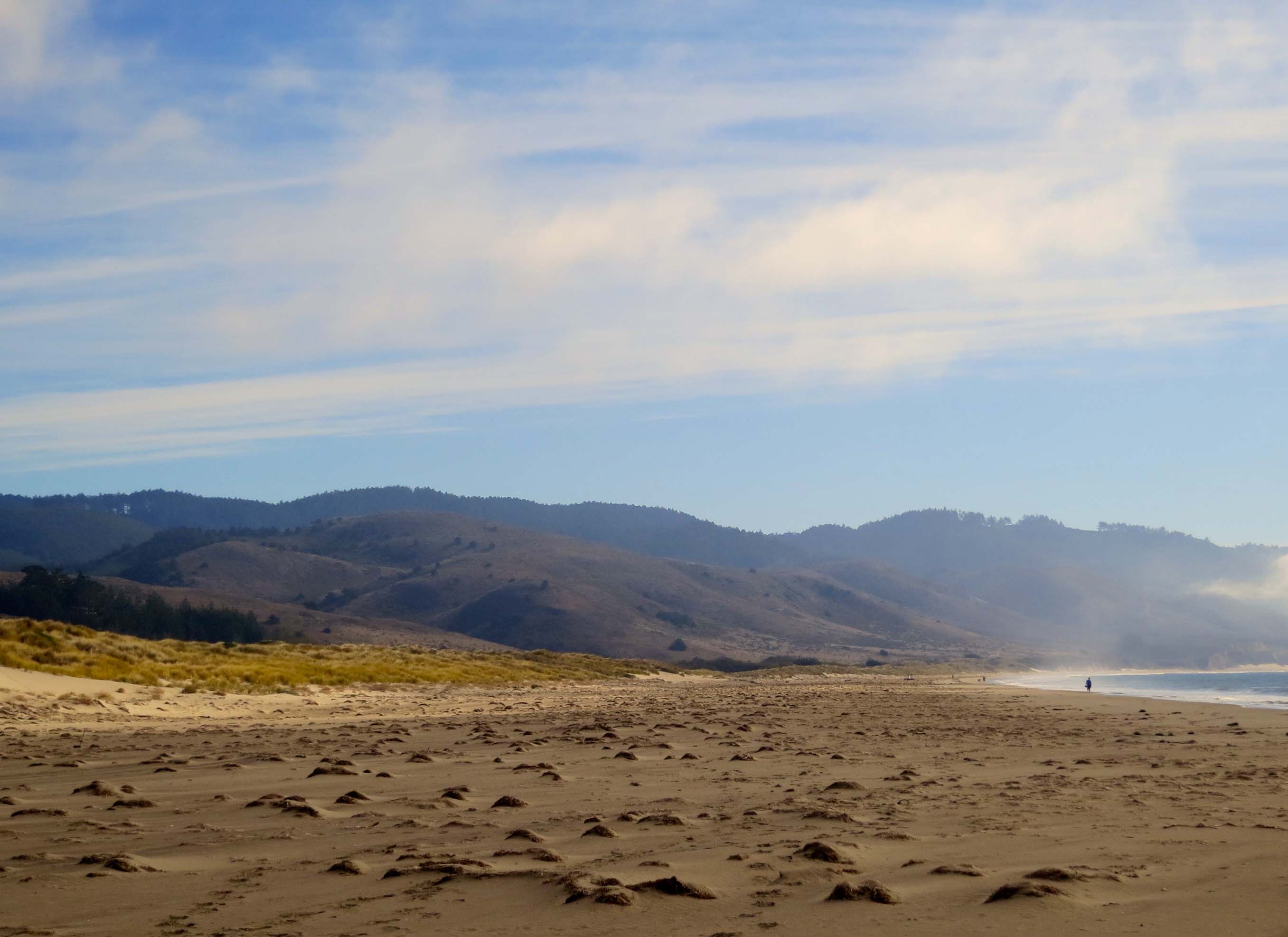
A lone person walks south on Limantour Beach.
Sea gulls tend to walk away when you get near them. I was encouraging these guys to fly. The one nearest appeared ready to leap into action.
I finally succeeded. I like the way this photo captures the different wing action of gulls in flight.
Meanwhile, Peggy was off checking out the seemingly endless flock of Sanderlings. (Photo by Peggy Mekemson.)
Who also decided to fly. How do they avoid winging each other? (Photo by Peggy Mekemson.)
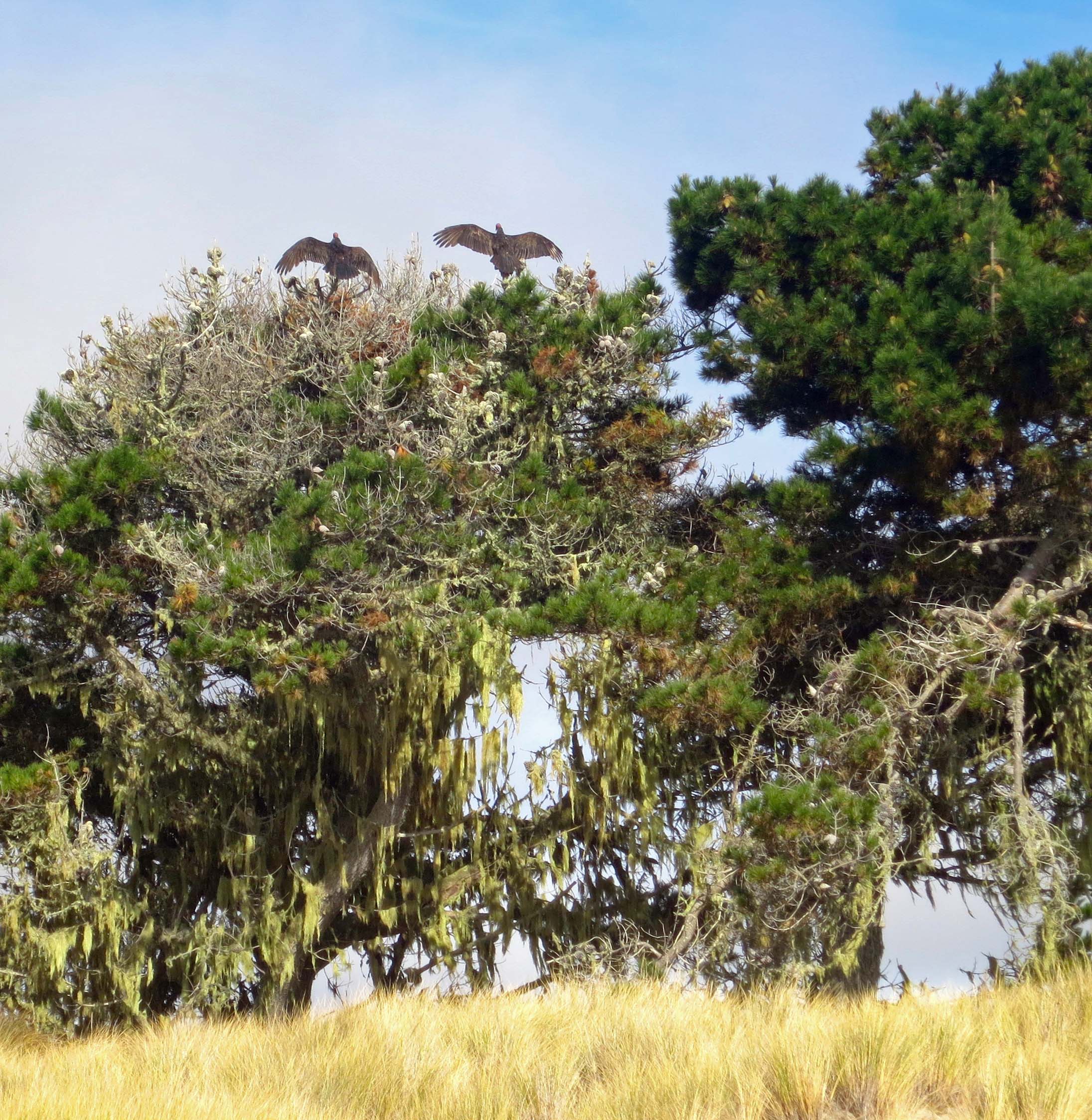
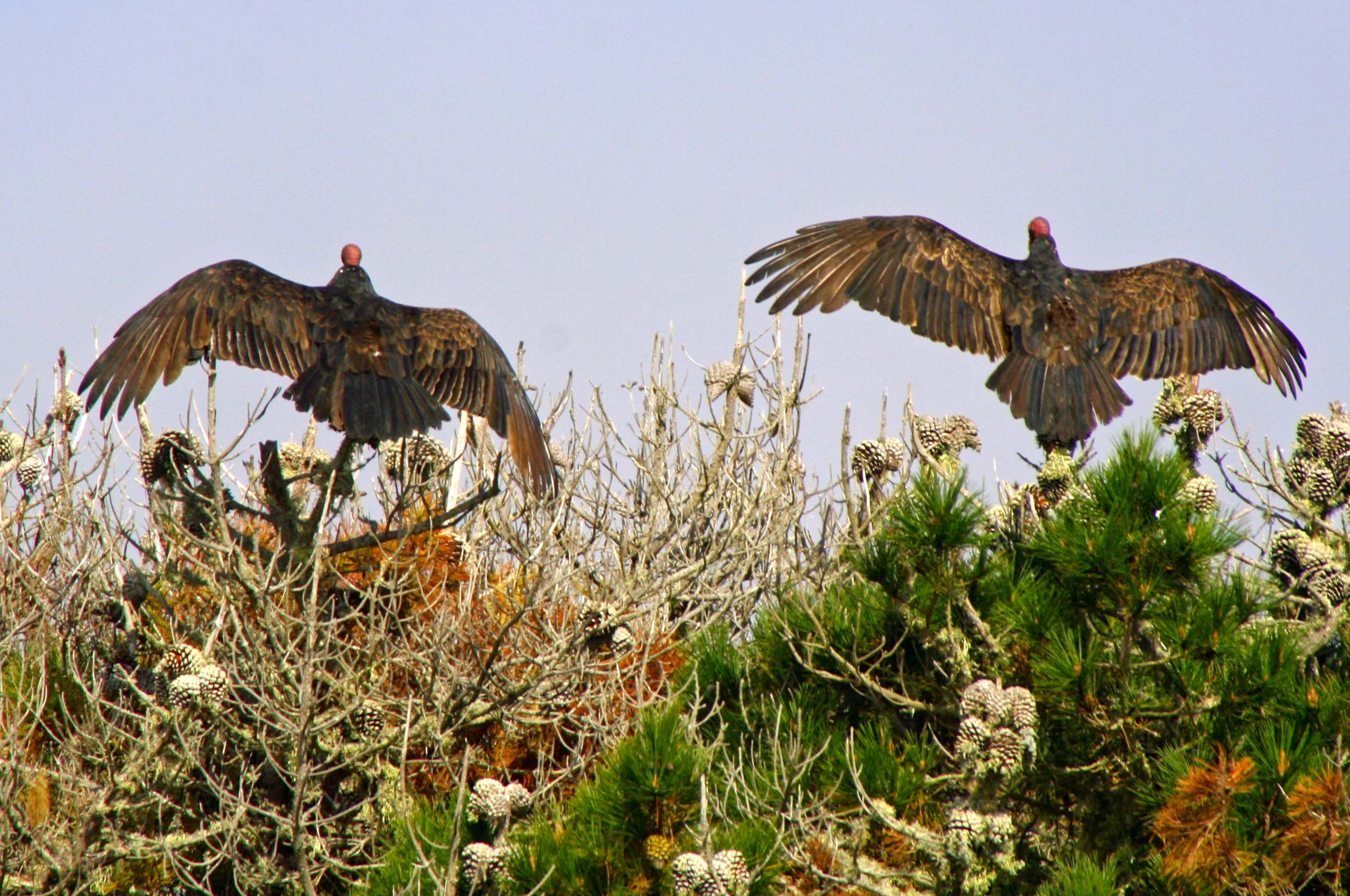
“Check out the buzzards,” Ken urged. A pair were perched on top of a pine tree drying out their wings from the morning’s fog in preparation for flight.
Using her telephoto lens Peggy got up close. Note their heads. They are naked so buzzards can dip into dead treats without getting their feathers involved. Isn’t evolution grand? (Photo by Peggy Mekemson.)
As we approached one got excitable. I think you might say he was having a bad feather day. (Photo by Peggy Mekemson.)
While animals were hiding out for the day, their tracks were abundant. Here, a family of raccoons made their way back to their home on the spit. Peggy and Leslie followed the tracks to what they decided was their home hidden in the brush.
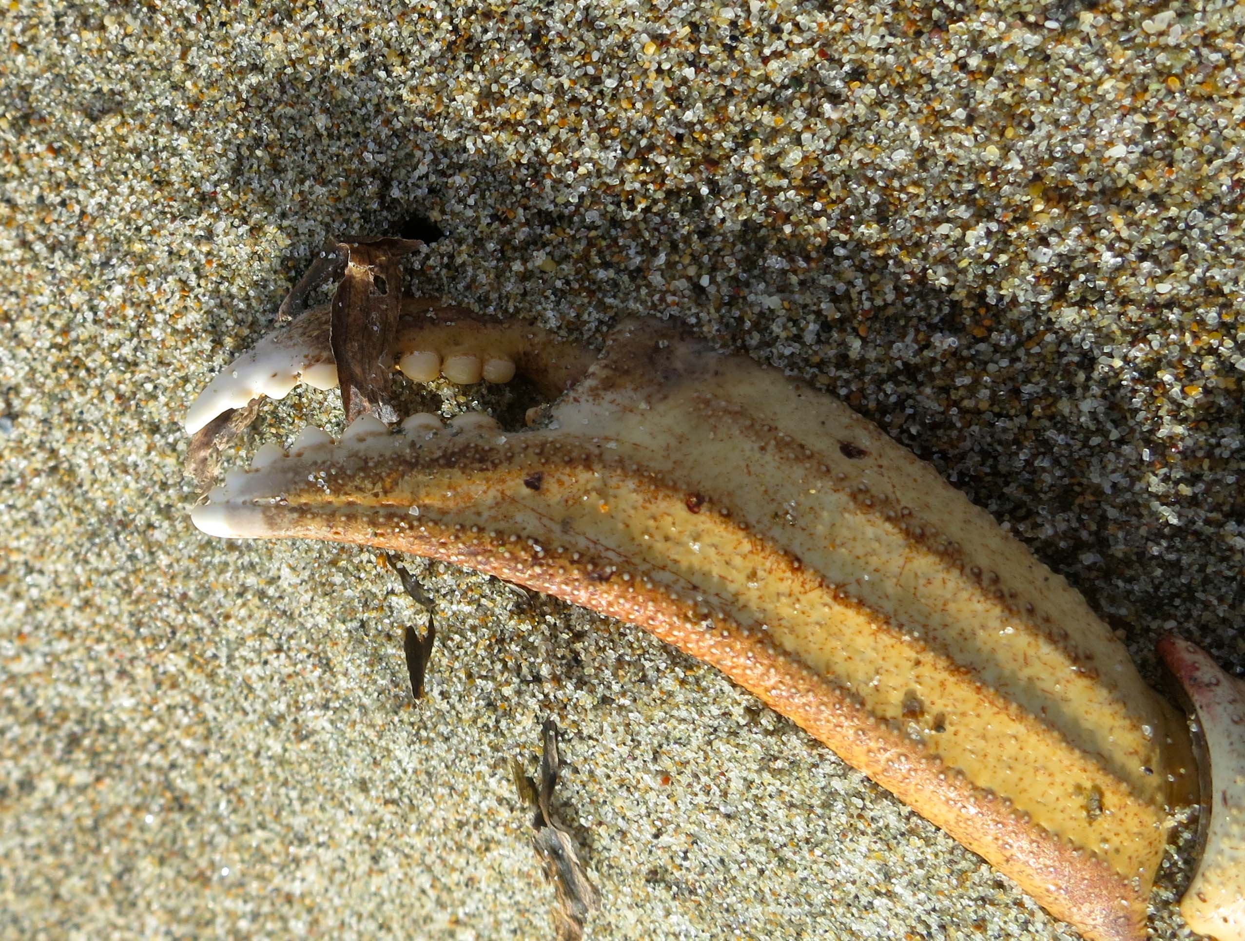
It’s possible that crab was on the menu that night for the raccoons. We found numerous empty shells along the beach. I liked the teeth in this claw.
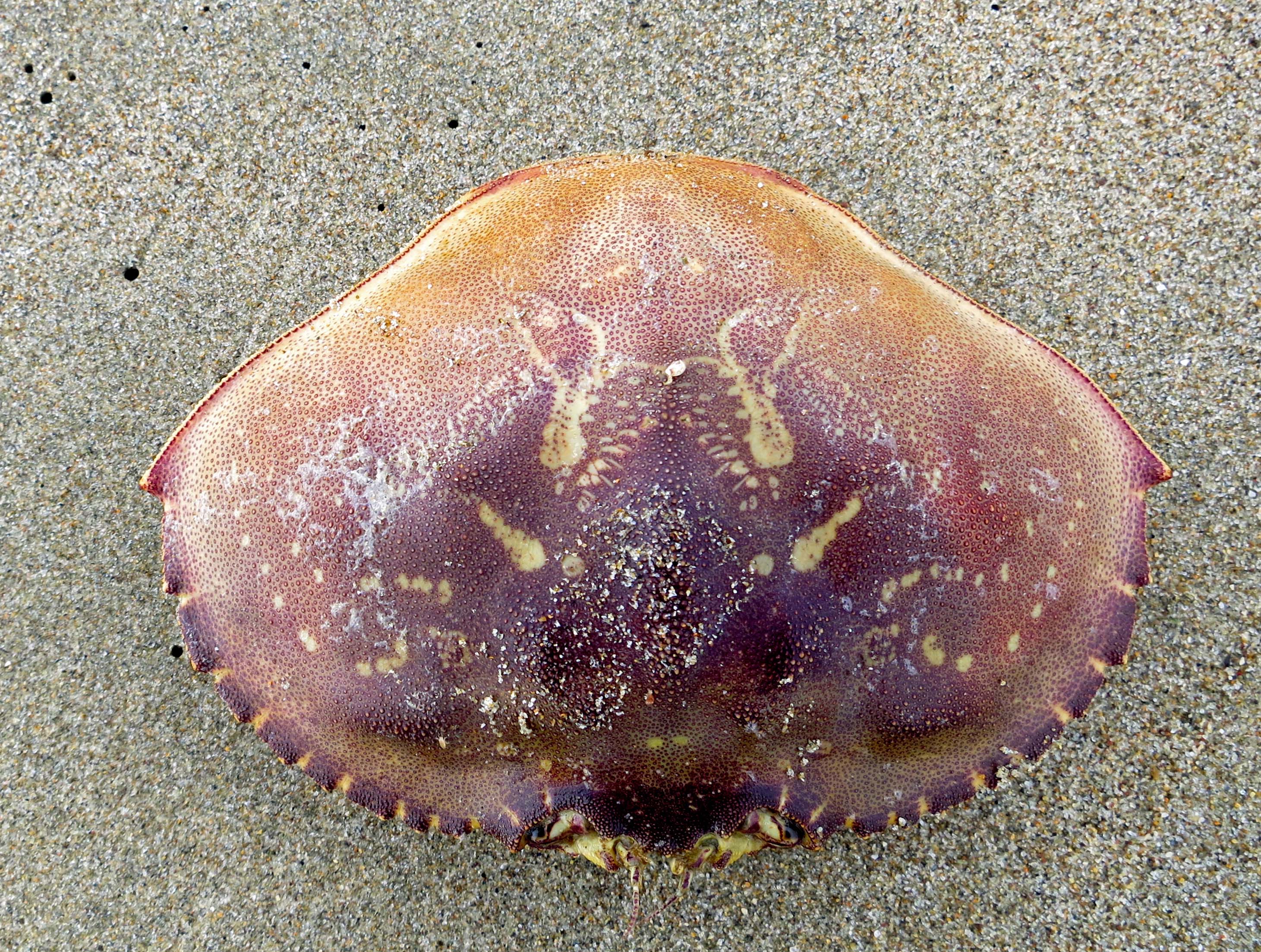
Empty crab shell. Many other birds and animals join raccoons in feasting on the oceans offerings. I also found a set of fox tracks leading down to the beach.
These tracks represent a virtual animal freeway between the sand of the shore and the protective grass and brush of the spit.
The grain of the wood exposed by the relentless pounding of the ocean is what attracts me to driftwood. We found a prime example on the upper beach at Limantour. A tree had been driven upside-down into the ground and was showing off its roots. I was curious about whether man or nature had been responsible for the upending.
A close up of the driftwood with its marvelous twists and turns plus two peek-a-boo holes.
We walked back to the parking lot following a trail along the spit.
Much of the trail made its way through the thick golden grass that dominates the spit and provides a home for Limantour Beach’s wild world.
NEXT BLOG: It’s off to the historic Pierce Ranch and a search for Pt. Reyes’ magnificent Tule Elk. I’ll conclude today’s blog with a black and white photo of gentle waves lapping up on the Limantour Beach.
Pt. Reyes National Seashore is an American Treasure. In this photo, Sanderlings take flight on Limantour Beach. (Photo by Peggy Mekemson.)
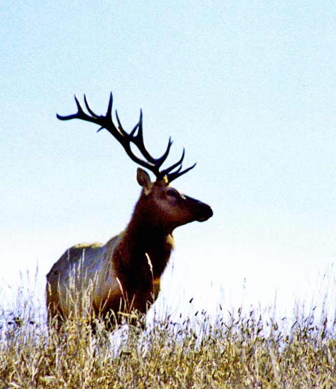
A bull elk is outlined against the sky at the Pierce Ranch.
My legs were not working and I was laughing. I had just completed one of Pt. Reyes’ easiest walks from the park headquarters out to the beach and back via Bear Valley. At the end of the 10 mile round trip, I had gratefully fallen into my car and driven to Bodega Bay. It was 1969 and the pre-Yuppified Inn-at-the-Tides consisted of motel cabins going for $15 as opposed to rooms starting at $200. My legs had gone on strike when I stepped out of the car to register.
I had just completed a year of recruiting for Peace Corps in the Southern United States where exercise had consisted of traveling between airports, motels and college campuses from Texas to Washington DC. Adding injury to insult, I had eaten most of my meals at Southern restaurants serving large helpings of Southern food. Curt had become a little chubby. The legs were not happy. Fortunately, a half-pint of whiskey and a full night’s sleep ended their rebellion. The next morning I returned to my exploration of Pt. Reyes and the beginning of a life-long love affair with the North Coast of California.
Peggy and I returned to the area last week for three days and stayed at Olema Campground in the small town of the same name. It’s always been my campground of choice and has changed little over the decades. Even the restrooms have remained the same. I’ve used the campground as my jump off point for exploring Pt. Reyes, as a writing retreat, and as a campsite for the 500 mile-bike treks and 7 day walking tours I led on the North Coast during the 70s, 80s and 90s.
One of my favorite campsites at Olema Campground backs up to a small stream and looks out on Pt. Reyes National Seashore. Obviously, we were celebrating Halloween.
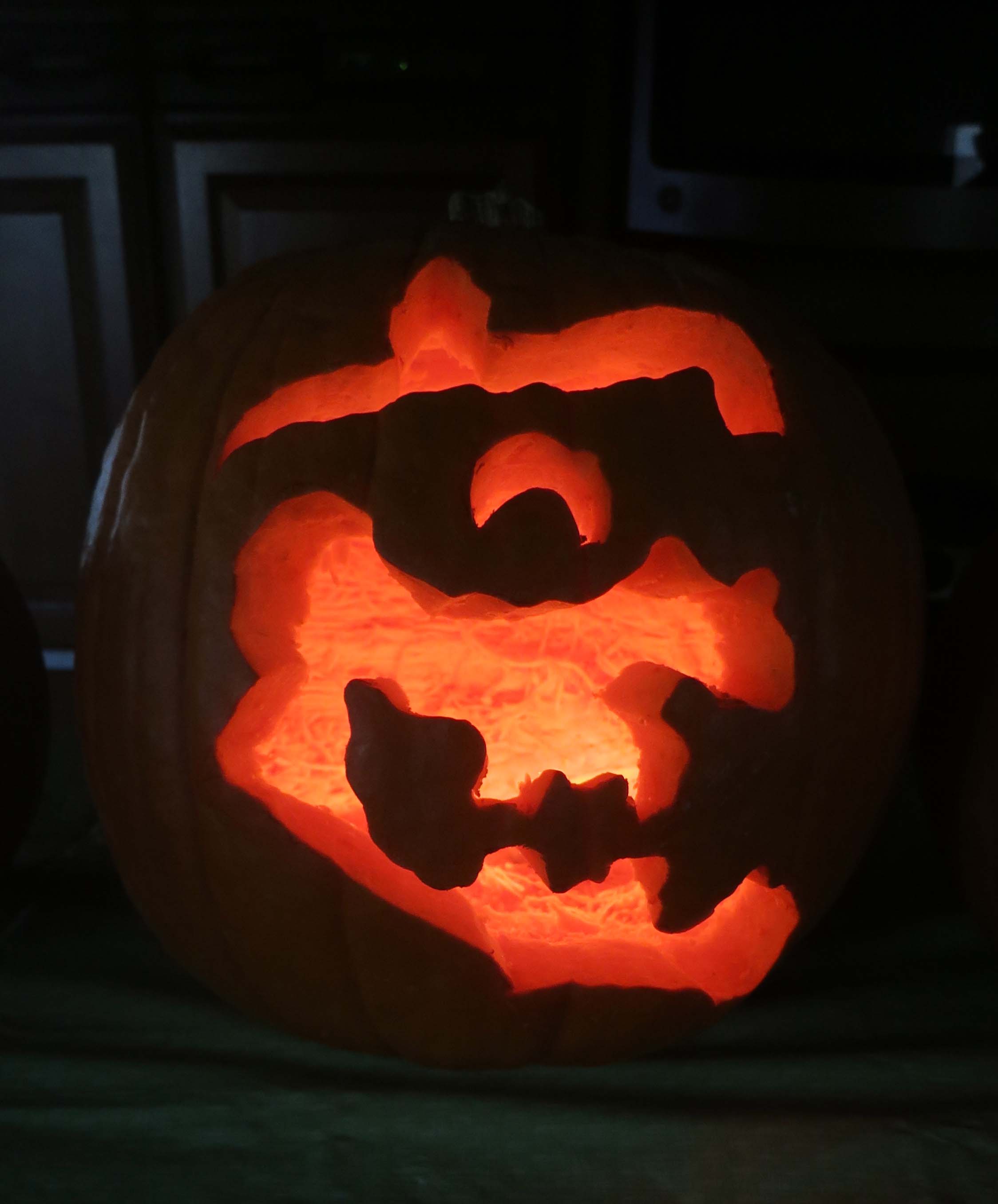
Peggy and I join my Sister Nancy and her husband Jim each year for a pumpkin carving contest. We brought ours to Pt. Reyes. This witch was my entry in the contest.
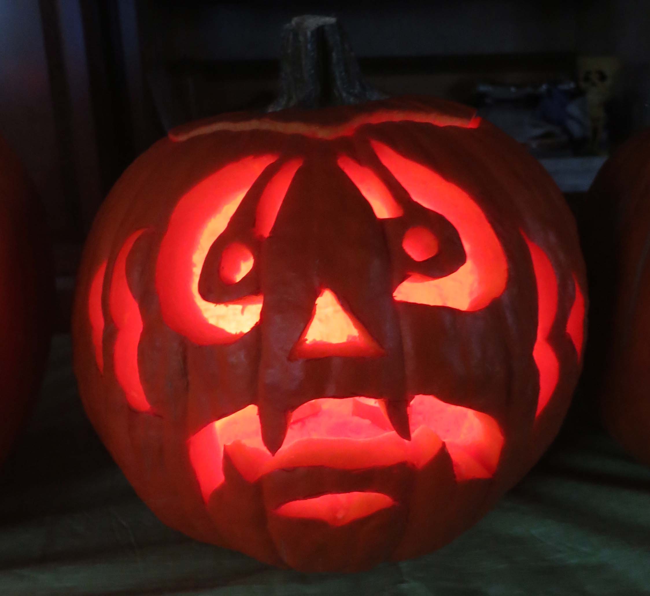
Peggy’s pumpkin. (She won the contest. Our grandkids voted without knowing who had carved the pumpkins.)
Our friends Ken and Leslie Lake joined us at the campground, arriving just in time to eat lunch in Pt. Reyes Station and to visit the Bovine Bakery and Pt. Reyes Books. The bookstore is a jewel and the bakery has buttermilk scones to die for. They, along with the Station House Café, are required stops on my trips to Pt. Reyes.
Two of my favorite stops at Pt. Reyes Station. For a small, locally owned bookstore, Point Reyes Books has a great selection. And I’ve never met a pastry at the Bovine Bakery I didn’t like. More often than not, people are lined up out the door.
Afterwards we visited the park’s information center in Bear Valley and did a short walk around the Earthquake Trail. The Olema Campground is located a quarter of mile from the park headquarters and the infamous San Andreas Fault. Sitting in camp we could look across the fault at the peripatetic park. It had begun life some 300 miles to the south and is still working its way north. Normally its progress is measured in inches over decades. In 1906 it jumped 20 feet in the earthquake that was responsible for the destruction of San Francisco. Local legend is the earth cracked open, swallowed an Olema cow, and closed, leaving only the tail showing.
A view along the Earthquake Trail. One of the things I like about Pt. Reyes National Seashore is the diversity of environments…
Leslie and Peggy stand on the San Andreas Fault and demonstrate how far the fault slipped in 1906.
This old black and white photo included by the park service along the Earthquake Trail shows the actual slippage created by the 1906 earthquake. You can see the actual crack in the ground.
And this photo from the Earthquake Trail shows the impact of the 1906 earthquake in San Francisco.
NEXT BLOG: We will visit Limantour Beach and go for a beach walk.
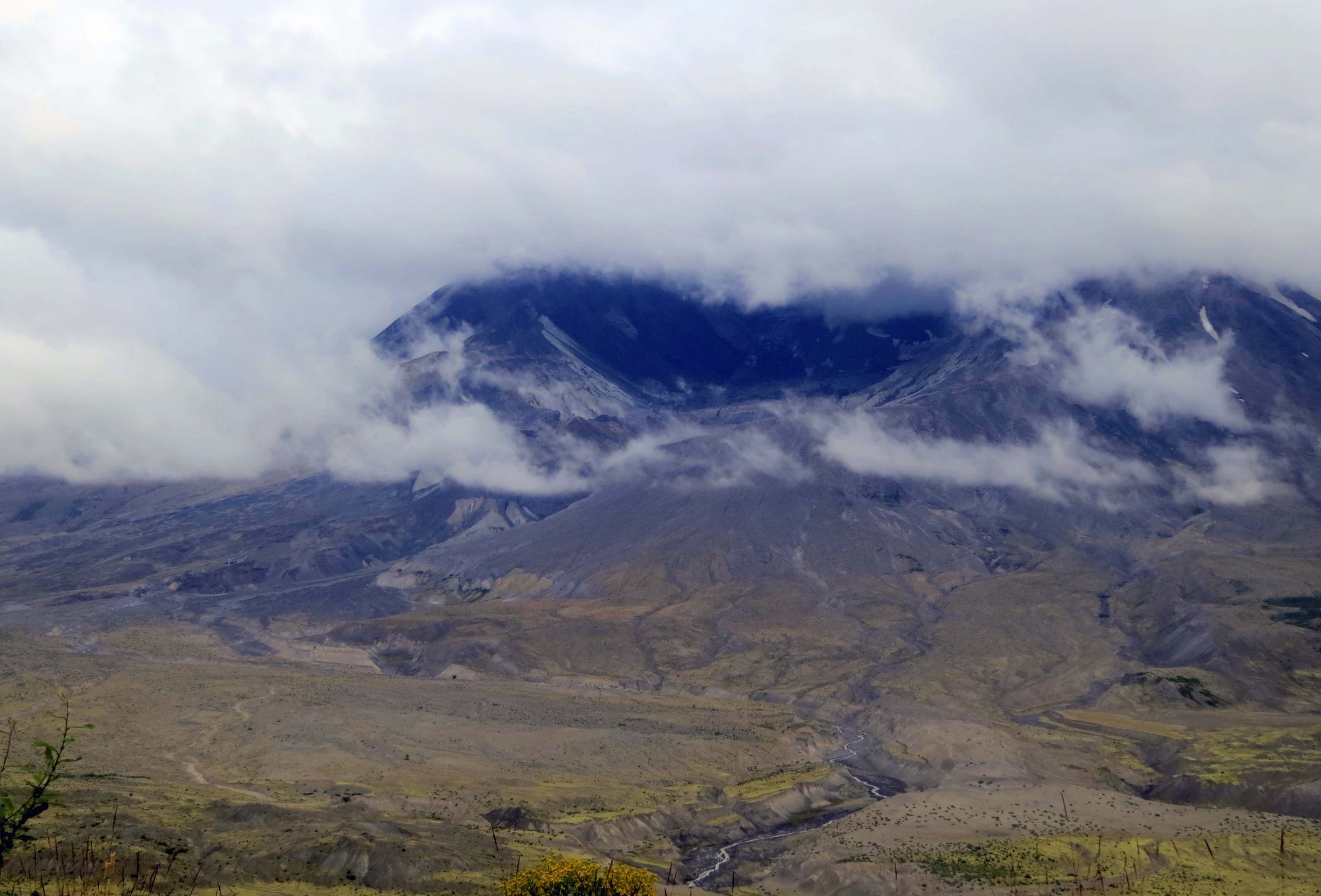
Mt. St. Helens in August, 2013. Peggy and I were looking down into the crater from the Johnston Ridge Observatory.
It was in early July 1980 and I was flying north to help plan a hundred-mile fundraising backpack trek in Alaska. The pilot deviated from his route to show us Mt. St. Helens.
It was total devastation, a scene from Dante’s hell.
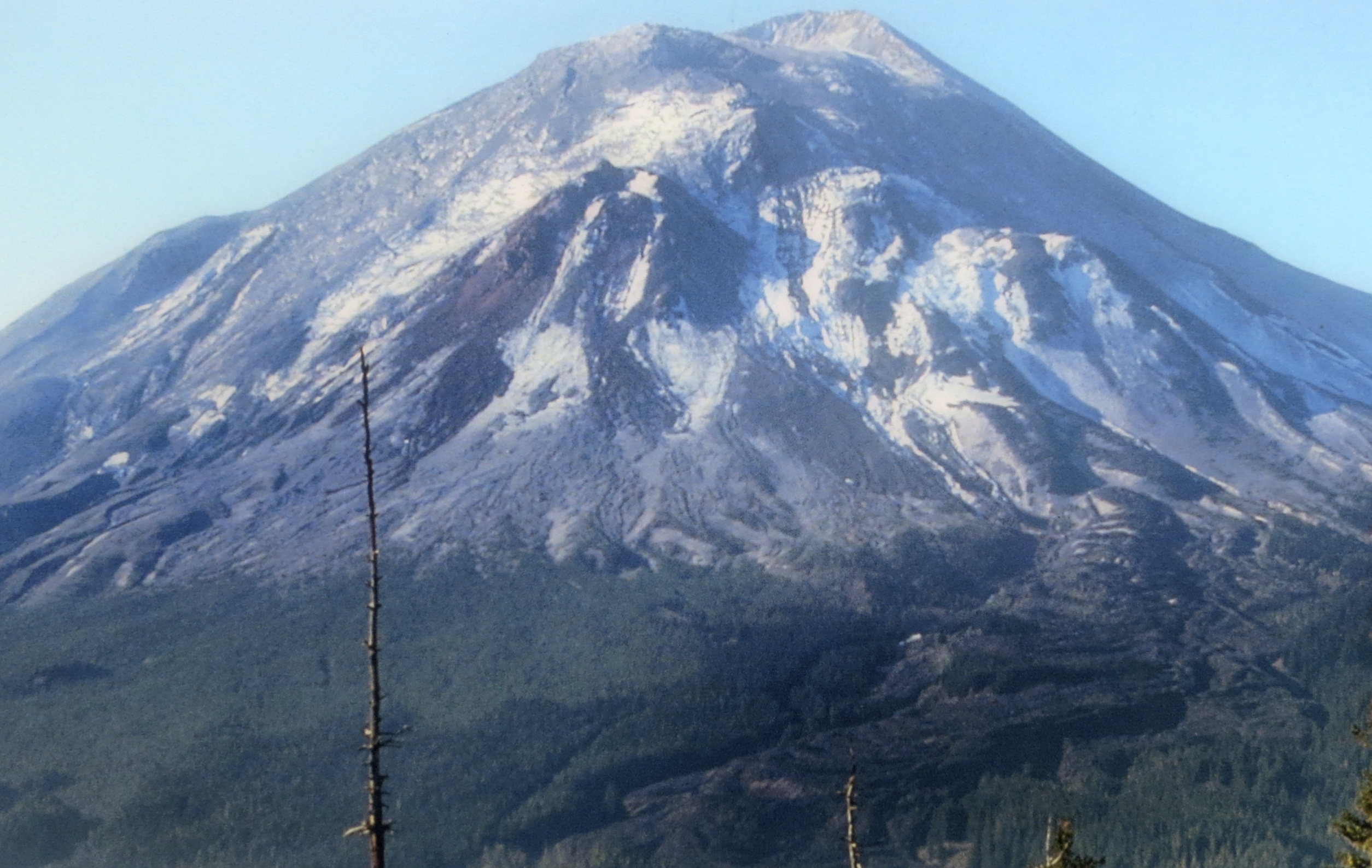
A month and a half earlier, on May 18, Mt. St. Helens had blown her top, literally. On May 17 the mountain had stood 9677 feet tall; on May 19 it stood at 8,364 feet. The mountain had a history of being the most active volcano in the Cascade range of volcanoes– mountains that dominate the skyline of the northwestern part of the US, and are part of the ring of fire that stretches around the edges of the Pacific Ocean.
This photo on display at the Mount St. Helens National Monument shows the mountain before the explosion.
Another photo at the Monument shows Mt. St. Helen four months after the eruption.
Peggy and I call the area home. In fact I have climbed two of the mountains, Shasta and Lassen, and we see a third, Mt. McLoughlin, every time we drive the 30 miles into town for groceries. Normally we think of the mountains as dormant and a beautiful addition to our region. But all are capable of awakening. And all are capable of spewing disaster.
Weeks before Mt. St. Helens blew up, she had been showing signs of an imminent explosion. Couched between the two major urban areas of Portland and Seattle, the area had become a mecca for tourists, volcanologists and, of course, the media. Worldwide attention was guaranteed.
The explosion, when it came, was much more devastating than had been expected. A huge, lateral blast sent a cloud of dense, super hot steam filled with debris rolling down the mountain at 300 miles per hour and devastating an area of 230 square miles. Next to volcano nothing was left. Starting at about seven miles, thousands of trees were snapped off at their base and laid down pointing outward. Further out, a narrow zone of trees had been left standing but the trees were scorched beyond recovery.
The side of the mountain that was blown away added to the disaster. Crushed rock and melted glacial ice joined with downed trees and rushed into Spirit Lake and down the Toutle River travelling at speeds up to 150 miles per hour. Hummocky deposits between 150 and 620 feet were left behind.
Today, Mt. St. Helens stands as a National Monument to educate people about volcanoes and the recuperative power of nature. Three visitor centers tell the story extremely well. Peggy and I have driven by the area several times and promised ourselves each time that we would visit. Finally, on our trip back from Alaska, we succeeded.
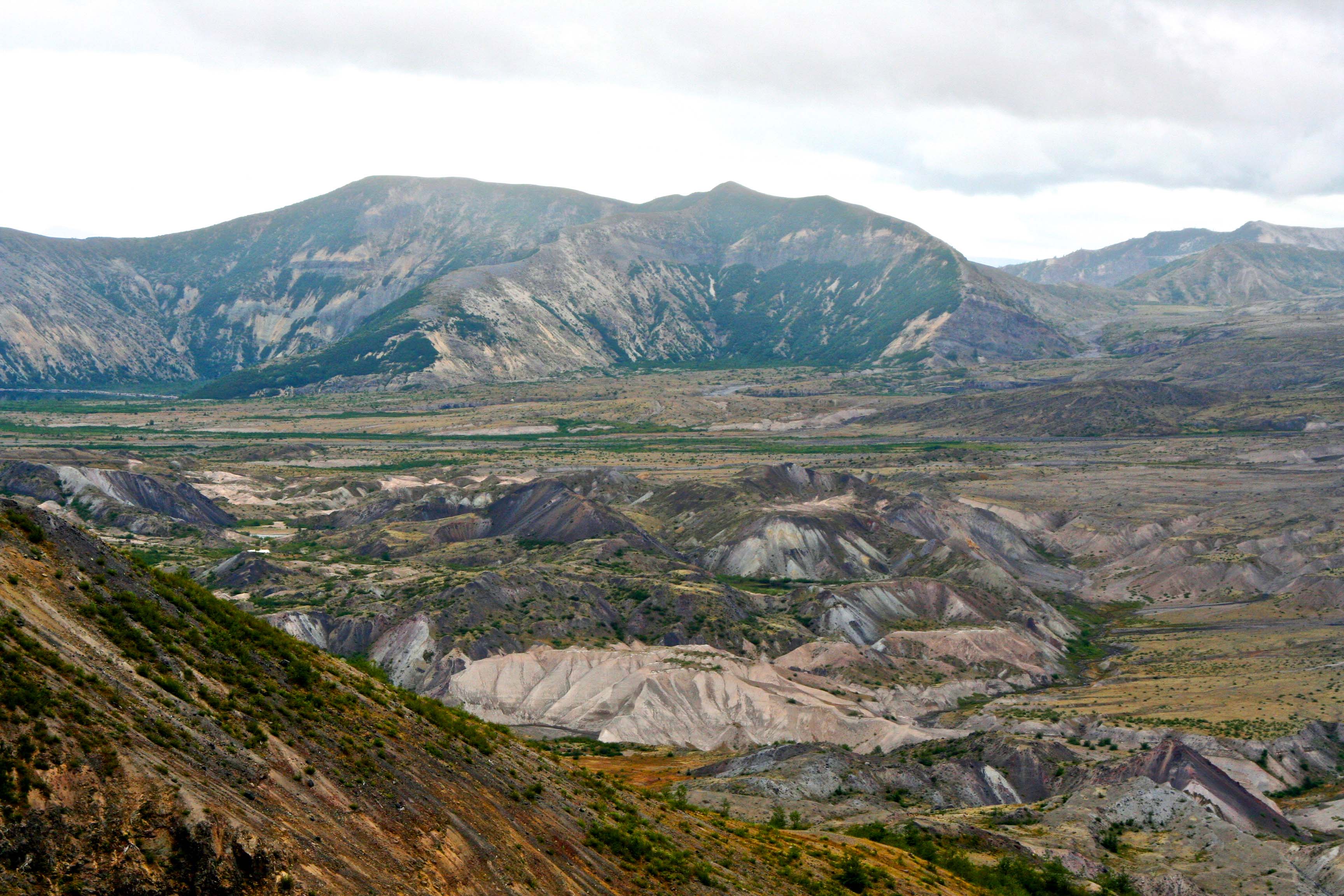
Looking down at the valley floor in front of Mt. St. Helen, the Toutle River carves through debris left behind by the eruption. The debris reaches a depth of over 300 feet in places. (Photo by Peggy Mekemson)
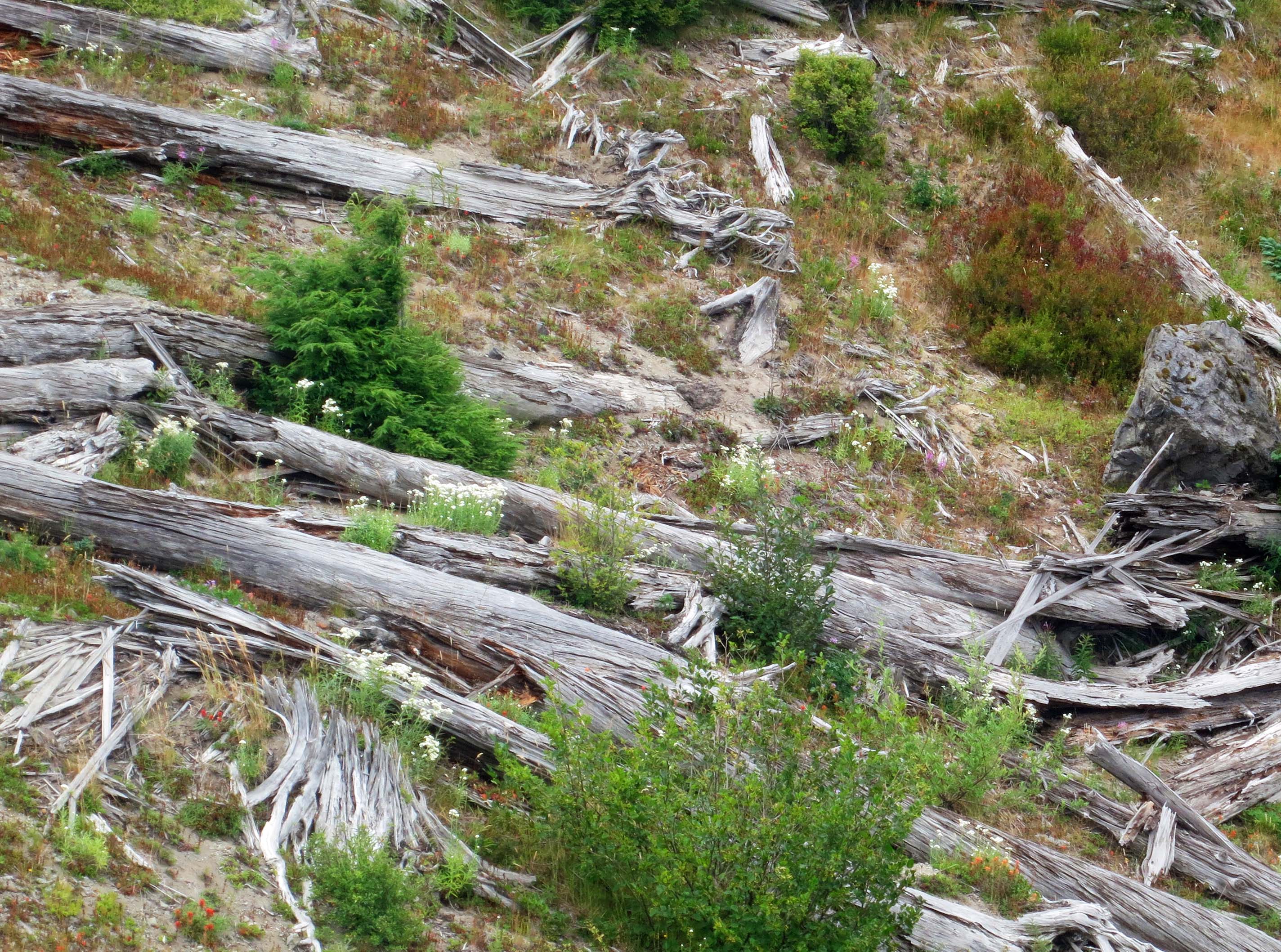
Thousands of trees were literally blown down by the eruption. Many can still be seen today.
This stump shows how the trees were ripped off from their bases by the blast.
Looking northeast (left) from Johnson Ridge, Spirit Lake can be seen at the base of another ridge. Once, it was a beautiful resort area. One of the biggest stories at the time of the explosion was how Harry Truman, an elderly man who owned a lodge at the lake, refused to leave and died when the avalanche buried the lake.
Jimmy Carter, who was President at the time, flew over the area in a helicopter and described it as a moonscape. (Photo by Peggy Mekemson.)
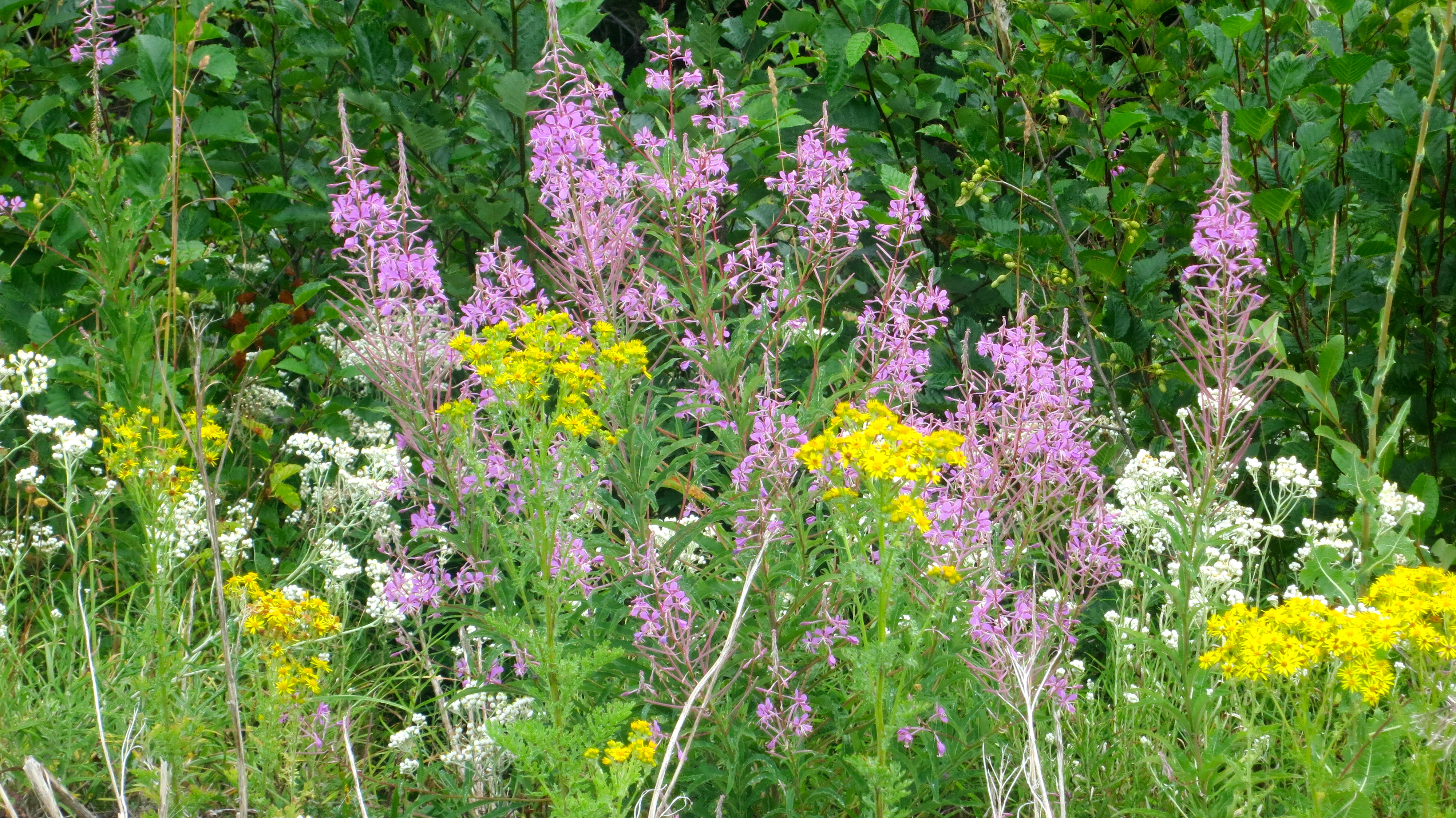
The recuperative power of nature is half the story about Mt. St. Helens. It is recorded that fireweed, the pinkish red flower here, was growing out of the ash 20 days after the explosion.
I felt the young tree growing out of a stump at Mt. St. Helens provided the best example of nature on the rebound. (Photo by Peggy Mekemson.)
As we drove off down the ridge into the mist, I couldn’t help but wonder when Mt. St. Helens would choose to explode again. It will happen. (Photo by Peggy Mekemson)
NEXT BLOG: Join me on Monday when I begin my series of posts and photos on Burning Man 2013.
I took this photo of an Alaska Black Bear two weeks ago at the Alaska Wildlife Conservation Center.
At the end of my last blog, I had backpacked 18 miles into Yosemite Valley to resupply the food bears had taken from me.
My intention was to stay in the Valley that night but it was a zoo, absolutely crawling with tourists. So one very tired Curt shouldered his pack and hiked five miles back over the 3000-foot cliffs into Little Yosemite Valley. I nodded off that night listening to backpackers yelling as bears methodically worked their campsites, wondering when my turn would come. It came all too soon.
I woke up to a bear emptying my backpack about five feet away from where I was sleeping. This brings me to another piece of Yosemite bear lore: always leave the pockets of your pack open. If you don’t, the bear will open them for you. It tends to be rather hard on backpacks.
Fortunately, my food was safely hanging from a cable and I had left my pack wide open. I watched with clinical interest as the bear shoved his head into the pack, pulled out an item, dropped it on the ground and then stuck his head back in the pack. By then I had enough and suggested rather loudly that the bear go elsewhere. After one more foray, he did. The only damage I suffered was bear slobber, all over everything. My old Basset Hound, Socrates, the world champion of slobberers, would have been jealous.
The next night I was leaving my camp for an evening walk when I met a bear coming to visit. I bent over and picked up a rock and he took off like a dog. And thus my summer went. By the time I had led two back-to-back hundred-mile trips into Yosemite, I had my fill of bears and they had had their fill of Trekker food. Fortunately, no more of it was mine. I considered myself an expert food hanger and bear chaser.
It was almost my demise.
At the end of the second Trek, my friend Jean, her sister Mary and her husband Tim joined me at Tuolumne Meadows to hike the John Muir Trail. We spent the night at the Tuolumne campground. I had eaten backpacking meals for two weeks so it was time for grilled steaks, a little bourbon and several cans of beer before hitting the trail again.
As the night progressed, I was feeling no pain and had lots of liquid bravery. So it wasn’t surprising when a bear came to visit our neighbors from Iowa, I was prepared to do battle. They had left their cooler out on the picnic table as an open invitation and the bear was leisurely opening it. The Iowans were hiding out in their camper, making nary a peep.
“HEY BEAR,” I yelled as I strode across the road, “GET OUT OF HERE!”
Well, Mr. Bear had found himself a cache of fresh food and wasn’t about to leave. He turned around, stood up on his hind legs, raised his front legs over his head and said “GRRRROWL!” He was one big fellow. Stone cold sobriety was instantaneous.
“OK bear, it’s all yours,” I mumbled as I scurried back across the road to my own camp and safety. “Eat all of the Iowan food you want. Heck, eat the Iowans.”
By this time though, 20 flashlights were shining down on the bear. Campers are packed into Tuolumne Meadows like tenement housing in a barrio and all of the neighbors were wondering if they were next. Thus disturbed, Mr. Bear went grumbling off over the hill, more than a little pissed to have his fine feast disturbed. You could almost make out in his growling, “I’ll be back.”
Of course the Iowans left their cooler out on the table. No way were they budging from their camper. I pictured them driving nonstop back to Des Moines the next day.
Finally things settled down. After another bourbon or two, we crawled into our sleeping bags. Tim and Mary disappeared in the security of their truck and Jean and I crashed on the ground.
Not surprising, there came a time when Jean had to visit the restroom. Beer will do that. Equally unsurprising the bourbon helped me sleep right through her getting up. But I did hear her come back. Except it wasn’t Jean I heard through my alcohol-induced grogginess; it was the bear coming back for revenge.
“GET OUT OF HERE!” I screamed with all of the passion I had used when I had awakened with the bear standing on me. Jean not knowing what to do grabbed me by the head and said, “Curt, it’s all right, it’s only me!” This was undoubtedly the right thing for her to do, except now the bear had me by the head. As you might imagine, my yells increased in volume geometrically.
Picture 20 flashlights shining down on this happy little domestic scene. If Mr. Bear had any thoughts of revisiting our area that night, he gave us wide berth afterwards.
NEXT BLOG: Back to Kodiak and our float plane trip over the island.
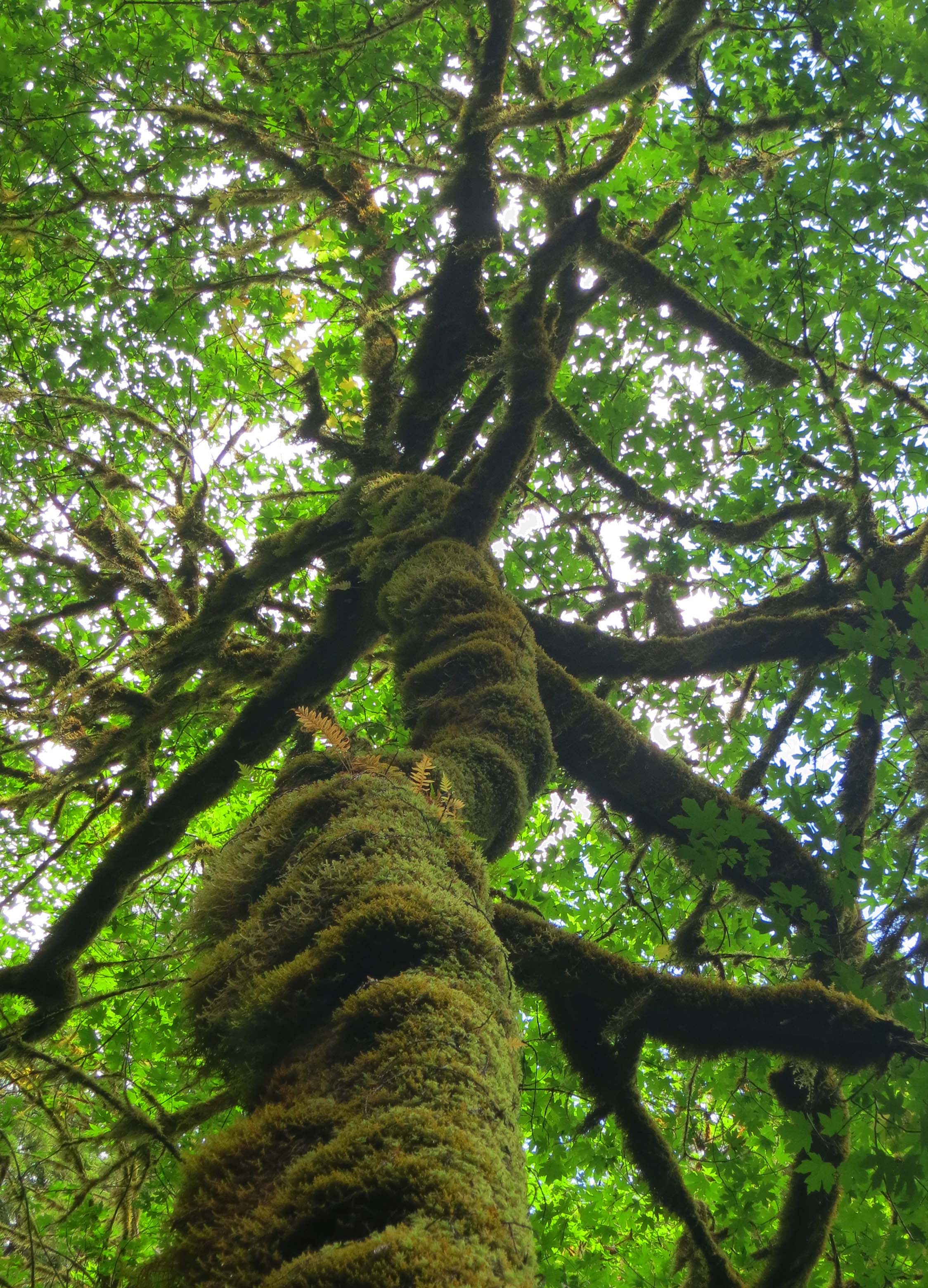
When we think of the Redwoods, it is usually about the giant Redwoods. But the Redwoods also have an incredible greenness that is long remembered.
A long trip, especially a long trip where services are few and far between, means you prefer not to have breakdowns along the way. I dutifully took Quivera in to the Ford Dealer and spent the usual obscene amount of money to increase my chances she would behave herself on the way to Alaska. The drive to Alaska isn’t as challenging as it once was (I made my first trip in 1986 over frozen dirt), but it is still challenging.
To further increase our chances of a worry-free trip, Peggy and I– along with our daughter and two grandkids, took Quivera on a shake down cruise to the Redwoods National Park in Northern California, about three hours away. We had introduced our son Tony’s kids to the Big Trees last summer and were eager to have Tasha’s children share the experience.
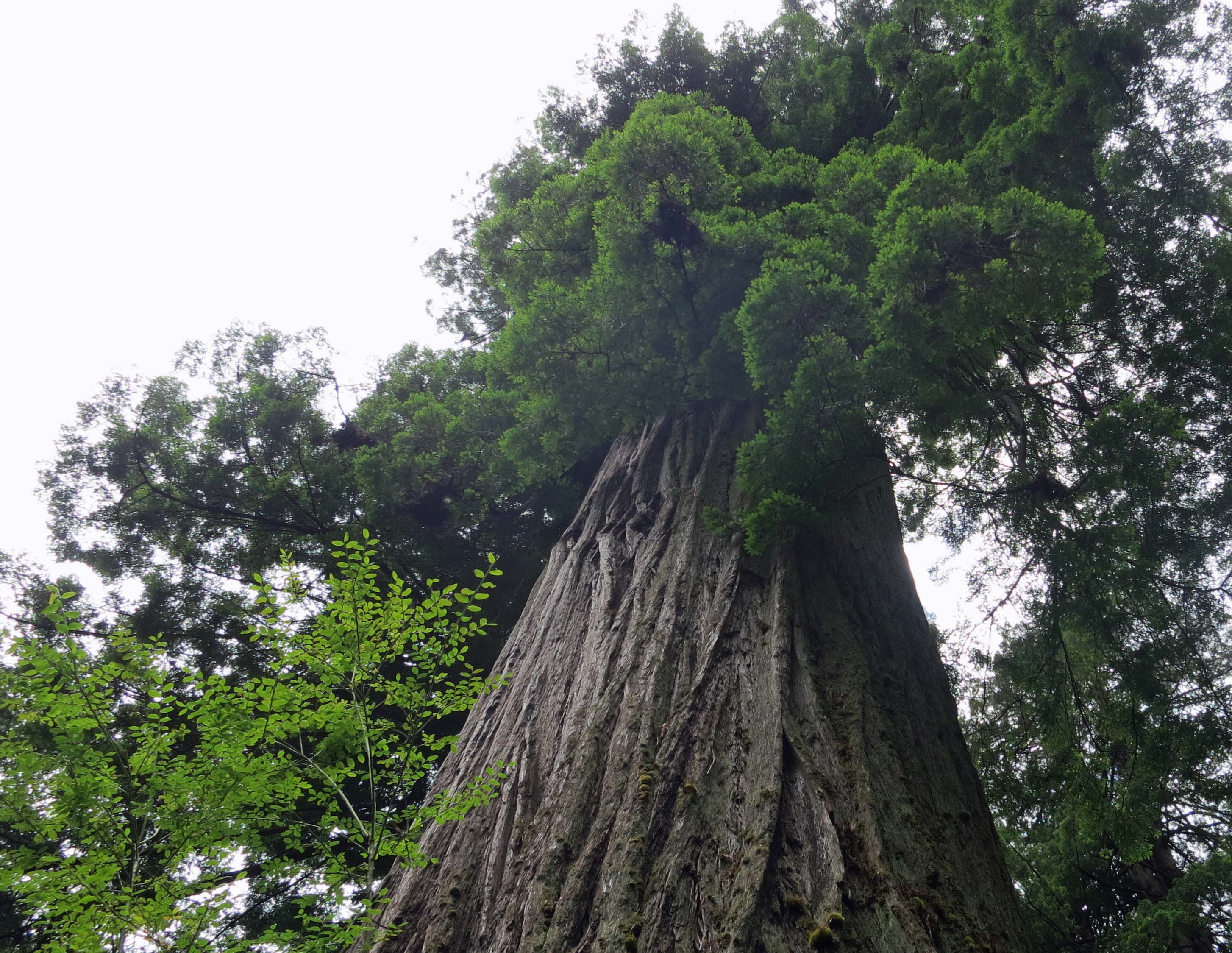
We dutifully took the kids to see the Big Tree. It is 304 feet tall (92.6 mtrs), 21.6 feet in diameter (6.6 mtrs) and 68 feet (20.7 mtrs) in circumference. The estimated age of the tree is 1500 years. Afterwards, Ethan and Cody along with our next-door neighbor’s son, William, went charging off to look for Ewoks and banana slugs. Star Wars was filmed nearby.
The eight year old Ethan on the left, our nine-year old next door neighbor William, and the five-year old Cody pose in front of the Big Tree in Redwoods National Park.
Looking up at the Big Tree. It is impossible not to feel awe.
Of course Big Tree is just one out of hundreds of the giants found in Redwoods National Park.
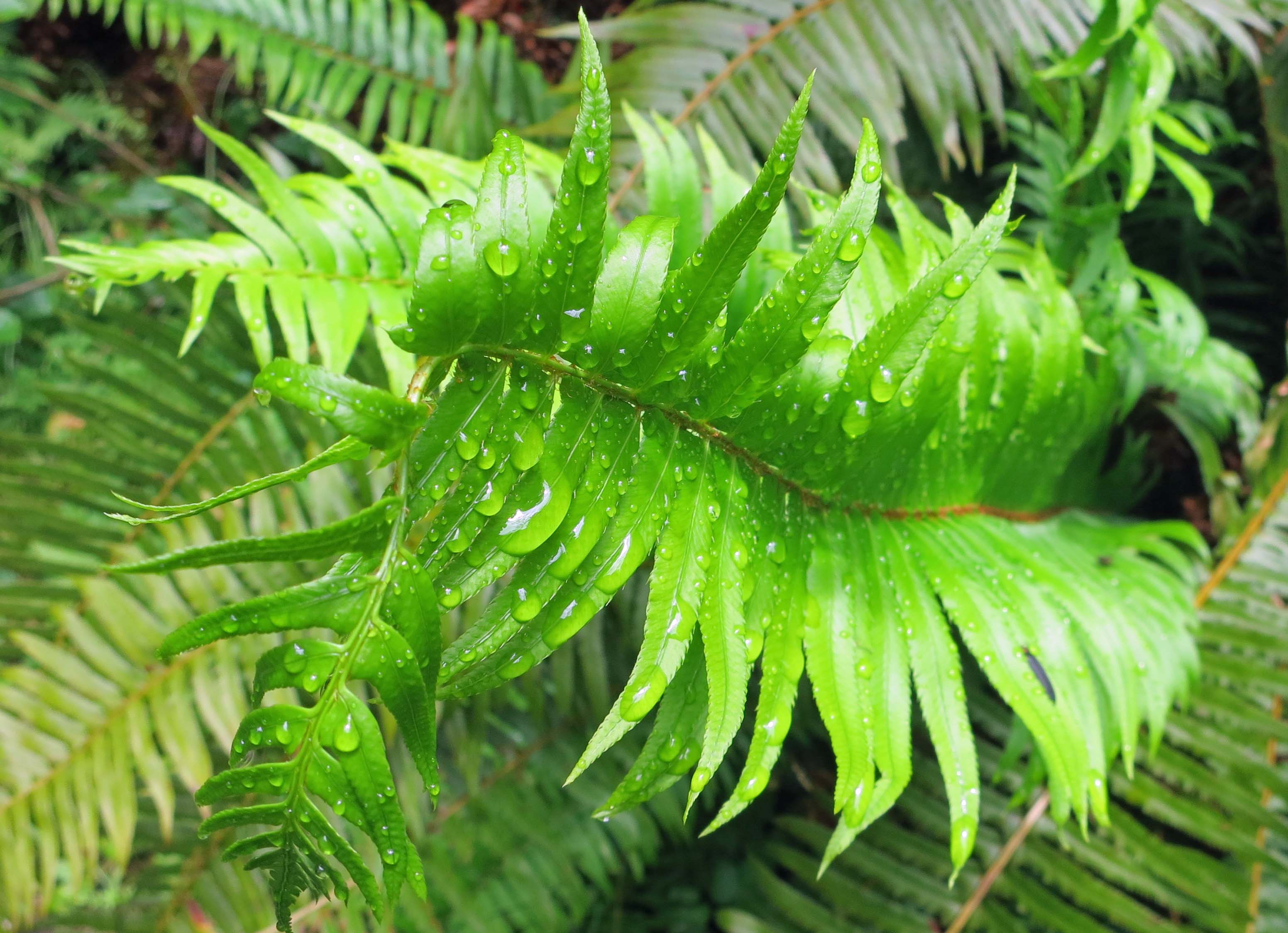
It had rained just before we started our visit and this fern was still holding rain drops.
A bright yellow Banana Slug makes its way along the forest floor. The Banana Slug, BTW, is the school mascot for the University of California, Santa Cruz.
Another view of how green it is at Redwoods National Park. I told the boys to look out for Ewoks. The boys are avid Star Wars fans. “You know Ewoks are make believe,” the five-year old Cody primly informed me. Darn. I thought they were real.
The light grey clouds against the dark tees provided an interesting view looking up.
I also liked this shot looking up at leaves.
We also camped out on the Pacific Ocean. This is our daughter Natasha. The tracks you see were made by the boys, running back and forth between the ocean and their driftwood forts.
We spent our last night at Harris Beach State Park in Brookings, Oregon
The fog was rolling in when we packed up to leave. Quivera was ready to head north to Alaska.
NEXT BLOG: You’ll meet our traveling companions, Bob and Linda Bray. Bob and I have been hanging out together and causing mischief since the First Grade… a long time ago on a far and distant planet.