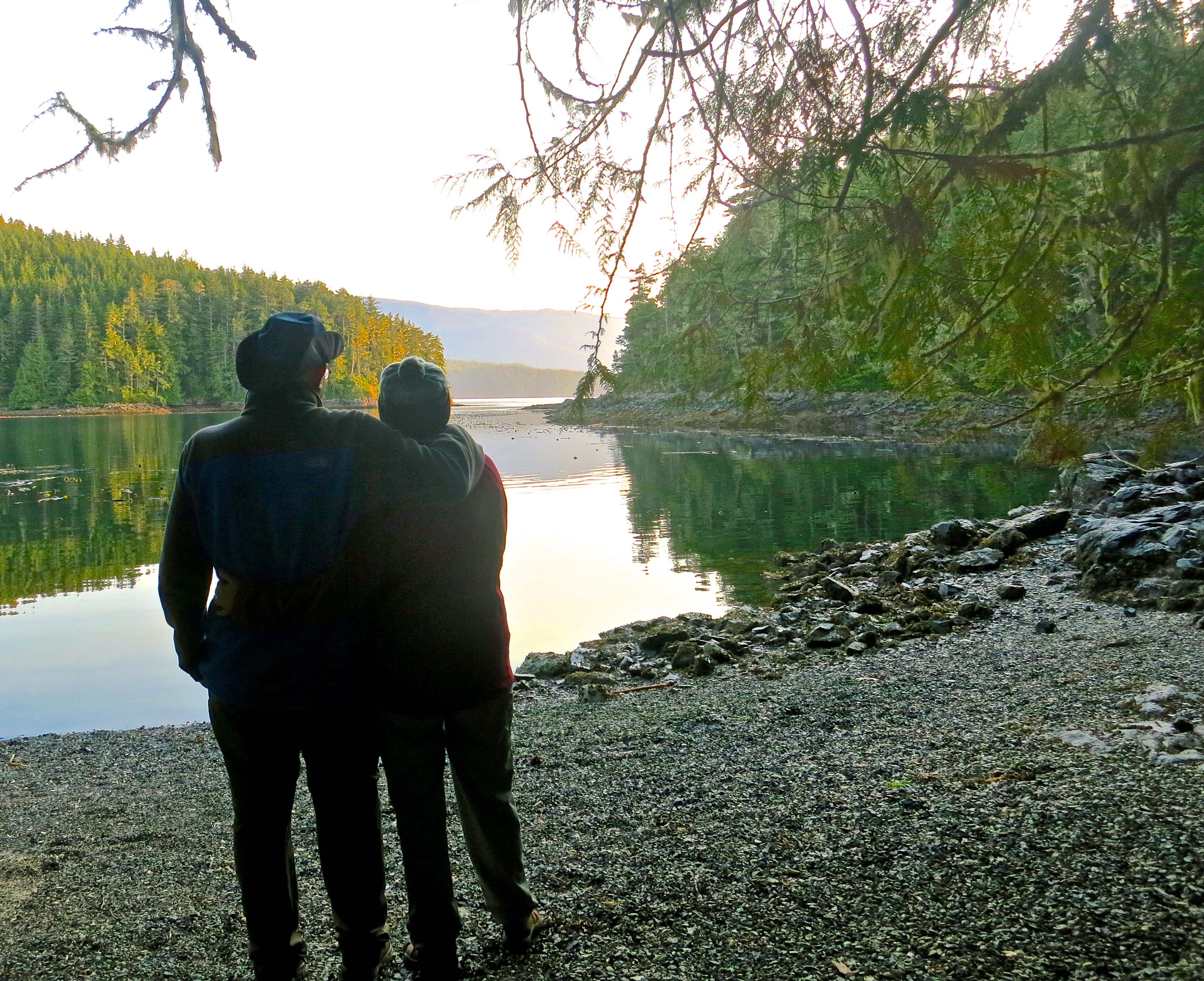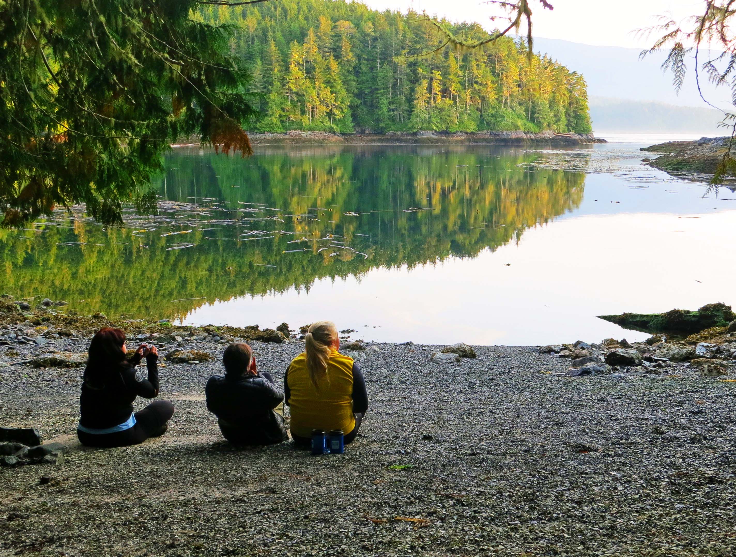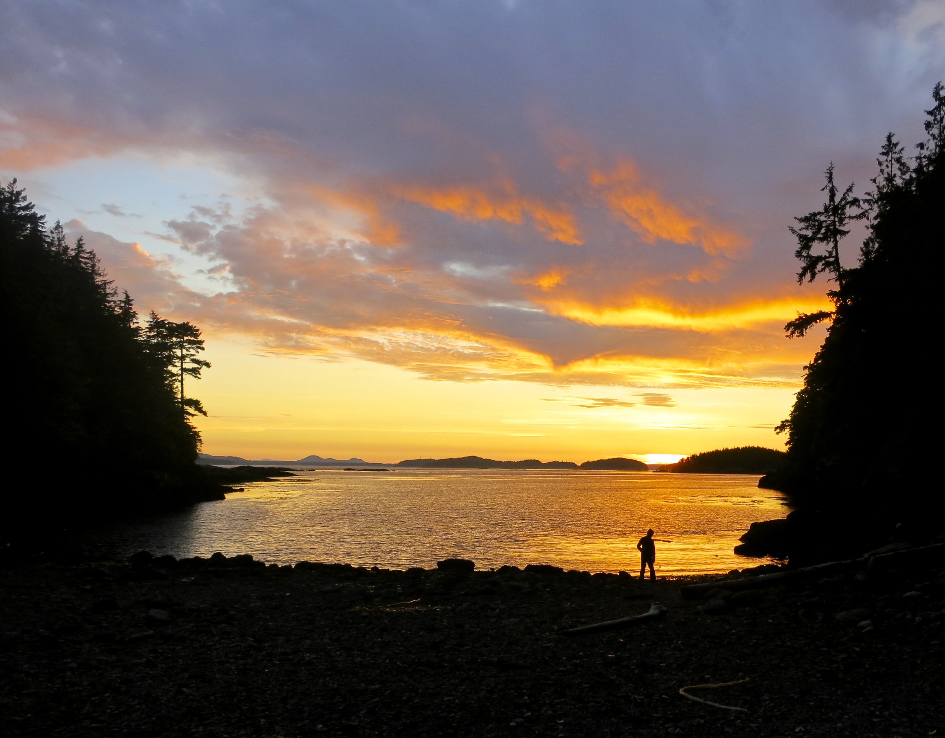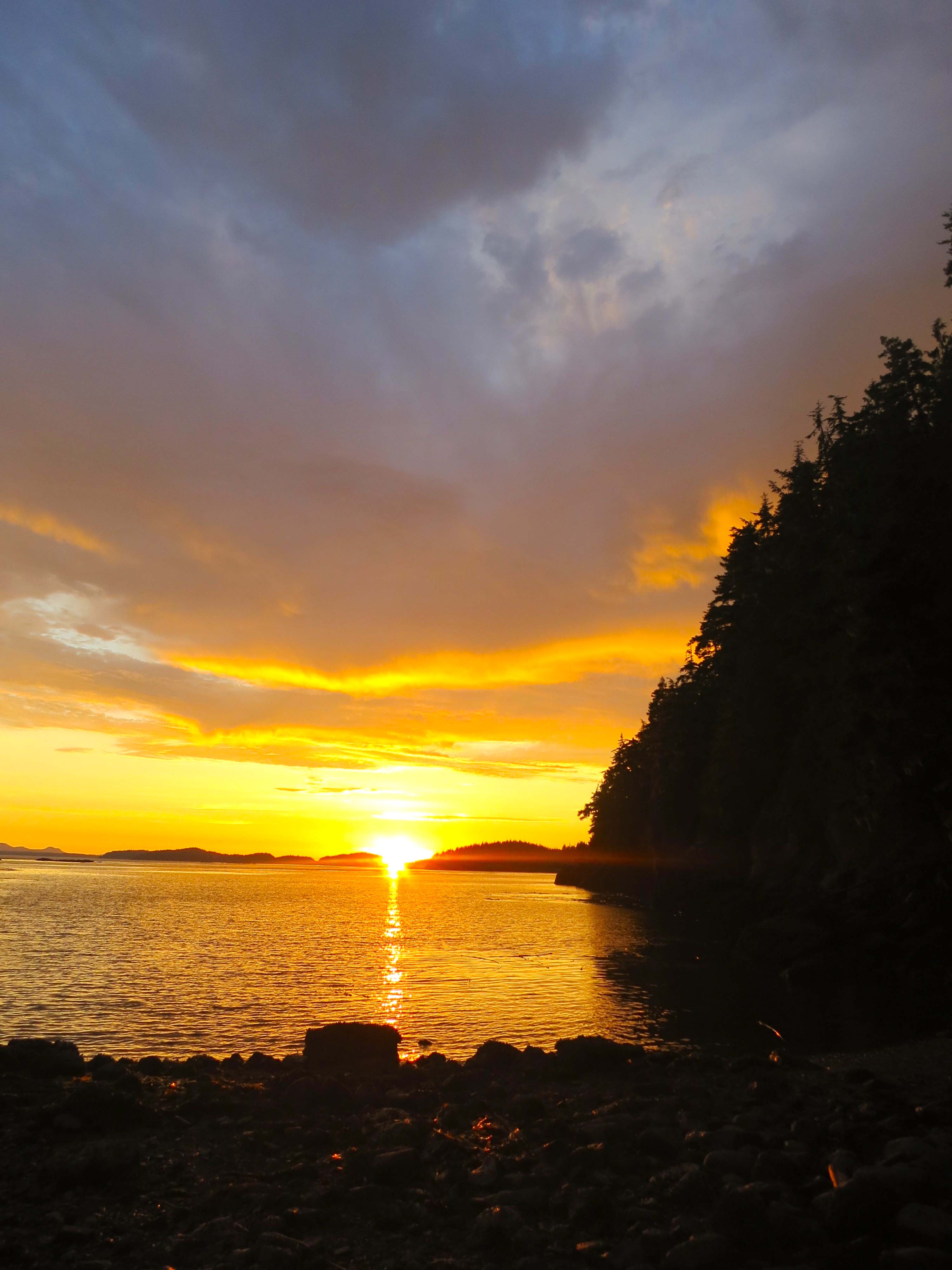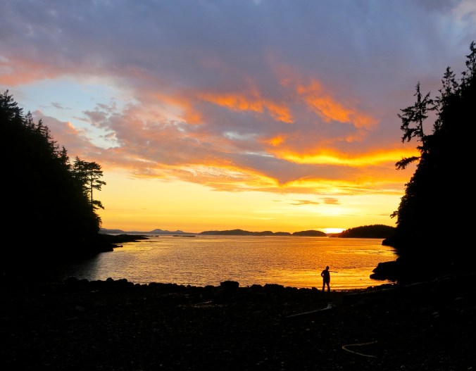
As the day ends, one of our kayakers takes a moment to enjoy the sunset from our campsite on Hanson Island.
A post-card-glorious sunset marked the end of Monday, our first day of kayaking on Johnstone Strait off the northeast coast of Vancouver Island. Morning seemed long ago and far away— and my body spoke to just how long ago and far away that was. It had passed 71 earlier in the year and was wondering when the fabled golden years were going to start. “They are here,” I told it with a grin. It grumped. My mind and body aren’t always in agreement.
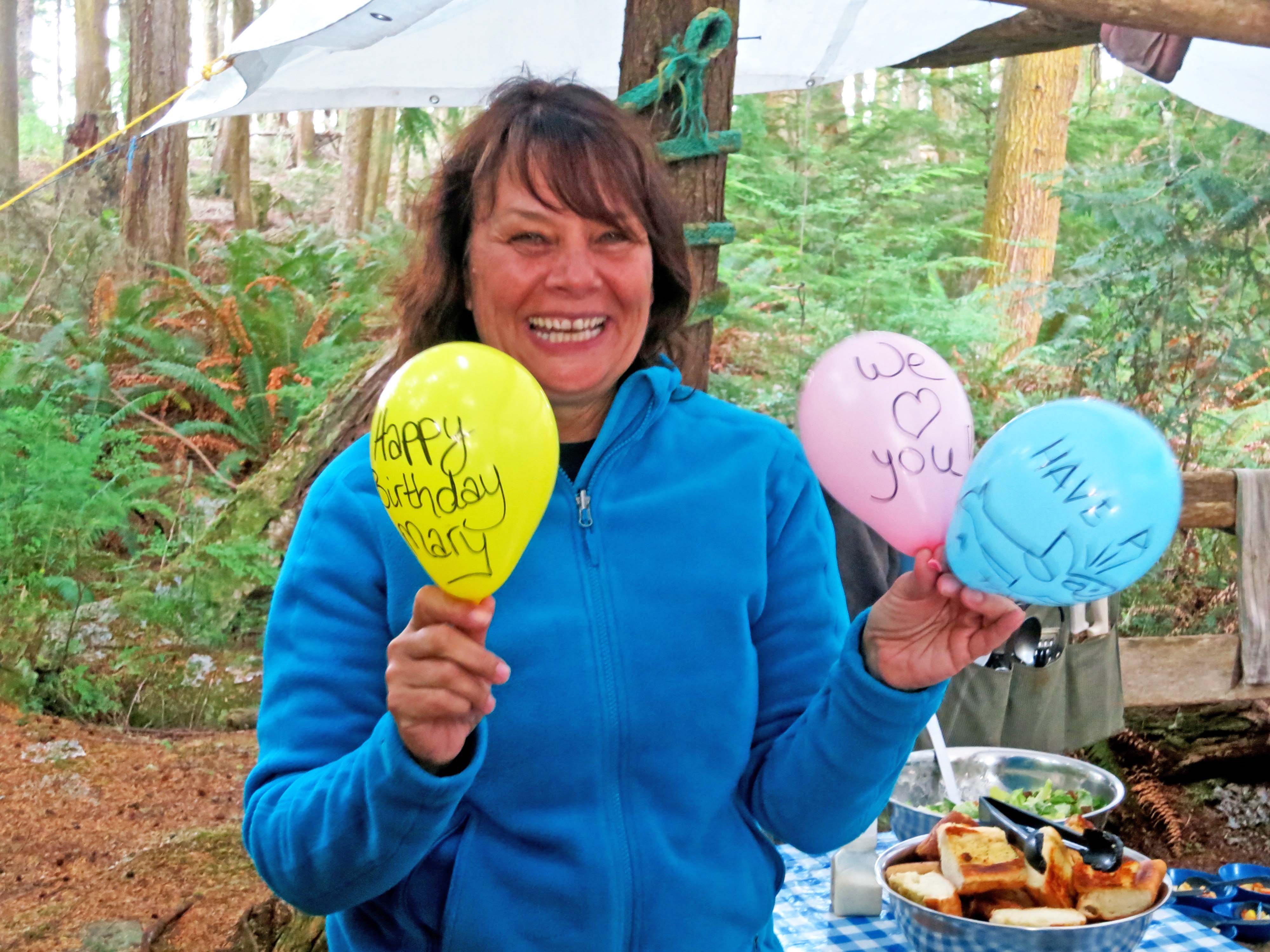
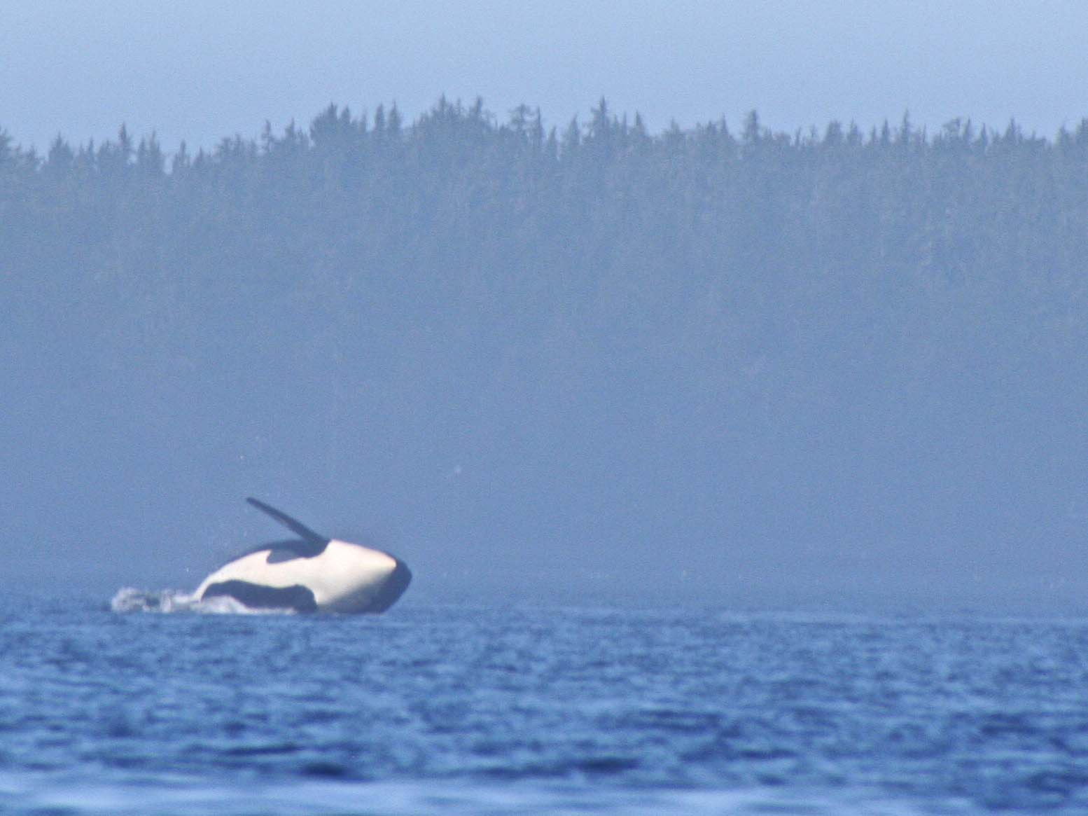
The guides and group, including Peggy and I, were in high spirits. We had successfully completed our first day of kayaking, seen stunning scenery, and watched an orca breach. We were in a beautiful setting. Our guides had just fed us a gourmet meal, and our tents were set up, promising a good night’s sleep. What was there to complain about?
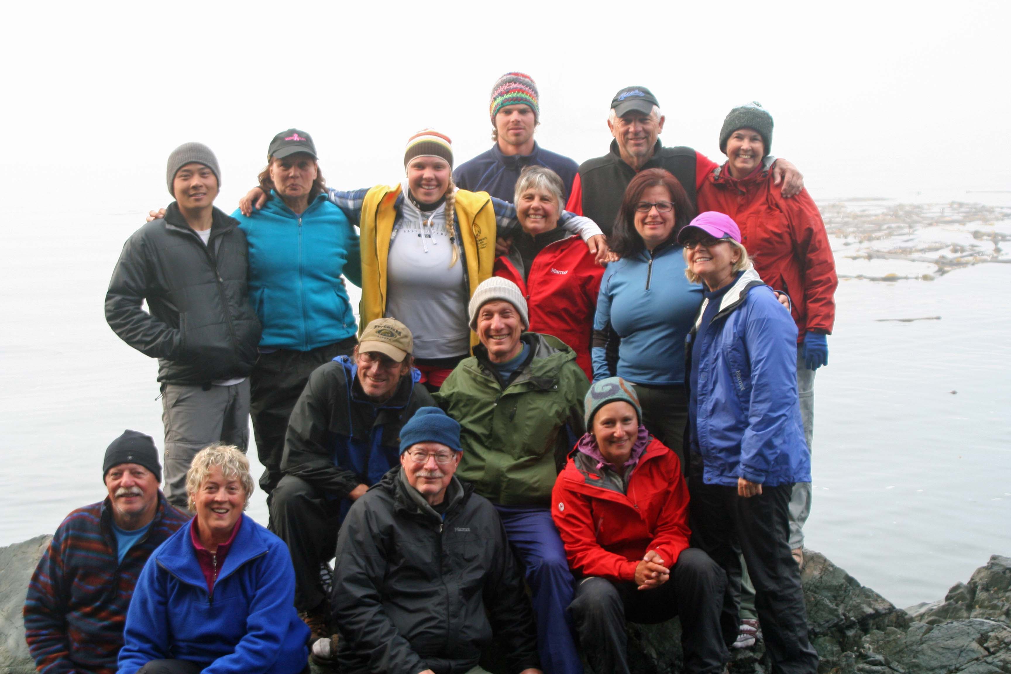
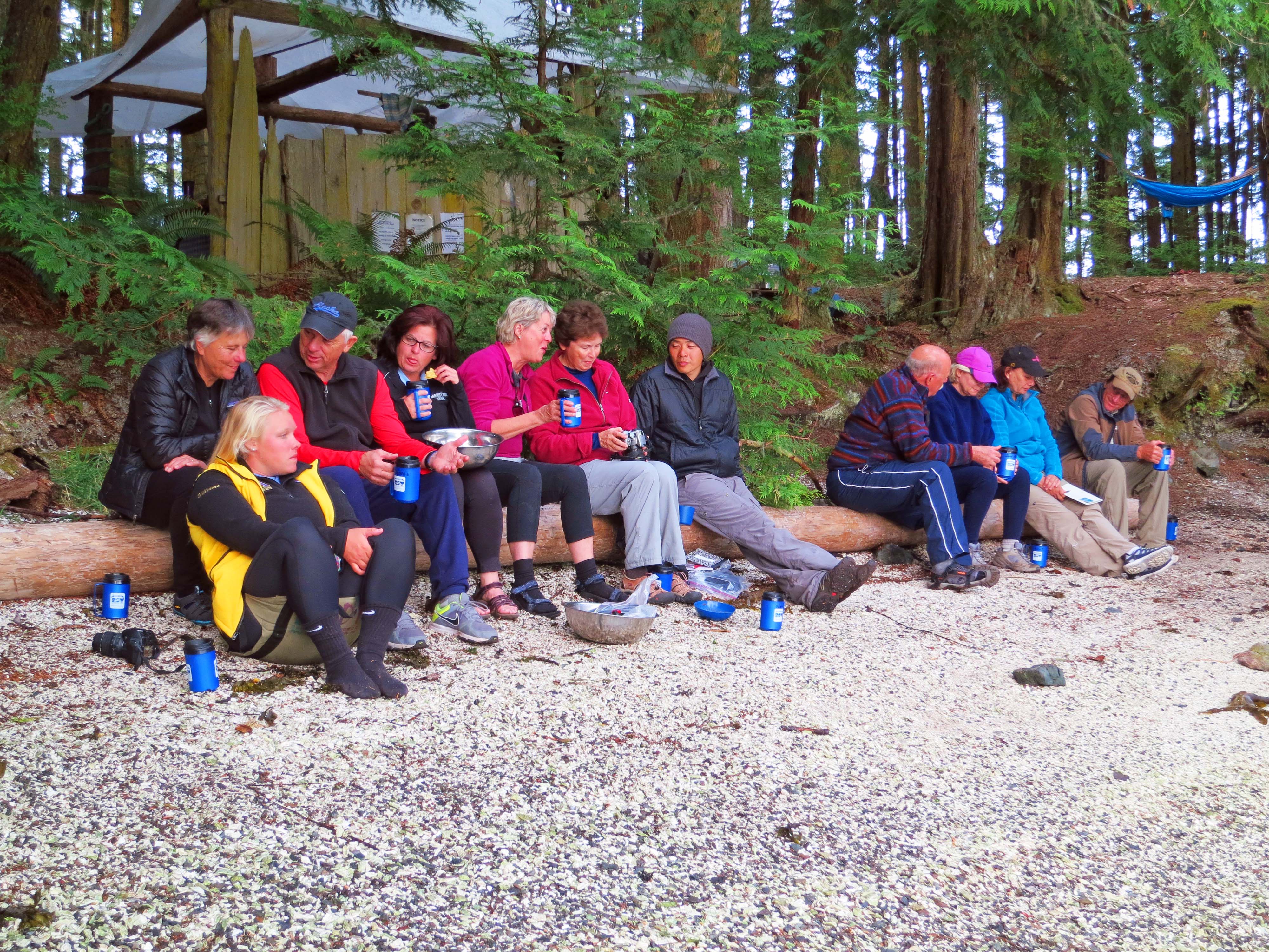
We had all met for the first time on Sunday night. The session had started with the usual meet and greet. “Tell us something about yourselves.” We half listened as we composed whatever we were going to say. There were the Canadian guides, a contingent from Idaho, three mid-westerners, one Californian, and our friends David and Edie from Alaska. Peggy and I are from Oregon. We also had a family of Asians until they figured out they had come to the wrong meeting. Everyone had at least some kayak experience. David and I, along with our child brides, were the elders.
Our guides gave us an overview of the journey and then distributed dry bags and rubber boots. I debated between size 13 and 14. The 14s were a little loose, the 13s a little snug. I went with snug and wondered how my large feet would work in the tight confines of the kayak. Carefully, I presumed. Peggy and I retired to our rooms and begin the packing process— what to take and what to leave. Sea Kayak Adventures had recommended a lot and our guides had suggested less. Everything had to fit in the boats. There were important decisions to make.
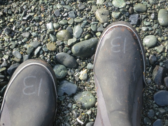
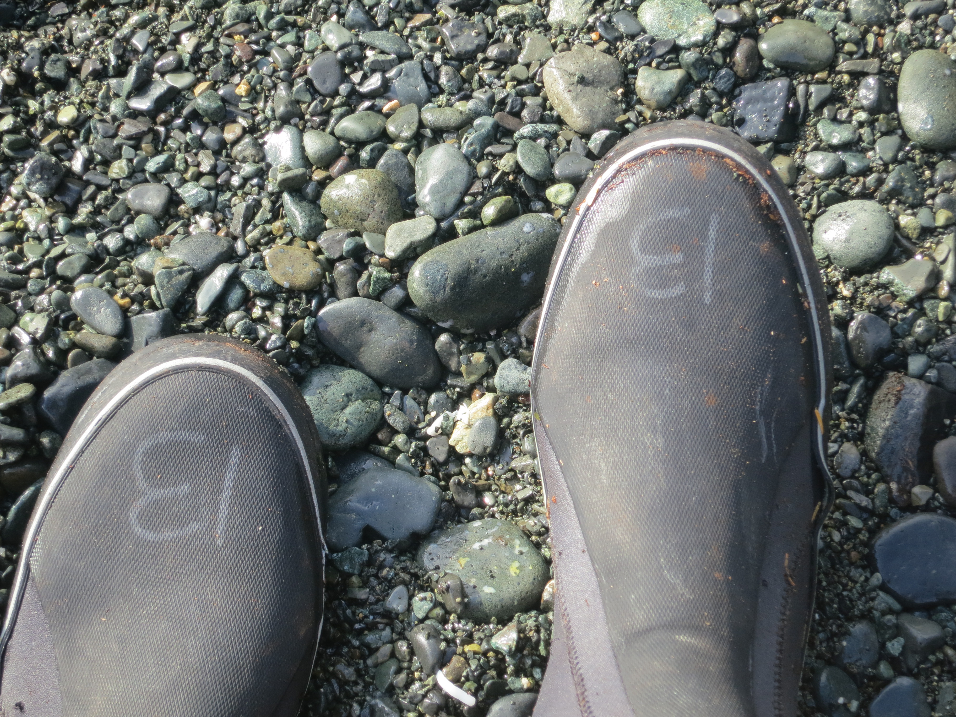
My size 13 boots, clearly marked for all to see. I wondered how they would relate to the small rudder pedals in the Kayak.
The next morning we were up early, went through our gear for the umpteenth time, had a quick bite, and caught the taxi hired to take us to Telegraph Cove. It was time to break out the cameras.
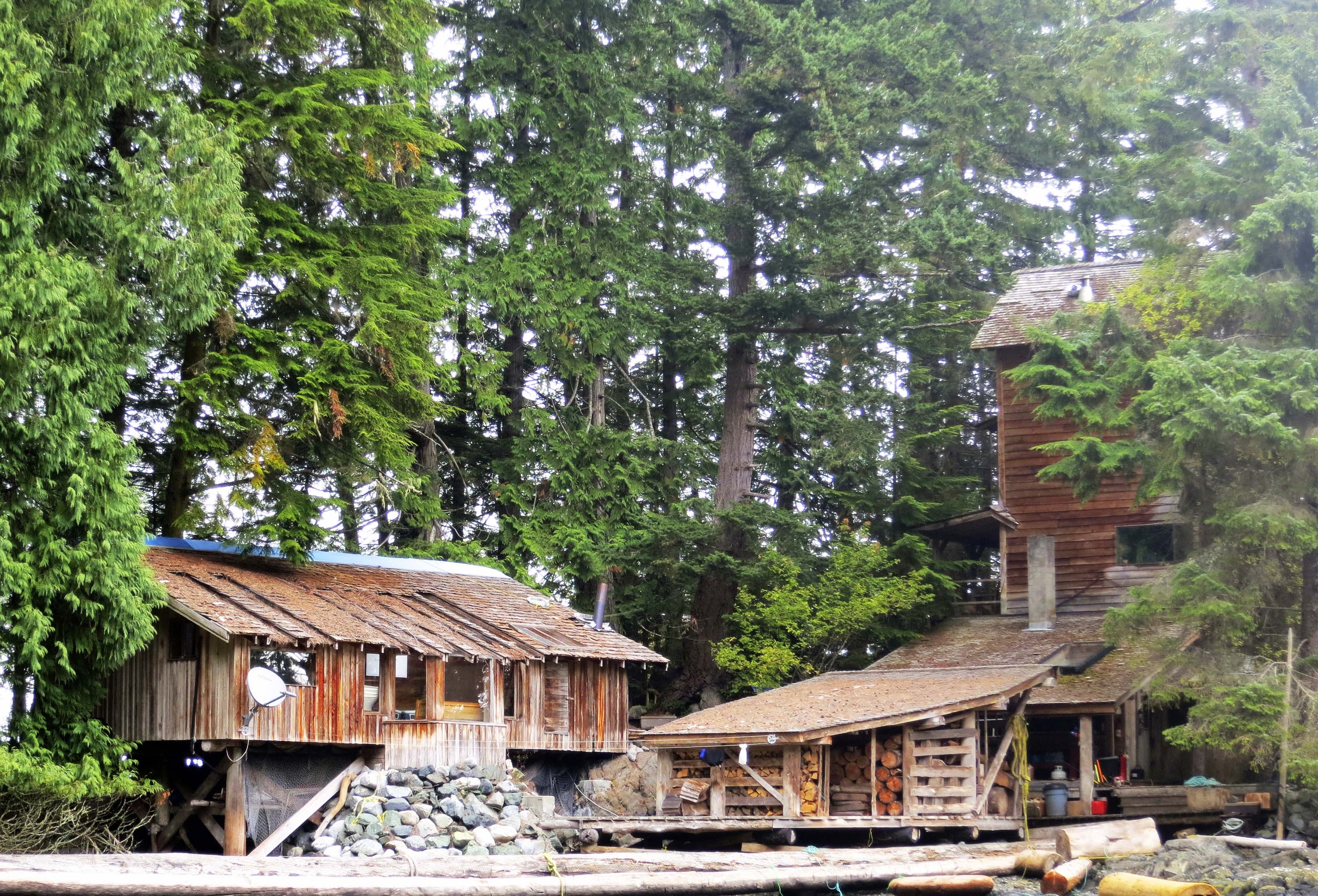
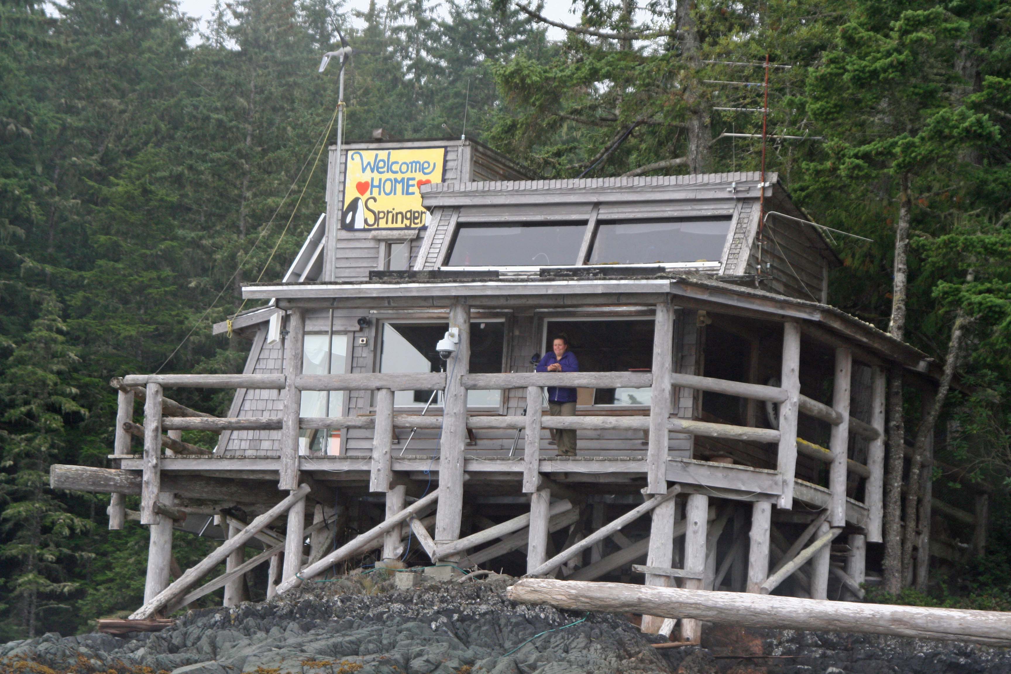
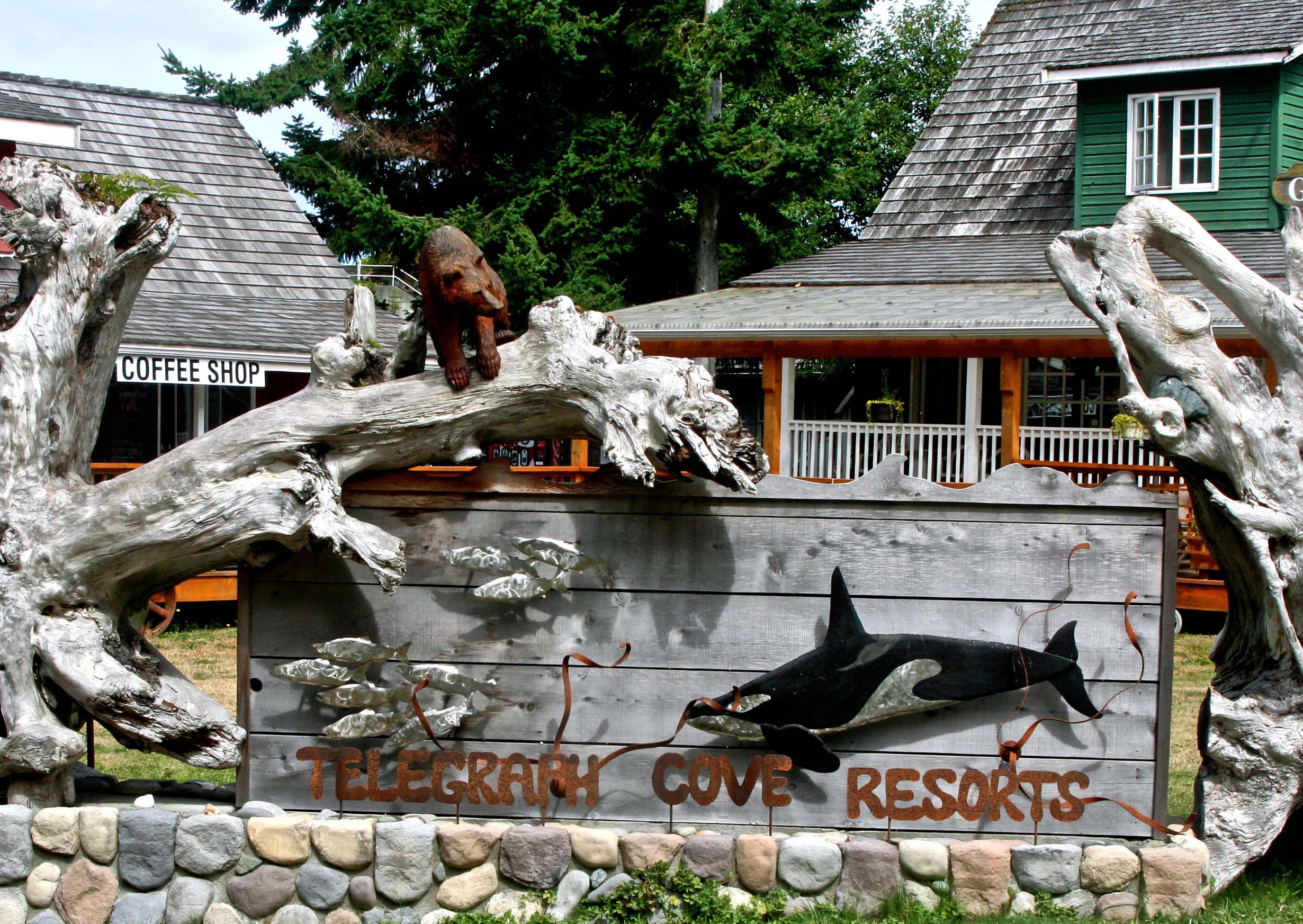
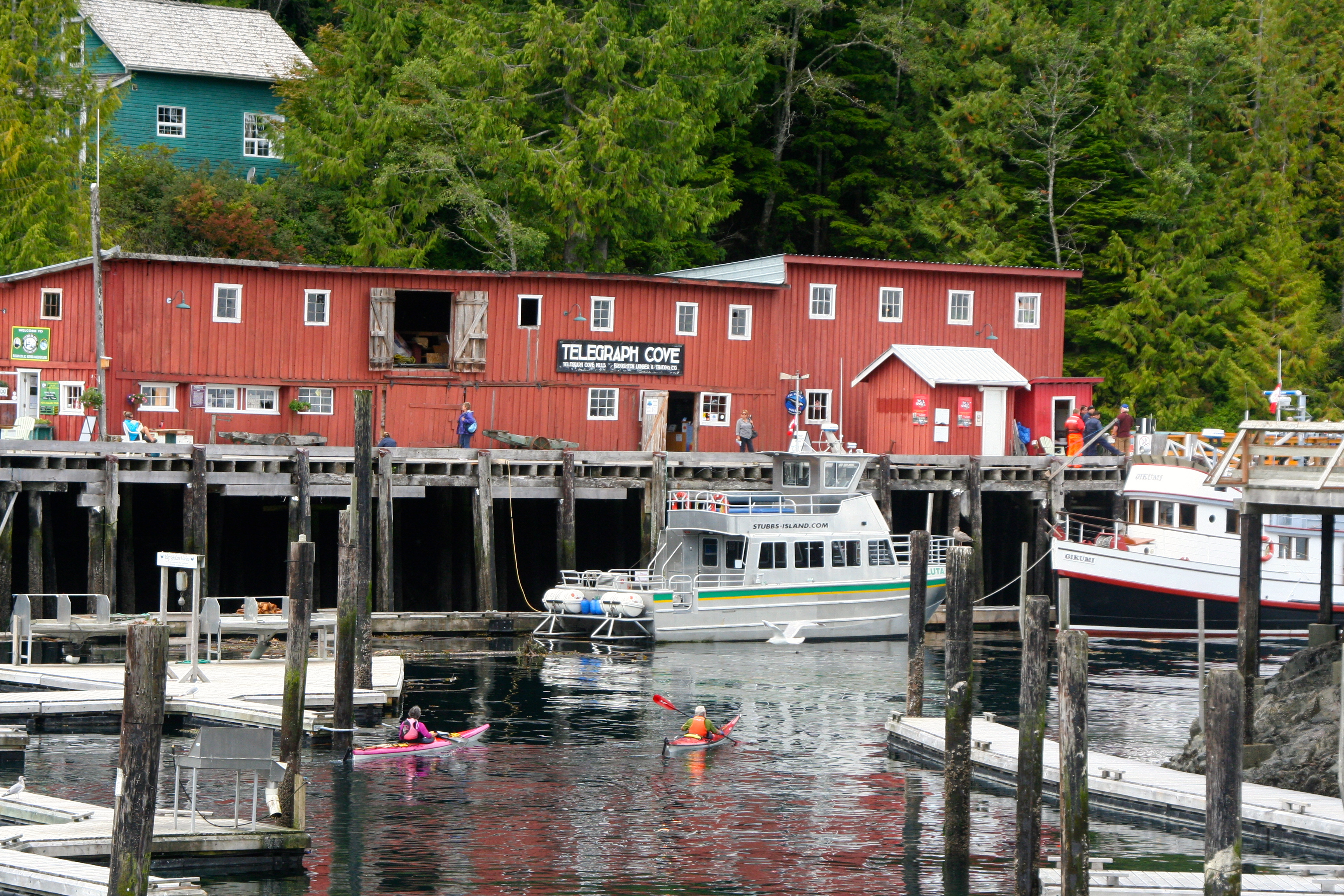
Telegraph Cove started life as a lumber mill. Nowadays it is an eco tourism center. A couple of hundred thousand people visit in the summer for whale watching, kayaking, fishing and checking out grizzlies. In the winter, its population drops to 20. The town has done a great job of preserving historical buildings from its past.
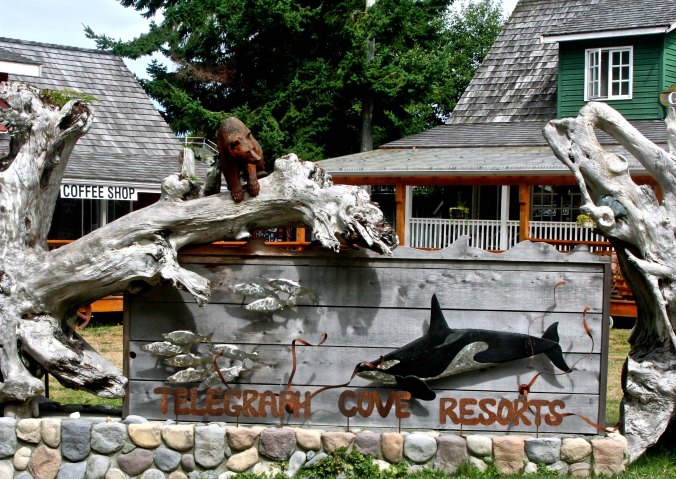
This sign, featuring an orca, grizzly and salmon, welcomes visitors to Telegraph Cove. Also note the impressive drift wood. We were to find some on our trip. (Photo by Peggy Mekemson.)

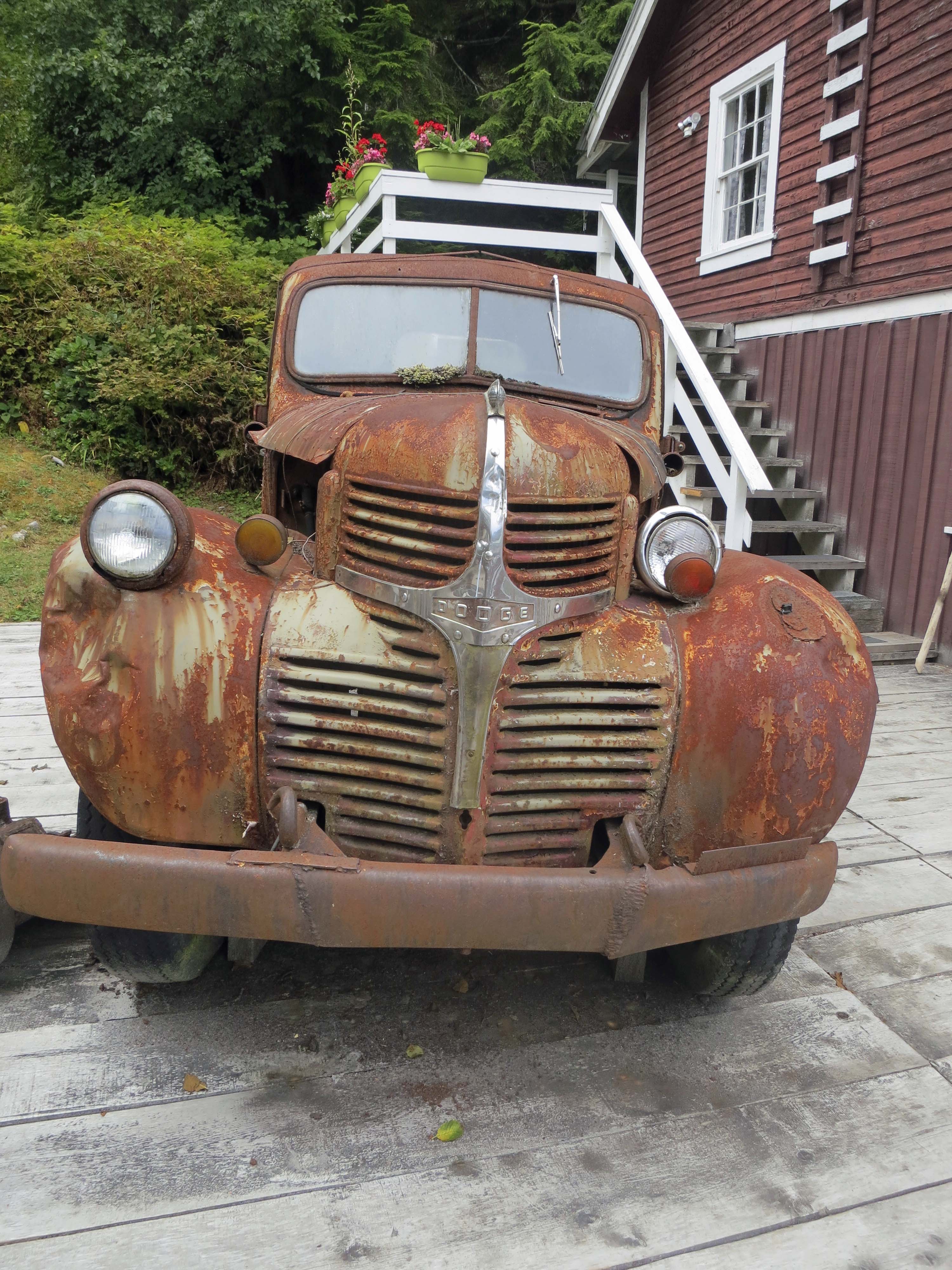
Part of the appeal of Telegraph Cove is its preservation of the past, as with this old Dodge truck. I think the truck was confused about where its lights should be. Or maybe it was so old it needed bifocals.

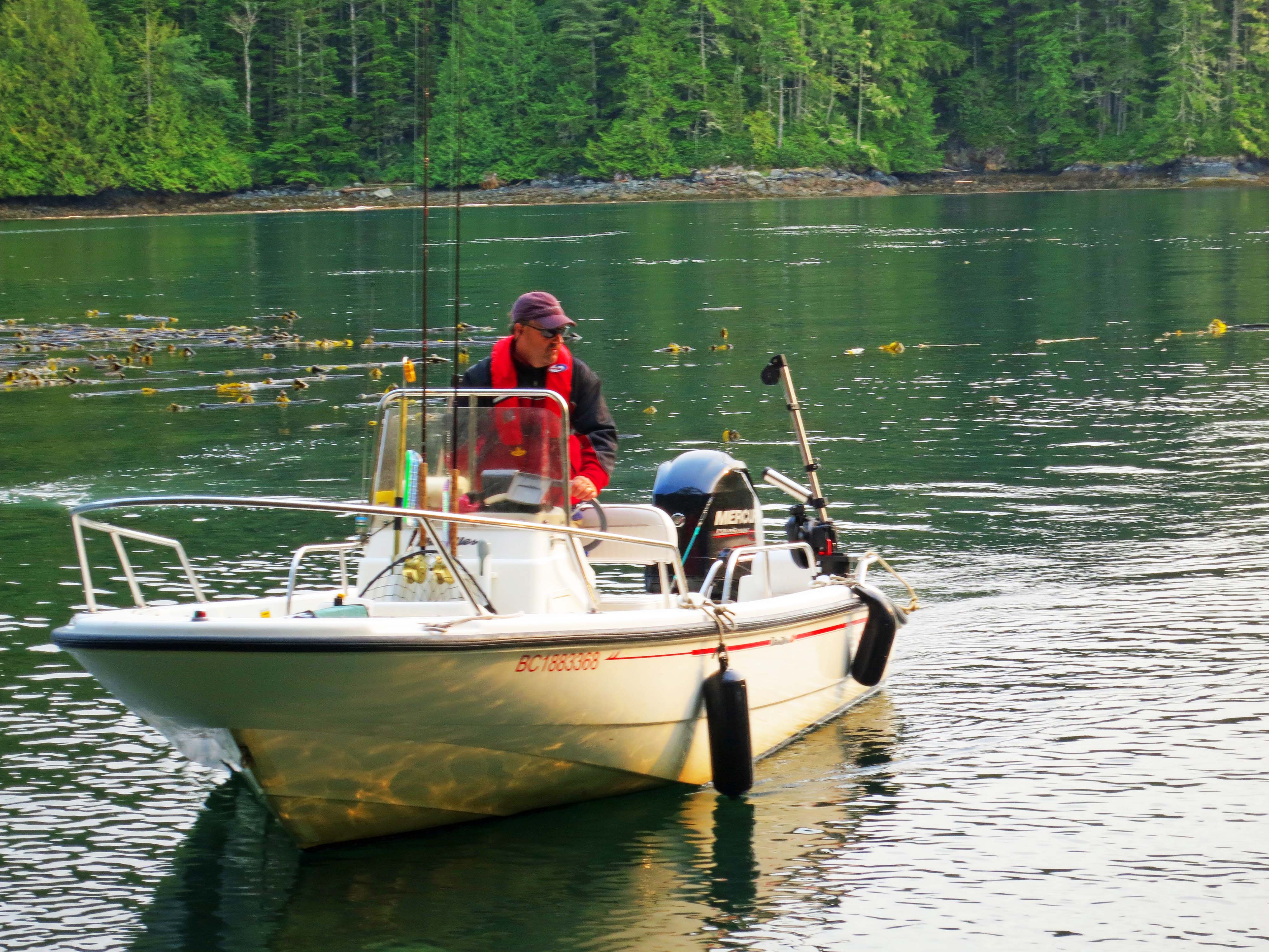
Telegraph Cove is all about water as this photo suggests. Here we see the Whale Interpretive Center, a fishing/tour boat, and kayakers. (Photo by Peggy Mekemson.)
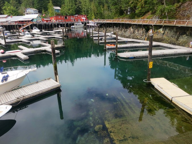
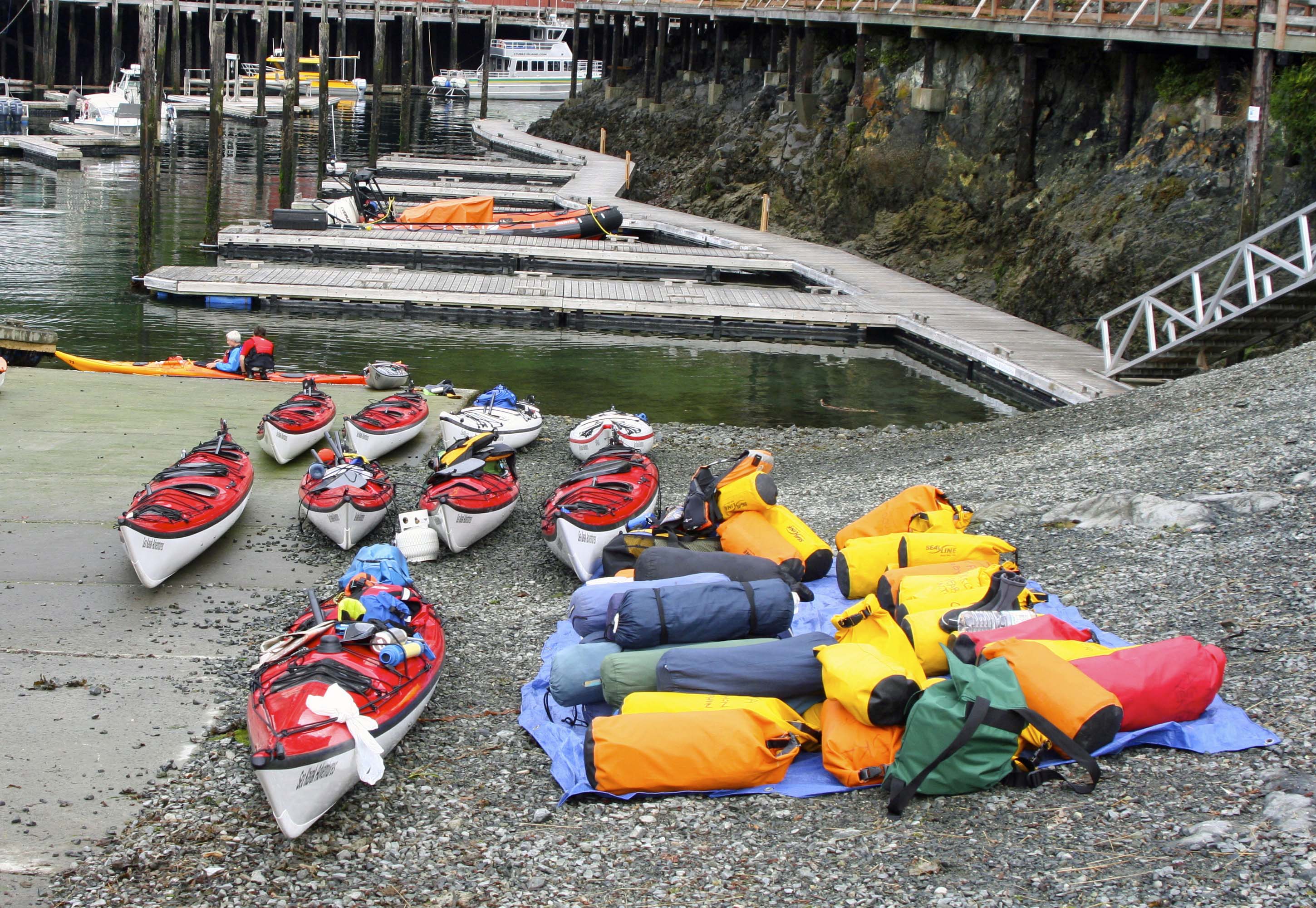
The empty boat docks tell a tale. We would not be the first to leave Telegraph Cove that morning for the Johnstone Strait. Our route took us right down the row and made a right at the Whale Interpretive Center.
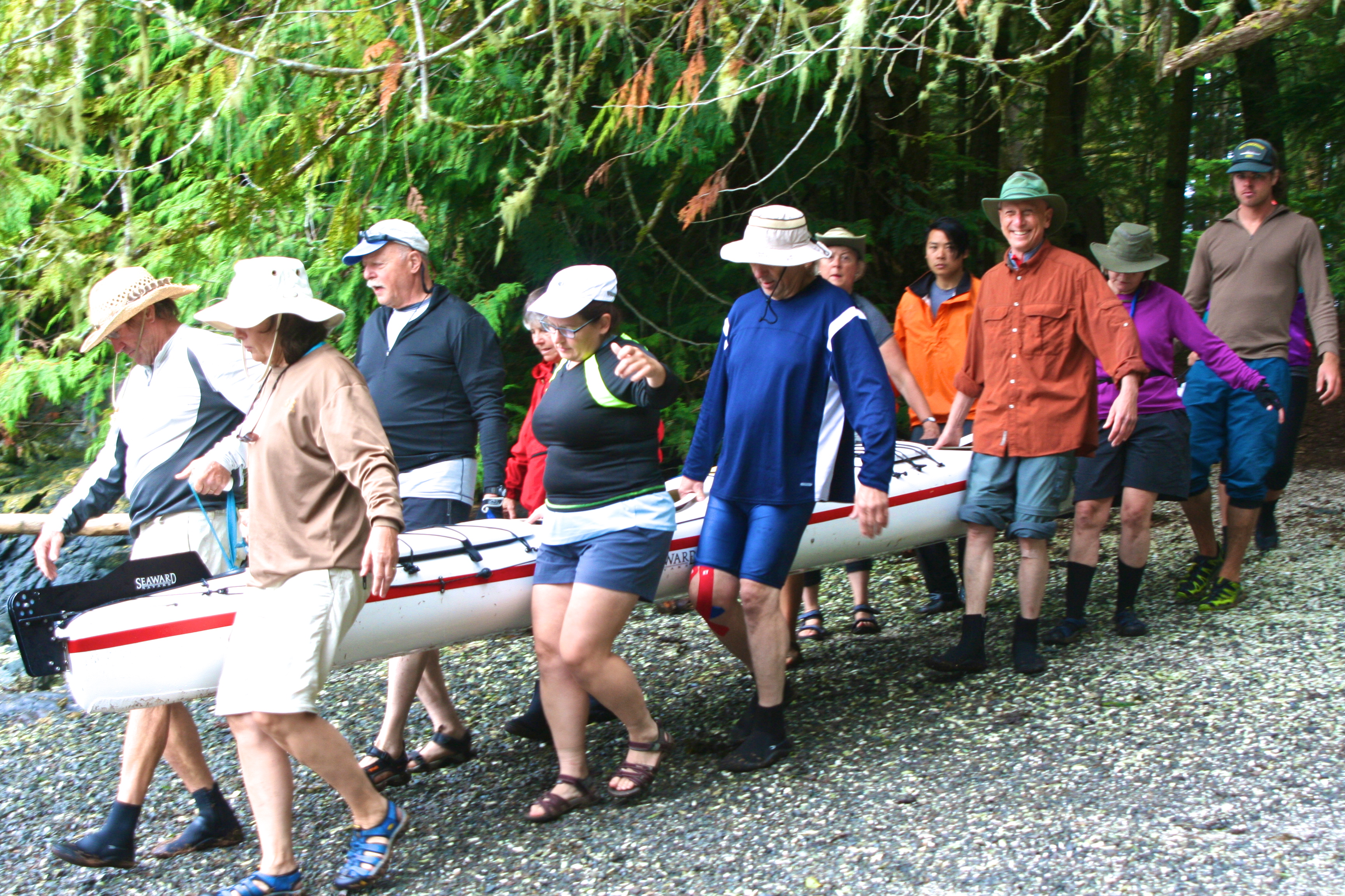
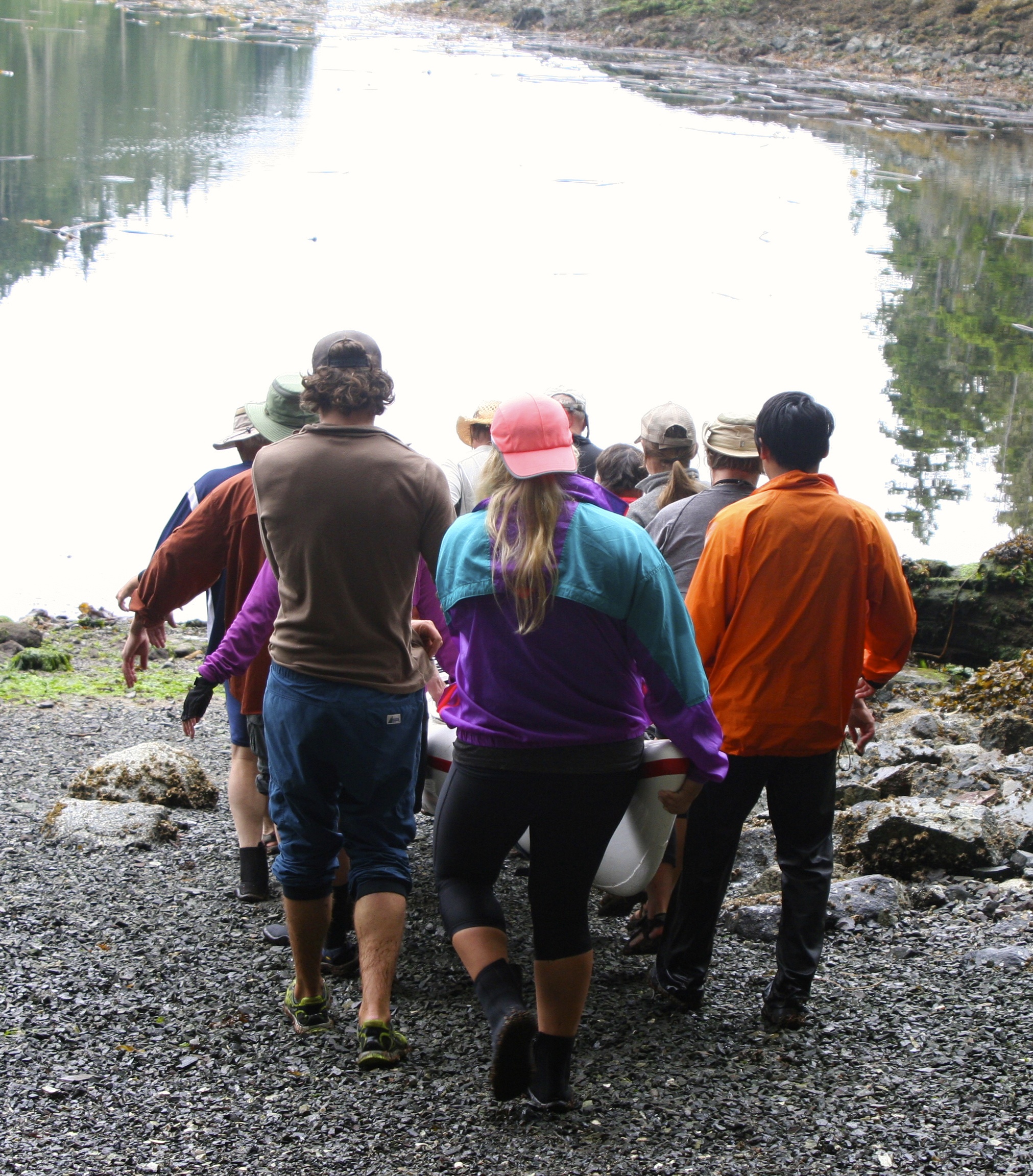
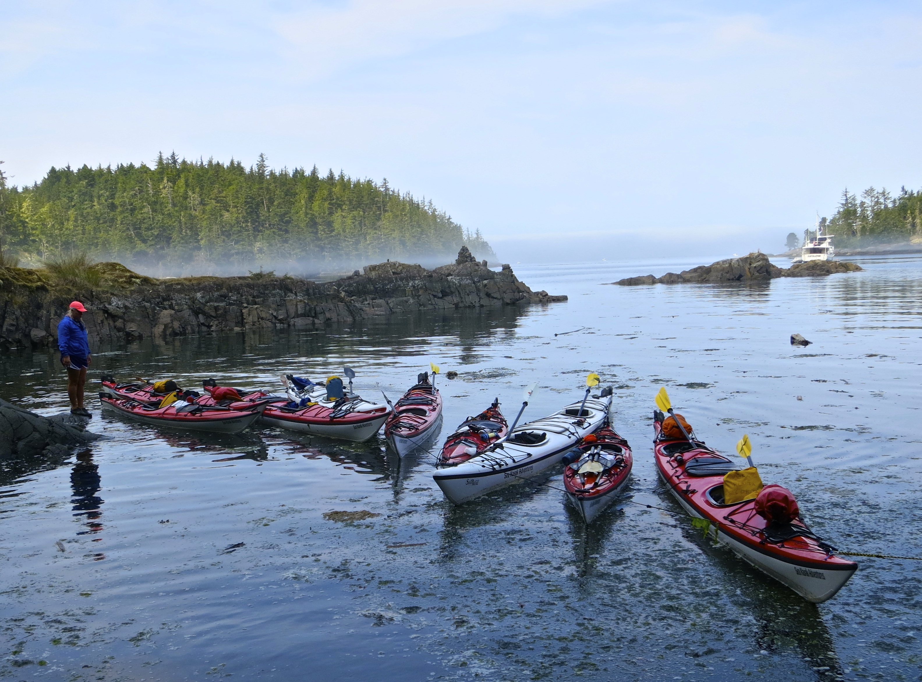
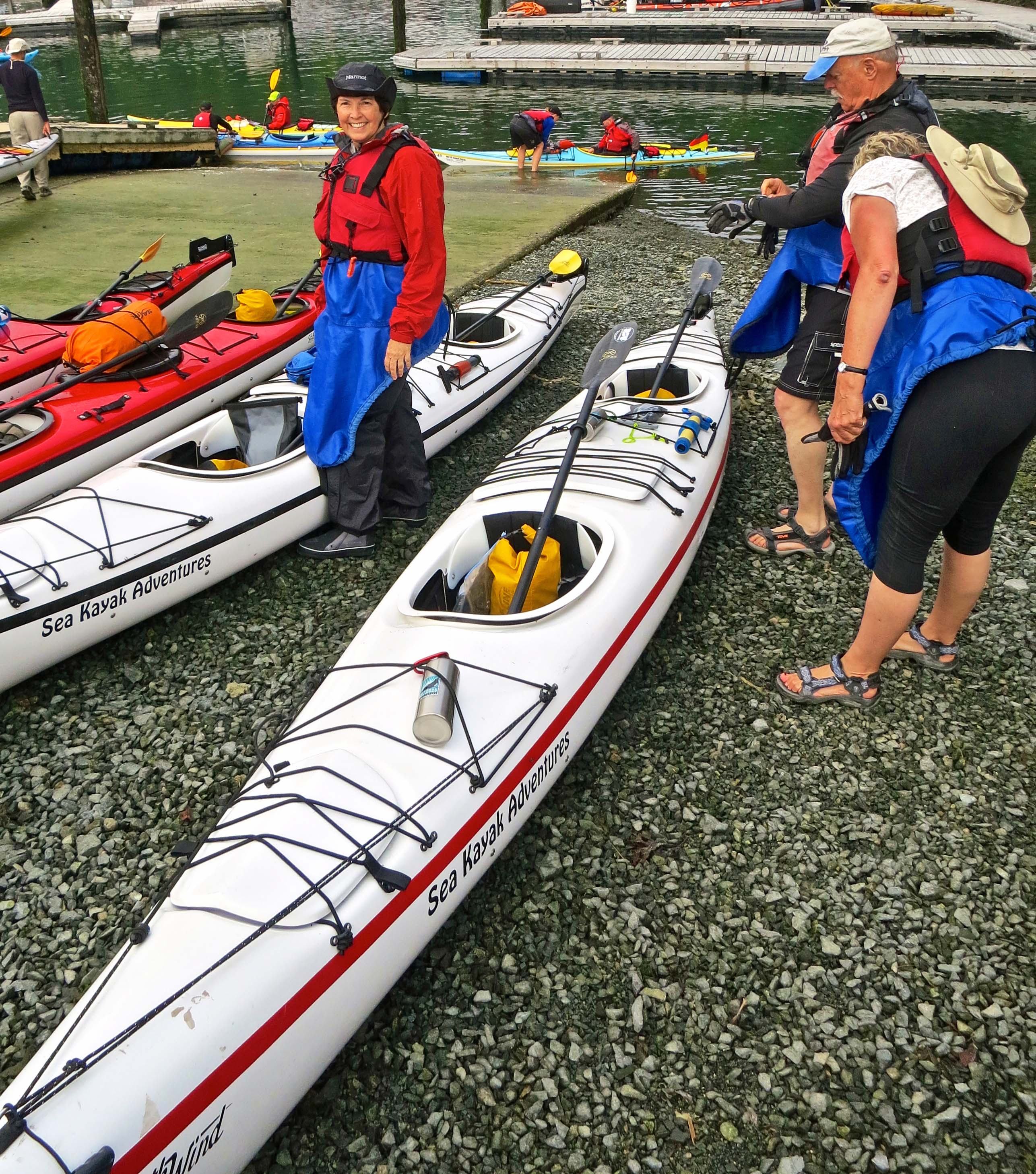
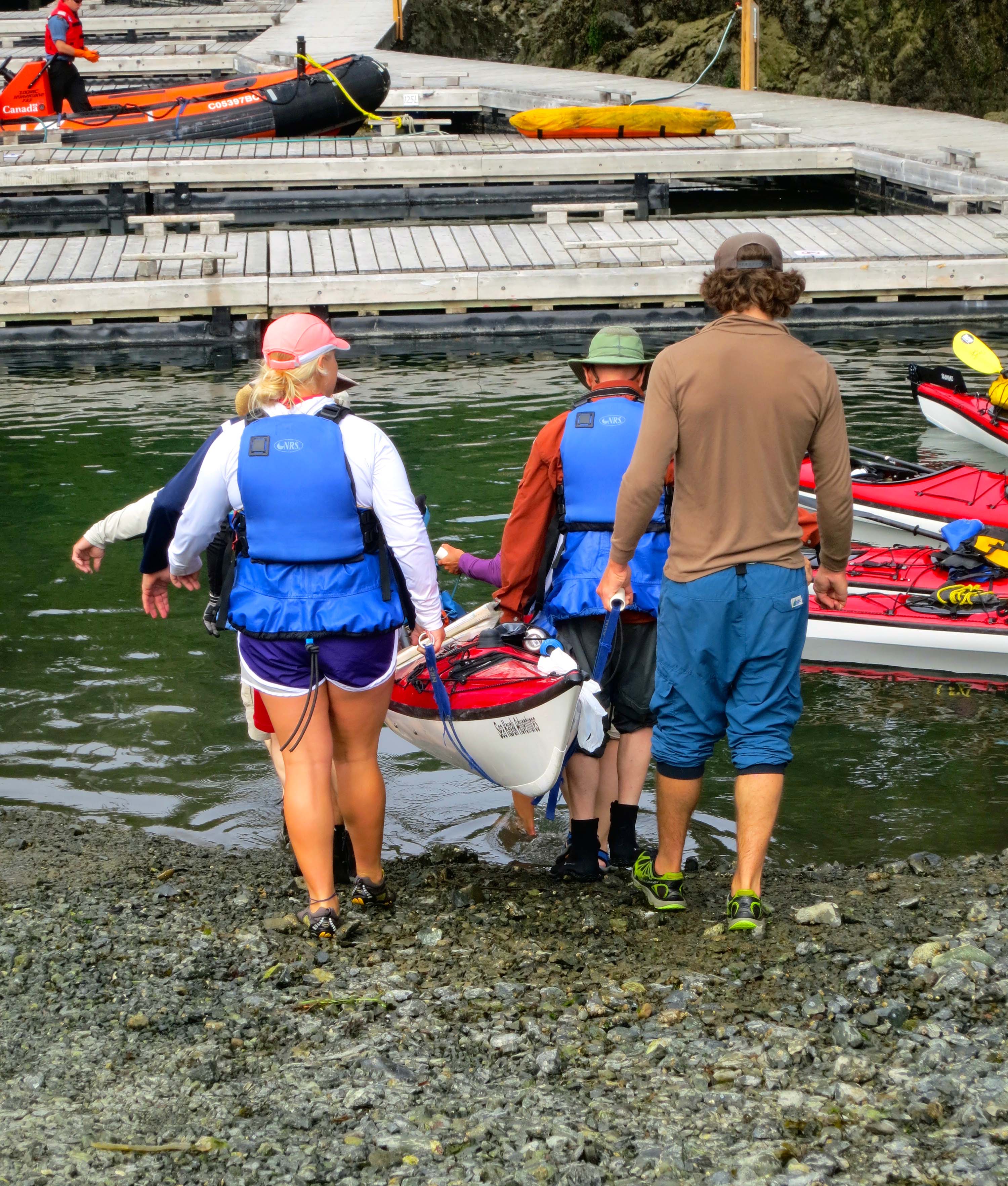
Once our taxis dropped us off at Telegraph Cove, it was time to get busy. There were kayaks to pick, gear to load, life vests to fit, and last-minute instructions, such as which side of our paddle was up.
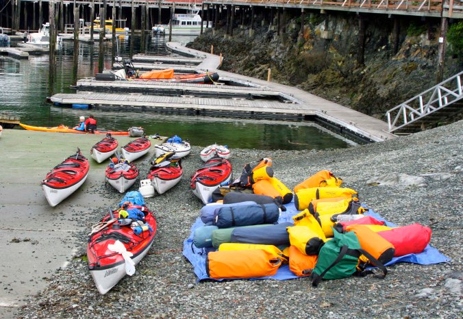
Our guides, Julia, Nick and Quy, had been up before dawn getting ready for us. Kayaks, life vests, and sleeping pads were waiting. Group gear had already been packed. Our first chore was to pick out our kayaks. (Photo by Peggy Mekemson.)

The white boats are more stable, the guides told us. Being the oldest, David, Edie, Peggy and I decided we could use the most stability. What we failed to think through was that the white kayaks were also the largest, the heaviest, and carried more of the group gear.Translation: they would be slower and harder to row.

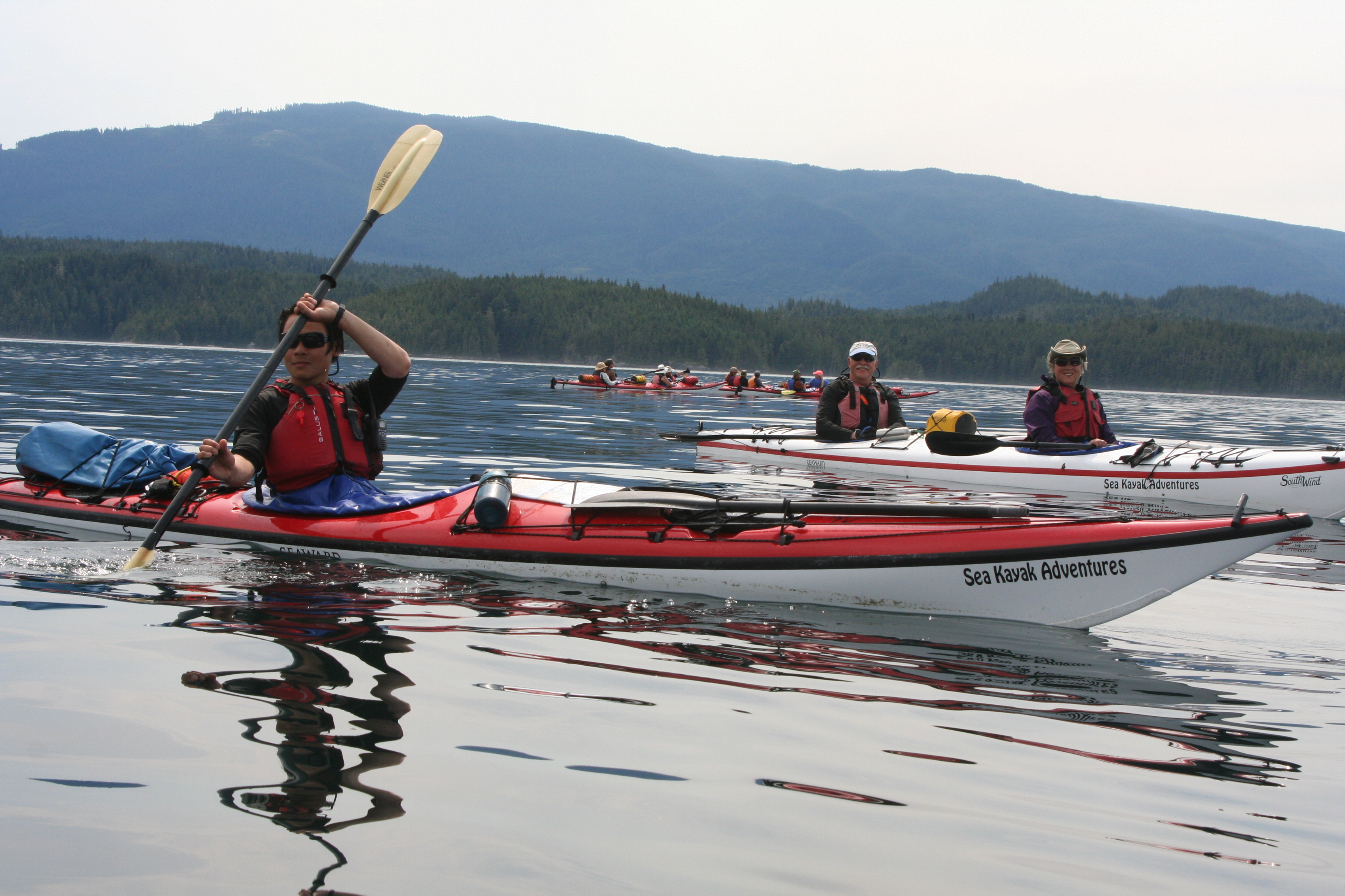
And then the moment arrived. It was time to put our kayaks in the water and start paddling. Put in and take out were always a group effort.
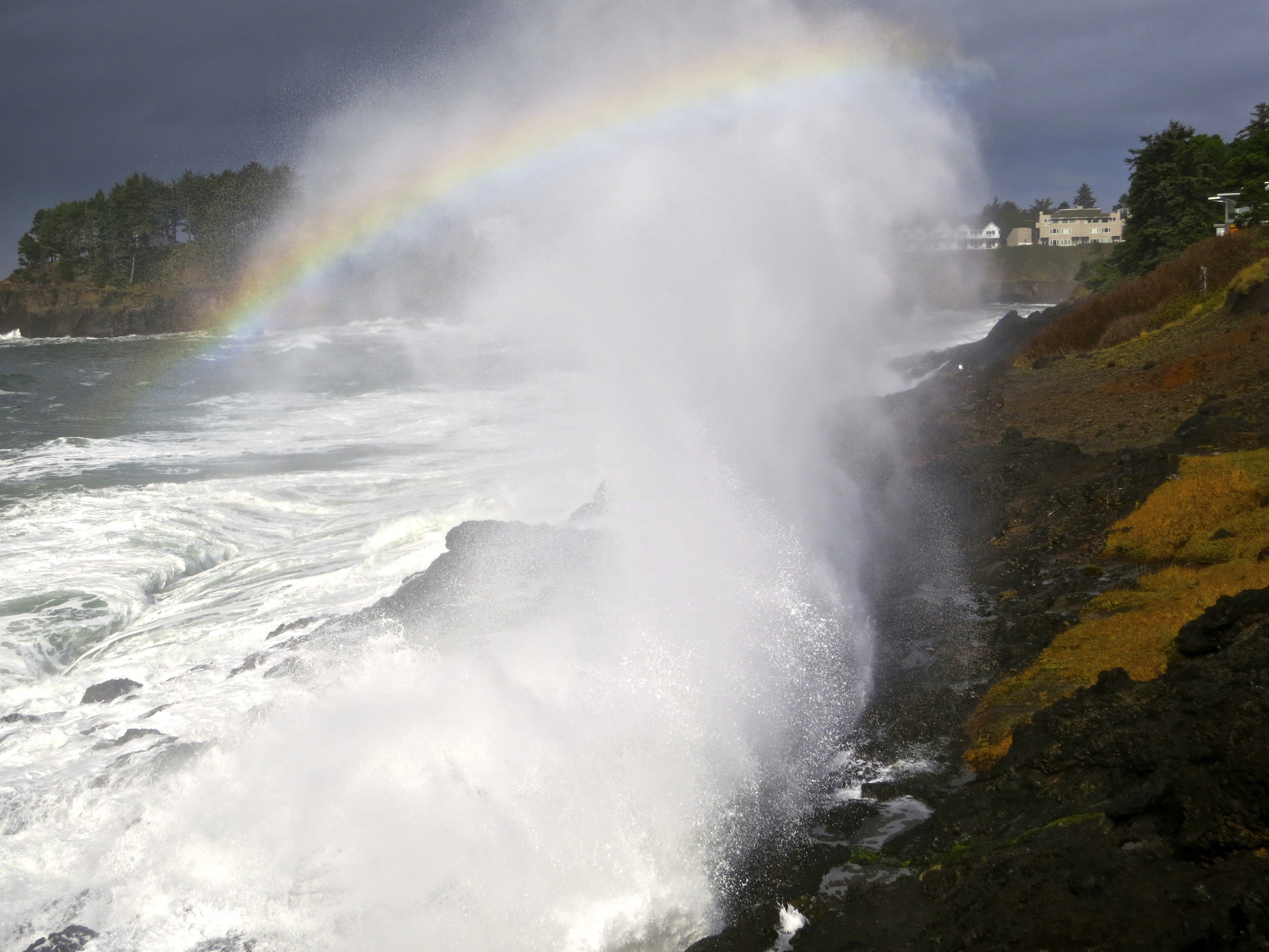
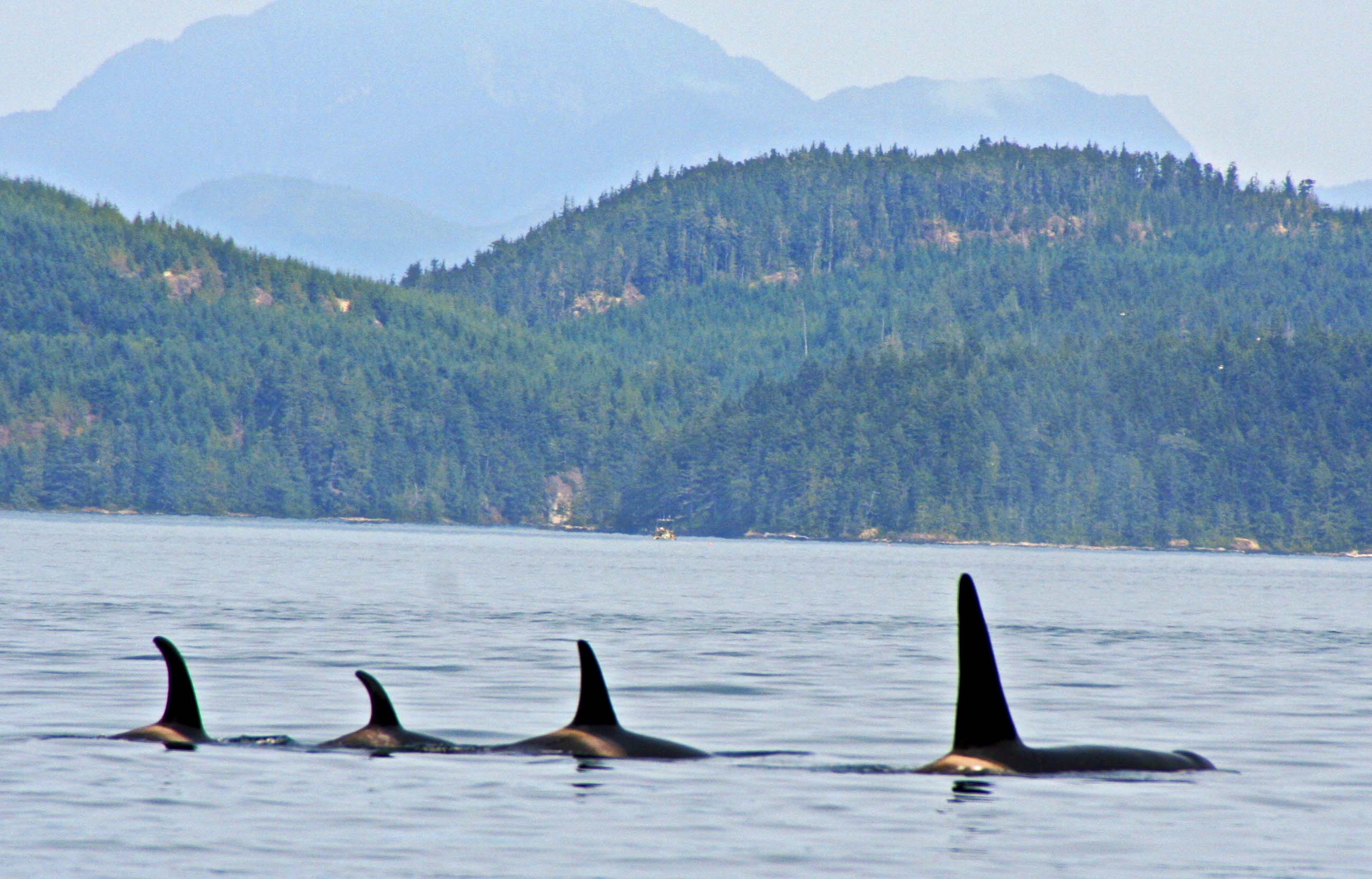
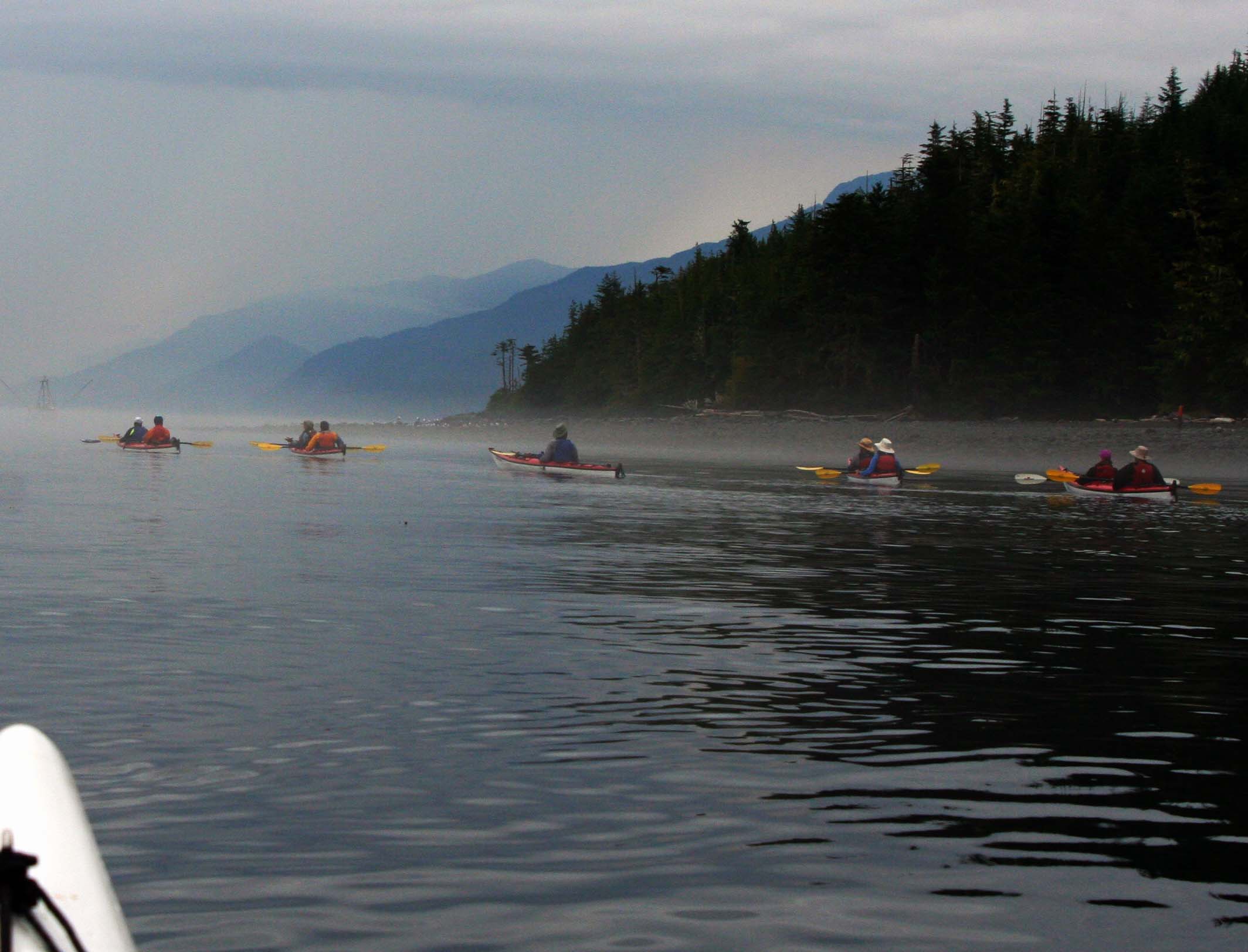
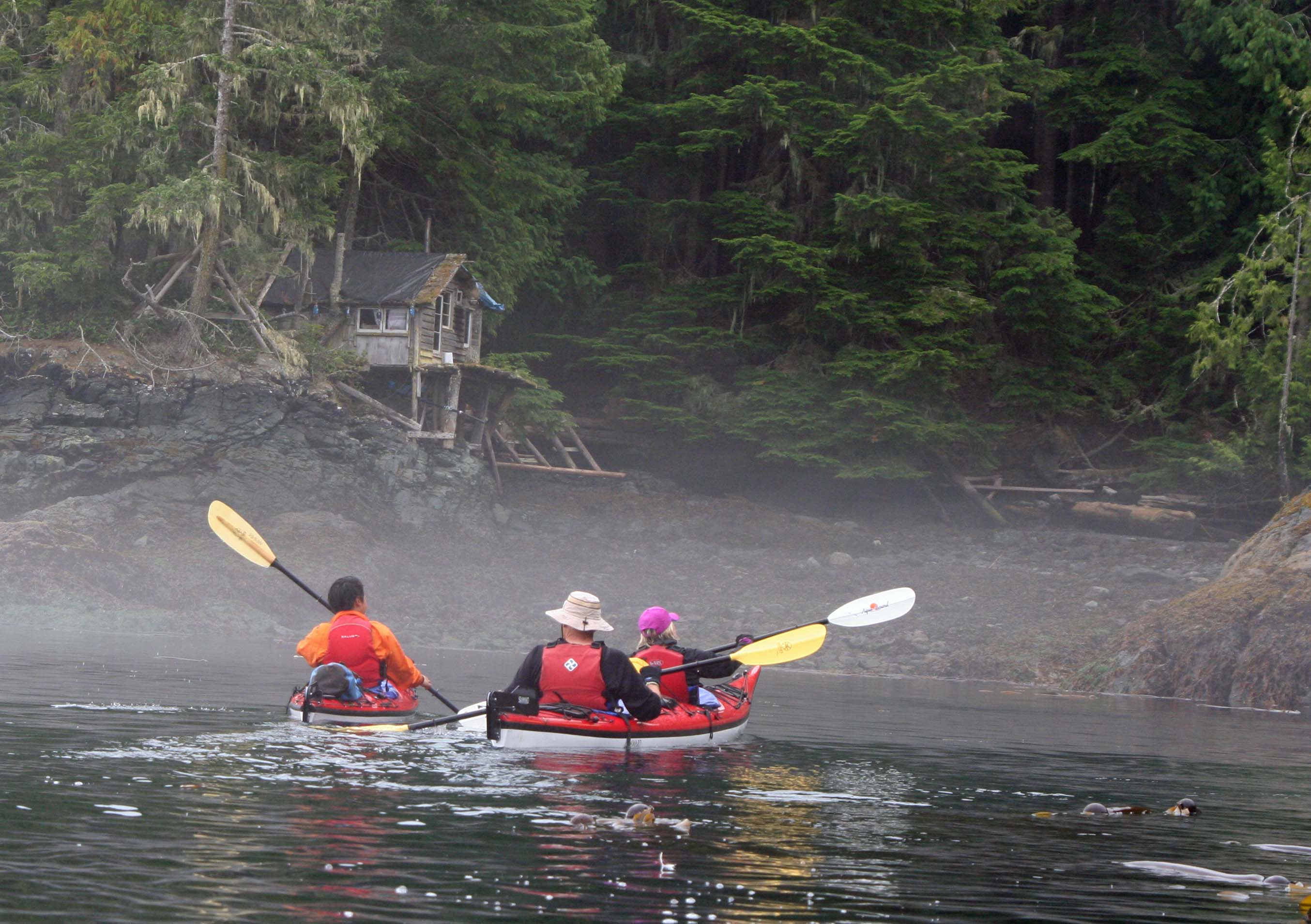
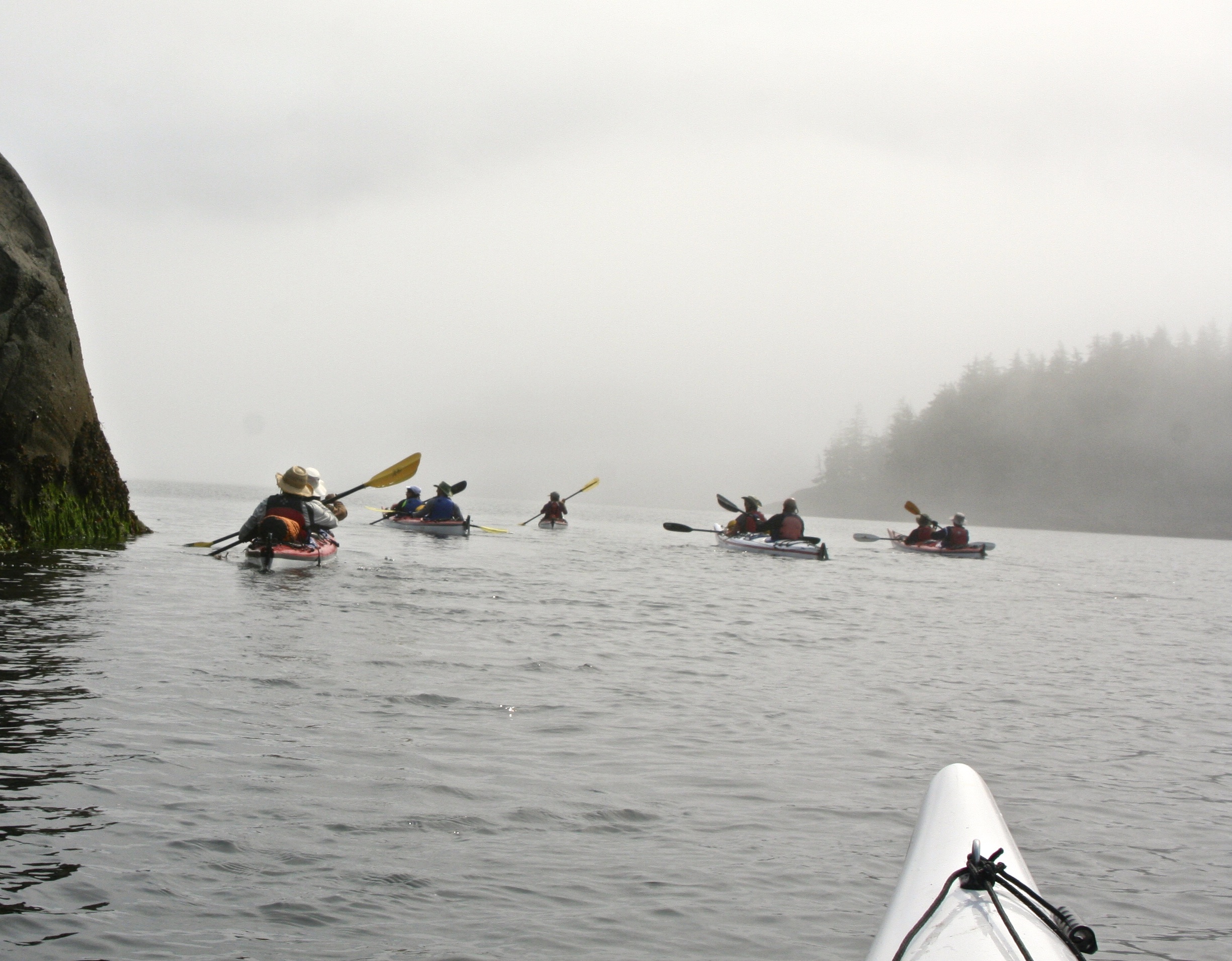
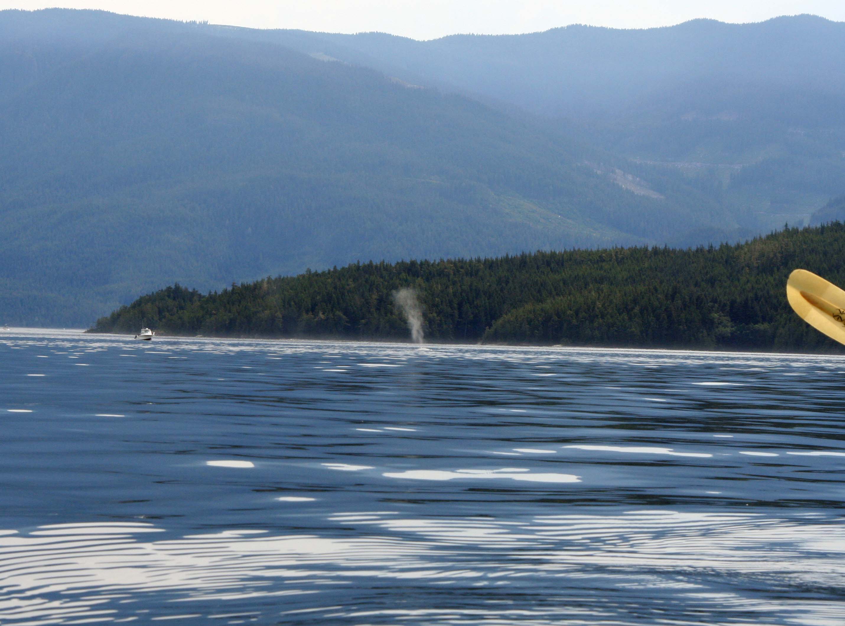
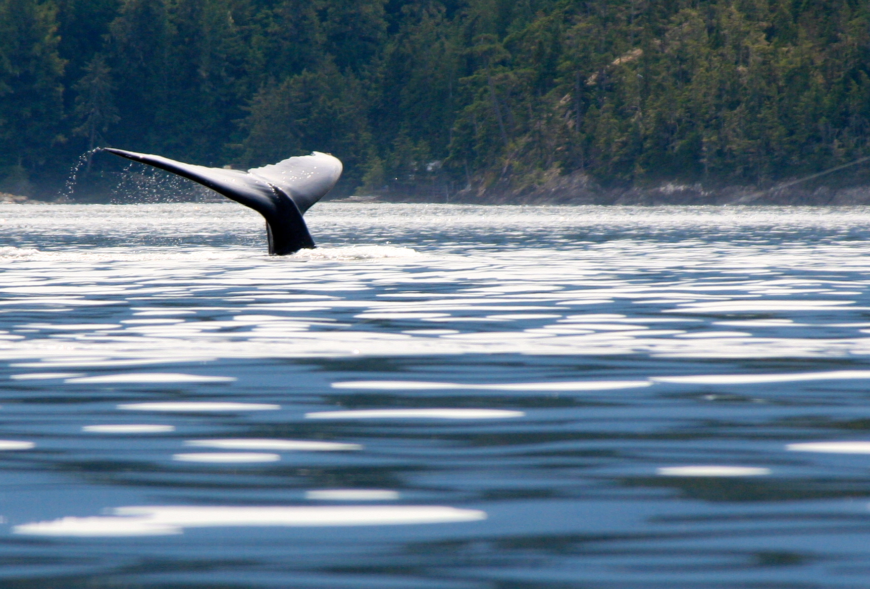
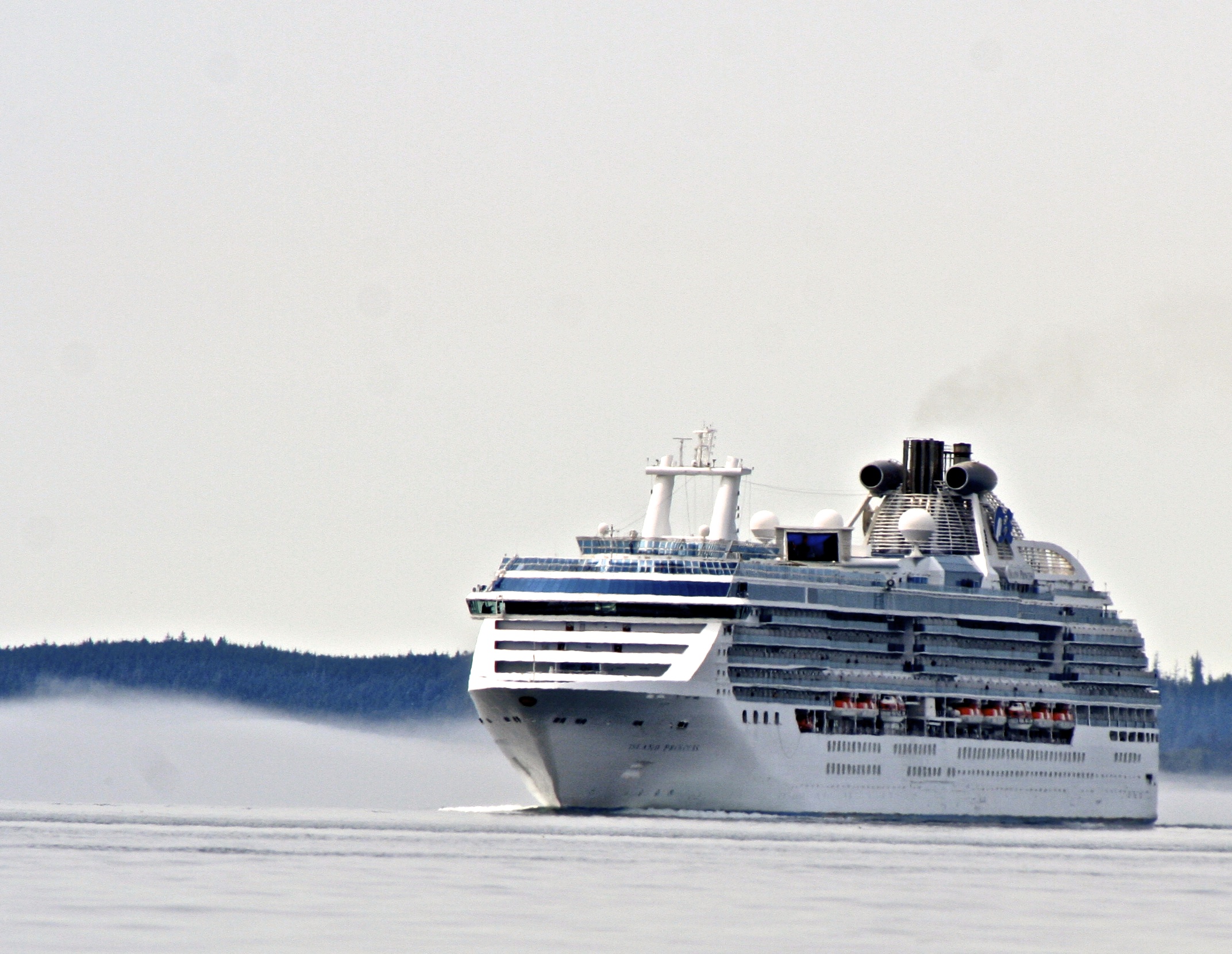
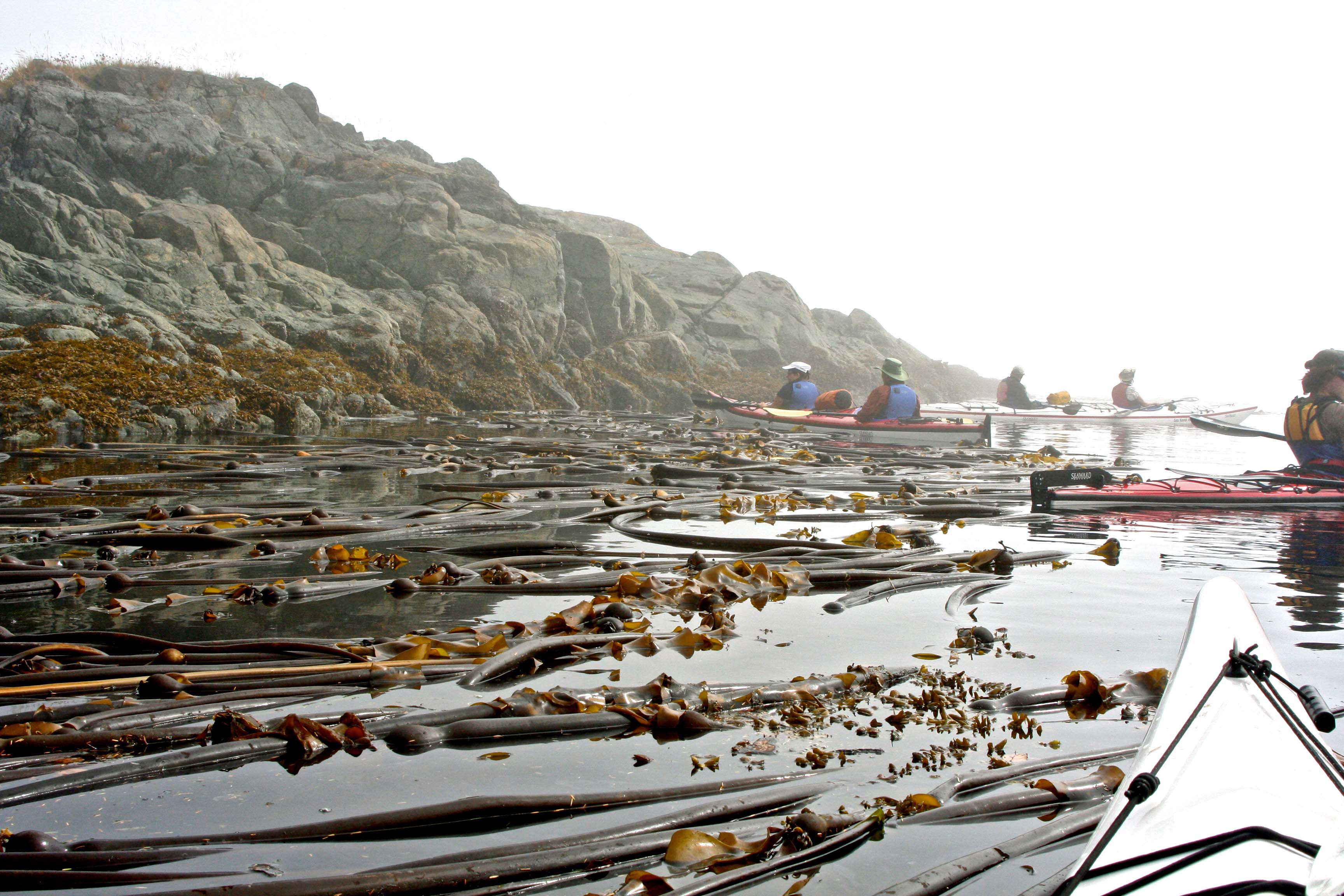
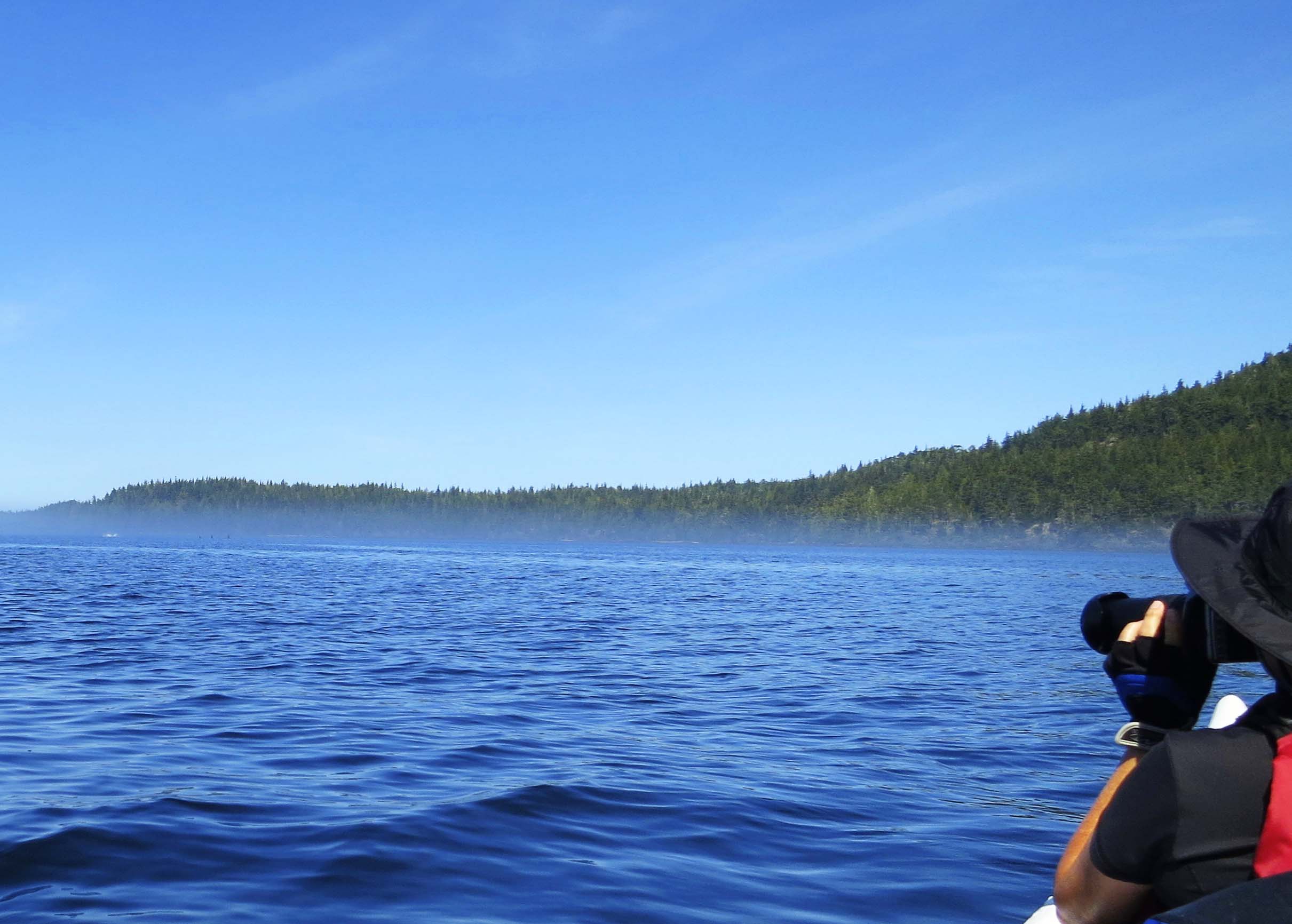
Heavy fog hung over Johnstone Strait and along the shore. We moved slowly, keeping each other in sight and waiting for the fog to clear. Large boats, including cruise ships, use the Strait. You want to be damn sure you can see them— and that they can see you. At one point, Nick, who was on rear guard duty, decided my seat needed adjusting. I was too laid back. By the time the adjustments were made, the other kayakers had disappeared into the fog. They waited patiently. We stopped and had a leisurely lunch. Then the sky turned a bright blue and we were off across the Strait. Orcas were waiting.
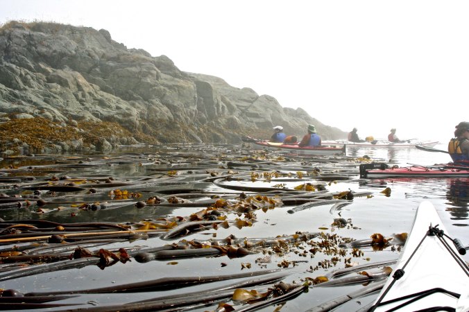
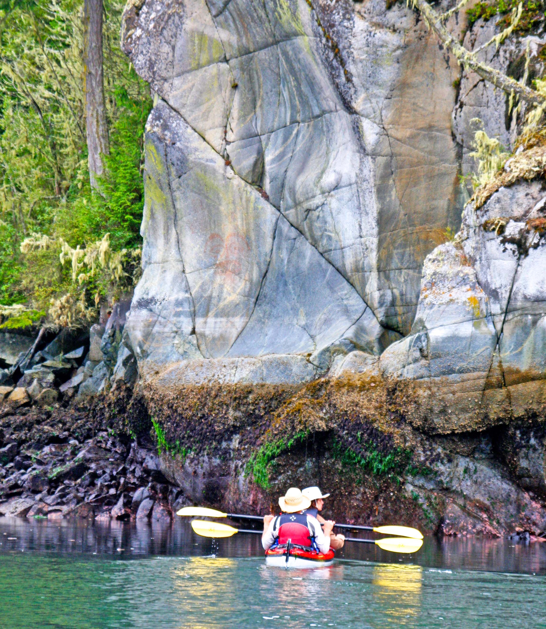
Kelp beds and fog slowed us down. Here, we maneuvered our way through the kelp. Some of our group had almost disappeared into the mist— and they weren’t that far away. (Photo by Peggy Mekemson.)

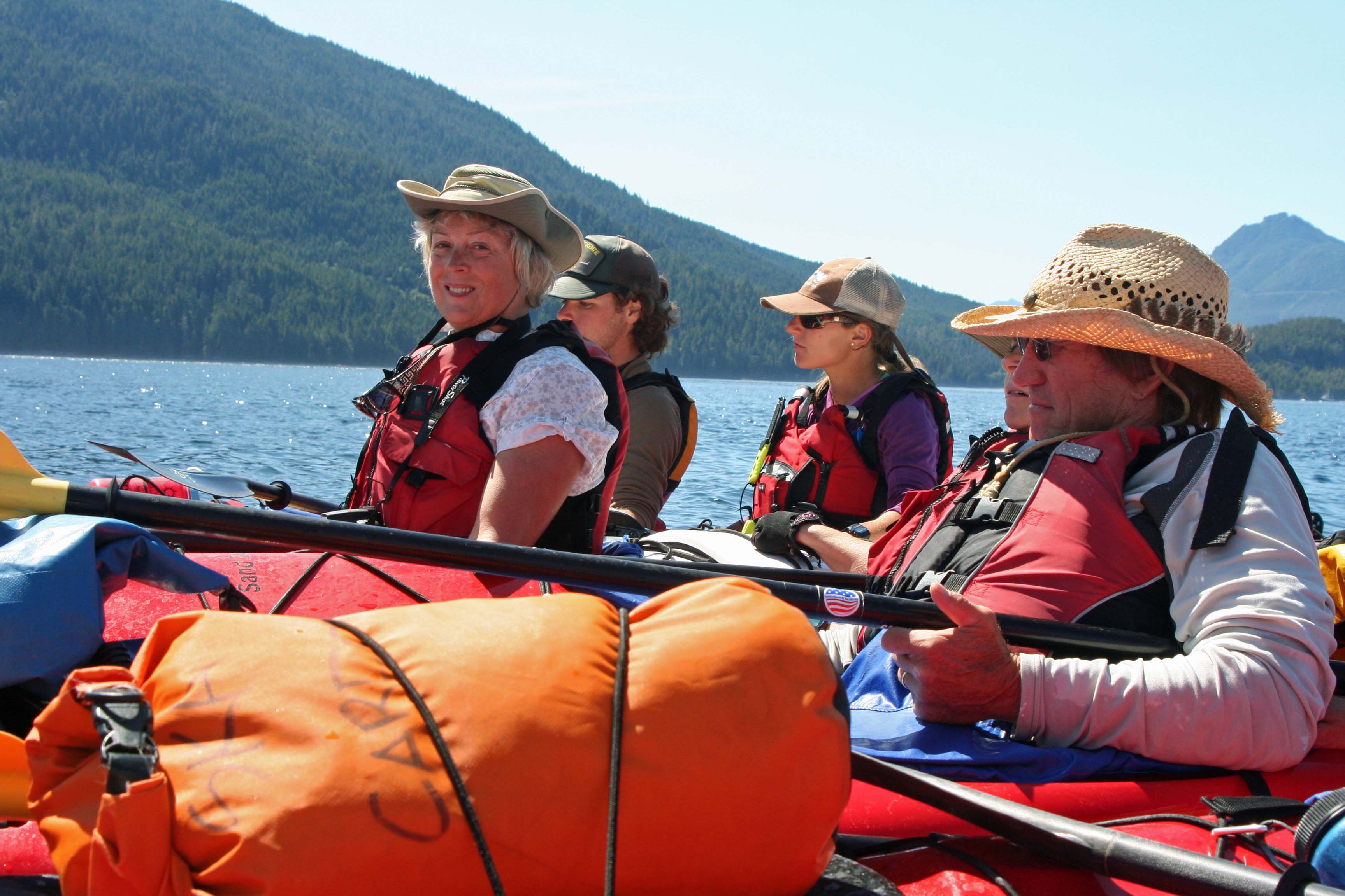
Working our way along Vancouver Island, Julia decided to stop for lunch and wait the fog out. The bright sun was already creating a patch of blue.

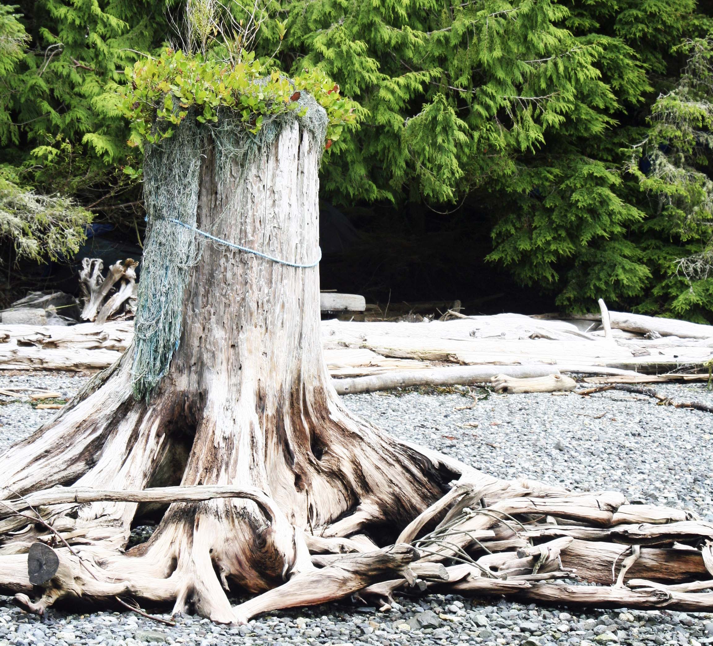
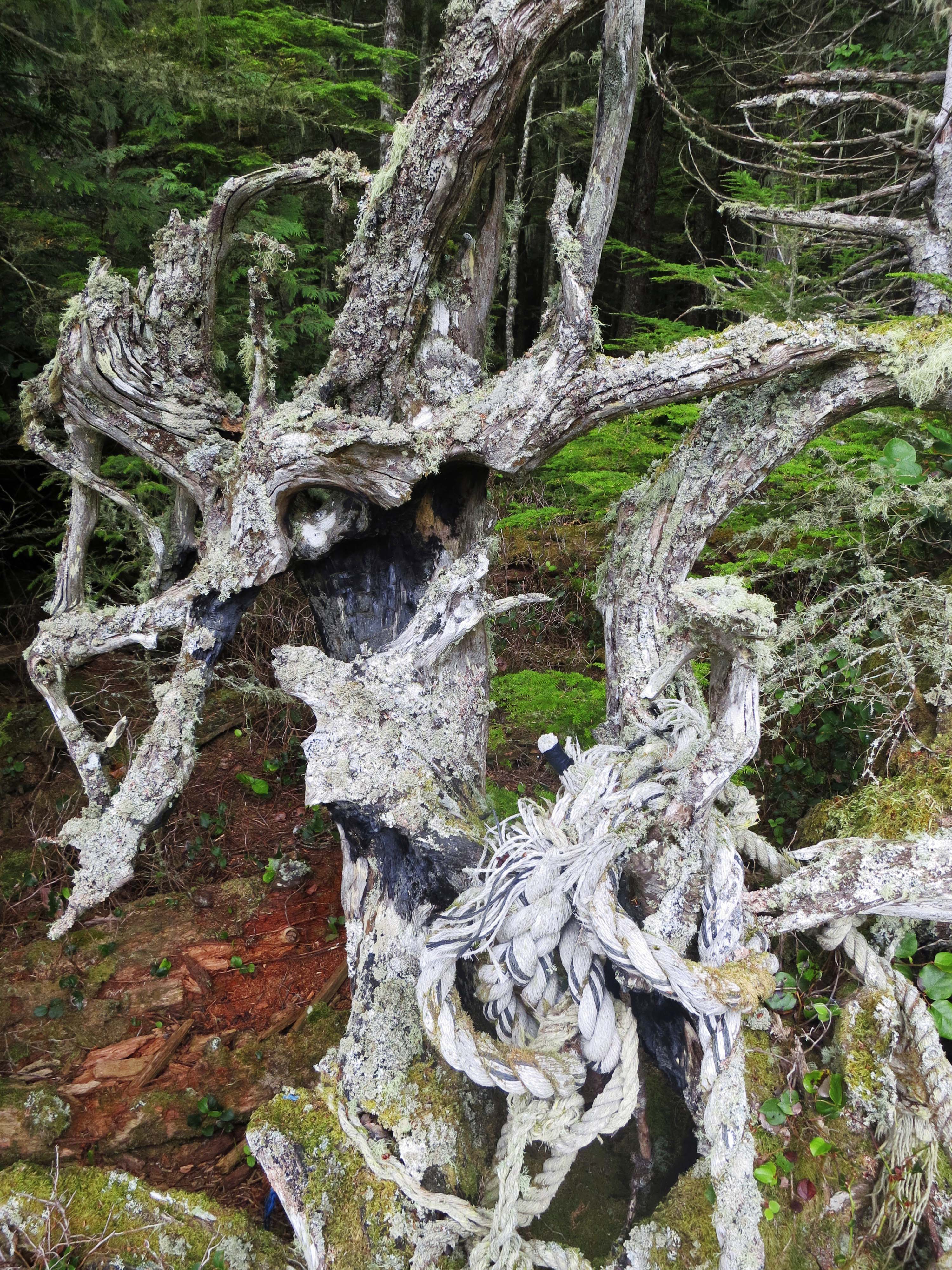
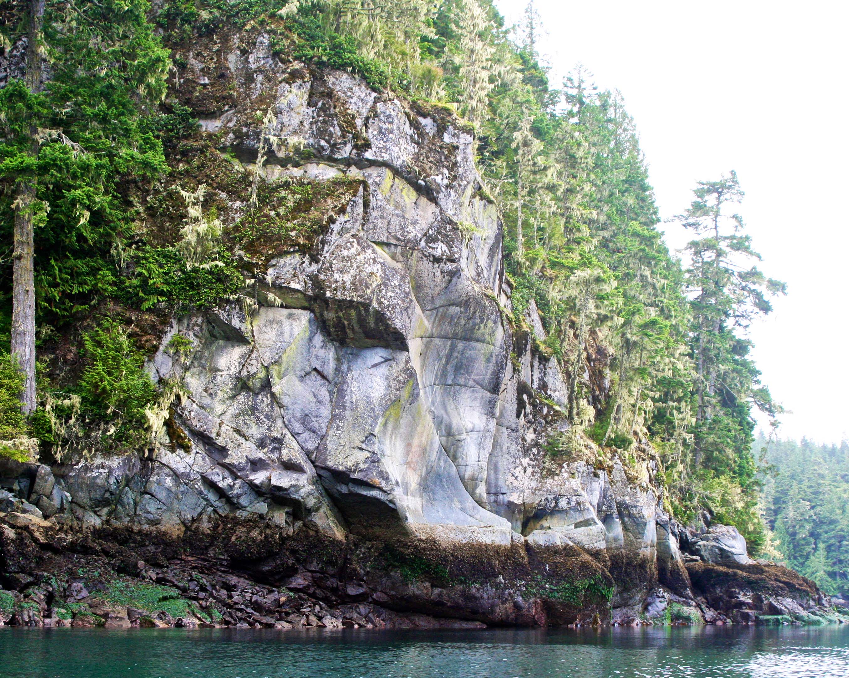
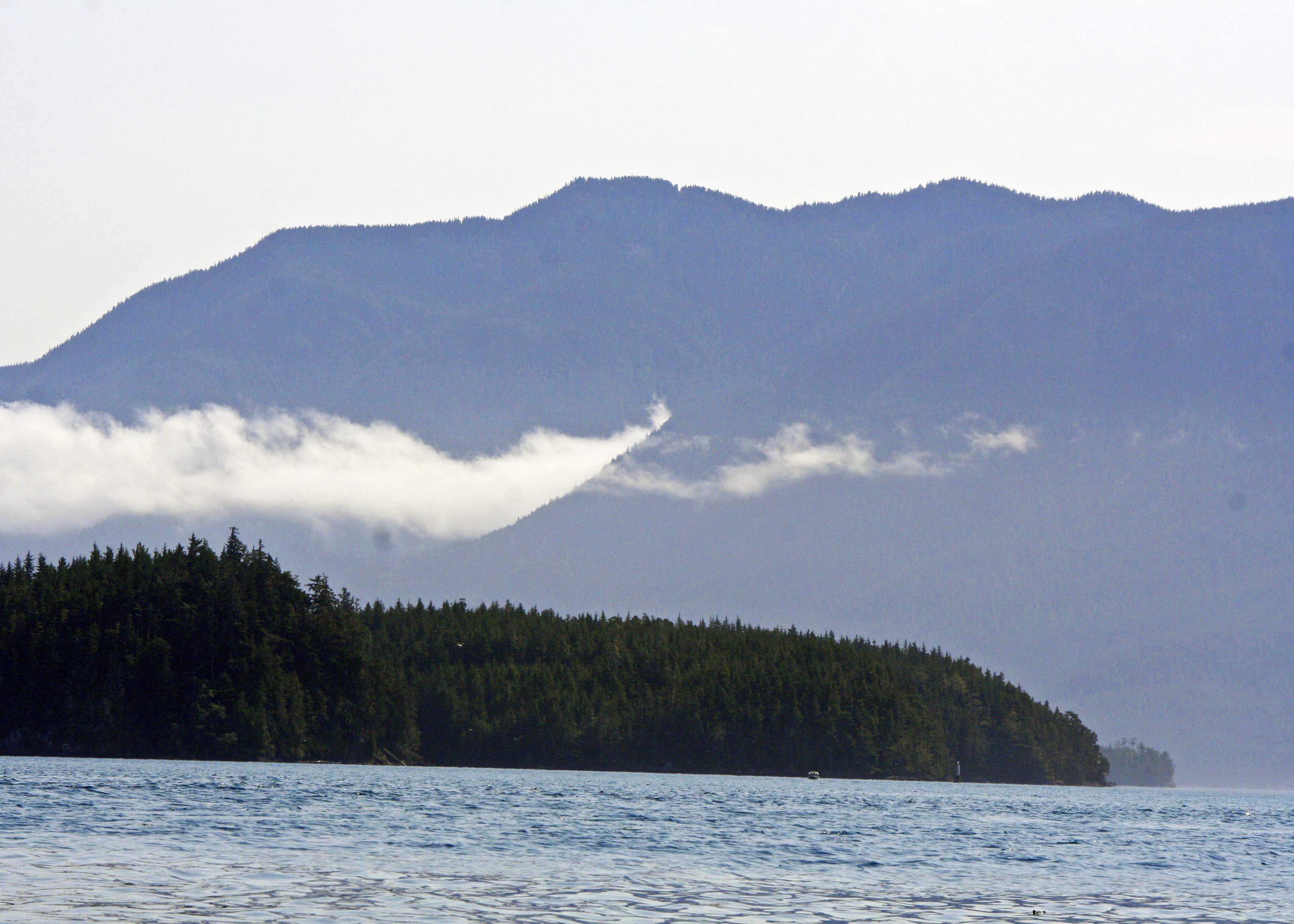
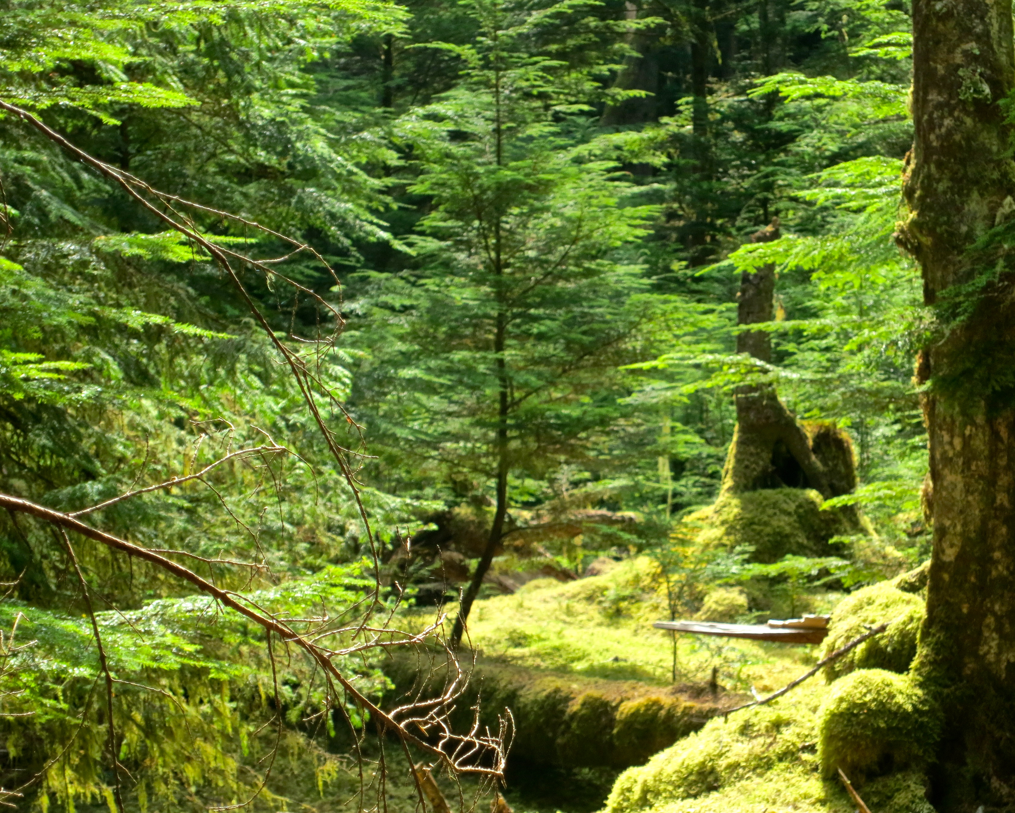
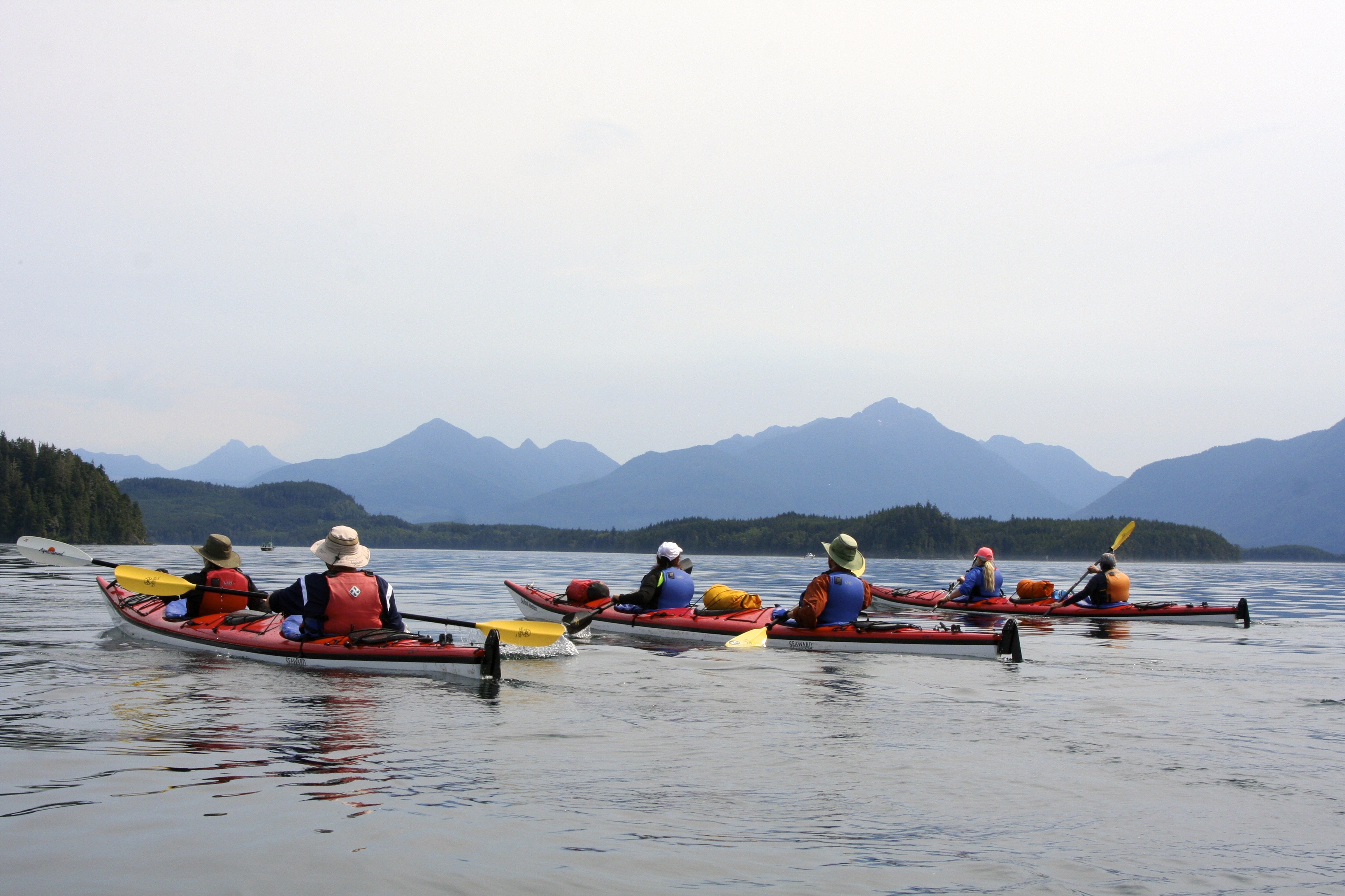
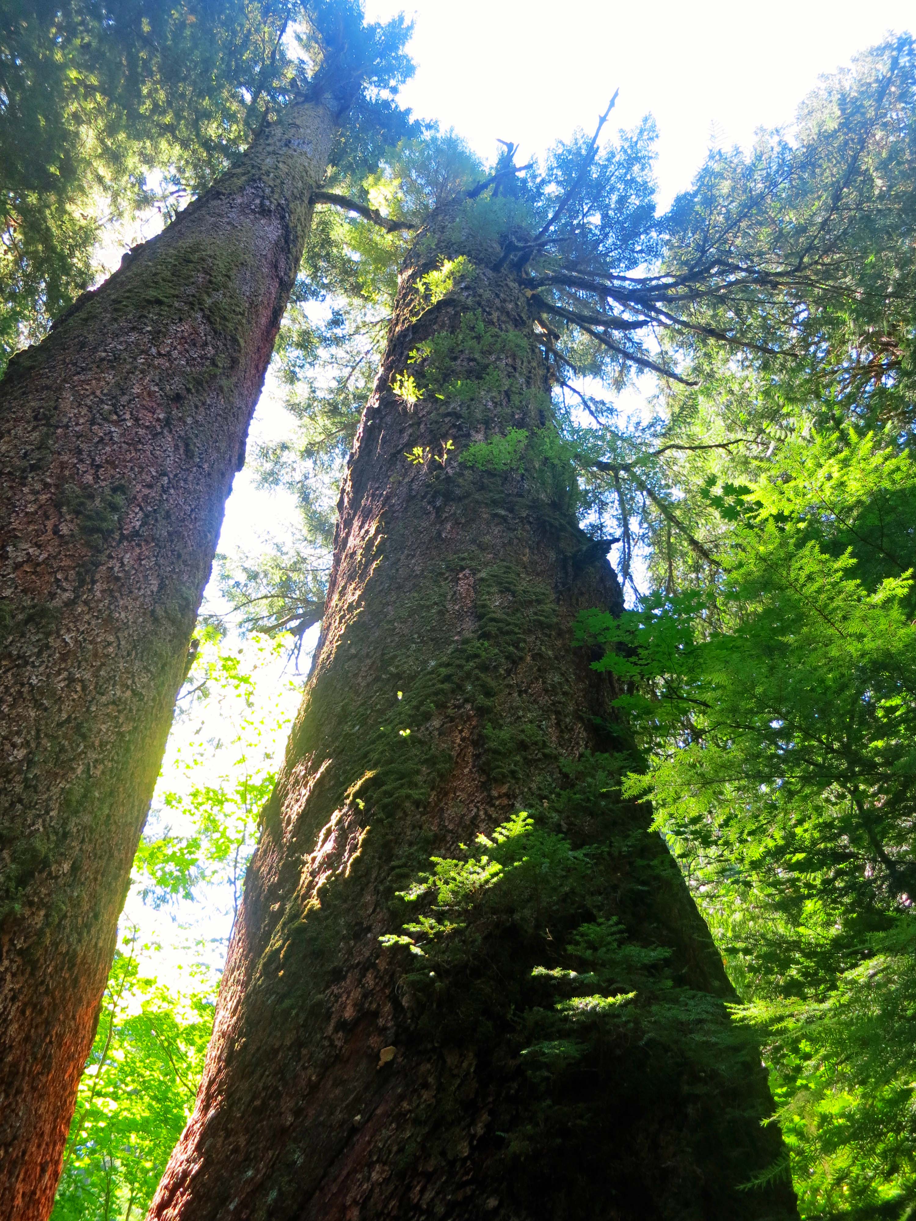
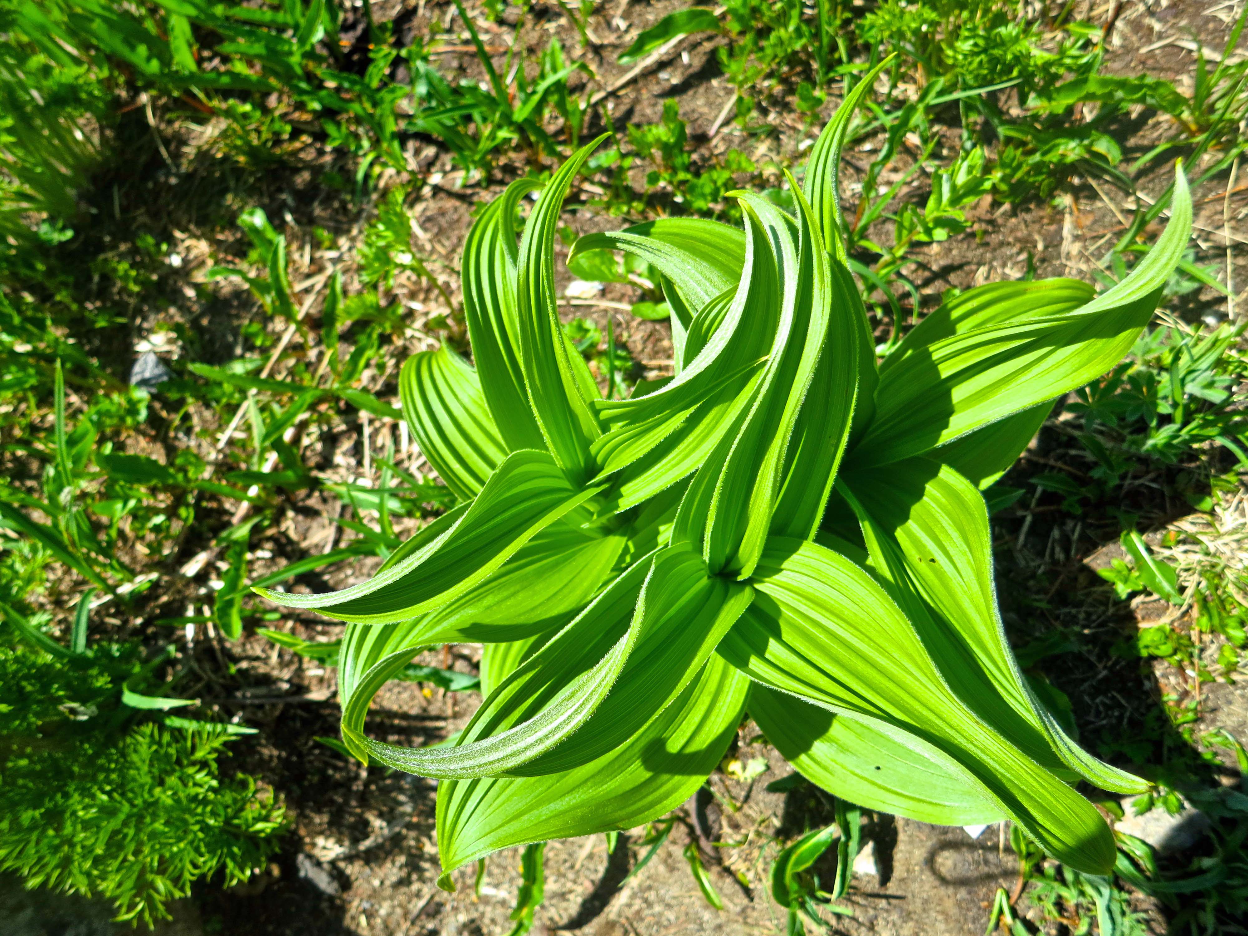
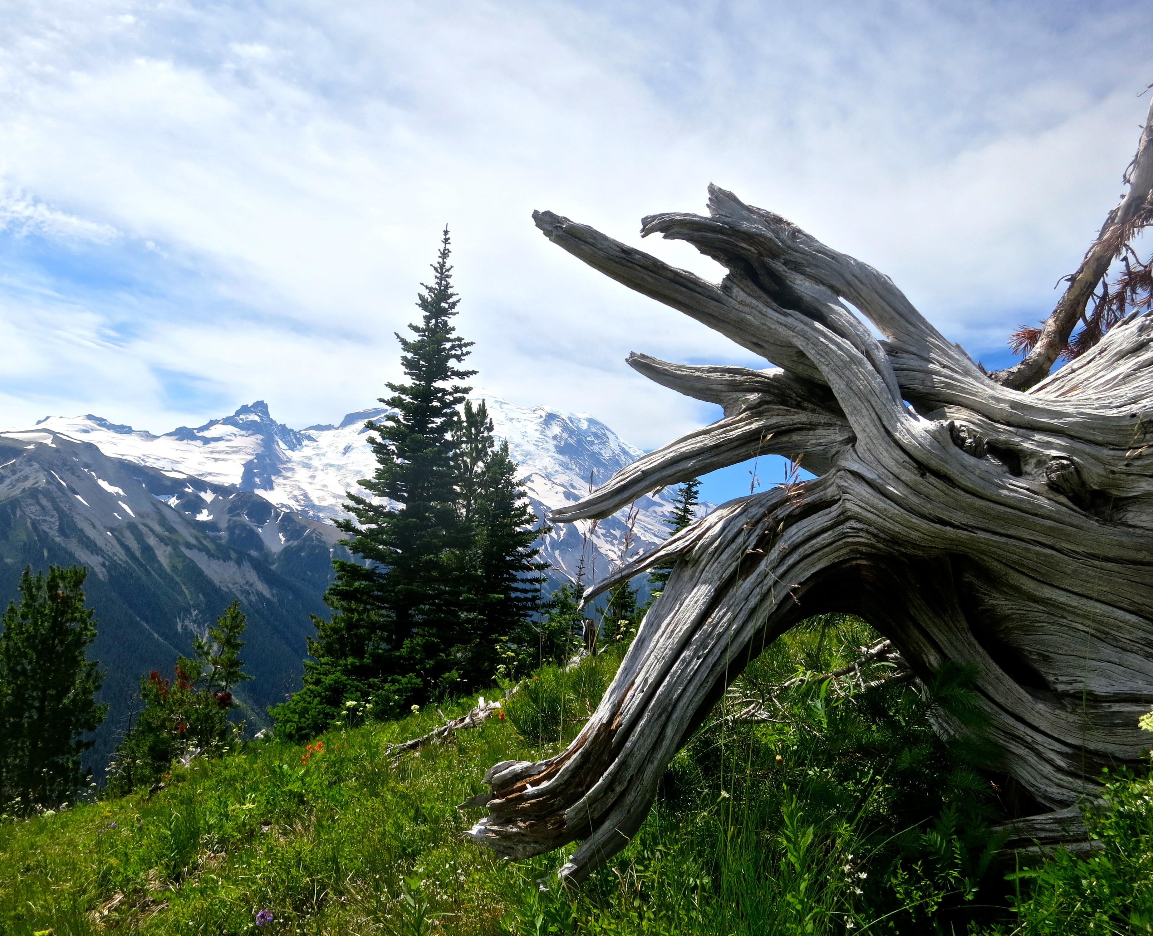
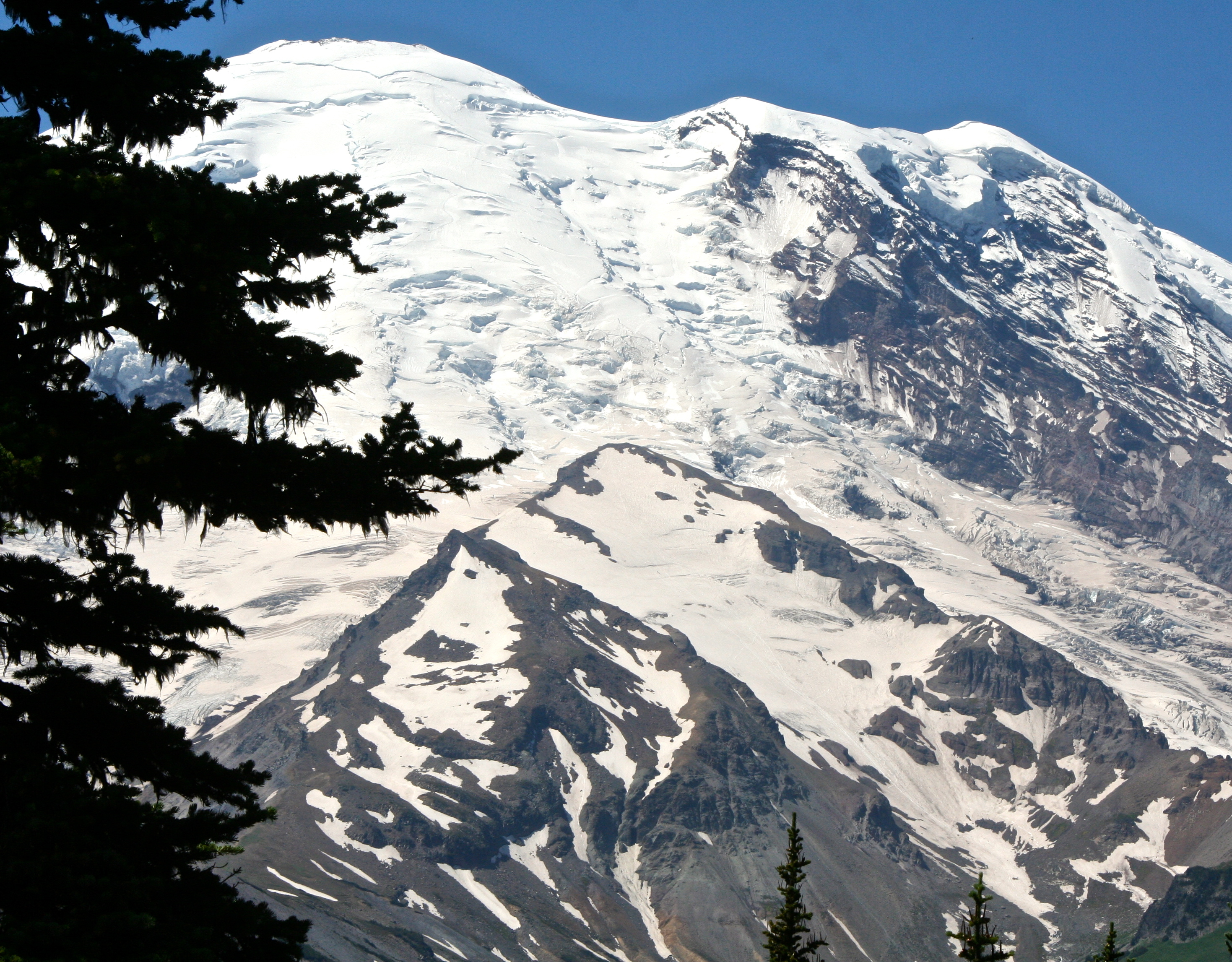
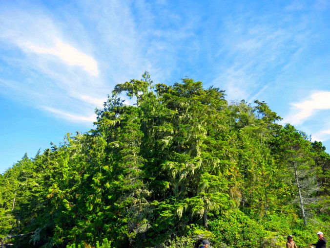
Everywhere we went, the beauty of the forests matched the beauty of the waterways.

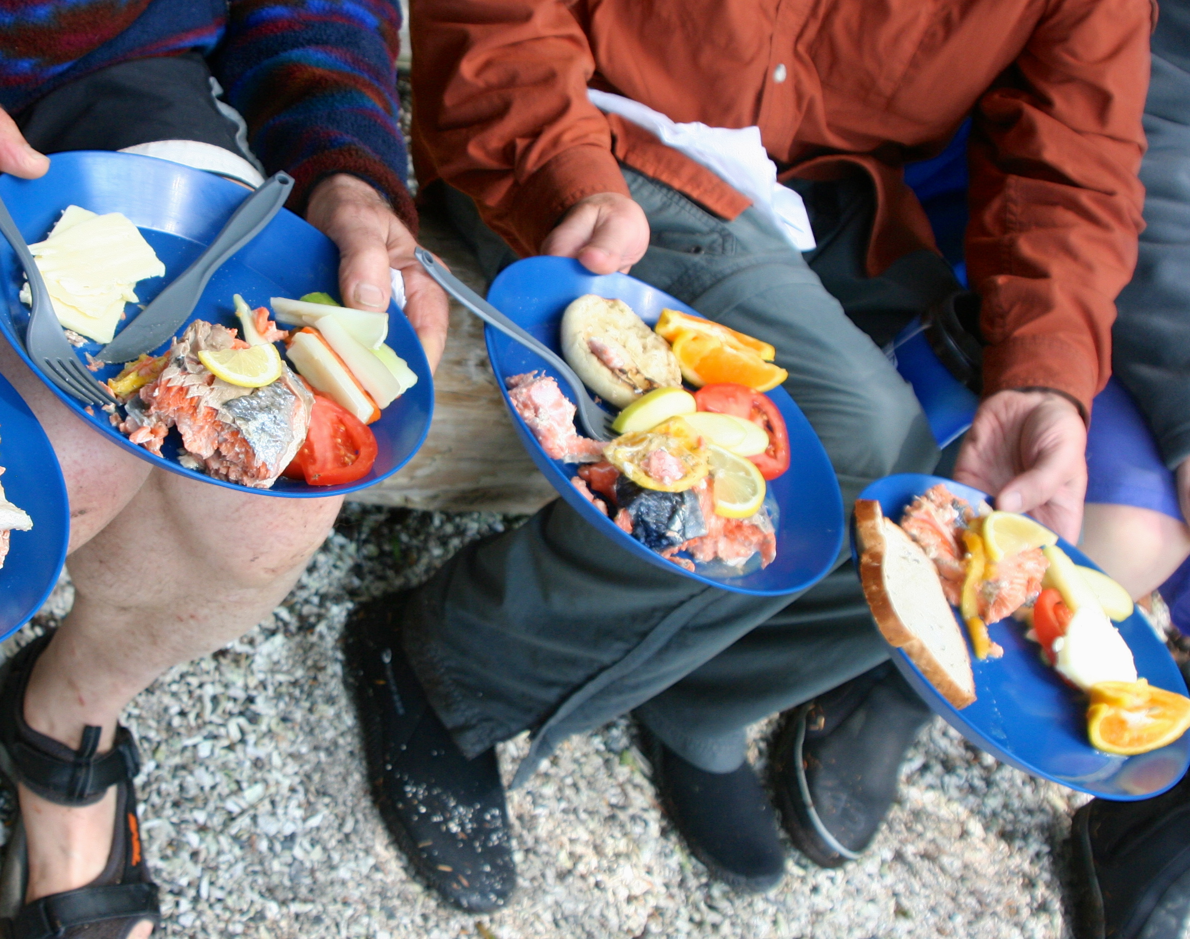
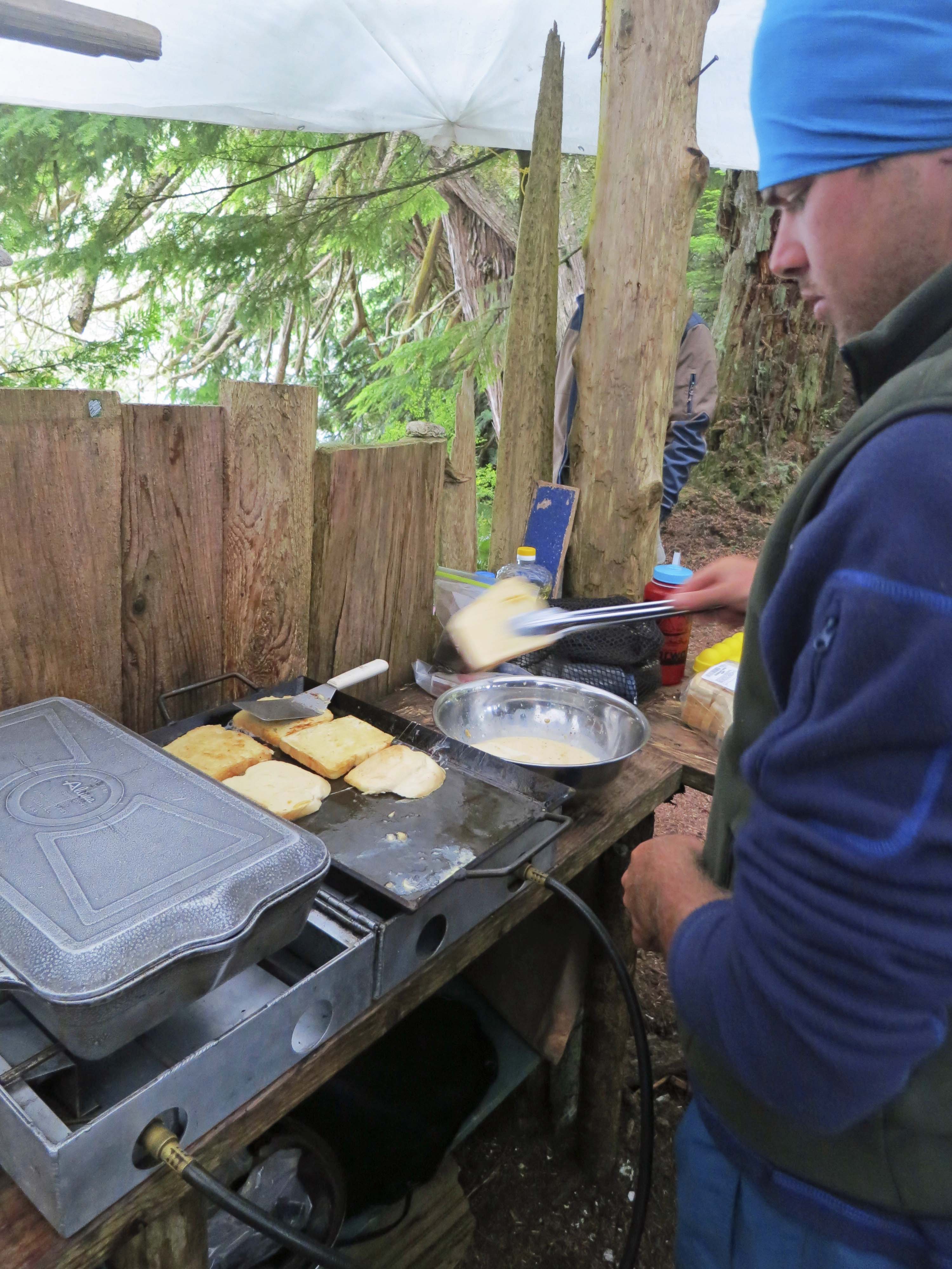
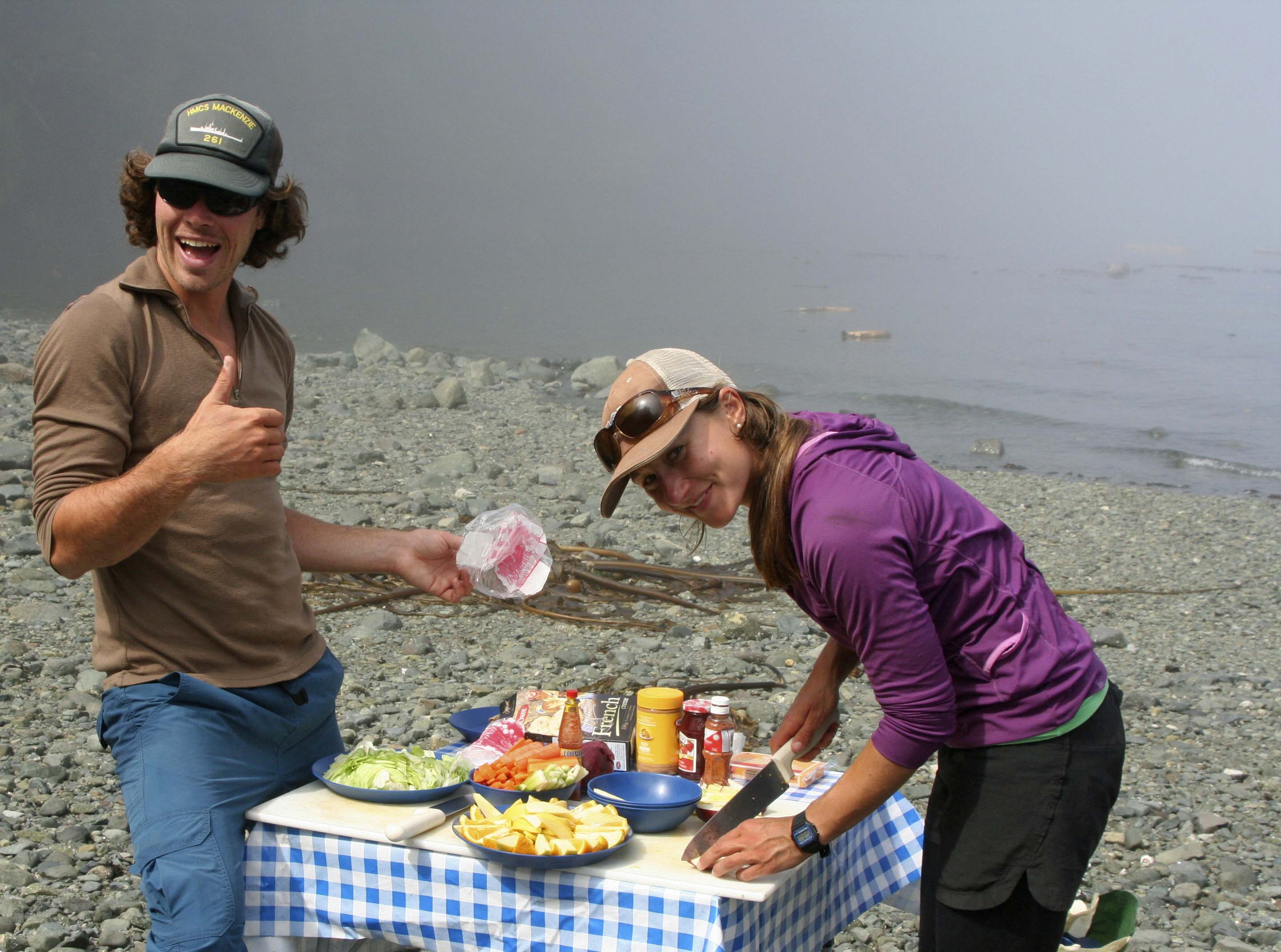
“Come and get it.” Julia and Nick announced that lunch was ready. (Photo by Peggy Mekemson.)
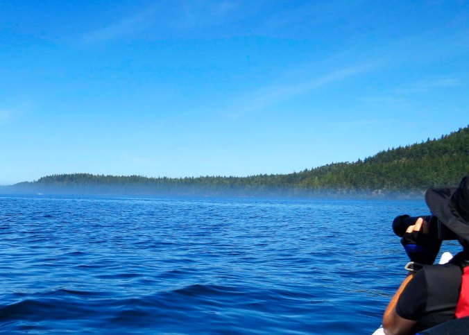
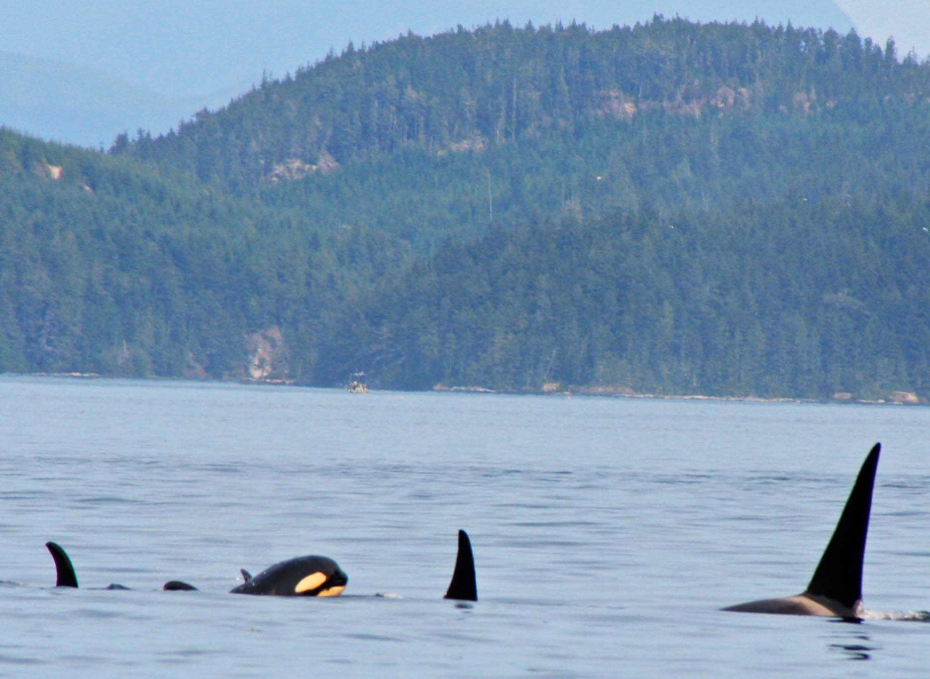
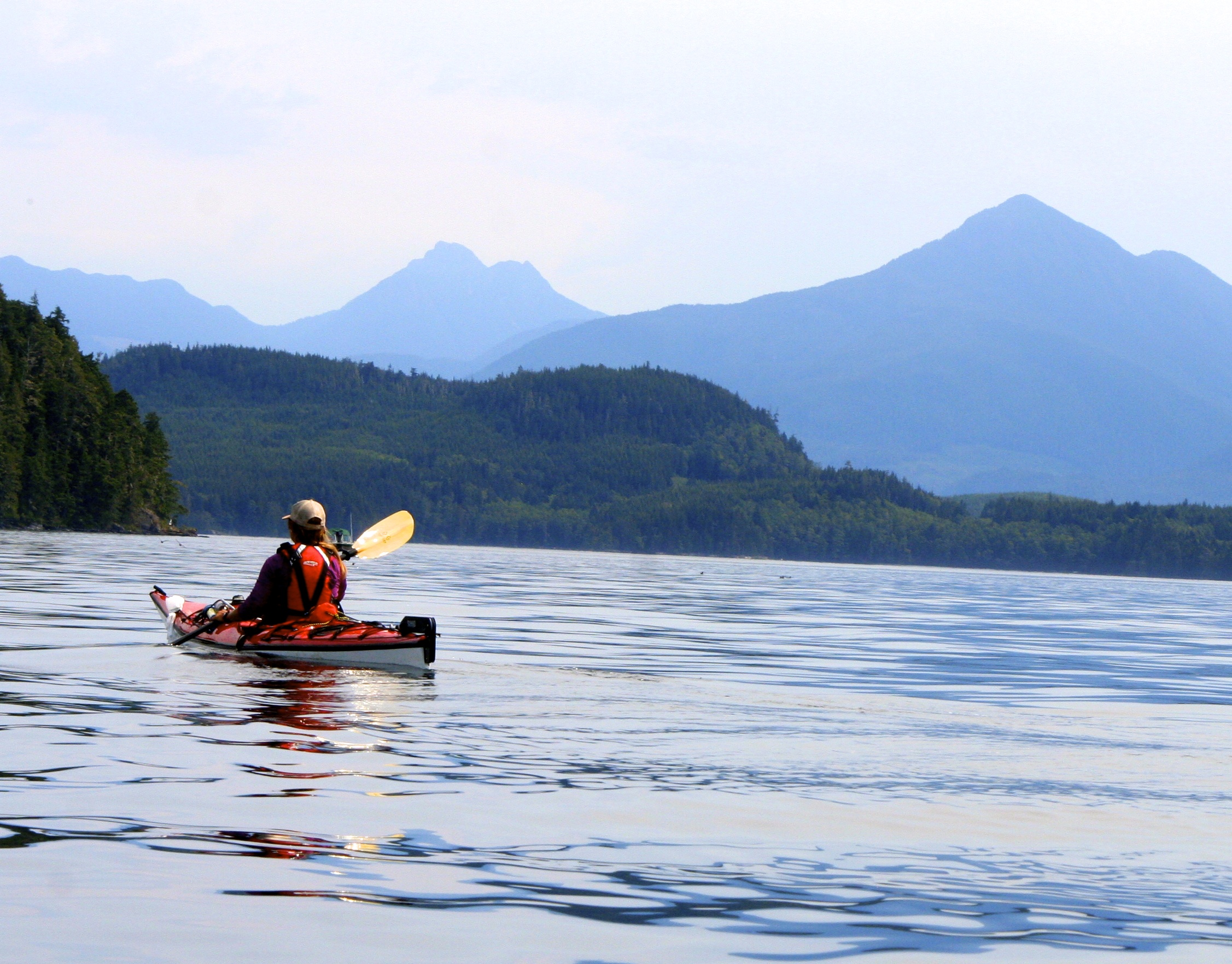
With lunch over and the fog lifted, we made our way across Johnstone Strait. Peggy searched the water for orcas/killer whales.

The distinctive whoosh made by a whale when it surfaced and blew caused our group to raft up, where we held on to each other’s kayaks. Edie gave us a smile while we waited, hoping to catch sight of the whale. (Photo by Peggy Mekemson.)
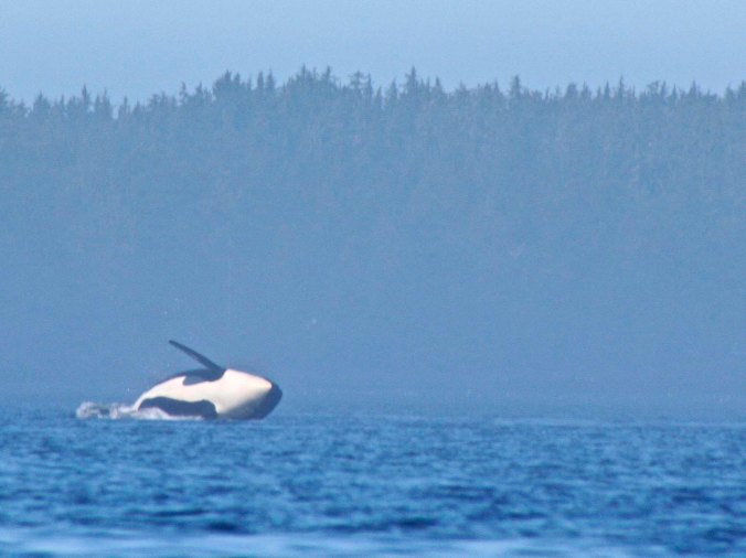
And were rewarded by one breaching in the distance. (Photo by Peggy Mekemson.)
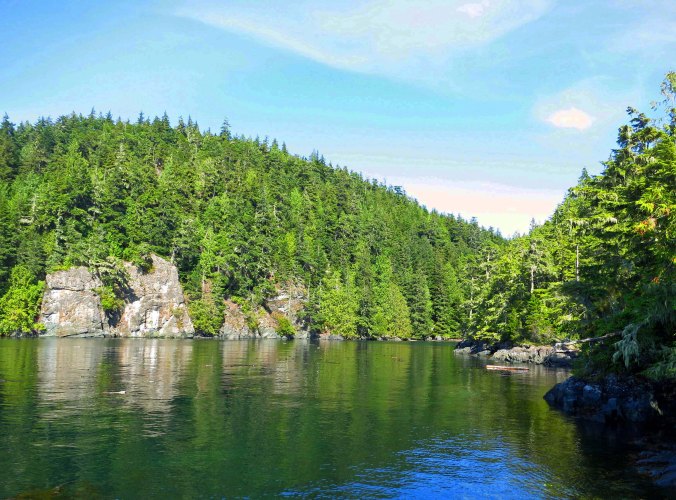
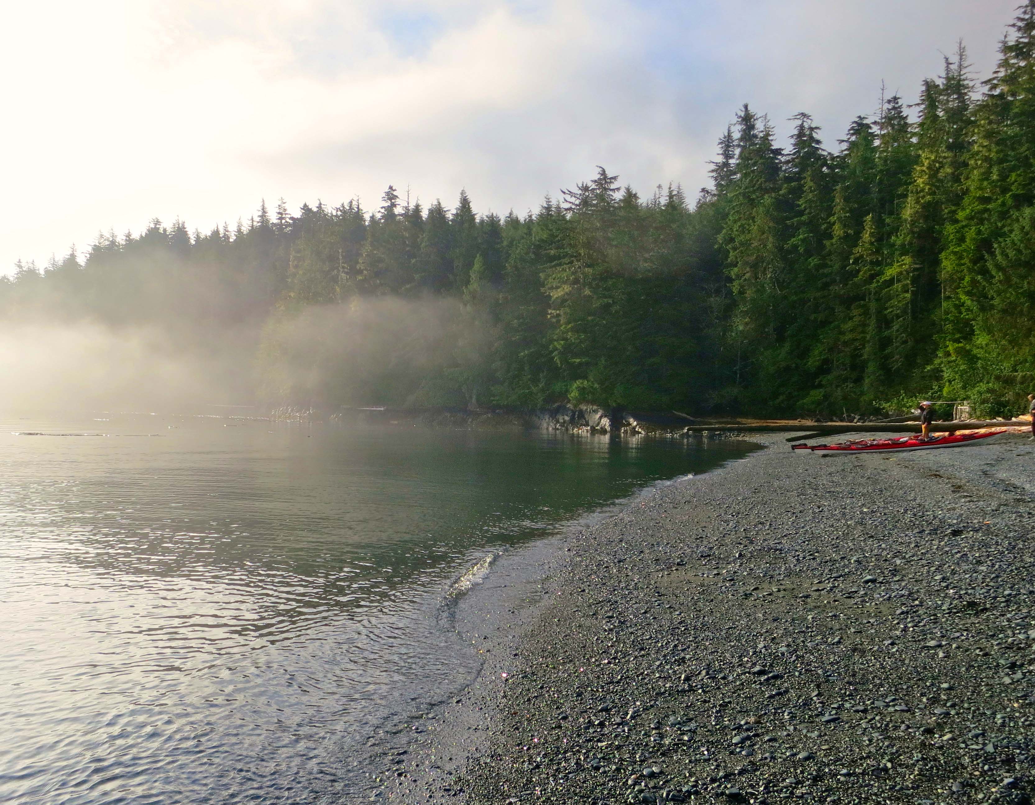
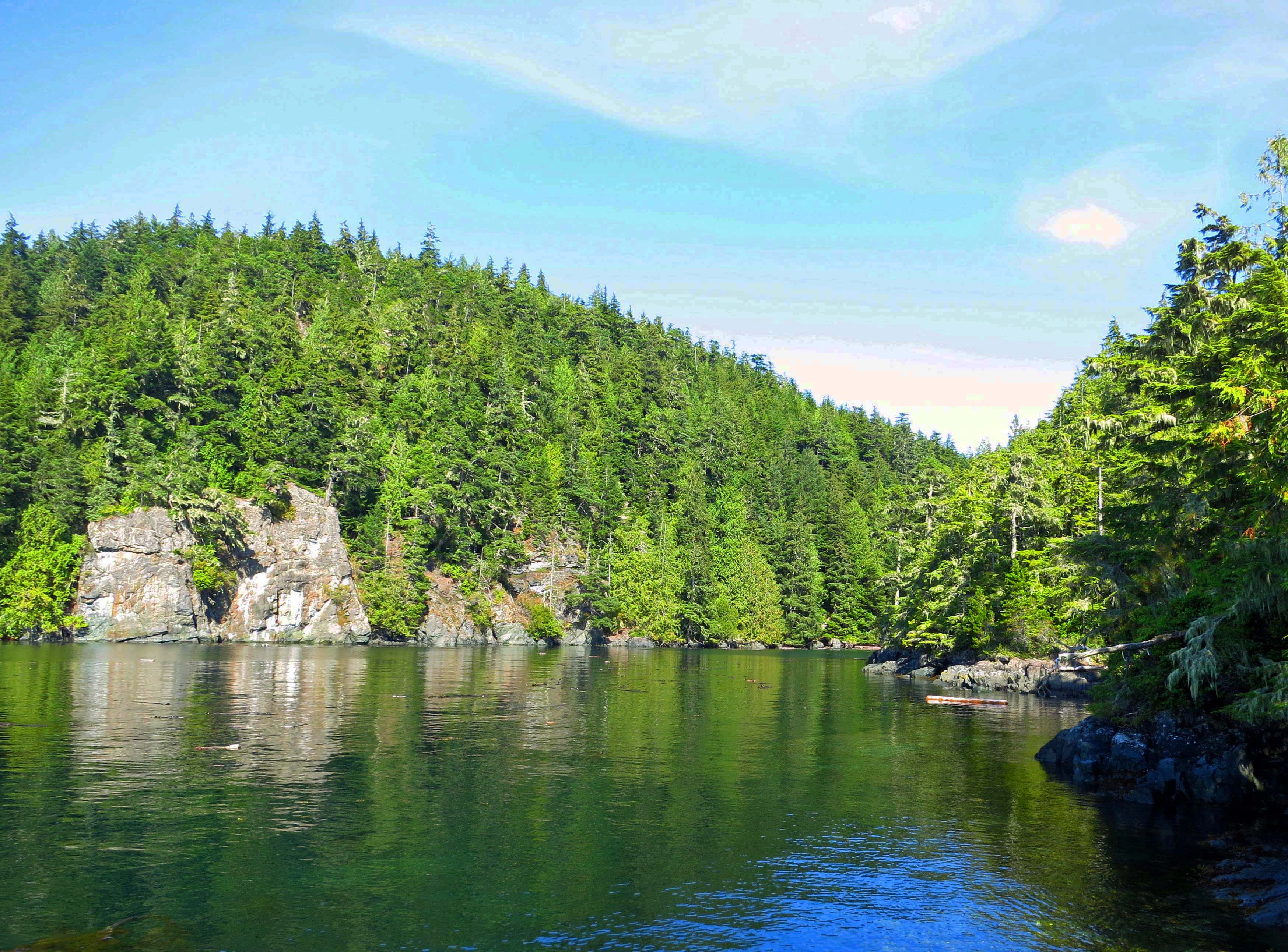
Having also been slowed down by a pod of dolphins, we finally made it to our first night’s campsite on Hanson Island. The camp is to the right of the rocks, back in the cove.
Sea Kayak Adventures leases its sites from a First Nation tribe. Each site is chosen for its beauty and its natural setting. Camps are pre-set up with tents, a cooking area, and a primitive but comfortable and private open-air restroom. We carried our kayaks up into the camping area, selected tents, packed away gear, and then went for a hike. Afterwards it was time for cocktail hour and dinner. We finished off our evening watching the sunset— and a gorgeous sunset it was.
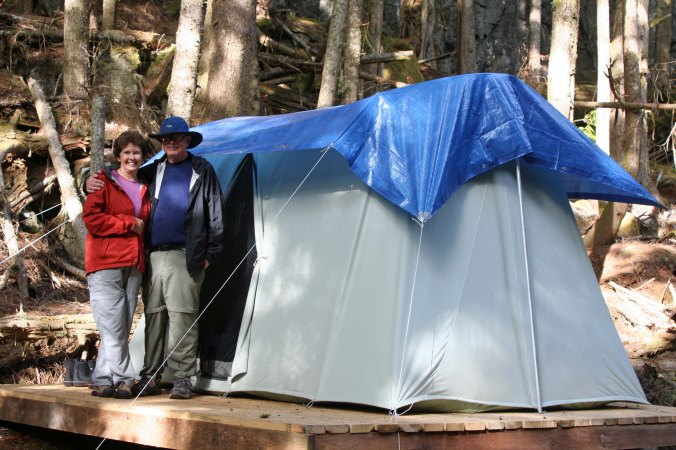
Peggy and I stand next to our home in the woods for the night.
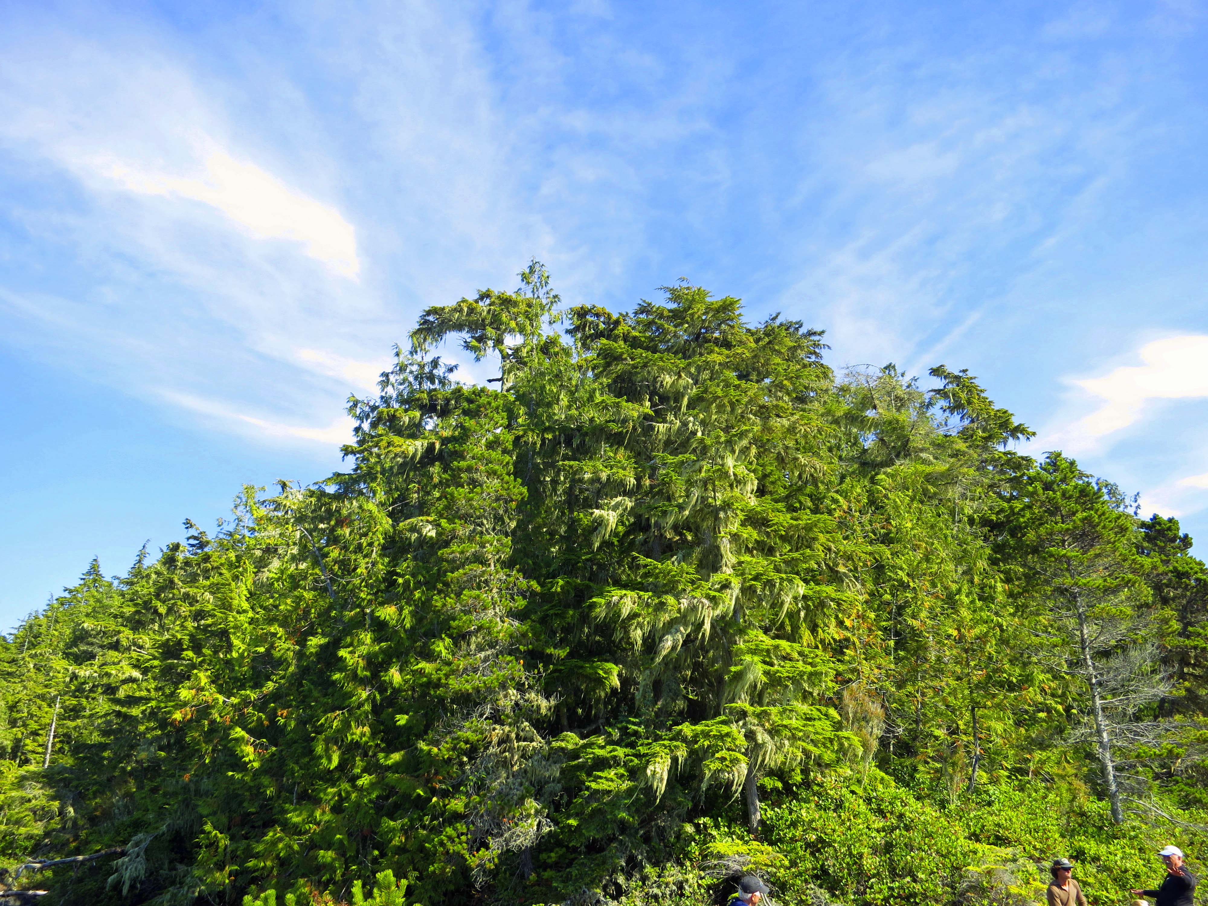
Our walk provided this fun photo where the sky and clouds met the forest…

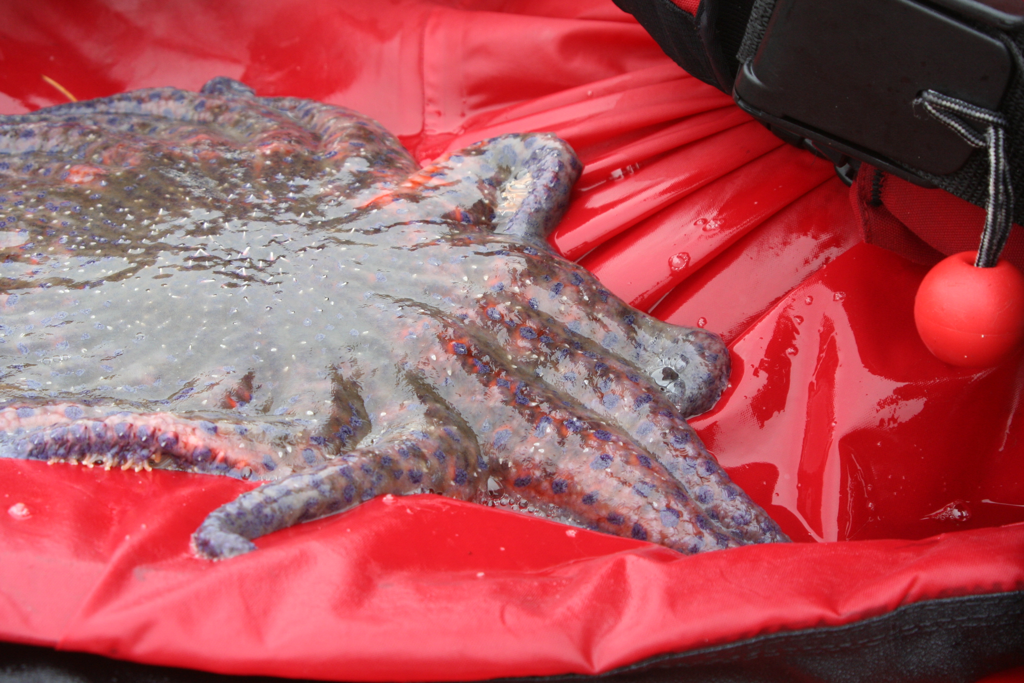
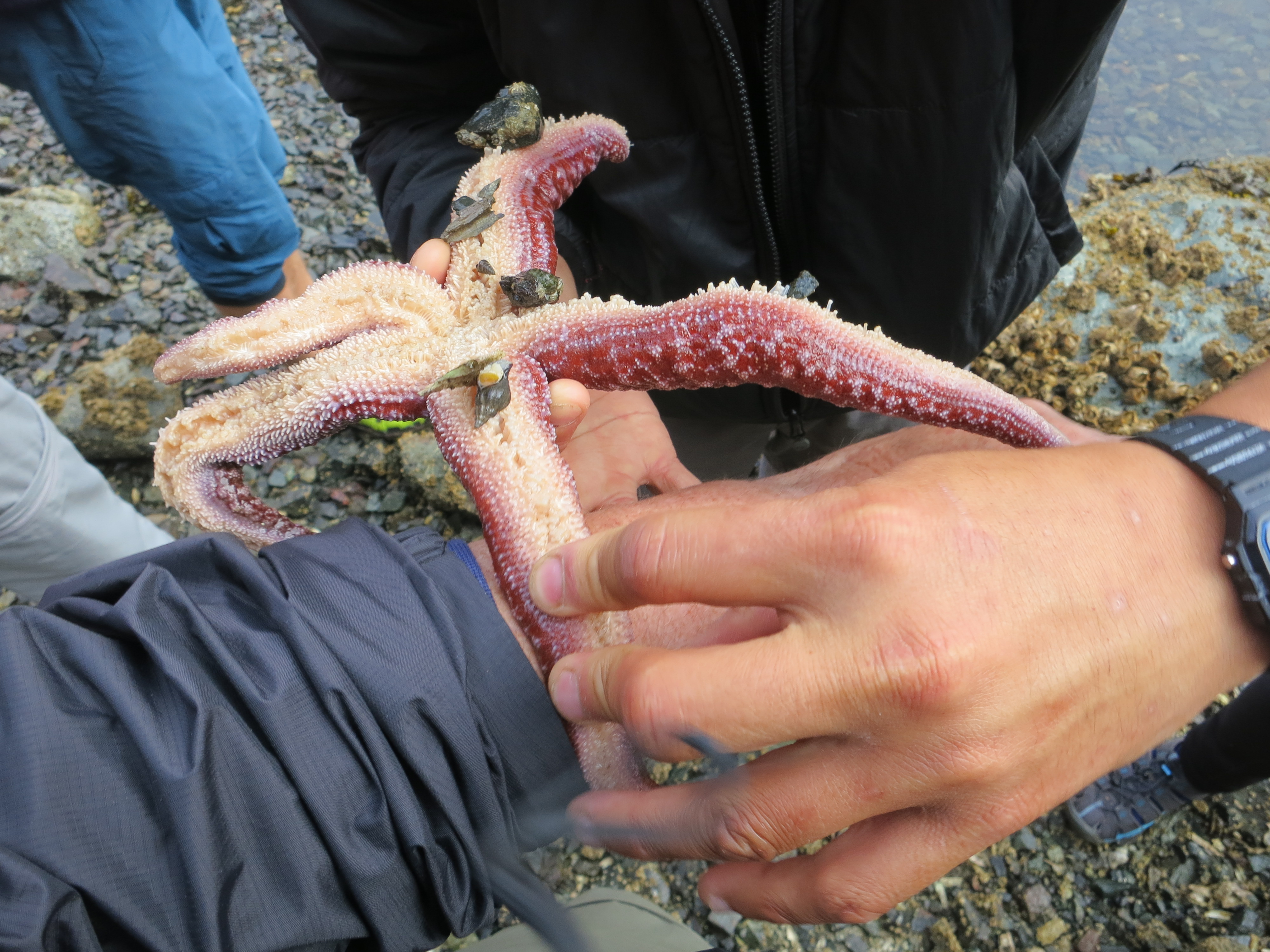
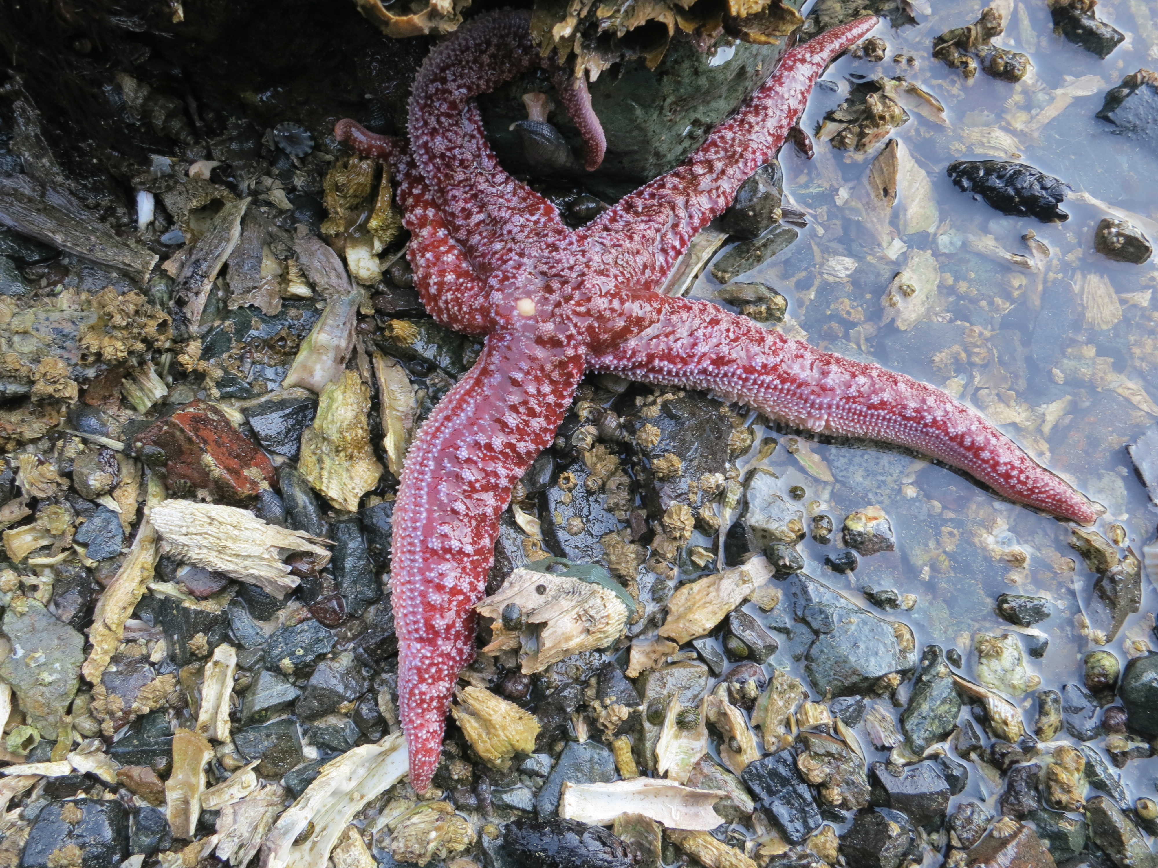
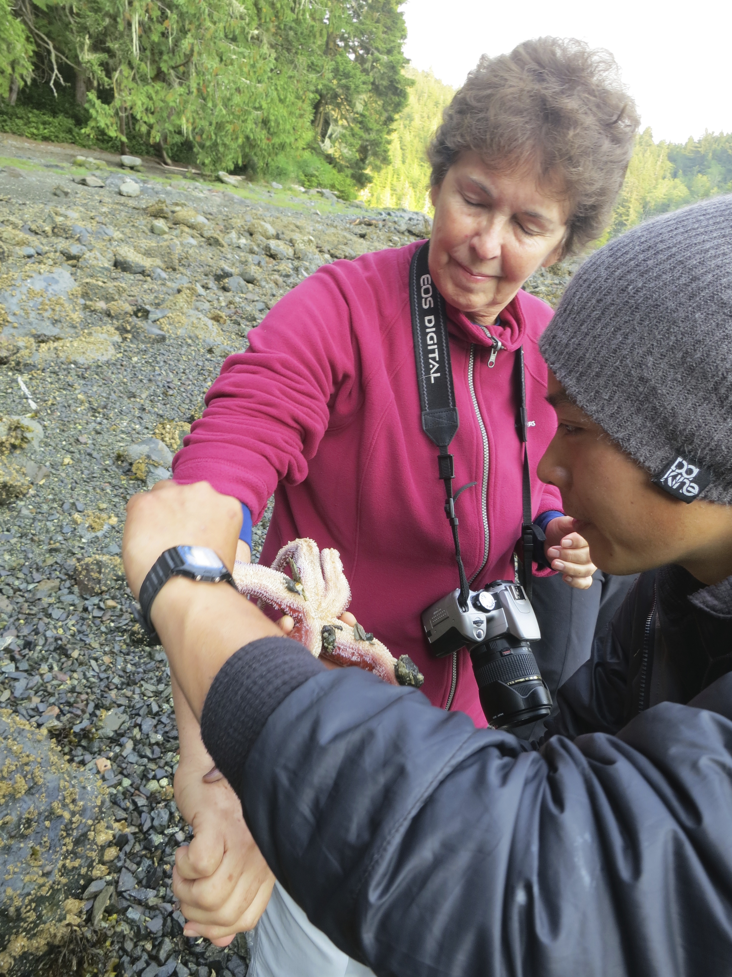
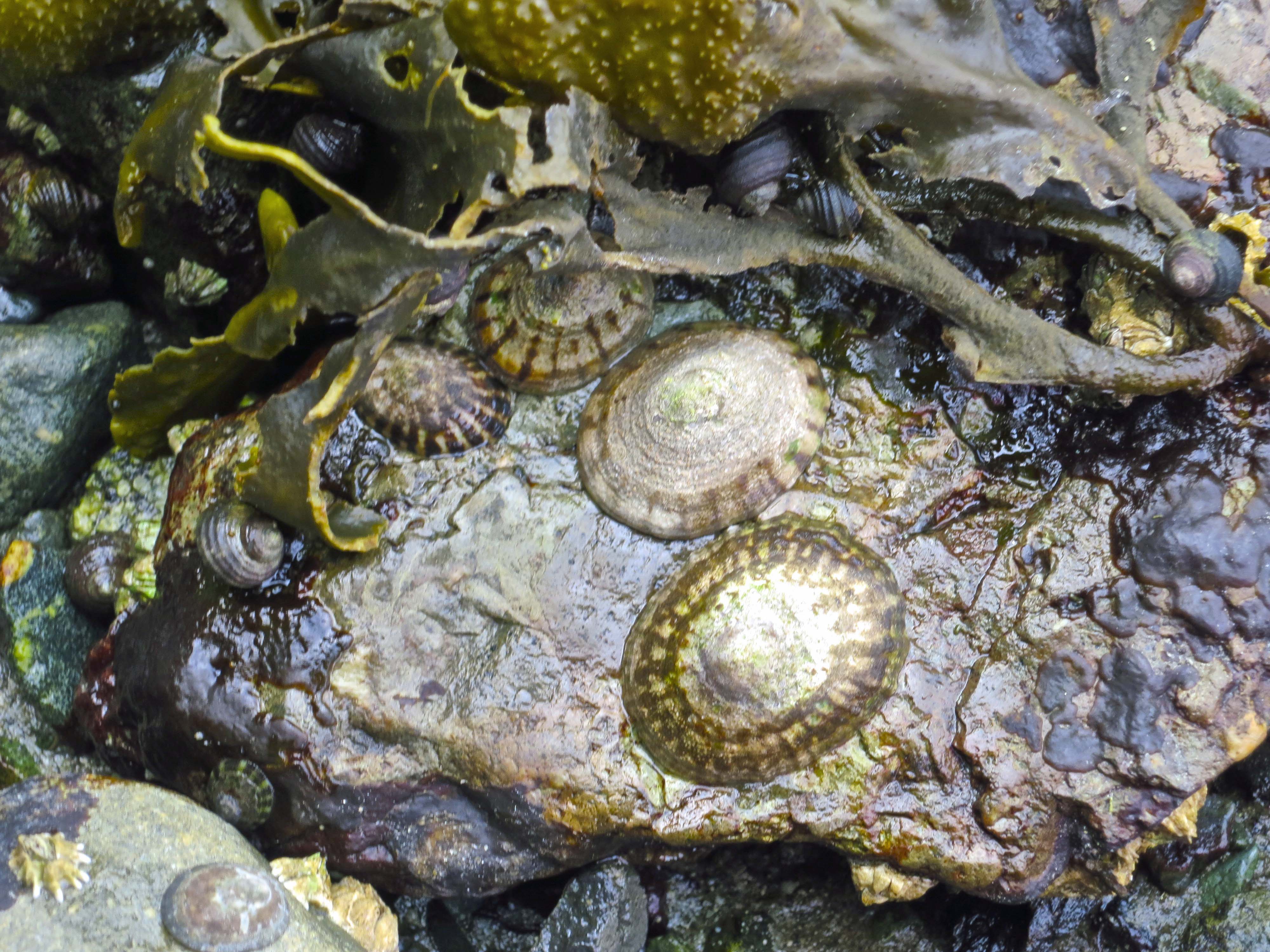
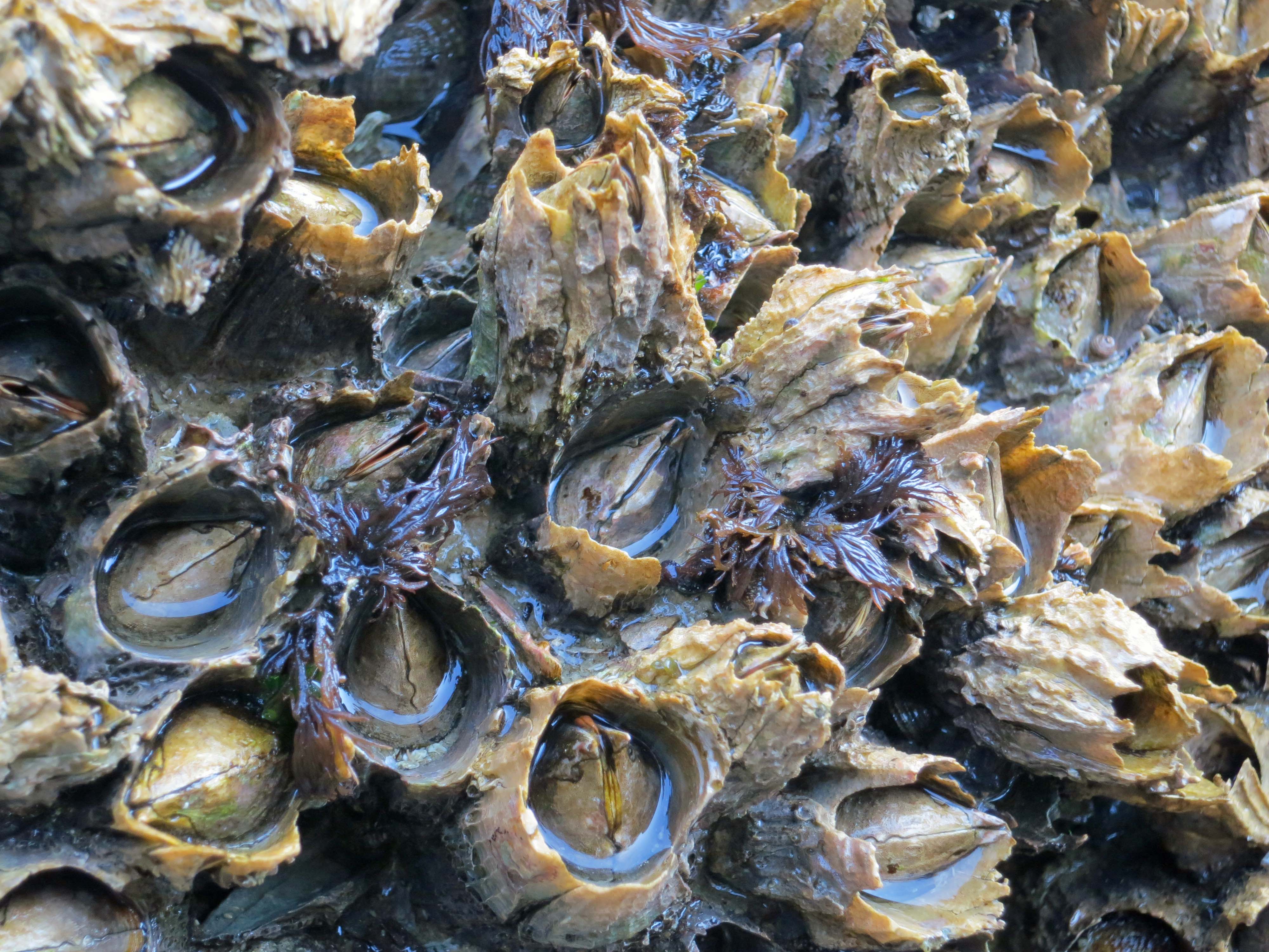
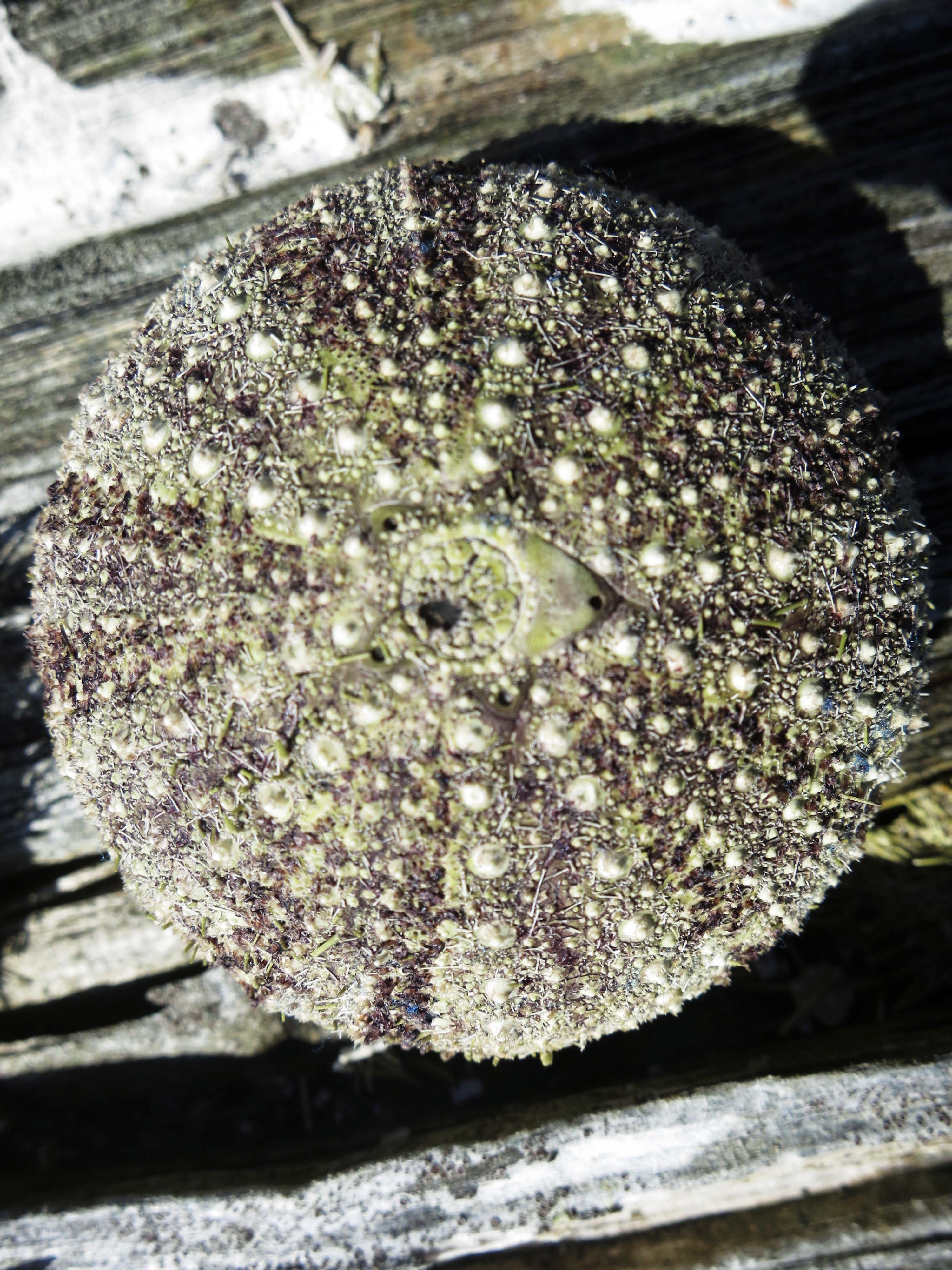
We found this jewel of an urchin shell…

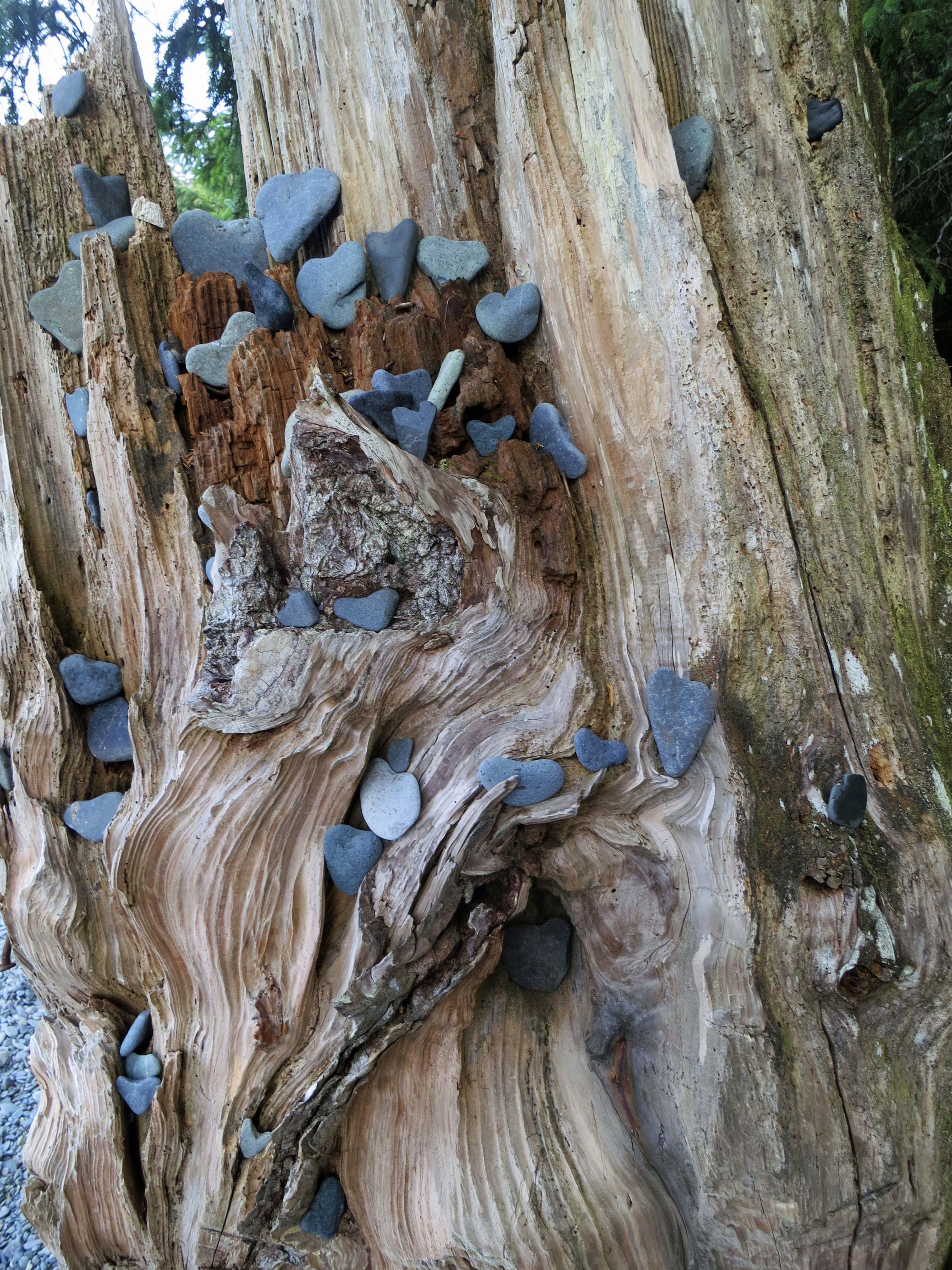
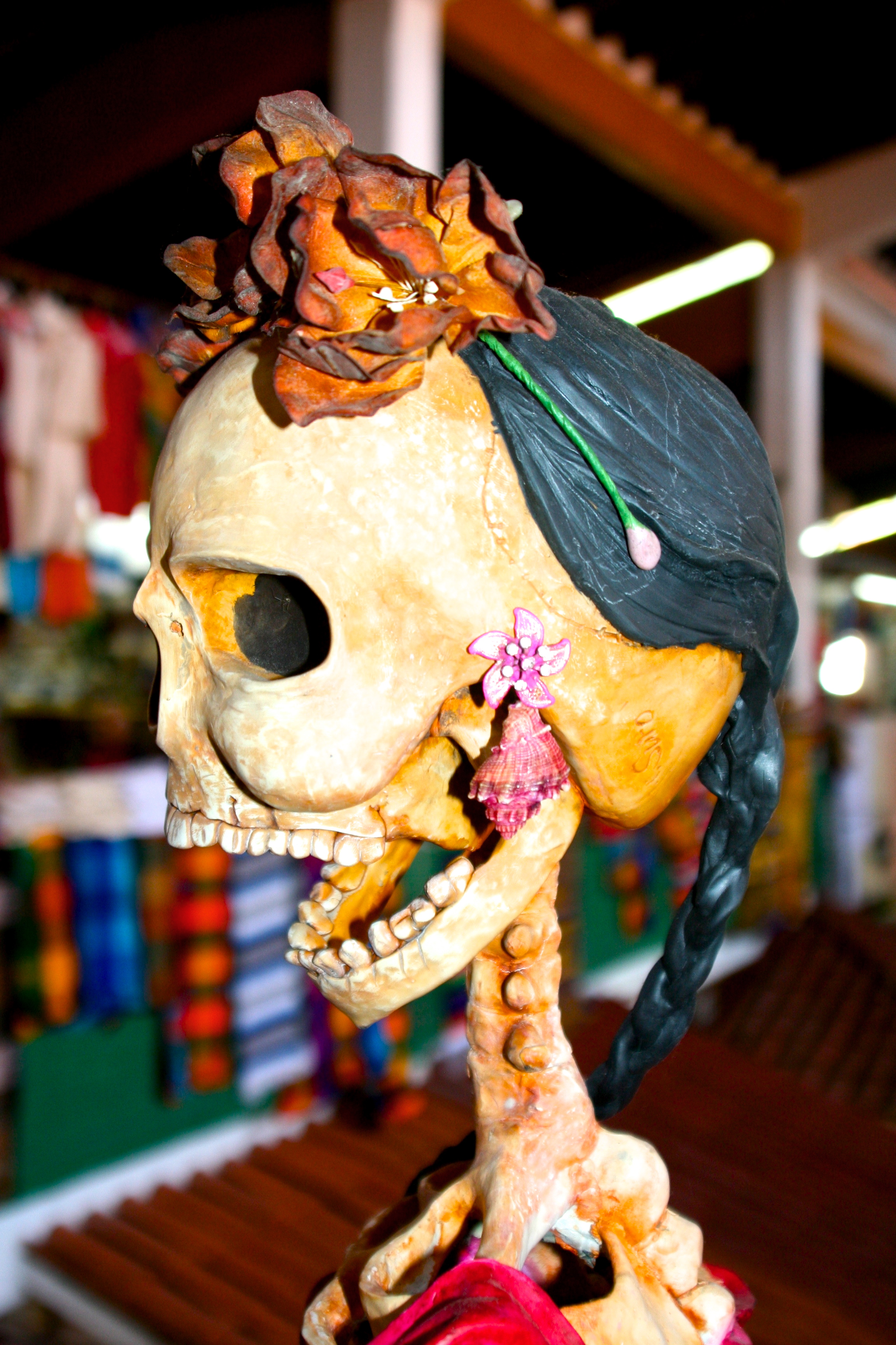
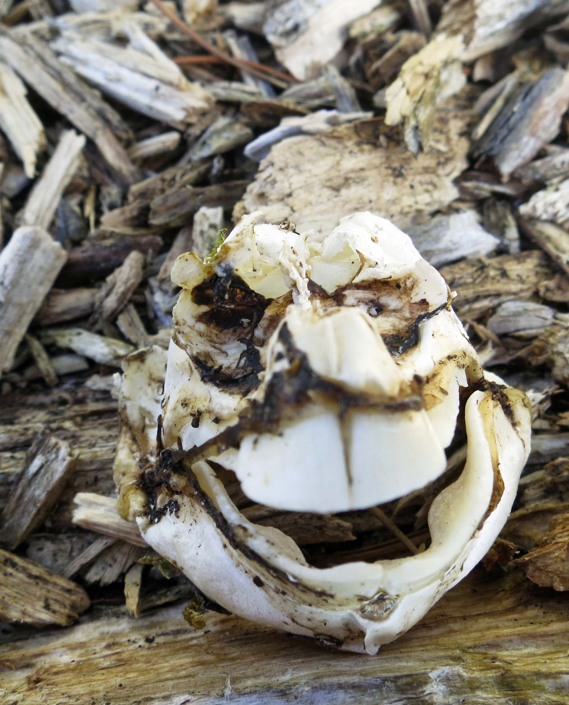
And this rather odd shell/skeleton that our experts debated over. Check out the buck teeth. This guy would put a beaver to shame. Considering this post is going up on October 30th, Peggy, the creature, and I would like to wish all of you a Happy Halloween.

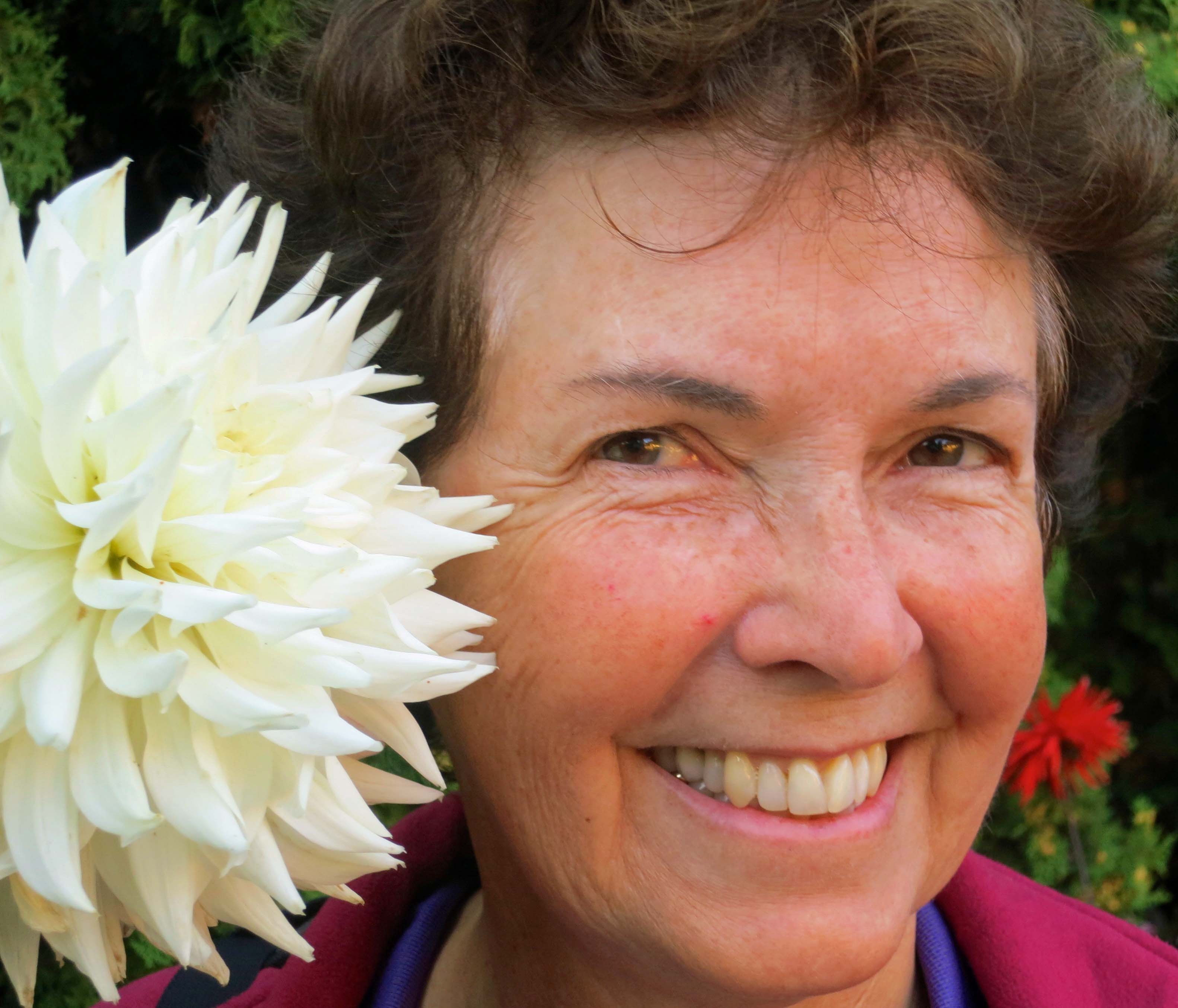
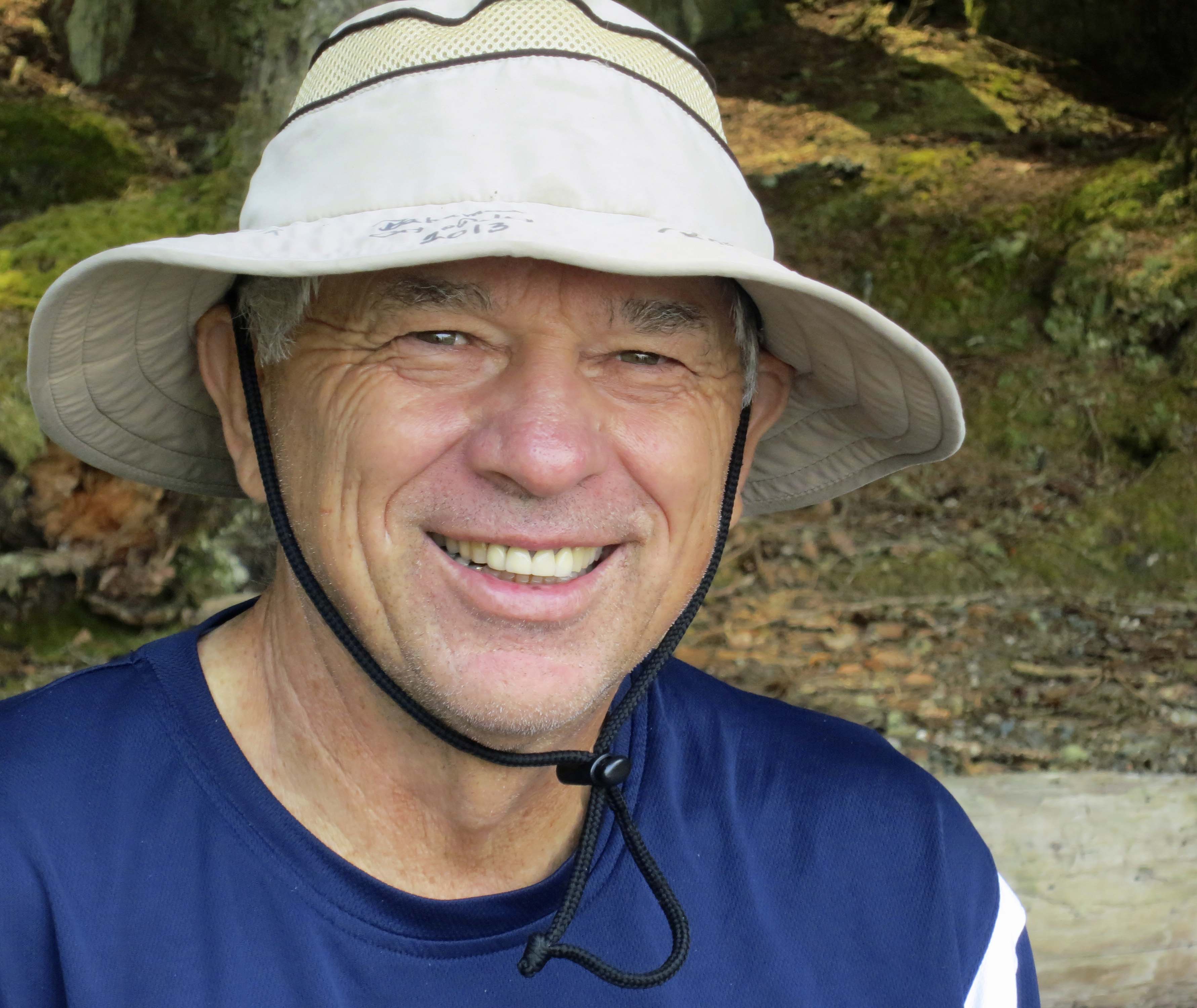
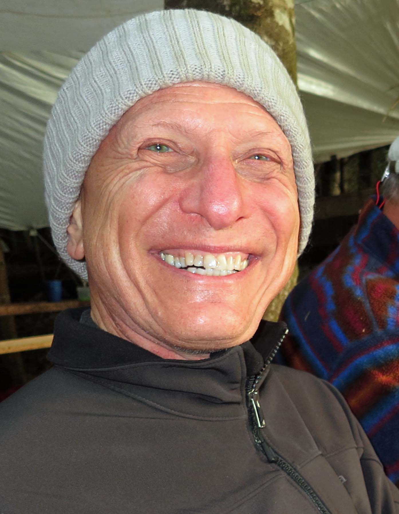
Back in camp, I got a happy, toothy grin from David…

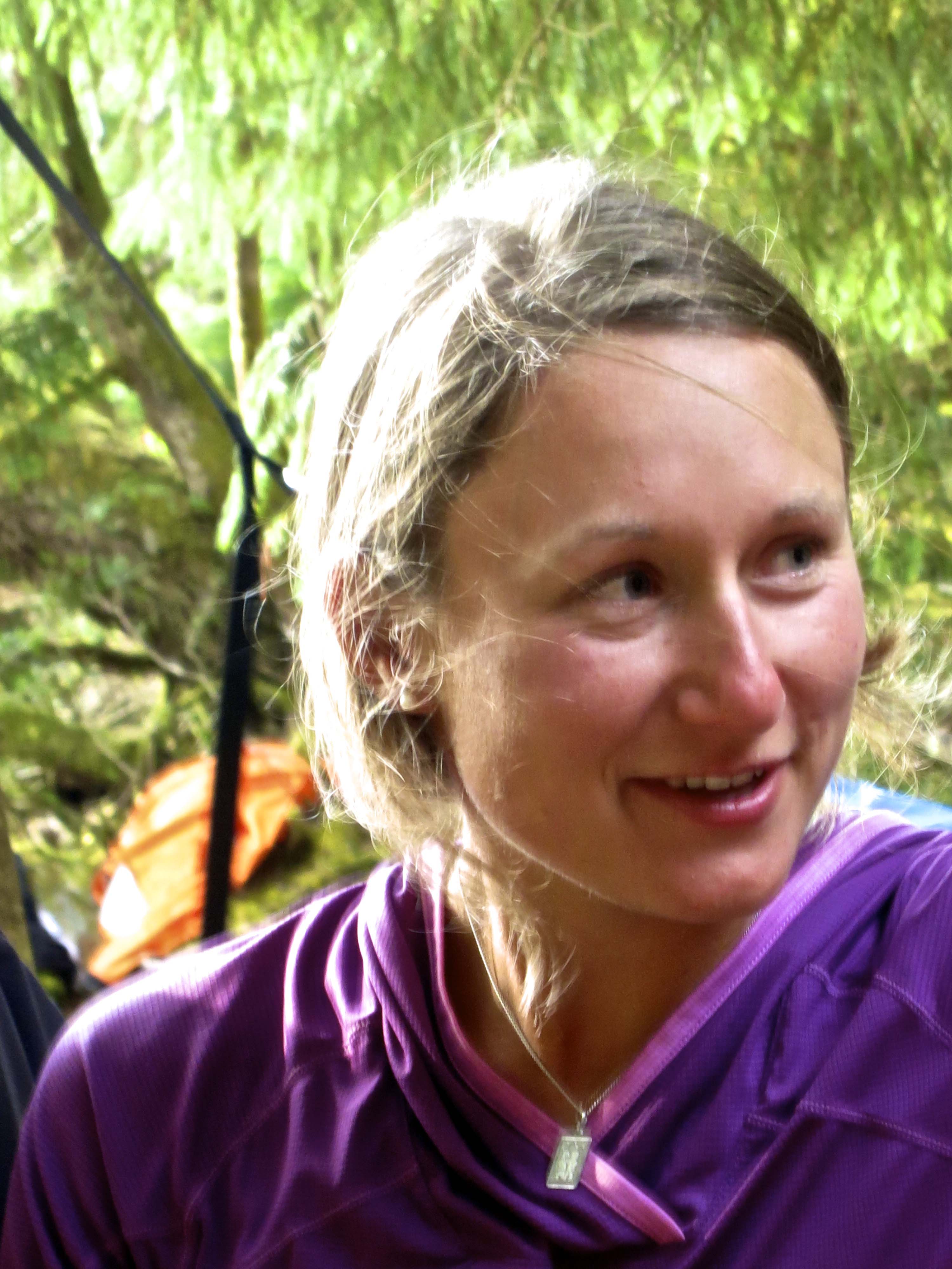
And a shy smile from Julia.

We finished off the day by watching the sunset over Johnstone Strait. Next blog: We kayak onward to our next island.