We Visit Phantom Ranch, I jump Off a Cliff, and Tom Wears Bone… Rafting through the Grand Canyon

Sunset at Zoroaster Campsite on the Colorado River in the Grand Canyon. (Photo by Don Green.)


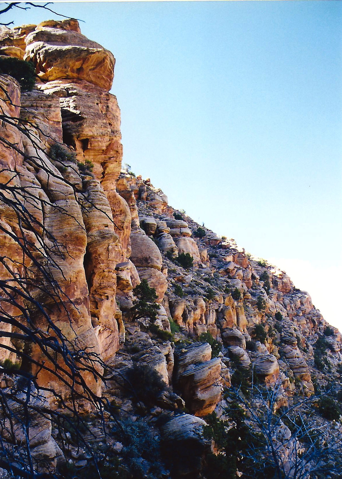
Having left Tanner Rapids and my encounter with Mousy at mile 69, we continued on down the Colorado River to Zoroaster Camp at Mile 84.5. The dark inner walls of the Canyon signified we had traveled back a billion years in geological time, back to the very beginnings of life on earth. A rousing game of Bocce Ball served as entertainment in camp that evening.

Whose ball is closest? A game of Bocce Ball entertained our rafters…

And I took care of my groover duty, which is far from being groovy and gives a whole new meaning to port-a-pot. (Photo by Don Green.)

Tom’s objective in camping at Zoroaster had been to put us close to Phantom Ranch, which was located at Mile 88 on our 18-day, 280-mile trip down the Colorado. Built in the 1920s, the facility provides the only lodging beneath the rim in the Grand Canyon. There are three ways to get there: on foot, by mule or by raft. I’d backpacked down twice, once from the North Rim of the Canyon and once from the South. Now I would visit by raft. The Ranch also provides one of the few opportunities along the river for rafters to leave and join trips. Nancy Pape would be leaving and Jonas Minton joining us. I’d known both since the 70s.

A mule welcomed us to Phantom Ranch…

And gave me the eye. I know folks who would kill for those eyelashes.

Don welcomed us well…

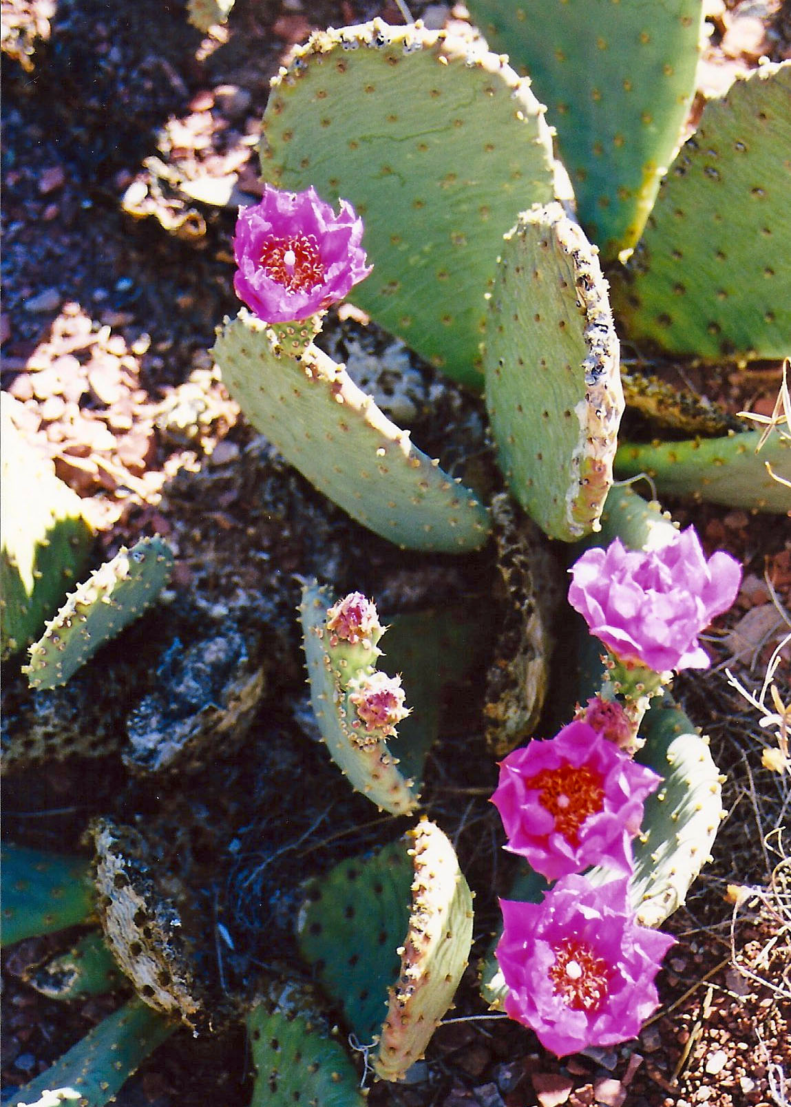
As did this bright flower with its bee on a beaver tail cactus.

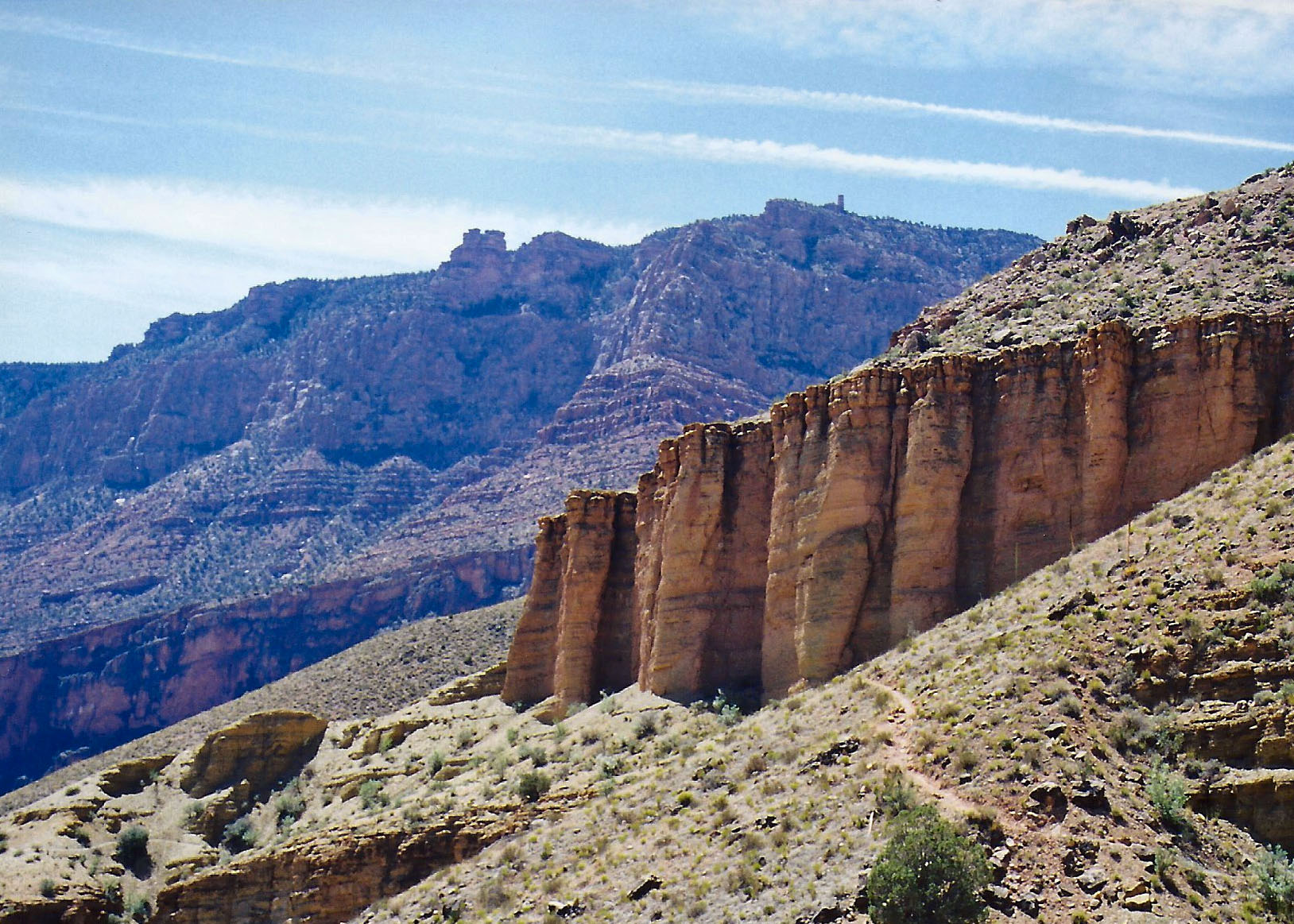
I took this photo looking up from the ranch.

Nancy Pape, who pretty much spends her life hopping in and out of places, hiked out to the South Rim. I’ve known Nancy since the 70s when she first went with me on one of my hundred mile backpacking trips.

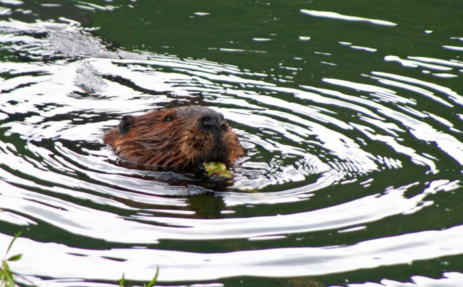
Jonas was supposed to be there early, according to Tom’s plan. We had miles to go before we were to sleep, to paraphrase Robert Frost. But another poet interfered. “The best laid plans of mice and men often go astray,” Robert Burns had declared. That had certainly been the case for Mousy who had had no intention of ending up as dinner on the edge of my sleeping pad at Tanner Rapids. And so it was for us.

Jonas had hiked down from the South Rim that morning, traveling some 9 miles and dropping 4600 feet. It was early afternoon when he arrived, exhausted. Like me, he is no youngster. He needed a nap. Tom insisted we make up for lost time, however, and away we went. Peggy and I agreed to ride with Jonas. We immediately found ourselves between a large rock and the shore with no room to maneuver— a situation we barely escaped only to careen across the river and bounce up against the wall. The raft climbed up to its tipping point, like it was eager to escape the river and us. I knew we were going over and could feel the icy waters sucking me under. But we didn’t. Jonas had both experience and adrenaline to counter his exhaustion. The raft kept its messy side up and we avoided a dunking.

Jonas and I had worked on environmental issues in Sacramento during the 70s.

Afterwards, Jonas and the raft agreed to cooperate with each other and we made it into camp without any more challenges. That was the night that Tom decided to wear Bone in his hair. I am not sure whether he was trying to appease or irritate the Canyon gods. Bone, who is quite used to strange encounters, told me later that they don’t get any stranger!

Susan Gishi gives Tom a ‘do.’

And Bone is added as an accessory. “At least,” Bone was heard to say,” Tom didn’t try to turn me into a nose decoration!.

Dinner was good that night…

And the sunset was fabulous. Or maybe the Canyon gods were commenting on Tom’s hairdo.

The next couple of days found us hiking through fast-moving water over slick rocks, maneuvering through one of the Canyon’s most challenging water falls, and jumping off a 20-foot cliff.

Shinumo Creek often provides a lovely wade up to a beautiful falls, hiding on the left.

This time the creek was flowing so fast, we had to help each other to avoid being washed off our feet.

Steve is scouting what I think was Crystal Rapids. He seems to be suggesting we go back the way we came!

Later, we watched one of the commercial raft trips make its way through the rapids. We were on two very different types of trips.

“You have to hike up to these beautiful falls,” Tom urged and off we went on another adventure through a huge boulder field. I’d say we were rock hopping but the rocks were a little big to hop.

The waterfalls were indeed worth it, but I didn’t realize we were expected to jump off!

Jame Wilson provided one approach… (Photo by Don Green.)

And Theresa another…

Let me report that the water was cold. That’s it for the day. I will continue our trip down the Colorado next Monday.

WEDNESDAY’S POST: Traveling through the Yukon Territory on the Alaska Highway.

FRIDAY’S POST: Another in the MisAdventure Series: Who shot Tony Pavy’s Pig?


The Mekemson Kids Did It: Part 1… The MisAdventure Series

There were two Gold Rush era buildings from the 1800s near our house. One was the old jail across the road where Jimmy Pagonni stored his wine. Unfortunately, it was knocked down for a fast-food joint. The other was one house away from ours and is the one shown above.

Sweet Cherries

Up until around eight or nine I spent most of my wandering time with Marshall and our friends Allen and Lee. What I remember about these adventures in Diamond Springs  was that we were skating on the thin edge of trouble. Gradually, we developed a reputation. I am convinced that a whole generation of little kids in Diamond blamed their misbehavior on us. “I didn’t do it Mama, the Mekemson kids did.” And Mama probably believed them. My friend Bob Bray’s mother refused to let him play with me. I was a bad influence, guaranteed to lead her son straight into the arms of the law.

Most of our mischief was relatively innocent. For example, Jimmy Pagonni lived across the street and had a zero-tolerance policy for us.  We lusted after his cherries. He transformed them into wine and every drop was precious. He turned his dogs loose on us if we came anywhere near his orchard. Naturally his insistence on keeping us out only guaranteed our presence.  Raids were carefully planned. Few adventures come with such sweet rewards.

We would invite two or three little friends over and make a party out of it. The cover was sleeping out in the back yard, but sleep was secondary. Somewhere around one o’clock in the morning we would slip out of our yard, cross a very lonely Highway 49, climb over Jimmy’s rickety gate, and disappear up into the trees. It was all very hush-hush and cherries have never tasted more delicious. We would stuff our stomachs and then fill up bags for take-out. It was pure greed.

Jimmy’s dogs never caught us before we were able to scramble over the fence but they did catch my cocker spaniel once and almost killed him. Tickle had been out on the town visiting a lady friend and was returning home. We were infuriated. Marshall retaliated by shooting Jimmy’s bull in the balls with a BB gun. (If not fair to the bull, it was at least alliteration.) Jimmy never knew Marshall committed the heinous act but I am sure he had his suspicions.

Red, Red Wine, Makes You Feel Fine— or Not

Another Marshall story is appropriate to tell here because it reflects the theme. In this incident, Marshall’s skinniness got him into hot water, or at least wine. Jimmy Pagonni stored his fermented cherry juice in an old Gold Rush era building that may have served as a jail in its youth. It was located right in the middle of his well-guarded cherry orchard and featured a very stout locked door and one barred window. I am sure Jimmy considered it impregnable but he failed to consider just how skinny my brother was. With help from an accomplice, Marshall managed to slip through the bars and pinch a gallon of Italian Red.

He and his friend Art then headed for our treehouse in the Graveyard to do some serious imbibing. Considering that a gallon of Jimmy’s Italian Red would have knocked out two grown men, it almost killed Marshall. He told me how he and Art were lying in the dirt and peddling their bikes upside down above them when one of our teachers walked by. I remember him slipping in the back door and trying to get to our bedroom before Mother and Pop noticed. It didn’t work. In addition to stumbling and mumbling and heaving, he smelled like a three-week gutter drunk. He was one sick kid. Both parents hurried to the bedroom out of concern and I moved back outside to sleep in the cool, but fresh fall air. It was one of those crimes that incorporates its own punishment.

MONDAY’S POST: In the next section of our trip down the Colorado River, I jump off a cliff and Tom wears Bone.

WEDNESDAY’S POST: We finish our journey through the Yukon Territory.

FRIDAY’S POST: The next chapter in the Mekemson Kids Did It. Who shot Tony Pavy’s pig?

SaveSave

SaveSave

SaveSave

The Yukon Territory: Canada’s Far North… The Alaska Highway Series— Part 4

A series of totem poles represented the different Tlingit First Nation clans at the Tlingit Heritage Center on Teslin Lake. This is beaver. I thought he would be a good kick-off to my posts on the Yukon Territory.

Peggy and I, along with our friends Bob Bray and Linda Hart continue to make our way north on the Alaska Highway in my Wednesday photo essay. Today we enter the Yukon Territory, a name that is almost synonymous with the Far North, at least in my mind. Sargent Preston and his dog King were big in my childhood! We didn’t enter with a bang, fortunately. We could have; a tire on our van had developed a large bubble. It was ready to pop! Fortunately, we were able to limp into the small town of Teslin and get it fixed at the local junk yard. The junk yard owner even turned out to be a shovel artist!

This bridge is a beauty backed up by some very impressive scenery. The beauty and the scenery aren’t why I was glad to see it, however. I was hoping the tire on our van that was threatening to blow at any minute would wait.

The tire with its tennis ball sized bubble. The steel belted bottoms of our tires handled the numerous pot holes of the Alaska Highway well. Not so much the side walls. We stopped at a small restaurant in Teslin and asked where we might go to replace the tire.  “Whitehorse” was the reply— 110 miles (177 Kilometers) up the road. “Not likely,” was my reply. “Well, you might try the local junk yard.” It came out more a question than an answer.

We were greeted by this. “Mmm, maybe not good,” Peggy mumbled. A small semi-derelict trailer was apparently the office. I knocked on the door. No one home. I went wandering out among the junked vehicles…

And found John, which is the name I sort of remember. He turned out to be a nice guy. “Well obviously the tire is dead,” he told us, “and I don’t have a replacement. But, I can put on your spare, and maybe you can make it to Whitehorse.”

In talking with John, we discovered he was something of an artist, painting both canvasses and shovels. He quickly agreed to break out his paintings for a photo.

One of his oil paintings of an old cabin.

On our way back south, Peggy and I spent more time at Teslin Lake, first camping there and then visiting the Tlingit First Nation Heritage Center. I decided that our two visits called for a post! Next Wednesday we will continue our journey up the Alaska Highway through the Yukon Territory.

We camped next to Teslin Lake and were treated to this view.

The clouds insisted on showing off. Distant shores suggested the size of the lake. And this was just looking across. The lake was much longer than it was wide.

I was surprised to find the Tlingit First Nation people with their Heritage Center on Teslin Lake since I normally think of the Tlingits and their fabulous totem poles as inhabitants of the coast from the American-Canadian border north. We were greeted with a line of totem poles at the Center that represented the different Tlingit clans. This is Raven.

Meet Frog.

I couldn’t help but think, “I’ll huff and I’ll puff and I’ll blow your house down,” when we checked out Wolf.

Eagle with its hooked beak.

The Center was quite attractive and included both cloth and wood art representing the Tlingit people. This is Beaver with an extra tail and pair of rear legs.

And here we have Wolf with his tongue hanging out.

A number of carved masks were on display. I think that this is Eagle.

I’ll conclude with this carving and what appears to be a female representation. The Tlingit are a matrilineal society with property held and passed down by the women of the tribe.

FRIDAY’S MisAdventures POST: When mischief took place in the town of my youth, there was a mantra: The Mekemson kids did it.

MONDAY’S Travel Blog POST: We continue our journey down the Colorado River, stopping off at the Phantom Ranch. Tom wears Bone and I jump off a cliff.

WEDNESDAY’S Photo Essay POST: We continue on our journey through the Yukon Territory and arrive at the Alaska border.

SaveSave

SaveSave

There Is More than One Way to Skin a Mouse… Rafting through the Grand Canyon: Part 8

I took this photo just below the Tanner Rapids, which are seven miles below where we played in the Little Colorado River. While it looks similar to many other Grand Canyon photos included in this series, I was eager to get it. I had camped here once after backpacking down the Tanner Trail. My campsite was to the right of the small tree. Mousy had a nest under the tree…


I’ve just returned from playing for a week while celebrating my 75th birthday. So, I am a bit behind on writing posts and keeping up with comments and fellow bloggers. My apologies. It isn’t going to get much better. (grin) On Wednesday, Peggy and I fly back east to visit with our son and his family in Connecticut. We return from there just in time to fly to North Carolina and see our daughter and her family. After that, we will spend a month exploring several national parks in the southwest on foot.

Then it will be time for another Grand Adventure. I intend to walk out my backdoor in Southern Oregon and backpack 1000 miles to Mt. Whitney in California following the Pacific Crest and John Muir Trails. It’s a journey not many people make— especially 75-year-olds. “And what did you do this summer, Grandpa?” Going, of course, will depend on my doctor saying “Why not?” I hope to gain a book contract to write about the trip. Wish me luck on that one. I will be blogging much more about the trek in posts leading up to the adventure.

Since I played last week, I pulled up a previous post that is definitely relevant to the raft trip Peggy and I made down the Colorado with Tom and several other friends. When I left Alaska in 1986 and returned to California, I spent several months backpacking in the west. My first trip was into the Grand Canyon, a decision my body was not happy with! I had just spent the winter holed up in the Far North happily stuffing myself and drinking more beer than I should have…


Looking down from Lipan Point at the start of the Tanner Trail. Then sharp bend in the Colorado River... far away, is where I am heading. (The photos of the trail down I actually took several years later when I backpacked down with Peggy.)

Looking down into the Grand Canyon at the start of the Tanner Trail.  The curve you can see in the Colorado River is the Tanner Rapids, which is where we will be on our next section of our raft trip down the Colorado. Years before I rafted the Canyon I backpacked into it several times. Two of my trips were by the Tanner Trail, once by myself and once with Peggy.

“It’s not too late to make another decision,” my body told my mind as I hoisted my 60-pound pack and eyed the distant Colorado River. “There is a fine lodge with great food and even better beer 30 minutes away. It provides a fantastic view of the Grand Canyon. Much better than anything you will see on the insane hike.” “Shut up and walk,” my mind replied.

Tanner Trail dropped away under my feet as I made my first steps down the steep, poorly maintained path and descended through millions of years of earth history. About a half of a mile down, the trail disappeared, having been washed away by winter rains. “I told you so,” my body whispered loudly as I mentally and physically hugged the side of the Canyon and tentatively made my way around the washout with its thousand foot drop.

Although this photo is a little blurry and from another Grand Canyon trail, I included it because it provides a perspective on the trails into the Canyon that receive minimal attention from the Park service. Main tourist trails are like freeways in comparison.

Although this photo is a little blurry and from another non-maintained Grand Canyon trail, I included it because it provides a perspective on the trails into the Canyon that receive minimal attention from the Park Service. Main tourist trails are like freeways in comparison.

Steep drop offs are a common factor in all trails leading into the Grand Canyon. The first trails were created by Native Americans. Later miners, rustlers, and companies interested in promoting tourism would enhance the original trails and create new ones.

Steep drop offs are a common factor with all trails leading into the Grand Canyon. The first trails were created by Native Americans. Later miners, rustlers, and companies interested in promoting tourism would enhance the original trails and create new ones.

I am not sure when my legs started shaking. Given the stair-step nature of the trail and the weight on my back, not to mention an extra 20 pounds of winter fat, my downhill muscles were not having a lot of fun. Fortunately, Mother Nature provided a reprieve. The erosive forces of wind and water that have sculpted the mesas and canyon lands of the Southwest are less challenged by some types of rocks than others.

Somewhere between two and three miles down I came upon the gentle lower slopes of the Escalante and Cardenas Buttes, which allowed me to lollygag along and enjoy the scenery. I escaped from the sun beneath the shadow of a large rock, drank some of my precious water, nibbled on trail food, and took a brief nap. It would have made a good place to camp. Others had obviously taken advantage of the shade and flat surface, but the Colorado River was calling.

Ignoring the screams of my disgruntled body parts, I headed on. At mile five or so my idyllic stroll came to a dramatic halt as the trail dropped out of sight down what is known as the Red Wall. (It received this imaginative name because it is red and looks like a wall.) Some fifty million years, or 625,000 Curtis life spans, of shallow seas had patiently worked to deposit the lime that makes up its 500-foot sheer cliff. It is one of the most distinctive features of the Grand Canyon.

My trail guide recommended I store water before heading down so I could retrieve it when I was dying of thirst on the way out. I could see where people had scratched out exposed campsites here as an excuse to stop for the night. The accommodations weren’t much but the view was spectacular.

The rest of the five-mile/five month journey was something of a blur. (It was closer to five hours but time was moving very slowly.) I do remember a blooming prickly pear cactus. I grumbled at it for looking so cheerful. I also remember a long, gravelly slope toward the bottom. My downhill muscles had totally given out and the only way I could get down was to sidestep. I cackled insanely when I finally reached the bottom.

As tired as I was, I enjoyed the beauty of the inner Canyon.

I was so tired, I could hardly enjoy the beauty of the inner Canyon. (These photos are from a later trip I took down with Peggy. I waited until after she said “I do” before introducing her to the Tanner Trail. Otherwise she might have said “I don’t.”)

I smiled at the Prickly Pear Flowers on my way out of the Canyon that I had growled at coming in.

I growled at a prickly pear for looking so cheerful.

Looking back up the trail provided a perspective on how far I had come. The small, needle-like structure is Desert View Tower.

Looking back up the trail provided a perspective on how far I had come. The small, needle-like structure is Desert View Tower, about a mile away from the Tanner trailhead. You can see the trail on the right.

Setting up camp that night was simple. I threw out my ground cloth, Thermarest mattress, and sleeping bag on a sandy beach. Then I stumbled down to the river’s edge and retrieved a bucket of brown Colorado River water that appeared to be two parts liquid and one part mud. I could have waited for the mud to settle but used up a year of my water filter’s life to provide an instant two quarts of potable water.

My old yellow bucket, a veteran of dozens of backpacking adventures, holding Colorado River water. It retired after my second trip

My old yellow bucket, a veteran of dozens of backpacking adventures, holding Colorado River water. It retired after my second trip down the Tanner Trail.

All I had left to do was take care of my food. Since people camped here frequently, four-legged critters looked on backpackers as a major source of meals. I could almost here them yelling, “Dinnertime!” when I stumbled into sight. Not seeing a convenient limb to hang my food from, i.e. something I wouldn’t have to move more than 10 feet to find, I buried my food bag in the sand next to me. Theoretically, anything digging it up would wake me. Just the top was peeking out so I could find it in the morning.

As the sun went down, so did I. Faster than I could fall asleep, I heard myself snoring. I was brought back to full consciousness by the pitter-patter of tiny feet crossing over the top of me. A mouse was worrying the top of my food bag and going for the peanuts I had placed there to cover my more serious food.

“Hey Mousy,” I yelled, “Get away from my food!” My small companion of the night dashed back over me as if I were no more than a noisy obstacle between dinner and home. I was drifting off again when I once more felt the little feet. “The hell with it,” I thought in my semi-comatose state. How many peanuts could the mouse eat anyway?

The river water I had consumed the night before pulled me from my sleep. Predawn light bathed the Canyon in a gentle glow. I lay in my sleeping bag for several minutes and admired the vastness and beauty of my temporary home. The Canyon rim, my truck and the hoards of tourists were far away, existing in another world. My thoughts turned to my visitor of the previous evening.

I finished my last blog with a picture of the view across the Colorado River from my camp near Tanner Rapids. This and the photo below demonstrate how much colors change depending on the time of day.

The early morning view from my camp site near Tanner Rapids on the Colorado River.

Out of curiosity, I reached over for my food and extracted the bag of peanuts. A neat little hole had been chewed through the plastic but it appeared that most of my peanuts were present and accounted for. My small contribution had been well worth my solid sleep. I then looked over to the right to see if I could spot where the mouse had carried its treasure. Something on the edge of my ground cloth caught my eye. It was three inches long, grey, round and fuzzy.

It was Mousy’s tail!

Something had sat on the edge of my sleeping bag during the night and dined on peanut stuffed mouse. Thoughts of a coyote, or worse, using my ground cloth as a dinner table sent a shiver down my spine. I ate a peanut in honor of Mousy’s memory and threw a few over near his house in case he had left behind a family to feed. I also figured that the peanuts would serve as an offering to whatever Canyon spirits had sent the night predator on its way.

Then it was time to find a bush, cook up my morning gruel, and plan my day’s backpack trip up to the Little Colorado River. But my legs had another idea. They refused to move. I backpacked for about a hundred feet, set up camp in a small cave, and spent my day recovering while watching rafters yell their way through Tanner Rapids. I wondered what it might be like to raft down the Canyon…

Next Monday’s Post: I return to our raft trip down the Colorado.

WEDNESDAY’S POST: Driving on the Alaska Highway through the Yukon!

FRIDAY’S POST: It’s back to MisAdventures. It was almost a mantra in Diamond Springs where I grew up: If there was mischief in the town, the Mekemson Kids Did It.


SaveSave

SaveSave

SaveSave

SaveSave

SaveSave

How Brunhilda the Cat Became Rasputin… A Tale from The Bush Devil Ate Sam

Liberian Peace Corps photo by Curtis Mekemson.

A fading black and white photo shows children in Gbarnga, Liberia mugging for my camera in 1965. Life wasn’t easy– check out the head loads.

In 1965, my first wife, Jo Ann, and I joined the Peace Corps, graduated from UC Berkeley, and flew off to the country of Liberia where we were assigned as elementary school teachers in the upcountry town of Gbarnga. My book, “The Bush Devil Ate Sam” relates our experiences at Berkeley and in Liberia.

January was the Liberian school equivalent of summer vacation and second year Peace Corps Volunteers took full advantage of it by chartering a jet airplane and flying off to East Africa. First year Volunteers were left behind and had to take on a ‘summer’ project.

I decided to write a second-grade reader while JoAnn worked with a blind student.

I had spent my first semester teaching a second-grade class where the children were expected to learn to read out of well-used 1950’s era California readers. It was hard for the kids to relate. The world of Dick and Jane in their big houses with white picket fences and white playmates in no way resembled the life of my kids in Gbarnga, as demonstrated by the photo above. As for Spot, he bore a striking resemblance to food.

I had plunged into my project: researching elementary school readers, gathering African folk tales, and putting together stories about the children that reflected their lives, not those of Dick and Jane. The country Peace Corps staff liked the book I submitted. They agreed to assign me an editor, an expert in elementary school education, and an illustrator. But it wasn’t to be. The government decided that my book on African Folk tales and Liberian children was somehow dangerous, a threat to its one-party state. Peace Corps told me to forget the book and not even bring it up in conversations. I might be kicked out of the country.

Fortunately, I had other things to occupy my mind. Jo and I had been assigned to teach at Gboveh High School our second semester and were moving across town. There were classes to prepare for and our ‘new’ house was in desperate need of a paint job. We had also assumed in loco parentis status. One of the second-year Peace Corps couples, Dick and Sandy Robb, had left four little female kittens to live with us while they flew off to East Africa. Our pay was to have the pick of the litter. Whoopee.

I had built our temporarily adopted cat family a three-story mansion out of cardboard. It was a maze of rooms, hanging toys, hallways and ramps. It even had a carpeted floor and a bathroom— a kitty litter box. The kittens would disappear inside and play for long periods. We could hear them banging around as they stalked each other and attacked the hanging toys.

In a creative moment inspired by the evening cocktail hour, we decided to use the house as an intelligence test to determine which kitten we would keep. First, we waited until the kittens were appropriately hungry, and then we brewed up their favorite meal, fish head stew. Here’s the recipe: Take several ripe fish heads and throw them in a pan of boiling water. When their eyes pop out, they’re done.

Next, we encouraged the kittens to sniff their gourmet dinner and showed them that the meal would be located just outside the ground floor door of their mansion. Now we were ready for the test. Each kitten would be placed inside the third story door and given a nudge. We would then close the door and time how long it took the kitten to reach the banquet. Our theory was that the kitten with the quickest time through the maze of hallways and ramps would be the brightest.

Grey Kitten # 1 was a pudgy little character that never missed a meal. My money was riding on her. She breezed through the maze in three minutes sharp and set the time to beat. There was a chance that the sound of her munching away on fish heads might inspire the other kittens on to even greater glory, however.

Grey Kitten #2 was one of those ‘whatever it is you want me to do I am going to do the opposite’ type cats. Not surprisingly, she strolled out of the door seven minutes later and ignored the food altogether. (Afterwards, we were to speculate that she was the most intelligent cat and blew the race because she had no intention of living with someone who made her go through a maze for dinner.)

Grey Kitten #3 was the lean and mean version. Scrawny might be a better description. She obviously needed dinner the most and proved her mettle by blazing through the house in two minutes. The contest was all but over.

Kitten # 4 was what pollsters normally classify as ‘other.’ To start with, she was yellow instead of grey. She was also loud. In honor of her operatic qualities, Jo had named her Brunhilda, after the Wagnerian opera star. By the time her turn came up, she was impatiently scratching the hand that was about to feed her and growling in a demonic way. I gladly shoved the little monster in the third story door and closed it. We heard a scrabbling on the other side as tiny claws dug into the cardboard floor. Her race down the first hall was punctuated by a loud crash on the other end. Brake problems.

Then she was up and running again, but it sounded like toward us. Had her crash disoriented her? Suddenly the third story door burst open and one highly focused yellow kitty went flying through the air. She made a perfect four-point landing and dashed to the dinner dish. Her time? Ten seconds.

And that is how Brunhilda came to be our cat. Our decision to keep her led us to turn her over and check out her brunhildahood a little more closely. Turns out she had a couple of furry little protuberances where there shouldn’t have been any. She was a he. In honor of Brunhilda’s demonic growl and generally obnoxious behavior, we renamed the kitten Rasputin after the nefarious Russian monk.

Rasputin surrounded by Rhinoceros beetles.


If you have enjoyed this story and the many other tales I share, you might also enjoy “The Bush Devil Ate Sam.” It’s available in both Kindle and paperback form here on Amazon. For other sources such as Apple, click on the book cover top right.

SaveSave

SaveSave

SaveSave

The Striking Mucho Lake, Big Bison, and a Sign Forest… The Alaska Highway Series

Muncho Lake 6

Striking hardly describes Muncho Lake in British Columbia with its striking topaz waters and reflections of the surrounding mountains. The lake reaches a depth of  732 feet (223 m).


My Wednesday photographic essay will continue to take us up the fabled Alaska Highway. Last Wednesday we travelled from Dawson Creek to Toad River. I featured views along the way, the building of the highway during World War II, Stone Mountain Sheep, and some very busy beavers. Today we will travel from Toad River to Watson Lake in the Yukon Territory, a distance of 201 miles (324 K). Along the way we will visit the striking Mucho Lake, check out the large woodland bison that hang out beside the road, and view a few of the 70,000 town and city signs that have made their way to Watson Lake’s huge sign forest.

Toad River

After leaving Toad River Lodge and our visit with the busy beavers, we were treated to a view of the Toad River that parallels the road.

View along Alaska Highway in BC

And this view.

Muncho Lake north

We would stop to admire Muncho Lake both on our journey north to Alaska and on our trip back south. We were heading north when we caught this photo. (Note: all photographs in this series are taken by Peggy and me.)

Muncho Lake in British Columbia

We captured this view on our return trip down the Alaska Highway.

Muncho Lake on the Alaska Highway

As well as this photo.

Road construction, Alaska Highway, BC

Here’s a common sight along the highway: road construction. Tough winters and permafrost pretty much guarantee employment for road workers.

Road Construction along Alaska Highway

And here we go again, making our way through yet another construction project. Chipped windshields and damaged tires are common. We experienced both. We saw a bear somewhere in here. It may be the black spot on the left (or not).

Dall sheep ram on Alaska Highway

We also found this handsome fellow, another Stone Mountain sheep. What really got us excited, however…

Bison warning sign on Alaska Highway

Was this sign. We had entered the territory of the wood bison, also know as wood or mountain buffalo— as opposed to their cousins, the plains buffalo.

Woodland Bison and wallow in BC

And they begin to appear shortly afterwards. This one has made himself a convenient wallow, that he will wallow around in to get rid of bugs.

Woodland bison bull

These guys are big, with massive shoulders. They can weigh up to 2000 pounds (900 kilos), which make them the biggest land mammals in North America.

Herd of wood bison along Alaska Highway

We saw them both alone and in herds. They seem to like the edge of the highway for both its grazing opportunity and ease of travel.

Woodland bison calves

A pair of youngsters…

Welcome to the Yukon sign

Here’s a sign to thrill the heart of the most jaded of travelers. Canada’s Yukon Territory is almost synonymous with remote and wild. I grew up listening to daring tales of Sargent Preston of the Yukon and his faithful dog King. “On King! On you huskies, on!”

Watson Lake sign forest 5

Not far up the road from the Yukon border we came to Watson Lake with its Sign Forest of 77,000 signs from all over the world. If you wander around long enough, you might very well find a sign that was liberated from your hometown and placed here by someone traveling up the Alaska Highway.

Watson Lake sign forest

The tradition was started during the building of the Alaska Highway in 1942 when a soldier, Carl K. Lindley was asked by his commanding officer to erect directional signposts. While at the job, he added a sign for his own town of Danville, Illinois. The rest is history!

Watson Lake sign forest 4

The signs go on and on…

Peggy Mekemson at Watson Lake Sign Forest

I’ll close today’s post with a photo of Peggy to provide perspective on the height of the Sign Forest.

FRIDAY’S POST: A chapter from The Bush Devil Ate Sam, my book about my Peace Corps experience in the jungles of West Africa.

MONDAY’S POST: We continue our journey down the Colorado River through the Grand Canyon.

SaveSave

Anasazi Ruins and the Hopi Entrance to Another World… Rafting the Colorado River through the Grand Canyon

Beautiful views like this along the Colorado River would have been lost if efforts in the 50s and 60s to dam the Grand Canyon had succeeded.

In our journey down the Colorado River today, we visit an ancient Native American granary that is located high up on the cliffs above the water, and stop off to play in the Little Colorado River.

Steve Van Dore and Jamie Wilson serve as our boatmen for the two days we are on the river travelling from our camp at Redbud Alcove (mile 39) to our camp at Upper Rattlesnake (mile 74). Jamie is a delight. First of all, he is funny and positive. Second, whenever a chore needs to be done, he is first in line. Finally, he is incredibly strong, which is a valuable asset when you get in a tight spot on the river. Jamie has his own business as a contractor in the Woodland/Davis area of California.

Jamie

Jamie Wilson

Peggy and I hitch a ride on Steve’s Cat. Not too many Colorado River boatmen are outfitted with sun umbrellas!

Steve, I’ve already introduced. Like Tom, he is an experienced Colorado River boatman and loves the Canyon. He is also a specialist. His catamaran is outfitted with groovers: large ammo cans that have been modified to serve as portable potties.  Before toilet seats were added as a convenience, you sat on the rim of the can. It left grooves in your behind— hence the name.

We are all given training in setting up, taking down, and using the groovers. One of the first chores in arriving camp is to find the perfect place for the port-a-pot: a secluded location with a view. One time I found myself sitting on the pot and waving at rafters as they went by. The site received an A for the view and a C for the seclusion.

Steve is very knowledgeable about the Grand Canyon and readily shares his knowledge. Almost immediately he points out a site that was once proposed for a dam that would have covered much of the upper Canyon’s beautiful scenery, geological wonders and archeological treasures with water.

A similar effort was planned for downstream. Fortunately, the Sierra Club was able to stop the dam from being built. Otherwise, one of the world’s greatest natural wonders would have been lost.

Views of the Grand Canyon along the Colorado River between Redbud Alcove and the Little Colorado.

When we arrived at Nankoweap (mile 53), Steve pointed out the granaries used by the Anasazi Indians somewhere between 1000 and 1150 CE (Common Era) or AD, if you prefer. The granaries are located high up on the cliff for protection from animals and insects. Tom had scheduled a hike up and I willingly went along.  I was curious about the granaries and thought that there would be spectacular views from the cliff.

The climb was definitely worth it. Unfortunately, I sprained my knee on the way back down.

Our intrepid group hikes up the steep trail to the Granaries at Nankoweap in the Grand Canyon.

The granaries are located high up on the cliff.

They were  built by the Anasazi Indians between 1000 and 1150 CE.

Tom, Eggin and I next to the granary.

Looking down the Colorado River from the Nankoweap Granaries.

Jamie Wilson was our boatman on the fifth day. When we arrived at the Little Colorado River, it was time to play. The Little Colorado has two colors. First is a muddy reddish-brown. The River drains over 25,000 square miles. When it rains upriver, it carries tons of red topsoil.  The second color is a beautiful turquoise blue. When it doesn’t rain, much of the water comes from springs and is loaded with minerals that provide the color and very interesting deposits. We were fortunate to experience it without rain.

The entrance to the Little Colorado River.

Its almost surreal look. (Photo by Don Green.)

Looking up the Little Colorado River just above where if flows into the Colorado River. Note the mineral deposits.

A close up.

Vegetation on the Little Colorado.

A biologist was doing a study of the fish population in the Little Colorado and showed us this fellow.

We also found a lizard as we were walking up the river. It looked smug.

When we reached our destination, we donned our life vests upside down over our legs.  It looked like we had put on huge diapers. We were to float down the river feet first. After carrying out my photographer responsibilities, I too donned my diaper and jumped in. Just as I went over a small waterfall my life vest slipped down to my feet. My feet floated fine but my head bobbed along under the water. Breathing was not an option!

Peggy models the life vest diaper look. The latest in fashion statements.

Hanging on to each other, the group formed a Conga Line—Little Colorado River style— and made its way through the rapids.

Tim Spann calmly floated over a small waterfall.

Peggy looked a little less in control…

And I looked totally out of control (actually I was), as my life vest slipped up around my feet and my head dipped under the water.

According to their mythology, the Hopi Indians came into this world through a cave, which is located just up the Little Colorado from where we were playing in the water. The legend states that this is the fourth world they have occupied. People had become bad in the previous three by doing things like being disobedient and having too much sex. The good were saved and moved up to the next world while the bad were left behind, or destroyed. Maybe their diapers slipped and they drowned.

That night Theresa Mulder whipped up a delicious carrot and raisin salad. As I’ve noted, Tom had planned out an excellent menu for the trip and we ate very well. I also noted that Tom was something of a tyrant in the kitchen…

This is what you could expect if you didn’t cut the lettuce right. (grin) I decided to appoint myself to permanent groover duty and stay out of Tom’s kitchen.

I’ll close today’s post with some views of the sun setting from camp.

A different perspective…

Another view. Next Monday we will continue to make our way down the Colorado through the Grand Canyon.

Also TODAY: The photographic essay trip up the Alaska Highway continues.

FRIDAY’S POST: A chapter from book on my Peace Corps experience, The Bush Devil Ate Sam. How Rasputin the Cat beat out his sisters to become our cat.


SaveSave

SaveSave

SaveSave

SaveSave

SaveSave

SaveSave

SaveSave

SaveSave

SaveSave

SaveSave

SaveSave

SaveSave

SaveSave

The Skull with the Vacant Stare— The Woods… The MisAdventure Series

Woods in Diamond Springs, CA

While I don’t have any pictures from the Woods growing up, this and the other photos here are of more recent vintage from Diamond Springs.


Even more than the Pond, the Woods introduced me to the beauty and magic of nature. It, too, earned a capital letter.

To get there, I walked out the back door, down the alley and through a pasture Jimmy Pagonni rented for his cattle. Tackling the pasture involved crawling through a rusty barbed wire fence, avoiding fresh cow pies, climbing a hill and jumping an irrigation ditch. The journey was fraught with danger.

Black oak and woods

This black oak stood over the ditch I had to jump, and it still stands today.

Hungry barbed wire consumed several of my shirts and occasionally went for my back. Torn clothing and bleeding scratches were a minor irritation in comparison to stepping in fresh cow poop though. A thousand-pound, grass-eating machine produces acres of the stuff. Deep piles sneak up your foot and slosh over into your shoes. Toes hate this. Even more treacherous are the little piles that hide out in the grass. A well-placed patty can send you sliding faster than black ice. The real danger here is ending up with your butt in the pile. I did that, once. “Oh, shit,” I had exclaimed. Happily, no one was around to witness my misfortune, or hear my language— except Tickle the dog. And he was sworn to secrecy.

For all of its hazards, the total hike to the Woods took about 10 minutes. Digger pines with drunken windmill limbs guarded the borders while gnarly manzanita and spiked chaparral dared the casual visitor to venture off the trail. Poison oak proved more subtle but effective in discouraging exploration. I could count on raucous California jays to announce my presence, especially if I was stalking a band of notorious outlaws. Ground squirrels were also quick to whistle their displeasure. Less talkative jackrabbits merely ambled off upon spotting me, put on a little speed for a hyper Cocker, and became bounding blurs in the presence of a hungry greyhound. Flickers, California quail and acorn woodpeckers held discussions in distinctive voices I soon learned to recognize.

Woods in Diamond Springs

A trailer park now occupies the woods where I once played. It’s pleasant but no substitute. Even then, power lines cut through the woods. The tree reaching for the sky is a digger pine. Its large pine cones were filled with nuts that the squirrels harvested.

From the beginning, I felt at home in the Woods, like I belonged. I quickly learned that its hidden recesses contained a multitude of secrets. I was eager to learn what they had to teach me, but the process seemed glacial. It required patience and I hardly knew how to spell the word. I did know how to sit quietly, however. This was a skill I had picked up from the hours I spent with my nose buried in books. The woodland creatures prefer their people noisy. A Curt stomping down the trail, snapping dead twigs, and talking to himself about nefarious evil-doers was easy to avoid while a Curt being quiet might surprise them.

One gray squirrel was particularly loud in his objections. He lived in the top branches of a digger pine beside the trail and maintained an observation post on an overhanging limb. When he heard me coming, he would adopt his ‘you can’t see me gray squirrel playing statue pose.’ But I knew where to look. I would find a comfortable seat and stare at him. It drove him crazy. Soon he would start to thump the limb madly with his foot and chirr loudly. He had pine nuts to gather, a stick home to remodel, and a bright-eyed, bushy-tailed lady to woo. I was blocking progress. Eventually, if I didn’t move, his irritation would bring him scrambling down the trunk for a much more personal scolding.

After about 15 minutes of continuous haranguing, he’d decide I was a harmless, if obnoxious aberration and go about his business. That’s when I begin to learn valuable secrets, like where he hid his nuts. It was also a sign for the rest of the wildlife to come out of hiding. A western fence lizard might work its way to the top of the dead log next to me and start doing push-ups. Why, I couldn’t imagine. Or perhaps a thrush would begin to scratch up the leaves under the manzanita in search of creepy tidbits. The first time I heard one, it sounded like a very large animal interested in little boy flesh.

Occasionally there were special treats: a band of teenage gray squirrels playing tag and demonstrating their incredible acrobatics; a doe leading its shy, speckled fawn out to drink in the small stream that graced the Wood’s meadow; a coyote sneaking up on a ground squirrel hole with an intensity I could almost feel.

I also began to play at stalking animals. Sometime during the time period between childhood and becoming a teenager, I read James Fennimore Cooper and began to think I was a reincarnation of Natty Bumppo. Looking back, I can’t say I was particularly skilled, but no one could have told me so at the time. At least I learned to avoid dry twigs, walk slowly, and stop frequently. Occasionally, I even managed to sneak up on some unsuspecting animal.

If the birds and the animals weren’t present, they left signs for me. There was always the helter-skelter pack rat nest to explore. Tickle made it a specialty, quickly sending twigs flying in all directions. There were also numerous tracks to figure out. Was it a dog or coyote that had stopped for a drink out of the stream the night before? My greyhound knew instantly, but I had to piece it together. A sinuous trail left by a slithery serpent was guaranteed to catch my attention. This was rattlesnake country. Who’d been eating whom or what was another question? The dismantled pine cone was easy to figure out but who considered the bark on a young white fir a delicacy? And what about the quail feathers scattered haphazardly beside the trail?

Scat, I learned, was the tracker’s word for poop. It offered a multitude of clues for what animals had been ambling down the trail and what they had been eating. There were deer droppings and rabbit droppings and mouse droppings descending in size. Coyotes and foxes left their distinctive dog-like scat but the presence of fur and berries suggested that something other than dog food had been on the menu. Some scat was particularly fascinating, at least to me. Burped up owl pellets provided a treasure chest of bones— little feet, little legs and little skulls that grinned back with the vacant stare of slow mice.

While Tarzan hung out in the Graveyard and pirates infested the Pond, mountain men, cowboys, Indians, Robin Hood and various bad guys roamed the Woods. Each bush hid a potential enemy that I would indubitably vanquish. I had the fastest two fingers in the West and I could split a pine nut with an arrow at 50 yards.  I never lost. How could I— it was my fantasy. But daydreams were only a part of the picture.

I fell in love with wandering in the Woods and playing on the Pond. There was an encyclopedia of knowledge available and a multitude of lessons about life. Learning wasn’t a conscious effort, though; it was more like absorption. The world shifted for me when I entered the Woods and time slowed down. A spider with an egg sack was worth ten minutes, a gopher pushing dirt out of its hole an hour, and a deer with a fawn a lifetime.

Next Friday I will offer a slight diversion from MisAdventures tales for a week and include a chapter from my book, The Bush Devil Ate Sam.


SaveSave

SaveSave

SaveSave

From Dawson Creek to Toad River… The Alaska Highway Series: Part II

British Columbia view along Alaska Highway

There is a much natural beauty along the Alaska Highway and a lot of wilderness— millions of square miles, as far as the eye can see.

The Alaska Highway, or the Alcan highway as it was known at the time, was a hurry up project, rarely if ever matched as an engineering feat. World War II was raging. The Japanese had bombed Pearl Harbor and were threatening to invade Alaska, which they did in 1942, landing on the outer most islands of the Aleutian Chain. The only way to counter the threat was to travel by ship through the North Pacific or fly in by air. The US and Canada came to a quick agreement: a 1700-mile road (2700 K) would be built between Dawson Creek BC and Delta Junction, Alaska. It was a colossal project.

Sub-zero freezing temperatures ruled during the winter and suffocating heat dominated in the summer. Along with the heat came hordes of mosquitos, black flies, no-see-ems and other biting, blood-sucking insects. Temperatures were so cold in the winter that fires would be lit under equipment to warm it up enough to operate. Muskeg sucked the same equipment down into the mud in the summer, sometimes swallowing it whole.

Team sinking in mud when building Alaska Highway

Whoa! Working conditions along the Alaska Highway were not optimal. (grin) (Museums along the Alaska Highway feature numerous photos reflecting the difficulties encountered in building the road.)

Bulldozer buried in mud while building the Alaska Highway

This is a ‘what do we do now,’ pose. (Museum photo.)

Building log bridge on the Alaska Highway

Bridges were made from logs. (Museum photo.)

Recruitment notice for workers on building the Alaska Highway

While not as clear as I would like, this recruitment notice is worth reading. They should have won a prize for ‘truth in advertising.’ (Museum photo.)

WW II army truck on Alaska Highway

Lots of old equipment is also displayed along the highway.

Tow truck used on the Alaska Highway

Steam shovel used to build the Alaska Highway

Curt Mekemson standing on bulldozer used to build Alaska Highway

Here I am standing on one of the old bulldozers.

With the threat of an imminent invasion, there was no time to consider the usual niceties of road building. Some 11,000 soldiers and engineers, 16,000 civilians, and 7000 pieces of equipment were thrown at the epic undertaking. Airplanes flew out daily to help plan routes, ‘on the fly’ so to speak, while the men struggled under almost impossible conditions. Starting on March 2nd, 1942, the project was completed on September 24th, some eight months later.

It was rough, oh yes it was rough— steep, muddy roads, log bridges, trees laid down across muskeg 15-feet deep— but it was usable. At $140 million, it was the most expensive construction project of World War II.

Original Alcan Highway

A view of the old road on its completion. (Museum photo.)

Alaska Highway in British Columbia

And how much of it looks today.

The highway can still be a bit of a challenge, but not so much that 30-40 foot RVs aren’t seen in substantial numbers travelling north on it. For the most part, the road is paved except for construction work, which can seem to go on forever. And it is shorter, by some 300 miles!

Today, I will take you over the first 400 miles from Dawson Creek to the uniquely named Toad River. The thing about the scenery along the Alaska Highway is that it is all impressive, and the farther north you go the more impressive it becomes!

Green forests along Alaska Highway

Mountains and forests rule along the highway…

Blue mountains along the Alaska Highway in British Columbia

Mountains stretching off into the distance.

Rock Face along Alaska Highway

An impressive cliff face.

View along Alaska Highway in British Columbia

Between ranges the road follows rivers, all of which had to be crossed when building the highway.

River along Alaska Highway

Sikanni Chief River

This is the Sikanni Chief River.

Sign for Sikanni Chief River

As was noted by this totem pole sign.

Stone Mountain on Alaska Highway

We were excited to see Stone Mountain, not only for its beauty but because there was a good chance we would see Stone Mountain Sheep.

Stone Mountain sheep on Alaska Highway

We were not disappointed. The sheep had come down the mountain to eat the salt that had been washed off the road from the previous winter.

Being checked out by Stone Mountain sheep on Alaska Highway

They weren’t worried when we stopped, but they did check us out. Note the kids peeking out.

Stone sheep kid

To say that they were cute…

Stone sheep kid at Stone Mountain along the Alaska Highway

Is a considerable understatement.

Toad River Lodge on Alaska Highway

Not far up the road, we came to the Toad River Lodge, which is named after the Toad River. Roadhouses were common in the early days of the Alaska Highway and even up to the time when I first drove the road in 1986. It was hard to travel over more than a hundred miles a day on rough, unpaved roads. Many lodges are closed now, no longer needed.

Baseball caps at Toad River Lodge on Alaska Highway

The lodge was quite proud of its cap collection, some 7000 from all over the world. The name, so we were told, had derived from towed, not the warty frog. Before the Canadians and Americans had completed a bridge across the river in 1942, they had to be towed across it. So they named it the Towed River. Toad is much more creative.

Toat River Lodge Toad

This fellow was staring at us when we ate at the lodge.

Beaver dam near the Toad River along the Alaska Highway

We spent the night at lodge’s RV campground. This was the view from our campsite. It was obvious that beavers had been at work on building their own lodge.

Beaver dam and beaver along Alaska Highway

And we soon saw one of the lodge’s residents. Lower left. He/she was busy building a beaver dam to assure that their lodge continued to be prime, waterfront property.

Beaver Lodges and dam next to Toad River Lodge on Alaska Highway

A view of the dam, which was literally outside our door. The builders had certainly been ‘as busy as beavers.’

Beaver working on beaver dam

Beavers often work at night, so we were excited about having these chisel-toothed mammals continue their activity as we watched from a bench next to their lake.

Beaver pushing limb to Beaver Dam near Toad River Lodge

While they worked, for the most part, bringing limbs in from across the lake…

Beaver chewing on wood chip along Toad River

This didn’t stop them from stopping for an occasional snack from their dam building material! That’s it for the day… Next Wednesday, we will continue our journey up the Alaska Highway.

FRIDAY’S POST: MisAdventures finds me playing in the woods when I was growing up, a quick ten-minute walk from my home. While it may not have been wilderness, it was wilderness to me.

MONDAY’S POST: Peggy and I continue our journey down the Colorado River through the Grand Canyon.

WEDNESDAY’S POST: We continue on our journey up the fabled Alaska Highway through Canada, reaching the Yukon Territory. A strikingly beautiful lake, big bison, and a sign forest of 70,000 signs are featured.


SaveSave

SaveSave

They Say that Tom Operates with One Oar… Rafting through the Grand Canyon: Part 6

We started with an icy cold rapid. Peggy and I are in the first boat with Tom Lovering rowing— just before he lost his oar. (Photo by Don Green)

Day two starts as day one did: early.

Even the birds are sound asleep. Tom argues it’s six a.m., not the five my watch is showing. “Arizona does not honor Daylight Savings Time,” he primly informs us. He’s right. Adjusting my watch adjusts my attitude— a little.

Adding injury to insult, something akin to Folgers has been sewn up in burlap, thrown in boiling water, and called coffee.  Oh well, it’s hot, it’s brown, and we have a beautiful day of floating down the Colorado through the Grand Canyon ahead.

For those of you who like facts, here are a few about the river. At its widest point it reaches 750 feet from one bank to the other; at its deepest, it plunges down 90 feet. It flows along at a decent 3-4 mile clip but can speed up to 15 miles per hour in rapids. Since the water comes out of the base of Glen Canyon Dam, it is cold: somewhere around a frigid 46 degrees Fahrenheit during the upper part of our trip. Over the course of our adventure the river will drop 1700 feet in altitude, which is an average 8 feet per mile… 25 times that of the Mississippi River.

Our boatman for the day, Tom Lovering, with his wild, Canyon hairdo.

Bone on edge of Sotar Raft in Grand Canyon

Bone decides that it is time for a photo-op on the Sotar raft in the Grand Canyon. Having learned from his experience on the Amazon River, he quickly moved away from the edge…

Tom Lovering and Bone

And snuggled up with Tom.

Tom is our boatman for the day. He checks to make sure our toenails are painted and then lets us board. The wind is still blowing but it has lost its ferocious bite. A mile down the river we pass Ten Mile Rock, a prominent landmark that has fallen from the cliffs above and now juts up out of the river. Made of Toroweap Sandstone, it was laid down in shallow seas that covered the area some 250 million years ago.

Rafters pass Ten Mile Rock on the Colorado River in the Grand Canyon

Floating by Ten Mile Rock. You wouldn’t have wanted to be near here when this massive chunk of sandstone broke off from the Grand Canyon walls high above the river.

Shortly afterwards we hear our first rapid of the day, Soap Creek. You always hear rapids before you see them; it builds anticipation. Soap Creek roars like a teenage lion. Tom maneuvers through it like the excellent boatman he is but makes sure we get suitably wet. It’s like taking a cold shower outside on a frosty morning with a 15 mile per hour wind blowing.

“I love rowing,” Tom tells us— and it is obvious he does. It is more than the heart-stopping, adrenaline-pumping moments of major rapids where the boatman’s knowledge and skill is matched against the tremendous power of the river with its dangerous rocks and grasping holes. And it is more than the opportunity to enjoy incredible beauty of the Grand Canyon that rowing provides. Tom enjoys the rhythm and the hard work. He even liked the backbreaking challenge of rowing against the wind the day before.

Don Greens ducks along the Colorado River in the Grand Canyon

Nature, like this family of ducks, also adds to the experience of rafting through the Grand Canyon. (Photo by Don Green.)

Century Plant in Grand Canyon

As do plants and flowers. This is a century plant. (Photo by Don Green.)

Grand Canyon canyon

Keeping a sharp eye out will reward you with views of canyons within the Canyon. Don’t you want to go exploring?

Beauty of Grand Canyon

And almost any view up or down the river is a treat.

At mile 17 we come on our first, and only, major challenge of the day, House Rock Rapid, where we learn another fact about rafting through the Canyon: water levels depend on electricity needs in the West. Peak demands require large releases of water from Glen Canyon Dam to run its huge generators. Eventually, these releases catch up with rafters. The fluctuations in water levels have significant impacts.

House Rock Rapid demonstrates one of the more serious. The river is at its low point. More rocks are exposed and a massive hole lurks downstream from the largest rock. Even the most skilled boatman will be challenged to avoid it. We all land and climb off our boats to scout the rapid. Tom is eager to move on. Steve is adamant about waiting for more water. After a long discussion between the boatmen, a decision is made to take the more cautious approach. All of our boatmen are experienced, and Steve and Tom have been down the river many times. They respect each others opinions. As with most aspects of dealing with natural forces, it is best to error on the side of caution when you have the opportunity. There are plenty of times when you don’t.

Our group worriedly scouts House Rock Rapid. Peggy shows more enthusiasm than may be called for.

We have lunch, take naps, go for walks and watch as three large boats of commercial rafters chug through the rapids with their large engines. It is mid afternoon when the boatmen finally decide that enough water is flowing to reduce the hazard to a barely acceptable risk.

Tom’s fist knocks me on the head when we are halfway through. One of his oars has popped out. I look left and all I can see is churning, raft-eating hole. We are poised on the edge— about to be sucked in! Tom becomes a virtuoso of one-armed madness.  Ever so slowly, like about a thousand years, the boat decides to go where he wants. We land, and for one of the few times in his life, my ever-talkative friend is silent.

We looked to the left and saw that we were poised on the edge of a massive hole with a rock in the middle.

The next day, Eggin Stalheim, Dave’s niece, is our boat woman. This is Eggin’s first time rowing a raft and her first time rowing through the Grand Canyon. It would seem insane except Eggin is a world-class kayaker. She is an expert at reading water. The problem is that our large, fully loaded rafts do not move like feather-light kayaks—picture driving an 18-wheel Mack Truck with a Ferrari 458 attitude. We have some adventures.

This shot of Jamie’s raft provides a perspective on what our fully loaded rafts looked like.

Eggin keeps the messy side up, however, as rafters say. (The non-messy side is the smooth bottom of the raft.) So it’s all good. Eggin, like me, has served as a Peace Corps Volunteer in West Africa. When she gets off the river she is heading for Tanzania where she will work with a women’s craft co-op.

Beyond our “kayaking” experience with Eggin, the big news on day three is that we began our side-trips. Almost all journeys down the Canyon include stopping off to see the sights. Some are quite beautiful and others provide unique challenges, as if our daily challenges of negotiating rapids aren’t enough.

Our first stop at mile 29 is the Silver Grotto, which includes both beauty and challenge. Wanting a little downtime and solitude, I opt out and take photos. Peggy tells me, “We climbed an 8 foot wall, repelled down a rock face, slogged through a murky, cold pool and slid down a 20 foot rock slide.” The rock slide was more like free-fall.

As the group disappeared into the Silver grotto, I took some much needed Curt-time.

Raven arrives on raft in Colorado

One of the Grand Canyon’s large ravens stopped by for a chat. Note how the ammunition cans were arranged on the side of the boat. This is so we could have ready access to things we might need during the day: cameras, sun block, snacks, etc.

Raven visits on the Colorado in the Grand Canyon

Having determined that I was harmless, the raven settled in on the captain’s chair. I’m sure it would have preferred that I not be there and that we had left some food unprotected.

I didn’t get a photo of our group members leaping but this is what they slid off of into the muddy water below. Water was splashed on the rock slide from a pool behind the lip to make the slide more smooth. Or so they said.

Next we stopped off at Paradise, as in Vasey’s Paradise. A beautiful waterfall shot out of a redwall cliff and created a Garden of Eden at its base. It was worthy of the name.

The waterfall shooting out of the redwall at Vasey’s Paradise, Mile 32. It’s named after a botanist that was part of John Wesley Powell’s exploration of the Grand Canyon.  The water for the falls is made up of ground water that seeps down from above and shoots out of holes in the canyon’s wall.

Dave Stalheim and his niece Eggin perched on a rock at Vasey’s Paradise.

Peggy Mekemson at Vasey's Paradise in the Grand Canyon

Peggy enjoys our rest stop at the falls…

Retrieving water on the Colorado

And Jamie retrieves some of the icy fresh water. Whatever work needed to be done, Jamie was always in the middle of it— a good man.

Our final stop of the day is at Redwall Cavern. Major John Wesley Powell was the first non Native American to admire the Cavern’s unique beauty. Powell was a Civil War Veteran who had lost his right arm at Shiloh. His exploratory expedition through the Grand Canyon took place in 1869. Powell thought Redwall Cavern could accommodate up to 50,000 people. Modern estimates are closer to 5000, but it is still big…

Coming around a bend in the Colorado River, we saw our first view of Redwall Cavern.

This photo provides a perspective on the sheer size and beauty of Redwall Cavern.

Redwall Cavern on Colorado River with rafters

As does this photo.

Cool dip in Colorado River

Several folks, including Eggin, took advantage of the river here for a cool dip.

A view of the Grand Canyon looking upriver from the Redwall Cavern for my last photo today. (A note on photos: all pictures are taken by either Peggy or me unless attributed to Don.)

Next Monday in my Grand Canyon series we will visit an ancient Anasazi storage facility high on the cliffs above the river and play in the beautiful Little Colorado River.

Wednesday’s Photo Essay POST: We begin our journey up the Alaska Highway with beautiful views and abundant wildlife.

FRIDAY’S Blog-A-Book POST: The Woods, a ten minute walk from my childhood home, teach me a love of the wilderness that exists up until today.

SaveSaveSaveSaveSaveSave

SaveSave

SaveSave

SaveSaveSaveSave

SaveSave

SaveSave

SaveSave

SaveSave