Bryce Canyon… The National Park Series

Bryce Canyon National Park in Utah is a fantasy land of rocks guaranteed to impress visitors.

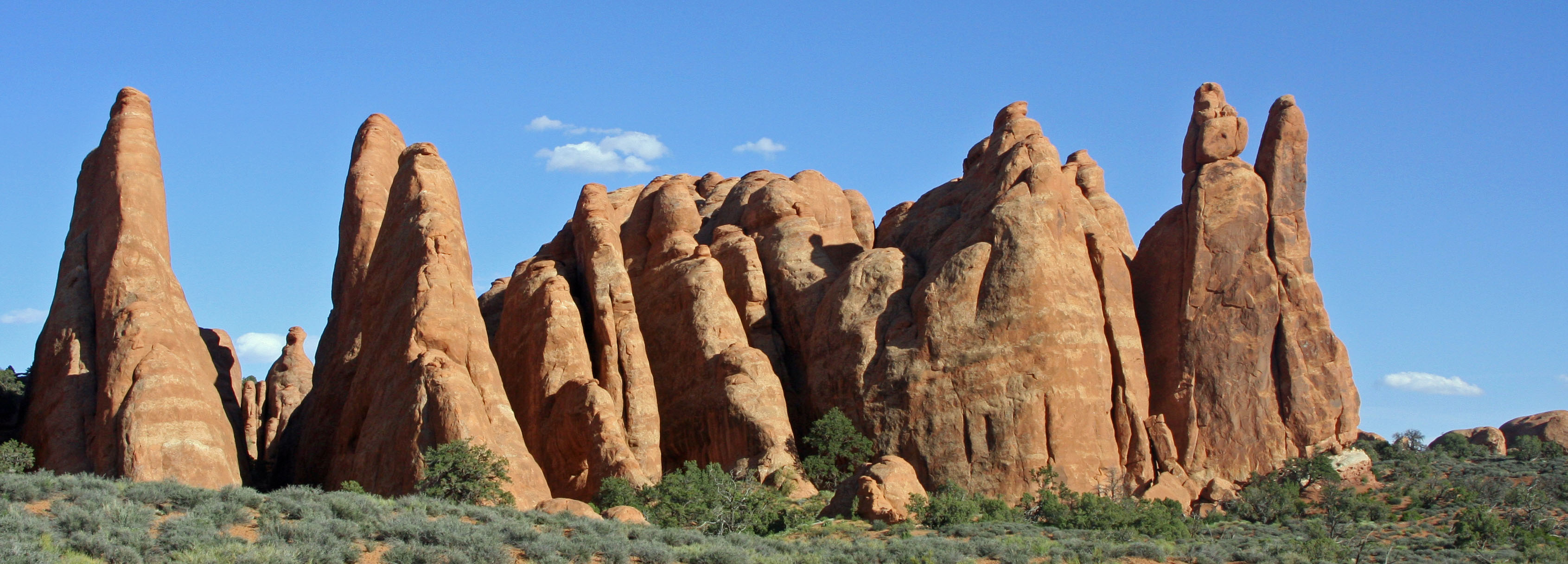
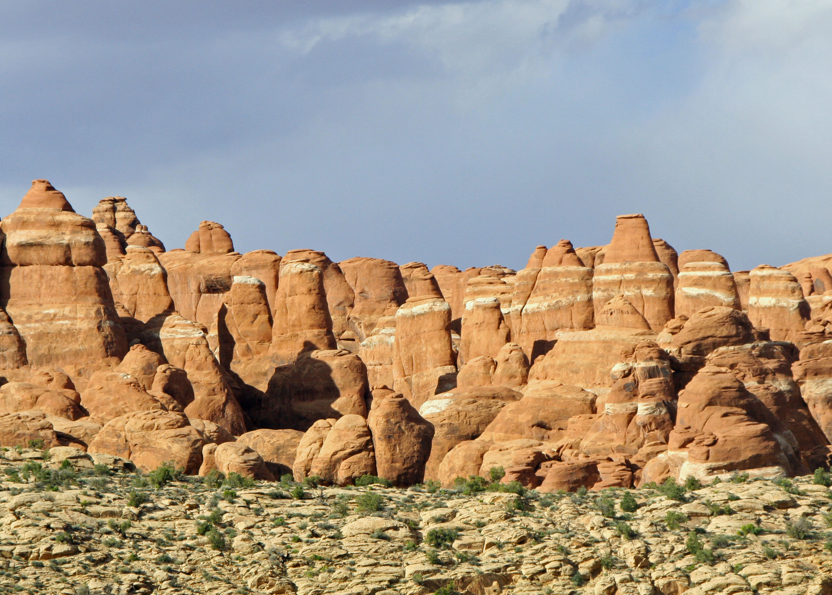
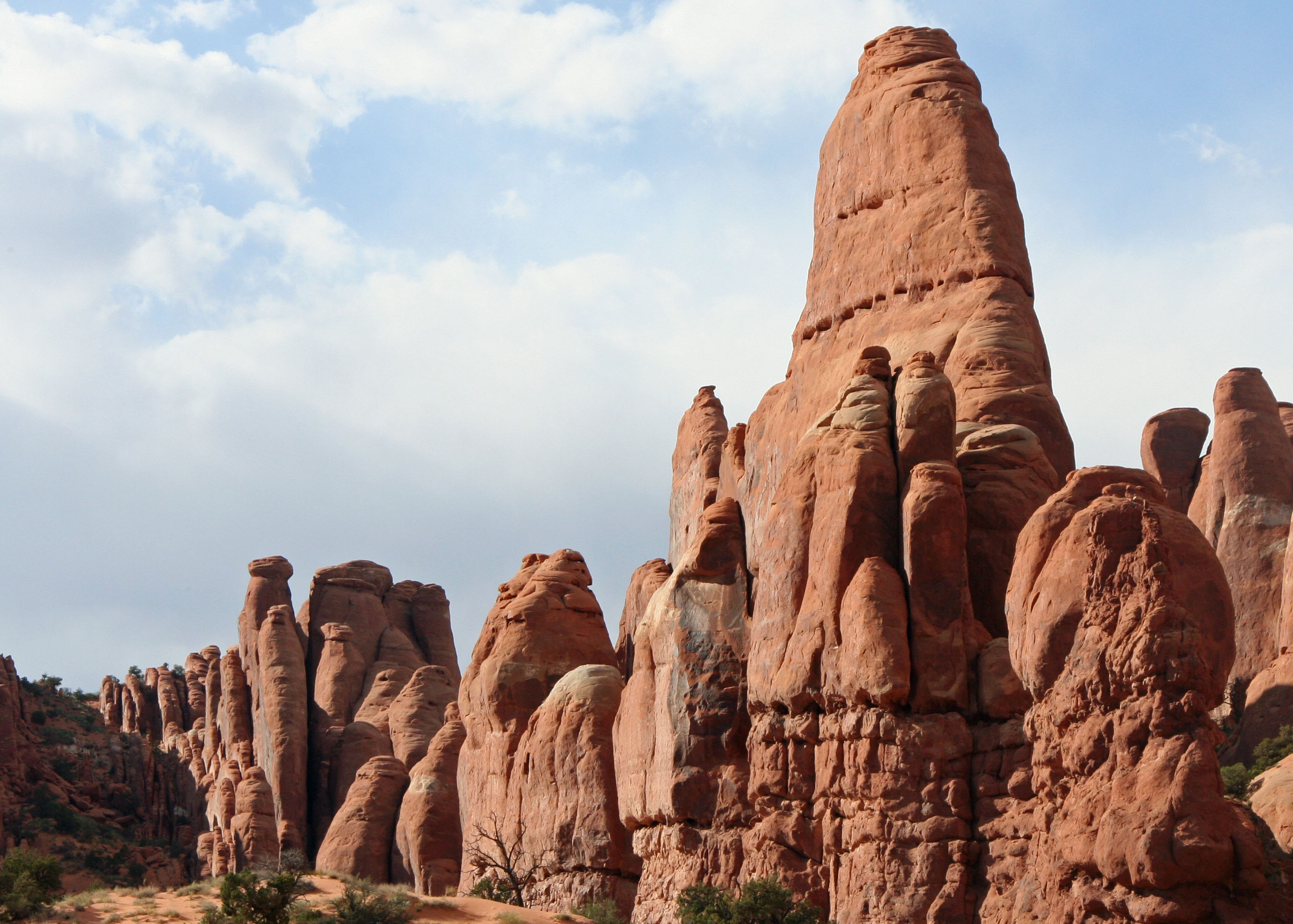
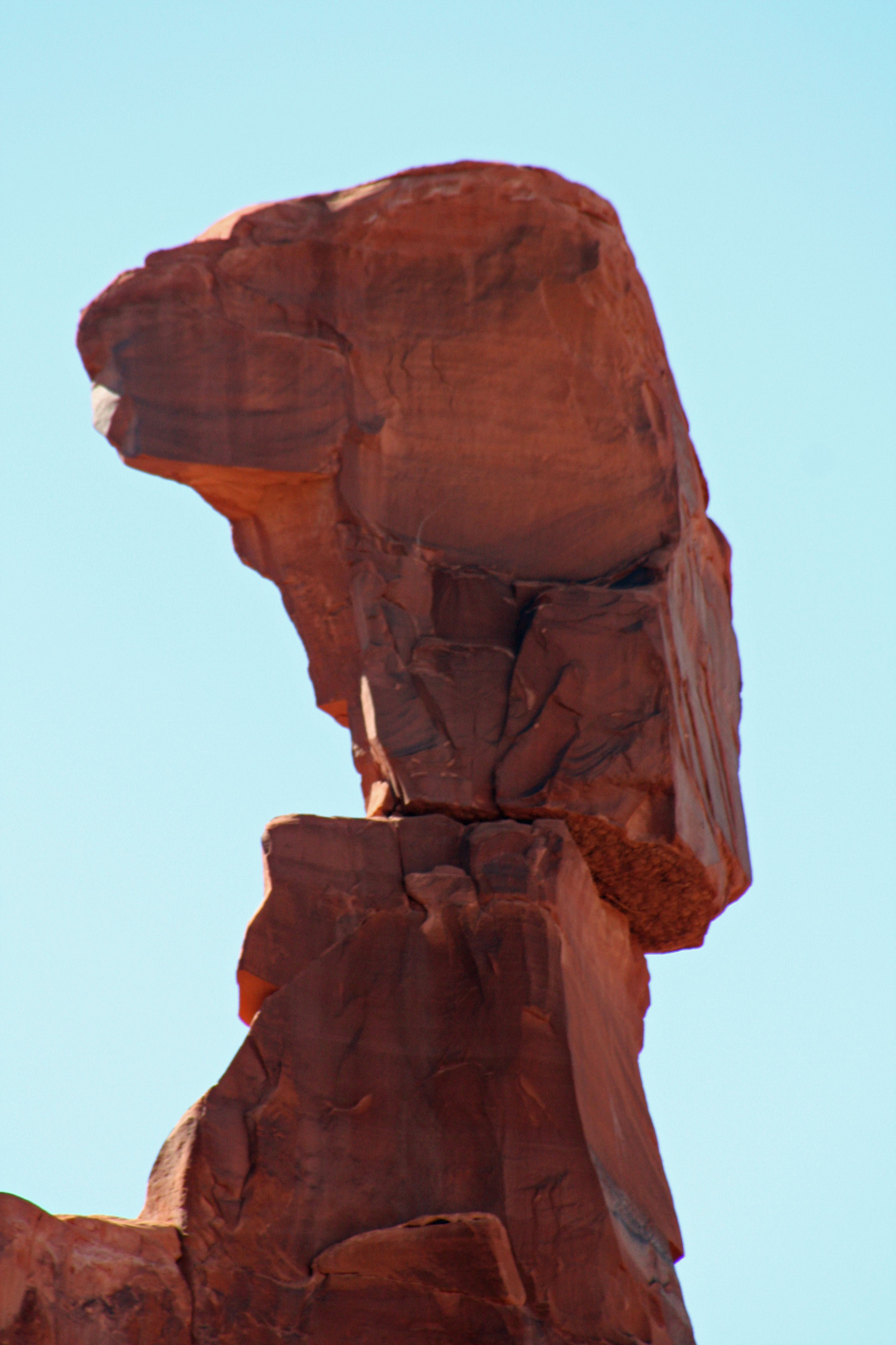
The first time I came across a group of hoodoos, I stopped and stared. Then I grabbed my camera. But I didn’t have to rush. Hoodoos are strange rock formations of arid regions. They don’t go anywhere. They just stand there for centuries as nature and erosion do their work, carving whimsical statues of stone.

Bryce Canyon National Park is a superb location for hoodoo watching. They come in a multitude of shapes, forms and colors creating a fantasy land that even the wildest of imaginations can appreciate.
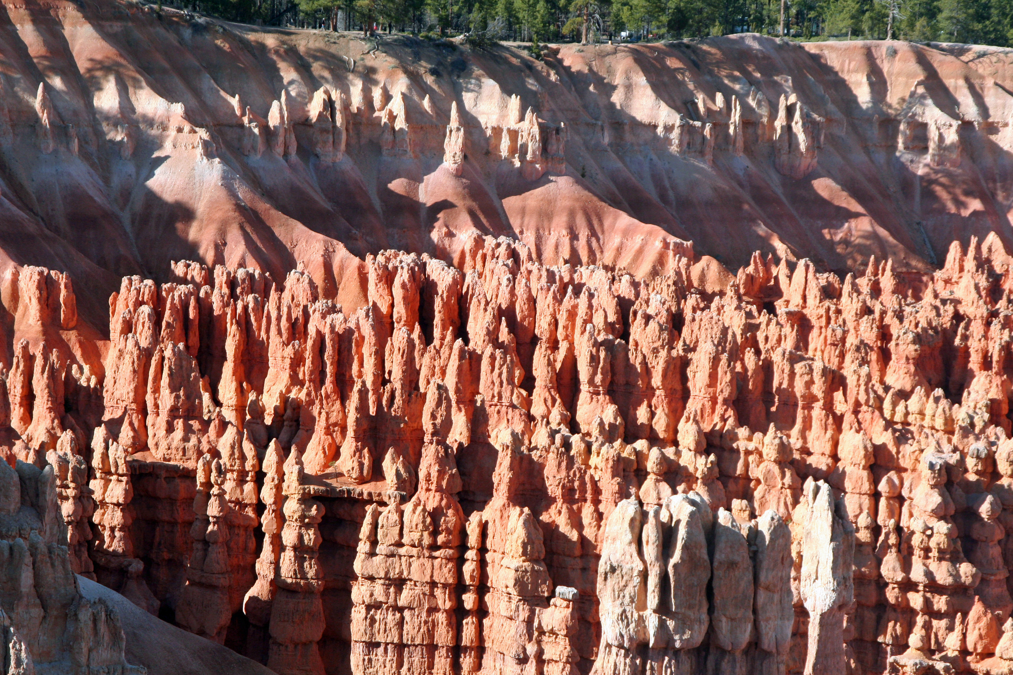
Hoodoos are created in Bryce Canyon through the erosion of sandstone, which eventually creates whimsical statues.

Carved from sandstone of the Paunsaugunt Plateau, Bryce Canyon drops some 2000 feet in altitude to the valley below. Trails ranging from easy to challenging provide the visitor with numerous opportunities to meet the hoodoos up close. Or you can stroll along the rim trail. Be sure to check the park out at sunrise and sunset.

Bryce Canyon is located off of Highway 89 in Southwestern Utah. An easy day’s drive can take you to either Capitol Reef or Zion National Parks and through millions of years of geological history. I consider Utah’s Highway 12 that connects Bryce National Park with Capitol Reef to be one of the most scenic roads Peggy and I found in our 200,000-mile exploration of America.

A family of Hoodoos hidden in a canyon.

Following one of the many trails into Bryce Canyon will bring you face to face with one of the National Park’s unique sculptures.

Another sandstone hoodoo. This one reflects the warm colors of the setting sun.

Erosion created a box canyon here. I saw it and thought immediately it would have made a great corral for cattle stolen by outlaws of the old west.
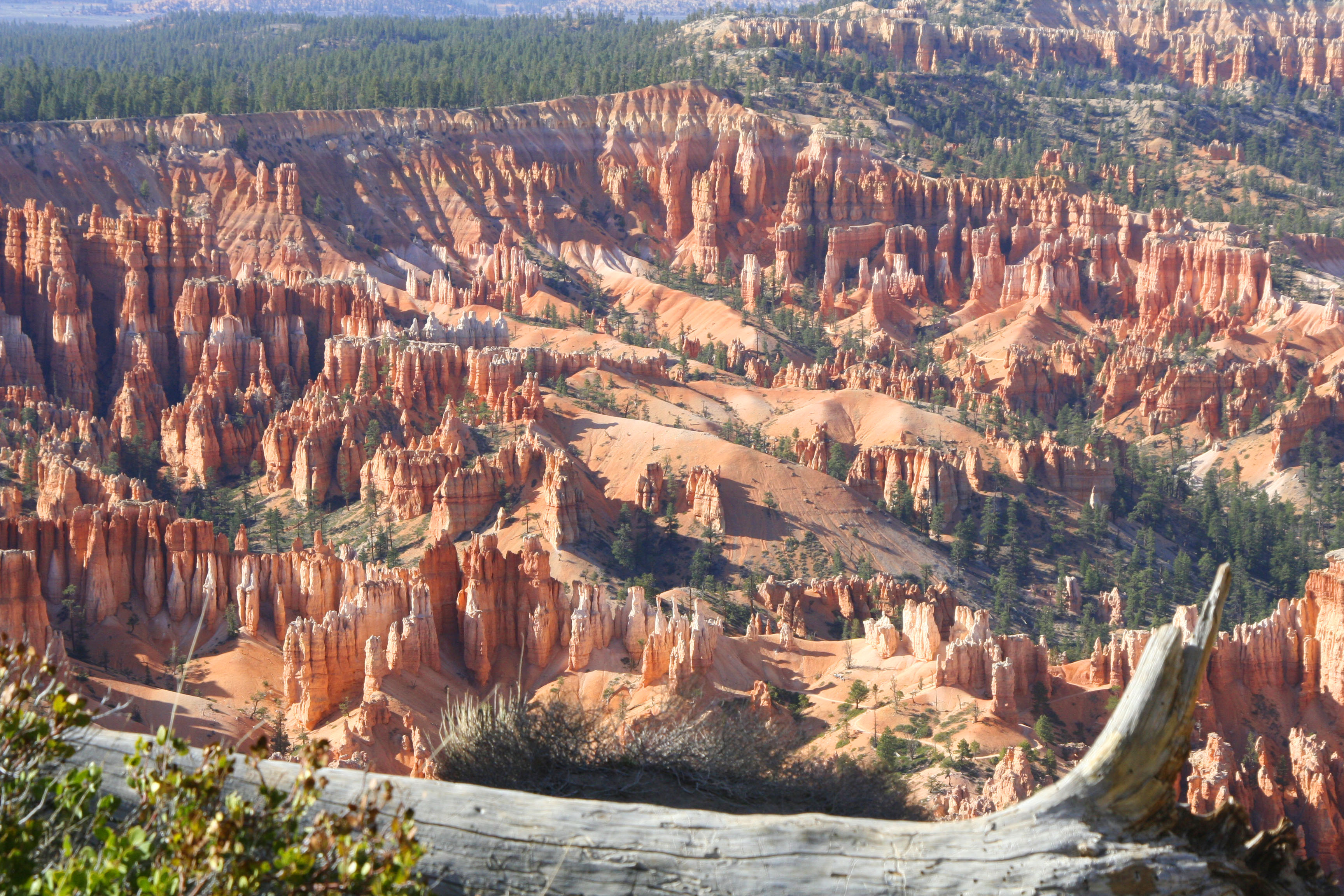
A final view of Bryce Canyon National Park.
Arches National Park… The National Park Series

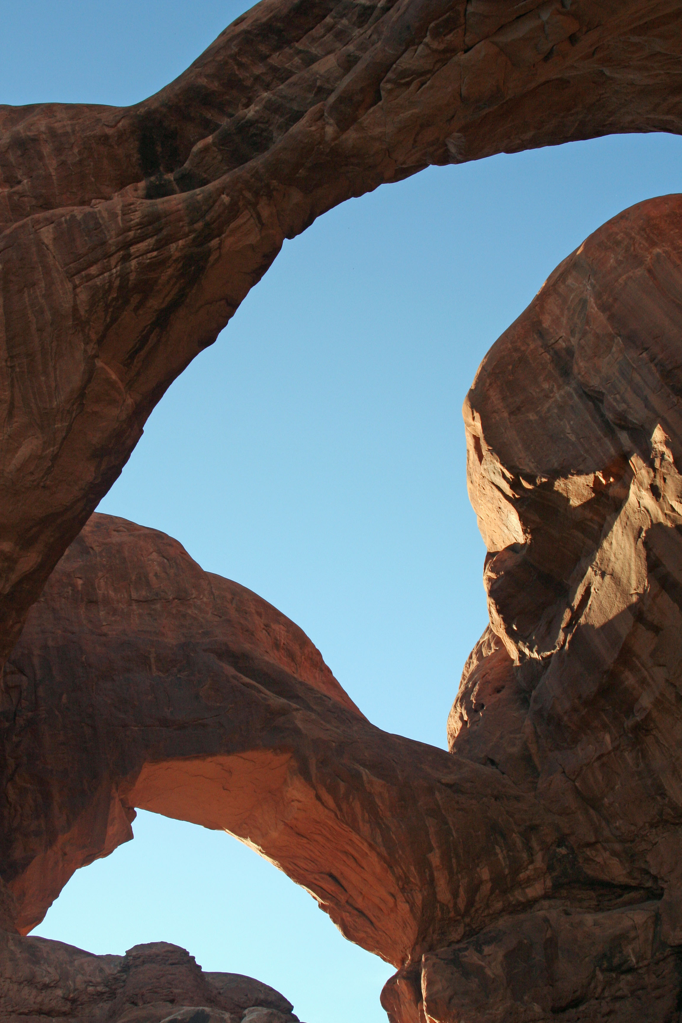
The soaring arches of Arches National Park create magnificent scenery.

I added Arches National Park to my must see list when I read Edward Abbey’s book “Desert Solitaire.” I highly recommend both. The Park is located just north of Moab in the scenic state of Utah. You can pick up Abbey’s book by following my link, or better yet, visiting your local bookstore.

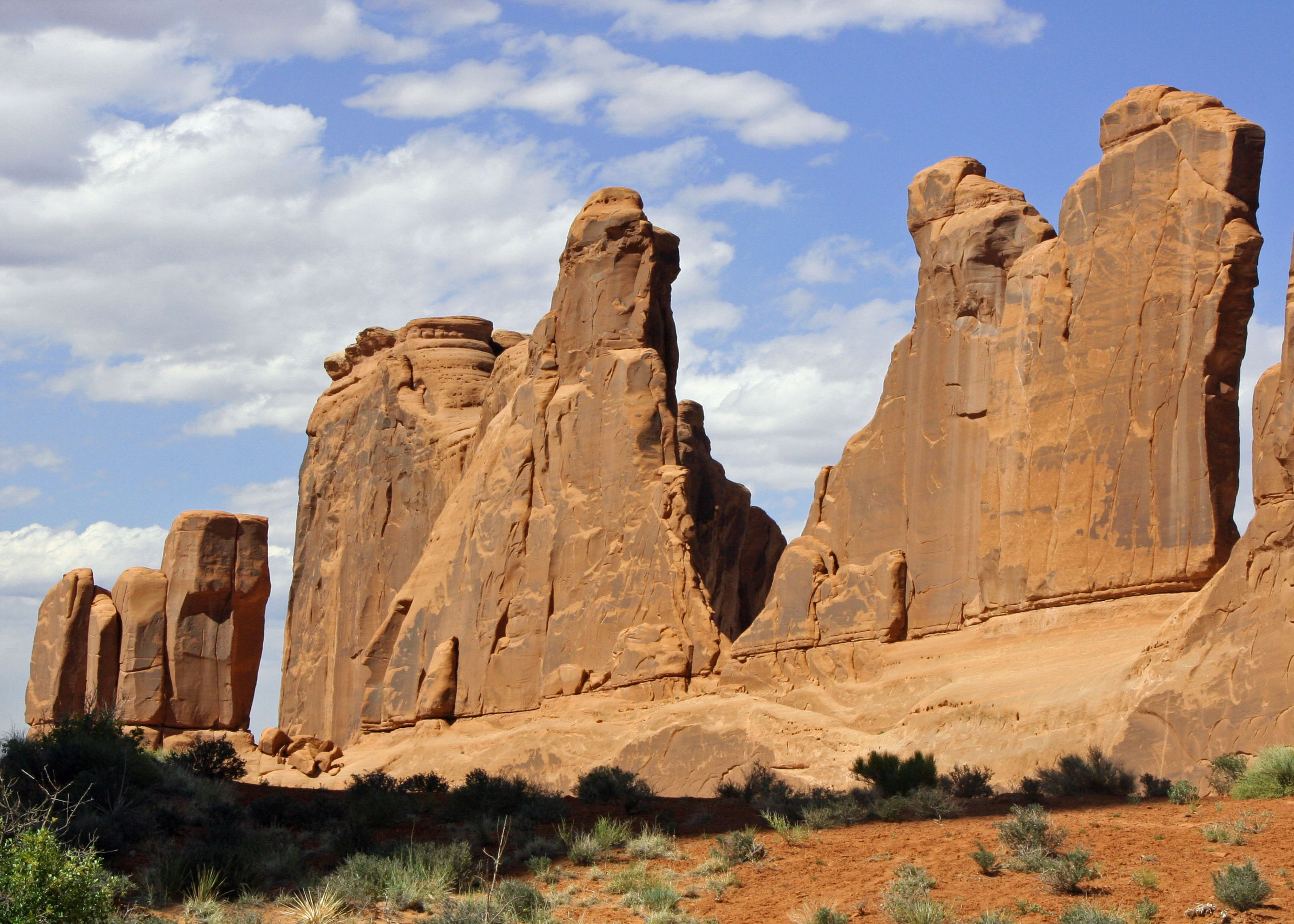
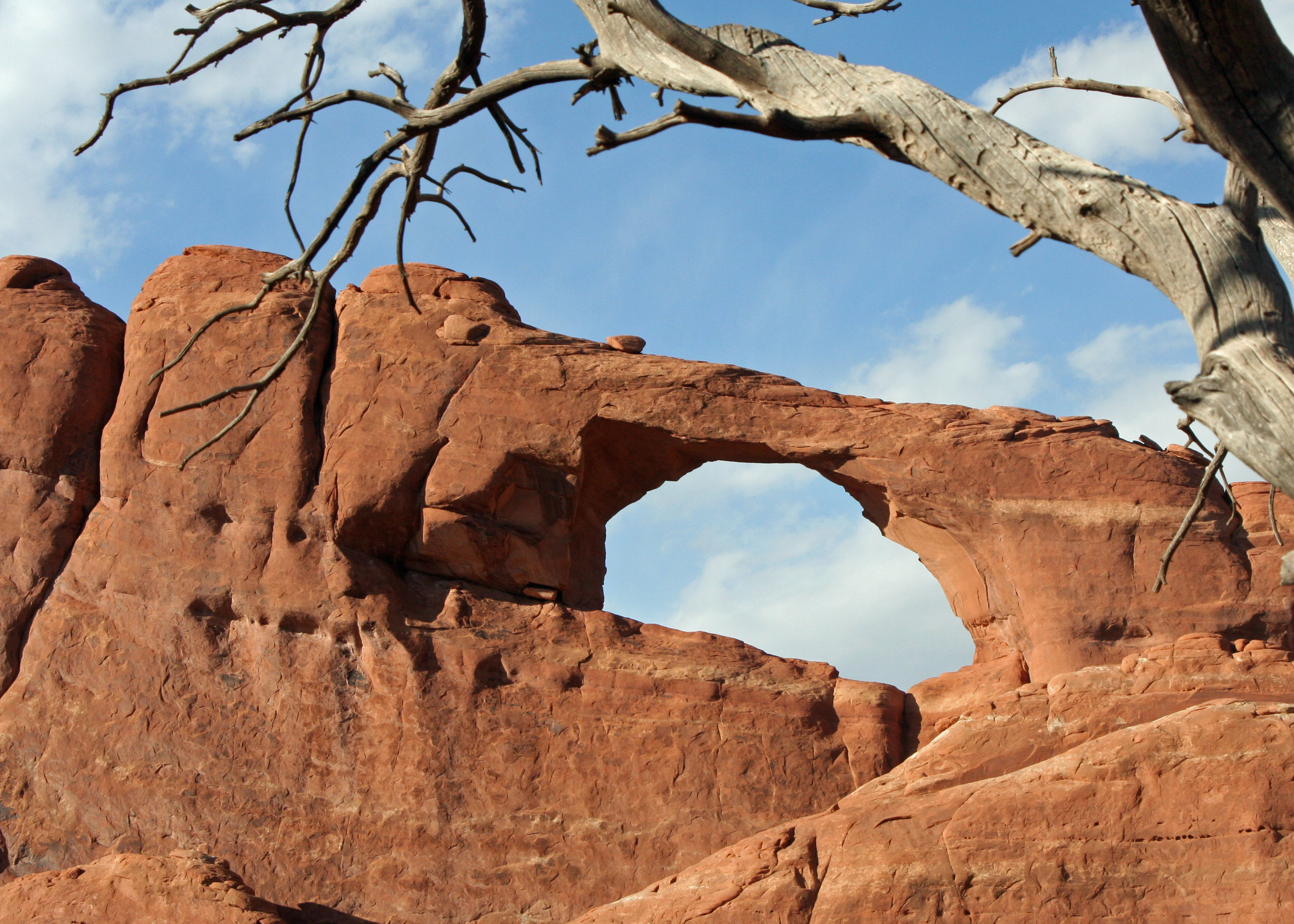
The eroded sandstone of Arches National Park forms some of the best stone sculptures in the world. Its claim to fame, of course, is arches, some 2000 of them, but I was equally impressed with its soaring pinnacles, massive balanced rocks, groupings of sculptures and long, thin ridges.

There are also Desert Bighorn Sheep in the area, often seen near the Visitors’ Center. Check out my blog on these magnificent animals.

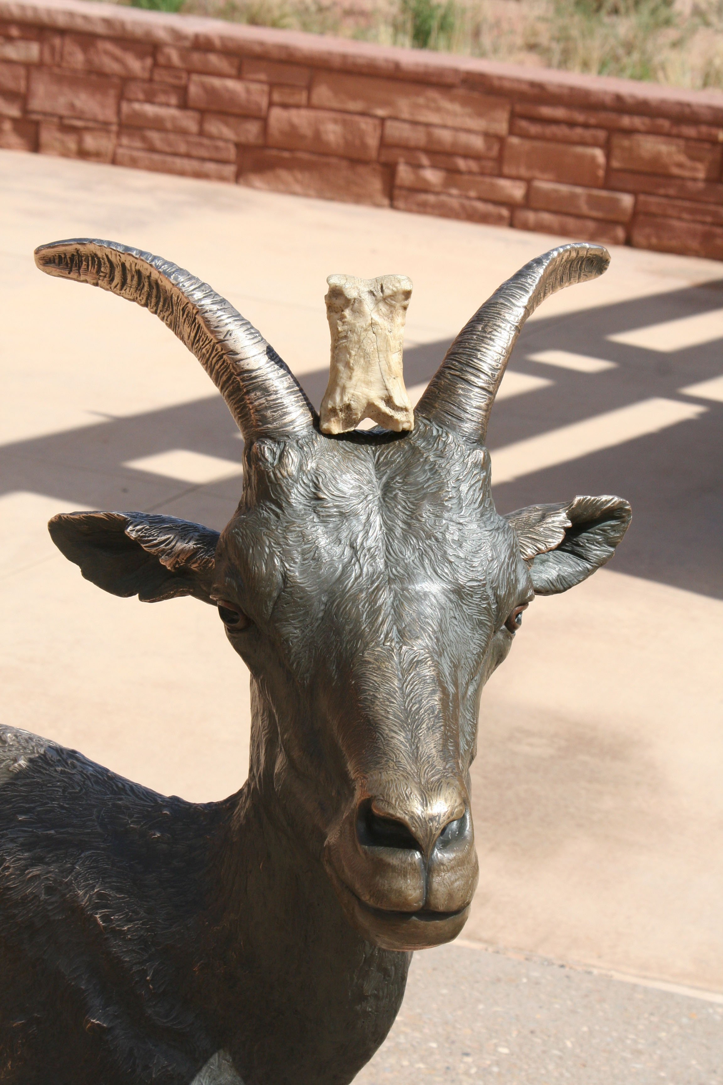
Desert Big Horn Sheep are frequently seen near the Visitors’ Center at Arches National Park. The Peripatetic Bone decided to join a sculpture of the Big Horn Sheep at the Center.
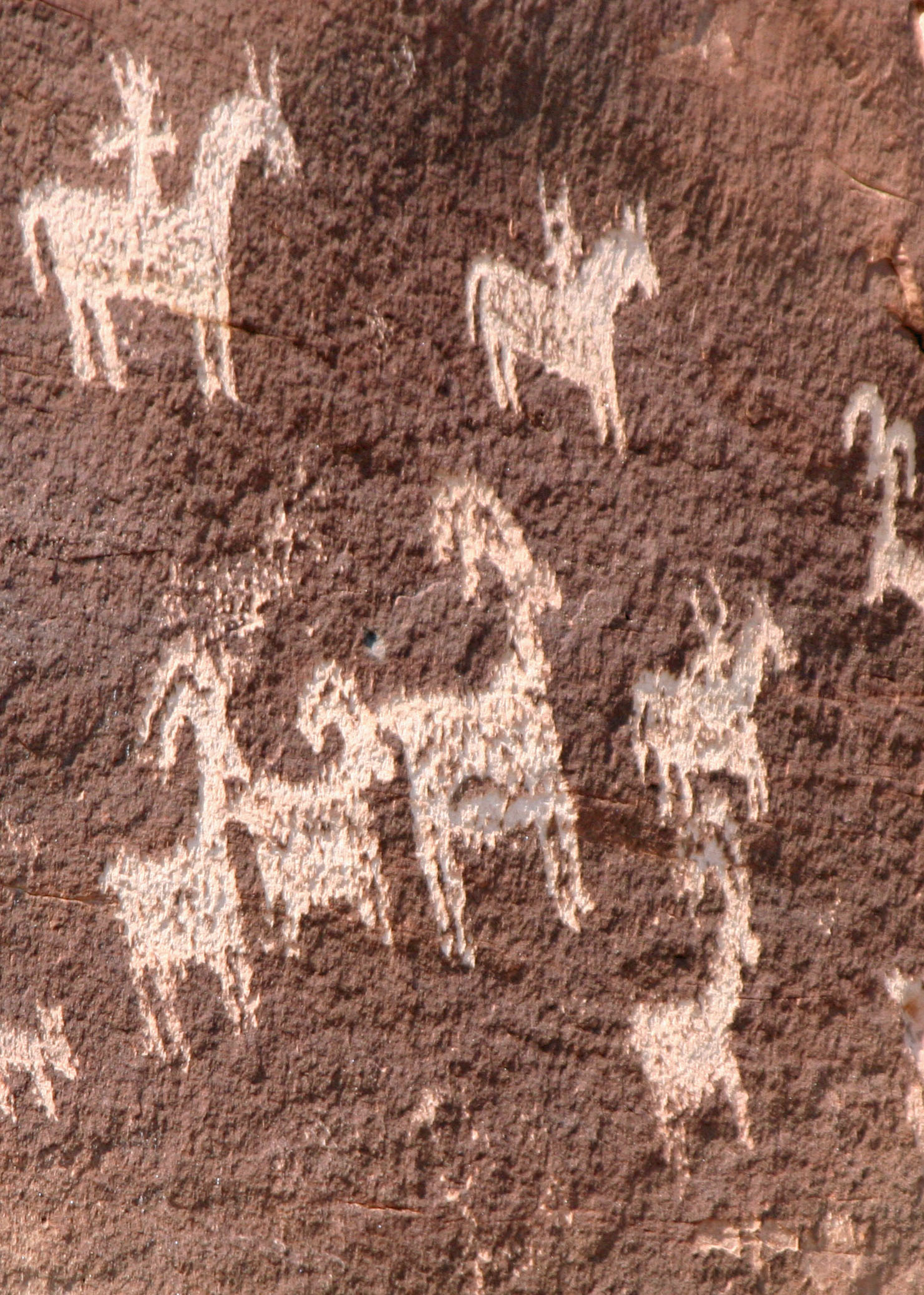
Ancient Native American Petroglyphs are found throughout the West and often feature Big Horn Sheep. This petroglyph is found in Arches National Park. Note the Indians on horses.
Utah has several other National Parks that I will feature in future blogs including Canyonlands, Capitol Reef, Bryce and Zion. You can visit these parks in a week but spending more time is definitely better. Each is worth a week itself!

I’ve been back to Arches National Park twice and have every intention of going again. Enjoy the photos.

Rock sculptures come in all shapes and sizes at Arches National Park. At one time arches would have connected these sculptures.
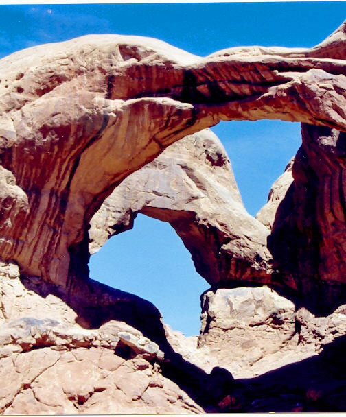
I took this photo on my first visit to Arches National park. The two arches are the same as I featured in my photo at the beginning of the blog.

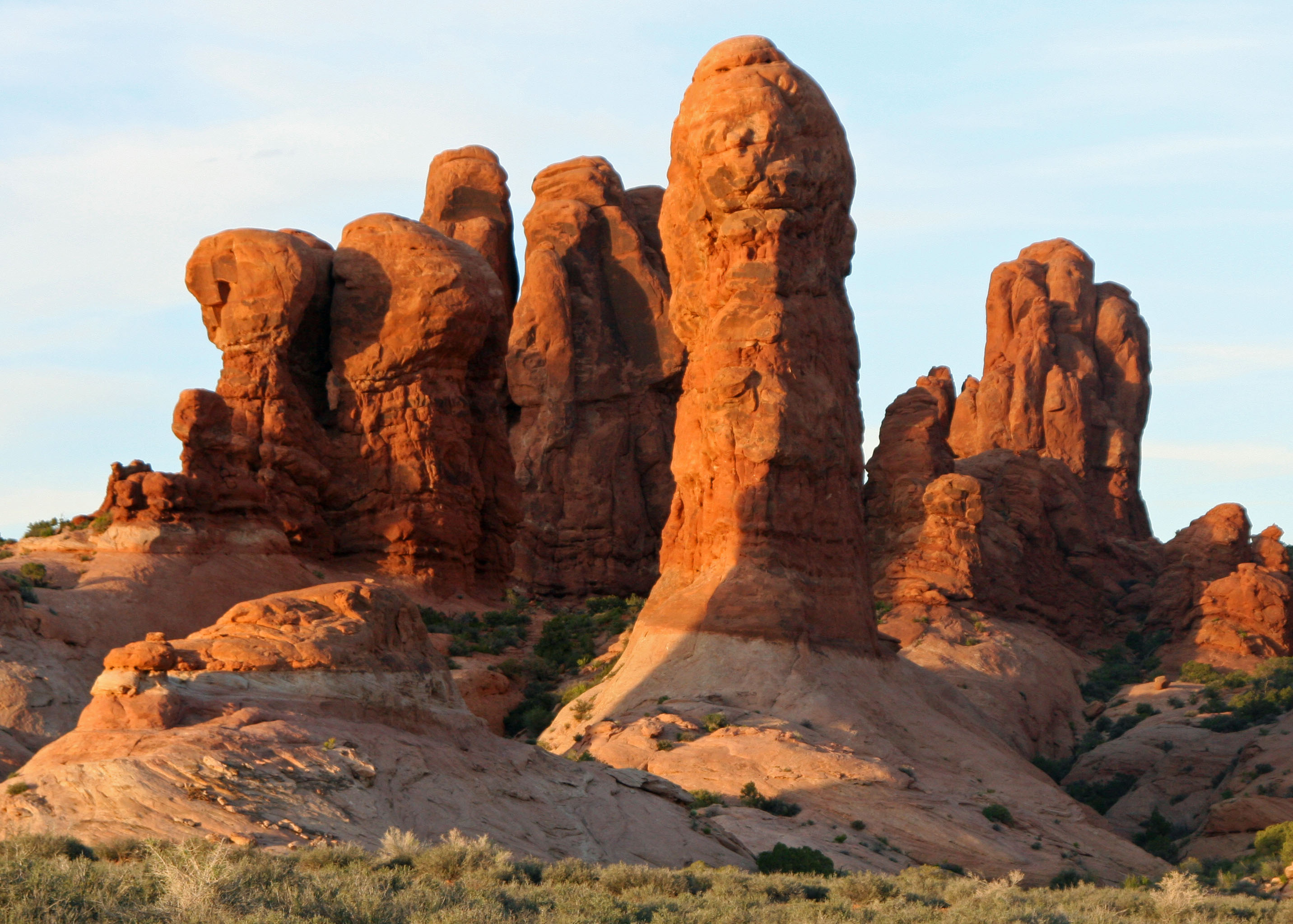
The stone sculptures at Arches National Park often form interesting groupings as demonstrated by the picture above and next three below.

I thought teepees when I saw these sculptures.

The dark sky above these sun-lit rocks added drama to this view.

Parent with lots of kids?

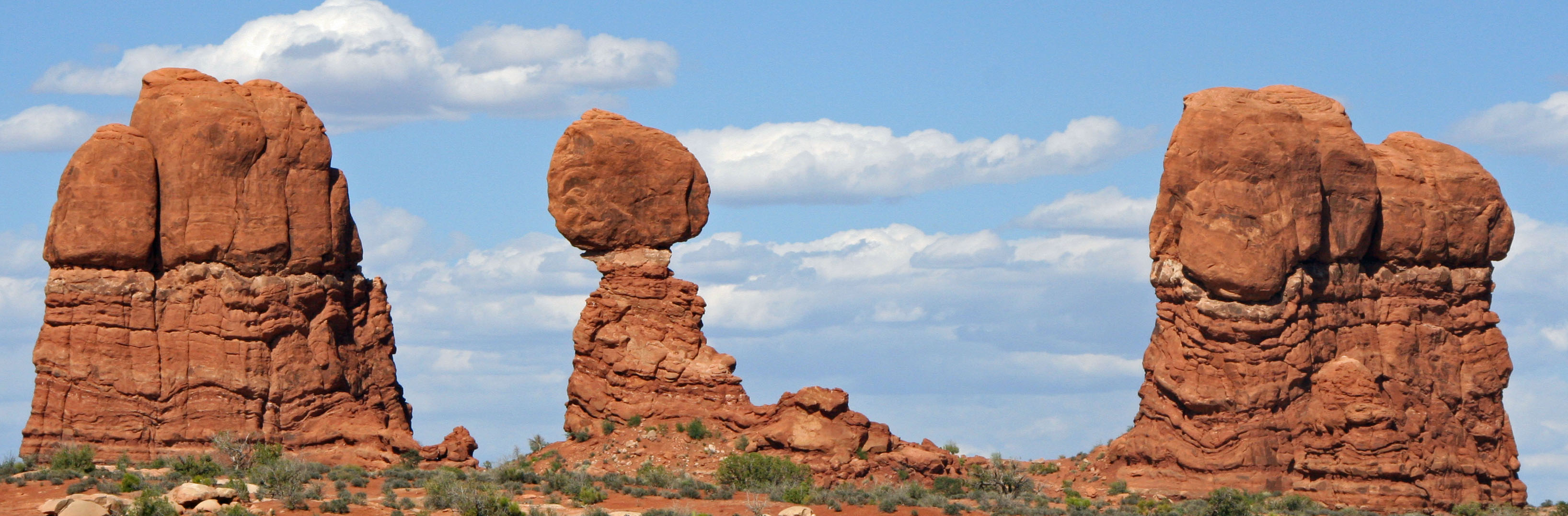
Erosion often leaves rocks precariously balanced at Arches. I wonder how long this rock will remain on its perch. it could fall tomorrow, or in a thousand years.

This impressive structure at Arches National Park is called the Courthouse. I call it V.

A final arch…

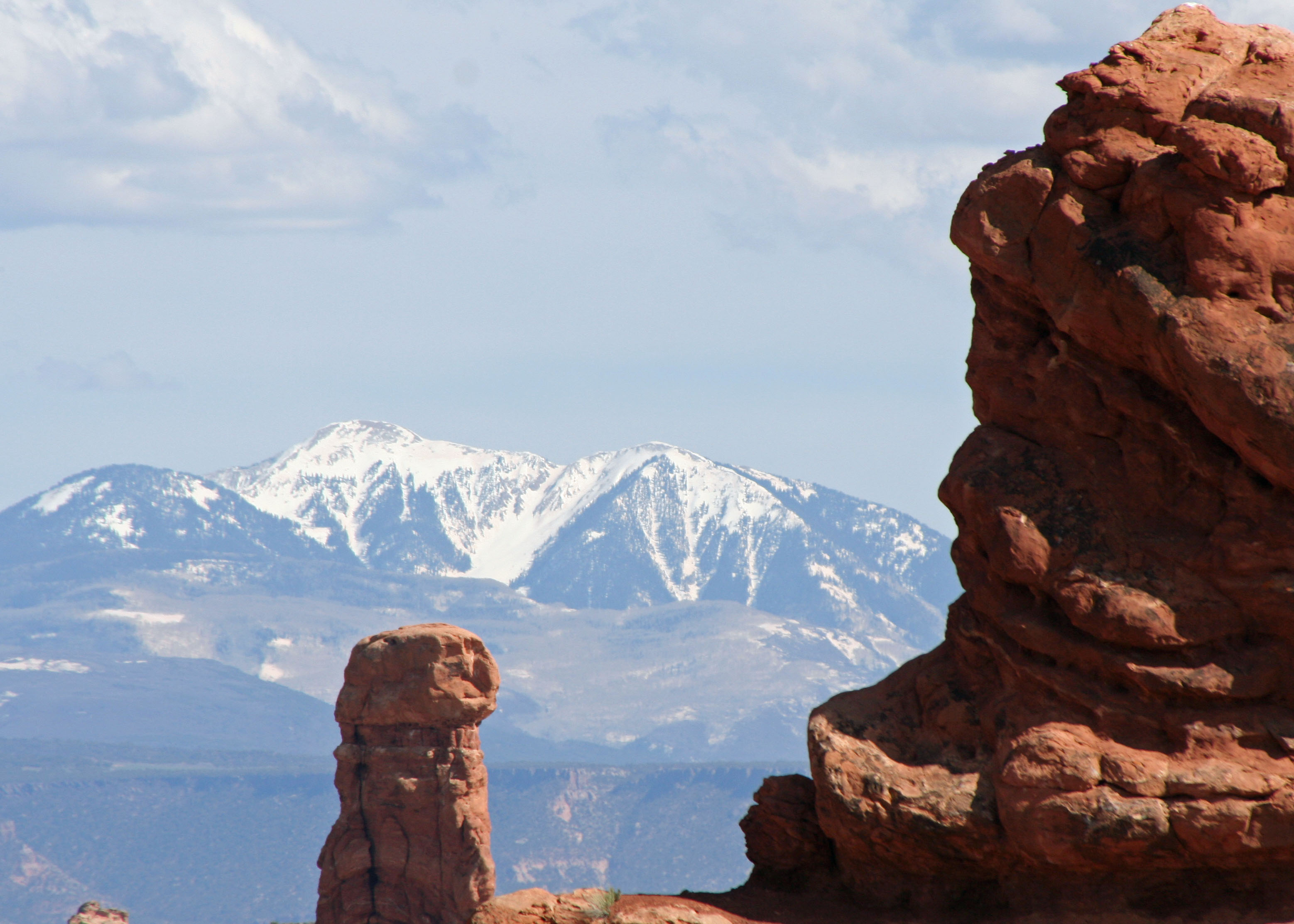
Distant snow-covered mountains add to the beauty of Arches National Park.
Desert Big Horn Sheep… On the Road

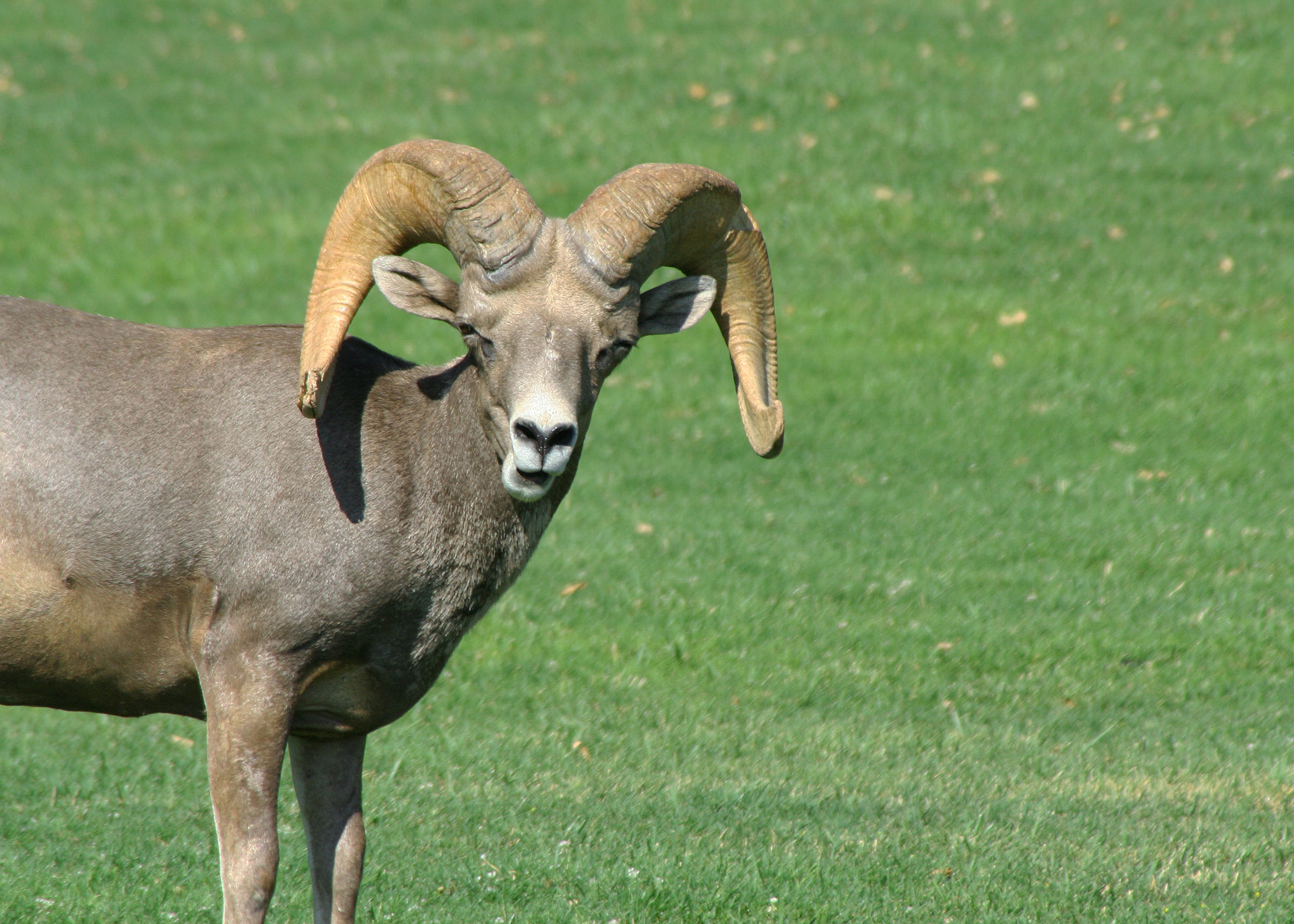
The Desert Bighorn Sheep of the southern Nevada desert calmly eyed me.

He stood there with his magnificent rack of horns, eyeing me and idly chewing on grass. Normally this shy creature of the Southwest deserts would have been hunkering down in the shade on a remote cliff, hiding out from the intense summer sun of southern Nevada and avoiding people and other likely predators.

The greenery of a small park had seduced him and his companions, however. Each day they made a pilgrimage down from their hidden mountain retreat to graze on the tender foliage and contemplate the good life. Unfortunately, two-legged animals came with the territory. We had to be tolerated.

He did not have to tolerate the large Bighorn Sheep that waited for him on the edge of the park, challenging his right to the green grass and threatening to steal his lovely ewes. In a ritual dating back to ancient times, he reared up and charged full speed ahead, smashing into his enemy’s horns time and time again until the intruder was driven from the path. But the rival was as tough as he was stubborn. The next morning, he was there again, waiting…

It was a beautiful location for a new home. A green park placed just below the house provided relief from the parched desert. Surrounding mountains offered glorious picture window views. The man and his wife felt they had found heaven on earth. The loud crash that jarred them out of their bed changed their perspective. Their insurance agent refused to believe their story.

To get their money they had to have photos of the Bighorn ram that challenged his reflection on their metal garage door each morning. (A neighbor of the homeowner related the above story to us.)

It was easy to understand how the Bighorn could do serious damage.  An adult male weighs over 200 pounds and sports 30-pound horns. Plus he can clock out at 30 mph on level ground. Big Bang. Big Dent. His head is specially designed to absorb the shock. Rams have been known to crash horns for up to 24 hours to win a ewe.

Prior to my visit to the small park near Lake Meade I had only seen Desert Bighorn Sheep as small specks on high cliffs or along side canyons of the Colorado River. They are ideally suited for their mountainous, desert environment. Their hooves allow them to perch on two-inch ledges. They are capable of making prodigious leaps of up to 20 feet to land on another ledge, scrambling over difficult terrain at 15 mph. They can also go several days without drinking water, living off of the water they process from plants.

I spent a pleasant morning photographing the sheep doing what sheep do.

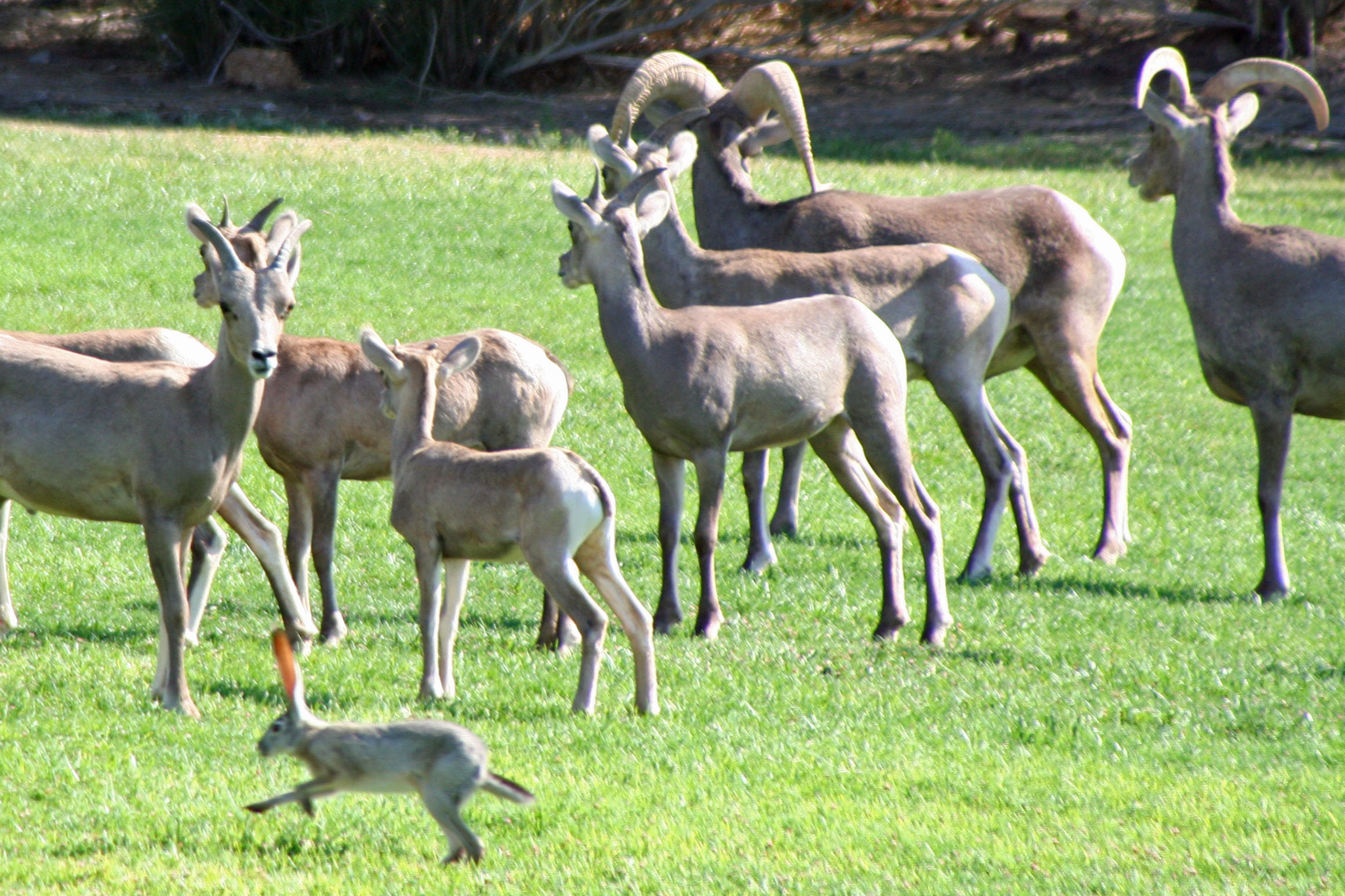
The Desert Bighorn Sheep totally ignored a jack-rabbit hopping by.

It would be hard to sneak up on these Bighorn Sheep. Note how each one is checking out a different direction. Predators include mountain lions, golden eagles and man. At one point, they were almost hunted to extinction.

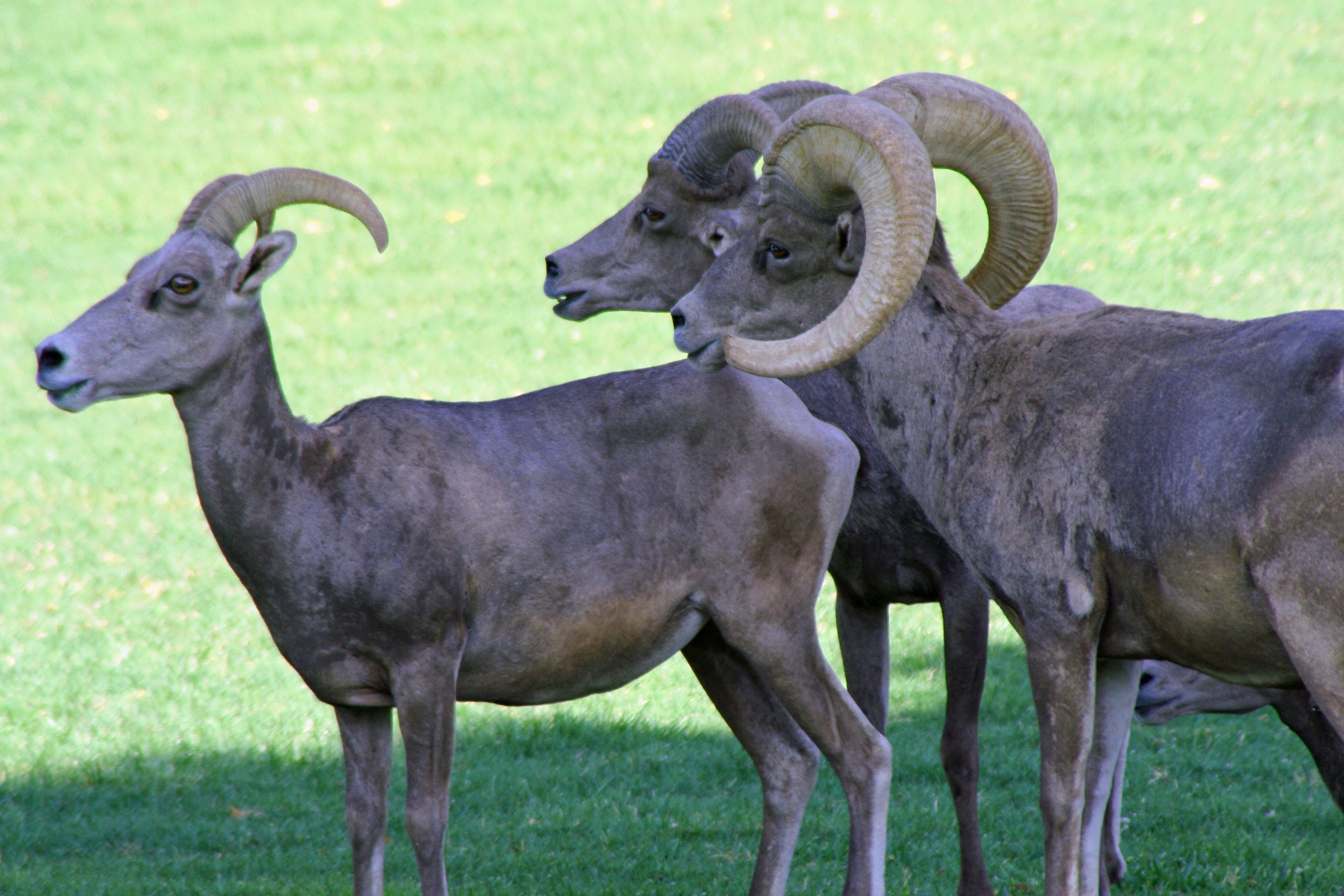
I thought mowing machine when I watched these three rams munch their way across the park.

Both male and female Bighorn Sheep grow horns but the horns of the males curve all of the way around and can weigh up to 30 pounds. I was amused by this guy sticking his tongue out.

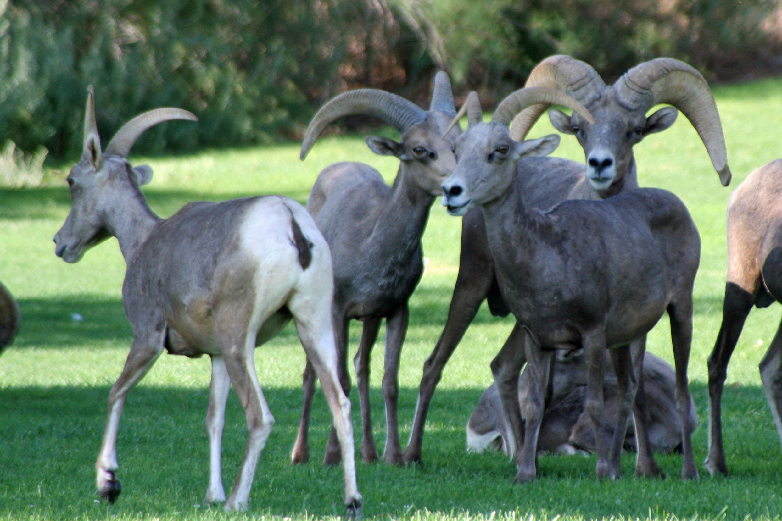
Who gets the girl? During mating season the two large rams would be charging each other from 20 feet away and crashing their horns together to determine who wins the lovely ewe. Battles have been known to go on for 24 hours.

I liked this photo because of the perspective it provided on the different size horns.

Regal is how I would describe this impressive pose by a Bighorn Sheep ram.

The (not so) Wild Burros of Oatman Az. and Route 66… On the Road

Oatman Arizona is noted for its history, location on Route 66 and its wild burros. As this photo suggests, its burros are not very wild, but they are characters.

Oatman, Arizona would be a ghost town if it weren’t for its wild burros and location on Route 66. Peggy and I stopped there on one of our explorations of the historic highway and were immediately greeted by the burros.

A ten million dollar gold strike in 1915 gave Oatman its initial growth spurt. Travel on Route 66 during the highway’s days as a major east-west road maintained its existence. Clark Gable and Carole Lombard spent a honeymoon night there and Clark returned occasionally to gamble with the miners.

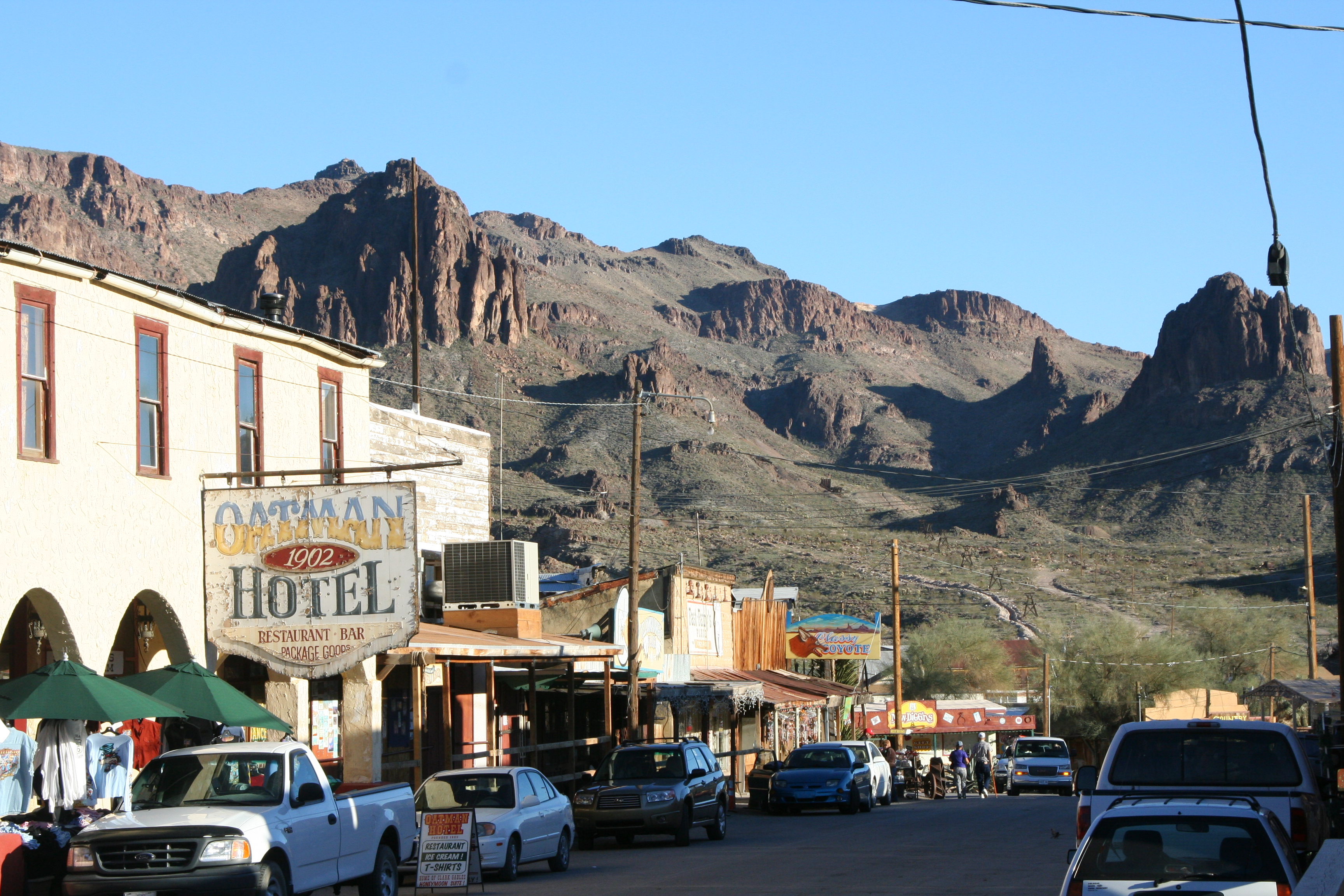
A view of main street Oatman in its desert setting with its historic buildings.

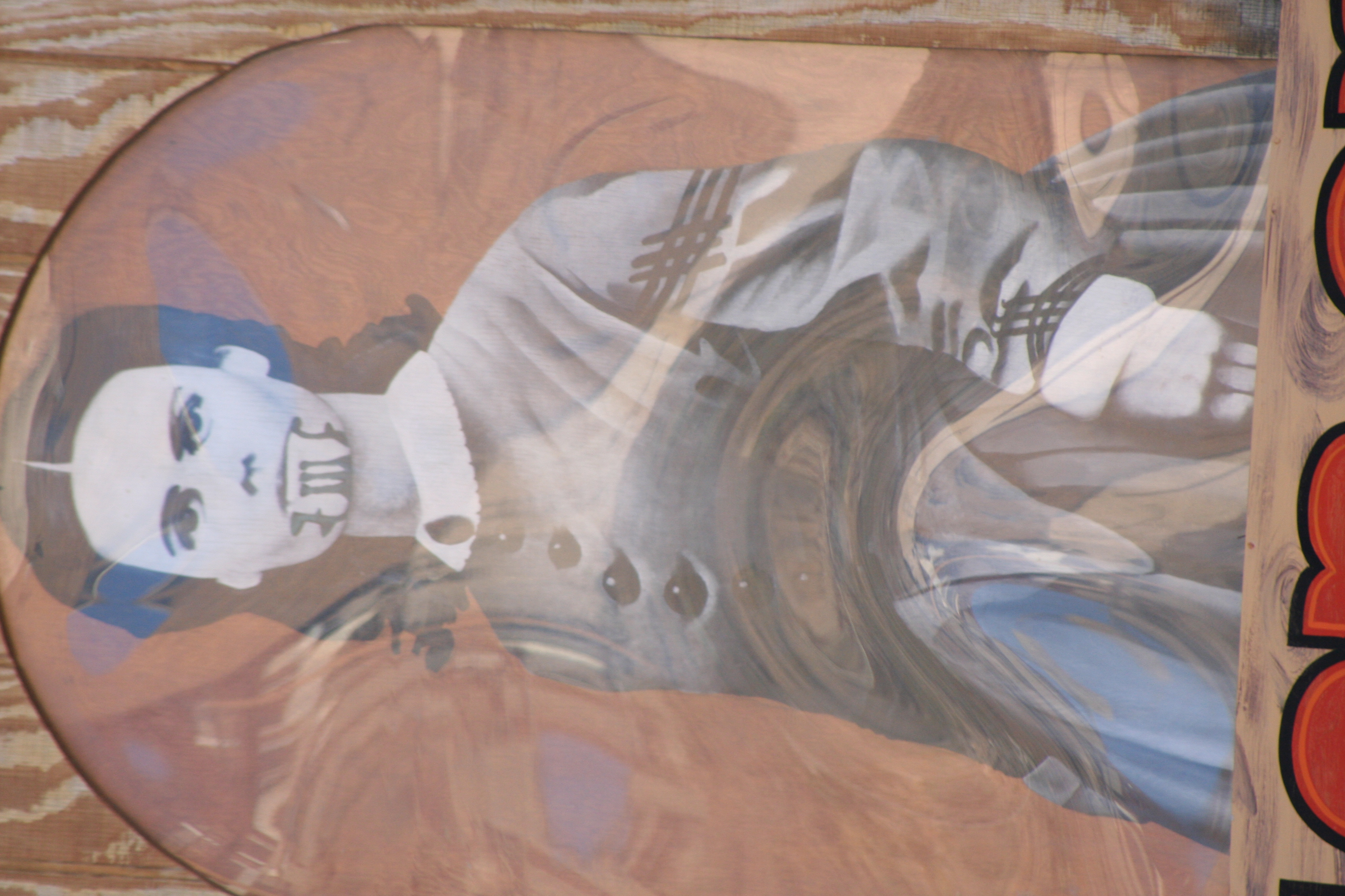
The town received its name from Olive Oatman who had been kidnapped by the Yavapai Indians, rescued and tattooed by the Mohave Indians and eventually released near the town.

Olive Oatman with her tattoos that were applied by the Mohave Indians.

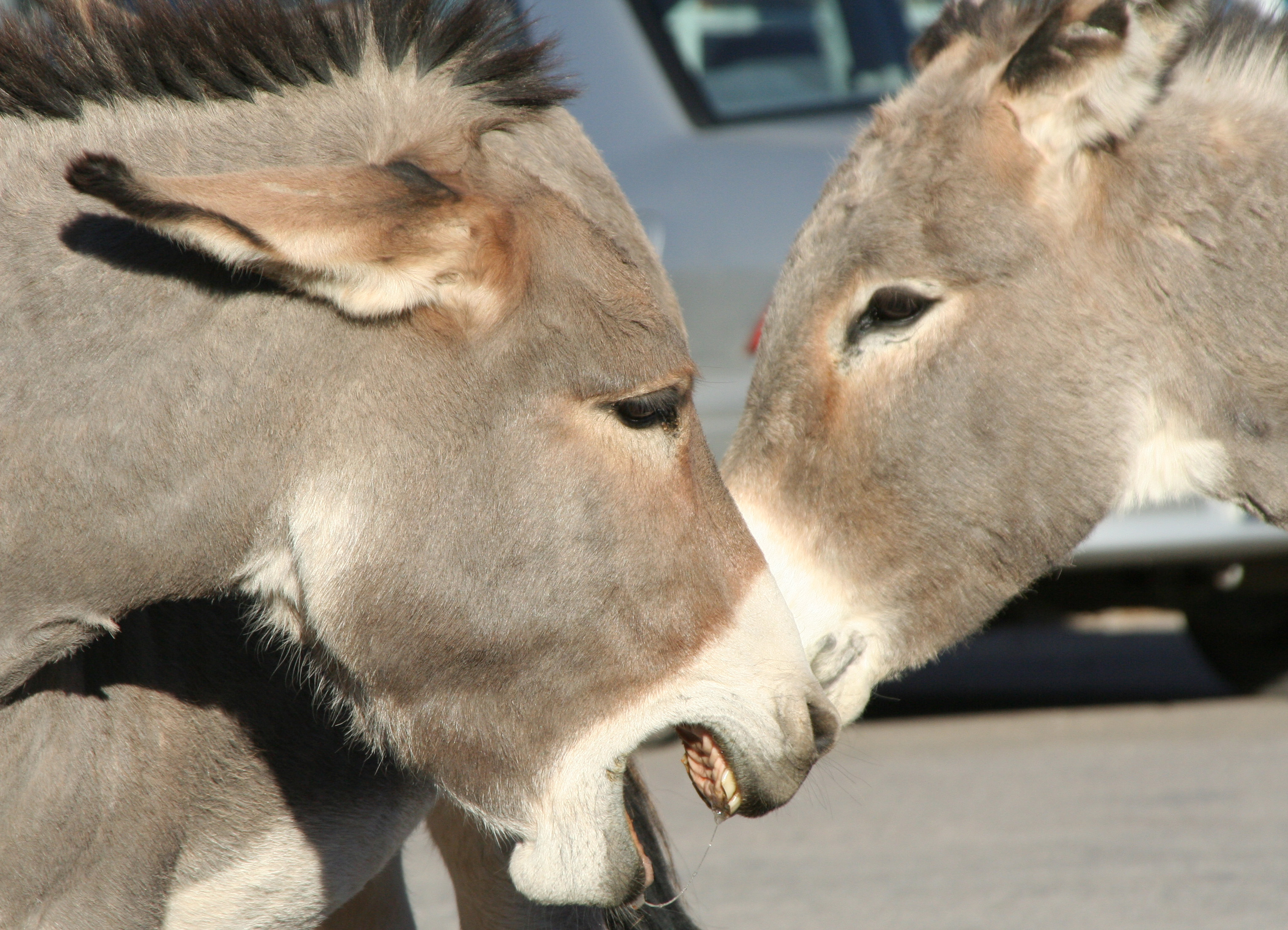
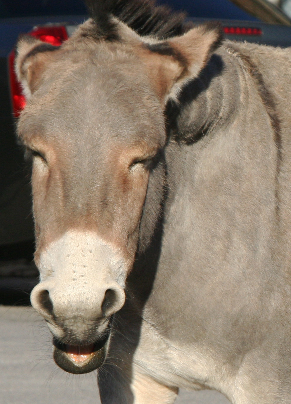
The wild burros, or donkeys, are a legacy of early prospectors who used the burros to carry their gear as they wandered in search of gold and other valuable minerals. Today they can be found throughout the desert Southwest. The burros of Oatman hit tourists up for carrots, provide lessons on donkey mating practices, and leave their calling cards on the streets of the town.

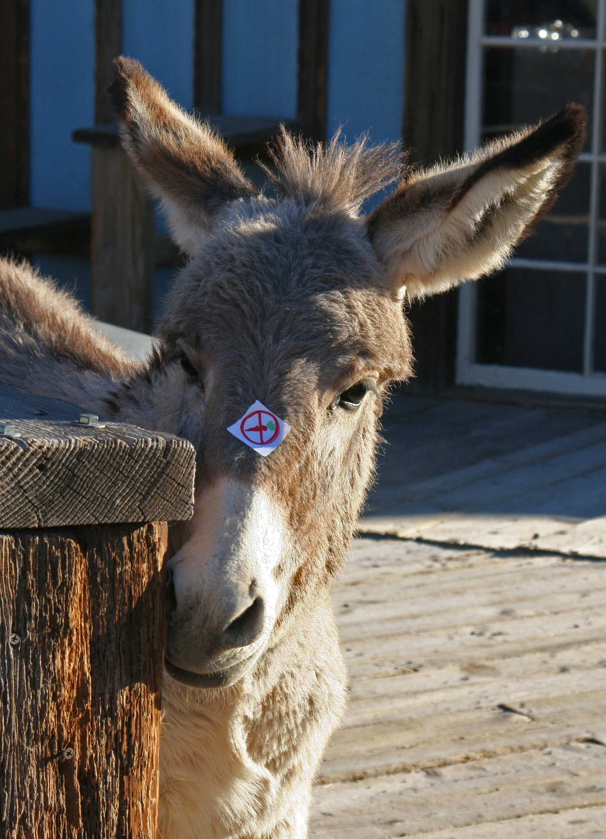
This cute little fellow had a no carrot sticker on his nose. Apparently young burros can choke on the carrots.

By 1960 the gold was gone and the highway was rerouted. Oatman was on its way to ghost town status. Fortunately the energy of the town’s citizens, the rebirth of Route 66 as a national historic treasure, and the desire of the burros for carrots have given Oatman reasons to prosper. It’s definitely worth a visit.

Oatman is located in northwestern Arizona off of Highway 95 on Historic Route 66 between Bullhead City and Needles.

The Peripatetic Bone joins an historic Route 66 sign on the edge of Oatman.

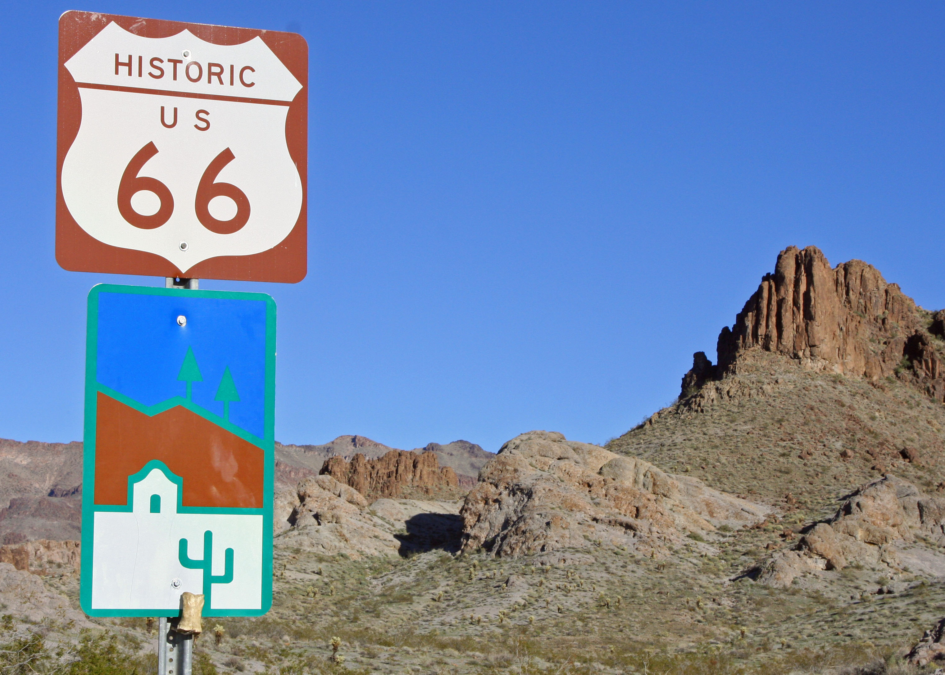
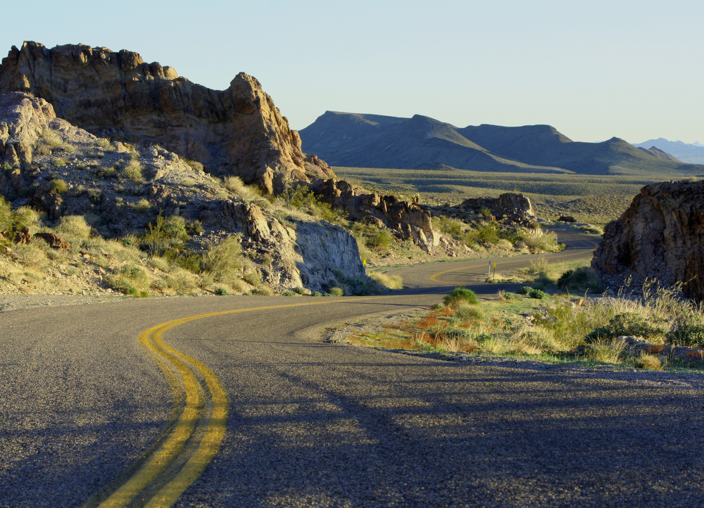
Historic Route 66 a few miles south of Oatman reminds travelers of another time and invites them onward.

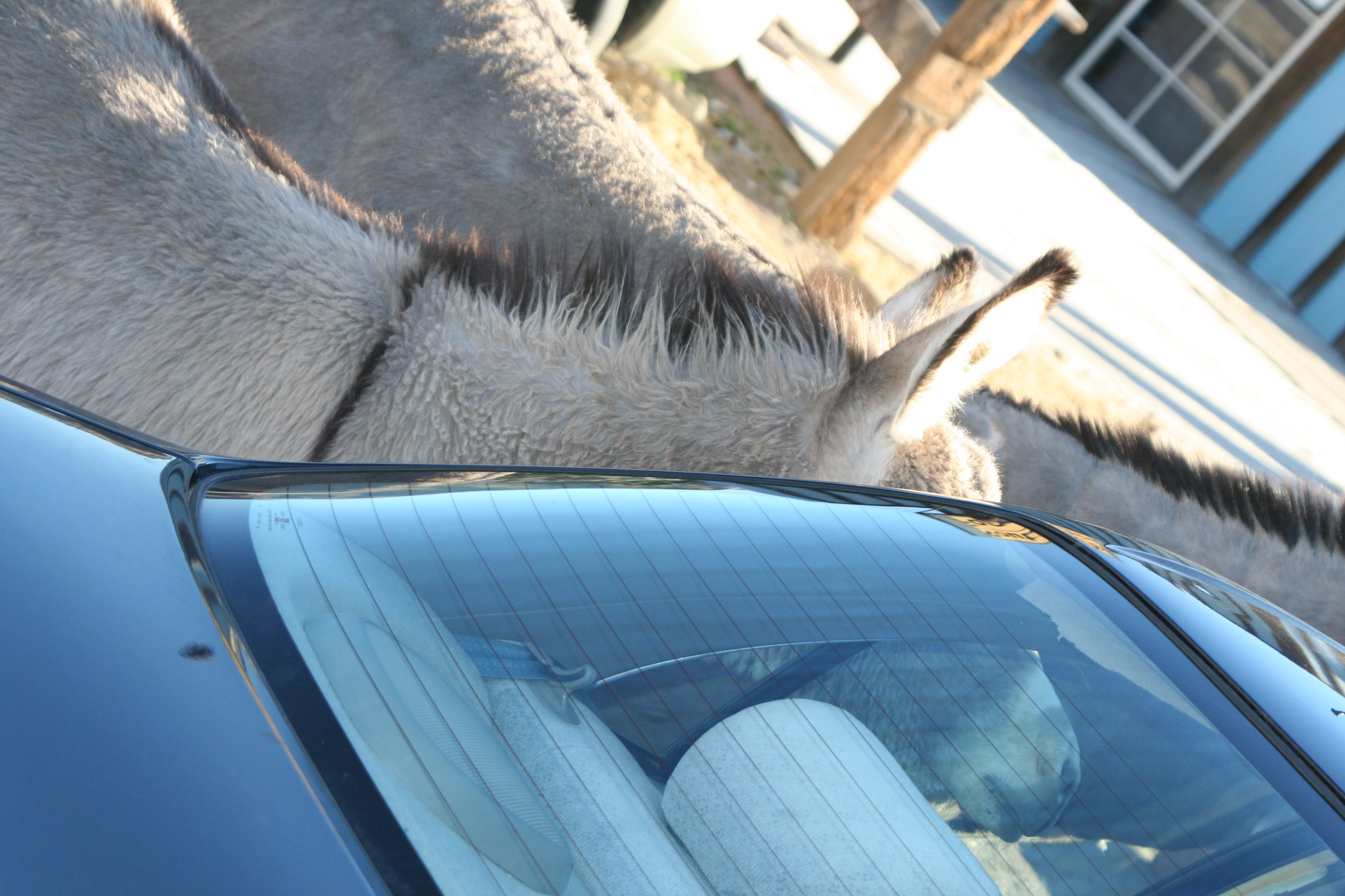
A good reason to leave your windows up when visiting Oatman Arizona.

This photo deserves a caption. Mine would be, "Watch what you're sniffing, Mr.!"

Sheer pleasure?

The Beauty of Death Valley… The National Park Series

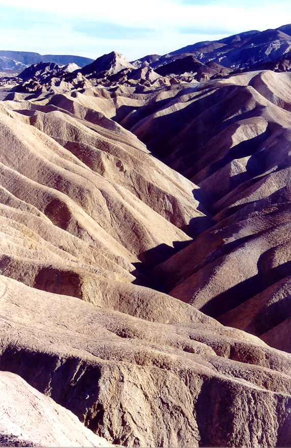
Perched above Gold Canyon off of Highway 190 , Zabriskie Point provides one of many beautiful views in Death Valley National Park.
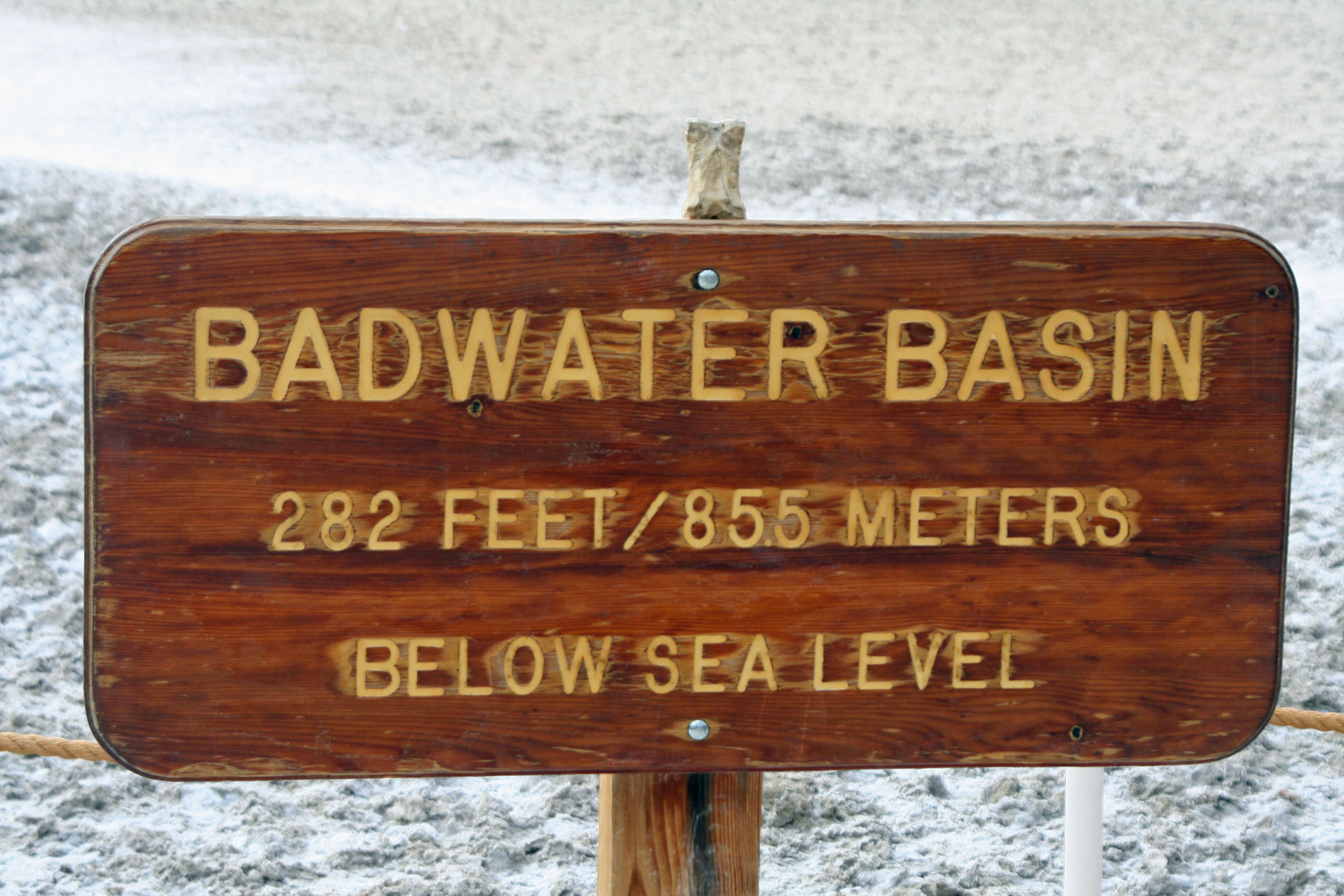
Death Valley exists in a world of superlatives. It is the hottest, driest and lowest spot in North America. Temperatures often exceed 120° F in the summer and have climbed as high as 138° F.  Ground temperatures top out at 200° F! Annual rainfall averages less than two inches (5 cm.). The lowest spot in Death Valley is 282 feet below sea level in Badwater Basin.

Hottest, driest and lowest spot in North America are three superlatives applied to Death Valley. The Peripatetic Bone, who has been wandering the world since 1977, perches on the sign locating the lowest spot in North America in Badwater Basin Death Valley.

While hottest, driest and lowest are adjectives one normally associates with Death Valley National Park, there is one more: beautiful. I have tried to convey this beauty in my last several blogs. Today’s blog will feature several other places I find beautiful or unusual in Death Valley but have not yet featured.

I would also like to emphasize that this is National Park Week (April 21 – 29, 2012). National Parks in the United States (and throughout the world) protect and highlight many of our greatest natural and historical treasures for both present and future generations. They deserve our full support and are always worth visiting.

My wife Peggy and I have had the privilege of exploring most of the National Parks in the United States and several in Canada. My intention is to share our favorites over the next year or two as part of my blogging

Another view from Zabriskie Point. Pioneers designated such areas as Badlands... i.e. they weren't good for growing crops or grazing animals. Today, we realize their intrinsic beauty is a value in itself.

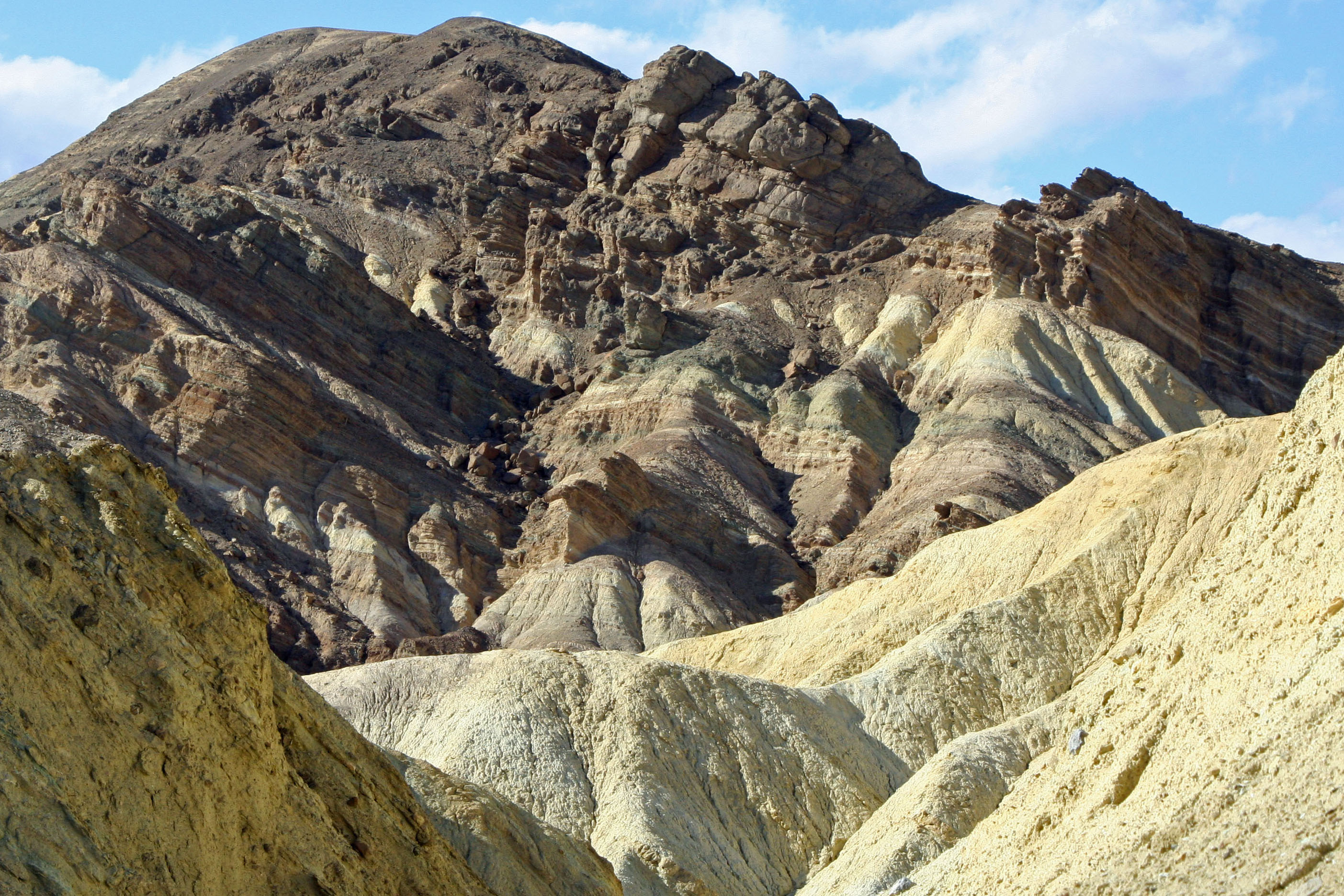
The nine-mile Artist's Drive and Palate off of Badwater Road provides a profusion of colored rocks as the name suggests. These colors are created by the different sedimentary rocks and oxides of various metals. This area was once volcanically active.

A closeup of Artist's Palate.

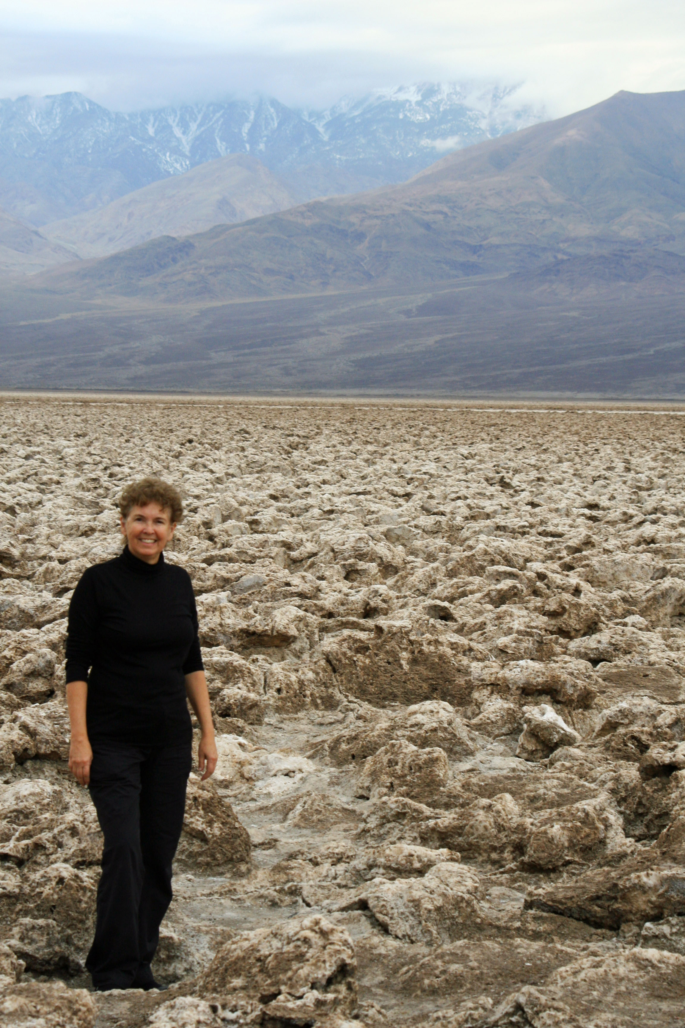
Two to four thousand years ago the floor of Death Valley was covered with a large lake up to 30 feet in depth. Then the climate changed (sound familiar?). The lake dried up and left behind the minerals that had been dissolved in the water... mainly salt. Today this salt works its way to the surface and forms pinnacles through capillary action. The result is the Devil's Golf Course. Peggy provides perspective on the size of the pinnacles.

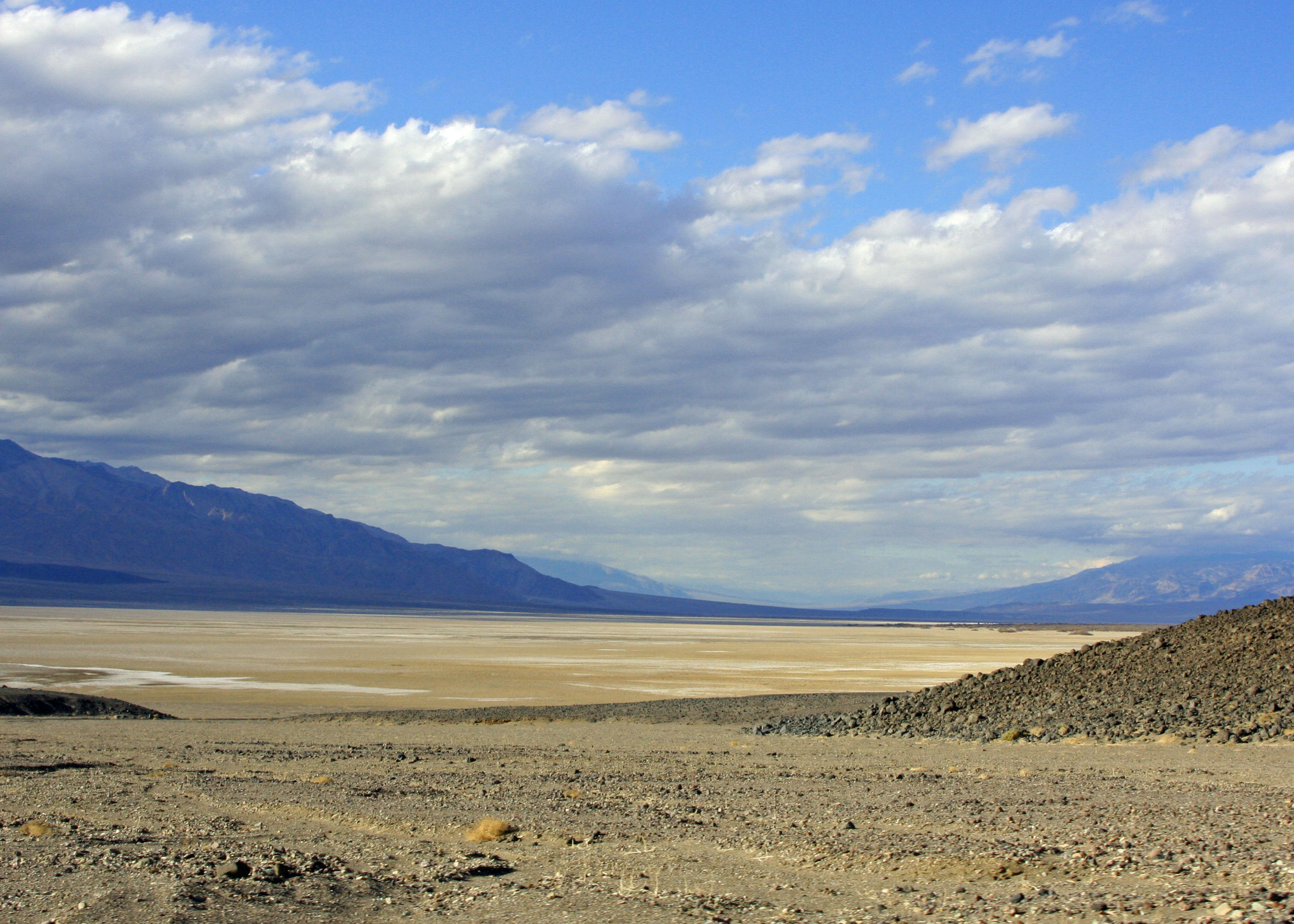
A final view looking across Death Valley.

Death Valley’s Golden Canyon… The National Park Series

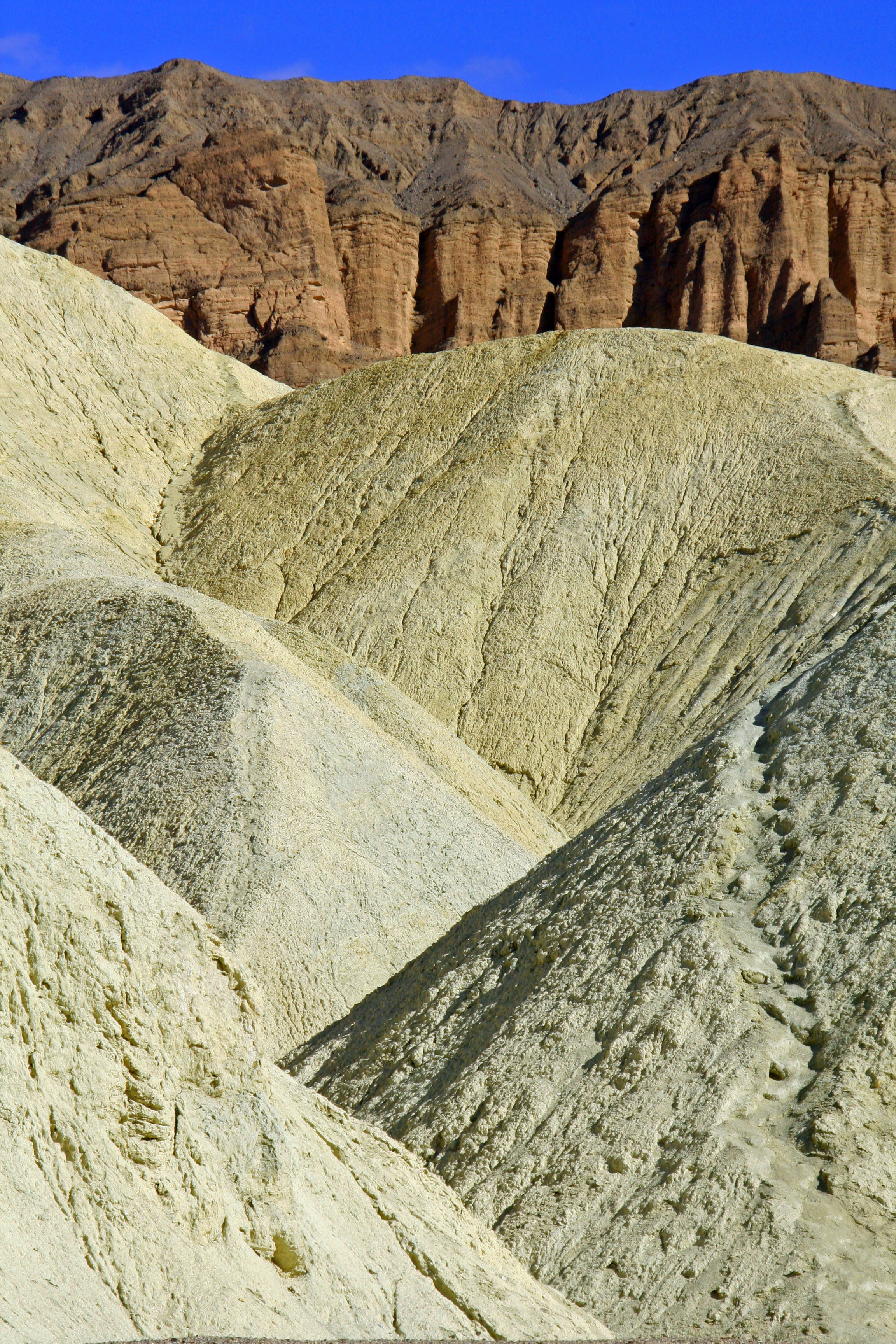
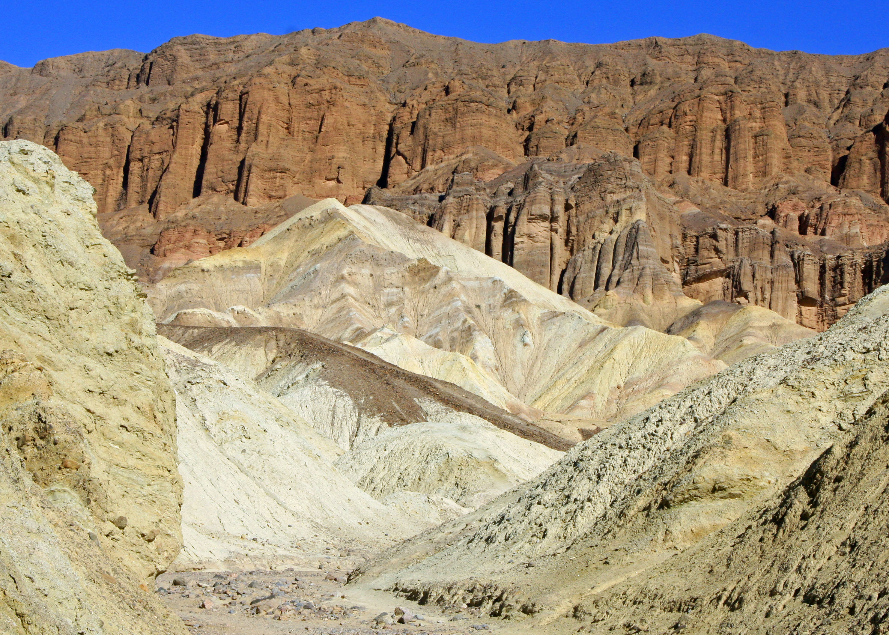
A hike up Golden Canyon in Death Valley National Park awards hikers with this view of Cathedral Ridge.

A paved road once snaked its way into Golden Canyon in Death Valley National Park. Tourists could drive in and enjoy the view.  No effort was required. People would take out their cameras, do the ‘ah’ bit, and leave… hurrying on to the next must see sight.
Flash floods are common in desert areas, however. One roared down Golden Canyon in 1976 and took the road along with it. Ever since, access has been by foot. Consider it a blessing. I am not against driving and gawking. I do plenty. But we miss a great deal of nature as we roll along in our sleek air-conditioned vehicles.

What was once a paved road providing access to Death Valley’s Golden Canyon is now a wide, easy to follow path.

And there is much to see in Golden Canyon. The hike is easy as long the sizzling heat of Death Valley’s summer is avoided. October through April is the best time to visit. I also recommend hiking in early morning or late afternoon when colors are vibrant. Carry water. Stroll up the canyon, stop often and look around. The experience is best when savored. It’s a two-mile round trip. For a shorter version, stop at any point.

Markers along the trail provide insight into area’s rich geological history. Topsy-turvy planet altering processes caused by the movement of the earth’s tectonic plates folded and twisted ancient rocks that had been created from deposits in even more ancient seas. Erosion has exposed this work of eons and gives us a glimpse into the past. The bright colors of the different rocks and the different rate they erode provide a feast for our eyes and imagination, not to mention our cameras.

The lower rocks provide a clear view of how Golden Canyon  obtained its name. The upper rocks show sedimentary layers of rocks that were once laid down in ancient sea beds and have since been raised and folded by tectonic forces.

Golden Canyon is located two miles south of Highway 190 on Badwater Road. Trails to Zabriskie Point and Gower Gulch cut off of the Gold Canyon Trail. Ask at Park headquarters for maps and details.

Another view of the red Cathedral Ridge above Golden Canyon in Death Valley. The red color is created by iron oxide.

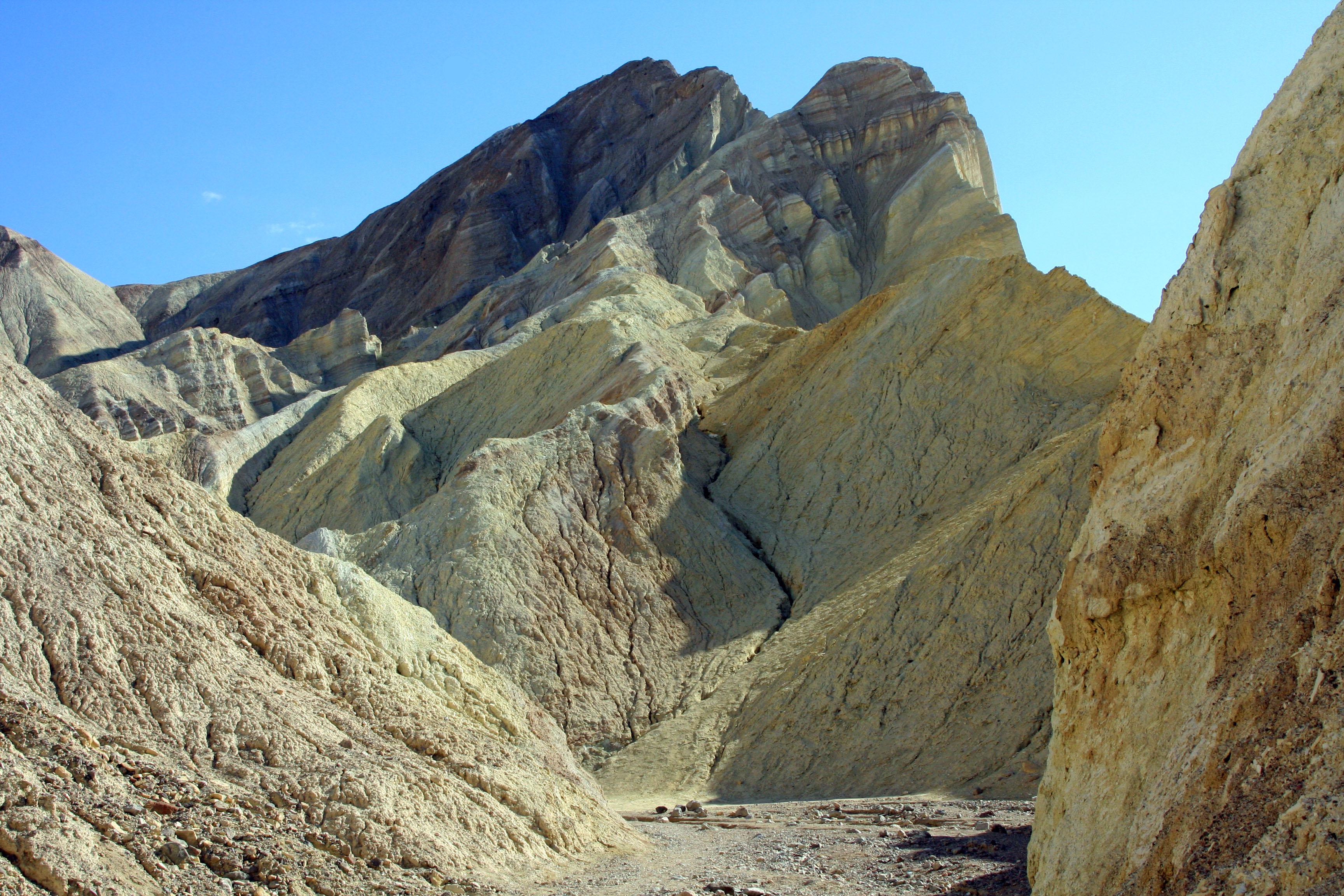
Views on the way out of Death Valley’s Golden Canyon are equal to views on the way in. I liked the contrasting colors in this photo.

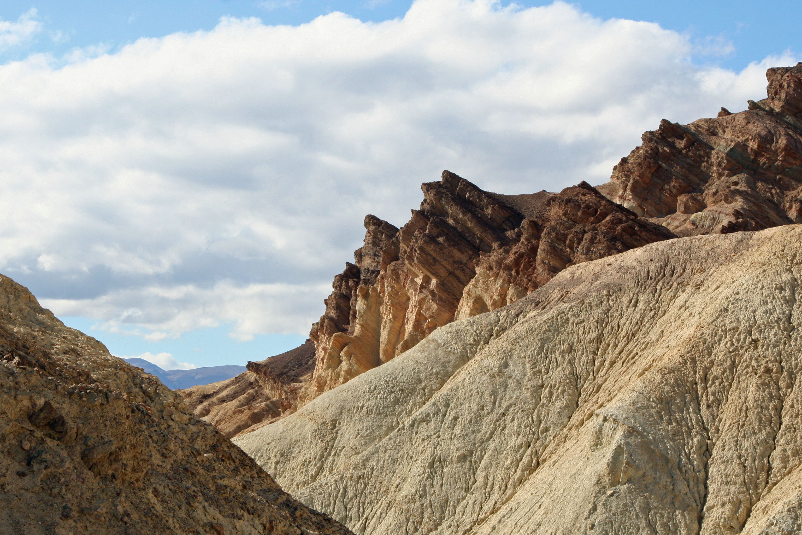
The upward thrust of the layered rocks that were once horizontal is particularly dramatic in this Golden Canyon photo.

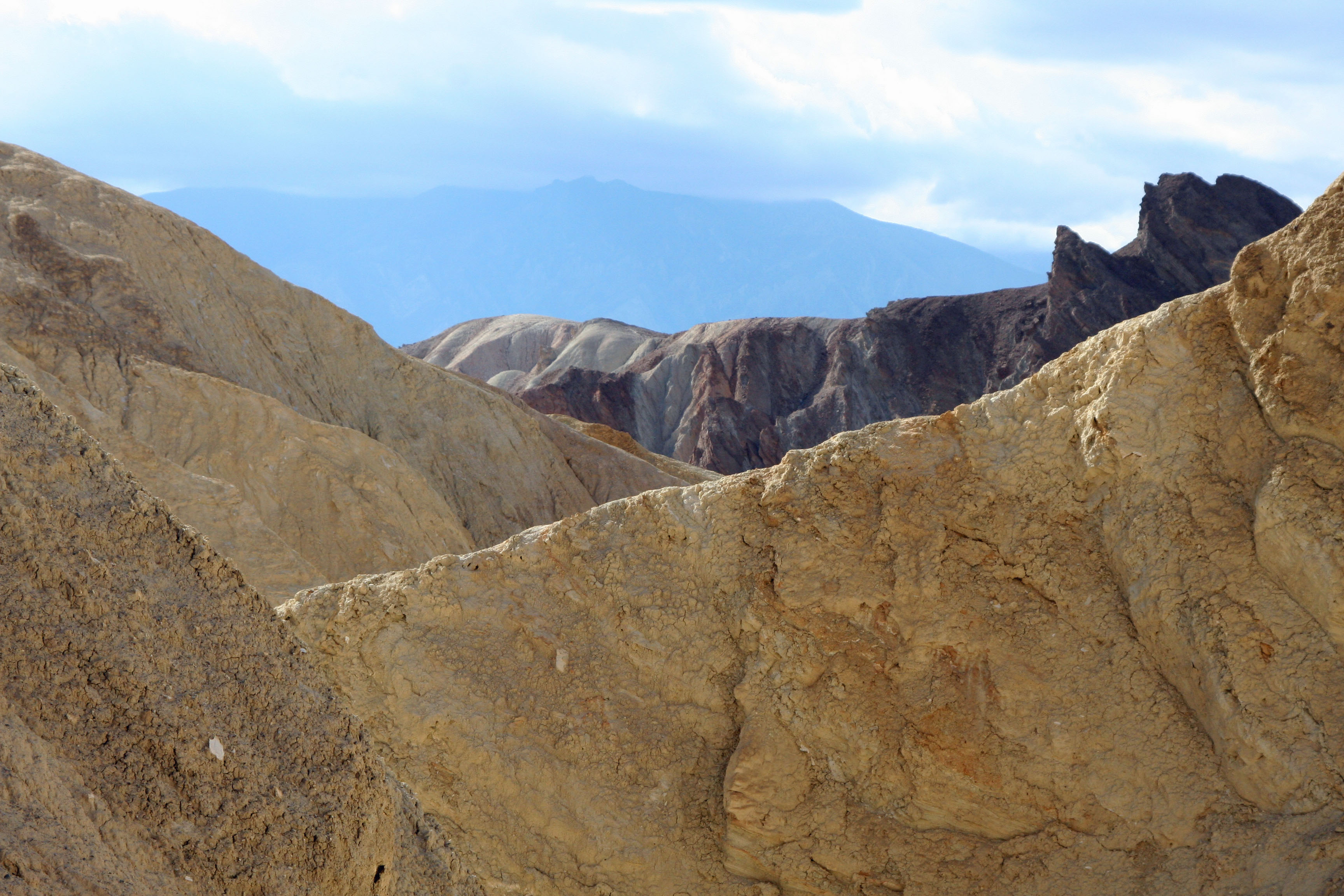
Looking down Golden Canyon across Death Valley provides a distant view of the Panamint Mountains wrapped in a blue haze.

Earth Day 2012

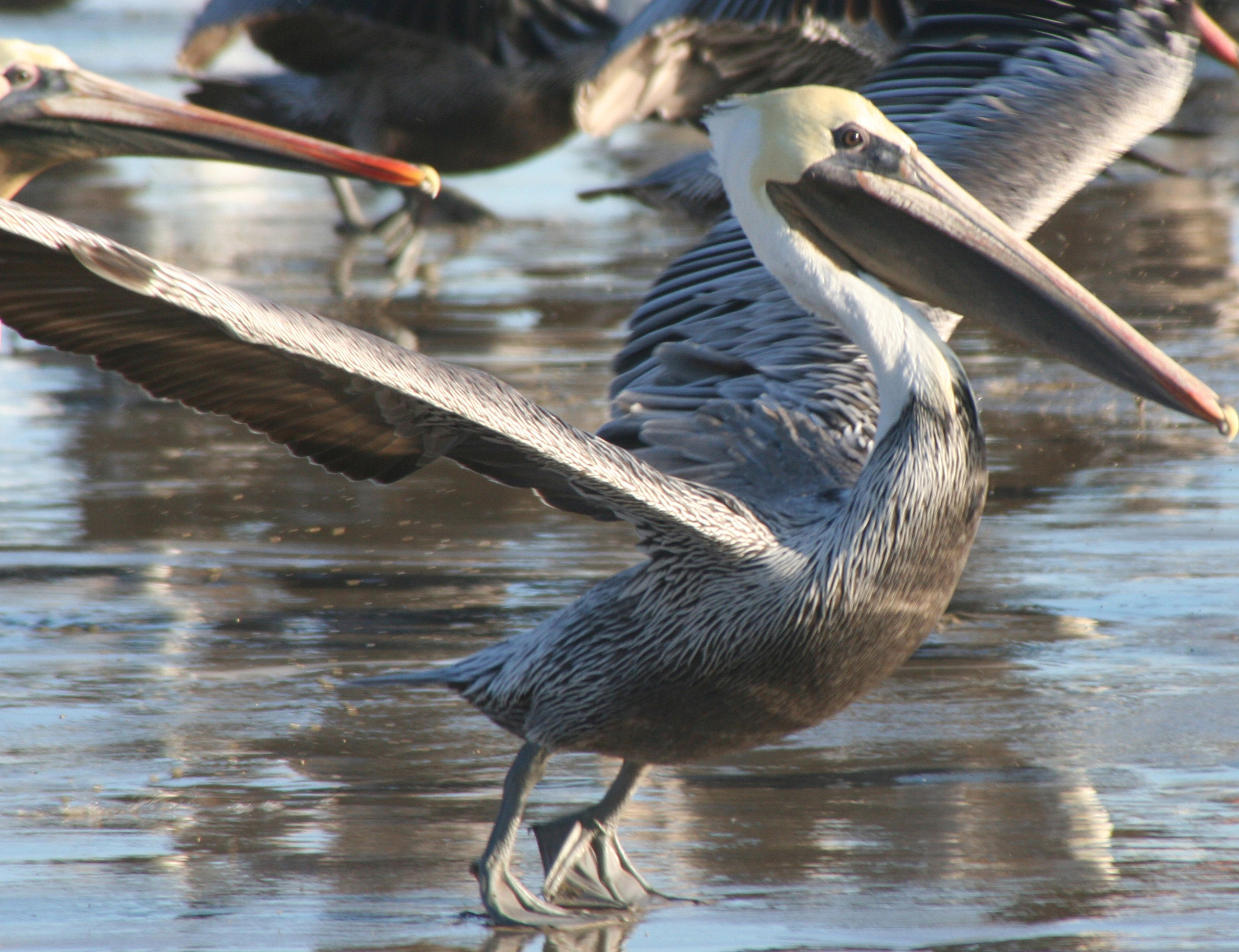
The extensive use of the poison DDT in agriculture was a death sentence to the California Brown Pelican. Rachel Carson's book Silent Spring raised people's awareness of the issue and helped kick off the environmental movement.

The first Earth Day I celebrated was Earth Day 1 at UC Davis in California. At the time I was Director of Peace Corps Public Affairs for Northern California and was recruiting at Davis. Earth Day 1 made a deep impact on how I viewed the world. I quit my job and became Executive Director of the Sacramento Ecology Center. Ever since, on one level of another, I have been an environmentalist.

To celebrate Earth Day 2012, I am using my blog to feature two wonderful animals that were on the edge of extinction before they were saved by growing environmental awareness. The California Brown Pelican was victim of the extensive use of the poison DDT. Elephant Seals were hunted to the brink of extinction for their blubber, which was turned into lamp oil.

The world would be a much poorer place with out these animals.

Have you heard the news? It's Earth Day.

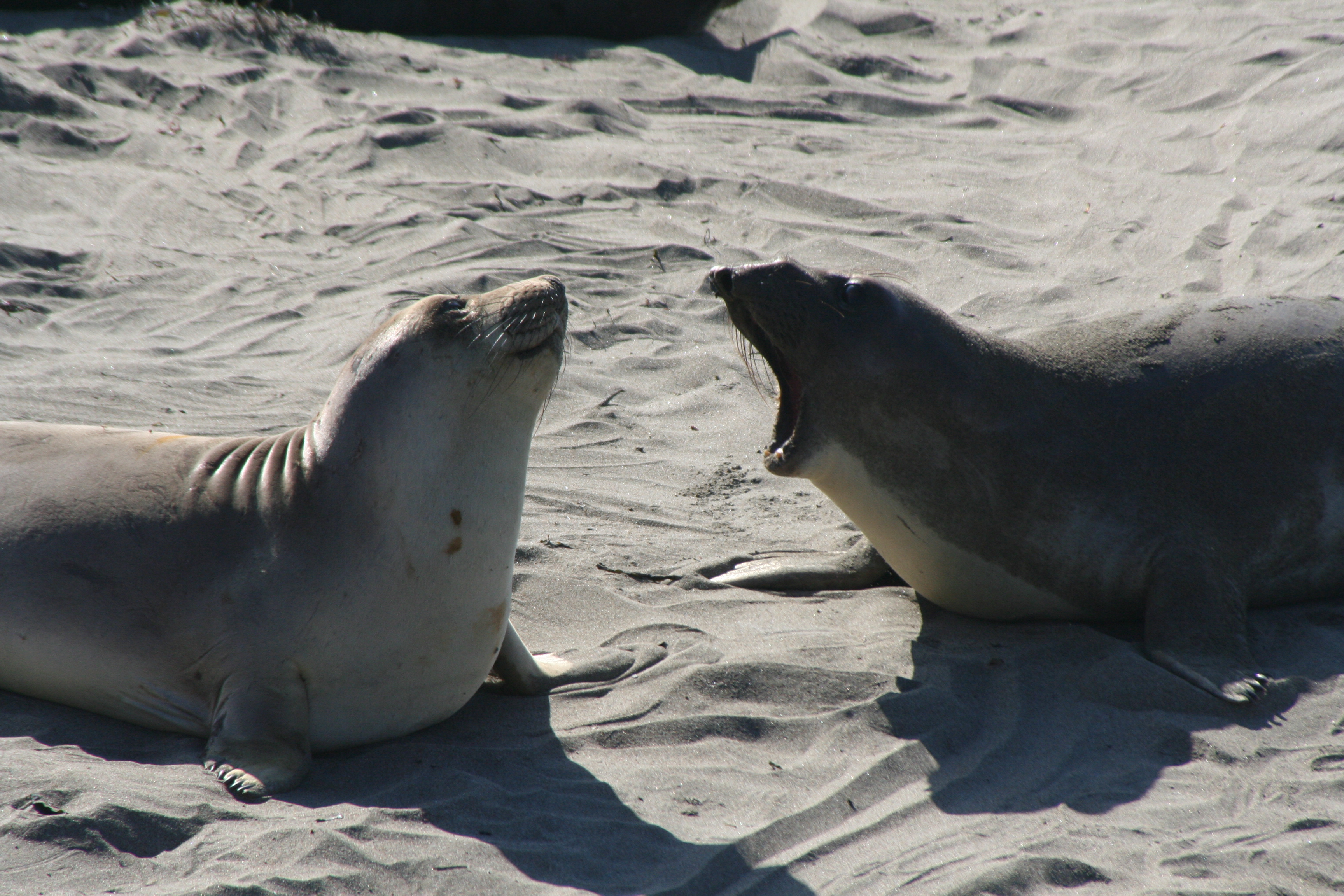
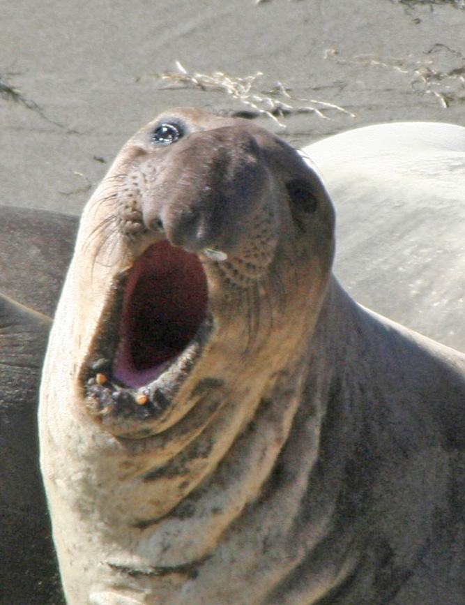
The world would be a poorer place if we could no longer hear the roar of a bull Elephant Seal.

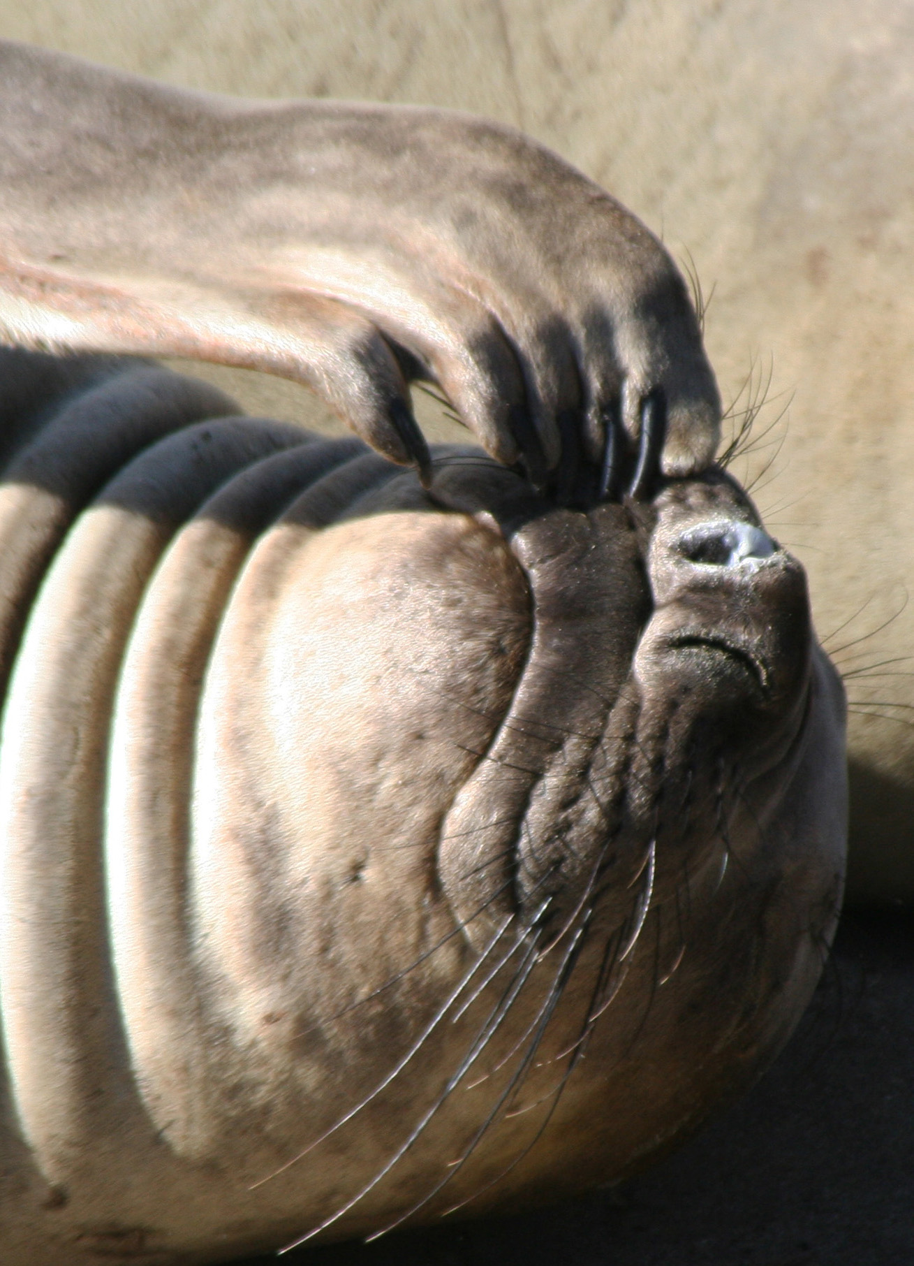
Or watch one scratch his nose.

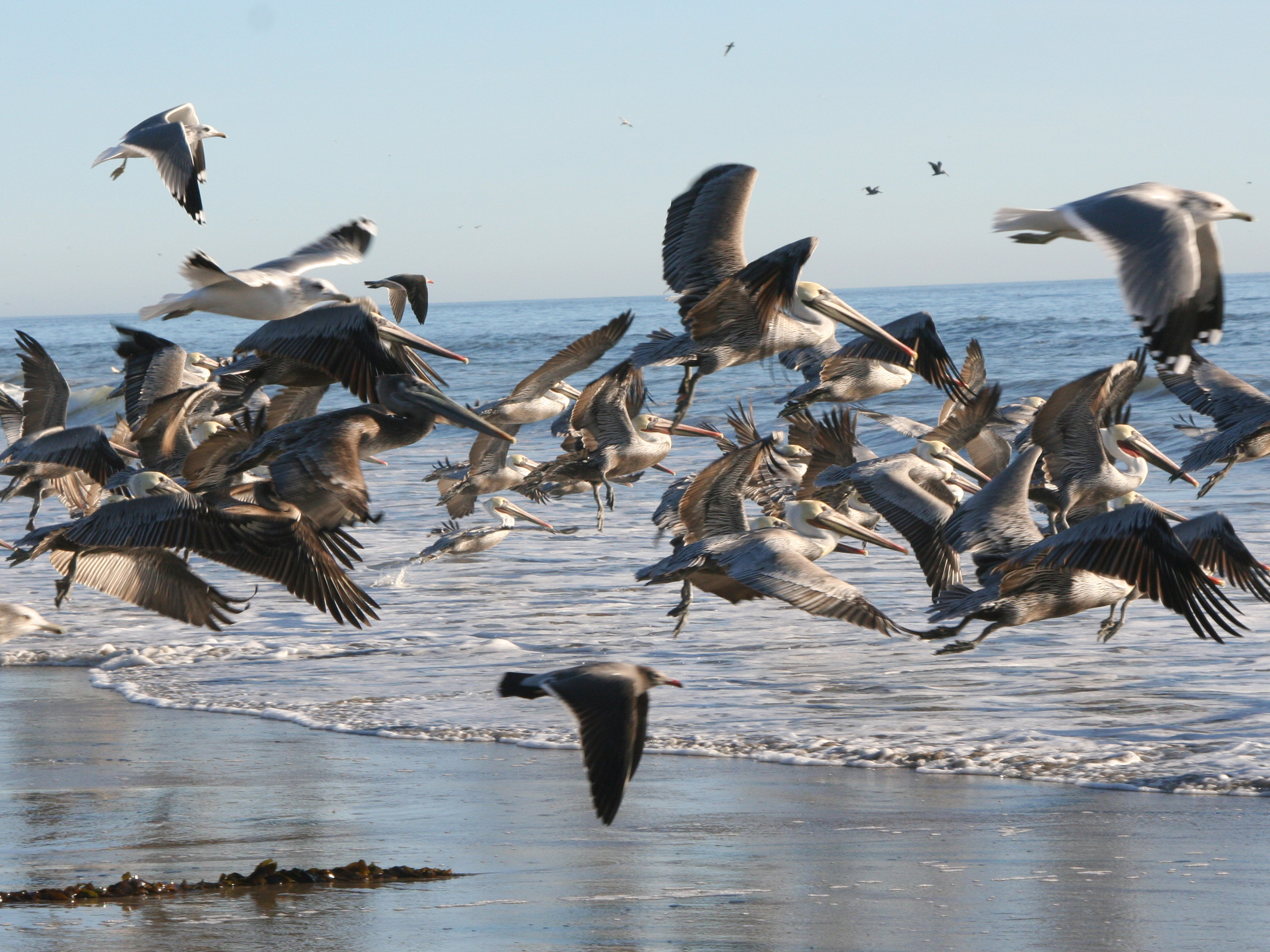
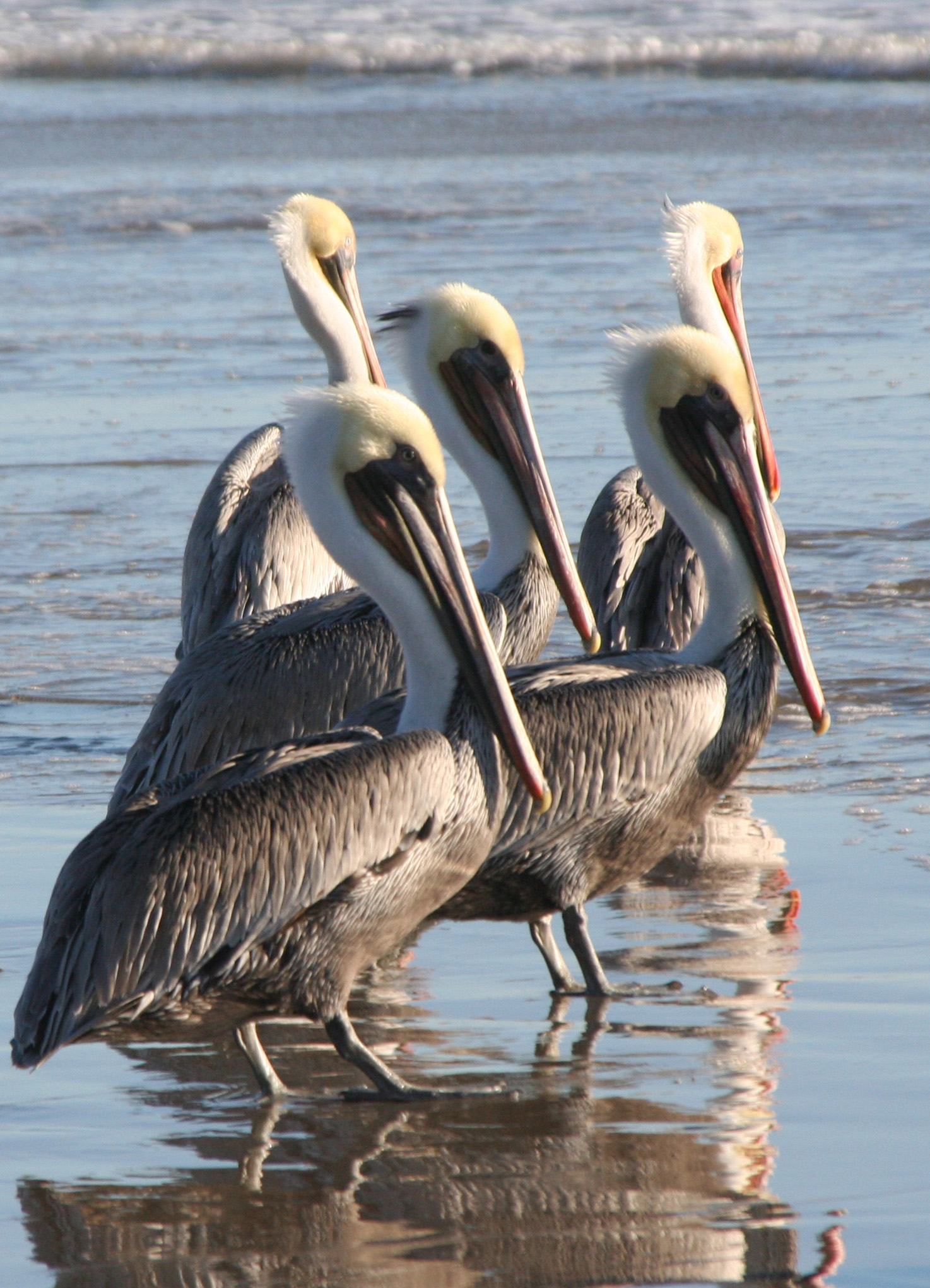
I call this photo of Brown Pelicans The Committee.

Without environmental awareness and action, this magnificent bird would have never flown. Happy Earth Day 2012, and thank you.

Death Valley’s Ubehebe Crater… The National Park Series

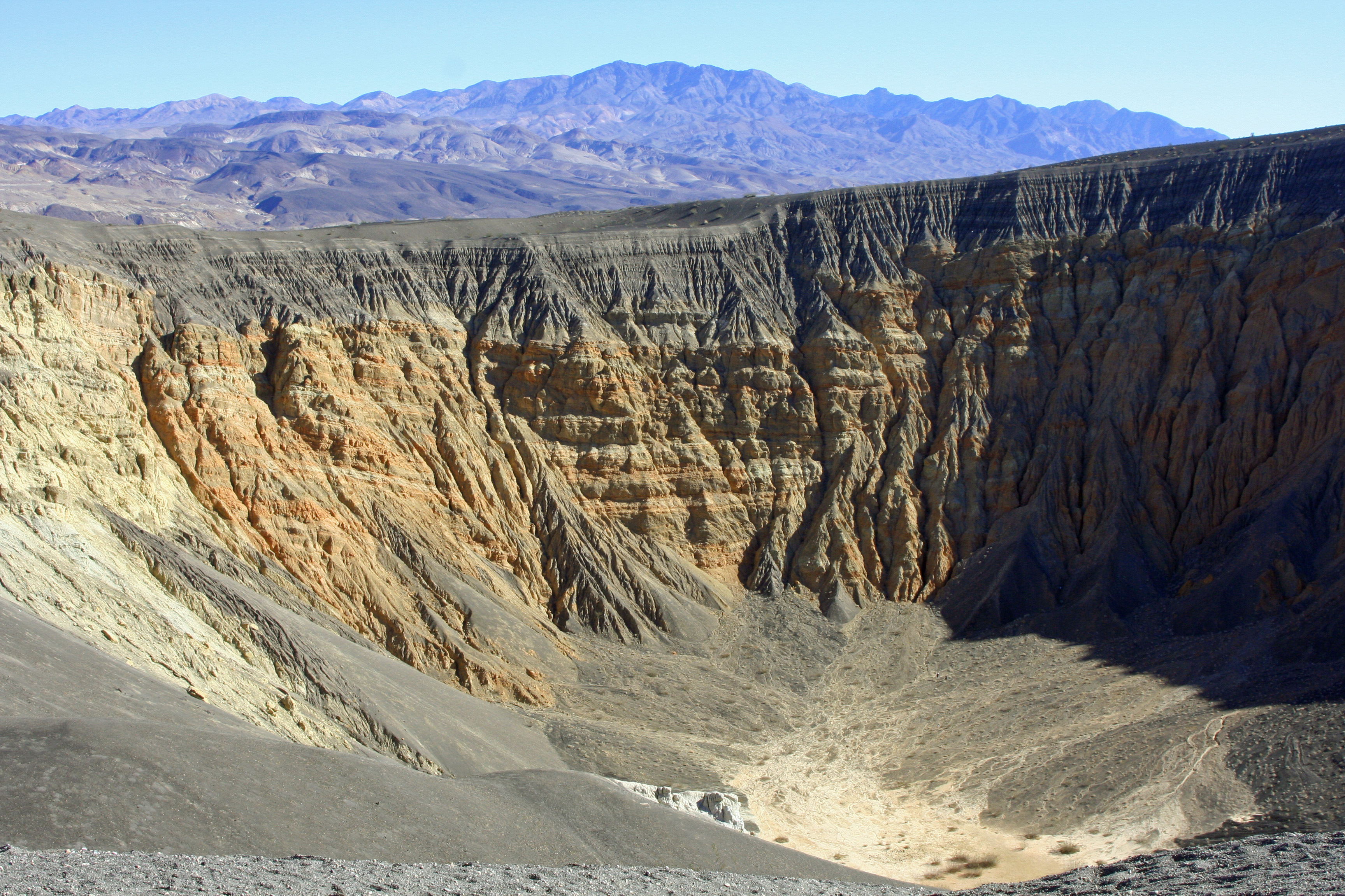
Looking across Ubehebe Crater in Death Valley National Park.
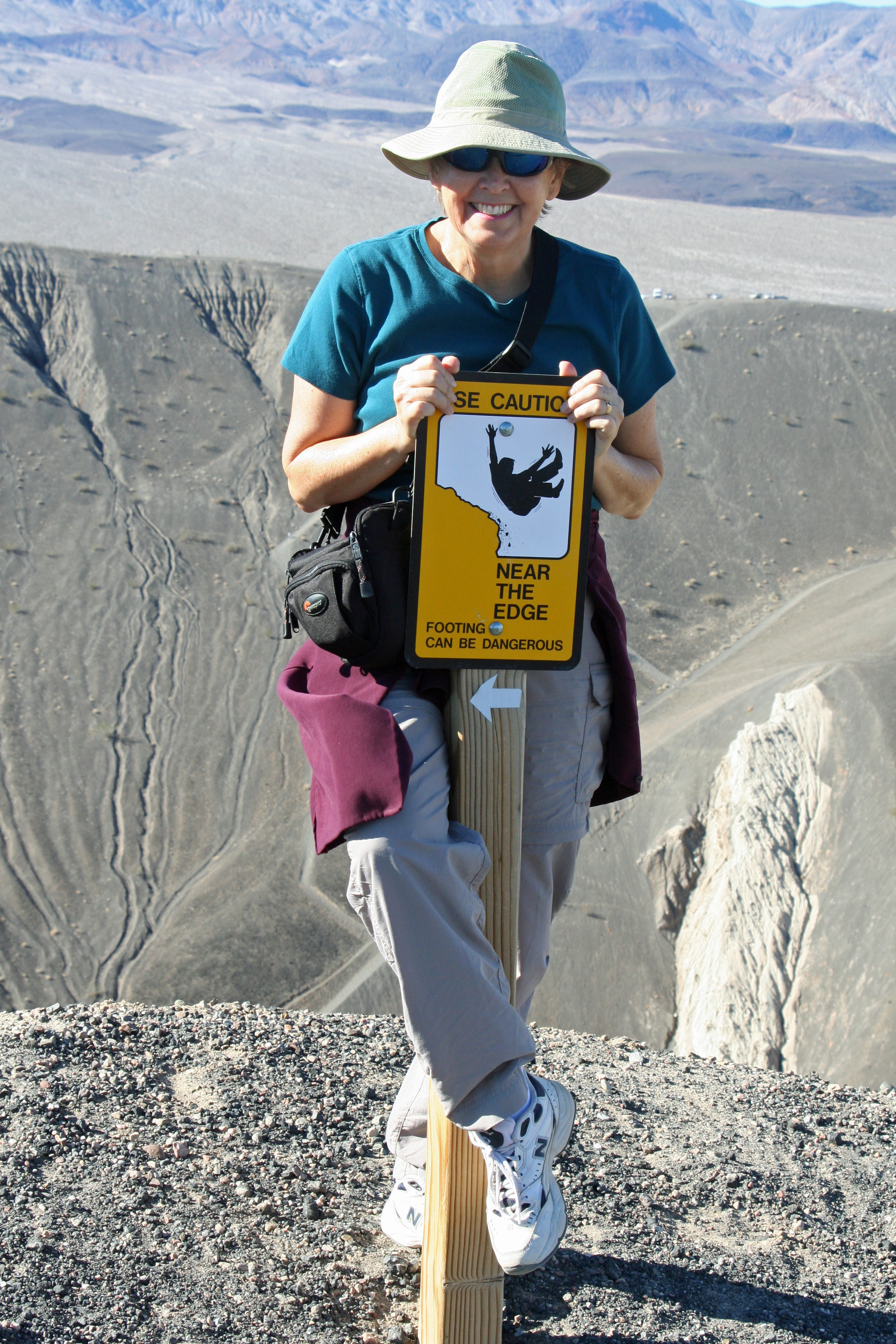
Peggy is perched on the edge of Ubehebe Crater in Death Valley National Park holding on to the sign that warns her not to be there. Fortunately, the sign is several feet away from the big hole. Falling in involves a 600-foot plus tumble.

Peggy on the edge of Ubehebe Crater.

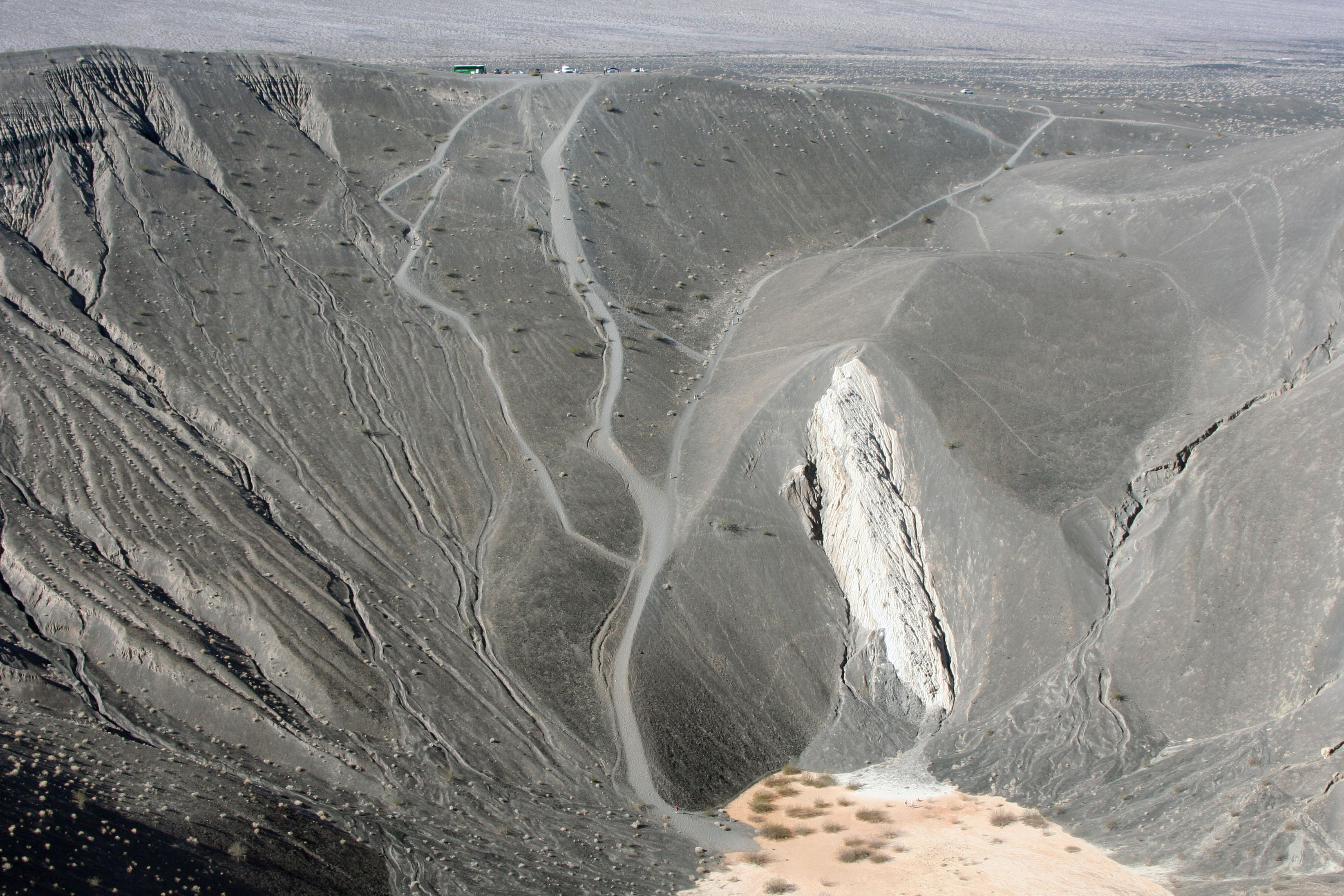
There is a safer, but slower way, to get to the bottom. Several trails snake their way down from the crater’s parking lot. If you have ever had the desire to climb into a volcano, Ubehebe makes it easy. Getting out is the challenge.

Wide paths invite adventuresome visitors to hike into Ubehebe Crater at Death Valley.

Geologists used to believe the volcano was 10-12 thousand years old. A recent study by Columbia University suggests it is much younger. The study also warns that the area is still volcanically active. Ubehebe could explode at any time, or not.

The original eruption was violent, a heck of a big bang. Rising magma came in contact with seeping water. They don’t mix well. The result was instant steam. Boom! Scientists call it a hydro-volcanic eruption.

Peggy and I opted to walk around rather than down the crater. There are a dozen or so volcanoes in the area including Little Hebe, which is easy to reach and provides a different perspective. For me, the surreal nature of the eroded landscape more than justified the 1.5-mile hike. Carry water. Oh yeah, Peggy says stay away from the edge.

If you want to visit Ubehebe Crater, and you should, you will need to drive to the north end of the Park. Scotty’s Castle is next door so you can easily include both sites.

Little Hebe Crater is one of a dozen volcanoes found near Ubehebe Crater.

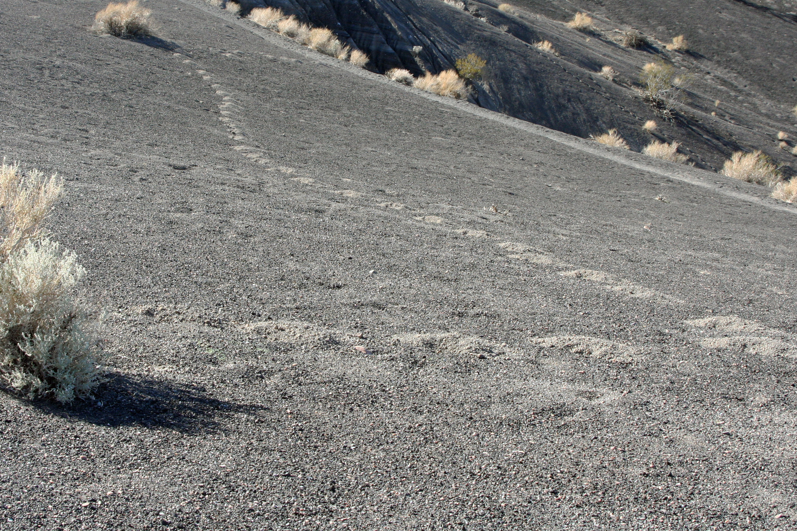
While walking around Ubehebe Crater we came on this strange trail of dirt piles that shot off in one direction from a bush and then switched to head for another bush. I figured it must be a gopher. There is life in Death Valley! I was curious about how it determined where the second bush was.

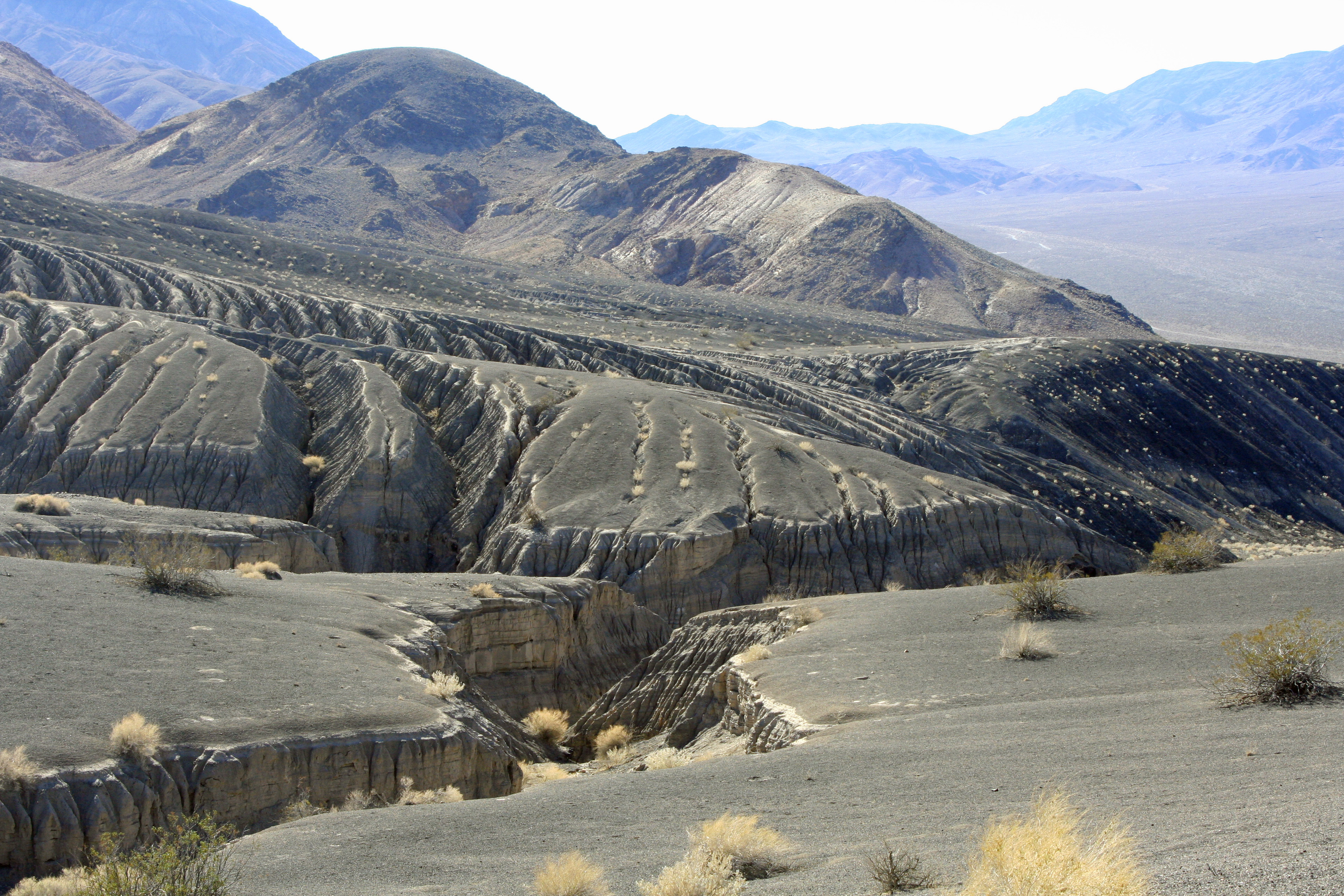
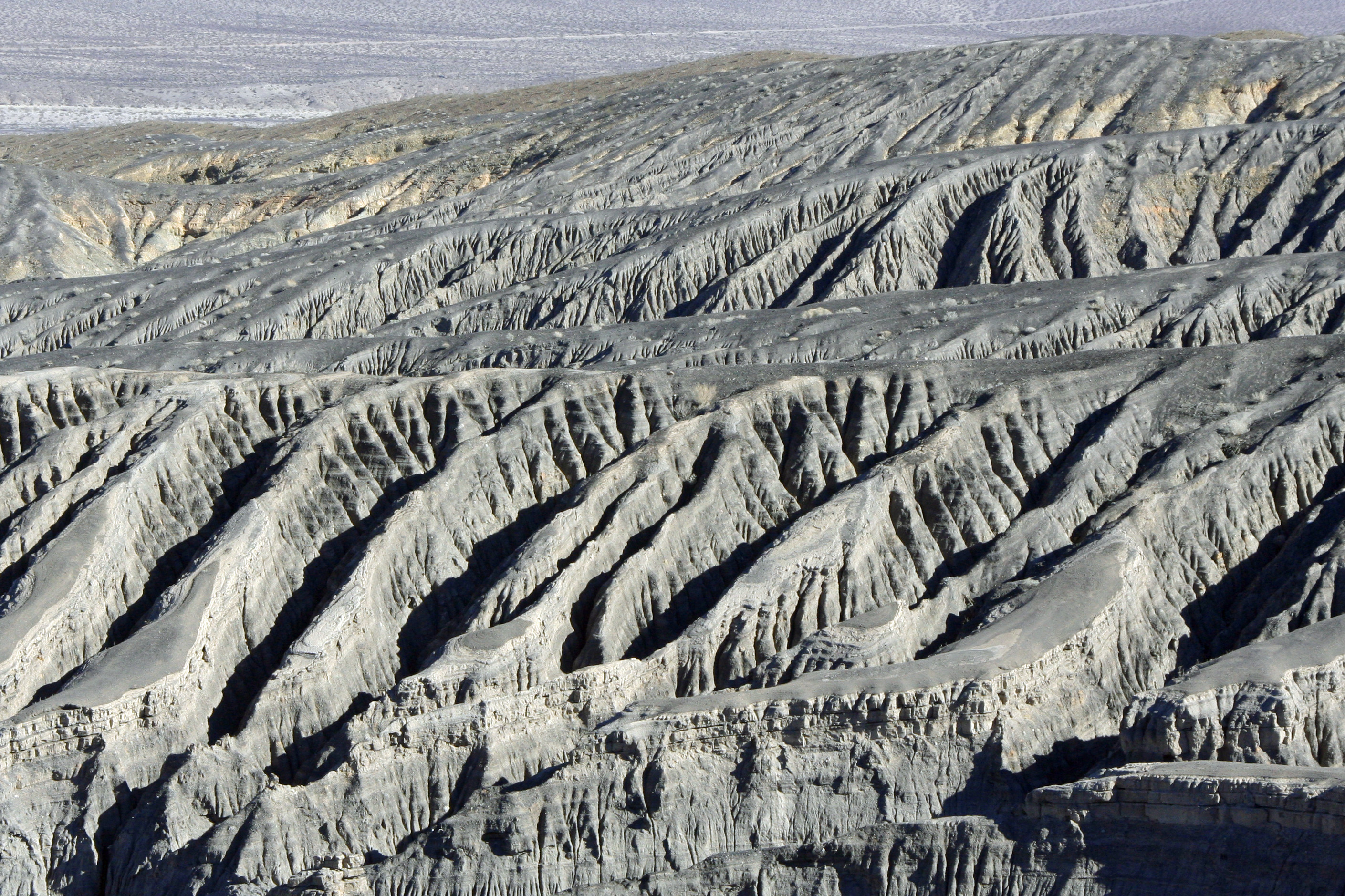
Erosion of the volcanic soils surrounding Ubehebe Crater create a beautiful but almost surrealistic landscape as shown in this and the following photographs.

Another surrealistic landscape near Ubehebe Crater in Death Valley National Park.
What caught my attention about this photo looking south from Ubehebe Crater was the contrast between the green shrubs, eroded landscape and purple mountains.

The Sand Dunes of Death Valley… The National Park Series

The sand dunes of Death Valley National Park provide a striking contrast to the surrounding mountains.

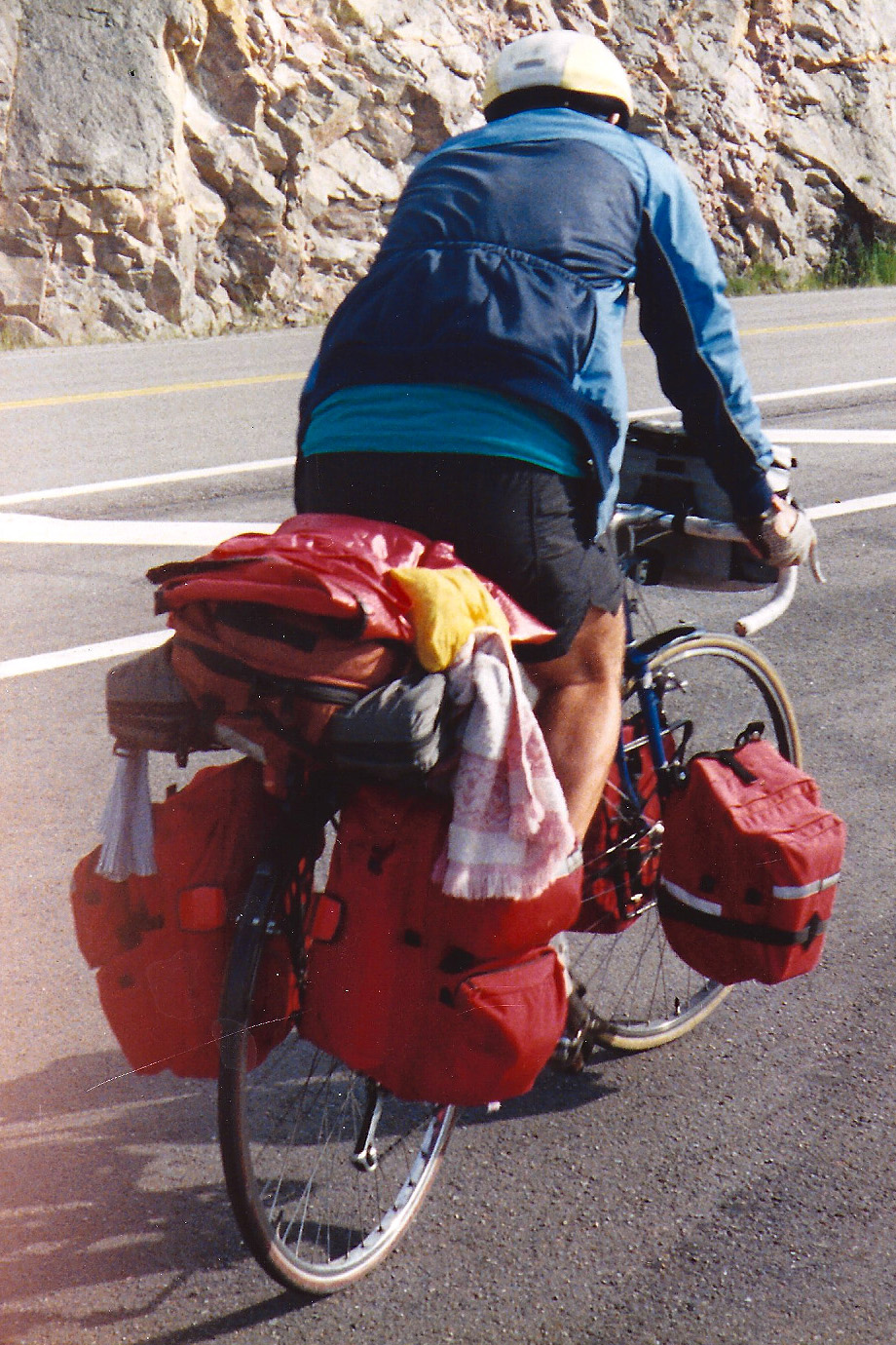
I was in my lowest gear, out of the saddle, and moving at three miles an hour. It would have been easier to get off the bicycle and push, but I am stubborn.

Three days before I had climbed over Greenhorn Pass in the Southern Sierra Nevada Mountains during a blinding snowstorm. I wasn’t going to let the Panamint Range of Death Valley National Park defeat me

There was ample time as I struggled up the mountain to question the sanity of doing a six-month, 10,000-mile solo bike tour around North America. I’d prepared for the journey by increasing my beer ration. Of course I paid for my folly. I usually do.

I started my 10,000 mile solo trip around North America out of Sacramento California. Every thing I would need to survive for six months on the road was packed on my bike, some 60 pounds of gear. It wasn't totally solo. The Peripatetic Bone was riding in my handle bar bag.

By the time I reached Death Valley, however, I was two weeks into the trip and my body was toughening up. I succeeded in making the nine-mile climb out of Panamint Valley to the top of the 4956 Towne Pass even though it took me three hours and burned half of my carefully acquired beer calories.

Euphoria was the result. Looking back, I count the climb as one of the top ten challenges of my 10,000-mile trek. It almost competes with dodging a tornado in Mississippi.
I rewarded myself by declaring it lunchtime. I also allowed myself to contemplate the 17 mile downhill ride into Stove Pipe Wells and what I would find at the bottom: the Sand Dunes of Death Valley.

I’ve been in and out of the Valley numerous times over the years. It’s all beautiful or at least wonderfully strange. But for me, the Sand Dunes are in a class by themselves. I am fascinated with their sinuous curves and how they contrast with the surrounding mountains. I love climbing up and down their slippery slopes in the early morning and wandering along their peaked ridges on a moonlit night.

The sinuous, flowing slopes of the sand dunes in Death Valley National Park are a thing of beauty.

The dunes are a product of wind, sand and topography, all of which Death Valley has an abundant share.  Mesquite Flat Dunes, located at Stove Pipe Wells and featured in this blog, are the easiest to reach and the most commonly visited. Being relatively close to Hollywood, they have starred in many movies, including Star Wars.

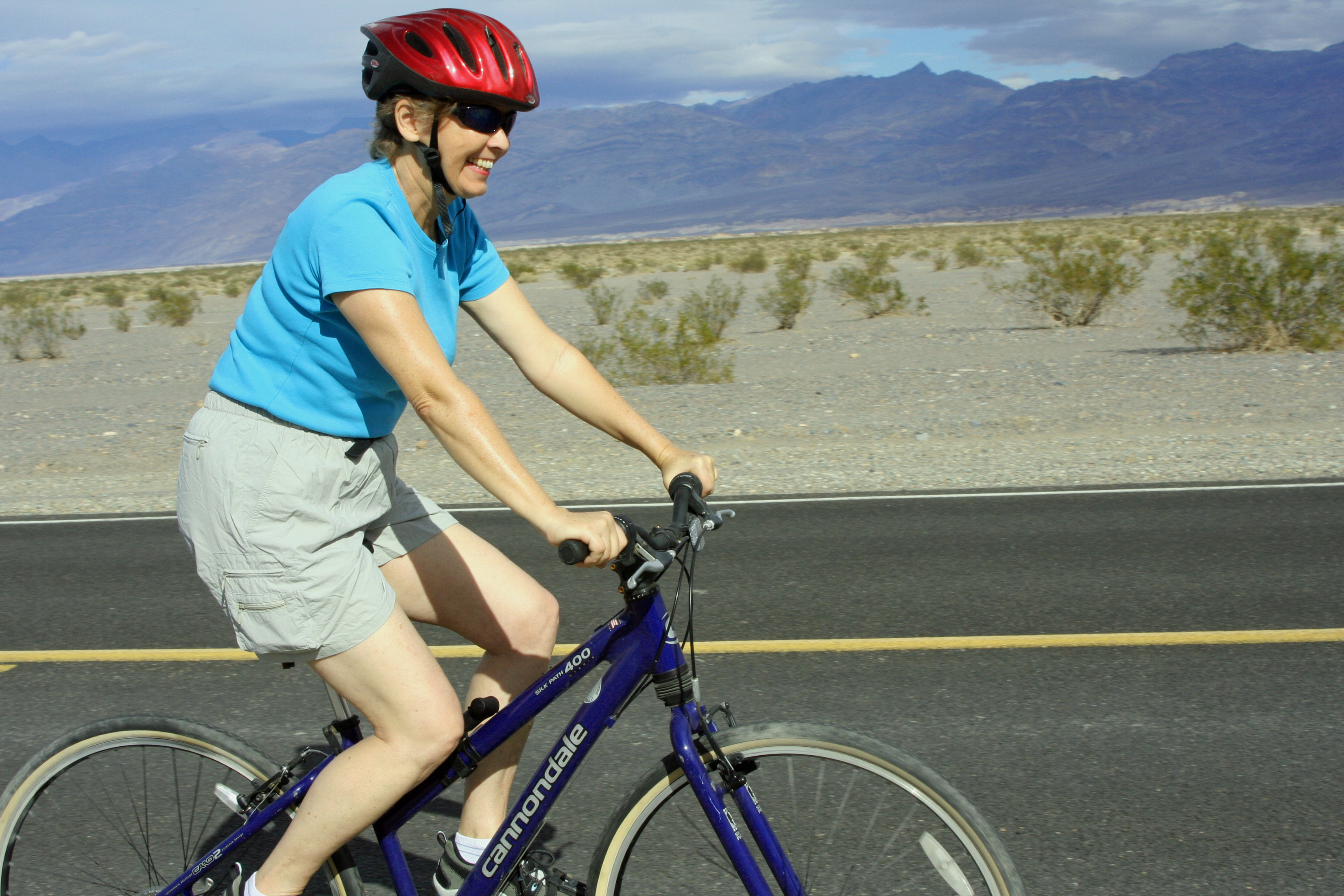
The last time Peggy and I were in Death Valley, we brought along our bikes for a more relaxed tour of the Valley floor and dune area.

How you look when you aren't loaded down with 60 pounds of gear and climbing a mountain. Note Peggy's smile.

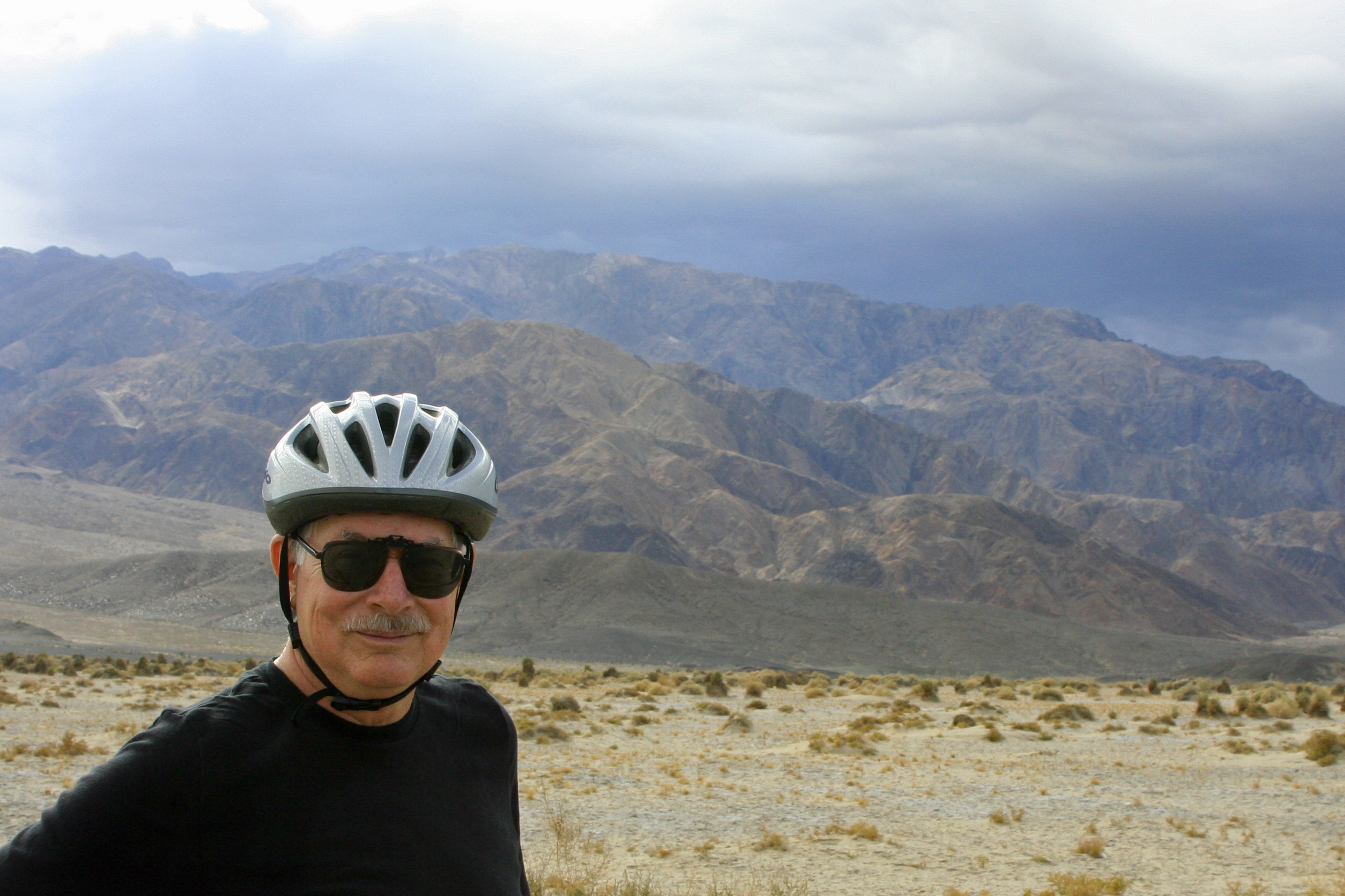
I am looking rather relaxed myself. Peggy took this photo looking across what is known as the Devil's Cornfield. The Panamint Range looms in the background.

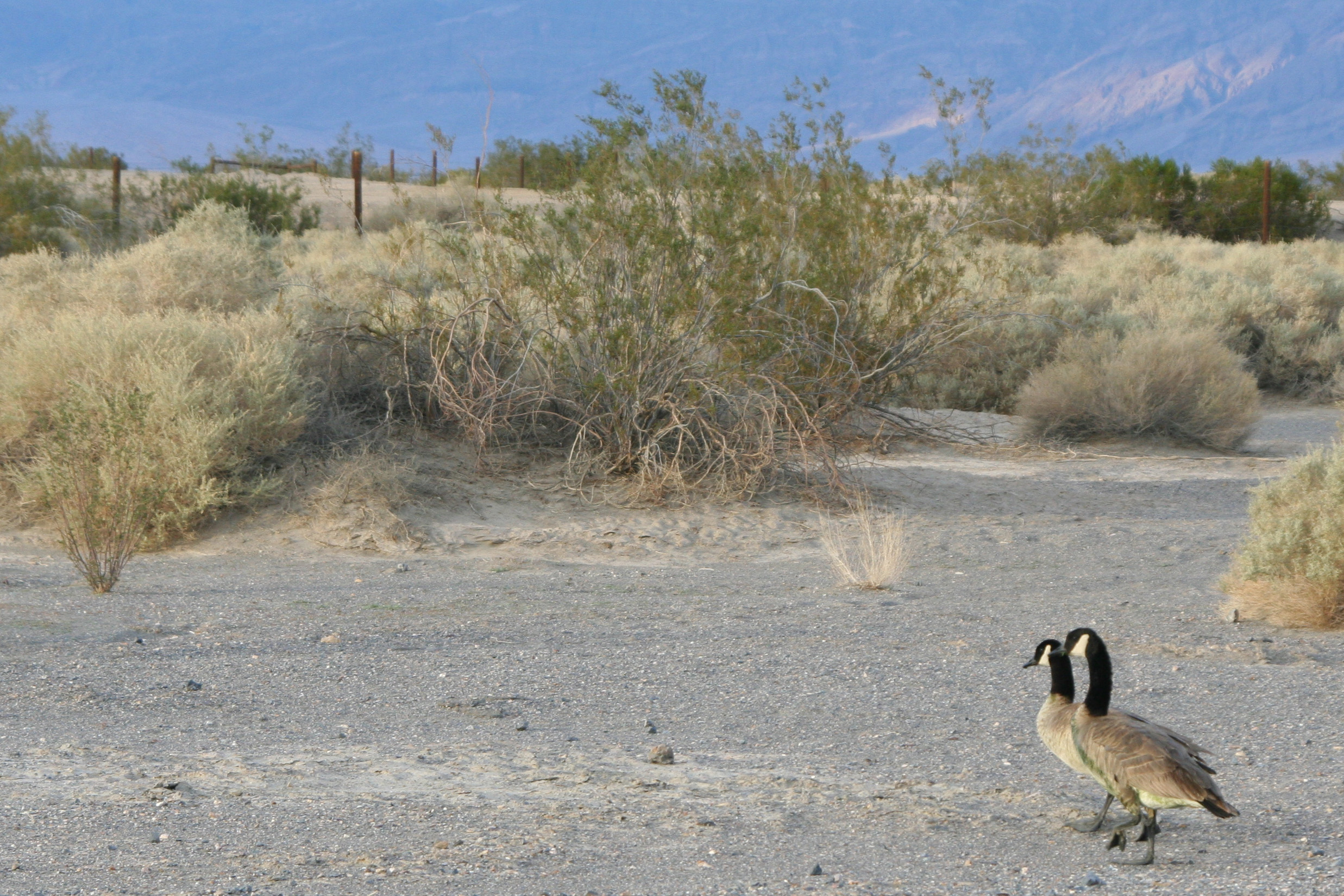
Peggy and I were on an evening stroll out to the dunes when we came across a pair of Canadian Geese. I assumed they were lost but they didn't ask for directions.

A final view of the dunes set off by a cloud filled sky.

Rhyolite, Death Valley: A Ghostly Town… The National Park Series

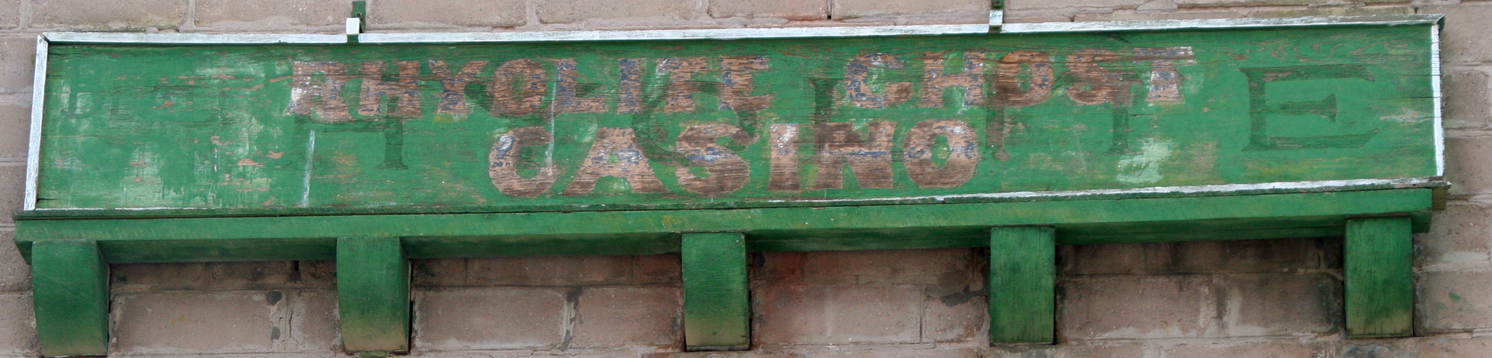
A ghost sign for Rhyolite, Nevada. Look closely and you will see ghostly letters of the town's name imposed over the name of a long forgotten casino.

The wind was cold with the whispers of forgotten ghosts. We put on our Jackets to fight the chill; Bone found a horseshoe for good luck. We had made a detour to visit the old Ghost Town of Rhyolite on the way into Death Valley National Park from the small town of Beatty in Nevada.

The Peripatetic Bone, who was originally part of a horse just above the hoof, tries on a horseshoe for good luck.

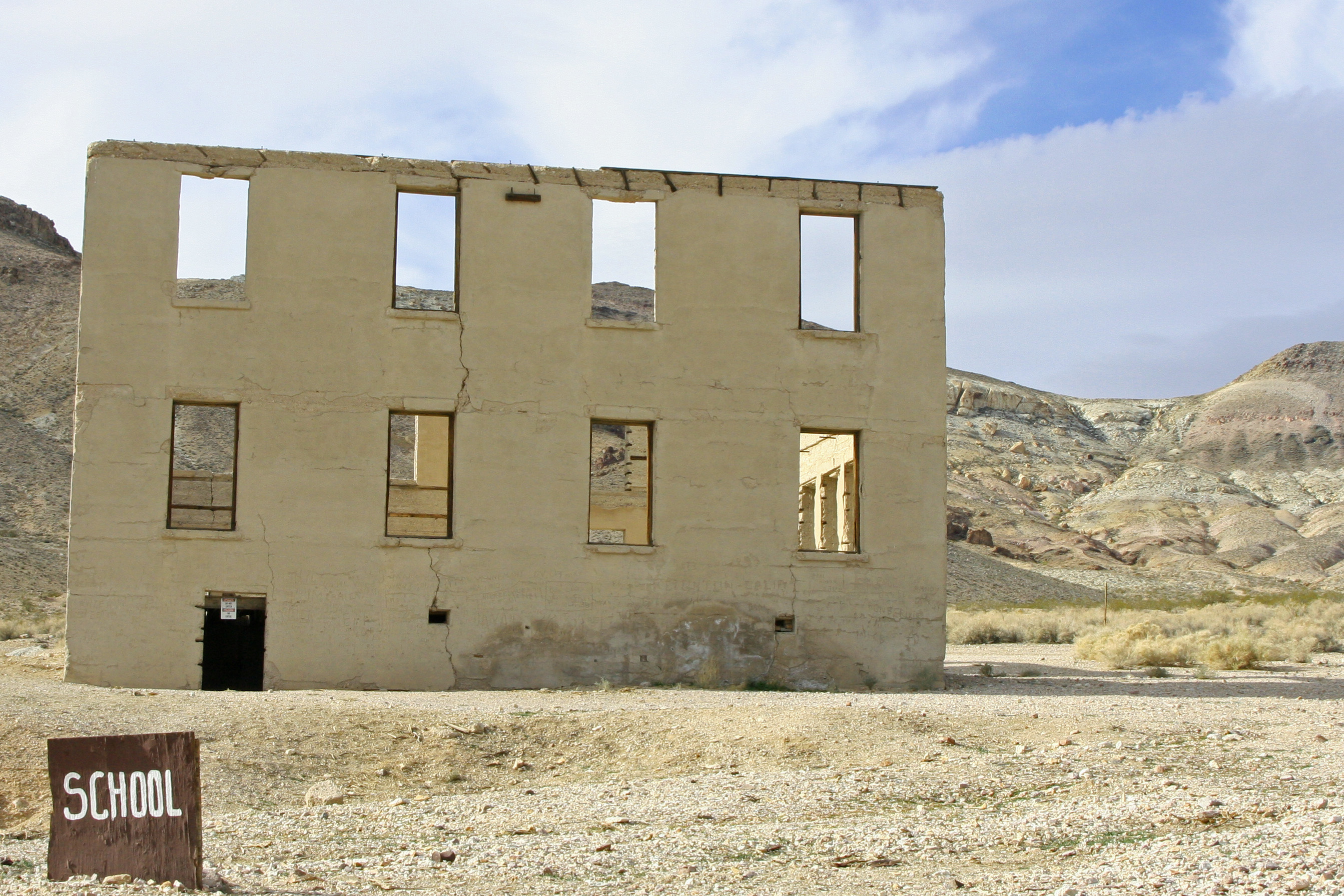
Gold was discovered in the area in 1904. A boomtown sprang out of the desolate desert. Soon there was a school, a bank and even an opera house. The sound of “batter up” could be heard on weekend days and arias on weekend nights. Women flowed in from San Francisco to accommodate the town’s red light district.

Can you hear the children playing?

The town bank.

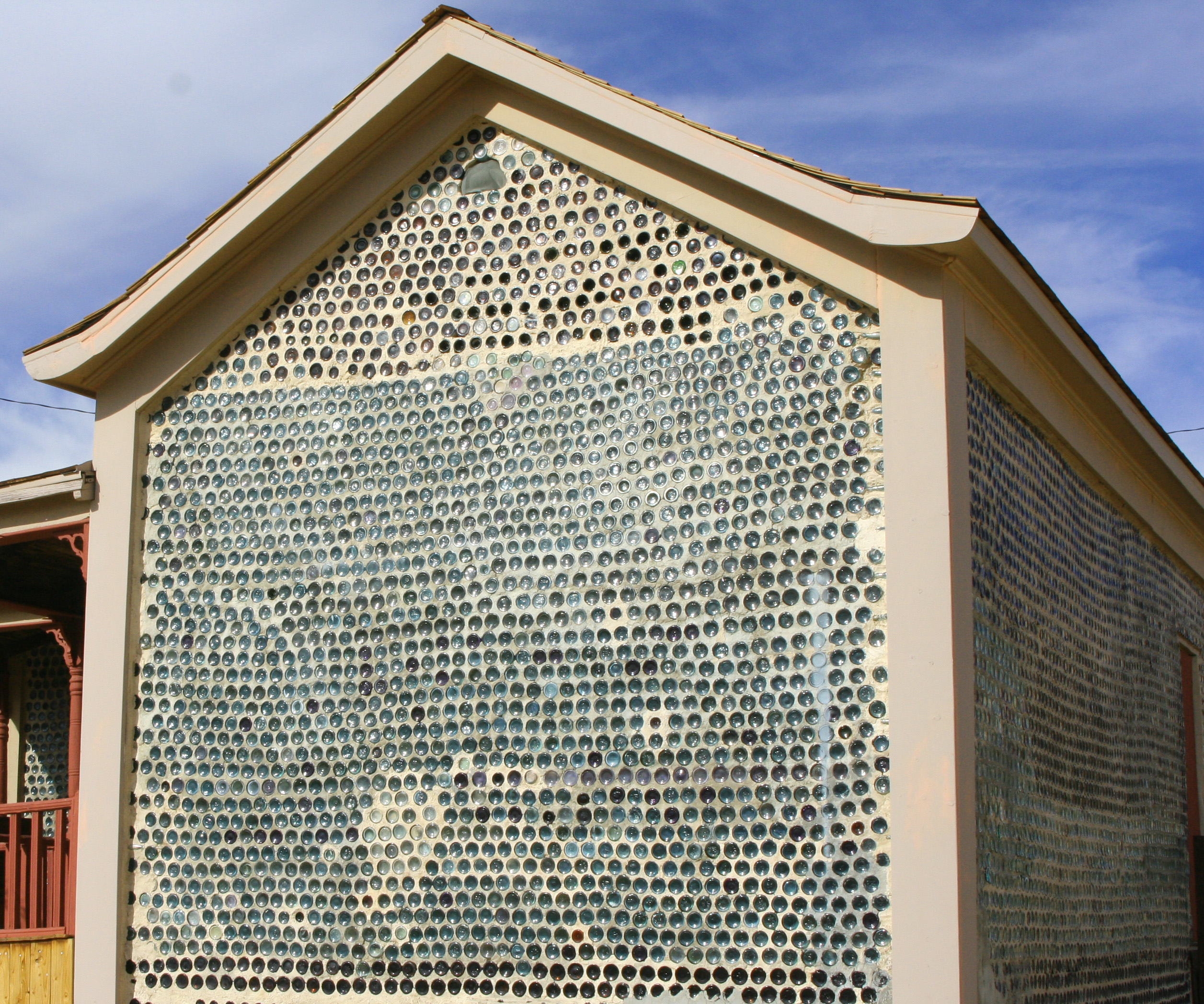
There was even an ice cream parlor and a house made from 50,000 beer and liquor bottles, which says something about the quantity of liquor consumed in town.

A house built with 50,000 bottles of beer and booze: light, insulation and a doozy of a hangover.

In 1907, electricity came to Rhyolite. It was the same year a financial crisis announced the beginning of the end for the town. Mines started to close, banks failed, and the newspaper went out of business. The lights were shut off in 1916. The boom was over.

A few skeletons of buildings and the bottle house are all that remain today. If you are in the neighborhood be sure to stop by. The ghosts will appreciate your visit. There is also a fascinating sculpture garden located next to Rhyolite that I will blog about next in my National Park/Death Valley series.

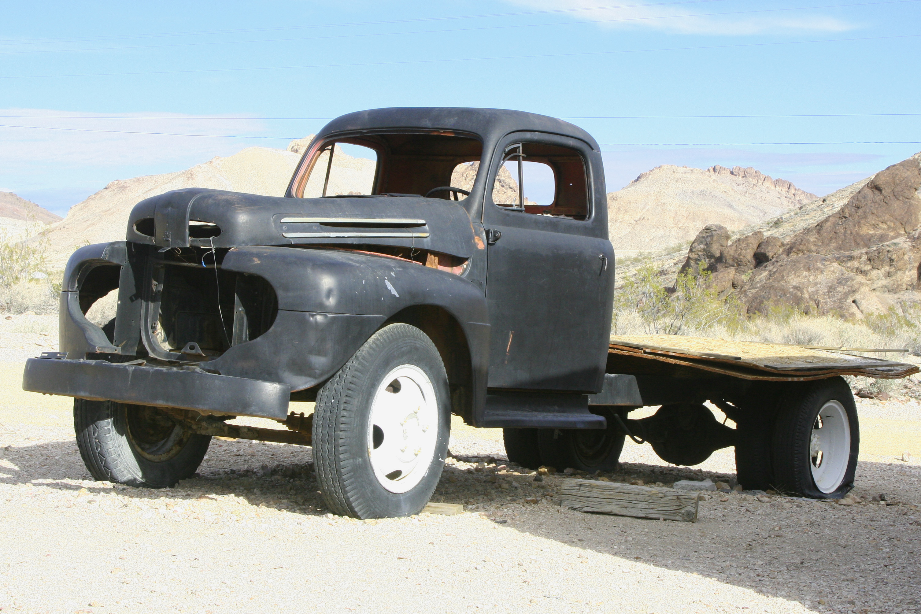
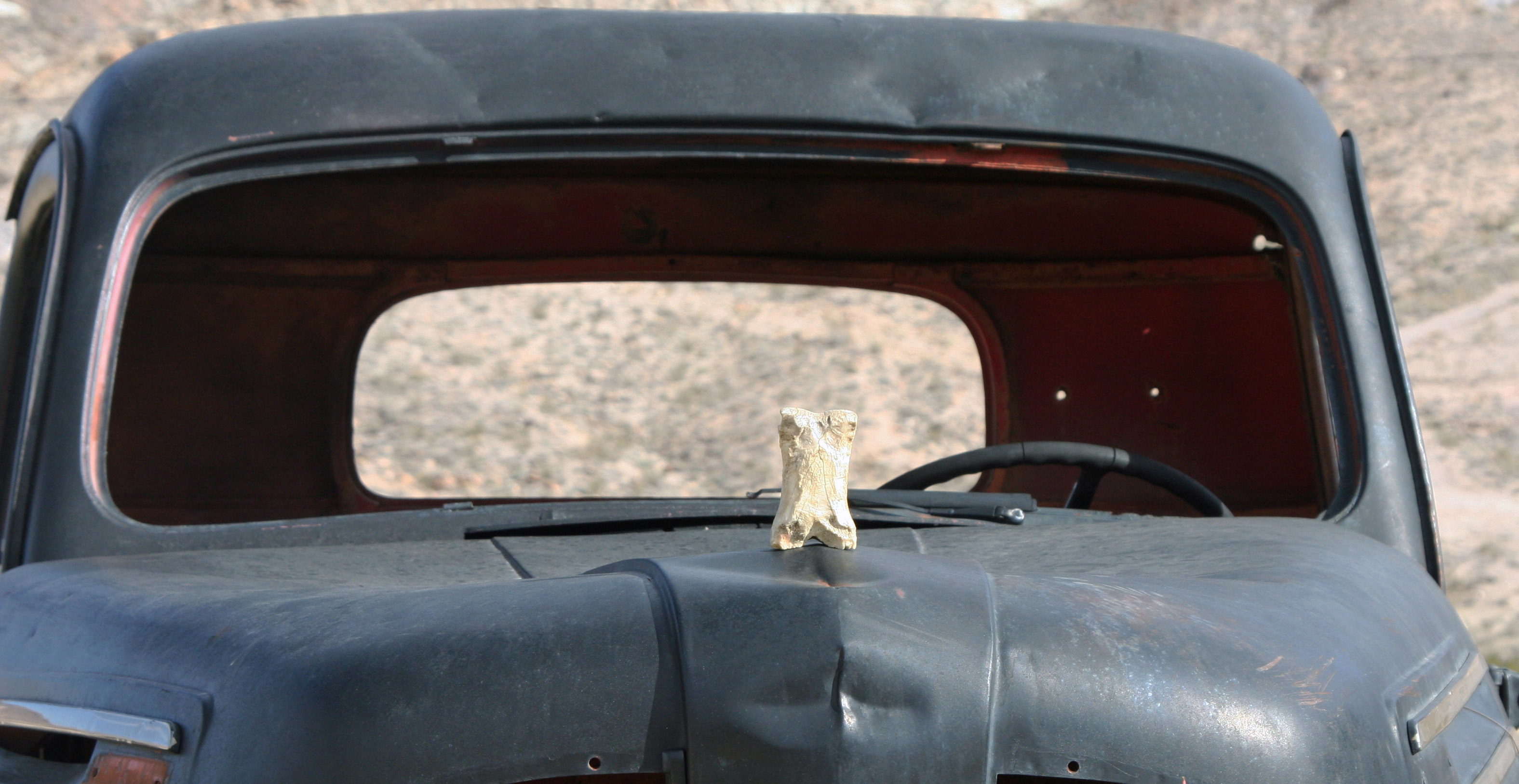
Long abandoned vehicles provide great photo opportunities but this one was missing something critical. And no, I don't mean engine...

A hood ornament.