It is a lovely and terrible wilderness… harshly and beautifully colored, broken and worn until its bones are exposed… and in its corners and pockets under its cliffs, the sudden poetry of springs. –Wallace Stegner 1960
I am continuing our Southwest series today. Peggy and I are now back at our basecamp in Virginia and will continue to be through August. There are chores to do: Unpacking, making doctor and dentist appointments, getting our Virginia driver’s licenses, etc. We are even having our hearing tested. There’s a lot of “What did you say, Peggy?” And vice-versa. It’s part of the joy of being in our 70s.
Assuming all goes well, we should be back on the road come September for another multi-month trip, this time traveling through the northern tier of states, and into the Canadian Rockies— assuming that the weather cooperates.

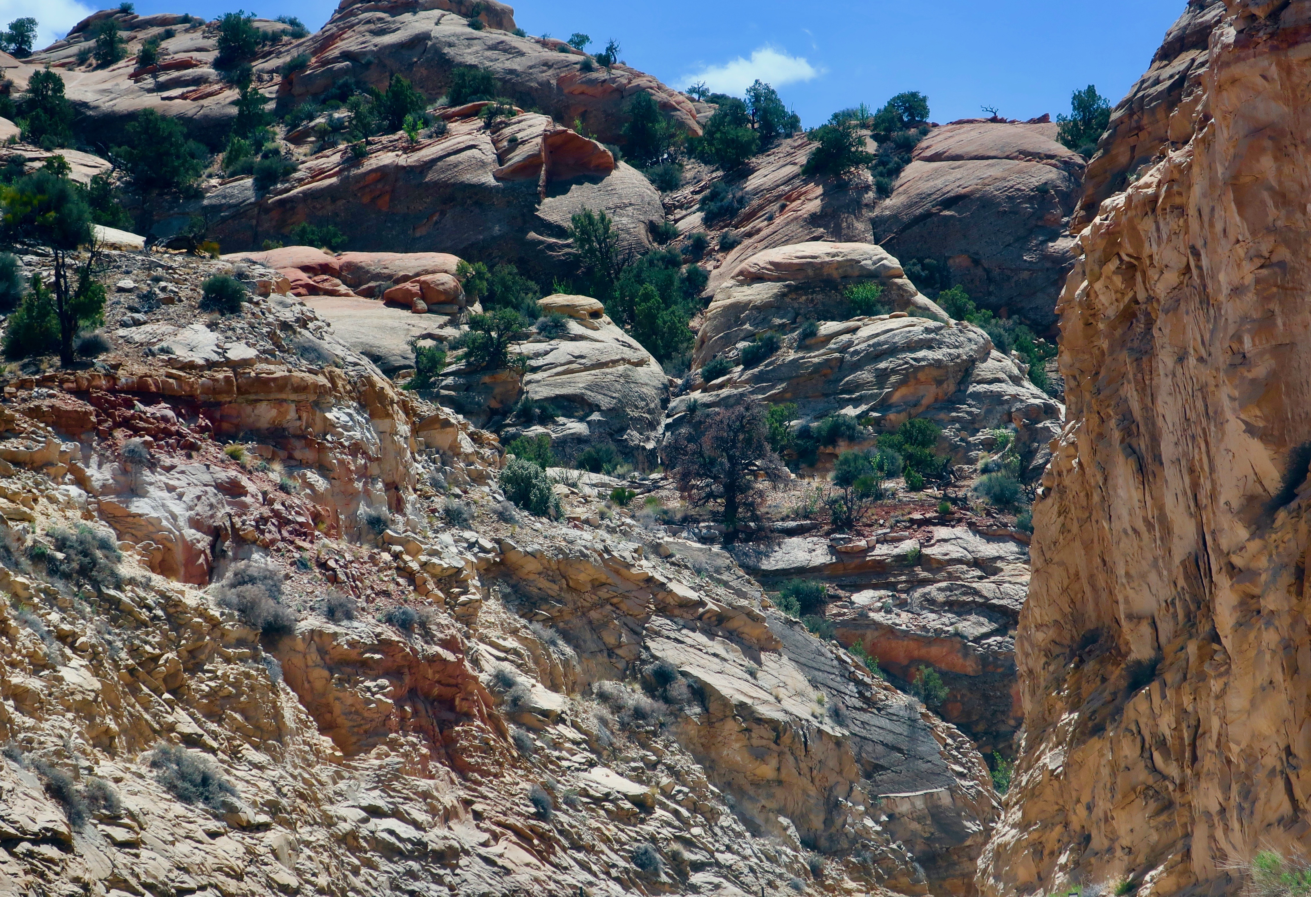
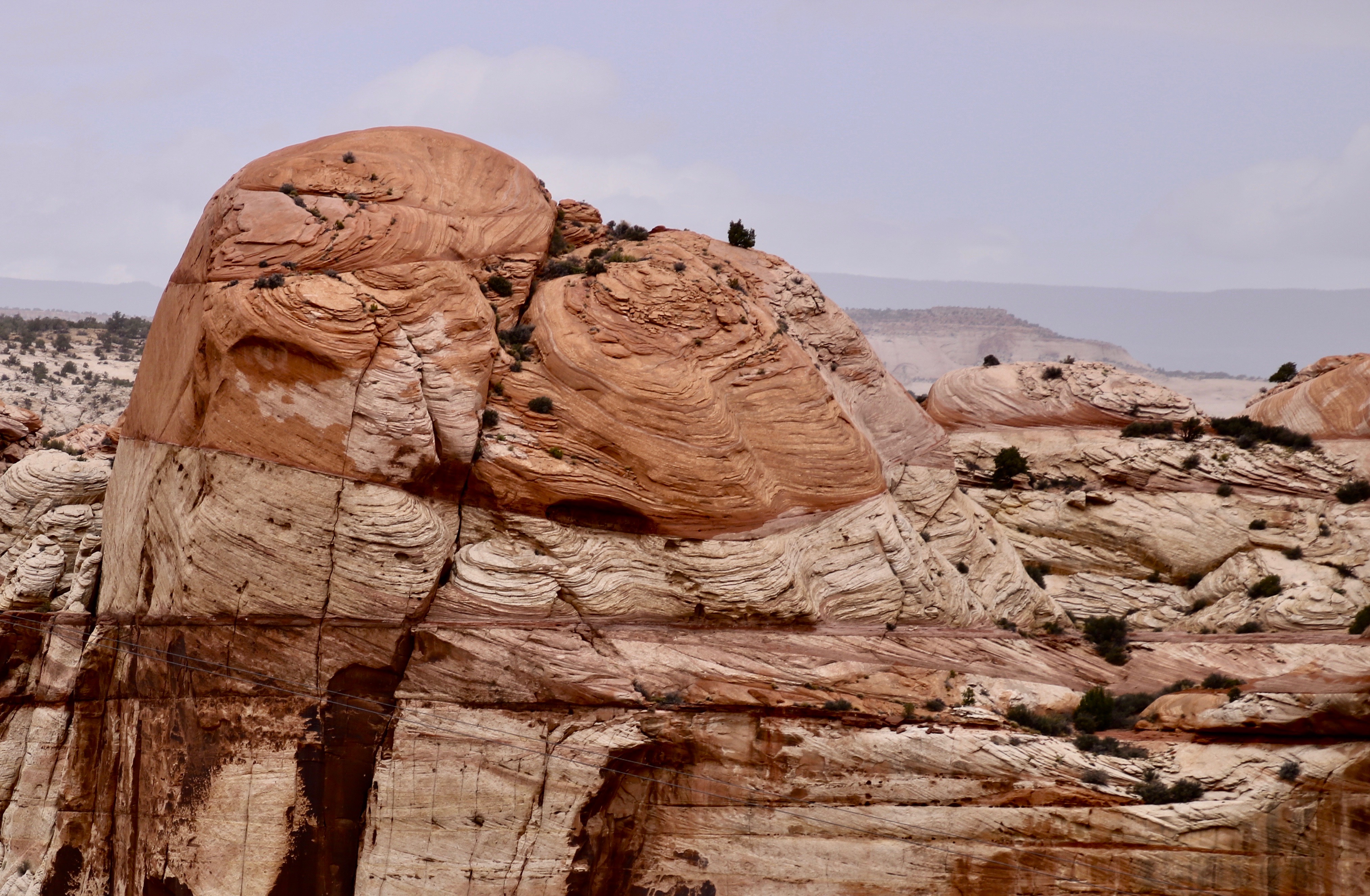
Peggy and I have spent a lot of time on America and Canada’s backroads, plus Mexico’s Baja Peninsula— some quarter of a million miles worth. So we know a bit about byways and we know a bit about scenic. Twelve years ago, when we first travelled over Utah’s Highway 12, our initial thought was Wow! It hasn’t changed. What else would one expect of a road anchored on one end by Capitol Reef National Park and on the other by Bryce Canyon? The short, 123 mile drive can be done in three hours. Or three days if you want to linger and explore the incredible scenery, state parks and historical areas along the way.
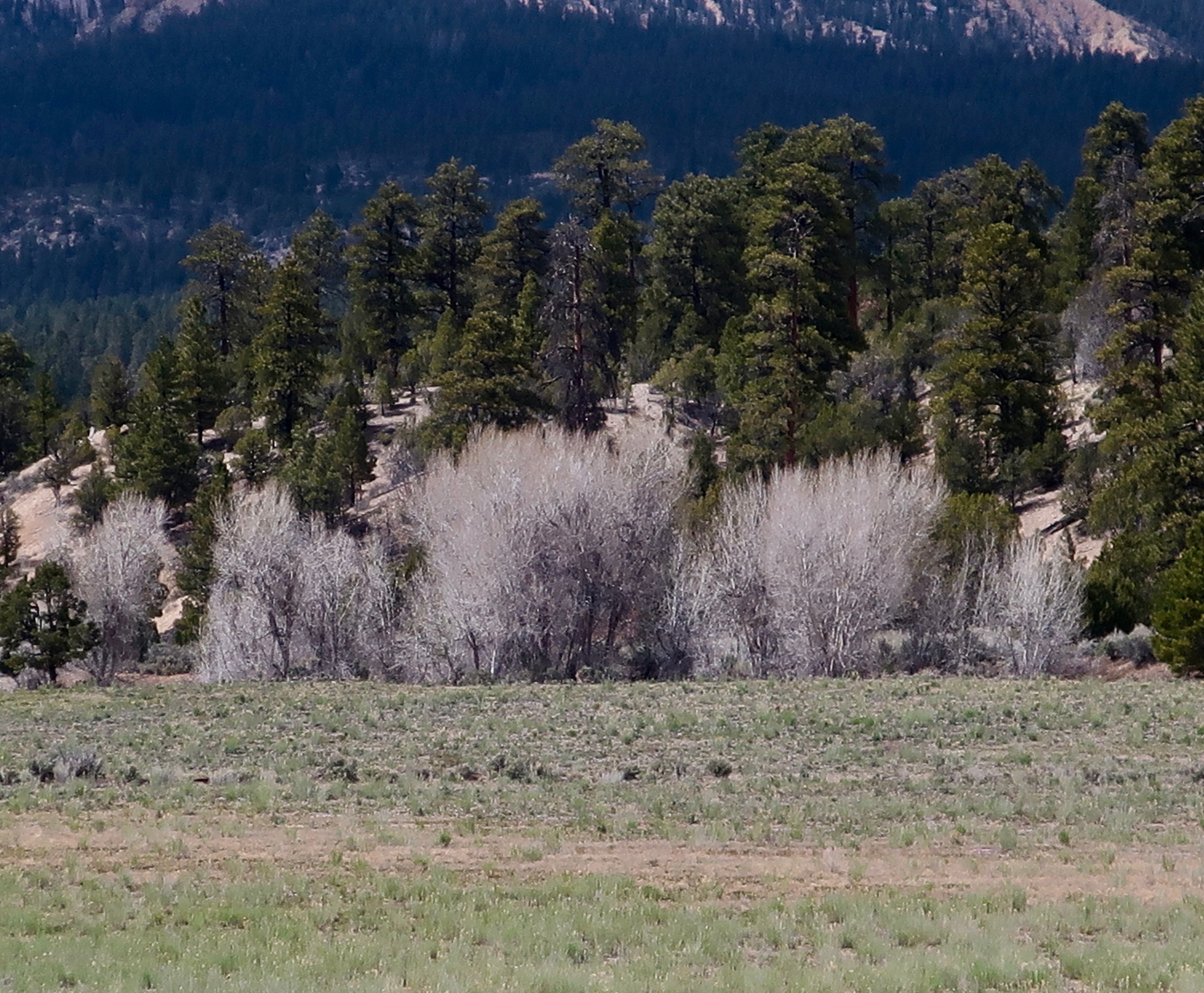
In 2010, we started at the small town of Torrey just outside of Capitol Reef, and worked our way south. The winding route took us up and over the 9,000 foot Boulder Mountain Pass where we were impressed with the aspen groves. They are always a treat, moving from the bright green quaking leaves of summer, to the gloriously yellow leaves in the fall, to the stark white trunks and limbs of winter. From the pass, our road dropped into the Escalante National Monument with its staircase look and then ended with the bright red, orange, and yellow rock formations of Bryce.

This time we travelled in the opposite direction, beginning at Bryce and working our way northeast along Highway 12, stopping at the small town of Boulder some 90 miles into the journey. We wanted to explore the Burr Trail that begins there. The road is something of a scenic wonder itself and will get its own post.

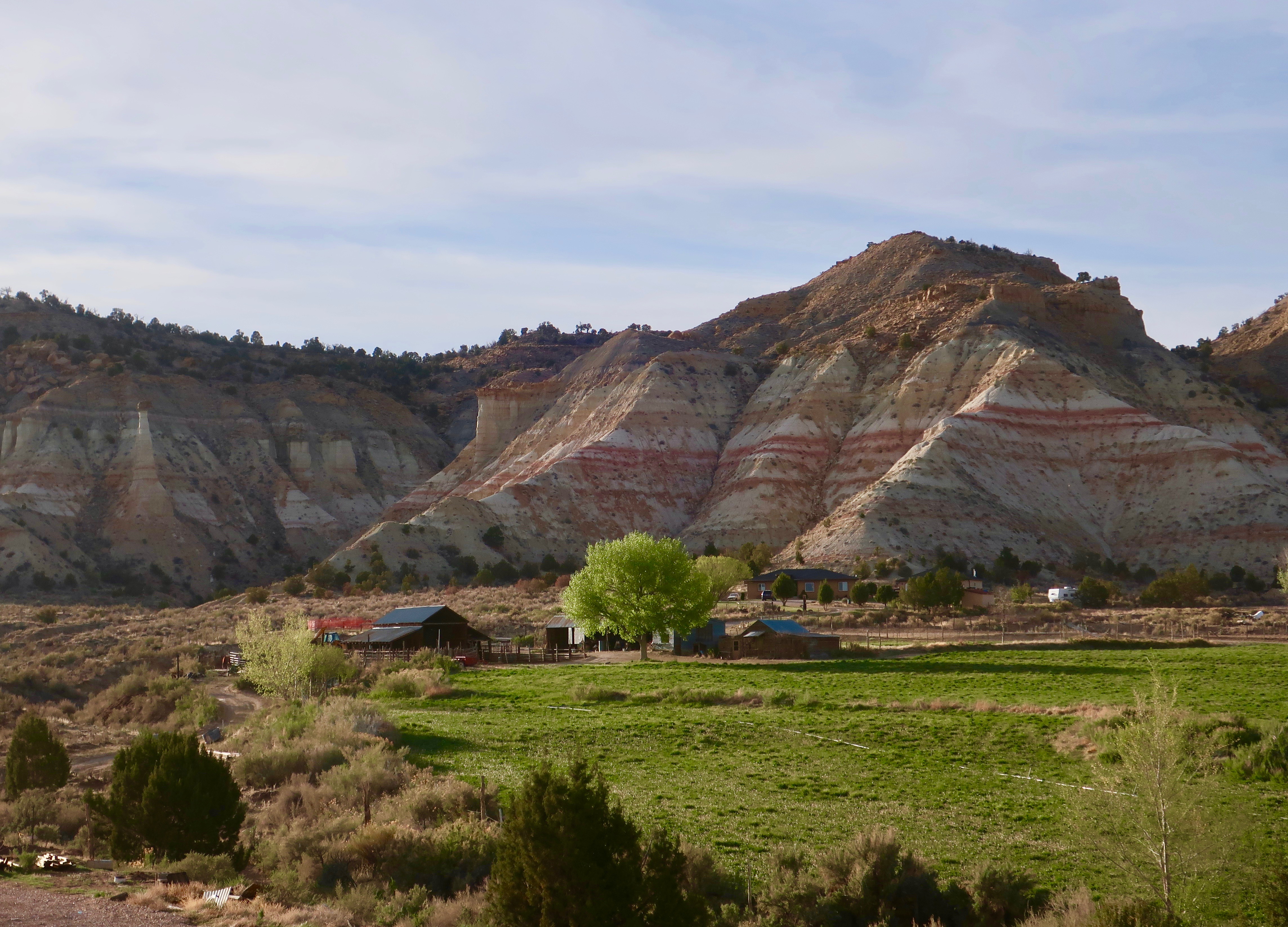
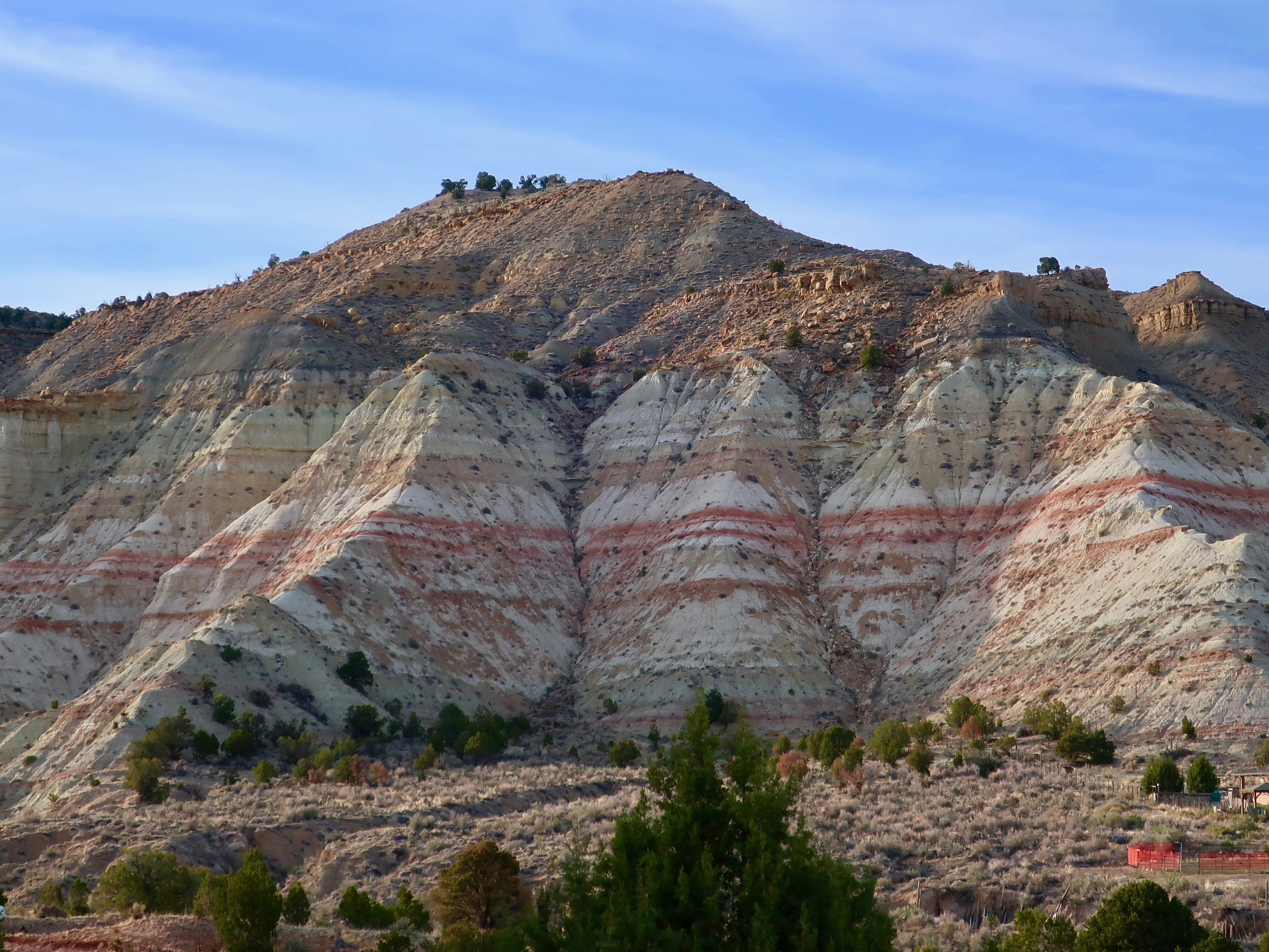
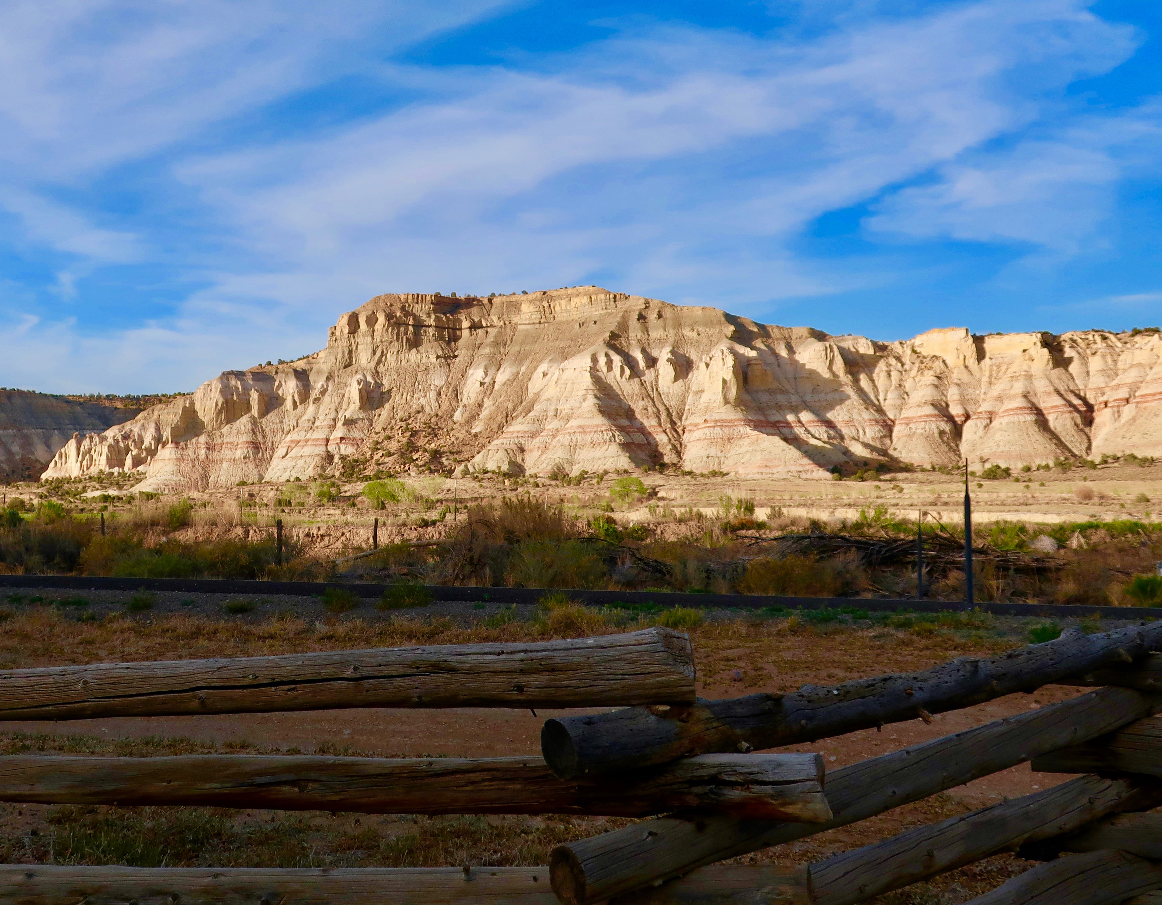
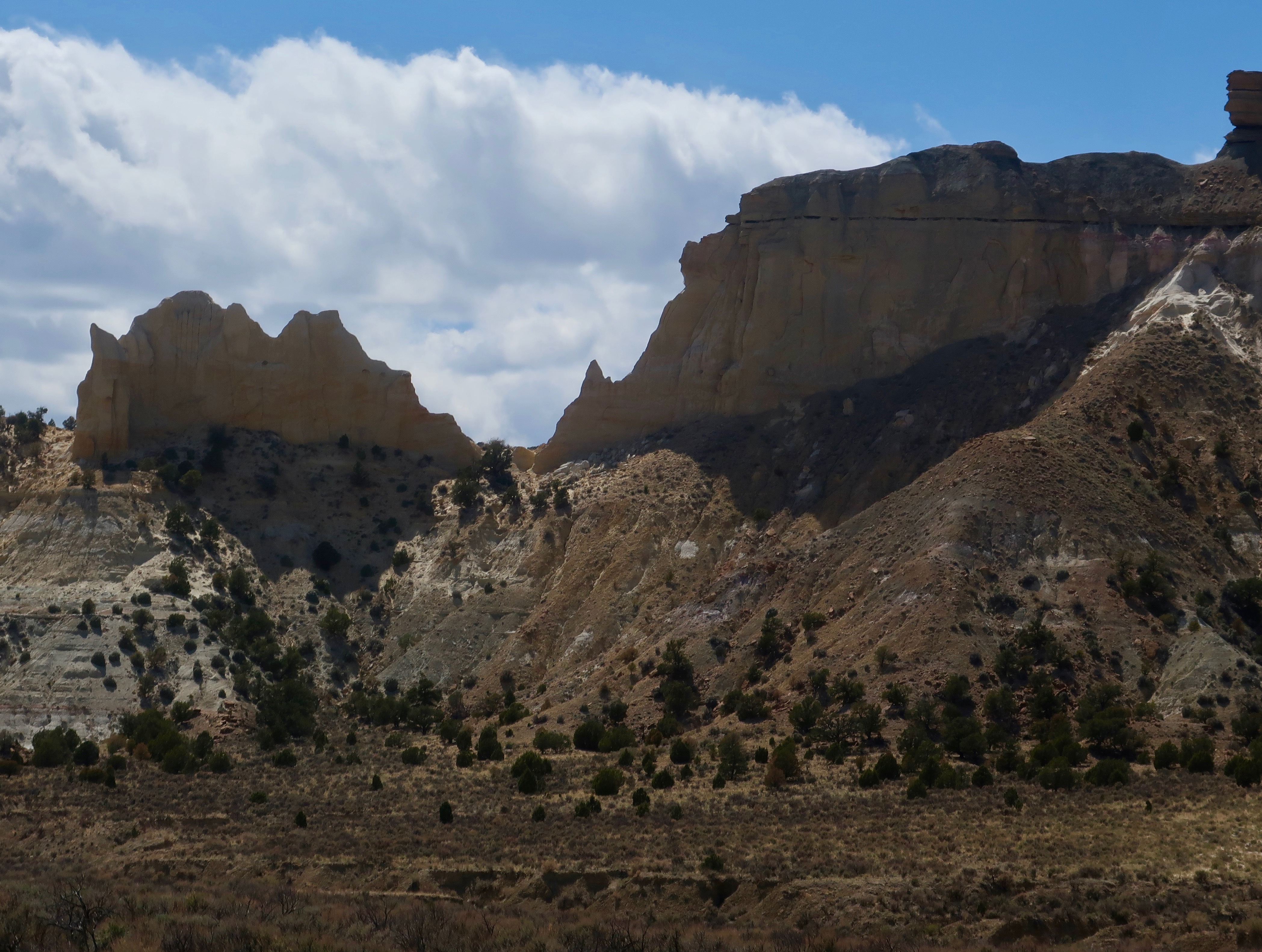
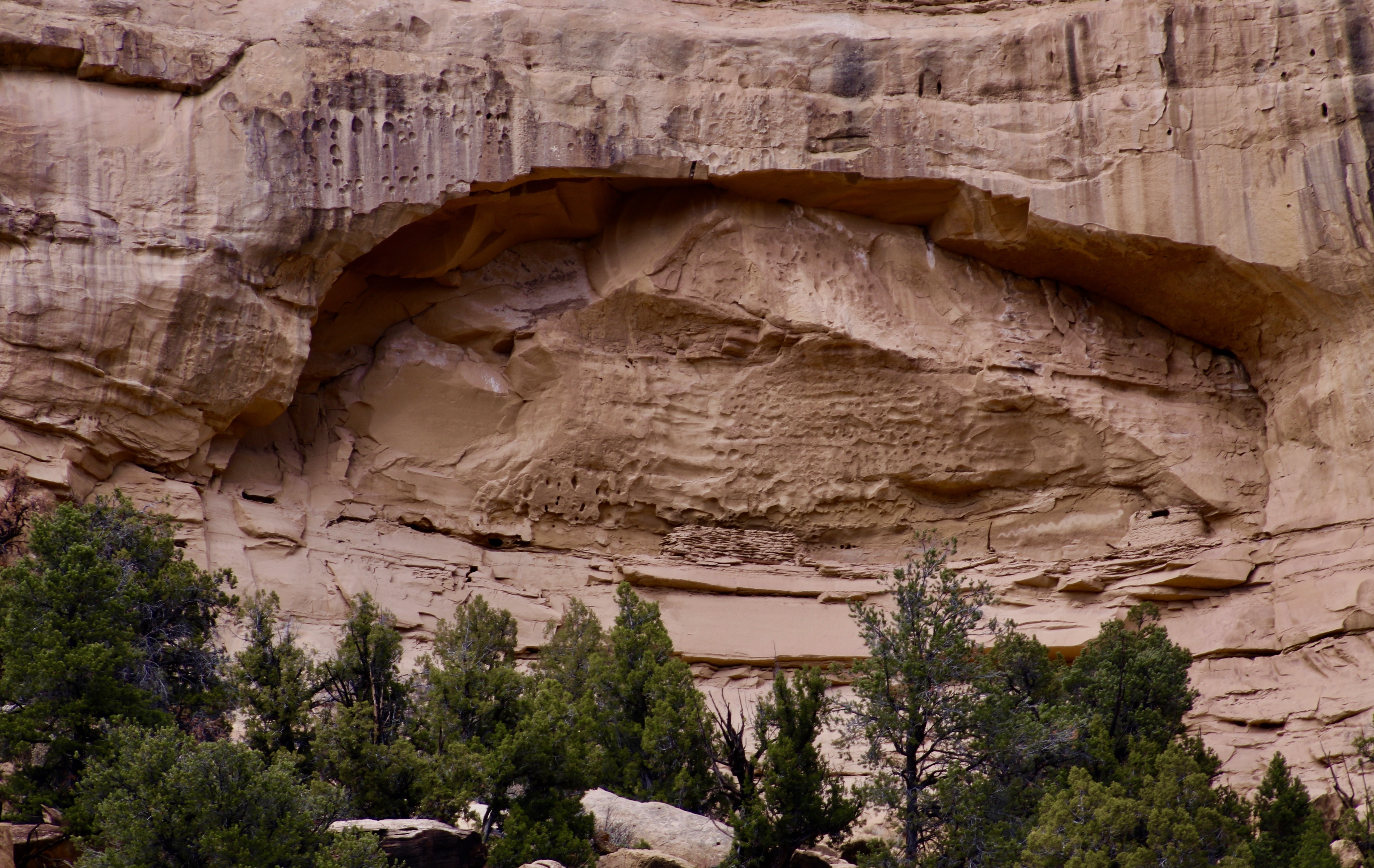
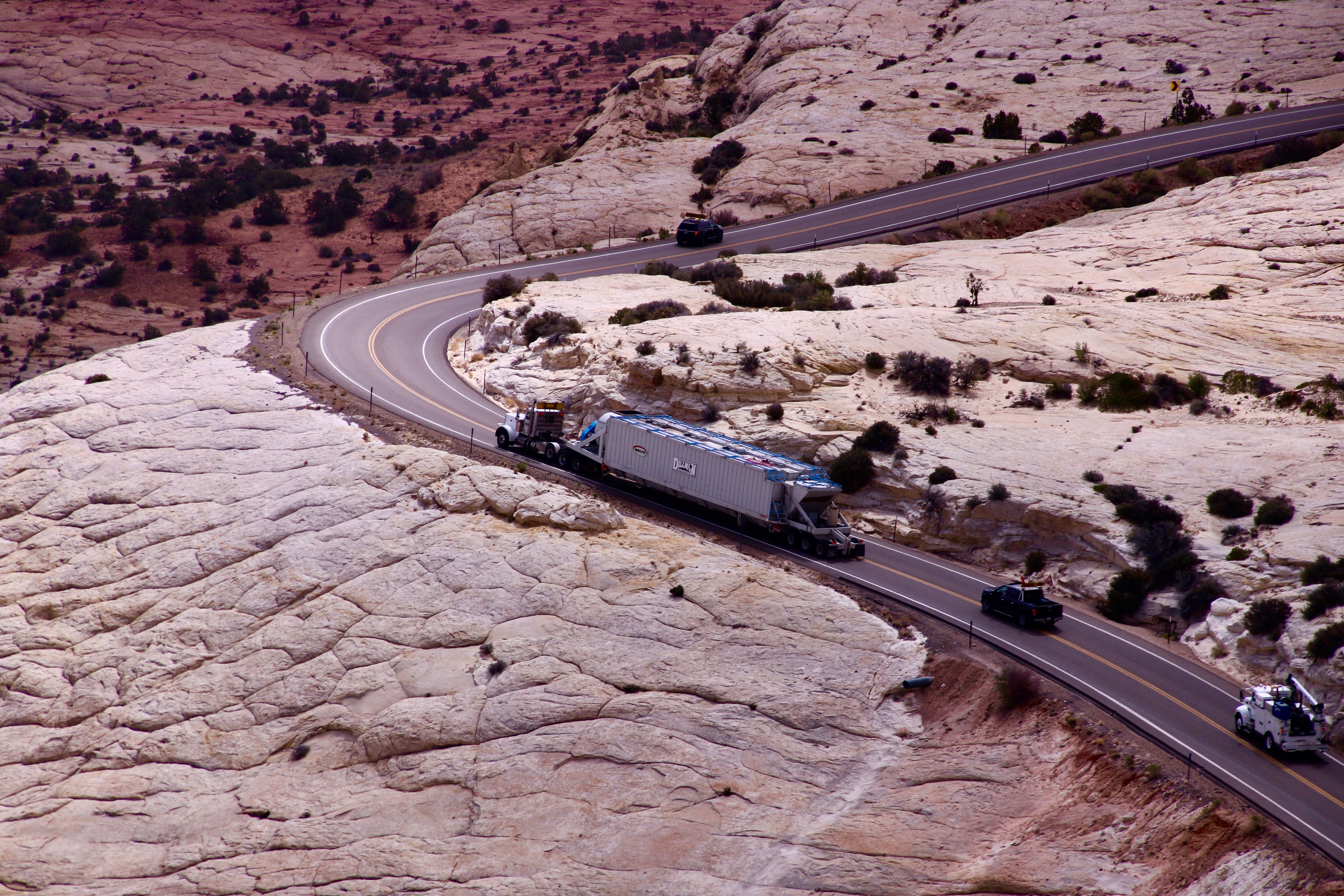
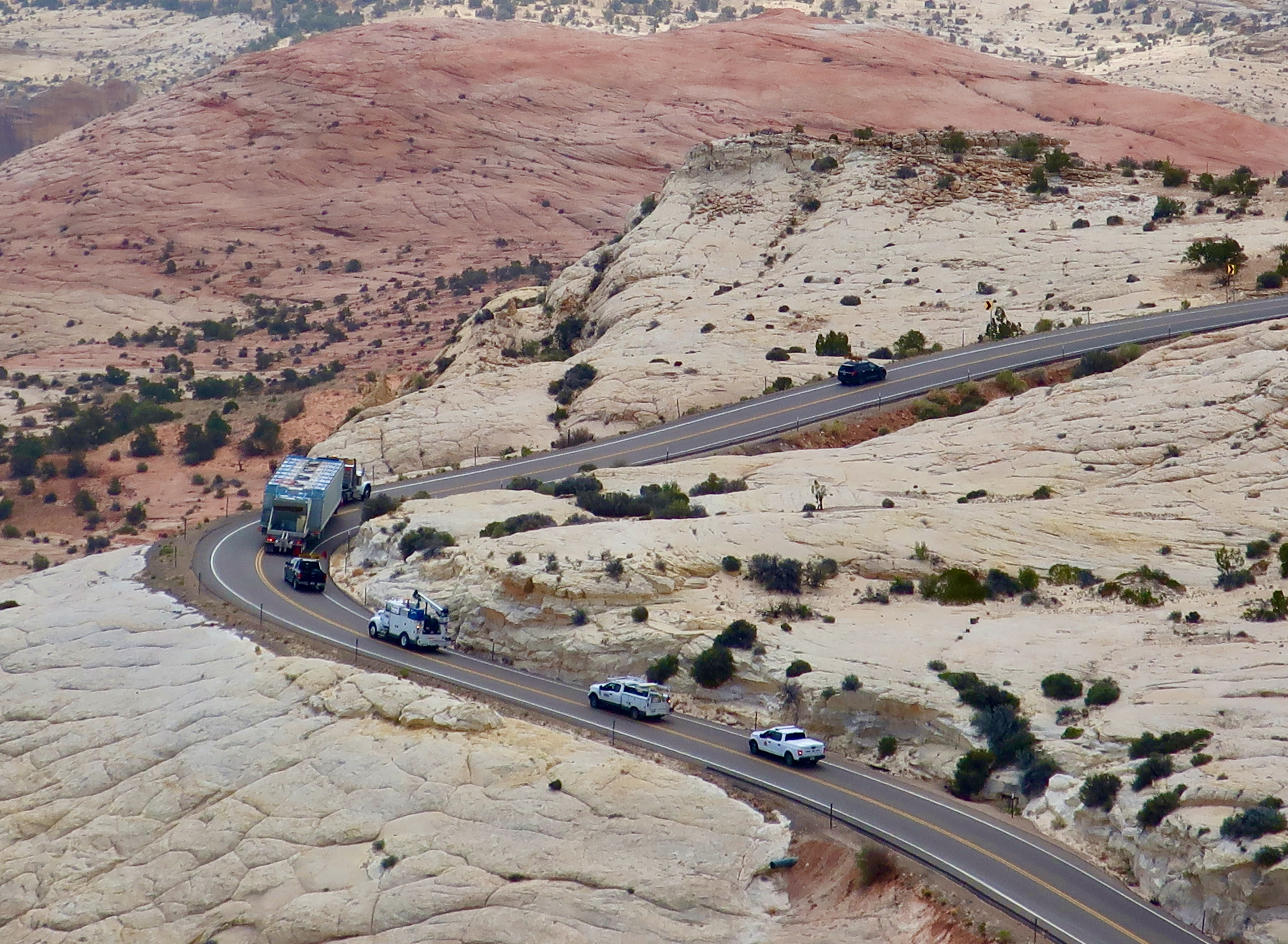
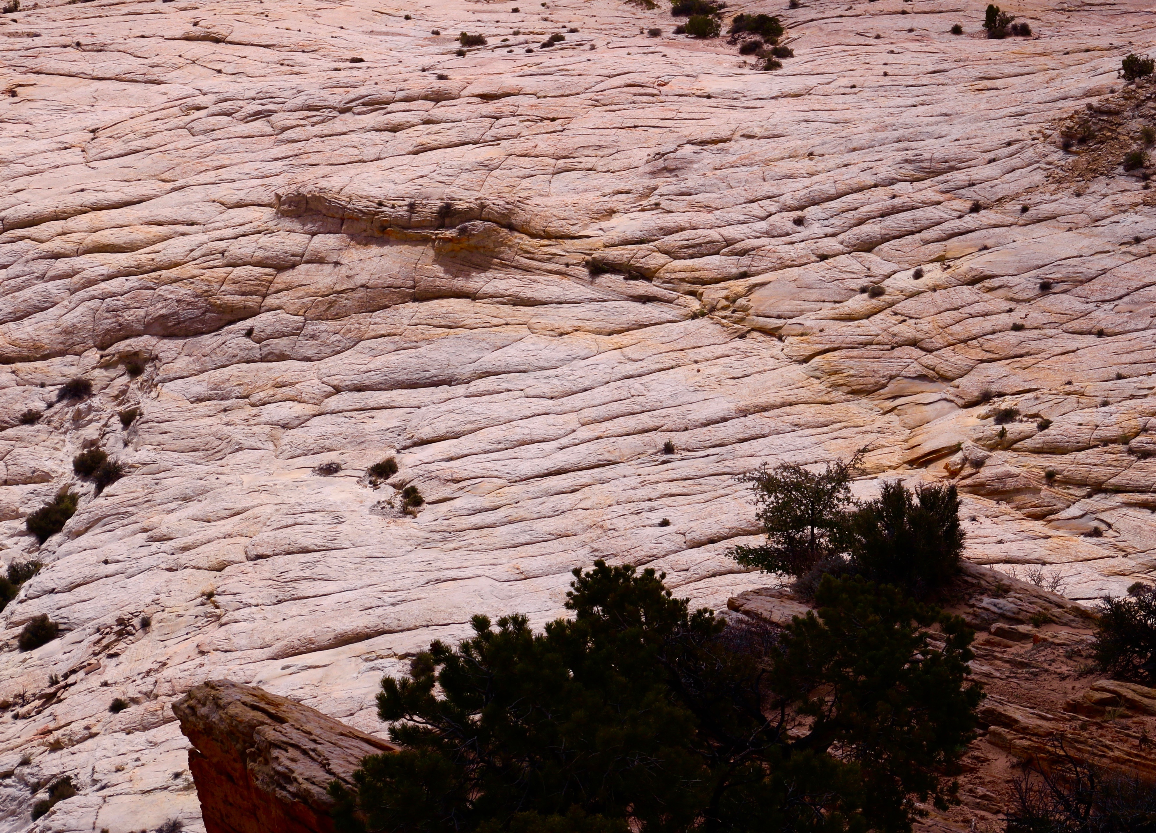
Our journey to Boulder can easily be divided into two parts: the section between Tropic and Escalante where we were mainly looking up, and the section between Escalante and Boulder, where we were mainly looking down. I’ve combined our morning and afternoon photos for each section, which is why you will see the varying light. We will start by looking up. 🙂


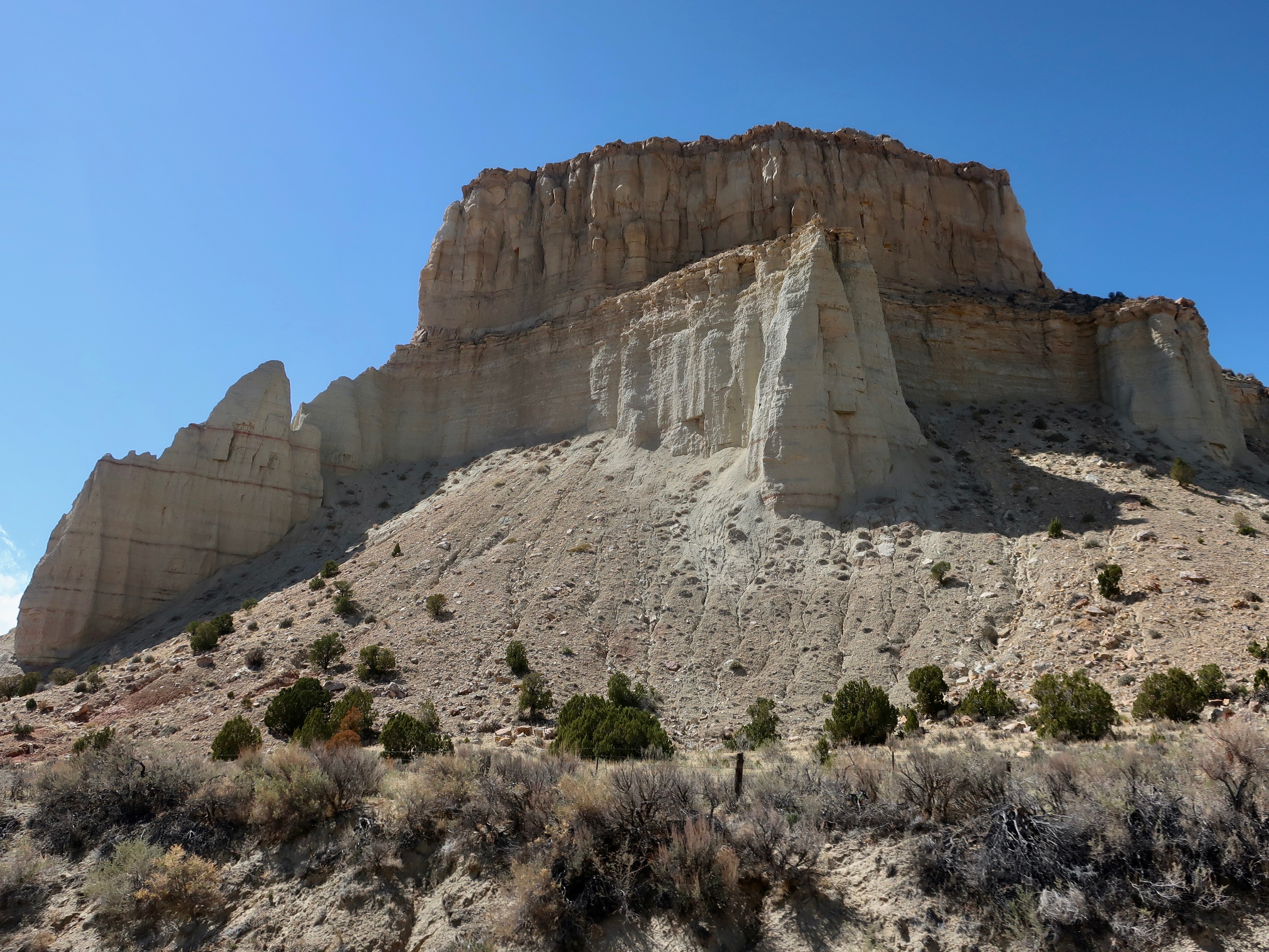
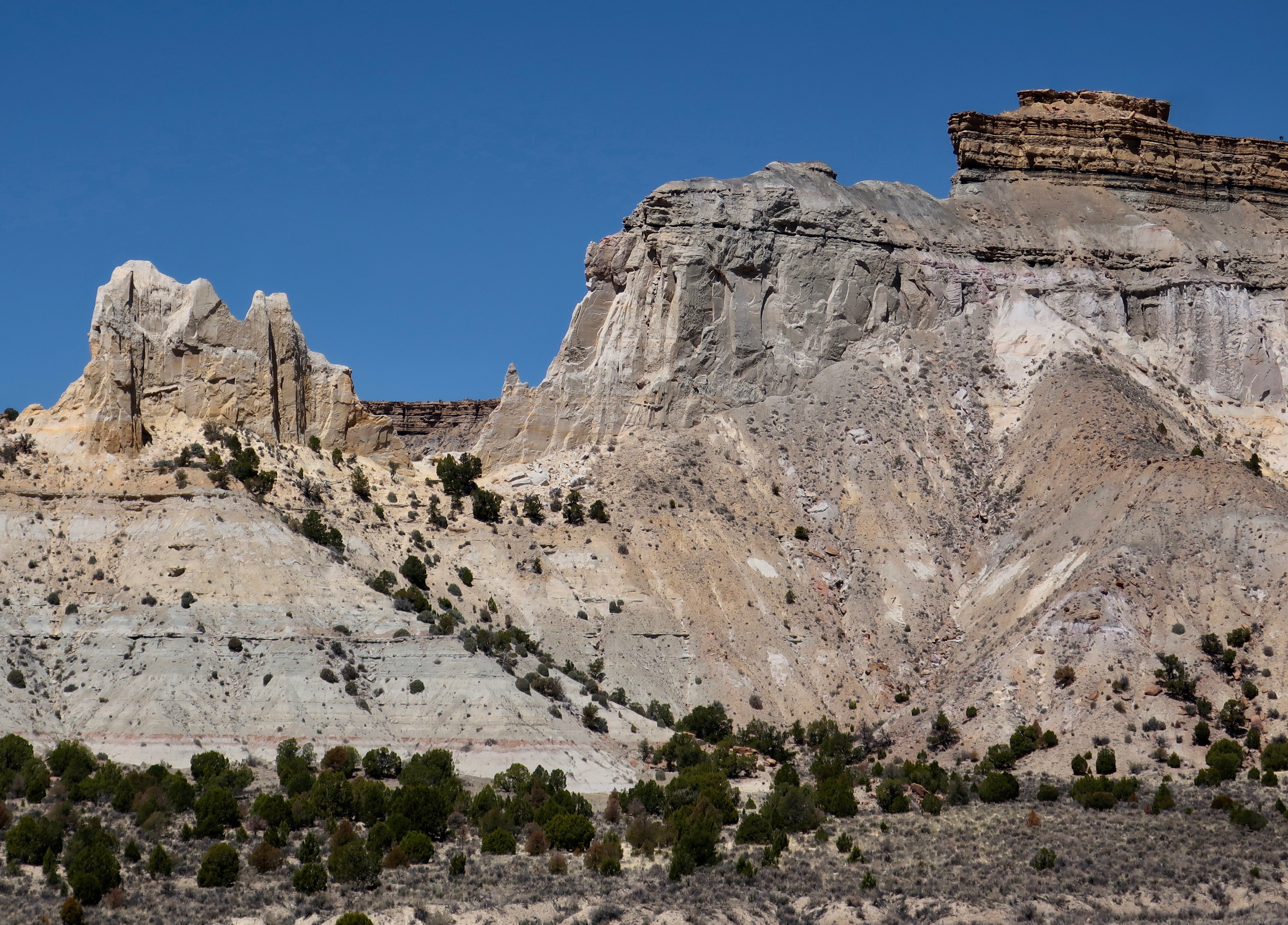


I hope we have persuaded you to explore Highway 12 if you are in the area. Our next post will take you along the Burr Trail with its long, colorful canyon— including a slot canyon.

I’m still “wandering through time and place” with you – after seven years! – enjoying your stories and pictures more than ever. Thank you for continuing to share them.
And my thanks to you. Such statements as yours are what makes the effort worthwhile. Much appreciated. –Curt
You had me at ‘into the Canadian Rockies’! Will be hoping for late snowfall for you. We would love to meet up if you get ups this way. Our email traveltalesoflife@gmail.com
Thanks, Sue. That would be fun! Consider it done if we get up there before the snows fly. And, BTW, when does that normally start? 🙂 –Curt
Curt as you can imagine it depends on elevation. Ski hills open here in early November and even as early as the end of October. A beautiful time to be here is mid to late September during larch season. The hiking can be stunning with the splashes of colour at high elevation. Down in the valley floors we typically wouldn’t see the snow staying before mid to late October. That isn’t to say we don’t get snow but usually here in Calgary it melts.
Pack layers of clothes as we still can get some glorious warm days in the fall. Then over the mountain comes a dump of snow all in the same day. 🙂
Thanks, Sue. It’s going to be close. We could shoot across the country and make it but our sense of humor about long days of driving over freeways has never been high and has gone nowhere but down. 🙂 Maybe next spring after our trip down the Nile we could work our way west again to California and then migrate north as the weather improves. I’d love to do the Alaska Highway again as well. But all of that is further ahead than we can plan, now. –Curt
Keep us posted Curt. Don’t want to scare you off but being realistic that our mountain weather is so changeable. Safe travels.
Not scared, Sue. I’ve certainly done my share of driving in the snow given that I’ve lived in both Alaska and on the crest of the Sierra during the winter. Just cautious with pulling a trailer behind me. 🙂 Thanks. And I will keep you posted. Our road trips then to involve seat of the pants planning. 🙂 –Curt
Highway 12 looks remarkable, Curt. I know I’ve said it before, but I do so envy your travels!! BUT, I don’t envy all those chores you have to do now!!
Laughing about the chores, G. I was just making the same note in my journal. Another month… Thanks. –Curt
Amazing photos. Interesting to see the truck navigating the curving road.
And I sometimes get nervous about navigating roads with our 22 foot trailer. 🙂 Thanks, Peggy. –Curt
Wow Curt! You and Peggy blow me away. So impressive and such lovely pictures that beacon a visit but I wouldn’t have the stamina at the moment so I’ll vicariously live through both of you!
laughing at this and hearing/not hearing you.
“There’s a lot of “What did you say, Peggy?” And vice-versa. It’s part of the joy of being in our 70s.” 😂 I have a surgery planned in October for a inner ear disease I have. The only risk is going completely deaf. lordy.
Keep having fun!
💖💖💖
Oh, good luck with that surgery, Cindy. That would be scary.
I’ve been wowed by all you are trying to accomplish at once. It exhausts me just reading about it. The job will get done, eventually, however. And the wedding will take place. 🙂 –Curt
I laughed at the town named ‘Tropic.’ I suppose promoters of towns like Paradise, Texas, were engaged in the same sort of helpful promotion. I really enjoyed the last photo. It reminds me of the autumn view from various promontories in southwestern Kansas, in the Cimarron Grasslands. The Cimarron river often disappears underground in that area, but you can trace its path by the cottonwood trees growing along its banks.
And imagine what a welcome site those cottonwoods would have been to early pioneers! And how disappointed they might be if they arrived with thirsty oxen and found no water.
Consider me persuaded!
🙂 And photos don’t do it justice, Lexi.
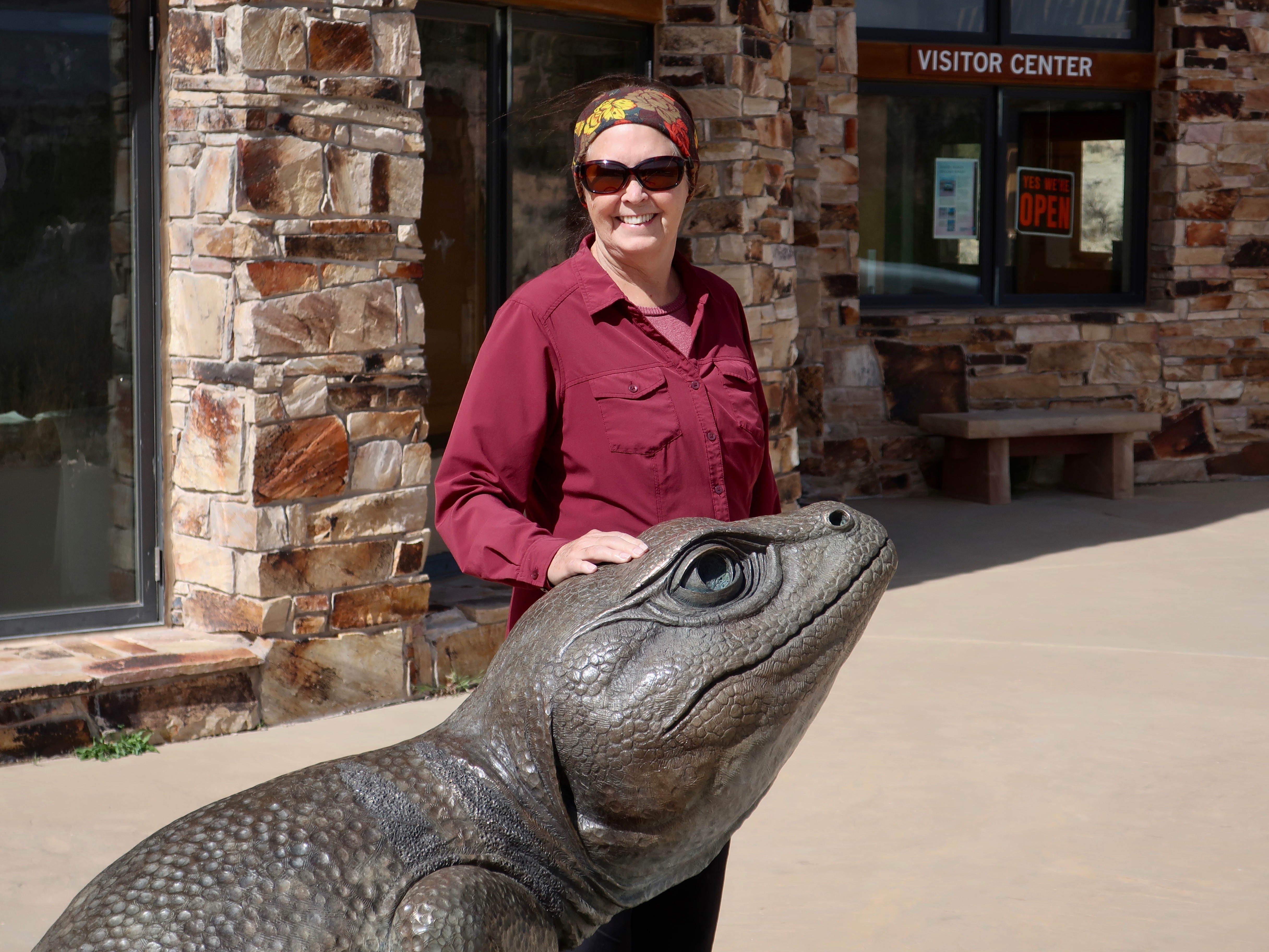
Definitely a wow kind of place! And I do like Peggy’s lizard friend.
Alison
The way we would like all of our backroads to be, Alison.
Also, when the lizards get that big, one can only hope that they are friendly. 🙂
That’s one of those areas where I swore I’d come back and revisit, but have yet to do so. It’s been 45 years; it’s a fair bet I don’t have 45 more to procrastinate.
Yeah, that procrastination will get you in the long run, Dave. Be sure to include the Burr Trail.
Love the colors and ruggedness. And, yes, Peggy’s photography captures it all!