Ghost Towns of the Old West: Rhyolite… The Desert Series

Old grave at the ghost town of Rhyolite outside of Death Valley.

What better way to introduce a ghost town than to show where the ghosts live? This is one of the better kept grave sites in the Rhyolite cemetery. (Photo by Peggy Mekemson.)


What’s a desert without a ghost town or two?

Boom and bust are the go-to words when it comes to creating ghost towns in the desert. Gold, or some other valuable mineral is found. Miners, developers, speculators and others burning with get-rich-quick-itis rush in where angels fear to tread (wisely so). Eventually the vein runs out. Unless the town has other ways of providing a livelihood, people leave. The ghosts are left behind. That’s the story of Rhyolite.

Boom! At the beginning of January in 1905, Rhyolite was a non-town of two people. They struck it rich. Two weeks later the population had grown to 1200 people. By 1907 somewhere between 4,000 and 8,000 people called the place home. Apparently no one was interested in doing an accurate census count. But the small city had banks, a school, its own railroad, a hospital, an opera house, some 50 saloons and a generous smattering of ladies of the evening with hearts of gold, or at least pockets filled with gold coins. There was electricity, running water, and telephones.

Charles Schwab, the steel magnate, (as opposed to Charles Schwab of brokerage house fame) was the money behind the development of Rhyolite. Thomas Edison, who was responsible for inventing the electric lights that lit up the town, once called Schwab a master hustler. It fit, but Schwab’s hustling in Rhyolite failed to pan out (to use an old gold mining term).

Bust! In 1907, a British mining engineer discovered that the ‘fabulously high-grade ore’ mine Schwab had bought was actually filled with low-grade ore. By 1910 the banks were closed. The last train left town in 1916. A motor tour organized by the LA Times in 1922 found only one person remaining in the town, a 94-year-old man who died two years later. Rhyolite began its career as a ghost town.

For enquiring minds that want to know, Rhyolite is located approximately 120 miles north of Las Vegas and sits on the eastern edge of Death Valley, just outside the small Nevada town of Beatty. It is named after an igneous rock common throughout the area.

An old truck in the ghost town of Rhyolite, Nevada.

Ghost truck in Rhyolite. Its engine had long since departed.

Interior of old truck in Rhyolite, Nevada.

I was torn over which interior photograph I would use, but opted for the steering wheel and dashboard. It, and the faded surrounding mountains struck me as ghostly. The odometer had stopped at 45,438 miles. Or make that 45,438.5. It was rolling over to 45,439 when its roving days ended.

Cook Bank in the ghost town of Rhyolite, Nevada.

Once the pride of Rhyolite, the Cook Bank’s floors were marble and its windows were stain glass.

Cook Bank in Rhyolite Nevada.

Almost everything of value was ripped out of the Cook Bank and Rhyolite in general. Many of the buildings in nearby Beatty, owe their existence to this pilferage. It led me to wonder why the fine bricks on top of the Cook Bank were still there. Were they a little difficult to reach, a little perilous to remove? (Photo by Peggy Mekemson.)

School in the ghost town of Rhyolite, Nevada.

I asked Peggy, a retired elementary school principal, to pose for me in front of Rhyolite’s school. Her hair, which totally has a mind of its own, had been teased by the desert wind.

Rattlesnake warning sign in Rhyolite, Nevada.

We laughed. If the reasonable approach doesn’t work, try another. (Photo by Peggy Mekemson.)

Rhyolite Nevada view.

They say it is better to be on the inside looking out than the outside looking in. I don’t think it matters in Rhyolite. But I did like the composition that pulls you out toward the mountains.

HD and LD Porter sign in Rhyolite, Nevada.

A rather classy sign that is lucky it didn’t end up in an antique shop somewhere.

The old railway station at Rhyolite, Nevada.

Speaking of classy, Rhyolite’s railway station was, and still is an attractive building. Over the years it morphed into a hotel, casino, souvenir shop, all connected to Rhyolite’s ghost town status. (Photo by Peggy Mekemson.)

Old rail found near the ghost town of Rhyolite.

Most of the rails leading up to the station were pulled out and used during World War I, but I did find this old one in a junk pile behind the station.

Caboose in Rhyolite.

One of the more intriguing buildings in Rhyolite, from my perspective, is this old caboose that was once used on the Las Vegas to Salt Lake line. It was reborn as a service station in Rhyolite to serve the visitors that came to visit the ghost town and probably the casino.

An inside view of the caboose located at Rhyolite, Nevada.

Looking inside the caboose.

Tom Kelly's hose made of glass bottles in Rhyolite, Nevada.

This house made of 30,00 glass bottles (mainly alcohol related– not surprising considering a couple of thousand thirsty miners), may be Rhyolite’s most famous building. 76-year-old Tom Kelly built it in 1905-06 and then auctioned it off at $5.00 a ticket.

Bottles used to make the Bottle House in the ghost town of Rhyolite, Nevada.

A close up of the bottles. The marks on the bottom indicate the company that made the bottles. AB stands for American Bottling Company, for example. (Photo by Peggy Mekemson.)

Hostetter Bitters Bottle used in the Bottle House at Rhyolite, Nevada.

A few bottles are more prominently displayed, such as this Dr. J. Hostetter Bitters bottle. While it was sold to cure what ailed your tummy, it contained up to 47 % alcohol. Earlier, Hostetter had sold the bitters to Union soldiers during the Civil War to fight off diseases they might catch while chasing Confederates through southern swamps.

A final ghostly reminder from the Rhyolite graveyard.

A final ghostly reminder from the Rhyolite graveyard.

NEXT BLOG: Traveling a couple of hundred yards west of Rhyolite, we visit the Goldwell Open Air Museum


Escape from Las Vegas to the Red Rock Canyon… The Desert Series

Depending on traffic conditions, Red Rock Canyon National Conservation Area is 30-45 minutes outside of Las Vegas. It is hard to imagine two more diverse worlds.

Depending on traffic conditions, Red Rock Canyon National Conservation Area is 30-45 minutes outside of Las Vegas. It is hard to imagine two more diverse worlds.


Las Vegas shouldn’t exist.

Why would any sane person build a city in middle of a desert where summer temperatures regularly climb over 110 degrees F and annual rainfall hangs around 4 inches? Sure, it’s a great place for jackrabbits and rattlesnakes and scorpions and cacti and desert tortoises. Maybe even lonely miners, ladies of the evening, jet jockeys, crotchety cowmen, and aliens belong there.

What Las Vegas would look like without water.

What Las Vegas would look like without imported water.

But putting 1.8 million people into Las Vegas and the surrounding Clark County– what were they thinking? Everything has to be imported… and I mean everything including the ever-precious water for golf courses and tourists with bucks to toss. Cut off either one and Las Vegas is SOL. The city returns to the jackrabbits and LA sucks up any extra water from the Colorado River.

A jackrabbit. (Photo at Red Rock Canyon Museum.)

“I want my desert back.” Hoppy Jackrabbit. (Photo from Red Rock Canyon Museum.)

MONEY, of course, is the answer for the city’s existence– obscene amounts of it, like bundles and bundles and bundles. Mafia hit men joined together with Mormon bankers following World War II to build the Flamingo Casino and start milking the proverbial cash cow. This kicked off a spree of building pleasure palaces that continues even today, with each one being bigger and glitzier than the one before. The names and faces have changed, but the basic underlying purpose remains the same: separate tourists from their hard-earned cash, as quickly as possible.

Down around Fremont Street a touch of Old Vegas here mobsters ruled as been preserved. If you go down there, be sure to visit the Mobster Museum.

Down around Fremont Street, a touch of Old Vegas where mobsters ruled has been preserved. If you go down there, and you should, be sure to visit the mobster museum. The cowboy above  would have been the epitome of neon lighting in its day.

Most of the older casinos in Las Vegas have now been replaced with fantasy creations that out-Disney Disney.

Most of the older casinos in Las Vegas have now been replaced with fantasy creations that out-Disney Disney.

Now I confess to liking a little glitter from time to time. A stroll down the Strip drops me into Venice, New York City, Paris or even a pyramid. While pale in comparison to the real thing, the moguls of Las Vegas have spent billions creating these make-believe worlds. And the price of admission is right: free. At least it is if you can avoid the multiple temptations. I can’t. I am sure there is a quarter video poker machine out there that will make me rich beyond my wildest dreams, or at least pay for dinner. Or, failing all of that, cover the tourist tax. (Remember here, however, that I also believe in UFOs.)

Venice, Las Vegas style.

Venice, Las Vegas style complete with fake sky and a singing gondolier.

Venice, Italy from our 2012 visit. (Photo by Peggy Mekemson.)

The real thing from our 2012 visit to the Mediterranean. (Photo by Peggy Mekemson.)

There comes that inevitable moment, however, when I have to escape the glitter, noise, and crowds for the wilderness. I have to return to my roots, to commune with nature. Luckily, it’s easy from Las Vegas. Last week I took you out to the Valley of Fire, a short hour drive away. Today we are going to visit Red Rock Canyon National Conservation Area, which is even closer, 30–45 minutes.

Truth be told, if I have to choose between urban fantasies and natural wonders, I'll go for the natural wonders. We found this desert tortoise outside the Red Rock Canyon Visitor Center but you might see them anywhere in the park, as the sign below attests.

Truth be told, if I have to choose between urban fantasies and natural wonders, I’ll go for the natural wonders. We found this desert tortoise outside the Red Rock Canyon Visitor Center but you might see them anywhere in the park, as the sign below attests.

Watch out for tortoises on the road sign in Red Rock Canyon park outside of Las Vegas, Nevada.

This gem sits on the edge of Las Vegas. An easy morning trip will get you there, around the park and back. The park features a one way, 13-mile drive with numerous turnouts. There are several hiking trails that crisscross the area. Many people also enjoy biking the route. I highly recommend starting your trip at the excellent visitor’s center.

Here are some views along the way.

Be sure to stop off at the Visitor's Center for an overview of Red Rock Canyon. In addition to having excellent information on the park, it includes lots of fun things like this kid-sized snail sculpture.

Be sure to stop off at the Visitor’s Center for an overview of Red Rock Canyon. In addition to having excellent information on the park, it includes lots of fun things like this kid-sized snail sculpture.

Red Rock Canyon National Conservation Area.

You can also preview your route from the Visitor’s Center. The road snakes around the colorful hill in the foreground. (Photo by Peggy Mekemson.)

Red sandstone hill in Red Rock Canyon National Conservation Area outside of Las Vegas, Nevada.

A close up of the same hill taken from the road. One of Red Rock Canyon’s many hiking trails is seen at the base of hill.

As in the Valley of Fire, the various rock formations in Red Rock Canyon are carved out of  ancient sand dunes that have been turned to rock. Peggy captures one of the formations here.

As in the Valley of Fire, the various rock formations in Red Rock Canyon are carved out of ancient sand dunes that have been turned to rock. Peggy captures one of the formations here.

Photograph of Red Rock Canyon near Las Vegas Nevada.

What she saw through her lens. (Photograph by Peggy Mekemson.)

Sand Stone Quarry pull off in Red Rock Canyon National Conservation Area.

Pull offs from the road provide a number of opportunities to stop and admire the scenery. I took this shot from the Sand Stone Quarry pull off.

Which is where I also found this flower.

Which is where I also found this flower.

Pictoglyphs found in Red Rock Canyon National Conservation Area.

We found these Native American pictoglyphs near Willow Springs. Petroglyphs are made by pecking the rock surface with a rock. Pictoglyphs are made with natural paint derived from minerals. flowers, etc. The pigment for these handprints came from hematite, iron oxide.

Scenic mountain in Red Rock Canyon National Conservation Area.

I enjoyed the contrast in this Red Rock Canyon scene.

Mountains in Red Rock Canyon National Conservation Area framed by a juniper tree.

Juniper provided a frame for this photo of Red Rock Canyon mountains.

I thought these twin cactus flowers would provide a fitting conclusion for my blog on Red Rock Canyon National Conservation Area.

I thought these twin cactus flowers would provide a fitting conclusion for my blog on Red Rock Canyon National Conservation Area.

NEXT BLOG: Hello Death Valley!


Ancient Petroglyphs in the Valley of Fire State Park… The Desert Series

Petroglyphs found at the Valley of Fire State Park

Imagine walking around a corner and coming on this wall of petroglyphs. The red sandstone provided a dramatic canvas for early artists. (Photo by Peggy Mekemson.)

I first became aware of art from traditional cultures as a Peace Corps Volunteer in Liberia, West Africa. The power of its simplicity and almost magical connection with another world caught my imagination– as it had artists such as Picasso and Matisse in the early 1900s. I collected several pieces and brought them home. Two of my favorites are the medicine mask and the bush devil shown below.

African medicine mask from the Ivory Coast.

African medicine mask from the Ivory Coast.

African Bush Devil from Liberia, West Africa.

African Bush Devil from Liberia

It was a natural transition for me to like and appreciate the rock art of Native Americans in the Southwestern United States. Found in hundreds of locations, it reflects several thousand years of cultural traditions. The arid climate of the Southwest combined with the fact that petroglyphs are carved in stone has allowed for their preservation. Only modern man with his graffiti poses a threat.

The Valley of Fire State Park near Las Vegas, Nevada hosts a significant collection of petroglyphs. The rock art was created by a culture known as the Basket makers (2000-1450 years ago) and the Anasazi/Ancient Pueblo group (1500-850 years ago). The Anasazi lived throughout the Southwest and were responsible for creating the impressive cliff dwellings at Mesa Verde National Park. They mysteriously disappeared around 1300, a fact which still has archeologists searching for answers.

The majority of the petroglyphs at Valley Of Fire are found at a site named Atlatl Rock by the park. The atlatl was a carved stick used for throwing spears and is featured in petroglyphs at the site. A steep, metal stairway leads up to the petroglyphs. Most tourists stop, climb the stairs and then hurry on their way. Walking a few hundred feet in either direction, which most tourists don’t do, leads to the discovery of hundreds of other petroglyphs– and Chuck. Following is a sample of what we found on our walk-about.

Petroglyph wall at Valley Of Fire State Park in Nevada.

A closeup of the petroglyph wall shown above. Can you find the dog?

Dog petroglyph at the Valley of Fire State Park.

The dog– or what I think is a dog, is located in the photo above on the left beneath what may be a river.

Petroglyph trees at Valley of Fire State Park in southern Nevada.

I have never seen such a direct representation of trees in petroglyphs. It is possible they are being struck by lightning. And check out the strange horned being on the right. He likely has shamanistic connections.

Petroglyph showing use of an atlatl at Valley of Fire State Park near Las Vegas, Nevada.

I am intrigued by this petroglyph. The figure in the upper left is using an atlatl to launch a spear. But follow the line down. It starts from his left leg, passes through what appears to be a fox or coyote, and then becomes a big foot. How would you interpret this? On the left, you can see graffiti scratched on the stone by more recent visitors.

Petroglyph showing birth at Nevada's Valley Of Fire State Park.

Early rock artists could be quite graphic in their depictions. This shows a child being born. I like to think of it as an early day birth announcement: “Big Bear and Bird Song are proud to announce the birth of their first daughter…” Not sure what the bird is doing sitting on her head. Maybe it’s a singing telegram. (Photo by Peggy Mekemson.)

Big horn sheep petroglyph at Valley of Fire State Park in Nevada.

Big horn sheep, from our experience, are the most common animal found on Southwest petroglyphs, which speaks to their importance, probably as a food source.

Donkey-like petroglyph at Valley of Fire State Park.

Given that donkeys weren’t around in North America when this petroglyph was created, I don’t have a clue what this animal is. The ears may be antlers, but even then… Any ideas?

Big horn sheep petroglyph with sun at Valley of Fire State Park.

The sun is shining down on this big horn sheep. What surprised me were the eyes. It is unusual to see eyes on an animal petroglyphs. (Photo by Peggy Mekemson.)

Petroglyphs high on cliff at Valley of Fire State Park.

We often find petroglyphs perched high up on cliffs and marvel at the rock artists ability to climb up and do their work.

Petroglyphs on cliff at Valley of Fire State Park in Nevada.

Here is a closer photo of the work they were doing, and my final photo for this blog.

NEXT BLOG: On to Red Rock Canyon.


The Valley of Fire State Park: Part II… The Desert Series

Chuckwallas are commonly found in the Valley of Fire State Park in Nevada and throughout the Mojave Desert.

Chuck, the chuckwalla, was quite curious about why we were wandering around his rock pile.

Meet Chuck. Peggy and I discovered him as we were hiking around in the rocks looking for petroglyphs at the Valley of Fire State Park. I can’t say he was friendly, but he certainly wasn’t scared. Mainly he was curious. I was almost on top of him before he crawled into a shadowy crevice.

Chuckwallas are rather impressive members of the lizard family that can grow up to 16 inches in length. Their primarily vegetarian diet apparently serves them well. (Not that they are above scarfing down an occasional insect.) They are found throughout the deserts of the Southwest. They hide in cracks when being chased and puff up their bodies so whatever is chasing them can’t yank them out. Most predators depart with little more than a bony lizard tail for dinner. The chuckwalla is then free to go on its way and grow a new one.

Having tired of me snapping photos, Chuck heads into a crevice. He is still keeping an eye on me, though.

Having tired of me snapping photos, Chuck heads into a crevice. He is still keeping a curious eye on me, though. Note the loose skin– just waiting to be puffed out.

As I mentioned in my last blog, plants have done a remarkable job of adapting to desert life. Dilly-dallying is not an option when rain falls. Annual desert plants can grow, bloom, and produce seeds in a few short weeks. The seeds then wait a year, or longer, for the next rain to come along. Others, like cacti, slurp up and store enormous amount of water for later use. Some plants have deep roots to gather water and tiny leaves to prevent its loss.

Scene from the Valley of Fire State Park in Nevada.

Desert plants have adapted well to their environment. I really like the touch of green here.

Valley of Fire near Las Vegas, Nevada.

I thought this dead bush spoke to the harsh living conditions found in the desert. I also thought it made a great subject for my camera.

Yucca plants in Valley of Fire State Park. Photo by Curtis Mekemson.

Yucca plants have a two tier root system. One shoots out laterally from the plant and is designed to capture rain when it falls. The other is a deep tap-root designed to reach water during dry times.

Flowering yucca in the Valley of Fire State Park. Photo by Curtis Mekemson.

A close up of the yucca’s flowers.

The primary reason for visiting the Valley of Fire is its magnificent rocks, however. I presented several photos in my last blog. Here are more.

Red and tan sandstone in the Valley of Fire.

The sandstone formations found in the Valley of Fire are close to pure silica. The difference between the tan and red rock is that a small amount of iron has produced a rust-like stain.

Peggy captured this impressive red mountain, which along with the red and tan sandstone rock on front provides another example of iron staining. The famous Red Wall of the Grand Canyon is also an example. (Photo by Peggy Mekemson.)

Peggy captured this impressive red mountain, which along with the red and tan sandstone rock in front, provides another example of iron staining. The famous Red Wall of the Grand Canyon is also an example. (Photo by Peggy Mekemson.)

White Dome in Valley of Fire State Park outside of Las Vegas, Nevada.

The White Dome graces the end of the road in the Valley of Fire. (Photo by Peggy Mekemson.)

The White Domes of the Valley of Fire.

White Dome and companion peak.

Balanced Rock in the Valley of Fire State Park, Nevada. Photo by Curtis Mekemson.

Balanced Rock. How does it do it?

The Beehive Rock in Valley of Fire State Park outside of Las Vegas, Nevada.

This rock in the Valley of Fire State Park is appropriately named the Beehive.

Valley of Fire State Park scenic view.

A final view of the beauty.

NEXT BLOG: The ancient Native America rock art found in the Valley of Fire State Park.

The Mystery and Beauty of Deserts: The Valley of Fire State Park… Part I

Valley of Fire State Park outside of Las Vegas, Nevada.

Traveling through deserts, you occasionally have the feeling that you can see forever as range after range of mountains disappear into the distance.

Deserts are known for their minimal water, fiery temperatures and vast open spaces. Most people believe they are best seen while travelling at 70 plus miles per hour on a modern freeway with the air conditioning cranked up high. It’s unfortunate.

Deserts can be places of rare beauty. Mountains and rock formations burst into riotous colors at sunrise and sunset. Spring rains bring carpets of wildflowers. Even the open spaces have a unique appeal. At times you feel you can see forever.

Deserts also have a fascinating story to tell. Ancient petroglyphs whisper of human occupation dating back thousands of years. Geology is up front and personal– what you see is what you get. And plants and animals demonstrate the amazing ability of nature to adapt, and even thrive, under extreme conditions.

Over the next three weeks I’ll be blogging about three desert areas that Peggy and I recently visited: the Valley of Fire, Red Rock Canyon and Death Valley. All three are an easy day trip outside of Las Vegas, Nevada and all three are definitely worth a visit. Spring and fall are the best times to go.

First up: Valley of Fire.

Located 58 miles northeast of Las Vegas off of I-15, the Valley of Fire’s main attraction is erosion-carved red sandstone that owes its existence to massive sand dunes that covered the region some 150 million years ago, back when dinosaurs still roamed the earth.

The first ‘tourists’ to visit the area were the Anasazi, who apparently dropped in on a regular basis between 300 BC and 1150 AD. Limited water discouraged permanent settlement but they left behind numerous petroglyphs, which I will feature in another blog.

Hollywood, too, has discovered the Valley of Fire. Portions of several movies have been filmed in the area including Total Recall with Arnold Schwarzenegger and Star Trek Generations, where Captain Kirk fell to his death– until he was reborn as a slightly pudgy spokesperson for Priceline. “Beam me up, Scotty.”

The Valley of Fire is Nevada’s oldest state park. The best way to experience it (beyond going there) is through photos. Enjoy.

Folded and eroded red sandstone welcomes the visitor to the Valley of Fire State Park.

Folded and eroded red sandstone welcomes the visitor to the Valley of Fire State Park.

Valley of Fire State Park sandstone.

Up close, the sandstone rocks reveal a fascinating world of caves and shapes.

Valley of Fire sandstone caves.

Caves invite exploration. (Photo by Peggy Mekemson.)

Valley of Fire State Park outside of Las Vegas, Nevada.

What hides inside? Will there be treasure? Or a grumpy Indiana Jones type snake?

It definitely fits my concept of treasure. (Photo by Peggy Mekemson.)

It definitely fits my concept of treasure. (Photo by Peggy Mekemson.)

Rock image at Valley of Fire State Park

It easy to see faces and creatures in the carved sandstone. Is this a dinosaur from 150 million years ago striving to break free?

Arch at Valley of Fire State Park.

There is also an occasional arch that demands to be admired. (Photo by Peggy Mekemson.)

Spring rains can bring an amazing display of flowers in the desert. (Photo by Peggy Mekemson.)

Spring rains can bring a display of flowers in the desert. (Photo by Peggy Mekemson.)

Blooming cactus at Valley of Fire State Park.

I found this and the following cacti blooming outside of the Visitor’s Center. Check out the spines.

Cactus blooming at Valley of the Fire State Park near Las Vegas, Nevada.

A yellow beauty.

Cactus Flower buds at Valley of Fire State Park in Nevada.

The buds are almost as pretty as the flowers.

Next blog: More great scenery from the Valley of Fire State Park.


Area 51: Where Conspiracy Theories about Aliens Breed Like Rabbits


Gate to top secret Area 51 in southern Nevada.

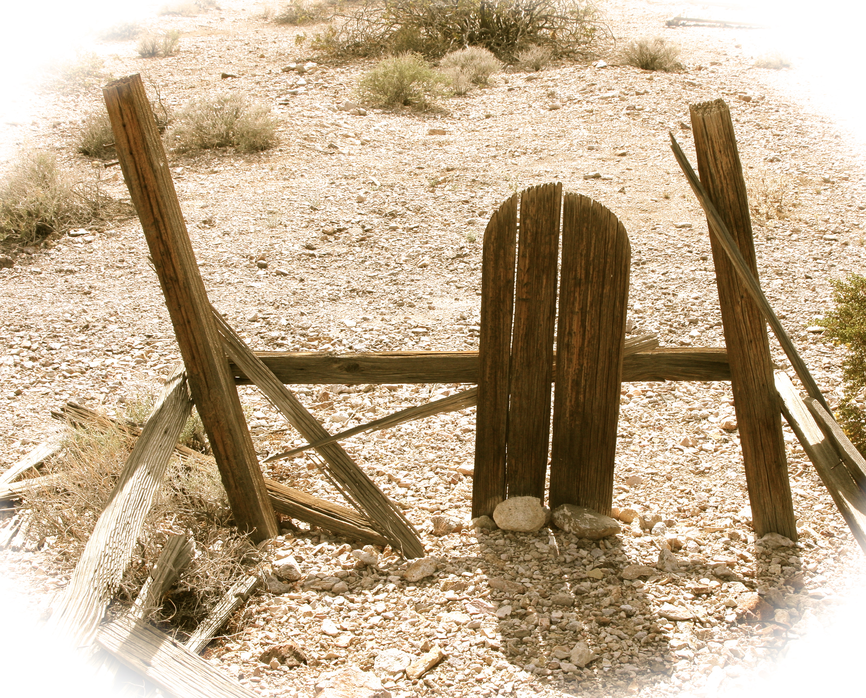
The back gate to Area 51. Do you get the idea they don’t want you trespassing? (Photo taken by Peggy Mekemson)

When Peggy and I were planning our three-week foray into Nevada recently, we decided to include Area 51, that most secret of secret places.

And how secret is it, you ask?

Since we are talking about aliens, let me ask a probing question– or two. Do you believe that UFOs exist? Or even more to the point, have you ever seen one? Consider this: If they do exist and one actually crashed at Roswell, New Mexico, Area 51 is where the US Government would have it stored and tested. That’s how secret the facility is.

For decades, the government even refused to admit it existed. Top-secret clearance might get folks through the first gate, but not necessarily the second. Workers were flown in on Monday and flown home on Friday. They couldn’t tell anybody, not even their spouses, where they had been. No wonder the area became a legendary breeding ground for conspiracy theories about the government hiding things.The government was hiding things.

The U-2 spy plane was tested here, as was its more sophisticated sibling, the A-17, and almost every other secret airplane the US has developed since. When the US captured a Soviet Mig at the height of the Cold War, it was brought to Area 51 to check it capabilities. Top Gun pilots from the navy were brought in to fly against it. Think drones are new? The CIA was experimenting with them here in 1962. And I can’t begin to imagine what we don’t know about.

But what about UFOs, the mysterious flying saucers that seem to appear from time to time. There were several ‘sightings’ in Northern California and Southern Oregon earlier this year. Glowing objects flew across the sky in unison, stopped to hover, and then zipped off at lightning speed. Reports appeared on local TV shows. Flying saucer aficionados will swear they were the real things. Naysayers will argue vehemently that they weren’t. Neither Peggy nor I saw them. Darn.

I did see one once, however. Or at least I can’t think of what else it might have been. I was standing on my porch in Sacramento in 1969. A movement caught my attention and I looked up just in time to see a round, saucer-shaped, grey metallic object disappear into a cloud. As my jaw dropped and my rational mind shouted at me to toss the scotch, the object flew out the cloud in the opposite direction and accelerated away, disappearing in a matter of seconds.

Needless to say, I have been interested in UFOs ever since. Hundreds, if not thousands of other people have had similar experiences including both Jimmy Carter and Ronald Reagan– not to mention several astronauts.

Area 51 is a mecca for UFO enthusiasts. The big story is that the remains from Roswell are housed here. But frequent sightings of UFOs are also reported in the region. A government explanation is that the experimental planes being tested are what people see. It seems plausible. A plane flying at 60,000 feet while traveling over 2000 MPH is pretty UFO-ish. There have even been correlations made between when the test flights have been held and UFOs spotted.

A good conspiracy theorist will be quick to point out, however, that the correlations have been made for some, but not all of the sightings. She might also argue that when the flights are made is when you would expect to see UFOs. The little green men with big eyes are checking us out. The experimental flights represent some of the world’s top technology, the gateways to space… the final frontier. And do the little green men really want us out among the stars?

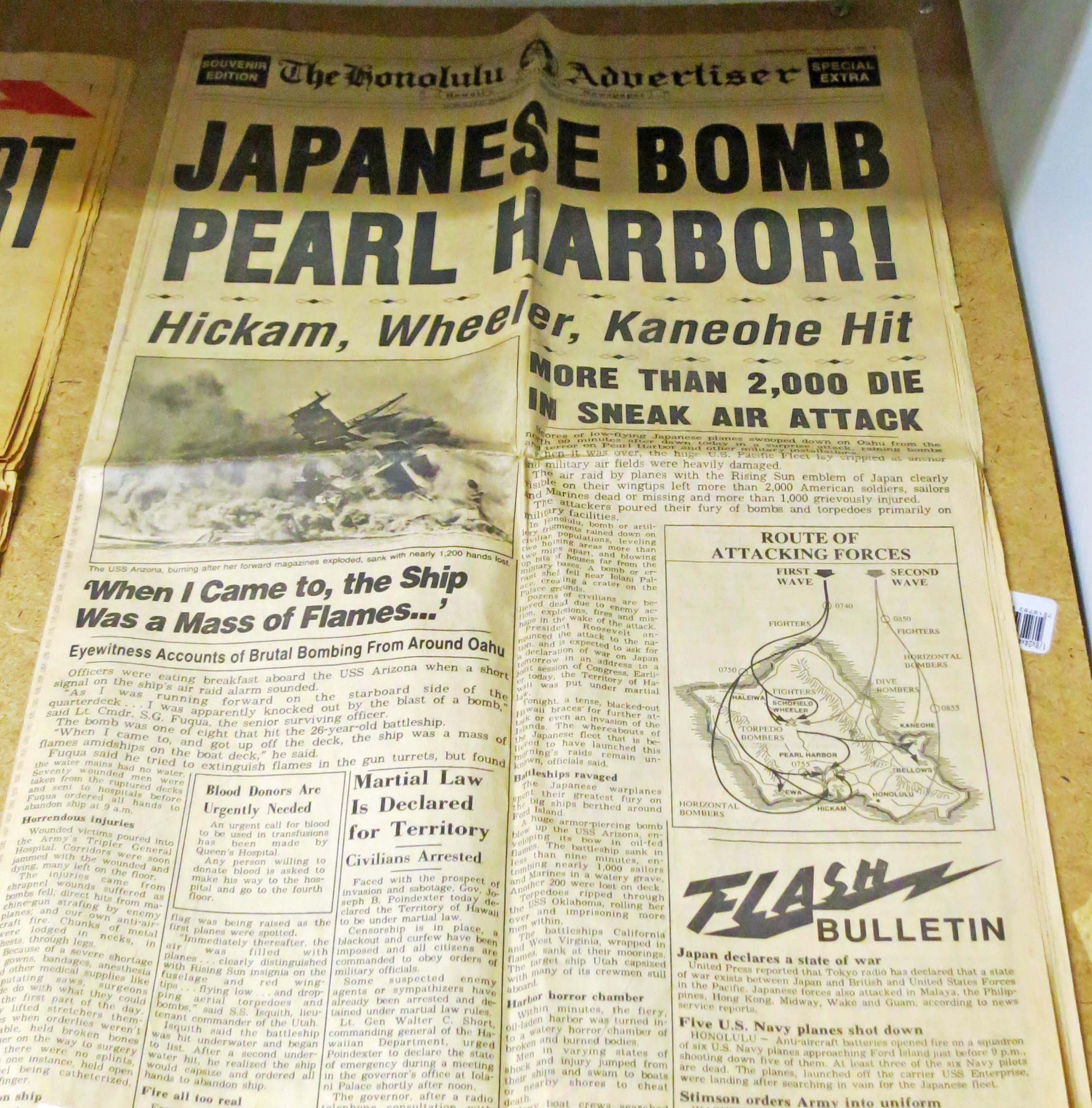
A possible reason for not is right next-door– where America carried out the majority of her nuclear bomb testing. Over 100 above ground tests and 800 underground tests were performed between 1951 and 1992 when President Clinton finally shut down the operation. It makes you want to travel through the area with a Geiger counter as well as your binoculars and a camera– the latter to capture UFOs and the former to check out how much radiation your body is absorbing.

Monitoring for radiation downwind from the Nevada Atomic Test Site is serious business. Even today– years after the testing was halted. This station is found in Rachel but there are several more scattered throughout the region.

Monitoring for radiation downwind from the Nevada Atomic Test Site is serious business– even today, years after the testing was halted. This station is found in Rachel but there are several more scattered throughout the region. Regular reports are issued on how much radiation is found.

And where do I stand on Area 51? Amused. Okay, and I confess curious. The region makes me want to break out theme music from the 1962 Twilight Zone TV series: neenar-neenar, neenar-neenar, and do a UFO dance. Hey it works for rain, right? Maybe I could attract a flying saucer.

I was in the Nevada town of Tonopah doing my research on Area 51 and the Extra Terrestrial Highway when I discovered the tiny community of Rachel and its sole motel: the Little A’le’Inn. Boy did I get excited. Rachel backs up to Area 51. We could stay at the A’le’Inn. I called and made reservations. The next morning, Peggy and I were up early and on the road.

Peggy and I always stay at the Tonopah Station motel in Tonopah. You are invited to roll dice for a free room. I also like the bear.

Peggy and I always stay at the Tonopah Station motel in Tonopah. You are invited to roll dice for a free room. We also like the bear.

Business card for Little A'le'Inn in Rachel Nevada.

Since we were headed for Area 51, we decided it was important to stay where Earthlings were welcome.

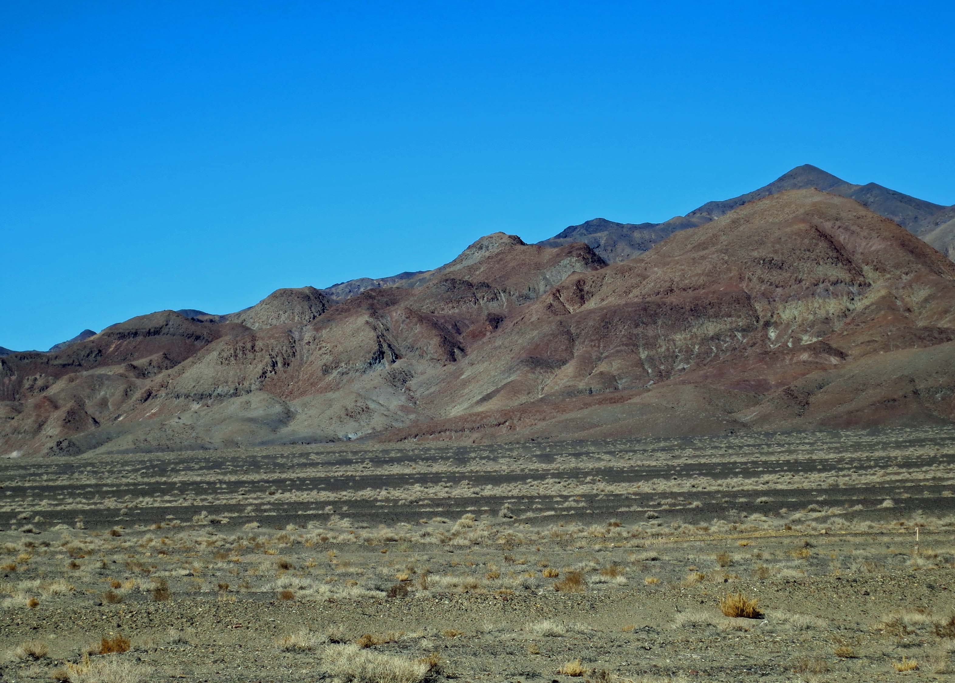
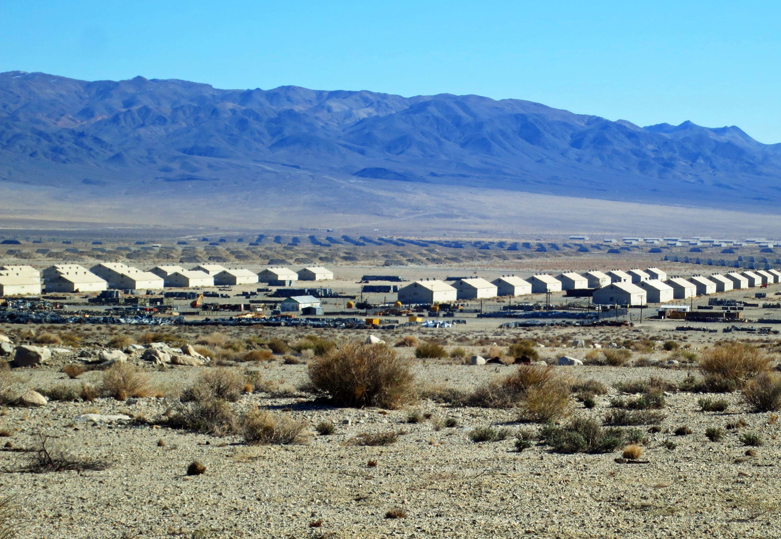
Driving the back roads of Nevada is a lonely occupation. Thirty minutes or more can pass between meeting cars. I like it. We headed east out of Tonopah on Highway 6, passed by the Tonopah Test Range and climbed over Warm Springs Summit, which brought us to Highway 375, the Extraterrestrial Highway. The highway received its designation in 1996 when the Nevada Tourism Commission thought it might serve to draw tourists to this remote part of Nevada.

Tonopah Test Range in Southern Nevada.

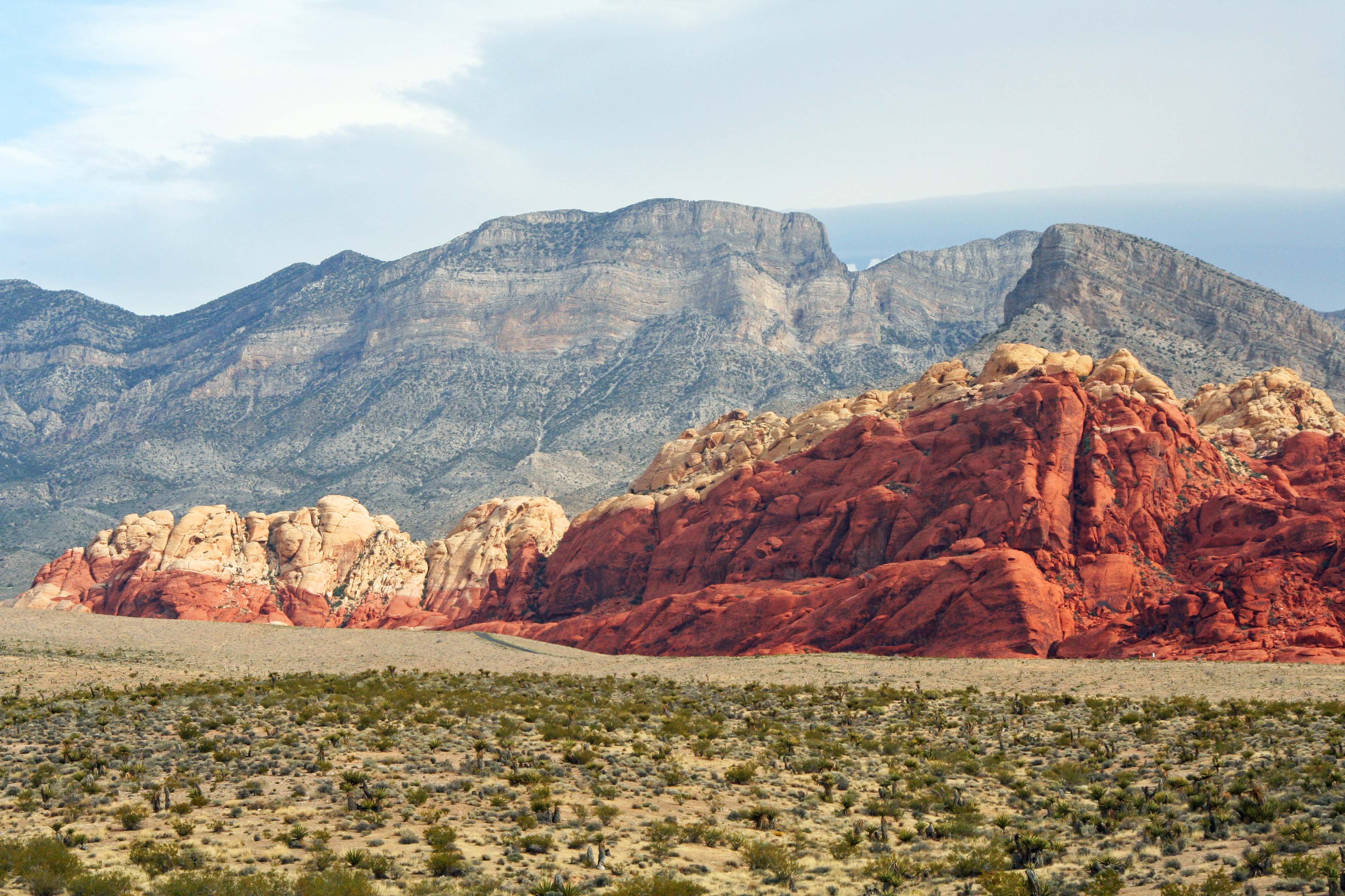
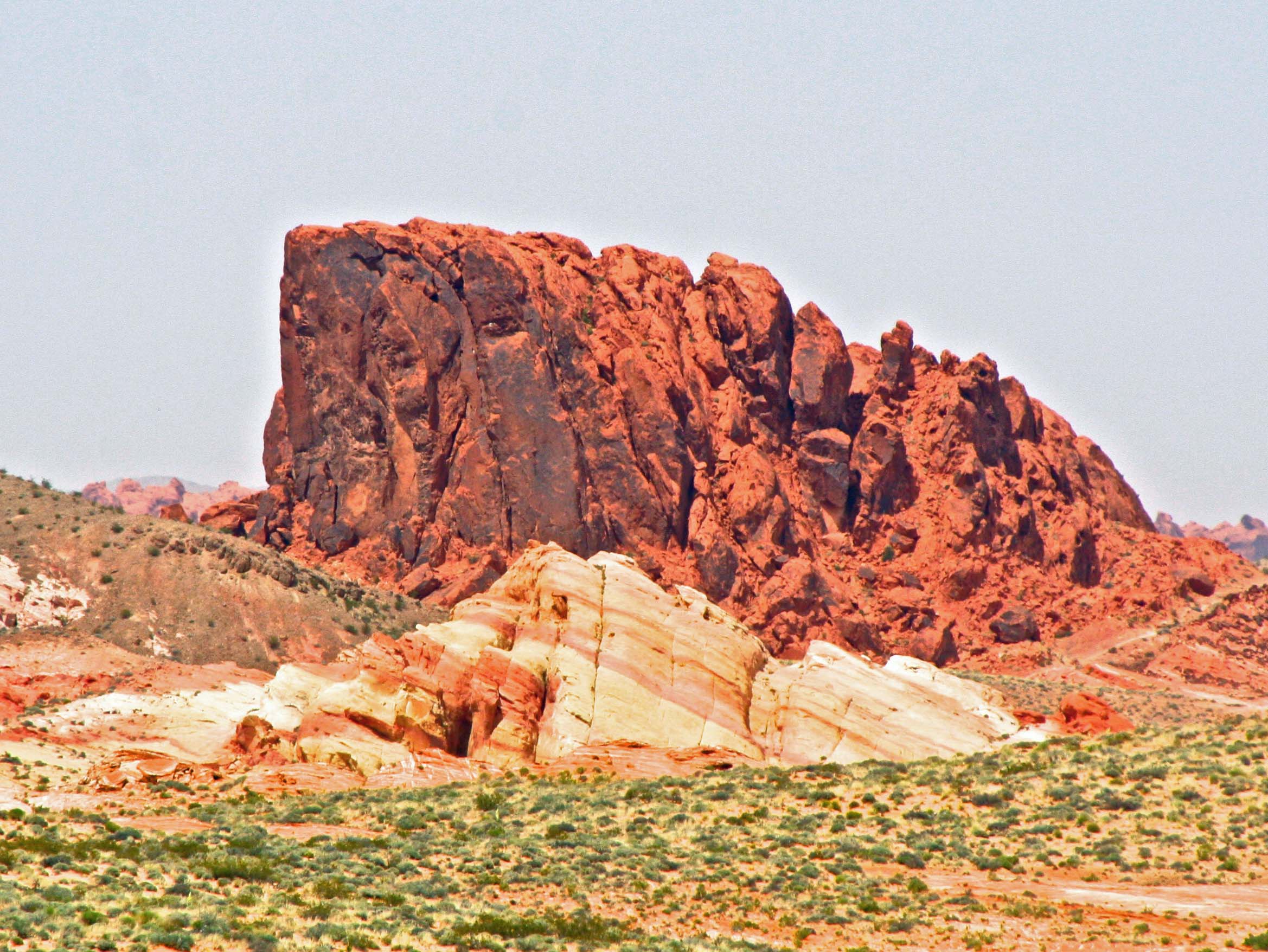
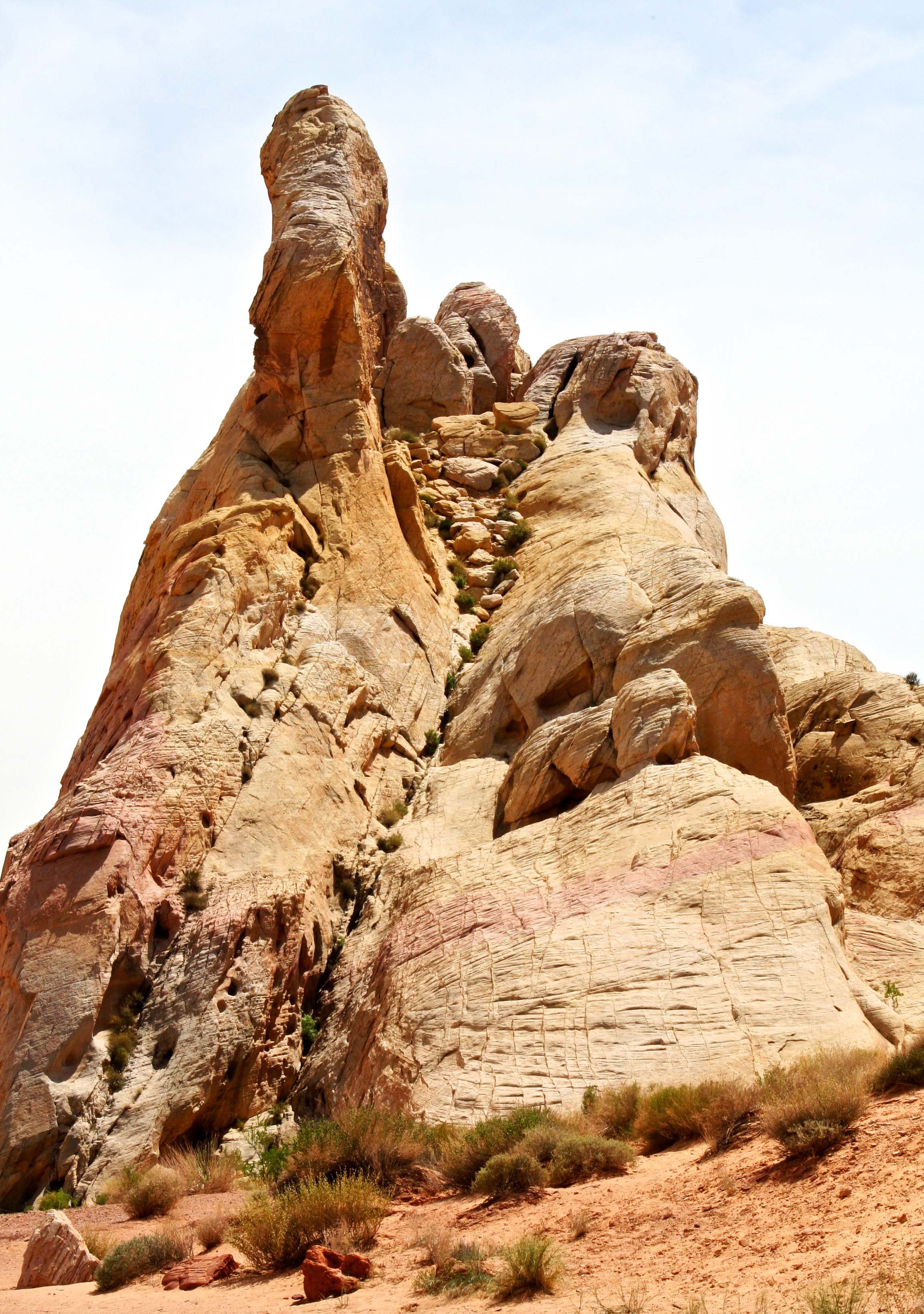
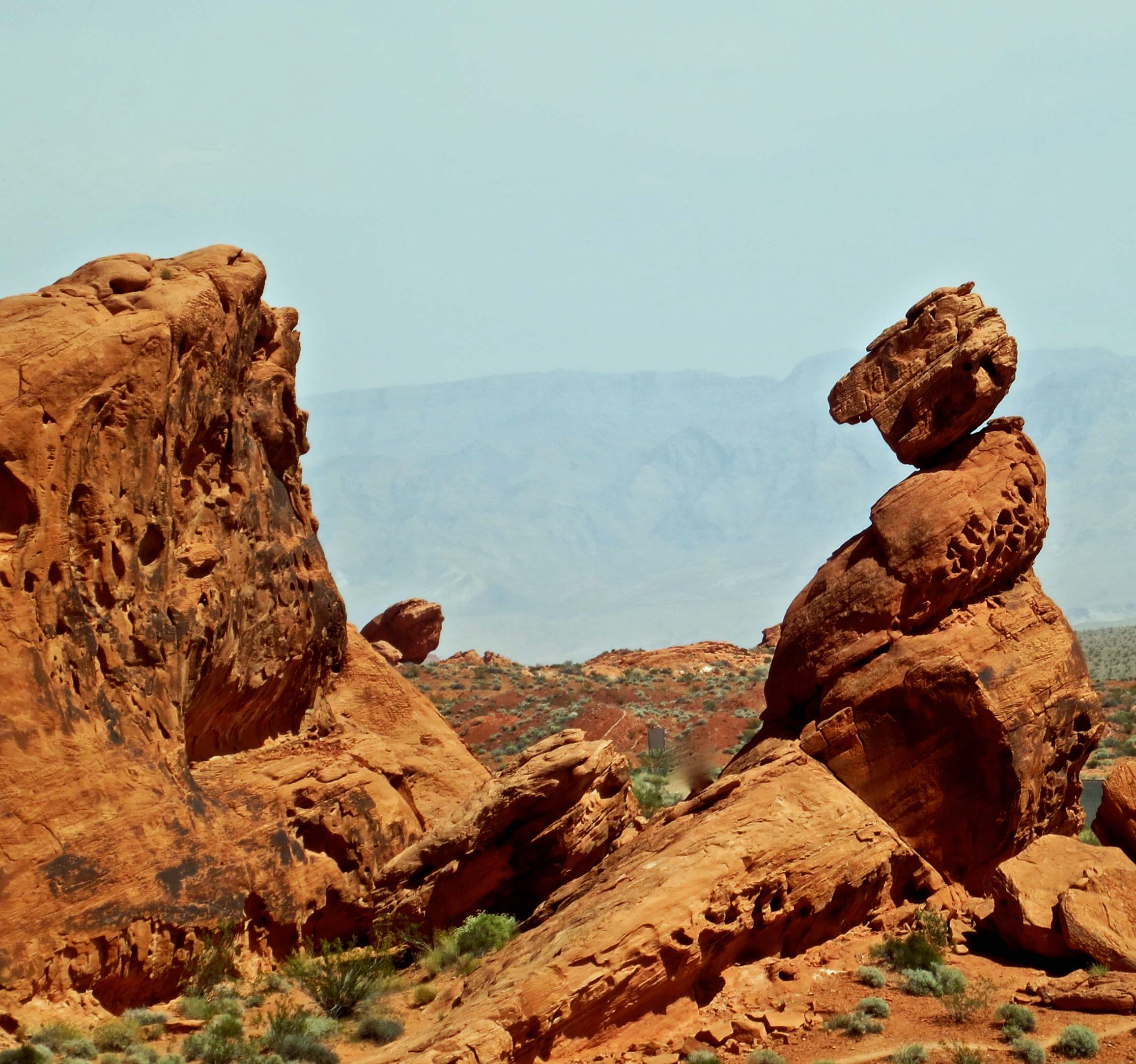
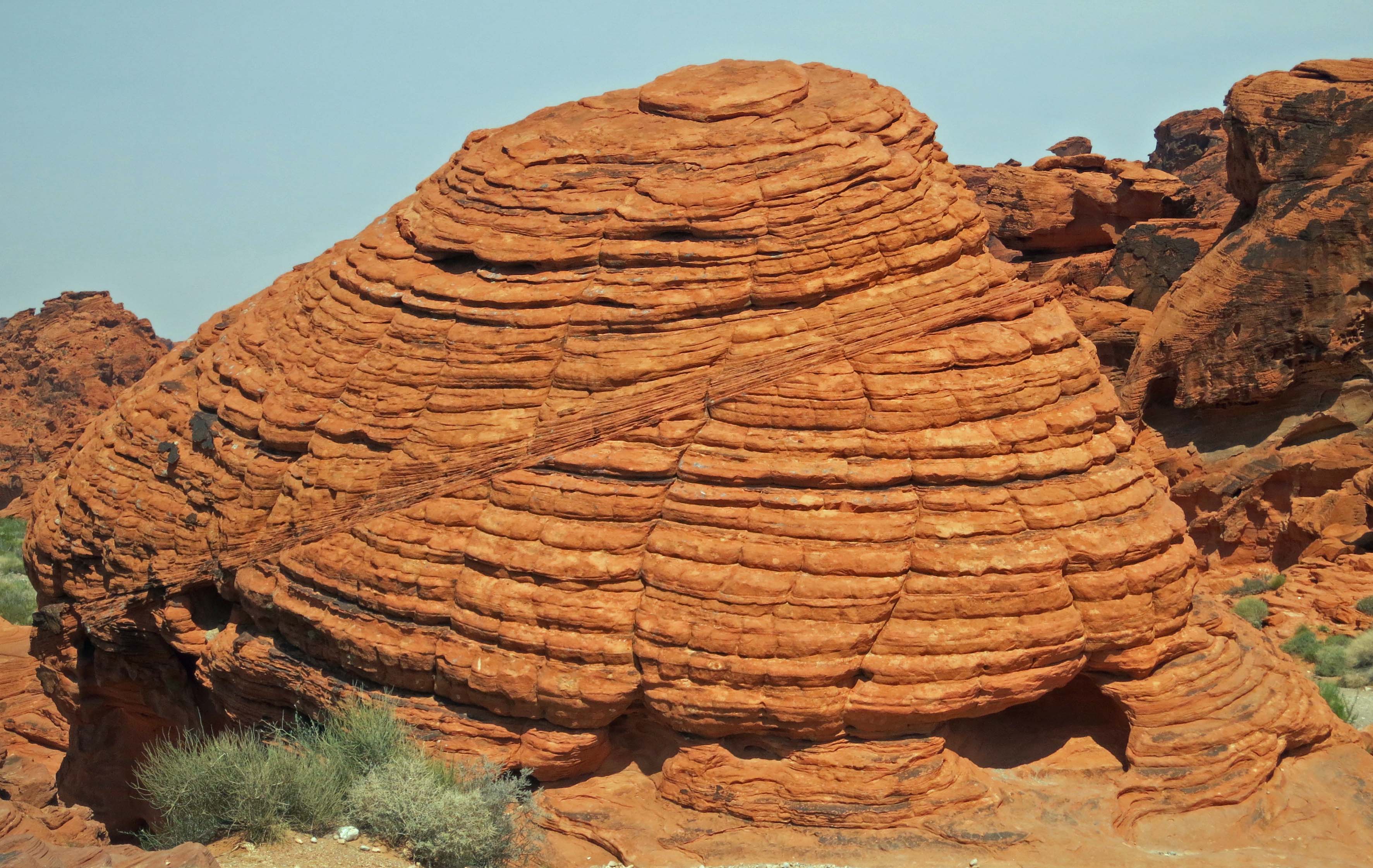
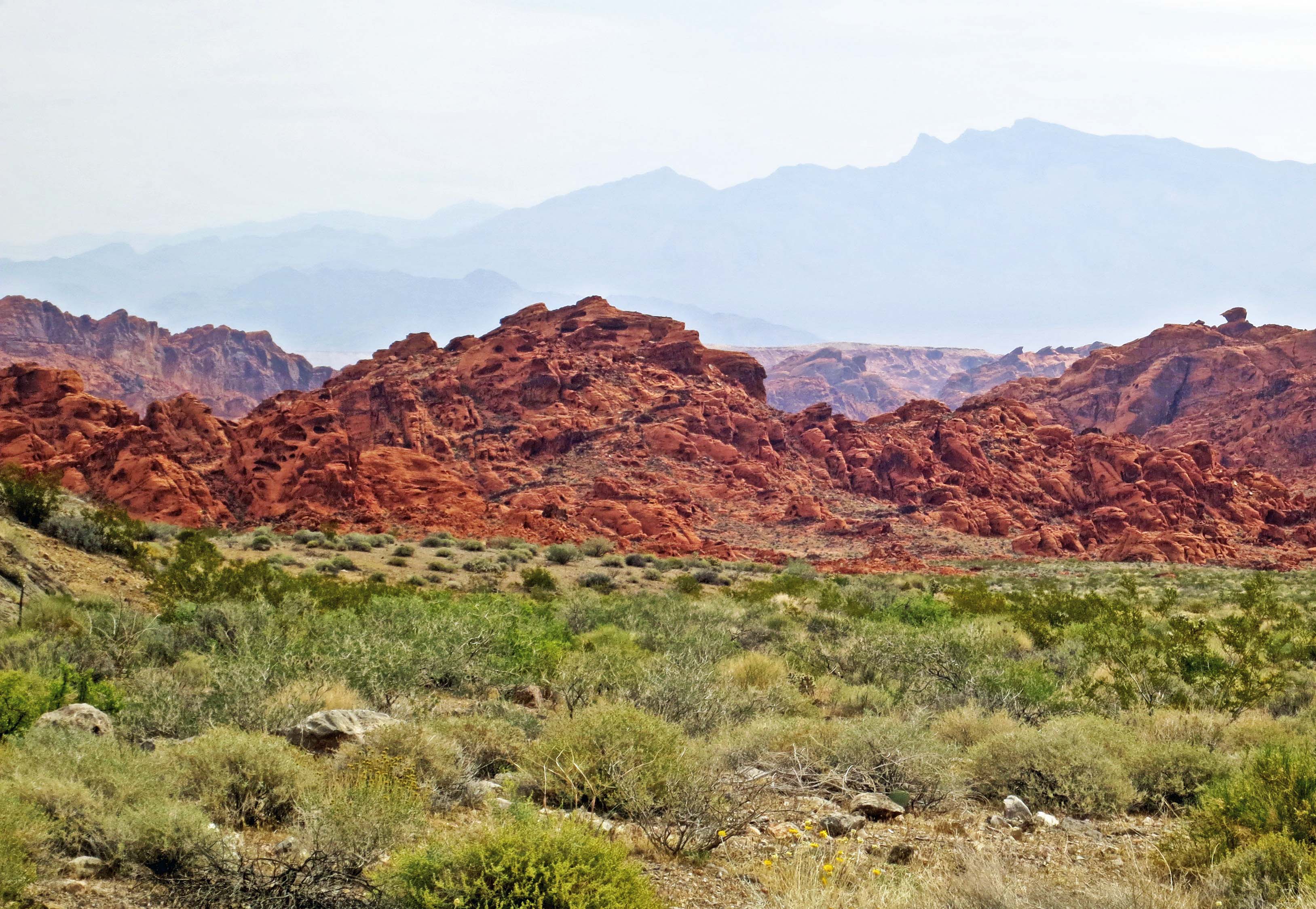
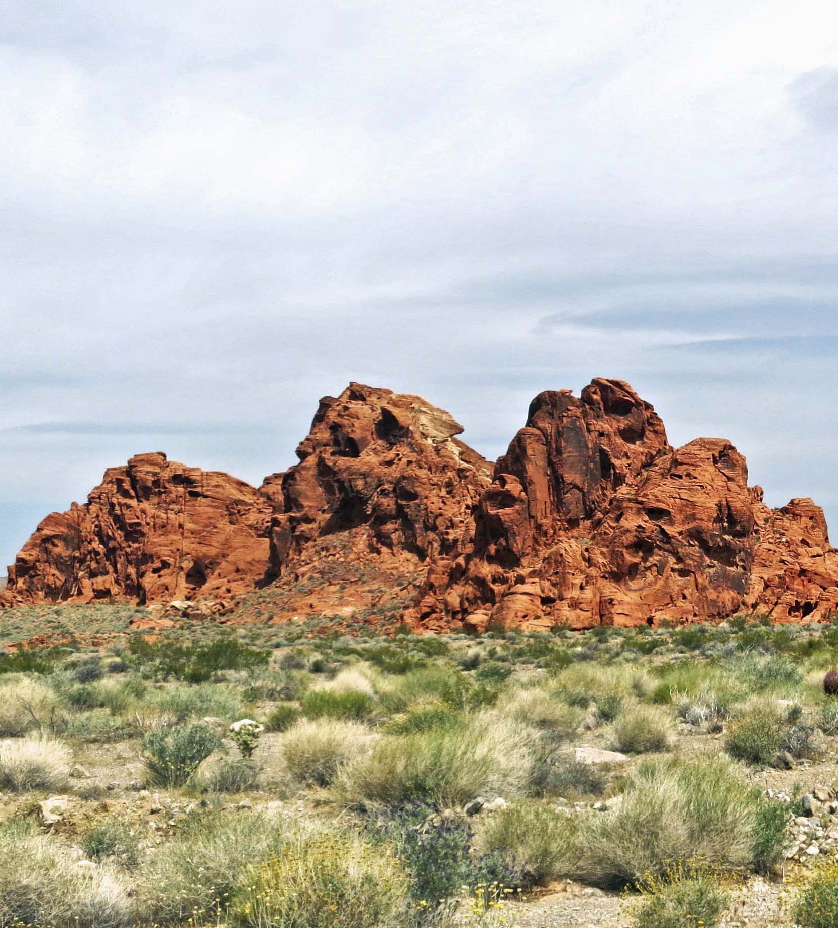
The vast openness and minimal population of the deserts of Southern Nevada make it an ideal location for testing everything from airplanes to rockets.

ET Highway in Southern Nevada.

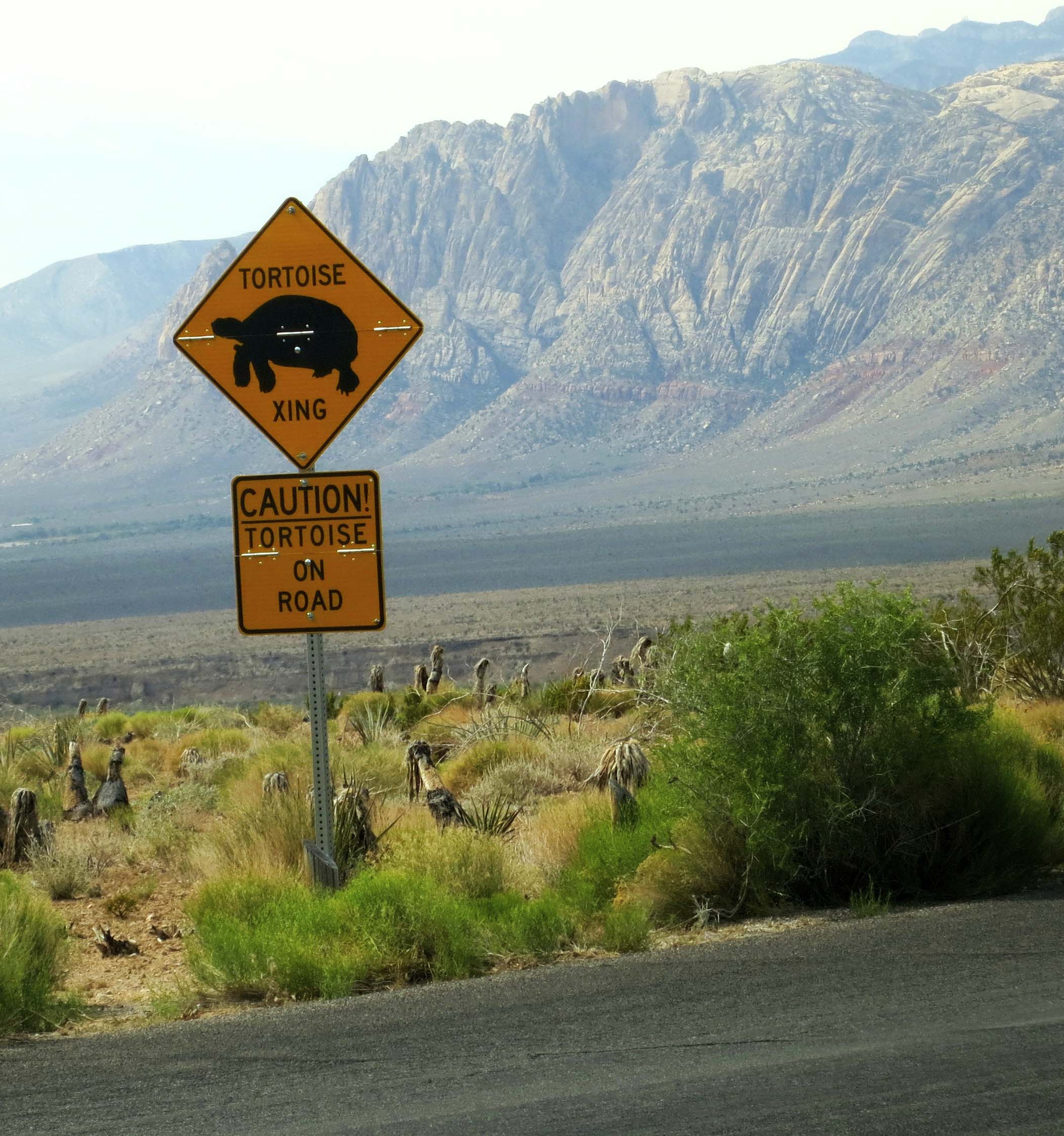
It isn’t unusual to travel 20-30 minutes along the ET Highway and not meet another car. There is no need to worry about rush hour traffic.

In fact we saw more cattle than we saw cars– and we didn't see many cattle. Open Range, BTW, means no fences and public land. It does not mean Free Range as Cliven Bundy, the Nevada rancher who runs his cattle on BLM land and refuses to pay a grazing fee would have you believe. It's our taxes that pay to feed Bundy's cattle.

In fact we saw more cattle than we saw cars– and we didn’t see many cattle. Open Range means no fences and public land. It does not mean Free Range as Cliven Bundy, the Nevada rancher who runs his cattle on BLM land and refuses to pay grazing fees would have you believe. It’s our taxes that help feed Bundy’s cattle.

Southern Nevada Steer.

BTW: I thought this cow looked a little alien. Hmm. Or is it just a bum steer?

The ET designation definitely caught the attention of Twentieth Century Fox. The media giant used the highway’s renaming as a promotion for its movie, Independence Day, which revolves around an alien invasion of the world, features Area 51 prominently, and came out in 1996. It’s one of Peggy’s favorite movies, which means I see it a lot, every July Fourth to be exact.

Twentieth Century Fox placed this Independence Day movie memorial in front of the Little A'le'Inn. Numerous sci-fi movies, TV series and books about aliens have included Area 51– including Indiana Jones.

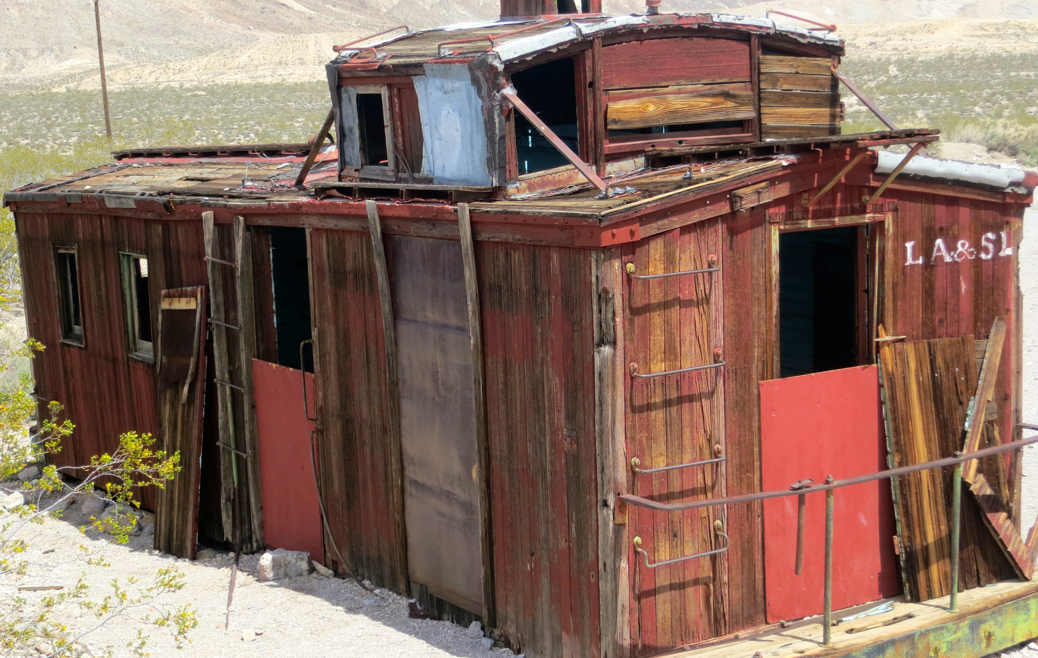
Twentieth Century Fox placed this Independence Day movie memorial in front of the Little A’le’Inn. Numerous sci-fi movies, TV series and books about aliens have included Area 51– including Indiana Jones.

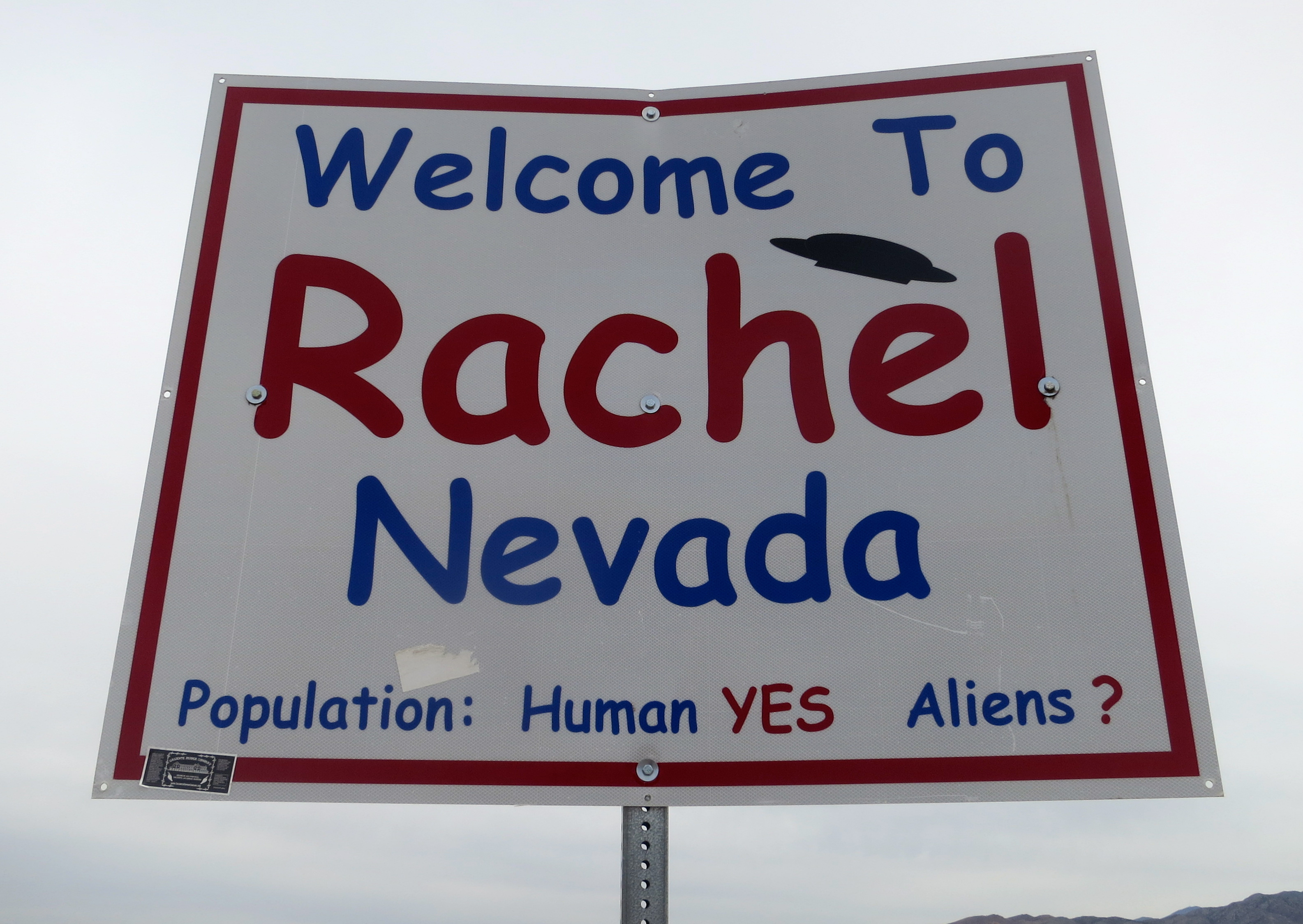
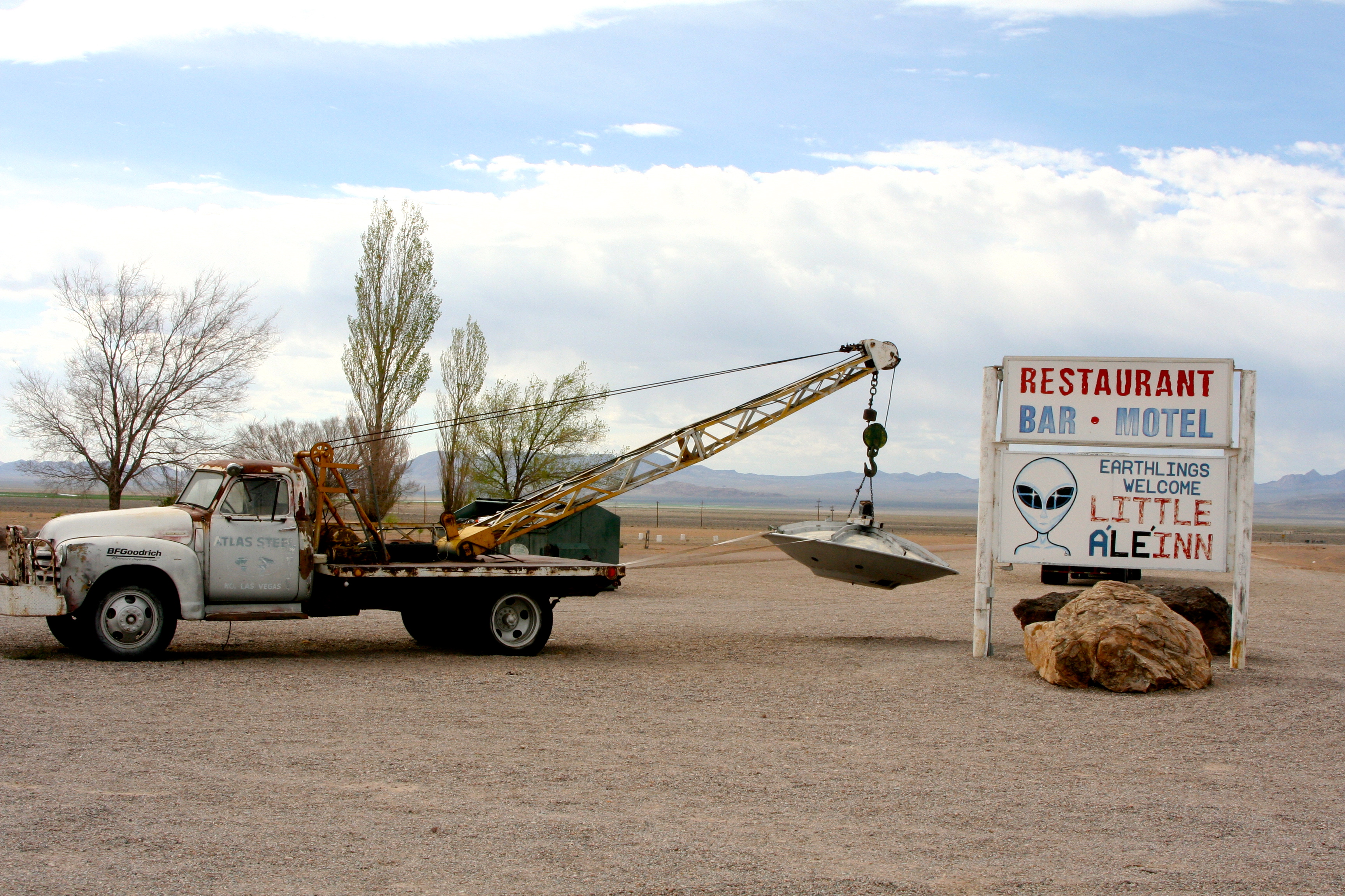
Rachel is located about halfway along the 98-mile road. One sticker-covered sign outside of town proclaimed we were on the Extraterrestrial Highway. Another welcomed us to Rachel and announced that the community is made up of humans and possibly aliens. You can’t miss the A’le’Inn. A tow truck carrying a flying saucer is parked out front.

Extraterrestrial Highway sign in Southern Nevada.

So many stickers are posted on the ET Highway sign, it is difficult to read. I figure it’s a toss-up between free advertising and people saying “I was here.”

The welcome sign to Rachel, Nevada.

The welcome sign to Rachel, Nevada.

Tow truck and 'flying saucer' in Rachel, Nevada.

The Little A’le’Inn has a tow truck carrying a broken down ‘flying saucer’ out front. (Photo by Peggy Mekemson.)

Advertising sign on the side of the Little A'le'Inn in Rachel, Nevada.

The Little A’le’Inn is not subtle in drawing attention to its Area 51 connection. (Photo by Peggy Mekemson.)

Self parking sign at the Little A'le'Inn in Rachel, Nevada.

Self parking sign.

We walked into the bar/restaurant/motel office. It was crammed full of ET memorabilia and souvenirs. The ceiling of the bar was covered with dollar bills hanging down in rows. An older woman, looking a touch crusty, was perched on a bar stool while a younger woman stood behind the bar. I mentioned we had a reservation. “But do you have a name,” the bar stool occupant demanded. I gave it, our reservation was found in a card box, and the bartender/waitress was directed to show us to our room. She strolled across the restaurant, opened the back door and pointed to a blue and white trailer about 100 yards away.

“Oh, and by the way, you will be sharing the trailer and its bathroom with another family tonight.”

Dollars were stuck above the bar at the Little A'le'Inn.

Dollars were stuck above the bar at the Little A’le’Inn. Each one includes names of visitors to the restaurant/motel.

An alien at the Little A'le'Inn in Rachel, Nevada.

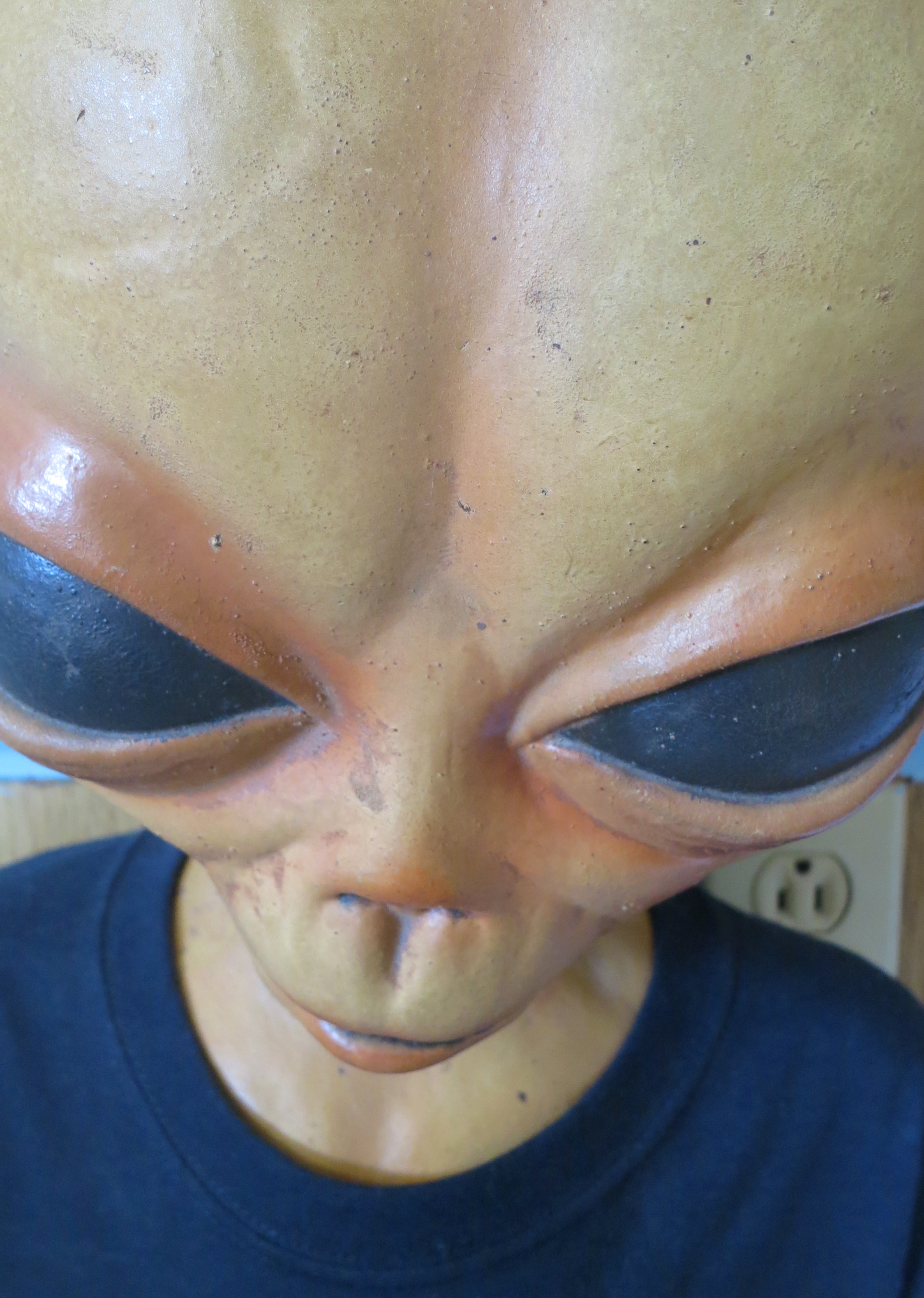
The restaurant was filled with souvenirs and memorabilia relating to UFOs and aliens.

A view of our motel 'room' from the Little A'le'Inn restaurant. Peggy is standing in front of the trailer.

A view of our motel ‘room’ from the Little A’le’Inn restaurant. Peggy is standing in front of the trailer.

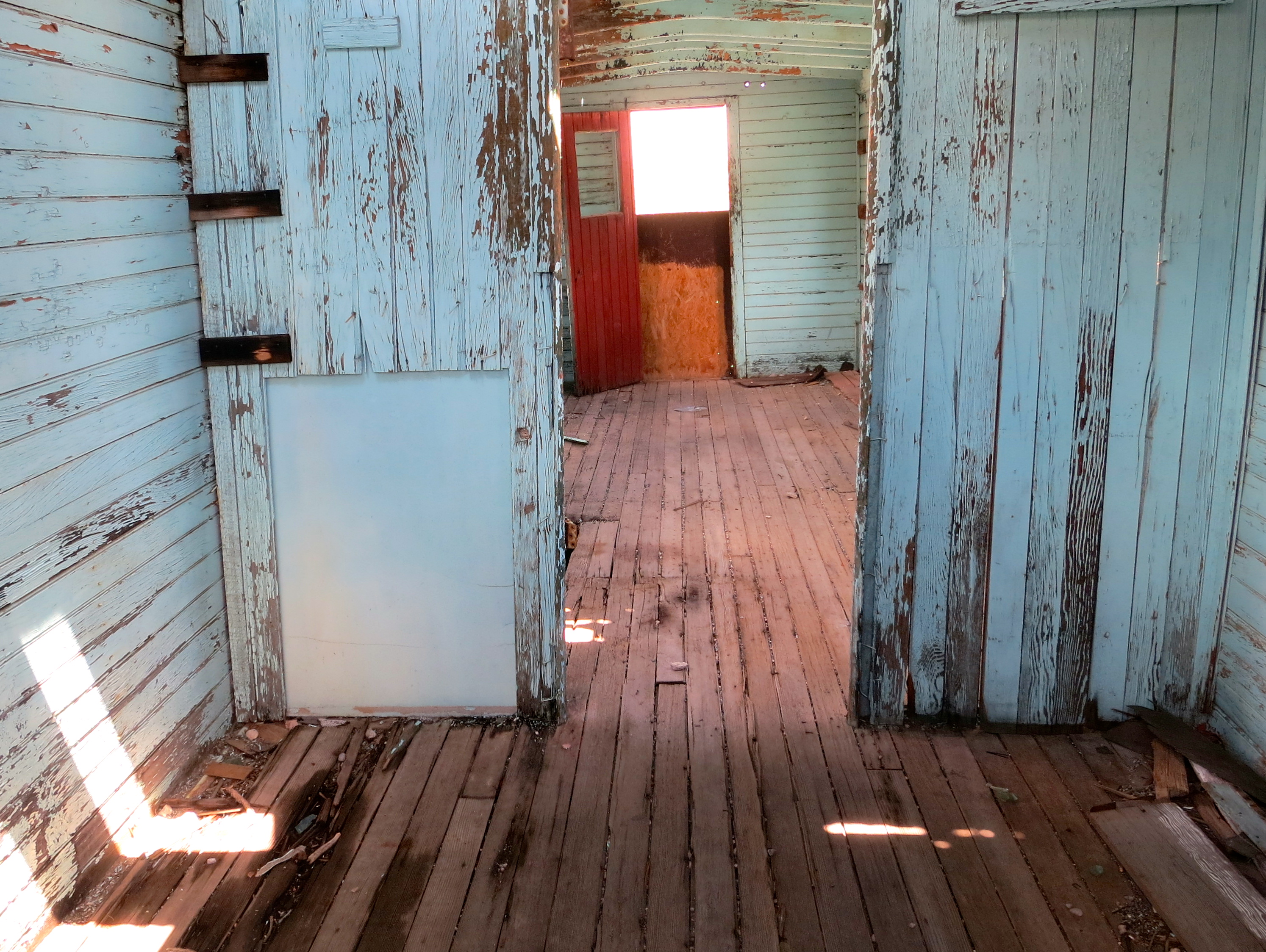
With some trepidation about who our ‘neighbors’ might be, we drove over to check out our accommodations and unpack. The neighbors weren’t there yet so we did a walk-through. An old style kitchen gave way to a living room with comfortable furniture,  bright red curtains and an old, non-working TV. Our small bedroom contained an even smaller bed. We’d have a cozy night. The joint bathroom was next. Two more bedrooms finished off the trailer. Apparently the kitchen and living room were also common property. We’d be one big happy family.

Motel room at Little A'le'Inn in Rachel, Nevada.

Our living room complete with red curtains and a TV that didn’t work.

We had just unpacked when a car drove up to the back door. I soon heard keys rattling but apparently the lock didn’t want to cooperate. I walked over to the door and opened it, and met (drum roll please)… aliens. I kid you not. The Hibberts were from England. And they were delightful. Within 30 minutes we were sitting around the living room, drinking wine and swapping tales.

Roy, Brian, and Lynne Hibbert from Bolton, England.

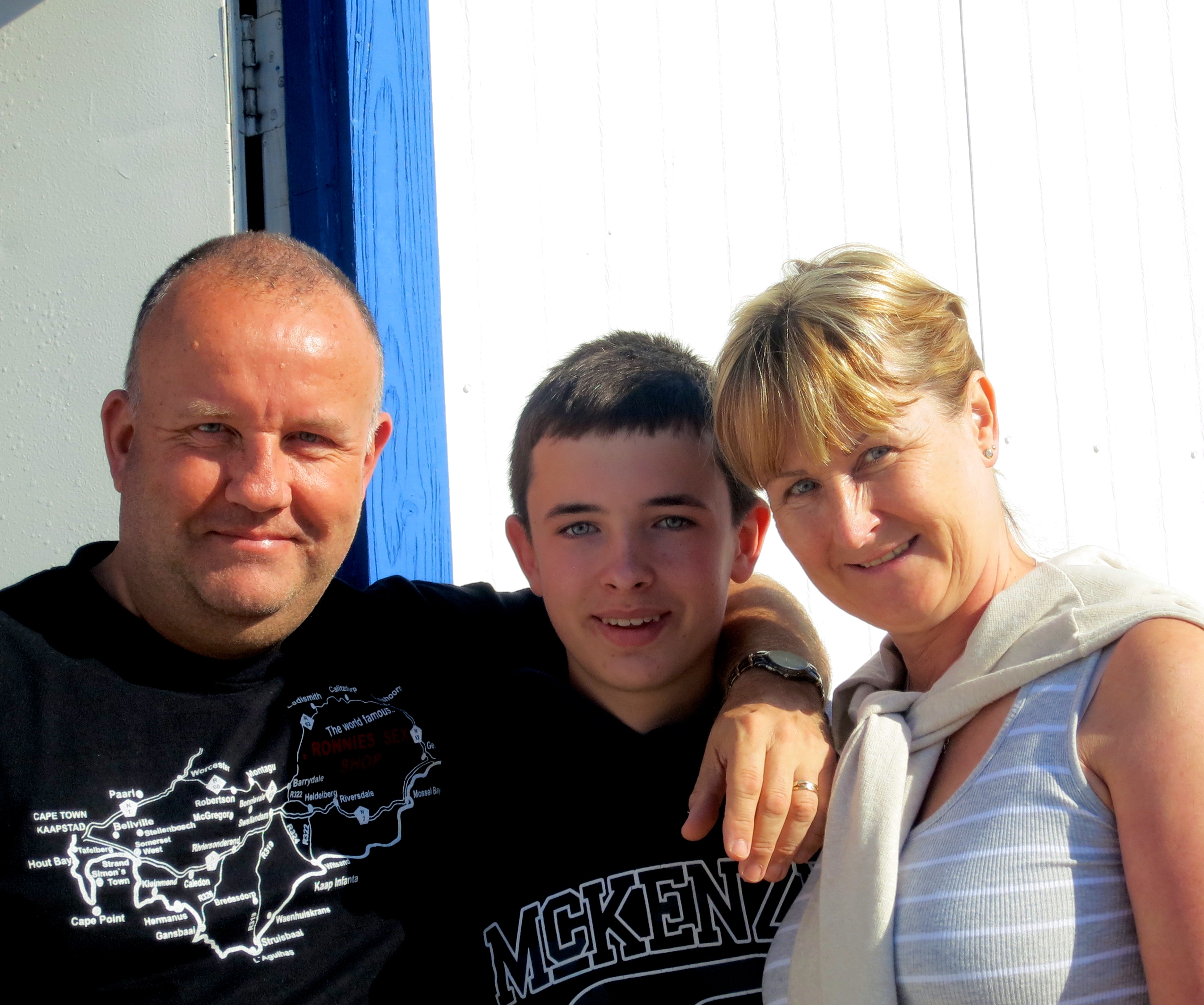
Roy, Ryan, and Lynne Hibbert from Bolton, England.

Roy travelled the world for the software giant Citrix. On his off time he travelled more but he also delivered medicine in Africa by motorcycle. Lynne was a Sister at a hospital in Bolton, where they lived near Liverpool. I was still getting my head around Lynne being a nun and having a family when she explained that Sisters in English hospitals are what we call nurses in the US. Apparently, she was a jack-of-all-trades, assisting in everything from open-heart surgery to baby delivery. You’d want to keep your operations straight. Their son, Ryan, was a student, presently studying Russian as he prepared for a road trip to Russia. He already spoke French.

“How did you choose this remote corner of the earth to visit?” Peggy asked with a leading question. Peggy’s good at leading questions; she’d make a great detective.

“It was the movie Paul,” Roy explained. “It was filmed here.” We looked blank. “You haven’t seen Paul?” he asked, his voice dripping in disbelief. The family jumped in to enlighten us.

We found the movie a few nights later when we were channel surfing on our TV at the Hilton Grand in Las Vegas. I would describe Paul as an R-rated ET. He’s got the same look, but his language is a lot more colorful than “ET call home.” Besides being peppered with swear words and probing jokes, the movie pokes fun at religion and has references to numerous sci-fi movies ranging from Star Wars, to Men in Black, to Close Encounters. Sci-fi movie buffs must love it. There is even a cameo voice appearance by Steven Spielberg. Peggy and I found the movie quite funny, but we do recommend reviewing it before sharing with children.

Our discussion with the Hibberts continued over dinner at the restaurant. A movie poster signed by Paul and the cast of the film overlooked out table. We learned from our waitress that the movie wasn’t actually filmed on location, much to the dismay of the motel’s owners. A replica of the A’le’Inn was recreated in New Mexico. Roy was even more dismayed. He’d come a long ways to see the original setting.

Poster for the movie Paul hanging on the wall of the A'le'Inn in Rachel, Nevada.

A poster from the movie Paul hung on the wall above us. Cast members had signed the poster, including Paul who proclaimed his love.

We parted from our new friends the next morning. They were headed back to Las Vegas (via Santa Barbara) and we were headed out to the back gate of Area 51. Fortunately, the A’le’Inn had a 25-cent map. There are no marked roads. In fact our GPS didn’t show a road. It did show, however, that we were rapidly approaching somewhere we definitely shouldn’t be. In case there was any doubt, numerous signs at the gate made it abundantly clear: Keep Out. Having satisfied our curiosity we took a few photos and headed back for the Extraterrestrial Highway. We had a final stop to make: the Black Mailbox.

Map showing Rachel, Area 51, and roads. We followed the road next to Rachel that led to the back gate. The main part of Area 51 is located at Groom Lake, located just below the Area 51 name.

Map showing Rachel, Area 51, and roads. We followed the road next to Rachel that led to the back gate. The main part of Area 51 is located at dry Groom Lake, found just below the Area 51 name.

The unmarked, unpaved road into the back Gate of Area 51.

The unmarked, unpaved road into the back Gate of Area 51. Groom Lake is located behind the mountains on the left.

GPS view of Area 51 in Southern Nevada.

What our GPS showed. According to it, we were off-road heading somewhere we had no business being.

Back gate to Area 51 near Rachel, Nevada.

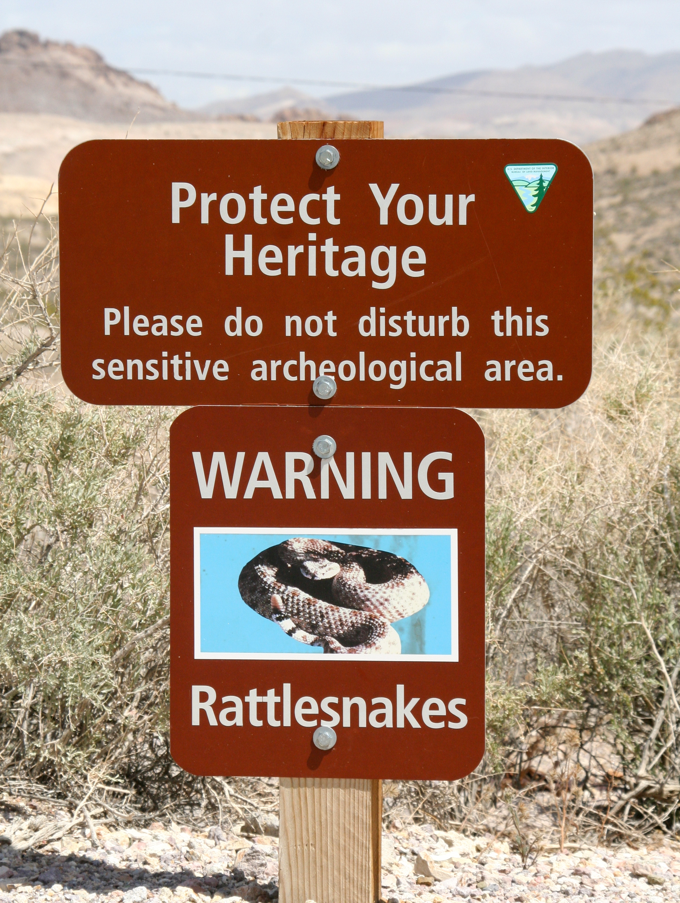
We slowed down as we approached the back gate to Area 51. I was driving and Peggy was snapping photos. A close up of the gate with its warning signs kicks off this blog.

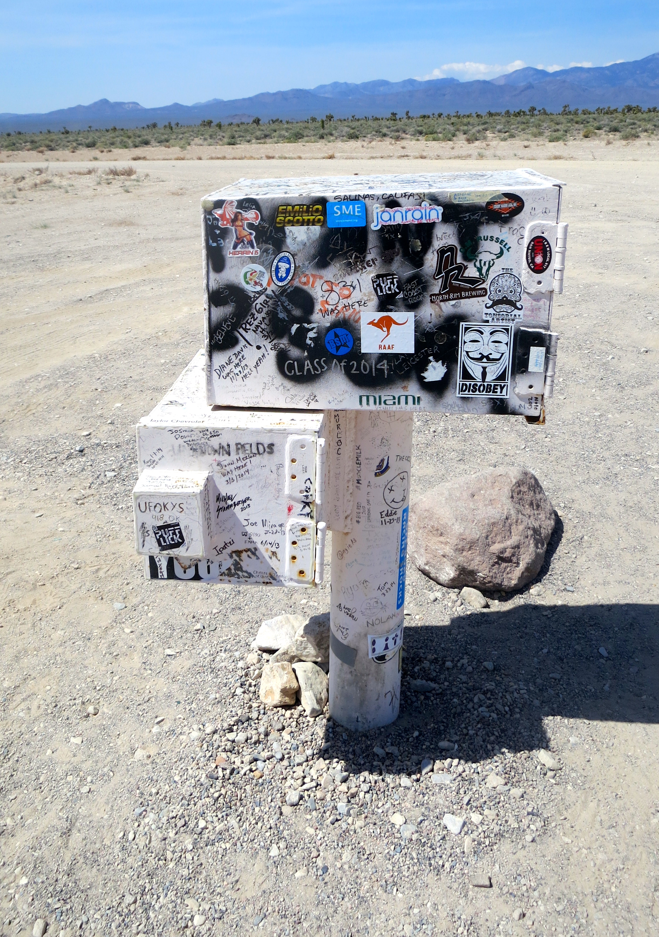
The Black Mailbox is the only sign you will find marking the front entrance to Area 51. Flying saucer fans claim it is one of the best places in America to see UFOs. They gather around it at night and scan the skies. Actually, the mailbox belongs to a local rancher and is now painted white; or it is if you can see through the graffiti and stickers.

The Black Mailbox noting the entrance to Area 51 on the ET Highway in southern Nevada.

The infamous Black (white) Mailbox with its numerous stickers and graffiti. Its location is shown on the map I posted above.

We were taking photos of the mailbox when a car screeched to a stop across the highway and a guy jumped out. He dashed into the desert. My first thought was, wow, that guy really has to go. But he ran back to his car, jumped in and took off like a hundred mad aliens were on his tail. “What the heck?” we wondered. And then it struck me. He was involved in the sport of geocaching where you find hidden treasures along the road. Apparently it is quite popular on the Extraterrestrial Highway. I took a picture of the area. It was time to leave the lonely desert and head for the bright lights of Las Vegas, where many more treasures are lost than found. But back to my original questions: 1) Do you believe in flying saucers? 2) Have you ever seen one?

Geocache site on the Extraterrestrial Highway.

The man ran past the Joshua Trees and into the desert. I believe a geocache is located to the right of the tree under the white rock.

The Extraterrestrial Highway of Southern Nevada.

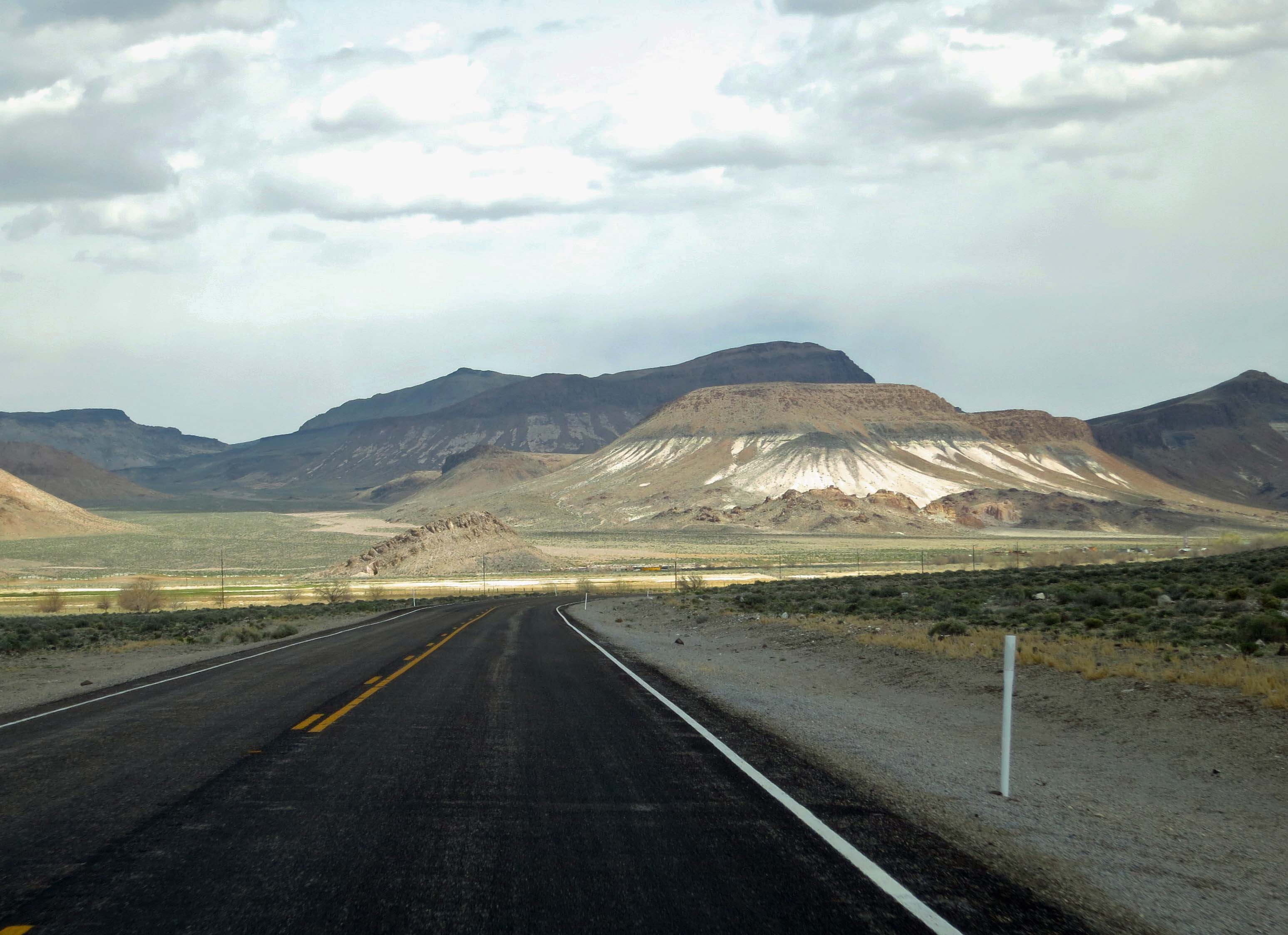
I selected this as my last photo of the Extraterrestrial Highway because I love the way it mystically disappears into the distant mountains, appropriately symbolic of the highway and Area 51.

Hawthorne, Nevada: A Small Town with Explosive Potential… Big Time

Bazooka at the Hawthorne Museum in Hawthorne, Nevada.

The Hawthorne Ordnance Museum is chockfull of military hardware, which I confess to knowing very little about. I can only wander around and stare. I confess, however, that I thought these instructions were something I could follow in an emergency, like when a tank was crawling up our driveway. You want the smaller end in front. Cover your ears.

Small towns come in a variety of flavors– each one unique. And it is my experience that the small towns of Nevada are more unique than most. Maybe it comes from their boom and bust history as old mining towns. Derelict mines and falling down shacks dot the landscape. Certainly their existence on the remote edge of nowhere has an impact, as does their extreme desert climate. Whorehouses perched on the outskirts of many towns provide a unique, Old West twist. Prostitution is still legal. The state is a do your own thing kind of place.

And finally, there is the omnipresent military. Nevada is America’s go to place for testing the latest, most secret military hardware, for training troops, and for practice at blowing things up. Thousands of square miles are devoted to these pursuits. As a child growing up in the foothills of the Sierra Nevada Mountains, I remember getting up at 5 AM to watch the eastern sky lit up by an atomic blast 50 or so miles north of Las Vegas. It was apocalypse now but we were taught that our ability to destroy the world assured a safe future. No wonder the youth of the 60s and 70s turned to drugs.

Hawthorne, Nevada has a slightly different connection to the military. It’s where old military ordnance goes to die. Some thirty-three hundred cement bunkers spread out from the town across the desert over 147,000 acres. 400 miles of underground railroads connect the various bunkers. If all the munitions decided to blow at once, it would make a very big BOOM.

That’s what happened in 1926 when the Navy’s principal ammunitions depot located in Lake Denmark, New Jersey blew up, wiping out the town and killing 50 people. It was decided that a more remote location was needed for storing munitions. Hawthorne fit the description. The site was officially adopted in 1930. By the 1940s Hawthorne had become known as the “World’s Largest Ammunition Depot,” providing munitions for most of the Allies’ Pacific operations during World War II. In addition to being remote, the site had the advantage of being out of reach to Japanese bombers.

Ammunition bunkers at Hawthorne, Nevada.

This gives an idea of what the bunkers look like and the remote nature of Hawthorne. Note the bunkers behind the buildings looking like burial mounds and stretching off into the distance.

During World War II, most of the munitions used by Allied Forces in the Pacific were stored at Hawthorne. This is an original paper displayed in the museum.

During World War II, most of the munitions used by Allied Forces in the Pacific were stored at Hawthorne. This is an original paper displayed in the museum.

Today the depot boasts the latest technology for disposing of “unserviceable munitions,” which is carried out by a private firm, the Day Zimmerman Hawthorn Corporation. Have you noticed how more and more of America’s military chores are being carried out by private firms? As an aside, way back in the early 1900s, Day Zimmerman invented the machines that put foil on Hershey Chocolate Kisses.

The Hawthorne Ordnance Museum is a must see place if you ever find yourself zipping between Reno and Las Vegas on Highway 95. For one, the museum’s claim to fame is being“the Single Largest Museum Collection of Inert Ordnance, Missiles, Bombs, Rockets and Nuclear Weapons in the World.” For two, it has a great group of friendly and knowledgeable volunteers– more than prepared to talk your ears off. For three, the collection is somewhat eclectic. Like what was the old cash register doing there?

Hawthorne Ordinance Museum in Hawthorne, Nevada.

A front view of the museum. Ordnance, such as this bunker buster in the foreground, is found outside as well as inside.

An antique cash register at the Hawthorne Ordnance Museum in Hawthorne, Nevada.

This should take you back in time.

Harold Warner was on duty when Peggy and I showed up an hour or so before closing time. We had visited the museum before but Harold was quick to point out that there were some new kids on the block: nuclear missiles that he had gussied up with a paint job. He was quite proud and they looked, um, quite deadly. You did get the inert part, right.

Inert nuclear missile at the Hawthorne Ordnance Museum in Hawthorne, Nevada.

Harold was quite proud of the paint job on this inert nuclear missile.

A couple of guys from California (looking very militia-like) were wandering around ogling the military hardware. They approached Harold about purchasing automatic weapons. He was quick to tell them that the museum’s collection wasn’t for sell but softened the blow somewhat by suggesting they could probably pick up whatever they wanted by visiting local garage sales.

Harold told us that many of the troops going to Afghanistan did their training in Hawthorne. Considering the stark desert, it made sense. What fascinated me more, however, was that he also said that the locals from the town served as the insurgents for training purposes, sort of the B Team. No thanks, I thought to myself, picturing a platoon of marines chasing me across a nighttime desert as I dodged between bunkers filled with deteriorating bombs.

I like a good adventure, but there are limits.

Visit the Hawthorne Ordnance Museum website or check out it’s Facebook page for more information. Here are a few more photos.

Custer bomb at Hawthorne Ordnance Museum in Hawthorne, Nevada.

Any idea what this is? It’s a cluster bomb– lots of little bombs inside a big bomb. The probably contain enough shrapnel to take out a national forest.

Machine gun at the Hawthorne Ordinance Museum in Hawthorne, Nevada.

Going nose to nose with a machine gun. Note to children: Don’t try this at home.

Bullets and a machine gun at the Hawthorne Ordnance Museum in Hawthorne, Nevada.

Checking out the machine gun from the other end.

Ammunition at the Hawthorne Ordnance Museum in Hawthorne Nevada.

A final photo from the museum.

NEXT BLOG: Drum Roll Please… Peggy and I disappear into the heart of the Nevada desert and Area 51 searching for ET.


The Morris Burner Hotel in Reno… Where Each Room Is a Work of Art

The old Morris Hotel in Reno, Nevada has now been renovated as the Morris Burner Hotel and will provide rooms for Burners on their way to Burning Man in August and people interested in art and the event year round.

The old Morris Hotel in Reno, Nevada has now been renovated as the Morris Burner Hotel and will provide rooms to people on their way to Burning Man in August and people interested in art and the event year round.

I’ve always liked Reno. As far back as I can remember the city has defined itself as the Biggest Little City in the World. It has also been known for its gambling, quick marriages and quicker divorces. My parents were married in the town. For years they teased me about my legitimacy. It probably scarred me for life. But I have the marriage certificate. It looks legit whether I am or not.

I personally became acquainted with Reno when I ran Peace Corp’s public affairs and recruitment program for Northern California and Nevada in the late 60s. The University of Nevada at Reno was one of the campuses where I recruited. I made the trip over the mountains two or three times a year. Those were the days when slot machines were still known as one-armed bandits and the mafia still thrived in Las Vegas– and probably Reno. I did my bit by contributing to the mob and Nevada’s economy but had little luck in persuading young Nevadans to leave the state, much less the country.

Reno is an event-oriented place. The city thrives on antique car shows, rib cook-offs, rodeos, Harley Motorcycle invasions, festivals, and innumerable races including hot air balloons, bicycles, airplanes and kayaks (the Truckee River flows through the middle of the city). Tourism is the lifeblood of the city. Recently, the Chamber of Commerce has added another major event to its things to do list: Burning Man. Each year tens of thousands of Burners pass through Reno on their annual pilgrimage to the Black Rock desert. Apparently they give the local economy a substantial boost.

The influence goes beyond economic to cultural. Reno has a thriving Burner community that brings it enthusiasm for Burning Man back to the city. The most unique contribution, from my perspective, is the Morris Burner Hotel. I read about it recently in Jack Rabbit Speaks, the Burning Man newsletter, and decided that Peggy and I had to add the hotel to our list of stops on our recent three-week journey through Nevada. As you probably know, I am a fan of Burning Man, having gone back regularly since my first visit in 2004. I’ve blogged about my experiences for the past four years. In fact, WordPress gave me its Freshly Pressed designation for my articles on the event.

The 80-year old Morris Hotel in downtown Reno is now the Morris Burner Hotel.

The 80-year old Morris Hotel in downtown Reno is now the Morris Burner Hotel.

The Morris Burner Hotel, according to its mission statement “is a Burning Man inspired housing facility and community space, dedicated to building community, fostering the arts, and helping to educate people in the Burning Man ethos. It is a place to share, create, participate, and build relationships.” The inspiration behind its creation is Jim Gibson, or Jungle Jim, as he is known in Black Rock City. (Most Burners have nicknames.)

Jim is an engineer who spent over 40 years in the microelectronics business, co-founded three companies, owns three patents, and, in 2007, was named Entrepreneur of the Year for Northern Nevada. In 2008 he retired and went to Burning Man. It changed his life. His purchase and renovation of the Morris Hotel is an example.

The hotel was built in 1931 along Historic Route 40, the Lincoln Highway, that ran through downtown Reno and on across the country. In its heyday, the Morris would have been a proud establishment, but over the years the neighborhood and the hotel had declined. As one of the Burners who worked on the hotel’s renovation noted, “It needed a bath something terrible… it was spine chilling disgusting.” A great introductory video on the hotel by Liz Margerum, photographer and videographer for the Reno Gazette Journal, captures workers wearing gas masks as they removed aged carpets.

Historic neon sign advertising Abby's Bar in Reno, Nevada.

Abby’s Bar is located next to the Morris Burner Hotel and is advertised with this sign of a bygone era when Historic Highway 40 was one of Americas major cross-country roads.

The hotel was still not open when I stopped to visit but I rang the doorbell and was greeted by Alon Vision Bar. Vision is Alon’s Burning Man name, and it fits. A former member of the Israel Navy who holds a degree in Business and Economics, he has a goal of bringing the Burning Man principle of community building home to his war-afflicted land. He is prepared to devote his life to efforts aimed at bringing peace to the Middle East.

Vision, seen here in the lobby of the Morris, greeted me with a smile.

Vision, seen here in the lobby of the Morris, greeted me with a smile. Note the “House Rules” on the right. They are pretty much what one would expect to find in a Burning Man establishment.

The House Rules at the Morris Burner Hotel. No whining and remember to laugh.

The “House Rules” at the Morris Burner Hotel. No whining and remember to laugh. I particularly like “Share Your Toys.” Guests at the hotel will be expected to clean their own rooms and help in preparing meals. Sounds like Black Rock City to me.

But for now, Vision is serving as manager of this rather unique hotel. He provided me with a tour of the guest rooms. Each one has a separate theme and has become a project for individual artists. Walls, ceilings, floors and even furniture serve as the ‘canvas.’ Sculptures add to the ambience. Halls, lobby, dining room, and restrooms also serve as space for artistic works. Outside, a large patio is being designed to accommodate performances. The whole hotel is an art work in progress.

Guest room in the Morris Burner Hotel in Reno, Nevada.

Each guest room will have a different art theme. This is the Goddess Room done by artist Carole Ann Ricketts.

Guest room featuring art at Morris Burner Hotel in Reno.

Almost everything is fair game in the rooms for artists as long as safety is taken into consideration. Note the incorporation of the night stand into they painting. And down the rabbit hole we go.

A room at the Morris Burner Hotel in Reno, Nevada.

This frame on the wall may give a new meaning to the ‘dark arts.’

This brightly decorated room at the Morris included a painting of the hotel.

This brightly decorated room at the Morris, the Cuban Gangster Room, included a painting of the hotel.

Enchanted Forest Room at Morris Burner Hotel in Reno, Nevada.

Rooms also incorporate sculpture. This “Enchanted Forest” deer god was created by Heather Lee Jones. It could be straight out of Greek Mythology.

Balcony at Morris Burner Hotel in Reno.

The whole hotel is an art work in progress. This photo is taken from the lobby looking up at the balcony. Art can be seen through the railing. Also note the ceiling.

Burning Man symbol hanging in lobby of Morris Burner Hotel in Reno Nevada.

There is no doubt about the Burning Man connection. This immediately recognizable symbol of “The Man” hangs in the lobby.

The City of Reno is very supportive of Gibson’s renovation of the Morris. The hotel is located in a run down area of 4th street three blocks from downtown. Its presence is encouraging other businesses to locate nearby and is leading to a gradual transformation of the area. The crime rate is already way down. Peggy and I look forward to the time we can return as guests.

NEXT BLOG: We visit the town of Hawthorne, Nevada, which is where military ordinance goes when it retires. A very interesting museum provides insight into the town’s past. After that it is on to Area 51 and ET…

As this blog goes to press, Peggy and I are off backpacking in the Red Buttes Wilderness, home to bears, cougars, old growth forests and possibly a wolf or two. (Or-7 and his girlfriend are wandering around somewhere in our county.) There have also been several (unsubstantiated) sightings of Bigfoot in the area. We have a camera along. If we see one, you’ll be the first to know. (Grin.) The Red Buttes Wilderness is located on the border of Oregon and California 14 miles from our home.

On a related note, I did a guest blog this week on how I celebrated my 60th birthday by backpacking over 300 miles from Squaw Valley to Mt. Whitney following the crest of the Sierra Nevada Mountains. Check it out here if you are interested.

A Magnificent Mountain and Stunning Waterfalls: Mt. Shasta and Burney Falls

Mt. Shasta is one of the world's most beautiful mountains. Driving up I-5 through Northern California on a clear day presents this view.

Mt. Shasta is one of the world’s most beautiful mountains. Driving up I-5 through Northern California on a clear day presents this view.

California is jam-packed with world-class natural wonders. One immediately thinks of places like the Redwoods, Yosemite, and Death Valley. But there is ever so much more. Two gems in the northern part of the state are Mt. Shasta and Burney Falls. Our trip into Nevada three weeks ago took Peggy and me past both.

Mt. Shasta has been part of my world for decades. I first became aware of it as a child when my parents followed historic Highway 99 north from our home in the Sierra Nevada foothills to visit with my Dad’s parents in Ashland, Oregon. Over the years since, I’ve made dozens trips up and down Interstate 5. The beauty of the mountain has never ceased to awe me.

Mt. Shasta in Northern California.

Following different roads around the mountain presents different perspectives. This shot is from Highway 97, on the north side. You can clearly see that the mountain is made up of more than one volcano.

Mt. Shasta photo.

This photo is taken from a rest stop on I-5 west of Mt. Shasta

Picture of Mt. Shasta from Highway 89.

And finally, I took this picture south of the mountain on Highway 89.

The 14,162-foot volcanic peak dominates California’s more remote far north and, along with Mt. Lassen, serves as the southern anchor to the series of volcanoes that make up the Cascade Mountains of the Northwest.

In 1980, I was honored to climb Shasta with Orvis Agee, possibly the oldest man to ever climb the mountain. In 1974, the 71-year-old Orvis had persuaded me that he could handle a hundred mile backpack trip I was planning by informing me he had climbed Mt. Shasta three times the previous year. He made his last ascent up the mountain in 1988 at 85. It marked his 30th trip to the top. Two years later, in 1990, he did a 60-mile journey through the Granite Chief and Desolation Wildernesses west of Lake Tahoe with Peggy, me and other friends. He was still going strong at 87.

“Not bad for a guy who is just a bunch of bones held together by rubber bands,” Orvis told Jenny Coyle when she interviewed him for her book on Mt. Shasta.

Not surprisingly, Mt. Shasta plays a prominent role in the mythology of Native Americans who have lived in the area for thousands of years. On a somewhat stranger note, it is supposedly the home away from home of Lemurians who are said to live in a cave complex beneath the mountain and are occasionally seen walking on the surface. Lemuria was an Asian equivalent of Atlantis in that it too was considered a cradle of civilization that sank beneath the ocean. I don’t have a clue as to why the Lemurians chose to live on Shasta. And no, I haven’t seen any.

Located on California’s Highway 89, Burney Falls are even more remote than Mt. Shasta. Peggy and I had driven by the location several times but never stopped. If you are anywhere near, don’t make the same mistake. Our niece, Christina Dallen, had stopped by the falls after visiting with us and posted a photo on Facebook. It inspired us.

“Bully!” Theodore Roosevelt was said to utter when he saw the falls and declared them the eighth wonder of the world. They were declared a National Landmark in 1984. The following photos provide a glimpse as to why.

Burney Falls in Northern California. Photo by Curtis Mekemson.

Burney Falls are located at McArthur-Burney State Park. Note how the falls originate out of various layers of rock as well as flowing over the top.

Burney Falls photo.

Here, the falls roar over the top.

Ponderosa Pine tree and Burney Falls in Northern California.

A lone Ponderosa Pine grows between the two channels.

Water comes out from layers of rocks as well as over the top at Burney Falls.

The water shooting out from the rocks provides an almost etherial quality to the falls.

Burney Falls Northern California photo by Peggy Mekemson.

A close-up of the water emerging from the rocks. (Photo by Peggy Mekemson.)

Photo by Peggy Mekemson of Burney Falls in Northern California.

Peggy captured the braided quality of the falls on the right. (Photo by Peggy Mekemson.)

Water from Burney Falls crashes into the river.

A final shot catching the water crashing into the river.

NEXT BLOG: What if you could hire a different talented artist to paint each room of your house? The results would be fascinating. That is exactly what is happening at a hotel in Reno that takes its inspiration from Burning Man. I visit the hotel in my next blog.

Painted Rocks Petroglyph Site of Southern Arizona… Nice Doggy

Petroglyph at Painted Rock Petroglyph Site in Southern Arizona. Photo by Curtis Mekemson.

My sister had a Jack Terrier named Jack  that looked a lot like this petroglyph, except for floppy ears. And this is how I was greeted when I visited. Bounce, bounce, bounce. I like to speculate that ancient Native American artists created petroglyphs  just for fun on occasion. This might be a candidate.

Anyone who wanders the Southwest and comes across petroglyphs wonders about their origins and what they mean. Some seem so clear: a mountain sheep, a man on a horse, a rattlesnake, a coyote, a hand. While others are more remote: wiggly lines, alien looking figures, concentric circles, and galaxy-like spirals for example.

Petroglyph of a hand found at Painted Rocks Petroglyph Site in southern Arizona.

No question about this petroglyph of a hand.

Scorpion petroglyph found at Painted Rock Petroglyph Site in southern Arizona.

Or this scorpion with its stinger, a common bane of the Southwest.

Chain petroglyph from Painted Rocks Petroglyph Site in southern Arizona.

But what does this chain represent? My first thought: it was the path of a beetle that had sipped too much tequila. The information plaque told me that the more abstract designs represented the archaic cultures which would make this petroglyph over 2000 years old! (This certainly impressed me but one of my followers from Australia reminded me that Australian aboriginal rock art dates back 50,000 years.)

The grid on this rock is another example of archaic petroglyphs. There is some suggestion that the grid represents a rough map and the dots represent where people lived.

The grid on this rock is another example of archaic petroglyphs. There is some suggestion that the grid represents a rough map and the dots represent where people lived.

Experts say we can’t be sure about the meaning of petroglyphs. Some were created thousands of years ago and even the more recent can be several hundred years old. Since there were no written languages among the southwestern cultures of the time, we are left to speculate. Descendants of the ancient peoples provide our best clues. The Hopi, Navajo and other natives of the Southwest look backwards in time from their unique cultural perspectives and provide insights.

Certainly some petroglyphs have spiritual significance. Shamans would take drug-enhanced journeys into other worlds to learn the secrets of nature and gain control over natural elements. Some petroglyphs reflect these journeys and show the beings encountered along the way. (Either that or little green men were frequent visitors.) Shamans of the Huichol culture in western Mexico follow a similar path today.

Huichol work of art representing the journey to gather Peyote. Photo by Curtis Mekemson.

Peggy and I bought this Huichol yarn art painting several years ago in Mexico. The Huichol are a native people who live in the Sierra Madre Mountains of Mexico and practice a lifestyle similar to that of their ancestors. Their art represents visions their Shamans have on their mystical, peyote induced journeys. This piece represents the tribes annual journey to gather more peyote for more visions.

This sheet, conveniently provided by the Huichol man who sold us art, provides interpretations for some of the figures. The deer, for example, are messengers of the gods. People of the Huichol culture immediately recognize them as such whenever they are included in a painting. Early  Christian artists provided similar types of symbolism for their non-reading flocks. A head on a platter meant St. John the Baptist, for example. We can assume that the rock art of the Southwest also incorporated commonly recognized symbols.

This sheet, conveniently provided by the Huichol man who sold us art, provides interpretations for some of the figures. The deer, for example, are messengers of the gods. People of the Huichol culture immediately recognize them as such whenever they are included in a painting. Early Christian artists provided similar types of symbolism for their non-reading flocks. We can assume that the rock art of the Southwest was also highly symbolic.

Peggy and I photographed this petroglyph I call carrot top in Dinosaur National Monument. It is very likely it represents a shamanistic vision.

Peggy and I photographed this petroglyph I call Carrot Top and his dog in Dinosaur National Monument. It is very likely it represents a shamanistic vision. It would also make a great alien, however. Note the little legs.

Clan names, common animals, and important food sources like corn are common. Some may have even served as maps showing the layout of a village or where to find a spring.   And maybe some were created for the sheer joy of creation, pounded out by an early Michelangelo of the desert carving in stone. I am hitting a 9.99 on the speculation meter here, but I like to think the artist that created the dog/coyote (or possibly horse) featured at the beginning of the post was having fun.

Man on horse petroglyph from Painted Rock Petroglyph Site in Southern Arizona.

Petroglyphs are difficult to date but one thing is for sure: if you find a man riding a horse, it had to take place after Spaniards first introduced modern horses to North America in the 1500s.

Petroglyph of mountain sheep found at Painted Rocks Petroglyph Site in southern Arizona.

Big Horn sheep were common in the early Southwest, so it isn’t surprising that petroglyphs representing Big Horns are found at Painted Rock Petroglyph Site and at most other sites we have visited.

Big Horn Sheep photo by Curtis Mekemson.

I caught this family of wild Big Horn Sheep grazing in a public park near Hoover Dam. I considered the Jack Rabbit a bonus. Obviously, I was not their major concern.

Petroglyph of Mountain Sheep found at Painted Rocks Petroglyph Site in Southern Arizona.

The belly on this Big Horn Sheep suggests to me that this was one pregnant lady.

Elk petroglyphs in Painted Rock Petroglyph Site in Southern Arizona.

I thought these were deer at first but their large horns may suggest they are elk.

Petroglyph of a lizard found at Painted Rock Petroglyph Site in Southern Arizona.

Another common petroglyph found throughout the Southwest is that of the lizard.

Tortoise petroglyph at Painted Rocks Petroglyph Site.

I am going with tortoise on this one. It’s another petroglyph that makes me smile.

This petroglyph of a dog looks even more like Jack. He has floppy ears and is barking. (grin) So I'll end the post here.

This petroglyph of a dog/coyote/horse looks even more like Jack. He has floppy ears and is barking. (grin) So I’ll end the post here.

NEXT BLOGS: Peggy and I are heading out tomorrow for the remote corners of Nevada where there may or may not be Internet service. I’ll be gathering material for some fun blogs plus I want to finish up the last details on my book. So, I’ve decided to put my blog activities on hold for three weeks. See you all at the beginning of May with stories on the ET Highway, Area 51, Ghost Towns, and more! Plus I’ll be back checking in on your fun and interesting posts. –Curt