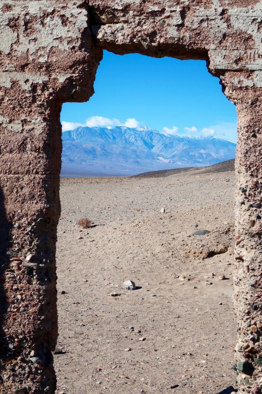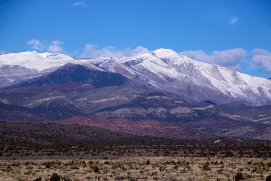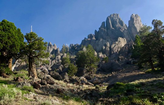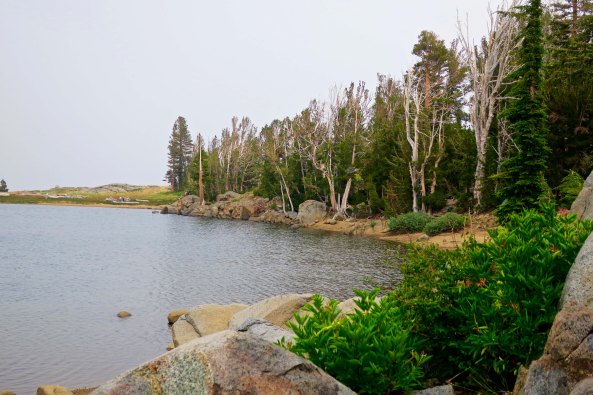
I don’t think there is a place along the Natchez Trace that isn’t beautiful. I traveled on it for 370 miles of its 450 mile length.
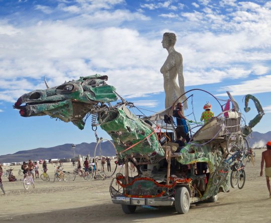
This is my fourth post introducing new followers to the type of tales they can find in my blog. Way back in 1989, I did a solo 10,000 mile bicycle tour of North America. While the journey predated blogging, Peggy and I retraced my route three years ago. Traveling out of California, we crossed the US following a southern route, went up the east coast into Canada, headed back west through Canada to Minnesota, and then finished our tour following a northern route back to California. This is a chance to visit much of North America and hear tales about my bike trek. Want more: Here’s a post from Canada. Scroll forward or backward for the rest of the story: https://wandering-through-time-and-place.com/2016/09/28/
A large, yellow mutt came wagging his way into my camp. I’d unpacked my gear, set up my tent, and taken off my shoes and socks. My toes were celebrating their freedom.
“Well hello big fellow,” I said to the dog, glad for the company. He sat down beside me and worked his head under my hand, demanding that I scratch behind his ears. Then I was required to pet the rest of him. I had just worked my way down to his tail when he rolled over and insisted on equal treatment for his tummy.
I provided an initial scratch but my coffee water had started boiling. “Priorities,” I told him, “the petting zoo is closed.” Apparently this meant it was play time. He leapt up, grabbed one of my socks, and bounced off about 15 feet. “Hey! Bring that back,” I urged. Fat chance. He put the sock down, backed off a couple of feet, and started barking.
I finished pouring the hot water into my coffee filter and got up, tiredly, to retrieve my sock. It had been an 80-mile day and I really didn’t want to play ‘chase the dog around the yard.’ I pretended that I didn’t care, that I wasn’t going for the sock, and that I was terribly interested in a large bullfrog that had taken up residence in the swimming pool. The pool hadn’t been cleaned since the previous summer. It made a great pond.
The dog didn’t buy it. He dashed in, grabbed the sock and ran off across the yard. “Okay, you win,” I declared while picking up a stick. “How about a game of chase the stick?” The dog cocked his head and increased his wags per second. I tossed the stick and off he dashed, leaving my sock behind. I quickly bare-footed it across the lawn and grabbed my sock.
“Ha, ha, Mr. Dog,” I called after him while waving the sock about enticingly. To compensate my new friend for his loss, I played tug-of-war with the stick. We growled at each other appropriately, all in good fun.
It was early to bed. I had completed my trip from Alexandria by biking through the city of Natchez and was now camped about a mile from the beginning of the Natchez Trace. I was eager to get up the next morning and start my 370-mile journey up the fabled Parkway through Mississippi and Alabama into Tennessee. As I zipped up my tent, the big yellow mutt did three dog turns outside the door and plopped down, making me wonder where his home was. I was hardly in a position to adopt a pet. Besides, he was well fed and wearing a dog tag.
My last memory before going to sleep was of the bullfrog singing to his lady-love. “Chug-a-rum, chug-a-rum, chug-a-rum.”
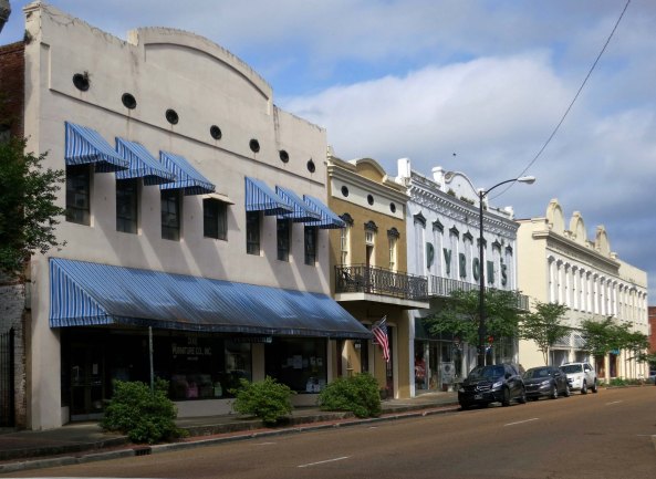
Peggy and I drove through Natchez on a Sunday morning and pretty much had the historic section of the downtown to ourselves.
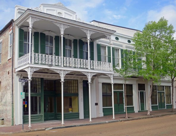
This historic building in Natchez came with an attractive balcony.
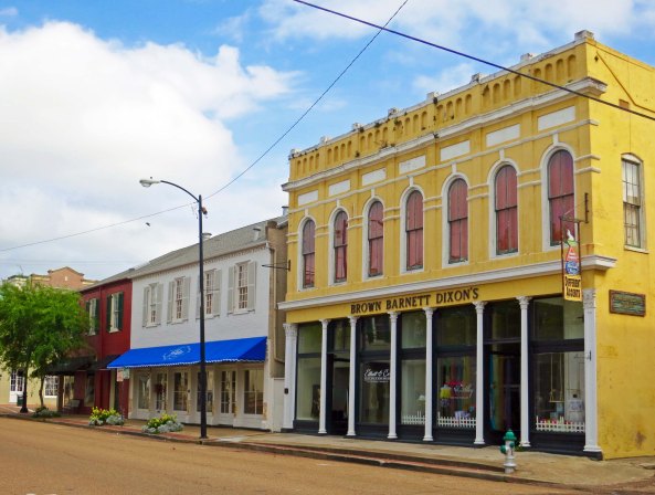
The colors captured my attention here.
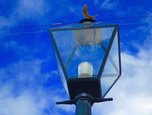
Old lamp posts adorn the historic part of Natchez.
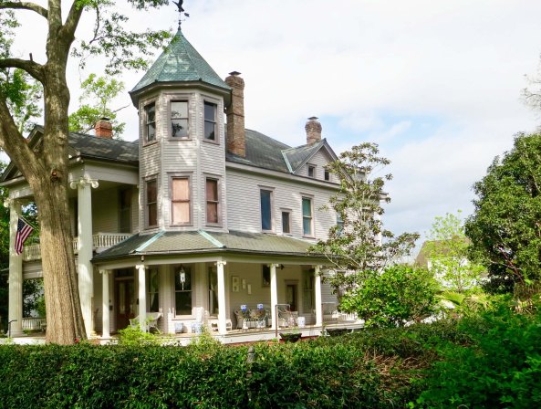
The city is known for its antebellum mansions.
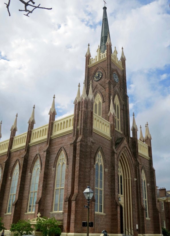
St. Mary’s Catholic Church was busy with its Sunday service so I didn’t go inside.
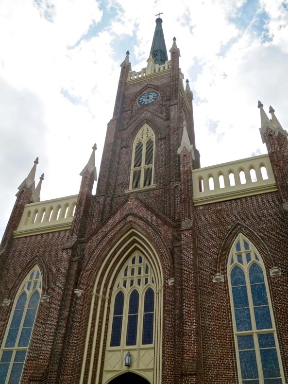
It was quite impressive from the outside, however.
Natchez has an interesting history. Once the site of a major Native American village, its initial contact with Europeans goes all the way back to Hernando de Soto in the mid 1500s. He wandered through the area searching for gold to steal, the primary occupation of Spanish Conquistadores. By the 1700s the French had entered the area followed by the British, the Spanish again, and finally, in 1795, the Americans. Native groups in the region included the Natchez, Chickasaw, Yazoo, Cherokee, and Creek, as well as the Choctaw further to the north.
As for the Natchez Trace, its beginning goes back 10,000 years and was probably tied to buffalo travelling along ridges doing buffalo things. Since these broad, heavy animals make good trails (think of them as early day bulldozers), Native Americans were soon using the routes for trade and travel between large communities.
The next stage in the Trace’s evolution was brought about by river trade in the late 1700s and early 1800s. Kaintucks, boatmen from the Ohio and Mississippi River Valleys, loaded flatboats with merchandise and paddled downstream to Natchez or New Orleans where they made handsome profits for their goods. The challenge was that you don’t row a boat up the mighty Mississippi. The boatmen had to hike or ride horses home. They sold their boats as lumber and made their way back to Nashville via the Natchez Trace
It was an adventure. There is a reason why the Trace became known as The Devil’s Backbone. It was crawling with highway men eager to separate the Kaintucks from their newly earned wealth. And that assumes that they could even get their money out of Natchez where cheap whiskey cost a fortune, hot love was based on cold cash, and cut-throats came by the bushel.
The development of steamboats in the 1820s changed things dramatically. These boats with their large, steam-driven paddle wheels could travel upriver. Boatman no longer had to hike or ride horses back to Nashville while fighting off thieves. Gradually, people stopped using the Trace and it faded from memory. But not totally.
In 1903, the Mississippi chapter of the Daughters of the American Revolution took on a project of placing markers along the original route. In 1918 the precursor to the Natchez Trace Association was created with the rallying cry of “Pave the Trace!” Work on the Parkway was started in 1937 and in 1938 it became a unit of the National Park system.
When I rode my bike out of Natchez in the spring of 1989, the Trace was mainly complete and had become something of a bicyclists’ paradise. (Today it is considered one of the top ten bike rides in America.) To start with, there was no commercial traffic. No 18 wheelers would be whizzing by me. Nor were there any commercial properties or billboards, just lots of beautiful woods and small farms. Campgrounds and restrooms were located conveniently along the way. Frequent rest stops featured local history. I was free to ride along and enjoy the scenery.
But I did have two responsibilities. The first was to persuade the large, yellow mutt that he wasn’t going with me. It started with a discussion in camp that I thought he had understood. Where I was going was dangerous for doggies. It was dangerous enough for me. About a mile from camp I chanced to look back, there he was, about 50 yards back. I stopped and waited for him to catch up, all a waggle. “No!” I said forcefully. “You cannot go. Go Home!” The tail stopped wagging. Two sad brown eyes accused me of horrendous deeds. Ever so slowly, he turned around and started back, tail between his legs. I felt terrible.
The second chore was more pleasant— rescuing baby turtles. Bunches were migrating across the Trace outside of Natchez. Each time I came on a crowd, I would stop, climb off my bike, and give the little tykes a lift across the pavement. I knew that there would be more coming along behind but I must have transported at least a hundred,undoubtedly saving them from being run over.
Following are several photos of the Trace from Natchez to Jackson, Mississippi that I took during the route review Peggy and I did this past spring. In my next blog we will make a slight detour to the town of Philadelphia, Mississippi where a good friend lives and then head up the Trace to Tupelo and visit with Elvis.
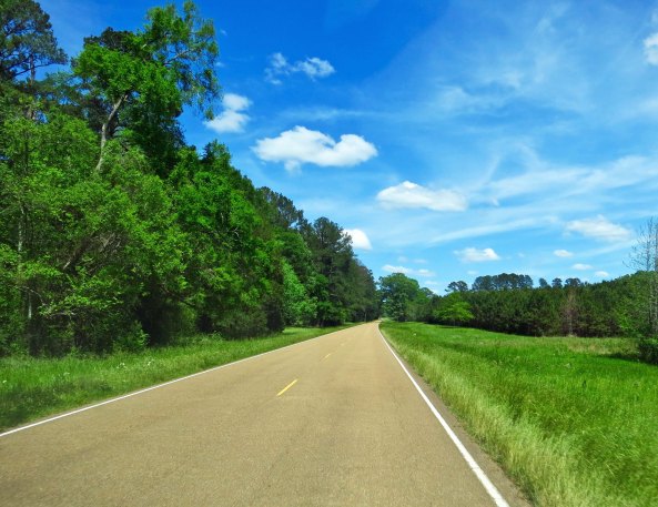
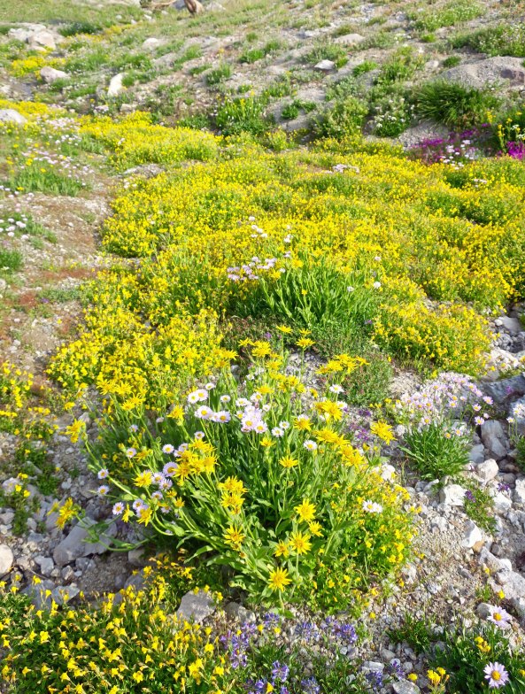
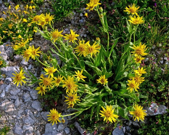
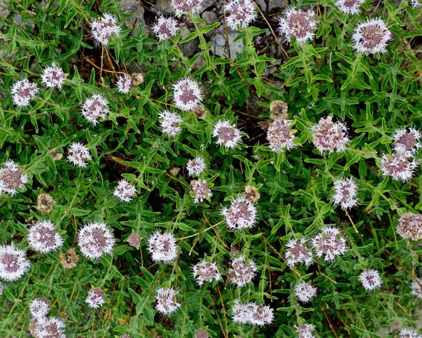
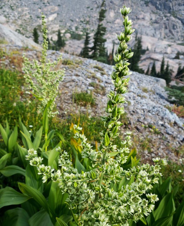
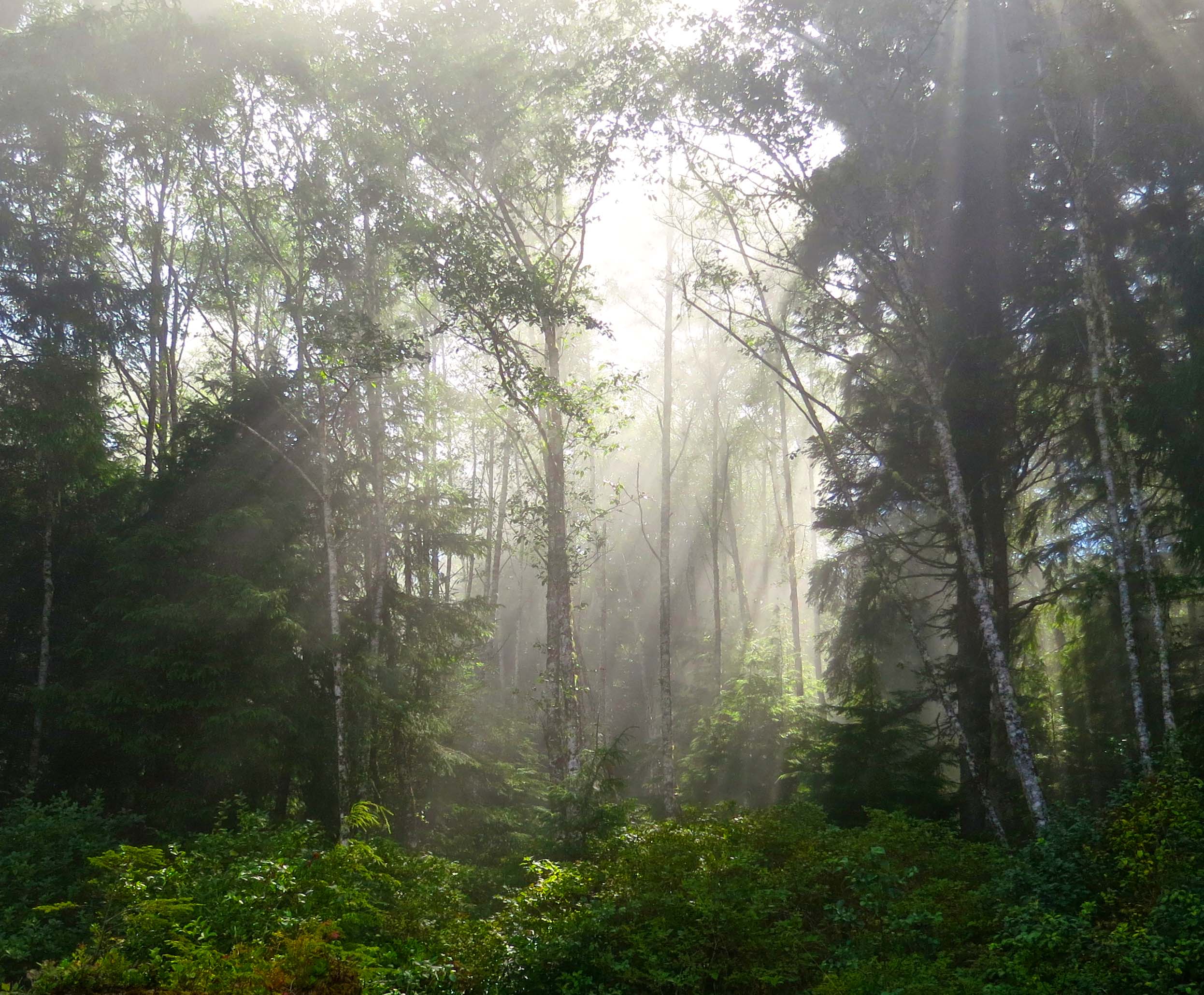
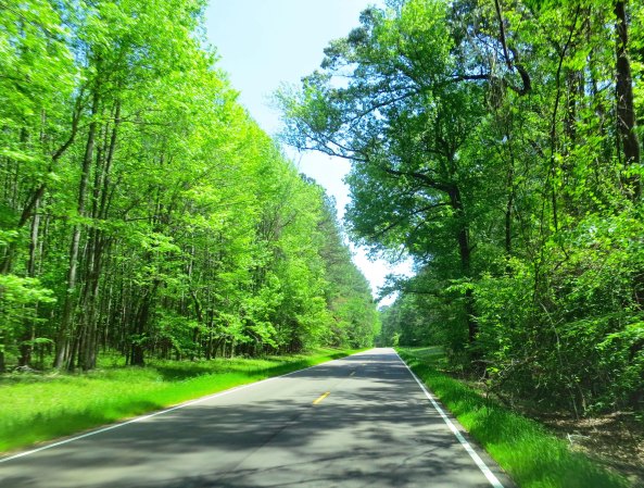
Views along the Trace were constantly changing from being forested to open.
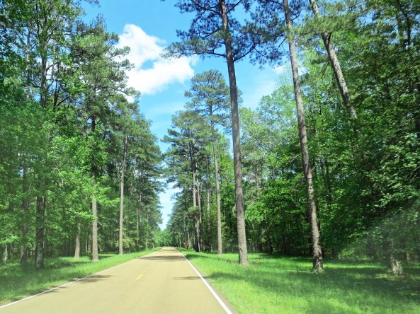
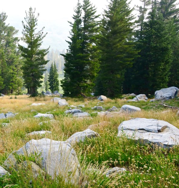
Pine trees became common around Jackson, Mississippi.
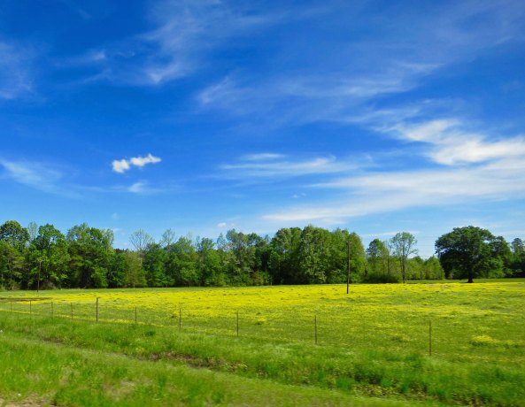
Rich farmlands border some of the Trace.
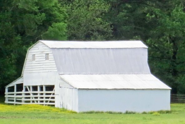
There are a number of barns.
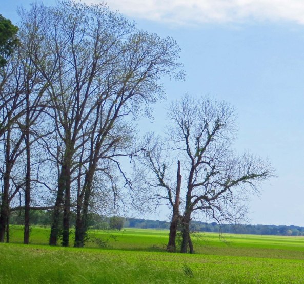
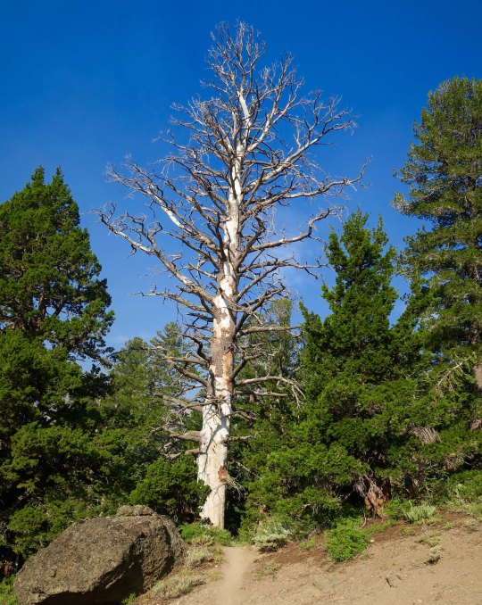
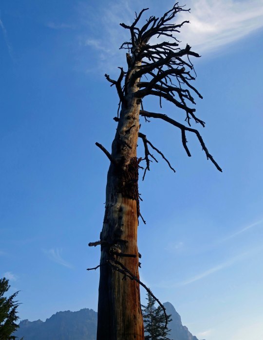
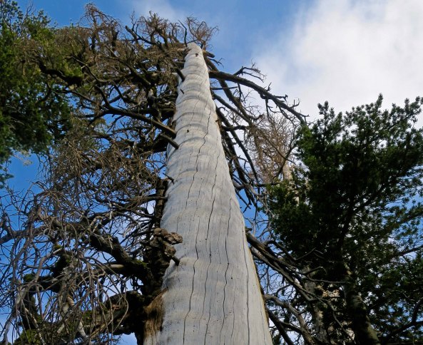
These trees were just beginning to leaf out. I enjoyed the silhouettes they created.
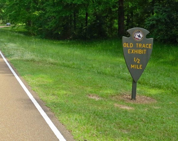
Numerous exhibits featuring the history of the Trace provide interesting breaks along the way.
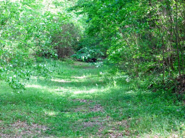
A number of the stops, like this one, include original sections of the trail.
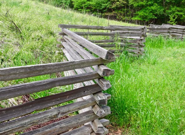
The Park has also rebuilt traditional fences similar to ones that the pioneers who lived along the Trace would have built.
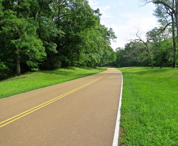
A final view of the Trace for today. Many more will be included in my next three blogs.