The Charming Elephant Seals of Pt. Reyes National Seashore

Elephant seals have the look of an animal put together by a committee. It gives them a certain charm. We found this large fellow with his pronounced proboscis at Drake’s Beach. He’d come ashore at Pt. Reyes National Seashore looking for love.

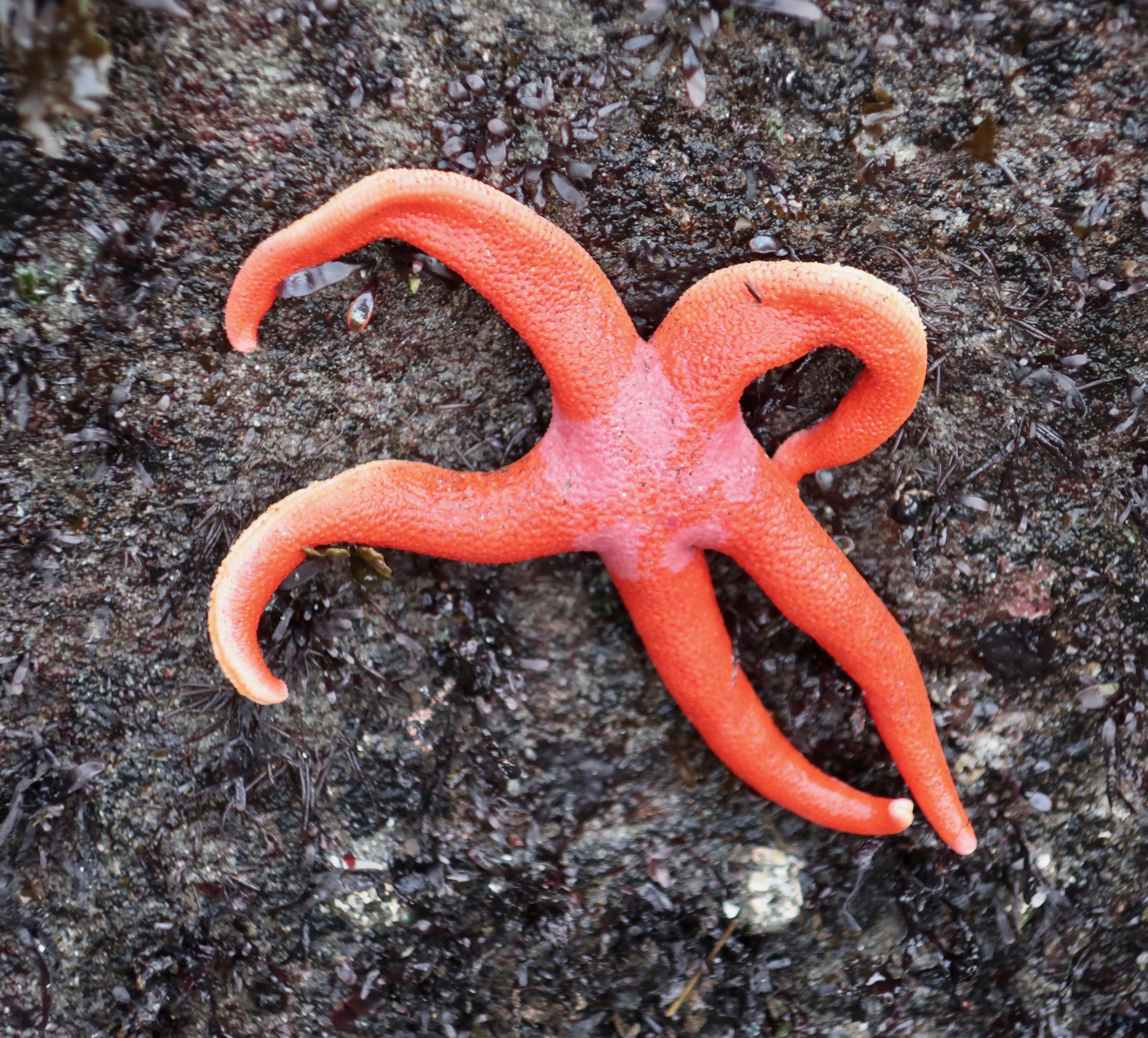
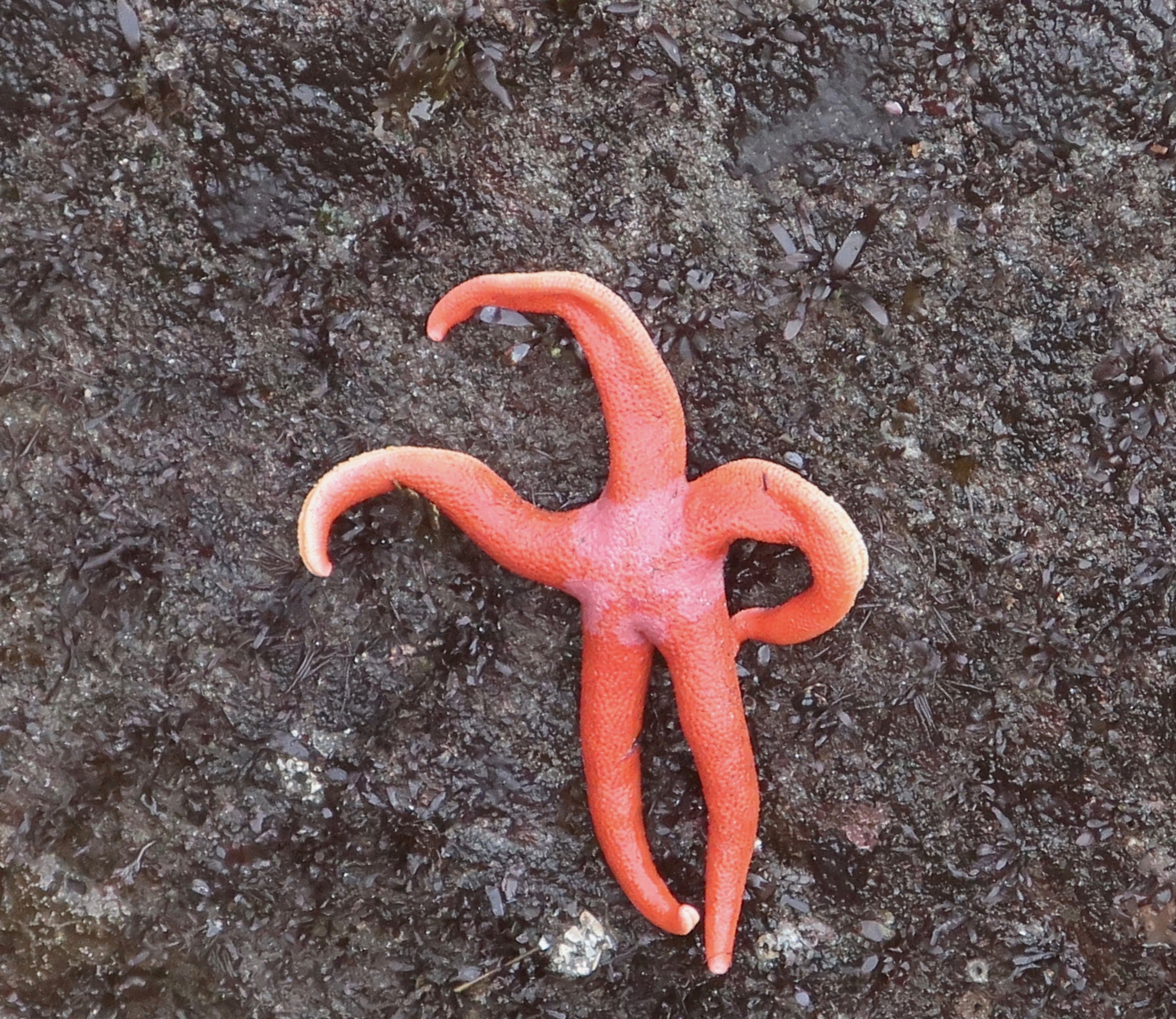
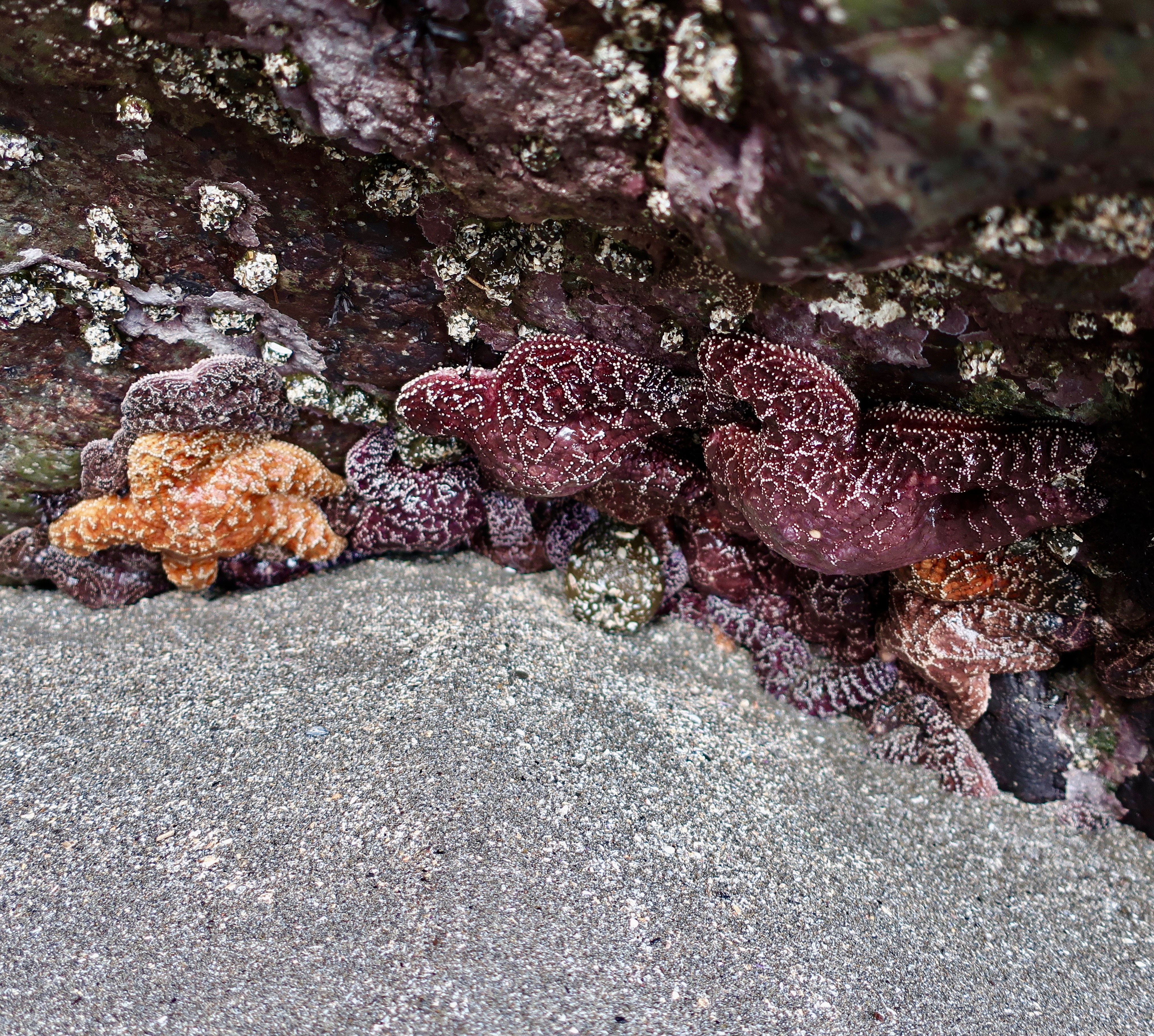
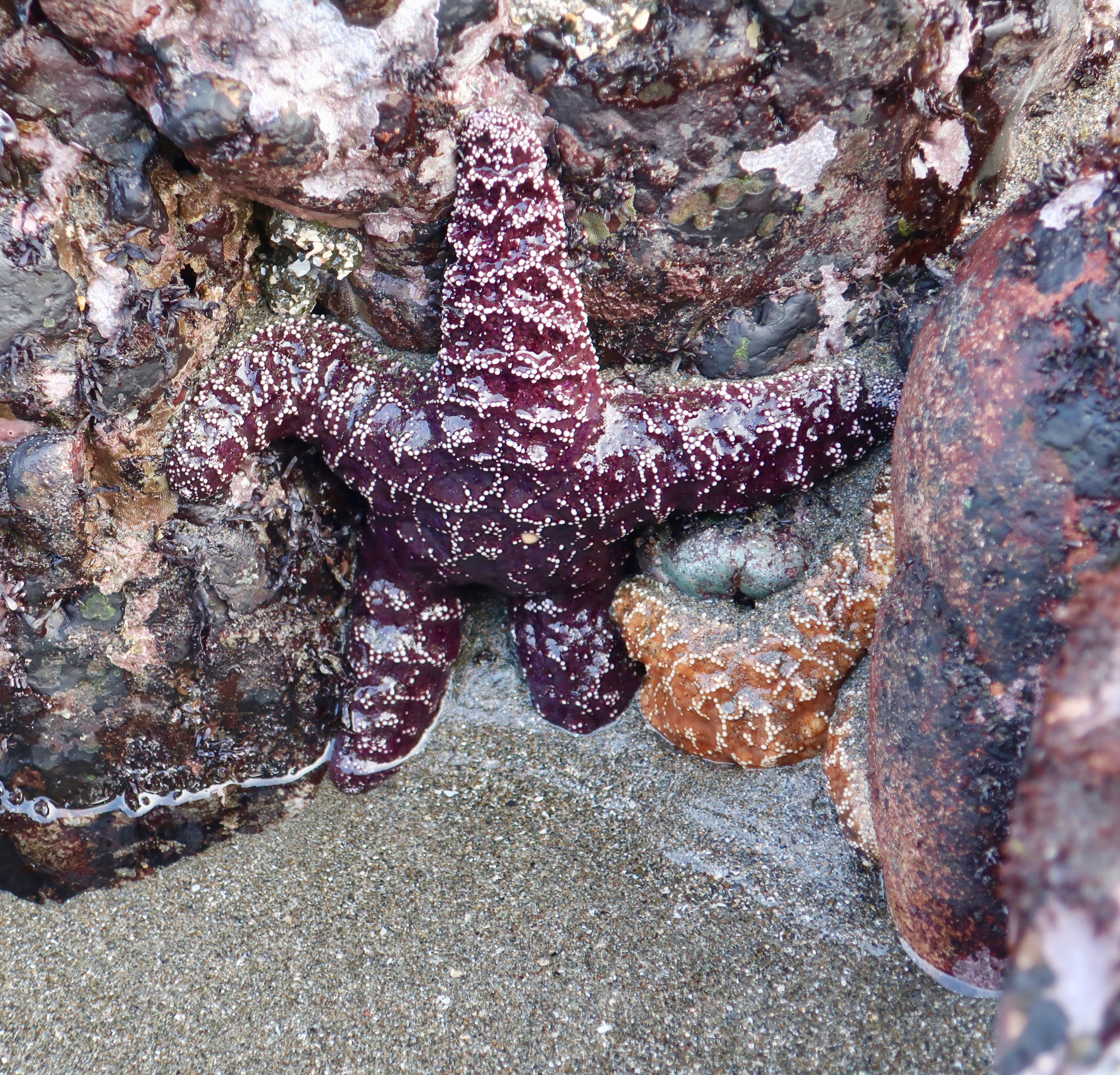
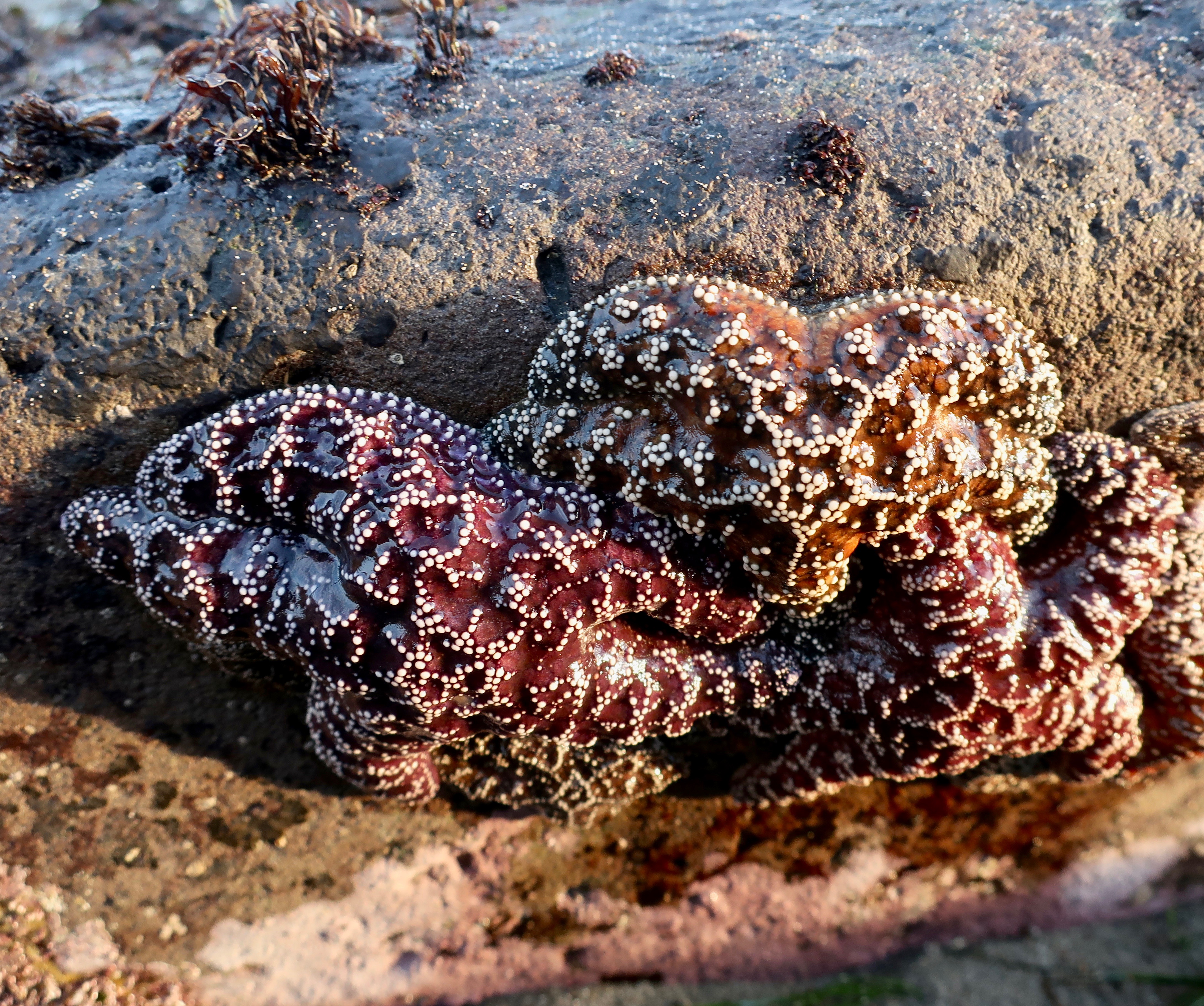
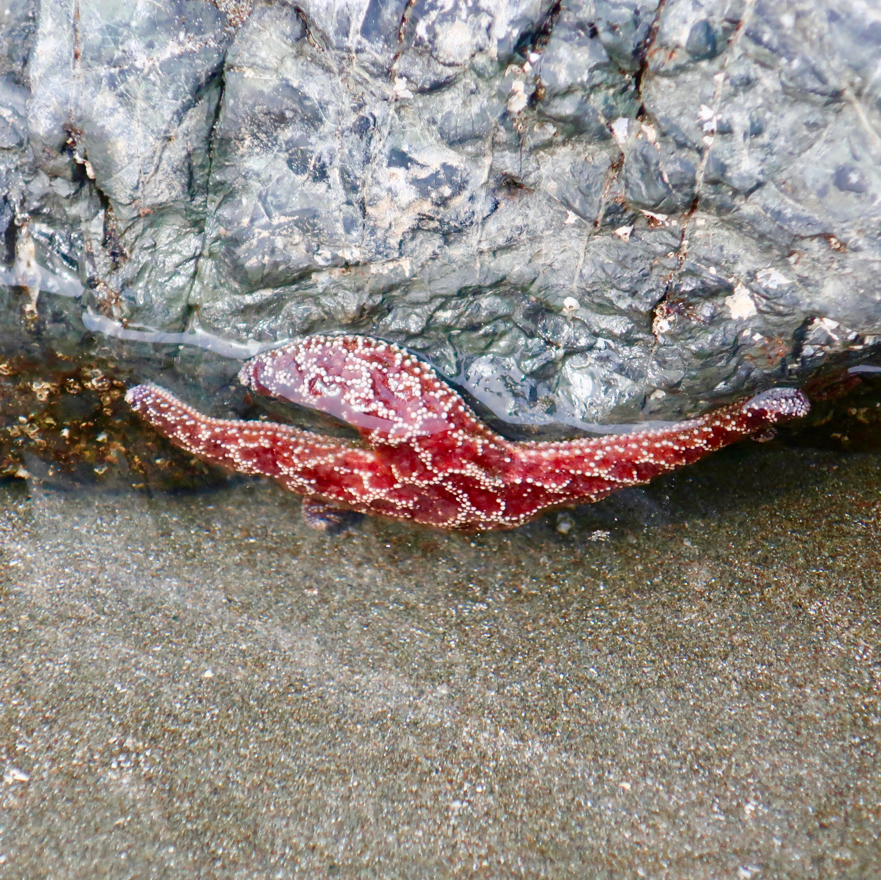
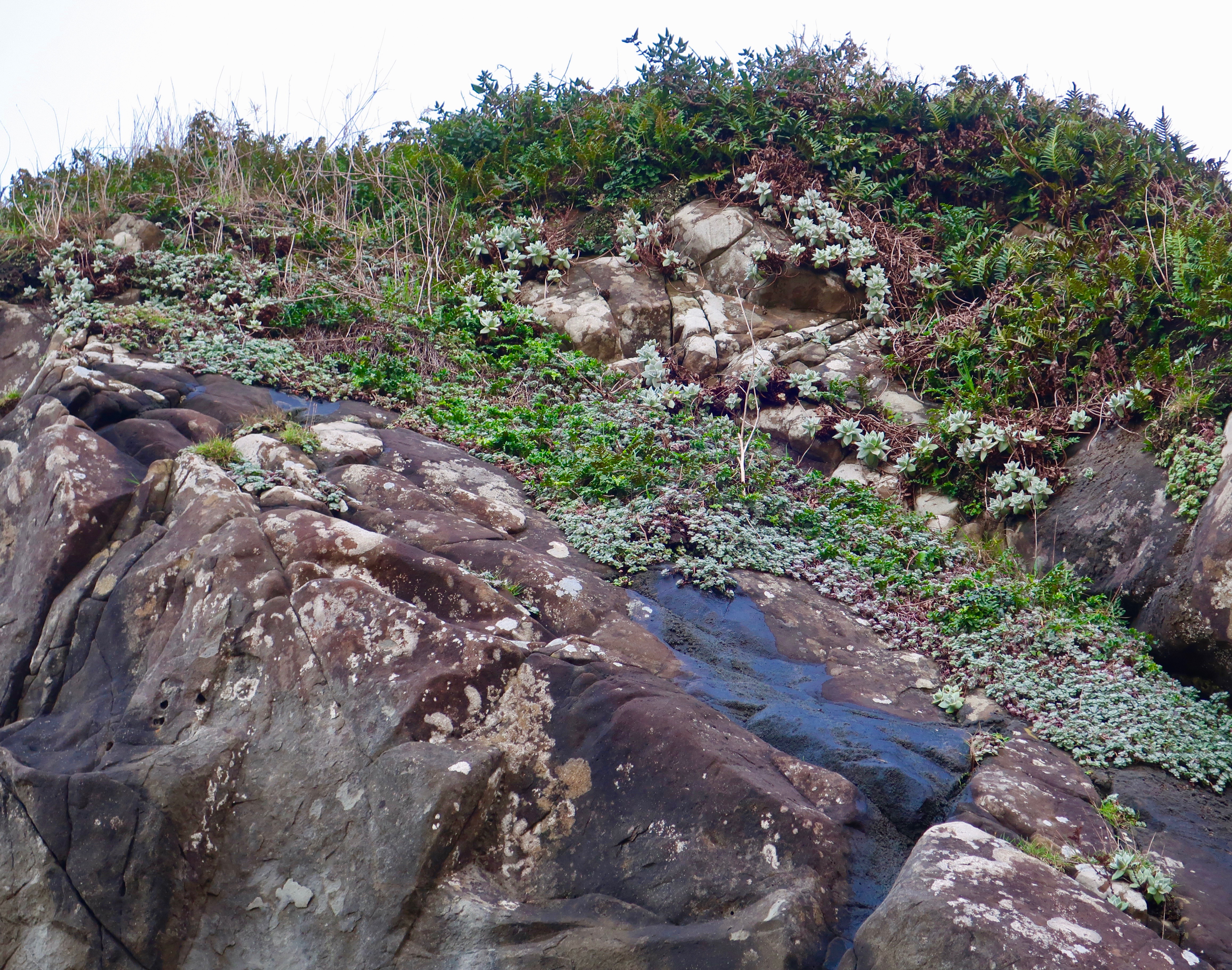
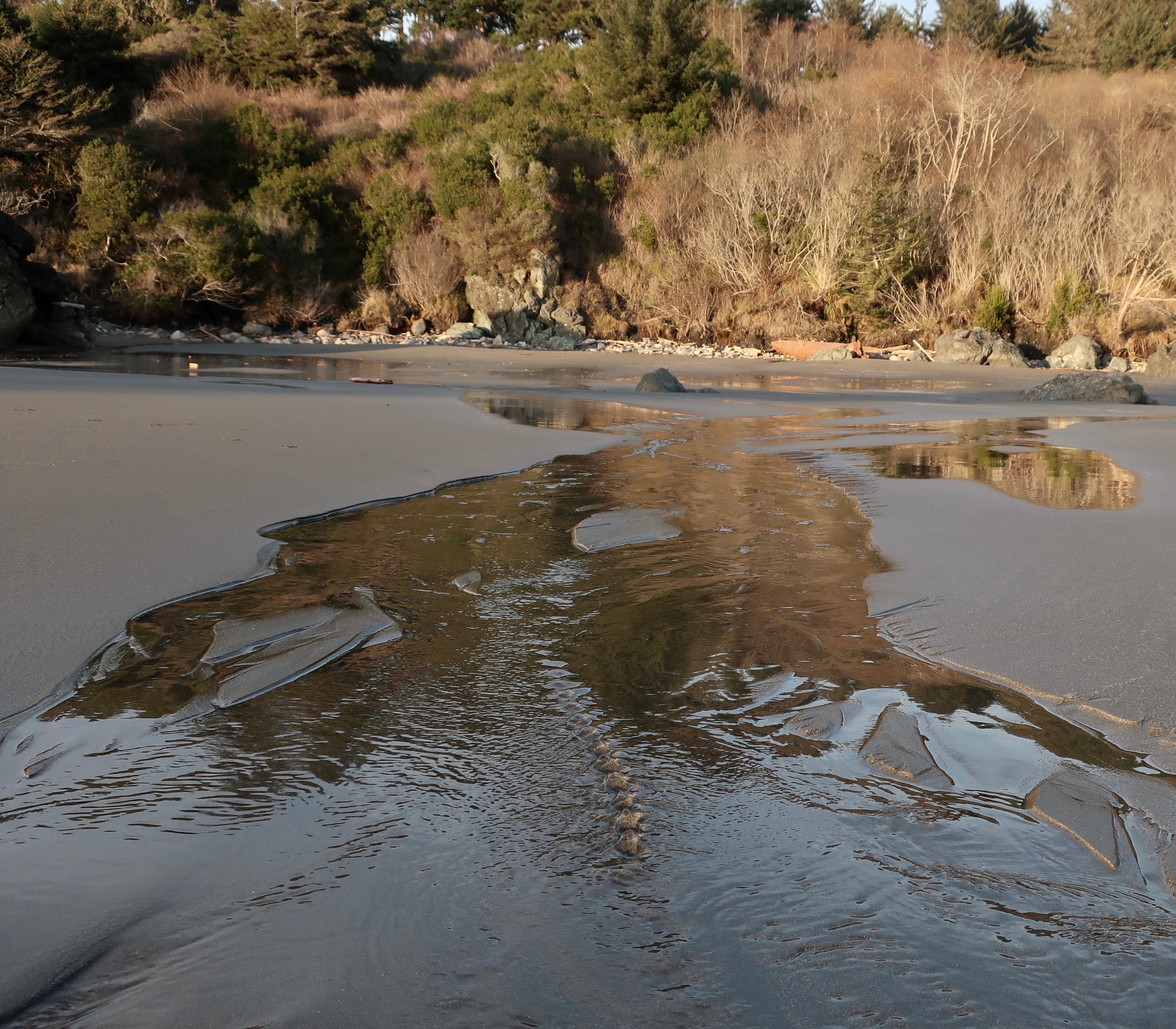
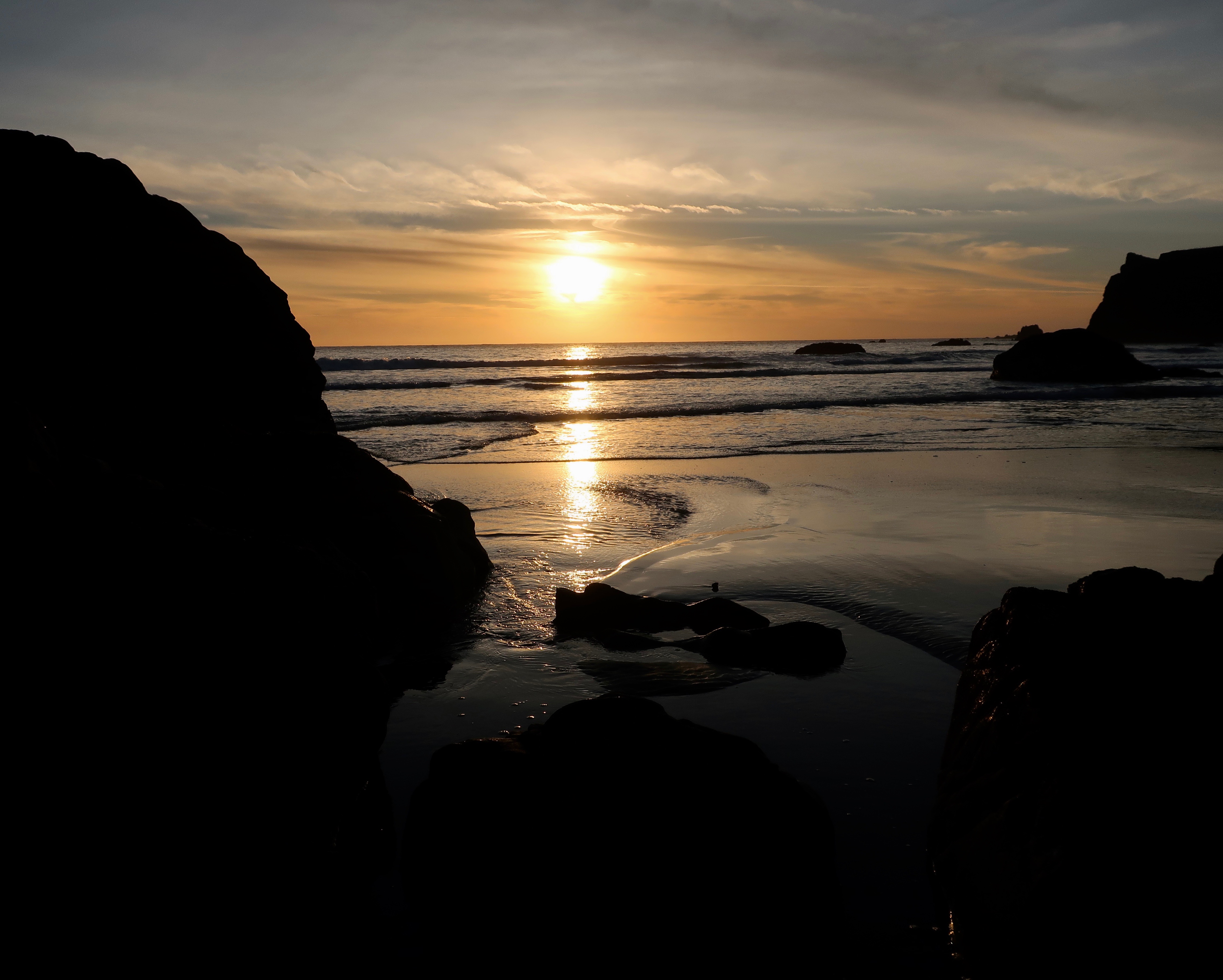
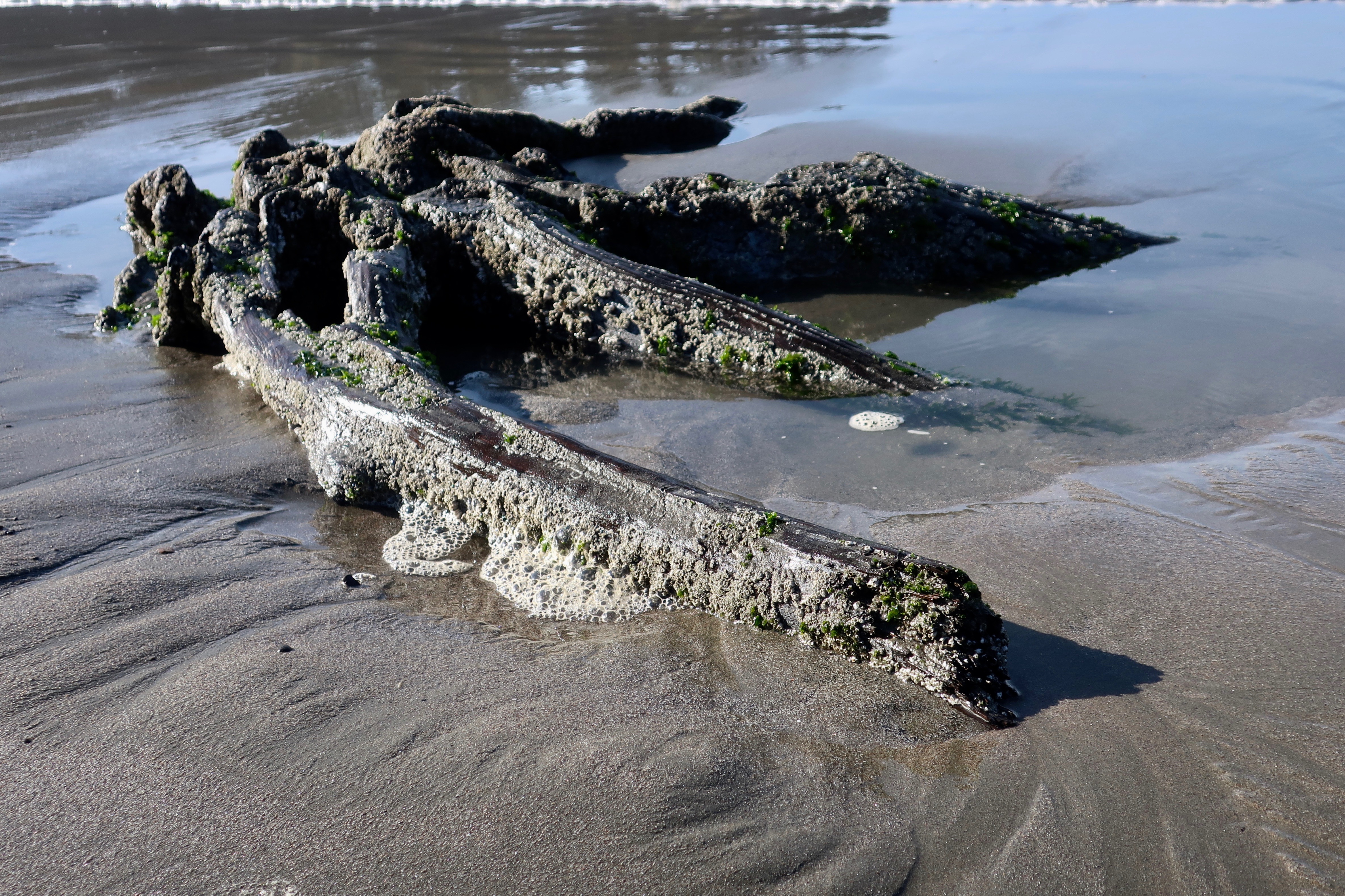
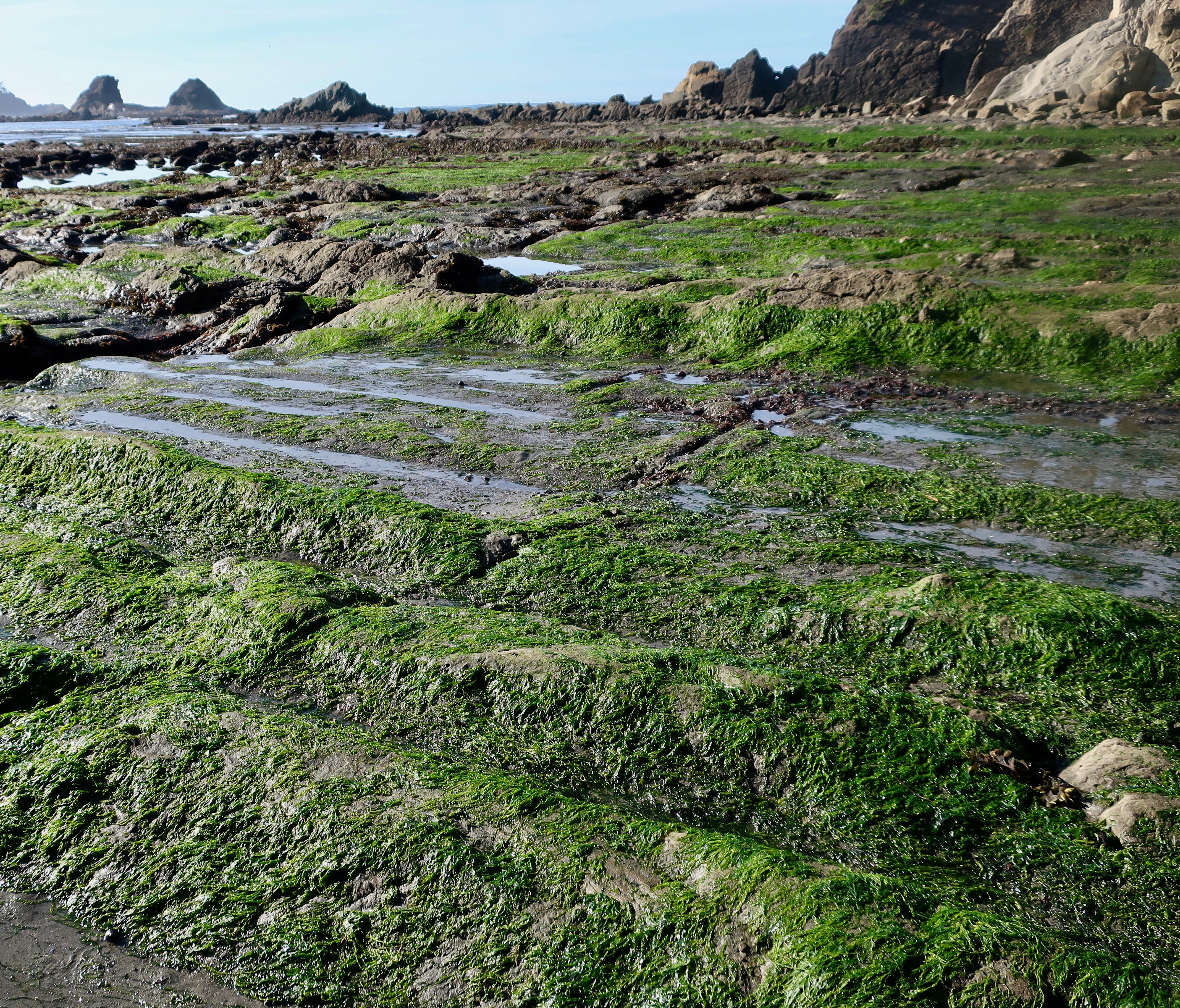
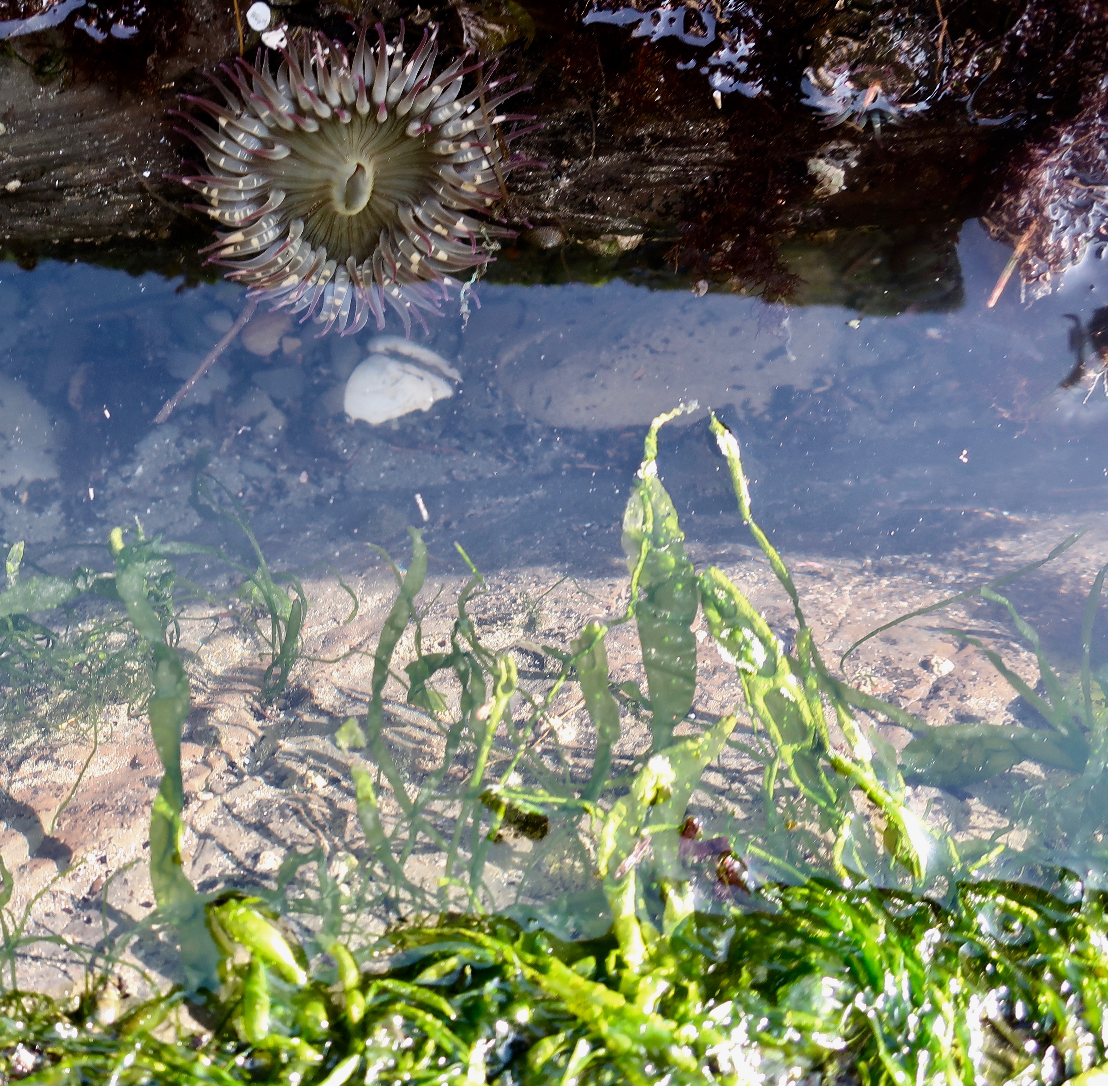
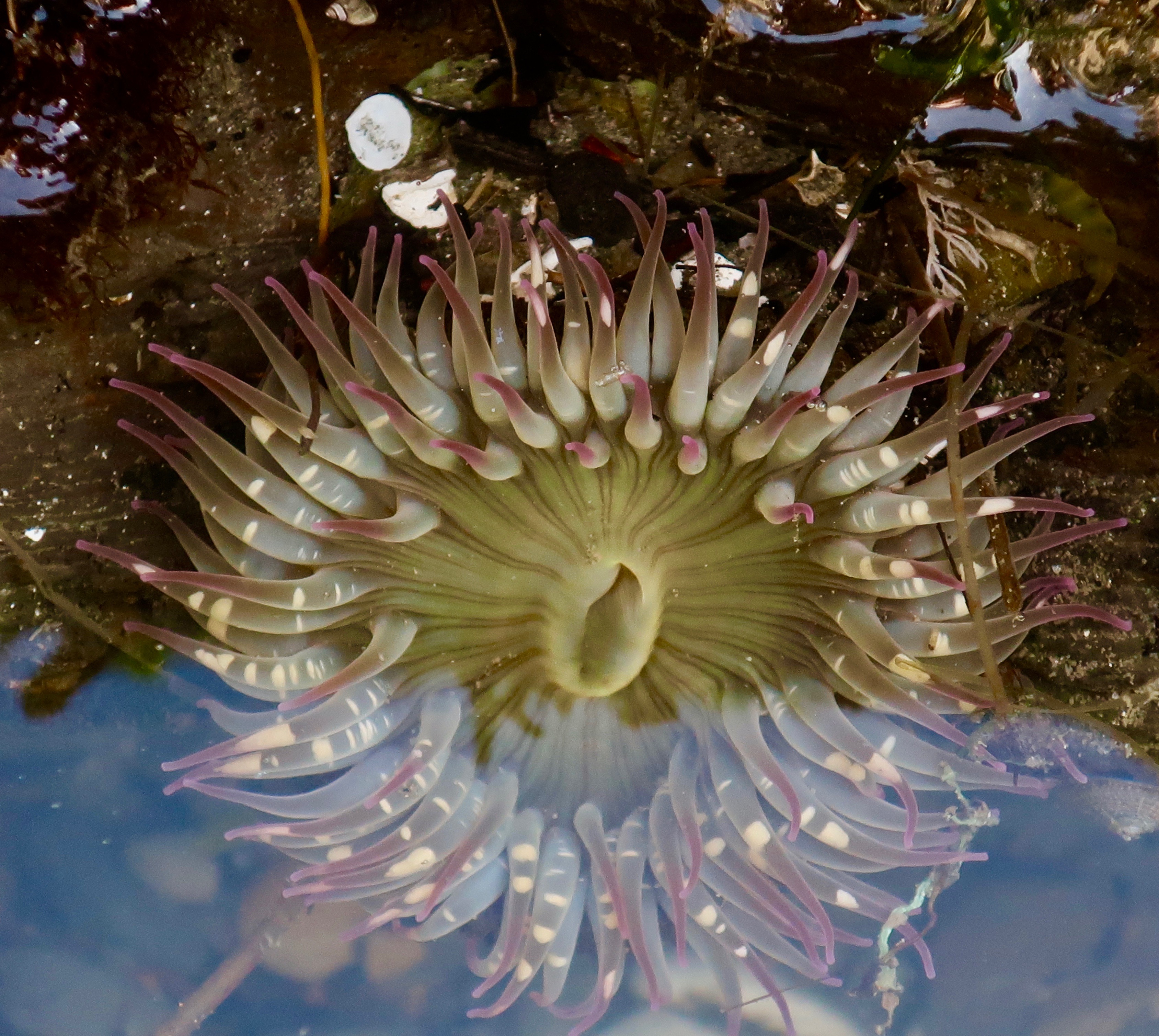
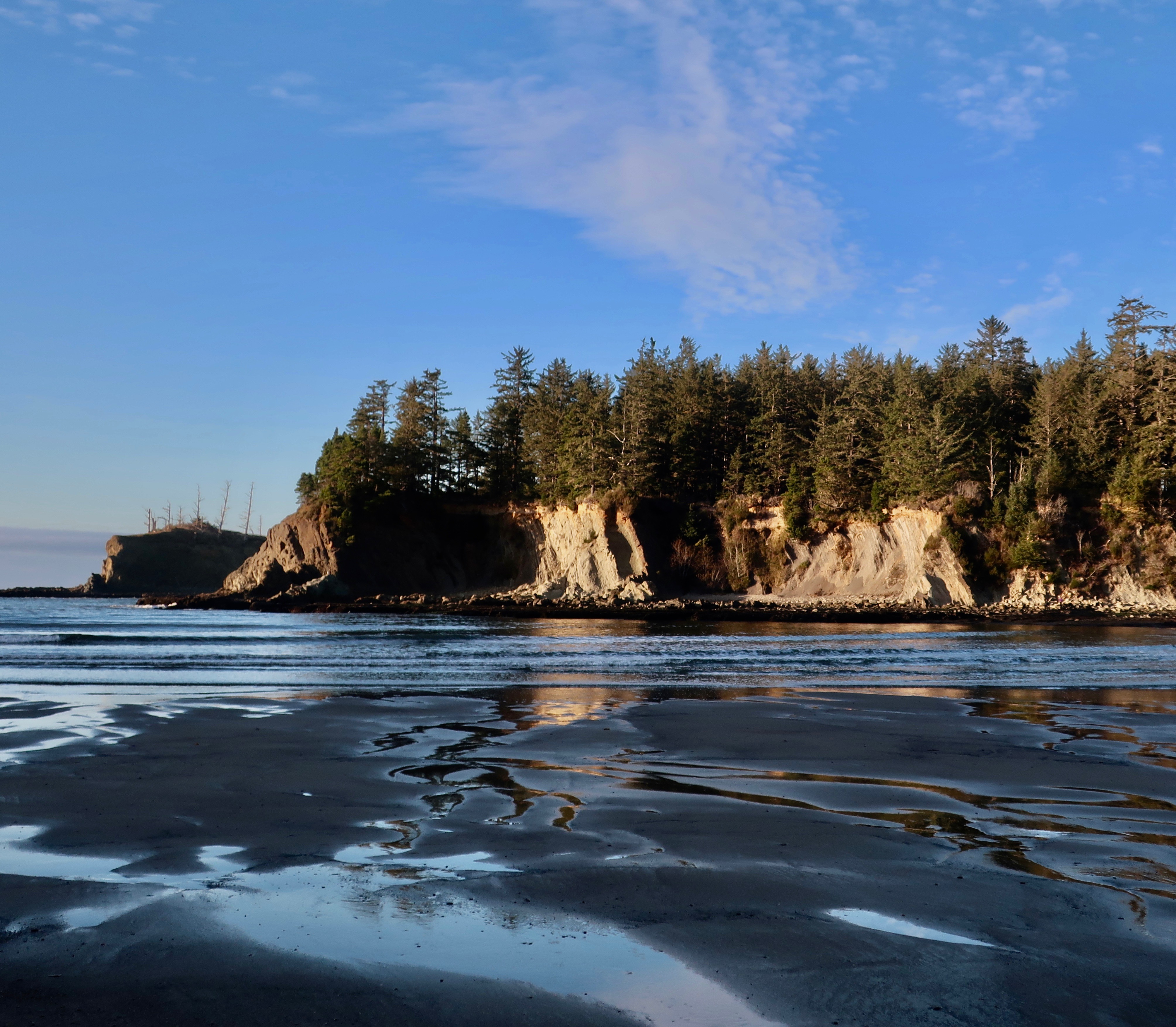
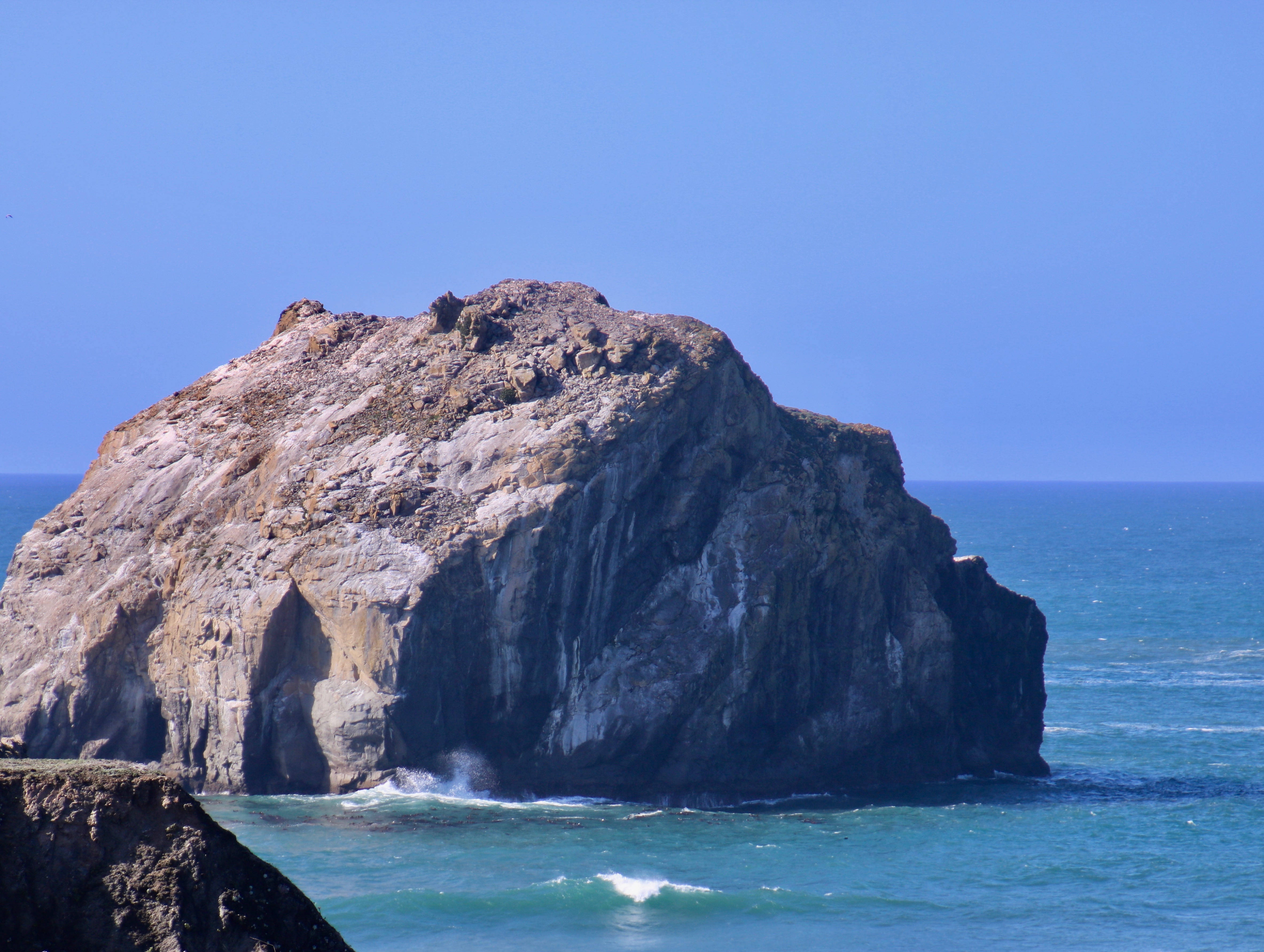
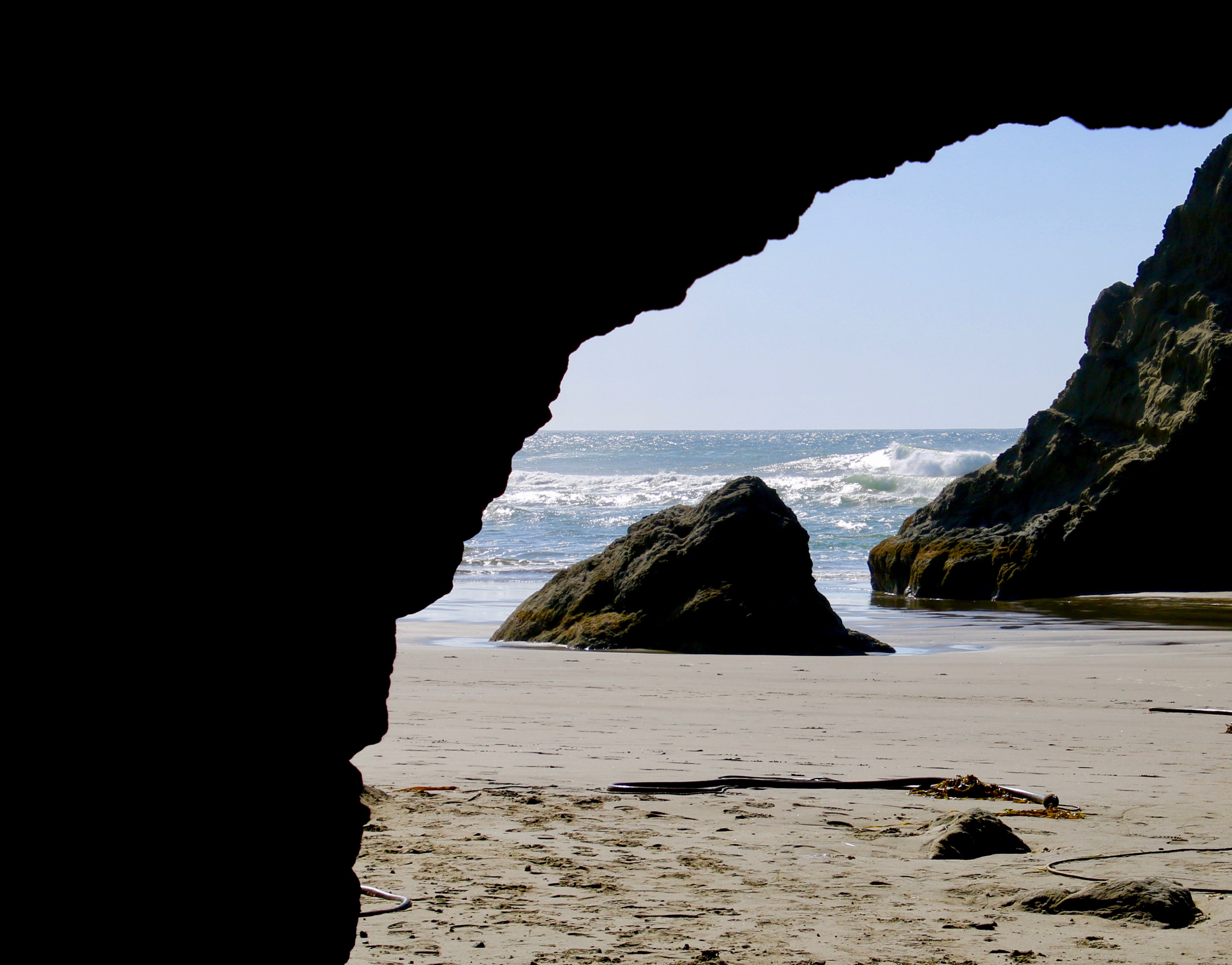
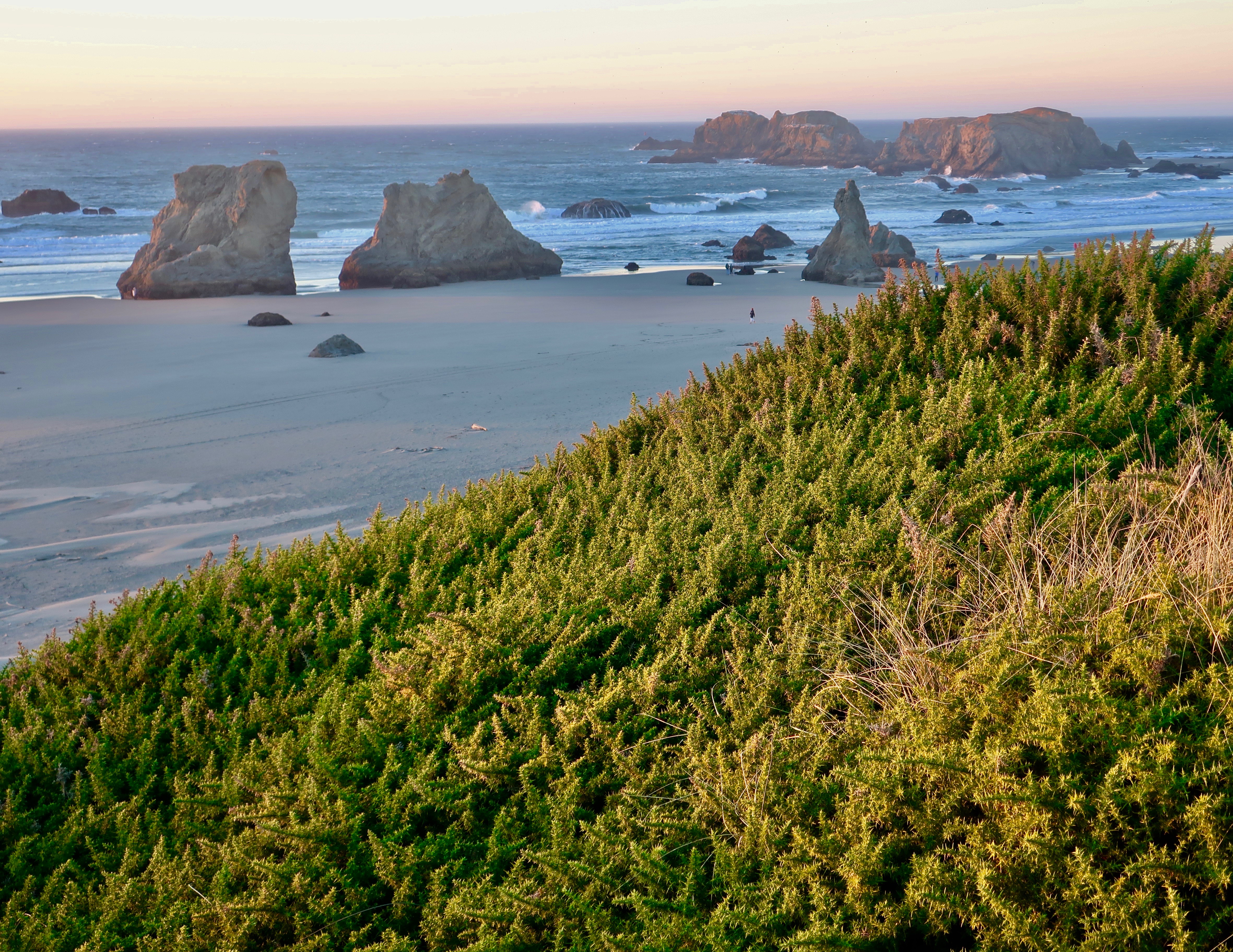
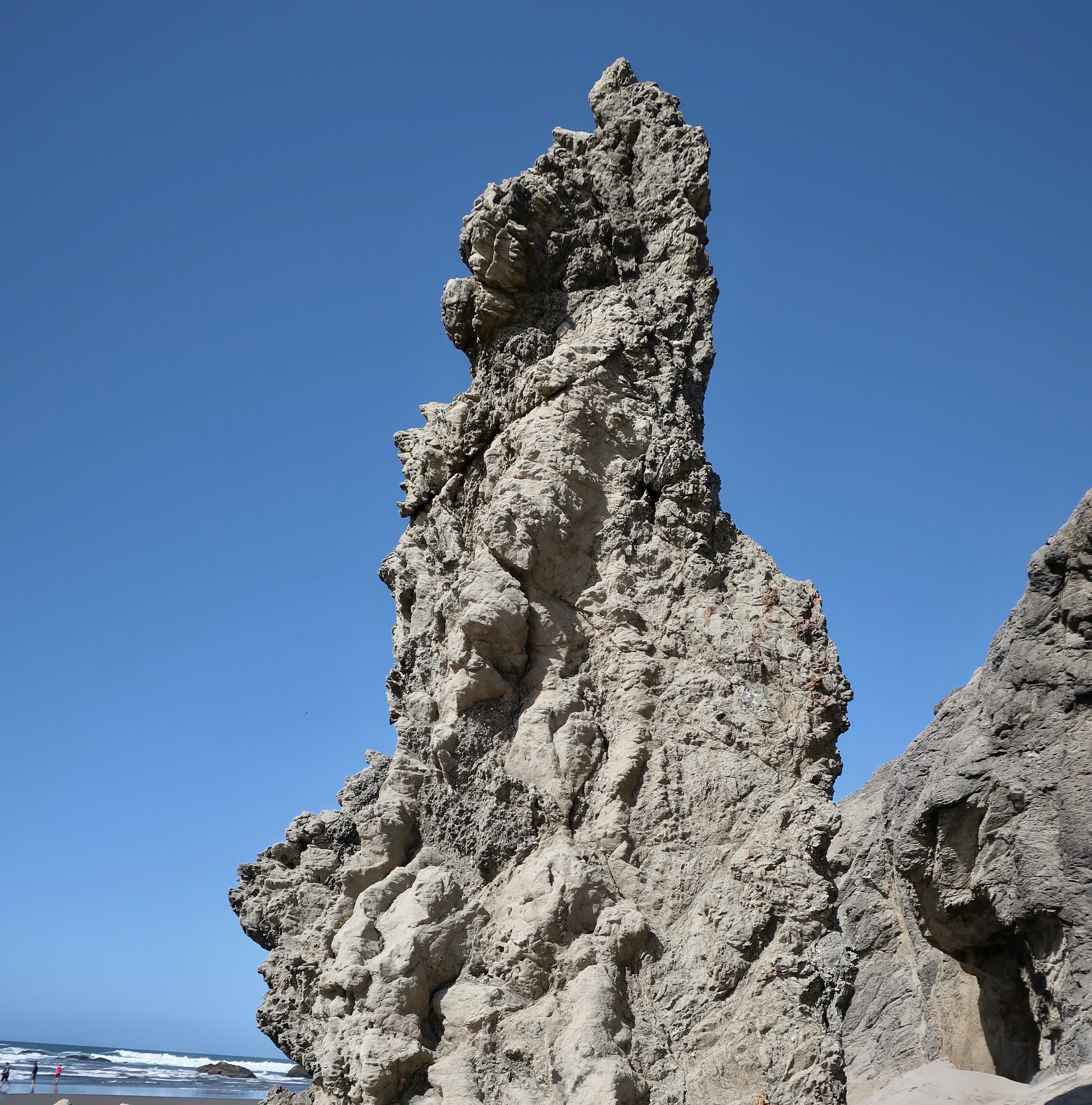
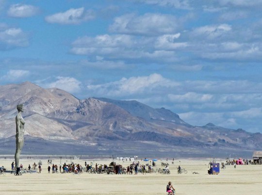
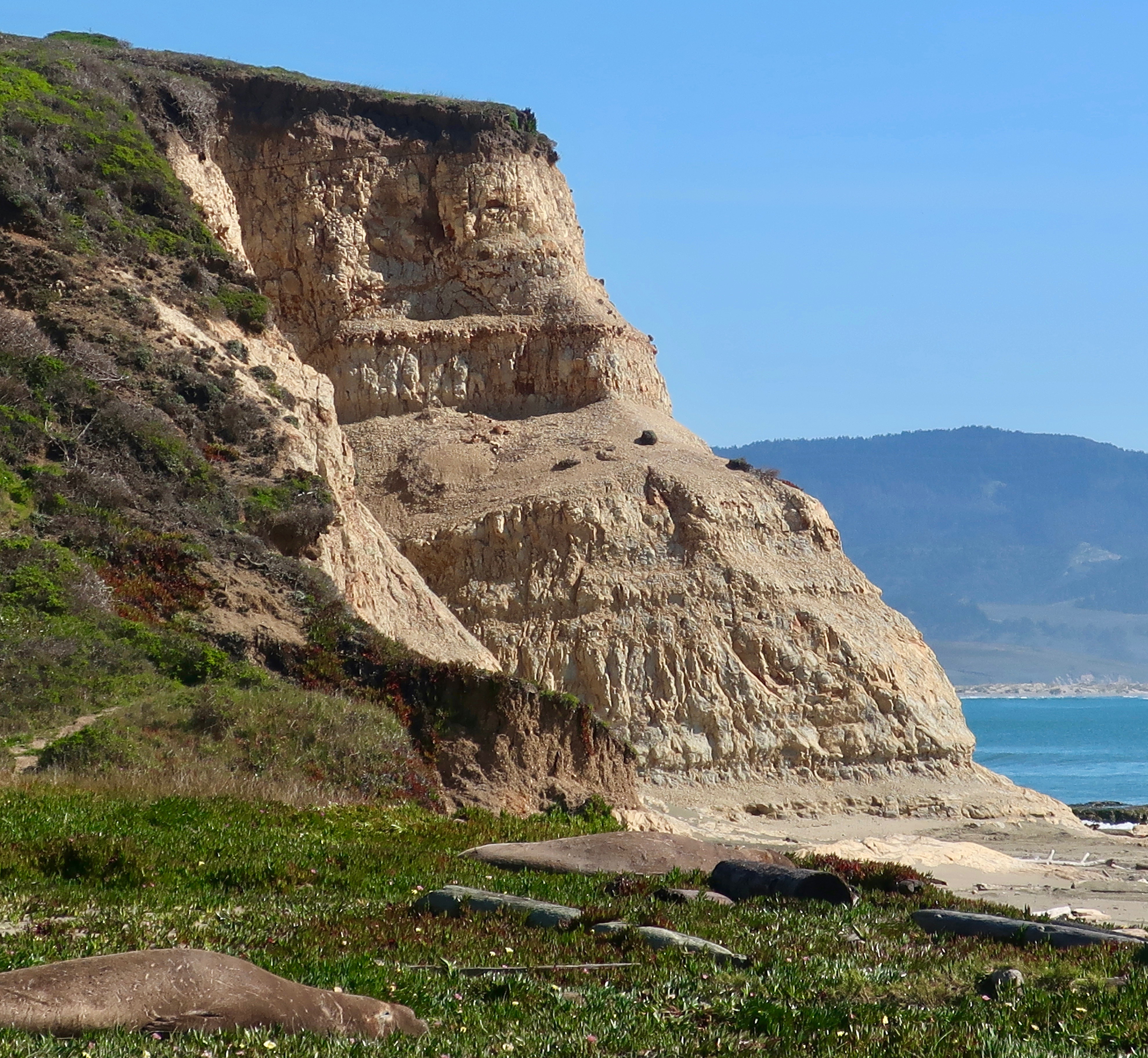
Pt. Reyes National Seashore is located some 30 miles north of San Francisco. Peggy and I went there last week to celebrate my birthday. It’s been a go-to place for me since the 60s. In addition to spectacular scenery, great hikes, yummy food, and one of the best small bookstores I’ve ever been in, we were entertained by the wildlife: tule elk, a pair of sushi eating coyotes, and elephant seals (plus some cows).  Today, I want to do a teaser on our trip by featuring the elephant seals. I’ll get back to the rest after I finish my Harris Beach series. 

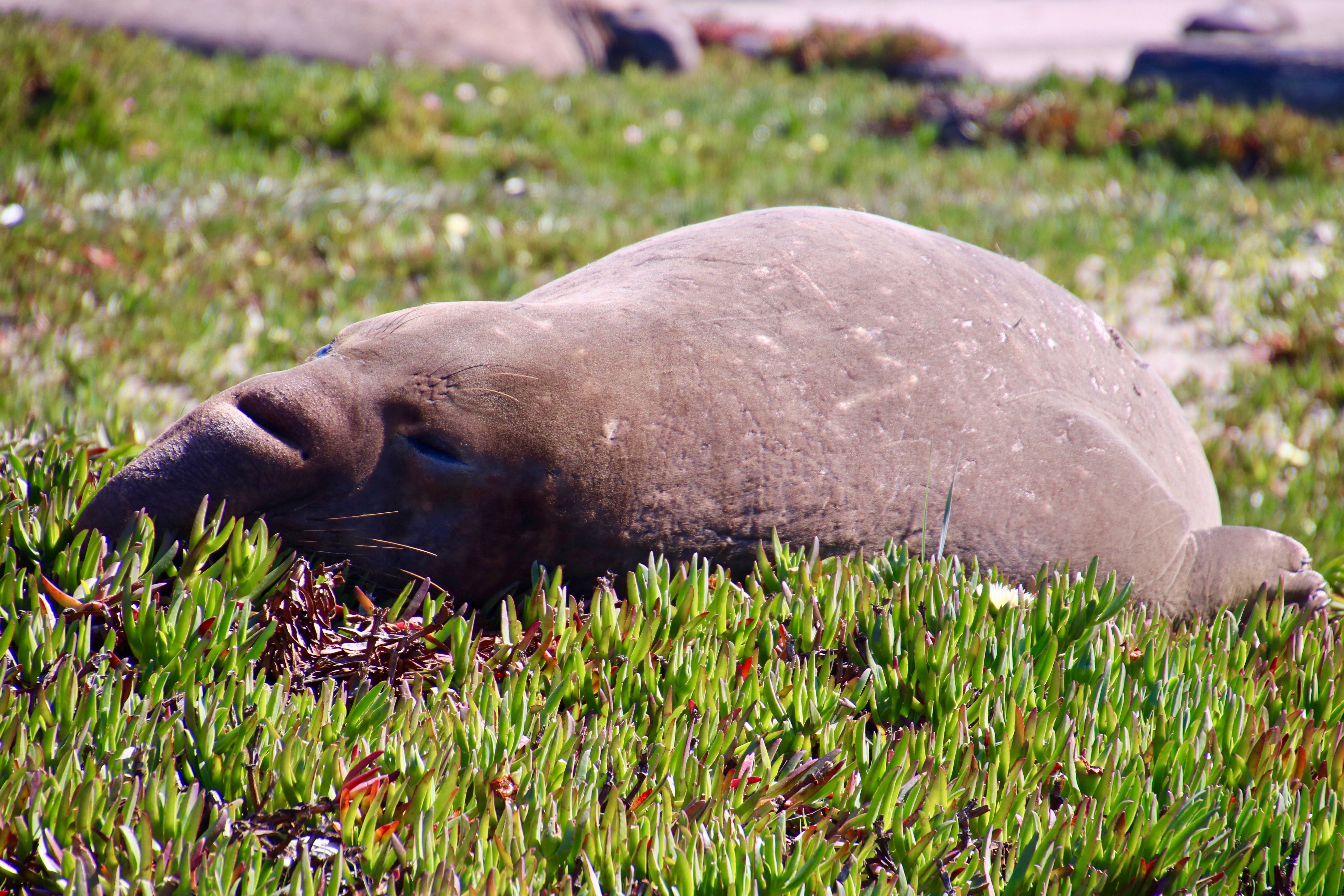
Elephant seals are amazing creatures that spend up to 80% of their lives at sea— 90 % of it underwater!  If that doesn’t seem remarkable enough, consider this: their normal dives for food range between 1000 and 2000 feet deep (305 to 610 meters). They can dive for up to an hour and a half before returning to the surface for three to five minutes of breathing. Semi-annual feeding binges take the males on a 13,000-mile roundtrip journey to the Aleutian Islands and females on a 11,000-mile roundtrip into the North Pacific.

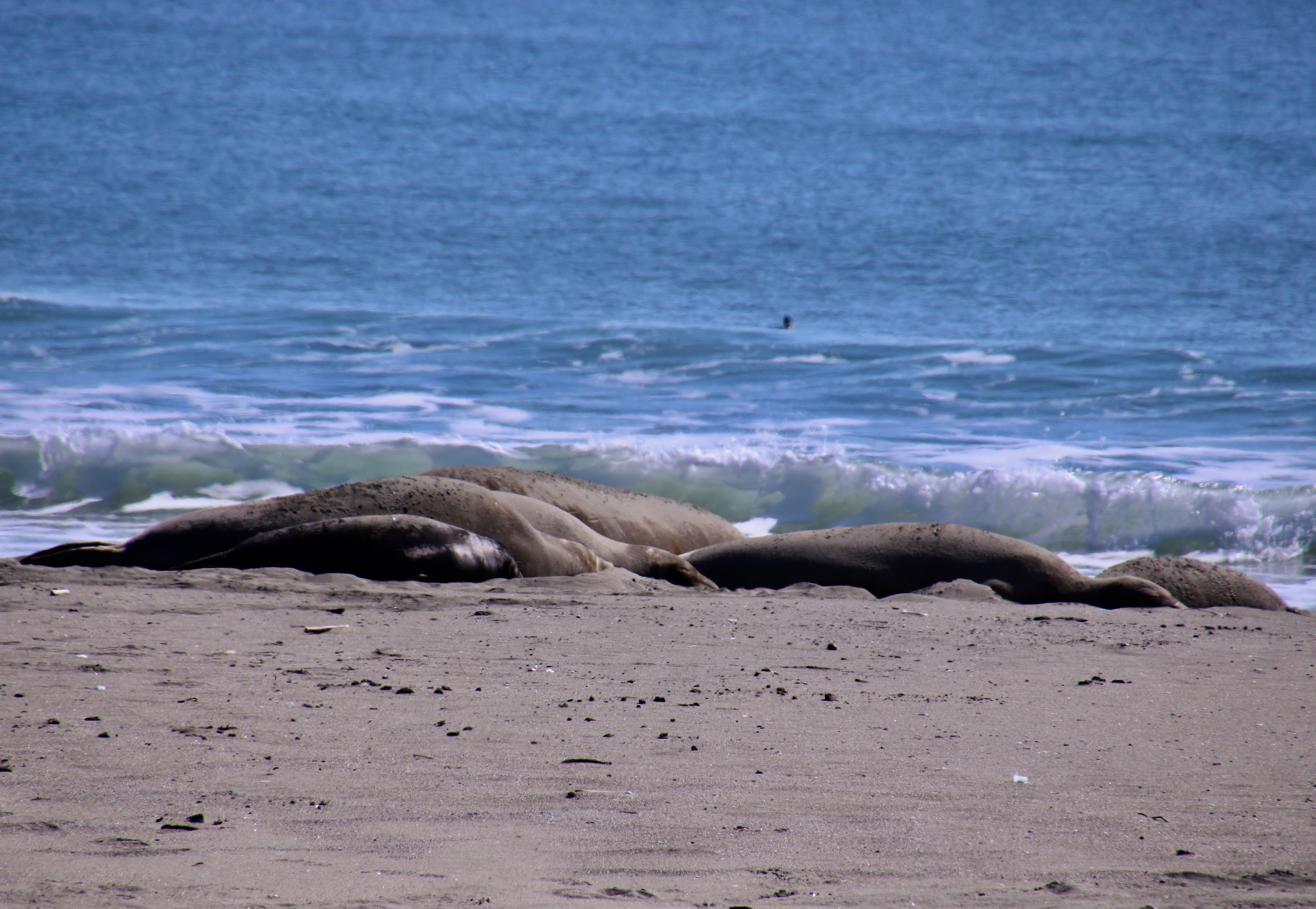
They were absent from Pt. Reyes for 150 years. In fact, they were close to absent forever. Like whales, they came close to being hunted to extinction for their oil. Processing the blubber from one bull can produce up to 25 gallons. They were saved because the Mexico and the US banned hunting them in the 1920s. Gradually, they have returned to their old breeding grounds. When I first started visiting Pt. Reyes in the 60s, they were unheard of in the area. Today there are over 3000 that return annually to breed.

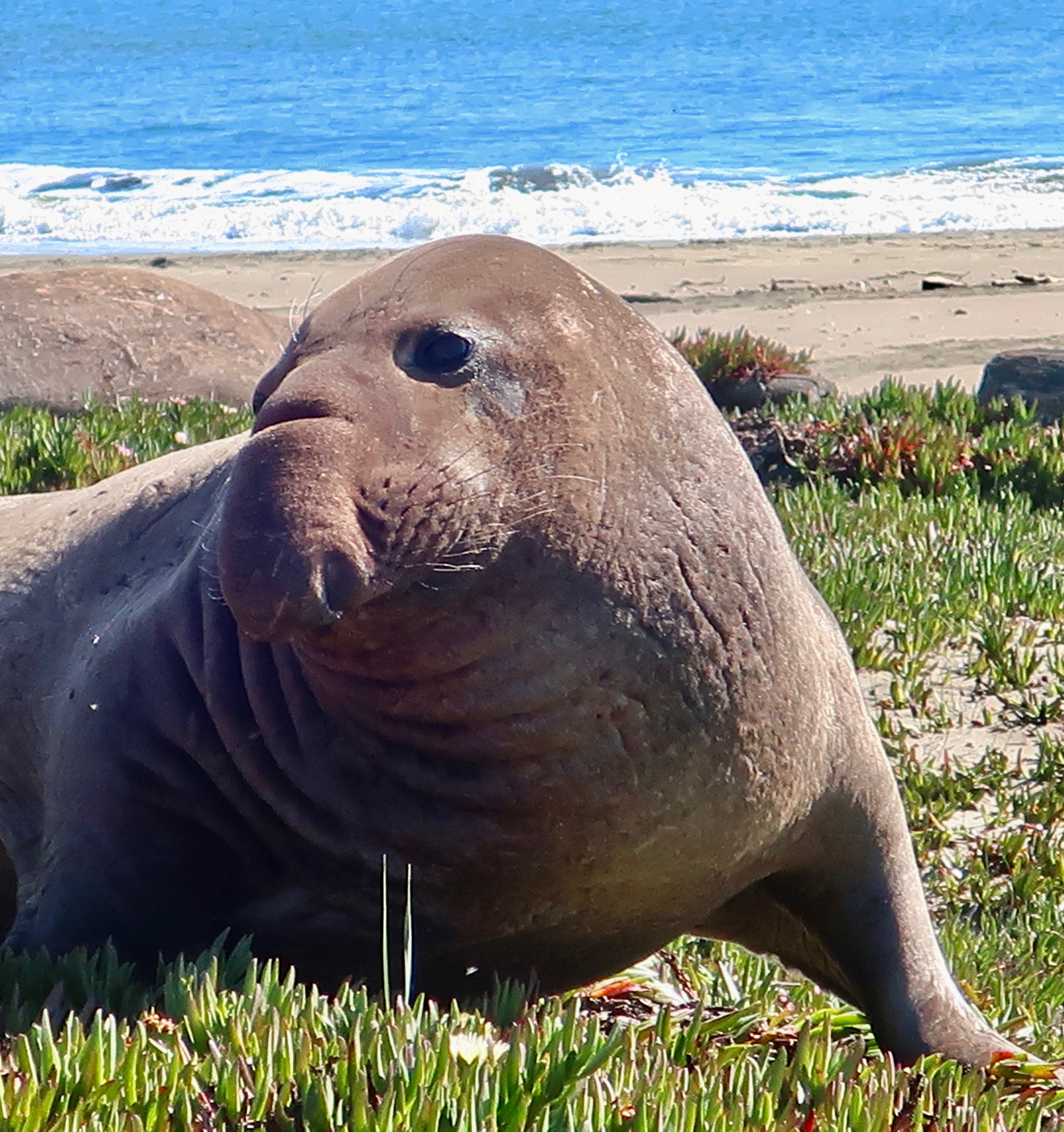
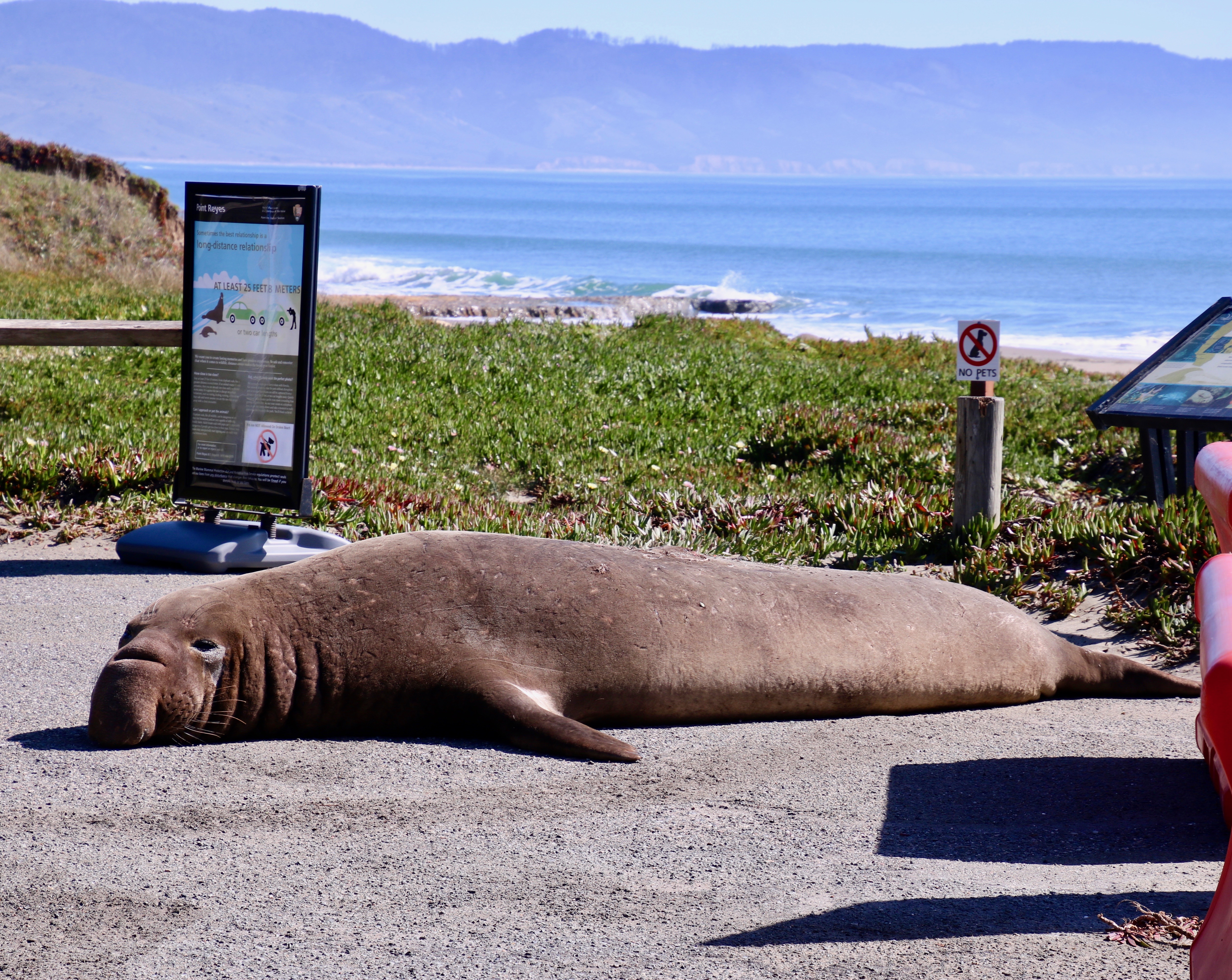
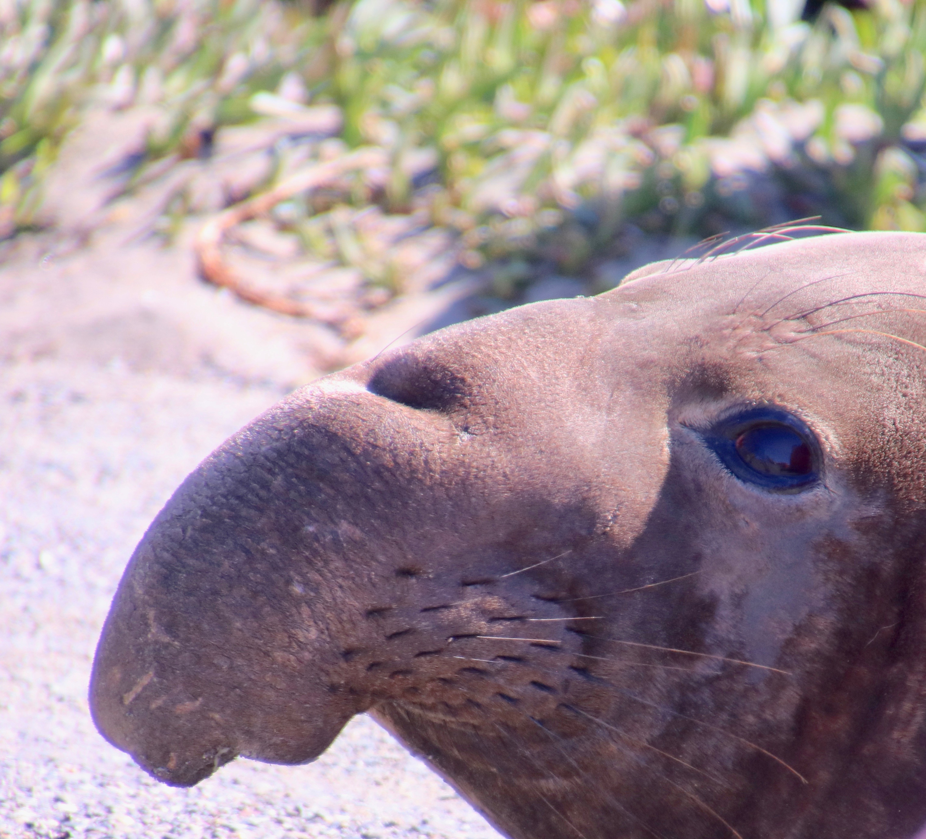
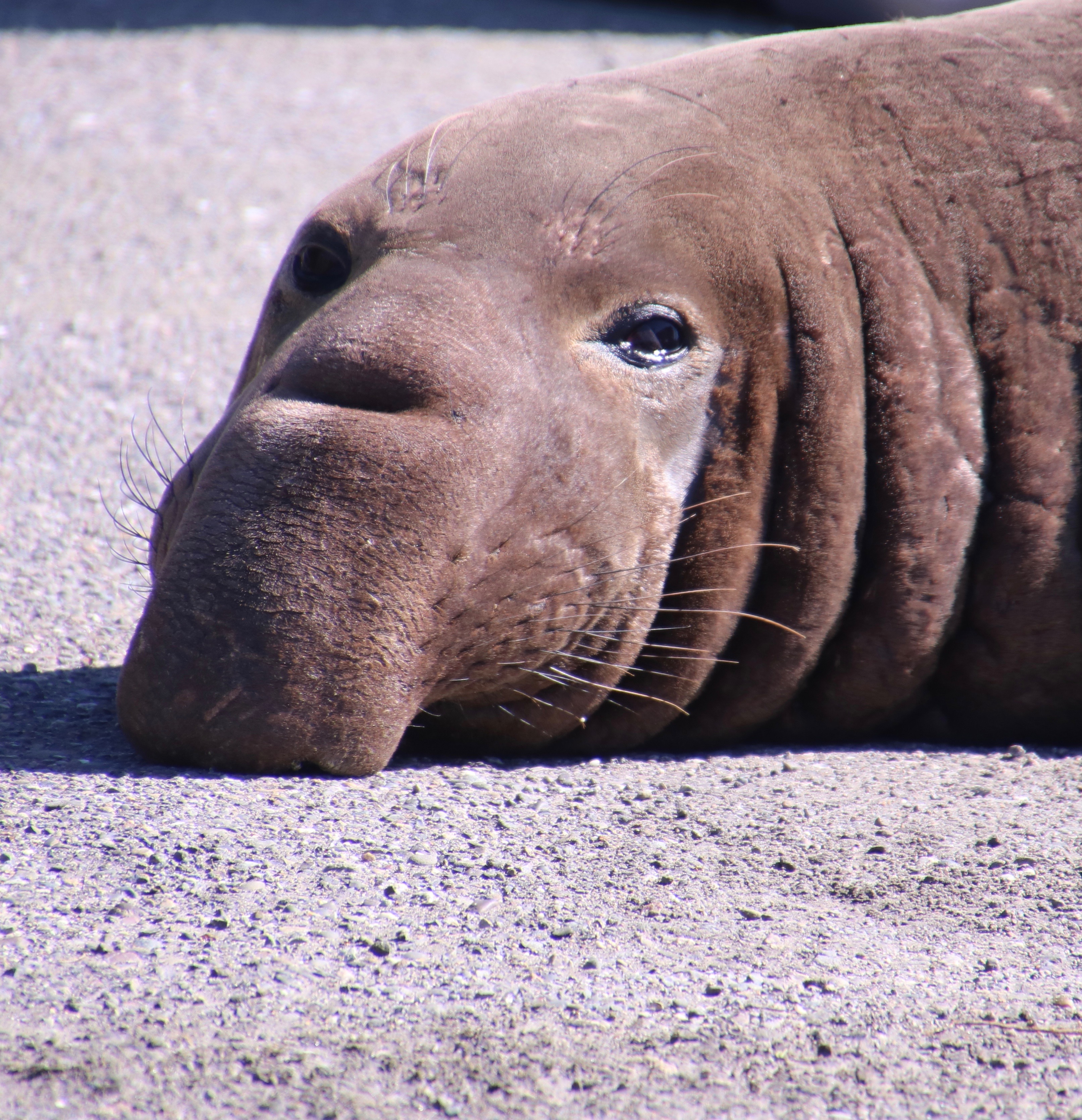
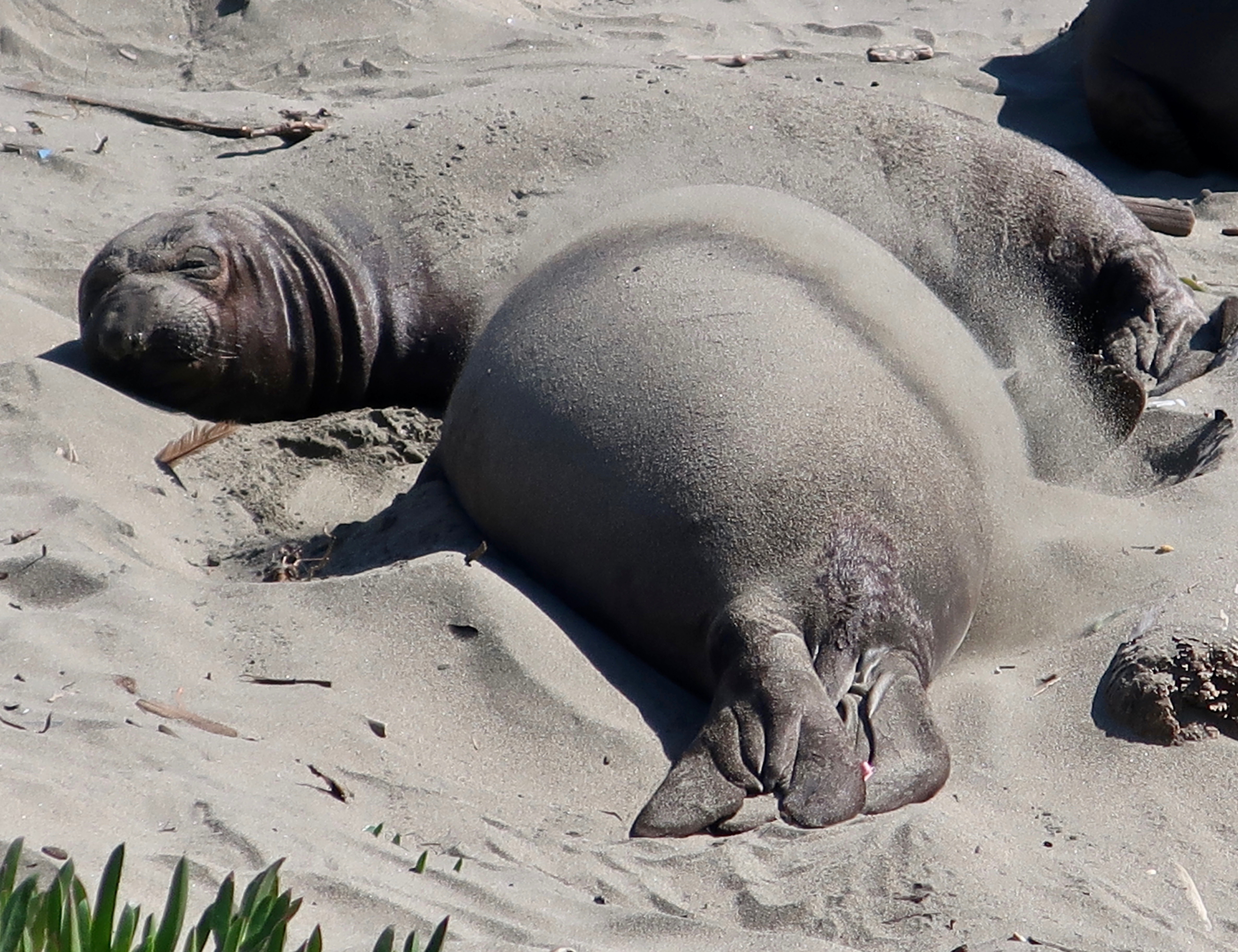
The Park Service had set up a barrier to separate the seals from the people who had come to admire them at Drake’s Beach. Those closest to the barrier were bulls. You can tell by their size and uniquely shaped noses. One had crossed the barrier and was worrying the rangers. “He’s escaping from the other bulls,” a ranger explained. Maybe.

This large bull had crossed through the barriers at Drakes Beach and was pointed toward the snack bar. (Photo by Peggy Mekemson.)

A little girl next to me exclaimed, “I think he is heading to the snack bar to get fish sticks!”

“I’d bet on ice cream,” I responded. “Look at how big he is.” The girl looked at me dubiously. “Fish sticks” she insisted.

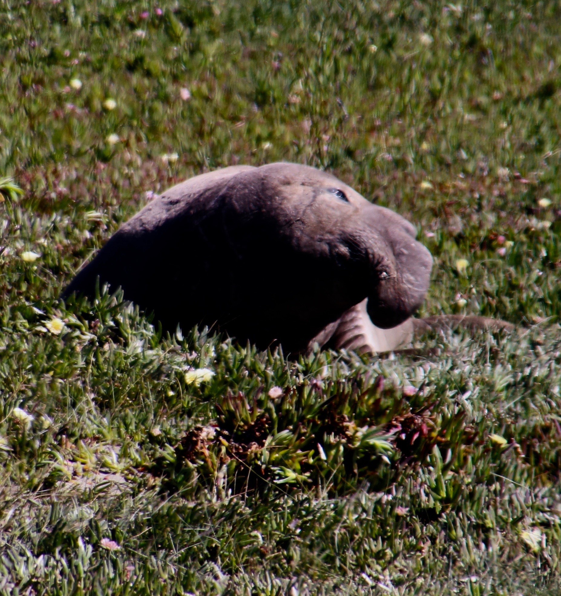
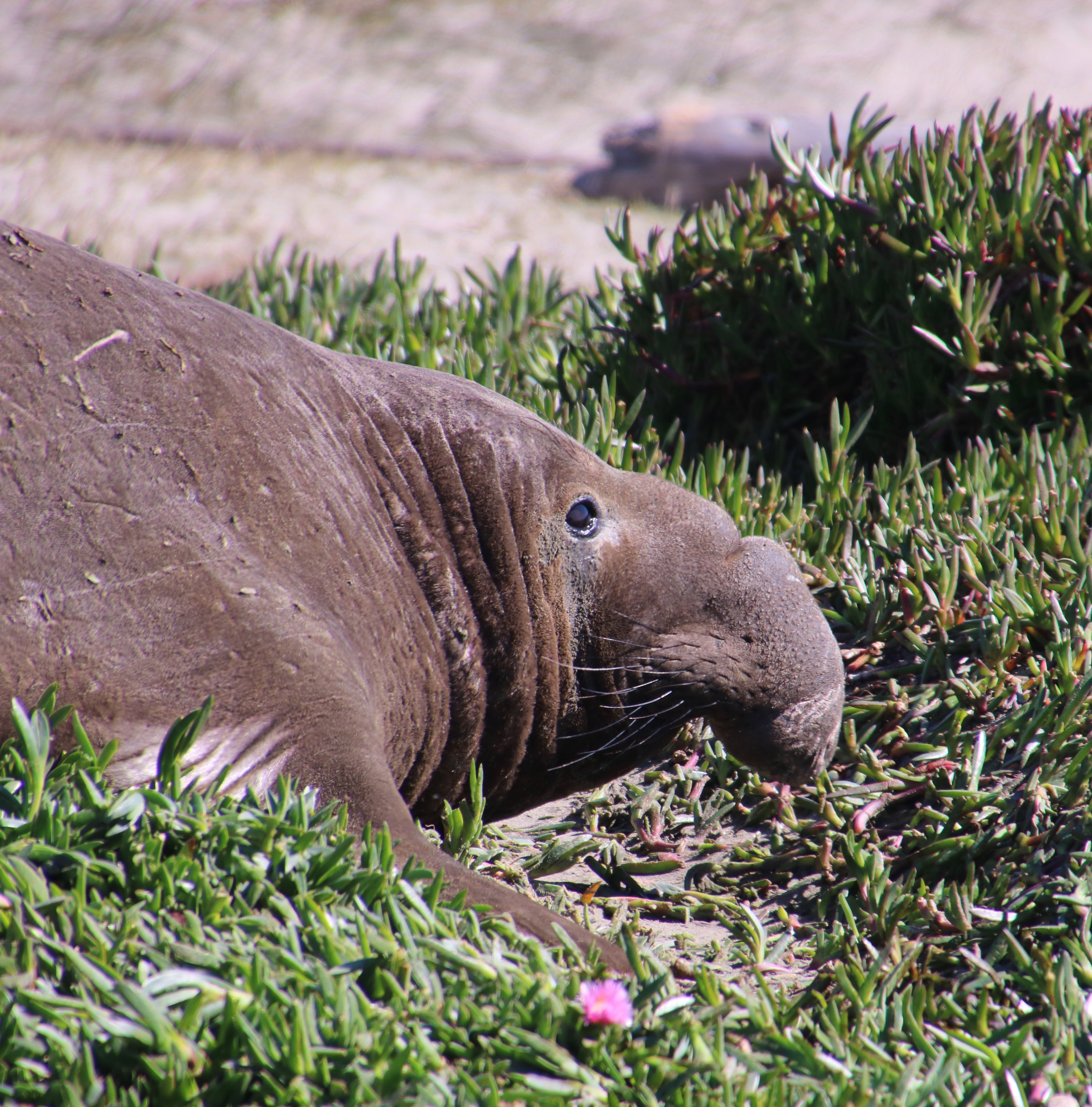
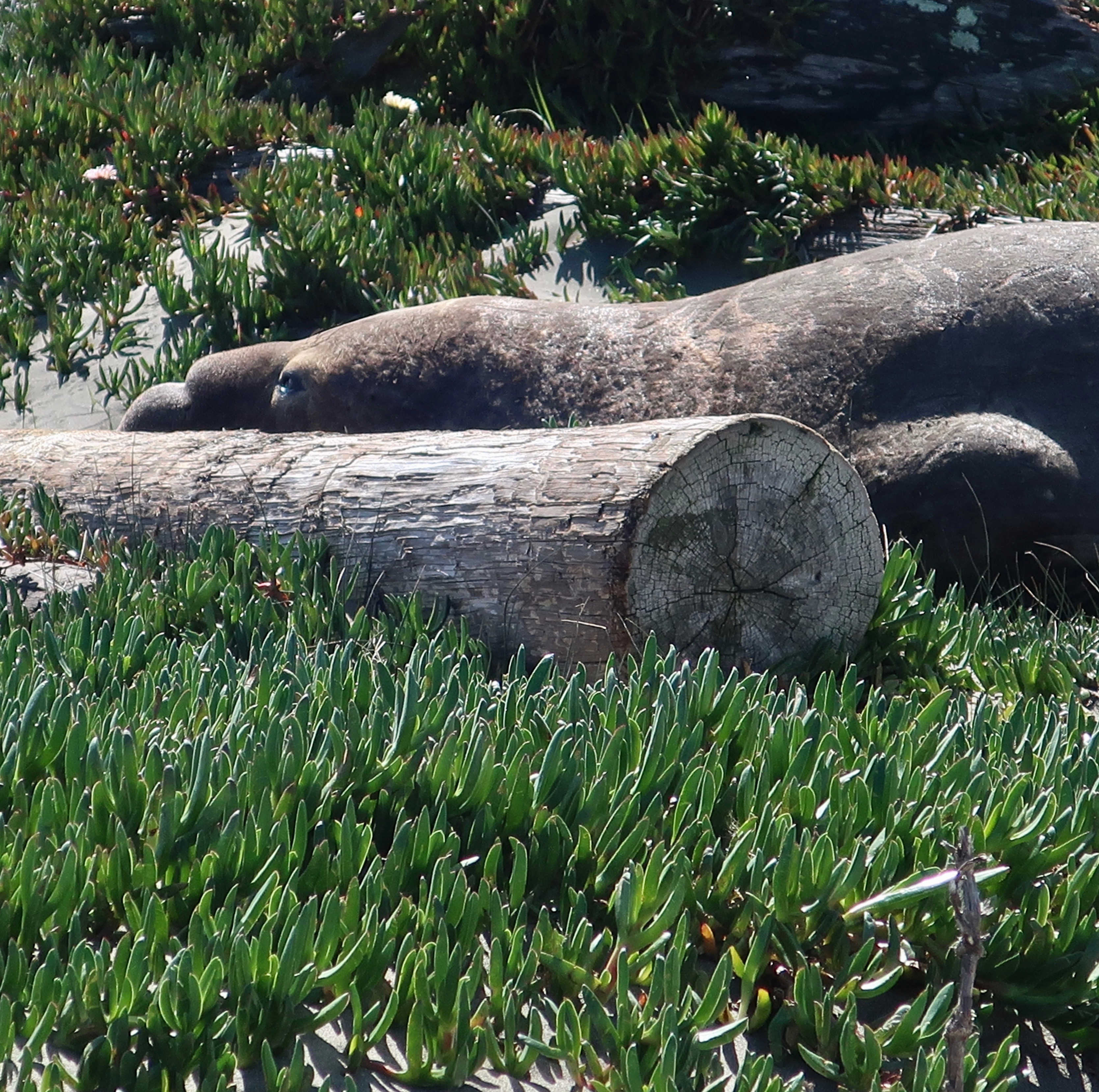
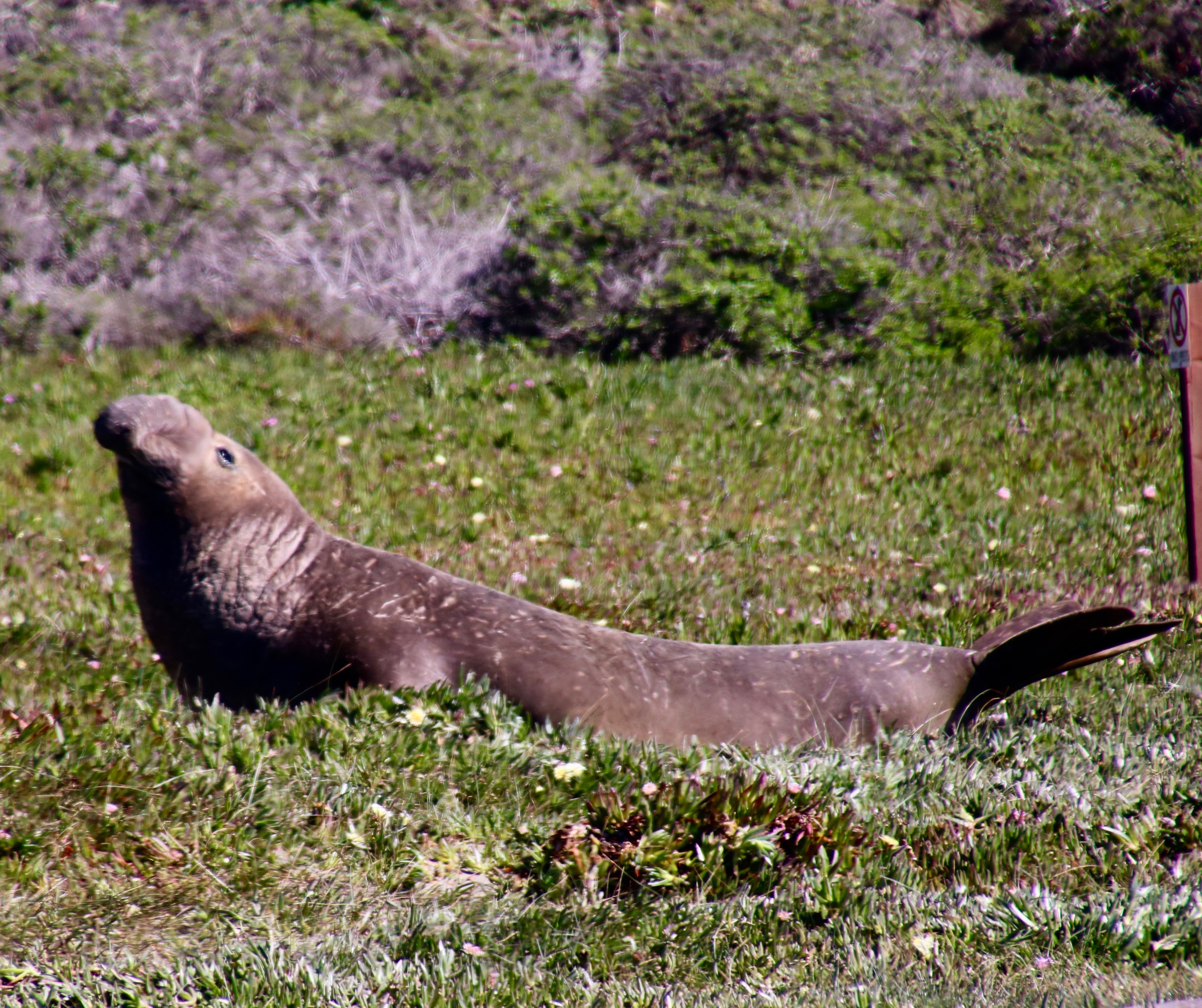
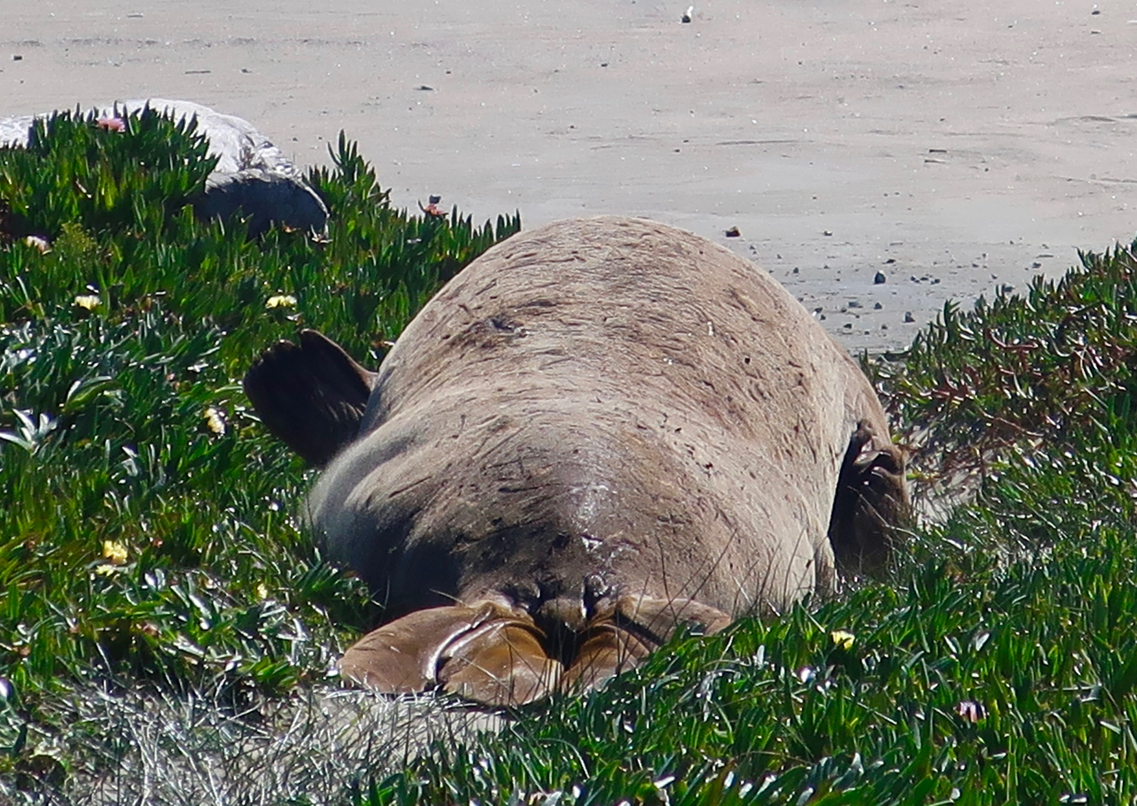
Peggy and I spent an hour watching these wonderful creations of nature who are so competent at sea and ungainly on land. They move like an inchworm, using their dorsal flippers to pull their front half forward and then using their rear flippers to push the rest of their body along like a rolling wave. Imagine moving several tons of fat. The ones we watched would make two or three of these moves and then collapse to rest.

Given their trunk-like noses and appealing eyes, Peggy and I were particularly attracted to the looks on their faces.

Is this fellow being coy?
Check out the big brown eyes! The size of the eyes helps the elephant seal see in the dark depths of the ocean. The whiskers apparently help as well in the search for food. He had lifted his head to check us out. (Photo by Peggy Mekemson.)
And then returned to his resting position. (Photo by Peggy Mekemson.)
A side glance. (Photo by Peggy Mekemson.)
A bit shy, perhaps. Maybe he thought that the log was hiding him.
Size matters. (Photo by Peggy Mekemson.)
This was interesting. The skin of the elephant seals is sensitive to the sun. They cope by throwing sand over their bodies with their flippers, as seen in this photo.
Sometimes a little stretch really feels good! (Photo by Peggy Mekemson.)
Peggy caught some of the girls sunbathing out near the ocean…
Drake’s Bay was named for Sir Francis Drake who reputedly visited the area in 1759. There’s another bull on the left— looking sluggish.
I’ll conclude today with this elephant seal that was making its way back toward the ocean. I decided he was waving goodbye with his flipper. I’ll return to the tide pools of Harris Beach in Oregon next week. Are you aware that groups of sea anemones go to war with each other?

NEXT POSTS:

Monday’s Blog-a-Book… “It’s 4 AM and a Bear Is Standing on Top of Me”: I move outside in the summer to enjoy nature but hire the family’s dogs and cats to protect me from the ghosts.

Wednesday’s Blog-a-Book… “The Bush Devil Ate Sam”: Held at gunpoint, I consider the odds of running over the gunman versus getting shot.

The Starfish of Harris Beach State Park, Oregon

We saw this colorful starfish from a distance and came over for a closer look. It’s scientific name is Henricia leviuscula. It common name is Pacific blood star.
I decided a slight shift in perspective would create a twirling ballet dancer! Or is it a whirling dervish?

We were lucky to find any starfish at all. The population up and down the Pacific coast came close to being wiped out in 2013. A rather nasty virus that melted these attractive creatures from the inside killed millions. Legs would fall off and go crawling away. It sounded like the plot to a Grade B horror flick. Fortunately, evolution came to the rescue. A small portion of the population seemed immune to the virus. Maybe some of the legs got lucky. They came back with a vengeance. We did find a few that were obviously dead. I touched one. It was mushy. Melting.

Everywhere we looked we saw starfish. Sometime in bunches. These purple and orange star fish belong to the same family, Pisaster ochraceus. Scientists don’t know why they come in two colors.

Here are some fun facts:

  • These rather amazing five-legged creatures have seawater for blood. It serves the same purpose, delivering nutrients to cells. 
  • Starfish can regenerate an arm lost to a predator. But what if the arm loses its starfish? It can regenerate a new starfish, an exact replica. Pretty cool, huh.
  • They have very small mouths but like large, tasty morsels, like mussels. Not a problem. They have big stomachs. They send them out through their mouths and wrap them around what they want to eat. They digest their dinner and then suck the nutrients back into their mouths, along with the wandering stomachs. 
  • They move around on tiny little feet that are found on their arms. They fill these little feet with water and mimic walking. They travel slowly, at least I have never seen one move quickly. 
  • The feet also serve another purpose; they work as suction cups. The starfish will wrap itself around a closed mussel, attach their little feet, and pull the shells apart. Not an easy task.
  • One more thing about their arms, each one comes with eyes. Not eyes like you and I have but photo receptors that allow them to distinguish between light and dark and move around in search of food, or to avoid becoming food. 

Following are more of our photos:

At first, I thought that the ugly guy above the starfish was seaweed. But looking at it more closely, I decided that it wasn’t something I wanted to meet up with on a dark night.
I’ll conclude with this edgy fellow.

NEXT POSTS:

As you read this post, Peggy and I are on our way to Pt. Reyes National Seashore north of San Francisco. When she asked what I wanted to do for my birthday week, it popped up. The National Sea Shore is one of my all-time favorite places and I have been escaping there for 50 years. So, beyond responding to comments, I will be taking a break from blogging and reading blogs this coming week. Translate: Vacation! I’ll be back to work on March 8. See you then. –Curt

Harris Beach State Park… Another Gem on the Oregon Coast: Part 1

Harris Beach State Park is located just north of Brookings, Oregon, which, in turn, is located north of the California border. It is one of a number of beautiful state parks located along the coast.

Peggy and I just returned from visiting another of the scenic state parks along the Oregon Coast. This time we followed the Redwood Highway from Grants Pass to Crescent City, which, in itself, is worth the trip. Highlights included following the plunging Smith River as it tumbles down to the Pacific Ocean and winding through the giant trees of Jedidiah Smith Redwood Park. (Smith, BTW, was an early mountain man, explorer, pioneer and author in the western US. His name is on lots of places. Had I been in his boots, those places would be named Mekemson. Grin.)

Harris Beach State Park is a short 26 miles from Crescent City following Highway 101. It’s about three hours from our home. We lucked out and got a campsite overlooking the Pacific that is normally booked months in advance. We don’t do months in advance.

The park is named for George Scott Harris, a native of Scotland. According to the Park website, he obtained the property in 1871 after a lifetime of wandering, which included serving in the British Army in India and spending time in Africa and New Zealand.  In 1860, he made it to San Francisco where he worked in railway construction and mining, finally migrating to what would become the park, settling down, and raising sheep and cattle.

We’ve visited the park before. This photo is from one of our trips. You can see why we would want to return.

While we are always fans of reflection shots, Peggy and I found something else to amuse ourselves with this time: Tide pools. Half of our beach time was spent ferreting out sea life. I plan to feature what we found in this five part series including starfish, anemones, hermit crabs, snails, limpets, chitons and seaweed. Oh my! Plus. Naturally, there will also be sea stacks, driftwood, unique rocks, and sunsets— the types of things one expects when visiting the Oregon coast. Today, I will post a few introductory photos to the park.

Looking down on the beach. We timed our visits for low tide so we could visit the tide pools. People walking on the beach provide perspective.
Looking out to sea.
It pays to look down, as well. Interesting patterns can be found in the sand. Temporary art, soon to be washed away. This reminded me of a ferocious ocean bird. Travel back from the long, pointed beak to the fierce eye.
Looking up provided a view of a dead tree, yellow flowers and rock. The yellow flowers are bourse, another visitor from Scotland that came to Oregon and decided to stay.
A whole different world exists on top of the rocks. Seabirds find the seat stacks at Harris Beach an ideal place for raising families.
Speaking of nesting, the largest island on the Oregon Coast is just off of Harris Beach. Known as Goat Island, it is also known as Bird Island since over 100,000 birds nest here in spring, including tufted puffins.
The rocks also have unique stories to tell.
While I like drift wood because of the character it develops bouncing around in the ocean, many people find other uses for it. One person’s photo op is another person’s fort! Or possibly, a beach campfire.
If you need a change of scenery, look back toward shore. My focus here was on the shallow stream spreading out over the sand.
Here, I liked the distinctive layers starting with the sand and working upward. Note the size of the driftwood logs.
A closer perspective.
I’ll conclude todays’ post with a sunset. Next Friday I am going to focus in on star fish, also known as sea stars. They were almost wiped out in the past few years by a virus but have made a miraculous recovery.

NEXT POSTS:

Monday’s Blog-A-Book…It’s 4 AM and a Bear Is Standing on Top of Me: I discover that the overgrown, jungle-like graveyard next to our house is a great place to play during the day but becomes very scary at night when the ghosts come out.

Tuesday’s Blog-A-Book… “The Bush Devil Ate Sam”: While driving a laundry truck to earn money for college, I meet a young Liza Minnelli in her babydoll pajamas at casino magnate Bill Harrah’s home, and am held at gun point during a laundry takeover at Lake Tahoe. Later on, I was amused by the thought that it was good training for me as a student at Berkeley and as a Peace Corps Volunteer.

Why I Love Deserts: Nevada’s Highway 95 Is an Example

While many people think of the desert as a wasteland to travel through at 70 MPH plus, there is great beauty.

Peggy and I have made numerous trips up and down Nevada’s Highway 95. Most of our journeys to the Southwest start with that route. We never tire of the beauty along the way. Our frequent trips up and down the highway mean that I have done several posts on it over the years. The photos I am posting today were taken near the Town of Tonopah. There’s a good chance that you will have seen some of them. But they are worth looking at again. At least I think so…

I always think these lonely power poles add to the photo.
Black and white works as well. I think it adds drama.
A distant shot may classify as a close-up in the desert.
Another example.
I’ll conclude with what a distant shot looks like in the desert.

Peggy and I have now wrapped up our visit to Brookings on the Oregon Coast. Next Friday I’ll begin posting photos of what we saw. Naturally there will be sea stacks that the coast is famous for. We also captured a spectacular sunset. No surprise there. The tide pools provided a different perspective, however. We hung out with starfish, and anemones, and seaweed, and hermit crabs, and limpets. Oh my!

NEXT POSTS:

Monday’s Blog-a-Book from “It’s 4 AM and a Bear Is Standing on Top of Me” : I kick off the second section of my book— Growing Up in a Graveyard— with the story of how I was kicked out of the first grade for a poorly done forgery and began my wandering ways.

Wednesday’s Blog-a-Book from “The Bush Devil Ate Sam” : I am put in the hospital for my Republican political views, as a fourth grader, and make a left turn from the right lane in community college preparing myself for the 60s, Berkeley, and the Peace Corps.

Here Kitty, Kitty: Lyman State Park, AZ… The Backroad Series— Highway 191

Here kitty, kitty, kitty. I was amused by this petroglyph of what appears to be a cougar running at Lyman State Park in Arizona. Other petroglyphs of cougars that Peggy and I have seen in the Southwest often have their tails over their backs.

We had started our backroad exploration of Highway 191 at Arches National Park in Utah and would wrap it up at Lyman State Park in Arizona. The two parks made nice bookends. I’d been by the park twice and considered stopping both times but thoughts of the Rocky Mountains looming ahead had kept me moving. The first time I was on my bicycle and planned to do a hundred mile trip across the range the next day. This time it was getting late and Peggy and I were tired from a long day of driving. We were lucky to get a space.

We went out for a walk as the sun was setting. The comic-appearing rock face on the left caught my attention. The nose was hard to ignore!

Our evening walk had taken us past a sign announcing a petroglyph trail, a happy surprise. Peggy and I have visited a number of petroglyph sites throughout the Southwest, many of which I have blogged about. We hadn’t realized that Lyman State Park also features the ancient rock art. We made a quick trip up the trail and vowed to return in the morning. Both the Anasazi and the Hopi had made their homes along the Little Colorado River, which was now damned up forming Lyman Lake. The petroglyphs were found in the rocks above the river. The Hopi believe they entered this world from another world near where the Little Colorado enters the Colorado River.

A sign placed by the park interpreted this rock art. The wiggly line represents the Water Serpent the Hopi would ask for water when water was scarce. Obviously they found it in the Little Colorado, which meant they could settle in the area. The guy on the right is jumping up and down holding corn they were able to grow. Or maybe he’s excited about his companion having a baby. You can see it hanging down. The umbilical cord hasn’t been cut yet. I’d be jumping up and down too. The wildlife looking on may symbolize the availability of game for hunting.
Behold the turtle who only makes progress when it sticks its neck out. At least, I think it’s a turtle. I also admired the lichen on the right.
A pair of very long snakes? Or at least their trail. Have you ever seen a snake trail crossing a dirt road?
There was also an interpretation sign for this. The thick line in the middle was apparently a migration route. Off to the left are snakes. The guy on the right may be dead since that is how death is sometimes shown in petroglyphs. I wonder if the snakes got him. Or Kitty, which was just to the left.
Land use planning? A sign suggested that this was a map that showed the various farms or settlements along the Little Colorado.
Another example of a petroglyph map.
Who knows?
My interpretation here is of a bear print with lots of sharp claws…

There’s much more to Lyman State Park than petroglyphs. For one, the lake is apparently a popular boating lake. None were there at the time, which pleased us given the likely noise. We wandered around and took in the sights

What the…? How’d you like to come home to this?
Hungry swallow chicks. 🙂
Who lives here? It’s a spider. I didn’t shove my finger down the hole.
Peggy made her way along the Petroglyph Trail.
Which overlooked the lake.
And featured this tree…
Rocks…
And more rocks.
I’ll conclude with this attractive peninsula jutting out onto the lake.

NEXT POSTS:

Blog-a-Book Monday: It’s 4 AM and a Bear Is Standing on Top of Me… I conclude the Sierra Trek story with the greatest surprise of all.

Blog-a-Book Wednesday: The Bush Devil Ate Sam… I contemplate the wandering ways of my ancestors as a factor in my decision to join the Peace Corps. I’ve often been jealous of these early mountain men who travelled with the likes of Daniel Boone. But not Uncle Bill. He had his head cut off by a tomahawk and rolled down a hill…

Highway 191: National Parks and Navajos… The Backroad Series

Our first stop on Highway 191 was only a few miles south of I-70; Arches National Park. I’ve already posted on our visit, but here’s a photo from the park.

There are some backroads in America that we immediately recognize. Route 66 is one. Highway 1 along the California coast is another.  Last summer, Peggy and I went on a road trip in our van exploring several other America’s backroads which aren’t quite so familiar, at least to me. 

Highway 191 was one. This highway starts at the Canadian Border in Montana and ends in Arizona on the Mexican Border. I’ve driven much of it over the years. I’ve even bicycled several hundred miles on the highway. But I confess that if someone had asked me what I knew about Highway 191 before our trip last summer, I would have asked where it was. 

Highway 191 travels from the border of Canada to the border of Mexico.

Peggy and I picked it up off of I-70 in Utah and followed it south into Arizona where we cut off on Highway 180 crossing the southern Rockies toward Silver City in New Mexico. Along the way we visited Arches National Park, made our way through Navajo country, passed by Canyon de Chelly and spent a delightful night at Lyman State Park in Arizona. I’ll feature some pictures that Peggy and I took along the road but will save Lyman Lake for next week’s post.

One more Arches photo. Peggy caught this photo of me checking out Balanced Rock.
There are, of course, impressive arches outside of Arches National Park. Wilson Arch is found along Highway 191 south of the National Park.
Further south along Highway 191, Peggy and I came on this interesting sandstone monument known as Church Rock. BTW, the road into Canyonlands National Park is near here.
Views along 191 included badlands…
These trees…
And the San Juan River.
As we entered the Navajo nation, the concern over Covid 19 was immediately apparent. This dinosaur was wearing a mask at a service station.
I love this sign that shows a sense of humor in the Navajo Nation about social distancing. Very few people were out and about in comparison to 9 months earlier when we had visited Canyon de Chelly. We saw perhaps a half dozen outside of Chinle, gateway to the National Monument.
Two Navajo Sheep. (Photo by Peggy Mekemson.)
A view looking down into Canyon de Chelly from our previous visit. Tourism and tourist dollars came to a dramatic halt with Covid-19 ravaging the Navajo Nation.
People like Alan Ba, from whom we bought this artwork, would have an important source of income eliminated.
As we neared I-40 on Highway 191, there was one more grim reminder of the problems facing the world, a massive forest fire brought on partially by global warming.
Traveling south of I-40 we found more badlands, not all that far from the Painted Desert.
Shortly after arriving at Arizona’s Lyman State Park, we were treated to a sunset over the lake. It had been a long day.

NEXT POSTS:

Blog-a-book Monday: Just when I thought we were out of trouble, the Sheriff pays the Sierra Trek a visit and dynamite threatens to rain rocks down on us.

Blog-a-book Wednesday: I start the book on my African Peace Corps adventure with asking the question: Why?

Travel Blog Friday: We explore the unique early American rock art of Lyman Lake, discover some birds that are more mouth than body, and appreciate the beauty of the area.

The Beauty, the Geology, and the Weirdness of Sunset Bay…

A couple of weeks before Christmas, Peggy and I made a trip over to Cape Arago on the Oregon Coast. The waves featured in my January 7th post were from this trip as is today’s post on Sunset Bay State Park, which is located at the beginning of the Cape just outside of Coos Bay.

Sunset Bay at sunset with the tide out.

The tourist and real estate industries of the Oregon Coast prefer to ignore the next BIG one, or put it off to sometime in the distant future. The folks involved in predicting earthquakes have a different perspective. The sheer number of tsunami evacuation route signs along the Oregon coast speak to their concerns. The Cascadia Subduction Zone is real. A massive 9-point something or other earthquake known as a mega–thrust is in our future. They happen every 300 to 600 years. The last one was in 1700. The oceanic Juan de Fuca plate is diving under the North American continental plate and it will not be denied. It’s stuck right now. Small earthquakes near the surface are creating pressure on the trapped area, however. When it gives, all hell will break loose.

I, for one, pay careful attention to the evacuation routes whenever Peggy and I visit the coast. If the earth shakes, we will be out of there! So what if we leave our welcome mat behind.

Sunset Bay State Park is a geological wonderland when it comes to featuring various aspects of what can happen when a massive earthquake strikes. The most fascinating to me are the stumps of ancient trees. Twelve hundred years ago, a forest stood above the ocean where Sunset Bay now stands. An earthquake caused a subsidence in the land, drowning the forest. At low tides, the remains can still be seen.

I was fascinated by the different shapes of trunks left by the ancient trees.
Octopus like…
A different perspective…
This ancient tree stump at Sunset Bay State Park bears a strong resemblance to a man doing jumping jacks.
This tree has roots on roots. A genealogist would be impressed.
Incoming tide surrounded the tree trunk and reflected the fluffy clouds in the sky.
Peggy stands in front the ancient tree trunks to provide perspective. Her Covid-19 mask serves as a scarf.

Faults, fractures in the earth’s surface along which the blocks of crust move relative to one another can be seen among the tilted and layered rocks of the Bay at low tide. The rocks, BTW, also provide an excellent area for tide pools that feature sea life loved by kids and adults alike. 

Low tide at Sunset Bay. You can see a number of tide pools to explore, but it also shows a clear fault running from left to right. A second fault can be seen behind it. The crust between the faults moves when earthquakes strike.
We spent a few minutes peering into tide pools.
We were impressed by the sea anemone. The slit is the anemone’s mouth, and, for convenience, its anus as well. The tentacles contain stingers filled with a toxin for stunning dinner, which is then transported to its mouth.
For fun, I rendered the anemone in black and white.

While the bay represents an earthquake caused subsidence, the Whiskey Run terrace surrounding the Bay represents uplifts and folding also created by tectonic activity related to the Cascadia Subduction Zone. The wave-caused erosion taking place in Sunset Bay operated on the terrace when it was at sea level. It’s estimated that the land rises approximately three feet every thousand years. 

The terrace above Sunset Bay was once at sea level. Like the Bay, waves created the flatness of the terrace.
A close up of the Whiskey Run terrace. The sedimentary layers have been tilted down to the right by tectonic forces and then eroded away by wave action. A layer of dirt/rock has since been laid down on top, providing soil for the forest.

And finally, I would like to feature a strange, non-tectonic feature of Sunset Bay: concretions. Peggy and I first came across these round, rock-like structures on the southern coast of the South Island of New Zealand. They are created when groundwater triggers extra amounts of ‘cement’ around irregularities in the rock such as shells, creating a round structure that continues to grow as more cement is added. The hardness of the covering makes it harder to erode than the surrounding rock. 

This is a concretion.
And these are concretions apparently marching out to sea. Why, I haven’t a clue.

I’ll conclude with a few other photos from Sunset Bay that I found interesting.

An orange rock with ripples…
A ghost tree…
Sea grass in the late afternoon sun…
Peggy walking through the tunnel that connected our campground to the bay.
And finally, I’ll wrap up this post on Sunset Bay with more waves.

NEW BLOG SCHEDULE: I’ve been working on revising the book on my Liberia Peace Corps experience— adding a few chapters on my experience working for the Peace Corps after I was a Volunteer and updating the chapters I wrote about modern Liberia. Several of you have read the book and a few of you may have even been around when I first blogged it several years ago. Anyway, I am going to reblog it again, adding it to my schedule. On Mondays I will continue to blog my book, It’s 4 AM and a Bear is Standing on top of Me. On Wednesdays, I will blog The Bush Devil Ate Sam. On Fridays, I will continue my travel blog.

NEXT POSTS:

Blog a Book Monday: Will you believe I actually have a good day on the Sierra Trek?

Blog a Book Wednesday: Introduction to the Bush Devil Ate Sam

Travel Blog Friday: I return to my Backroad series following Highway 191 through Navajo country in Utah and ending up in Arizona’s Lyman State Park.

The Loneliest Road in the US was Lonelier in 7,000 BCE… Petroglyphs of Grime’s Point

I took this photo while standing at Grime’s Point Archeological Area just off Highway 50 about five miles east of Fallon, Nevada on an earlier trip. The terraces above the basalt boulders were cut into the side of the ridge by the ancient Pleistocene Lake Lahontan as it rose and fell. Had I been here 10,000 years ago I would have been under 700 feet of water. Traveling over today’s Highway 50 route would have required a submarine.
Turning around from where I was standing was more basalt and a view of Highway 50. A pickup pulling a trailer makes its way over ‘The Loneliest Road in America.” Looking across the valley you can see ranges fading into the distance that are part of the Basin and Range complex of Nevada, which is part of the Great Basin of the Western US.
Had you arrived on the scene much later, say around 5,000 BCE or 7,000 years ago, you would have discovered that Lake Lahontan was much shallower as glaciers receded to the north and warmer temperatures prevailed. The area would have been marshy and filled with abundant wildlife. Ancient peoples had arrived on the scene and were pecking away at the rocks, creating some of the earliest petroglyphs in Nevada and North America. Grime’s Point features these petroglyphs. A copy of one of the petroglyphs is on the left.
The pit and groove petroglyphs here are among the oldest petroglyphs found in Nevada.
As to what they mean is anyone’s guess. One thought is that they were used in hunting rituals by shaman to assure success.
This basalt boulder was covered with pit petroglyphs. Ancient peoples and later Native Americans would use rocks to peck away the desert varnish that covers rocks to show the lighter rocks underneath. One way of measuring the age of petroglyphs is to see how much desert varnish has since re-covered the rock petroglyphs. The color of these pit and groove petroglyphs has returned to the original varnish color. Translate old.
In contrast, this is a much more recent petroglyph, probably carved in the last 500 years. To me, it appears to be a big horn sheep. But then again…
Most of the petroglyphs fall somewhere in age between the ‘sheep’ petroglyph above and the pit and groove style of petroglyphs. I like the almost-polished look of this basalt boulder. If you look carefully, you can see petroglyphs stretching down and out on both sides of the rock. Following are several examples of the petroglyphs I found wandering around among the boulders. It’s like a treasure hunt. Fun.
I’ll conclude with a final view of the landscape at Grime’s Point Archeological Area. Remains of what may have been a rock fence used to drive deer and antelope to the dinner table is found up near the top of the ridge.

BLOG-A-BOOK TUESDAY: Join me on the first 100-mile backpack trek I ever organized. Leading 61 people aged 11-71 across the Sierra Nevada Mountain Range, I was lucky to escape with my life and career in tact.

TRAVEL BLOG THURSDAY: Peggy and I continue our Back Roads of America Series by stopping off at another petroglyph site along The Loneliest Road in America: The Hickison Petroglyph Area. This time we will be featuring some out-of-this-world rocks and, uh, puberty rites.

The Bandon, Oregon Series: Part 3… Face Rock State Scenic Viewpoint

Peggy and I arrived in Bandon on a stormy day and drove over to the Face Rock State Scenic Viewpoint as soon as we had checked into our campground. Face Rock was shrouded in rain and mist. There’s a legend that says you can hear a woman’s voice in the wind if you listen. It all sounds like an appropriate Halloween tale…

According to Native American lore, the beautiful Indian maiden, Ewauna, arrived with her father, Chief Siskiyou, in the Bandon area for a major potlatch. Ewauna had never seen the ocean and immediately fell in love with it. (For those of you who aren’t familiar with the potlatch concept, the object is to give things away to guests, the more you give, the more you are admired.)

What’s not to love about the beautiful ocean beaches near Bandon? This photo is looking south from the Face Rock Scenic Viewpoint. The rock in the distance is Haystack, which I featured in my last Bandon post about the Devil’s Kitchen State Park. The two people among the rocks provide perspective.

“Don’t go near the ocean,” the old men of the tribe warned Ewauna. The evil spirit of the ocean, Seatka, lived in the waters along the coast and apparently had a thing for beautiful young Indian maidens. But what young woman full of life listens to old men? That night there was a great feast as part of the potlatch. After being stuffed with bear and deer and elk and berries, and mussels and clams, everyone drifted off to a deep sleep. That is, everyone except Ewauna.

She quietly got up, careful not to wake anyone, and slipped off to the ocean taking her dog, Komax, her cat, Tenas Puss Puss, and Tenas’s kittens with her. She carried the cat and kittens in a basket. Ewauna ran up and down the beach with joy and jumped into the ocean for a swim, telling Komax to look out for the cat and kittens. Out she swam, farther and farther, as Komax barked louder and louder, warning her of the danger. Suddenly an ugly monster surfaced and grabbed her. It was the evil spirit, Seatka.

Komax stopped barking, grabbed the basket in his mouth and swam madly out to rescue his mistress. Dropping the basket, he sank his sharp teeth into Seatka’s arm. Good boy! The evil spirit screamed in anger and pain, grabbed Komax, and threw him far out into the ocean. For good measure, he also grabbed Teanas Puss Puss and her kittens, tossing them as well. He then increased his grip on Ewauna, squeezing her tight.

“Look into my eyes,” he demanded. He could only possess her if she looked at him.

“Never!” she had replied, staring steadfastly up at the sky and moon. And that is how Chief Siskiyou found her the next morning, still staring up at the sky, refusing to let the evil spirit to possess her. And that is where you can find her today.

Coming back the next day, Peggy and I found Ewauna still staring up at the sky with a smile on her face. Still free. (Photo by Peggy Mekemson.)
Her pets, too, have been turned into rocks (shown on the right) and wait faithfully for her.
Later we returned to the beach to watch the sunset and found Face Rock turned orange by the setting sun. (Photo by Peggy Mekemson.)
Speaking of faces I caught this photo of Peggy as the wind had fun with her hair at the scenic viewpoint.

While Face Rock gives its name to the scenic viewpoint, there are a number of other sea stacks to admire.

Photo by Peggy Mekemson.
Photo taken from inside a cave by Peggy.
Peggy caught this unique shot of the sun sinking into the Pacific Ocean. (Photo by Peggy Mekemson.)
Mine was more traditional.
I’ll conclude my Bandon series with this dramatic evening look of sea stacks at Face Rock. (Photo by Peggy Mekemson.)

NEXT POST: After a thousand posts, it’s time to consider changes in my blog.

The Magnificent and Powerful Art Of Marco Cochrane… My 11 Years at Burning Man

In 2010, Marco Cochrane introduced the first of his magnificent nude sculptures to Burning Man, the 40 foot tall Bliss Dance.

When I first ventured out onto the Playa on my 2010 visit to Burning Man, I was immediately drawn to a large sculpture of a nude woman that struck me as being beautiful and full of life. The sculpture, I learned was titled Bliss Dance and had been created by the Bay Area artist Marco Cochrane based on his model, the dancer Deja Solis. Bliss Dance would go from Burning Man to Treasure Island next to San Francisco and is now on permanent exhibition in Las Vegas. Here’s what Cochrane had to say during the unveiling of the sculpture in Las Vegas:

What I see missing in the world is an appreciation and respect for feminine energy and power that results when women are free and safe. It seems obvious to me that feminine energy is being suppressed and that this must change. If we are to find real, lasting solutions to the problems facing humanity, men and women must be able to work together as equals. Bliss Dance is intended to focus attention on this issue.— Marco Cochrane, Feb. 2016 press release

This sentiment also applies to the two other sculptures that Cochrane created for Burning Man as part of a trilogy: Truth Is Beauty in 2013 and R-Evolution in 2015. I consider myself privileged to have been at Burning Man on each of these years. Truth Is Beauty is now on permanent exhibit overlooking the BART station in San Leandro, California.

Truth Is Beauty at Burning Man in 2013.

An 18-foot rendition of Truth Is Beauty and several other art works from Burning Man were recently on display at the Smithsonian’s Renwick Gallery in Washington DC. An introduction to the exhibit stated:

Burning Man, one of the most influential events in contemporary art, is both a cultural movement and a thriving temporary city of more than 70,000 people that rises out of the dust for a single week each year in late summer in Nevada’s Black Rock Desert. During that time, enormous experimental art installations are erected, some of which are then ritually burned to the ground. The desert gathering is a uniquely American hotbed of artistic ingenuity, driving innovation through its philosophies of radical self-expression, community participation, rejection of commodification and reverence for the handmade.

Nora Atkinson, the Lloyd Herman Curator of Craft at The Renwick went on to say this about the exhibit’s title: No Spectators

“‘No Spectators’ is a long-standing saying on Playa. You are encouraged to fully participate. It’s all about being there, being fully present, and not just observing. Two of the ten principles of Burning Man are radical participation and radical inclusivity, meaning that there are no outsiders. Everyone is part of the experience.”

If both of these statements seem a bit familiar, they reflect what I have been saying about Burning Man art and Burning Man in my posts over the last several years. In ways, I believe that Burning Man has been fostering a mini-renaissance in art and is now being recognized world-wide for its contributions.

R-Evolution, the last of Cochrane’s trilogy was actually scheduled to be exhibited on the National Mall in Washington DC between the Washington Monument and the White House. The group responsible for moving and installing the sculpture had written to me and asked for permission to use photos from my blog in a documentary it was preparing for the exhibit. The exhibit was cancelled. It may have been that the idea of a giant nude on the mall was too controversial. Anyway, here is one of my favorite photos of the sculpture:

R-Evolution at Burning Man in 2015.

Peggy (my wife) says what she loves about sculpture is that it is three dimensional art that you can touch and feel as well as see. One of her favorite things about Burning Man is that the art has an up-close and personal aspect, a hands on policy. Most museums have a hands-off policy. The three dimensional aspect of sculpture also has great appeal to me. I believe that that you should be able to appreciate sculpture from any angle. I’ll use the concluding photos on this post to further look at the three sculptures.

BLISS DANCE AT BURNING MAN 2010


TRUTH IS BEAUTY AT BURNING MAN 2013.

My friend Tom Lovering caught this beautiful shot.
At night, LED lights inside the sculptures light them up in a number of ways, changing every few minutes.
A final view of Truth Is Beauty.

R-EVOLUTION AT BURNING MAN 2015

One of my favorite views of R-Evolution because of the Black Rock Desert background. (Photo by Don Green.)

That’s it for today. NEXT POST: UFO’s, aliens, and a giant robot at Burning Man.