The Point Cabrillo Lighthouse, a Poet, and a Bookstore Cat

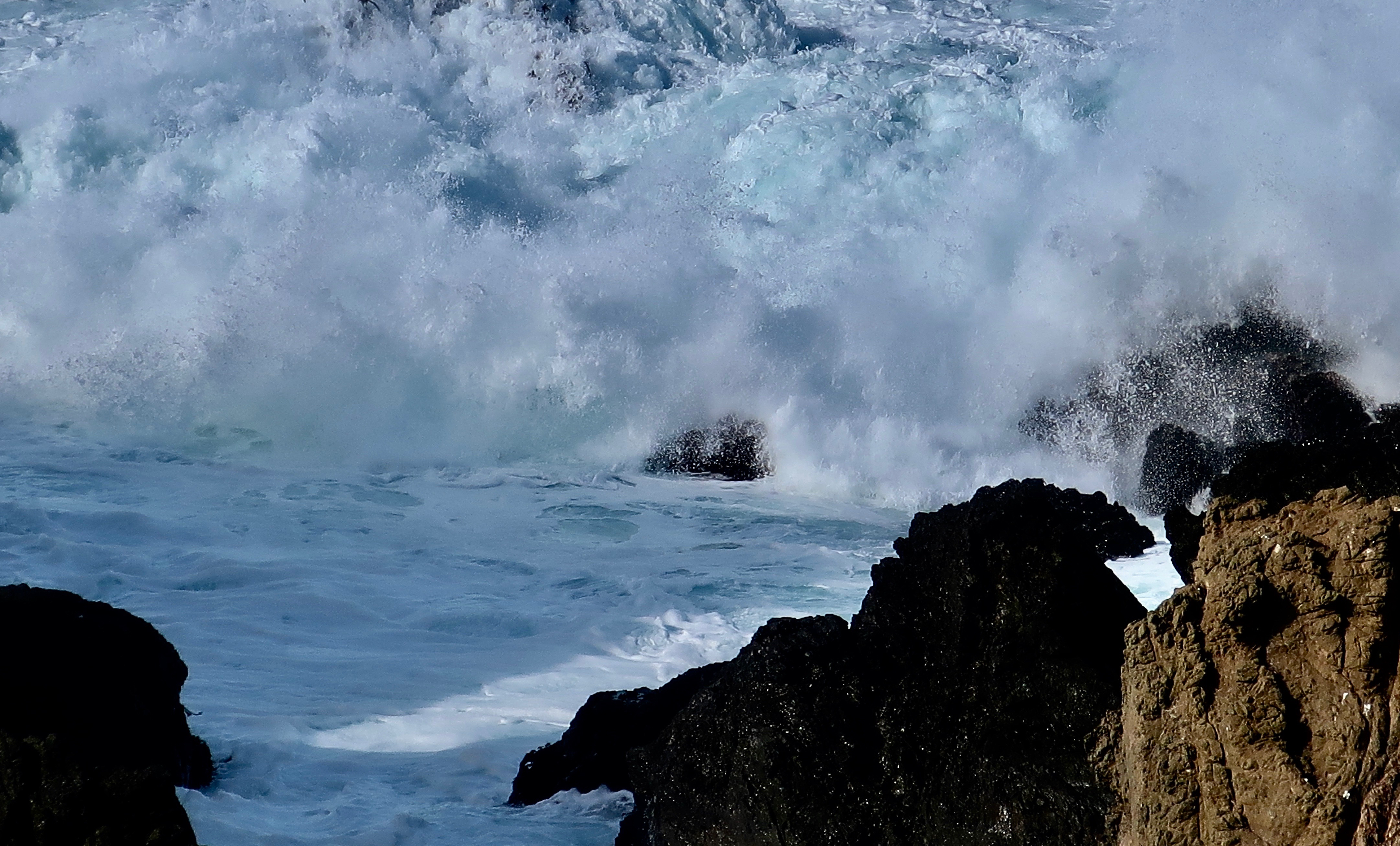
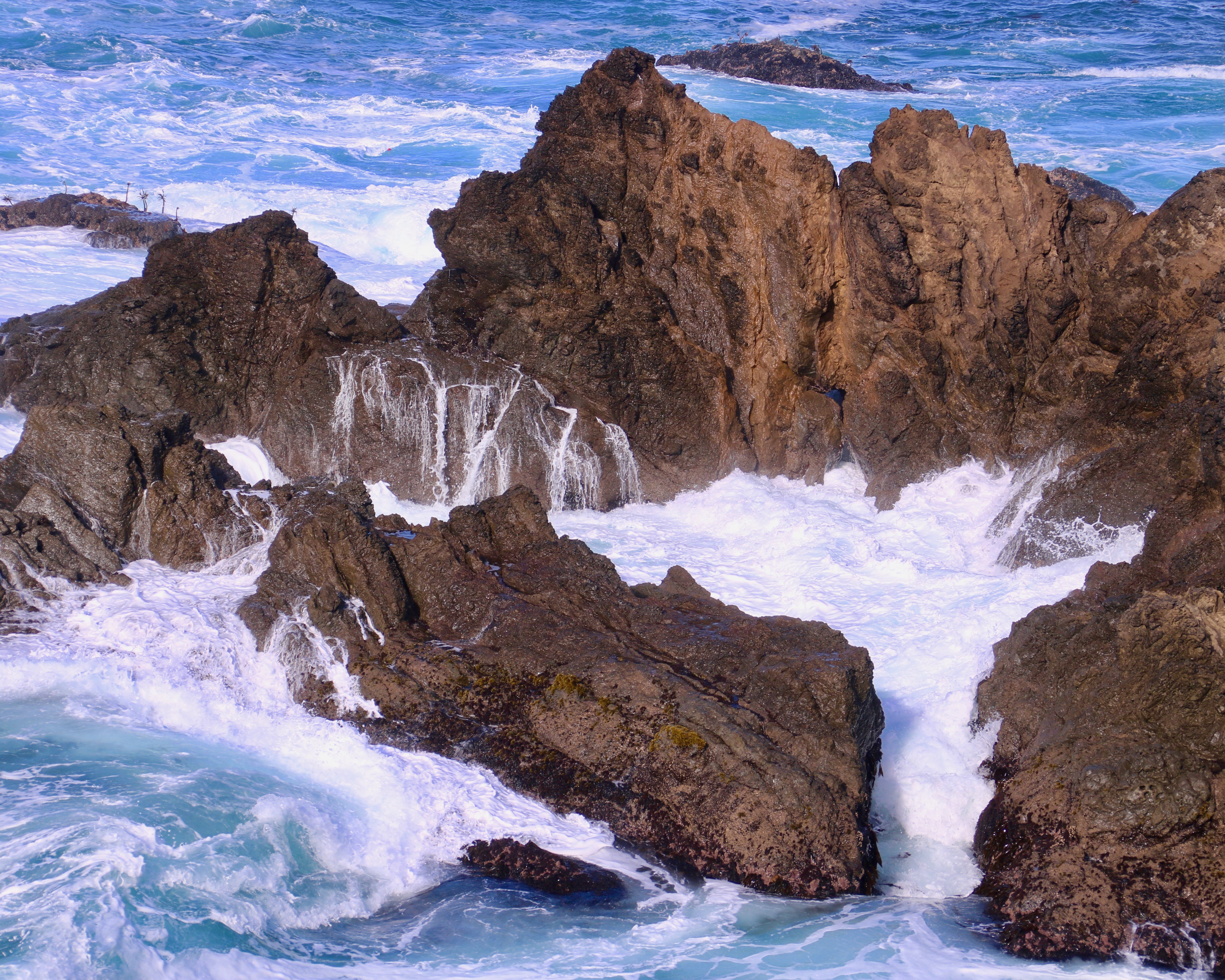
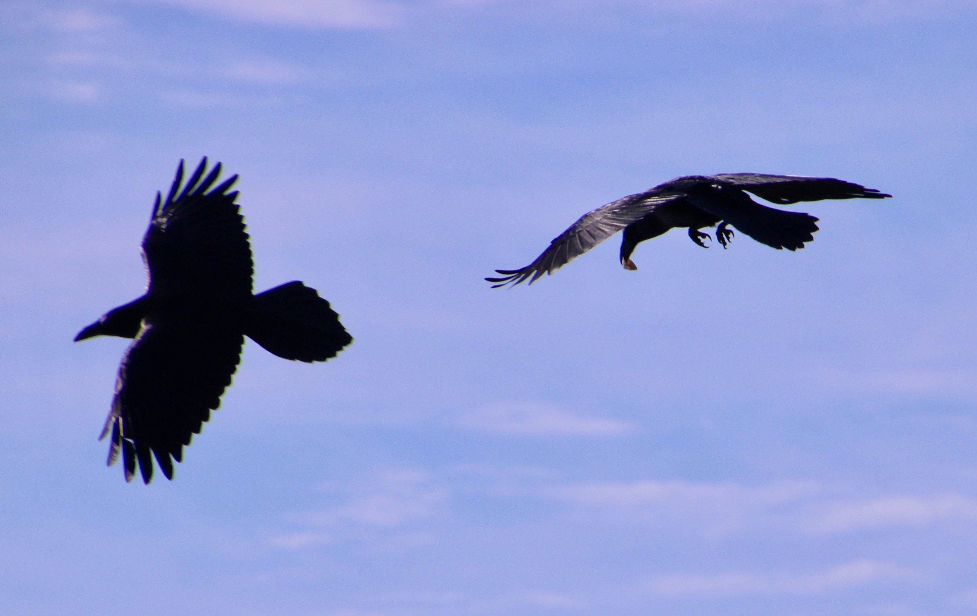
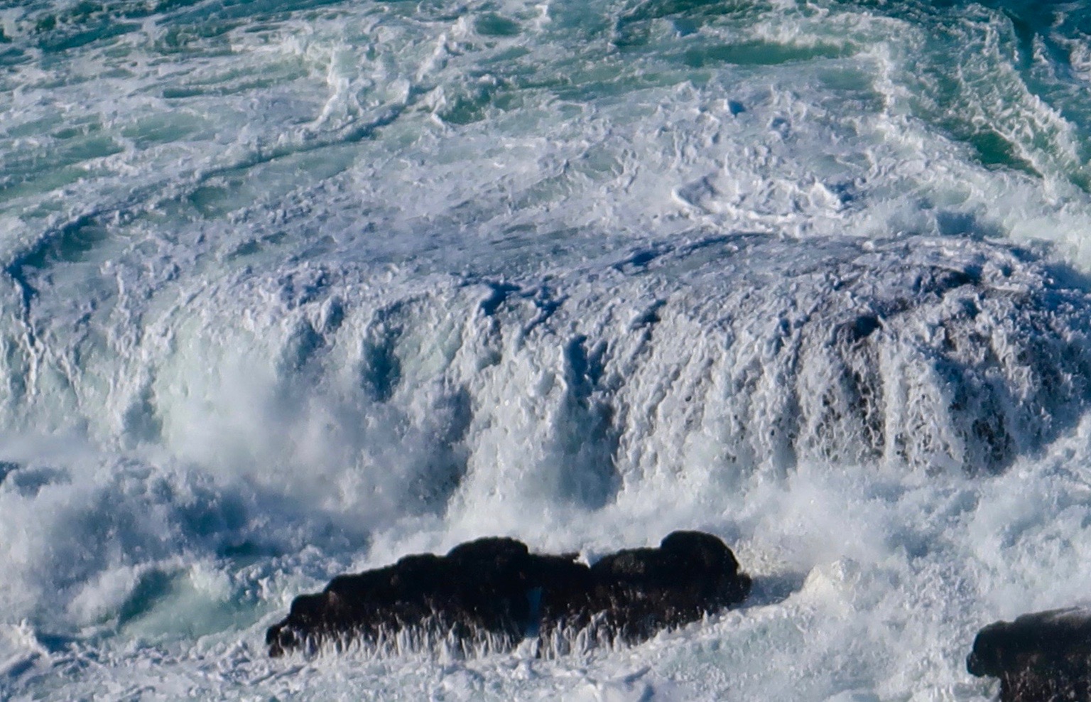
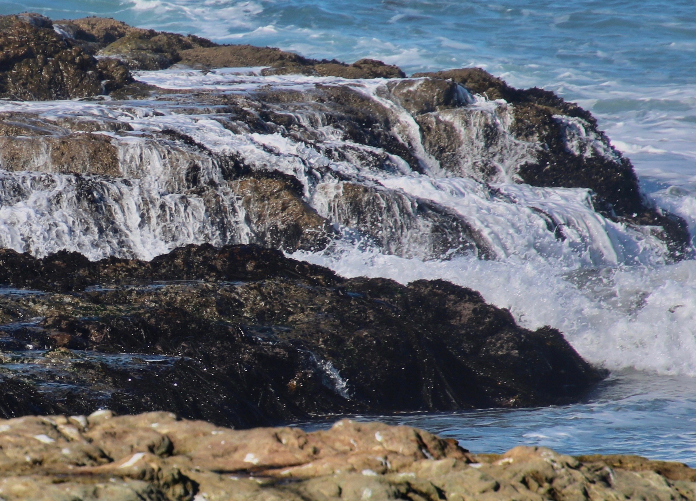
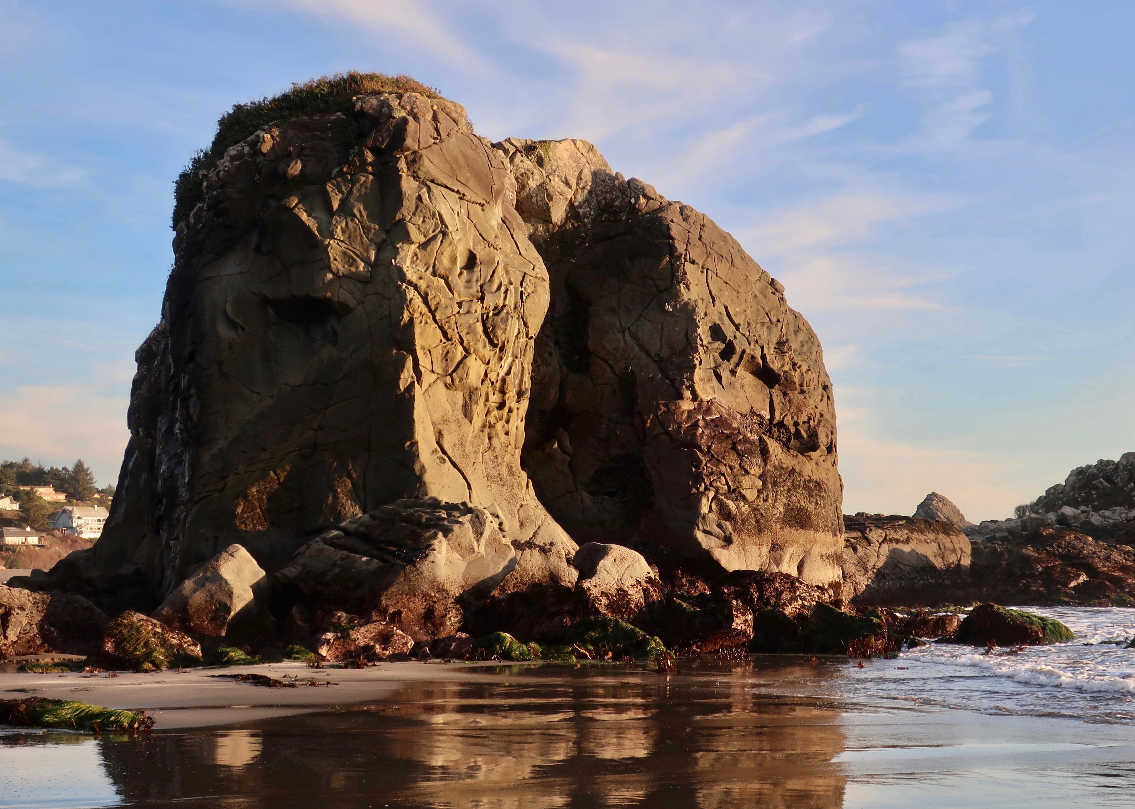
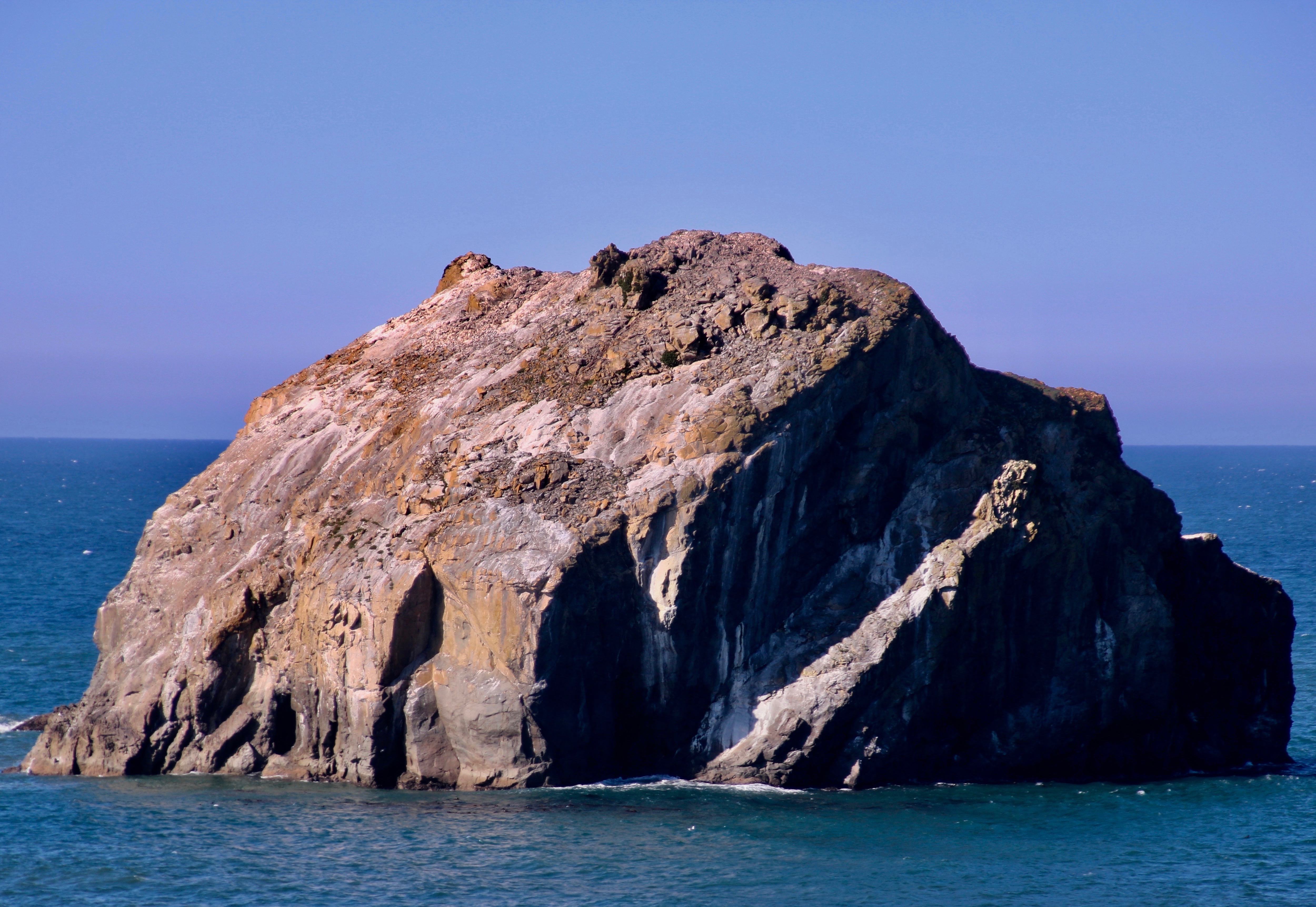
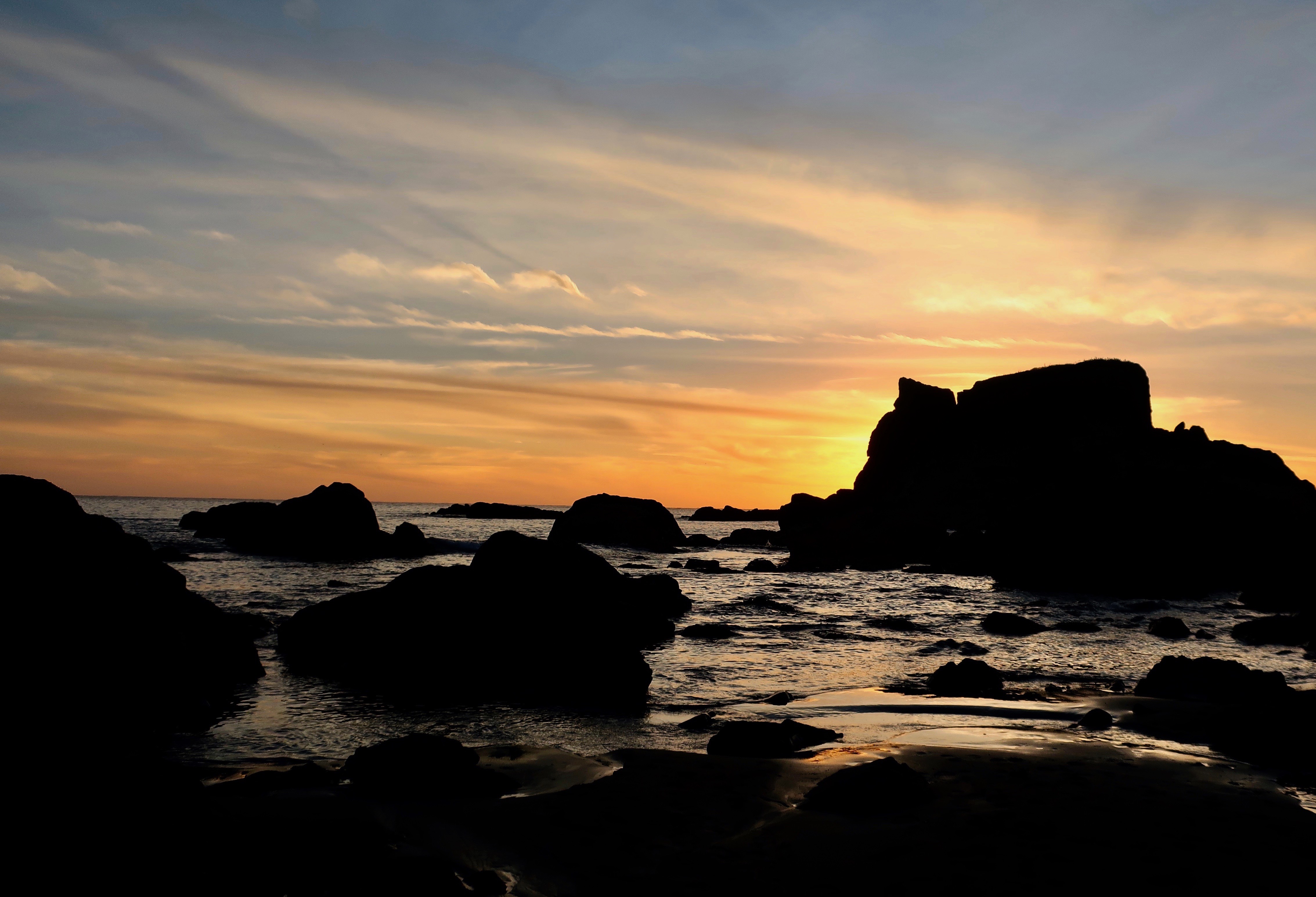
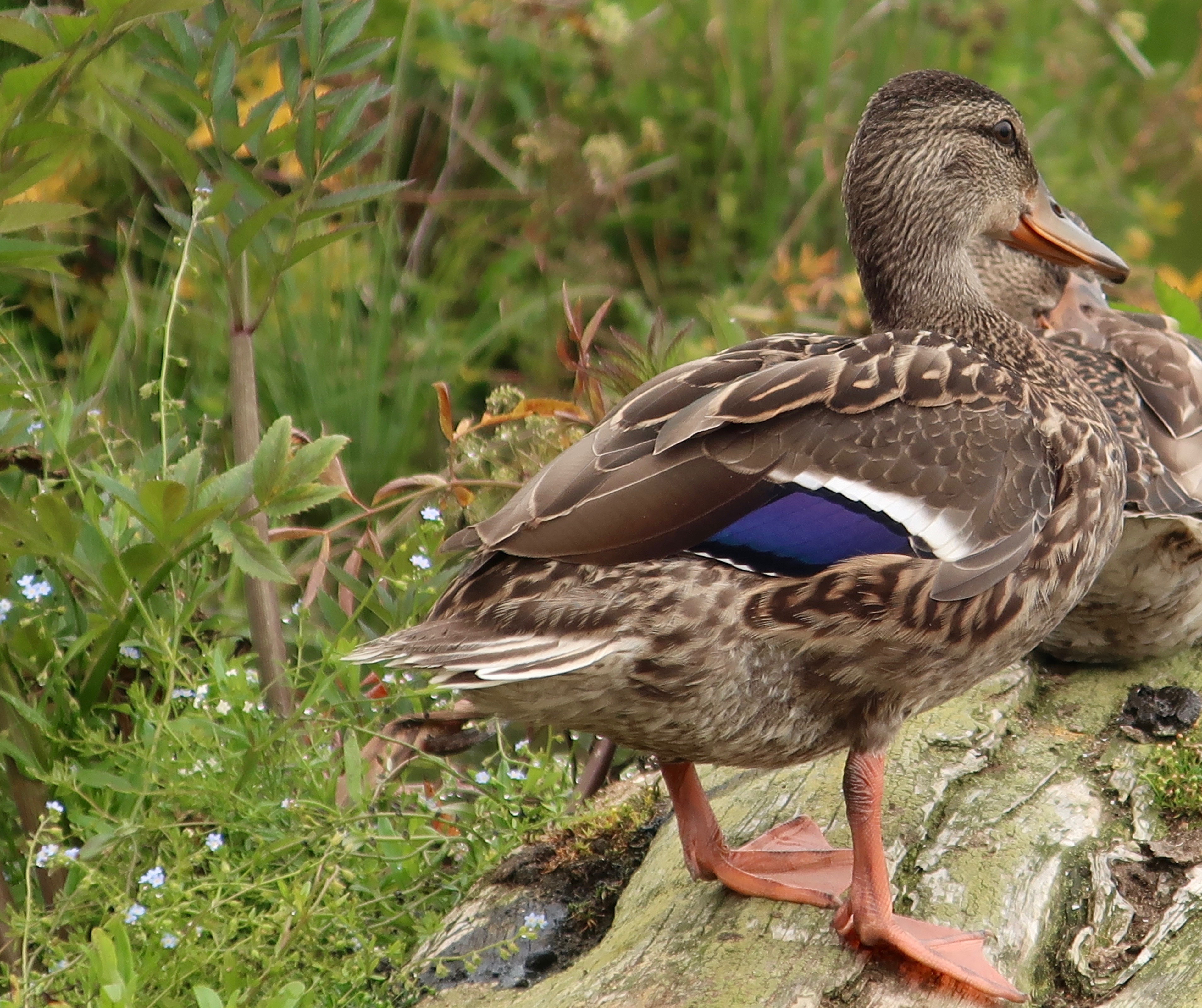
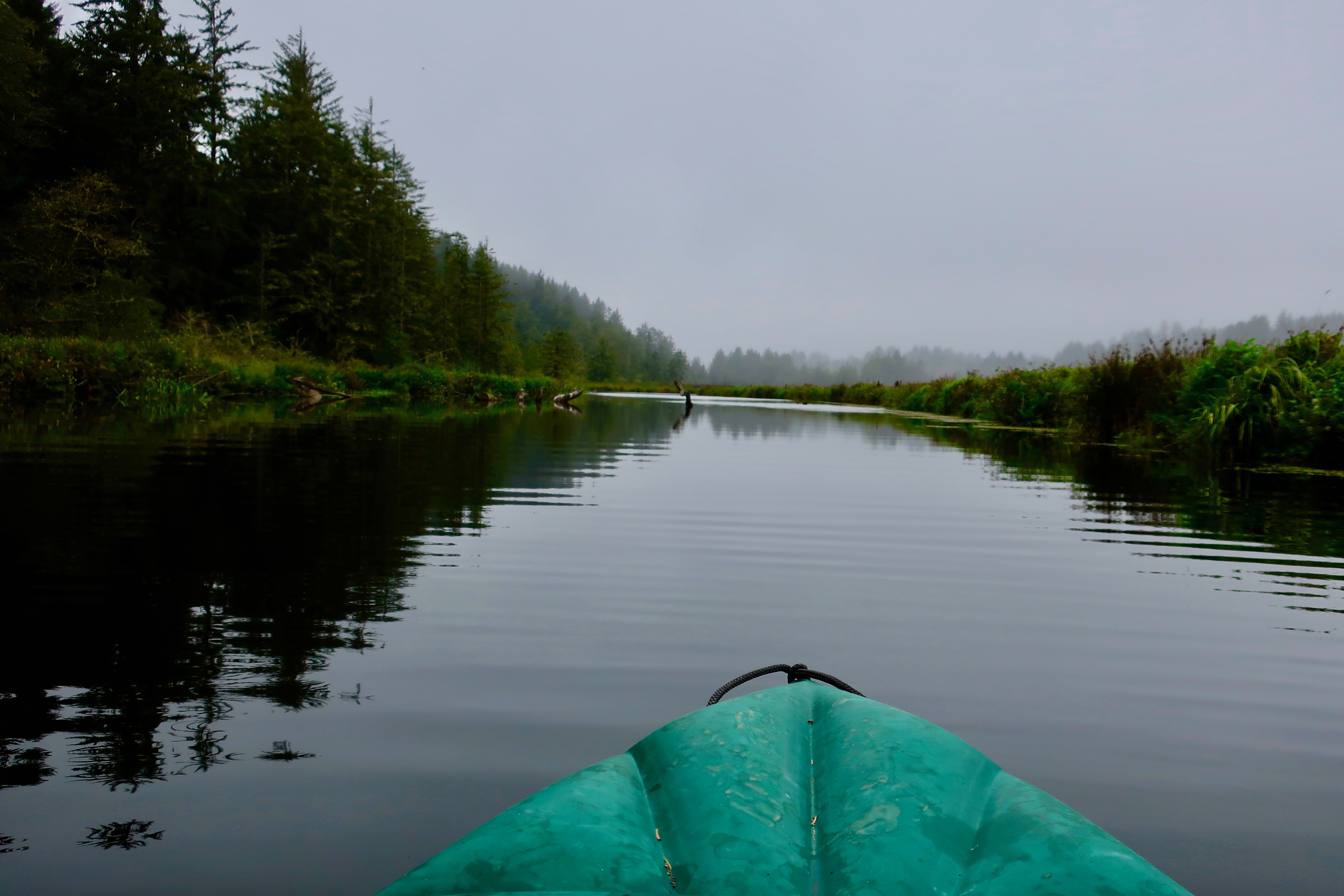
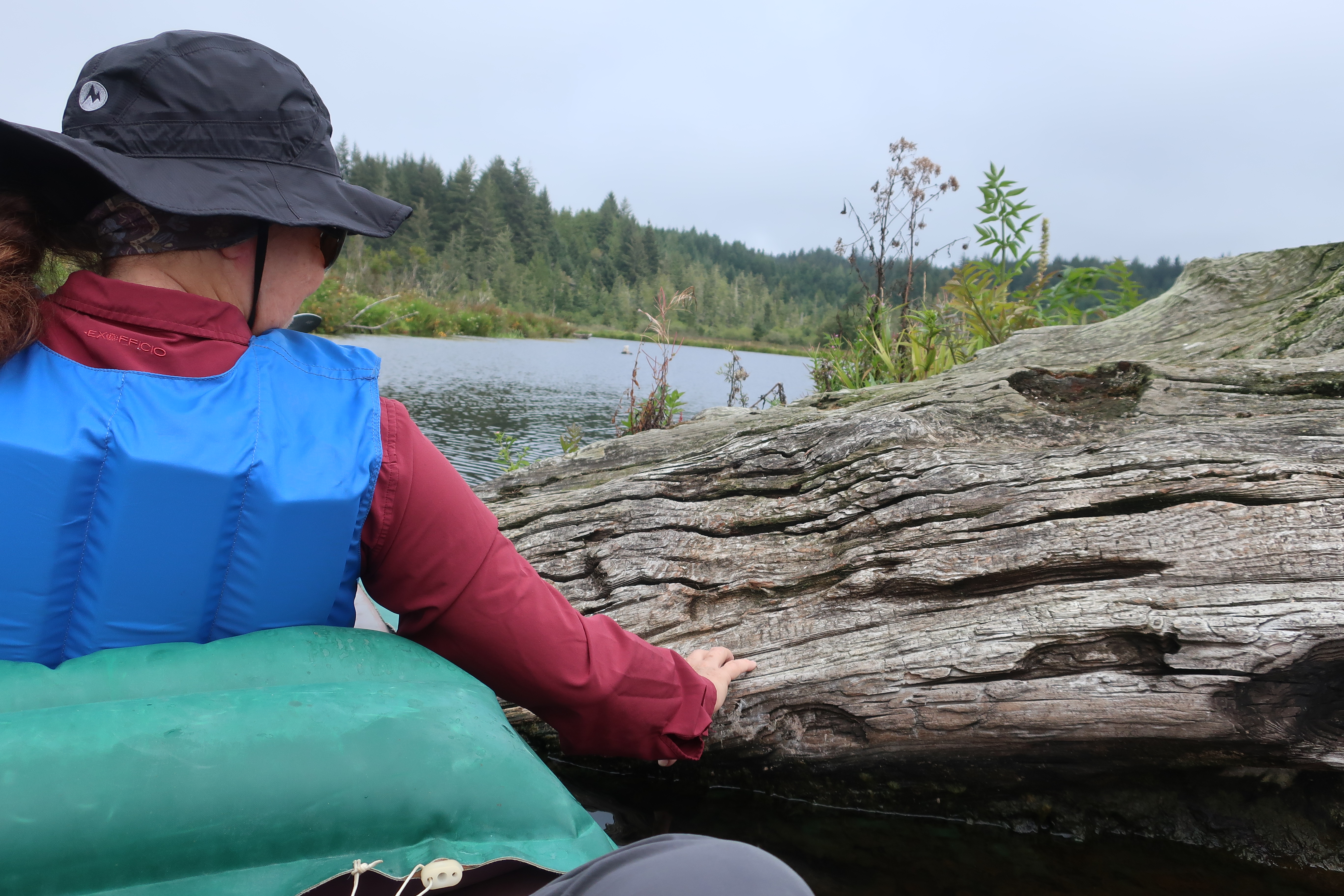
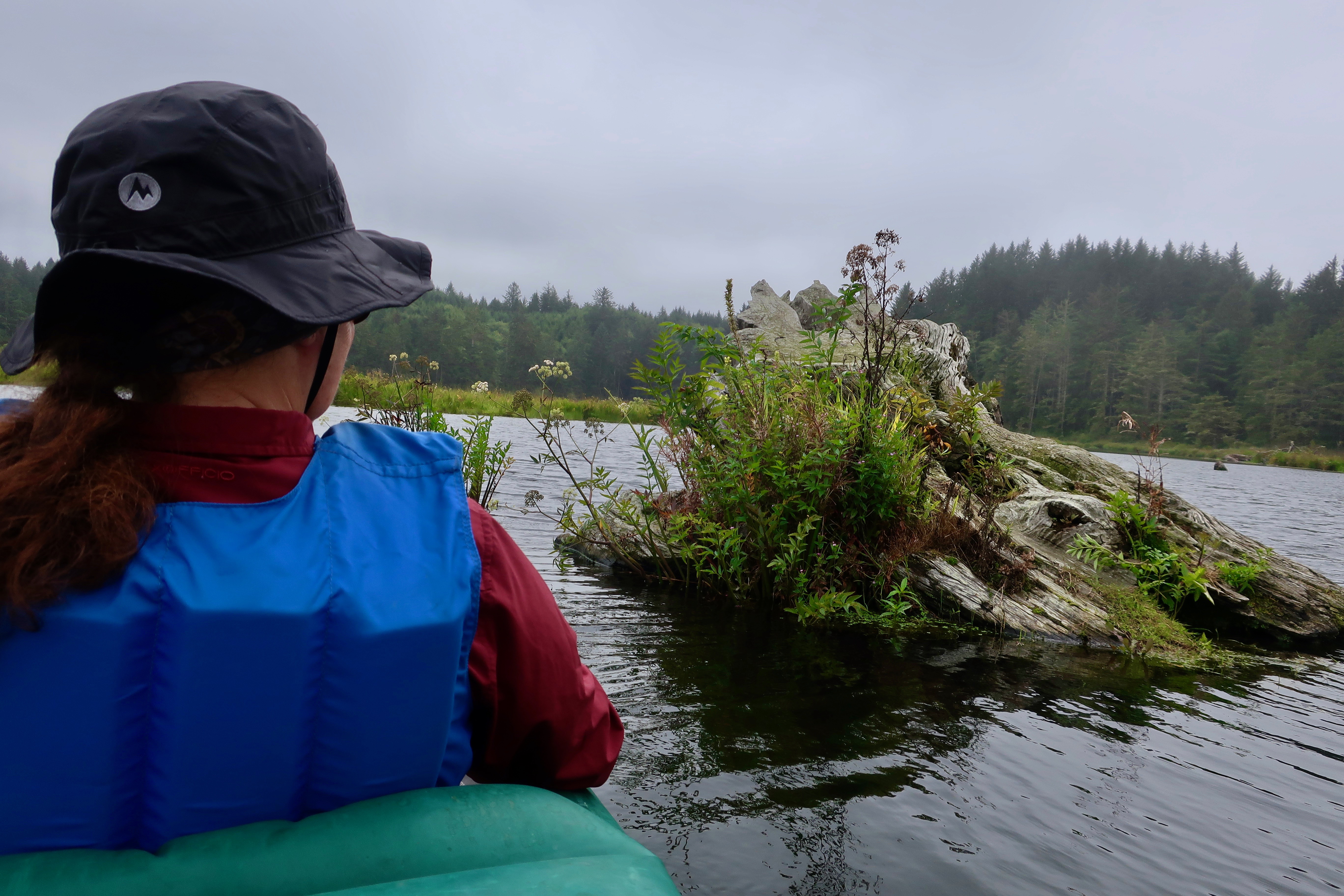
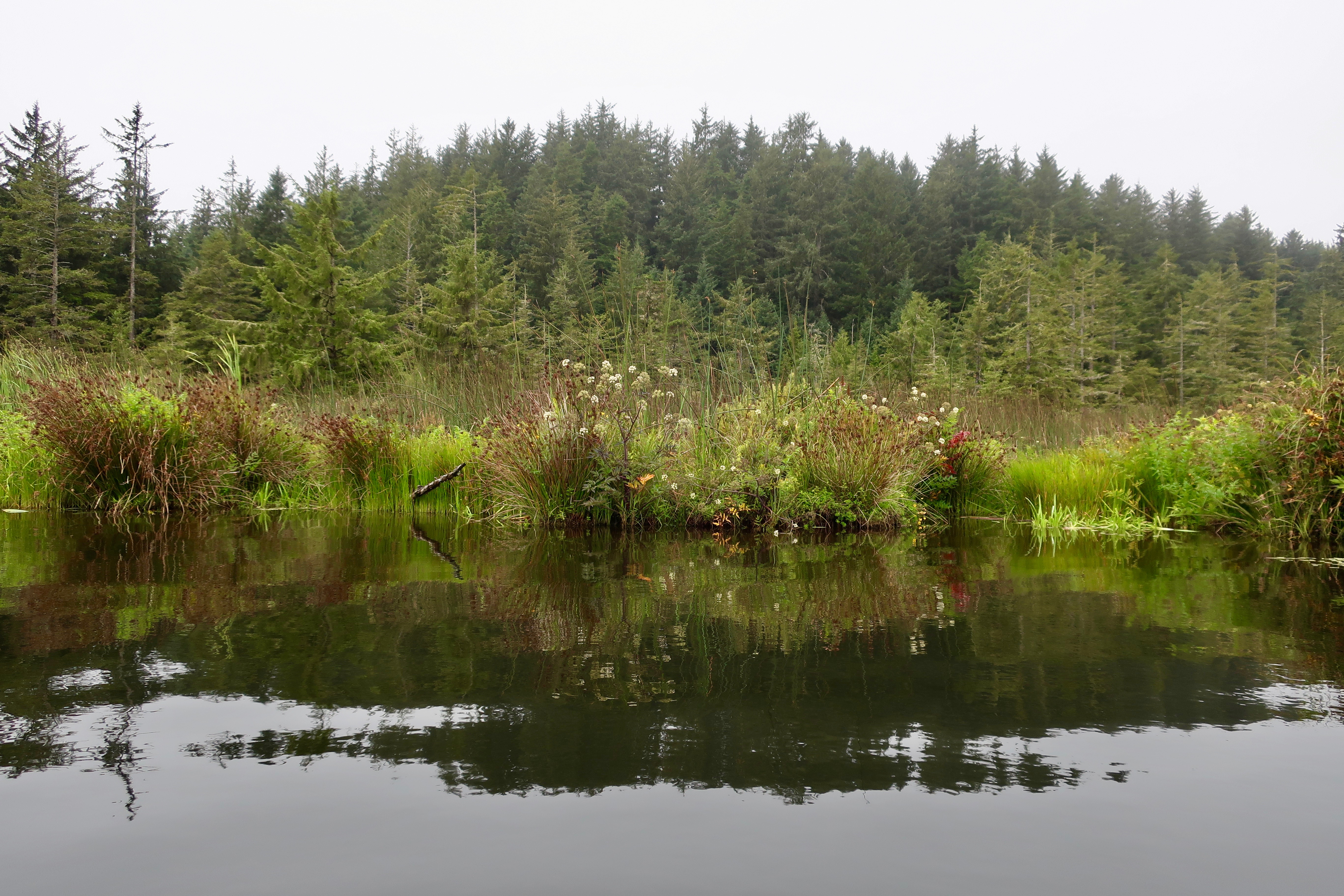
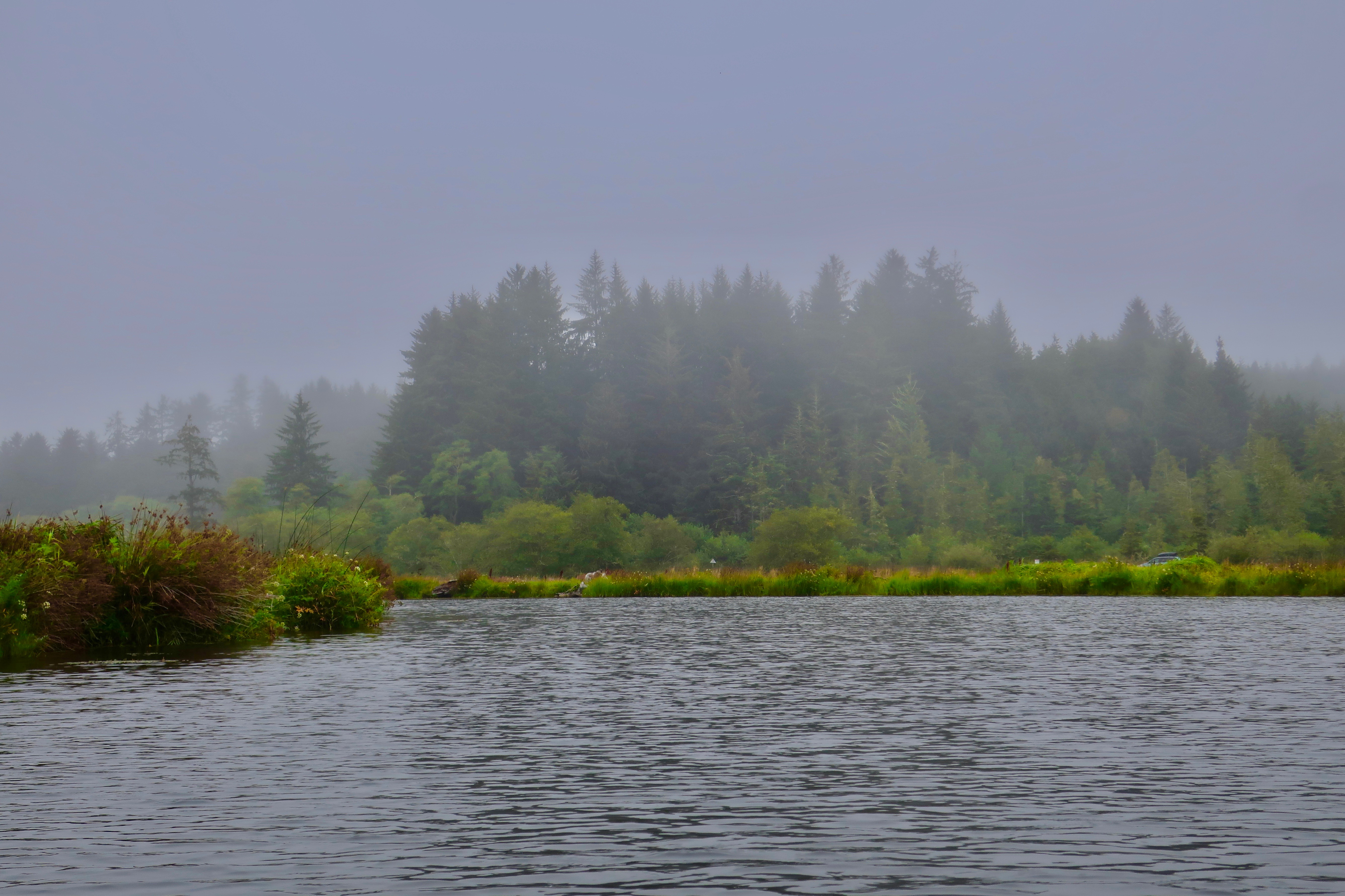
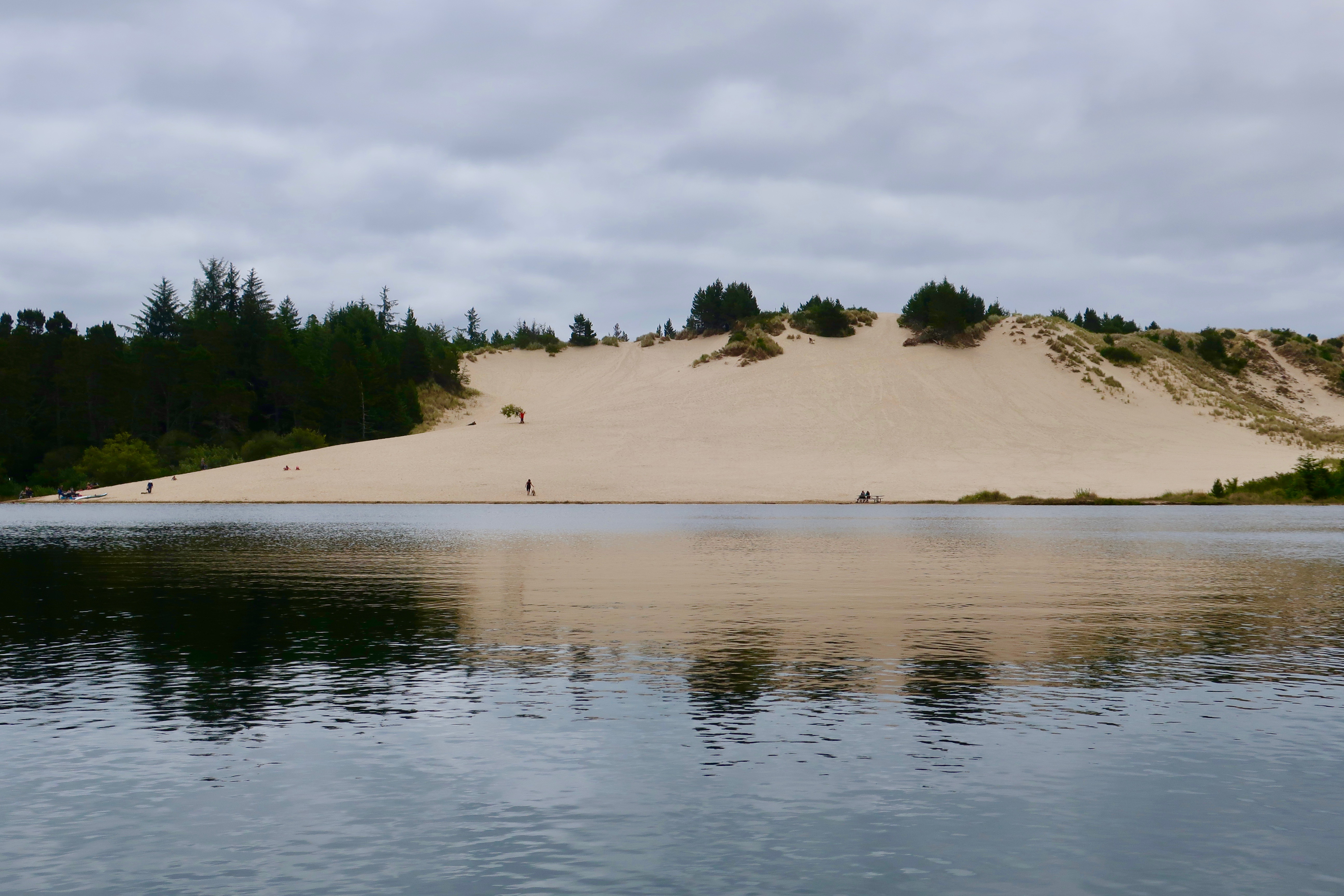
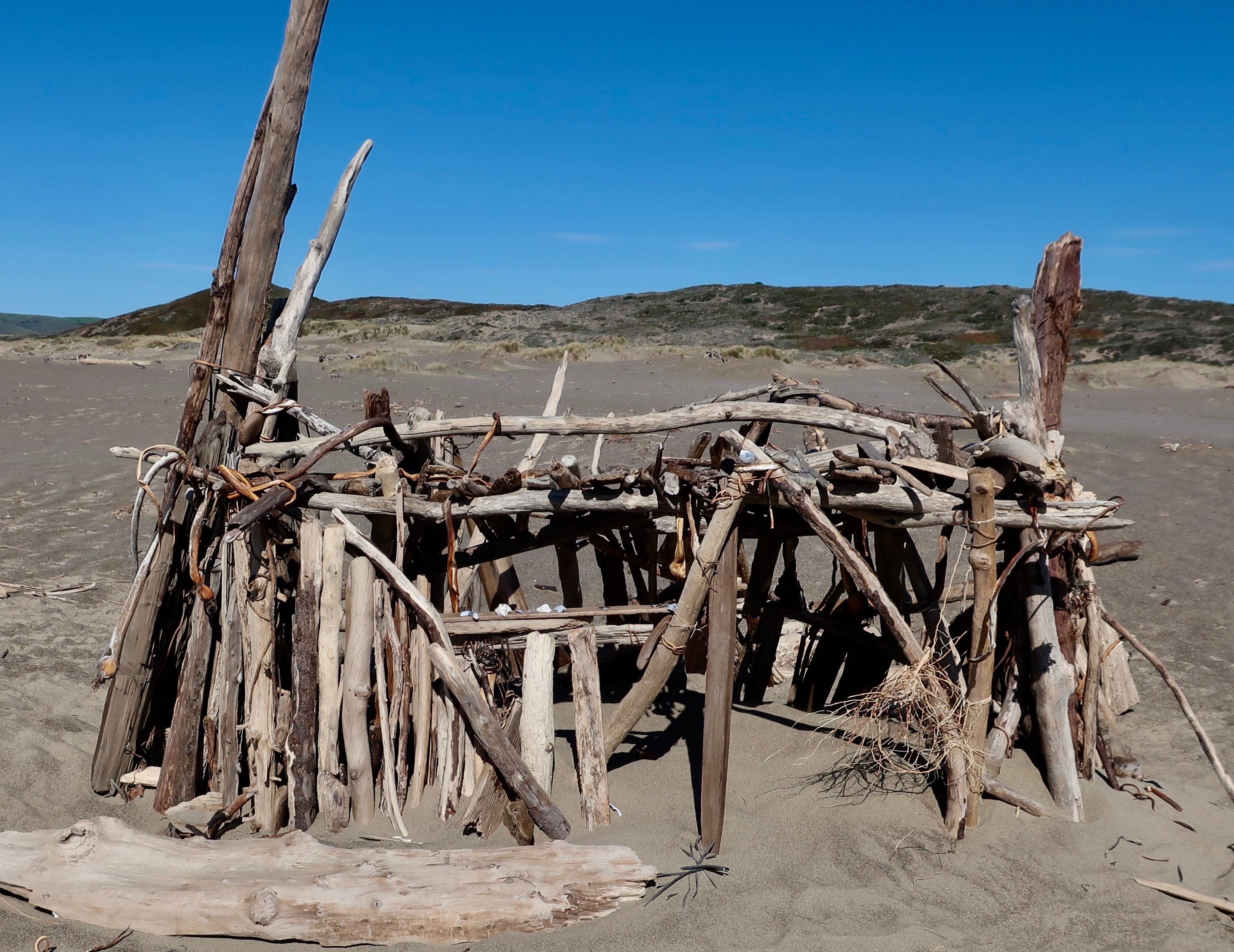
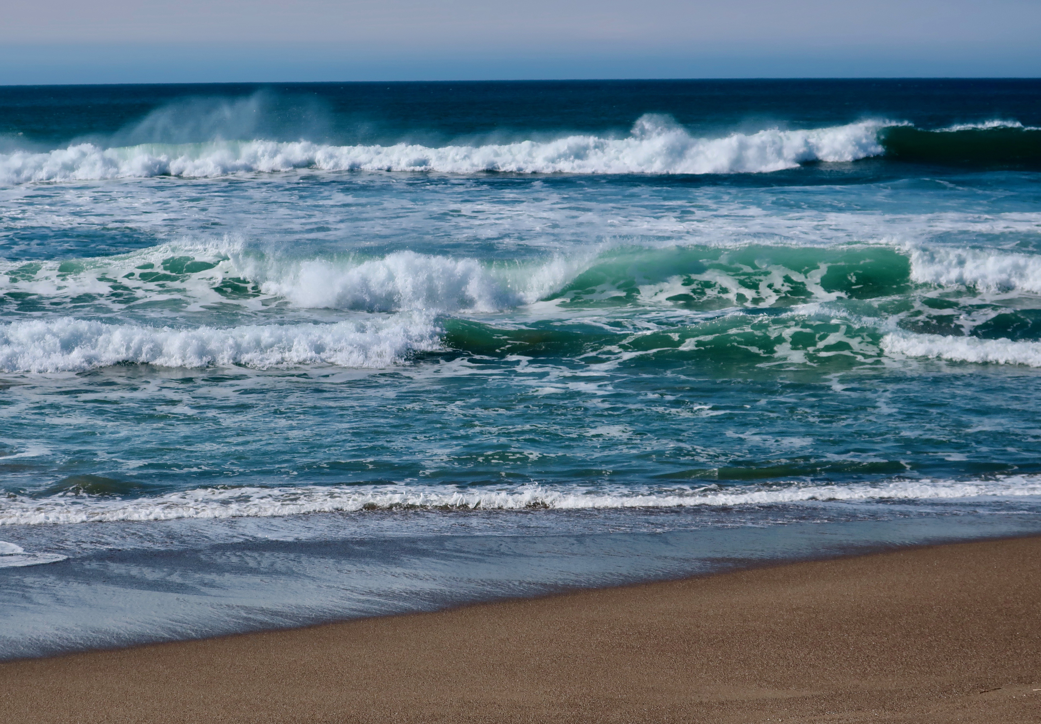
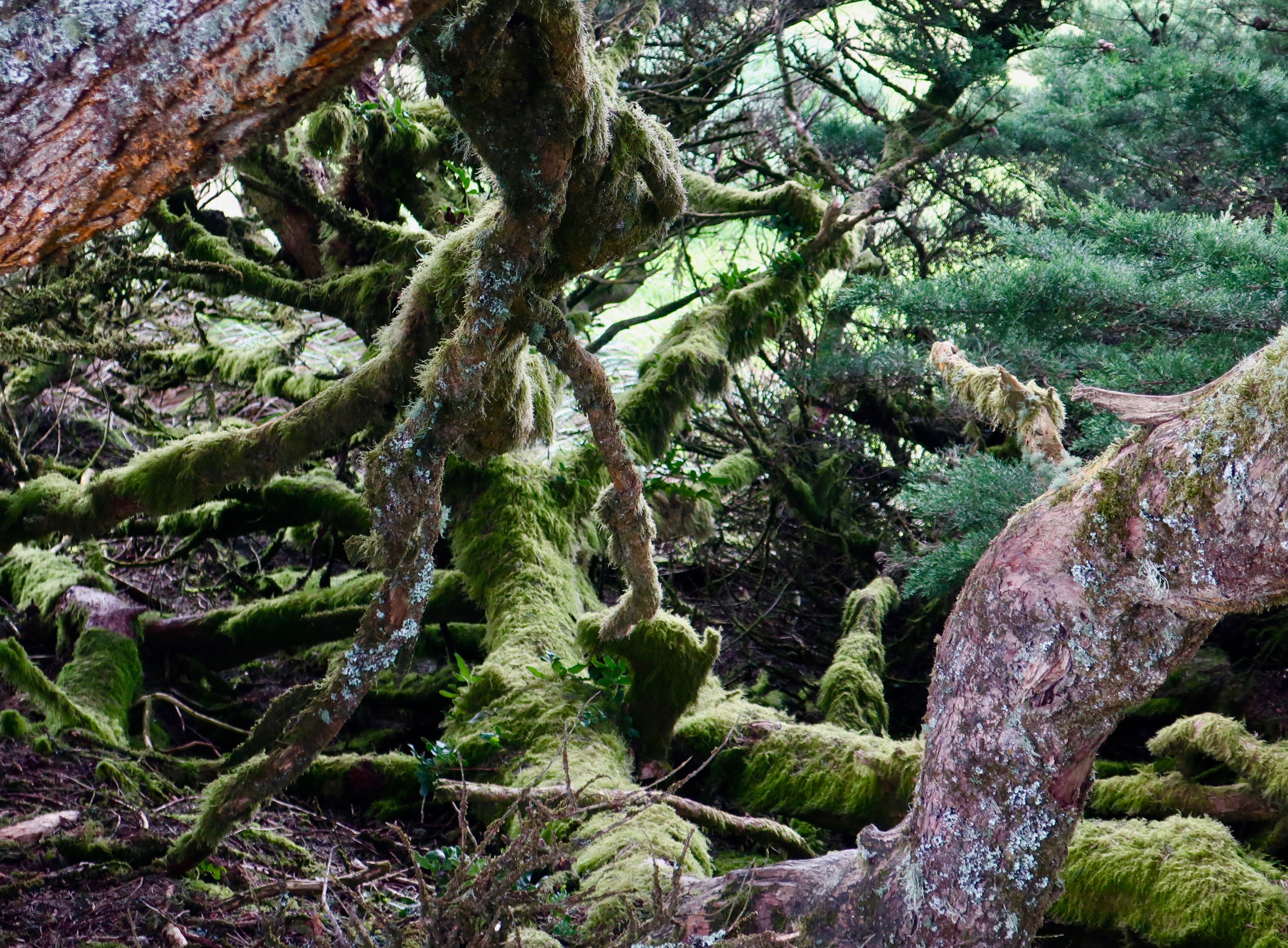
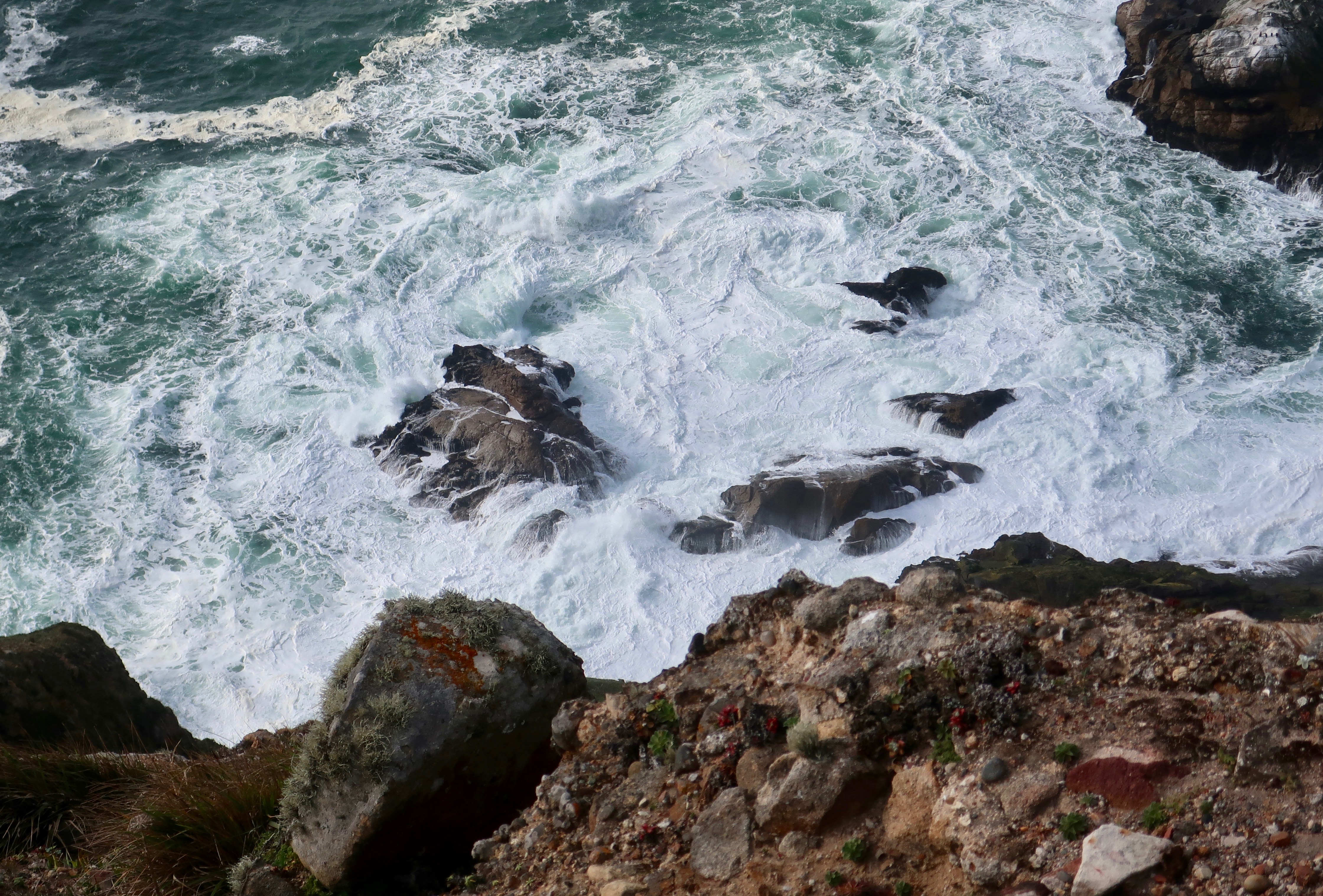
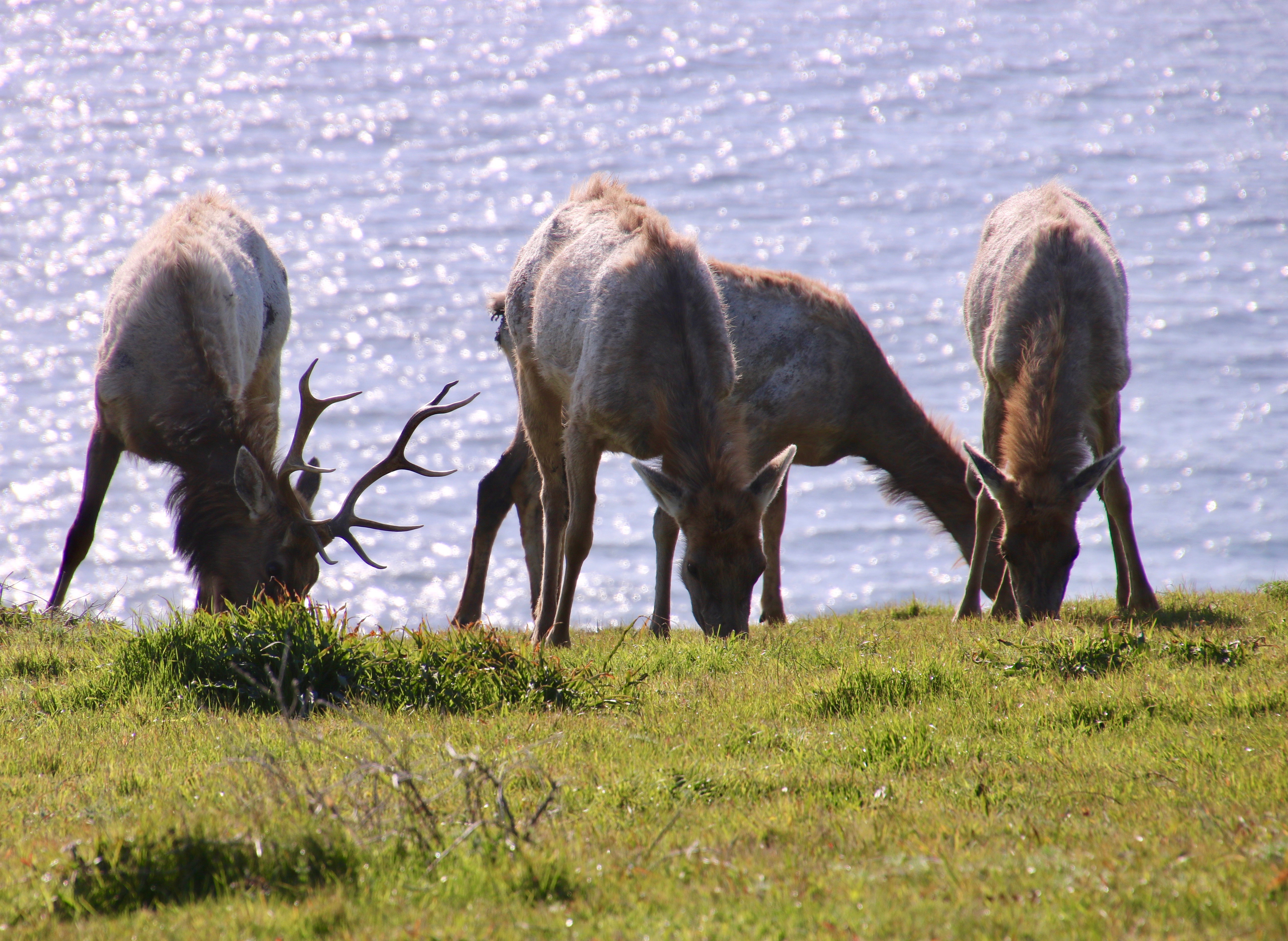
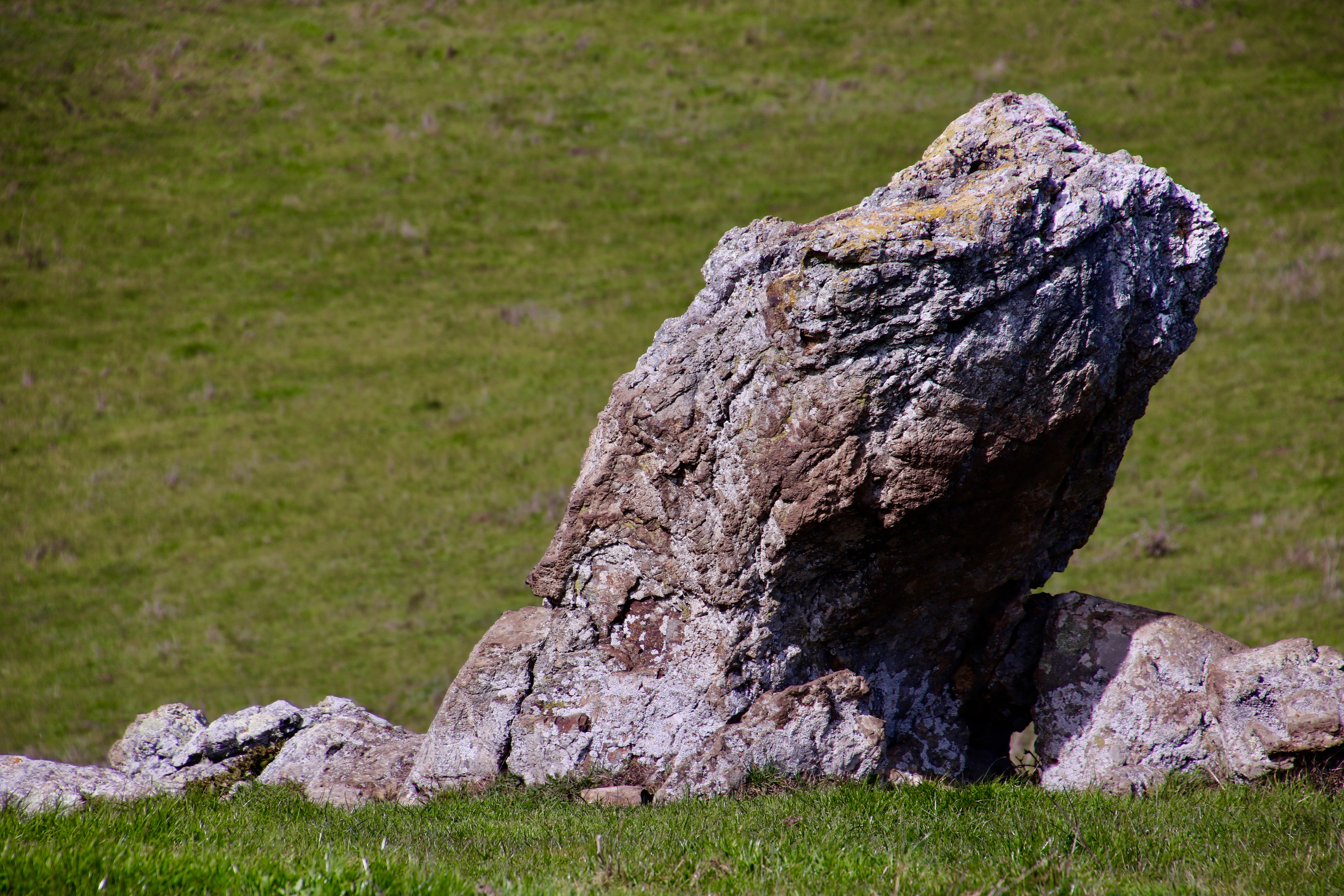
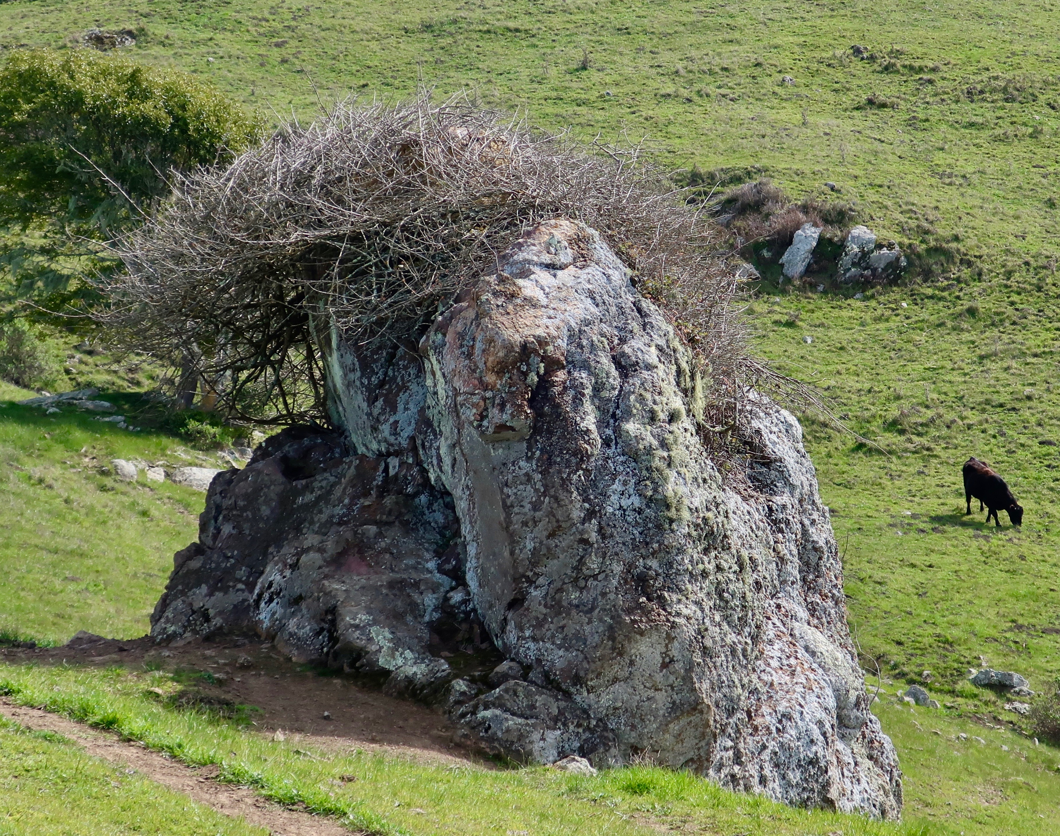
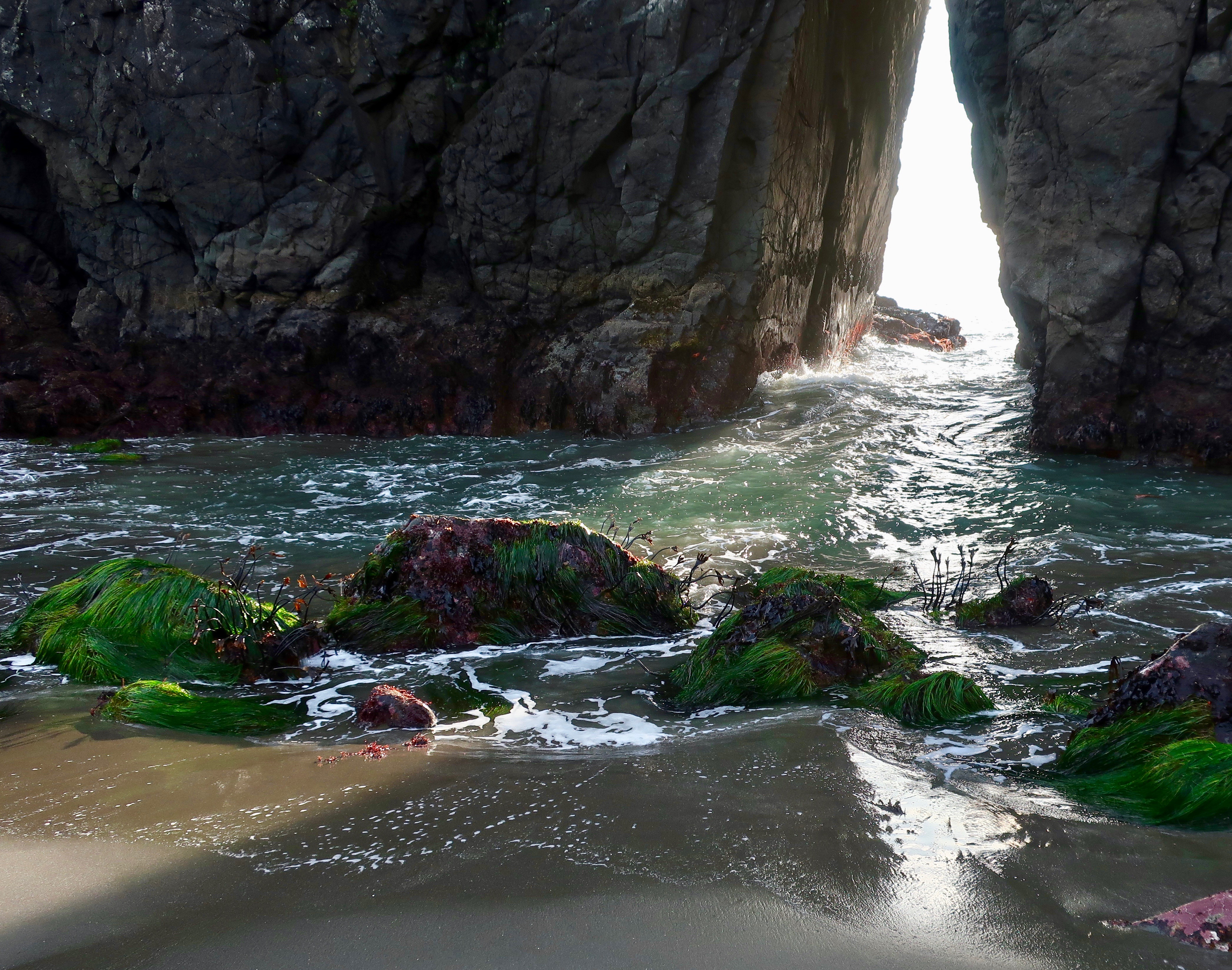
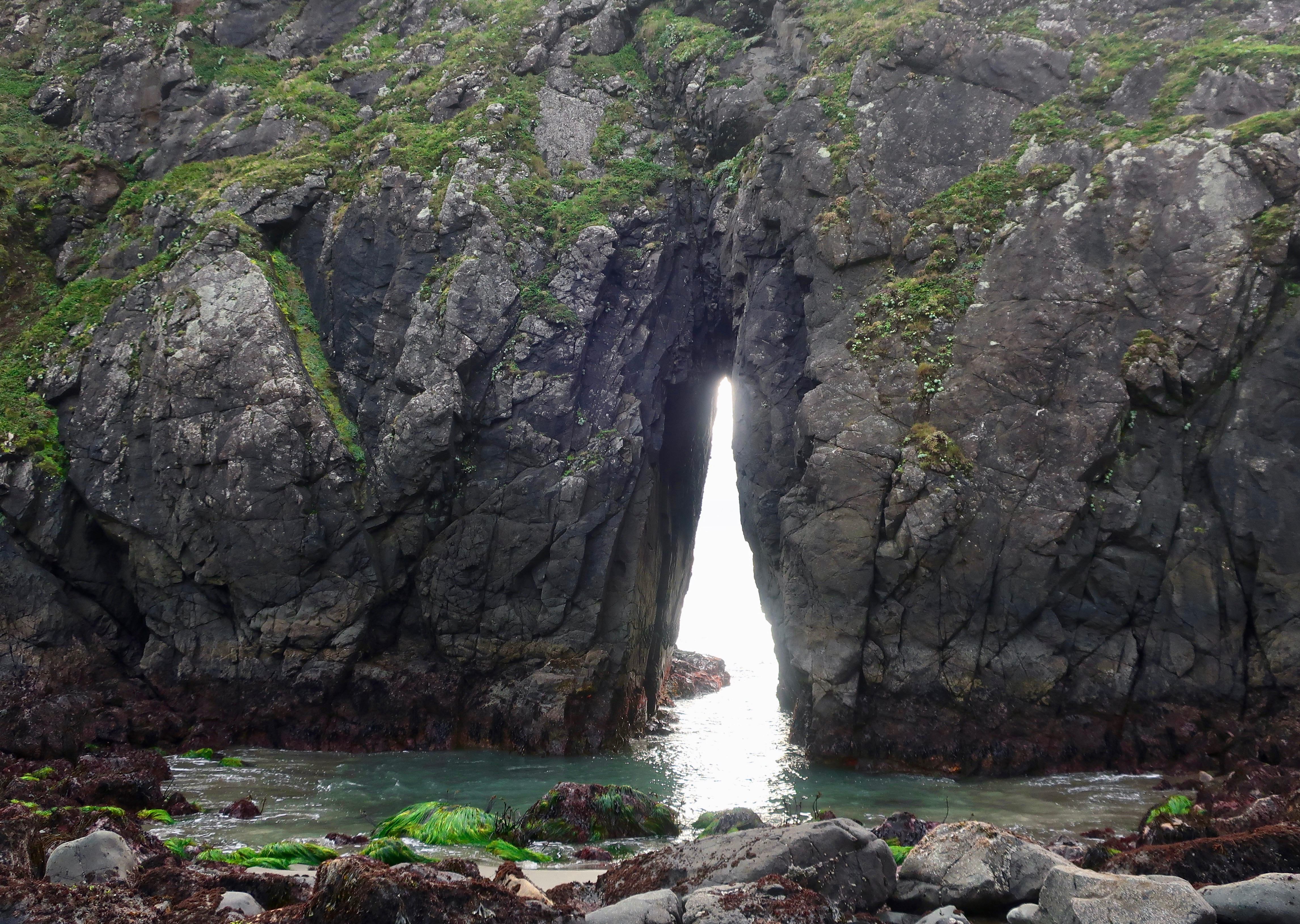
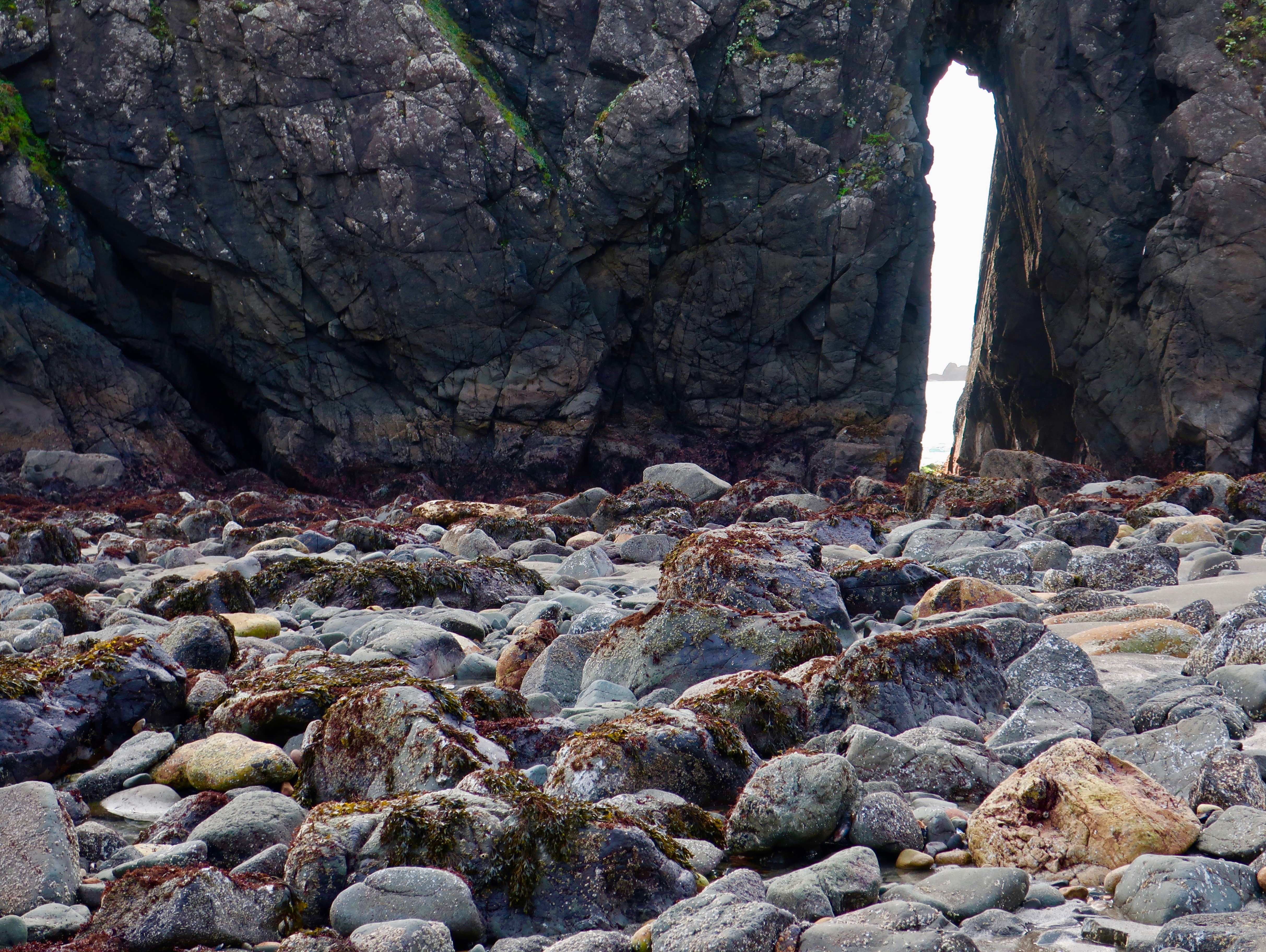
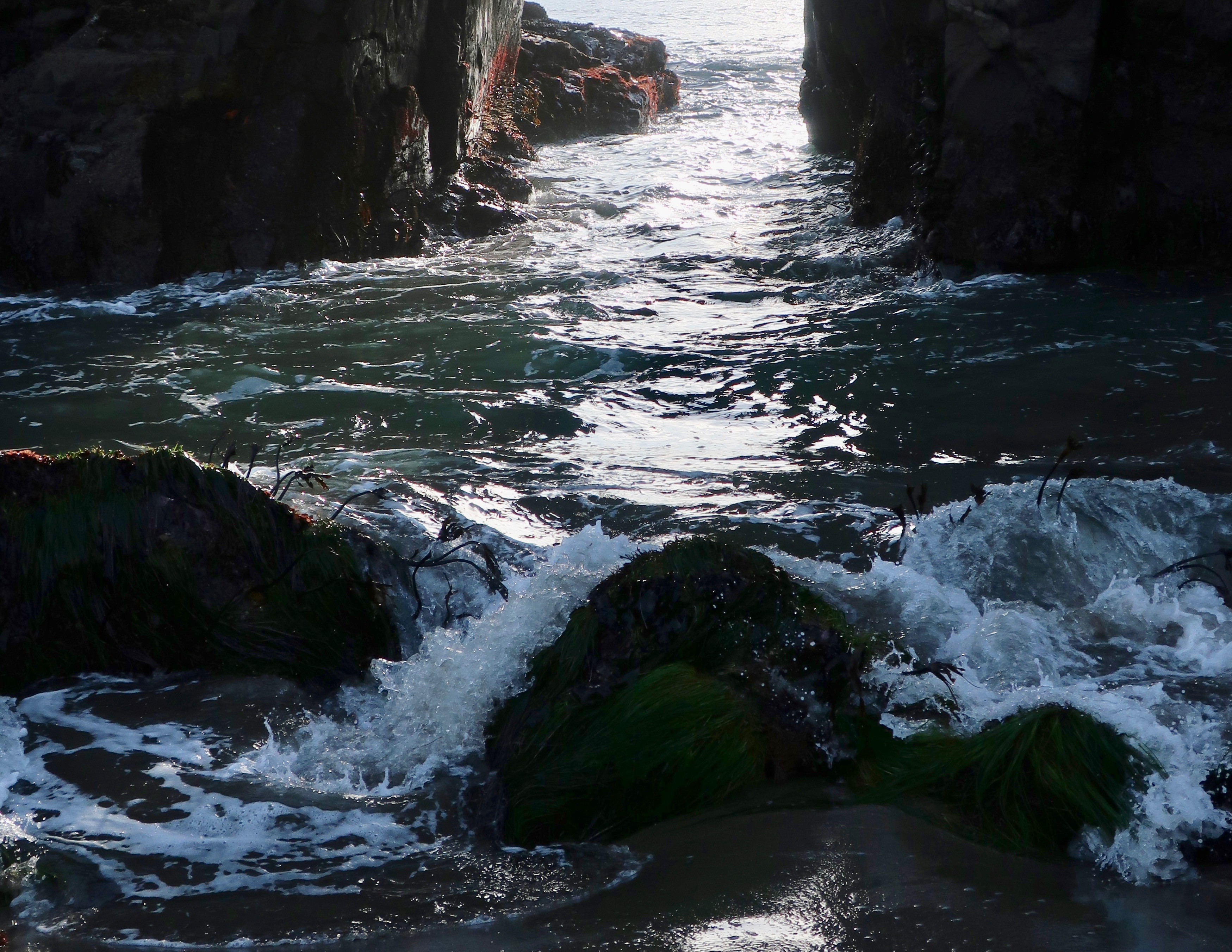
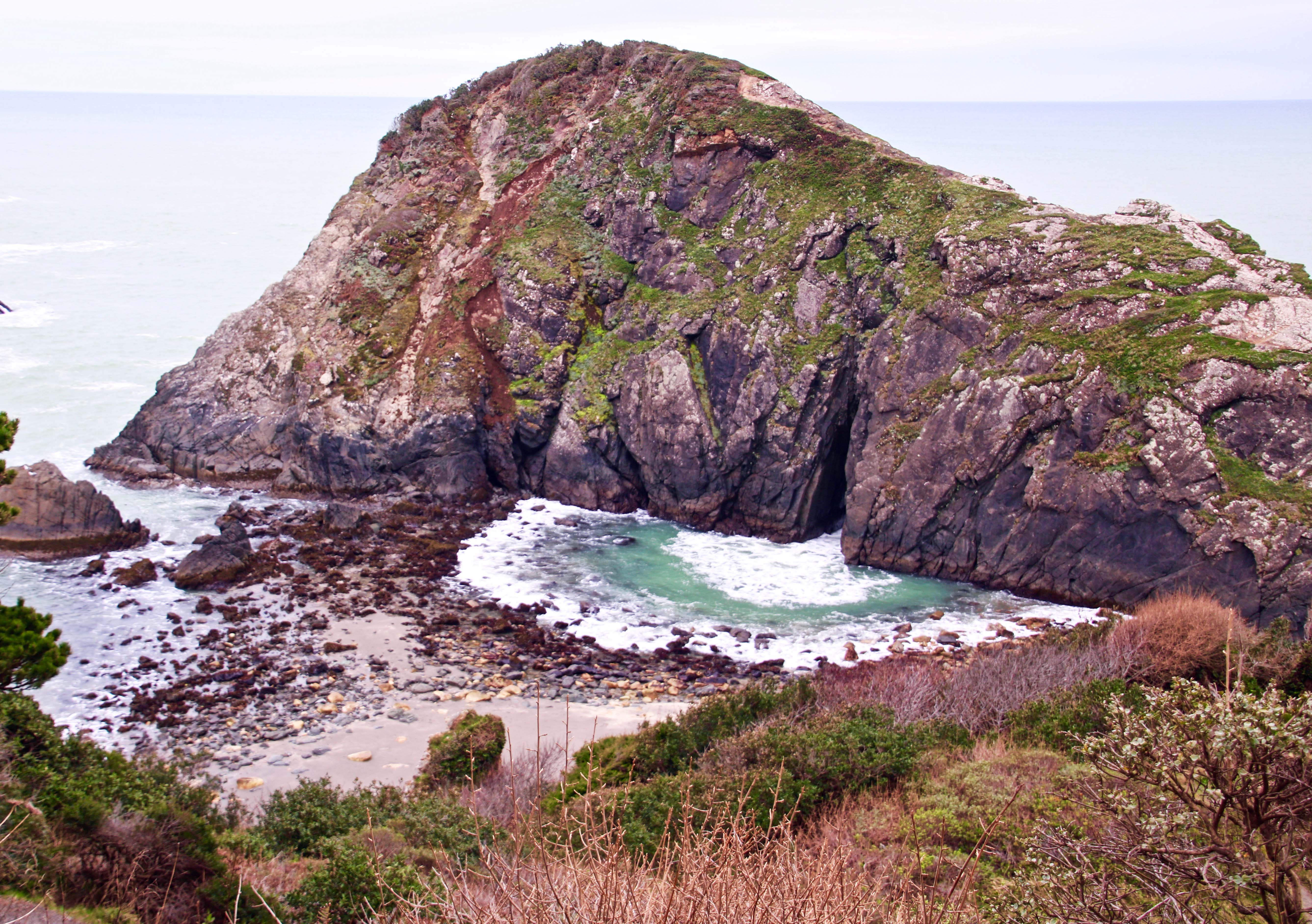
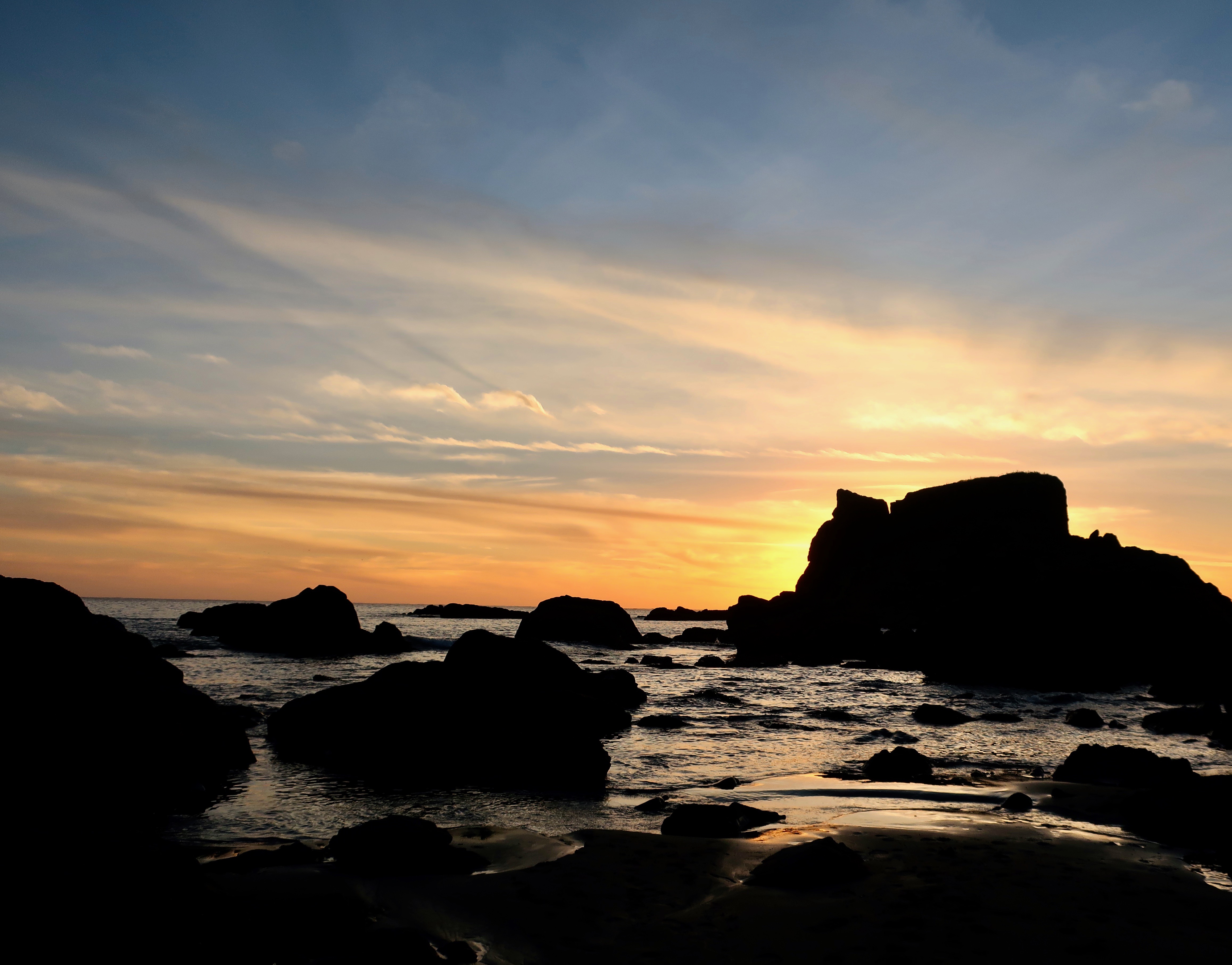
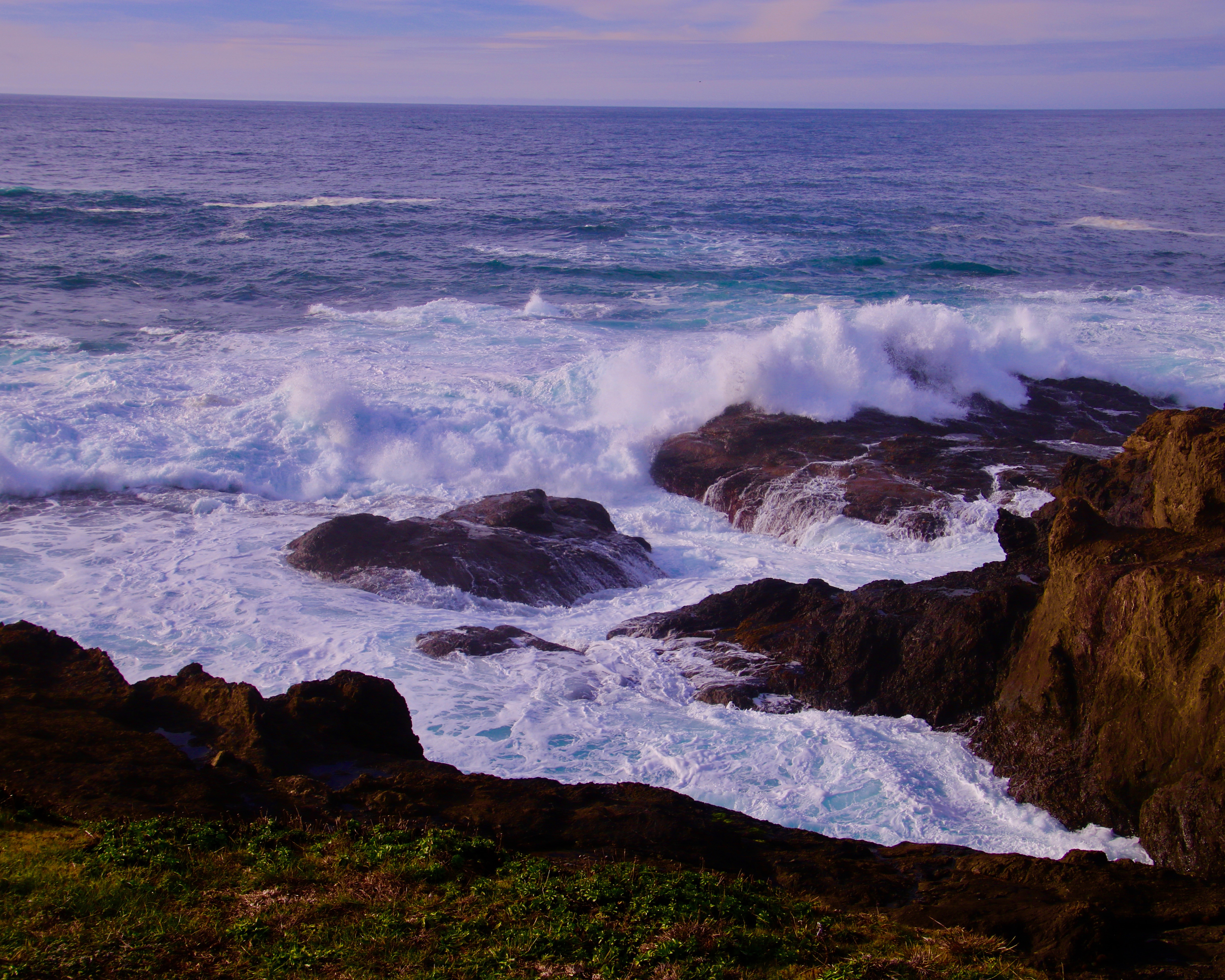
Most people love lighthouses. And what’s not to love? They are usually found in beautiful locations, feature attractive buildings, and include an element of romance. Their location is part of the romance, but even more so, I find the life of lighthouse keepers romantic. I picture them living on the edge of the ocean, facing ferocious storms with towering waves, and working heroically to save lives in areas that are often remote, far removed from the lives most of us lead. While such a life might not seem attractive to most, I like remote. I’m not so sure about the long hours, repetitious work, and being tethered to a 24/7 job.

I’ll never have the opportunity to find out, however.

The possibility of being a lighthouse keeper in the US today is close to zero. Of the 700 lighthouses presently functioning in the country, only one has a lighthouse keeper. It is located on Little Brewster Island overlooking Boston Harbor and has been in operation since being repaired after the British blew it up during the Revolutionary War. It had originally been built in 1716 on a pile of rubble stone with candles providing the light.

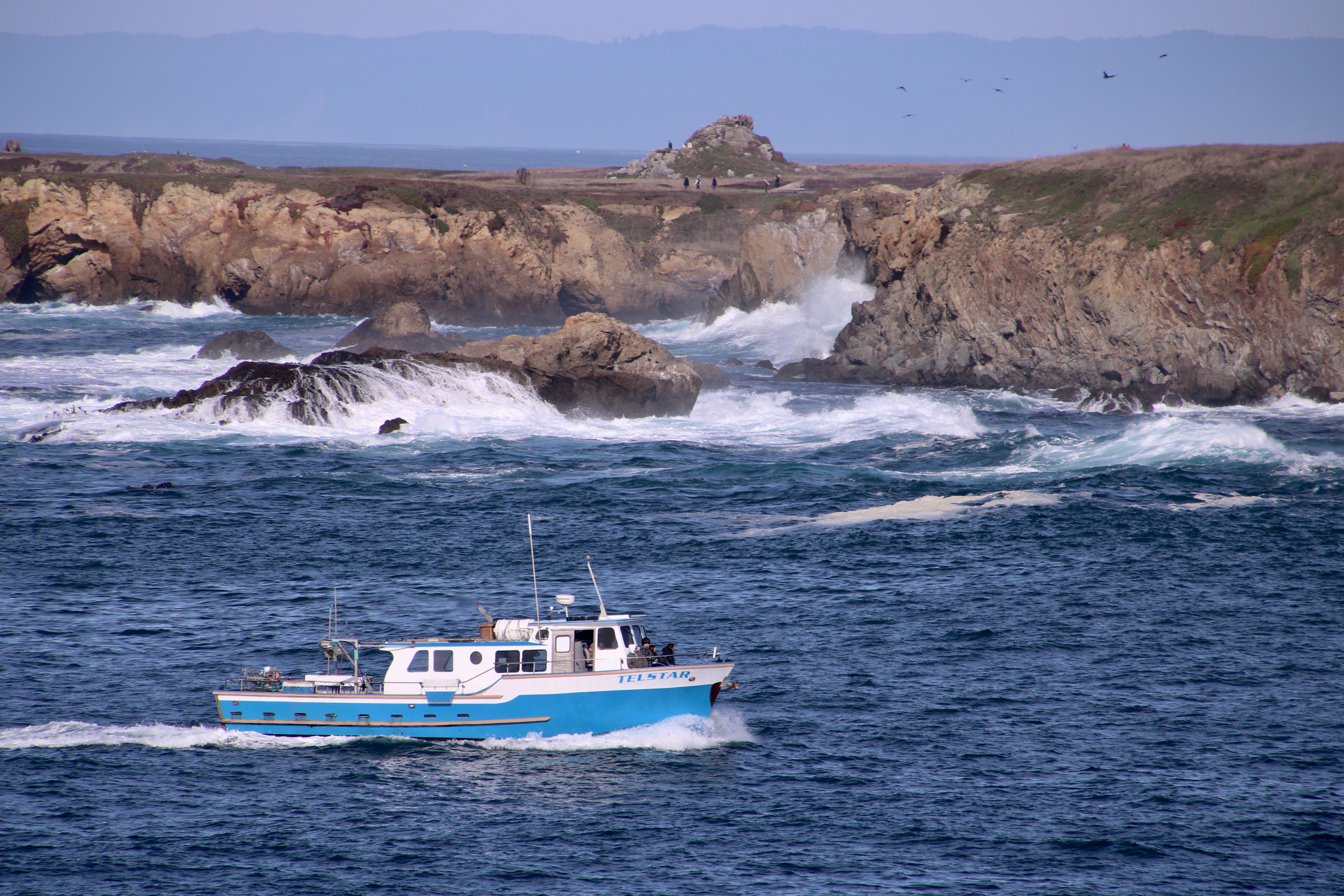
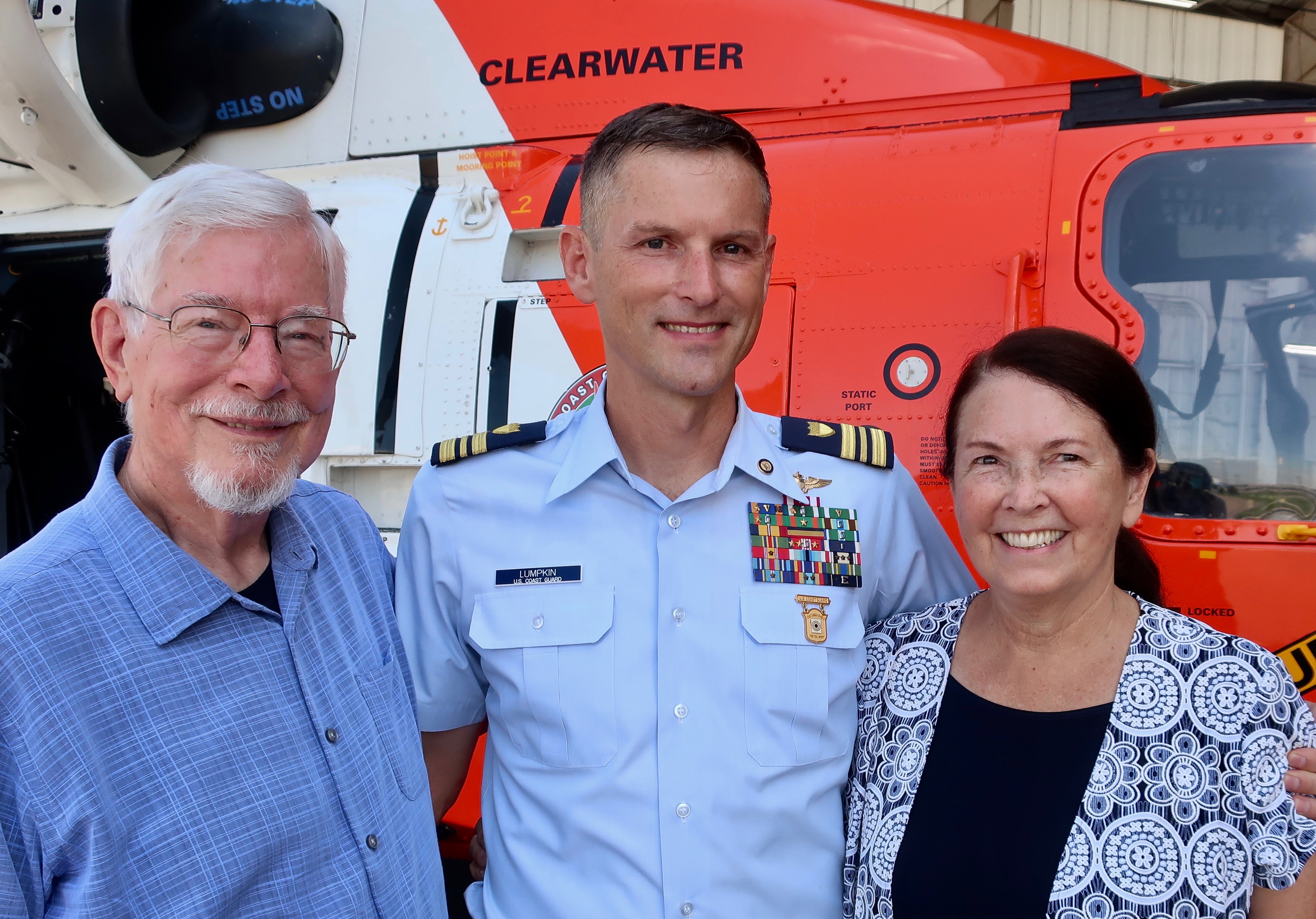
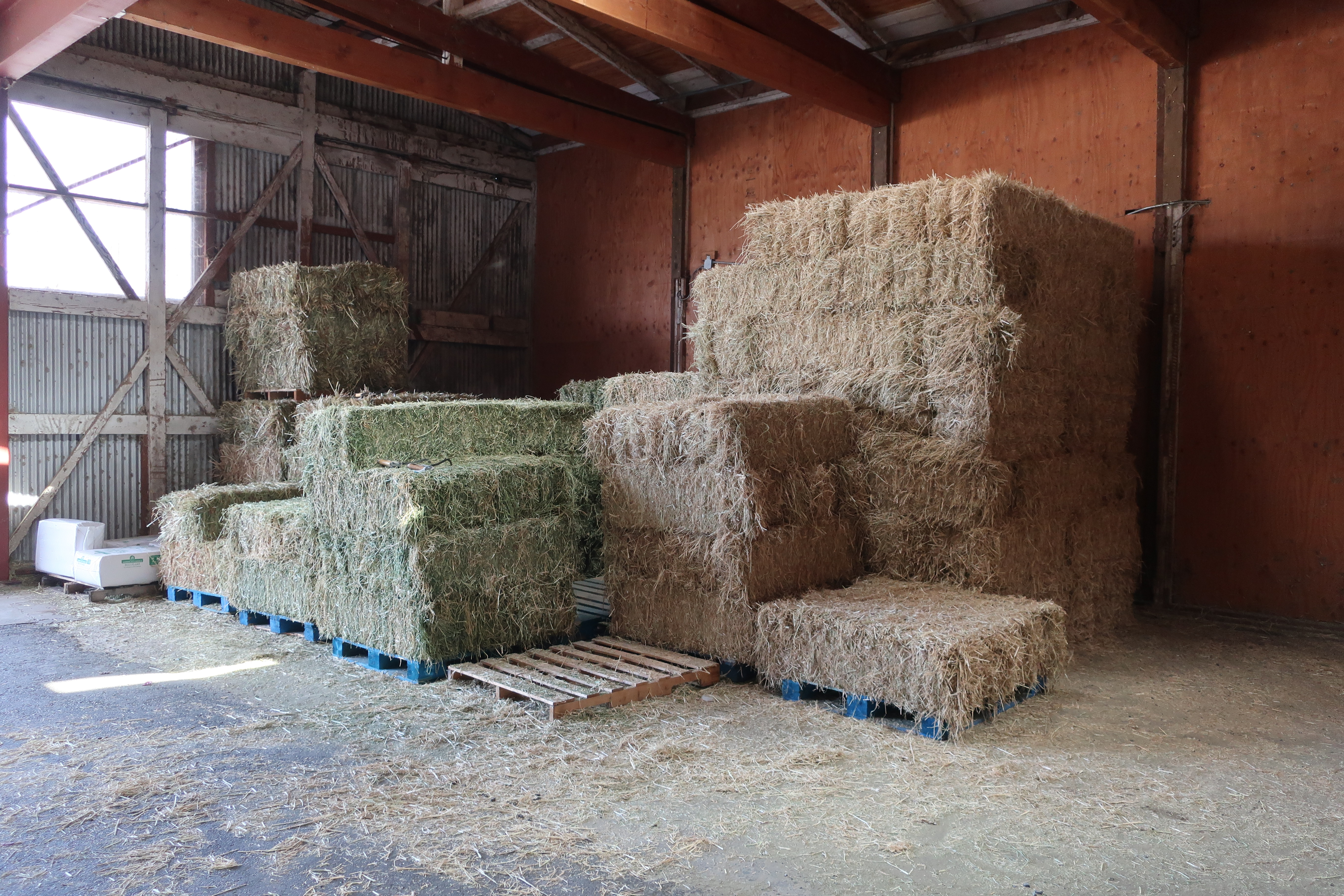
The rest of America’s lighthouses have become automated. When our son, Tony, was flying helicopters for the Coast Guard off of Kodiak Island in Alaska, one of his jobs was servicing the lighthouse in Cordova. As I recall, the salmon fishing was great in the area. He loved the assignment. And we benefited at Christmas with yummy halibut and salmon. (BTW… this past week he was flying a helicopter over Antartica in his new job.)

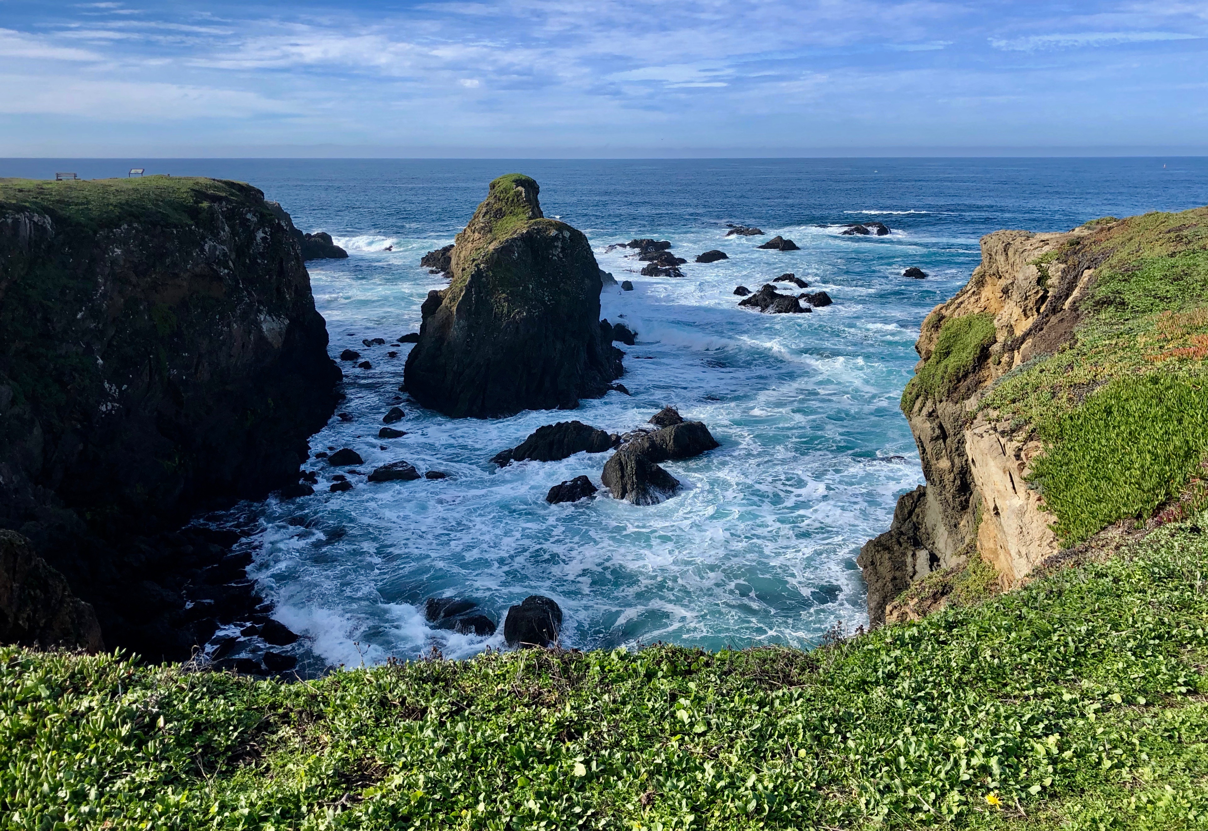
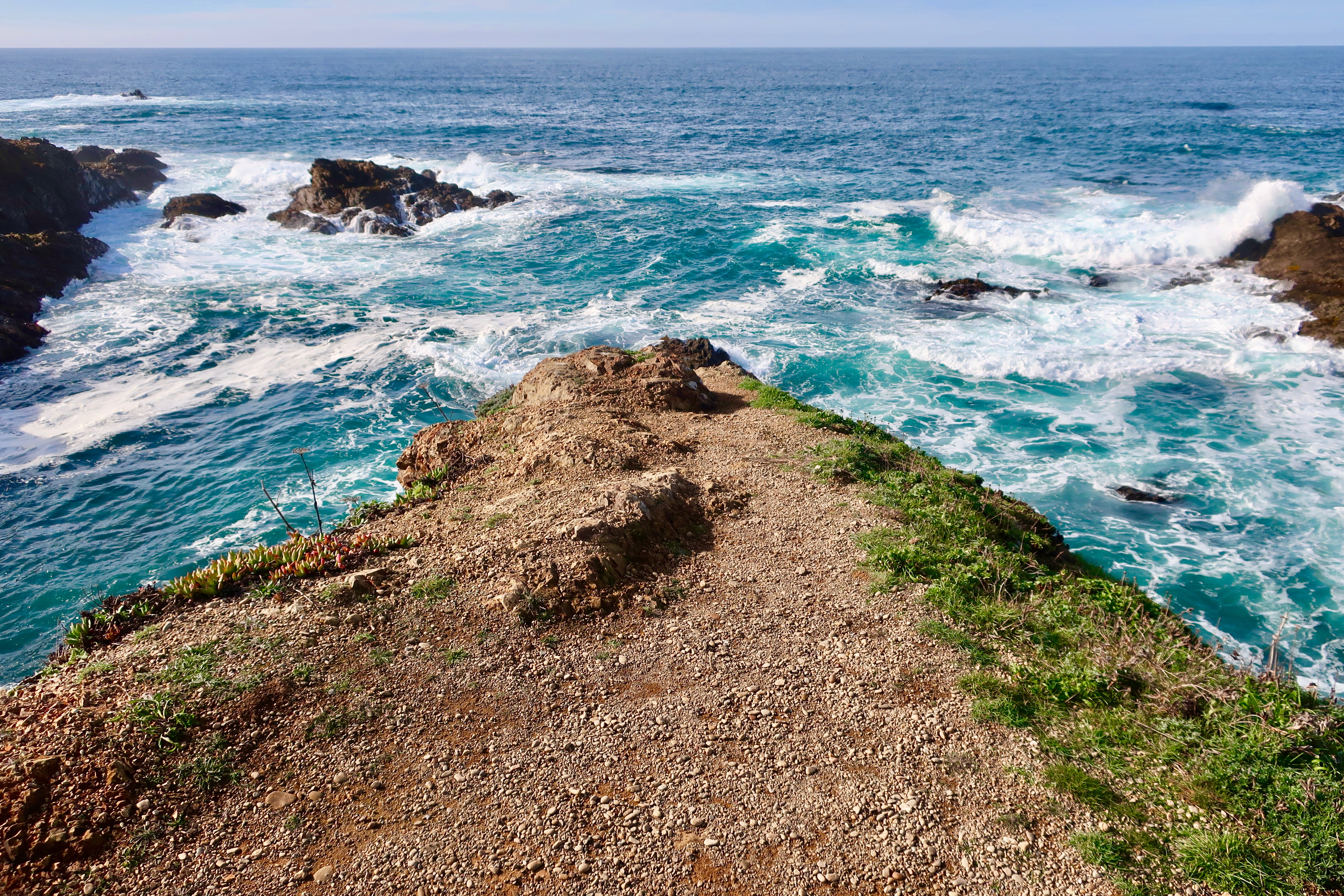
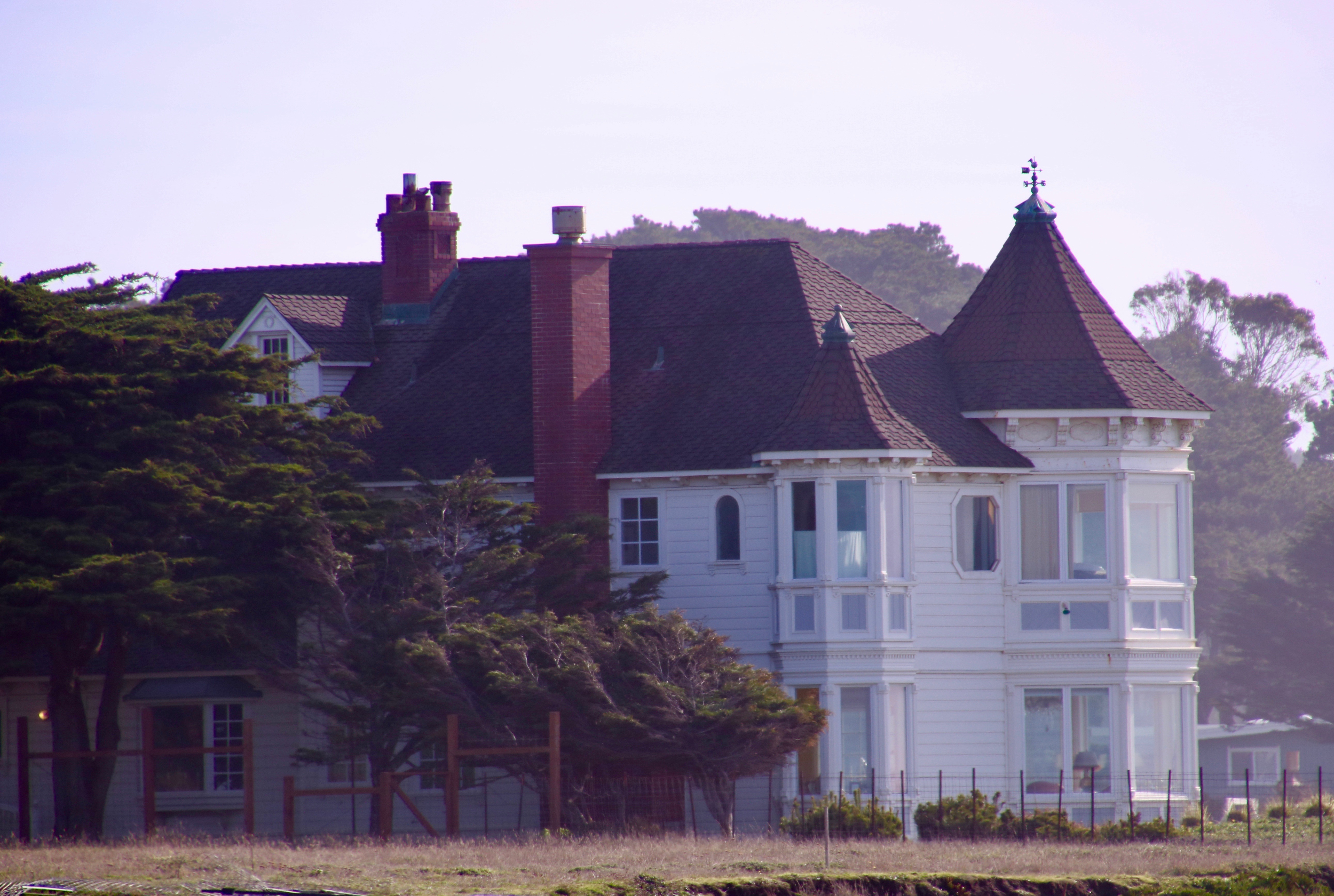
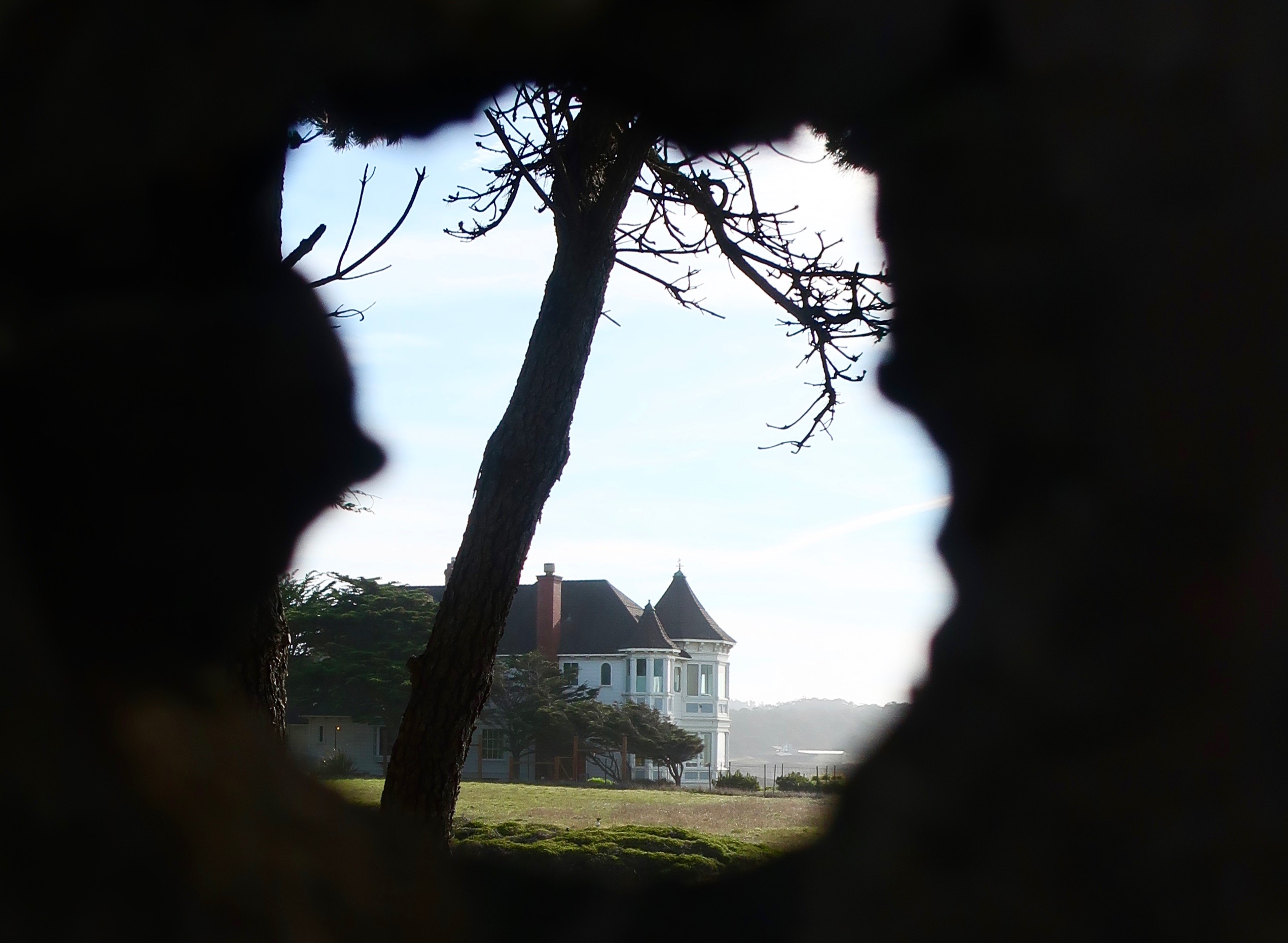
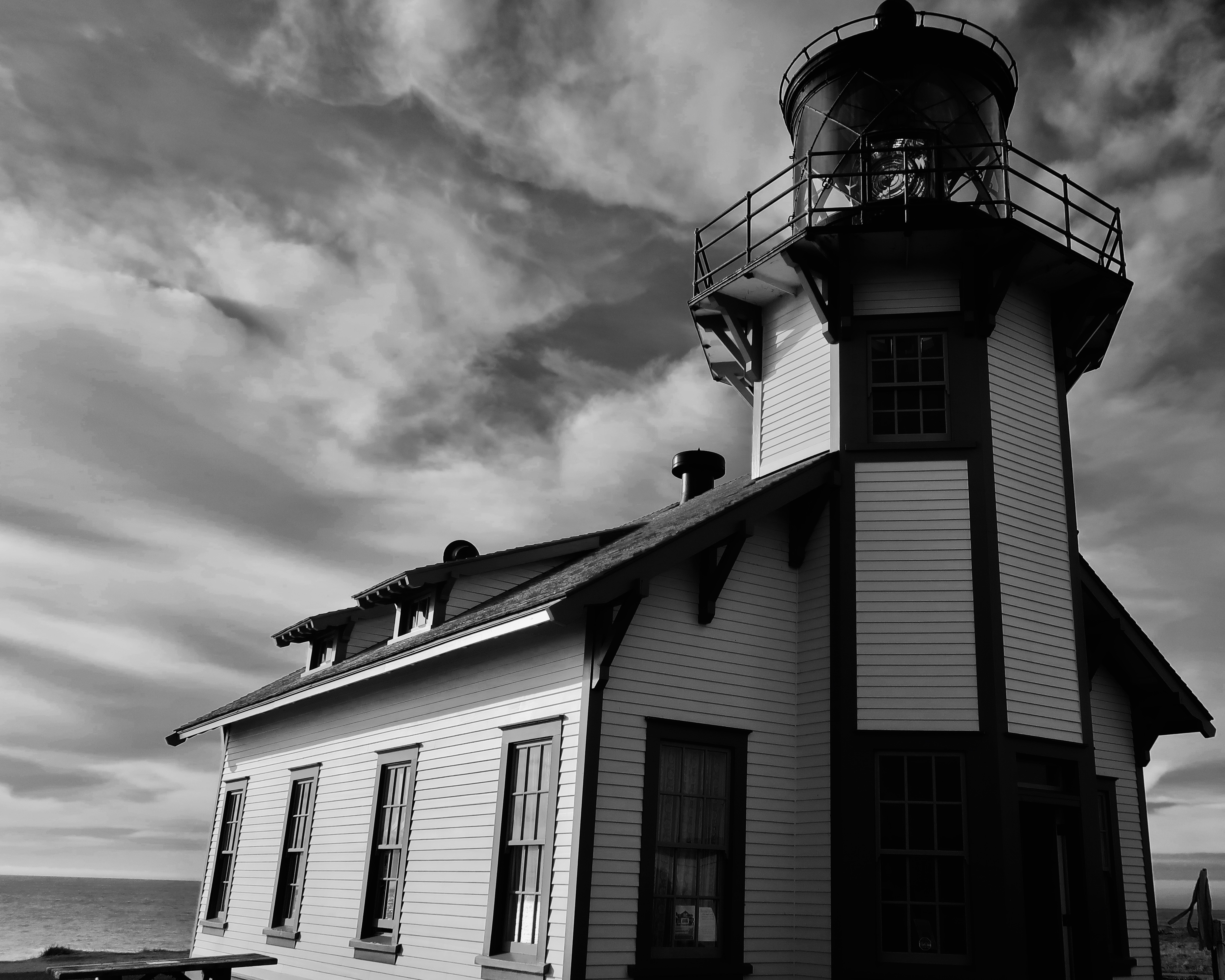
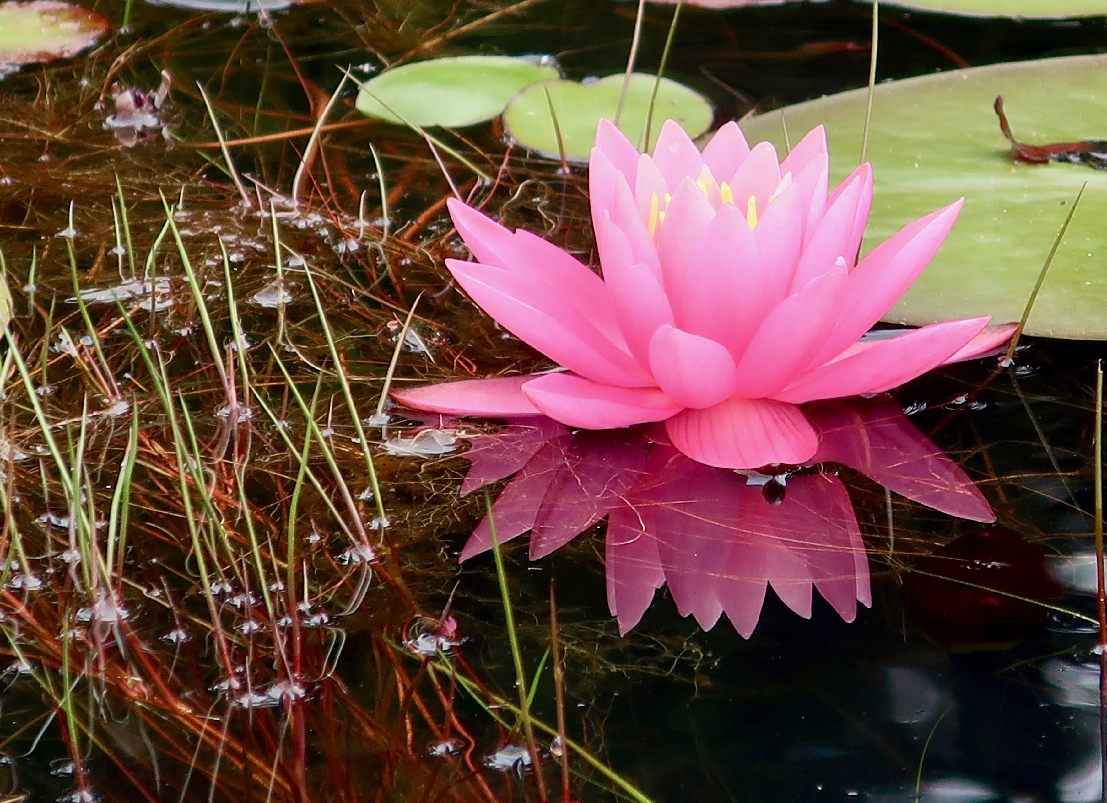
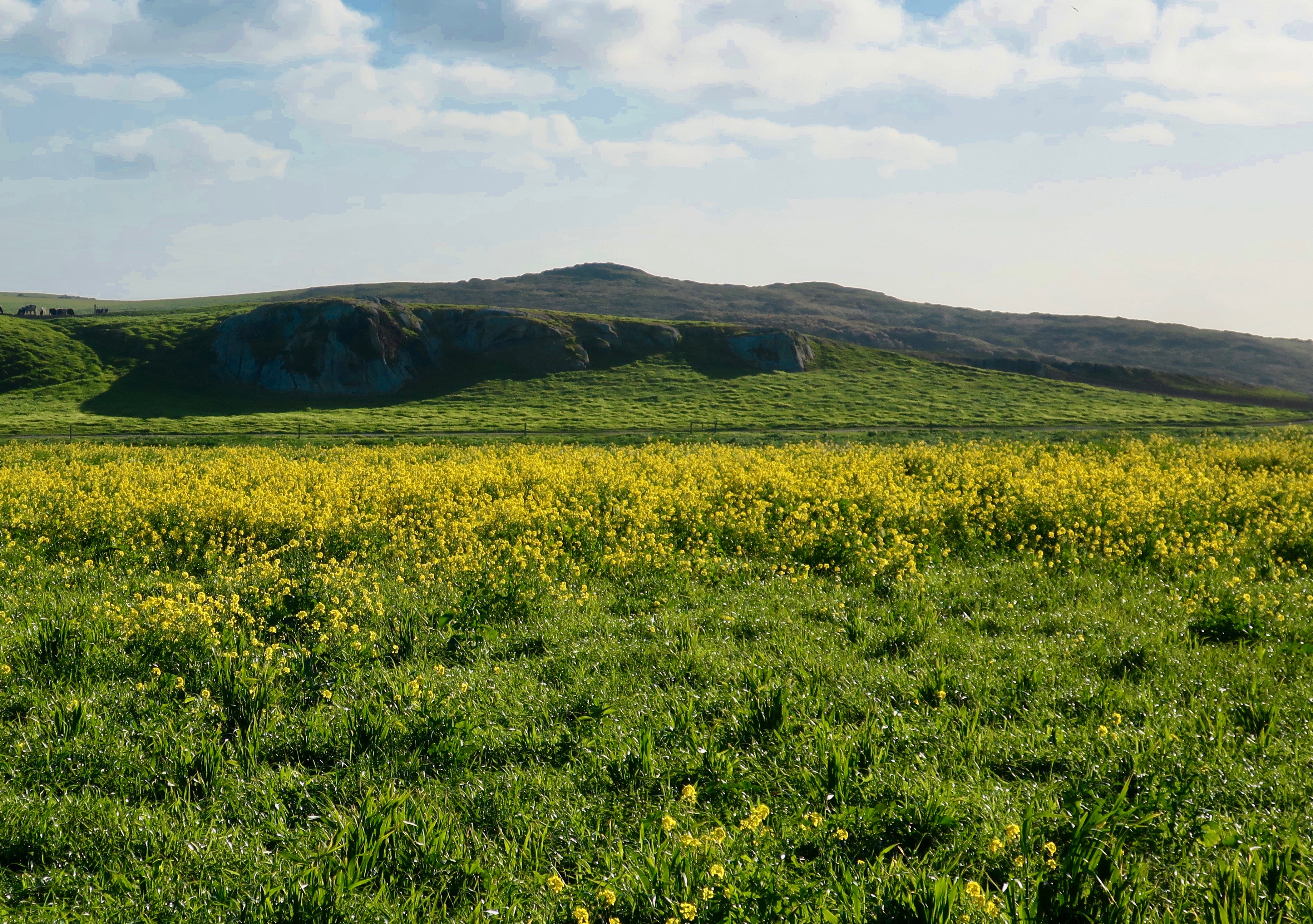
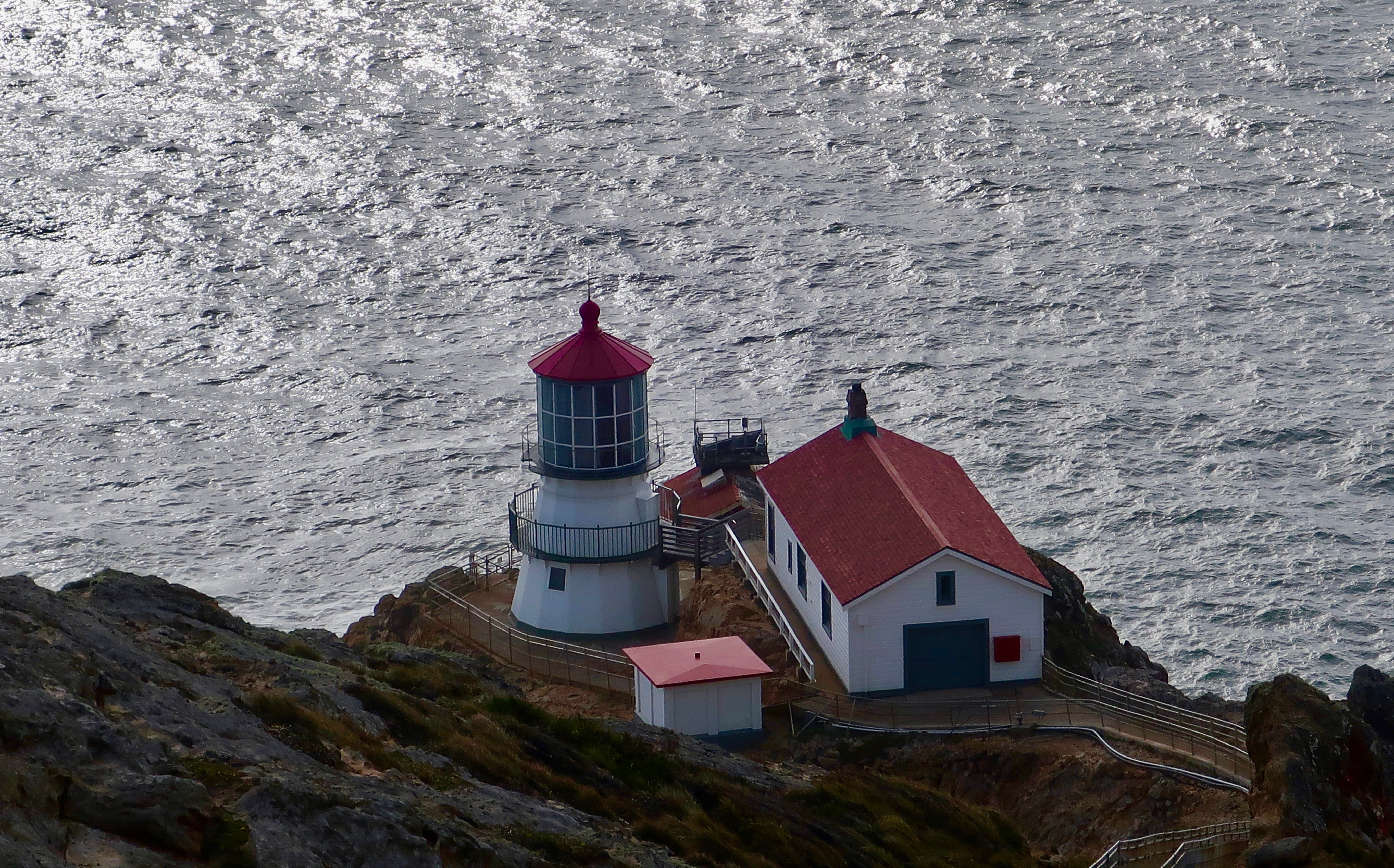
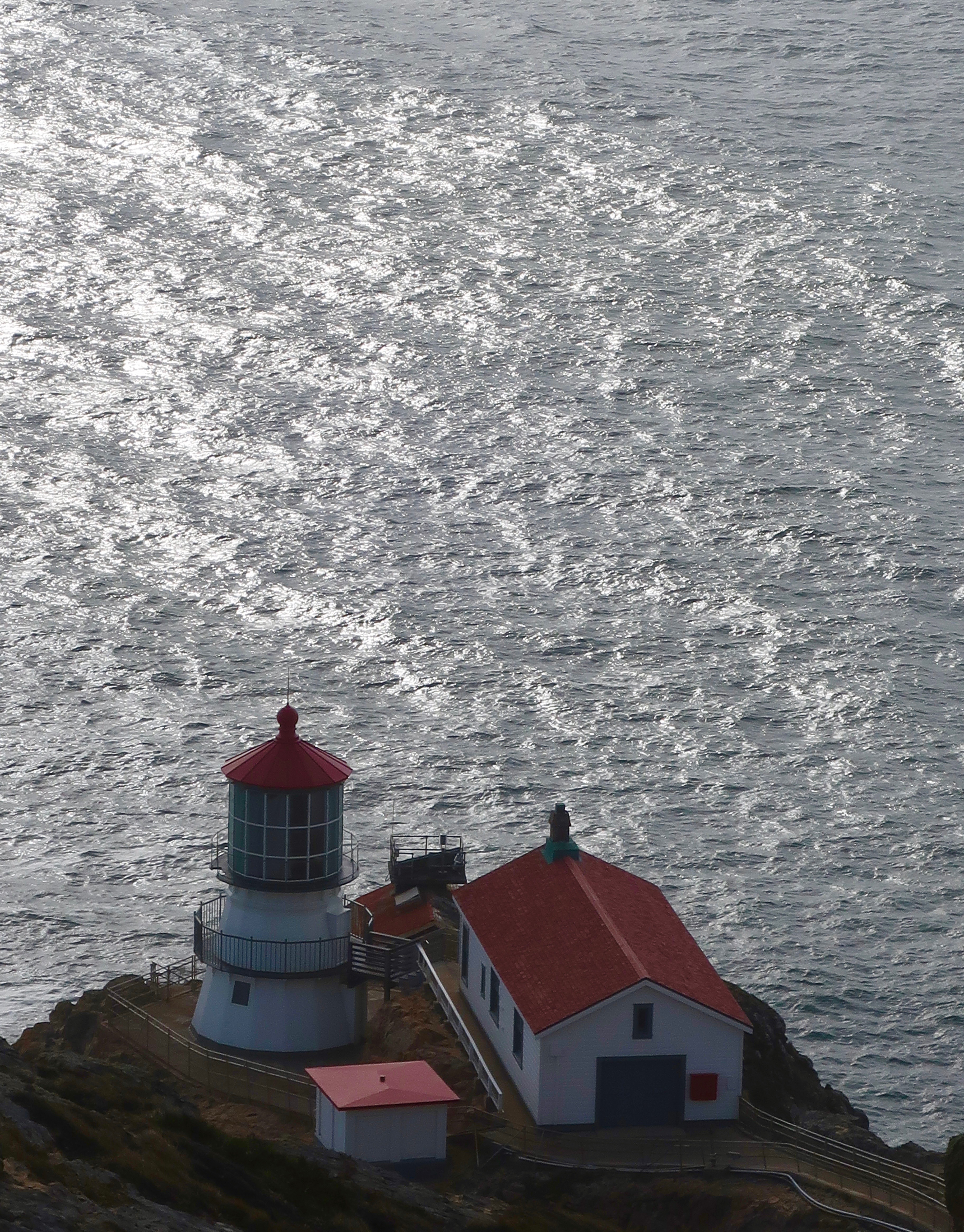
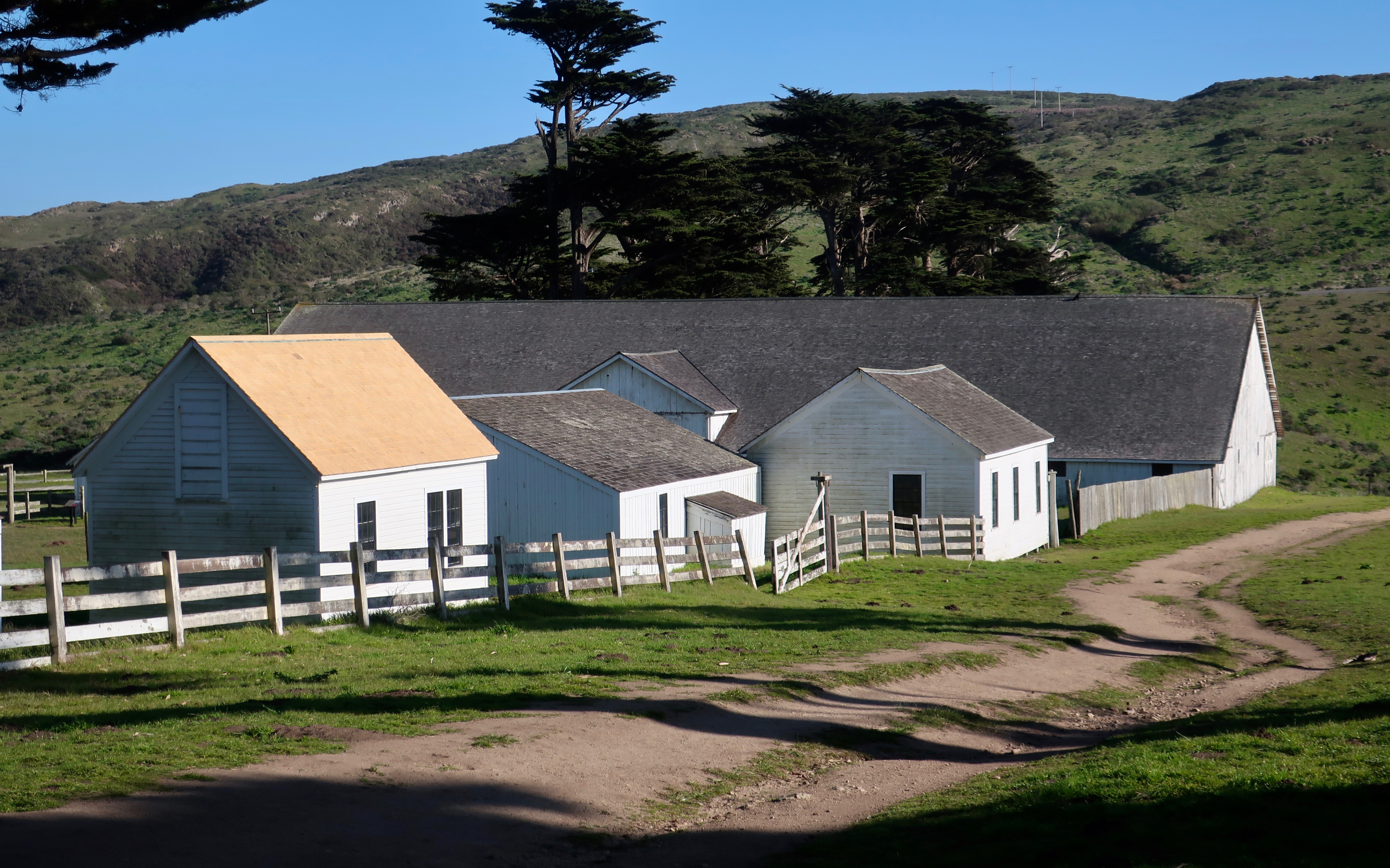
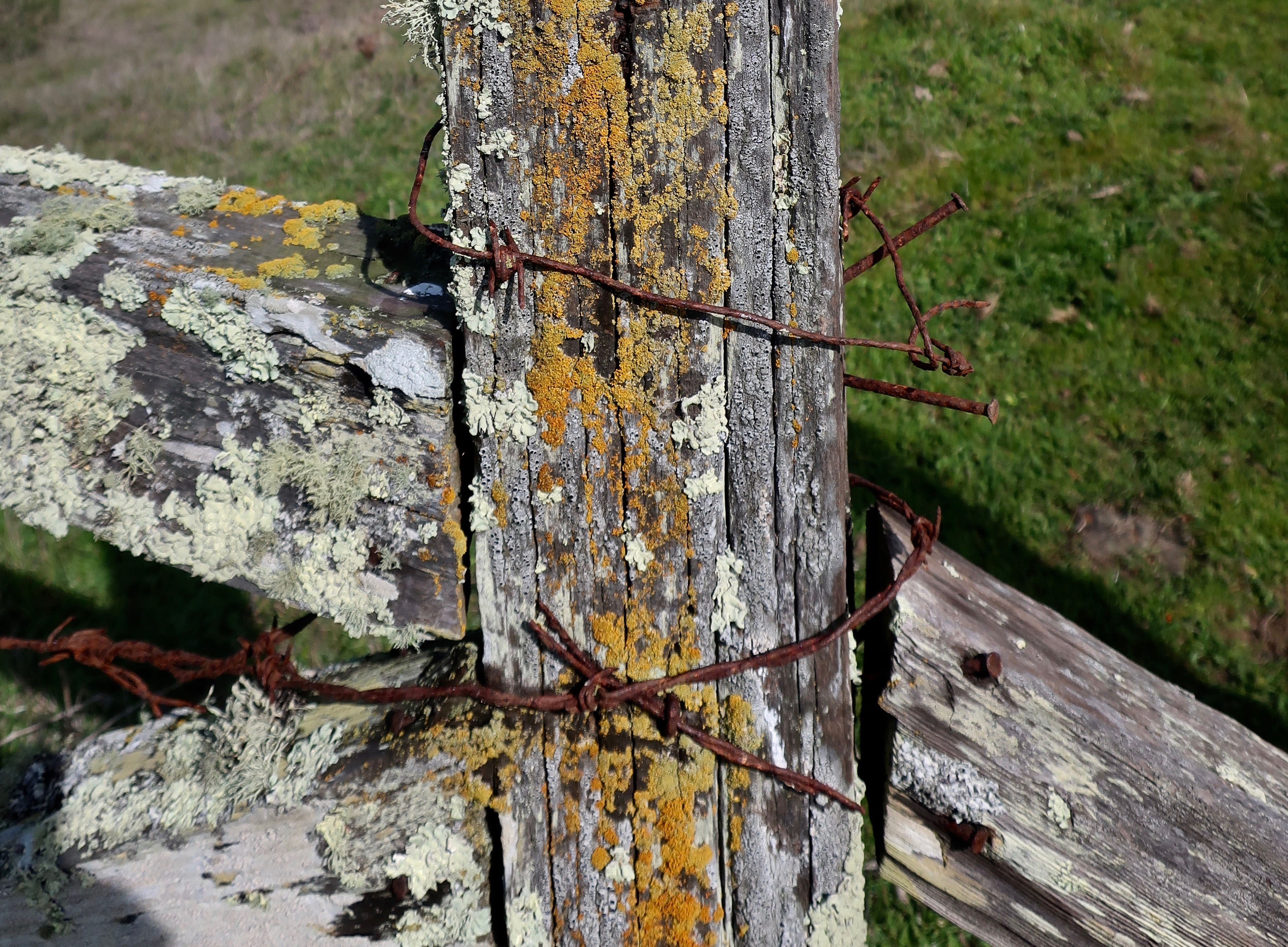
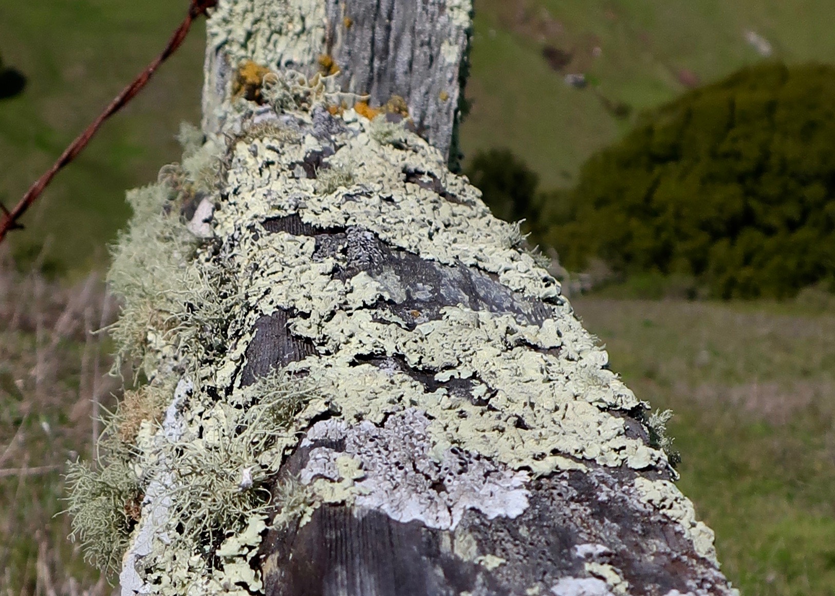
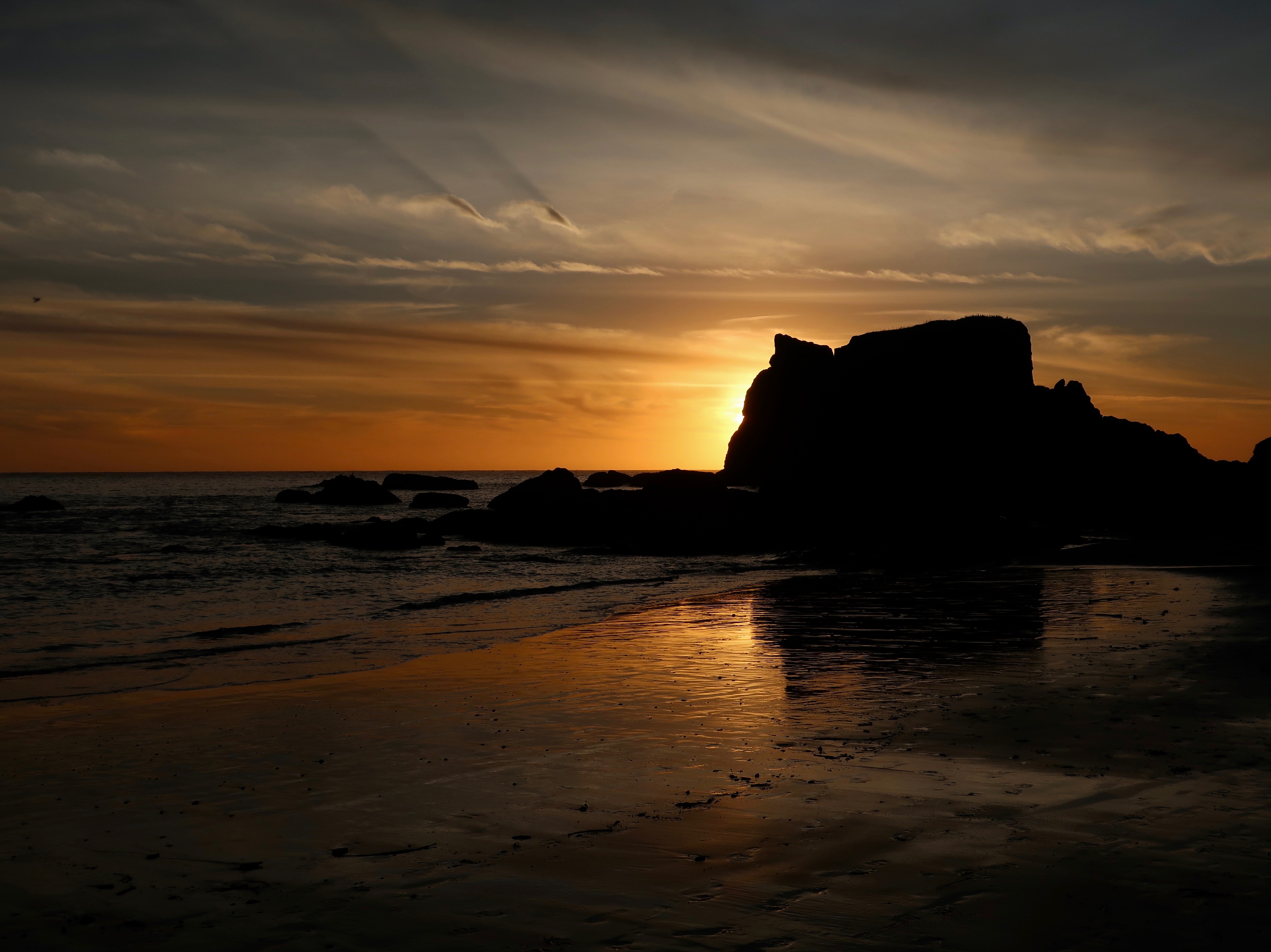
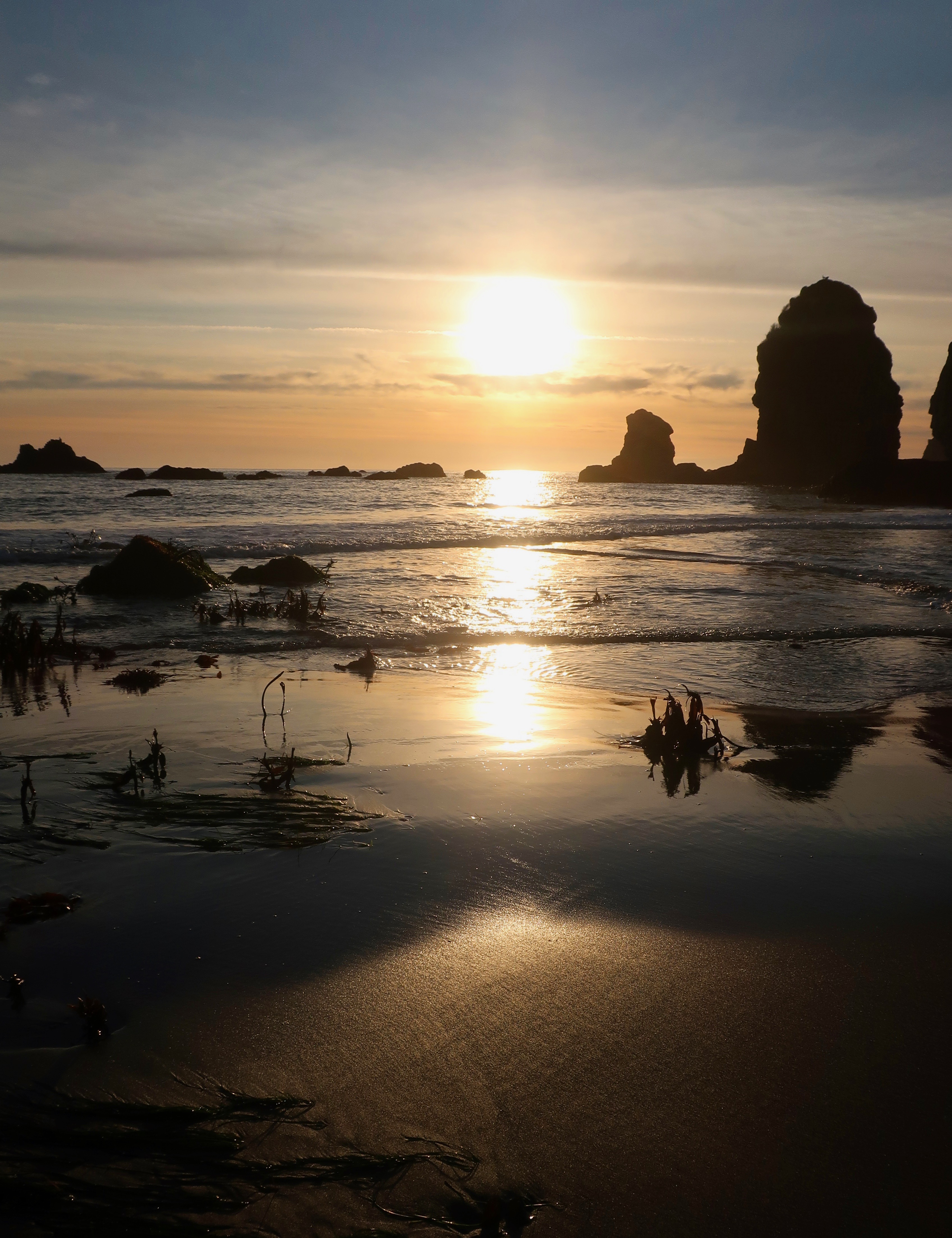
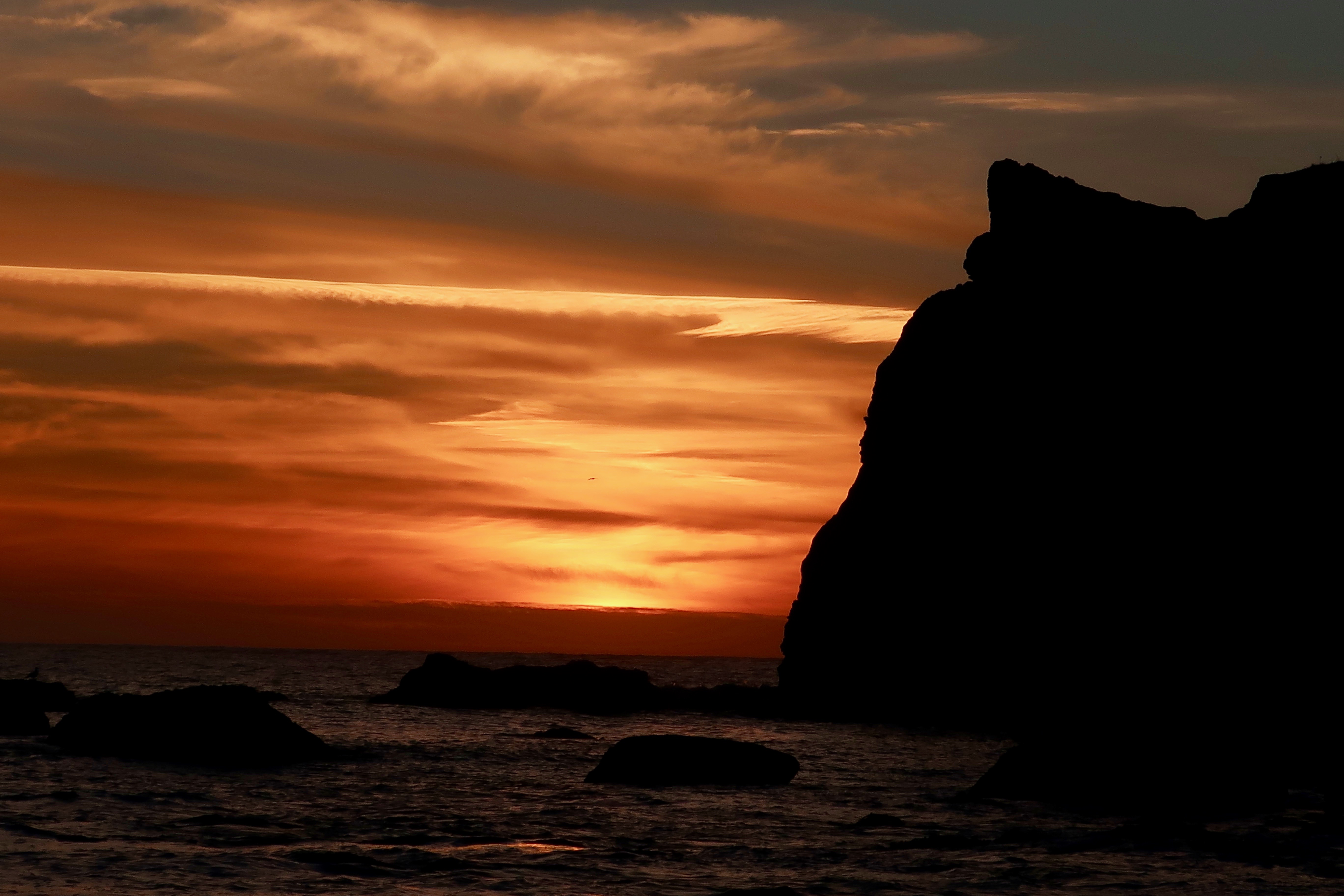
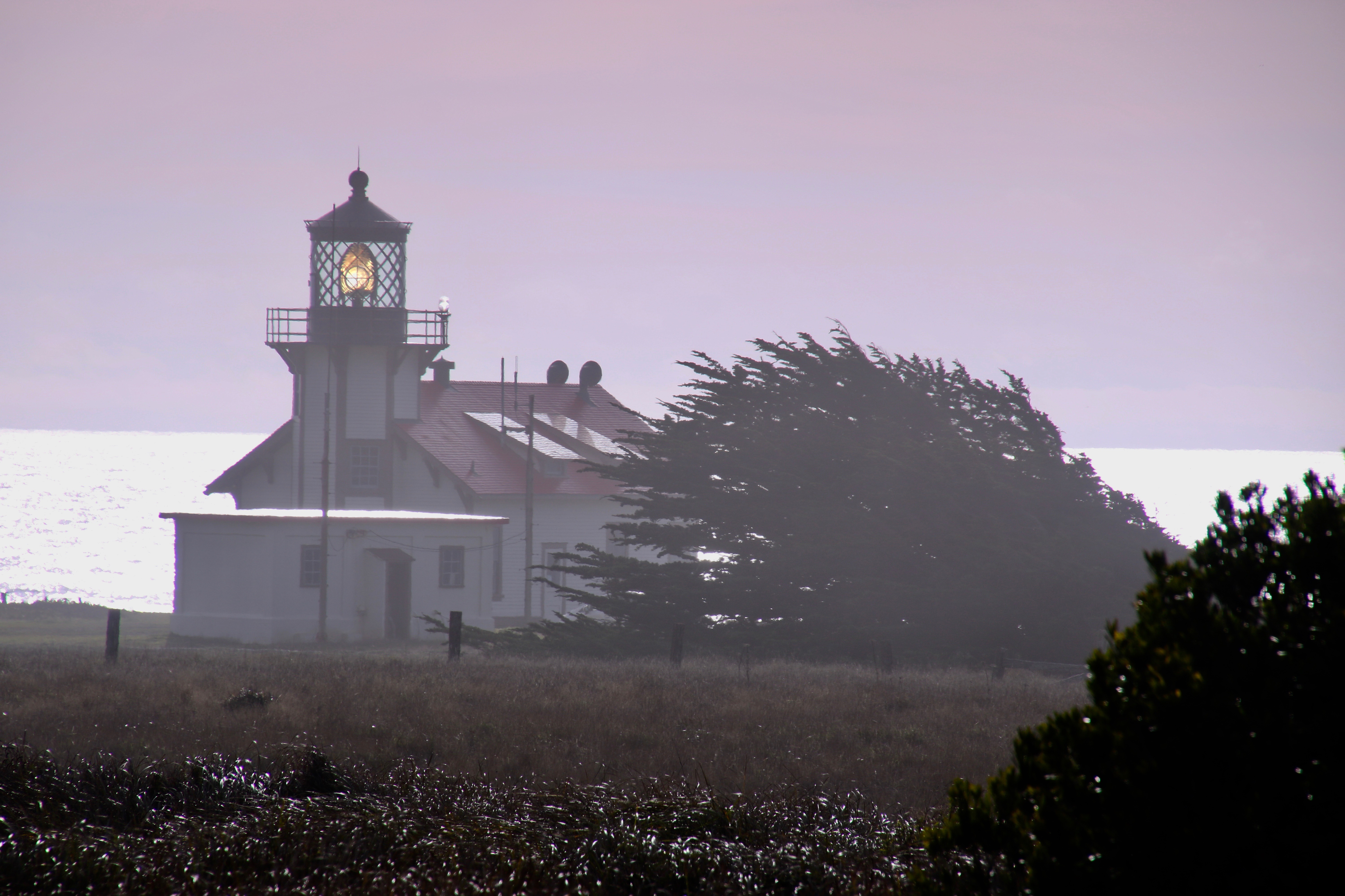
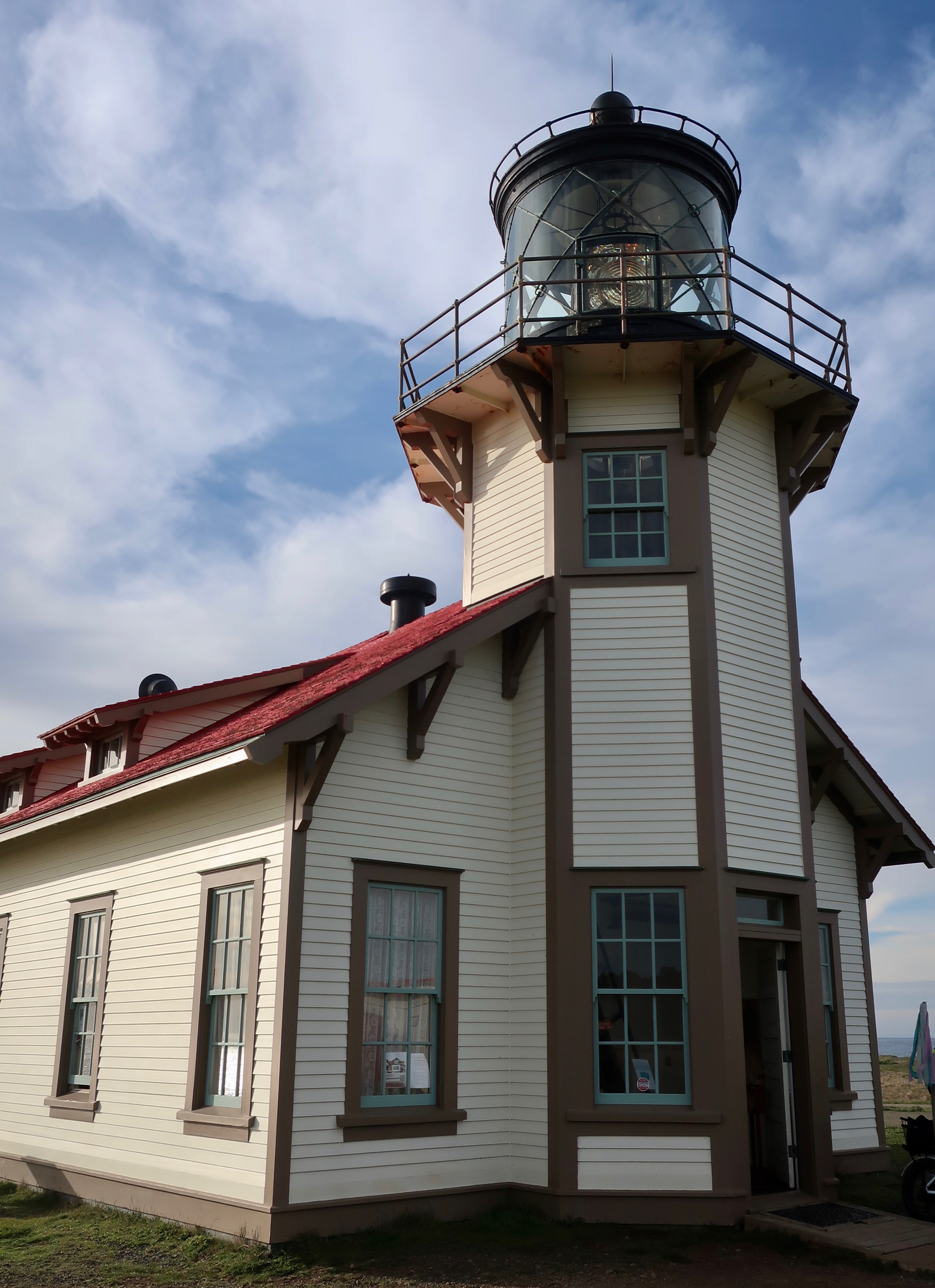
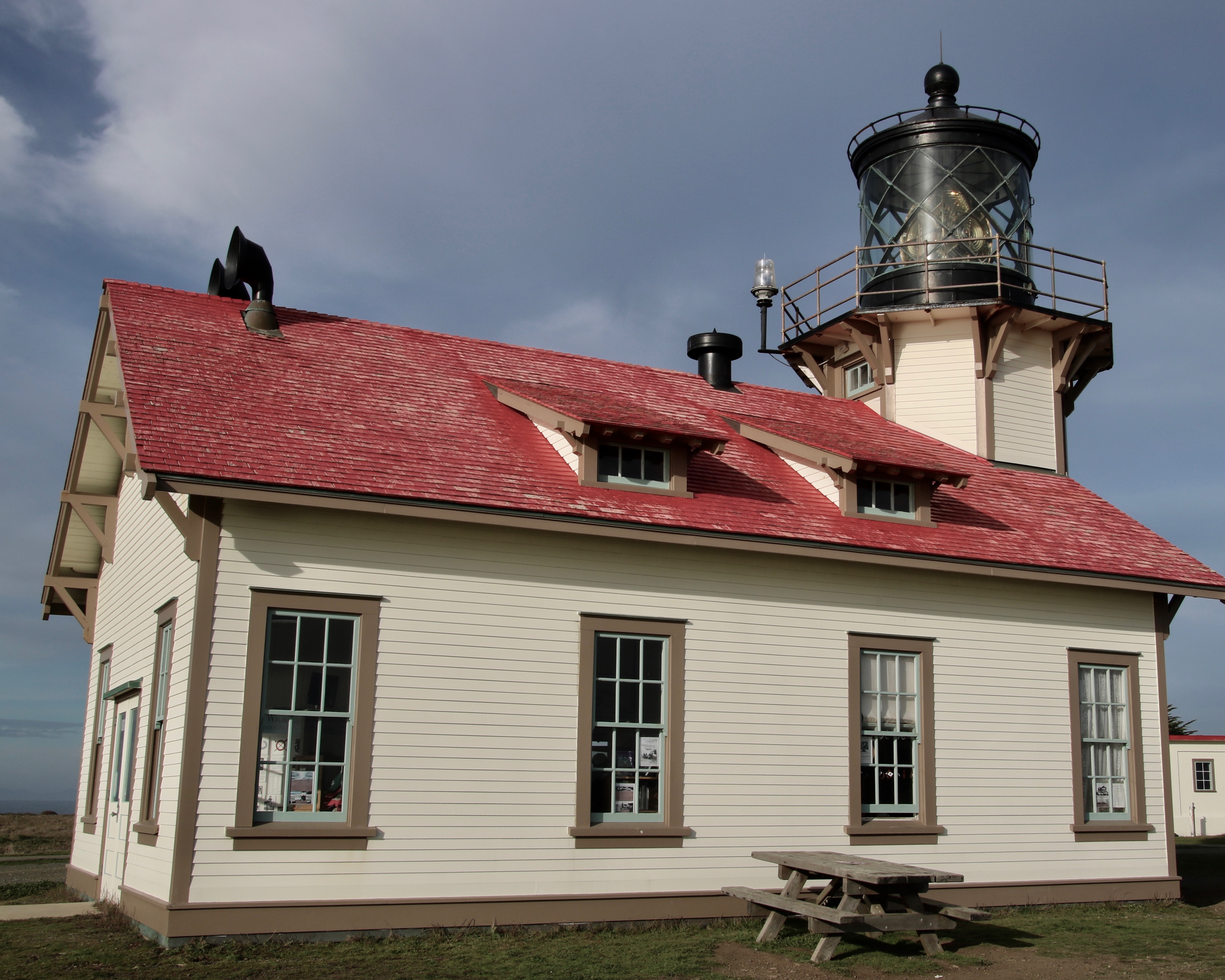
Today, many of the original lighthouses have been turned into museums. That’s the situation with the Point Cabrillo Lighthouse which is now part of the California State Park system. The lighthouse got its official start with a party in 1909. The head lighthouse keeper invited all of the neighbors within a mile over for its official opening at midnight. It was a pea soup night with the fog so thick that the light couldn’t escape. That wasn’t a problem for the loud new fog horns that started blasting out their warning on the dot at 12, probably waking up everyone who lived further away and wasn’t invited to the party. The lighthouse operated happily until 1961 when one of the towering waves I mentioned above rolled over the top. The third order Fresnel lens wasn’t damaged, however, and the lighthouse was returned to working order until 1973 when the US Coast Guard replaced it with a rotating beacon on a metal stand and the original lens was covered.

It was volunteers that brought the lighthouse back to life. With permission from the state and approval from the Coast Guard, they rebuilt the lighthouse and other structures including the homes of the lighthouse keeper and the assistant back to their 1930 condition when electricity was brought in. The Fresnel lens was cleaned, updated, and returned to service, being one of 70 that still operate in the US.

An attractive trail leads from the right side of the parking lot to the Lighthouse. You can also hike the road, but why would you? This is a view of wind-sculpted brush along the way.
Our first view of the Lighthouse. A bit of morning fog still hung over it. The Fresnel lens was shining. (Photo by Peggy Mekemson.)
It didn’t last long. A few minutes later the sun came out and burned the fog away. (Photo by Peggy Mekemson.)
The trail took us over to the ocean on our way to the Lighthouse. Sun lit up the waves.
The Pacific Ocean crashed into an inlet. Can you spot the Cormorant?
It was hiding down among the rocks. (Photo by Peggy Mekemson.)
We wandered around the lighthouse, admiring it.
A side view included the fog horns located on the back. (Photo by Peggy Mekemson.)
Peggy focused in on the lens. It can be seen 22 nautical miles out to sea. The third order Fresnel lens is made up of four panels which contain 90 lead glass prisms and weighs 6800 pounds. It is maintained by the volunteer Point Cabrillo Lighthouse Keepers’ Association. (Photo by Peggy Mekemson.)

We entered the small store and museum at the lighthouse and found this. Do you know what it is? It is whale baleen that whales use to strain their food out of ocean water.
We followed the road out since it led by the attractively refurbished lighthouse keepers’ homes. One serves as a museum. Visitors can rent the other for an overnight stay.

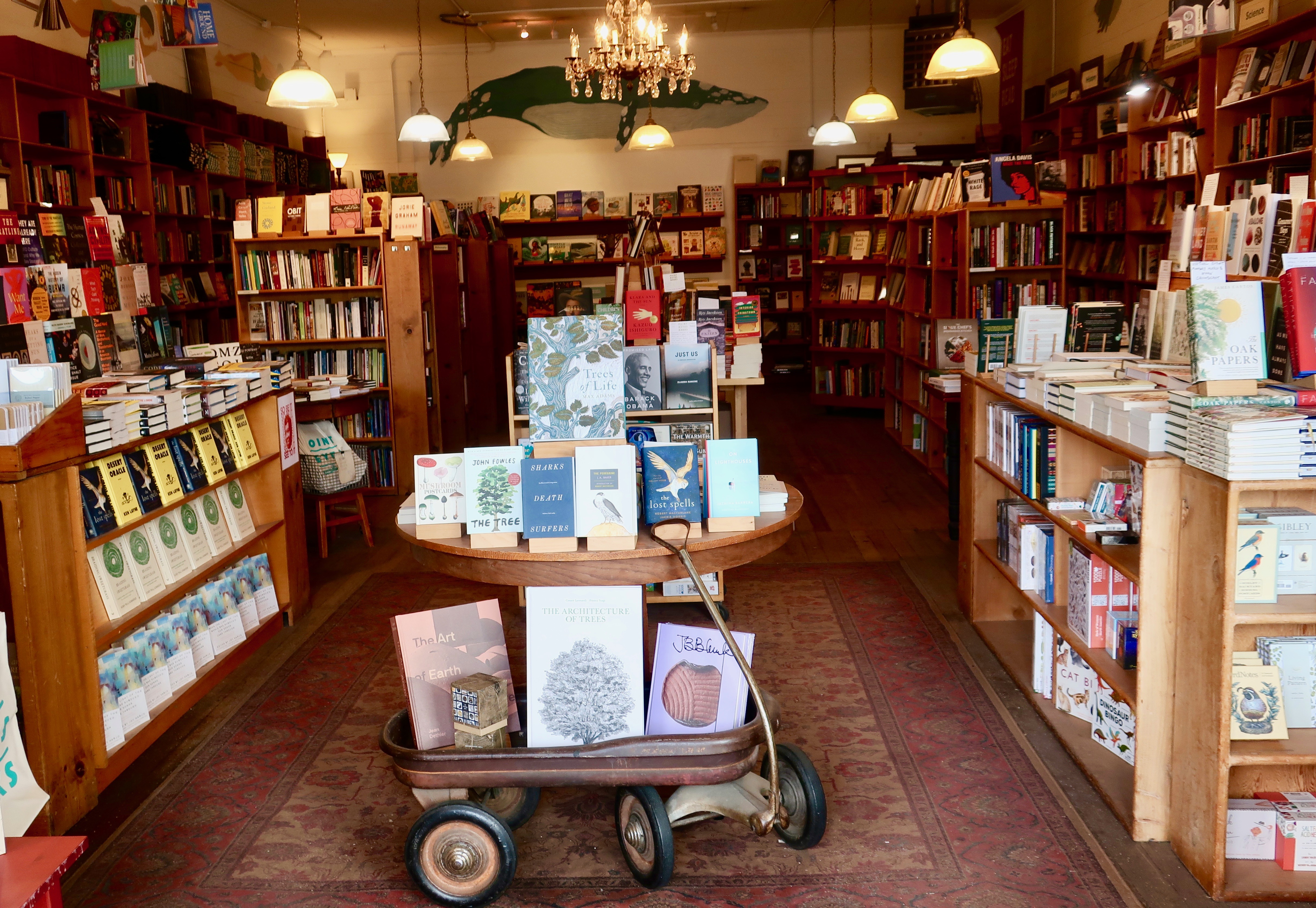
And this brings us to the bookstore cat. The attractive, historic town of Mendocino is located a mile and a half south of Point Cabrillo. It is another one of our favorite coastal towns. One of the reasons is its excellent bookstore: The Gallery Bookshop. The store’s logo is a cat reading a book. We went there to buy books, meet friends, and visit with the cat.

Every nook and cranny of the bookstore is filled with quality books. We could spend hours there.
The owner’s philosophy was posted in the window…
We hadn’t seen our friend David McElroy for quite some time. David is an Alaska bush pilot and a talented poet, a combination that has always fascinated me. He was traveling with his friend Susan, who among her many accomplishments, had been the first director of the Nature Conservancy in Alaska. They originally met in 1979 when Susan had hired David to fly her while she filmed the Iditarod, the first film of the event to ever be televised nationally. They met again after David’s wife of many years (and one of Peggy’s best friends from high school, Edith Barrowclough) passed away from cancer. Susan and David were on their way to Paris and then Portugal for a few months.
This sign greeted us at the bookstore door.
Catsby was sitting on the counter next to the cash register when I snapped his photo.

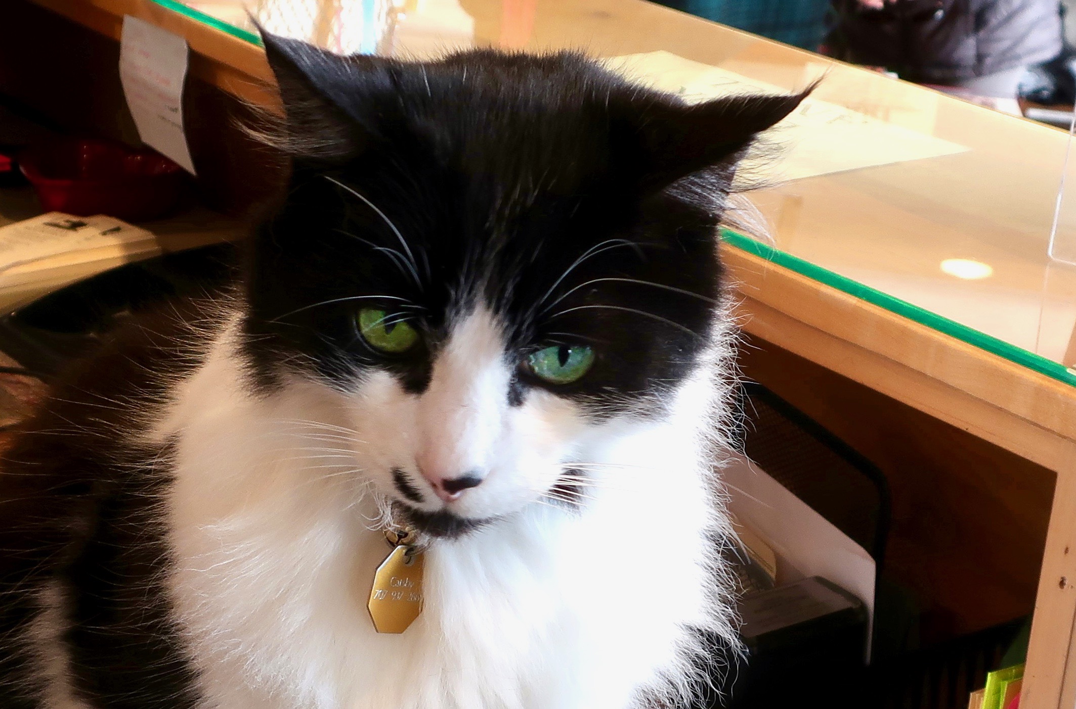
As I have noted before when I have blogged about my favorite independent bookstores, many of them have cats. I think that they all should. Here’s what the Gallery Bookshop’s website has to say about Catsby:

“The Great Catsby joined Gallery Bookshop in the fall of 2012. He was seen wandering on the streets of a neighboring town, darting in and out of businesses. One day, he found a car with an open window and hitchhiked (without the driver’s knowledge) to the village of Mendocino. There, he was picked up by a friend of the bookshop and offered the job of bookstore cat. His duties include sleeping atop card racks, greeting dogs with a glare and a flick of his tail, and occasionally allowing customers to scratch him behind the ears. He can usually be found sitting in the window, warming himself in a patch of sunlight.”

That does it for today. My next post will be on MacKerricher State Park, which is located just north of Fort Bragg. I should note: When I find time to do it. Our life continues to be insane as we rush into creating a new lifestyle for ourselves. More on that after the post on MacKerricher.

Is It Pomo Bluff— or Chicken Point… Fort Bragg, California

I see a massive wave like this and I remember the wise advice of old sailors: Never turn your back to the ocean. Even now when I look at this photo, I think, run! Fortunately, I was happily ensconced on a high cliff at Pomo Bluff when this big fellow came rolling in.

I laughed when I read the information sign posted up on Pomo Bluff in Fort Bragg. Sailors, fisherman, and other boaters of yore making their way out of Noyo Harbor would go out on the overlook to check how the Pacific Ocean was behaving. It could be calm and welcoming or it could be ferocious and dangerous. Checking was an opportunity to chicken out, to remember there was a cold beer that required quaffing at the local pub. Thus the name. Modern technology and weather forecasting have reduced the need to do a visual check.

We wandered around on the Bluff, admiring the ocean, checking out ice plants, watching rowdy crows, and wondering who owned the mansion hidden behind a tall fence.

In spite of the big waves, it was a beautiful day on the ocean. We watched as the charter boat, the Telstar, made its way back into Noyo Harbor. It’s available for sport fishing and whale watching. Apparently some folks had been out to try their luck. We didn’t wonder about what they caught or saw, we wondered how their stomachs had tolerated the rolling sea. (Photo by Peggy Mekemson.)
Looking back toward the entry into the protected Noyo Harbor.
A close up of the sea stack seen above.
Looking out to sea from Pomo Bluff. Go far enough and you will end up in Asia.
Peggy captures a photo.
And then goes in search of another. The sign is a common one along the coast, warning of the dire consequences of getting too close to a cliff’s sheer drop. But does this woman casually strolling along seem worried?
How can one resist when the best photos are often on the edge?
Such as this. (Photo by Peggy Mekemson.)
Ice plants provide an attractive foreground for photos on the coast. But there is a problem. It is an invasive species that replaces native plants.
I was surprised to find that the ice plant had adopted fall colors, something that I had never noticed before.
This crow took a break from its aerial display of chasing other crows to steal their food, to rest among the ice plants.
Peggy captured one carrying something delectable, like a long dead snail. (Photo by Peggy Mekemson.)
From her perch out on the point, Peggy was also able to catch a photo of this mansion. Otherwise, it was hidden behind a tall fence.
So I took a photo of it through a knothole.
A seagull showed us the way. I liked its feet. (Photo by Peggy Mekemson.)
And finally we came to the end. It was time to head on to our next adventure and my next post: The Point Cabrillo Lighthouse.

Escapism: Or Is the Word— Balance… Happy New Year

This cormorant at MacKerricher State Park near Fort Bragg, California seems to be saying, “Bring it on! Show me what you’ve got!” It’s a New Year’s type of message. (Photo by Peggy Mekemson.)

When Peggy and I were seeking an escape in 2021, we headed for the Oregon and Northern California Coast. It seemed like a reasonable answer to what was happening in the world. There is something calming about the ocean, a balance if you will— a reminder of the past, a welcome to the present, and a glimpse of the future. The waves continue to roll in. Worries tend to fade away under such circumstances and the spirit is renewed. Bring it on. Show us what you’ve got.

With this in mind, I decided to dedicate my first post of 2022 to the beauty and the wildness of the ocean using photos that Peggy and I took in 2021.

The sheer power of the ocean can make you stop, and say “ahhh.”

The ocean is much more than crashing waves, however. There is incredible beauty…

And an abundance of plants and animals uniquely adapted to life on and in the ocean.

I’ll conclude this first day of 2022 with a photo of the Cabrillo Point Light House, which has a beauty of its own. I rendered the lighthouse in black and white to reflect historical photos found in the lighthouse museum.

HAPPY NEW YEAR— Curt and Peggy

Are Your Ducks in a Row? Are You Ready for Prime Time? Or Are You Rudderless?

Are your ducks in a row? Peggy and I just returned from a trip to the small town of Waldport on the Oregon Coast. While there, we kayaked up Beaver Creek in Brian Booth State Park. It’s a beautiful area known for its wildlife. Mainly, we saw lots of ducks. Peggy, who was sitting in the front of our two person kayak, was the prime photographer. She captured these ducks behaving in a fashion that even Miss Manners would approve.
Or maybe an even more important question: Are you ready for prime time? We came on this duck who wasn’t quite sure as she checked out her tail feathers.
She quickly preened (oiled her feathers)as we approached.
And then said, “Okay, I’m beautiful. Take my photo.”
A nearby mallard duck said, “Ha”… (Photo by Peggy Mekemson.)
“I’m the prettiest duck on the river!” (Photo by Peggy Mekemson.)
This duck absolutely refused to allow us to take a close up. I understood. Say you were standing in the creek with your head under the water and your butt up in the air. Would you want your photo taken?
Most of the ducks we approached were trying to hide their heads under their wings. We assumed that it had something to do with the state of the world. (Photo by Peggy Mekemson.)
Another example. (Photo by Peggy Mekemson.)
Normally we paddle our 12 foot inflatable Innova kayak with a rudder attached. This time, we were up the creek without a rudder. We were rudderless. While Beaver Creek looks perfectly calm, there was a current accompanied by an occasional gust of wind. Big Green enjoyed the freedom while we paddled like mad to keep her going where we wanted. (Photo by Peggy Mekemson.)
There were those perfect moments, however, where we could simply relax and enjoy the gorgeous scenery, which was in abundance.
Including impressive wood sculptures, such as this. Peggy insisted that we kayak around it.
She thought climbing off the kayak and on to the sculpture would be a great photo op. Something to send the grandkids. Then, she thought better of it. There was a significant chance that she would fall in the water, which I would have considered an amusing photo. Peggy? Not so much.
Peggy, who is quite tactile, decided feeling the wood was enough.
Circling the driftwood provided several different views, including this garden growing on one side.
I decided it would be interesting to depict the driftwood in black and white. It looks a bit ominous.
Not as ominous as this old dead tree hanging out over the water, however. I thought it might reach out and grab us and we wisely gave it a wide berth.
The riparian habitat next to the river made a fun contrast to the the surrounding forest.
Peggy even found some early fall-colored leaves.
As we paddled back toward our starting point, mist from the ocean added a magical element to our journey. Peggy and I will be back.

This is one my occasional blogs I am posting as I have taken a break from blogging over the summer. Next up, I will do a post on the impressive Alsea Bridge across Alsea Bay in Waldport. Let me just say here, Oregon takes its bridges seriously. After that I’ll touch on what Peggy and I have decided over the summer. It will include our being on the road much more exploring North America. Change is in the wind.

Kayaking in Florida One Week and Oregon the Next… A Photo Blog

Two weeks ago we were kayaking through mangroves along the Gulf Coast of Florida. Last week we were kayaking on the edge of the Oregon Dunes National Recreation area next to the Pacific Ocean. Are we jet-setters or what? You are looking at Peggy’s hat in the foreground. Our grandson Cody is next. Our son Tony was leading on a paddle board. We were making our way through a mangrove tunnel.
Peggy’s wearing a cap this time as we make our way through Honeyman Lake near Florence, Oregon last week.
We had traveled to Florida to join a celebration and party for our son Tony who was retiring from his position as a Lieutenant Commander and helicopter pilot with the Coast Guard. Prior to his stint in the Coast Guard, he had been a helicopter pilot in the Marine Corps including three tours to Iraq. He has earned quite a few medals for bravery, being wounded, and saving lives along the way. The lower one is for being one of the best pistol shots in the Coast Guard. He was captain of the pistol team at Annapolis. Peggy was once recognized as being the best pistol shot among teenagers in America. I’ve been known to hit the broadside of a barn.
Tony arranged a kayak trip for visiting family members at Weedon Island Preserve near St. Petersburg.
Like Tony, his wife, Cammie, was operating a paddle board. Their youngest son, Cooper, was hitching a ride.
Here we are entering the mangrove tunnel that the Weedon Island Preserve is noted for. Our paddles proved to be too long, so we took them apart and operated with half a paddle.
Docked at lunch. Tony is tying a rope to the kayaks to make sure they don’t go wandering off.
One of the things I always love about Florida is the bird life. This is an ibis.
Another view. I think he was stalking something.
While mangrove tunnels and birds caught our attention in Florida, water lilies became our focus while kayaking on Honeyman Lake.
White and pink were the colors of the day.
Peggy caught these three pink water lilies in a row…
While two white water lilies lined up for me.
Honeyman Lake is located at the northern end of the Oregon Dunes National Recreational Area.
Another view of the dunes along the lake.
A final view of Honeyman Lake. I took this photo from where we had parked, Quivera, our small RV. We kayaked down to the opposite end of the lake taking a detour into a feeder creek that provided our up-close encounter with water lilies. Fog over the Pacific Ocean can be seen in the distance.

As noted before, I am taking a break from blogging this summer to catch up on other writing chores, but I am also posting an occasional blog when I find subjects I think you might find fun. –Curt

Abbots Lagoon and Pt. Reyes Station… A Trail Hike Plus a Favorite Small Town

Abbot’s Lagoon is a great place for bird watchers. Or people watchers. This great blue heron with its neck stretched out like a rubber band had a wary eye on Peggy. Wisely so. She was stalking it with her camera. (Photo by Peggy Mekemson.)

It’s a wrap on my Pt. Reyes series today. Peggy and I will take you for a hike out to Abbot’s Lagoon and a visit to Pt. Reyes Station, a favorite town of mine.

The hike is suitable for almost anyone. We even watched a mom and dad pushing their baby along in a stroller. How much easier can it get? The baby seemed quite happy as did the parents. Visitors can turn around whenever they want, hike out to the Lagoon, or go on a leisurely stroll all the way to the ocean. We chose the latter.

The Abbot’s Lagoon trailhead leading out from the parking lot. The Lagoon can be seen in the distance. The Pacific Ocean is out beyond the Lagoon. The narrow strip you can see on the left is the continuation of the trail.
The red marker shows the location of Abbot’s Lagoon on the Google map. Down to the right you can see Pt. Reyes Station next to the Highway 1 marker. Highway 1, BTW, follows the San Andreas fault through this area. The 1906 San Francisco Earthquake shot what is now the National Seashore over 20 feet northward. San Francisco is 30 miles to the south.
Another photo of Peggy’s great blue heron. This time he was back at work catching fish. I liked the slight hint of a reflection. (Photo by Peggy Mekemson.)
I was impressed with the red eye on this coot. (Photo by Peggy Mekemson.)
We crossed a small bridge and looked back up the Lagoon toward the parking lot.
There was a drift wood structure along the trail on the beach out near the ocean. It had been cleverly woven together with kelp.
Finally we arrived at the Pacific Ocean.

The North Pacific Coast Railroad had arrived in the area 146 years earlier in 1875 and let passengers off in a cow pasture to make their way to nearby Olema and dairy ranches out on the peninsula. The cow pasture soon added a hotel and the town of Pt. Reyes station was born. It’s a story told over and over in the West. The railroad arrives and a community springs up, making land barons/developers happy and rich. This time it was a dentist in San Francisco. The railroad was making its way north to retrieve redwoods that were being cut down to build the city. Many a giant redwood gave its life to the cause.

I first arrived at Pt. Reyes Station in the late 1960s and I’ve returned again and again. The town has become somewhat yuppified and more expensive since then due to its close vicinity to San Francisco, but it still retains much of its charm. The following photos reflect some of what makes it charming.

The Pt. Reyes Book Store is one of the best small, independent bookstores we have ever been in, and we’ve been in a lot. Peggy told me to go in and spend $200 for my birthday. Boy, does she know me…
The Bovine Bakery is on one side of the book store. The buttermilk scones are to die for! I never leave town without one, or two, or three, or four.
Feeling Horsey? A saddlery is on the other side of the bookstore.
If your horse is hungry, Toby’s Feed Barn is across the street.
But what feed barn do you know that also serves gourmet coffee and freshly baked, large chocolate chip cookies. Now, that’s what I call charm!
A walk behind the the bookstore building brought us to the Cowgirl Creamery, famous for its cheeses, and I might add, its grilled cheese sandwiches. I’ve never been a fan of grilled cheese, but one bite of its aged white cheddar on sourdough bread and I was hooked. Peggy and I were back for another one the next day, which we took out and ate at the Abbot’s Lagoon parking lot.
Our view from where we chowed down on our grilled cheese sandwiches in the Abbot’s Lagoon parking lot.
A bit of living history. Cheda’s Garage is the oldest contract Triple A garage in the nation.
This was the view inside Cheda’s Garage. Putting two and two together and thinking roadside pickup of wrecked cars, I couldn’t help but irreverently think “Roadkill.” Just kidding. Old Cheda must have been one heck of a hunter.
A photo of early Pt. Reyes Station…
The building today.
The mural on the front of the building capturing some of the activities and wildlife of the area.
Just around the corner we found a sign that made us smile. A No Parking Sign had been cleverly modified to become a No Barking sign. Several cars were lined up in the no parking zone. Not one had a barking dog. A law-abiding town, for sure.
I’ll conclude my Pt. Reyes series with a historic photo of the train that gave the town its name. Join me next Friday on my travel blog as I take you on a spring walk around our property.

MONDAY’s BLOG-A-BOOK POST from Its 4 AM and a Bear Is Standing on Top of Me: I decide that doing an inventory of the local skunk population is ever so much better than being conked on the head by a Little League hardball. But have you ever faced a skunk standing on its front legs with its tail pointed toward you— ready to spray?

Raging Winds, Fog, and Treacherous Rocks… 3 Reasons for the Pt. Reyes Lighthouse

“Point Reyes is the windiest place on the Pacific Coast and the second foggiest place on the North American continent. Weeks of fog, especially during the summer months, frequently reduce visibility to hundreds of feet. The Point Reyes Headlands, which jut 10 miles out to sea, pose a threat to each ship entering or leaving San Francisco Bay. The historic Point Reyes Lighthouse warned mariners of danger for more than a hundred years.” From the Pt. Reyes National Seashore website.

It was hard to imagine frequent winds of 60 MPH that have been clocked as high as 133 MPH and weeks on end of pea-soup fog the day we visited the Pt. Reyes Lighthouse in March.

For as much as I enjoy Pt. Reyes National Seashore, I studiously avoid it in the summer. One reason is the fog. That’s true for much of the Pacific Coast. The other is tourists, gazillions of them. Traffic slows to a turtle’s pace along Highway 1, campgrounds are full, and popular sites such as the lighthouse are packed. I have a limited sense of humor about any of the above, especially given that I can visit during the late fall, winter, and early spring when few tourists are out and about and days are often crystal clear. Or, if I am particularly lucky, a raging storm will send huge waves crashing ashore producing spectacular views. I love both.

It was mainly sunshine when Peggy and I visited the National Seashore in early March to celebrate my birthday. The lighthouse was closed due to Covid, but I have visited it before. This time, we admired it from above.

The Lighthouse was built in 1870 to help counter the frequent shipwrecks that took place in the area. A steam driven fog horn was used when the fog was too thick to see the light.

The lighthouse served its purpose for over 100 years, finally shutting down in 1975 when the US Coast Guard replaced it with an automated light found just below the historic lighthouse. Up until then it was tended by a lighthouse keeper whose responsibility was to keep the light burning. In addition to warning mariners off of the treacherous rocks, the lighthouse served as a navigational aid. Each lighthouse along the coast has a different frequency of light that ship pilots recognize. At Pt. Reyes, the light flashed once every five seconds.

Looking out to sea.
A historic view of the Pt. Reyes Lighthouse from the National Archives.

Peggy and I parked Quivera and followed the trail that led out to the lighthouse. Along the way, we found trees that showed the effects of the high winds that frequent the headlands.

Wind sculptured trees
I pictured children having a blast climbing over the gnarled limbs on the trees.
The Pt. Reyes headlands are a great place for whale watching when they are migrating south toward Mexico and then north toward the Arctic. We didn’t see any, but we were greeted by this large mural as we neared the lighthouse.
We found this interesting rock perched above the lighthouse.
And looking down below the lighthouse, we watched these waves crashing ashore among the rocks— which is where I will conclude my post for today.

NEXT FRIDAY’S TRAVEL BLOG: I’ll wrap up my Pt. Reyes series with a pleasant walk out to Abbot’s Lagoon and a visit to the colorful town of Pt. Reyes Station.

An Elk Loses Its Coat, a Coyote Digs Sushi, and a Ranch Is History… The Pt. Reyes Series

This bull elk that came down to see us as we hiked out the Tomales Pt. Trail looked quite elegant until we looked at his back. He was still shedding his winter coat and had yet to grow his summer fur. The deer herd that hangs out on our property goes through the same stage, looking frowzy for a couple of months. (Photo by Peggy Mekemson.)

Any trip to Pt. Reyes National Seashore should include a drive out to the historic Pierce Pt. Ranch and Tule Elk Reserve. The ranch will introduce you to an important piece of Pt. Reyes history. A hike out the Tomales Pt. Trail from the ranch will take you through some impressive scenery and likely give you a view of tule elk and other wildlife. Ever since the elk were reintroduced to the area in 1978, the herd has thrived. Our photos today start with our hike and end back at the ranch.

The Tomales Pt. Trail starts at the Pierce Pt. Ranch passing under tall Cypress trees planted originally by the ranchers as a wind break. Peggy provides perspective.
A few hundred yards brought us to a number of Calla lilies. Peggy and I wondered if a rancher’s wife had planted them to remind her of a home the family had left behind. (Photo by Peggy Mekemson.)
Of course, I had to take photos of the lilies as well.
We stopped to admire the scenery looking out toward Tomales Pt. and the Pacific Ocean.
Another view. The Bodega Headlands can be seen in the distance. If you’ve been to Bodega Bay, it’s possible you’ve driven out there. I like to go out on the headlands and look for whales passing by.
Far below us we saw a pair of coyotes working their way along the beach.
Peggy used her telephoto for a closer shot and, much to our surprise, the coyotes were digging in the sand. Whether they were after clams or crabs or some other seafood delicacy, I don’t know. But what was clear was that the coyotes had developed a tase for sushi!
Shortly afterwards we spotted elk on the ridge above us.
And they came down the hill to see us… (Photo by Peggy Mekemson.)
Bringing their cows with them. (Photo by Peggy Mekemson.)
I caught this photo of one of the bulls checking us out. You can see that he is in that ‘awkward’ stage between losing his winter coat and growing his summer one.
This cow elk was also looking a bit bedraggled. (Photo by Peggy Mekemson.)
A final shot of the elk browsing. I liked the backdrop of the Pacific Ocean.
The Pierce Pt. Ranch ceased operation in 1973. Visitors are now invited to walk through the grounds and get a feel for what dairy ranching was like before modern dairy operation took over.
I liked the roofs.
I believe a park ranger lives in the ranch house now. I could live there!
The old dairy barn is humongous.
I took a peek inside. This is only half of the barn.
While Peggy stood at the barn door.
Since I took a photo of Peggy, she insisted on taking one of me. I took advantage of one of the downed Cypress trees. And that’s a wrap for today!

NEXT POST:

Monday’s Blog-A-Book from It’s 4 AM and a Bear Is Standing on Top of Me: I leave the Graveyard behind and journey off to the Pond where bullfrogs and catfish rule and pirates lurk.

Wednesday’s Blog-A-Book from my lead-up to joining the Peace Corps: I help corral a police car at Berkeley and the rallying cry of ‘Never trust anyone over the age of 30‘ is born.

Going on a Cow Walk… The Pt. Reyes Series

Cow conflict resolution

I’m returning to Pt. Reyes National Seashore and the surrounding area today. As you may recall, Peggy and I drove down to this beautiful park north of San Francisco in early March to celebrate my birthday. At the time, I did a post on the big nosed elephant seals that have adopted the park as a great place to breed and have babies as their population increases.

Like whales, they had been hunted close to extinction for the oil their body produces. Fortunately, enough people had become concerned in the early 20th Century to stop the slaughter and save the species. My elephant seal post would have been perfect for yesterday: Earth Day. The message about these unique animals is that If we care enough, we can make a difference. Working together, we can help save the earth and its bio-diversity. Nature has wonderfully recuperative powers— given a chance. The planet will work with us, if we stop working against it. But enough on the that for now. Today’s post is about cows and a short walk in the Golden Gate National Recreation Area.

There is no danger of cows going extinct. They have the advantage/disadvantage of being useful to us. As of 2021 there are over a billion on earth. The Pt. Reyes area has its share. It was recognized as ideal for raising dairy cattle in the 1850s as the burgeoning population of San Francisco provided a ready market for dairy products. When the National Seashore was created in the 1970s and 80s, the ranches were grandfathered into the land that was set aside and are an integral part of today’s Pt. Reyes’ experience.

I didn’t set out to do a post on cows when Peggy and I decided to incorporate a short walk along the Bolinas Ridge Trail. It’s actually a part of the Golden Gate National Recreation Area but is administered by Pt. Reyes NS. As you can see by the maps below, it is just east of the small town of Olema which includes the campground I have been staying at forever, or at least back to the 1970s. The trail is part of a system being developed that will eventually allow hikers to do a 500 mile hike around the complete Bay Area. We did four. Two out and two back.

The Bolinas Ridge Trail starts just east of the small town of Olema on the Sir Frances Drake Blvd. It’s the dotted line. Our campground sits in the grey area just above Olema. The National Seashore Visitors’ Center and Headquarters is the light area behind the campground. Our go-to town for eating out and shopping is Pt. Reyes Station to the north.
This map provides perspective on where Bolinas and Pt. Reyes Station are located in relation to San Francisco. The green area next to the coast makes up Pt. Reyes and the Golden Gate Recreation Area stretching from the end of Tomales Bay to the Golden Gate Bridge. Highway 1 is the yellow line running along the coast, more or less separating the two parks. It also follows the infamous San Andreas Earthquake Fault. Pt. Reyes was once located near LA as part of the Sierra Nevada Mountains. It has been on its journey north for some 30 million years.
Just for fun, this map shows the Bay Area Trail system with its completed and uncompleted sections.
Official cow. The cows became part of our walk. This is the official cow portrait taken by Peggy. Number 1913, otherwise known to us as Bossy, didn’t want to interrupt her eating for the photo. The cows chomping grass made a distinctive, loud noise. (Photo by Peggy Mekemson.)

Let it be known, there was much more to the walk than cattle. The beautiful green of the Coastal Range was offset by dark forests. Spring flowers were beginning to pop up. Individual rocks with definite personalities stood proudly along the way and demanded to be photographed.

The striking green grass of the Coast Range was offset by dark groves of trees. Individual rocks added to the scene.
Peggy hoofing it along the trail, which is actually a gravel road at this point. Turn her loose on a flat stretch and away she goes. I can hardly keep up. At 70 she can still whip out four miles an hour. Fortunately, she is easily distracted.
“Do you see the lizard, Curt,” she proclaimed and immediately stopped to photograph a rock that looked like a lizard head to her. You can see the squinty lizard looking eye toward the top center of the rock. (Photo by Peggy Mekemson.)
Cow itch. Cattle had a way of stealing the show.
But back to rocks. This one looked like it was long overdue for a haircut. You might say it had Covid hair.
Lichens added a touch of color to this rock. I decided if Peggy could have her lizard rock, I could have a frog rock. What do they have in common other that a vivid imagination to see them? They both eat flies. That’s a good thing.
No imagination required here. This was a bird’s rock, be it ever so temporary.
Cowlick. Peggy insisted on catching the cowlick seen on the head of Number 1903 (Ferdinand), seen earlier scratching an itch. She said it reminded her of me. Thanks. My hair can be rather untamable at times. A cowlick, BTW, is different than a cow kiss, which is the generous application of one’s tongue on someone’s face, usually followed by an “Eeww!”
I didn’t know the name of this striking early bloomer, but fortunately Peggy and I had just loaded iNaturalist on our iPhone. I took a photo from my screen and voila! it’s Footsteps of Spring (Sanicula arctopoides). I absolutely love the new app.
Another flower I had to lookup on our new app, Suncup Primrose (Taraxia ovata).
This beauty was another one that our new iNaturalist app identified. Unfortunately, it’s an invasive species, Rosy Sand Crocus (Romula rose).
And then we found an old friend, a solitary California poppy growing in the rocks along the trail. (Photo by Peggy Mekemson.)
Cow sentry. If we didn’t have the feeling we were constantly being watched, we should have.
I wanted to capture a photo of Peggy on a flat hilltop that was surrounded by rocks that struck me as a great place for a full moon Wiccan ceremony. I’m not sure how Peggy’s pose fit in, but then I hadn’t told her to look like a witch. The poppy shown above was growing in these rocks. An old fence was nearby…
Tha ancient barbed wire and lichens spoke to a bygone era of ranching in the Pt. Reyes area. We were glad that the cattle were still there.
Another shot of the fence.
The tail-end of a cow tale. “I’m out of here” Ferdinand grumpily stated after one too many photos. Look at his face! I get the same feeling at family photo sessions. On next Friday’s Pt. Reyes travel blog, Peggy and I are off to visit an elk herd that roars down to see us. And, we watch a pair coyotes eating sushi.

NEXT POST:

Monday’s Blog-A-Book Post from It’s 4 AM and a Bear is Standing on Top of Me: Have you ever raced to the top of a 70-foot tree? In the middle of a graveyard? It was an important part of our entertainment when we were growing up. Join me on Monday as I race to the top and my brother tries to build a treehouse 60 feet up…

Oregon’s Harris Beach State Park… It’s a Wrap

The sun appears to drop into the Pacific Ocean at Harris Beach State Park on the Oregon Coast.

It seems appropriate to end my series on Harris Beach State Park with photos of the setting sun like the one above and those below. But first, I would like to cover a striking geological feature: Key Hole Rock.

Sea stacks often have caves or holes in them caused by the action of waves and weather. Key Hole Rock at Harris Beach is a prime example. The light and waves that make their way though the hole provide endless photo ops.
A massive sea stack hovers above the hole. At some time in the probably distant future the whole edifice will come crashing down.
Different angles provide different perspectives as do tide levels. The tide is out here.
Here, the tide is coming in…
Harris Beach State Park on the Oregon Coast.
A photo from an earlier visit provides an interesting perspective of Key Hole Rock at high tide. (Photo by Peggy Mekemson.)

And now for the promised sunset photos:

I’ll conclude with this photo as we say goodbye to Harris Beach. I took it a few minutes after the first photo was taken. On next Friday’s travel blog, Peggy and I will be taking you south to Pt. Reyes National Seashore just north of San Francisco, Ca. I’ve already done a post on the elephant seals. This time we will be taking you on a cow walk.

NEXT POST:

Monday’s Blog-A-Book Post from It’s 4 AM and a Bear Is Standing on Top of Me: On a lonely night walk home from visiting her boyfriend, my sister Nancy encounters a ghost from the Graveyard that floats down in front of her. She screams, and screams, and screams…