I couldn’t help but think of William Least Heat-Moon’s book, Blue Highways, this morning. If you have read his classic travel adventure, you will remember that he would go out of his way to find small towns with unusual names, like Dime Box, Texas. We are in Accident, Maryland today and I’m pretty sure it meets Heat-Moon’s classification of an unusual name. I was also amused to learn that people from the town are called Accidentals. I feel a connection. My parents always told me that I was an accident.
This is the last stop on the first segment of our full time travels. Tomorrow we will arrive at our daughter Tasha, her husband Clay and our grandsons Ethan and Cody’s home in Waterford, Virginia outside of Washington DC. They have an attached efficiency apartment that they are insisting that we use as our base. It’s Tasha’s way of assuring that we will be around on occasion. It will take a few weeks to set up the apartment, but first we will be dashing off on our Rhine River Cruise.
In the meantime, I will keep the posts from our national park and monument visits in the Southwest rolling out. After Zion there is Bryce, Escalante, the North Rim of the Grand Canyon, and Mesa Verde plus our other adventures along the way. I have enough to produce posts until we are once again on the road. More than enough! On the small chance I run out, there is the Rhine River Cruise. 🙂
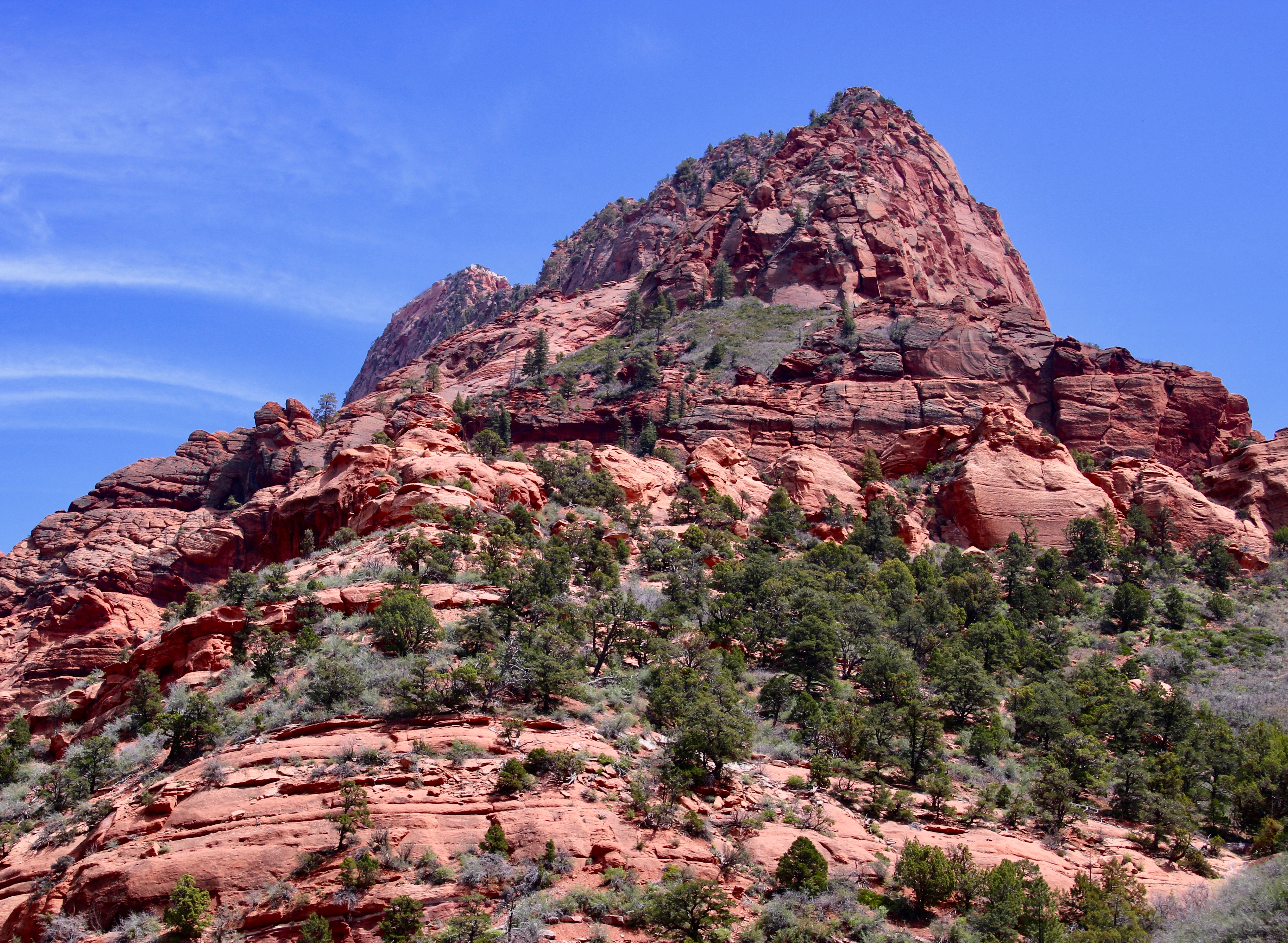
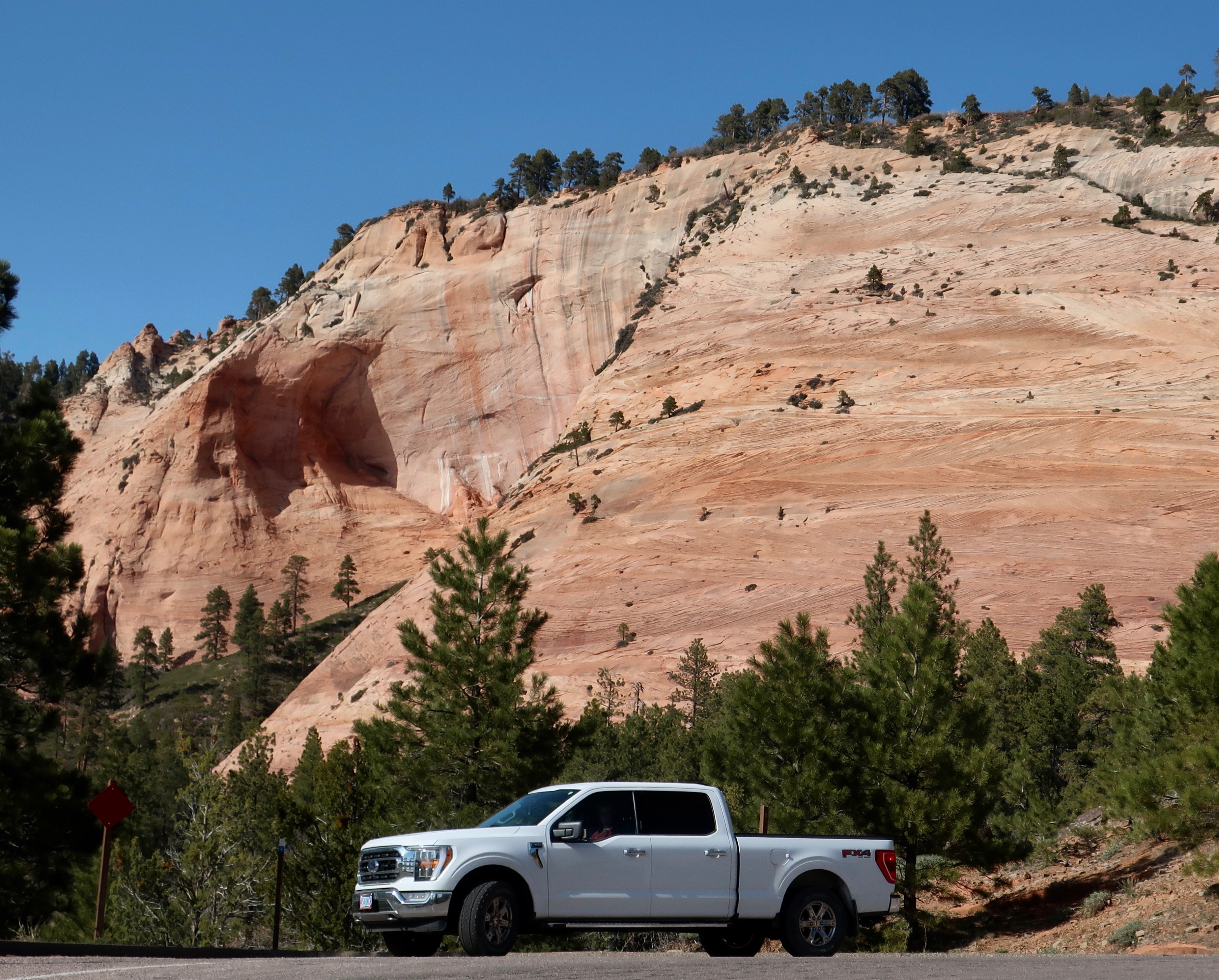
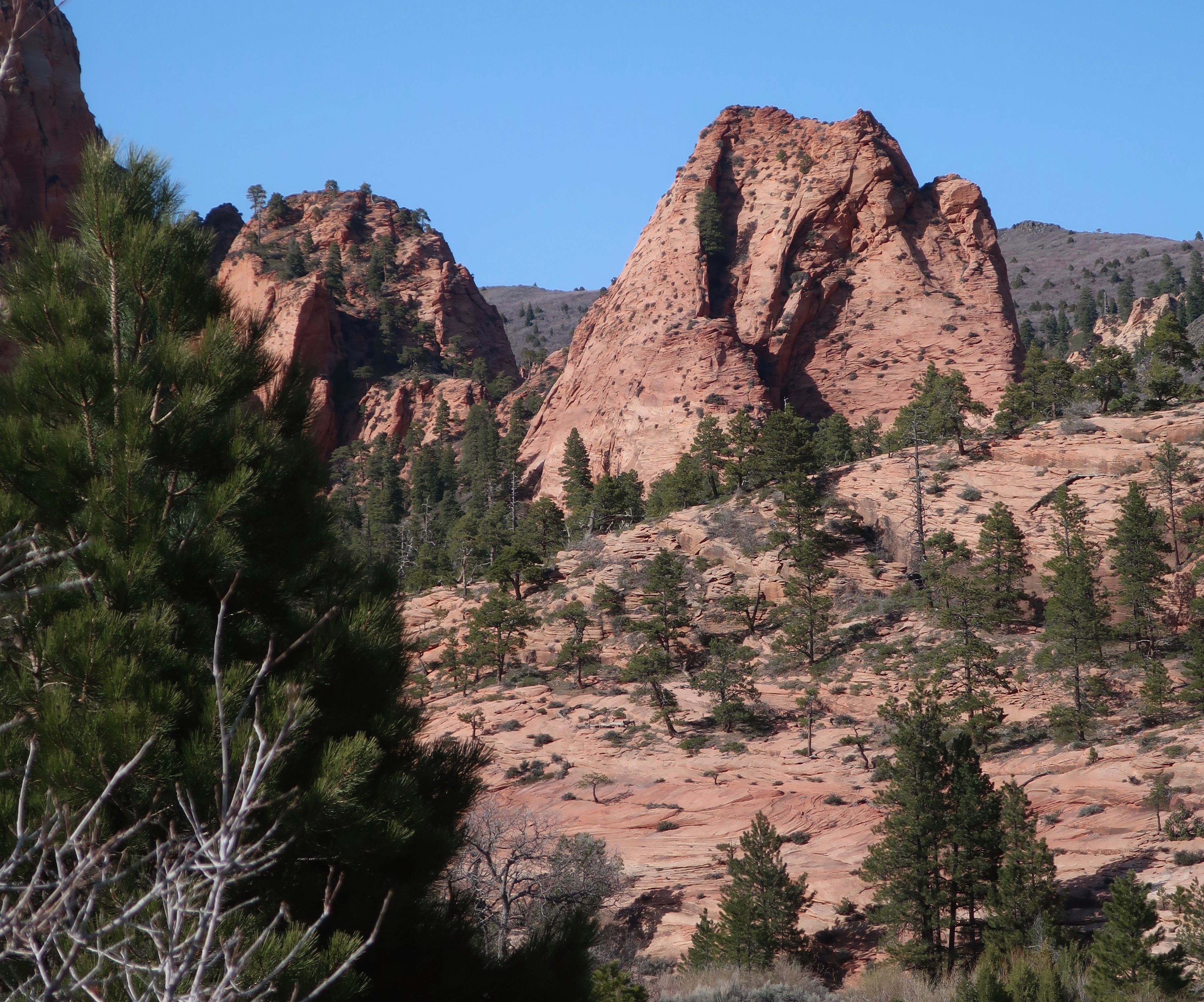
We were driving into the Kolob Canyons when Peggy snapped this photo. We knew we were in for a treat. (Photo by Peggy Mekemson.)
Zion National Park promotes Kolob Canyons as its best kept secret. Other web sites follow a similar theme. It’s not surprising considering that the canyons are located in the remote northwestern section of the Park, 45 miles away from Zion’s main attraction.
Given the distance, many people ask is whether it’s worth taking half a day to visit. (This assumes they are even aware that this section of the Park exists.) Peggy and I would like to answer with a resounding yes! It meets our three criteria: It’s unique, beautiful, and not crowded. There are also a number of hikes visitors can take that we couldn’t squeeze in. A fairly challenging one provides hikers with a view of the world’s second longest arch. Next time.
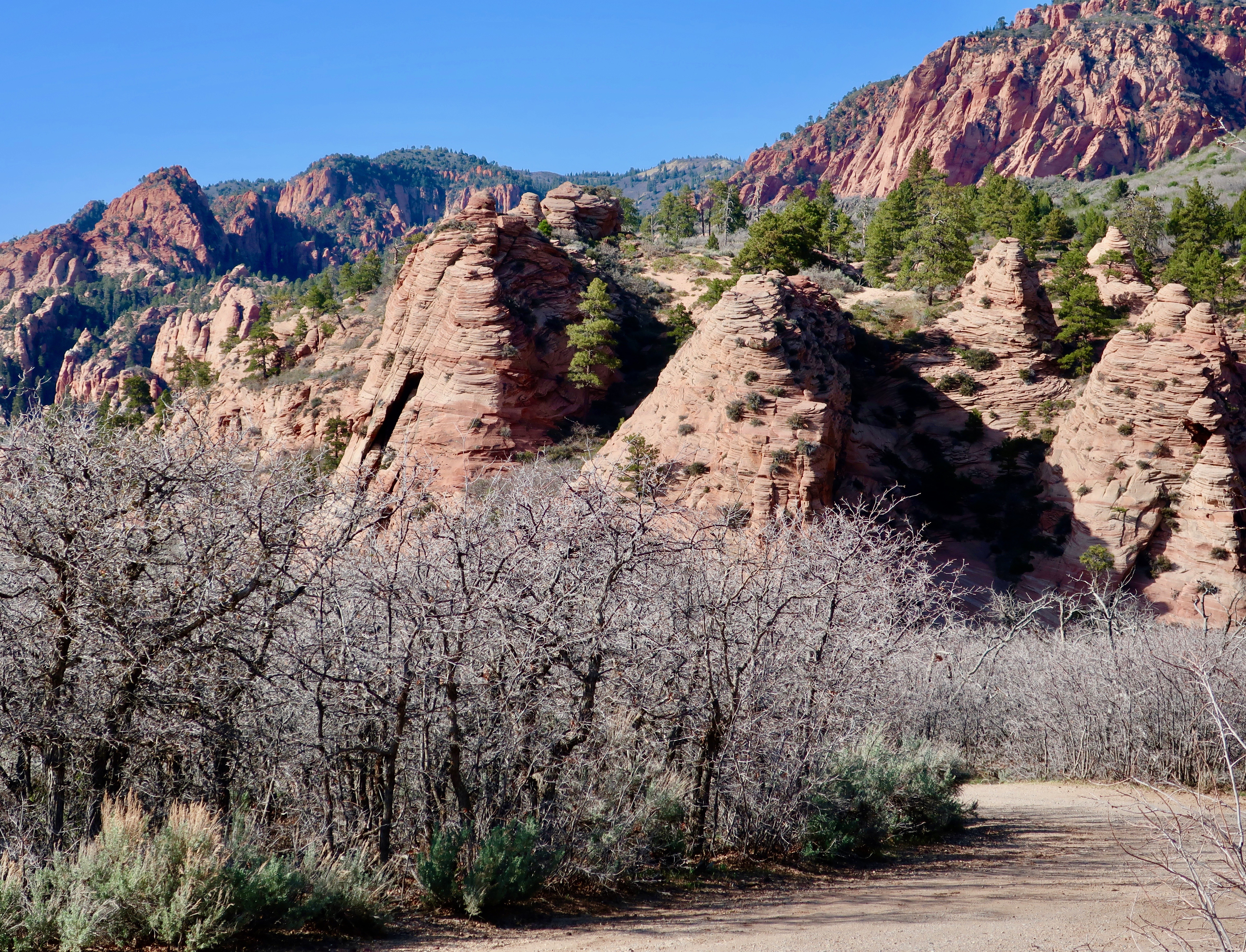
The curvy five-mile drive climbs a thousand feet. It can be accomplished in a relatively short amount of time, but— if you are like us— you will want to linger and admire the fantastic views of towering Navajo Sandstone cliffs and deep finger canyons created by runoff from the plateau above. There are a number of pullouts along the way. Each one provides a different view or perspective and each is worth a stop. The following photos reflect what Peggy and I saw.
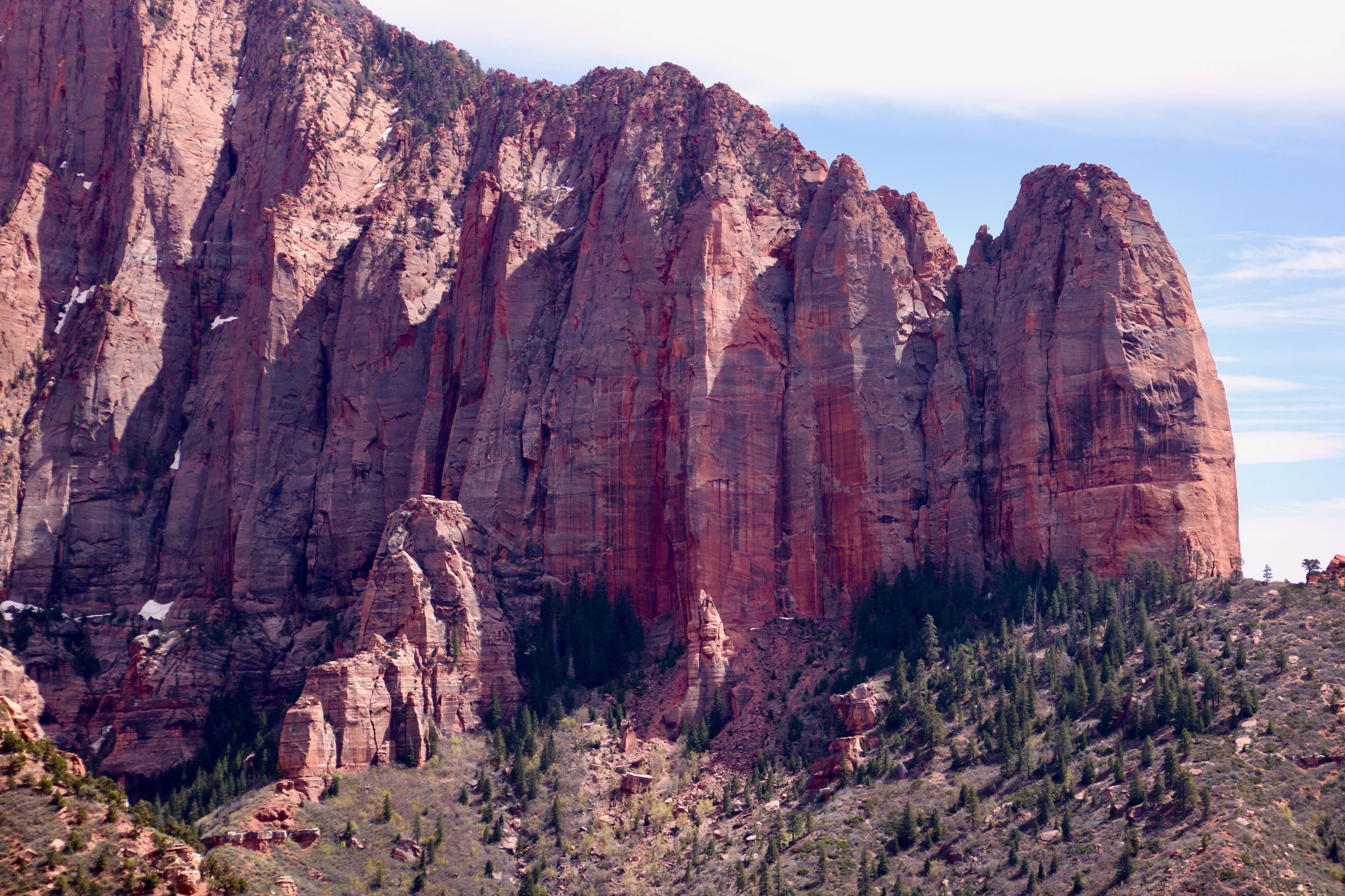
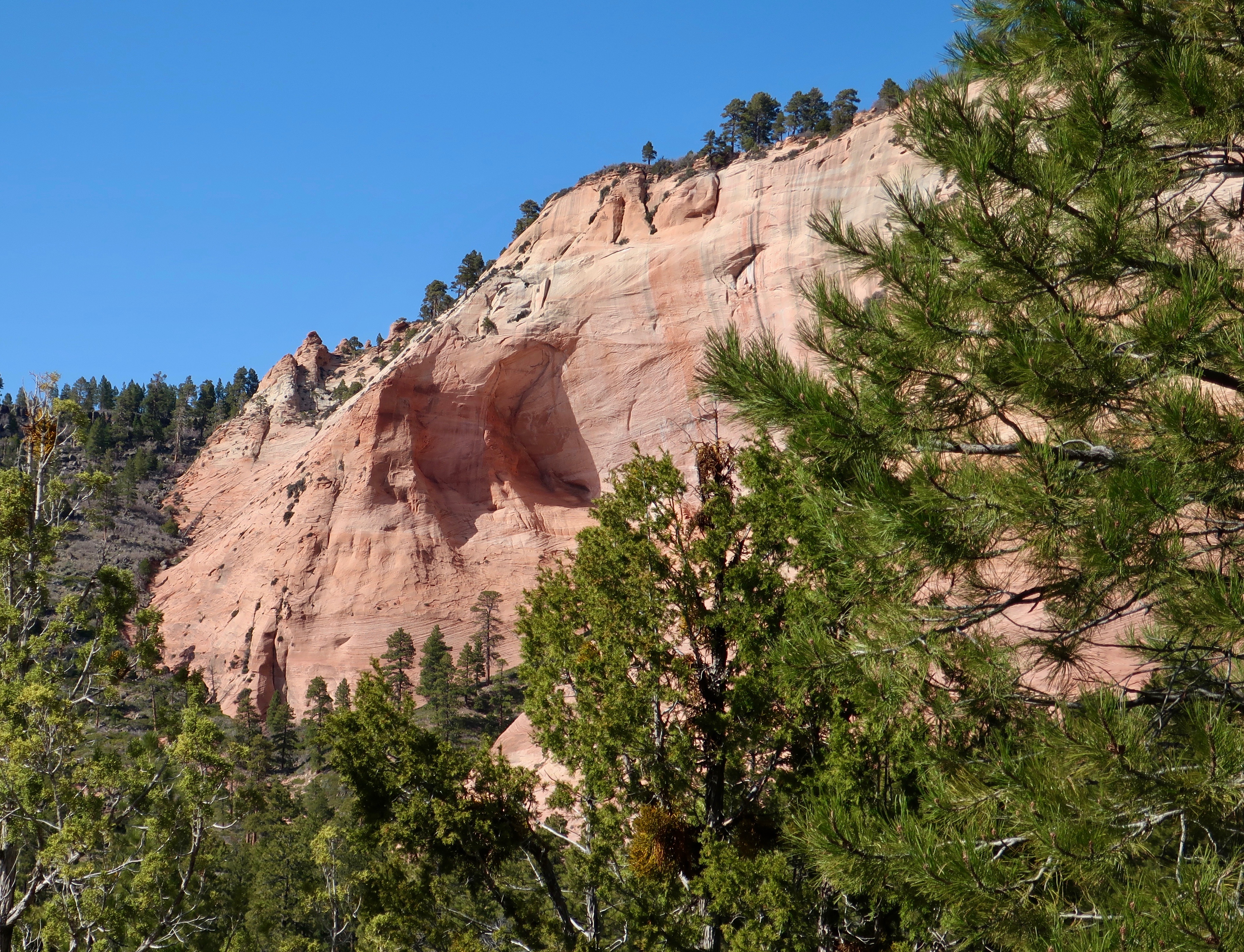
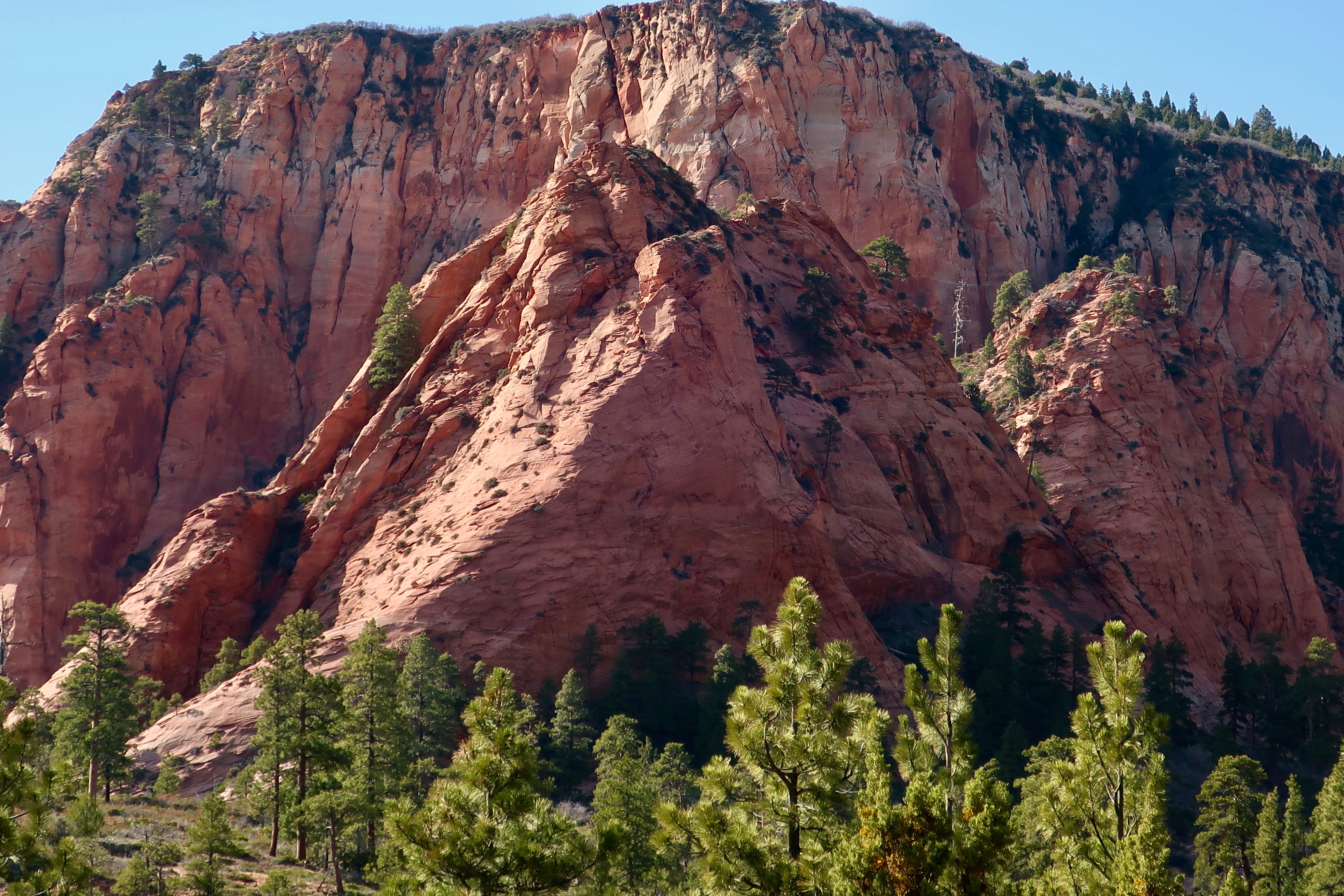
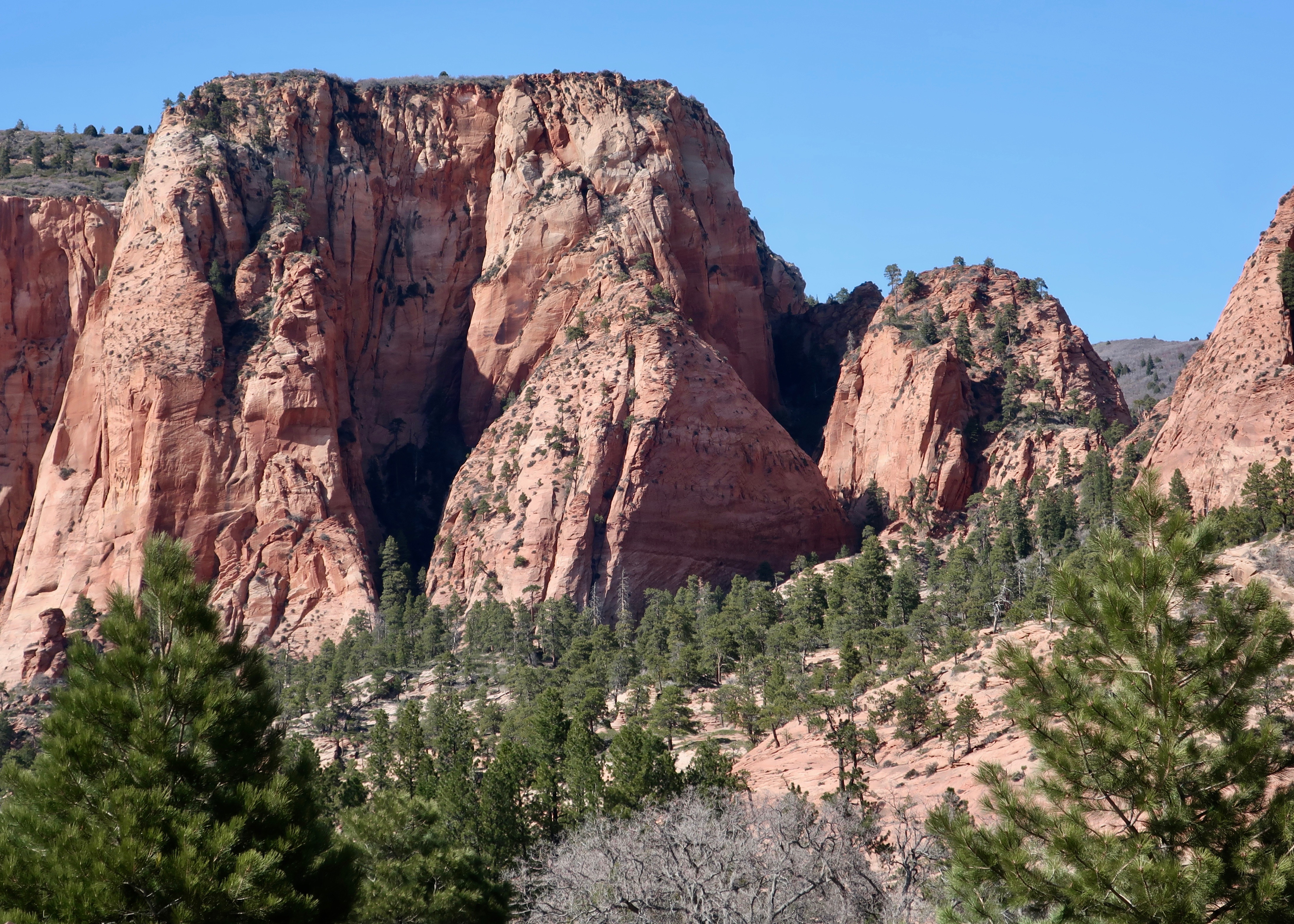
Timber Top Mountain cuts off to the left in this photo and wraps around a hanging valley that has been created by runoff. The Shuntavi Butte stretches out from Timber Top on the right. The area was a favorite of ours.Remember what I said about different perspectives. Peggy took this side shot of Shuntavi Butte. Is that baby Shuntavi on the left? (Photo by Peggy Mekemson.) I opted for for a close up which gave the Shuntavi Butte a massive, toothed look.This seasonal stream that runs between the two arms of Timber Top Mountain was close to dry when we saw it. But the minerals it carried had left a black stain where it tumbled off of the hanging canyon. Eventually it will finish carving the canyon down to the lower level. (Give or take a few million years.) The erosive power of water is amazing. (Photo by Peggy Mekemson.)Nagunt Mesa is located next to the western arm of Timber Top Mountain.Here’s a closer view. Note the beginning of a possible arch on Nagunt Mesa. (Photo by Peggy Mekemson.)I added an even closer view of the would-be arch. Note that Nagunt Mesa is also covered with timber. That led me to wonder what type of wildlife lived there. Had Native Americans found a way to make it their home?
Some other views of the Kolob Canyons from our visit:
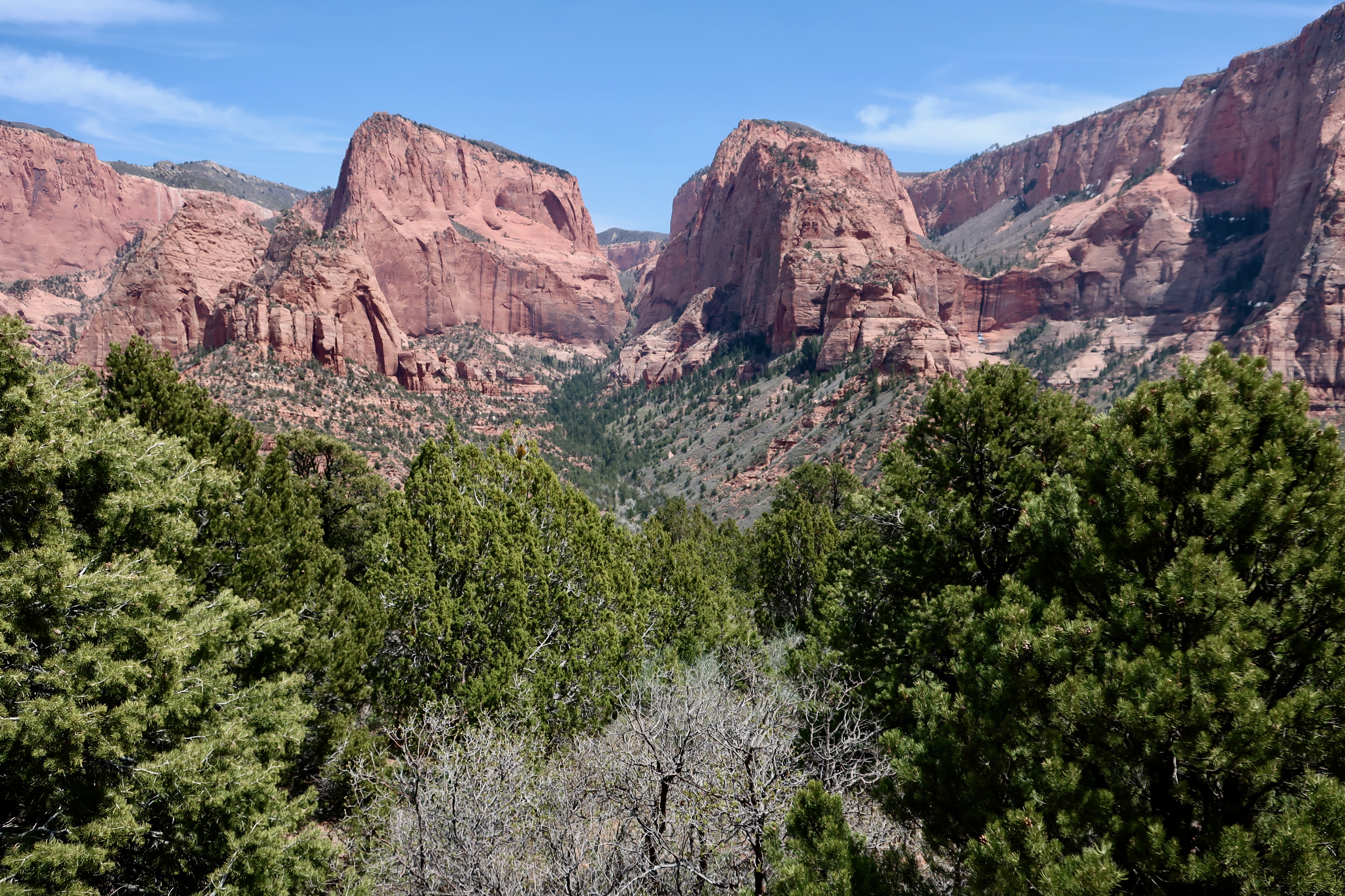
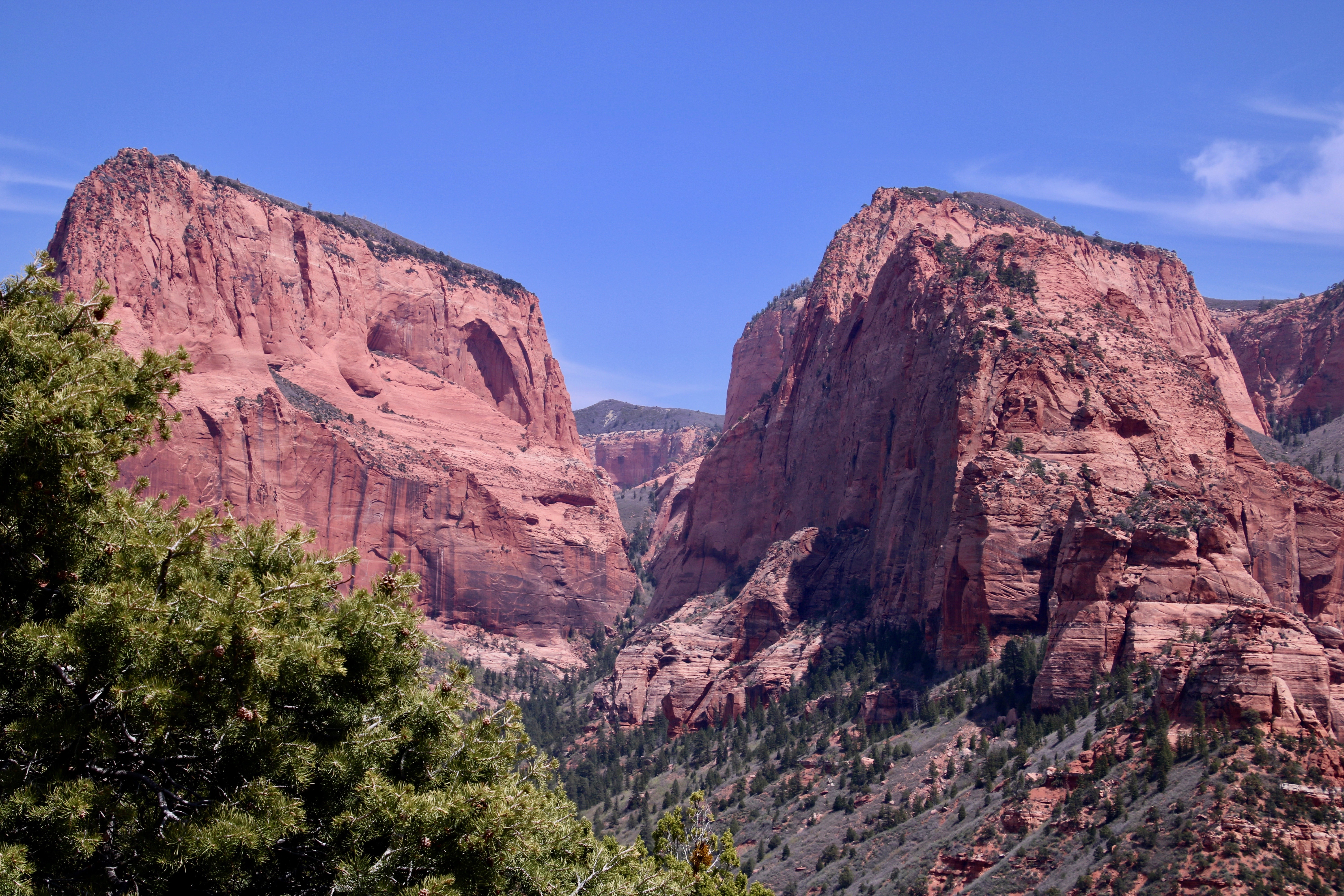
Another Mesa (I think). I like the foreground effect of the trees on the photo. We were high enough and it was early enough that the trees were just beginning to leaf out. A more frontal shot, i.e. different perspective, gave the mesa an almost pyramid look. (Photo by Peggy Mekemson.)
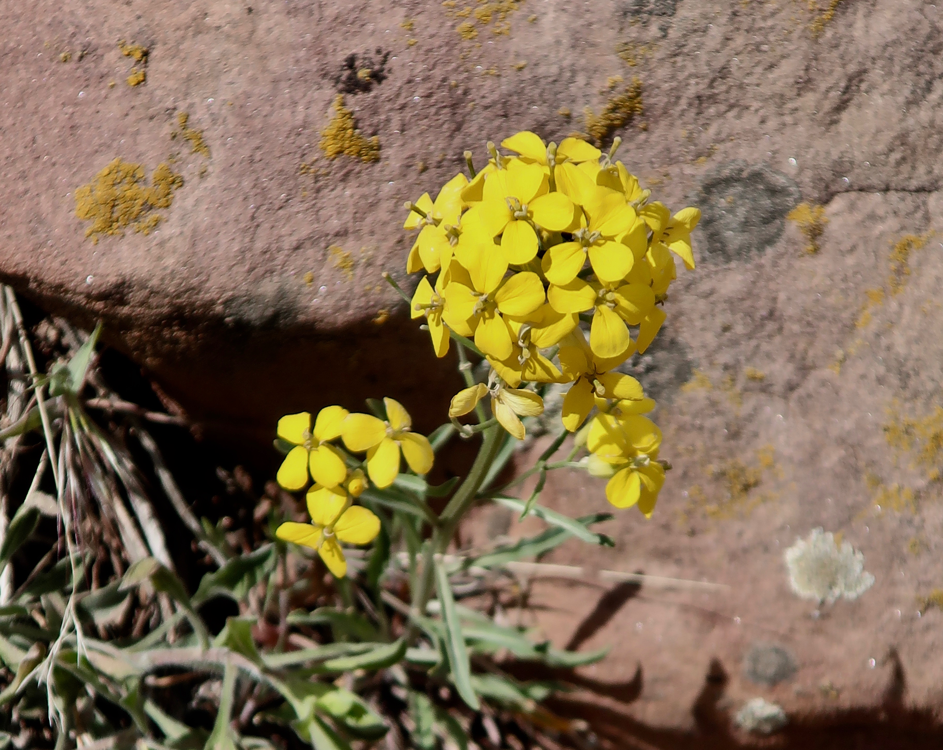
I found an old friend from the Sierra Nevada Mountains growing at a high point along the road: a wall flower (Erysimum capitatum). It’s always reminded me of a brief phase I went through in high school where girls scared the heck out of me.
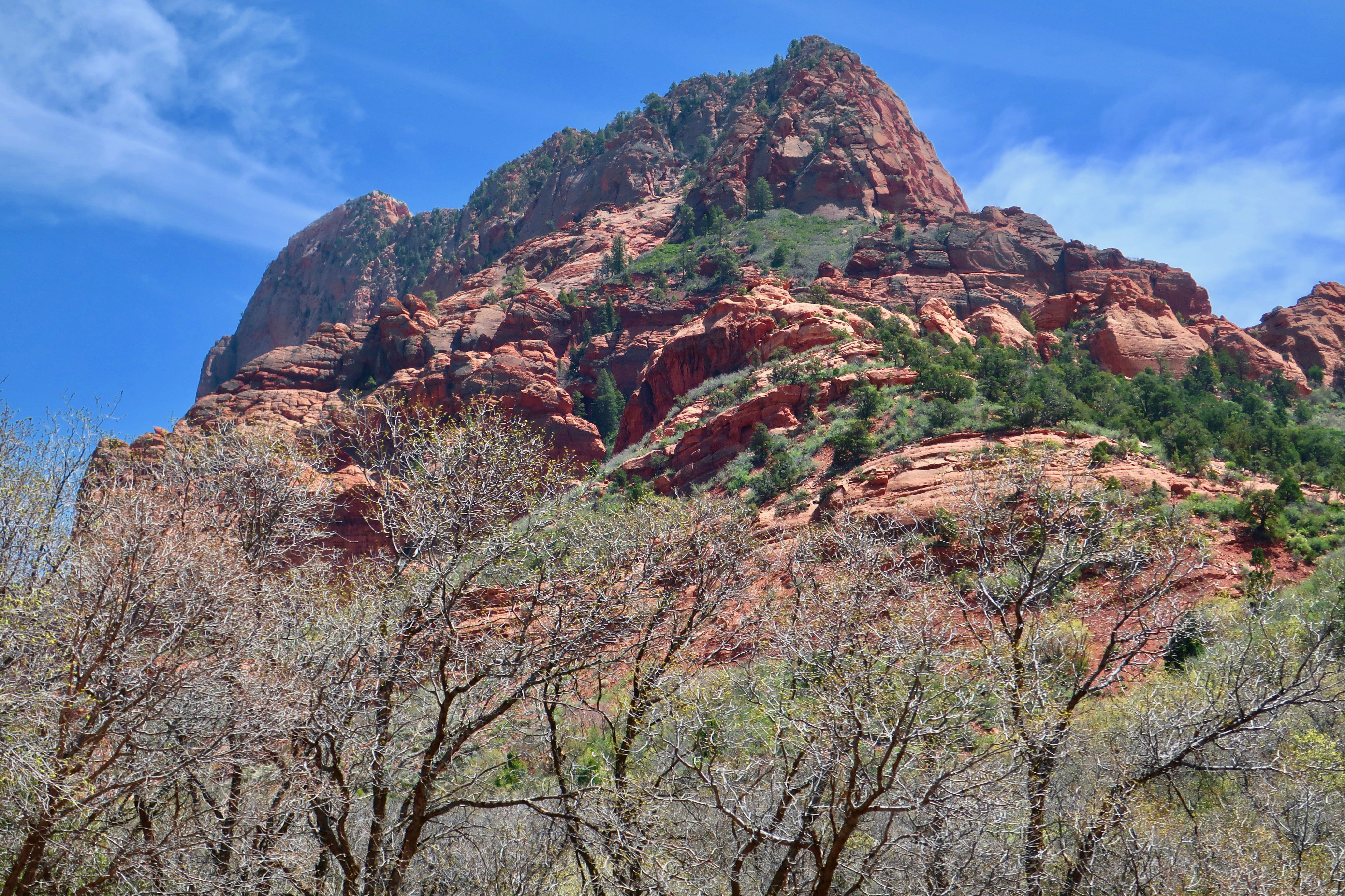
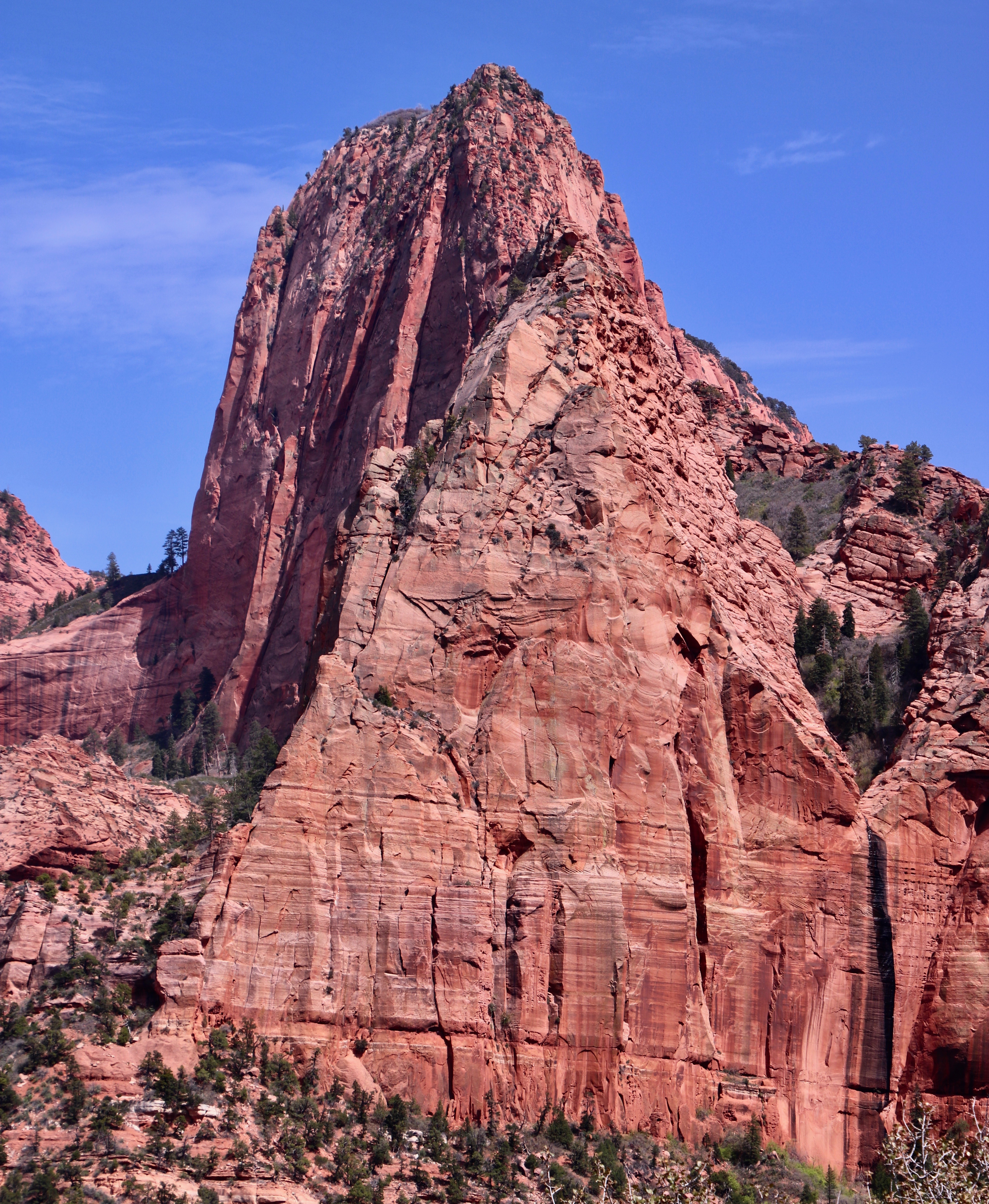
This peak was even more impressive than the pyramid. (Photo by Peggy Mekemson.)
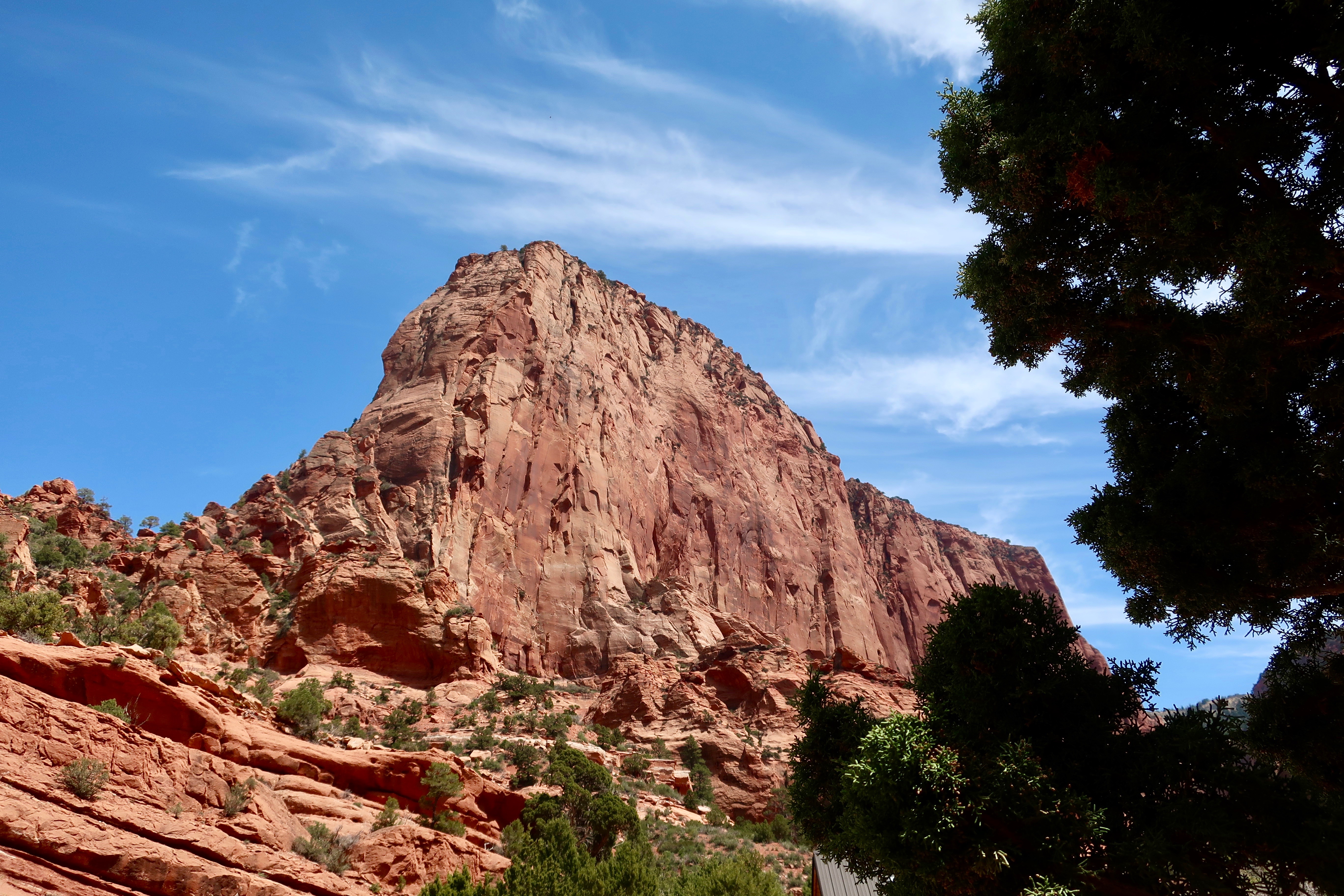
I’ll conclude today with this side view of Nagunt Mesa. I liked the way the tree framed the photo. Our next post will take readers over the east side of Zion Canyon. Once again, I will feature unique rocks. This post will also include petroglyphs located in a magical canyon.
The road had been gradually climbing since we started our exploration of Kolob Terrace in Zion National Park. It was about to get serious as it made its way up to the terrace above the cliffs. (Photo by Peggy Mekemson.)
We are continuing our exploration of the Kolob Terrace section of Zion National Park as part of our full-time experience of living on the road.
I am always curious about how things get their names. I wasn’t familiar with Kolob. Was it a Native American name? Was it the name of an early explorer or pioneer? Turns out it comes directly out of the Book of Abraham, a sacred text of the Mormons that Joseph Smith supposedly translated from an Egyptian papyrus scroll. I wonder if he used his rose colored glasses. I should have guessed the Mormon connection. Utah is Mormon country and has been ever since Brigham Young brought his band of followers into the state in 1847 to escape religious persecution in the east. Kolob is either a star or a large planet in the center of the Milky Way Galaxy close to the throne of God. Some Mormons believe that is where they go when they die. It shows up in the Musical, The Book of Mormon where the lyrics proclaim “I believe that plan involves me getting my own planet.” The modern church has challenged the assumption.
Imagining Kolob to be a rather pleasant place from a Mormon perspective, I can understand why the early pioneers gave its name to the terrace. Peggy and I also found it pleasant. Actually, I’d much prefer to go there when I die rather than the biblical Heaven where the ‘streets are paved with gold.’
We pulled off the road frequently to take photos on our way up and down.
Peggy uses the cab of our truck to photograph the cliffs below the terrace.Where our F-150 was parked when Peggy took the photo…Peggy’s photo. If you have ever wondered how the impressive rock bridges of the Southwest are formed, this is potentially one in progress.
More photos that I took on our way up to the terrace…
I’ll conclude with this photo of a private road winding its way below the cliffs. I was intrigued as to where it went and could easily imagine Peggy and me living there. My next post will feature photos we took up on the terrace.
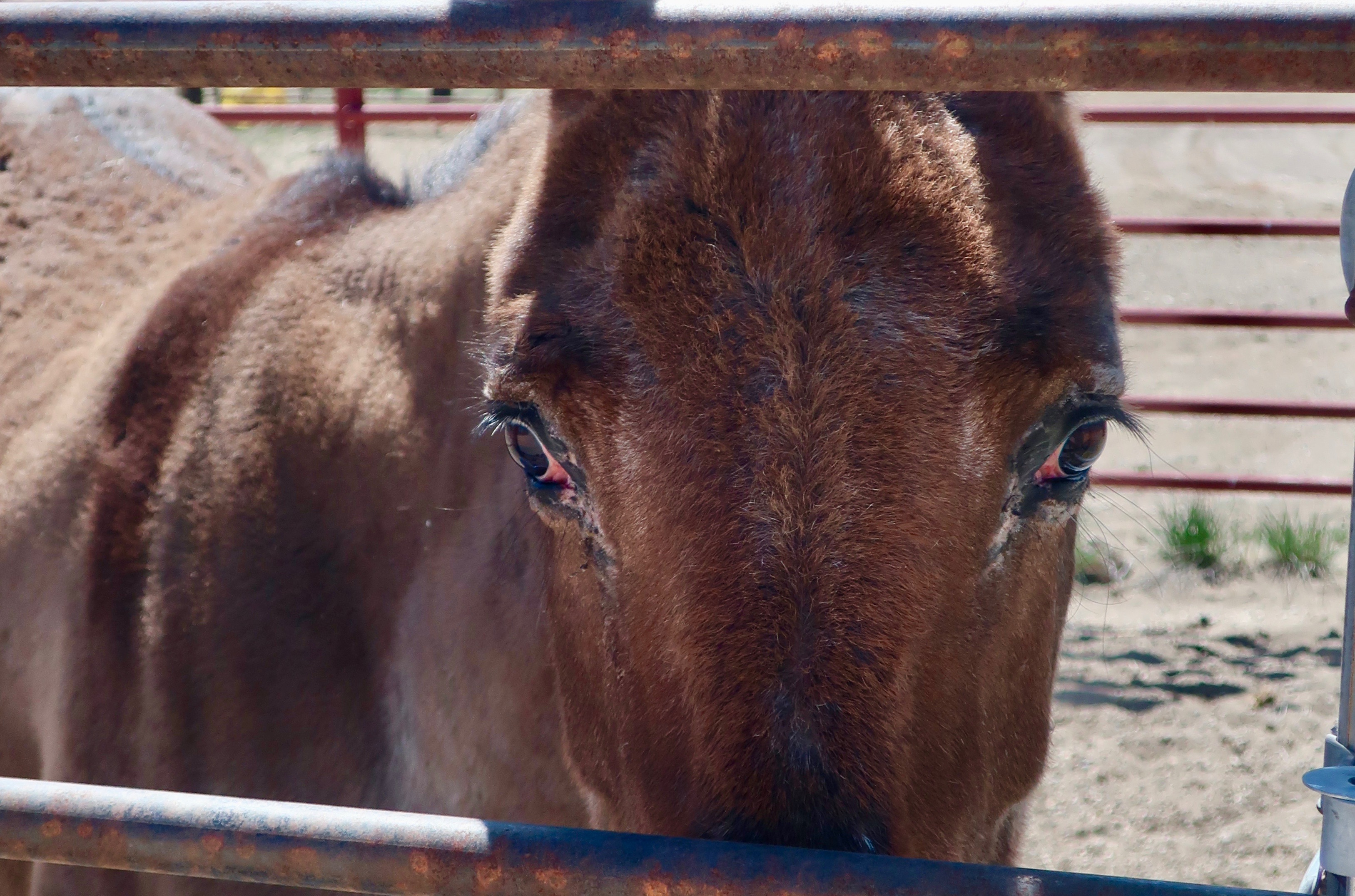
Who’s smarter? This girl with her wild eyes and gorgeous eyelids…Or this fellow with a large nose and impressive nose hairs?
Or, the question going through your mind might be, “Why in the heck is Curt asking this question when his post is on Death Valley?”
Well, it started when I was doing research on Death Valley’s well-know, historic 20 Mule Team. Given that I am featuring the 20 Mule Canyon on my post today, I wanted to provide some background information, which I will. But the first thing I learned (or relearned) was that it wasn’t a 20 mule team that was used to haul borax out of Death Valley from 1893-96. It actually consisted of 18 mules and 2 horses. All of the animals had very specific tasks. Some required more intelligence than others.
Luckily for me, the town just up the road from where we camped near Bryce Canyon (Tropic) had a Mules Days event going on and there was a horse corral just across the road from us in Cannonville. I was able to persuade a mule and a horse to pose for me.
There is a ton of information on the twenty mule teams. This may seem like a lot until you take into consideration that the 18 mules and 2 horses were actually hauling close to 9 tons of Borax at a time out of Death Valley in temperatures that sometimes exceeded a 100 degrees F. (Operations were halted over the hot summer months.) They started their epic journey from the Harmony Borax Works near Furnace Creek and traveled for 165 miles over primitive roads to the railhead near Mohave. As you might imagine, it was quite the challenge. It required close to a heroic effort on the part of the mules, the horses and the muleskinners. Millions of dollars could be made if the venture was successful, however, and it was. Borax has lots of uses.
Still, all of this would be a mere note in the history books except for a couple of factors. One, Borax Soap featured the mules in a very extensive advertising campaign. The second was the radio and TV program, Death Valley Days. For those of you who are old enough to remember the 50s and 60s TV show, you may also remember that Ronald Reagan hosted the show in the mid 60s just before he jumped into his campaign for California Governor.
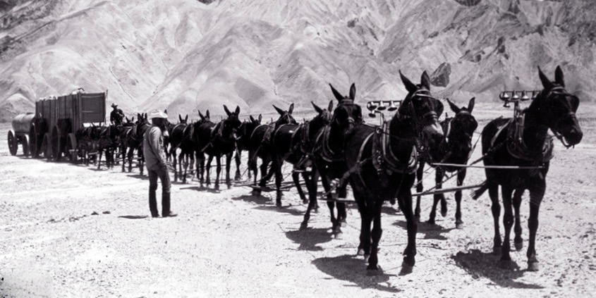
I think this 20 mule team traveling through 20 Mule Canyon is a team that Borax Soap used to promote its product. The photo is from the US Borax’s Visitor Center in Boron, which is well worth a stop. The two large wagons were for hauling the borax. The last wagon contained water for the mules since water holes were few and far between on the long, dry 10-day journey— and it was very thirsty work. The man at the back of the line is riding one of the two horses. The two lead mules, both female, have bells. This historic photo provides a good perspective on just how big the wagons were. The large wheel is seven feet tall. The man on the left is the muleskinner who was in charge. On his right was his swamper who carried out a number of supportive jobs including handling a back up brake to be used if the wagon decided to run away going down hill.The muleskinner earned $4 per day, his swamper, $2, and the Chinese laborers who did the hardest work of digging out the borax, $1.25
I found a rather amusing, imaginary discussion with a muleskinner on the Death Valley National Park site. The greatest challenge he noted was in getting around corners. He used a diagram to describe the operation. An 80 foot chain connects the lead mules to the wagon.
Here’s what he had to say about the process: “Now I’ll tell you just how smart my mules is: it’s one thing drivin’ along a straight road; it’s a whole nother thing turnin’ corners on a mountain pass. My 2 lead mules, both mares, are about 80 feet ahead of me–so far away I can’t even begin to use my 9-foot long whip on ‘em. I’ve been known to throw pebbles at ‘em to get their attention. Aim’s good too. Back to gettin’ around corners. The next 5 pairs of mules are my “swing teams”, they ain’t real smart, they just know their names and what ‘pull’ and ‘stop’ means. Now the next 3 sets of mules behind the swings are my “pointers”. These mules are trained special to jump over that 80-foot chain and side-step away from the curve to keep that chain tight and my wagons goin’ ‘round that corner right. Next comes the 2 big horses. They’re strong enough to start my wagons rollin’, but that’s all they’re good for. A dumb mule (and I ain’t seen one yet) is a whole lot smarter than a smart horse.”
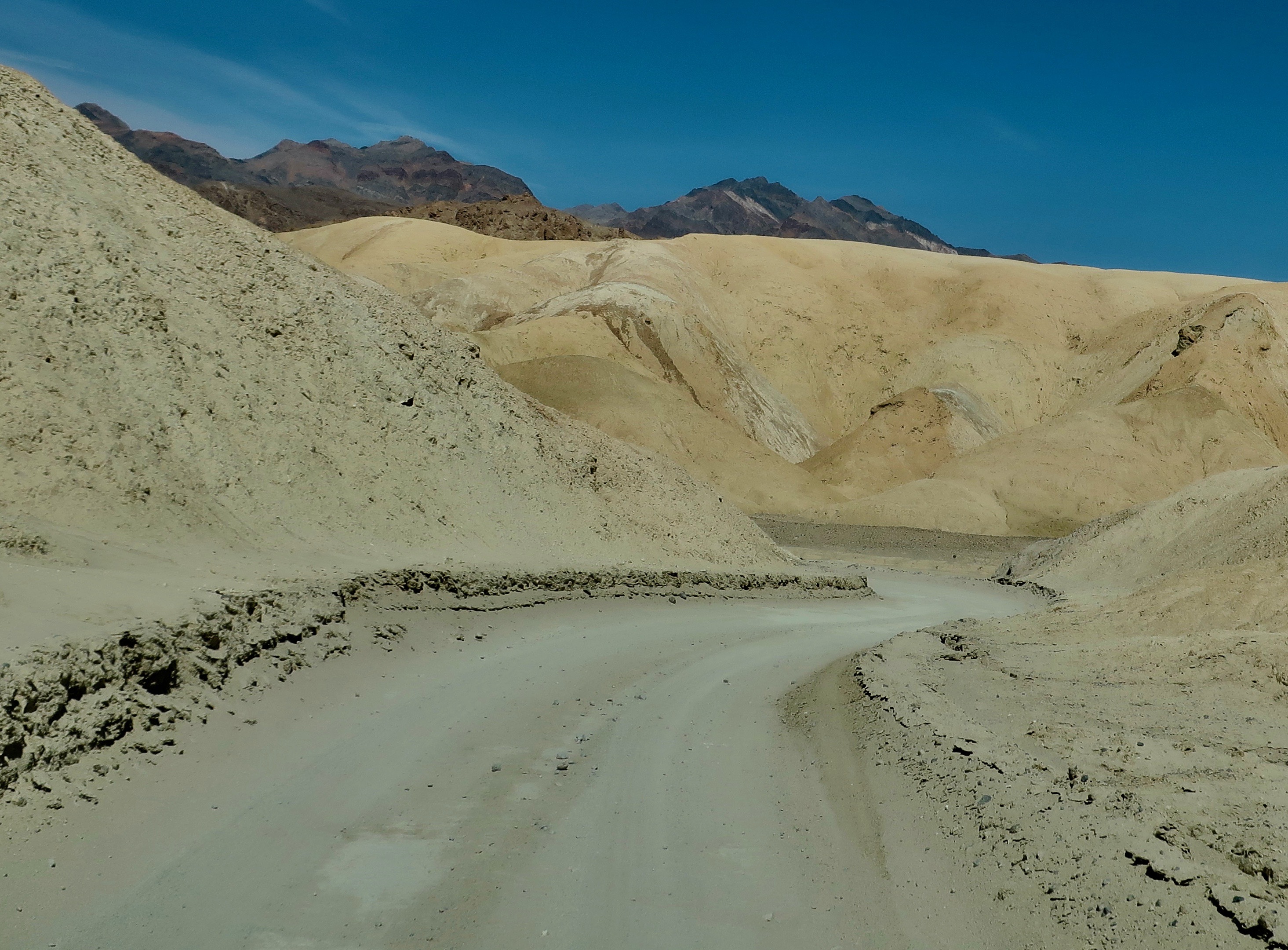
So, there you have it— which animal is smarter. At least from the perspective of a muleskinner. I’ll allow that a horse lover might have a different point of view. Grin. And now, it’s time to get away from all of the words and take you through 20 Mule Canyon in photos. The canyon starts no more than a mile above Zabriskie Point. And even though the road is dirt, cars with two wheel drive seem to handle it easily.
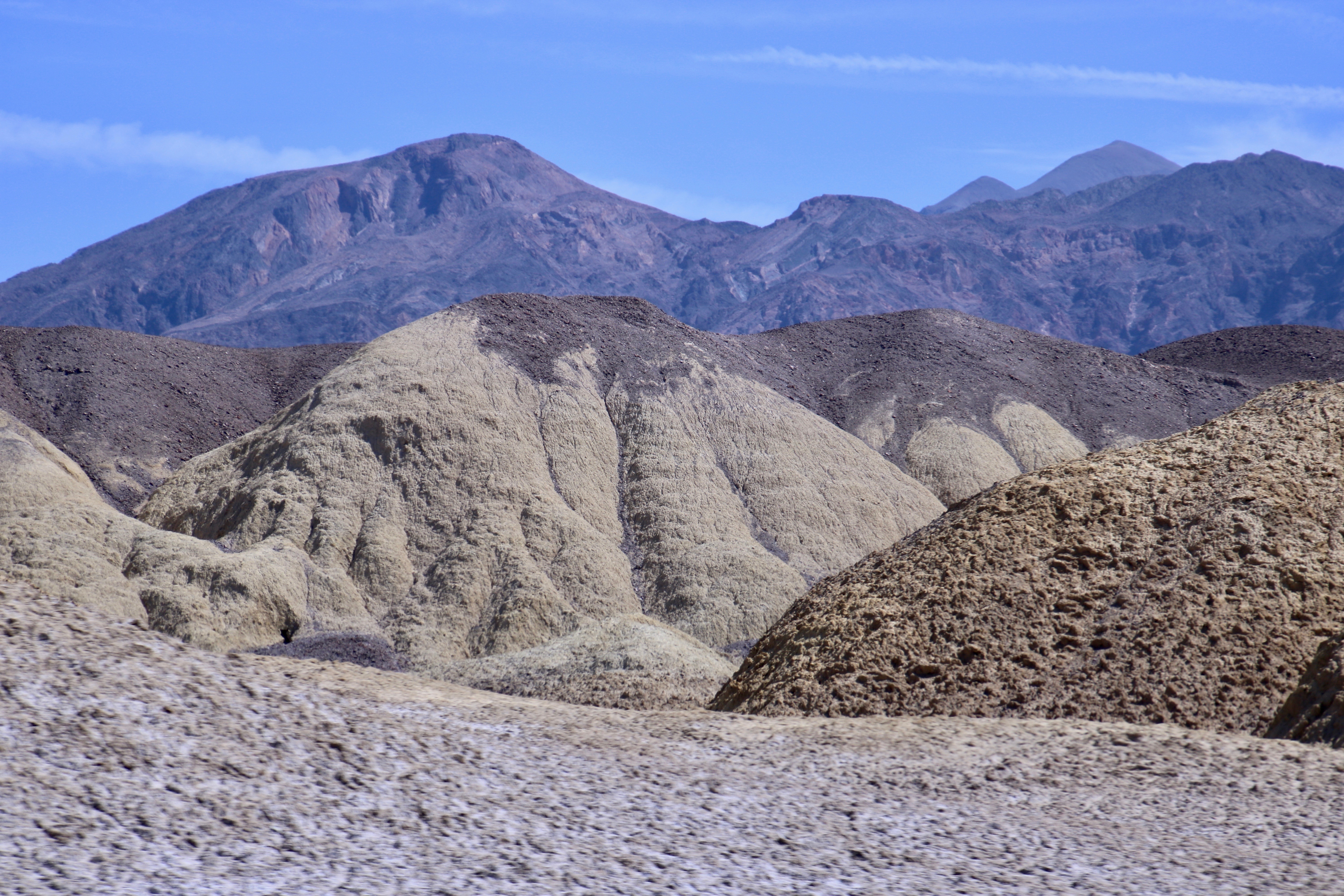
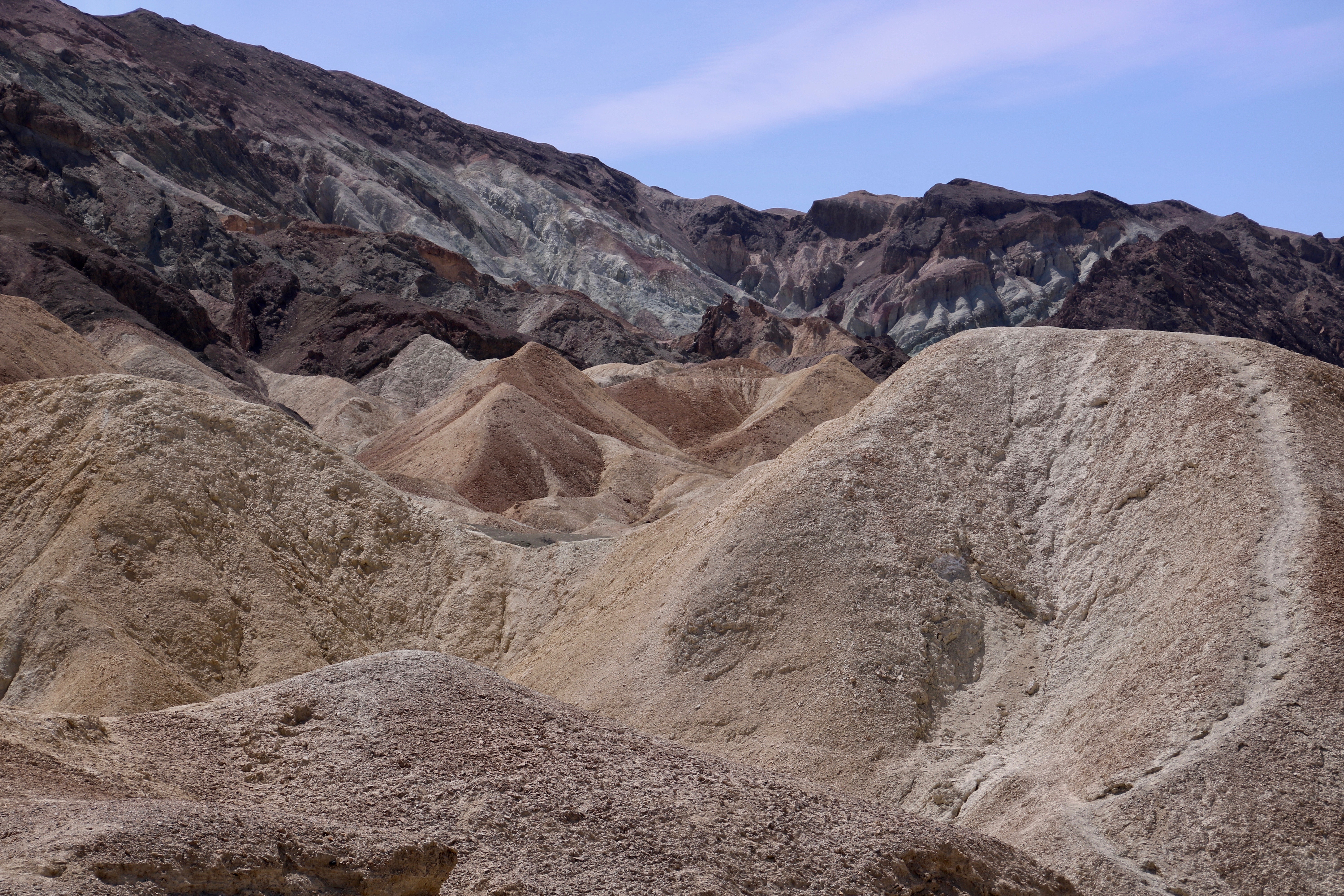
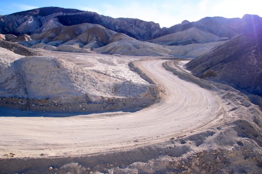
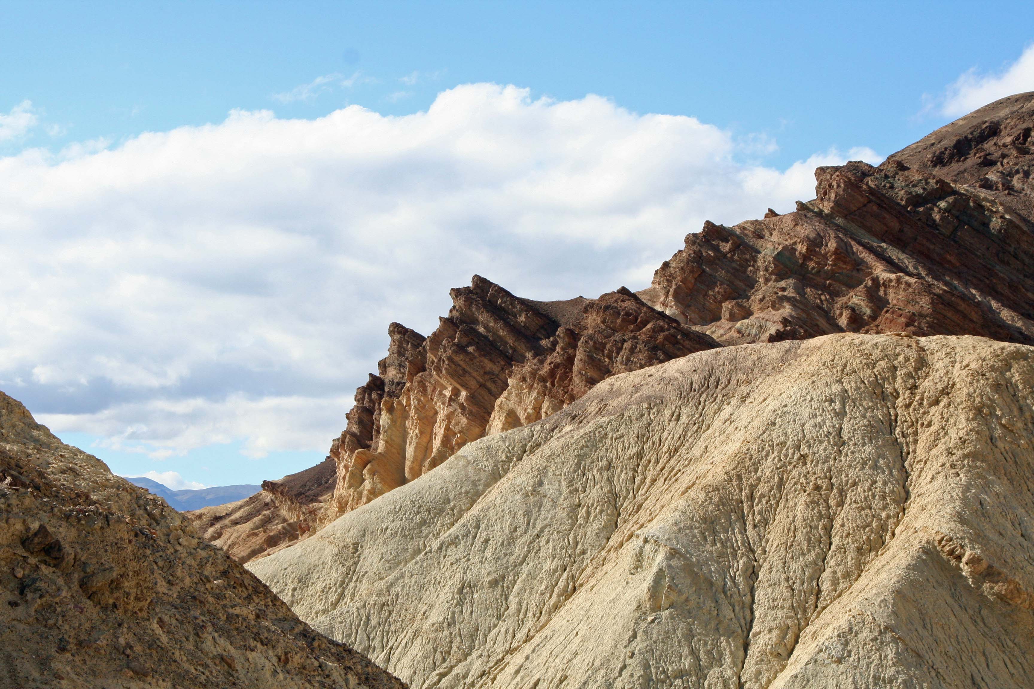
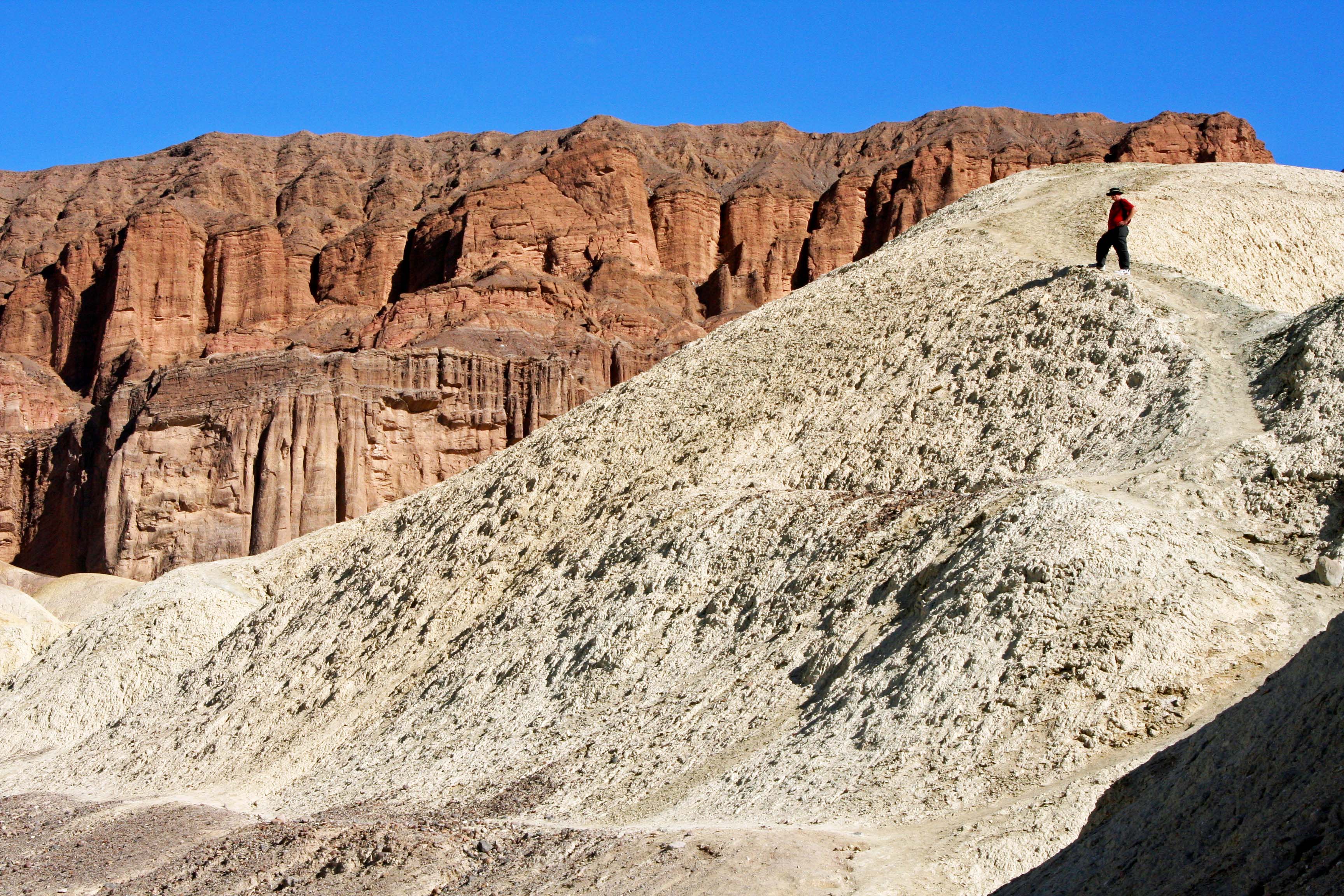
The dirt road.Photo by Peggy Mekemson.Photo by Peggy Mekemson.Photo by Peggy Mekemson.Peggy caught a photo of me hiking up a trail. There are a number of stops along the road where you can get out, stretch your legs and take photos, if you want. I captured this photo of Peggy Woohoo! And the next two photos.I’ll conclude today with this photo of a very colorful place along the road. The colors are created by the oxidation of minerals/metals. I cover which metals cause which colors in my next post. It will be on the even more colorful drive to the Artists Palette. I am going to feature pup fish as well. (Photo by Peggy Mekemson.)
To bring you up to date, Peggy and I have now spent a week in Zion Canyon National Park and a week in Bryce. We are now in the small, but fun community of Kanab, perched on the border between Utah and Arizona. Here’s a photo we took last week to give you a view of things to come.
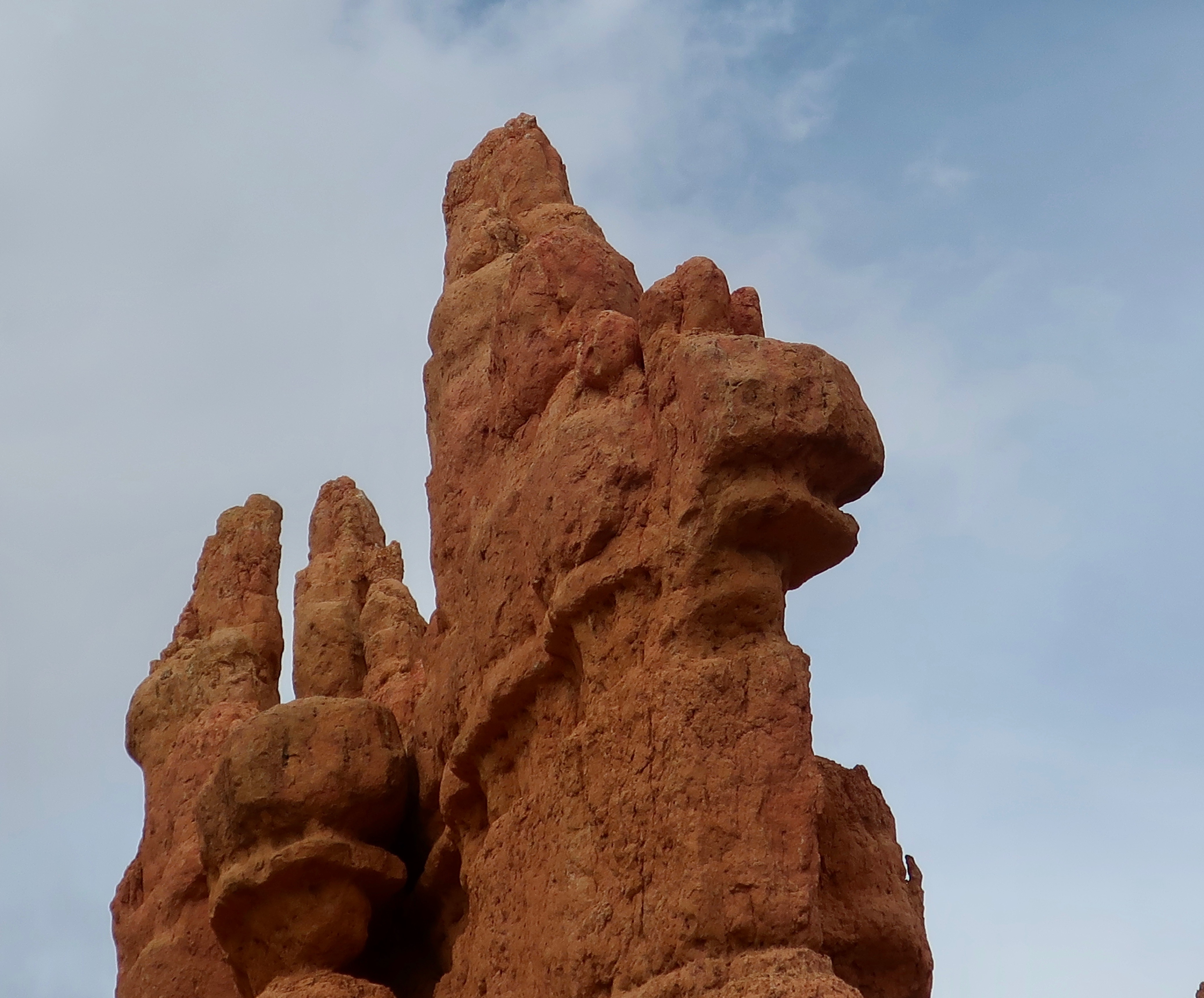
A pair of hoodoos we found near Bryce Canyon. The name hoodoo is derived from a Paiute Indian name meaning scary. I think I can see why.
Our Toyota Tacoma pickup makes its way down a road that was once traveled by 20 mule teams hauling borax.
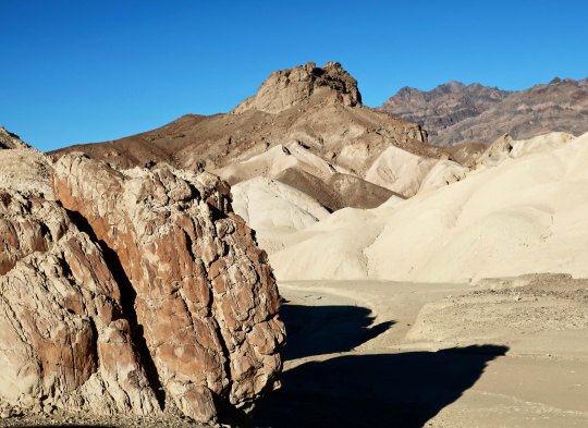
The red hood of our truck reflects a desert scene from the Twenty Mule Team Canyon in Death Valley. The short 2 1/2 mile side trip is one of our favorites in the National Park. Imagine, if you will, driving an 18 mule/2horse team hauling 10 tons of borax over 160 miles of desert. The total weight including wagons was 36 tons and the livestock and wagons stretched for over 180 feet! I asked my 278 horse power truck if it would like to pull such a load through Death Valley. The answer was a resounding no. Having struggled with hauling only myself and gear over the hills and mountains of the Park on my bicycle during my 10,000 mile bike trek, I heartily agreed.
This photo of the road suggests your team would be going right, then left, and then right— all at the same time. (Photo by Peggy Mekemson.)
This early, unattributed photo in the public domain, provides a view of the team with its Death Valley backdrop.
The real treat in driving over the short distance is the almost unreal beauty. Peggy and I stopped the truck several times along the road to get out and take photos. I’ve posted before on the canyon but we took all of these photos on Sunday.
The golden rock working its way up the hill from left to right caught my attention.
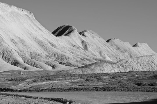
Peggy captured this ridge, which is one of the dominant features of the drive. Two people, not shown here, were making their way along the top. (Photo by Peggy Mekemson.)
I took a similar photo and rendered it in black and white.
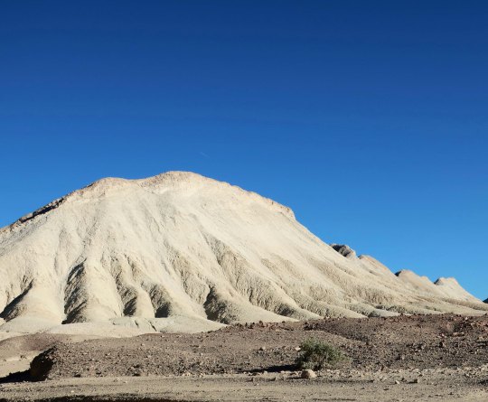
This hill, which seems to stand alone, was actually the start of the ridge.
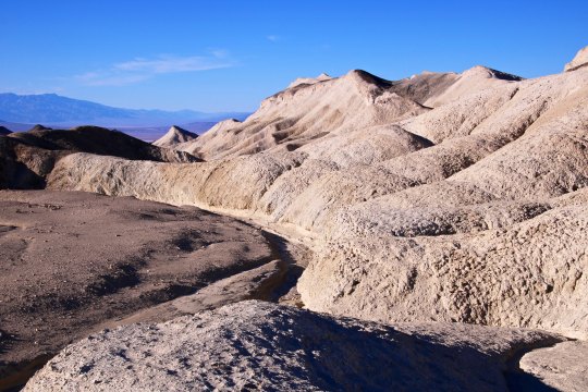
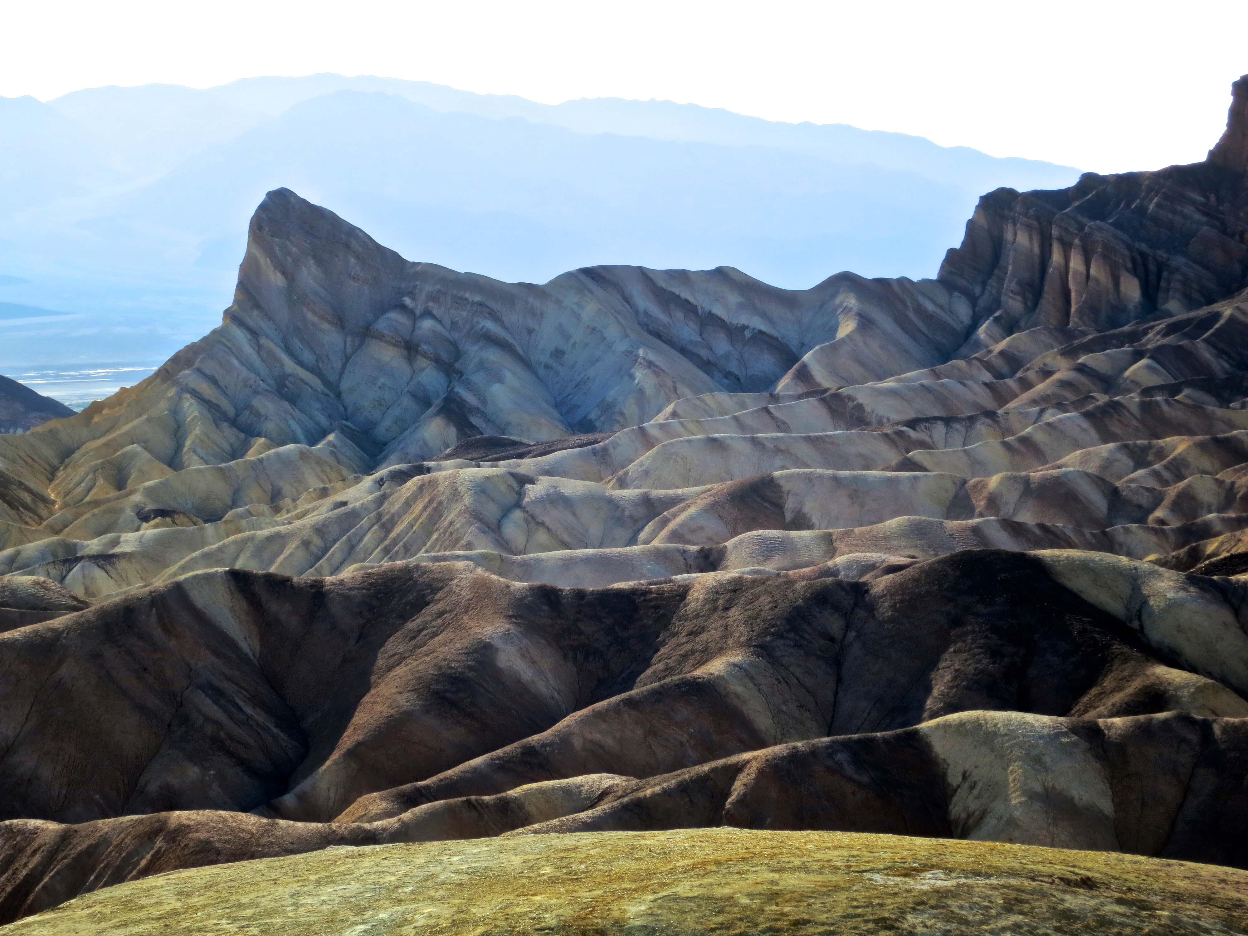
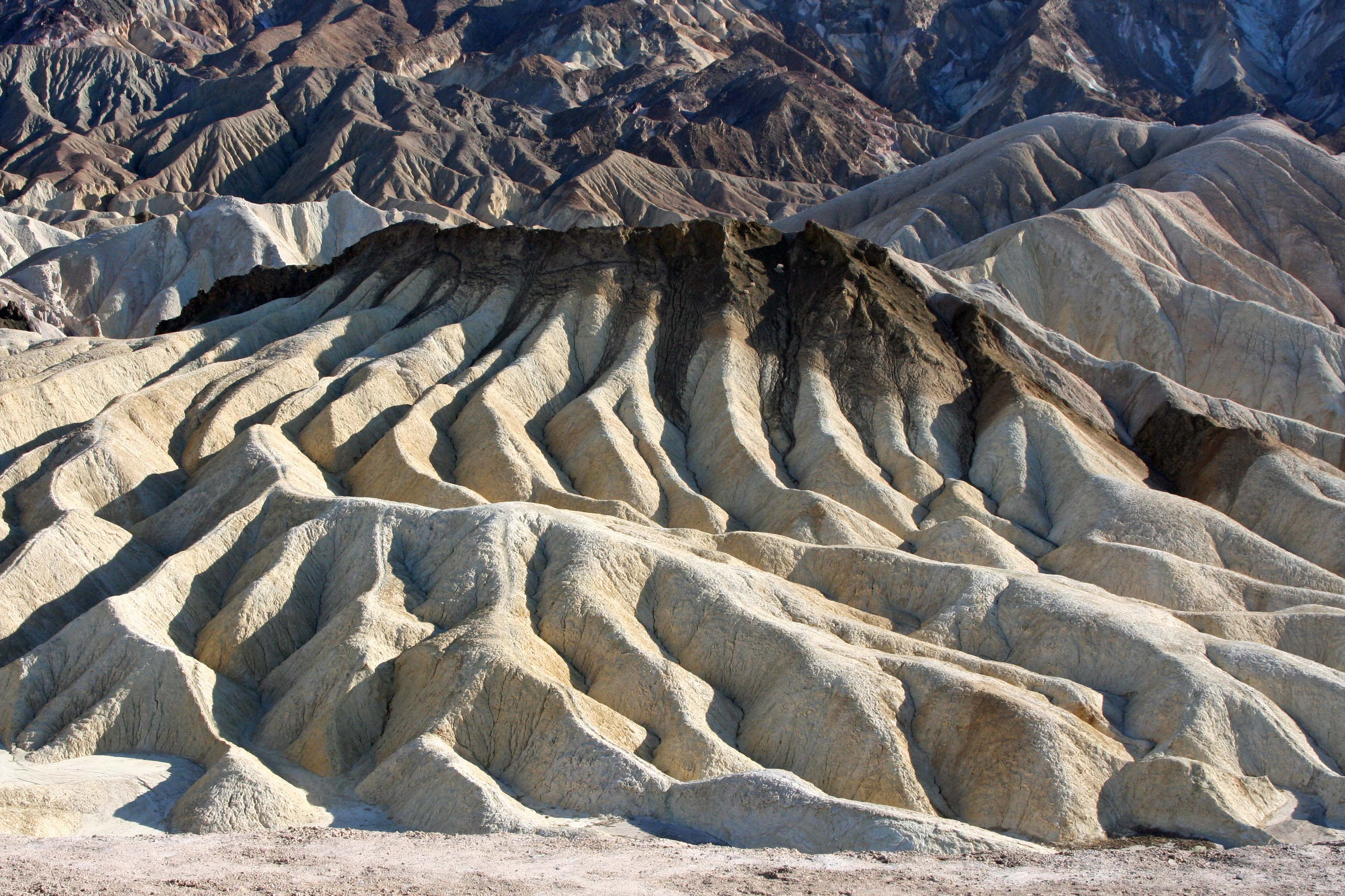
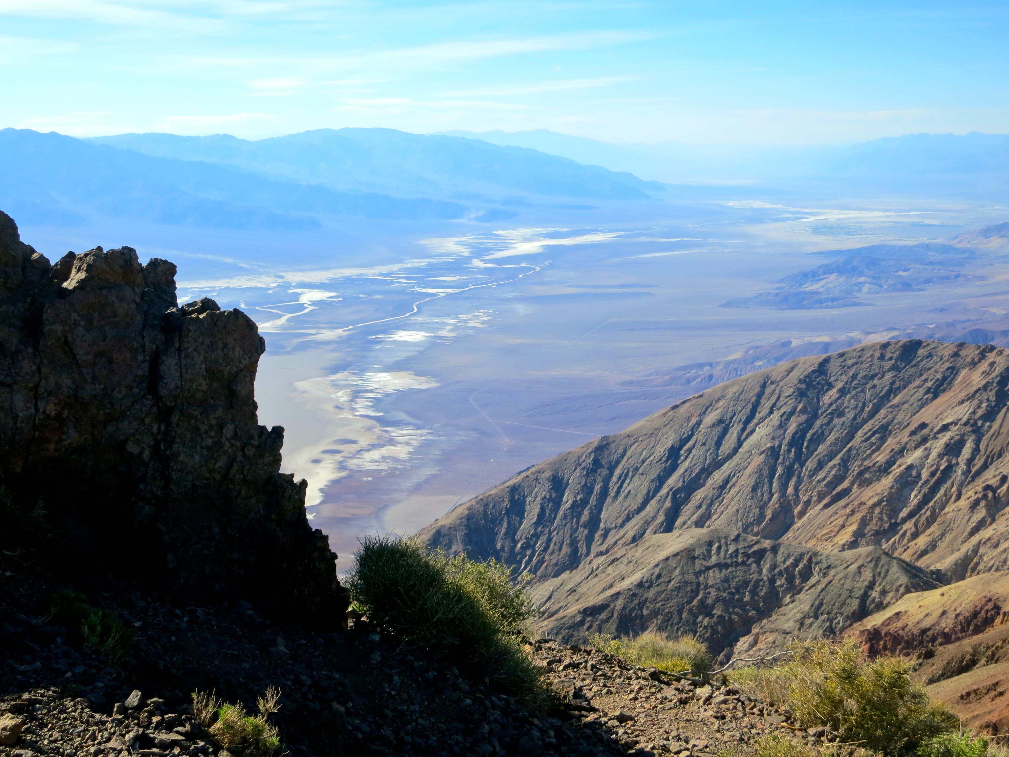
Erosion creates very interesting rock structures in the canyon and throughout Death Valley.This photo provides another example.Various colors reflect different types of rock laid down over millions of years through times when the area was covered by oceans, lakes, sand dunes and volcanos. (Photo by Peggy Mekemson.)I took a closer look at the sensuous landscape..Three different types of rock are quite clear here. I should note that different rocks have different hardness and erode at different rates, which also adds to the interest of desert landscapes.(Photo by Peggy Mekemson.)A view looking out toward Death Valley.Almost out, I’ll conclude with this rock and a peak rising in the background.
NEXT POST: I’ll conclude our journey through Death Valley National Park.
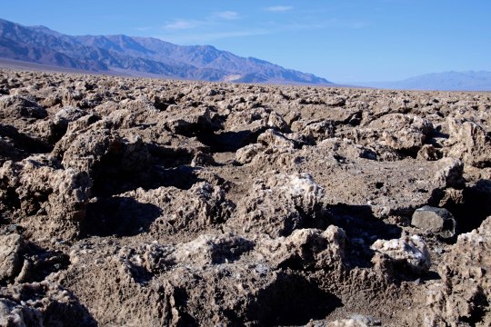
The sun beats down on the Devil’s Golf Course in Death Valley.
“Only the Devil could play golf here.” 1934 National Park guide book.
Peggy and I are playing hooky, extending our seemingly endless time away from home. One would think that backpacking the PCT, visiting Puerto Vallarta, and spending over a month with our kids in Florida and North Carolina would satisfy our wandering needs for a while. But no, here we are in Las Vegas, or Lost Wages, as I like to call it, ensconced in a comfortable suite at the very southern tip of Las Vegas Boulevard, the infamous Strip. Or is that famous?
Few people who visit this city venture outside of its mecca of gambling and entertainment pleasure palaces. Peggy and I always do. There is much to see and do. There is a desert on its doorstep, and it is a desert of rare beauty. Death Valley National Park is a prime example. It is a mere two hours away and Peggy and I drove out there on Sunday. To us, it’s like seeing an old friend; we have been there many times.
It is a geologist’s dream— there are rocks everywhere, and the rocks all have stories to tell. It’s a story of ancient seas and lakes and volcanic activities and clashing, mountain-building plates. Death Valley is a rift valley, or a graben in technical terms, formed along a fault zone between two mountain ranges. As the mountains were thrust up by tectonic forces, the valley dropped between them, several thousand feet. The two mountain ranges have since filled the valley up with eroded debris.
The shallow Lake Manly filled the basin a few thousand years ago. As the climate of the area changed and became more desert like, the lake dried up. Its briny waters left a deep deposit of salt behind, which brings us to today’s post. The Devil’s Golf Course is located a short 10 miles away from Bad Water Basin, which, at 282 feet below sea level, is the lowest point on the North American continent. Water that drains into the Basin melts the salt and becomes undrinkable, thus the name. The Devil’s Golf Course is several feet higher and avoids the melting water. Instead, capillary action pulls salty subsurface water up creating the crystalline structures that the area is famous for.
Peggy and I caught the area at a particularly good time for photography, which surprised me, given the location of the overhead sun. Anyway, here are the results.
This close up provides a view of the crystalline structures developed by the capillary action. BTW, they are composed of 95% table salt. (Photo by Peggy Mekemson.)
I took this photo looking east toward the Amargosa Range.
Looking southwest along the Panamint Range.
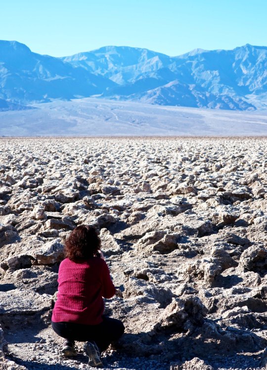
Peggy photographing the Devil’s Golf Course provides a perspective on the size of the crystalline structures.
A final shot of the Devil’s Golf Course backed up by the Panamint Range. (Photo by Peggy Mekemson.)
NEXT POST: A ghostly reminder of Death Valley’s past, and more.
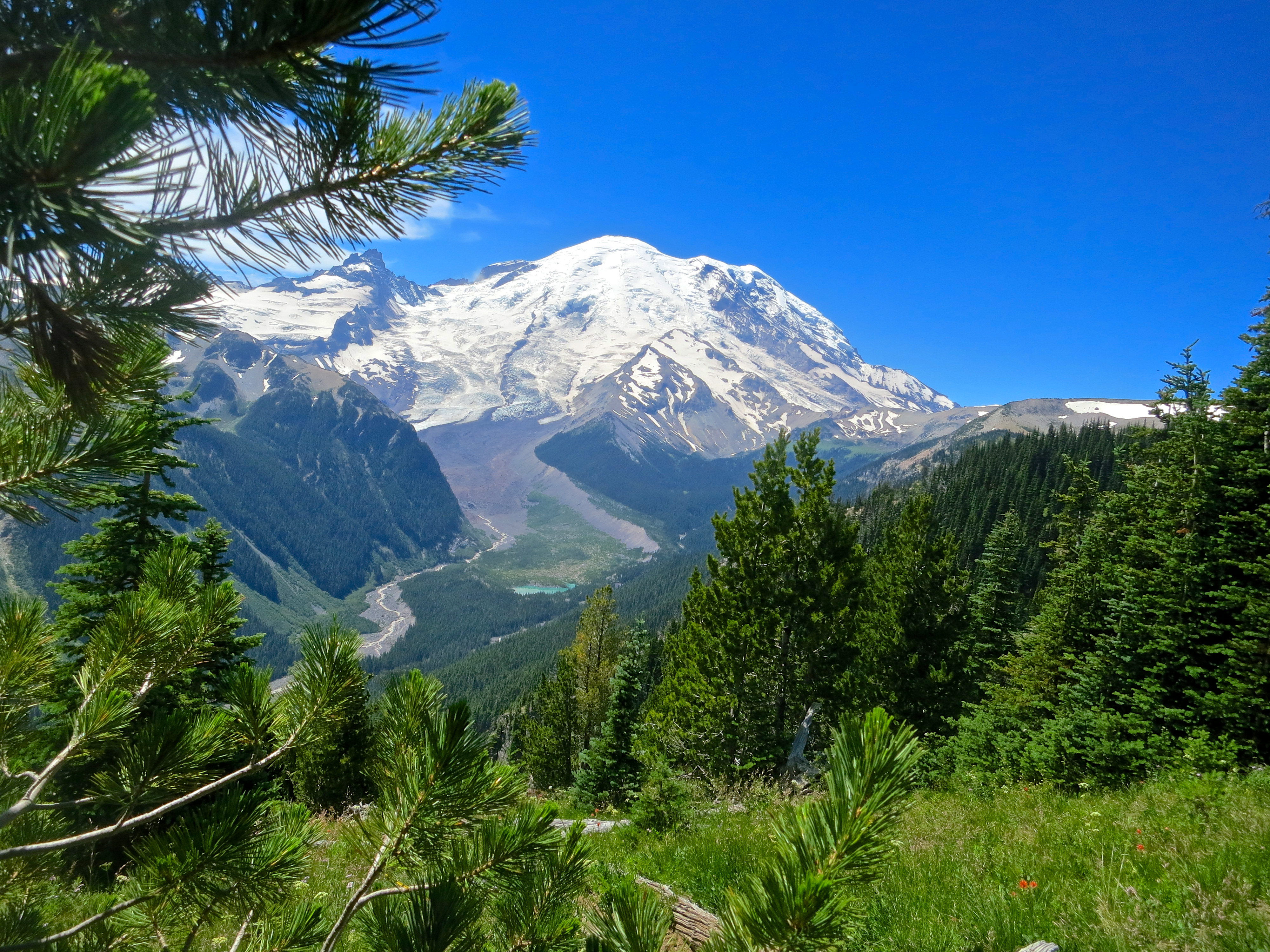
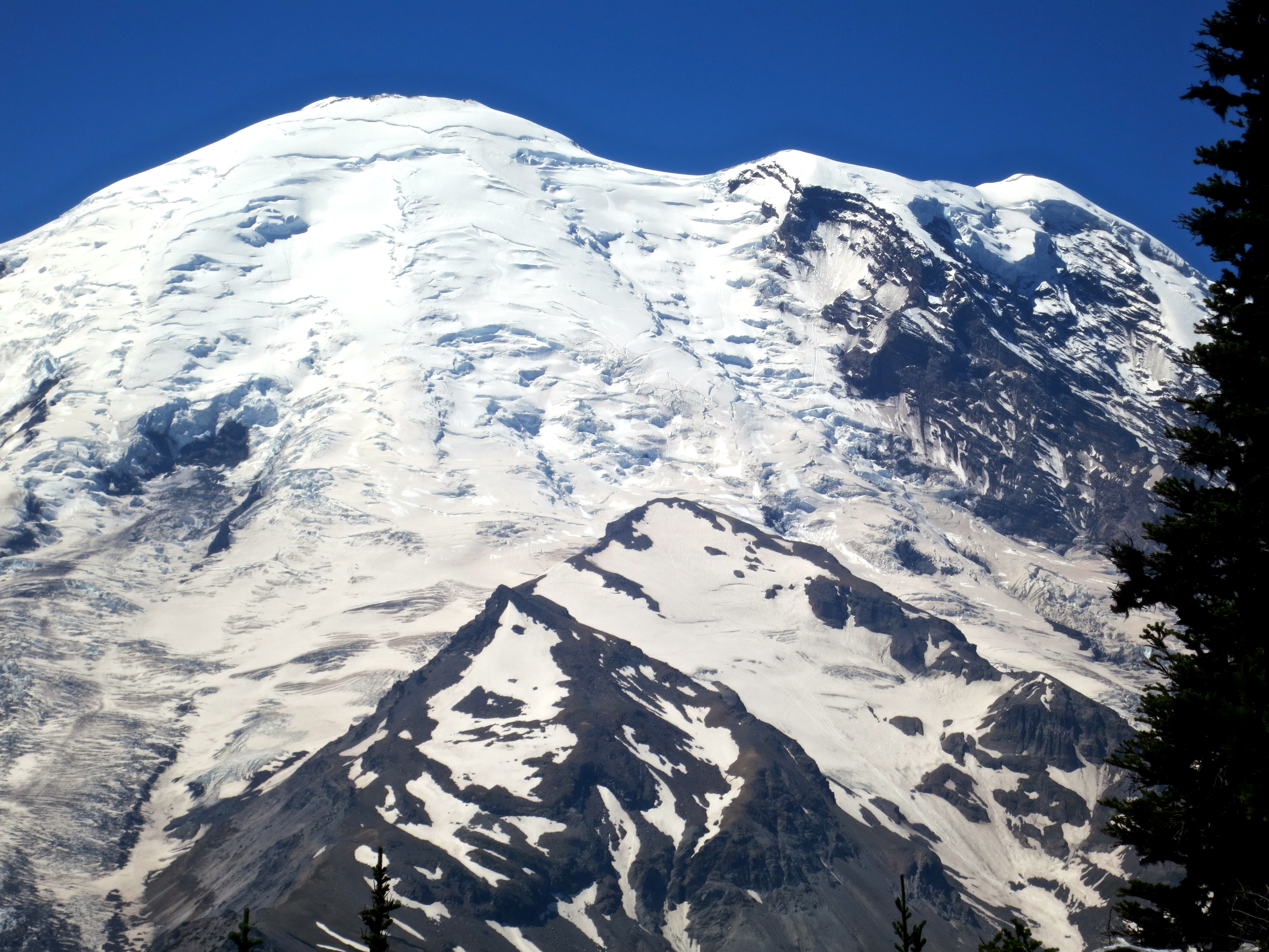
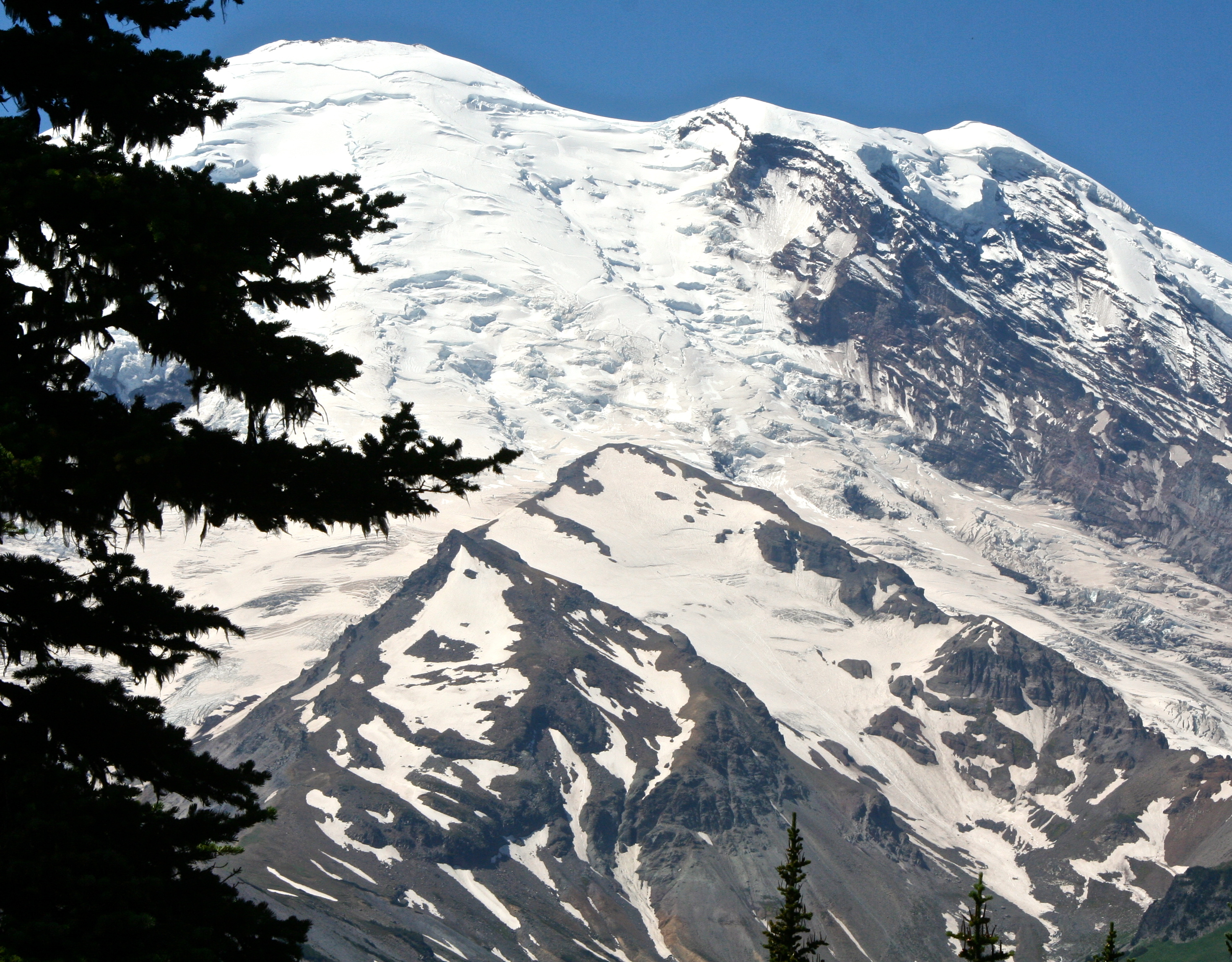
Mt. Rainier is the most glaciated mountain in the lower 48 states of the US.
It was supposed to be a laid-back summer. Our daughter Tasha would come out from Tennessee with our grandsons Ethan and Cody for a week or two in June. And then we would go to Burning Man in late August. In between, we’d hang out at our home in the mountains, relax, and explore more of Southern Oregon— if we had the energy.
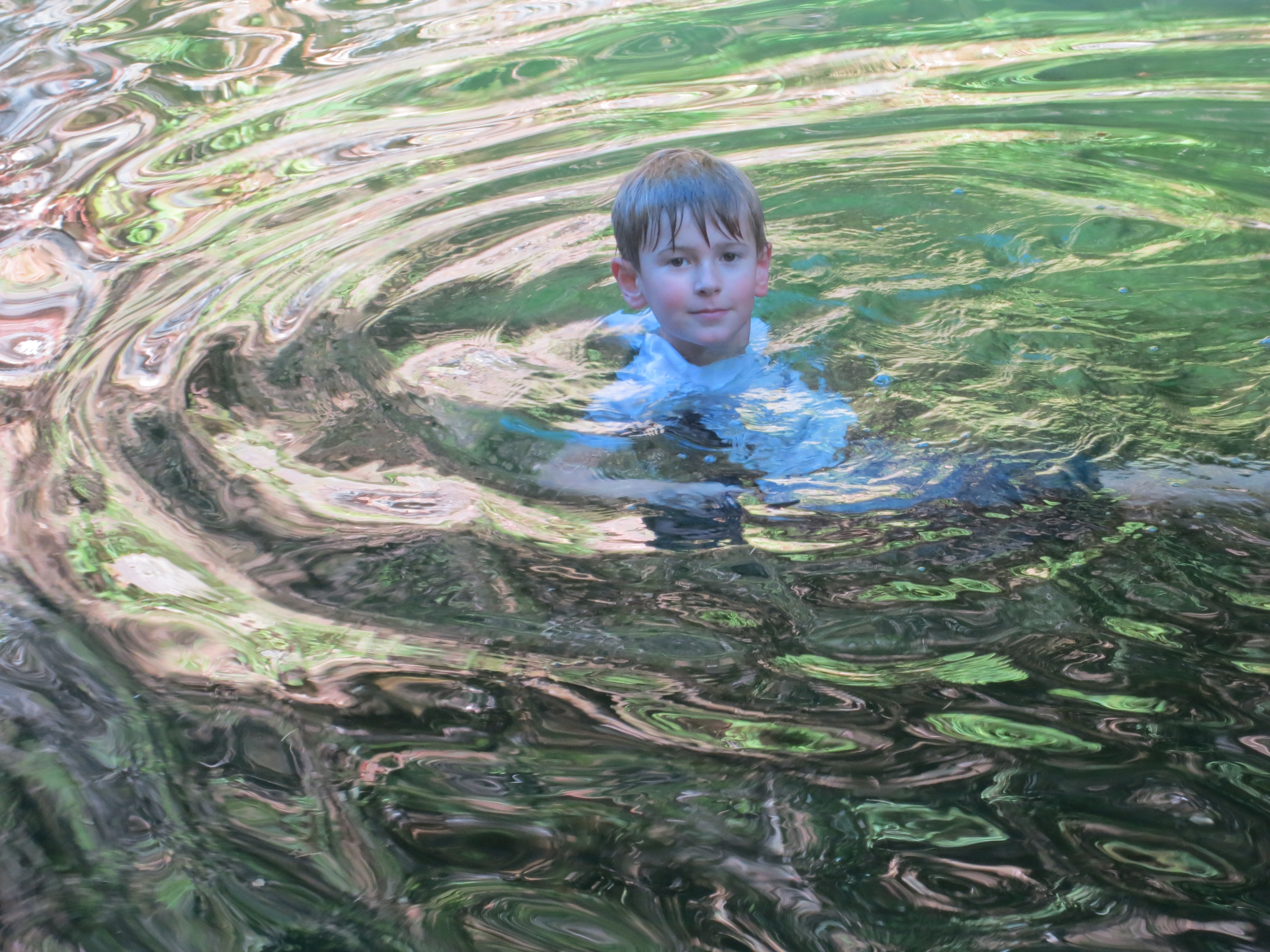
Our grandson Ethan enjoys a dip in the Applegate River this summer a few miles from our house.
Then Edie called. Edie is Peggy’s old high school friend who lives in Anchorage, Alaska. She and her husband David had found what sounded like a great sea-kayak adventure looking for Orcas off the northern tip of Vancouver Island in August. Would we like to go? How could we resist? It would make our trip to Burning Man tight, but it was still doable.
Tony, our son who flies helicopter rescue missions for the Coast Guard off Kodiak Island, was next. He had helicopter crash training in Spokane in early August. This is where a huge machine takes a helicopter and dumps it upside down in a large pool of water so the pilot and crew can practice their escape routines. Wouldn’t it be great if we could pick him up at the Seattle airport before the training and head out for a few days of camping and hiking at Mt. Rainier? Yes it would, declared Peggy, doing a happy-mother dance. I wasn’t to worry that the Rainier trip backed up on the kayak trip that backed up on Burning Man.
Then Tasha called. She couldn’t come in June but had found some great tickets to fly out in July for a couple of weeks. Oops, said Mom. The latter part of the trip was double booked with the Tony trip. Not to worry, said Tasha. She’d only stay for a week and a half. If we hurried we could get to Seattle the day before Tony arrived so we could grab a campsite before they all disappeared. We found a campsite, barely. What disappeared was our laid-back summer.
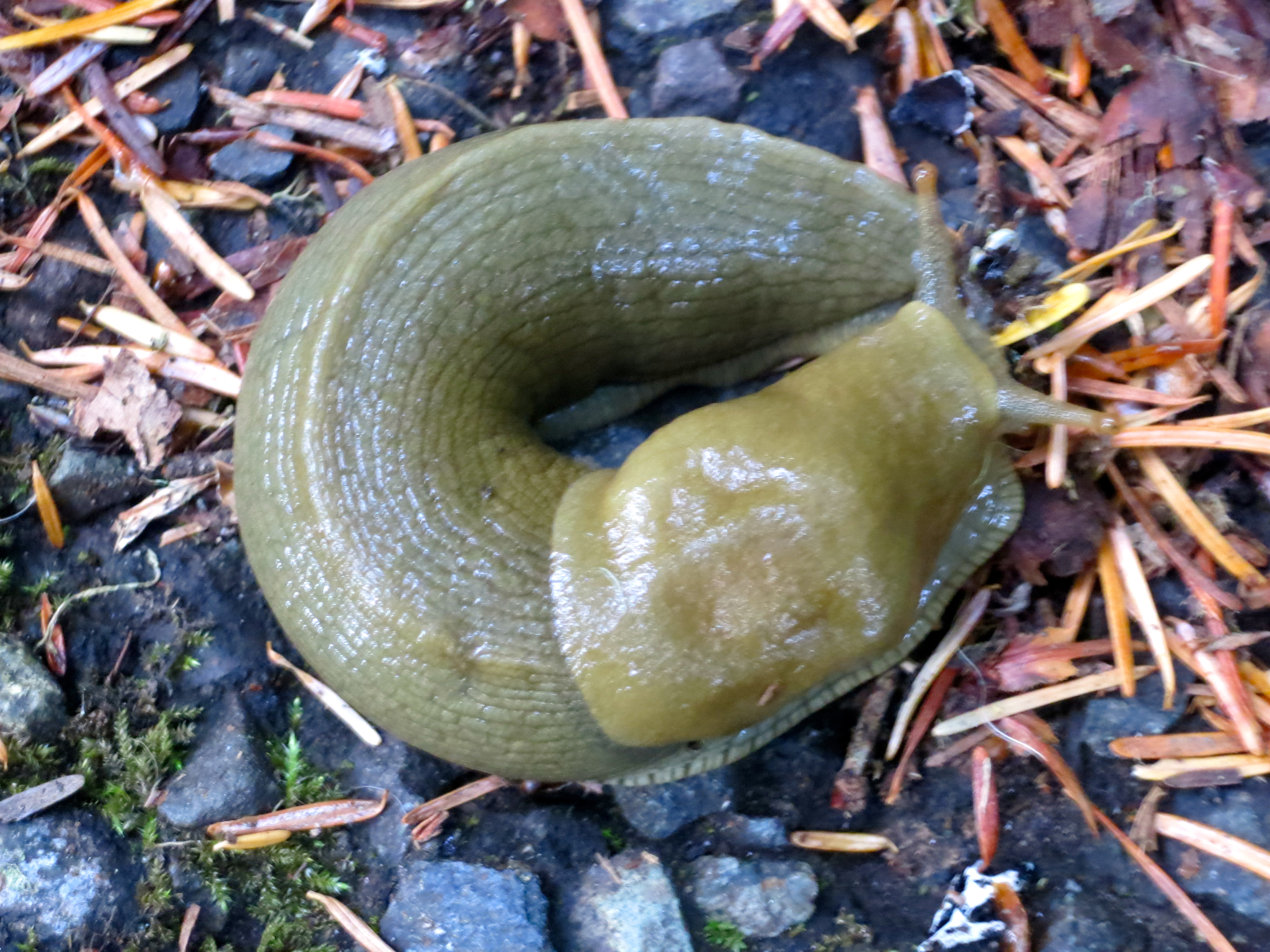
This slug we found at Mt. Rainier National Park was traveling at just about the pace I had hoped we would enjoy our summer. It wasn’t to be.
Join Peggy and me on my next two posts as we explore Mt. Rainier with Tony. After that, we will zip off on a search for whales with Edie and David.
Looking up at Emmons Glacier from the Sunrise Visitor’s Center at Mt. Rainier.
A close-up of Emmons Glacier.
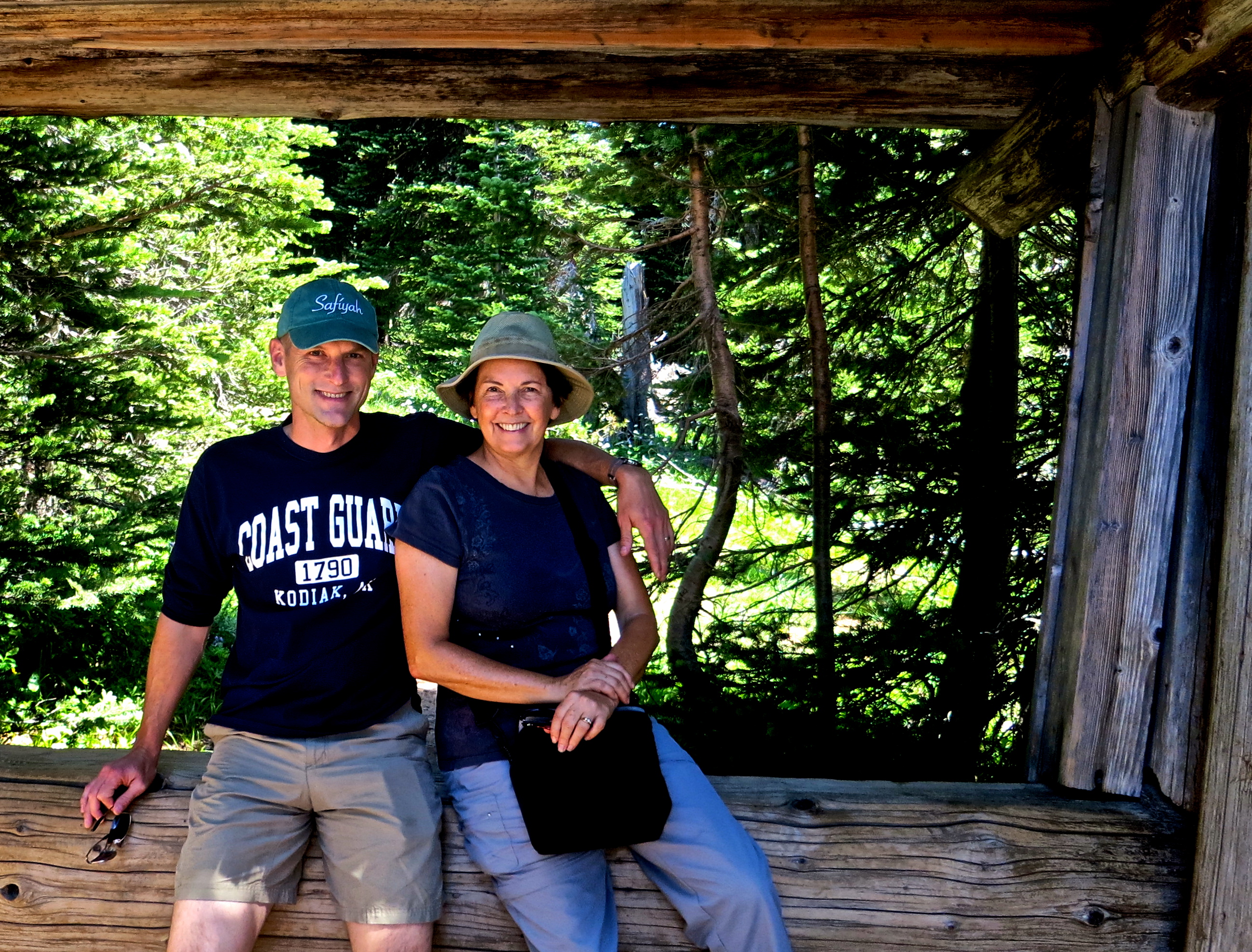
Peggy and Tony pose for a picture near the Sunrise Visitor Center at Mt. Rainier National Park.
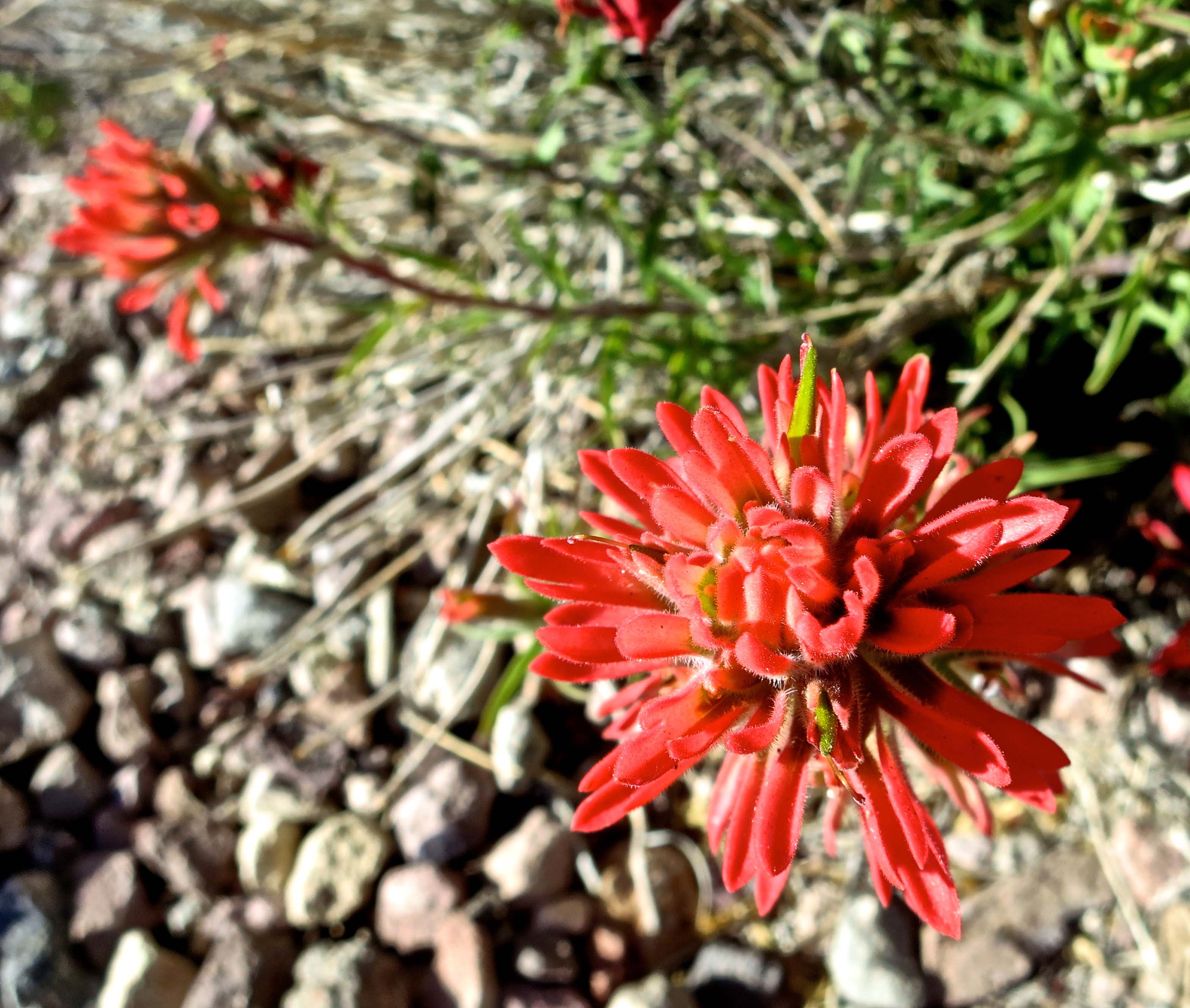
A short walk along the Silver Forest Trail from Sunrise Center included fields full of flowers as well as spectacular views of the mountain. This is Indian Paintbrush.
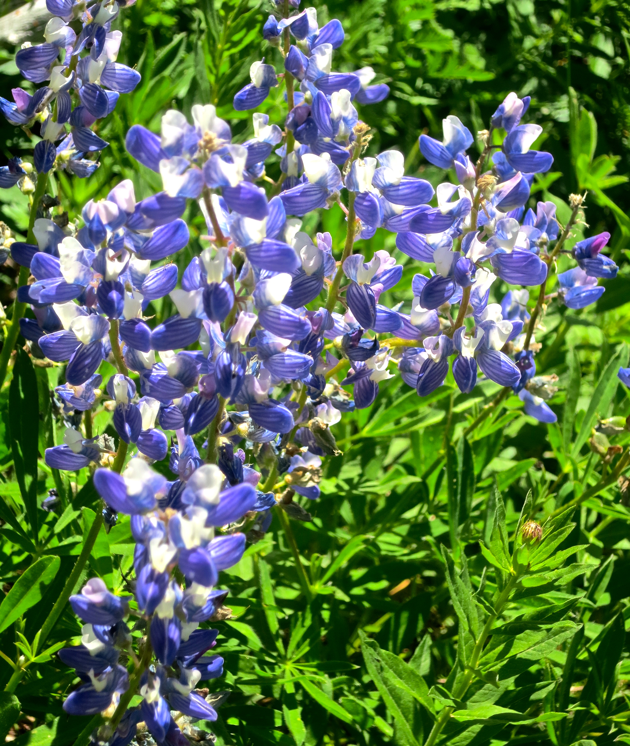
Lupine.
A strange and fuzzy Western Pasqueflower. Photo by Peggy Mekemson.
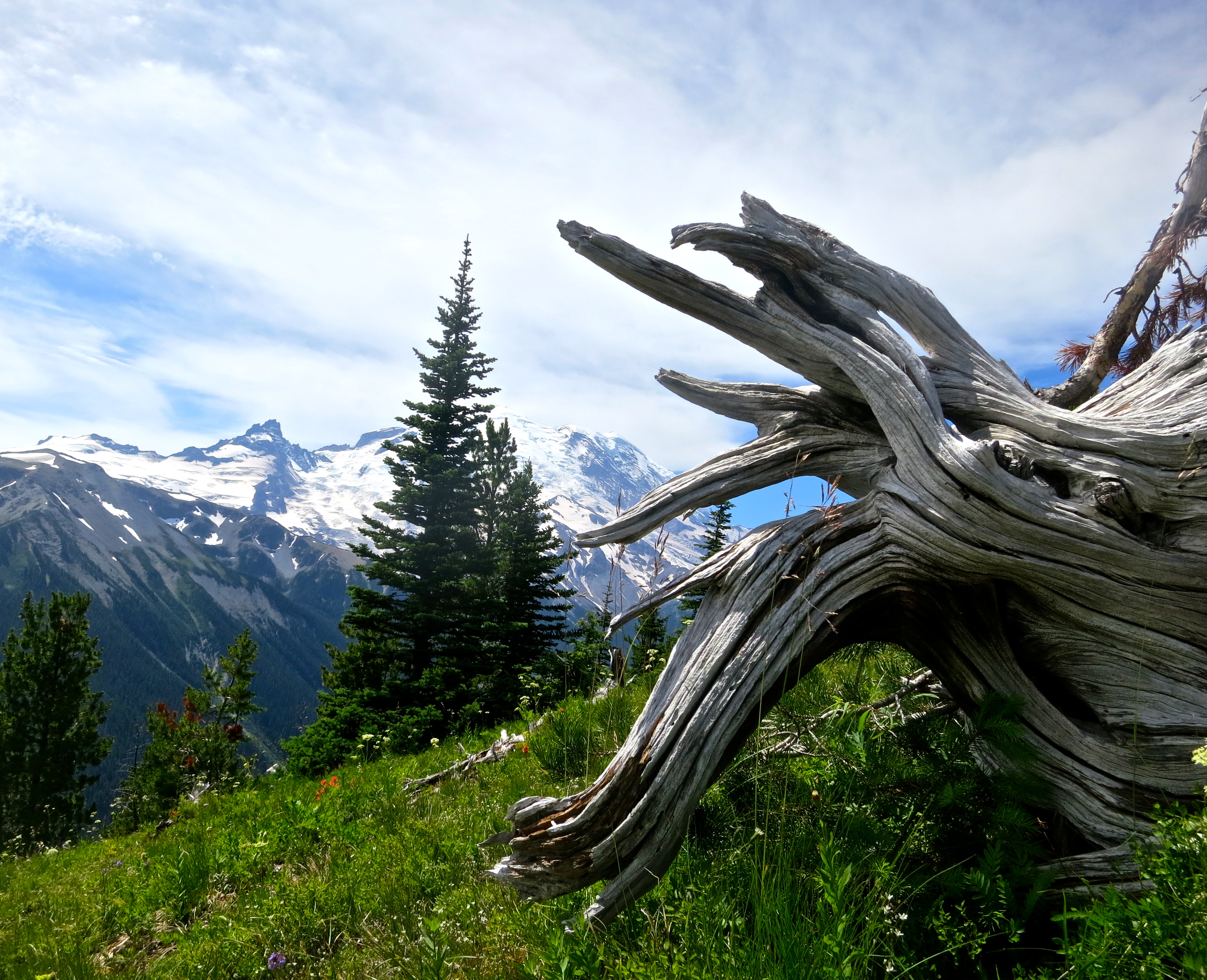
This aged tree root with its magnificent backdrop caught my attention.
As did this dead tree.
A final view of Emmons Glacier. (Photo by Peggy Mekemson.) Next Blog: A giant forest, beautiful falls, and more views of Mt. Rainier.
Erosion of rocks gives Zabriskie Point its unique look.
Zabriskie Point is one of the most photographed spots in Death Valley. Tour busses stop here and disgorge thousands of passengers annually. Everyone comes armed with a camera, or at least a cell phone camera. Twenty shots or so later they are on their way, scurrying back to the bus and Death Valley’s next must-see sight. We are more leisurely in our approach, but we also take a more photos. Erosion is king here, wearing away rocks that were deposited in a lakebed some five million years ago– back before tectonic forces created Death Valley and back before the region became a desert.
As in other parts of Death Valley, the rocks of Zabriskie Point are multi-hued. (Photo by Peggy Mekemson.)
Manly Beacon or Point, is another popular view from Zabriskie Point. Justifiably so.
Peggy and I were at Zabriskie Point in the late afternoon. The rocks above Manly Beacon seemed to take on an inner glow.
The volcanic caprock provides an interesting contrast. (Photo by Peggy Mekemson.)
A three-mile trail leads down to the Valley floor from Zabriskie Point and passes through Golden Canyon on the way. For fans of Star Wars IV, segments of the movie were filmed in Golden Canyon. The diminutive, eye glowing Jawas captured R2-D2 and C-3PO there. So you can think of Death Valley as Tatooine, the home planet of Luke Skywalker. (Tunisia was also used for scenes on Tatooine.)
Golden Canyon looking out toward Death Valley. This photo and the one below were taken from an earlier trip. R2-D2 and C-3PO were captured in the canyon by the Jawas.
Golden Canyon looking up toward Zabriskie Point. I am on the trail. (Photo by Peggy Mekemson.)
Here’s some Star Wars trivia I picked up when doing research for this blog that you can use to wow your friends: sounds made by dogs, bears, lions, tigers and walruses were combined to create Chewbacca’s voice.
The Twenty Mule Team Canyon that I blogged about in my last post starts a mile or so above Zabriskie Point. A few miles farther, a road jogs off to the right that leads to Dante’s View, which towers some 5000 feet above the valley floor. The last part of the road is steep and narrow but the view is worth it.
Looking down into Death Valley from Dante’s View.
Another perspective.
Given the higher elevation at Dante’s View, spring flowers were still blooming.
This is an Indian Paintbrush.
I took this final photo from Dante’s View to capture the very impressive alluvial fan spreading out on the Death Valley floor far below. Debris coming down off the mountain had built this fan up over thousands of year.
NEXT BLOG: Traveling into the Panamint Range of Death Valley: wild flowers, huge charcoal kilns, and one very large, irritated rattlesnake.
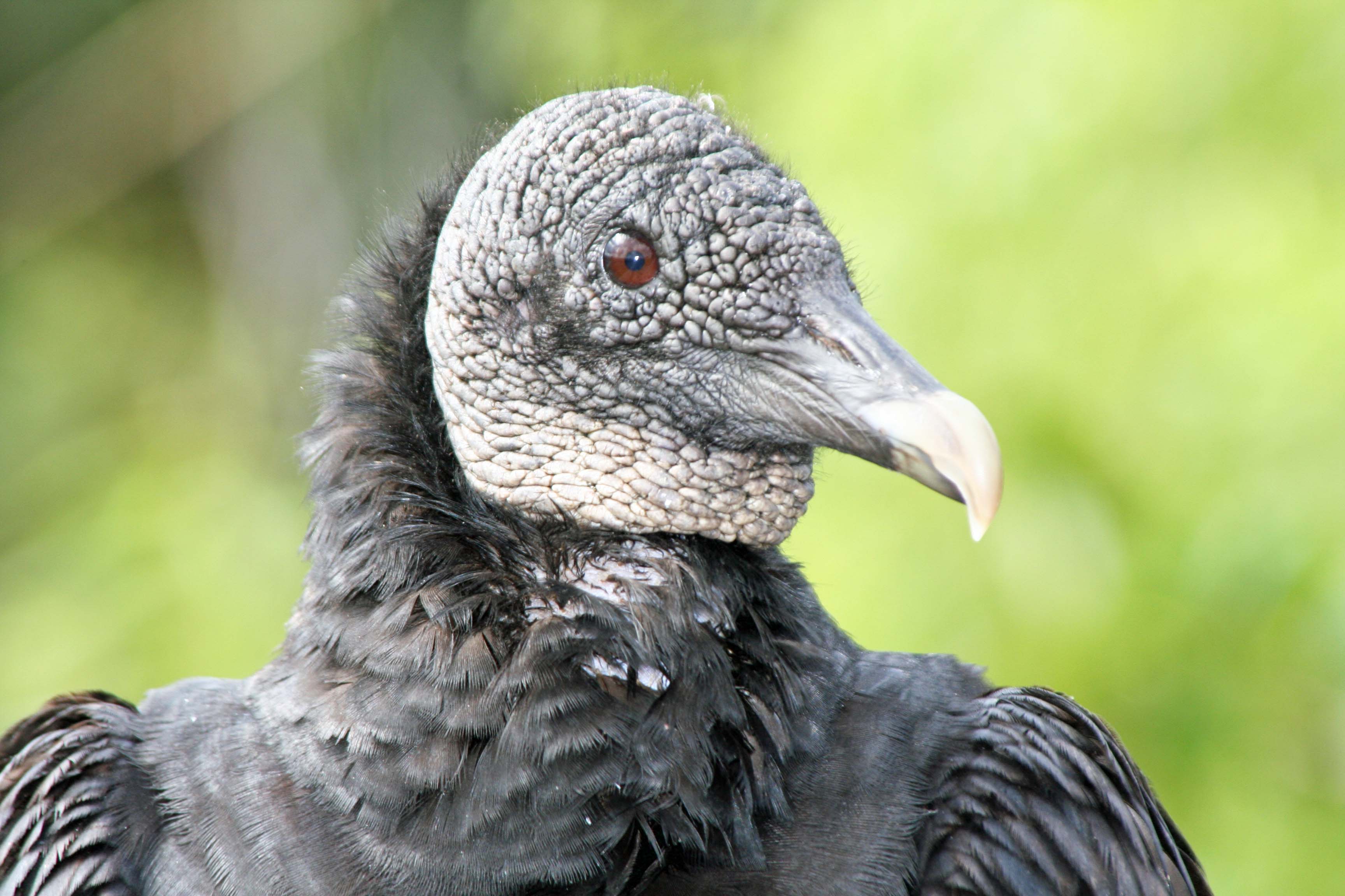
I’ve blogged about Black Buzzards before, but these characters deserve a repeat visit.
Peggy, in her former life, which I refer to as BC, before Curt, bought some swampland in Port Charlotte, Florida with dreams of a handsome profit. Eventually, over a period of about 20 years, the land reached the value she and her ex-husband had paid for it. In the heady years of the early 2000s, the property shot up to triple the original investment. We were able to dump (oh, I mean sell) it before the 2006 housing crash to a land speculator. We split the profits between our kids, the realtor, and Uncle Sam.
I tell this story because the property provided an excuse to visit Florida. It was one of three. The second was that Peggy’s parents had retired to the state from Ohio, joining the relentless flood of people from the Midwest whose elderly bones had lost their sense of humor about freezing cold winters. My brother, Marshall, a homeless man with a bank account and a van, provided the third excuse. He included Florida on his migration route. Marshall, in fact, gave us advice on when to sell the property. In the days before he had decided being homeless was more fun, he had owned a successful real estate appraisal business.
Our regular trips to Florida gave us a chance to explore the state, which can be quite scenic if you can see around the billboards and like orange trees. It’s long sandy beaches are very attractive. Peggy loves them. As a general rule, the state is too flat for me. I can gain more elevation in the twenty-minute walk to our mailbox than I can from driving to the top of Florida’s highest hill.
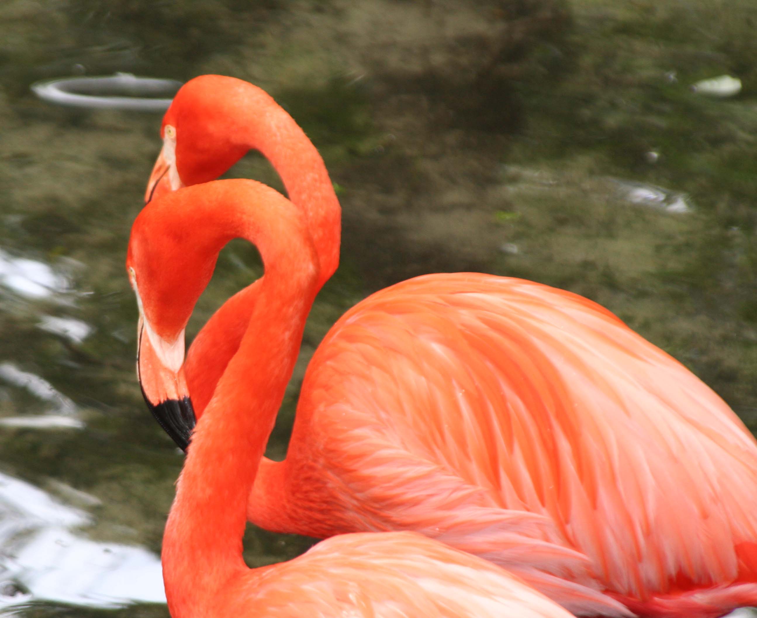
The low elevation and flat land make for extensive wetlands in Florida, however. And I find this quite attractive. The swamps are filled with fascinating wildlife such as Black Buzzards, Pink Flamingos and the lurking alligators. Everglades National Park provides an excellent opportunity to explore what Florida has to offer.
You are much more likely to see photographs about Flamingos than Black Buzzards when reading about the Everglades. I suspect you have never seen a yard featuring plastic buzzards.
This Anhinga was drying his feathers and presented another photo-op. (Photo by Peggy Mekemson.)
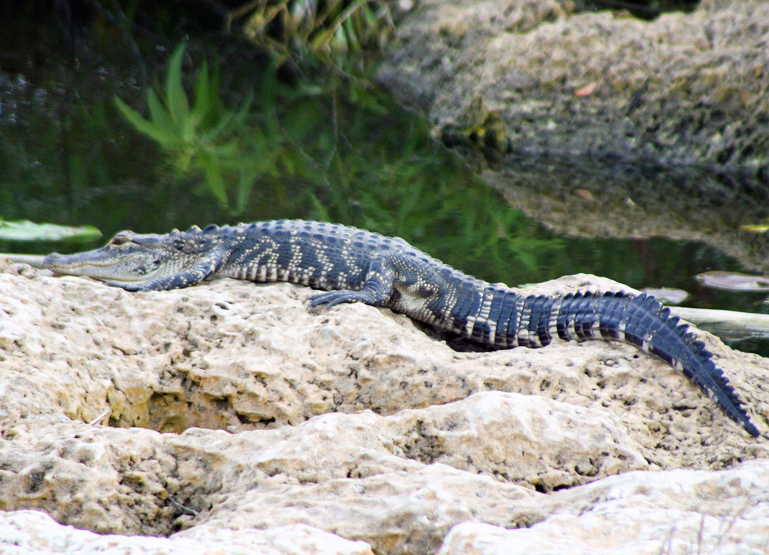
We came on this alligator sunbathing. It would be hard to appear more relaxed. (Photo by Peggy Mekemson.)
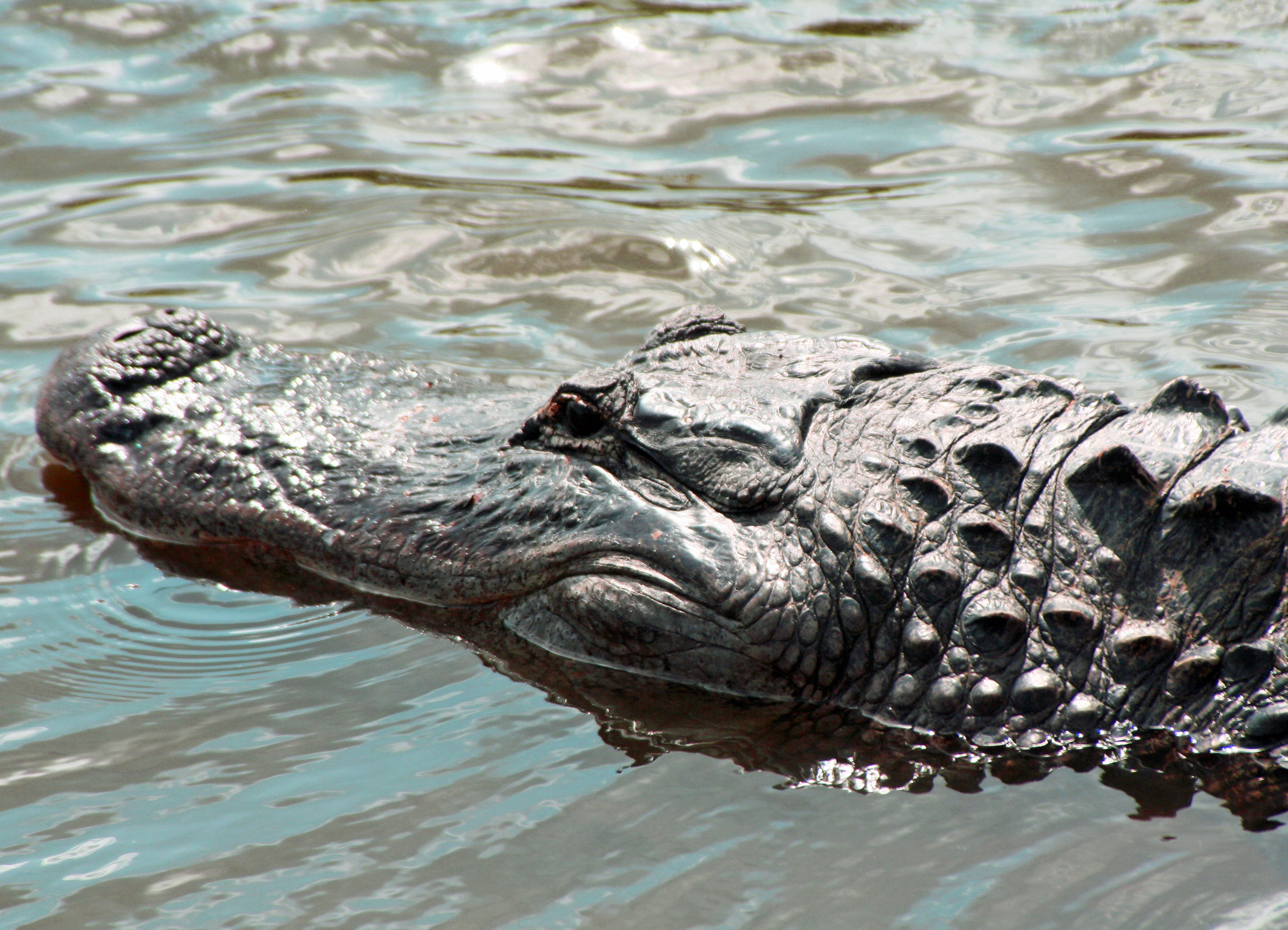
I photographed this guy as he swam under a wooden bridge the park had built out above the wetlands.
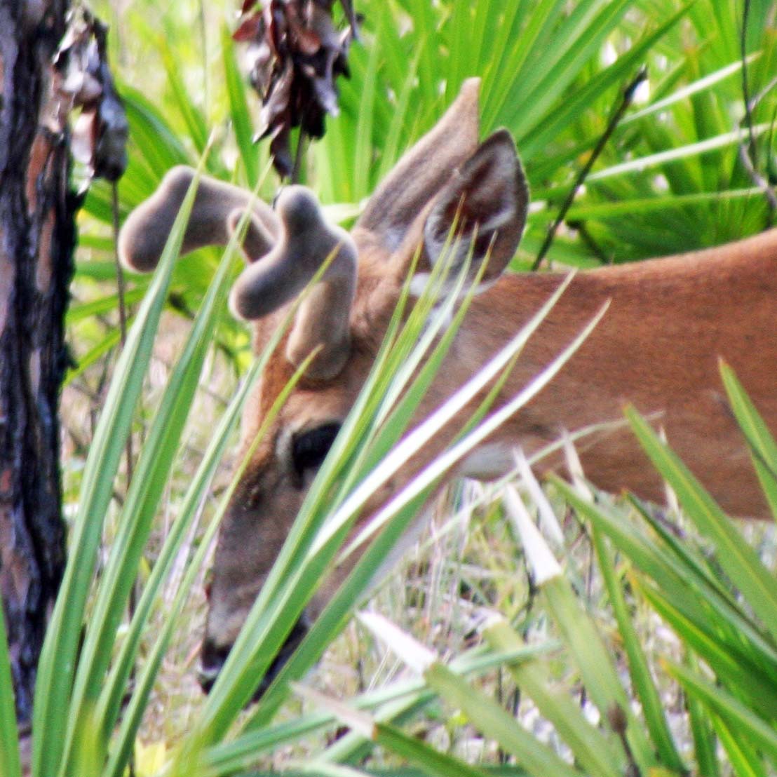
This buck, whose antlers were still in velvet, came by to visit our campsite.
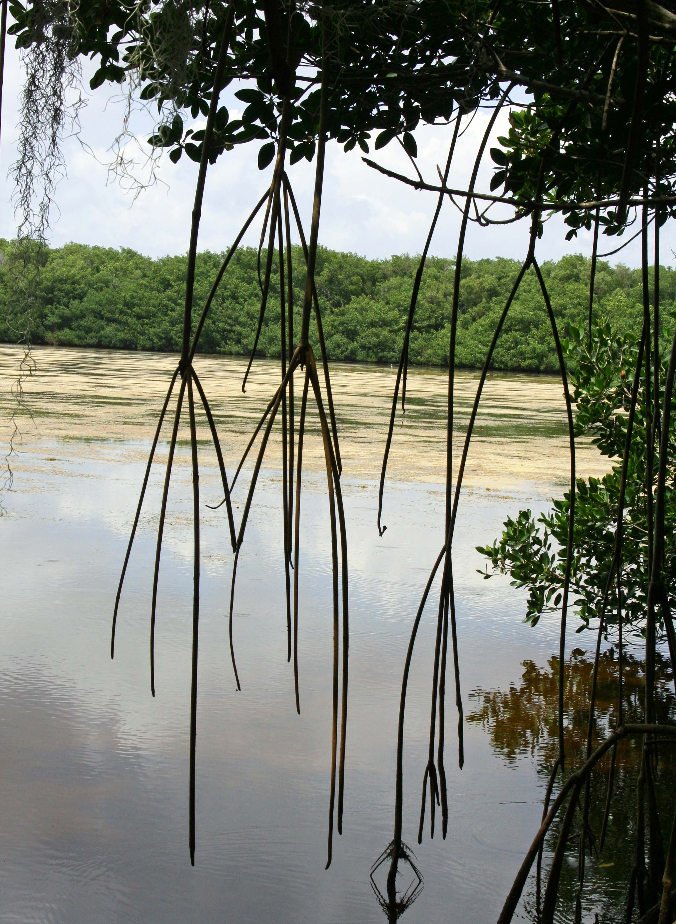
The Everglades teem with life. Our binoculars showed that the trees across the lake were filled with birds.
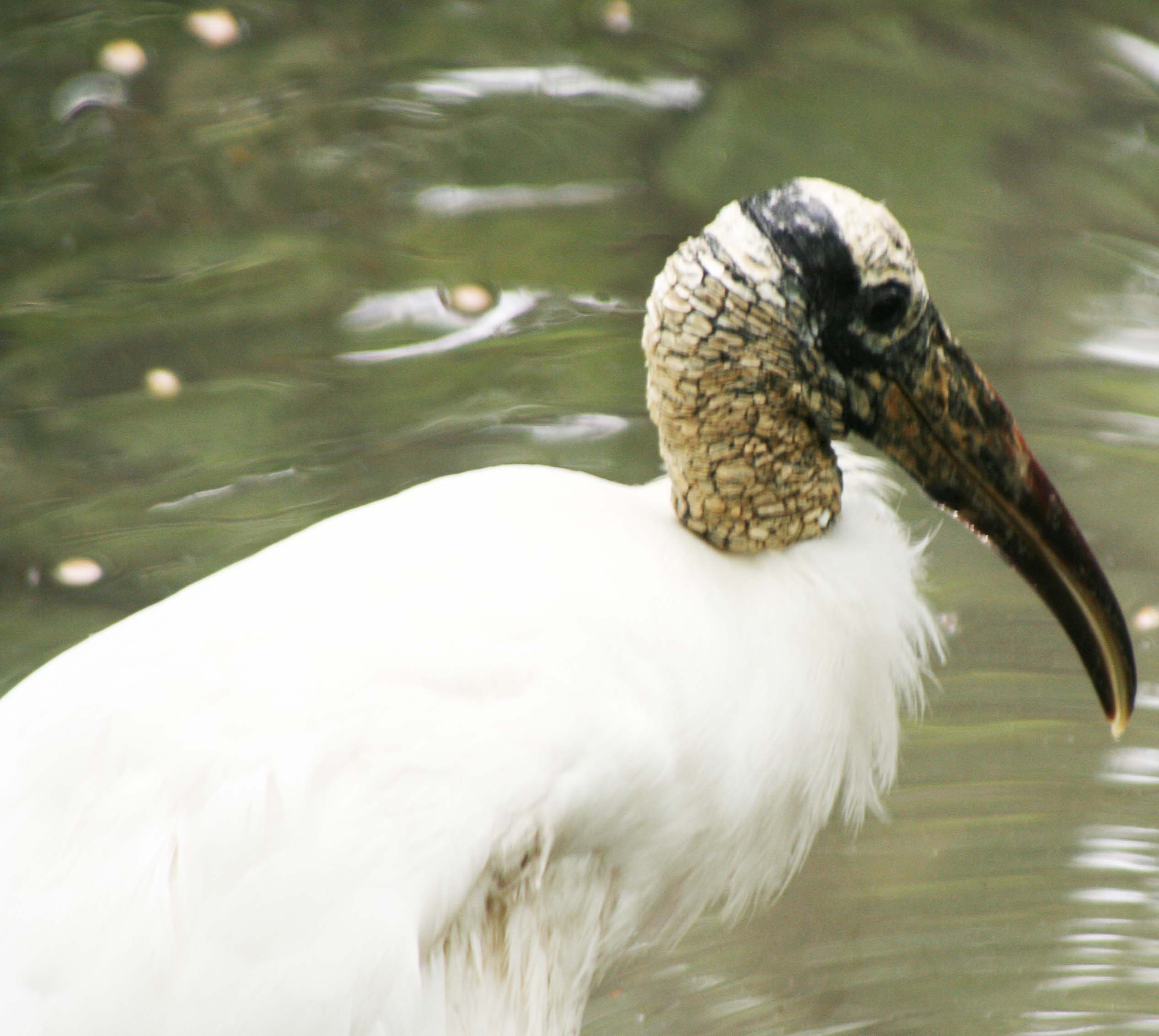
This fellow, with his definitive neck and bill, is a Wood Stork.
I’ll close this brief visit to the Everglades with two more photos of the Black Buzzards.
Taking a bow. The buzzard and I thank you for following this blog. (grin)
NEXT BLOG: Since we’ve been hanging out where it is really wet, let’s dry out and head for Organ Pipe Cactus National Monument in Southern Arizona next to the Mexican Border.
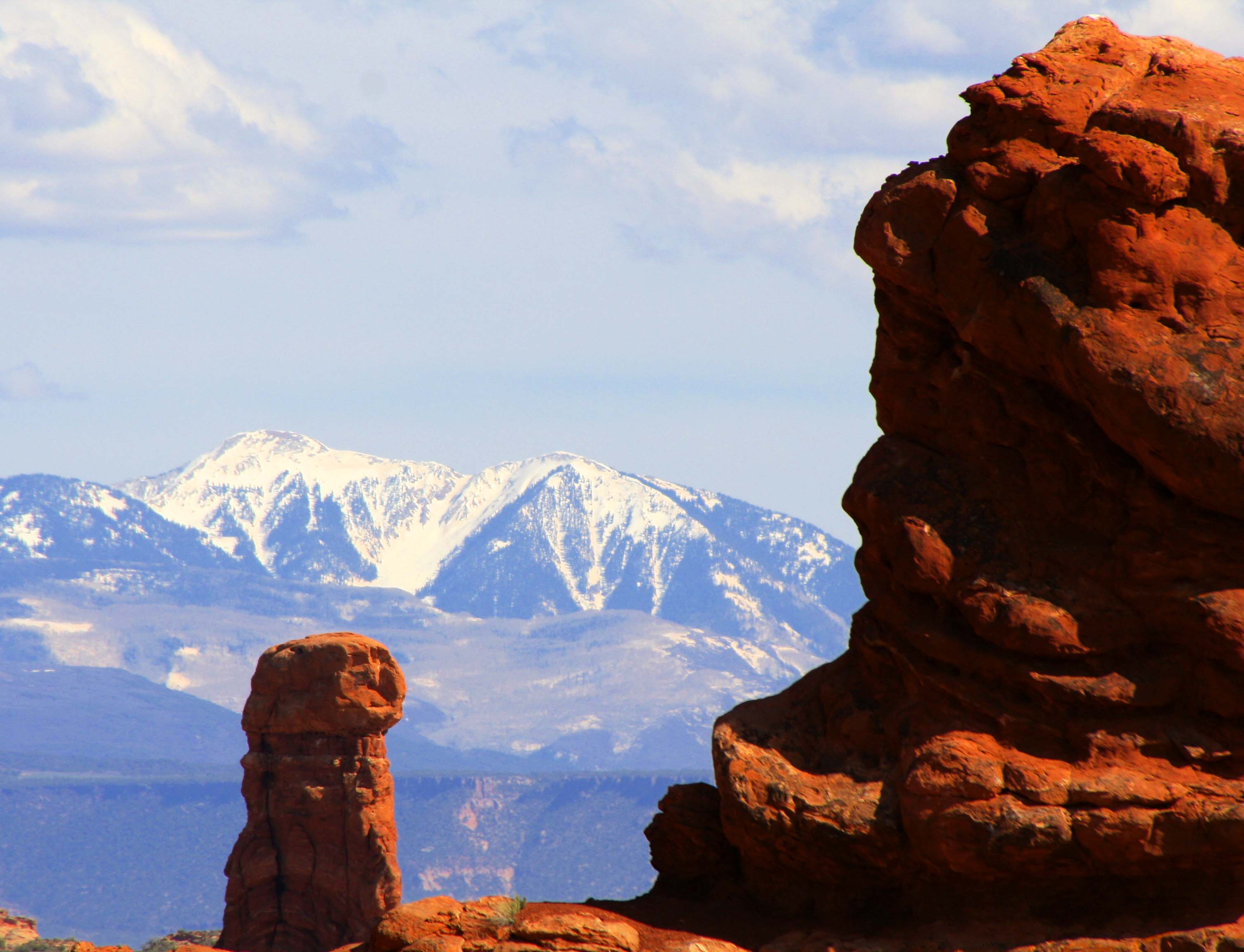
Arches National Park is known for its soaring arches carved from stone, but that is only the beginning of its beauty.
One of our goals over the past several years has been to visit all of America’s National Parks. We’ve been to all 50 states in pursuit of this objective. There are a couple in Alaska still on our “to do list.” Since Peggy and I are presently wandering in Mexico, I’ve recruited some of our favorite National Park photos to fill in while we are gone. Enjoy.
Arches National Park is located in eastern Utah. While the towering rock arches are indeed striking, other rock sculptures are equally, if not more, impressive.
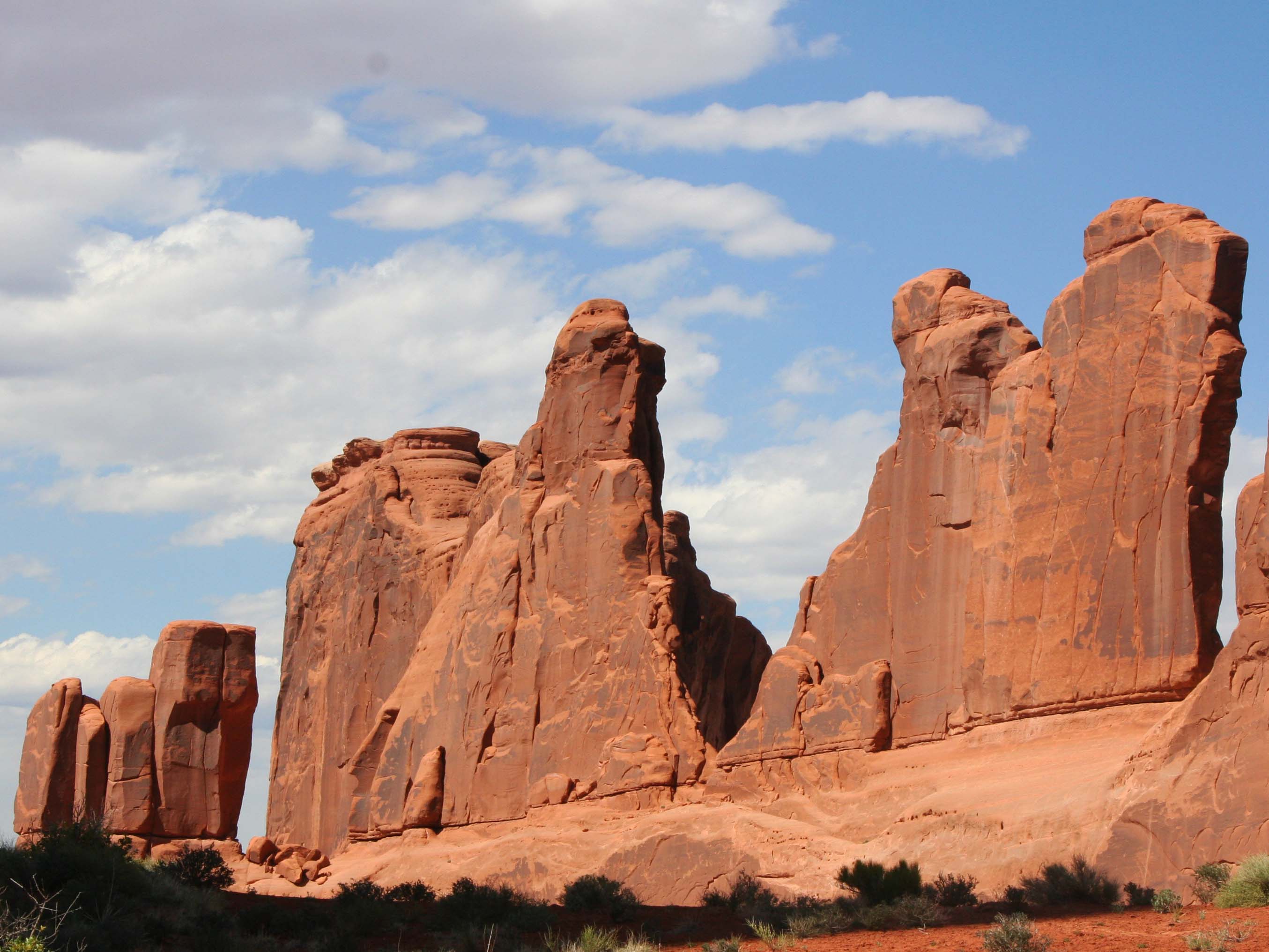
These stone sculptures stand like sentinels.
With dark rapidly approaching, only shadowy outlines could be seen. I am thinking the Three Wise Men.
This wall of stone greets visitors upon their arrival to Arches National Park. (Photo by Peggy Mekemson.)
I thought of this collection of rock sculptures as a family… Mom and the kids.
This collection shows different sedimentary rocks laid down in ancient times.
Another photo that captures sedimentary layers and shows the impact of weather on various rocks. Different rocks erode at different speeds, thus creating the wonderful sculptures seen throughout the Southwest..
Caught in the evening sun.
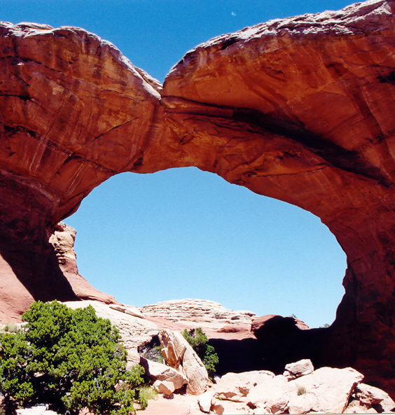
Naturally, any photo essay on Arches National Park has to include some arches.
The same arch caught 30 minutes later.
Looking up from under the arch. I knew the rock was solid but still felt nervous.
A final arch.
NEXT BLOG: We will head west to Yosemite National Park.
Socrates the Basset Hound fell in love with digging opportunities at South Beach, Pt. Reyes National Seashore.
Peggy and I didn’t make it out to North and South Beach this time. Three days were not nearly enough to visit all of my favorite Pt. Reyes sites. I have a few photos from my pre-blogging days, however, so I decided to do a quick post.
These two beaches are actually one. If you enjoy crashing waves and long, lonely beach walks, this is the place to go. I still remember my first hike along the shoreline. My companion at the time was a long-eared, short-legged basset hound named Socrates. It was before leash laws were established so the dog ran free over the sand. Sort of– Basset hounds aren’t noted for their long, graceful gaits.
For example, Soc loved to chase jackrabbits. The only time I ever saw him catch one was when the rabbit was rolling on the ground and laughing so hard he couldn’t escape. (Kidding.)
But there was another reason for our slow progress down the beach. Soc had a passion for digging. He could move more dirt in an hour than a bulldozer could in a day. (Slight exaggeration.) Given what he could do with dirt, you can imagine what he did with the sand. I was hoping for a high tide to hide his destruction.
When I urged the Soc to stop hassling whatever poor creature he was after, he whined and start digging harder. I was in danger of being buried under an avalanche of sand. The dog had Zen-like focus; it didn’t matter that he never caught anything. I’d get him away from one hole and he would start another 50 feet down the beach. Our slow progress made for a long walk but it was totally worth it for the joy the dog found in digging holes and the pleasure I took in watching him and, of course, the beautiful Pacific Ocean.
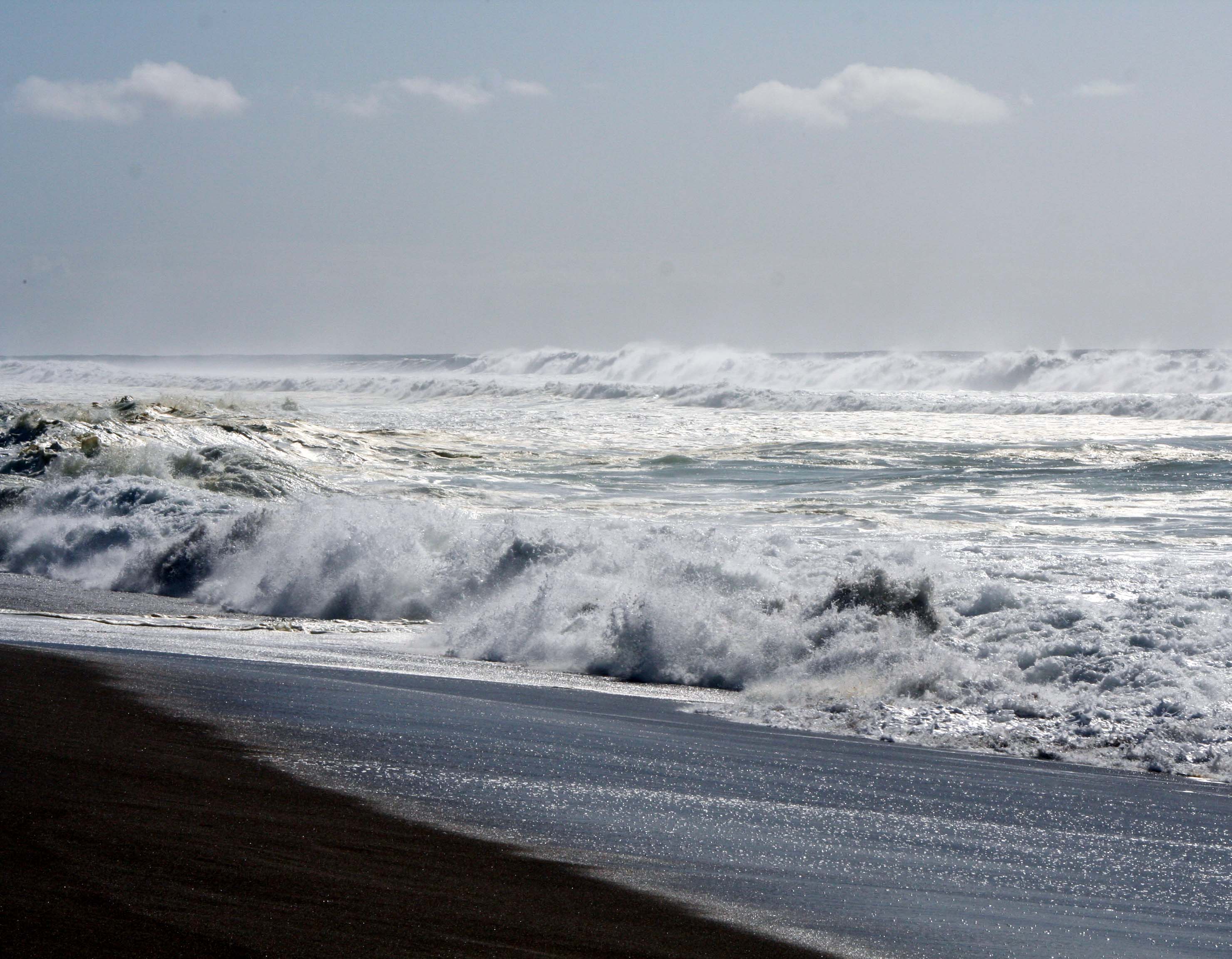
Waves come crashing in at South Beach.
Years later I discovered that North Beach was a great place for writing. I would park facing the ocean, get out my laptop, and start typing. The rolling ocean, an occasional whale, diving pelicans and raucous gulls served as my muses.
Another thunderous wave.
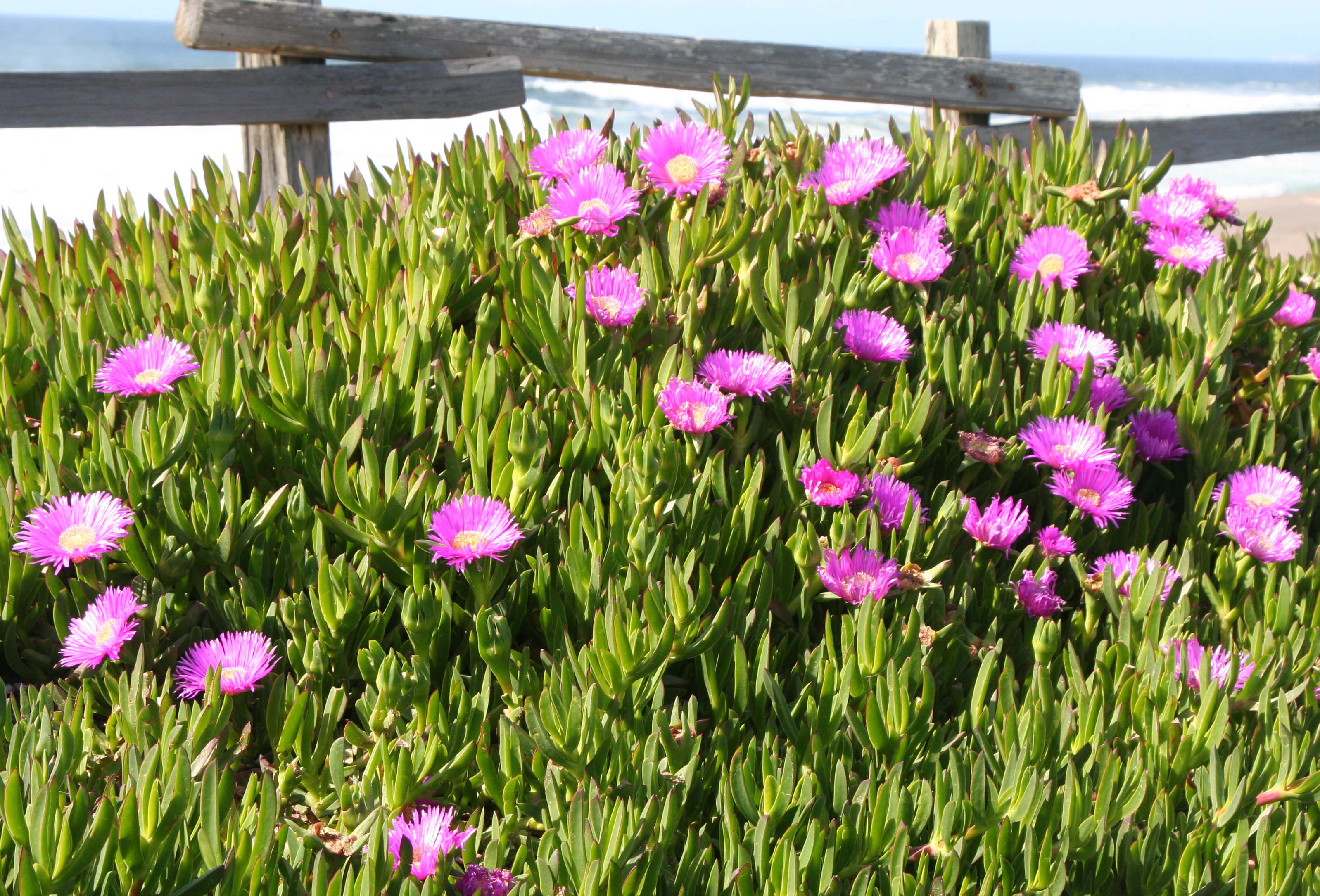
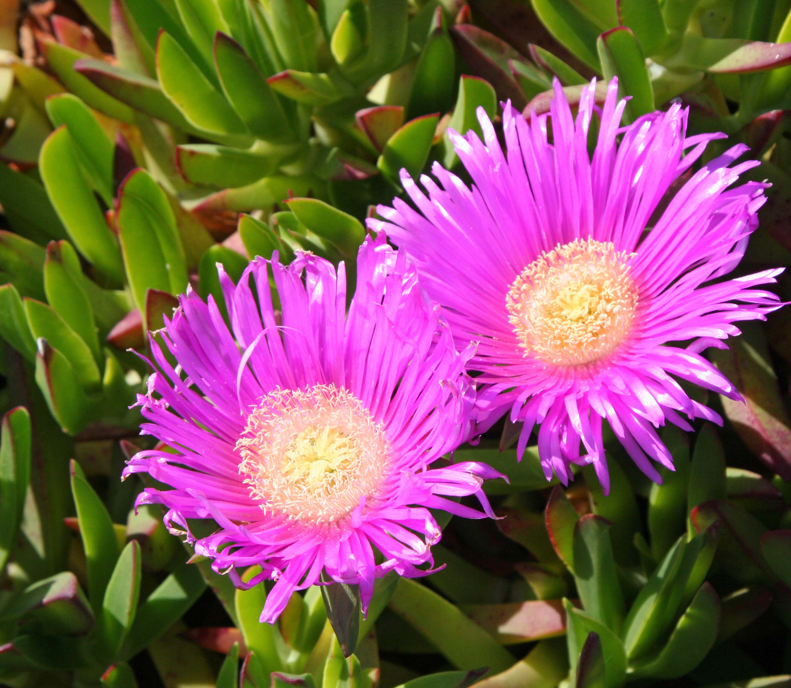
This ice plant formed the border between the parking lot and the beach.
It demanded I take a close up.
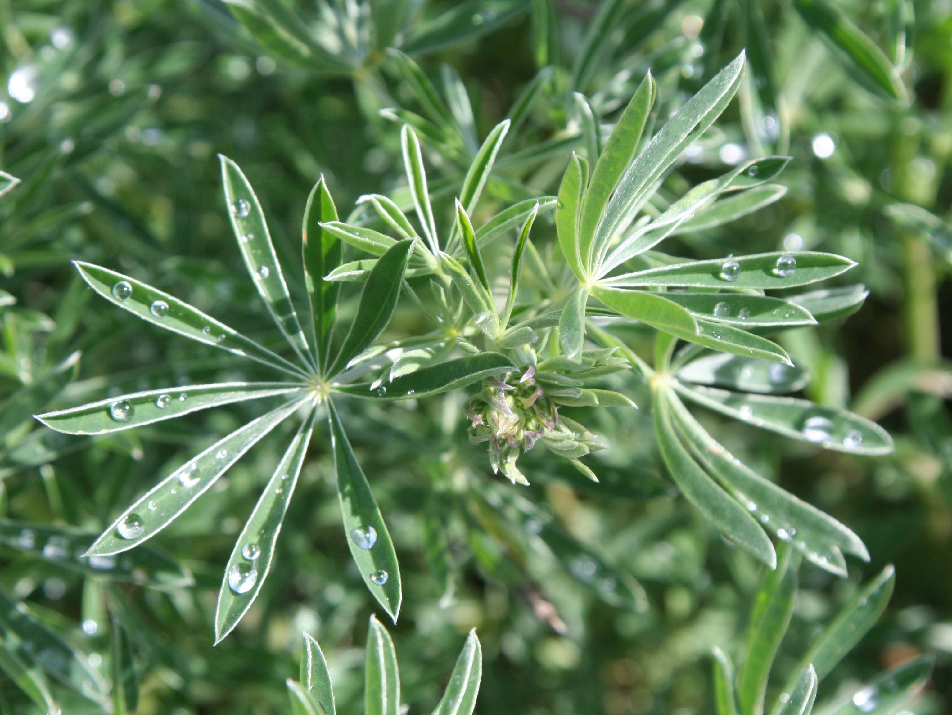
These lupine leaves displayed captured rain drops.
I also found this iris quite attractive.
The winds at North and South beach provide excellent wind for kite flying. I enjoyed this dragon but it distracted me from my writing. I wonder what the gulls thought about it?
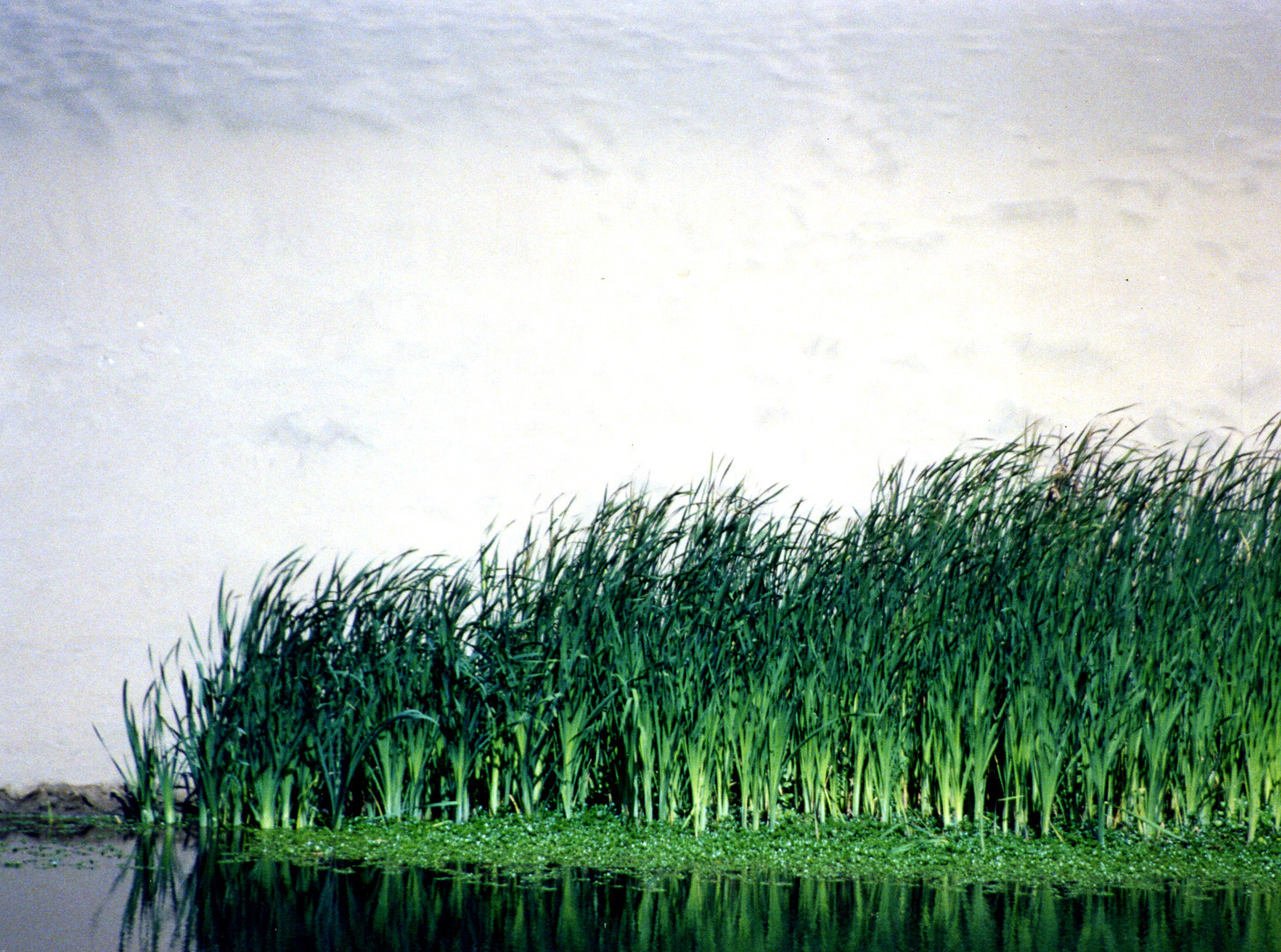
I discovered these tules on Bull Point trail near North Beach. Miwok Indians used these plants in making baskets.
NEXT BLOG: The hippie town that tries to hide: Bolinas. Here’s a final photo of South Beach.