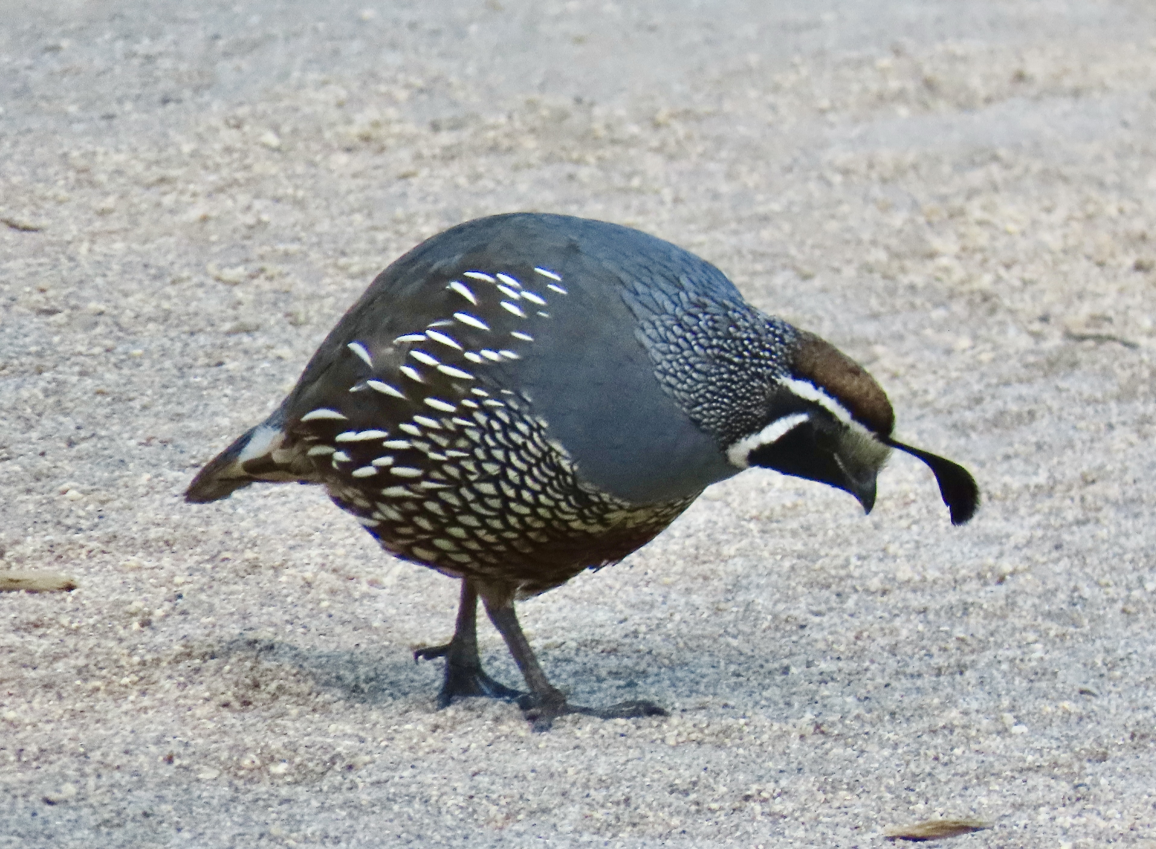
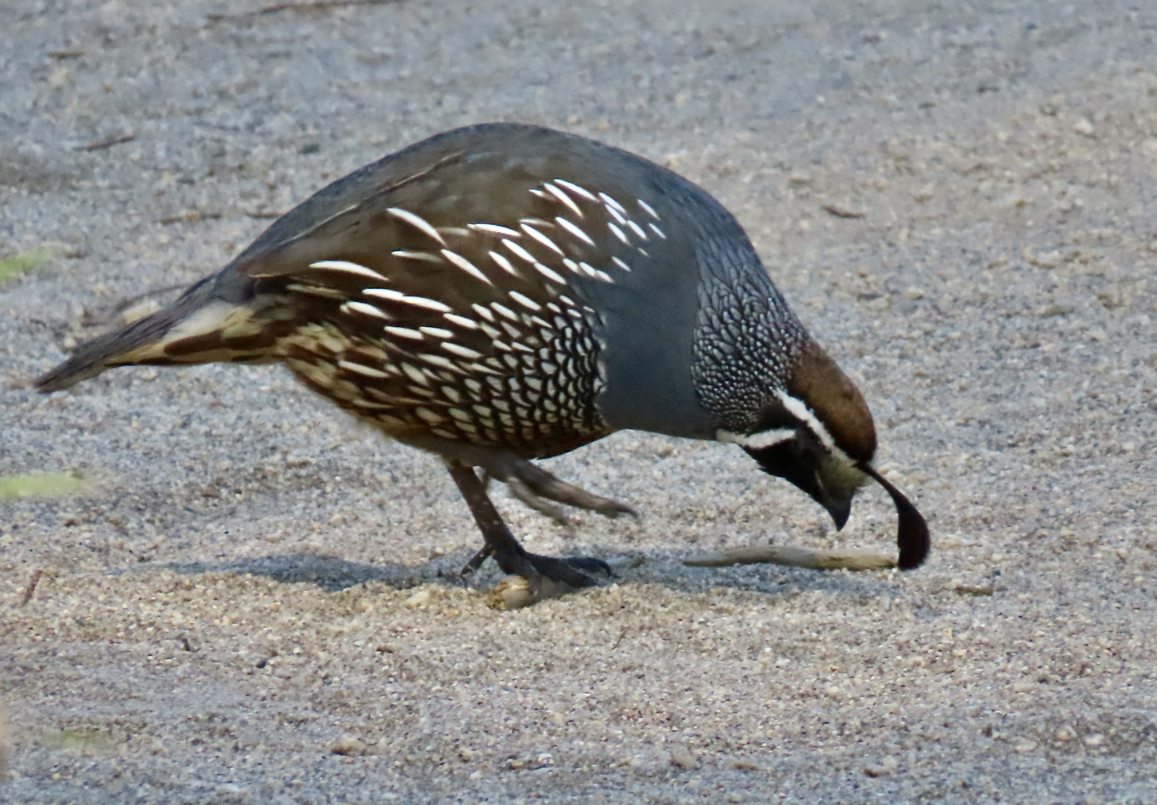
Peggy and I visited the historic Pierce Ranch during our recent two week stay at Point Reyes National Seashore. We didn’t go to see the quail, but there they were, everywhere. This one, wearing his ‘red cap with white trim, white beard, bushy eye brows, and big belly,’ reminded me of someone. A certain Mr. Claus perhaps? But what about the jaunty feather in his cap? Actually, it is six overlapping feathers.
Anyone visiting Pt. Reyes National Seashore should visit the historic Pierce Ranch. It provides an excellent introduction to the dairy industry that started in the mid-1800s and still exists within the National Seashore boundaries today. Local ranchers worked together with the Sierra Club in the 1960s and 70s to preserve their ranches and avoid the onslaught of real estate speculators and developers who envisioned turning the beautiful area into massive profits for themselves and great homes for the few that could afford them— instead of one of the world’s premier national parks for everyone.
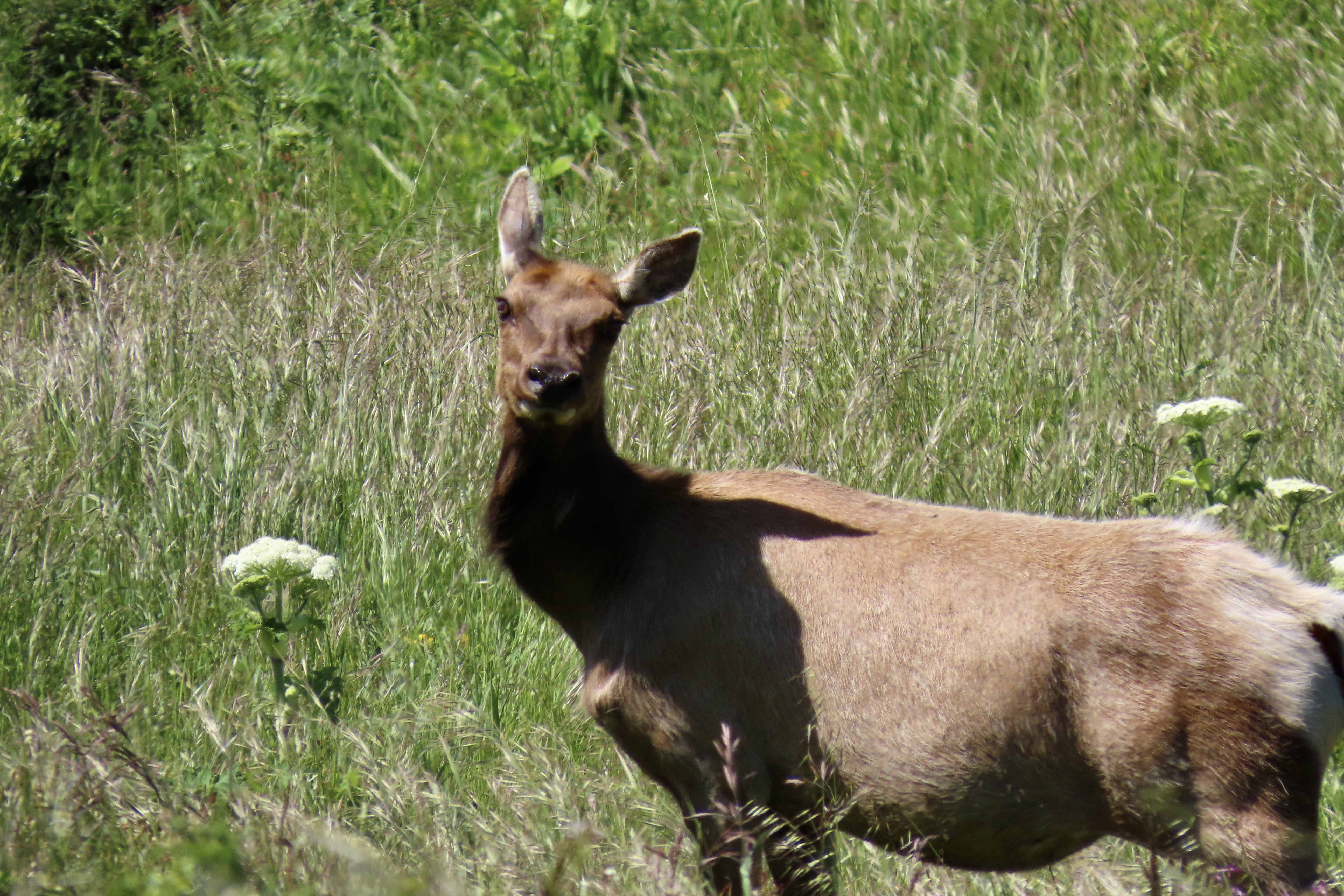
There is more to the ranch than history, however. For one, there is a tule elk reserve in the area. Having been eliminated from the region during the 1800s, they were reintroduced in 1978 and now constitute a sizable herd. A trip out to the ranch doesn’t guarantee you will see these magnificent creatures but the odds are you will. A short— or longer— hike out the Tomales Point Trail will increase your chances even more. Gorgeous scenery, wild flowers galore, birds and other wildlife are three more excellent reasons for a visit.
We actually went out twice on our visit: The first time was with our friends Tom Lovering and Lita Campbell, the second by ourselves. We didn’t need any excuse to go a second time, but the fact we had forgotten to bring our cameras except for an iPhone the first time was certainly a factor. We’ve become spoiled. Our photos are from both trips, however. Even Tom jumped in with his iPhone.
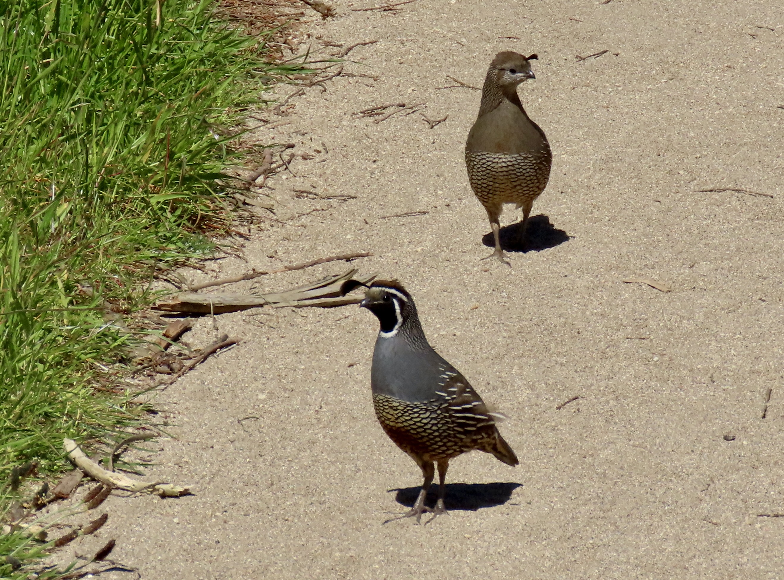
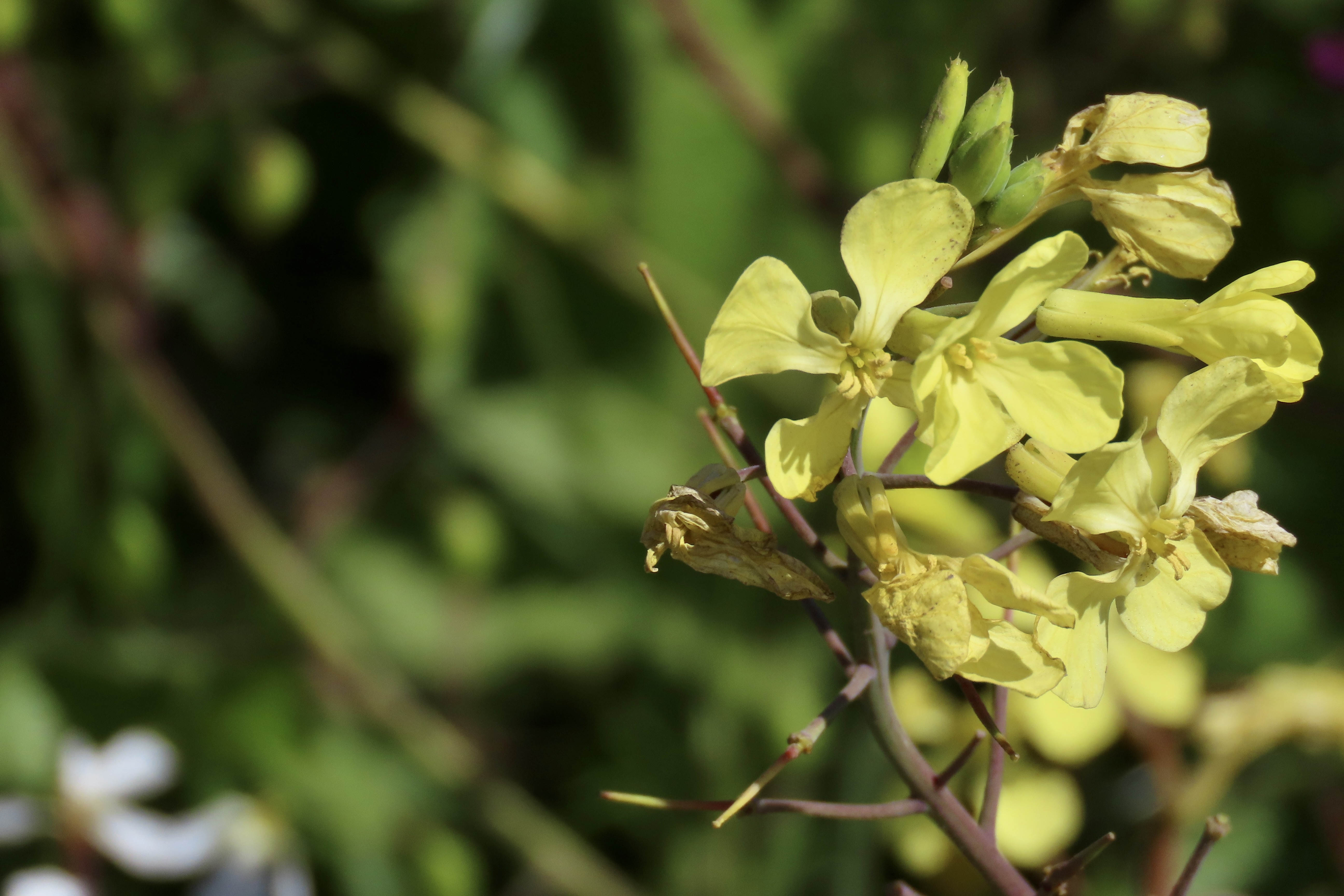
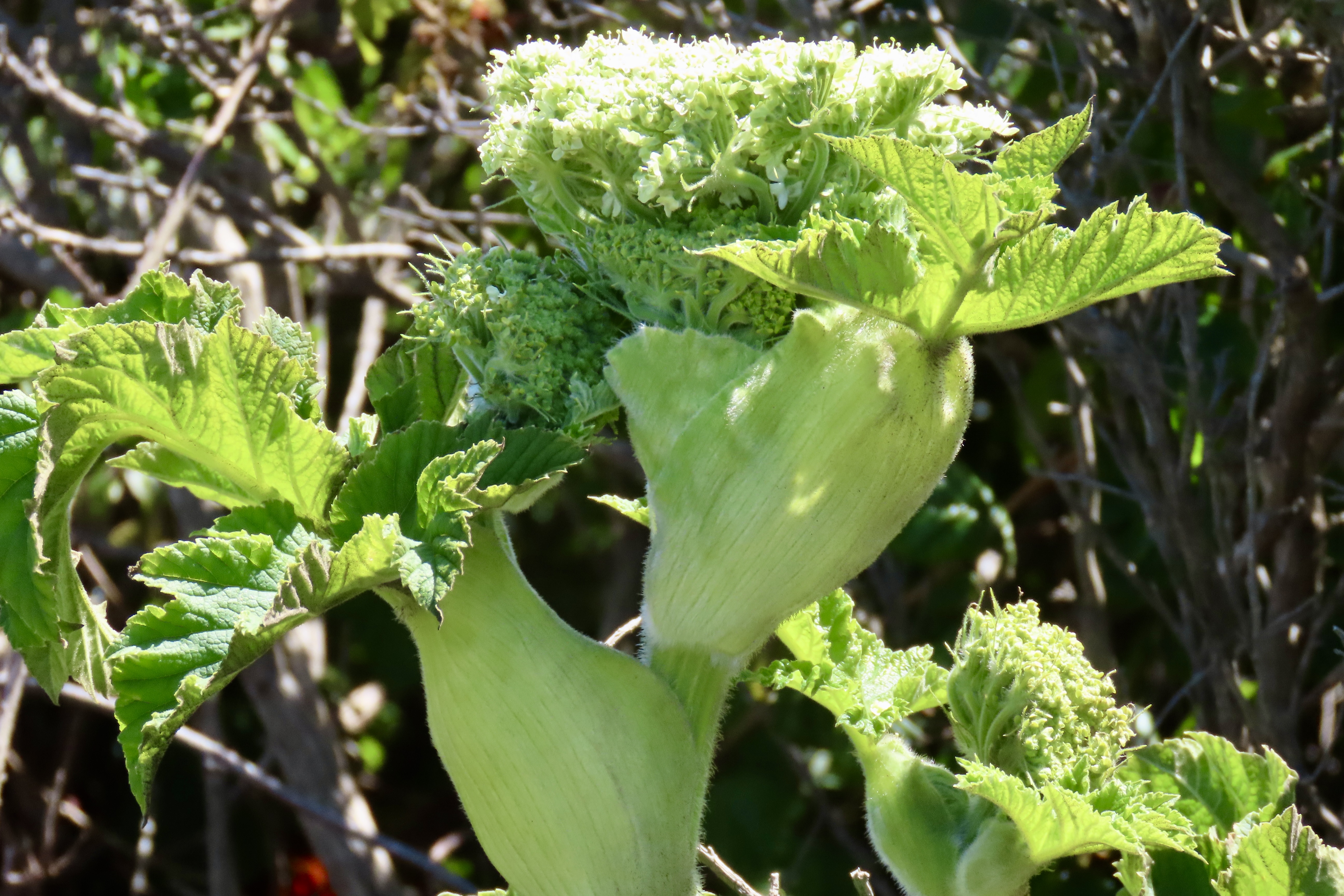
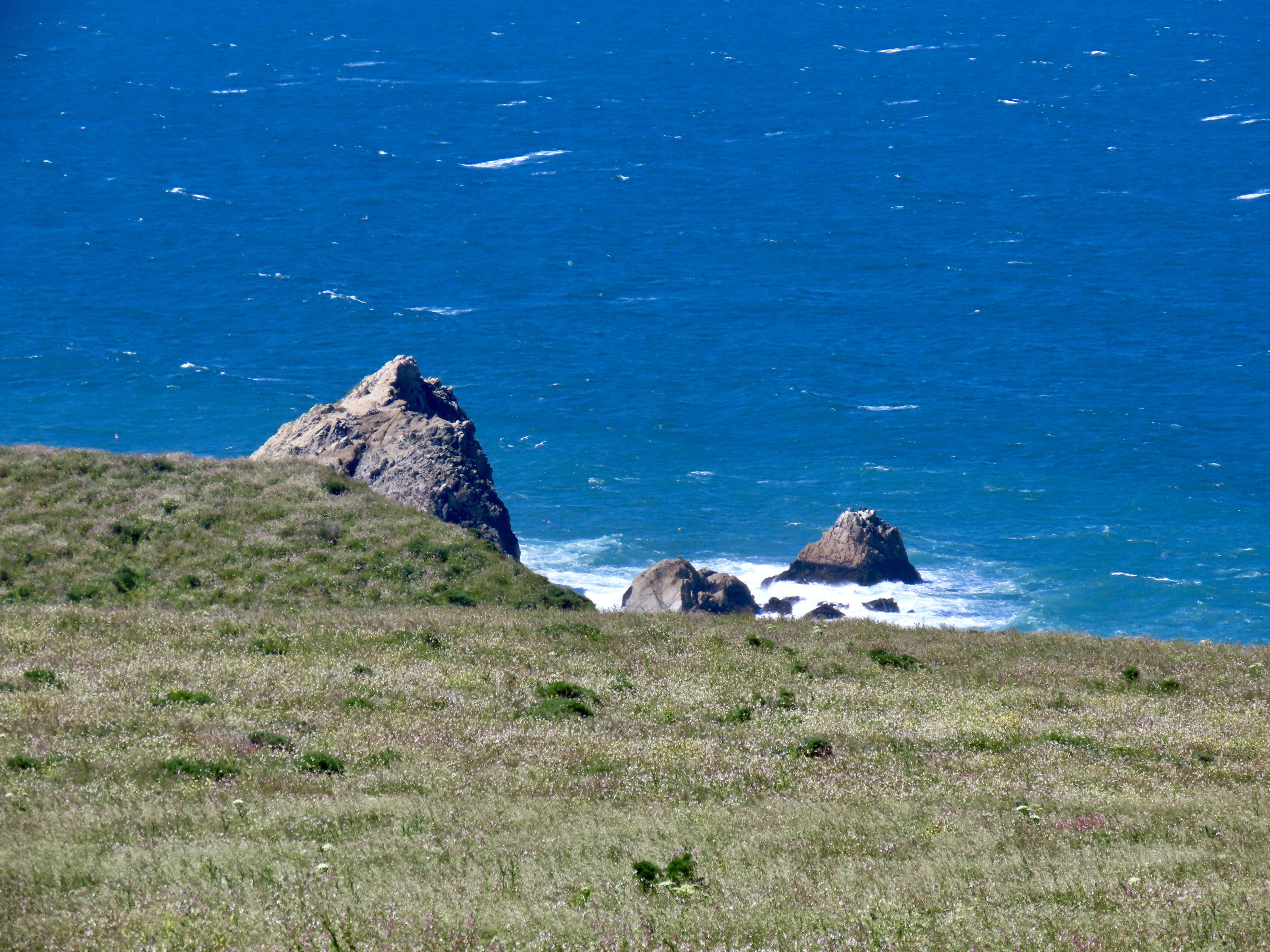
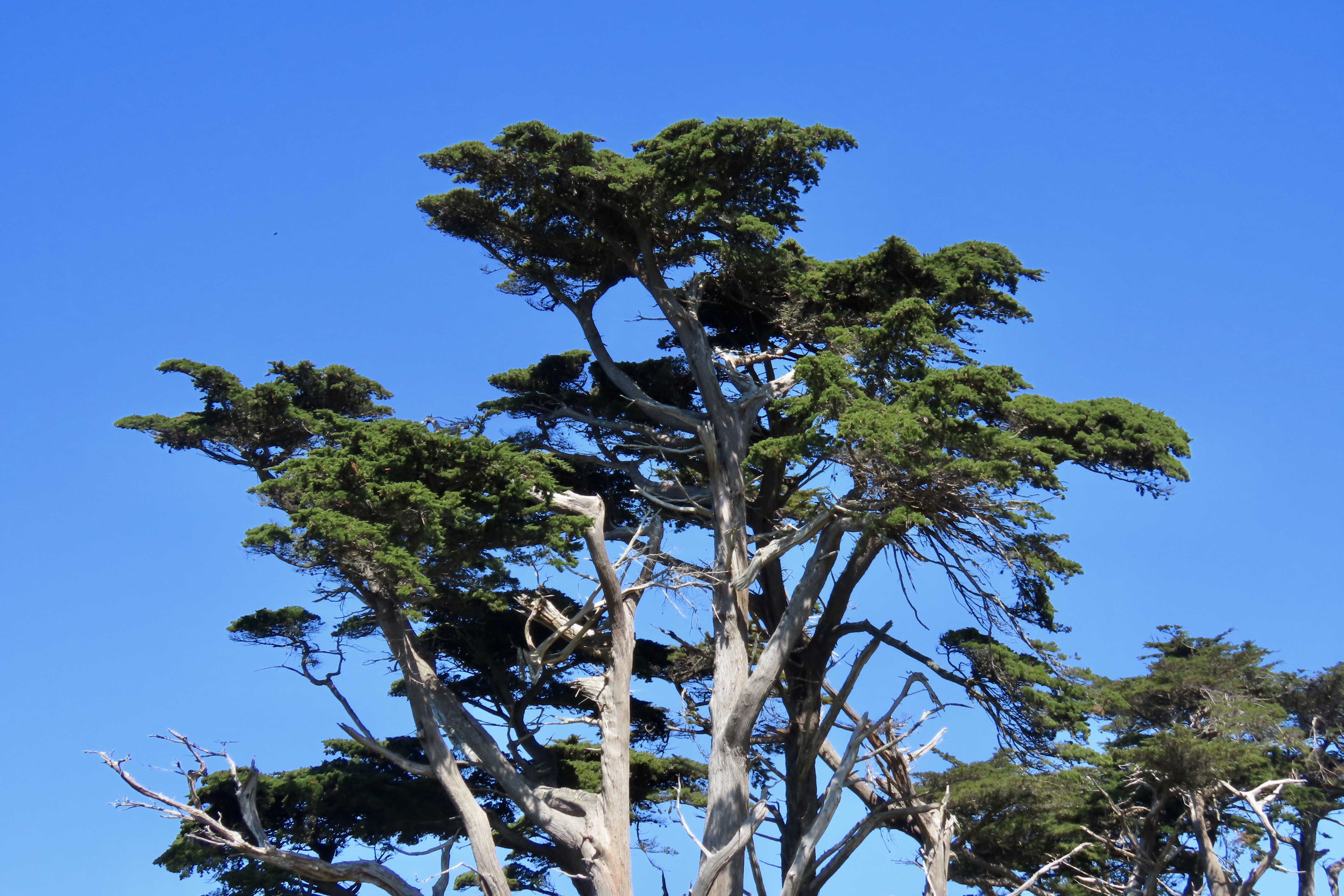
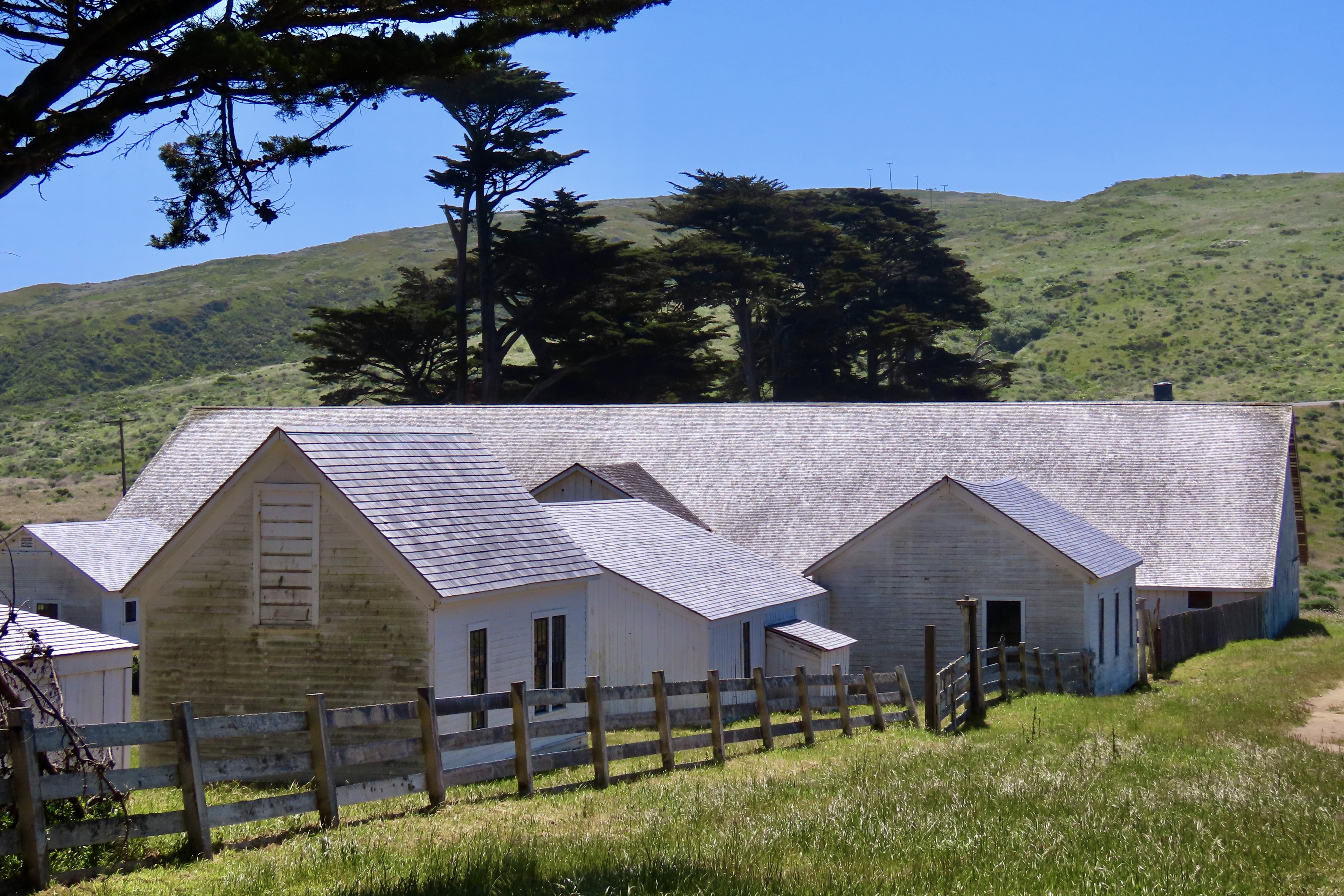
Quail eat a variety of plants and insects but seeds are always high on their list. This California quail is searching for them along the Tomales Point Trail.He stopped to check out a small stick.The wind added an interesting look to the quail as it came down the trail toward us.A feather dancer, perhaps. This is the time of the year when quail pair up. The hen, who had been searching for food in the grass, joined her mate. This shot provides a good view of the contrast between the male and female. Both are attractive. Soon they will have a clutch of eggs that can number up to the high 20s. It will be well hidden in the grass. When the babies hatch, it becomes the male’s job to serve as a guard. I’ve often watched one perched in a location that provides a view of the surrounding area. A quick call sends mom and babies into hiding when a threat appears. The chicks get “Freeze!” I once came on a group in the Marble Mountains of Northern California that had ‘froze’ on the trail in a tight little circle. While I was grabbing my camera, Mom realized her mistake and called “Run!” Boy, did they. In every direction.Meanwhile, back at the ranch (so to speak), a covey of quail had gathered. Except during mating season, this is the preferred lifestyle for quail. When frightened their first reaction is to run. They are fast! The next step is to zoom out. The sound that their wings makes is very distinctive, as is their calls. Once you have heard either, it is easy to remember.We discovered, when we hiked out the Tomales Point Trail, that we had hit the height of flower season. Three of the most common are shown here: Yellow and pink mustard, hairy gum plant (Grindelia hirsutula), and cow parsnip.It’s hard to travel anywhere in the US without encountering mustard. It comes in a variety of colors from white to yellow to blue to purple. While I don’t find the individual flowers particularly attractive compared to many others, a field of mustard can brighten up one’s day. Not so a dairy farmer’s, however. The plant is mildly poisonous to cattle. It can also give a bad taste to milk, cream, butter and, I assume, cheese. On the other hand, its tiny seeds produce mustard.Hairy gum plant hardly seemed the appropriate name for these cheerful yellow daisies.The real surprise to me, however, were the cow parsnips. The cow parsnip is a fairly common plant, a giant member of the carrot family. I’ve always admired them for their size, but I’ve never thought of them as particularly beautiful, until this trip.Nor have I ever noticed how they come wrapped up as young plants.Part of this cow parsnip is in bloom, while other parts are in the budding stage.Budding and blooming are combined here. In full bloom. While quite pretty and presumably edible (if you know what you are doing), I would neither pick this flower for a bouquet nor eat it. Sap from the stems is known to be phototoxic. If you get some on your skin, sunshine can turn it into a severe rash. While I was focusing on flowers, Peggy was capturing some of the impressive scenery. This is looking out toward Tomales Point. The Pacific Ocean is on this side of the peninsula. Tomales Bay is on the other. The Bodega Bay Headlands can be seen in the distance. Sea stacks that tower above McClure Beach. I really like the contrast here between the ocean and the grass with the massive rocks providing separation between the two. Here, Peggy caught the iconic cypress trees at the start of the Tomales Point Trail at Pierce Ranch.Tree tops.I took this photo because I was enamored with the rooftops. The large building once served as the dairy barn. The other buildings served a variety of purposes ranging from bunkhouses to where the butter was made. More cypress provide a backdrop for the barn.Tom and Lita were with us on our first trip out to the Pierce Ranch. The skies were threatening rain. Tom was rather taken with this single cypress tree that was peaking over the dairy barn and set off by stormy skies. I thought his capture of the barn was quite good as well. I amused myself inside by taking a photo out of one of the windows. Modern art?This might seem like a strange thing to throw into the middle of a blog on Point Reyes but Tom wouldn’t stop talking about it. I’ve know Tom in a great number of capacities during the 50 years we have been hanging out together, but somehow, I never imagined him as someone who would create a powerful, battery operated blender that you can take anywhere. Thus the name: All Terrain Blender. He designed it with outdoor activities and tailgaters in mind, but it turns out it will make an excellent addition to our RV or any area with confined space from apartments to small houses. (The top and the bottom can be flipped and fitted together for storage!) The product is now in its final stages of development. Market studies suggest that it will be very successful. It’s hard to say how successful, but one thing I know about Tom is that he will use a substantial part of any profits he makes to support good causes. That’s what he has been doing all of his life.Way off in the distance, you can see a tiny figure. That’s me, searching for elk. When we visited the ranch with Tom and Lita, the elk were hanging out beside the road and our only camera was our iPhone. When we came back with our good cameras, they were off in the far distance. Go figure. Peggy decided to stay in the truck while I went on my search.I actually found one. Its response was, “What in the heck are you doing here?” And then immediately ran off.This horse wasn’t likely to run off anywhere. We found him at a ranch on our way back to camp after visiting Pierce Point Ranch. Tom snapped its photo. Have you ever see such a swayback? That’s it for today. Our next post will wrap up our Point Reyes visit with a trip out to the lighthouse, a walk on the Earthquake Trail, and a hike to Tomales Bay.
Pinnacles National Park is located inland from California’s Central Coast. Peggy and I followed a narrow, curvy, one lane road east of the small town of Soledad to get there, holding our breath each time we met another vehicle— especially if it was as large as our truck. While the location was a slight detour from our coastal focus, we are totally incapable of skipping a National Park.
Pinnacles National Park has a twin near the city of Santa Clarita some 200 miles to the south, the Neenach Volcanic Formation. Born of fiery rhyolite lava flows some 23 million years ago, they were ripped apart in their youth by the notorious San Andreas Fault. Pinnacles has been making its way north ever since: Inch by inch and earthquake by earthquake.
Noted for its personality-plus pinnacles, talus tunnels, and wild flowers, the region was declared a National Monument by Teddy Roosevelt in 1906. Legislation by Congressman Sam Far from the Monterey/Carmel area in 2012 led to its being established as a national park. (Sam, like me, was an early Peace Corps Volunteer. For a brief time, we worked together in the Western United States as Peace Corps Recruiters.)
The Pinnacles are something of a poster-child for Plate Tectonics. While the existence of the plates and their impact on geology and geography is a well-known and accepted theory today, the history of the concept is relatively recent. I remember sitting in a geology class I took at UC Berkeley in 1964 when the professor came in almost glowing. “I have something to share,” he declared, “please understand that it is still a theory. I’m late because I was just in a meeting where substantial evidence was given that the surface of the world is made up of giant plates that separate, crash into each other, move along each other’s edges.”
The close relationship between the rocks and minerals of Pinnacles and the Neenach Volcanic Formation helped to show that the Pacific Plate and North America Plate have been moving past each other via the San Andreas Fault for 20 some million years. Pt. Reyes National Seashore north of San Francisco, where we are now, also sits on the San Andreas Fault and is another example of the movement. In fact, our campground is sitting on top of the fault. Our fervent hope is that it stays in place, at least for another week!
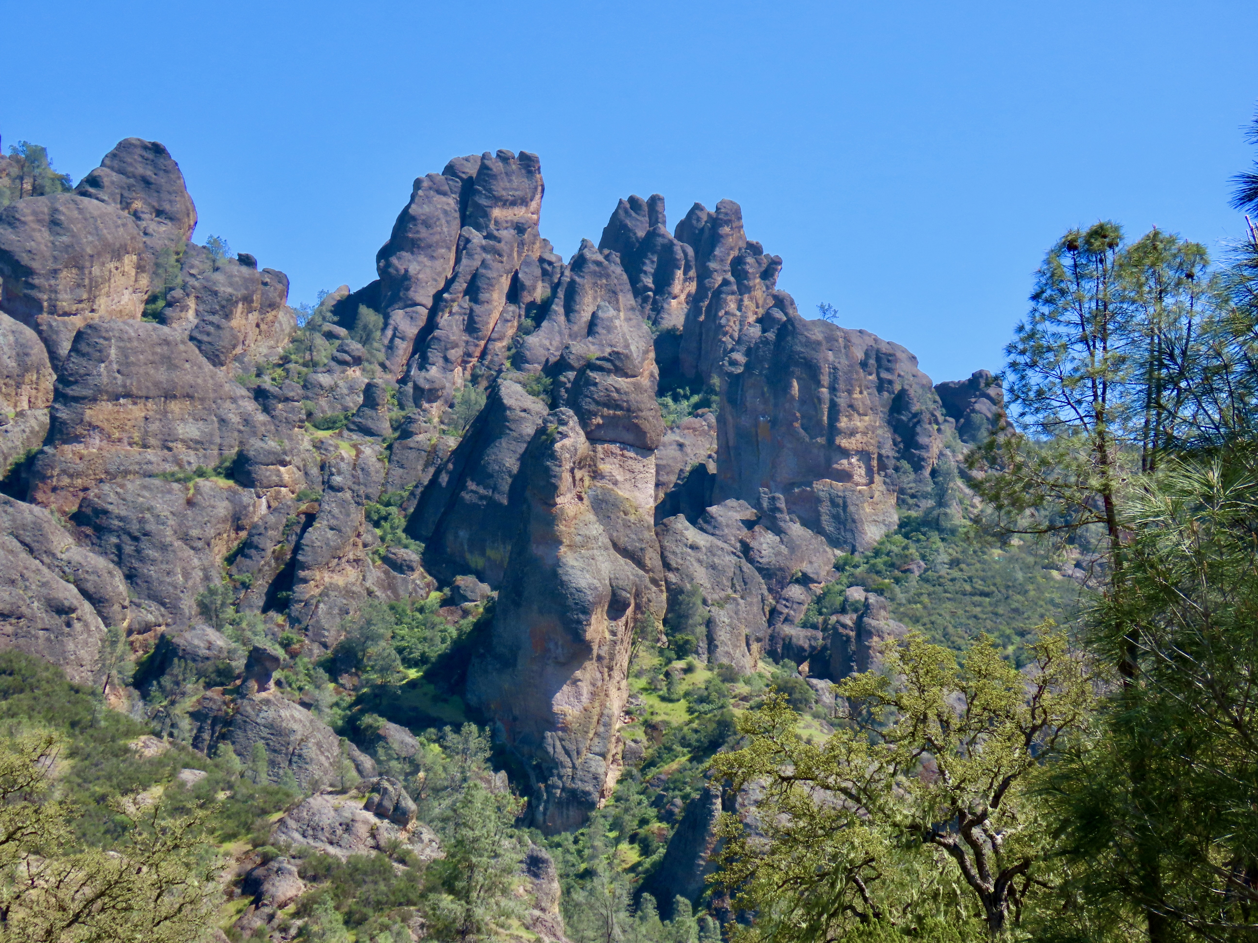
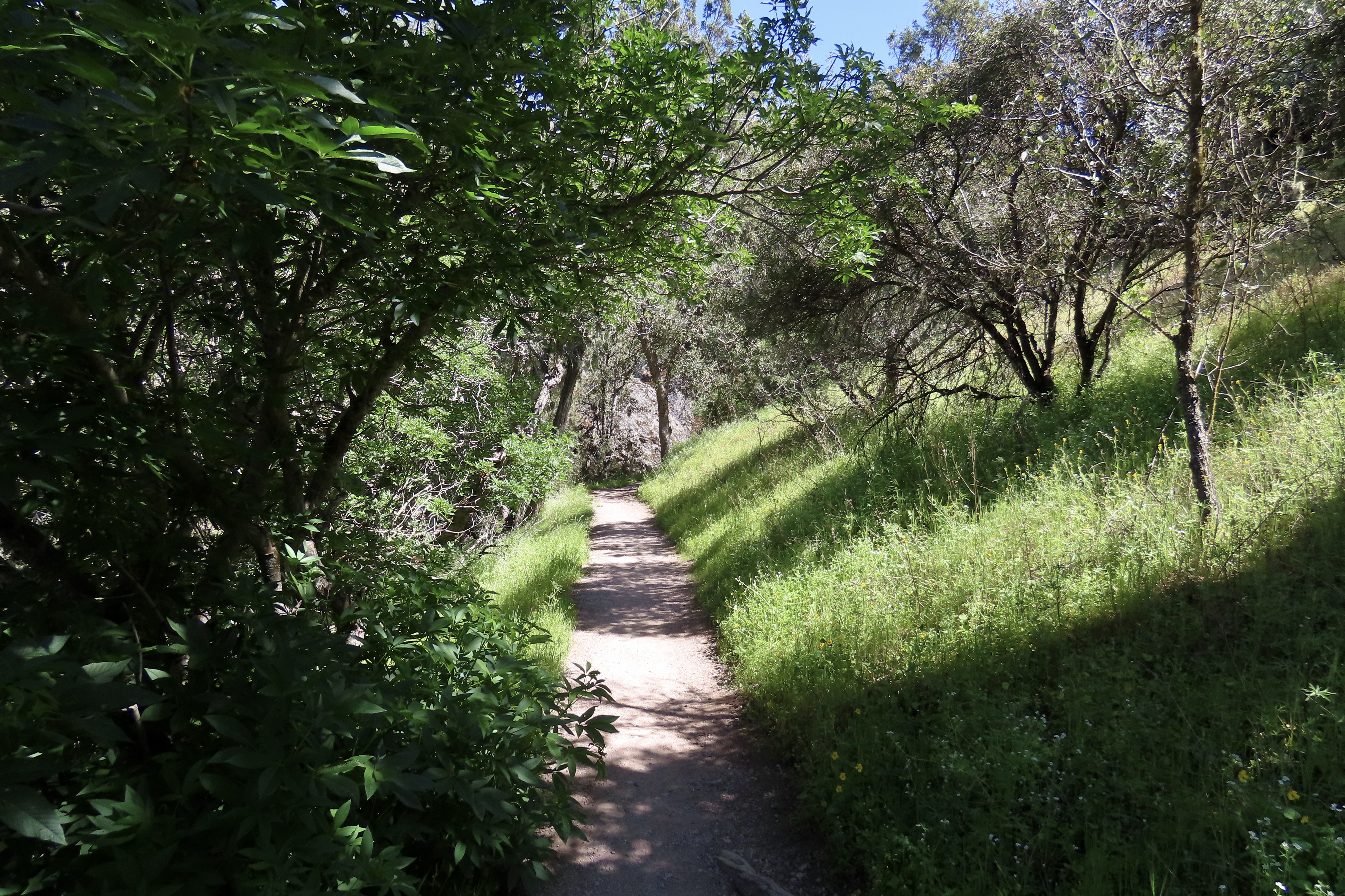
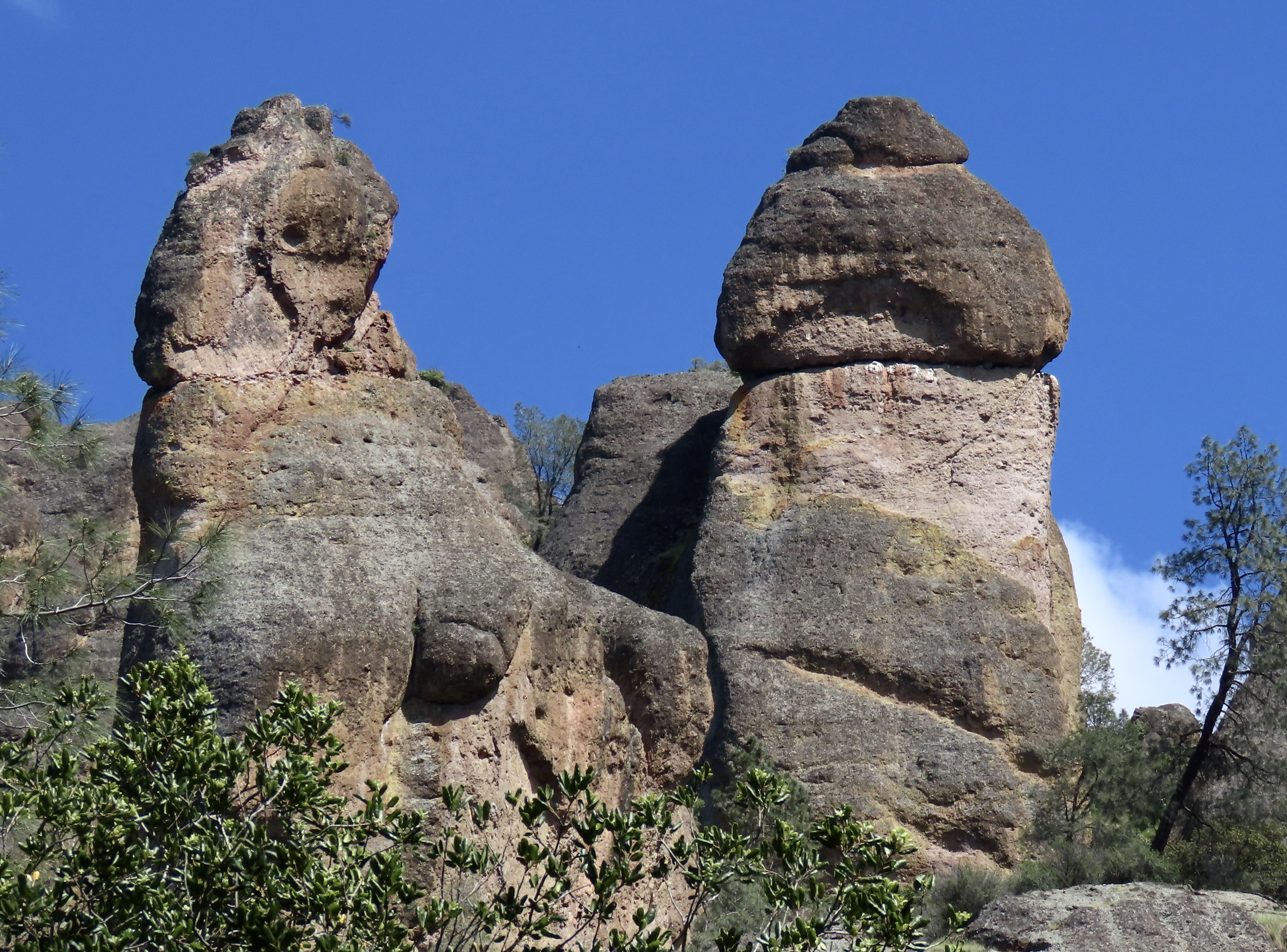
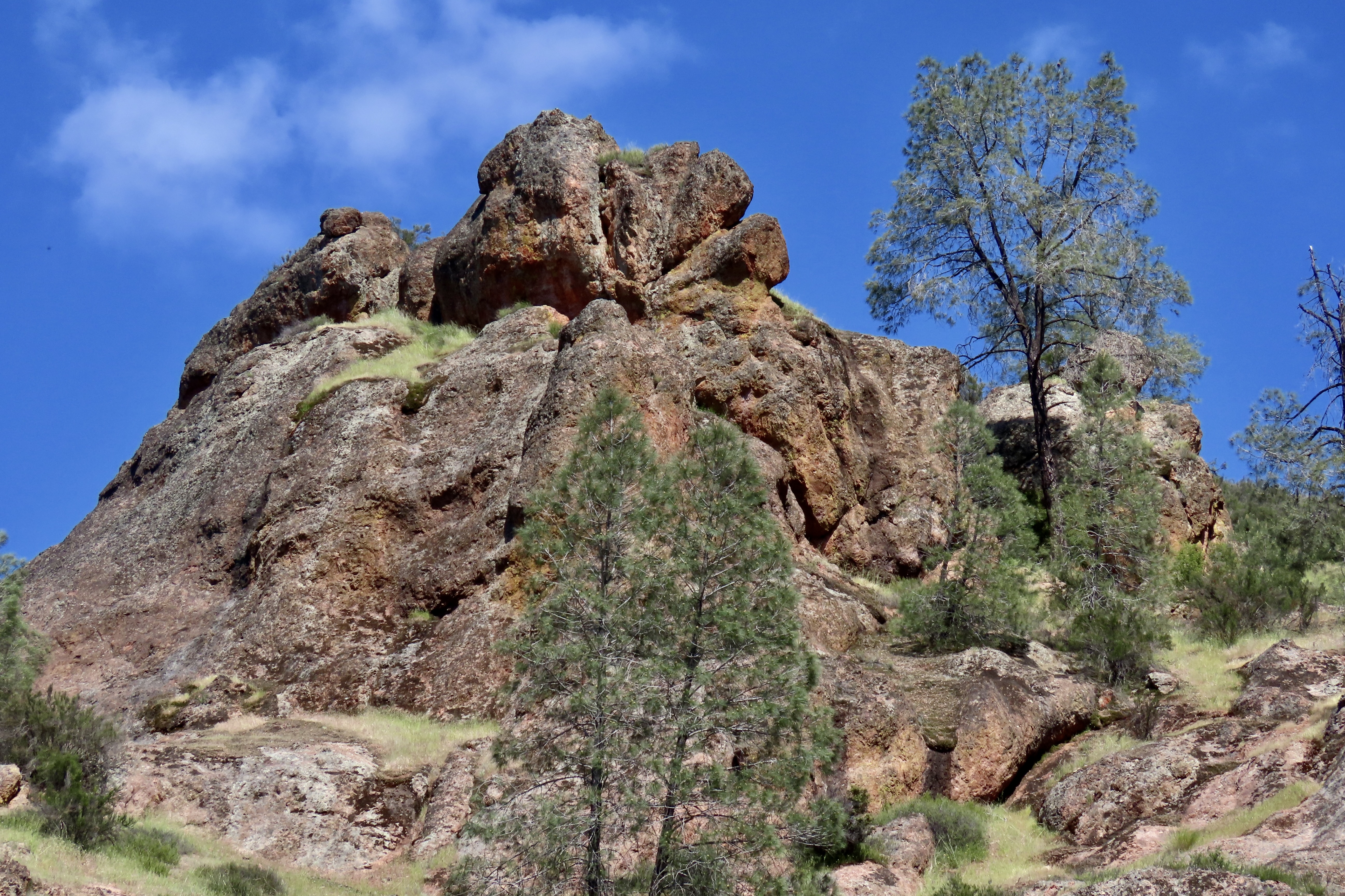
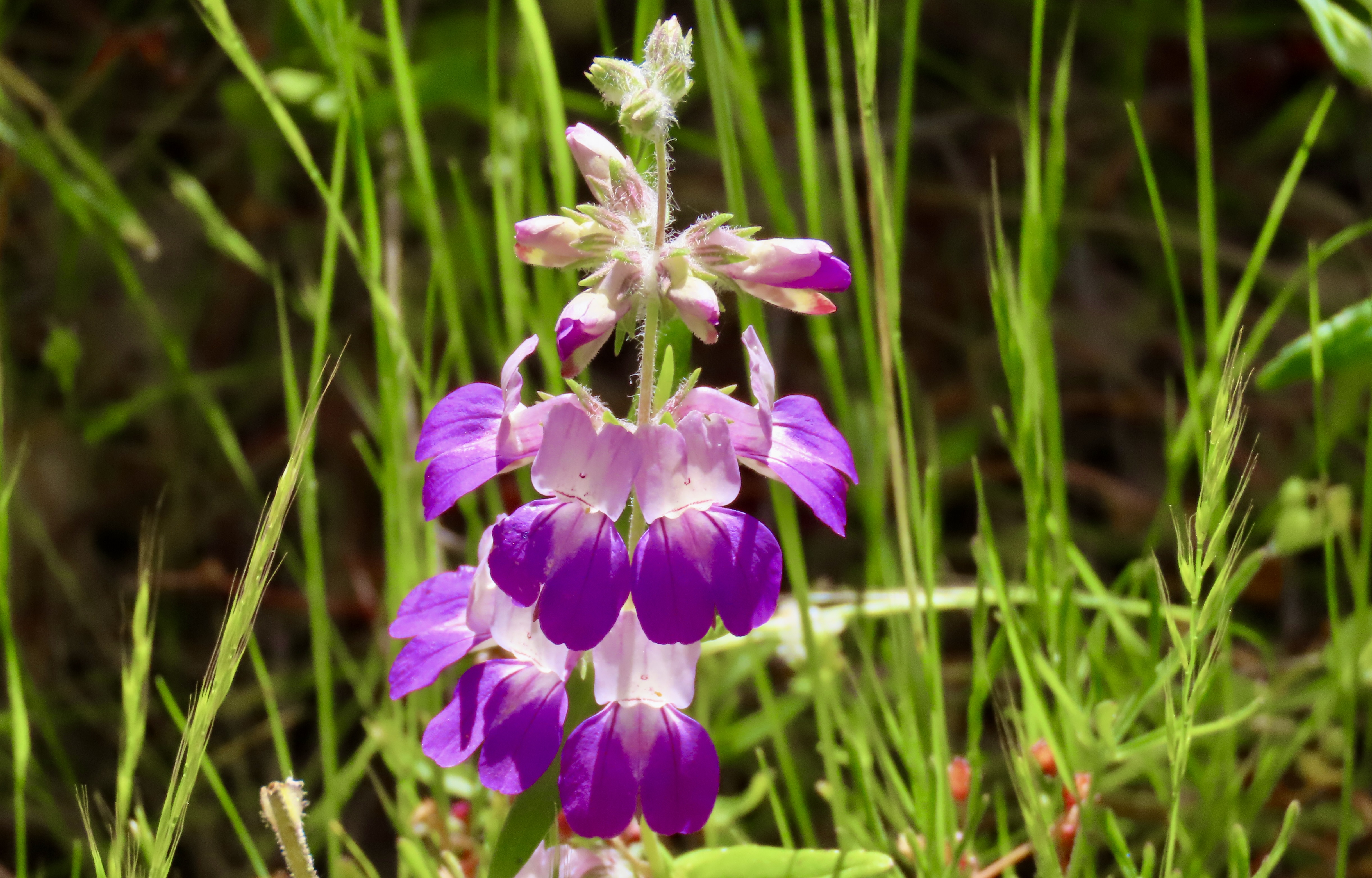
Our hike along Juniper Canyon Trail into the Park provided this view of the pinnacles. Not surprisingly, rock climbers get very excited about the challenges involved in climbing to the tops of the peaks. Here’s our trail. A small creek burbled along beside the trail.In places, the tiny creek was covered with huge boulders that had rolled down the mountain, possibly during earthquakes. They formed small tunnels known as talus caves. In other sections of the park, the talus caves can be miles long and people hike through them. This one was short enough I could stand on one end and photograph Peggy on the other. The embedded rocks in the rhyolite are breccia.Peggy’s perspective showed a colorful pool.What she couldn’t see was this magnificent bunch of shooting stars just beyond the pool. I’ve been admiring shooting stars for decades. I’ve never seen this many on a single stem. Our trip up the canyon provided numerous opportunities for Peggy and me to take close ups of the pinnacles.Each one was differentAnd had its own personality.Peggy called these “the fingers.”Can you spot the duck?Peggy became quite excited about her new camera’s ability to catch close-ups of lizards. This one was quite colorful. I believe it is one of several variations of a western fence lizard. We entered the Park from the West where this photo was taken. There is also an eastern entrance.This oak tree caught my attention.Wildflowers, like the shooting stars I featured above, were everywhere. Here are two more I found particularly charming. This is purple owl’s clover (Castilleja exserta), a species of Indian paint brush…And purple Chinese houses (Collinsia heterophylla), said to resemble fairytale pagodas.We were on the lookout for condors since they have been successfully reintroduced in Pinnacles National Park. Maybe…We hope you’ve enjoyed our introduction to the Pinnacles. If you are looking for a National Park experience without the crowds, this small park is definitely worth a visit. Next up: Pt. Reyes National Seashore, one of our all-time favorite parks.
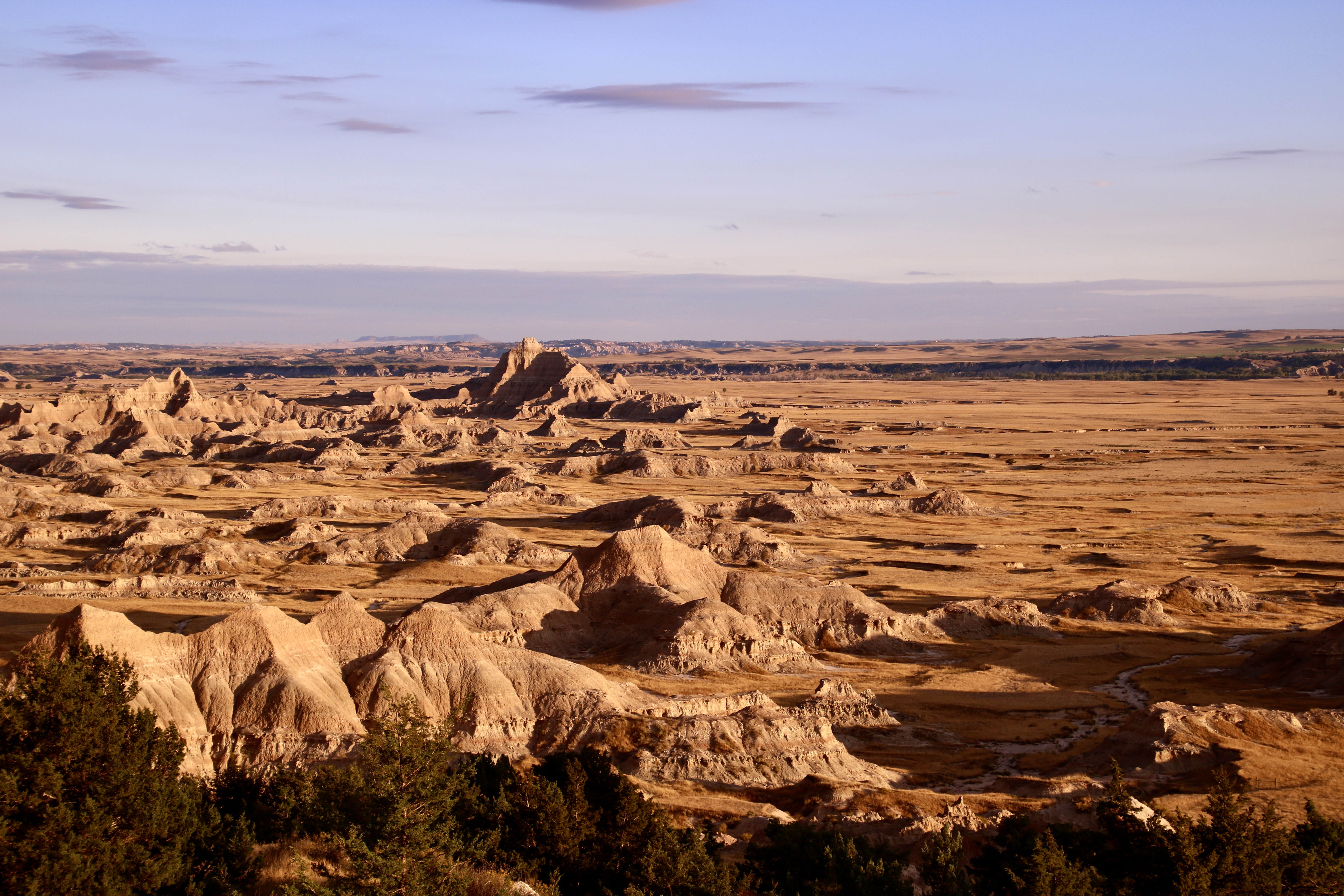
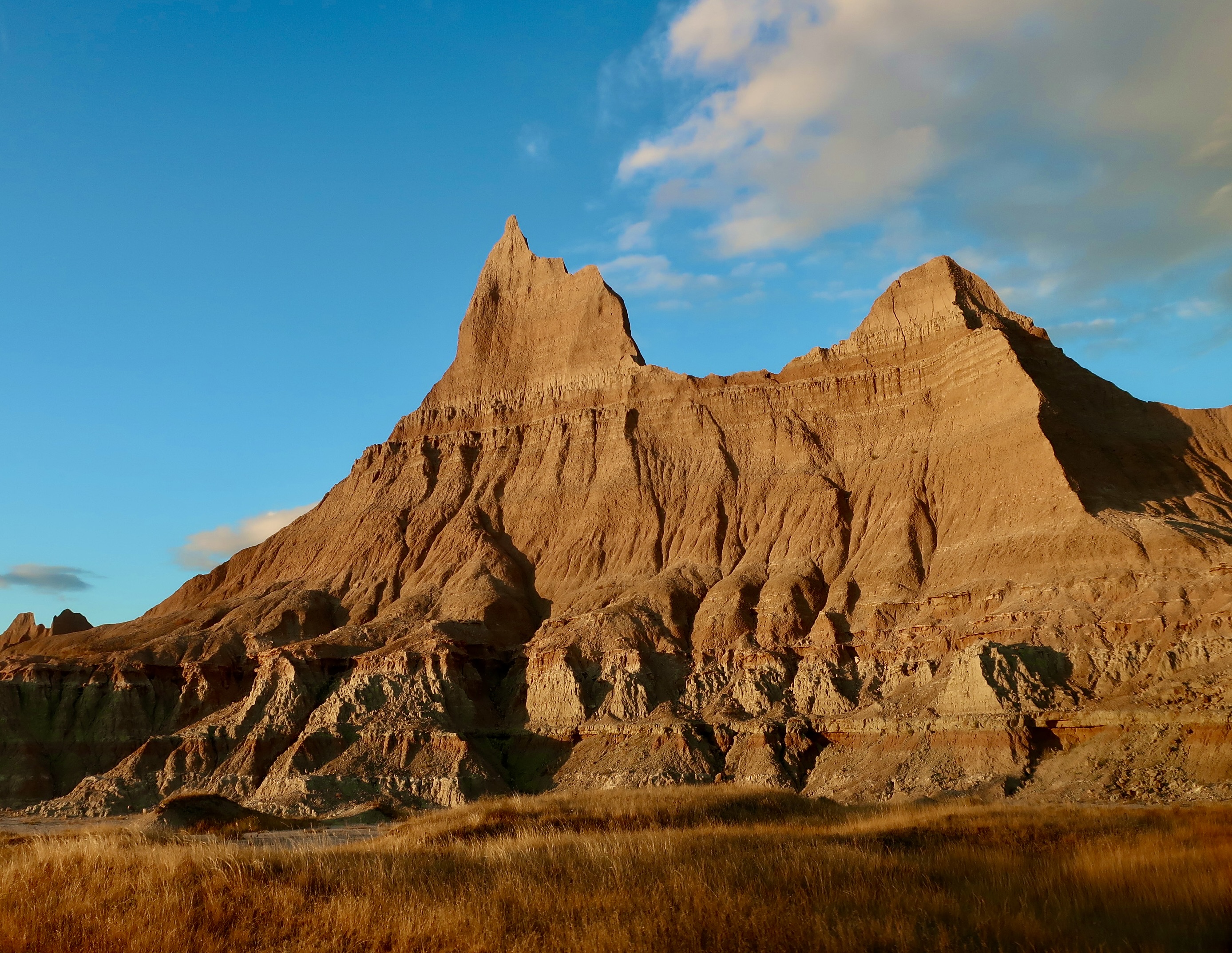
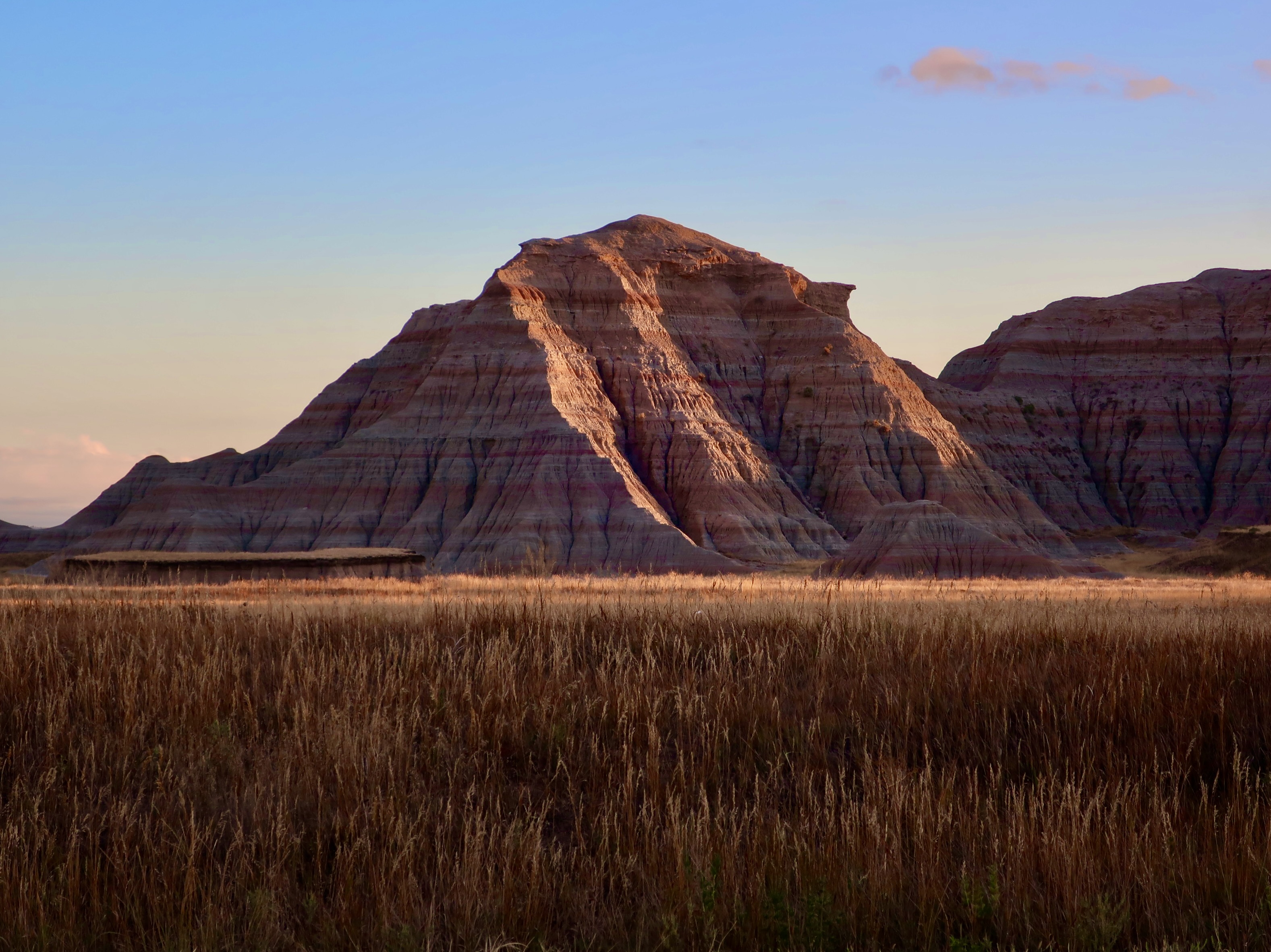
I was cooking beef pot-roast in our insta-pot and time was running out. I had miscalculate the time it would take and we were going to miss the Badlands at sunset. “Go ahead,” Peggy told me. She knew how much I wanted to catch the colors. “I’ll finish up here. We can eat when you get back.” My sweetie didn’t have to offer twice. I was out the door and into the truck. The sunset was quite impressive and the food tasted delicious when I returned. Following are some of the photos I took. Enjoy.
Next week we will be returning to our summer trip up the Rhine River. Please join Peggy and me along with our kids and grandkids as we explore the Rhine, castles, colorful towns, the Black Forest and a couple of impressive cities.
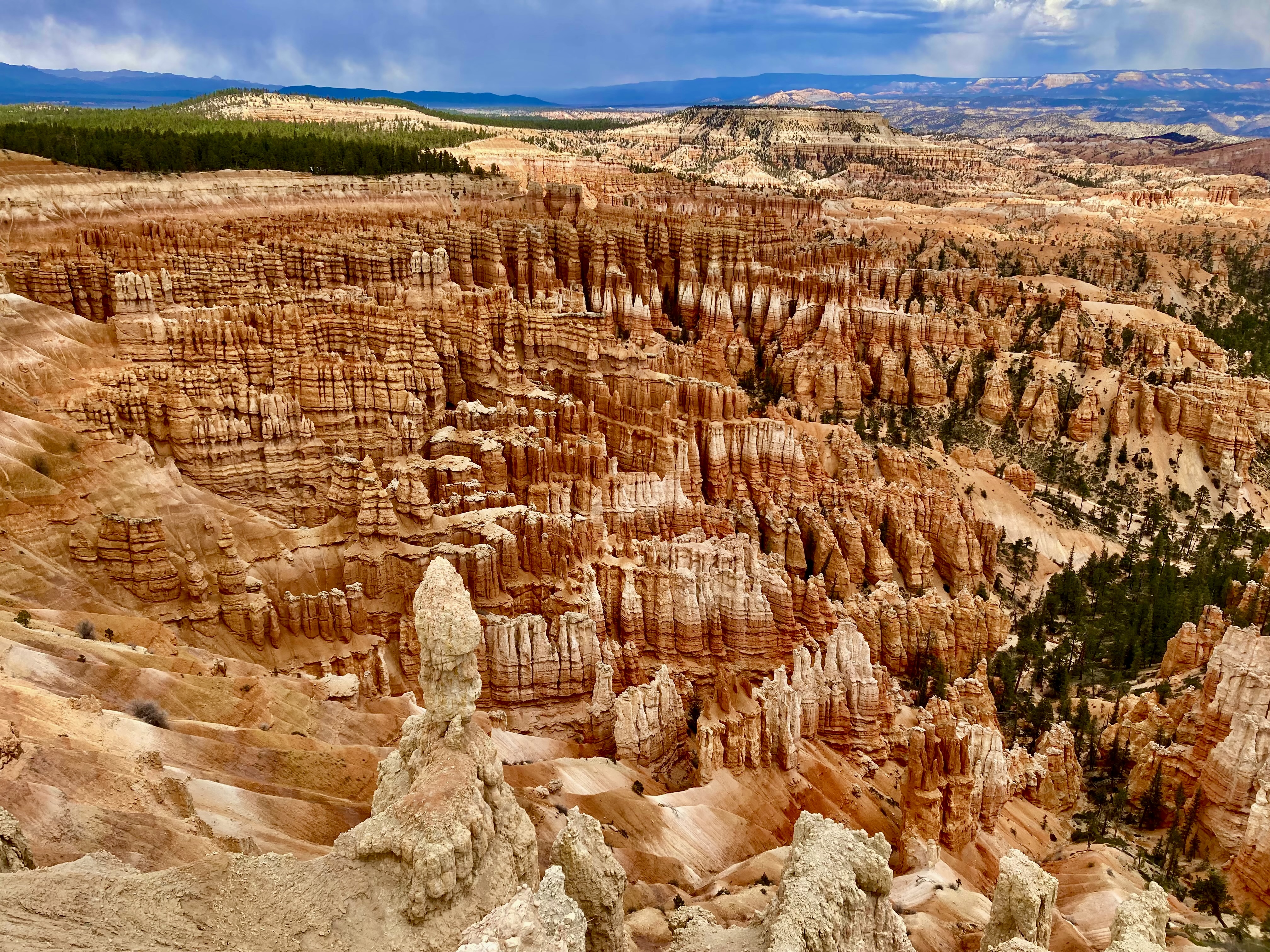
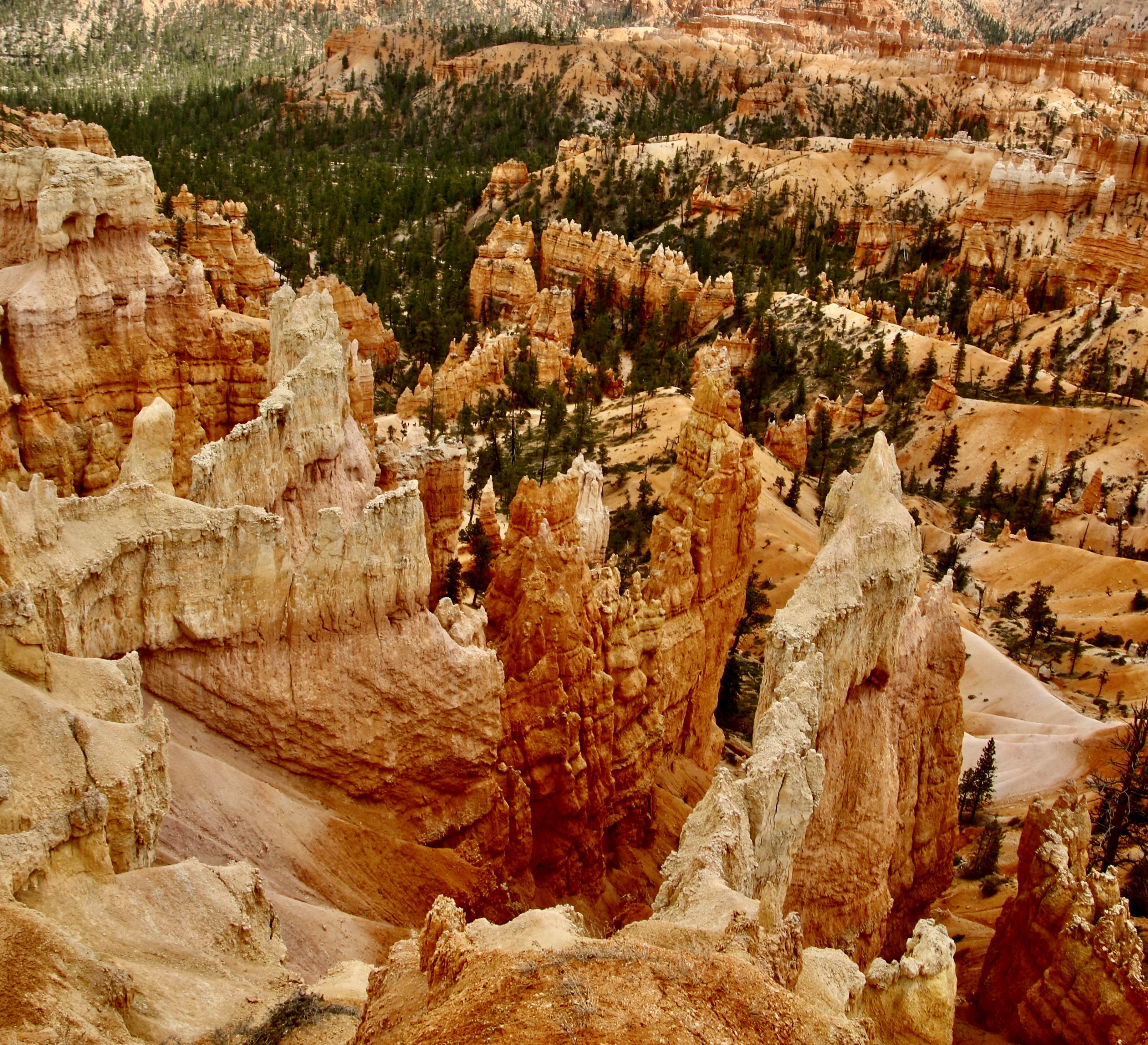
I tend to think of surreal as real, but mind-blowing— striking and maybe strange, but possible. Last Friday’s photos of miles 4-18 of Bryce Canyon fit into that description. Unreal is more like, “No way. How can that even be possible?” That’s how I feel about sections of the Canyon in the first 4 miles, like the one in the photo above. It looks like it belongs in a fantasy movie.
Peggy and I are in serious countdown time here. On Tuesday, the day after Labor Day, we will be hitting the road— come hell or high water, as the old saying goes. Given global warming, there may be a bit of both. We plan to zip across the nation to the Bad Lands of South Dakota and then slow things down, way down— to a snail’s pace. It’s been an insanely busy month and a half since we got back from our European trip up the Rhine River. First up, we had to unpack from our Oregon move and set up our Base Camp/efficiency apartment in Virginia. Some fun. Try downsizing from a library, living room, dining room, two bedrooms, an office, two bathrooms and a moderate-sized kitchen to one room plus a tiny kitchen and bathroom. Fortunately we do small well.
Then there were the usual medical challenges: changing our medical insurance, finding new health care providers, and making appointments. I had six dental appointments. I’ve never met a dentist who doesn’t immediately start planning a vacation when he or she looks in my mouth—a luxury cruise around the world perhaps. I finished my last appointment yesterday. I sat in the dentist chair, was shot full of painkiller (ouch), and then tried to ignore the various drilling and scraping sounds as he removed an ancient crown that belongs in the Smithsonian. I’ve been there done that a lot. But yesterday was a first. I sat and read afterwards while he made a new crown for me in his office. In the past all sorts of measurements have taken place, a temporary crown attached, and the measurements sent out to a specialist who made crowns. It’s a one or two-week process. Yesterday, it was an hour. The tooth came out purple, was adjusted, went into the oven and came out white. My tongue is still checking it out.
I didn’t wear my new hearing aids to the appointment. Yep, you heard me right. Peggy and I have reached the point where we got tired of saying “What?” to each other. Now we can both hear birds we thought were extinct. I didn’t need to enhance the sound of the dentist drill, however.
On top of all that we’ve had the multiple chores that go along with planning for four months on the road. Peggy is handling inside Serafina, our trailer. One was rebuilding the flimsy drawers. My job is maintenance. I spent all day Wednesday going through my annual check list for Serafina. There were 33 items, but who is counting. We will be up to our new ears over the weekend with packing.
Then there was all the family stuff, fun but time consuming. Let it be suffice to say we’ve spent more time doing family things over the past two months than we normally do in two years. It’s a miracle I got any blogging done at all.
Today’s post features the first four miles of the 18-mile Bryce Canyon National Park road. It’s where most of the tourists go. Next Friday, I’ll do a post on our base camp. Then, as I mentioned in my last post, Peggy and I will be featuring Amsterdam and our river cruise before returning to the ‘Wild’ West with our focus on National Parks.
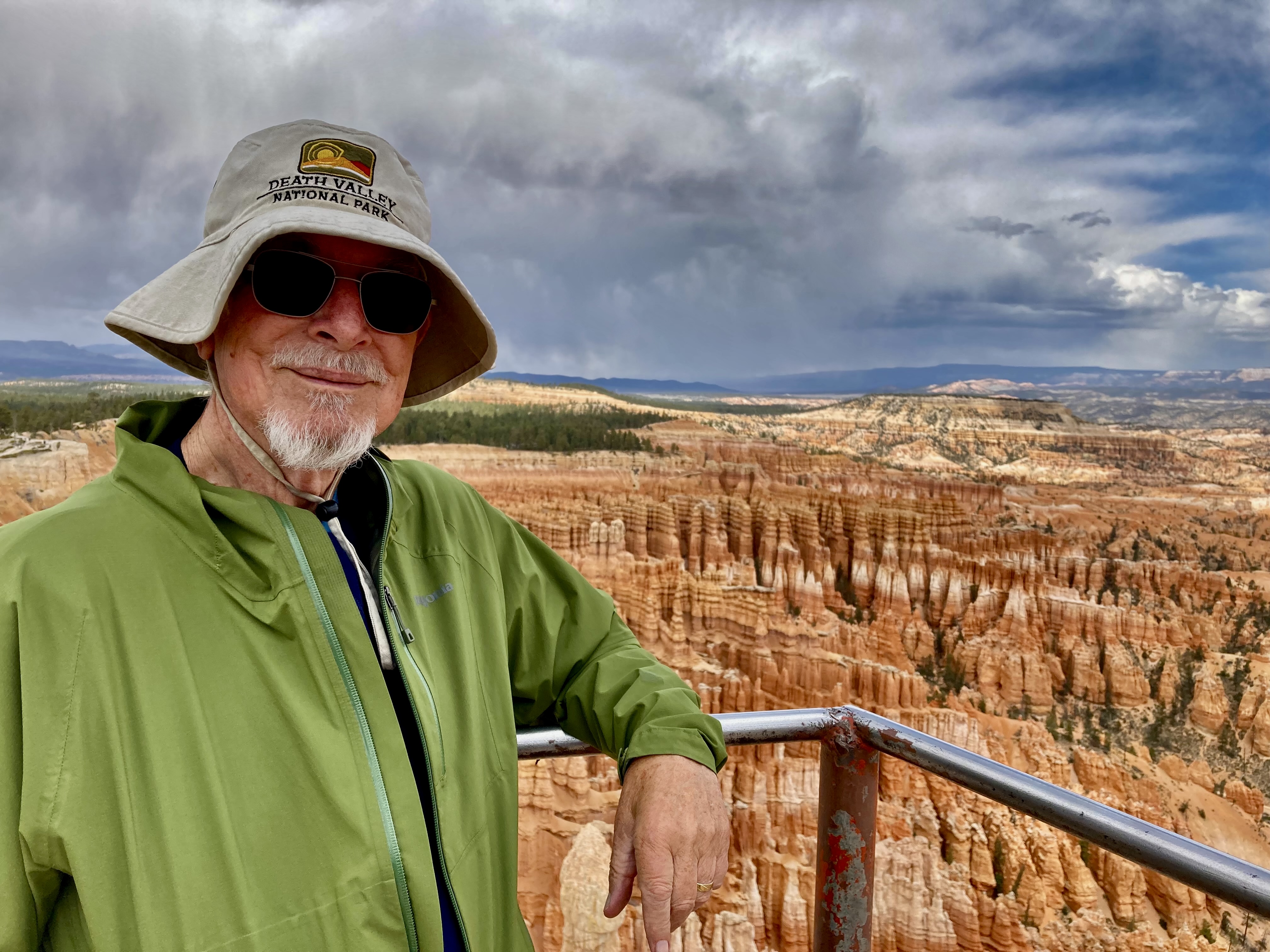
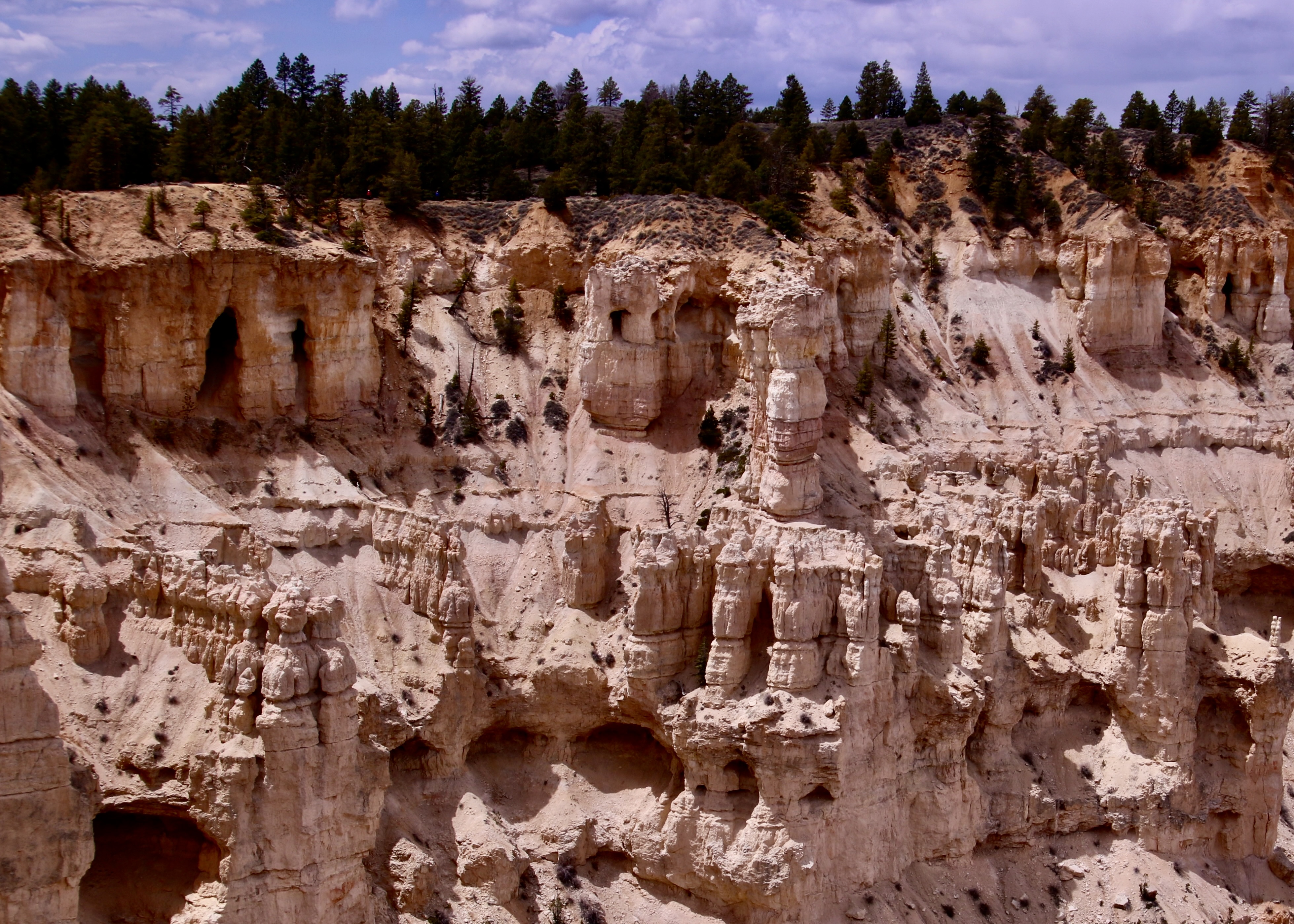
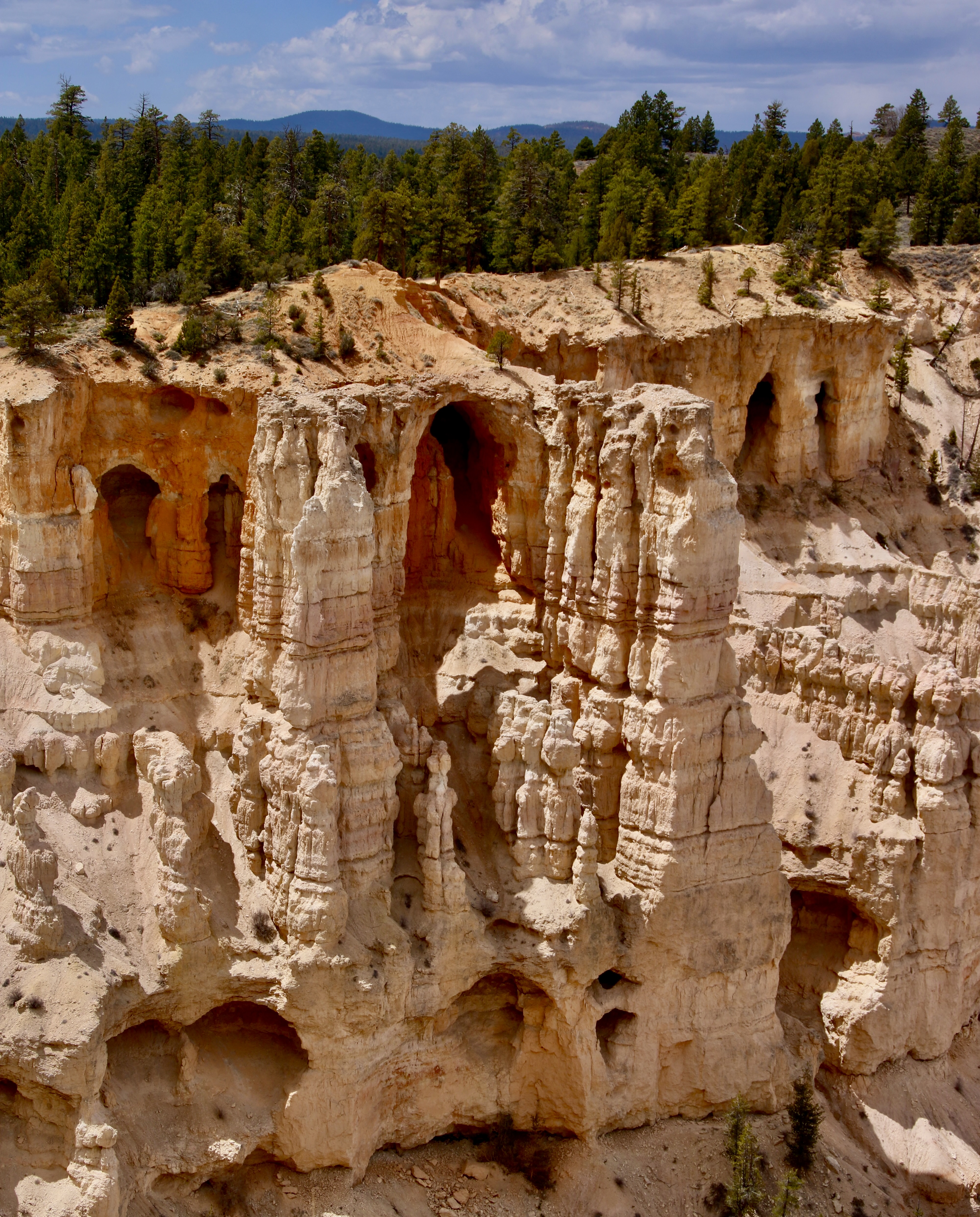
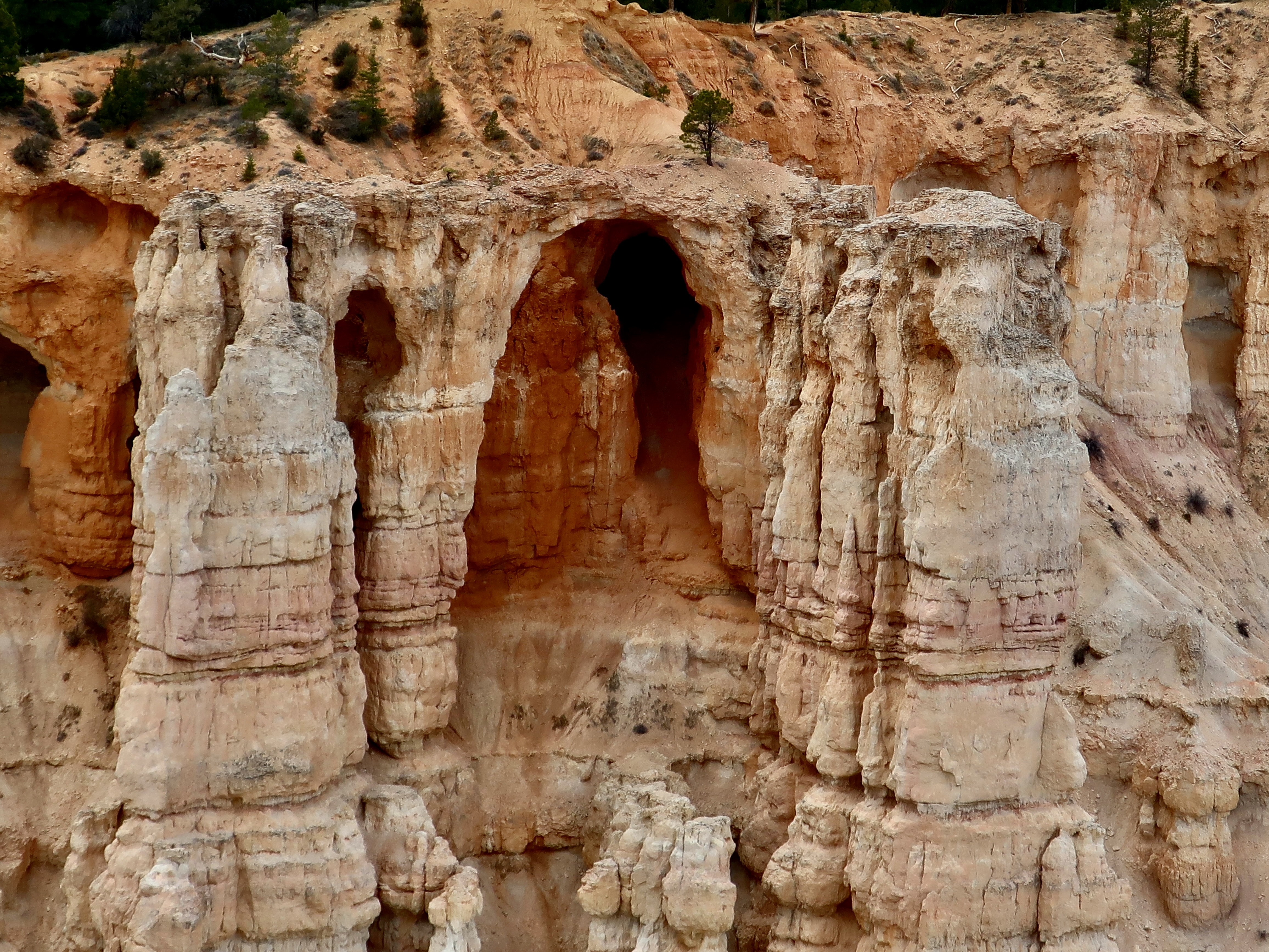
Just like millions of other tourists, we checked out the main overlooks in Bryce Canyon. These photos are mainly from Bryce Point, Sunrise Point, Inspiration Point and Sunset Point. (Photo by Peggy Mekemson.)Again, this photo emphasizes the unreal look of Bryce Canyon. But check out the hoodoo in the front.It’s like a large grasping hand is reaching out to grab something. Unwary tourists, perhaps?Peggy focused in on an interesting wall from our Bryce Point overlook. Note the peek-a-boo holes in it.Her telephoto lens brought in what was lurking behind one of the holes. (Photo by Peggy Mekemson.)Even more fascinating were the caves/eroded structures lining the side of the Canyon. (Photo by Peggy Mekemson.)These eroded rocks seemed to serve as a magnificent hallway into an arched cave. (Photo by Peggy Mekemson.)I took a close up.
Our cameras were busy the whole time we were at Bryce Canyon. We took well over one a thousand pictures. Here are a few more from the first four miles of the Canyon.
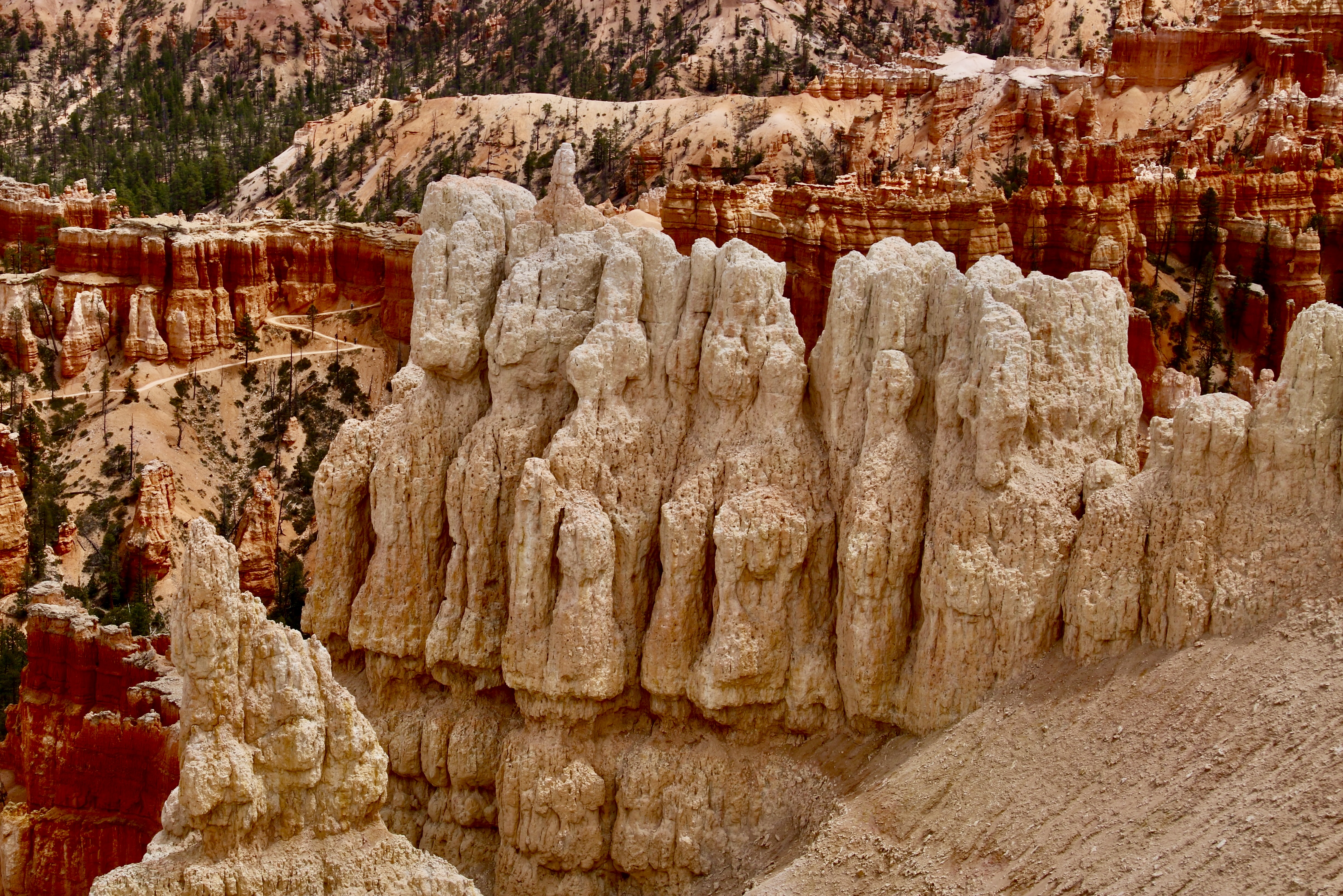
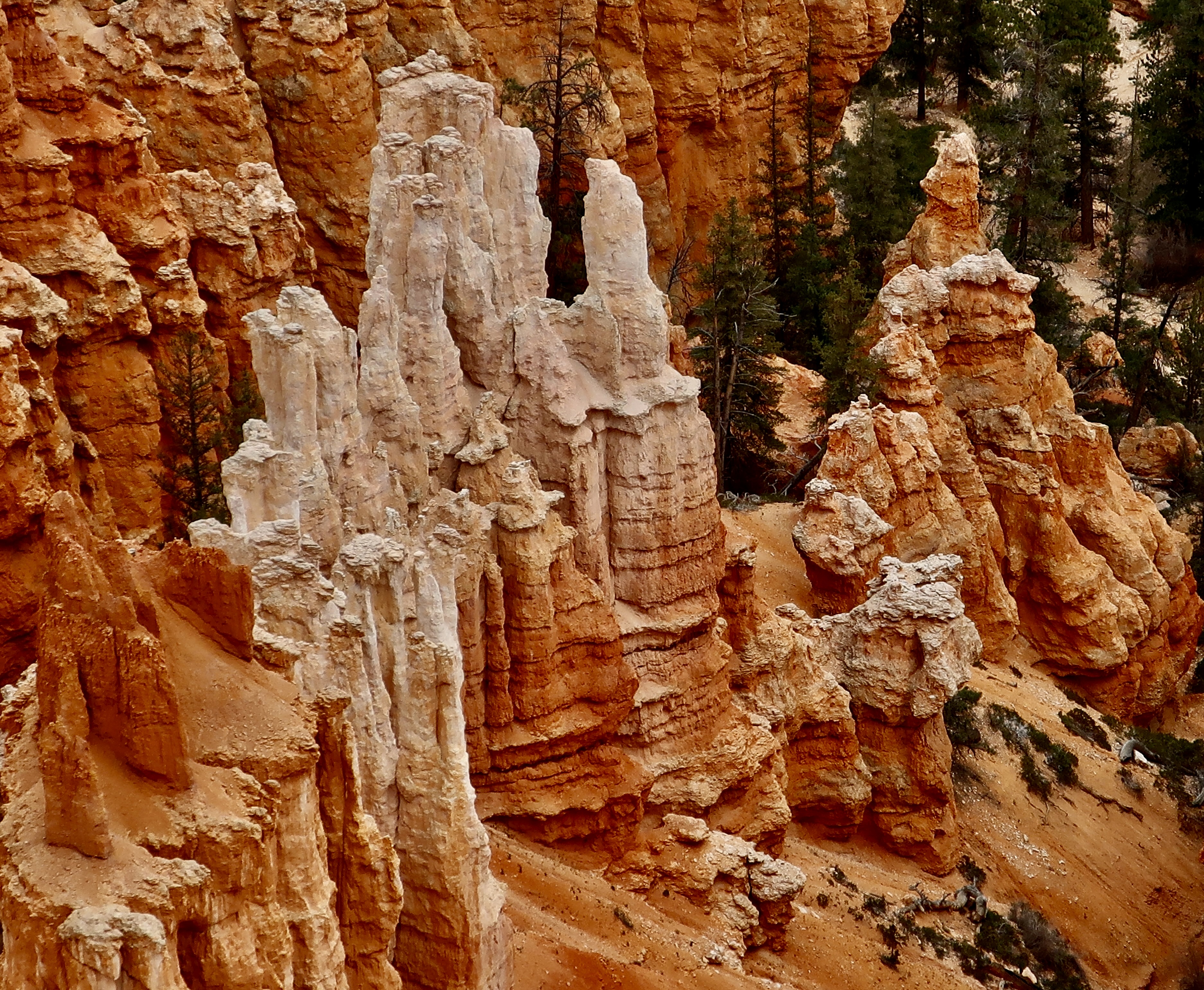
Note the trail winding its way through the Canyon.Photo by Peggy Mekemson.Photo by Peggy Mekemson.Photo by Peggy Mekemson.The Canyon has its share of sharp edges. (Photo by Peggy Mekemson.)Another perspective.I’ll conclude with this final view of the Canyon from Sunset Point by Peggy. Next Friday I’ll give you a look at our Base Camp in Waterford, Virginia along the Charles Town Pike.
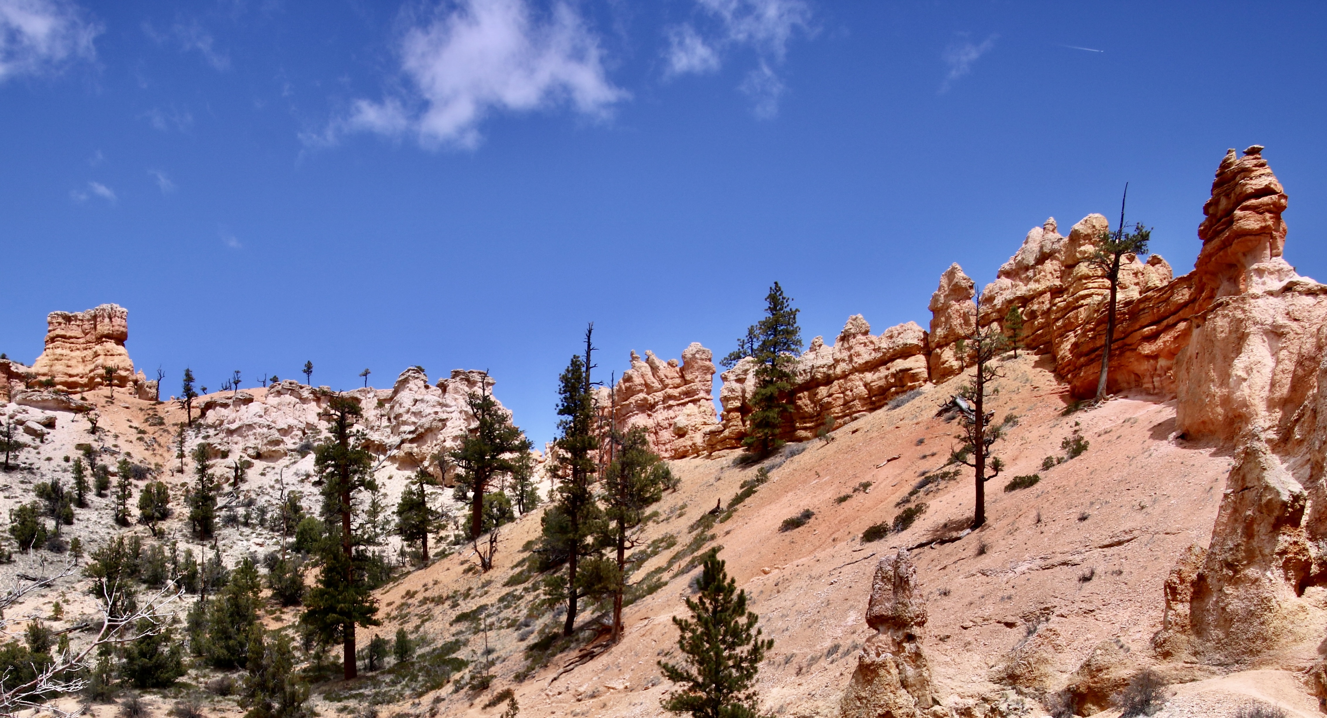
Here’s a secret. Don’t do Mossy Cave Trail to see the cave. Do it to check the scenery along the way. It’s like hiking the trails down inside of Bryce Canyon without the challenging climb in and out. (Photo by Peggy Mekemson.)
Finally, we have made it to Bryce Canyon, but we still aren’t in the park proper. The trail to Mossy Cave is located on the northern edge of the Park off of Highway 12. Information on the trail said its growing popularity meant that there was limited parking space. We had noted the problem when we drove by earlier. Fortunately, when we arrived, there were only a couple of cars and we shared the trail with only a handful of people. Mossy Cave was nothing to write home about, or do a post on. Possibly in the winter when it is filled with ice cycles would be different.
Looking into Mossy Cave with its last remaining chunks of ice from the previous winter. I did find the contrast with the roof interesting.
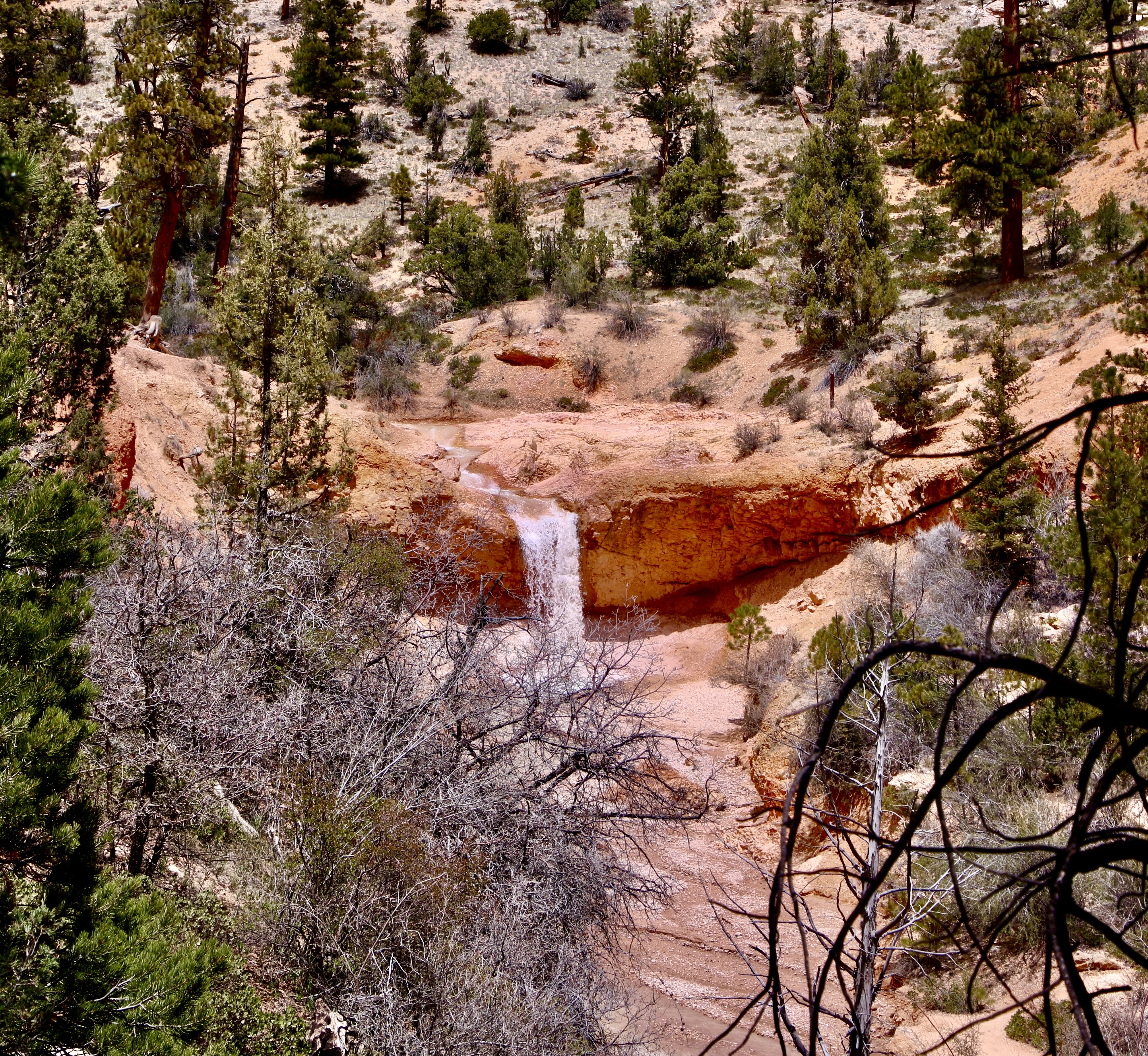
The easy to follow trail into Mossy Cave is well worth the trip however, as the following photos will show. A small creek runs along the bottom of the canyon has its own story. It was dug by Mormon farmers with picks and shovels in the late 1800s to provide water to the small town of Tropic and its surrounding farms and ranches.
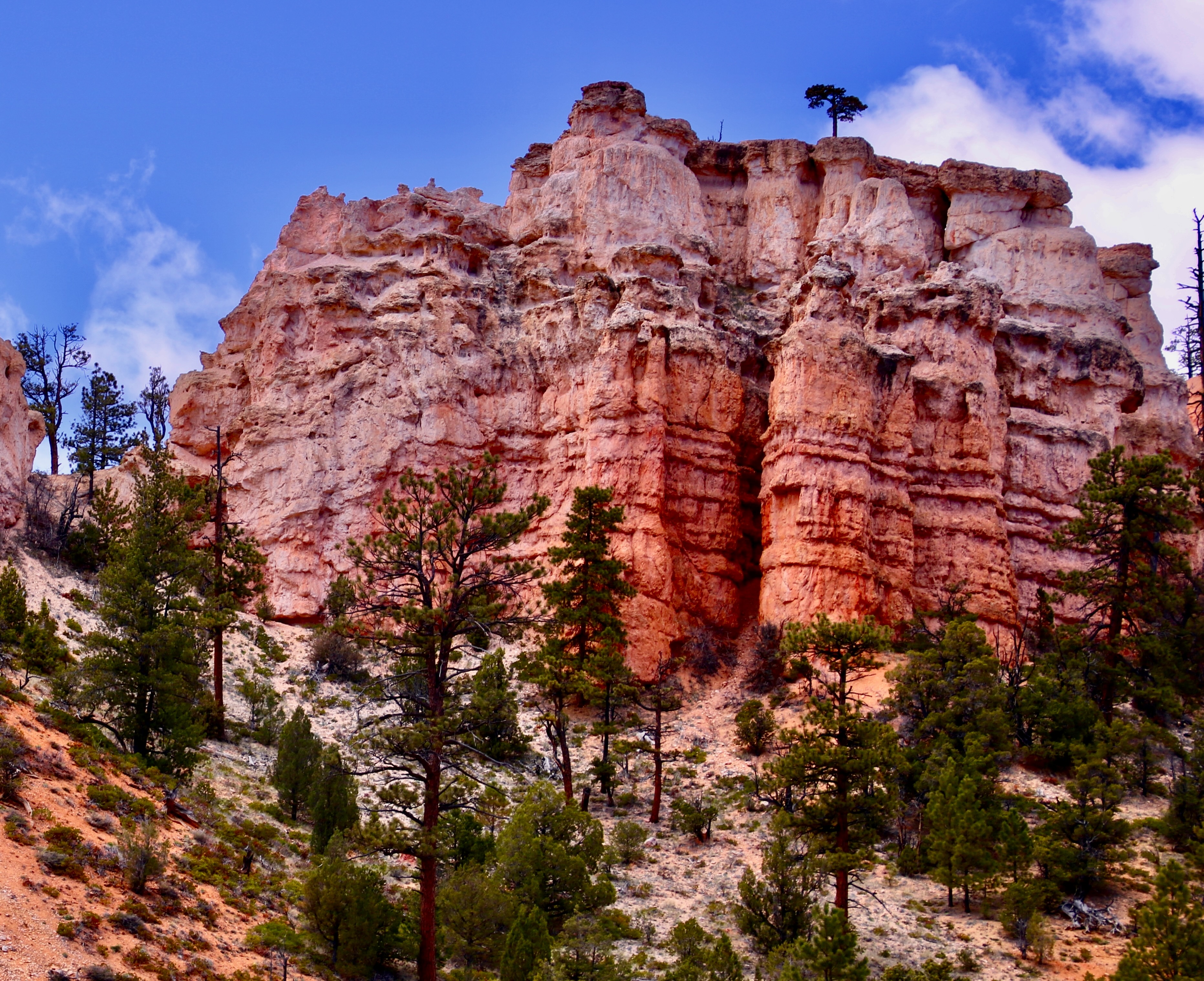
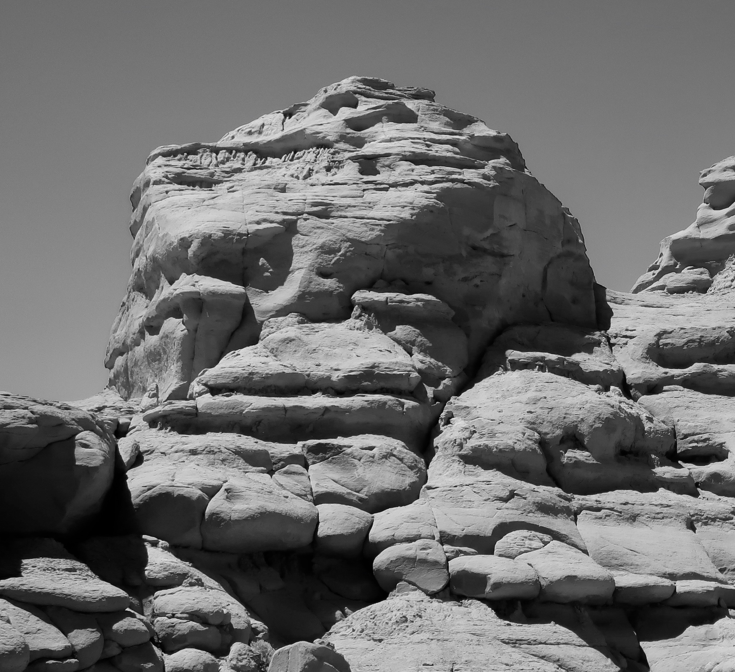
The trail to Mossy Cave cuts up the hill to the left just before this pretty little waterfall and makes a brief but steep climb. Peggy loves waterfalls and took several photos of it.A close up. (Photo by Peggy Mekemson.)The falls and the creek. (Photo by Peggy Mekemson.)Its when you look up from the creek that you begin to get the feel that you are in Bryce Canyon National Park.Rock sculptures, small arches and hoodoos abound.Photo by Peggy Mekemson.I was thinking blue eyes when I took this photo.There were a number of impressive rock formations. (Photo by Peggy Mekemson.)This rock formation was quite colorful. And I liked the lone tree up on top. (Photo by Peggy Mekemson.)I felt that this hoodoo with its background made a dramatic combination.The rocks lined up for Peggy. They were good at holding their pose. (Photo by Peggy Mekemson.)Mine were a bit more unruly. That’s hardly news.I also liked this sheer rock wall with its many-limbed dead tree.I conclude today’s post on Mossy Cave Trail in Bryce with a photo I thought would go well in black and white. (You will find the mouthy guy about half way up on the right in Peggy’s photo at the beginning of the blog. ) Next Friday’s post will focus on miles 4-18 along the road into Bryce Canyon National Park.
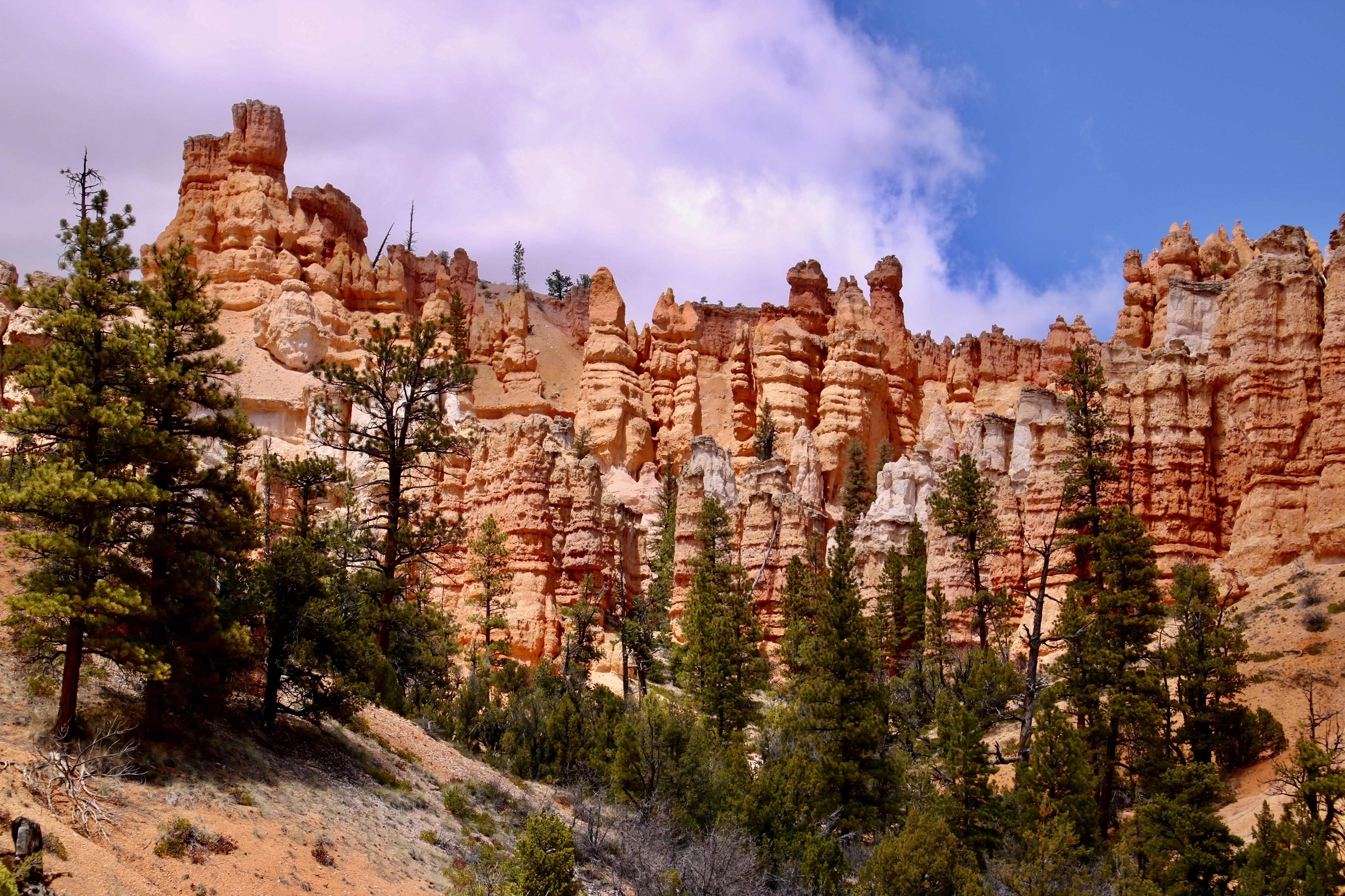
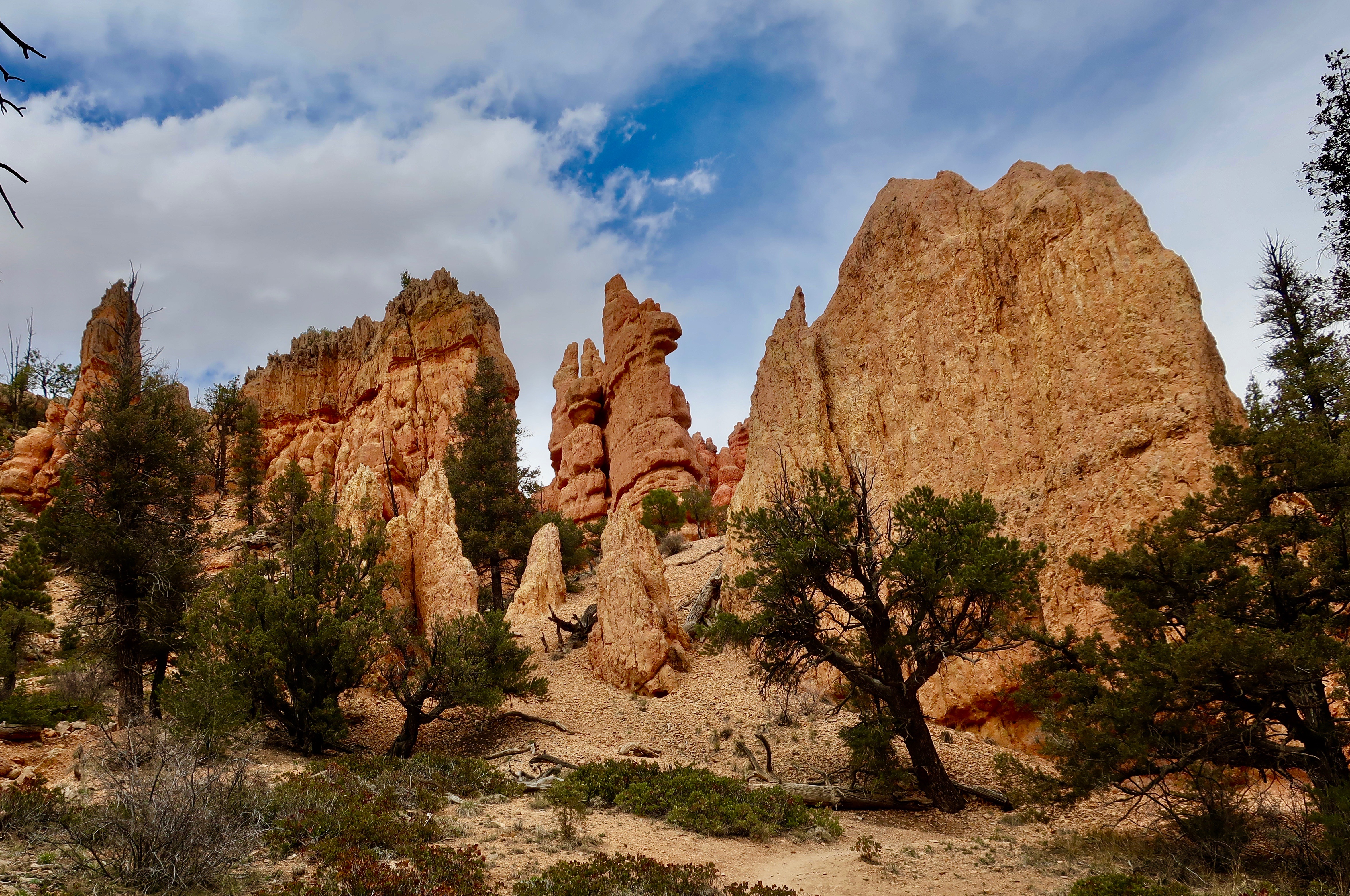
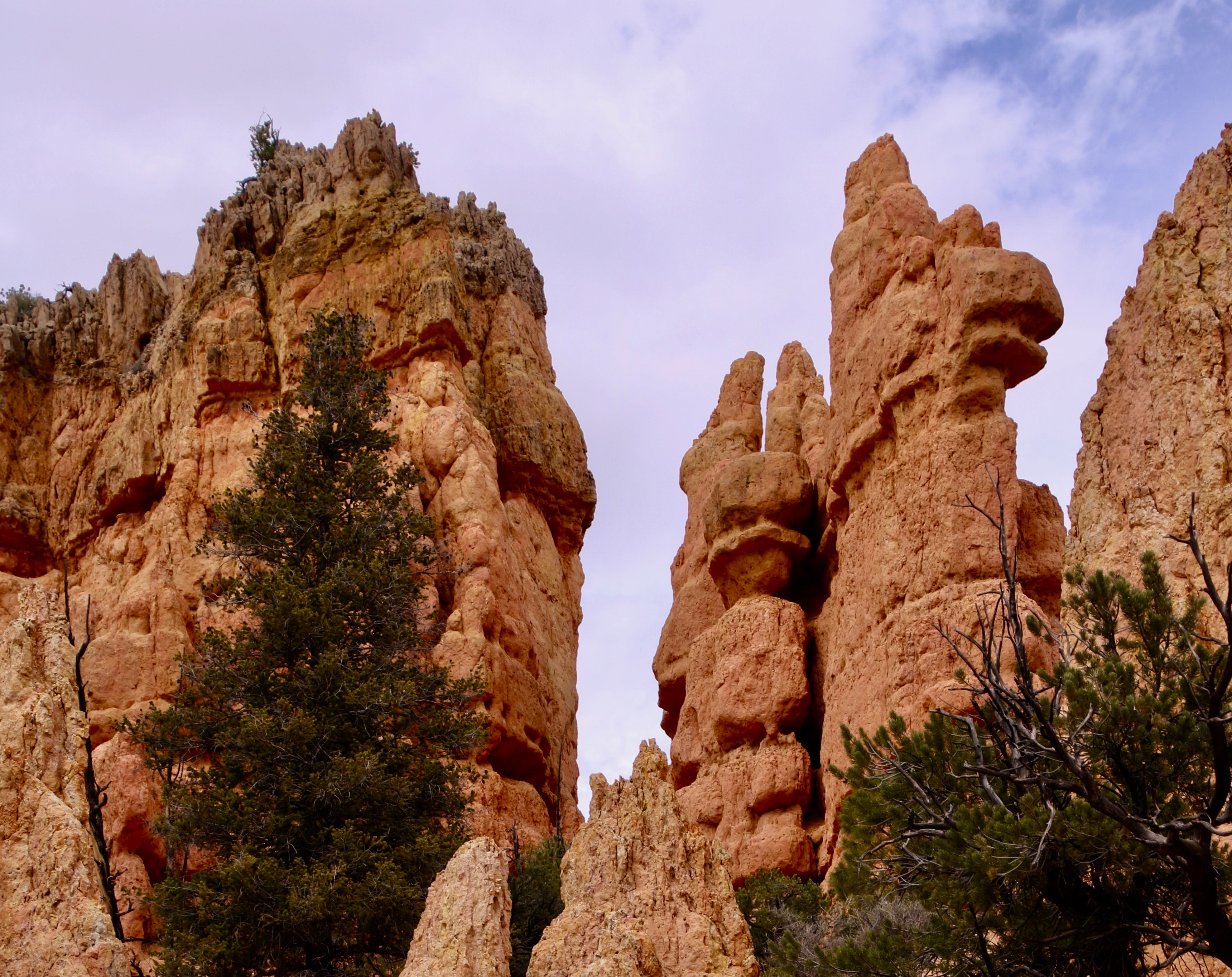
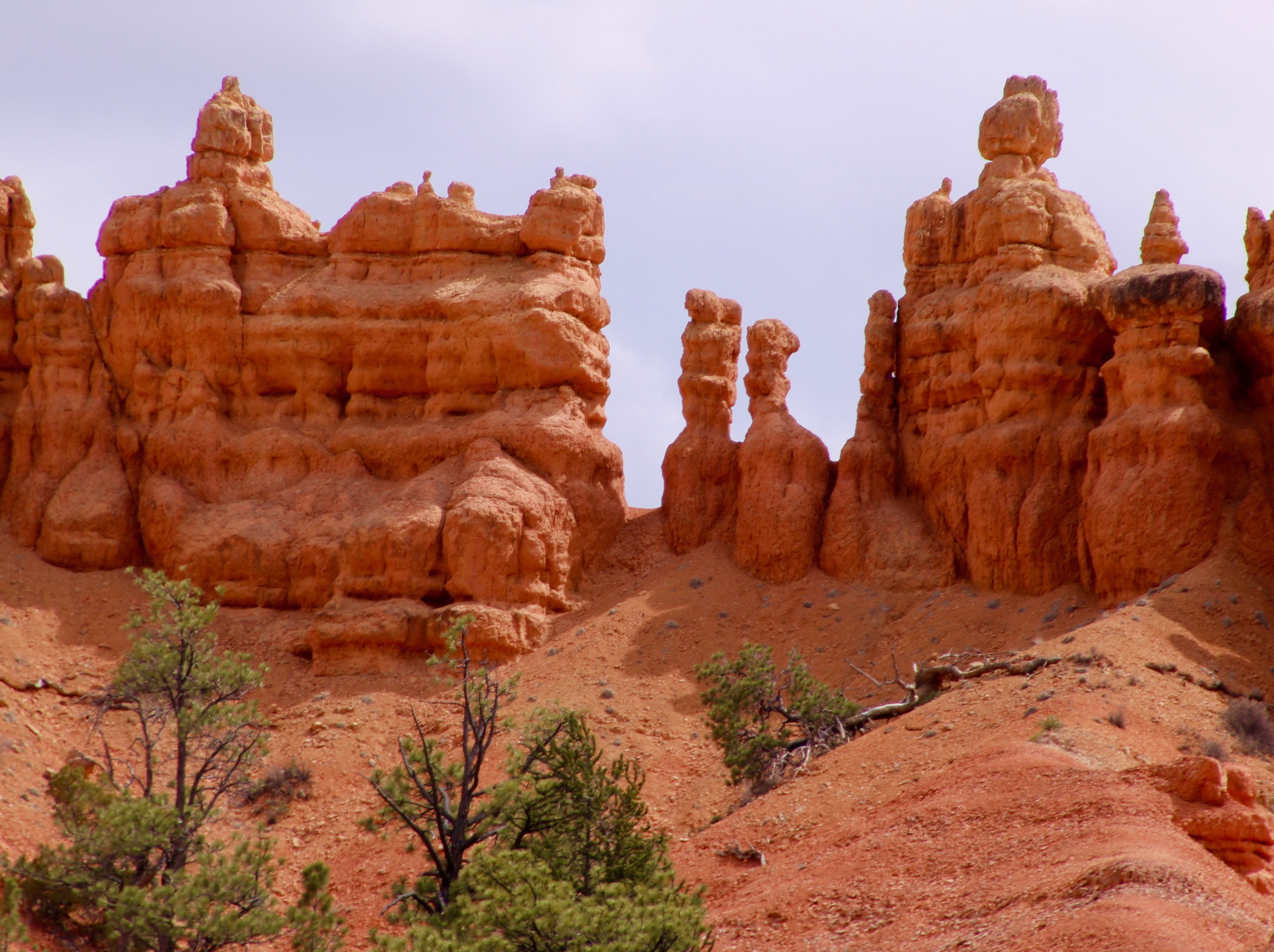
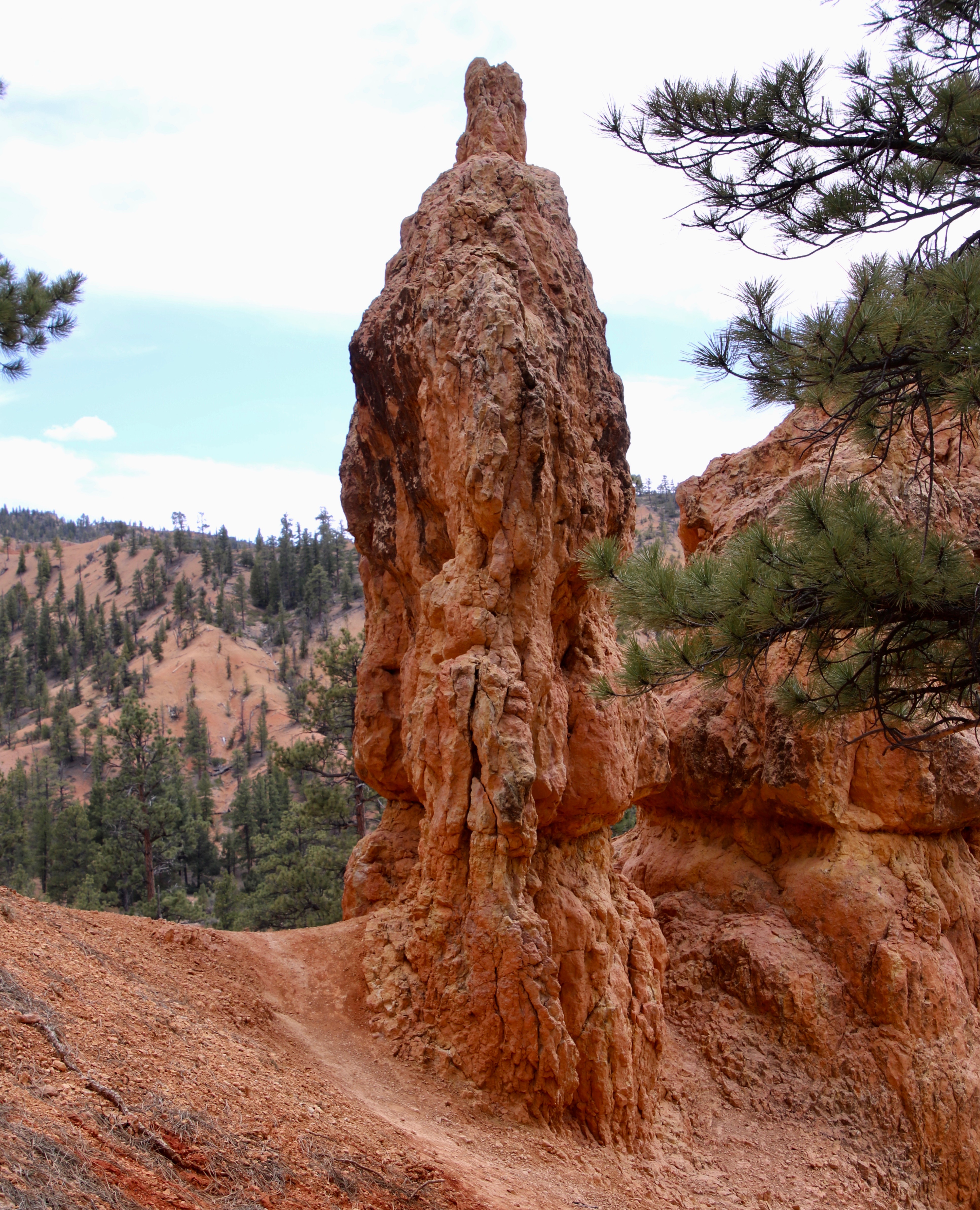
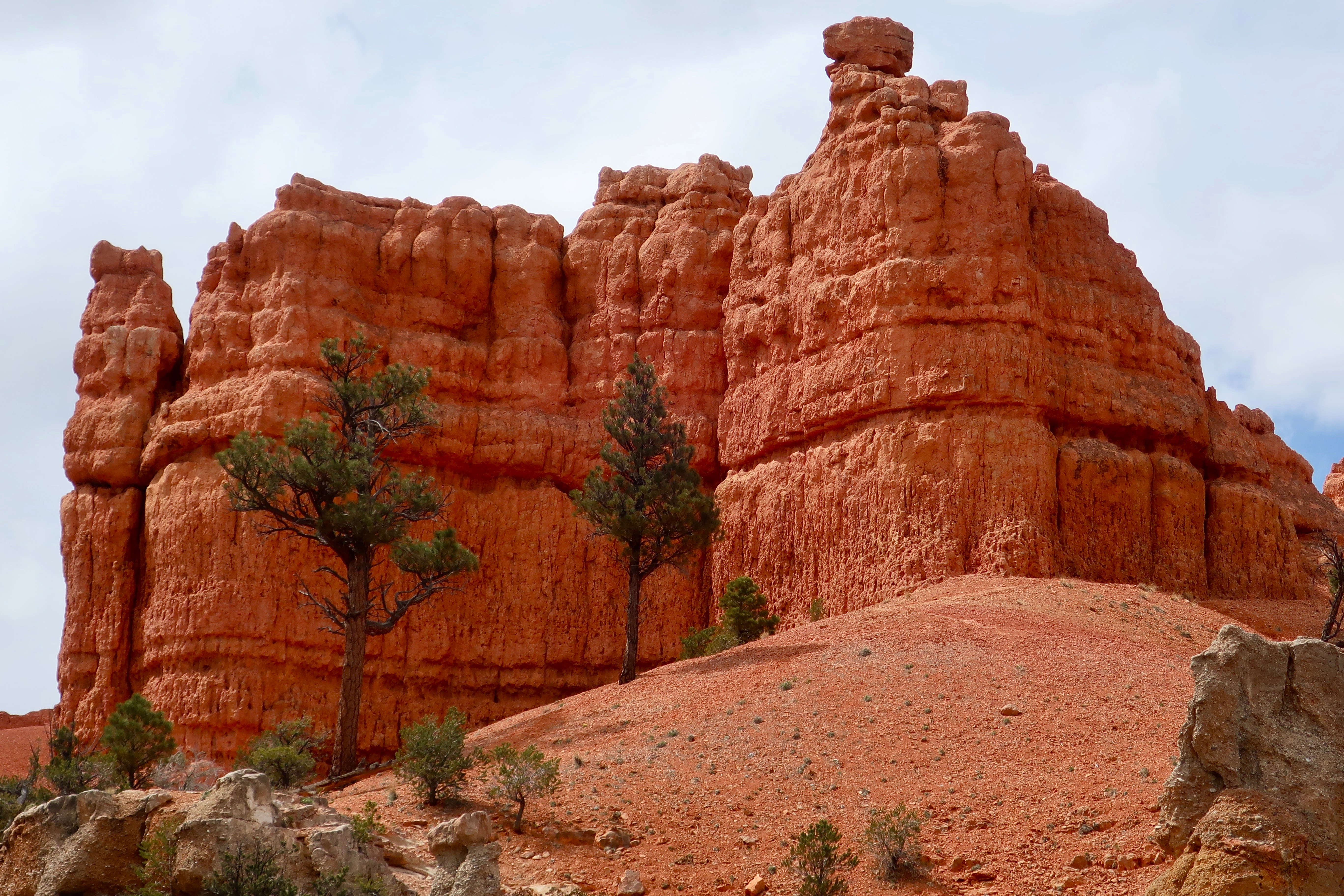
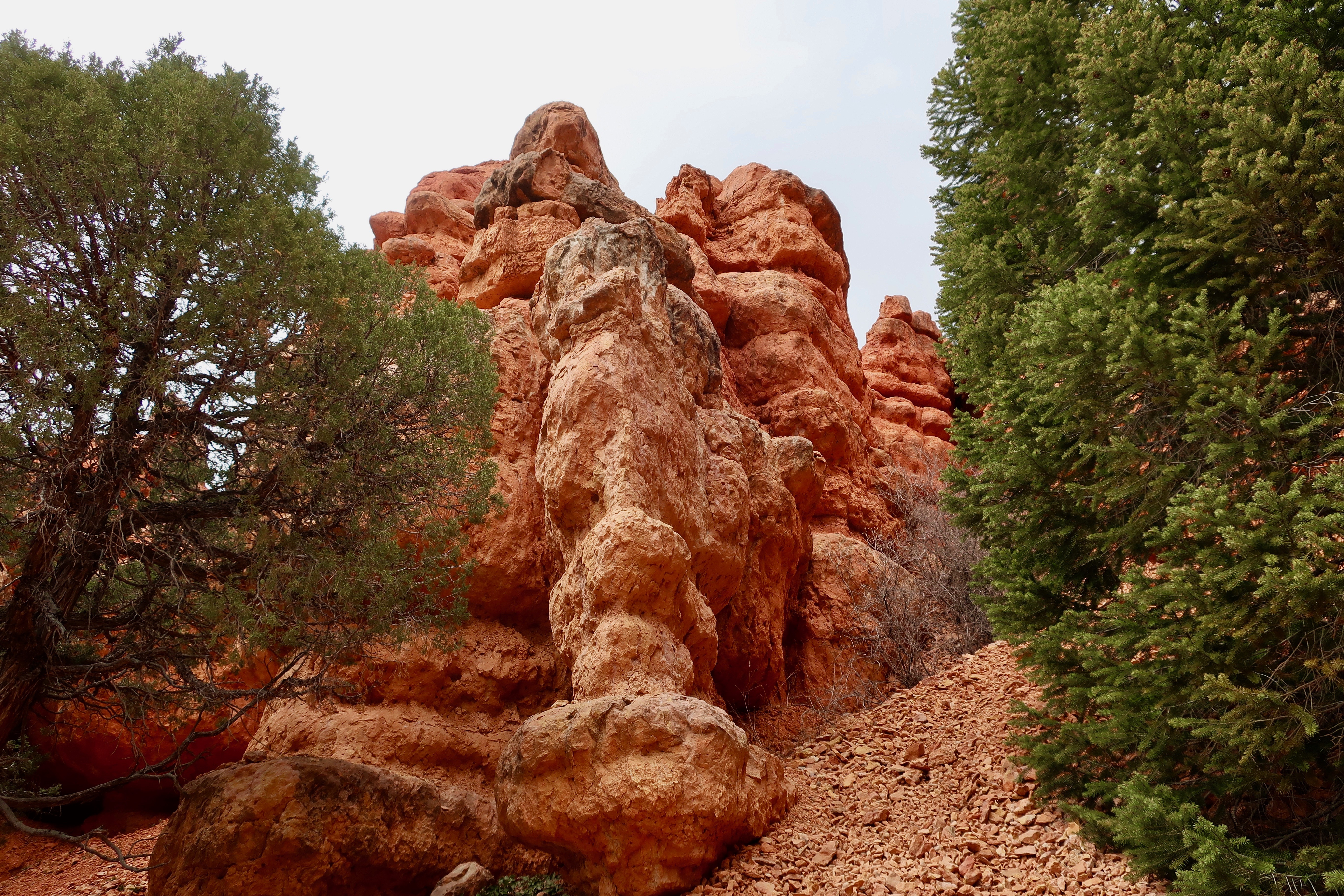
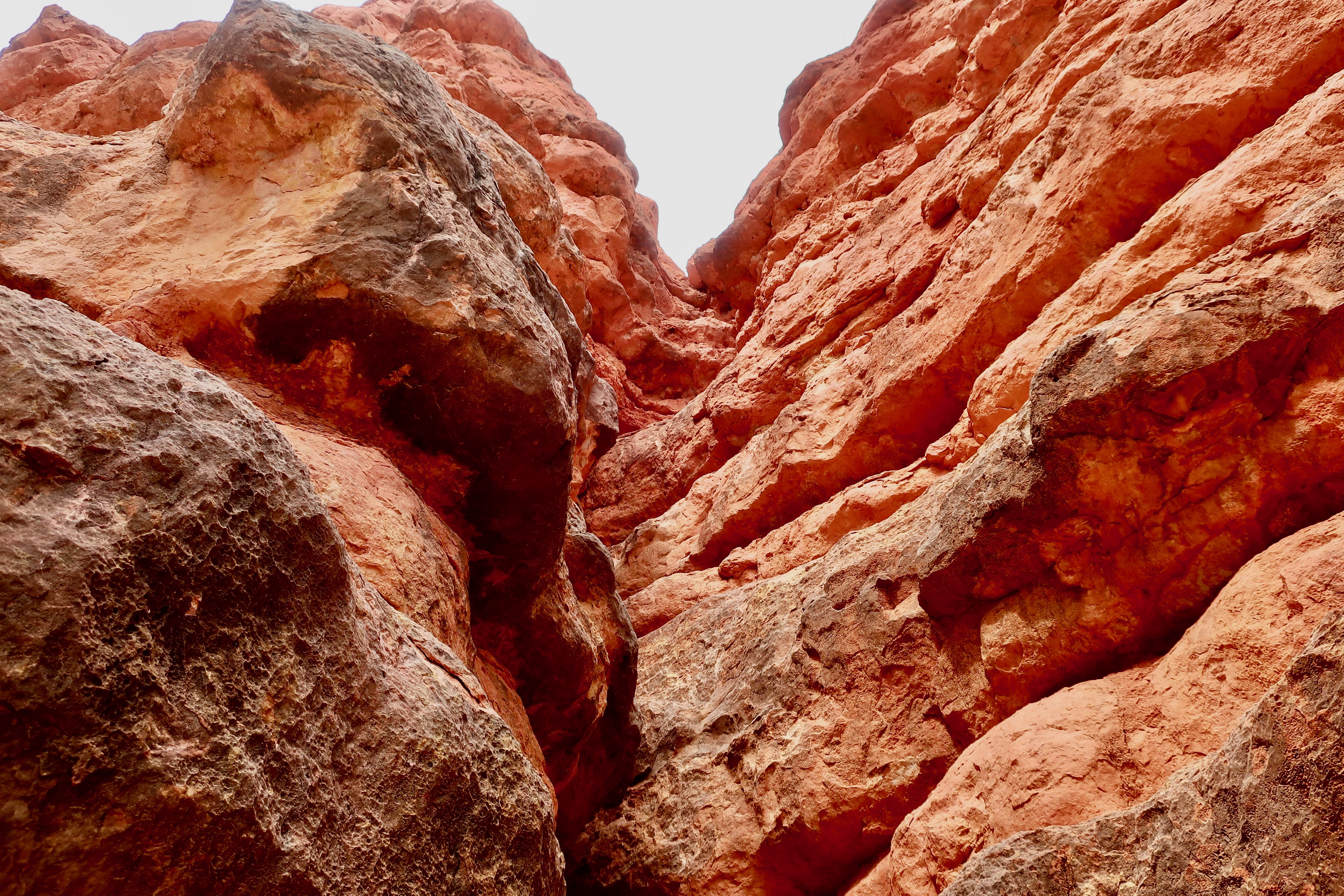
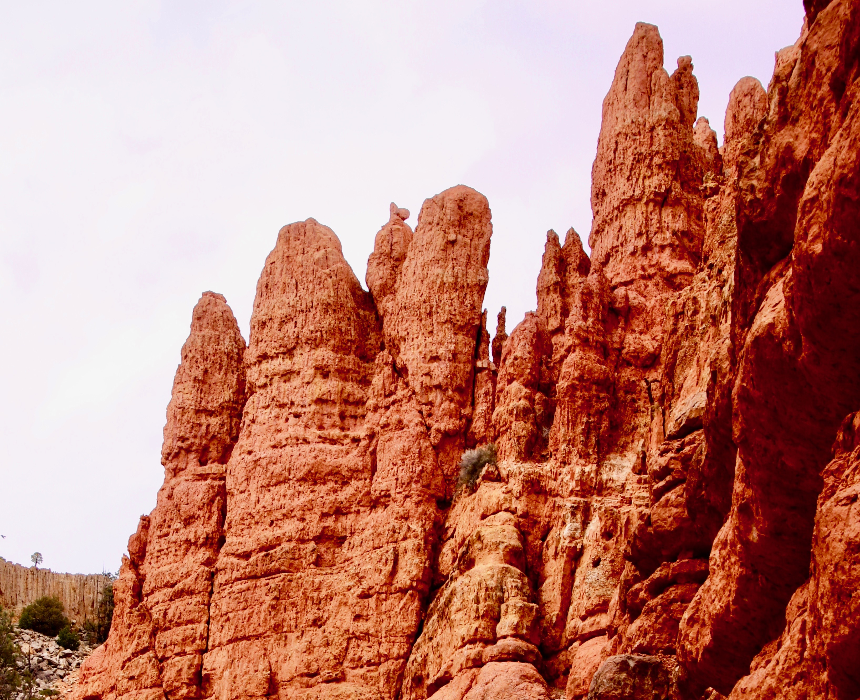
This is a typical view you can find in Red Canyon on a short walk. Expect to see pinnacles, spires, columns and hoodoos, the same things you will see in Bryce Canyon. But beware: You might get lonely. On our easy hour walk, Peggy and I only saw six other people.
If you have been to Bryce Canyon, the odds are you have been to Red Canyon. You drive right through it on your way in if you come come into Bryce from the west on Highway 12. Very few people bother to stop, however. After all, it’s only a State Park, not a world renowned National Park.
If you do stop, however, you may find yourself wondering why it wasn’t included in the National Park. I did. It certainly qualifies. But then I thought to myself, “Whoa, Curt.” Peggy and I were wandering around in a beautiful area in the middle of rock formations dripping with attitude. And we were by ourselves. Changing its status to be part of Bryce Canyon National Park would be like unloading a mega-cruise ship on its doorstep every day. The trails would be packed. Thousands of people would add it to their bucket list.
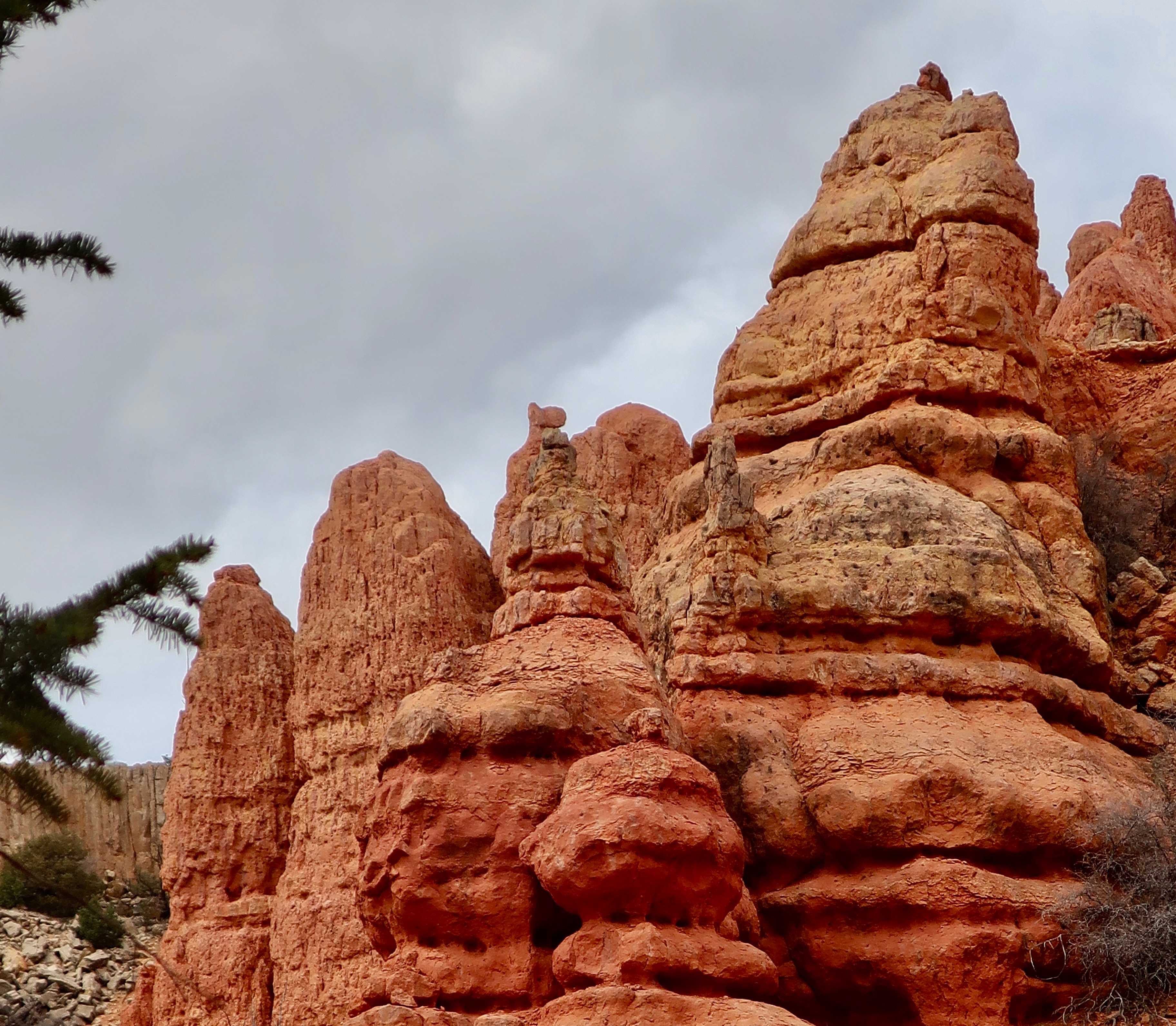
Join Peggy and me as we explore what makes Red Canyon special. I’ll start with Hoodoos, tall spires of rock formed by erosion, sometimes in fantastical shapes. I mentioned before that one theory about the derivative of the word Hoodoo was a similar Native American word meaning scary. And I used the hoodoo dogs of Red Canyon as an example. There are other theories as well. One suggests a voodoo connection. Here’s what the Canadian Encyclopedia has to say about it: “The word hoodoo probably derives from voodoo, a West African-based religion in which magical powers can be associated with natural features. Hoodoos conjure up images of strange events.” Okayyy…
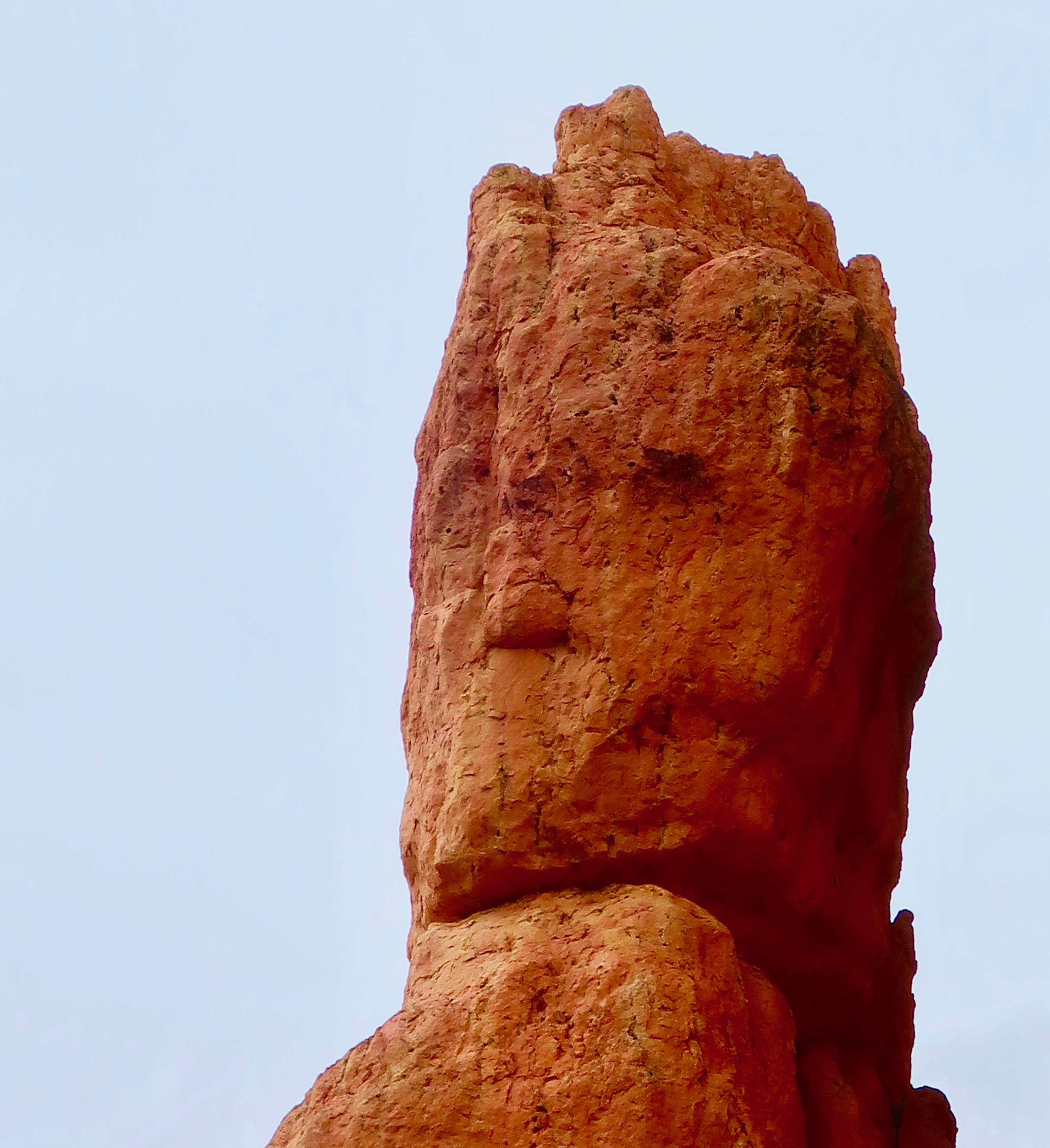
Hoodoos often come in unique shapes. Can you spot the two ‘dogs’ in this Red Canyon photo. I used them as an example in an earlier post. (Photo by Peggy Mekemson.) The question here is: Who let the dog’s out? Woof! Woof! As I recall, my blogging friend Linda Leinen suggested this question and this link. (Photo by Peggy Mekemson.)Not sure what these three amigos were up to. But I wasn’t going to question it…They were big. (Photo by Peggy Mekemson.)Long necked something here. Any ideas on what? Jurassic perhaps…A family of Hoodoos. (Photo by Peggy Mekemson.)At first, I thought… an ancient king. Then I thought… Groot.This hoodoo didn’t need to look like anything. It was outstanding by itself. (Photo by Peggy Mekemson.)Maybe it was my imagination working overtime (it happens), but I found this trio scary, like something out of a dark fantasy, or a horror movie. The guy in the middle immediately reminded me of the monsters created by Saruman in Lord of the Rings. (Photo by Peggy Mekemson.)These two hoodoos were among our favorites. At first we thought they were called totems, as in totem pole. Looking at photos in Goggle, I discovered that most people called them salt and pepper shakers. The sun was lighting them up under dark skies, creating a dramatic effect.Salt shaker or totem. Or neither. What do you see? (Photo by Peggy Mekemson.)
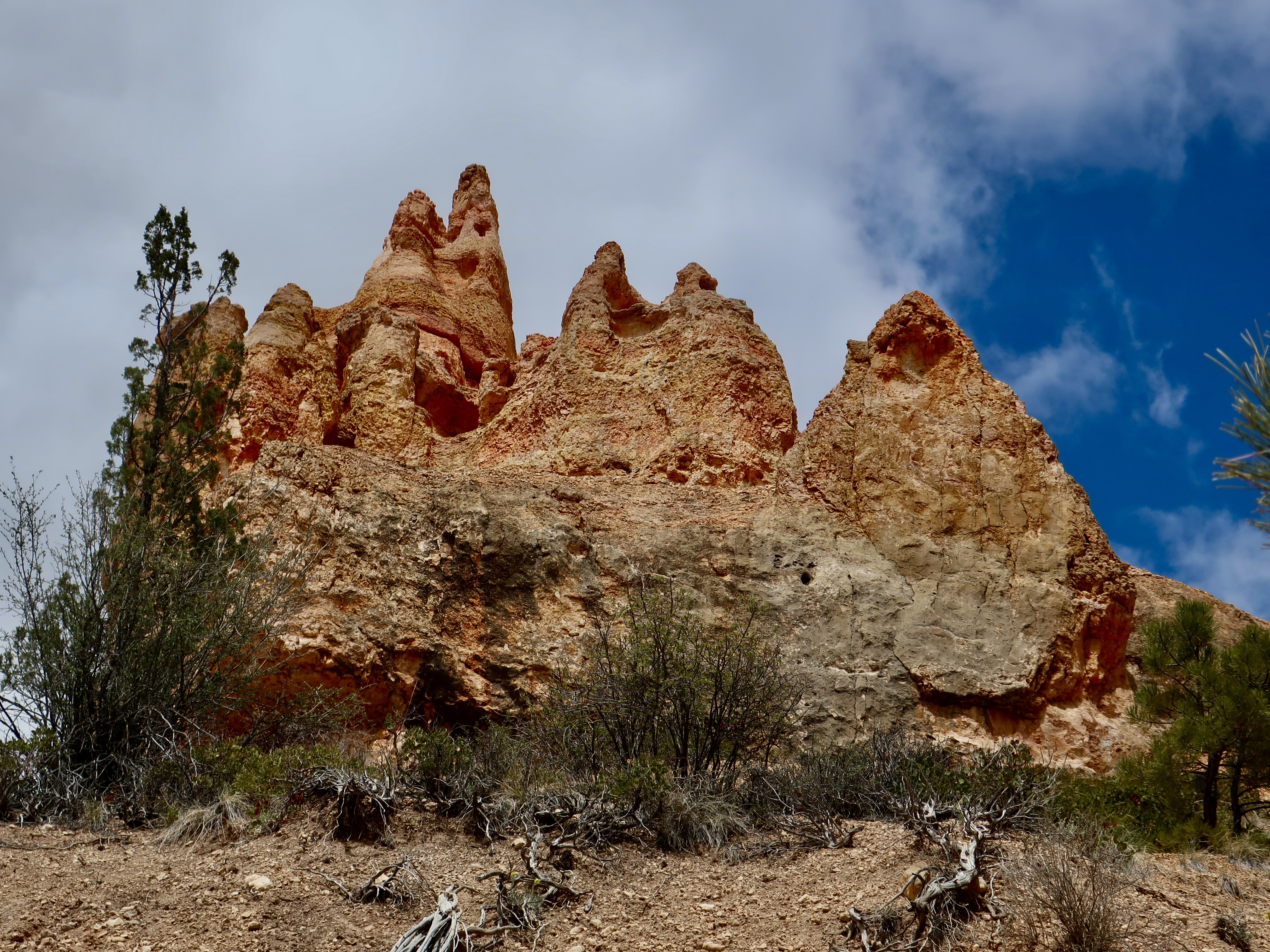
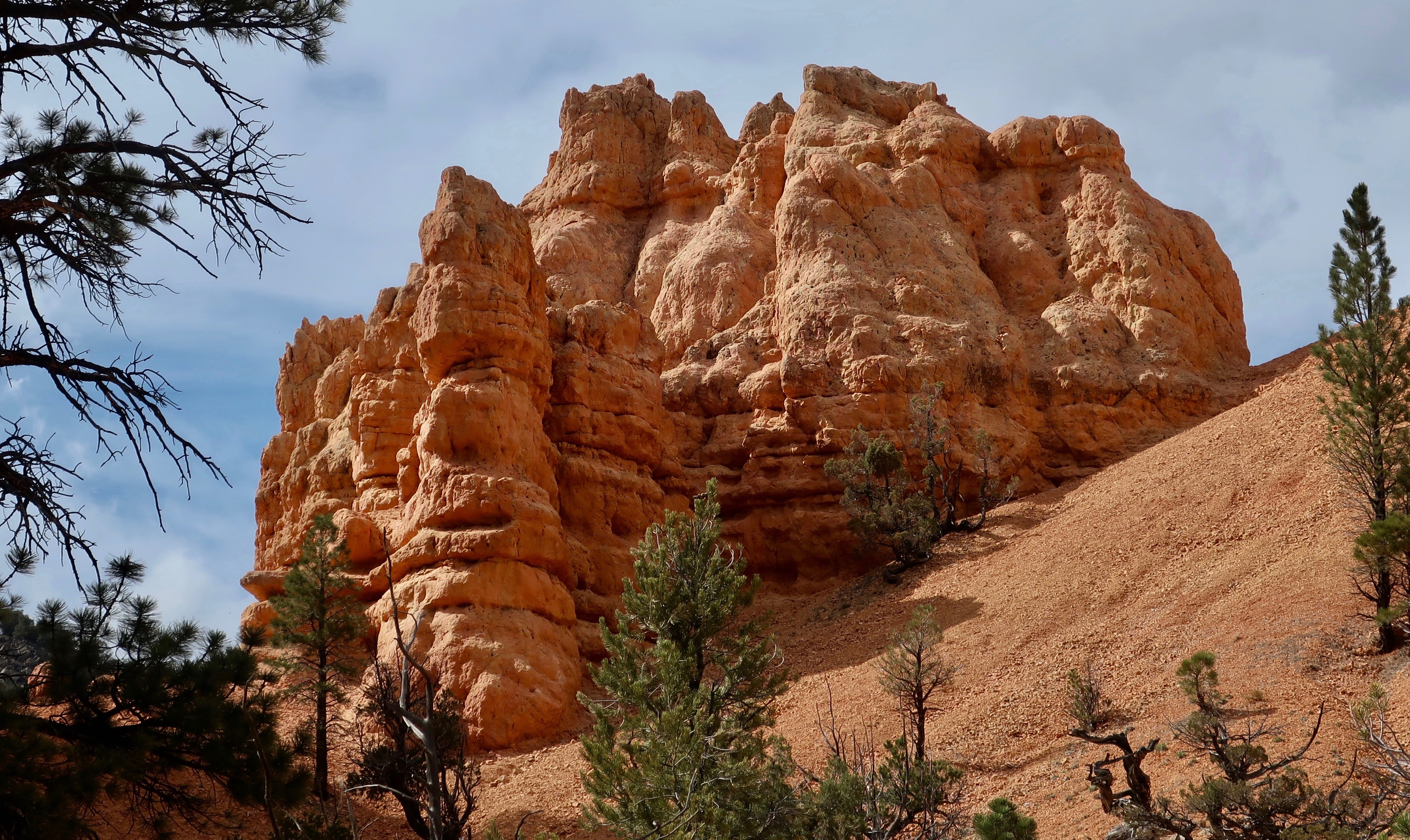
While the hoodoos of Red Rock Canyon State Park are fun to photograph and play around with, there are numerous other beautiful and interesting rock structures in the park to admire. Following are some of Peggy and my favorites. The photographs are from both of us.
I thought this dead tree stump fit the fantasy theme of this post.Having just returned from our Rhine River trip and continuing with my theme, I couldn’t help but think this formation deserved a castle on top of it.Or possibly a magical kingdom which seems like an appropriate conclusion to this post. Be prepared for another treat next Friday where we will take you for a drive on one of the Nation’s most scenic byways: Highway 12. (Photo by Peggy Mekemson.)
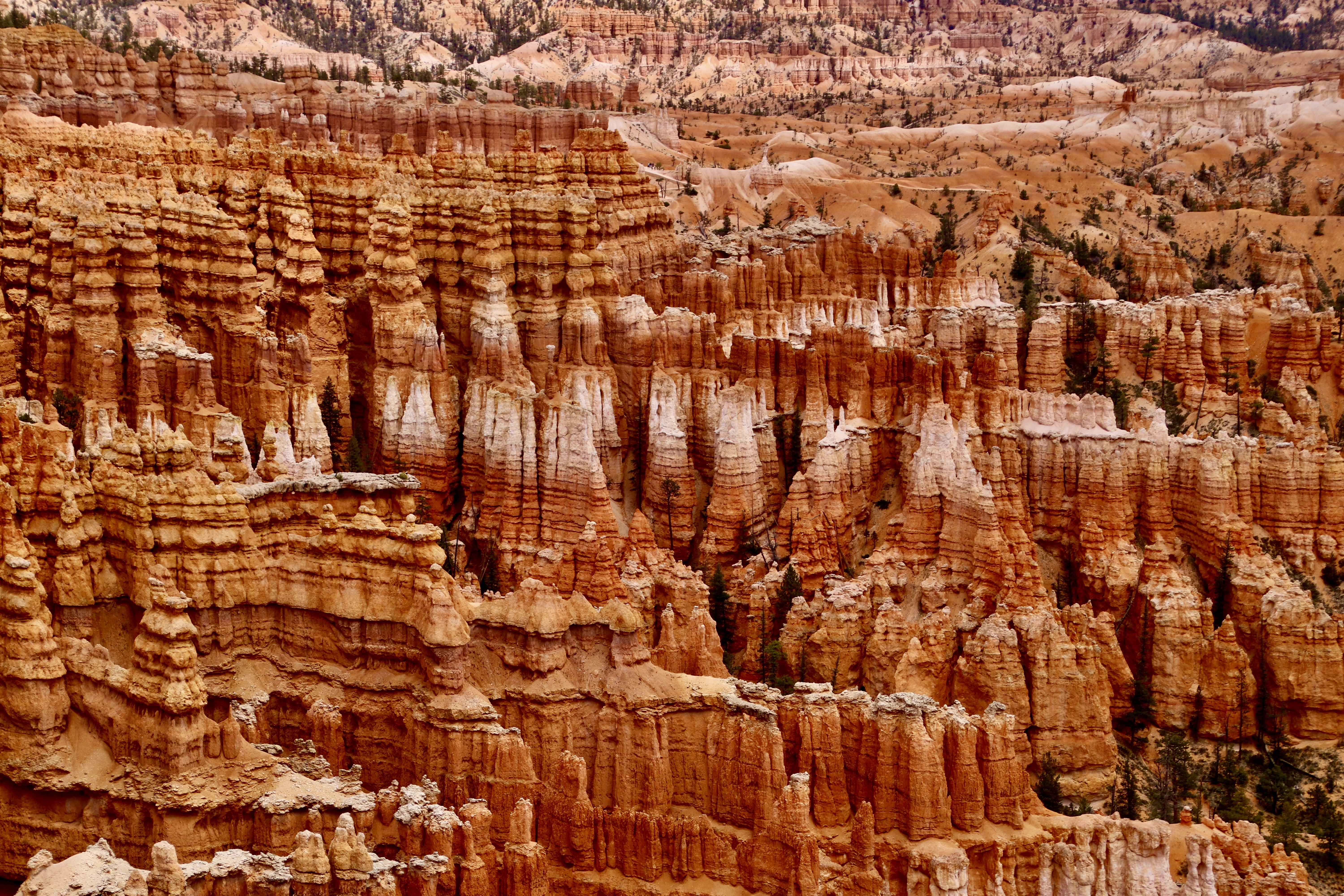
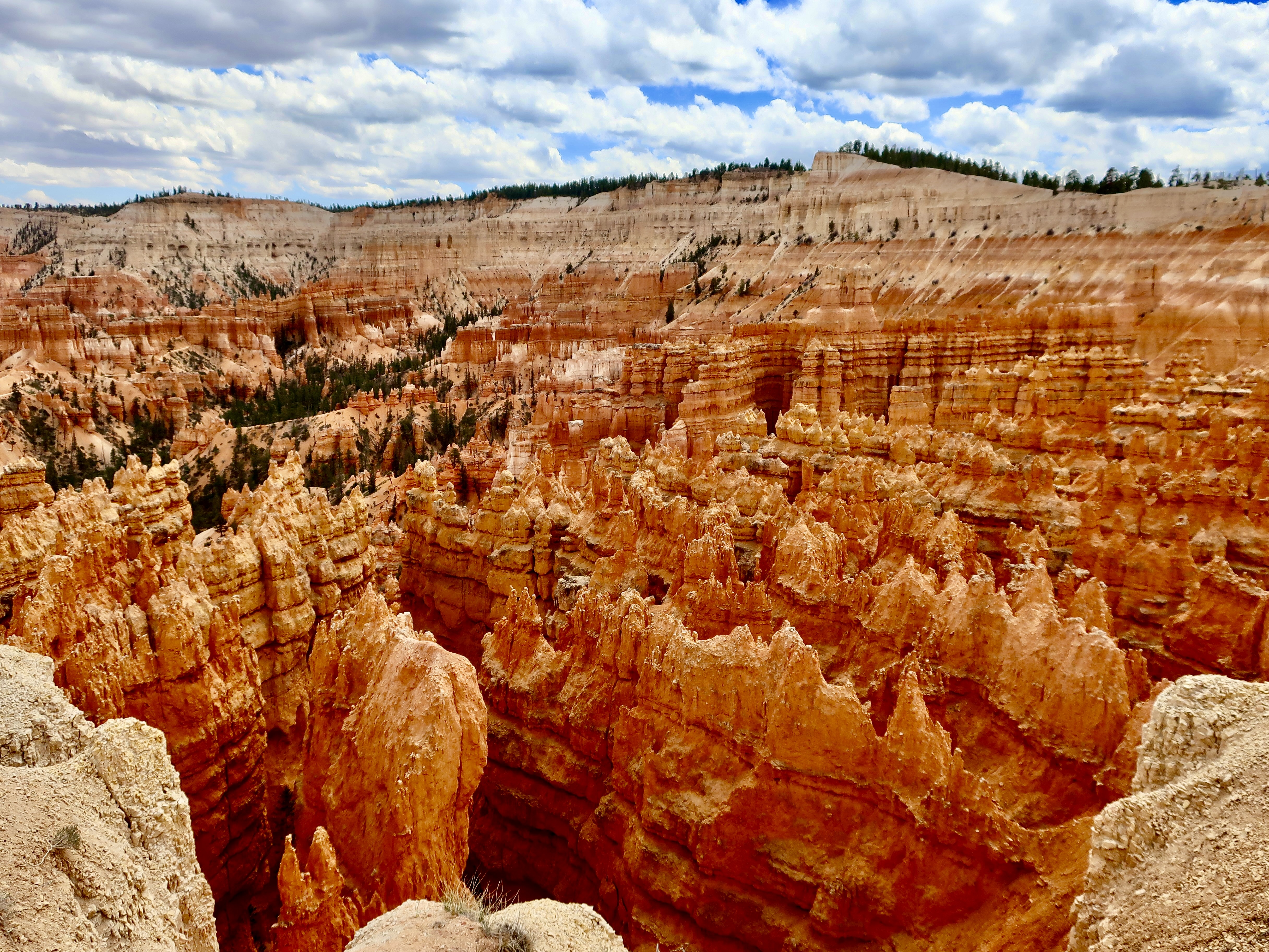
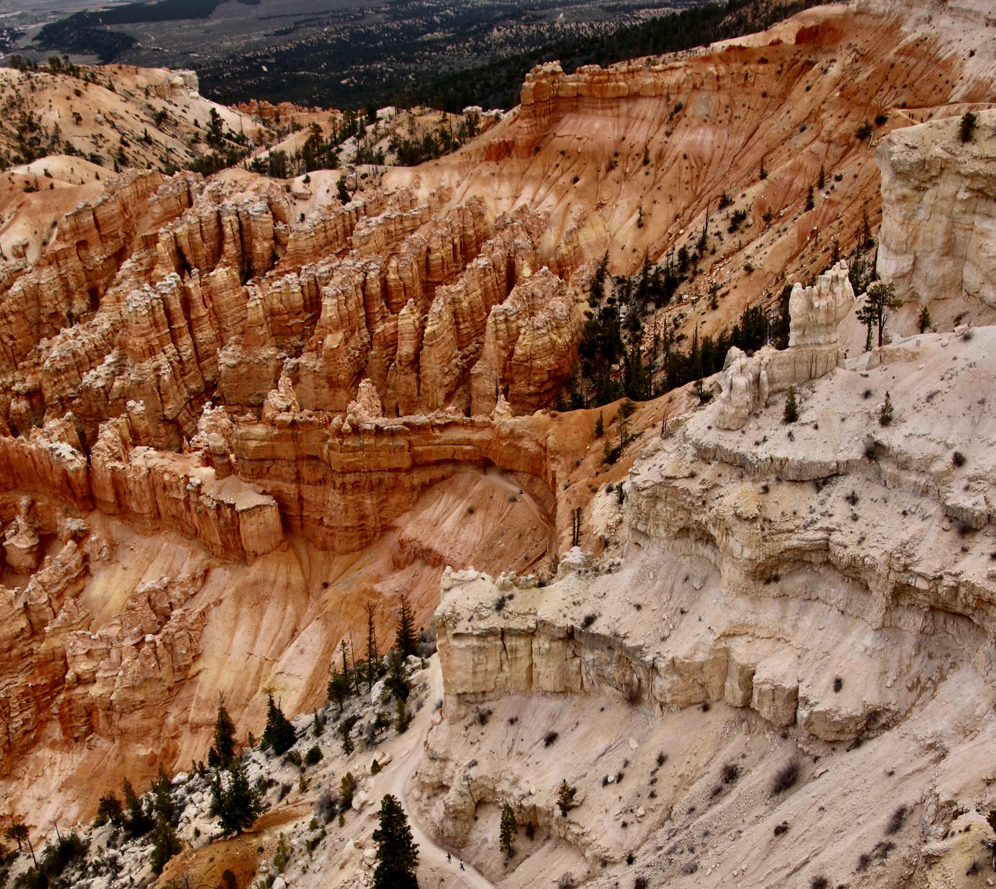
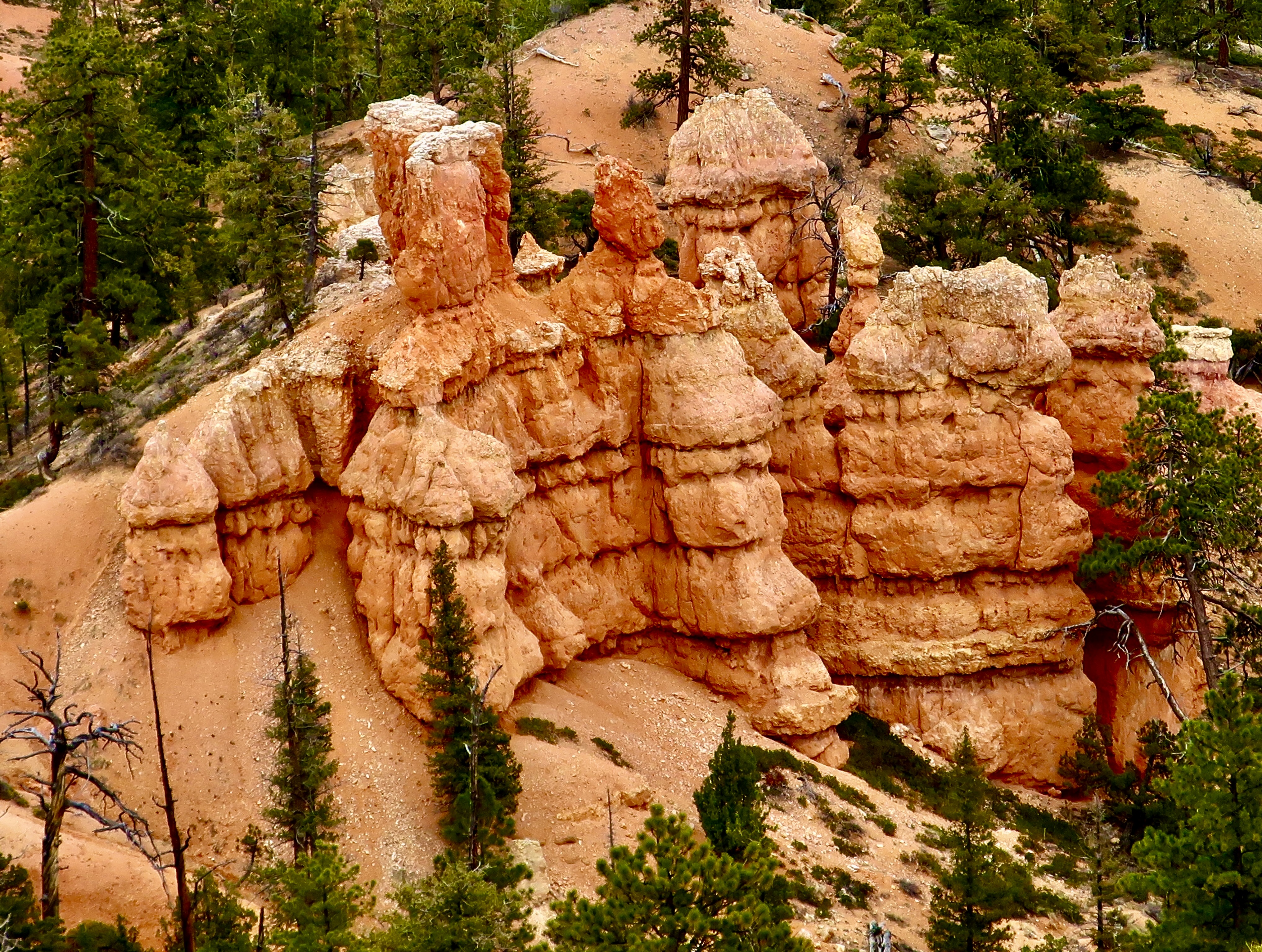
I start our Bryce Canyon National Park series today. Like we did with Zion National Park, Peggy and I explored other parts of the Park and the surrounding area as well as the four miles of Bryce Canyon that most tourists visit. I am starting today with Kodachrome Basin State Park. From here, I will move on to Red Canyon, Mossy Cave, Highway 12, and Escalante National Monument. I’ll finish with two posts on Bryce Canyon. The message is the same as it was with Zion: There are several other areas outside of the main tourist area that are equally beautiful and worthy of a visit while being far less crowded.
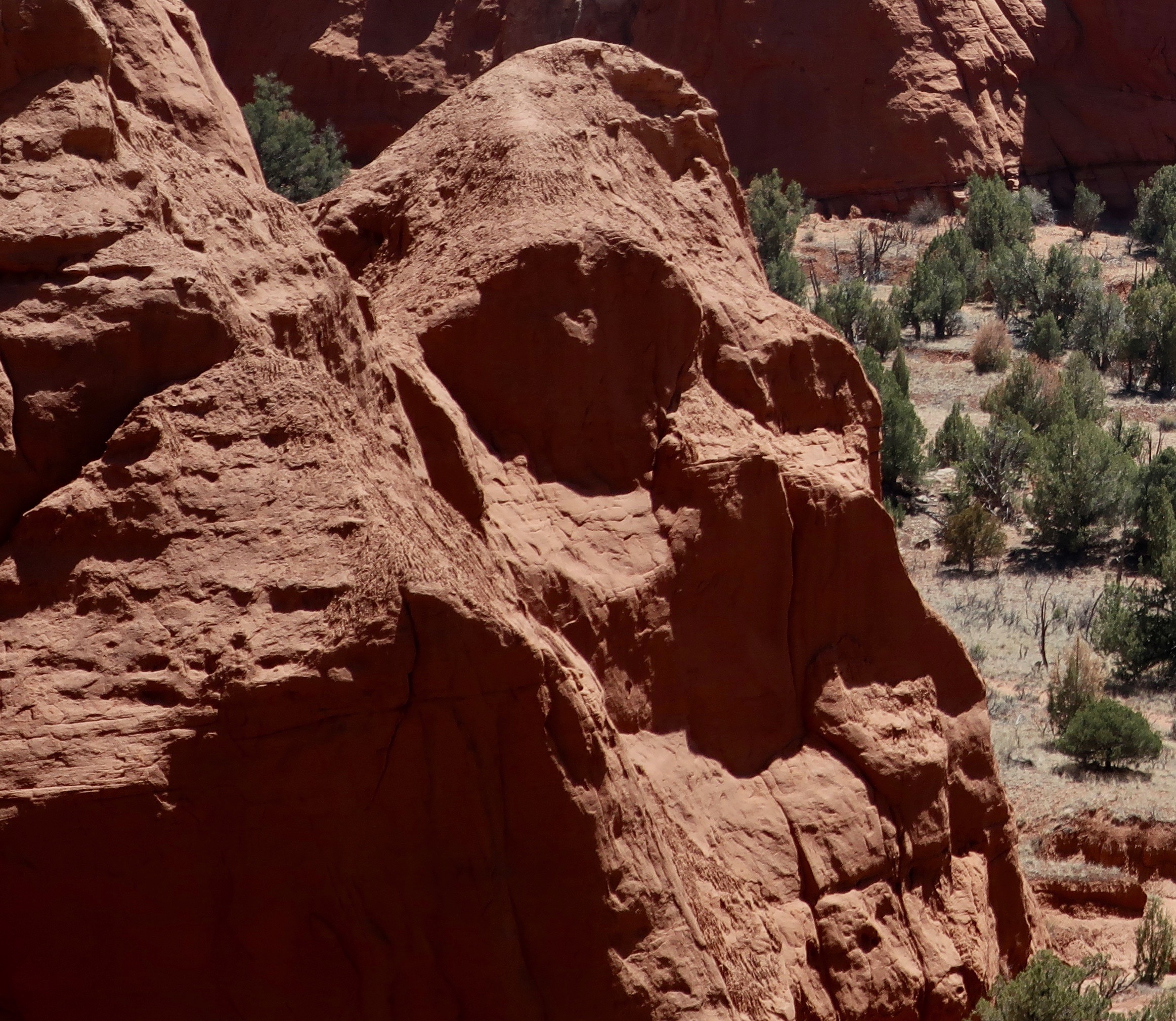
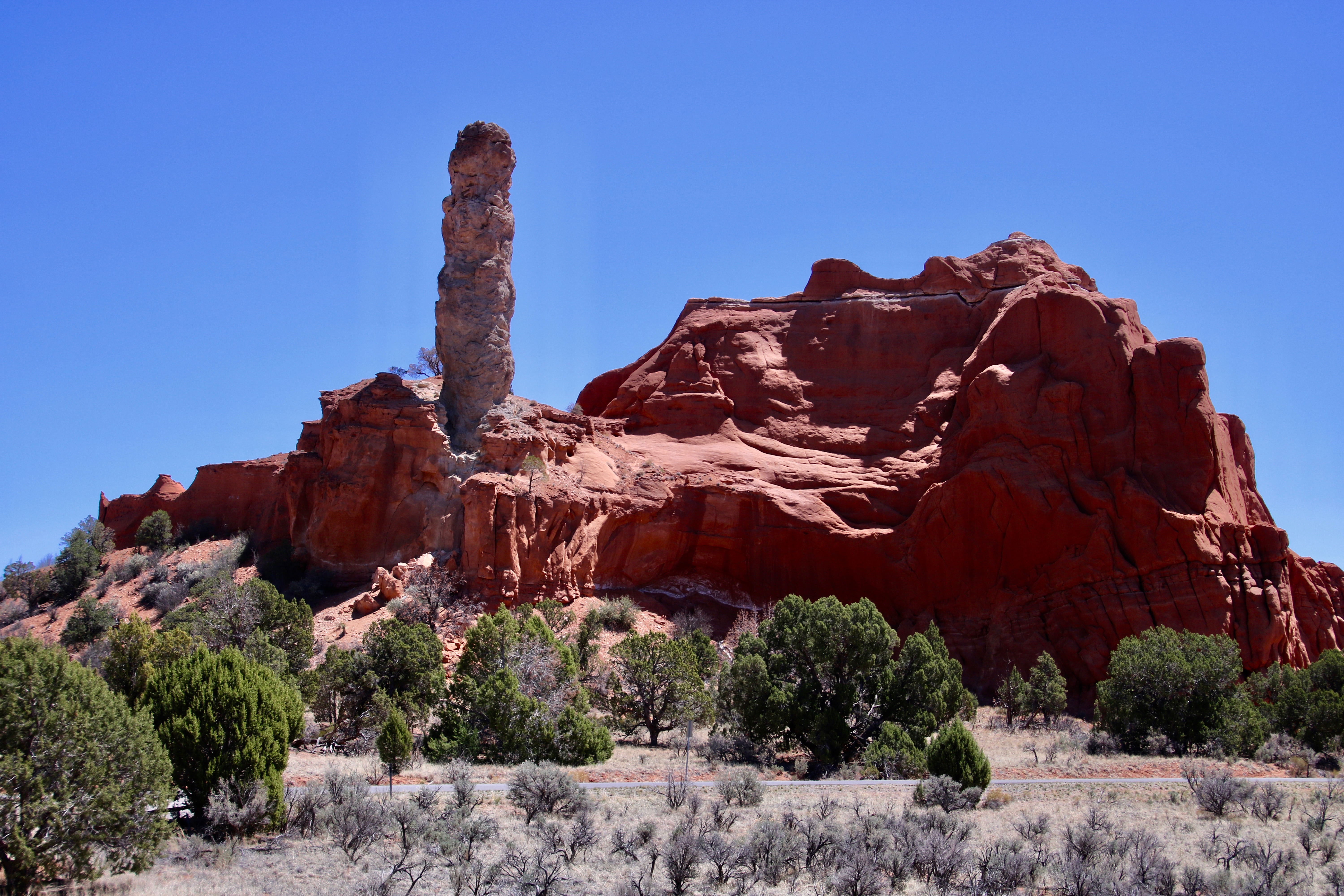
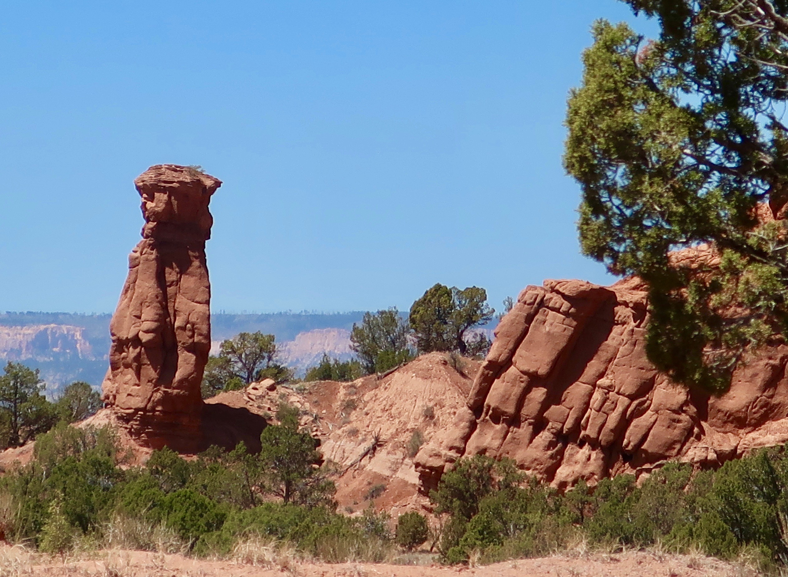
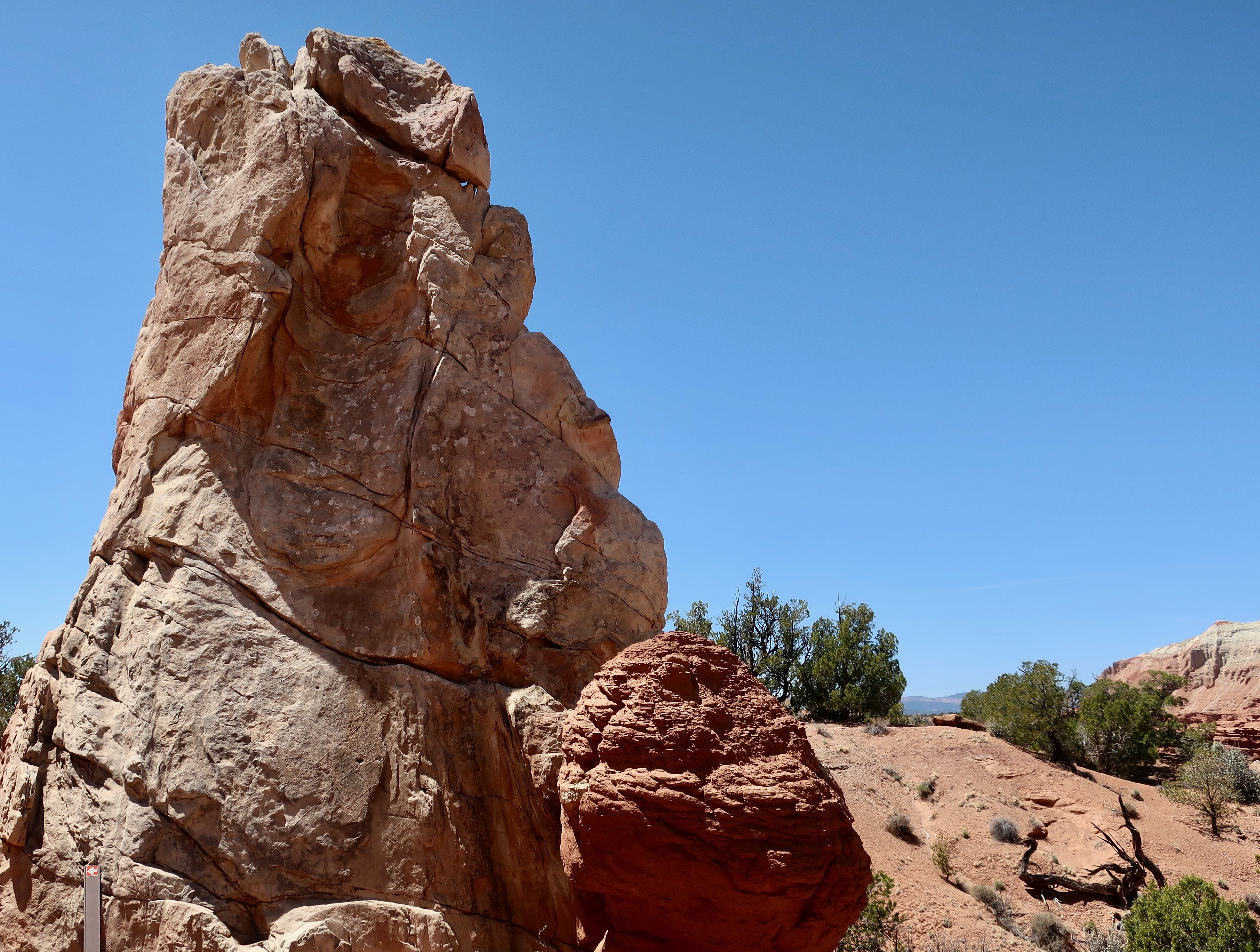
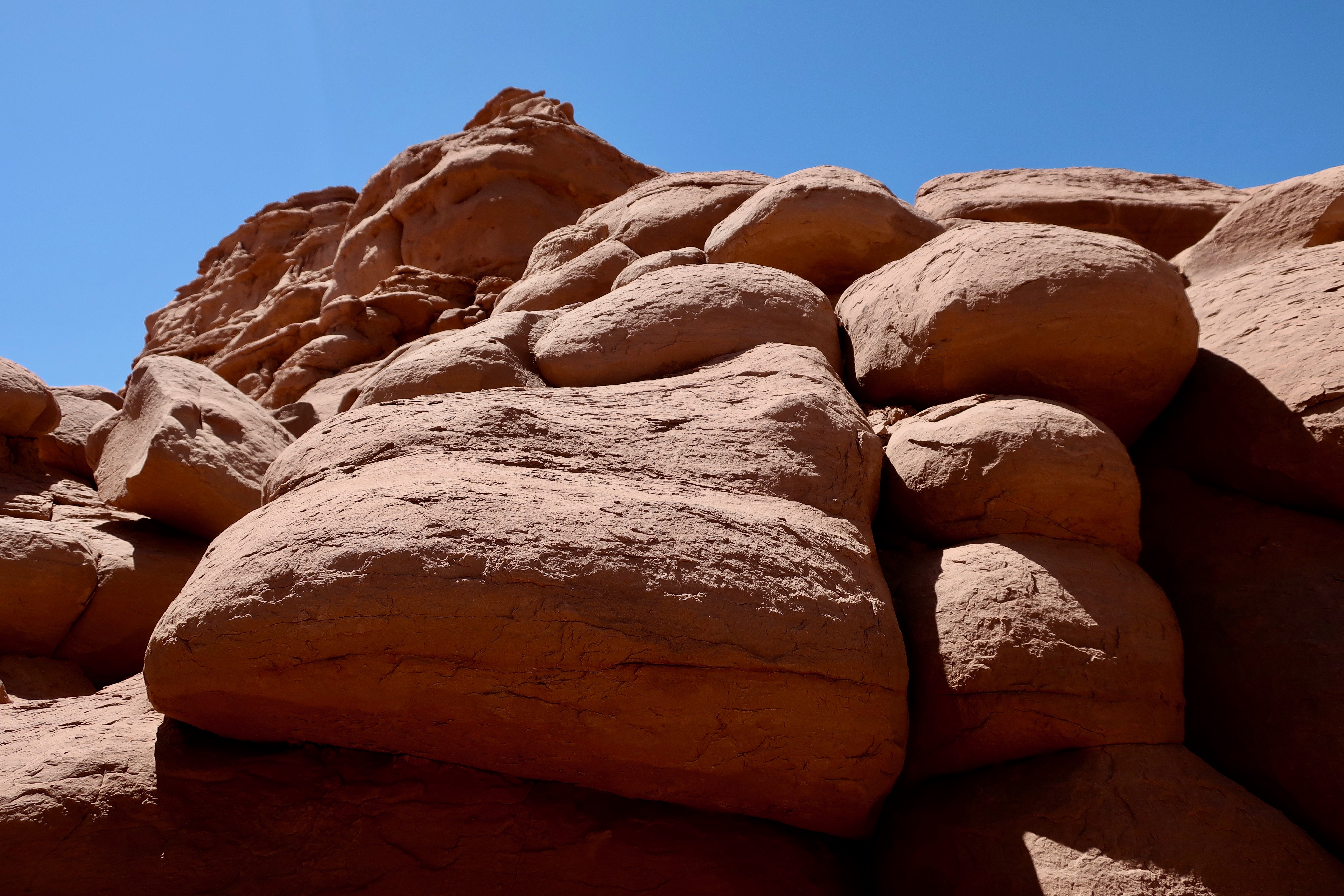
Kodachrome Basin State Park has lots of red rocks. And some interesting characters. What famous movie star does this remind you of? He is a bit hairy, has a thing for blondes, and likes to climb tall buildings.
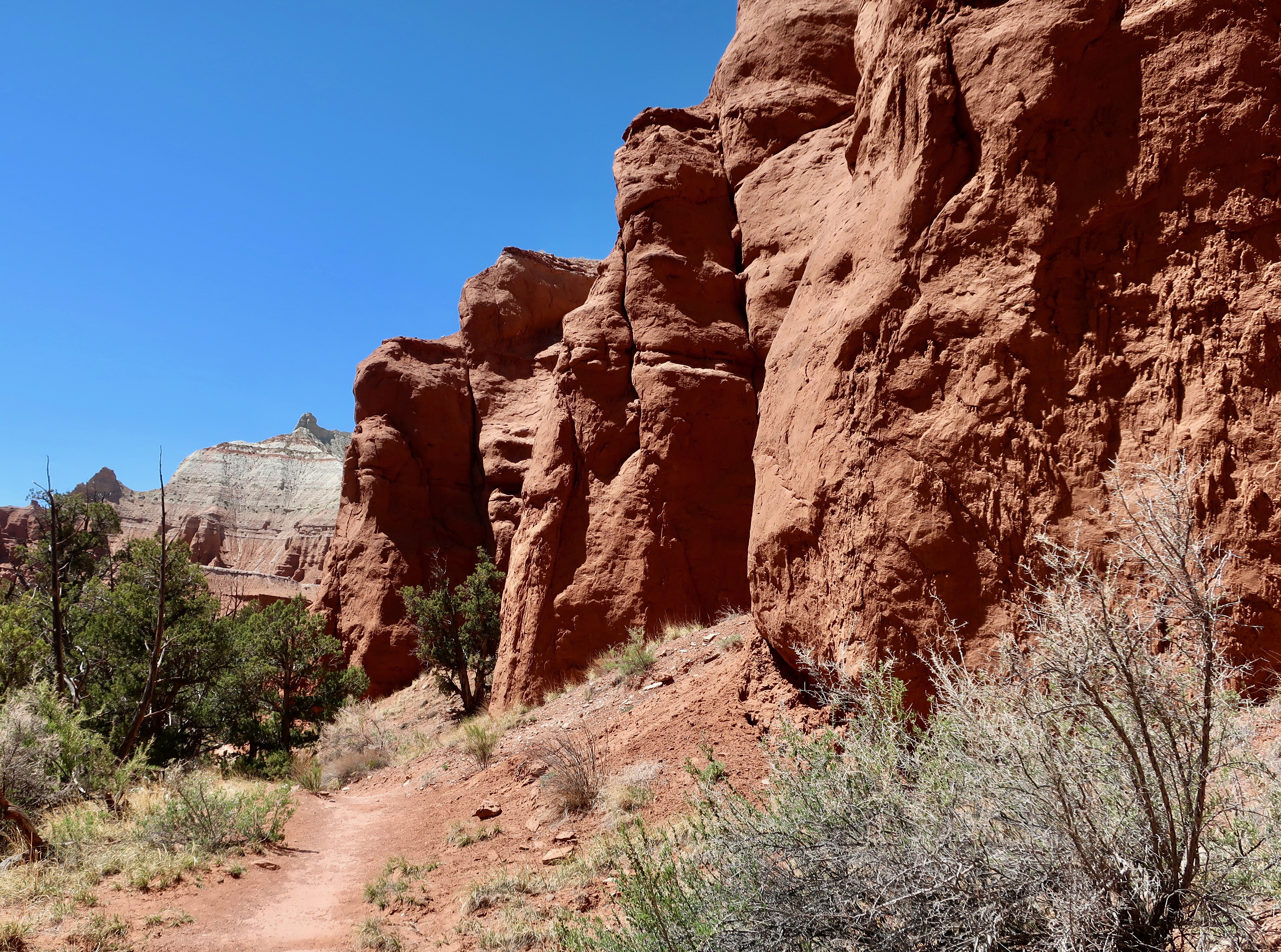
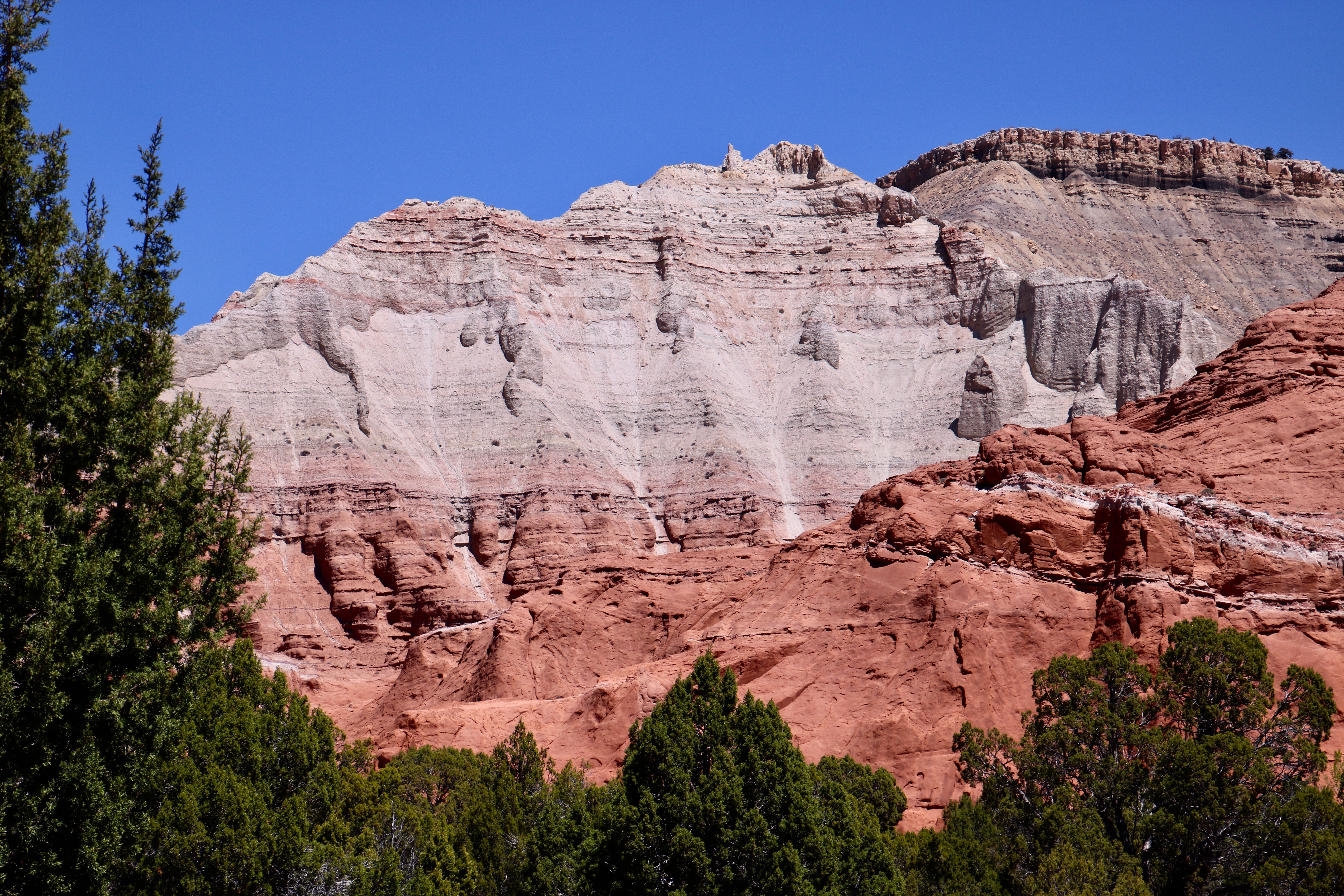
Peggy and I stayed at a campground in the small town of Cannonville, Utah on Highway 12 for our exploration of the Bryce Canyon area— miles away from the crowds of the National Park. Kodachrome Basin State Park was just down the road from us. It received its name in 1948 when a National Geographic team explored the area and decided the basin reminded them of Kodachrome film. If you are old enough to remember when photography meant film instead of digital images, you may remember that Kodachrome was a special film designed by Kodak to bring out the red in photos. There are a lot of red rocks in the area— thus the name.
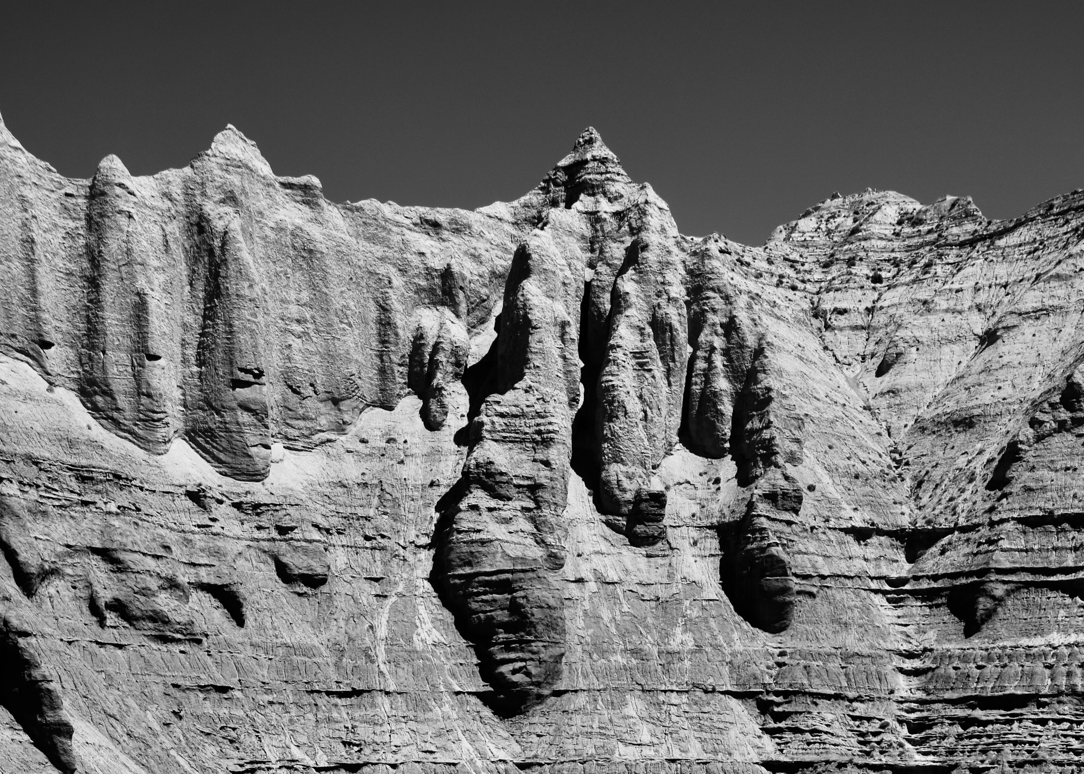
I decided that black and white might be a better way to render the look-alike movie star above. In my mind, it is definitely King Kong. Peggy agrees.We decided this might be the skull of King Kong’s cousin.
Actually, we saw much more than red rocks and giant apes in the Park.
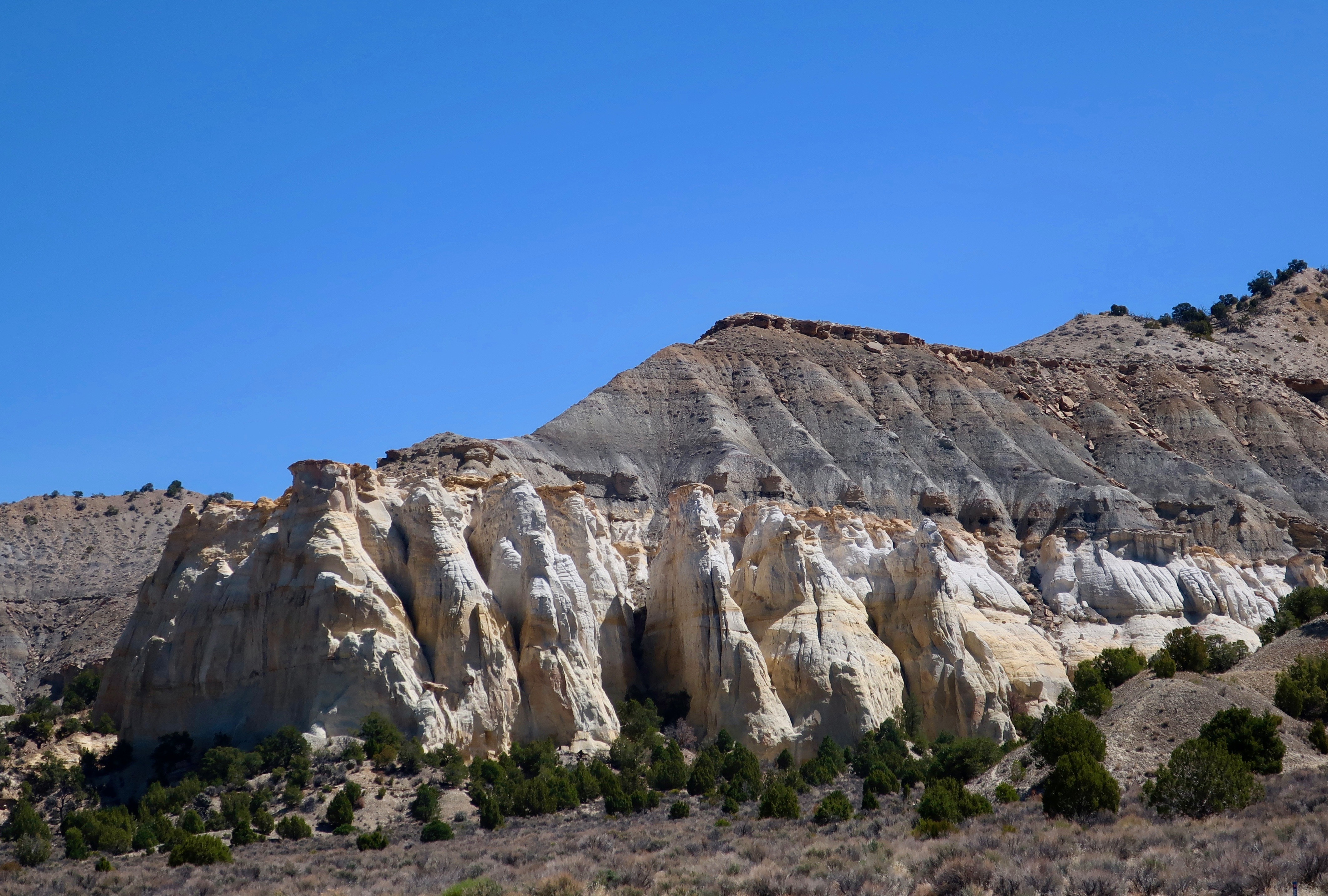
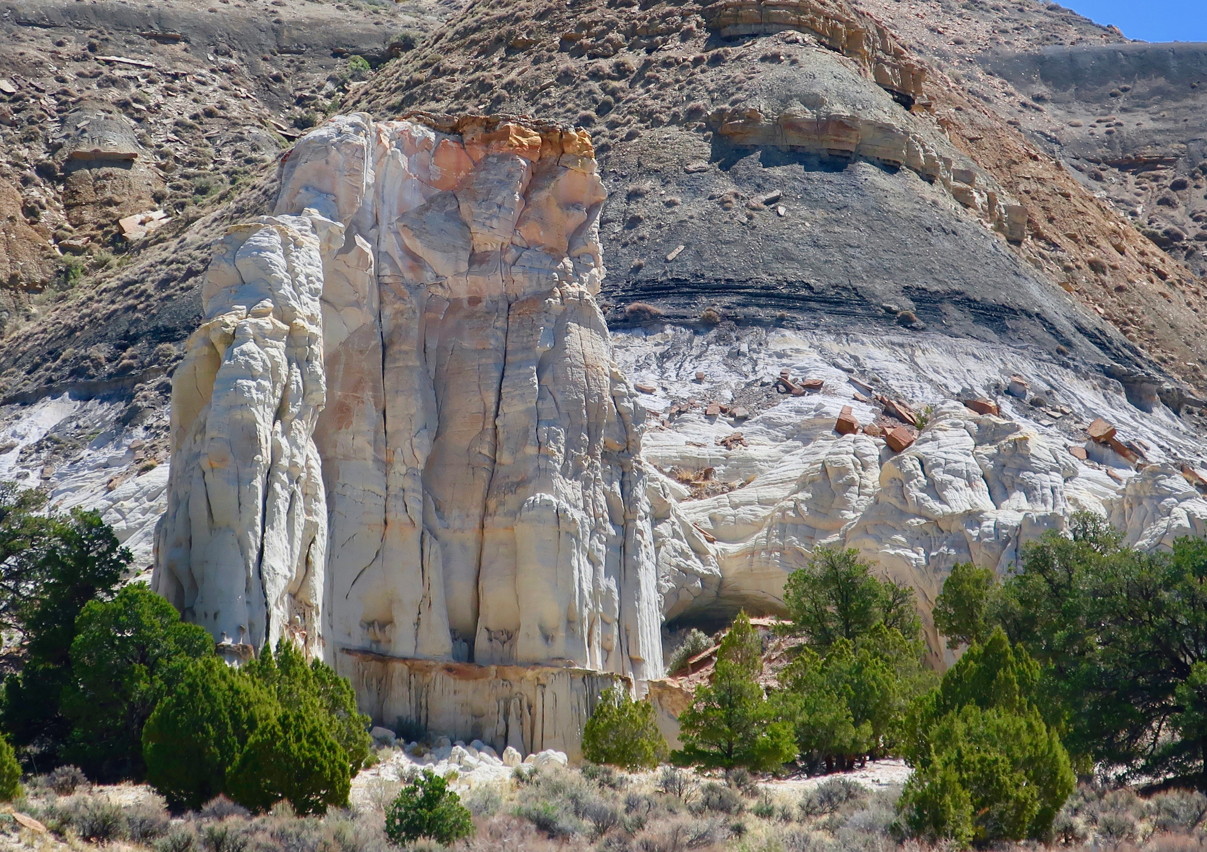
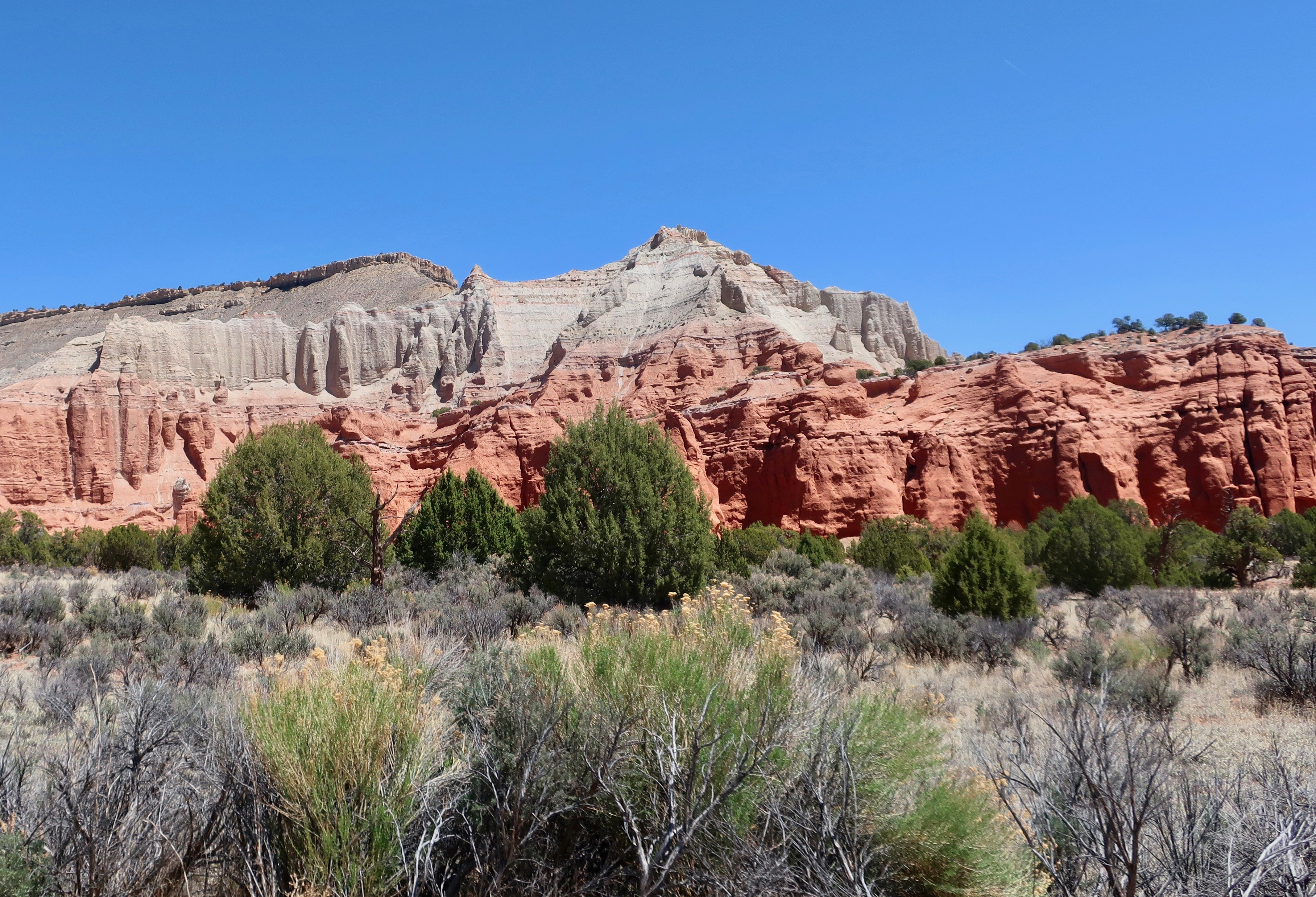
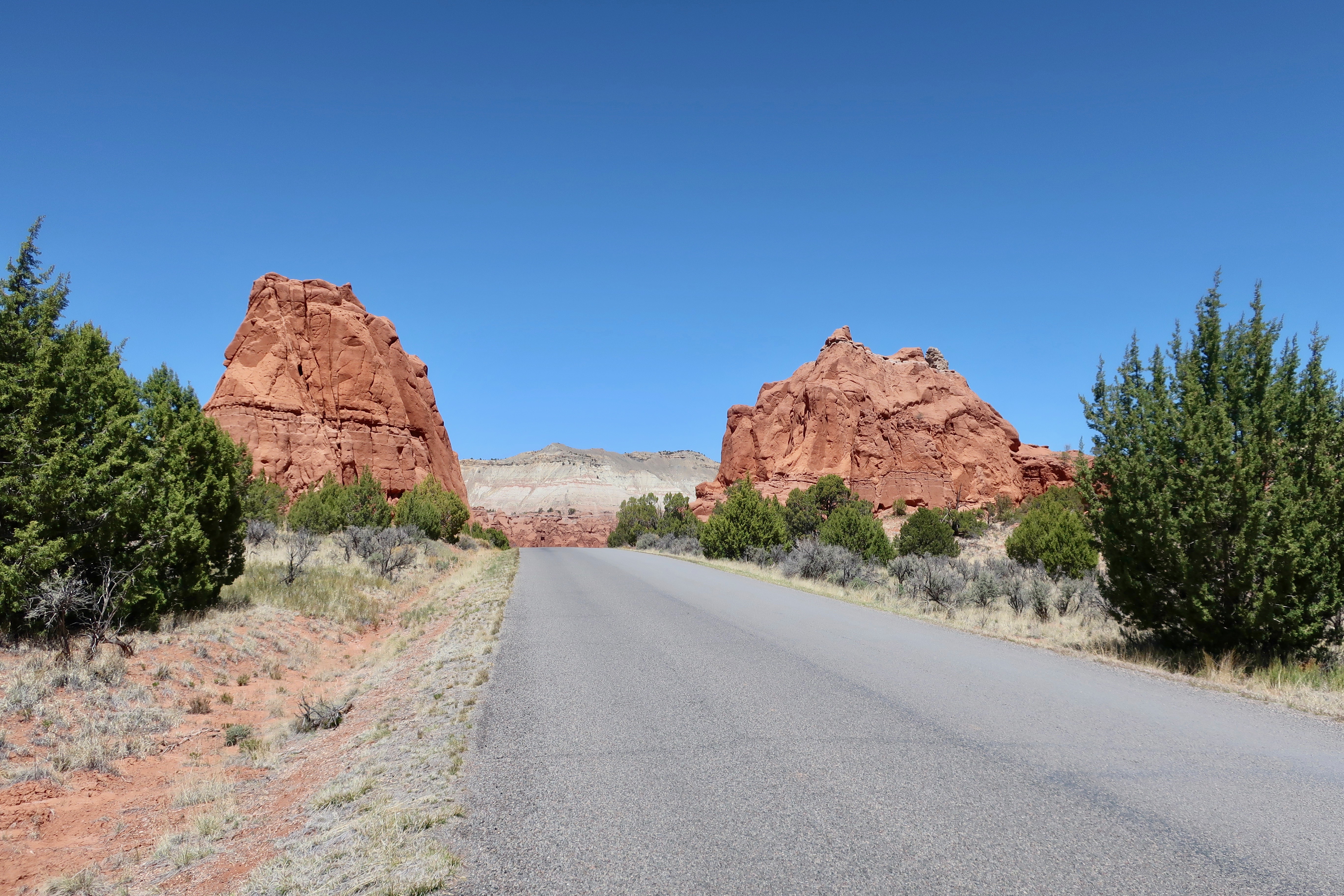
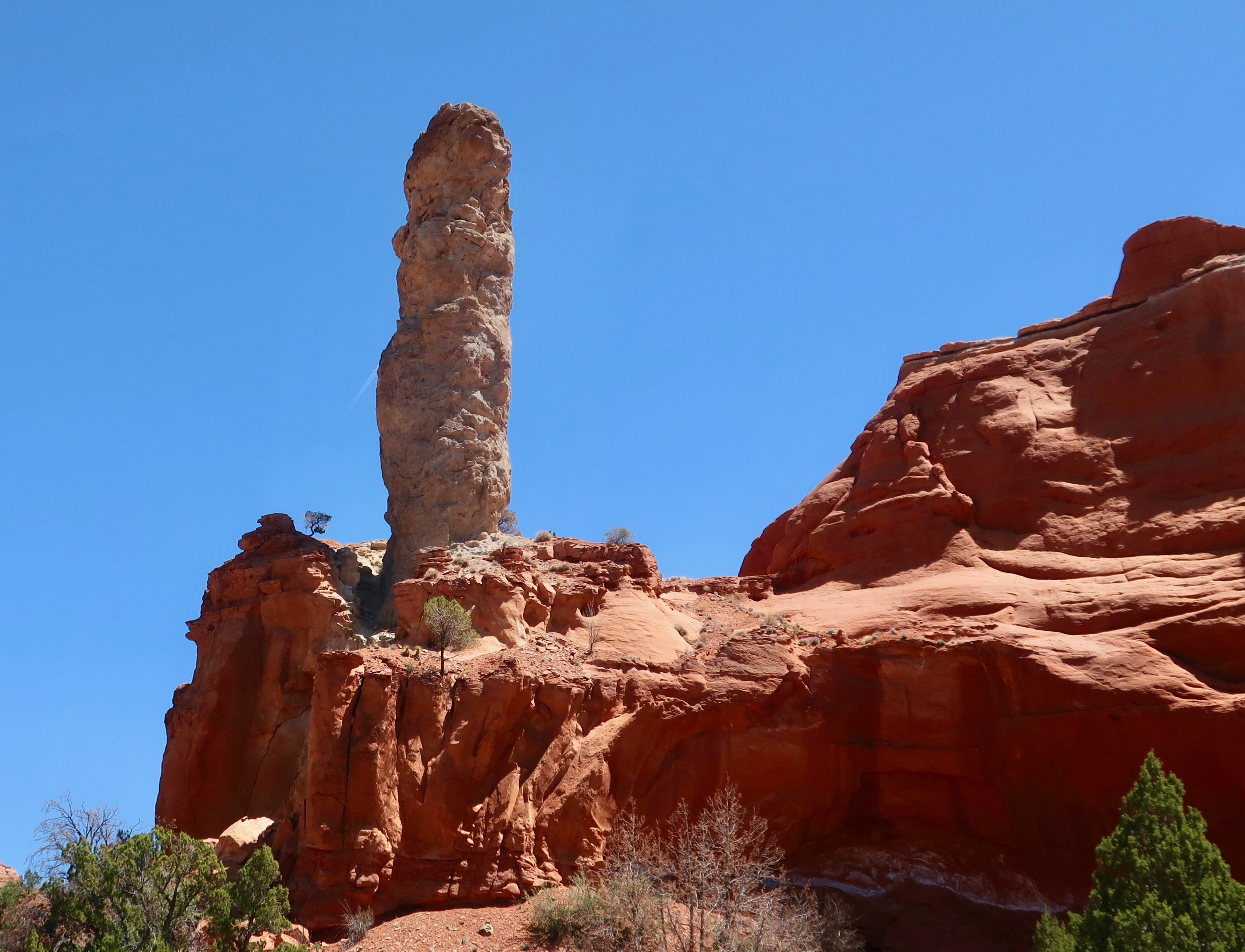
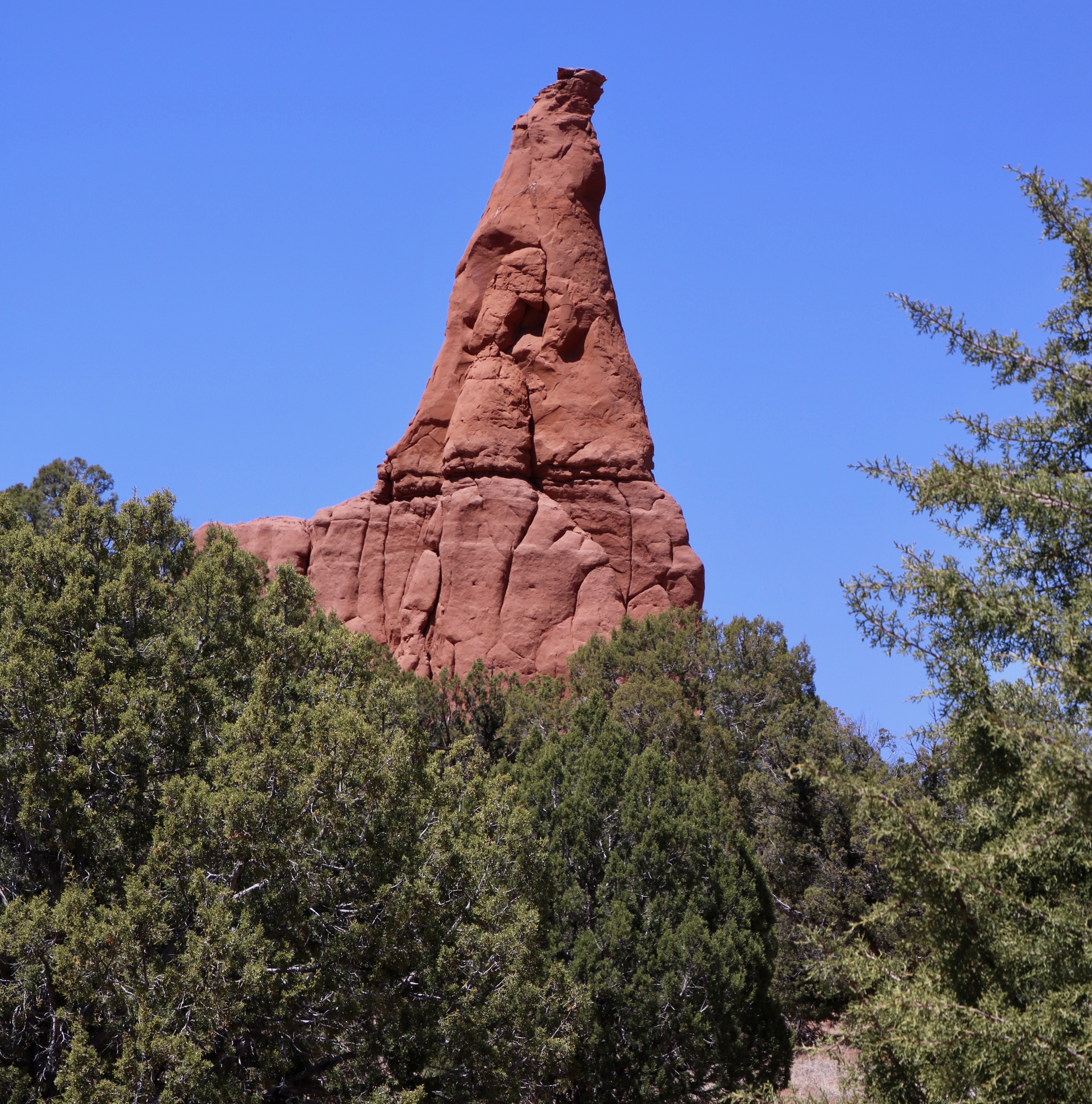
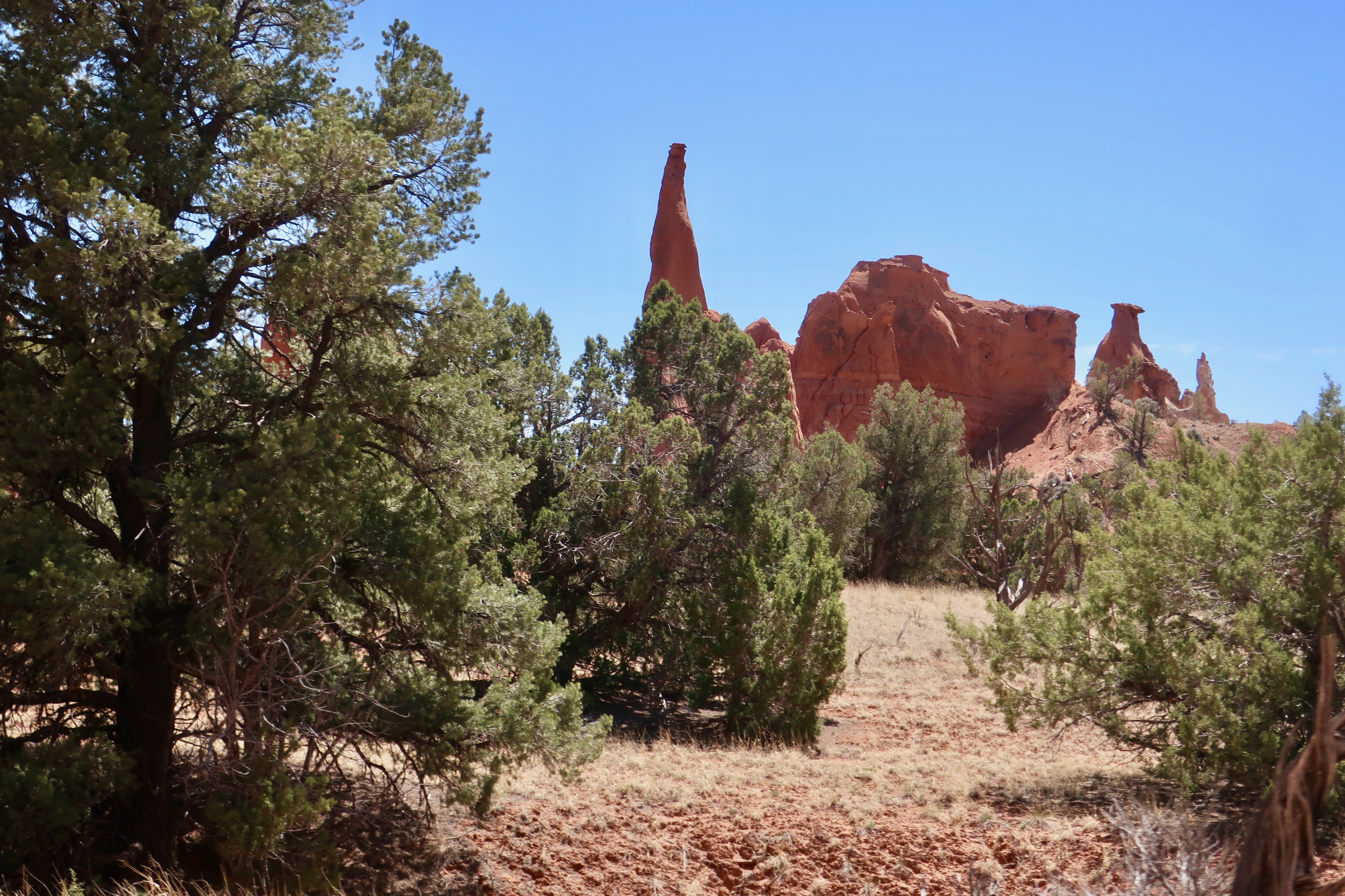
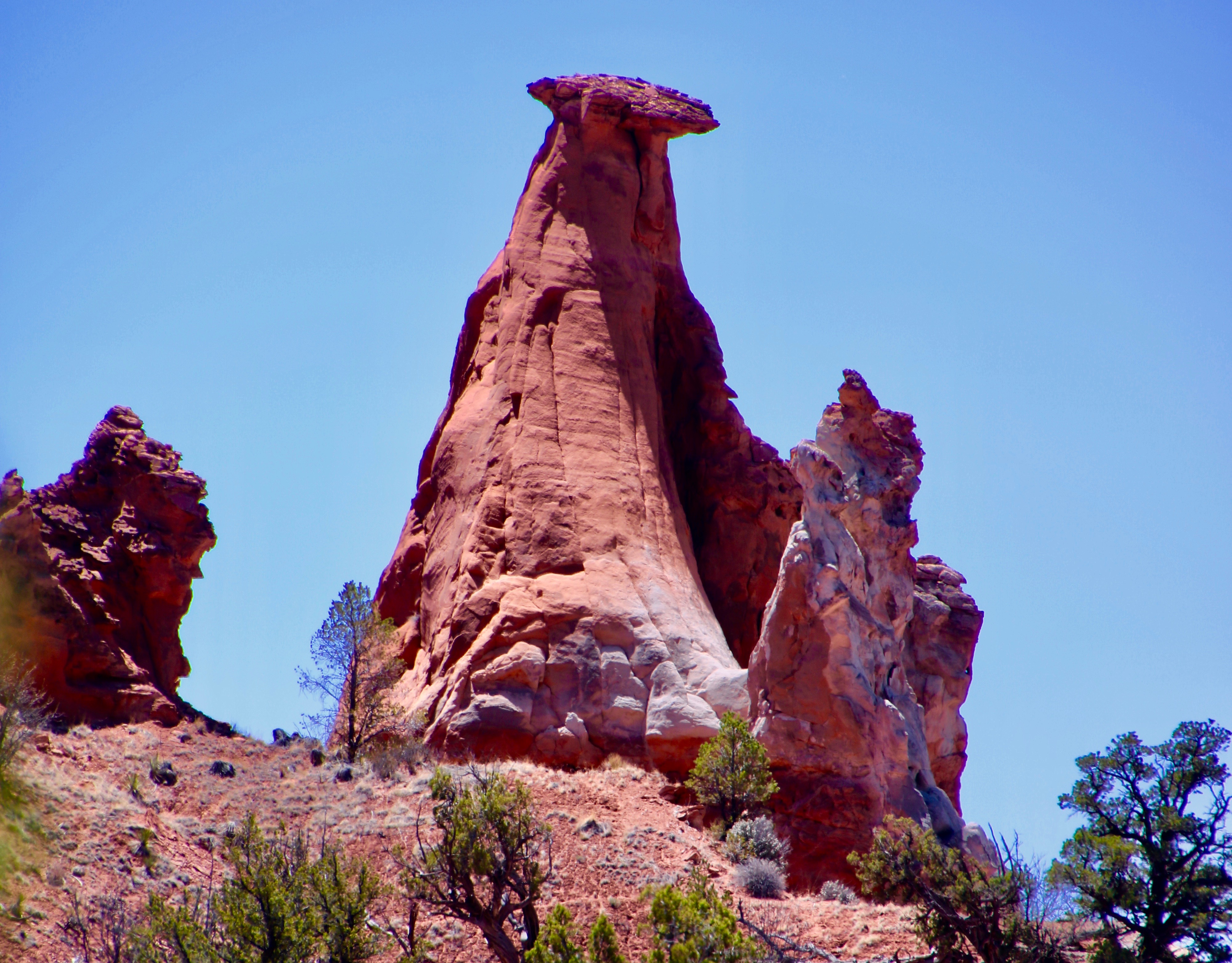
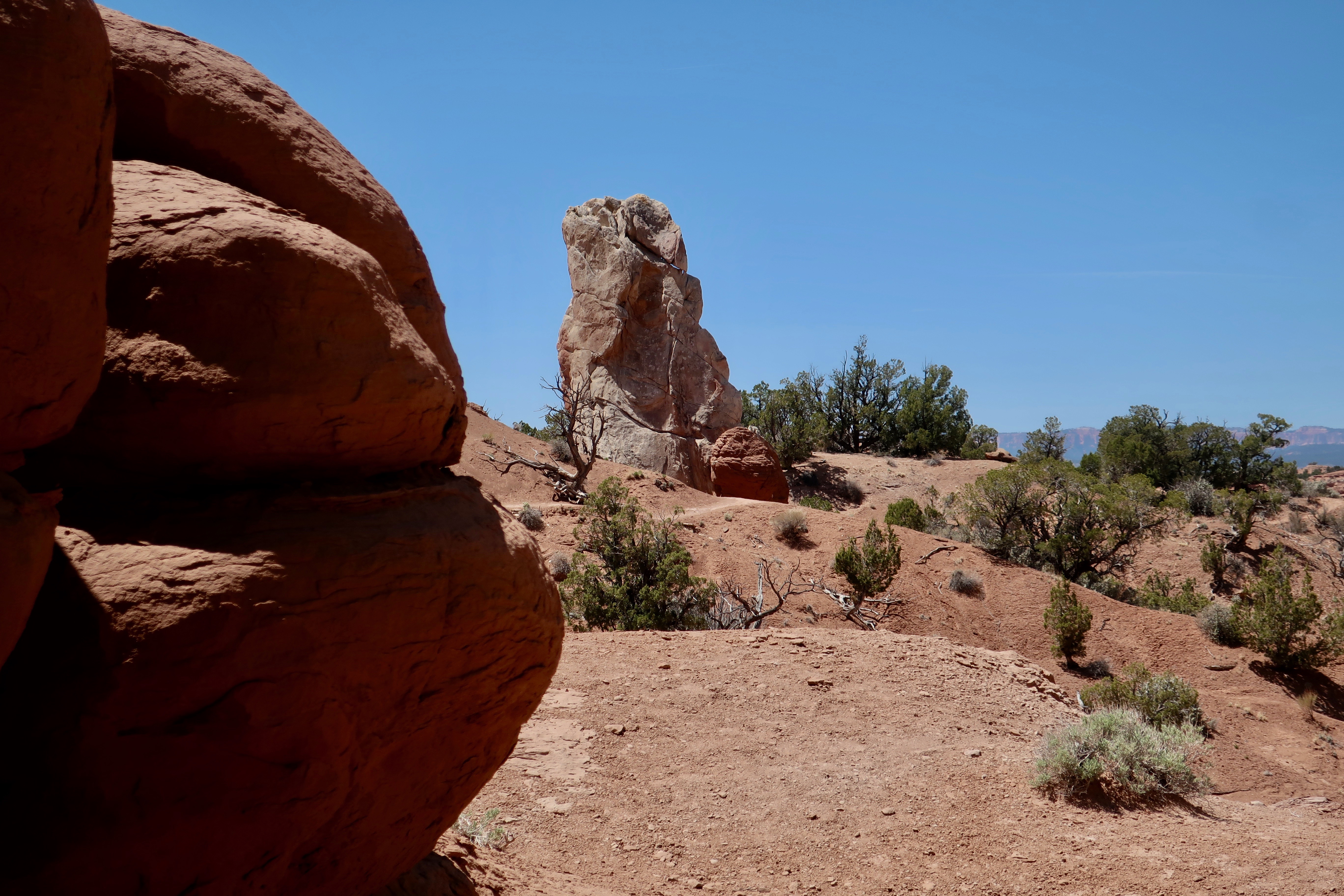
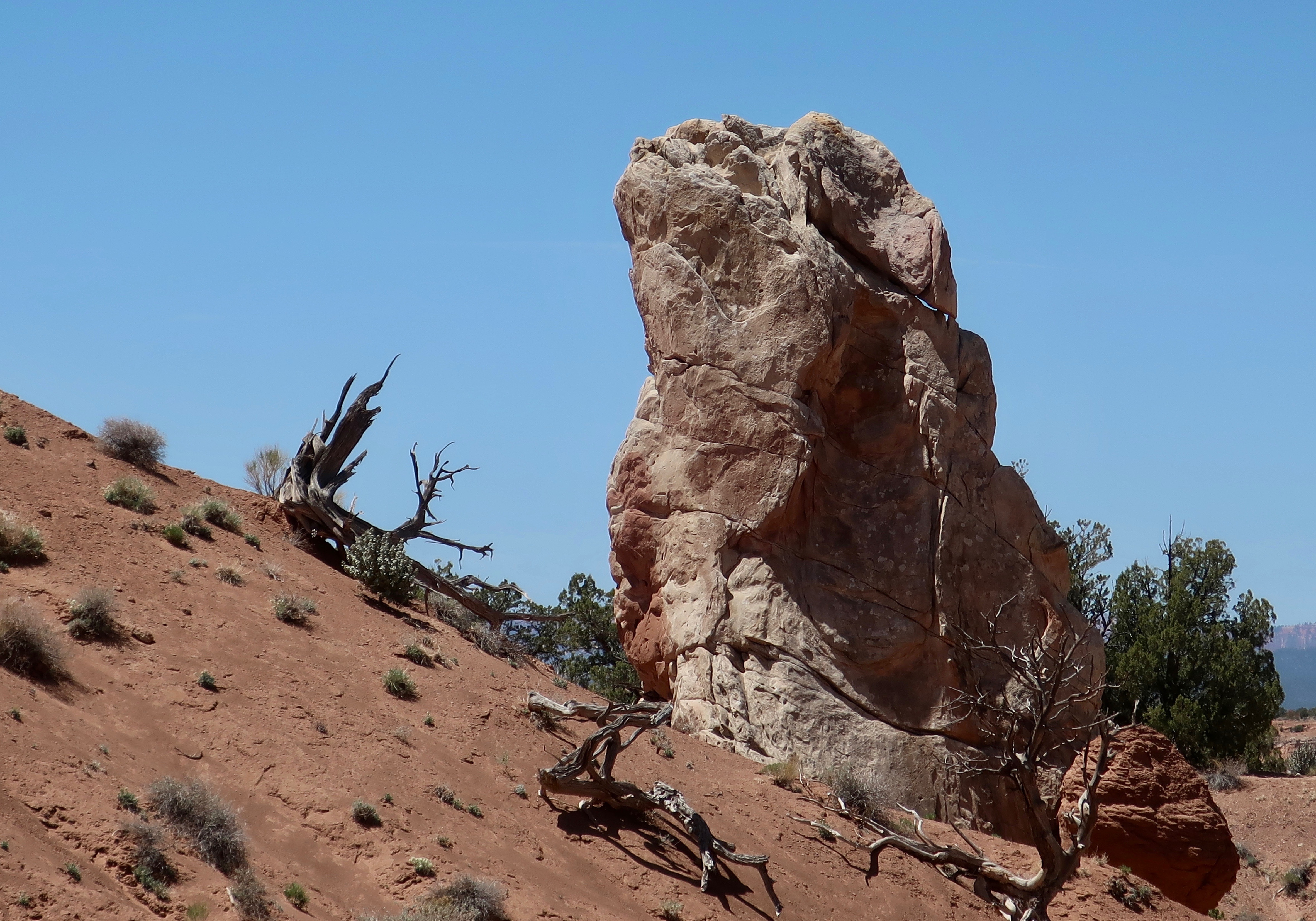
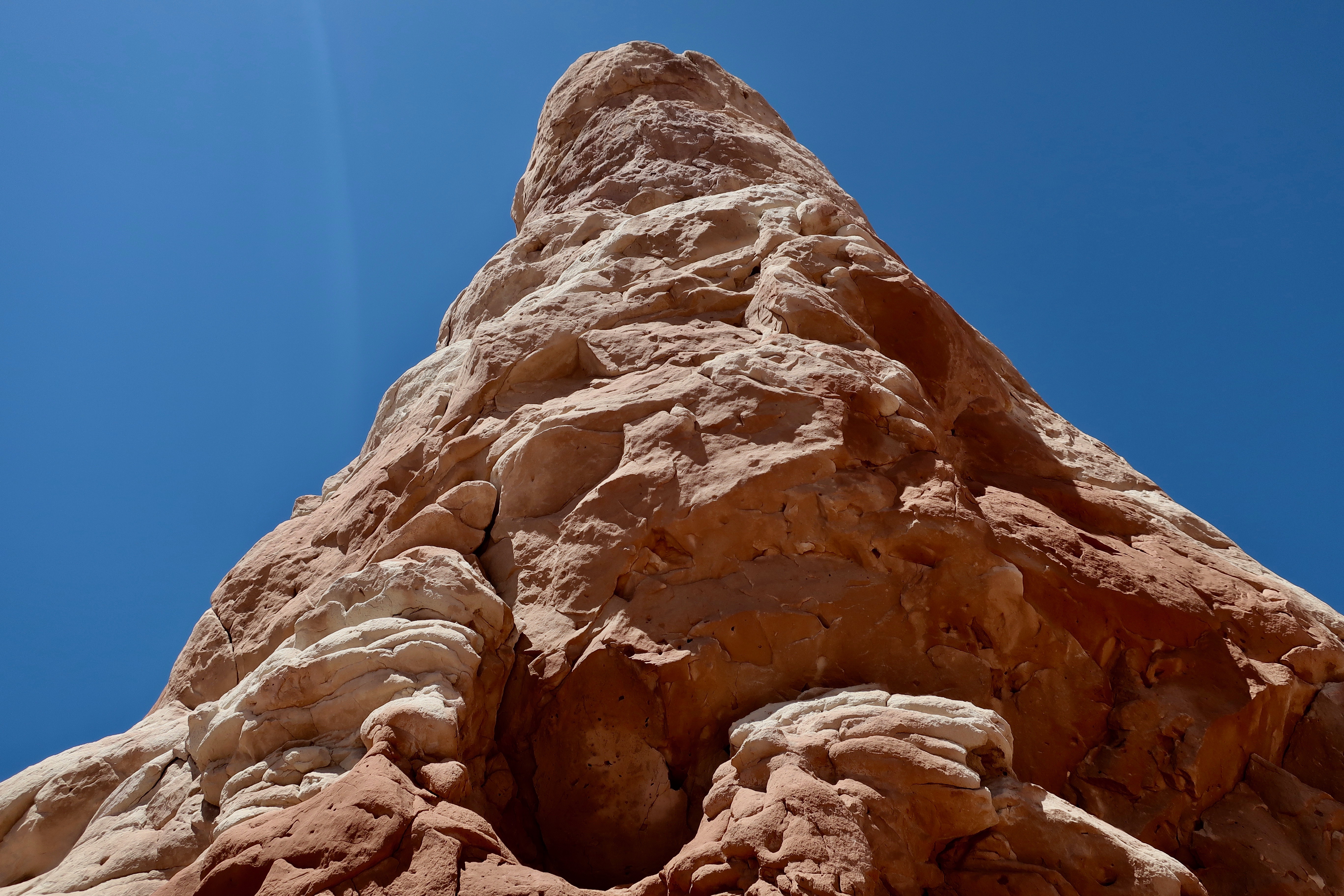
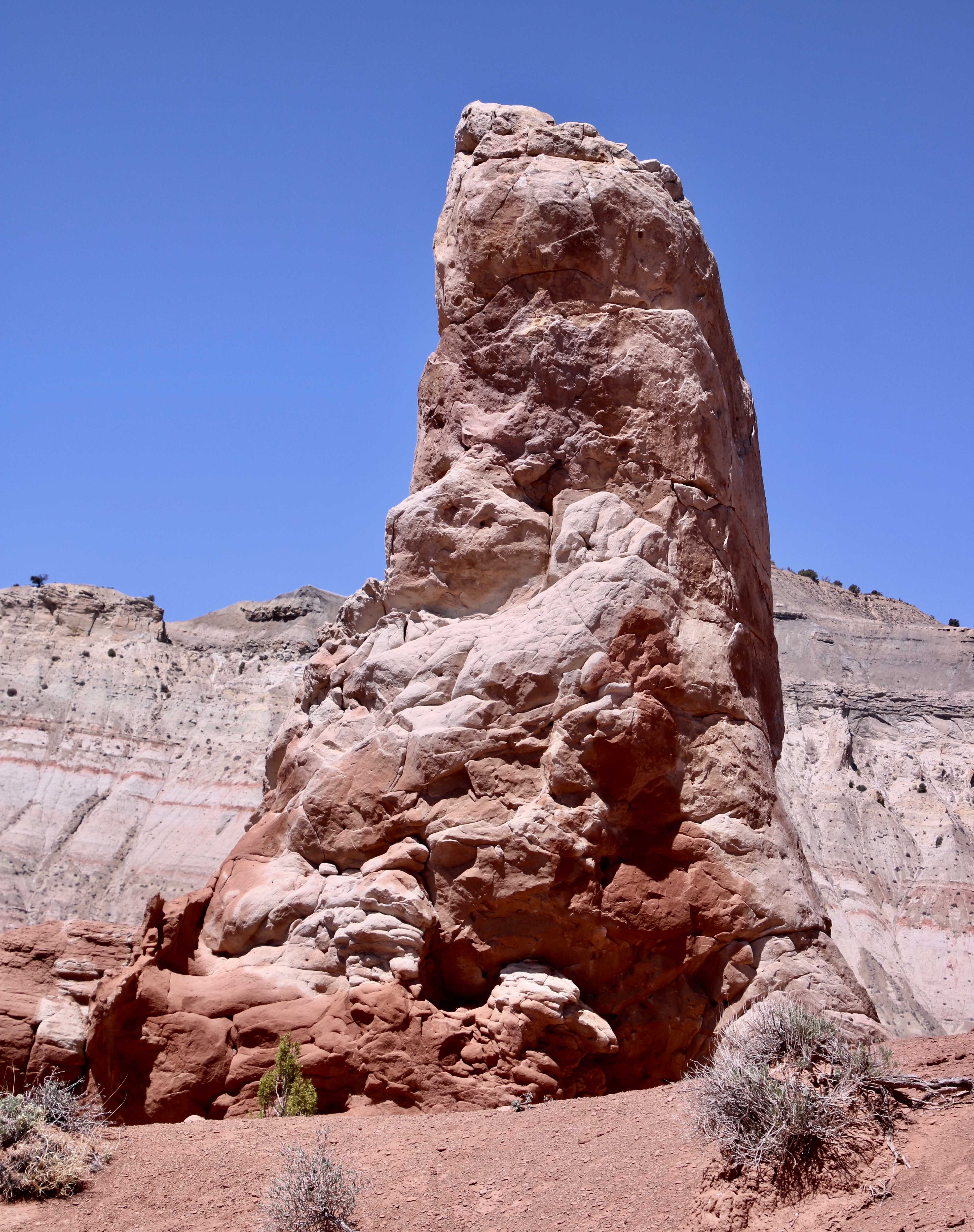
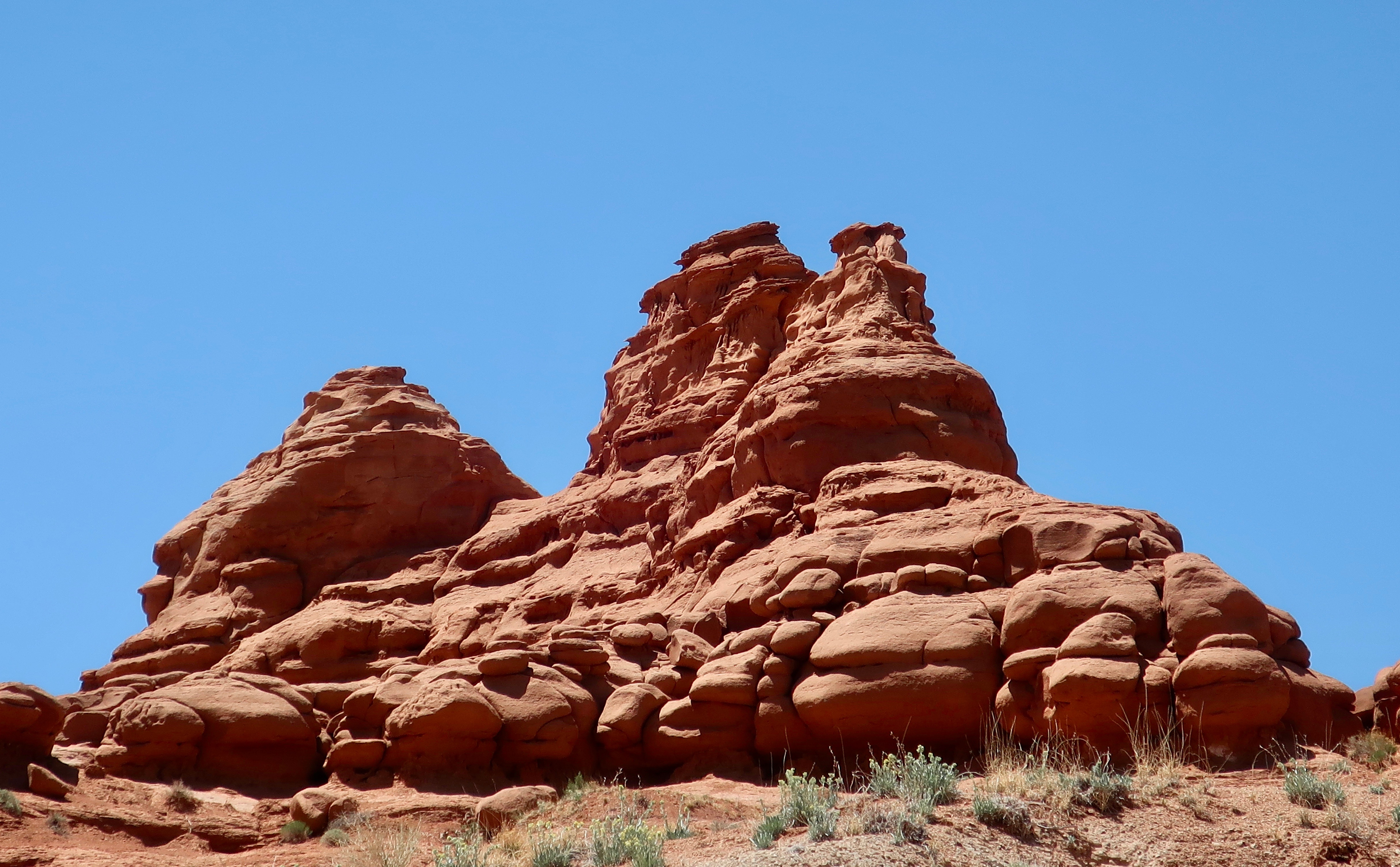
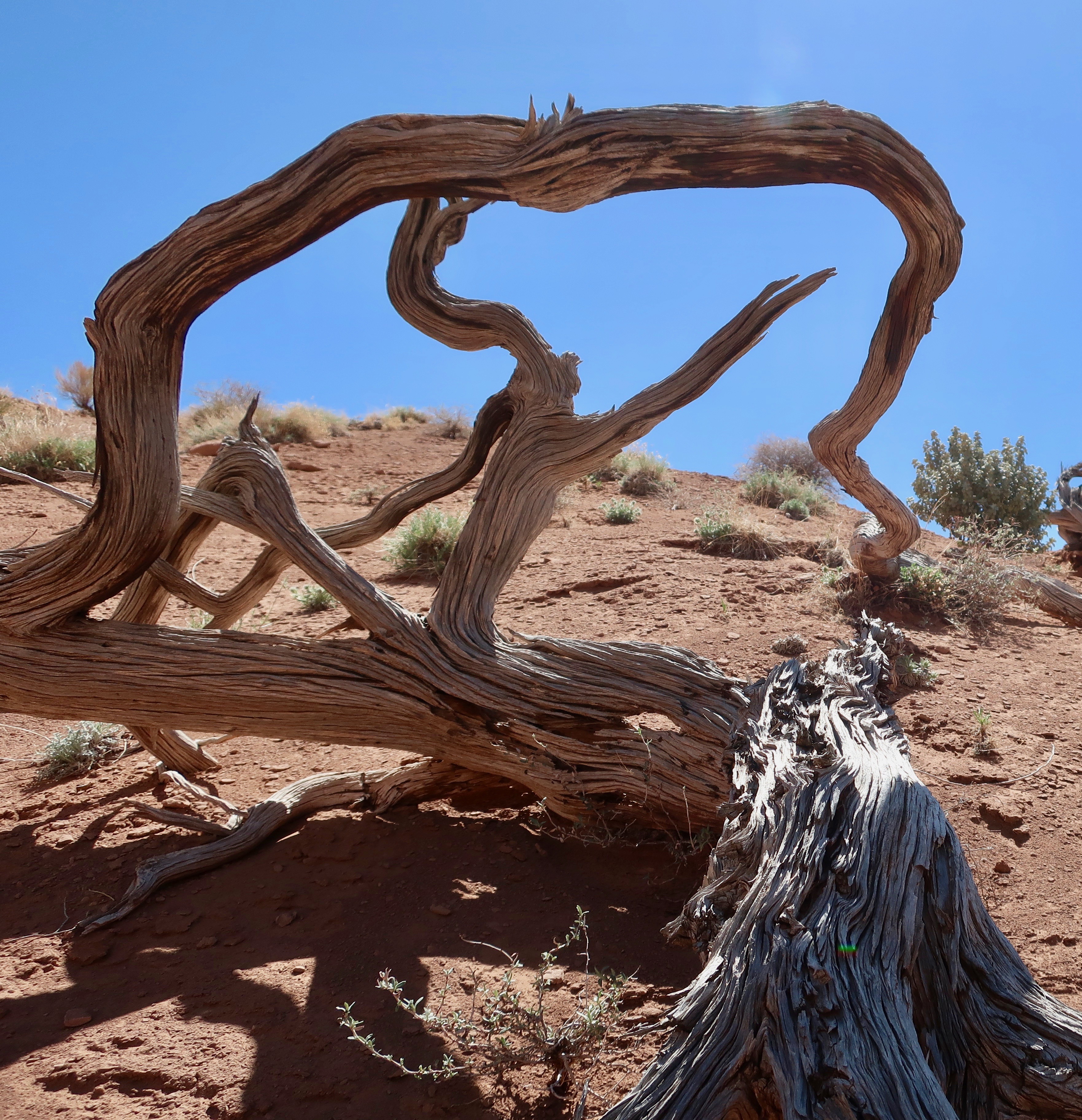
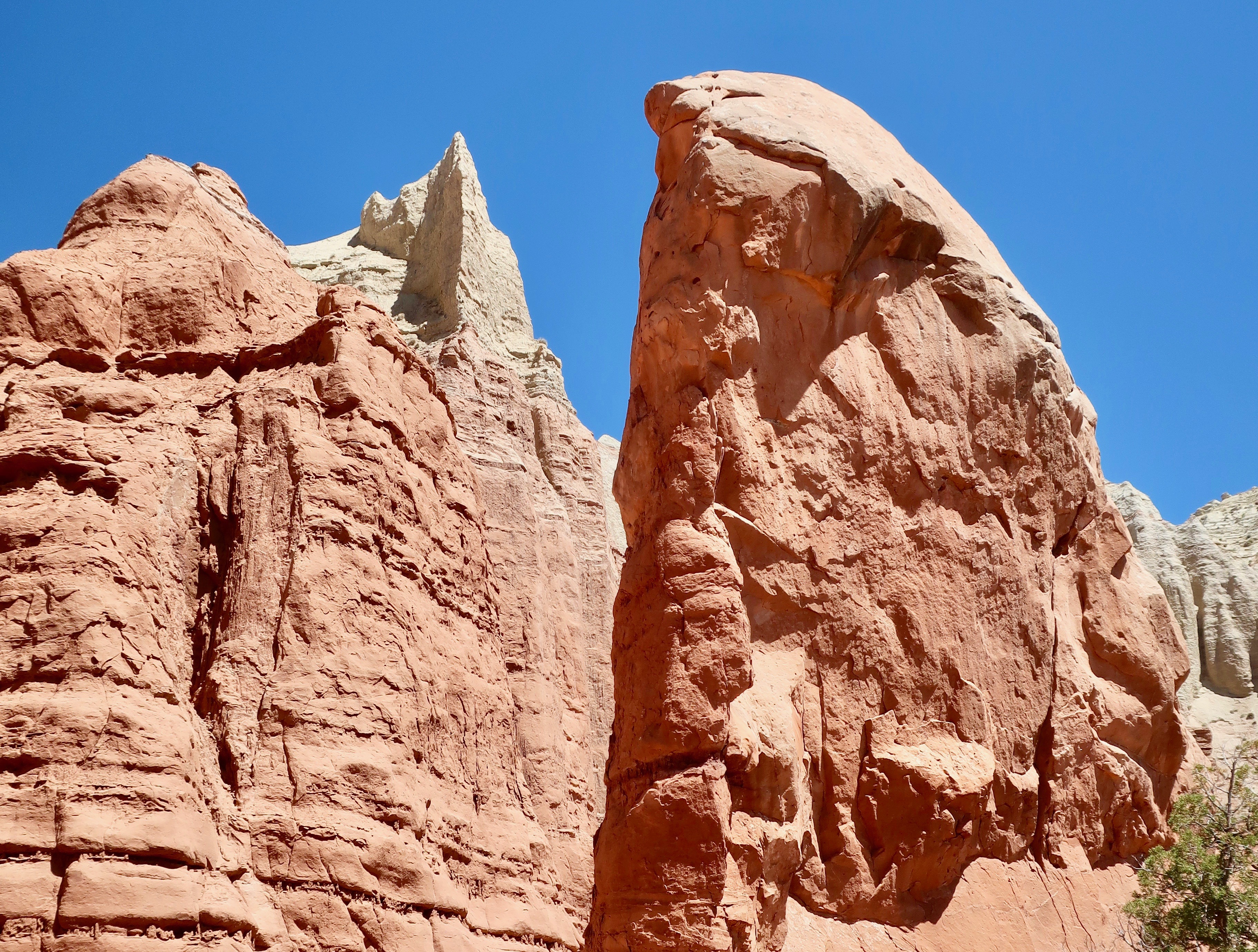
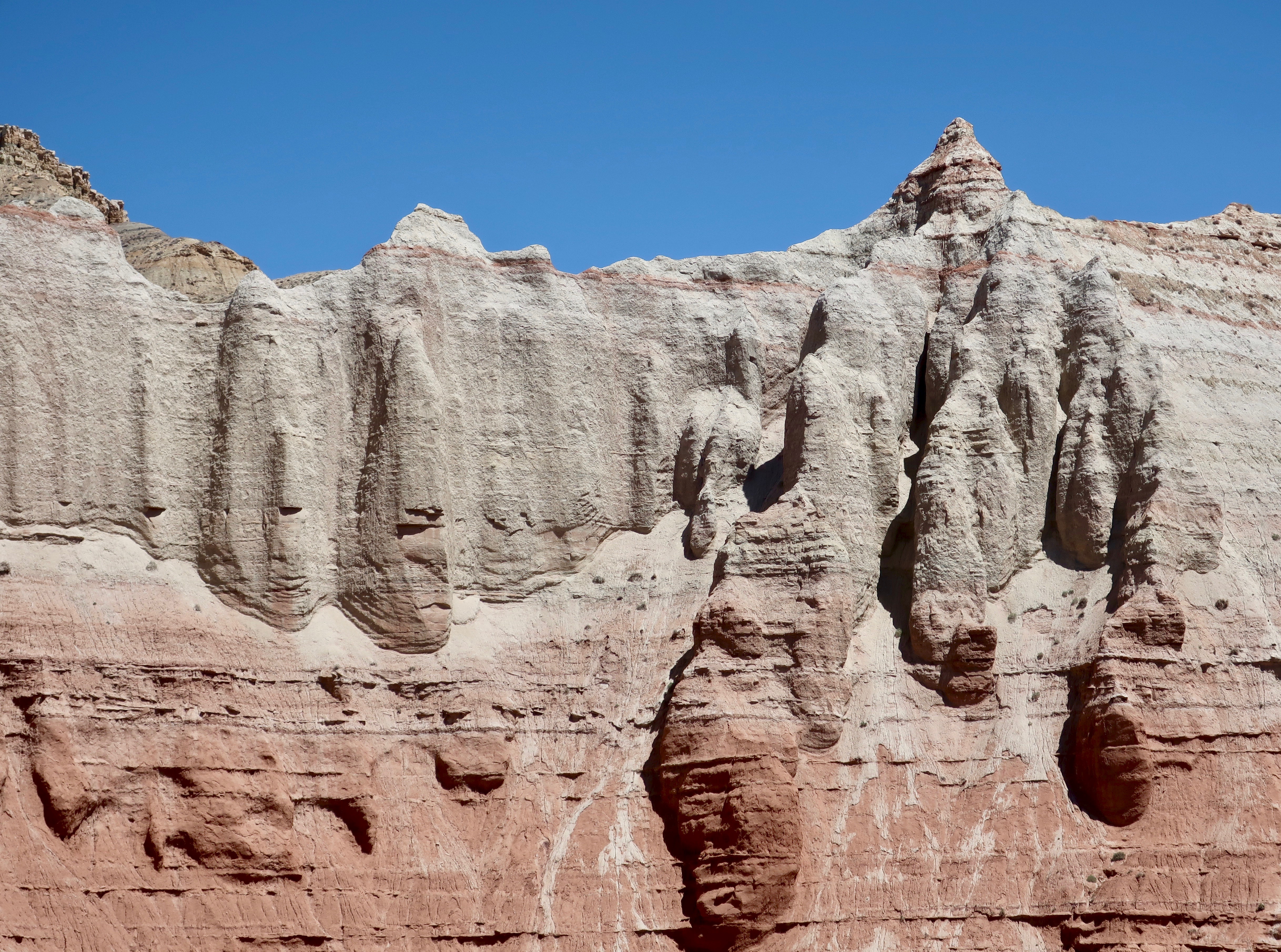
This white rock formation was on the road into Kodachrome Basin State Park…Plus this gorgeous white rock sculpture.Our first view of Kodachrome Basin State Park promised that we were in for a treat. We were not disappointed.These two large rocks were located at the entrance to the Park, like guardians.Given its face, I thought of this rock specifically as the Guardian of the Park. It was the back of the rock on the right that held the surprise, however. (Photo by Peggy Mekemson.) An unusual white pillar shot straight up from the red rock. Turns out that they are found throughout the Park. The rocks are known as sedimentary pipes but the jury is still out as to what creates them. (Photo by Peggy Mekemson.)I took a closer photo of the finger-like projection.There were also sandstone spires created by the more normal process of erosion. (Photo by Peggy Mekemson.)A number of the red sandstone spires and other rocks were in a row. I show some of them here. They were probably part of the same formation before erosion wore them down.This spire still sported its caprock. I loved the color on the rock to the right. (Photo by Peggy Mekemson.)There were also hoodoos found throughout the park like the one on the left. Expect many more in my other posts on Bryce Canyon and other parks in the area. (Photo by Peggy Mekemson.)A number of trails lead into the park. This is the one we chose to hike.The trail wandered among the red rocks shown above and then shot up a steep but short wall. We came around a rock and discovered another hoodoo.It was a handsome rock…A big fellow…And colorful. I took a photo from the other side shooting straight up, and caught some of the rock’s color.Peggy’s photo on our return trip caught the color even more. (Photo by Peggy Mekemson.)There were many other things to see along the trail. Peggy caught this photo of a tall, slender, sedimentary chimney. (Photo by Peggy Mekemson.)And a short, stubby one. (Photo by Peggy Mekemson.)I took photos of red sandstone rocks…And more sandstone rocks…I found a small juniper that I felt looked like a Japanese bonsai.And, a twisted wood sculpture…Finally we came to a steep drop off, towering rocks and a massive cliff that signified the end of the trail.We weren’t any more willing to climb up the cliff than we were willing to drop into the canyon. Grin.Peggy took a close up. (Photo by Peggy Mekemson.)I took a similar photo that I rendered into black and white.Other trails in the park promised many more opportunities for exploration. Unfortunately, we had run out of time for the day.I took a final photo of the park before heading on to our next adventure.
Next Friday I will feature Red Canyon, which in some ways matches Bruce Canon for sheer beauty and fantastic hoodoos. You won’t want to miss it.
Meanwhile, we wrapped up our Rhine River cruise. Here’s another teaser. We were wandering through Germany’s Black Forest when we came across this donkey at a historic farm museum.
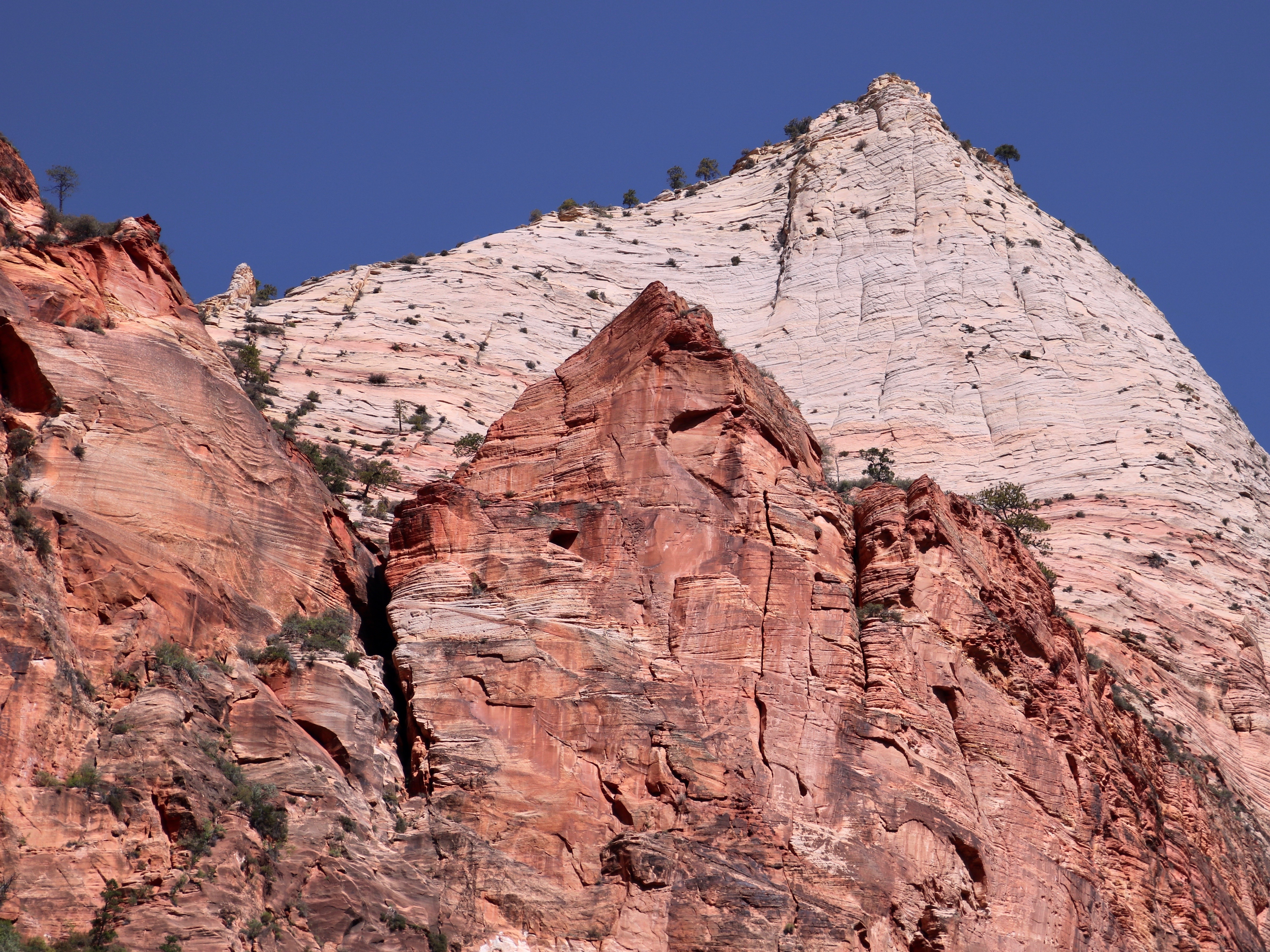
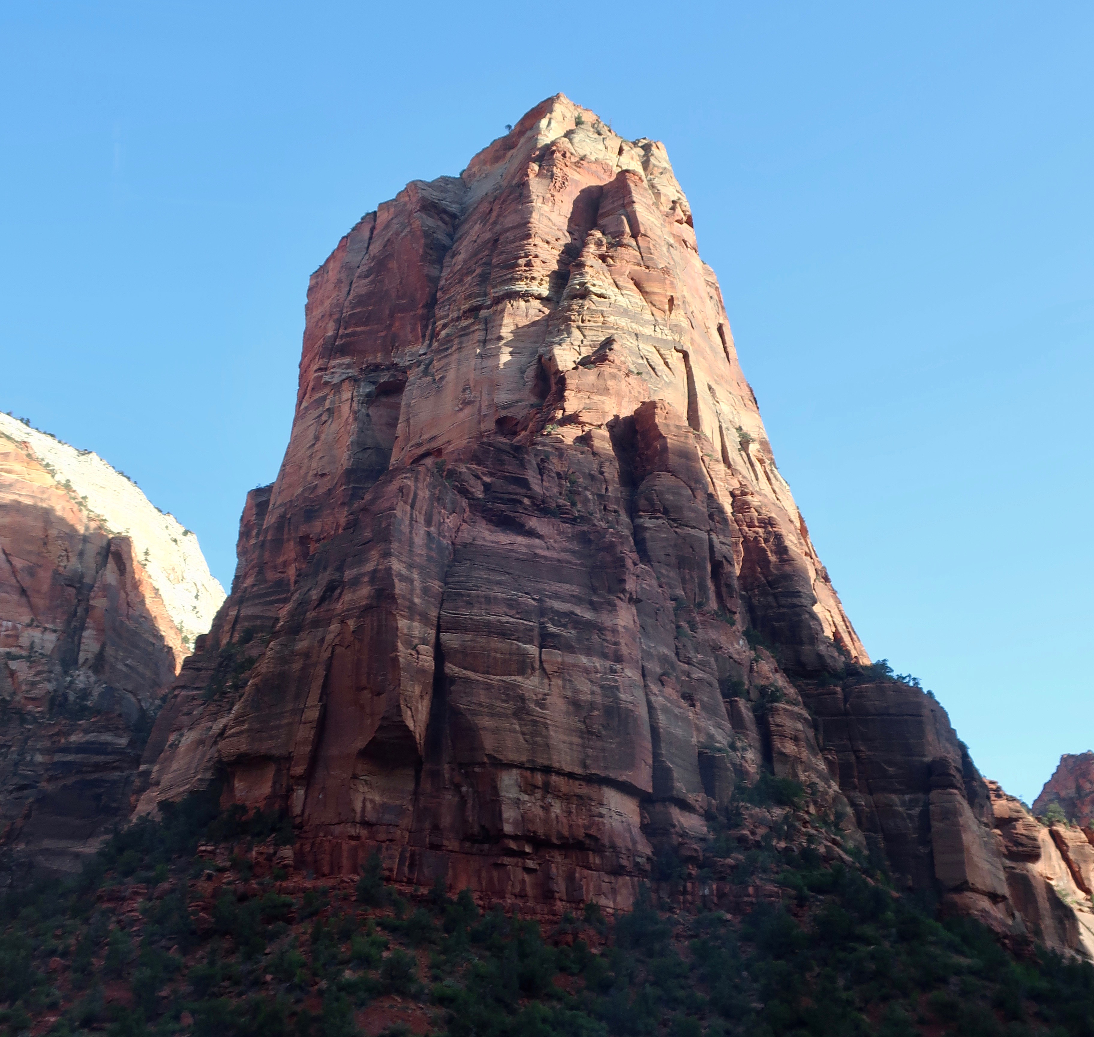
I’ve saved the best for last in my Zion National Park series, and I’ve done it for two reasons. First and foremost, I wanted to emphasize that there are other areas in Zion that deserve your attention, areas of incredible beauty and interest like Kolob Terrace, Kolob Canyon, East Zion, and the petroglyph hike Peggy and I took you on. Second, I wanted to suggest areas that lack the crowds you will face in Zion Canyon. We didn’t see anyone on our petroglyphs hike.
None of this is meant to detract from the beauty and grandeur of the Canyon. There are reasons why millions of people visit it every year. It is one of the great natural wonders of the world. I wouldn’t think of going to Zion National Park without visiting, and I’ve been doing so for 50 years. My first trip there was in 1973. I put on my backpack and hiked up and over the 2000 feet canyon walls to a lovely oasis known by the unglamorous name of Potato Hollow. Nobody was there, either. Grin. I remember the aspens carved with names of early Basque sheep herders and a cool stream. I’m a bit ashamed to mention that I remember the hike down even more. It was 105° F. I finally arrived back at my car with hot, blistered feet where I had an iced cold beer waiting. Something like a Bud. It may have been the best beer I have ever downed. It was so good, I immediately drank a second.
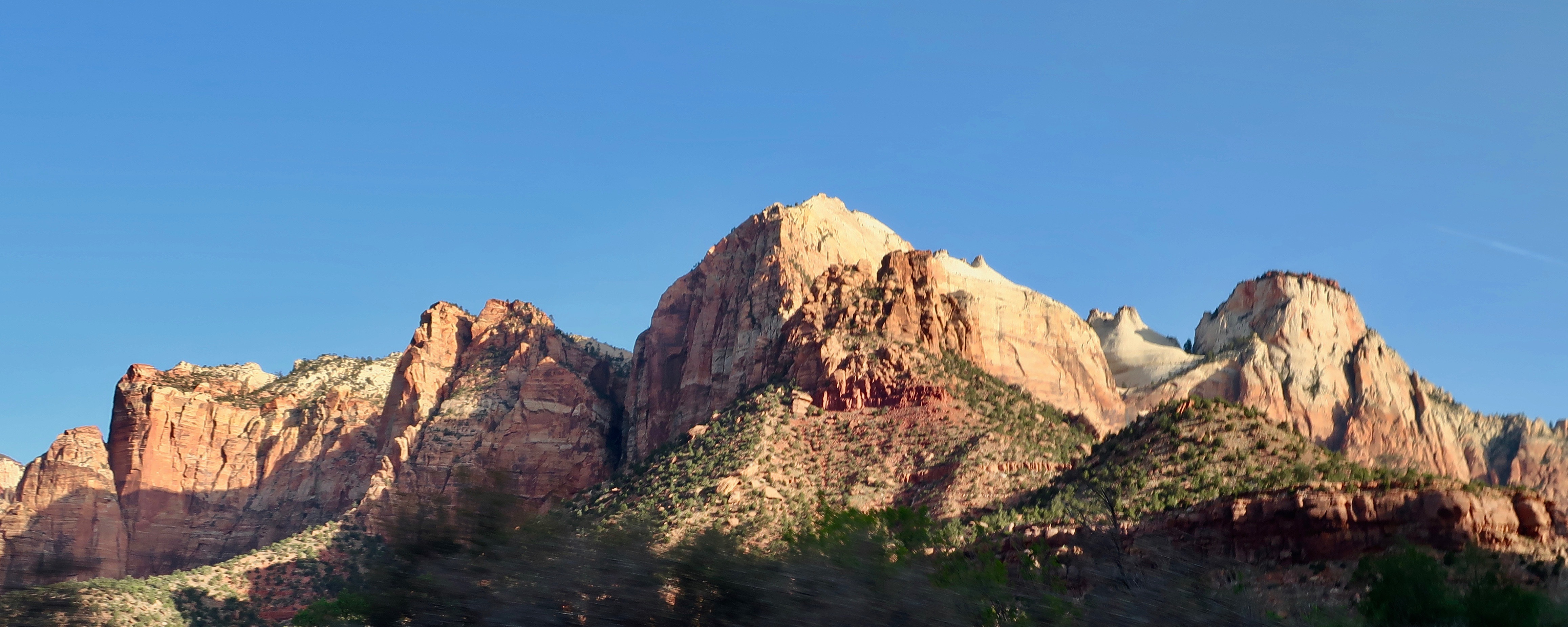
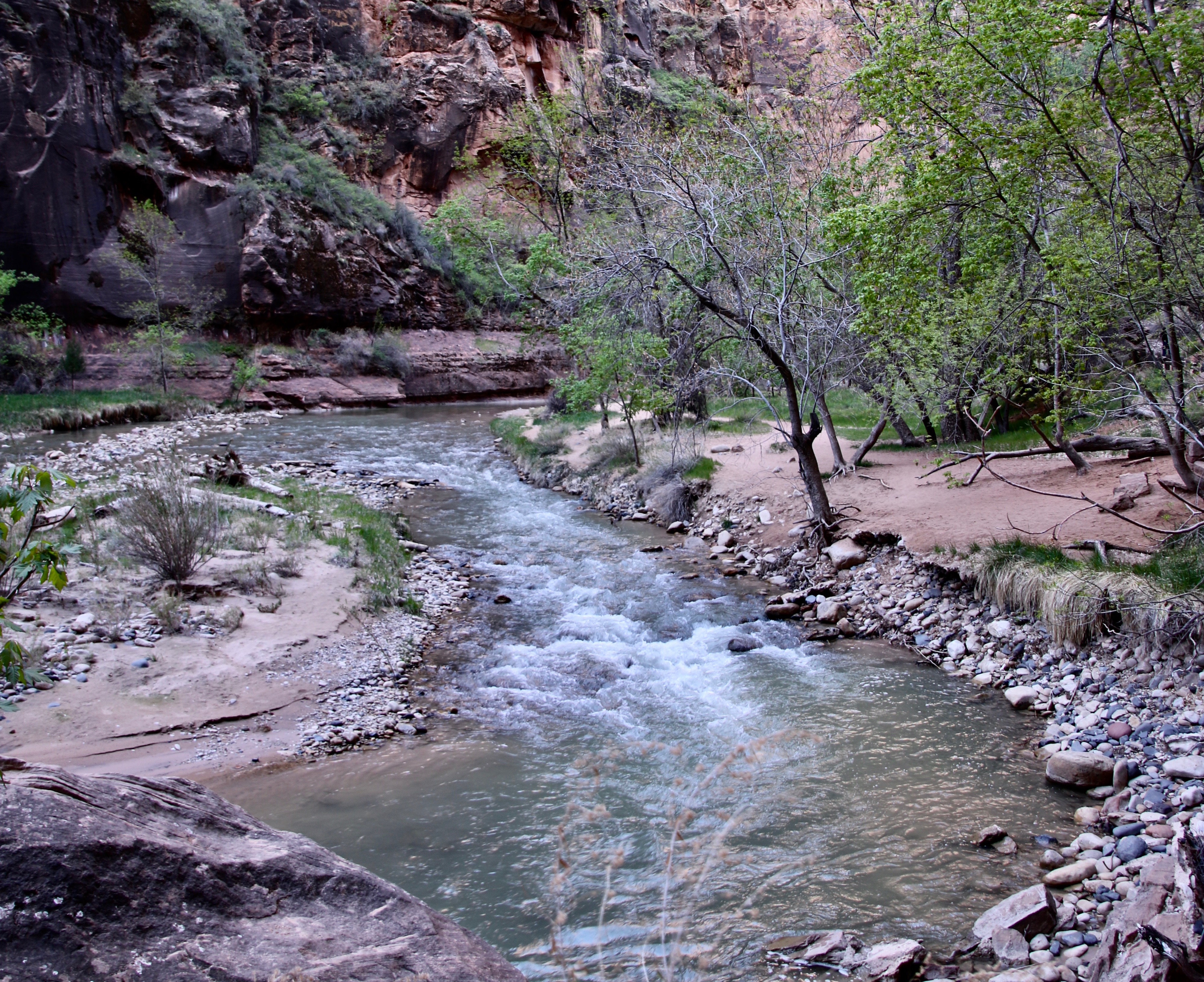
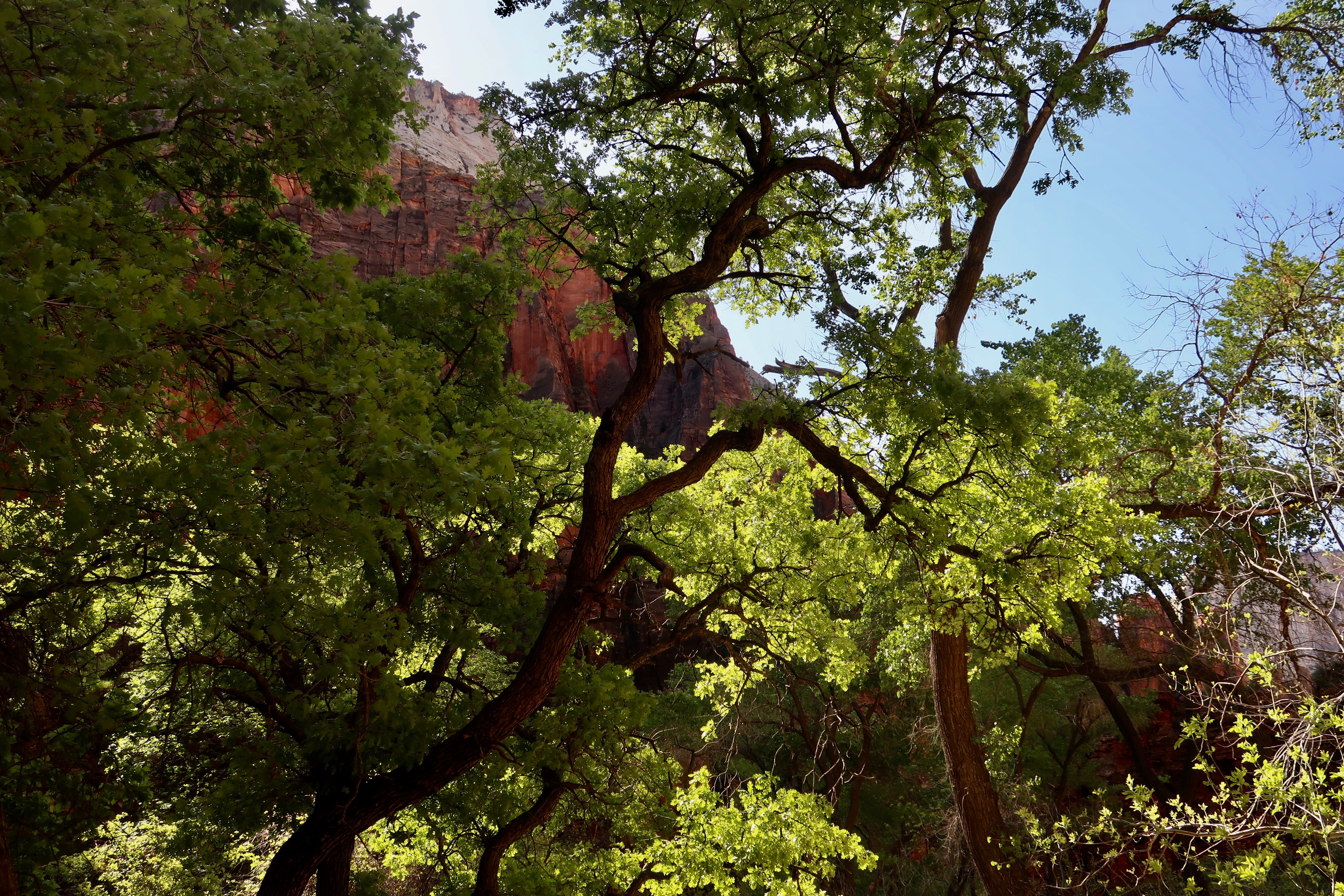
Peggy and I took a shuttle from our campground in the small town of Virgin into Springdale and grabbed a Park shuttle out to the end of the road. It was 7 AM and cold. We then jumped off and on shuttles, stopping at major sites and working our way back to the beginning of the park. We took 200 photos which I then worked down to a hundred and finally the 22 shown below. I’ll skip the commentary today on most of the photos. They speak for themselves. They are split between photos Peggy took and photos I took.
The Virgin River.For fun.
This wraps up our visit to Zion National Park. Peggy and I hope you have had as much fun with the posts as we had putting them together. Next up is Bryce National Park. Once again we will focus on the surrounding area as well as the four miles of Bryce Canyon most people visit. I’m estimating that there will be seven posts altogether. As you read this we will have finished our trip up the Rhine River and returned to our base camp near Waterford, Virginia. Starting in September, we will be on the road again, this time for five or six months.
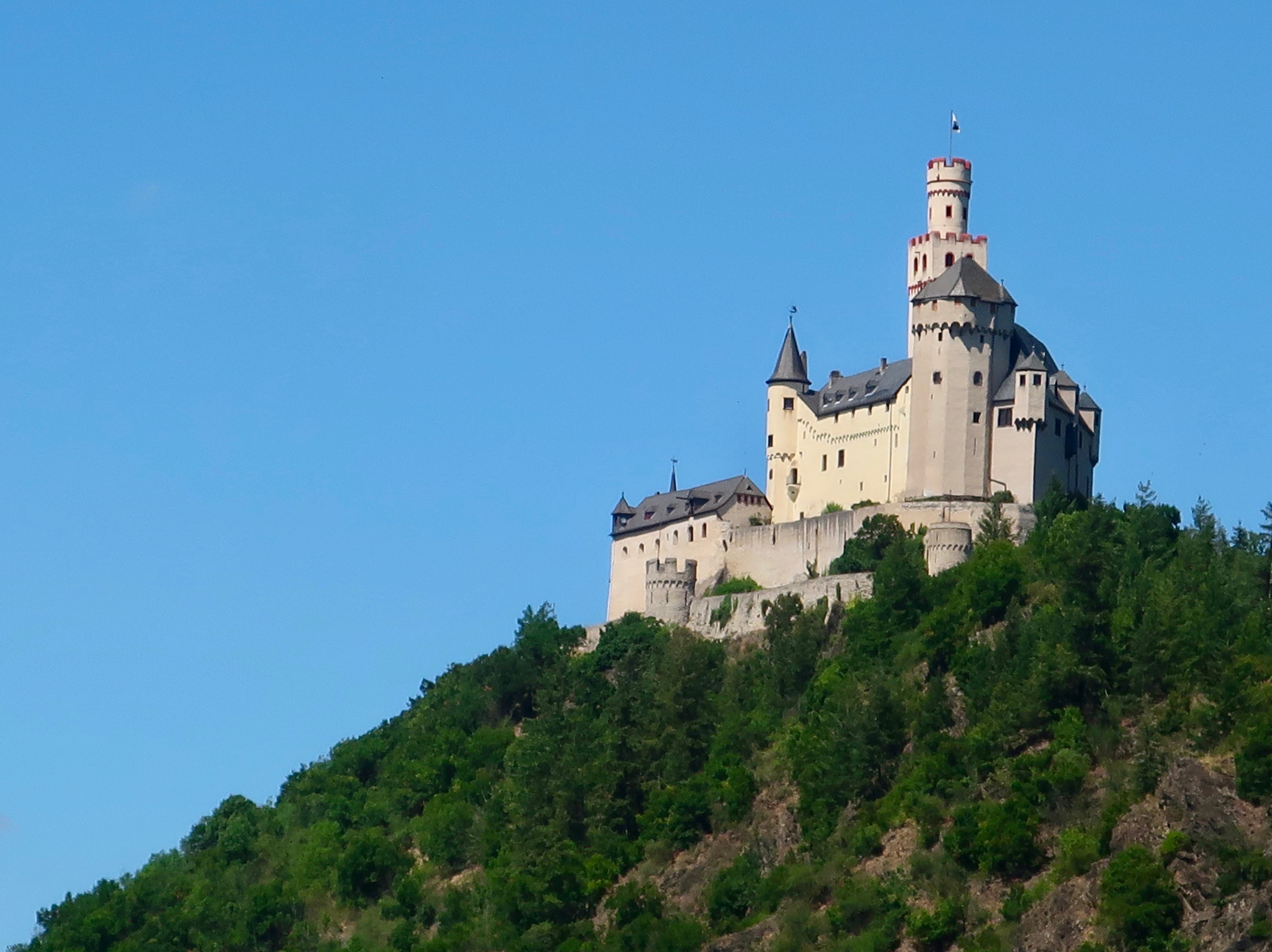
We are wrapping up our Rhine River Cruise. Considerable beauty… And lots of castles! This is Marksburg Castle which was one of three we toured.
Note: As you read this, Peggy and I are in Amsterdam at the beginning of a Rhine River cruise between Amsterdam and Basel. I’ve been scheduling posts ahead of time so I can maintain a more regular presence on WordPress than I have been able to for the past several months. My goal for now is once a week on Fridays. At this rate, I already have enough material on the Southwest national parks we visited in April and May to keep going for three months. LOL. I may never catch up.
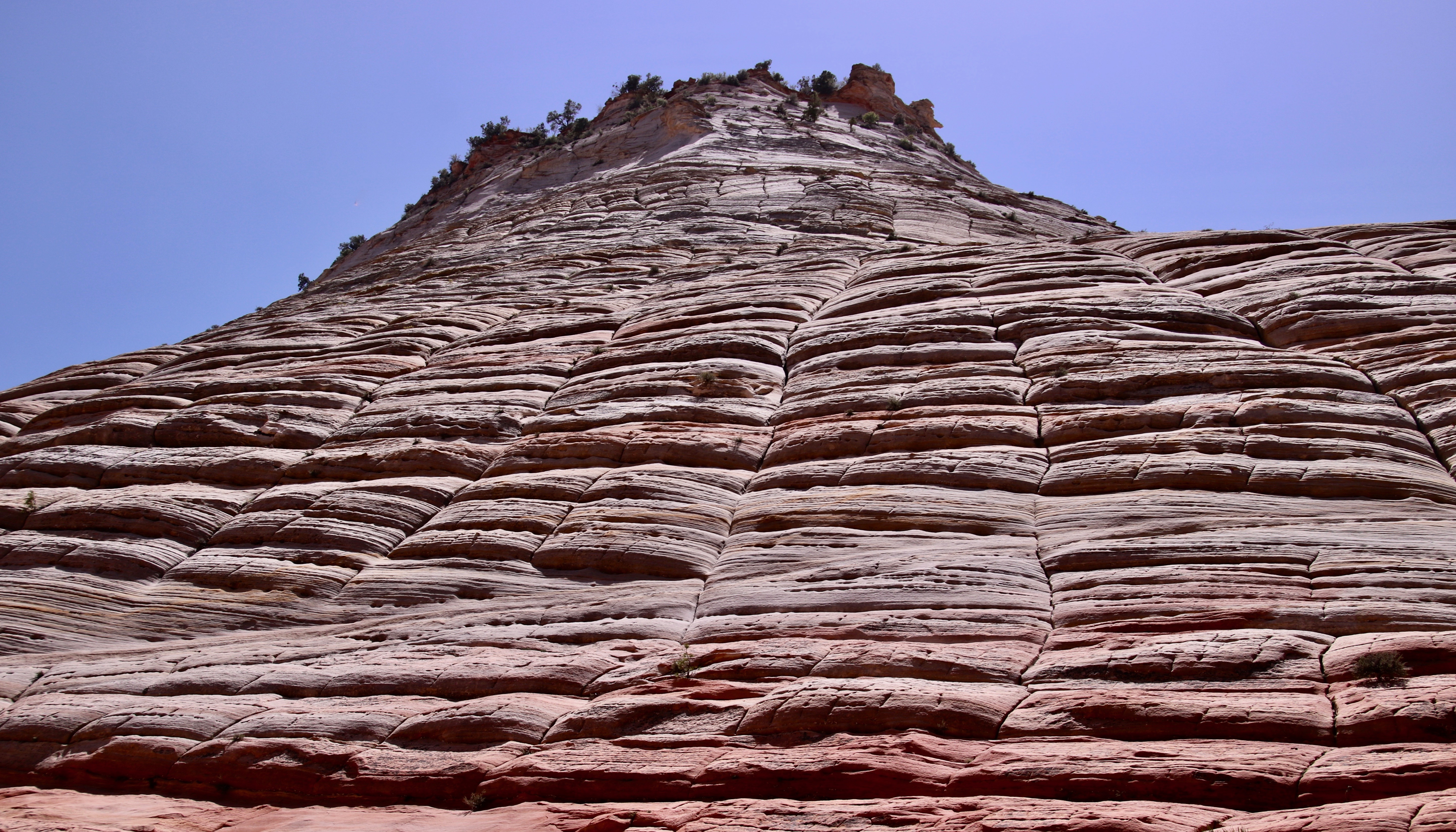
Checkerboard Mesa is the dominant geological feature of the eastern section of Zion National Park. (Photo by Peggy Mekemson.)
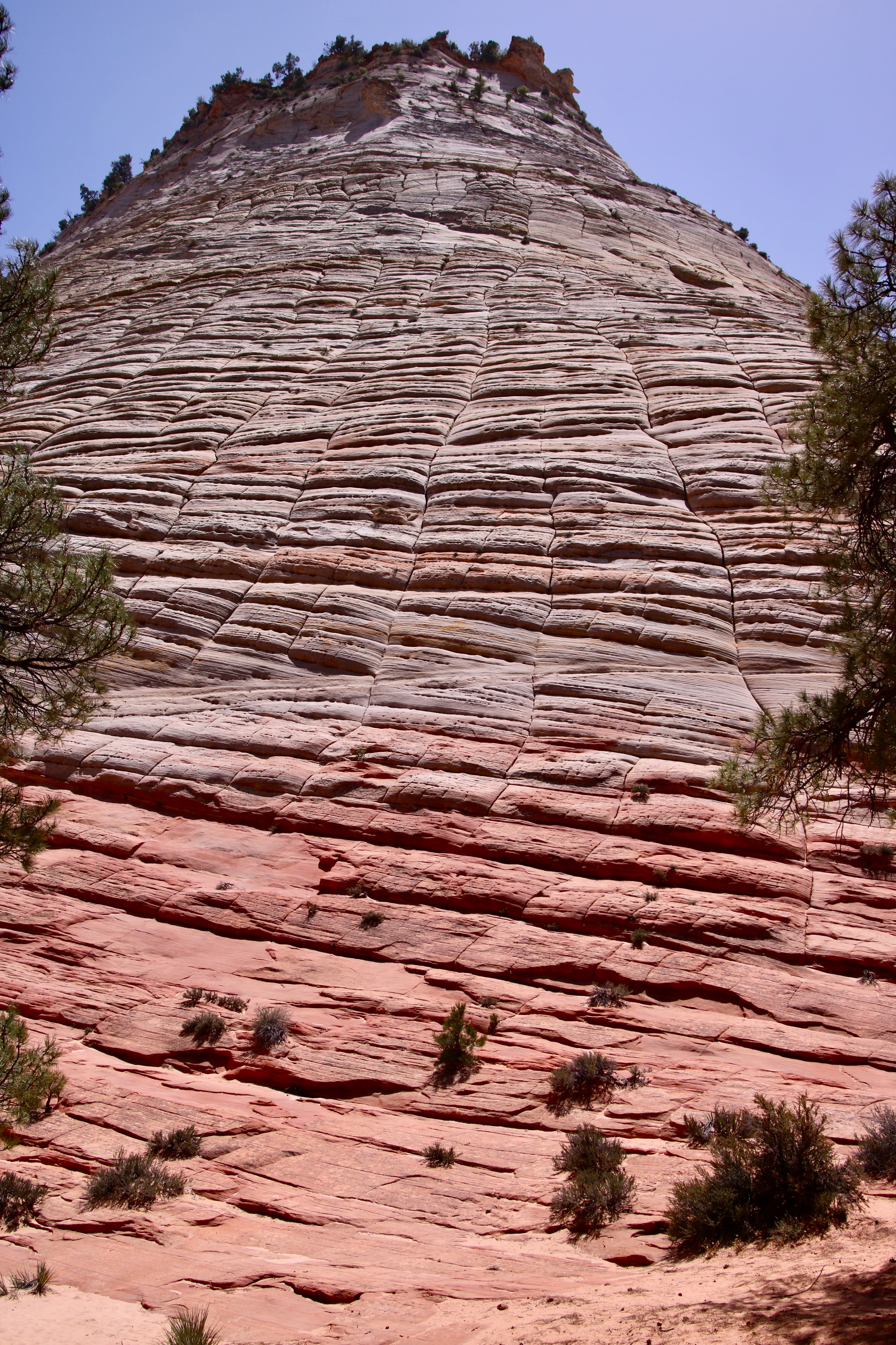
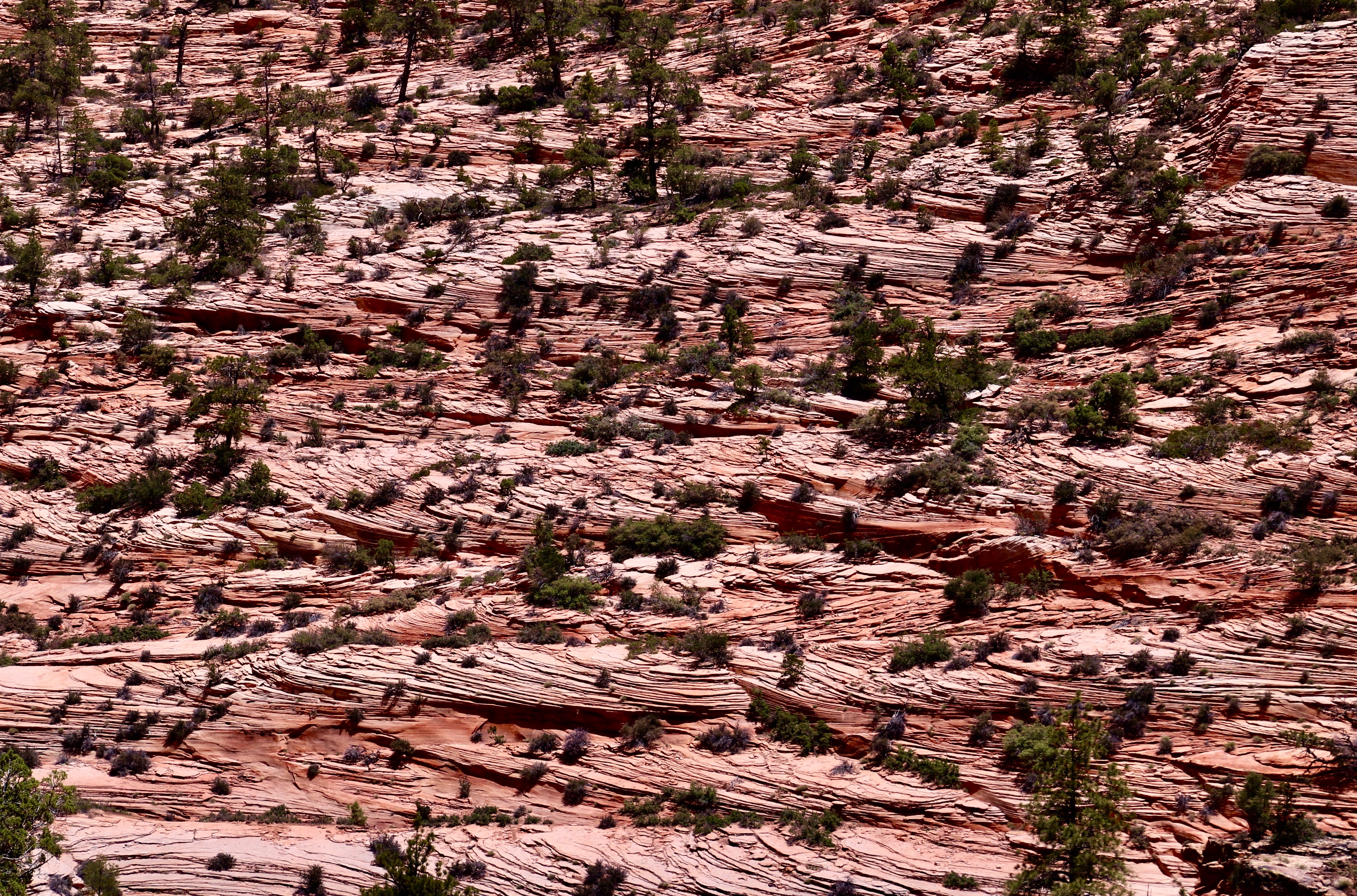
Rudyard Kipling said it:” East is East and West Is West, and never the twain shall meet.” That’s not true of Zion National Park, of course, but the eastern section of the Park will provide you with a significantly different experience than you have down in the Canyon or the western sections of Zion. Checkerboard Mesa shown above is the primary example. We can thank ancient sand dunes laid down in an early-Jurassic-era, Sahara-size desert that covered significant portions of what is now Nevada, Arizona, Utah, and Colorado 190 million years ago. The horizontal lines are caused by what is known as cross-bedding of the dunes. The vertical lines are caused by breaks in the cross bedding caused by freezing and thawing. It was thought that the results resembled a checker board, thus the name. Peggy and I found the mesa a fun subject for photography.
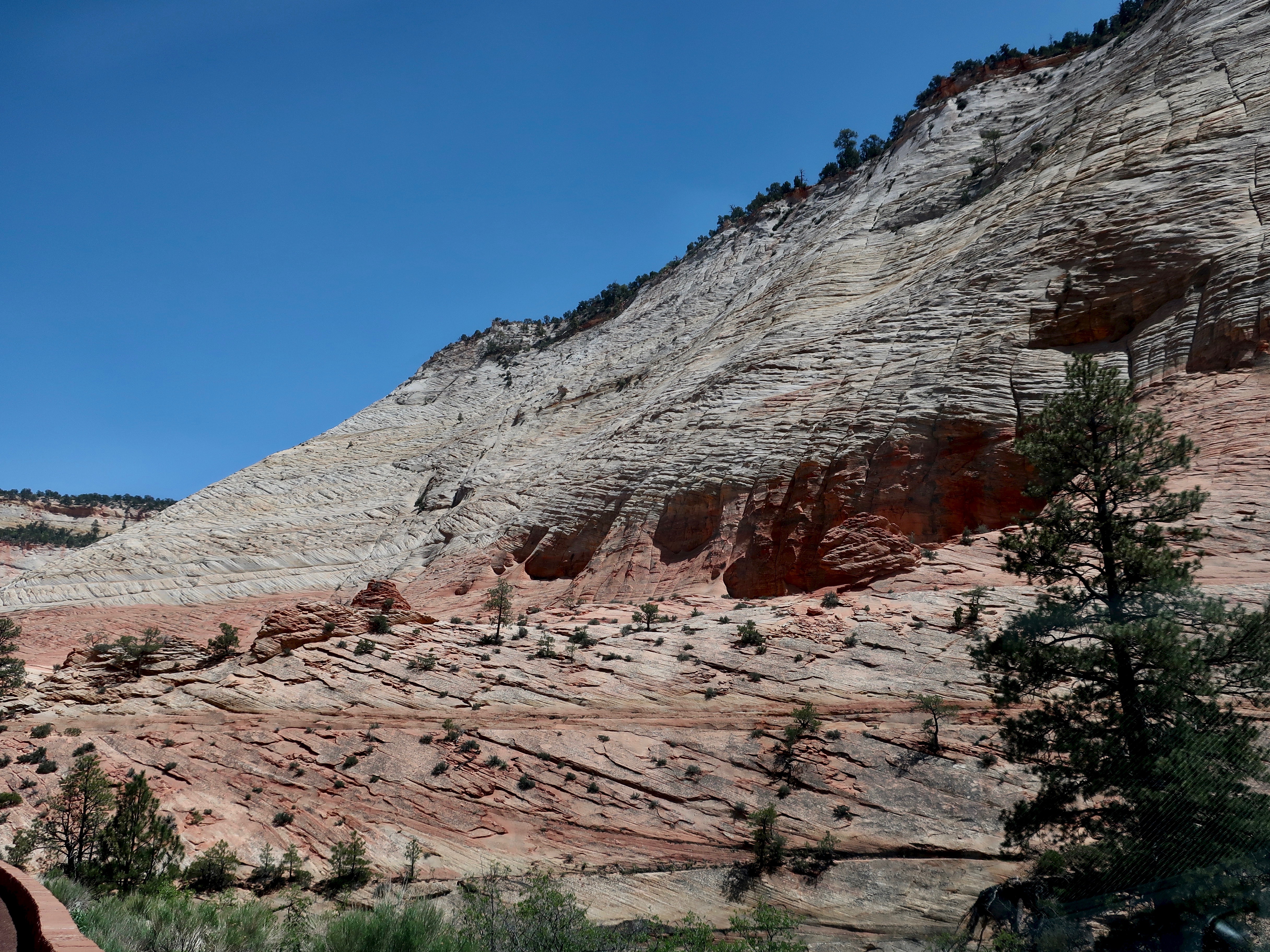
I moved back to provide a broader perspective on the Mesa using pine trees for framing.Peggy added a photo of the massive chunk of Navajo Sandstone reaching toward the sky. It’s quite a scroll down. Grin. (Photo by Peggy Mekemson.)If you are driving up from Zion Canyon, this will be your first view of Checkerboard Mesa.We were both interested in the cross-bedding. Peggy took this interesting side view.(Photo by Peggy Mekemson.)This was the view looking a bit farther north of Peggy’s photo.This was the view looking south.
If you have been in Zion and either entered or left by the east entrance/exit, you know there is much more to East Zion National Park than Checkerboard Mesa. One thing that fascinated Peggy was the alcoves that may eventually lead to towering arches such as those found in Arches National Park.
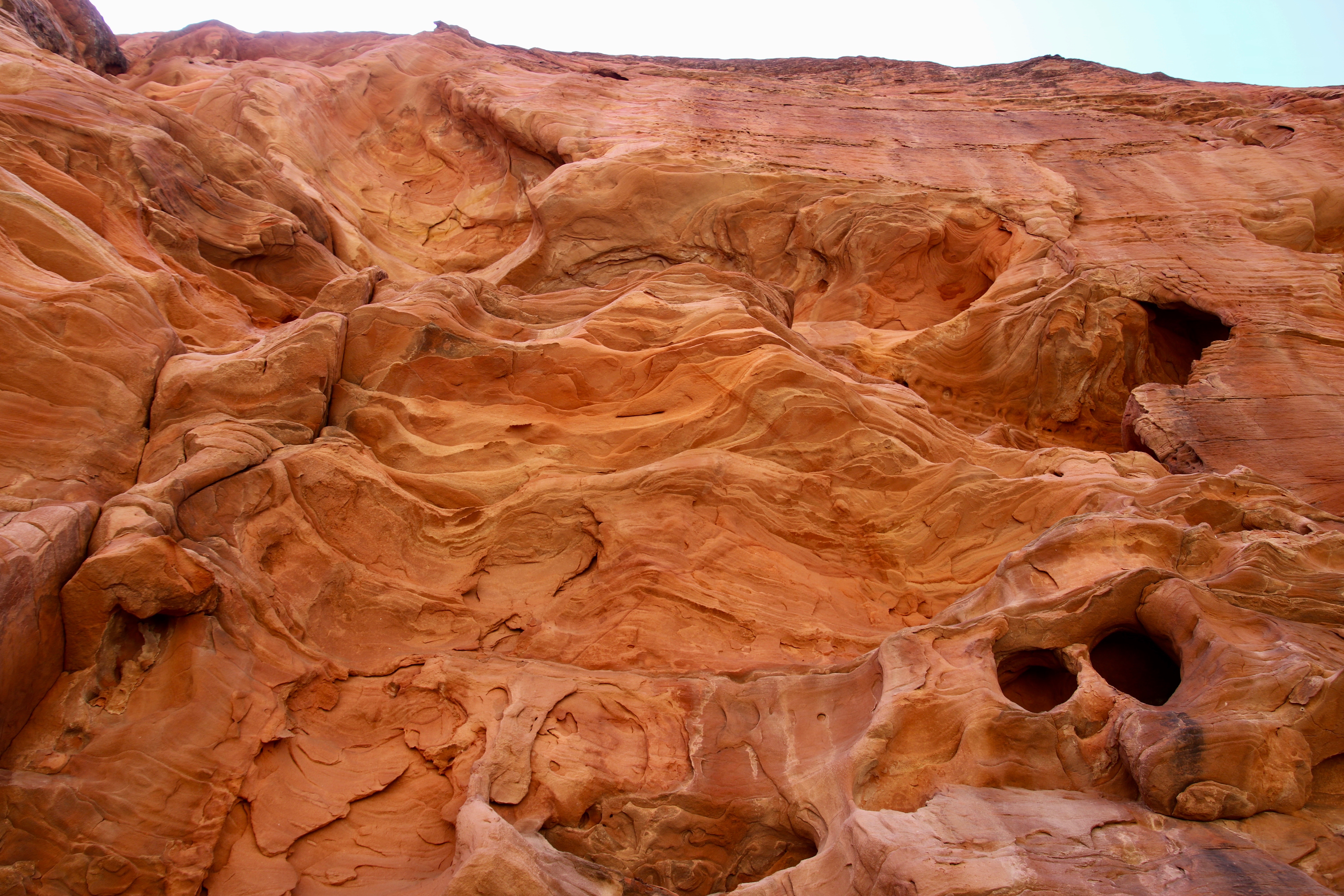
Looking toward the top of a Navajo sandstone mountain, you can see how the ridge coming down the front is eroding from both sides. This may eventually lead to an arch. (Photo by Peggy Mekemson.)This provides a straight on view of the alcove on the right of the ridge. Note how deep the alcove is. (Photo by Peggy Mekemson.)Another alcove. Alcoves and arches are created when a harder capstone is on top of a softer stone that erodes more rapidly. (Photo by Peggy Mekemson.)And another alcove photographed by Peggy. Had there been more, I am sure that she would have photographed them as well! (Photograph by Peggy Mekemson.)
While Peggy was busy photographing wannabe arches, I was concentrating on other landmarks of East Zion National Park.
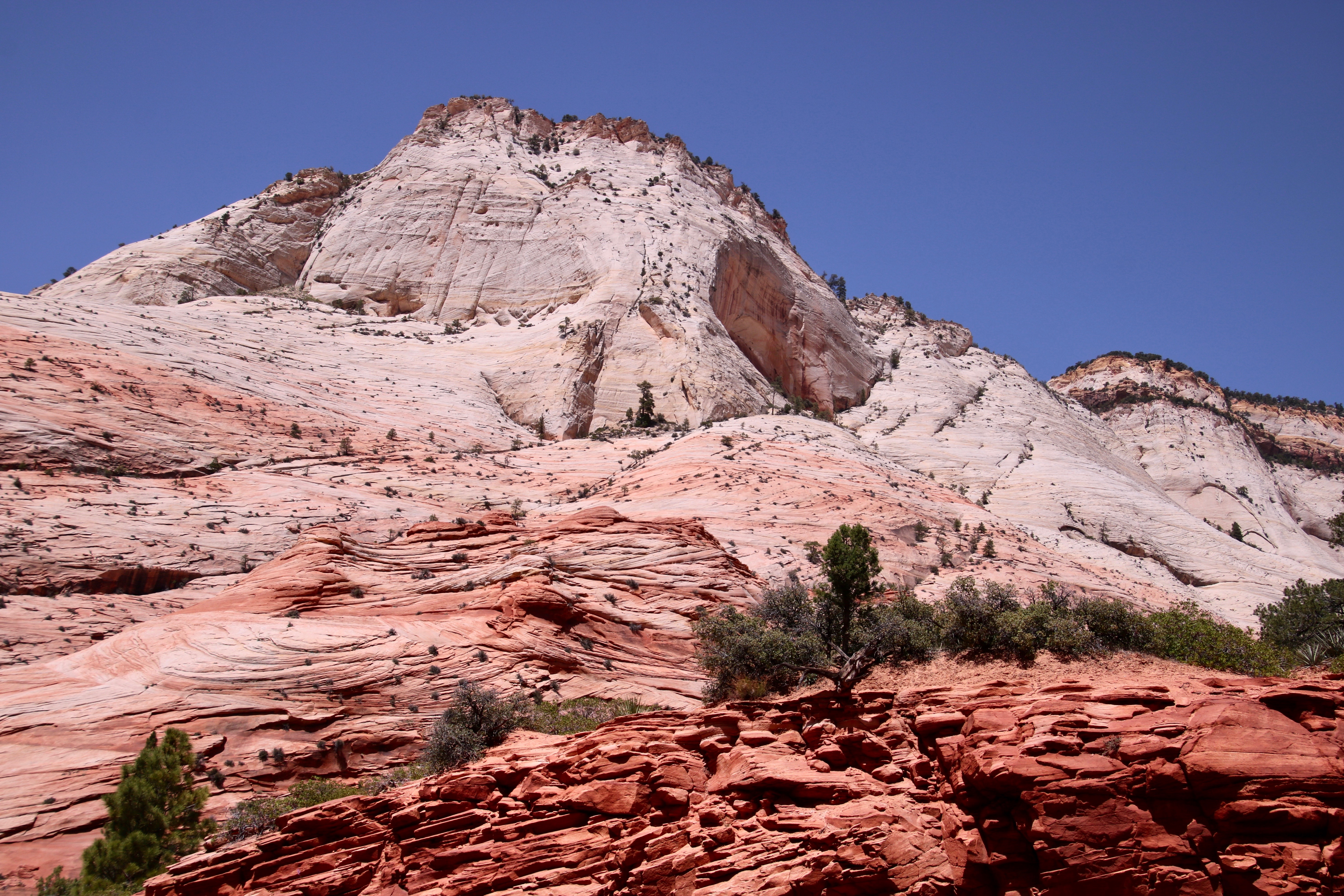
I found this landmark rather impressive.I wondered about the huge chunk of rock that left behind a bright red scar in this landmark. The other side is one of the alcoves that Peggy photographed. Another prominent Mesa standing out like the prow of an ocean liner.A mesa on a mesa. Peggy was impressed with its color. (Photo by Peggy Mekemson.)I’ll close today with this interesting photo that Peggy took of shrubs and small trees growing on cross-bedded sandstone. I thought, ‘Wow, this would make one heck of a challenging puzzle!’ (Photo by Peggy Mekemson.)
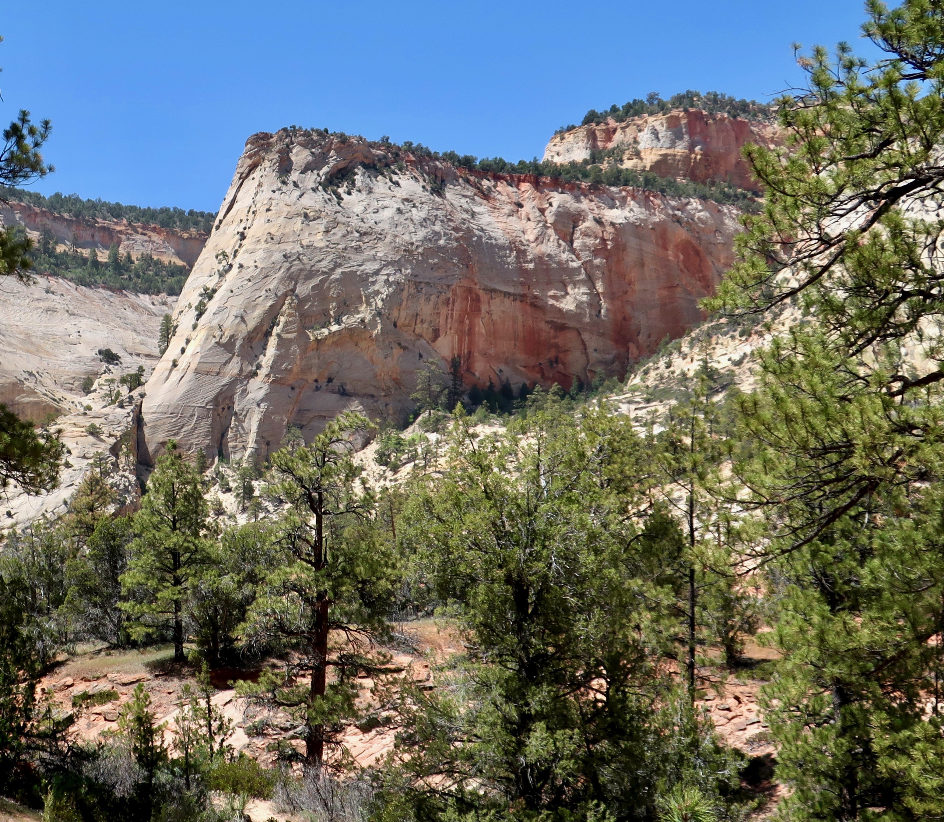
Peggy and I found this interesting rock formation looming above the petroglyphs that we located in the eastern section of Zion National Park. It was only the beginning of unusual rock structures that defined the area.
I quickly learned when I was a Peace Corps Volunteer in West Africa that my reality was substantially different from that of the tribal students I was teaching. It was a lesson that has served me all of my life. The human mind is incredibly flexible and our reality, to a large extent, depends upon what we are taught. Given my 1965-67 experience in Liberia, I can’t even start to imagine what people believed 7,000 years ago.
That’s when humans first started wandering the area now known as Zion National Park. They started with Archaic peoples, moved on to the Anasazi and Fremont cultural groups, and, in turn, were followed by the ancestors of modern day Native American Paiutes. Any or all of these groups may have left petroglyphs in the slot canyon Peggy and I explored in the eastern section of the Park. And all of them reflect thinking that we can only guess at.
Peggy and I are fascinated by petroglyphs, both from the connection it gives us to people from hundreds or even thousands of years ago, and from the unique look of rock art. We have visited sites throughout the Southwest. There is a certain commonality to the rock art depending on the culture represented. We have also found a similarity to sites selected by the ancients to leave their messages. Not surprisingly, they tend to be near water, which is where the people lived. But there was also an inclination to select locations that stood out from the surroundings. Possibly it gave a sense of sacredness to the area.
The site we visited was an excellent example of this, as our photos show. The strangeness, however, started with the directions to find the site. As I remember them: “Go down into the canyon and find a sand wash. Follow the wash up the canyon until it comes to the tunnel under the road. Go through the tunnel and follow the wash until you come to a trail to your left.” There was as much room for interpretation in following the directions as there was for interpreting what the petroglyphs meant!
Our photos start with the tunnel.
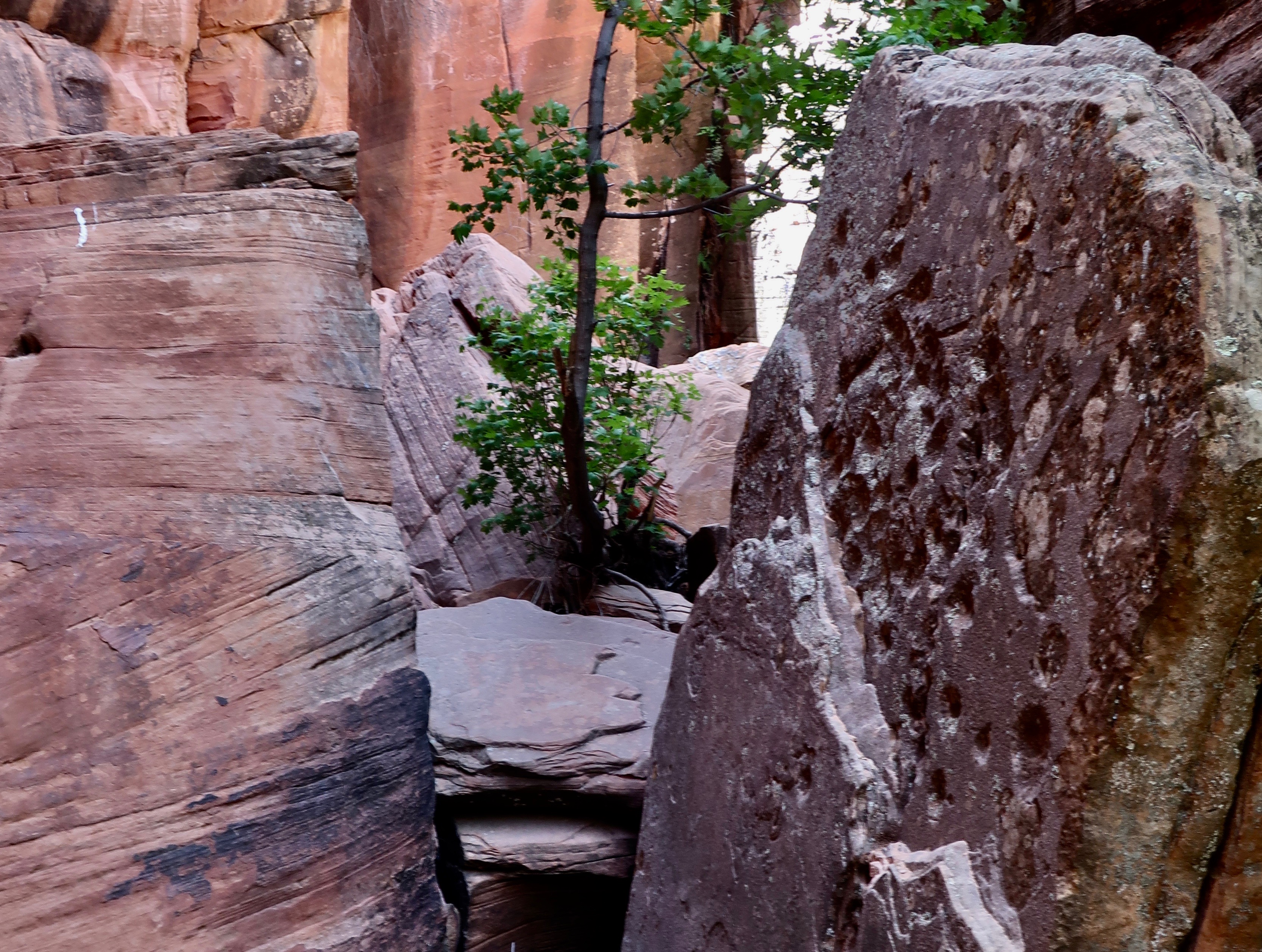
It was appropriately hidden by trees and bushes.The sandy wash led right to it, however. The light we could see on the right suggested that the tunnel was a few feet long. (Photo by Peggy Mekemson.)Reality was different. It was much longer than it appeared to be. Fortunately, there was a light at the end of the tunnel.Peggy walked toward the light and disappeared. She boldly went forth where numerous others had obviously travelled, judging from the foot prints in the sand. But did they ever return? Maybe a little Sci-Fi/Horror movie music is called for here.She was waiting for me in the sandy wash that led onward, supposedly toward a trail that would lead off to the left and petroglyphs. We quickly learned that there were several trails leading off to the left where people had gone in futile searches! Fortunately, Peggy and I had an advantage…We were looking for an area that suggested the presence of petroglyphs. This rock structure seemed a likely candidate. We started looking for a trail to the left, and found even more interesting rocks.Peggy caught this photo and the following one.Photo by Peggy Mekemson.How’s this for unusual? If I were a shaman, I’d think this would be a great location for petroglyphs.This fellow was not a petroglyph but part of the rock face, so to speak. I’ve learned a new word, BTW: pareidolia, the tendency to read into patterns and interpret visual stimuli, even when there is no intentional meaning present. A lot of that happens in my blogs. (Photo by Peggy Mekemson.)There was something surreal about the beauty of the area. (Photo by Peggy Mekemson.)I looked up and caught this colorful view.And then we reached the site. It was just beyond the green shrubs if my memory serves me correctly. It’s hard to imagine a more stunning location. We were prepared to enter the alternate reality suggested by petroglyphs.The petroglyphs were waiting. This is obviously a human like figure, probably a woman, but what’s with the strange diagram underneath? Does it represent power lines reaching out to the universe from the individual. I stared at it for a while and wondered if it didn’t represent a reflection in water. Or a moon shadow. Remember the song by Cat Stevens? (Photo by Peggy Mekemson.)Another reflection shot? A selfie? Or possibly a mating couple. Such images are not uncommon in petroglyphs.This is frequently thought of as being an origin petroglyph, representing the entry into this world from another world. This panel clearly represents petroglyphs created in different times with the figures in the upper right being of more recent origin. Are they hiking with packs? Or are they paddling a boat? The wavy line may represent a lake and a stream. Or a snake? The lower guy on the right seems to be asking the question while the guy on the left seems to be running like crazy to escape. (Photo by Peggy Mekemson.)I labeled this guy as a moose. Why not— even though there is no record of moose in the Park area except in 2013 when one showed up. 🙂 Tourists were told to keep their distance. We’ve found women portrayed like this throughout the Southwest. The circular figure may be the sun. I wondered if the wiggly lines represented counting, or a snake, or a river. Or…My imagination placed this woman on the warpath! 🙂 (Photo by Peggy Mekemson.)
There were many other petroglyphs. At the end of the panels, Peggy and I found steps carved into the canyon wall leading up to a ledge.
I thought it might be interesting to climb up them and explore the ledge. Peggy felt it best that her 79 year old husband be grounded. Grin.
Wandering up the trail in search of more petroglyphs, we found a dead big horn sheep that may have slipped while climbing the walls. Or been taken out by a cougar.
It did not look very happy. Peggy wondered why I wanted to photograph it and decided it was a sign that we should turn around. Admittedly, it did look a bit Satanic…
Shortly afterward we came to what was obviously the end of the trail unless we wanted to scramble over rocks. We turned around leaving the sheep, the petroglyphs, the beautiful canyon and the tunnel behind. It had been quite an adventure. In my next post we will explore more of the unique beauty of East Zion National Park.