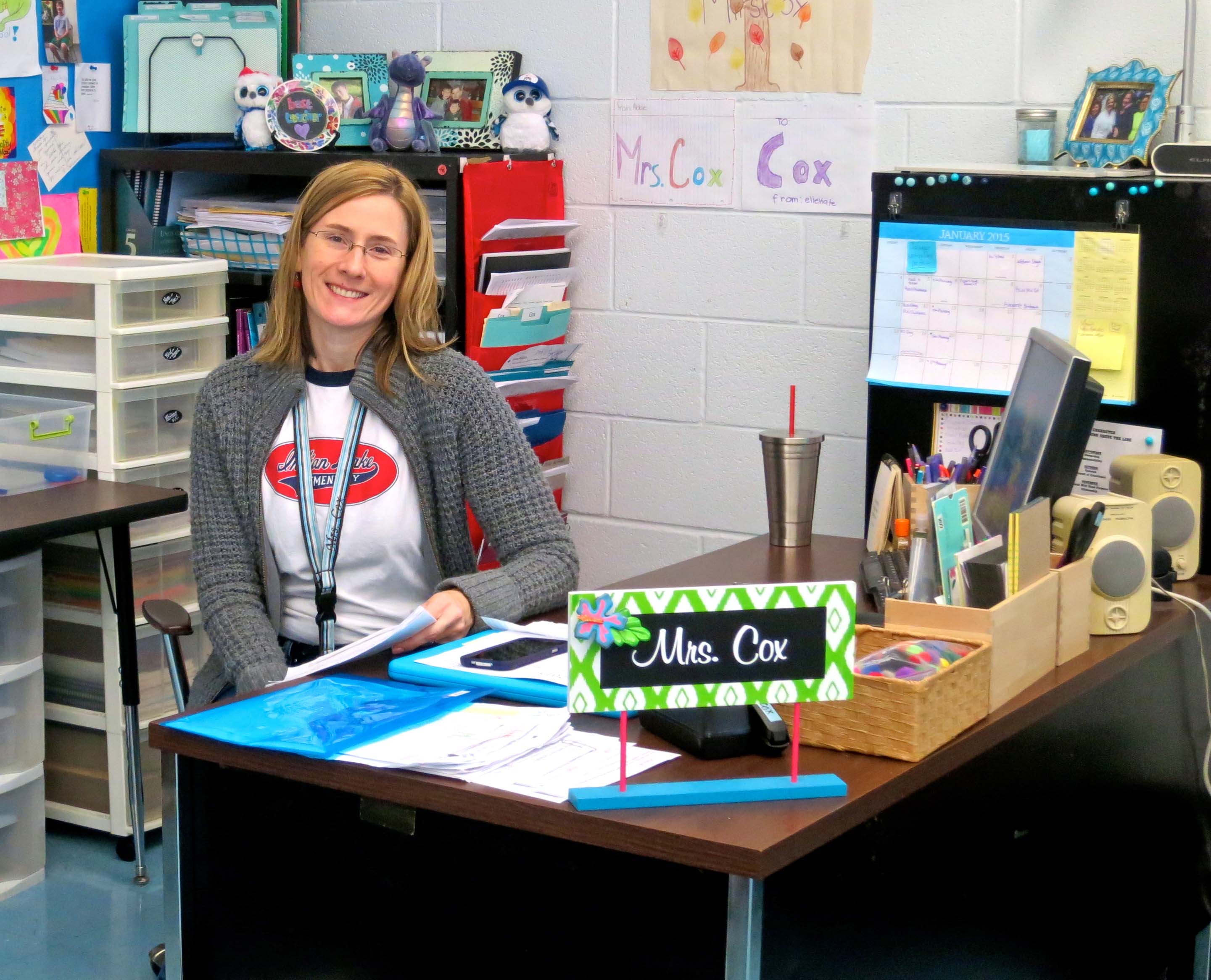
Tasha in her fifth grade classroom at Indian Lake Elementary School.
Our daughter, Tasha (Mrs. Cox), is a fifth grade teacher at Indian Lake Elementary School in Hendersonville, Tennessee where she teaches language arts, including writing. A month or so ago she called and asked if she could use one of my blogs in her writing class. “Of course,” I had replied. Parents often tell me they have shared some blog or the other I’ve written with their children. Most of my stuff is G-rated.
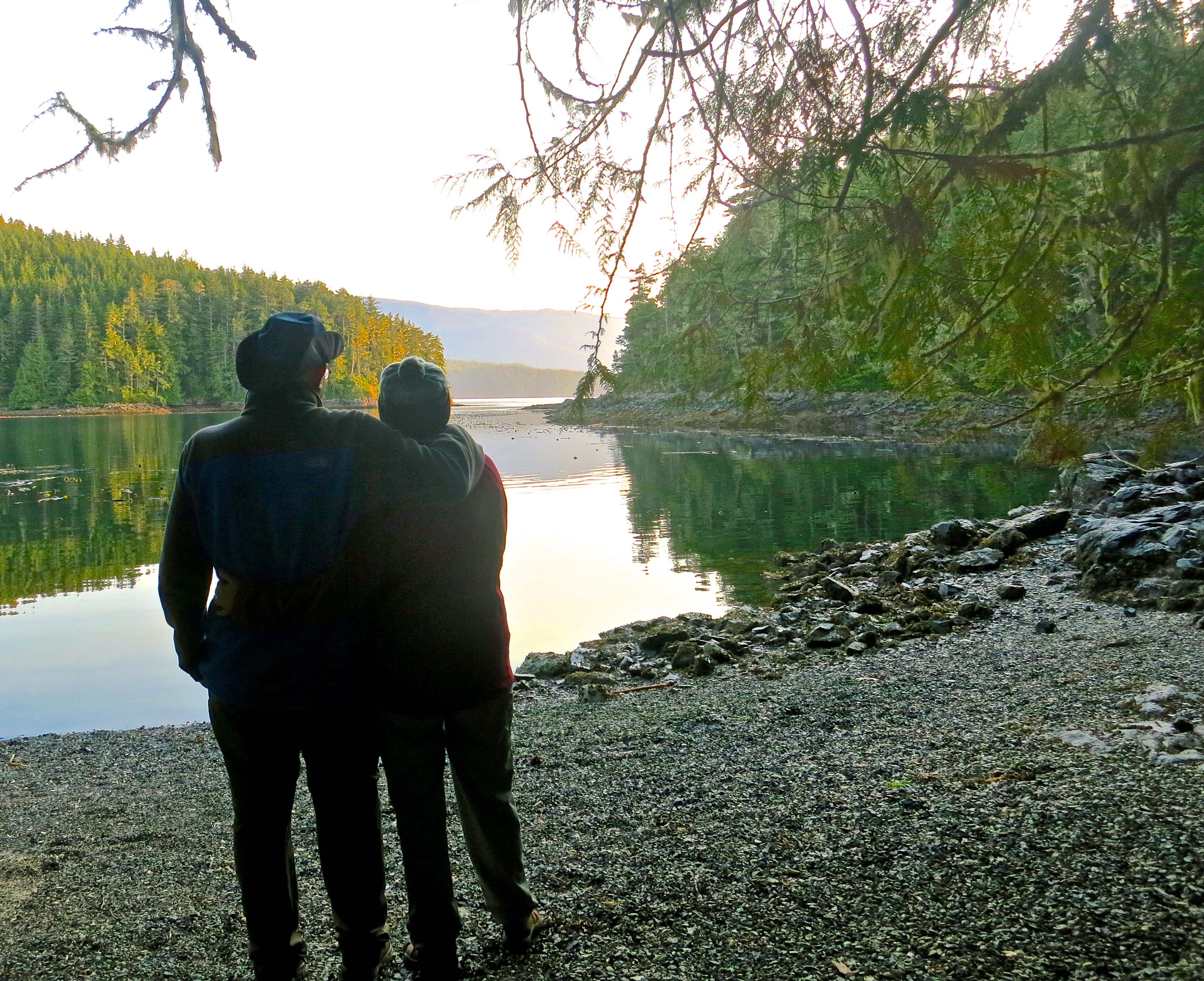
Tasha picked out a recent blog I had posted on Mt. Rainier National Park. It featured a picture of her brother, Tony, and of her son, Ethan, as well as lots of photos of the Park. I figured that was it. My work was done.
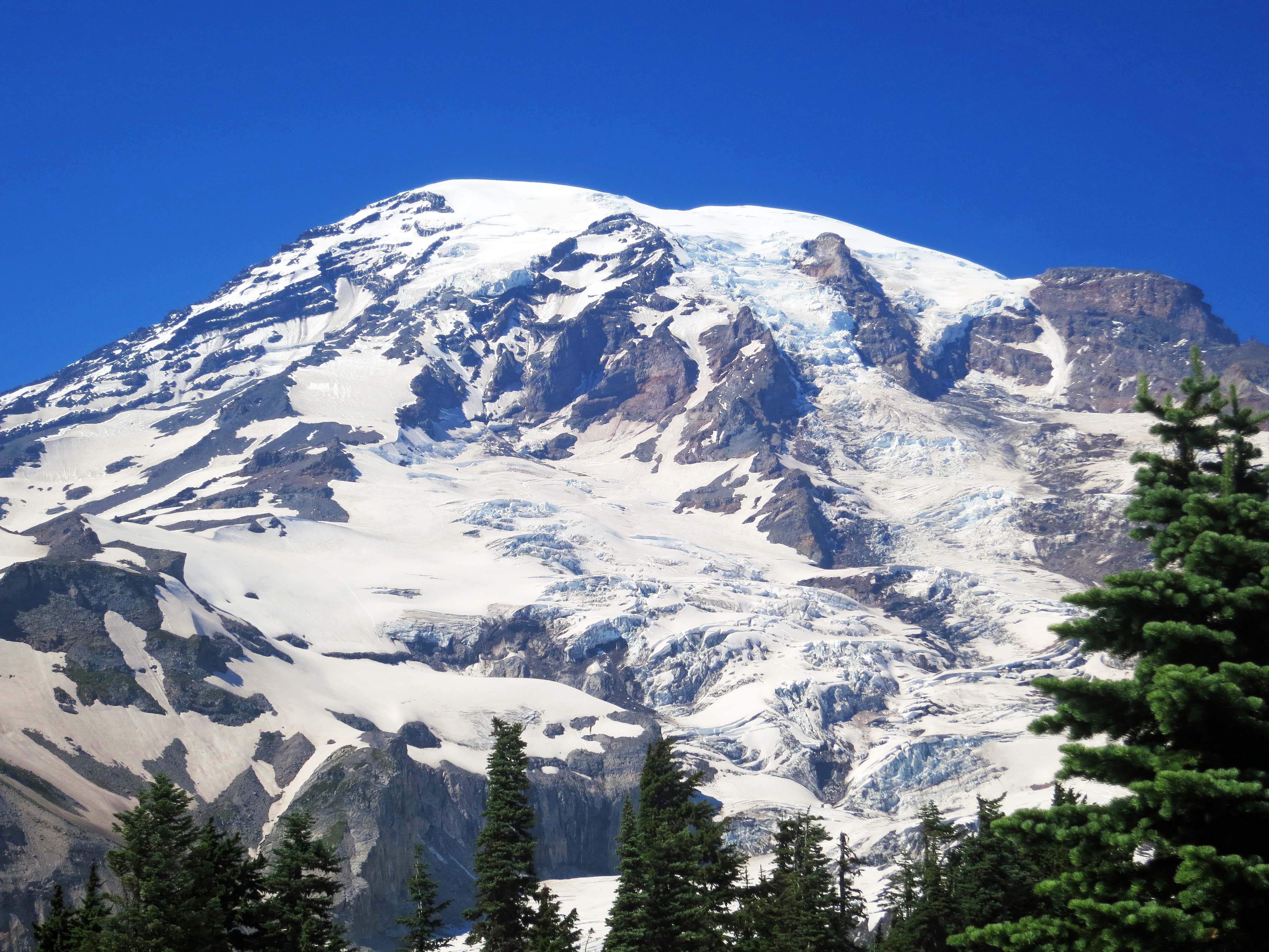
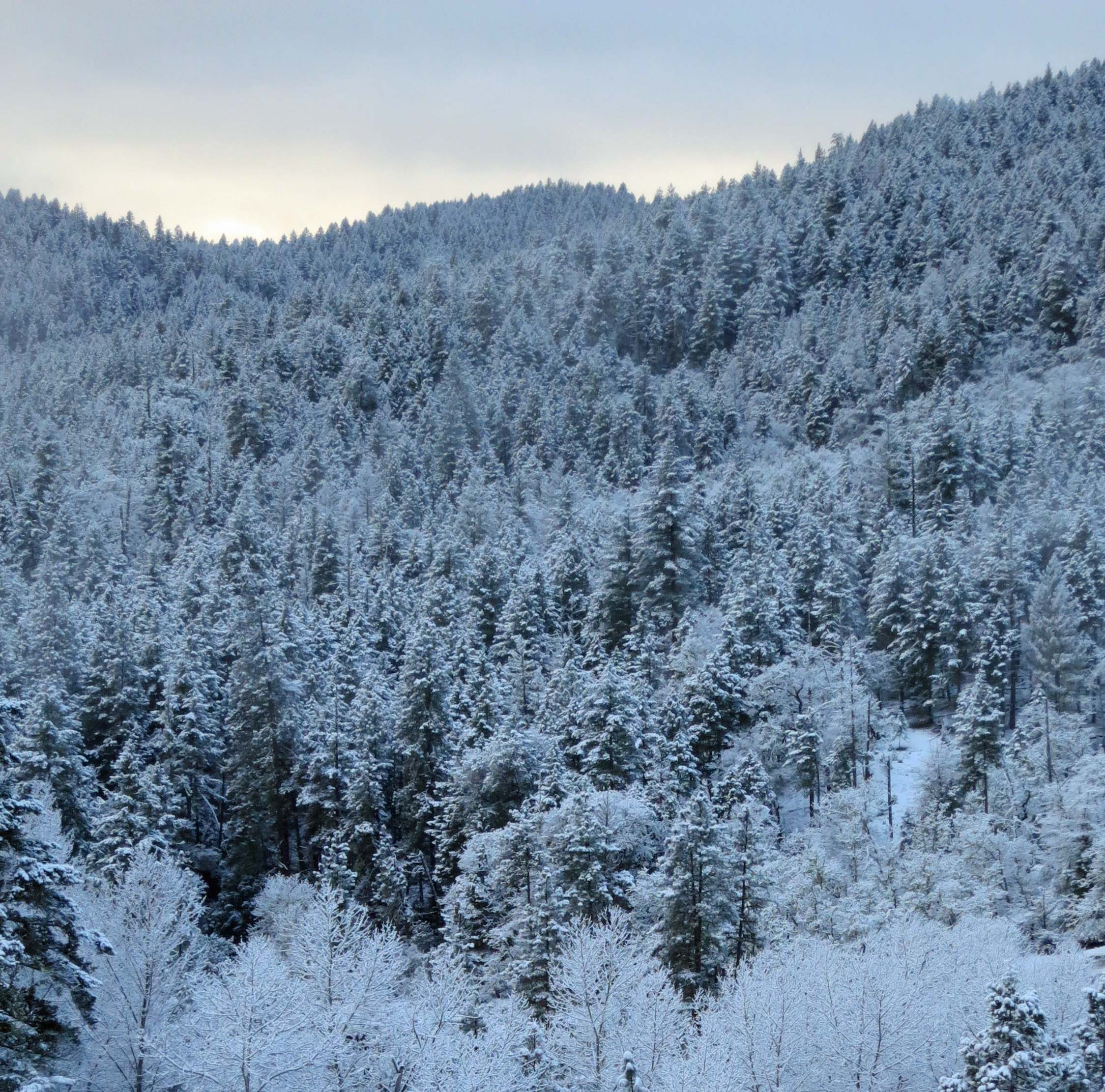
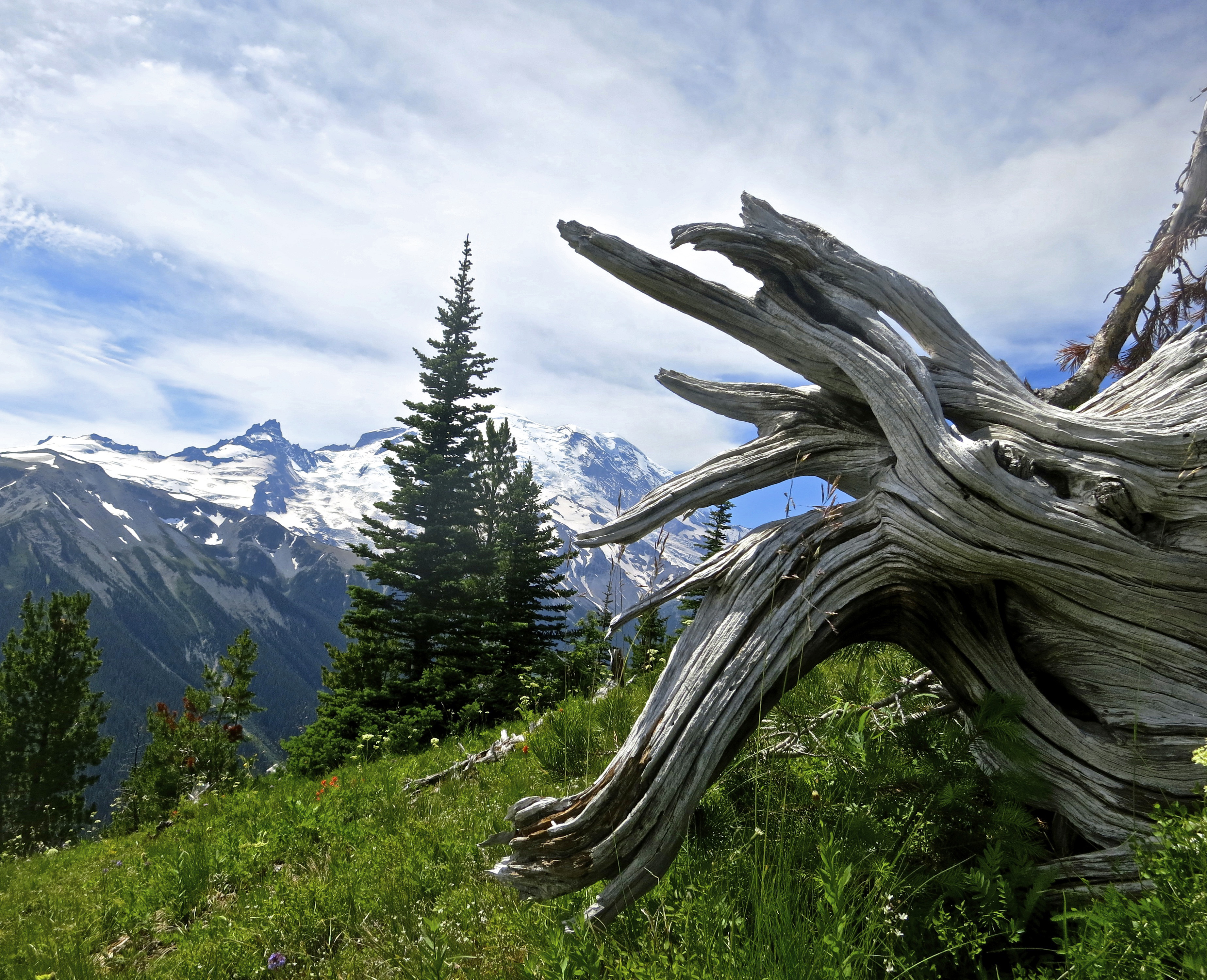
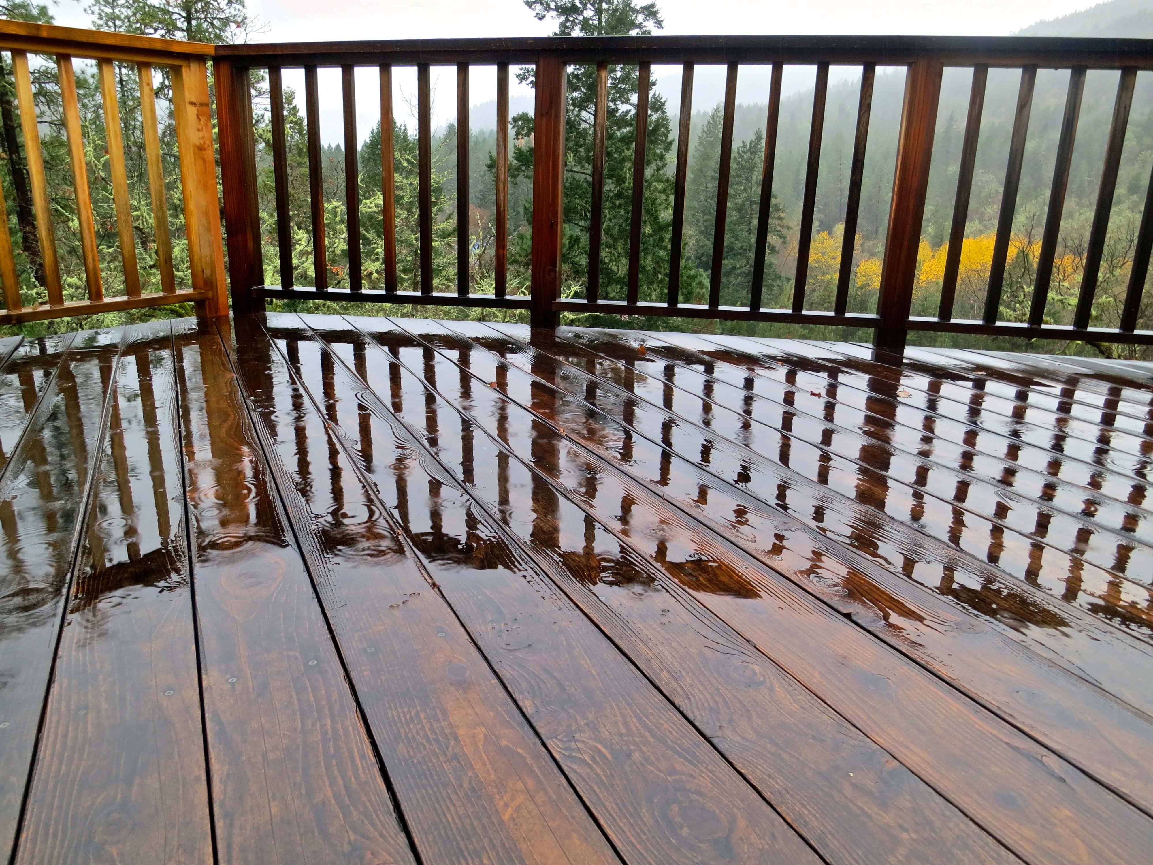
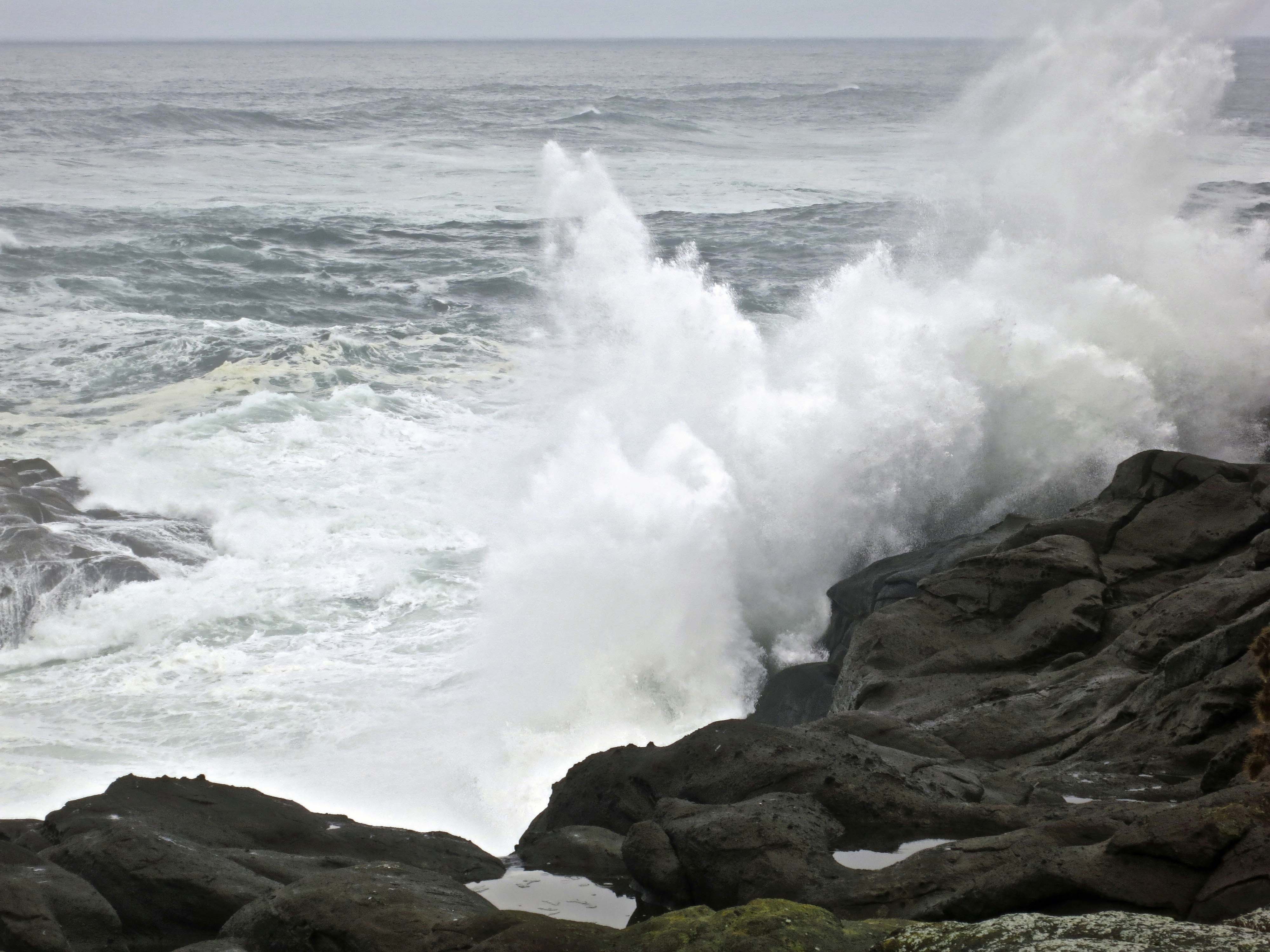
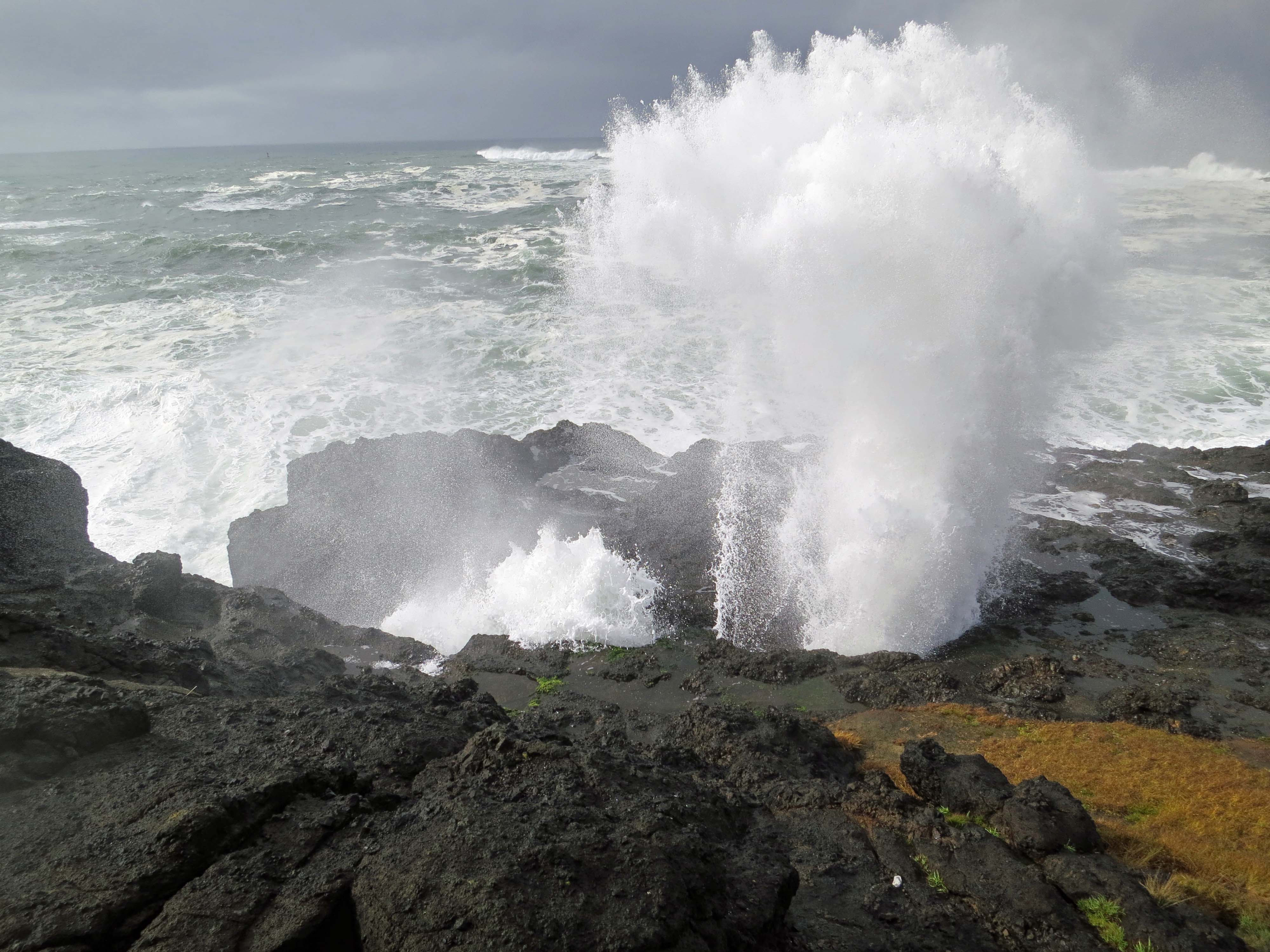
Mt. Rainier
I should have known better.
When Peggy and I arrived in Hendersonville for Christmas, there was a two-inch stack of yellow Post-its waiting. Each one included a question from a student directed to me. It looked like I might spend Christmas answering them all. That would have been okay, but I also wanted to enjoy the season. Maybe jolly old St. Nick had brought me a rocket ship so I could zoom around the universe.
Tasha took pity. She organized the Post-its by category so I could answer a handful of questions instead of 5,472. She is good at organizing. She even wants to organize me. Lots of luck with that…
So here are the key questions and my answers. I thought the folks who follow my blog might find them interesting as well.
Why do you write a blog?
I started blogging with a specific purpose in mind. I wanted to write a book and a blog would introduce my writing to people. If they liked how I wrote and what I wrote about, they might like my book as well.
Since then blogging has also become valuable to me for other reasons. One, it allows my wife Peggy and I to share our travels and adventures with people who live all over the world. Two, I have made a lot of new friends who share their travels, photography, and ideas with me. Three, it helps me improve my writing.
Finally, I love to write and tell stories. Each morning I wake up excited to begin my blog.
Is blogging hard?
Yes and no. Since my blogs include both writing and photography, they take a fair amount of work. I often start by researching a subject I am going to blog about. Then I pick out photos. Peggy and I take a lot when we travel; I may have to choose ten from a hundred. I then use software to work over each photo to make it look the best I can. Finally I write and edit my blog. Peggy then does a final read-through to catch any errors I may have missed. Each blog takes from three to eight hours to produce.
Blogging can be a lot easier, however. I have friends who may put up a photo and write a few words about it, but still have a very good blog.
The platform I use for my blog, Word Press, takes care of all the technical aspects of blogging. If someone wants to start a new blog, all he or she has to do is go to Word Press and click on “get started.” Word Press will then take the person through the process.
Where do your ideas for a blog come from?
Since my blog focuses on travel, most of my ideas come from places we visit. I am always on the look out for good blog material. Maybe it will be a town we visit, or a national park, or an ancient site where Native Americans did rock art. When in Hendersonville over Christmas, my son-in-law, Clay (Tasha’s husband) took me out to eat outrageously hot (spicy) chicken that Nashville is famous for. My stomach is still complaining. I am going to blog about it.
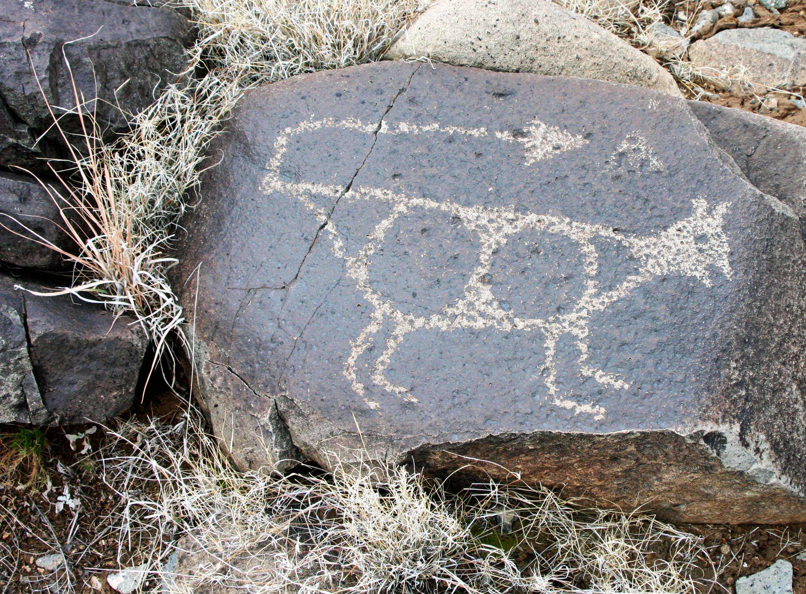
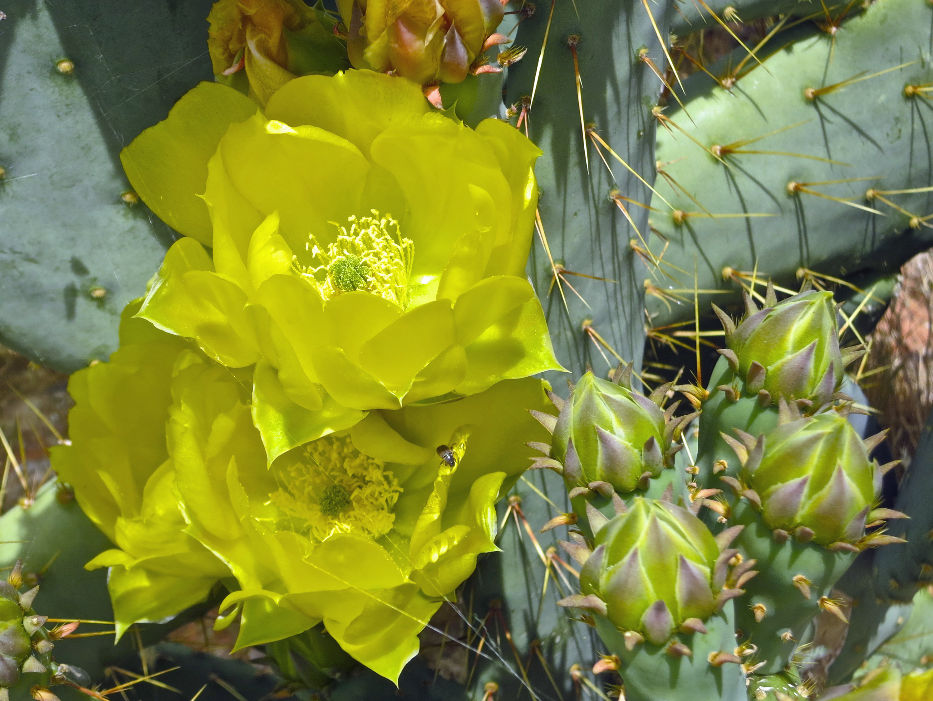
Indian rock art found in New Mexico.
But I don’t limit my writing to travel. Sometimes I write about when I was growing up. Or I may write about where I live in Oregon. A while back some baby goats were born next door. I visited the goats and wrote a blog about them. Recently I did a series of blogs about Tasha’s grandfather who flew airplanes across the Himalayan Mountains in World War II. He had to bail out of his airplane when it ran out of gas and walk out of a jungle that was known for its tigers and headhunters.
What is the favorite place you have ever been?
This is a really hard question because different places have different things to offer. How do you compare Dubrovnik, Croatia with the Redwoods of California, or a cruise through the Mediterranean Sea with an 18-day raft trip down the Colorado River? Or, to bring it closer to home, how do you compare Nashville, Tennessee with Chattanooga. Each is unique.
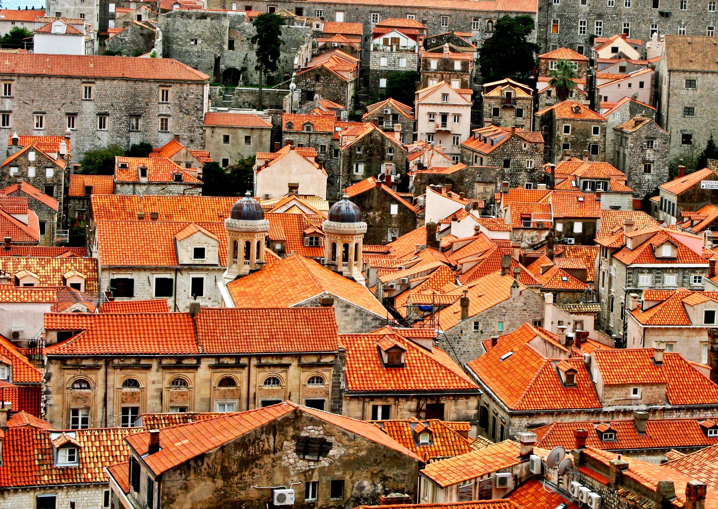
Dubrovnik, Croatia
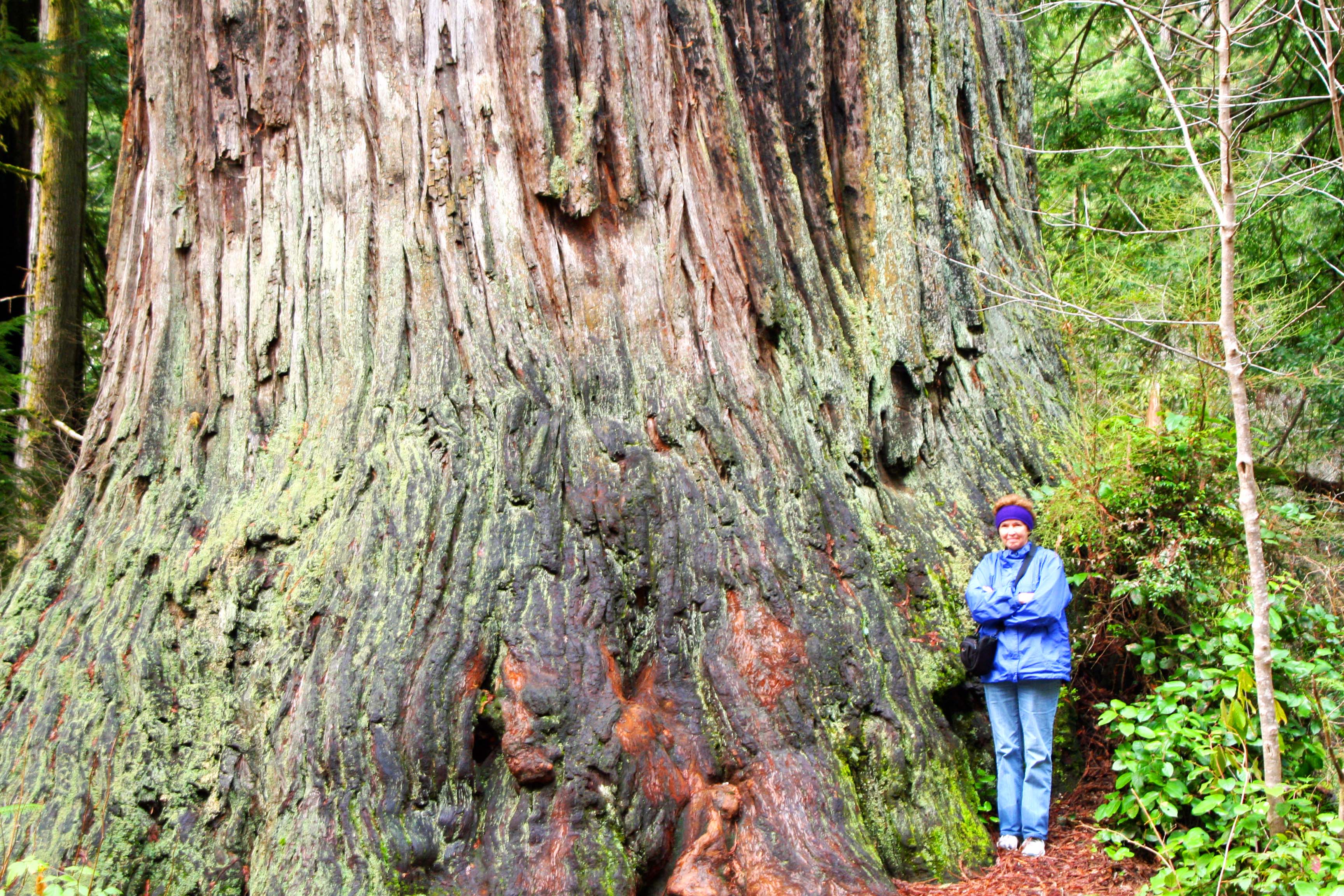
Tasha’s mom, Peggy, stands next to a redwood tree.
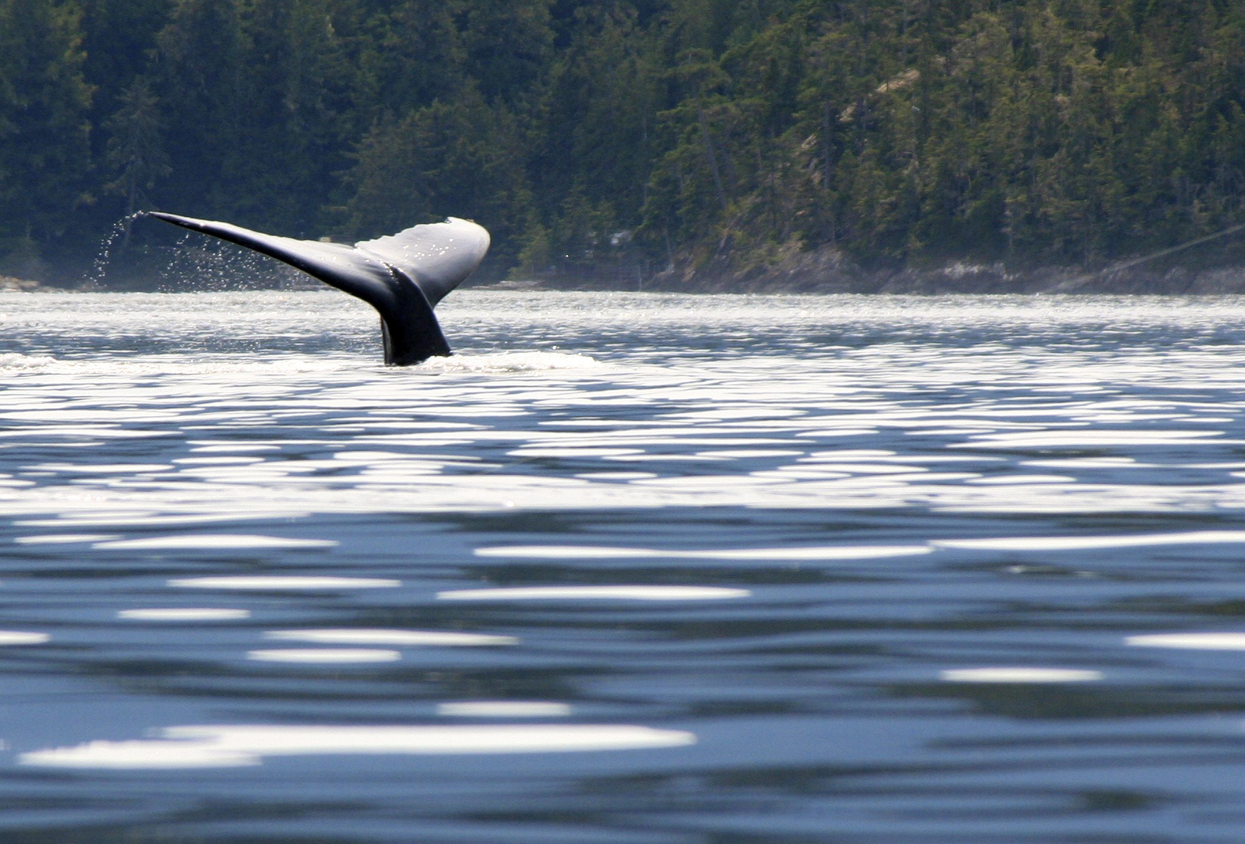
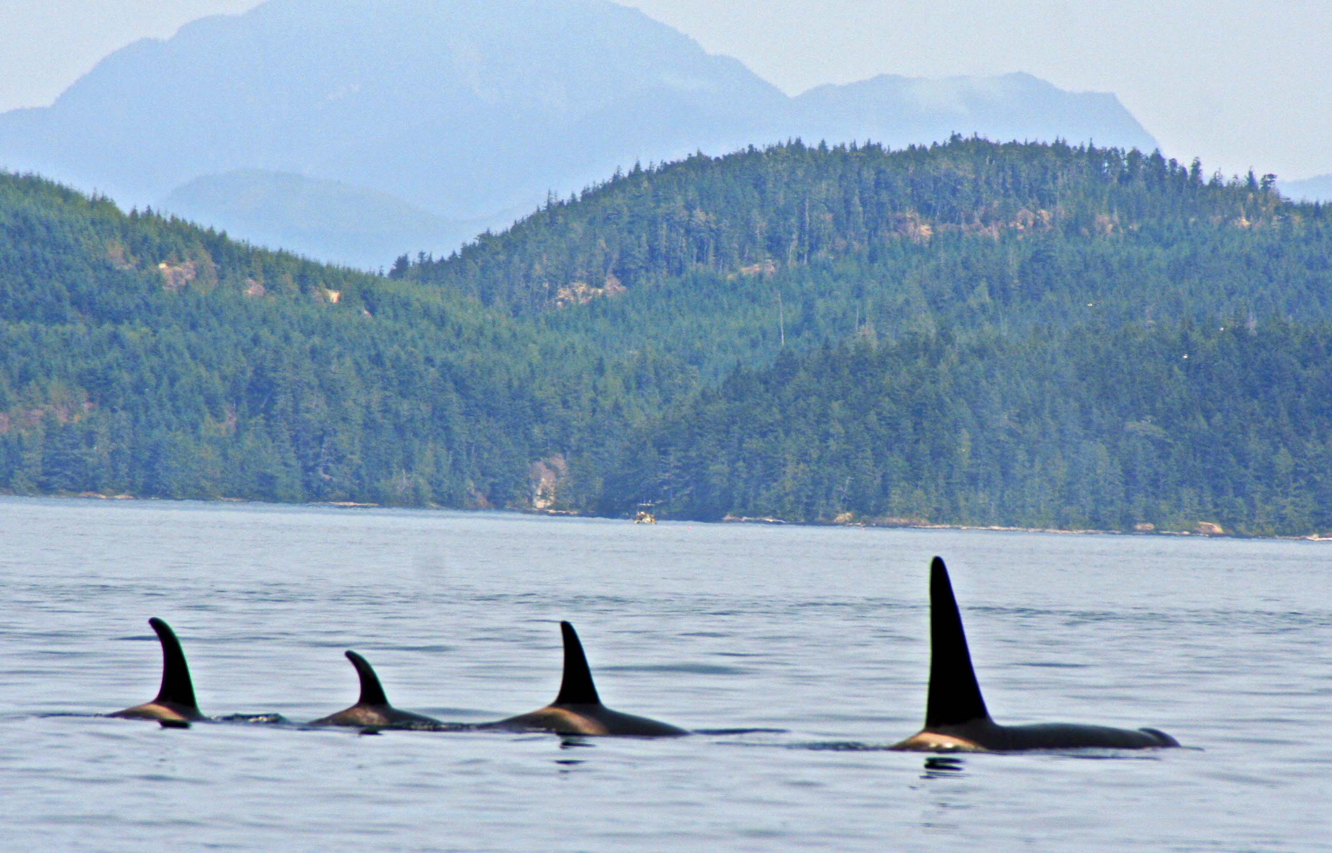
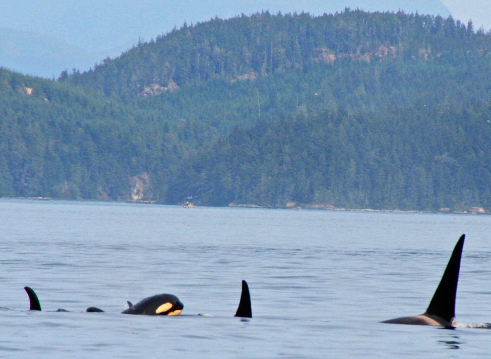
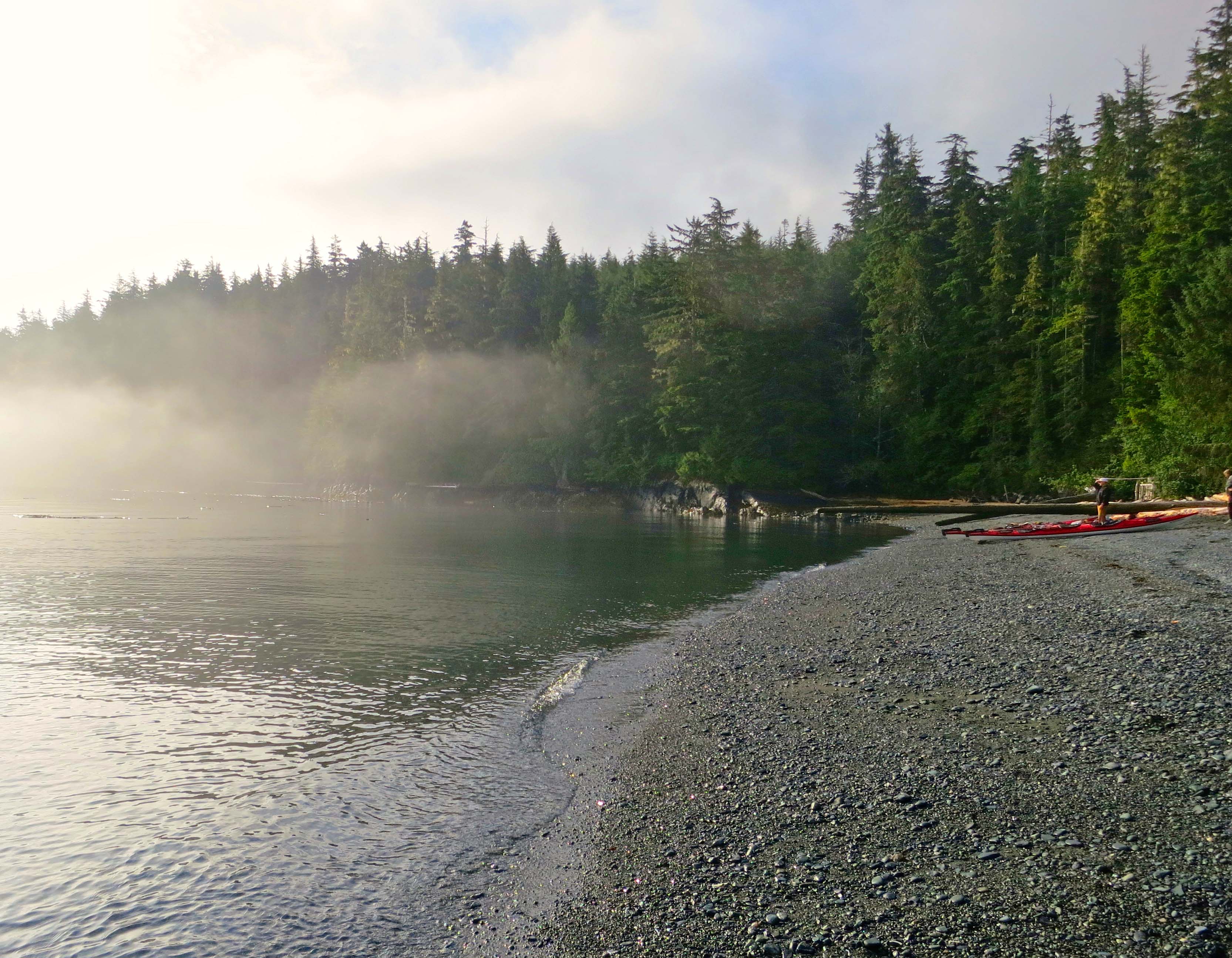
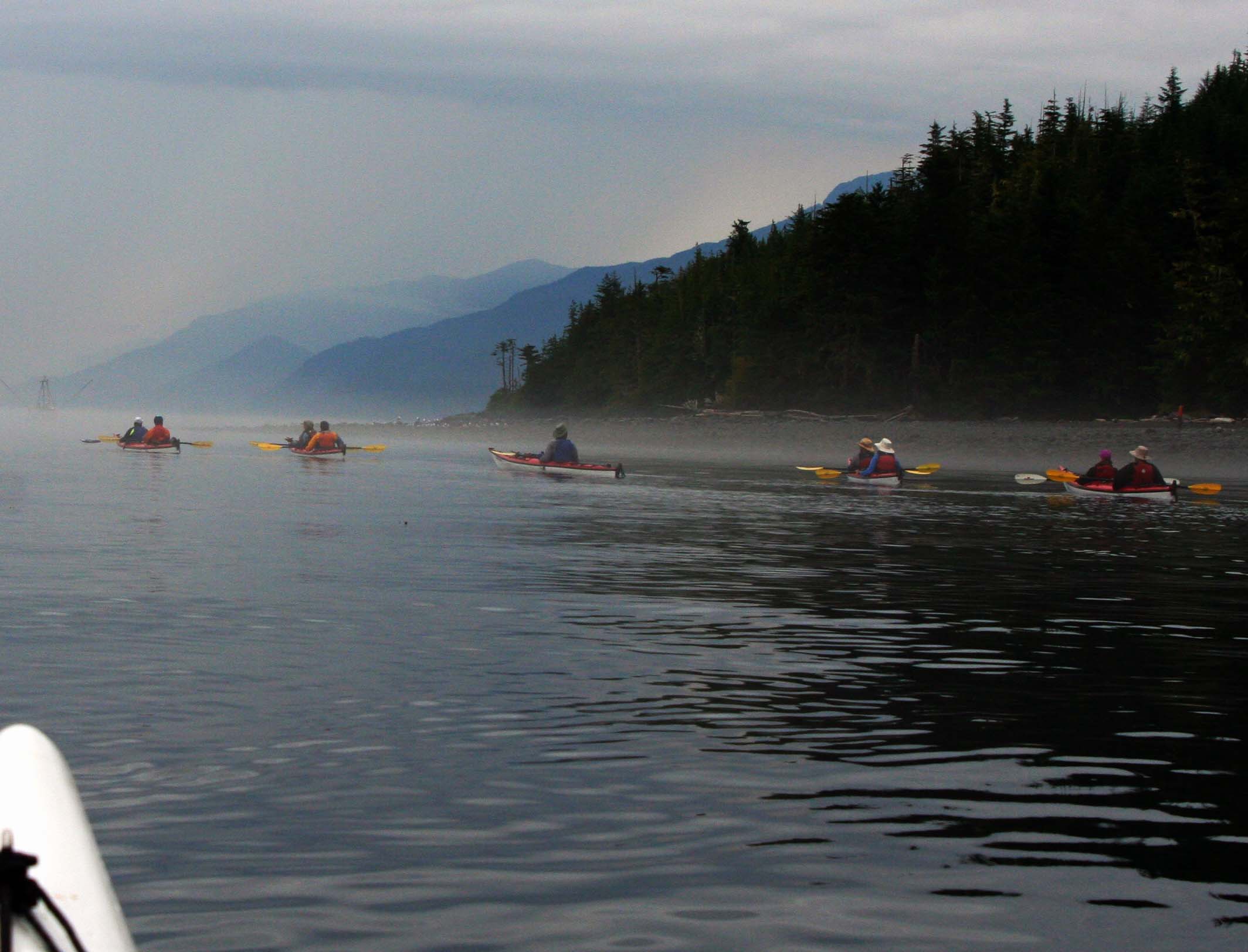
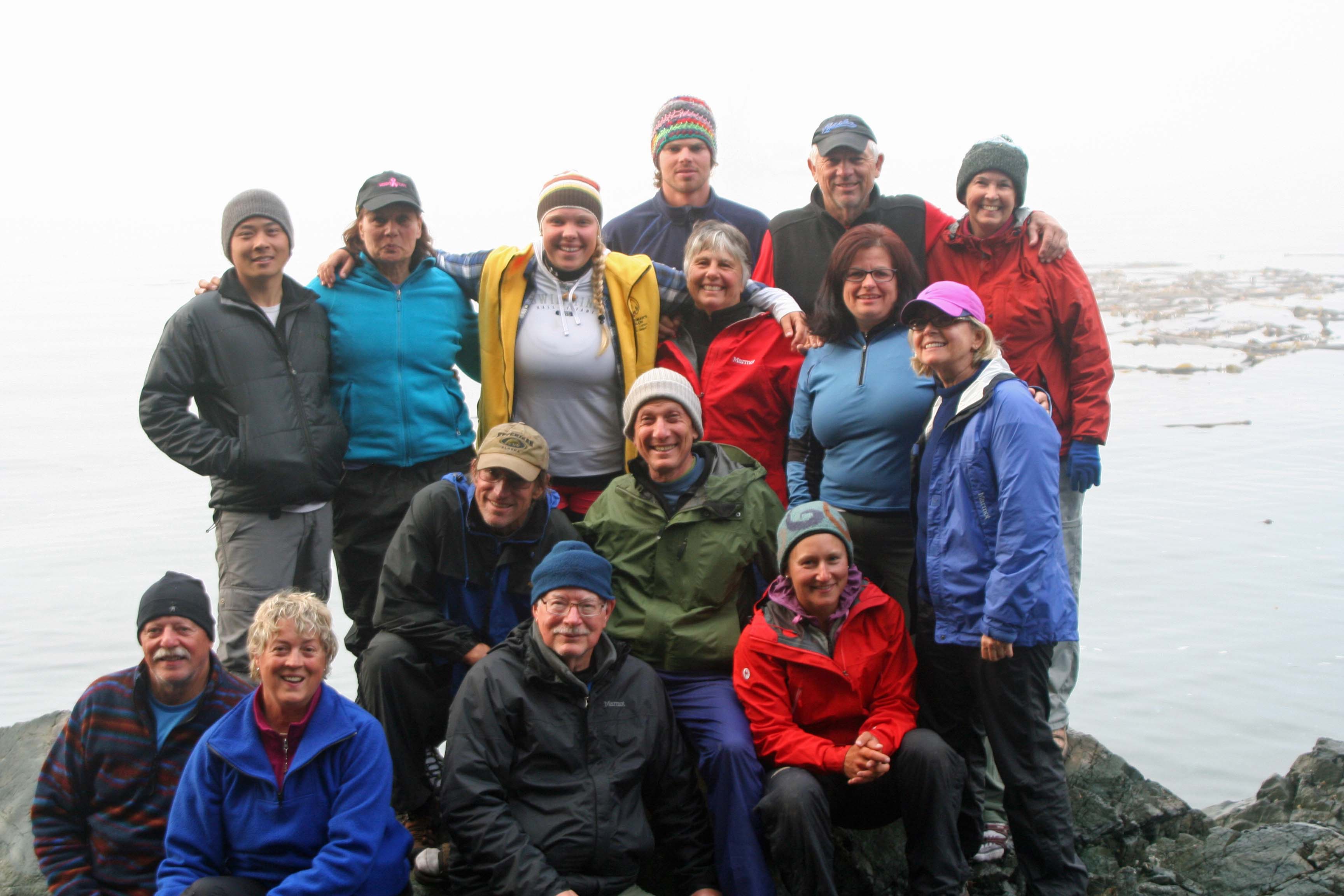
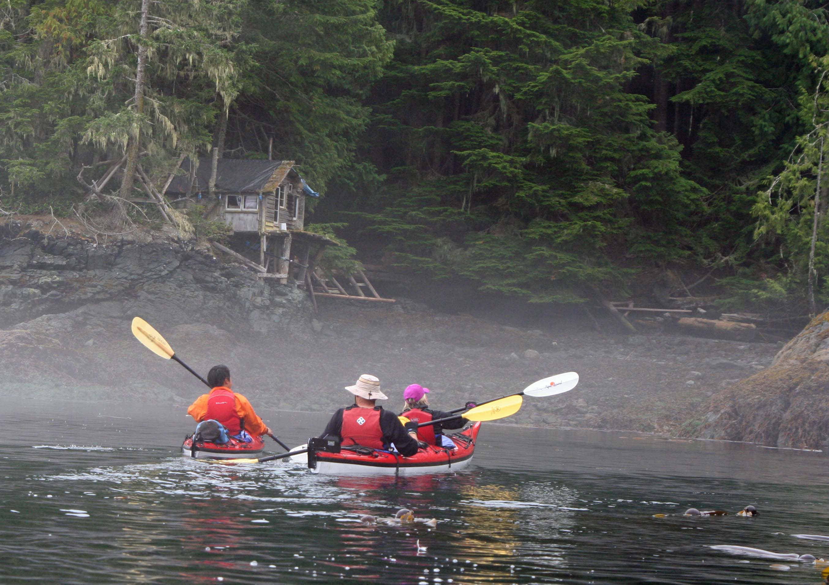
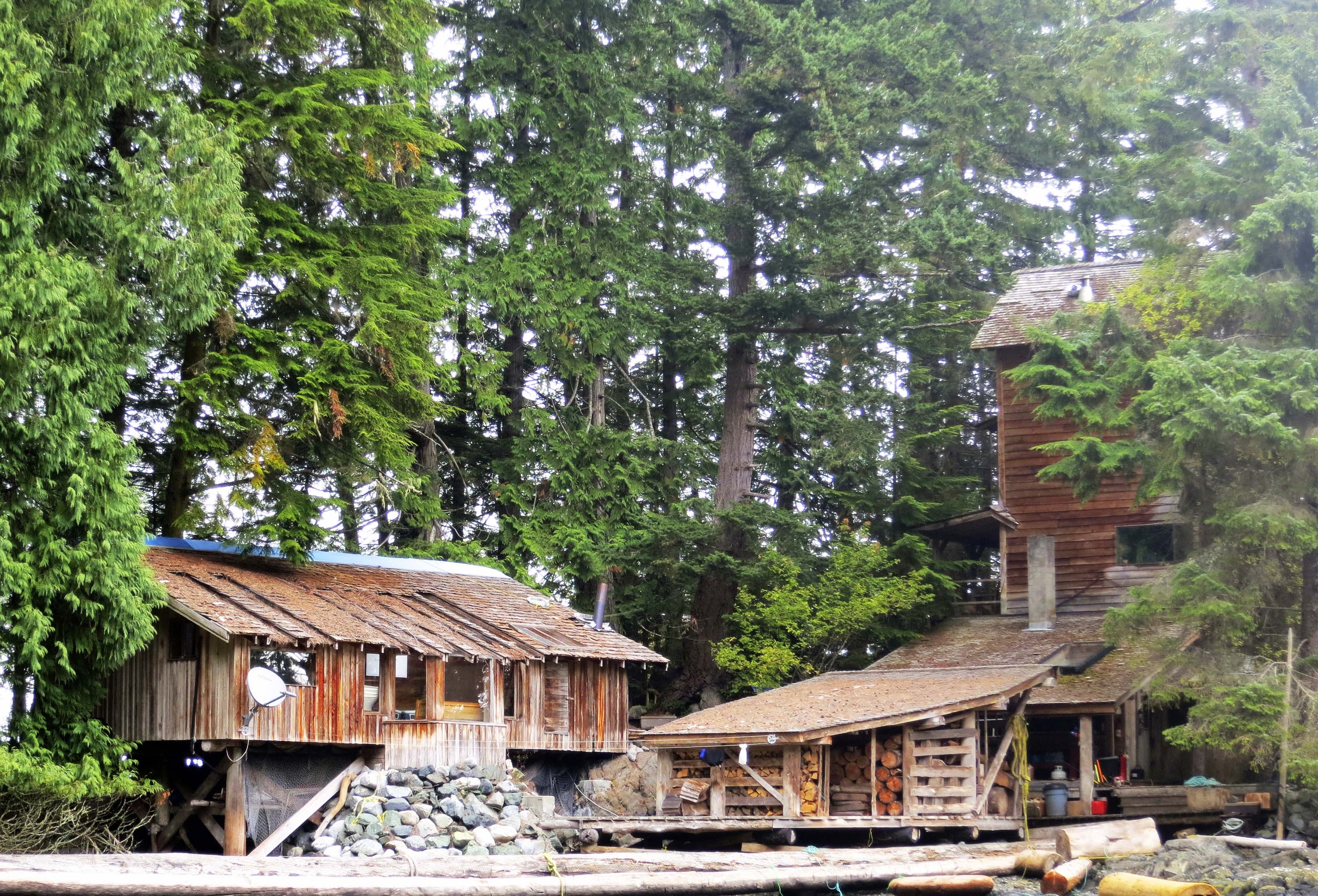
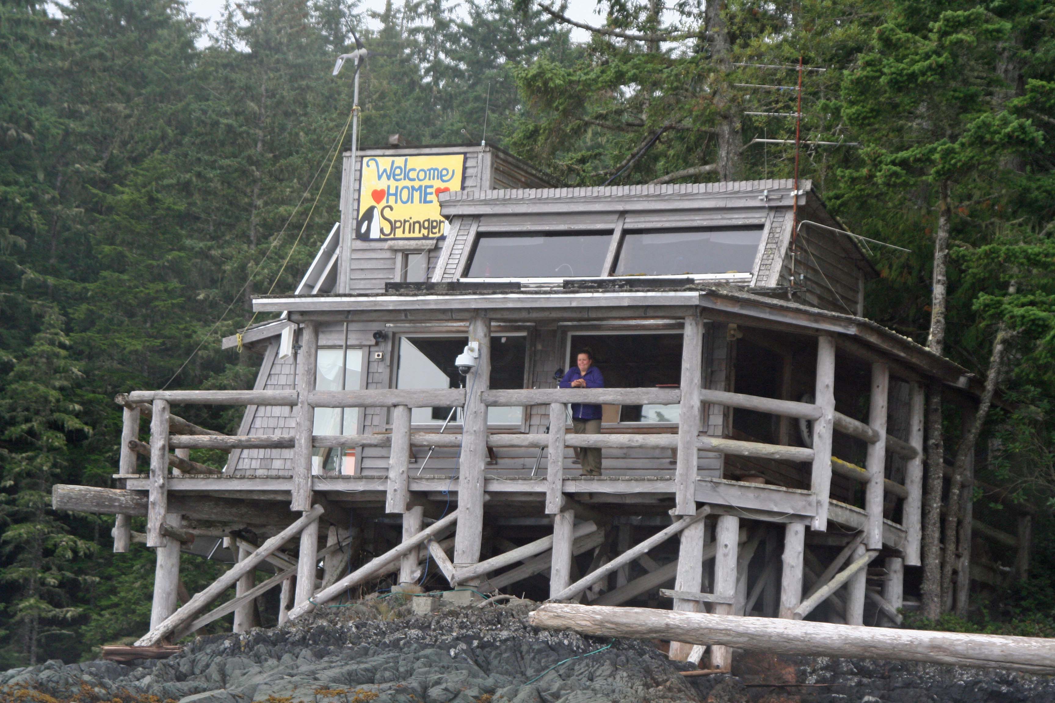
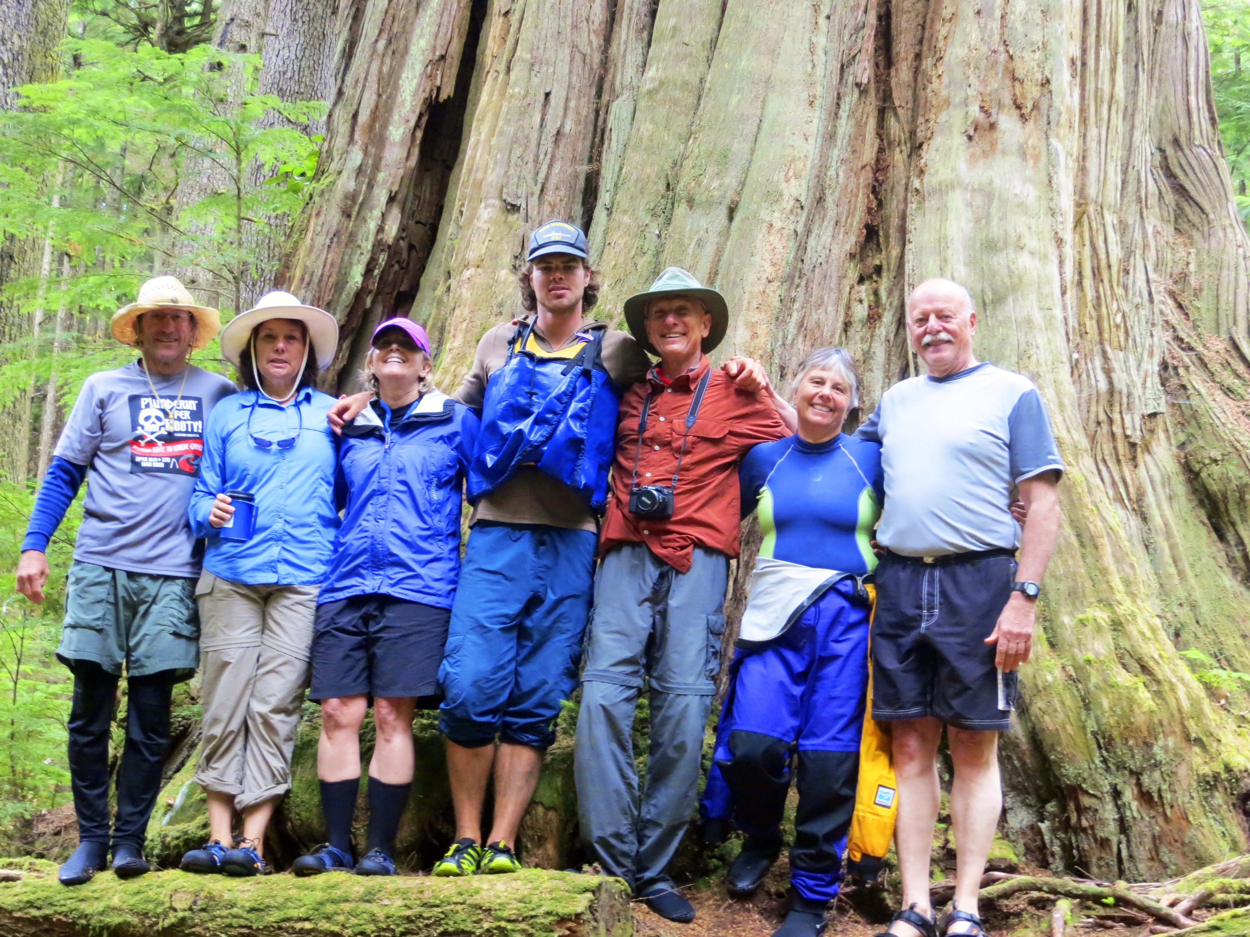
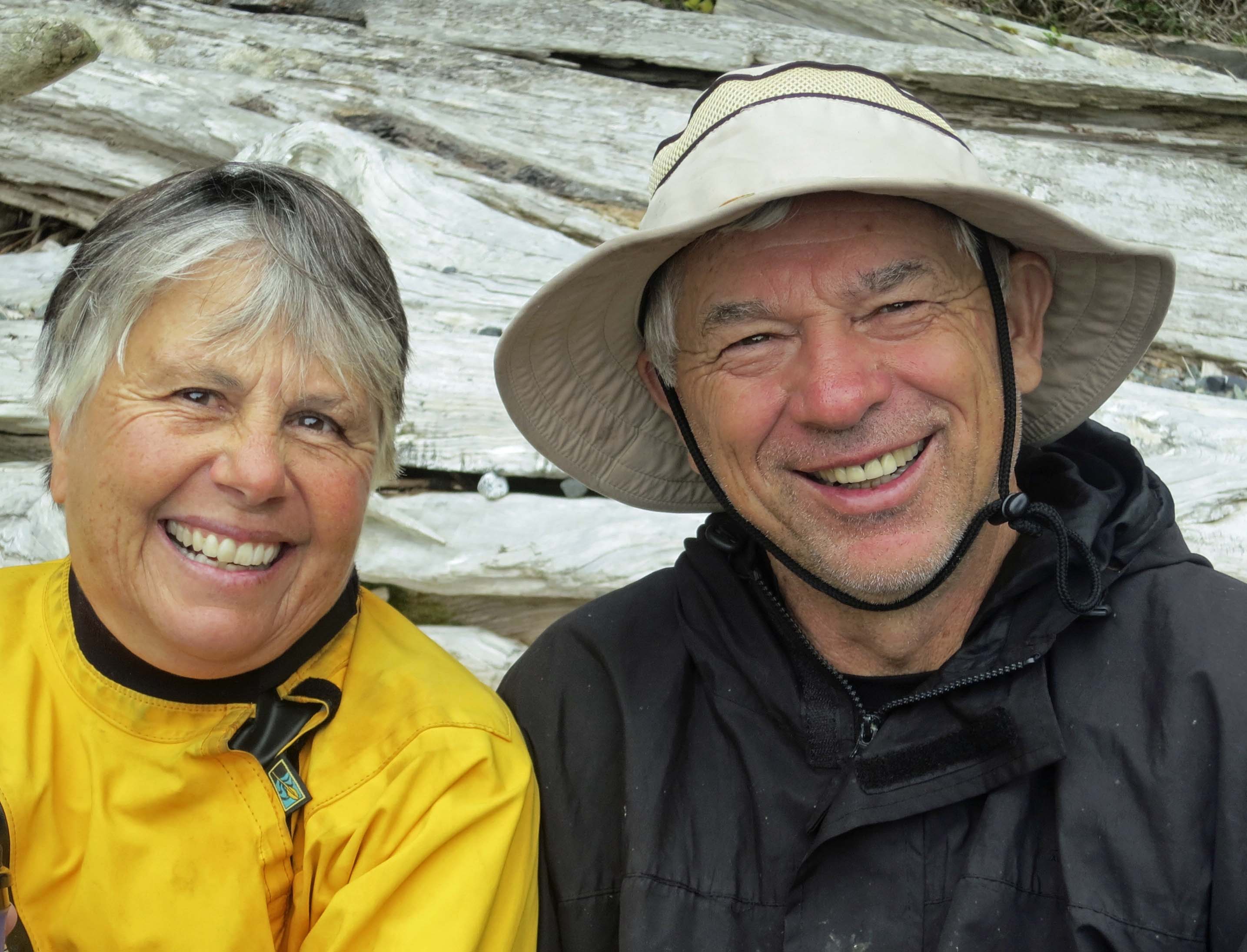
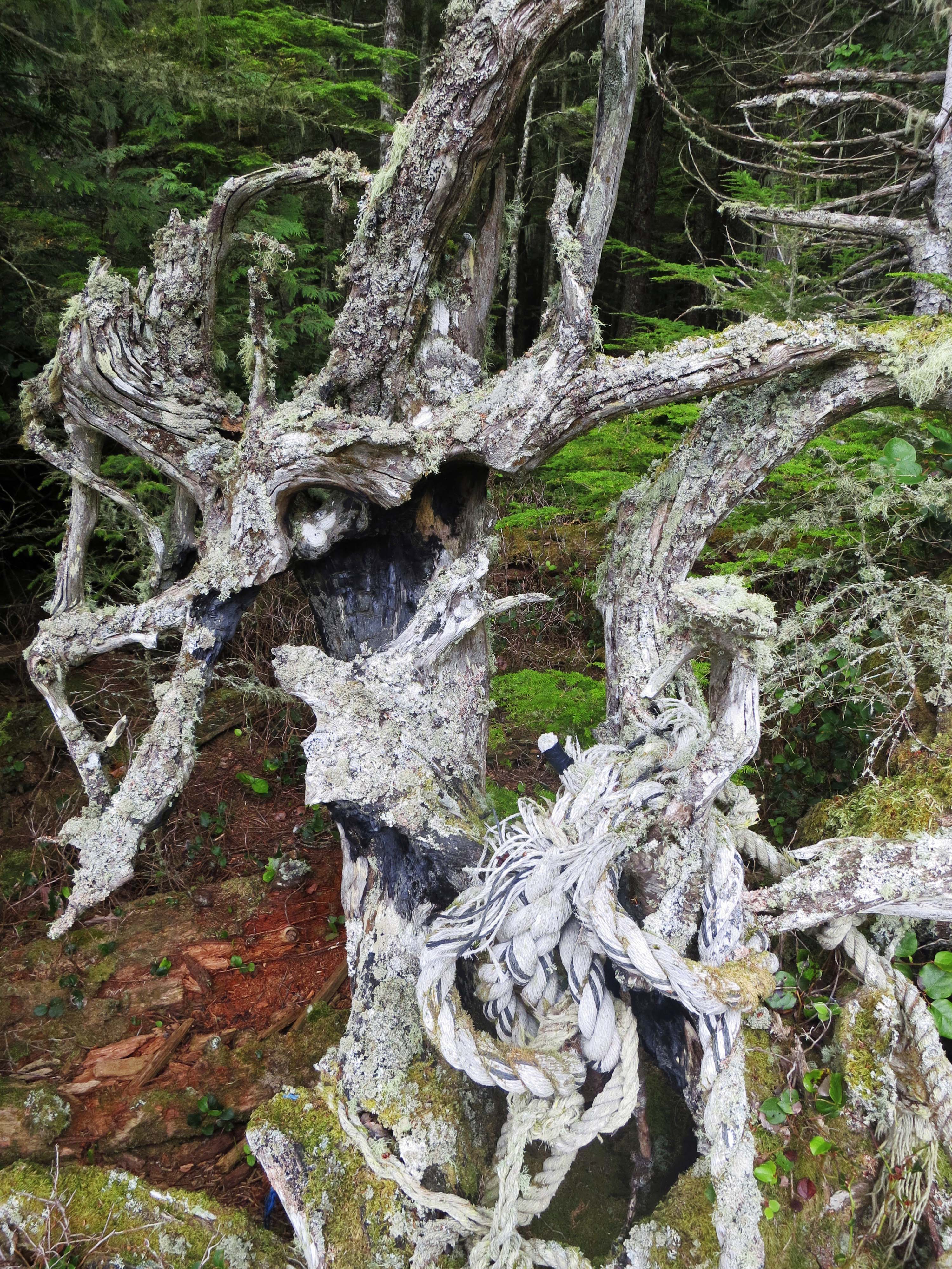
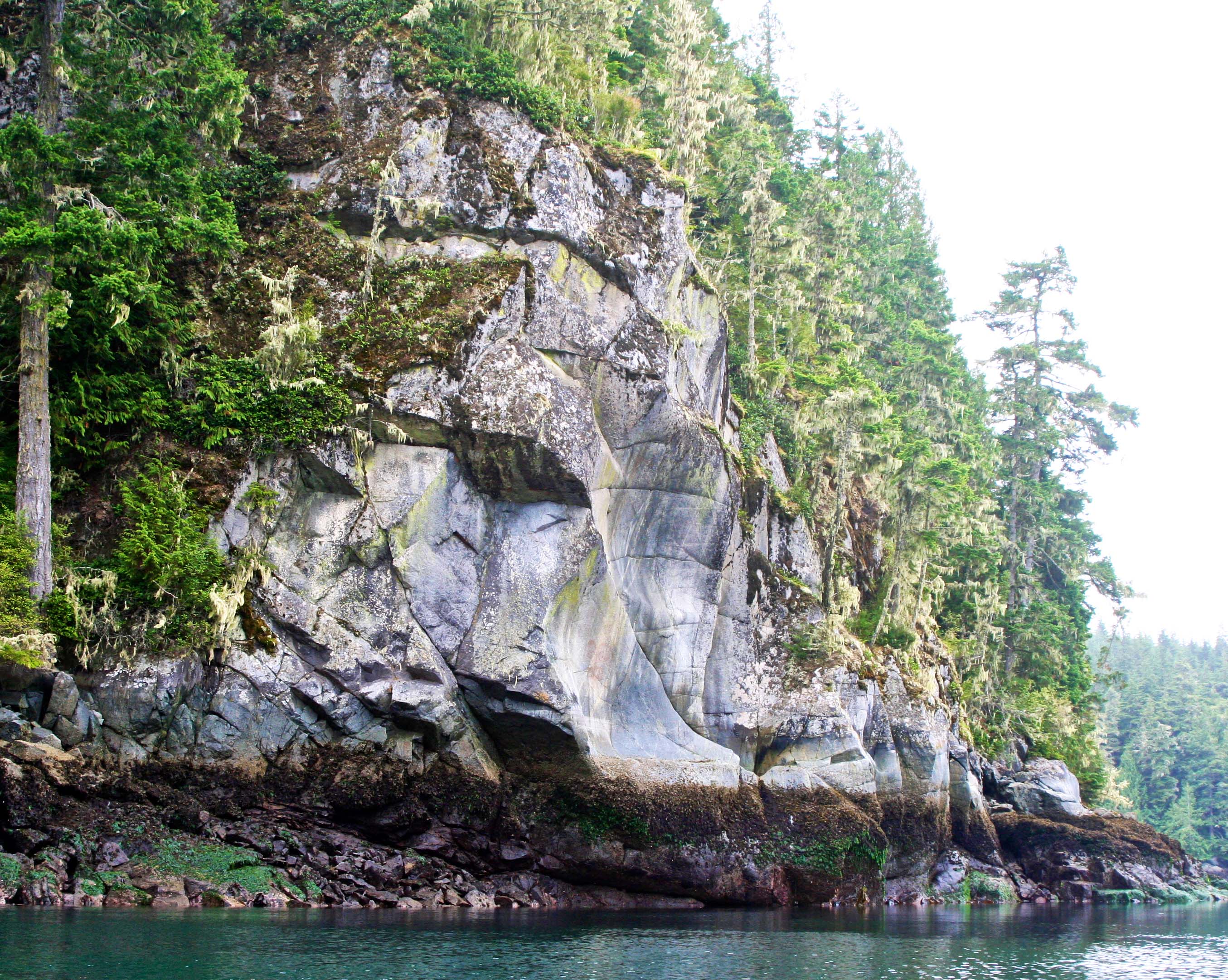
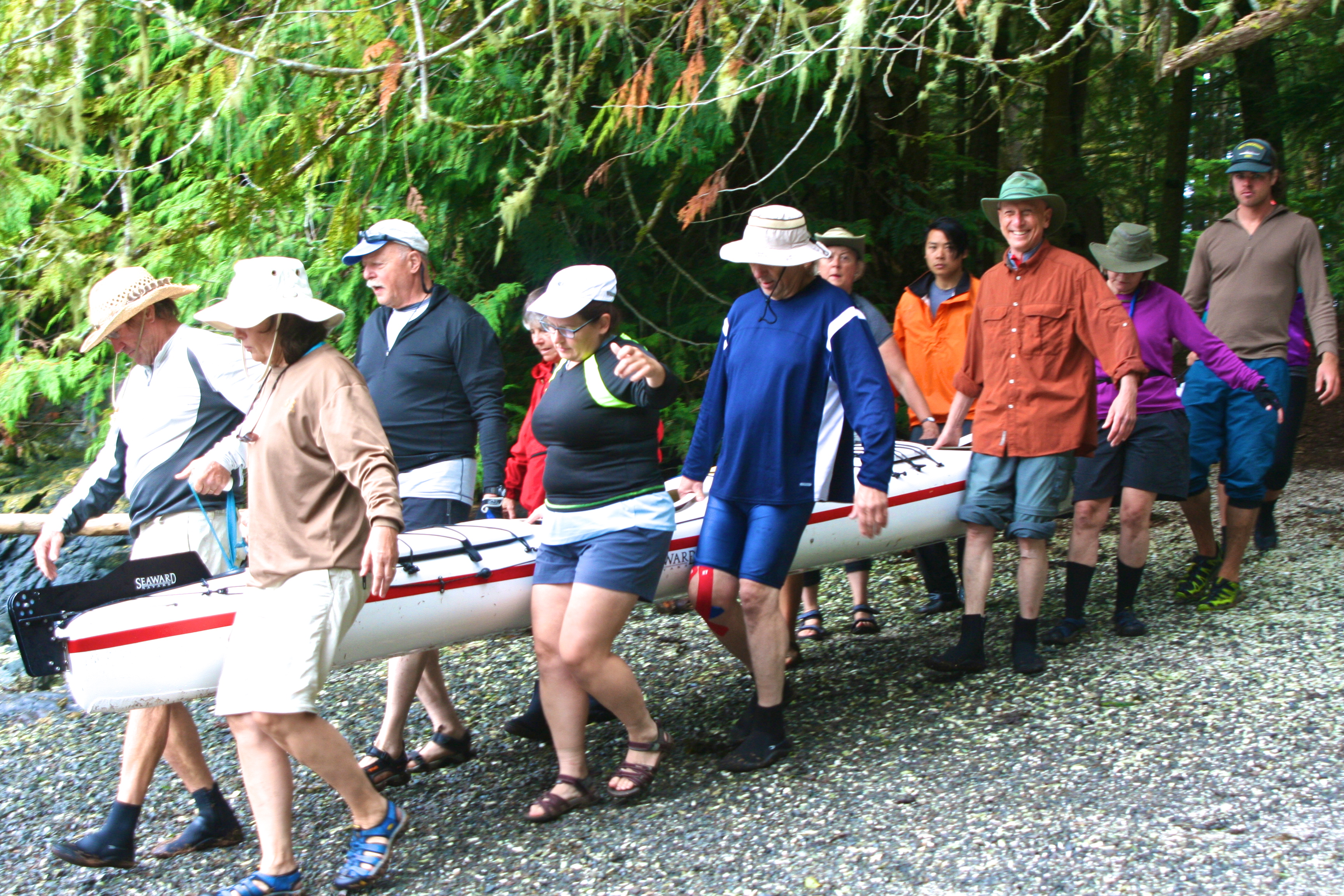
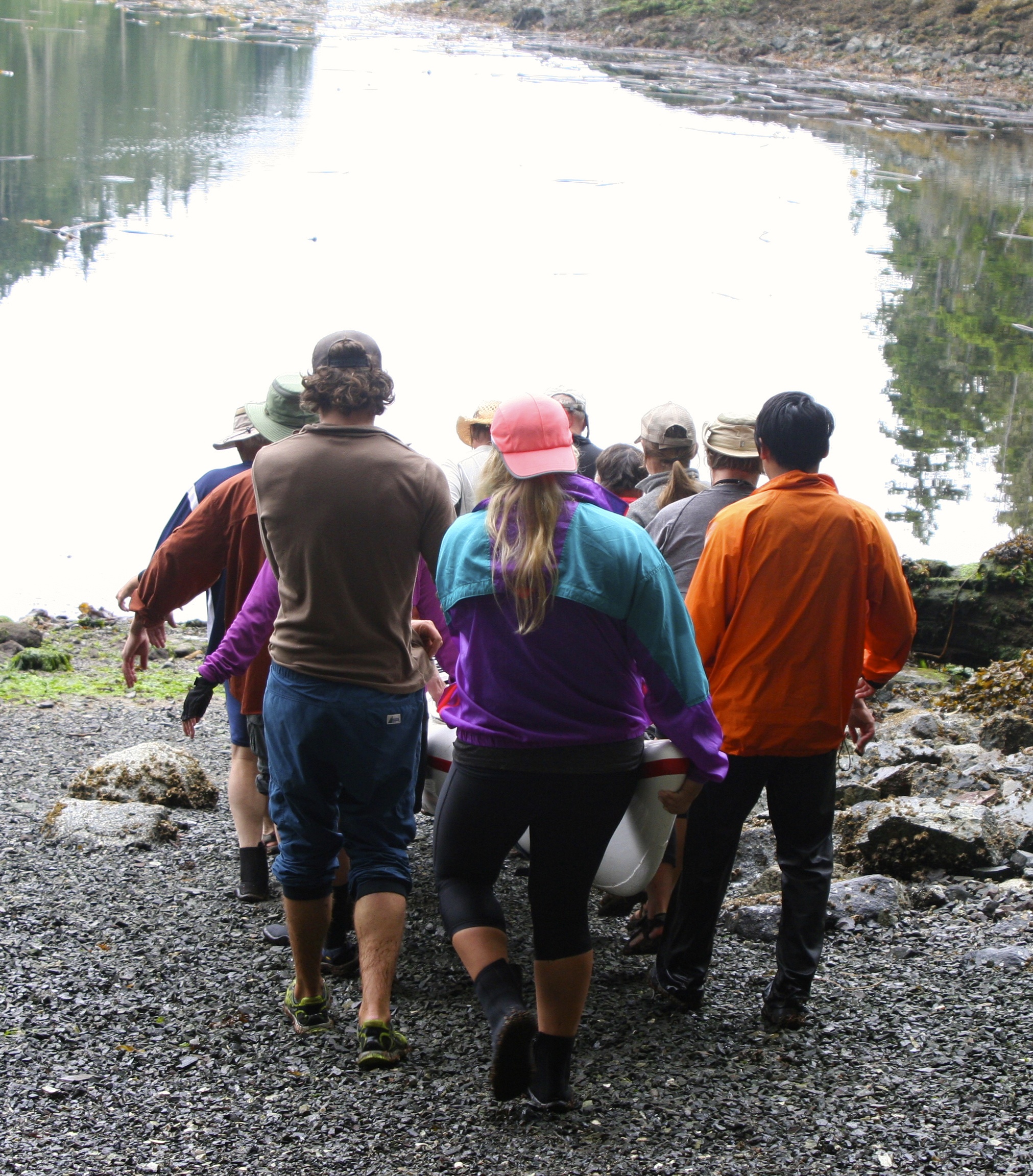
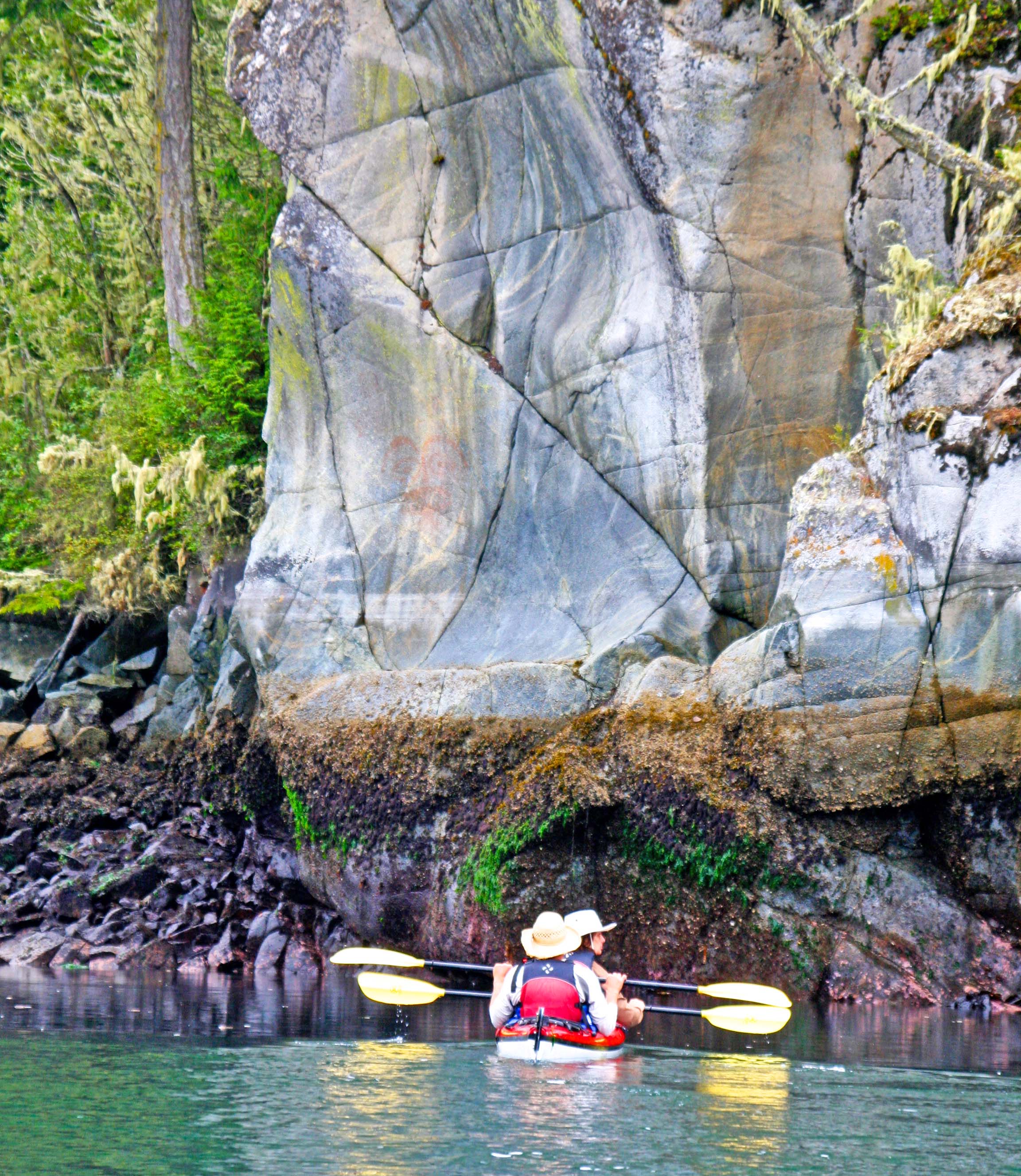
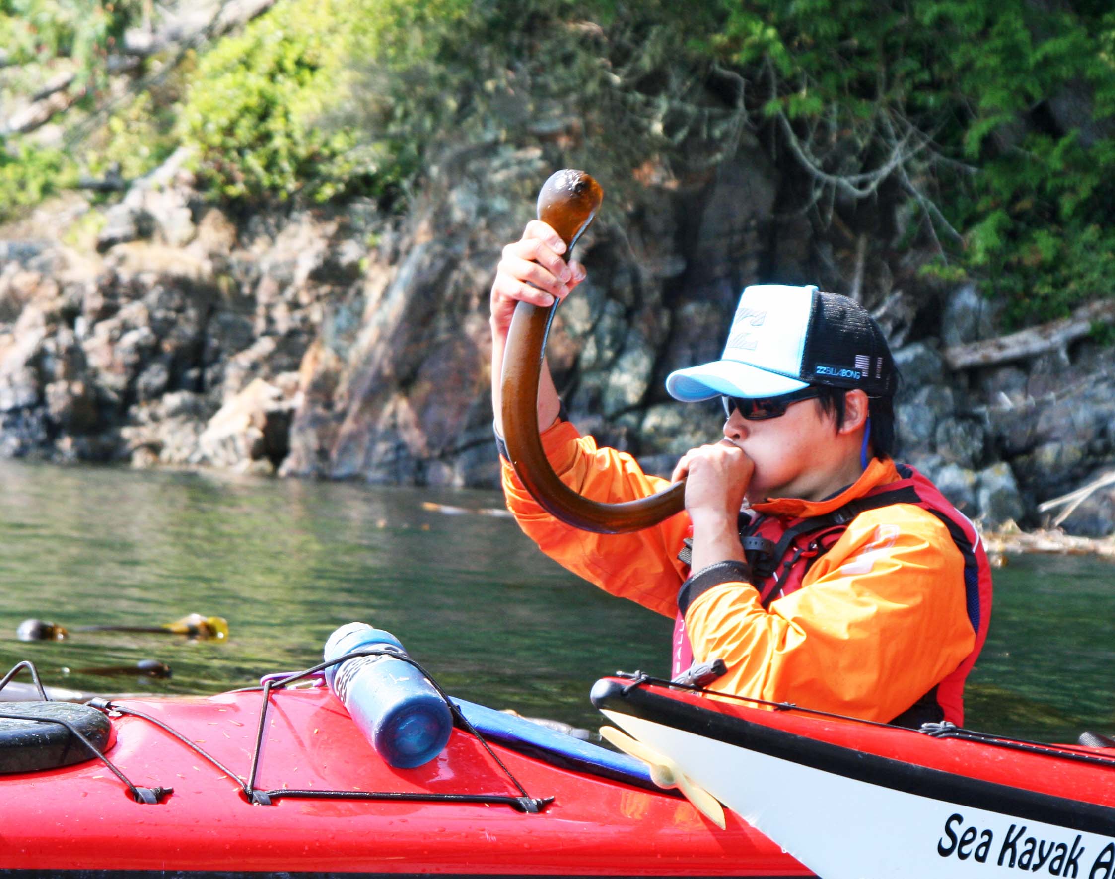
My favorite type of travel is adventure travel. Peggy and I once took a boat ride up the Amazon River. This summer we were kayaking out among the Orca Whales off of British Columbia. I once climbed on my bicycle and did a 10,000-mile solo trip around the US that took me six-months. (I bicycled through Tennessee as part of my trip.)
If forced to choose, I would say my favorite place to be is out in the woods. I am never happier than when I put on a backpack and disappear into the wilderness. I’ve backpacked all over the US including Alaska and Hawaii. When I turned 60, I backpacked 360 miles through the Sierra Nevada Mountains of California from Lake Tahoe to Mt. Whitney.
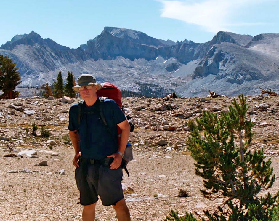
Nearing the end of my 360 mile backpack trek, I pose in front of Mt. Whitney.
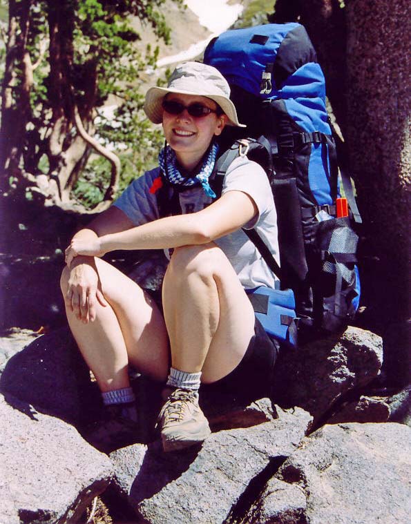
Tasha joined me along the way for one week of my trip.
How do you become a writer?
Write! I am serious. The best thing you can do to become a writer is to write all of the time. Keep a journal; make up stories for your friends; start a blog. One girl wrote, “I am writing a book at home, and I don’t know if there is a specific age to start. Do you?” My answer is that now is the perfect time, whether you are in the fifth grade or your seventh decade.
Reading is also very important. Read authors who are known as good writers and pay attention to how they write. Also read authors in the genre you want to write. For example, if you want to write mysteries, read mysteries.
It is also important to pay attention to the details of writing, such as learning grammar, avoiding spelling errors and painting pictures with words. A couple of students wanted to know how I found adjectives to describe my travels. It was a good question. Was it a black cat that crossed my path or a cat as dark as a moonless night? Two of the best tools an author can have are an active imagination and a good thesaurus.
My thanks to the fifth graders at Indian Lake Elementary School for inspiring this blog. Good luck in your future writing efforts.
NEXT BLOG: I bite a chicken and the chicken bites back.