Are aliens for real? What about UFOs? I found this charming character in a diorama at the Roswell UFO Museum.
“While working with a camera crew supervising flight testing of advanced aircraft at Edward’s Air Force Base, California, the camera crew filmed the landing of a strange disc object that flew in over their heads and landed on a dry lake nearby. A camera crewman approached the saucer, it rose up above the area and flew off at a speed faster than any known aircraft.”
—NASA astronaut, L. Gordon Cooper.
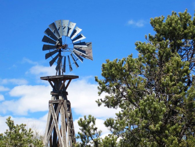
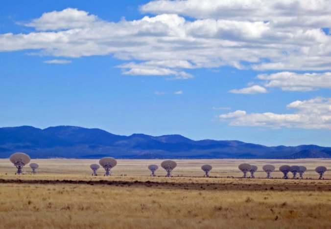
I was getting tough, no doubt about it. In four days I had biked from Springerville, Arizona to Roswell, New Mexico. The first three days, I had crossed the Rockies and half of New Mexico, checking out Pie Town, the VLA, and the location of the world’s first atomic bomb blast. On day four, I had cycled up into the Capitan Mountains and found the gravesite of Smokey Bear. But my day wasn’t over. Twelve miles down the road was the community of Lincoln that had been the center of New Mexico’s infamous Lincoln County War in 1878.
My intention was to call it a day in Lincoln and go in search of Billy the Kid, or at least his ghost. He’s said to haunt the area. But I really couldn’t find any place I wanted to camp so I just kept pedaling— another 57 miles. For much of the afternoon, I travelled along the Rio Hondo River with its small ranches, pine trees and cottonwoods, a welcome break from the dry deserts I’d been crossing. Dusk found me flying down a hill into Roswell. I was bushed, it had been a 90-mile day across another mountain range, but I couldn’t help scanning the skies for UFOs. The area is known for being the crash of a flying saucer in 1947, an incident that is still debated today. I had seen one once. I wanted to see another.

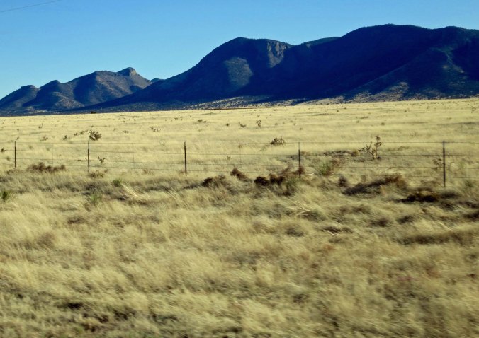
The UFO/or weather balloon crash site is on the other side of this mountain.
So today’s post is about desperadoes and little green men. There’s a lot to cover. I’d best get to it. I’ve blogged about Billy the Kid before. Here’s what I had to say:
Henry McCarty, aka Kid Antrim, aka William Henry Bonney, aka Billy the Kid initiated his life of crime in Silver City during the 1870s stealing butter from the local ranchers. And then he got serious; he was caught with a bag of stolen Chinese laundry. His buddy Sombrero Jack had given it to him to hide. The local sheriff decided to lock Billy up for a couple of days as a lesson that crime doesn’t pay but the Kid escaped through the chimney.
Two years later, at 16, he killed his first man. Five years and some 11-21 murders after that (depending on press reports), he would be shot down by Sheriff Pat Garret. Billy liked to twirl his guns and enjoyed the polka— a fun guy.
There wasn’t much fun involved in the Lincoln County War; lots of people got killed. It’s the age-old story about the new guys riding into town and trying to dethrone the old guys. The ‘old’ guys in this case were Lawrence Murphy and James Dolan. Arriving in the early 1870s, Murphy and Dolan had built large ranches and Lincoln’s only dry goods store and bank. They controlled the law and were able to set prices to maximize profits. Corrupt friends higher up in New Mexico politics had enabled them to gain lucrative contracts selling beef to the US Army. They made lots of money; they didn’t want to share.
Enter from stage left, John Turnstall, a wealthy Englishman, and Alexander McSween, a lawyer. Backed by John Chisum, one of the largest cattle barons of the Old West (he had a herd of 100,000 cattle), they set out to obtain what Murphy and Dolan had. So they established cattle herds and built a dry goods store and bank in Lincoln. Soon they were taking business away from Murphy and Dolan, an intolerable situation. Dolan challenged Turnstall to a gunfight which Turnstall avoided. Instead, he hired Billy the Kid, someone eminently qualified to fight his gun battles for him.

This is a copy of the only known photo of Billy the Kid. It’s found in what was once Murphy and Dolan’s dry goods store and headquarters in Lincoln, NM. Later it would become Sheriff Pat Garret’s Office. Billy would escape from here by killing two of Garret’s deputies.
Being thwarted, Murphy turned to the local law, his law, Sheriff William Brady. Faster than you can say trumped-up charges, three deputies were out on the trail of Turnbull. Naturally they had to shoot and kill him. This irritated Billy no small amount and the war was on. Then things really got complicated with competing bands of outlaws and lawmen, local cattlemen, the US Army, two New Mexico governors, and the President of the Unite States involved. Ultimately the Kid and McSween were killed along with 16 or so other folks including Sheriff Brady. Murphy and Dolan ended up bankrupt. McSween’s widow seemed to end up owning much of the stuff. There must be a moral of some kind here.

Murphy’s sharpshooters used this tower in the Lincoln County War. It was originally used for protection against marauding Apaches.

A letter of appeal that Billy wrote to Governor Lew Wallace who had been appointed to clean up the mess in Lincoln County and the corruption in New Mexico’s government. What interested me was how neat, and how well written the letter was.I doubt you will find penmanship like that in our schools today.

Peggy and I found these red peppers in Lincoln. They made it onto my blog because there is an unwritten law in New Mexico that anyone who blogs about the state has to include a shot of red peppers.

This rock is here because I found it along NM Highway 380 near Lincoln. I think Billy would have liked it, or shot it.

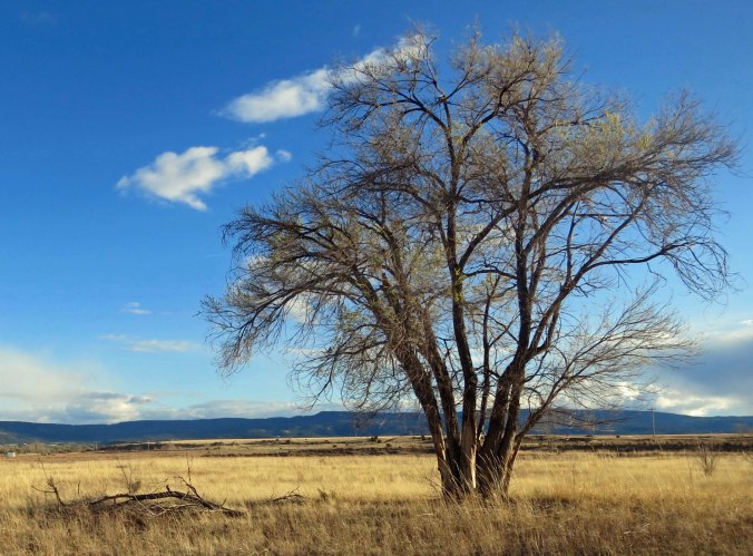
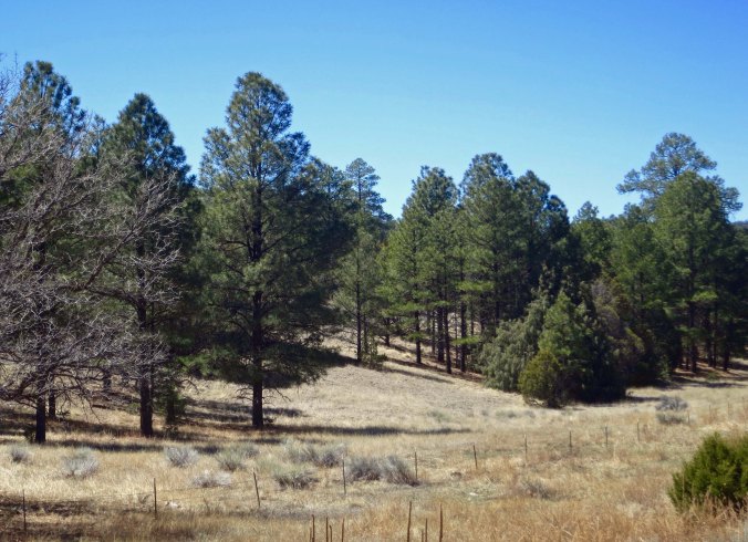
My road photo for the day. I really enjoyed the trees and green grass I found riding along the Rio Hondo River. This may look dry and barren to you. I thought I was in Eden.
Now, on to little green men.

A little green man contemplates what to do about earth while standing on the streets of Roswell. Don’t worry; the sign on the right says he’s under 24 hour video surveillance.
It was 1968. I was standing outside on my small porch in Sacramento, California, innocently minding my own business and sipping scotch when aliens entered my life. A round, disk-like object flew into a cloud going in one direction, and then flew out going another, accelerating at an unbelievable speed. It was only seconds of my life, but ever since, I have been interested in UFOs.

My flying saucer looked a lot like this, except it was clearer. (From a photo in the UFO museum.)
You might imagine my excitement as I approached Roswell. The story of the 1947 crash of an unidentified flying object near Roswell has been the subject of numerous news stories over the years. A local rancher had found mysterious debris on his property and turned it over to the military. At first the military reported that a UFO had crashed. As a media storm gathered, the military quickly changed its story and said it was a weather balloon. Meanwhile, tales of dead alien bodies being found begin to circulate. A nurse reputedly said she had seen the aliens and drew a picture. Everything, it was claimed, had been shipped off to Area 51 in Nevada.
It was the grist for dozens of sci-fi movies, books and TV shows— and one of the greatest conspiracy theories of all times. It continues to rage, refusing to die. And probably never will as long as people continue to see disk-like objects zipping across the sky.
Roswell loves its aliens and the UFO story. It’s cash in the bank; it draws thousands of tourists annually. When Peggy and I went through there retracing my bike route in April, we wandered around town taking photos of businesses that displayed alien-related themes. We also spent a couple of hours at the UFO Museum, which is dedicated to uncovering the truth about the crash, and continuing to propagate the UFO story. It’s all fun. BTW, if you want a silly but fun R-rated movie that ties aliens, Roswell, and Area 51 together, Peggy and I recommend “Paul.” You might also want to check out my blog: Area 51— Where Alien Conspiracy Theories Continue to Breed Like Rabbits.
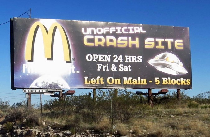
I’ve always wondered about the food served at McDs.

It isn’t required, but Peggy and I found numerous businesses in Roswell with alien themes. This was a print shop.

As expected, you can find cute T-shirts…

Fun signs…

And other alien stuff.

The UFO Museum is filled with interesting facts and speculation about the UFO crash.

This news story was based on the original release from the US Army, before it claimed a weather balloon had crashed.

This cartoon was the last thing I found in the museum. I left smiling.
NEXT BLOG: On to Texas. I am surprised I am not still bicycling across it.