On Getting Lost in Black Rock City… My 11 Years of Burning Man

A view of Black Rock City looking across the Center Camp Cafe at the distant mountains. The 70,000 plus people who arrive here for Burning Man each year make the city the third largest city in Nevada for its one week of existence.

Black Rock City is laid out using a semi-circular grid system. The main roads are numbered and are oriented toward the Man, which is at the center of Burning Man. The circular roads are in alphabetical order with names based on the theme of the year. Say the theme was Wildlife, A street might be Aardvark, B street Baboon, etc.

A view of how Black Rock City (BRC) is laid out. The X in the center is the Man. The small circle above it is where the Burning Man Temple is located. The large circle below the Man is Center Camp and the smaller circle within it is the Center Camp Cafe. The Esplanade, where most of the larger camps are located, provides the boundary between BRC and the Playa. The length of the scale below is 5,000 feet, close to a mile. We normally camp between 5th and 7th Avenues, 7-9 blocks out from Center Camp.

The well laid out street system makes it easy to get around— in the beginning— during the day. The story changes at night when lack of light, stolen signs, liberal doses of free alcohol and mass chaos seems to rule, especially later in the week when the full 70,000 plus people are present. Then, it’s easy to get lost. Throw in a zero visibility dust storm and it is almost impossible not to. Common sense and Burning Man tell you to stay put.

I was lost for an hour once during such a storm. We had gone out to watch a burn, which was scheduled at dusk in the far reaches of the Playa near the apex of the map shown above. As the fire burned down, a huge dust storm hit, leaving Peggy, our friend Beth, and me— along with a few thousand other Burners and mutant vehicles to find our way home. It bordered on scary, made more so by large mutant vehicles appearing out of nowhere. When the storm cleared enough to get our bearings, we found we had walked in a huge circle out on the Playa. We returned to camp caked in dust and exhausted. Now, I carry a compass.

Street signs set up by Burning Man help people find their way around. This is at the corner of 6th and D. 6th runs into Center Camp and then out to the Man and the Temple.
A dust devil attacks bicyclists on the Esplanade. Dust storms can range from a location specific hassle like this…
… to event wide brown-outs. Our neighbors across the road, about 100 feet away, disappeared as a massive dust storm roared in accompanied by high winds.

You don’t need a dust storm to get lost, however. Here’s a story I related earlier this week in one of my comments: A young man drove up from San Francisco to Burning Man. He was a first timer, a virgin Burner eager to get out and explore. He parked his car, quickly set up camp, and headed off to play. When he returned to his camp later that night, he discovered that someone had stolen his car, his tent, his food and all of his gear. He reported his situation to the Burning Man staff and they found the unfortunate fellow a ride back to SF. End of story.

But not quite. A few days after the event, he received a call from BMO. His car, his tent, his food, and all of his gear had been found— right where he had left them. That was how lost he had been. If this seems a bit far-fetched, consider the following photos.

The week before Burning Man, this was vacant desert. A week after it will be vacant desert again. But during the event, it becomes wall to wall people. It is easy to see how someone might become confused about where they live. Think about leaving your car in a large parking lot filled with several thousand vehicles and not paying close attention to where you left it.
Another view of the people clogged Black Rock City.

After the above story and photos, it might seem that it would be impossible to get away from the crowds. Actually it’s easy, assuming you are willing to head out into the Playa. Even the area surrounding the Man is relatively unoccupied unless a major event is taking place. Very few make it to the outer boundaries. Showing up early in the week or leaving late also reduces the crowds that peak on Thursday, Friday and Saturday.

Black Rock City as seen from the Man. Main avenues run out to the Man from 3 o’clock, 6 o’clock and 9 o’clock. As you can see, the number of people drop quickly, even in the more heavily trafficked part of the Playa.
From far out on the Playa, Black Rock City with its crowds appears even more insignificant. Peggy, Beth and I were out here when we got caught in the dust storm.
Here we are setting up the Horse Bone Camp with Quivera, our van, and Walter, Tom Lovering’s Trailer. We came early to assure we would have space in a desirable location. Within three days, this area was totally packed with tents and vehicles.
Hanging out until Monday also assures that the majority of Burners will be gone. (Photo by Don Green.)
I’ll conclude with this shot of the sun setting over Black Rock City on a dusty day.

NEXT POST: I’ll take you for a walk through Black Rock City.

Who Ate the Gingerbread House? … Good Doggy, Bad Doggy

I went searching for three wise men at Carowinds Amusement Park on the border of North and South Carolina. I didn’t find them. Maybe they were lost in the pre-Christmas crowd. But I did find one of their camels.

It’s Christmas Eve here in Charlotte, North Carolina. The tree is up and loaded with goodies. The gingerbread houses have been built and the Christmas cookies are ready to eat. (Minus those that Grandpa has already eaten. I have a serious responsibility to test the cookies as they come out of the oven. Sometimes I have to eat two, or three, just to be sure they meet my high standards.) Our son-in-law Clay will soon be up and preparing tonight’s roast. He’s one heck of a cook. All’s well with the world, or at least all is well with our little corner. And that’s enough for today.

Like Santa, we are in the middle of our holiday rounds. Last week, we were in Florida visiting with our son and his family. This week we are with our daughter and her family in Charlotte. It’s her turn to have us for Christmas. Next year is Tony’s turn, as we have already been reminded several times. (grin) Santa, of course, has the advantage of being able to be in both places. That’s because he has that magical sleigh and eight reindeer plus the red-nosed fellow. We have to travel by airplane, where we are lucky to arrive at all.

Santa dashing away on top of one of the rides at Carowinds.
One of his eight reindeer!

Both sets of kids (and grandkids) decided it would be fun to check out the holiday decorations at major amusement parks this year: Busch Gardens in Florida and Carowinds in North Carolina. They were impressive:

Clay used his Google Android phone to capture this photo at Carowinds. (Clay works for Google as a manager at their data center in South Carolina.)
Both parks featured decorated trees. This is at Busch Gardens.
Another Busch Gardens tree.
This tree with the moon hanging out above was at Carowinds.
Clay caught this ‘bulb-tree.’
And I took a close-up.
As usual, I couldn’t resist a reflection shot. This is Carowinds.
A very big Christmas tree ornament at Carowinds.
As expected, both parks had impressive Christmas trees: Busch Gardens…
Carowinds. This tree, BTW, sits on the border between North and South Carolina.

Making gingerbread houses is a tradition at both houses, which isn’t surprising considering Peggy’s love of all things Christmas. The grandkids join in the effort with total dedication, except for eating half of the house decorations. They are not alone in their passion for jelly beans and M&Ms and candy canes, gumdrops etc. The doggies also have a sweet tooth. But which one ate the gingerbread house?

Was it Natasha and Clay’s dogs: Miss Innocence (Chima) here?
Or, “How could you even think I might eat the Gingerbread House? ” Lexi.”
Or Tony and Cammie’s Miss Definitely Not Me (Lyla).

Chima and Lexi were actually innocent— this time. Not that they wouldn’t eat a gingerbread house if someone left it on the floor by mistake and no-one was home. But they lack Lyla’s long legs. (Clay swears his dogs would not eat the gingerbread house.) Cammie and boys had just finished their house and were briefly out of the room. Cammie returned to find Lyla on her hind legs scarfing down their house. In Lyla’s defense, she had only thoroughly licked one side— but I am pretty sure that the house’s demise was just a matter of time. Anyway, here are the Cox family gingerbread houses:

Cody’s Robot House… Check out the teeth!
Ethan’s Reindeer House…
And Peggy’s. She would never be left out when it comes to building gingerbread houses.
While I didn’t catch Lyla’s well licked gingerbread house, Peggy and I found that our bedroom had been invaded by animals. This was special. Imagine kids loaning out their animals, even for a night! It was the true Christmas spirit.

Speaking of animals, Carowinds had put together a petting zoo for Christmas. It’s where I found the camel. There was also a very, very strange looking goat that looked like it was having a really bad hair day, that it was an ancient goat from another time…

I decided that it was… are you ready for this… The Goat of Christmas Past.

A VERY HAPPY HOLIDAY TO ALL OF OUR GREAT INTERNET FRIENDS. THANKS FOR FOLLOWING ‘WANDERING THROUGH TIME AND PLACE.’

CURT AND PEGGY

The Great Pumpkin and Rabbit Ears Made of Romaine… Rafting the Grand Canyon: Part 11

As we passed outside of the Grand Canyon National Park boundary, the Canyon lost some of its grandeur, but just barely.

I wasn’t too surprised when Susan Gishi sported Romaine Lettuce as rabbit ears. In fact, wandering around with my camera, I may have encouraged her. Nor was I surprised when she wielded the cutting knife threateningly. Or when the kitchen crew started head loading the salad containers (not too successfully). Tom ran a tight ship in the kitchen and his mutinous crew responded with humor. After 15 days on the river, his efforts at organization were somewhat analogous to herding cats, or maybe kangaroos. It tended to make him grumpy.

Susan demonstrates how to wear Romaine Lettuce, and the proper way to cut it.

This is the rowdy kitchen crew, Susan, Peggy and Eggin.

Susan demonstrating how to head load.

A convenient ledge provided first row seats to watch the crews shenanigans.

Later, Teresa decided to become a stalker.

While Don Assumed the pose of the thinker. Hopefully, the rope stayed in place.

His shirt makes a ghost appearance.

As we passed outside of the National Park boundary on our trip down the Colorado, the Canyon lost some of its grandeur. But there was still plenty to see. Pumpkin Springs was a good example. It looked like a huge pumpkin. Beth, whose nickname is Pumpkin, was glad to climb up on top of the springs for perspective. The gourd-like structure is another example of a travertine formation created by the lime pumped out by the hot springs. An interesting note is that the spring also has a high concentration of arsenic. Health standards are set at 50 milligrams per liter. The level at Pumpkin Springs has been measured at over 1000! Don’t drink the water! Bone, of course, had to take a sip, but doing anything  he does usually has an inherent risk. I once watched him dive into a pitcher of margaritas at Senior Frogs in Mazatland, Mexico and refuse to come out until a señorita gave him a kiss.

Rock formations continued to entertain us.

Volcanic rocks begin making an appearance, including this large chunk of basalt…

Obsidian…

And columns of basalt. They reflect the way basalt may crack when it cools slowly. The Devil’s Postpile along the John Muir Trail is one of the best examples of this phenomena.

A view of Pumpkin Springs.

Beth provides perspective on the size of the springs.

While Bone gets up close and personal.

Peggy and I both took turns at the oars. Peggy’s was mainly a photo-op but I rowed for a longer period, giving Dave a break. He even encouraged me to try my luck at death-defying rapids (more like a 1 on a scale of 10.) “Point toward the V made by the water and stay in the center,” Dave had advised before going back to sleep.

Peggy takes her turn at rowing…

As do I…

Dave taking a snooze while I row.

This is an example of the small rapids I rowed through.

A final view of the Canyon for today.

WEDNESDAY’S POST: Up close and personal with the big brown bears of Kodiak Island.

FRIDAY’S POST: Living on Graveyard Alley— or not. It’s a wrap on the Mekemson Kids Did It.

SaveSave

SaveSave

SaveSave

SaveSave

SaveSave

Beautiful Havasu Creek and the Infamous Lava Rapids… The Grand Canyon Series: Part 10

Havasu Creek with its travertine colored water.

I had been on Havasu Creek before. Our son, Tony, who was on a break between flying helicopters for the Marines and flying helicopters for the Coast Guard, was flying helicopters for a private company that offered tours over the Grand Canyon and into the small Indian village of Supai. The town, which is located inside the Canyon, sits next to Havasu Creek.

Tony had flown his wife Cammie, Peggy and me into Supai as a treat. He was playing the theme from Star Wars full blast as we dropped over the steep edge of the Canyon and begin our rapid descent! We were greeted by the beautiful blue-green water of Havasu Creek and its interesting travertine structures when we landed  A high concentration of calcium-carbonate is responsible for both the water’s color and the formations. The process of coating objects with lime is fast. Today’s downed limb in the creek may become next month’s travertine sculpture. Peggy and I were eager to see if the creek maintained its unusual color and interesting formations at its mouth where it flowed into the Colorado. As the following photos suggest, we were not disappointed.

The mouth of Havasu Creek is a common stop for rafters in the Grand Canyon. Our rafts look small beside the large commercial tour boat.

We hiked over this from the mouth of the creek.

And were treated to views like these.


Don caught this lovely view. (Photo by Don Green.)

And Peggy took this one.

One of the things rafters do for entertainment on Havasu Creek is to damn it up using their rears…

And then, people scramble out of the way, creating a mini-flood! Beth was having a bit of trouble with the scramble part. She was holding onto Bone and didn’t have her hands free.

A pictograph, left behind by ancient Americans, caught the group’s attention. Maybe they used to grow people taller. (grin)

Lava Falls is labeled a 10 in the Grand Canyon’s system of scary, the highest rating given to any rapids along the Colorado. The river drops 37 feet over a few hundred yards and guarantees a quick, gut wrenching ride that seems to last forever and might very well throw you out of the raft. We had been worrying about it even before the trip. It is considered one of the top ten challenging rapids in the world by river runners. Our boatmen parked their rafts above the rapids and carefully scouted a route. We could see a huge, raft-sucking hole in the middle. It seemed that slipping by on the right  seemed the wisest choice. But what did we know. The river was going to do what the river was going to do. Steve agreed to carry us and away we went on our bucking raft… Ride ’em cowboy!

Back on the Colorado River, we headed for our appointment with Lava Falls. Eggin would be attempting the rapids in her kayak.

It was hard to imagine that Lava Falls was just around the bend. But we could hear its roar.

Everyone wanted a good view of the rapids.

They promised a quick but rough ride! Would that hole suck us in and tip over our raft?

With Steve at the oars, Peggy and I enter the infamous Lava Falls on the Colorado River, a perfect ten… that’s 10 as in rapids don’t get any more serious. Shortly after this we disappeared under the water! (Photo by Don Green)

Peggy and I are between the camera and the oars! Luckily we came out with our messy side up. (Photo by Don Green.)

Everybody made it through with the exception of Eggin, who managed to run the rapids upside down in her kayak. One of the boatman shot out to collect her and the kayak. Other than being a bit wet, she was fine. Meanwhile, her uncle, David Stalheim, had pulled over at Tequila Beach and was demonstrating why it was so named. If you manage to survive the rapids, you are expected to celebrate with a shot of tequila. Dave apparently wanted the whole bottle! The party continued after we reached camp…

Don demonstrates how he was feeling after running Lava. It’s possible that the lid was on, but just  maybe. 

Peggy and I just looked happy. We needed a T-shirt that said we survived Lava Falls.

Jonas had decided to celebrate with a little quiet reading in the river…

Bone declared that the trip had scared the pee out of him…

While Beth and Susan decided it was time to Party.

While Tom was just, um, Tom.

I will note that the party continued into the night and the natives were apparently having a heck of a good time!

WEDNESDAY’S Photo Essay POST: Flying over Kodiak Island. It was green enough to be Ireland before the glaciers started.

FRIDAY’S Blog a Book POST: Another in the MisAdventure series. Bob Bray and I are chased by a hobo and my mother chases fire trucks.

SaveSave

SaveSave

SaveSave

SaveSave

SaveSave

SaveSave

This Place Called Black Rock City… Burning Man

Imagine, if you will, having enough port-a-potties to accommodate 70,000 people. It’s one of many issues Burning Man has to deal with in planning Black Rock City.


I always like to include a post on Black Rock City when I am blogging about Burning Man to give readers a view of how everything fits together. Obviously, you can’t throw up a city for 70,000 people in the desert without some serious planning. Think of it this way: For the one week of its existence, Black Rock City is the third largest city in Nevada— only Las Vegas and Reno are larger.

It all starts with locating where the Man will be placed out in the Black Rock Desert a few miles east of the small, northern Nevada town of Gerlach. A ceremonial spike is driven into the ground to mark the placement.  Everything else including the Temple, Center Camp, the surrounding fence and Black Rock City evolve from there. Official Burning Man structures and major camps are built before the event. Sort of. It is not unusual to arrive on Sunday with work still being done on the Man, the Temple, Center Camp, etc.

Black Rock City is laid out in a semi-circle as shown on the 2016 map below. The circular roads are given names based on the annual theme and are in alphabetical order. For example, the 2016 theme was Da Vinci’s Workshop. The road names were Arno, Botticelli, Cosimo, Donatello, Effigiare (Italian: to portray), Florin, Guild, High Renaissance, Italic, Justice, Knowledge, and Lorenzo. The main road that separates Black Rock City from the Playa is always the Esplanade. Roads that cut across the circular roads are numbered clockwise and lead out to the Man.

The large circle on the bottom is Center Camp, the middle circle the Man, and the upper circle the Temple. Both the Man and the Temple are located on the Playa, which continues out to the fence. Shaded areas are for assigned, organized camps; non-shaded areas for everyone else. Space in the non-shaded areas is on a first come, first serve basis and you can have as much as you need for your camp, assuming you come in early— there seems like a lot of space in the beginning. By the end of the week, everything is packed! The total area encompassed within the fence including Black Rock City and the Playa is approximately seven square miles.

The official Burning Man map of Black Rock City for 2016.

The following photos provide a glimpse into what it is like to live in Black Rock City.

If you come in early on Sunday, you feel like you have a lot of space. We always mark out our site with rope and reflectors.

Things fill up rapidly as the week progresses. Quivera, our van, marks one end of our camp. Our goal is to be somewhere between 5:00 and 6:00 on H or I.

By Friday, there is no room left. If you haven’t clearly marked your area, you will have guests!

If things feel too crowded, you can always bike out onto the Playa where the Man, the Temple and many of the major art pieces are located.

If things are still too crowded, you can head out farther…

And farther…

And farther. By now you are out in what is known as the Deep Playa.

This is where you come to the fence that limits further exploration of the desert. Actually, during a dust storm when visibility is close to zero, it is good to have the fence available to keep you from wandering off. There is a vast amount of space to get lost in.

Burning Man is serious about Burners staying inside the fence. Part of this is for safety and part of it is to keep people from sneaking in for free. When I crossed the fence for a photo-op, a BM truck came speeding over to where I was.

A substantial infrastructure is required to operate the event. These lifts are located in the Public Works Department lot.

Safety is always a concern. Burning Man has its own safety officers know as the Black Rock Rangers. Of course there are also numerous local, state, and federal law officers present. There is also an extensive emergency medical operation.

Lamps are lit at night to help Burners find their way. The lamp lighters are volunteers who have their own camp.

Providing ice for Burners to keep their food (and beer) cold is also a major operation run by volunteers. A recruitment poster urges Burners to sign up. Ice is one of the very few things you can purchase in Black Rock City.

The tongue in cheek sign at the top of the post refers to the numerous banks of port-a-potties found throughout Black Rock City and out on the Playa. An army of trucks is constantly servicing the outhouses. (Photo by Don Green.)

I found this in one of the toilets.  I imagine that this sign had some city folks checking. (grin)

Sand spiders are more dangerous.

Heat, wind, and dust storms are a part of life at Burning Man. It can also rain.

This photo was taken a few minutes after the above photo. The storm has arrived!

While it is important to be prepared for the heat and dust storms, there is also great beauty and good weather at Burning Man.

Looking out from our camp at the sunset.

And a rainbow.

If things get too rough out in the desert, you can always stop and have a beer.

Next Blog:  Some really cute seals and the beautiful Pt. Lobos nature reserve near Carmel.

The Deer Don’t Have to Pay a $275,000 Membership Fee to Play at the Monterey Peninsula Country Club on the 17 Mile Drive

This ‘lone cypress’ is almost synonymous with the 17 Mile Drive and serves as the logo for the Pebble Beach Resort. I am pretty sure that it is the most photographed cypress in the world and it is certainly the most cared for.Check out the rock-work.  The tree probably has its own arborist.


Monterey and Carmel take me back in time, back to the 60s and 70s, back to when the world somehow seemed more promising— it was, after all, the Dawning of the Age of Aquarius. I used to drive down to Monterey humming the tune in my Volkswagen Camper, Van-Go, and free camp at a surfer beach just south of Carmel. The surfers are still there riding the waves, but the free camping has long since disappeared, a victim of the times. The welcome sign has been taken down. The hospitality industry prefers that tourists pay for their lodging and the locals prefer that their visitors drive Mercedes.

I considered myself lucky that I could still find a campsite for $32 a night last week when I visited California’s Central Coast. Maybe that’s because the water was unpotable at the Laguna Seca Campground. I noticed the signs after a couple of days of happily drinking away. Turns out the water is laced with arsenic. (If I seem a little strange… But, hey, how would you know the difference?)

The Laguna Seca Campground is located up in the hills here, hidden away among the trees.

While green grass was still growing in the valley, it had turned a ‘California gold’ next to my campsite.

I liked the trees. Our grandkids would have been all over this one.

The campground is operated by Monterey County and nestles on top of the beautiful coastal hills that surround Monterey-Carmel. If you are a car racing fan, you will recognize the park as home to the Mazda Laguna Seca Raceway. I stayed there until I had to vacate the premises. People had signed up to pay $120 per night for my $32 site. It provided an excellent view of the raceway and the Ferraris were coming to town for the Ferrari Challenge.  I watched as 18-wheelers rolled in carrying their precious cargos.

The Ferrari Challenge was the first major race of the season. Crews were out preparing the track.

This site of the track was about 50 feet away from my camp. You can see why it was prime territory.

All of the 18 wheelers you can see in this photo were carrying Ferrari race cars. There was close to a parade of them going by my camp the morning I had to leave.

I don’t know what a Ferrari race car costs, but you can pick up a classic Ferrari 250 GTO for the tidy sum of $57 million. It’s a bit out of my price range— and my imagination. Somehow, I can’t picture myself running down to the store to pick up a carton of milk in one.

Laguna Seca is about 7 miles outside of Monterey on Highway 68, the road that connects Monterrey with Salinas. It’s hard to imagine two more different worlds. Salinas is prime agricultural land and the one-time home of John Steinbeck. (Be sure to visit the Steinbeck museum if you are in the area.) As I drove through, migrant workers were busily harvesting crops, probably hoping to get though before ICE agents showed up to arrest them. I suspect the farmers were even more eager for the workers to finish their job. If the price of your veggies skyrocket this summer, you’ll know what happened.

A trip along the 17 Mile Drive,  which runs along Monterey Bay and connects Monterey with Carmel, provides an excellent example of how the other half, or make that the one percent of the one percent, live. There are folks here who live in mansions perched on the ocean’s edge who can afford to go out and buy one of those Ferrari 250 GTOs— and pay cash.

The 17 Mile Drive is golfer heaven. Think Pebble Beach. Or, if you go back far enough in time, the Bing Crosby Pro/Am Golf Championship. Today it is known as the AT&T Pebble Beach Pro/Am. There are several golf courses in the area. If you are an avid golfer, you can purchase an inexpensive golf club membership for $18,000 plus a couple of hundred a month in dues. If that doesn’t strike you as inexpensive, you may want to compare it with a membership at the Monterey Peninsula Country Club for $275,000 with $1045 in monthly dues. Of course, membership is by “invitation only.” How else are you going to keep out the riffraff?

The Bird Rock Hunt Course, #9 on the map below, was once used for equestrian hunt and steeplechase competitions. In the 1920s it did double duty for riding and saber practice for the US 11th Calvary. Now it serves as the Shore Course for the Monterey Peninsula Country Club. Here, deer and golfers share the course.

A green on the Shore Course just below the small grassy hill has its hole marked by a flag. The cypress on the granite rock behind the green adds beauty to the course. The fog adds mystery. Numerous sand traps come with the territory at the golf courses along the 17 Mile Drive.

This cypress was also on the course, just off the road.

A happy, obviously well-fed buck, whose antlers are still in velvet, munches down grass on the course. He is welcome to eat all of the grass he wants and is not required to pay the course’s $275,000 initiation fee,

I’m having a bit of fun here; my apologies to golfing fans. I’m not one. In fact, the only C I ever got in PE was for golf. I was not happy. I’ve held it against the sport ever since. Peggy did much better. In fact, she was goofing around at Mary Baldwin College (or was that golfing a round) and hit a hole in one. The golfing coach happened to witness the event and immediately recruited her for the college team.

I have watched my share of golf matches on TV, however. It turns out that father-in-law number one and father-in-law number two both loved the sport. Bonding included many an hour of listening to the announcer whisper in awe at the difficulty of a particular tee shot. Exciting stuff. I classified my TV golf time as part of my marriage vows under ‘and other duties as required.’

If I were a golfer, or even if I just watched golf on TV for fun, the 17 Mile Drive is an incredibly beautiful location for the sport. The brochure for the route is justifiable in declaring it “one of the most famous scenic drives in the world.” Since the area is privately owned by the Pebble Beach Resort, you will pay a $10 per vehicle fee to visit, but it is definitely worth it. The resort is owned, btw, by an investor group headed by Clint Eastwood, Arnold Palmer, and Peter Ueberroth. They bought it from a Japanese company, possibly in a fit of patriotism.

Clint, you may recall, was mayor of Carmel in the mid-80s. He also owned a pub/restaurant in the town known as the Hog’s Breath Inn.  Being a fan of his spaghetti westerns, I ate there once in the early 70s shortly after it opened. Eastwood wasn’t happy. Apparently I resembled riffraff. He walked over to my table, pulled out his .44 Magnum Smith & Wesson Model 29 and said “Are you feeling lucky, punk?” Just kidding. Eastwood was off making a Dirty Harry movie and we were more than welcome at the restaurant.

Of course there is much more to the 17 Mile Drive than manicured golf courses.  A restless ocean, graceful Monterey Cypress, impressive rocks, and abundant wildlife are all part of the scenery. Following is a map and some of the photos I took.

I borrowed this map from Google. There are several entrances. This time I came in through the Highway Gate on Highway 1 and drove down past the Poppy Hills Golf Course. My first stop was to admire the ‘Restless Ocean’ at #6.

The marker at the site told me that the ocean was restless because of all the rocks that the waves had to break over on their way into shore.

A wave cooperated with me by breaking over a rock.

The fog reduced my view of Bird Rock at #10. Cormorants were the main birds I could see. Harbor seals with sea gulls in between can be seen on the lower right. Fortunately some sea gulls flew over to see if I had any food to offer. I call them my galley of gulls.

Definitely a “Do you have any food?” look.

A bit more laid back.

The feathers on this fellow caught my attention.

I don’t think I have ever seen a darker eye.

Here we are back at the Lone Cypress at site #16. It has hung out on its perch for 250 years. A number of guy wires holding it up are meant to assure that it continues to hang out for many more years.

The road itself is worth the trip. Here it has a bower of tall cypress trees next to the Ghost Tree Stop at #17, which was my last stop.

This is the tree on the left from the above photo. I can see where it might be considered ghostly.

I am not sure which tree was ‘the ghost tree’ but I found a number of candidates.

Another candidate…

One of the 17 Mile Drive Mansions overlooks the Ghost Tree site. This is a different perspective on the tree shown above.

Maybe not ghostly, but I liked the way this ancient downed cypress seemed to drape itself over the rock.

Speaking of rocks, I felt these might have been something that Druids would worship.

The rock in the ocean seemed to fit right in!

Another perspective.

I liked the combination here of a shadowy cypress, rocks and the restless sea.

Another photo featuring a cypress tree, rocks and the ocean.

This cypress, another candidate for the Ghost Tree, seems an appropriate end for this post on the 17 Mile Drive.

How to Forget You Are Being Divorced… The Story of Bone’s Discovery: Part I

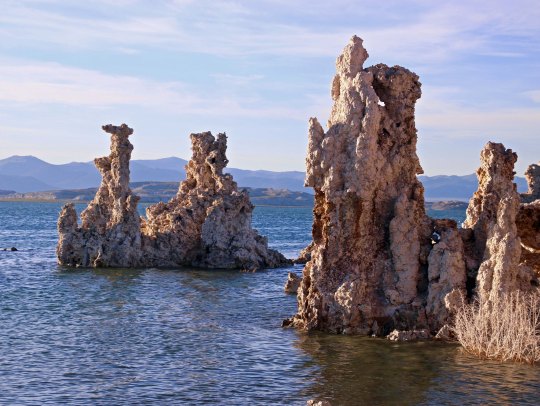
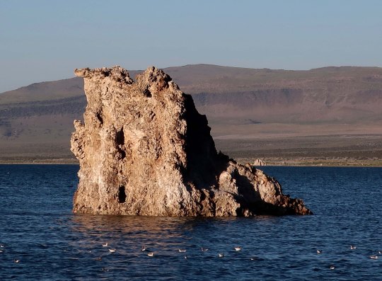
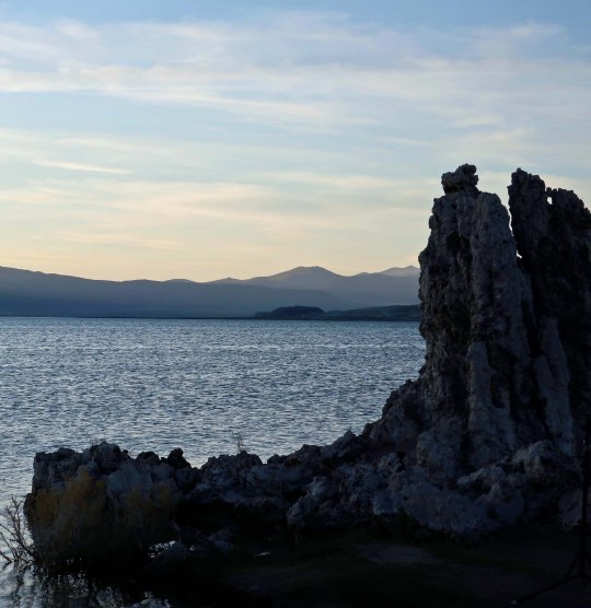
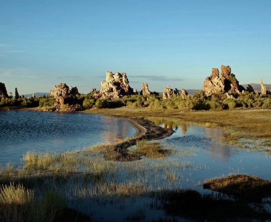
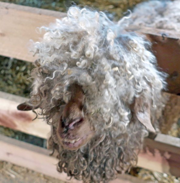
Bone reviews the story of how he was found.


Bone’s Perspective 

I didn’t plan on seeing the world and becoming famous. Once I was part of a horse located just above the hoof. I had no freedom; I had no glory. Wherever the horse went, I went also, a mere slave to his desires. During the summer this meant carrying greenhorn tourists into the backcountry of the mountains above Lake Tahoe. The added pounds gave me bone-jarring headaches. Then the horse died; I like to fantasize that a large bear with big teeth and sharp claws ate him.  Hopefully he ate the tourist as well.

Whatever happened, I was free to be me, Bone. Yes, that’s right, Bone is my name. A kindly coyote picked me up and carried me to a high meadow filled with Corn Lilies. It was there that I discovered my Zen-like nature as I meditated through the seasons. I was alone except for a mouse that came by and nibbled on me occasionally. That hurt. In fact, it interrupted my meditation and scarred me for life; you can still see teeth marks. I blame all of my subsequent bad behavior on that flea-bitten miscreant.

My annoyance at the mouse, however, was minimal in comparison to my anger at the large two-legged creature who yanked me from my meadow home and begin yelling I was trash as he ran down the trail in pursuit of another two-legged creature.  Can you imagine the insult? I had no way of knowing that this was the beginning of my world travels or that the two creatures, Curt Mekemson and Tom Lovering, would become my servants. But read on as Curt provides his perspective on my discovery. He had no idea of the treasure he had found. –Bone


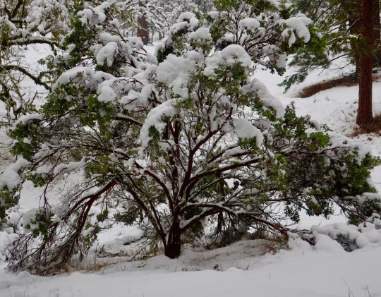
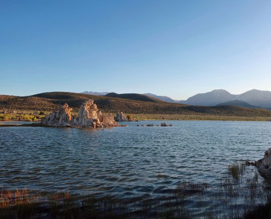
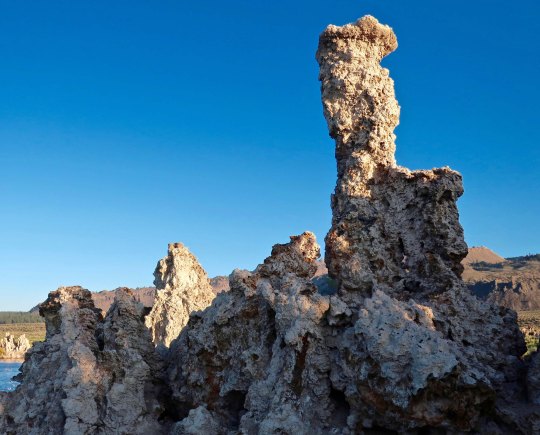
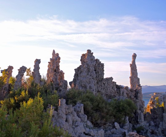
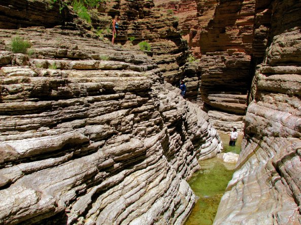
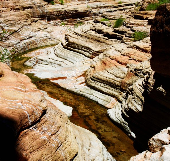
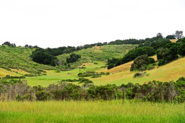
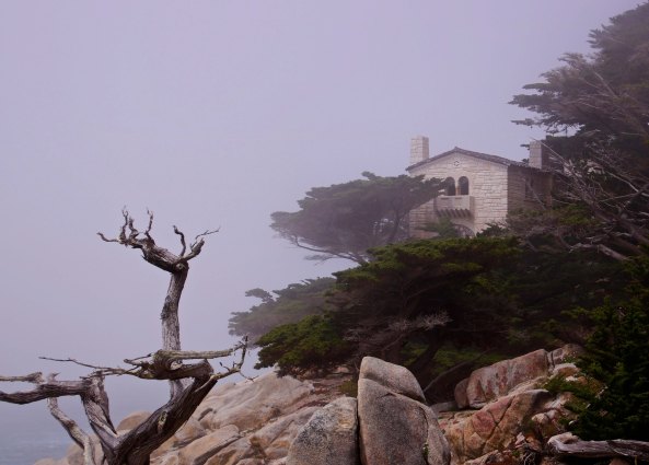
Bone has backpacked through the Sierra Nevada Mountain Range numerous times— but that is only a small part of his adventures.


NOTE: I’ve told this story before on my blog, but in the interest of bringing my more recent followers up-to-date, I am repeating the tale. Enjoy. –Curt

It was the summer of 1977 and my wife was divorcing me. She had dropped the bomb shortly after we had spent six-months traveling in the South Pacific and East Asia. Apparently, I lacked in stability or at least in the desire to pursue the Great American Dream. She was right of course. I had absolutely zero desire to tie myself to an eight-hour a day job and a large house in the suburbs. None of this made the divorce easy, however.

To keep my mind occupied, I was working on the route for the Fourth Annual Sierra Trek, a challenging nine-day 100-mile backpack trip in the Sierra Nevada Mountains that I had created as a pledge-based fund-raiser for the American Lung Association in Sacramento.

“So what’s your problem?” my friend Tom Lovering asked over a beer at the Fox and Goose Restaurant. He’d been-there-done-that with divorce and dated a number of women since. Tom owned Alpine West, an outdoor/wilderness store in Sacramento, and sponsored the Sierra Trek. He was the ultimate available bachelor and planned on remaining that way. I had persuaded him to go backpacking with me for six days to preview part of the new route. Our plan was to start near Meek’s Bay, Lake Tahoe and work our way southward 70 miles following the Tahoe-Yosemite Trail.

Tom had invited his girlfriend, Lynn, and Lynn was bringing along her friend Terry. Terry was nice, not my type.

“I have a friend named April who wants to go backpacking,” Tom offered. “Why don’t I invite her to go as well? Maybe you two will hit it off.” The implication was that this would help me get over my wife.

A friend drove the five of us up to Meeks Bay. April was gorgeous and Tom was right. I followed her long legs and short shorts up the trail. My gloomy focus on the Soon-to-Be-Ex faded like a teenager’s blue jeans. Hot feet and screaming fat cells were even more potent in forcing me to live, or at least suffer, in the moment. As usual I’d done nothing to physically prepare for the first backpack trip of the year and I was paying the price.

We climbed a thousand feet and traveled six miles to reach our first night’s destination at Stony Ridge Lake. I crashed while Tom broke out some exotic concoction of potent alcohol. After consuming enough of his ‘medicine’ to persuade my fat cells they had found Nirvana, I fired up my trusty Svea stove and started cooking our freeze-dried dinner. It wasn’t hard. Boil water, throw in noodles, add a packet of mystery ingredients, stir for ten minutes and pray that whatever you have created is edible. That night it didn’t matter.

Afterwards, we headed for our beds. The next day would be long. I slid into my down-filled mummy bag and looked up at what seemed like a million stars. There were no city lights or pollution to block my view and the moon had yet to appear. I traced an imaginary line from the Big Dipper and found the North Star. It seemed far too faint for its illustrious history. A shooting star briefly captured my attention. Thoughts of divorce, short shorts, the next day’s route, a rock digging into my butt, and sore feet jostled around in my mind for attention.

Sleep finally crept into the bag and captured me.

I awoke with a Mountain Jay screeching at me from the safety of his perch in a Lodgepole Pine. A faint light announced the morning, but the sun still hid behind the mountains on the east side of Lake Tahoe. It was frosty cold and I burrowed into my bag, pretending for a few more moments that I didn’t have to get up. Nature drove me out.

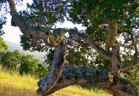
I could ignore the faint light; I could ignore the Jay, and I could even ignore the stirrings of my companions, but I couldn’t ignore my insistent bladder. Among muttered good mornings I wandered off into the woods and peed on a willow near where I had seen a coyote the evening before. I was marking my territory.

Back in camp Tom had his stove going. Lynn smiled at me. She, too, was a tall, good-looking woman. Terry had yet to emerge from her cocoon and April had replaced me out in the woods. I heard a kersplash in Stony Ridge Lake and turned to watch as ripples spread out and announced a trout had snatched its buggy breakfast. Briefly I regretted that I had left my fishing pole at home. The sun was now bathing the peaks above us in gentle light; ever so slowly it worked its way down the mountain.

Instant coffee, instant oatmeal and a handful of dried fruit made up breakfast. All too soon it was time to pack my gear and urge my still stiff muscles up the trail.

The troops were in high spirits. The sheer beauty of Desolation Wilderness demanded it. Our day would take us up to Phipps Pass, down to the Velma Lakes, across the Rubicon River, up Rockbound Valley, over Mosquito Pass and end at Lake Aloha, some 13 miles from Stony Ridge Lake. We took a few minutes to make sure our camp was clean. Almost immediately we began to climb. Flashes of blue lupine, multi-colored columbine and cheerful monkey flowers eased our way along the switch back trail. My pace of travel provided ample opportunity for appreciation. I caught a brief smell of mint at one point and wild onion at another.

We passed by two more small lakes and began our ascent of Phipps Pass. By this point I had moved in to granny gear and could hear my heart pounding in its cage, wanting to escape. Each step was a test of will. I kept moving. I had long since learned that the difficulty of starting outweighed the benefits of stopping. One step at a time I reached the top. A spectacular view rewarded my effort.

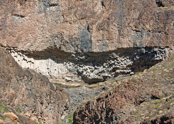
Peaks still buried under snow stretched off into the distance. The Sierra is a baby mountain range, the child of plate tectonics. Once, ancient seas covered the area. Volcanic activities left behind vast pools of subterranean granite. Crashing continental and oceanic plates lifted the granite into spectacular fault-block mountains, steep on the east and gentler on the west. The Ice Age brought glaciers that carved peaks, scooped out basins and left behind rocky moraines.

We stopped to catch our breath and enjoy the view.  Soon we would begin our descent toward Velma Lakes, but first we worked our way around Phipps Peak. A series of lakes came into view. Tom and I immediately began to debate which was which.

“And you expect us to depend on your trail finding skills?” Lynn asked. Tom whipped out his topographic map.

“See,” he said decidedly, allowing a note of triumph to enter his voice. While we were the best of friends, this didn’t eliminate an element of alpha male competition between us. He, after all, was the owner of an outdoor-wilderness store, and I, after all, was the leader of wilderness treks. I glanced at his map and an impish grin filled my face.

“Your map is upside down, Tom.” Oops.

We did agree that my decision to detour from the Tahoe-Yosemite Trail and go through Rockbound Valley was a good one. Heavy snow still covered the northern and eastern side of the mountains. It was unlikely to melt by the time of the Trek. The Trekkers would have enough challenge backpacking 13 miles on their second day out. They didn’t need to slog through five miles of snow while muttering unprintable thoughts about me.

We started our descent into the Velmas carefully. It is hard not to think, “Oh boy, down hill!” after a hard climb. But going down is much tougher on your body than climbing. Stepping down is a form of free fall. Velocity and weight are focused on the joints of your legs and feet. Adding a 40 to 50-pound pack increases the problem. It is easy to twist a knee or sprain an ankle, especially at the beginning of the season. And that was what happened. By the time we reached Middle Velma, April was limping.

“I stepped on a loose rock and slipped,” she explained in obvious pain.

While April soaked her foot in the cold lake water and broke out an Ace Bandage, Tom and I mulled over whether to go on or hike out. We arrived at a compromise. Lynn would hike out with April to Emerald Bay and the two of them would stay at a motel. They would rejoin Tom, Terry and me at Echo Lake some 18 miles down the trail.

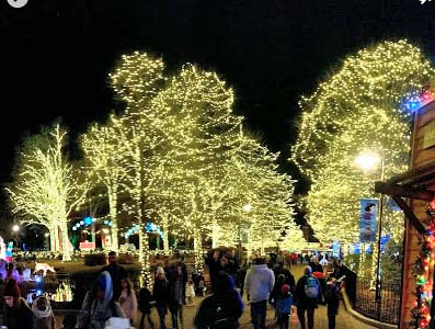
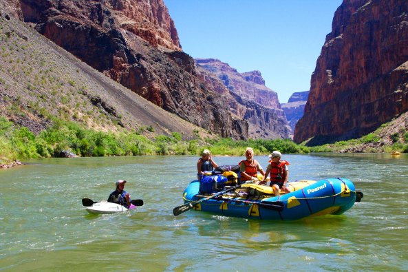
Coming up: Part 2 of Bone’s discovery. There are raging rivers, kamikaze mosquitoes, and naked ladies jumping. You won’t want to miss it. In the meantime, here are two more photos reflecting Bone’s subsequent journeys.

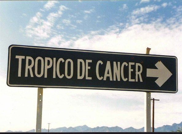
Bone visit the Tropic of Cancer…

And checks out the 45th Parallel. (Bone is above the 5.)

NEXT BLOGs:

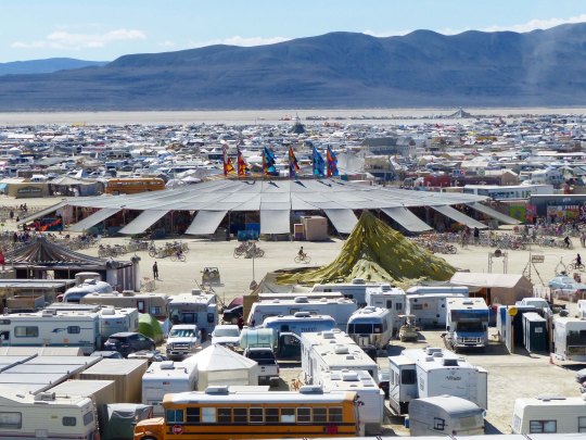
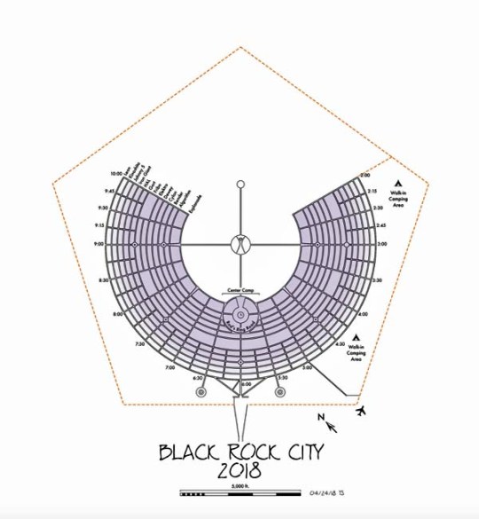
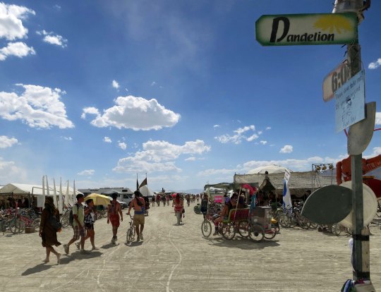
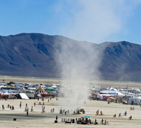
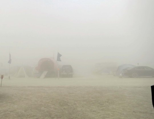
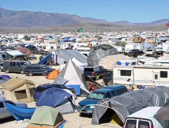
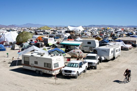
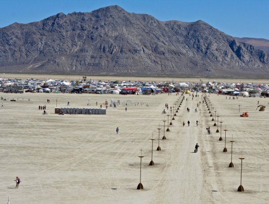
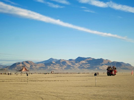
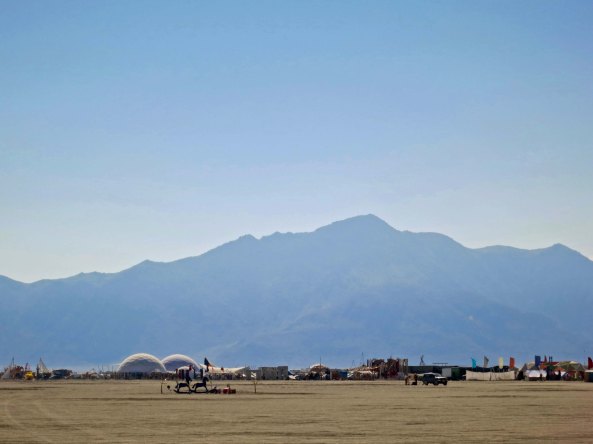
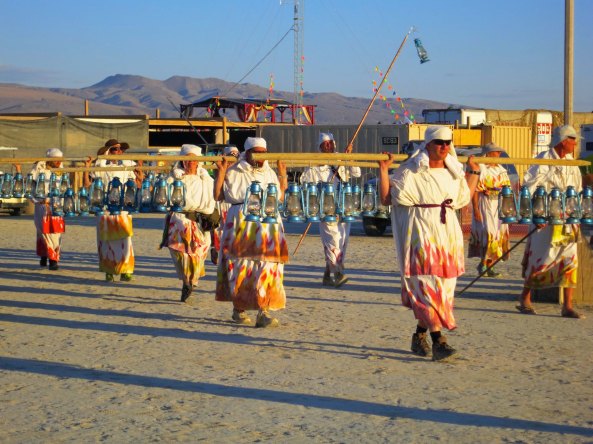
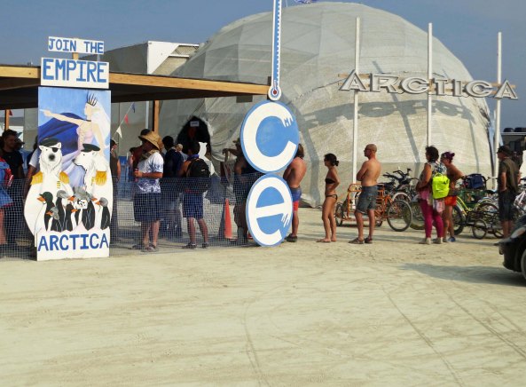
Friday: More unusual structures at Burning Man including a Bird Trap Church and a memorial to LSD Guru, Timothy Leary.

Monday: The Coquille River Lighthouse and Bullard’s Beach near Bandon, Oregon.

Wednesday: Bone is discovered: Part II

A Shoplifter, the Sheriff, and Dynamite… The Sierra Trek Series

Tiger and Leopard Lilies are among the most beautiful flowers found in the Sierras and other California mountain ranges.


I’d actually had two good days on the Trek and we had put another 25 miles behind us. I was beginning to feel good, allowing myself an optimistic thought, or two. Foolish fellow. But we had passed the halfway mark. We were on our way home!

Today’s photos reflect some of the colorful  flowers that brighten our way as we hike through the Sierra Nevada Mountains.


Mule Ear flowers can fill dryer slopes.


On day six, we hiked into Foresthill, a small community 20 miles above Auburn. It was a long, hot, dusty, 15-mile hike in and out of steep river canyons with temperatures soaring over 100°F (37.7°C). Along the way we passed through Michigan Bluff, which had once been an important gold rush community. Leland Stanford got his start here, running a grocery store for miners. It was a much surer way of striking it rich than gold panning. For example, eggs cost $3 apiece. Expensive huh? Taking inflation into consideration, the price would shoot up to $80 today.

Stanford continued to prove his smarts. His future included becoming one of the Big Four in building the Transcontinental Railroad, serving as the Governor of California and a US Senator, and giving Stanford University its name.

Monkey Flowers are always a favorite of mine and are usually found near streams. You can enjoy their beauty while refilling your water bottle.

In Foresthill, we had arranged to stay in the little city park that came with a swimming pool. Given the excessive heat of the day, it was something to look forward to. I certainly did. But my plunge into the refreshing water was not to be.

First I had to make sure we could find our way out of town and back onto the trail the next morning. We were now into the territory that Steve and I hadn’t reviewed— me because I was off on Vancouver Island deciding on my future with Jo Ann, and Steve because who knows why. I hiked out of town for a mile or so down the road until I found the trail and then followed it for another half mile. It seemed well-marked, so I said a little prayer to the trail gods and headed back toward camp. It would be Steve’s job to lead the next day. He would have to deal with any surprises.

Shooting Stars are one of the early flowers, coming up soon after snow has melted. They are all over our property now.

Back in camp, the situation quickly made me wish I had just kept hiking. Charlie made a beeline for me. My always dependable backup, ex ice hockey player, ex-bomb de-fuser and IRS dodger looked like he was about to break down and cry.

“Someone stole my Grandfather’s watch,” he blurted out.

It was a valuable family heirloom, precious to him. I did what I could to console Charlie and headed over to the pool to ask around. None of my Trekkers had seen anything suspicious or had even seen Charlie’s watch. I had a hard time imagining any of them stealing it. He had done everything possible to help them down the trail. There were other folks at the pool, however. Fortunately, as I recall, Charlie found the watch at his campsite, where he had left it.

Columbine with its unique shape.

My next challenge was Lose Yourself Dick, the forty something school teacher who had wandered off on his own. He had tackled his ample supply of snake bite medicine and was feeling no pain. In fact, he was challenging all of the teenage boys to wrestle him or at least jump on his stomach. I was sorely tempted to join the latter activity. He had also discovered a flagpole he insisted on climbing. I reasoned with him as best I could, but even when he was sober persuading Dick not to do something was close to impossible. I had just completed my highly ineffective effort when a Sheriff’s car came cruising in to camp. I walked over. One of our Trekkers was sitting in the back seat.

The Mariposa Lily is another member of the lily family. Its bulb was eaten by Native Americans and early pioneers.

“Can I help you?” I asked politely.

“Yes,” the Deputy Sheriff had responded, “I need to talk with the person in charge.”

I had another of those gut-wrenching feelings. Just three more days, I thought. Just get me through three more days. I desperately wanted to tell the deputy that the man in charge had checked out and gone home or was still on the trail.

“You’ve found him,” I said, putting on a brave smile.

“We just caught this young woman shoplifting,” the deputy reported in his official lawman voice.

“Shit!” I thought. But I said, “Okay, what do I need to do about it?” My unhappiness and resignation must have shown.

“Nothing this time,” he replied. “Because she is raising money for the American Lung Association, we are going to let her off with a warning.”

And me as well, I read into his statement. “I am sorry, Curt,” she had apologized and I had just sighed.

Indian Paintbrush is a colorful and common flower of the West.

Could anything else go wrong? Of course it could and likely would. I escaped by leaving camp when Steve came in and wandered off to a restaurant in town where I wasn’t likely to find any Trekkers. I drowned my sorrows in a large steak and a couple of well-earned beers. I seriously considered drinking more but I let my commitment to getting the Trekkers back to Sacramento in one piece over-rule my temporary insanity, which was demanding a six-pack.

Fleabane is the unusual name for this many petaled flower.

We rolled our Trekkers out of Foresthill early the next morning. I breathed a sigh of relief as I followed the last one past the city limits. Once again, Steve was leading and I was playing rear guard.

Fortunately, we had a short day. I had quickly discovered that being trail leader was a lot more fun than being rear guard. For one thing, you tended to get into camp a couple of hours earlier. For another, you weren’t constantly being bombarded by the question, “How much farther?” I had begun to respond with a stock answer, “Oh, it’s about twenty miles,” and had found that Trekkers stopped asking. If they persisted, my next response was, “It’s all up hill.”

Steve told me he had been moving some of the slowest Trekkers down the trail by telling them rattlesnake and bear stories and then walking on ahead. He said people made a real effort to keep up. Years later I would use the same technique in Alaska  with grizzlies. I suspect that neither of us would have qualified for the Boy Scout Leader Seal of Approval. Or even the Sierra Club’s.

Phlox hug the ground and add a real splash of color.

Around three, I came on Steve and our Trekkers milling about a closed gate. A vehicle was parked behind the gate and two official looking people were leaning against the vehicle. I was about to learn that we were paying the price for not reviewing the final section of the trail.

“What’s up Steve?” I asked, wondering if we had managed to do something else to bring officialdom down on our heads.

“No problem,” Steve said, “they are just blasting with dynamite in the canyon.”

His words were punctuated by a rumbling sound. The guards were blocking the road so big rocks wouldn’t come rolling down on people using the canyon trails. It sounded like a good idea. In 1974, plans were underway for building the Auburn Dam and flooding another section of the beautiful American River. Land speculators were greedily selling property along the future edge of the lake. Later, building or not building the dam became one of the most contentious environmental issues in Northern California. The dam still isn’t built, and will likely never be.

“Um, how long do they plan on continuing to blast?” I asked. I pictured our Trek coming to an abrupt end. It wasn’t a totally unpleasant thought.

“We are in luck,” Steve reported. “They are just closing down their operations and won’t resume until Monday.”

Since it was Friday afternoon and we would be out of the canyon by Sunday, I had to agree. It was refreshing to see luck lean our way, although it made me nervous. That night we celebrated the winding down of our adventure by feeding our Trekkers steak and fresh salad. The feast went off without a hitch except it was amusing to see the Trekkers eat steaks out of bowls with spoons. (Forks, knives and plates normally get left behind when backpacking.) Fingers became the primary eating utensil. It wasn’t pretty, but no one seemed to mind. Civilization had definitely taken several steps backward. Everyone went to bed happy, including me.

The Sierra Thistle can be a little prickly.

I’ll close today with a wild rose.

NEXT BLOGS:

Friday: You are in for a treat. Lots and lots of fun and unique Burning Man sculptures.

Monday: Still thinking about it.

Wednesday: The final Sierra Trek blog.

Wandering through Time and Place… The 2016 Review: Part I

Our first adventure of the year was to journey off to Alaska where we joined our son Tony, his wife, Cammie and our three grandkids for at the World Ice Carving Championships in Fairbanks Alaska. This carving won first prize and served as the January photo for us.

Our first adventure of the year was to journey off to Alaska where we joined our son Tony, his wife, Cammie and our three grandkids for at the World Ice Carving Championships in Fairbanks Alaska. This carving won first prize and served as the January photo for us.

Each year Peggy and I go through our photos from the past year to create a Family Calendar for our kids, grandkids, brothers, sisters, cousins, nieces and nephews. Luckily, the family isn’t too big! We use Apple to produce the calendars, and the company does a beautiful job. It’s a fun review for us— and a job. (grin) I go through the several thousand photos we have taken and pull out a hundred or so. Peggy then goes through the hundred with me and we winnow it down to 12.

I thought it would be fun to share some of the photos with you. They were all included in blogs I posted this year and reflect our journeys. I am not going to limit myself to 12, however! I am going to post 30: 10 today, 10 on Thursday, and 10 on New Year’s Eve. Enjoy.

We took the Alaska Railroad from Anchorage to Fairbanks, which provided a wonderful opportunity for sightseeing and photography.

We took the Alaska Railroad from Anchorage to Fairbanks, which provided a wonderful opportunity for sightseeing and photography.

These Birch, which I rendered in black and white were along the way.

These Birch, which I rendered in black and white were along the way.

As was this view of Mt. Denali. We were ever so lucky. Having lived in Alaska for three years, I know how rare it is to capture the mountain on a clear day.

As was this view of Mt. Denali. We were ever so lucky. Having lived in Alaska for three years, I know how rare it is to capture the mountain on a clear day.

Further along, we came on this mountain.

Further along, we came on these mountains.

The ice carvings were marvellous. This one was called 'First Breath."

The ice carvings were marvellous. This one was called ‘First Breath.”

This one, by a Russian carver, "Yahoo!"

This one, by a Russian carver, “Yahoo!”

This was titled "Stuck-up," which seemed quite appropriate for a cat.

This was titled “Stuck-up,” which seemed quite appropriate for a cat.

Flying back to Anchorage, I looked out the window and caught this photo of the Alaska Range.

Flying back to Anchorage, I looked out the window and caught this photo of the Alaska Range.

Back in Anchorage, we watched sled dog races. Warm temperatures meant they had to put down snow for the races. And it meant that this snow sculpture of a native Alaskan was melting. I still found it beautiful.

Back in Anchorage, we watched sled dog races. Warm temperatures meant they had to put down snow for the races. And it meant that this snow sculpture of a native Alaskan was melting. I still found it beautiful.


Ten Lessons Our Children Learned from the Election

I’ve been a little neglectful on reading blogs and responding to comments the past few days. My apologies. America has just gone through one of the nastiest elections in its history. And the American people have spoken, in a way I never expected them to. I know they were voting their frustration, a frustration that was caused in many ways by the very same people they just voted back into office.There is a reason why our government has been so dysfunctional for the past eight years. It was grounded in just-vote-no-and-screw-the-consequences. Let the nation go up in flames rather than work together and compromise to build a better nation. Challenge where the President was born, regardless of proof, instead of meeting him half way across the aisle as he offered again and again. And never, never let him have a victory. Now these folks are saying don’t be bitter, we have to work together. Right.

Well, my sense of humor is a little low now, so I am feeling a little ouchy. One good thing I did see was that 18-25 year olds voted for Hillary in all but five states. Our future may be in good hands. I suspect we will be hearing from young people a lot over the next few months. Still, I couldn’t help but wonder what lessons our children have learned over the past year. I came up with ten.

Ten Lessons this Election Taught Our Children:

  1. Rudeness and bullying are okay. Being polite is for losers. Call people who disagree with you names. Call them criminals. Threaten to throw them in jail. Threaten them with lawsuits.
  2. Sexual harassment is okay. It is okay to denigrate women and seduce married women. Boys will be boys, right. Threaten to sue women who dare to complain, call them liars. Make sure that women are afraid to complain when they have been harassed or raped.
  3. Don’t worry about financial obligations. If you can get away with paying someone nothing or low wages, great. You are not bad, just smart. If worse comes to worse, go bankrupt and stiff all of the people who have worked for or with you. Again, that’s not being bad, just smart. Besides, it’s a great tax write off.
  4. In fact, don’t pay taxes, especially if you are wealthy. It’s not criminal; it’s smart. Let losers such as the middle class and low-income people pick up your share.
  5. Our military stinks. The solution is to fire all of our generals. Americans, such as John McCain, who end up as Prisoners of War, are losers. A smart person would have never been caught.
  6. A major solution to unemployment is to do away with environmental protection. Global warming is a myth. Let’s go back to coal as the solution to America’s energy needs.
  7. It’s perfectly okay to be a racist. Build massive walls around America. Send millions of Mexican Americans back to Mexico. Block people from Islamic countries from coming into America. Challenge where America’s first black president was born, again and again, regardless of proof. The innocent are guilty until proven otherwise.
  8. There is nothing wrong with a nation who once threatened our nation with nuclear destruction, who has been our sworn enemy for close to a century, and is once again reaching for world domination, to interfere with our political process in America. There is nothing wrong with a presidential candidate inviting such interference.
  9. There are no consequences related to lying. Truth is relative. If you are caught in a lie refuse to respond to the accusation and make the same lie over, again and again. Did you chop down the cherry tree? Hell no.
  10. Might makes right. Issues such as equal rights, equal opportunity, freedom of speech, and freedom of religion are secondary.

Enough, my friends. I promise to get back to blogging about bicycling through America and Canada in my next blog. I just have to tell you about the nastiest dog in America. —Curt