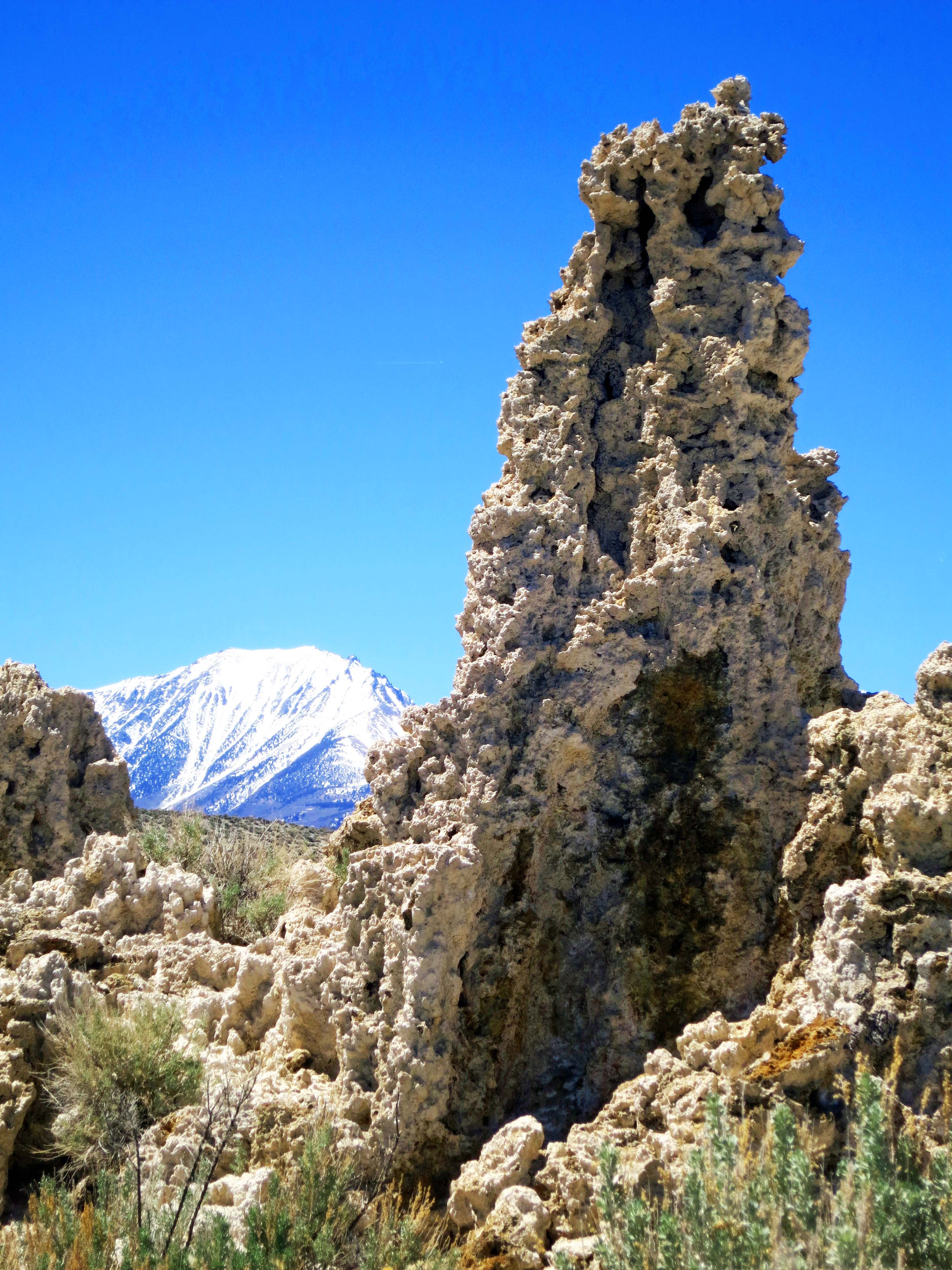
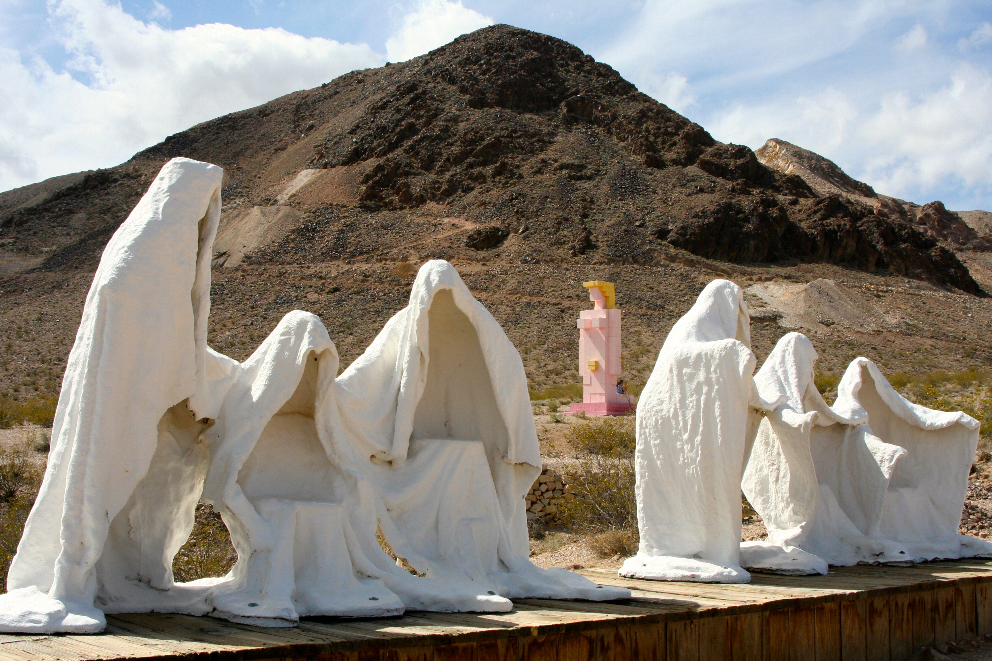
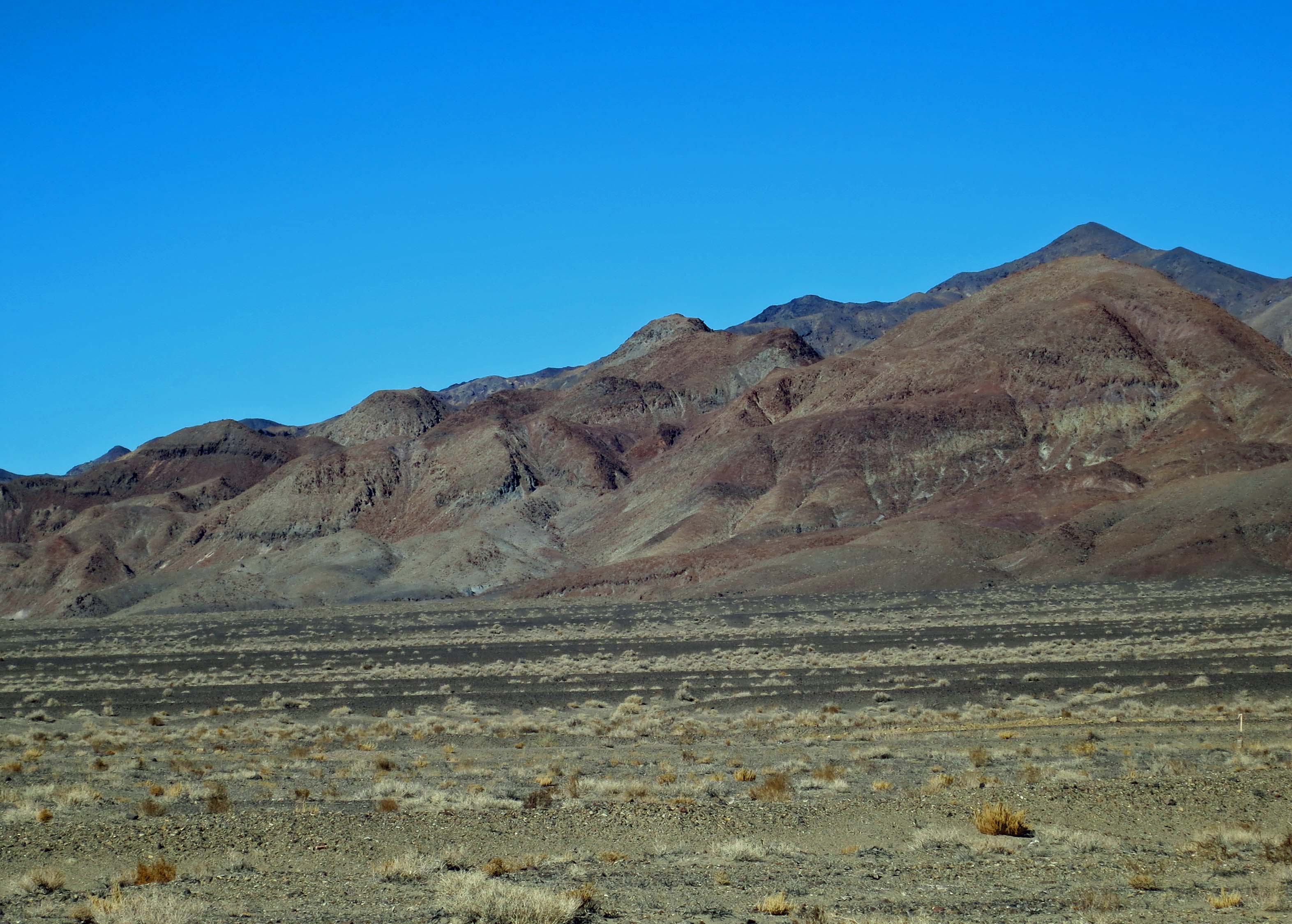
Depending on traffic conditions, Red Rock Canyon National Conservation Area is 30-45 minutes outside of Las Vegas. It is hard to imagine two more diverse worlds.
Las Vegas shouldn’t exist.
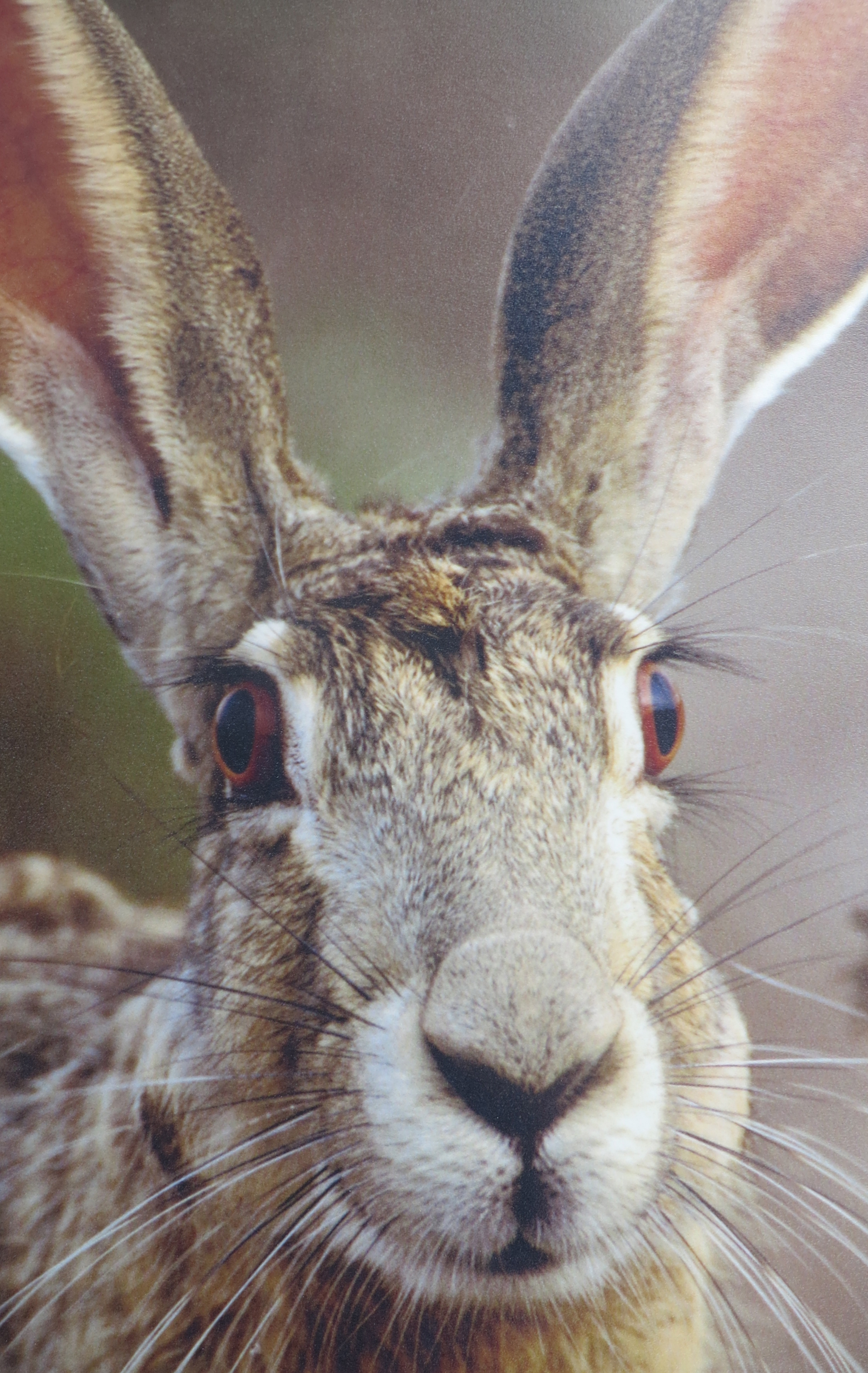
Why would any sane person build a city in middle of a desert where summer temperatures regularly climb over 110 degrees F and annual rainfall hangs around 4 inches? Sure, it’s a great place for jackrabbits and rattlesnakes and scorpions and cacti and desert tortoises. Maybe even lonely miners, ladies of the evening, jet jockeys, crotchety cowmen, and aliens belong there.
What Las Vegas would look like without imported water.
But putting 1.8 million people into Las Vegas and the surrounding Clark County– what were they thinking? Everything has to be imported… and I mean everything including the ever-precious water for golf courses and tourists with bucks to toss. Cut off either one and Las Vegas is SOL. The city returns to the jackrabbits and LA sucks up any extra water from the Colorado River.

“I want my desert back.” Hoppy Jackrabbit. (Photo from Red Rock Canyon Museum.)
MONEY, of course, is the answer for the city’s existence– obscene amounts of it, like bundles and bundles and bundles. Mafia hit men joined together with Mormon bankers following World War II to build the Flamingo Casino and start milking the proverbial cash cow. This kicked off a spree of building pleasure palaces that continues even today, with each one being bigger and glitzier than the one before. The names and faces have changed, but the basic underlying purpose remains the same: separate tourists from their hard-earned cash, as quickly as possible.

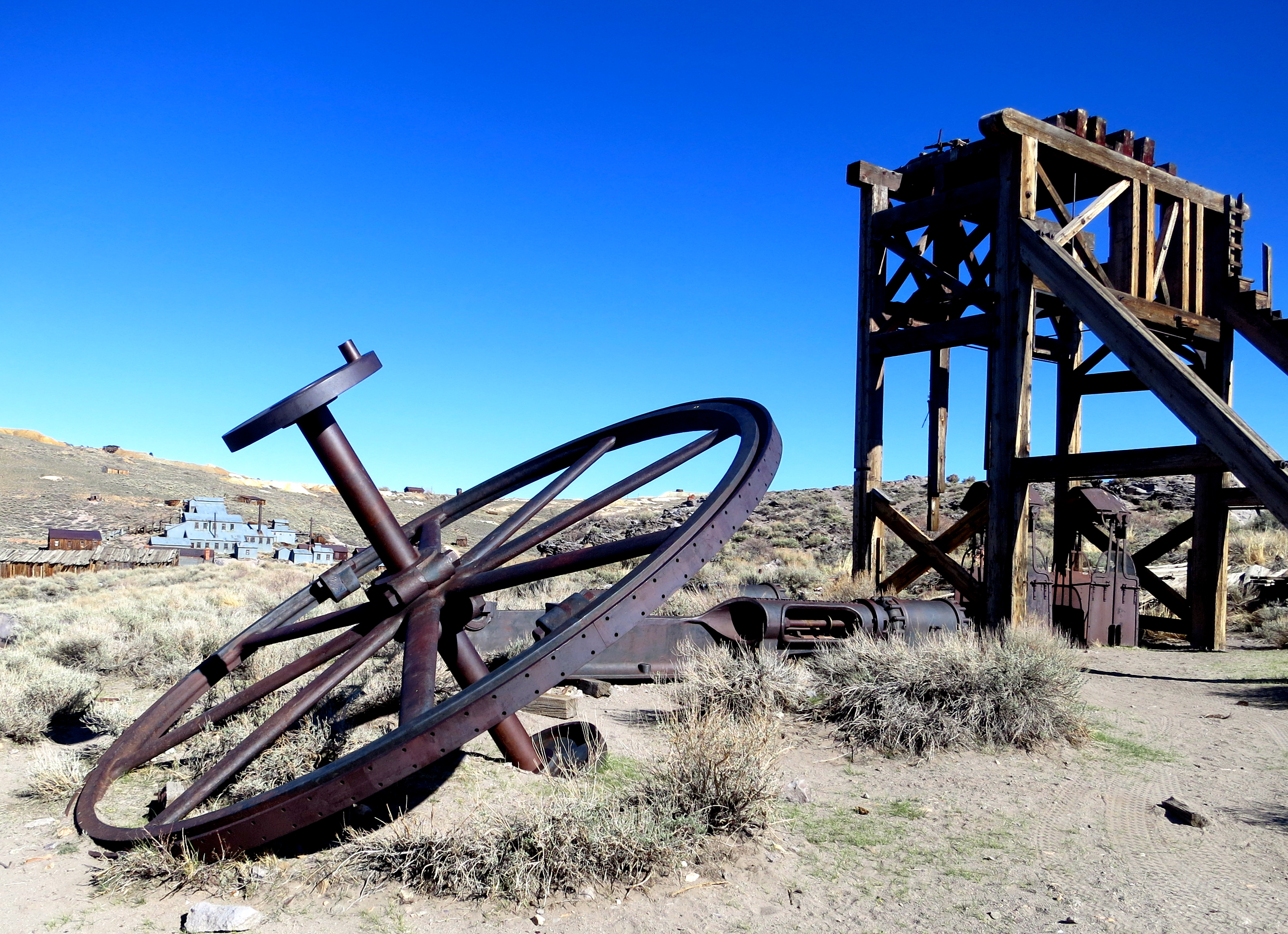
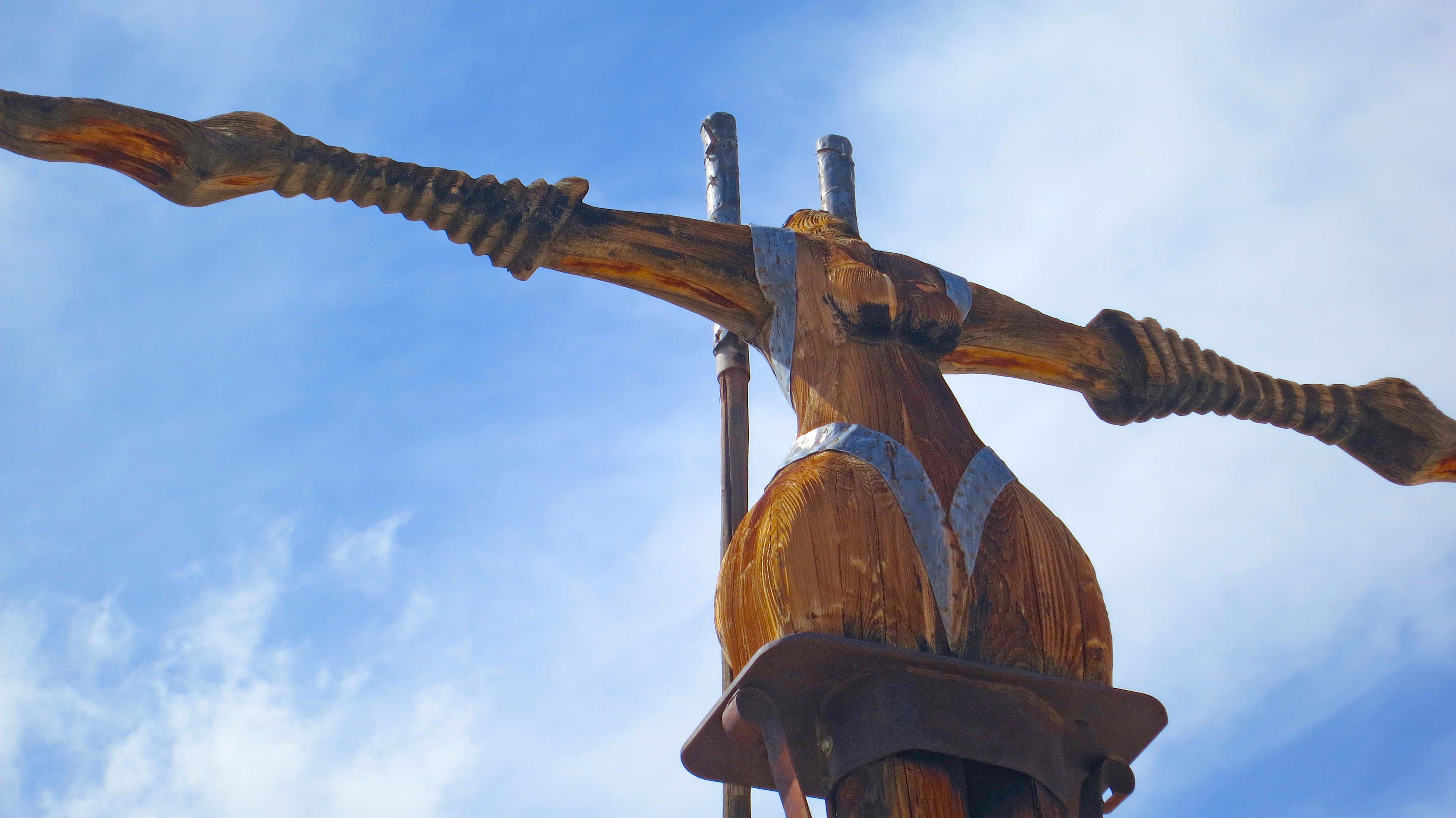
Down around Fremont Street, a touch of Old Vegas where mobsters ruled has been preserved. If you go down there, and you should, be sure to visit the mobster museum. The cowboy above would have been the epitome of neon lighting in its day.

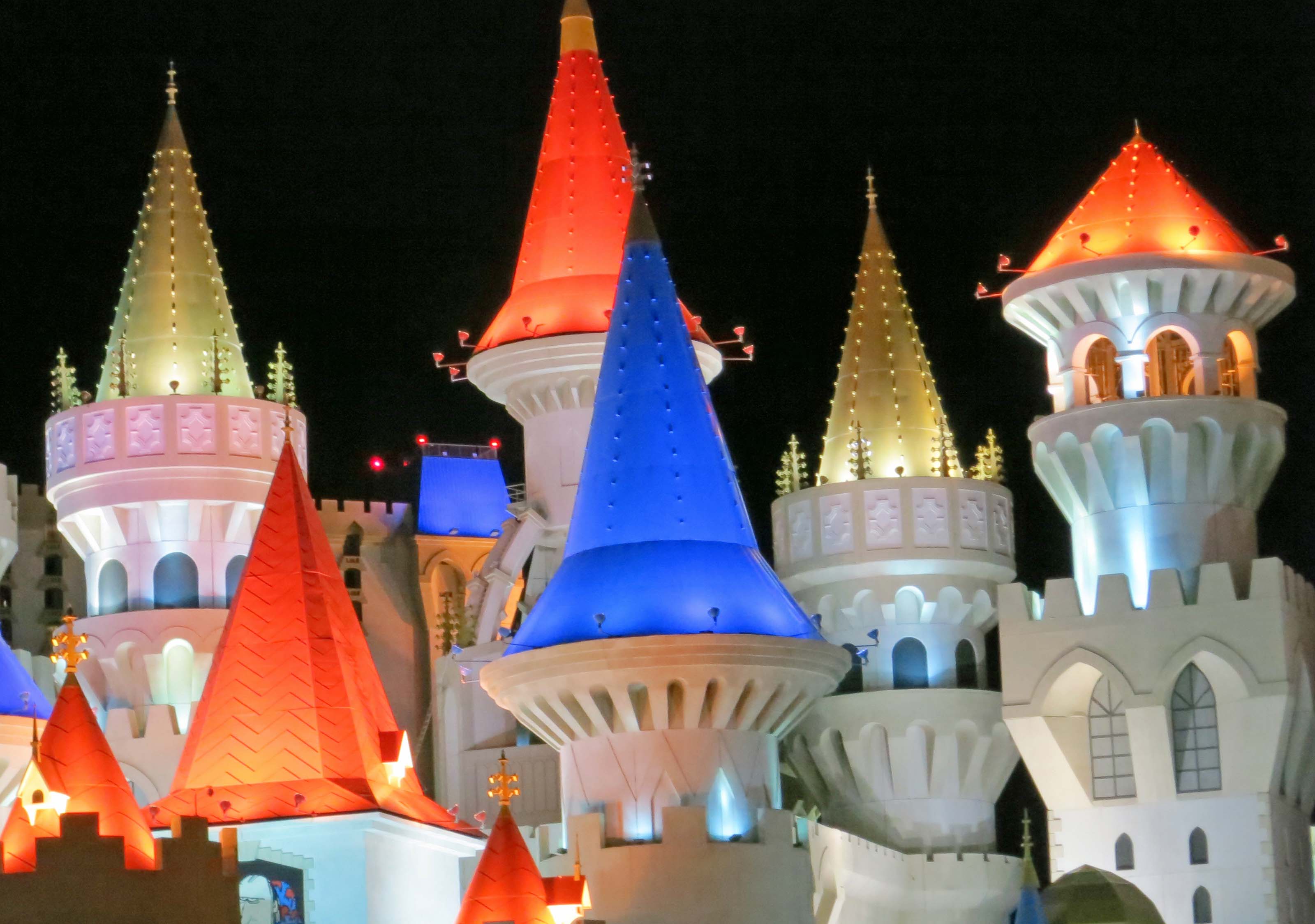
Most of the older casinos in Las Vegas have now been replaced with fantasy creations that out-Disney Disney.
Now I confess to liking a little glitter from time to time. A stroll down the Strip drops me into Venice, New York City, Paris or even a pyramid. While pale in comparison to the real thing, the moguls of Las Vegas have spent billions creating these make-believe worlds. And the price of admission is right: free. At least it is if you can avoid the multiple temptations. I can’t. I am sure there is a quarter video poker machine out there that will make me rich beyond my wildest dreams, or at least pay for dinner. Or, failing all of that, cover the tourist tax. (Remember here, however, that I also believe in UFOs.)
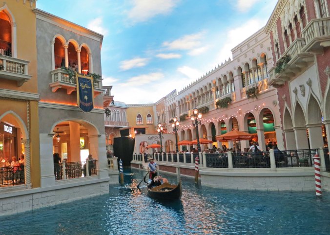
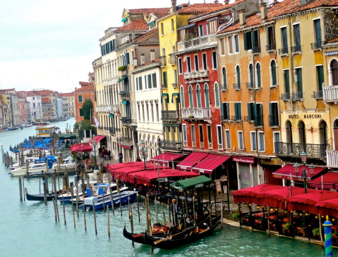
Venice, Las Vegas style complete with fake sky and a singing gondolier.
The real thing from our 2012 visit to the Mediterranean. (Photo by Peggy Mekemson.)
There comes that inevitable moment, however, when I have to escape the glitter, noise, and crowds for the wilderness. I have to return to my roots, to commune with nature. Luckily, it’s easy from Las Vegas. Last week I took you out to the Valley of Fire, a short hour drive away. Today we are going to visit Red Rock Canyon National Conservation Area, which is even closer, 30–45 minutes.

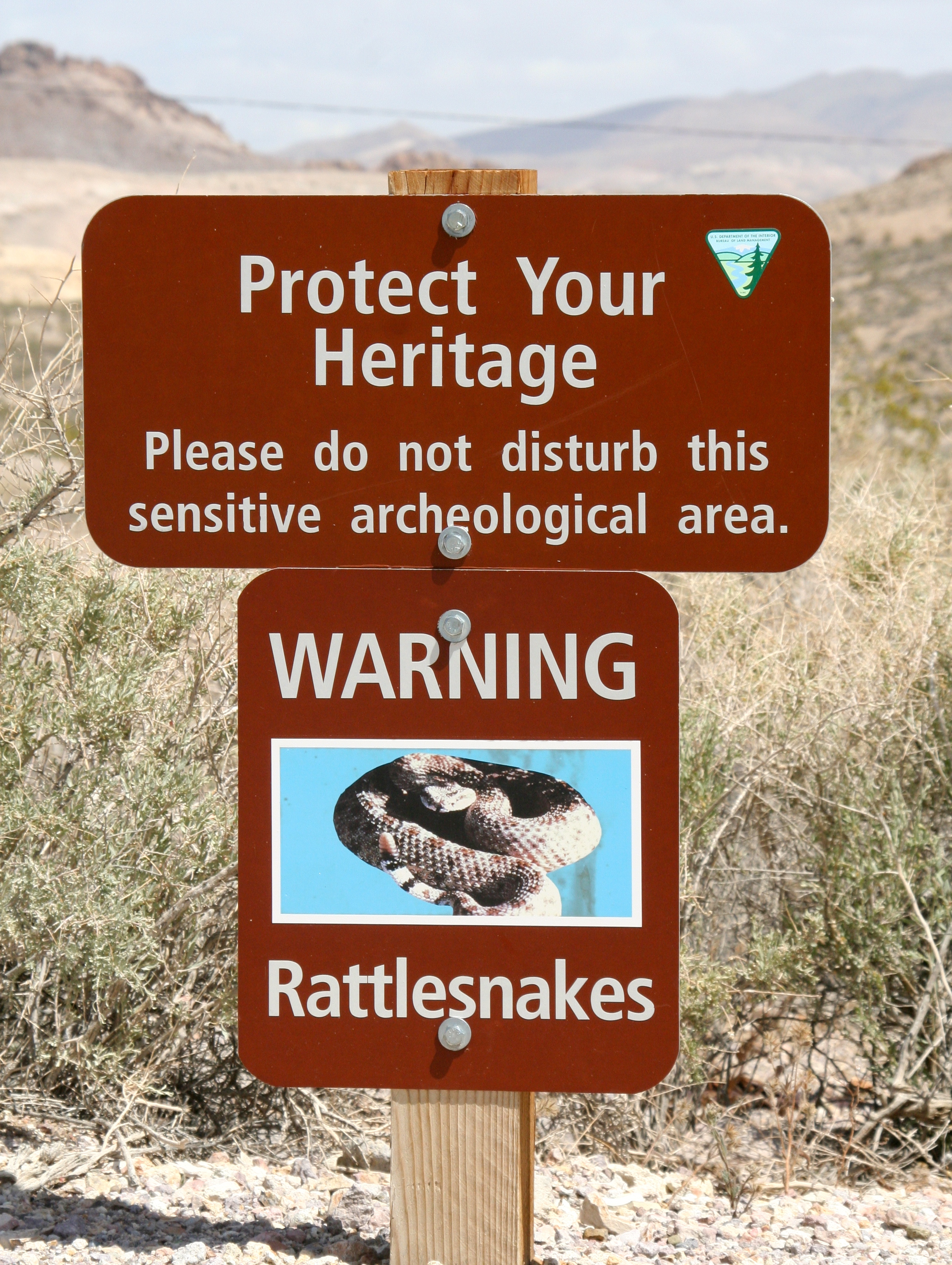
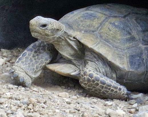
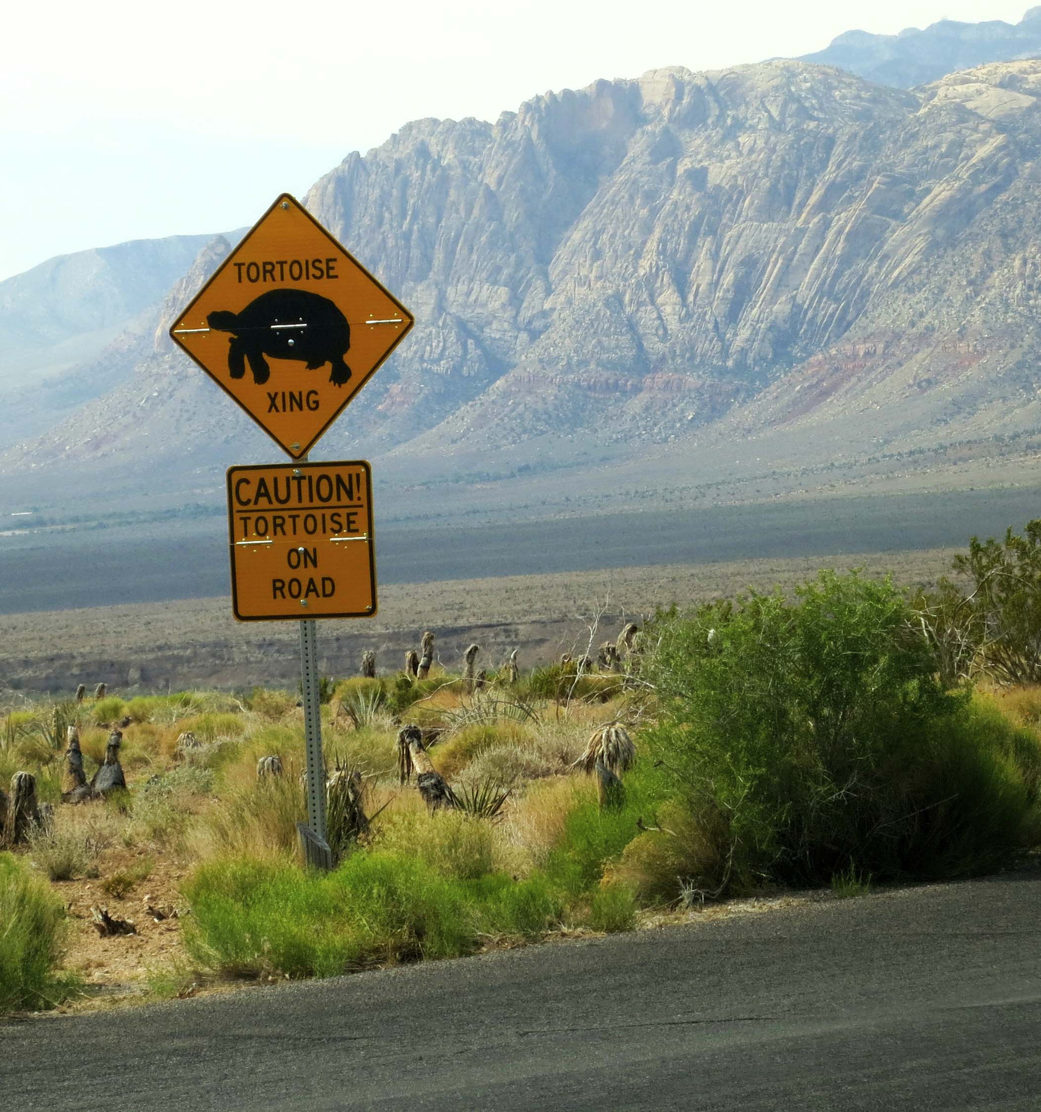
Truth be told, if I have to choose between urban fantasies and natural wonders, I’ll go for the natural wonders. We found this desert tortoise outside the Red Rock Canyon Visitor Center but you might see them anywhere in the park, as the sign below attests.

This gem sits on the edge of Las Vegas. An easy morning trip will get you there, around the park and back. The park features a one way, 13-mile drive with numerous turnouts. There are several hiking trails that crisscross the area. Many people also enjoy biking the route. I highly recommend starting your trip at the excellent visitor’s center.
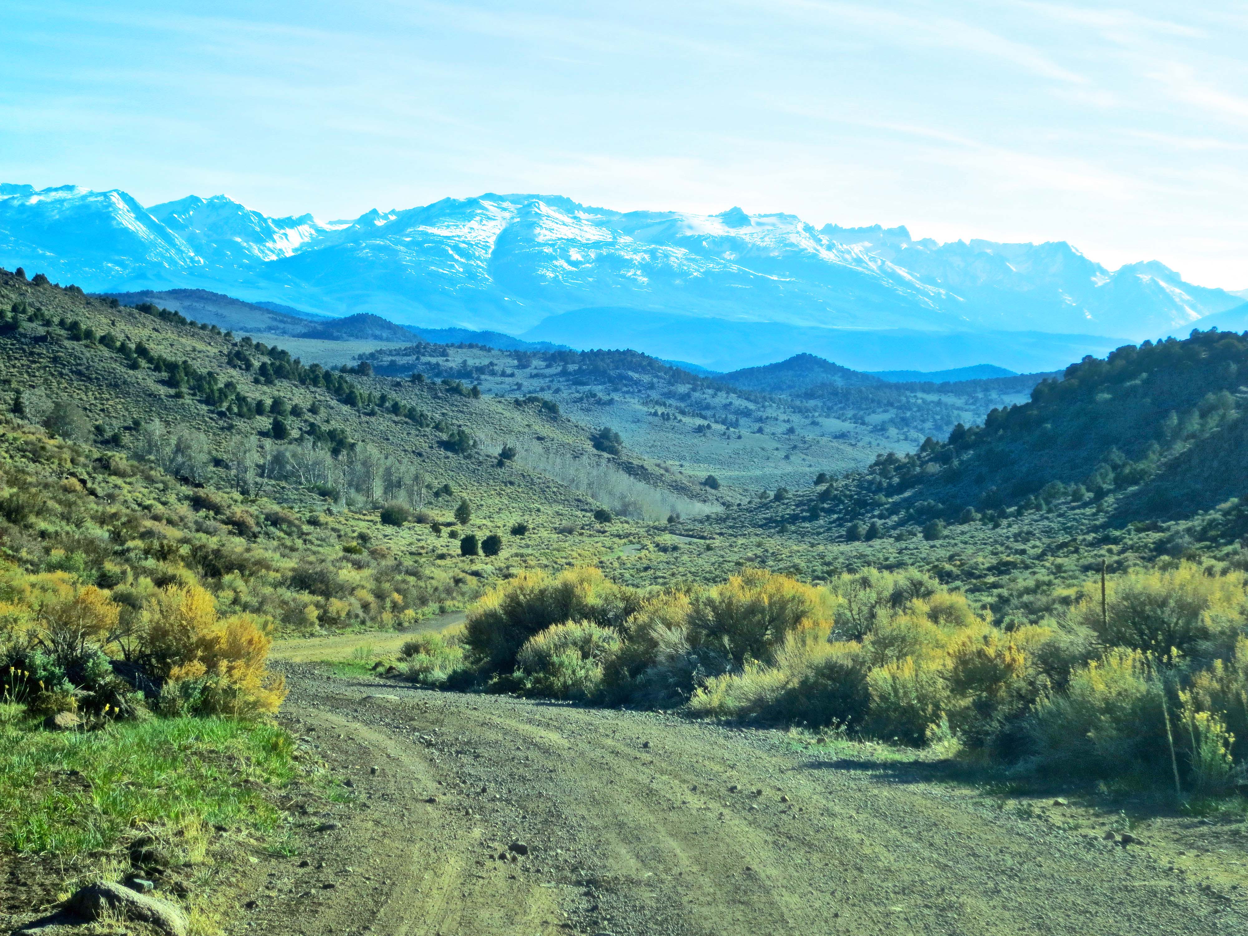
Here are some views along the way.

Be sure to stop off at the Visitor’s Center for an overview of Red Rock Canyon. In addition to having excellent information on the park, it includes lots of fun things like this kid-sized snail sculpture.

You can also preview your route from the Visitor’s Center. The road snakes around the colorful hill in the foreground. (Photo by Peggy Mekemson.)

A close up of the same hill taken from the road. One of Red Rock Canyon’s many hiking trails is seen at the base of hill.

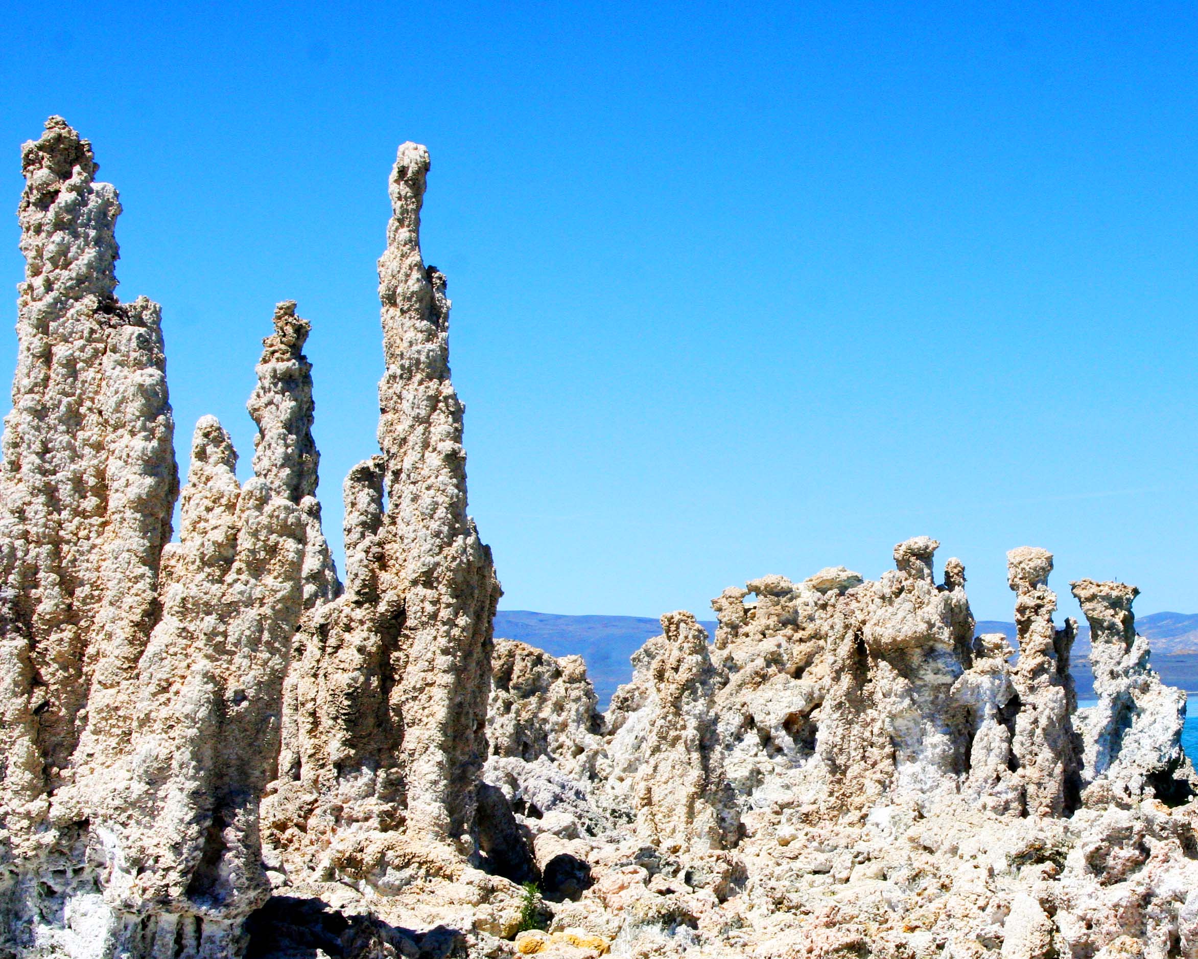
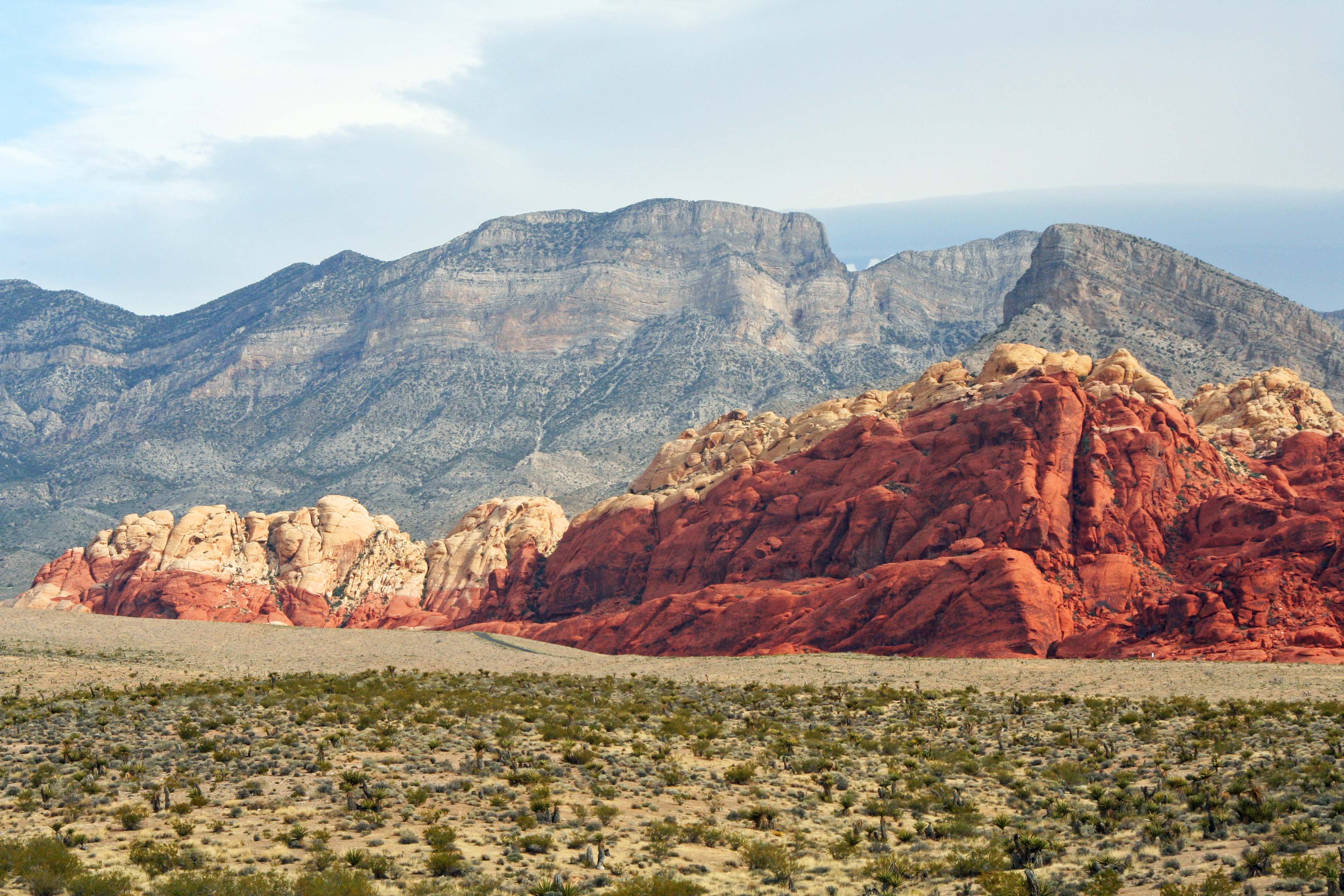
As in the Valley of Fire, the various rock formations in Red Rock Canyon are carved out of ancient sand dunes that have been turned to rock. Peggy captures one of the formations here.

What she saw through her lens. (Photograph by Peggy Mekemson.)

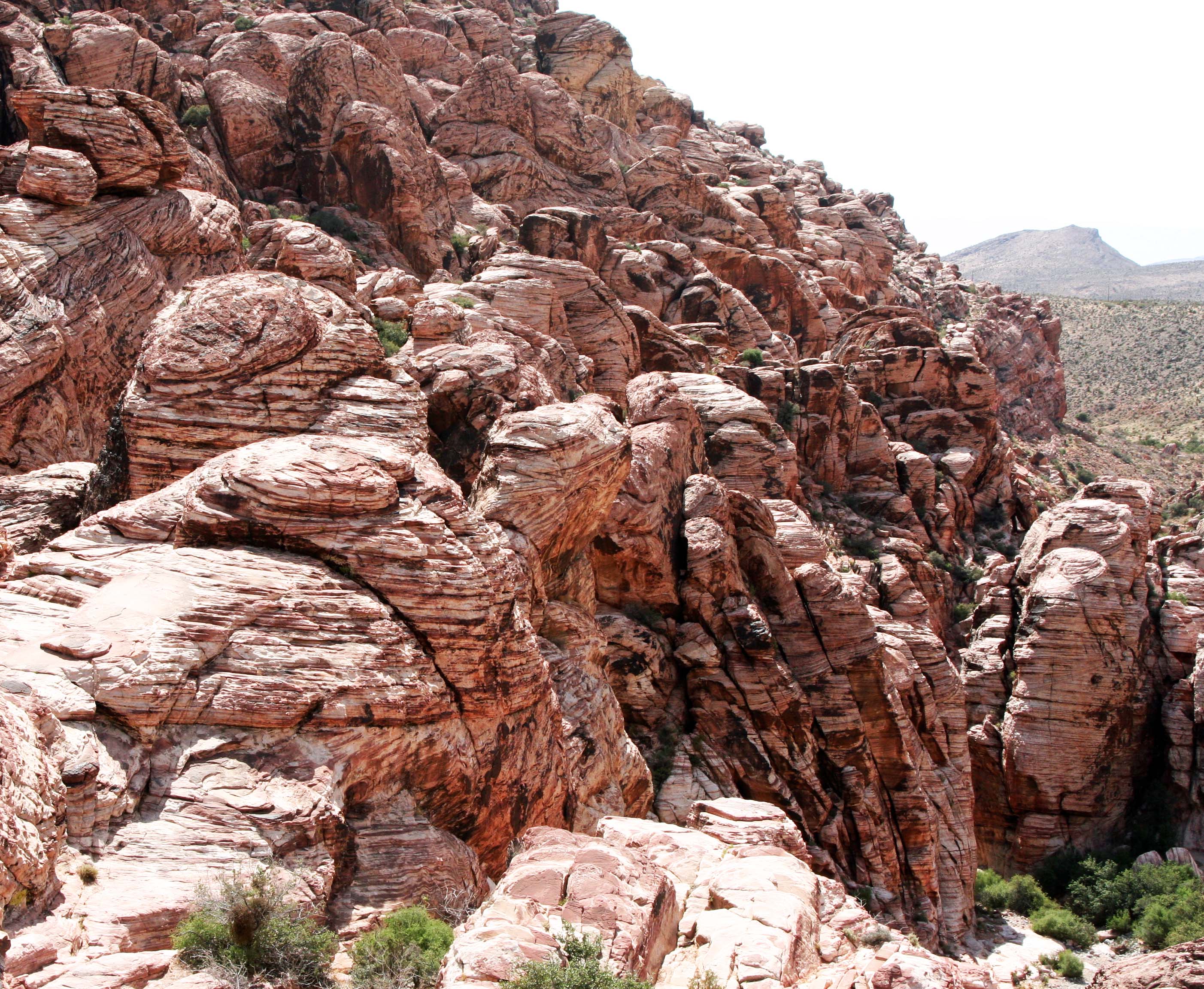
Pull offs from the road provide a number of opportunities to stop and admire the scenery. I took this shot from the Sand Stone Quarry pull off.

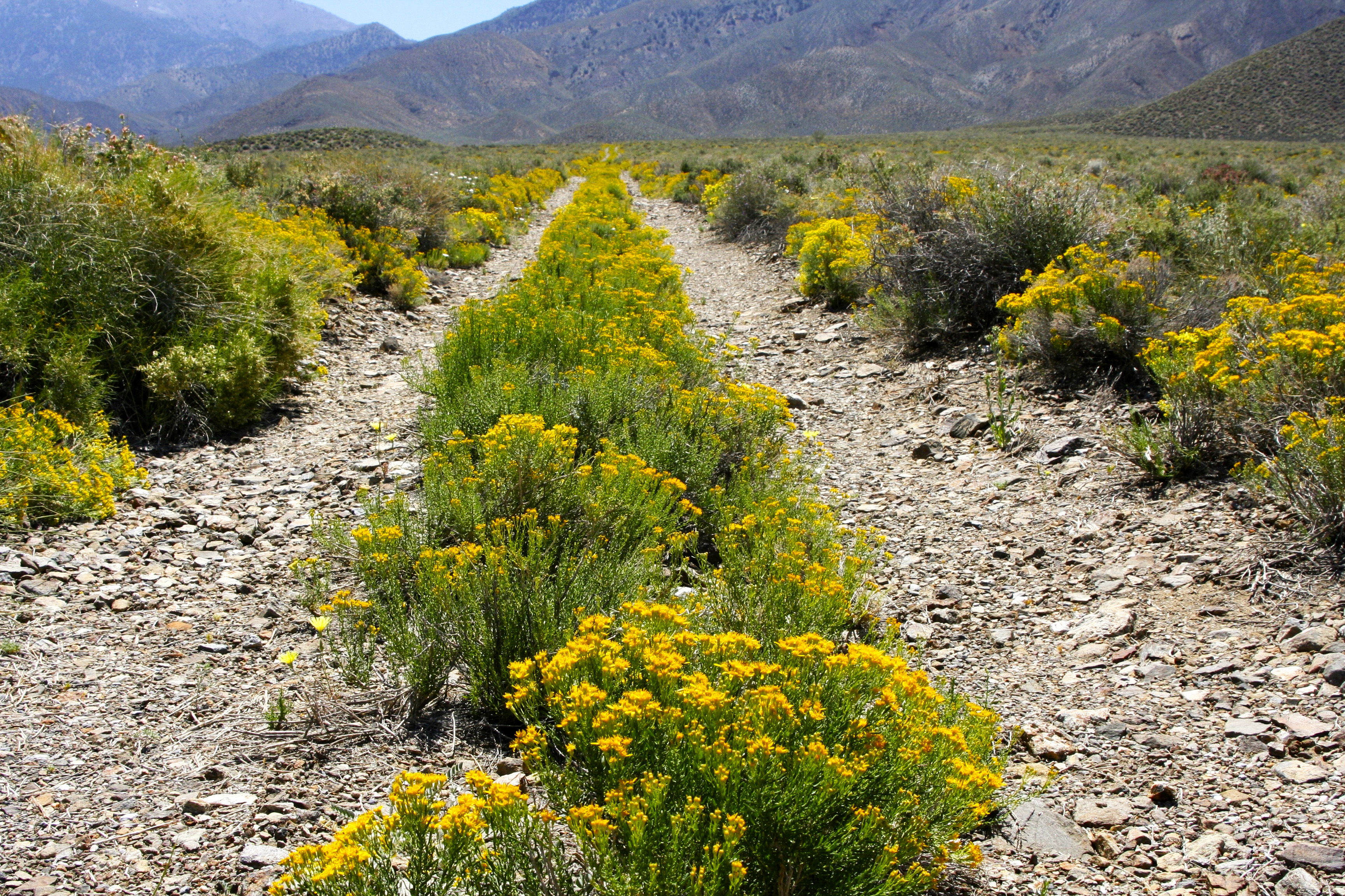
Which is where I also found this flower.

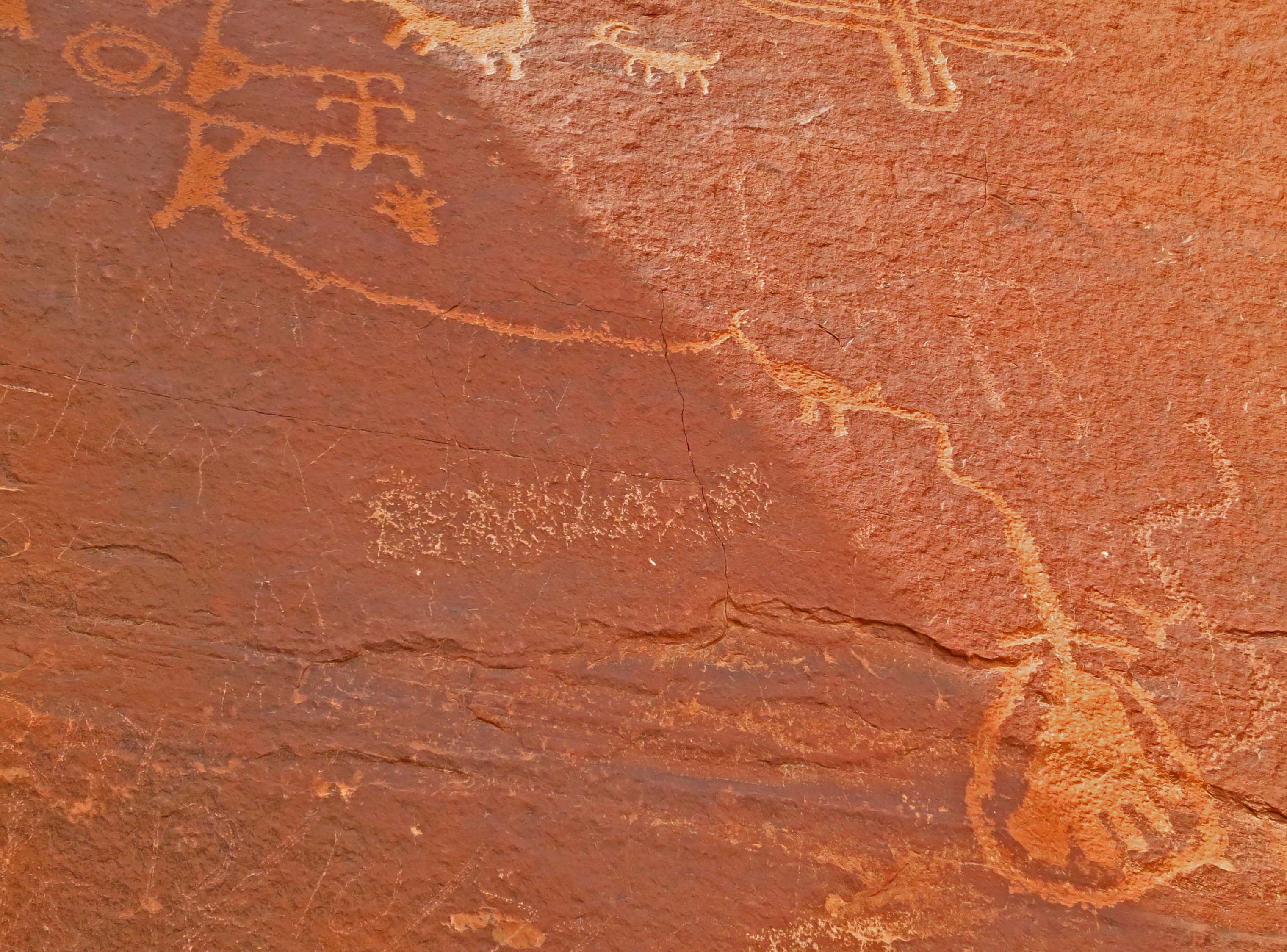
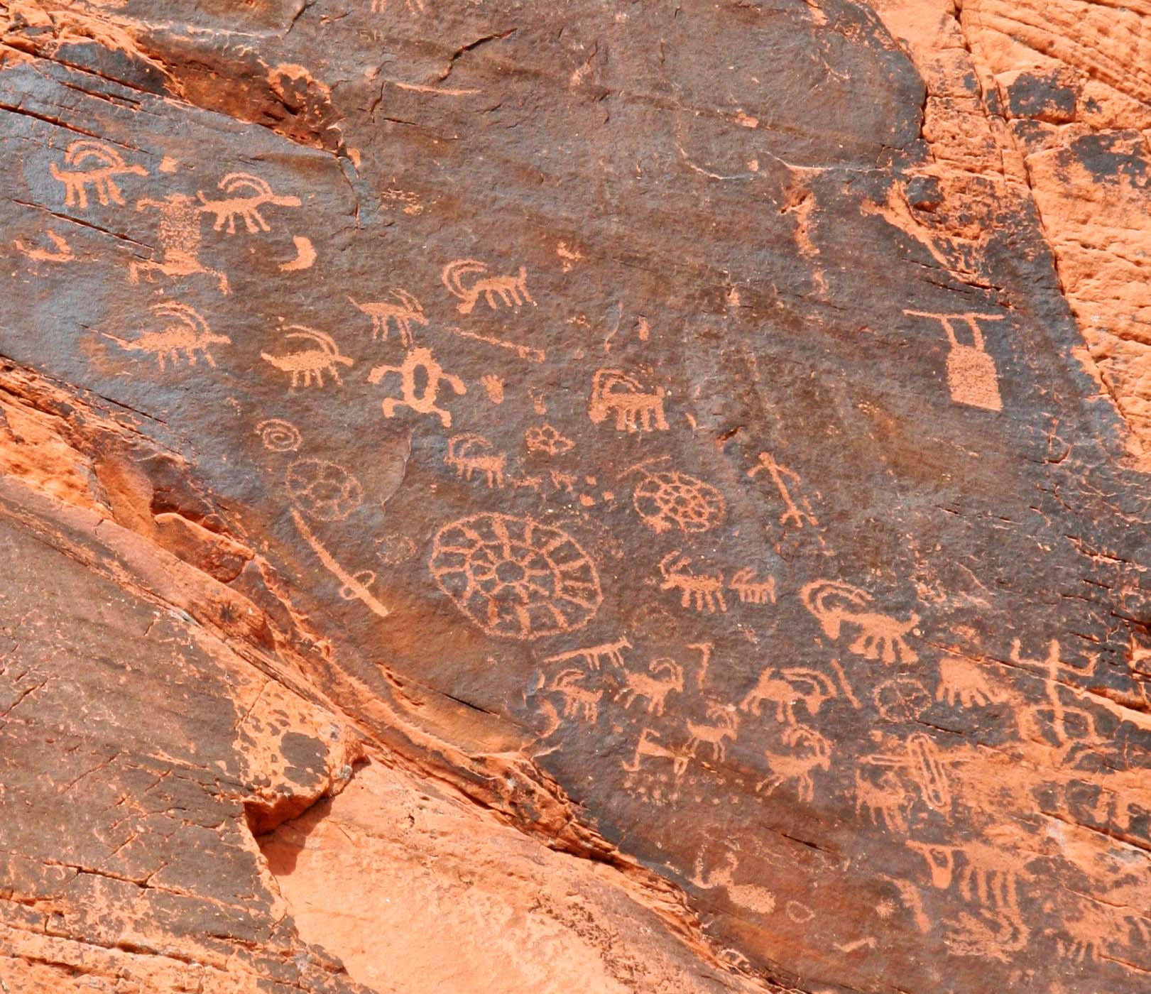
We found these Native American pictoglyphs near Willow Springs. Petroglyphs are made by pecking the rock surface with a rock. Pictoglyphs are made with natural paint derived from minerals. flowers, etc. The pigment for these handprints came from hematite, iron oxide.

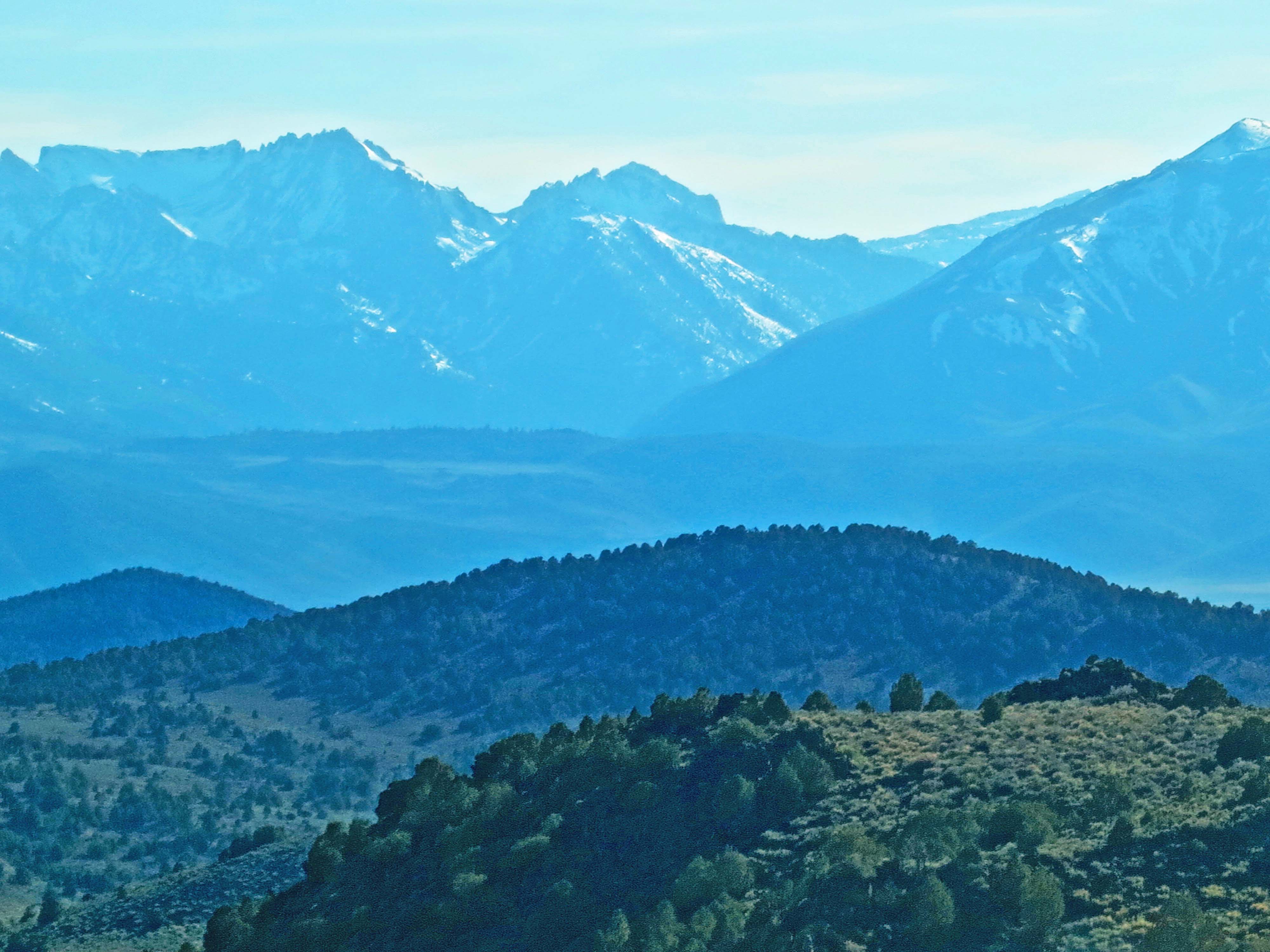
I enjoyed the contrast in this Red Rock Canyon scene.

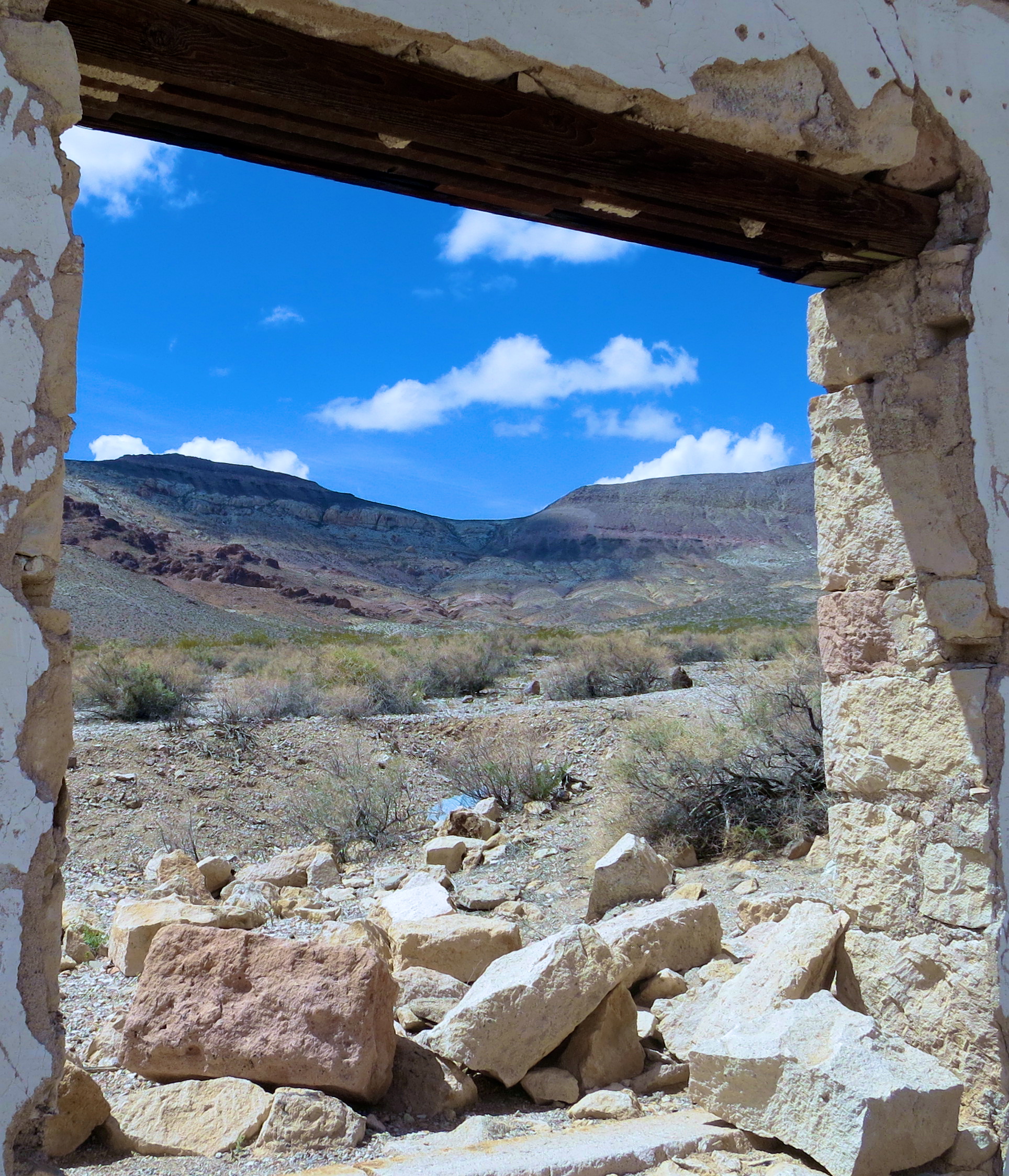
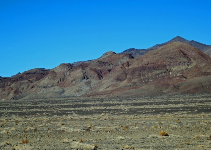
Juniper provided a frame for this photo of Red Rock Canyon mountains.

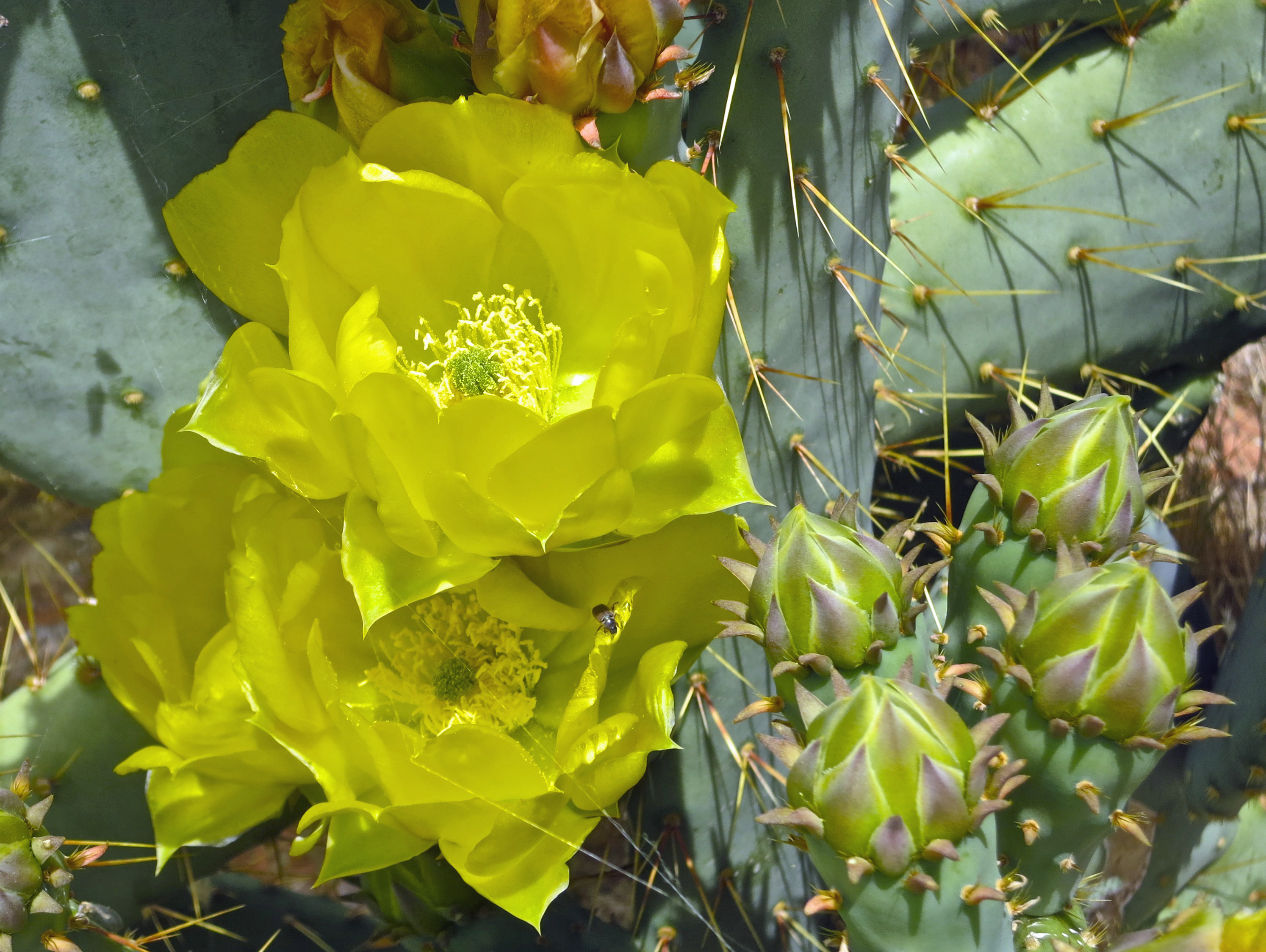
I thought these twin cactus flowers would provide a fitting conclusion for my blog on Red Rock Canyon National Conservation Area.
NEXT BLOG: Hello Death Valley!