The Devil’s Golf Course in Death Valley… An Interlude

The sun beats down on the Devil’s Golf Course in Death Valley.

“Only the Devil could play golf here.” 1934 National Park guide book.

Peggy and I are playing hooky, extending our seemingly endless time away from home. One would think that backpacking the PCT, visiting Puerto Vallarta, and spending over a month with our kids in Florida and North Carolina would satisfy our wandering needs for a while. But no, here we are in Las Vegas, or Lost Wages, as I like to call it, ensconced in a comfortable suite at the very southern tip of Las Vegas Boulevard, the infamous Strip. Or is that famous?

Few people who visit this city venture outside of its mecca of gambling and entertainment pleasure palaces. Peggy and I always do. There is much to see and do. There is a desert on its doorstep, and it is a desert of rare beauty. Death Valley National Park is a prime example. It is a mere two hours away and Peggy and I drove out there on Sunday. To us, it’s like seeing an old friend; we have been there many times.

It is a geologist’s dream— there are rocks everywhere, and the rocks all have stories to tell. It’s a story of ancient seas and lakes and volcanic activities and clashing, mountain-building plates. Death Valley is a rift valley, or a graben in technical terms, formed along a fault zone between two mountain ranges. As the mountains were thrust up by tectonic forces, the valley dropped between them, several thousand feet. The two mountain ranges have since filled the valley up with eroded debris.

The shallow Lake Manly filled the basin a few thousand years ago. As the climate of the area changed and became more desert like, the lake dried up. Its briny waters left a deep deposit of salt behind, which brings us to today’s post. The Devil’s Golf Course is located a short 10 miles away from Bad Water Basin, which, at 282 feet below sea level, is the lowest point on the North American continent. Water that drains into the Basin melts the salt and becomes undrinkable, thus the name. The Devil’s Golf Course is several feet higher and avoids the melting water. Instead, capillary action pulls salty subsurface water up creating the crystalline structures that the area is famous for.

Peggy and I caught the area at a particularly good time for photography, which surprised me, given the location of the overhead sun. Anyway, here are the results.
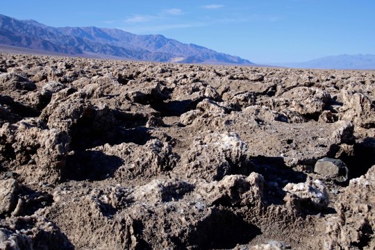
This close up provides a view of the crystalline structures developed by the capillary action. BTW, they are composed of 95% table salt. (Photo by Peggy Mekemson.)
I took this photo looking east toward the Amargosa Range.
Looking southwest along the Panamint Range.
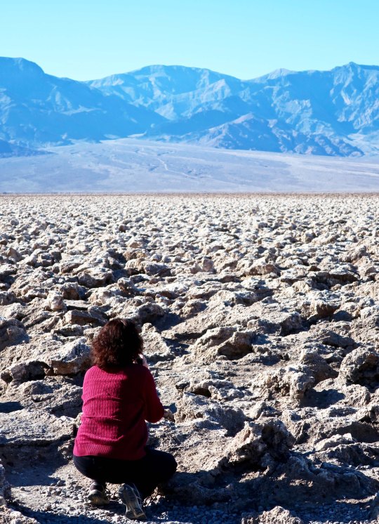
Peggy photographing the Devil’s Golf Course provides a perspective on the size of the crystalline structures.
A final shot of the Devil’s Golf Course backed up by the Panamint Range. (Photo by Peggy Mekemson.)

NEXT POST: A ghostly reminder of Death Valley’s past, and more.
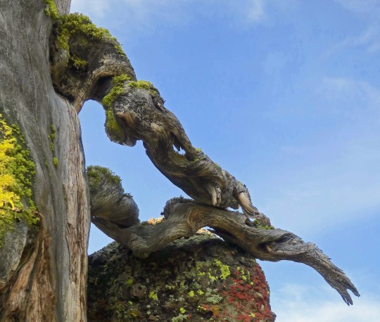
A Limb with Tusks, Plus More Impressive Rocks and Trees along the PCT near Ebbett’s Pass

I didn’t spot the tusks on this tree limb until I checked out my photos. There’s no doubt which is the dominant creature here! Or maybe they are just snuggling.

Peggy and I had lunch yesterday with Barbara and Carl, the couple that dropped us off at Mt. Ashland for the beginning of our trek south down the PCT. It was the first time I had seen them since the beginning of the adventure. There was a lot to tell.

Naturally, I talked about both the challenges and the rewards of backpacking for 700 miles over difficult terrain at 75. I also discussed how 50 years of backpacking had prepared me for the trip, and threw in a few of my more humorous adventures from those years. They will be in my book.

“Knowing what you know now, would you do the PCT hike again?” Carl asked.

“Absolutely,” I replied. This doesn’t mean I will forget just how hard it was. It’s an important part of the story. But the beauty and the nature of the adventure are what will stick in my mind. I once had a woman who had been on one of my hundred mile treks tell me it was one of the most difficult tasks she had ever undertaken. But in the end, she said, it was an incredible, life-changing experience. The pain faded; the experience remained. “The only thing I can equate it with, Curt,” she had related, “was having my first baby.” Ouch, and then ‘Oh my!’

For the first 25 years or so of my backpacking, I hadn’t carried a camera. Those were the days before you could expect to obtain quality photos from a small camera, and I didn’t want to add the extra weight to the 60 pounds I was already carrying. I was also reluctant to spend the time that good photography required. And often I was leading groups that demanded my full attention.

I am sorry now. “I can’t believe you go to all of these beautiful places and don’t carry a camera,” my father had told me time and time again. He was right. I wish I had those photos now to remind me of where I had been and what I had seen. But there is more. Photography helps you see the world in different ways. It encourages you to focus in on details you might miss, it helps you notice the differences that light and varying perspectives make, and it forces you to stop and look around.
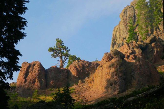
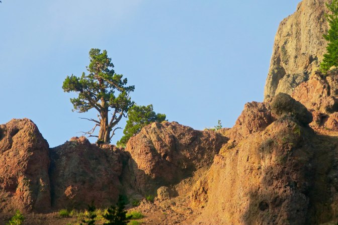
Today’s photos pick up where my last post left off, hiking down the PCT from Carson Pass on Highway 88 to Ebbetts Pass on Highway 4. The first four illustrate the value of stopping and looking around. They are all of the same scene from different perspectives.

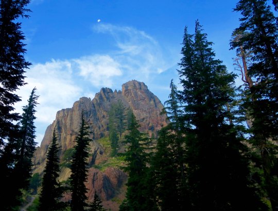
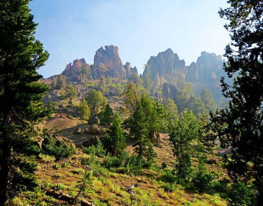
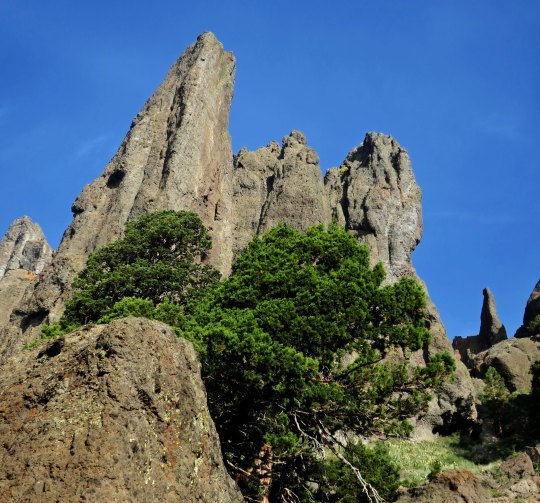
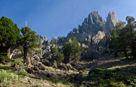
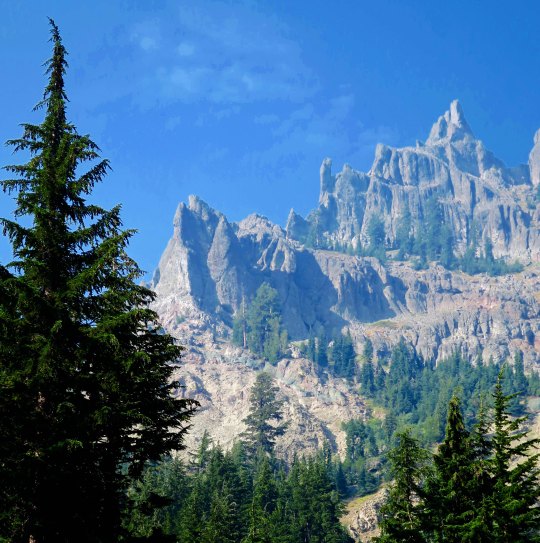
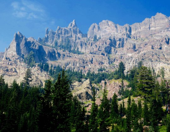
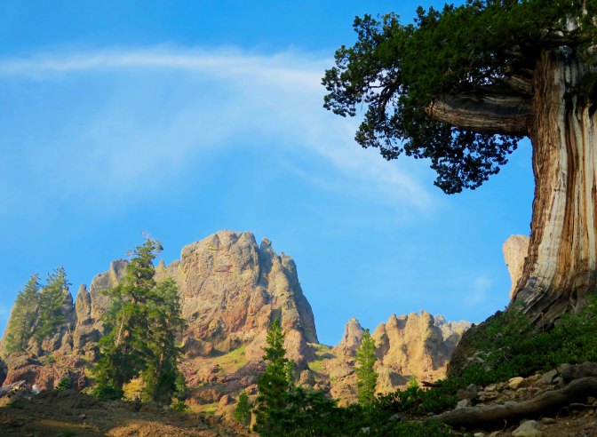
Once again, there were towering cliffs to admire. These were framed by hemlocks.
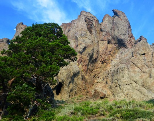
A closer look showed junipers growing beneath the cliffs. A tiny moon appears in the upper left.
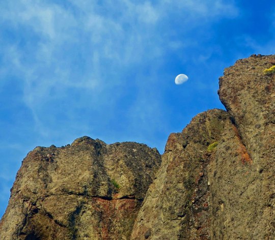
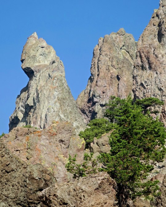
And my telephoto brought the moon into perspective with the cliffs.
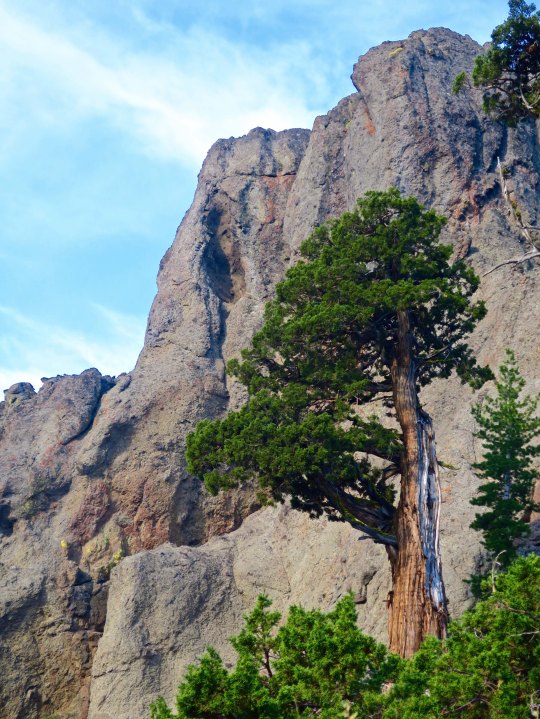
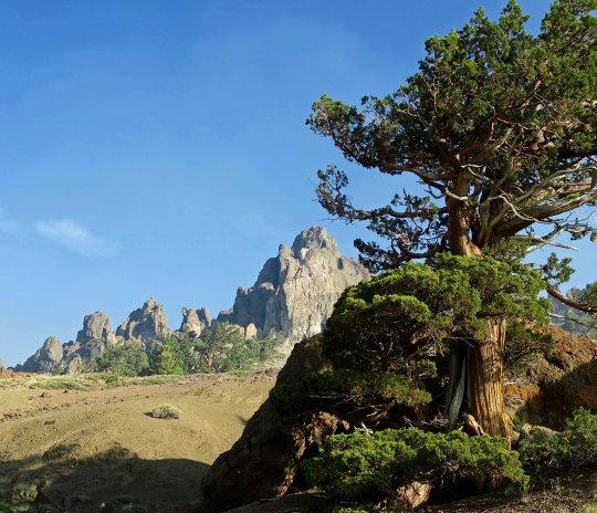
While another photo featured one of the junipers standing tall against the cliff.
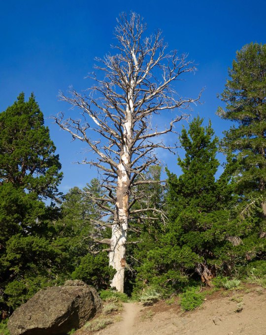
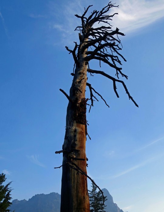
One of the magical things about following a trail is that you never know what you will see next. It’s a thought that forever pulls me on. The PCT made its way around a large snag here and disappeared into the woods.
I was assured that the views would just keep coming.
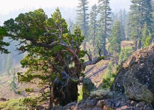
The smoke did more than hassle my lungs; it also provided some interesting photos as it filtered the sun. This juniper is an example.
And another smoke filtered scene.
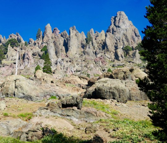
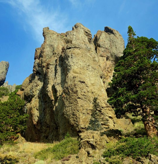
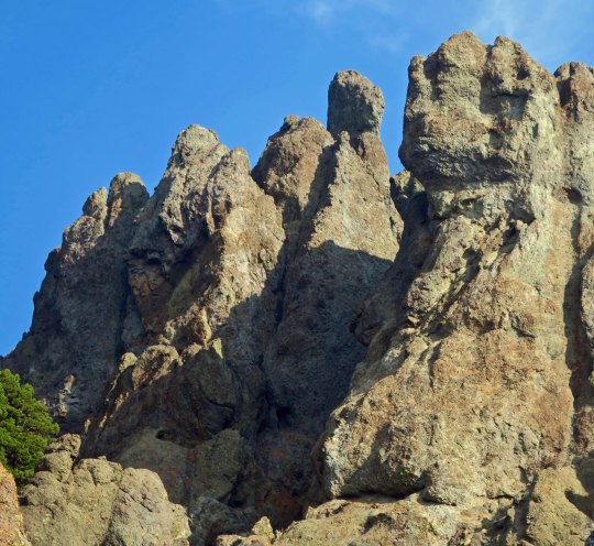
As might be expected from my last post on the PCT through the Mokelumne Wilderness, there was no end to magnificent rocks.
Rounding a bend I came on a new view with a juniper, rock and open area leading to a distant peak.
This perspective had the intensity of surrealism. I could see Dali carefully painting the rocks in the foreground and adding a melting clock.
The contrast between a juniper and rock guaranteed that my camera came out.
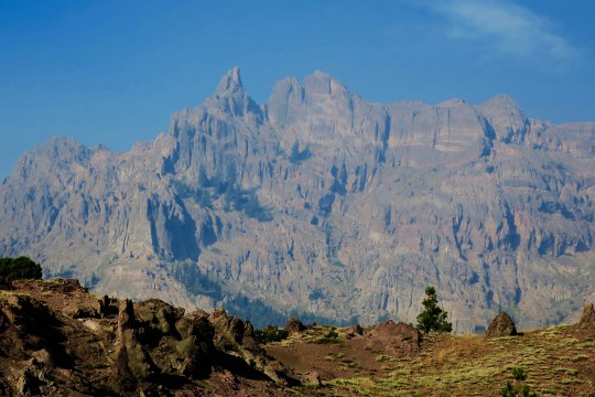
And then I was treated to my first view of Mt. Reynolds.
Wow!
I’ll conclude today with this view. I loved the contrast.

NEXT POST: Variety, being the spice of life, it’s back to Mexico.

Stunning Rocks and Gorgeous Junipers… The PCT through the Mokelumne Wilderness

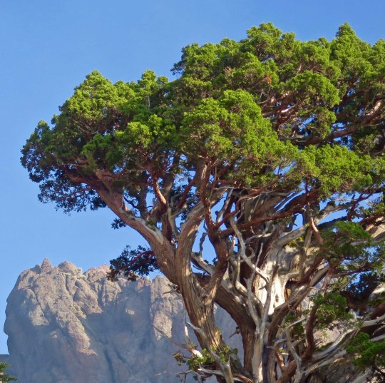
There is no hurrying through land like this. The combination of junipers and rock sculptures called to both me and my camera.

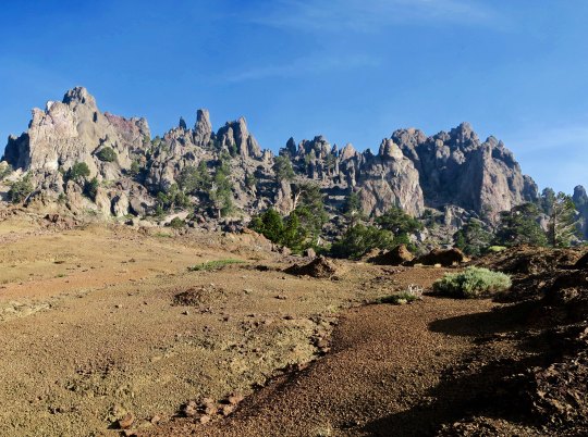
I was surprised by the sheer beauty along the PCT south of Carson Pass. I had hiked through the region several times over the years, but my trail had always been slightly to the west. Somehow I had missed the incredible rock sculptures. That, and the junipers. If you have ever wandered the West, you are familiar with this gnarly, photogenic tree. Most of todays photos were taken near Pennsylvania Creek in the Mokelumne Wilderness, maybe 15 miles north of State Highway 4 and Ebbetts Pass. I’ll let the photos speak for the area.

Hiking down into Pennsylvania Creek, I found this juniper.
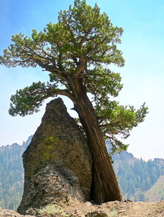
And then this one, wedded to a rock.
That night, I camped on the south side of Pennsylvania Creek. This was the view !
Later, at sunset, the whole ridge.
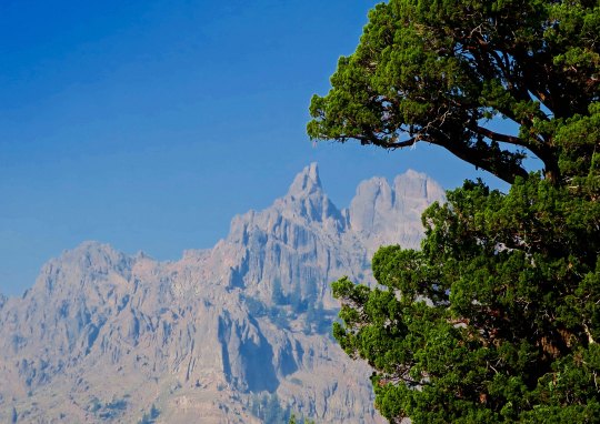
The next morning, smoky skies and the sun provided a red cast to the view.
Farther along, I was treated to this view.
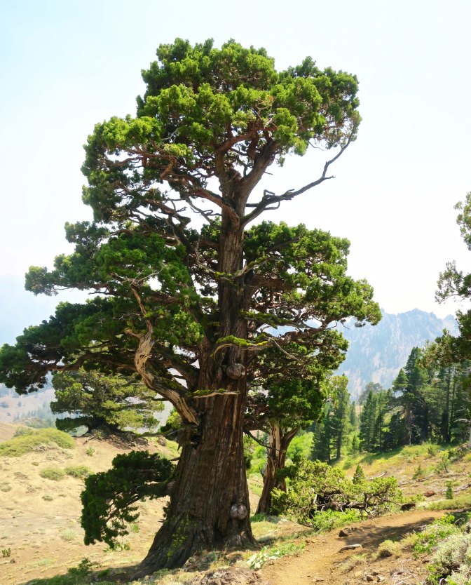
Near the crest of the canyon, I found the juniper tree and rocks I featured at the top pf the post.
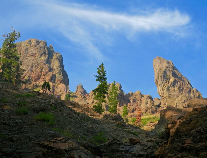
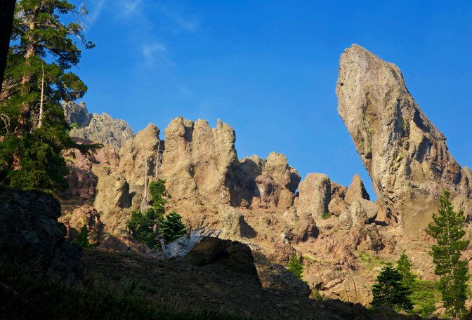
The view included this leaning rock, which could be seen just behind the juniper.
Another perspective.
I considered this a real treat.
And photographed it several times. This is it for today. But I’ll have several more views of the rock sculptures on my next PCT post.

NEXT POST: Back to Puerto Vallarta. P.S. I will be playing with various themes over the next few weeks, so don’t be surprised by the changing looks of my blog. ALSO: For those of you who haven’t read “The Bush Devil Ate Sam,” I will be posting a chapter once a month on the top ‘pages’ to give you a feel for the book and encourage you to buy it. Many thanks! This chapter reflects our first night in our Gbarnga home, appropriately titled: Armies of the Night!

Happy 2019… Said with Flowers— from the PCT

There are lots of wild roses growing along the PCT, but it is rare that you find one so perfect.

Today, I just want to wish each and everyone of you who follow this blog a very happy and healthy New Year. And I want to thank you for joining Peggy and me on our journey as we wander through time and place. We are privileged to have you along.

What better way is there than to say it than with flowers. It works for Valentine’s Day, it works for Mother’s Day, and it works for numerous other special occasions, so why not New Years! I’m sure the floral industry would love this, but I am not talking about the flowers you buy from a florist. I am talking about the beautiful, wild, and free flowers you find growing along the trail, or the roadside, or on a vacant city lot, or in a park— the list goes on. Here, I am talking specifically about the flowers I found along the Pacific Crest Trail on my 700 mile backpack trek this last summer. You’ve already seen some of these. I have bunches. I suspect you will see more on Valentine’s Day. Enjoy!

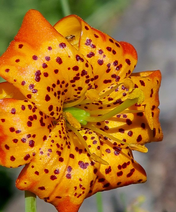
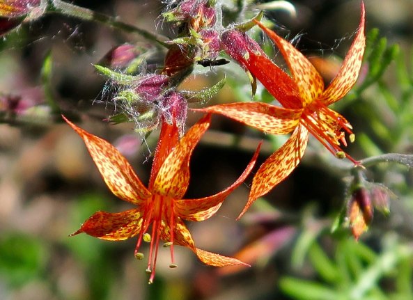
A cheerful tiger lily!
Dramatic scarlet gilia.
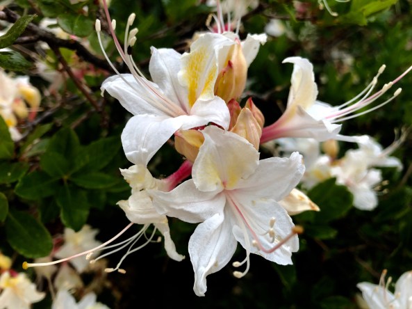
Azalea.
Pretty face is an appropriate name for this flower.
Prickly poppies, I think.
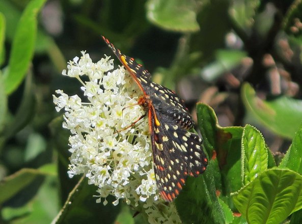
Not sure what this flower is, but the butterfly obviously liked it.
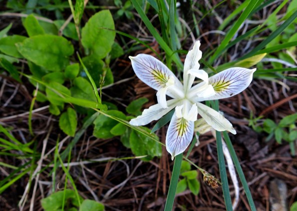
There were several types of irises, a flower noted for variety. I believe this is a Siskiyou iris.
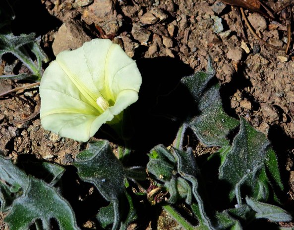
A wild morning glory.
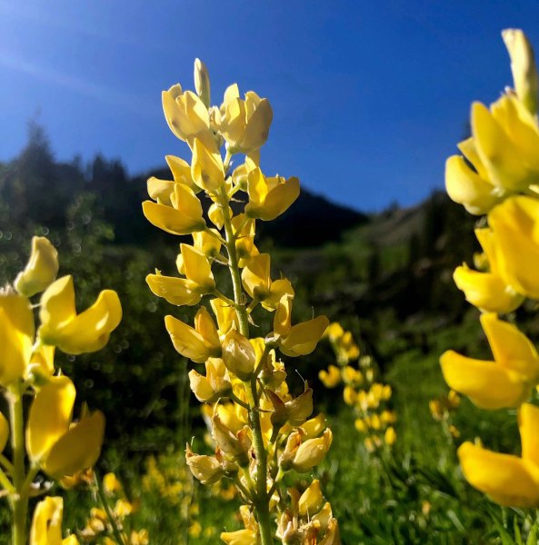
Stunning yellow lupine.
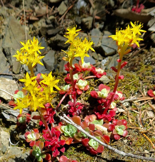
Stonecrop.
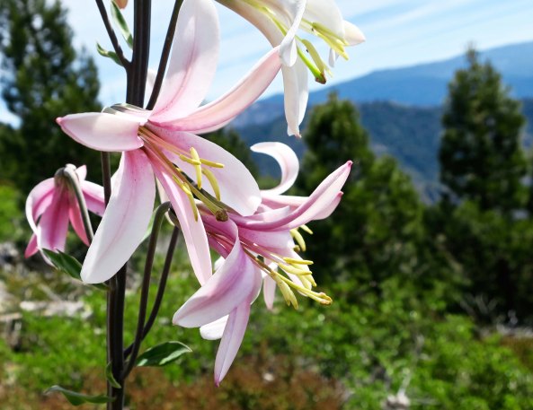
And concluding with a Washington lily.

AGAIN— WISHING YOU THE BEST. We look forward to seeing you in 2019. Curtis and Peggy

Hiking on the PCT at 75… Carson Pass to Sonora Pass: Part 3

As a year filled with seemingly insurmountable national and international problems draws to a close, my mind turns to the beauty and the peace of my 700 mile journey down the PCT this past year. The issues of the everyday world fade as you are hiking up a mountain, providing a different perspective on what is important. As the renowned naturalist John Muir noted, “The clearest way into the Universe is through a forest wilderness.” 

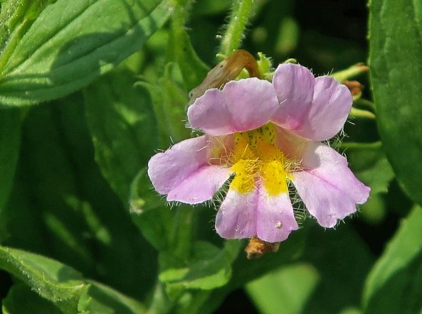
There were tough days out there— as tough as any I have ever faced— but even the most difficult were countered by the beauty of the areas I hiked through. It was a beauty that ranged from towering mountains down to the cheerful monkey flower above. Today, I will continue to share that beauty in my third post about the Pacific Crest Trail between Carson Pass and Sonora Pass in the central section of California’s Sierra Nevada Mountain Range.

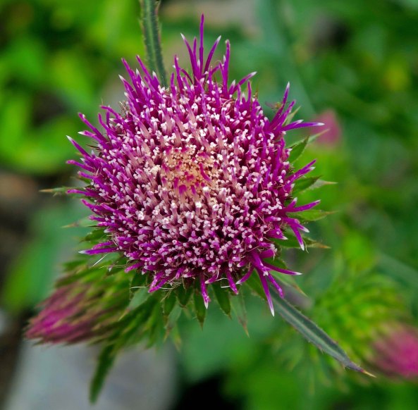
Thistles are often thought of as invasive weeds, something to be chopped down or poisoned out. It is hard to think of this fellow as anything other than a beautiful wild flower.
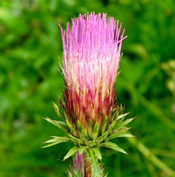
I caught this Sierra thistle in full bloom.
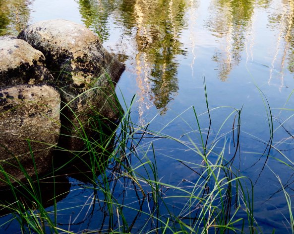
When I backpack by myself, as I was on this section of the trail, I try to find secluded campsites. To me, it is much more of a wilderness experience. I lucked out with this little no-name lake. I had it to myself and there was no sign of people recently camping in the area. It was a bit of a challenge to climb out on these rocks and dip up my water, however. (grin)
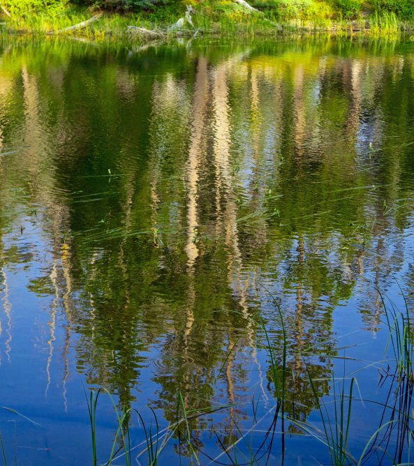
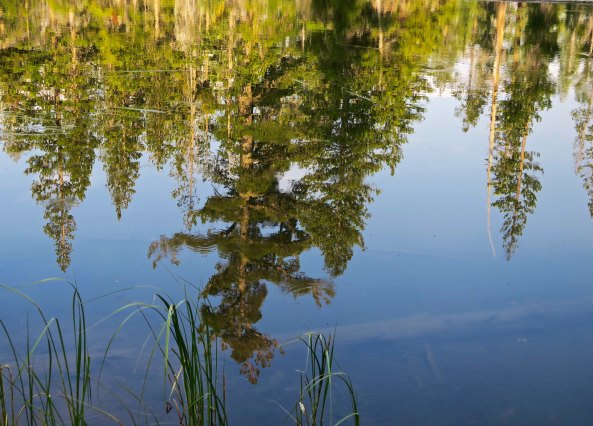
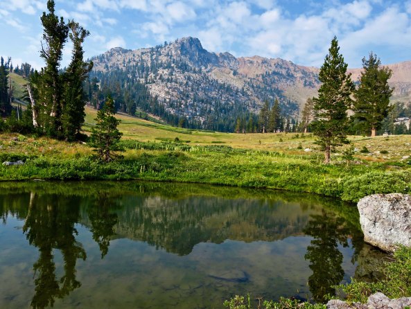
The lake provided some great reflection shots, capturing the surrounding forest. They ranged from this impressionistic view…
To clearer views.
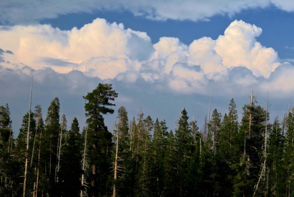
As evening approached, thunderheads suggested I might be in for a rip-roaring thunder and lightning storm. I put on my rainfly.
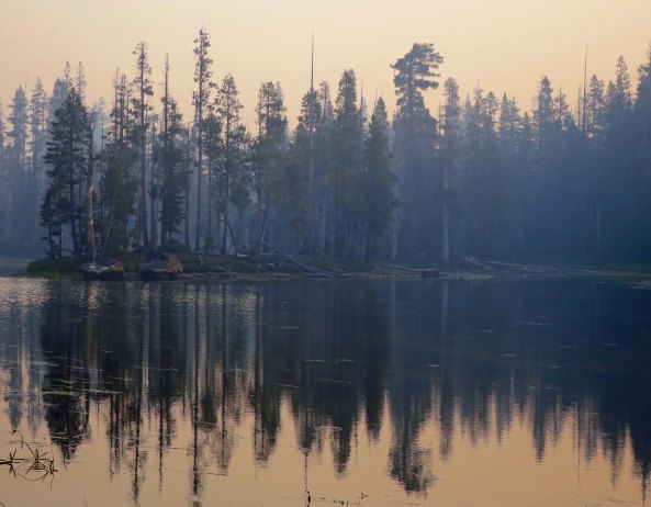
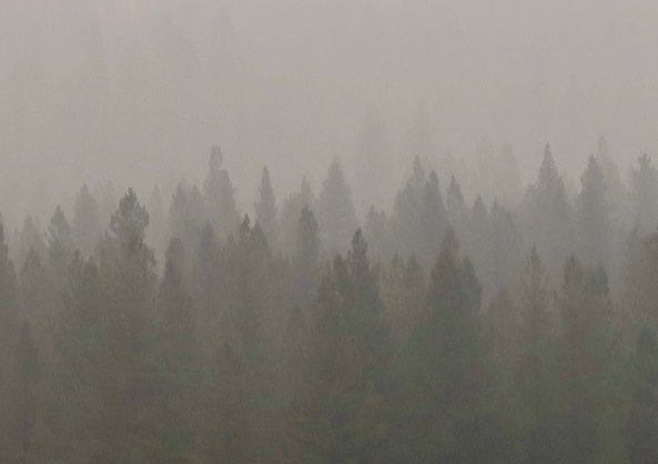
I would have much preferred that to what I got. I woke up in the middle of the night to the strong smell of smoke creeping into my tent. I climbed out to make sure that there were no flames about! As it turned out, smoke from the Redding fire to the north and the Yosemite fire to the south had caught up with me. Above is how my little lake looked in the morning.
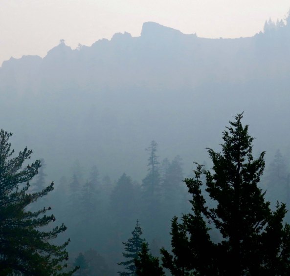
And as I hiked down the trail through the Mokelumne Wilderness.
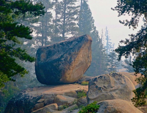
Whenever smoke blocked views of the surrounding mountains during my hike down the PCT, I focused on closer views, like this massive granite boulder that was likely left behind by a glacier.
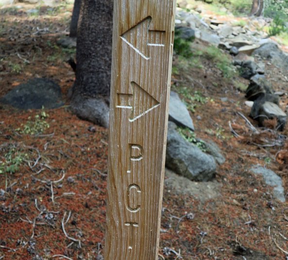
This sign made me smile. It was a good thing that I knew which direction I was traveling.
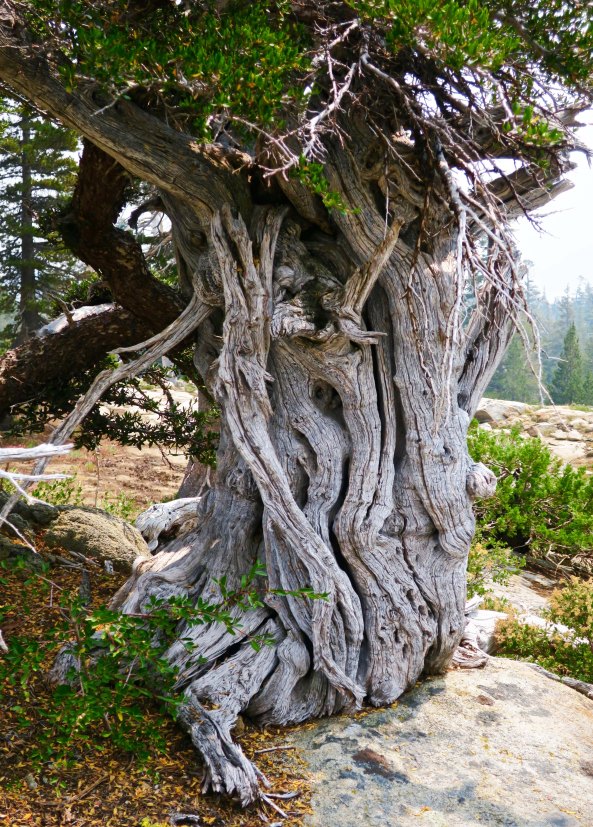
A gnarled tree caught my attention. I can’t help but think of hobbits and elves when I find such trunks.
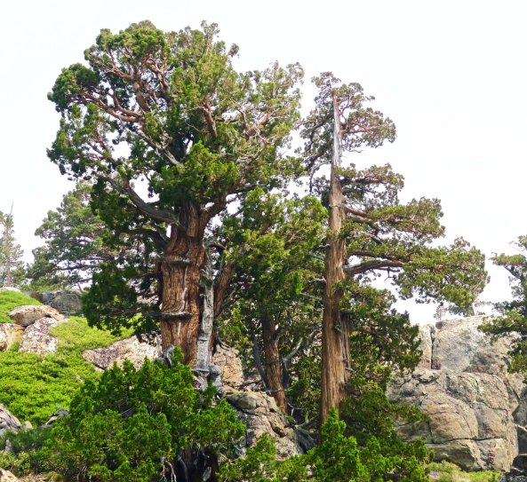
Junipers can almost always be depended on to have unique personalities.
Rabbit brush provided a burst of color.
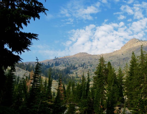
As I made my way south, some impressive mountains came into view. Checking my map, I found I would soon be climbing them, naturally.
And up I went, through the still smokey air. My 75 year-old lungs were not happy.
As through-hikers say, it is what it is, however, so I hiked on—and on— into some fascinating rock country, that I will feature on my next PCT post.

NEXT POST: Some thoughts on the New Year.

Who Ate the Gingerbread House? … Good Doggy, Bad Doggy

I went searching for three wise men at Carowinds Amusement Park on the border of North and South Carolina. I didn’t find them. Maybe they were lost in the pre-Christmas crowd. But I did find one of their camels.

It’s Christmas Eve here in Charlotte, North Carolina. The tree is up and loaded with goodies. The gingerbread houses have been built and the Christmas cookies are ready to eat. (Minus those that Grandpa has already eaten. I have a serious responsibility to test the cookies as they come out of the oven. Sometimes I have to eat two, or three, just to be sure they meet my high standards.) Our son-in-law Clay will soon be up and preparing tonight’s roast. He’s one heck of a cook. All’s well with the world, or at least all is well with our little corner. And that’s enough for today.

Like Santa, we are in the middle of our holiday rounds. Last week, we were in Florida visiting with our son and his family. This week we are with our daughter and her family in Charlotte. It’s her turn to have us for Christmas. Next year is Tony’s turn, as we have already been reminded several times. (grin) Santa, of course, has the advantage of being able to be in both places. That’s because he has that magical sleigh and eight reindeer plus the red-nosed fellow. We have to travel by airplane, where we are lucky to arrive at all.

Santa dashing away on top of one of the rides at Carowinds.
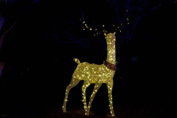
One of his eight reindeer!

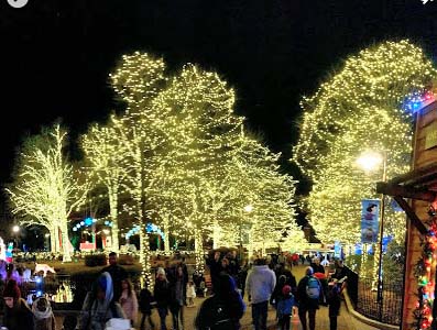
Both sets of kids (and grandkids) decided it would be fun to check out the holiday decorations at major amusement parks this year: Busch Gardens in Florida and Carowinds in North Carolina. They were impressive:

Clay used his Google Android phone to capture this photo at Carowinds. (Clay works for Google as a manager at their data center in South Carolina.)
Both parks featured decorated trees. This is at Busch Gardens.
Another Busch Gardens tree.
This tree with the moon hanging out above was at Carowinds.
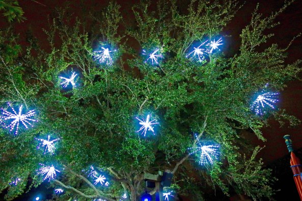
Clay caught this ‘bulb-tree.’
And I took a close-up.
As usual, I couldn’t resist a reflection shot. This is Carowinds.
A very big Christmas tree ornament at Carowinds.
As expected, both parks had impressive Christmas trees: Busch Gardens…
Carowinds. This tree, BTW, sits on the border between North and South Carolina.

Making gingerbread houses is a tradition at both houses, which isn’t surprising considering Peggy’s love of all things Christmas. The grandkids join in the effort with total dedication, except for eating half of the house decorations. They are not alone in their passion for jelly beans and M&Ms and candy canes, gumdrops etc. The doggies also have a sweet tooth. But which one ate the gingerbread house?

Was it Natasha and Clay’s dogs: Miss Innocence (Chima) here?
Or, “How could you even think I might eat the Gingerbread House? ” Lexi.”
Or Tony and Cammie’s Miss Definitely Not Me (Lyla).

Chima and Lexi were actually innocent— this time. Not that they wouldn’t eat a gingerbread house if someone left it on the floor by mistake and no-one was home. But they lack Lyla’s long legs. (Clay swears his dogs would not eat the gingerbread house.) Cammie and boys had just finished their house and were briefly out of the room. Cammie returned to find Lyla on her hind legs scarfing down their house. In Lyla’s defense, she had only thoroughly licked one side— but I am pretty sure that the house’s demise was just a matter of time. Anyway, here are the Cox family gingerbread houses:

Cody’s Robot House… Check out the teeth!
Ethan’s Reindeer House…
And Peggy’s. She would never be left out when it comes to building gingerbread houses.
While I didn’t catch Lyla’s well licked gingerbread house, Peggy and I found that our bedroom had been invaded by animals. This was special. Imagine kids loaning out their animals, even for a night! It was the true Christmas spirit.

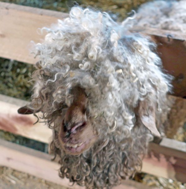
Speaking of animals, Carowinds had put together a petting zoo for Christmas. It’s where I found the camel. There was also a very, very strange looking goat that looked like it was having a really bad hair day, that it was an ancient goat from another time…

I decided that it was… are you ready for this… The Goat of Christmas Past.

A VERY HAPPY HOLIDAY TO ALL OF OUR GREAT INTERNET FRIENDS. THANKS FOR FOLLOWING ‘WANDERING THROUGH TIME AND PLACE.’

CURT AND PEGGY

Four Days to Christmas… It’s a Zoo Out There

Face it, Christmas is not the time you want to hang out at the mall!

It’s that time of the year. Christmas is just a few days away. Most of your shopping is done. Hopefully. But the odds are there are a few last minute gifts you have to buy. You grit your teeth, grind your molars, and head for the mall. It’s an absolute zoo. 

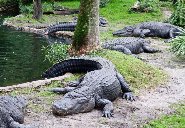
First of all, the parking lot is insane! Cars are parked everywhere. You feel like you are up to your tail in alligators.
You start looking for a parking place with a smile on your face…
And end up looking like this.
Just when you think you’ve found the perfect spot, some one backs in and grabs it! And you even had your left turn signal on.
So you blow your horn and say non-Christmas-like things.
And in case the person didn’t get that, you add a gesture of good will.
The whole experience makes you want to bury your head.
Finally in the back of the back parking lot, you find a space. Hoping beyond hope that you will remember where your car is, you head into the mall prepared to do battle!
You know the perfect gift for Susy. She has been asking for it all year. Why oh why did you wait this long? When you get there, it’s the last one and someone else is there before you!
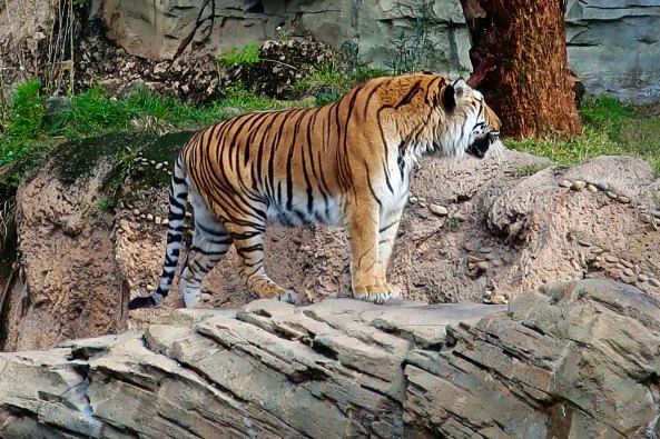
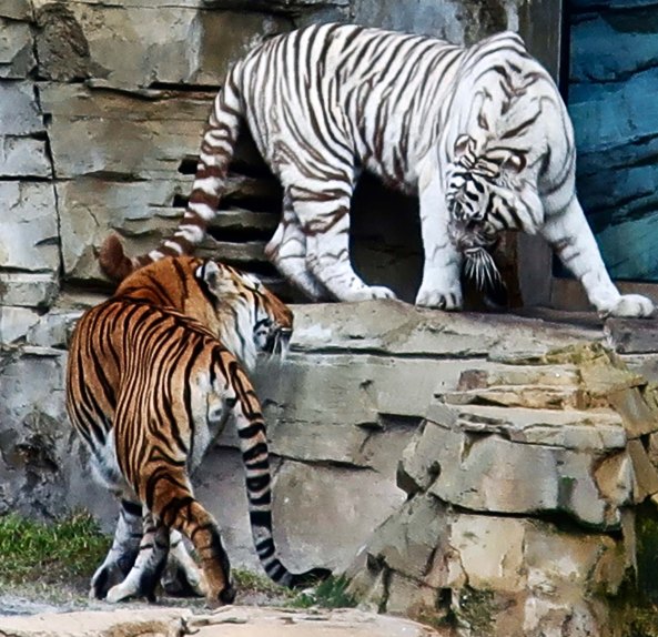
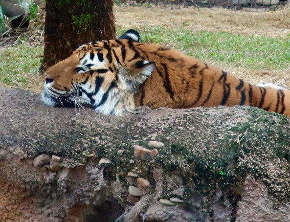
I may look like a sweet kitty, he says.
But do you know how I got these stripes?
I got them from eating zebras. Lots of them.
Sigh…
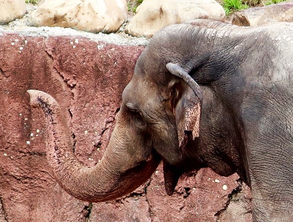
Shopping doesn’t get much easier. There are the big guys with armor on that crowd in front of you…
The fast sleek ones that dash about at 60 miles per hour, grabbing up the bargains…
And the tall ones that can spot gifts way before you do.
But eventually you are finished. With arms so loaded you that you can barely see, you go in search of your car that you swear someone has moved. And then you just swear. Eventually you find it, however, and are faced with the eternal dilemma: Will everything fit in your trunk?
By the time you get home, you are exhausted. It’s time for a well-earned nap…
Where you dream about eating large drumsticks for Christmas dinner. Squawk!

This is called what you do when you have been at Busch Gardens, taken lots of animal photos, and wonder how you can turn them into a Christmas theme. 🙂 Hope you enjoyed it. My next post will be more Christmassy. I promise. Maybe. 

Oh No… Not Another Christmas Photo

Oh come on, Mom. You’ve already taken a million photos of me!

The cameras are out. It’s that time of the year. Open a present. Get your photo taken. “Hold up those socks, Joe. And smile. Aunt Tilda needs to know how much you like your gift.” Right. You know the routine. Put on deer antlers and get your photo taken. Take your photo with Grandma. She loves it. But where’s Grandpa. “How come Grandpa always has to go to the bathroom when photos are being taken Mom? He told me that photos give him gas.” And maybe it’s true. He looks like he’s got gas. 

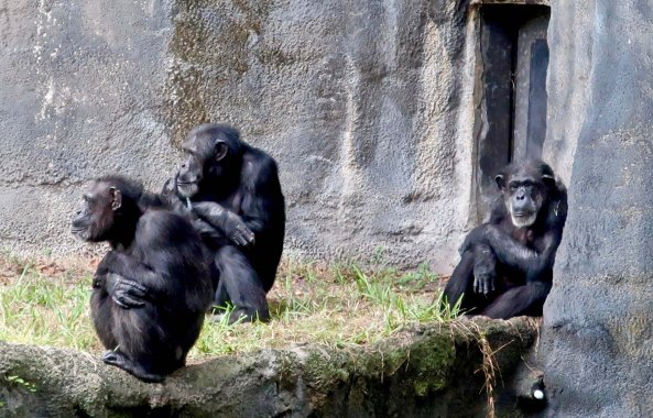
Peggy and I are visiting with our son Tony, his wife Cammie, and our grandkids Connor, Chris and Cooper on a pre-Christmas visit. We took a trip over to Bush Gardens yesterday. I took photos of the Chimp family for Christmas. I had my usual challenge getting anyone to smile.

Like father like son, they always say.
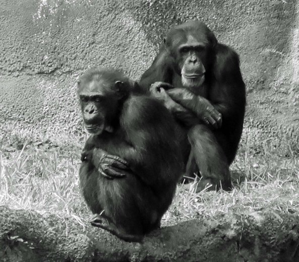
And then there was Grandpa, doing everything he could to avoid having his photo taken— including glaring at the camera. Check out the father/son pose.
And here’s dad, giving me the look.
A black and white family portrait. At least I had persuaded both father and son to look toward the camera at the same time. A small miracle in itself.
And finally, maybe, just barely: a smile.

Then there is all the stuff about table manners at Christmas. Everyone is expected to be on their best behavior. And what are the odds of that happening? I dropped over to visit with the Gorilla family to check it out.

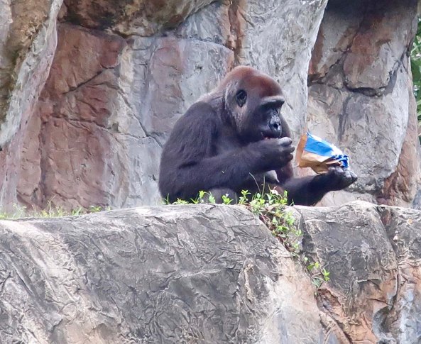
I’m not sure. Maybe stuffing yourself is a sign of good manners, like you really like the food.
What are you supposed to do when your plate is crammed high?
And what if someone adds chips? “Where’s the salsa?”
Always worth another handful. “These darn things are addictive.” How many times have you heard that as an excuse for eating more.
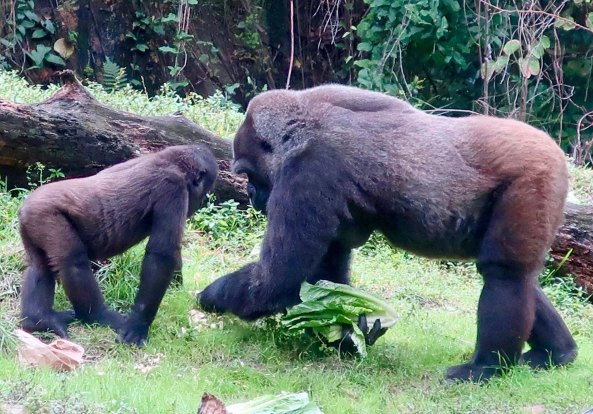
But back to the lettuce. Even Mom, the absolute guardian of good manners, seems to be spilling food down her front.
But finally, I find some real Christmas spirit. Sharing. “Here, son. Look what I brought you. More lettuce. Merry Christmas.”

NEXT POST: Maybe I’ll be back at Busch Garden in Florida, or on the Malecon in Puerto Vallarta, or hiking down the Pacific Crest Trail. You never know. I sure don’t. 🙂

Into the Mokelumne Wilderness… South from Carson Pass on the PCT

Lakes, mountains, and meadows, oh my. The Mokelumne Wilderness south of Carson Pass has it all, plus streams and rivers. I took this photo of Round Top Mountain from along the Pacific Crest Trail.

I’ve backpacked south from Carson Pass several times over the years, usually leading backpack treks following the old Tahoe Yosemite Trail. Those were the days before the present PCT route was built. I was excited to explore the new trail.

I arrived at the trailhead a few weeks earlier than I had planned. When I came out at Chester after hiking through Lassen National Park, smoke from the massive Carr Fire near Redding was so thick that it was difficult to see a couple of hundred yards into the trees. Having empathy for my 75-year-old lungs, I decided to skip south in hopes of finding clean air to breathe. 

Smoke from the Carr Fire on the PCT near Chester, CA

The pass was named after the mountain man, explorer, military leader and rancher, Kit Carson. During California’s gold rush era, it had served as one of the main entrance points to California. The trail worked its way down the mountain eventually delivering its gold seeking 49ers to the small town of Diamond Springs where I was raised. The town was established when some miners from Missouri found a 20 pound nugget of gold lying on the ground and decided to stay. Which I get. As a youth wandering far and wide through the woods surrounding Diamond, I’d always dreamed of finding my own large nugget. It wasn’t to be. But I did develop a love for the outdoors, which is worth a lot more.

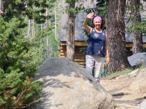
Peggy dropped me off at the trailhead and waved goodbye. She had seen me off several times by now, and was more confidant that she would see me at the other end. But my lovely friend was always a bit nervous…

Peggy waves goodbye with sincere hopes that she will greet me at Sonora Pass when and where I predicted I would come out.
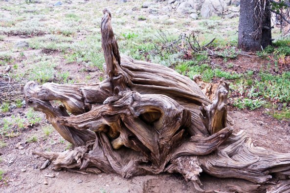
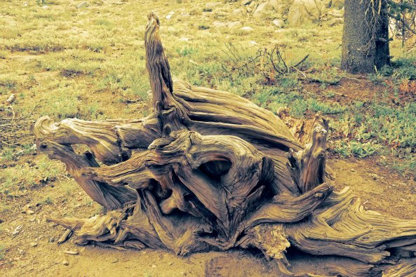
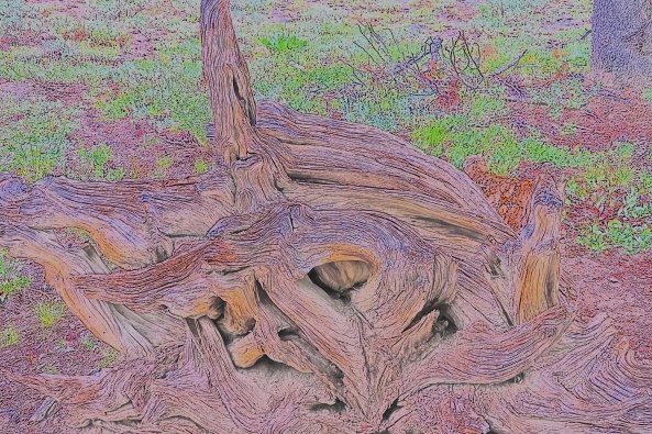
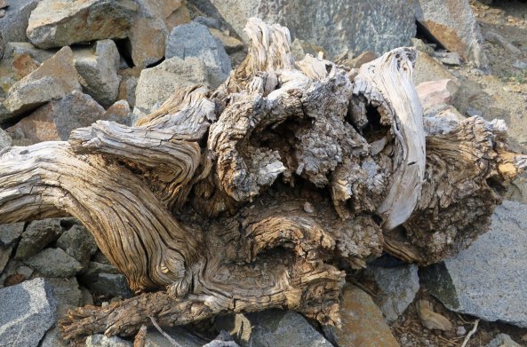
Being a sucker for roots and wood sculptures, this was the first photo I took along the trail. I hit the wrong button and my camera took several more photos, rendering each one differently. Normally, I like to stick with realistic portrayals, but I was amused with the results…
In yellow…
And in strange, impressionistic colors, like a Van Gough haystack.
I took a short detour up to Frog Pond. In the past, I had always hiked by it and wanted to see what it looked like. I thought it might connect to the PCT. It didn’t, but I enjoy detours. They added lots of miles to my journey. There weren’t any  obvious croakers.
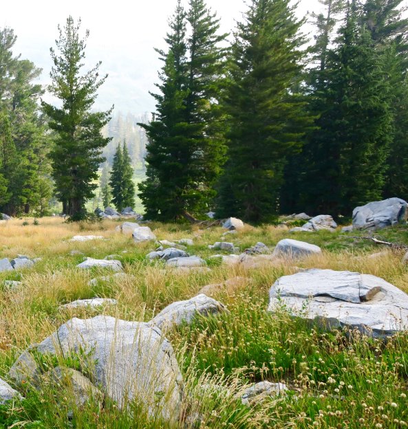
The correct trail provided this view of Elephant Back, one of the primary landmarks of Mokelumne Wilderness.
Another view of Elephant Back from the PCT.
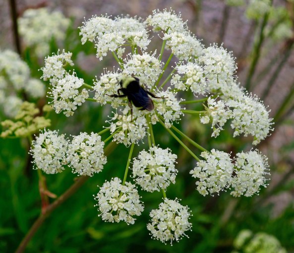
I had always hiked around the front of Elephant Back. The ‘new’ PCT took me behind it. The trail starts off making its way through Queen Anne’s Lace, a member of the parsley/wild carrot family.
A close up of the flower with a bee providing perspective.
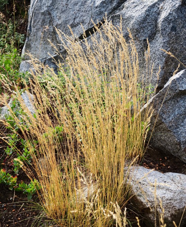
Hiking on, I was reminded that I was well into summer. A granite rock provided the backdrop for this colorful grass.
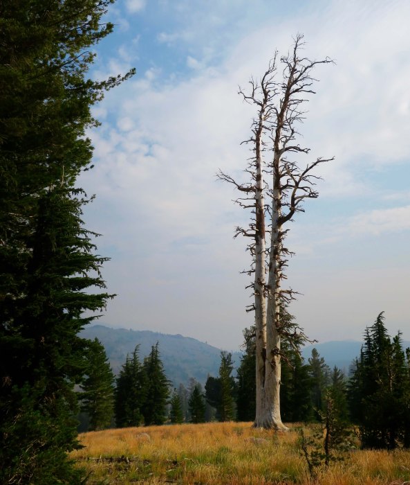
The brown grass here, which Californians insist on calling golden, provided a foreground for this photo of two snags.
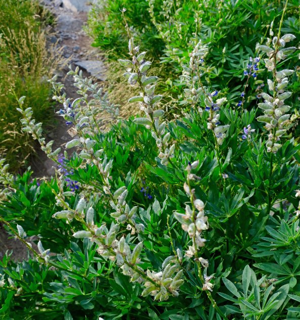
These pods on a lupine bush were also reminders of the fact that summer was winding down. They also show that lupine is a member of the pea family.
There was still plenty of water along the trail, however, which was a fact that I appreciated given how often water was scarce along the PCT.
And there were lots of flowers where I found water! This is rock fringe.
And what I know as ranger’s buttons, another member of the carrot/parsley family.
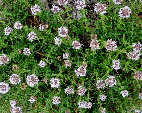
You can smell this one as you pass by. It is western pennyroyal, a member of the mint family. I always break off a leaf (it has lots) and urge people I am hiking with to sniff it and take a bite. It can also be used in making mint tea.
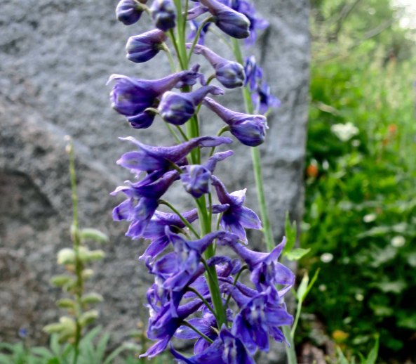
Larkspur is always a challenge to photograph, but I wanted to emphasize the ‘spurs’ here, from which it gets its name.
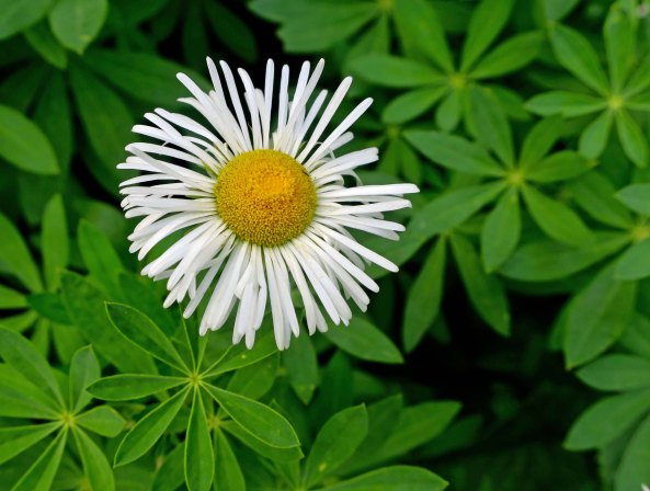
This daisy is known as fleabane. Pioneers believed that the bundled flowers would chase fleas out of their homes.
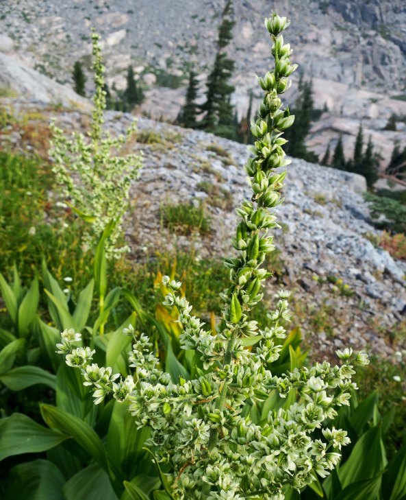
And here we have greenish corn lily flowers.
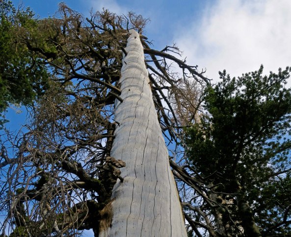
I found this half dead tree dramatic.
Another grass, rock, and tree photo. The haze in the distance suggests that my hopes for escaping smoke were about to be thwarted. Smoke from the Carr Fire had followed me south!
I almost tripped over this wood sculpture. Can you spot the sad owl-like face?
My next PCT post will take us up this flower covered ridge and far beyond.
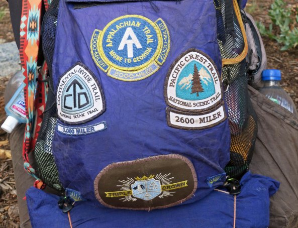
I will also introduce you to a 65-year-old trekker who has hiked the PCT, the Appalachian Trail, and the Continental Divide Trail, giving him the right to wear a Triple Crown patch.

NEXT POST: For my next post, however, I will take you back to Puerto Vallarta again and some really neat art!

A Beautiful Lake, Fires and Trees… The PCT though Mt. Lassen National Park

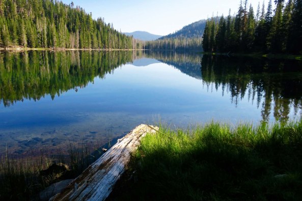
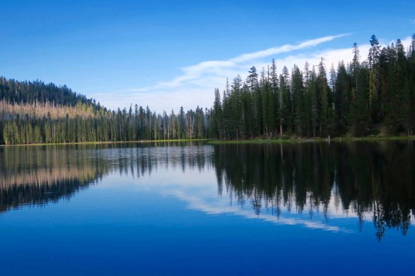
Hiking the PCT is tough, no question about it. But the rewards are numerous. Lower Twin Lake was one such reward. I camped beside it on my hike through Mt. Lassen National Park.

Today, I continue my ramble along the PCT. This time I will finish off my hike through Mt. Lassen National Park. I’ve been posting on our recent trip to Puerto Vallarta. There’s plenty more there, and lots left on the PCT. I intend to continue to mix my posts to provide a variety. And, of course, I am hard at work on my book about this past summer’s adventures and other tales from my 50 years of backpacking. My goal is to have something in hand when I attend the San Francisco Writer’s Conference in mid-February. 

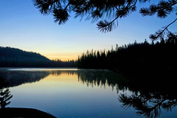
Lower Twin Lake was one of those places you don’t want to leave. I was fortunate to arrive in the afternoon and experience its evening and morning beauty before having to hike on. 
Late afternoon. I came back to camp after this photo and found a chickaree sitting on my journal. I suspect he was more interested in my food than in reading what I had to say. He scurried up a tree and proceeded to scold me for interfering with his search.
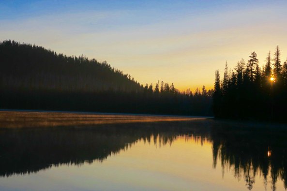
Early morning.
The sun comes up. Note the mist rising off the lake where the sun was hitting it. I felt it was almost magical.

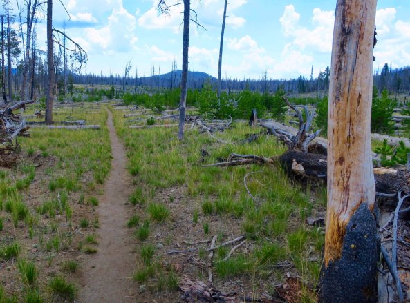
Forest fires had devastated the east side of the park and I hiked for miles through the burned out area, which isn’t unusual for the PCT in these times. Global warming and draught has taken its toll on the west from California, through Oregon and on into Washington, making forests vulnerable. The horrendous Campfire that just caused so much loss of life and property in Paradise, California is one more example. 

Mile after mile of land looked like this on the east side of the park. Not all is bad news, however. Nature is powerful and new growth is beginning to cover the area. This growth supports a substantial wildlife population.
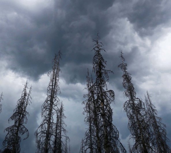
I found this scene beautiful in a threatening sort of way. Dark thunder clouds hovered above drought killed trees. Thunder was rolling across the sky and lightning was striking a nearby mountain. I counted, 1001, 1002…Reaching 1007 means the lightning is a mile away. Once I barely made it through 1001. There is good reason to fear being hit by lightning. There is even more reason to fear that it may cause a fire. These trees would light up like kindling.
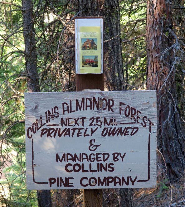
I often here the argument that thinning the trees, i.e. logging, is the solution to forest fires. Mainly it is used as an excuse for more logging. But the Collins Pine Company may actually have a solution. For one, it is committed to selective cutting, leaving a  healthy forest filled with a variety of trees. It also cleans out dead debris lying on the ground and uses the wood to create energy. The debris under the trees is one of the major reasons for devastating forest fires. A group of 50 or so forestry students from the University of California was in the area studying the company’s forest management practices when I hiked through.

I love trees. Who doesn’t. Here are some of the beauties I found on my backpack trip through Lassen.

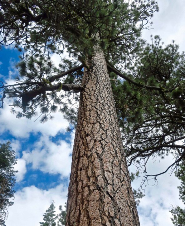
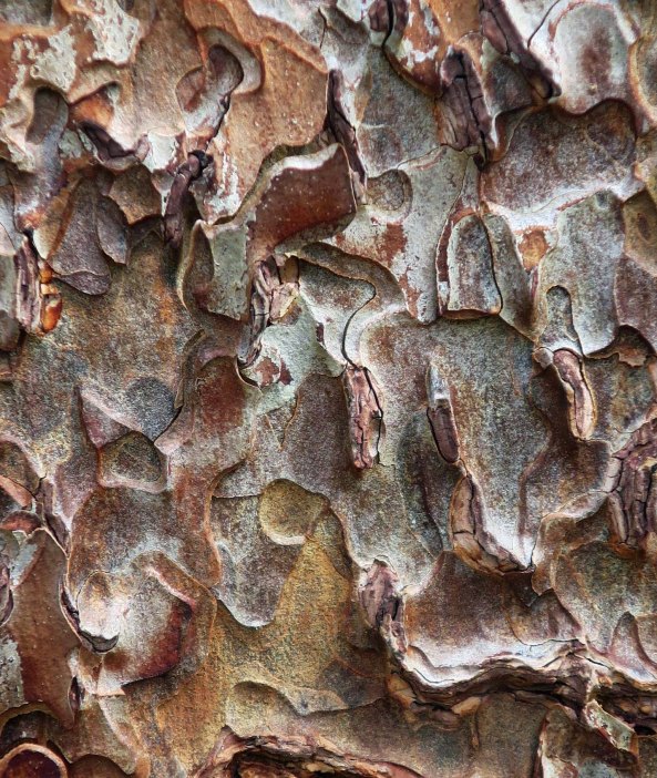
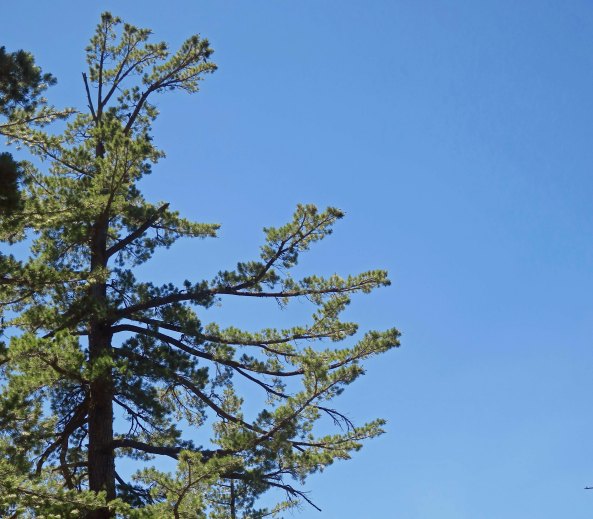
I had lunch under this magnificent Jeffrey Pine.
It’s bark resembles puzzle pieces. If you put your nose next to the bark on a warm day, you will be rewarded with a delightful smell of vanilla, or possibly pineapple.
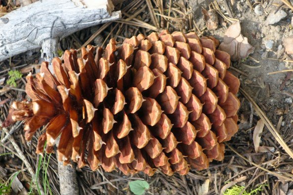
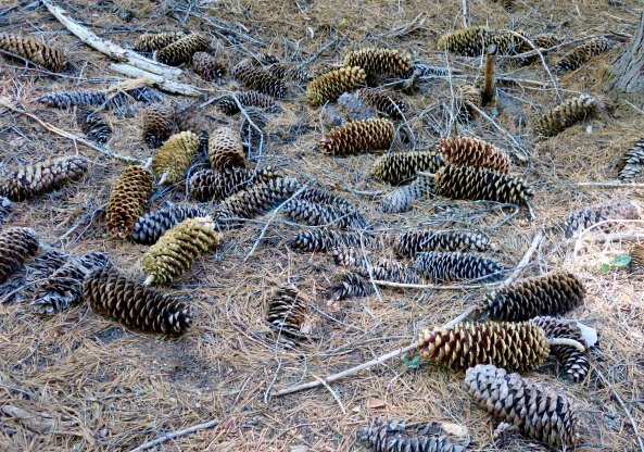
This is one of its gorgeous cones. An easy way to tell the difference between a Jeffrey Pine and a Ponderosa pine is you can pick up a Jeffrey pinecone without pricking you hand. Not so with a Ponderosa pinecone.
The king of pinecones grows on the the sugar pine. Some of these giants were approaching 20 inches in length. You don’t want to be standing under a sugar pine when a squirrel is harvesting its cones! Pine nuts from a sugar pine are delicious, however, and easily cracked. Ask the squirrel.
Sugar pines reach high into the sky and have wonderfully wild limbs.
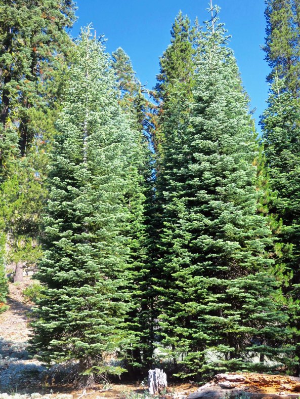
Unlike these two fir trees that were practicing close to perfect symmetry.
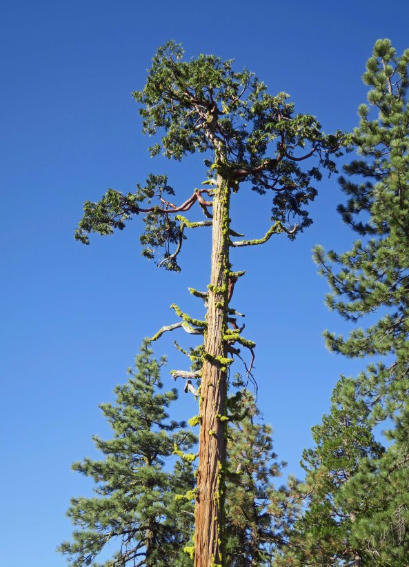
Cedars also provide forest giants.
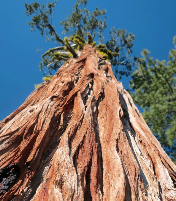
Here’s a view looking up at the same tree. 

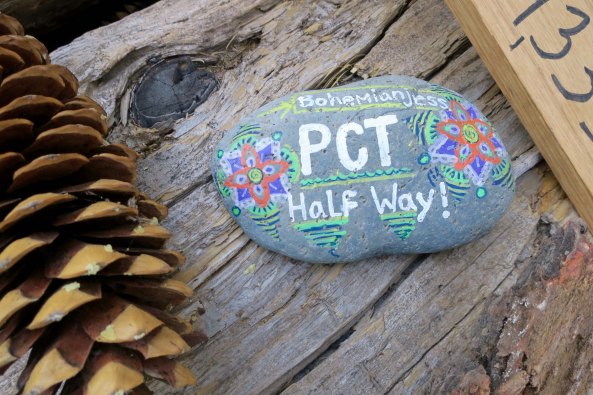
I met lots of through hikers in Lassen Park. The halfway point between Mexico and Canada is just south of the park. Hikers needed to be in the area or through it when I was there if they hoped to complete their hike during the 2018 season.

A stone left behind by Bohemian Jess near the town of Chester marked the halfway point on the PCT.
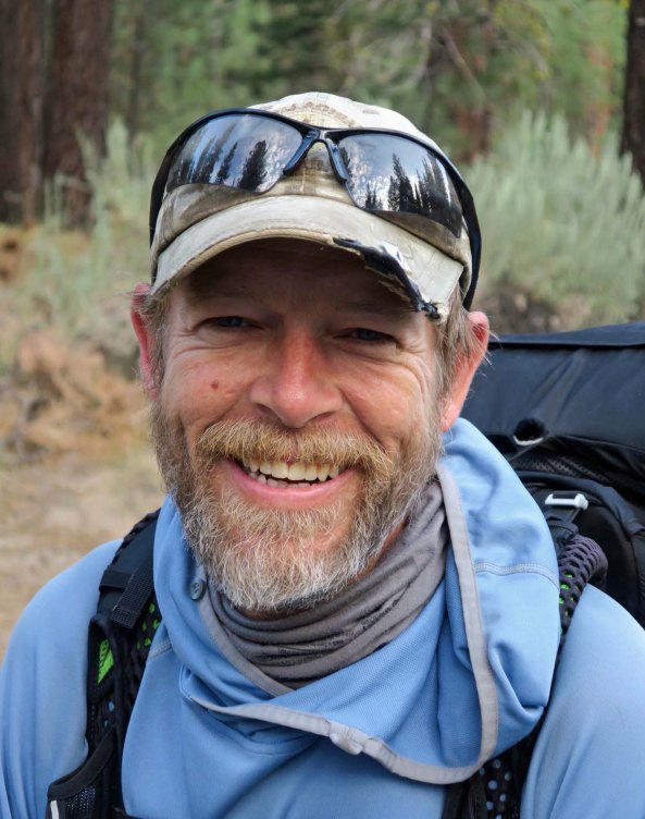
I met Hillbilly when Peggy dropped me off at the trailhead. She enticed him over with an apple. He lived in North Carolina near the Appalachian Mountains that gave birth to the hillbilly name, but he was far from being one. His name was Bill and he lived in Chapel Hill. Thus the name. He owned a company that installed solar farms. Bill had already hiked the Appalachian and Colorado Mountain Trails. Like me, he preferred to camp alone, away from the noise and partying of younger hikers.
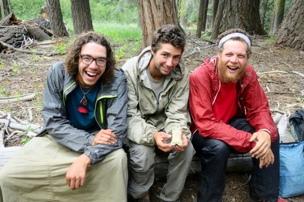
There was no chance of escaping from trekkers at Boundary Springs. (So named because it is located on the southern boundary of the Park.) It was a major source of water. These three camped next to me, so Bone came out to visit with them. They were quite amused. From left to right their trail names were Too Slippery, Bottomless, and Bodhi. Slippery and Bottomless were friends from Truckee, CA. Bodhi was a meditating type of fellow.
Shrek, Pepper, Bessie (the cow) and Chewy were also camped within about 30 feet. So, Bone had to visit them as well. I’d found Chewy looking for a lake where there wasn’t one, even though her map and a ranger had said there was. She had followed me down to the spring to get water.

Here are a few other photos to wrap up my trip through this section of the PCT.

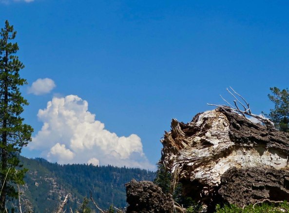
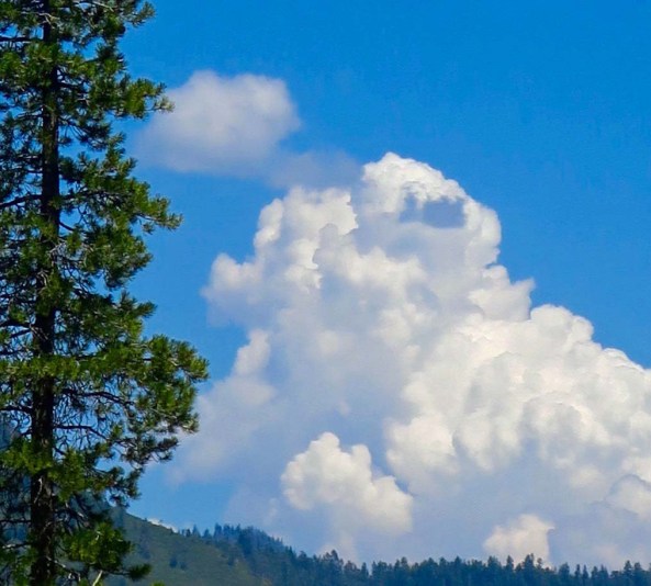
A snag and a thunderhead.
A closer look at the thunderhead.
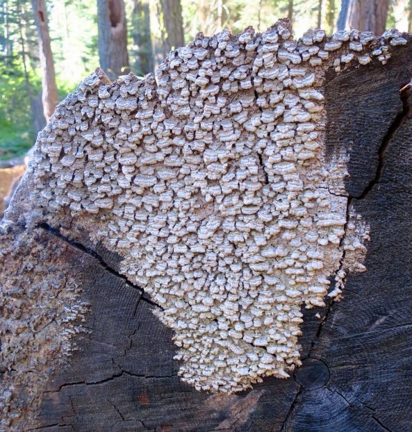
I found this fungus growing on a sawed log interesting.
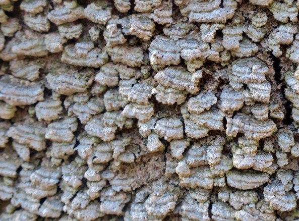
What the fungus looked like up close.
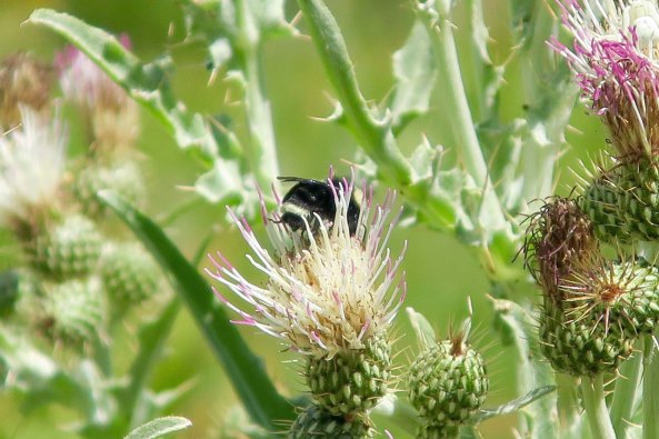
A bee hung out among some thistles.
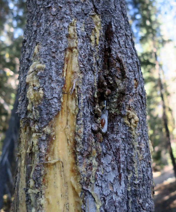
A bear left his claw sign for me to see…
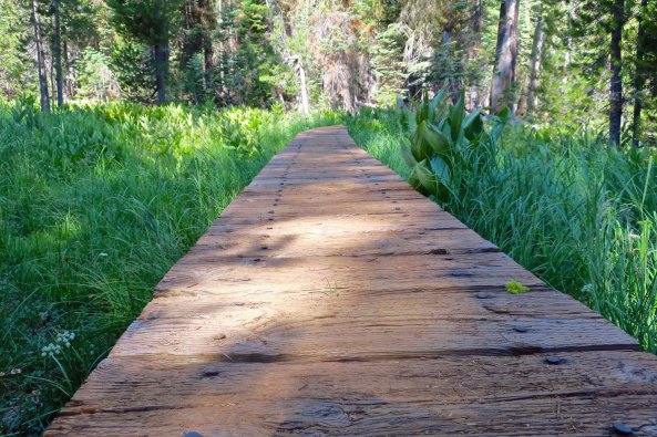
You know you are in a National or State Park when walkways are built across swampy areas.
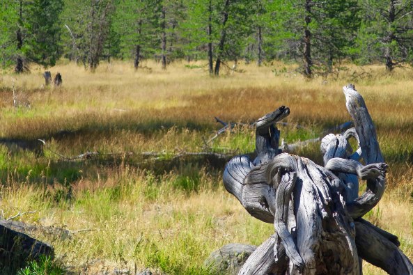
This meadow reminded me that summer was nearing its end. So I will stop here for the day.

NEXT POST: A very strange pelican. And some iguanas.