The Bush Devil Ate Sam is an important record and a serious story, yet told easily, and with delightful humor. This is one of the most satisfying books I have ever read, because it entertained me thoroughly AND made me feel better informed. —Hilary Custance Green: British Author... Click on the image to learn more about my book, the Bush Devil Ate Sam, and find out where it can be ordered.


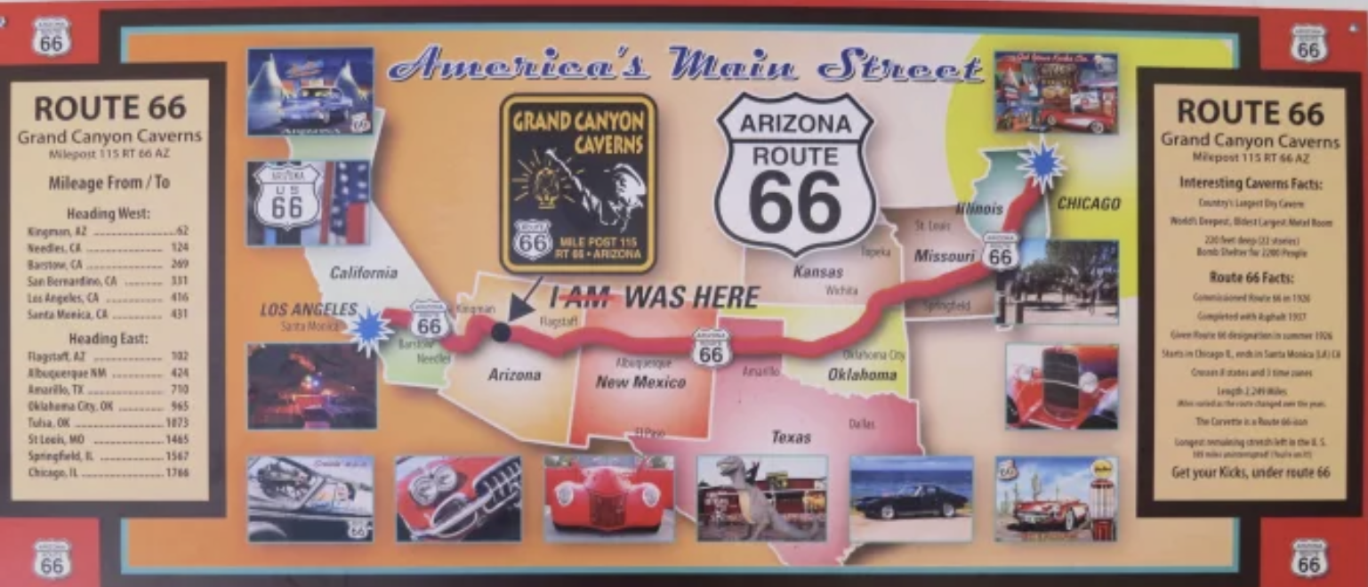


I always wanted to ride down Route 66 and was happy to hear they are trying to bring it back!! Thanks a bunch you two for taking me along with you!!
We had fun, G, even though our objective wasn’t Route 66 this time. It’s impossible for us to be in the area without enjoying it however!
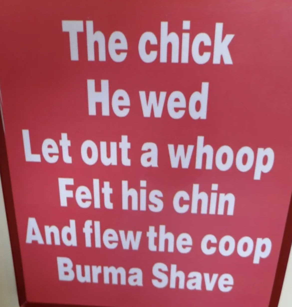
Thanks for the tour. The Burma Shave sign brought back memories.
For anyone who has ever experienced them, Peggy, they certainly do! I think it has to be one of the cleverest advertising campaigns ever! And for so little money.
Thanks for your efforts, Curt. Wander on. ZS
Appreciated. And we are. Peggy and I are now heading into New England for some serious leaf-peeping.
Plenty of things to see there. You just have to know where you are at the moment. Easy to get lost. It’s a good thing there is gps navigation now.
I’ve been over it enough that I don’t even need a map. Grin. But I can see how a person who is traveling over some of the more remote sections (like Oatman) would want GPS along!
Oh my gosh, a Burma Shave sign… there’s a throwback!
Doesn’t get much more so, does it, Diana!
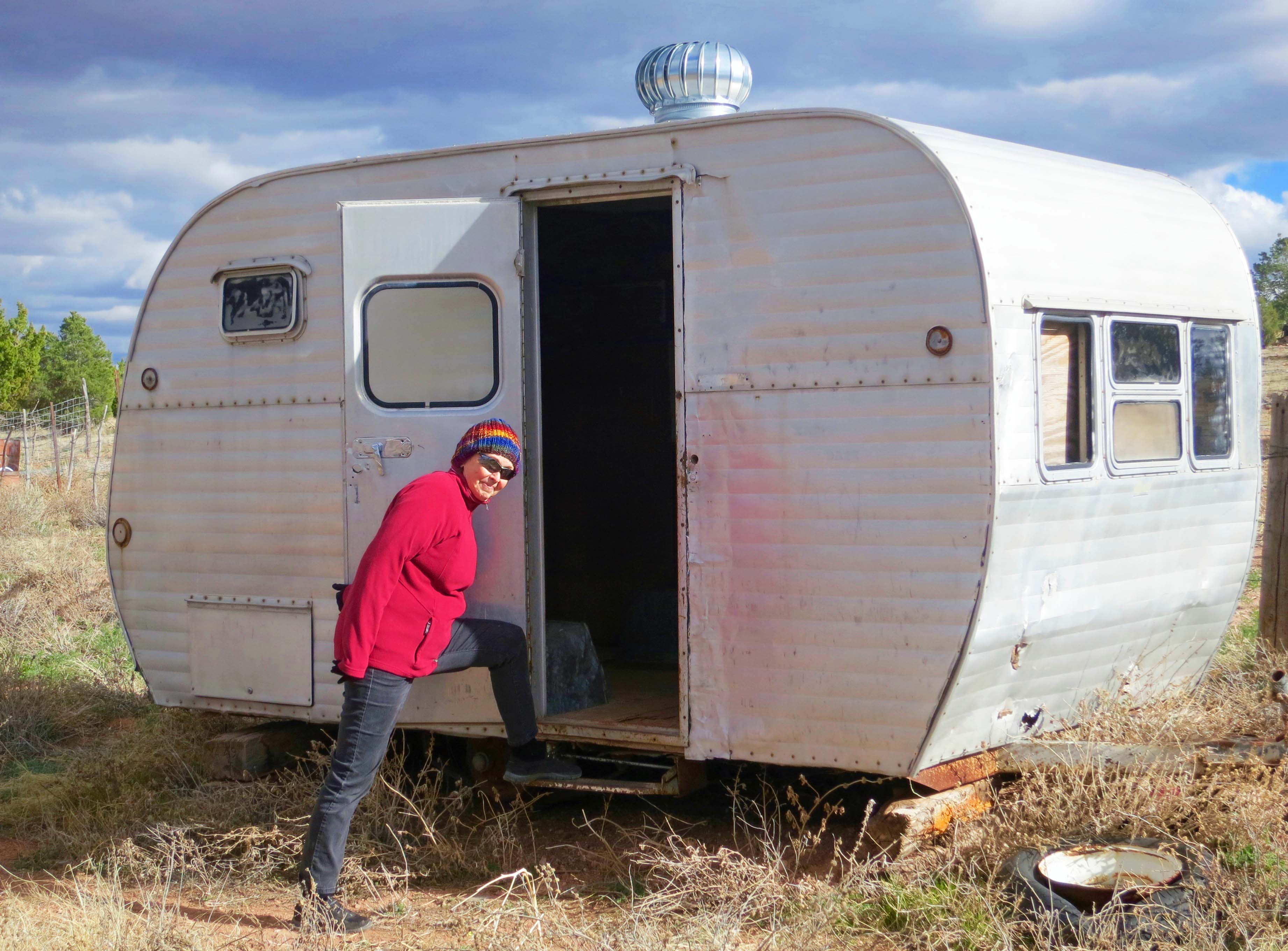
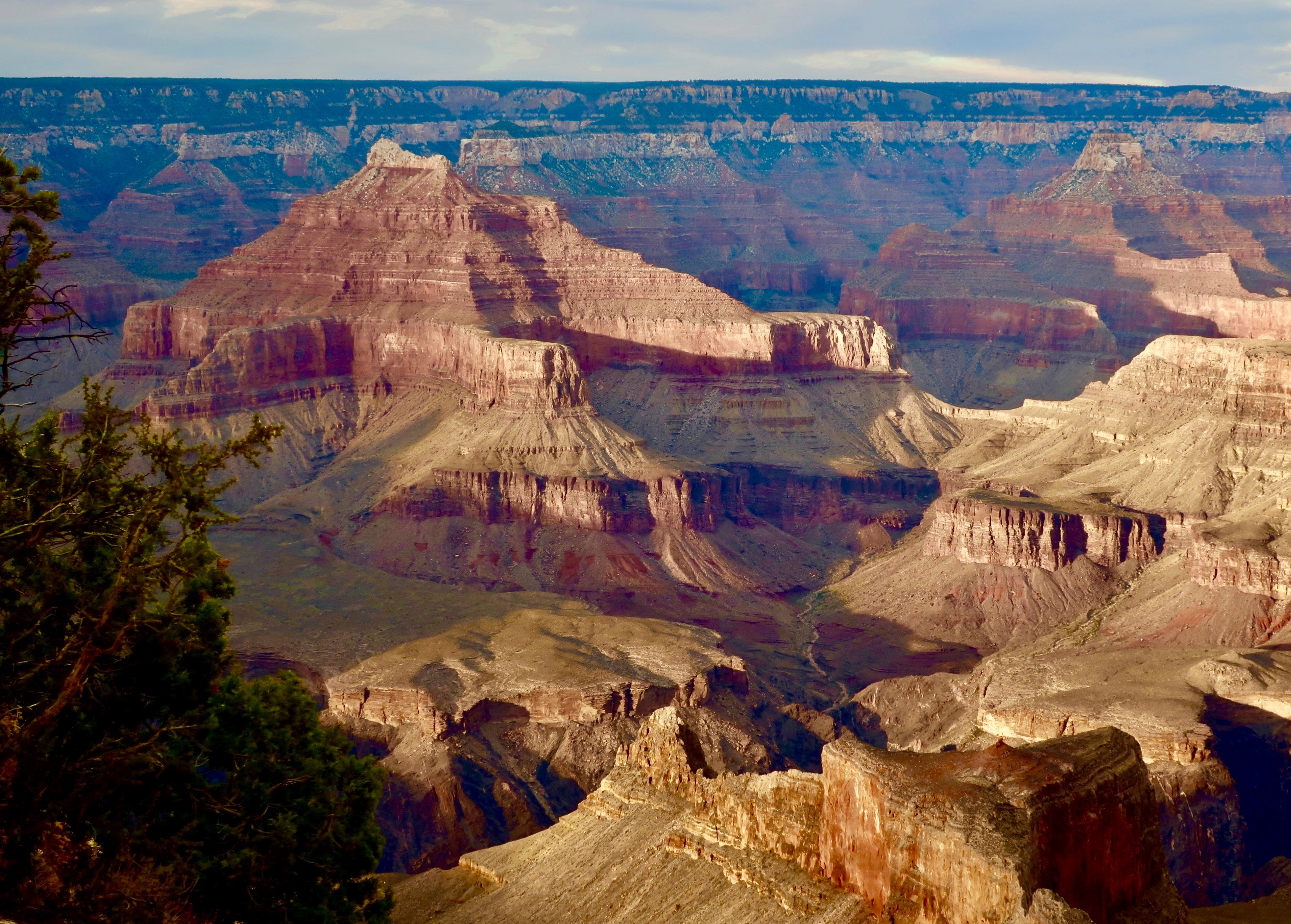
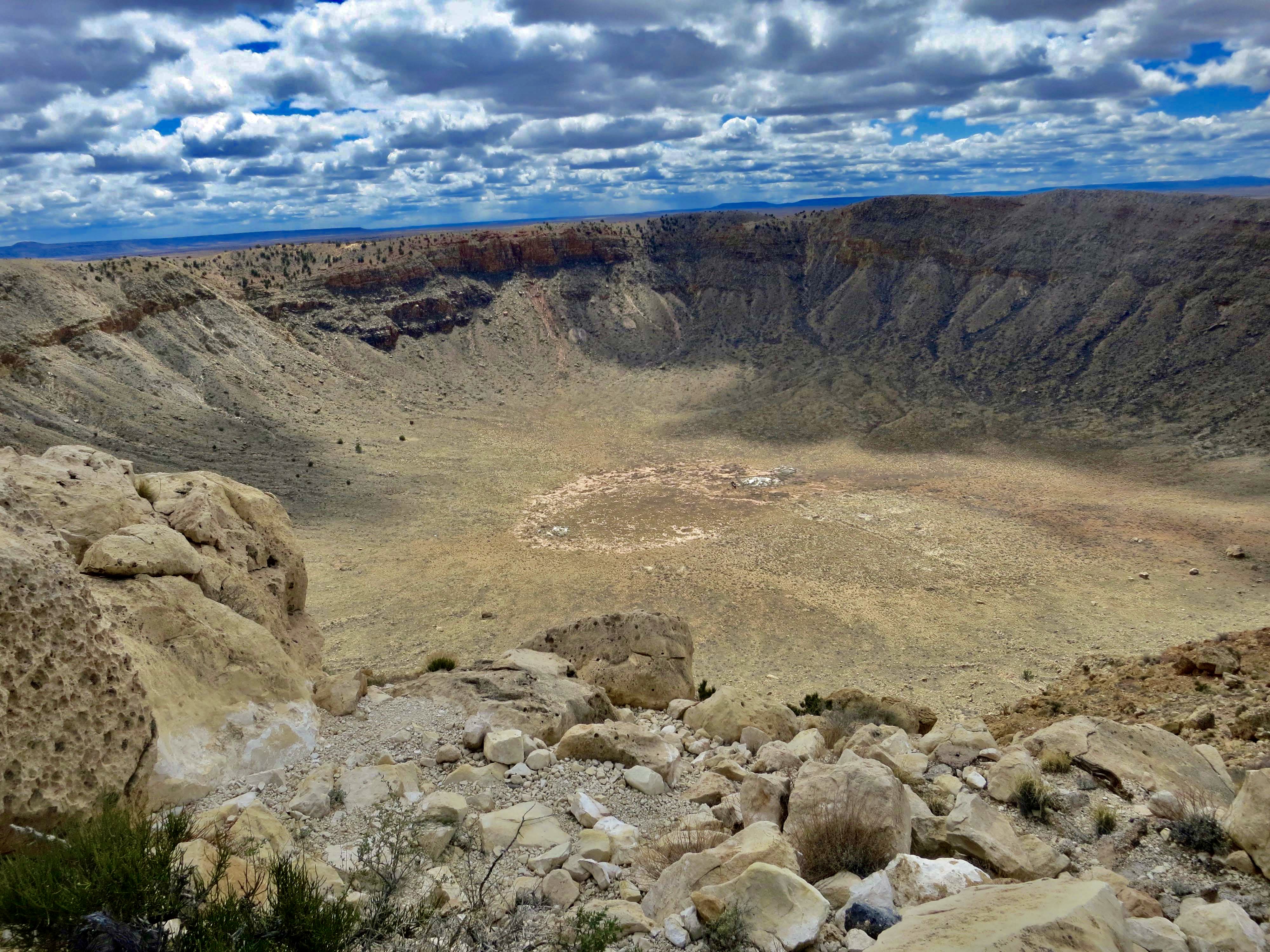
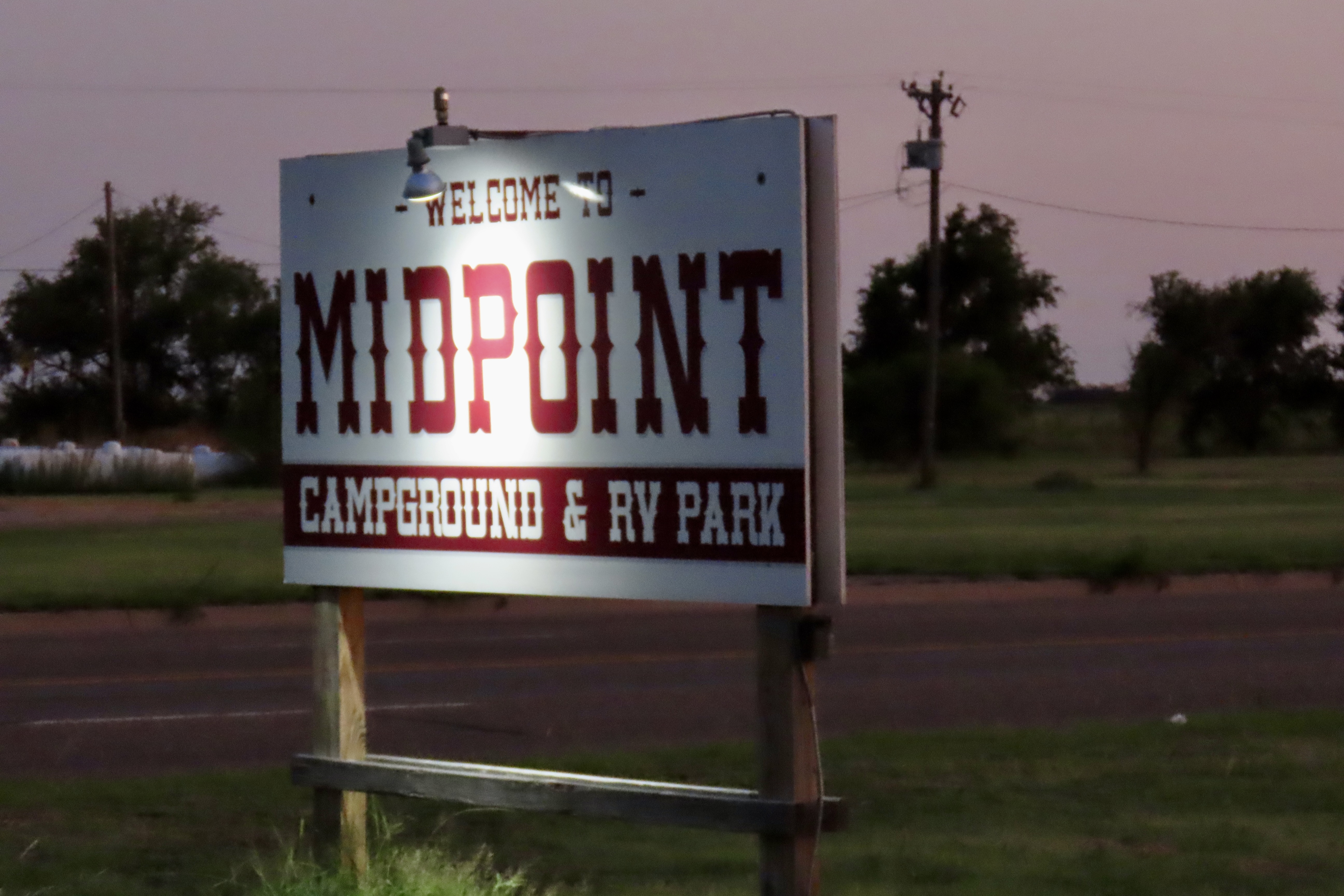
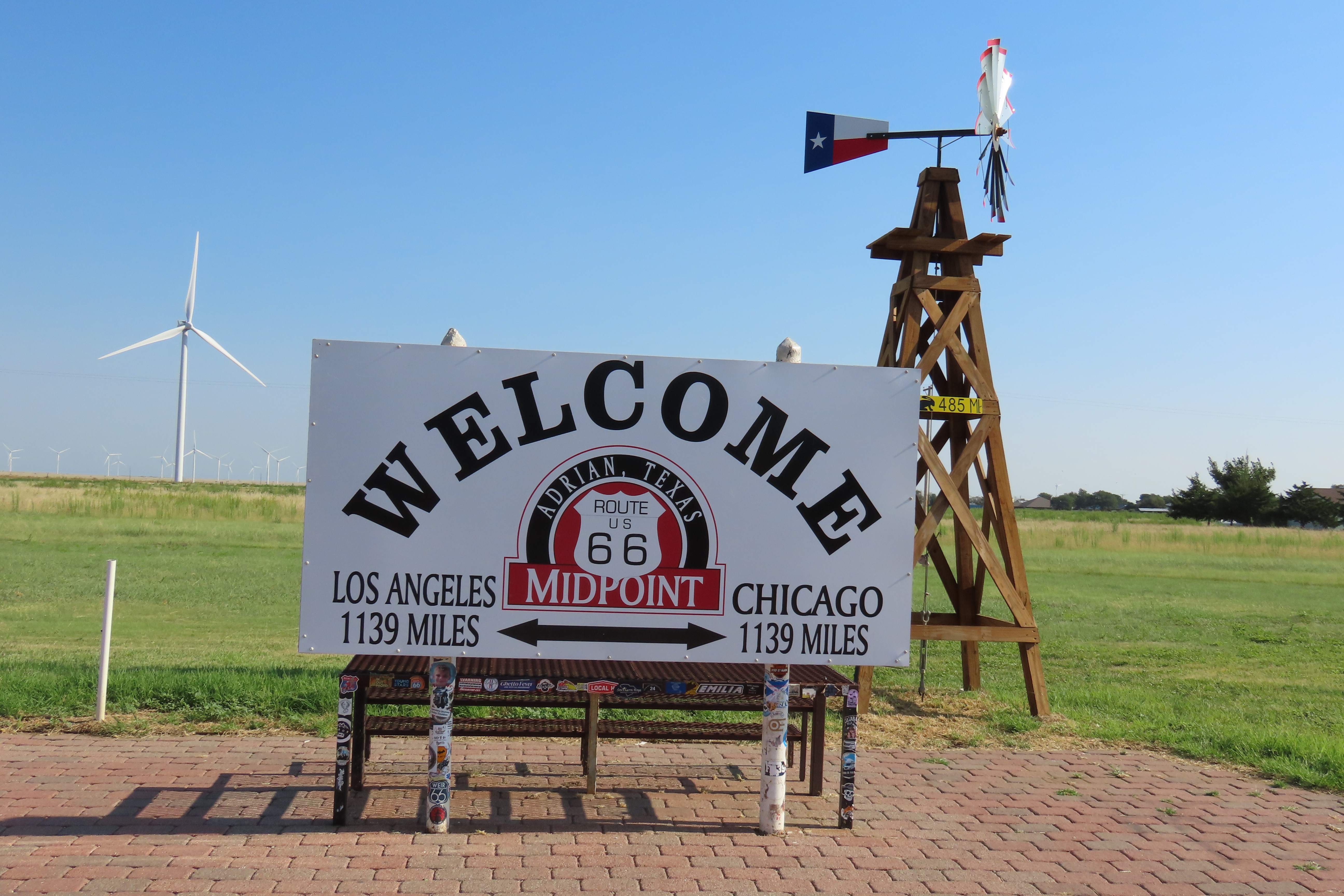
That was fun, Curt. Thanks, as GP said, for bringing us along with you. It is neat that you accidentally stumbled upon Midway and were already there before you realized what it was. A serendipitous stop. ❤ I still hope to visit that meteor crater some day. I think it’s so amazing, and reminds us of our insignificance, in the face of the whole universe. 🙂
It’s fun to travel back in time, Crystal and focus on another era when things seemed simpler. Although not necessarily better, given the Depression and WW II.
We loved our trip on the 66. Thanks for bringing back some memories!
I remember your posts on it M.B. Glad I could remind you of the trip!
I’m happy you and Peggy invited us along, Curt! What a trip! Great photos and info! By the way, I’m reading The Bush Devil Ate Sam and I’m hooked. I’m working on other book reviews, and when I’m finished with yours, I’ll share a review too. Take care!
Thanks on both counts, Lauren. Much appreciated! Glad you are enjoying the Bush Devil. Peace Corps was an incredible experience.
You’re welcome, Curt, and it’s been a fascinating read so far. The fist-sized spider and families of cockroaches in your home just about had me tossing the book across the room. And this will go into my review. 🙂
Laughing. They just about had my first wife Jo Ann heading for home!
I commend Jo Ann because with my arachnophobia, I don’t think I could’ve stayed. Cockroaches don’t bother me, BUT in large quantities? Not sure how I’d react. I’ve never had to find out! 🙂
Ah, Lauren, you haven’t lived until you wake up with a three inch cockroach crawling through your hair. 🤪 On the other hand, spiders bite! The roaches and I finally came to an agreement: It was their turn when we shut the lights off: As long as they stayed out of our bedroom!
I hope I never will, Curt! 😂😂😂
Nothing I would ever wish on anyone, Lauren. You should have heard what my first wife, Jo Ann had to say about the experience. Up until then, I didn’t have a clue she knew such words.
So much to see and learn. Very enjoyable share!
Glad you enjoyed it!
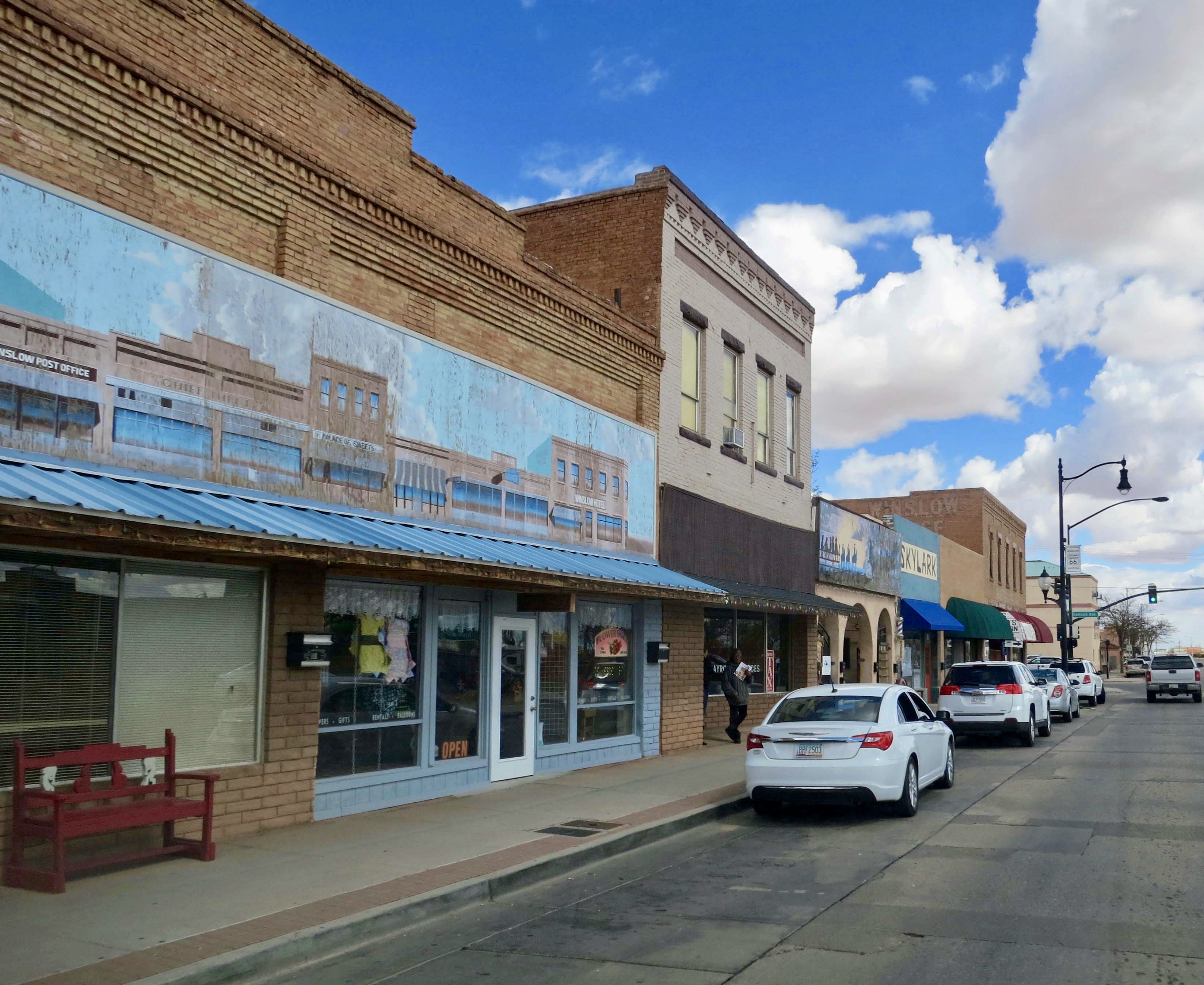
Very much. Reminded me of scenes from Hollywood movies I used to watch as a kid. One pic you shared of a pub? Or restaurant? It looked like cowboys will come out of the building anytime now. 🤭
That crater is also something worth seeing for real. A bit scary, but very interesting.
You can bet there were cowboys in that pub, or at least their modern day want-to-be’s. And, quite possibly, the real thing, the hop on your horse and go round up some cows type.
Scary is right. Grin. That’s the type of crater that is earth changing, like wipe out the dinosaurs scary.
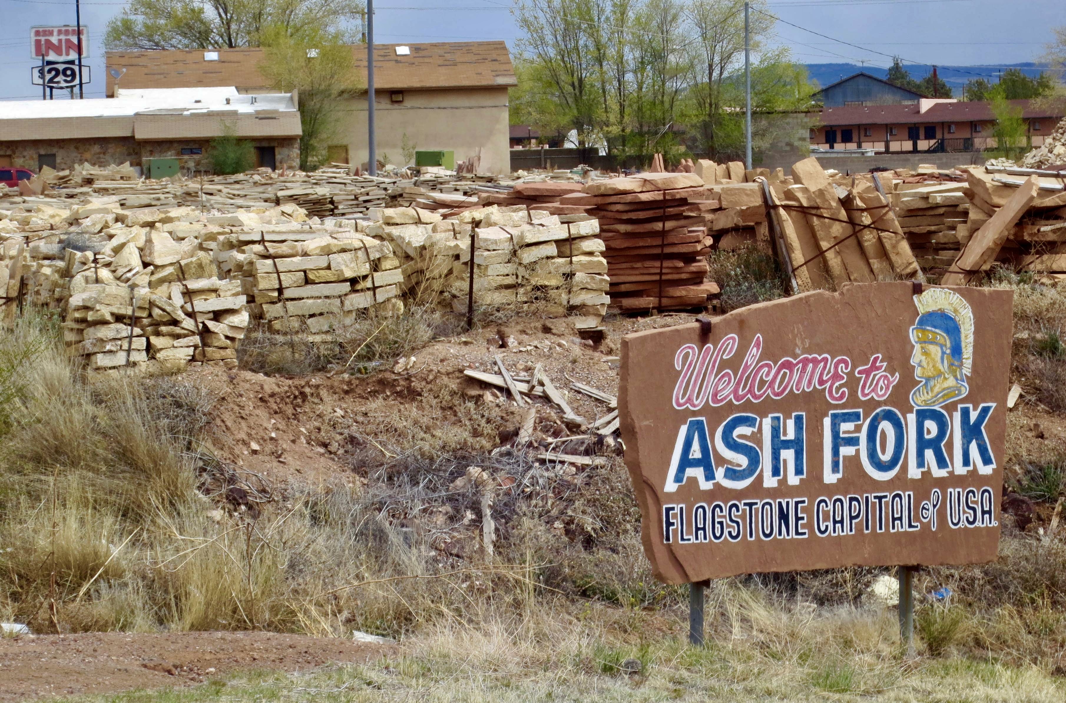
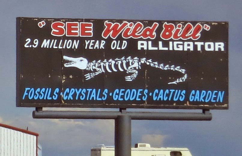
This is probably as close as I come to getting my kicks on route 66. Thanks for the tour.
Glad to have you along, Dave! But a little surprised you’ve never wandered down that way.
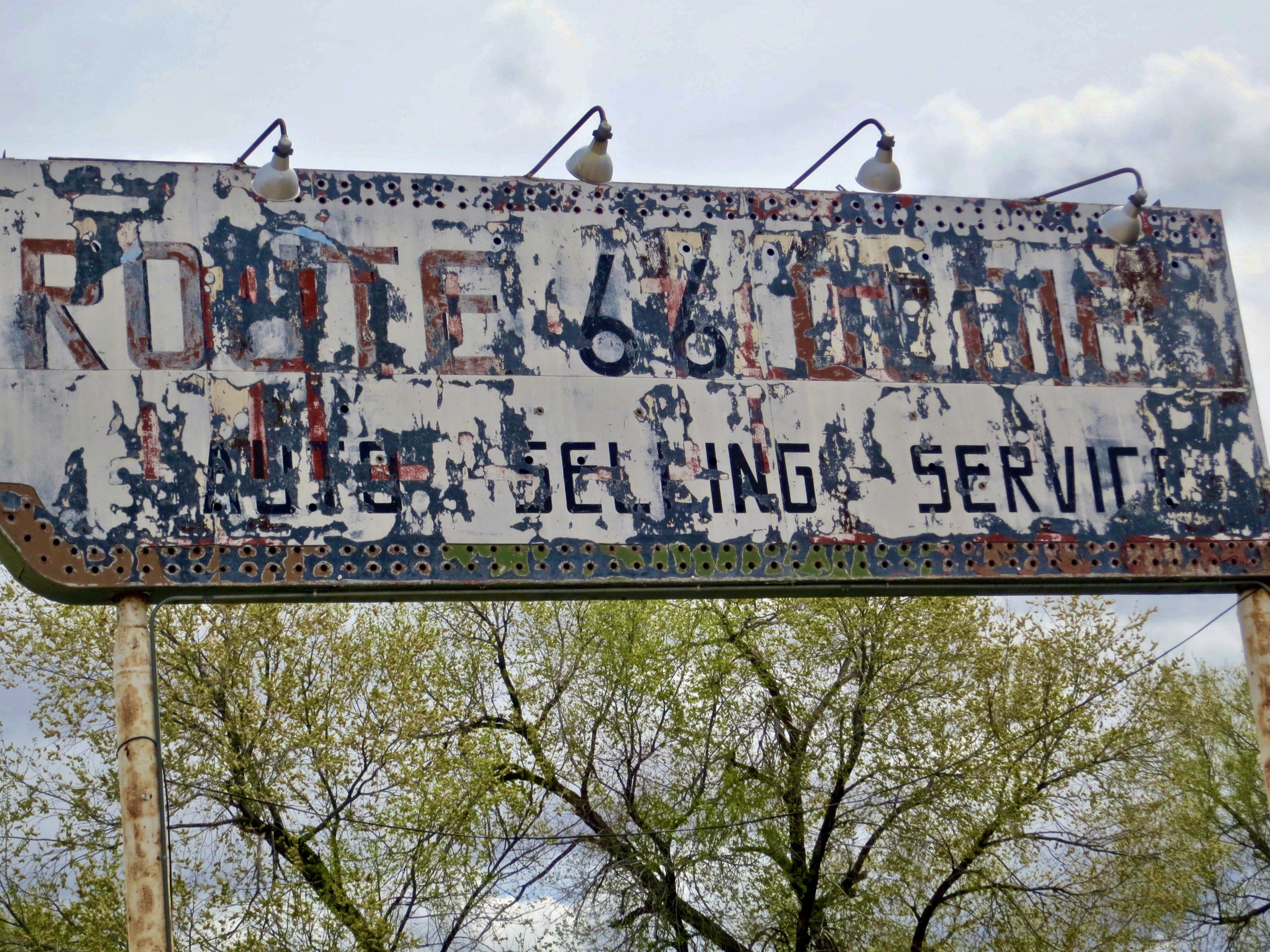
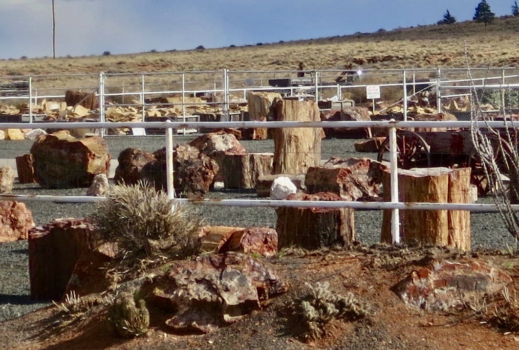
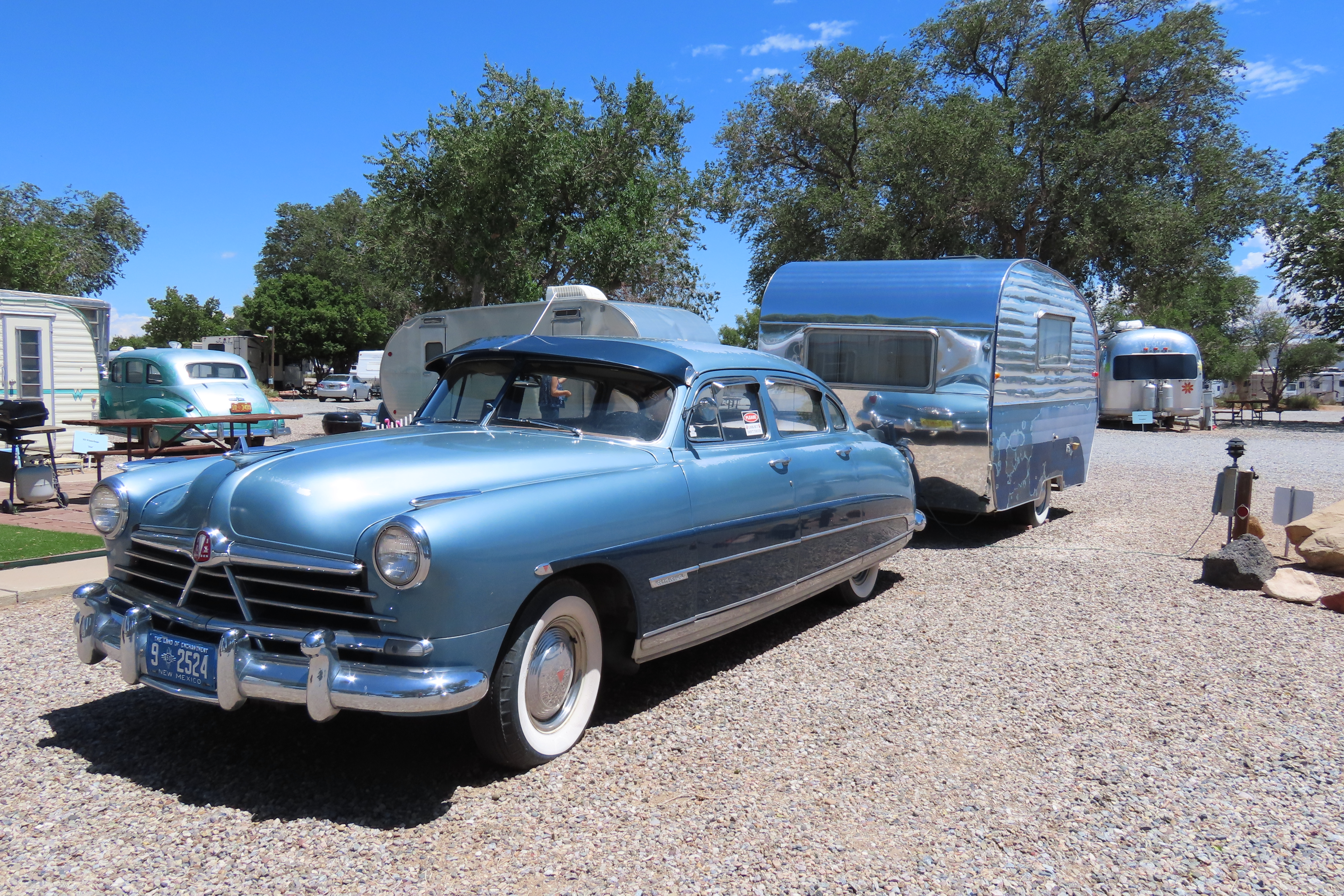
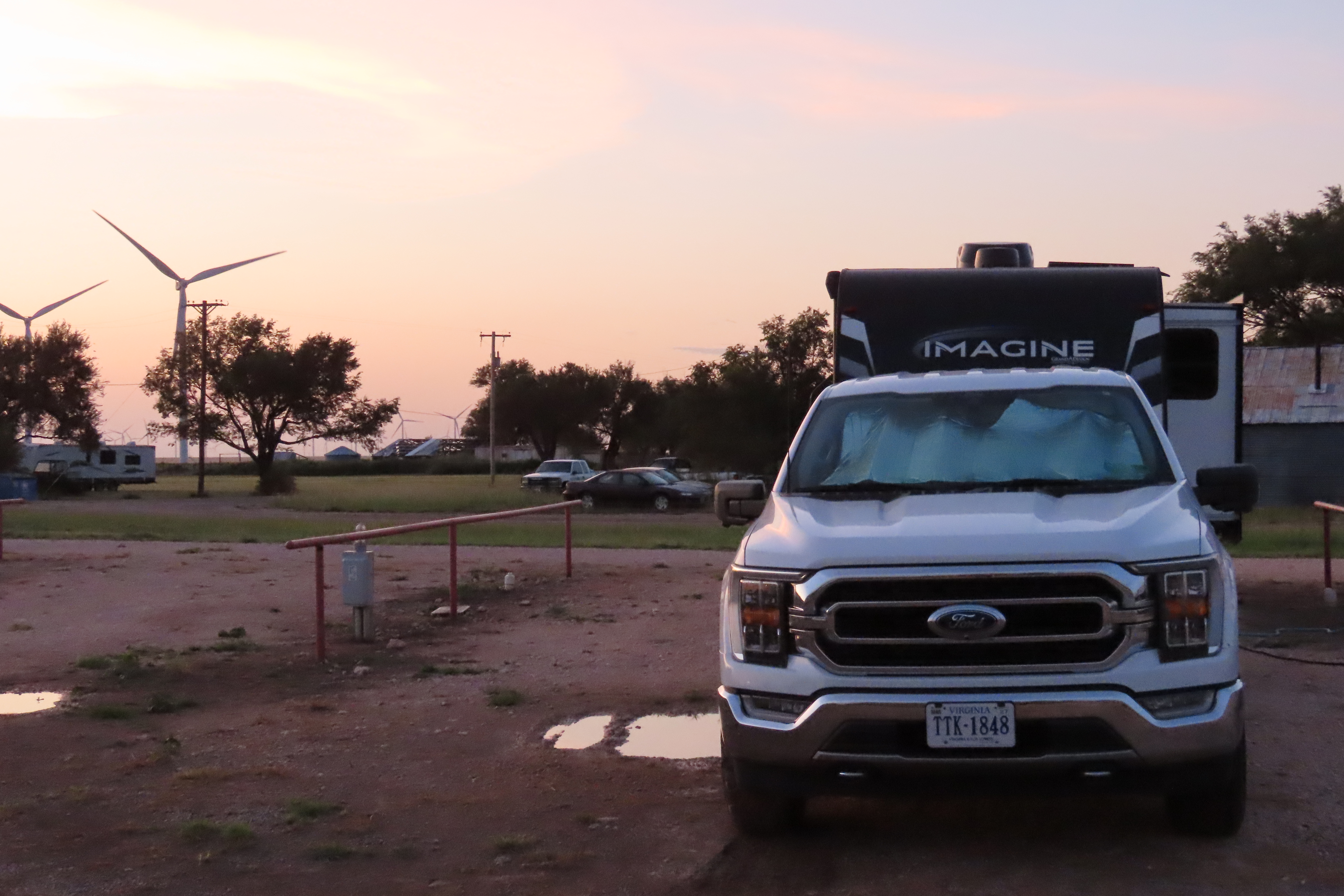
I can’t tell you how many times I’ve said to my husband, “Hey, we’re on Route 66!” That’s aside from living on Route 66 for ten years (though not the Rte 66). Some great pics, Curt. They’re so “American West.” I especially like the dinosaurs and all the old rusted stuff. Somehow it all fits.
Laughing, I bet you did. Where was your Route 66? I tired to look it up but all I got was the historic route. Dinosaurs and old cars… the true Wild West. Grin.
Rte 66 in CT is an east-west route. It ran by my house in Marlborough CT
Looked it up, D. Good old Terramuggus, eh? 😁 I had family living to the north in Windsor, but that might have been a bit before Route 66 was created: 1650. When Peggy and I were just in Maine, we had a similar experience traveling down Highway 1, which I learned, is the longest highway on the East Coast. Before that, my whole concept of Highway 1 was California’s coastal highway, forever one of my favorite drives.
Yes, I lived right across the street from the lake for a while. 🙂 I’ve driven part of Rte 1 in CA and it was foggy the whole way. Lol. Could barely see the ocean.
Was your Highway 1 drive in the summer, D. That’s when the fog is at its worse. Assuming you can avoid bad rainstorms and washed out roads, winter is best!
No it was a few years ago when we were on our “lighthouse” binge. That was before we went on a waterfall binge. Lol.
Binges are great! Especially if they feature something so great as waterfalls or lighthouses. TV shows not so much, although I get it, on occasion indulging myself. Grin.