Yellowstone National Park: The World’s Best Known National Park… 25 World Renown National Parks- #3

Beautiful scenery, abundant wildlife, and incredible geology. Yellowstone has it all. There is a reason why it became America’s first National Park in 1872. In fact, according to the National Geographic Magazine, it is the world’s best known National Park. It is estimated that some 215 million have visited since it was created in 1872— and this includes people from all over the world as well as the US. It is the third in our series featuring 25 US based national parks in celebration of America’s 250th Birthday. While the series celebrates the parks, it is also a celebration of the men and women who have had the vision, courage, and commitment to set aside and protect these areas for their intrinsic value as natural wonders.
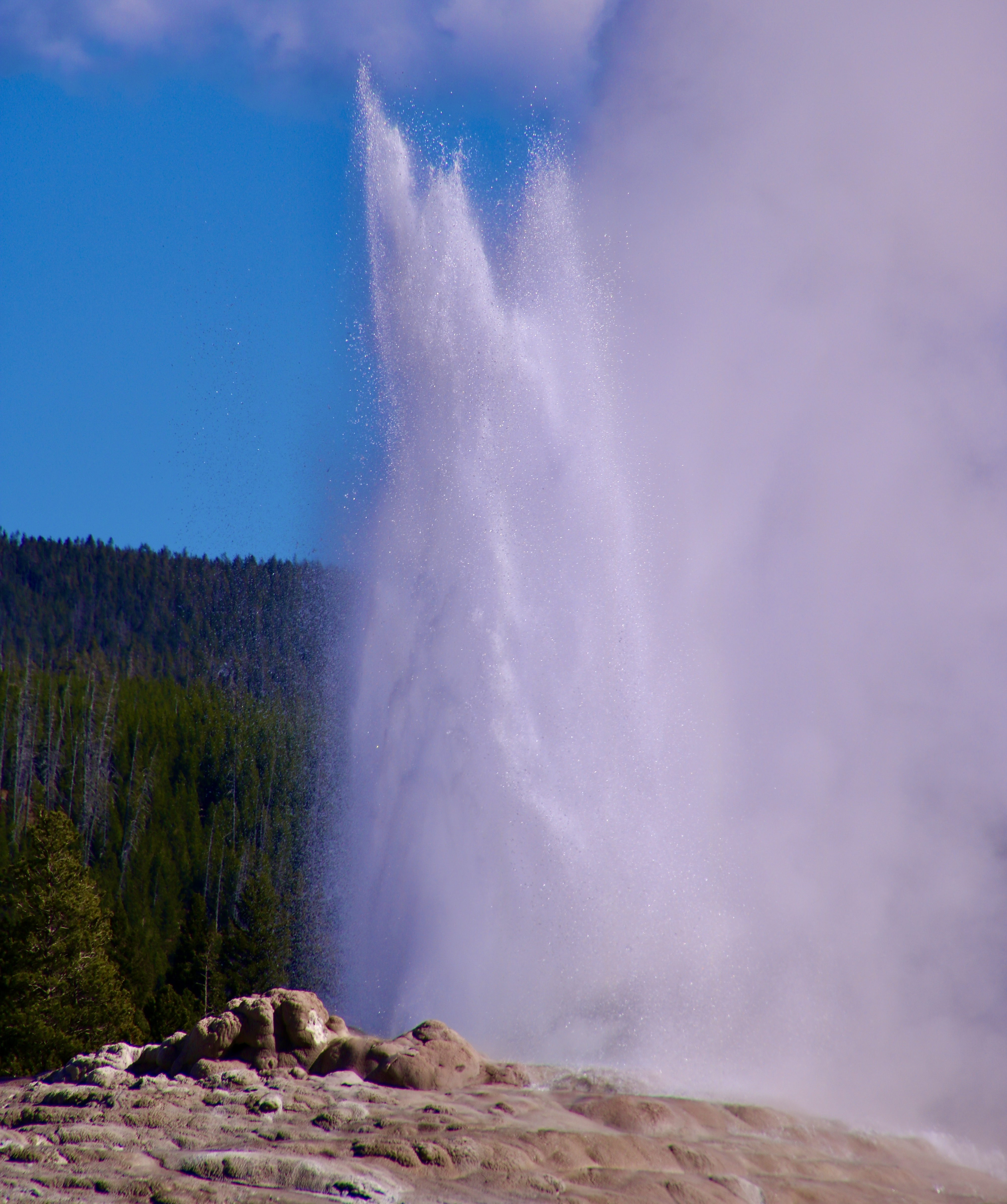
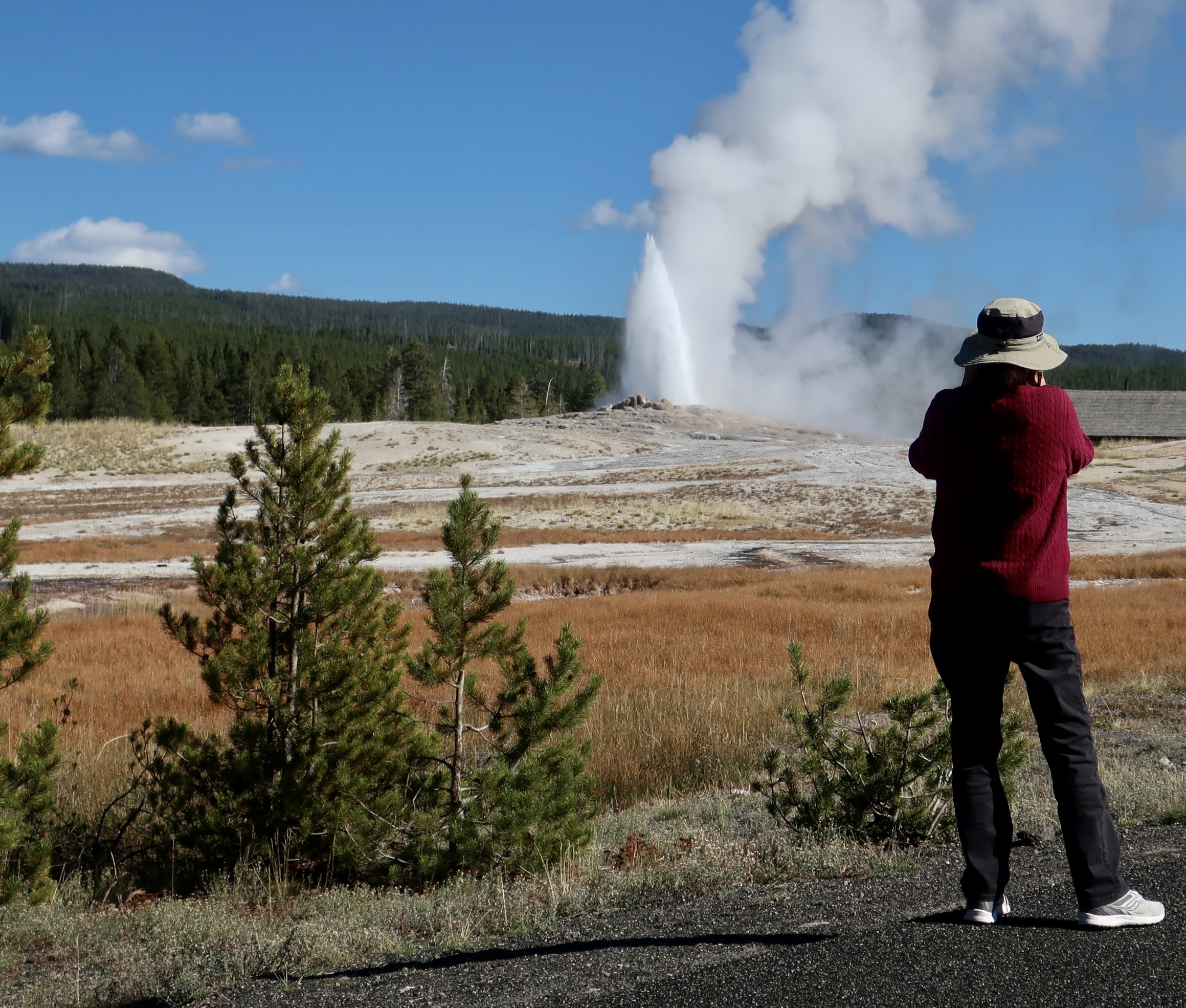
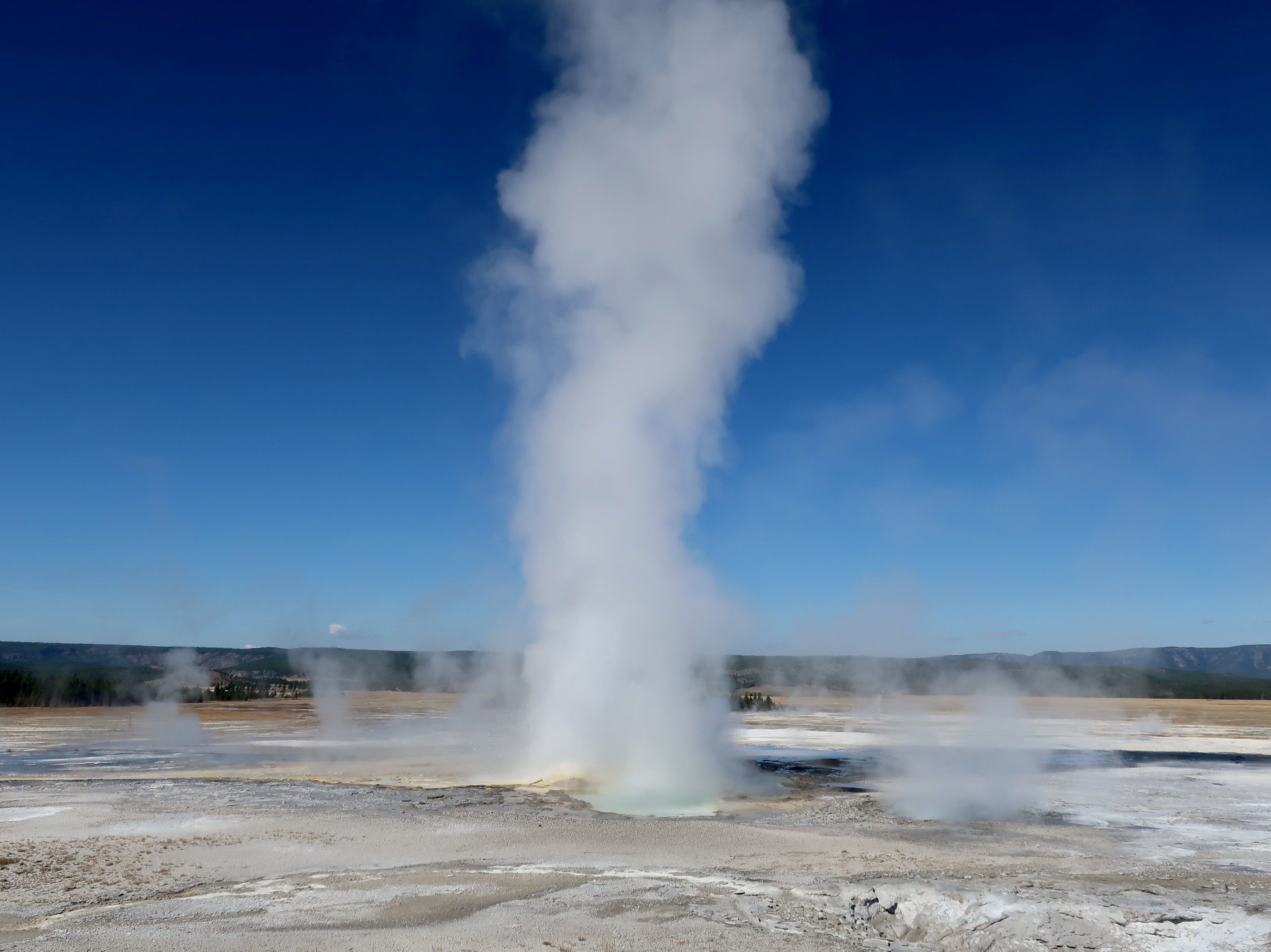
One of the first things visitors to the park rush to see is Old Faithful Geyser. One of the reasons why is it is ‘faithful’ as well as spectacular. If you are willing to wait, you are guaranteed to see it erupt. According to the National Park Service, “its average interval between eruptions is about 90 minutes, varying from 50 to 127 minutes. An eruption lasts 1.5 to 5 minutes, expels 3,700–8,400 gallons (14,000–32,000 liters) of boiling water, and reaches a height of 106–184 feet (30–55 m).”
Peggy was no exception. Our pickup had barely rolled to a stop on our 2022 visit when she jumped out the door with her camera! We had lucked out and driven in just as Old Faithful had started to erupt. Peggy wasn’t going to miss a second if she could help it. She and Old Faithful go way back. BC if you will: Before Curt. She spent her 1969 summer here between her freshman and sophomore year in college as a waitress in the park’s main family restaurant. The windows looked out on Old Faithful. She had a front row seat.

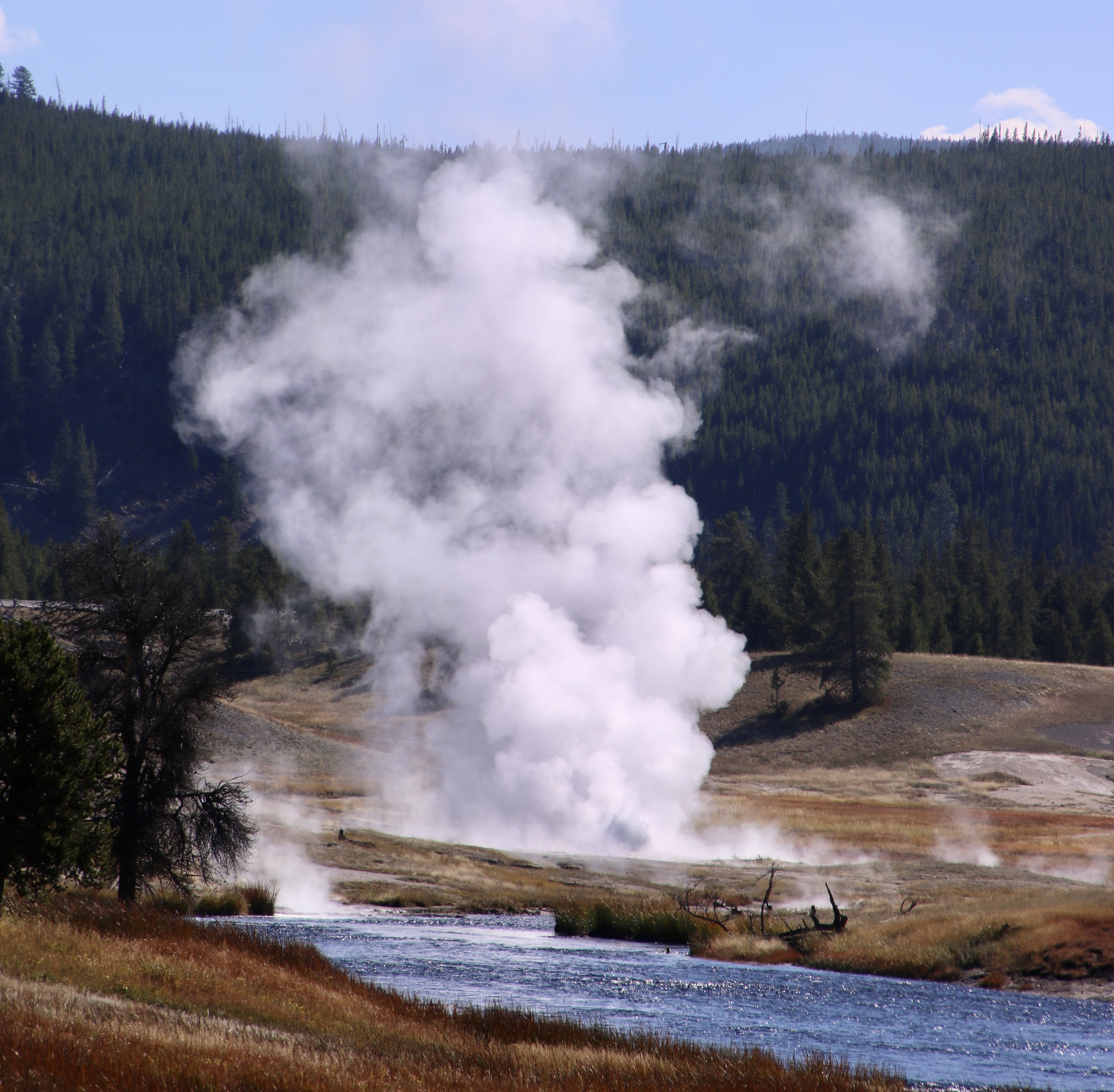
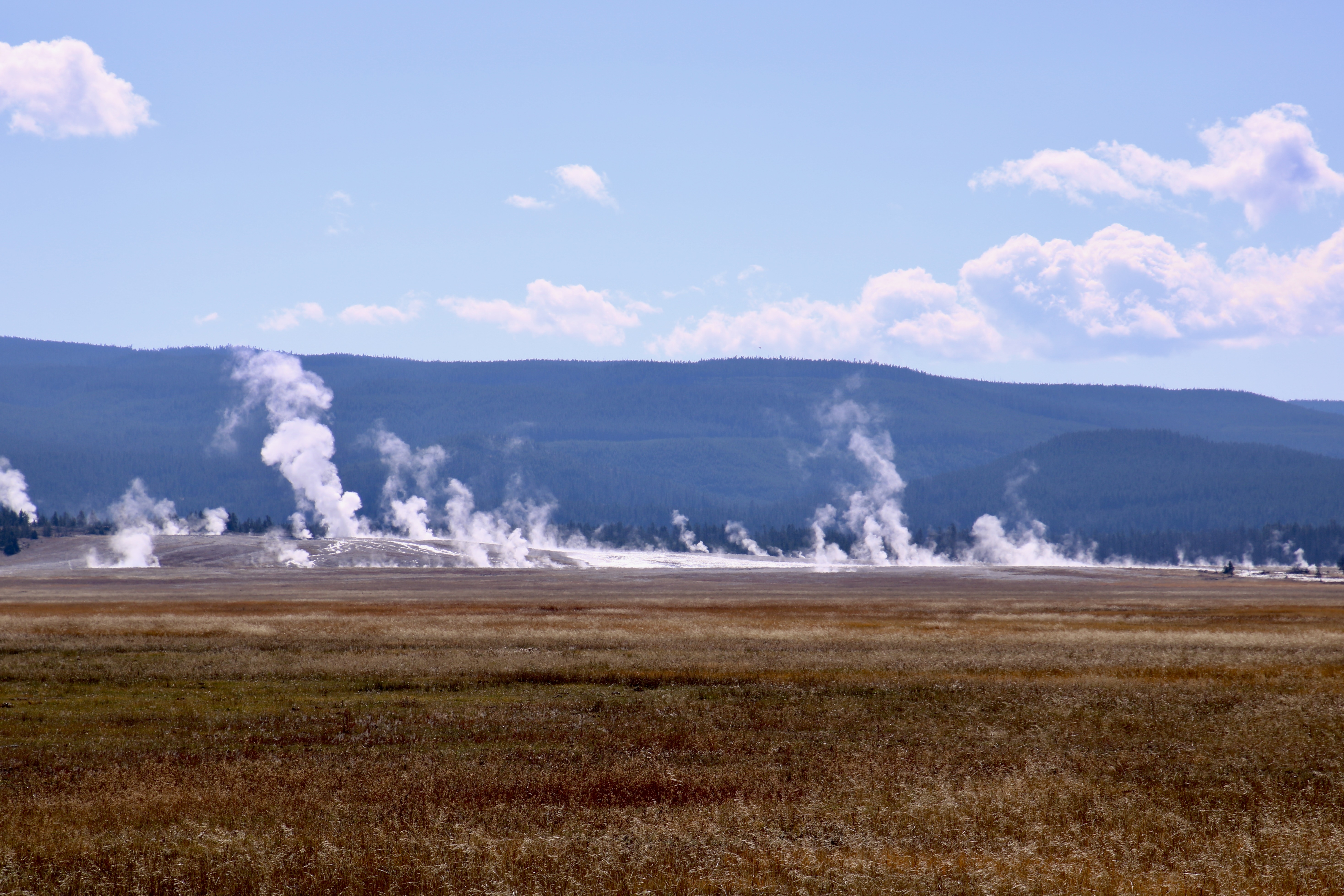
An interesting fact about Yellowstone is that it has half of the world’s know geysers. Geysers, however, are only one of several reasons to visit the park. The park’s hydro-thermal features also include hot springs, fumaroles and mud pots. Each of these is unique and worth seeing— as we hope to show you. (All photos here are taken by either Peggy or me unless otherwise noted.)

The reason for Yellowstone’s super abundance of hydro-thermal wonders is that it sits on top of a supervolcano. Semi-molten rock exists in some areas as close as 2-5 miles below the surface. This extremely hot rock heats ground water, creating Yellowstone’s unique features. Fortunately, the volcano is dormant and not expected to erupt in the near future, which is good news given how massive the explosion might be. According to the United States Geological Service (USGS) it would “cause immediate, catastrophic destruction across the surrounding region and trigger severe, long-lasting global climate and food crises.”
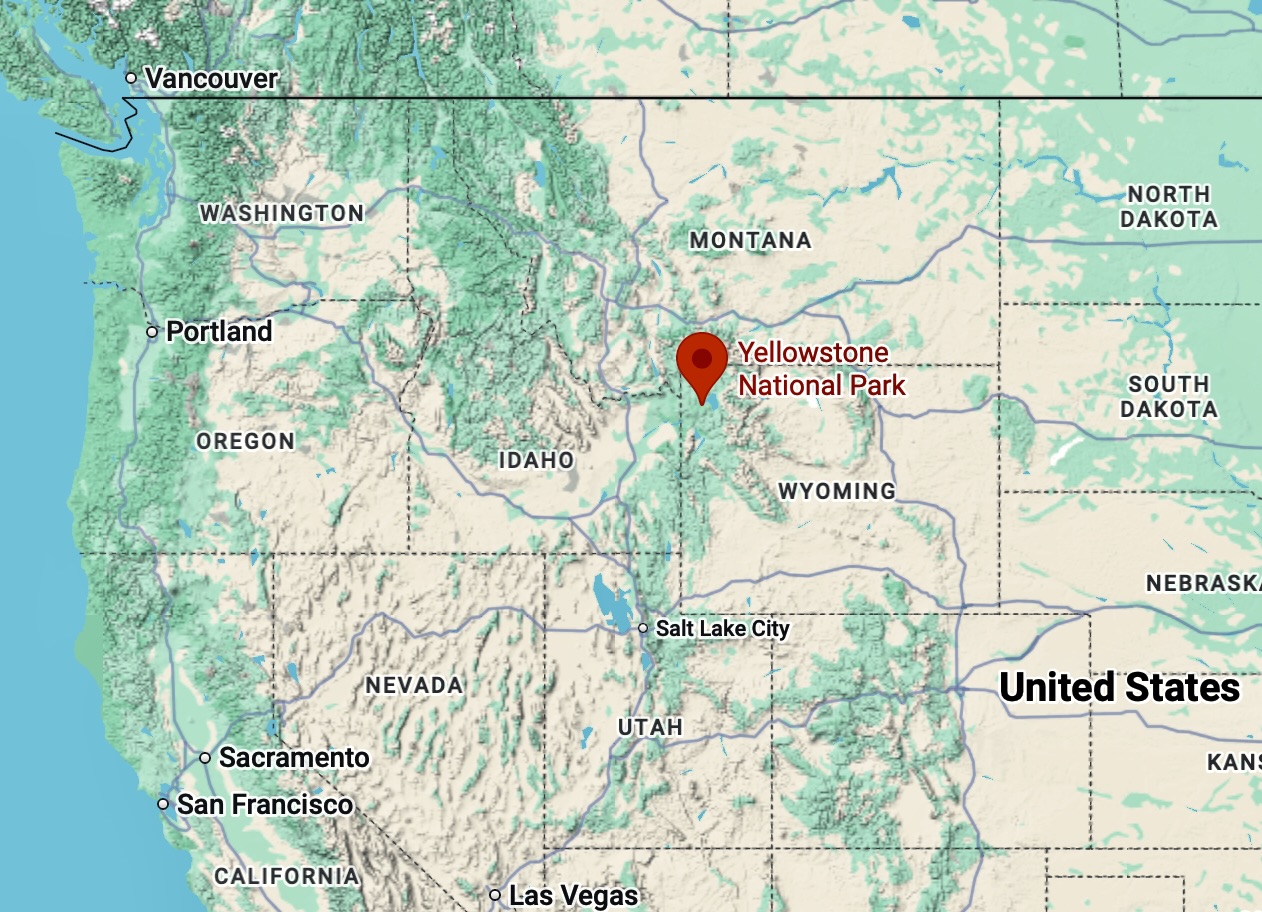
Location of Yellowstone National Park in northwestern Wyoming on a Google Map.
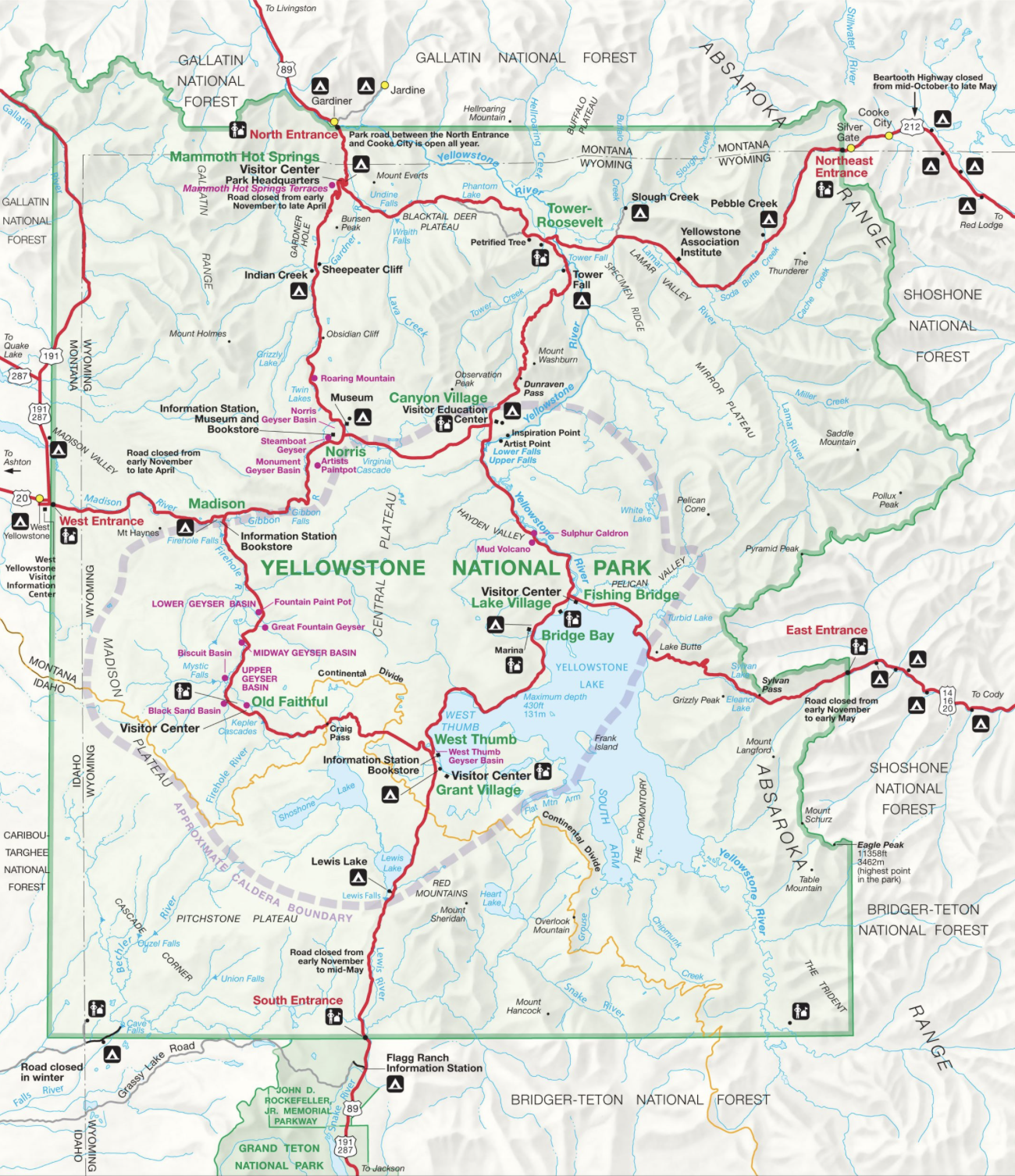
This map provides an overview of the park. On this visit, Peggy and I drove up from Grand Teton National Park in the south and focused our visit on the western side of the park from Old Faithful (center left) to Mammoth Hot Springs (top left). The dotted line shows the extent of the Yellowstone Caldera. We are going to do 3 posts: From Old Faithful to Madison, from Madison to Mammoth Hot Springs and, finally, Mammoth Hot Springs. (Source: National Park Service map.)
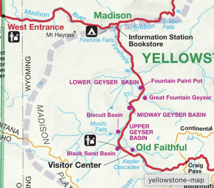
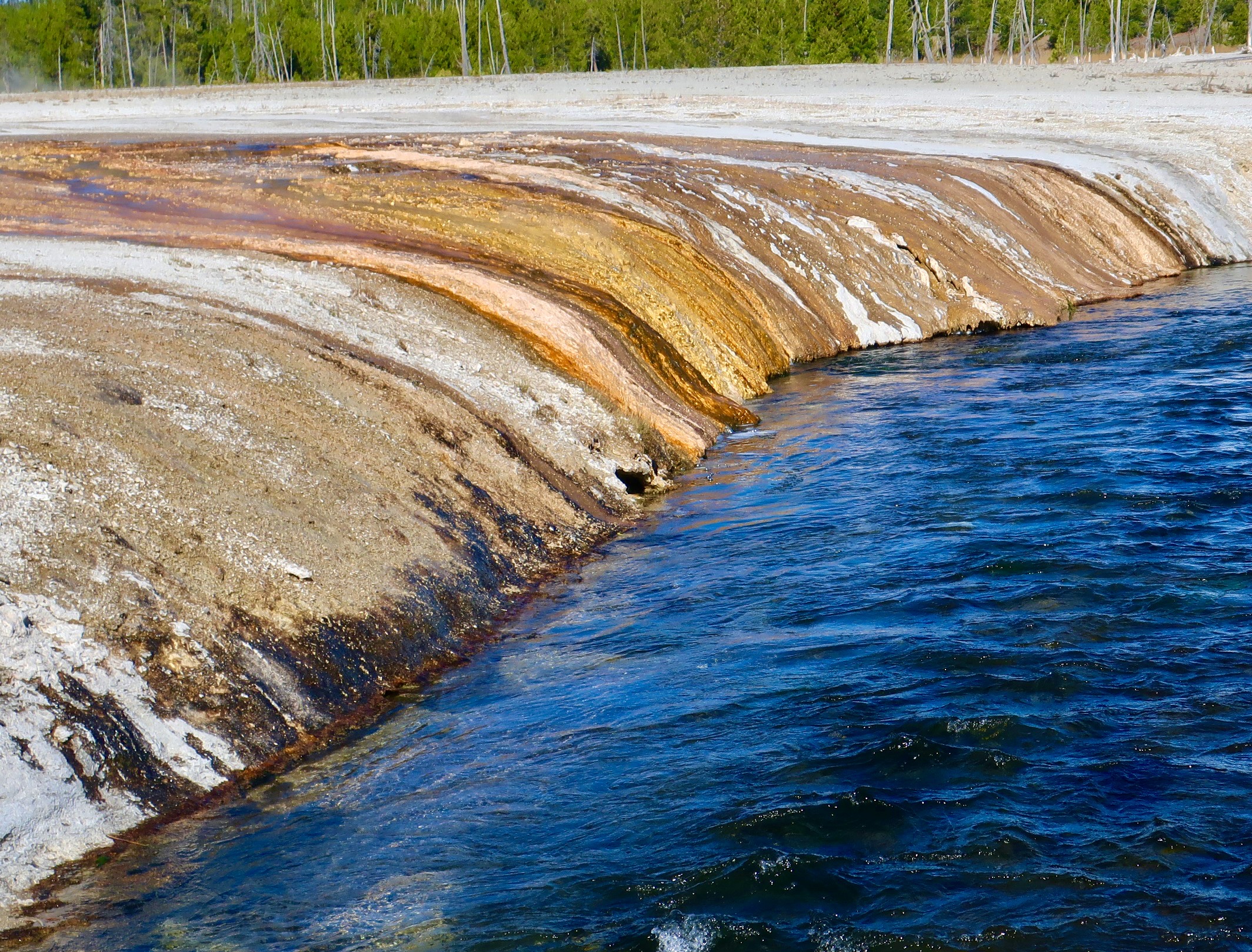
Here’s a close up of the area we will be visiting today from Old Faithful to just below Madison. Located in the heart of the Caldera, we will be featuring geysers, hot springs and the Firehole River. The latter received its name because the geysers and hot springs are its primary source of its water. We will start with colorful streams making their way from the geysers and hot springs to the Fireball River. Get ready for color!
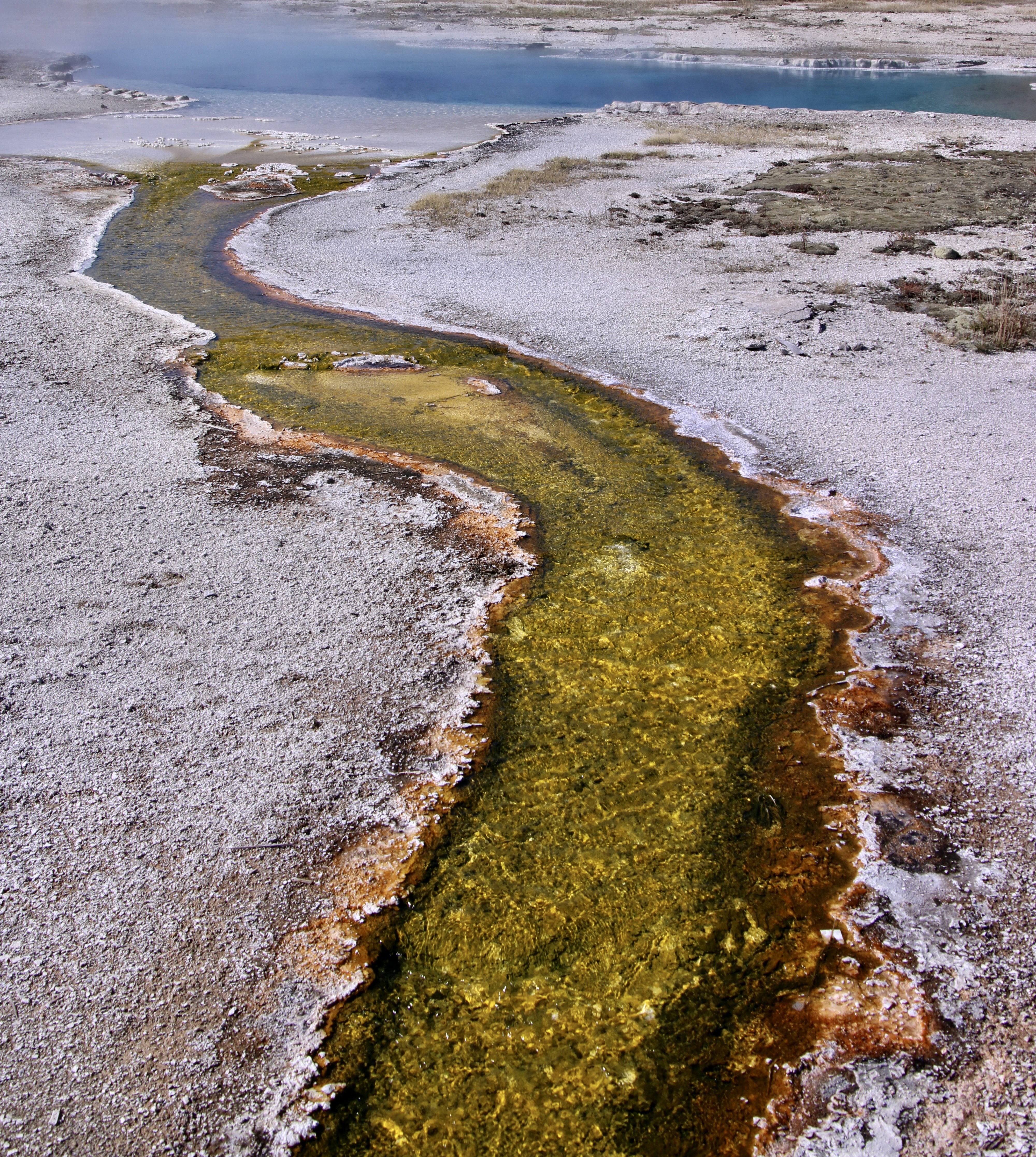
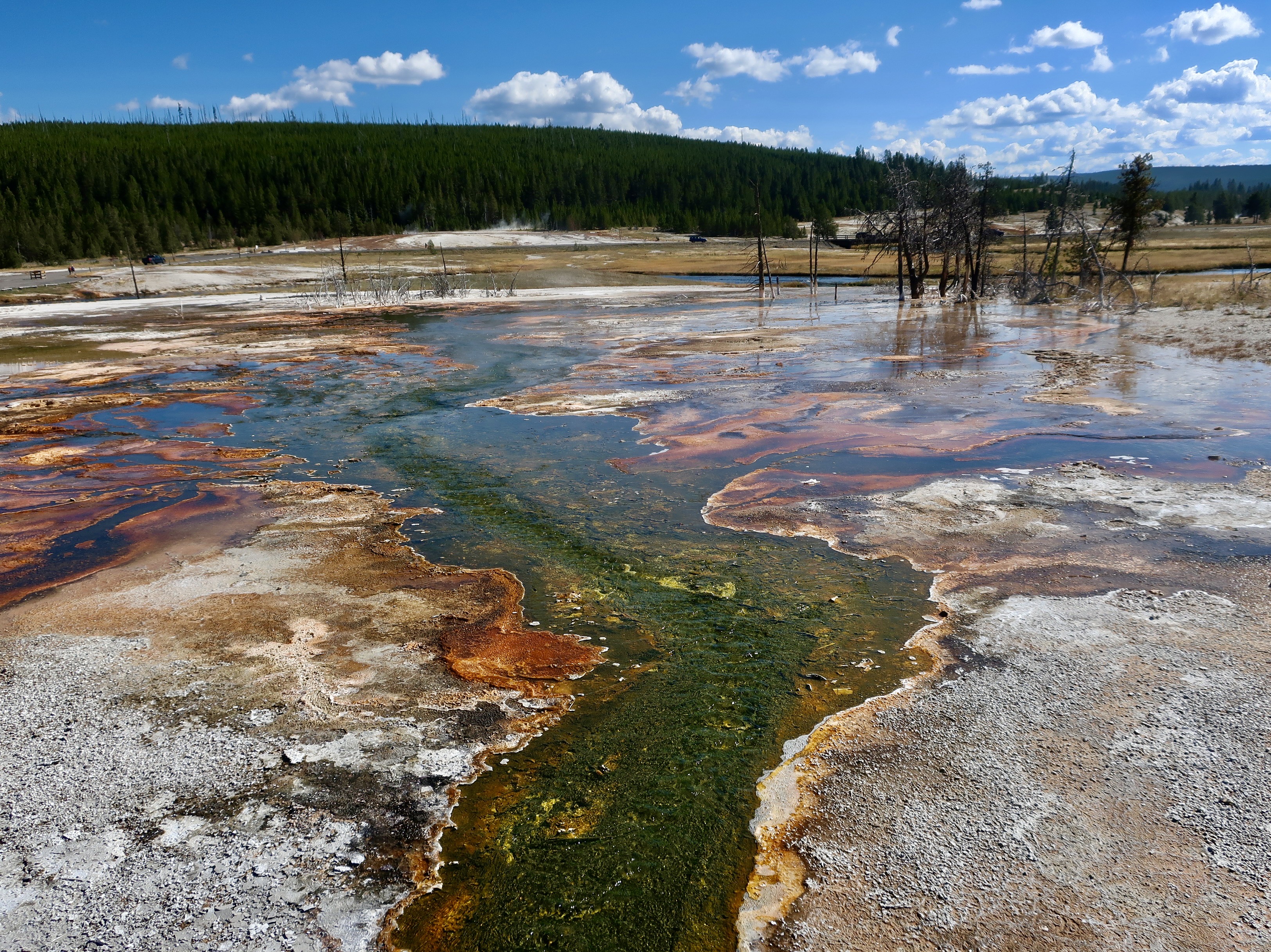
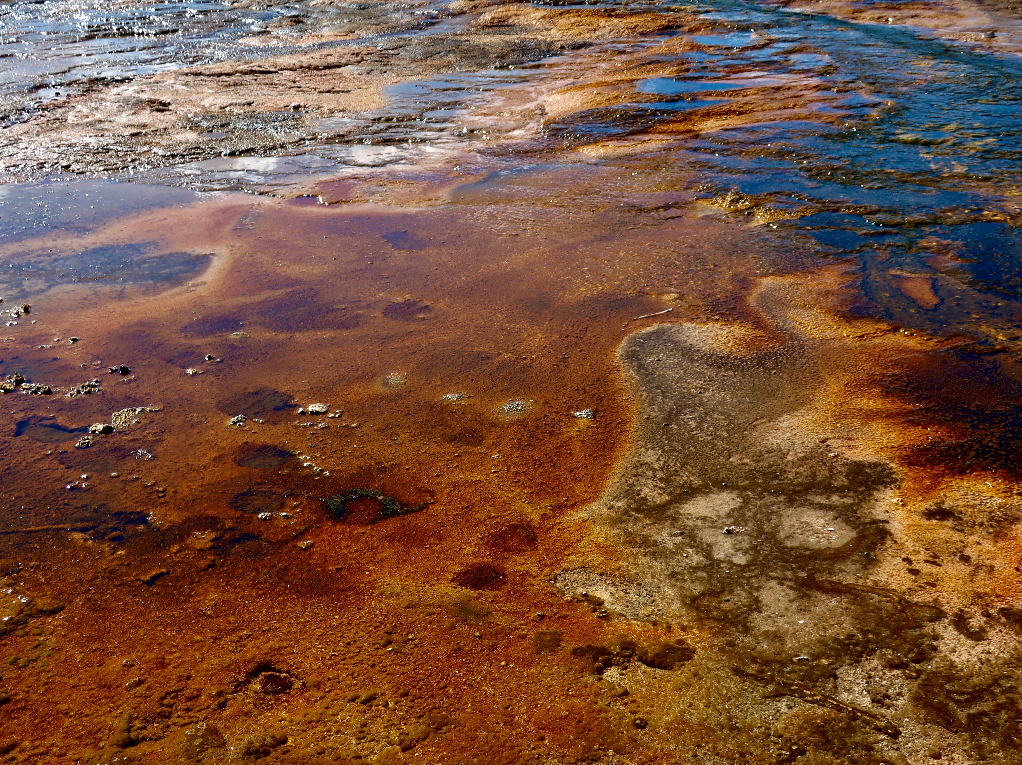
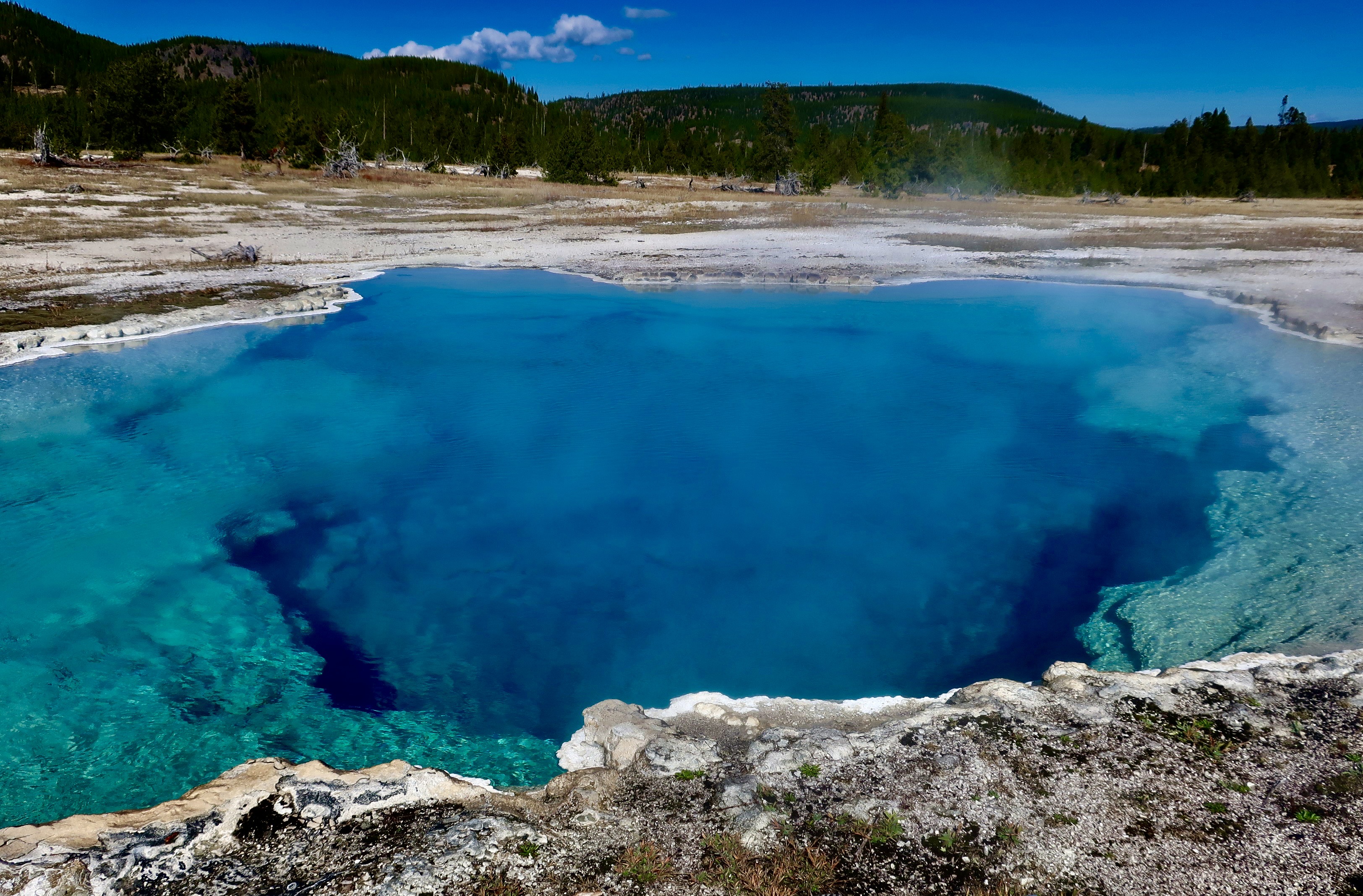
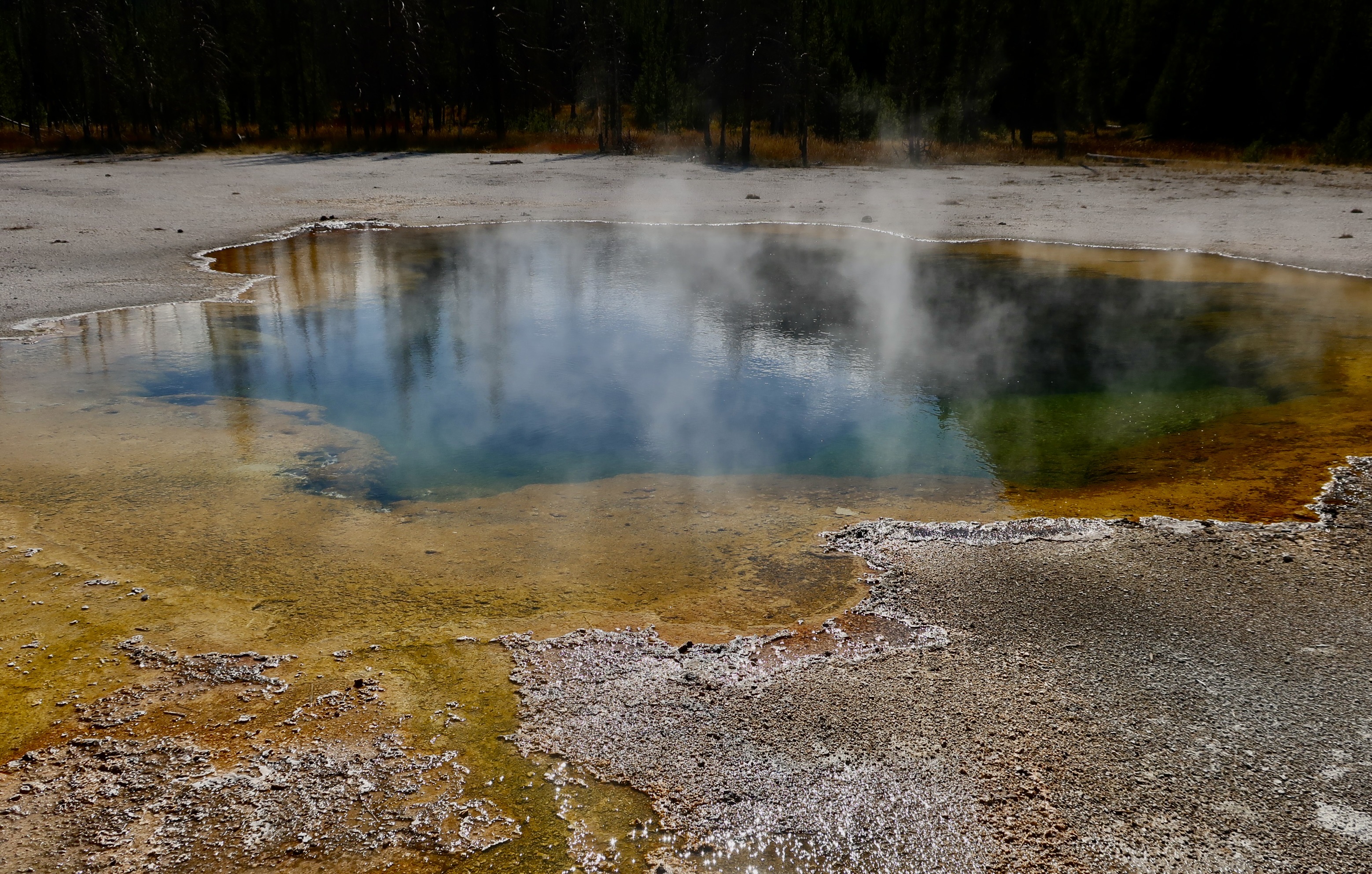
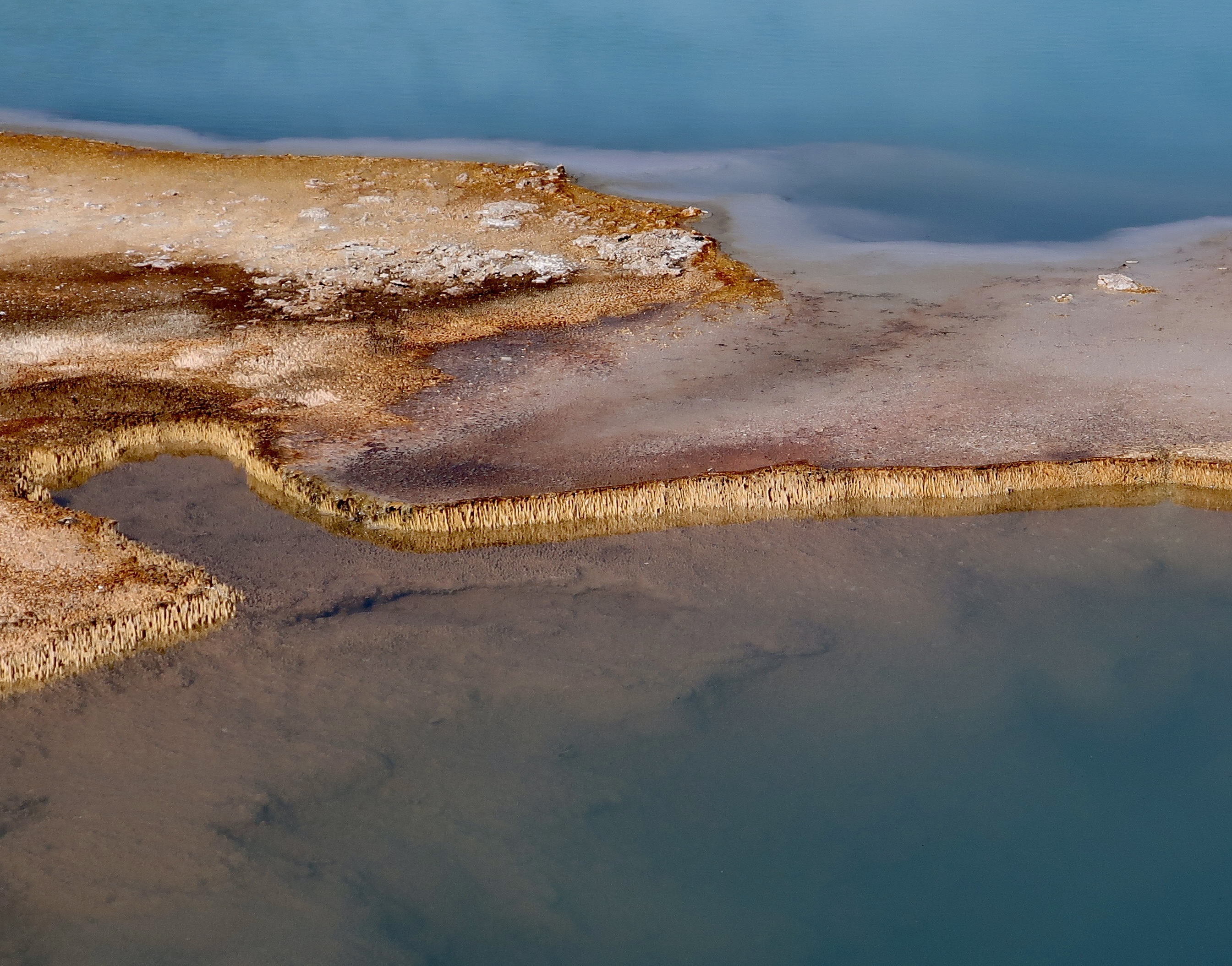
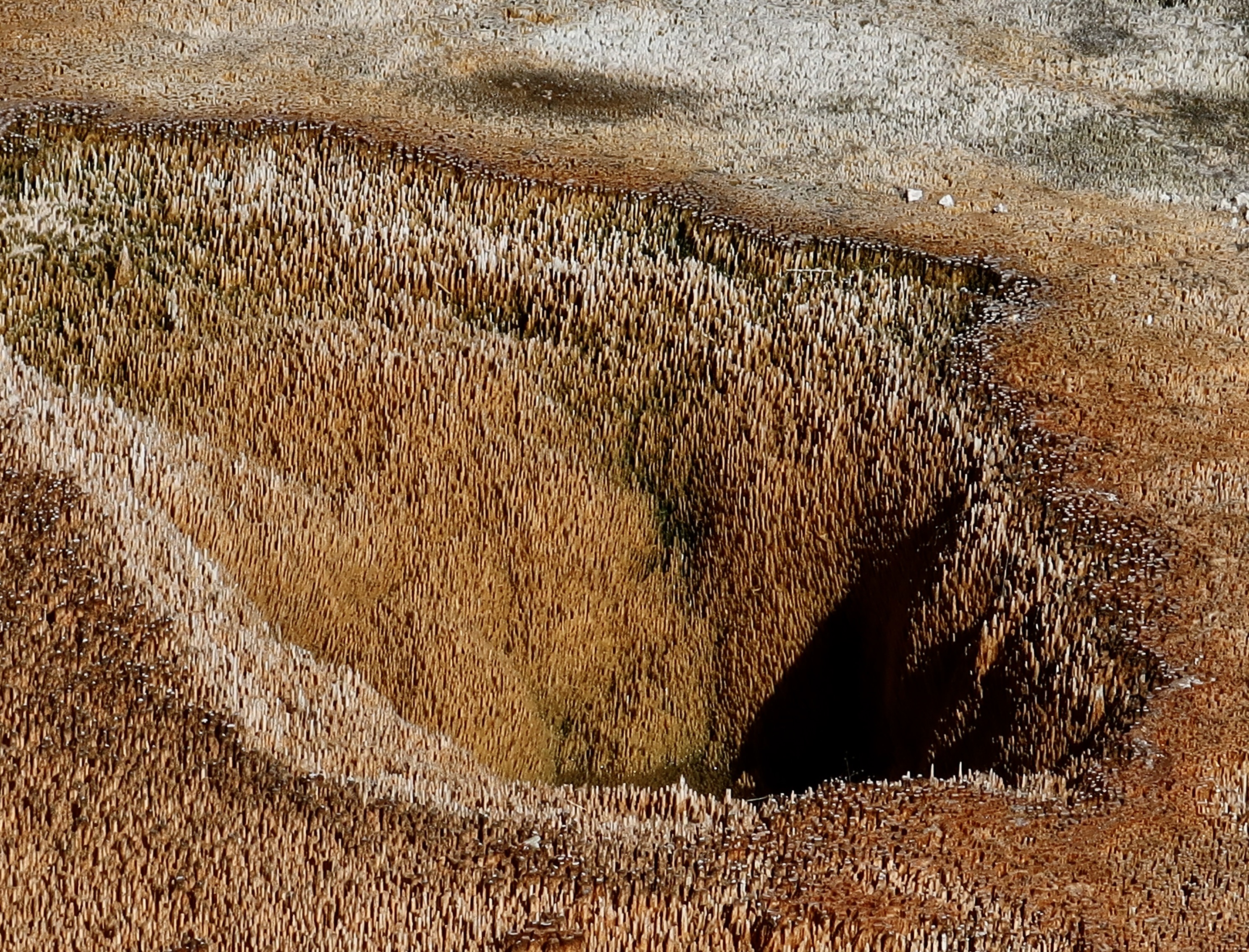
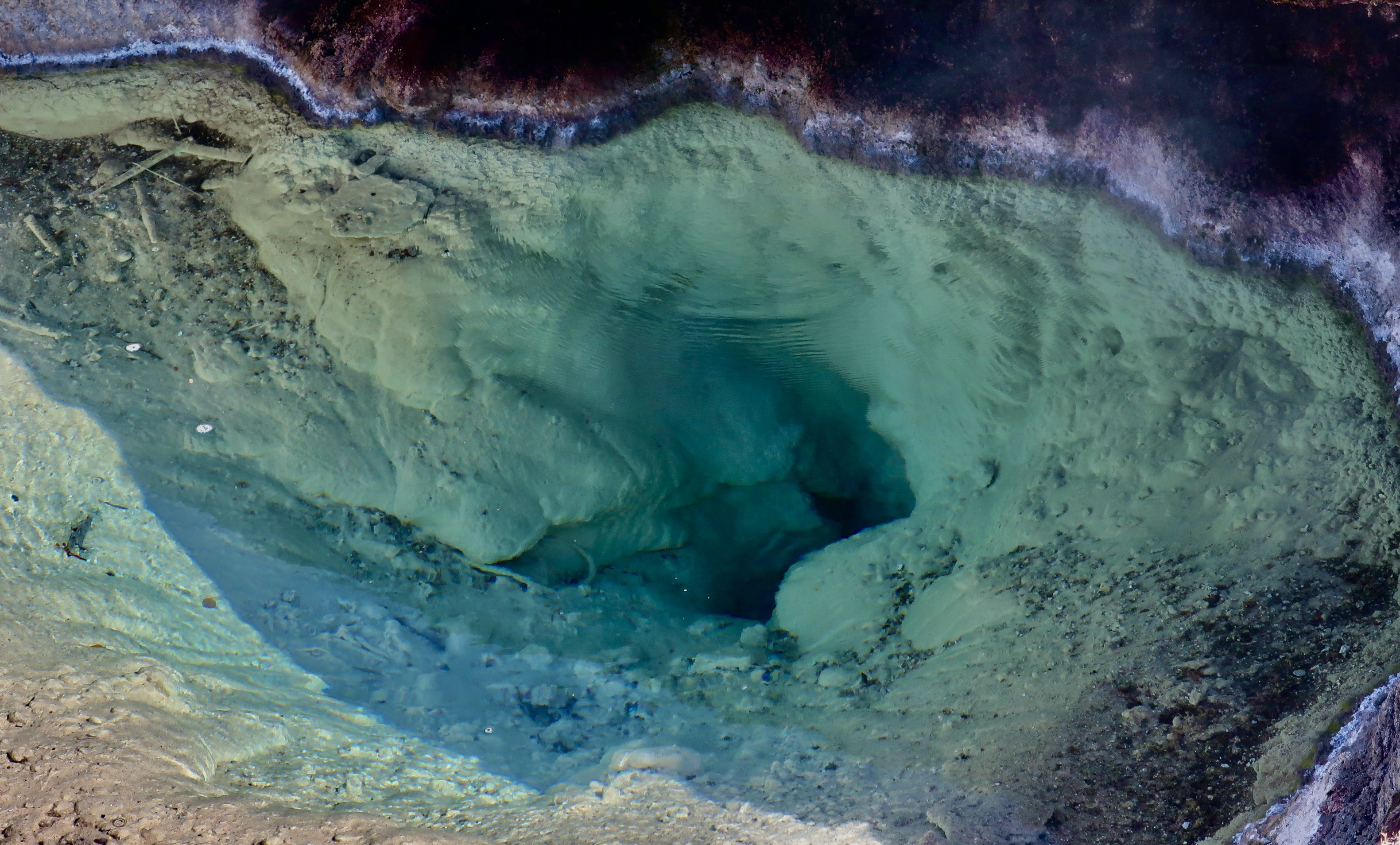
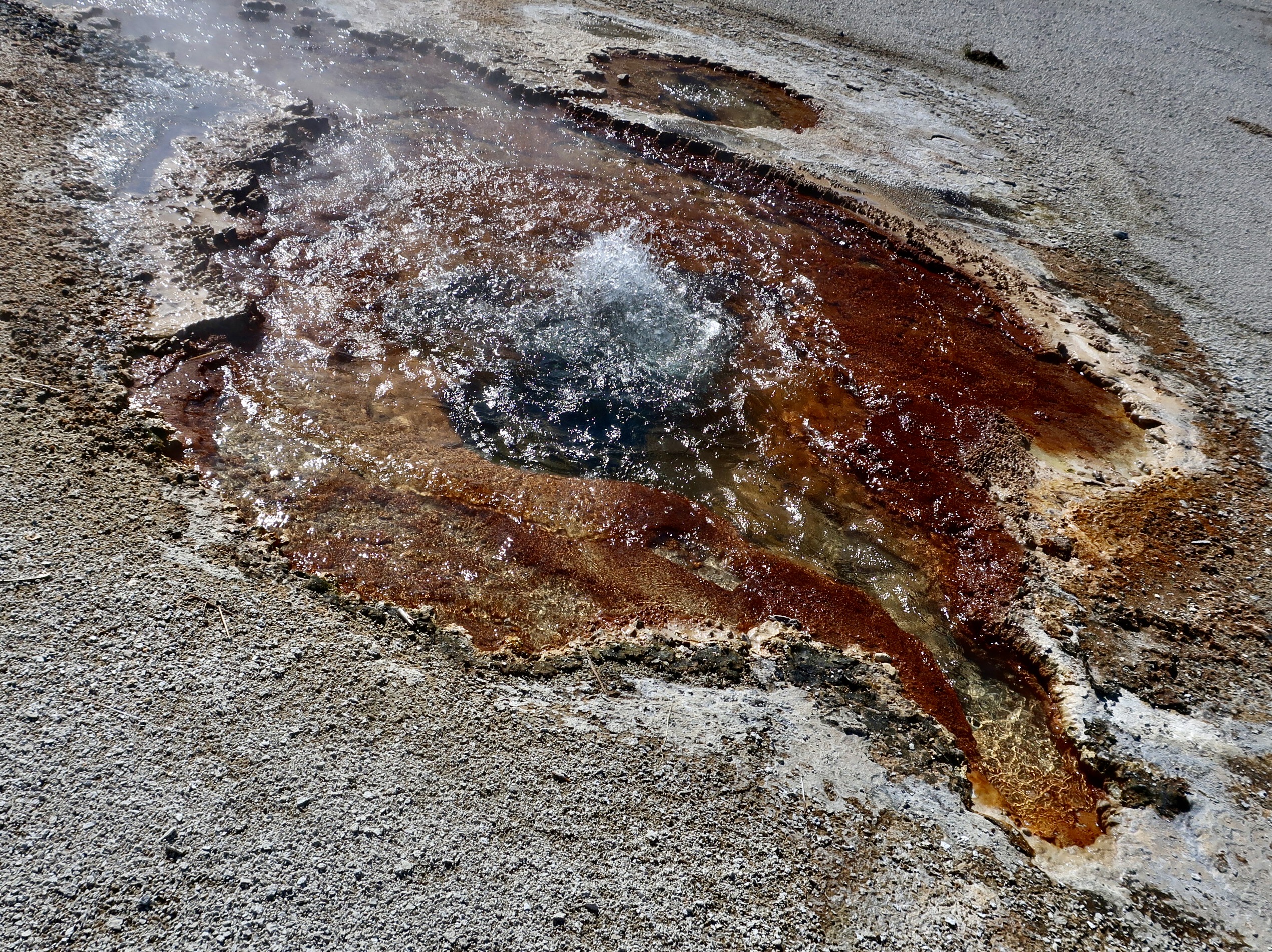
The color of the streams, geysers and hot springs in the Caldera section of Yellowstone is a constant source of surprise and wonder to those who visit the park. Credit goes to thermophiles, tiny microorganisms that thrive in the hot springs. Different types of thermophiles have different tolerance for the heat and come in different colors based upon heat and exposure to sunlight. Those that can tolerate the most heat live deep in the pools and tend toward blue and green. The ones living on the cooler, outer edges are more in the brown and yellow range.
“Wow!” is an apt description of the colors.
Oranges, browns, yellows, and darker colors.
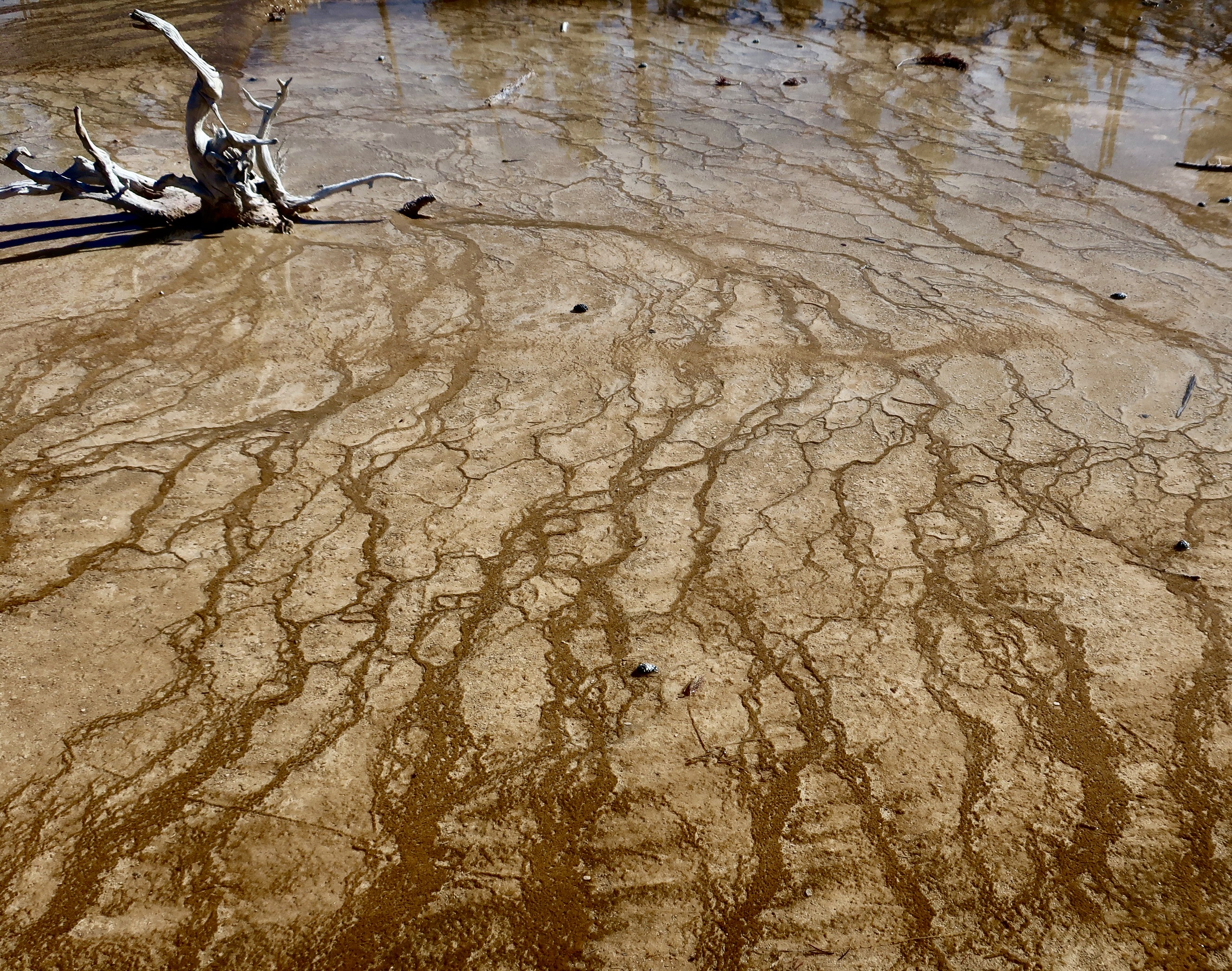
Artistically, this view is one of our favorites, and that’s saying a lot. The dead stump has created an obstacle in the flow of the water and created this pattern..
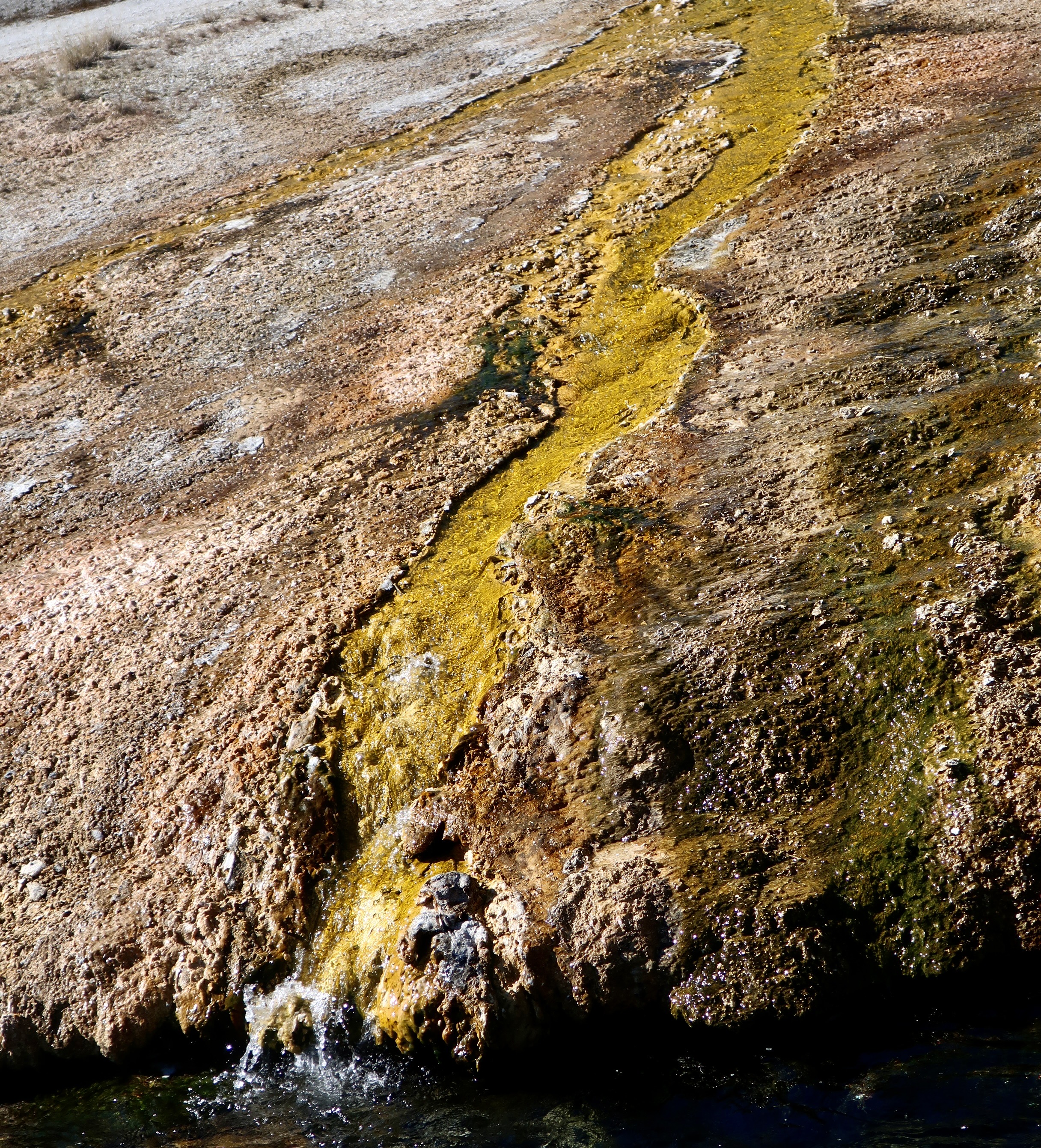
One can see where the name Yellowstone came from here with this golden yellow rock. It was cascading down into one of the tributaries flowing into the Firehole River.
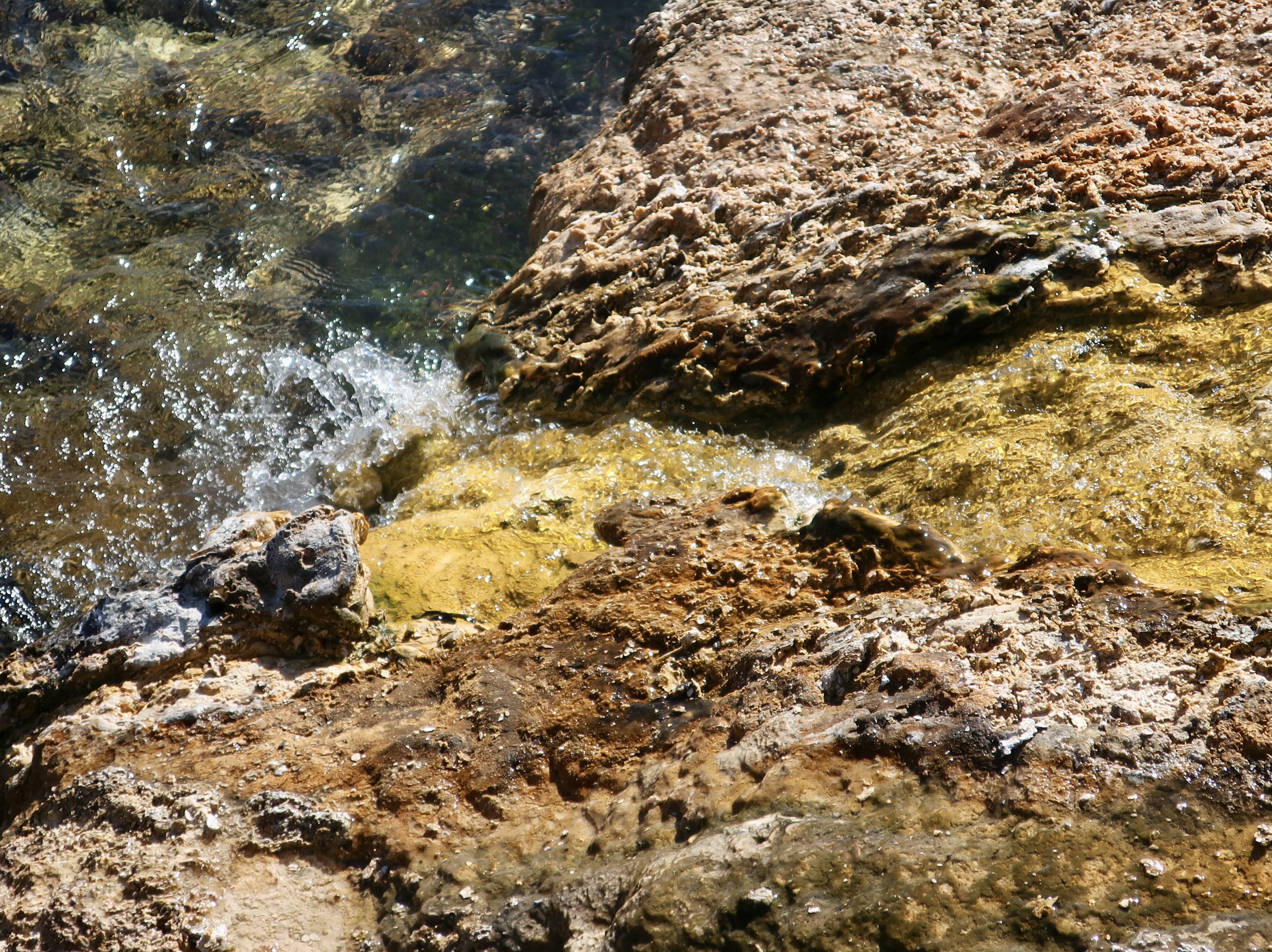
A view from the top. The clear water shows that the color is in the rock, not the water.
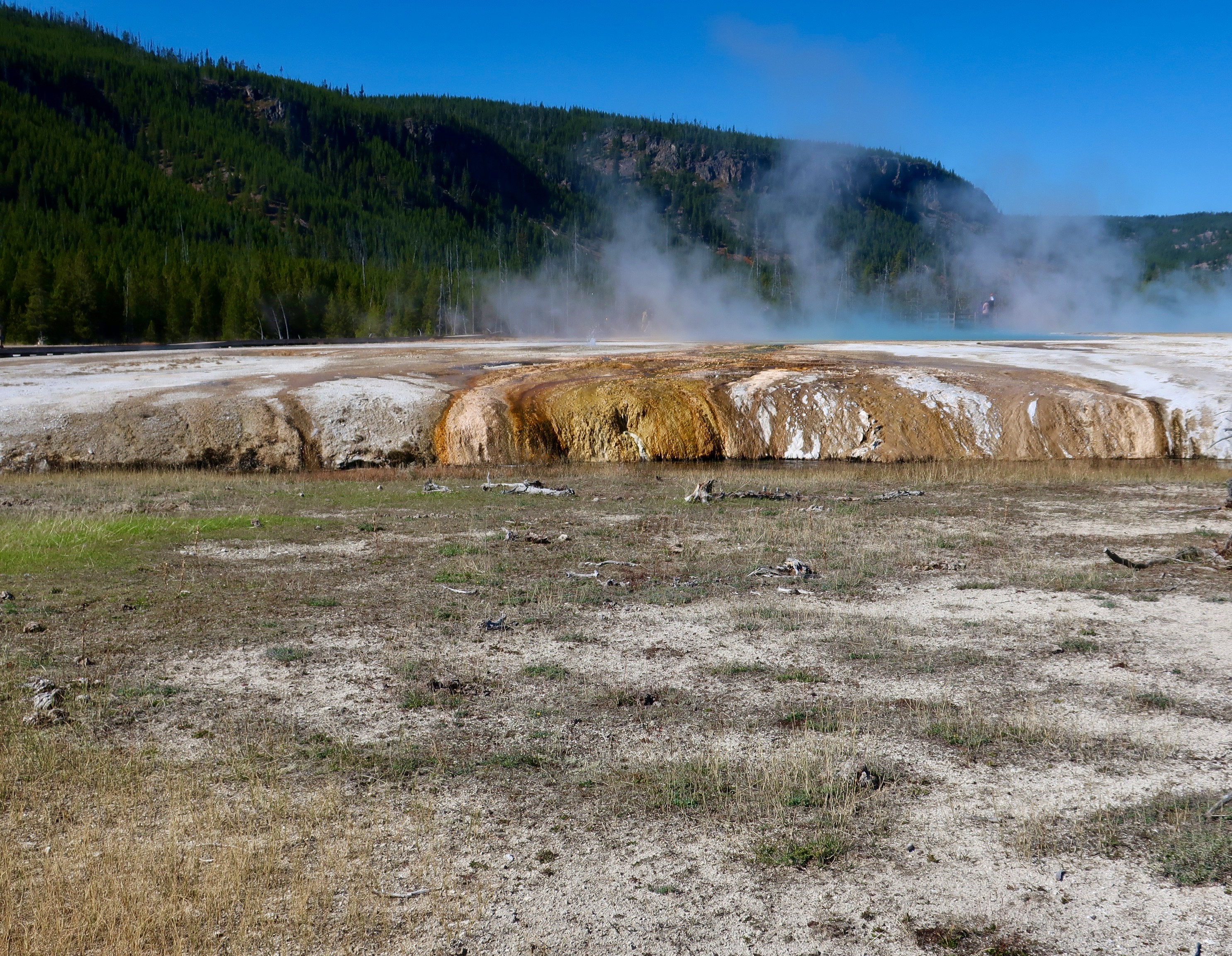
A combined effort creating a waterfall of rock.
Just downstream on the Firehole River tributary, a different view.
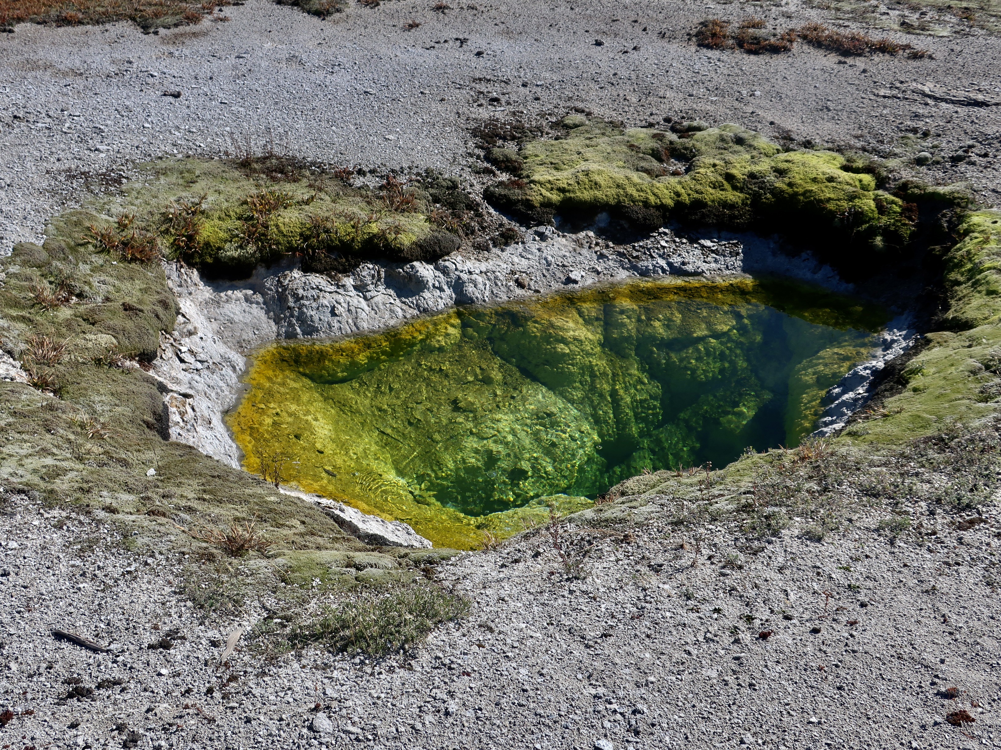
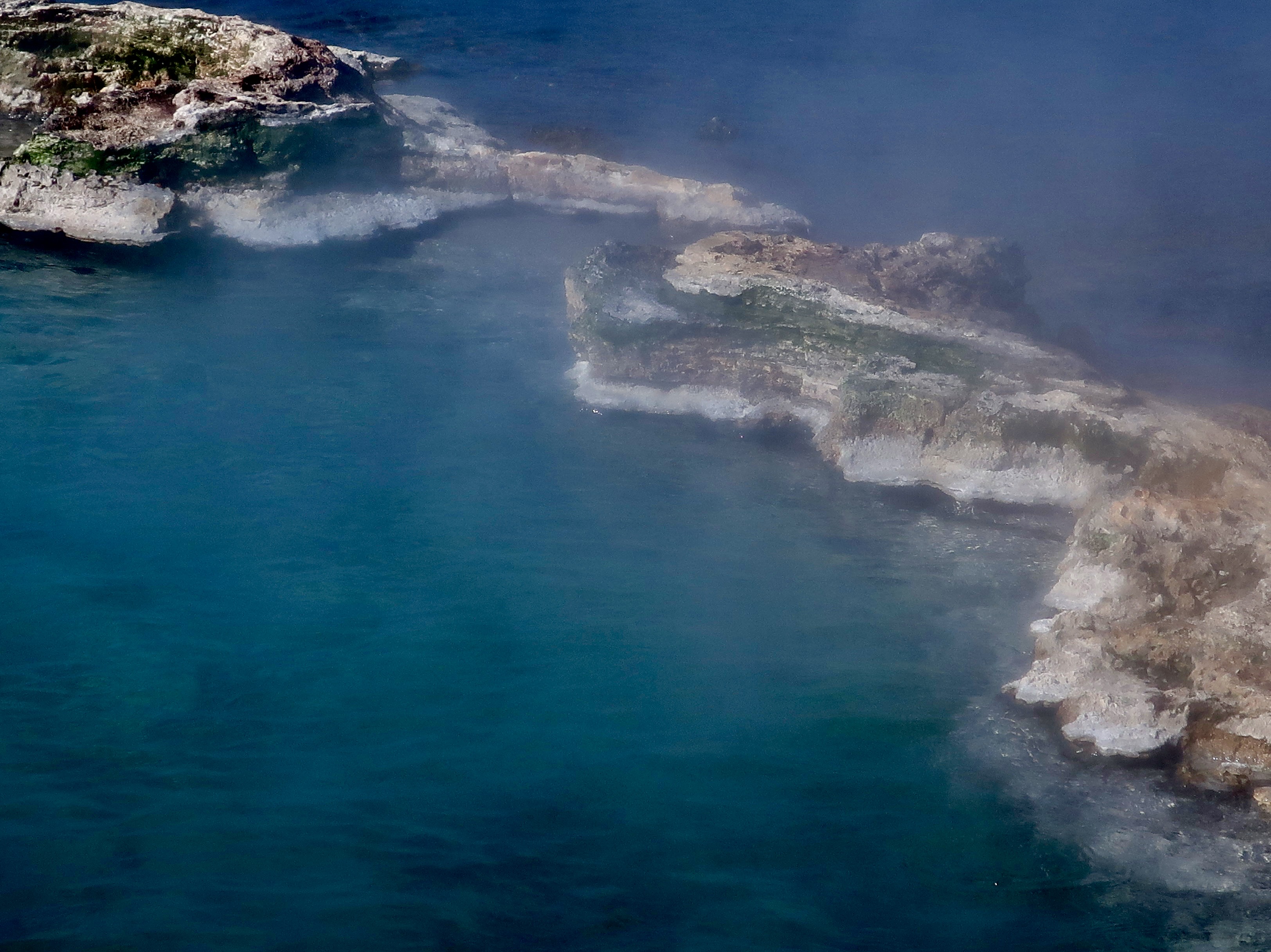
Now, back to the source, the hot springs and geysers. The Irish would be jealous of this beautiful, green hot spring found in Yellowstone National Park— and, the clarity of the water. It almost wants to make visitors shed their clothes and jump in. Bad idea. The water emerges from its volcano based heater at 198° F (92° C). A little warm for a hot spring experience unless your goal is to be cooked. I found it interesting that all geysers are a form of hot springs but not all hot springs are geysers. The difference is in the plumbing. In normal hot springs water from rain, snowmelt or a river/creek “seeps deep into the Earth, gets heated by magma or hot rock, and rises steadily back to the surface.” In geysers, there are deep constricted, cavities where the water is captured and superheated until it turns into steam and blasts its way to the surface. Meanwhile the vacated cavities are filling again with water and the process is repeated.
The record in Yellowstone for the largest hot spring goes to the Grand Prismatic Spring. It is 200-330 feet in diameter and more than 121 feet deep, making it the largest hot spring in the US and the third largest in the wold. Trillions of thermophiles give the spring its color. Thermophile, btw, means lover of heat.
Another view with brown thermophiles dominating the cooler water.
We thought that this barrier between two large hot springs was interesting.
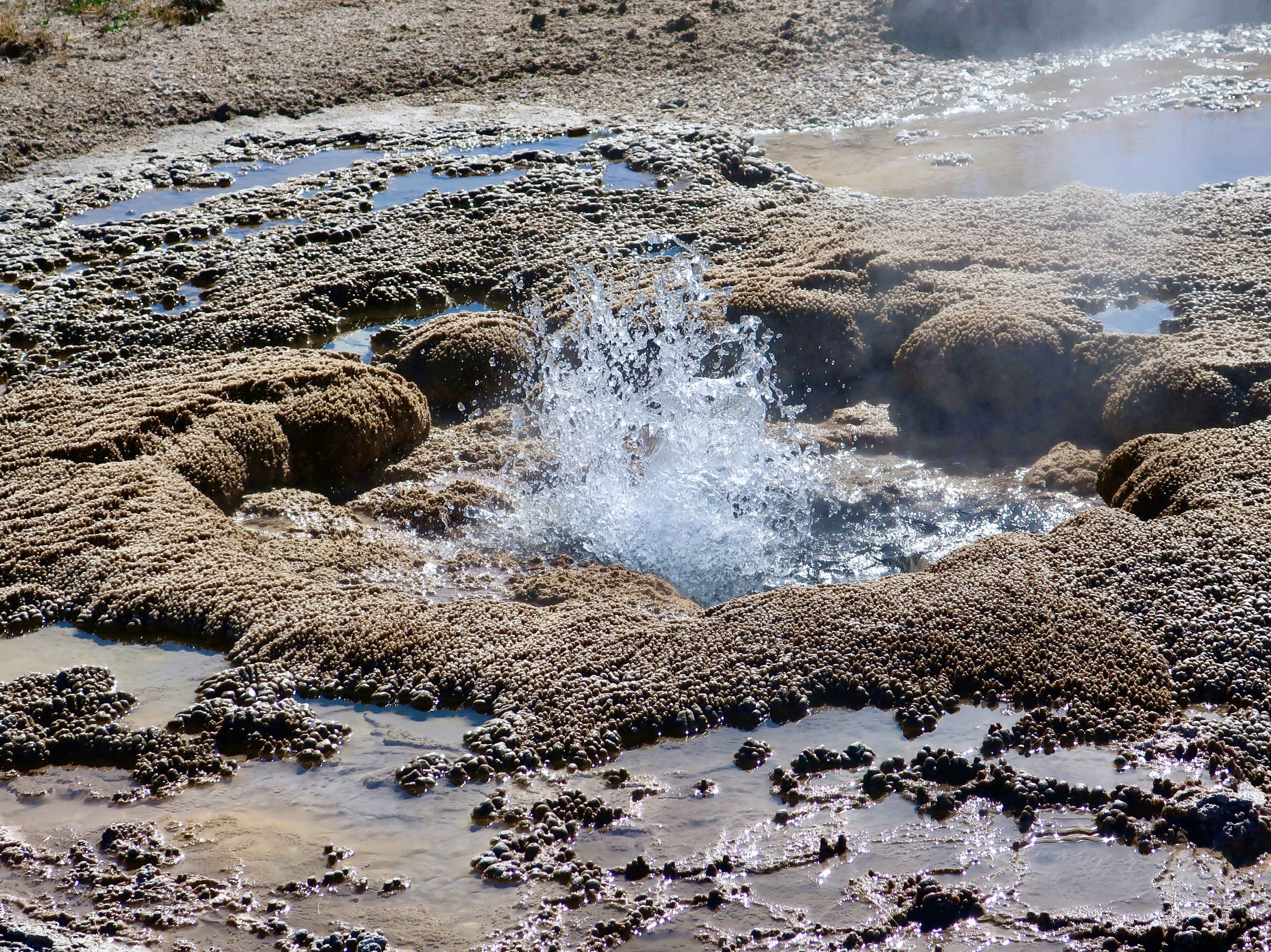
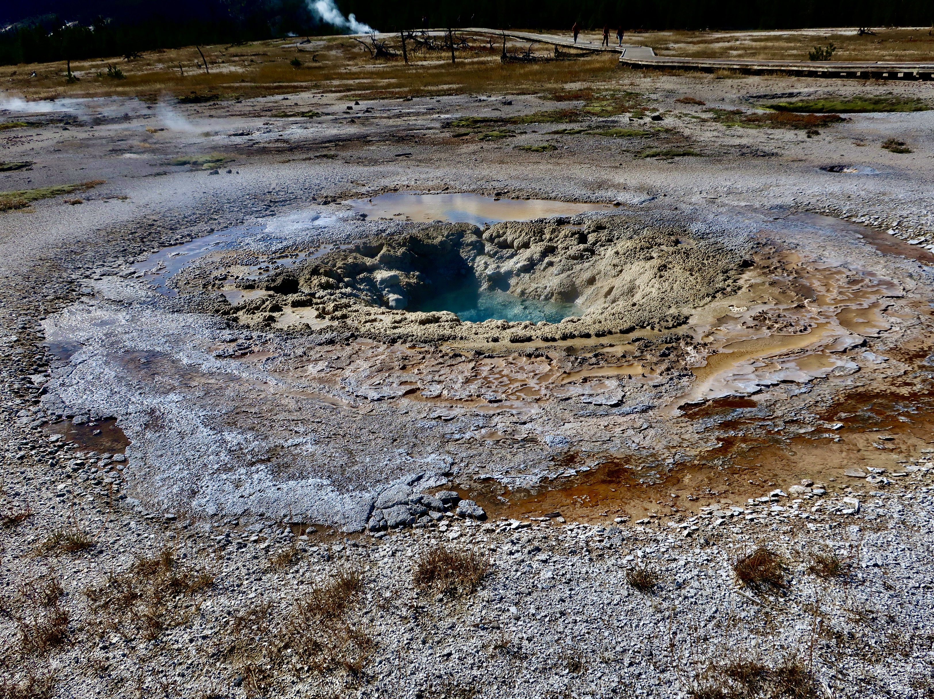
This small, presently non-erupting geyser hole nearby left us wondering.
The purple rim around the rim around this green colored hot spring provided a colorful contrast.
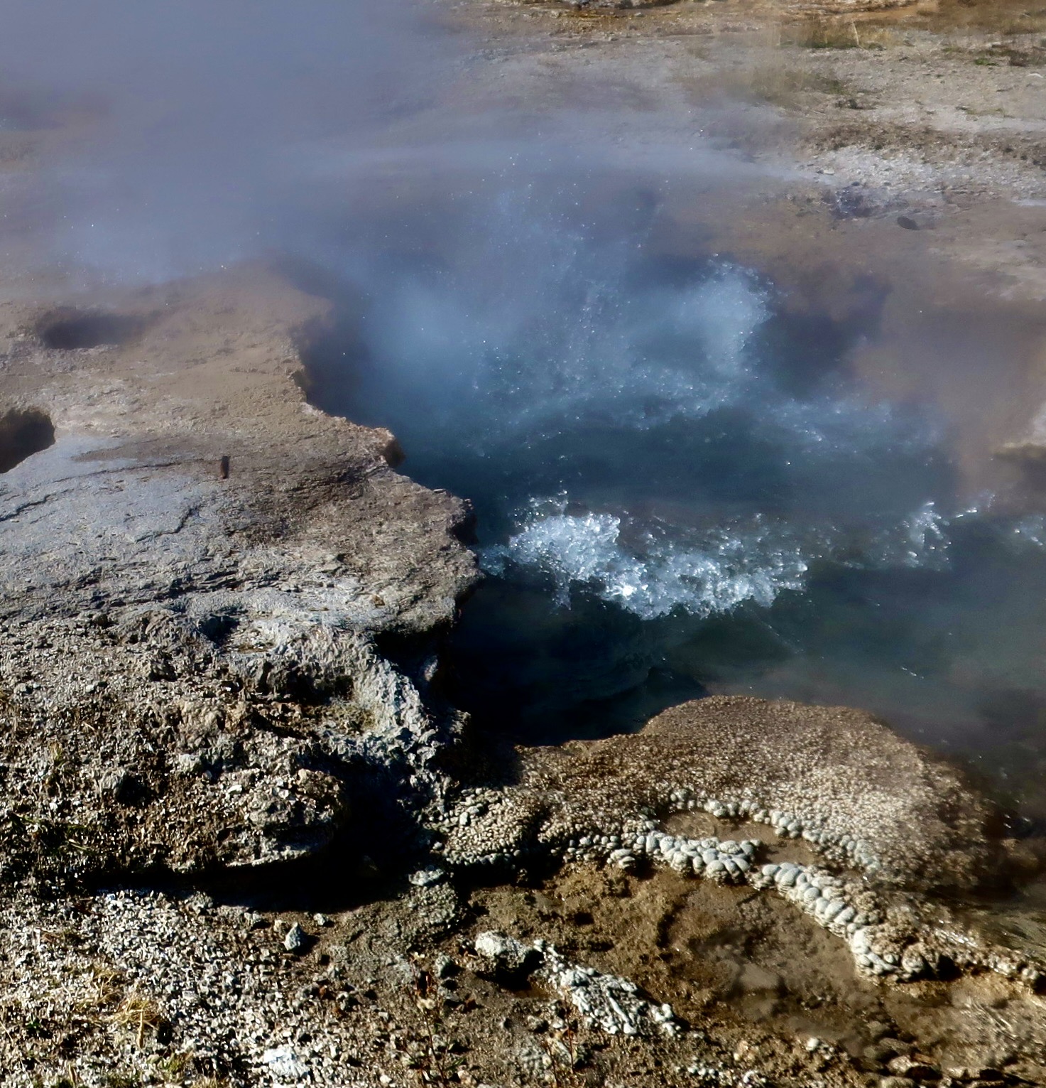
The bubbles here suggest that this hot spring is a geyser.
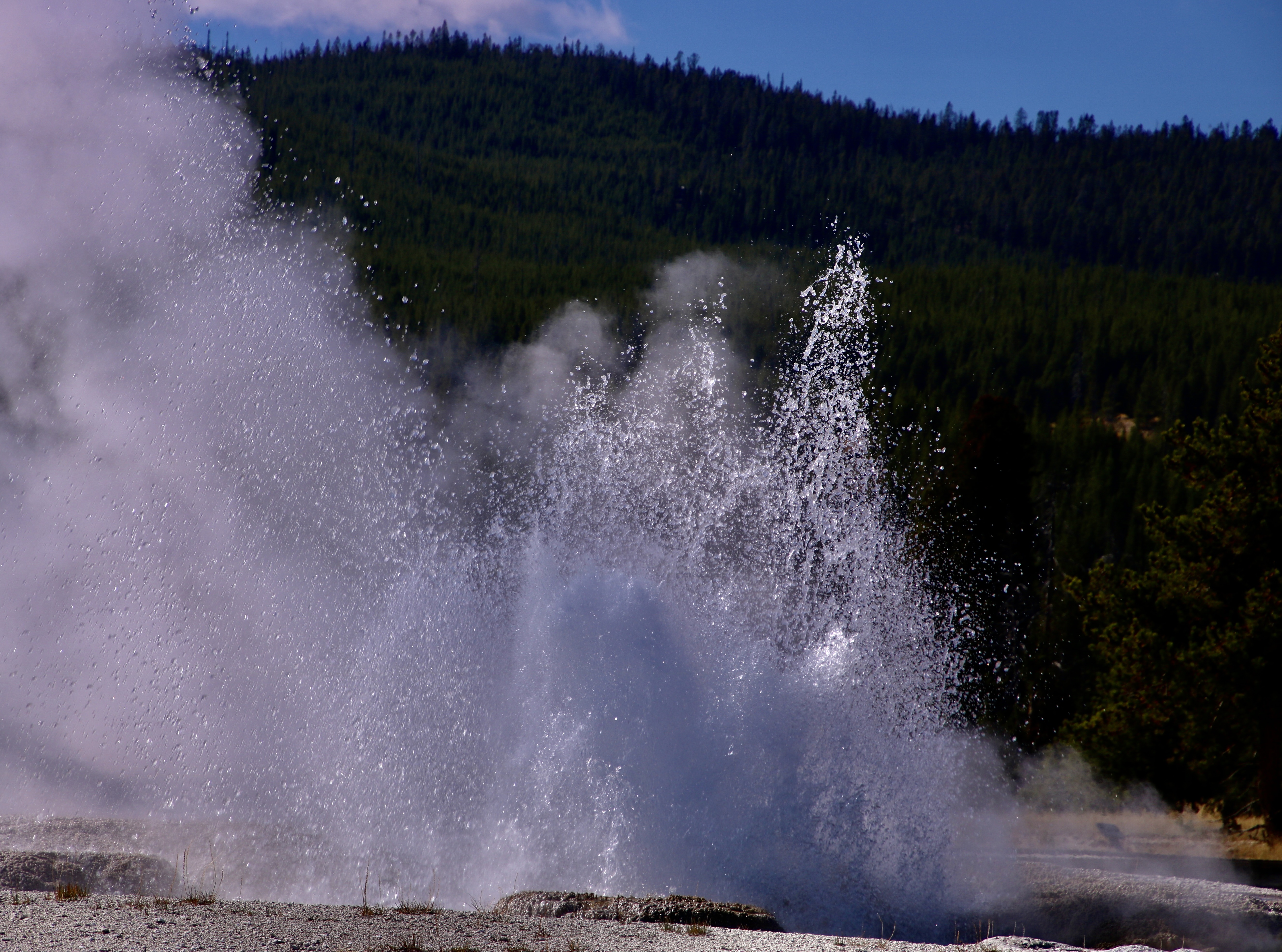
Boiling water and steam: Two signs that a geyser is about to erupt.
They come in all sizes.
Bigger.
Large.
And even larger.
There are bunches.
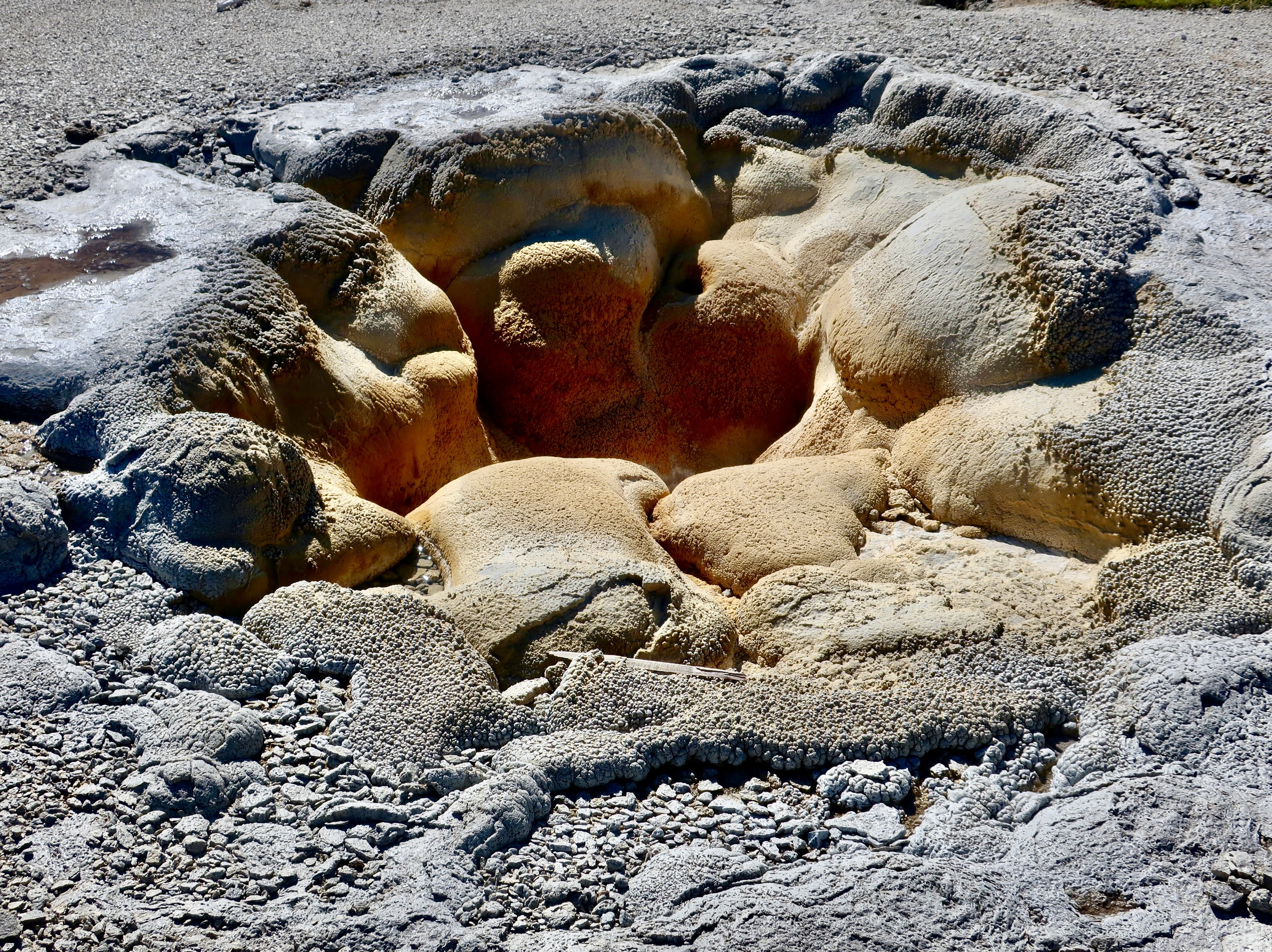
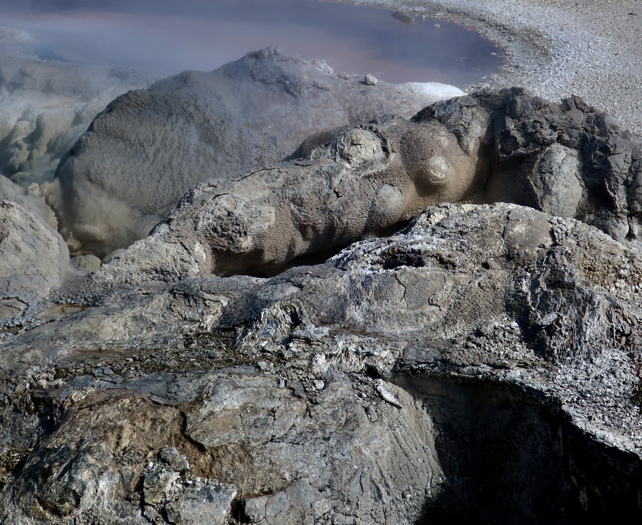
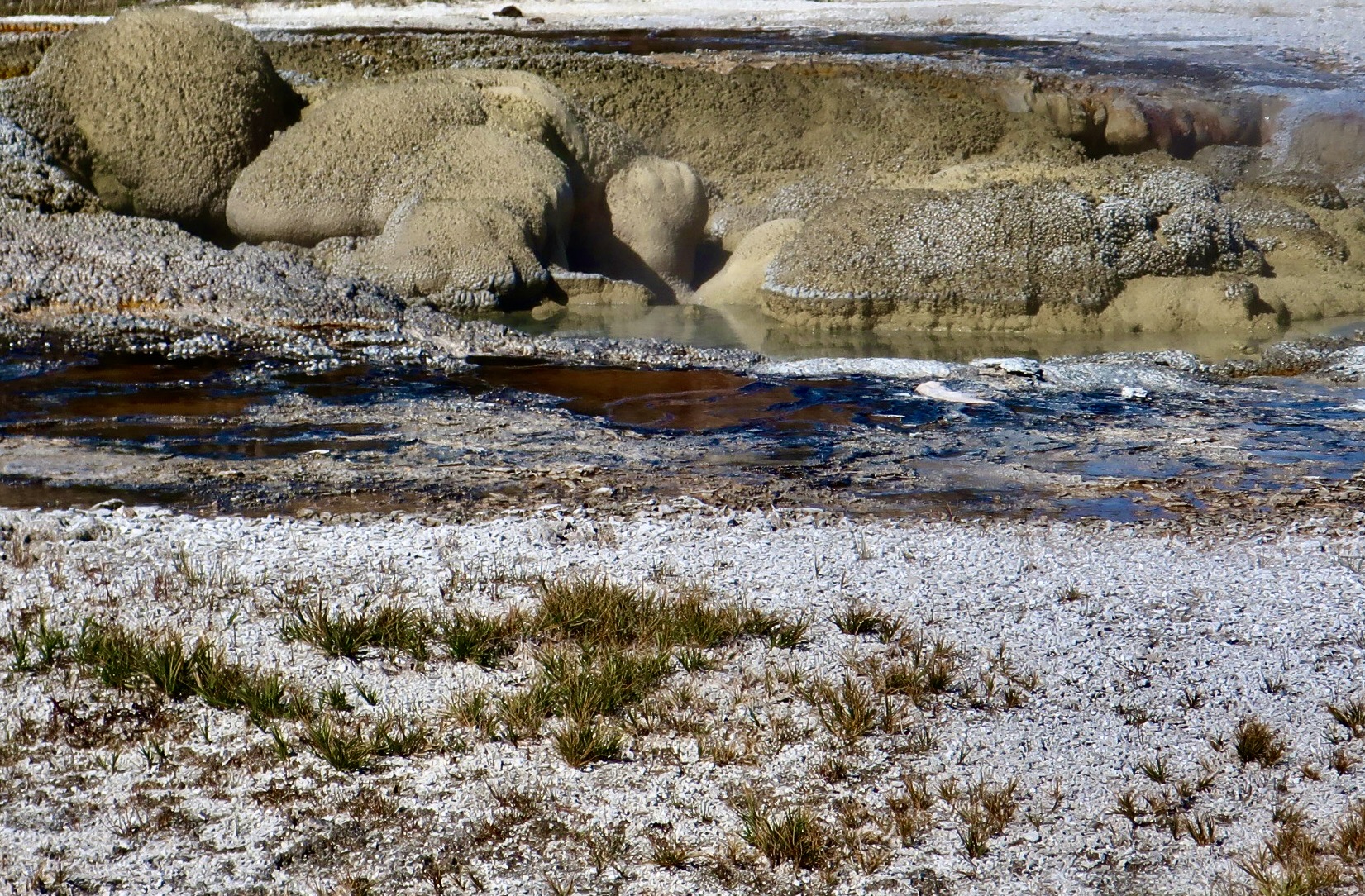
An easy way to tell the difference between a normal hot spring and a geyser is the build up around the edges caused by the eruptions.
They are fun to check out and photograph. We find them fascinating. Each one is unique.
Rugged…
Rounded.
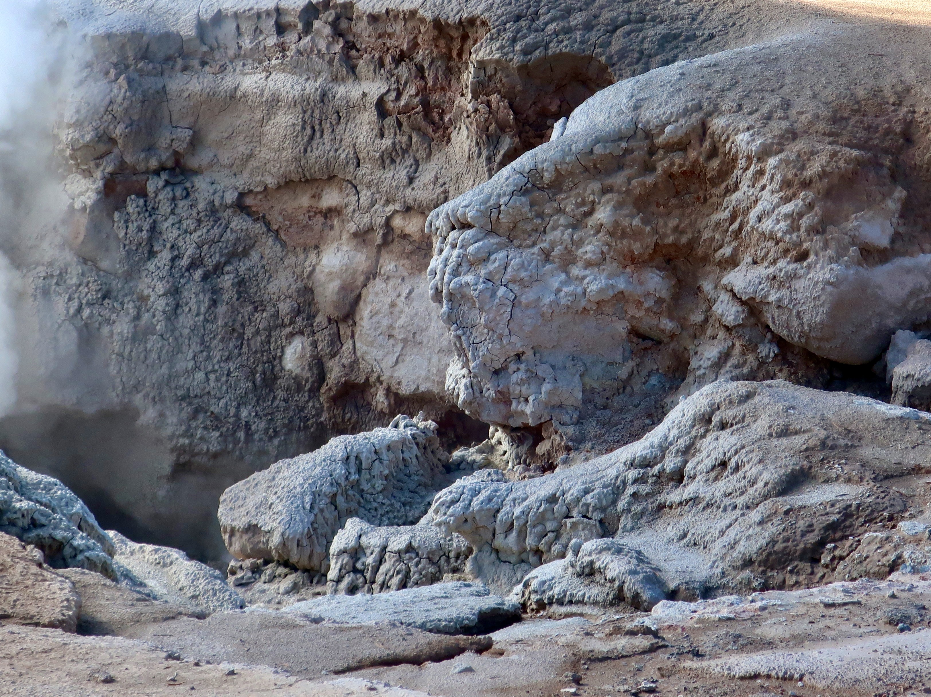
And my favorite: With character. I can let my imagination run wild. Do you see the great lion on the right, here?
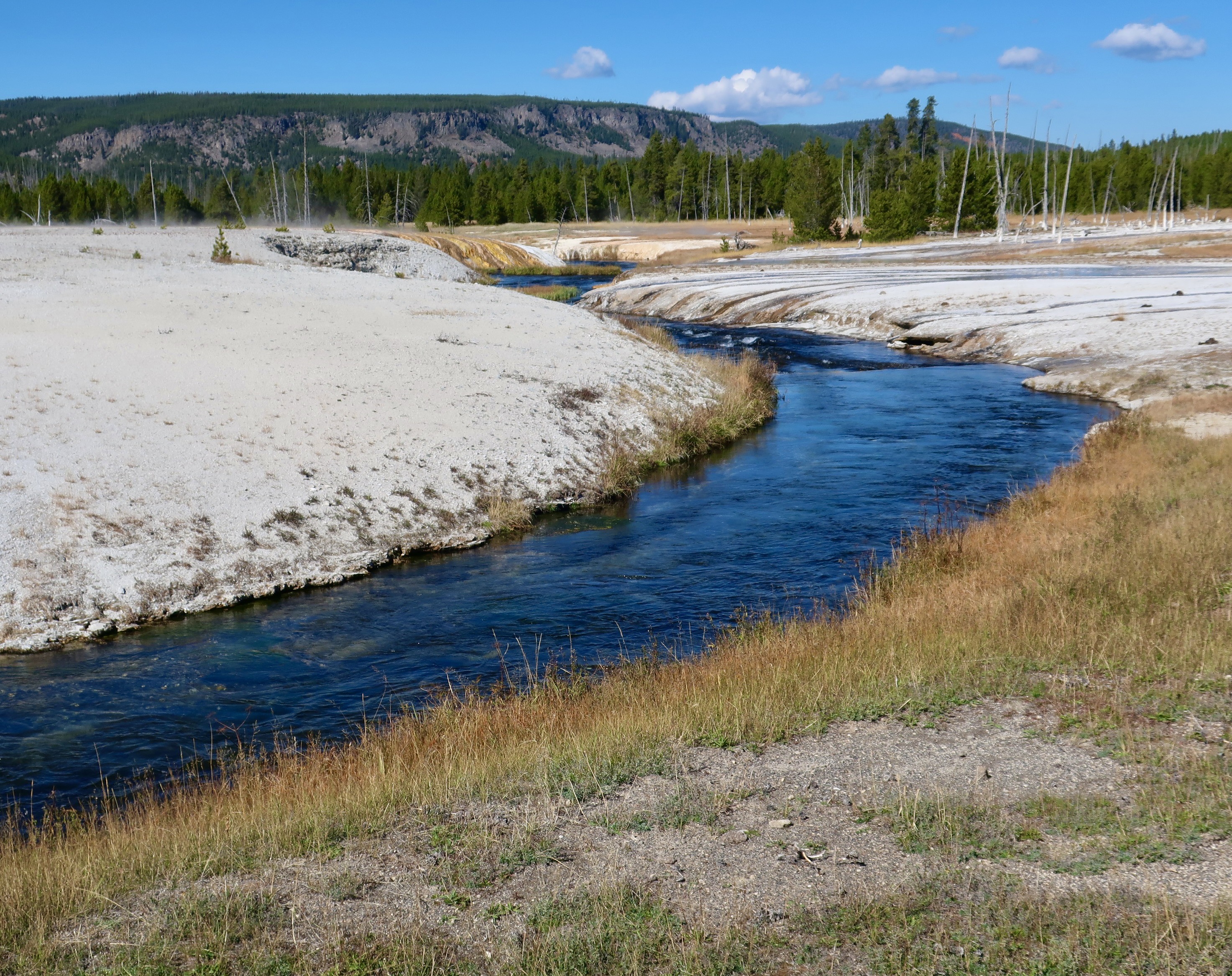
Eventually the tributaries created by all the water from the hot springs and geysers will flow into the Firehole River…
Shown here.
Hot springs are also found along the river.
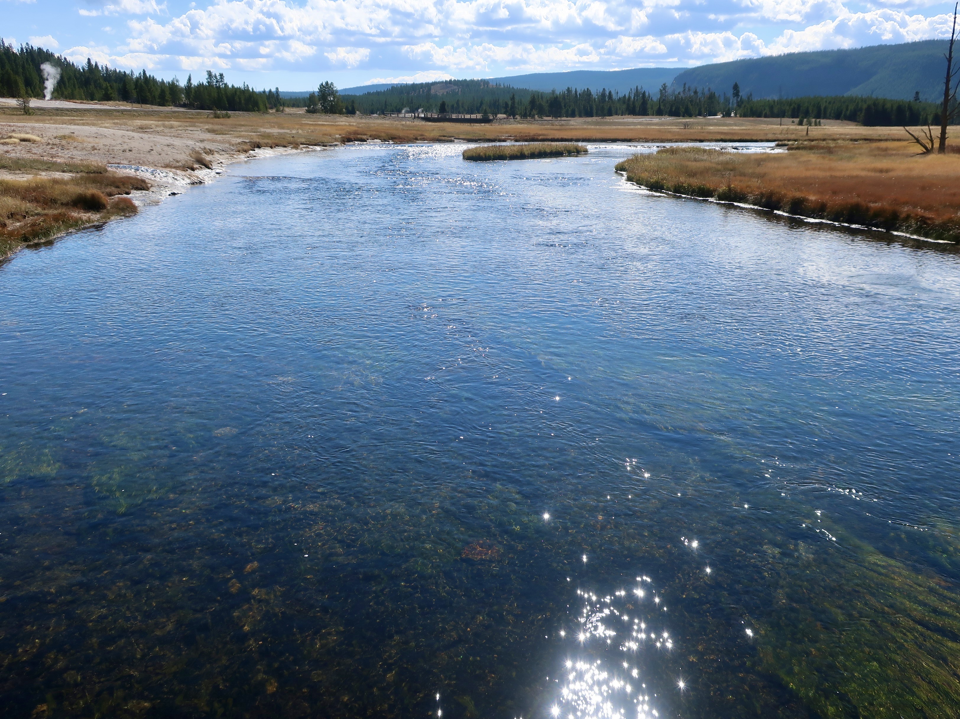
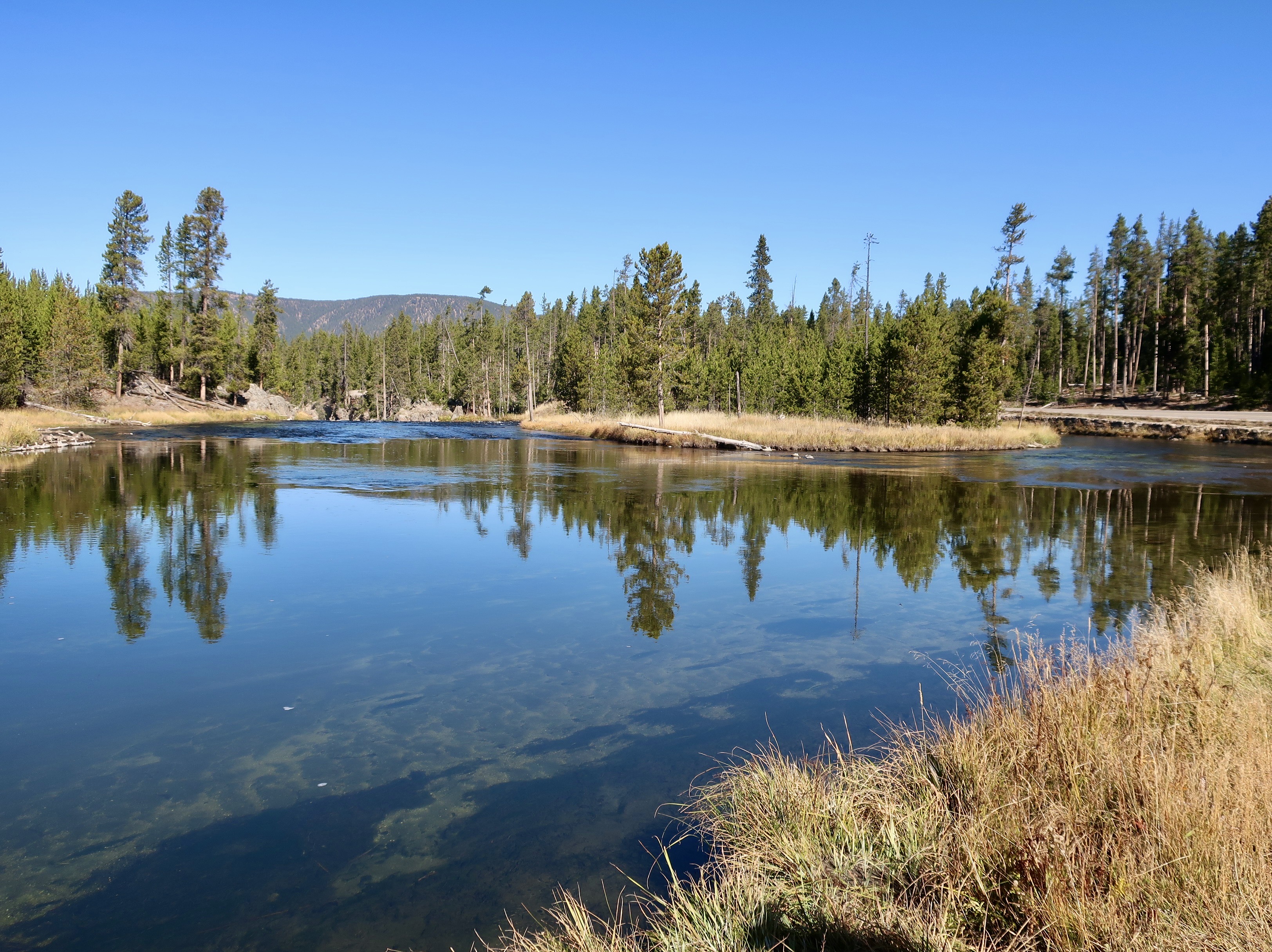
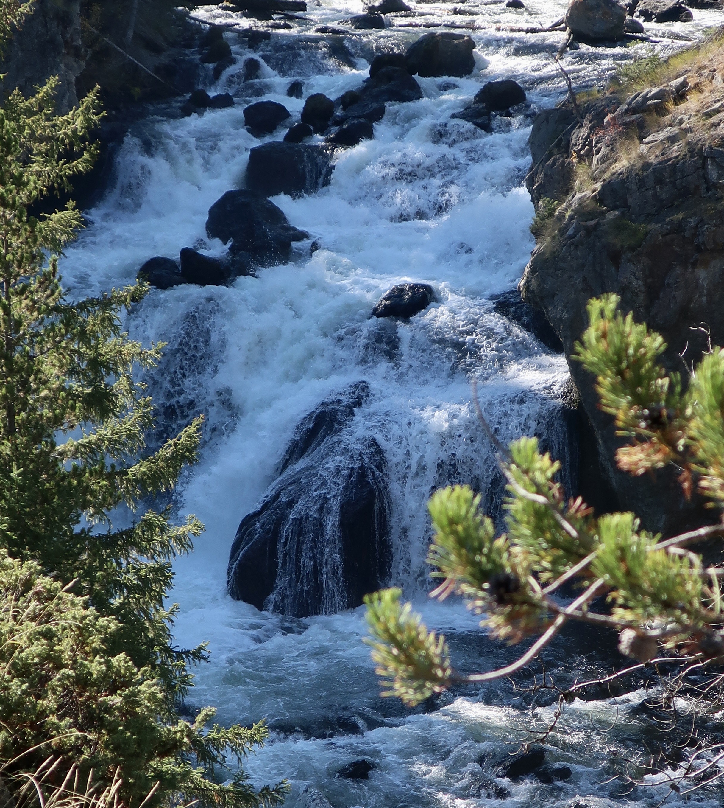
But eventually, the Firehole River spreads out and presents this vision of calm. Don’t be fooled. Just beyond this photo the river makes a dramatic drop and turns to falls and rapids. And that is where our next Yellowstone post will start.
Falls on the Firehole River.
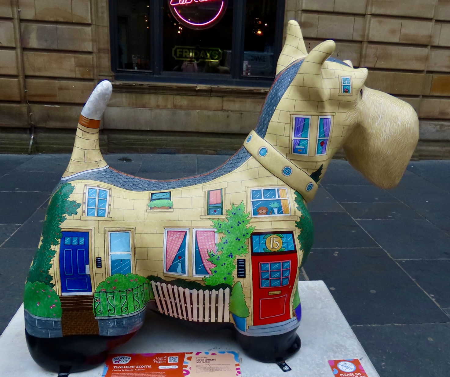
But first, we will be doing a post on some of the odd things we found in Scotland. We love quirky. This, in case you are wondering, is a Scottish Terrier dog house.

Grand Teton NP: The Youngest Mountain Range in North America… 25 World Class National Parks – #2

Peggy and I are continuing our exploration of 25 of America’s most beautiful national parks in celebration of America’s 250th Birthday. Today we are journeying to northern Wyoming and visiting Grand Teton National Park with its spectacular mountain range: Our second national park.

I have good news. I mentioned in a recent blog that the Washington Post had reported that Major League Baseball, working in conjunction with the Trump Administration, was exploring the possibility of building a baseball stadium in the Park. Local government and community leaders dashed off a resounding “NO” to MLB and Trump. The idea was dropped faster than a 100 MPH pitched baseball can travel. Concerned citizens can make a difference!
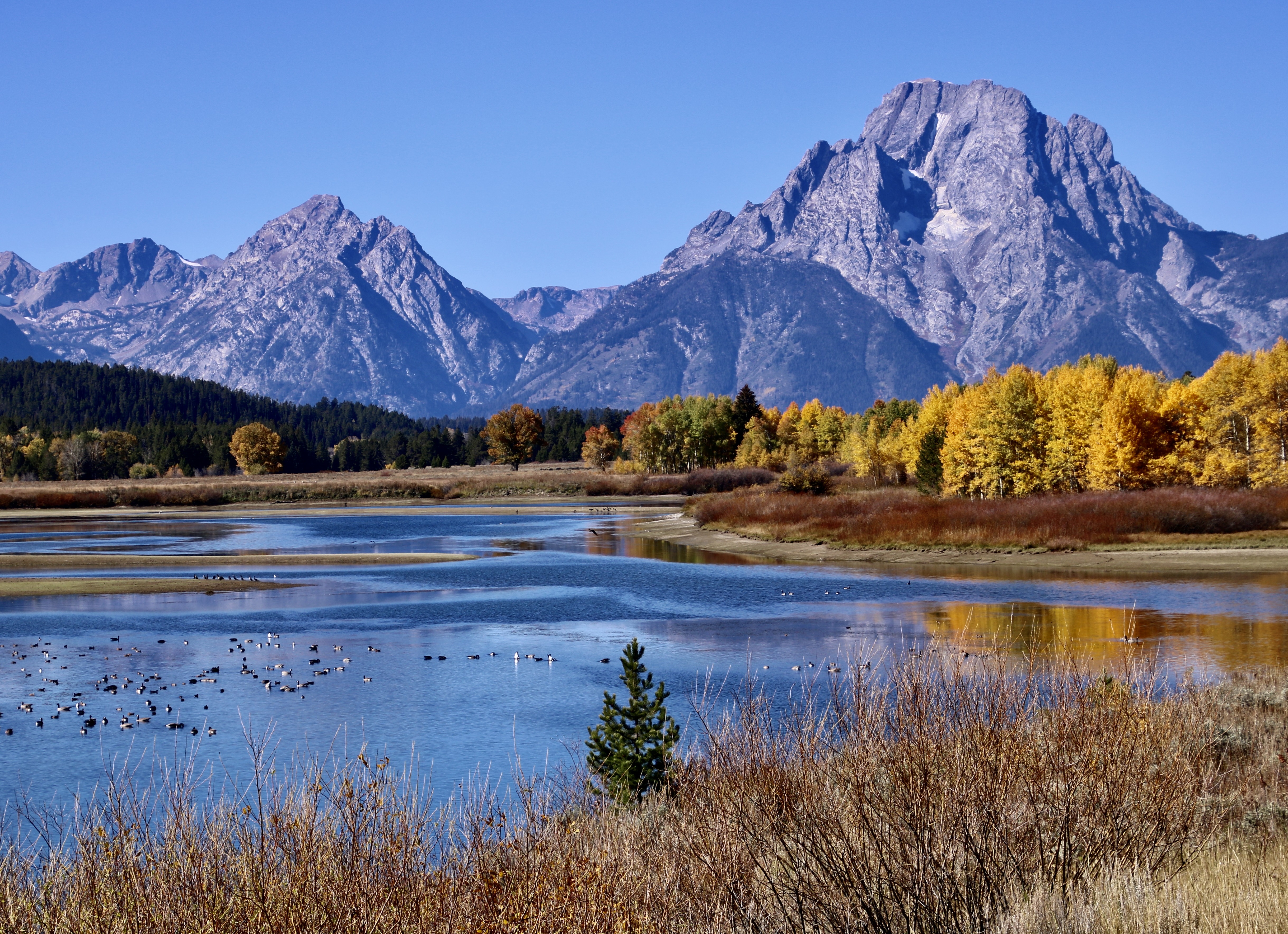
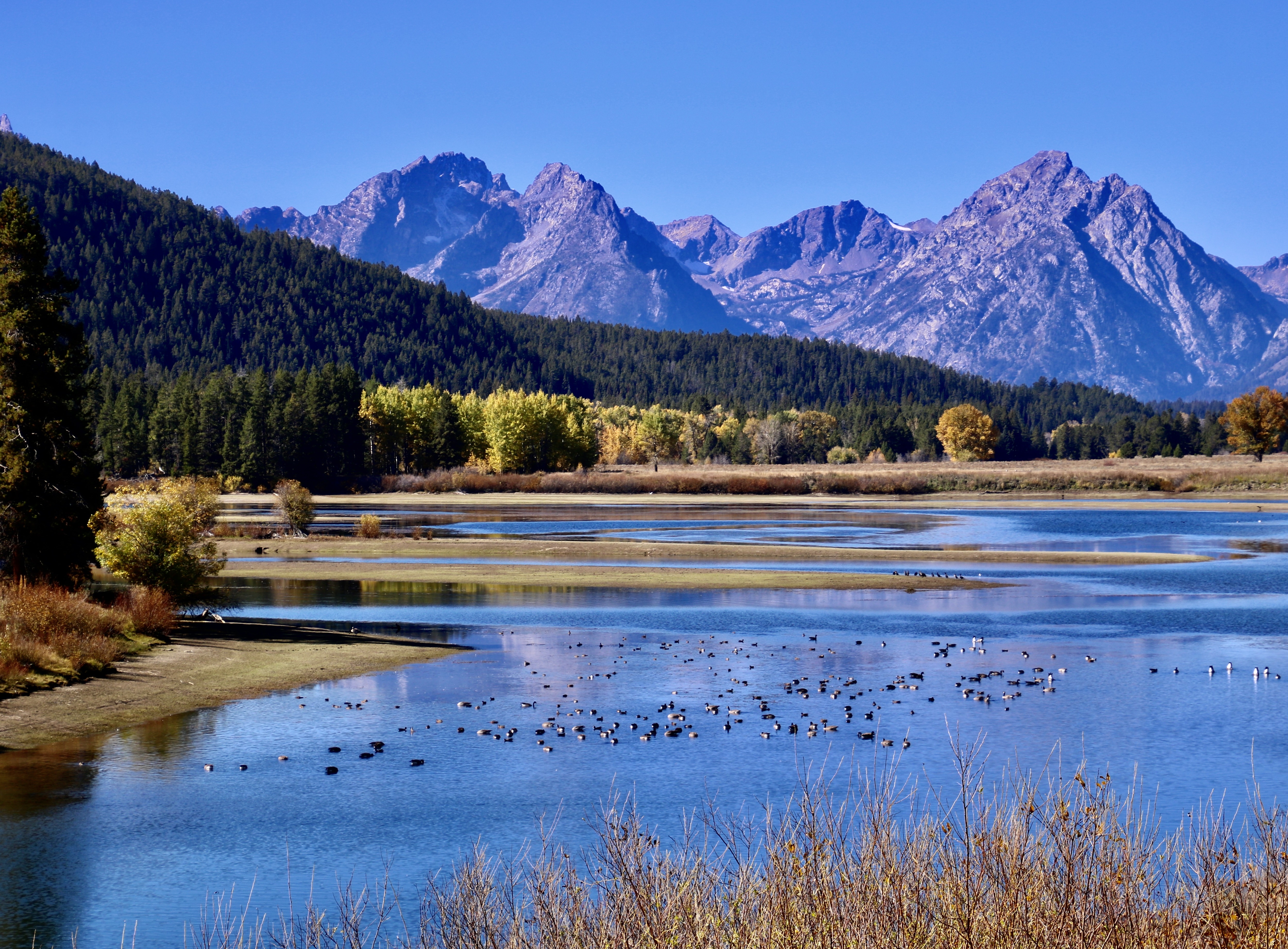
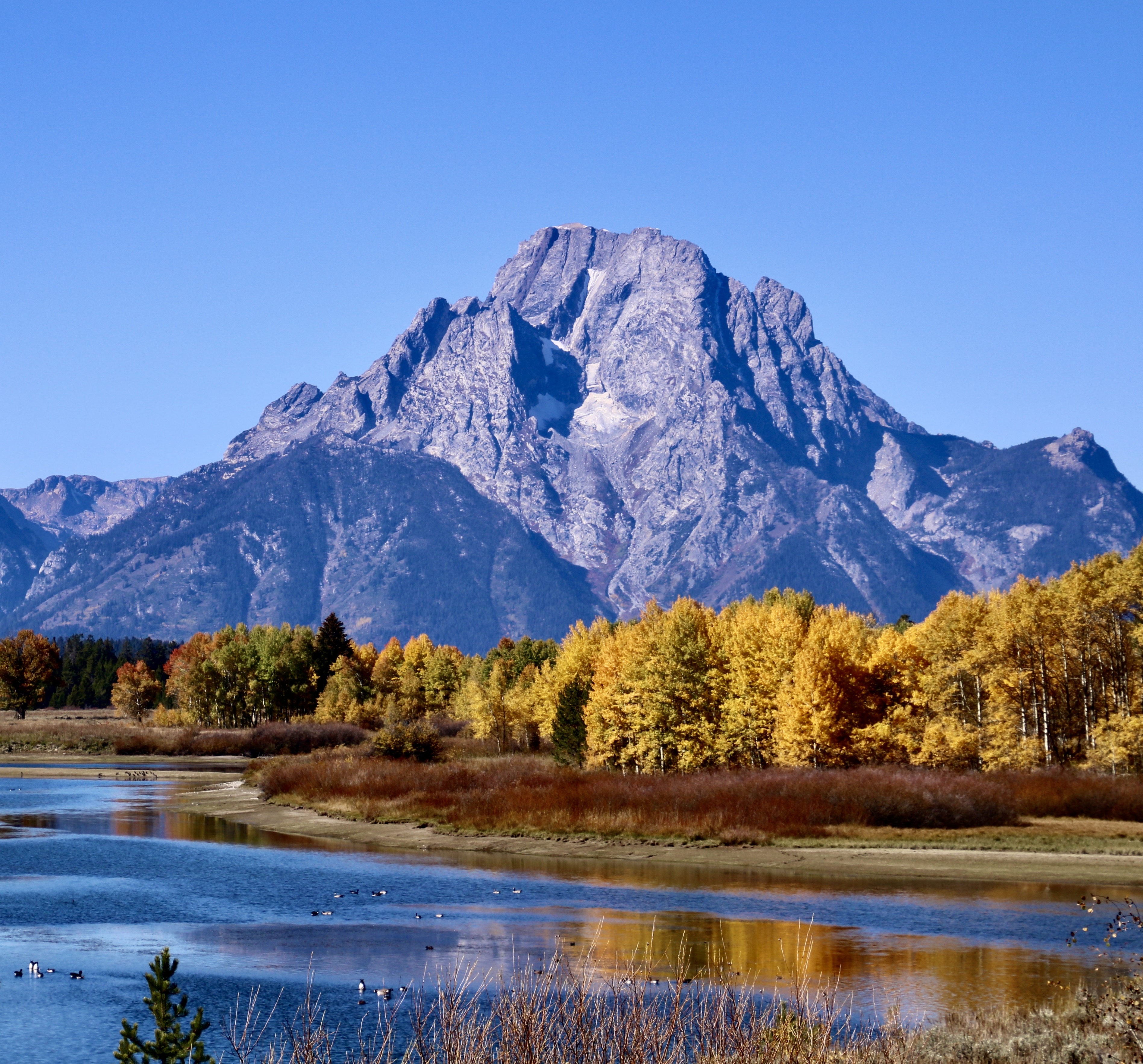
An unobstructed fall view of the Grand Teton mountains with their great natural beauty. Plus ducks. Probably hanging out on their way south.
Visitors and wildlife won’t have to cope with thousands of more people clogging the narrow two lane highways and park if a baseball stadium had been built. One can only wonder what would happen if a grizzly attended a baseball tailgate party! One thing’s for sure: It could have had its choice of snacks.
Staring to rise 6-9 million years ago, the Grand Teton Mountain Range is the youngest mountain range in North America. The Rocky Mountains developed between 55-80 million years ago and the Appalachians 480 million years. Even the baby Sierra Nevada Mountain Range of California is a million or so years older.
And the Grand Tetons are still growing, one earthquake at a time. The latest occurred 5,900, 8,000, and 10,000 years ago. The earthquakes happen along the Teton Fault that runs 40 miles along the eastern side of the mountains. Each quake sees about 10 feet (3 meters) in uplift with the mountain rising 5 feet and the Jackson Hole Valley dropping 5. Is it time for another one? It has the potential of about 7.0 to 7.5 in magnitude.
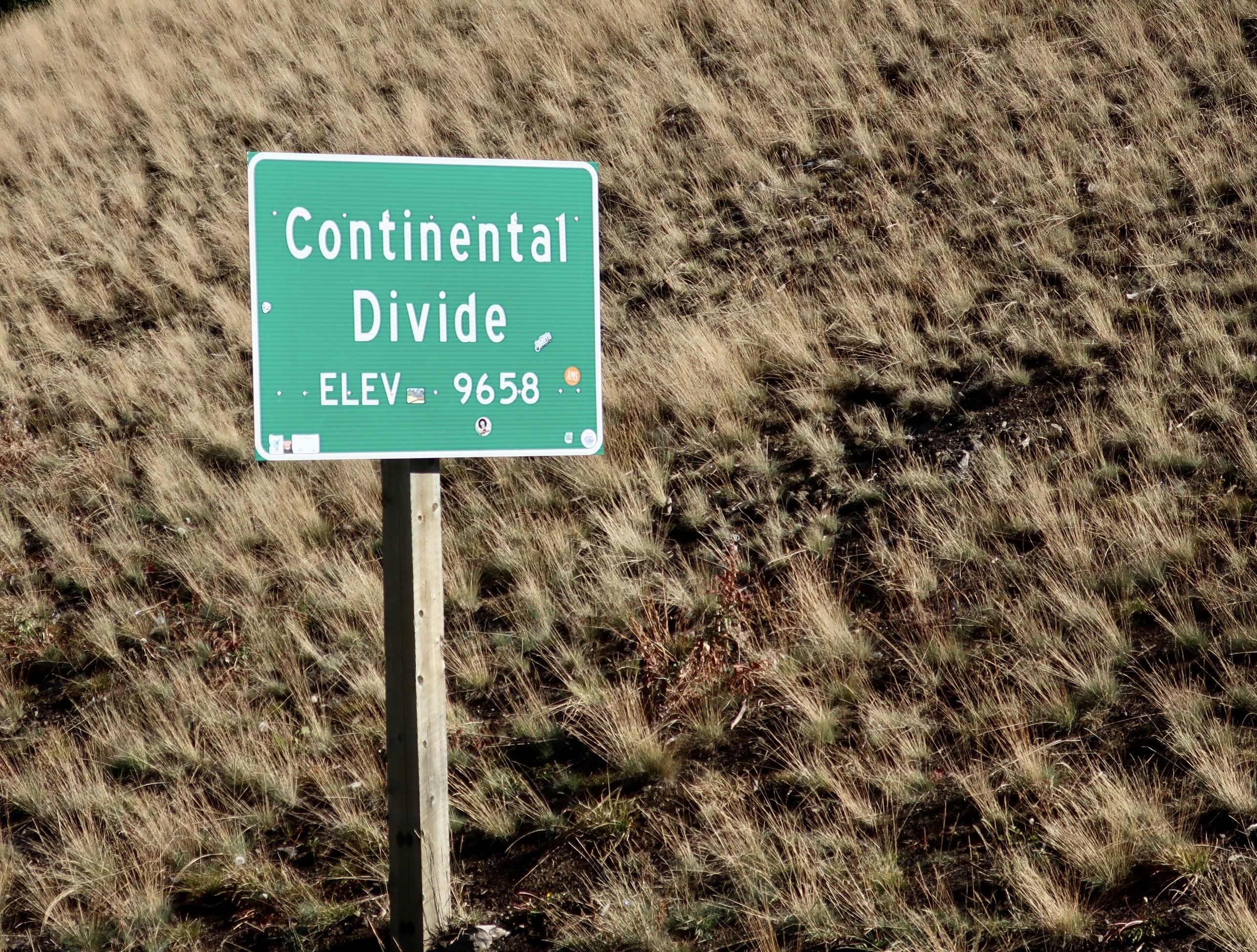
The last time we visited Grand Teton NP we followed Highway 26 out of Casper, Wyoming. Our first view of the Tetons would have been shortly after we passed over Togwotee Pass sitting on the Continental Divide at an elevation of 9,655 feet. Togwotee is a Shoshone word meaning expert spear thrower.
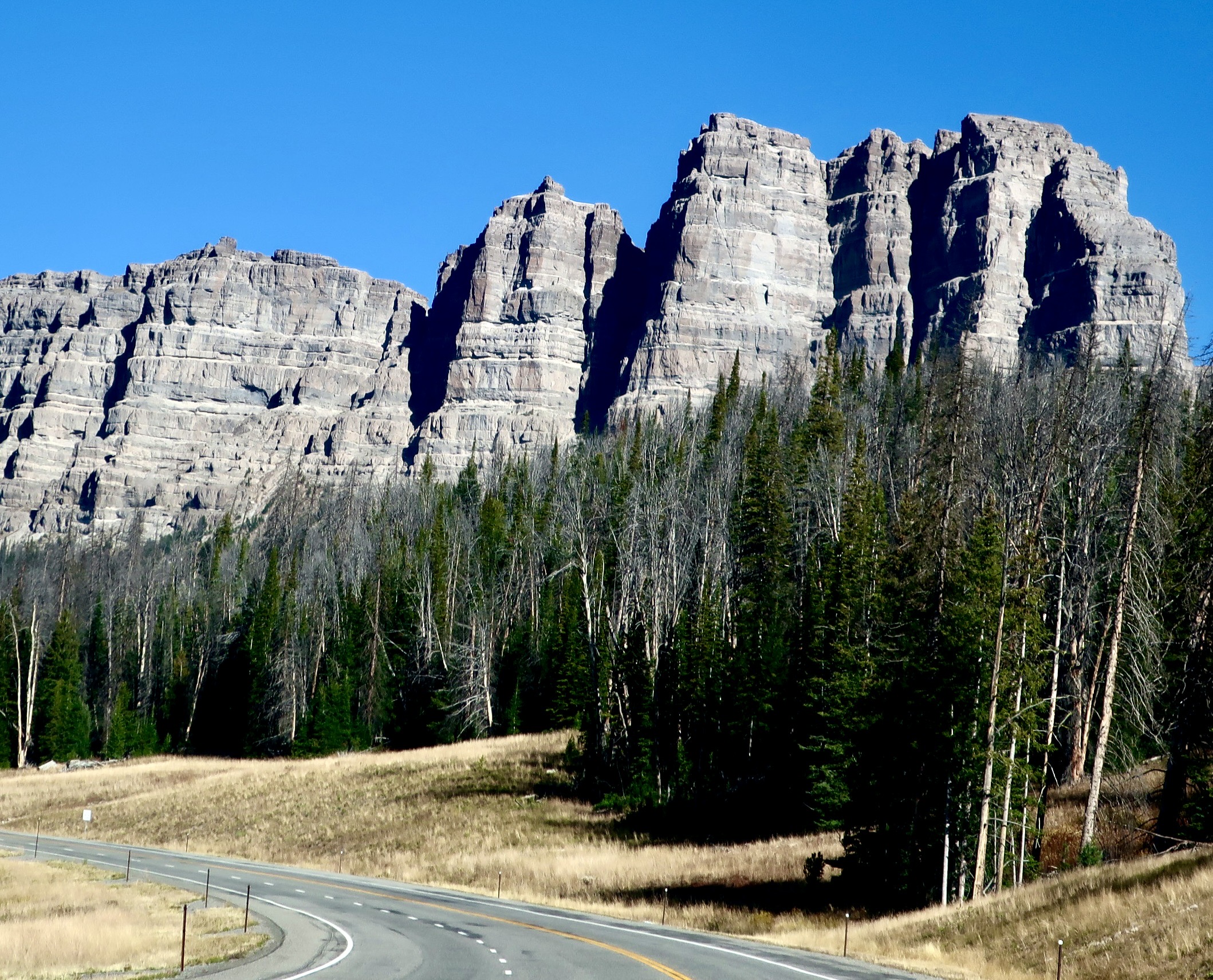
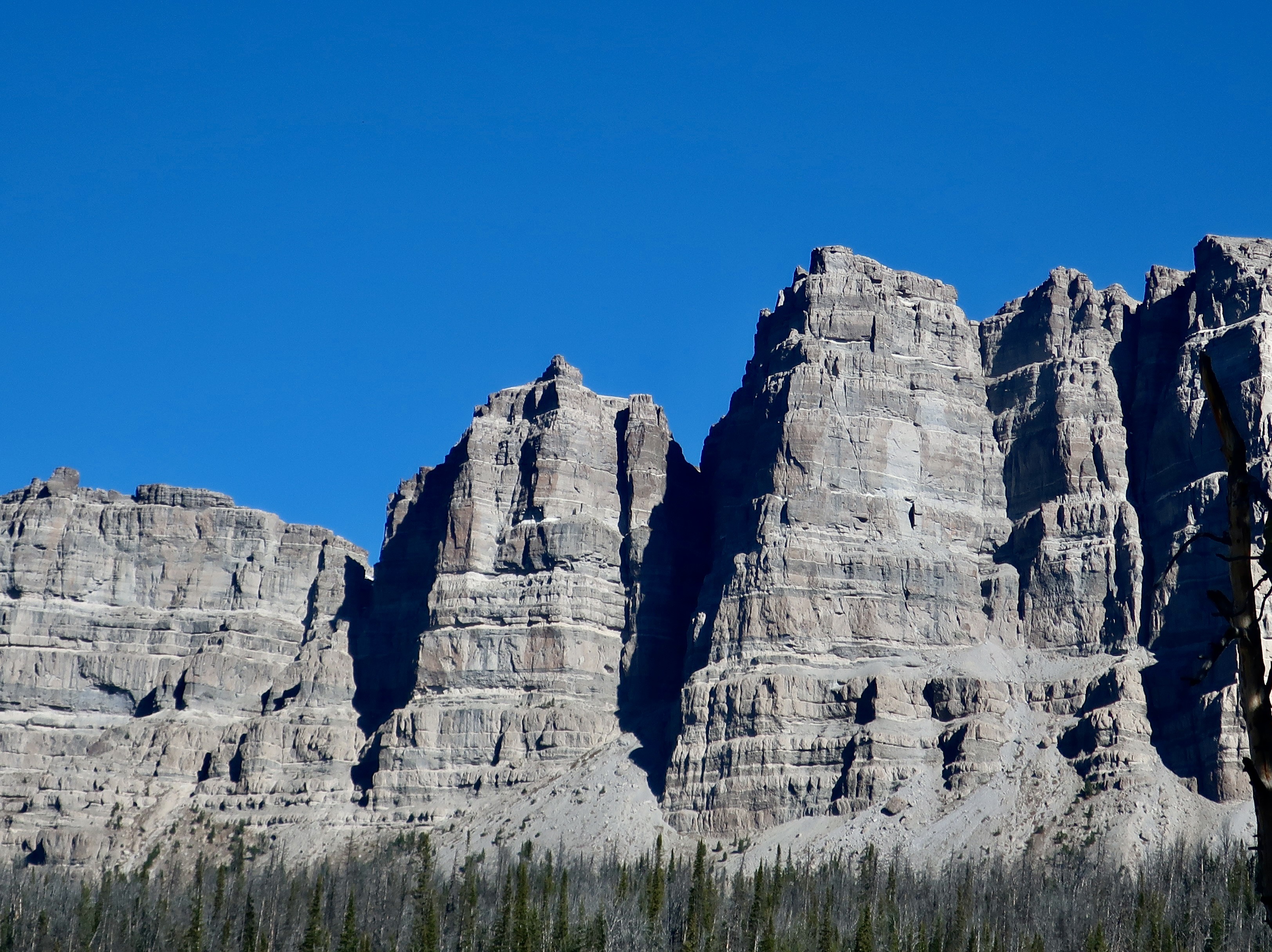
Before we could spot the Grand Tetons, we saw these impressive breccia peaks to the north of Highway 26 near the Togwotee Pass. (My father painted these mountains once.)
Photo of Herb Mekemson by Glen Fishback
Professional photographer Glen Fishback took this photo of my dad painting the Absaroka Range in the 1980s. Pop, as we knew him, had wandered around the country with his sister, Elanor, a few years earlier.
Breccia consists of sharp, angular fragments of various minerals and rocks cemented together within a crumbly matrix of volcanic ash. The peaks are between 10 and 11 thousand feet high.
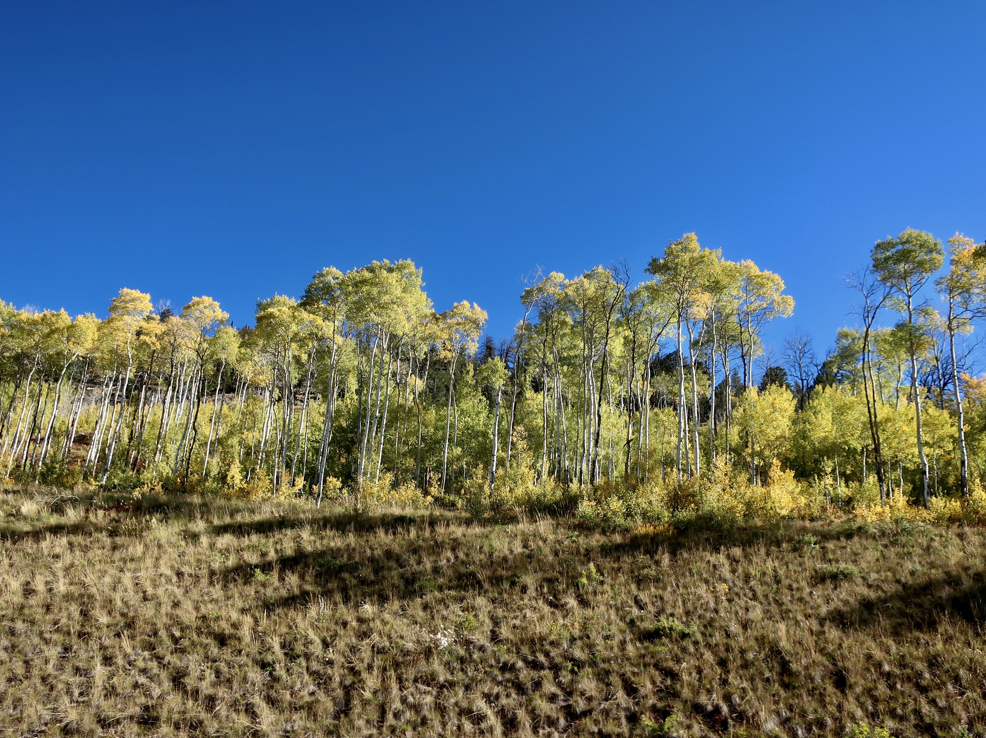
Aspens were also found near the pass. We were definitely being treated to fall colors.
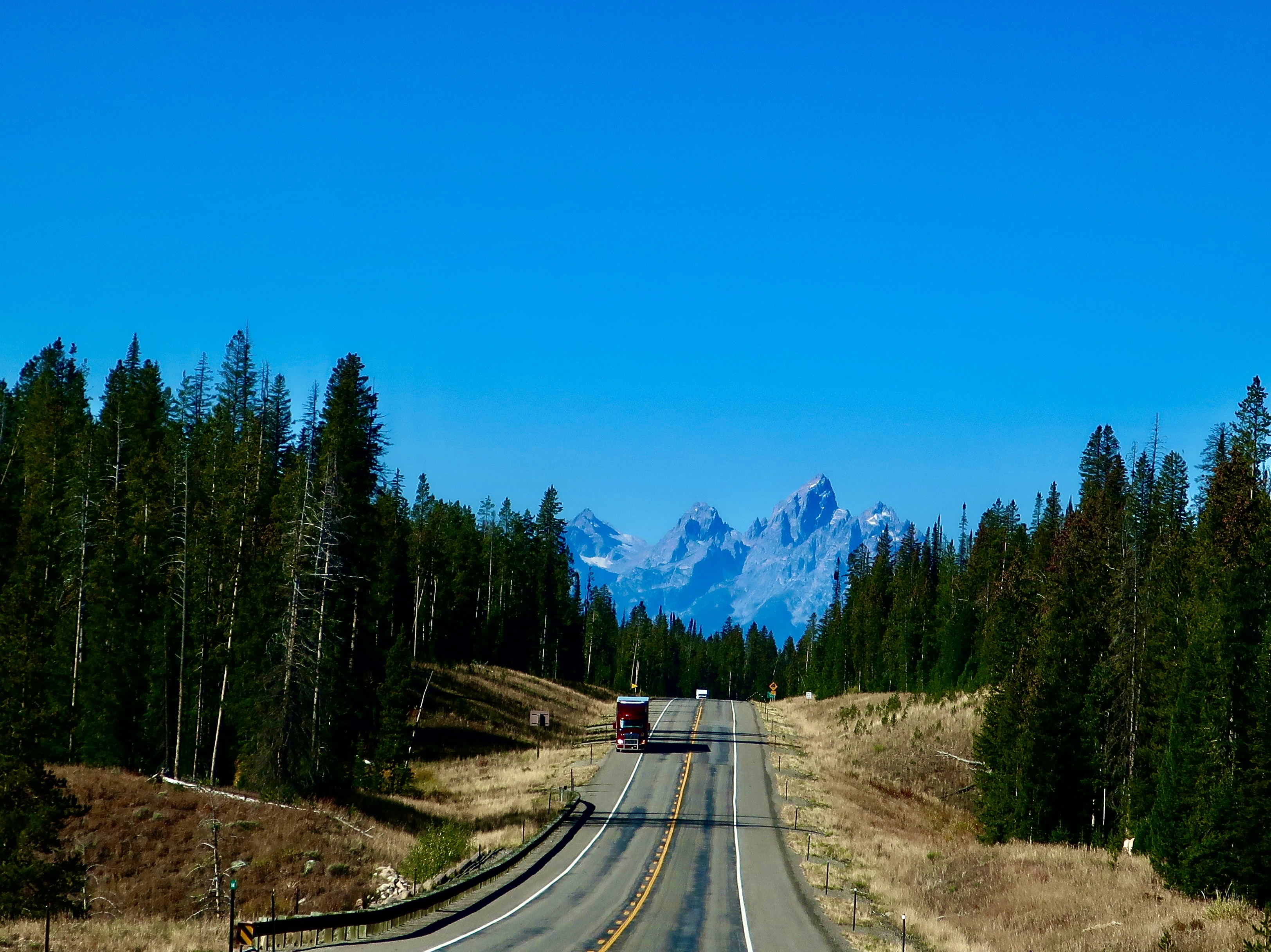
Our first view of the Tetons on Highway 26 coming down from the Continental Divide into Jackson Hole Valley.
They grew quickly in size and clarity.
A closer valley view of the southern Tetons.
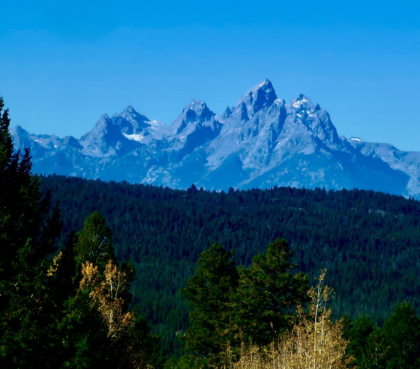
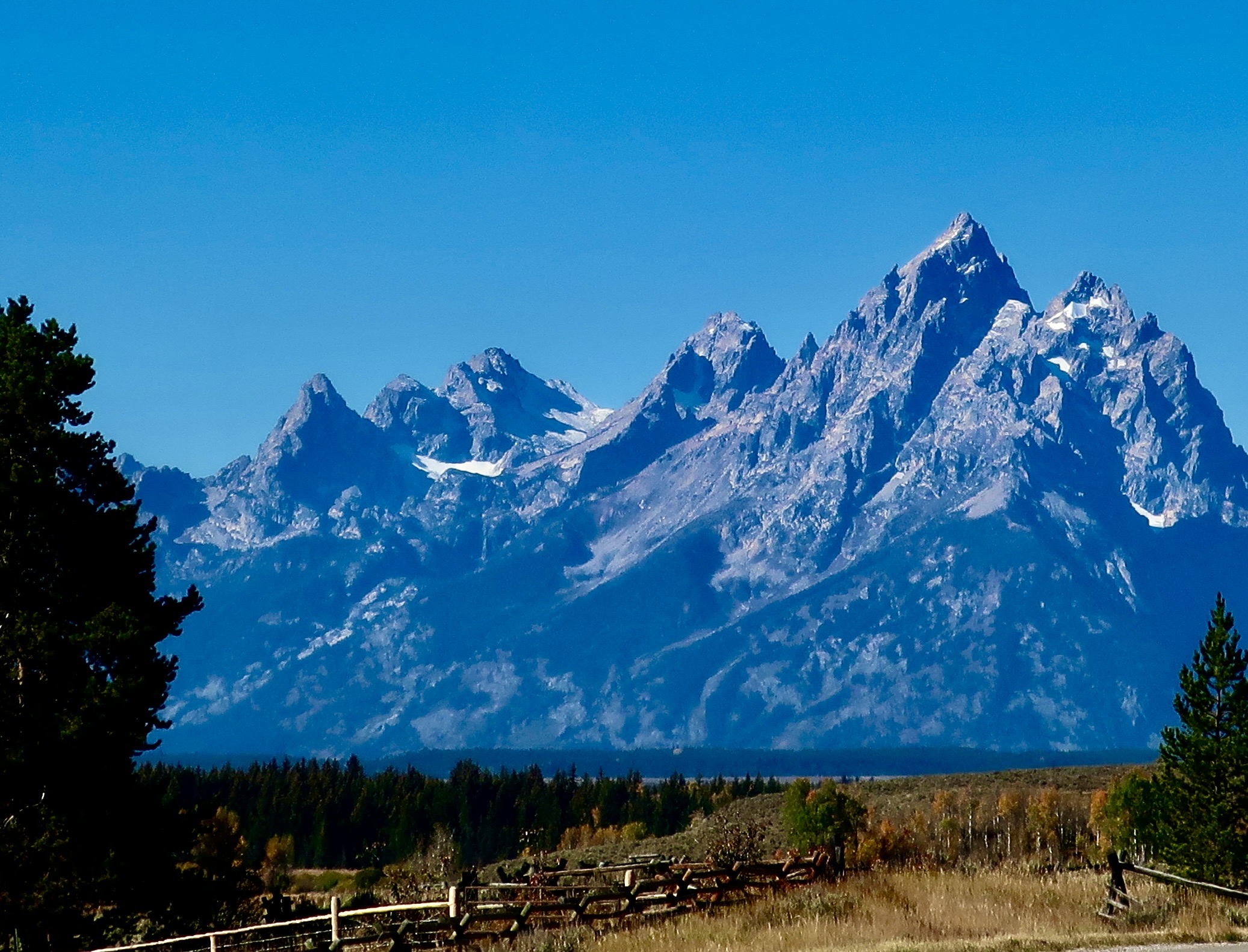
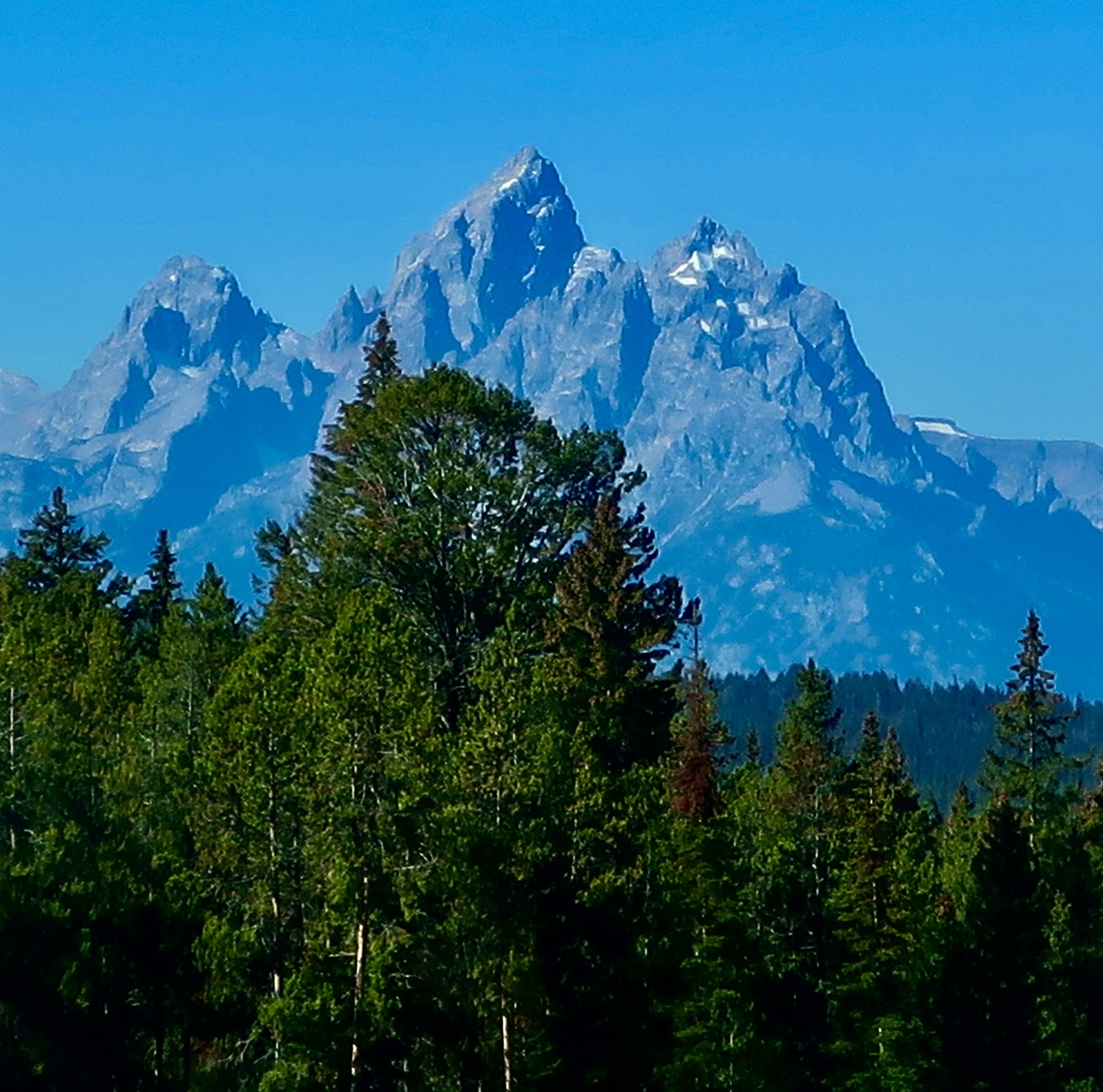
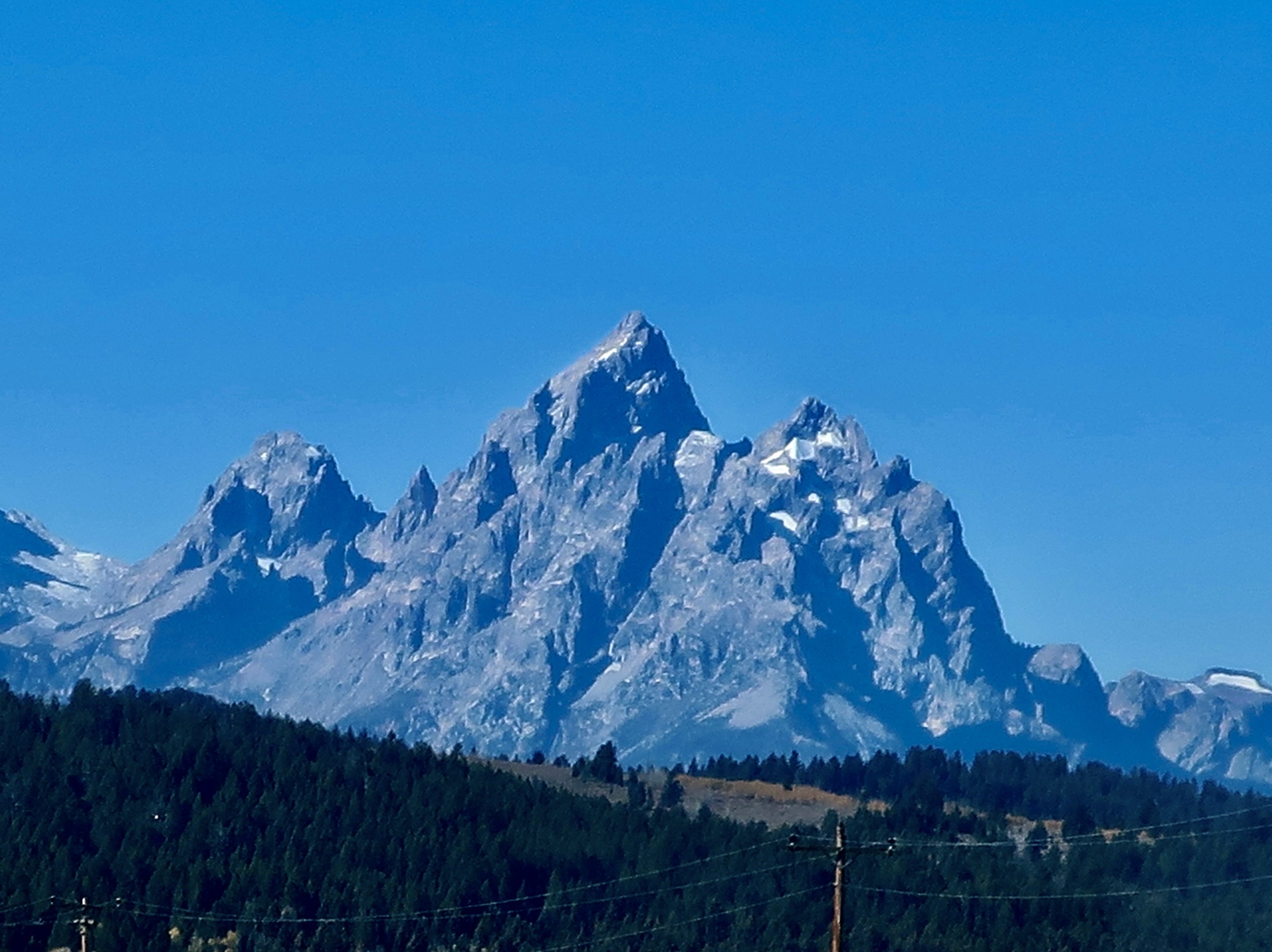
Now picture yourself as French fur trappers after a winter of being isolated all winter in a single room cabin without female companionship trapping beaver, and you come across your first view of these mountains in 1818. Legend has it that their reaction was something like, “Sacrebleu! Regardez les grand tétons! (Sacred Blue! Look at the great tits!)” Both their imagination and testosterone were running rampant. The mountain range and the future national park got its name. The center peak shown here is the Grand Teton of the park with an elevation 13, 776 feet (4200 meters).
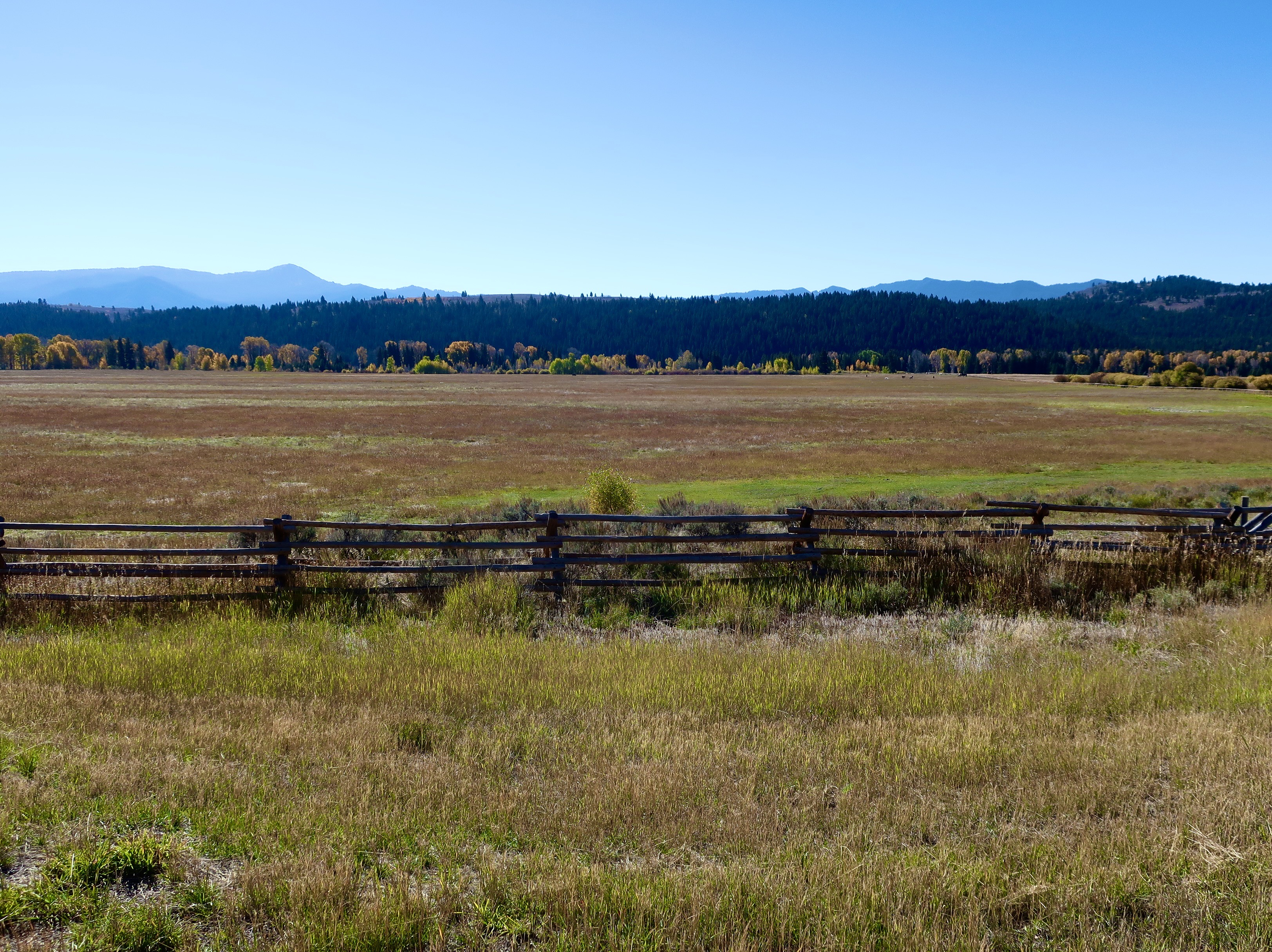
I thought this view of the Jackson Hole Valley was rather attractive and looking fall-ish.
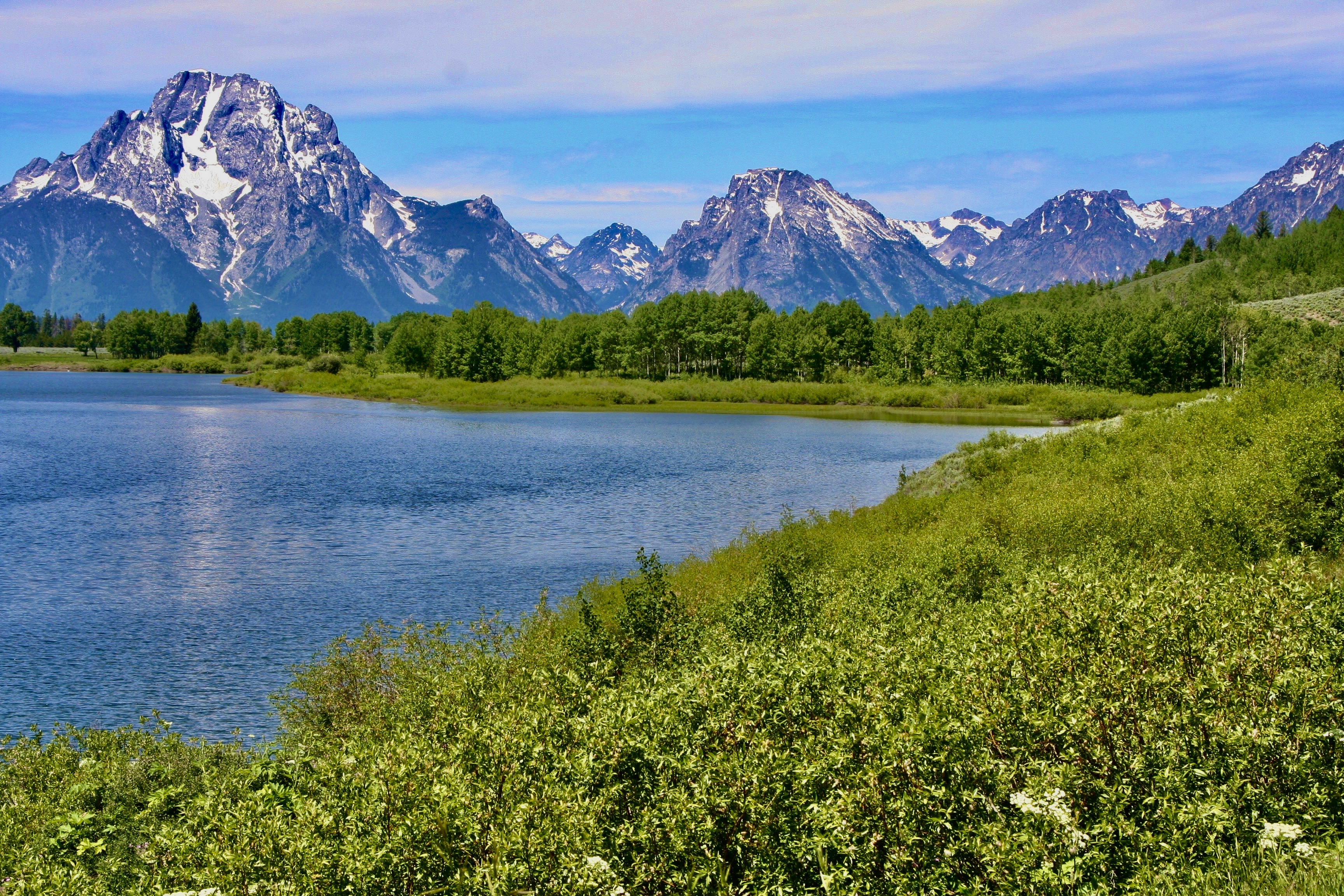
While the Teton Mountains are young, the rocks that make them up are some of the North America’s oldest, dating back some 2.7 billion years, before there was any life on earth. This photo was from an earlier trip we made to the park (July, 2009). No fall colors! This is looking toward the northern end of the park. The large mountain on the left is Mt. Moran.
A final photo of Grand Teton mountain.
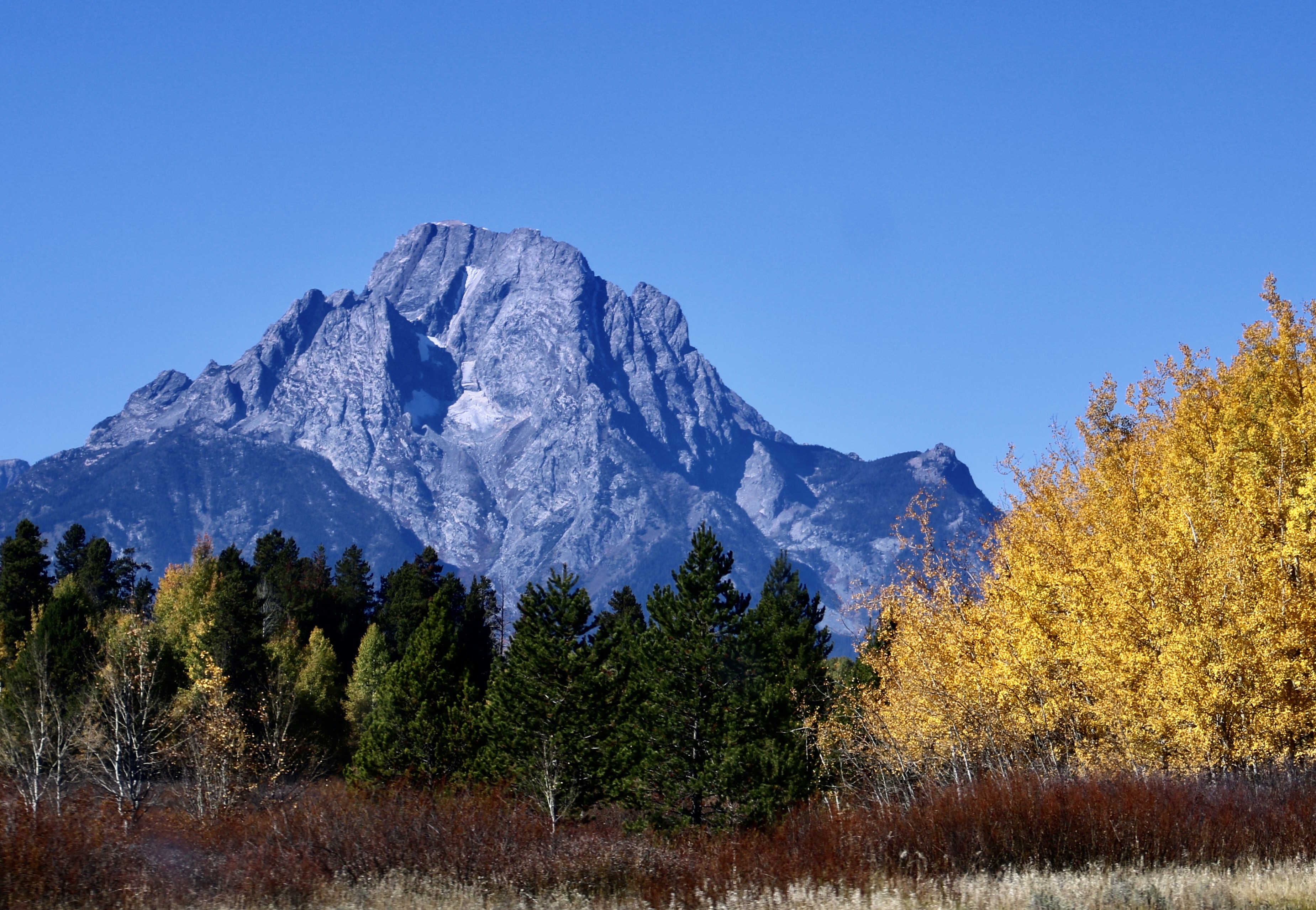
And a final photo of Mt. Moran. This wraps up our second national park out of 25. Next we will drive up the road from the Grand Tetons and visit Yellowstone National Park. But first— We’ve checked out the natural beauty of the Scottish Highlands; it’s time to check out some of the gorgeous landscaping and flowers of Scottish castles, parks and arboretums.
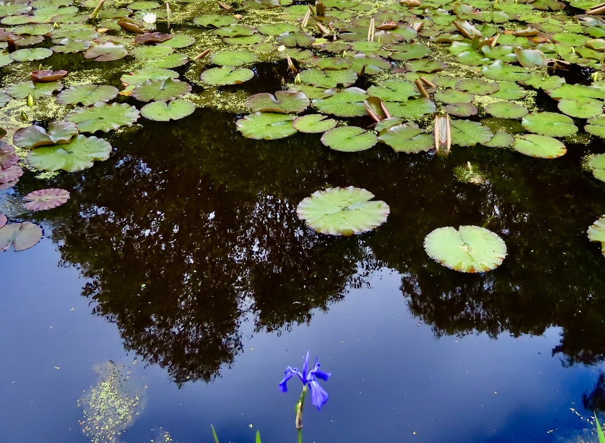
Water lily garden in Scottish Highlands.

A Rabid Wolf Wandered through Camp: The Wind River Mountains of Wyoming

The Wind River Mountains of Wyoming are a premier destination site for backpackers. A number of years ago I took six months off to backpack various locations in the western United States and added the area to my itinerary.

Mountain men were there first.

Place names such as Sublette County, Fremont Lake and the Bridger Wilderness recall these larger than life characters who were kept busy between the 1820s and 60s pursuing beavers, exploring the west, keeping their scalps, serving as guides, working as frontier entrepreneurs, and, in the case of John C. Fremont, running for President.

Many were also great storytellers and participated enthusiastically in the creation of their own legends.

One of the most popular locations for weaving tall tales was the Annual Fur Rendezvous that brought the various trappers together with suppliers out of St. Louis.

Six of the Rendezvous were held near the small town of Daniel, which is located on the Upper Green River 11 miles from Pineville. I stopped by and tried to imagine what the river valley would be like filled with over 1000 trappers, Indians, suppliers, missionaries, and wayward journalists.

The Mountain Men pursued their dangerous and often lonely profession during the winter when the fur pelts were at their best. The two to three-week Rendezvous in the summer was an opportunity to sell their furs, catch up with friends, gossip and resupply for another winter. It was also an excuse to party.

‘Whiskey,’ pure alcohol watered down and then flavored with tobacco, was passed around in a cooking kettle. Horse racing and shooting contests soon deteriorated to drunken debauchery. Old journals report the results.

One new guy was baptized by having a kettle of the alcohol poured over his head and lit on fire. A rabid wolf wandered through the camp and bit people at will. Several trappers were witnessed playing poker on a dead man’s body

A contract between William Ashley, the creator of the Rocky Mountain Rendezvous, and the trading firm of Jedediah Smith, David Jackson and William Sublette listed some 50 different items to be delivered to the Mountain Men.

Many of these items such as gunpowder, lead, beaver traps, and butcher knives related to their work. There were also cooking kettles, flour, sugar, allspice, dried fruit, coffee, grey cloth, and washing soap for every day living. Some items such as beads, ribbons, rings, bracelets and calico were probably trade goods for the Indians

As one might expect, ‘fourth proof rum’ (80 % pure), regular tobacco and the more high quality Smith River Tobacco were included for long, lonely nights. Slaves were producing the Smith River Tobacco in Virginia at the time.

Reviewing what the Mountain Men carried with them into the mountains led me to look at my own backpacking list. It appears life is more complicated today. My list contains over 60 items and I rarely travel for more than seven to ten days without checking back into civilization!

But then again, the Mountain Men apparently didn’t worry about such niceties as toilet paper and toothpaste, not to mention maps and reading material. They also shot much of what they ate.

Wednesday’s Blog: “There’s a Beaver Standing on My Tent.” I have my own mountain man experience.