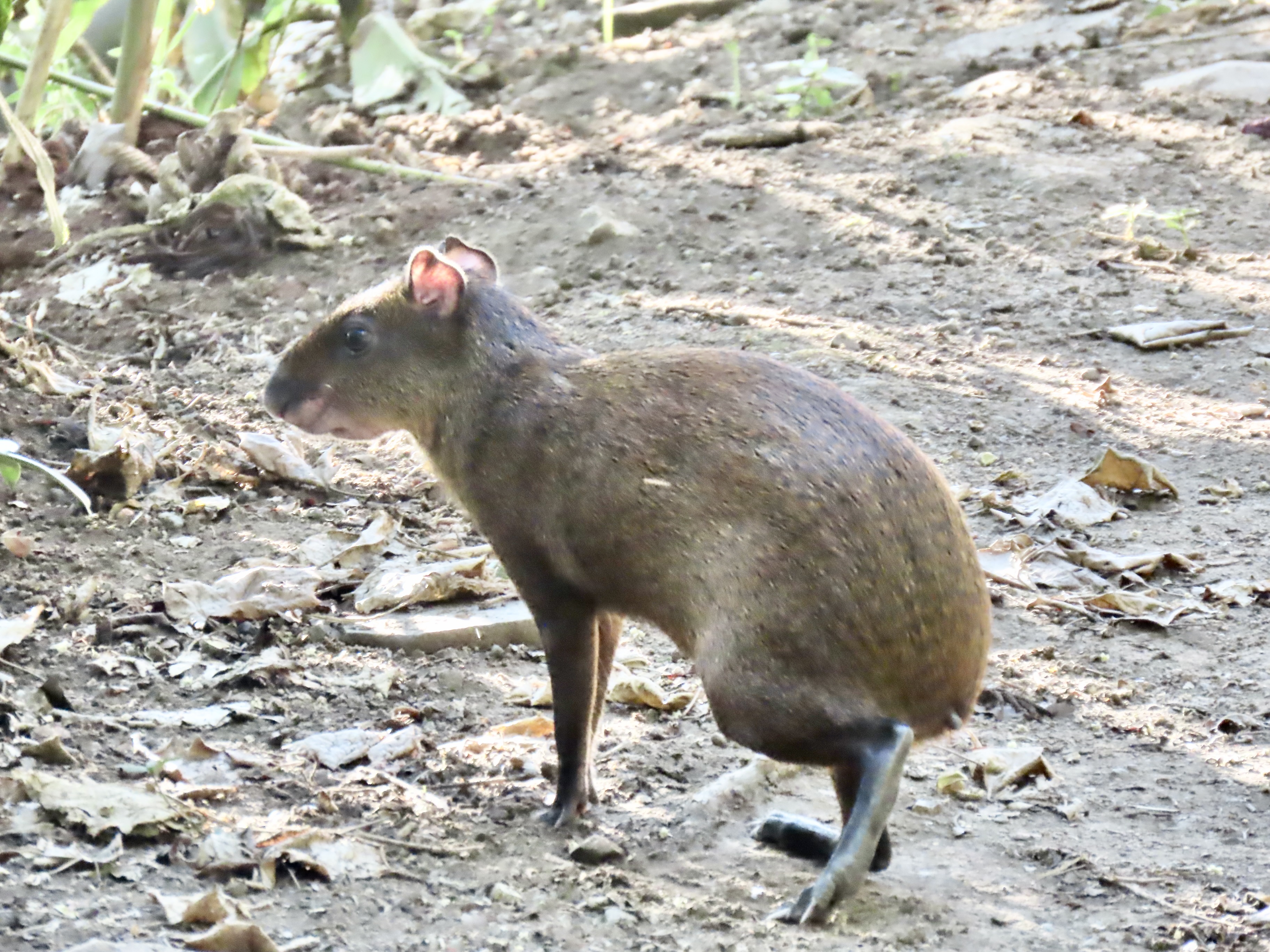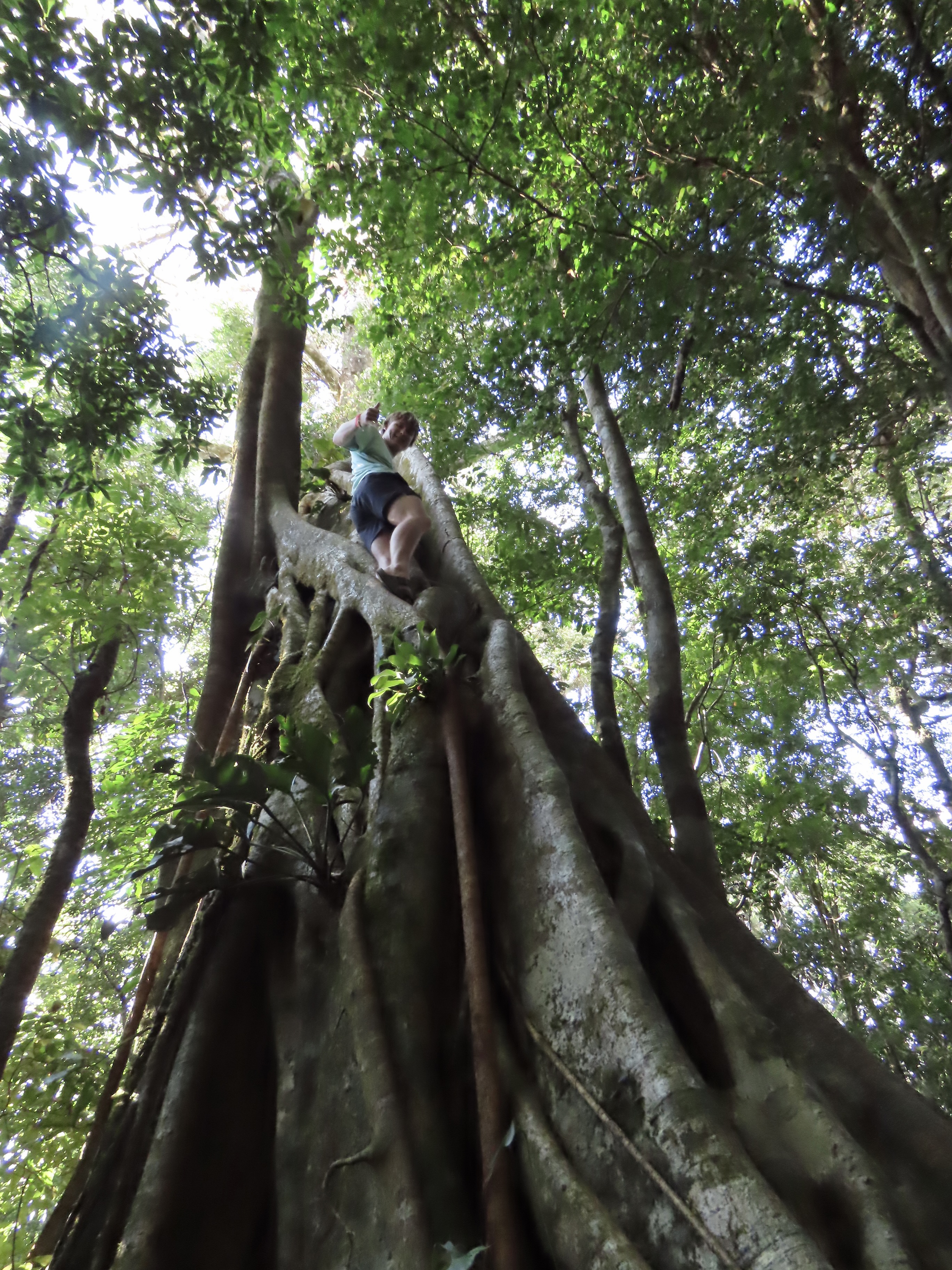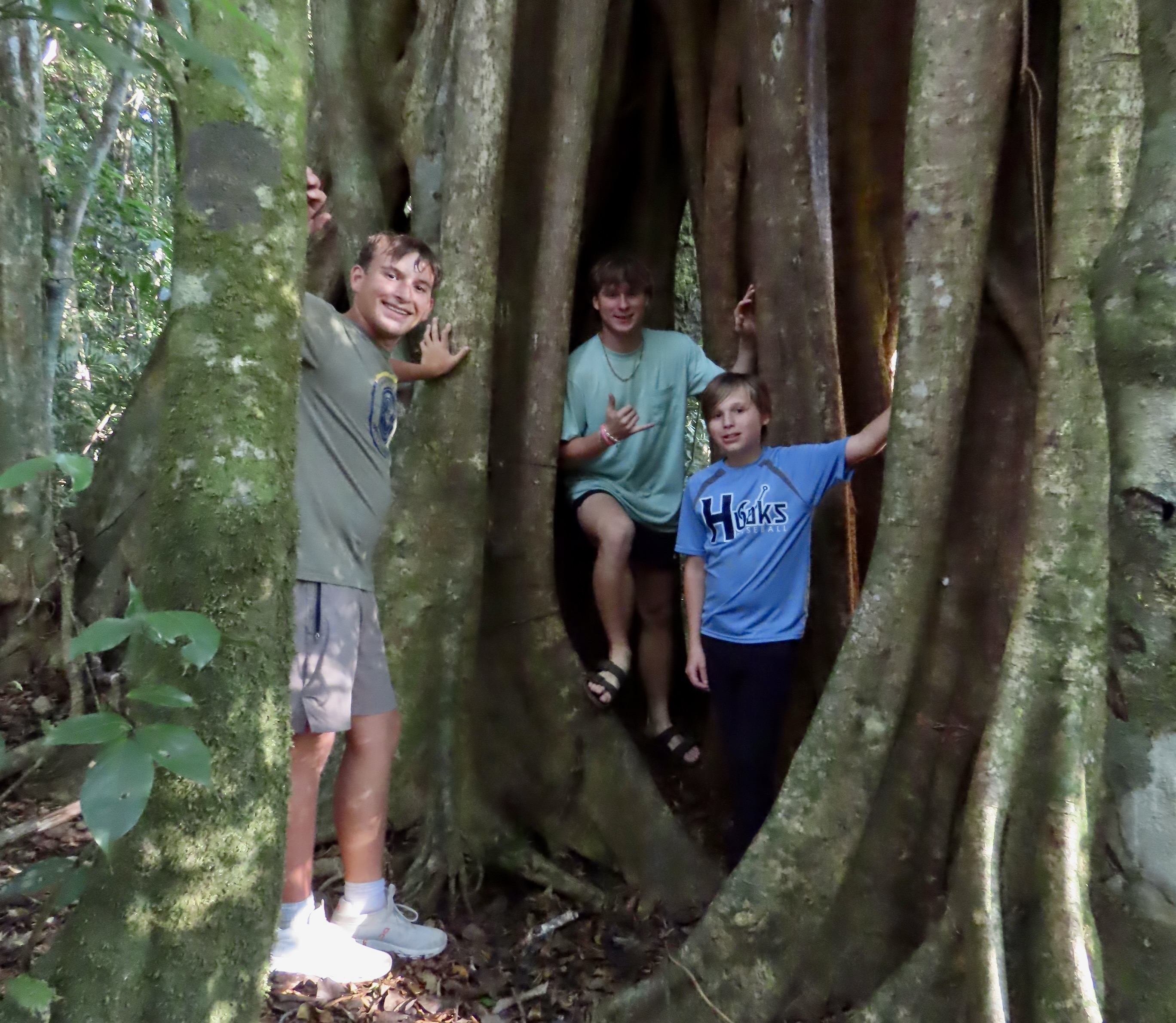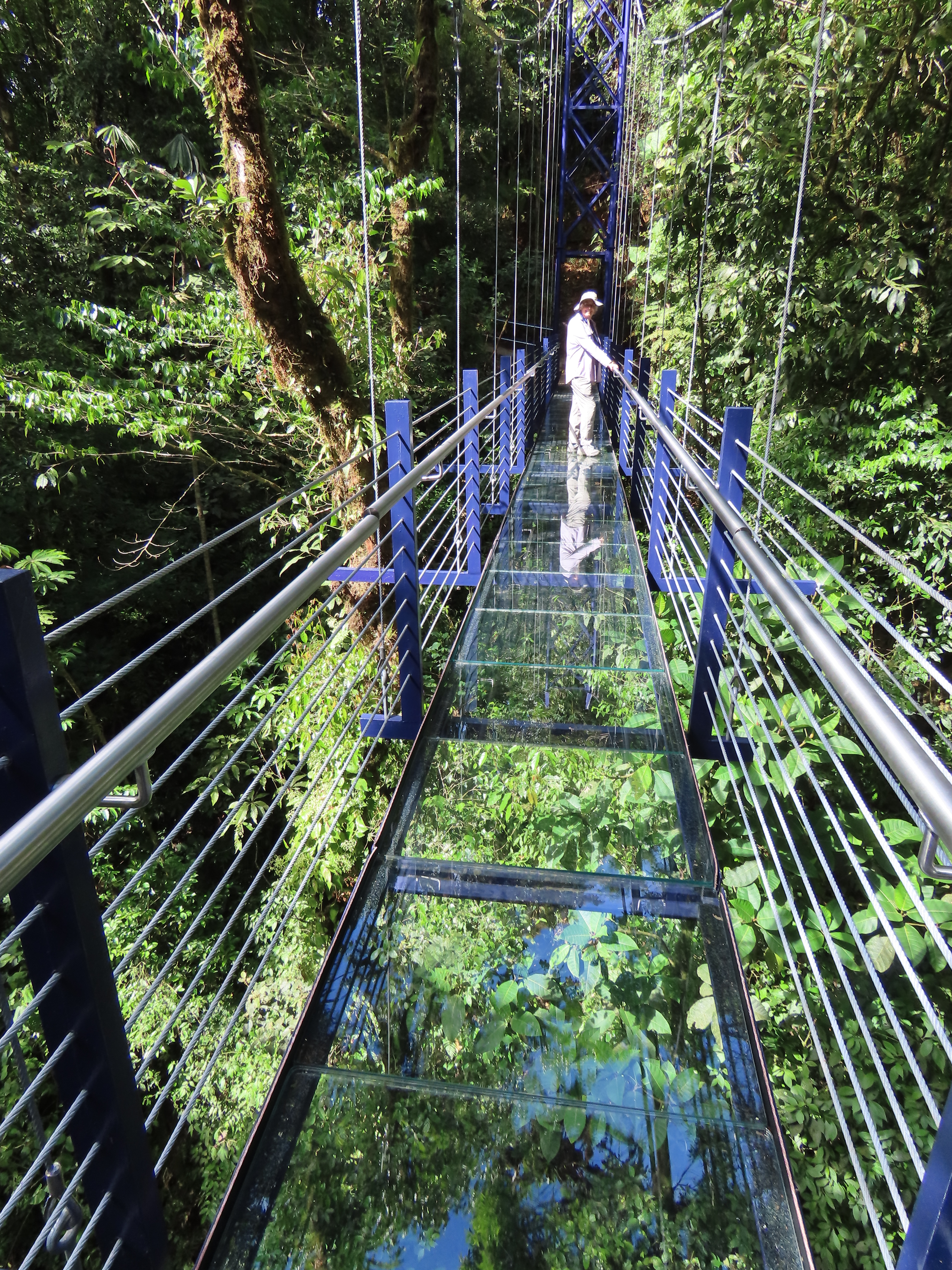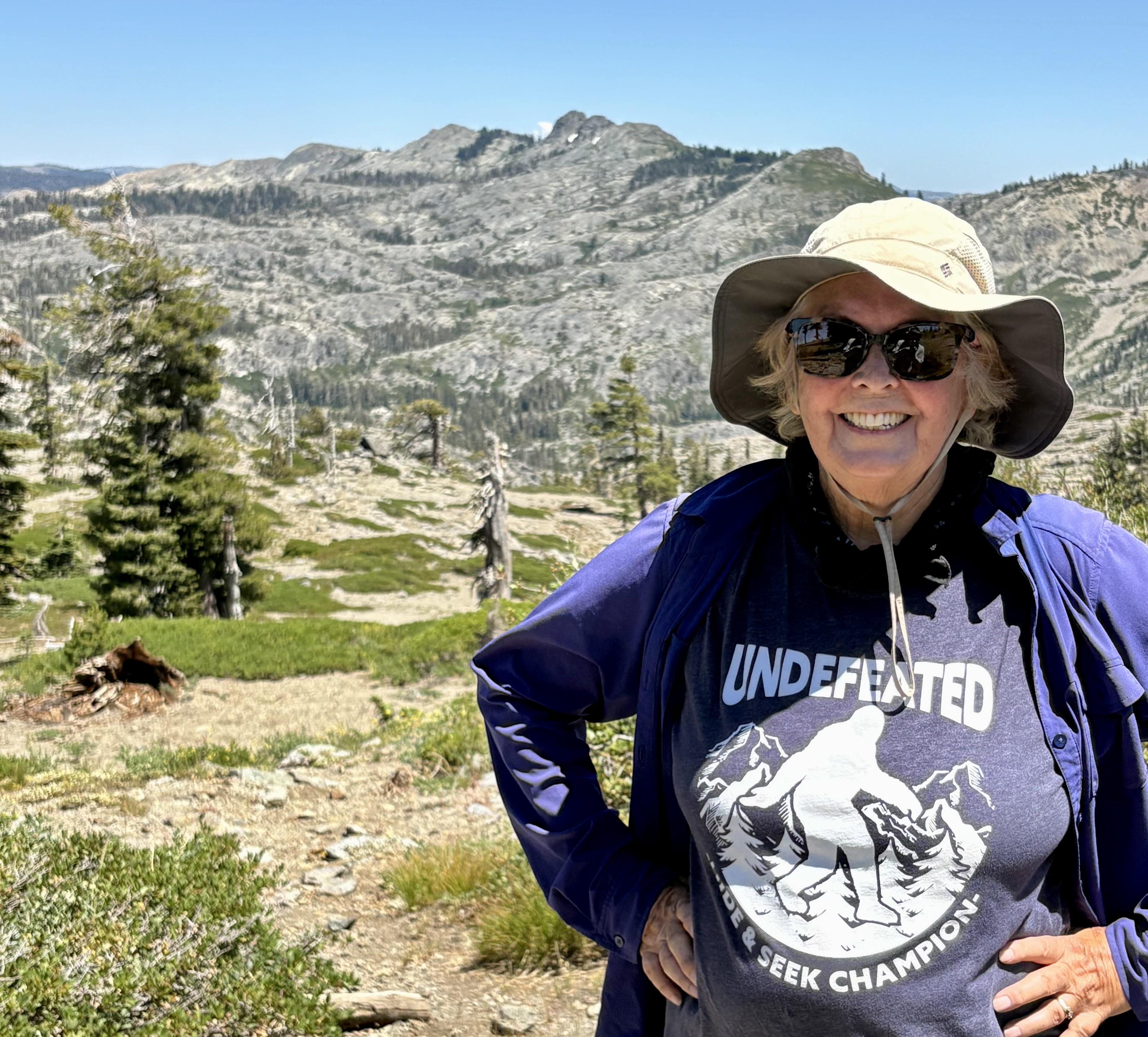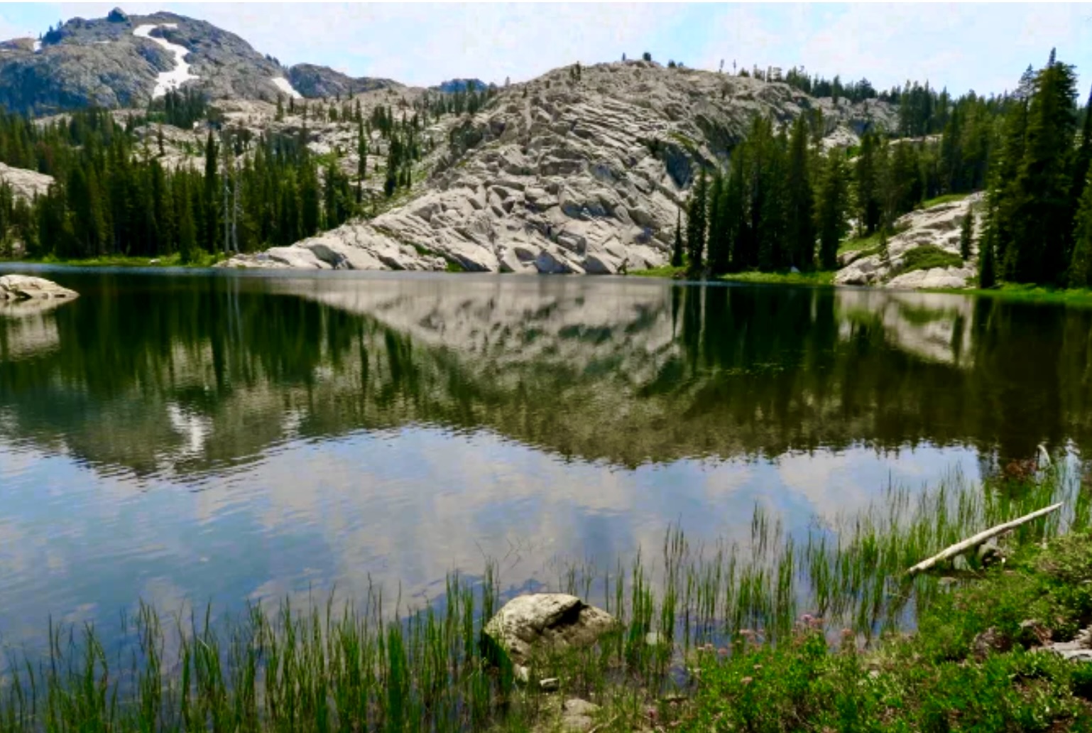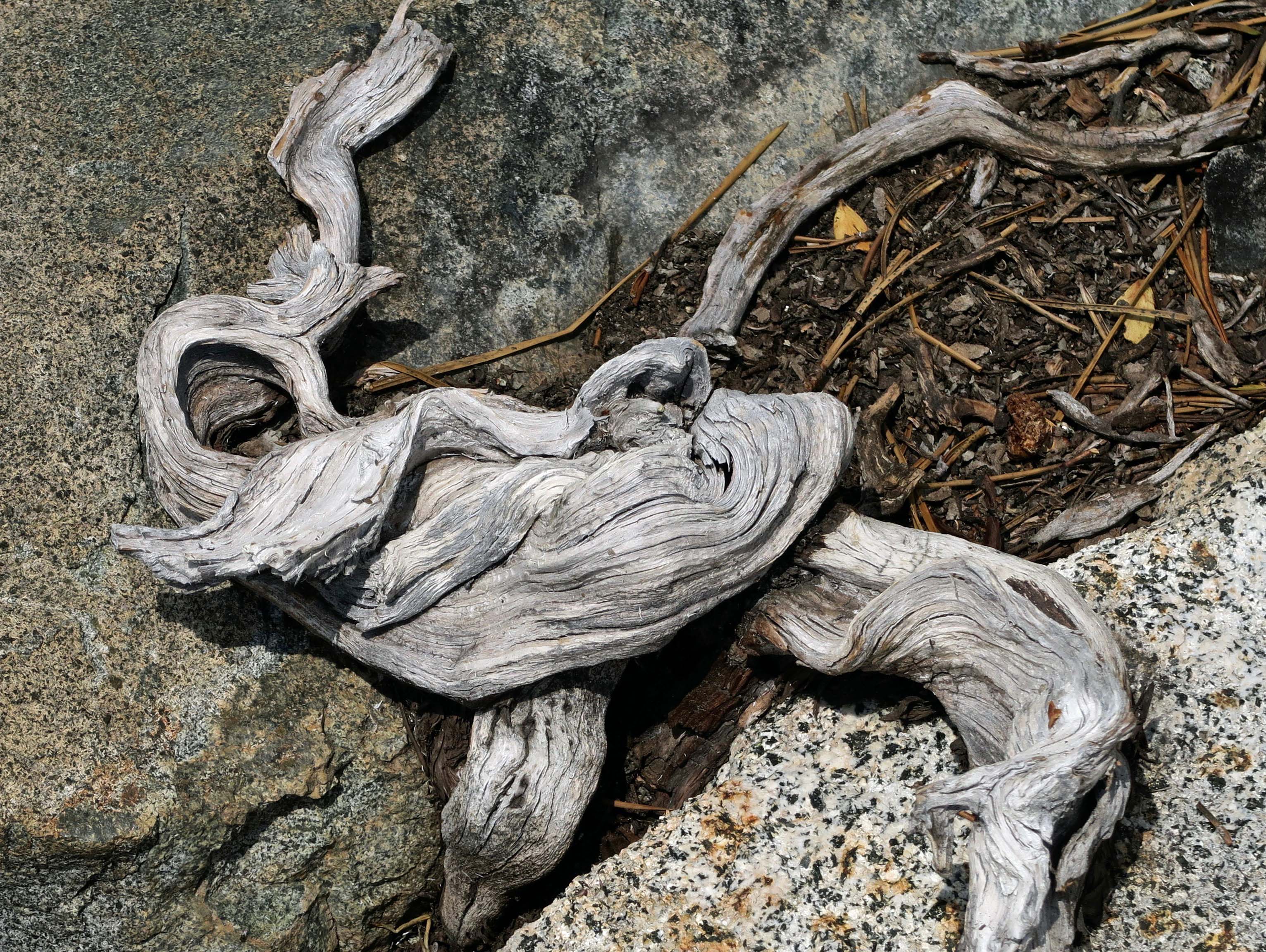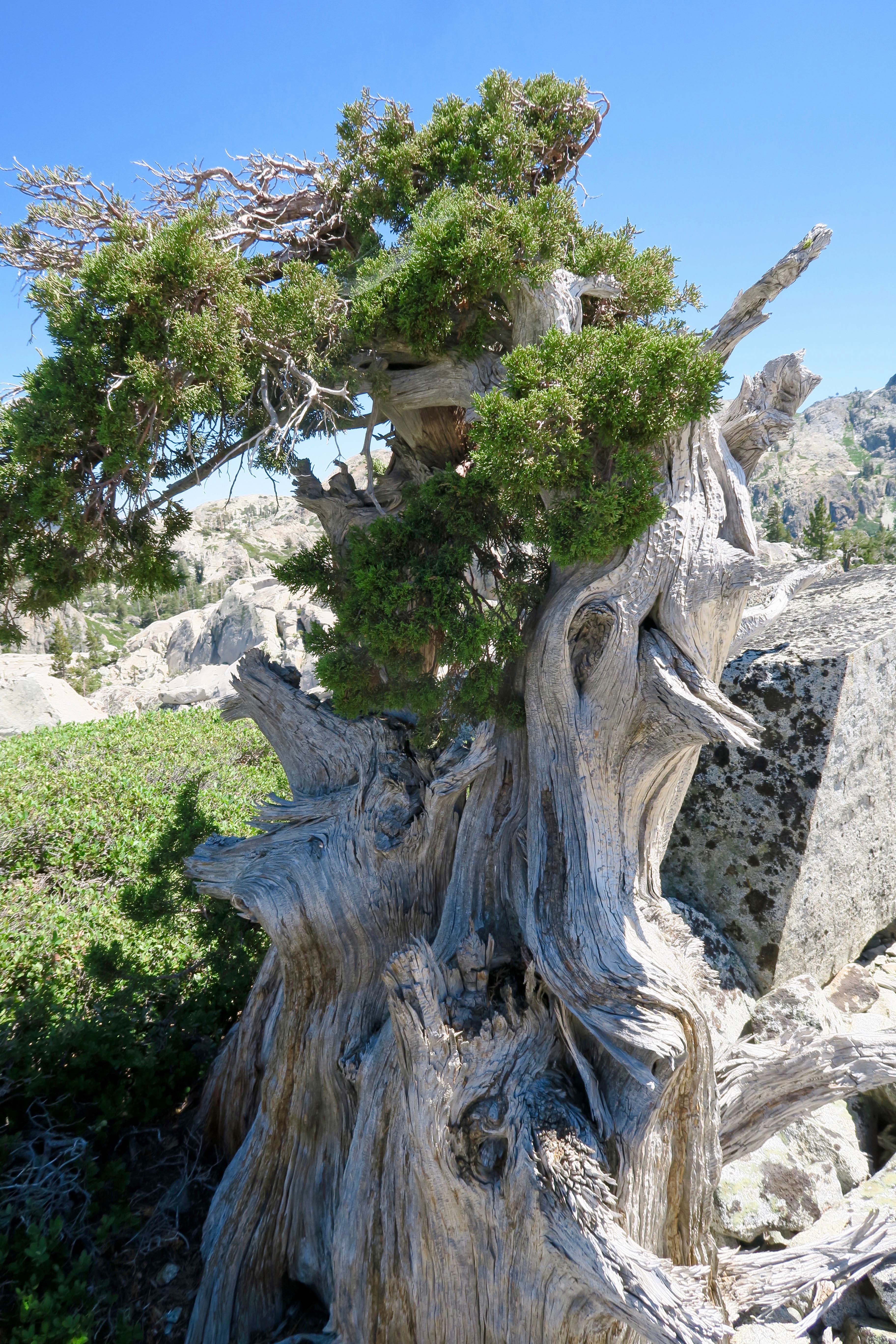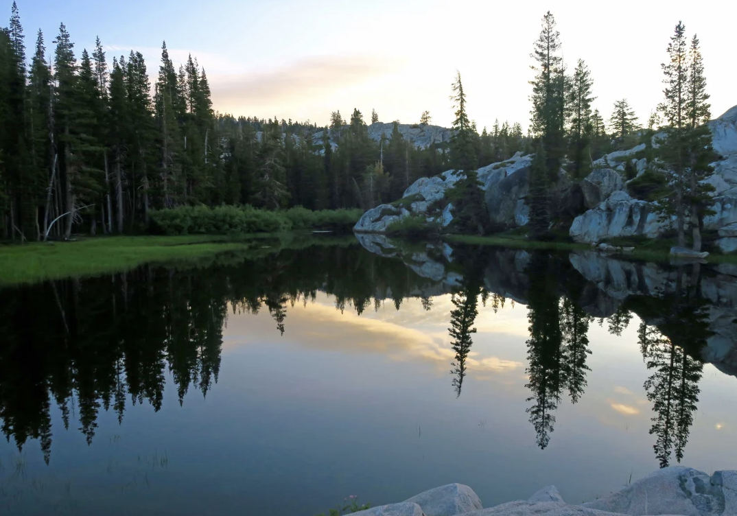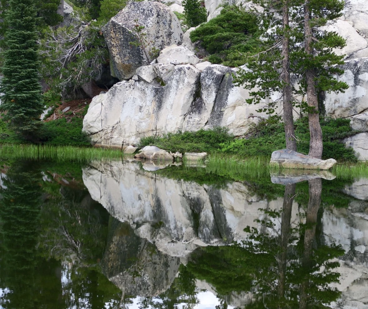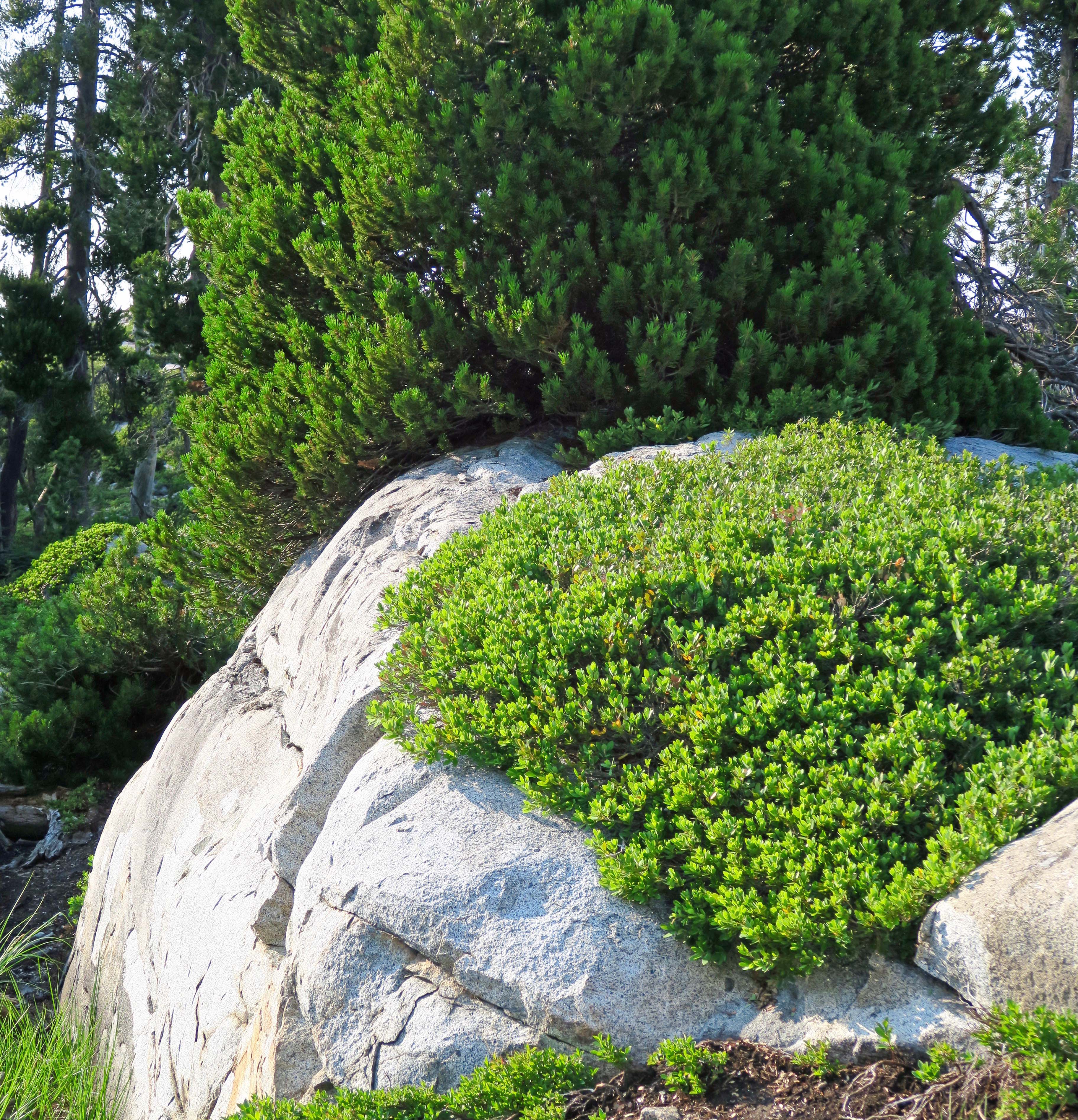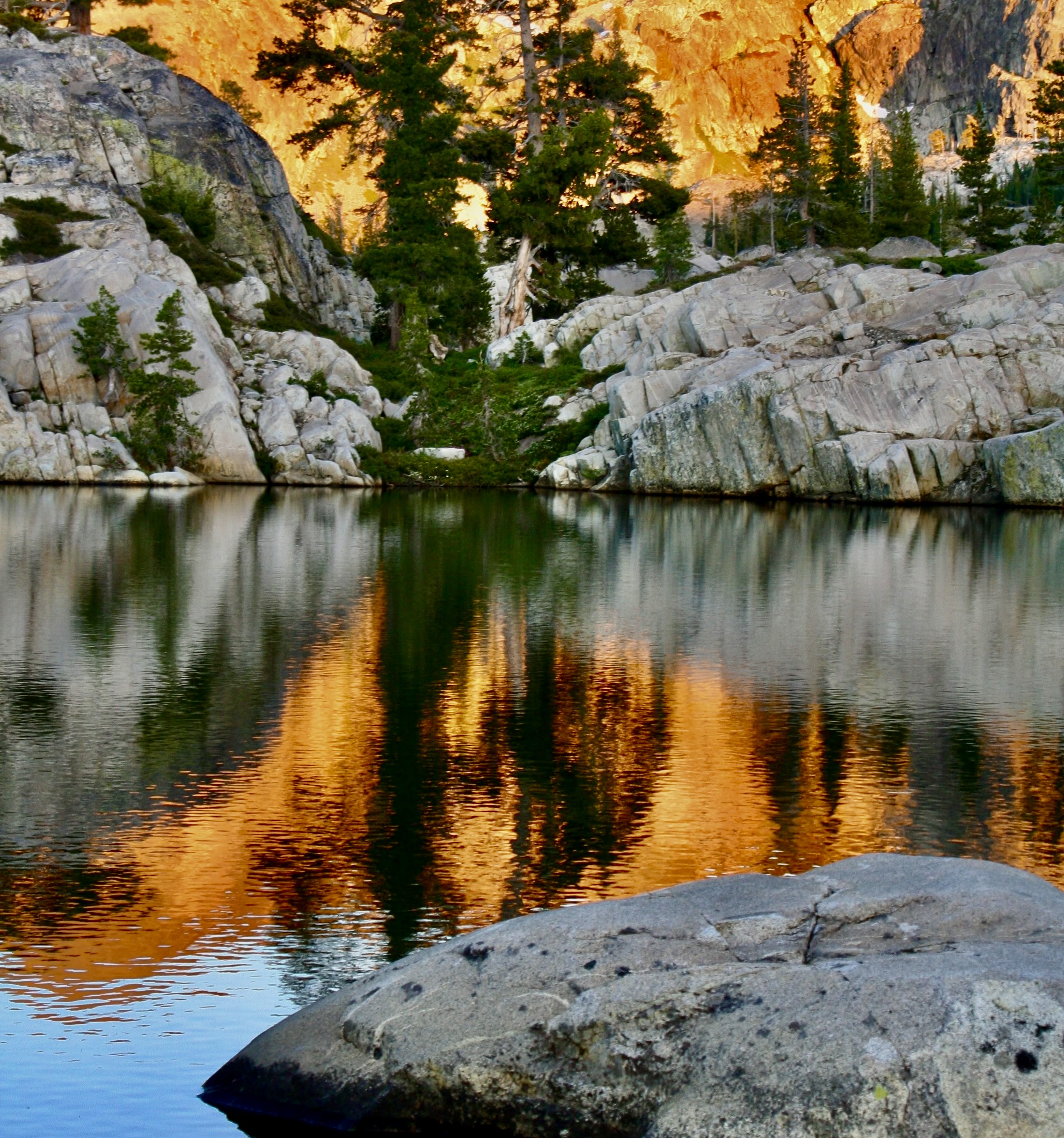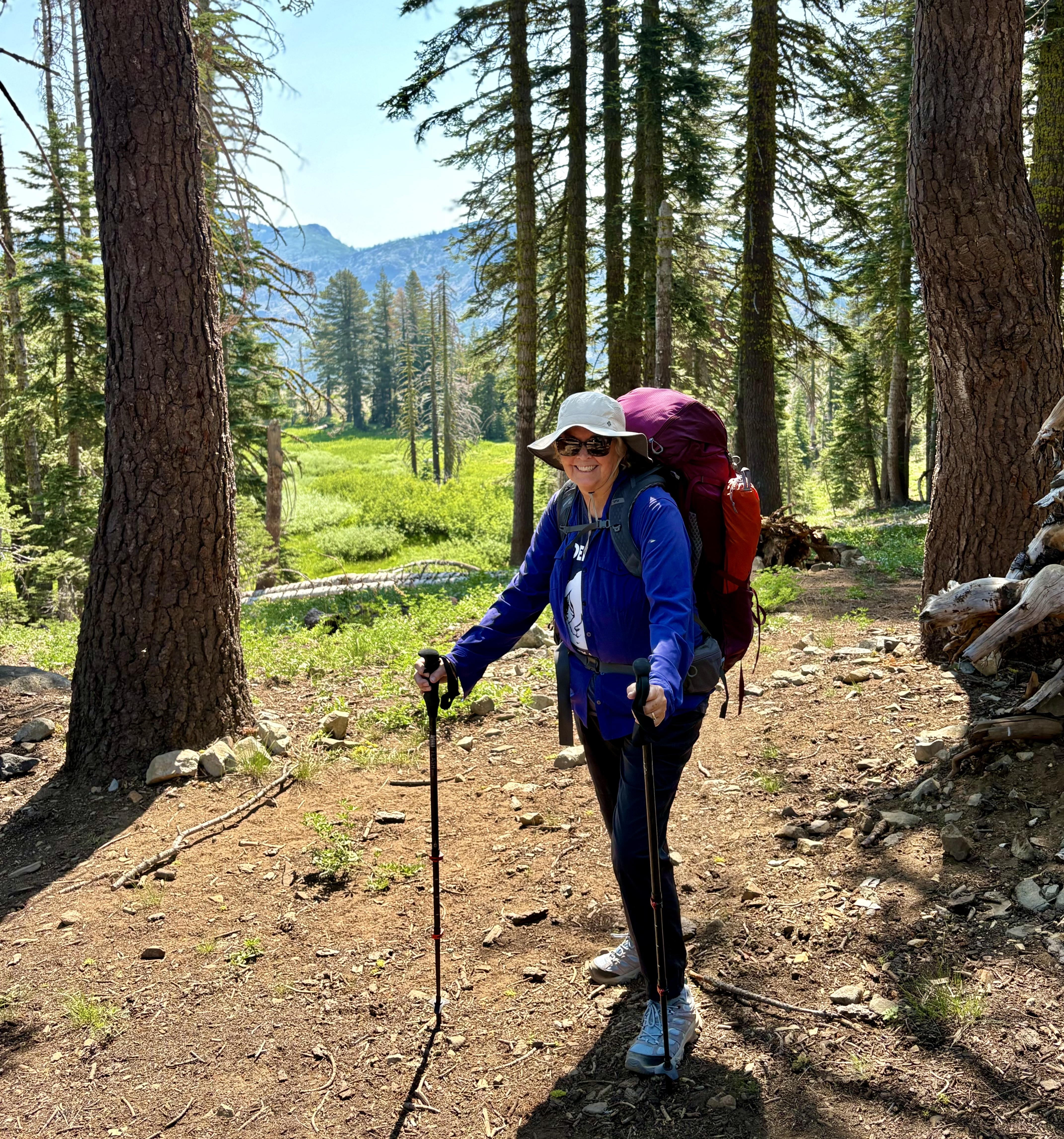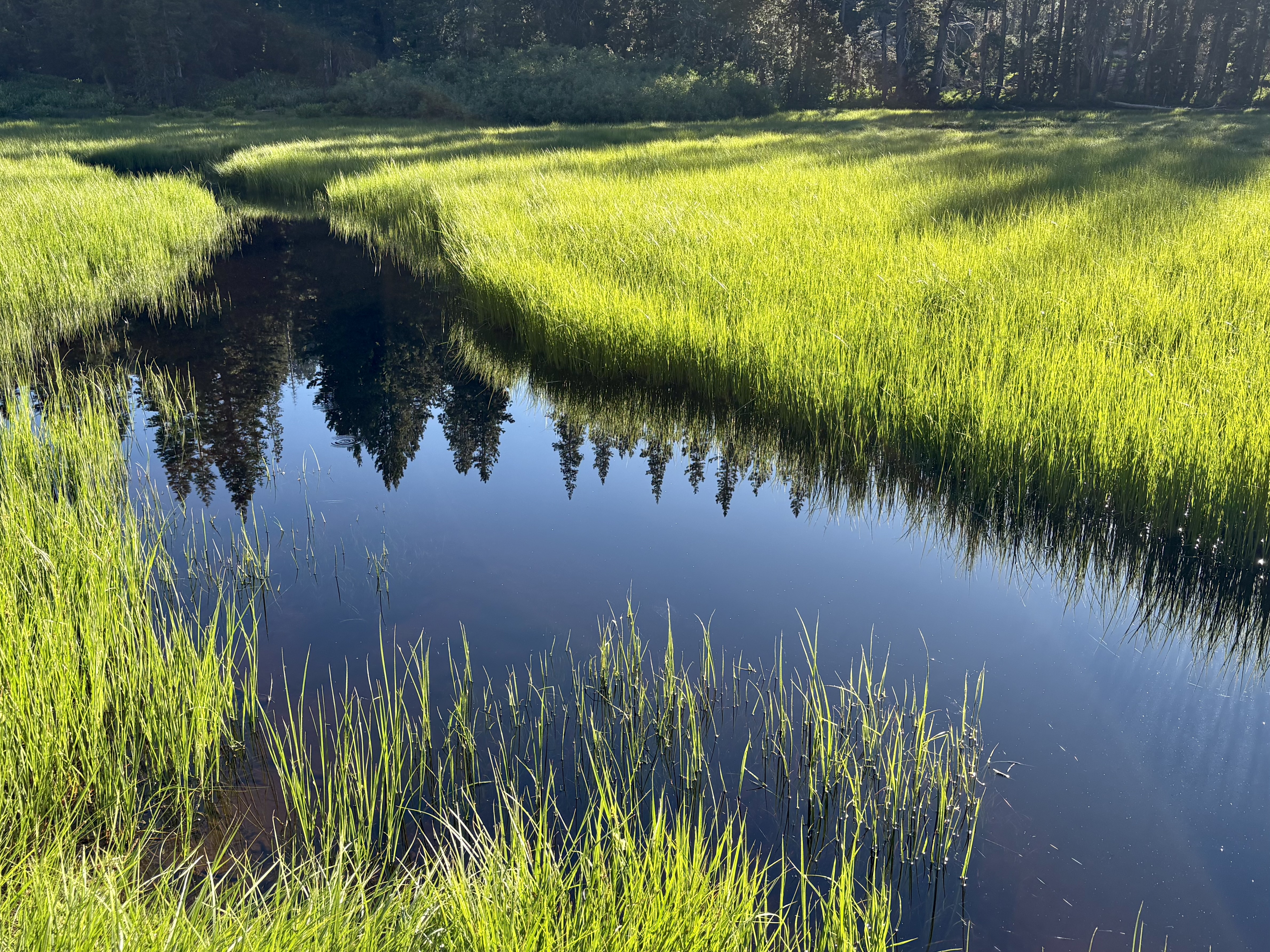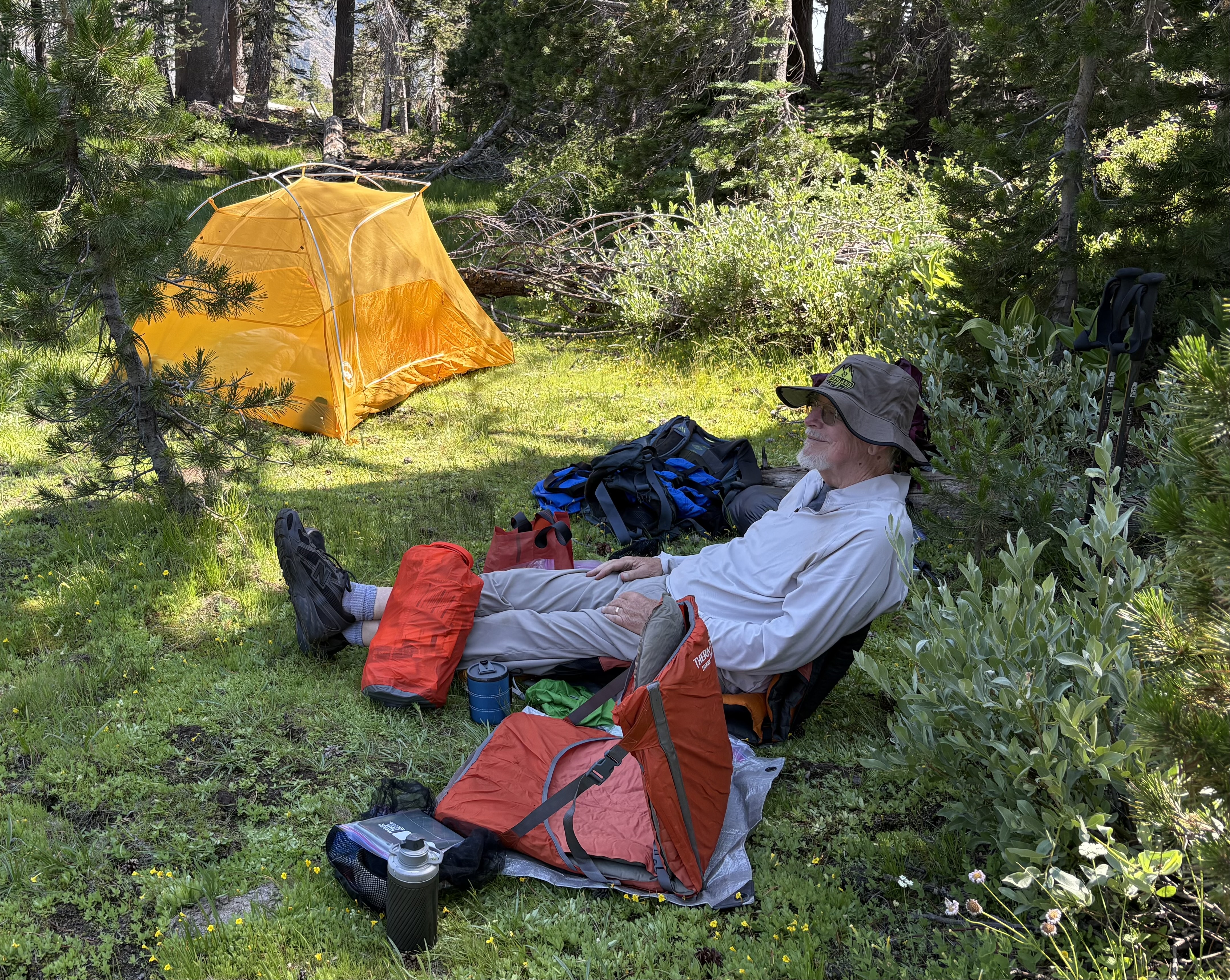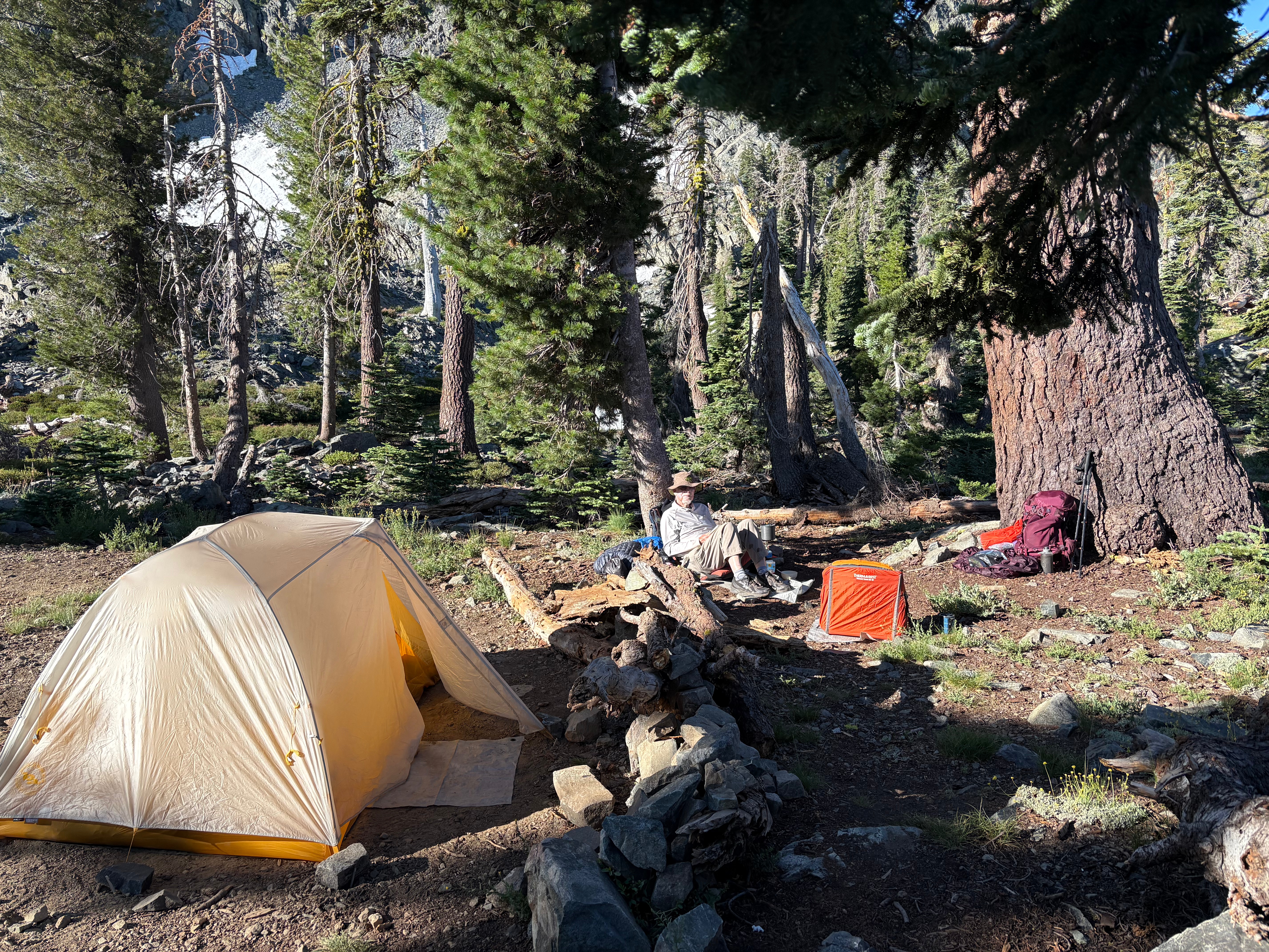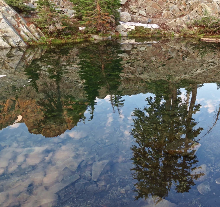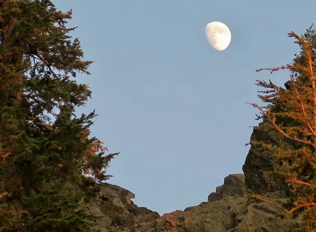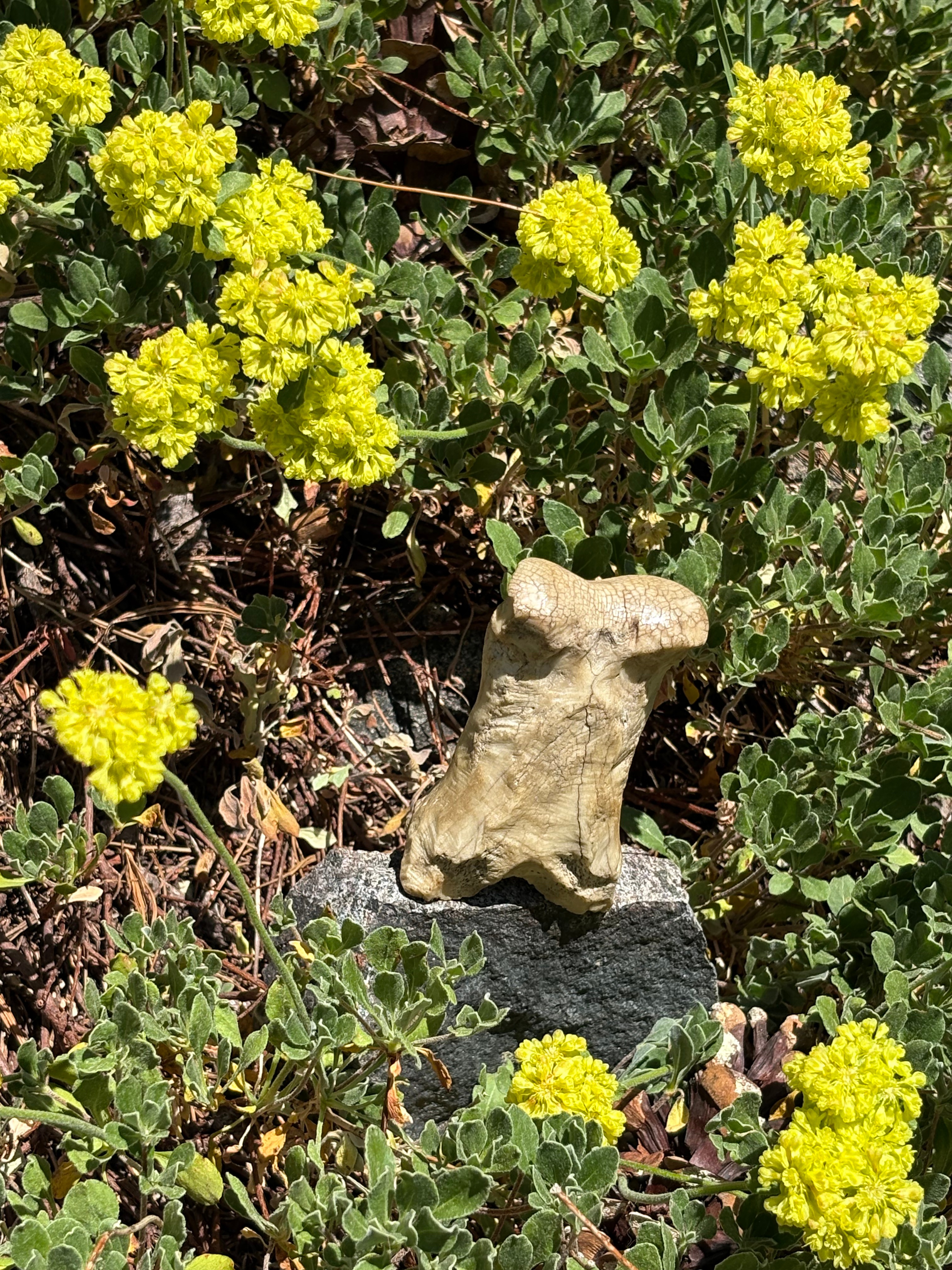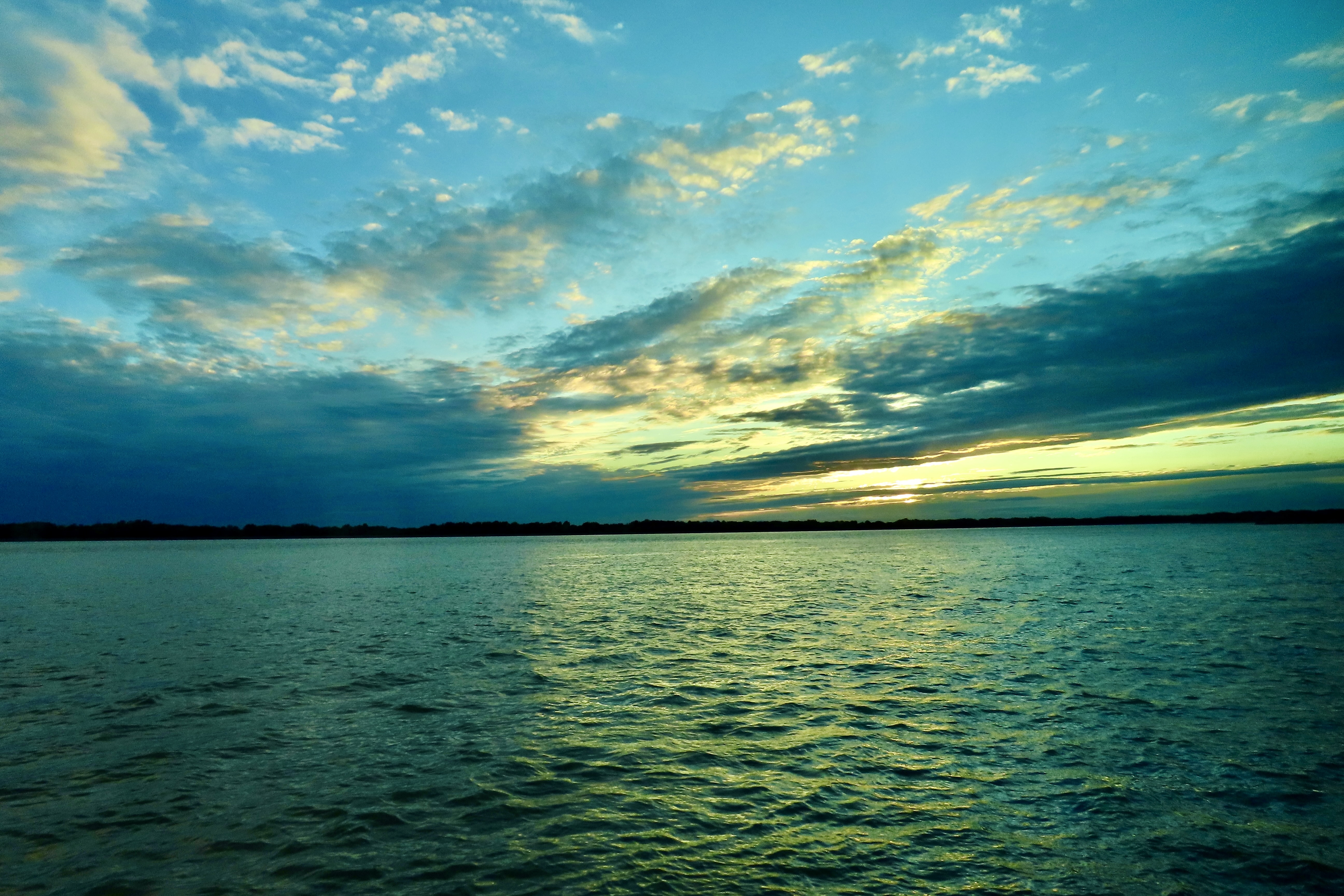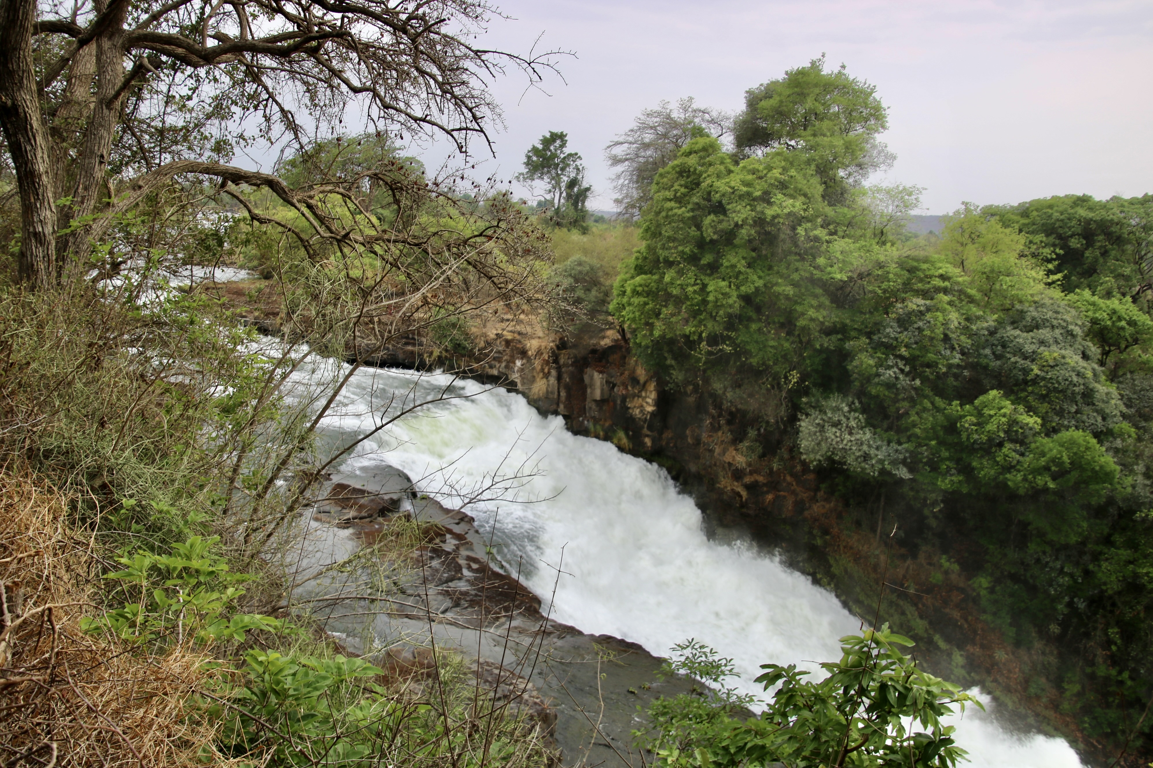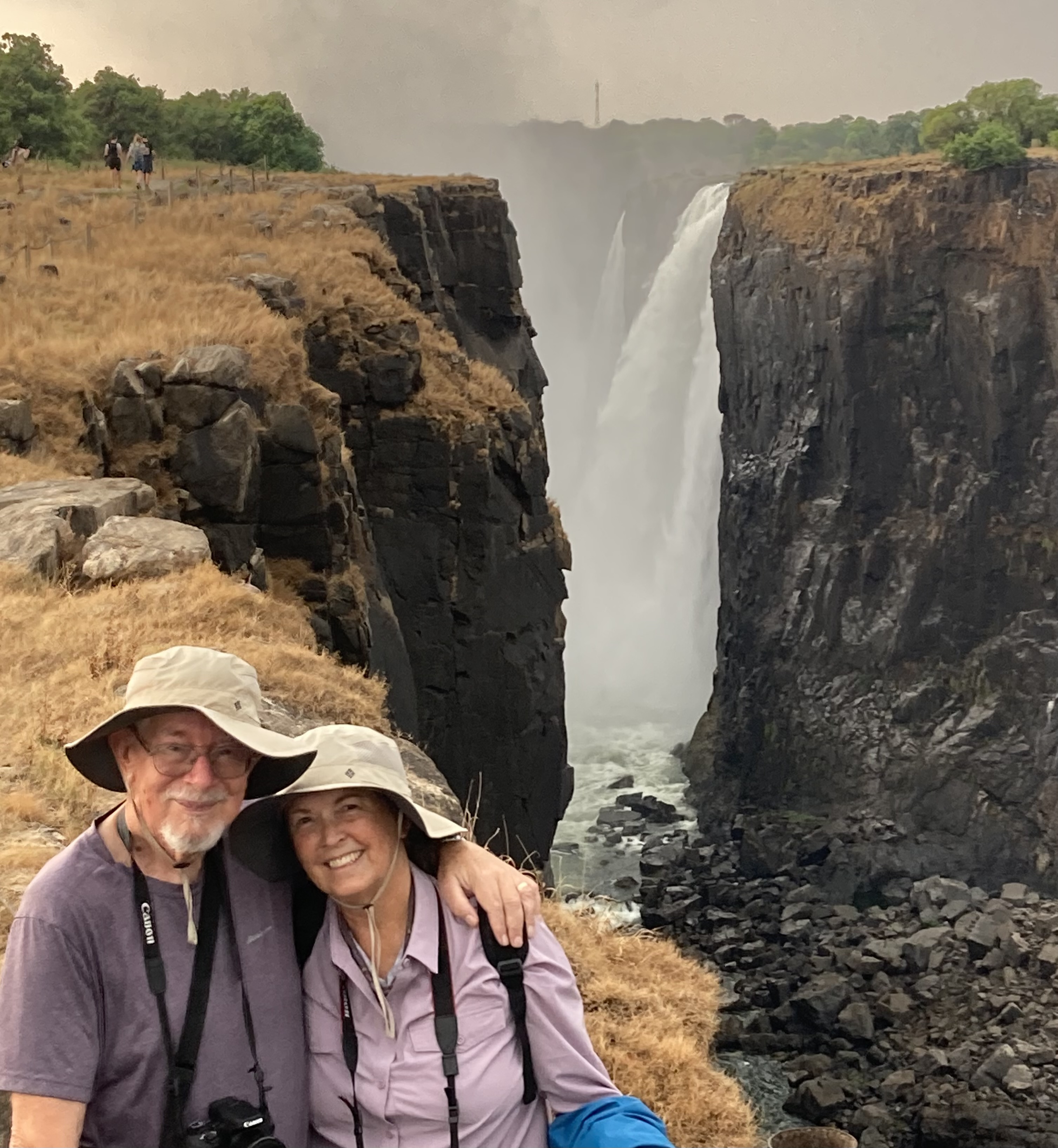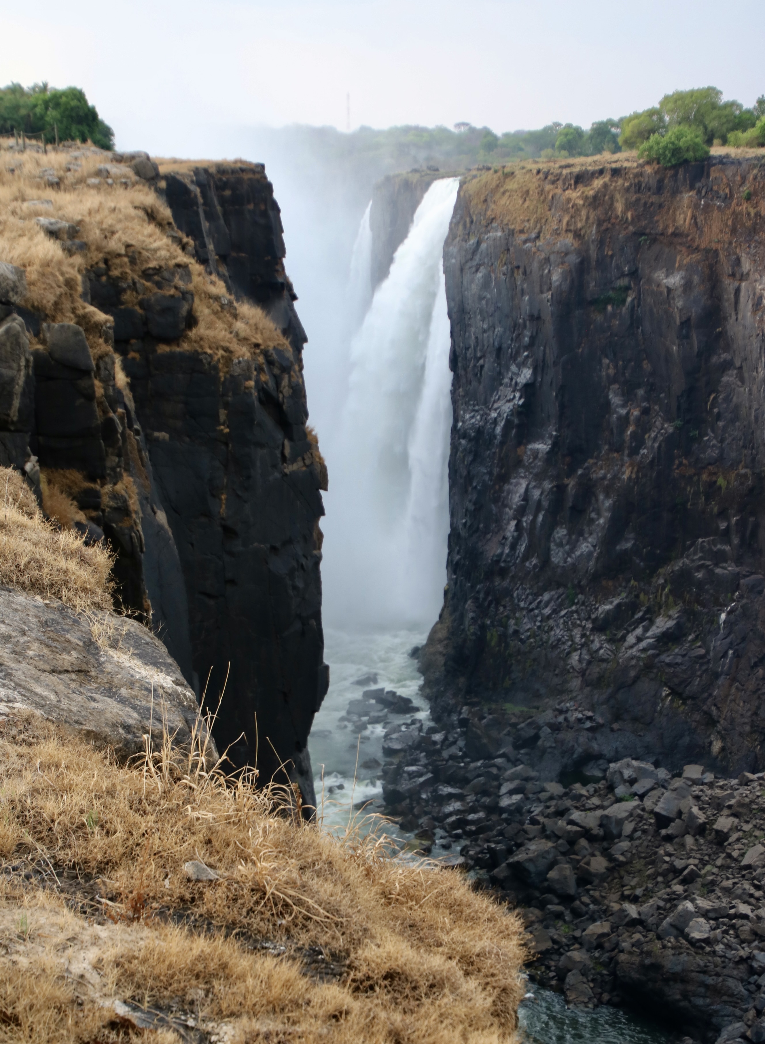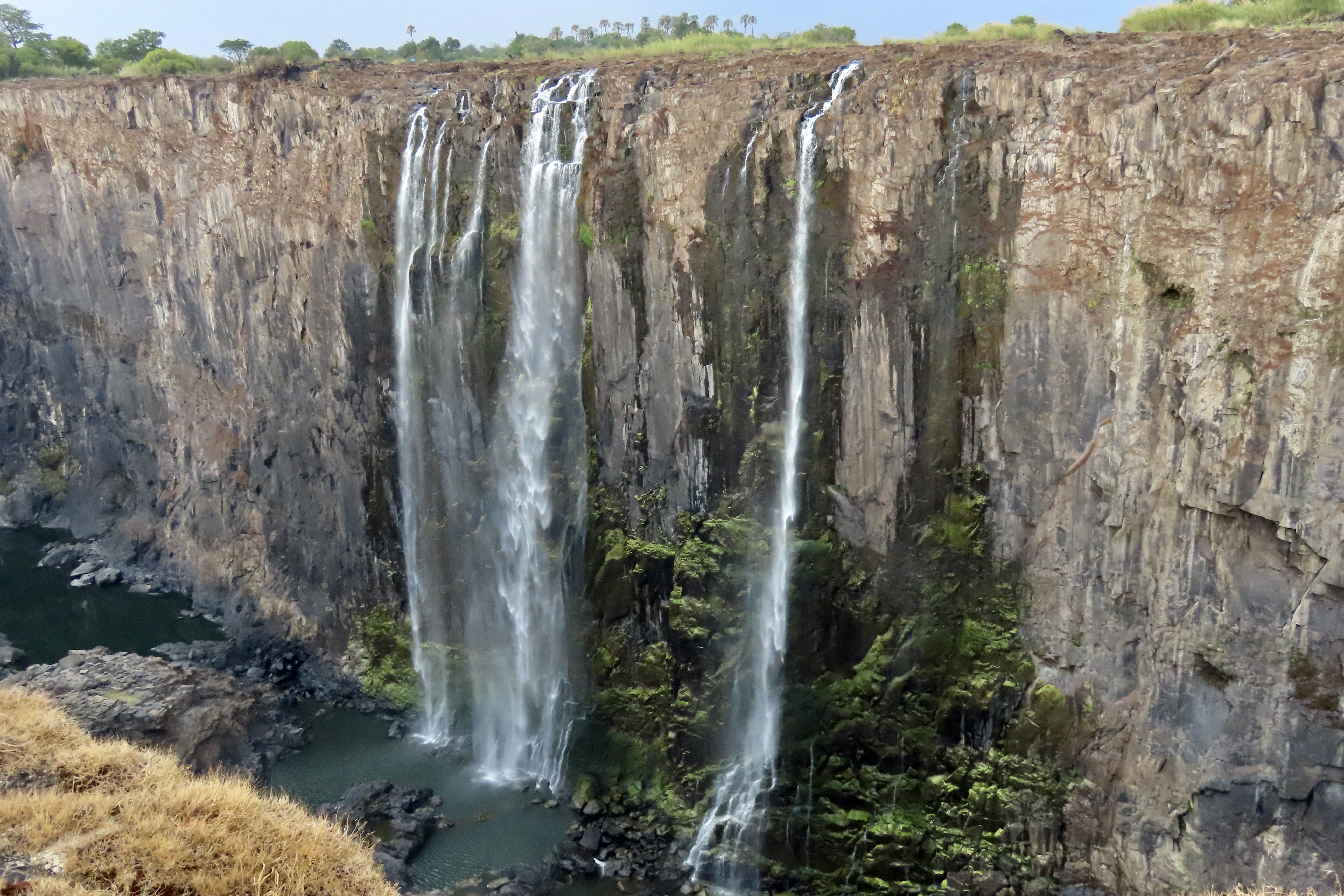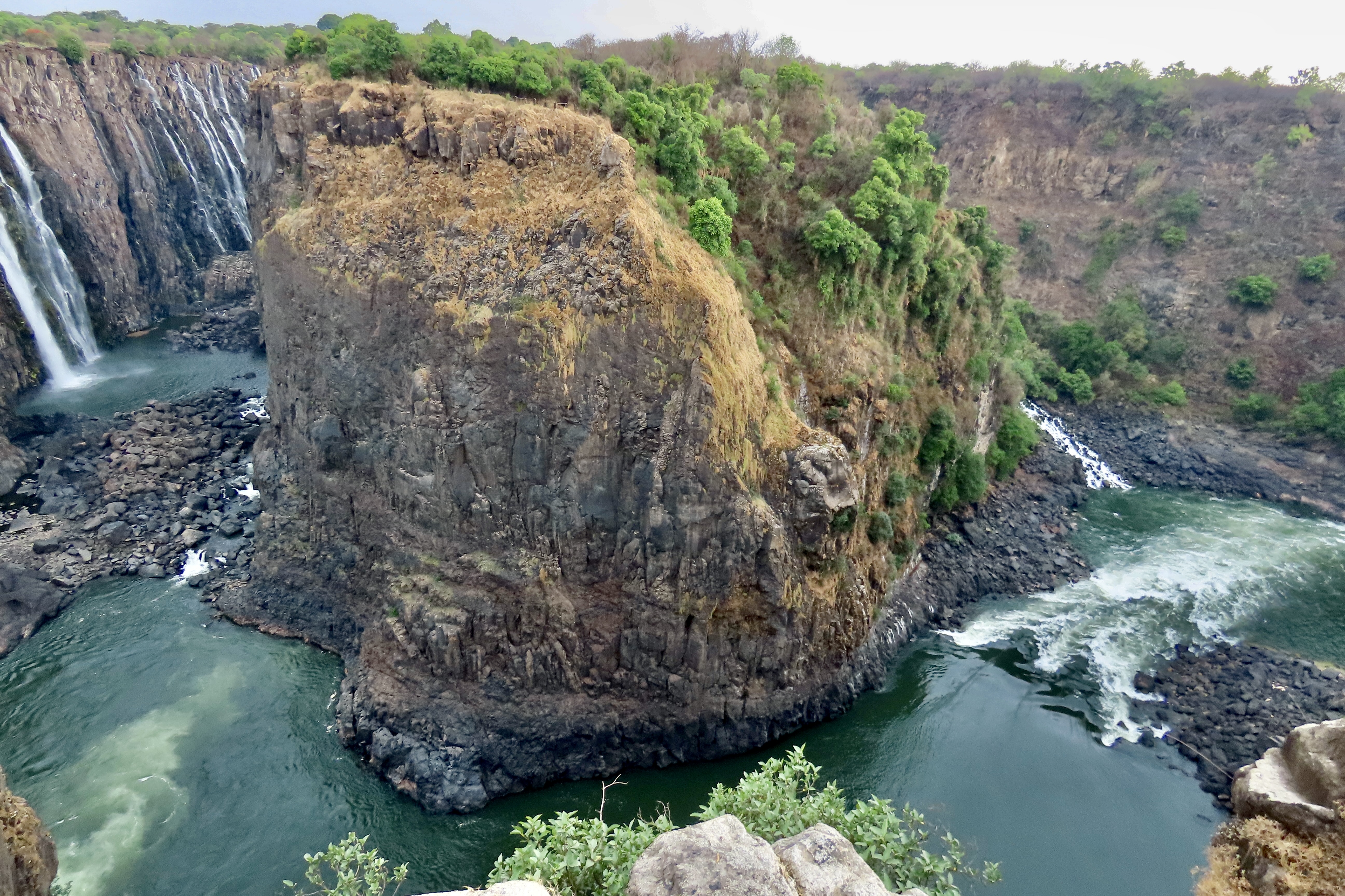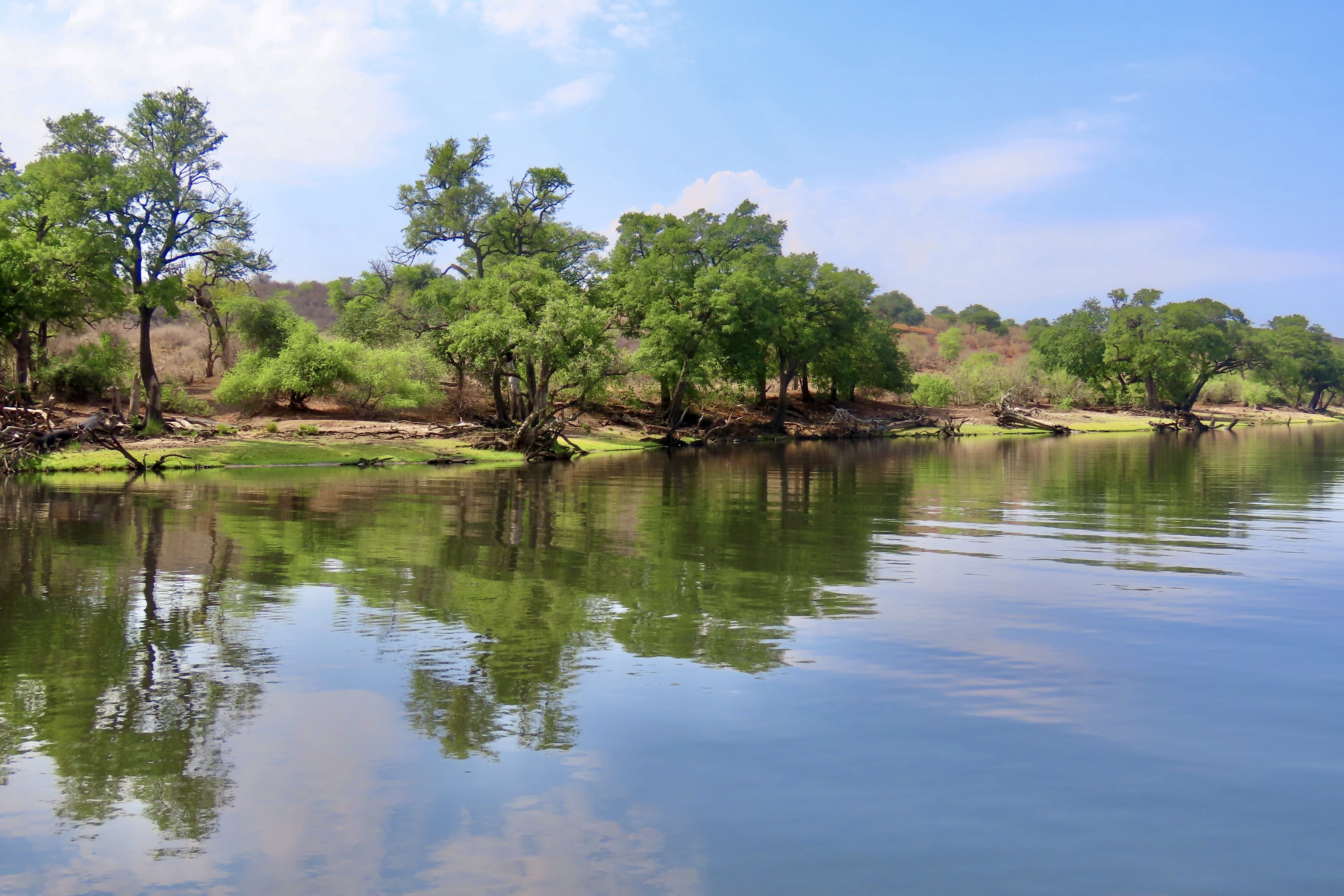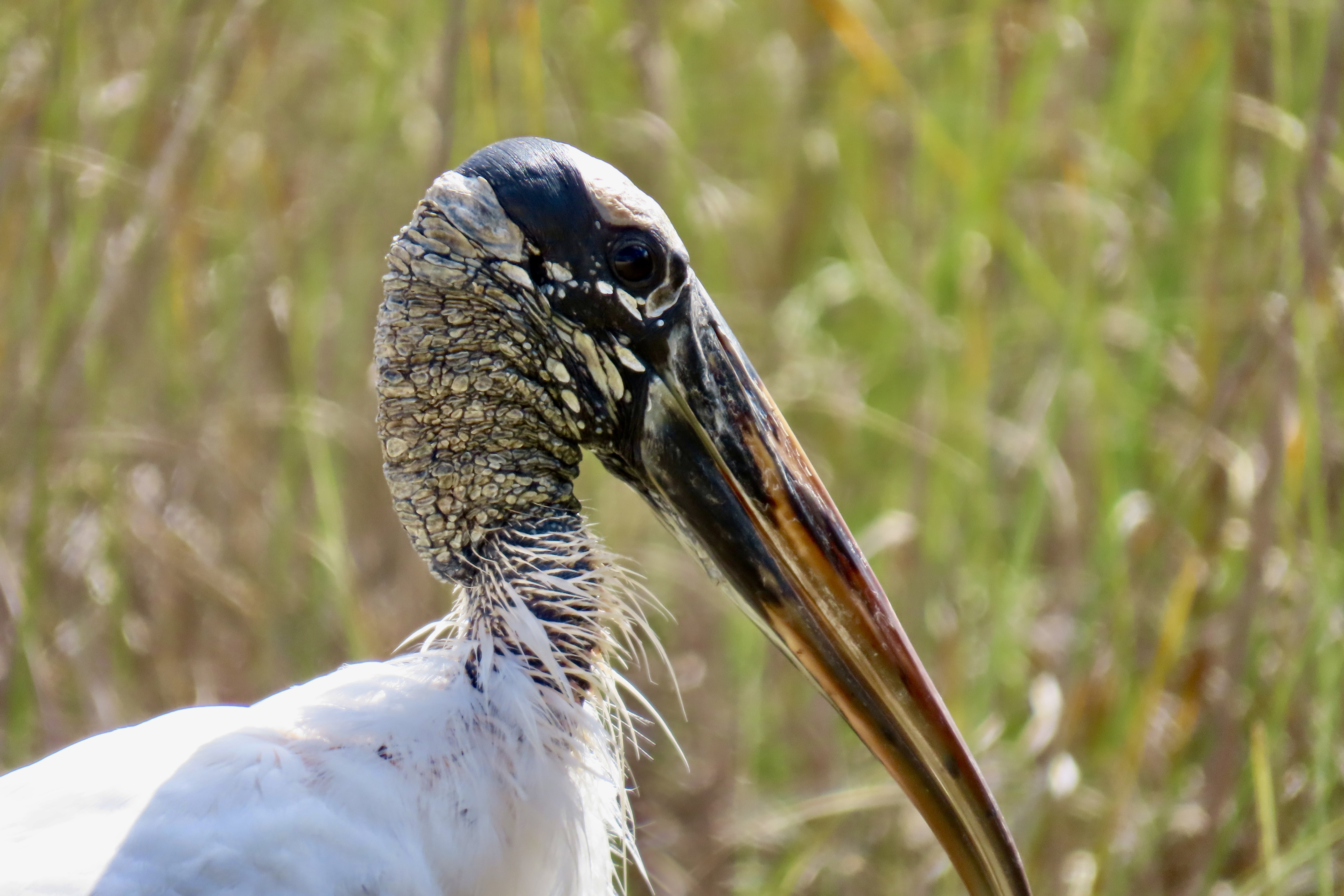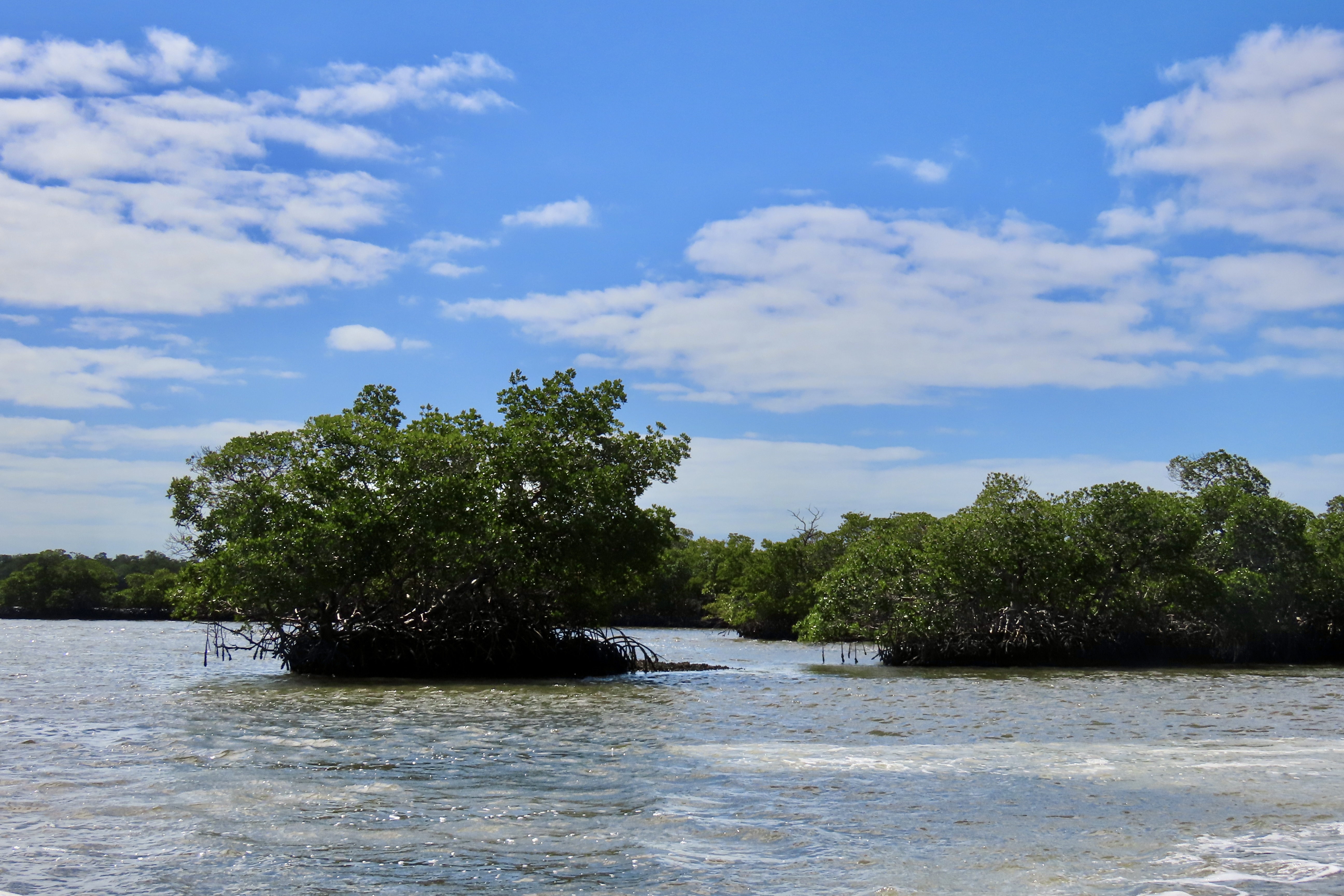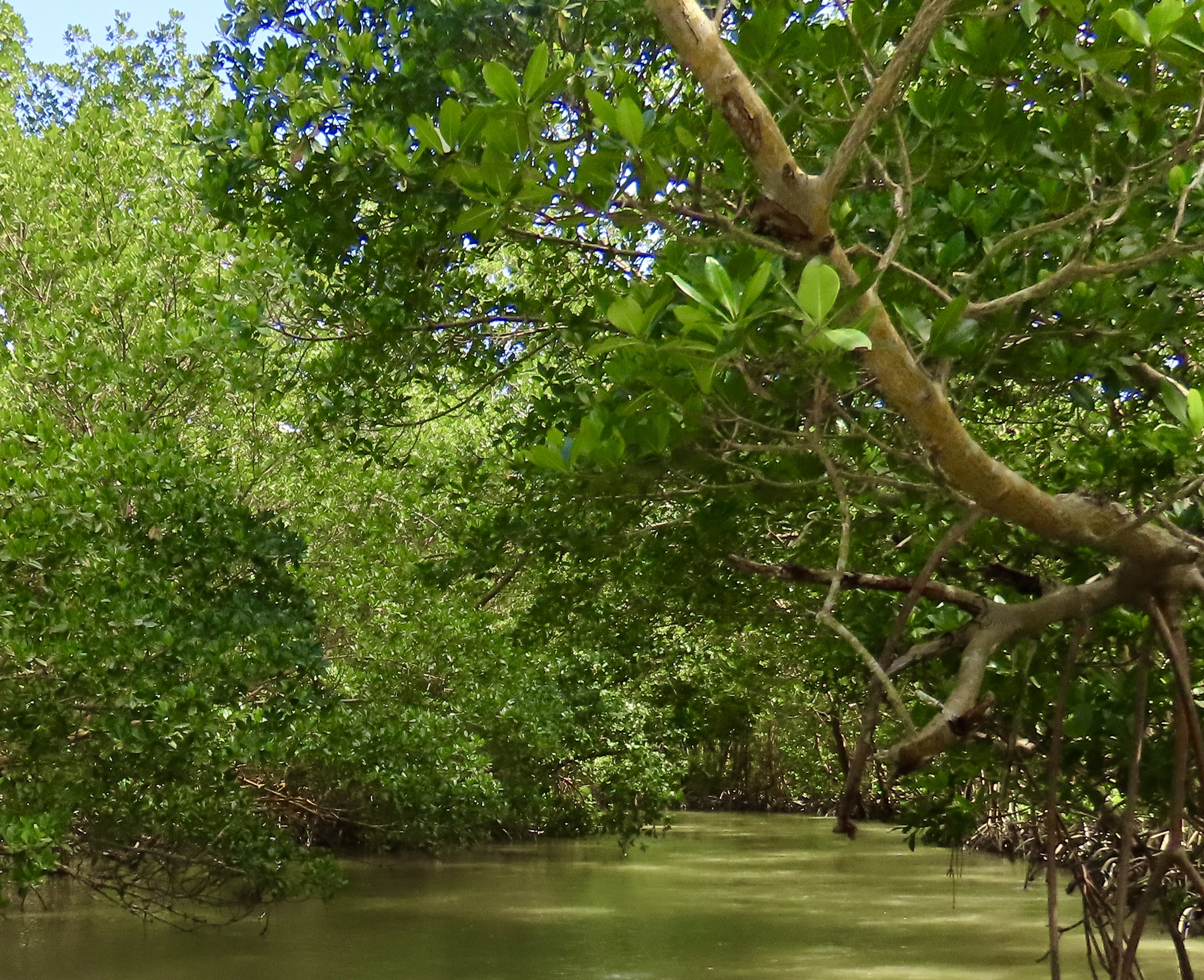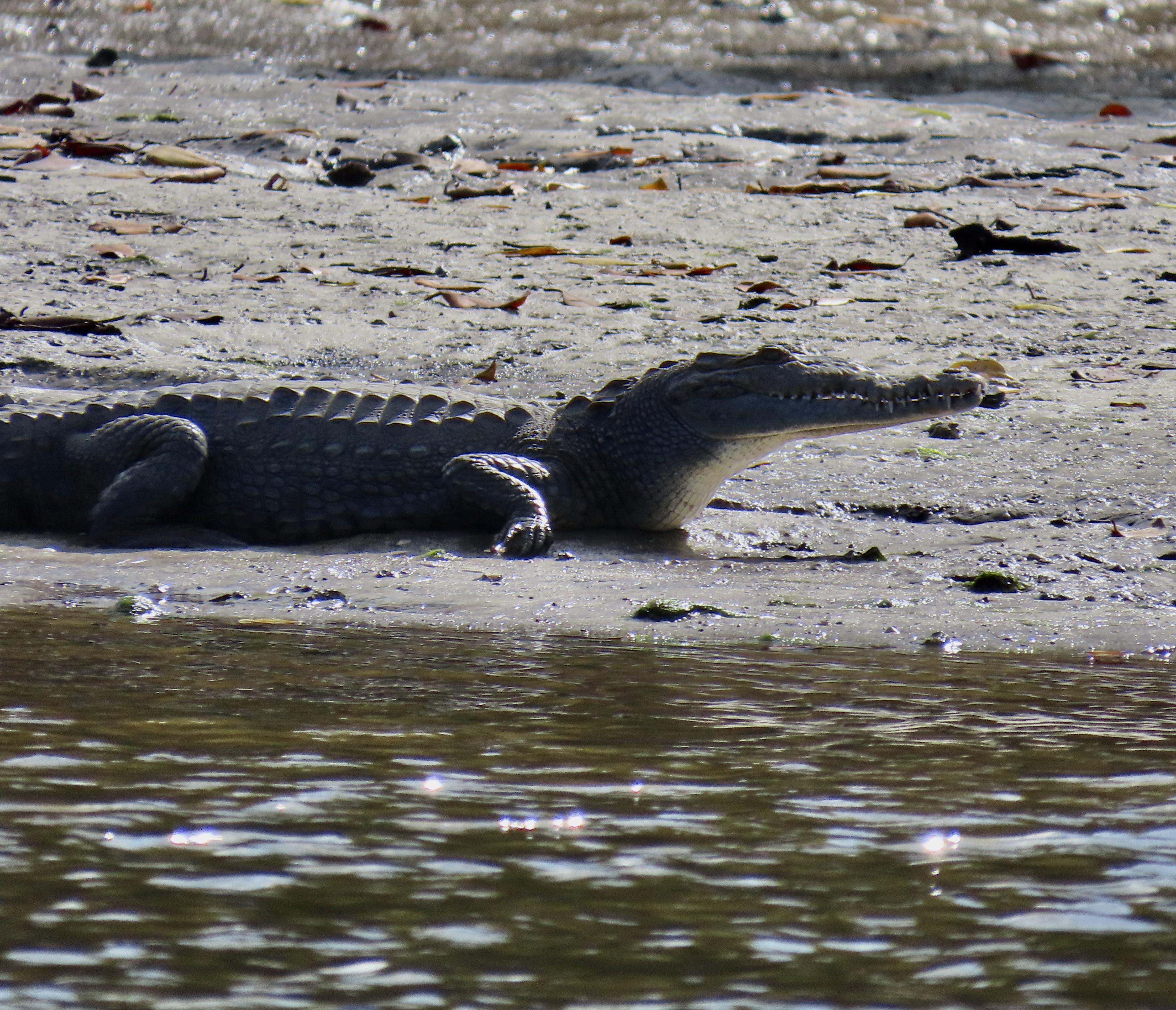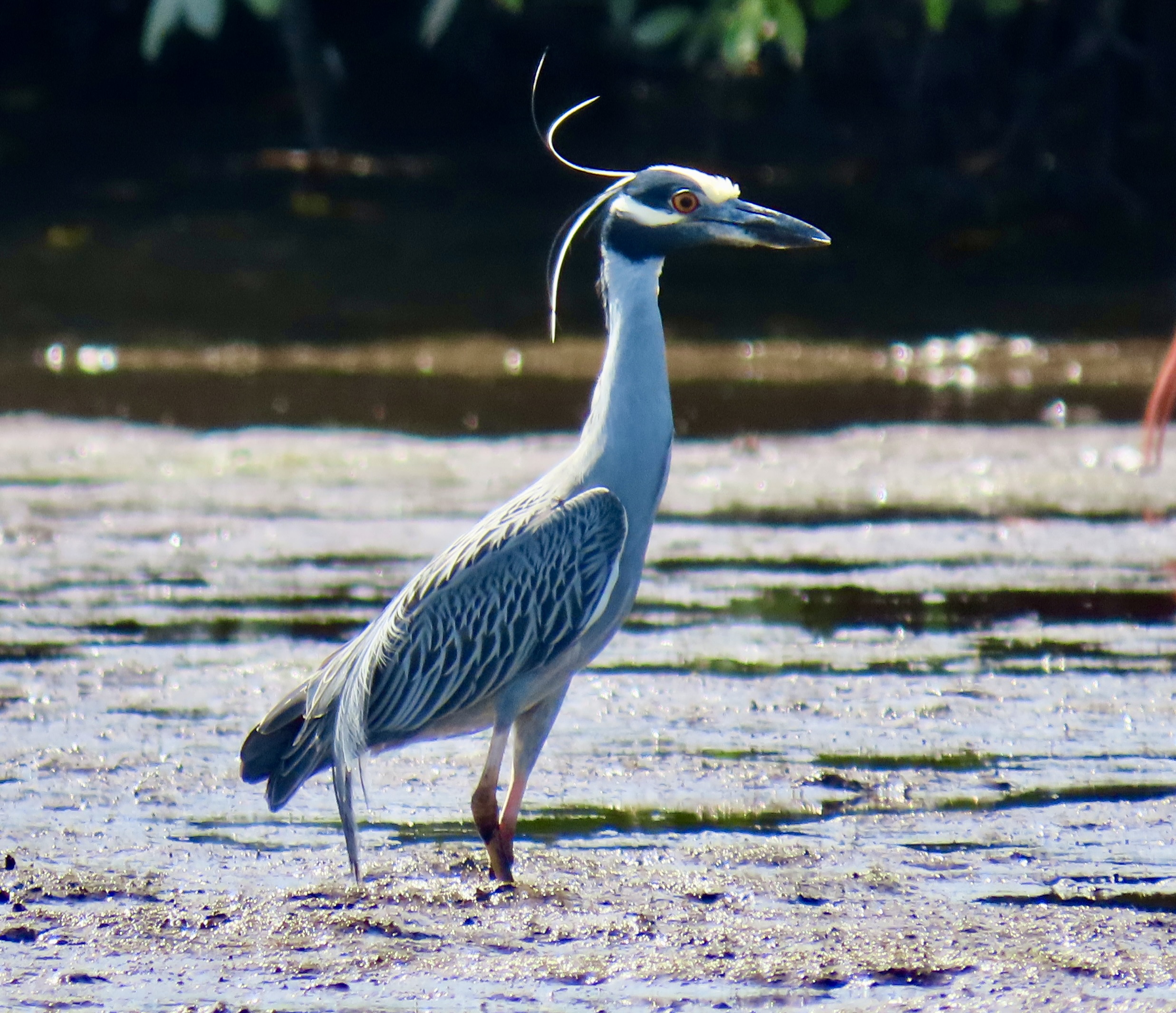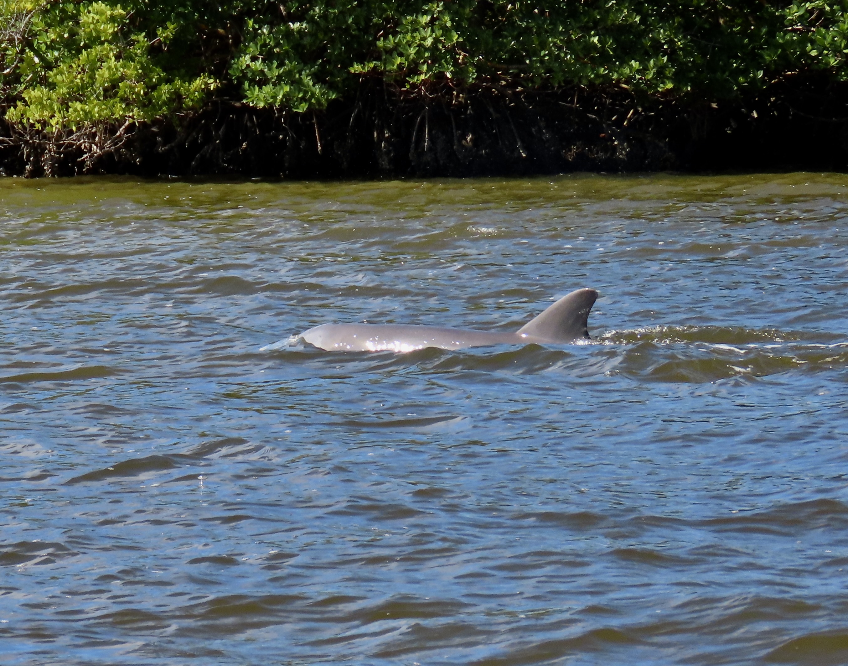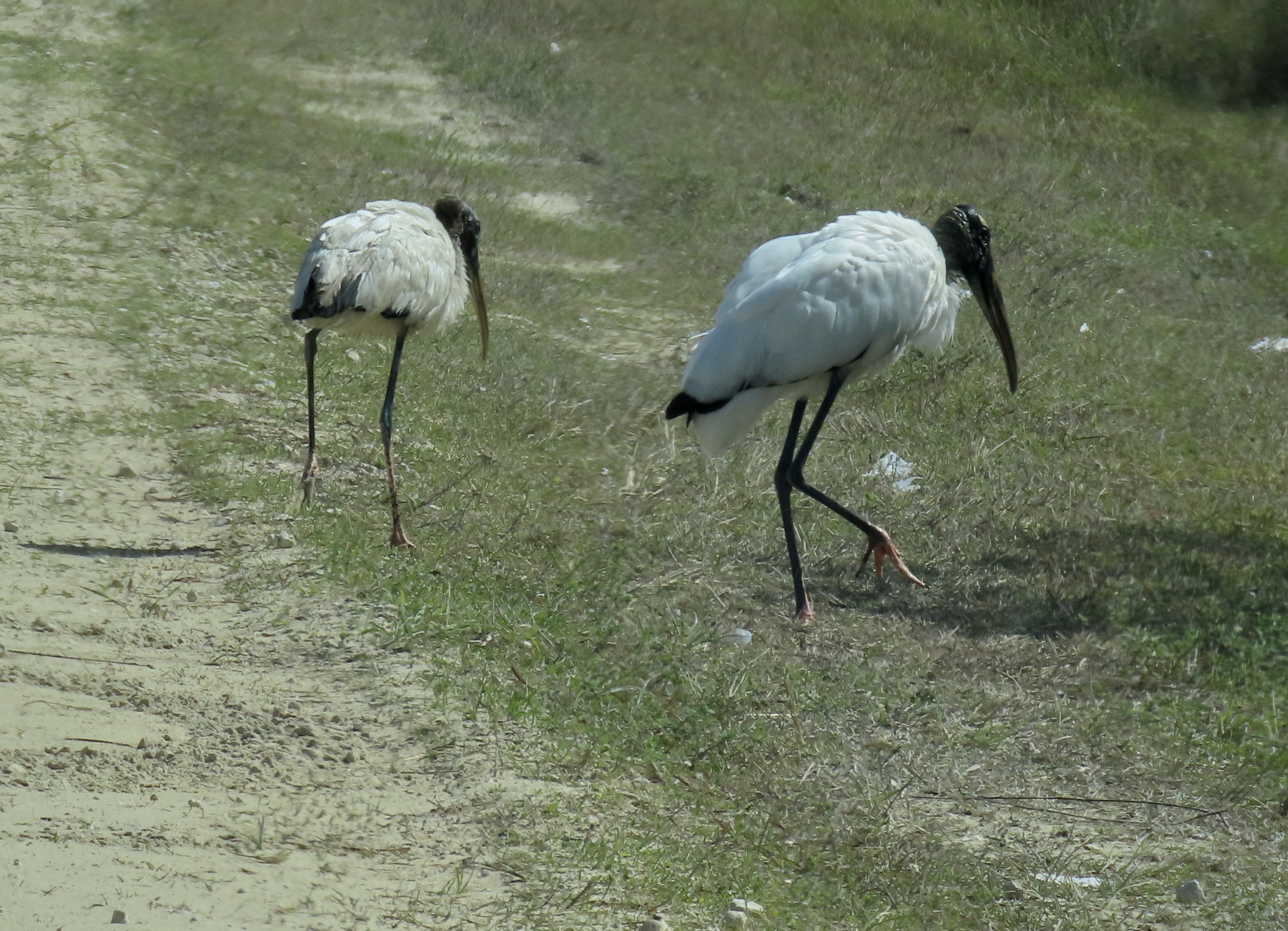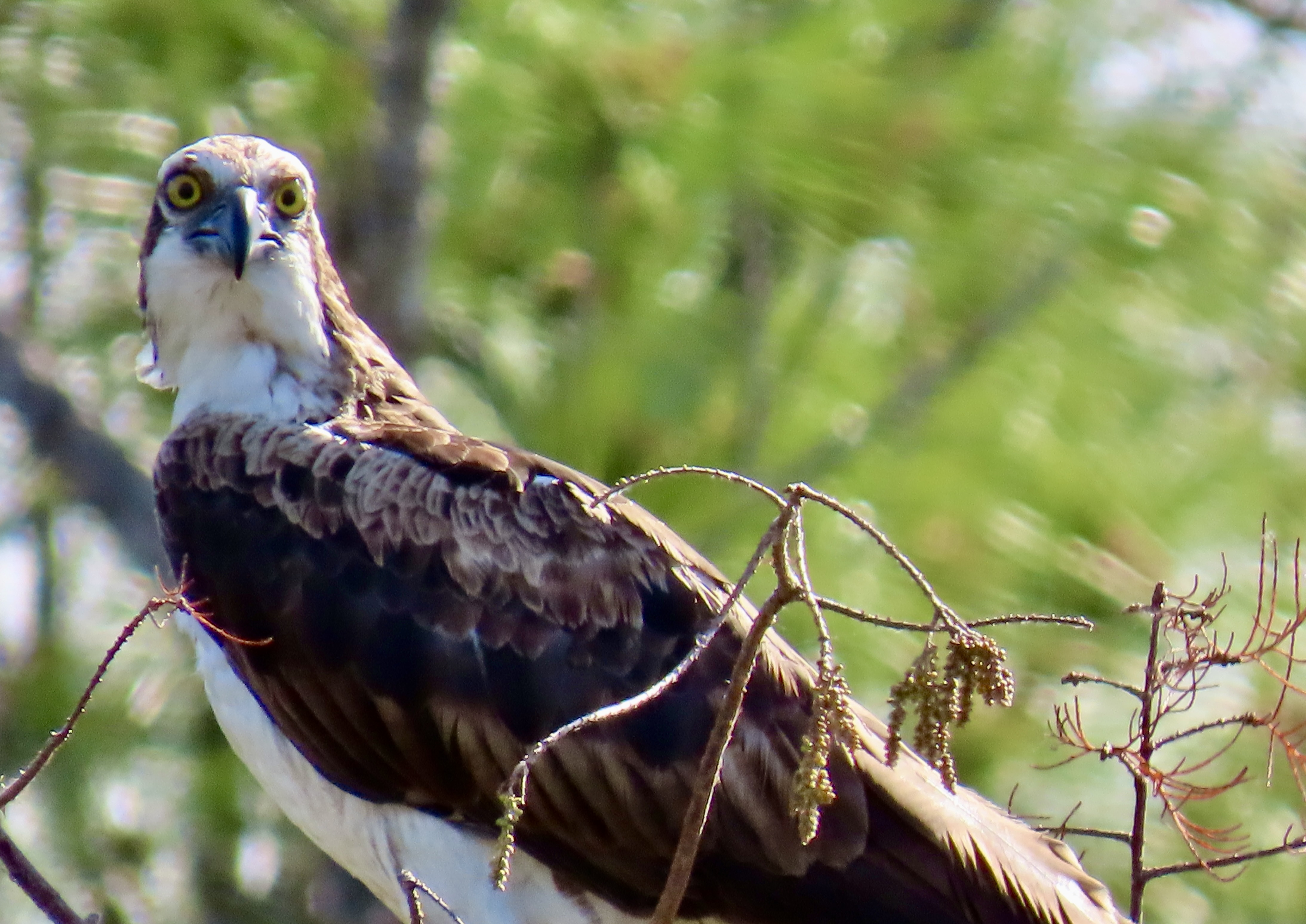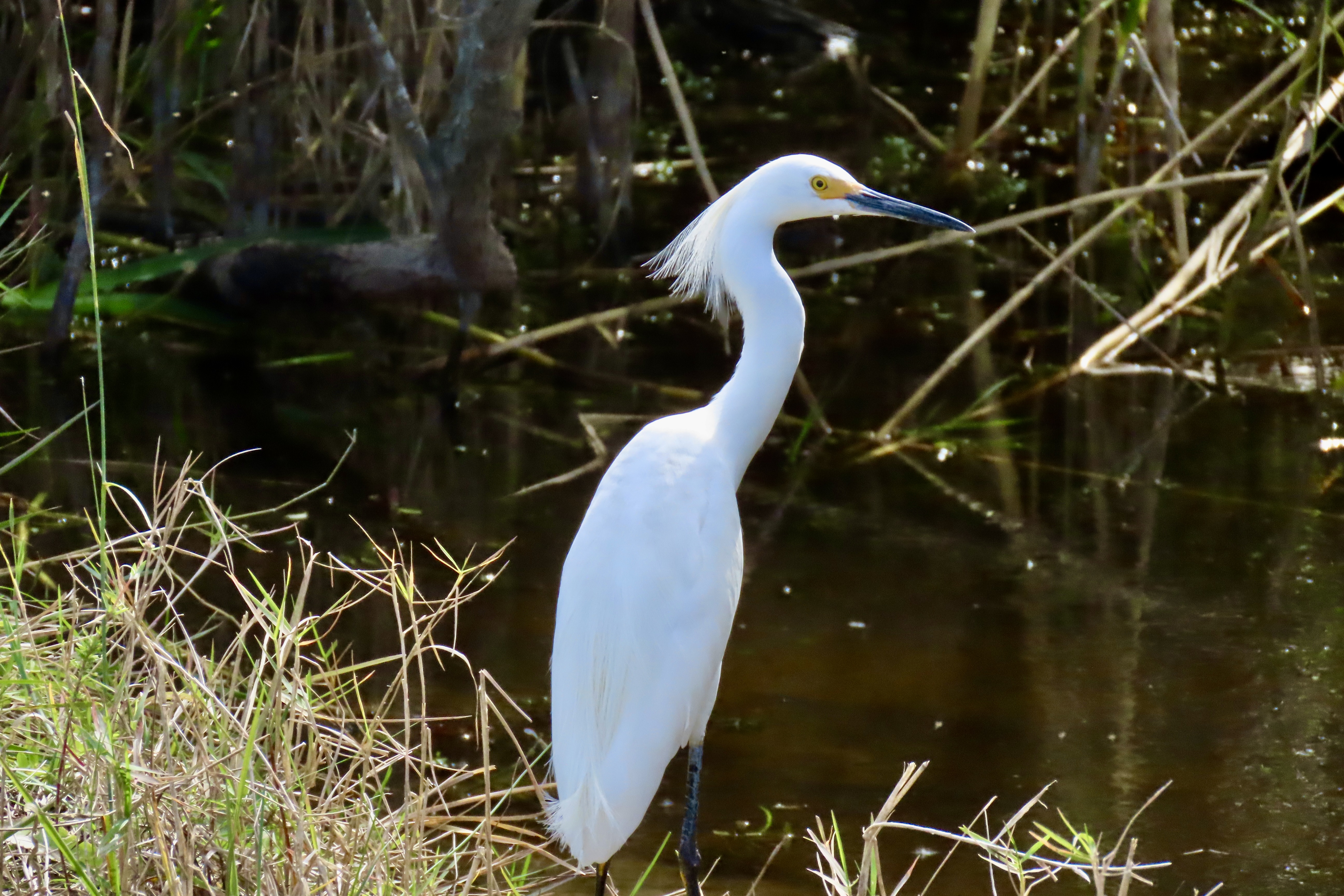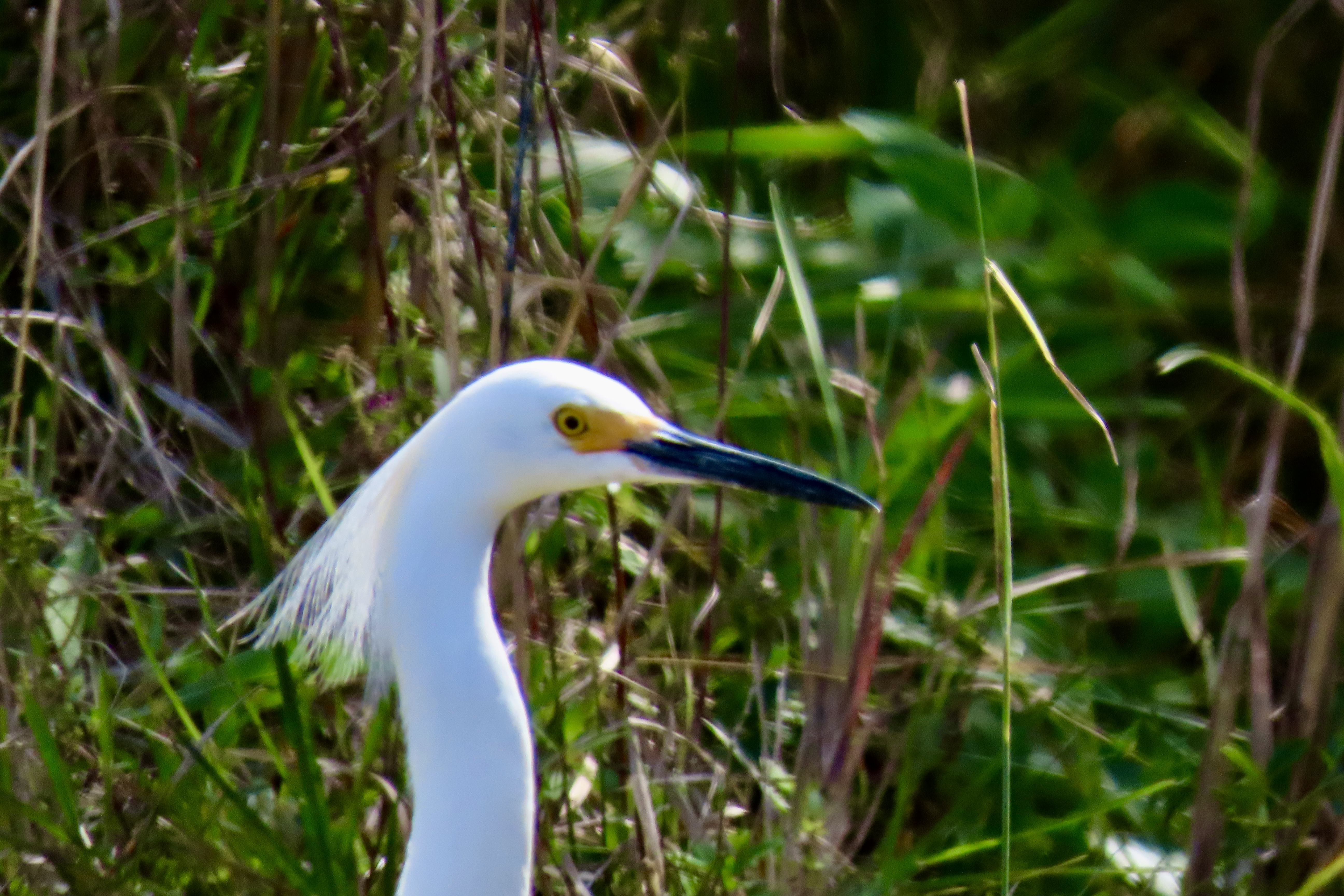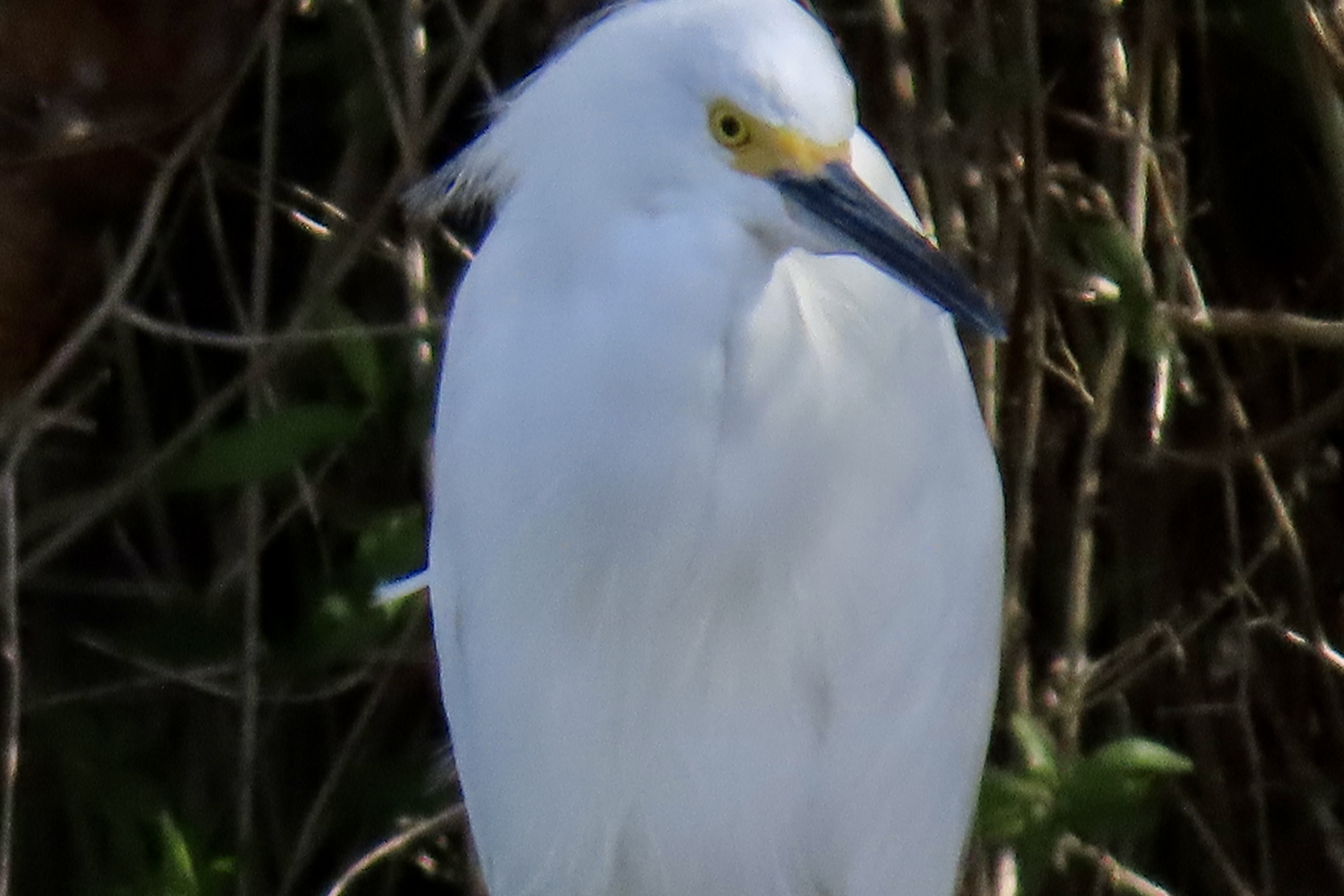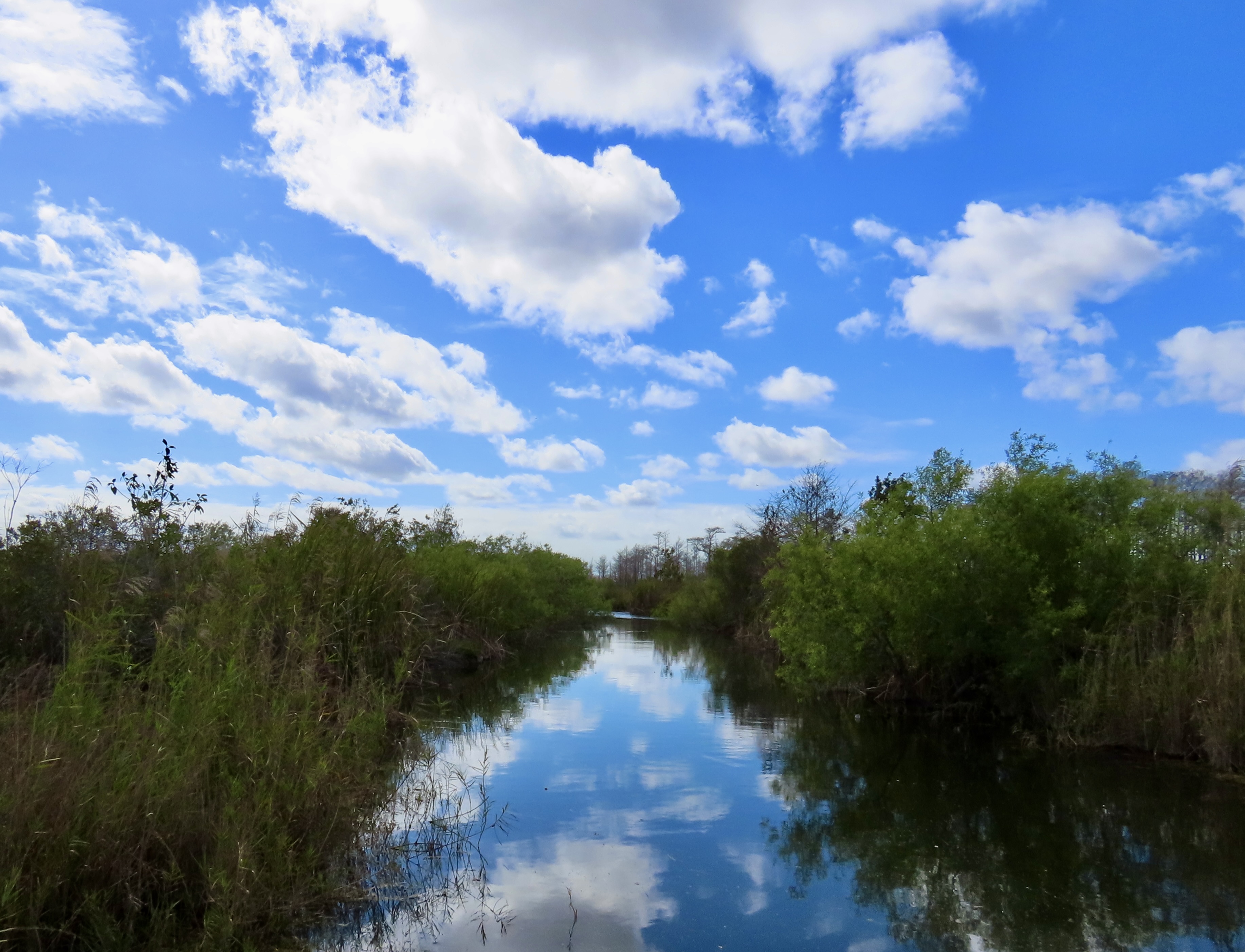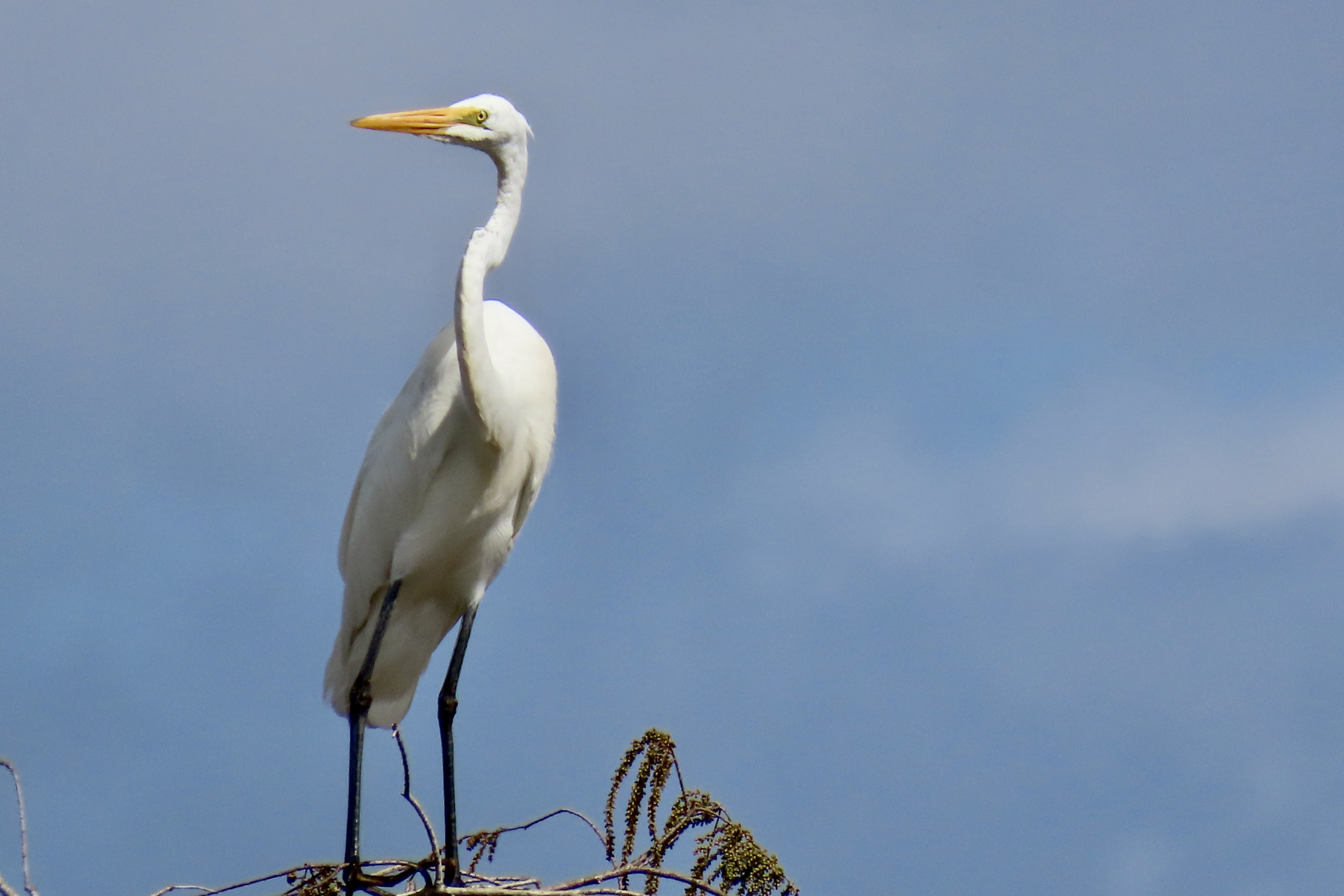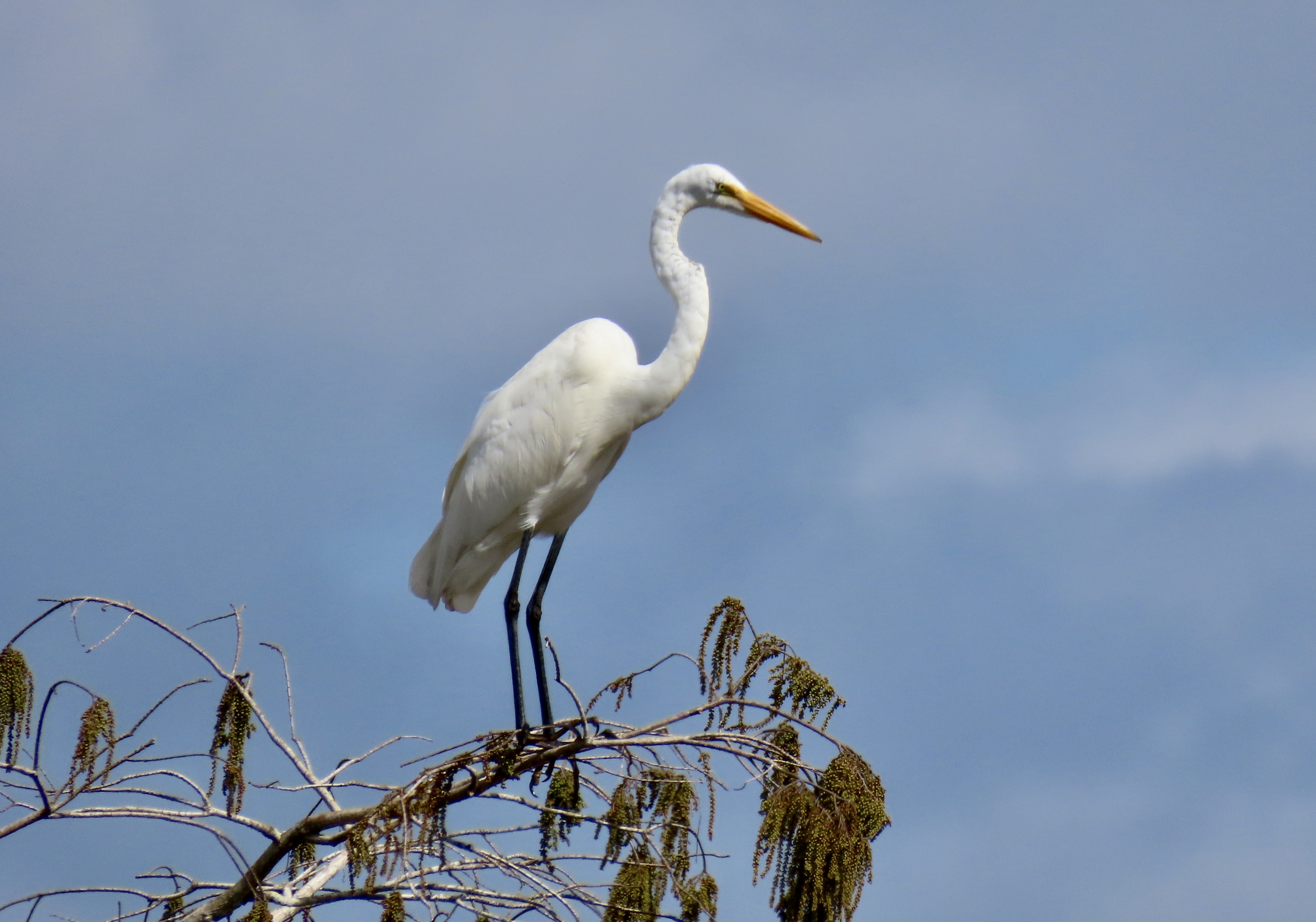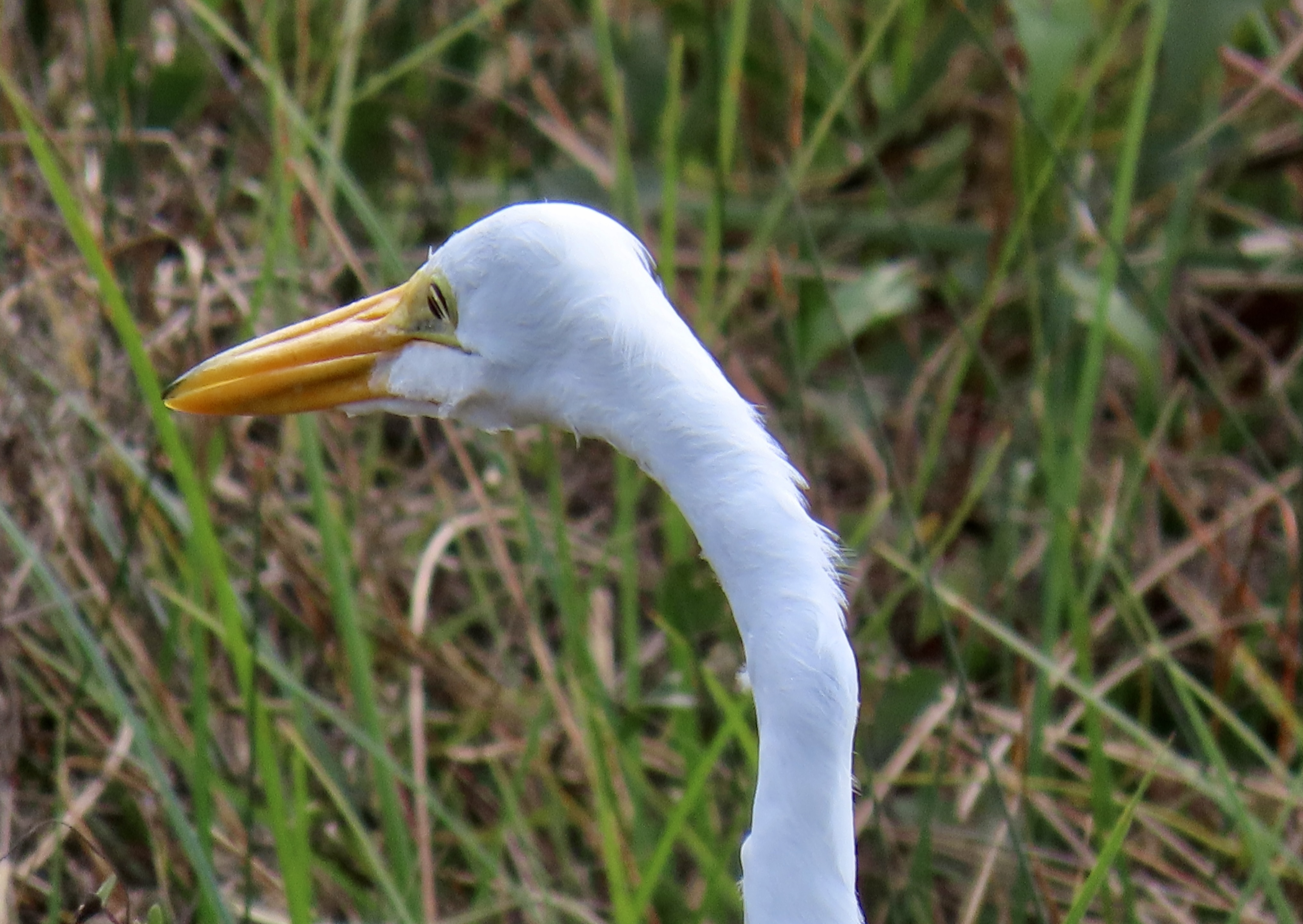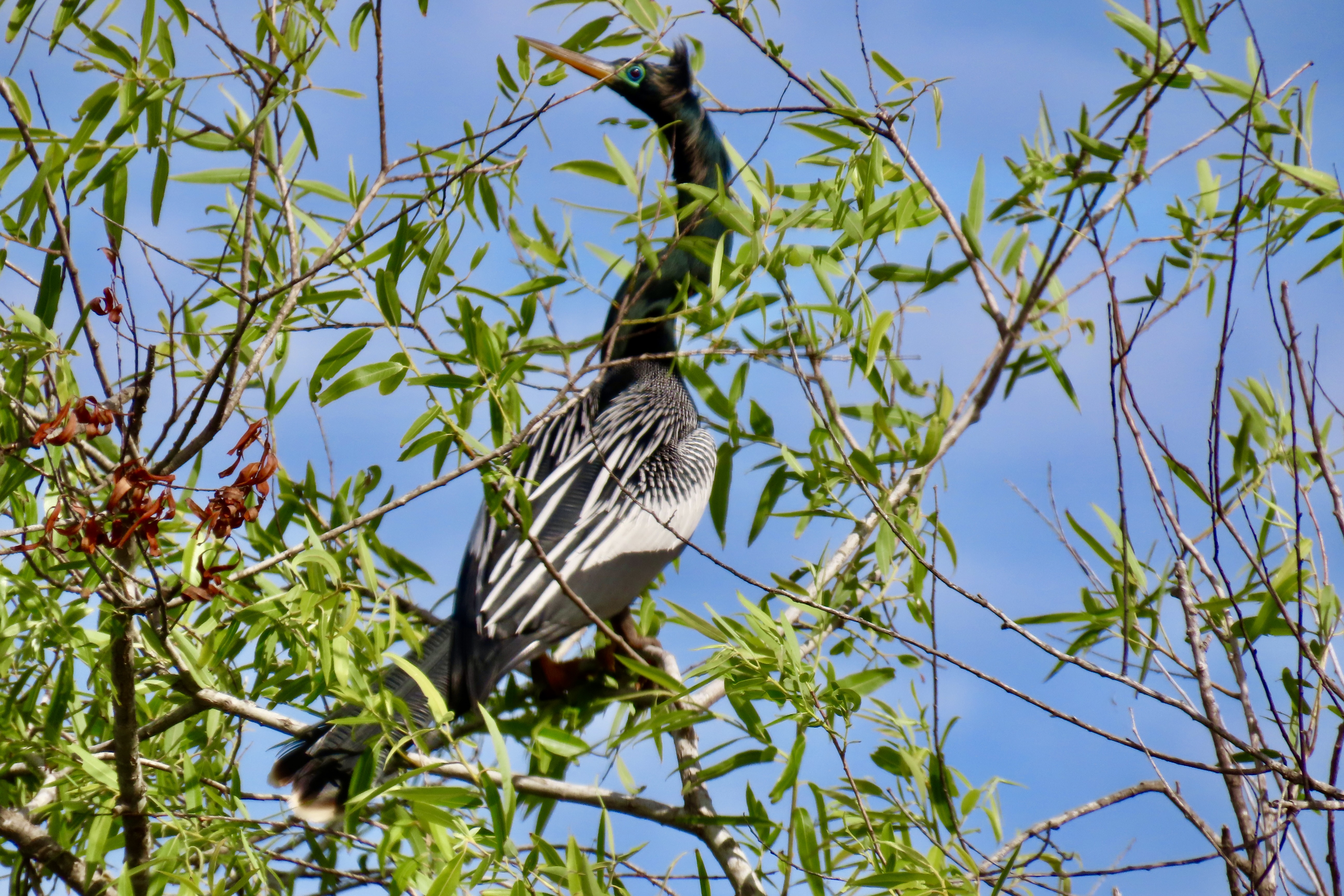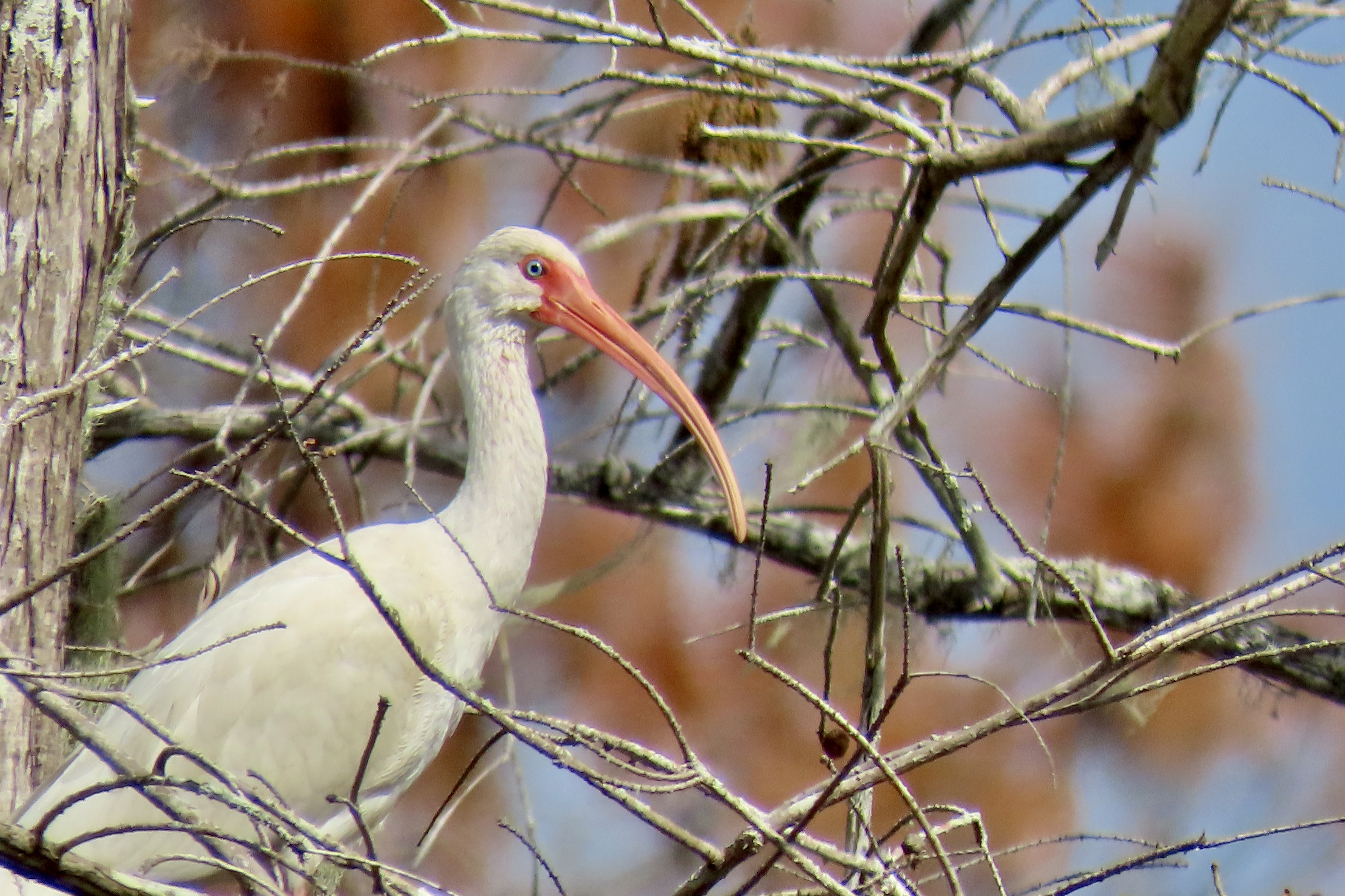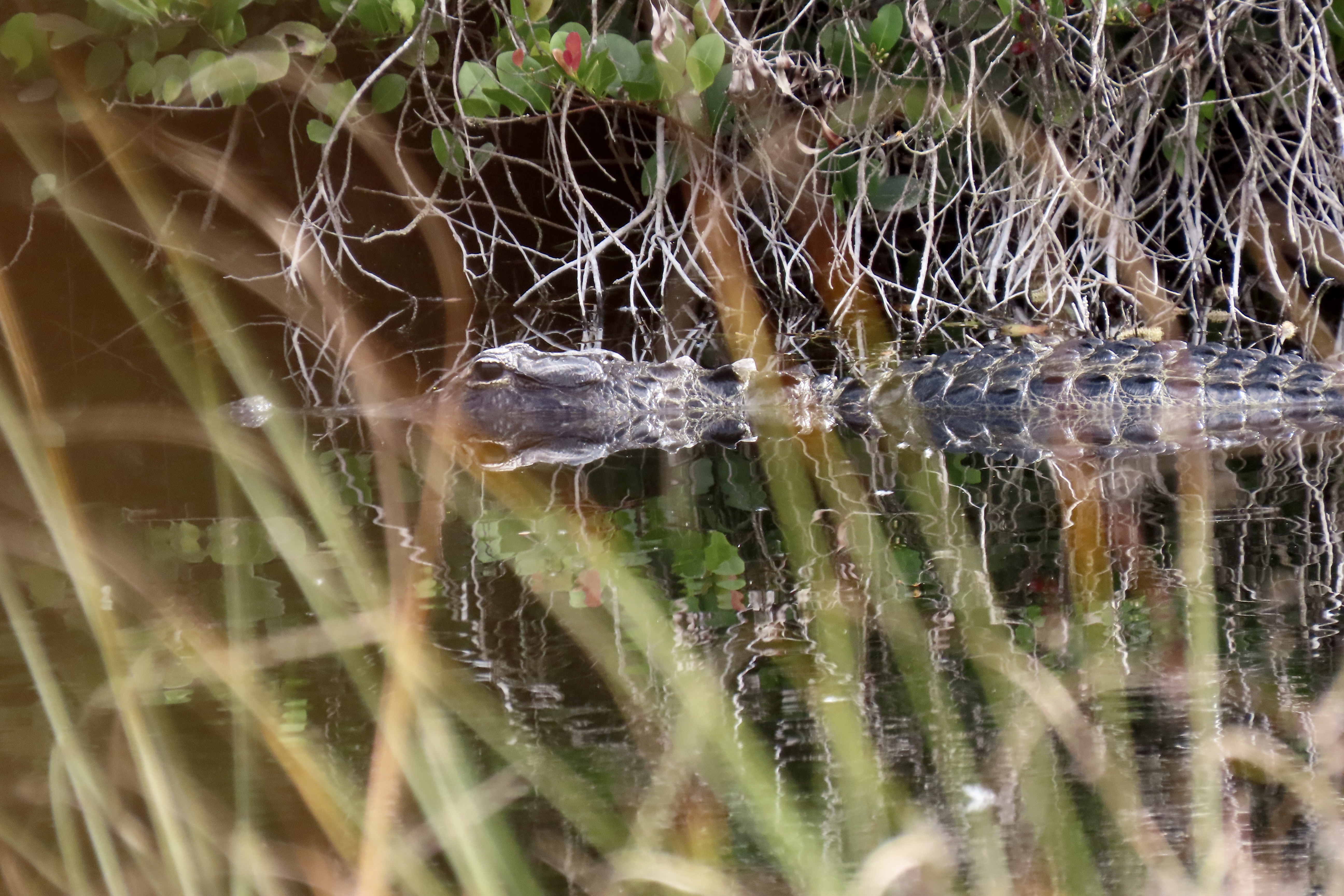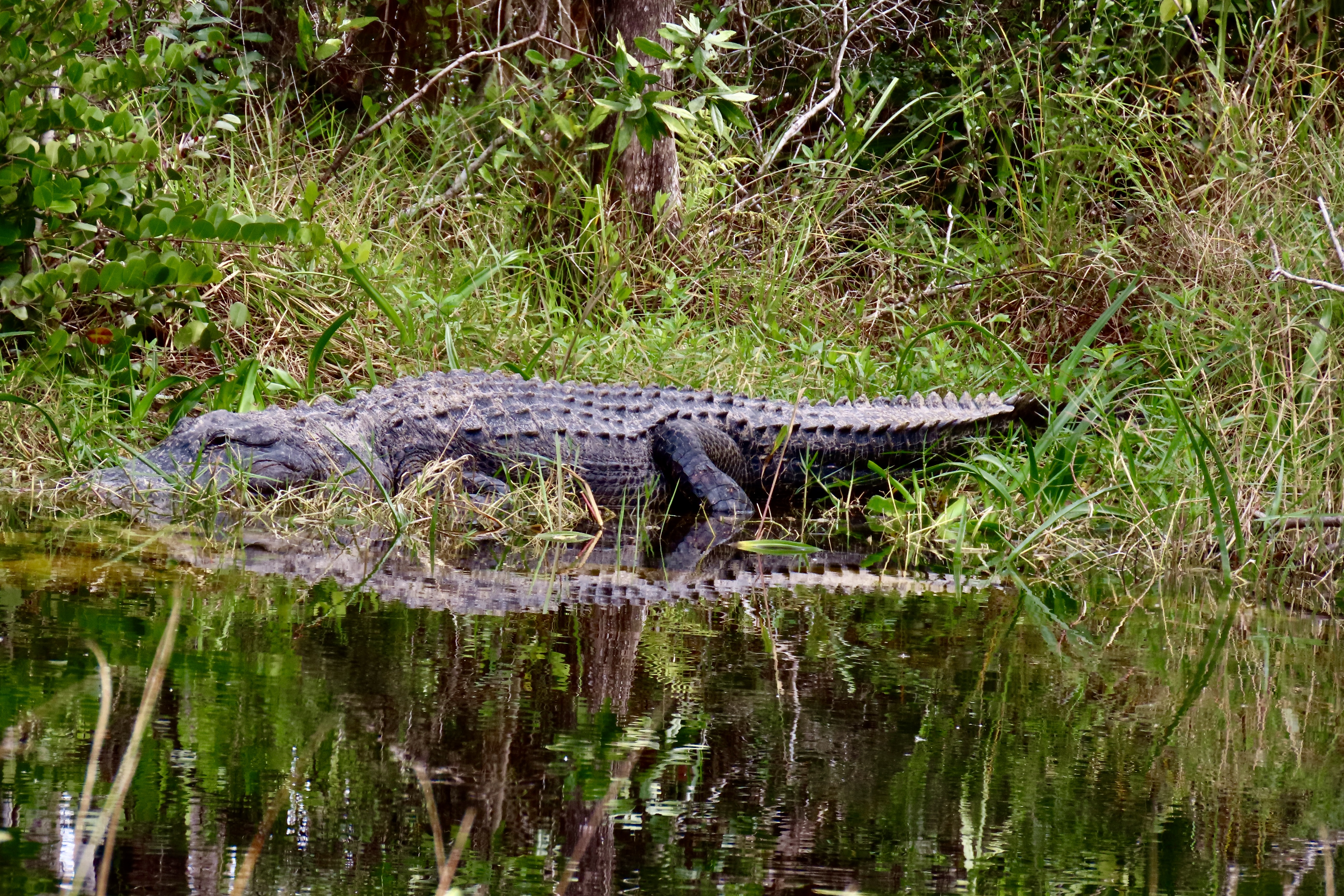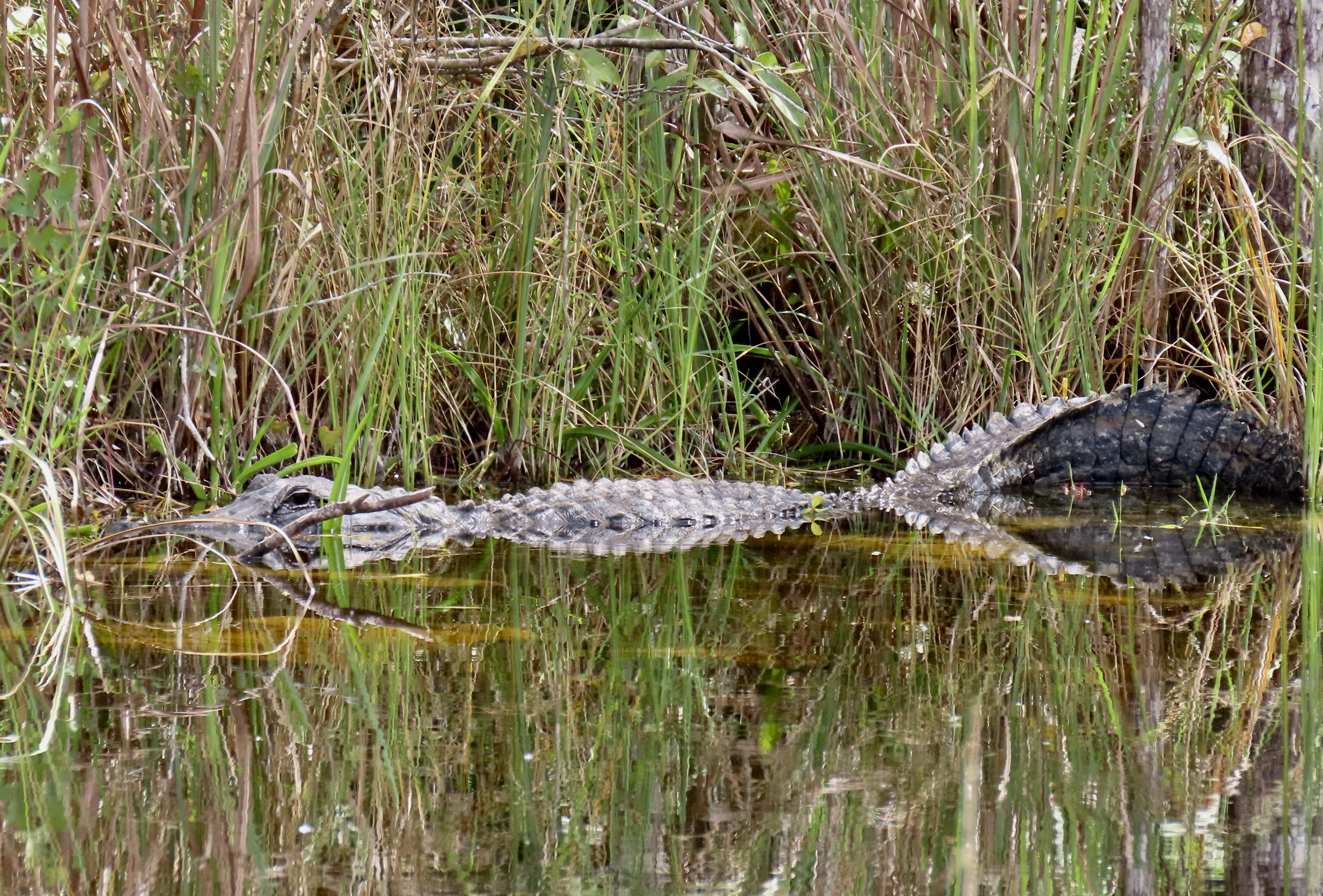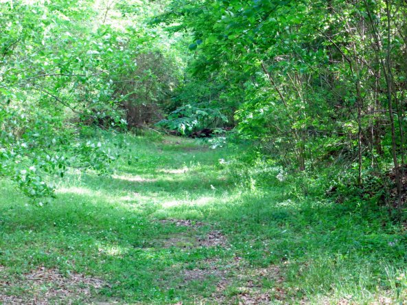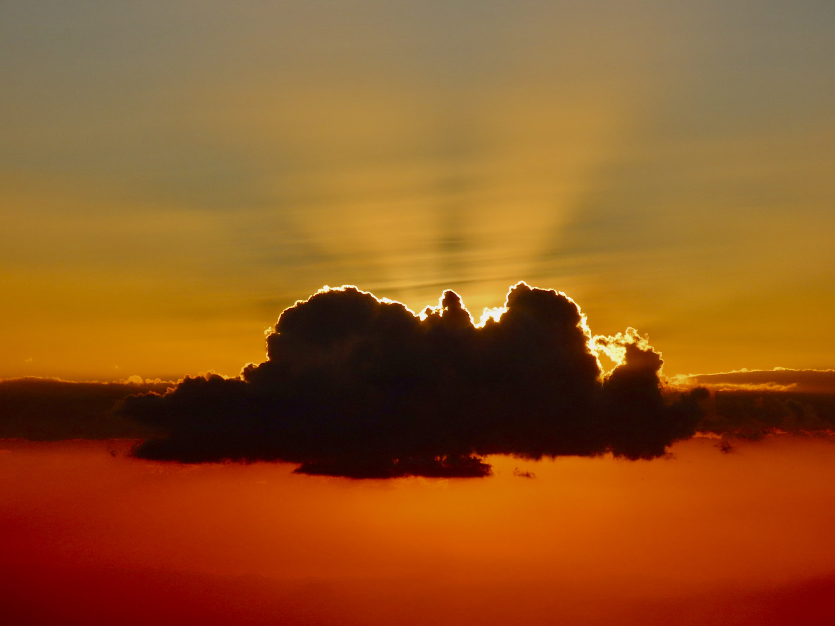
Instead you have a gorgeous sunset photo over Monteverde, Costa Rica taken by our grandson, Cooper, who is in the eighth grade. Our son, Tony, his wife, Cammie and their three boys, Connor, Chris, and Cooper have joined us this week. We are situated up on a high hill surrounded by rainforest. It even has vines that are safe to swing on and a view that looks all the way to the Pacific Ocean. We sent the boys out with our cameras to explore the surrounding woods and take photos of what they found most interesting. There are more pictures after today’s UT-OH tale.
Part 1: The Pond
There came a time when the Graveyard no longer met my wandering needs. I started traveling farther and farther afield, 15 minutes at a time. That’s how far the Pond and the Woods were away. They were where I played and, more importantly, where I developed a life-long love of the natural world. As such, they earned a capital P and capital W. First up: The Pond.
There were a number of ponds in the area. Oscar ‘Ot’ Jones had one on his ranch for cattle; Caldor had one where logs waited for their appointment with the buzz saw; Forni had one over the hill from his slaughterhouse, and Tony Pavy had one that was supposedly off-limits. But there was only one capital P Pond, the one next to the Community Hall. If I told Marshall, my parents or my friends I was going to the Pond, they knew immediately where I would be.
It was a magical place filled with catfish, mud turtles, bullfrogs and pirates. Although the Pond was small, it had a peninsula, island, deep channel, cattails and shallows. In the spring, redwing blackbirds nested in the cattails and filled the air with melodic sounds. Mallards took advantage of the island’s safety to set up housekeeping. Catfish used holes in the bank of the peninsula to deposit hundreds of eggs that eventually turned into large schools of small black torpedoes dashing about in frenetic unison. Momma bullfrogs laid eggs in strings that grew into chubby pollywogs. When they reached walnut size, tiny legs sprouted in one of nature’s miracles of transformation. Water snakes slithered through the water with the sole purpose of thinning out the burgeoning frog population. I quickly learned to recognize the piteous cry of a frog being consumed whole. Turtles liked to hang out in the shallows where any log or board provided a convenient sunning spot. They always slid off at our appearance but a few quiet minutes would find them surfacing to reclaim lost territory.
By mid-summer the Pond would start to evaporate. The shallow areas surrendered first, sopped up by the burning sun. Life became concentrated in a few square yards of thick, tepid water, only inches deep and supported by a foot of squishy mud. All too soon the Pond was bone-dry with mud cracked and curled. Turtles, snakes and frogs crawled, slithered and hopped away to other nearby water. Catfish dug their way into the mud and entered a deep sleep, waiting for the princely kiss of winter rains. Ducks flew away quacking loudly, leaving only silence behind.
Fall and winter rains found the Pond refilling and then brimming. Cloudy, gray, wind-swept days rippled the water and created a sense of melancholy that even an eight-year-old could feel.
But melancholy was a rare emotion for the Pond. To us, it was a playground with more options than an amusement park. A few railroad ties borrowed from Caldor and nailed together with varying sized boards made great rafts for exploring the furthest, most secret corners of the Pond. Imagination turned the rafts into ferocious pirate ships that ravaged and pillaged the far shores, or primitive bumper cars guaranteed to dunk someone, usually me.
In late spring, the Pond became a swimming hole, inviting us to test still cold waters. One spring, thin ice required a double and then triple-dare before we plunged in. It was a short swim. Swimsuits were always optional and rarely worn. I took my first swimming lessons there and mastered dog paddling with my cocker spaniel, Tickle, providing instructions. More sophisticated strokes would wait for more sophisticated lakes.
Frogs and catfish were for catching and adding to the family larder. During the day, a long pole with fishing line attached to a three-pronged hook and decorated with red cloth became irresistible bait for bullfrogs. At night, a flashlight and a spear-like gig provided an even more primitive means of earning dinner. The deep chug-a-rums so prominent from a distance became silent as we approached. Stealth was required. A splash signified failure as our quarry decided that sitting on the bottom of the Pond was preferable to joining us for dinner.
Victory meant a gourmet treat, frog legs. Preparation involved amputating the frog’s hind legs at the hips and then pealing the skin off like tights. It was a lesson I learned early: If you catch it, you clean it. We were required to chop off the big feet as well. Mother didn’t like being reminded that a happy frog had been attached hours earlier. She also insisted on delayed gratification. Cooking the frog legs on the same day they were caught encouraged them to jump around in the frying pan. “Too creepy!” she declared.
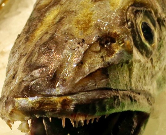
Catching catfish required nerves of steel. We caught them by hand as they lurked with heads protruding from their holes in the banks. Nerves were required because the catfish had serious weapons, needle sharp fins tipped with stingers that packed a wallop. They had to be caught exactly right and held firmly, which was not easy when dealing with a slimy fish trying to avoid the frying pan. But their taste was out of this world and had the slightly exotic quality of something that ate anything that couldn’t eat them.
Next up on Wednesday: The Woods. On Friday, we will focus on some of our Costa Rica adventures.