The Peripatetic Pinnacles National Park: It Wanders… Pacific Coast Series 4

Pinnacles National Park is located inland from California’s Central Coast. Peggy and I followed a narrow, curvy, one lane road east of the small town of Soledad to get there, holding our breath each time we met another vehicle— especially if it was as large as our truck. While the location was a slight detour from our coastal focus, we are totally incapable of skipping a National Park.

Pinnacles National Park has a twin near the city of Santa Clarita some 200 miles to the south, the Neenach Volcanic Formation. Born of fiery rhyolite lava flows some 23 million years ago, they were ripped apart in their youth by the notorious San Andreas Fault. Pinnacles has been making its way north ever since: Inch by inch and earthquake by earthquake.

Noted for its personality-plus pinnacles, talus tunnels, and wild flowers, the region was declared a National Monument by Teddy Roosevelt in 1906. Legislation by Congressman Sam Far from the Monterey/Carmel area in 2012 led to its being established as a national park. (Sam, like me, was an early Peace Corps Volunteer. For a brief time, we worked together in the Western United States as Peace Corps Recruiters.)

The Pinnacles are something of a poster-child for Plate Tectonics. While the existence of the plates and their impact on geology and geography is a well-known and accepted theory today, the history of the concept is relatively recent. I remember sitting in a geology class I took at UC Berkeley in 1964 when the professor came in almost glowing. “I have something to share,” he declared, “please understand that it is still a theory. I’m late because I was just in a meeting where substantial evidence was given that the surface of the world is made up of giant plates that separate, crash into each other, move along each other’s edges.”

The close relationship between the rocks and minerals of Pinnacles and the Neenach Volcanic Formation helped to show that the Pacific Plate and North America Plate have been moving past each other via the San Andreas Fault for 20 some million years. Pt. Reyes National Seashore north of San Francisco, where we are now, also sits on the San Andreas Fault and is another example of the movement. In fact, our campground is sitting on top of the fault. Our fervent hope is that it stays in place, at least for another week!

Our hike along Juniper Canyon Trail into the Park provided this view of the pinnacles. Not surprisingly, rock climbers get very excited about the challenges involved in climbing to the tops of the peaks.
Here’s our trail. A small creek burbled along beside the trail.
In places, the tiny creek was covered with huge boulders that had rolled down the mountain, possibly during earthquakes. They formed small tunnels known as talus caves. In other sections of the park, the talus caves can be miles long and people hike through them. This one was short enough I could stand on one end and photograph Peggy on the other. The embedded rocks in the rhyolite are breccia.
Peggy’s perspective showed a colorful pool.
What she couldn’t see was this magnificent bunch of shooting stars just beyond the pool. I’ve been admiring shooting stars for decades. I’ve never seen this many on a single stem.
Our trip up the canyon provided numerous opportunities for Peggy and me to take close ups of the pinnacles.
Each one was different
And had its own personality.
Peggy called these “the fingers.”
Can you spot the duck?
Peggy became quite excited about her new camera’s ability to catch close-ups of lizards. This one was quite colorful. I believe it is one of several variations of a western fence lizard.
We entered the Park from the West where this photo was taken. There is also an eastern entrance.
This oak tree caught my attention.
Wildflowers, like the shooting stars I featured above, were everywhere. Here are two more I found particularly charming. This is purple owl’s clover (Castilleja exserta), a species of Indian paint brush…
And purple Chinese houses (Collinsia heterophylla), said to resemble fairytale pagodas.
We were on the lookout for condors since they have been successfully reintroduced in Pinnacles National Park. Maybe…
We hope you’ve enjoyed our introduction to the Pinnacles. If you are looking for a National Park experience without the crowds, this small park is definitely worth a visit. Next up: Pt. Reyes National Seashore, one of our all-time favorite parks.

When the Big One Strikes… A Hike Along Earthquake Trail: Pt. Reyes

At 7.9 on the Richter scale, the 1906 San Francisco Earthquake wreaked massive damage both in structures destroyed and lives lost. This photo is from the National Archives.

I was wrapping up my day at the Lung Association in Sacramento when the building started moving shortly after 5 p.m. on October 17th, 1989. Peggy and I were at the very beginning of our relationship. You might say, it was off to a shaky start. “Is this the big one?” leapt into my mind as I ran outside. But buildings weren’t falling or people screaming. “Not this time,” we thought, relieved. 

Had you been one of 62,000 baseball fans crammed into Candlestick Park for the World Series, or worse, commuting home from work in the Bay Area, your perspective would have been substantially different. A major 6.9 earthquake had ripped into the Santa Cruz Mountains along the San Andreas Fault south of the stadium. Nearby freeways collapsed including a section of the Bay Bridge, numerous buildings were destroyed or damaged, 63 people were killed and 3,757 injured by what became known as the Loma Prieta Earthquake.

A number of faults are located under the Bay Area. The next big earthquake is projected to be along the Hayward Fault. The Pt. Reyes National Seashore is the land jutting out to the left of the San Andreas fault at the top of the diagram.

Eighty-three years before the Loma Prieta earthquake, an even greater one shook the Bay Area. Blame plate tectonics. The San Andreas Fault, marks a distinct boundary as the Pacific Plate grinds its way north past the North American Plate, building pressure until an earthquake erupts.  At 7.9 on the Richter Scale, the energy released from the 1906 San Francisco Earthquake equaled blowing up an estimated 6,270,000 tons of TNT! 

Earthquake Trail, found next to the Visitors’ Center at Pt. Reyes National Seashore, commemorates the event. Peggy and I were there last week and went for a walk along the trail. Like San Francisco, Pt. Reyes felt the full fury of the earthquake as portions of the land moved north as much as 20 feet.

With arms stretched out, Peggy points to two sections of a fence that were separated during the San Francisco Earthquake. They have been rebuilt to demonstrate the power of the earthquake. The lower fence had moved 16 feet north. The San Andreas Fault is located directly under Peggy’s feet.

The trail is easy to hike and is well marked with information signs. Its bucolic, serene beauty makes the damage done by the 1906 earthquake hard to imagine, however. 

A bridge along Earthquake Trail at Pt. Reyes National Seashore. Photo by Curt Mekemson.
The peaceful beauty found along the Earthquake Trail at Pt. Reyes belies the potentially destructive force that lies just beneath it. Fall leaves added color.
While the trail is short and easy to hike, it provides a variety of scenery, like this meadow…
Interesting trees are perfect for little people to explore… (Photo by Peggy Mekemson.)
A fun stump found along the trail.
Peggy took an interesting closeup. She saw a dragon, a monster, and more….oh, my.
Birch.
Moss
Various Conifers…
And in conclusion, a bit of sunshine.

NEXT POST: More photos from around Pt. Reyes National Seashore and our maiden three week voyage with Iorek the Truck and Serafina the trailer.

Earthquake Swallows Cow… Pt. Reyes National Seashore: Part 1

Sanderlings take flight at Pt. Reyes National Seashore on Limantour Beach. (Photo by Peggy Mekemson.)

Pt. Reyes National Seashore is an American Treasure. In this photo, Sanderlings take flight on Limantour Beach. (Photo by Peggy Mekemson.)

Photo of bull elk at Pt. Reyes National Seashore by Curtis Mekemson.

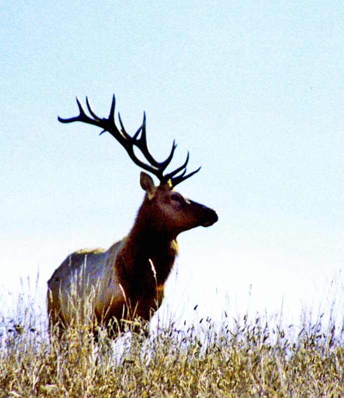
A bull elk is outlined against the sky at the Pierce Ranch.

My legs were not working and I was laughing. I had just completed one of Pt. Reyes’ easiest walks from the park headquarters out to the beach and back via Bear Valley. At the end of the 10 mile round trip, I had gratefully fallen into my car and driven to Bodega Bay. It was 1969 and the pre-Yuppified Inn-at-the-Tides consisted of motel cabins going for $15 as opposed to rooms starting at $200. My legs had gone on strike when I stepped out of the car to register.

I had just completed a year of recruiting for Peace Corps in the Southern United States where exercise had consisted of traveling between airports, motels and college campuses from Texas to Washington DC.  Adding injury to insult, I had eaten most of my meals at Southern restaurants serving large helpings of Southern food. Curt had become a little chubby. The legs were not happy. Fortunately, a half-pint of whiskey and a full night’s sleep ended their rebellion. The next morning I returned to my exploration of Pt. Reyes and the beginning of a life-long love affair with the North Coast of California.

Peggy and I returned to the area last week for three days and stayed at Olema Campground in the small town of the same name. It’s always been my campground of choice and has changed little over the decades. Even the restrooms have remained the same. I’ve used the campground as my jump off point for exploring Pt. Reyes, as a writing retreat, and as a campsite for the 500 mile-bike treks and 7 day walking tours I led on the North Coast during the 70s, 80s and 90s.

Photo of Olema Campground next to Pt. Reyes National Seashore by Curtis Mekemson.

One of my favorite campsites at Olema Campground backs up to a small stream and looks out on Pt. Reyes National Seashore. Obviously, we were celebrating Halloween.

Pumpkin carving photo by Curtis Mekemson.

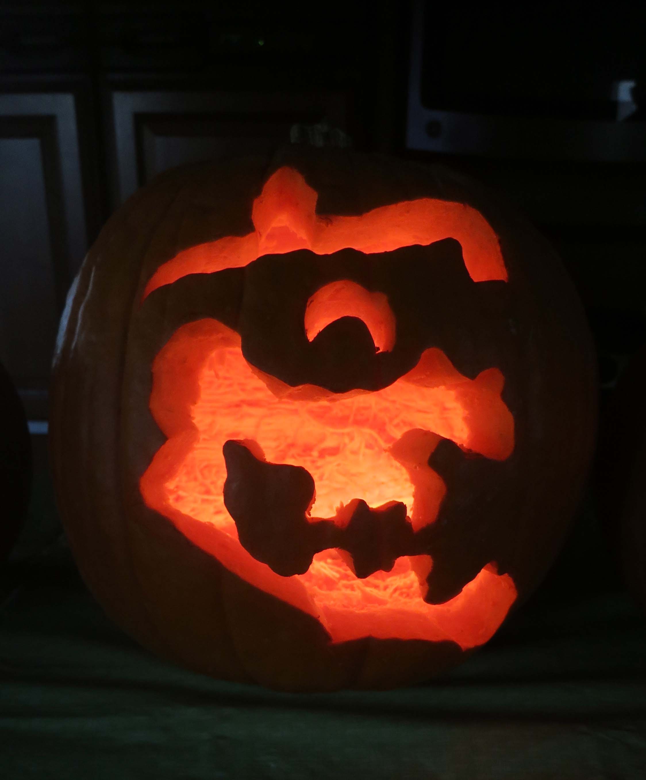
Peggy and I join my Sister Nancy and her husband Jim each year for a pumpkin carving contest. We brought ours to Pt. Reyes. This witch was my entry in the contest.

Peggy's pumpkin. (She won the contest. Our grandkids voted without knowing who had carved the pumpkins.)

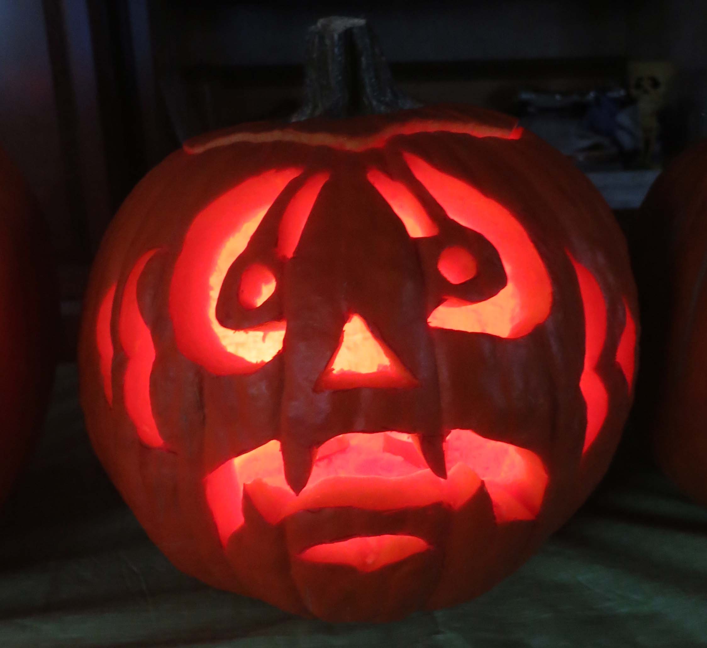
Peggy’s pumpkin. (She won the contest. Our grandkids voted without knowing who had carved the pumpkins.)

Our friends Ken and Leslie Lake joined us at the campground, arriving just in time to eat lunch in Pt. Reyes Station and to visit the Bovine Bakery and Pt. Reyes Books. The bookstore is a jewel and the bakery has buttermilk scones to die for. They, along with the Station House Café, are required stops on my trips to Pt. Reyes.

 Photo of Point Reyes Books and Bovine Bakery in Point Reyes Station by Curtis Mekemson.

Two of my favorite stops at Pt. Reyes Station. For a small, locally owned bookstore, Point Reyes Books has a great selection. And I’ve never met a pastry at the Bovine Bakery I didn’t like. More often than not, people are lined up out the door.

Afterwards we visited the park’s information center in Bear Valley and did a short walk around the Earthquake Trail. The Olema Campground is located a quarter of mile from the park headquarters and the infamous San Andreas Fault. Sitting in camp we could look across the fault at the peripatetic park. It had begun life some 300 miles to the south and is still working its way north. Normally its progress is measured in inches over decades. In 1906 it jumped 20 feet in the earthquake that was responsible for the destruction of San Francisco. Local legend is the earth cracked open, swallowed an Olema cow, and closed, leaving only the tail showing.

Pt. Reyes National Seashore photo by Curtis Mekemson.

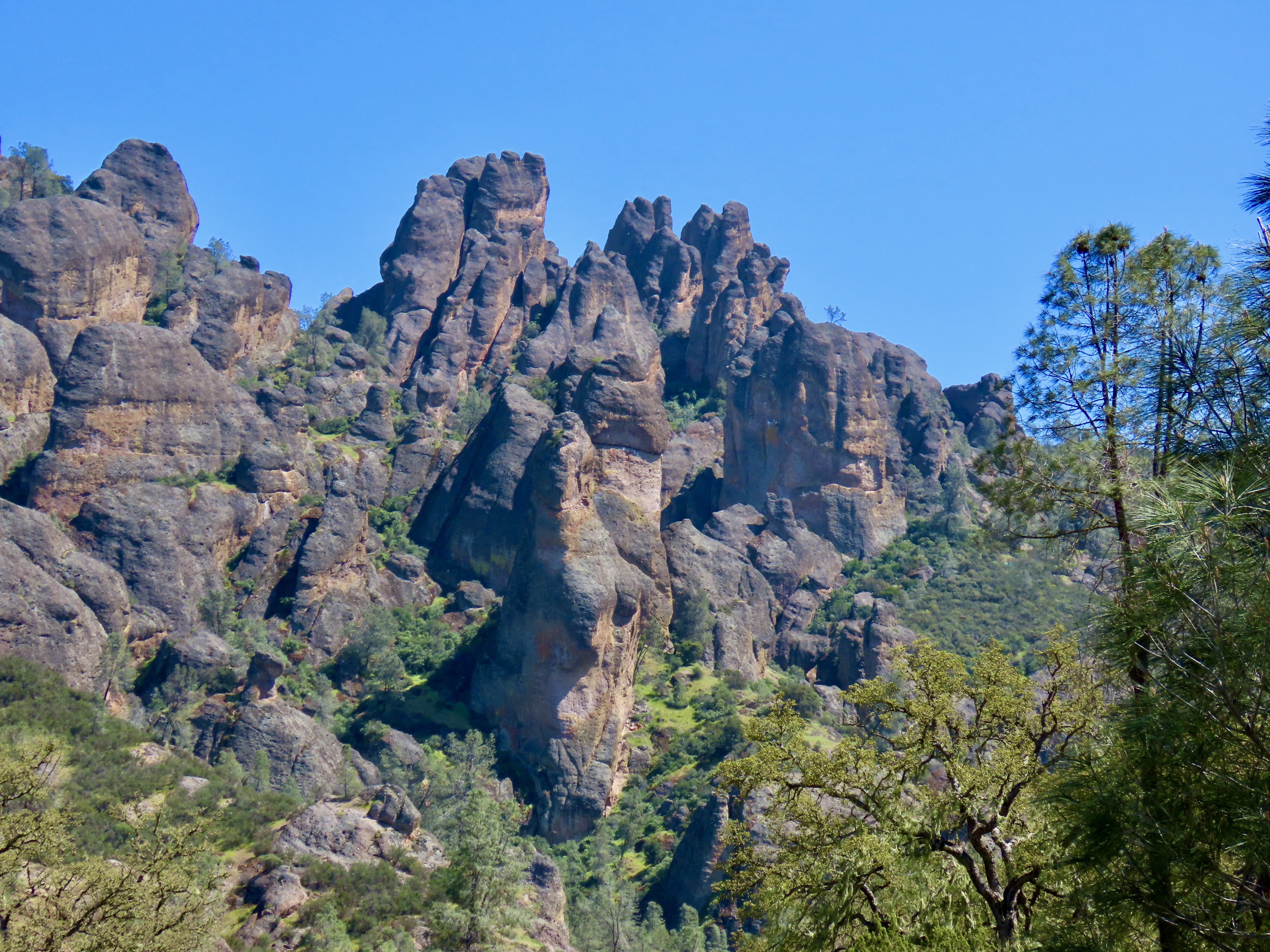
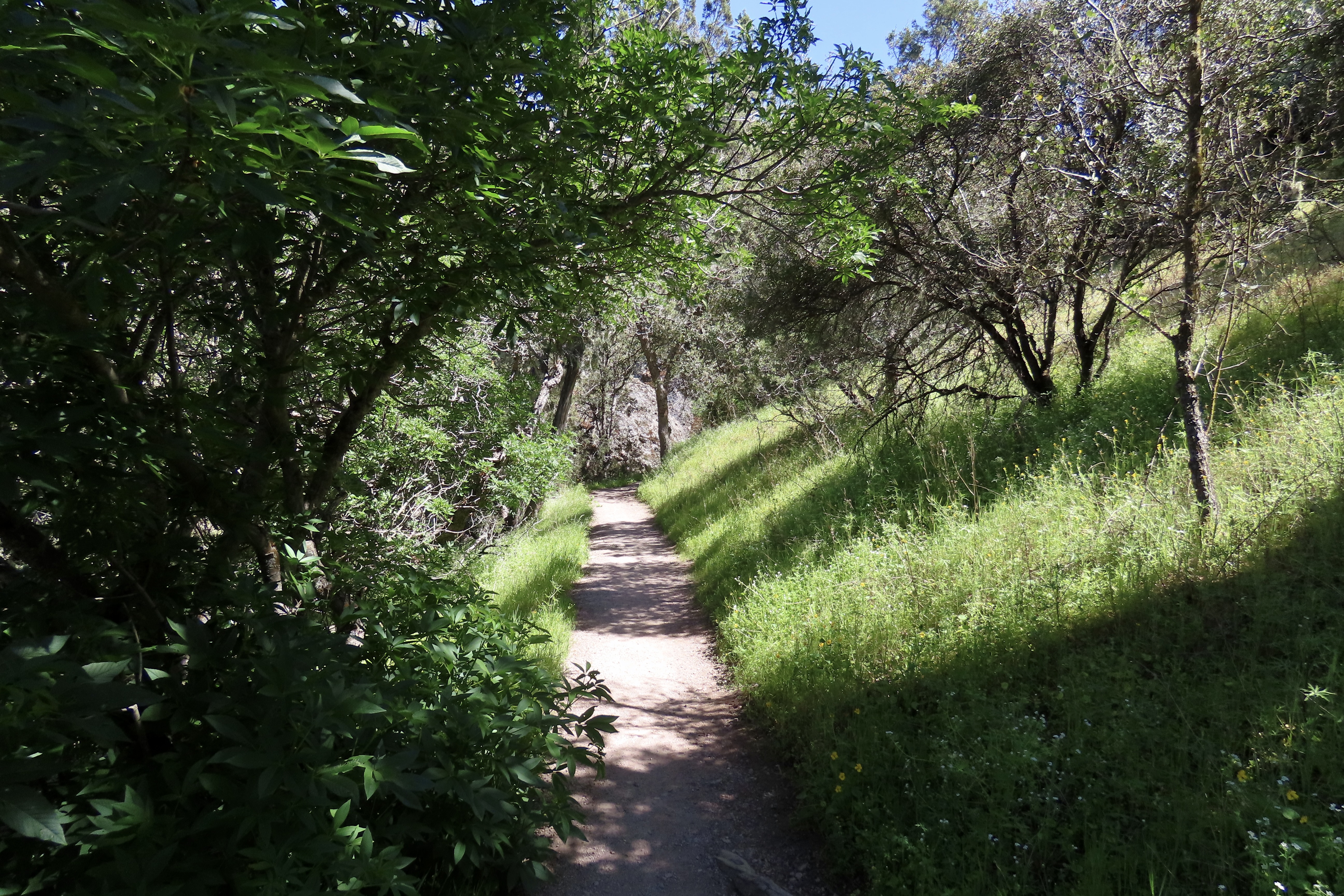
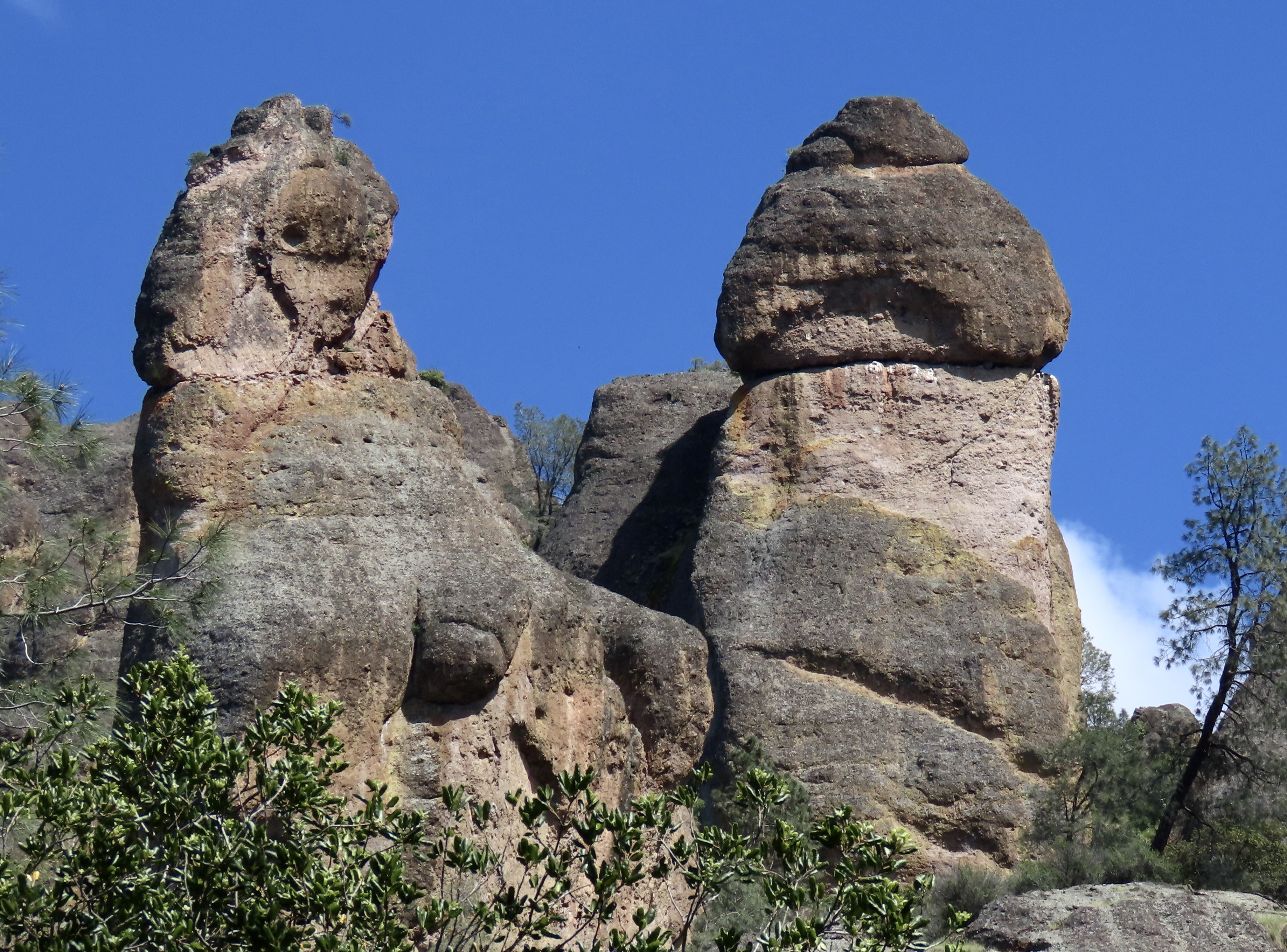
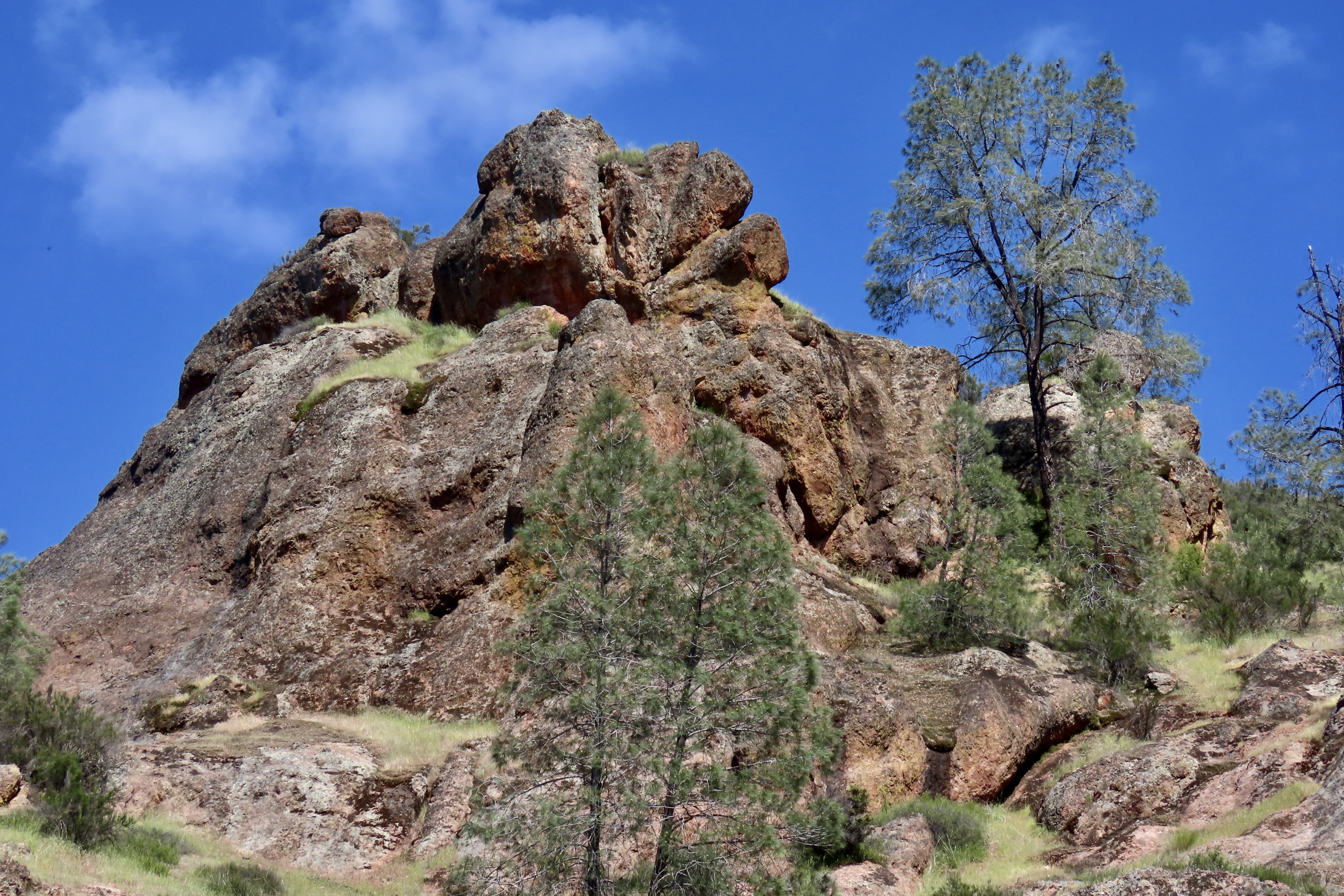
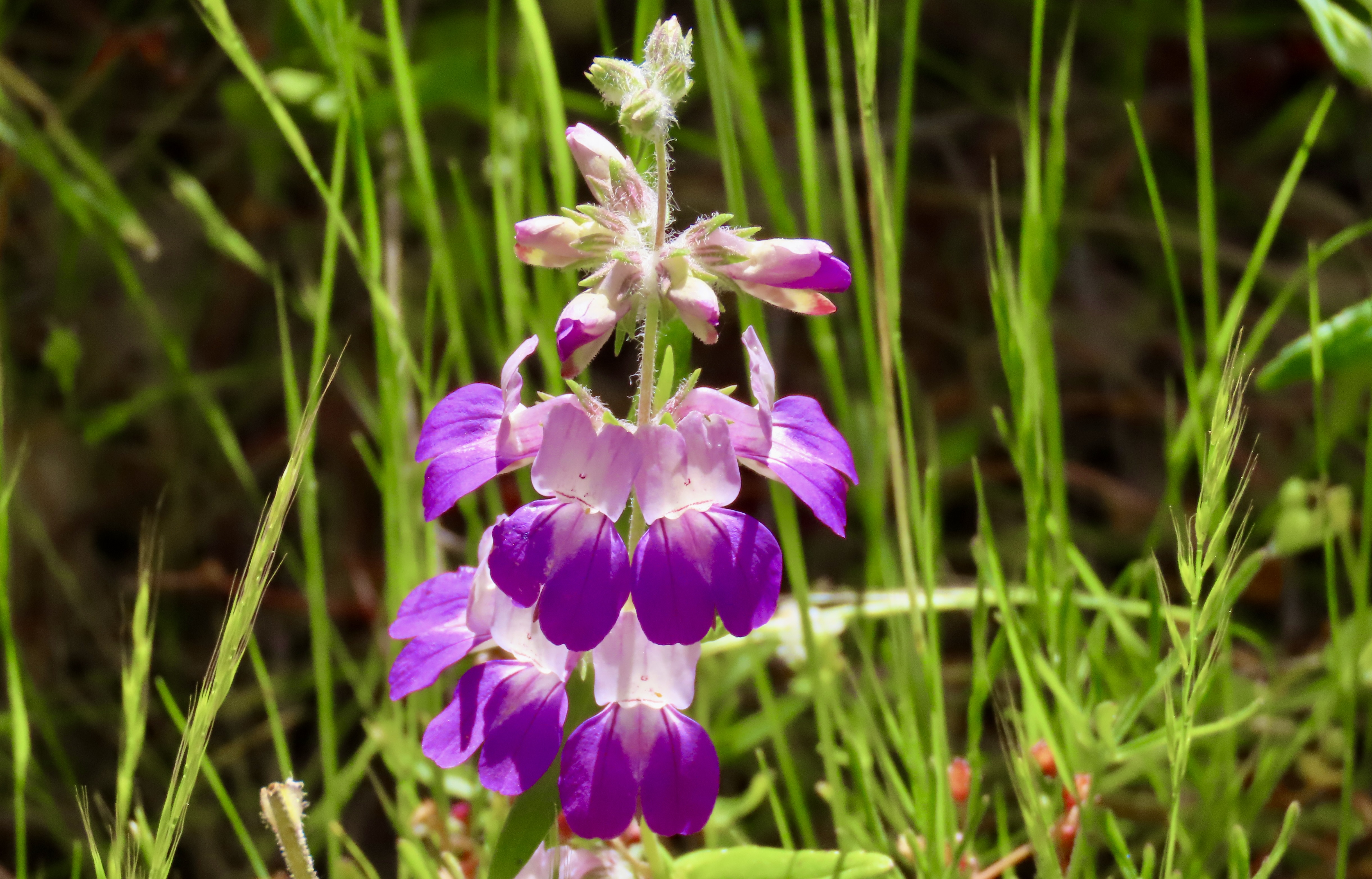
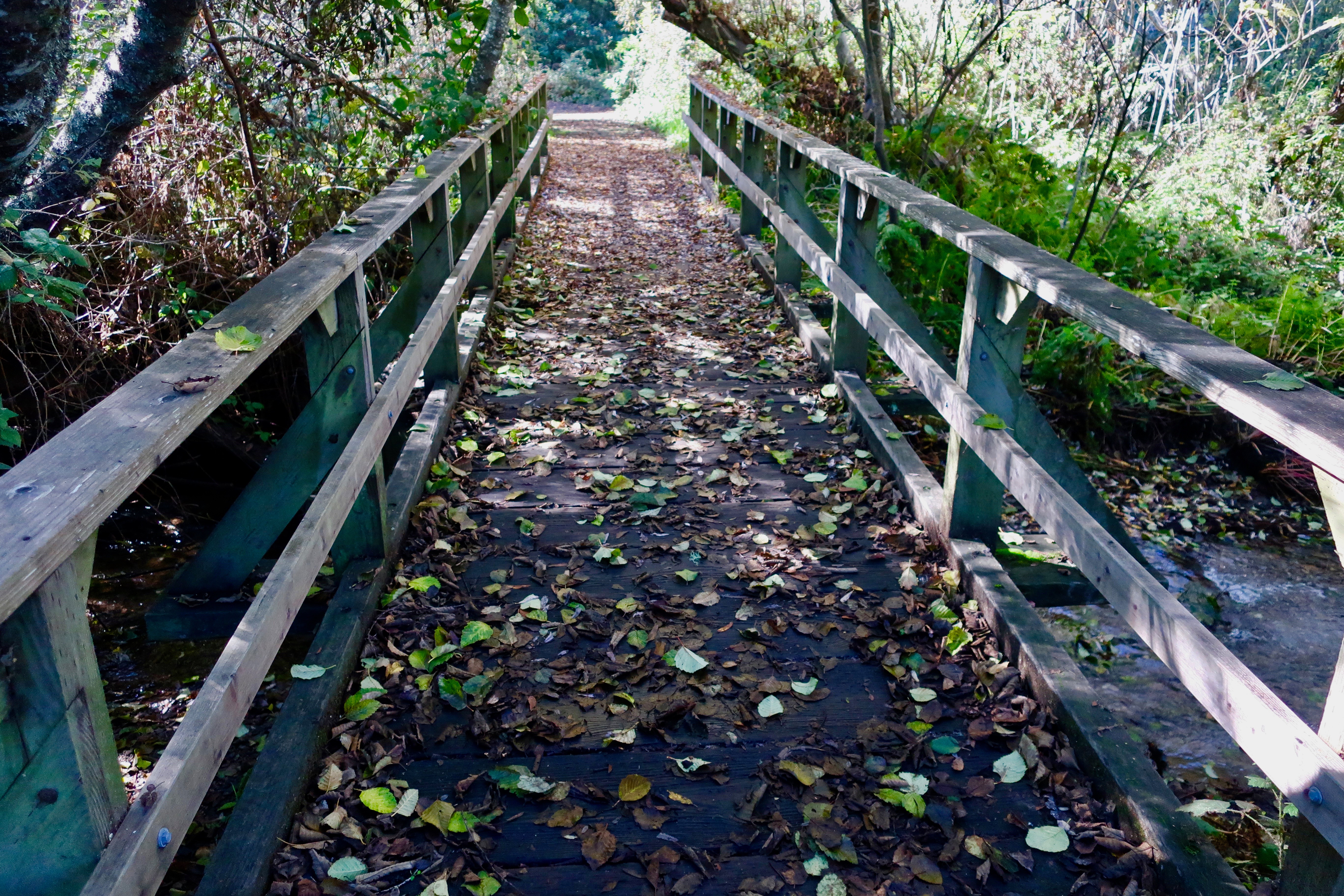
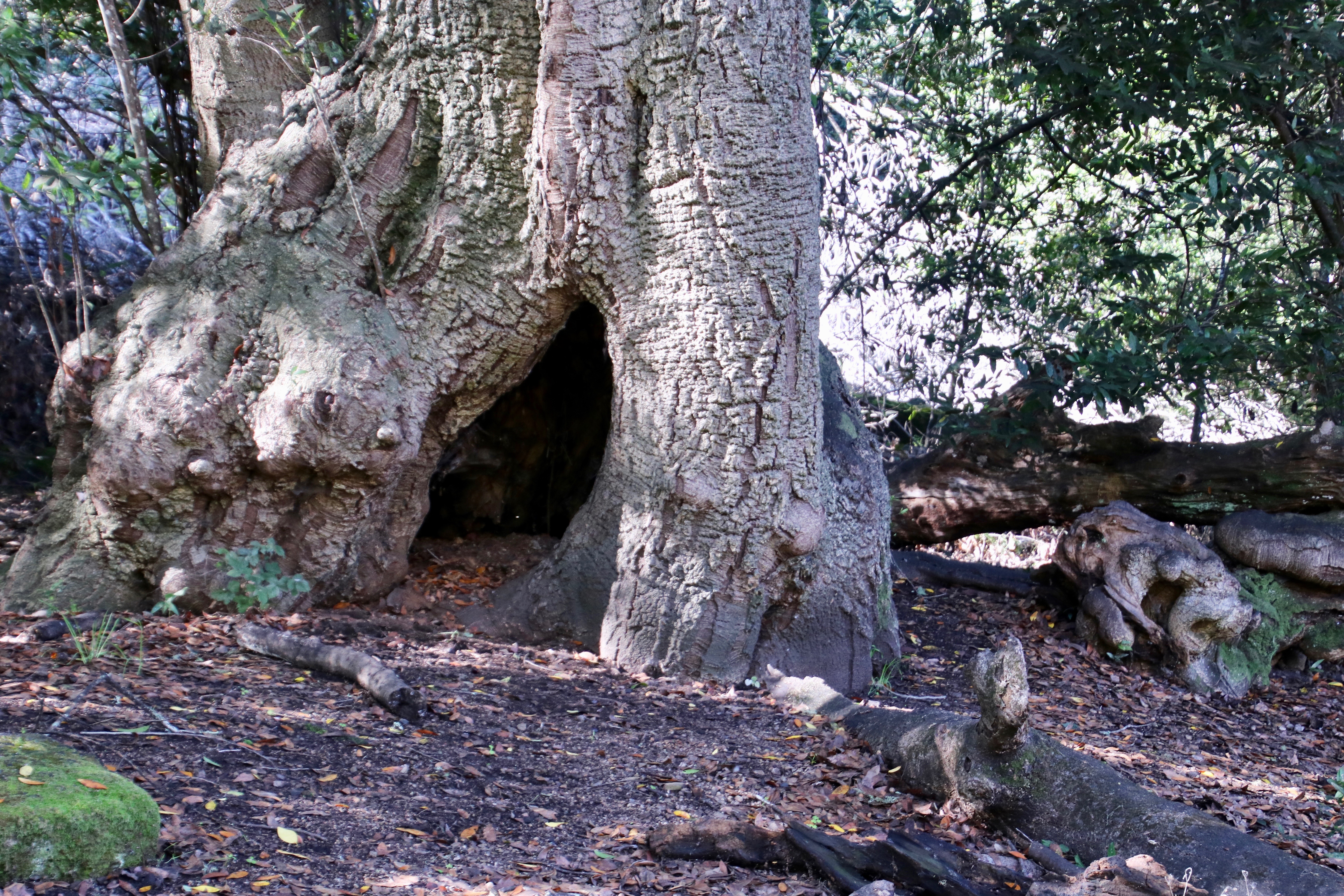
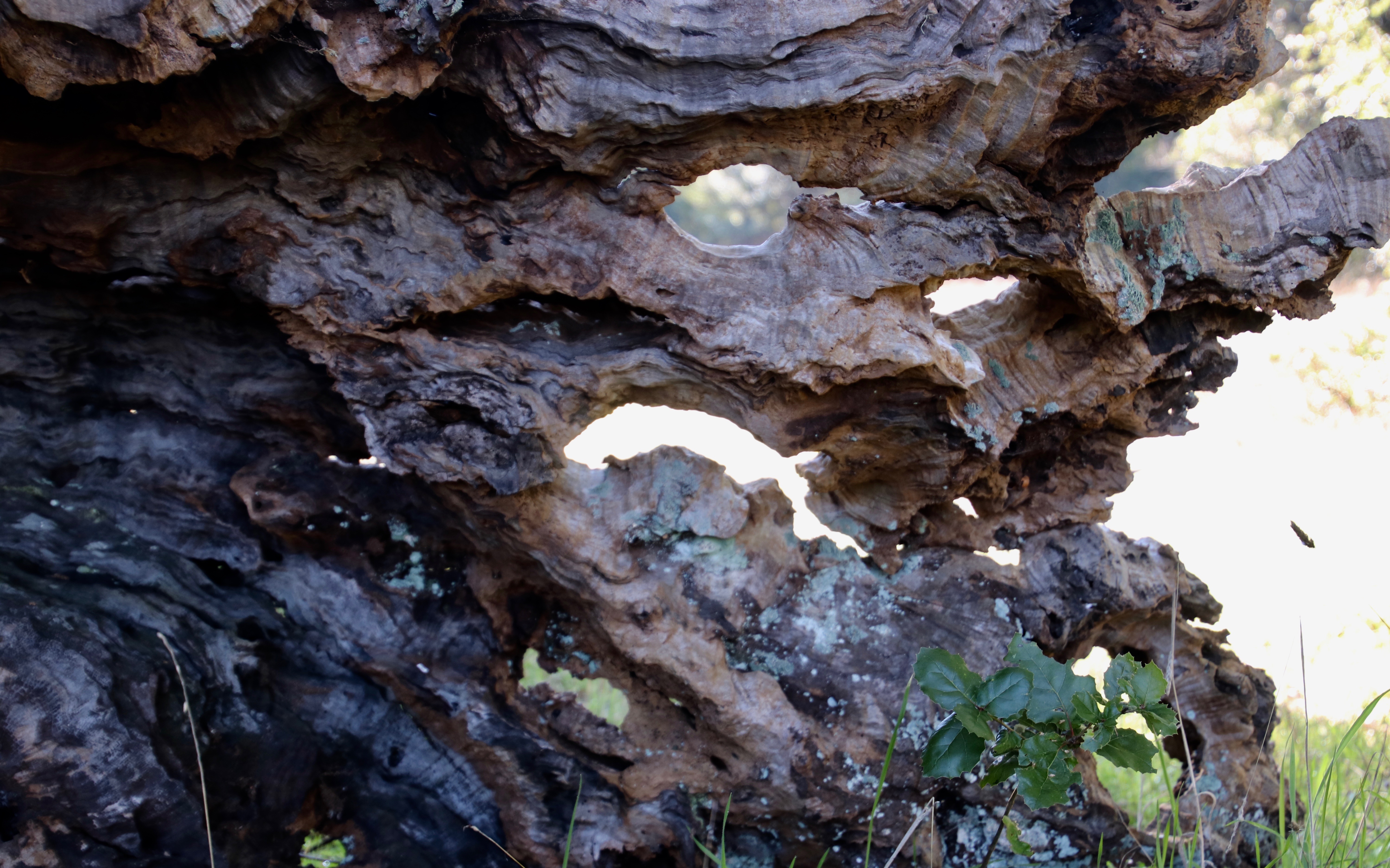
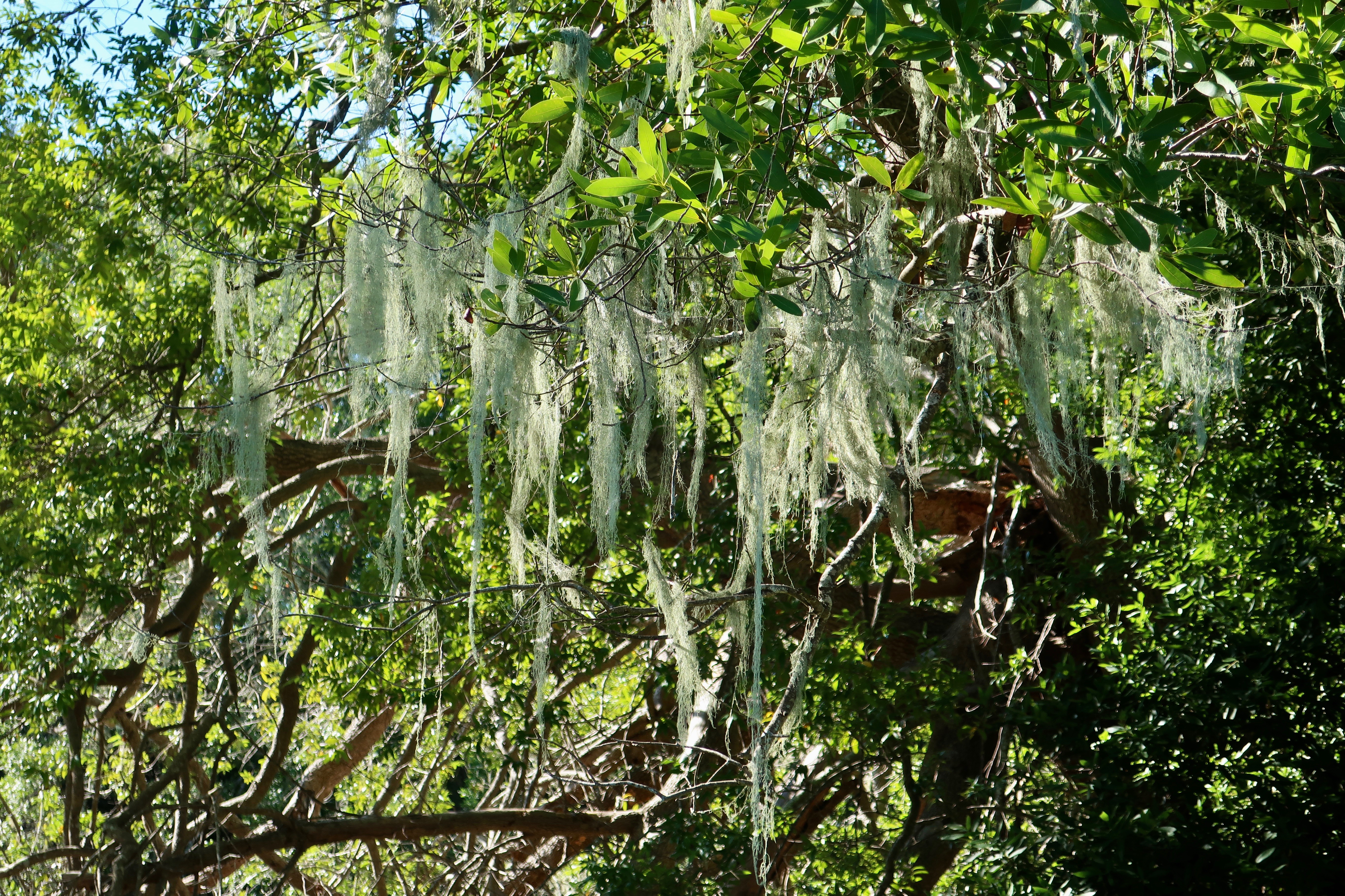
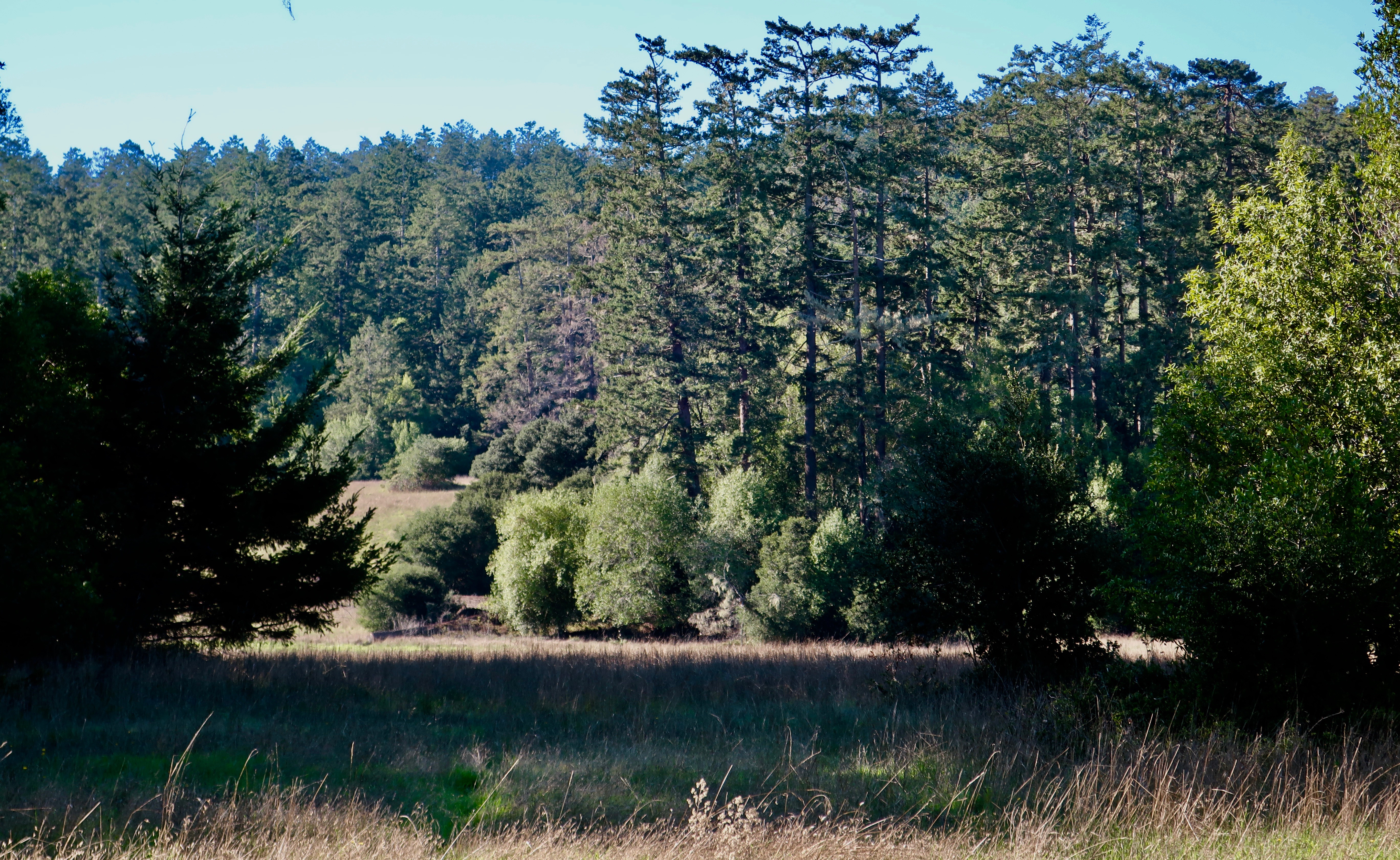
A view along the Earthquake Trail. One of the things I like about Pt. Reyes National Seashore is the diversity of environments…

Photo by Curtis Mekemson of how far the San Andreas Fault slipped near Olema, California in 1906.

Leslie and Peggy stand on the San Andreas Fault and demonstrate how far the fault slipped in 1906.

This old black and white photo included by the park service along the EarthQuake Trail shows the actual slippage created by the 1906 earthquake.

This old black and white photo included by the park service along the Earthquake Trail shows the actual slippage created by the 1906 earthquake. You can see the actual crack in the ground.

And this photo from the Earthquake Trail shows the result of the 1906 earthquake on San Francisco.

And this photo from the Earthquake Trail shows the impact of the 1906 earthquake in San Francisco.

NEXT BLOG: We will visit Limantour Beach and go for a beach walk.