I’ll be completing my thousand mile journey by climbing Mt. Whitney, the curved mountain in the background and the highest mountain in the contiguous United States. I’ve climbed it many times. Here I was wrapping up a 360 mile backpack trip to celebrate my 60th birthday. Will I be looking as spunky after a thousand miles at 75?
Expect some changes in my blog. I am gearing up for a thousand-mile backpack trip this summer starting on June 17, 58 days from now. I’ll be travelling from Mt. Ashland, a few miles from our home and following the Pacific Crest Trail south to Mt. Whitney through the Siskiyou, Marble, Cascade and Sierra Nevada Mountains. With mountains to climb, rivers to cross, wild animals to confront, swarming insects to avoid, and bad weather to face— not to mention the challenge of backpacking 1,000 miles— there will be plenty of adventures along the way. And there will be lots of photographs. Much of the country I will be backpacking through is drop-dead gorgeous.

My journey will take me through a variety of terrains, including Yosemite National Park.
I estimate the total trip will take about three months, including breaks. It’s my intention to blog about the journey along the way. Peggy will be backpacking part of the trip with me, but mainly she will be doing back-up, meeting me at places where the trail crosses the road. When we have cell phone service, I’ll have Internet. I am excited about sharing the journey with you. Once the adventure gets underway, I’d appreciate your sharing a post or a link with your followers. I figure the more people hiking along with me, the merrier! I’d like a few thousand beside me when I encounter my first bear!

Yosemite is black bear country. I once woke up with one standing on top of me. At 75, I might have a heart attack! 🙂
Not many people go out for a thousand-mile backpacking trip. And the number of 75-year-olds who do it are far fewer, maybe a handful. But I am no stranger to long distance adventures and this year marks my 50th year of backpacking. I think of the journey as a celebration of doing what I love to do, and a statement that age isn’t necessarily a detriment to having grand adventures.
Having said that, I realize I am 75 (grin). I’ll be seeing my doctor before I go. And Peggy and I are doing a 40-mile conditioning backpack trip along the Rogue River in four weeks. That, along with the first 60-mile section of the trail, will give me a hundred miles. The way I think is that if I can do a hundred miles, I can do a thousand! If not… well there are always other adventures.
There is a ton of preparation that needs to be done in getting ready for the trek, in addition to conditioning. I’ve started by putting my gear together. I’ll be traveling ultra-light, using the modern terminology. Peggy turns white and checks the budget each time I head out to REI. My new tent, backpack, sleeping bag, and mattress weigh seven pounds, which is what my old backpack alone weighed. I am hoping to keep all of my gear to under 15. With food for a week, this should keep my total weight to 30 pounds max.
The route, food considerations, resupply points and permits all need to be planned out and reviewed. There will be less time for my blog over the next couple of months. I will be limited in the number of posts I can put up and the number of posts I can read. My apologies in advance. But I will do what I can! And I will put up a few posts on my preparation efforts, including the backpacking trip along the Rogue River.

The beginning of my journey will take me around the edge of the Red Butte Wilderness, which includes the Red Butte Mountains seen here from our deck. Thunderstorms are often a challenge when hiking through the various mountain ranges of California in the summer.
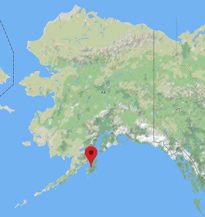
WEDNESDAY’S POST: I wrap up the Alaska Adventure with more photos from Kodiak.
FRIDAY’S POST: It’s ground zero in MisAdventures with Freshmen PE Dance Class!
MONDAY’S POST: A look at today’s ultralight backpacking equipment.