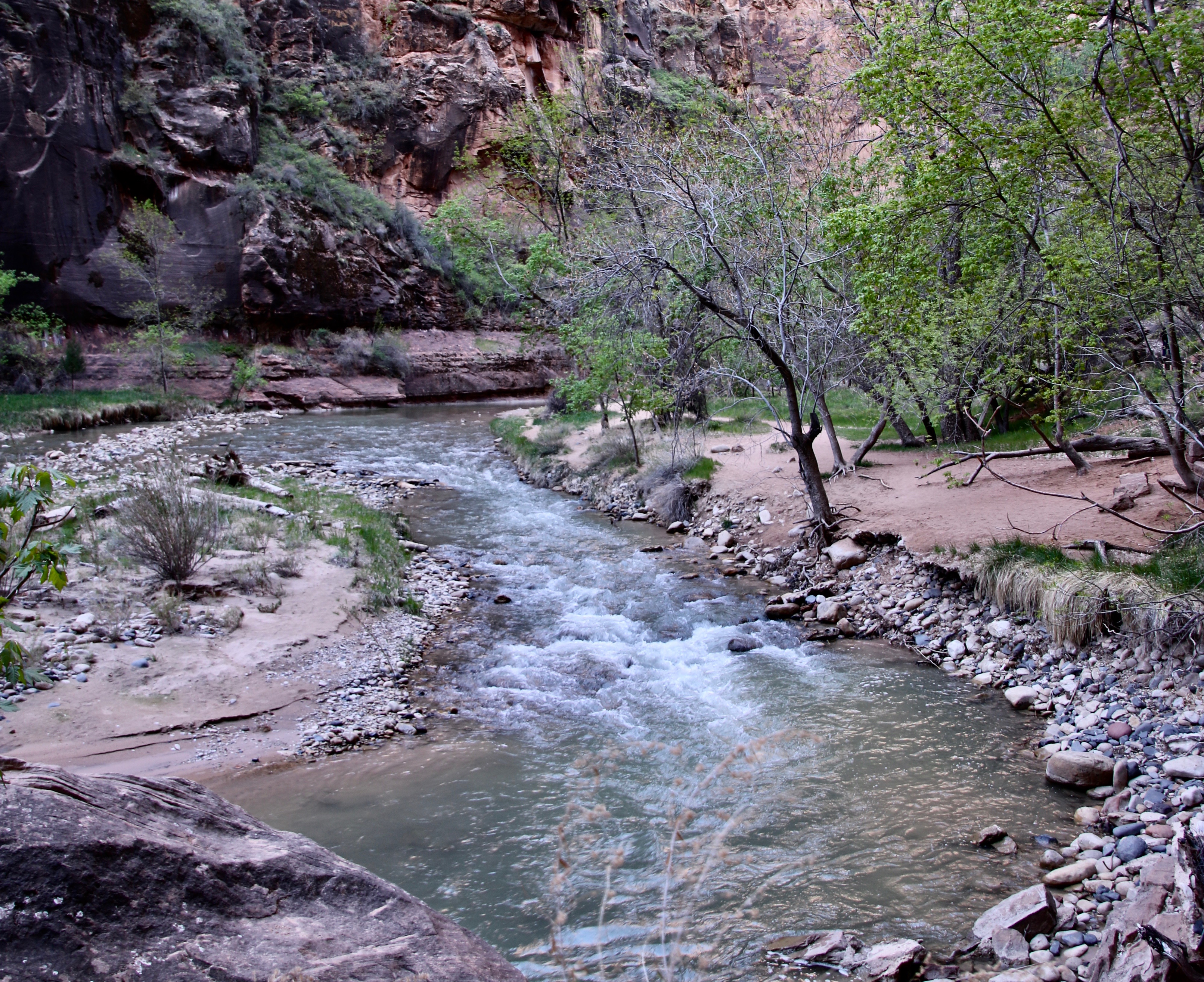
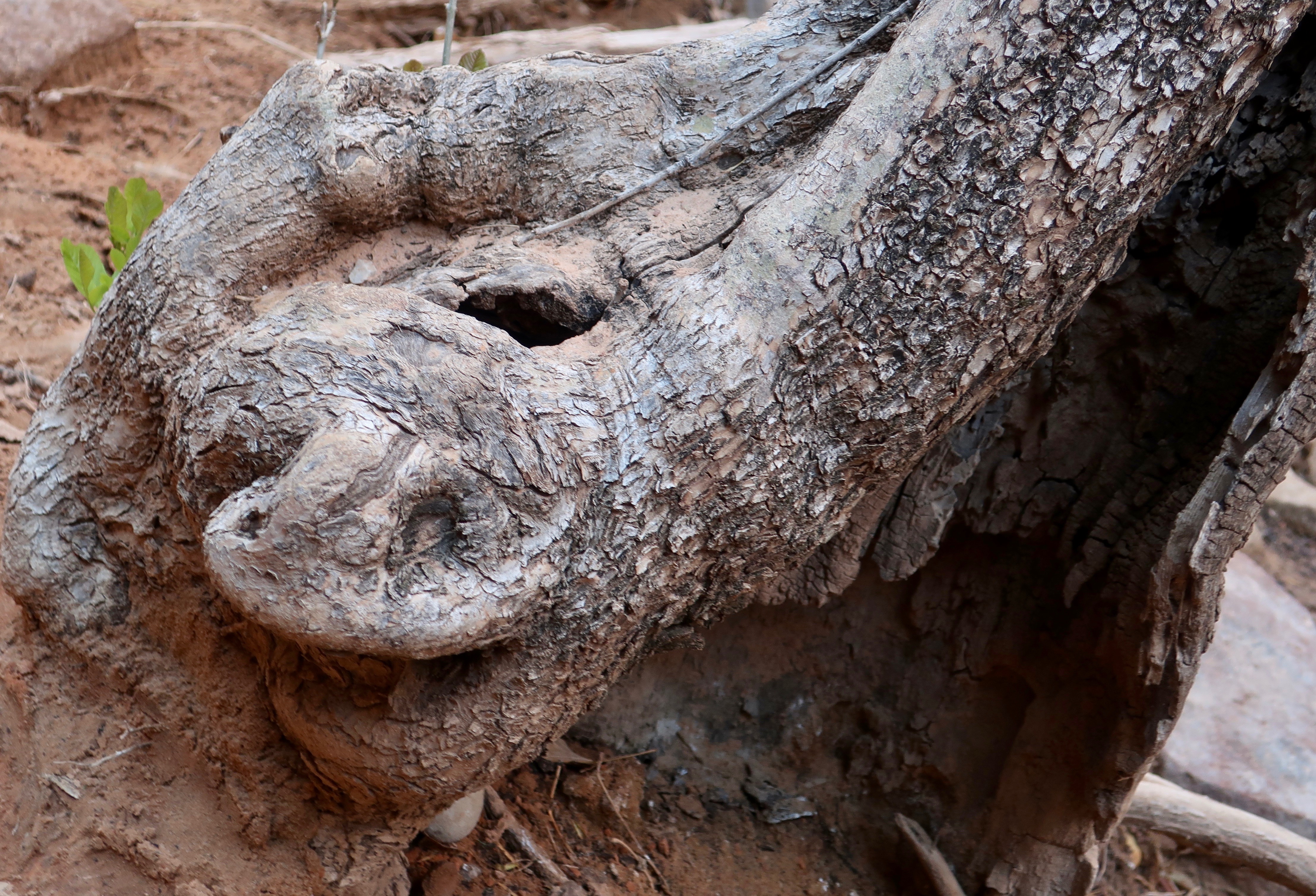
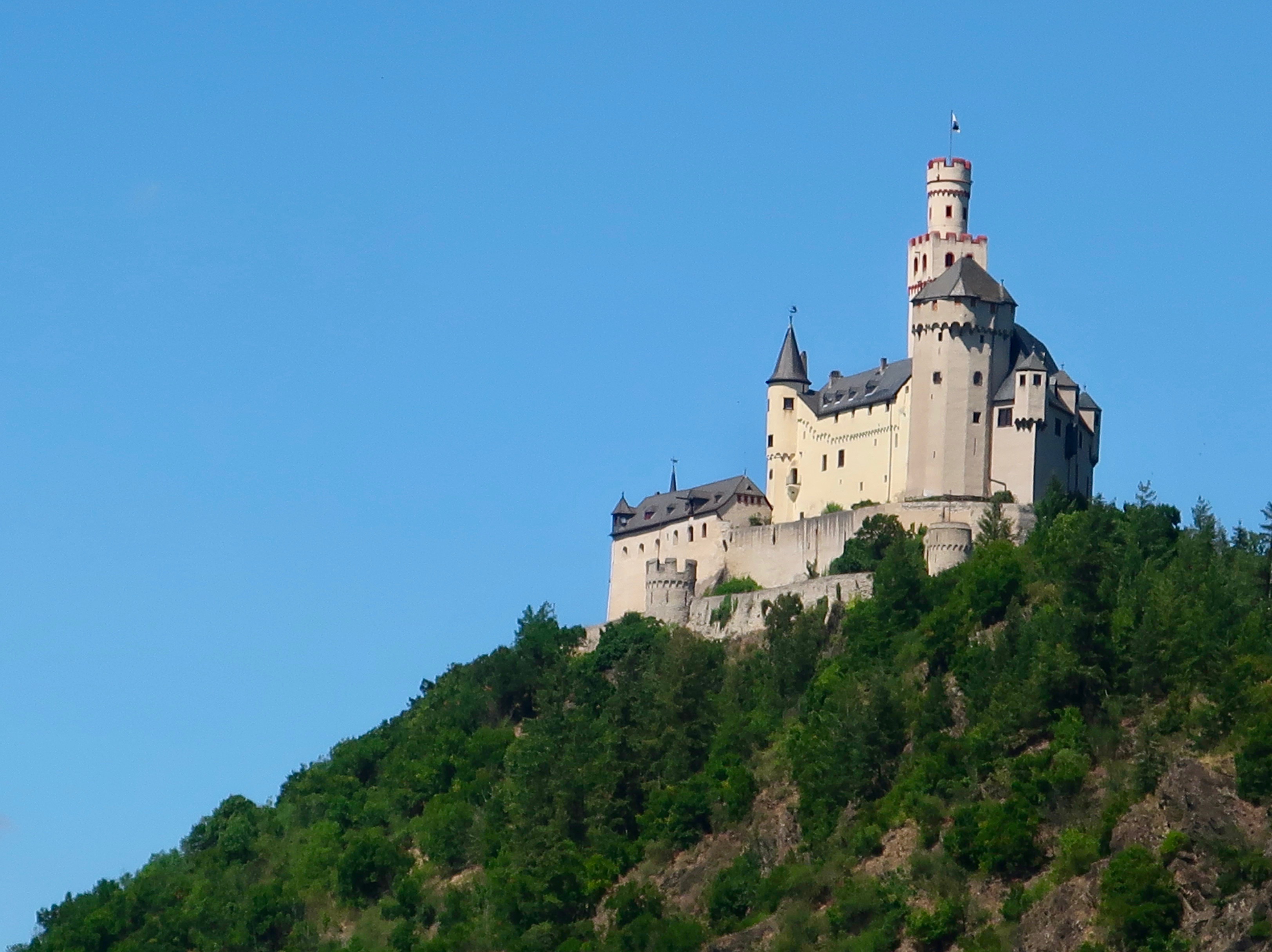
It is a lovely and terrible wilderness… harshly and beautifully colored, broken and worn until its bones are exposed… and in its corners and pockets under its cliffs, the sudden poetry of springs. –Wallace Stegner 1960
I am continuing our Southwest series today. Peggy and I are now back at our basecamp in Virginia and will continue to be through August. There are chores to do: Unpacking, making doctor and dentist appointments, getting our Virginia driver’s licenses, etc. We are even having our hearing tested. There’s a lot of “What did you say, Peggy?” And vice-versa. It’s part of the joy of being in our 70s.
Assuming all goes well, we should be back on the road come September for another multi-month trip, this time traveling through the northern tier of states, and into the Canadian Rockies— assuming that the weather cooperates.

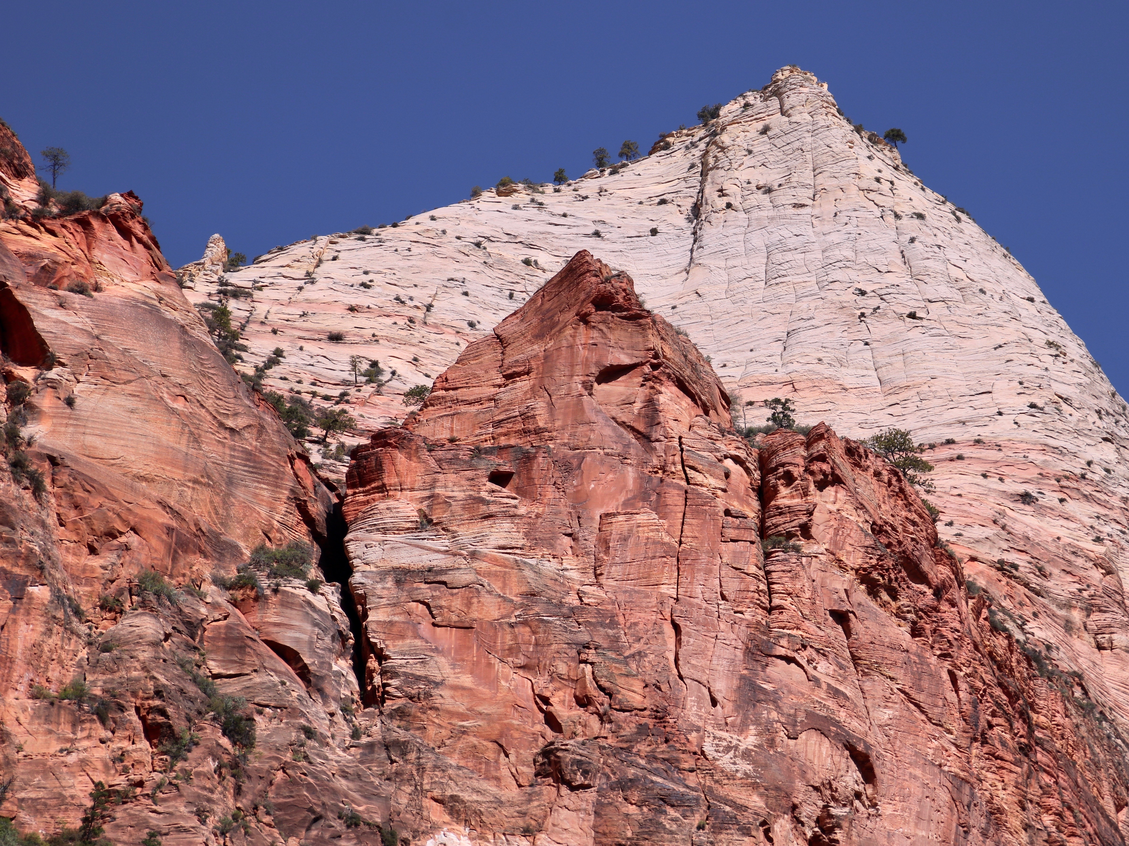
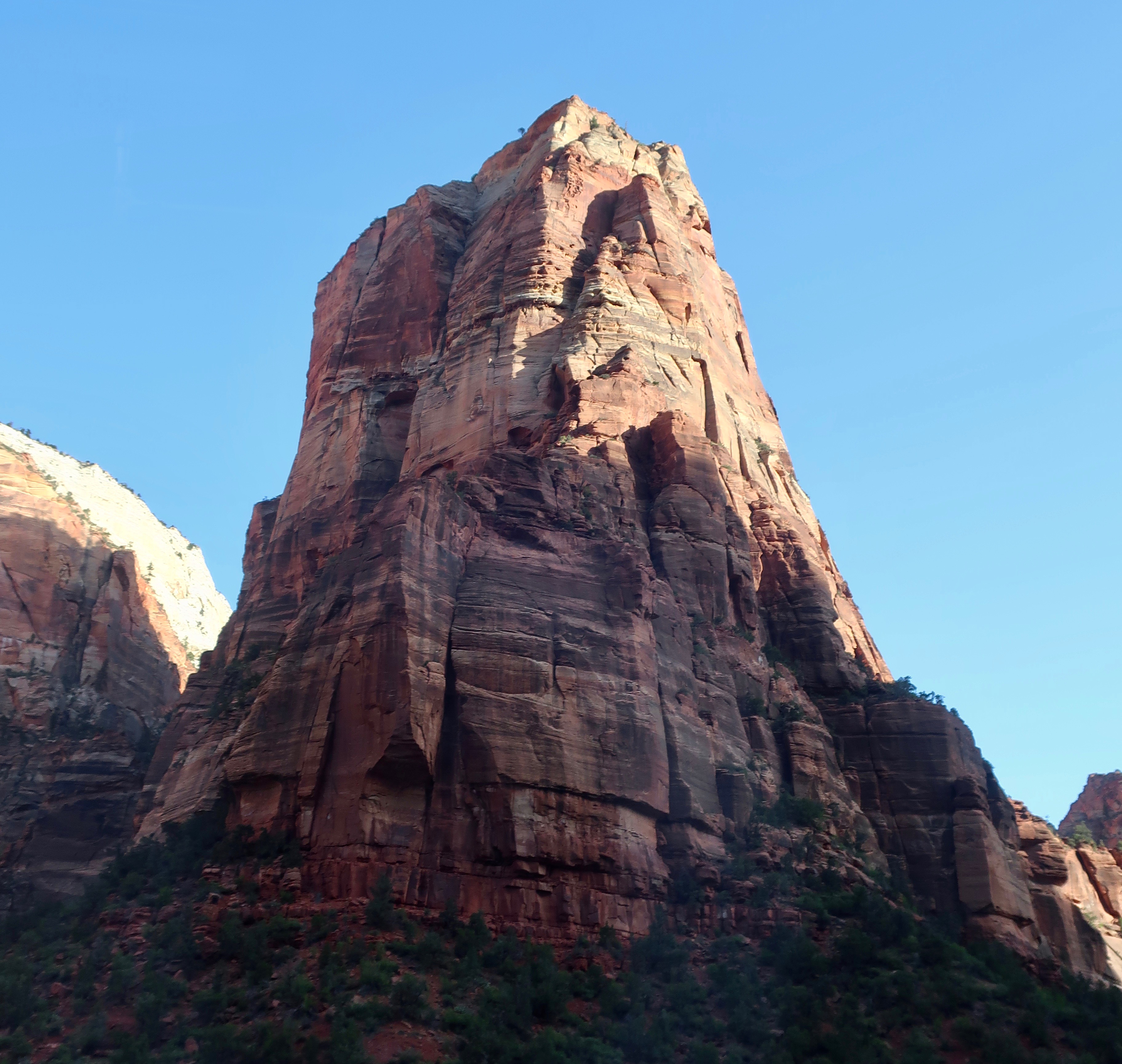
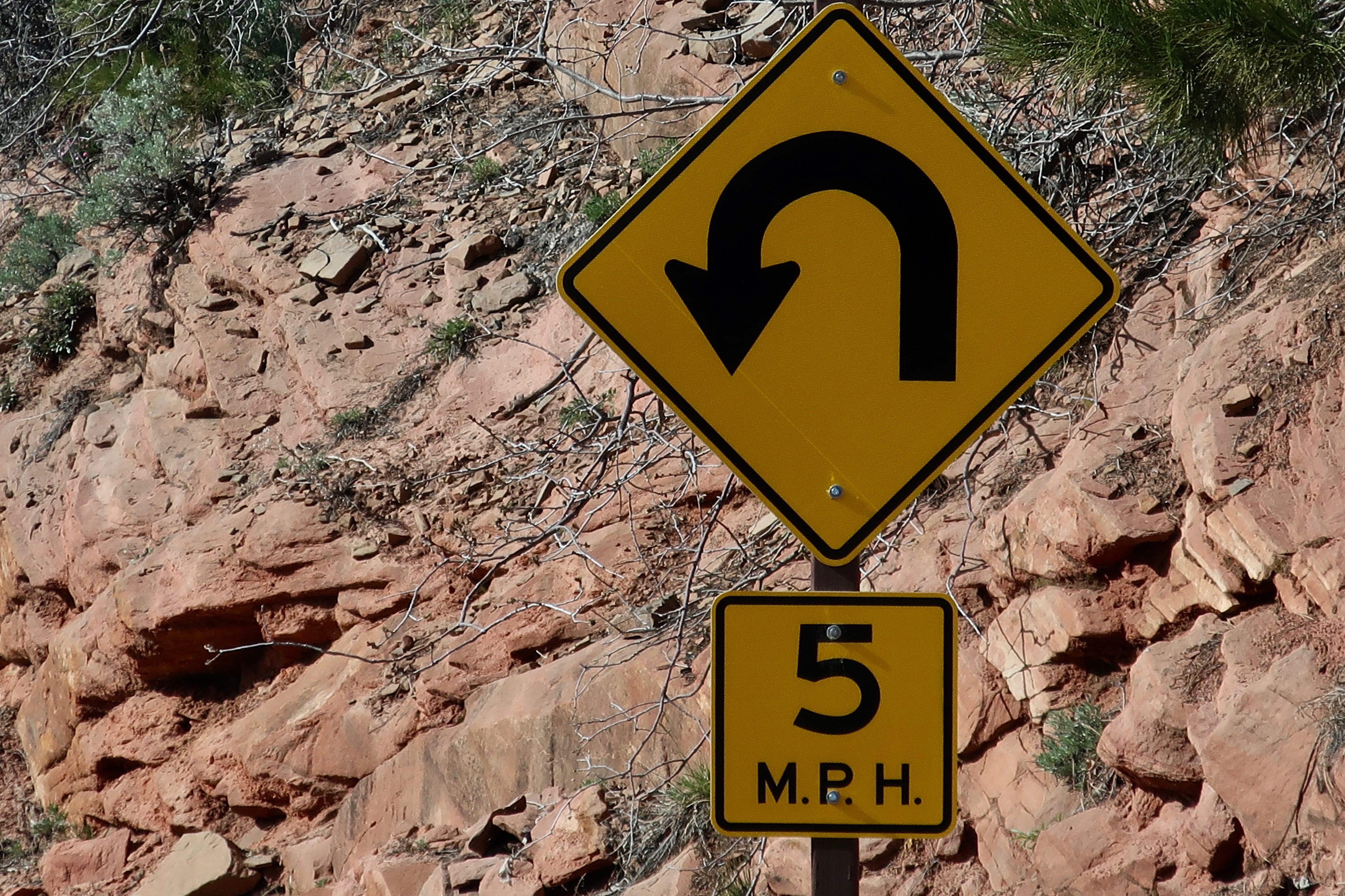
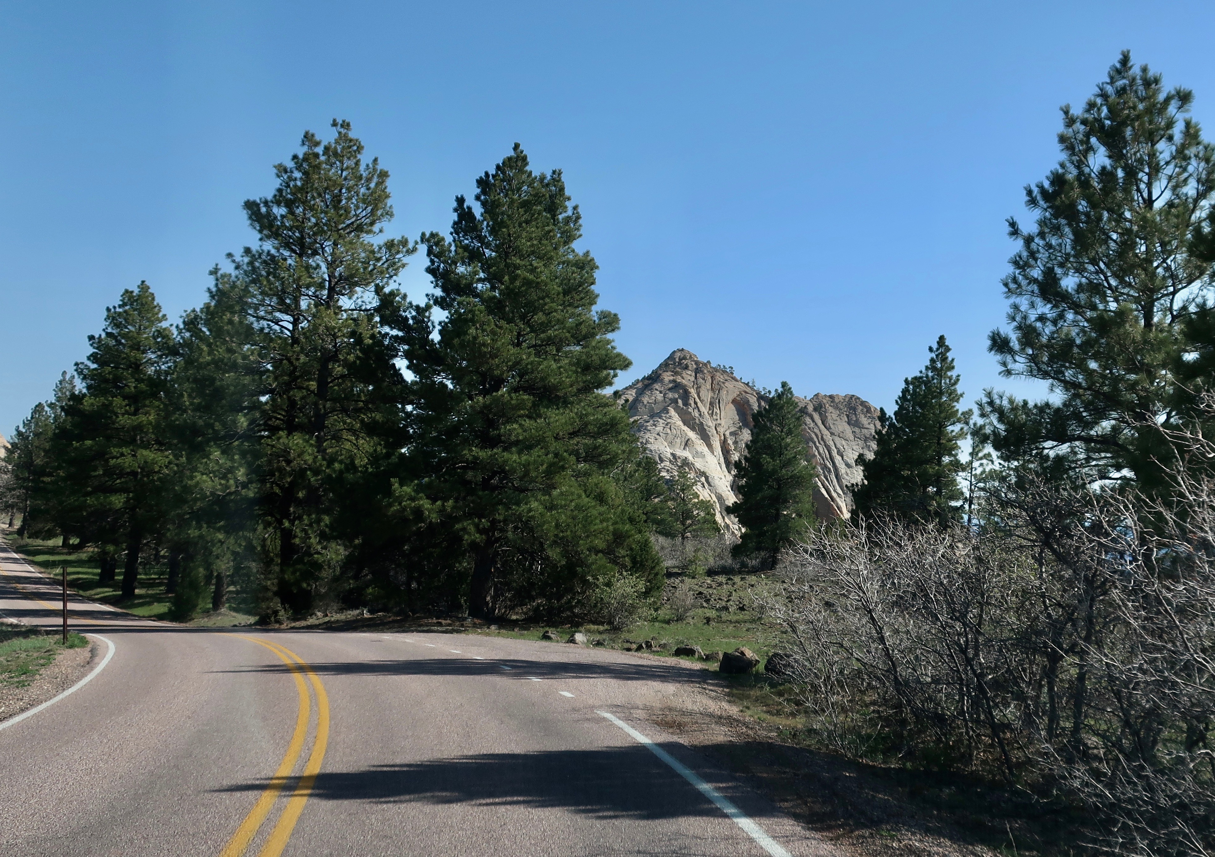
Peggy and I have spent a lot of time on America and Canada’s backroads, plus Mexico’s Baja Peninsula— some quarter of a million miles worth. So we know a bit about byways and we know a bit about scenic. Twelve years ago, when we first travelled over Utah’s Highway 12, our initial thought was Wow! It hasn’t changed. What else would one expect of a road anchored on one end by Capitol Reef National Park and on the other by Bryce Canyon? The short, 123 mile drive can be done in three hours. Or three days if you want to linger and explore the incredible scenery, state parks and historical areas along the way.
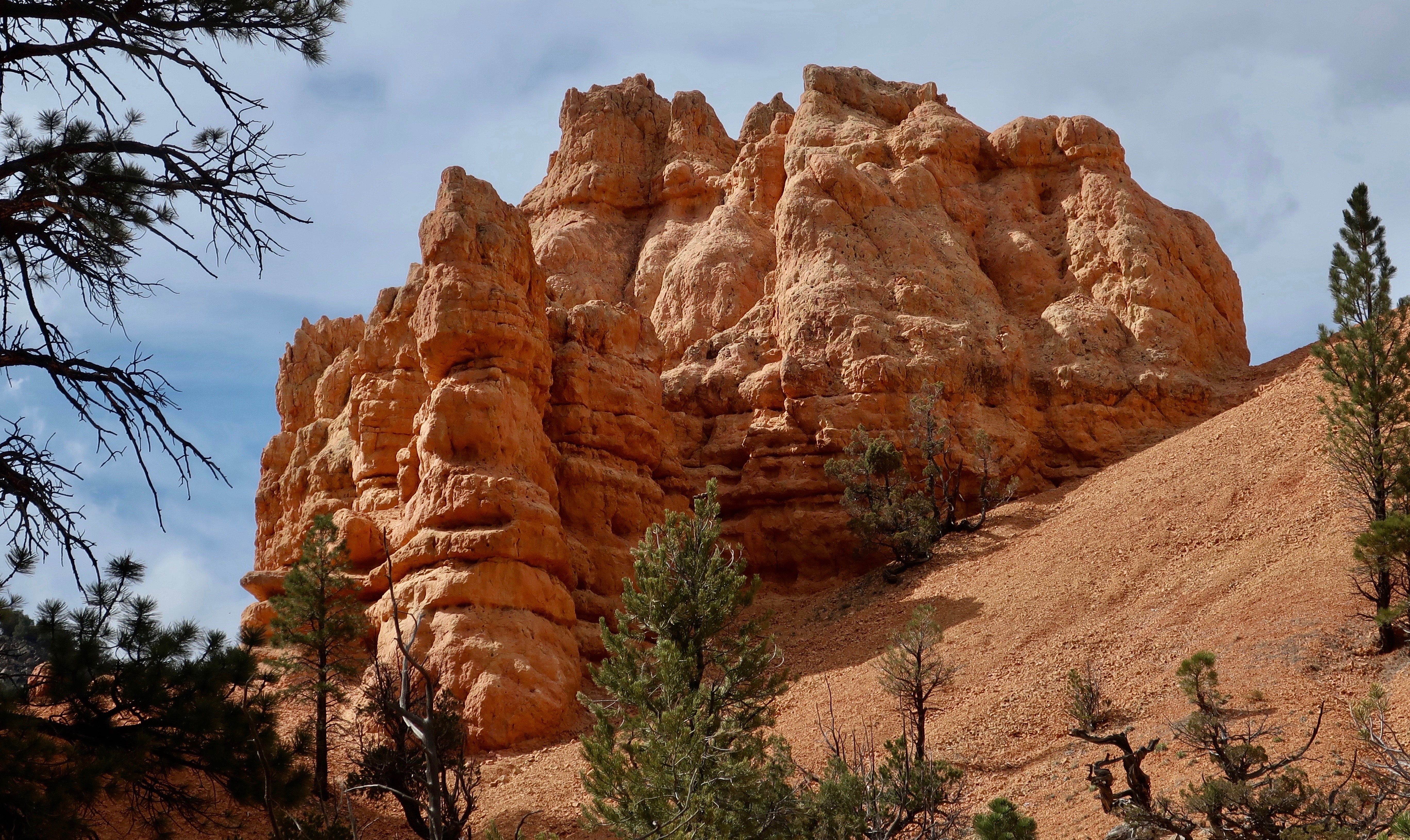
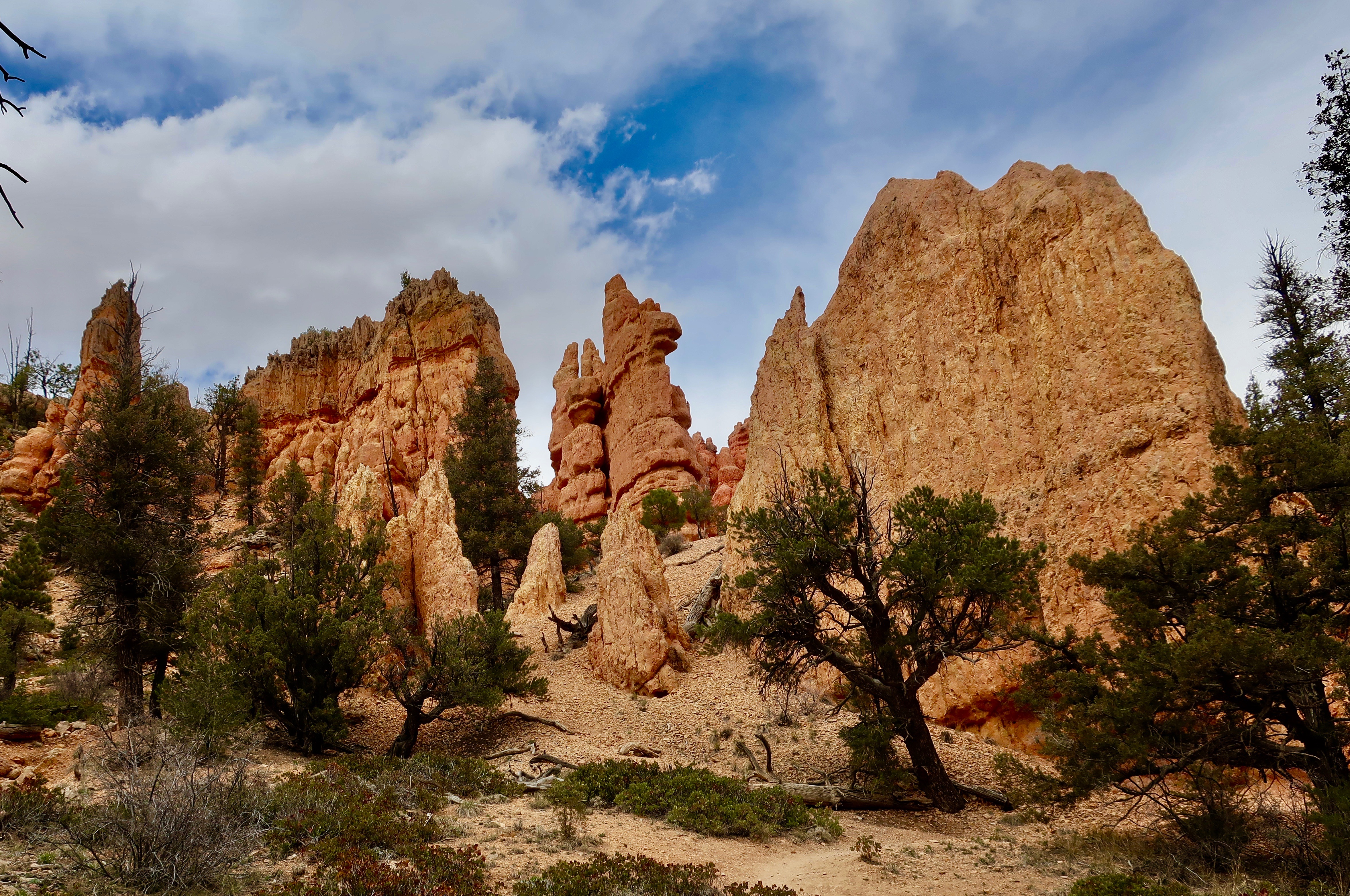
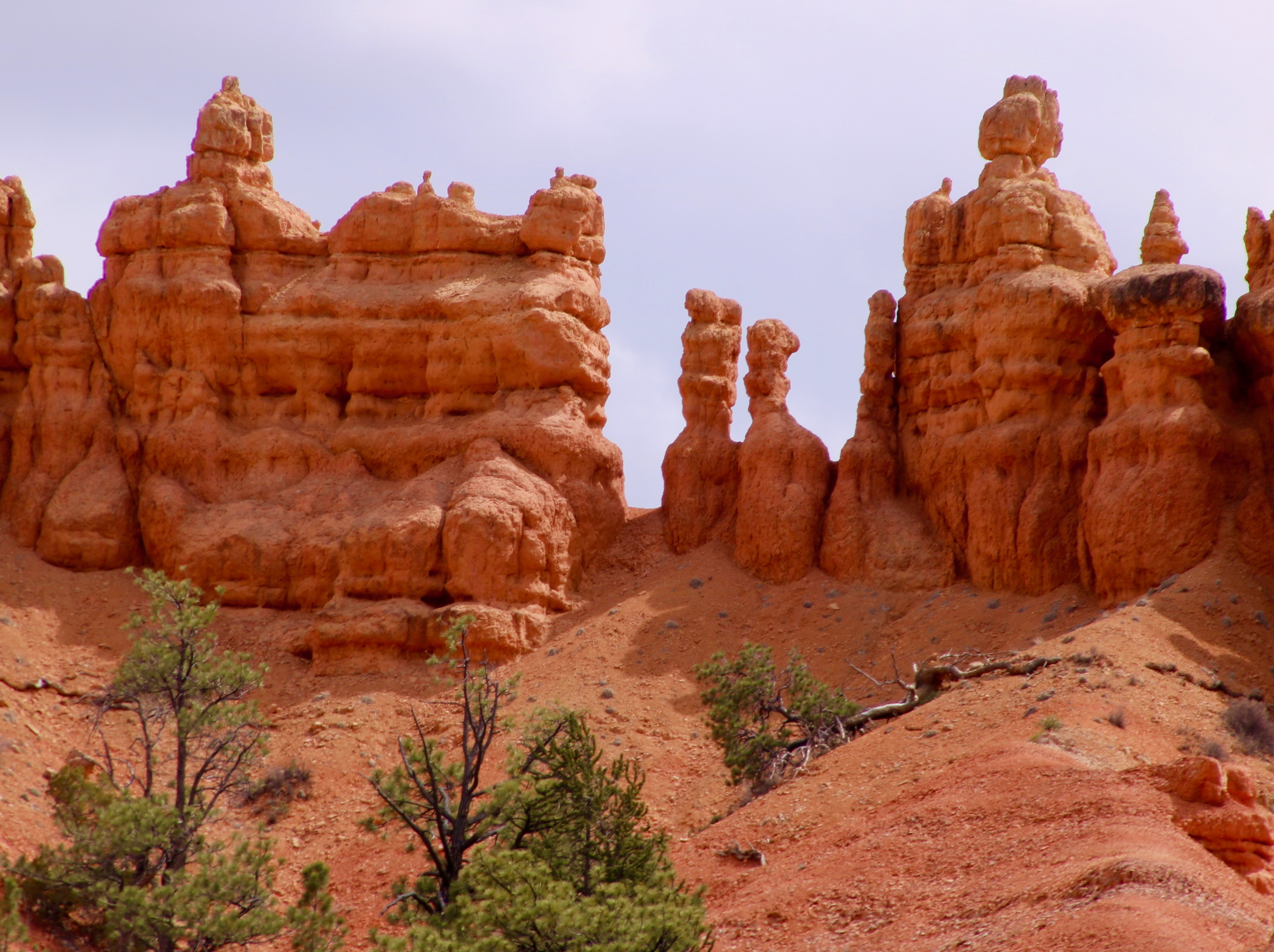
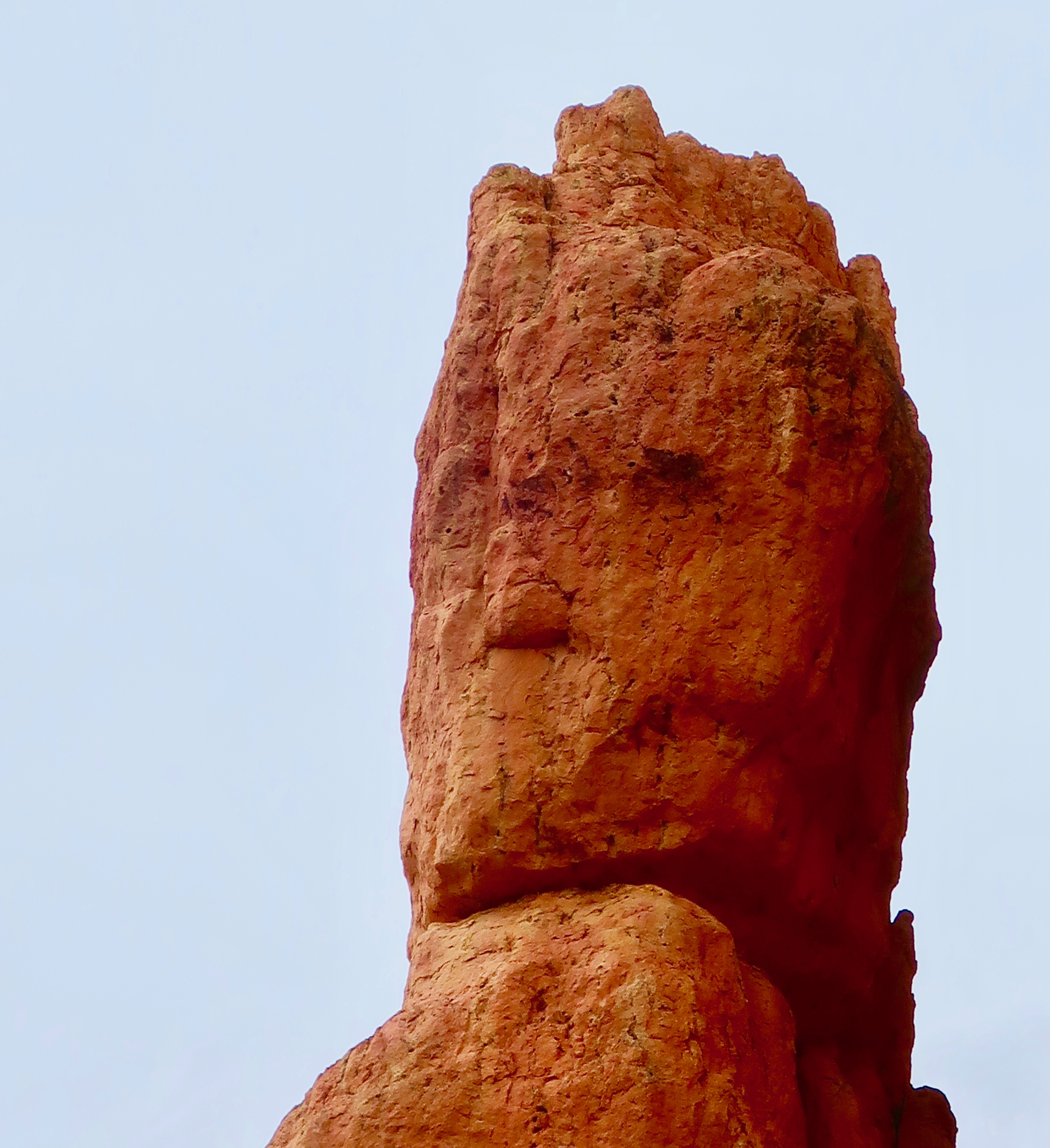
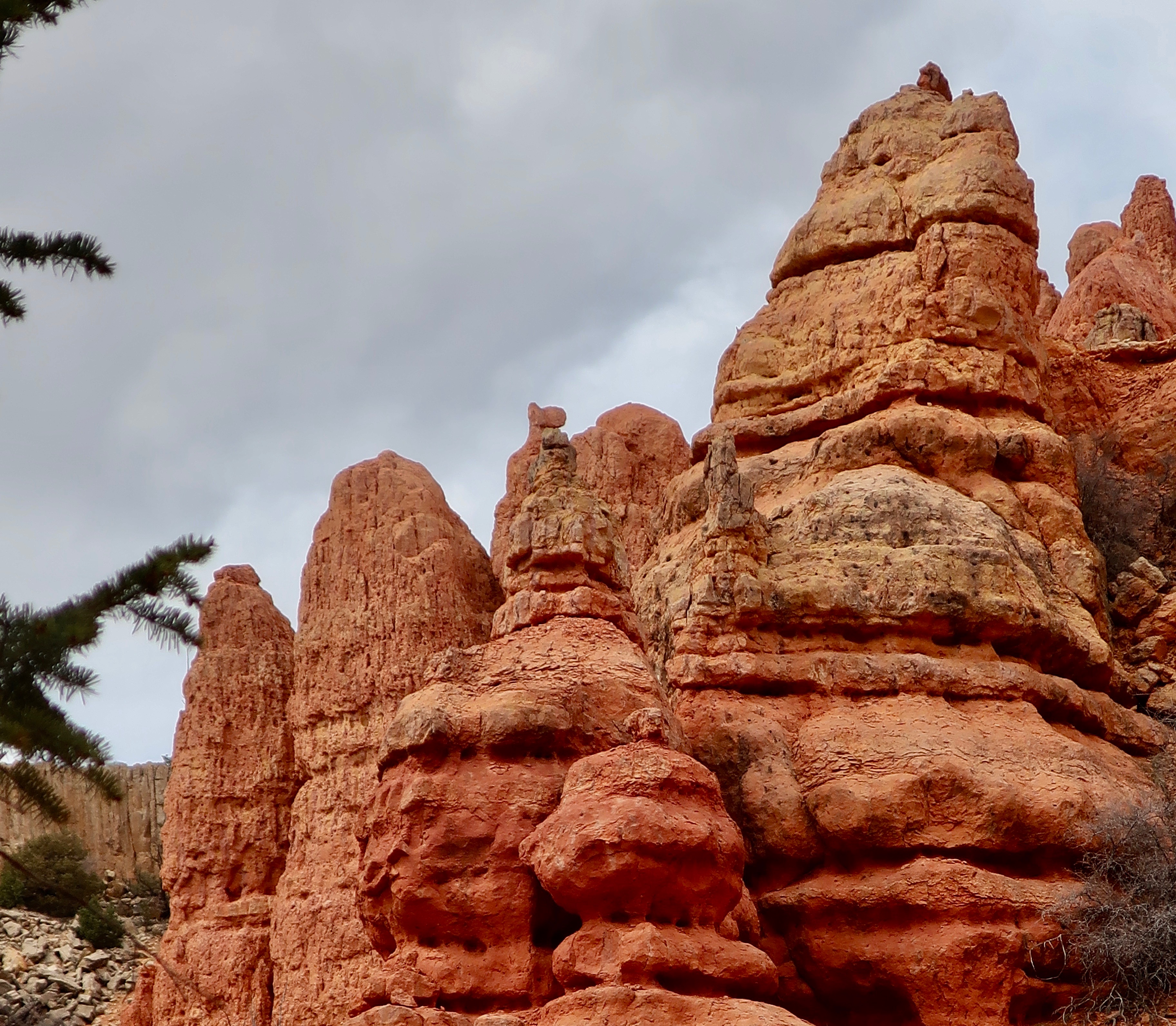
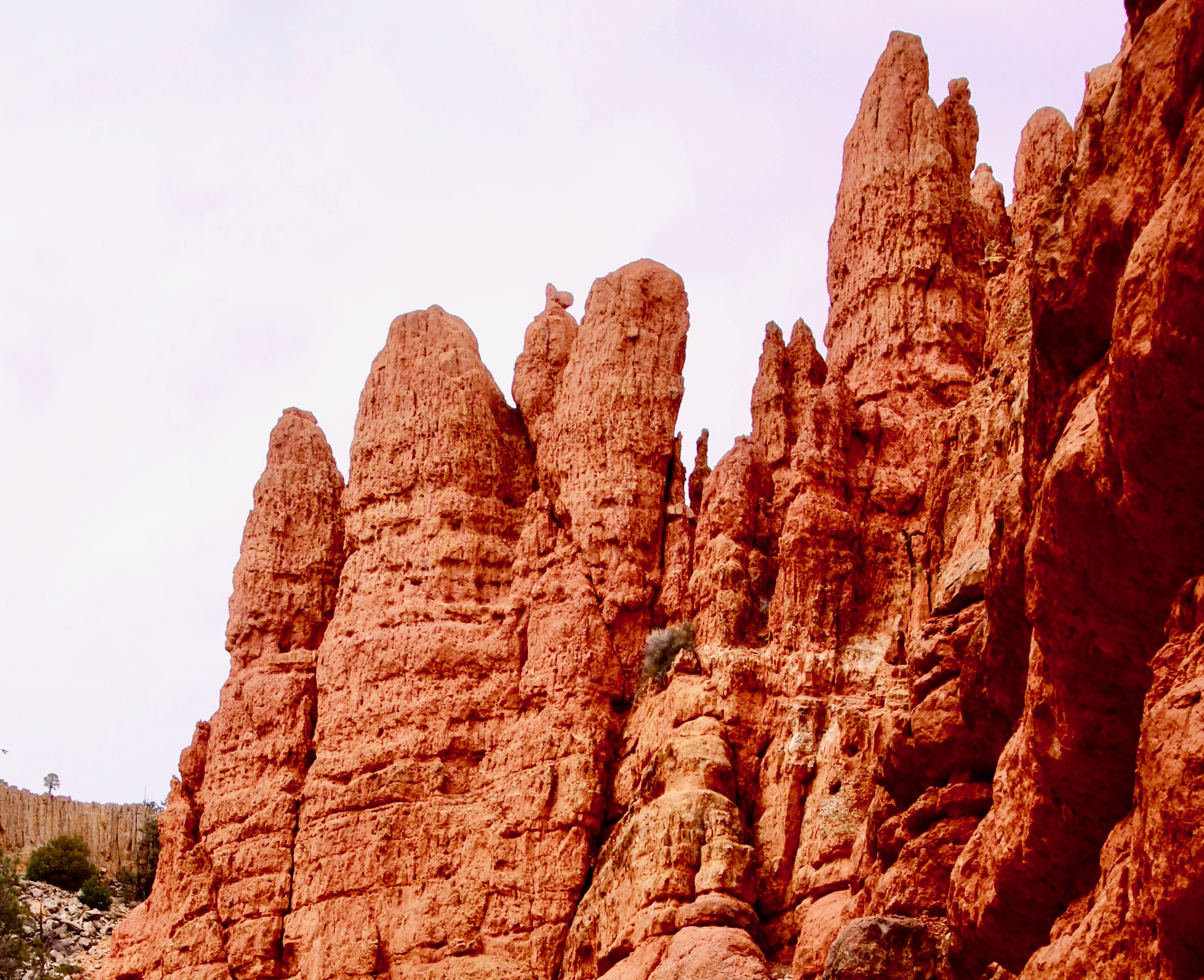
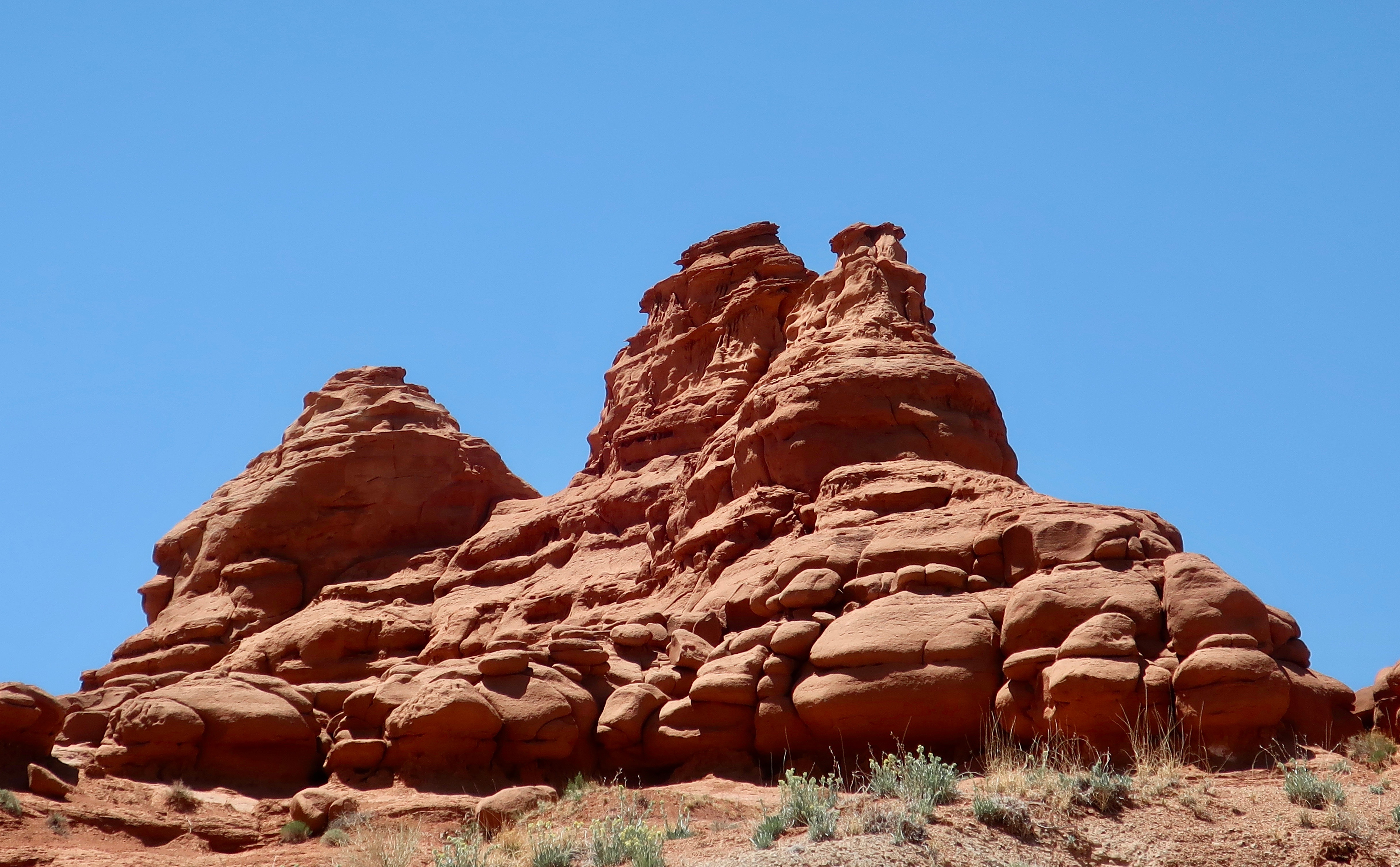
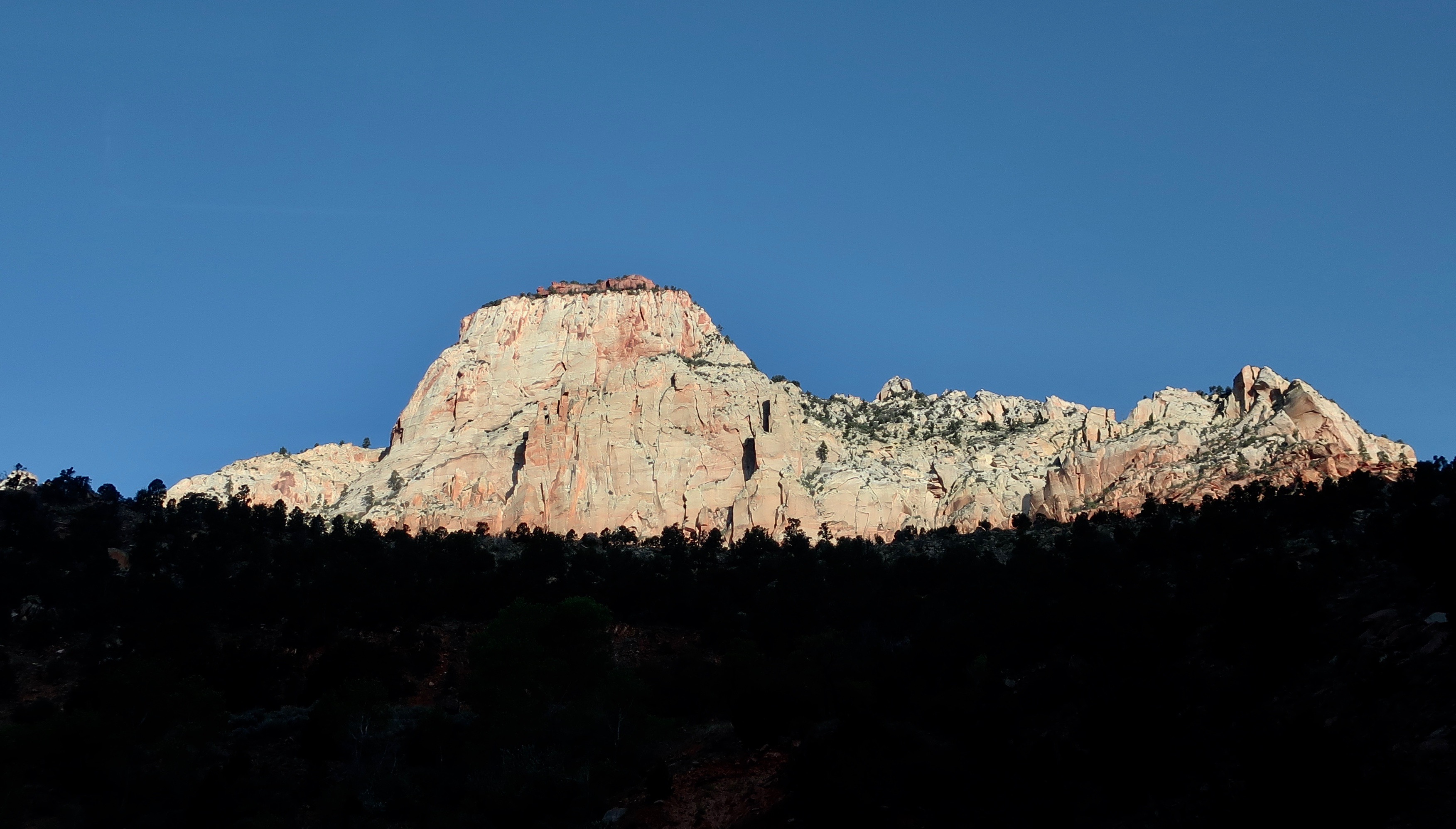
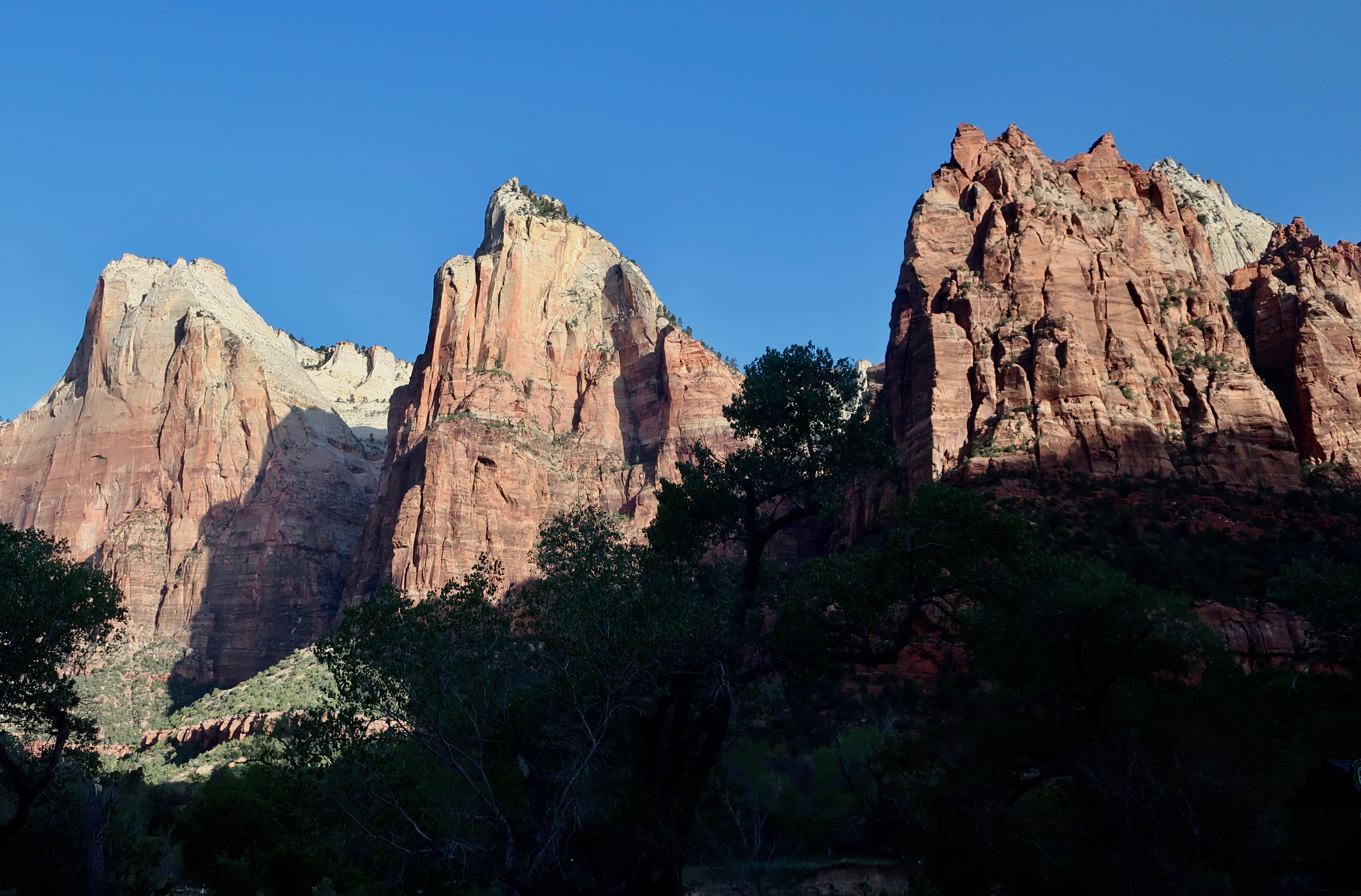
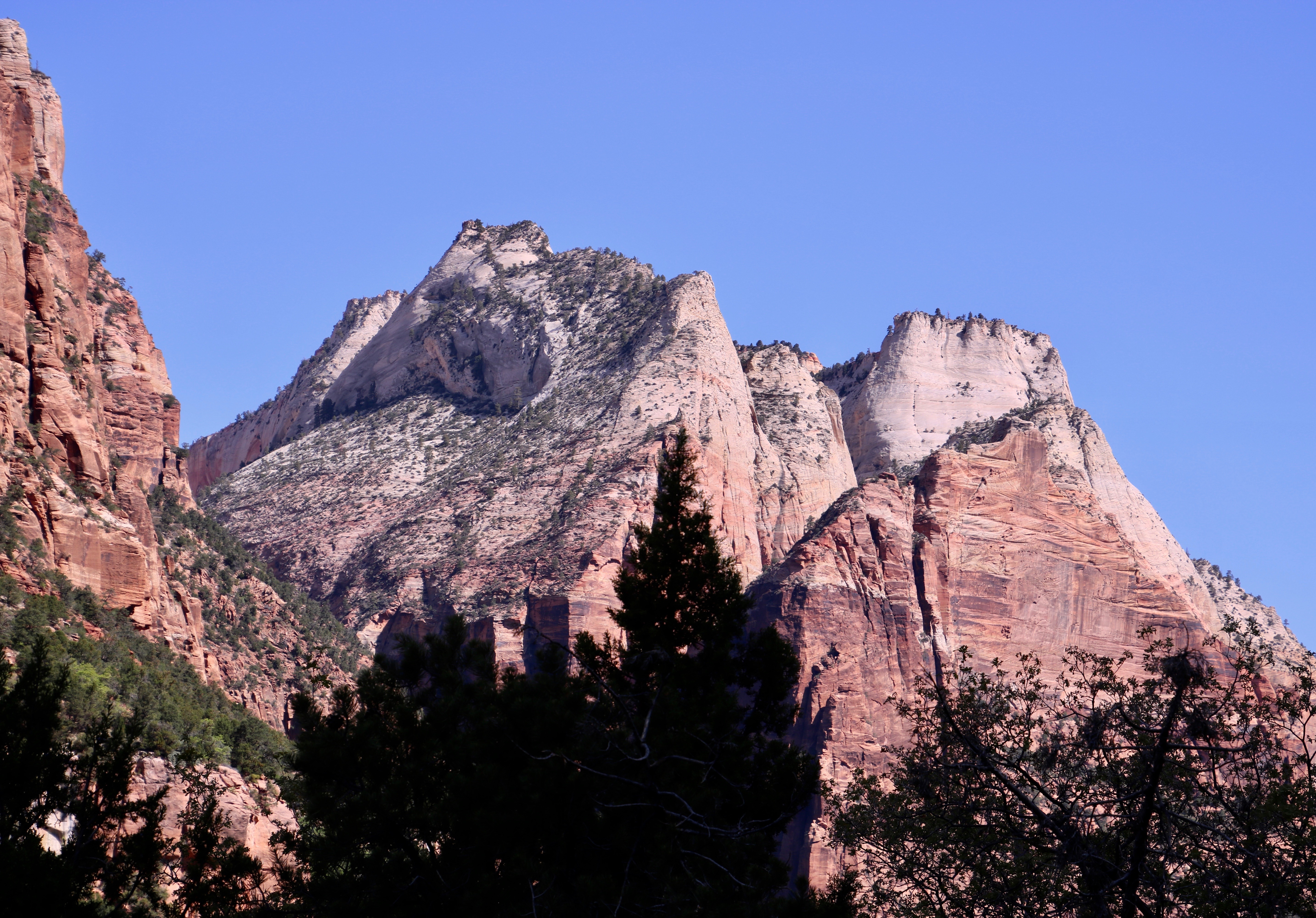
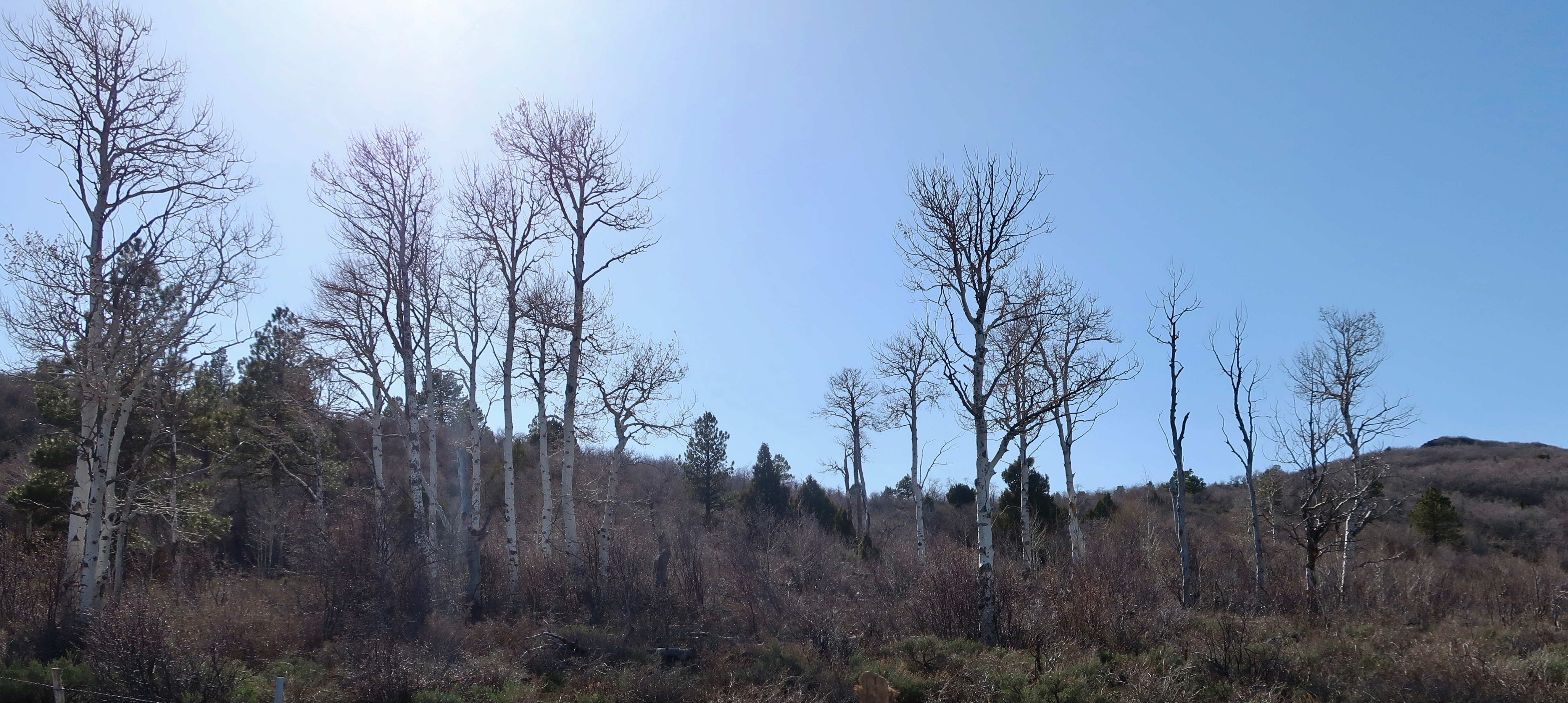
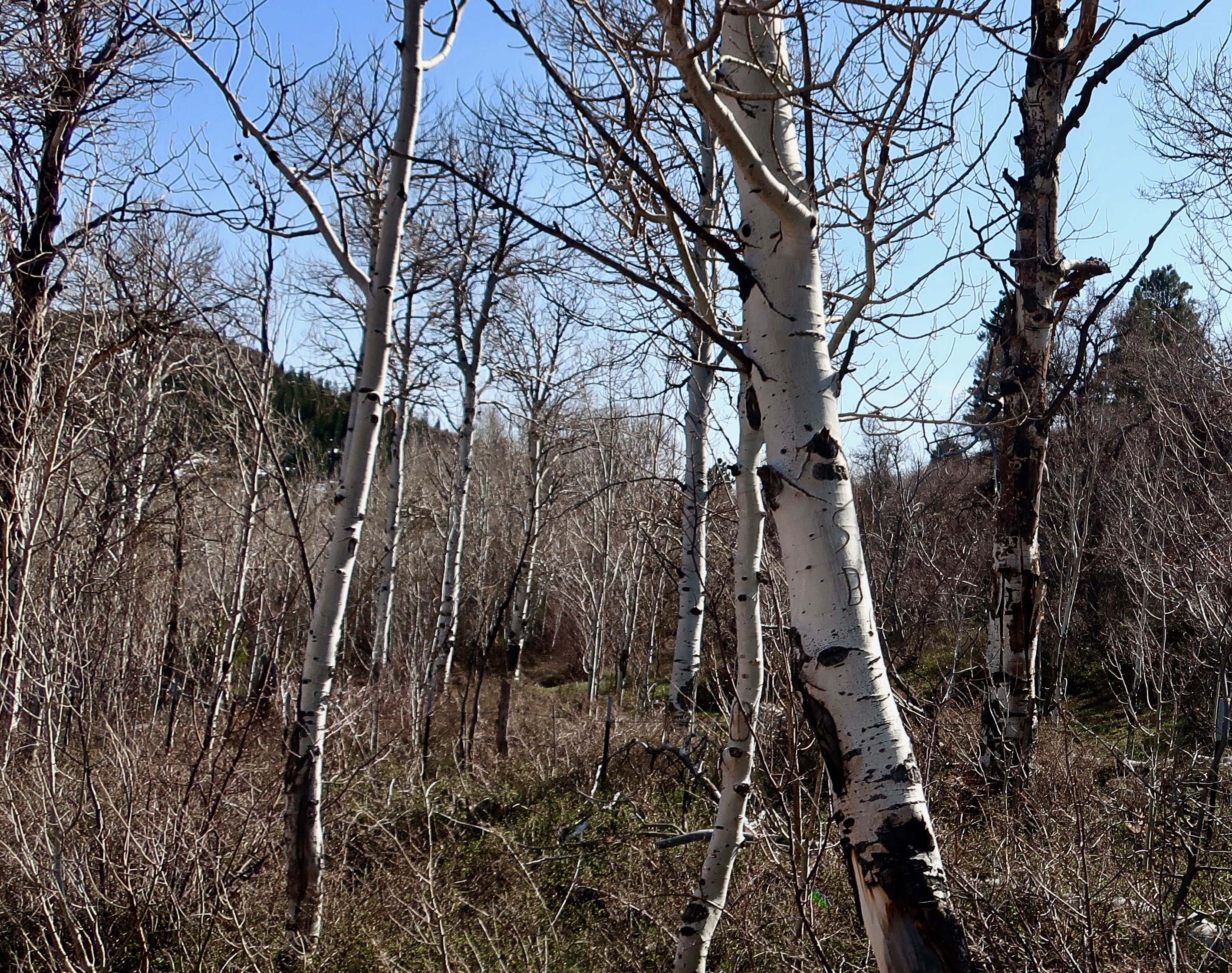
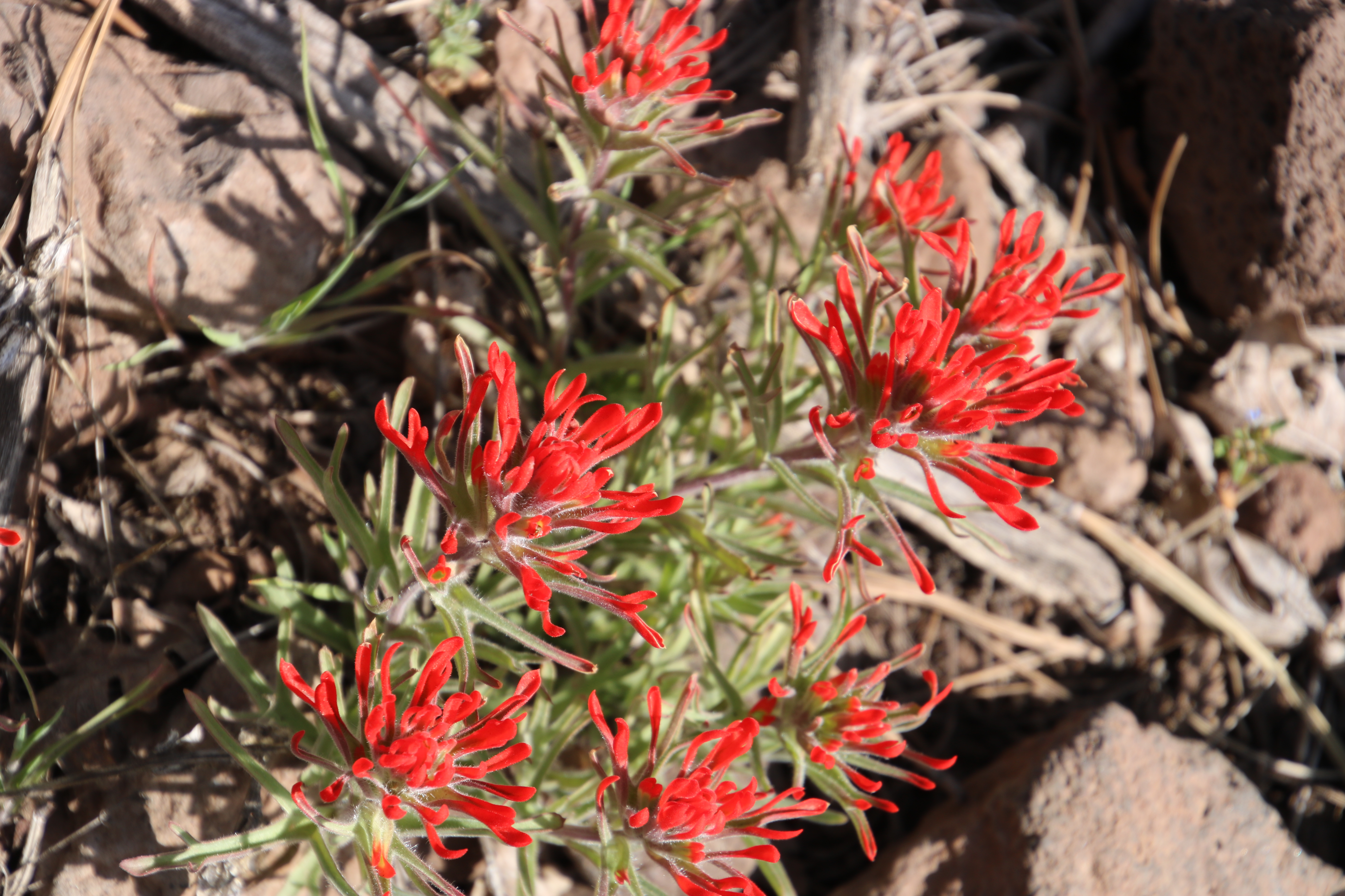
In 2010, we started at the small town of Torrey just outside of Capitol Reef, and worked our way south. The winding route took us up and over the 9,000 foot Boulder Mountain Pass where we were impressed with the aspen groves. They are always a treat, moving from the bright green quaking leaves of summer, to the gloriously yellow leaves in the fall, to the stark white trunks and limbs of winter. From the pass, our road dropped into the Escalante National Monument with its staircase look and then ended with the bright red, orange, and yellow rock formations of Bryce.

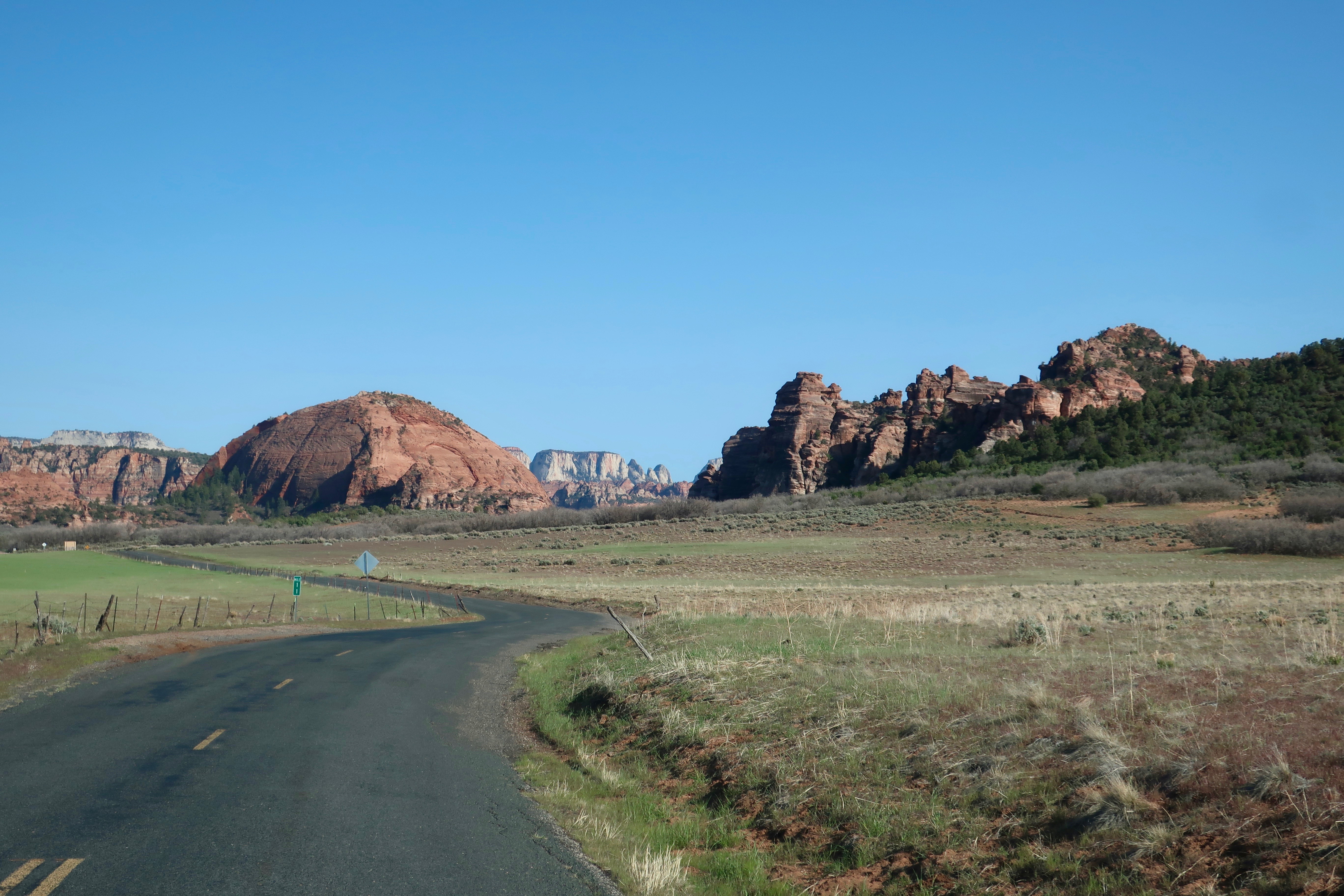
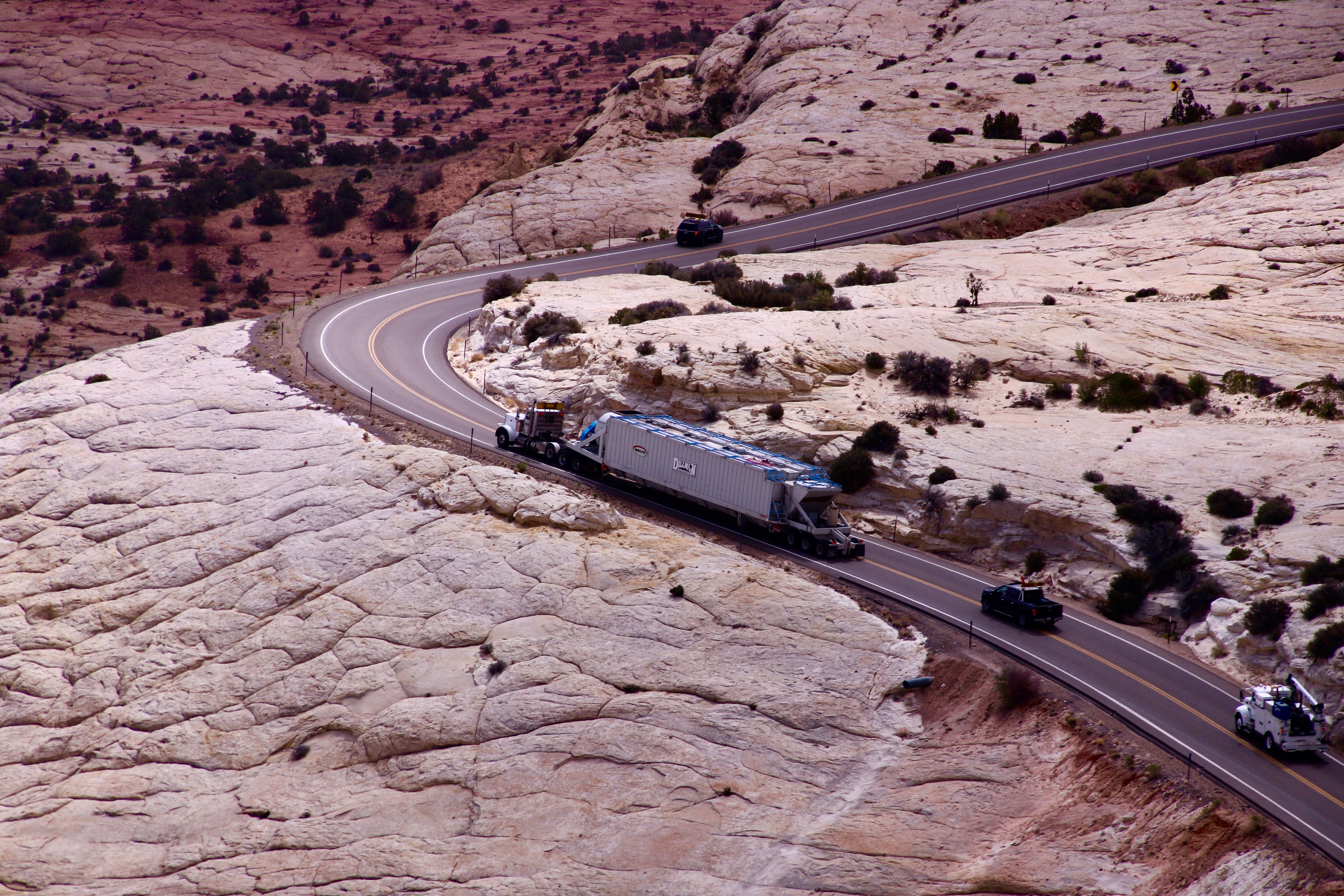
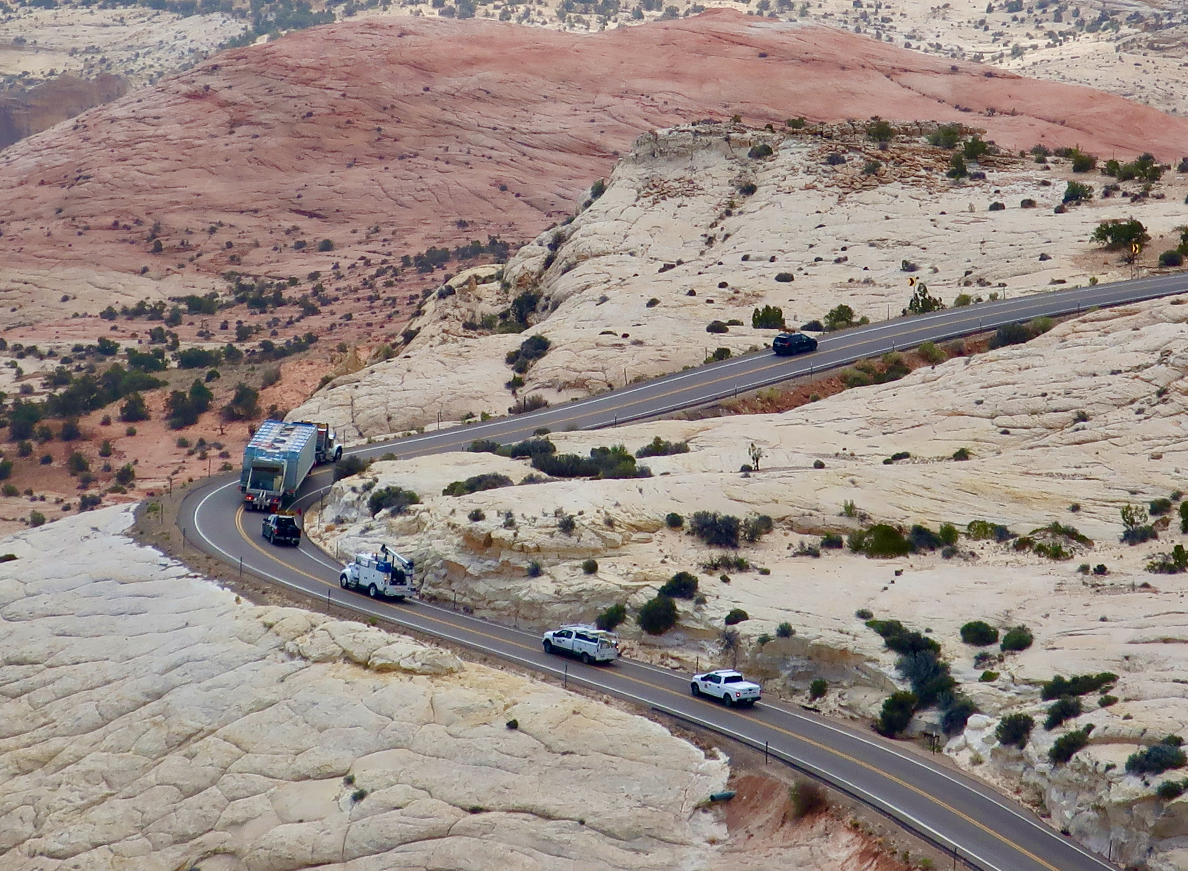
This time we travelled in the opposite direction, beginning at Bryce and working our way northeast along Highway 12, stopping at the small town of Boulder some 90 miles into the journey. We wanted to explore the Burr Trail that begins there. The road is something of a scenic wonder itself and will get its own post.

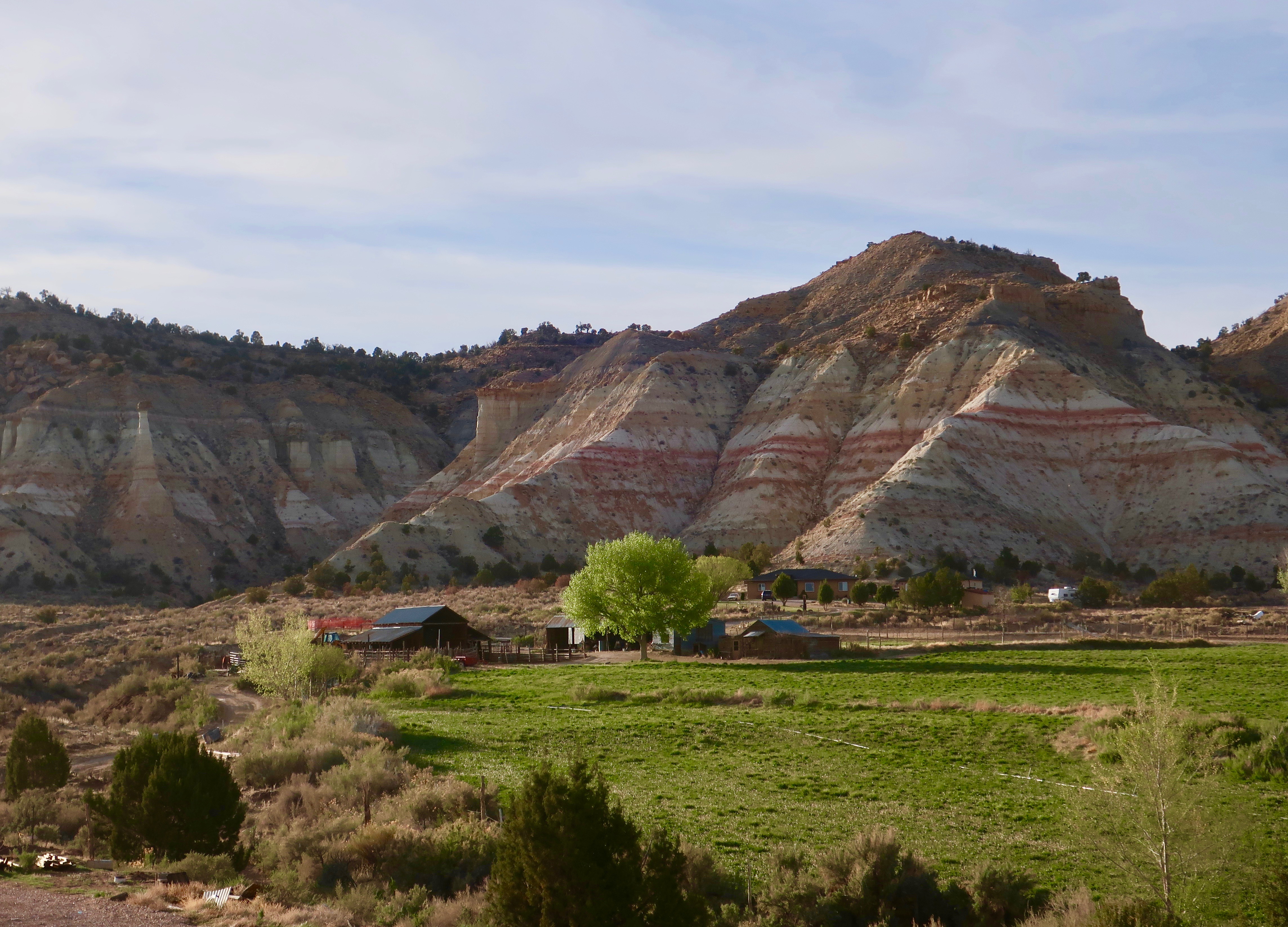
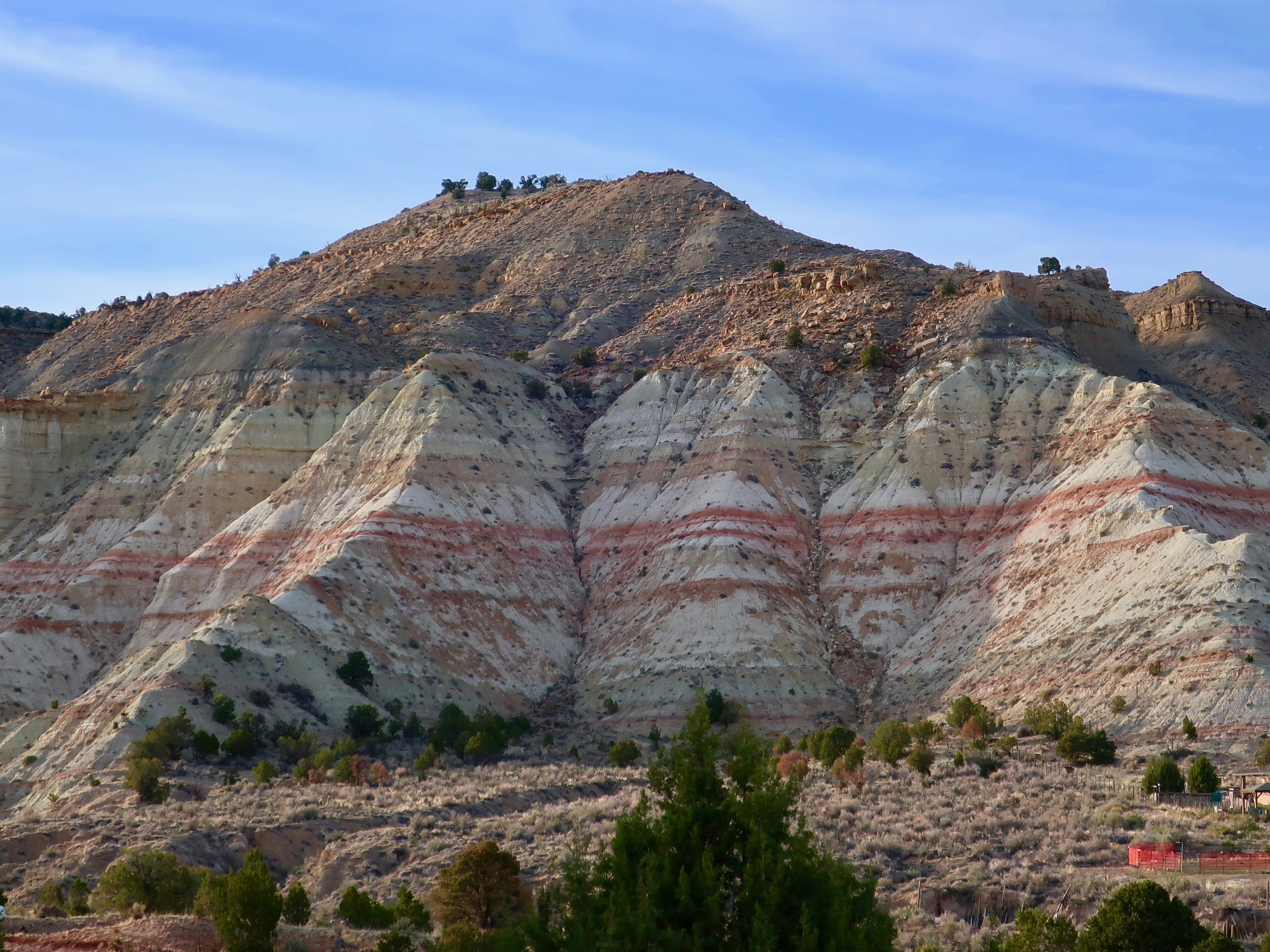
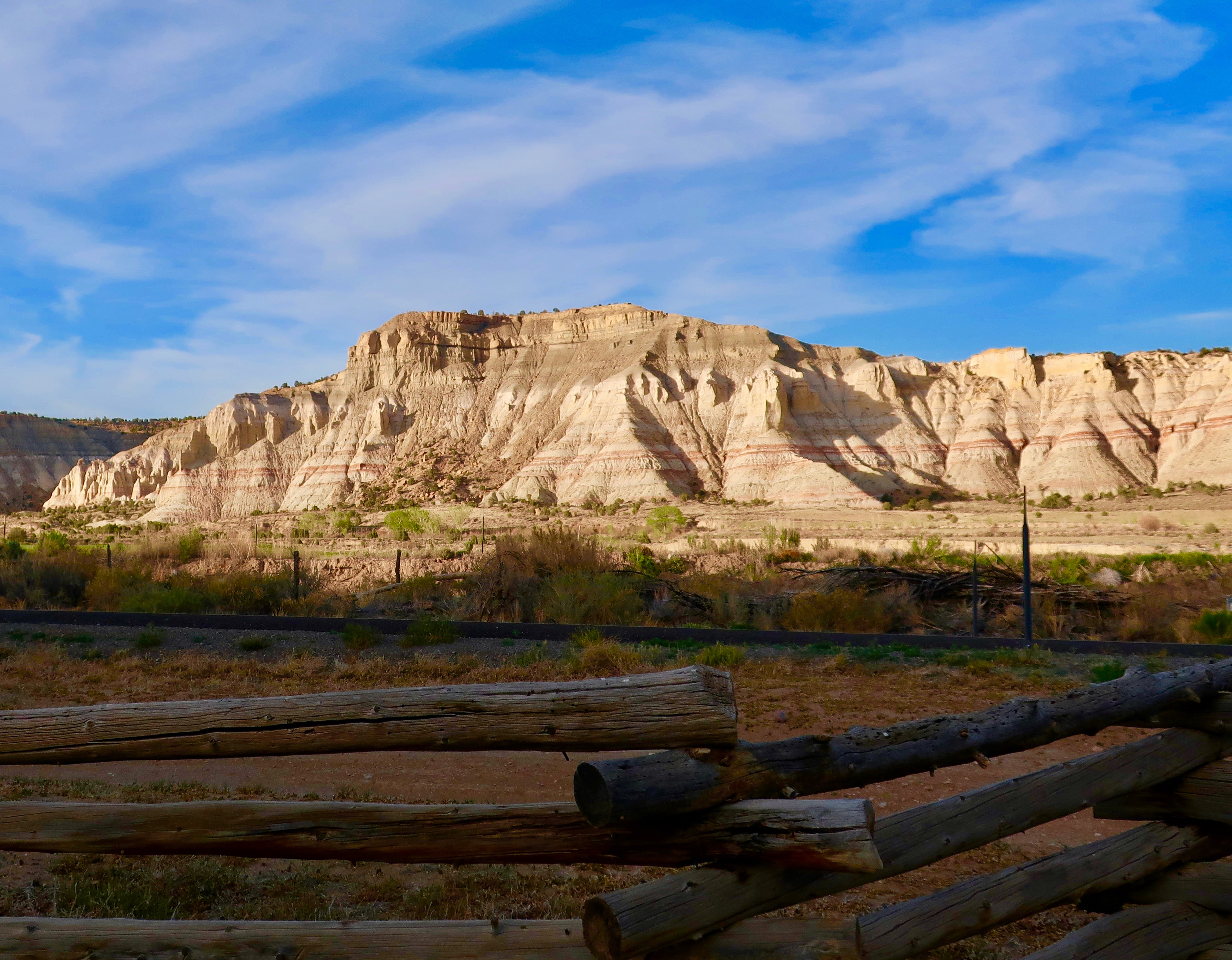
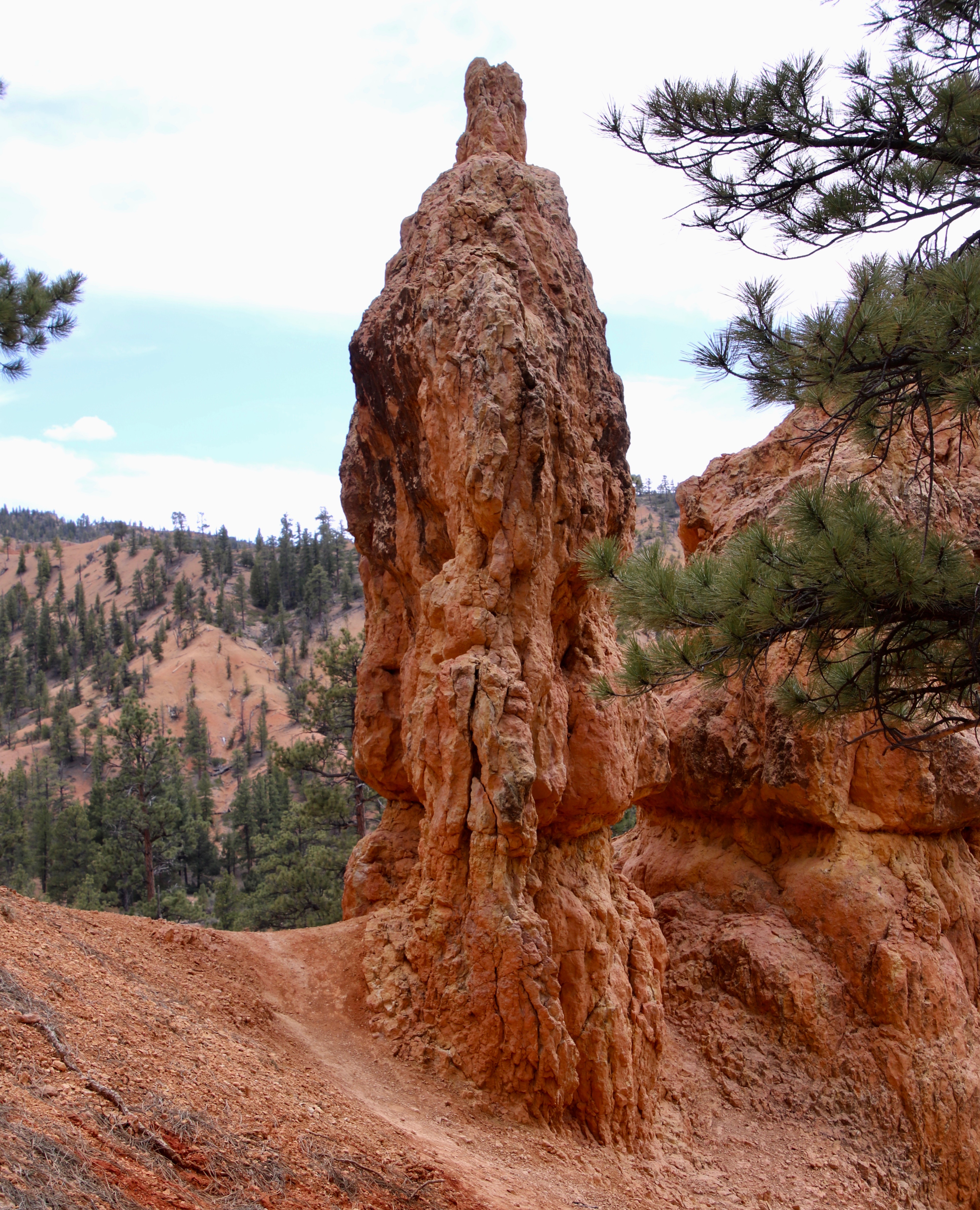
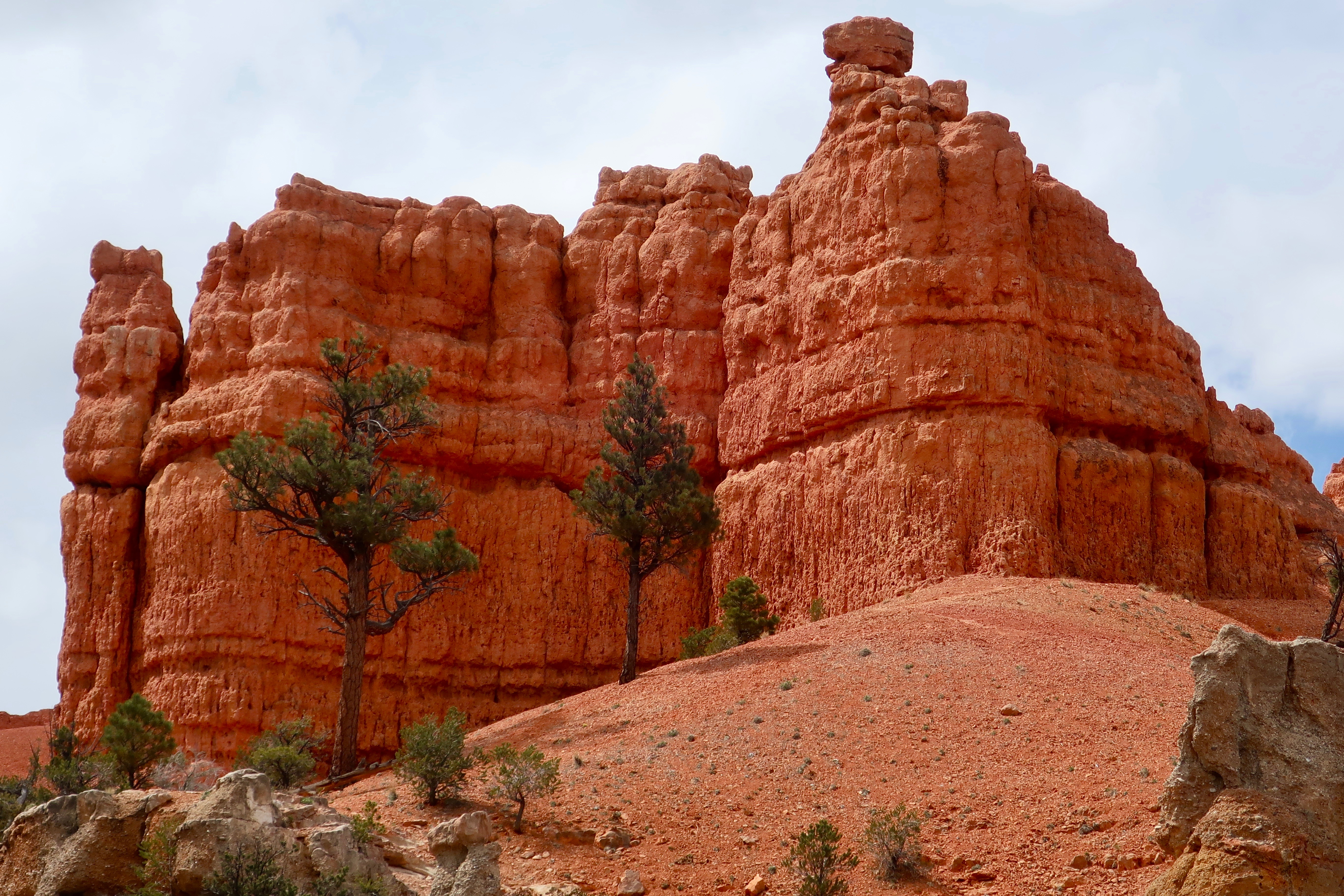
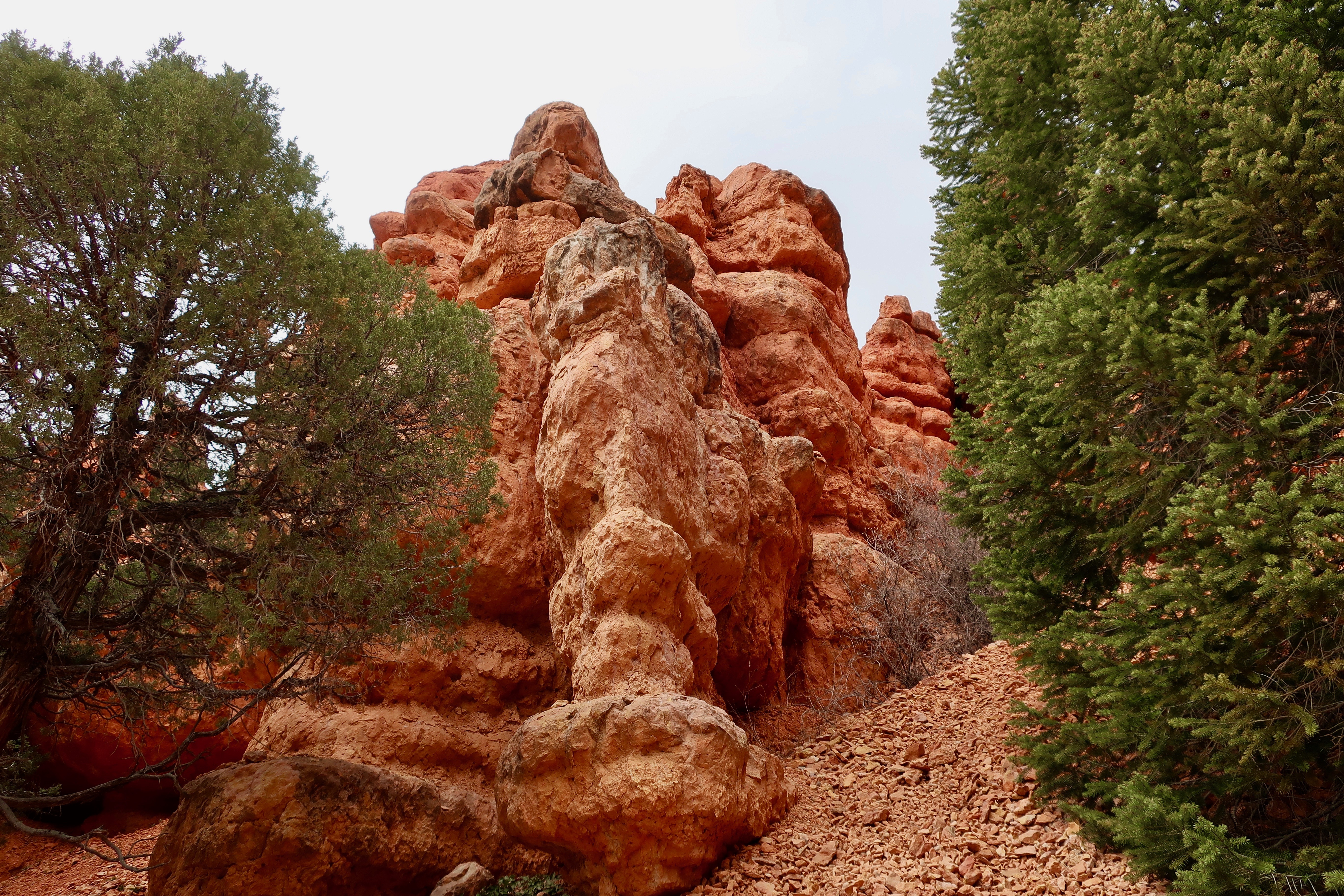
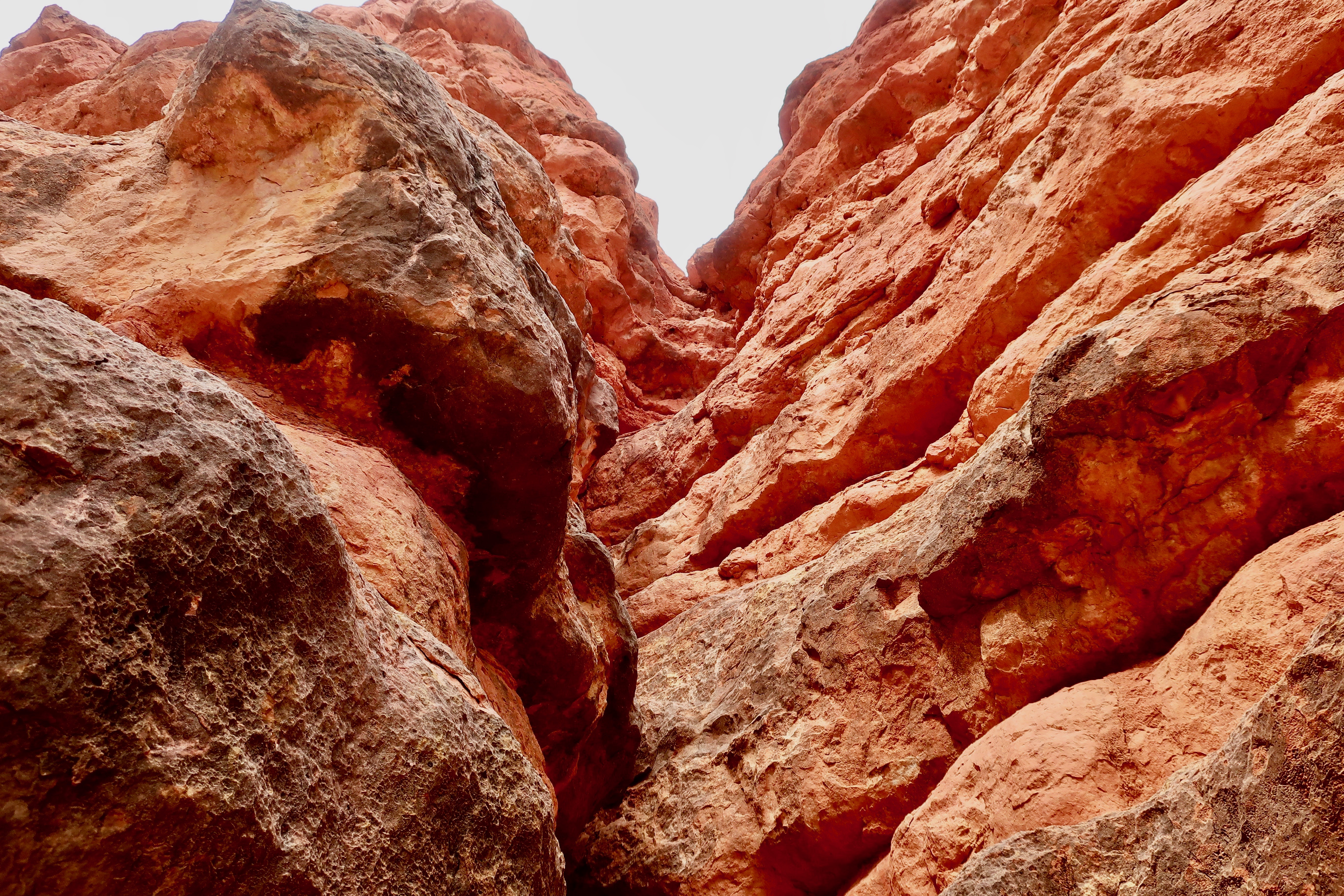
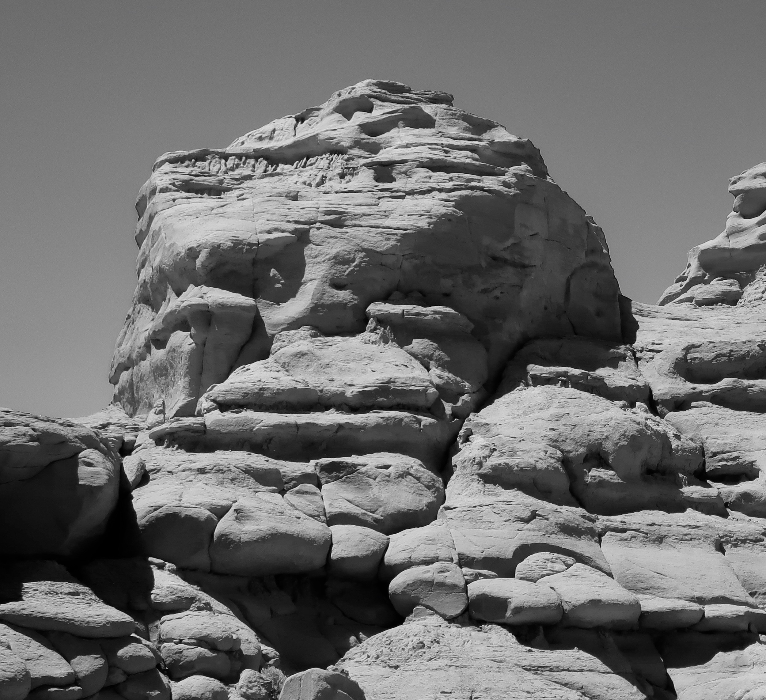
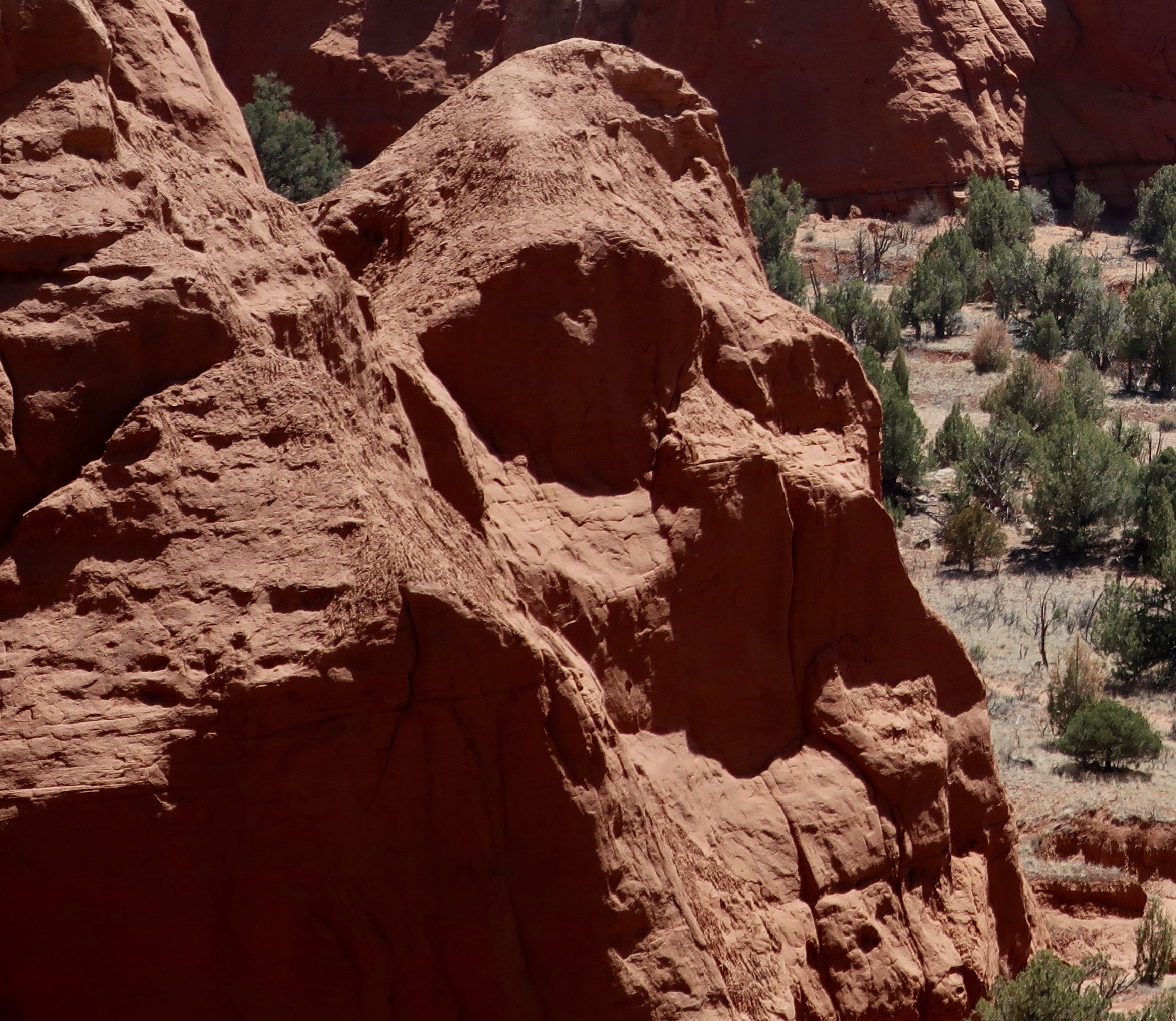
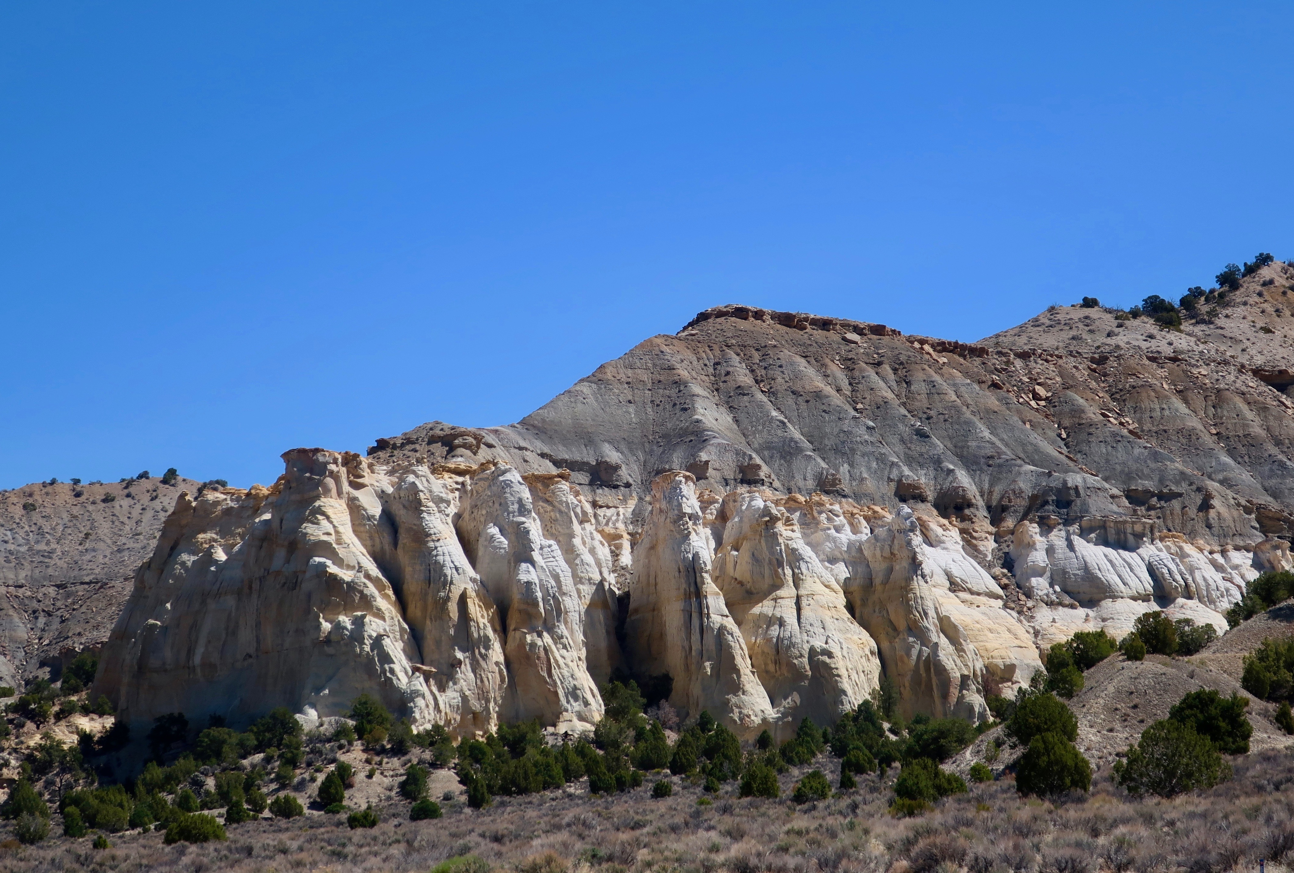
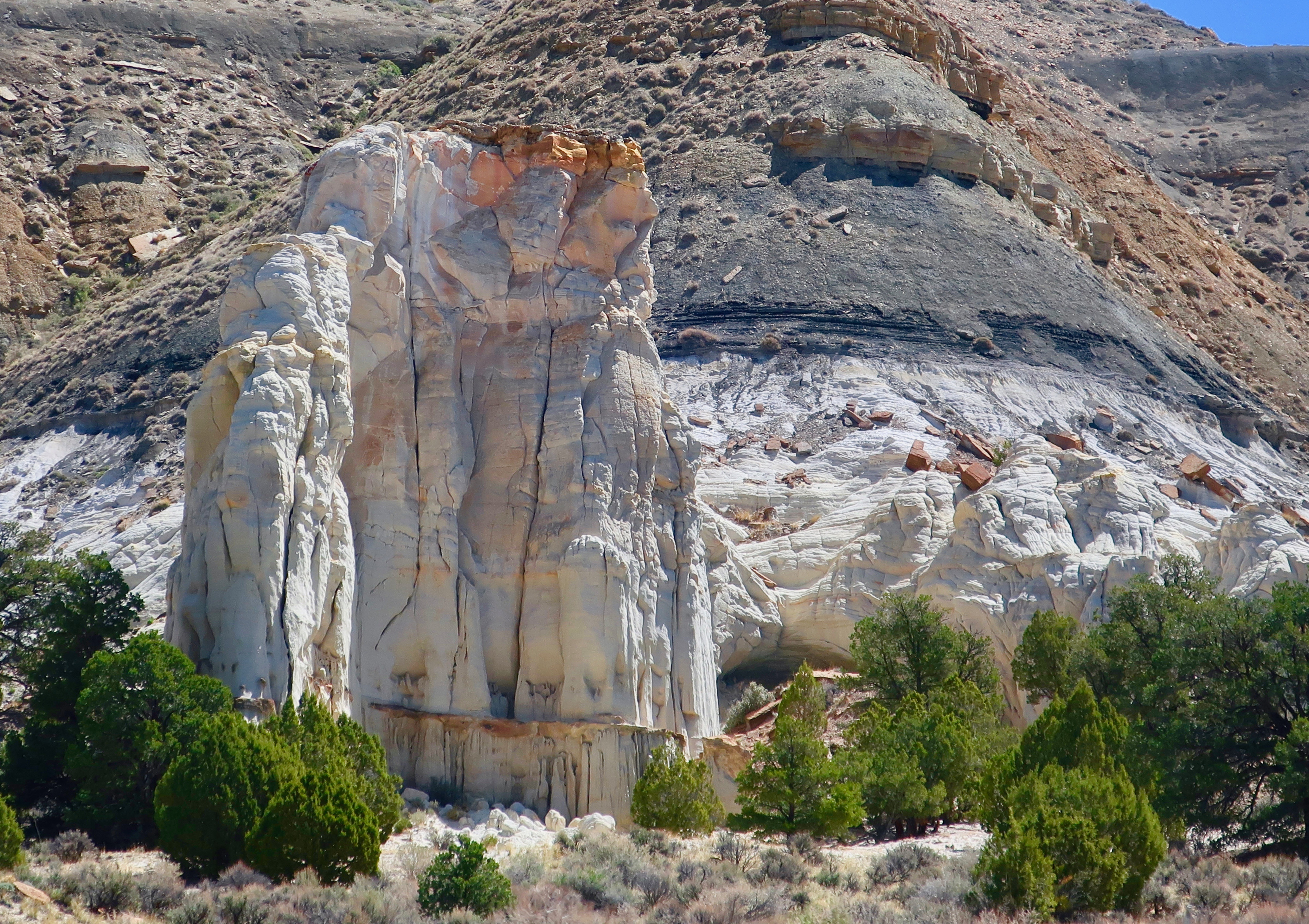
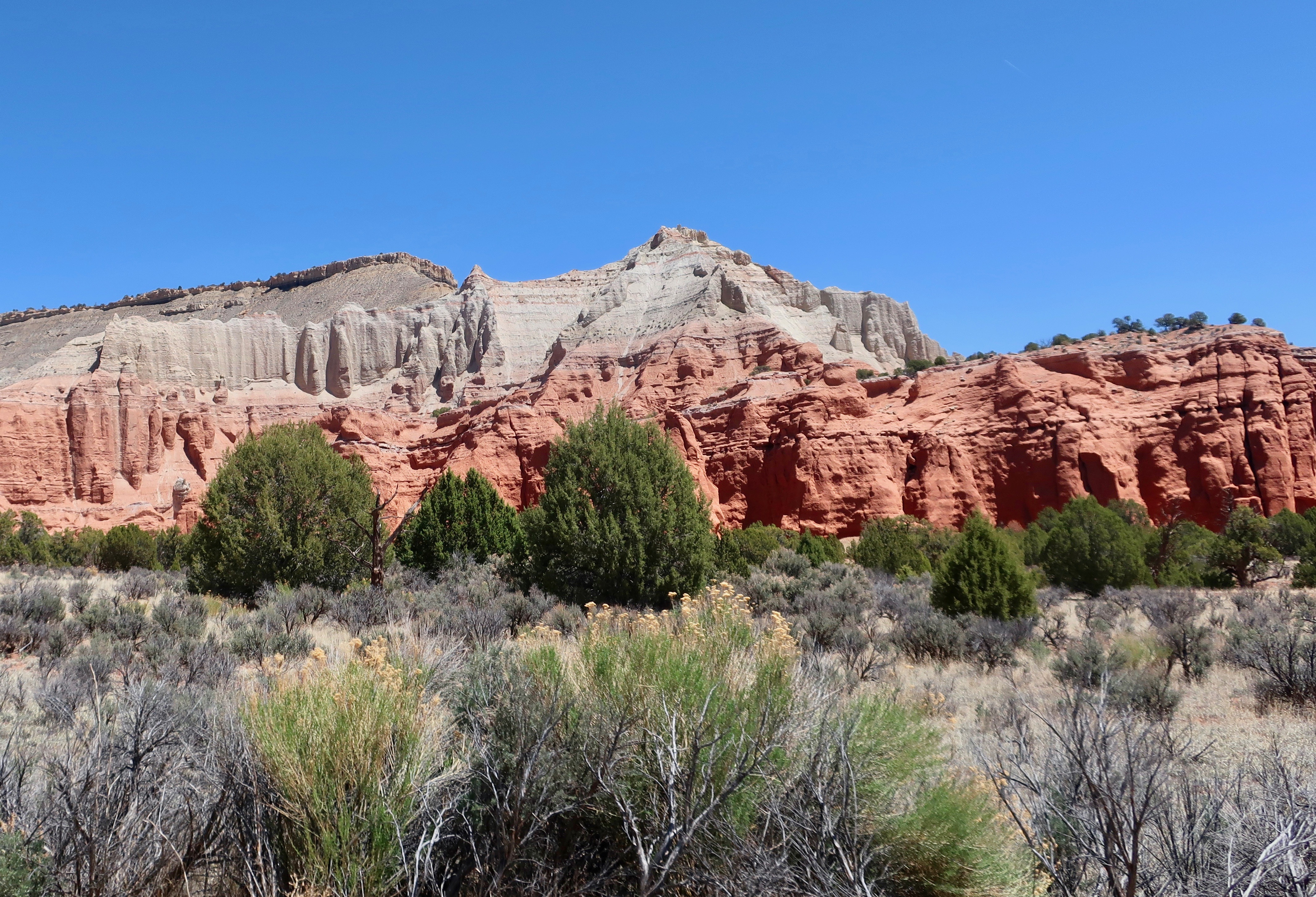
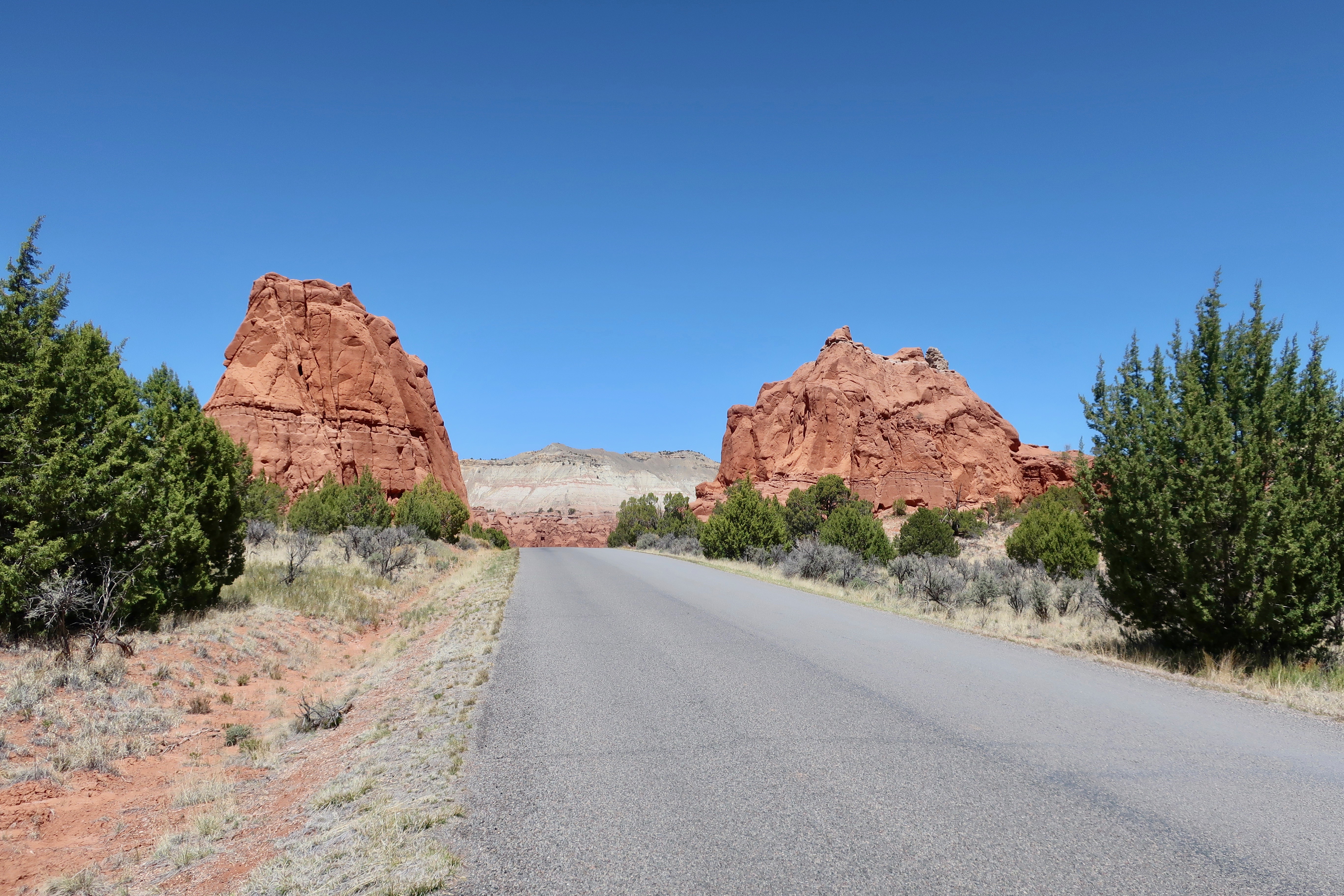
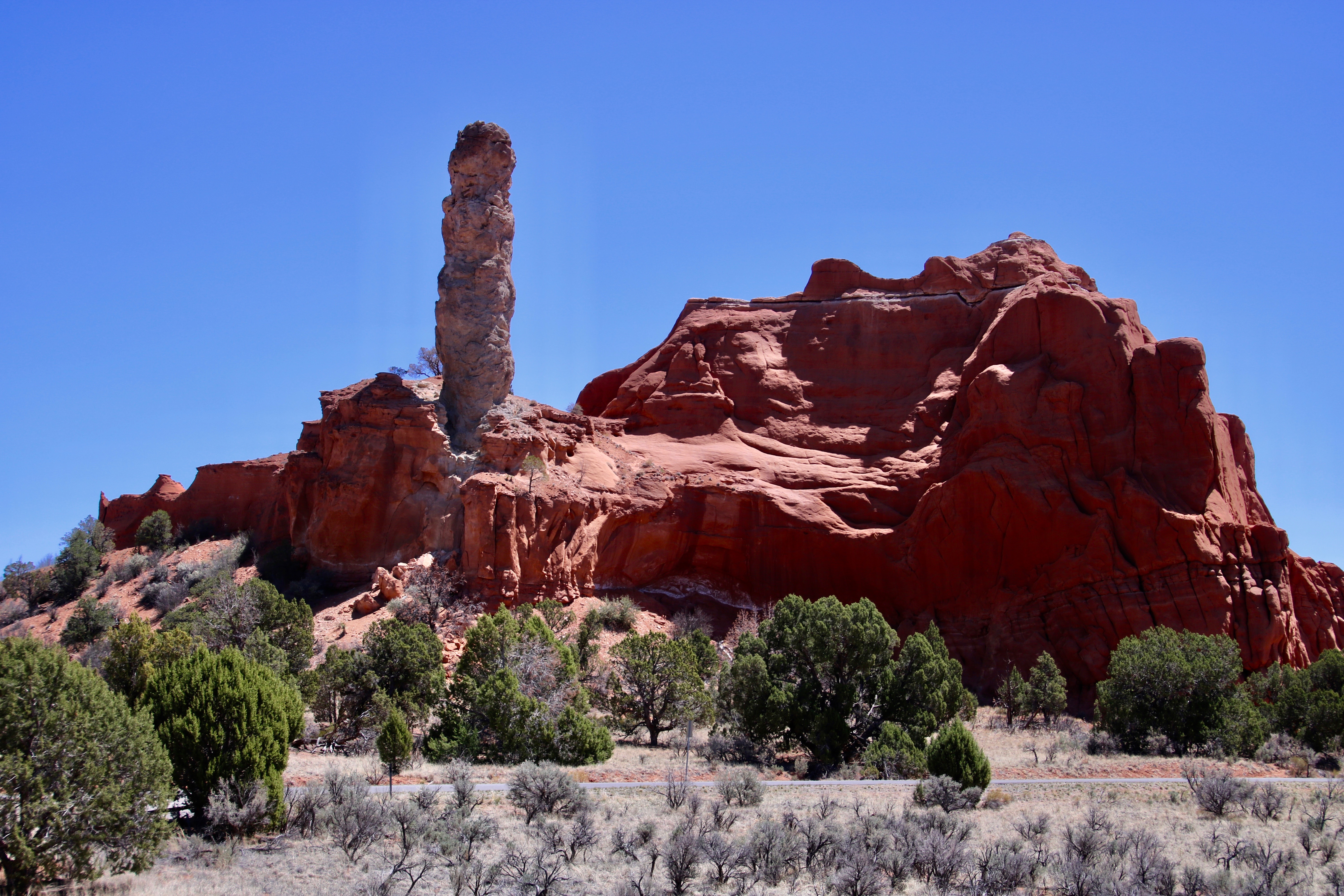
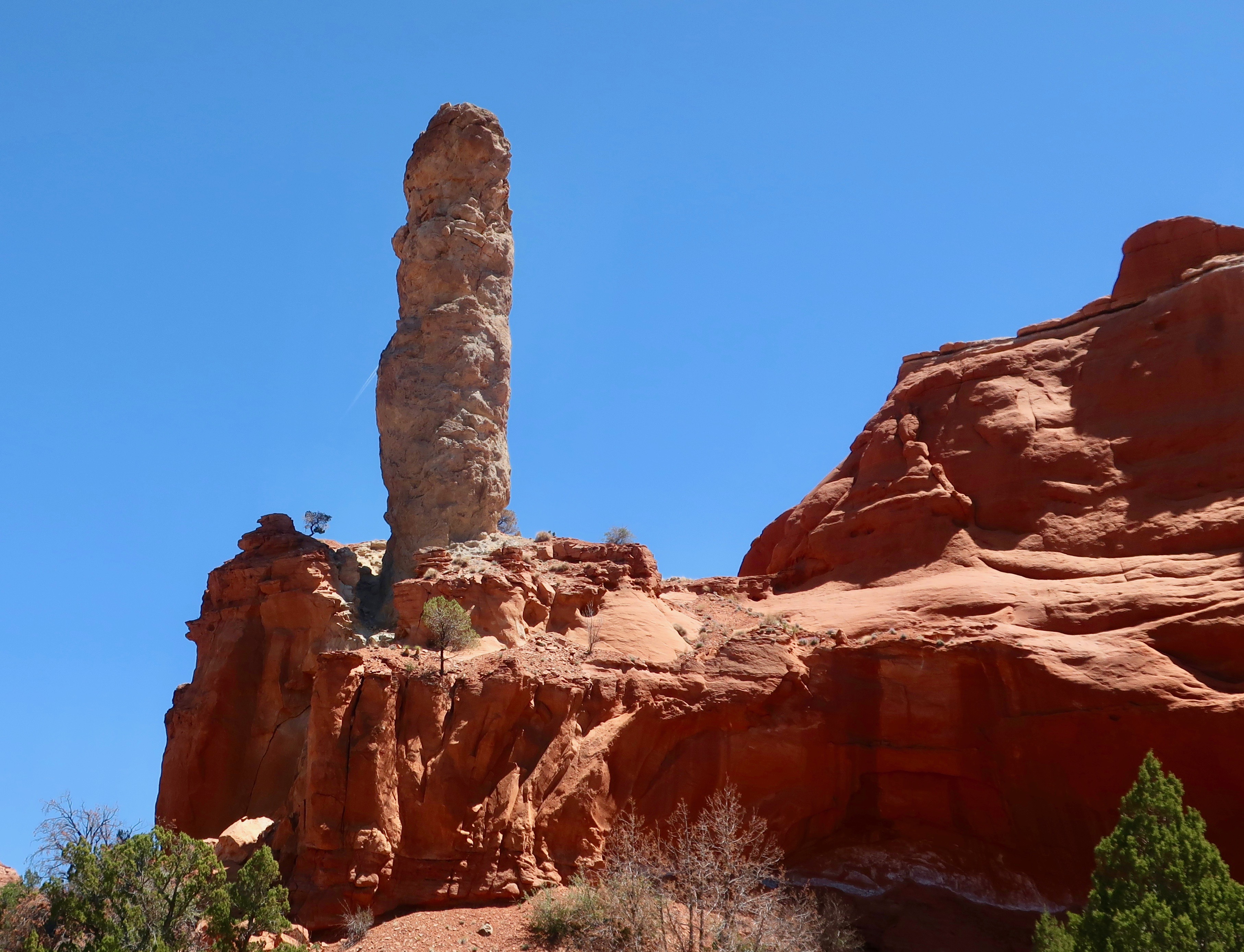
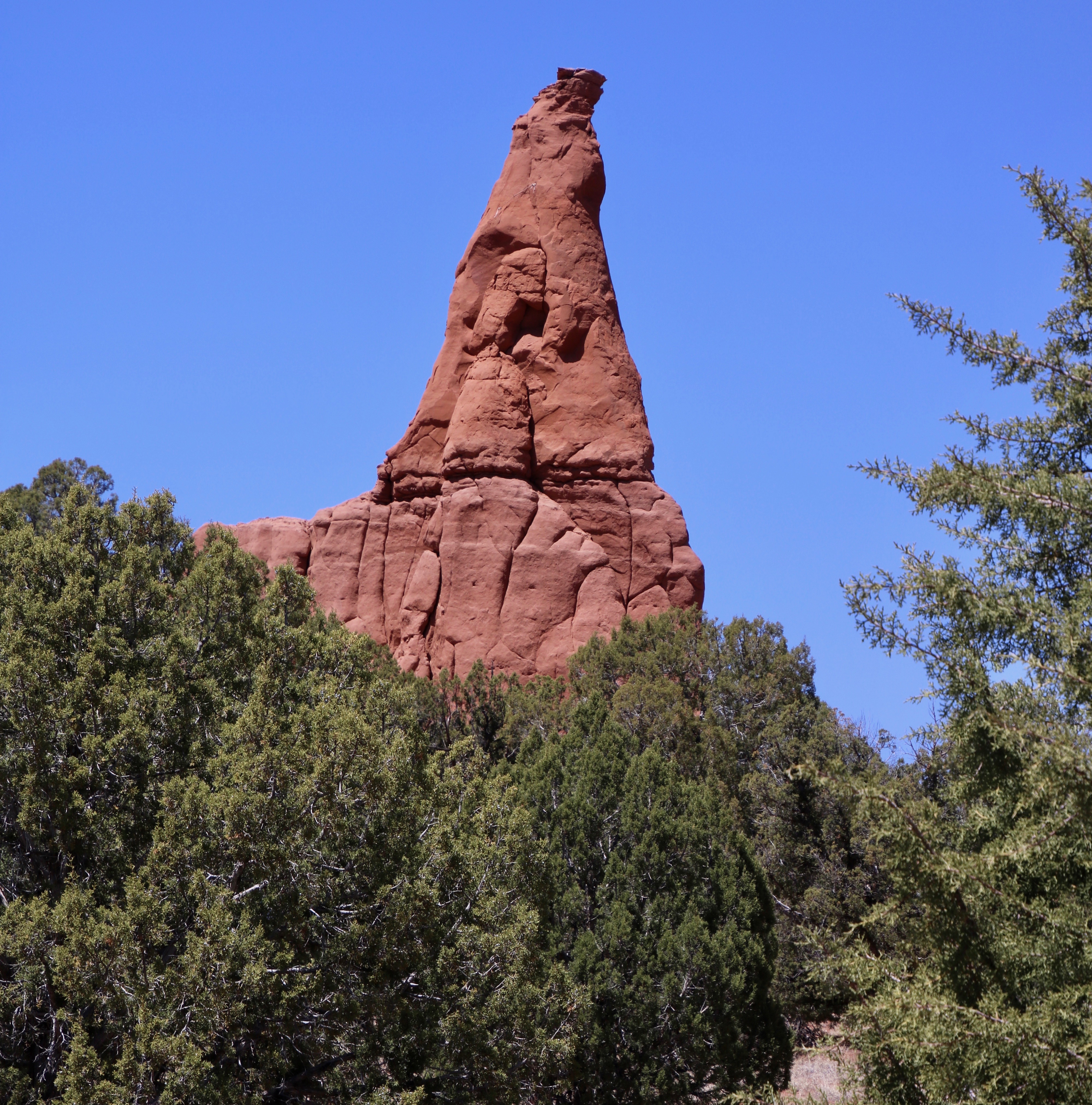
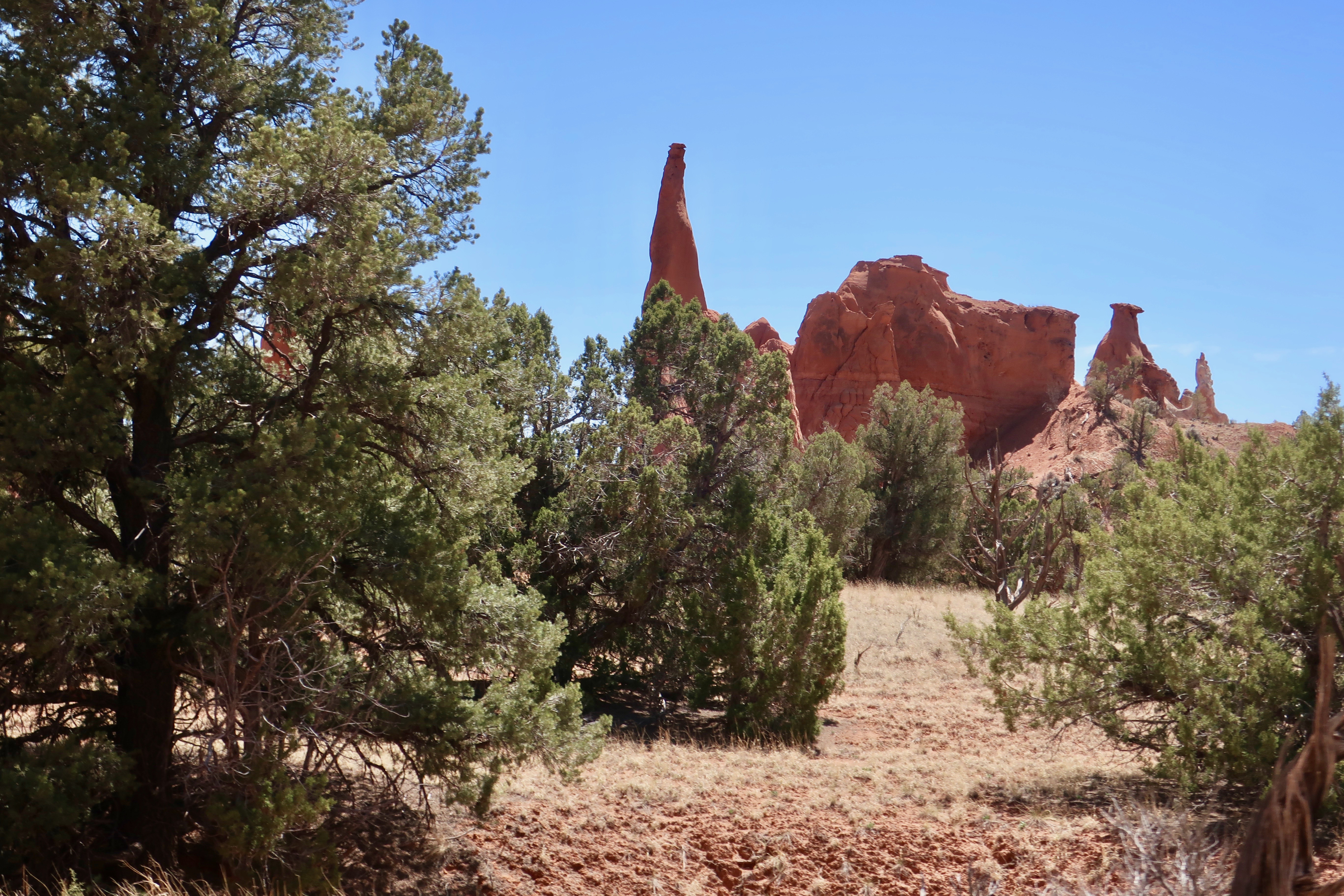
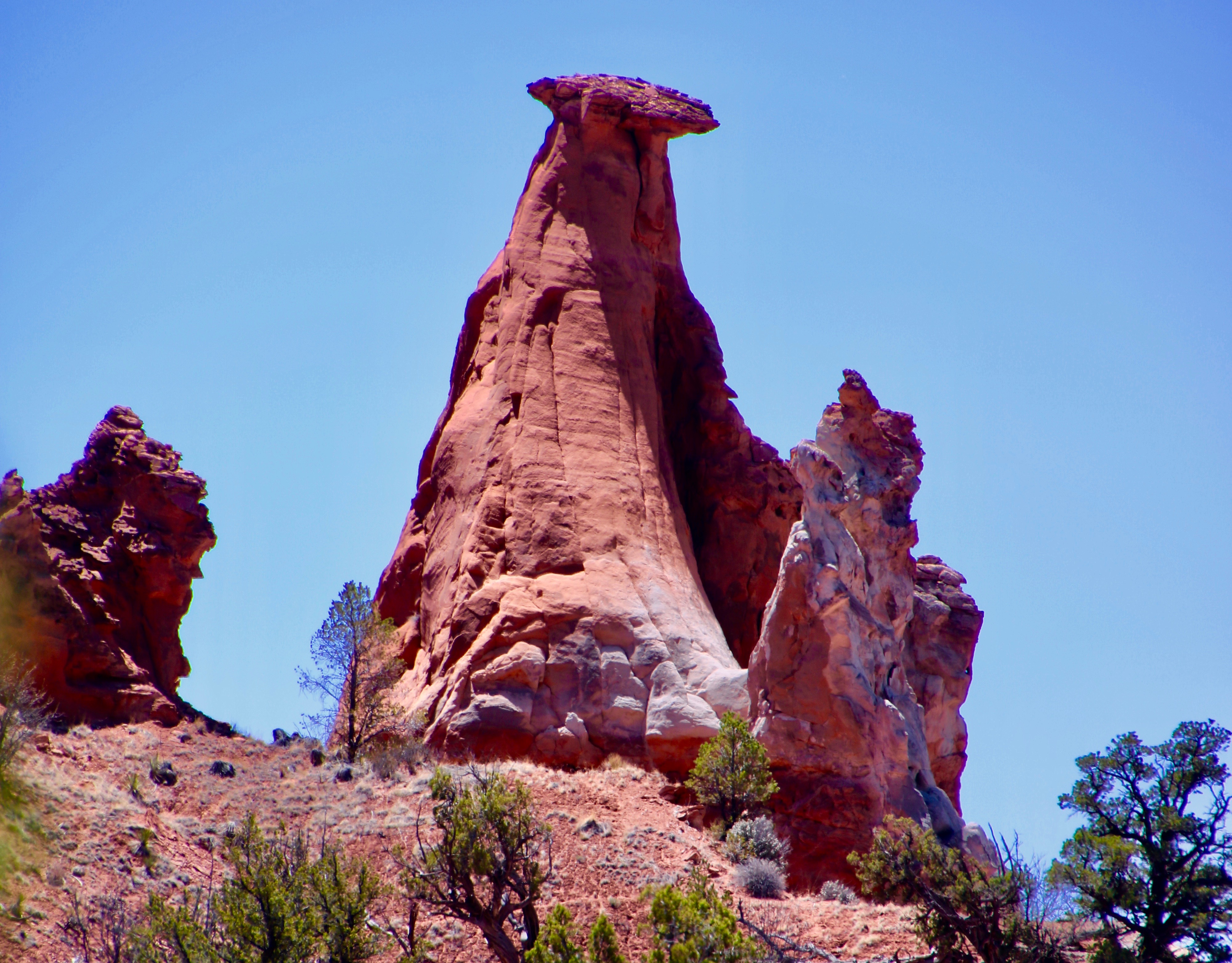
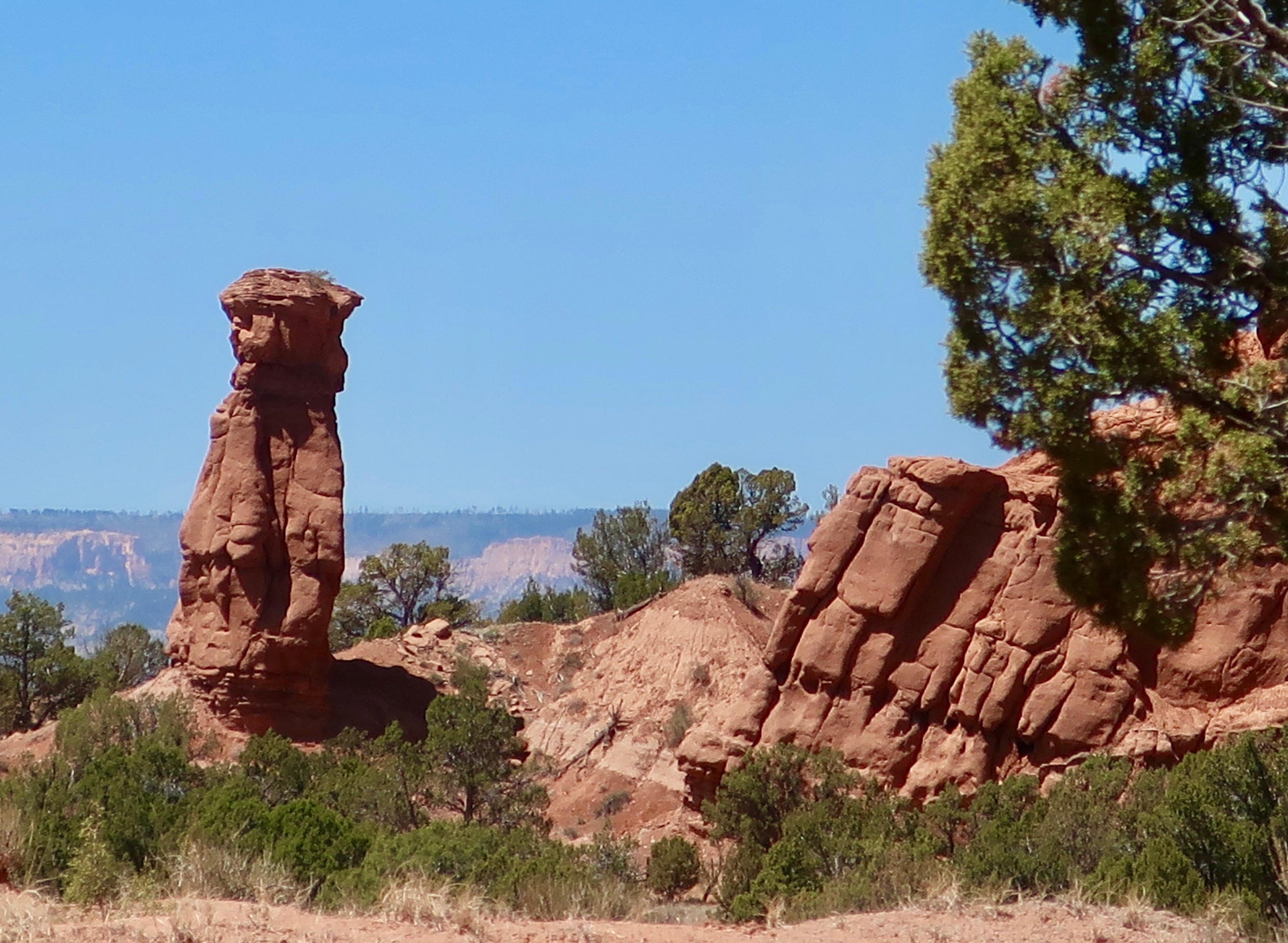
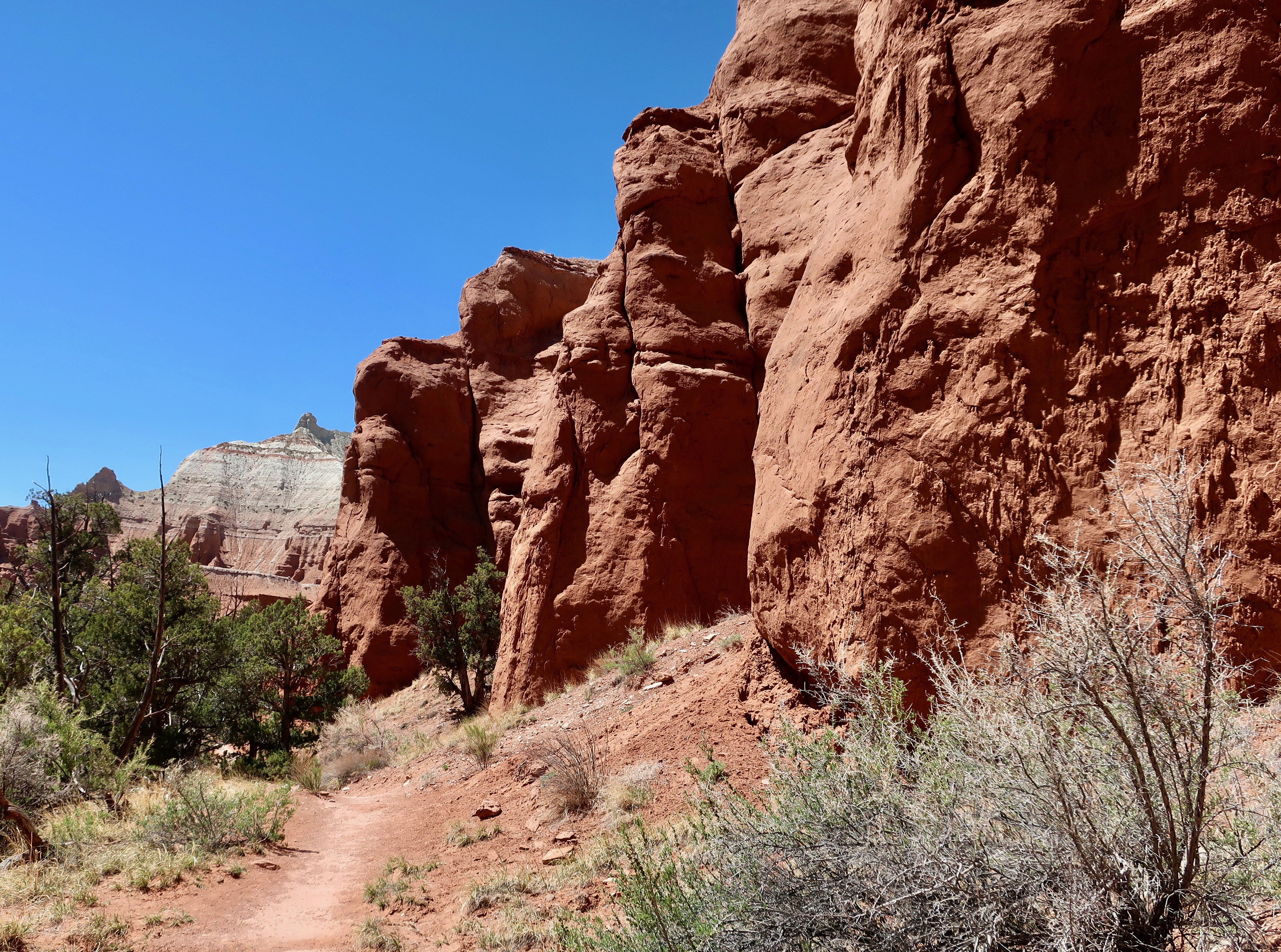
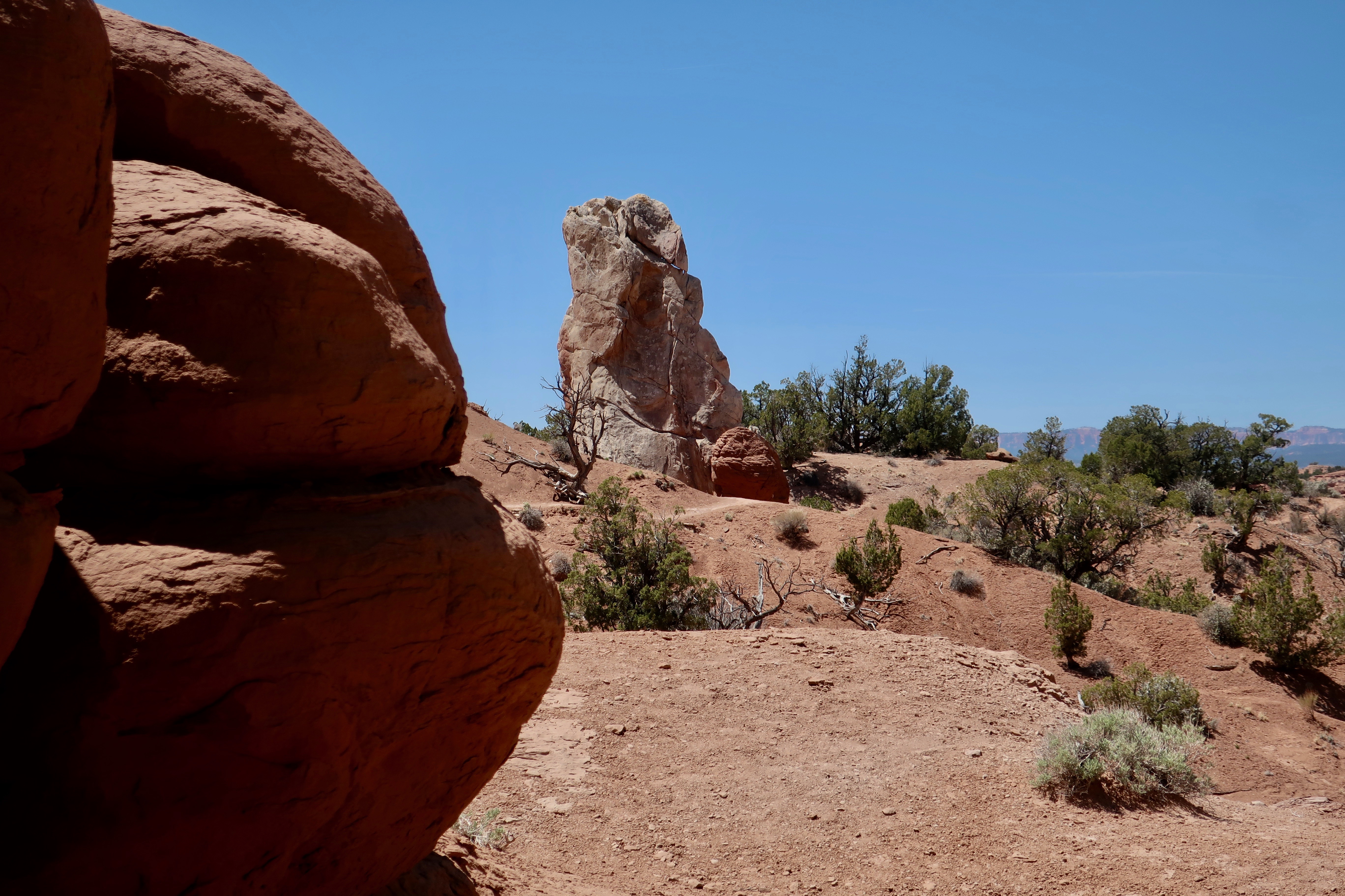
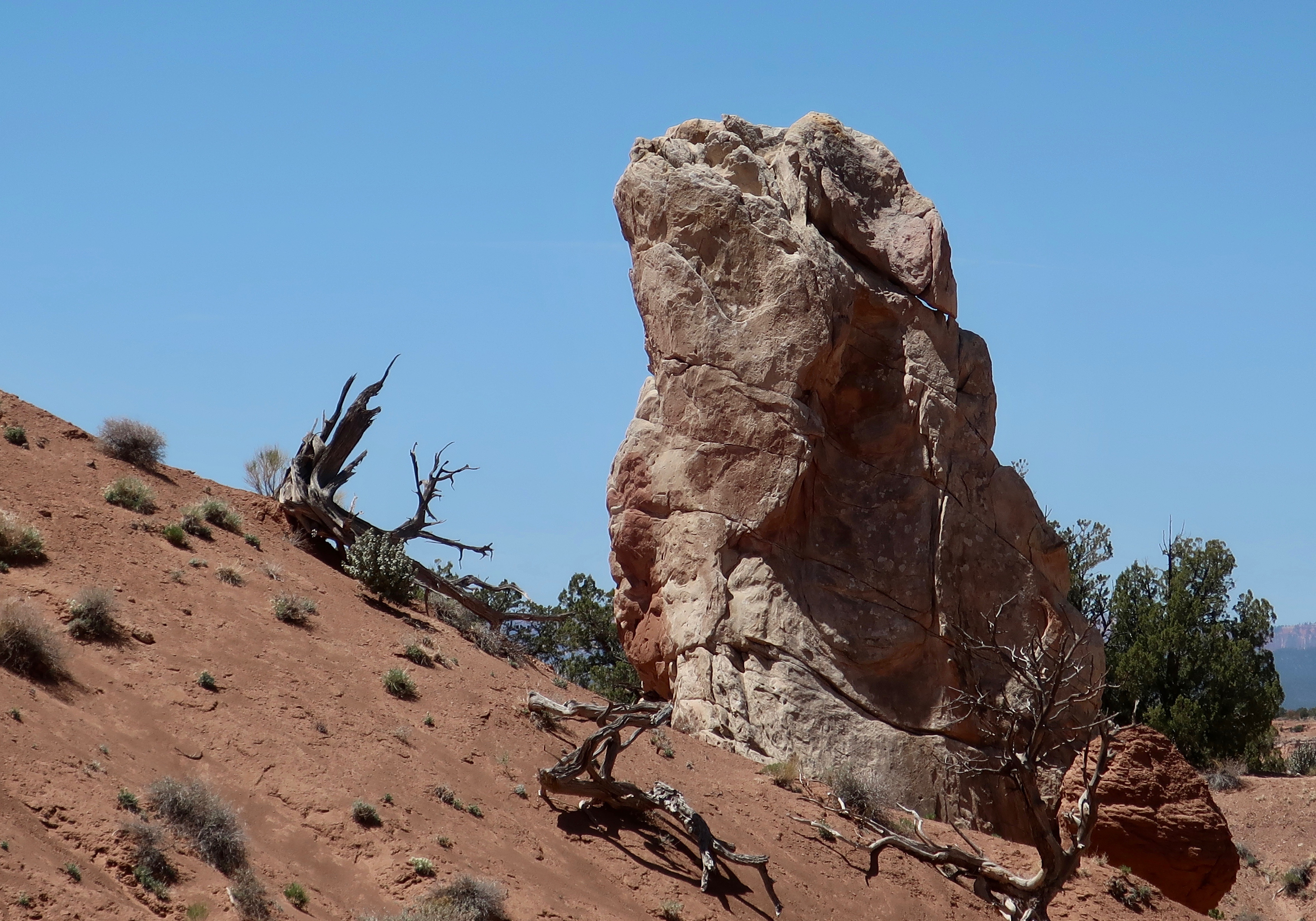
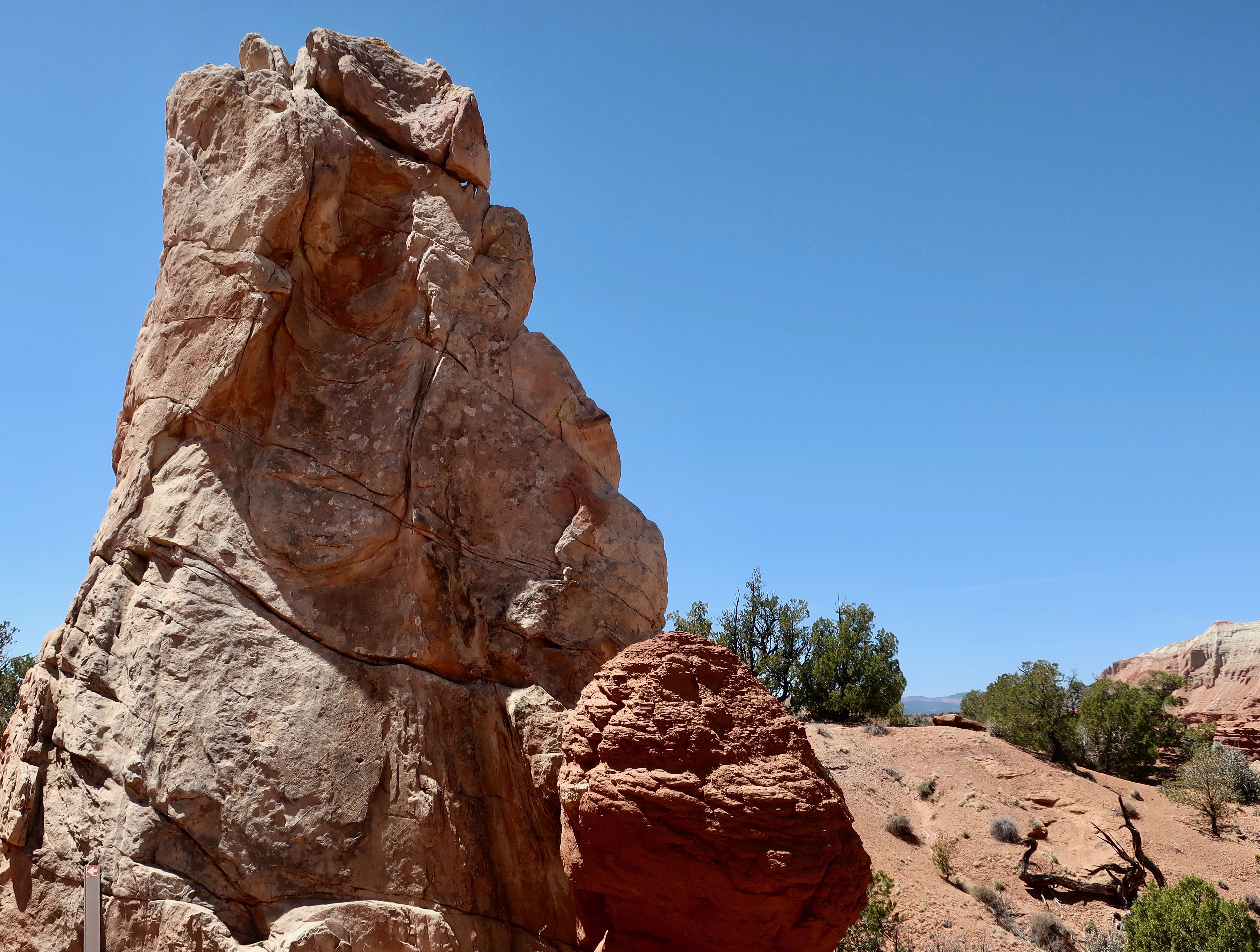
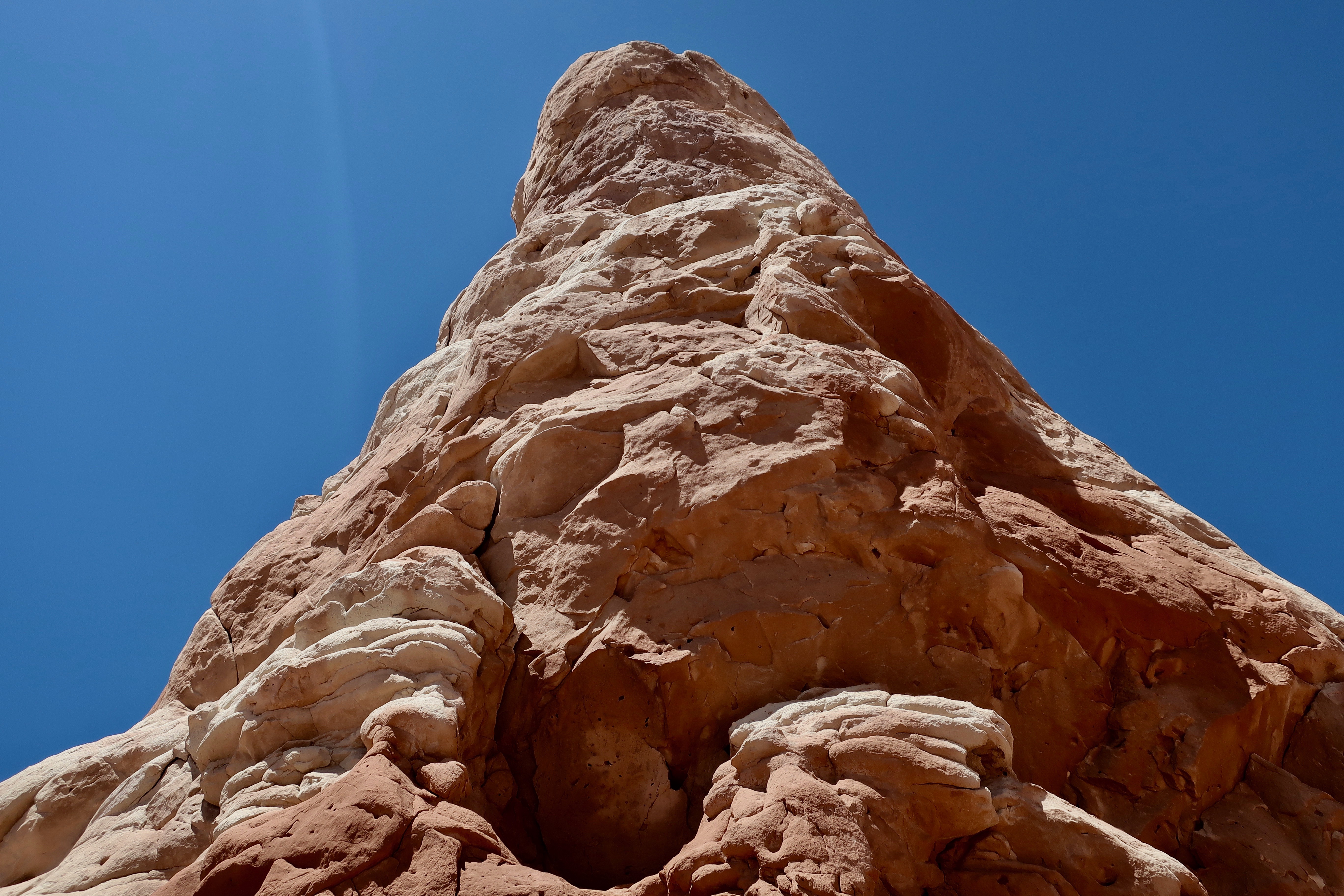
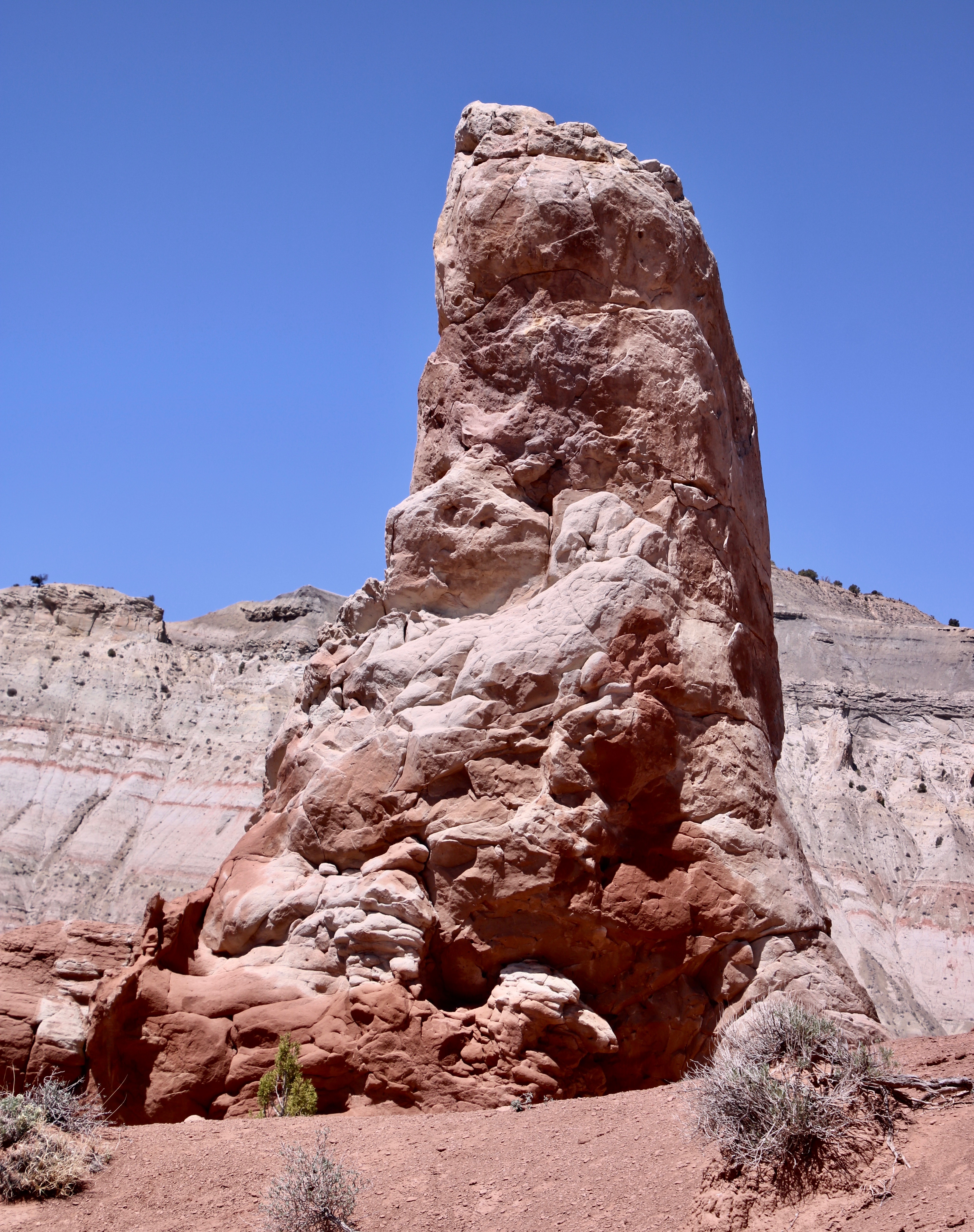
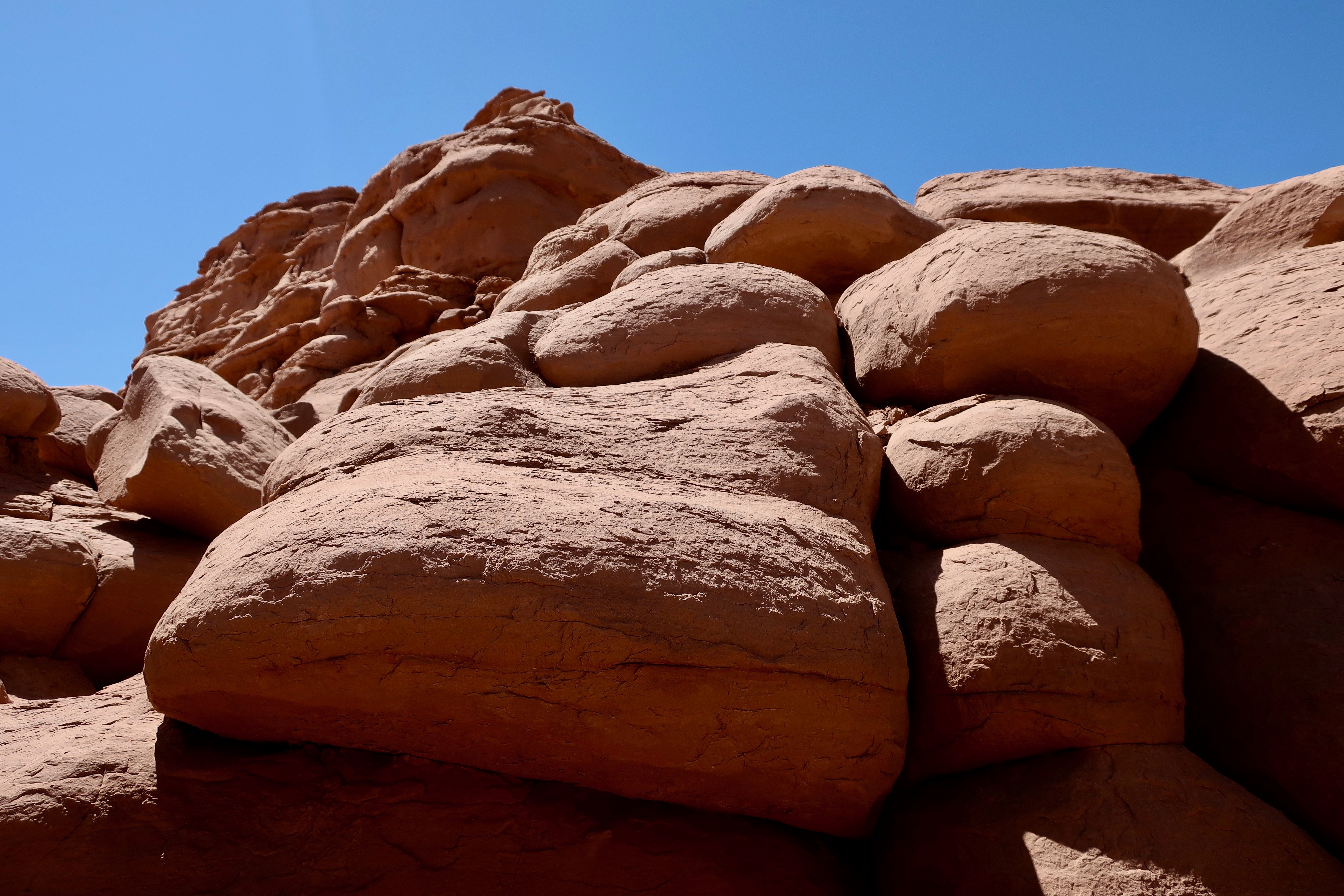
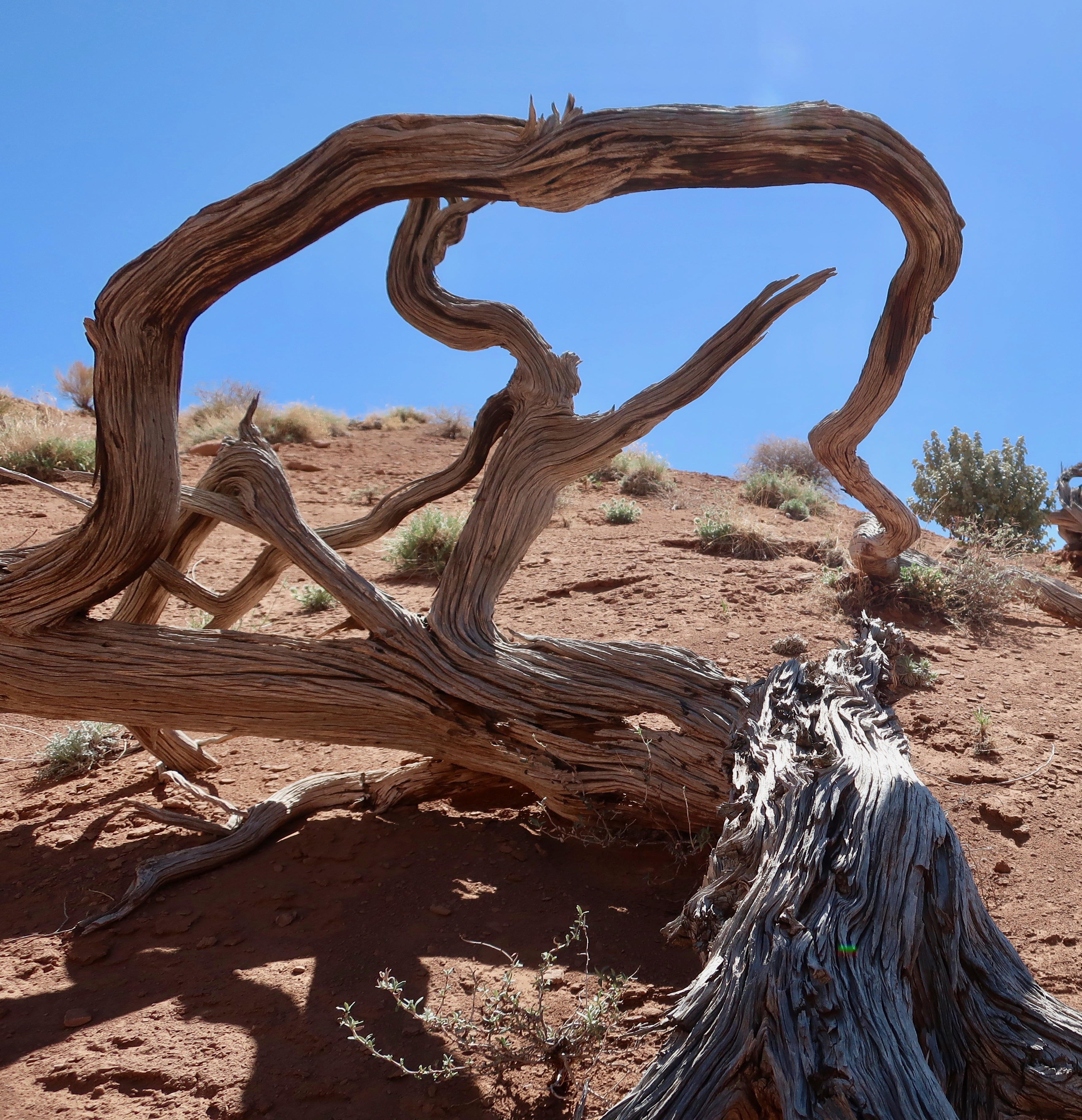
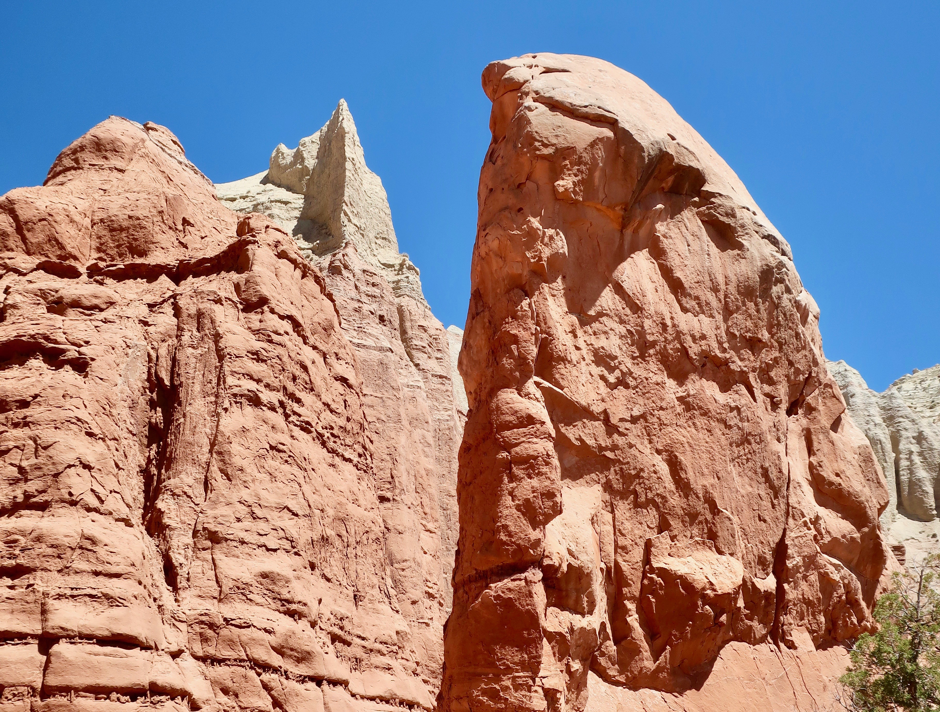
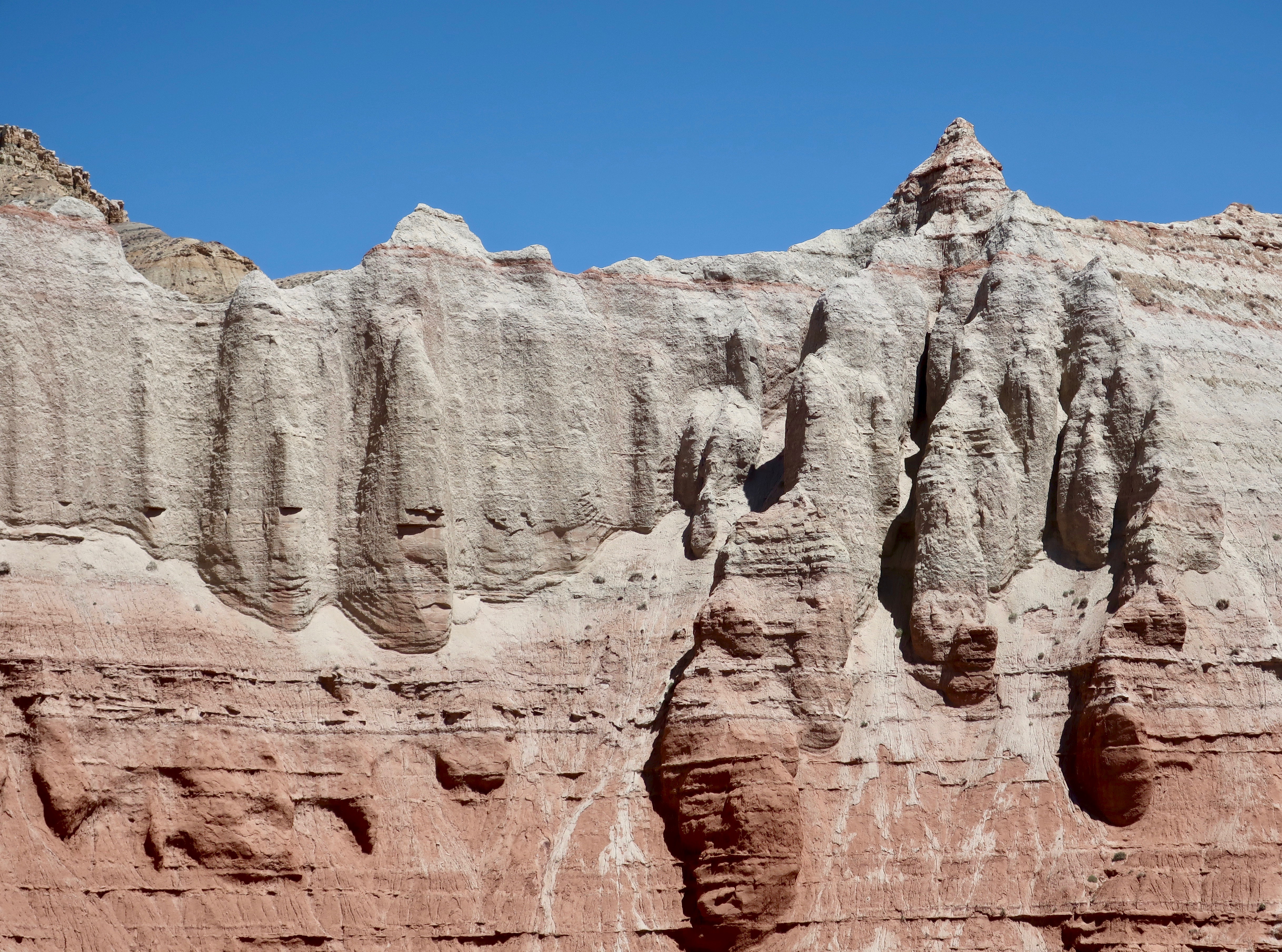
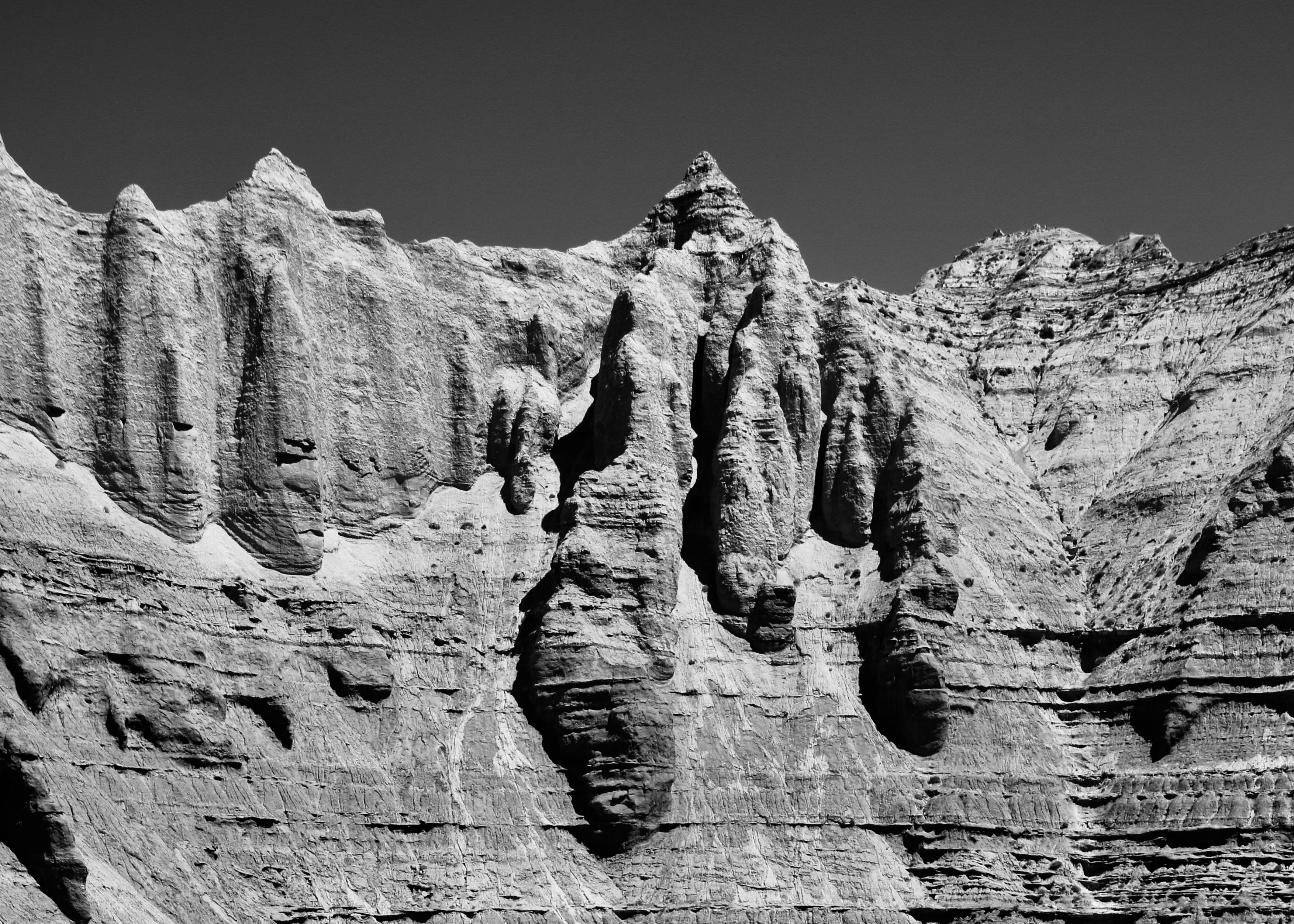
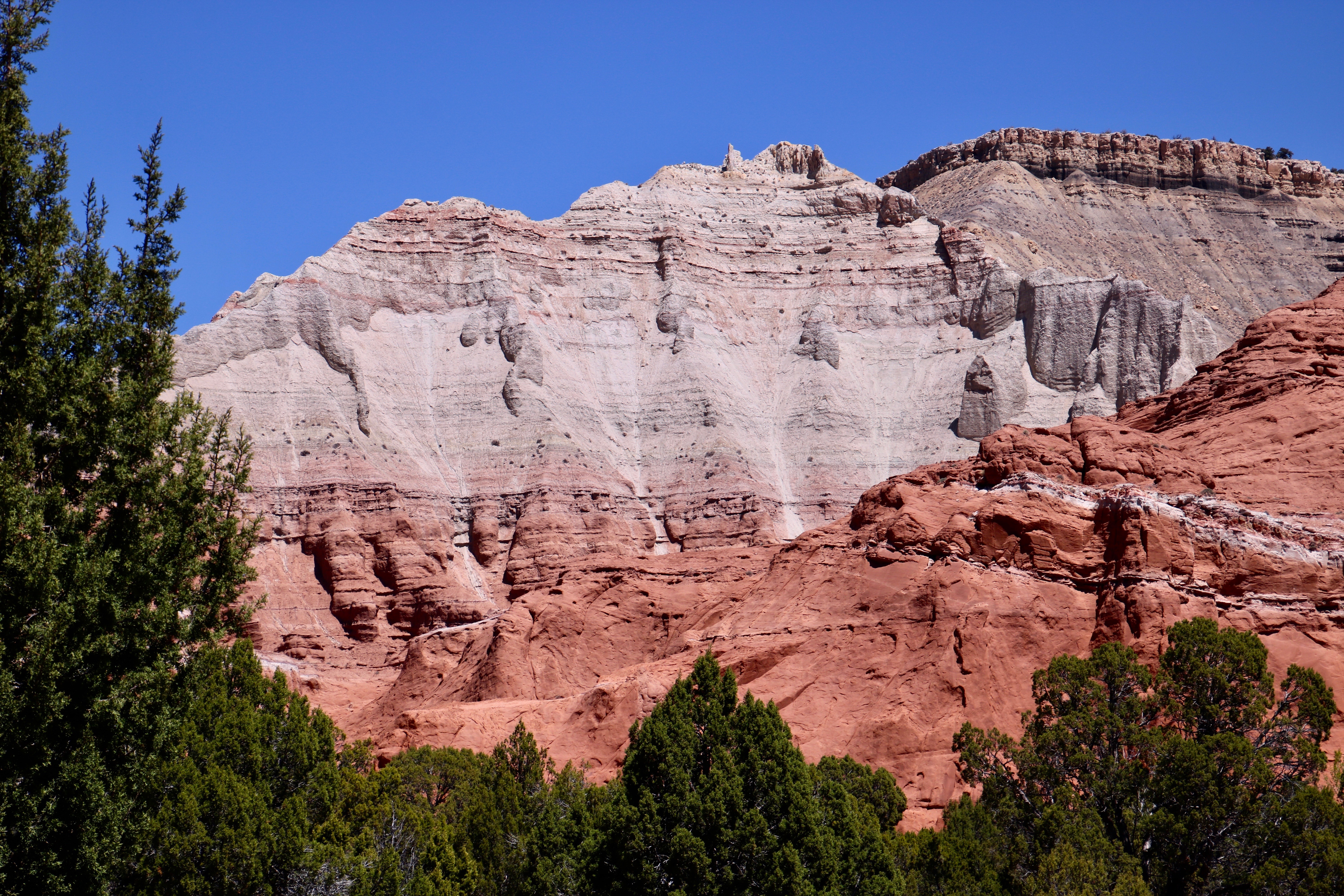
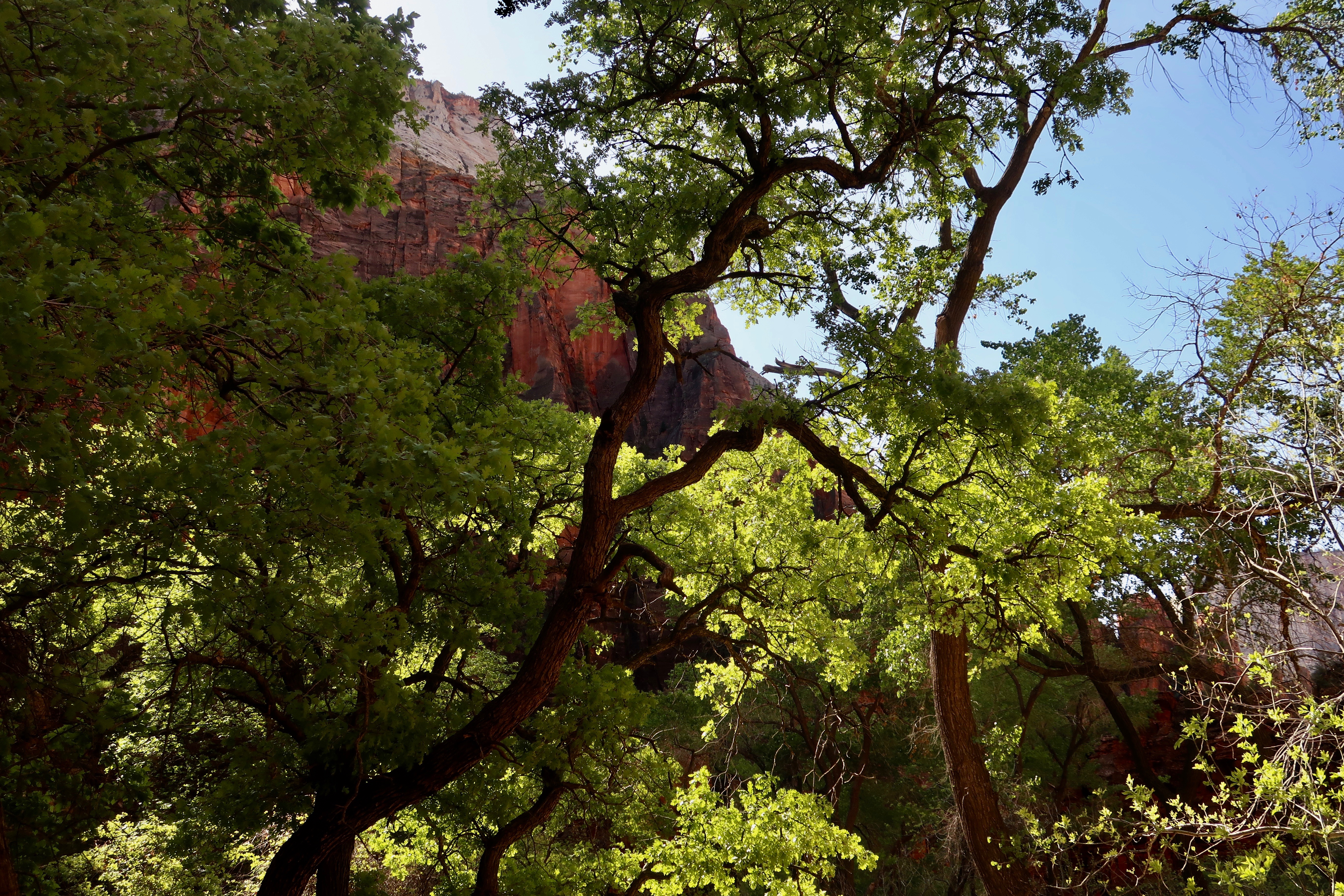
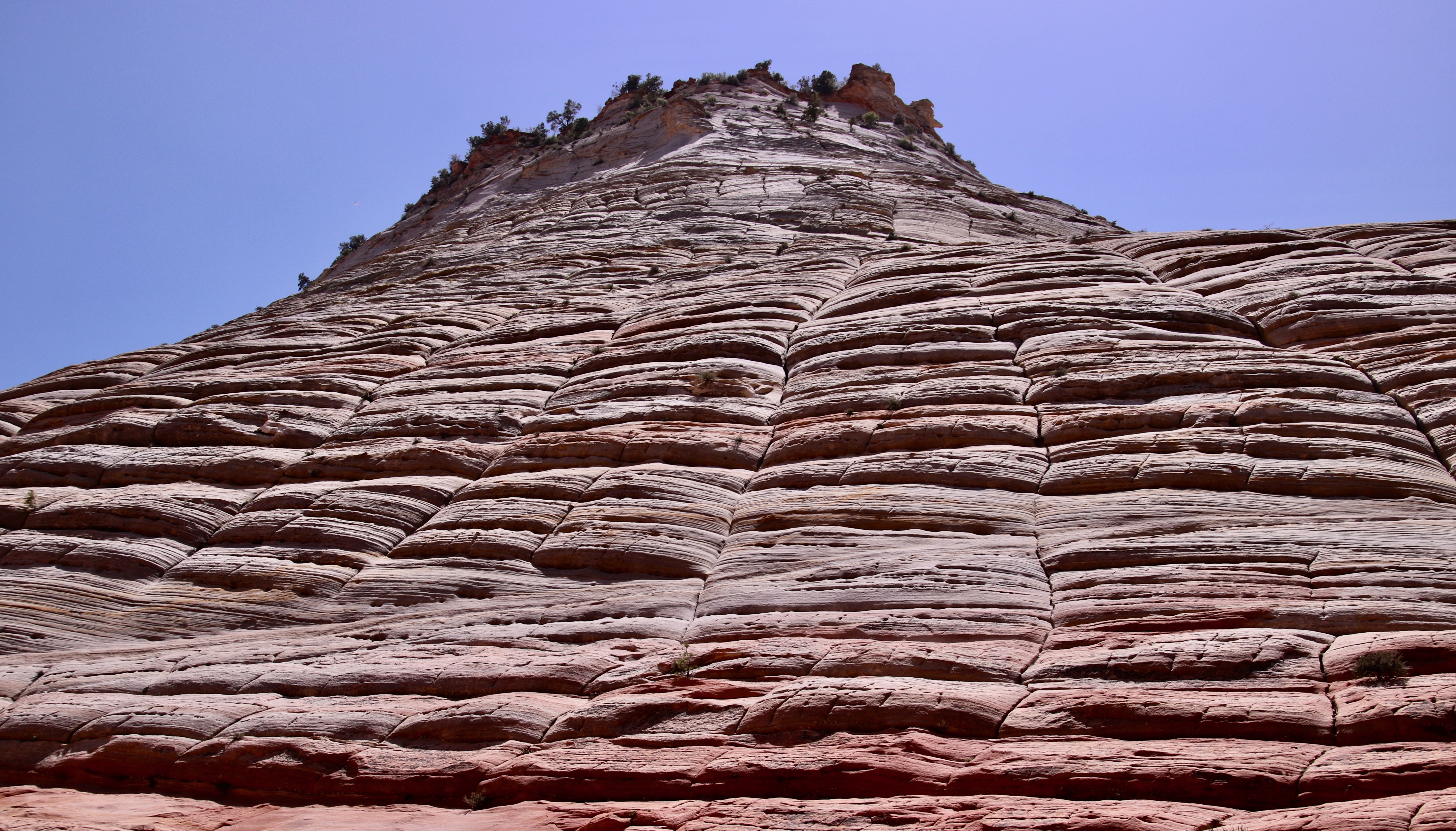
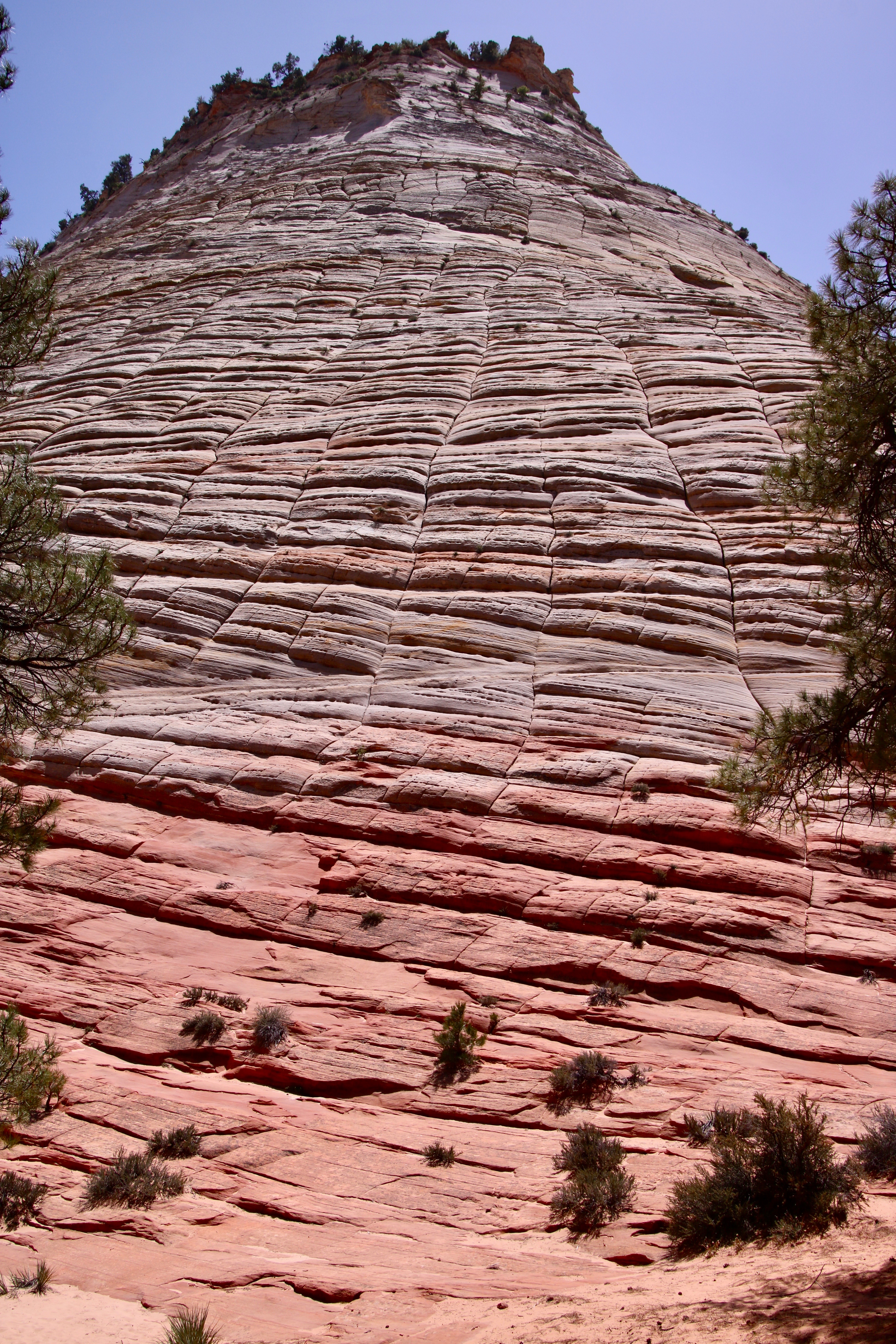
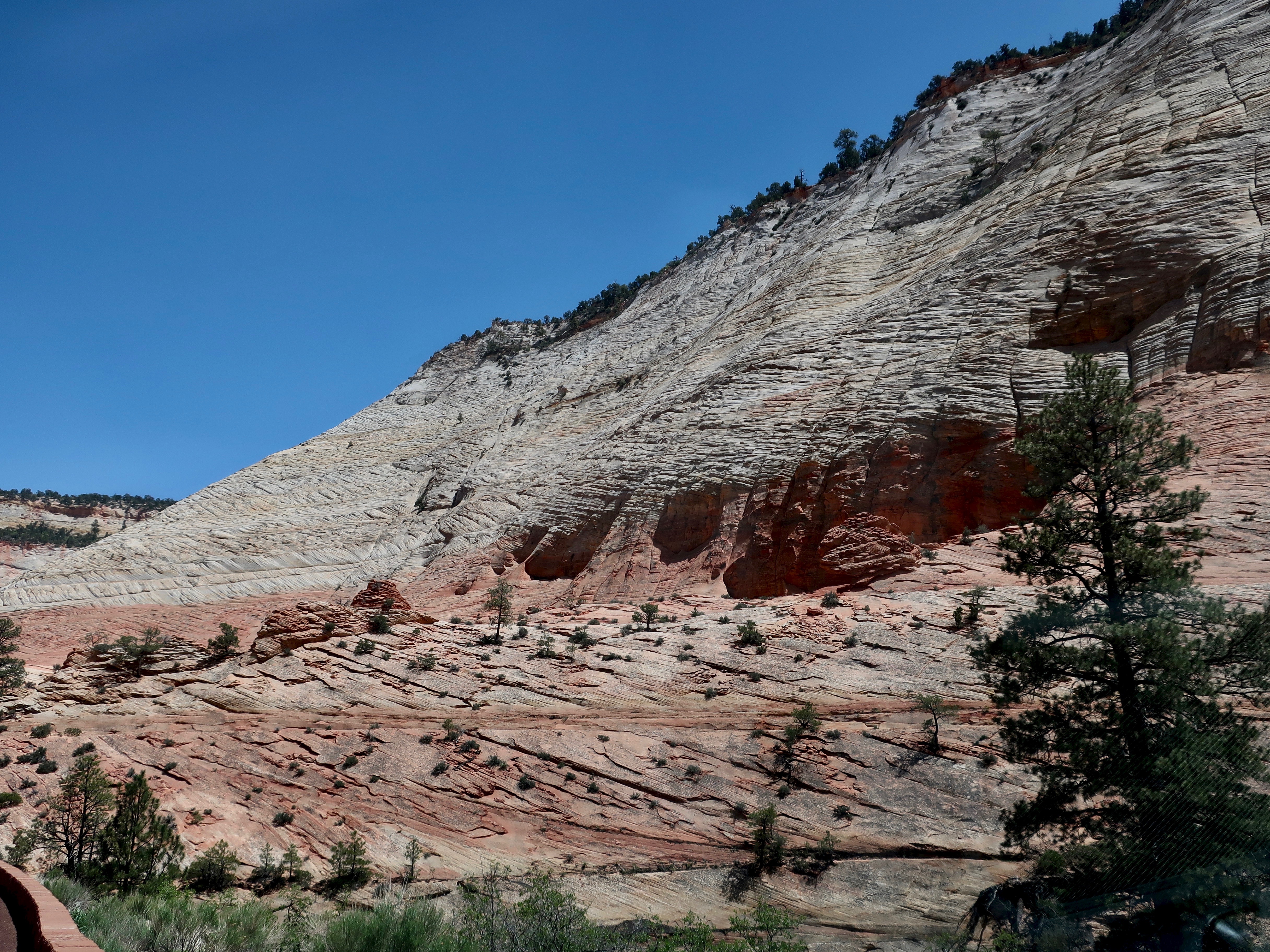
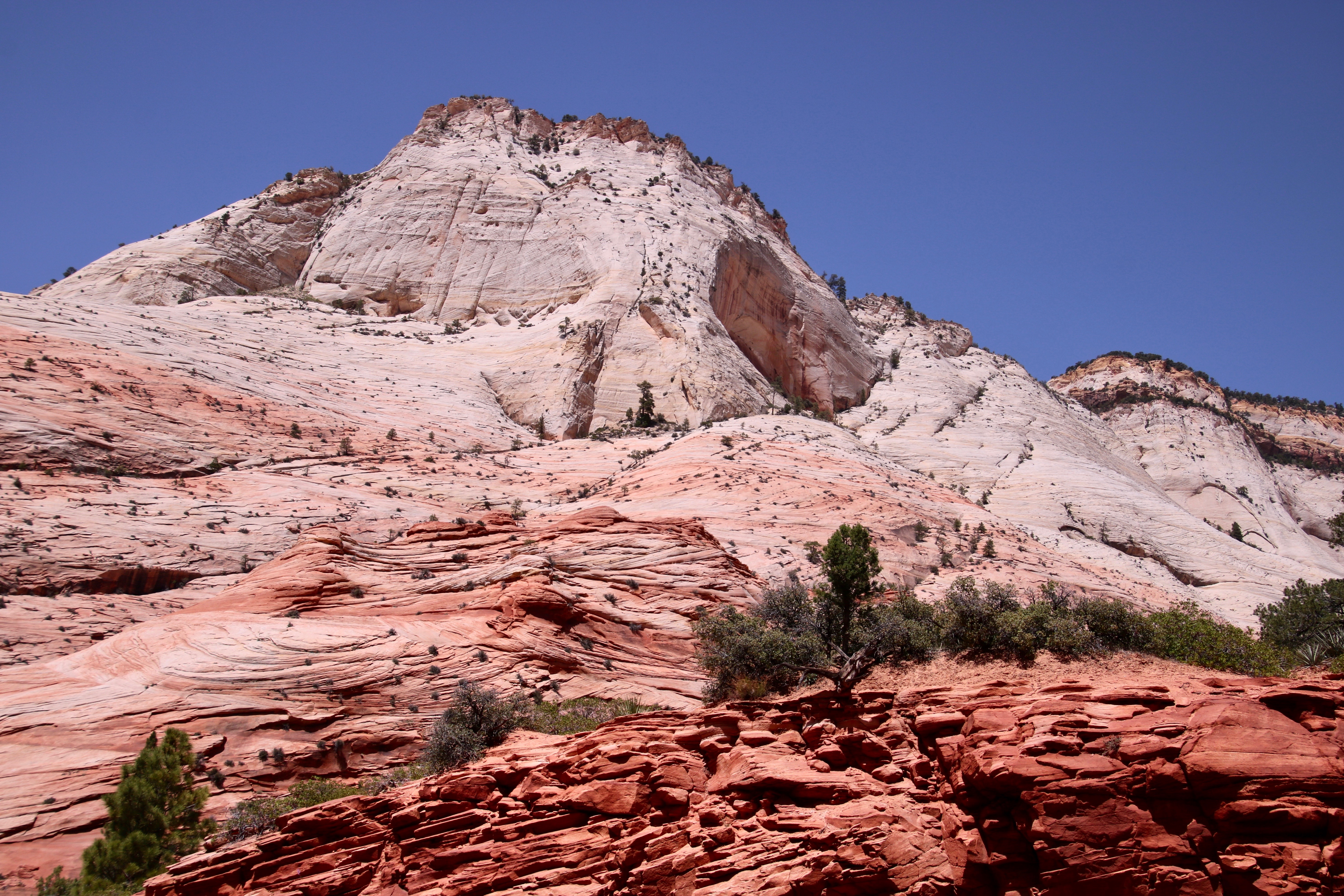
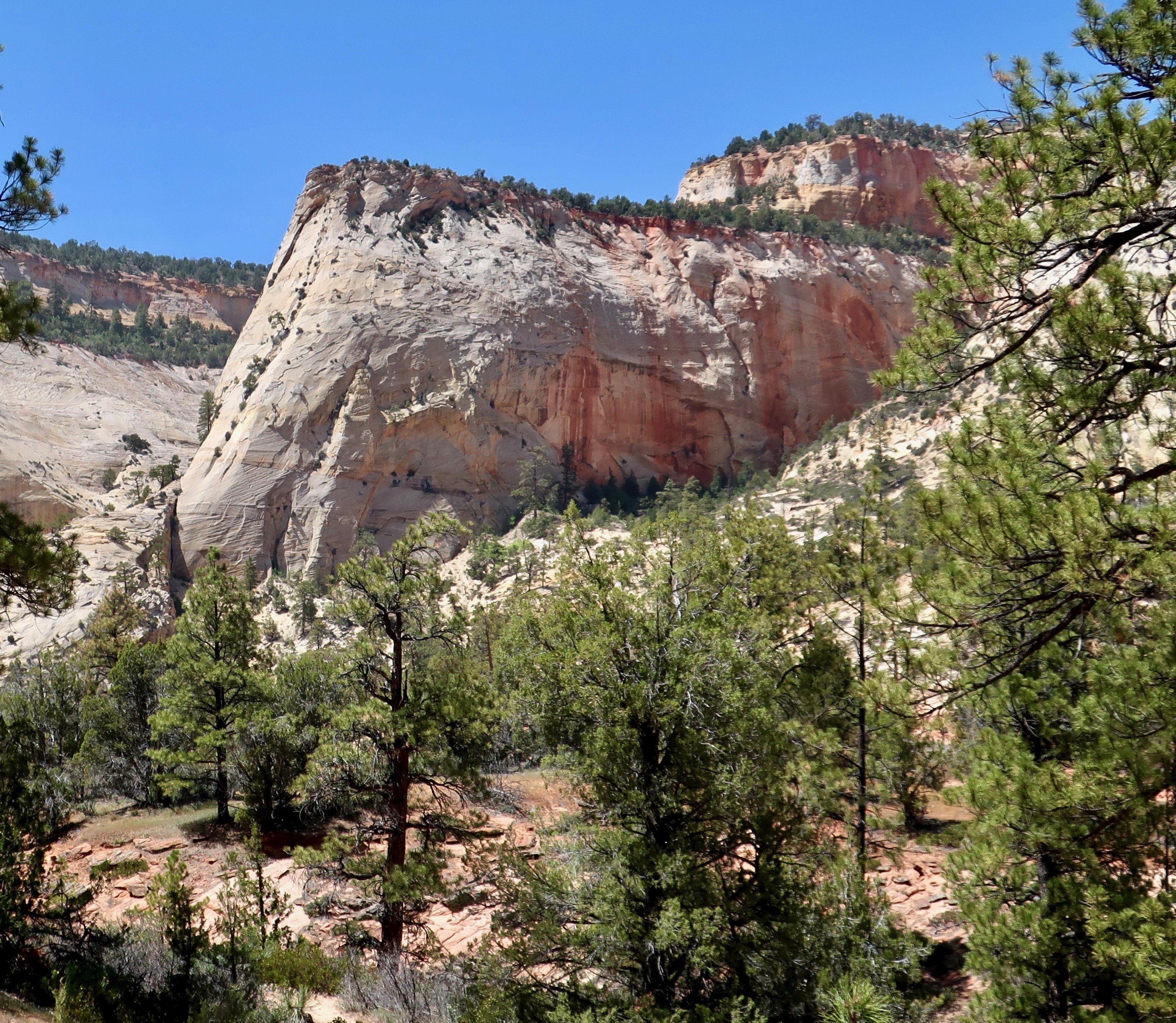
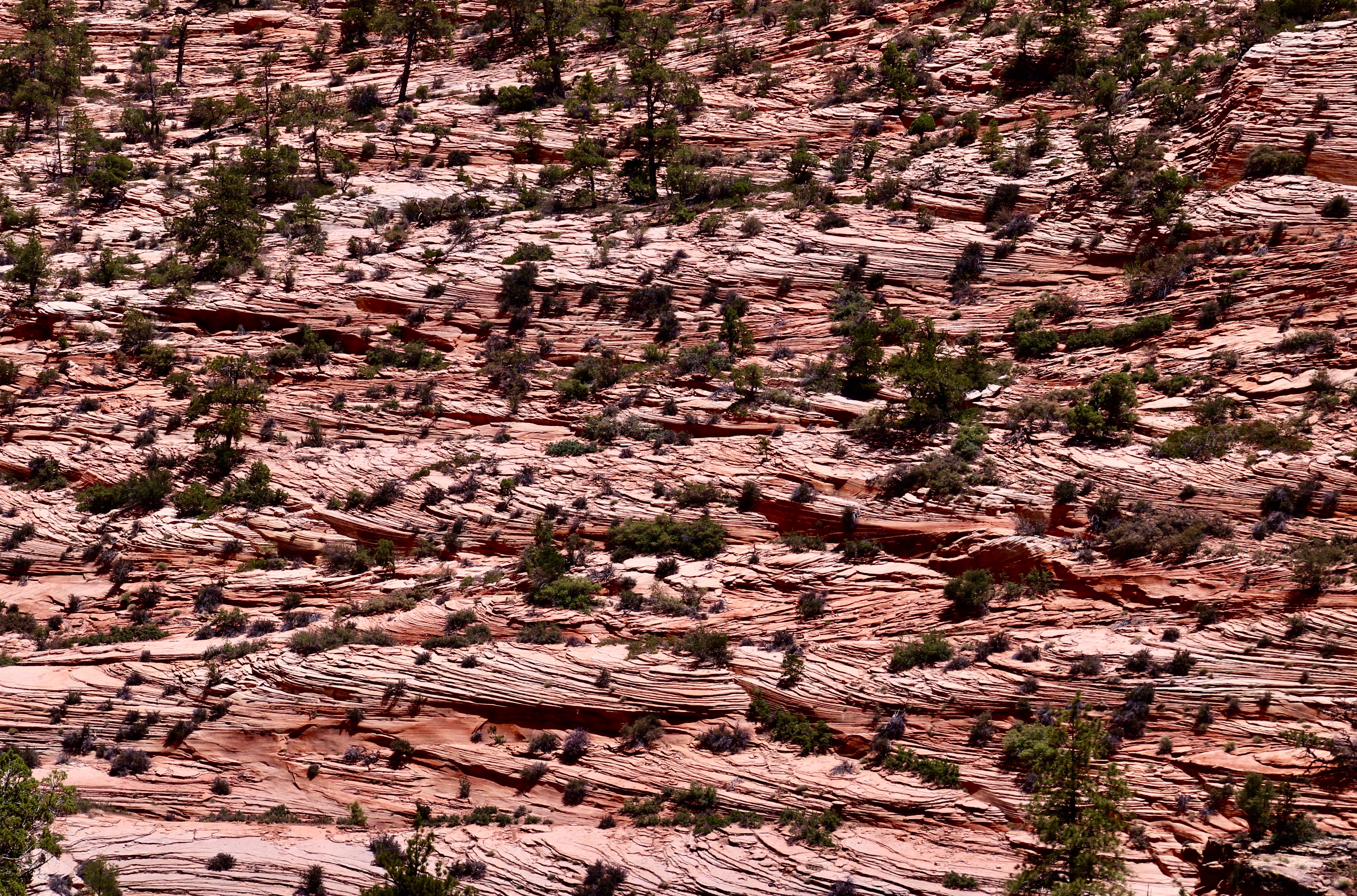
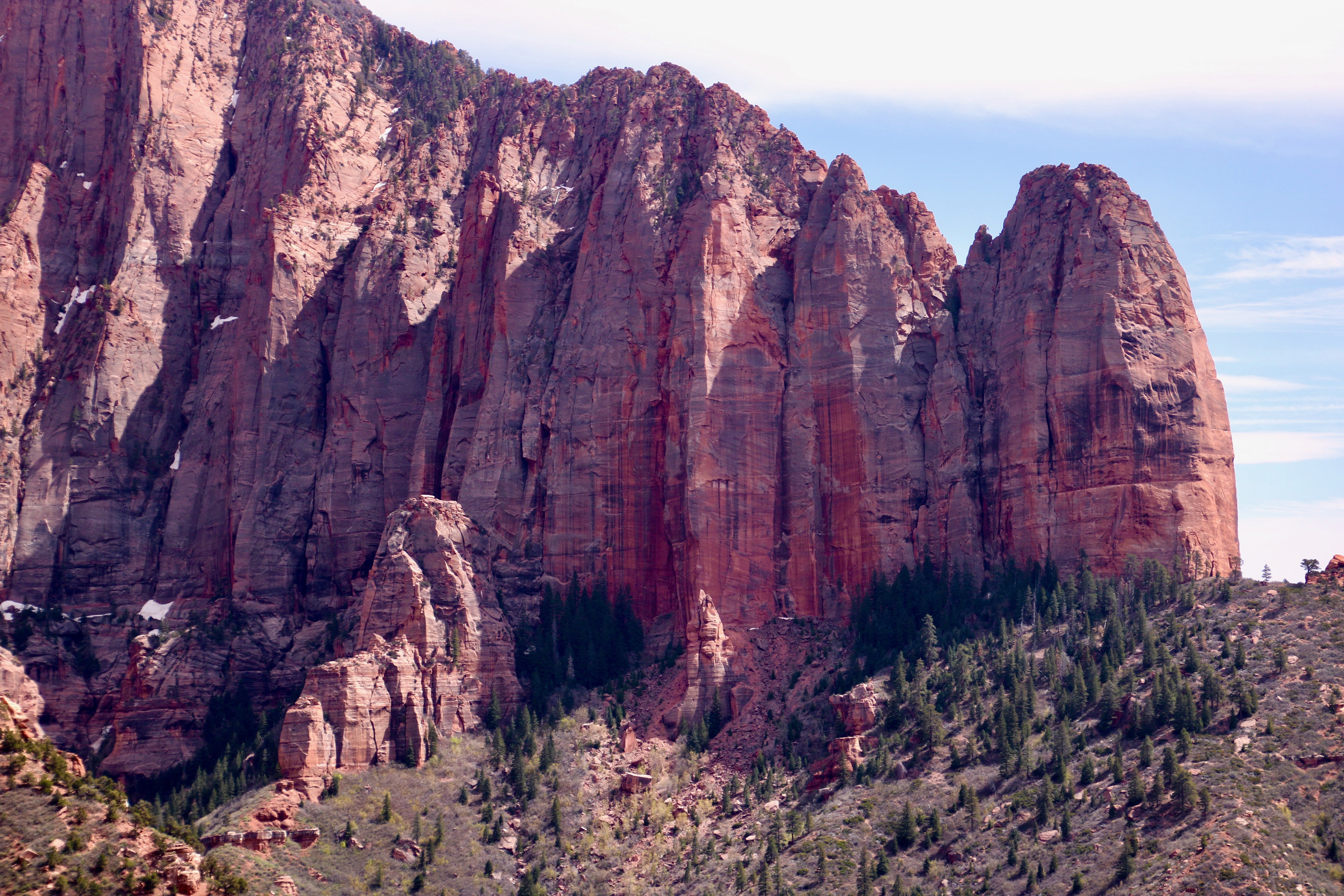
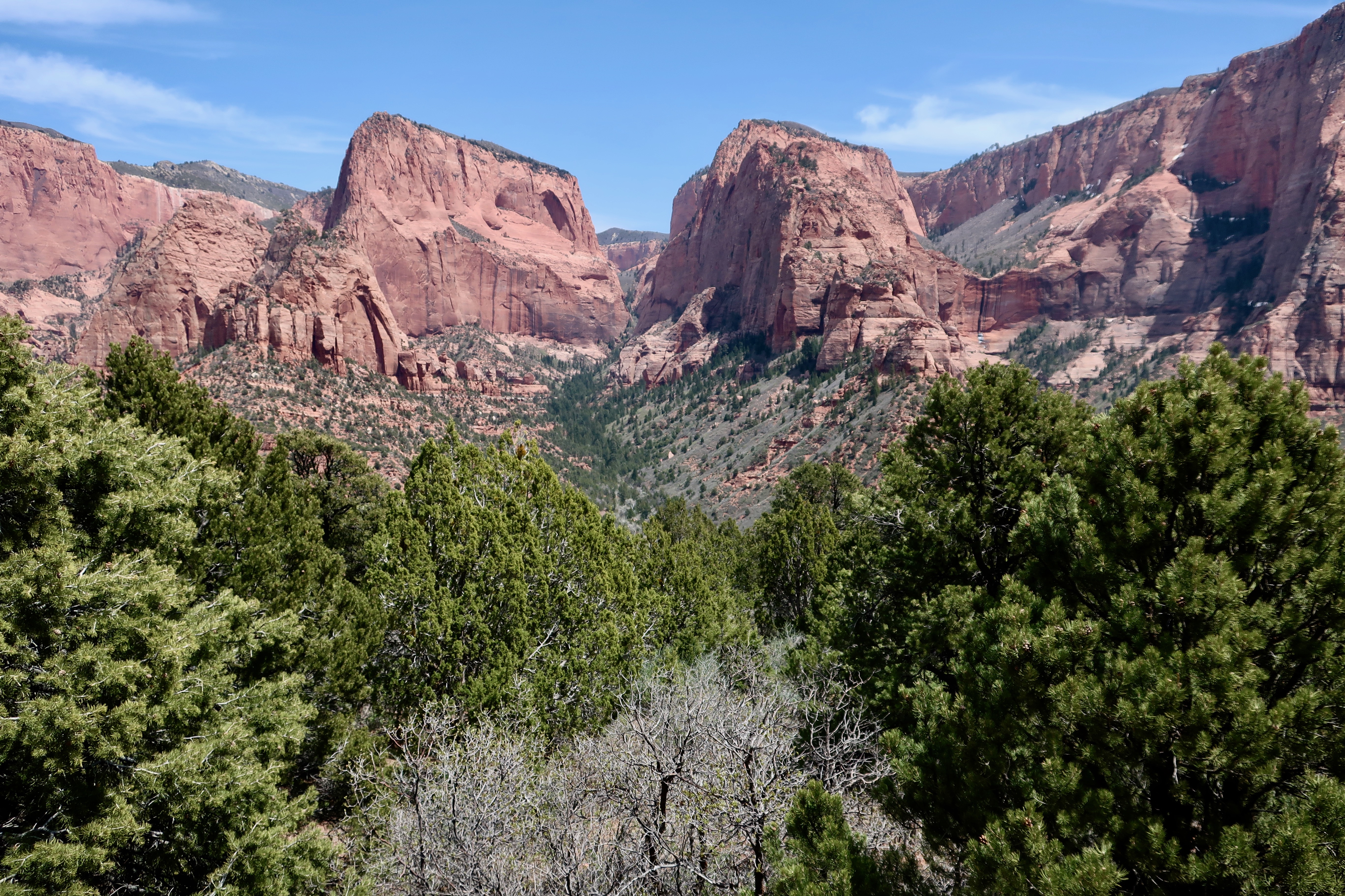
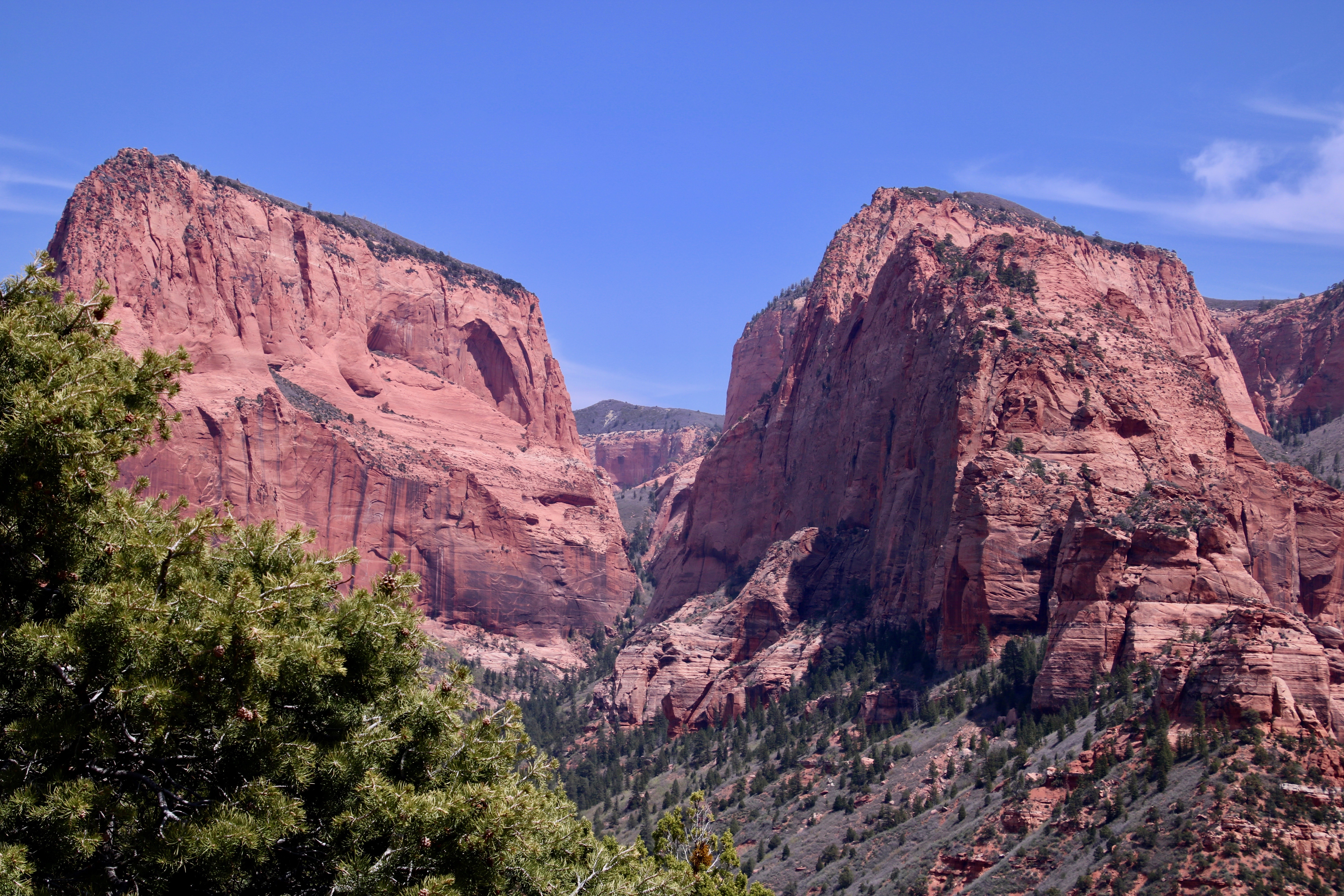
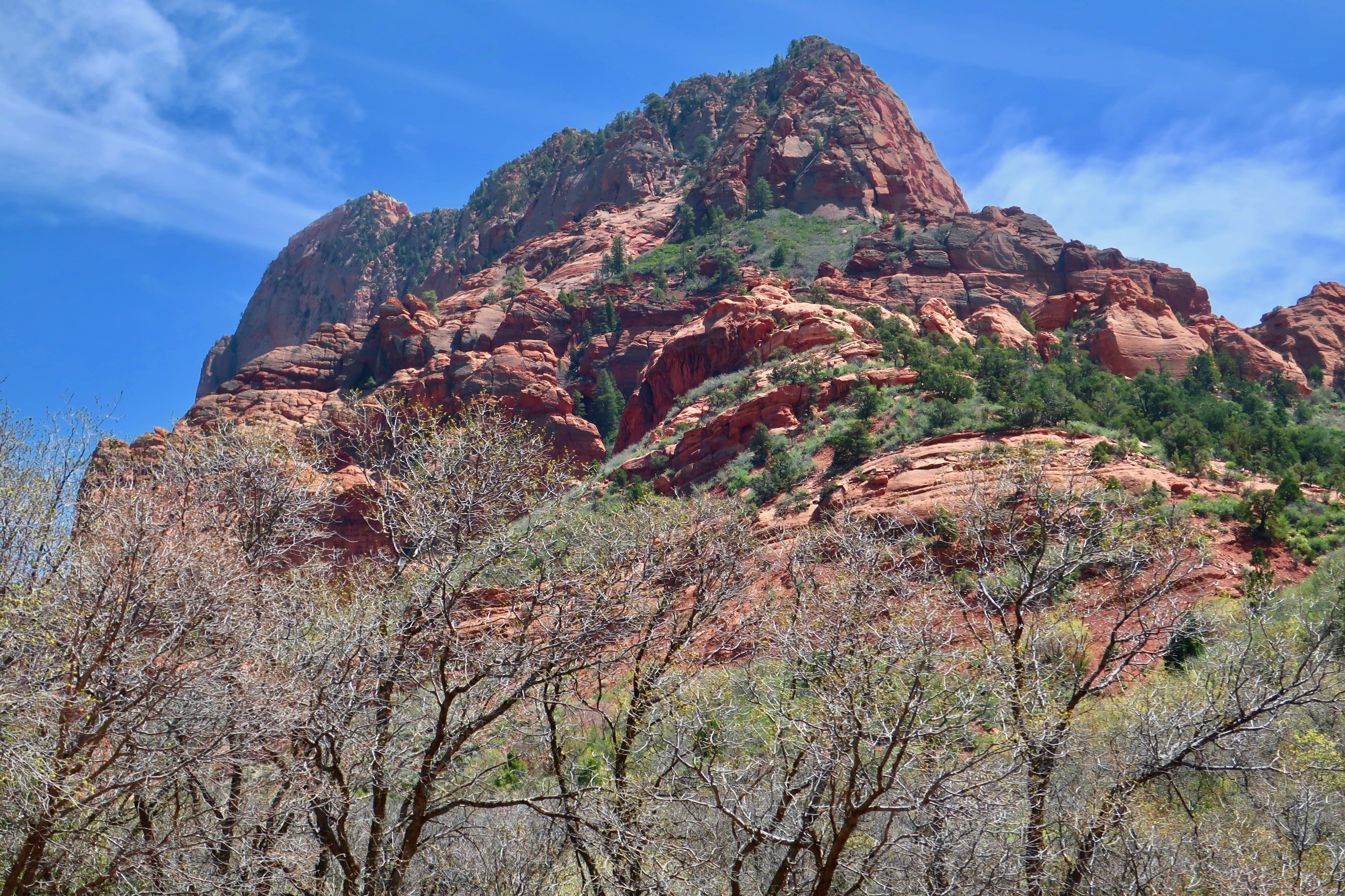
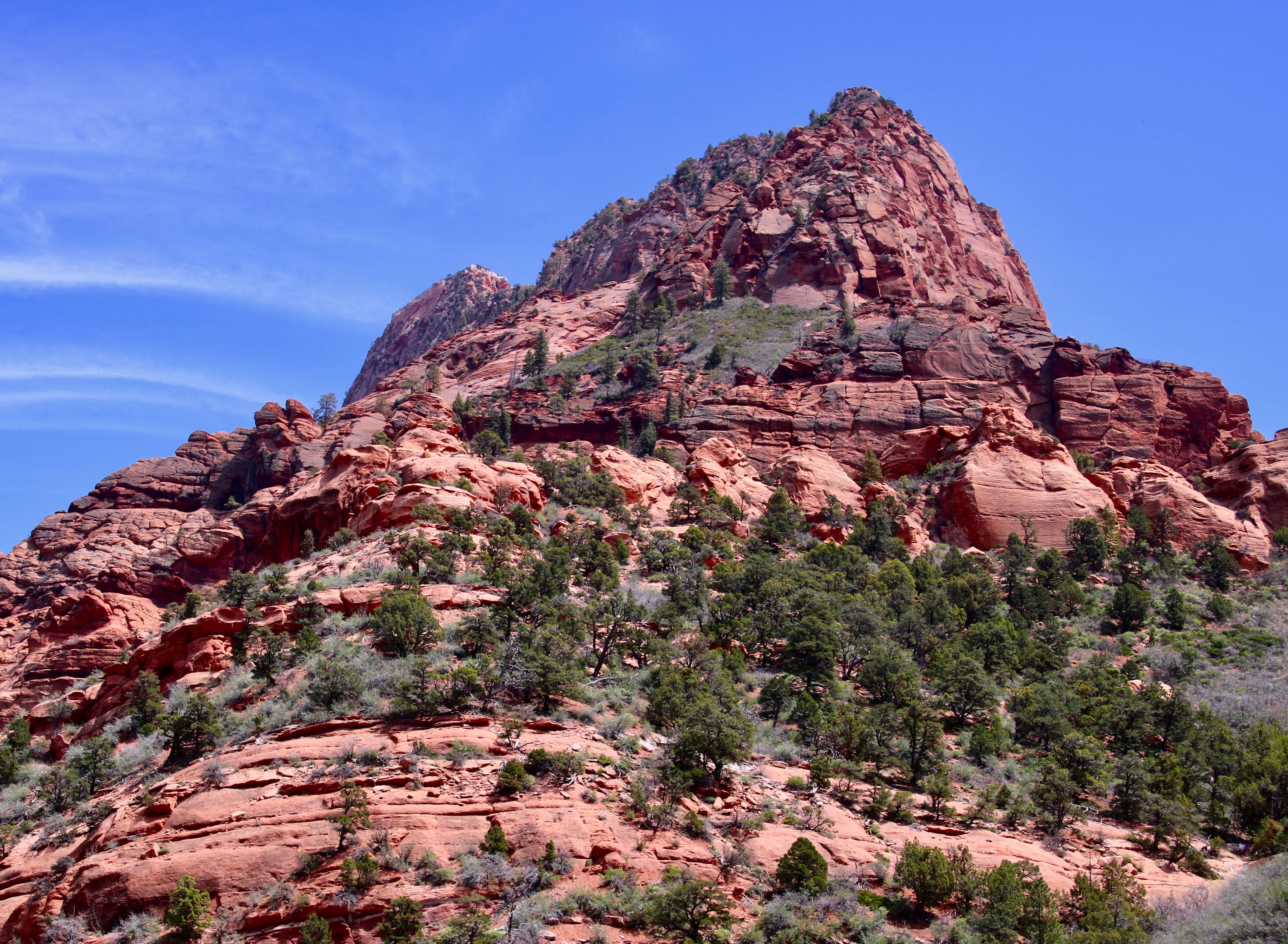
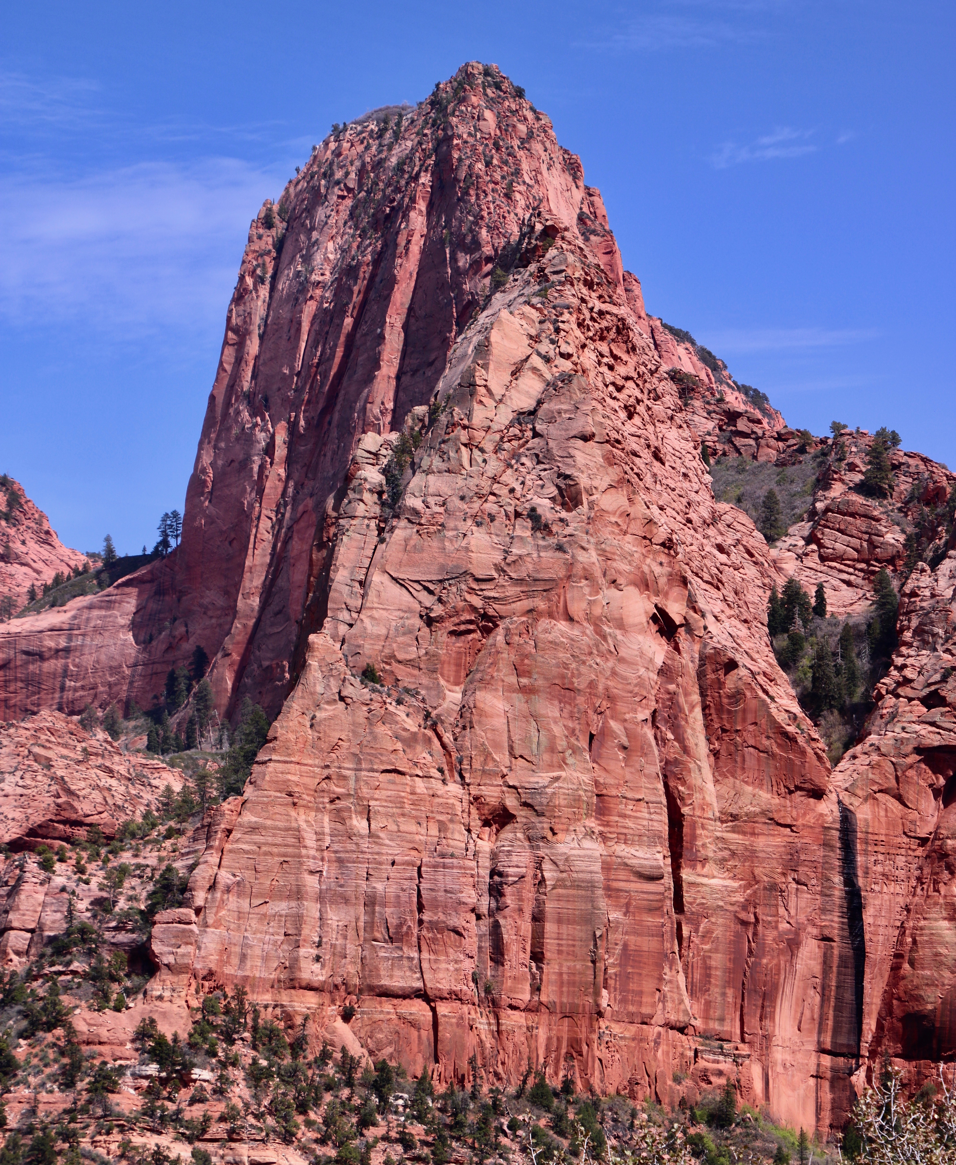
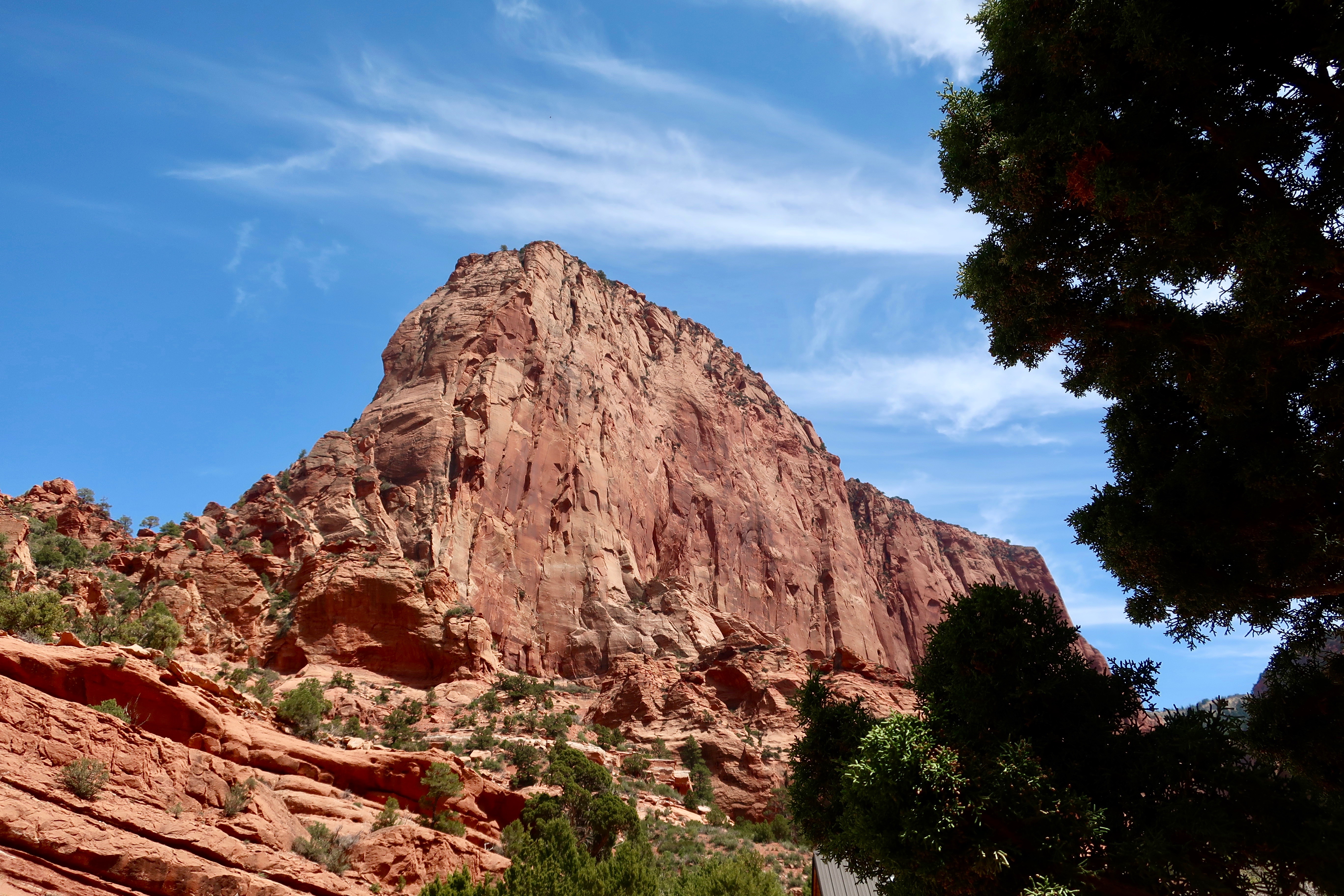
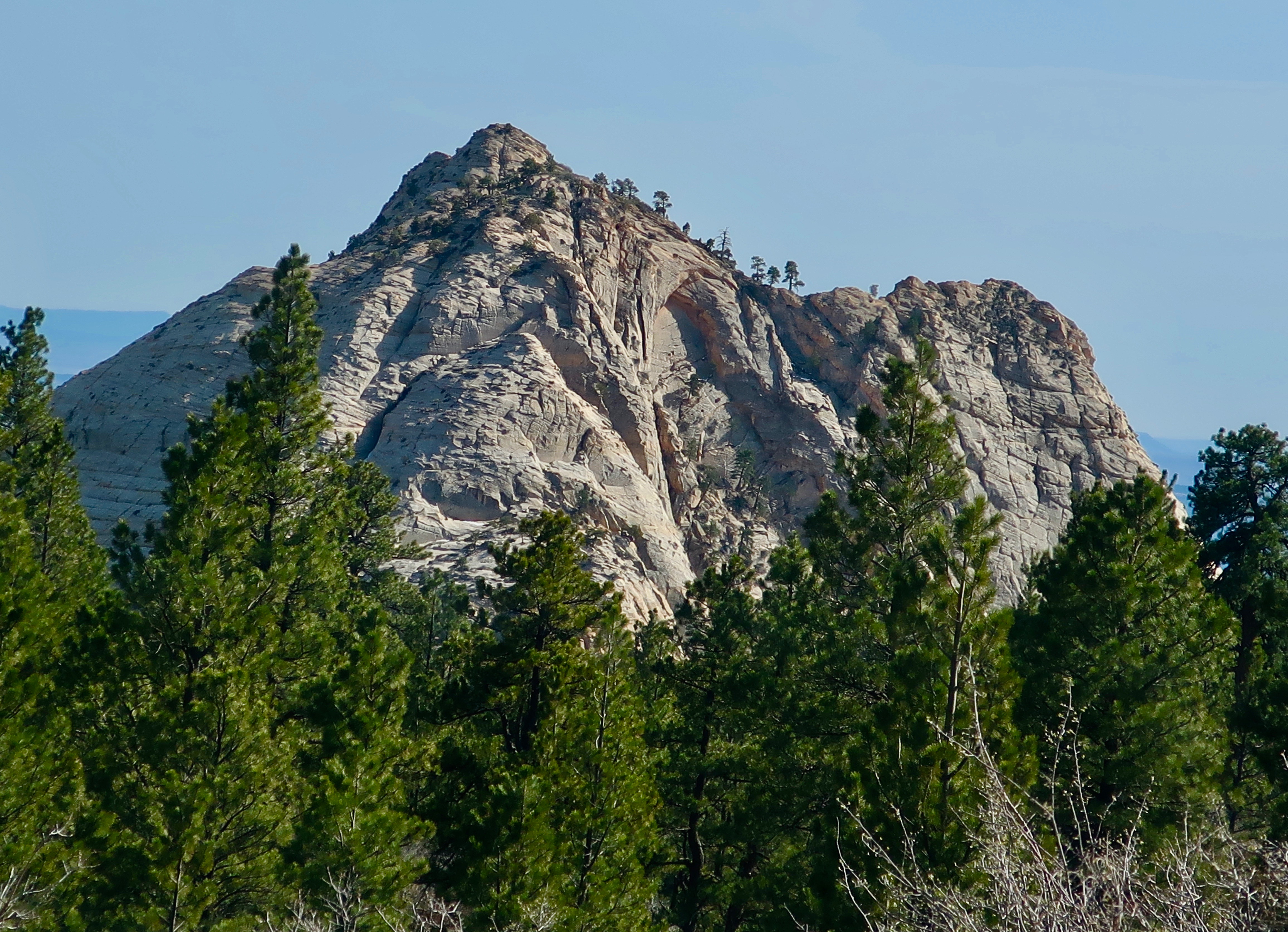
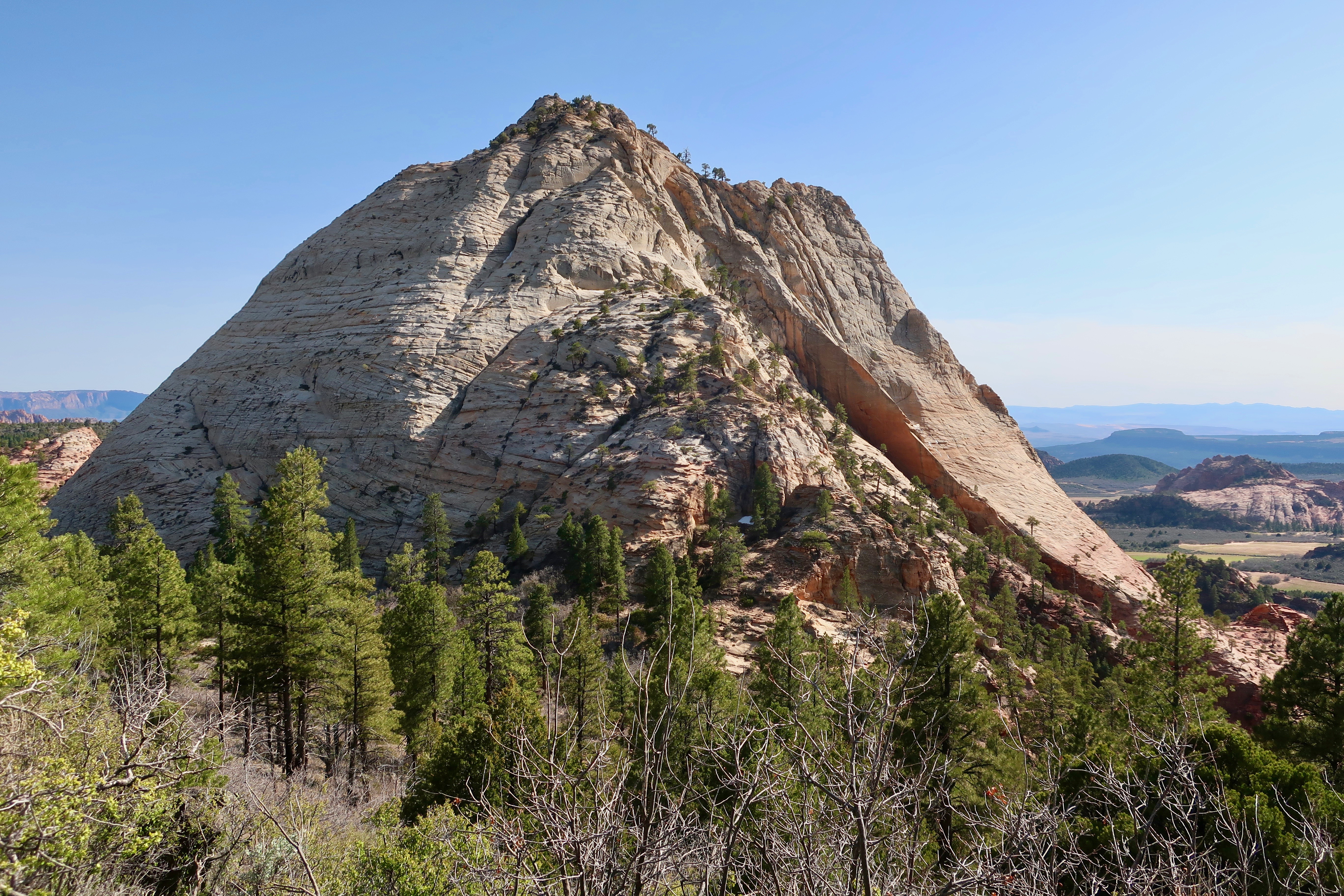
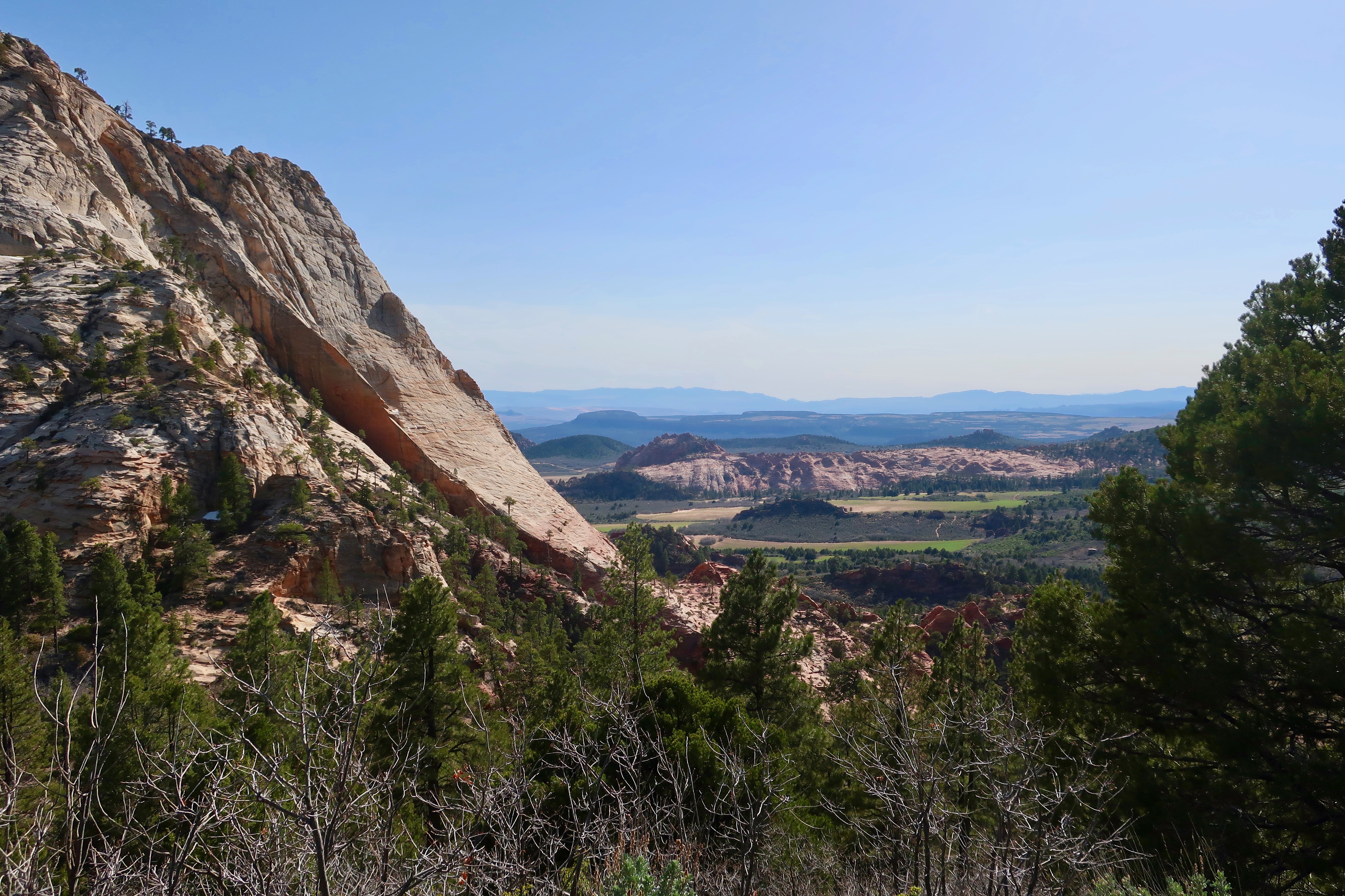
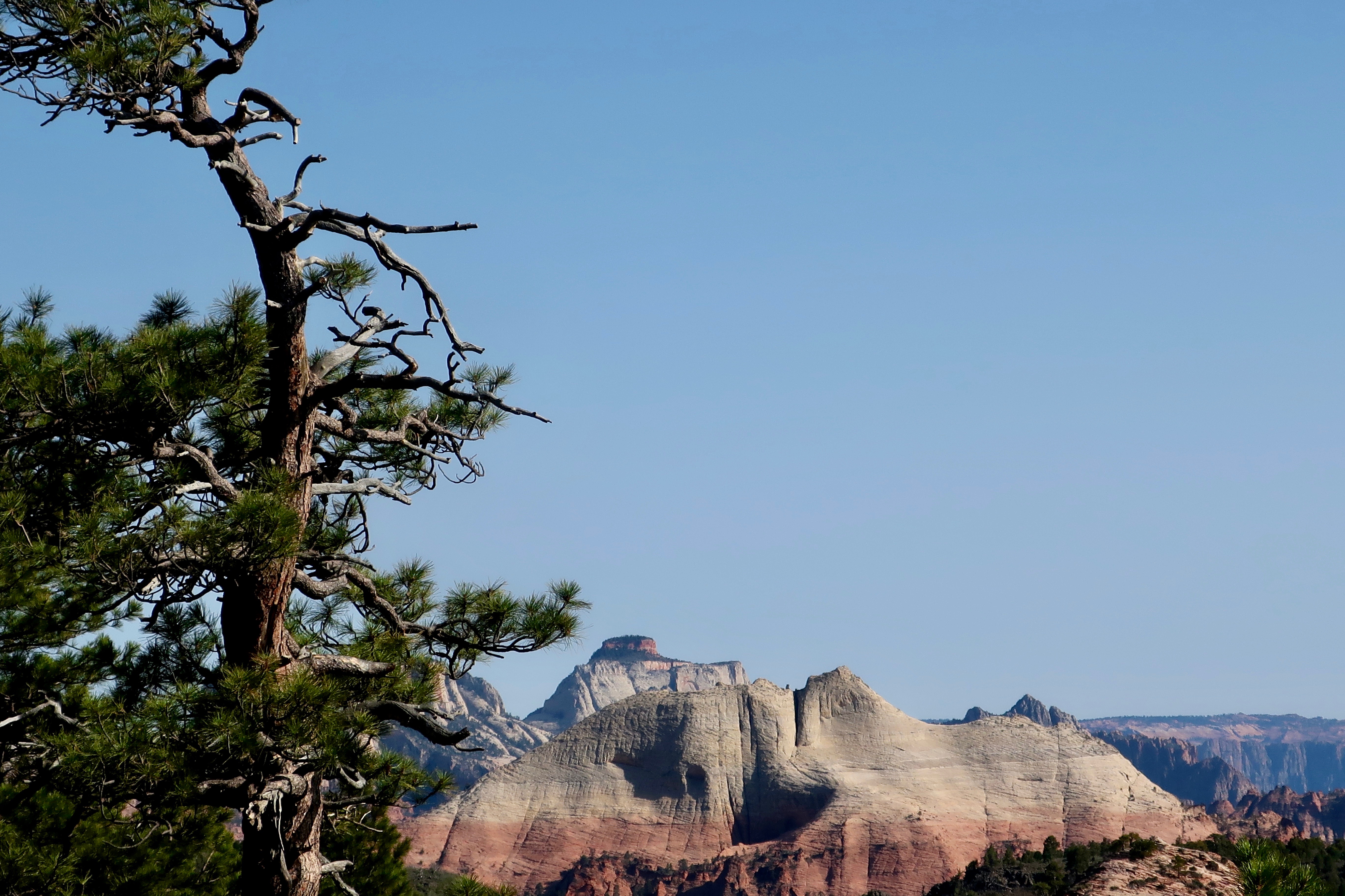
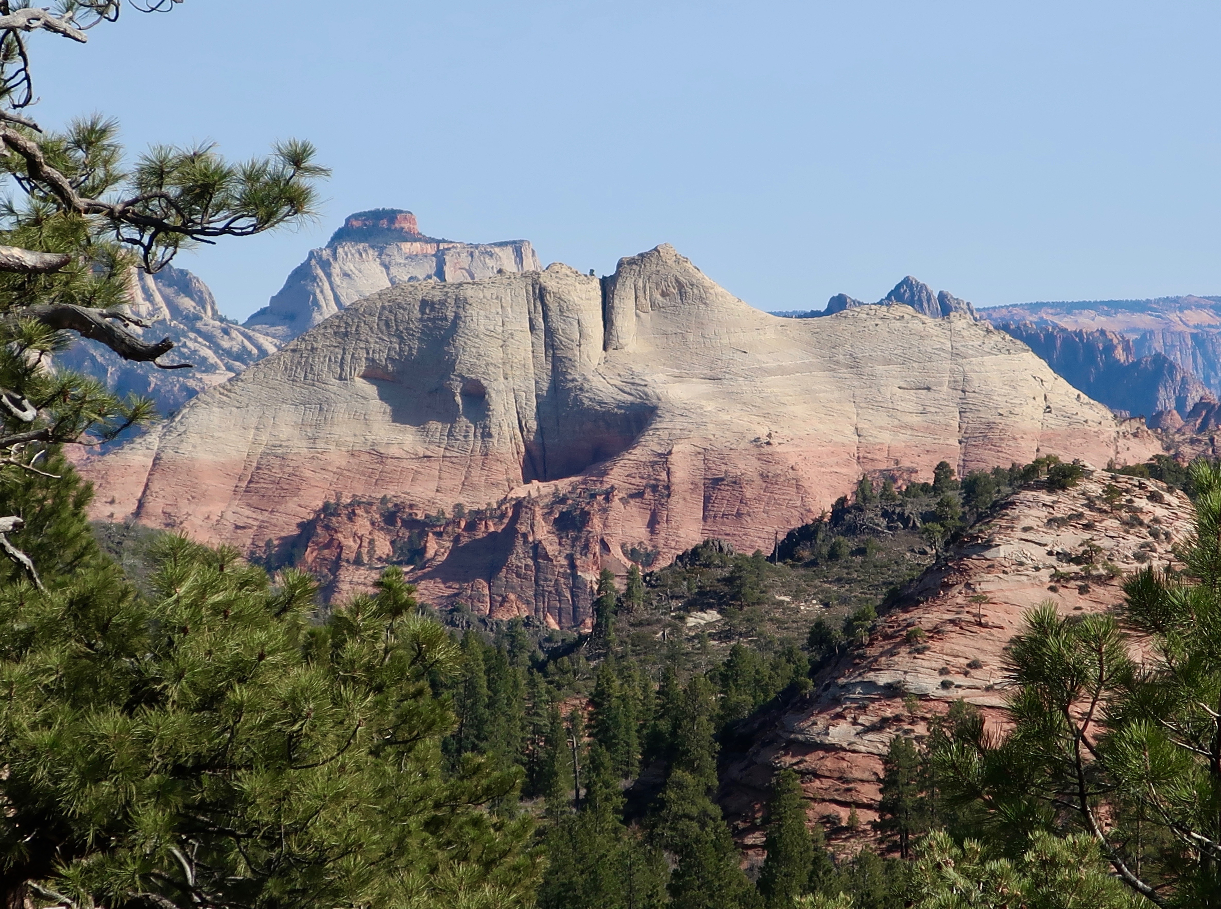
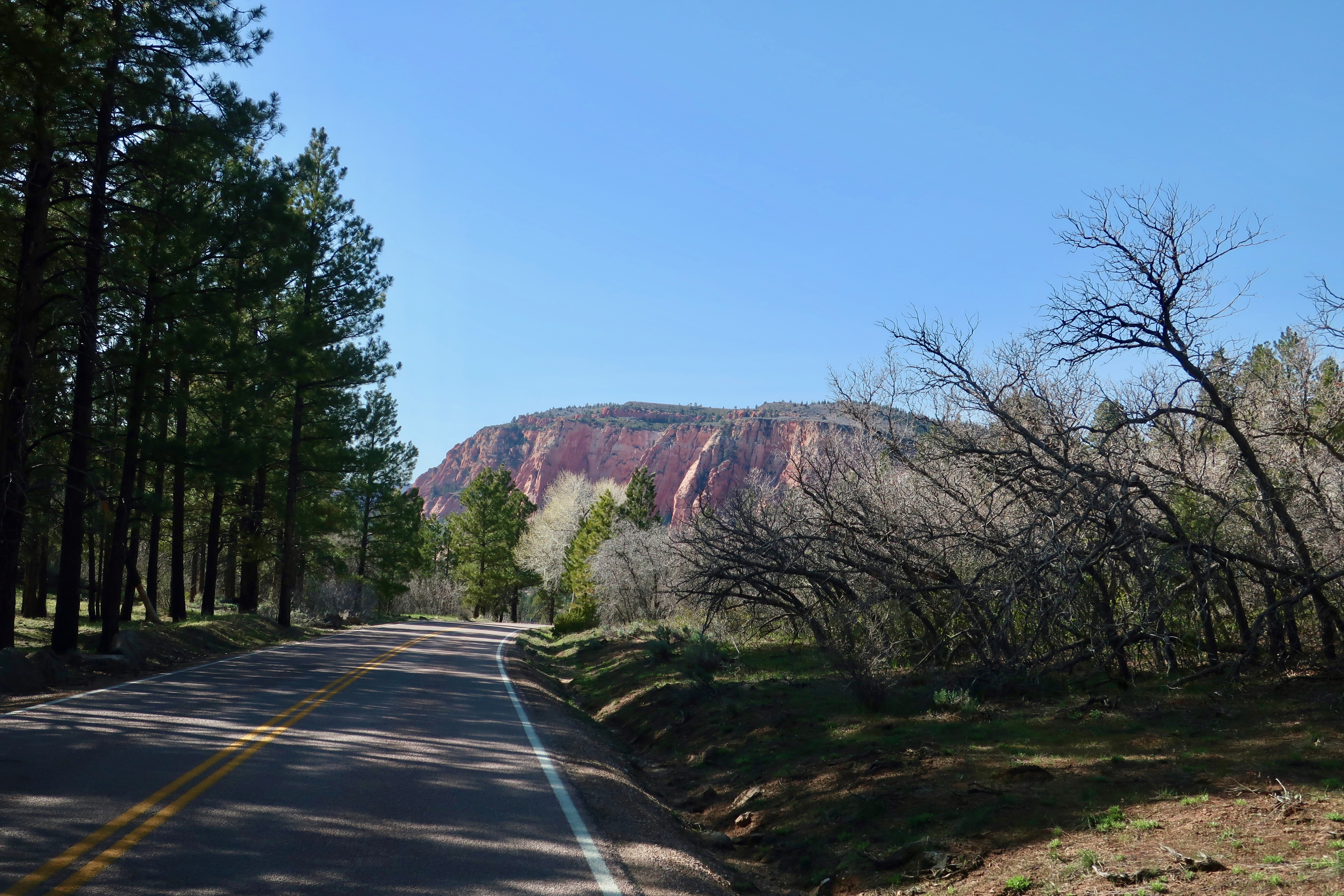
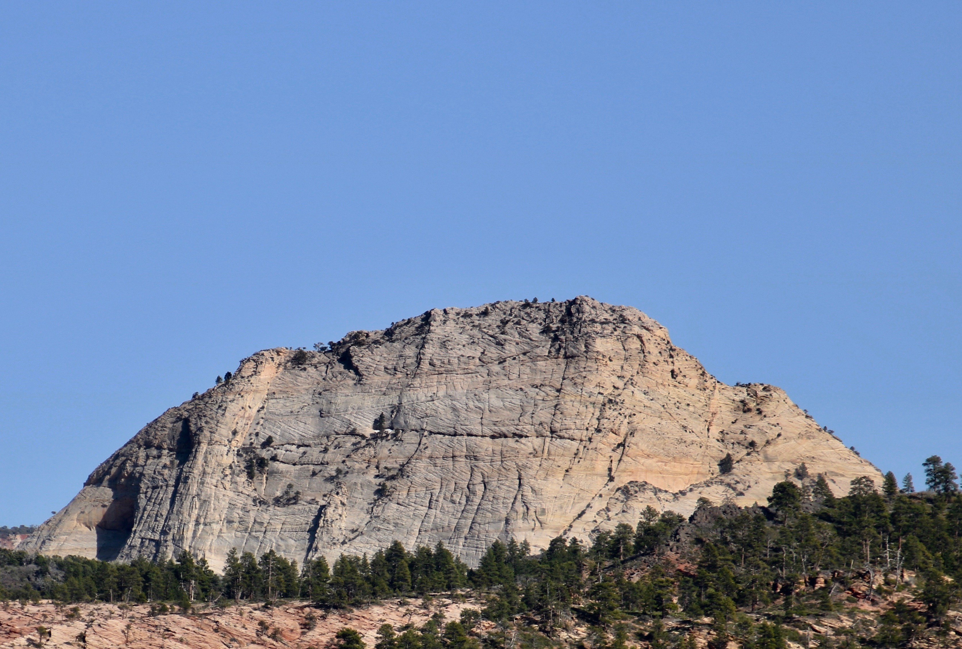
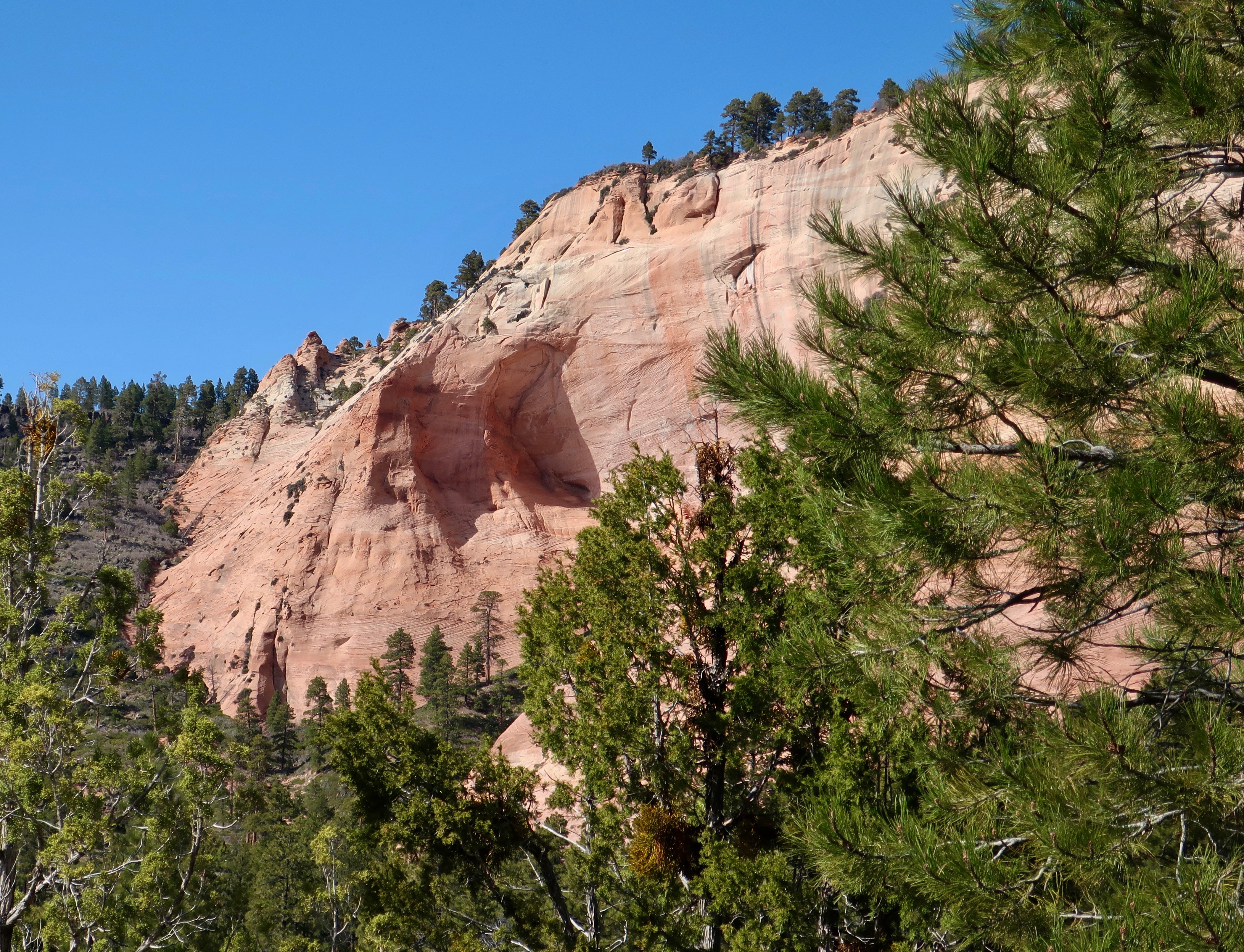
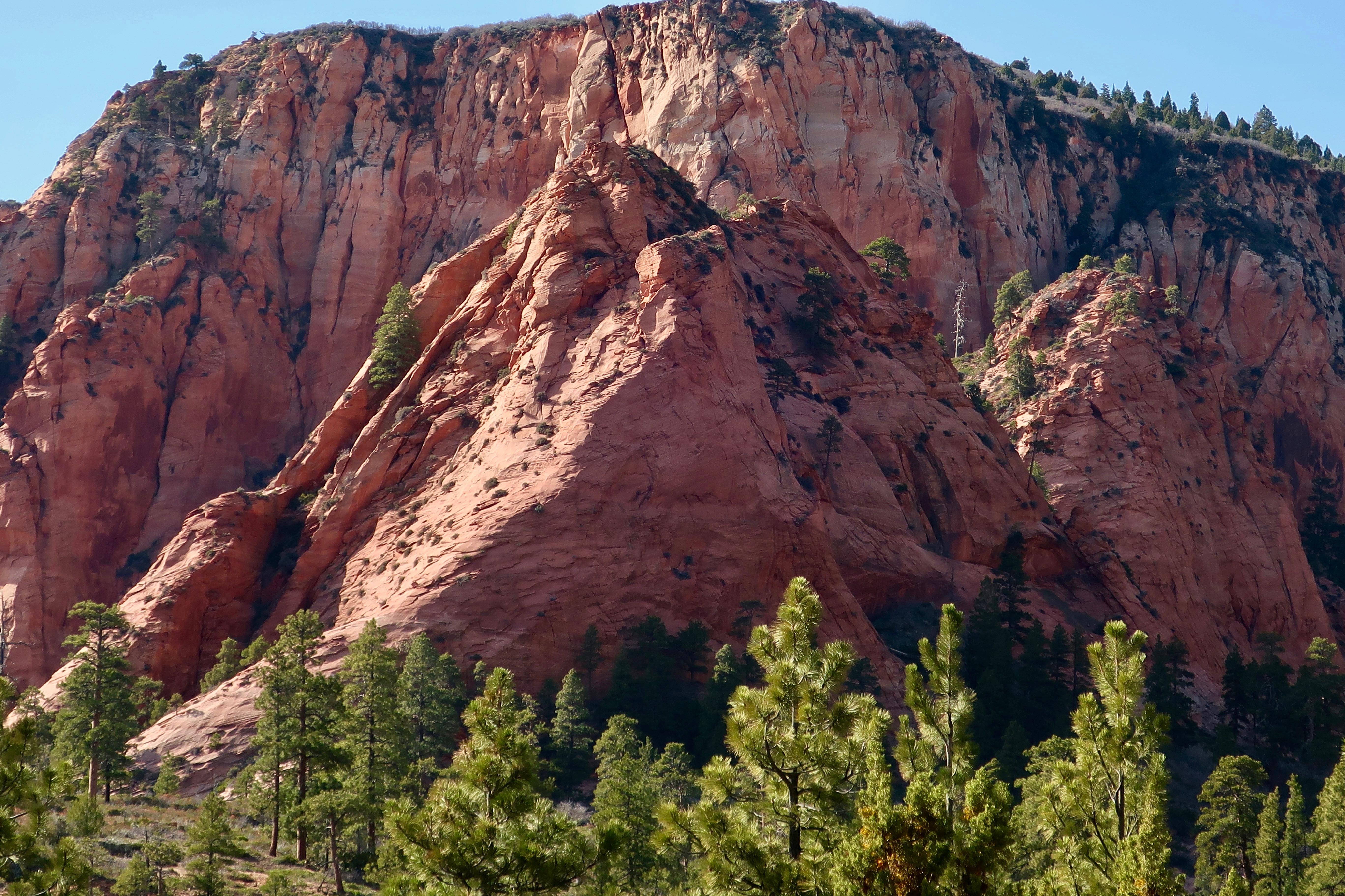
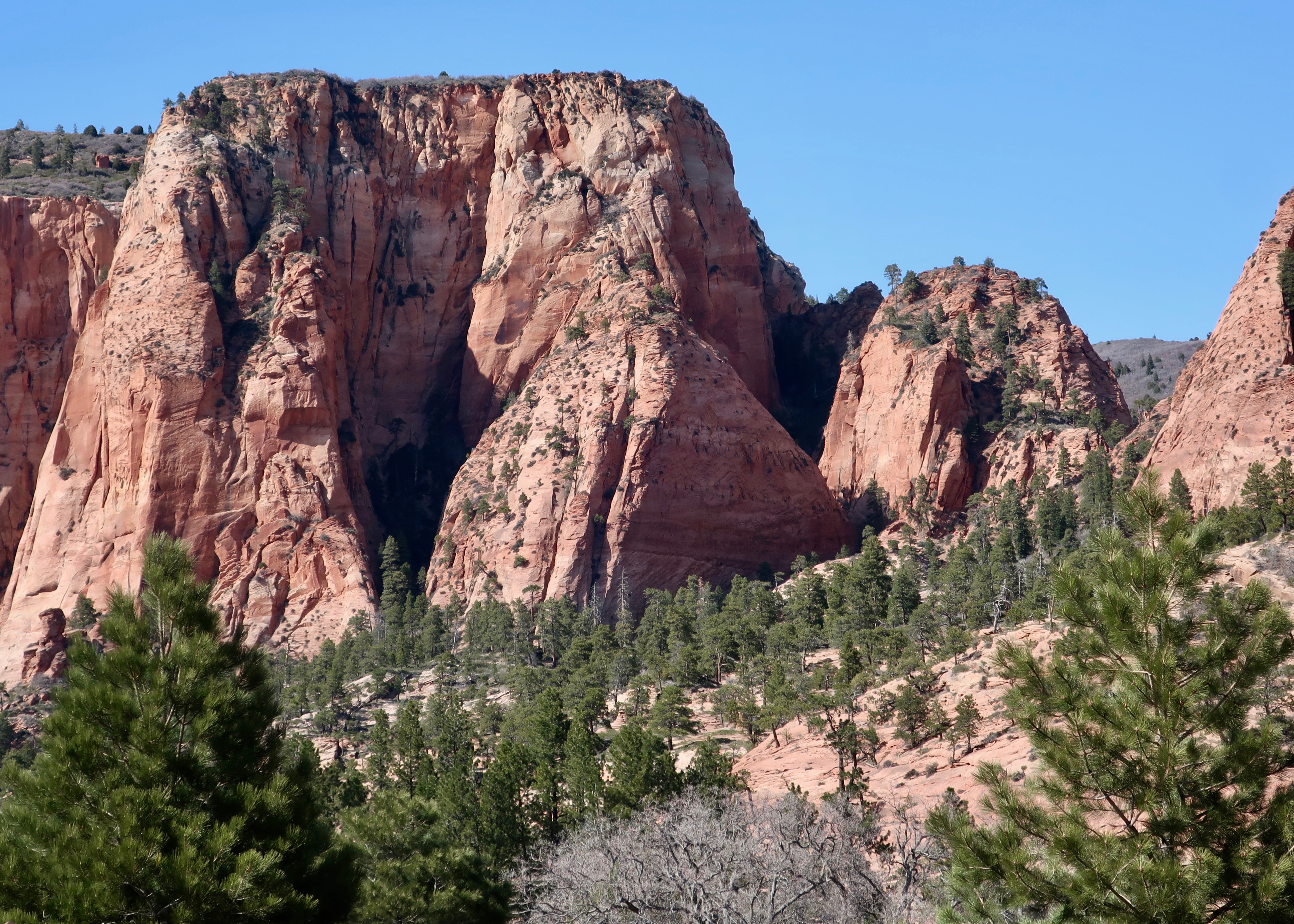
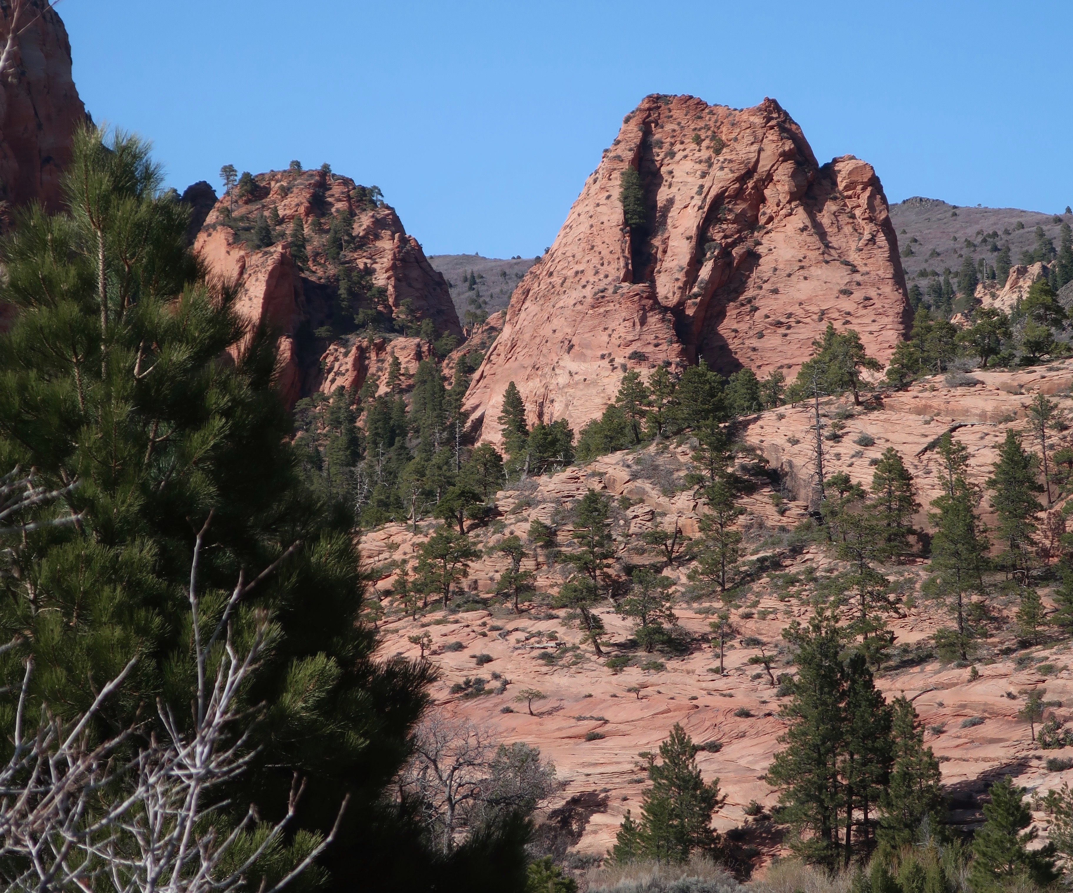
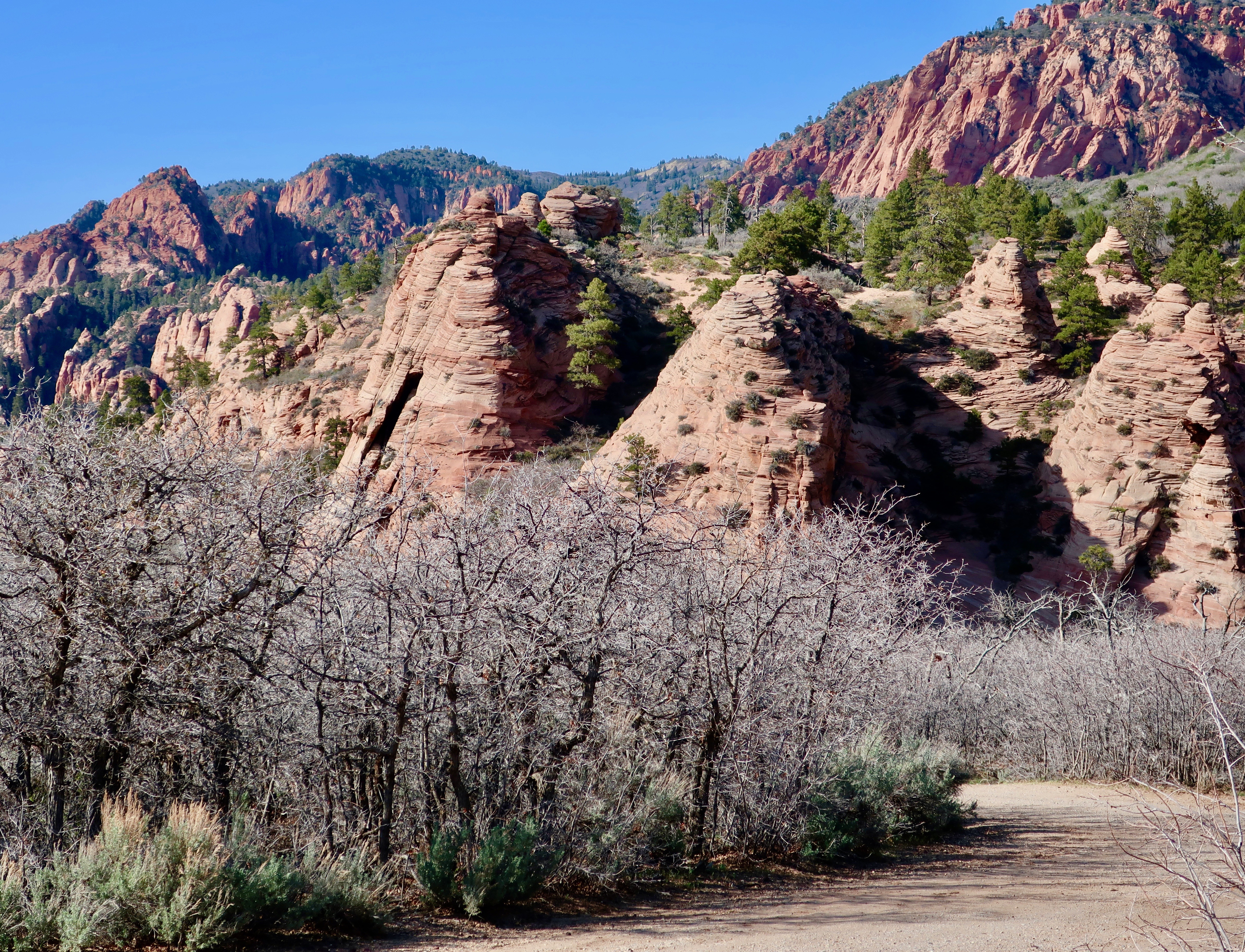
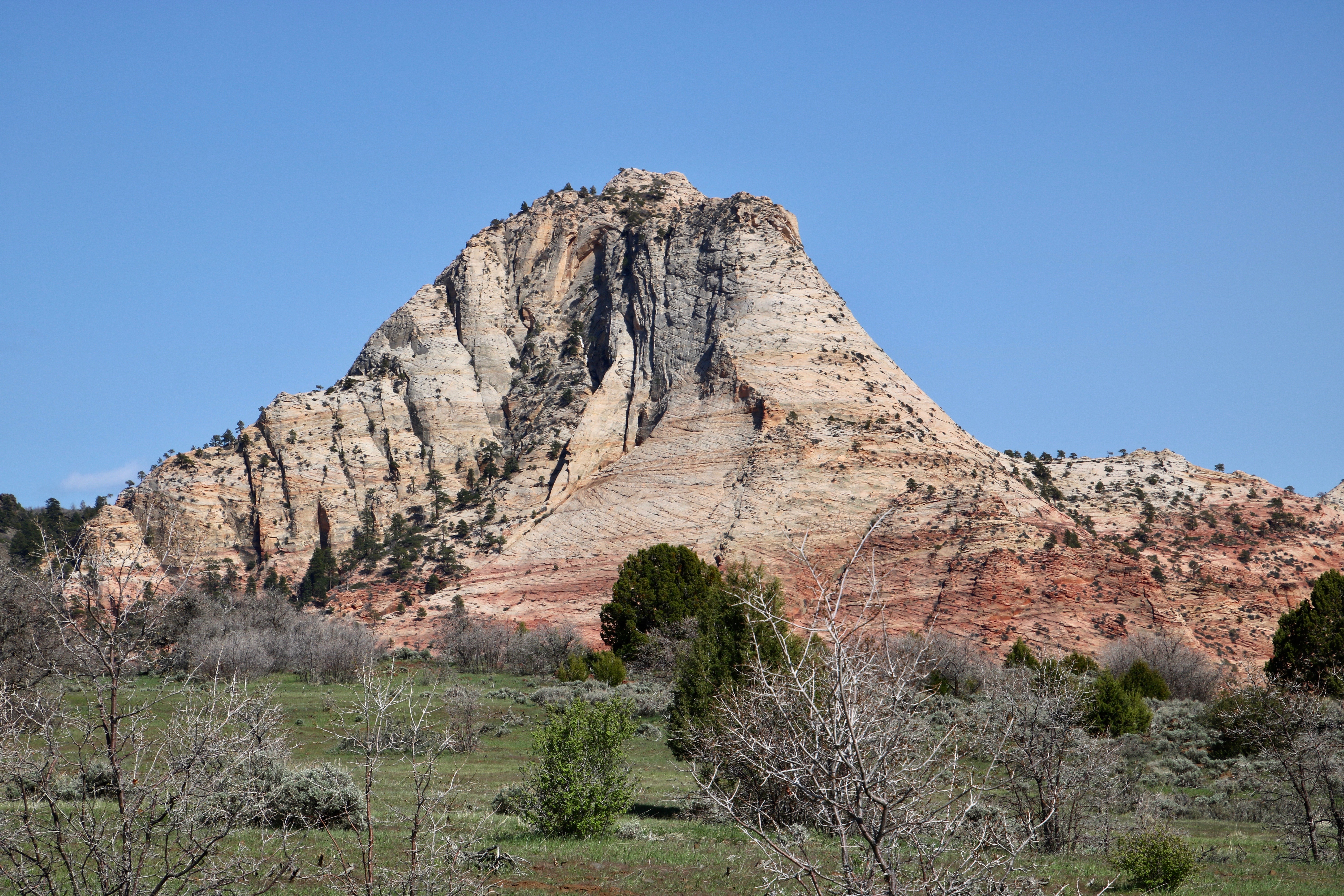
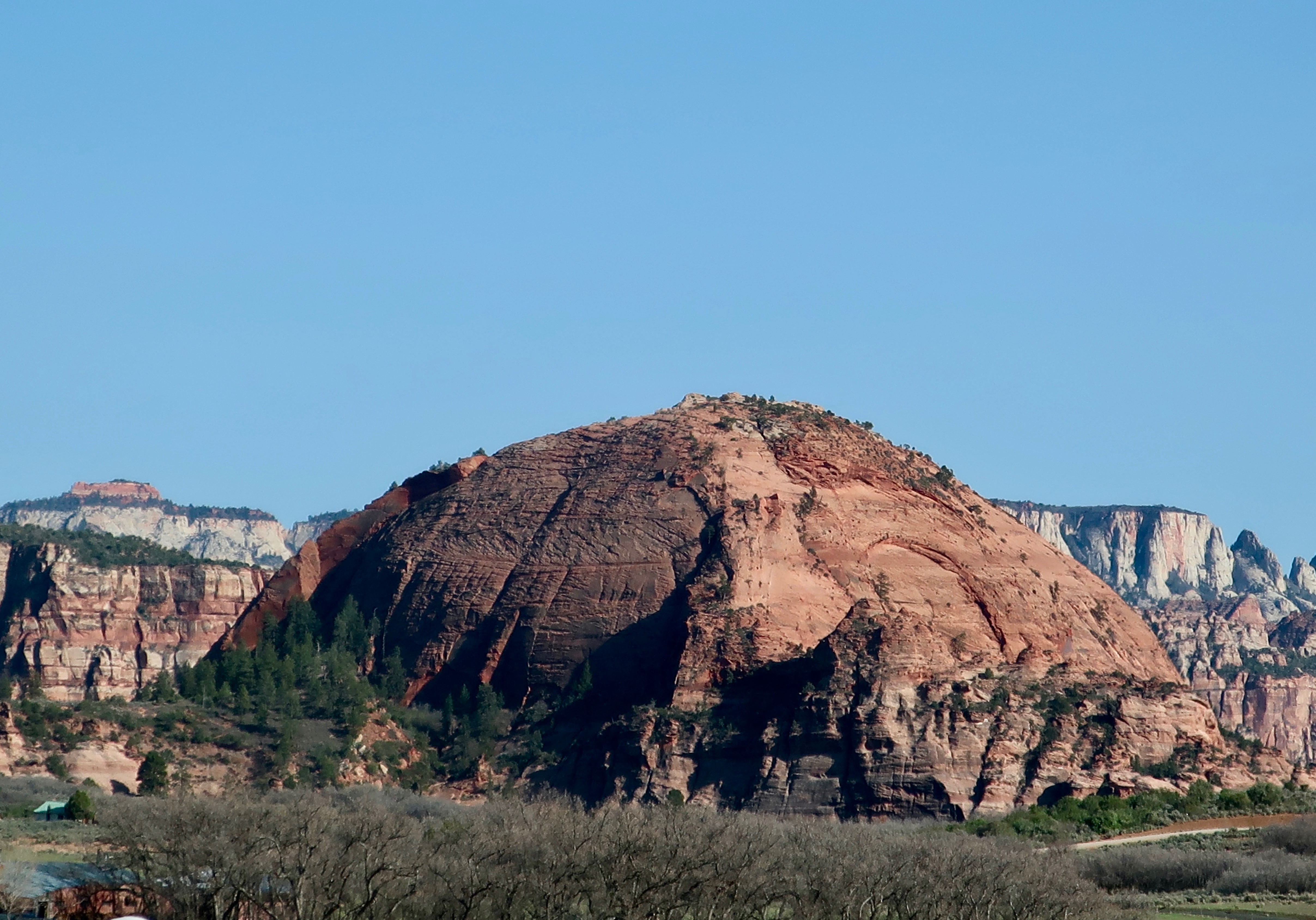
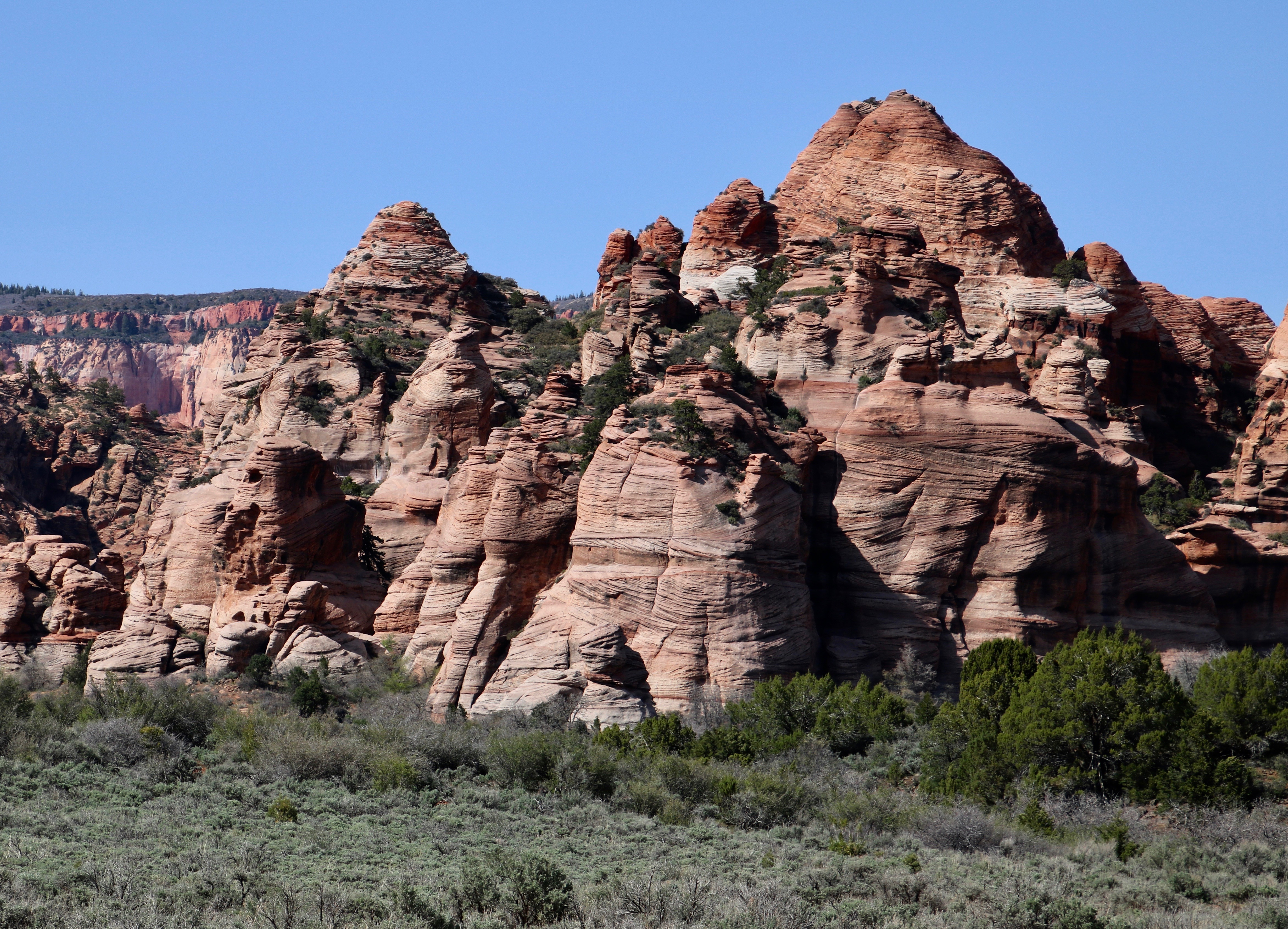
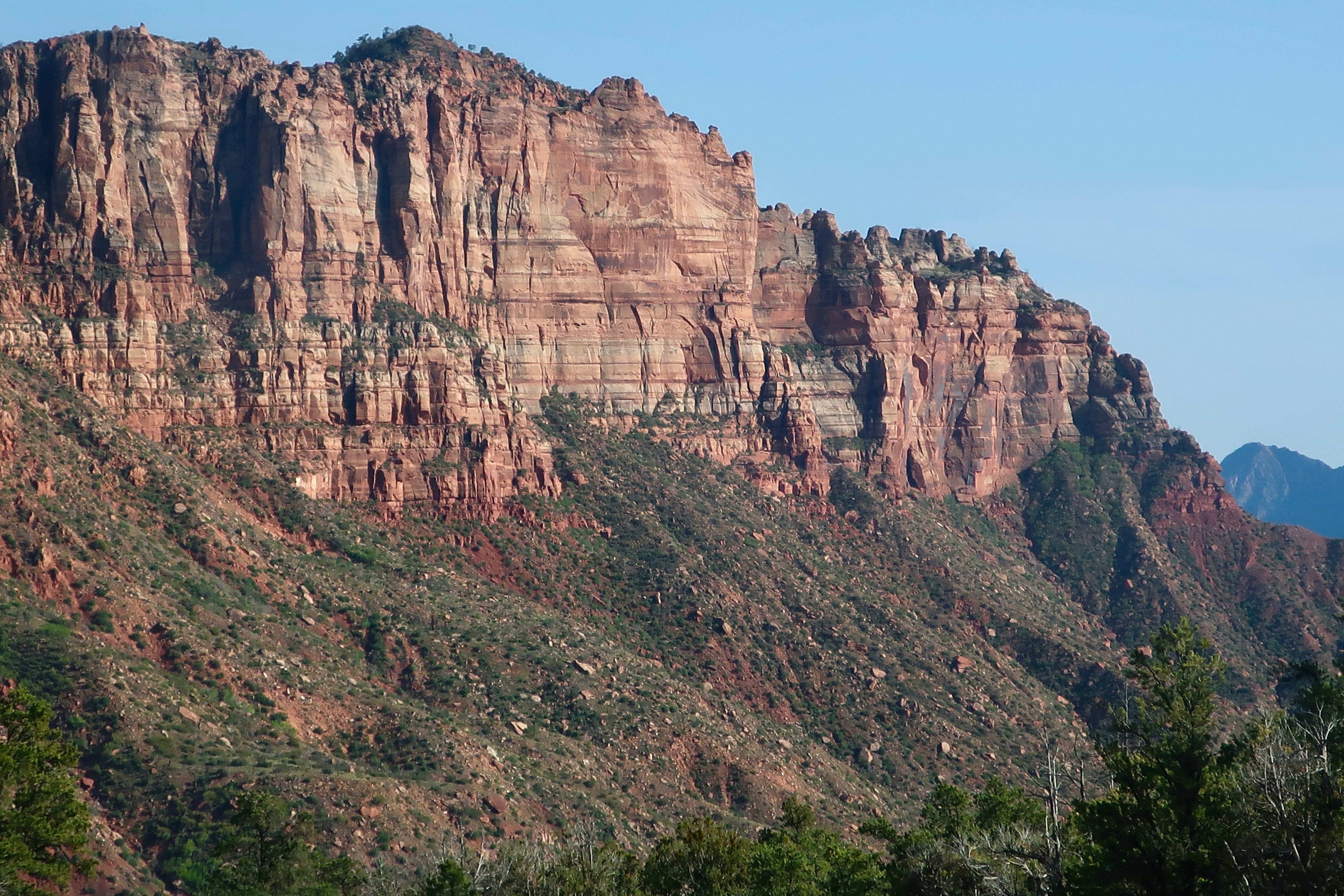
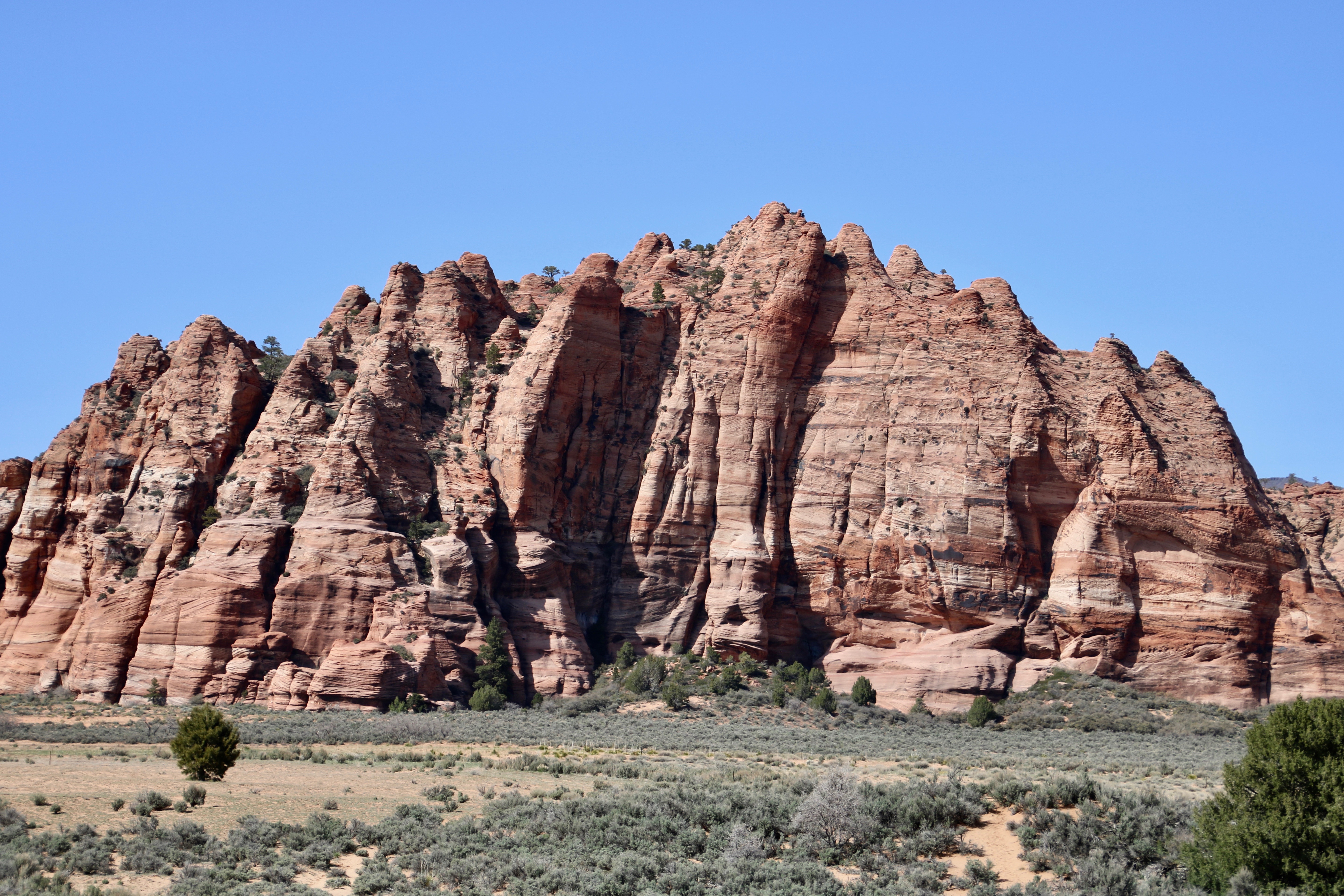
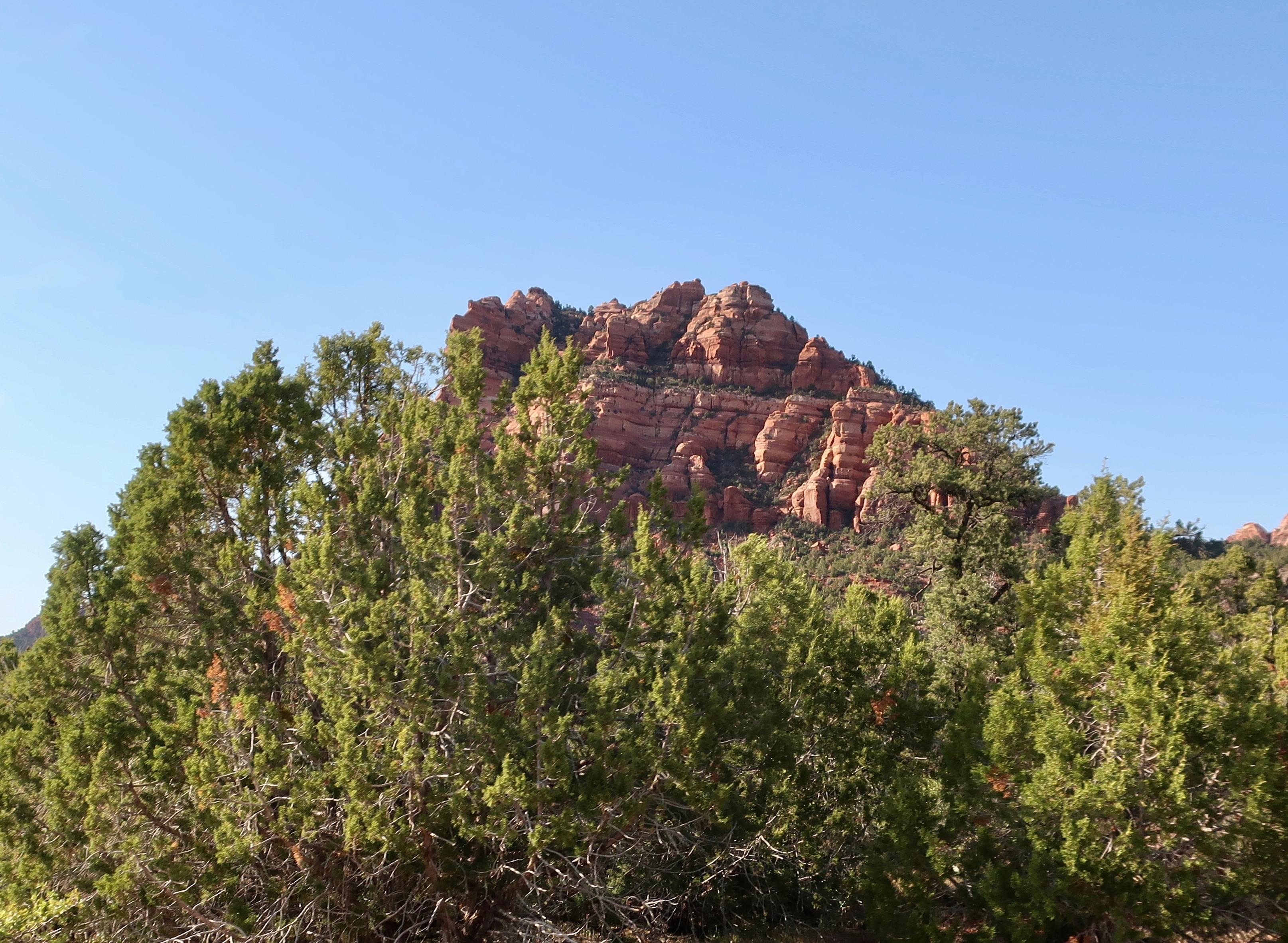
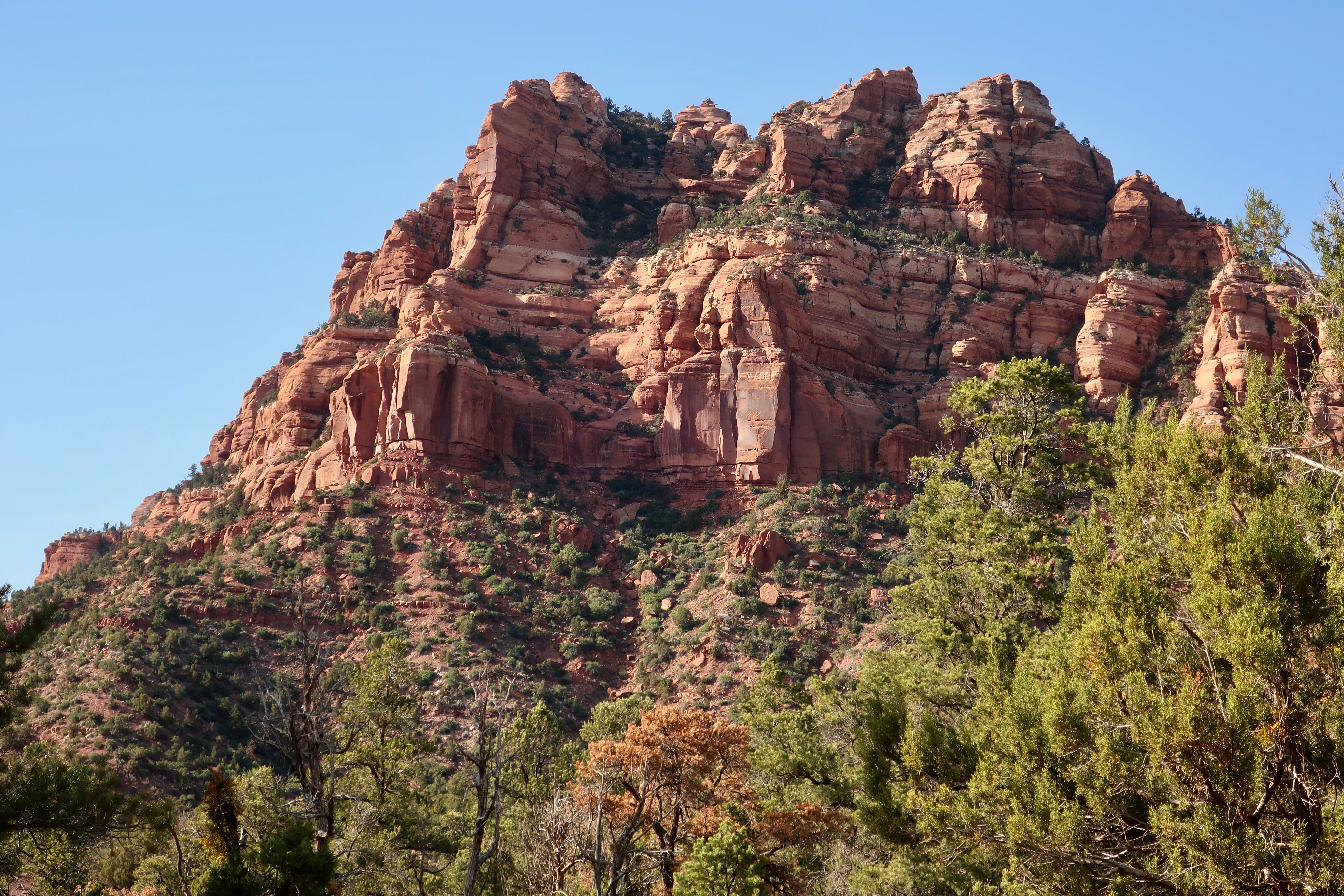
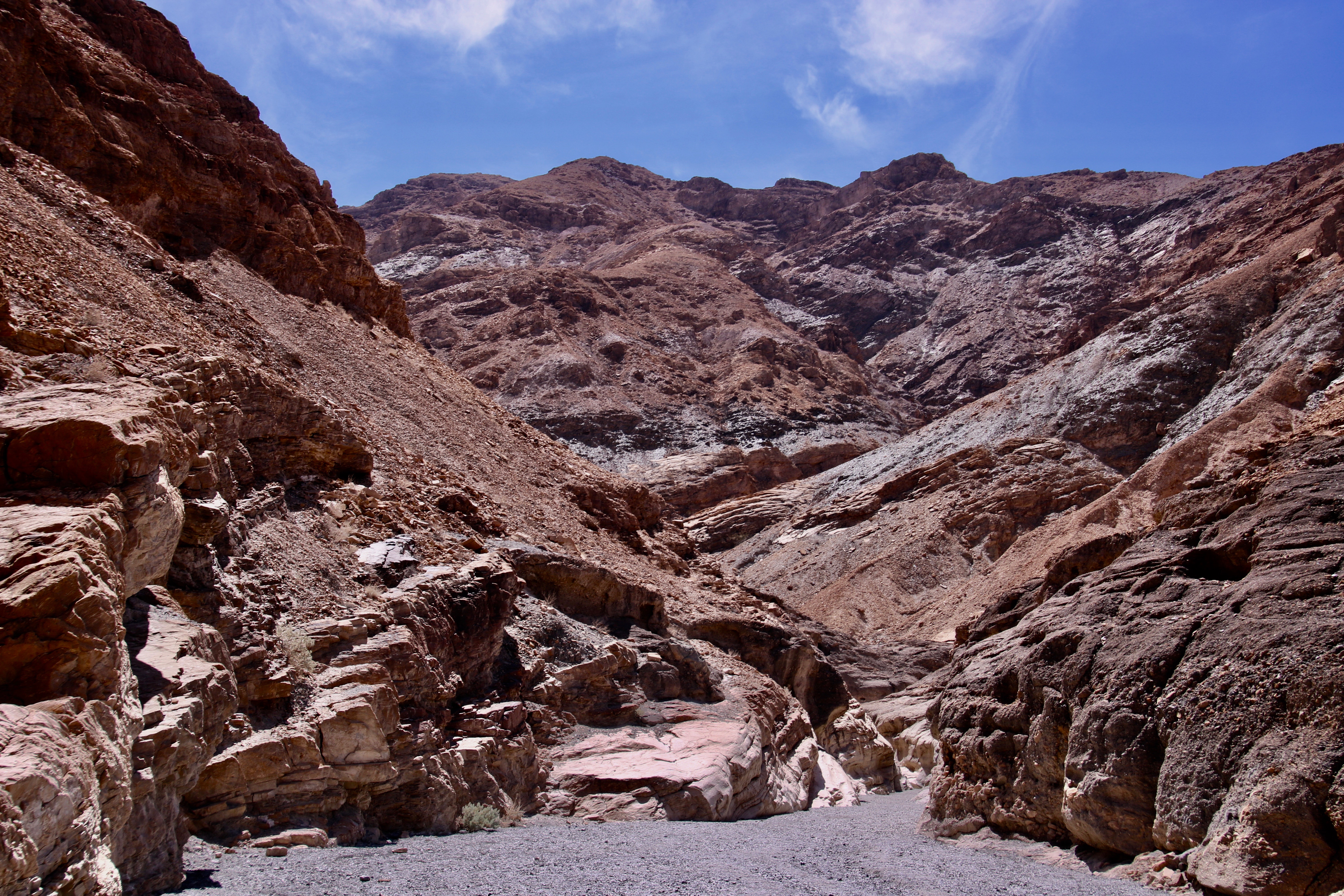
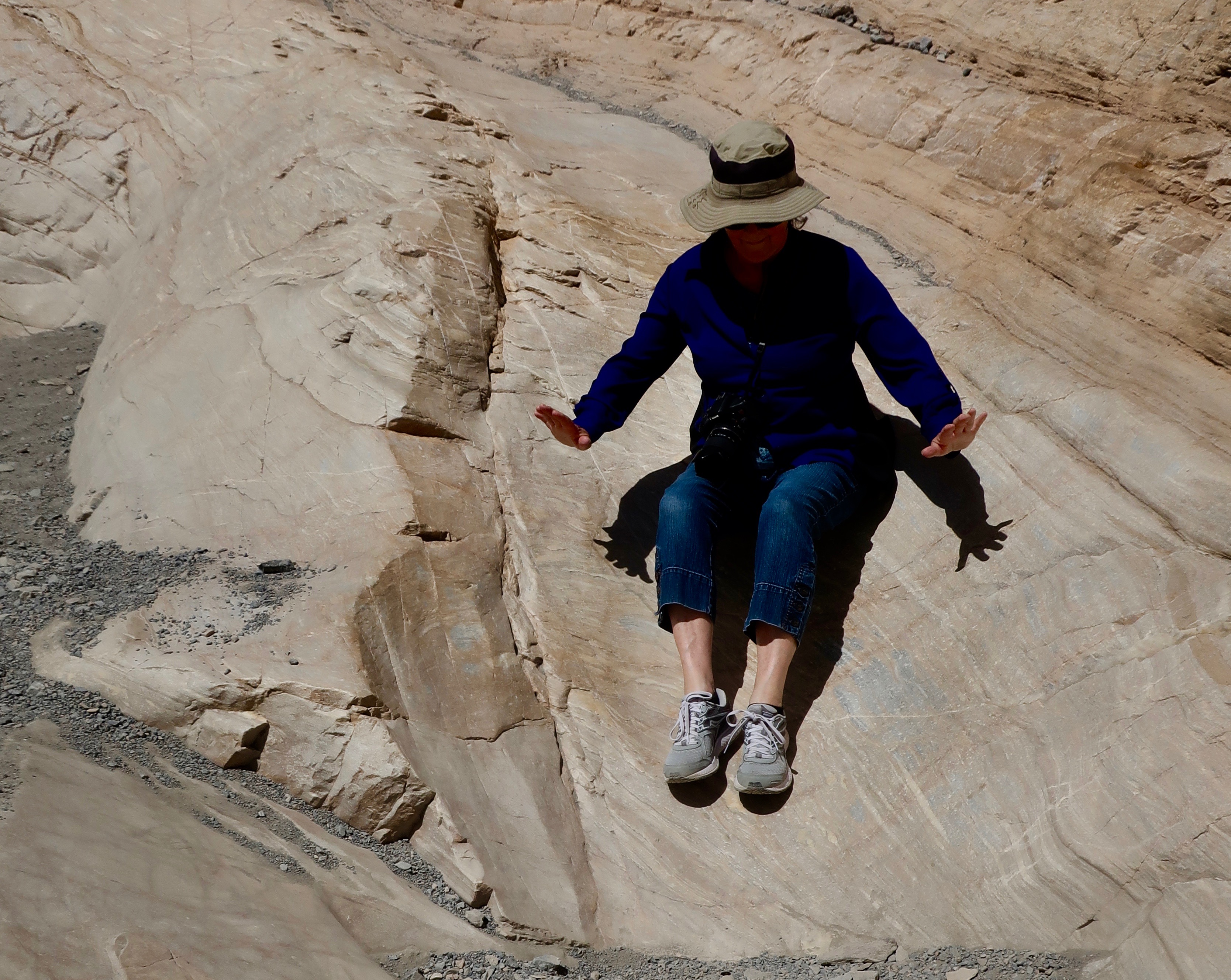
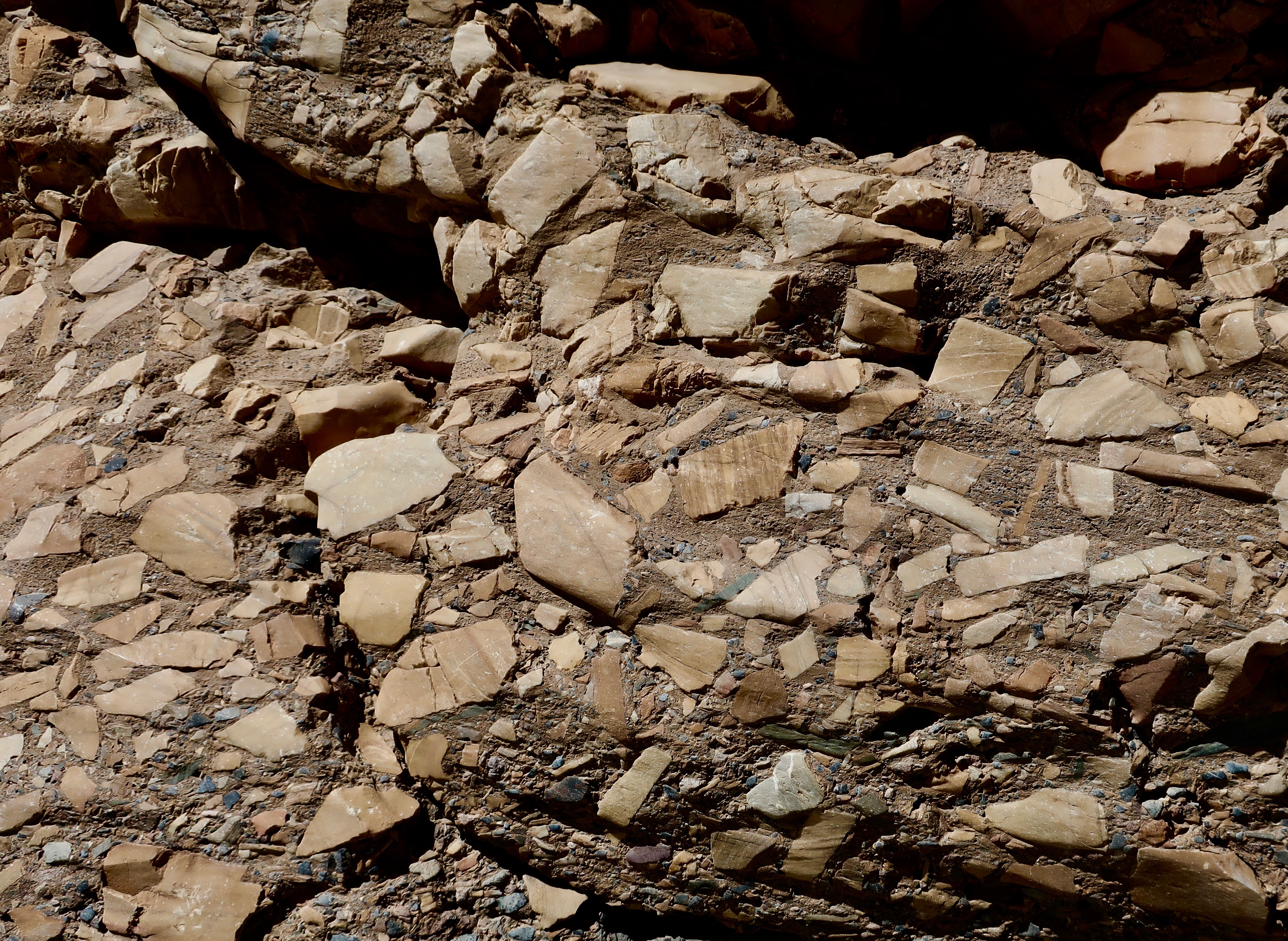
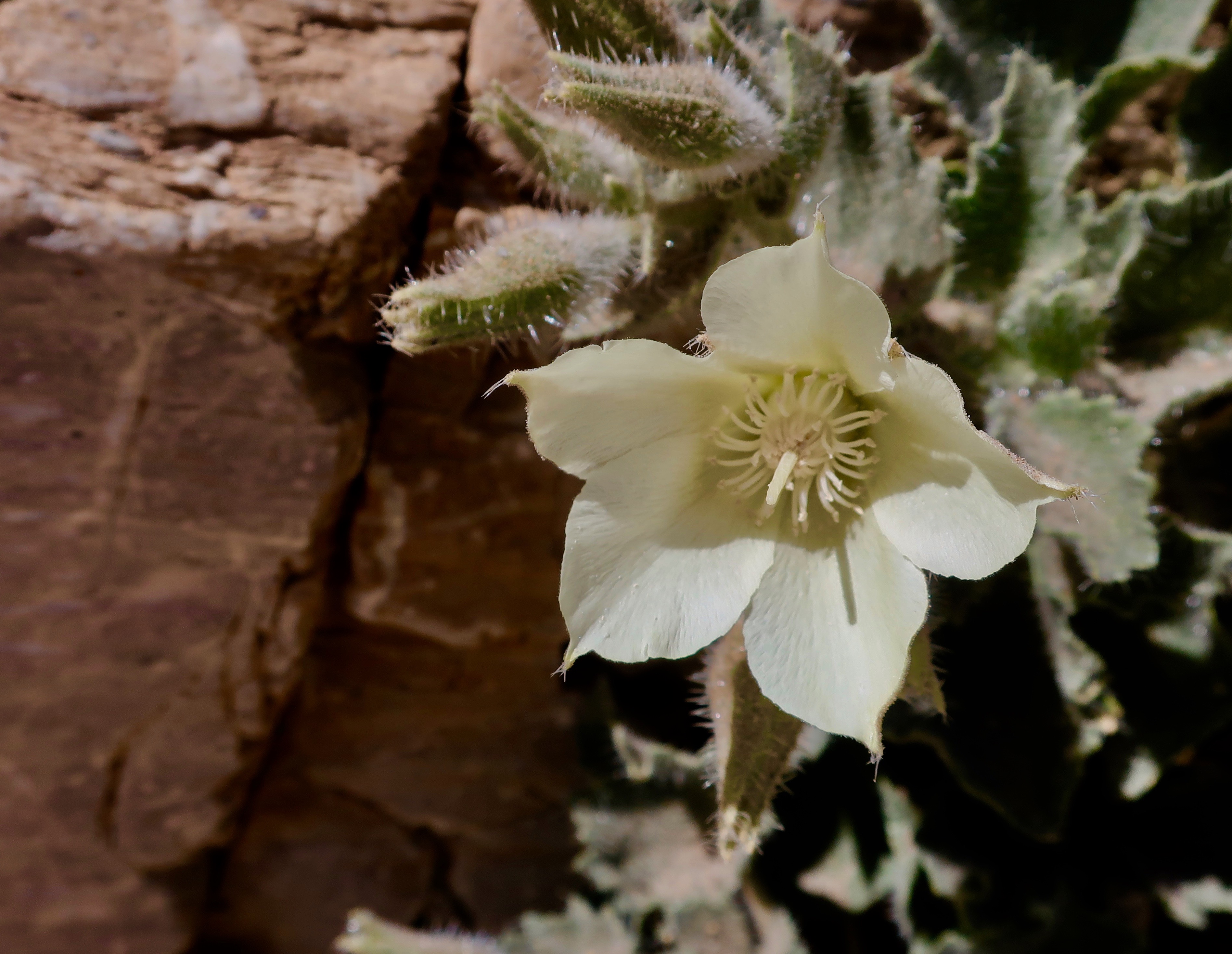
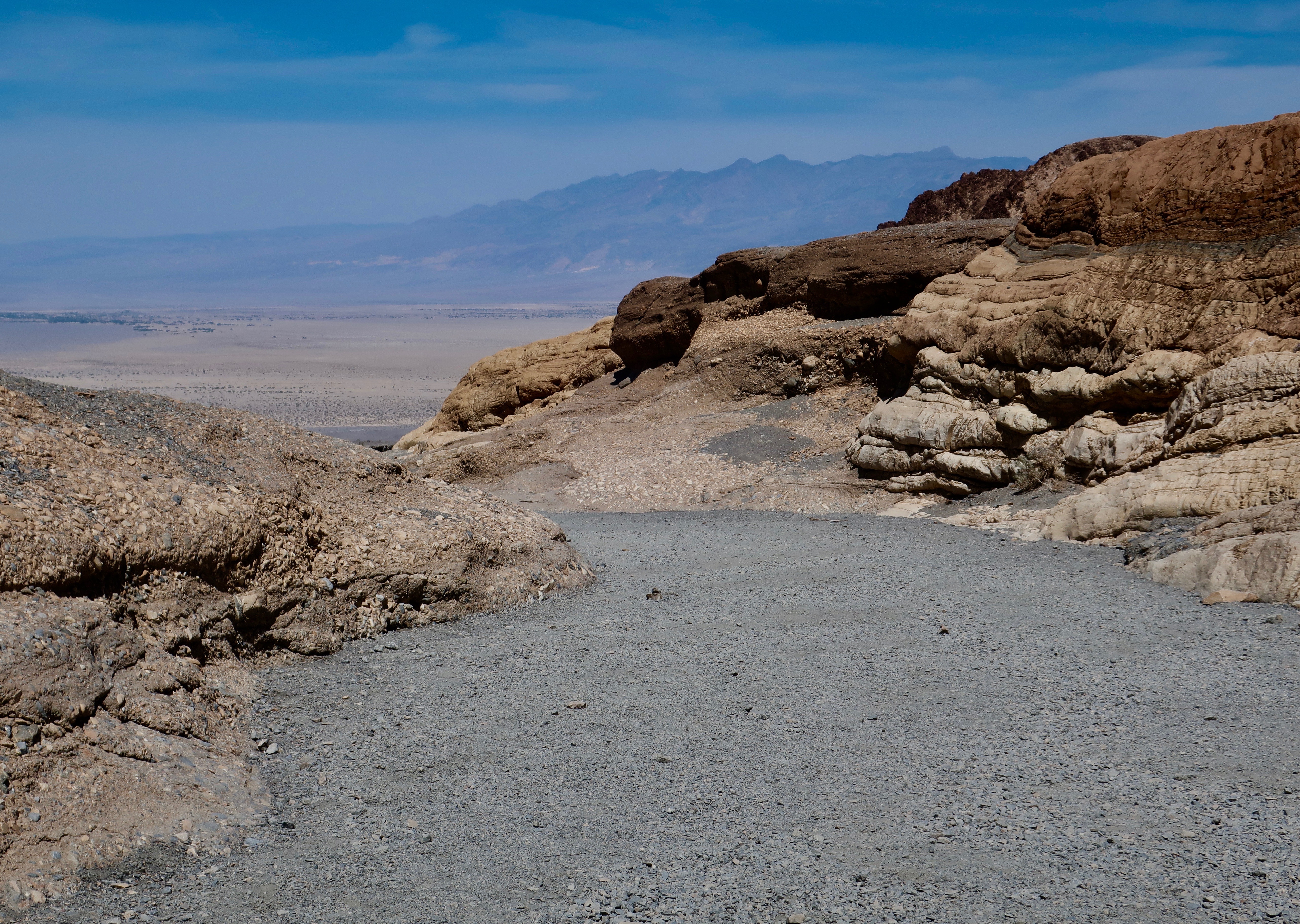
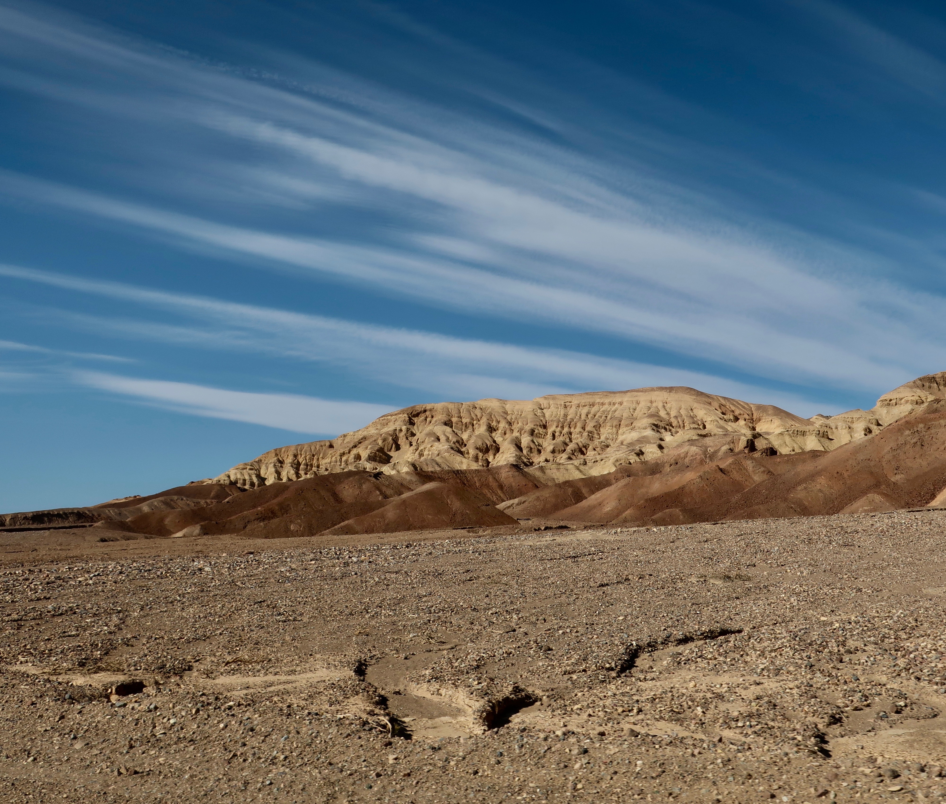
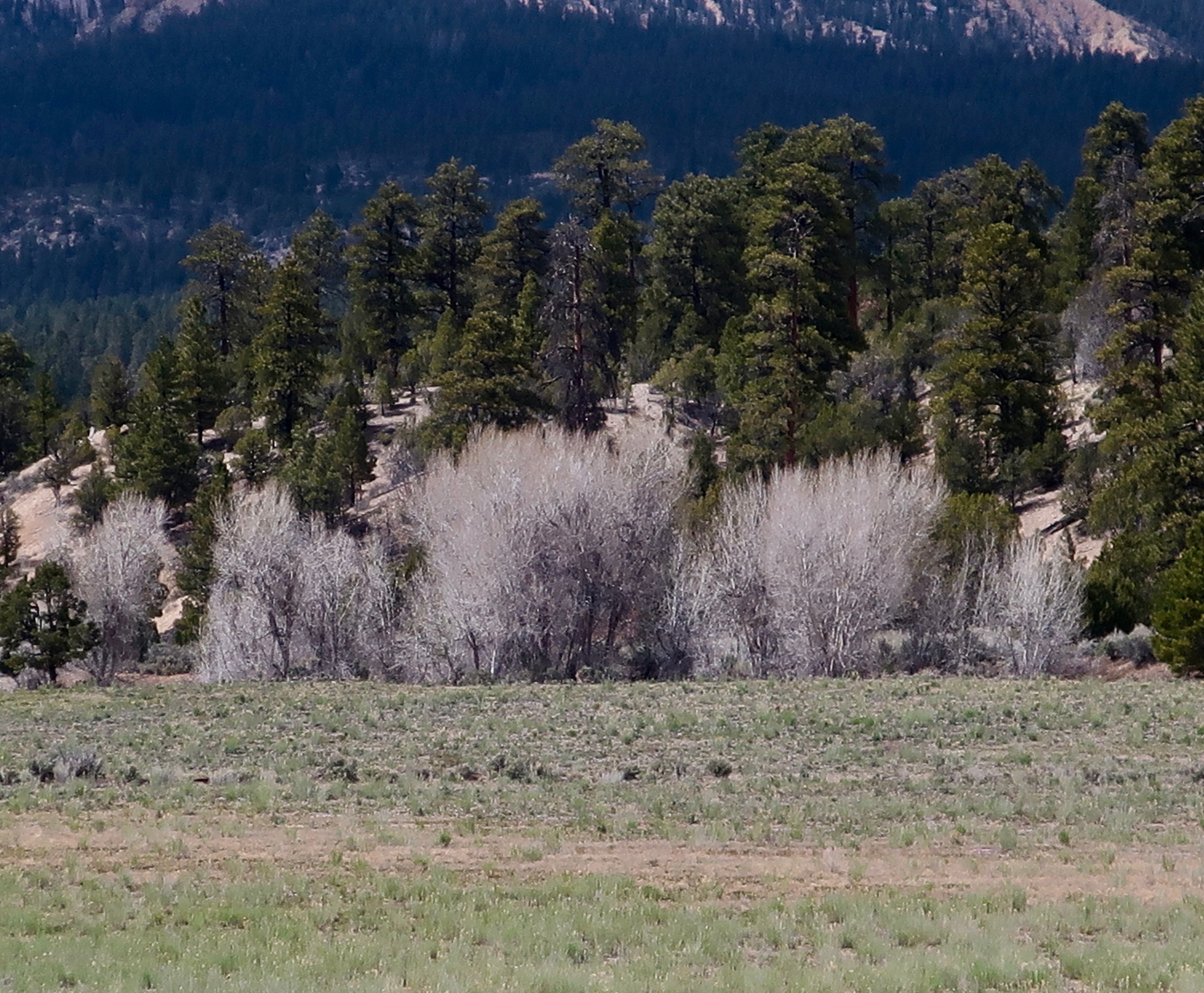
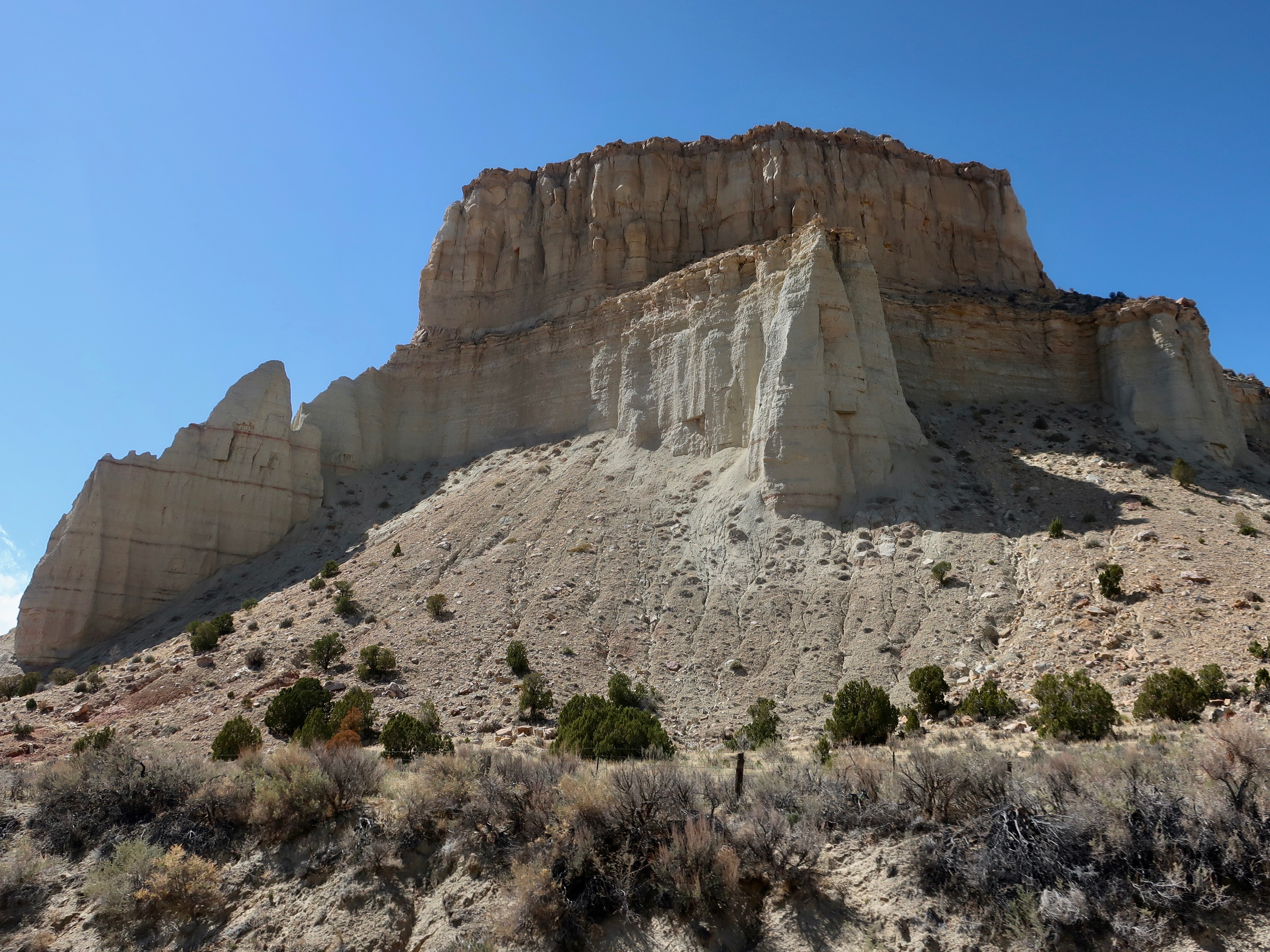
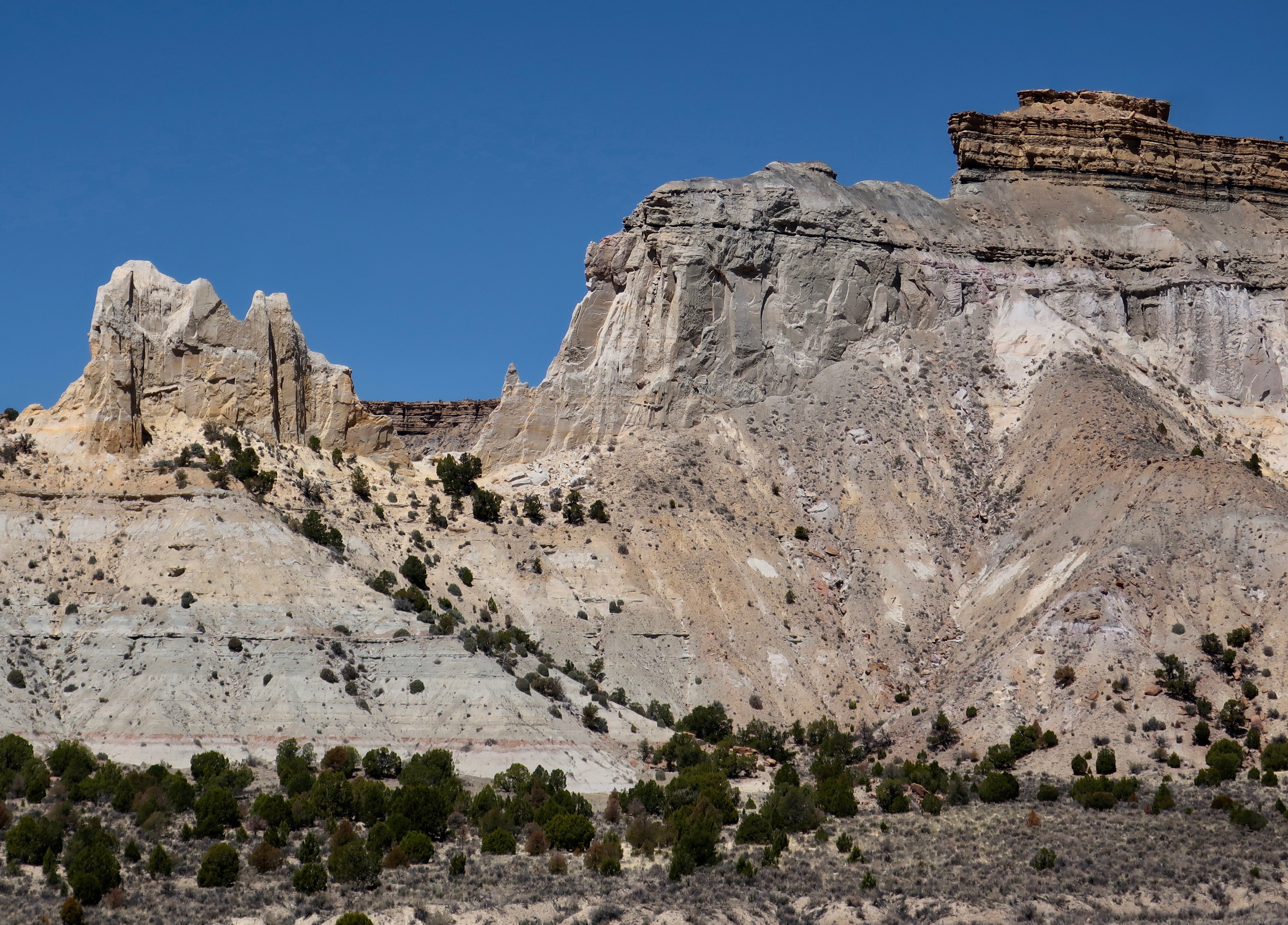
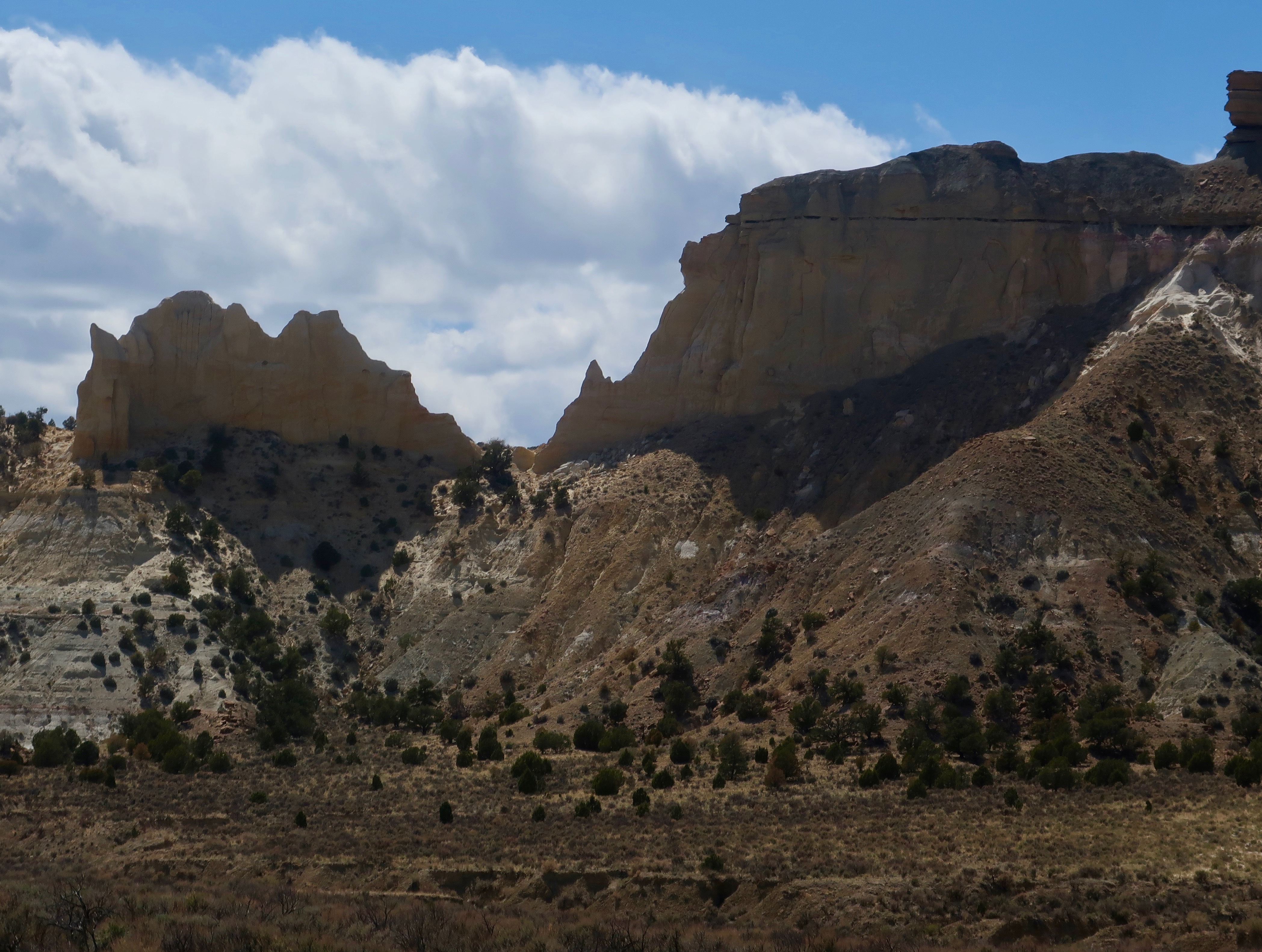
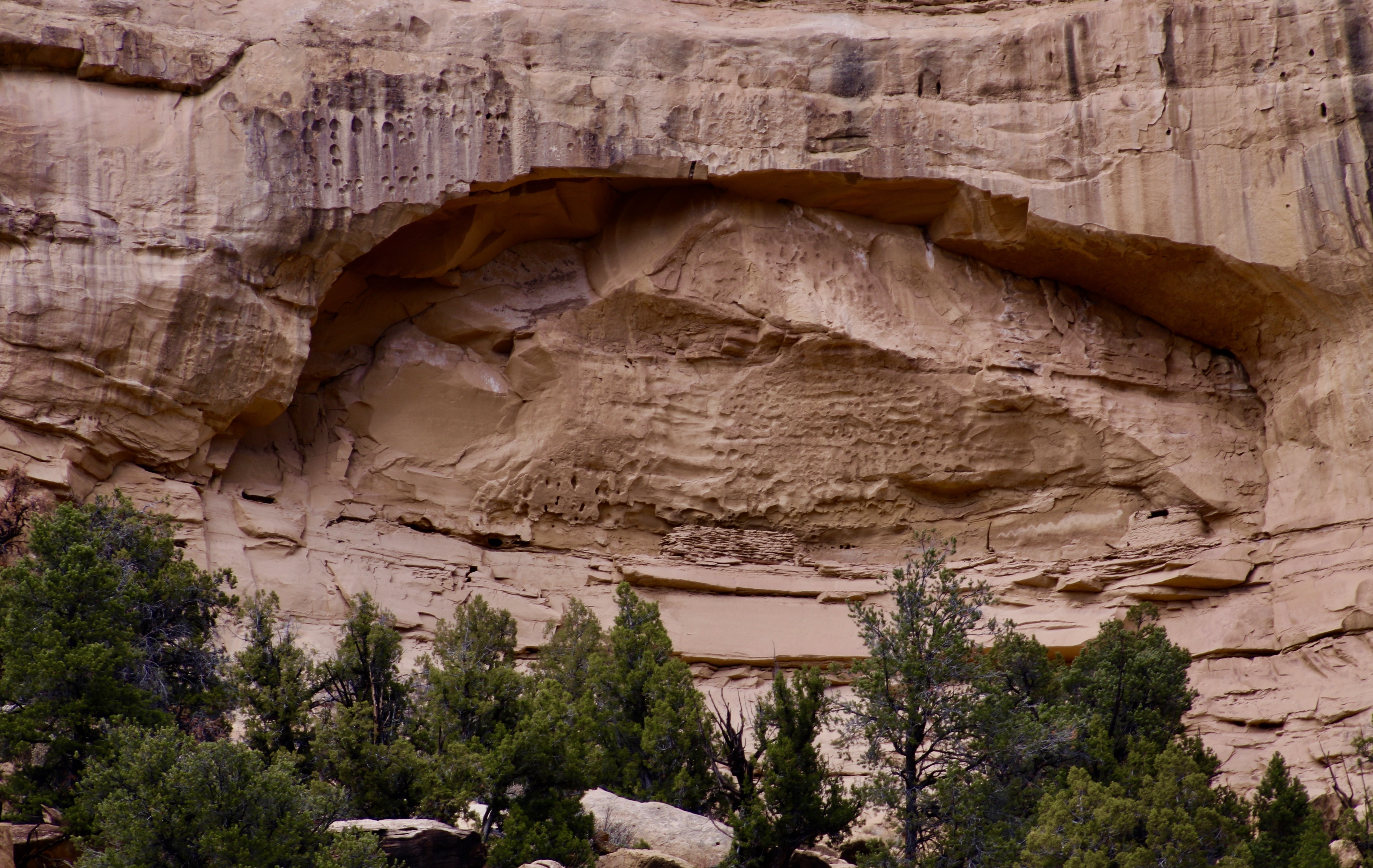
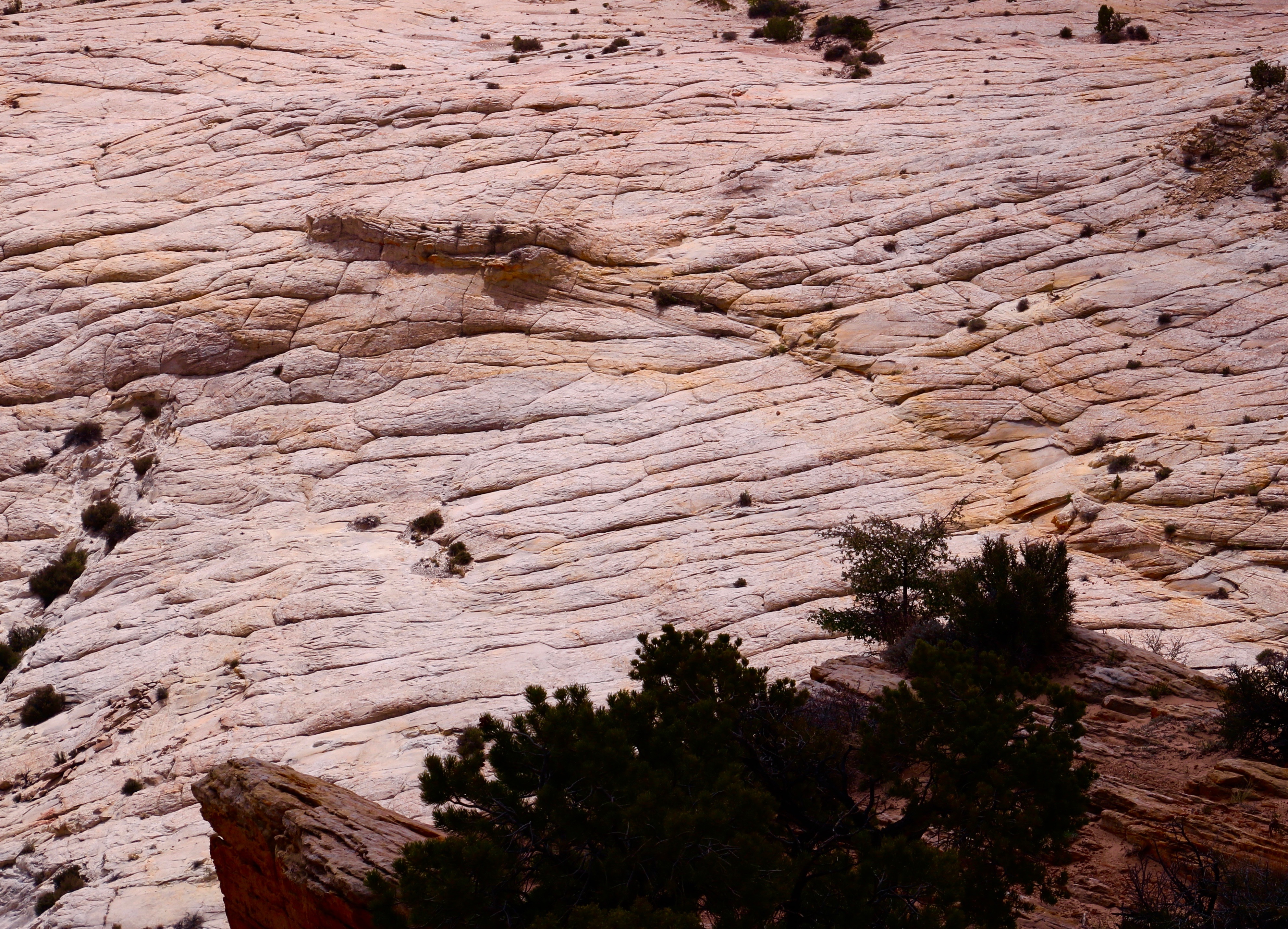
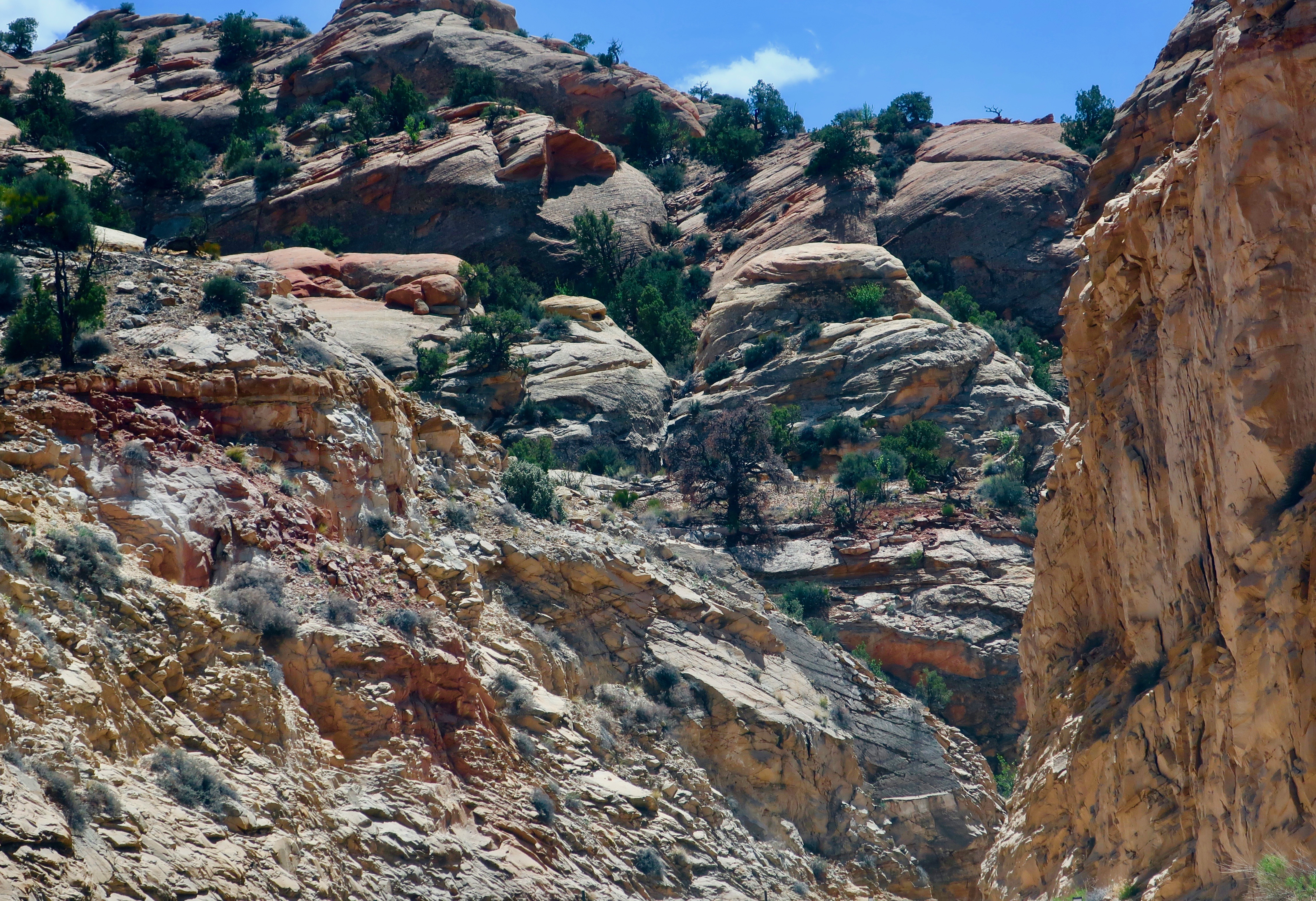
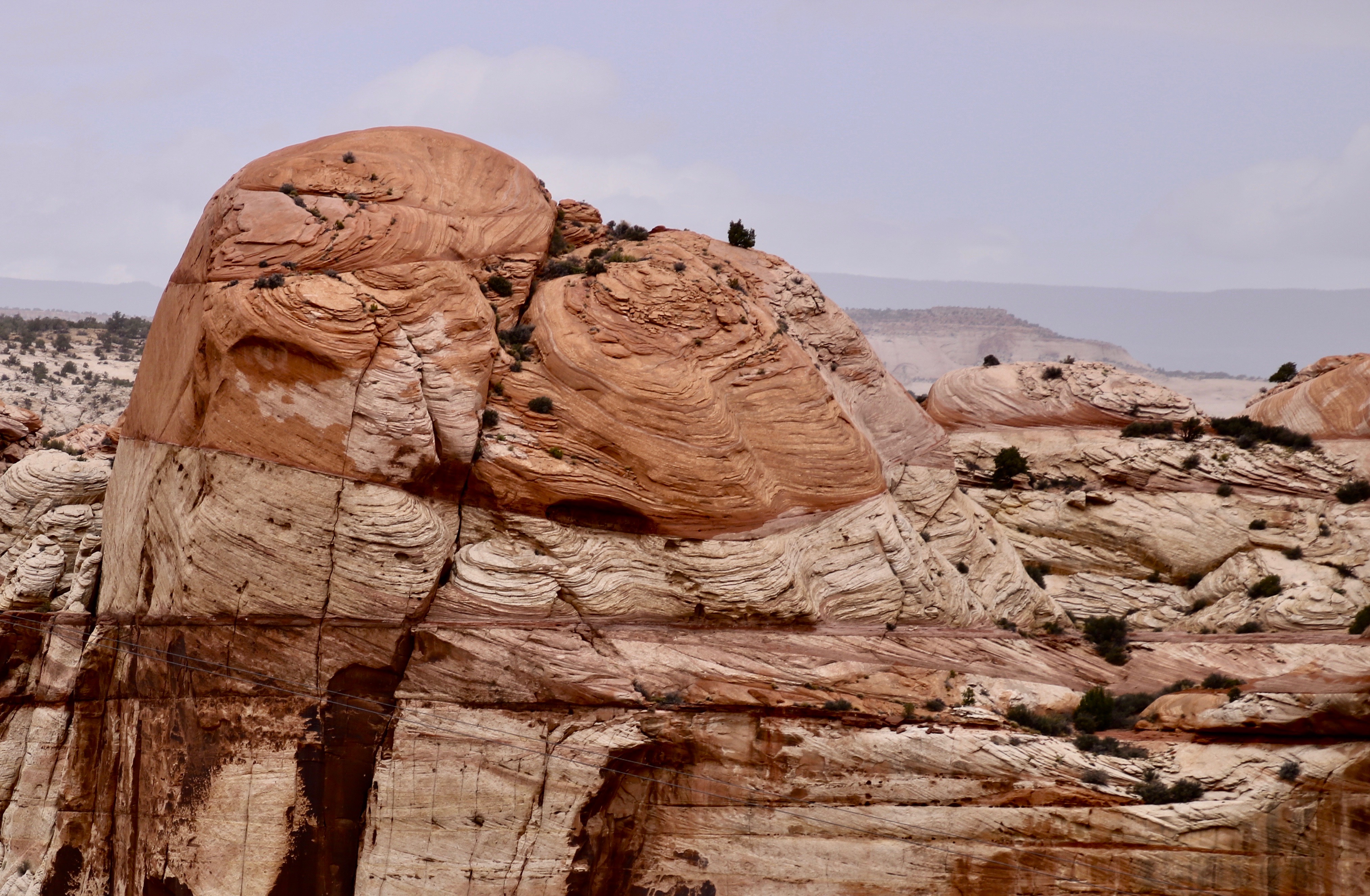
Our journey to Boulder can easily be divided into two parts: the section between Tropic and Escalante where we were mainly looking up, and the section between Escalante and Boulder, where we were mainly looking down. I’ve combined our morning and afternoon photos for each section, which is why you will see the varying light. We will start by looking up. 🙂


I hope we have persuaded you to explore Highway 12 if you are in the area. Our next post will take you along the Burr Trail with its long, colorful canyon— including a slot canyon.