Years that end in three have a special significance to me. They mean another decade has passed. I was born on March 3, 1943. According to the March issue of Life Magazine that year, Americans and Australians were duking it out with the Japanese at the Battle of Bismarck Sea, Westinghouse was firing frozen chickens at airplane windows, and women were wearing bow ties as a fashion statement. None of these events registered on my mind. It was still devoted to getting milk, although, looking back, I would have loved to have witnessed the frozen chicken splat test.
The introduction to my new series is below, but first I want to share a few thoughts in general about UT-OH.
My objective is to relate stories from my past in a memoir format which incorporate— if you’ll pardon the expression— Oh Shit! moments. We all have them, right. My focus will be on such experiences that you laugh about later, not on those you find yourself asking yourself, “Why or why did I do that?” I can haunt myself on those. I don’t need to haunt you.
Second, let’s talk about the name: Ut-Oh. Some of you may look at it and say, “Curt doesn’t know that the proper spelling of Uh-Oh. Maybe I should tell him before he embarrasses himself further.” For the record, I know it’s Uh-Oh, but Ut-Oh is how I pronounced it as a kid and I have every intention of continuing to, no matter how embarrassing. It fits.
Third, a number of these stories I have told in the past in my 15 years of blogging. In fact I even started to organize them once before. I’m doing it again. My apologies to those of you who have already read them. A handful have been with me the whole 15 years. I love you, but a good story deserves to be told over. And there will be new tales!
Finally, there is the issue of accuracy. Peggy read an article recently that stated the older the story from your early childhood, and the more it has been told over the years, the more likely it is to change. Very slightly each time perhaps, but after 75 years? Who knows. Here’s a summary of what AI has to say about it: “Yes, memories from early childhood change over time… reflecting how our brain develops, making narratives richer or more fragmented.” I like richer. Having said that, I’ve tried to make my stories as accurate as possible given my memory and active imagination. Each one actually happened, even if my mind has modified the script, especially from my earliest years.
My intention, assuming I don’t get sidetracked, is to post UT-OH stories on Thursdays and my normal travel blog and focus stories on Mondays.
UT-OH! AN INTRODUCTION
We all have Ut-Oh moments where things don’t go according to plan. Most are relatively minor, like spilling a bowl of spaghetti in your lap when you are having lunch with your future mother-in-law (first marriage). Minor, perhaps, but it’s better if she does the spilling. Either way, it’s an ut-oh in small letters unless your sense of humor (or hers) is out of whack. Even then, it has the potential for making a good story.
In this book, I am mainly talking about larger Ut-Ohs, even all cap UT-OHs— like the time a group of murderers, kidnappers, bank robbers, and Patty Hearst got stuck in a snowbank next to me on a remote mountain road in the Sierra Nevada Mountains. They were out practicing with their automatic weapons, apparently preparing to rob a Sacramento bank.
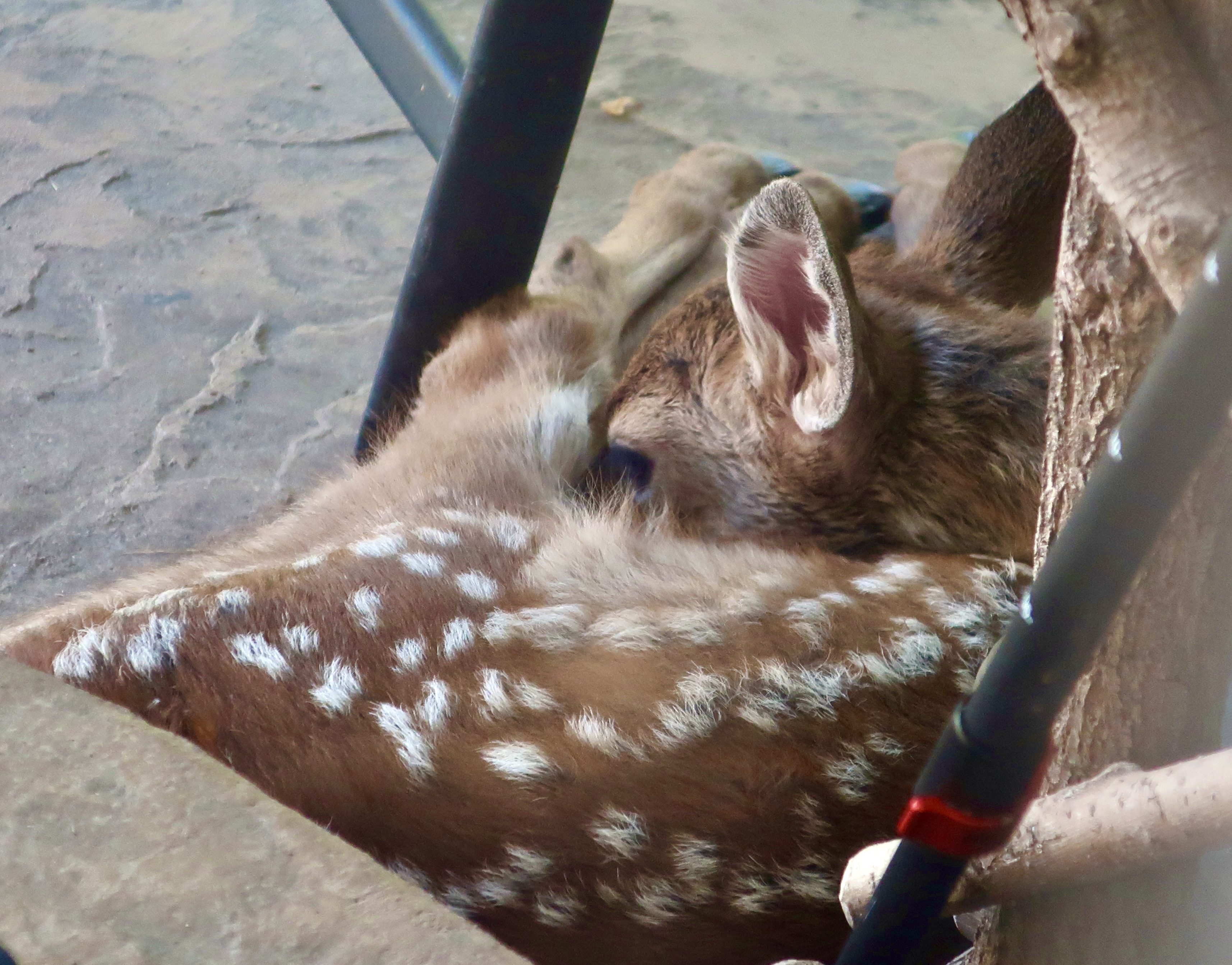
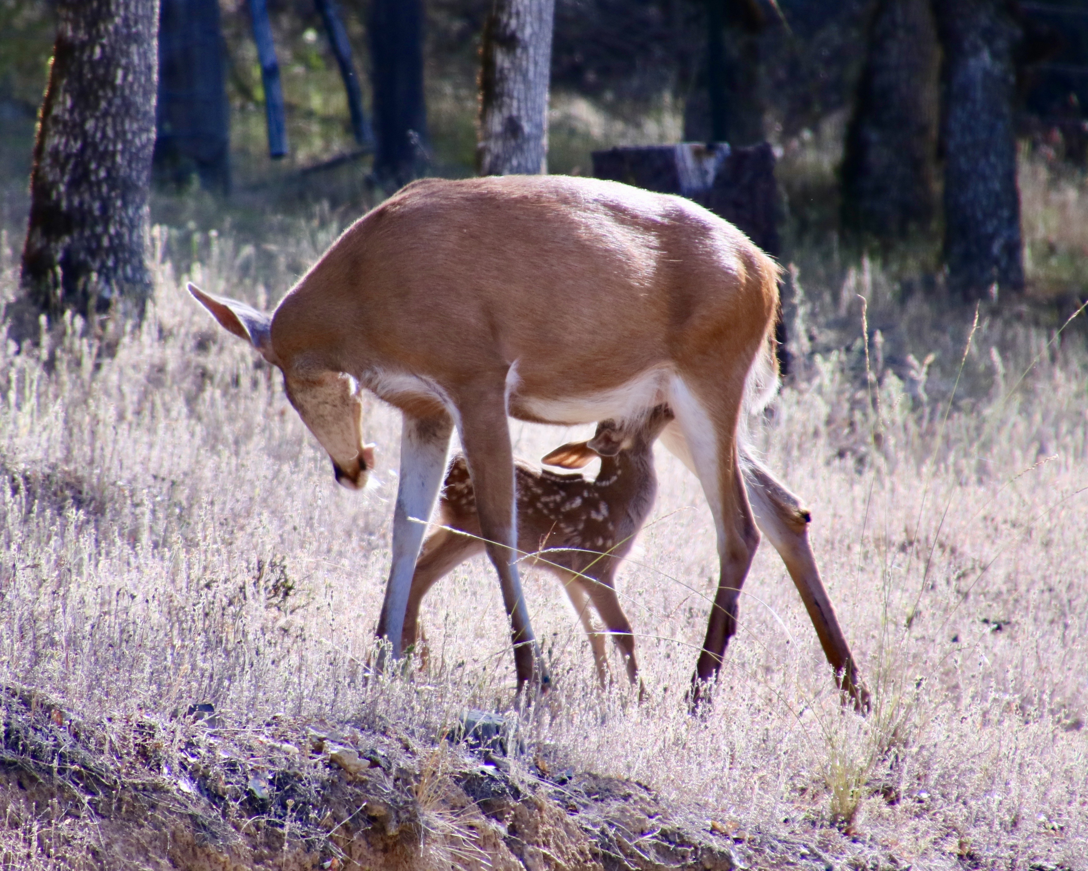
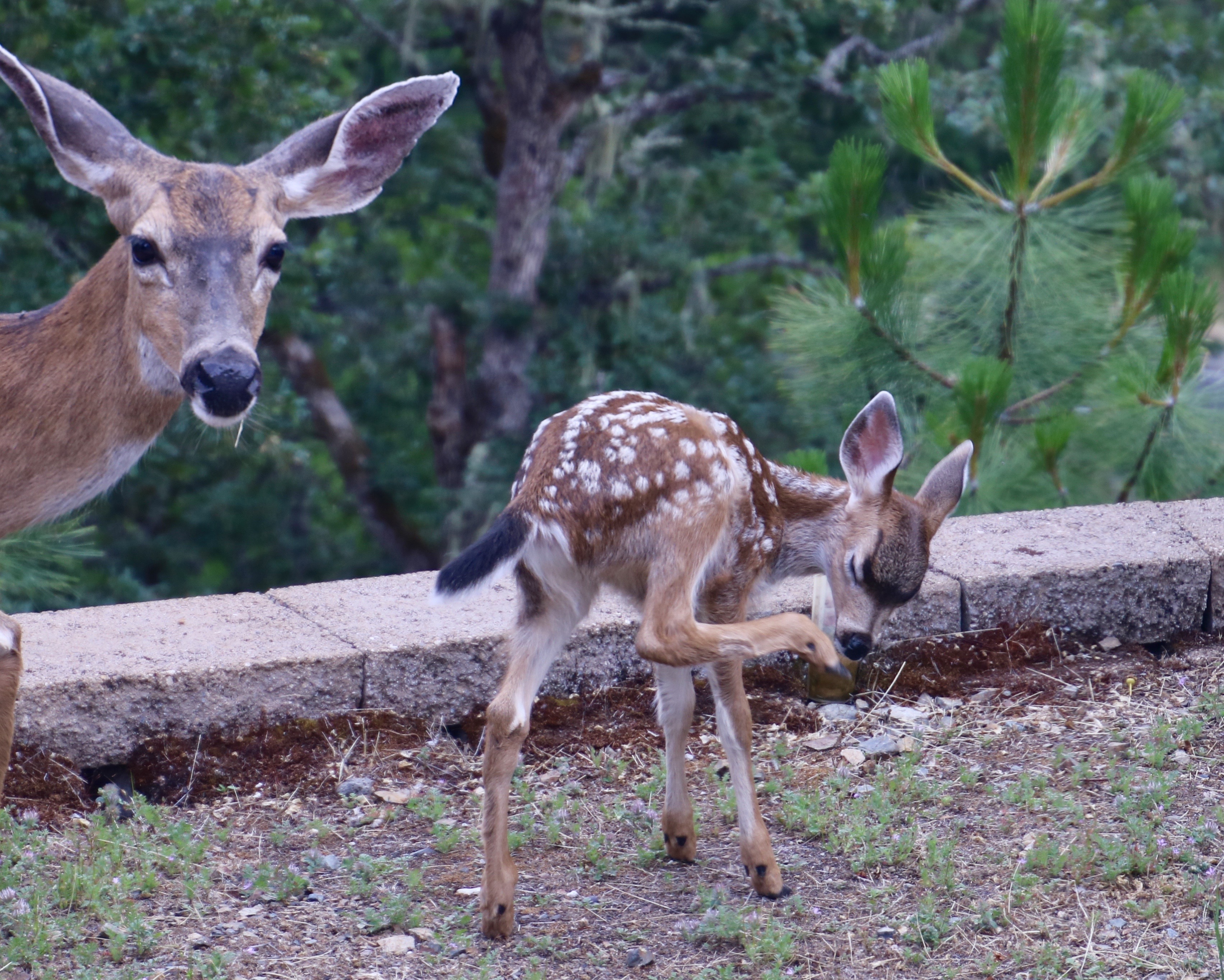
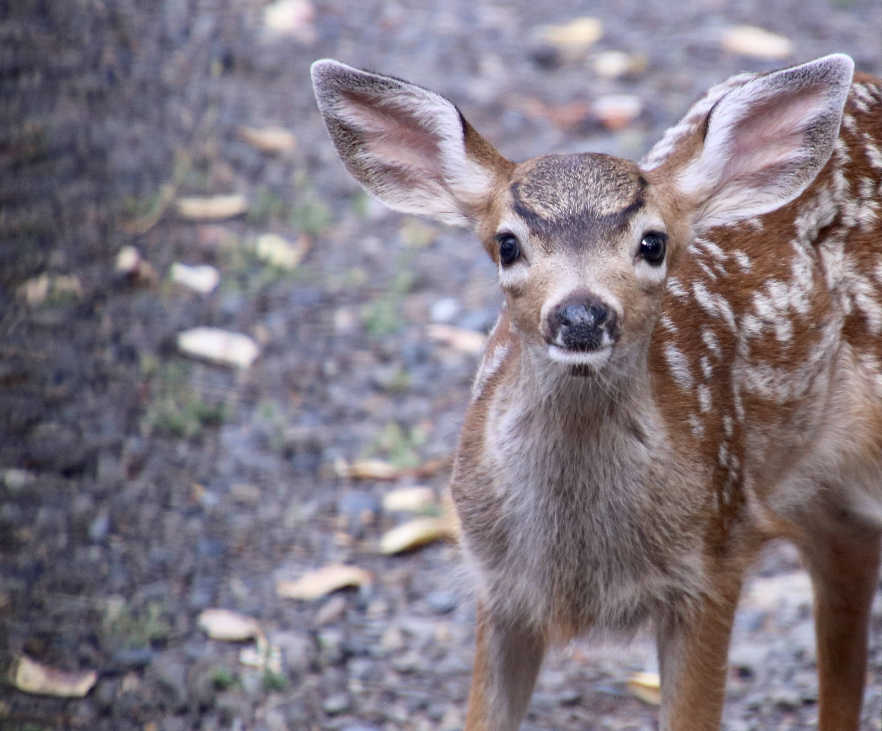
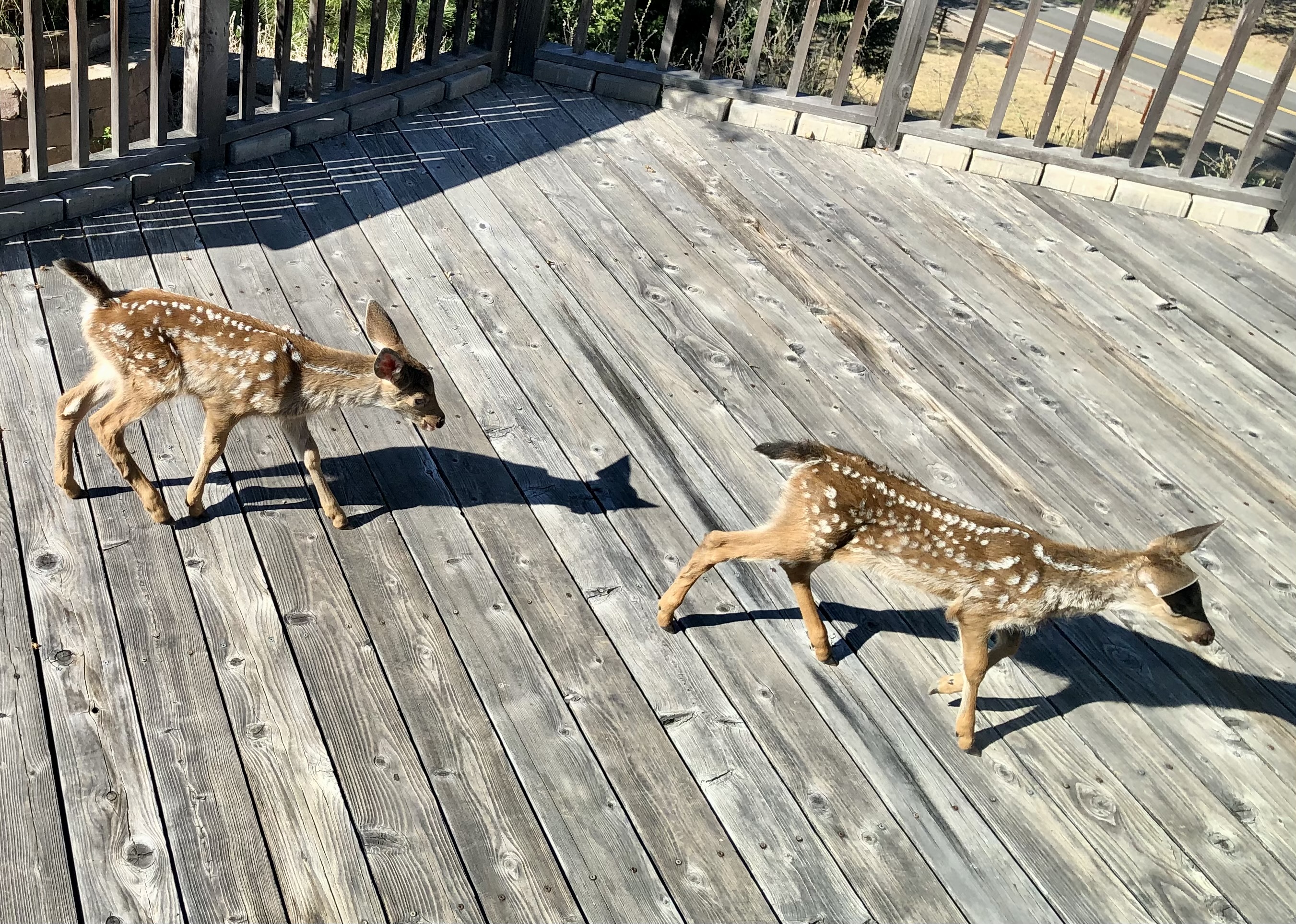
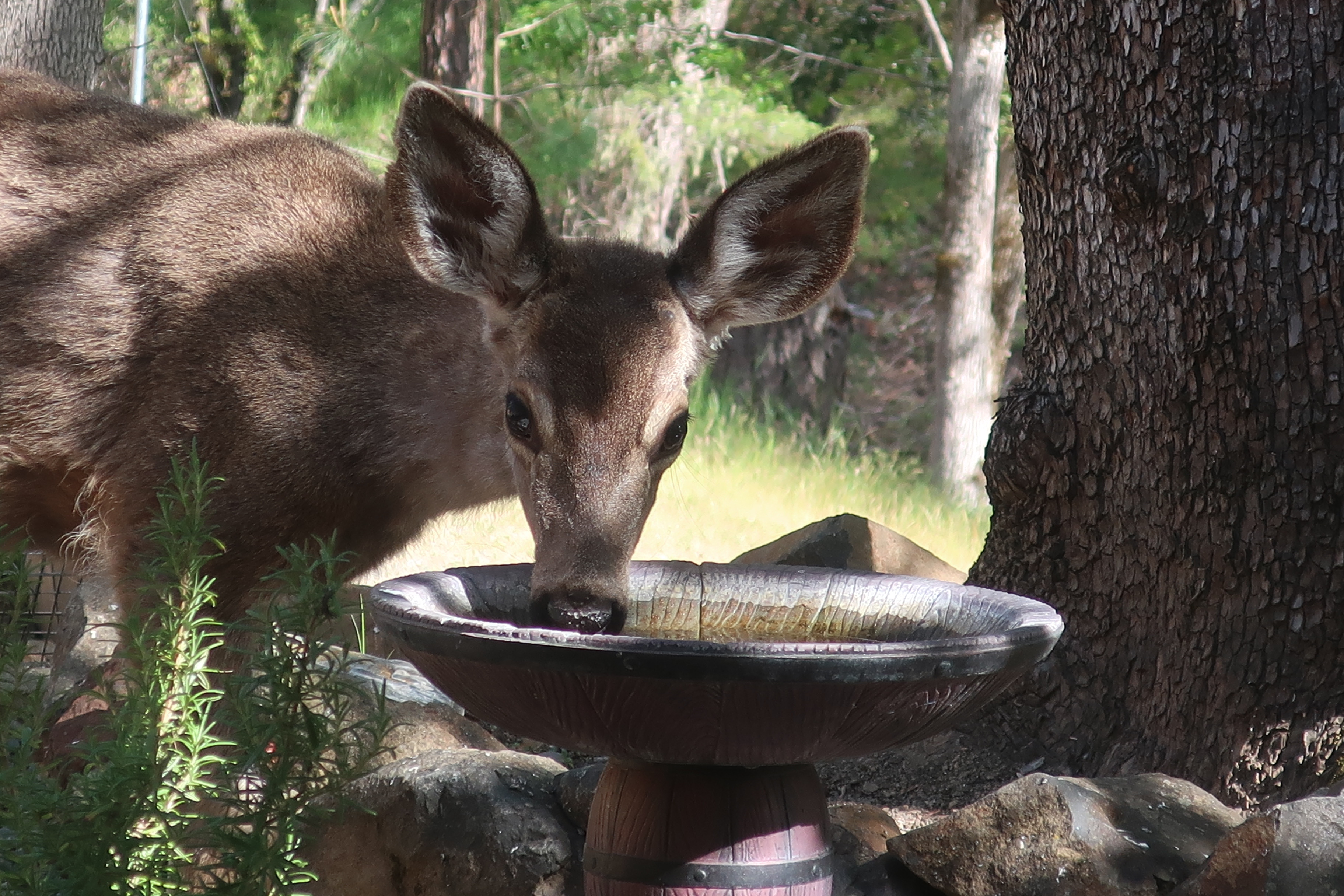
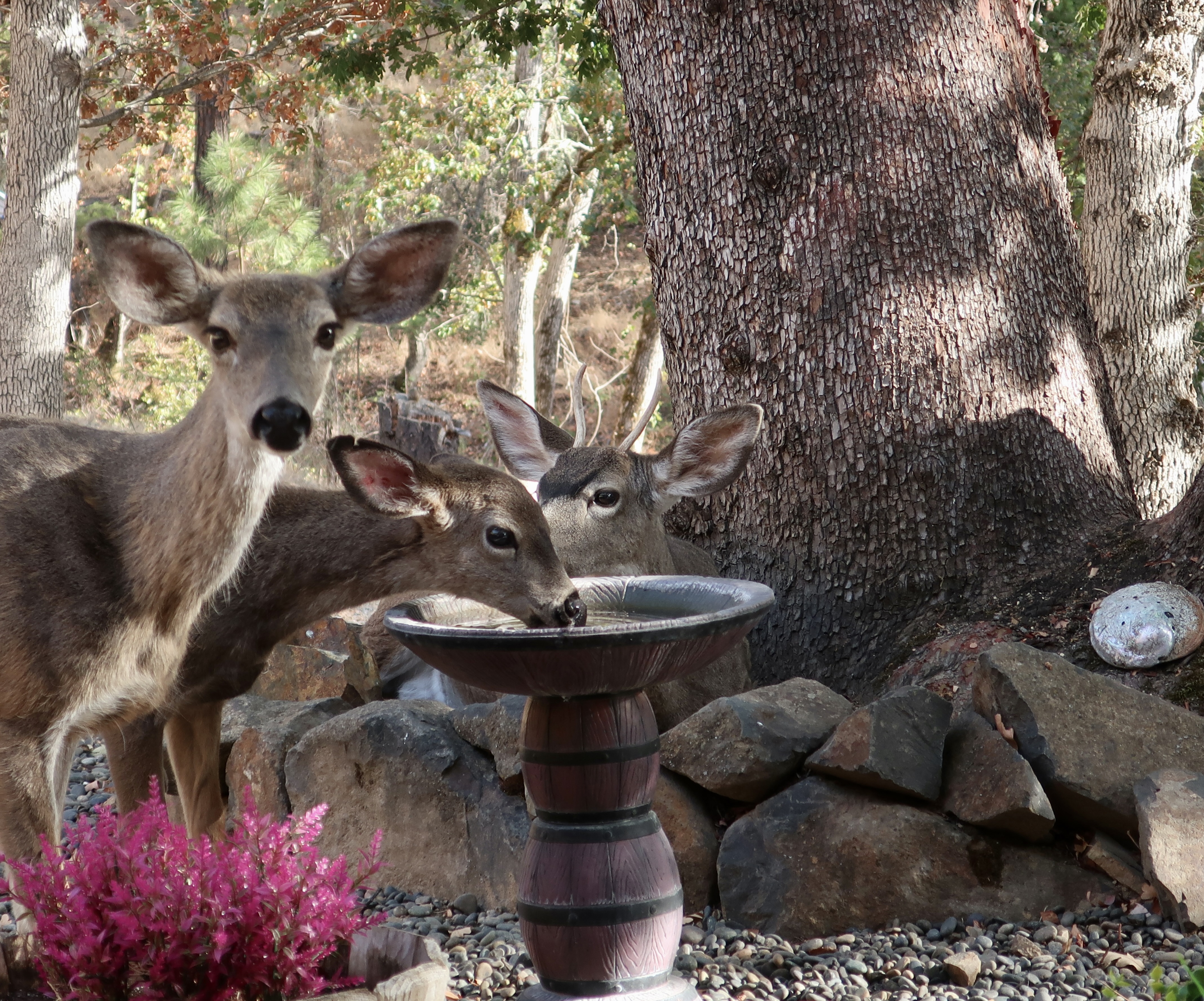
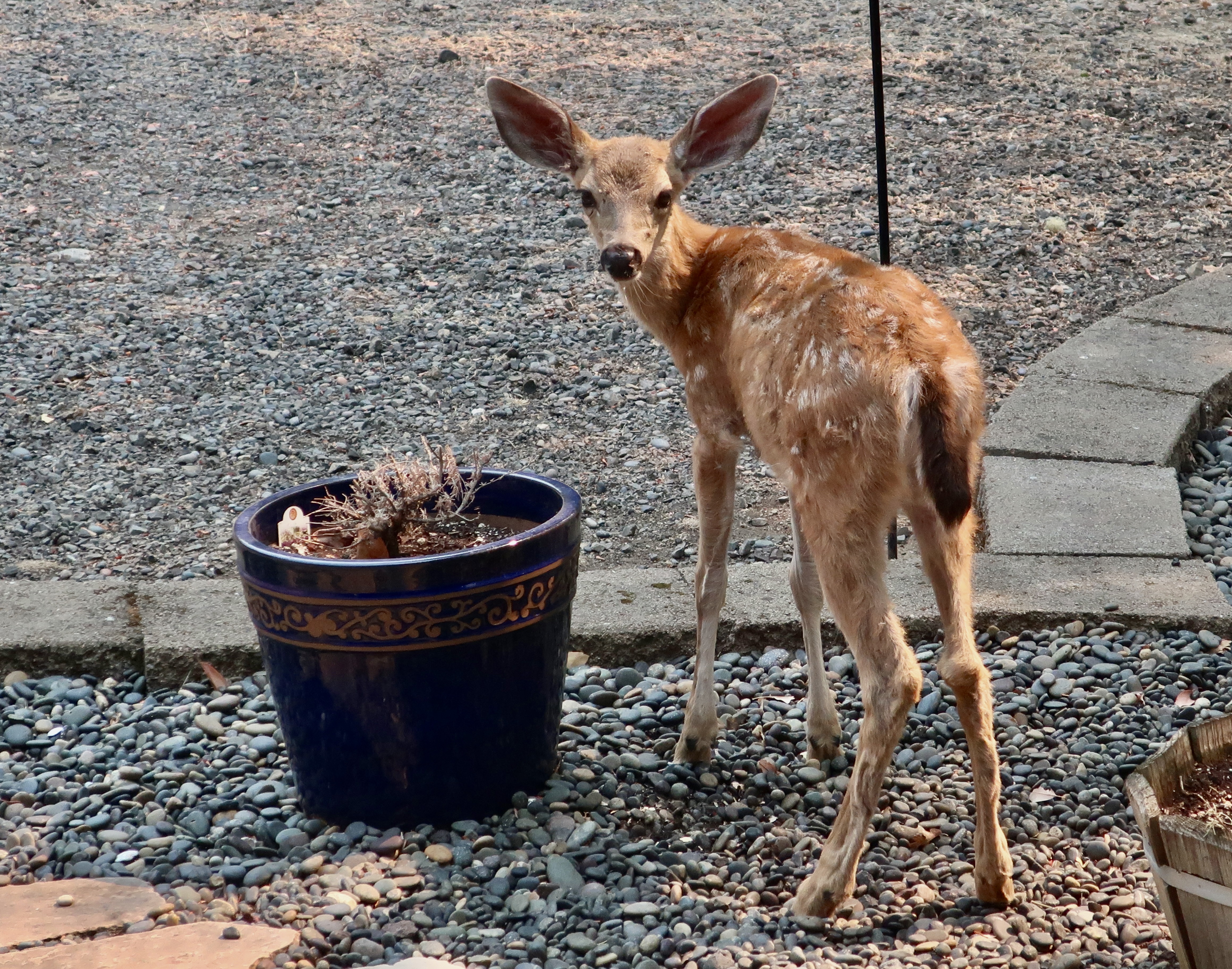
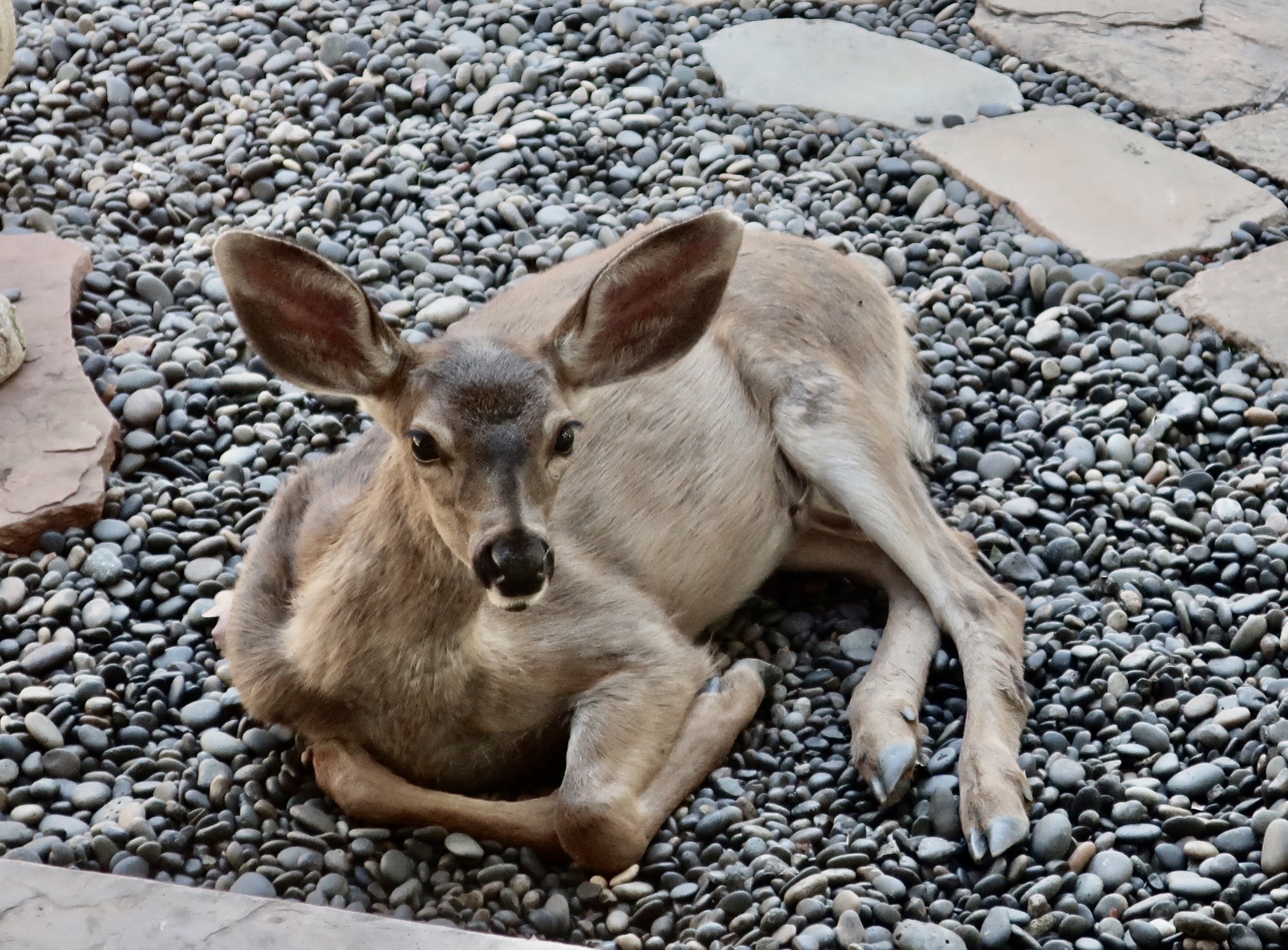
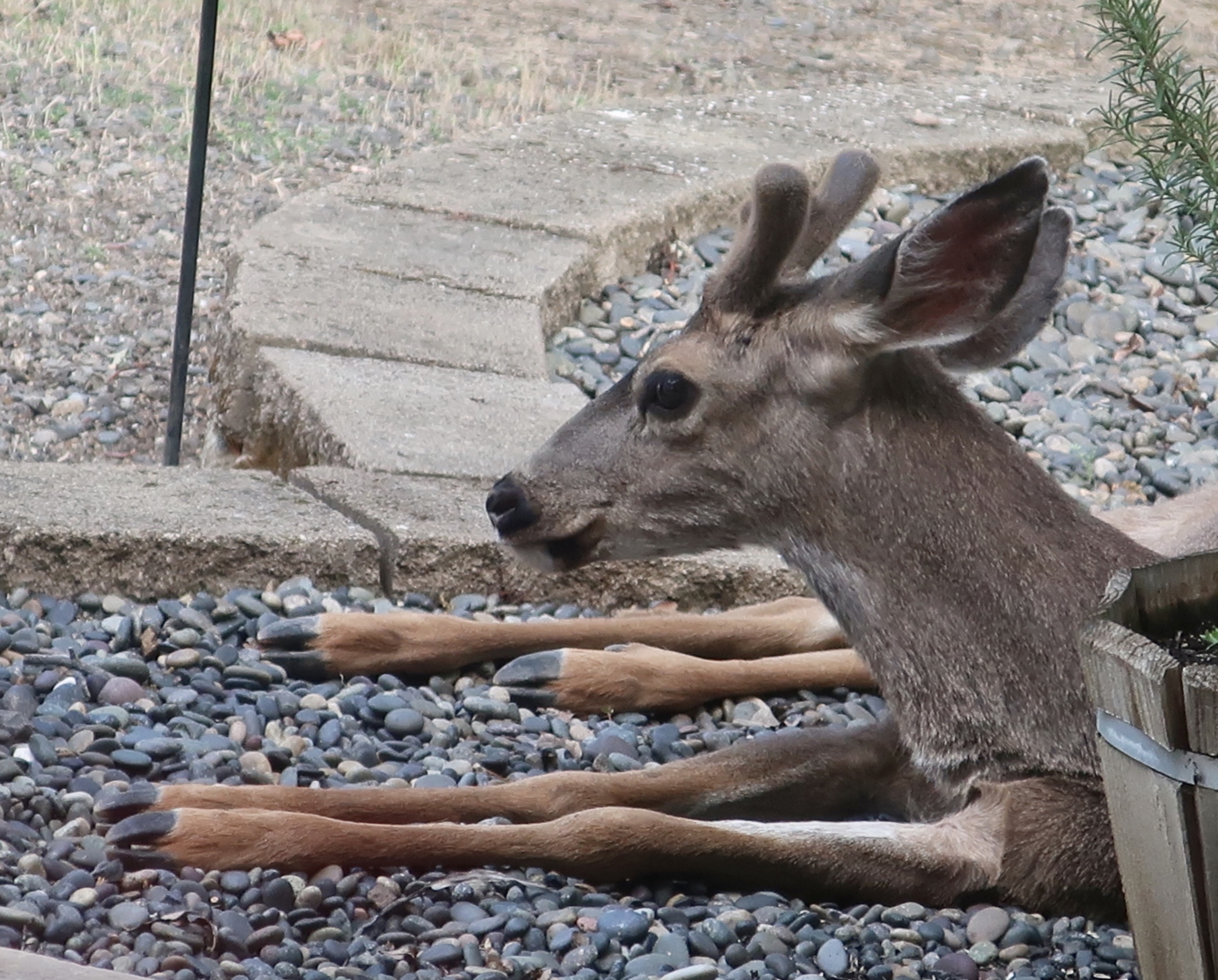
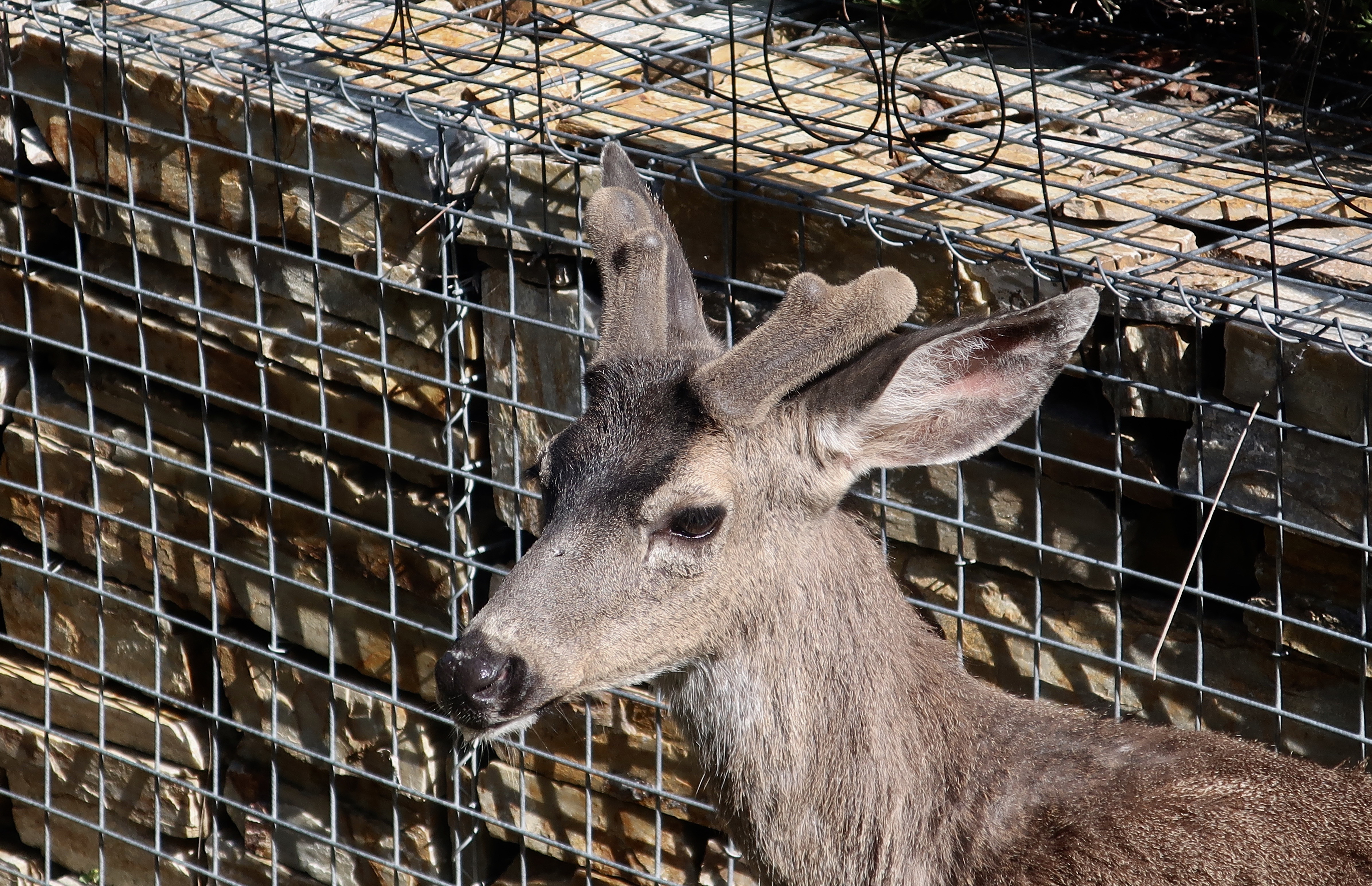
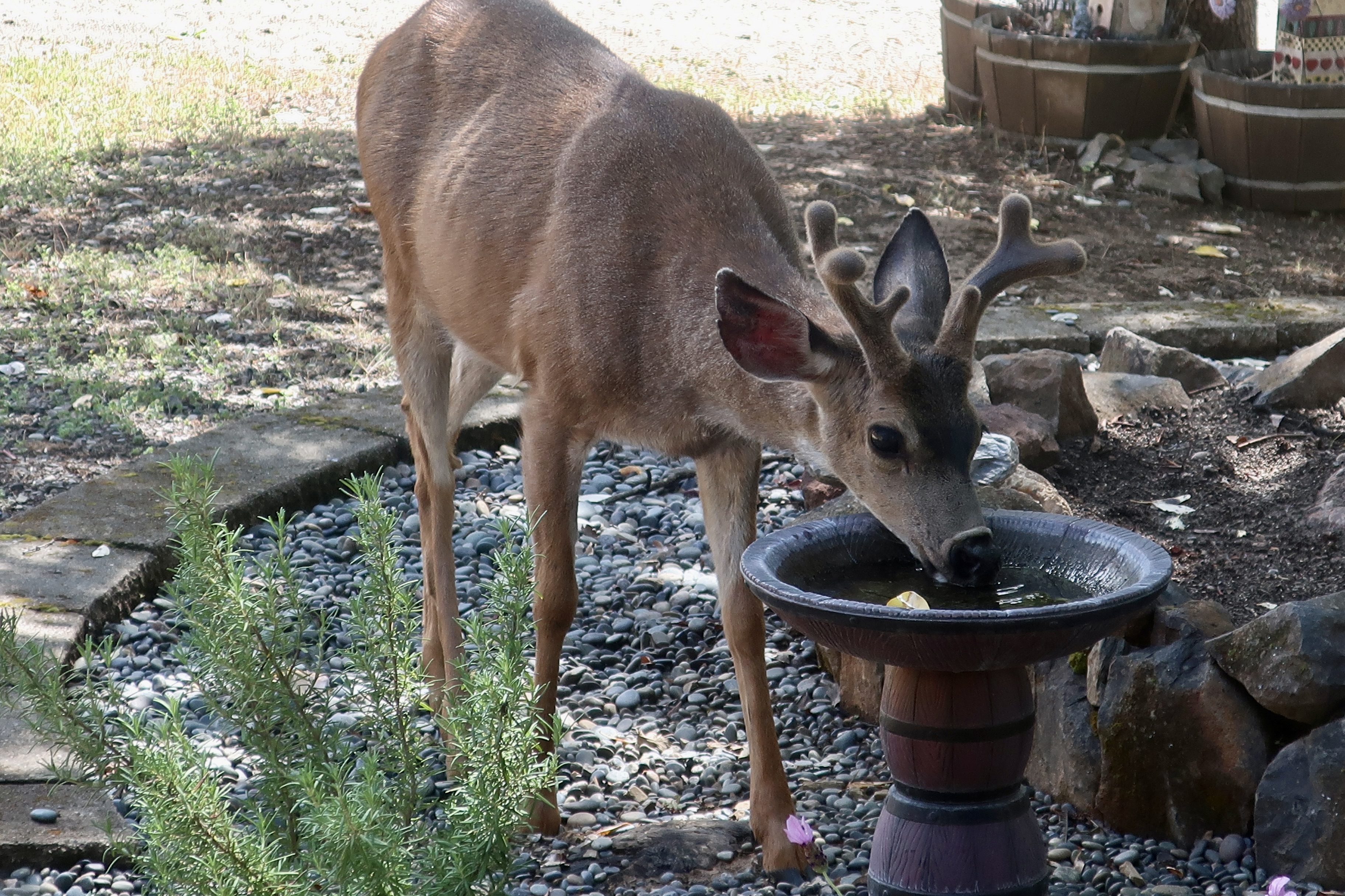
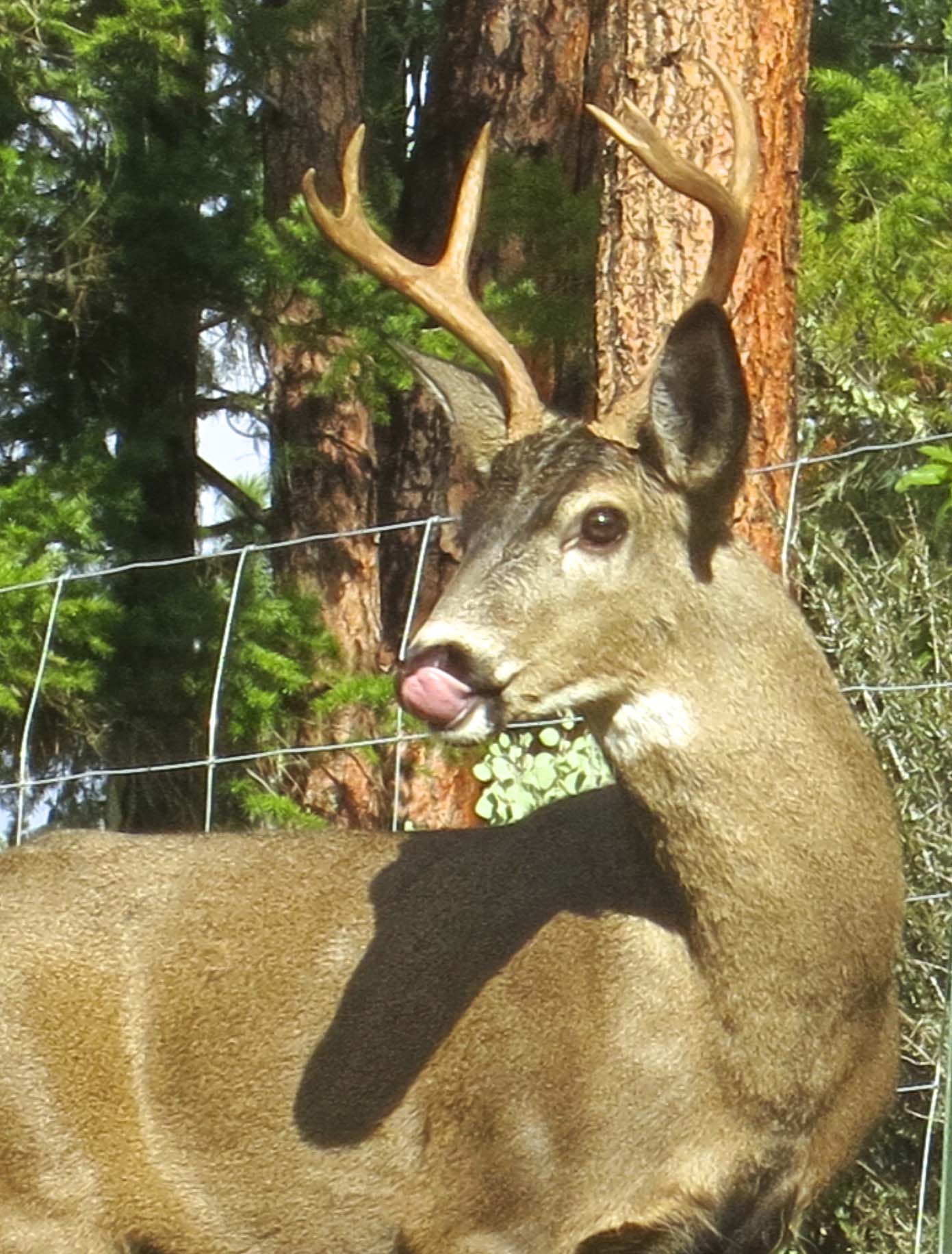
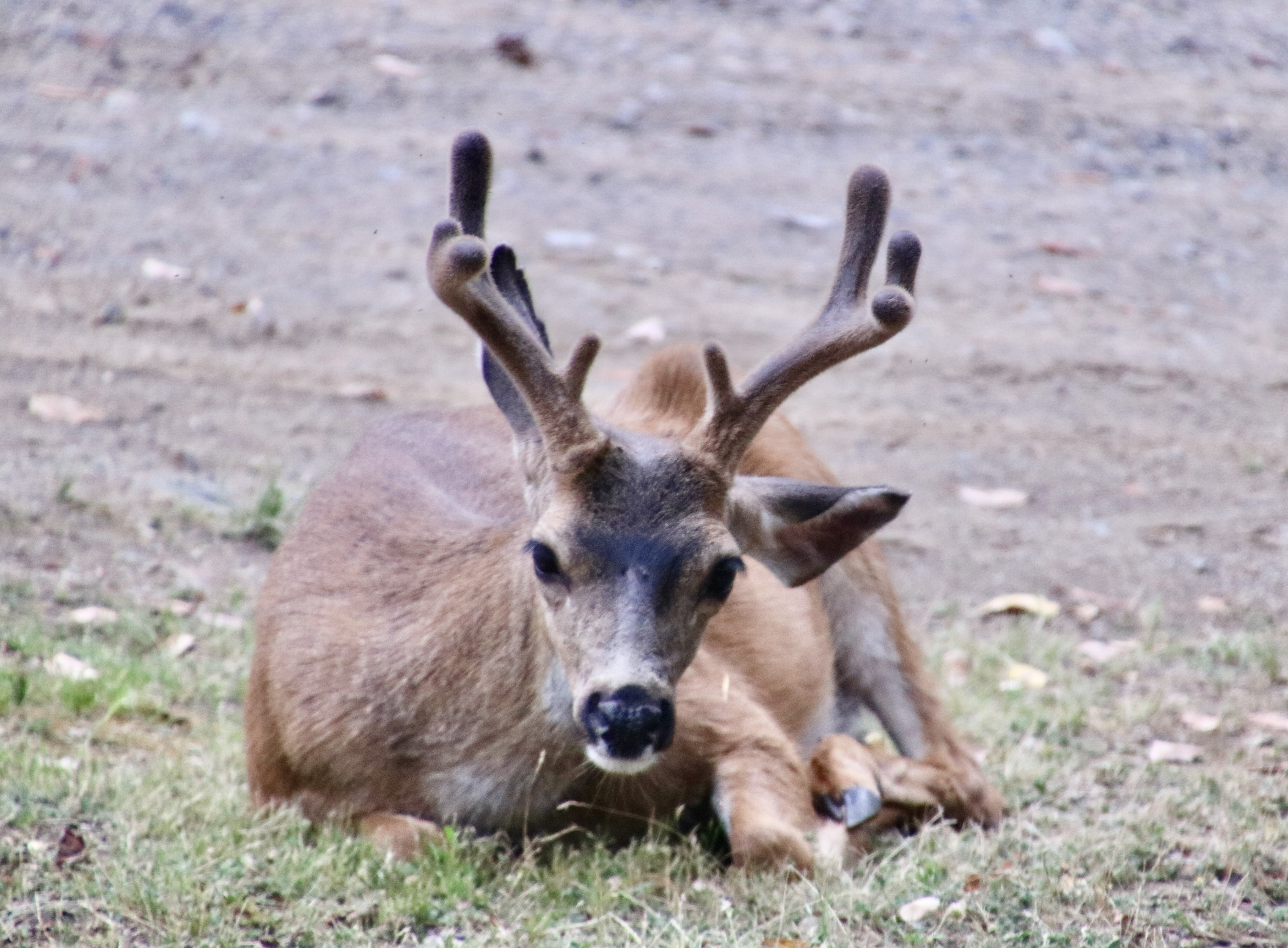
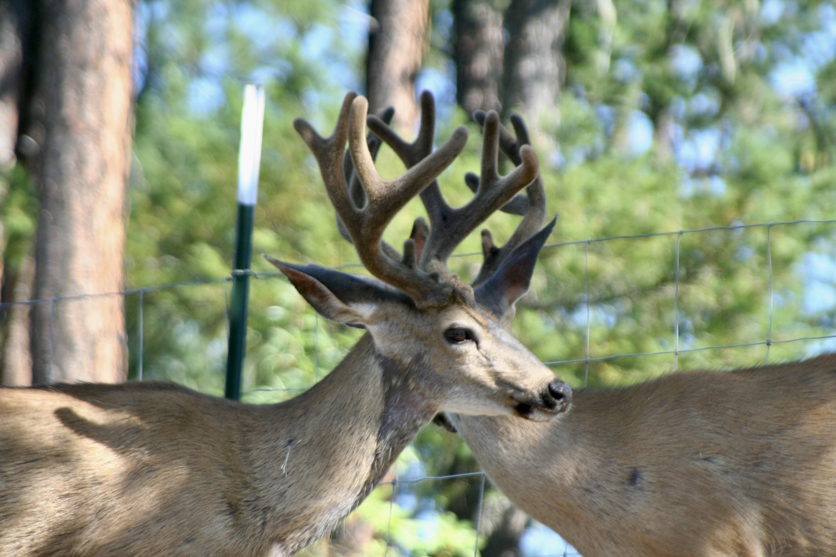
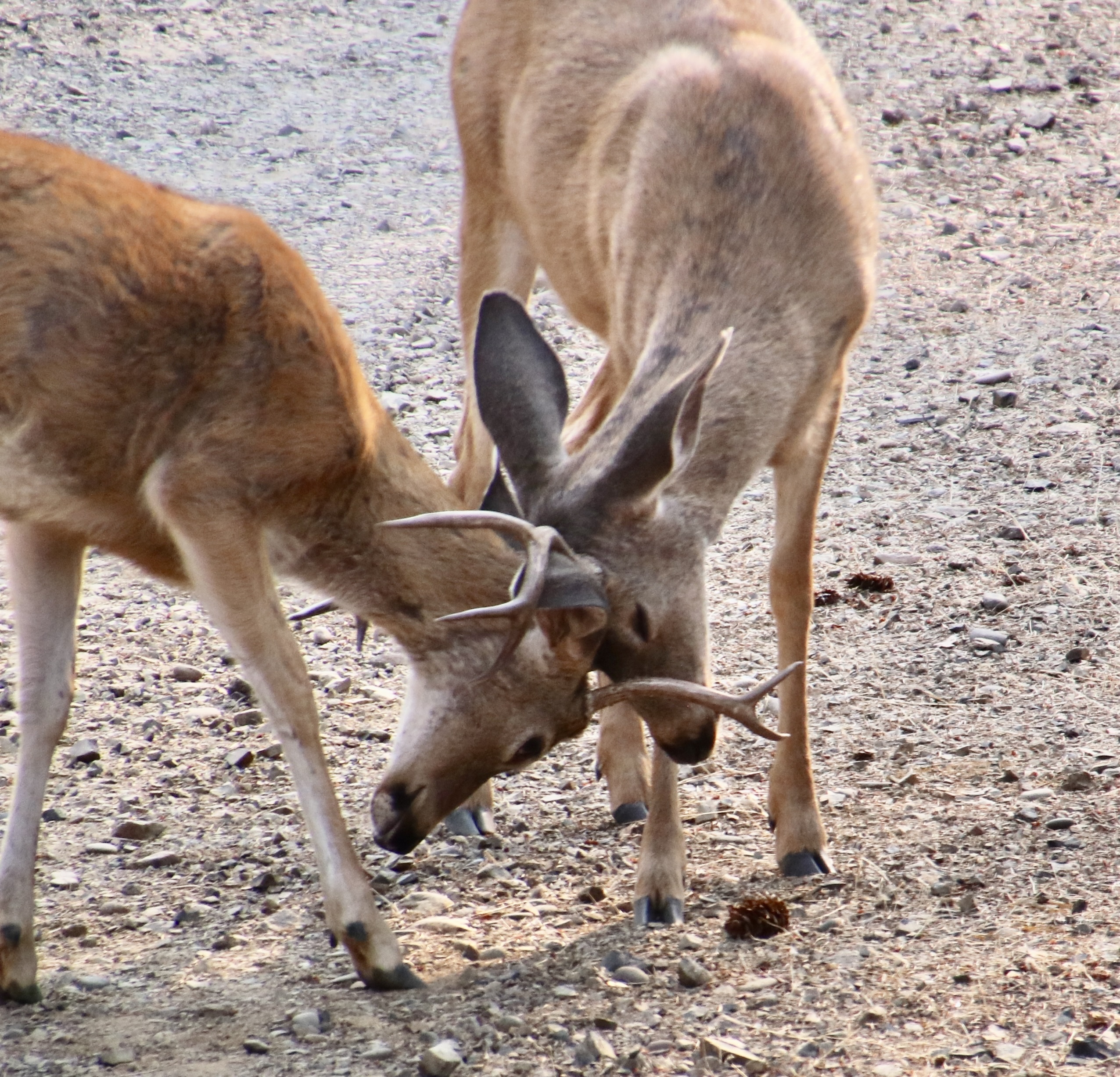
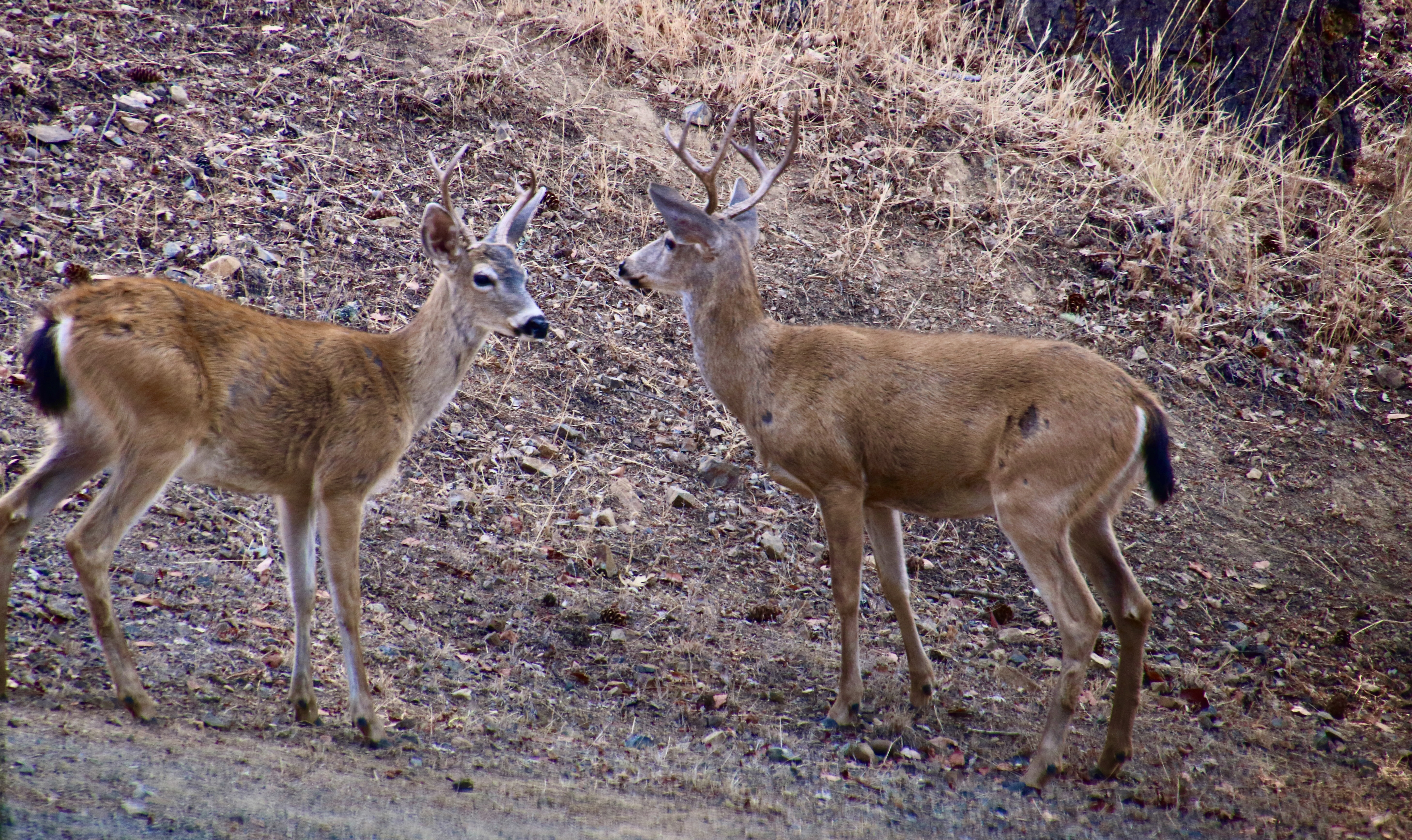
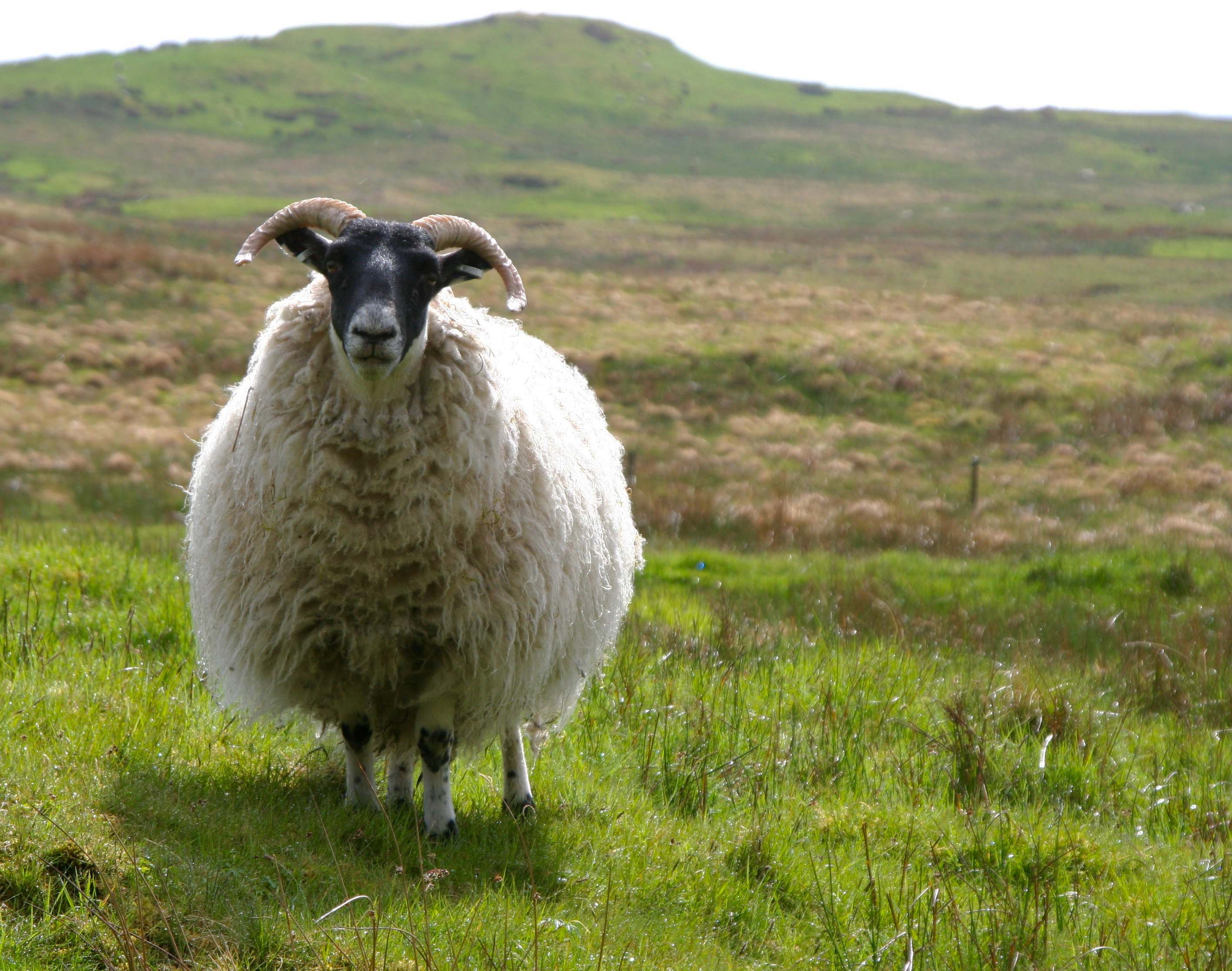
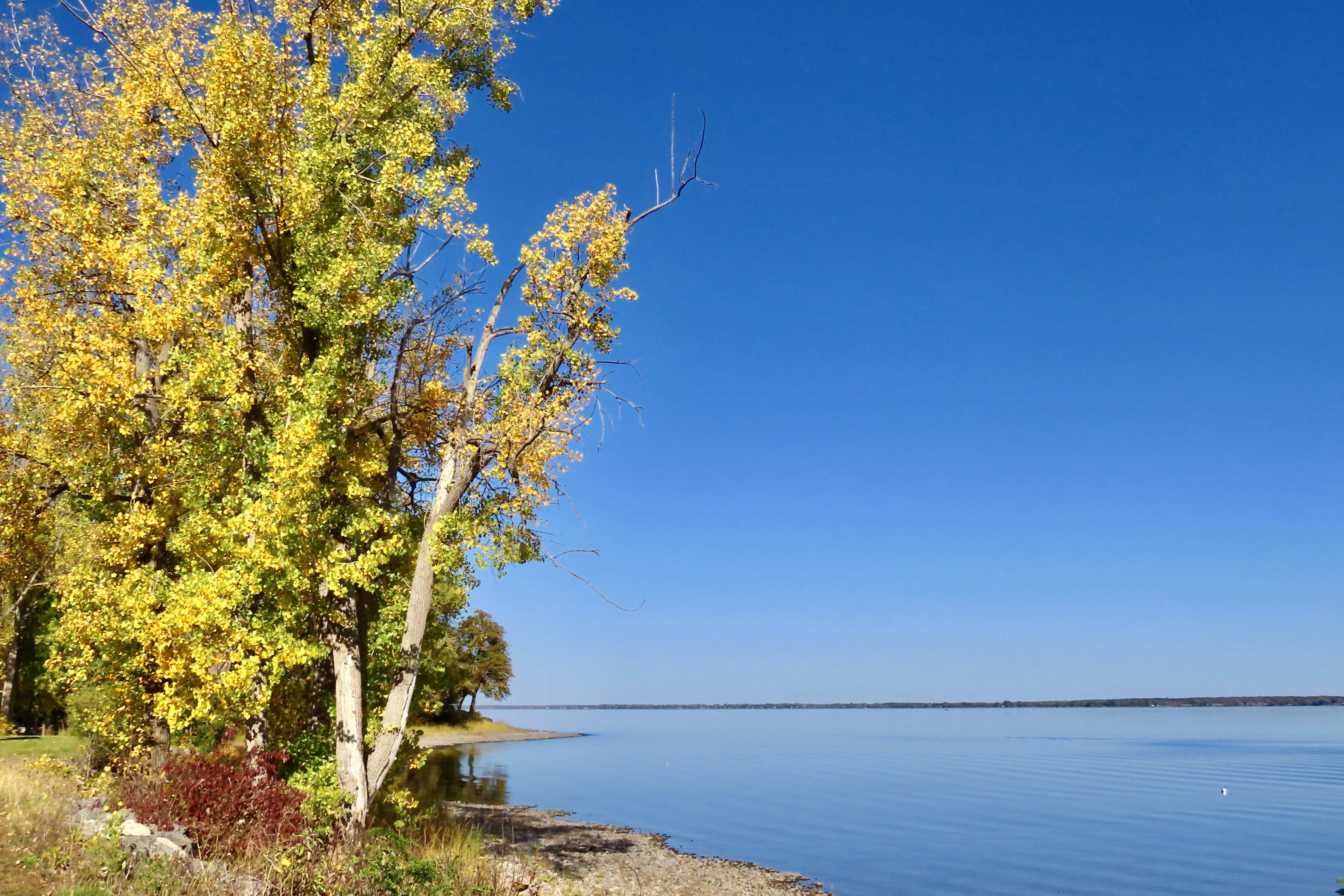
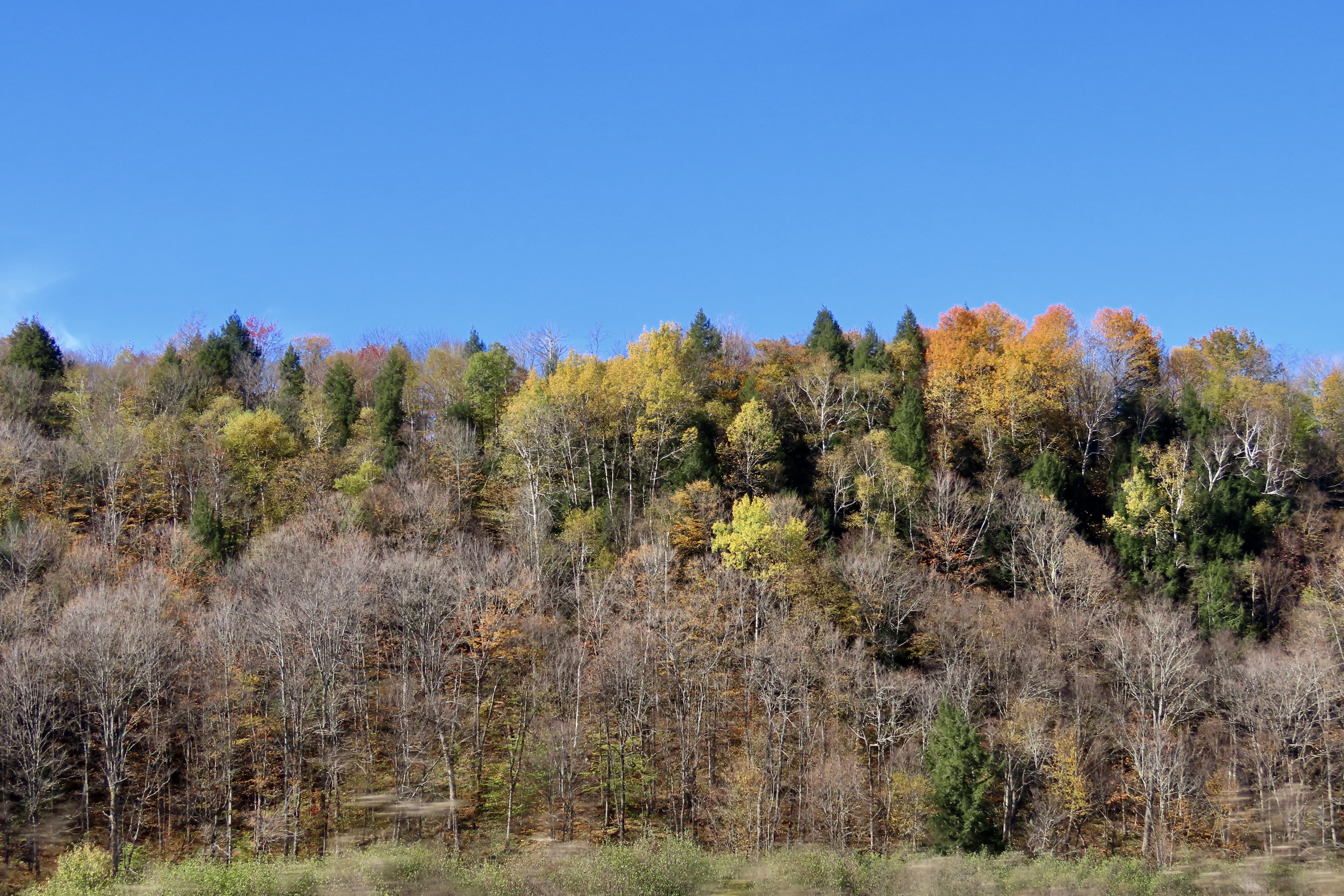
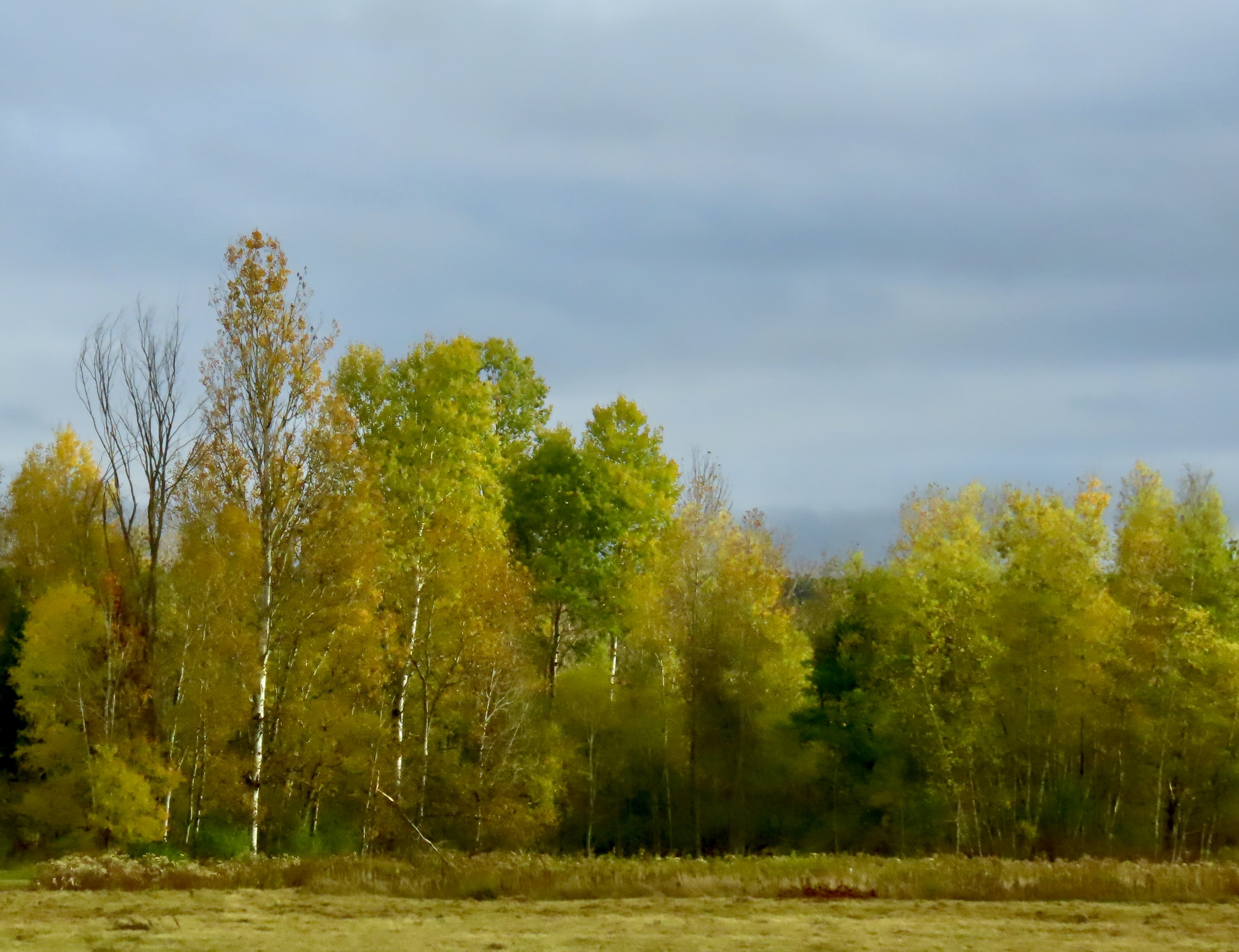
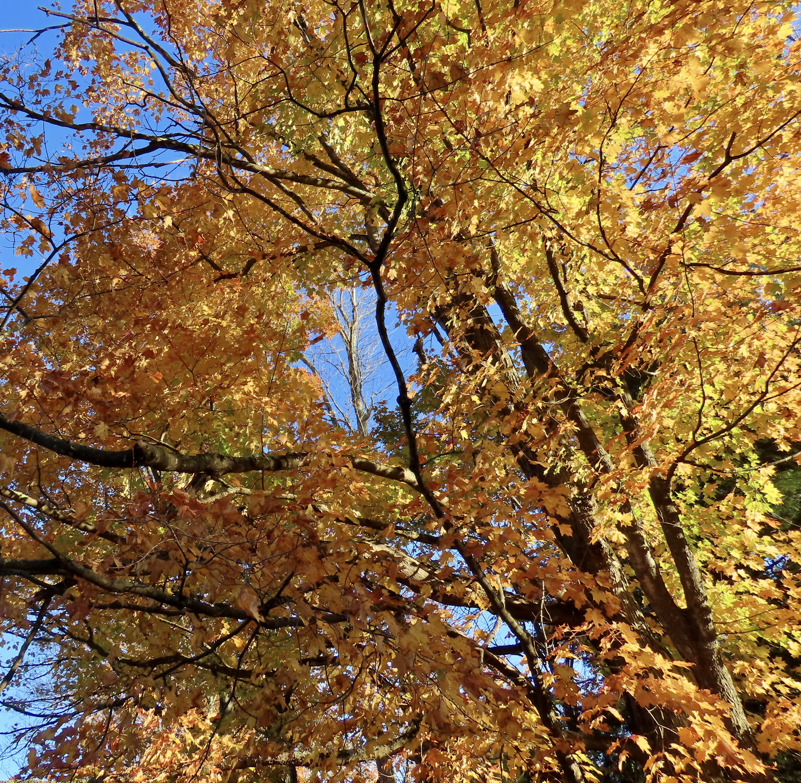
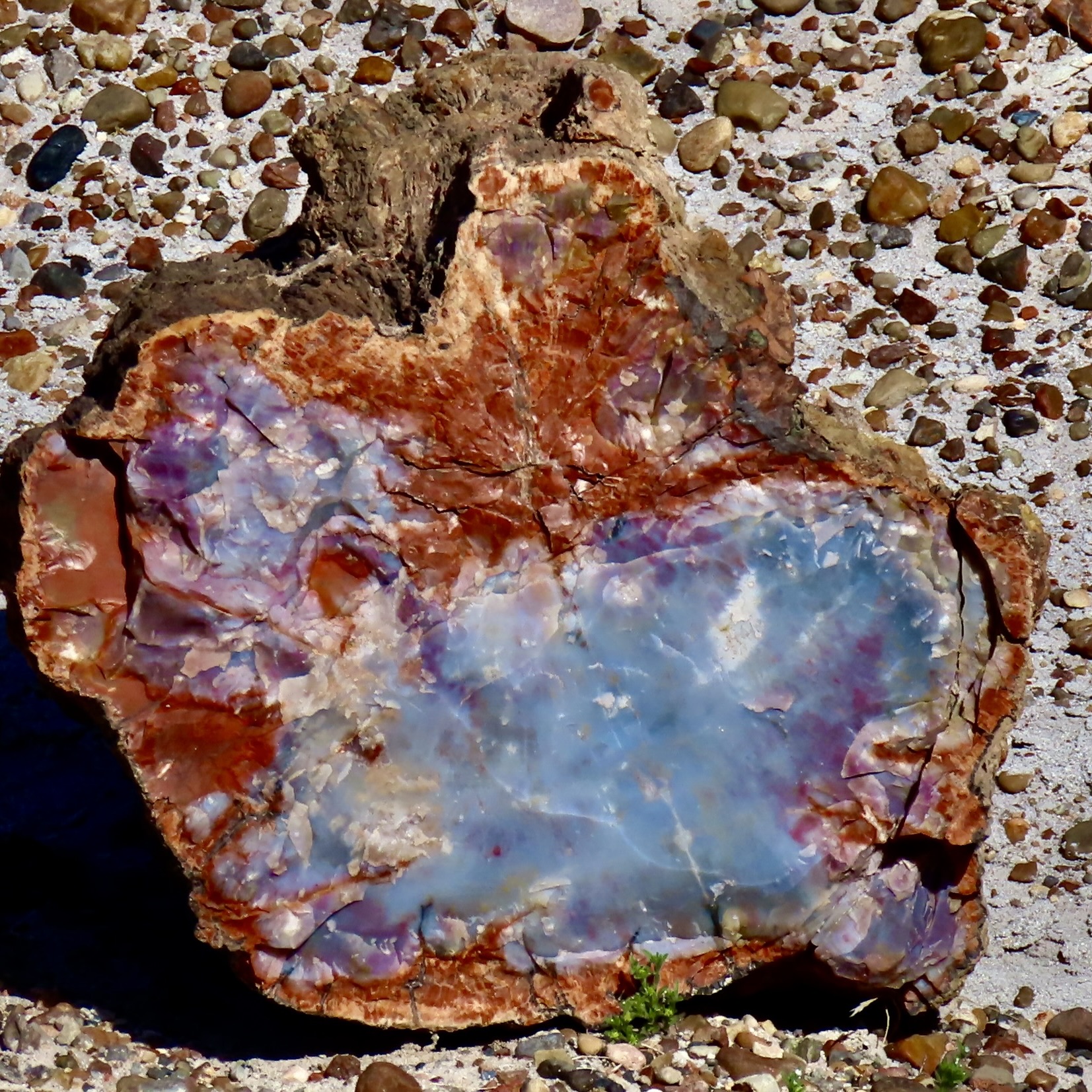
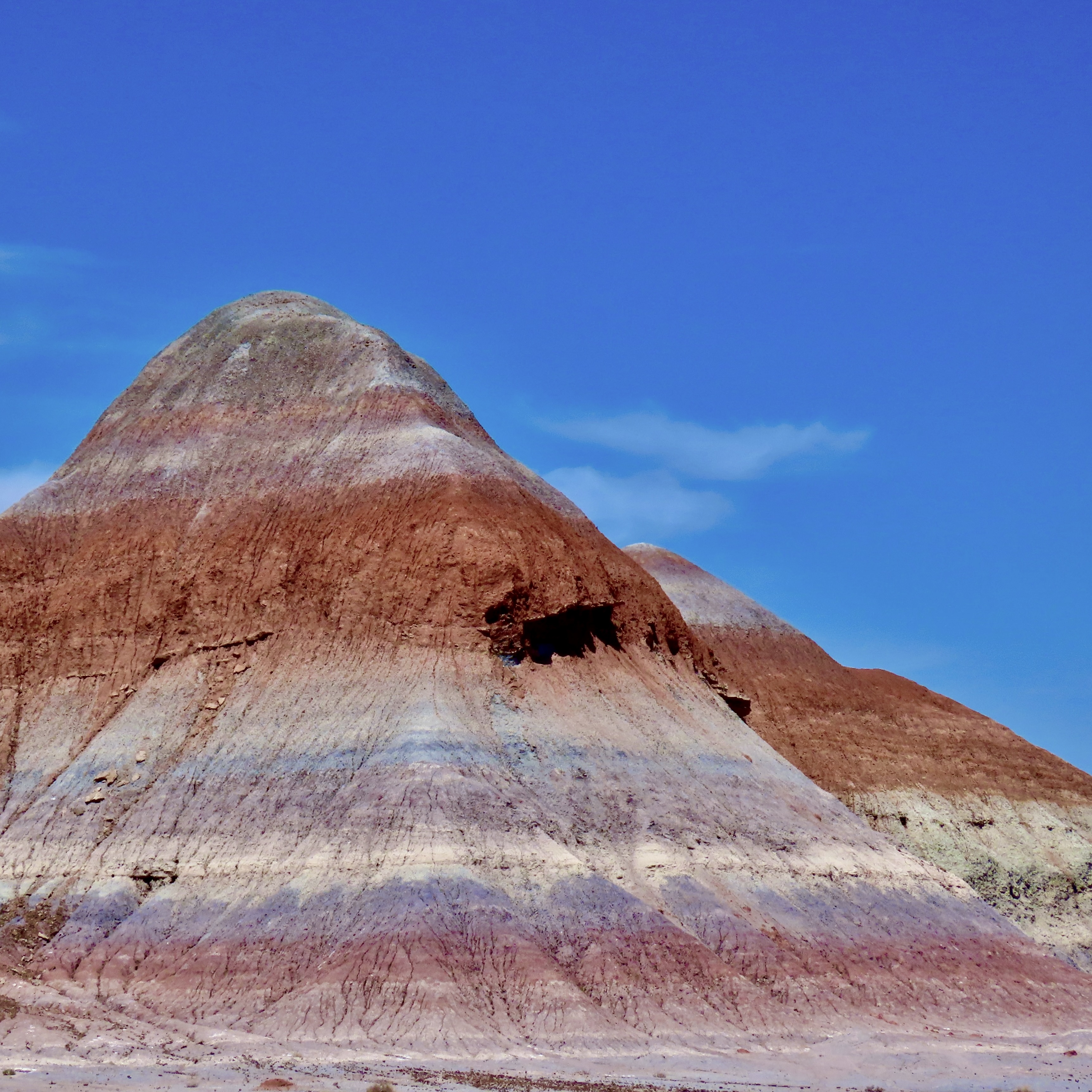
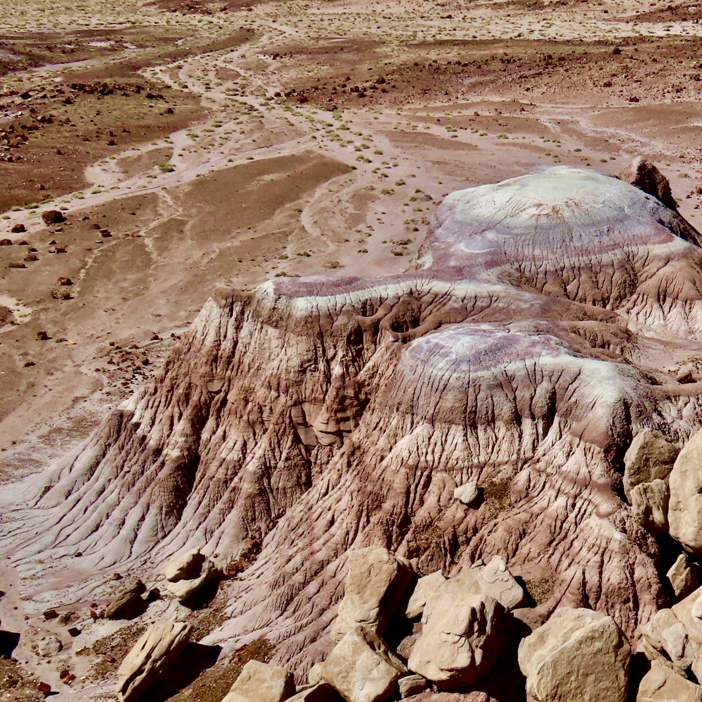
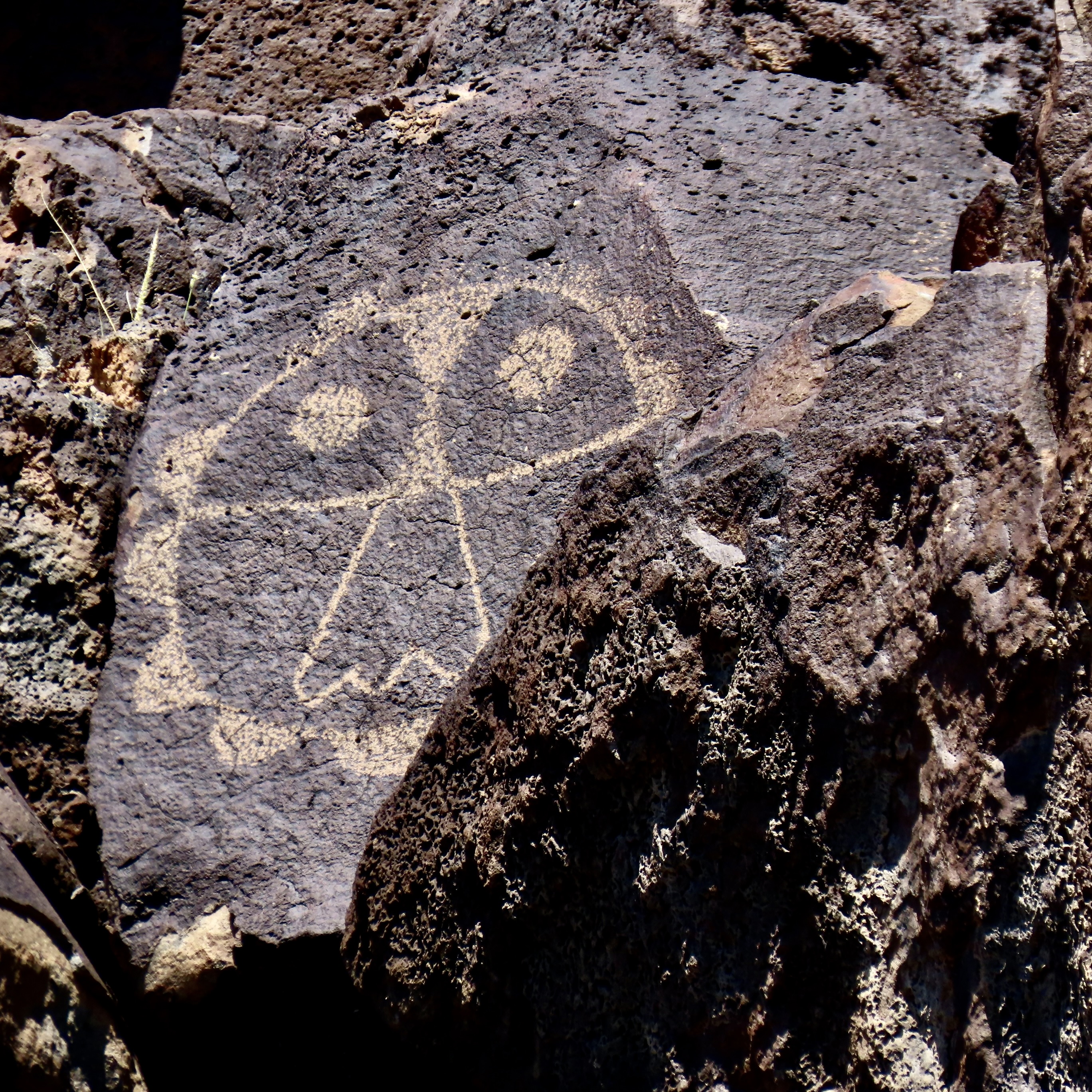
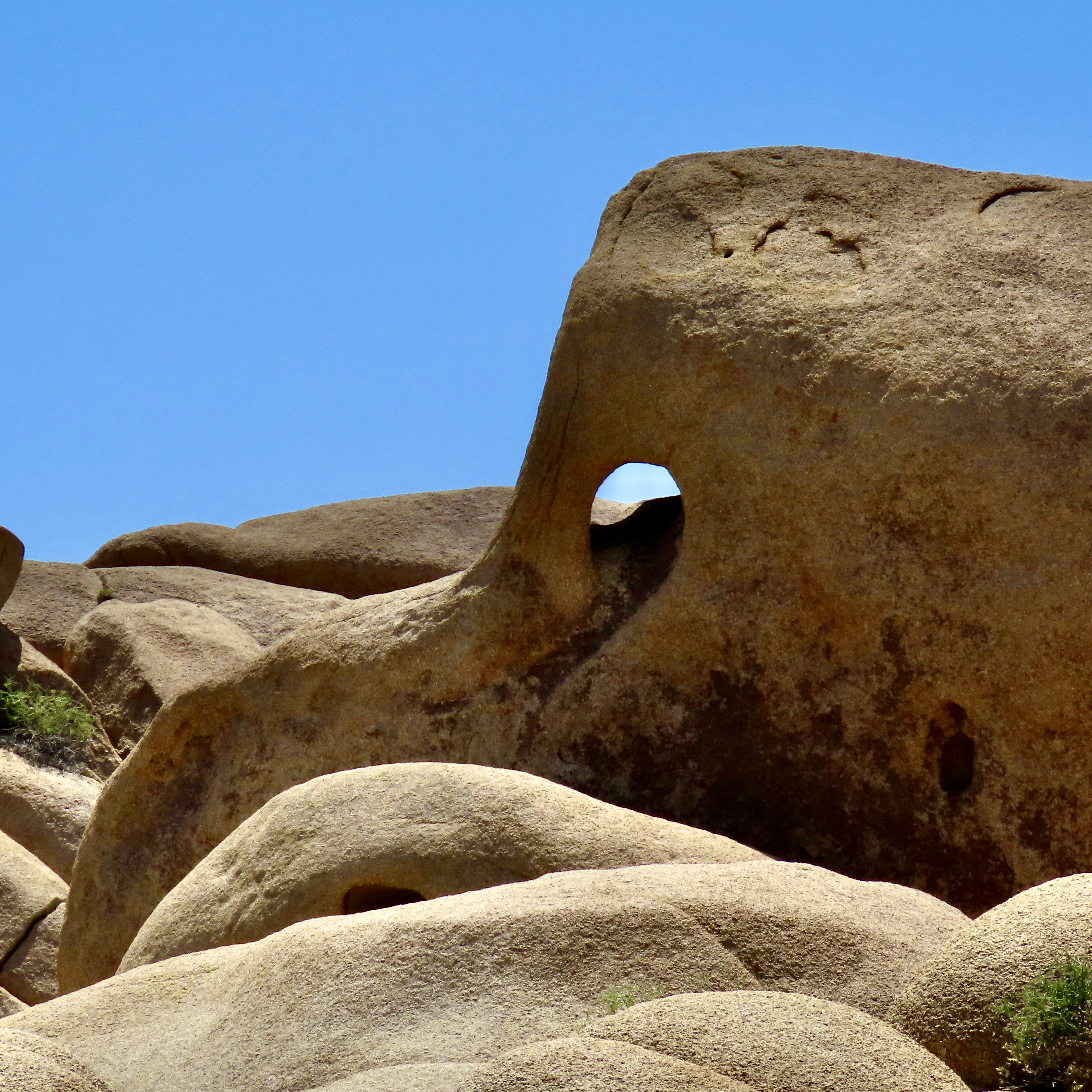
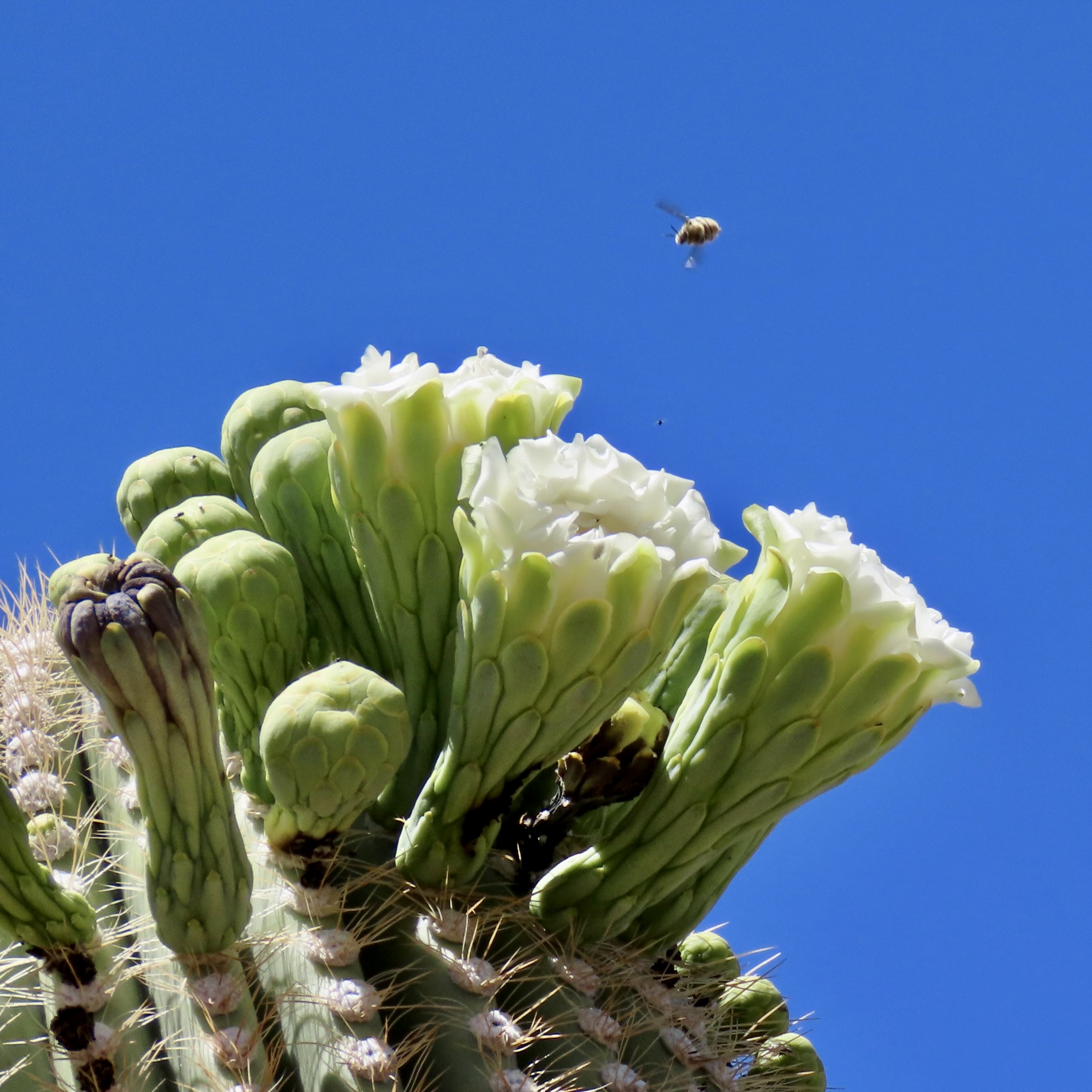
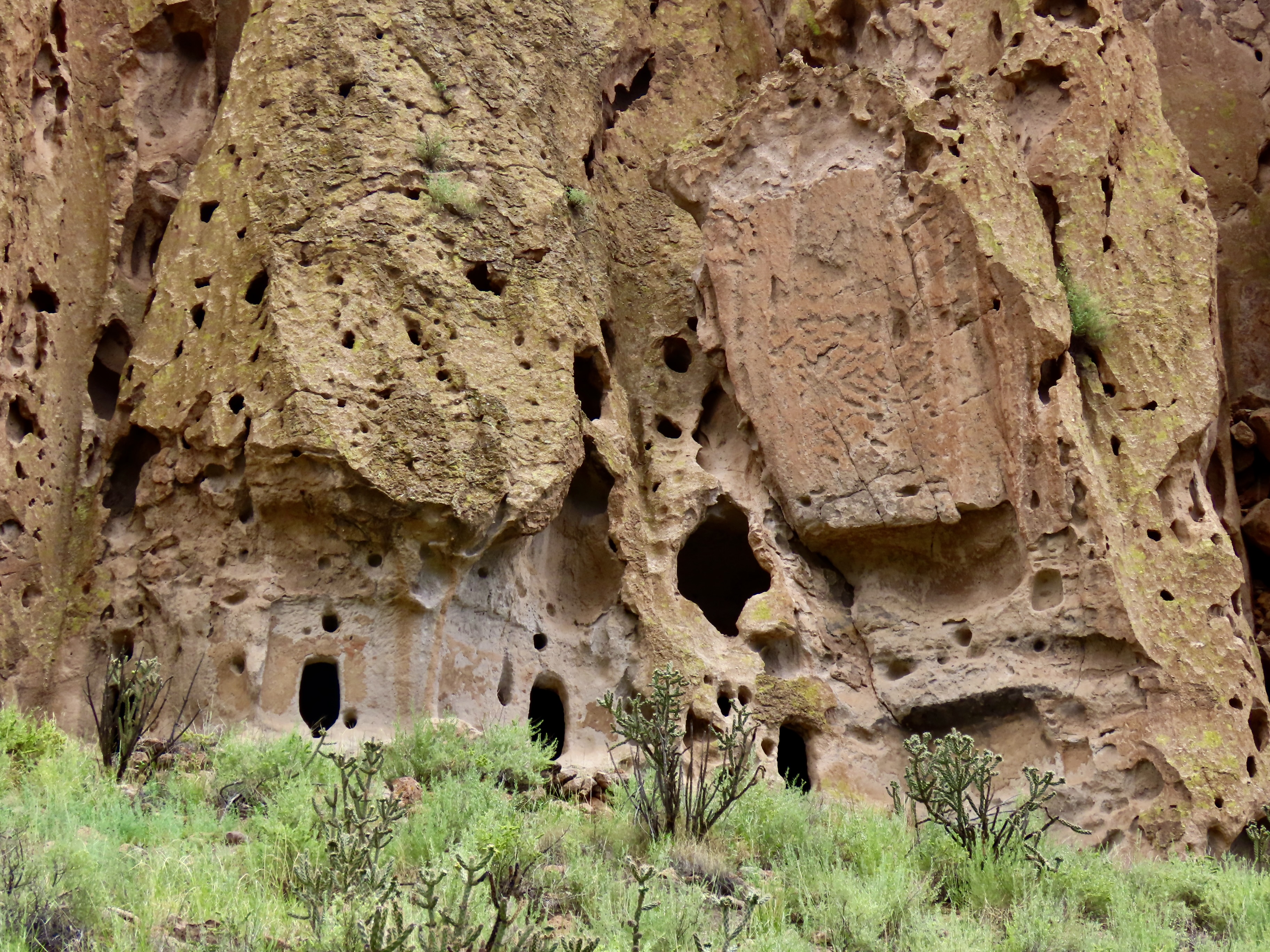
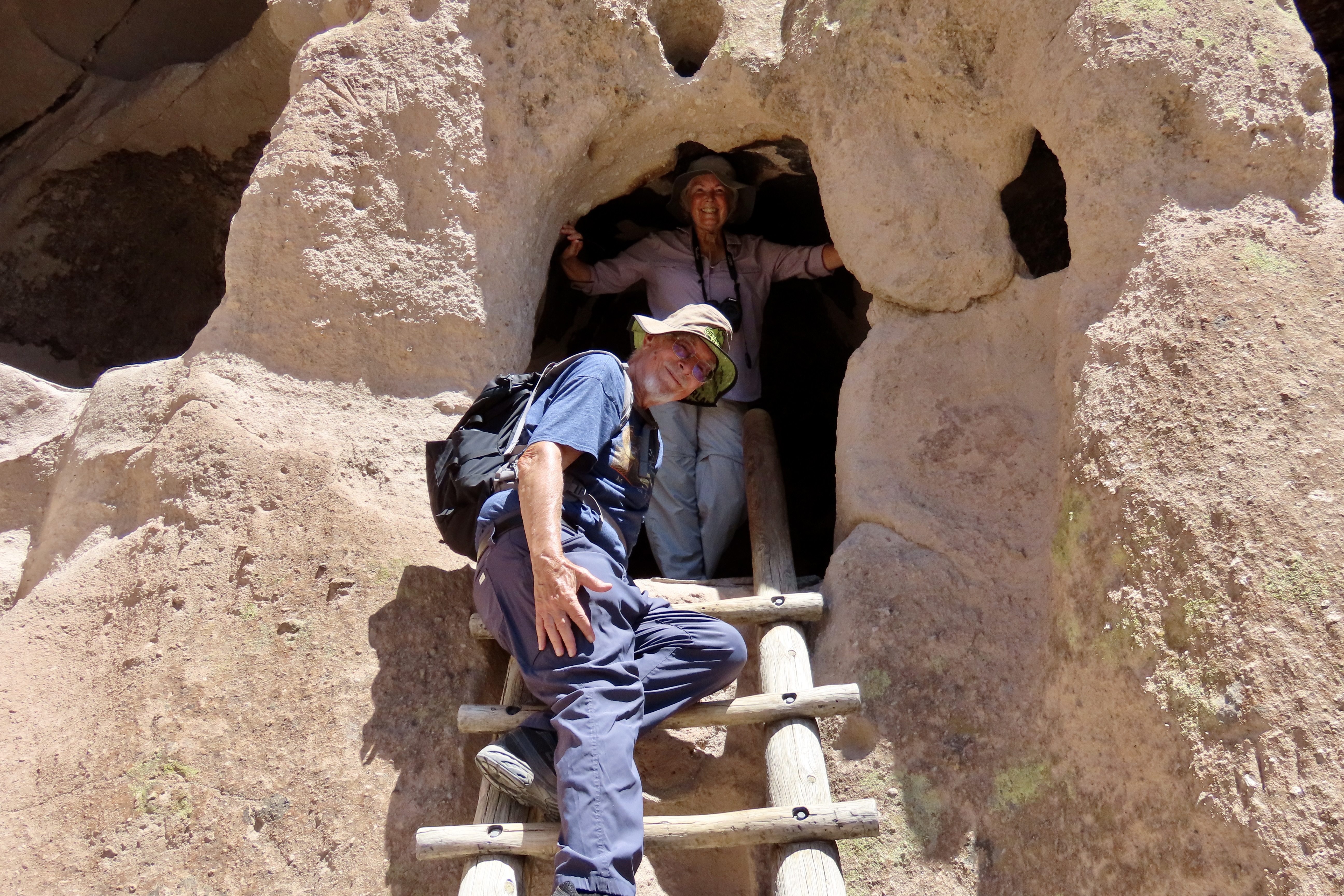
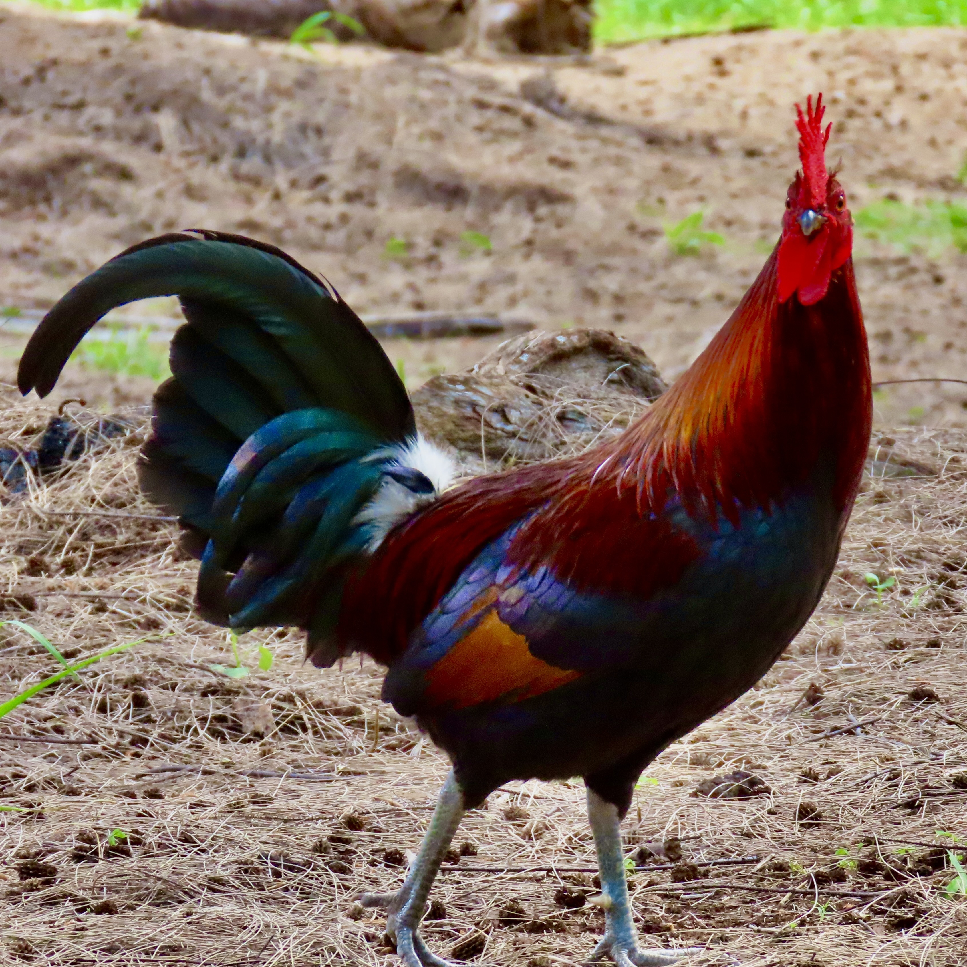
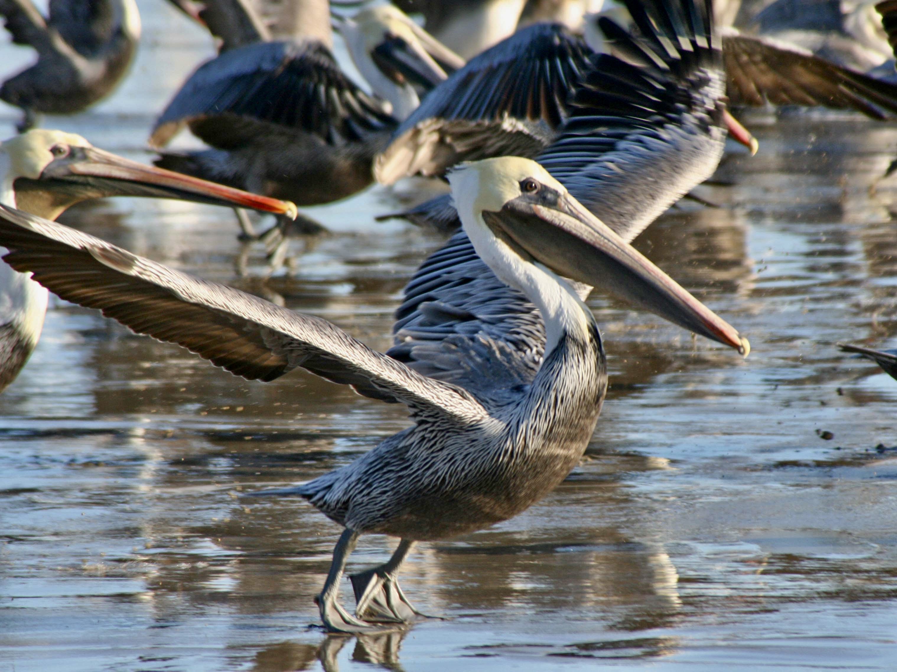
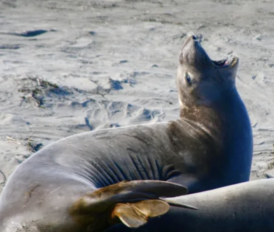
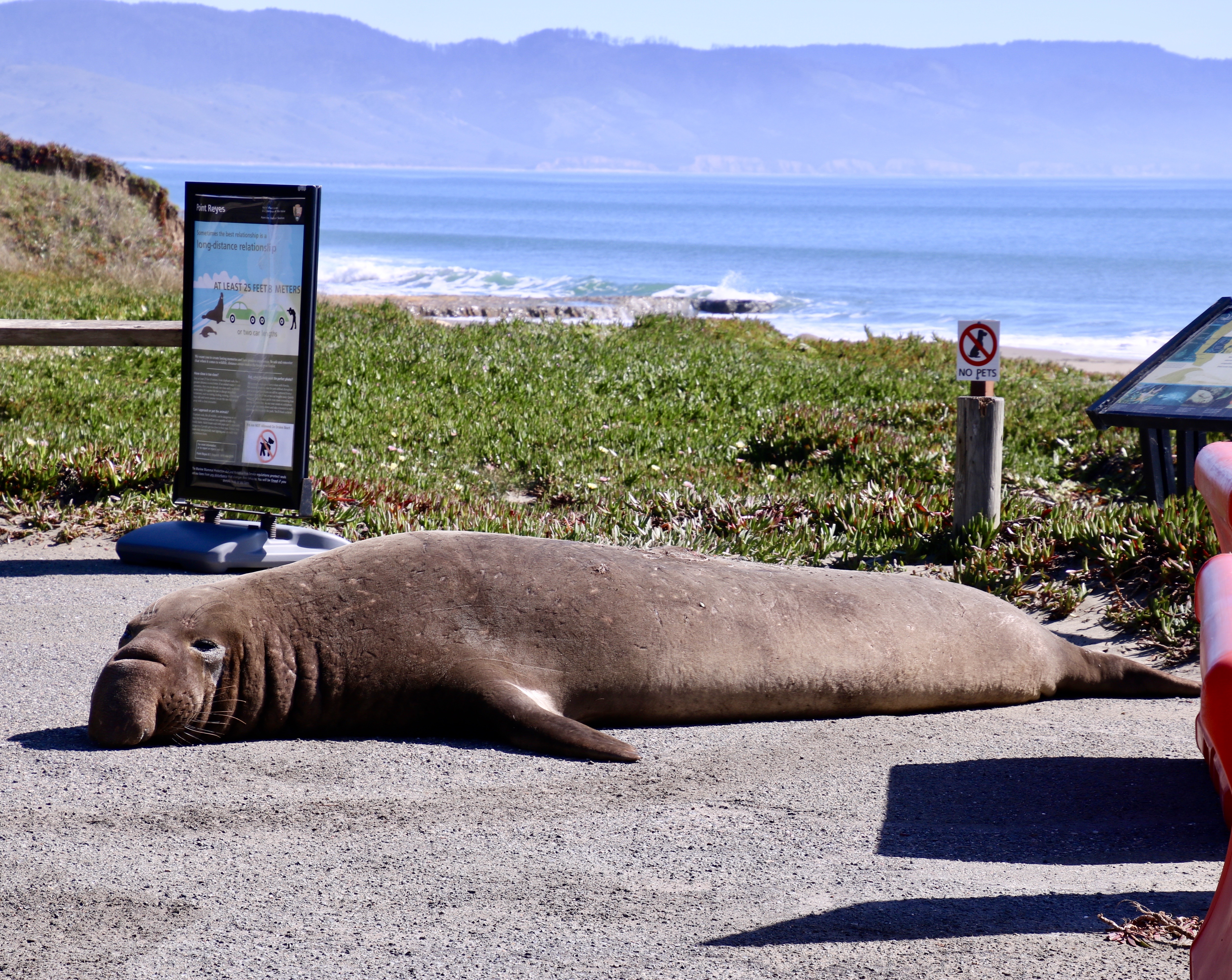
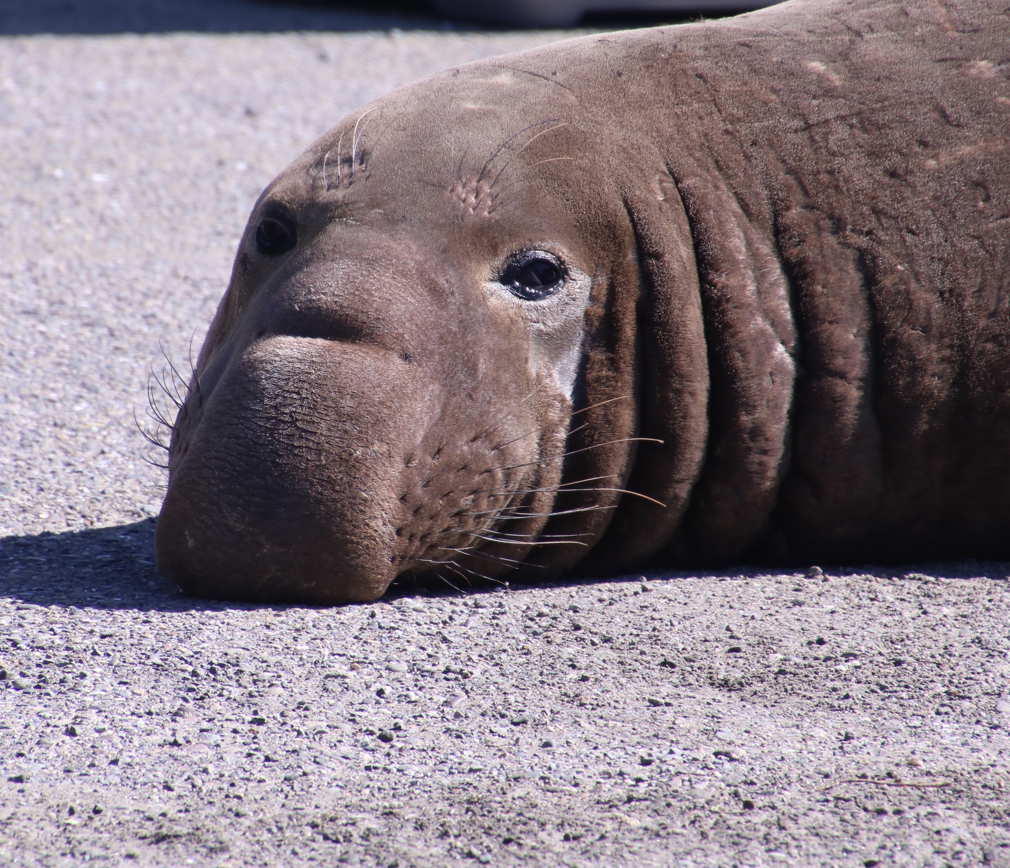
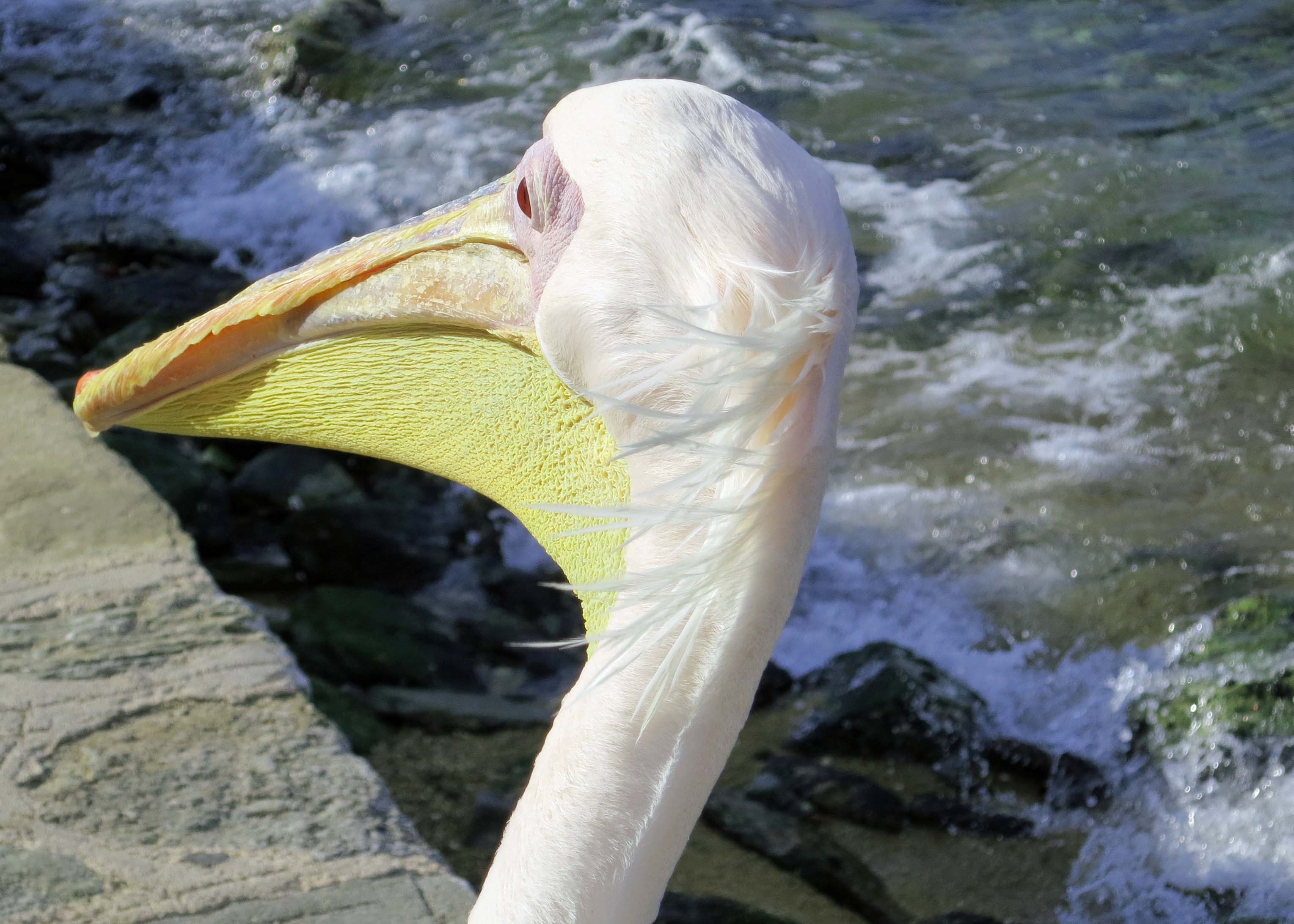
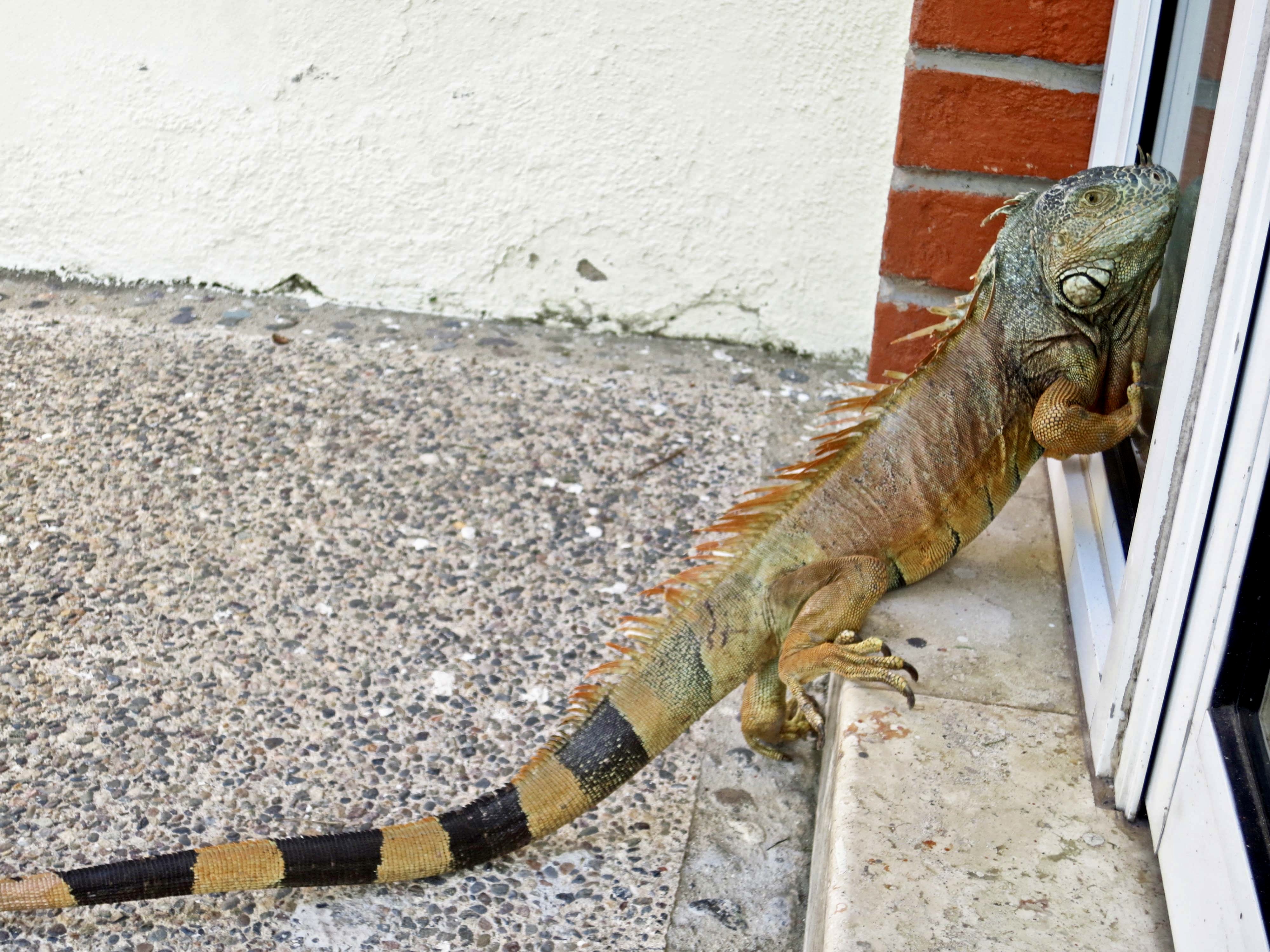
UT-OH is full of such tales. Most take place in the outdoors. How could it be otherwise given that I’ve spent over 77 years of my life wandering in the woods. I started when I was five by exploring the jungle-like graveyard next to my house. (I’d been kicked out of the first grade for a year.) At 75 I was backpacking 750 miles down the Pacific Crest Trail to celebrate my birthday. Now in my 80s, the adventures continue— as do the Ut-Ohs.
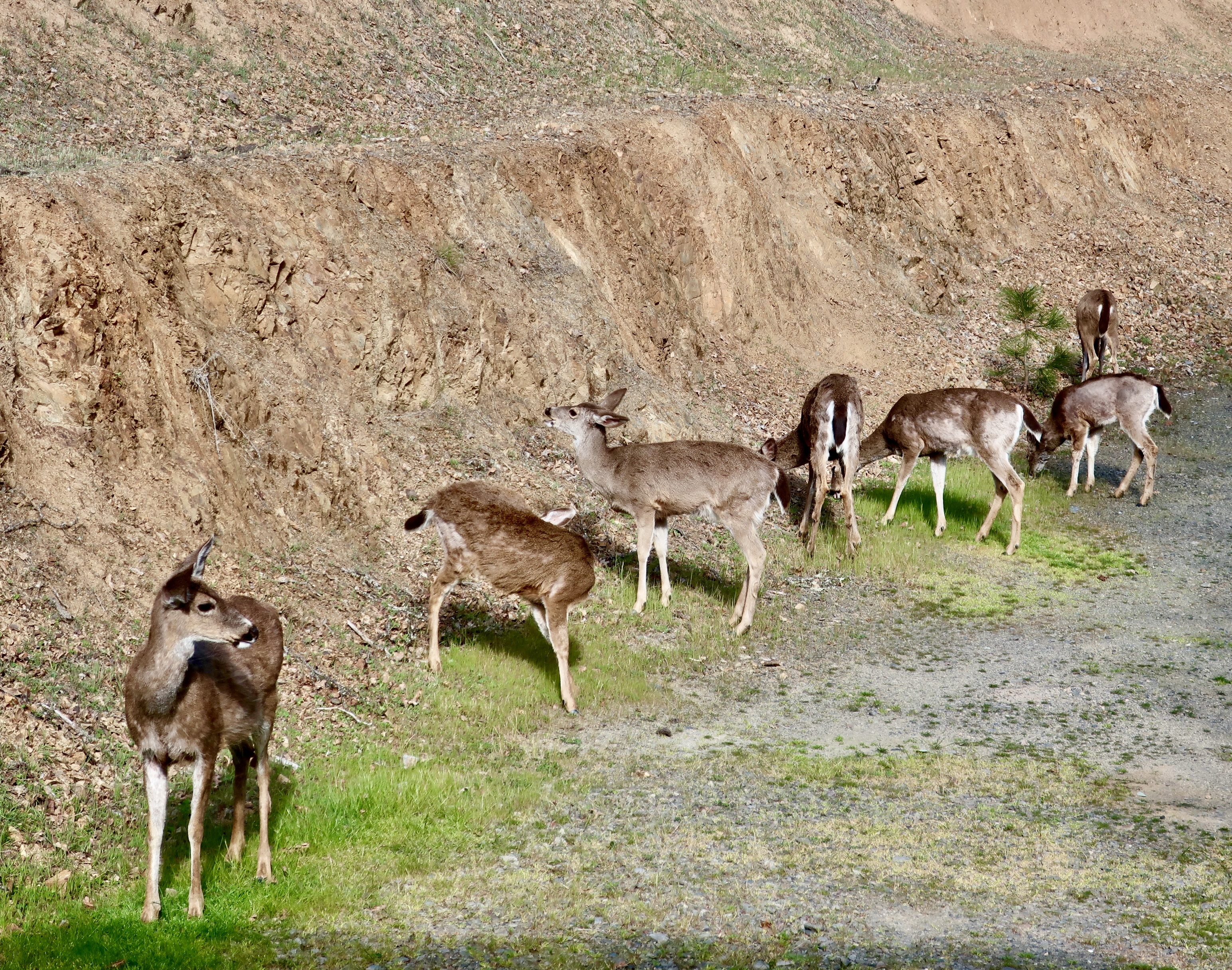
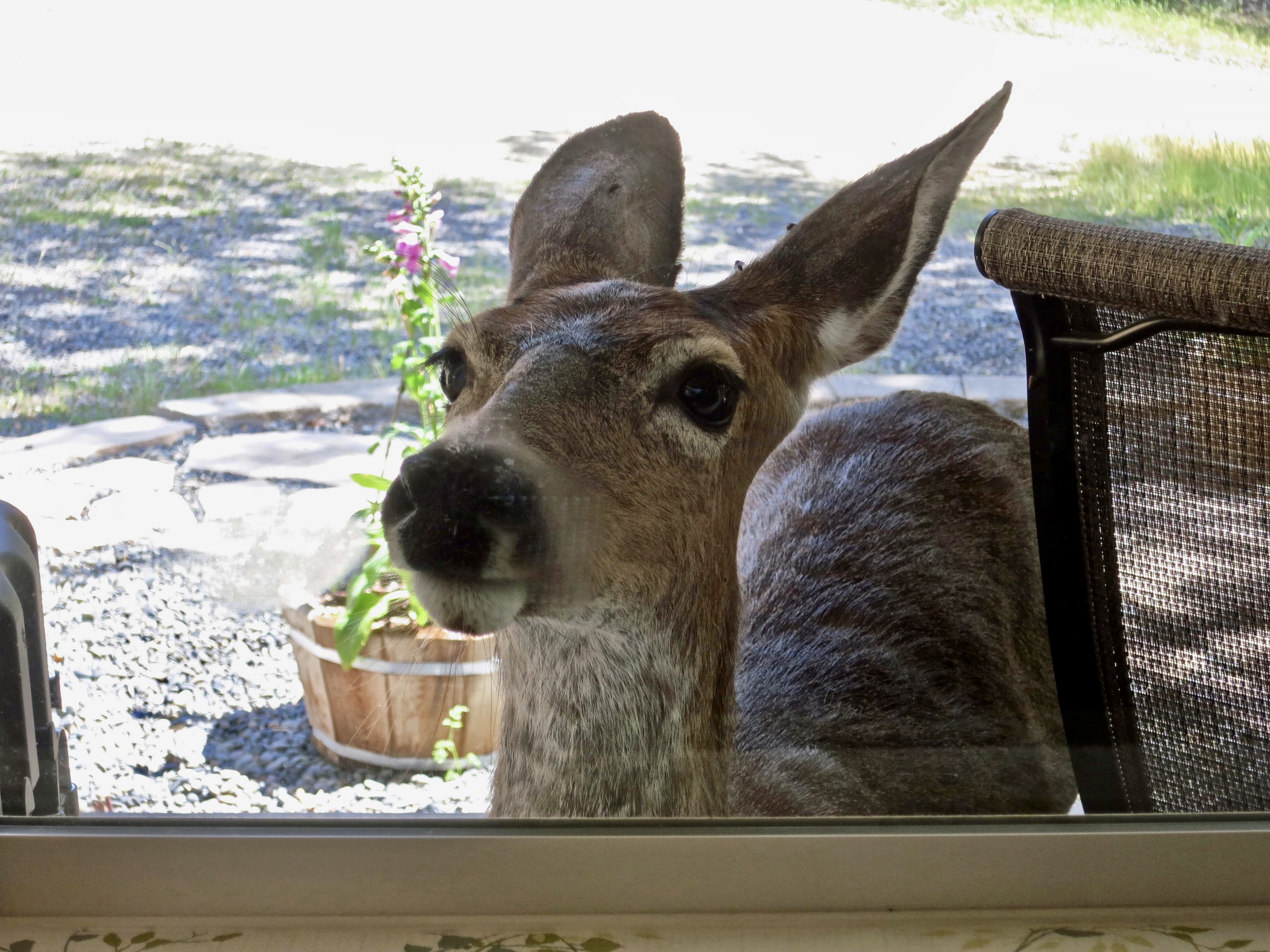
I know what it’s like to be stalked by a grizzly bear in Alaska, charged by a herd of elk in New Mexico, and attacked by army ants in Africa. Once, a rattlesnake tried to bite me on the naked butt. I hadn’t seen it slither into a cat-hole I had dug for bathroom duty in the woods and I’d almost pooped on him. Fortunately for both of us, he had rattled his displeasure as my rear loomed above him.
There are lessons to be learned in this book. Checking your cat-hole for rattlesnakes is one of many. For example:
- You should sleep with your shoes in the sleeping bag when you are snow camping in minus 30° F weather at Denali National Park. Toasty warm toes do not appreciate being shoved into solidly frozen shoes.
- Screaming loudly may dislodge a bear when you wake up at 4 AM with one standing on top of you.
- It’s best to be in shape before venturing out on a solo 10,000 mile bicycle journey around North America. Boy did I pay for that. Did you know that having calluses in your crotch is an important part of preparing for a long distance bike trip?
- And finally, I recommend you have more than a 20 mile backpacking trip behind you before you decide you are qualified to lead 60 people, aged 11-70, on a hundred mile backpack trip across California’s Sierra Nevada Mountain Range. The learning curve was straight up that time— for nine days in a row.
But hey, I’m a man who has been carrying a horse bone with him as a traveling companion for 48 years. What could possibly go wrong? Join me next Thursday as I get kicked out of the First Grade and learn that the graveyard next door is a very scary place at night.