Tales from UT-OH: Raging Rivers, Kamikaze Mosquitoes and Marriage on a Mountain… How Bone Was Found: Part 3

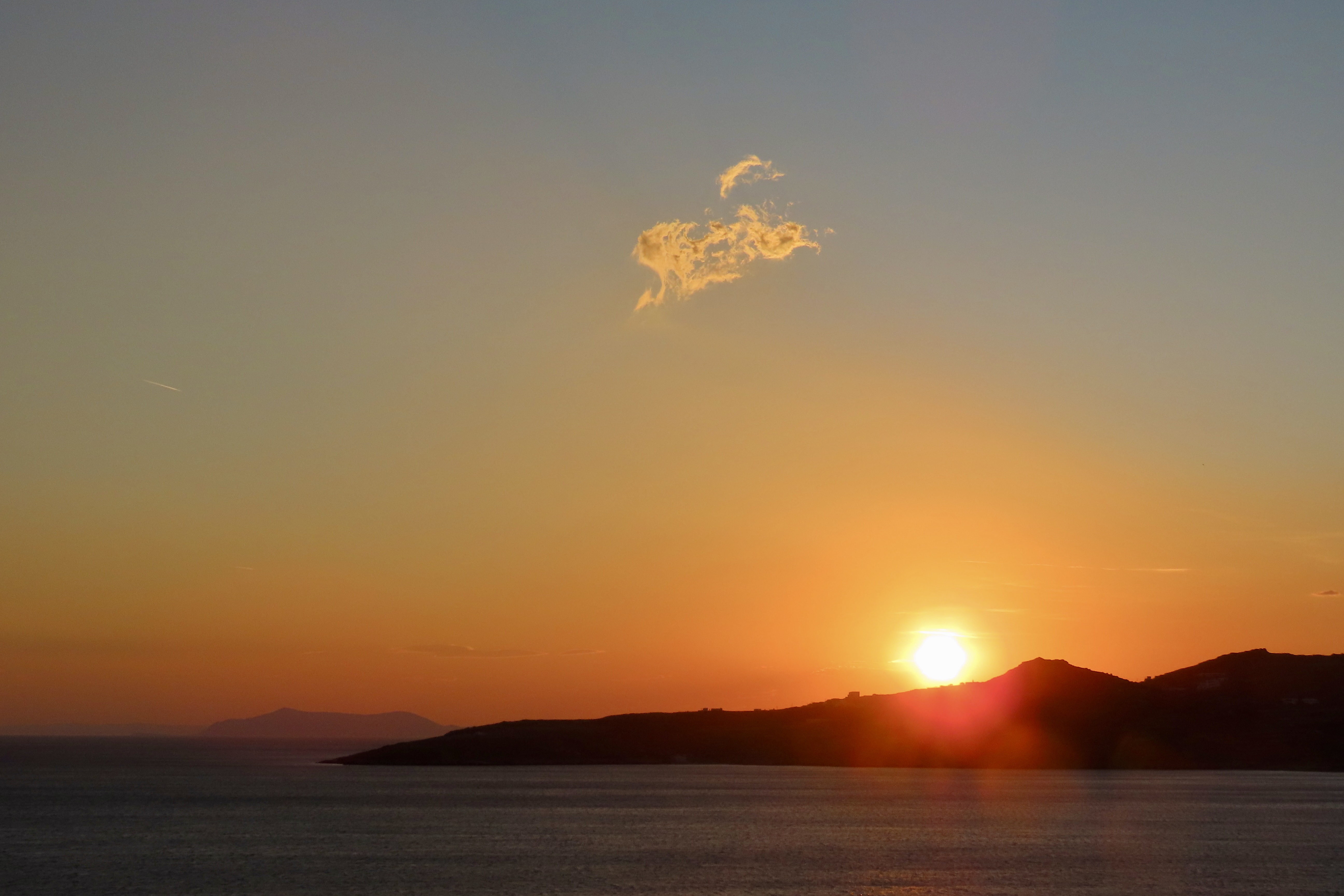
Peggy and I are off journeying through Greece, Scotland and Ireland over the next several weeks, so there won’t be much time for blogging. Initially, I decided to put the blog on hold, but I’ve decided to republish some of my favorite posts that may eventually make it into UT-OH!.

In today’s post our group of five splits up and Lynn and April hike out to South Lake Tahoe to care for April’s sprained ankle while Tom, Terry and I backpack on to Lake Aloha through the Desolation Wilderness.

Tree blazes were an important way to mark trails through wilderness areas in the past, and still can prove useful today. This is an old tree blaze in the Desolation Wilderness.

I watched regrettably as April and Lynn headed out. I would miss the inspiration. Soon, however, my mind was more than occupied with route finding. The trail had disappeared under the snow.

Tom pulled out his map and compass to establish our general direction. We searched for ancient tree blazes cut out by axes and left behind by early foresters, cattlemen and sheepherders.

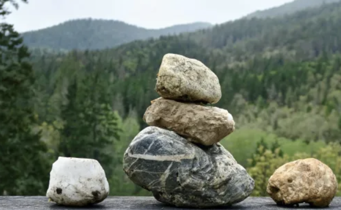
We also watched for ducks where the snow had melted. I’m not talking about fowl that quack and taste good in orange sauce. Ducks, in backpacking terminology, are piles of stone set up to show the way. With a little imagination, they can look like their namesake. Caution is advisable. The people creating the ducks may have had a different destination in mind, or perhaps they were lost.

This is what a duck looks like. I used this form extensively on Sierra Treks. I had my rear guard kick them over to avoid confusing other hikers.

An hour later we found ourselves more or less where we supposed to be, on the edge of the Rubicon River. A student of ancient Roman History undoubtedly named the stream. Like Julius Caesar, we were faced with crossing it. In a month or so it would be a tame creek inviting a refreshing dip but now it was a roaring river filled with icy water from quickly melting snow fields.

Rapid mountain river flowing through rocky forest valley under cloudy sky
Not carrying a camera with me in those years, I asked AI to generate a photo of what a stream filled with raging snow-melt looks like. It did a good job! While our crossing was on a flatter portion of the Rubicon, the river was still daunting.

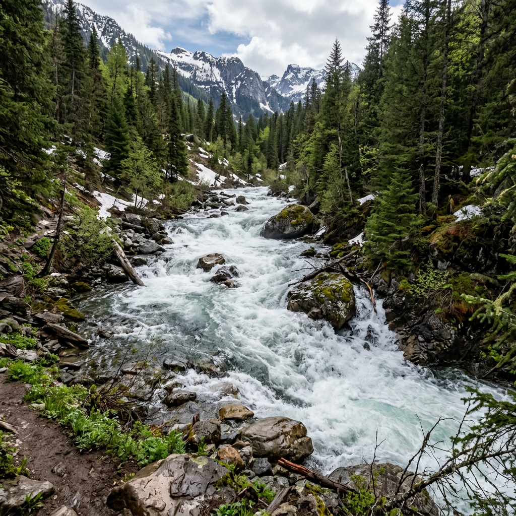
I entered with trepidation and was almost washed off my feet. Facing up-stream, I used a walking stick to give myself a third leg. Water crept up to my knees and beyond. I have short legs. The force was incredible. I set each foot carefully and moved crab-like, searching for solid ground between slippery rocks.

I’d undone my pack belt so I could shuck the pack if I was knocked over. Swimming in freezing water with 50 pounds on your back is hazardous to your health. In a few minutes, that stretched out forever, I was across. Tom and Terry also made it without incident.

We plopped down on a convenient log to catch our breath and munch down on GORP (good old raisins and peanuts). It was a quick meal. A thick swarm of mosquitoes dive-bombed us with kamikaze abandon.  Slap one and five more landed, gleefully licking off our bug repellent before plunging in their beaks. Snow melt time is primetime for mosquitoes!

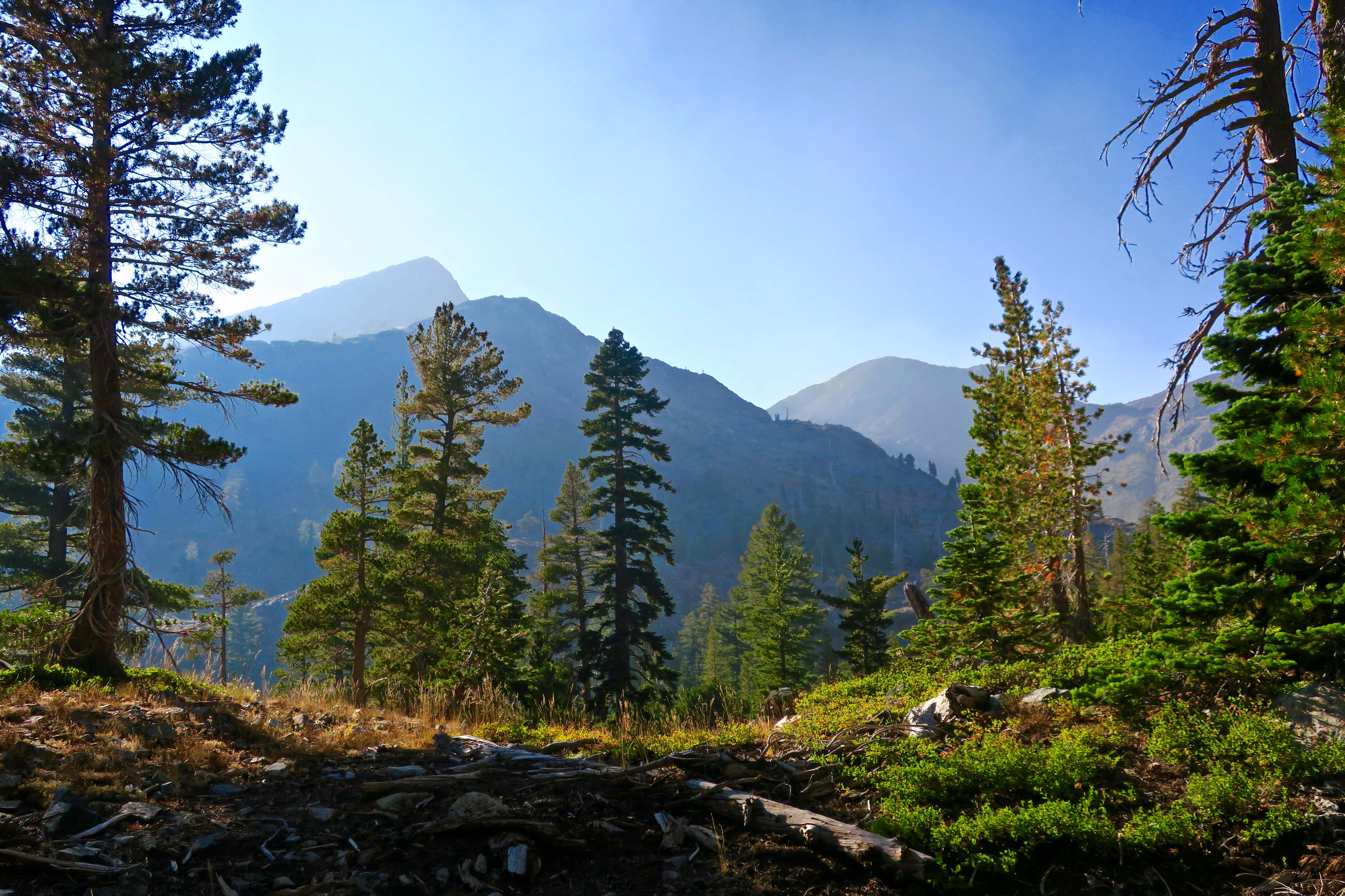
We were driven to put on our packs and scurry up the trail. Fortunately, Rockbound Valley is relatively flat and we were able to escape. Stopping was not an option as we hoofed it for the next four miles, crossing the Rubicon two more times before we begin our labored ascent up aptly named Mosquito Pass.

Life slowed down immediately as we began climbing. The blood sucking hoards caught up. Near the top, we were confronted with a different challenge, more snow. Eight hours of hot sun had turned it to mush. We spent as much time sliding as we did climbing. It was slow, hard, slogging work. And it was dangerous. Running water, partially exposed boulders and tree trunks melt snow from the ground up and create hidden cavities. More than once we plunged through up to our knees.

Ignoring the danger, Tom and I laughed our way down the other side, skiing in our boots (glissading). Control was minimal. Camp was in sight. Terri came along at a much more sedate and careful pace.

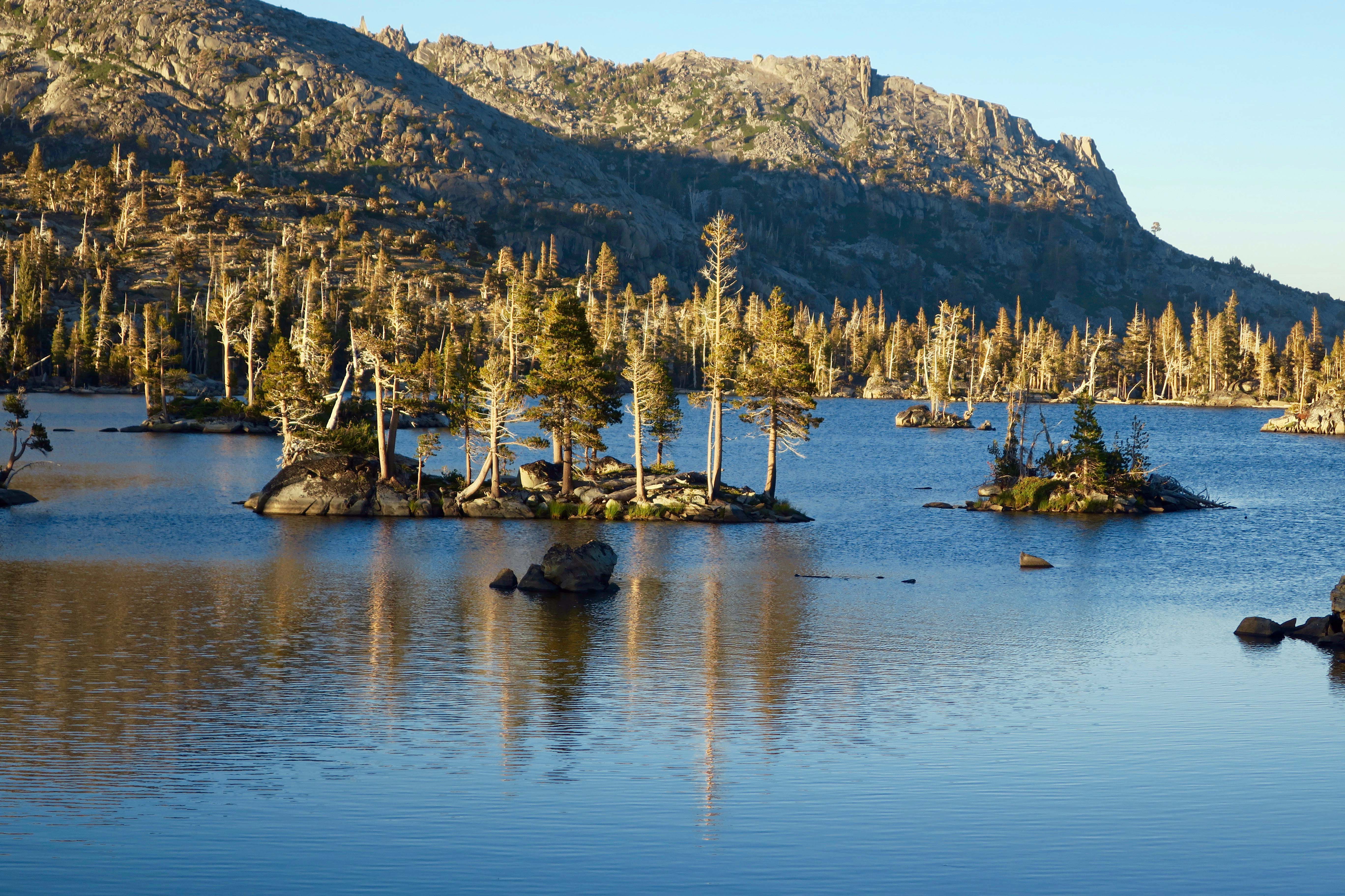
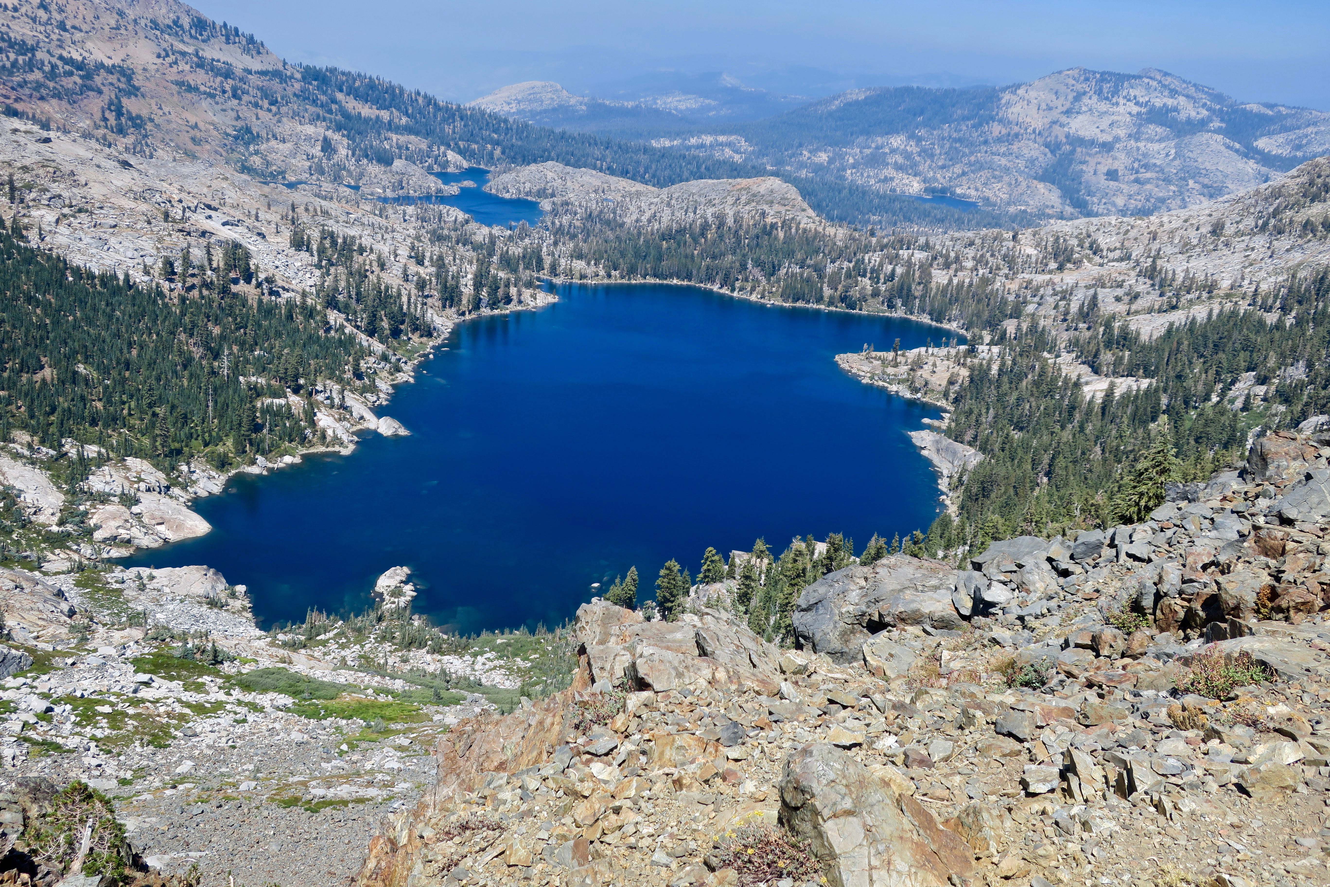
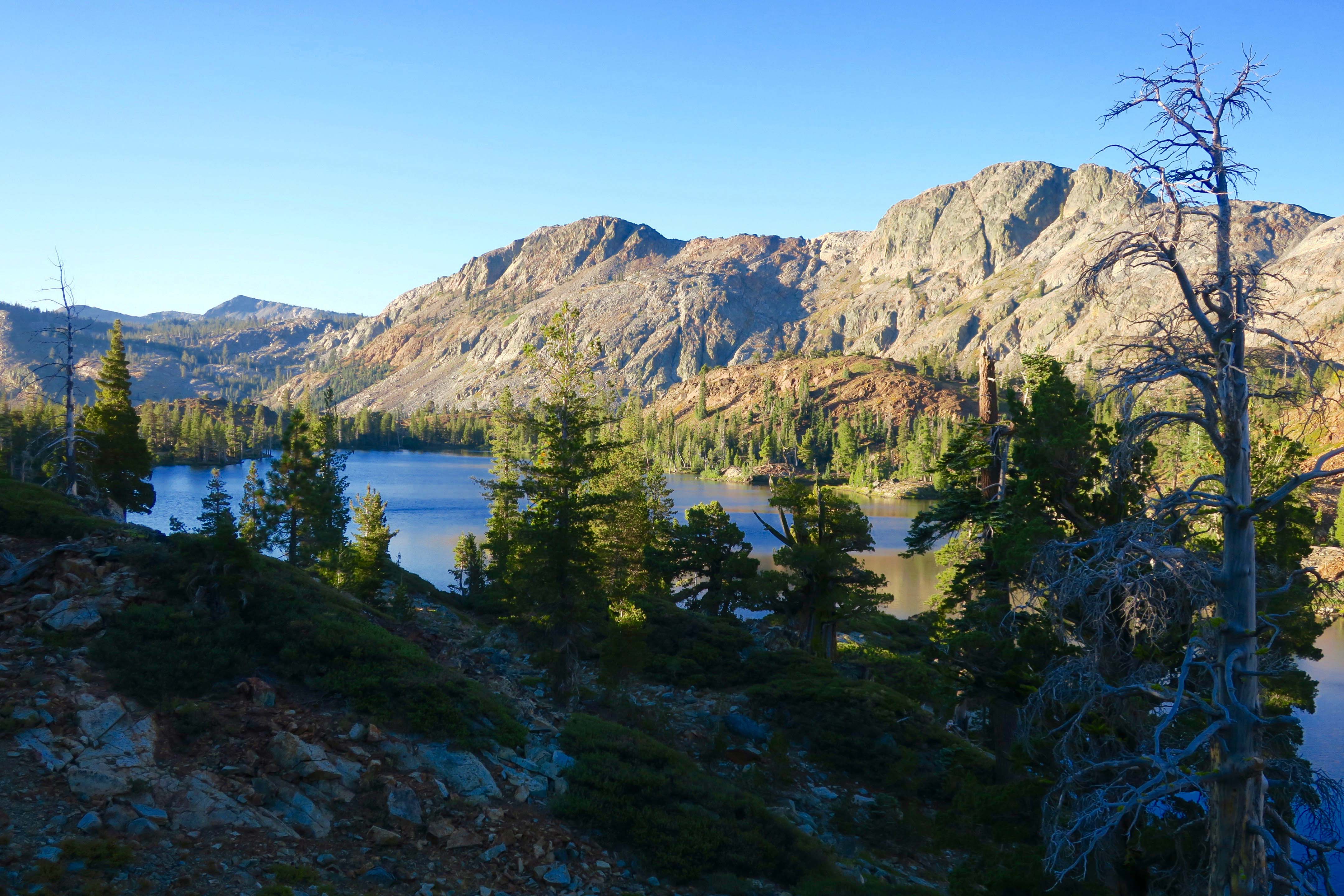
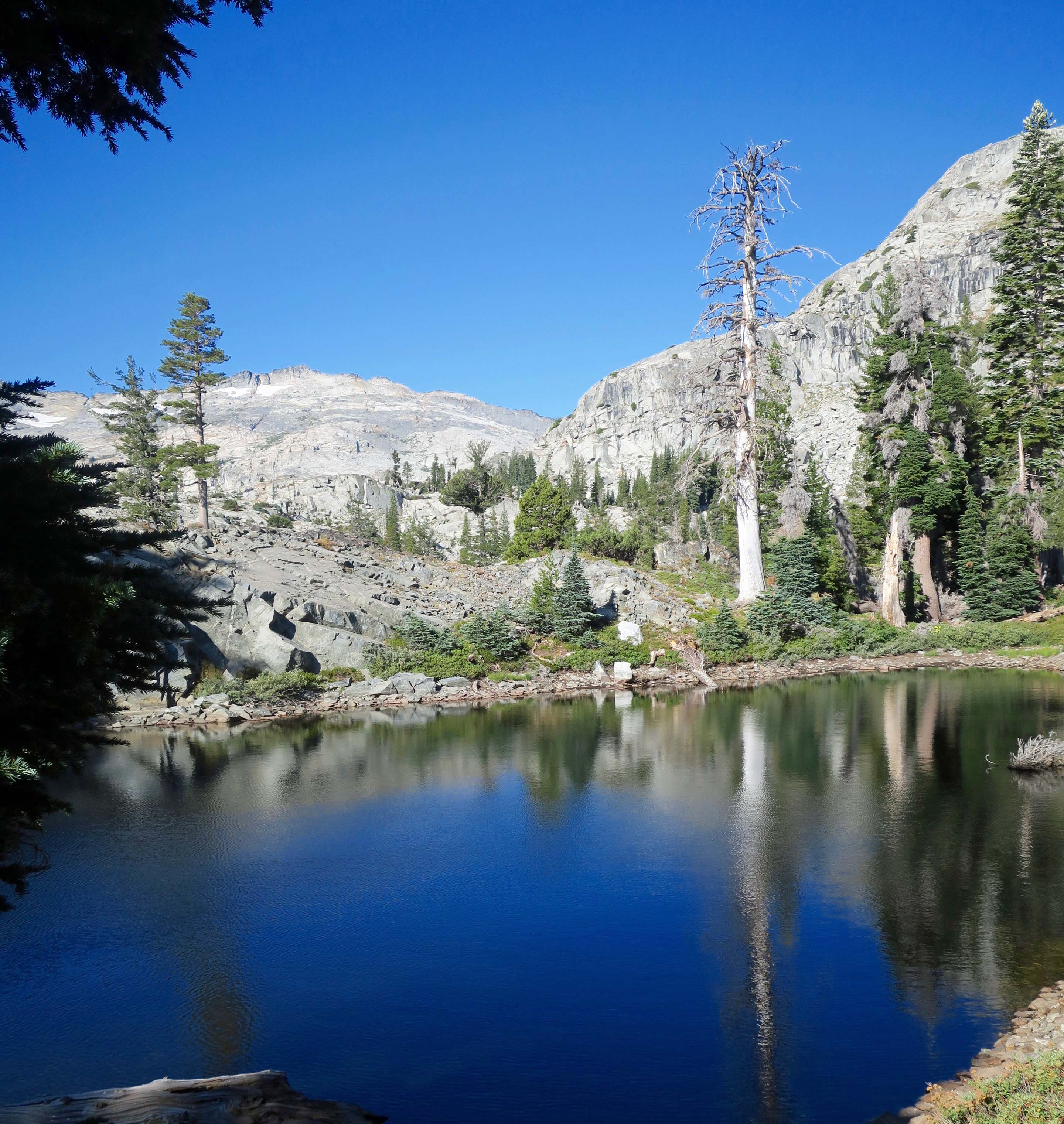
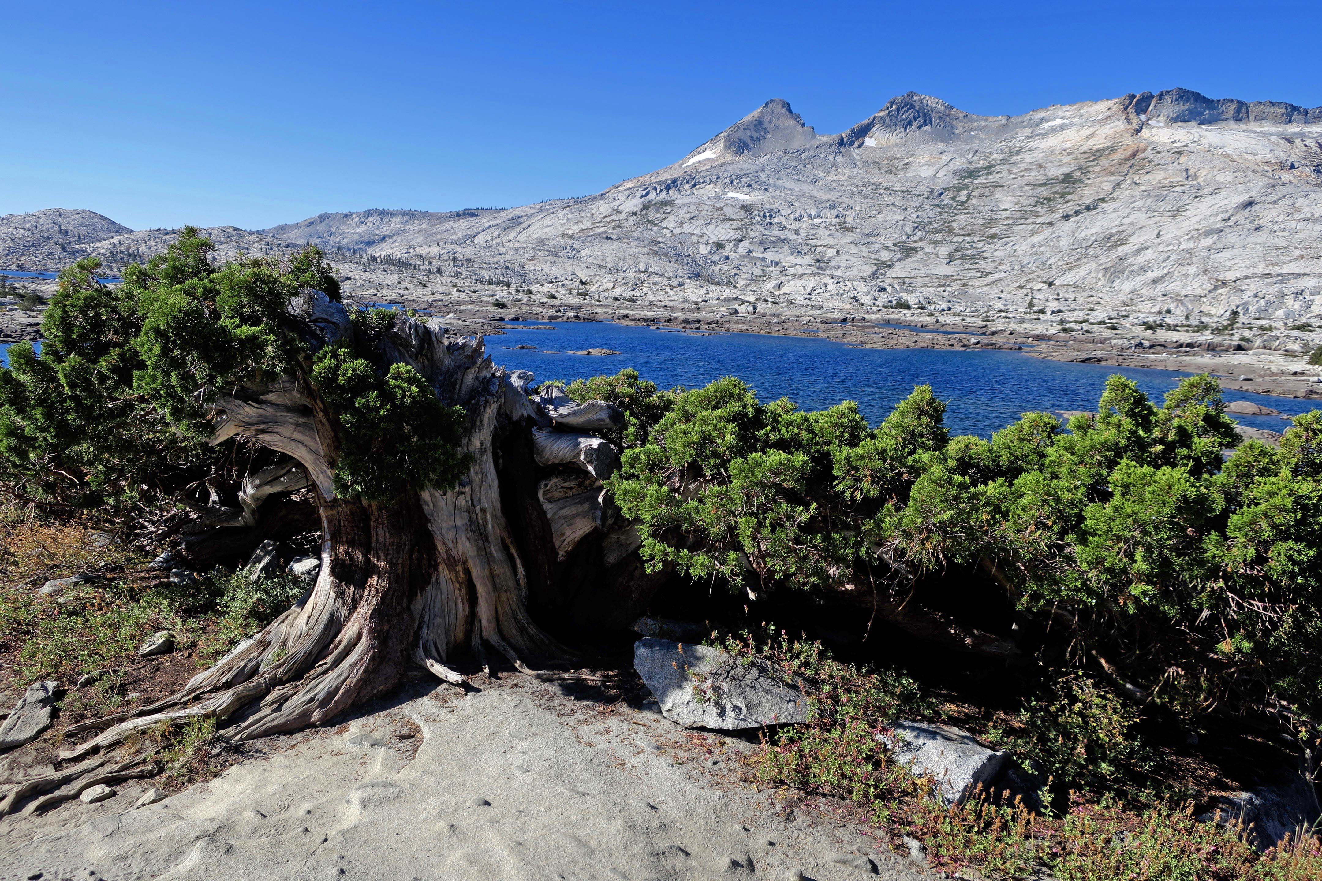
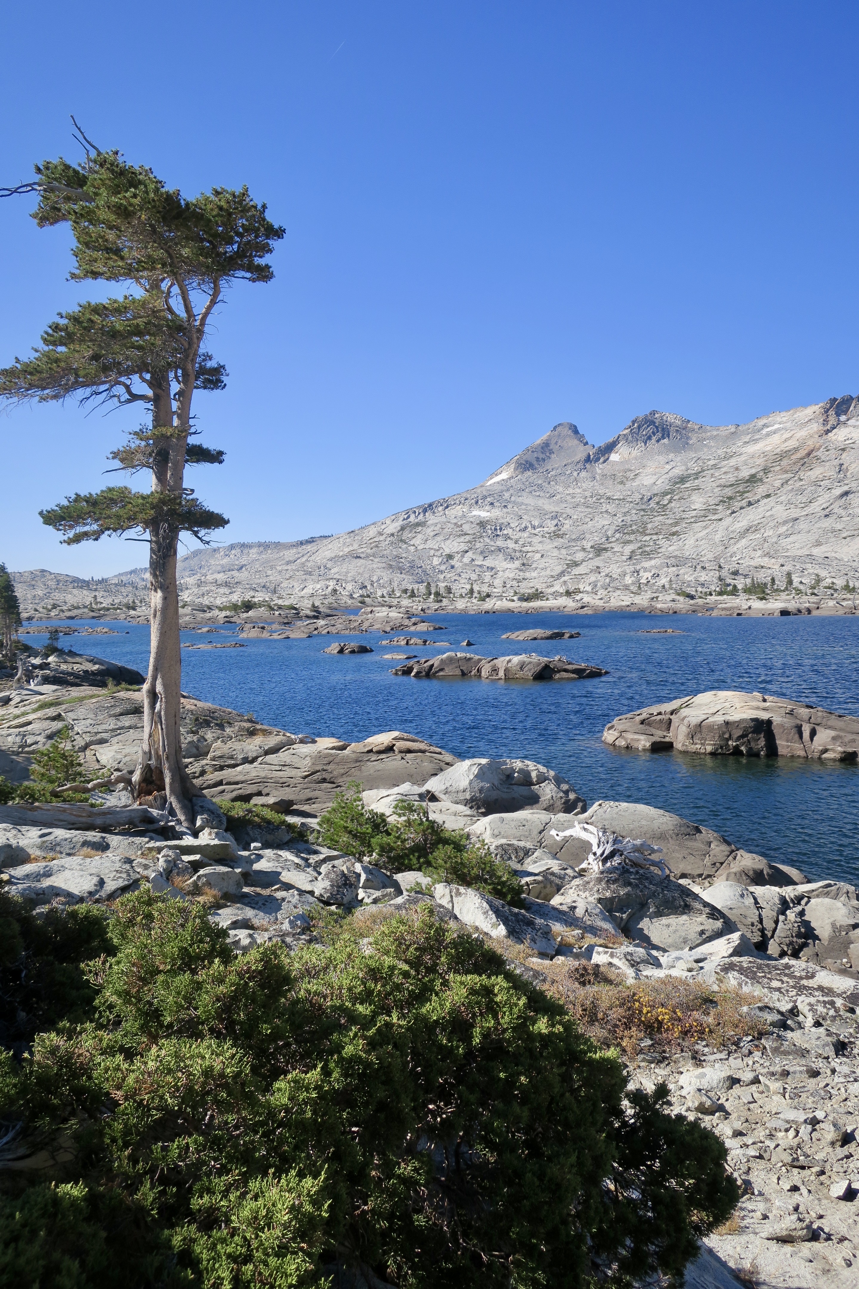
There was nothing about Lake Aloha that made me think Hawaii. It was a strange Dali-like creation with a convoluted shoreline and innumerable Rorschach type islands. What’s more, mini-icebergs decorated its surface. Bright white on top, they turned an icy blue under the water. All I could think was cold. Plowing through snow on our way around the lake to camp added freezing to my thoughts.

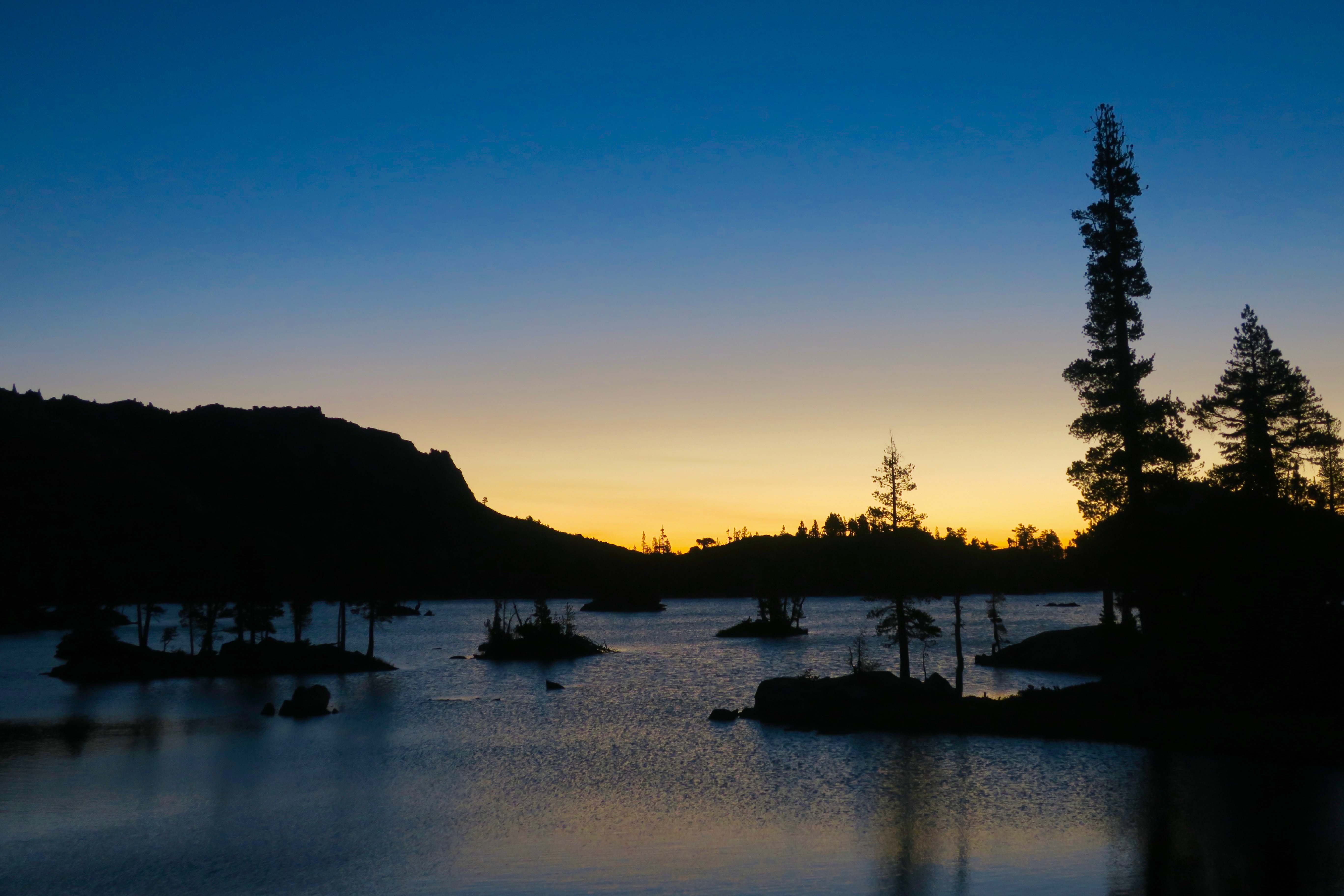
That night, we built a small campfire to fight off the chill. Terry wandered off to bed. Tom was slightly melancholy. He looked off into the distance over my shoulder.

“I was married on that peak,” he announced to the night. I turned around and stared across Lake Aloha at the towering Pyramid Peak, the centerpiece of the Crystal Range. It was bathed in moonlight.

Several years earlier, Tom had met and fallen in love with Hilde, a slight, attractive blonde who shared his love of the wilderness. They decided to get married on the mountain. Mom, wedding party and friends were invited to share their 9983 feet “I do” in the Desolation Wilderness.

A photo of Lake Aloha on my 750 mile trek on the PCT. It was in August: No snow, no icebergs. (Grin) Tom was married on the farthest peak.

The marriage didn’t last long and Tom was reluctant to talk about it. The fire burned down to glowing embers. We shared the silence in memory of lost love.

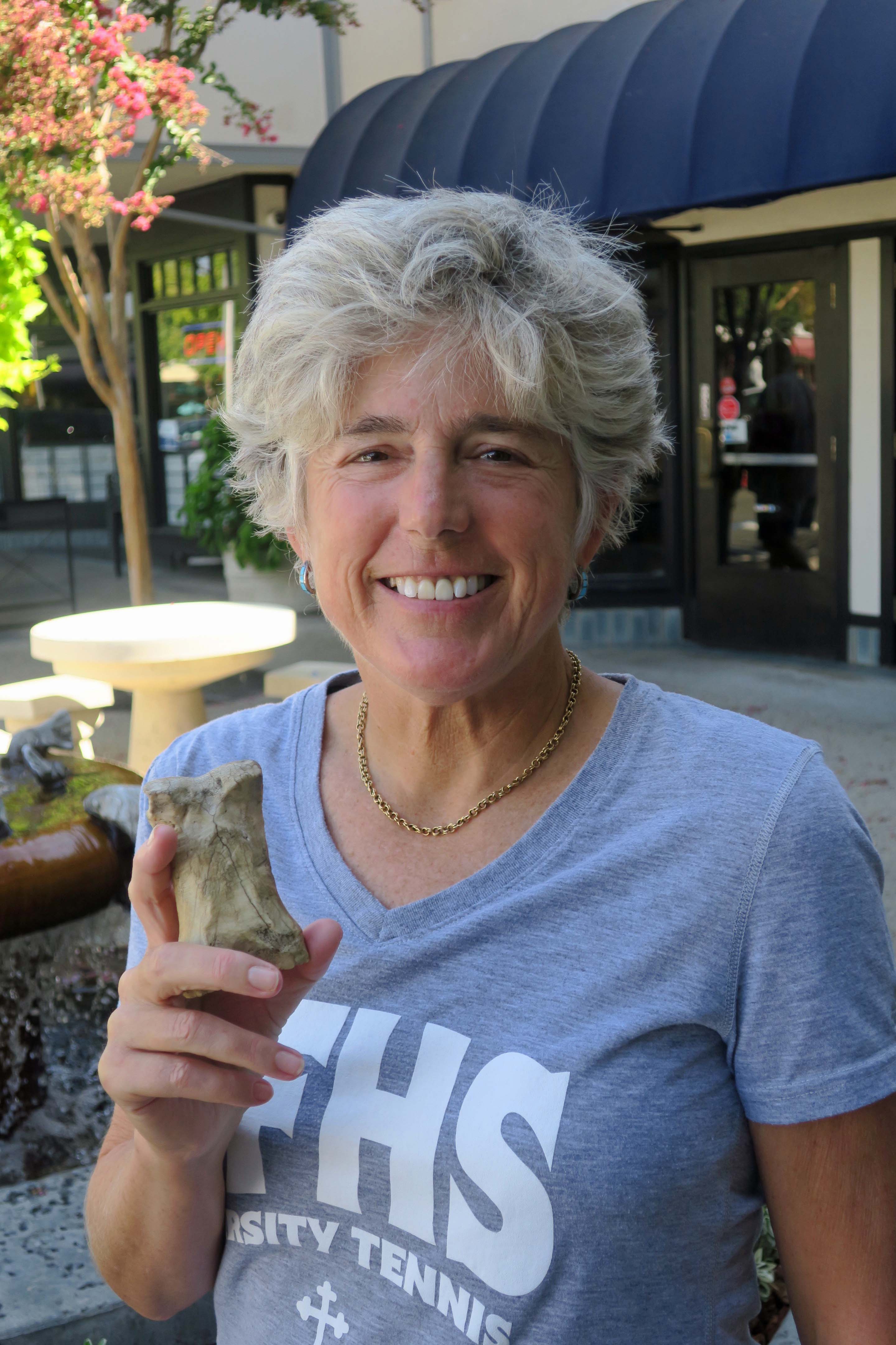
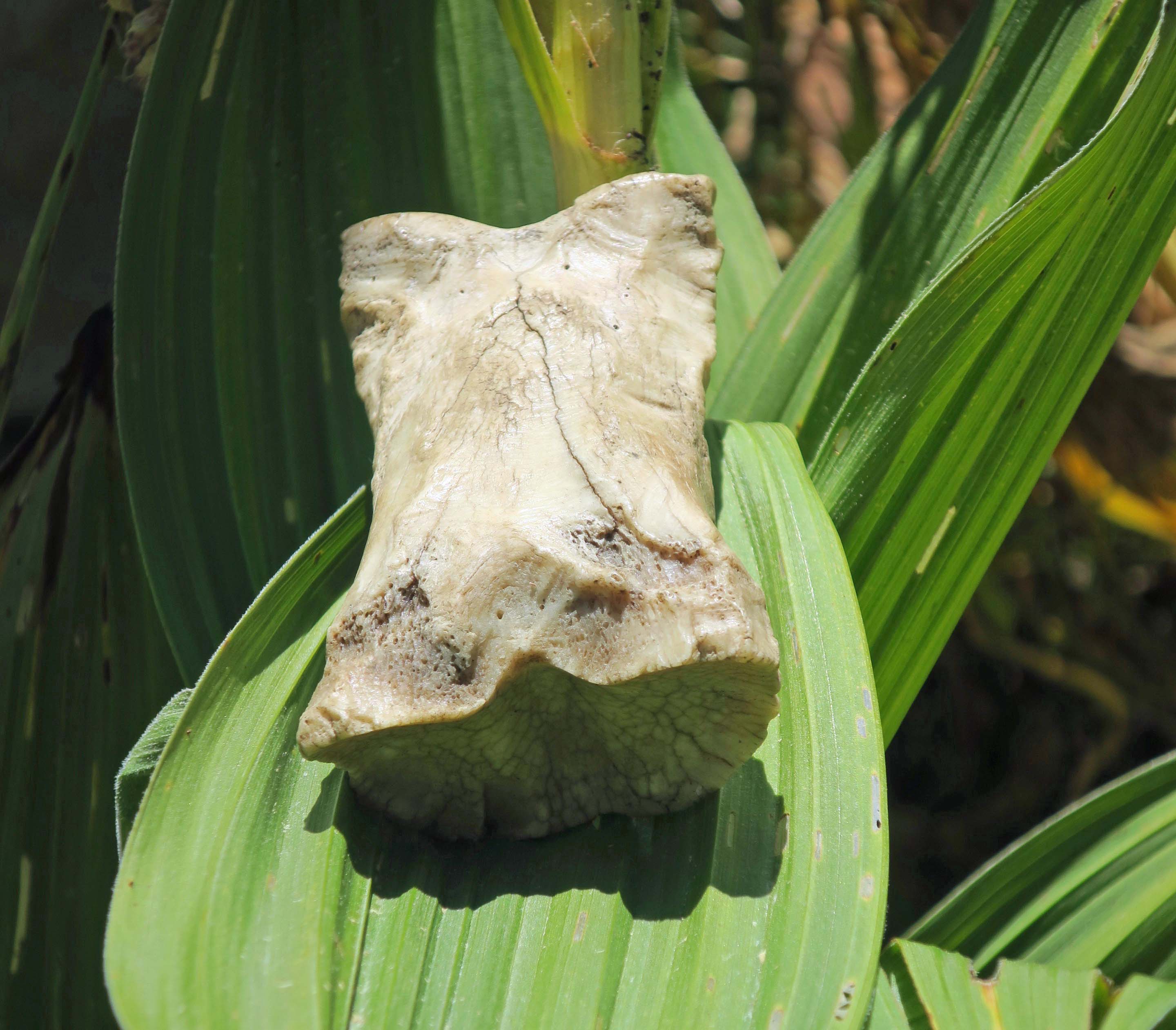
Next: Bone Is Found… but not before the naked ladies jump.

Peggy and I are now on the Greek Island of Tinos. This is a sunset view from our VRBO.

The Desolation Wilderness: Hiking on the PCT at 75

Lake Aloha is one of the Desolation Wilderness’s best known landmarks. It was lower this year than I have ever seen it, but still dramatic with its backdrop of the Sierra peaks. 

I ran my first Sierra Trek through the Desolation Wilderness in 1975. The year before, I had created a nine-day, hundred-mile backpack trip as a fundraiser for the American Lung Association in Sacramento. With high hopes of not losing anybody, I had chosen a route across the Sierra Nevada Mountains that was used for a popular horse-endurance race from Squaw Valley to the foothill town of Auburn. Known as the Tevis Cup Trail, it was well marked with yellow ribbons and horse poop.

While the route had been easy to follow, we had been faced with struggling up and down steep canyon trails in 100 degree plus weather (37.7 C) in the Sierra Nevada foothills.  I’d vowed to keep future trips higher in the mountains. My 1975 adventure had zigzagged through the Granite Chief and Desolation Wilderness areas, occasionally touching on what would become the finalized PCT.

When my plan to take my 13-year-old grandson into some of the more remote sections the Desolation Wilderness was cut short by his sprained ankle, I revised my plan and backpacked from Donner Pass to Echo Summit. I’ve already done posts on the Donner Summit through the Granite Chief Wilderness. Today’s photo essay will focus on Desolation.

The Desolation Wilderness is one of the most highly used wilderness areas in America. One reason is because of the numerous lakes. Middle Velma Lake, where I camped, is a popular destination.  Like Lake Aloha, it is filled with small islands.
A view of Middle Velma Lake early in the morning from near my campsite as the sun rose in the east.
Not long afterward, the sun was lighting up the trees that overlooked my campsite.
My morning hike took me to the top of Dick’s Pass which provided a view of Dick’s Lake. More distant views from the pass were limited by smoke from the summer’s fires.
My hike down from the pass took me by these flowers…
These berries…
A very knotty cedar…
And this view of distant mountains.
I found an isolated campsite on Susie Lake. Given the popularity of Desolation Wilderness and the lake’s proximity to a trailhead, it wasn’t easy.
The campsite also provided this view.
Hiking up to Lake Aloha the next morning, I passed by Heather Lake.
One of my first views of Lake Aloha. I once organized a 60 mile cross-country ski trek that included skiing across the lake. That night we had played on the mountains across the lake while skiing under a full moon. The mountain on the far left is Pyramid Peak.
This driftwood had washed up on the shore of Pyramid Lake.
A closer view of Pyramid Peak across Lake Aloha.
Coming out at Echo Lake. (Photo by Peggy Mekemson.)
Being greeted by Desolation Wilderness volunteers Maryann Frantz and Charlene Clark.

As most of you are aware, the world famous traveling Bone has been ‘hiking’ with me on this journey. (He rides comfortably in a pouch and urges me to hike faster when I am making my way up steep mountains.) After coming out at Echo Lake, Peggy joined me on a day hike to take Bone back to his origin where my friend Tom Lovering and I found him south of Highway 50 in 1977 beside what is now the PCT. He has been traveling the world ever since.

Tom and I with Bone outside of the Fox and Goose Restaurant in Sacramento. Tom once owned an outdoor/wilderness store that was located in the same building. The goose seems quite interested in Bone.
Over the years, numerous people have carried Bone including Mary Johnson who has taken Bone to the top of Mt. Kilimanjaro to the base of Mt. Everest. She also took Bone on an elephant ride.
Many others have simply befriended Bone like Linda and Bob Bray. Bob actually went to First Grade with me and continued on for another 14 years through community college.
Bone was excited to be returning to his home and posed on a PCT sign. “I am going back to my roots” he proudly proclaimed to anyone who would listen.
Including this group of backpackers from Sacramento and San Francisco.
Indisputable proof that Bone has roots.
Always up for adventure, Bone went toadstool surfing on our way to where Tom and I found him.
Snow still covered sections of the trail in 1977. I was following tree blazes when I spotted something strange in a field of young corn lilies. It turned out to be Bone. 
Forty generations of corn lilies have come and gone since and this year’s crop had already grown up. Bone figured they would be good for sunbathing.
We completed our trip to Bone’s home with him regaling Peggy with tales from his childhood.

NEXT POST: Lyla the Dog… NEXT BACKPACKING POST: The trail between Castle Crags State Park and Burney Falls.

Tom Flunks Map Reading 101… A Tale on How Bone Was Found: Part 2

This is the second of a series of Blogs on how the Peripatetic Bone was found in the Sierra Nevada Mountains. I will respond to comments when I return from Burning Man.

I awoke with a Mountain Jay screeching at me from the safety of his perch in a Lodgepole Pine. A faint light announced the morning, but the sun still hid behind the mountains on the east side of Lake Tahoe. It was frosty cold and I burrowed into my bag, pretending for a few more moments that I didn’t have to get up. Nature drove me out.

I could ignore the faint light, I could ignore the Jay and I could even ignore the stirrings of my companions but I couldn’t ignore my insistent bladder. Among muttered good mornings I wandered off into the woods and peed on a willow near where I had seen a coyote the evening before. I was marking my territory.

Back in camp Tom had his stove going. Lynn smiled at me. She, too, was a tall, good-looking woman. Terry had yet to emerge from her cocoon and April had replaced me out in the woods.

I heard a kersplash in Stony Ridge Lake and turned to watch as ripples spread out and announced a trout had snatched its buggy breakfast. Briefly I regretted that I had left my fishing pole at home. The sun was now bathing the peaks above us in gentle light; ever so slowly it worked its way down the mountain.

Instant coffee, instant oatmeal and a handful of dried fruit made up breakfast. All too soon it was time to pack my gear and urge my still stiff muscles up the trail.

The troops were in high spirits. The sheer beauty of Desolation Wilderness demanded it. Our backpacking day would take us up to Phipps Pass, down in to the Velma Lakes, across to the Rubicon River, up Rockbound Valley, over Mosquito Pass and end at Lake Aloha, some 13 miles from Stony Ridge Lake. We took a few minutes to make sure our camp was clean.

Almost immediately we began to climb. Flashes of blue lupine, multi-colored columbine and cheerful monkey flowers eased our way along the switch back trail. My pace of travel provided ample opportunity for appreciation. I caught a brief smell of mint at one point and wild onion at another.

We passed by two more small lakes and began our ascent of Phipps Pass. By this point I had moved in to granny gear and could hear my heart pounding in its cage, wanting to escape. Each step was a test of will. I kept moving. I had long since learned that the difficulty of starting outweighed the benefits of stopping. One step at a time I reached the top. A spectacular view rewarded my effort.

Peaks still buried under snow stretched off into the distance. The Sierra is a baby mountain range, the child of plate tectonics. Once, ancient seas covered the area. Volcanic activities left behind vast pools of subterranean granite. Crashing continental and oceanic plates lifted the granite into spectacular fault-block mountains, steep on the east and gentler on the west. The Ice Age brought glaciers that carved peaks, scooped out basins and left behind rocky moraines.

We stopped to catch our breath and enjoy the view.  Soon we would begin our descent toward the Velma Lakes but first we worked our way around Phipps Peak. A series of lakes came into view. Tom and I immediately began to debate which was which.

“And you expect us to depend on your trail finding skills?” Lynn asked. Tom whipped out his topographic map.

“See,” he said decidedly, allowing a note of triumph to enter his voice. While we were the best of friends, this didn’t eliminate an element of alpha male competition between us. He, after all, was the owner of an outdoor-wilderness store, and I, after all, was the leader of wilderness treks. I glanced at his map and an impish grin filled my face.

“Your map is upside down, Tom.” Oops.

We did agree that my decision to detour from the Tahoe-Yosemite Trail and go through Rockbound Valley was a good one. Heavy snow still covered the northern and eastern side of the mountains. It was unlikely to melt by the time of the Trek.

The Trekkers would have enough challenge backpacking 13 miles on their second day out. They didn’t need to slog through five miles of snow while muttering unprintable thoughts about me.

We started our descent into the Velmas carefully. It is hard not to think, “Oh boy, down hill!” after a hard climb. But going down is much tougher on your body than climbing. Stepping down is a form of free fall. Velocity and weight are focused on the joints of your legs and feet. Adding a 40-50 pound pack increases the problem.

It is easy to twist a knee or sprain an ankle, especially at the beginning of the season. And that was what happened. By the time we reached Middle Velma, April was limping.

“I stepped on a loose rock and slipped,” she explained in obvious pain.

While April soaked her foot in the cold lake water and broke out an Ace Bandage, Tom and I mulled over whether to go on or hike out. We arrived at a compromise. Lynn would hike out with April to Emerald Bay and the two of them would stay at a motel. They would rejoin Tom, Terry and me at Echo Lake some 18 miles down the trail.

Next: Raging rivers, kamikaze mosquitoes and marriage on a mountain