Peggy and I are off journeying through Greece, Scotland and Ireland over the next several weeks, so there won’t be much time for blogging. I’ve decided to republish some of my favorite posts from the past 15 years that will eventually make it into the book I am blogging: UT-OH!.
I was working in Alaska in 1986 when I decided to give myself a present for my 43rd Birthday, a six-month escape to the wilderness. I resigned my job, said my goodbyes, sold or gave away anything that wouldn’t fit in the bed my Ford Ranger, and dashed down the Alaska Highway to California. I stopped in Sacramento just long enough to turn down two job offers, see my dad, and visit with friends before zipping off to the Grand Canyon for a backpacking trip.

My first day at the Canyon was devoted to preparing for my hike into the Canyon. Seventeen years of backpacking in all kinds of terrain and climate had taught me that there was no such thing as being too careful. I approach compulsive when it comes to backpacking alone. Had I resupplied my first aid kit? Was my stove still working? Did I have adequate fuel? Did I have my flashlight, signaling mirror, whistle, compass and maps? Did I have enough but not too much food, water, clothes, reading material, etc. etc. etc?
Safety, comfort and even entertainment are important but weight is always an issue.
Having satisfied myself that I could survive seven to nine days in the Canyon, I headed off to the backcountry permit office. The more environmentally inclined within the Park Service are seriously into minimizing impact and promoting safety. Requiring wilderness use permits is their primary tool in achieving these goals.
I patiently waited behind six other would-be canyon explorers and had memorized the minimum impact lecture by the time my turn was up. The ranger frowned when I mentioned the Tanner Trail.
“The trail is poorly maintained, rarely used, 10-12 miles long and arduous, and may be washed out in places” she cautioned strongly.
“And that,” I replied, “is exactly what I want.” I was especially enamored with the ‘rarely used’ part. I had no desire to share my experience with dozens of other people, much less armies of cantankerous mules that leave lakes of fowl smelling pee on the trail. If I had to face a particularly tough physical challenge and be extra careful to avoid a tumble into the Canyon, it was a price I was happily willing to pay.
At 8:30 the next morning my pudgy, pasty white body was having an animated discussion with my mind over the wisdom of my decision. I had started my day by splurging for breakfast at the elegant El Tovar Hotel and then driven out to Lipan Point.
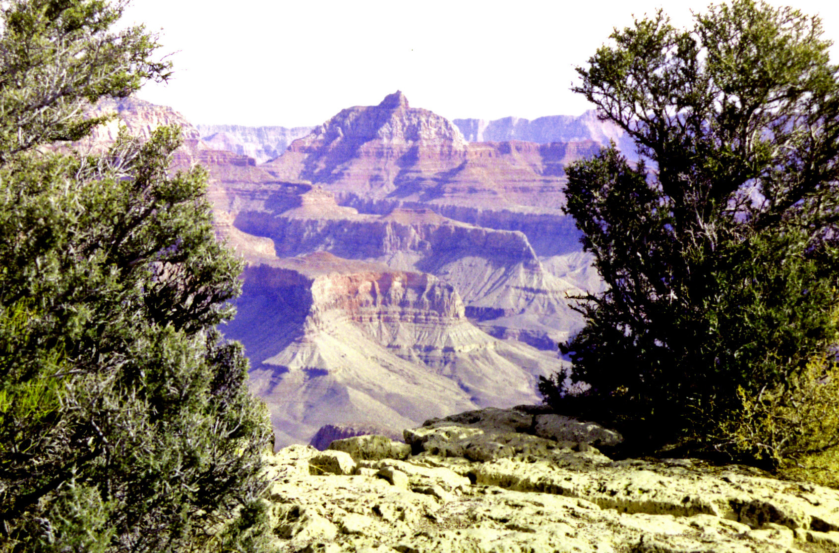
I was now poised to begin my descent into the Canyon. It looked like a long way down. I gritted my teeth and banned any insidious second thoughts.
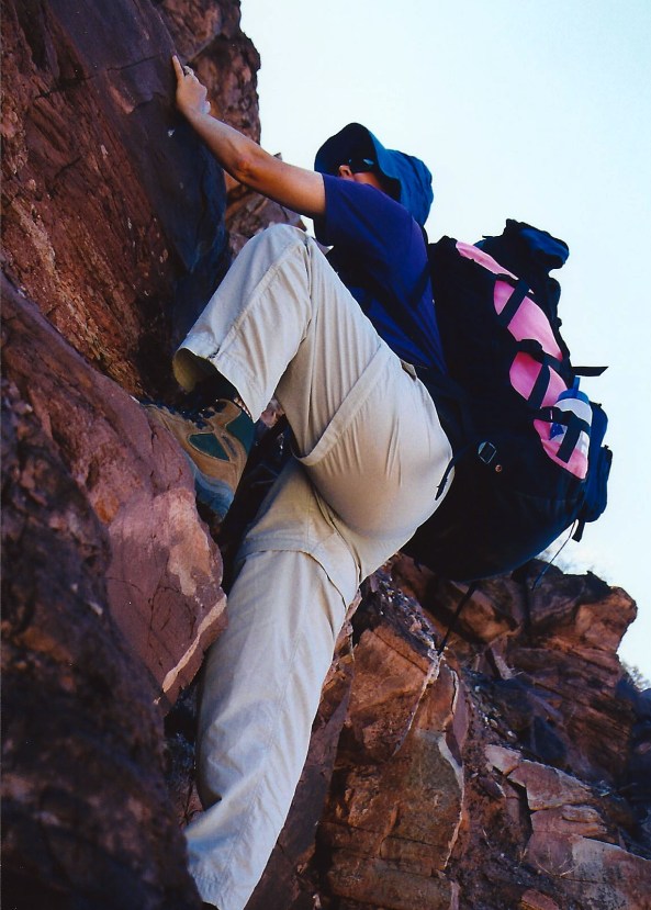
They came rushing back as I struggled to hoist my 60 plus pound pack. It was filled with seven days of food, extra water and all of my equipment. I had cursed the day before as I struggled to find room for everything. Now I was cursing I hadn’t left half of it behind.
The steep trail seemed to disappear under my feet as I began my journey and descended through millions of years of earth history. About a half of mile down it disappeared for real, having been washed away by winter rains. “I told you so,” my body whispered loudly as I mentally and physically hugged the side of the canyon and tentatively made my way around the washout.
I am not sure when my legs started shaking. Given the stair-step nature of the trail and the extra weight of the pack, my downhill muscles weren’t having a lot of fun. Fortunately, Mother Nature provided a reprieve.
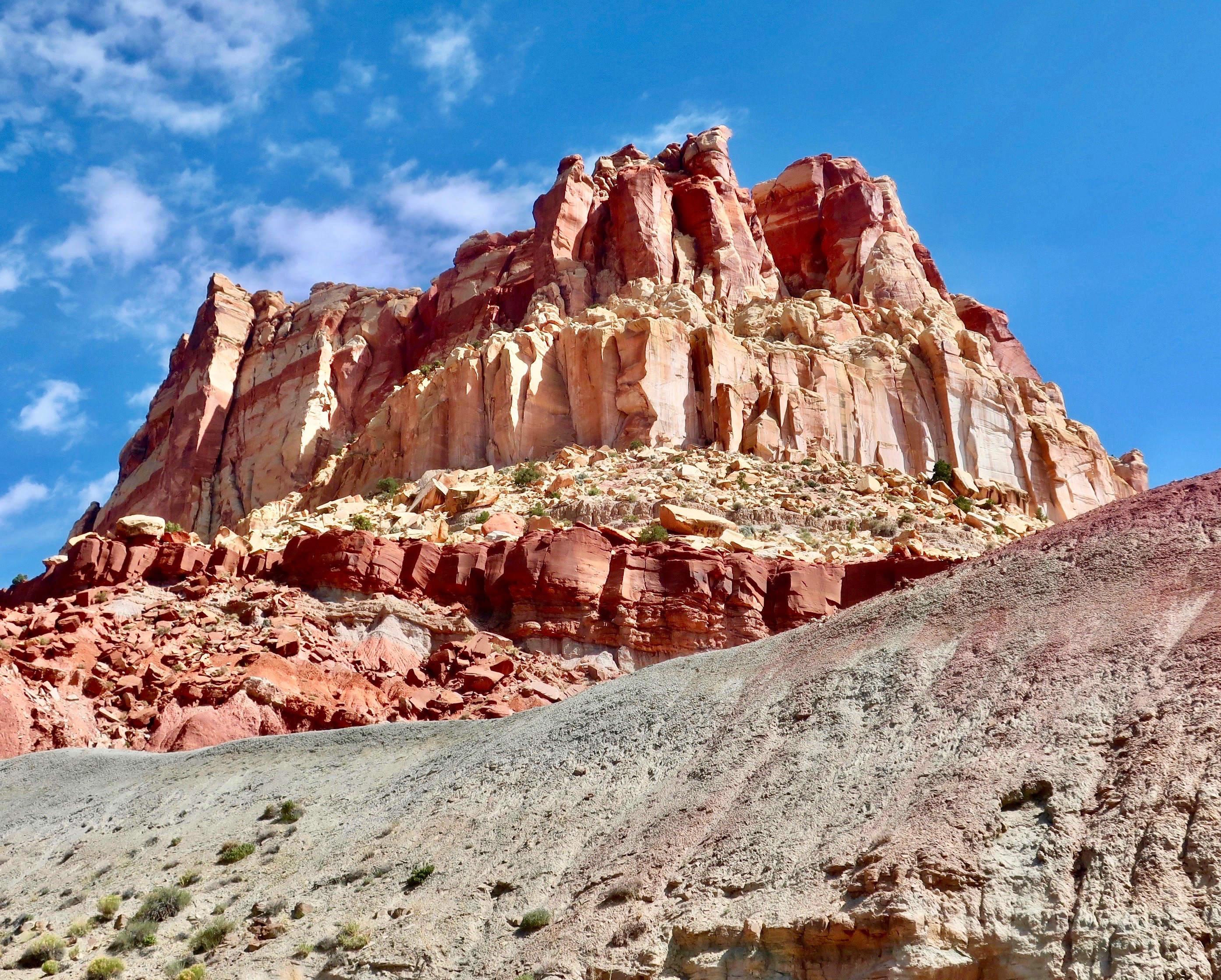
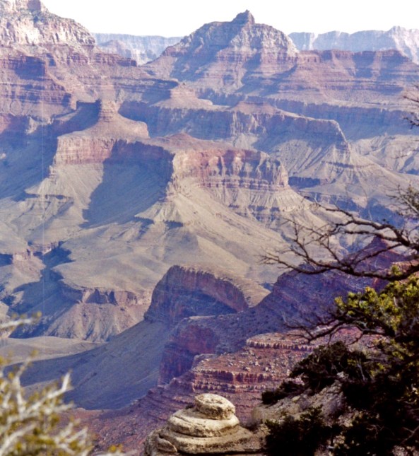
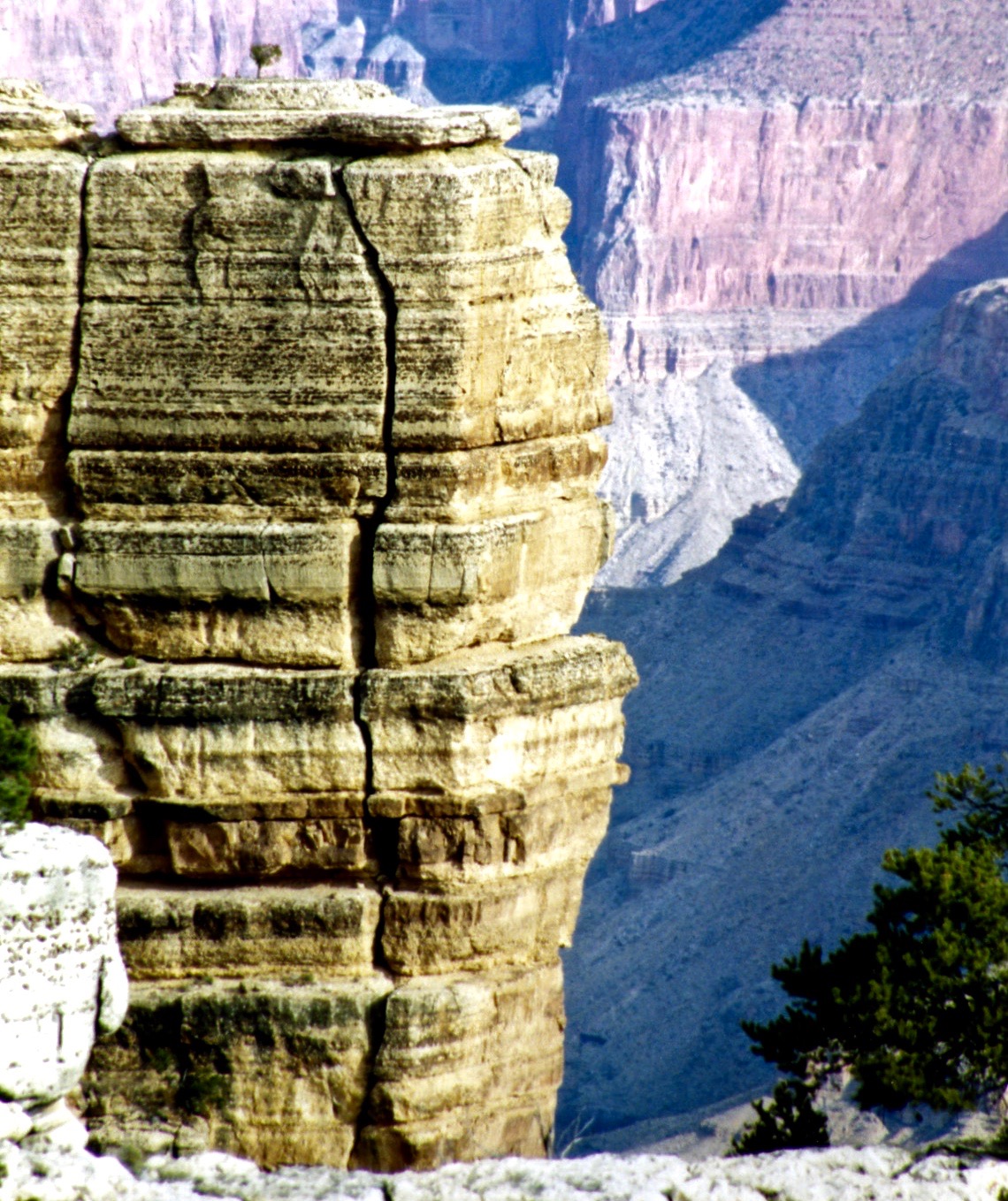
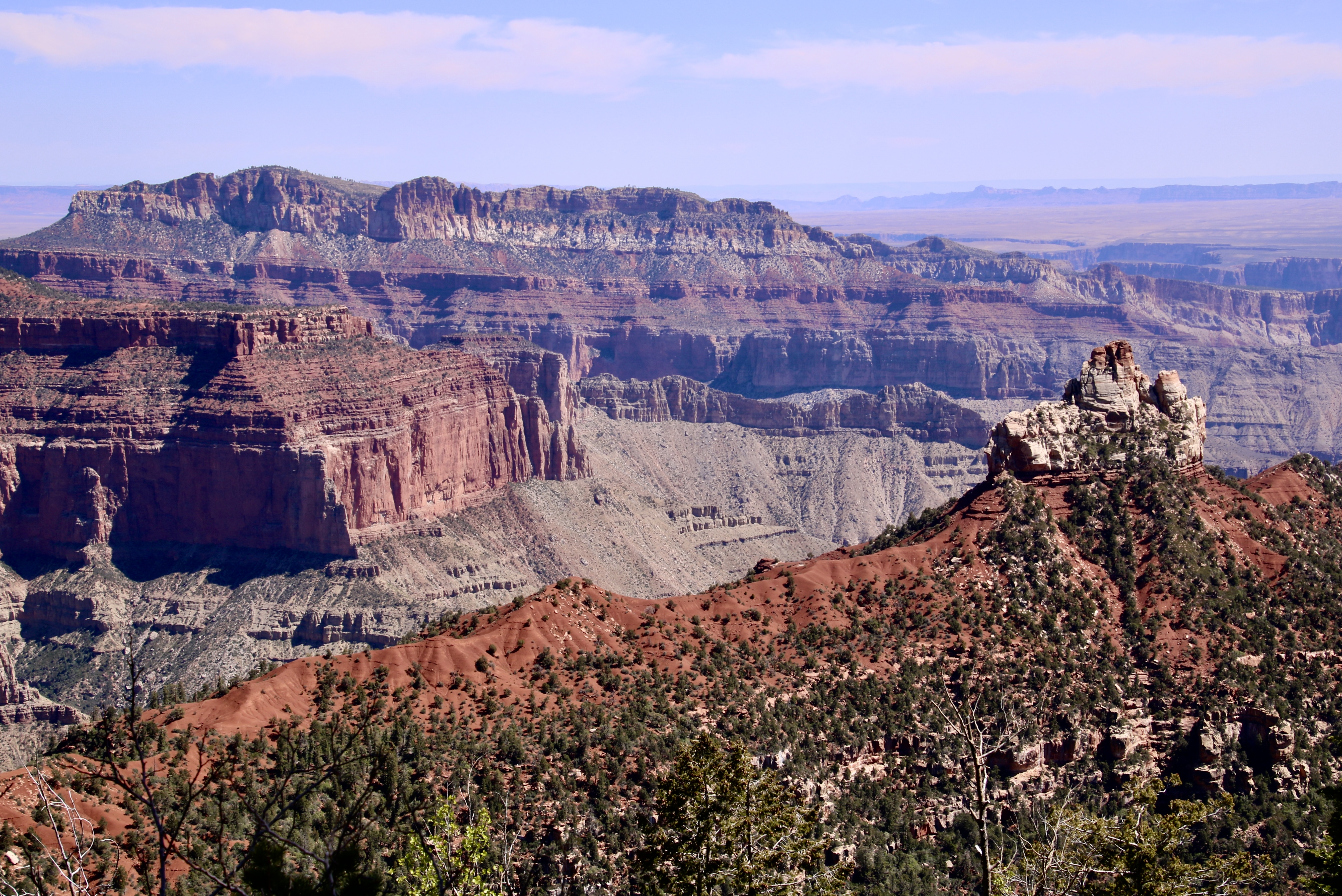
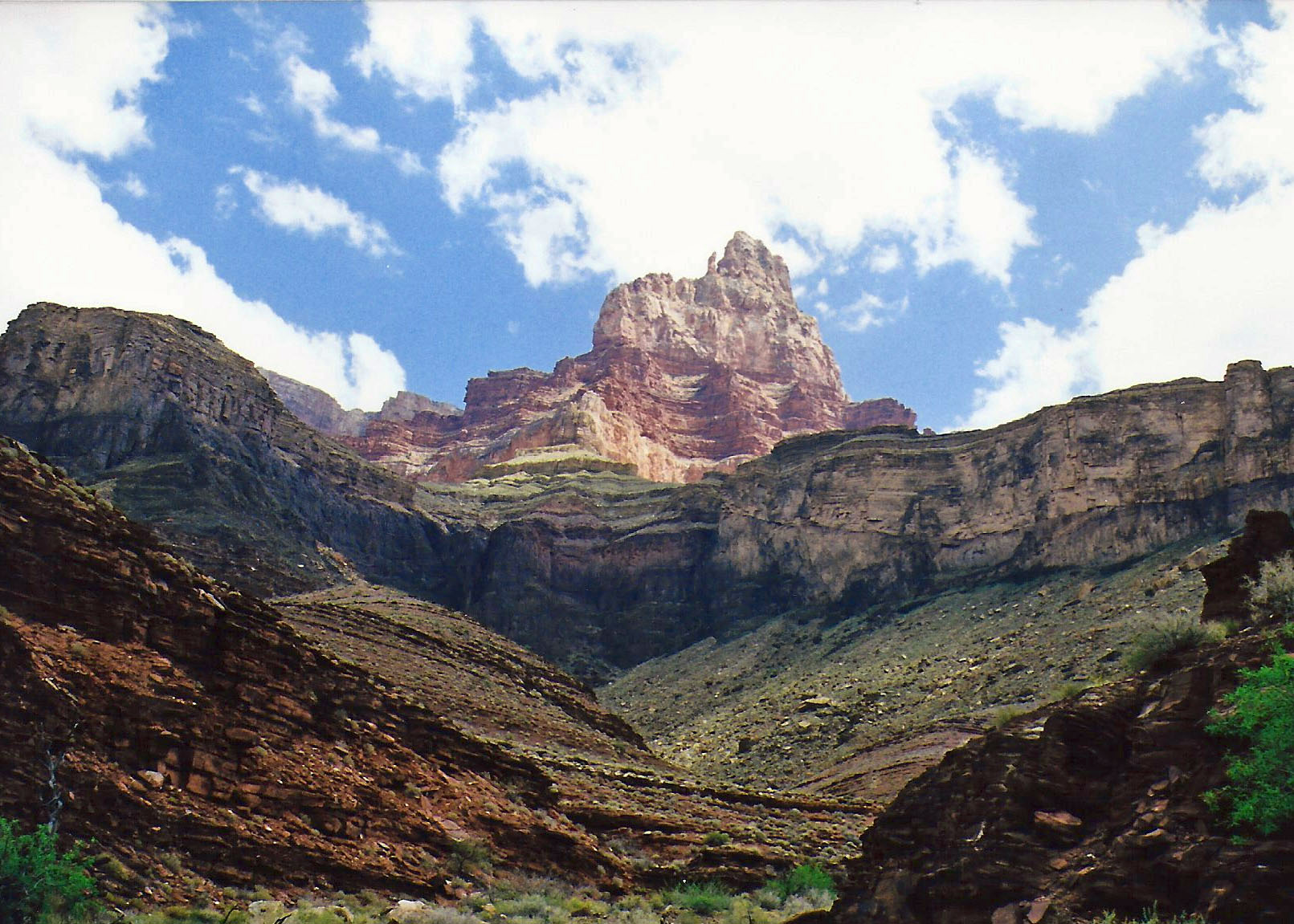
The erosive forces of wind and water that have sculpted the mesas and canyon lands of the Southwest are more challenged by some types of rocks than others. Somewhere between two and three miles down I came upon the gentle lower slopes of the Escalante and Cardenas Buttes, which allowed me to lollygag along and enjoy the scenery.
I escaped from the sun beneath the shadow of a large rock to drink some of my precious water, nibble on trail food and take a brief nap. It would have made a good place to camp, others had obviously taken advantage of shade and flat surface, but the Colorado River was calling.
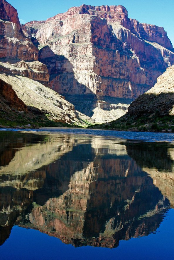
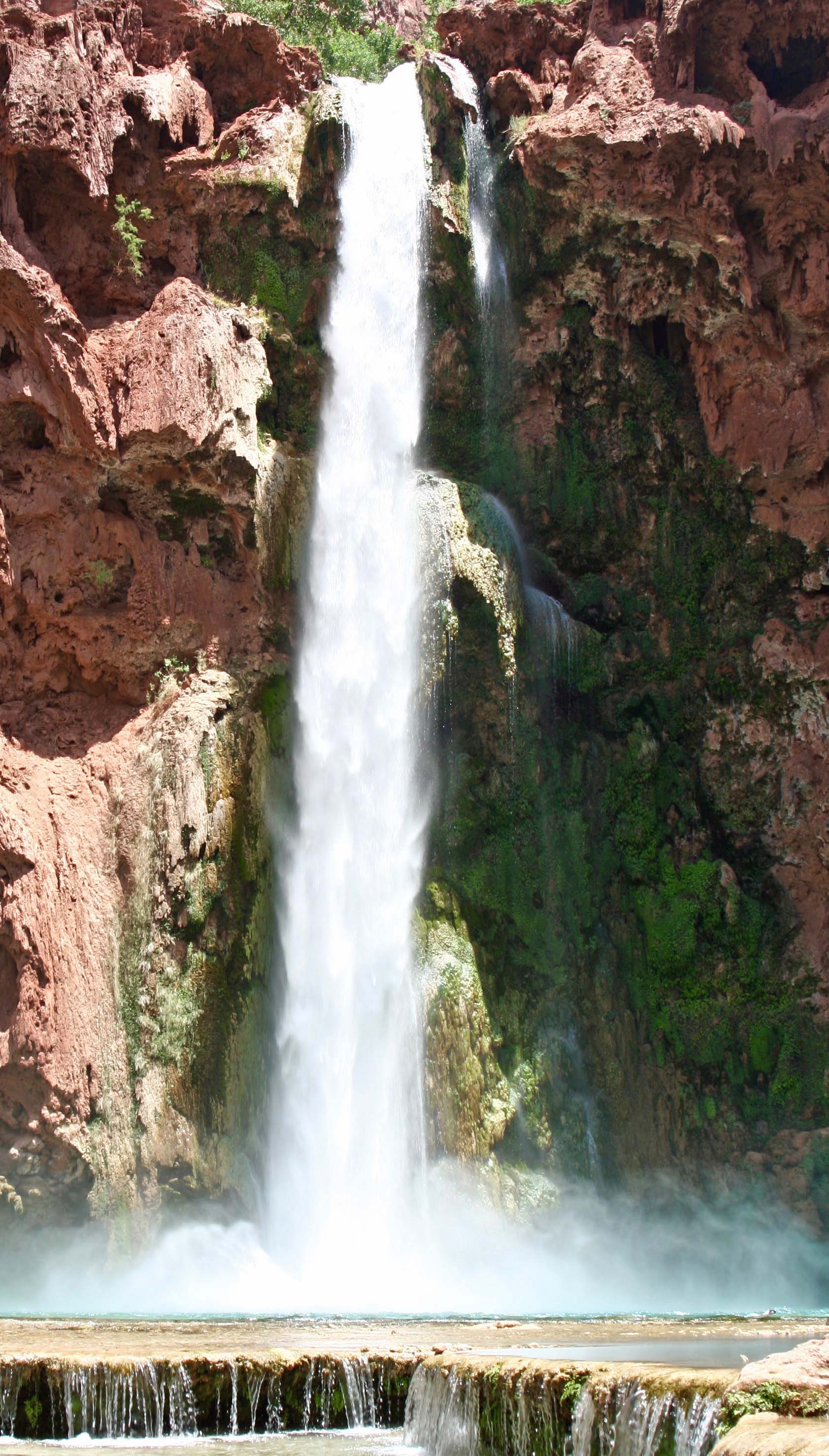
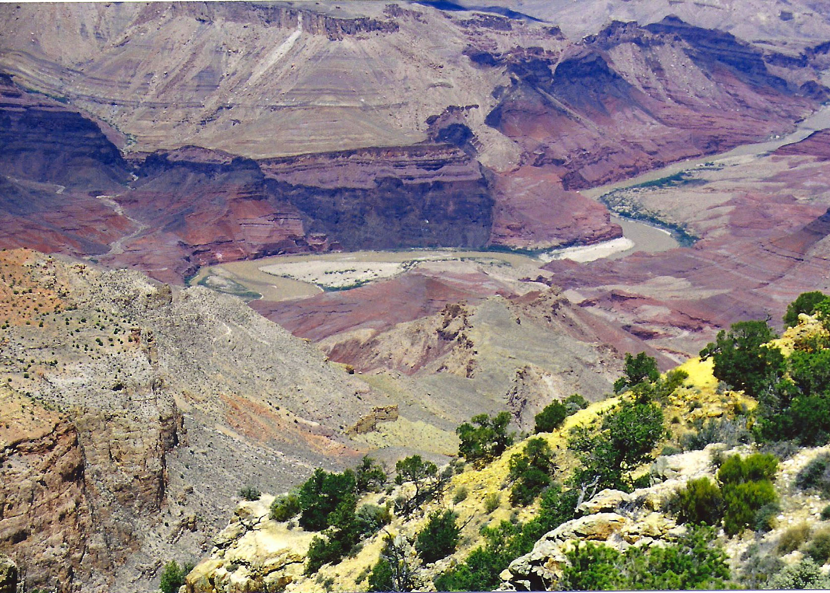
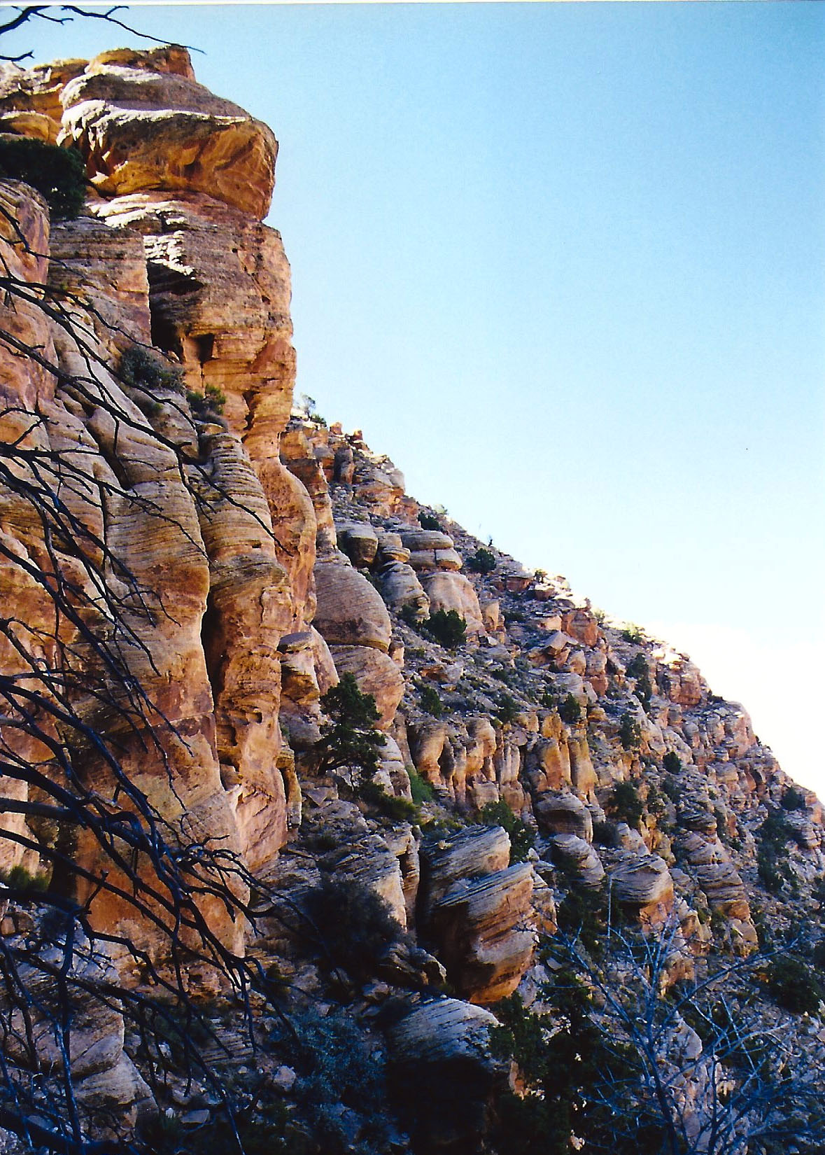
Ignoring the ever-increasing screams of my disgruntled body parts, I headed on. At mile five or so my idyllic stroll came to a dramatic halt as the trail dropped out of sight down what is known as the Red Wall. (It received this imaginative name because it is red and looks like a wall. The red comes from iron dissolved in water that runs down from the rocks above. Think rust.) Some fifty million years, or 625,000 Curtis life spans, shallow seas had patiently worked to deposit the lime that makes up its 500-foot sheer cliff. It is one of the most distinctive features of the Grand Canyon.
My trail guide recommended I store water before heading down so I could retrieve it when I was dying of thirst on the way out. I could see where people had scratched out exposed campsites as a place to stop for the night. The accommodations weren’t much but the view was spectacular.
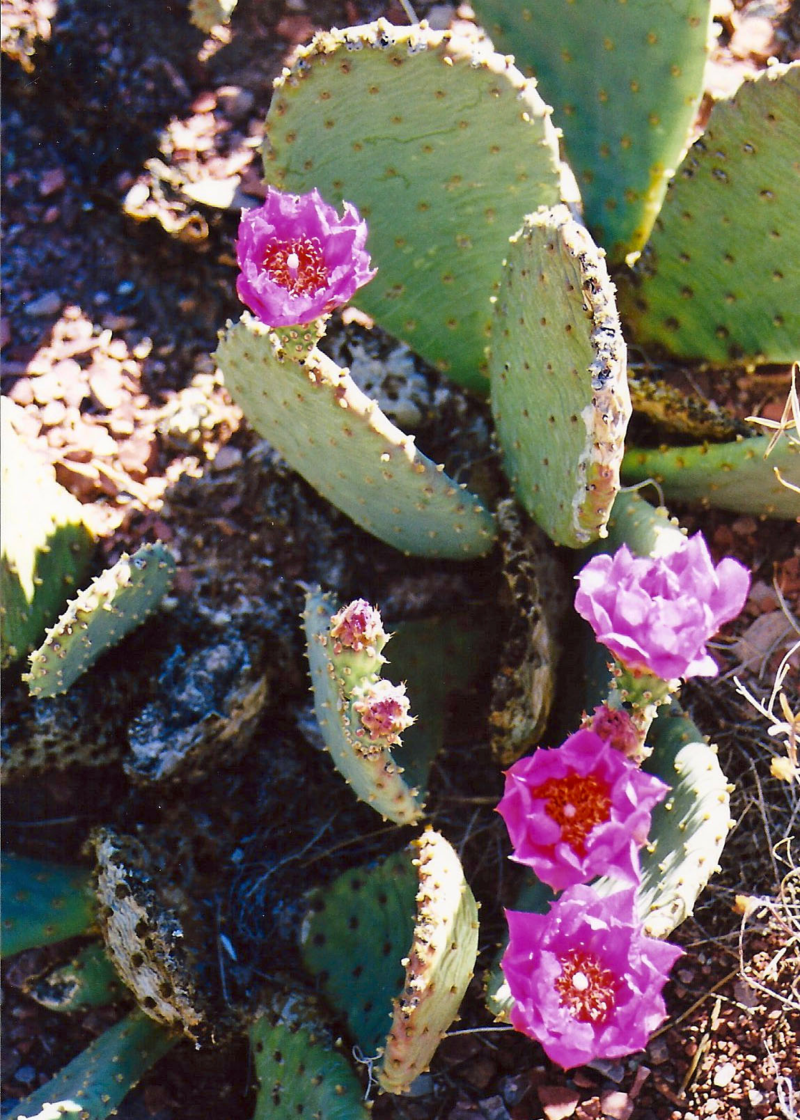
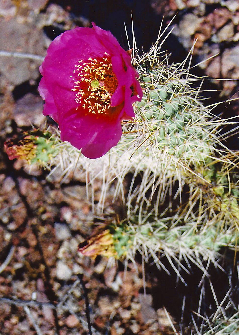
The rest of the five-mile/five month journey was something of a blur. (It was closer to five hours but time was moving very slowly.) I do remember a blooming prickly pear cactus. I grumbled at it for looking so cheerful.
I also remember a long, gravelly slope toward the bottom. My downhill muscles had totally given out and the only way I could get down was to sidestep. I cackled insanely when I finally reached the bottom.
Setting up camp that night was simple. I threw out my ground cloth, Thermarest mattress, and sleeping bag on a sandy beach. Then I stumbled down to the river’s edge and retrieved a bucket of reddish-brown Colorado River water, which appeared to be two parts liquid and one part mud. I should have waited for the mud to settle. Instead I used up a year of my water filter’s life to provide a quart of potable water.

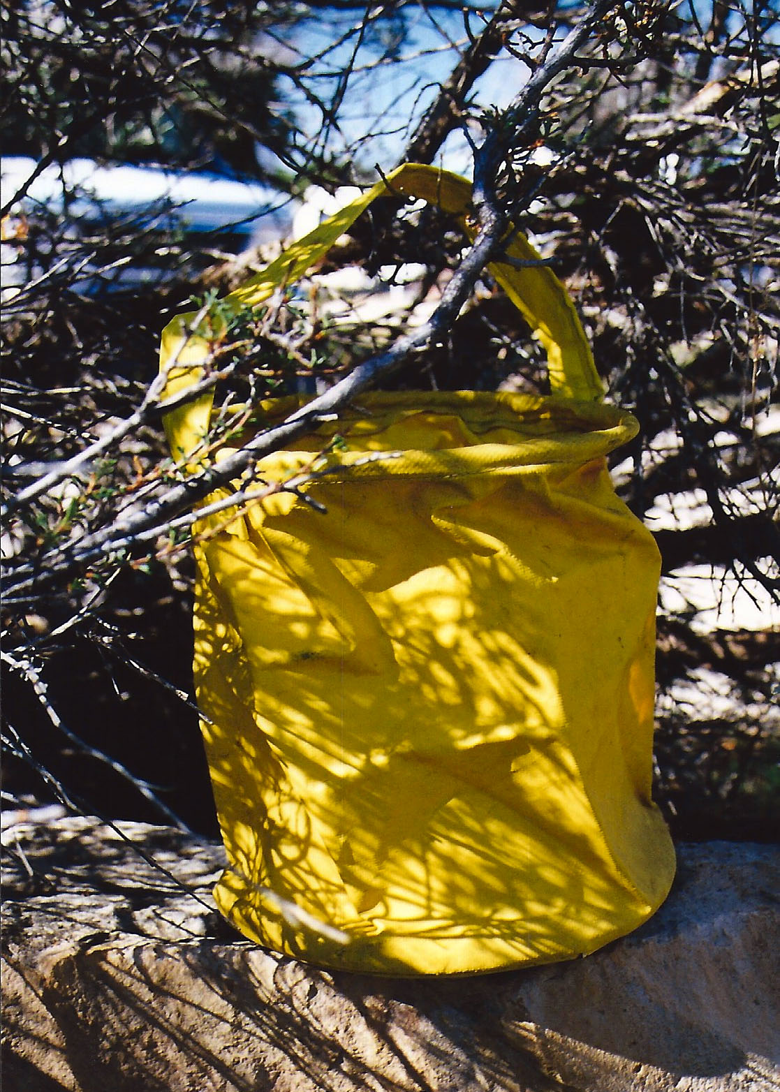
All I had left to do was take care of my food. Since people camped here frequently, the local critters would see me as a huge neon billboard that blinked ‘Eat at Curt’s.’ Not seeing a convenient limb within three feet, I buried my food bag in the sand next to me. Theoretically, anything digging it up would wake me. Just the top was peeking out so I could find it in the morning.
As the sun went down, so did I. Faster than I could fall asleep, I heard myself snoring. I was brought back to full consciousness by the pitter-patter of tiny feet crossing over the top of me. A mouse was worrying the top of my food bag and going for the peanuts I had placed there to cover my more serious food.
“Hey Mousy,” I yelled, “Get away from my food!” My small companion of the night dashed back over me as if I were no more than a noisy obstacle between dinner and home. I was drifting off again when I once more felt the little feet. “The heck with it,” I thought in my semi-comatose state. How many peanuts could the mouse eat anyway?
The river water I had consumed the night before pulled me from my sleep. Predawn light bathed the Canyon in a gentle glow. I lay in my sleeping bag for several minutes and admired the vastness and beauty of my temporary home. The Canyon rim, my truck and the hordes of tourists were far away, existing in another world.
My thoughts turned to my visitor of the previous evening. Out of curiosity, I reached over for my food and extracted the bag of peanuts. A neat little hole had been chewed through the plastic but it appeared that most of my peanuts were present and accounted for. The small contribution had been well worth my solid sleep.
I then looked over to the right to see if I could spot where the mouse had carried its treasure. Something on the edge of my ground cloth caught my eye. It was three inches long, grey, round and fuzzy.
It was Mousy’s tail!
Something had sat on the edge of my sleeping bag during the night and dined on peanut stuffed mouse. Thoughts of a coyote, or worse, using my ground cloth as a dinner table jolted the primitive parts of my brain. Had I had hackles, they would have been standing at attention ready for action.
I ate a peanut in honor of Mousy’s memory and tossed a few over near his house in case he had left behind a family to feed. I also figured that the peanuts would serve as an offering to whatever Canyon spirits had sent the night predator on its way.
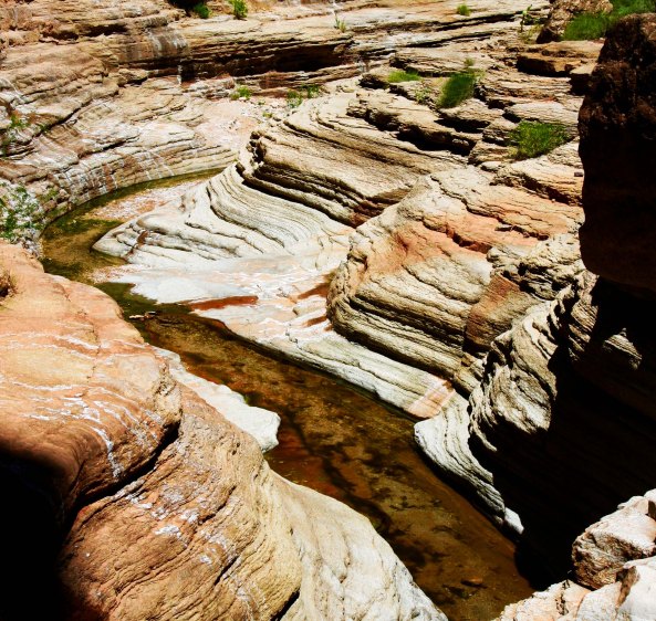
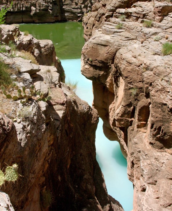
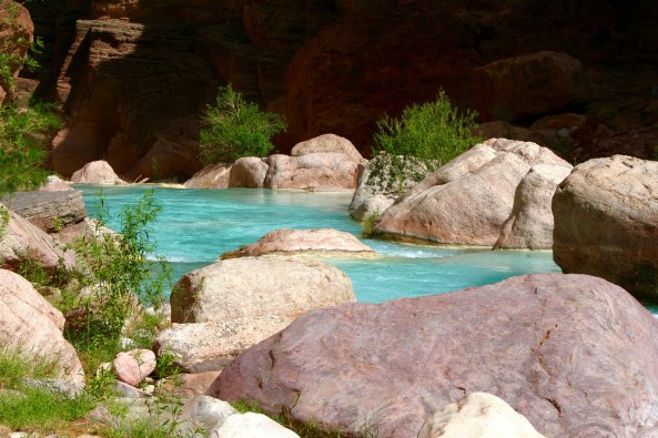
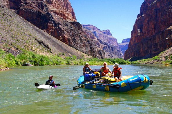
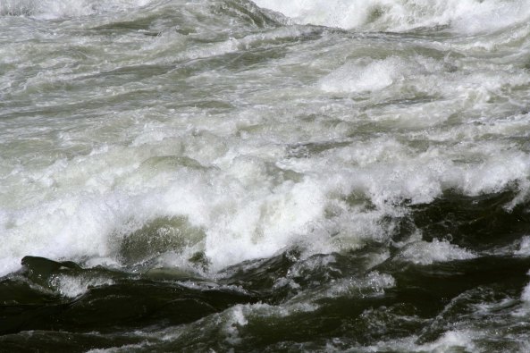
I had my instant oatmeal, dried apricots and coffee breakfast, packed up, and prepared to hike up the river to the Little Colorado. It wasn’t to be. My legs went on strike! Ut-Oh! I hiked about 50 yards, found an ideal location that provided shade and a river view, and set up camp. I happily spent the day watching rafters fighting the rapids while I read a good book and tanked up on water. Over the following five days I explored the canyon, became less pudgy, and gained a tan. I hiked out in three hours, half the time it had taken me to hike in.
Monday’s post: I encounter a radical group of killers and kidnappers out practicing with automatic weapons on a remote mountain road. This story gets a capital UT-OH!