Luray Caverns, A Geological Fantasy Land Considered the Best Cavern Experience on the East Coast of America

While my wife Peggy was off cruising through the Caribbean with our daughter Tasha and visiting Mayan ruins on a mother-daughter excursion, I traveled south some 60 miles from our home near Leesburg, Virginia to the small town of Luray in the ShenandoahValley. My motel was in an ideal location. A 15 minute drive east took me onto Skyline Drive with its fantastic fall views of Shenandoah National Park. A 15 minute drive west took me to Luray Caverns. I’ve already featured the fall colors of the Blue Ridge Mountains. Today, I am going underground to focus on the colors and mind-blowing rock structures that are found in what is considered the best and largest cavern on the eastern coast of the US.
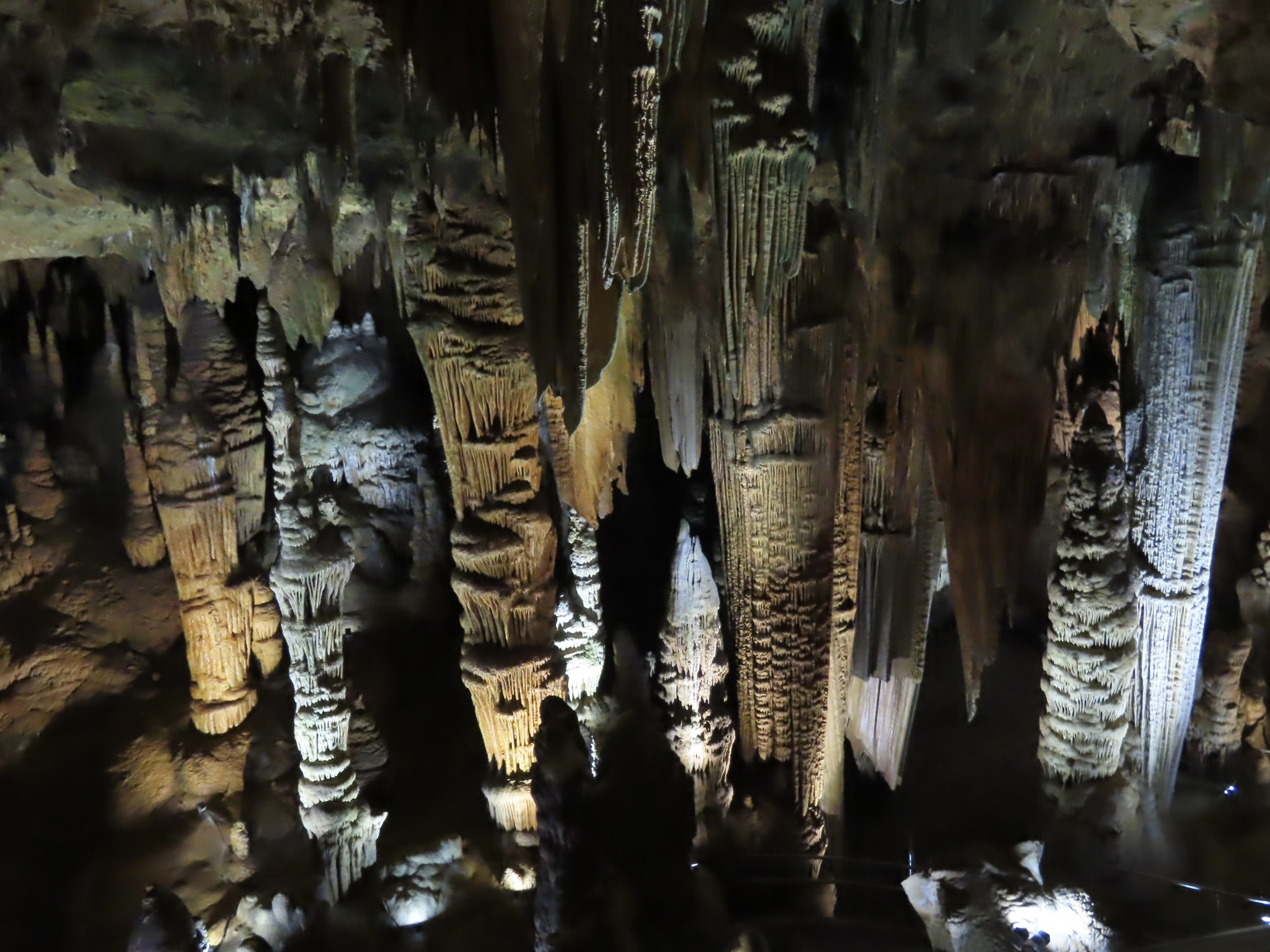
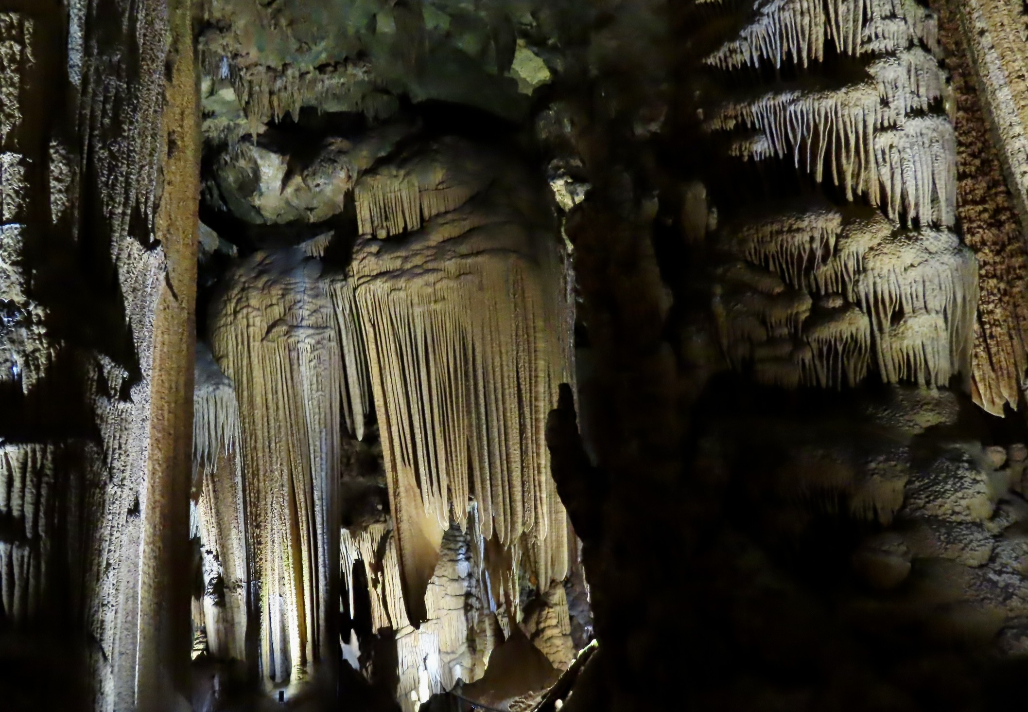
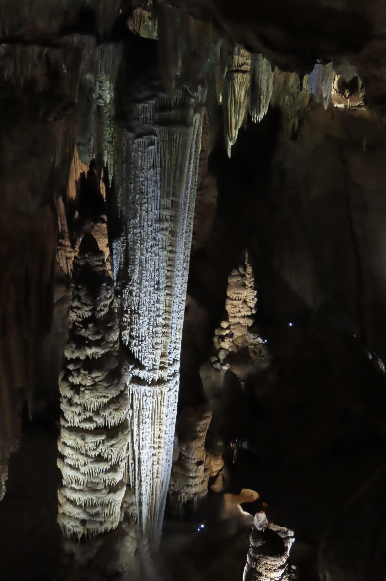
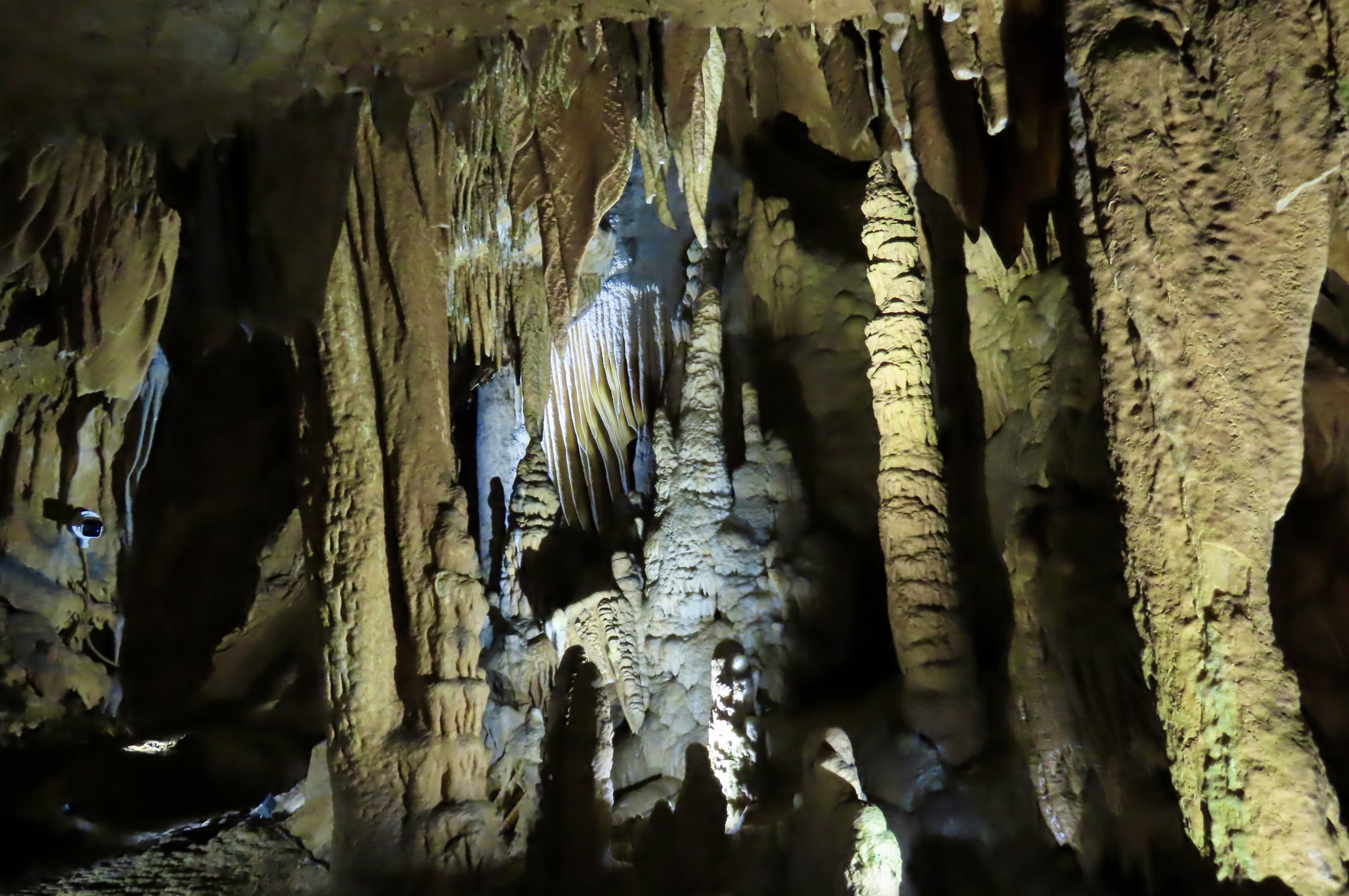
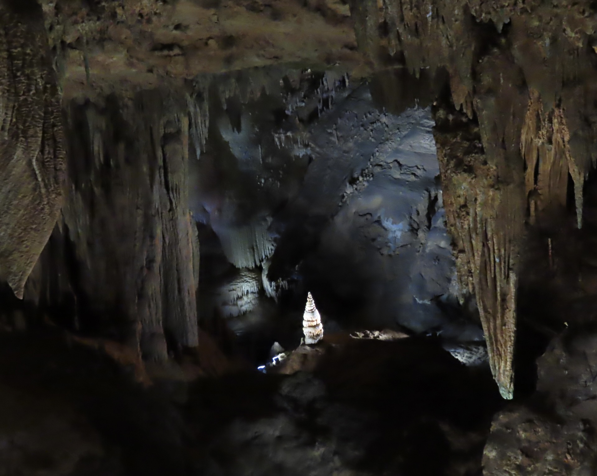
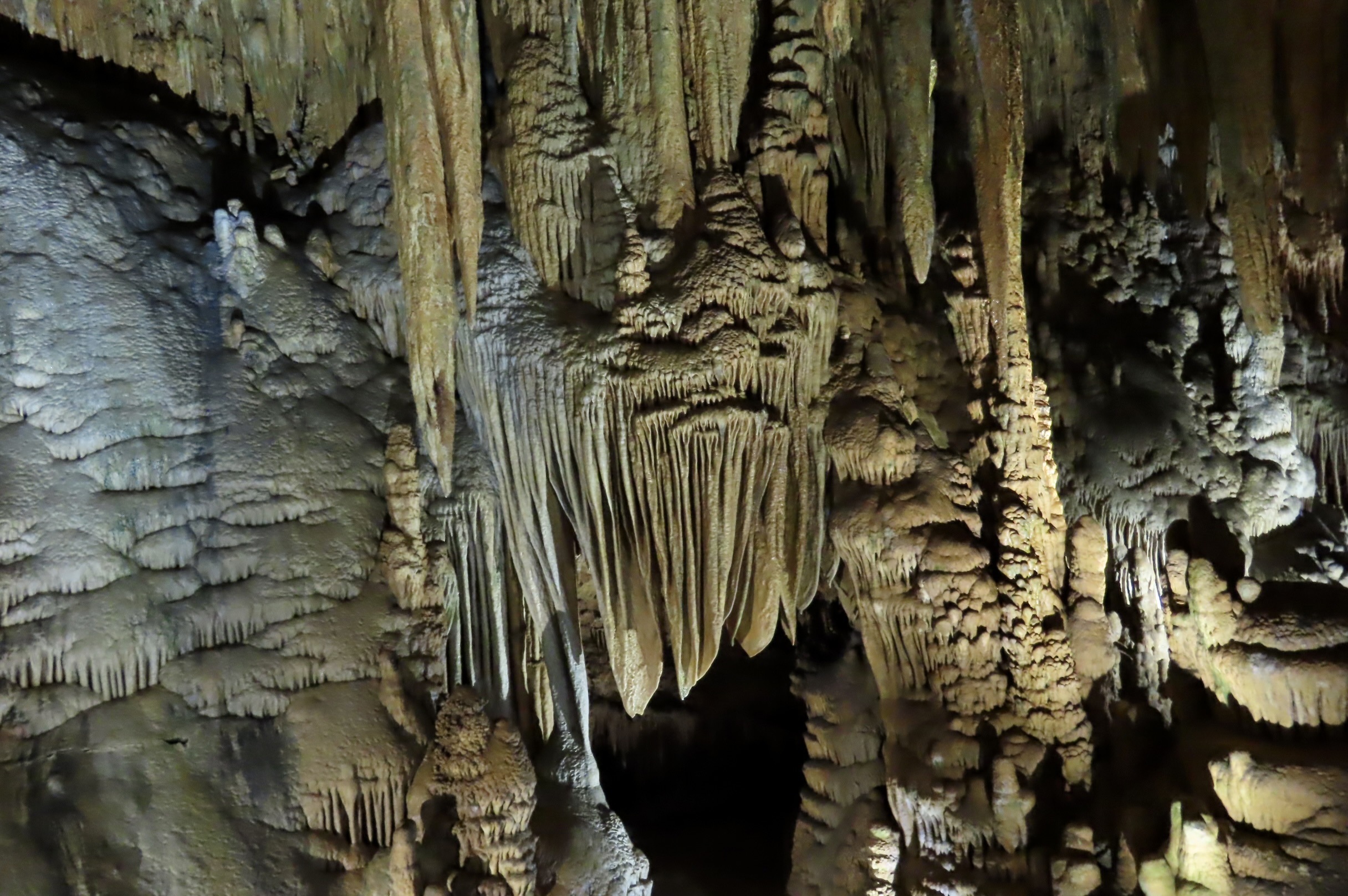
A one and one half mile self-guided tour takes visitors through the section of Luray Caverns opened to the public. One can easily cover it in an hour. I took two, stopping frequently to admire (and photograph) the sheer variety of speleothems (stalactites, stalagmites, columns, flowstones, plus mirrored pools), and their distinct colors.

A Smithsonian report in 1880 stated: “It is safe to say that there is probably no other cave in the world more completely and profusely decorated with stalactite and stalagmite ornamentation than that of Luray.” Several, such as Mammoth and Carlsbad in the US, and others throughout the world are equally unique, but I can guarantee that visitors to Luray will not be disappointed.

My first thoughts on the colors, as shown in the above photo, were enhanced by colored lighting, but I learned that Luray emphasizes natural-looking illumination which includes “neutral and cooler white as well as amber-toned lighting designed to highlight the rock textures, calcite, and crystal formations.” Also, while Luray Caverns is privately owned, it is designated as a National Natural Landmark. Along with this designation comes the requirement that colored lighting not be used. Presently, Luray is switching to LED lighting, which it claims will replace older, harsh lighting with “softer illumination that will highlight geological details while supporting cave preservation.”
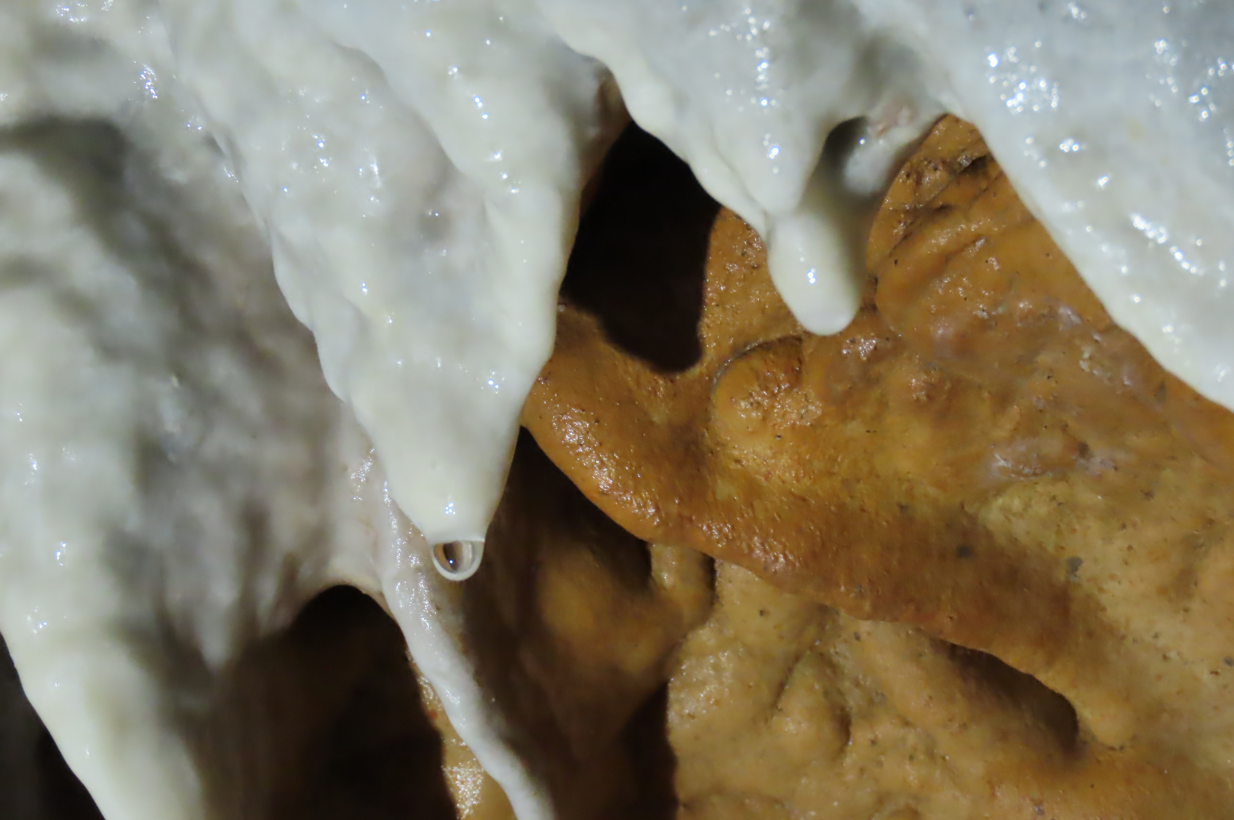
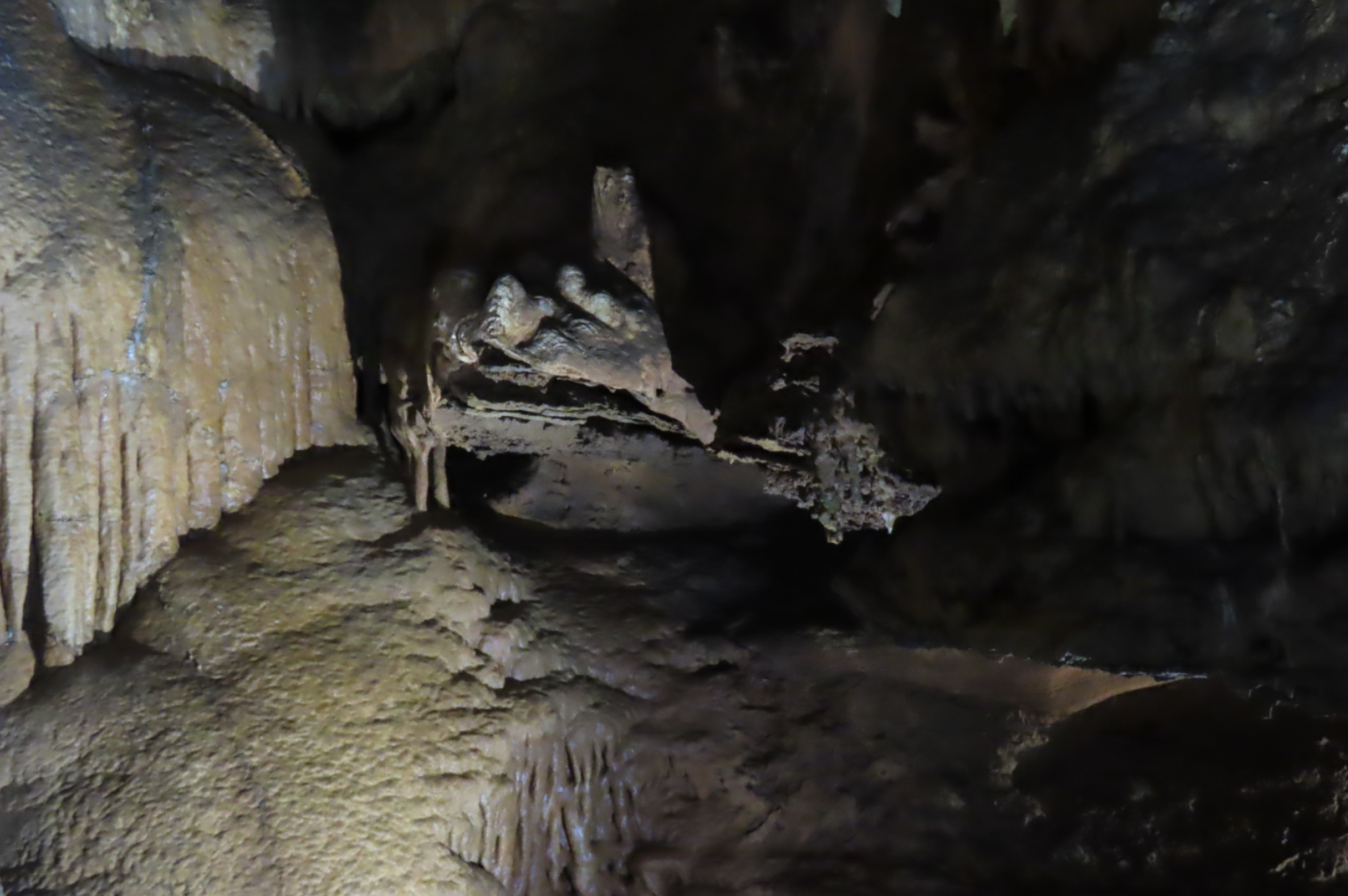
My ‘live action’ camera caught the formation of a stalactite! It’s being created by water, one drop at a time— and will grow a walloping one cubic inch in the next 120 years. When the drop of water falls to the floor it starts building a stalagmite that will eventually reach and combine with the stalactite. Do you see the cat’s eye in the drop of water? That was a bonus.

The drop of water isn’t just water. It’s a weak carbonic acid formed when rain water absorbs carbon dioxide from decaying vegetation. As it seeps down to the caves, the carbonic acid passes through a layer of lime rock, dissolving and absorbing some of it to create the mineral calcite (calcium carbonate). Upon reaching the cave, a portion of the carbon dioxide is released into to the air, which reduces the amount of calcite the water can carry. The calcite precipitates out of the water in a circle, beginning or continuing the creation of the stalactite and a tube that carries the water.
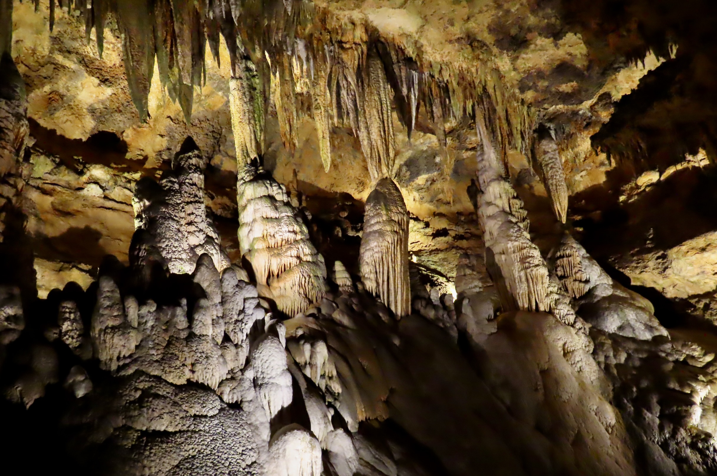
The creation of stalactites and stalagmites in Luray Caverns.
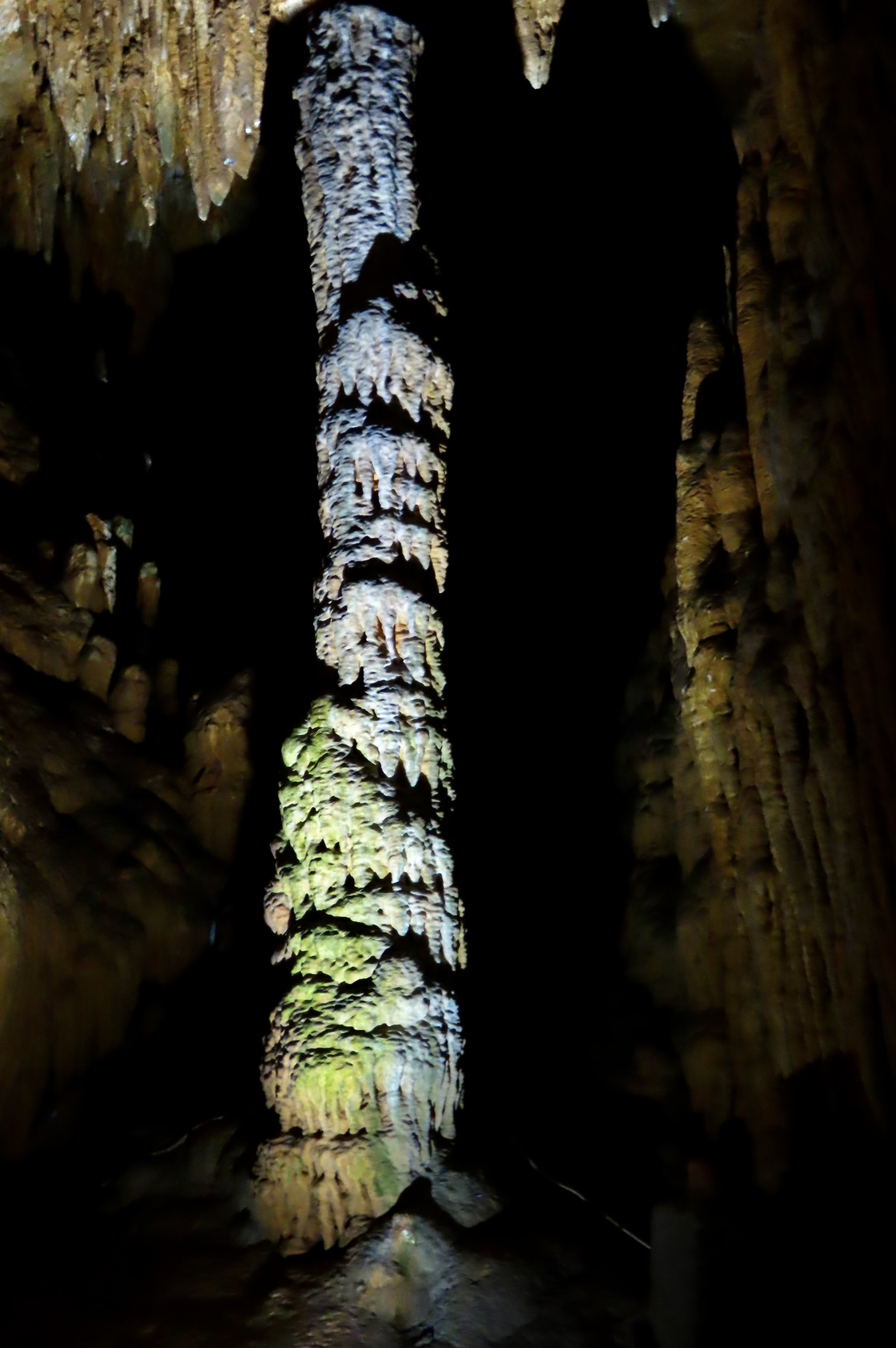
A united stalactite and stalagmite forming a column. Note its multi colored look.

White is the natural color of calcite, so where do the colors come from? In addition to absorbing carbon dioxide and dissolved lime, the water also absorbs traces of the minerals it passes through. These minerals create the various colors: Reds and yellows come from iron and iron-stained clays, blacks from manganese dioxide, and blues and greens from copper compound solutions.
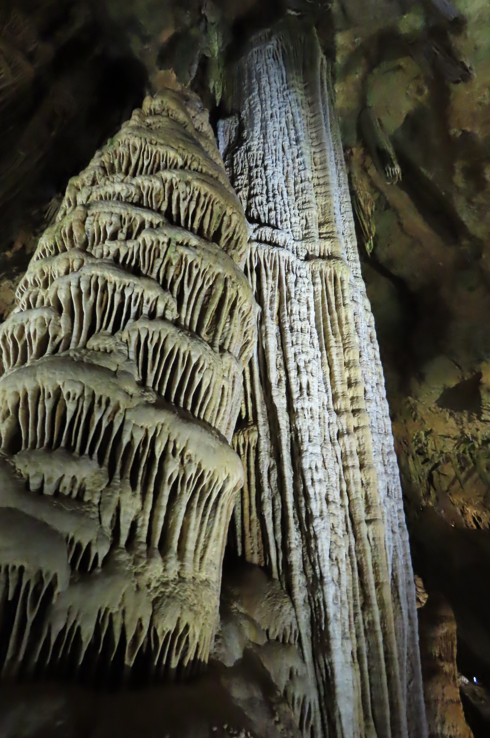
The speleothem columns in Luray Caverns can be gigantic, with the tallest reaching 49 feet and taking millions of years to create.

Speleothems of this size require huge caves. Their creation was also caused by carbonic acid water. It doesn’t seep down from above, however. It follows fractures in the rock underground and dissolves the limestone and dolomite along the way, creating chambers and passage ways. When carbonic acid water filled these chambers, as it did in its prehistoric past, it continued to dissolve the limestone and dolomite helping form the large caves of today.
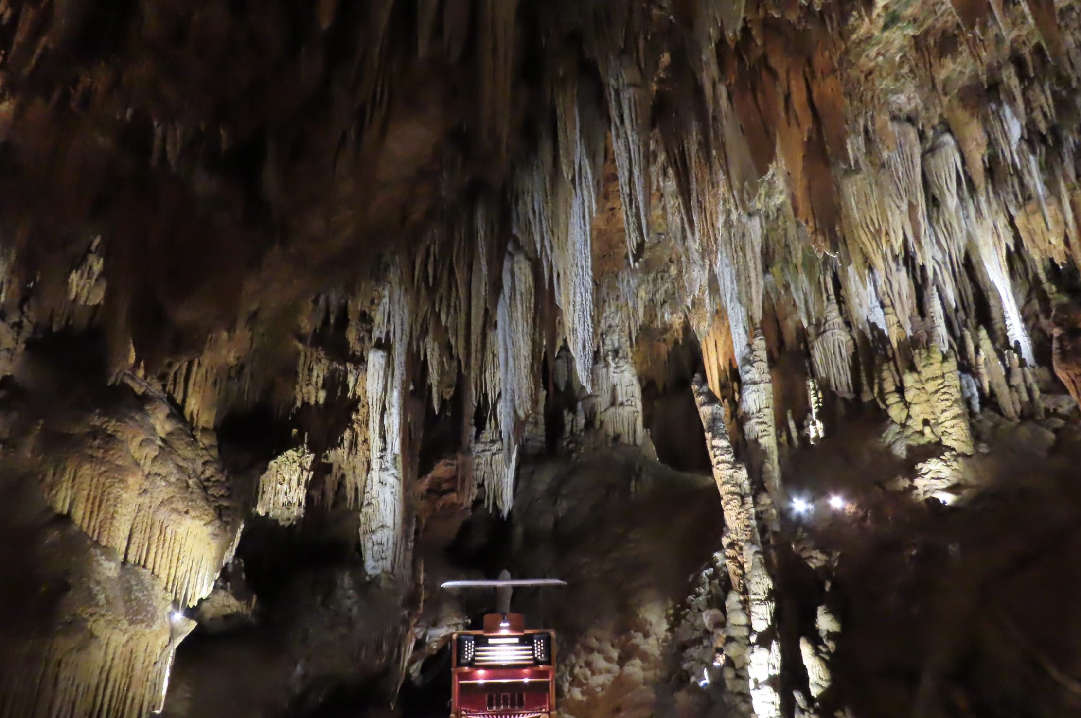
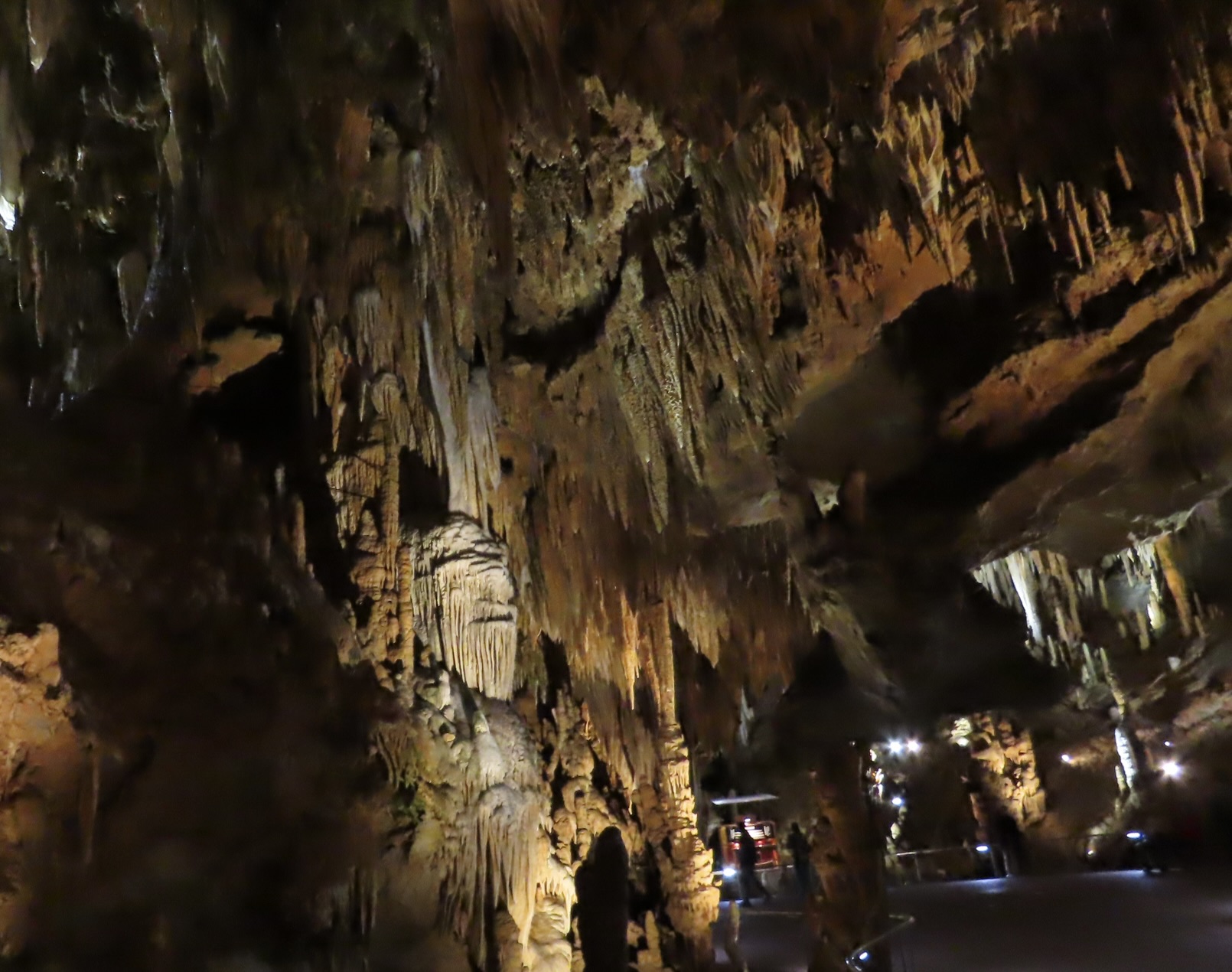
One of the large chambers contains an organ. Does it perform concerts? Sort of. Its claim to fame is being the largest musical instrument in the world, a claim backed up by Guinness Book of Records. The Great Stalacpipe organ uses stalactites to create music. Rubber tipped mallets are electronically signaled to tap various stalactites, creating different tones. It was doing so when I walked through. They were gentle, almost meditative. I felt like I was in a temple. Luray calls the chamber the Cathedral.
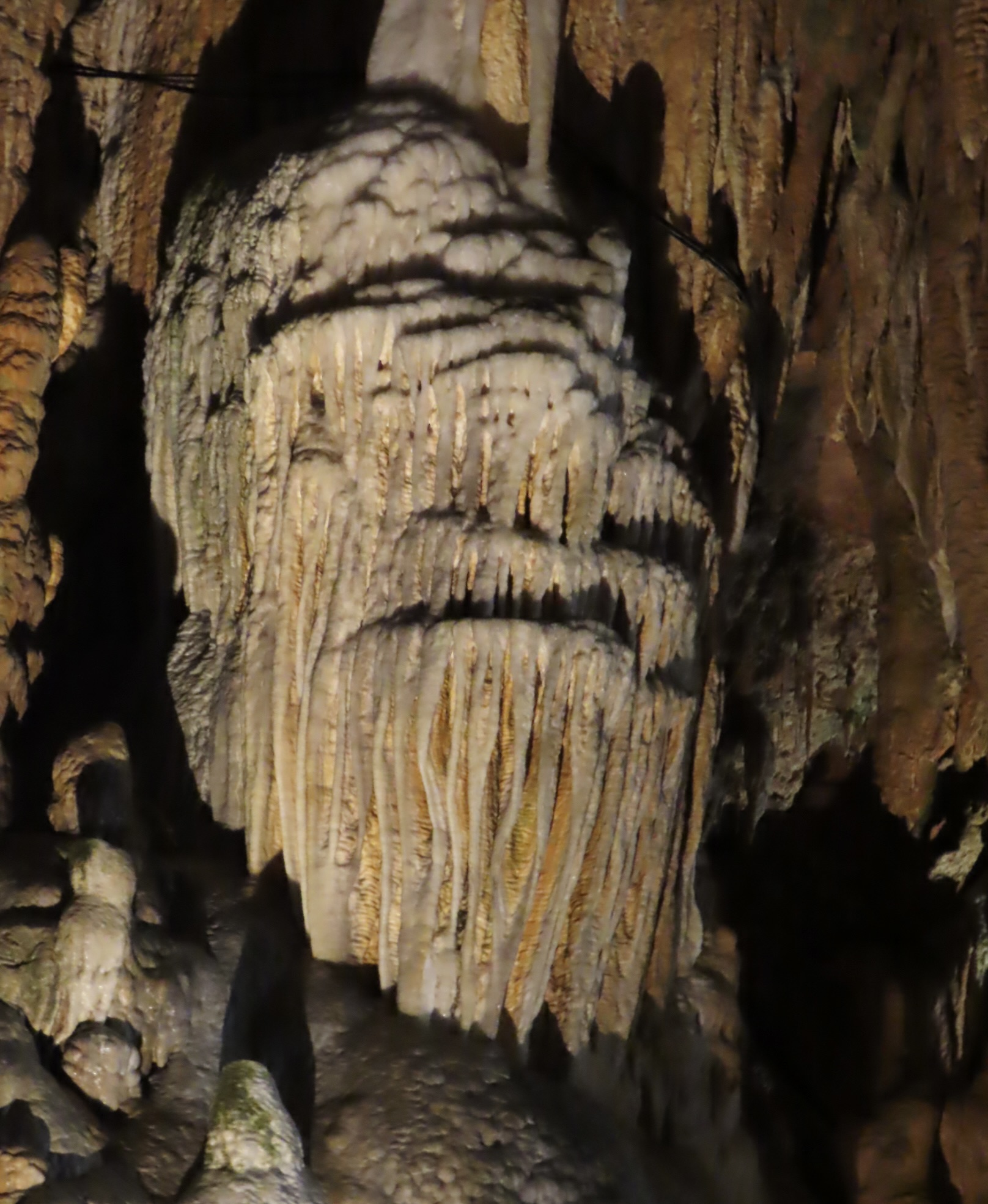
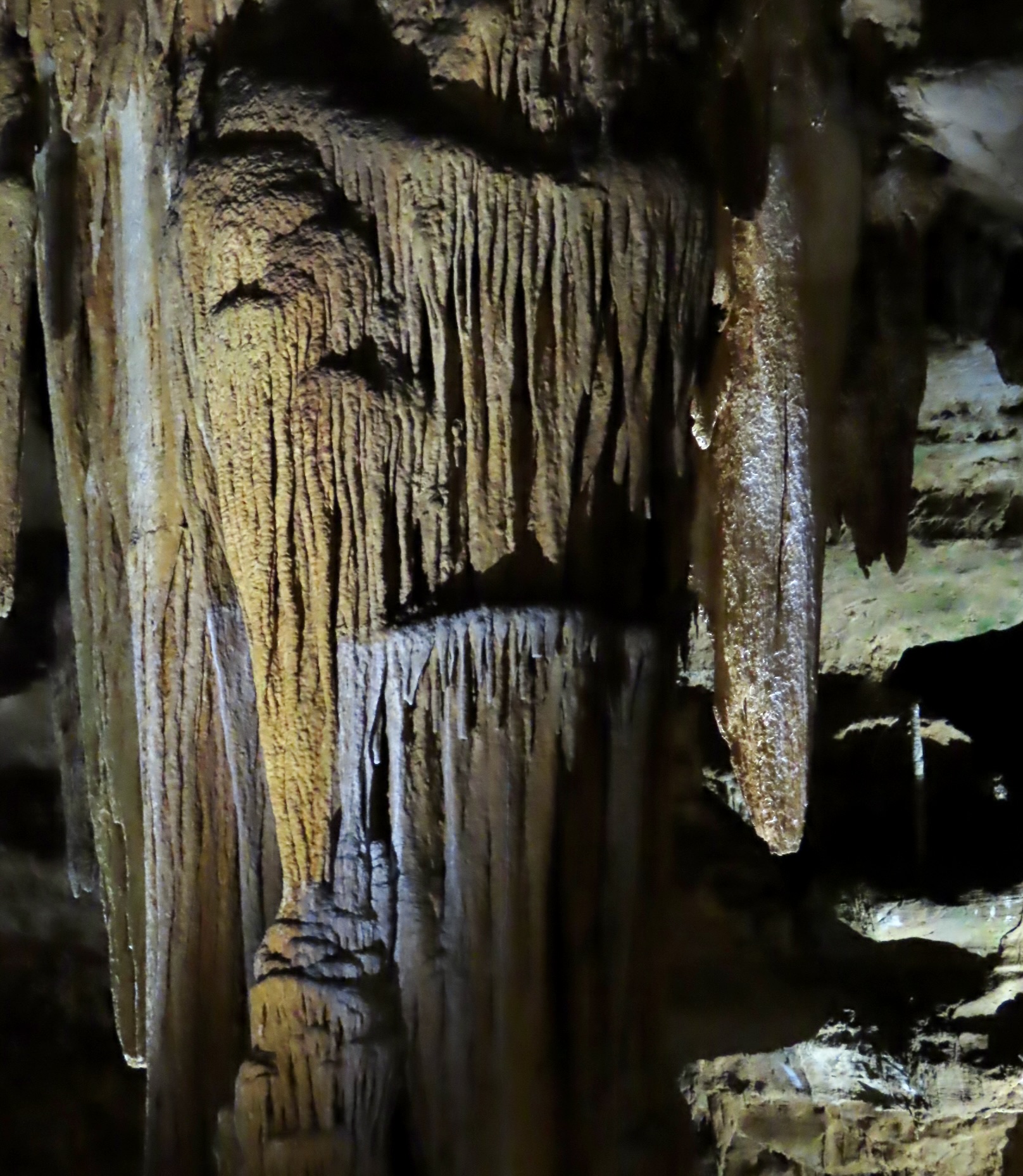
I was amused to find this bearded character illuminated in the Cathedral. A gargoyle, perhaps? As those of you who follow this blog know, Peggy and I are always looking for ‘faces and creatures’ created by nature.
A close up. Note the half lidded eye above the left corner of the mouth. A bit creepy, I’d say. Grin.
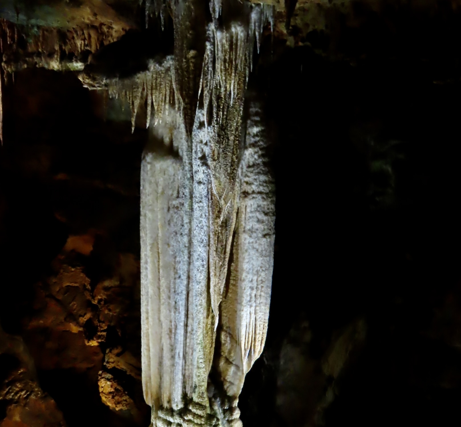
Luray Caverns named this column the Ghost of Pluto, The Roman God of the Underworld. The spelunker who found it declared it felt like it was following him as he made his way through the cave.
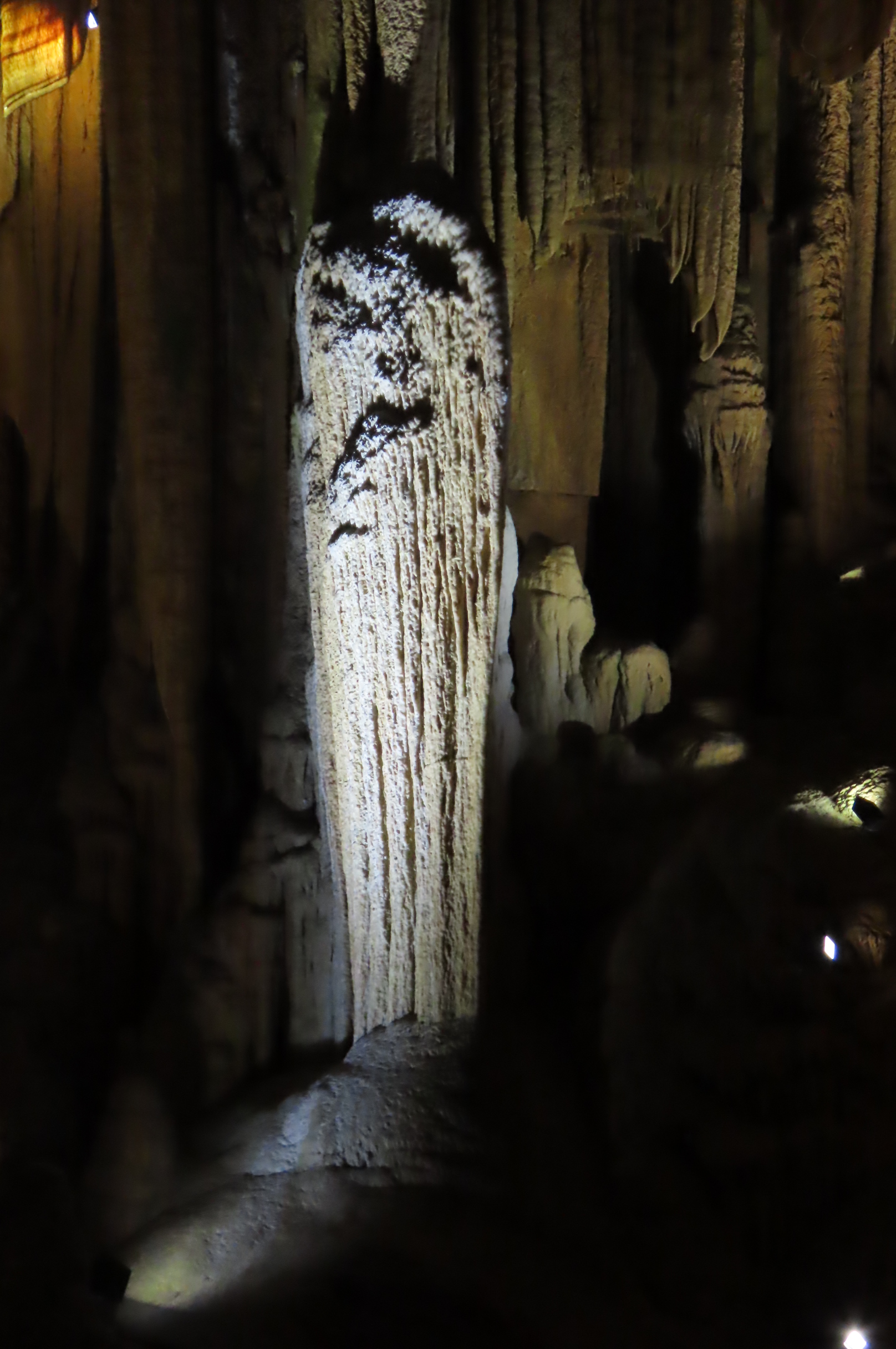
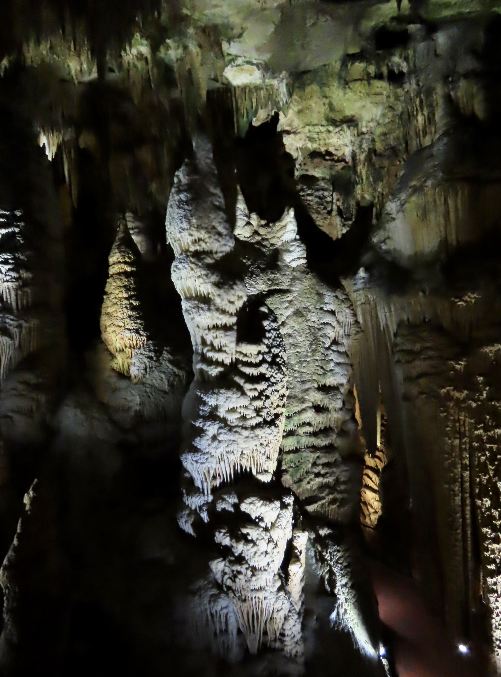
My favorite, however, was this ghost with no name! I think Luray could host a great Halloween by featuring the various ‘creatures’ found in the Caverns. I’d wait until people were next to this ghost and then turn the spotlight on it! Most of the characters we spotted were in the darker corners, hard to photograph. Maybe they are hiding.
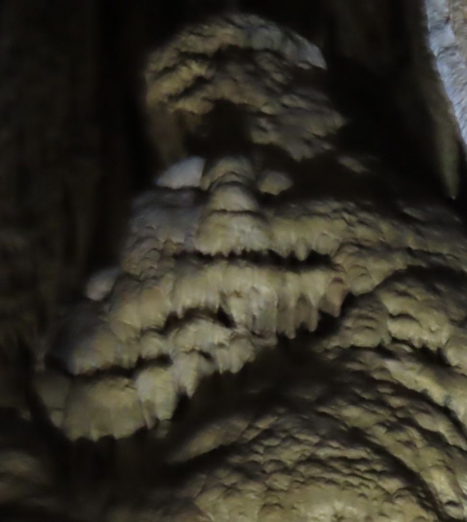
For example, this fellow. It reminded me of some of images I’ve seen of Big Foot.
A croc lurking in the shadows. But enough fun. I suspect that people don’t come to Luray Caverns to seek out monsters hiding in the shadows.
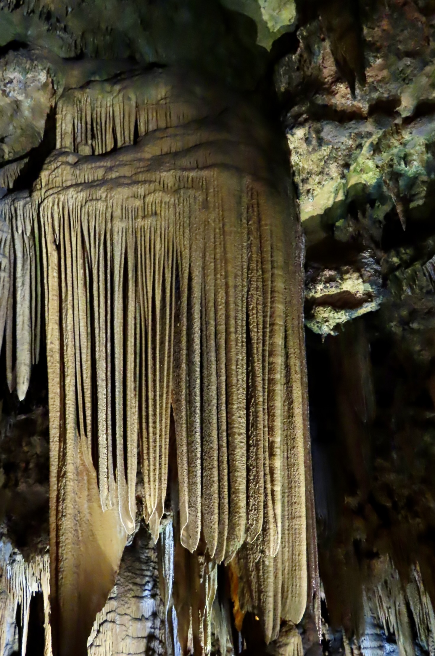
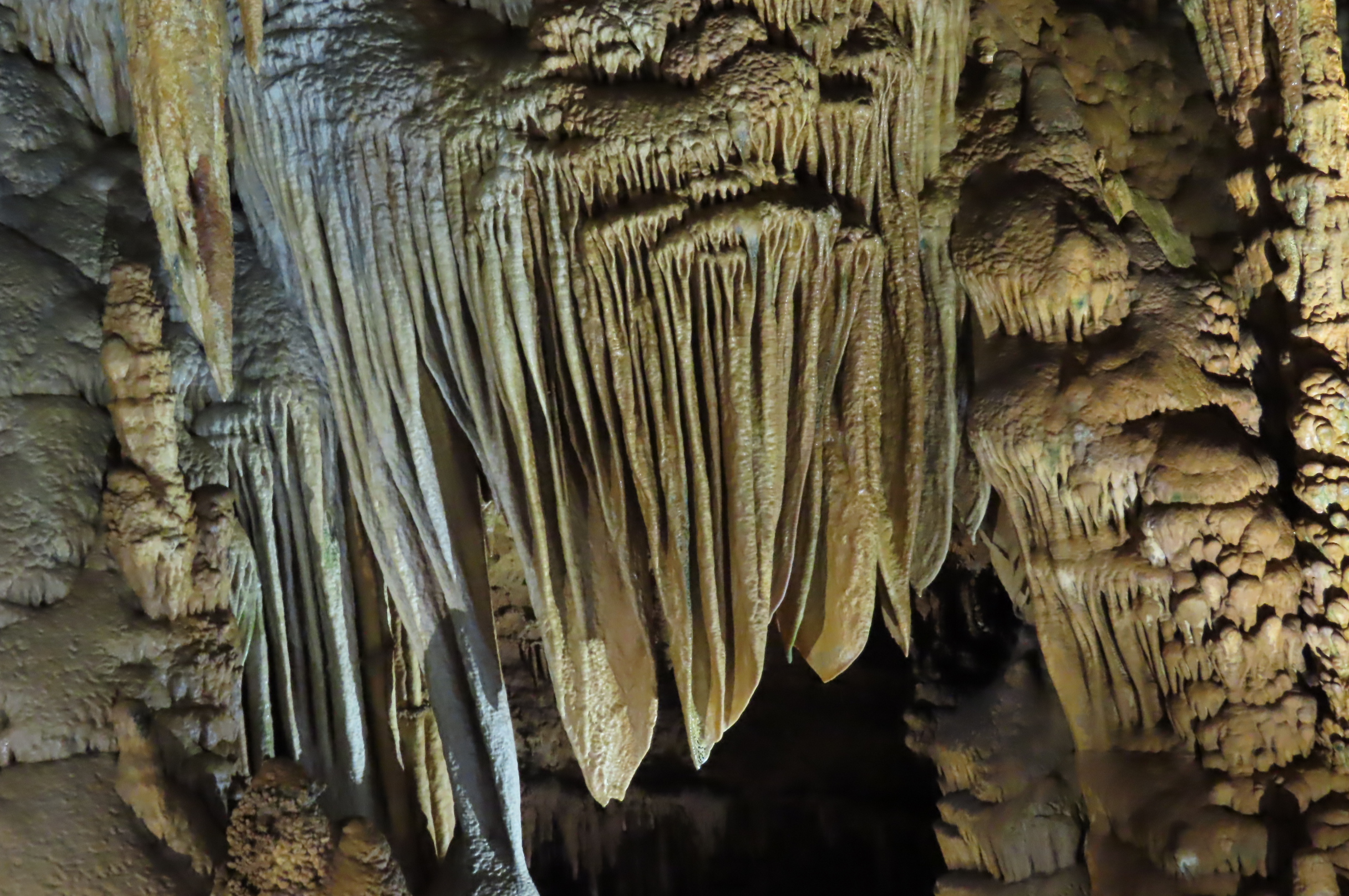
They come for views like this. It’s named Saracen’s Tent. (Saracen was a Medieval term referring to nomadic Arabs.)
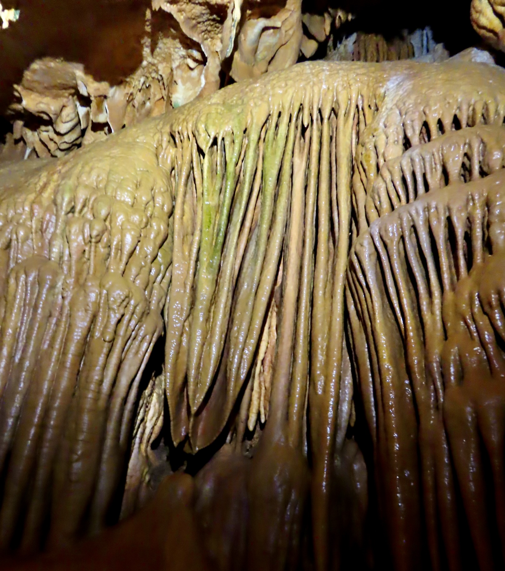
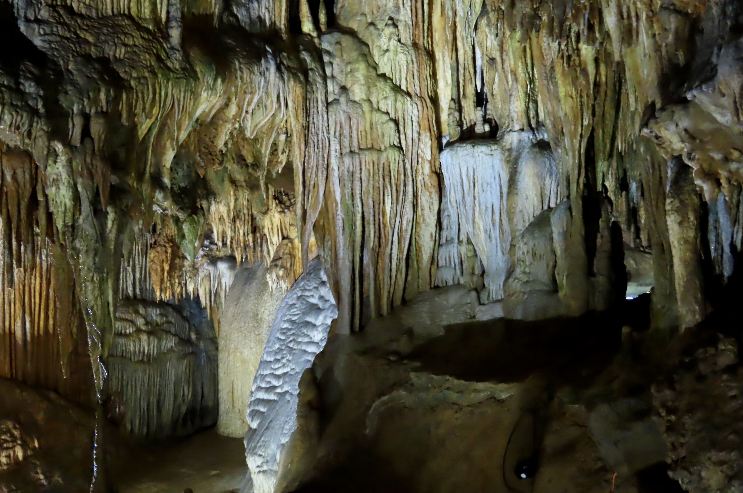
It’s quite famous. National Geographic has named this one of the best examples of flowstone in the world. Unlike the water flowing through a tube in the stalactite as shown in the second photo, this drapery-like formation is created when water/carbonic acid flows down the outside, releasing carbon dioxide into the air and depositing the calcite that creates the flowstone.
Flowstones are found throughout the cavern. Here, it is being created.

Now, random photos that continue to emphasize the formations and color that make Luray Caverns famous.
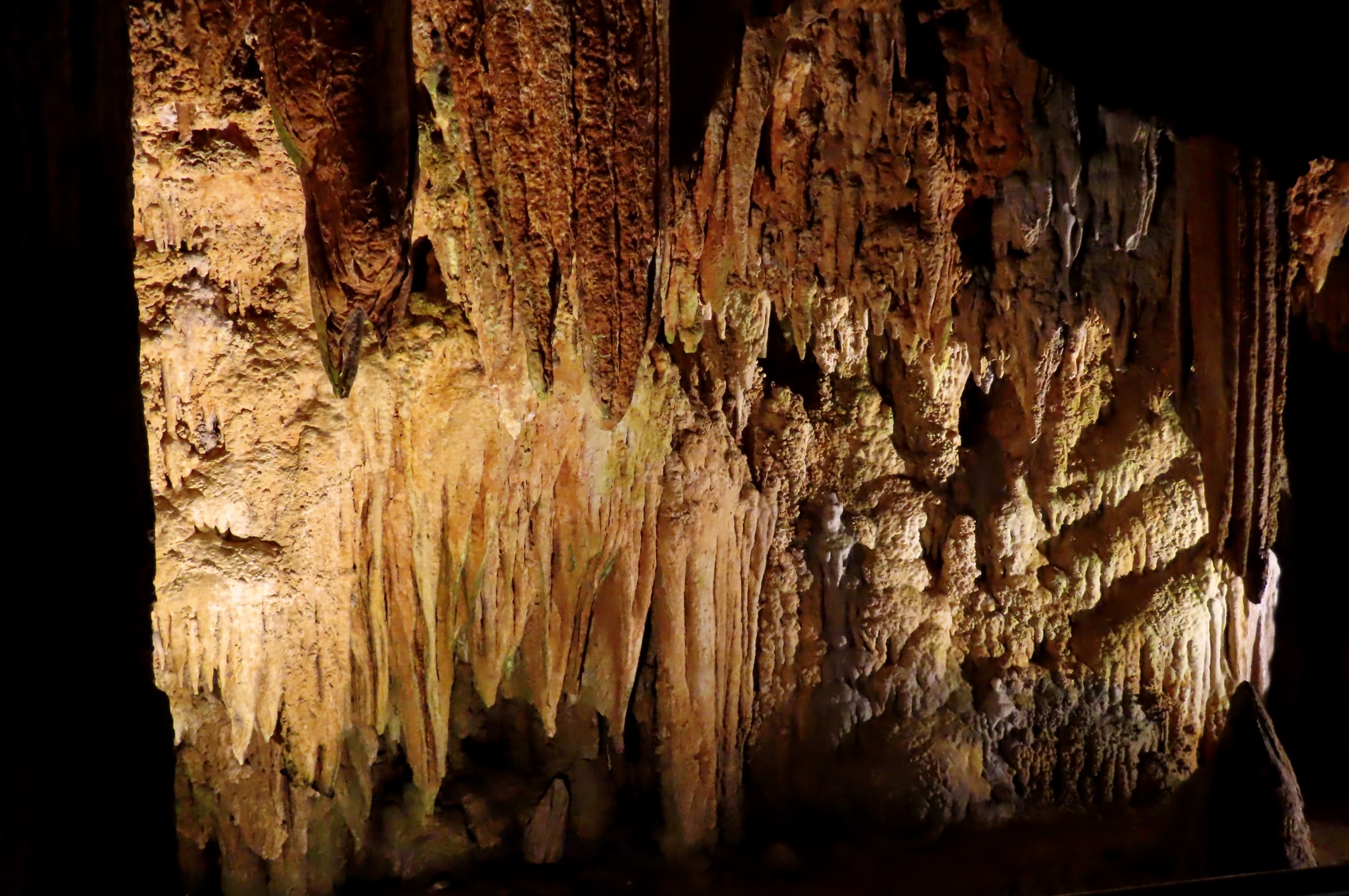
Golden browns.
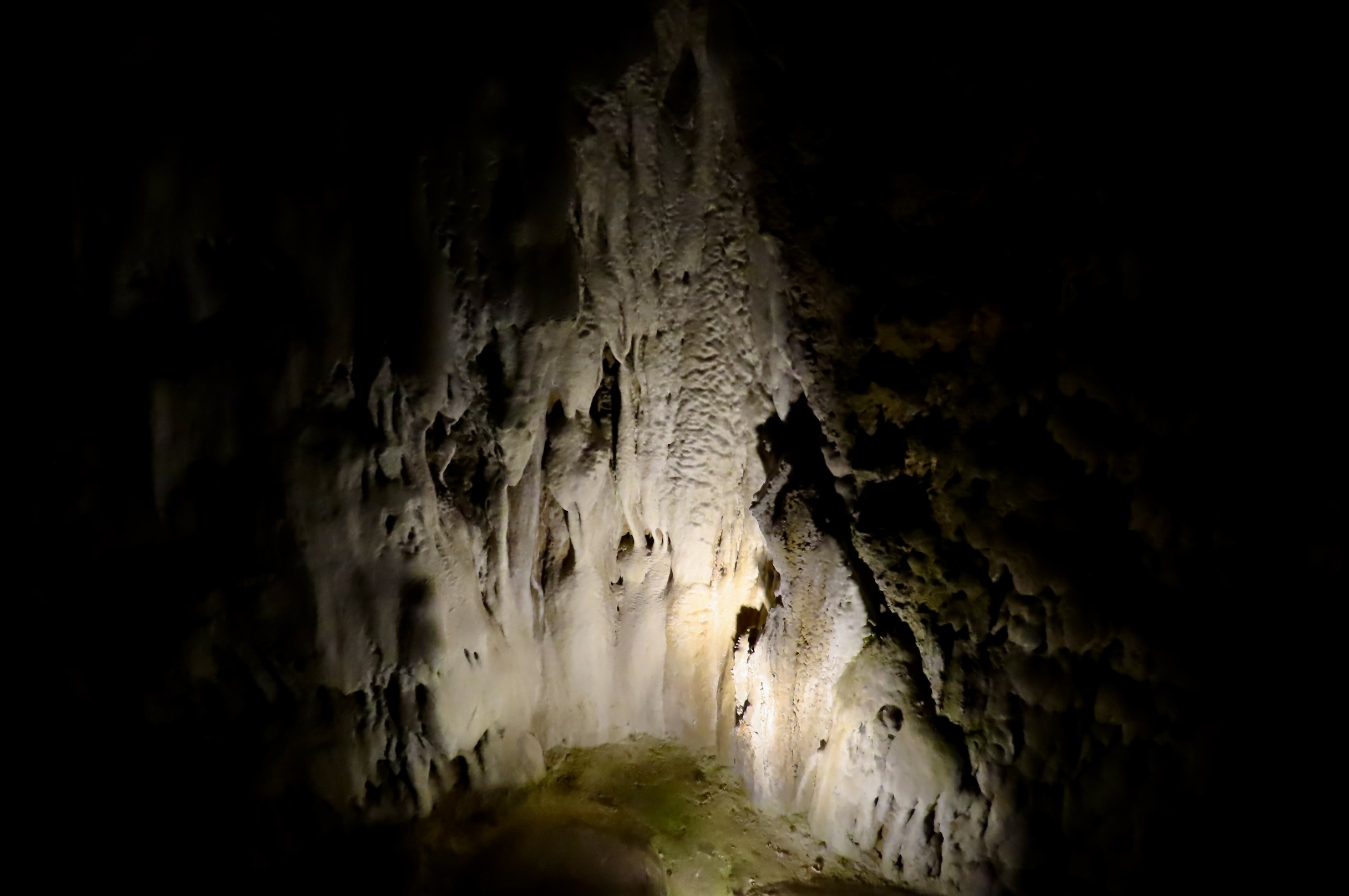
The white od pure calcite.
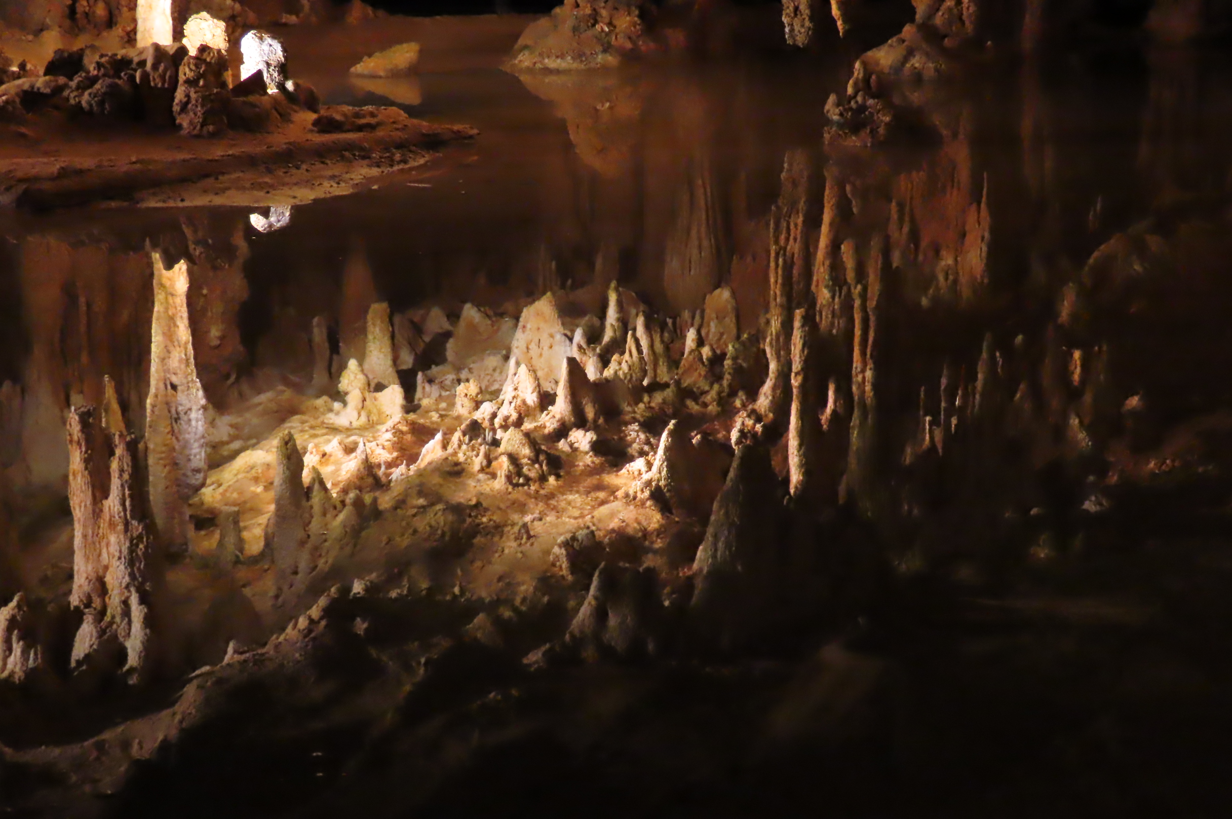
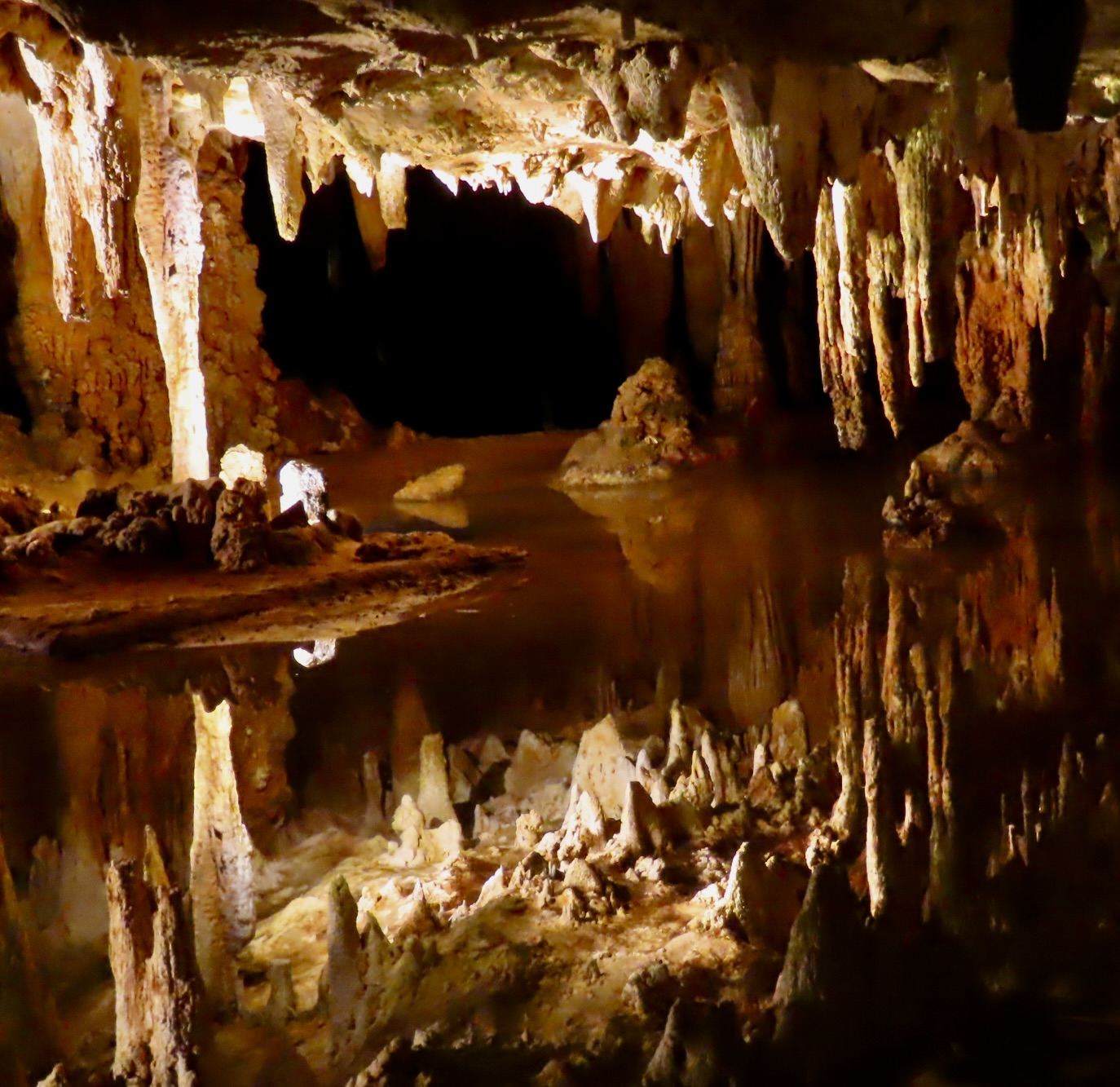
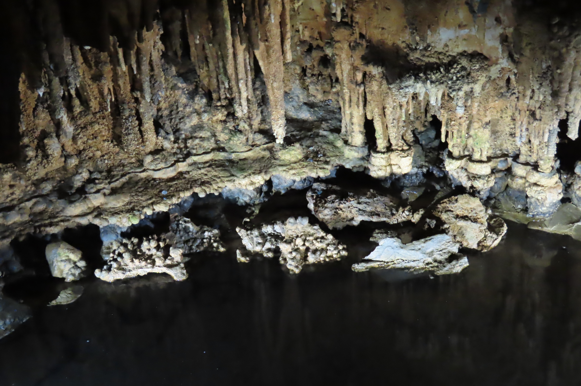
Real or not. Are these stalagmites under water?
Not. They are actually stalactites, a reflection of the ceiling in Dream Lake, one of the cavern’s main attractions.
A chamber where the white calcite seems to glow. (Thank you, lighting.)
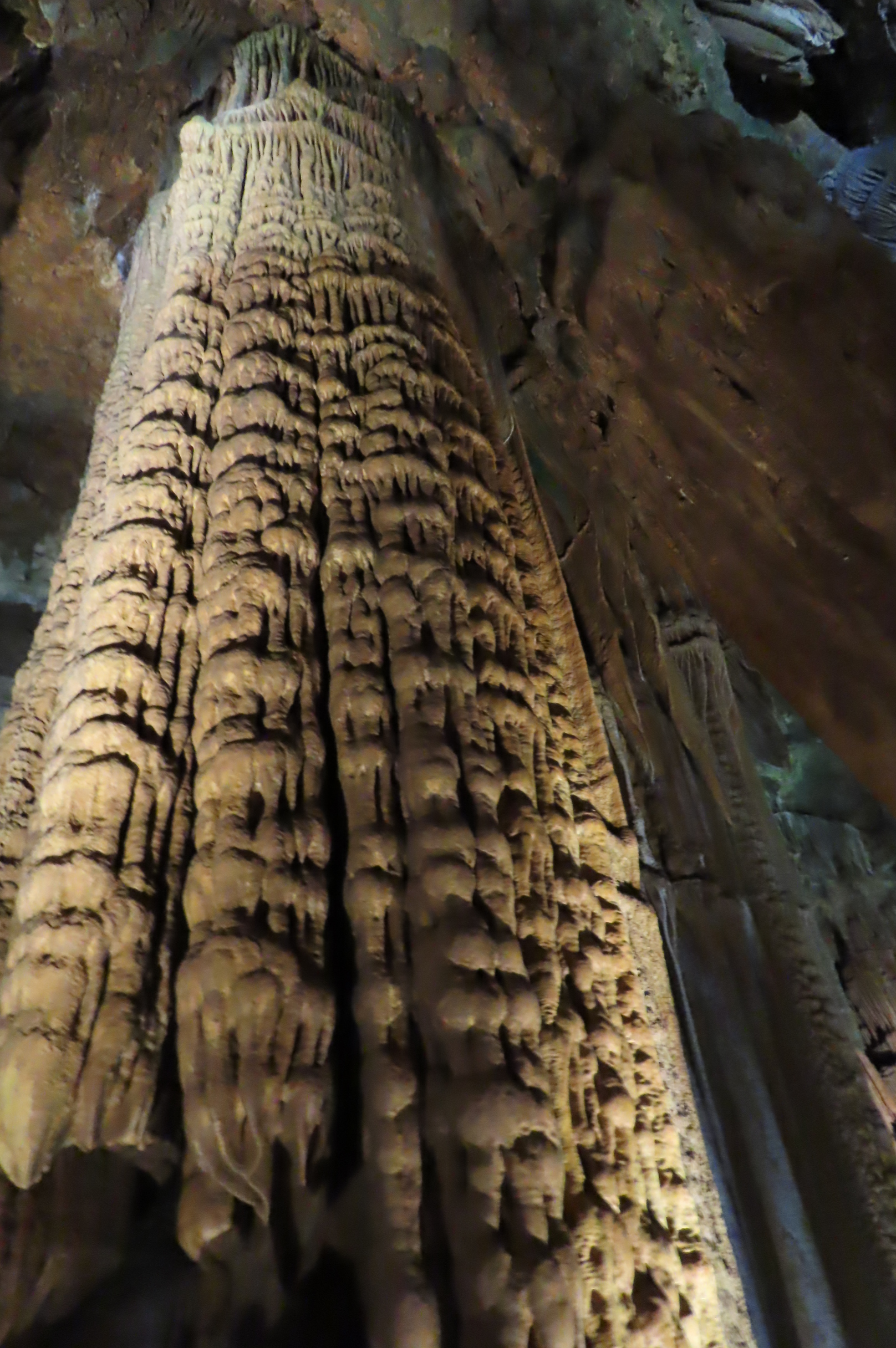
Massive. (Peggy said she saw elephants all the way up!)
Same as my fifth photo but looking down. The pathway through the caves provides both perspectives for many of the formations in the cave.
Flowstone, columns, stalagmites and stalactites.
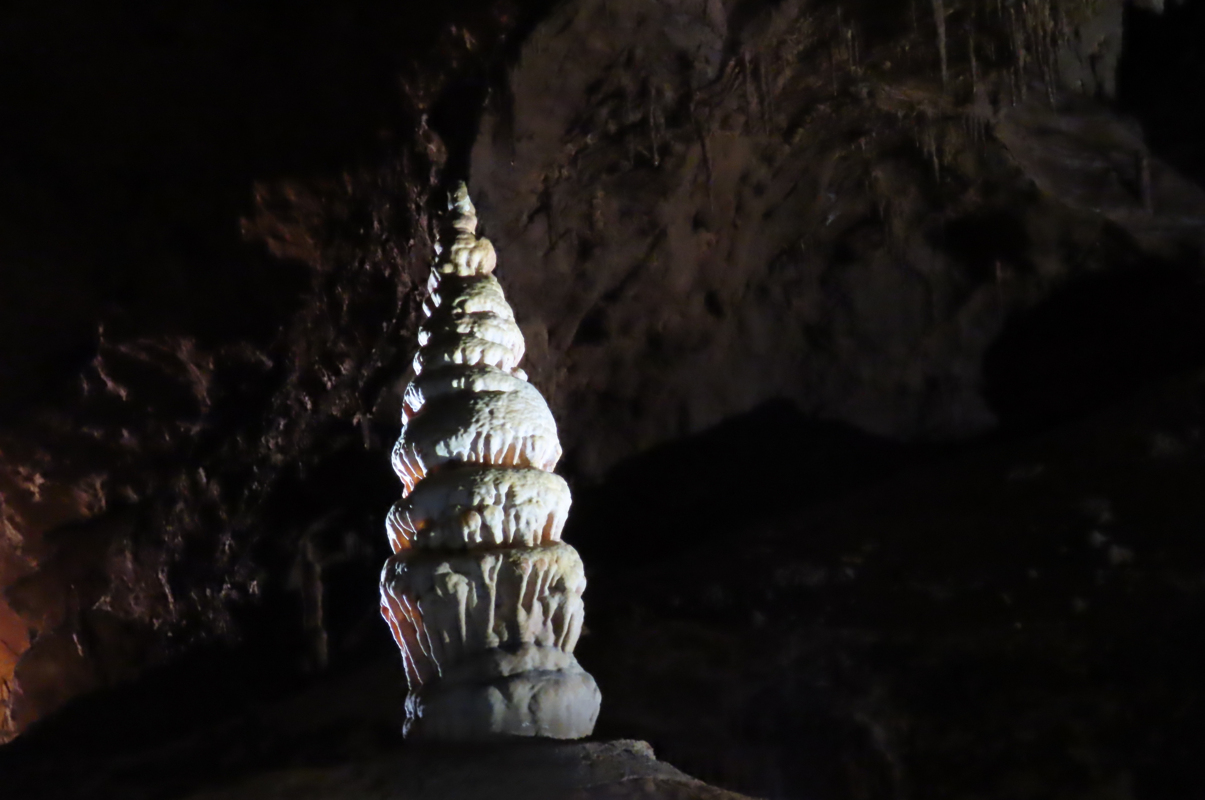
I thought Luray did a great job of highlighting the white stalagmite. I was looking down.
Here, I was level with it.
Islands in a spring.
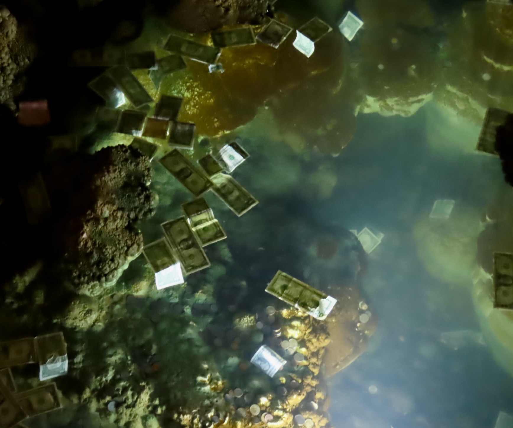
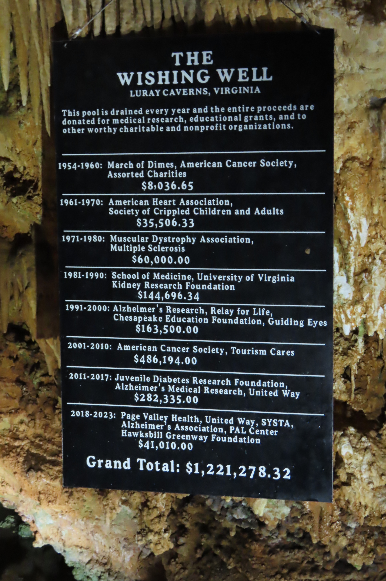
Speaking of springs, this one was special. It’s called the Wishing Well. Toss your money in and make a wish. But this goes beyond your wish…
Luray Caverns designed the Wishing Well to raise funds for designated charities and non-profits. Once a year, the well is drained, money collected, and the donation made.
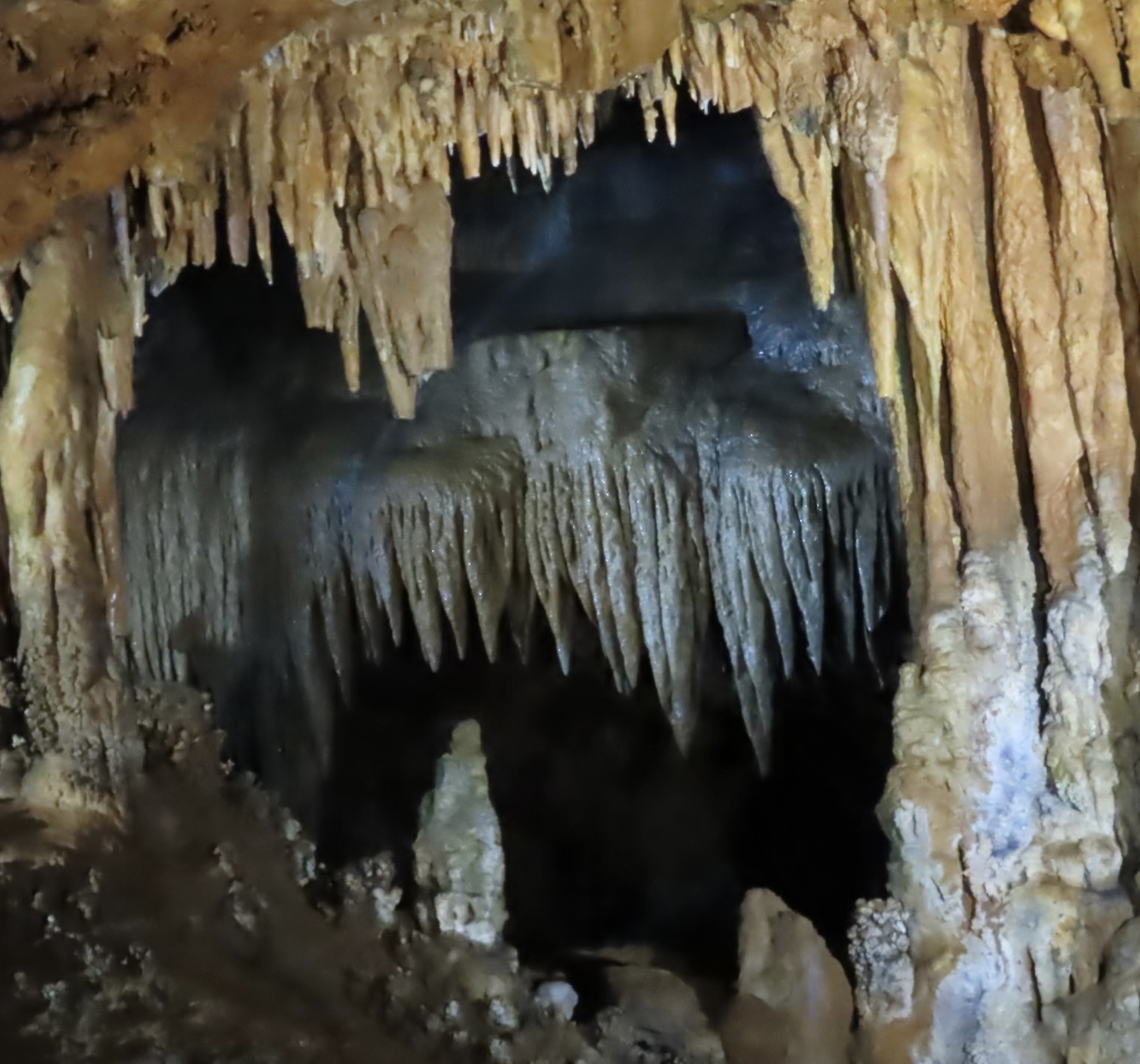
Many views feature layer upon layer upon layer. Sometimes it felt like I was looking into infinity.
Again, flowstones, stalactites, stalagmites and columns.
A close up.
Blue, suggesting trace elements of copper are present.
And a final photo. I journeyed down to the town of Luray with thoughts of catching the beautiful fall colors of the Shenandoah National Park and the Blue Ridge Mountains from Skyline Drive. And I did, even though it was late in the ‘leaf-peeping’ season. Luray Caverns were something of an afterthought. I’m ever so glad I visited them. To easily combine both in one trip was a real bonus! If you find yourself in the area, take advantage of the opportunity.

Next, Peggy and I resume our posts about our summer travels in Scotland, Ireland, and Greece.
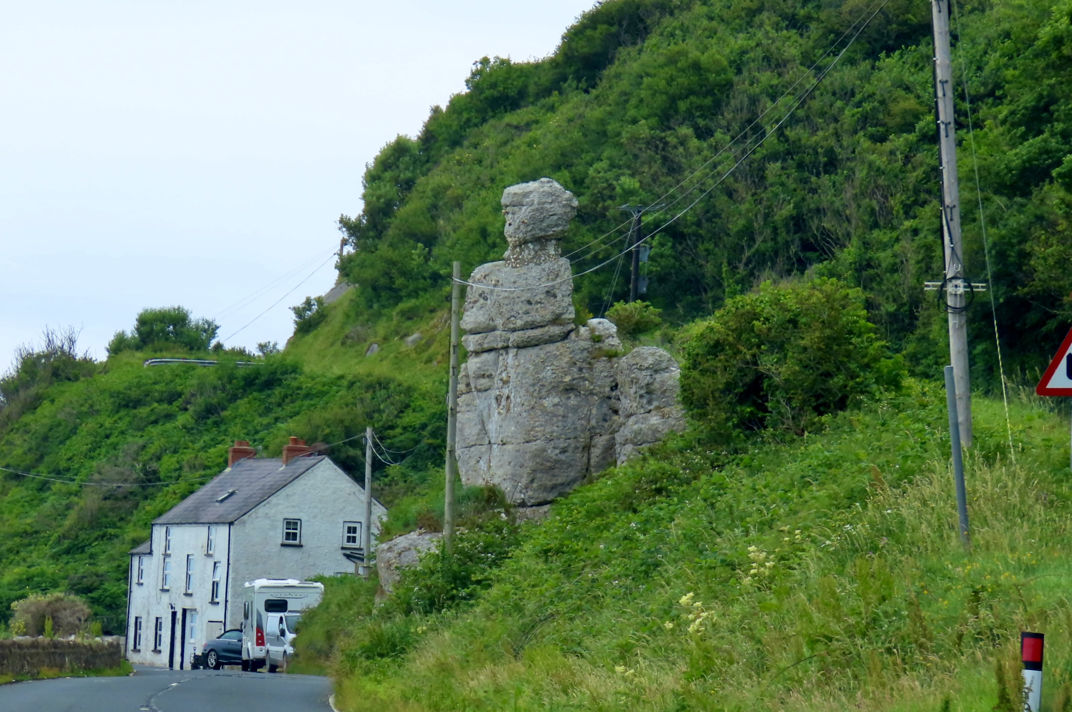
Northern Ireland has much to offer. Lots of green, for example. Scenery, history, culture and fun places to stay can all be added to the mix. This was our VRBO on the northeastern Antrim coast looking out on the Irish Sea toward Scotland. The upper three windows on the left side were part of our apartment. Episodes of the Game of Thrones were filmed just over the hill behind us. Our first post will begin in Belfast and work its way up the coast. Items will include a fun bookstore, the Titanic, Ireland’s unending ‘Troubles,’ a botanic garden, an ancient graveyard where we search for long dead ancestors, and beautiful waterfalls. Lots. You won’t want to miss it.
Join us.

The Beauty, the Geology, and the Weirdness of Sunset Bay…

A couple of weeks before Christmas, Peggy and I made a trip over to Cape Arago on the Oregon Coast. The waves featured in my January 7th post were from this trip as is today’s post on Sunset Bay State Park, which is located at the beginning of the Cape just outside of Coos Bay.

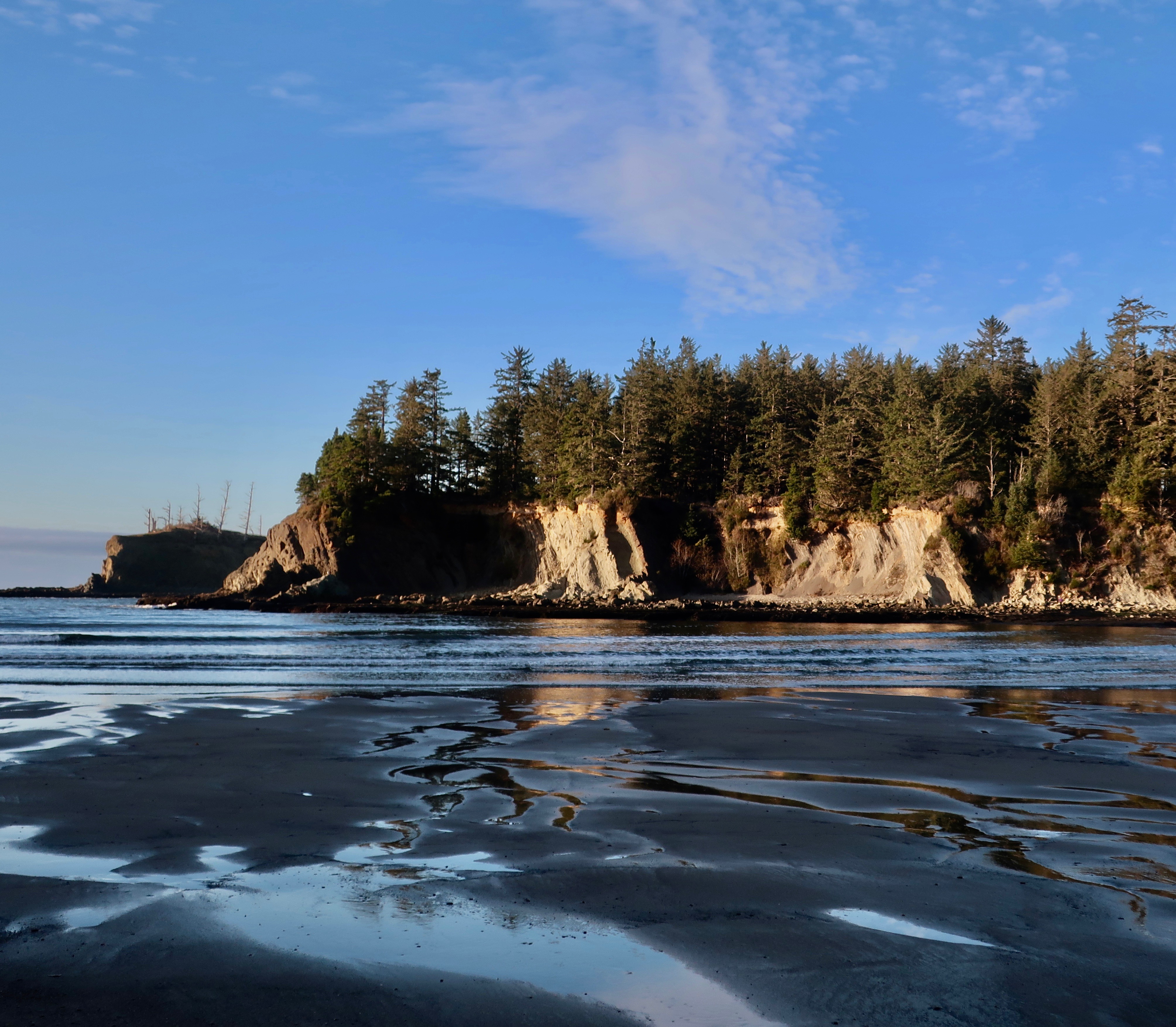
Sunset Bay at sunset with the tide out.

The tourist and real estate industries of the Oregon Coast prefer to ignore the next BIG one, or put it off to sometime in the distant future. The folks involved in predicting earthquakes have a different perspective. The sheer number of tsunami evacuation route signs along the Oregon coast speak to their concerns. The Cascadia Subduction Zone is real. A massive 9-point something or other earthquake known as a mega–thrust is in our future. They happen every 300 to 600 years. The last one was in 1700. The oceanic Juan de Fuca plate is diving under the North American continental plate and it will not be denied. It’s stuck right now. Small earthquakes near the surface are creating pressure on the trapped area, however. When it gives, all hell will break loose.

I, for one, pay careful attention to the evacuation routes whenever Peggy and I visit the coast. If the earth shakes, we will be out of there! So what if we leave our welcome mat behind.

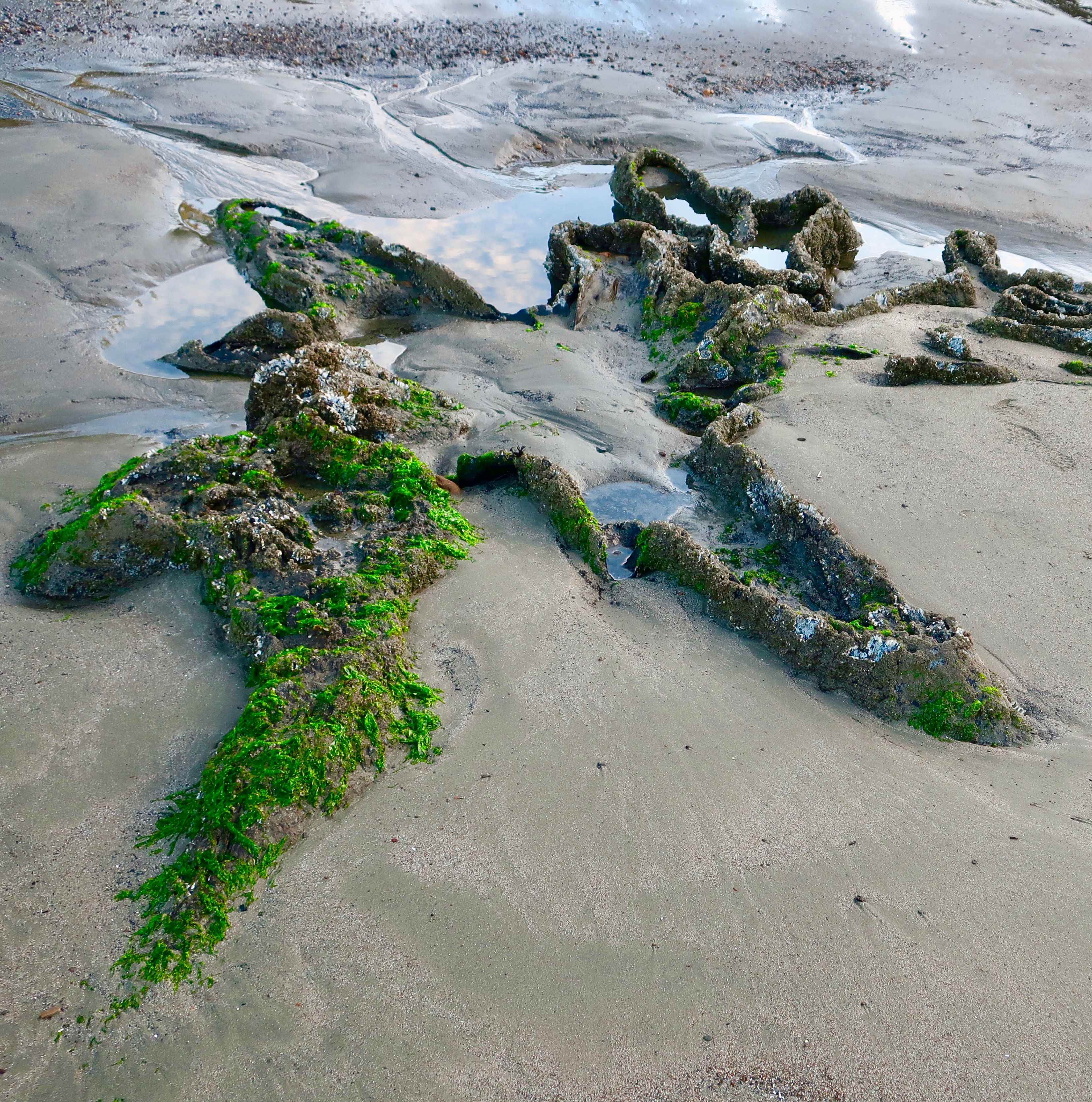
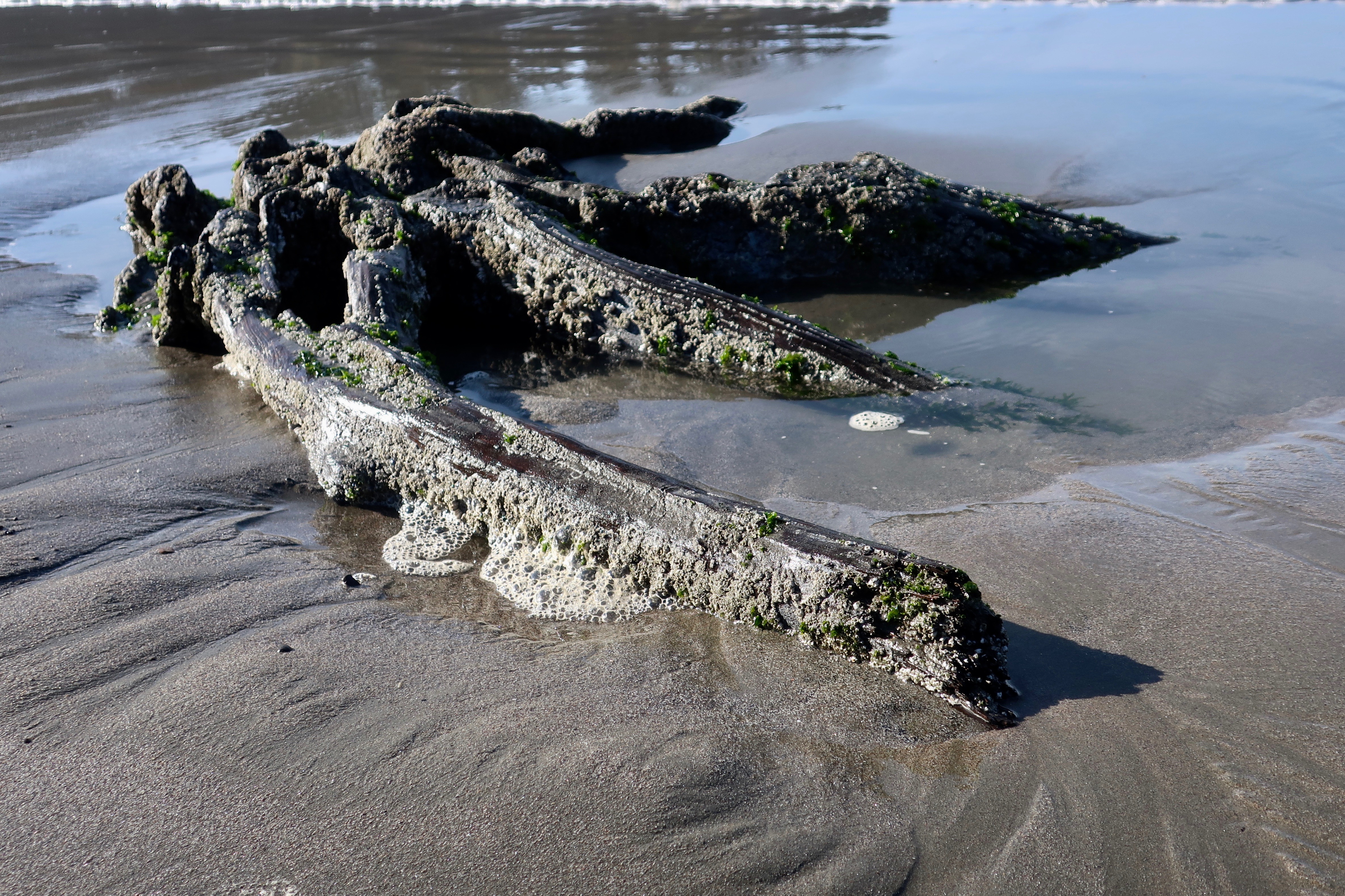
Sunset Bay State Park is a geological wonderland when it comes to featuring various aspects of what can happen when a massive earthquake strikes. The most fascinating to me are the stumps of ancient trees. Twelve hundred years ago, a forest stood above the ocean where Sunset Bay now stands. An earthquake caused a subsidence in the land, drowning the forest. At low tides, the remains can still be seen.

I was fascinated by the different shapes of trunks left by the ancient trees.
Octopus like…
A different perspective…
This ancient tree stump at Sunset Bay State Park bears a strong resemblance to a man doing jumping jacks.
This tree has roots on roots. A genealogist would be impressed.
Incoming tide surrounded the tree trunk and reflected the fluffy clouds in the sky.
Peggy stands in front the ancient tree trunks to provide perspective. Her Covid-19 mask serves as a scarf.

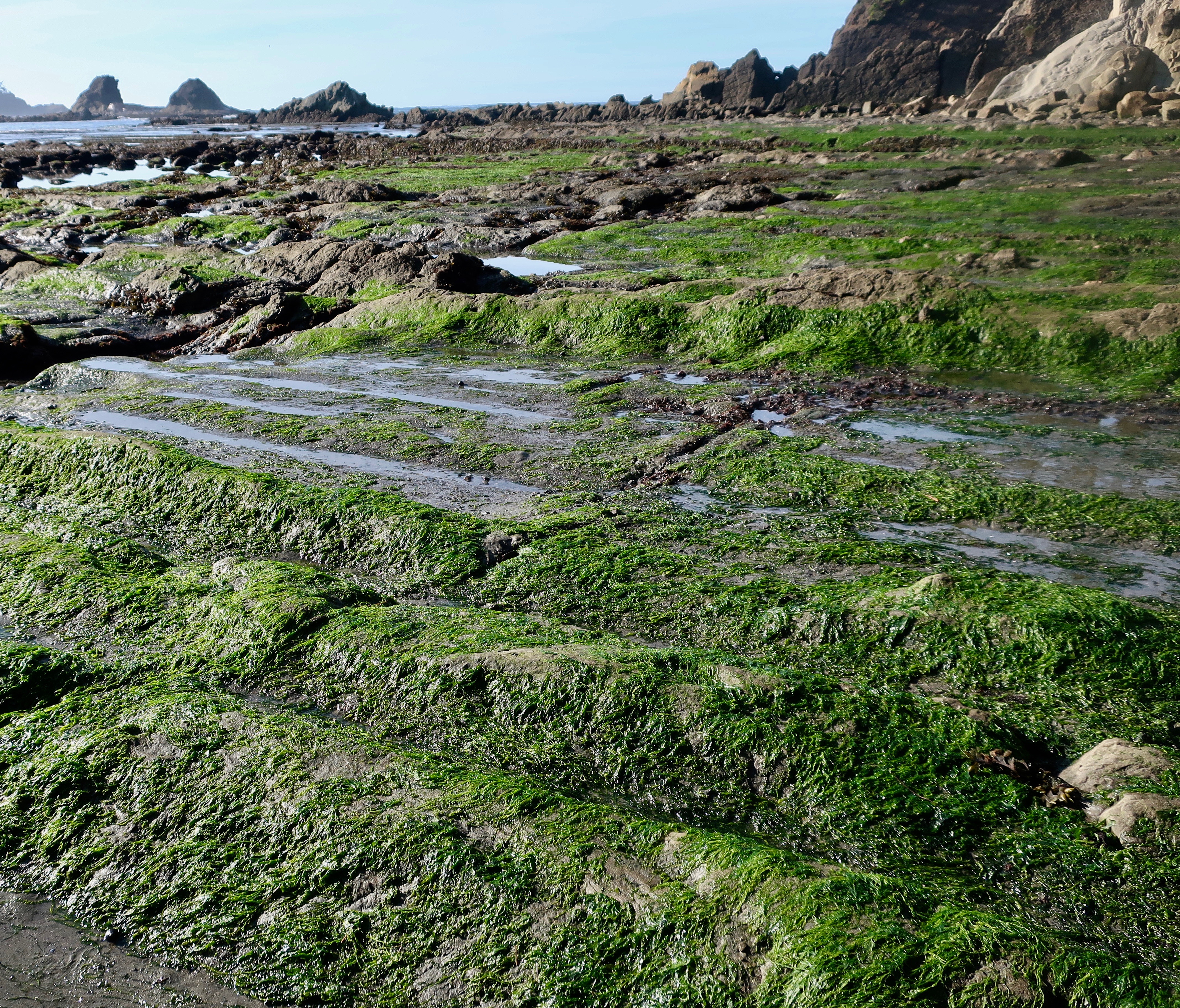
Faults, fractures in the earth’s surface along which the blocks of crust move relative to one another can be seen among the tilted and layered rocks of the Bay at low tide. The rocks, BTW, also provide an excellent area for tide pools that feature sea life loved by kids and adults alike. 

Low tide at Sunset Bay. You can see a number of tide pools to explore, but it also shows a clear fault running from left to right. A second fault can be seen behind it. The crust between the faults moves when earthquakes strike.
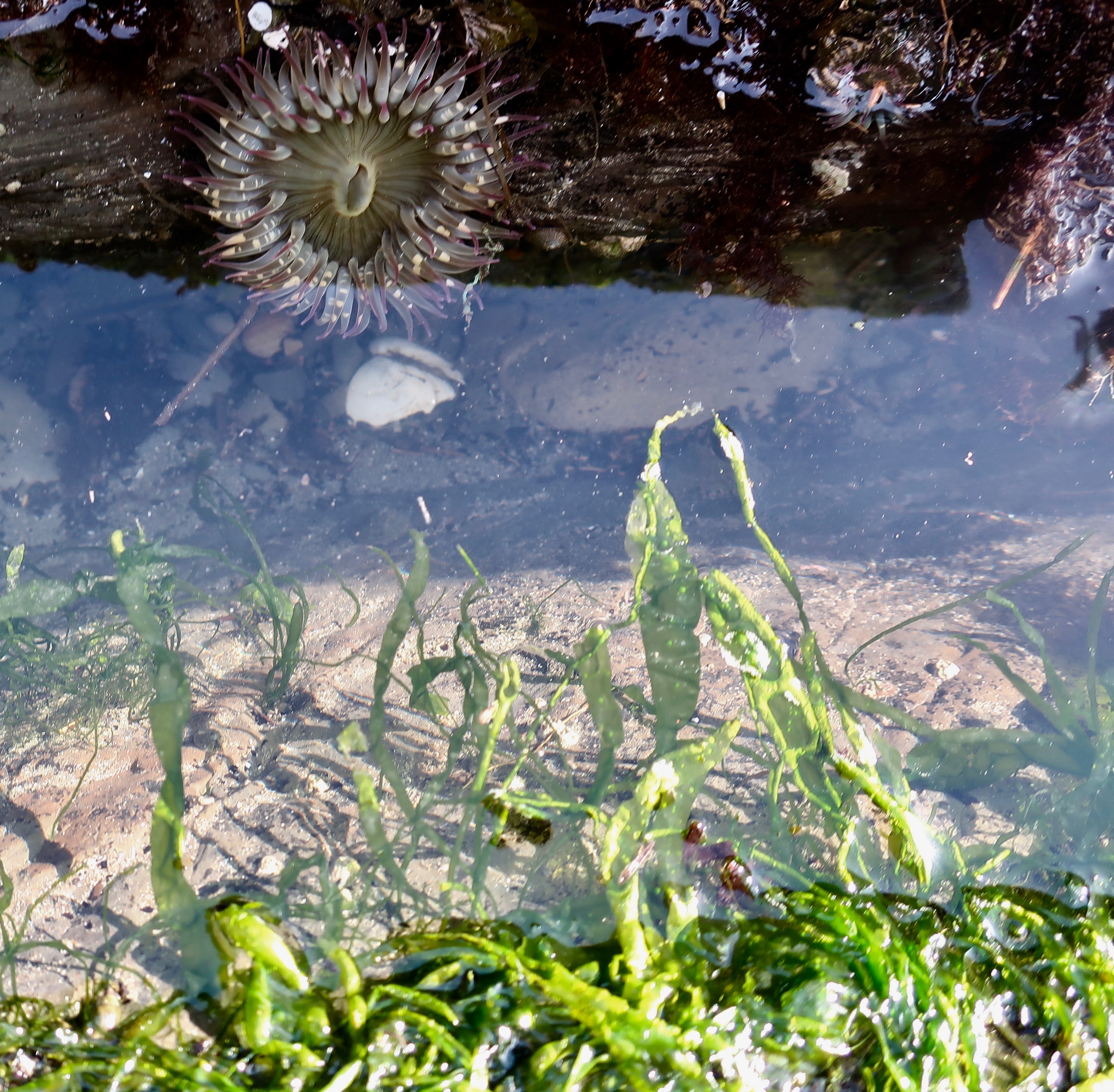
We spent a few minutes peering into tide pools.
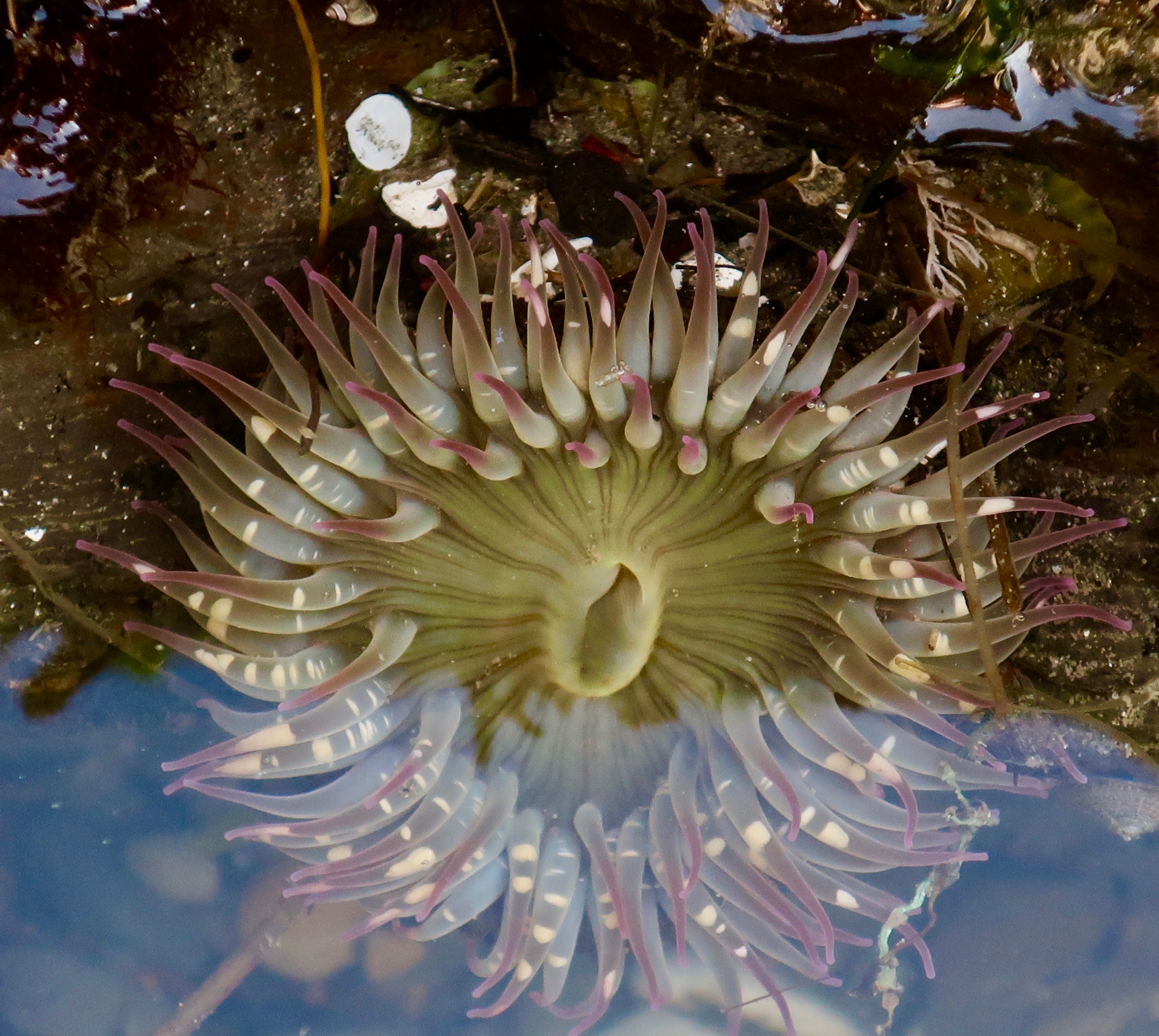
We were impressed by the sea anemone. The slit is the anemone’s mouth, and, for convenience, its anus as well. The tentacles contain stingers filled with a toxin for stunning dinner, which is then transported to its mouth.
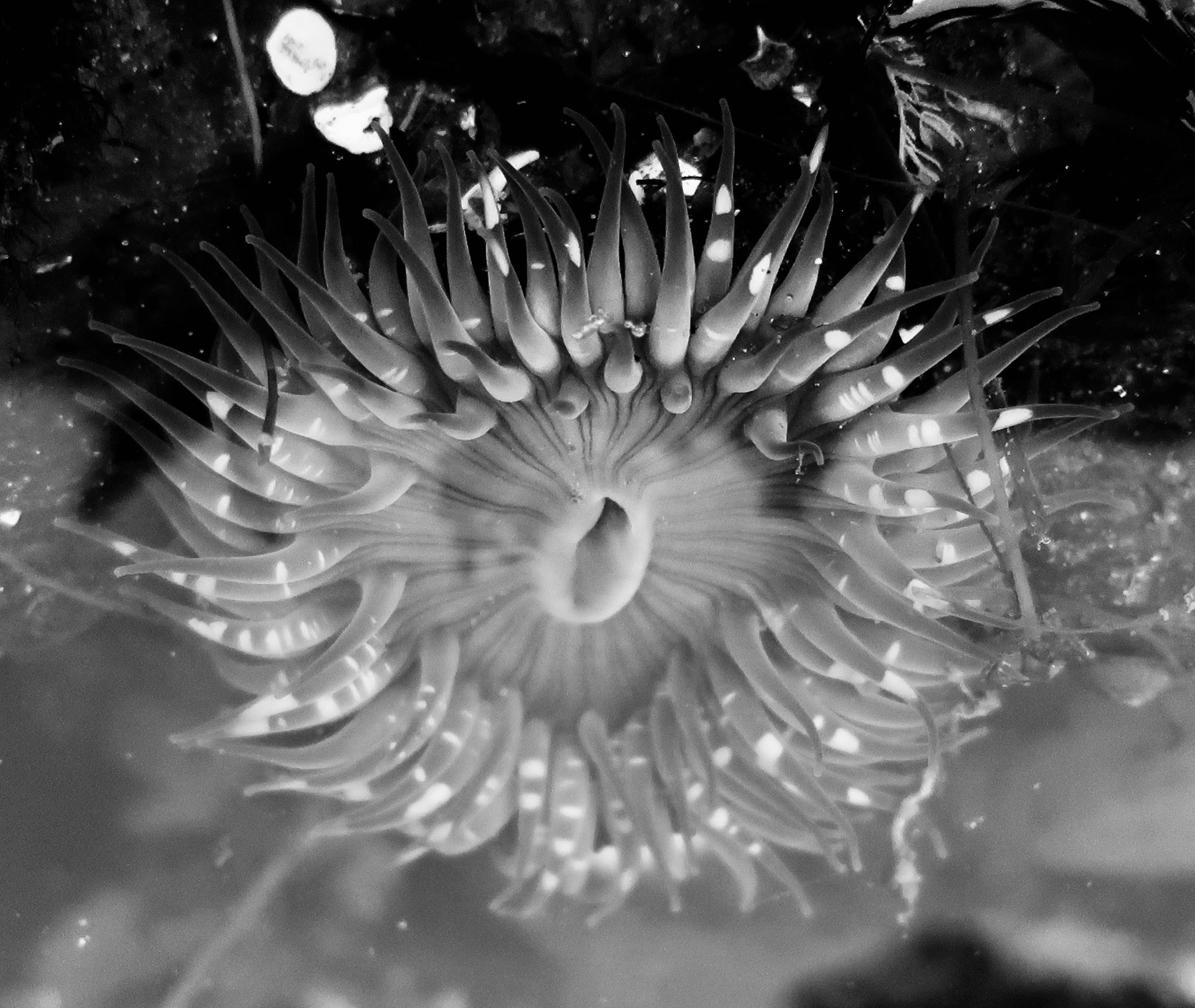
For fun, I rendered the anemone in black and white.

While the bay represents an earthquake caused subsidence, the Whiskey Run terrace surrounding the Bay represents uplifts and folding also created by tectonic activity related to the Cascadia Subduction Zone. The wave-caused erosion taking place in Sunset Bay operated on the terrace when it was at sea level. It’s estimated that the land rises approximately three feet every thousand years. 

The terrace above Sunset Bay was once at sea level. Like the Bay, waves created the flatness of the terrace.
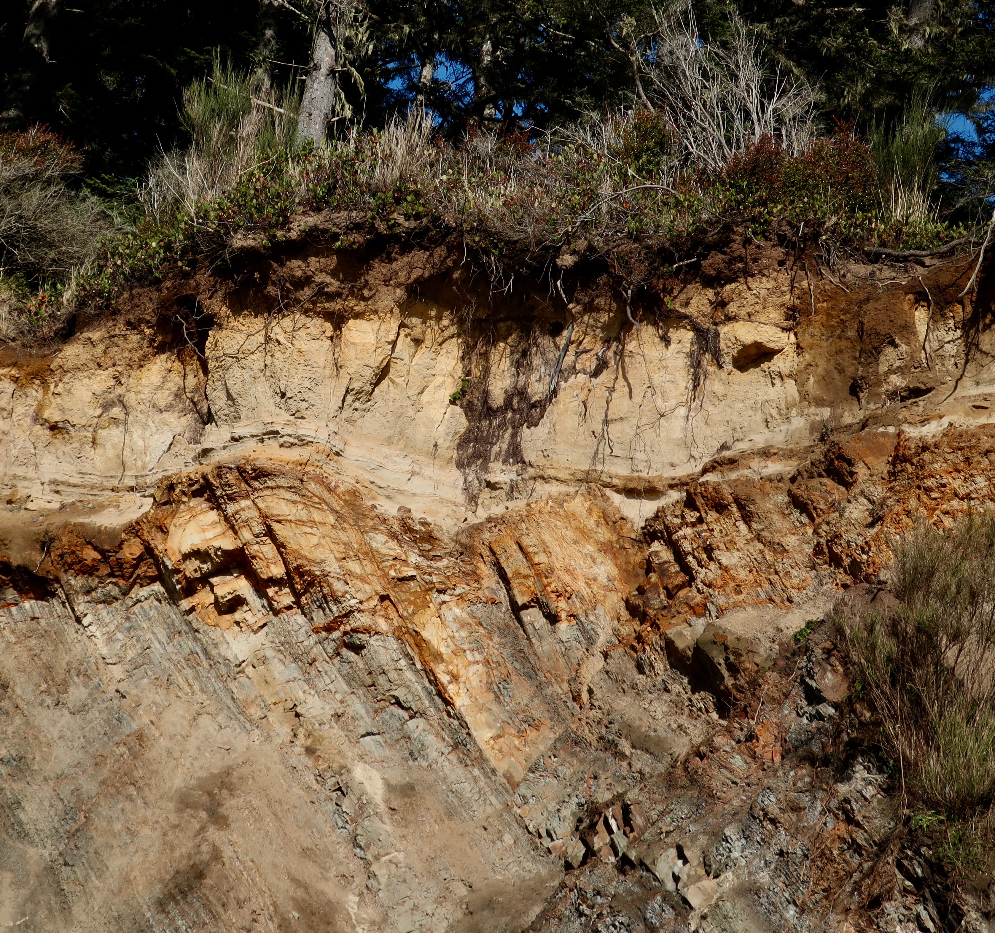
A close up of the Whiskey Run terrace. The sedimentary layers have been tilted down to the right by tectonic forces and then eroded away by wave action. A layer of dirt/rock has since been laid down on top, providing soil for the forest.

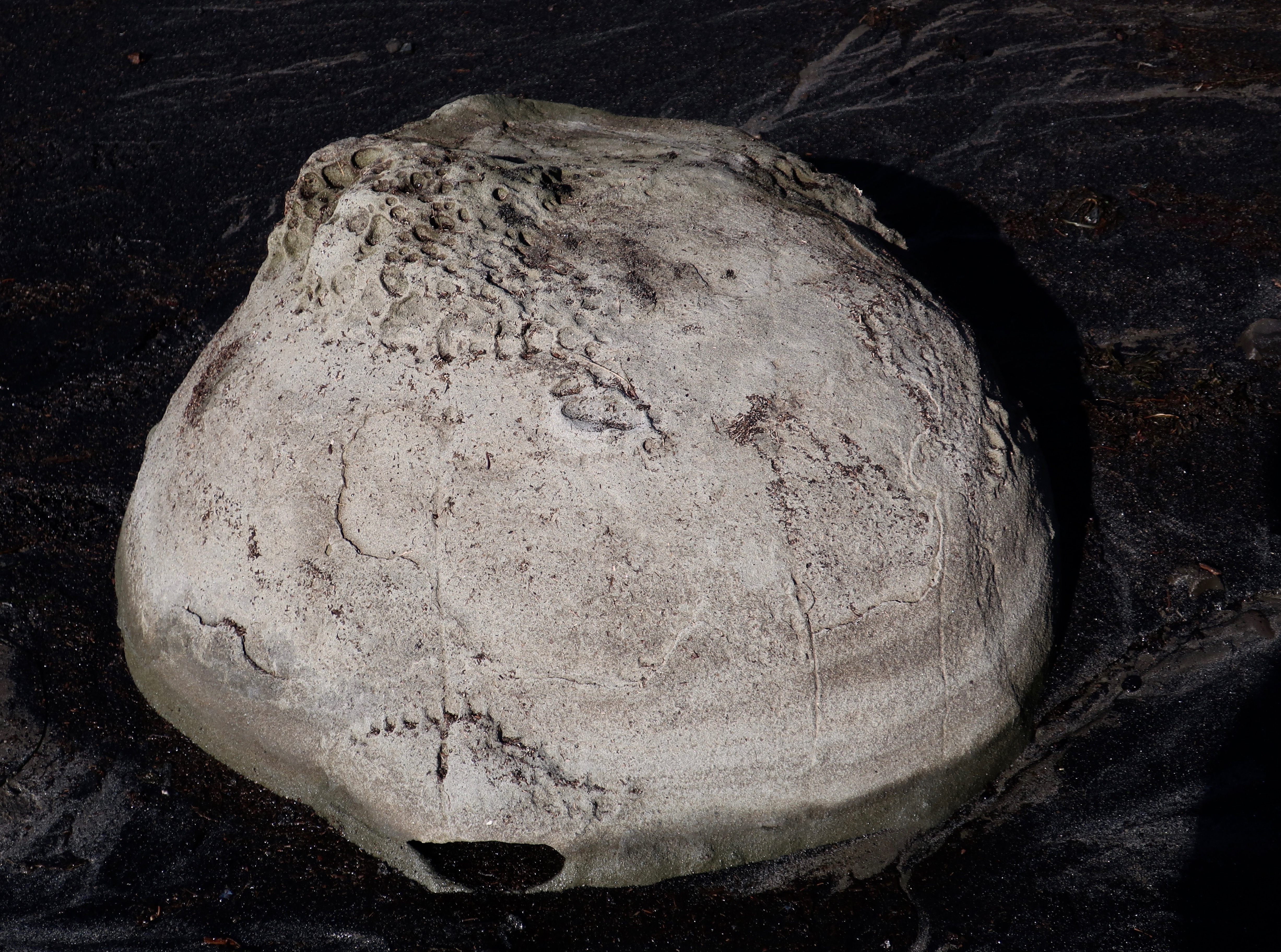
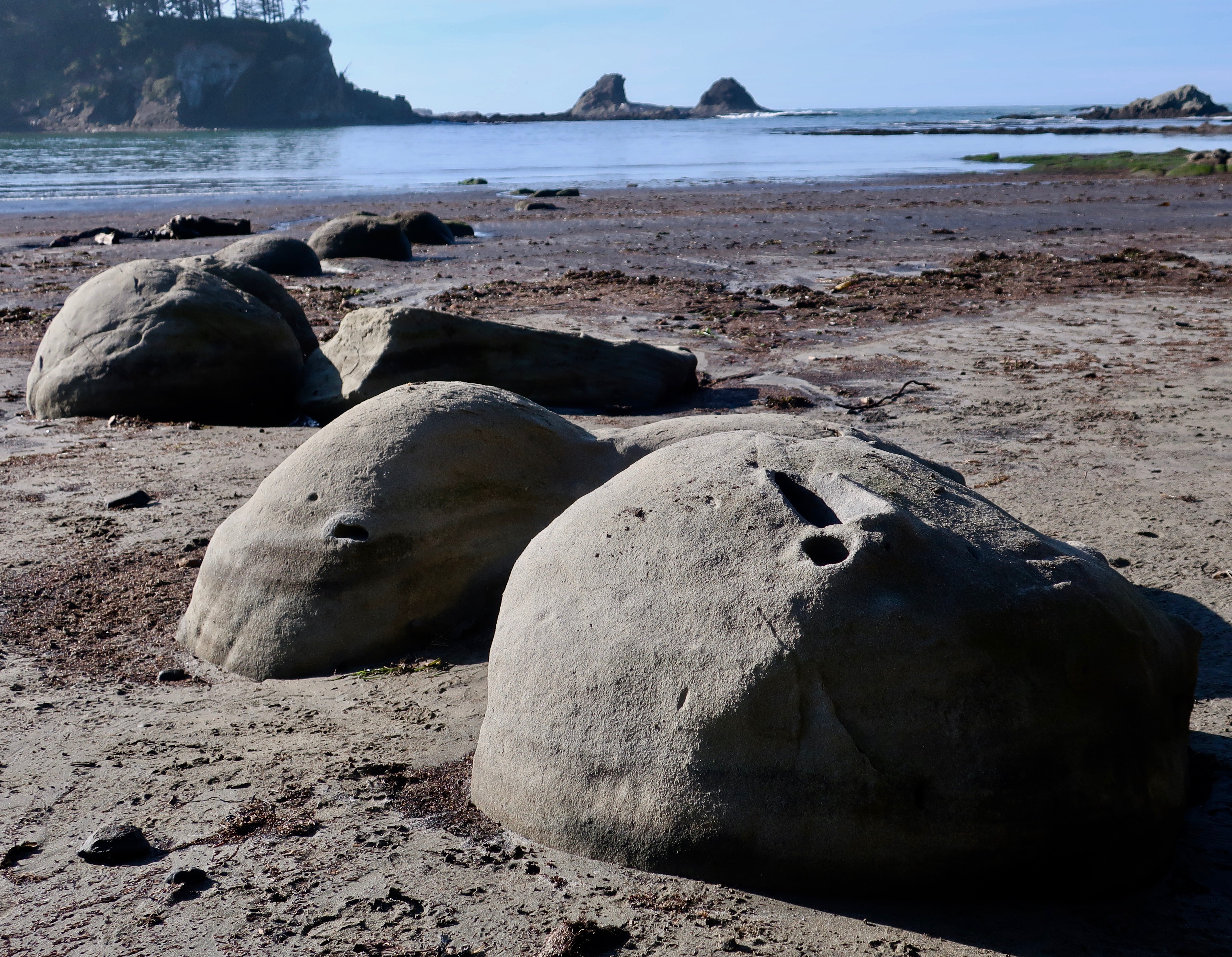
And finally, I would like to feature a strange, non-tectonic feature of Sunset Bay: concretions. Peggy and I first came across these round, rock-like structures on the southern coast of the South Island of New Zealand. They are created when groundwater triggers extra amounts of ‘cement’ around irregularities in the rock such as shells, creating a round structure that continues to grow as more cement is added. The hardness of the covering makes it harder to erode than the surrounding rock. 

This is a concretion.
And these are concretions apparently marching out to sea. Why, I haven’t a clue.

I’ll conclude with a few other photos from Sunset Bay that I found interesting.

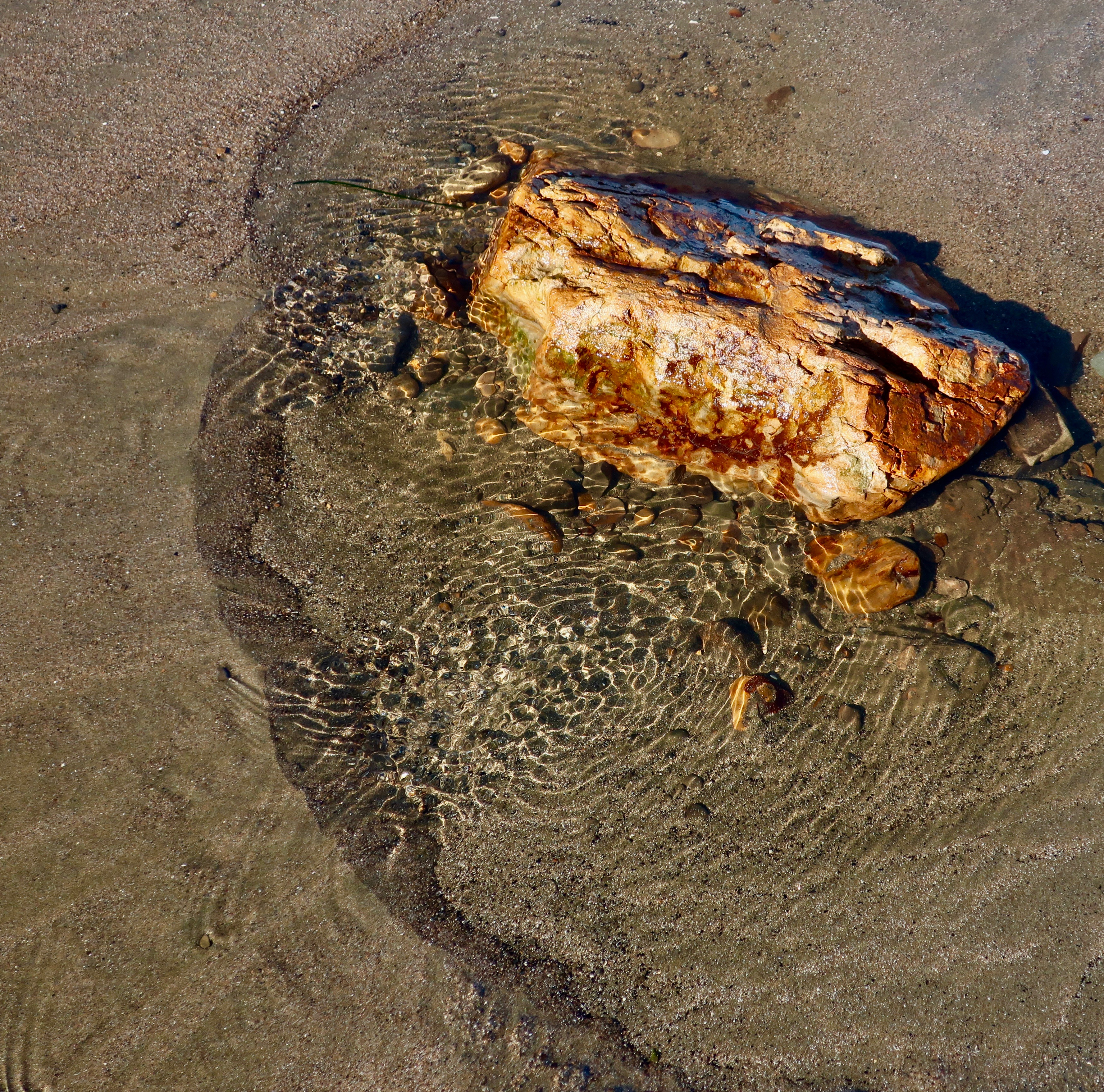
An orange rock with ripples…
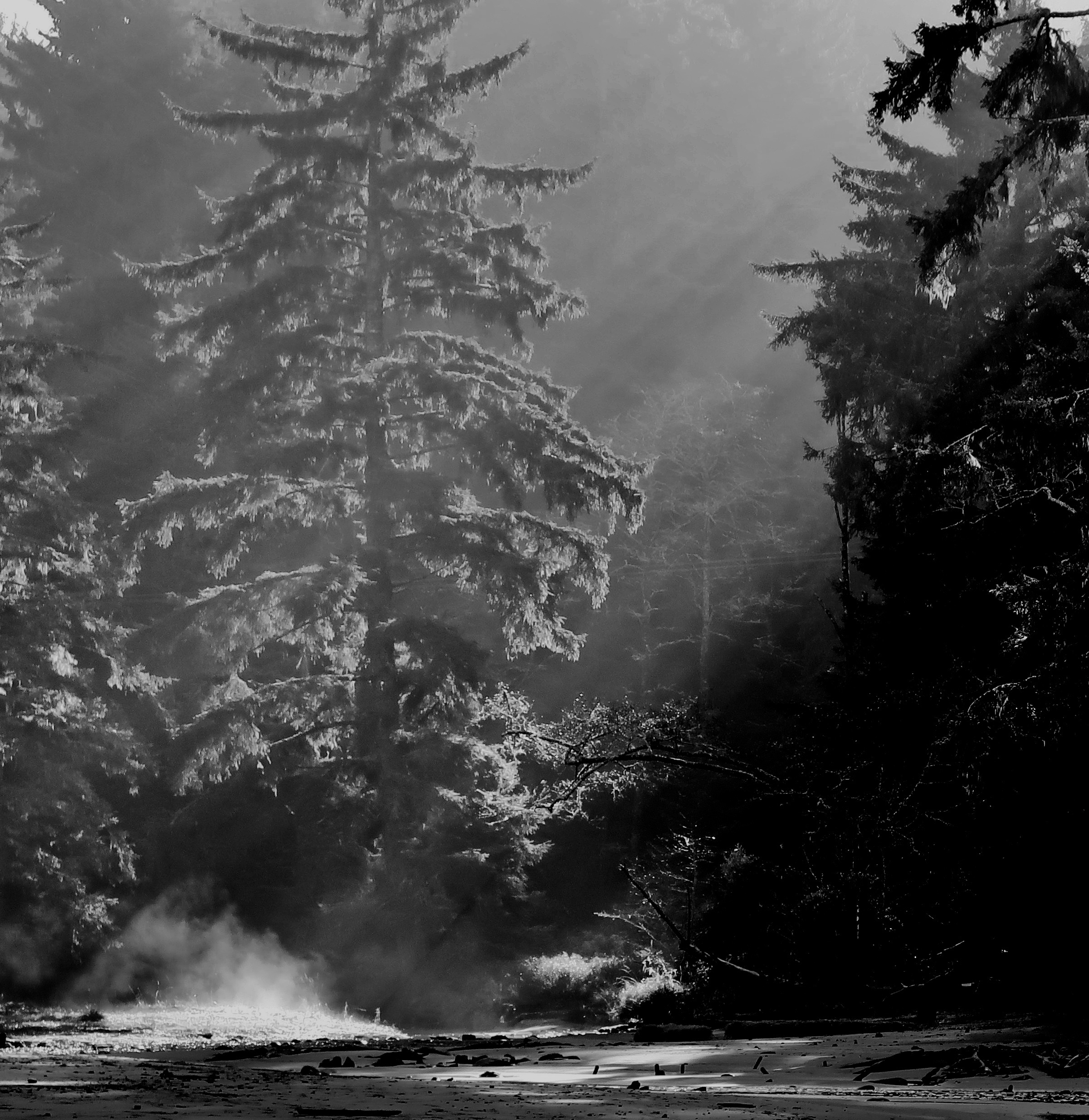
A ghost tree…
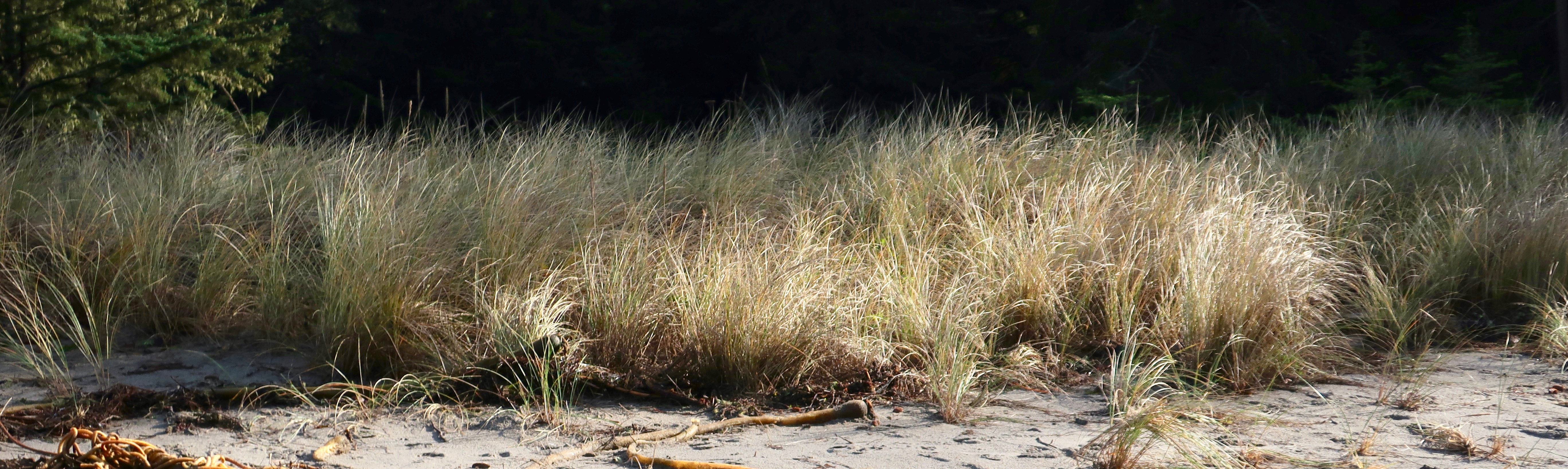
Sea grass in the late afternoon sun…
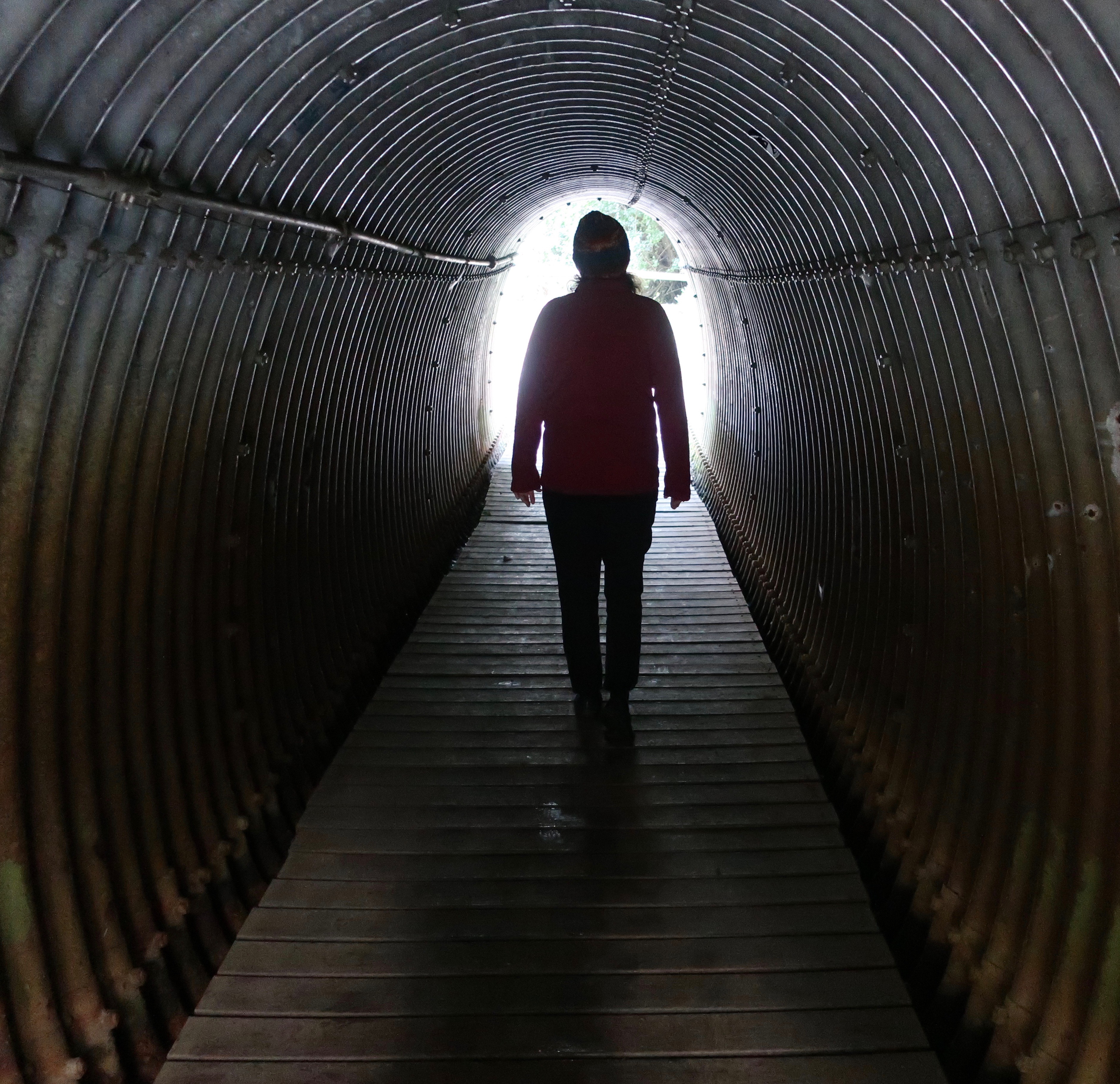
Peggy walking through the tunnel that connected our campground to the bay.
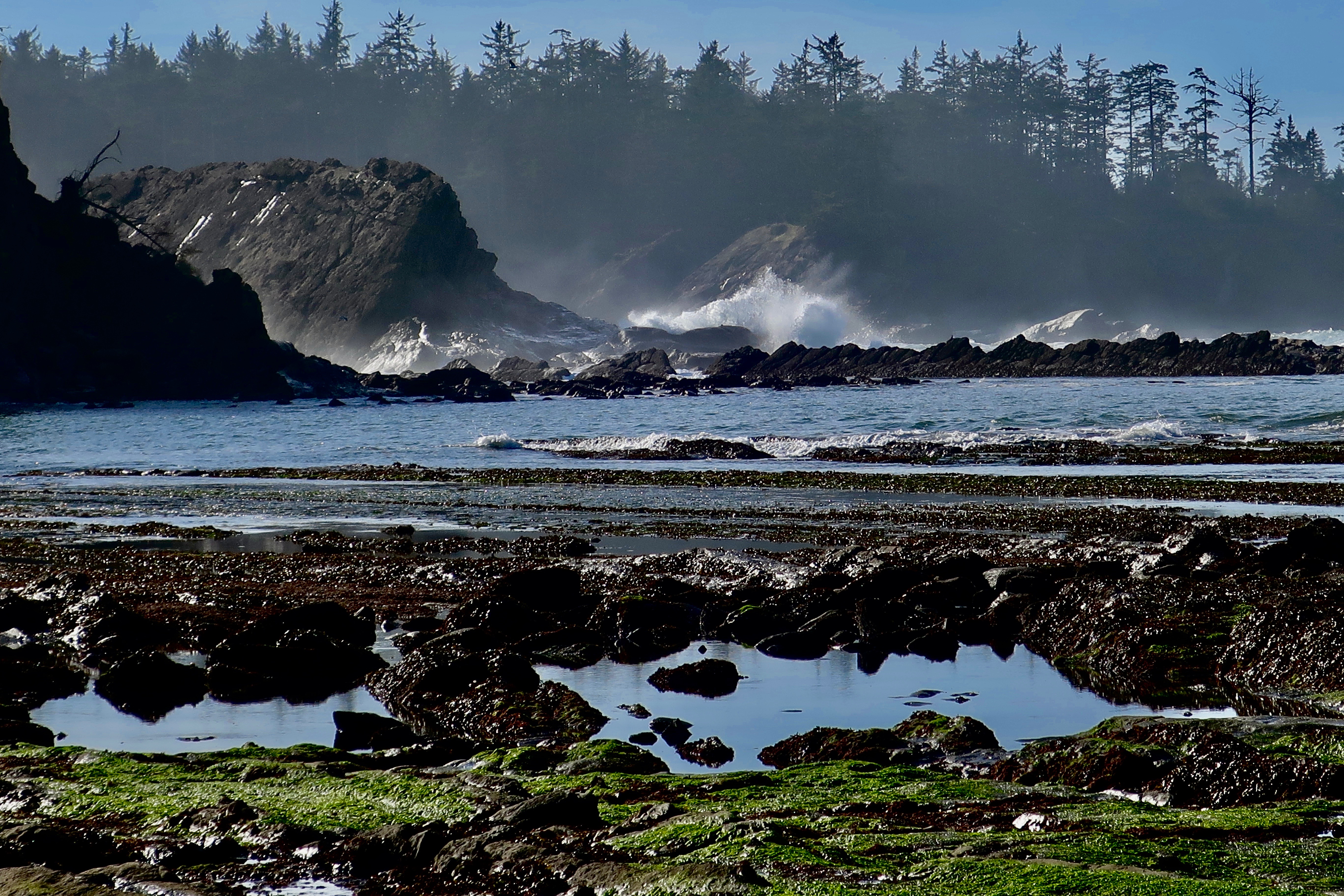
And finally, I’ll wrap up this post on Sunset Bay with more waves.

NEW BLOG SCHEDULE: I’ve been working on revising the book on my Liberia Peace Corps experience— adding a few chapters on my experience working for the Peace Corps after I was a Volunteer and updating the chapters I wrote about modern Liberia. Several of you have read the book and a few of you may have even been around when I first blogged it several years ago. Anyway, I am going to reblog it again, adding it to my schedule. On Mondays I will continue to blog my book, It’s 4 AM and a Bear is Standing on top of Me. On Wednesdays, I will blog The Bush Devil Ate Sam. On Fridays, I will continue my travel blog.

NEXT POSTS:

Blog a Book Monday: Will you believe I actually have a good day on the Sierra Trek?

Blog a Book Wednesday: Introduction to the Bush Devil Ate Sam

Travel Blog Friday: I return to my Backroad series following Highway 191 through Navajo country in Utah and ending up in Arizona’s Lyman State Park.

The Devil’s Golf Course in Death Valley… An Interlude

The sun beats down on the Devil’s Golf Course in Death Valley.

“Only the Devil could play golf here.” 1934 National Park guide book.

Peggy and I are playing hooky, extending our seemingly endless time away from home. One would think that backpacking the PCT, visiting Puerto Vallarta, and spending over a month with our kids in Florida and North Carolina would satisfy our wandering needs for a while. But no, here we are in Las Vegas, or Lost Wages, as I like to call it, ensconced in a comfortable suite at the very southern tip of Las Vegas Boulevard, the infamous Strip. Or is that famous?

Few people who visit this city venture outside of its mecca of gambling and entertainment pleasure palaces. Peggy and I always do. There is much to see and do. There is a desert on its doorstep, and it is a desert of rare beauty. Death Valley National Park is a prime example. It is a mere two hours away and Peggy and I drove out there on Sunday. To us, it’s like seeing an old friend; we have been there many times.

It is a geologist’s dream— there are rocks everywhere, and the rocks all have stories to tell. It’s a story of ancient seas and lakes and volcanic activities and clashing, mountain-building plates. Death Valley is a rift valley, or a graben in technical terms, formed along a fault zone between two mountain ranges. As the mountains were thrust up by tectonic forces, the valley dropped between them, several thousand feet. The two mountain ranges have since filled the valley up with eroded debris.

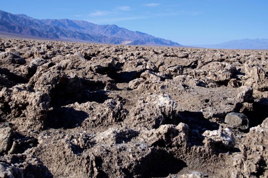
The shallow Lake Manly filled the basin a few thousand years ago. As the climate of the area changed and became more desert like, the lake dried up. Its briny waters left a deep deposit of salt behind, which brings us to today’s post. The Devil’s Golf Course is located a short 10 miles away from Bad Water Basin, which, at 282 feet below sea level, is the lowest point on the North American continent. Water that drains into the Basin melts the salt and becomes undrinkable, thus the name. The Devil’s Golf Course is several feet higher and avoids the melting water. Instead, capillary action pulls salty subsurface water up creating the crystalline structures that the area is famous for.

Peggy and I caught the area at a particularly good time for photography, which surprised me, given the location of the overhead sun. Anyway, here are the results.

This close up provides a view of the crystalline structures developed by the capillary action. BTW, they are composed of 95% table salt. (Photo by Peggy Mekemson.)
I took this photo looking east toward the Amargosa Range.
Looking southwest along the Panamint Range.
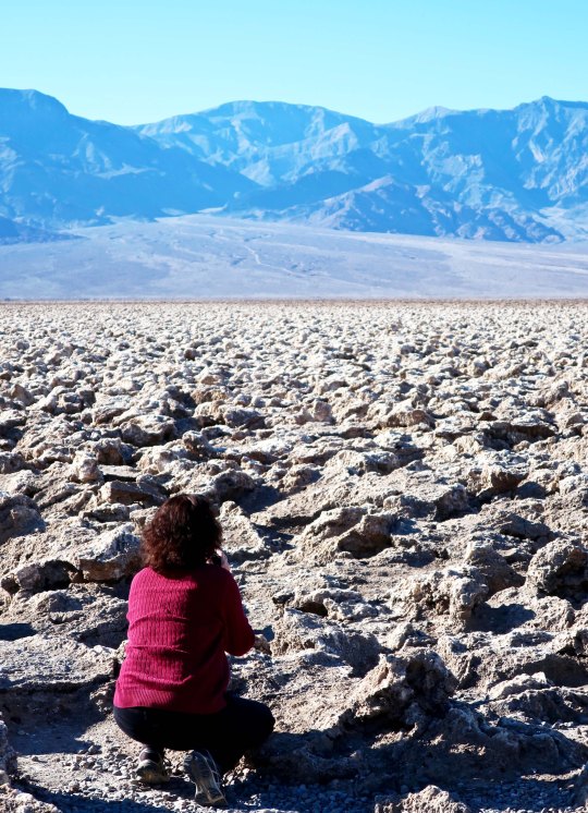
Peggy photographing the Devil’s Golf Course provides a perspective on the size of the crystalline structures.
A final shot of the Devil’s Golf Course backed up by the Panamint Range. (Photo by Peggy Mekemson.)

NEXT POST: A ghostly reminder of Death Valley’s past, and more.