


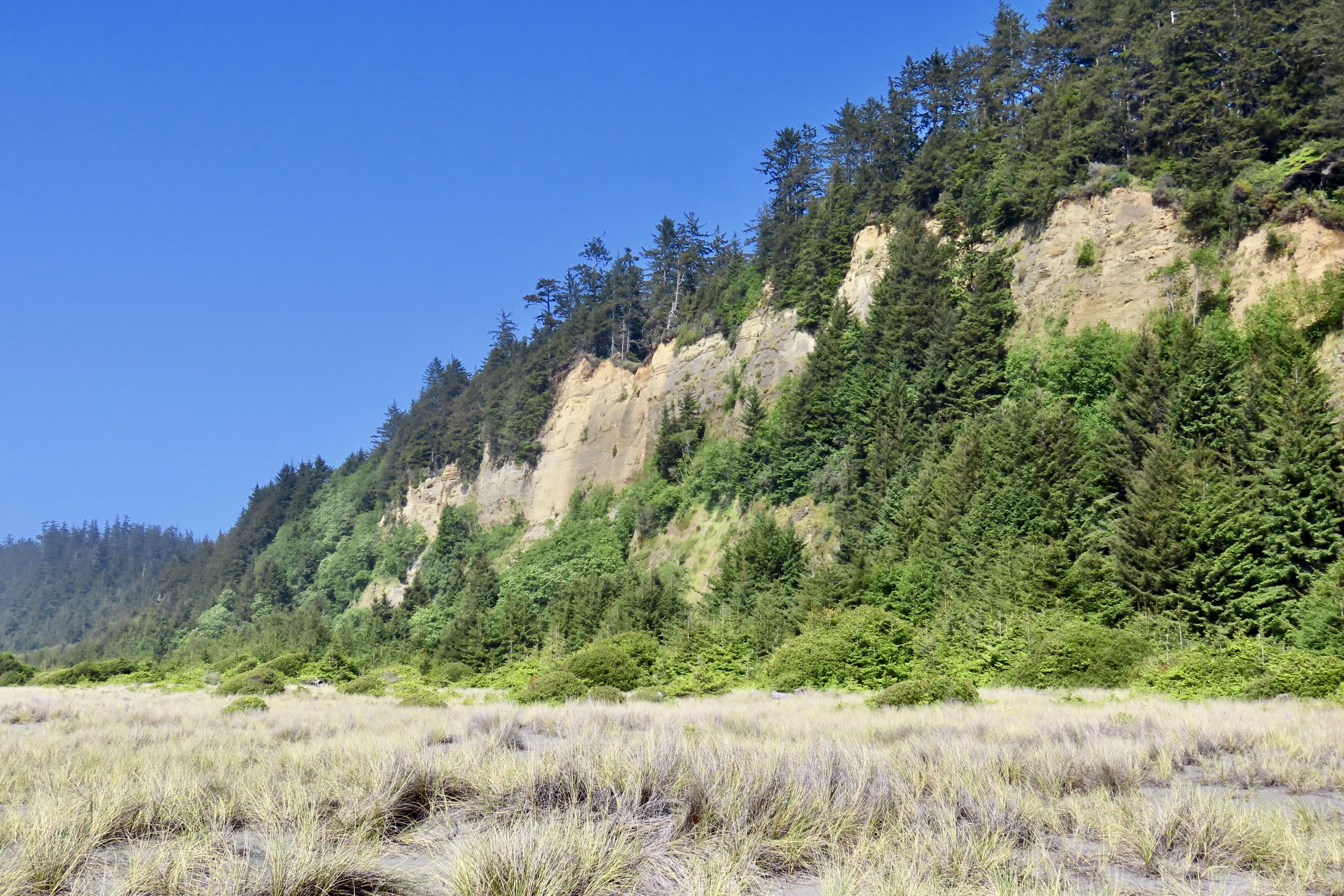
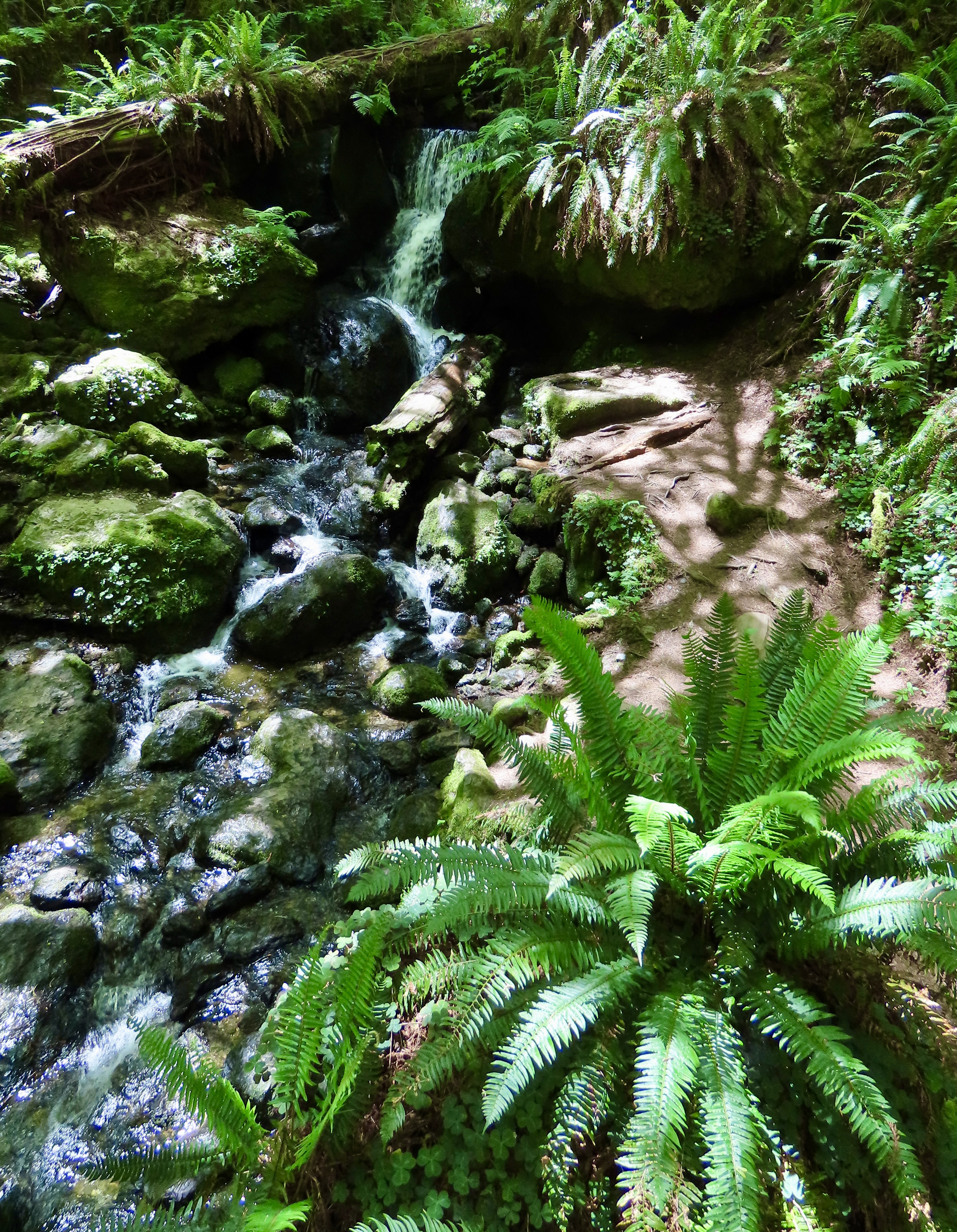
The six mile road into Fern Canyon from Highway 101, where Jurassic Park, The Lost World, was filmed, was about a mile from where Peggy and I were camped. We had to go! The first four miles or so of the road had not recovered from winter storms. In addition to being one lane, it was full of Jurassic-size potholes. Had we fallen in one, it would have devoured our pickup faster than T-rex.


AND A WRAP-UP
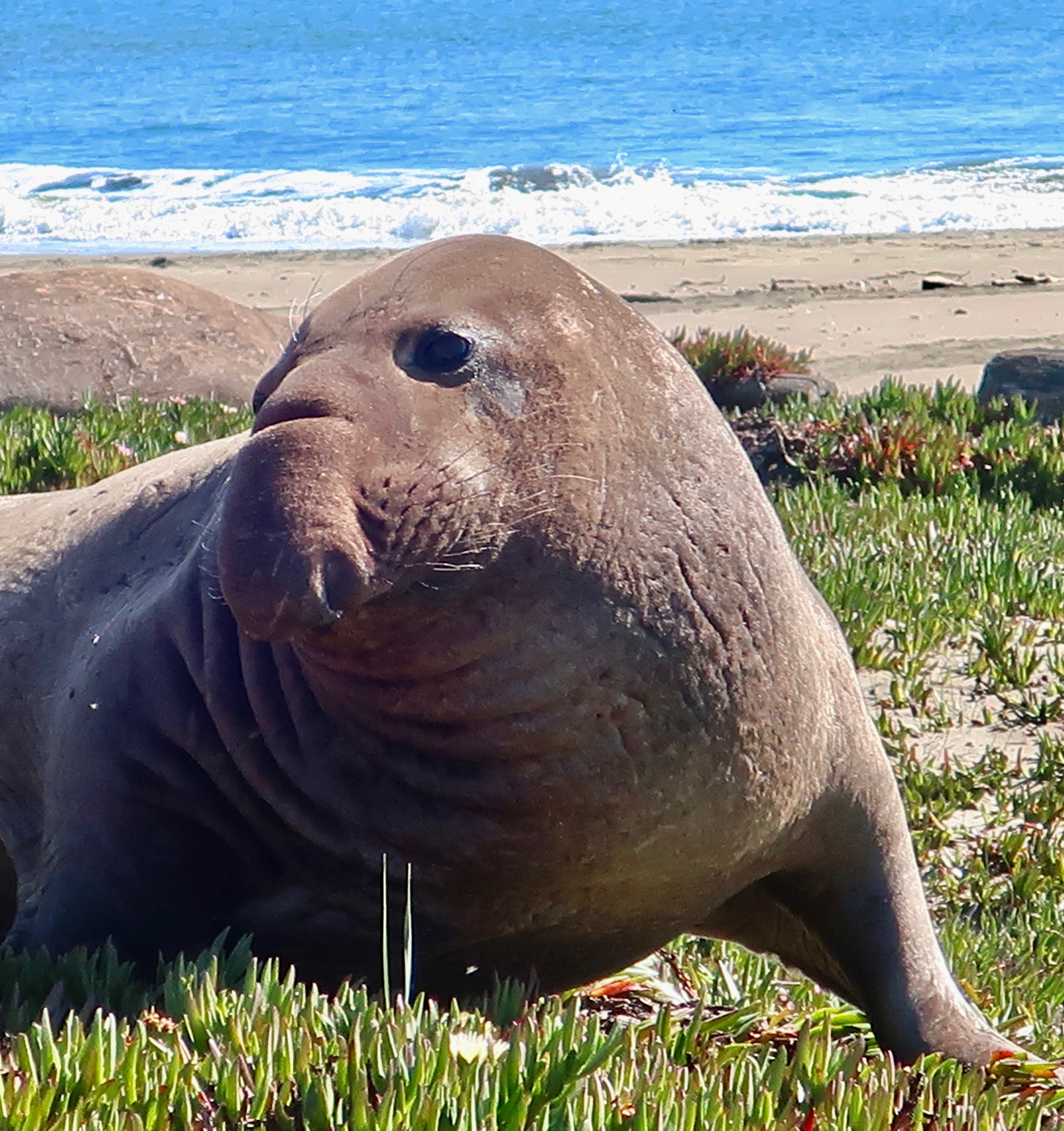
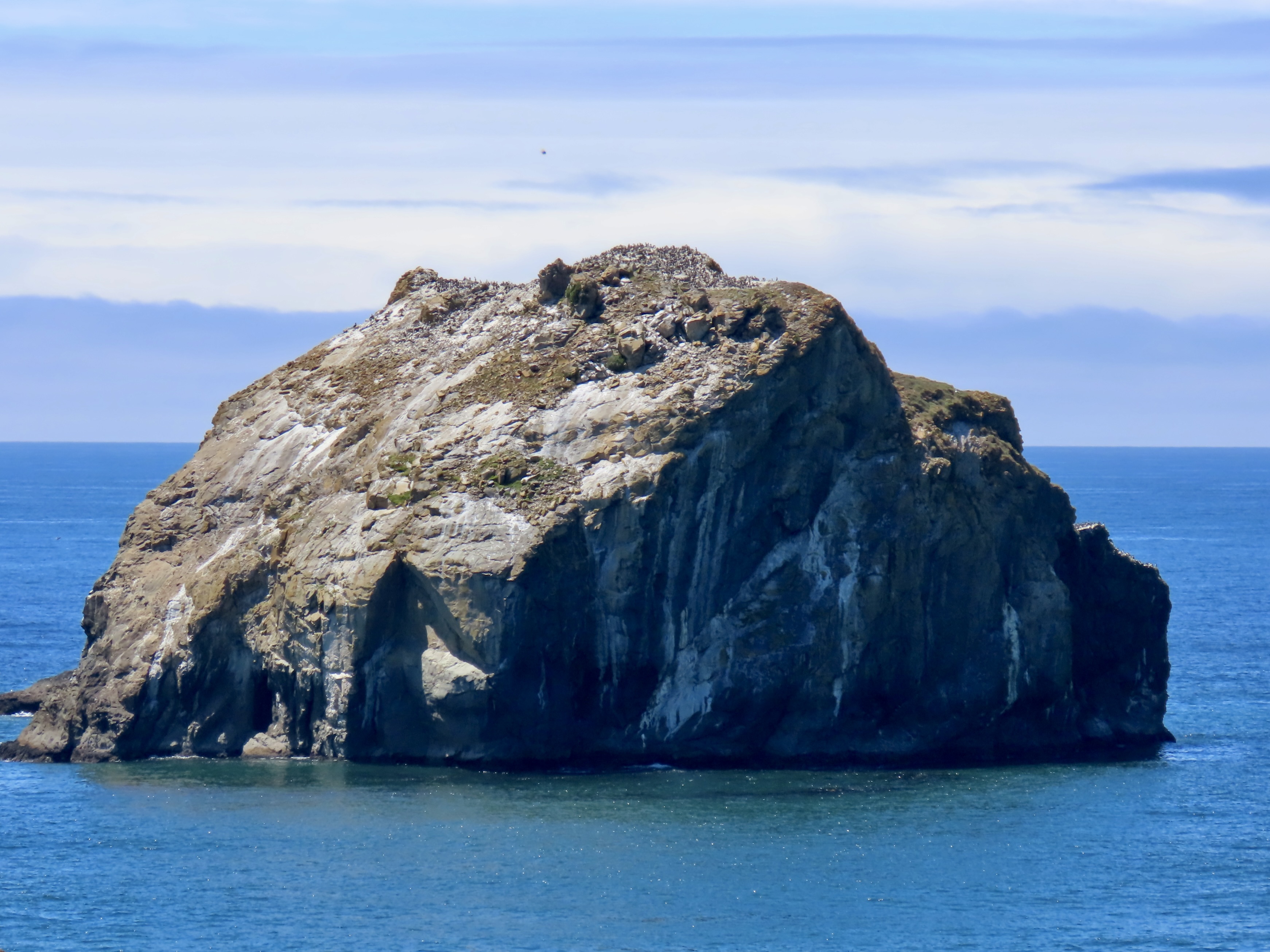
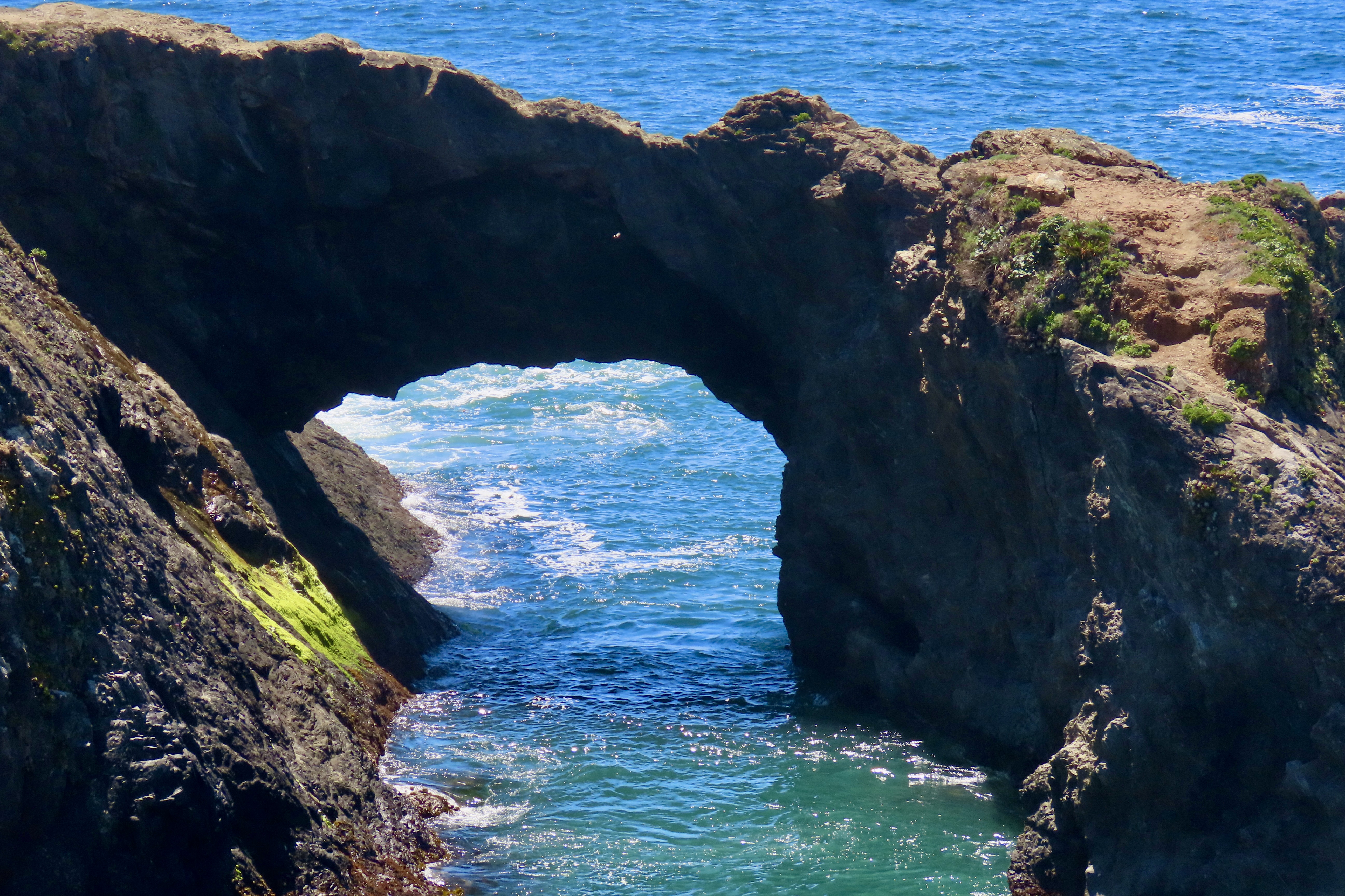
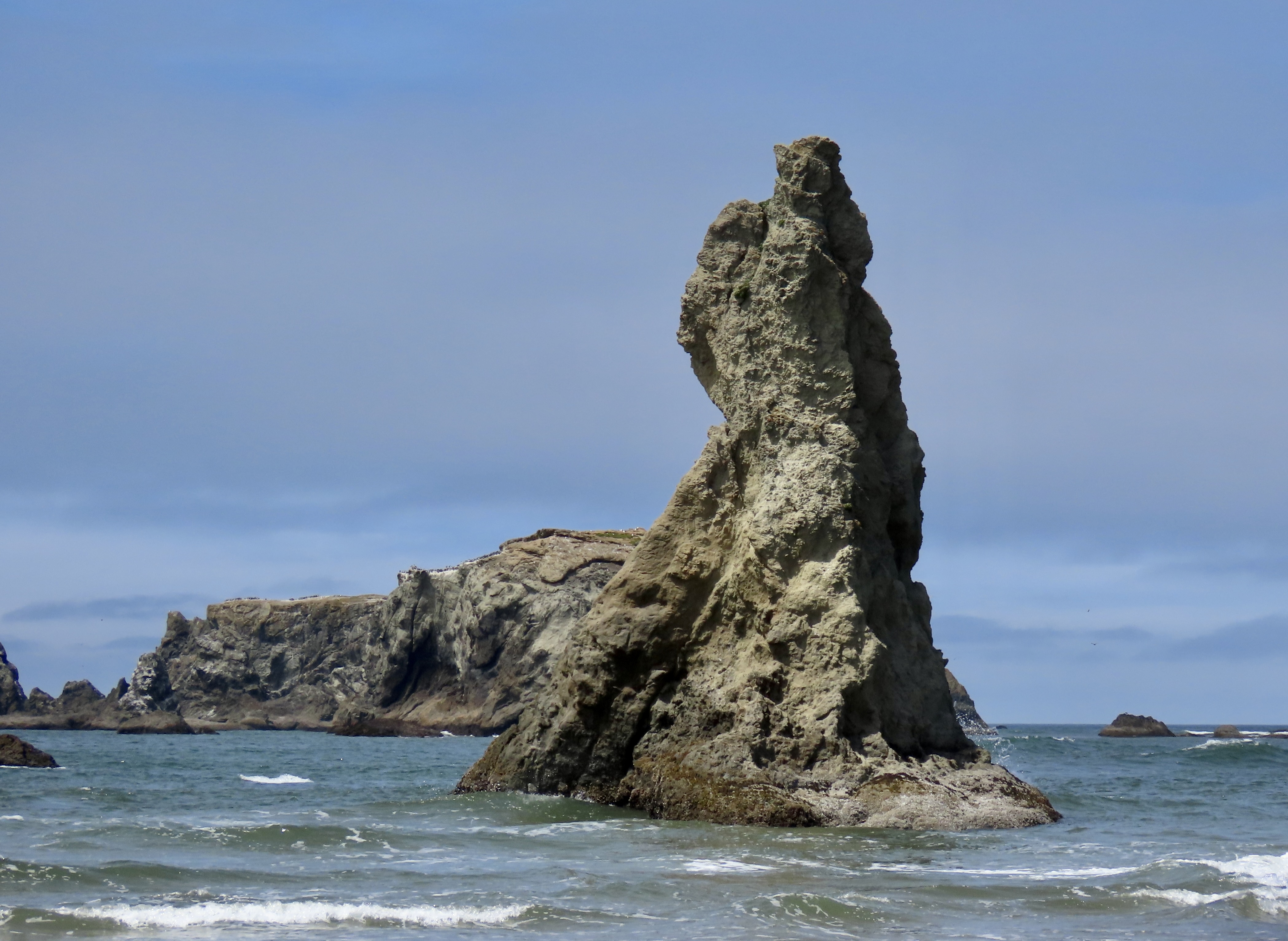
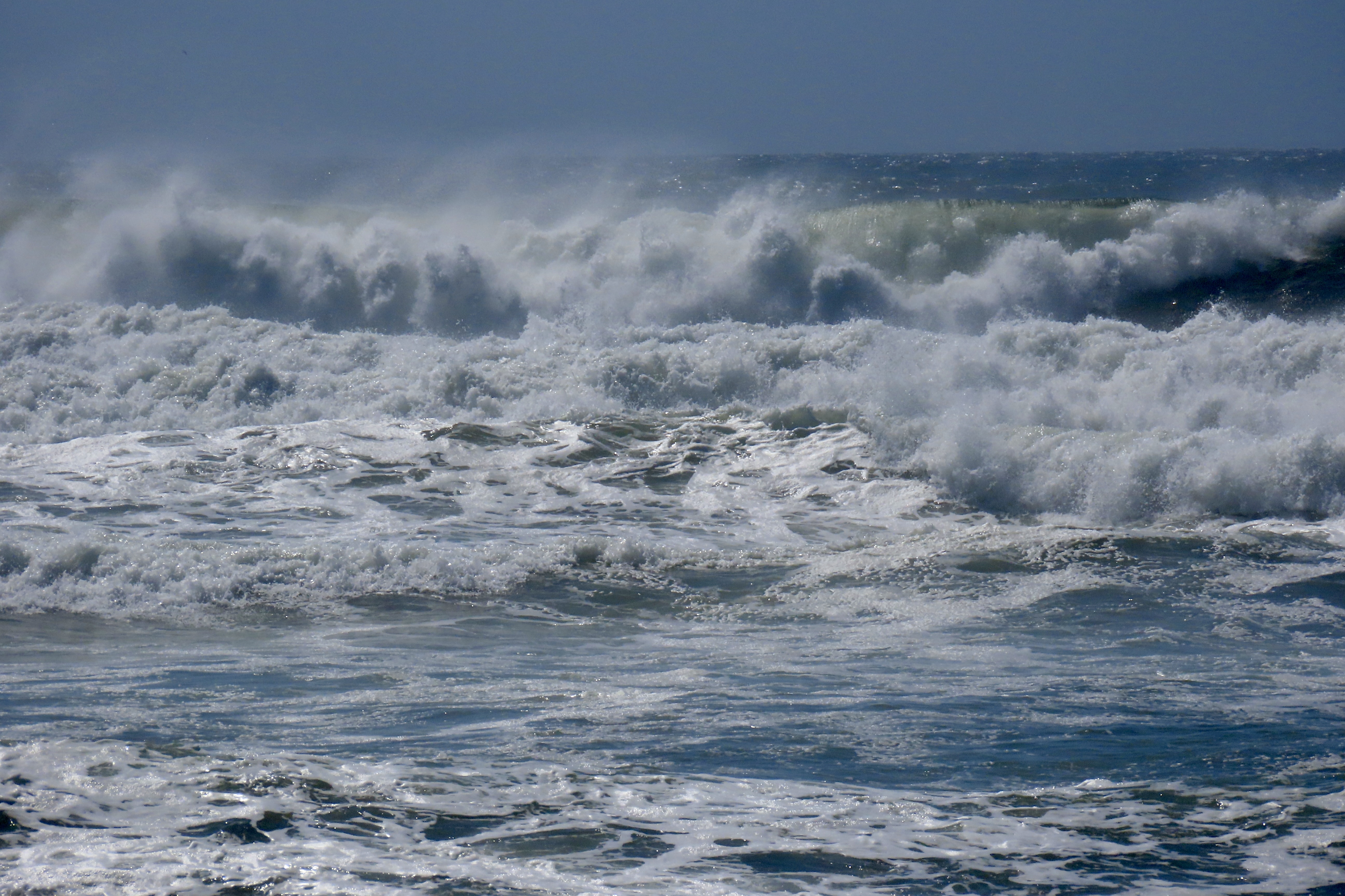
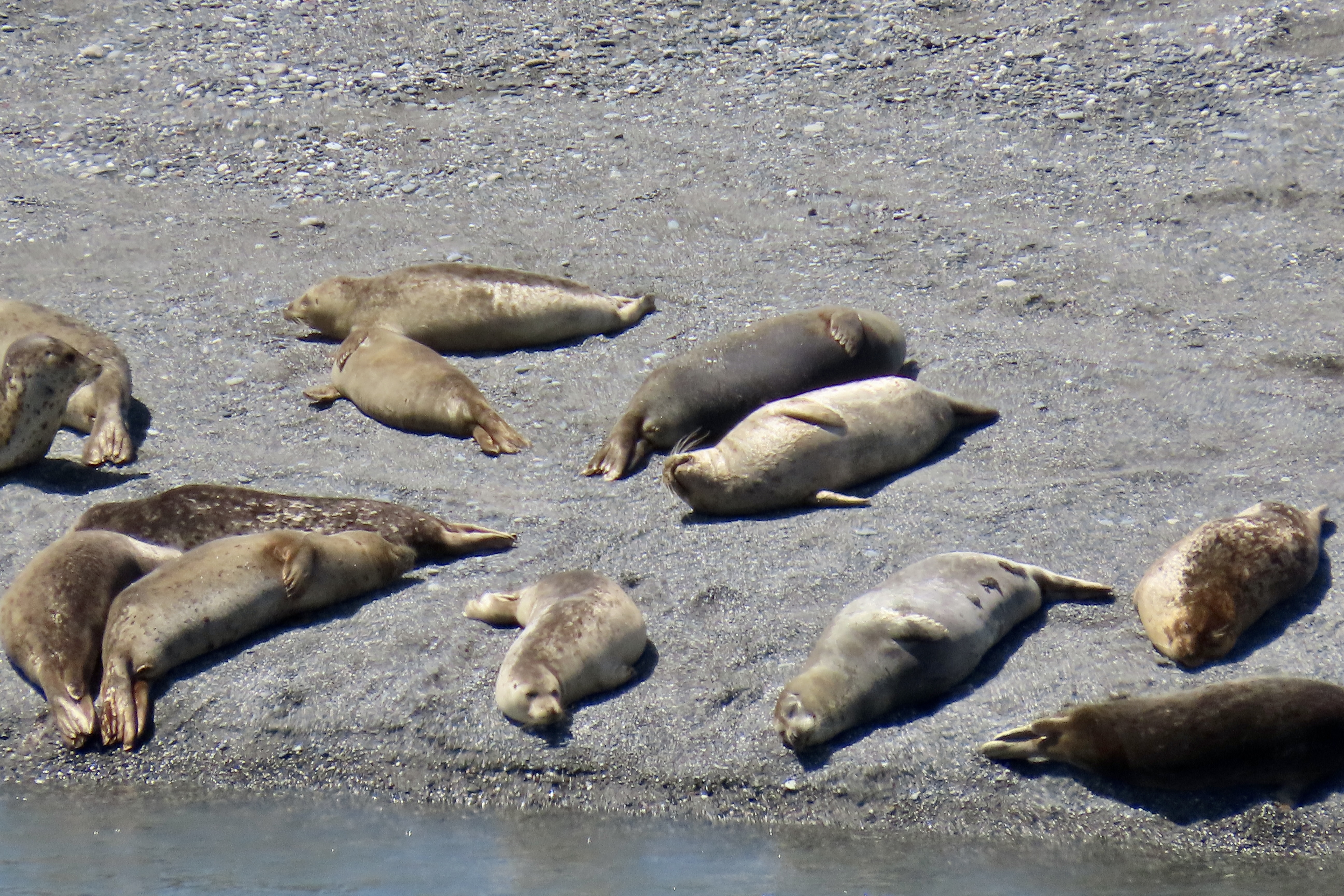
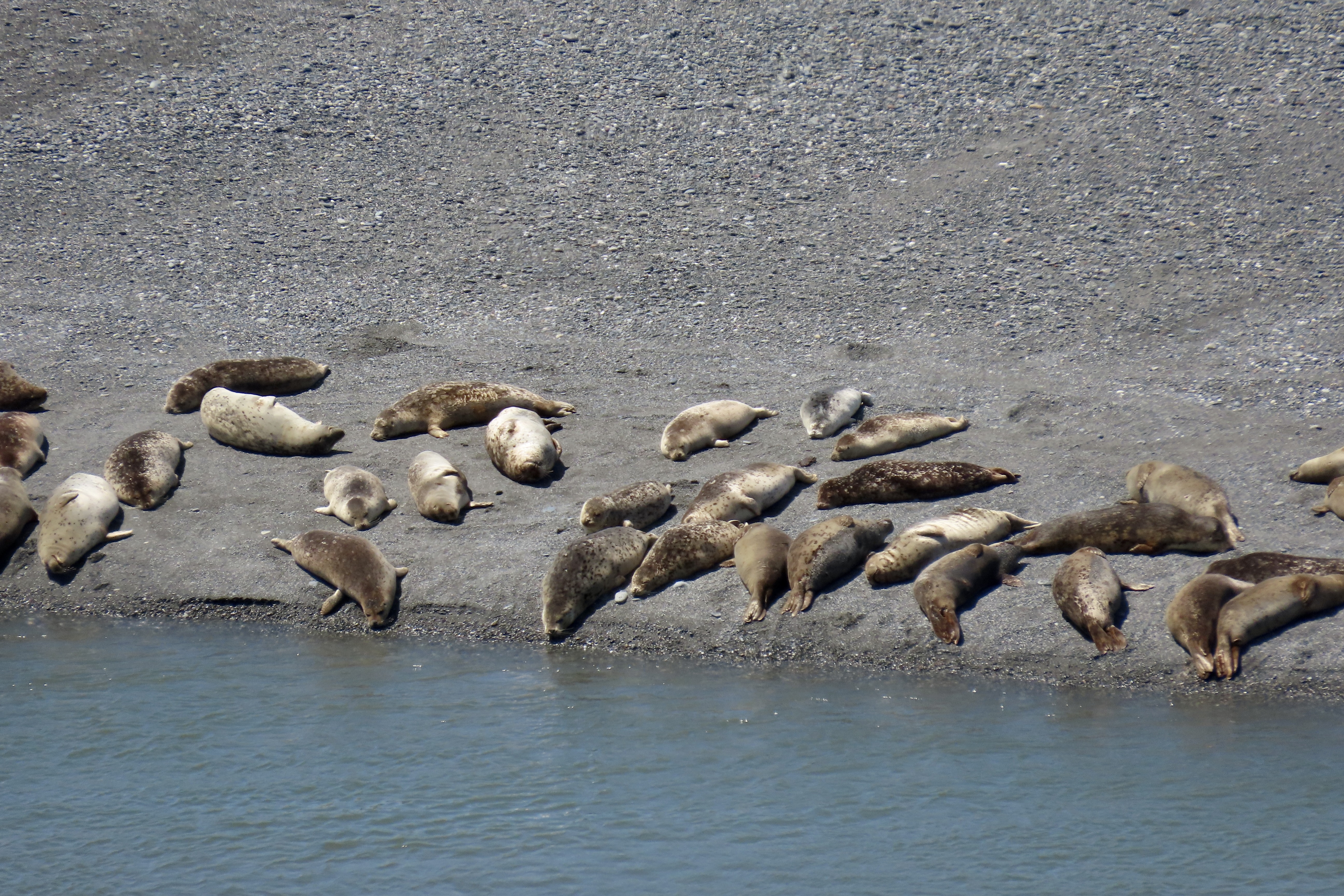
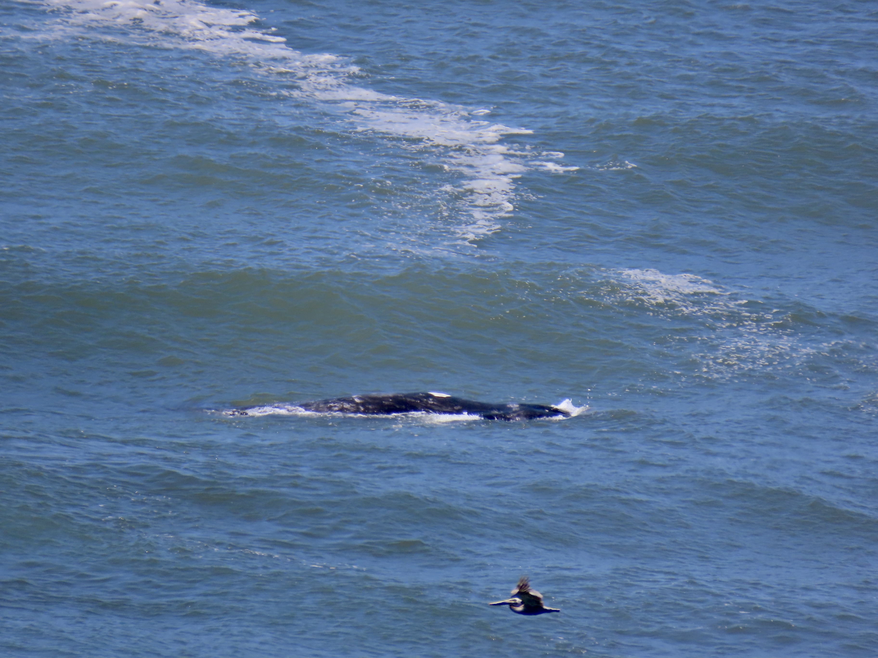
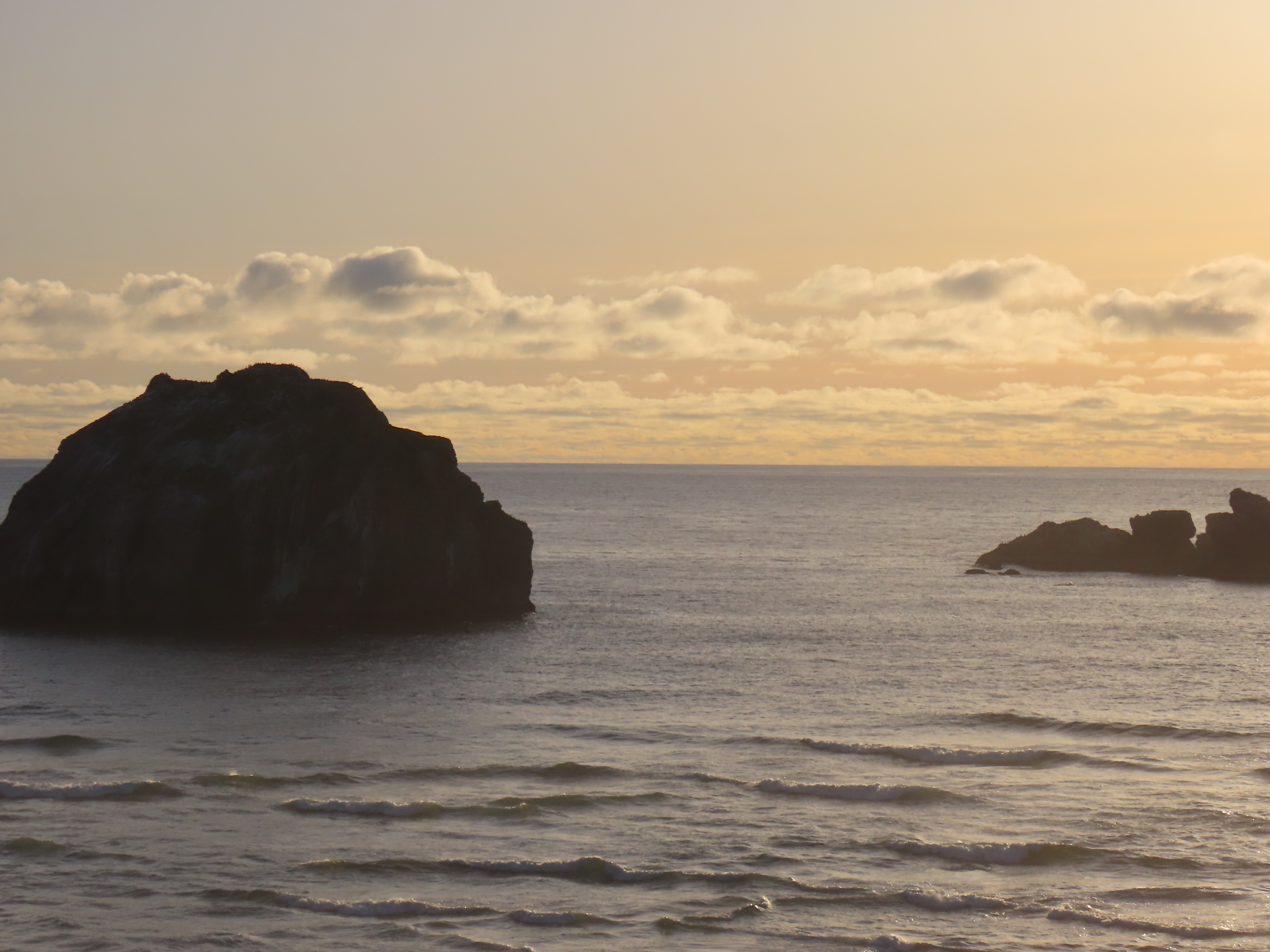
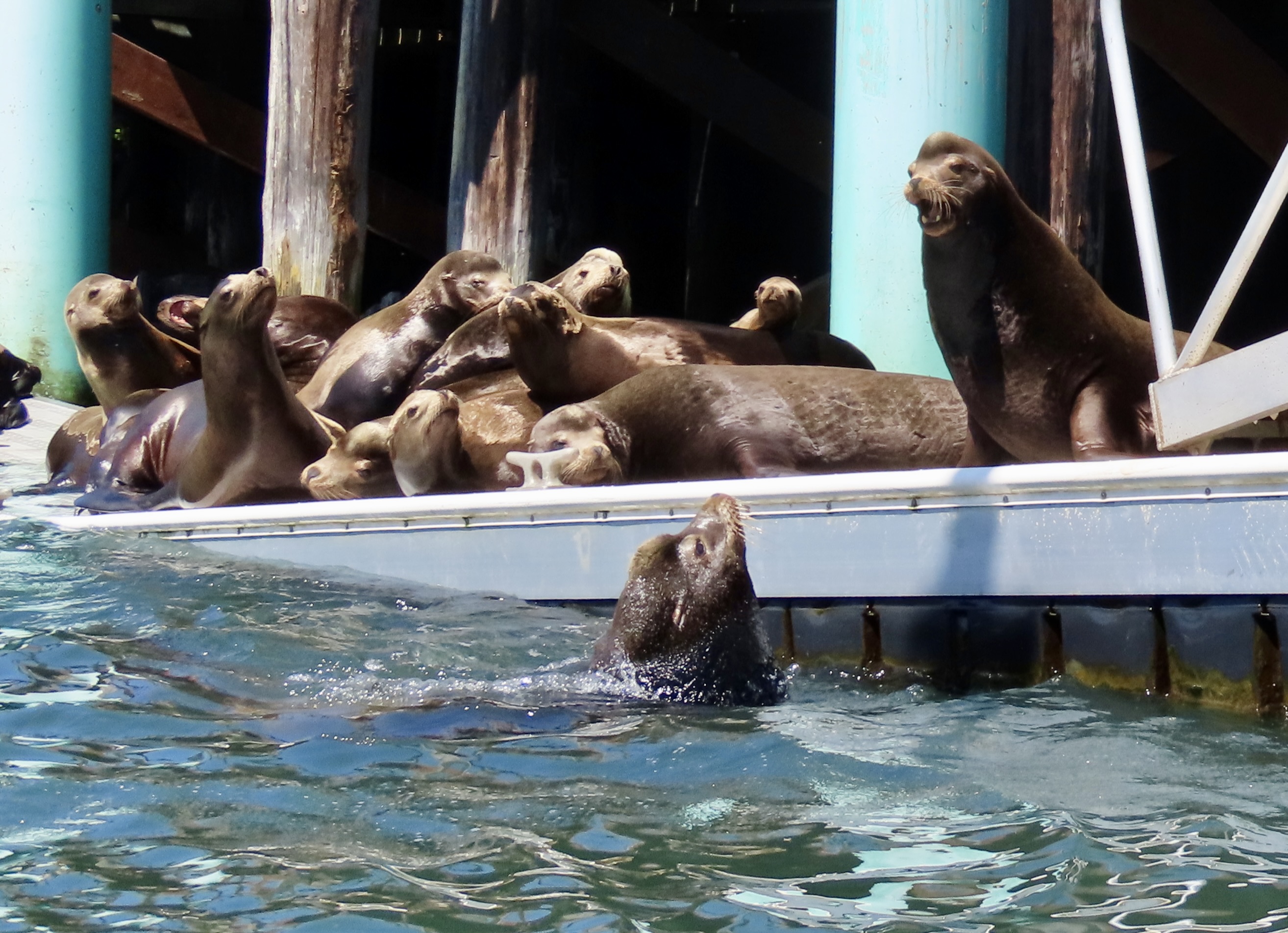
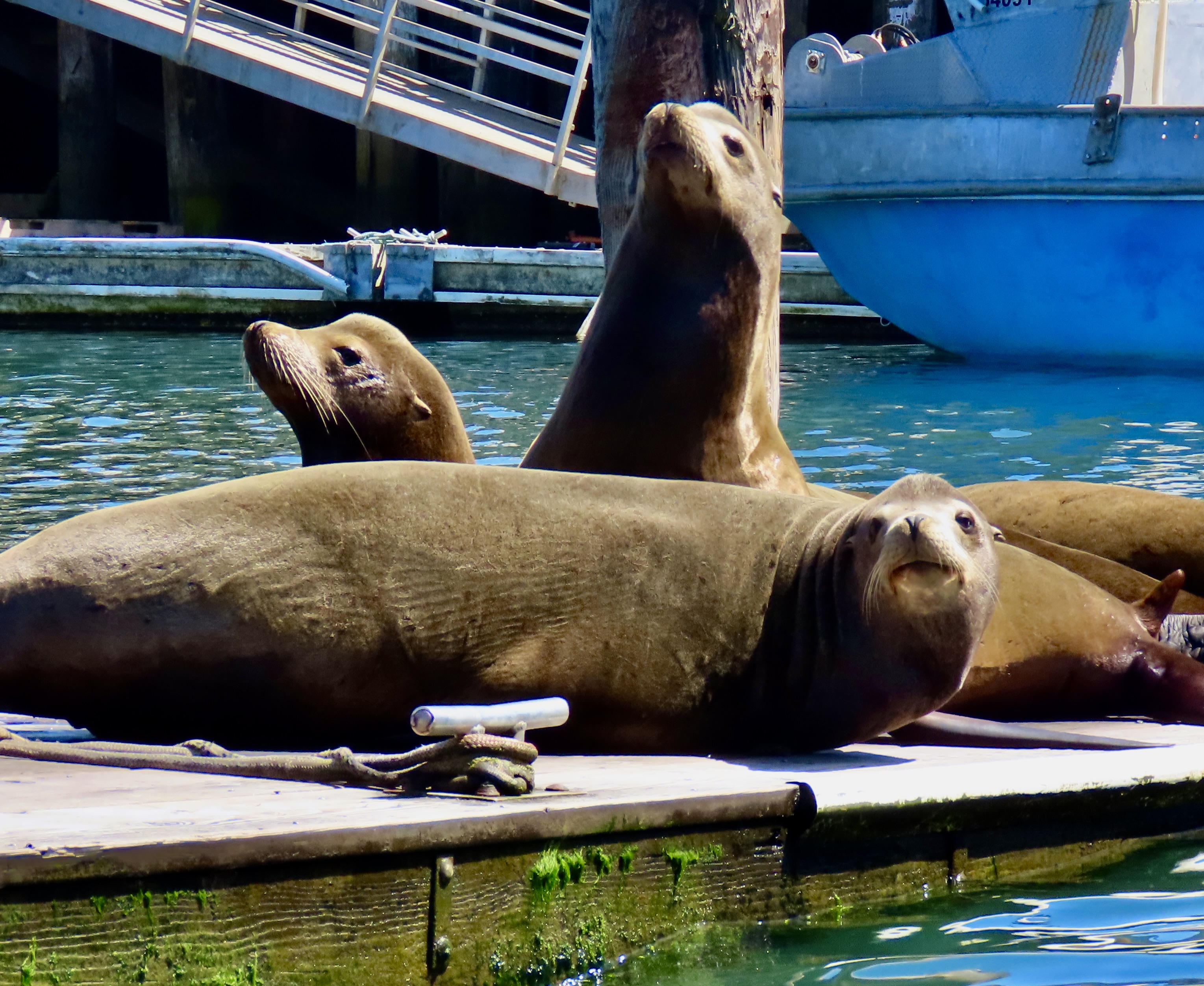
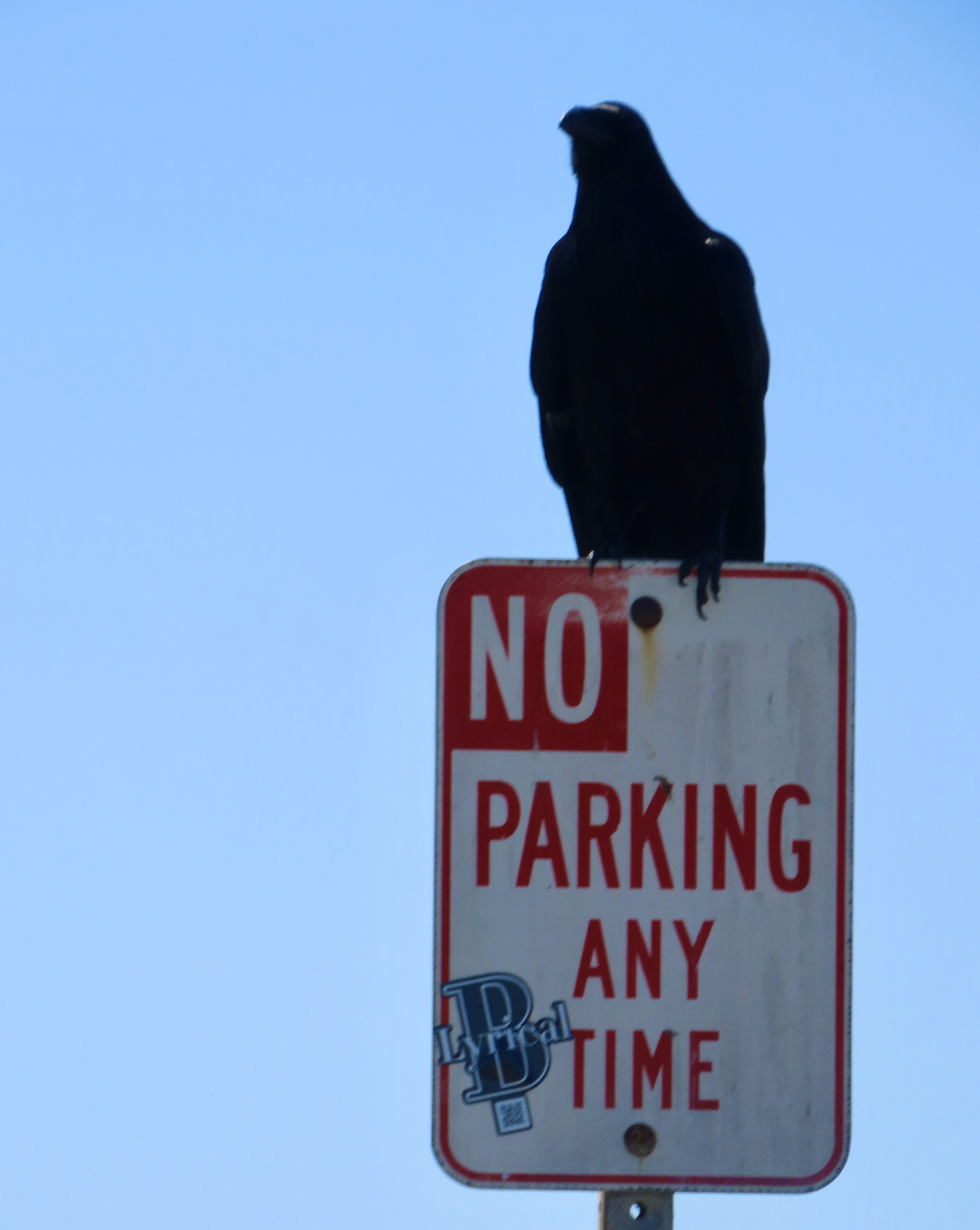
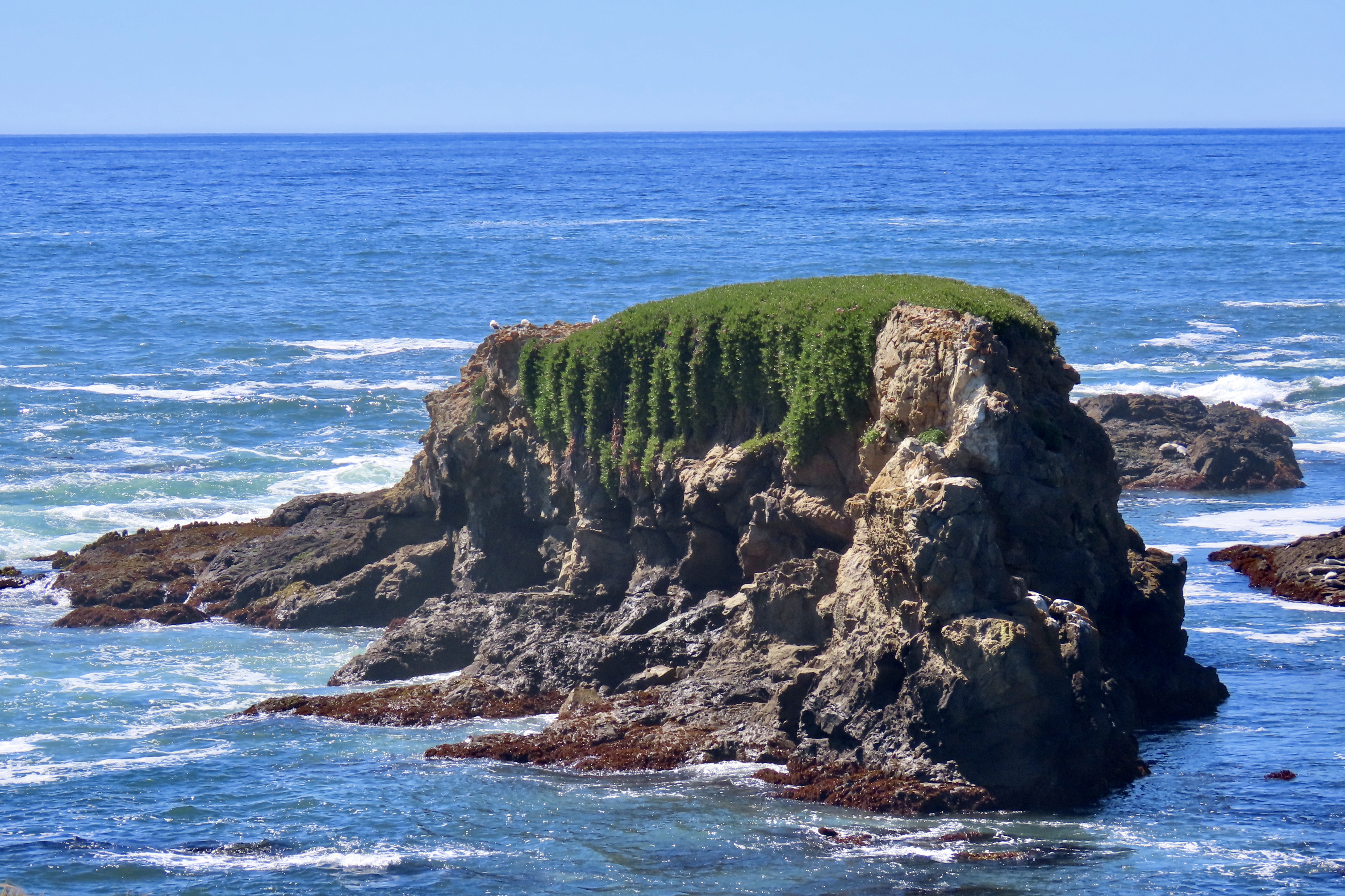
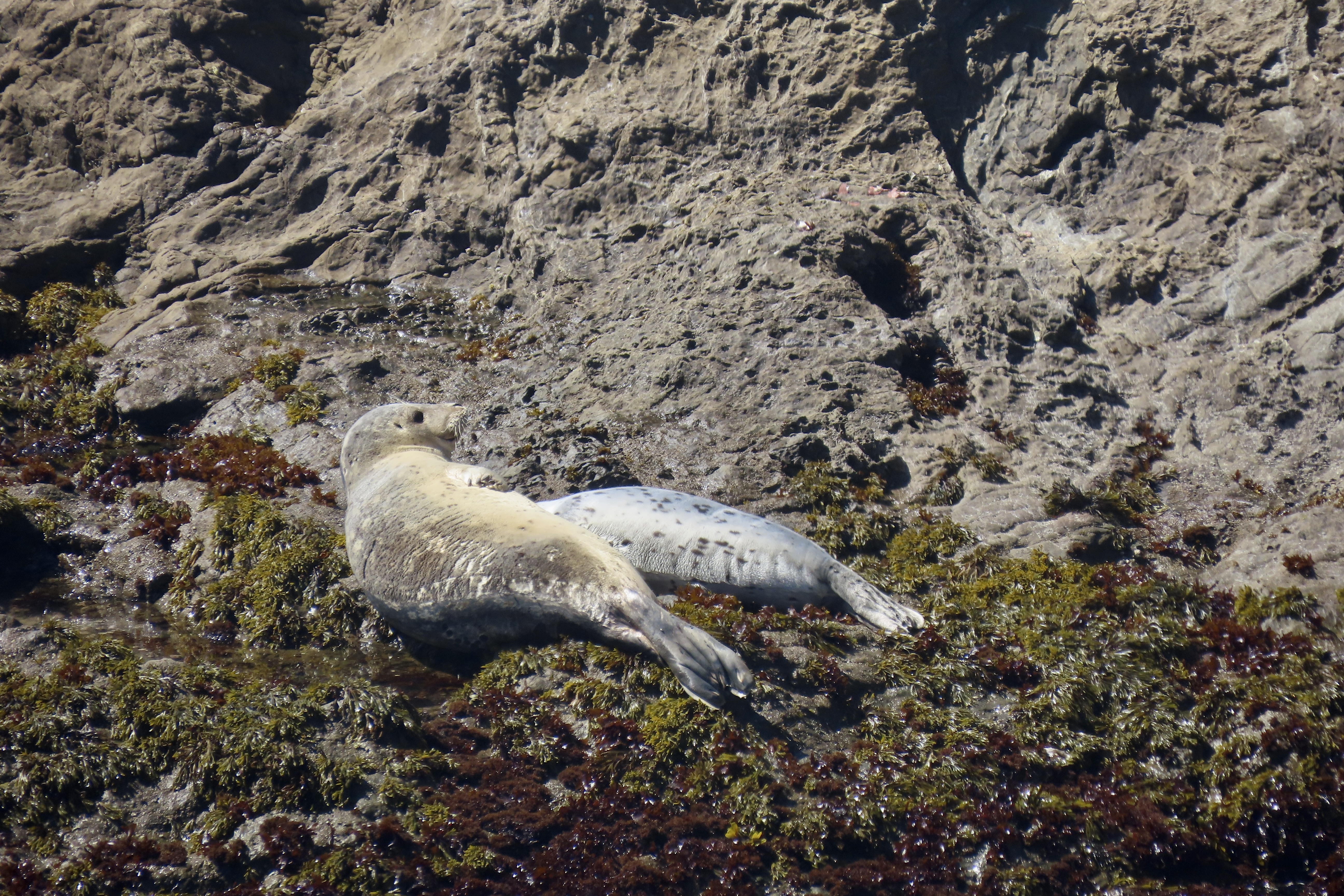
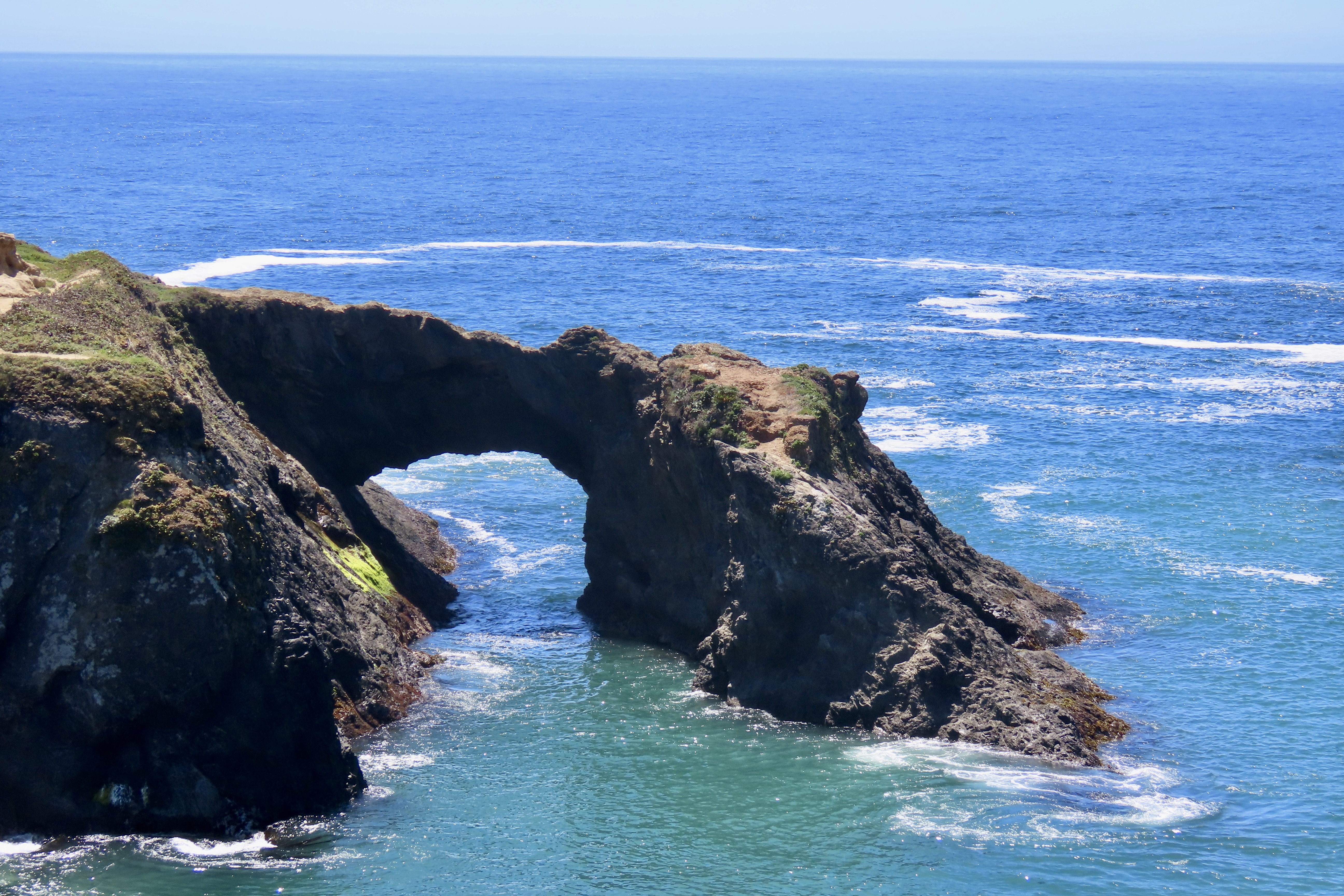
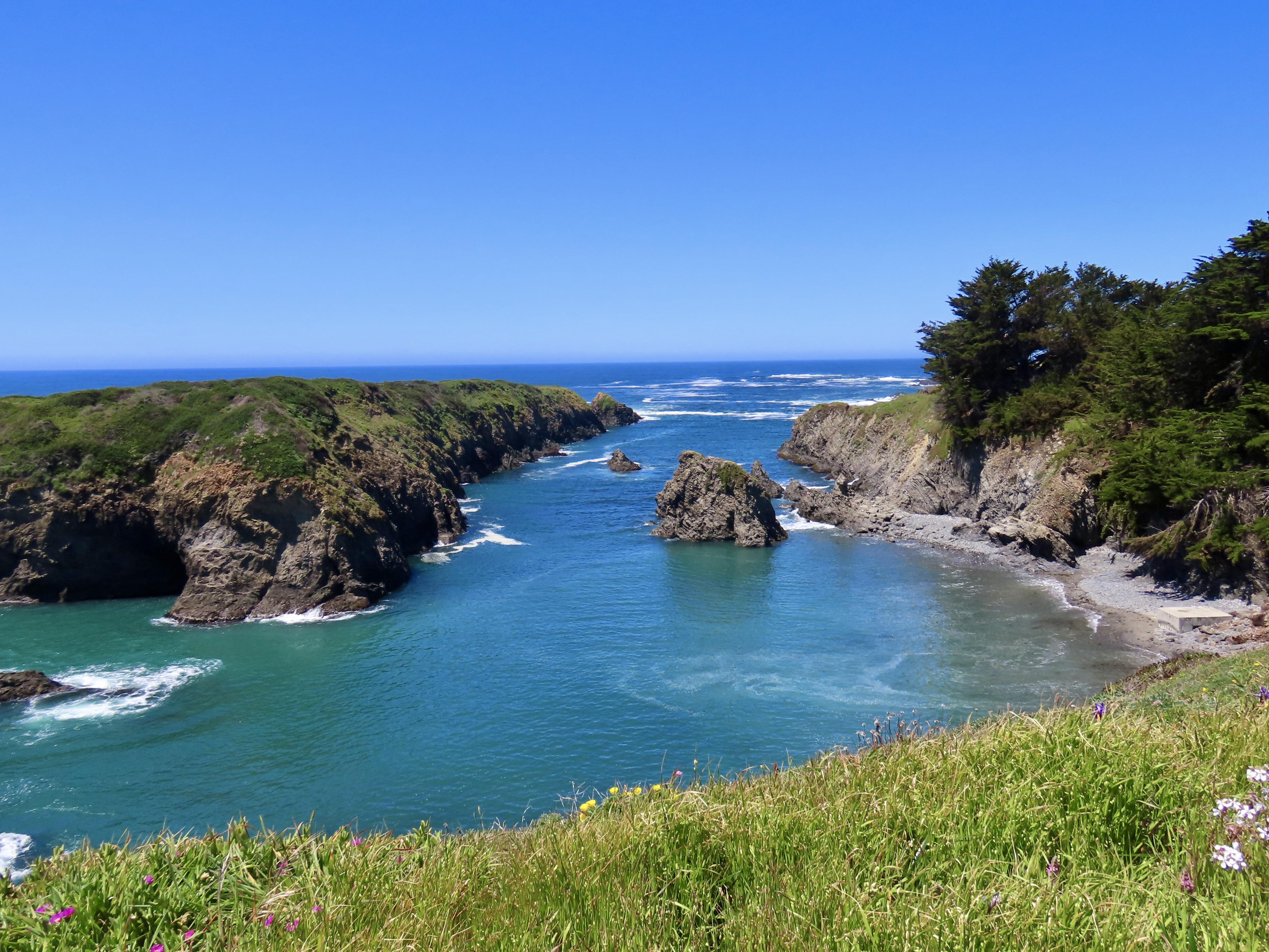
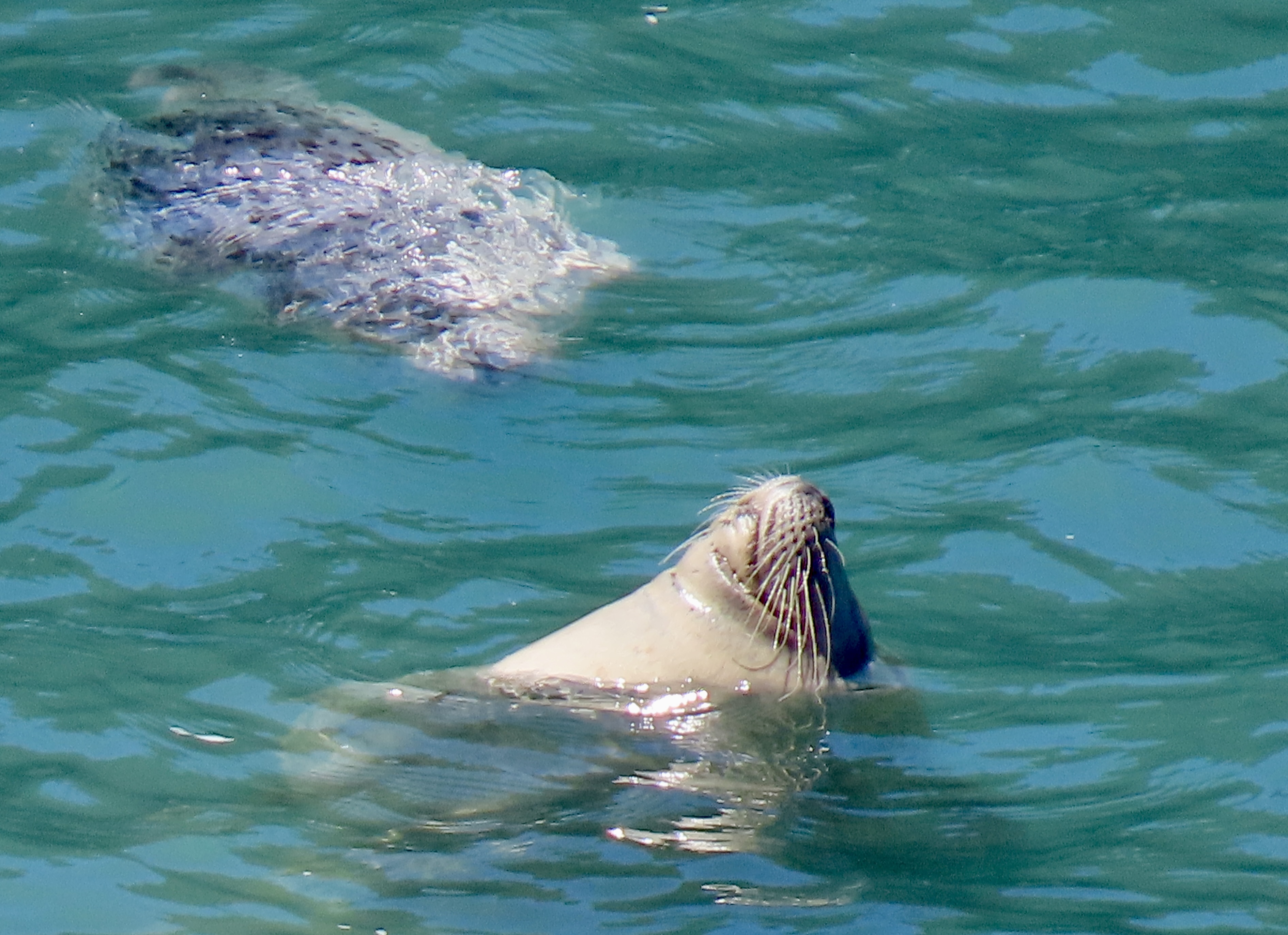
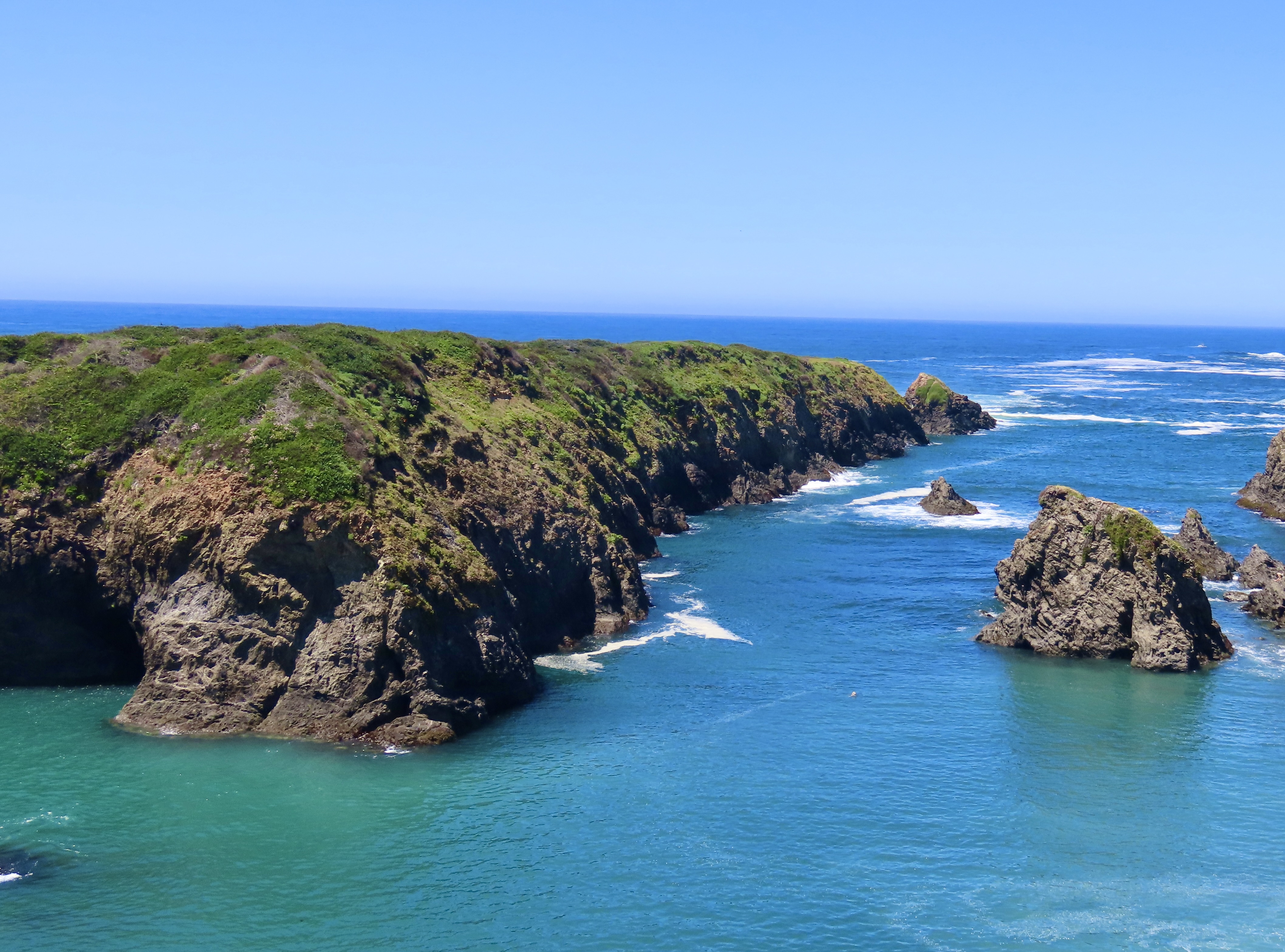
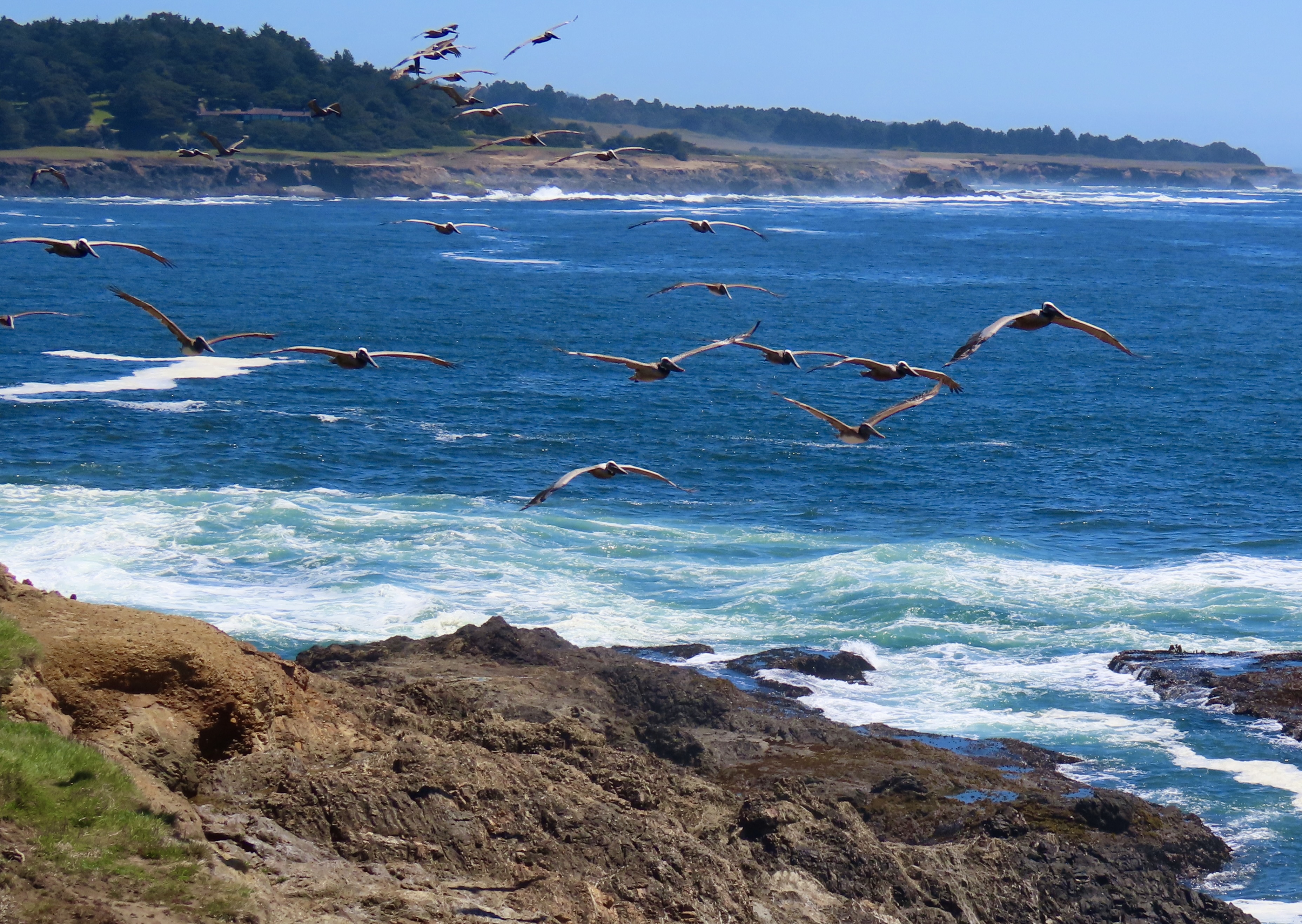
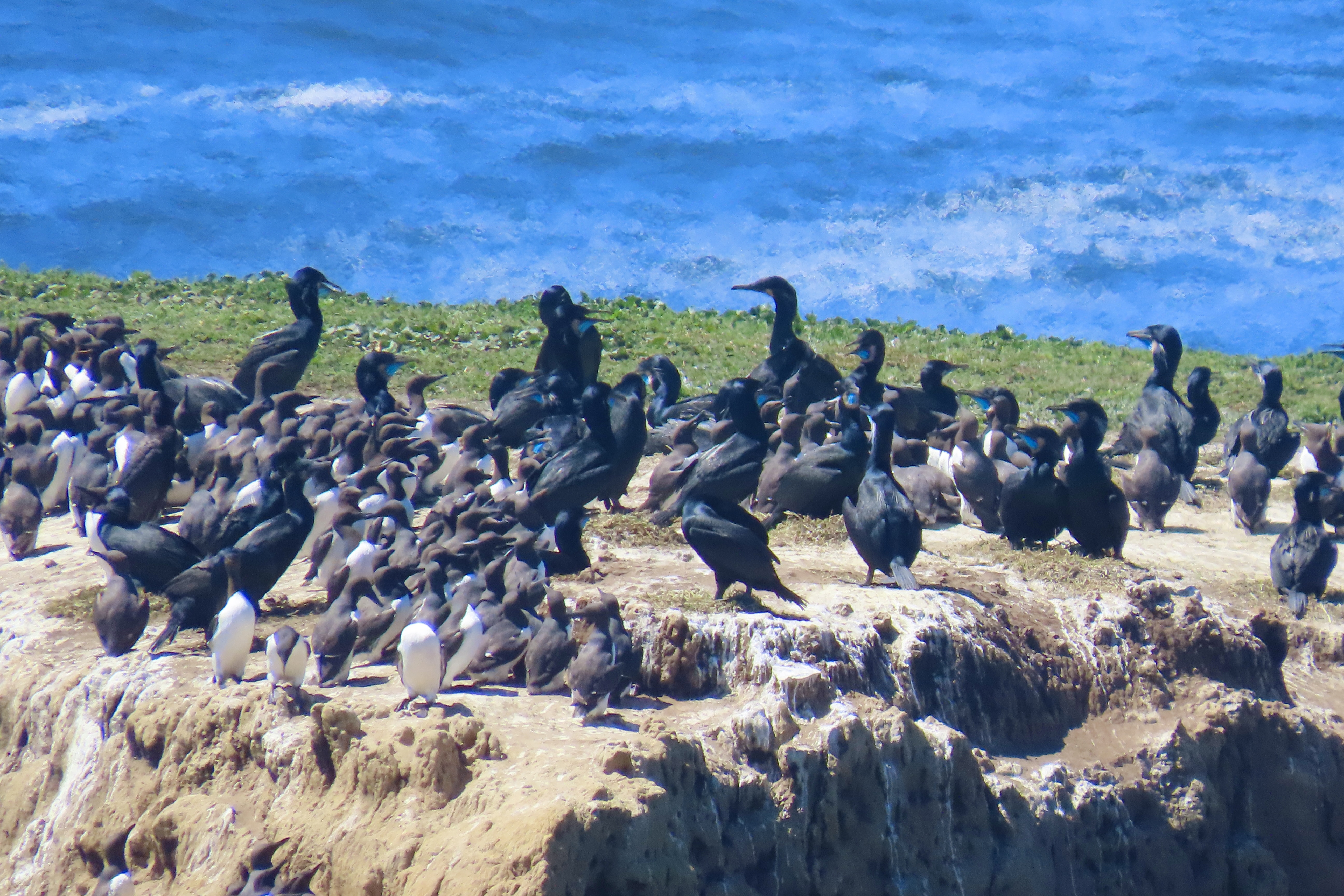
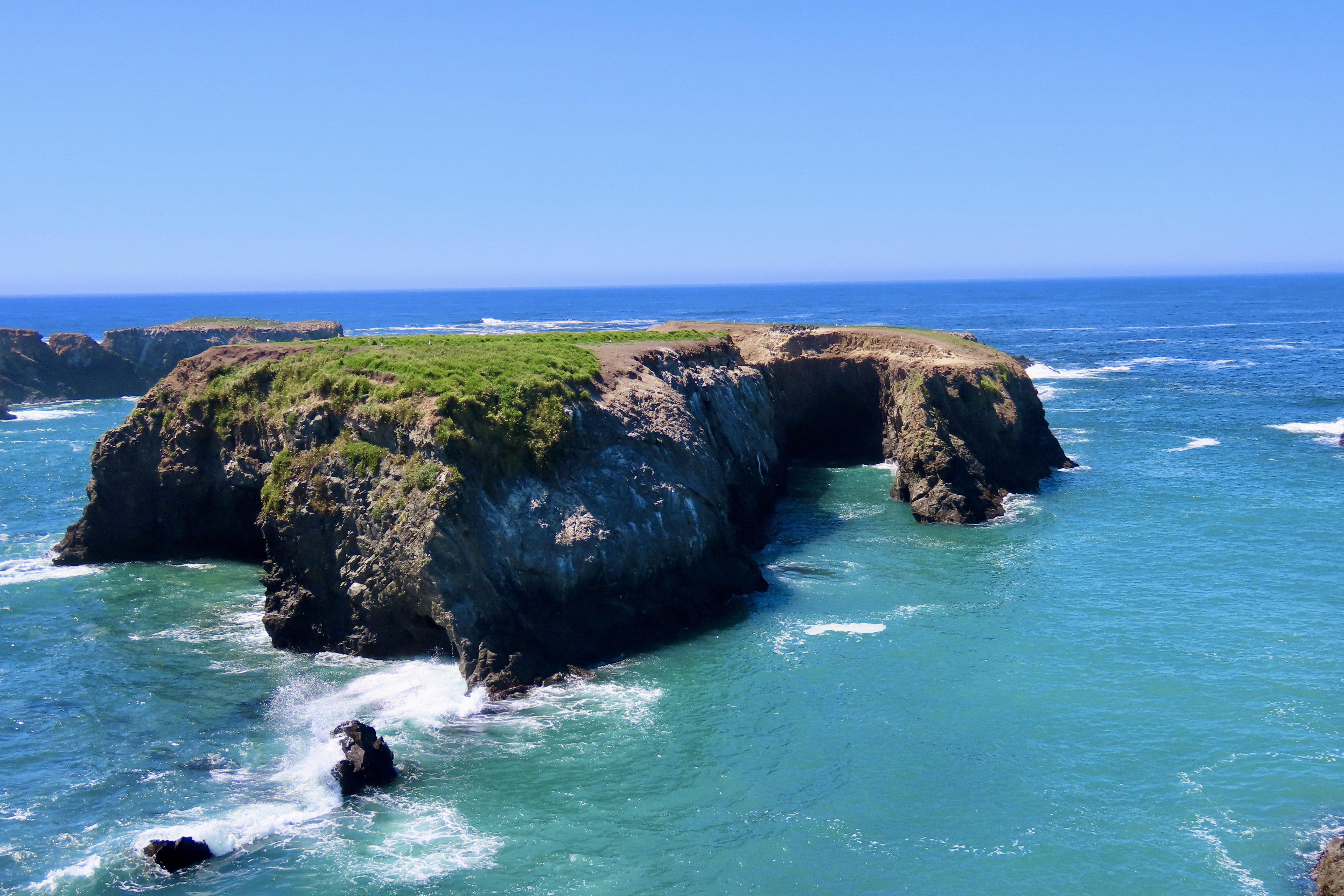
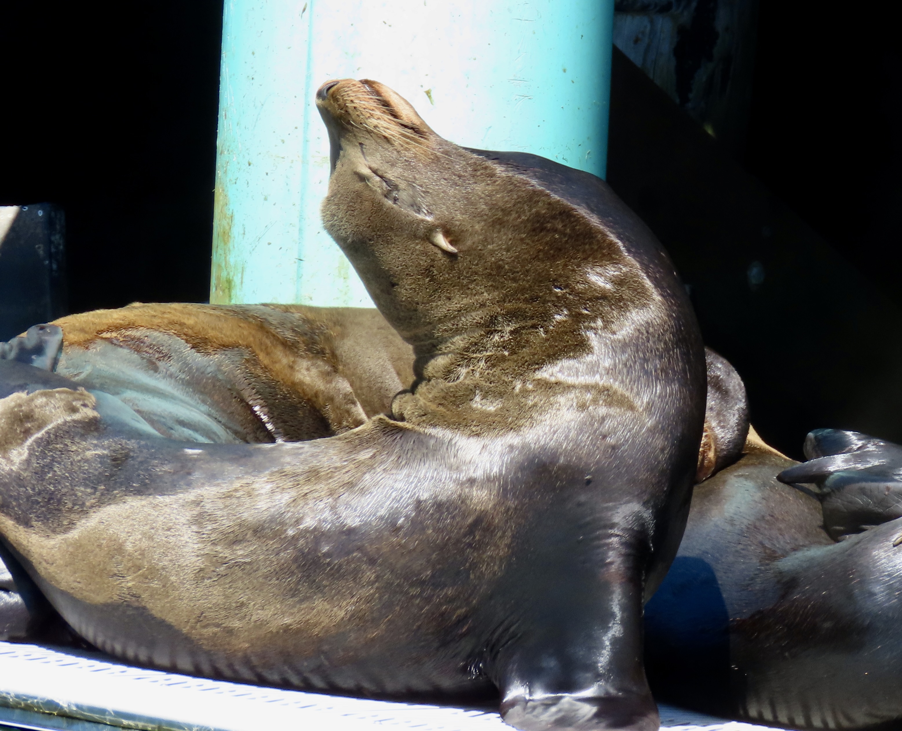
Peggy and I finished off our visit with a trip up to the Klamath Beach Road on the northern end of the Park. We had visited the beach on a previous trip to the Redwoods and found it covered with colorful small pieces of redwood that had been carved by the ocean. While the road was theoretical paved, it was equally rough to the road into Fern Canyon. Unfortunately, the access road was closed. The beach had been taken over by seals! We drove up to an overlook.


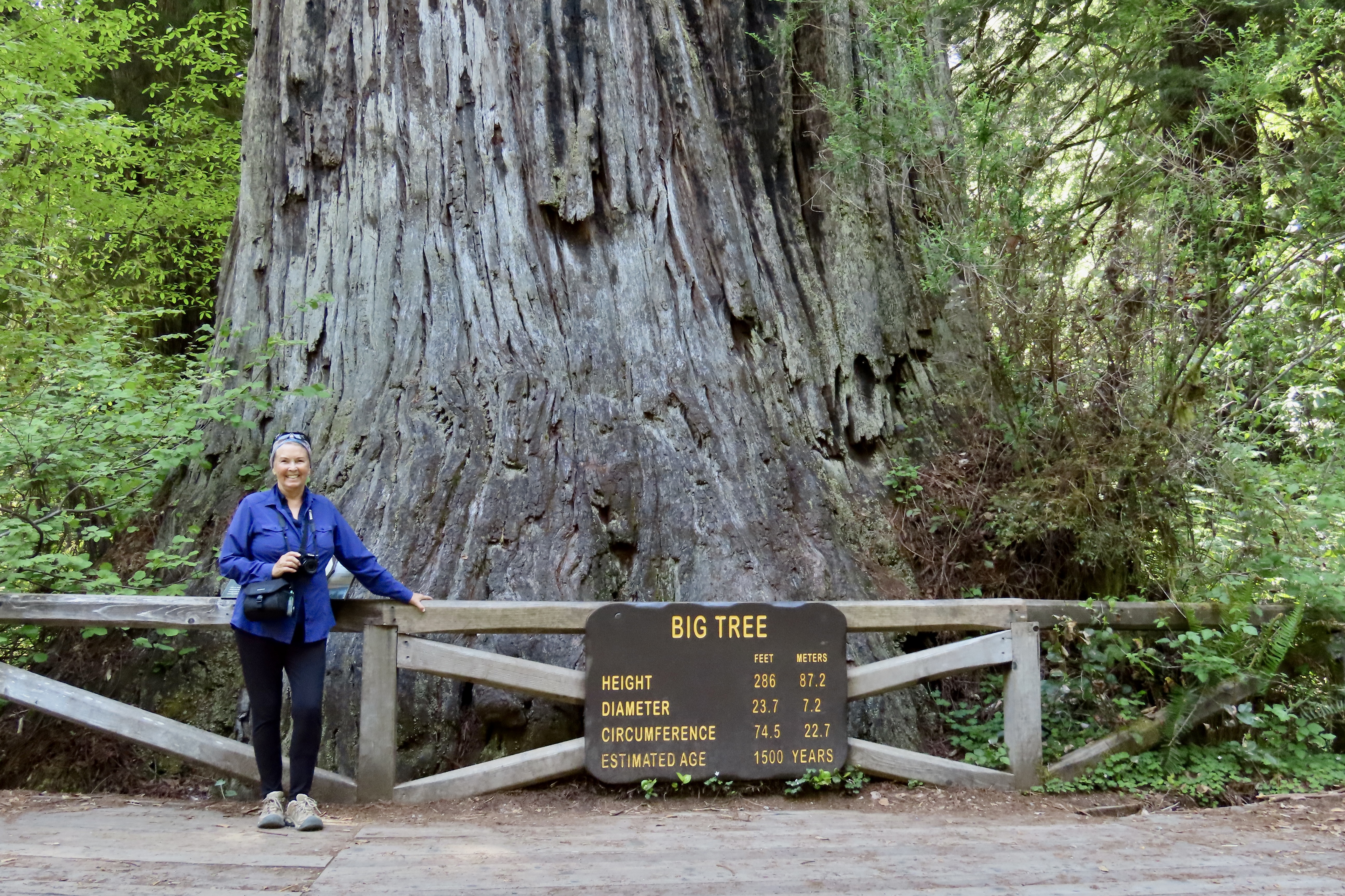

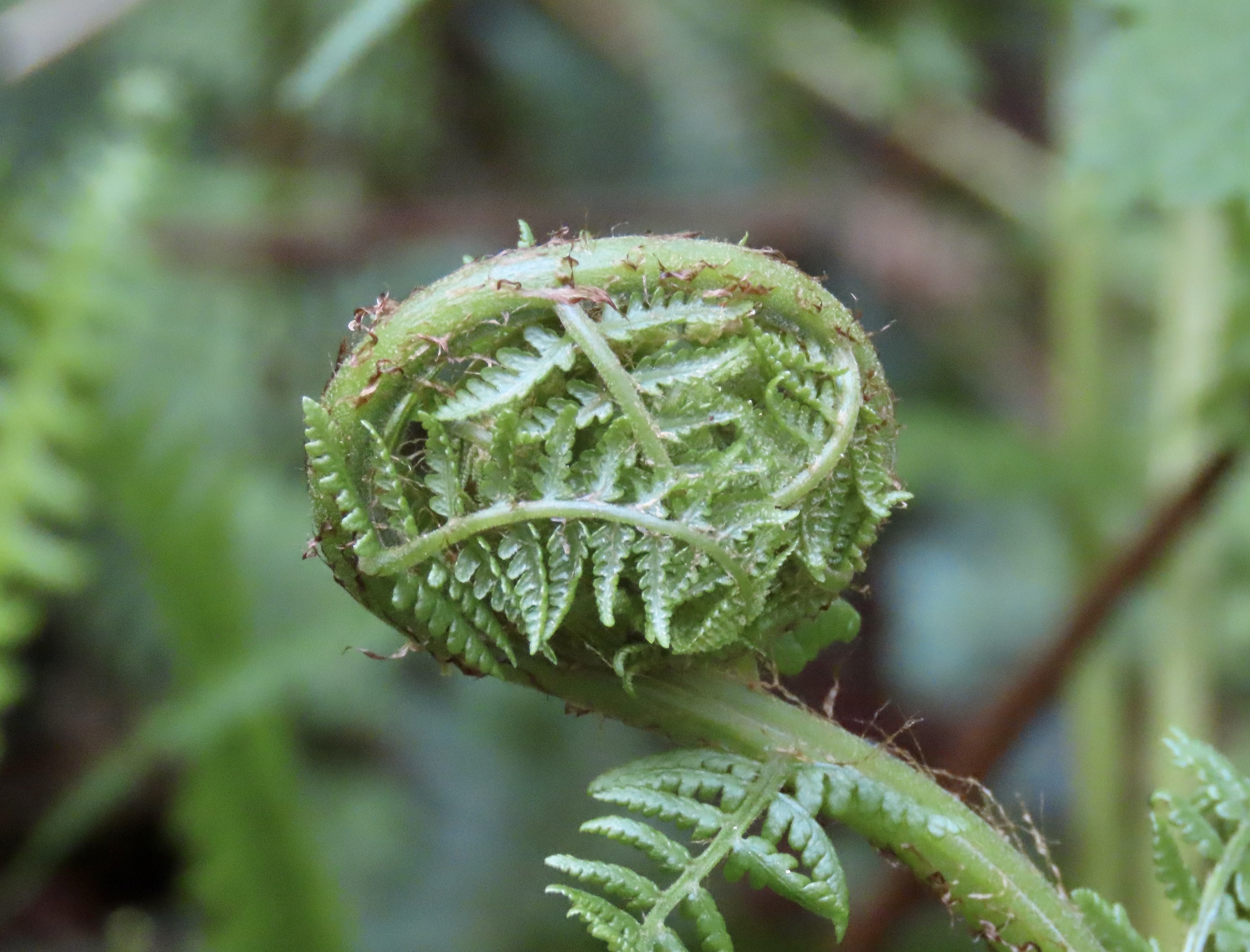
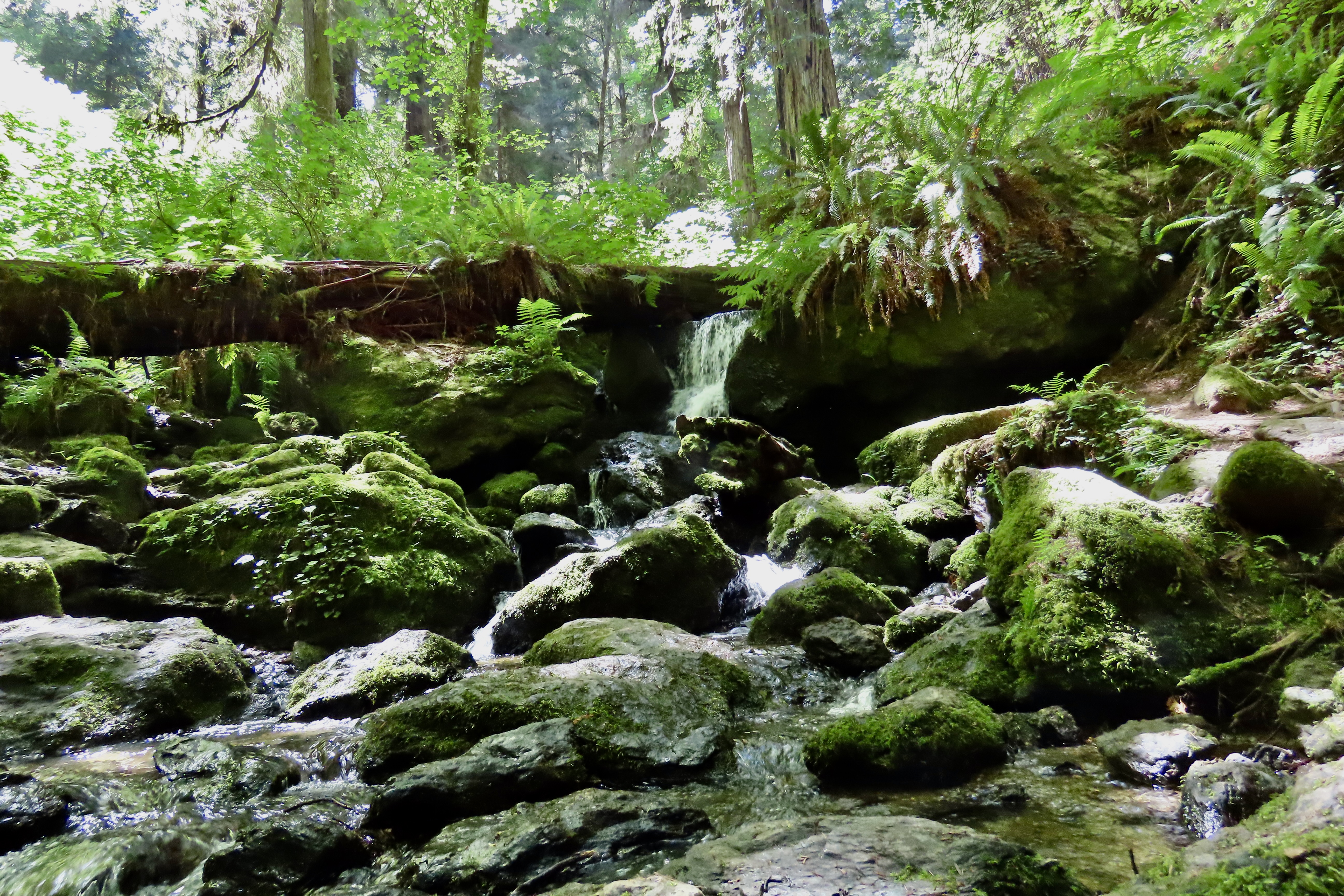
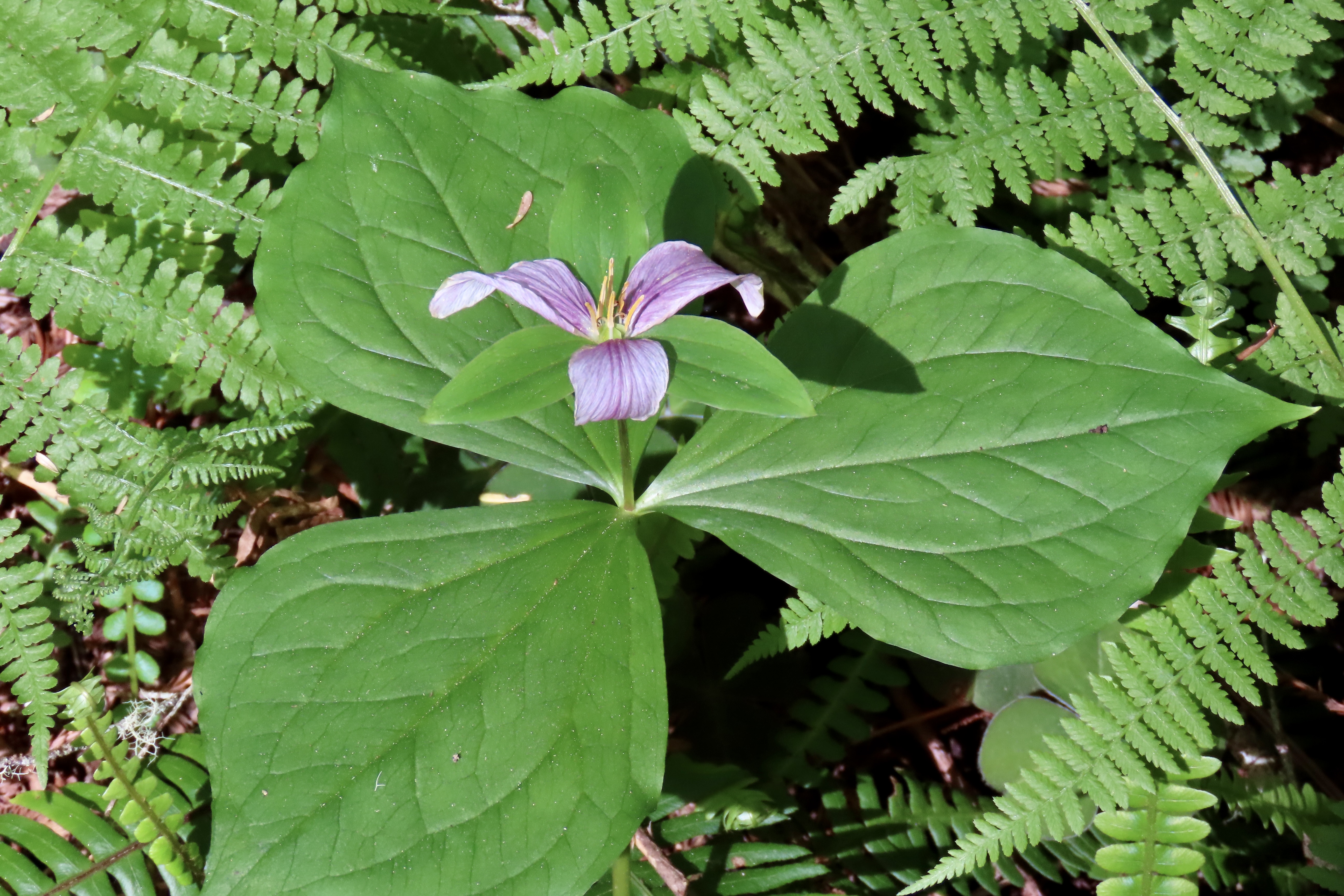
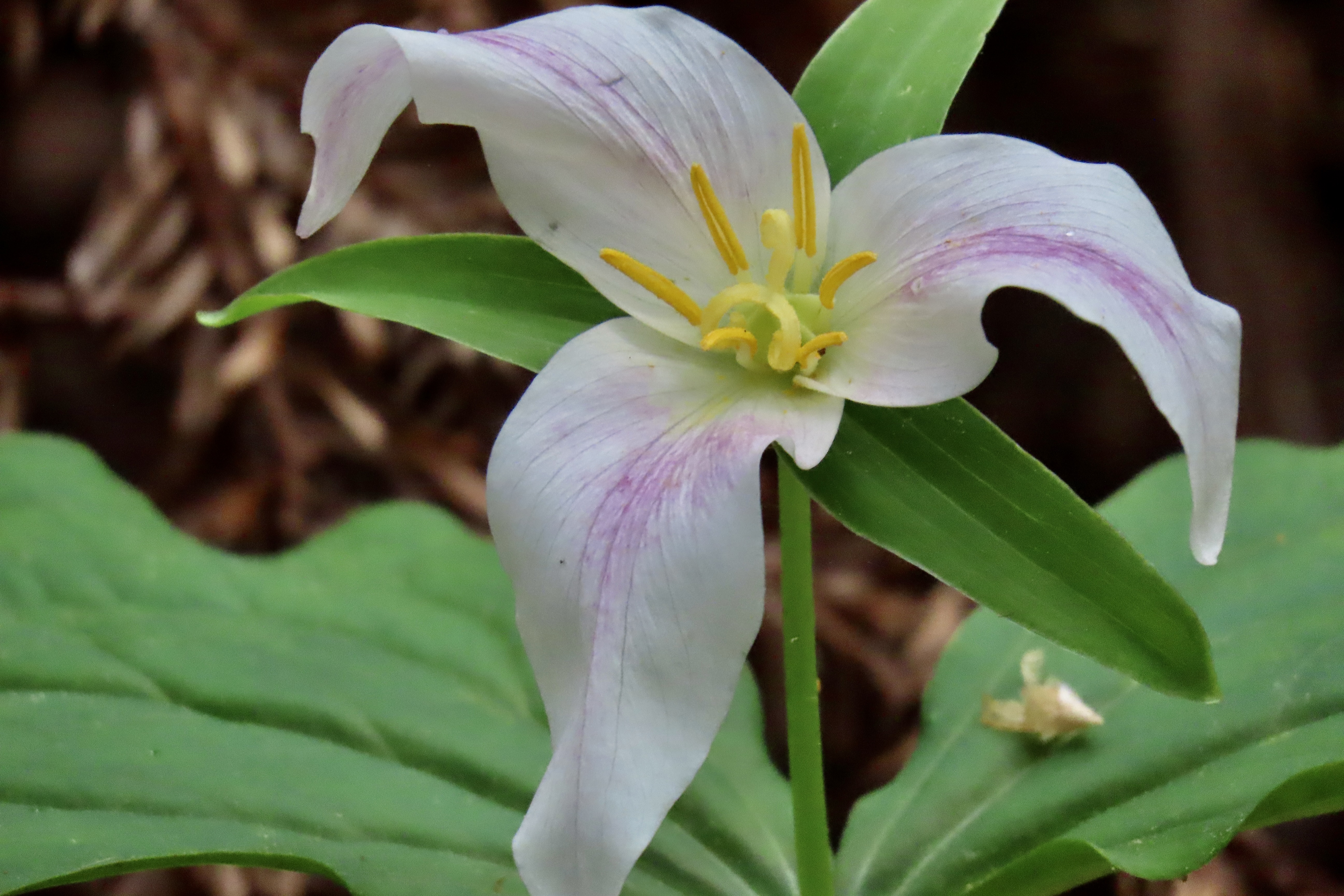
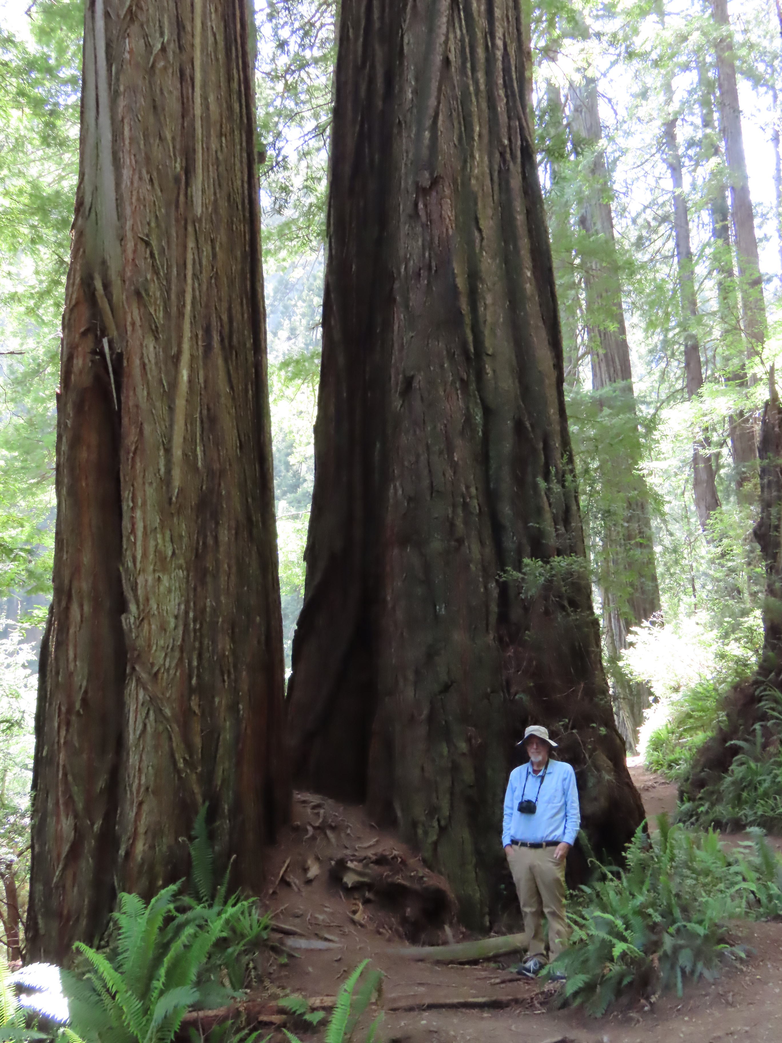
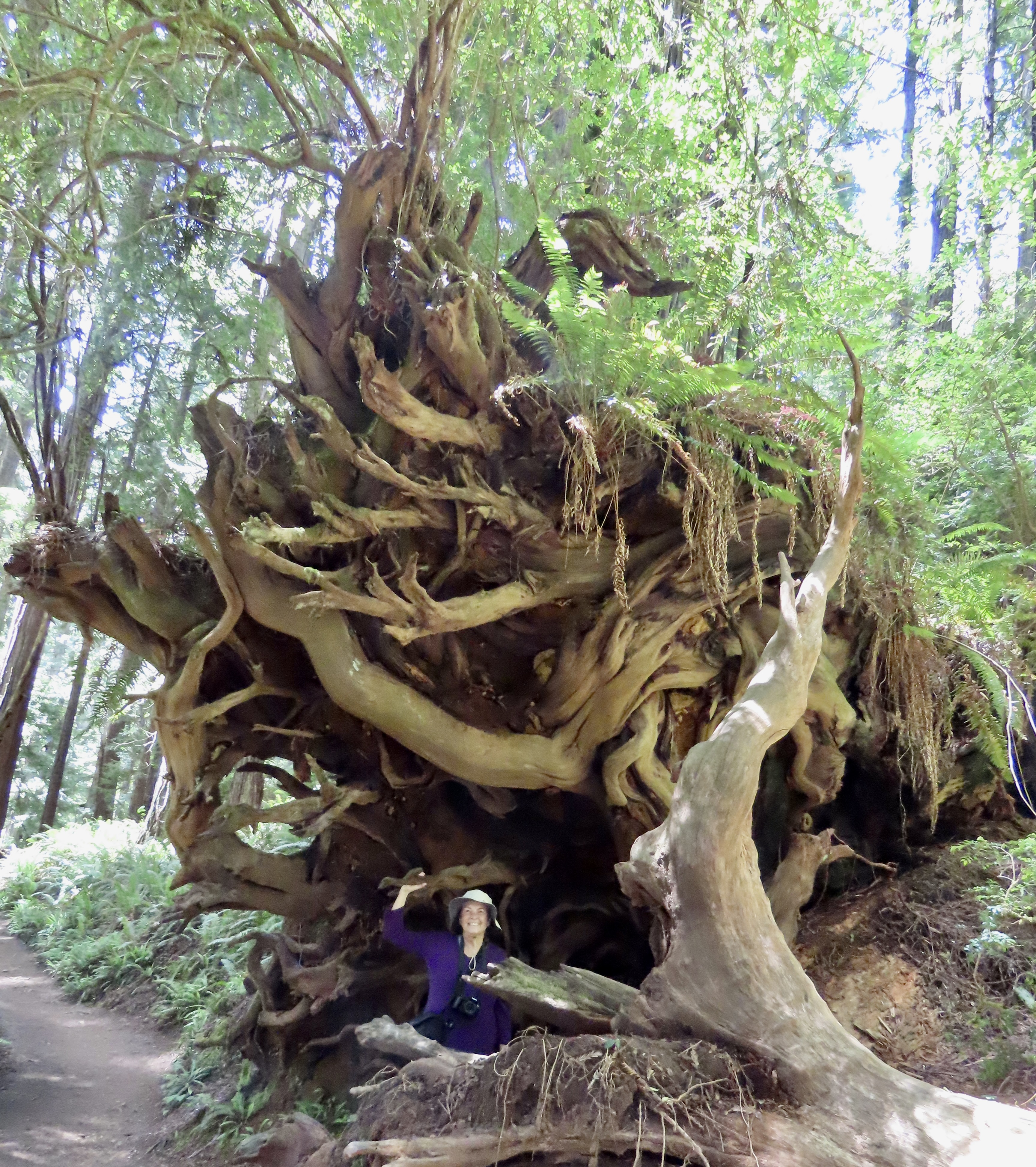
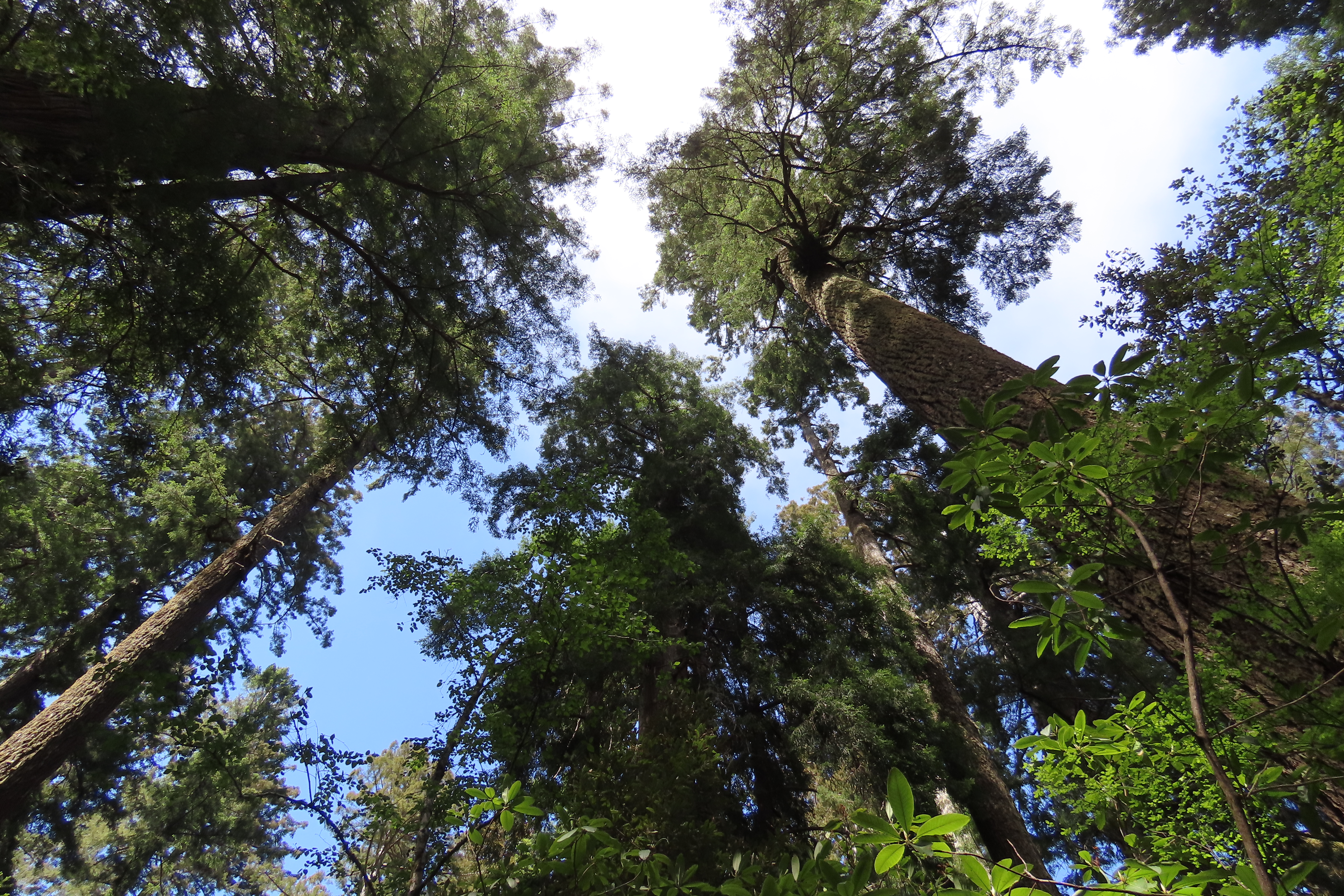
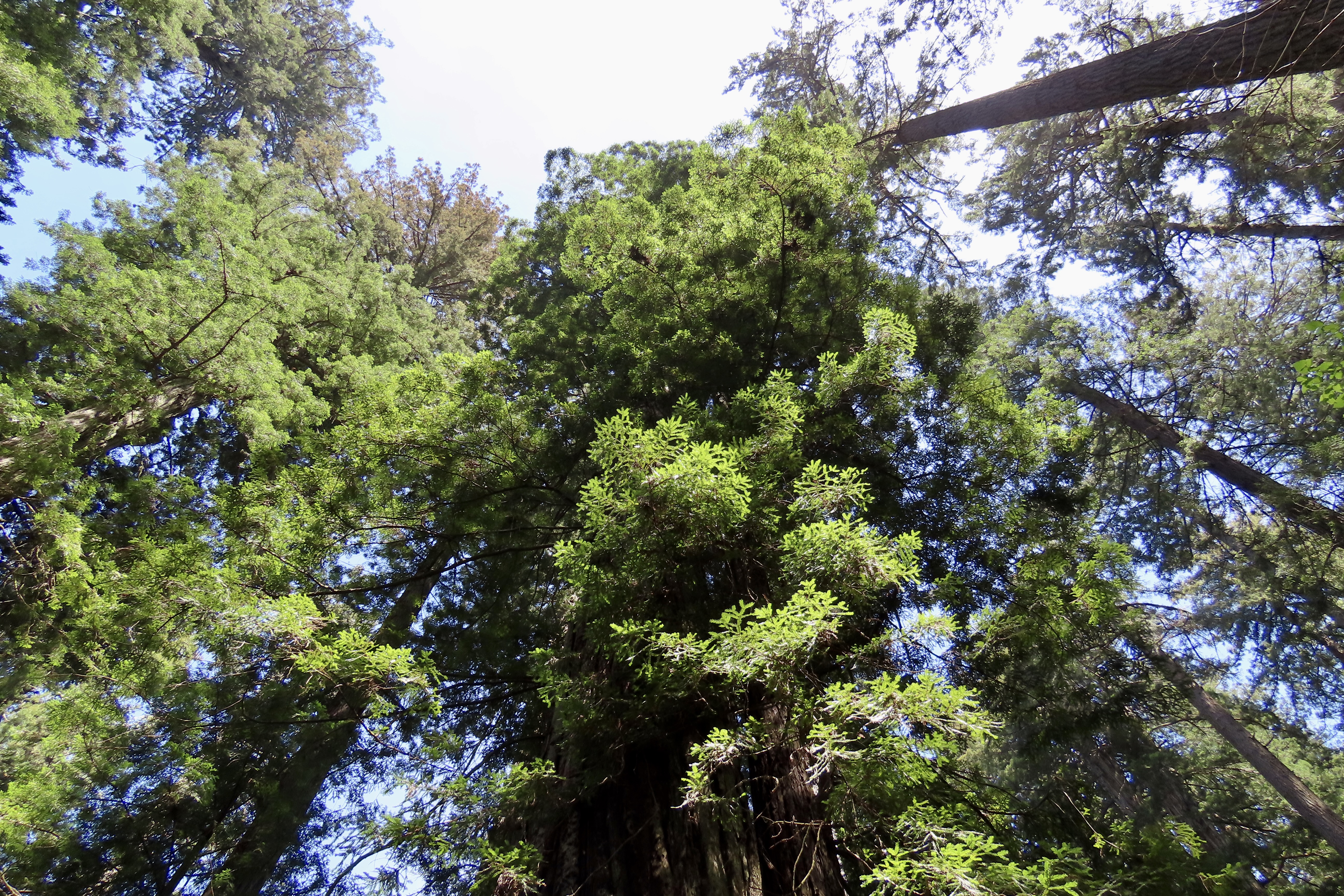
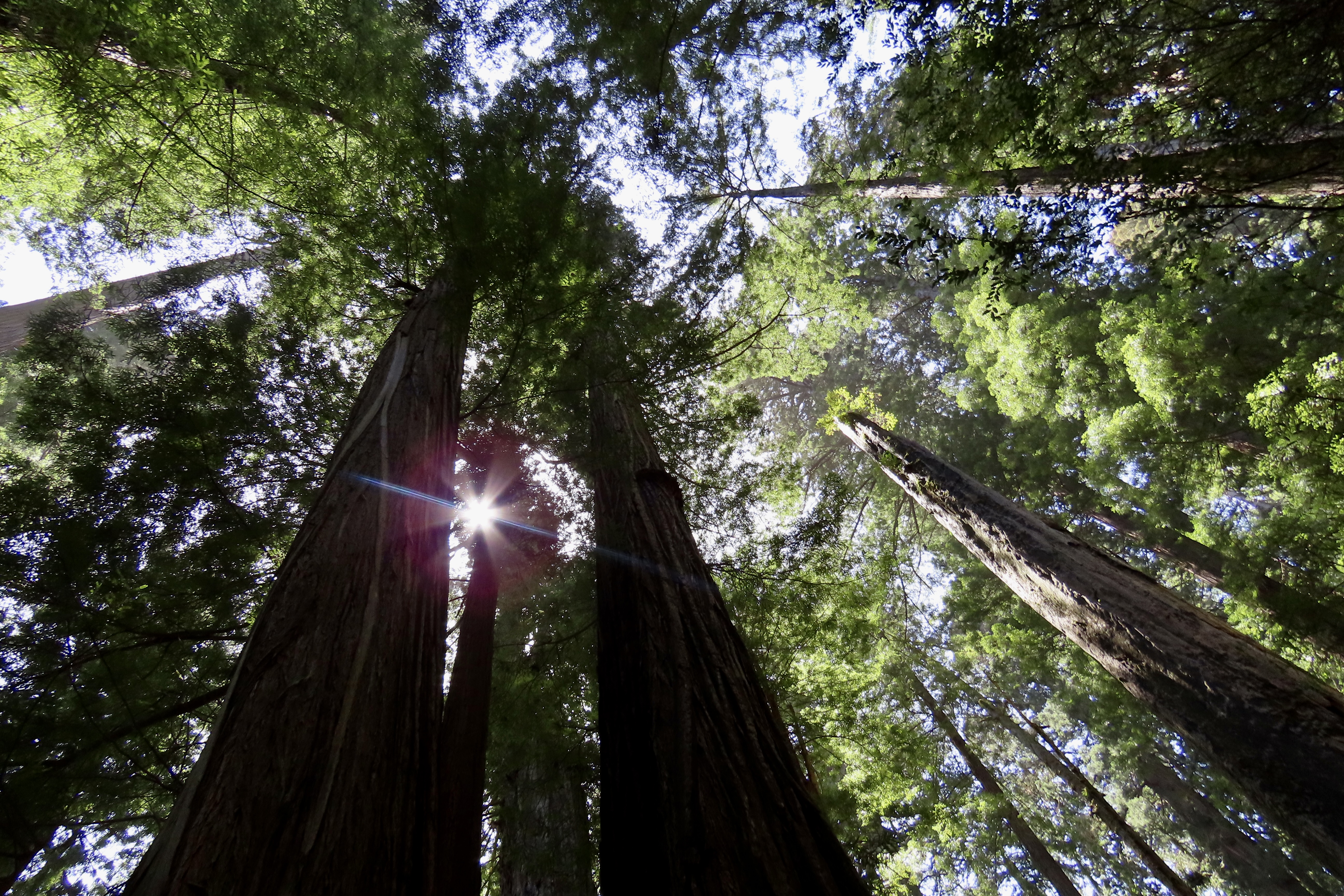
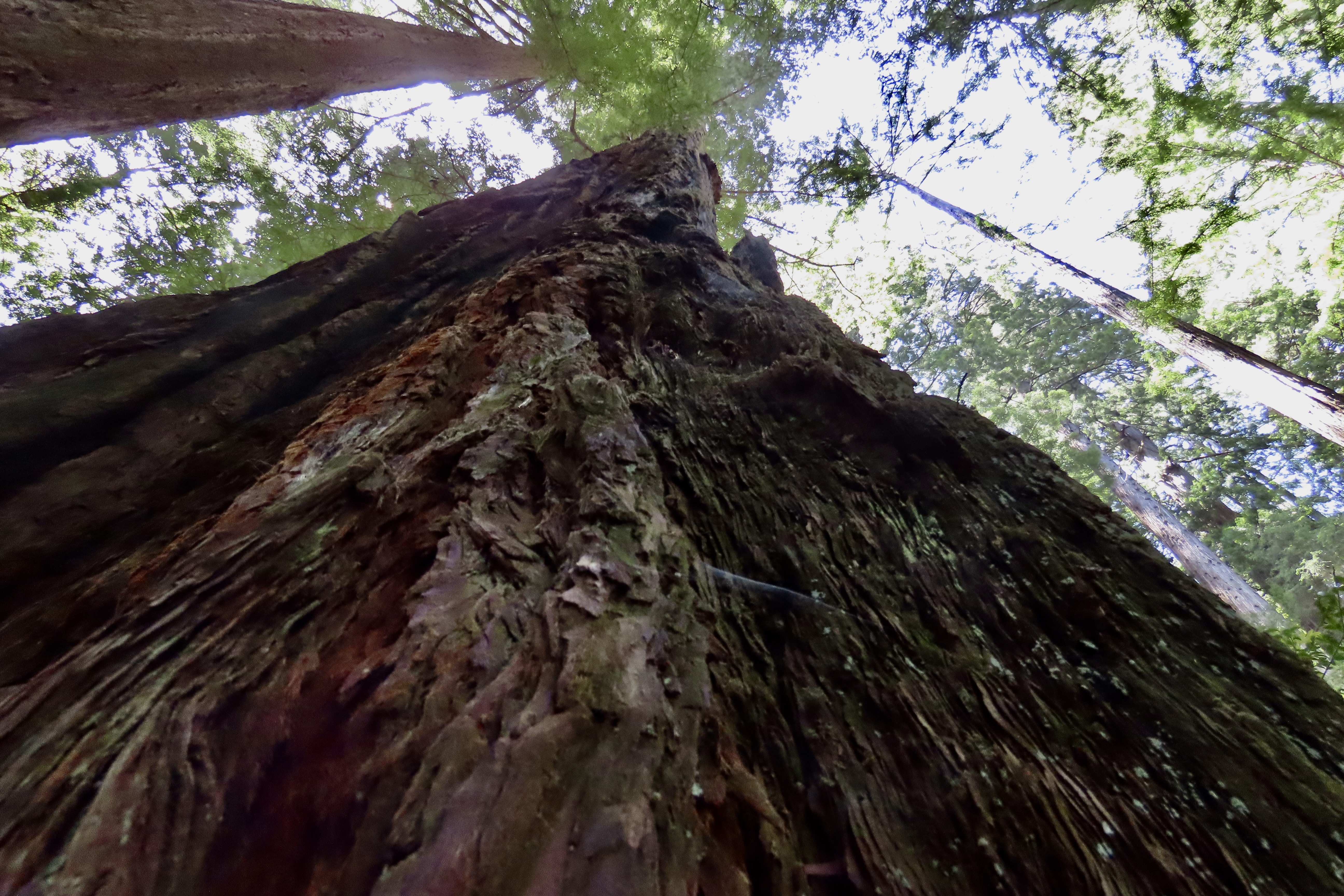
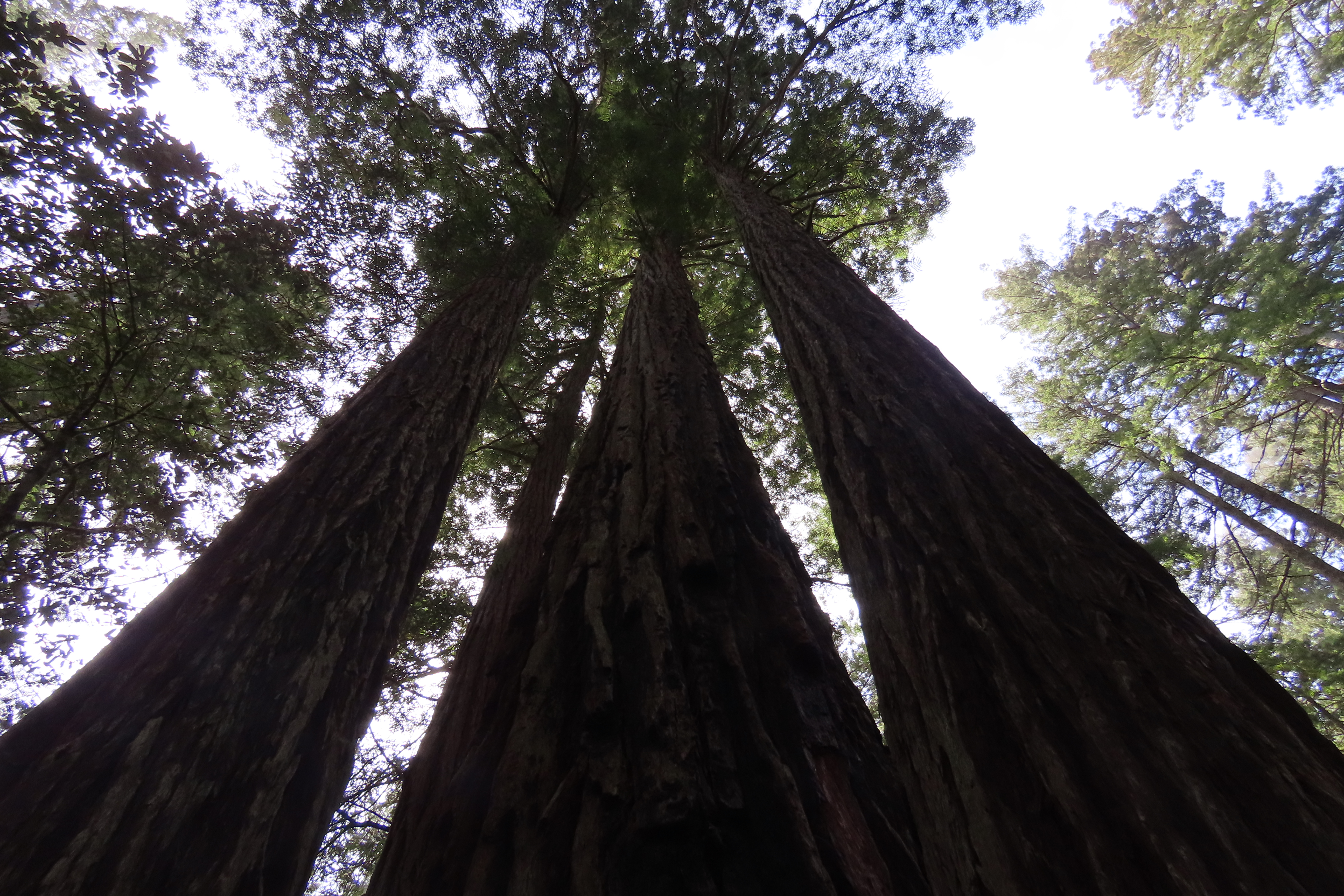
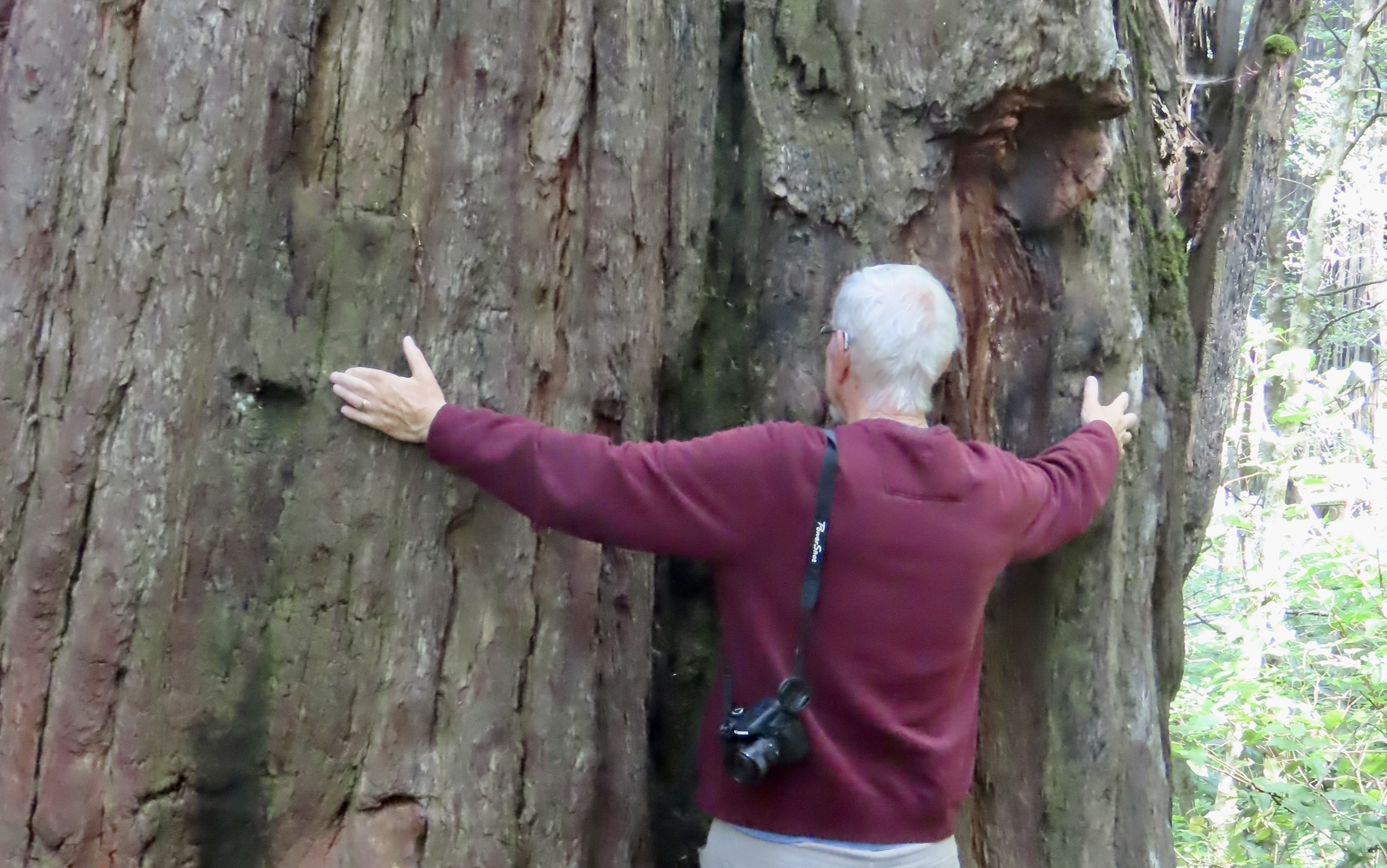
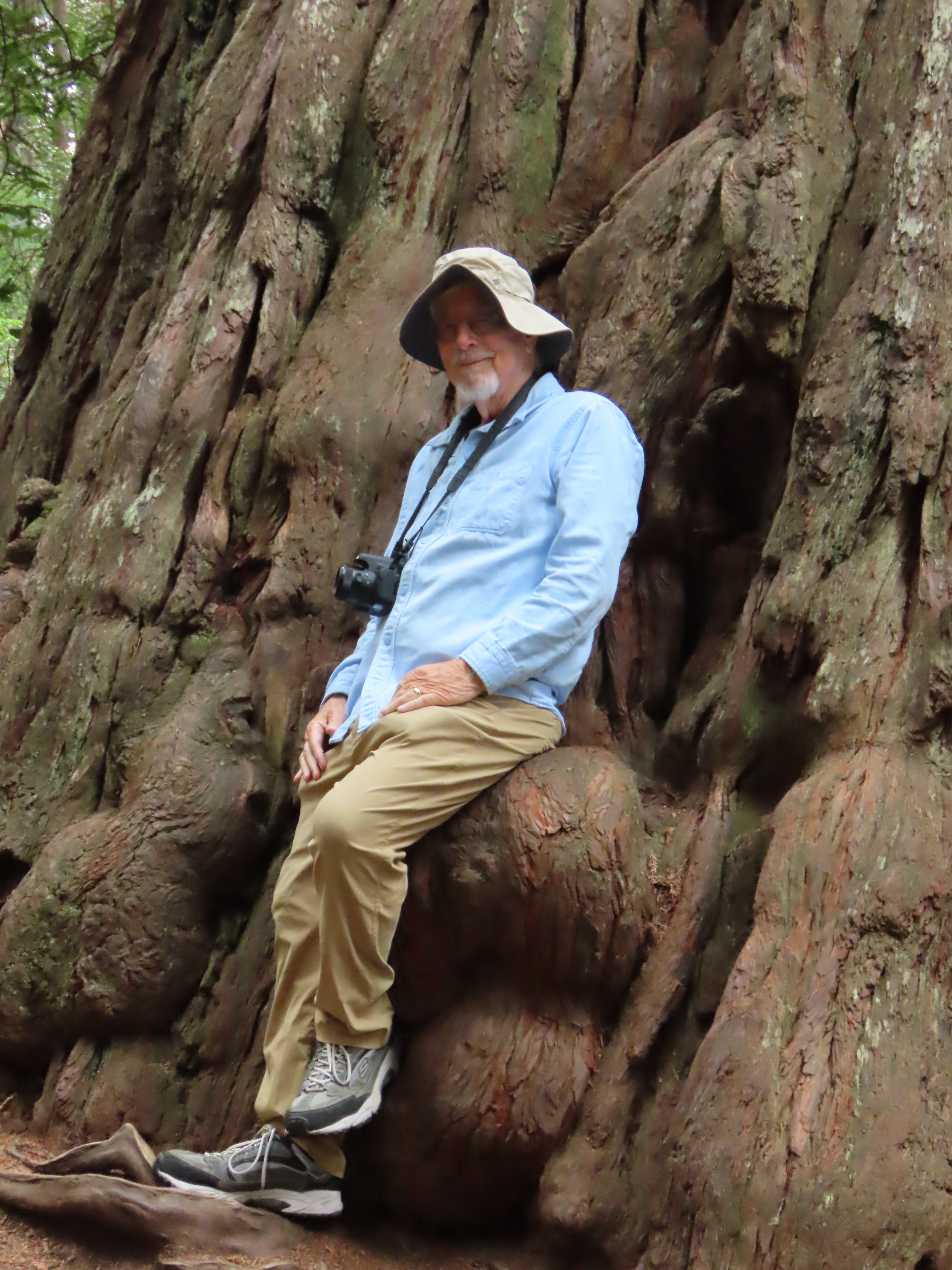
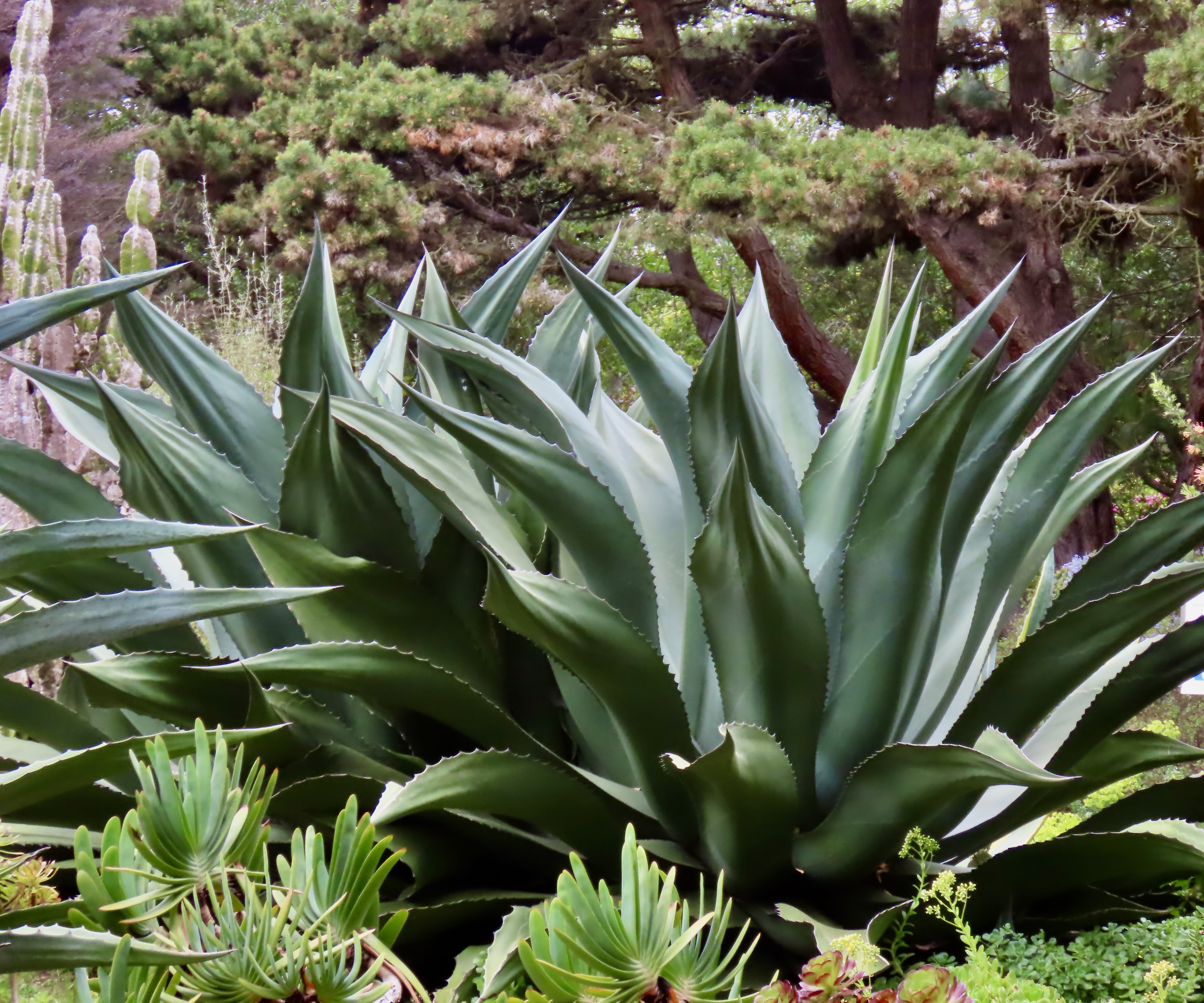
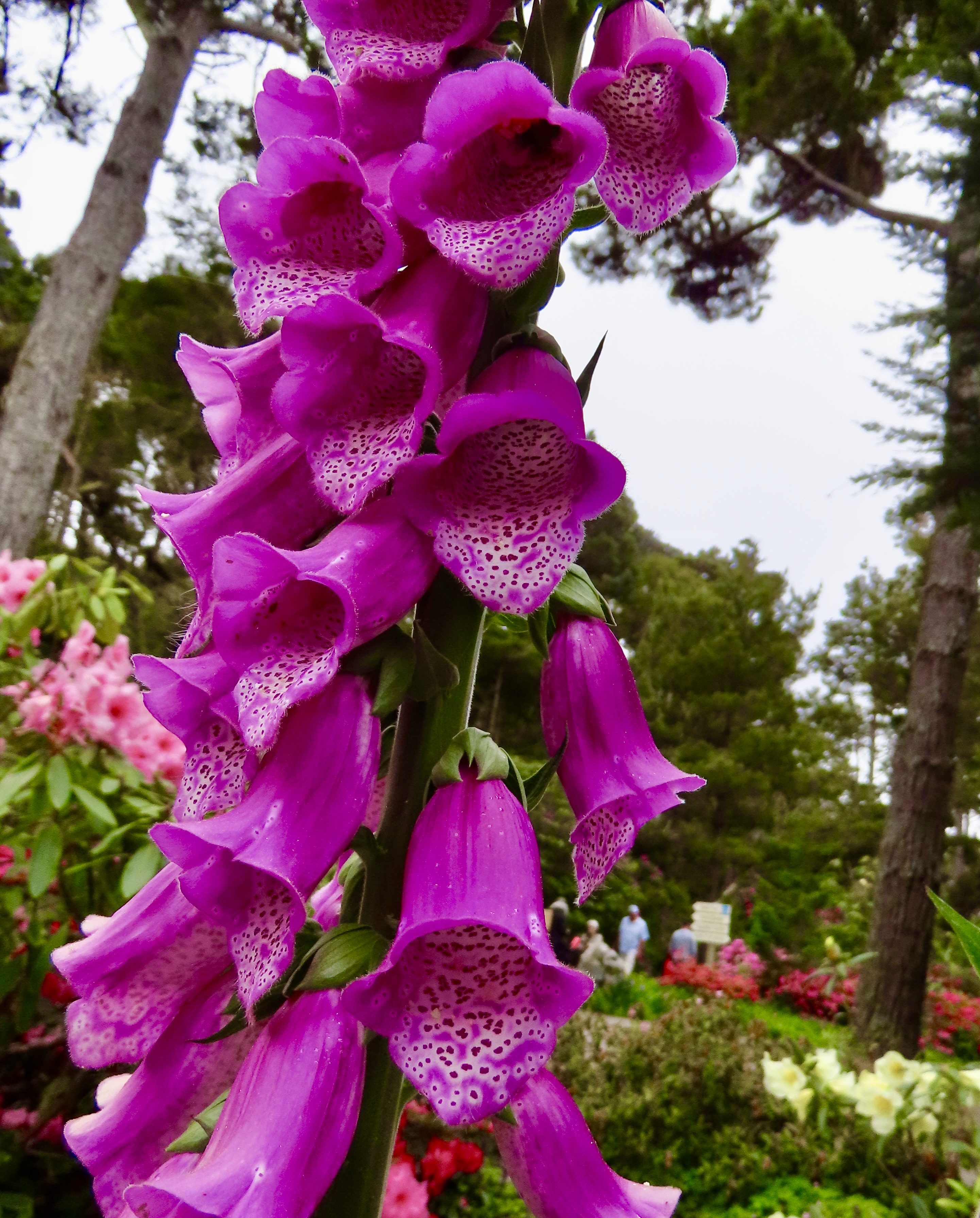
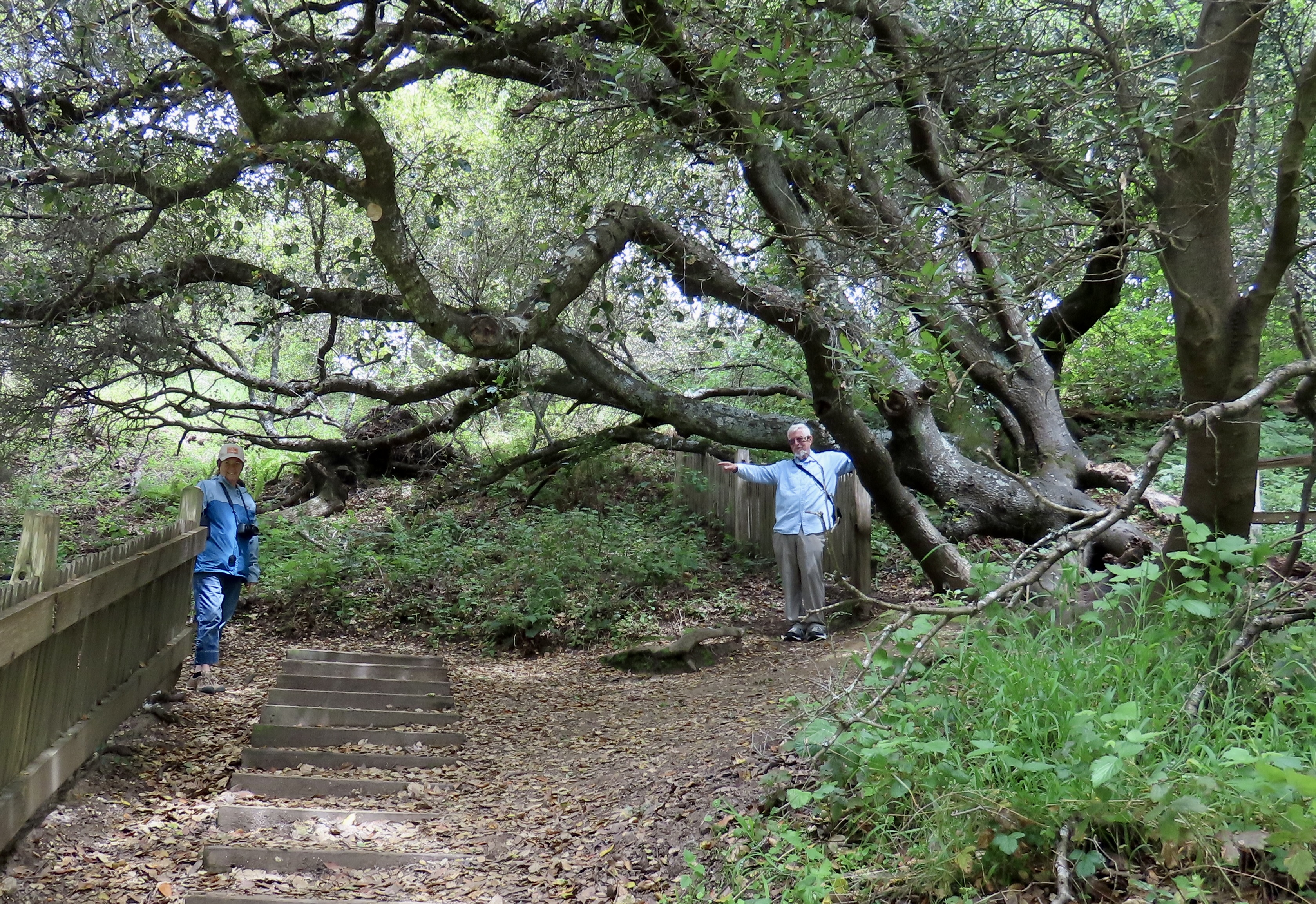
To truly get a feeling for the size of the redwoods, one needs to go for a walk among the magnificent trees. Words and photos simply can’t capture the awe one feels. Living in Northern California and Southern Oregon, which we did before moving to Virginia, Peggy and I have been privileged to visit the Redwood National Park several times. When we were planning out our 3-month trip up the Pacific Coast, there was no question that we would visit again.


I’ve approached our trip up the Pacific Coast much differently that I usually plan our road trips. I made reservations more than a day in advance. In fact I made most of them three months ahead. There were three reasons: One, Peggy and I wanted to stay in places for one to two weeks. Two, Pacific Coast campgrounds fill up quickly, especially as summer approaches. Three, Peggy has never been totally happy with my day ahead—or day of— approach to reservations. (The first time we took a year off to travel in 1999/2000, I only made one.)
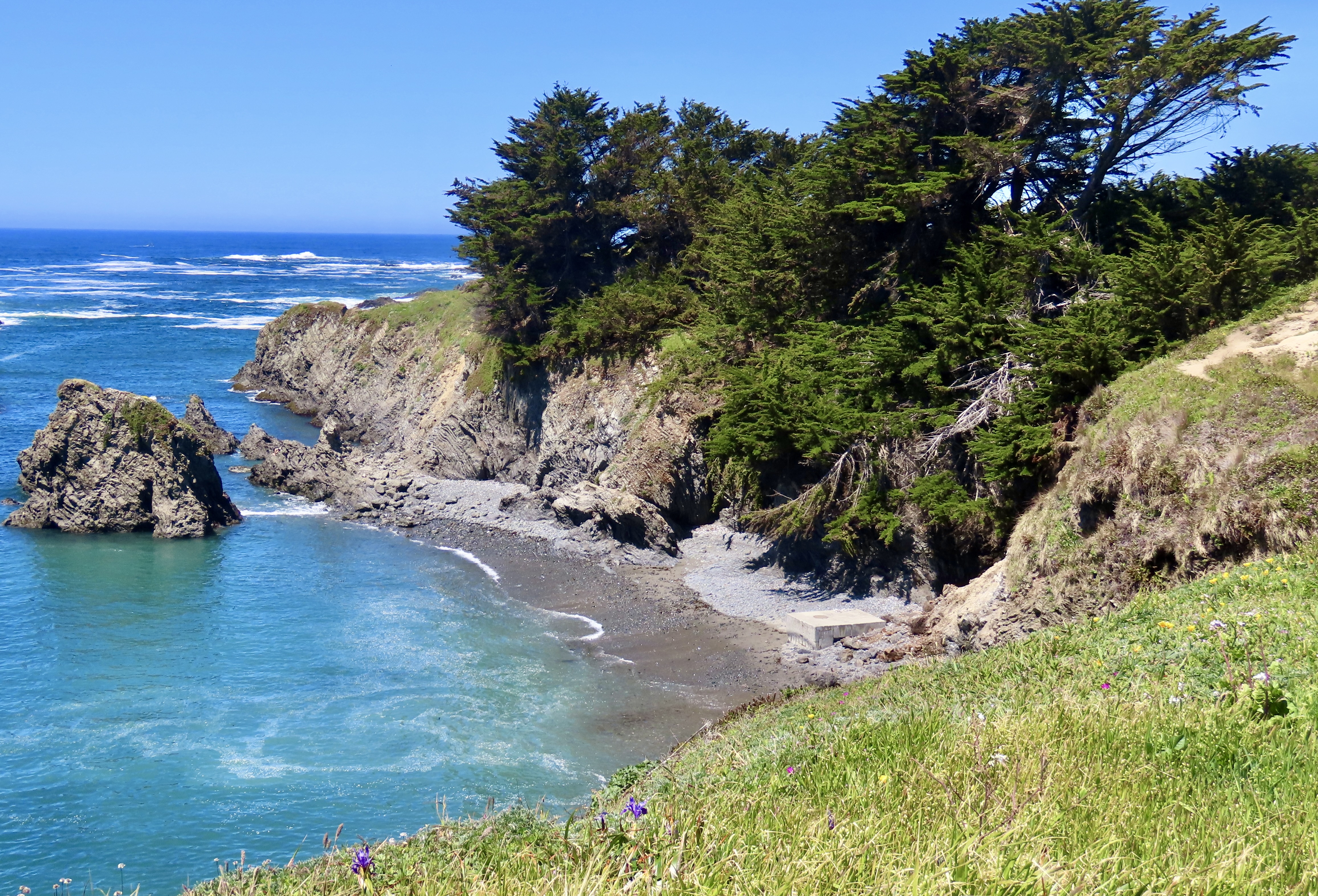
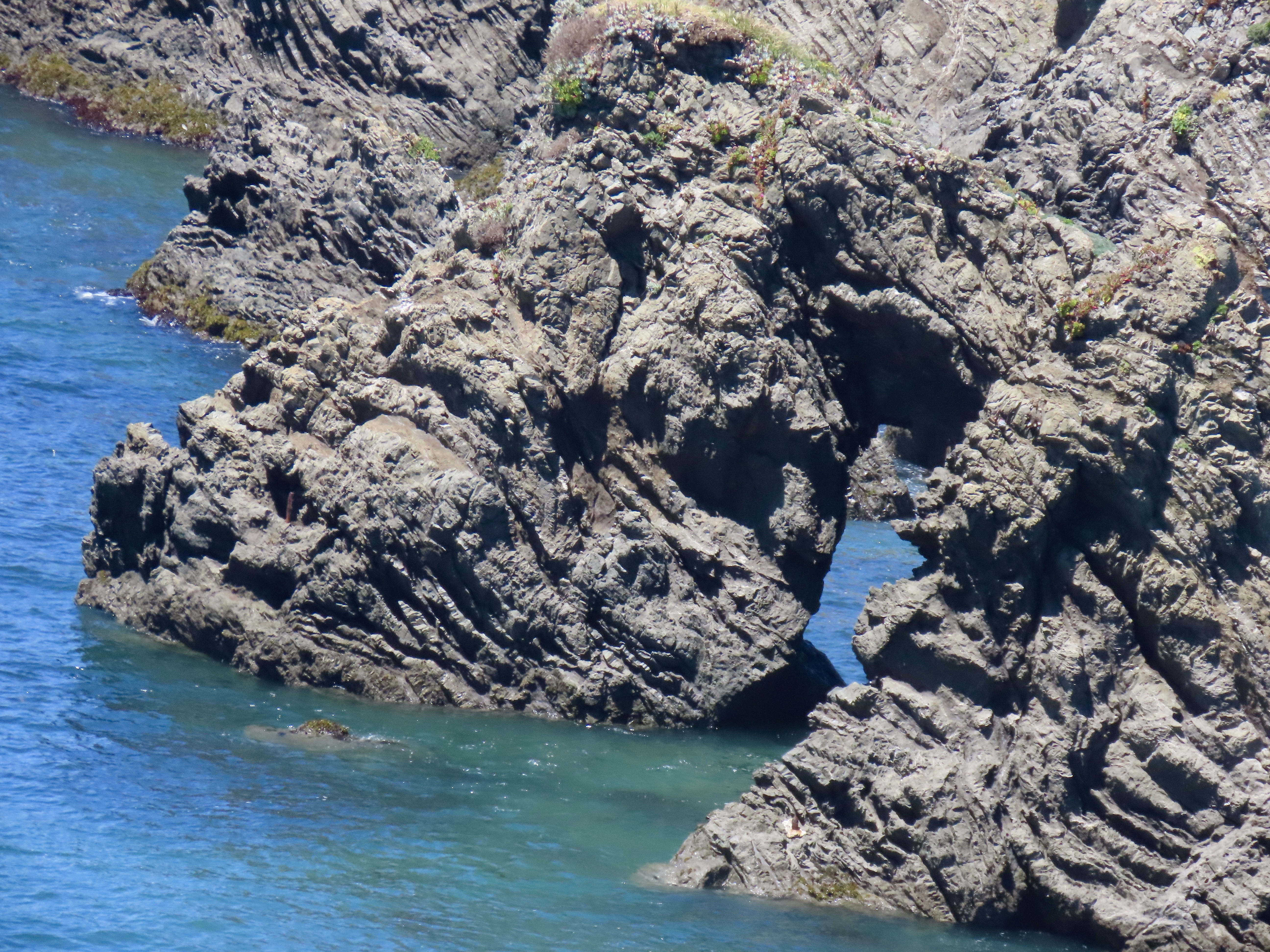
My choice in Fort Bragg was a little campground on the Noyo River, slightly off the main tourist route.
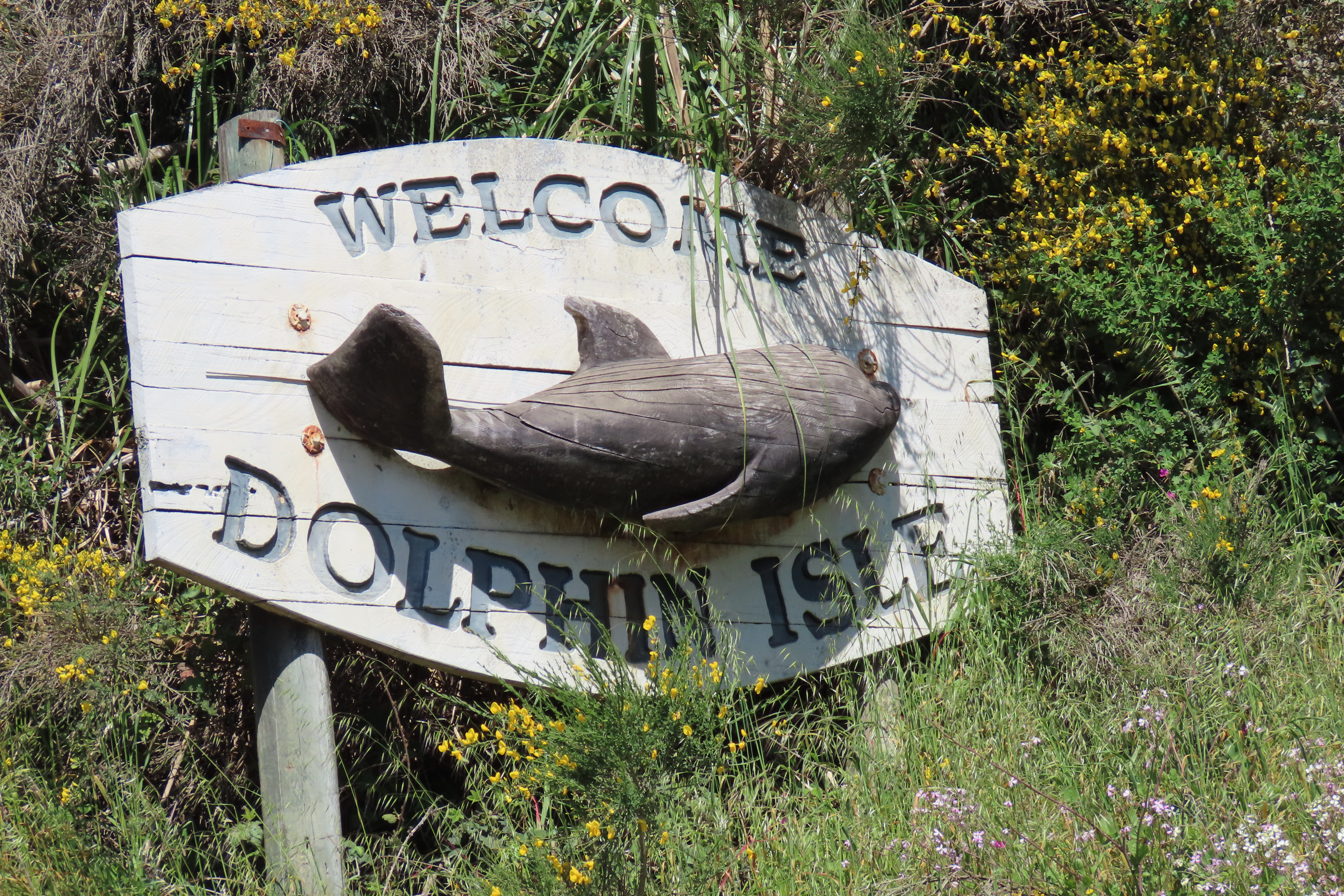


The river seemed the perfect place for us to kayak. Peggy was eager to get out. In fact, it was one of the reasons I selected Dolphin Isle for our camp. We pulled our inflatable Innova out of the truck’s bed and inflated it. We had kayaked with it for a quarter of a century in such diverse waters as Alaska, Baja, the Boundary Waters and the Everglades. For the first time ever, it refused to hold air. An internal seam had given out. We decided the time had come to retire Big Green and purchase a new kayak, which is something we have been talking about.

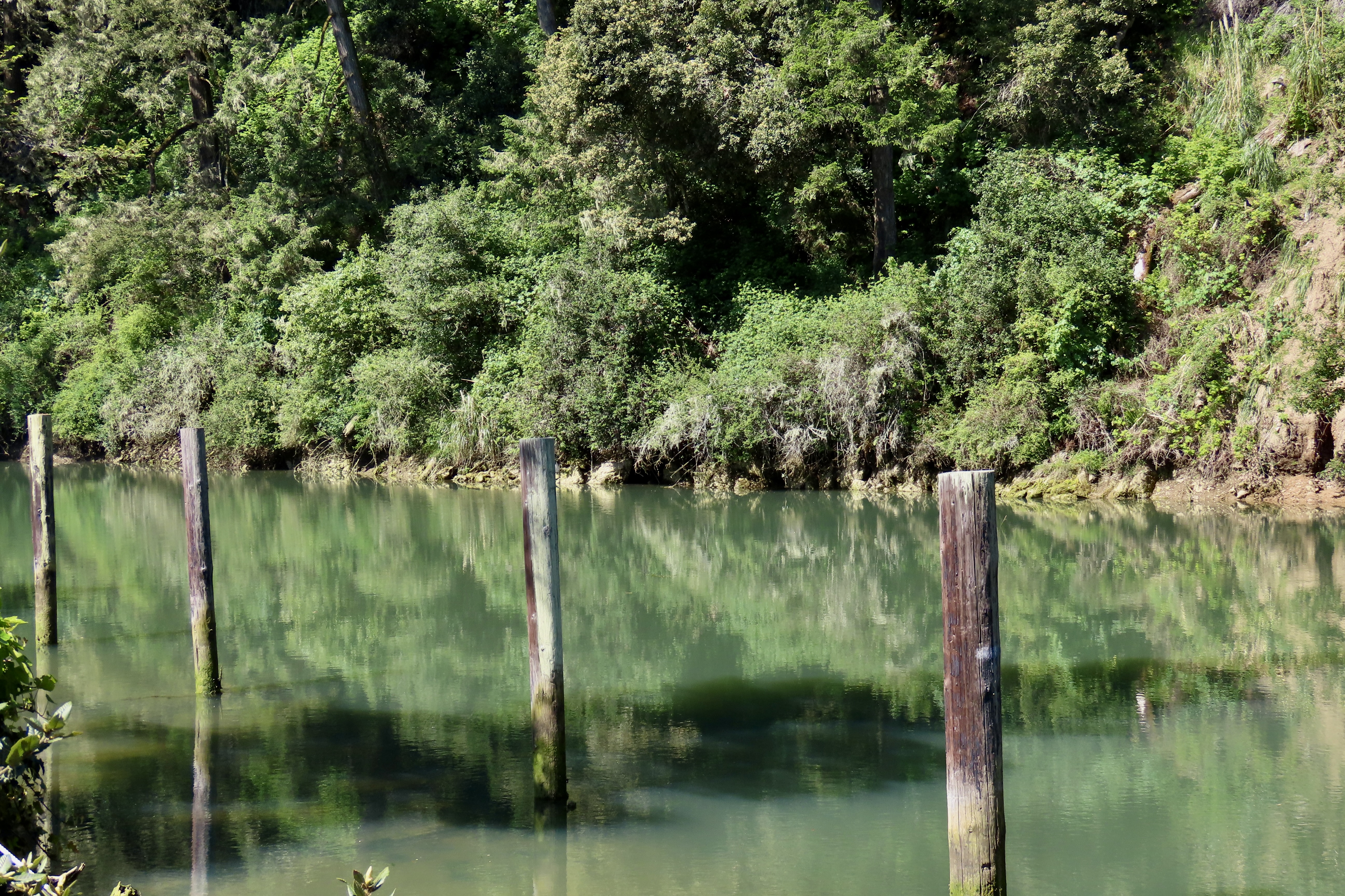
Peggy still wanted to explore the Noyo River, however. She discovered that a small, electric boat operated out of the Dolphin Isle Marina and took people on short tours of the marina and river. She signed us up immediately.


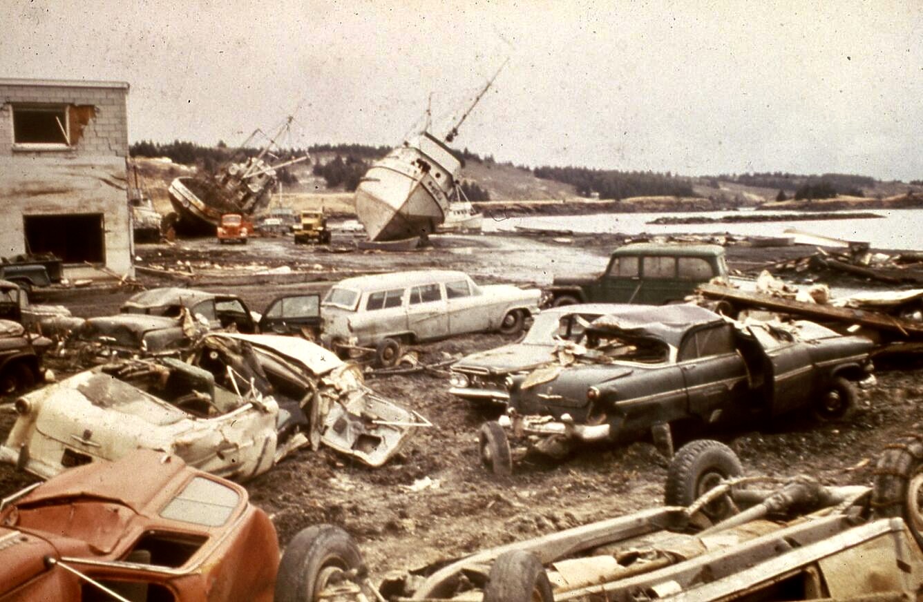
I first learned about people’s passion for collecting sea glass from our daughter-in-law, Cammie. Our son Tony was stationed on Kodiak Island as a helicopter pilot for the Coast Guard and Cammie had taken up producing sea glass jewelry to sell. Peggy and I were invited to join a family outing to collect sea glass on a local beach when we were visiting. It was like going on a treasure hunt. The glass had once hosted a variety of alcoholic drinks in a local bar that overlooked the Pacific Ocean. Then the 1964 Great Alaskan Earthquake struck. It was over six times as powerful as the 1906 San Francisco earthquake. The devastation caused by the shockwaves and tsunami was massive— and it included the Kodiak bar, washing it into the ocean. Ever since, the Pacific Ocean has been turning the liquor, wine, and beer bottles into sea glass.
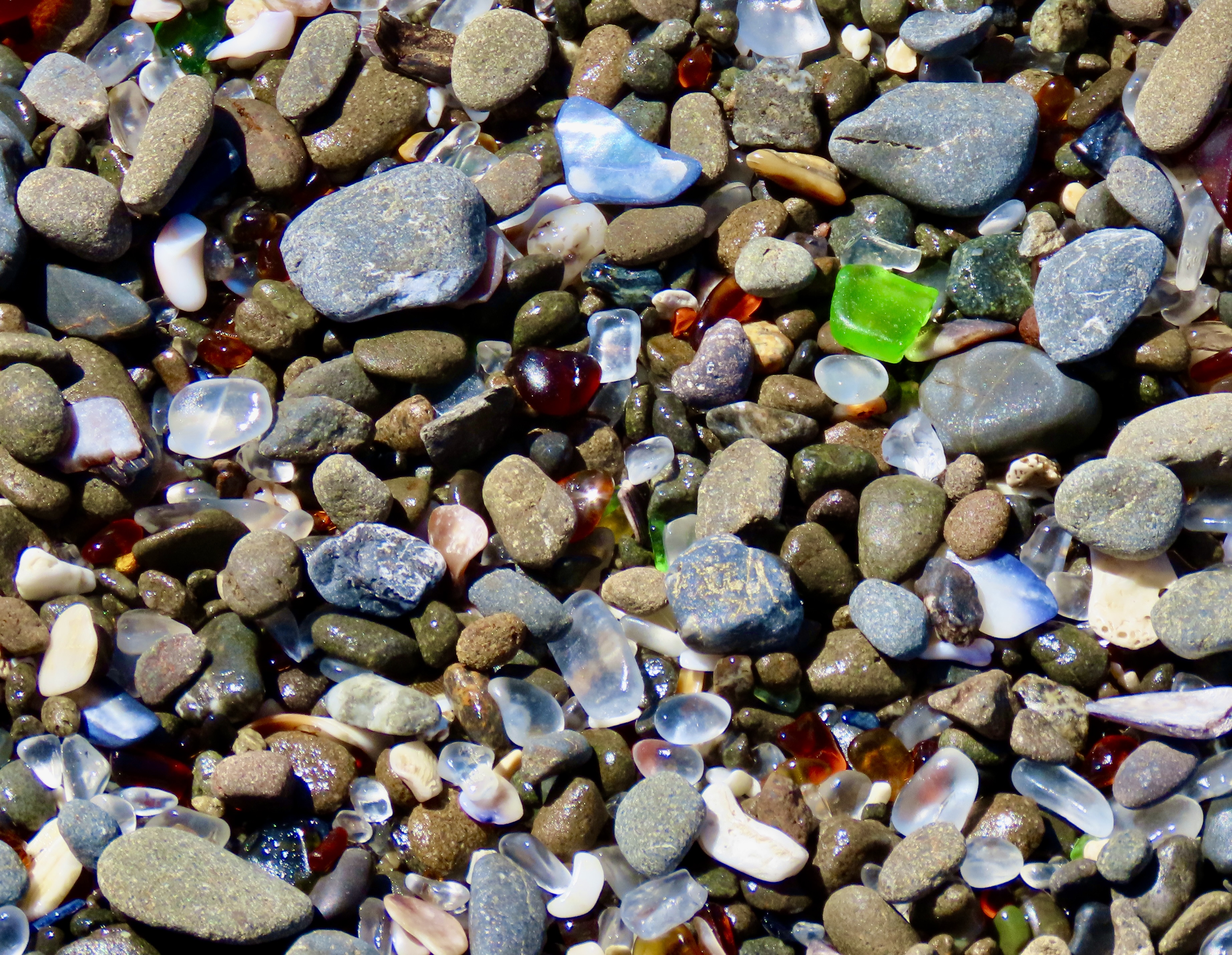
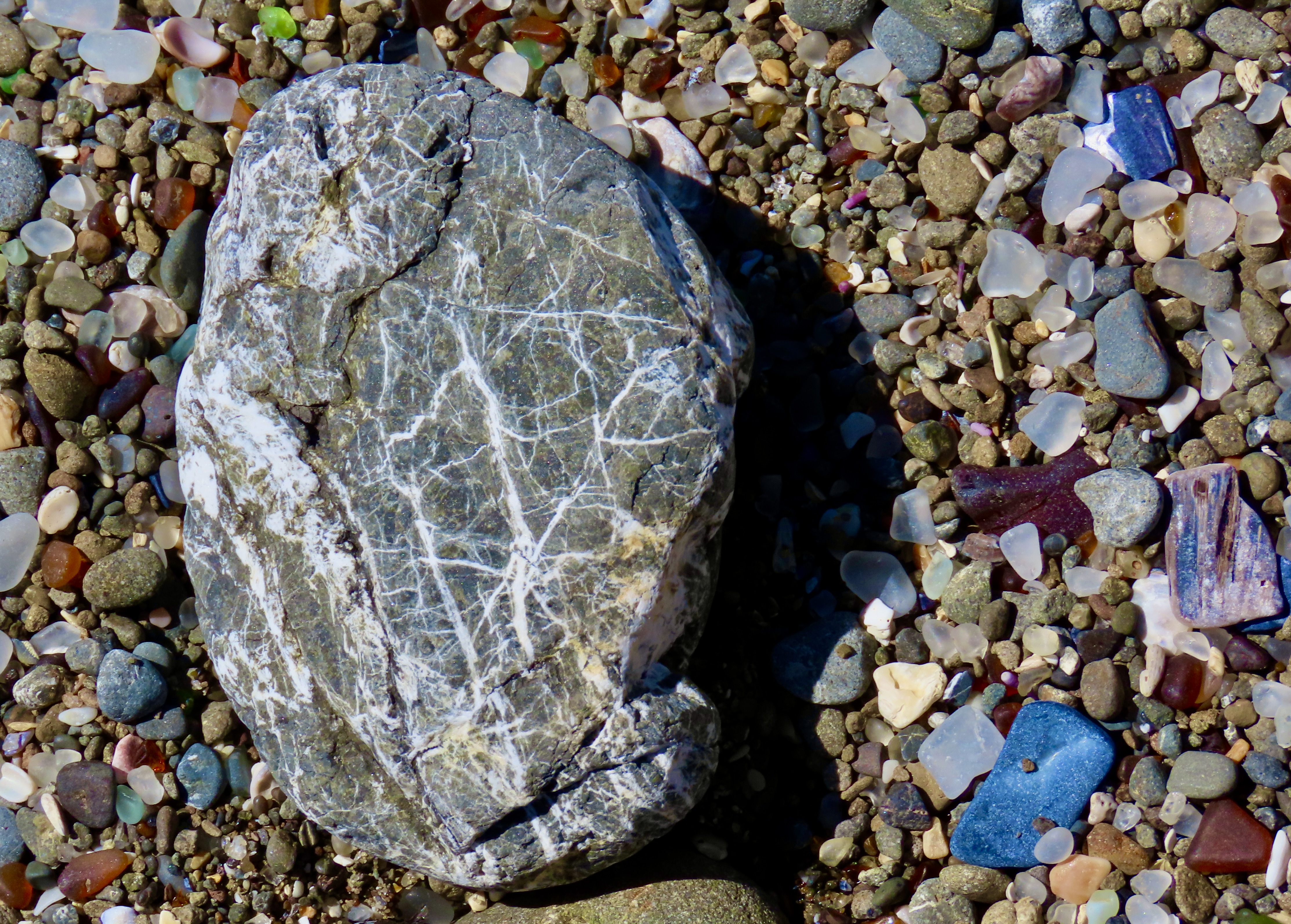
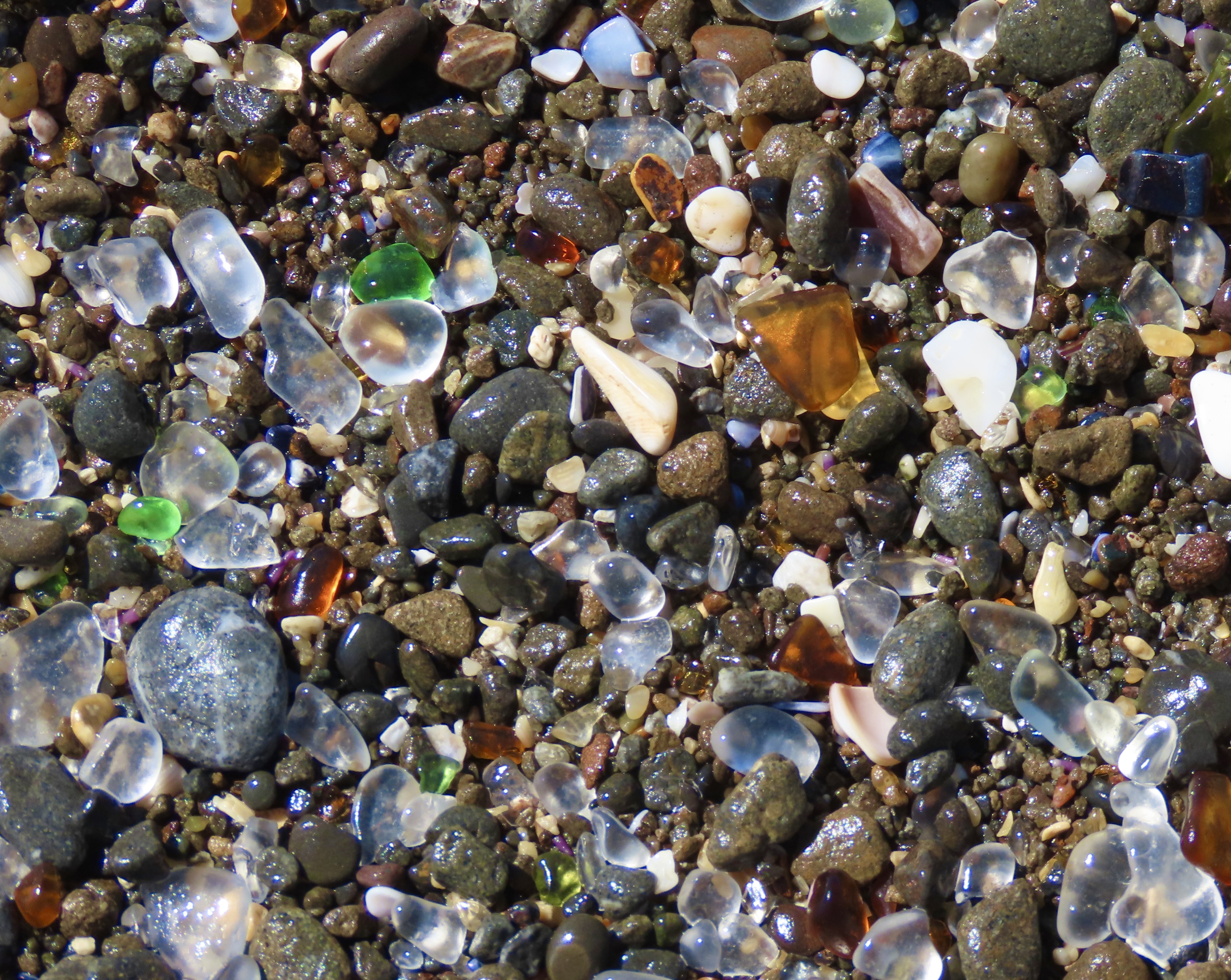
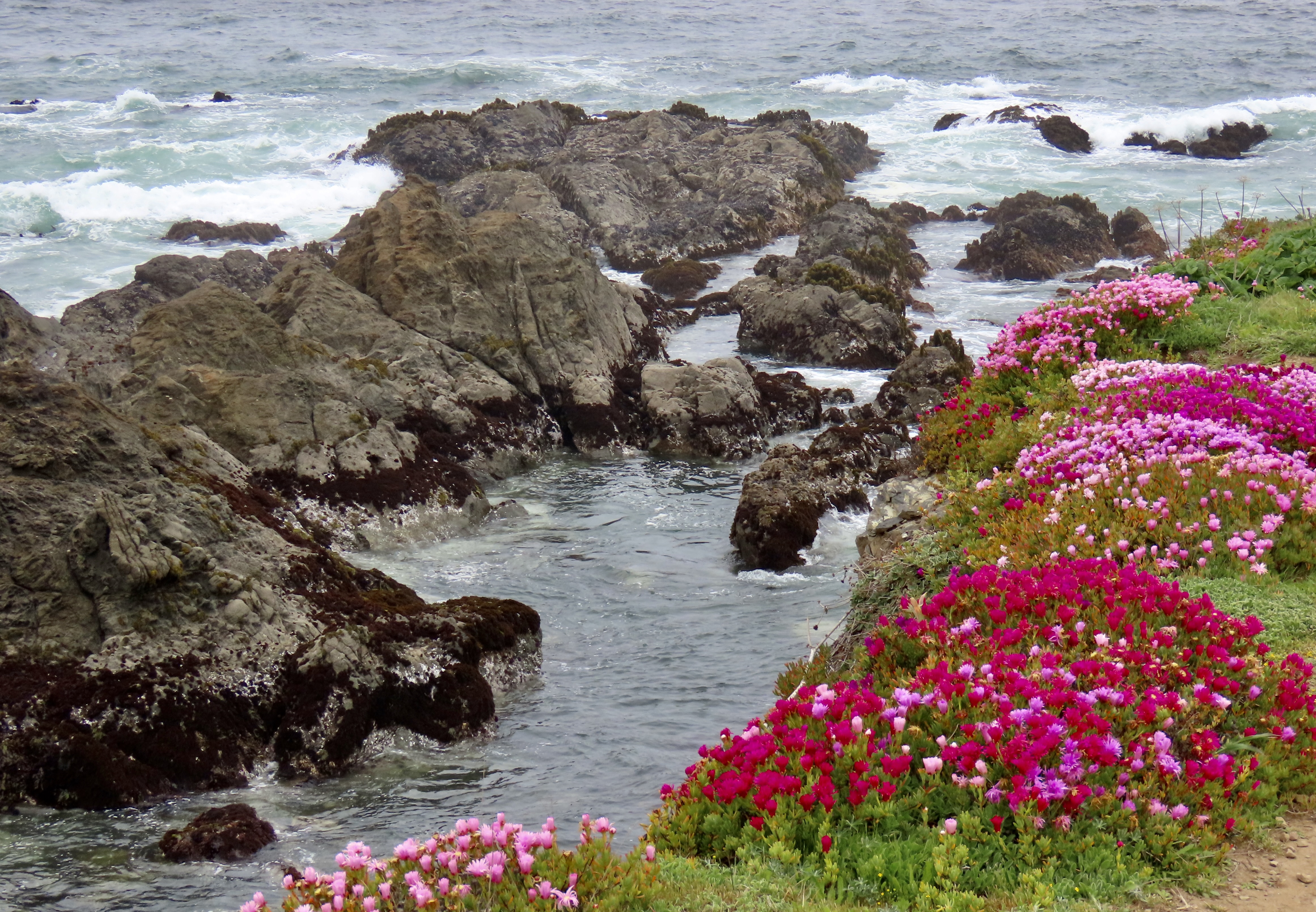
The story behind the glass beach at Fort Bragg isn’t nearly as dramatic as the beach in Kodiak. The beach was the site of the community’s official dump until 1967. The attitude up until then in Fort Bragg and numerous other coastal towns had been why worry about burying your garbage when the ocean will wash it out to sea. Growing awareness about the potential harm from the practice by the community plus pressure from the California Water Resources Board led to closing the dump in 1967. Degradable garbage degraded, non-degradable garbage such as automobiles and refrigerators was hauled away, and the glass, already on its way to becoming sea glass, was left to become more sea-glassy.


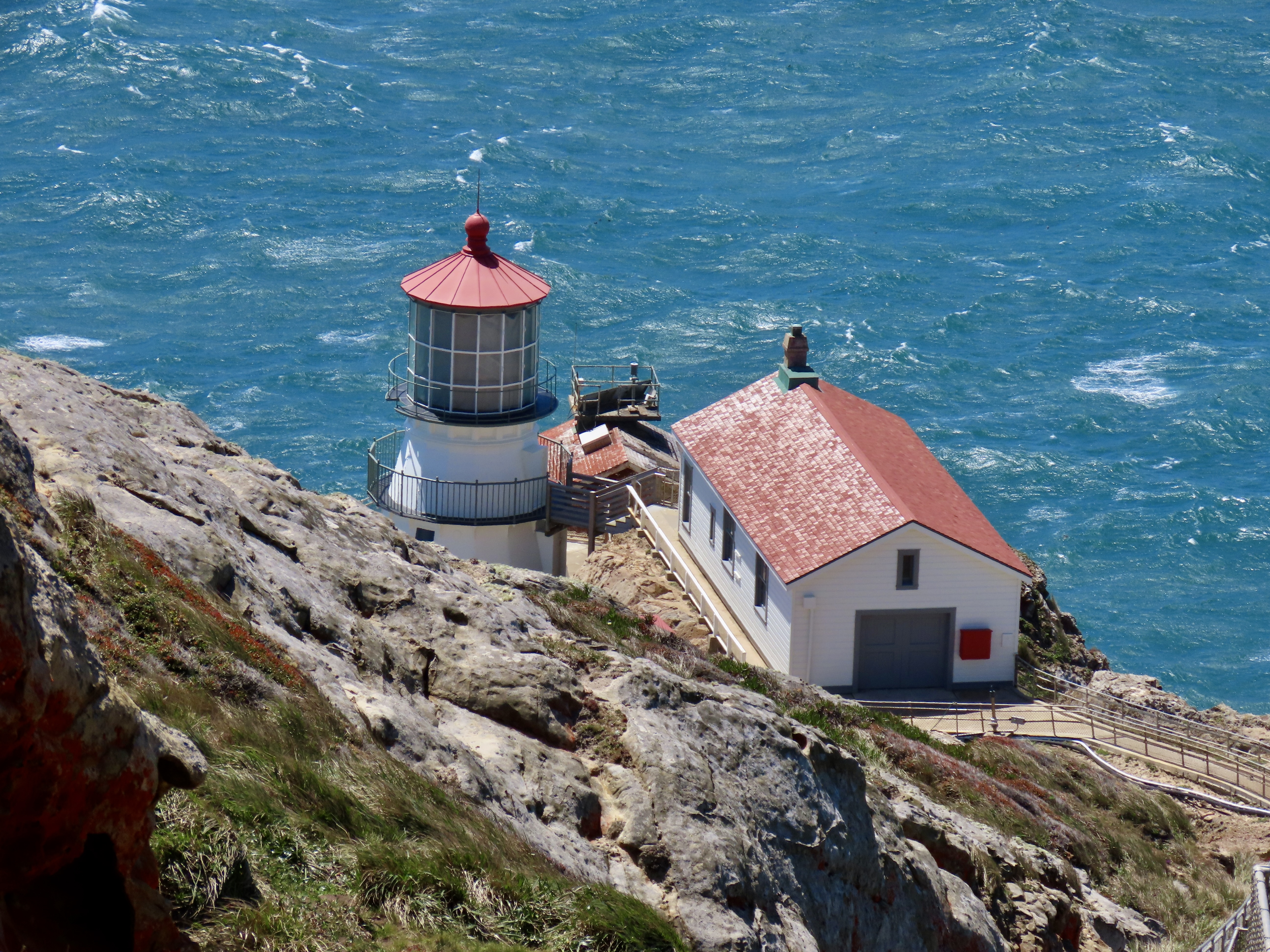
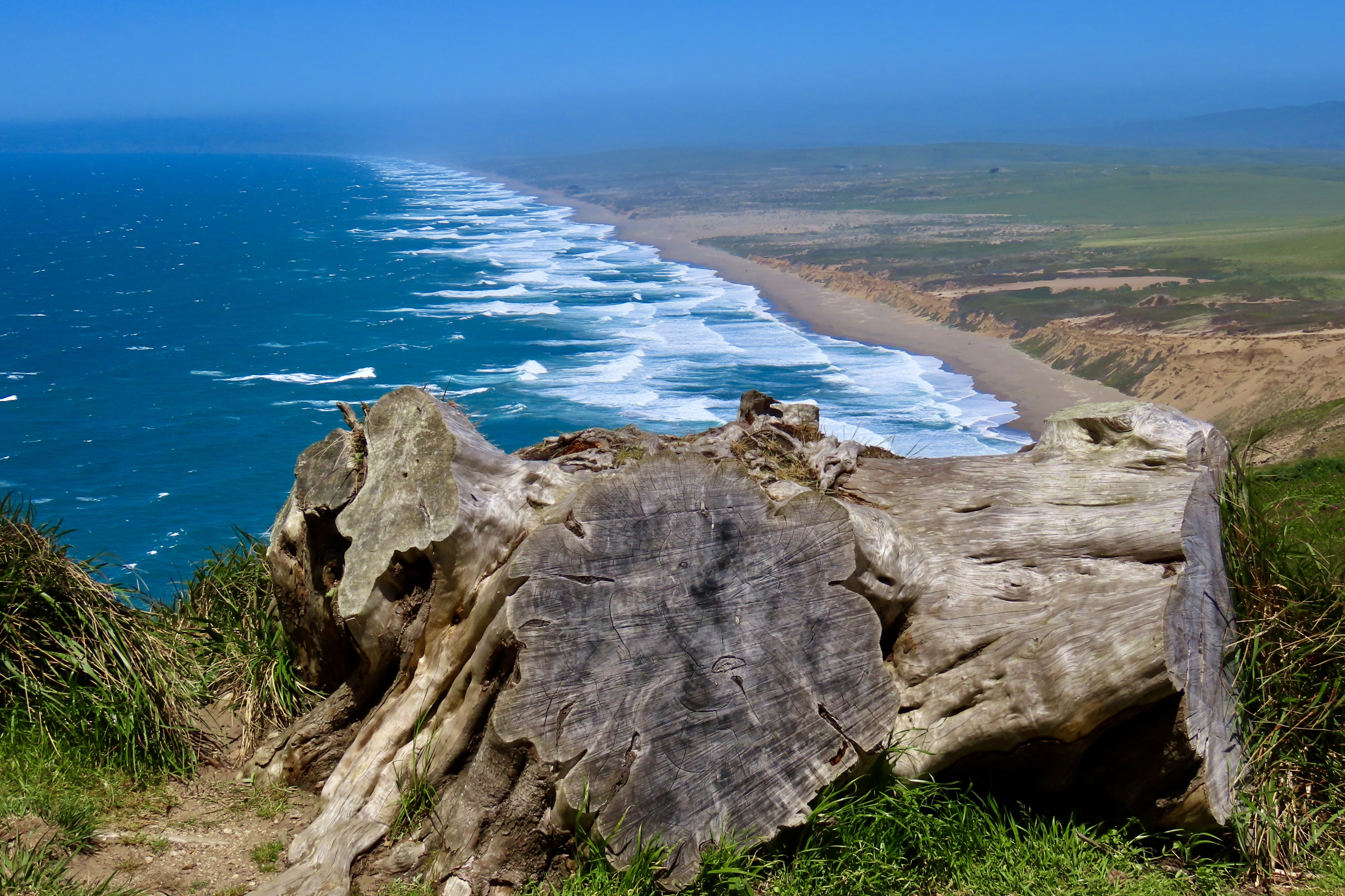
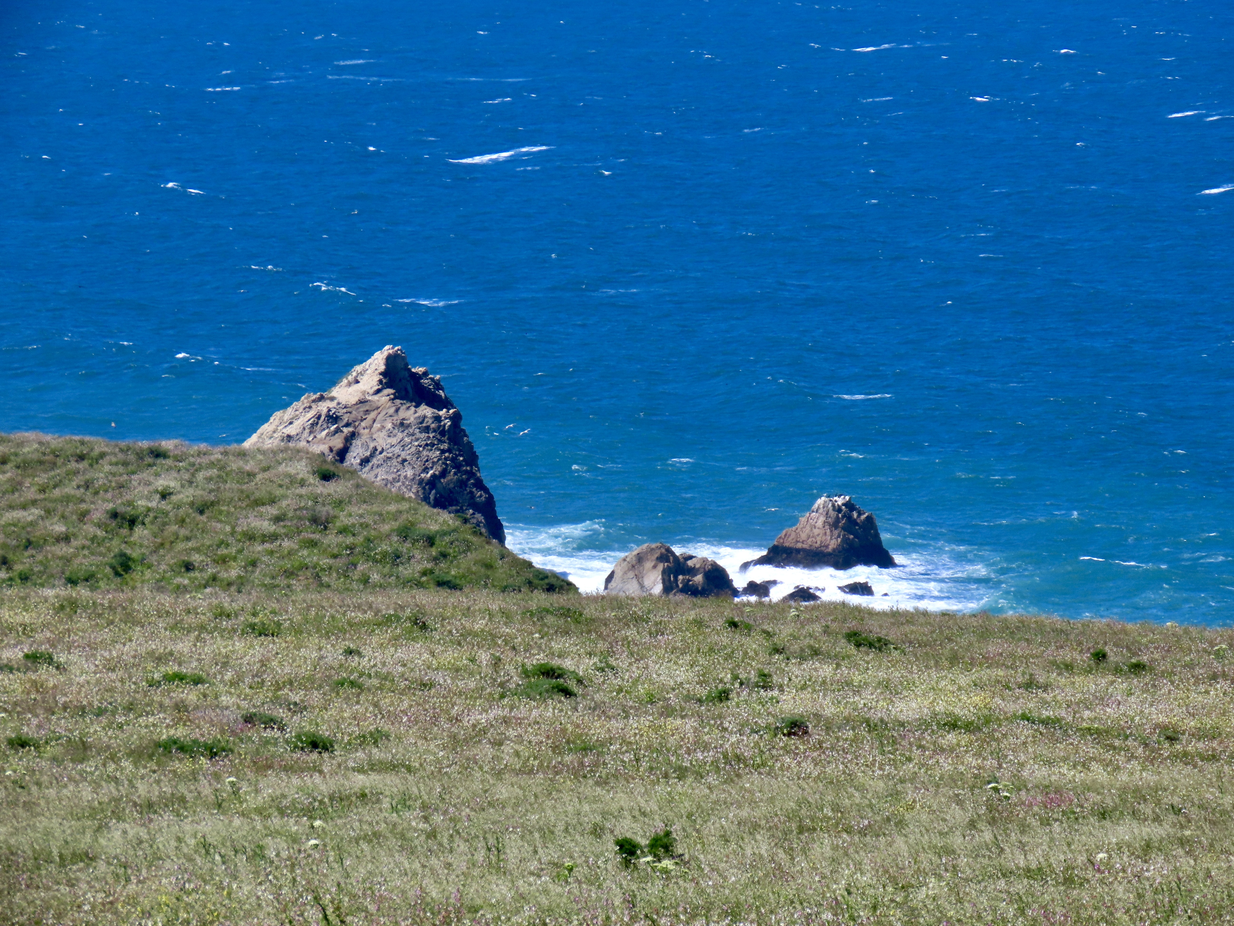
Peggy and I have visited the Point Reyes Lighthouse with its dramatic location perched above the Pacific Ocean several times. The wind was blowing so hard this time, it was hard to open the doors on our truck and almost impossible to put on our windbreakers outside in the wind. None-the-less, we vowed to make the half mile trek out to the observation tower overlooking the lighthouse. It’s just too impressive not to.


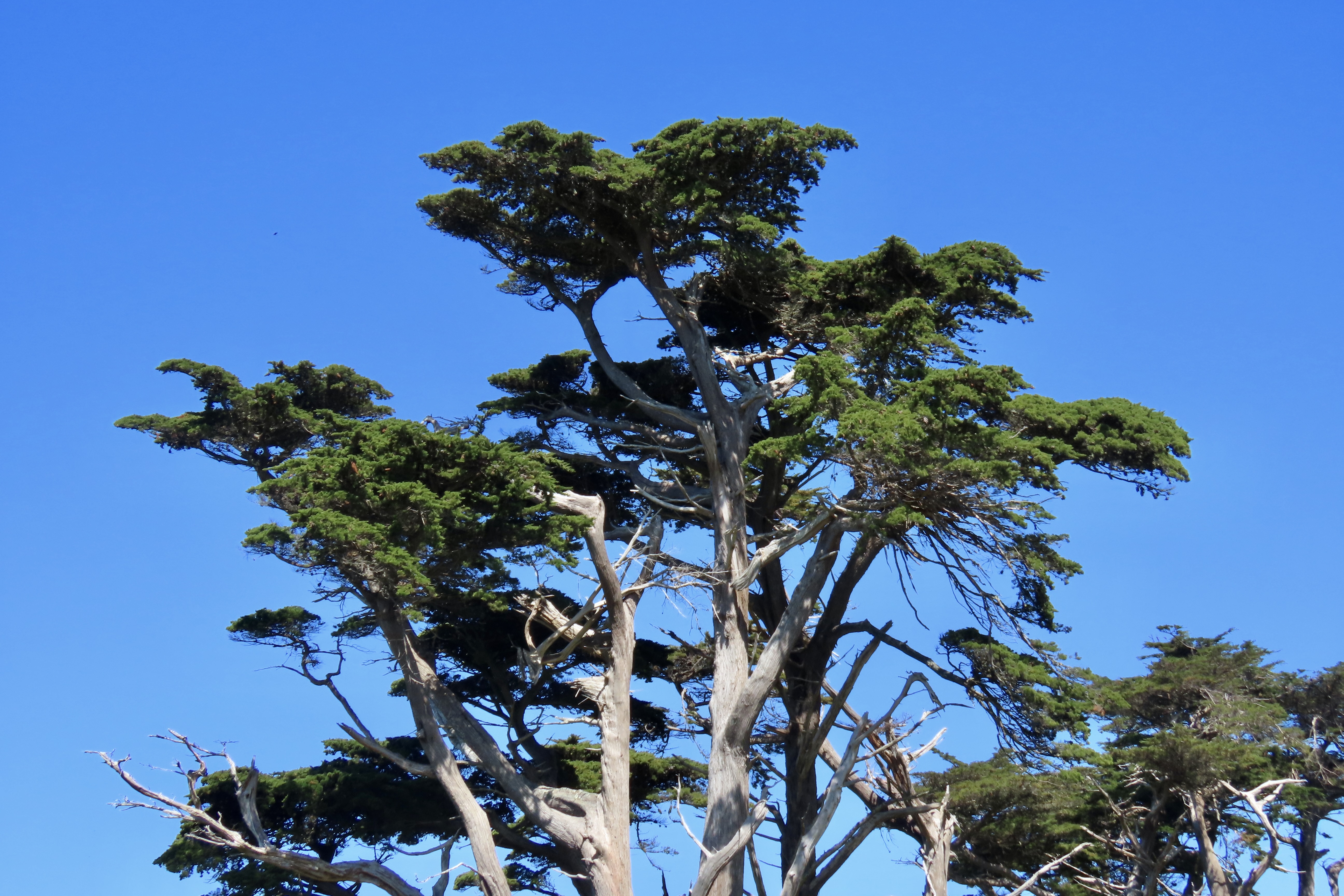
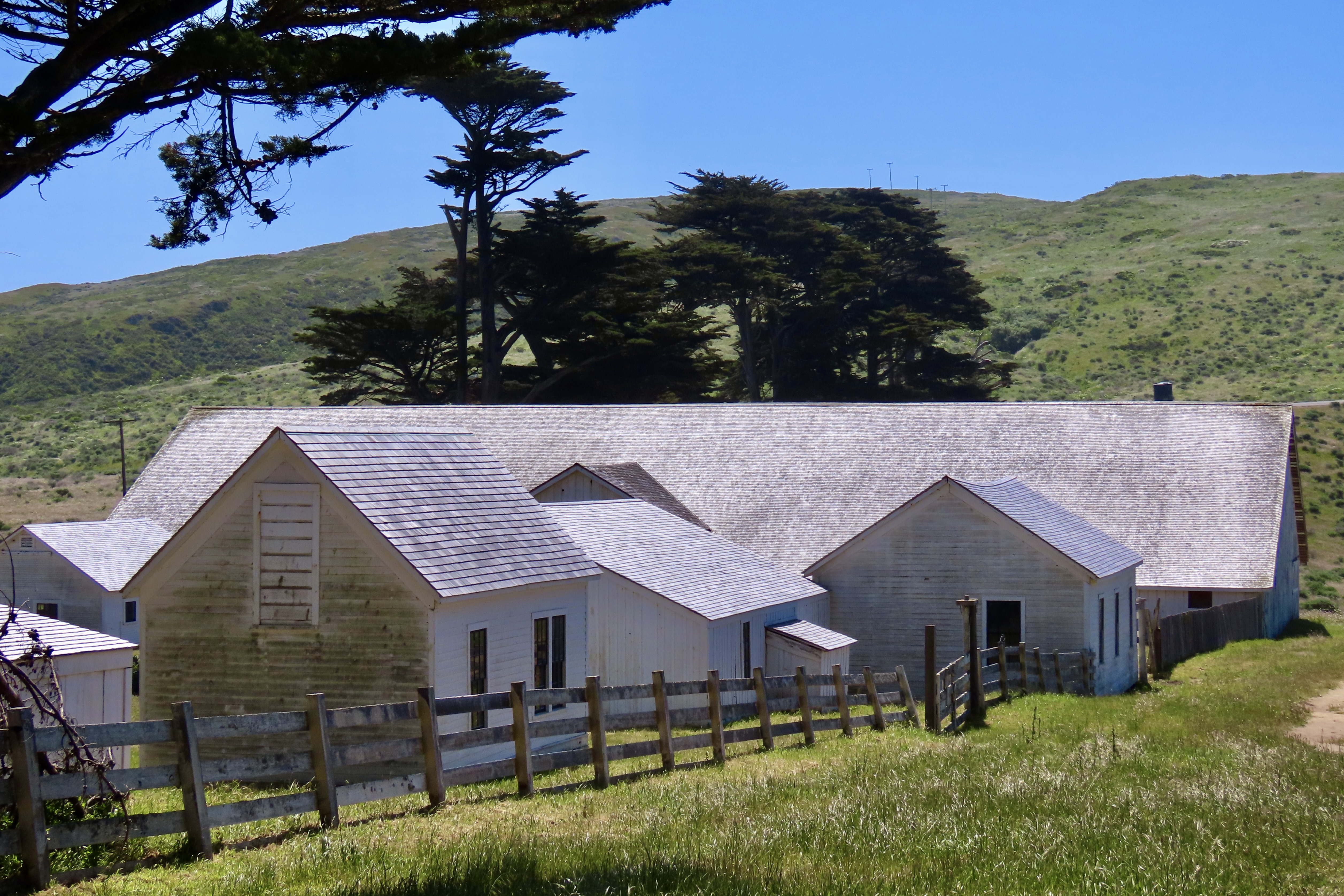
Anyone visiting Pt. Reyes National Seashore should visit the historic Pierce Ranch. It provides an excellent introduction to the dairy industry that started in the mid-1800s and still exists within the National Seashore boundaries today. Local ranchers worked together with the Sierra Club in the 1960s and 70s to preserve their ranches and avoid the onslaught of real estate speculators and developers who envisioned turning the beautiful area into massive profits for themselves and great homes for the few that could afford them— instead of one of the world’s premier national parks for everyone.
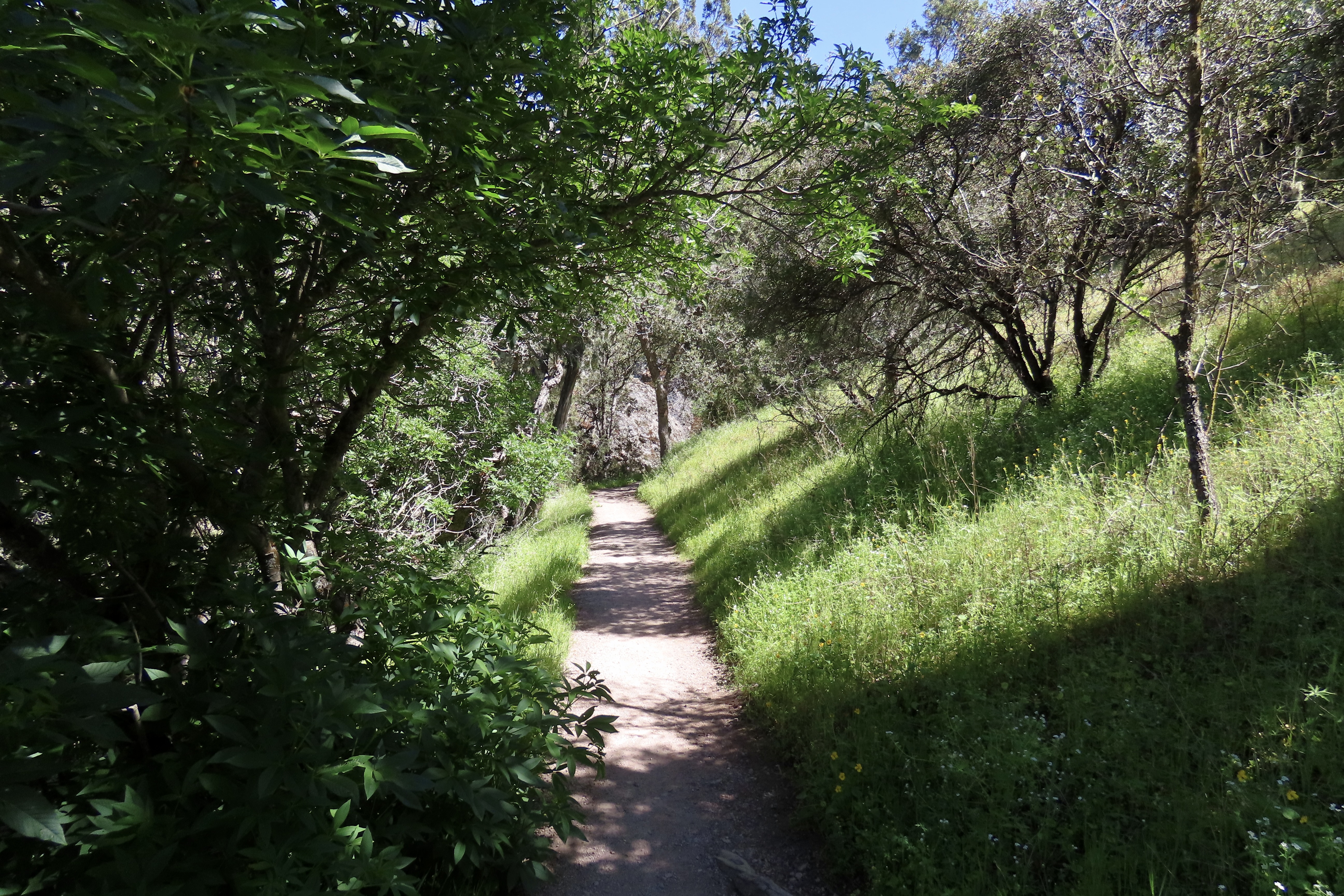
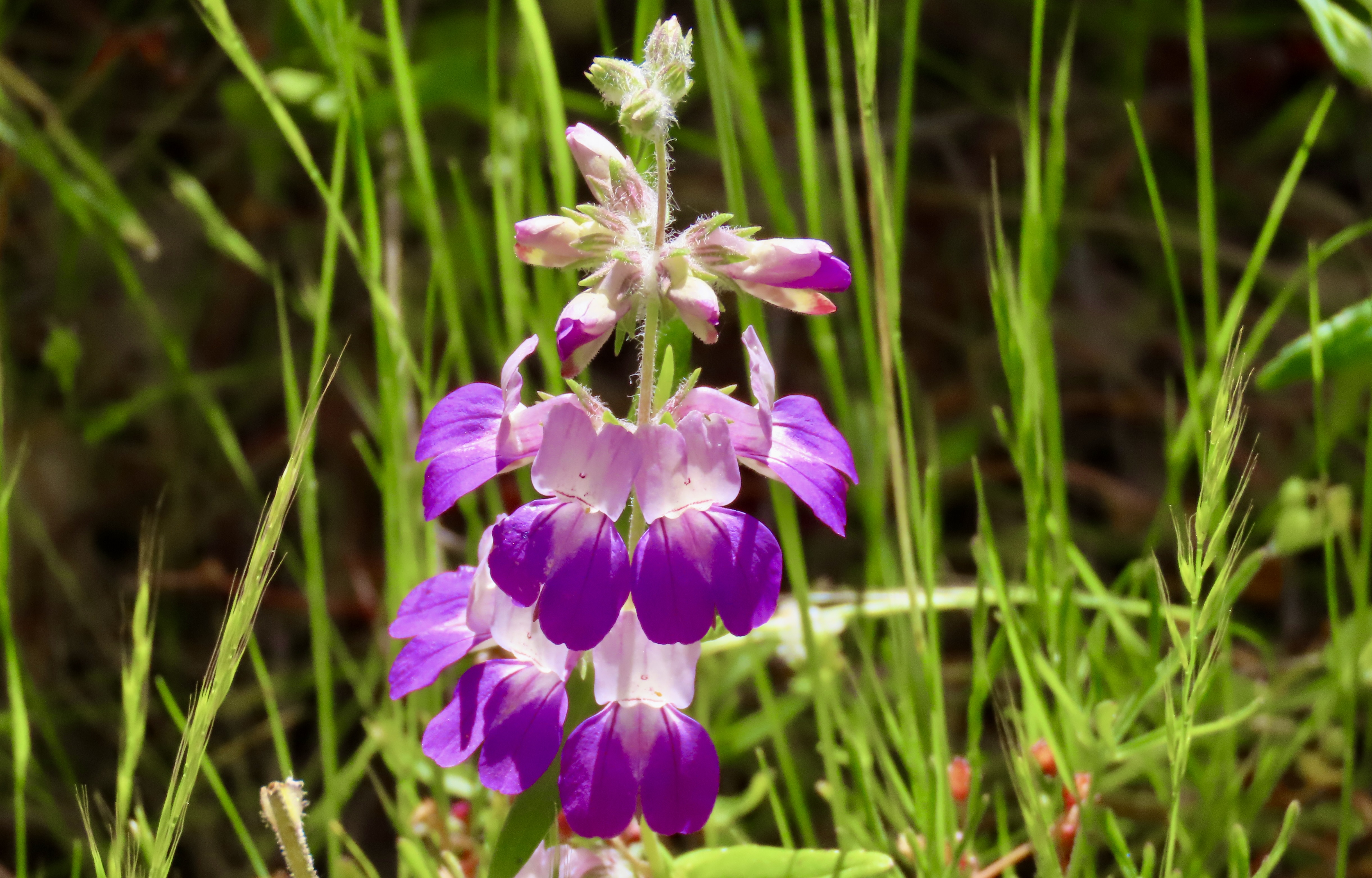
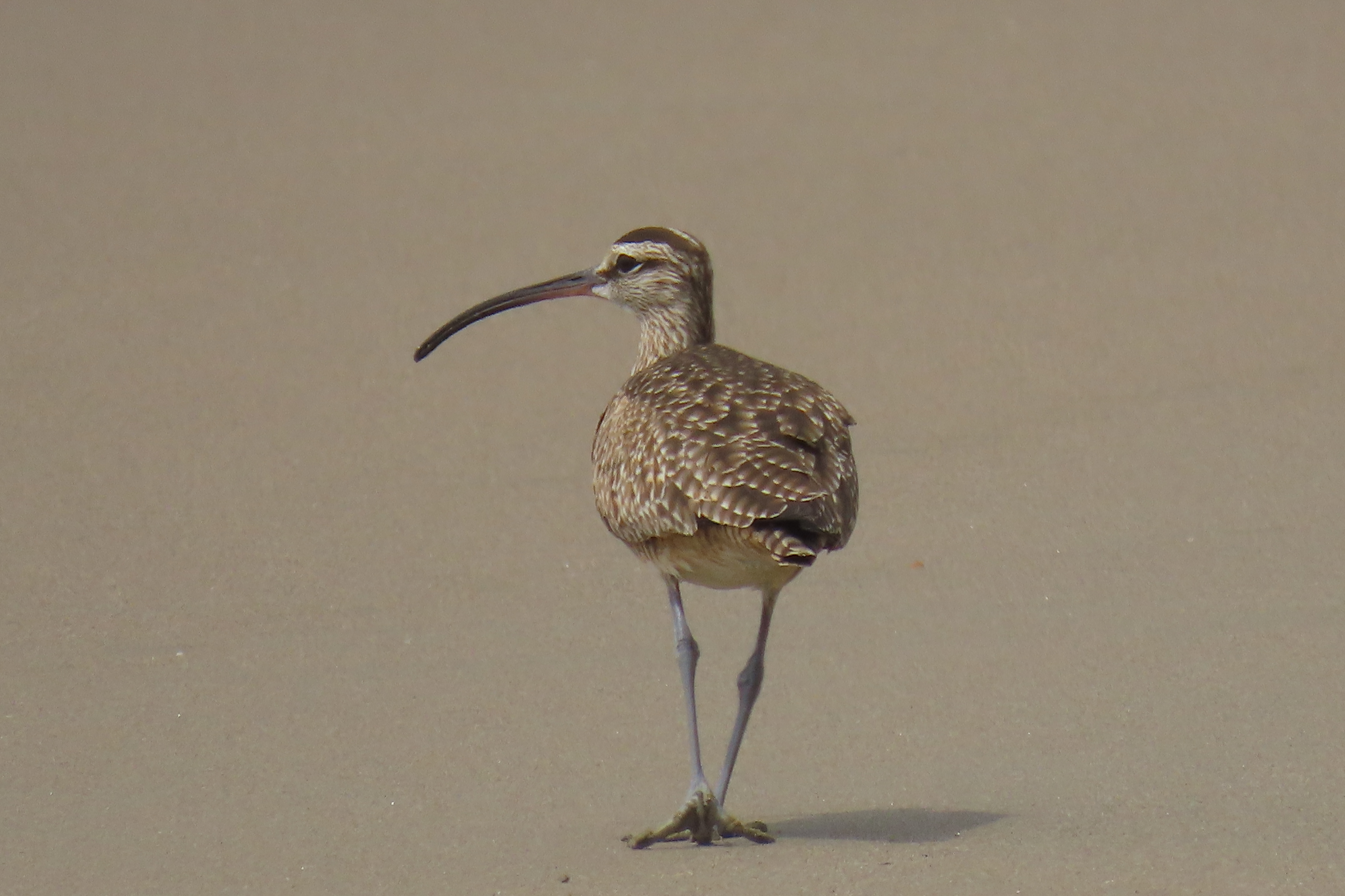
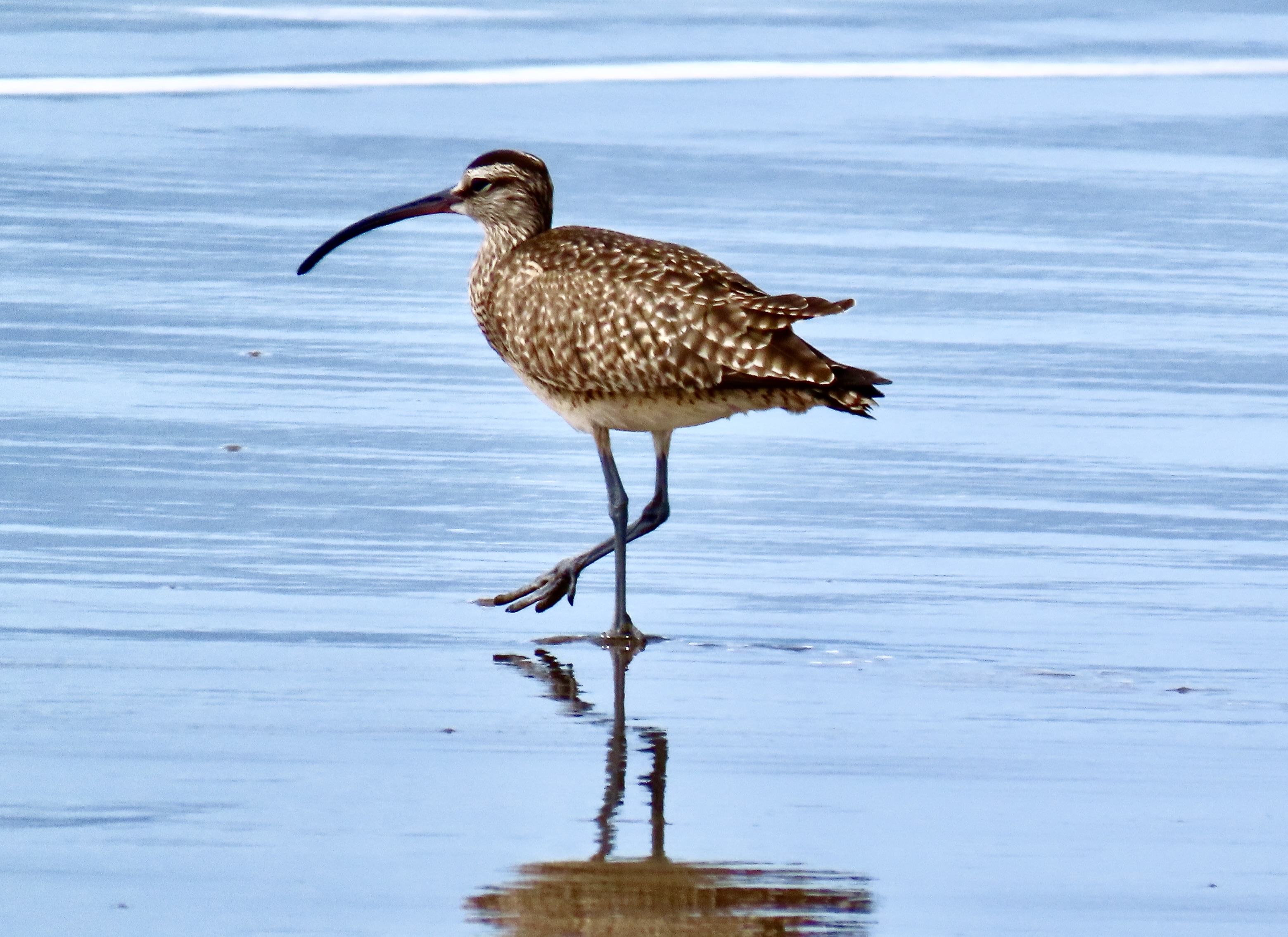
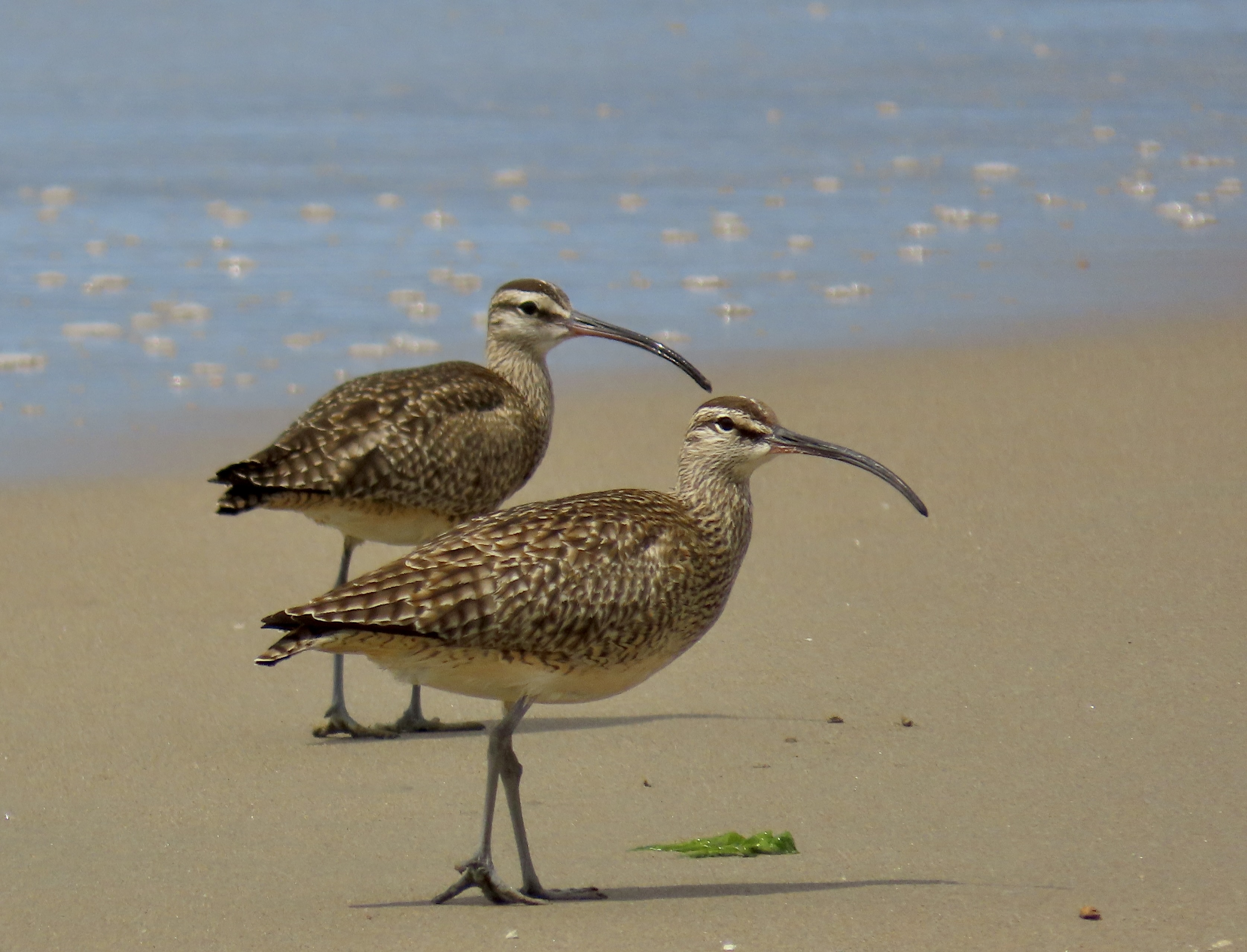
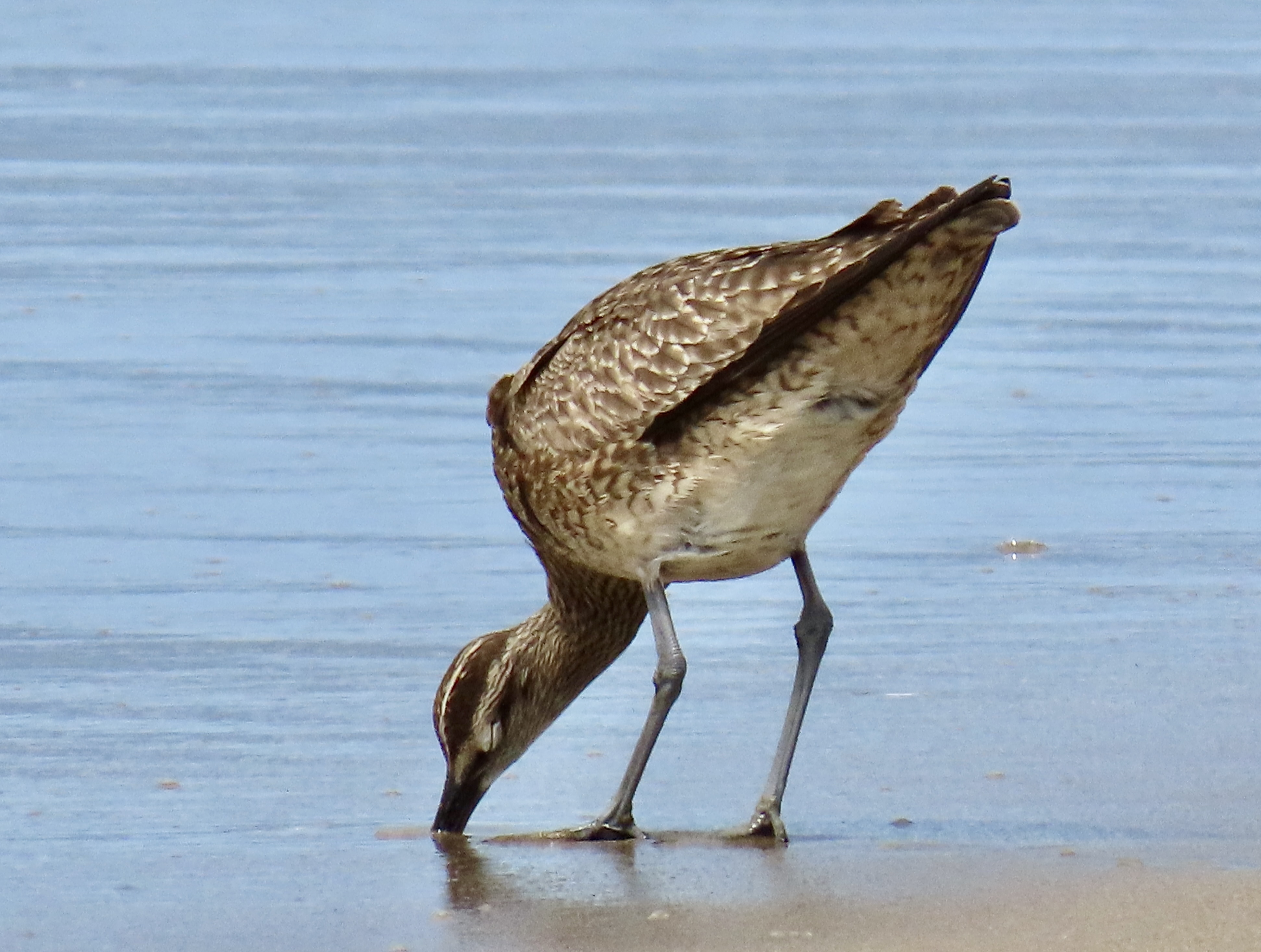
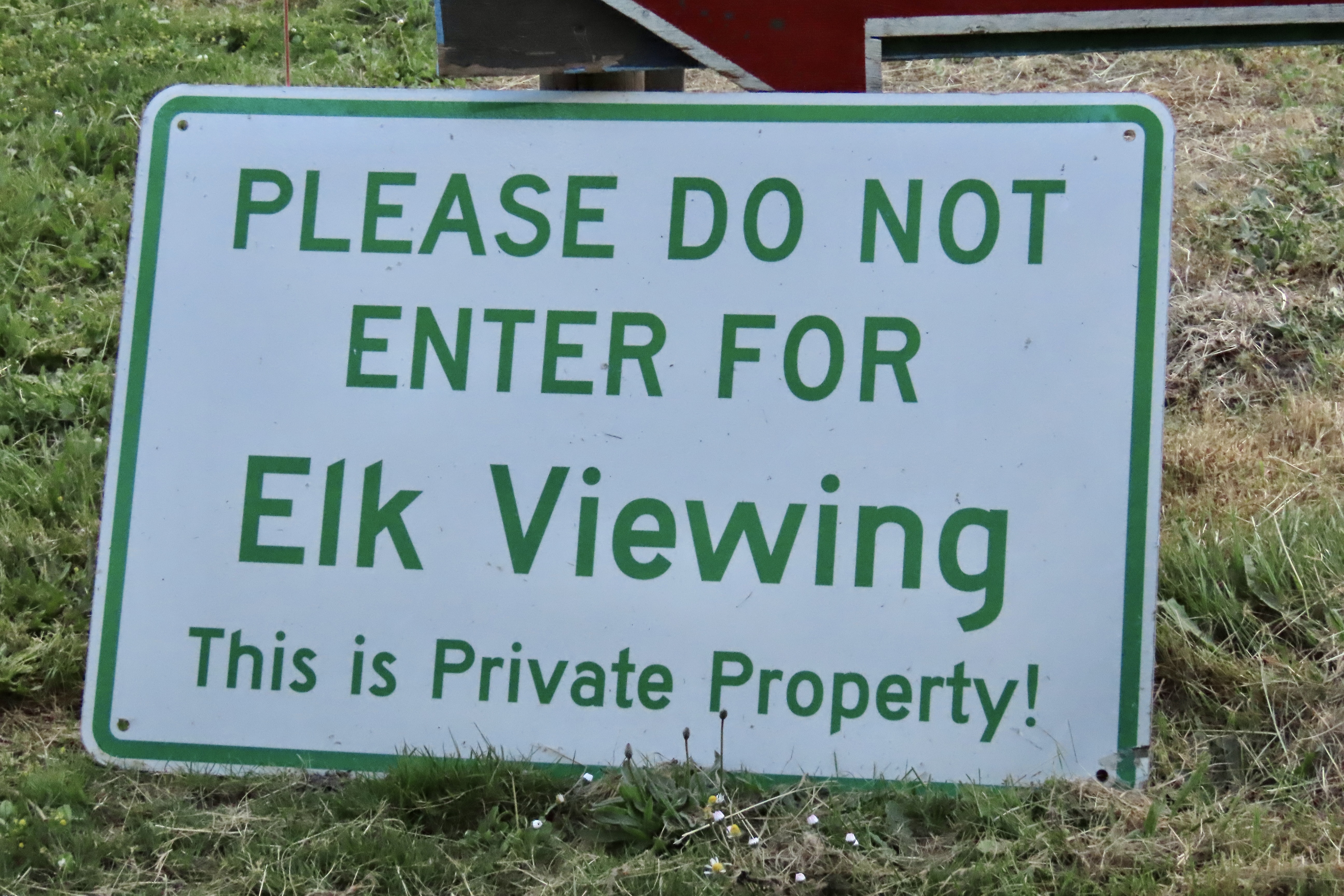
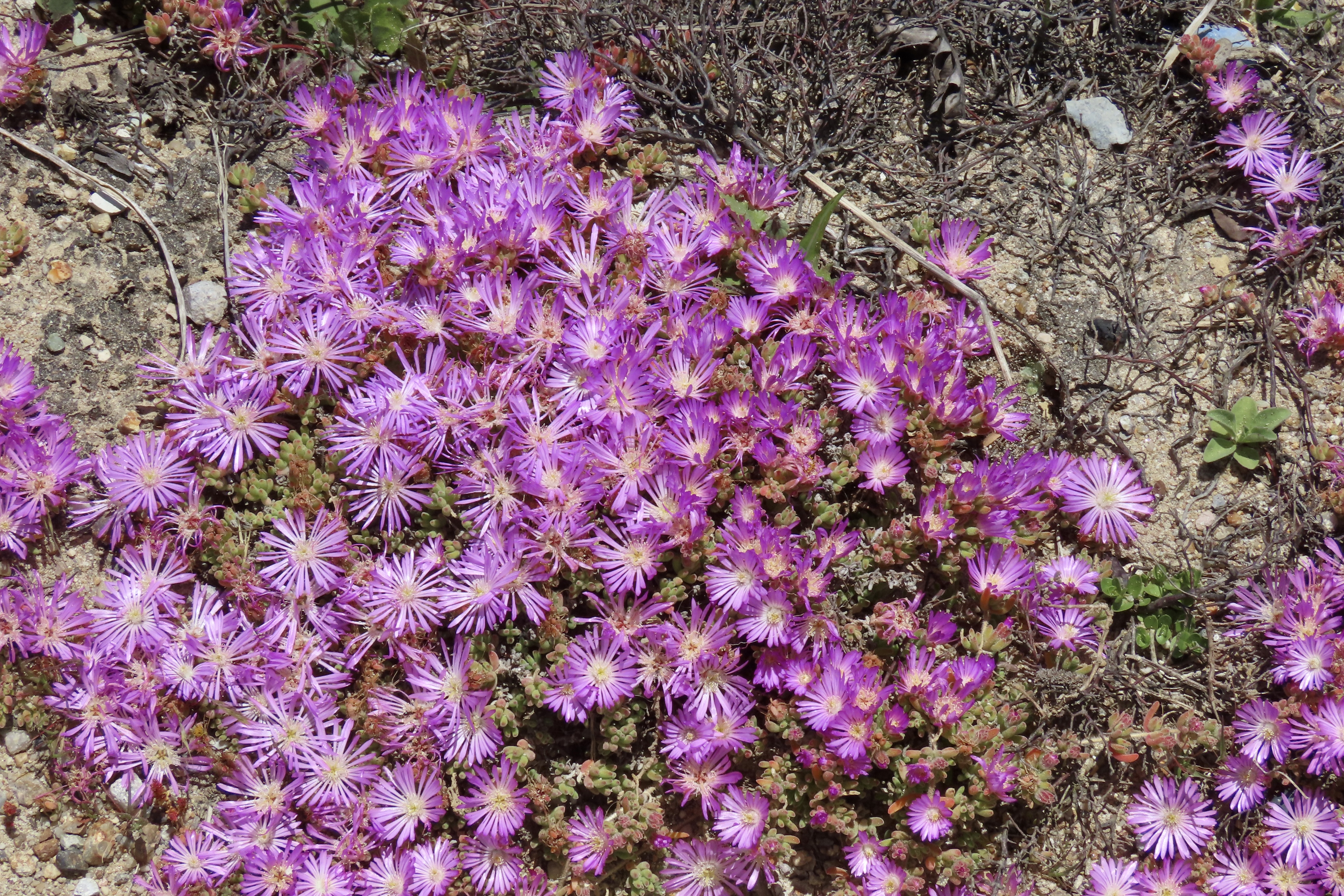
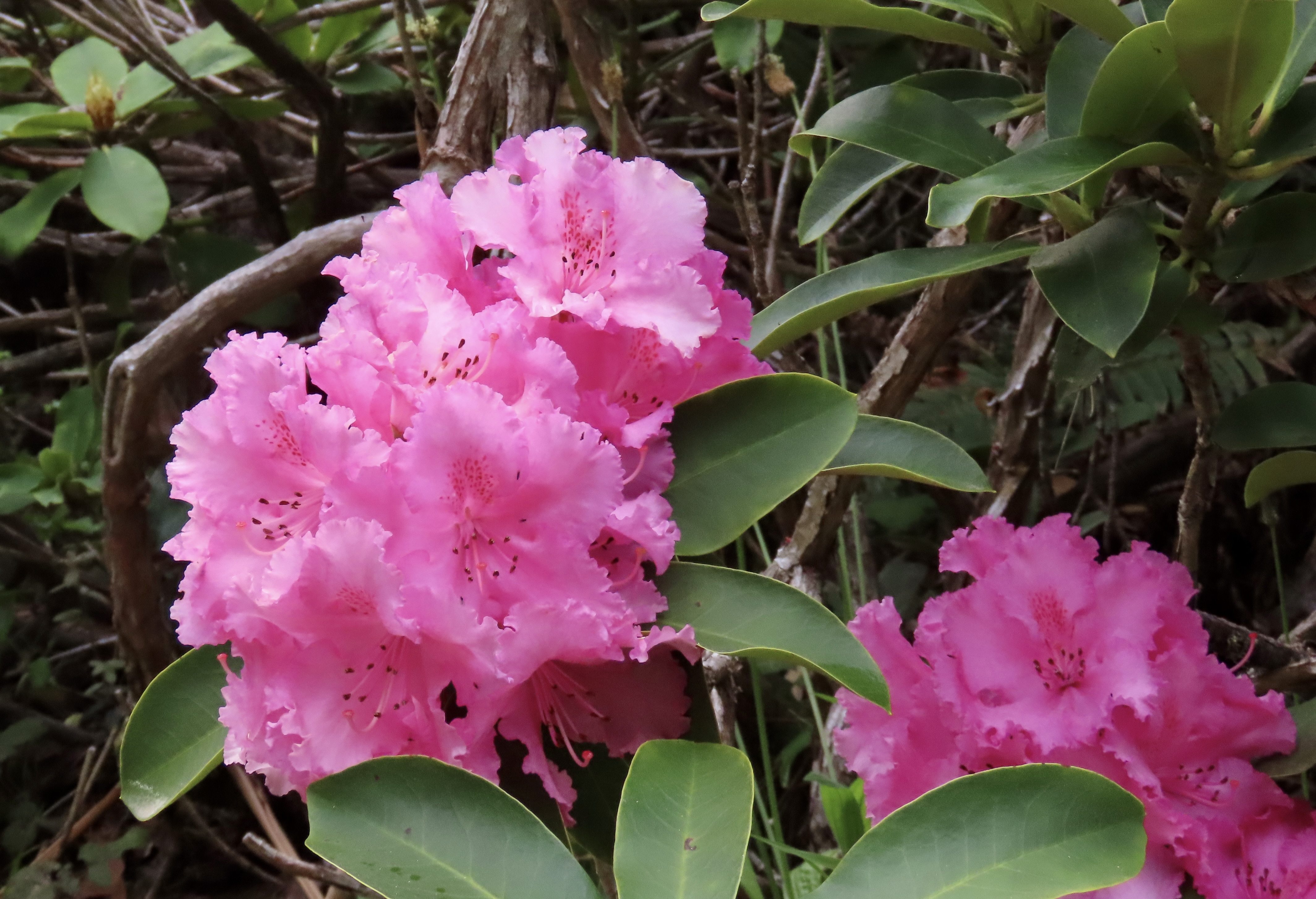
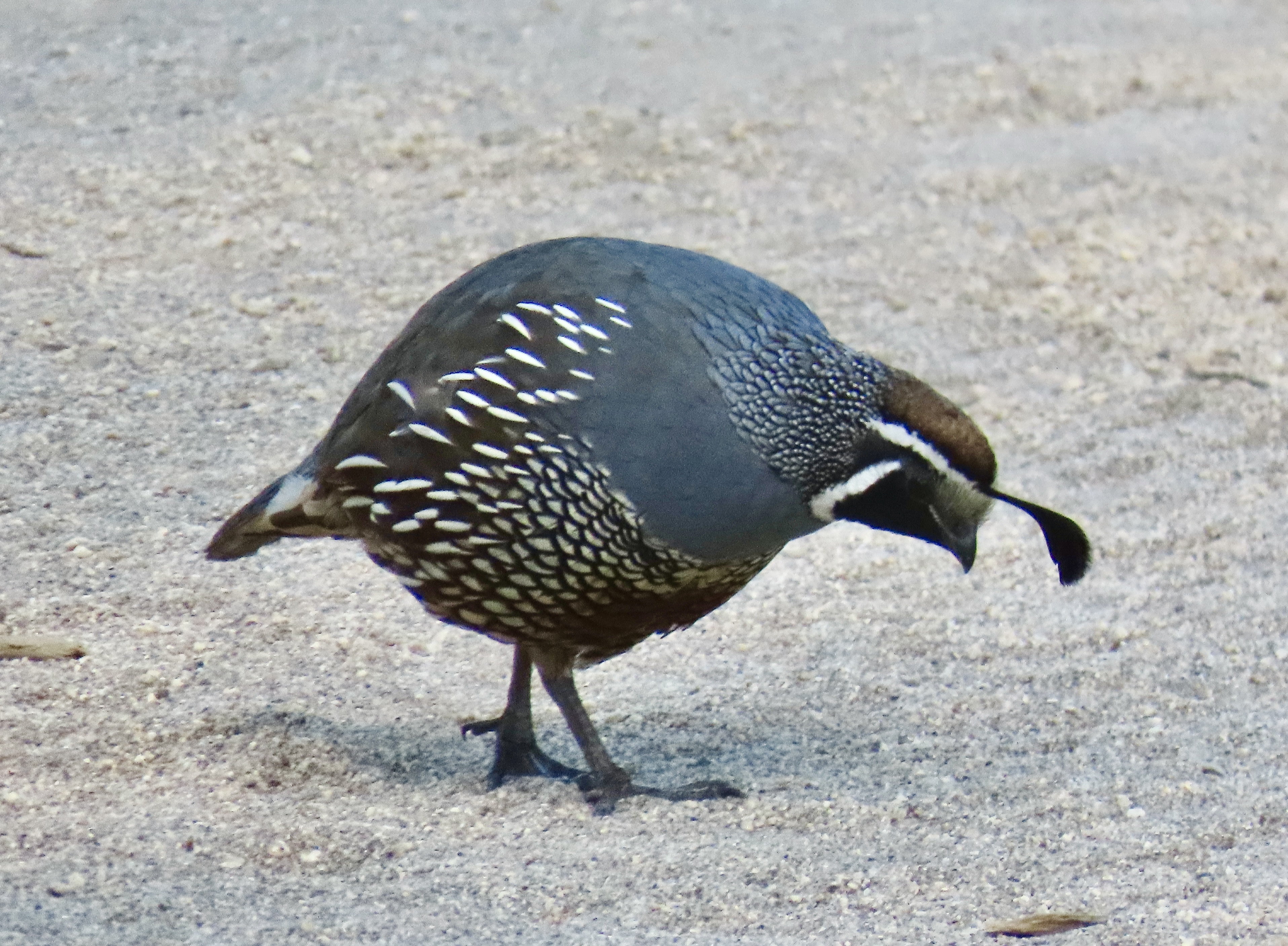
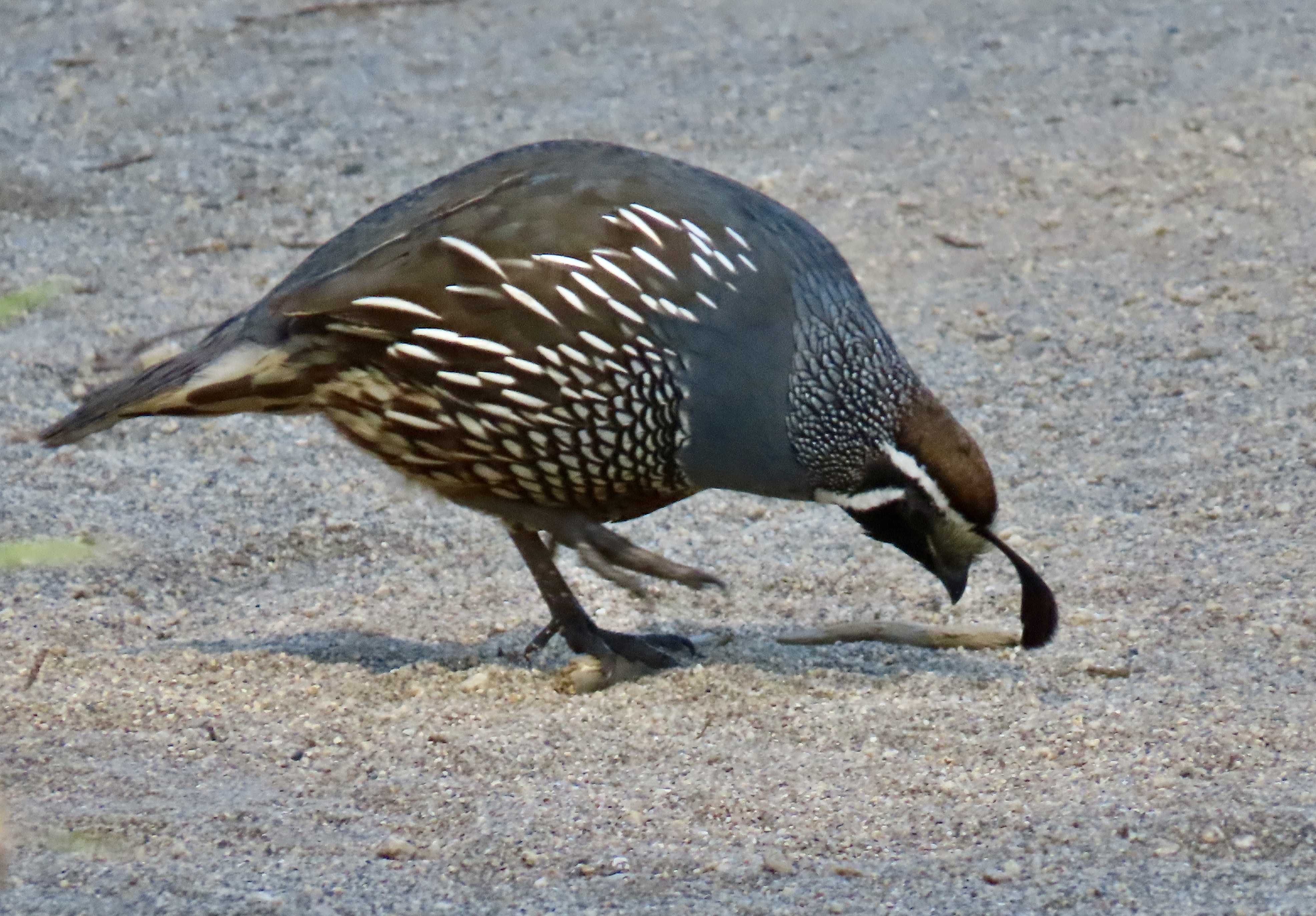
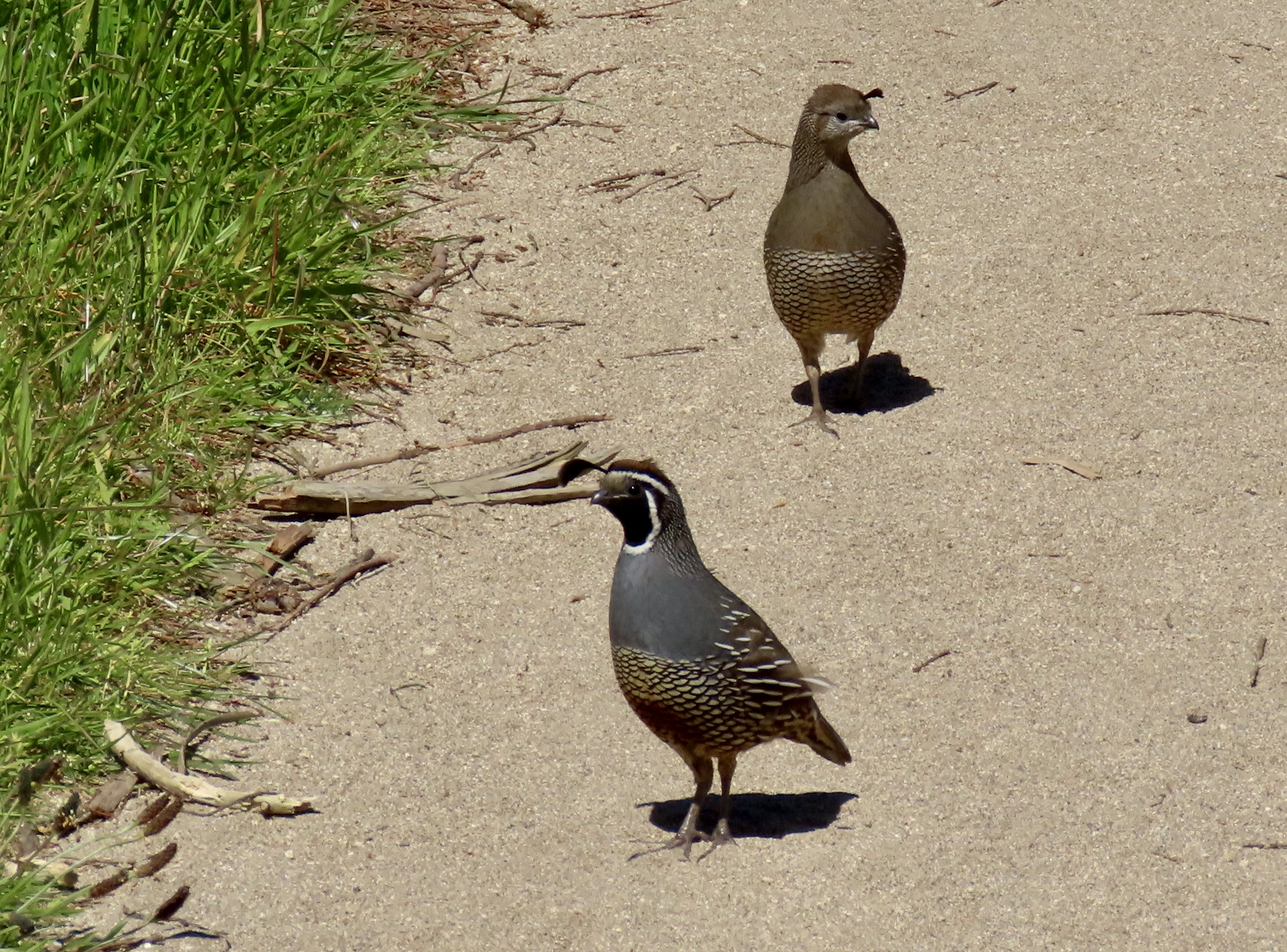
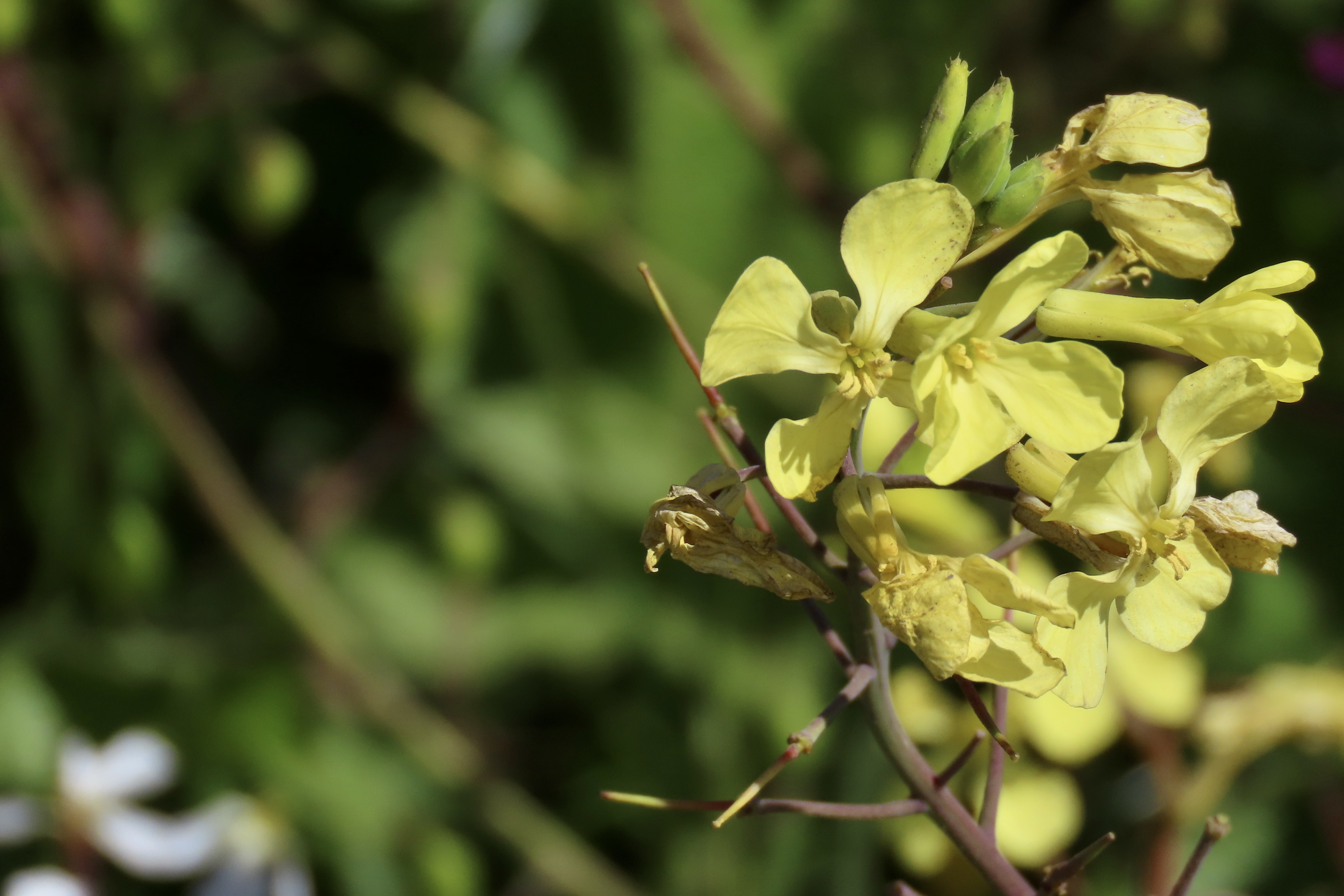
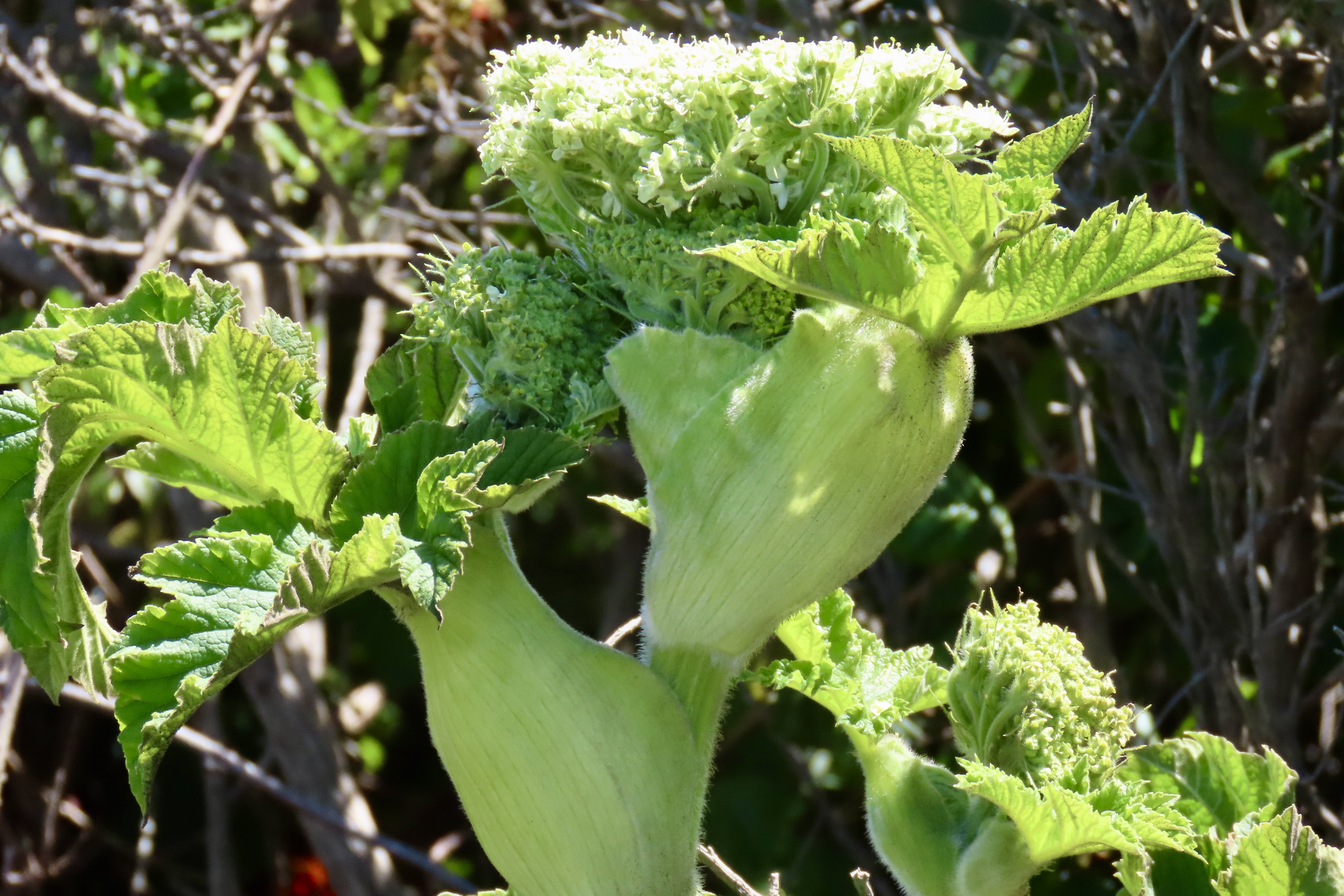
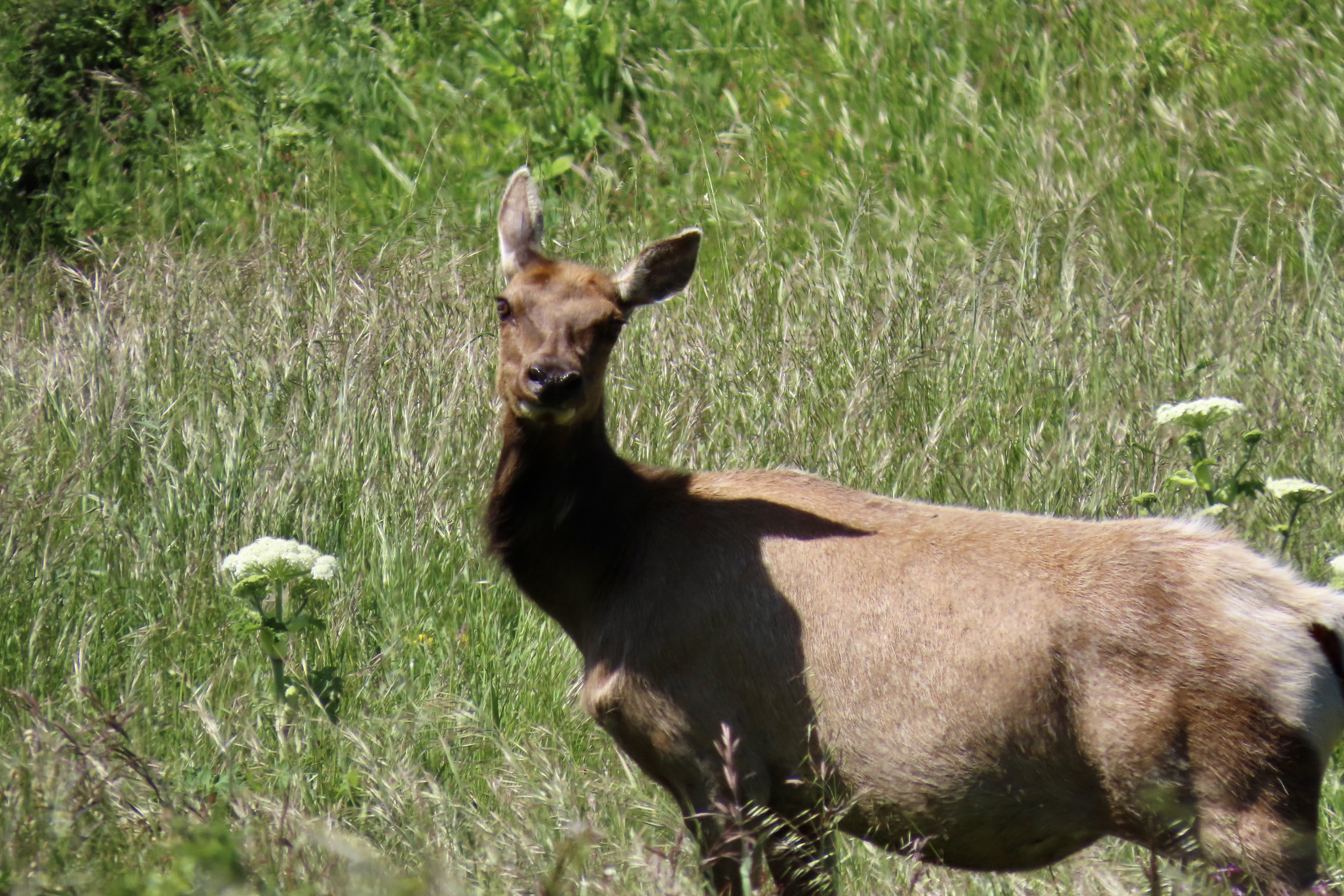
There is more to the ranch than history, however. For one, there is a tule elk reserve in the area. Having been eliminated from the region during the 1800s, they were reintroduced in 1978 and now constitute a sizable herd. A trip out to the ranch doesn’t guarantee you will see these magnificent creatures but the odds are you will. A short— or longer— hike out the Tomales Point Trail will increase your chances even more. Gorgeous scenery, wild flowers galore, birds and other wildlife are three more excellent reasons for a visit.
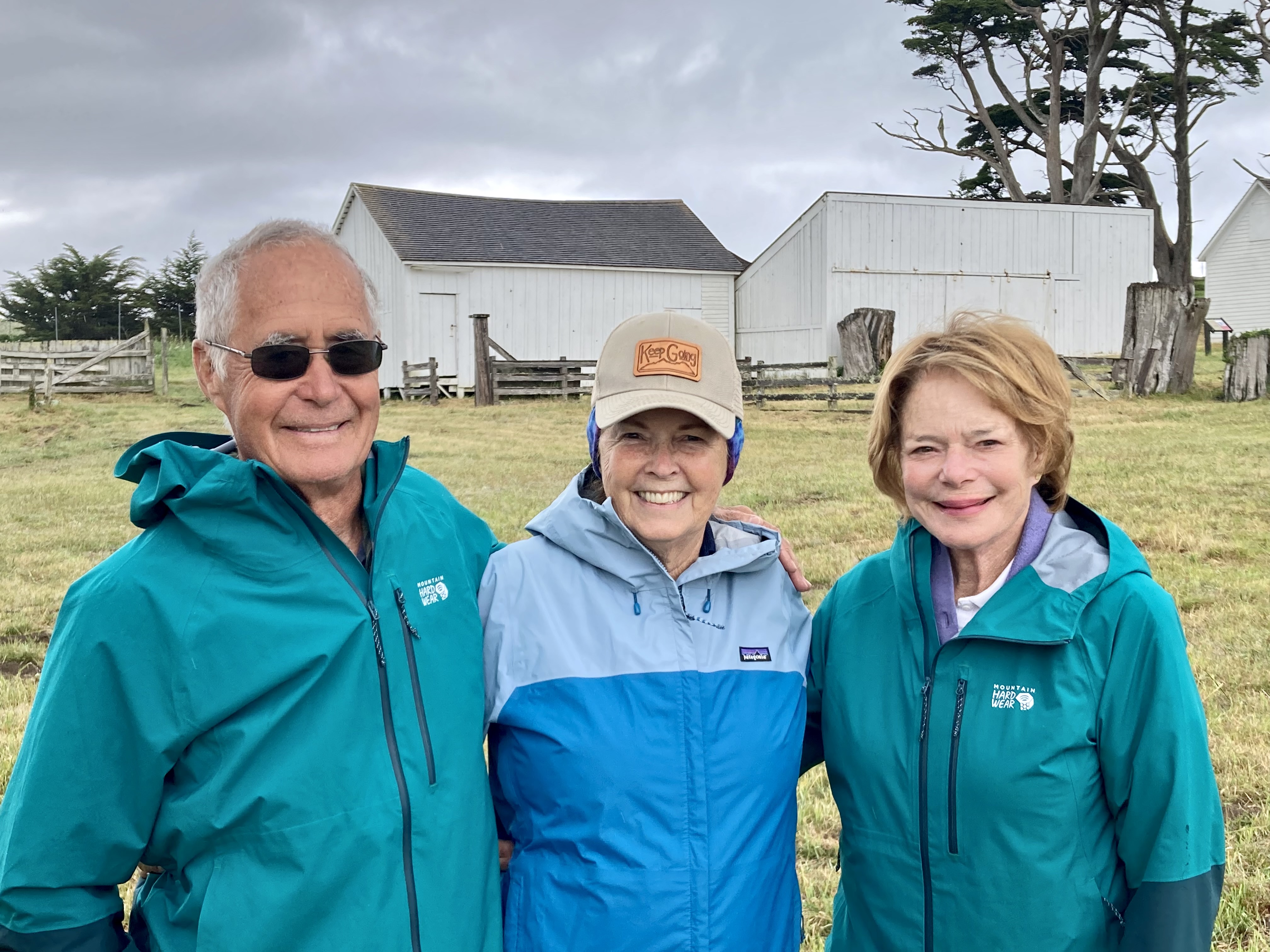
We actually went out twice on our visit: The first time was with our friends Tom Lovering and Lita Campbell, the second by ourselves. We didn’t need any excuse to go a second time, but the fact we had forgotten to bring our cameras except for an iPhone the first time was certainly a factor. We’ve become spoiled. Our photos are from both trips, however. Even Tom jumped in with his iPhone.


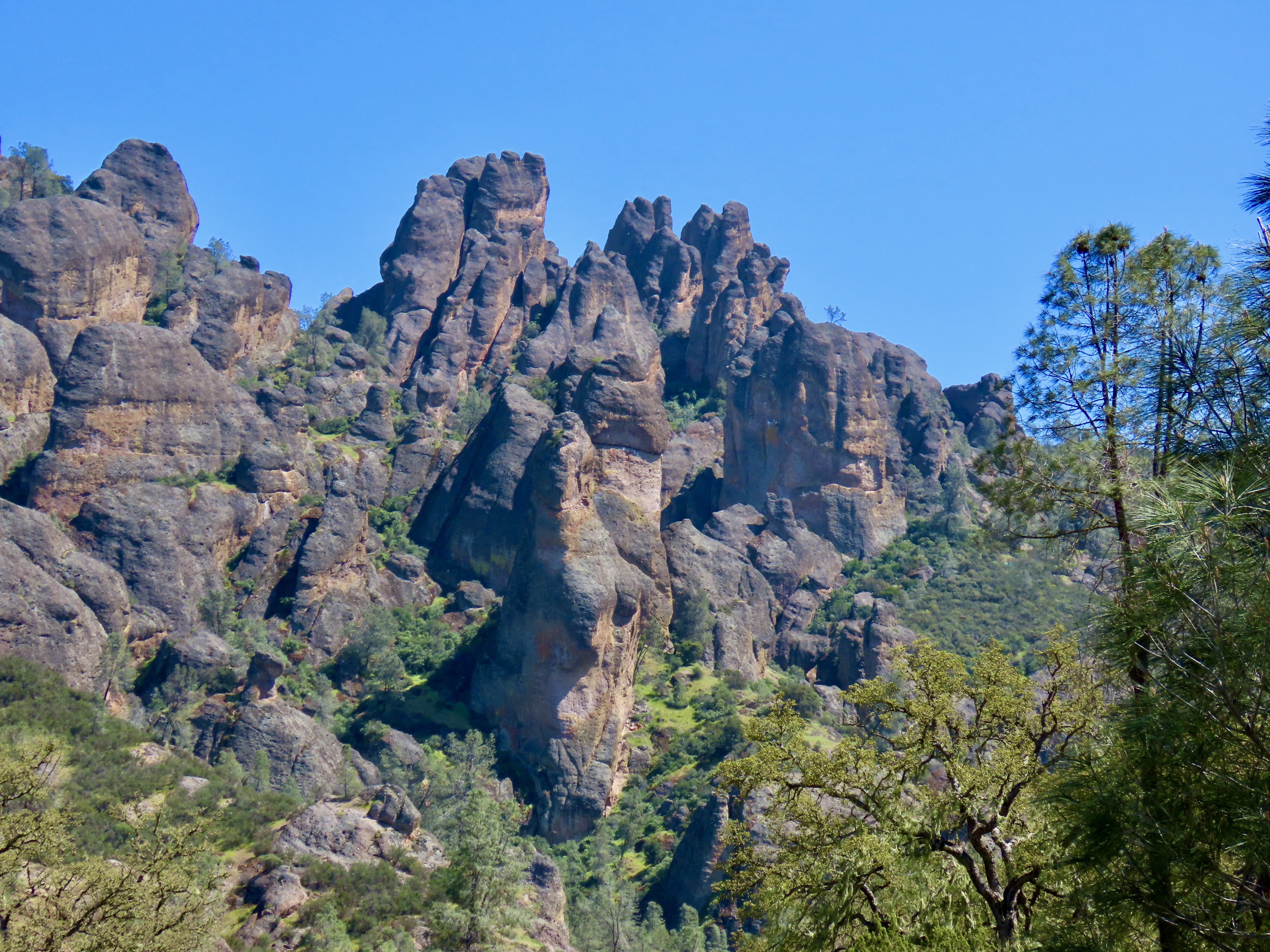
Pinnacles National Park has a twin near the city of Santa Clarita some 200 miles to the south, the Neenach Volcanic Formation. Born of fiery rhyolite lava flows some 23 million years ago, they were ripped apart in their youth by the notorious San Andreas Fault. Pinnacles has been making its way north ever since: Inch by inch and earthquake by earthquake.
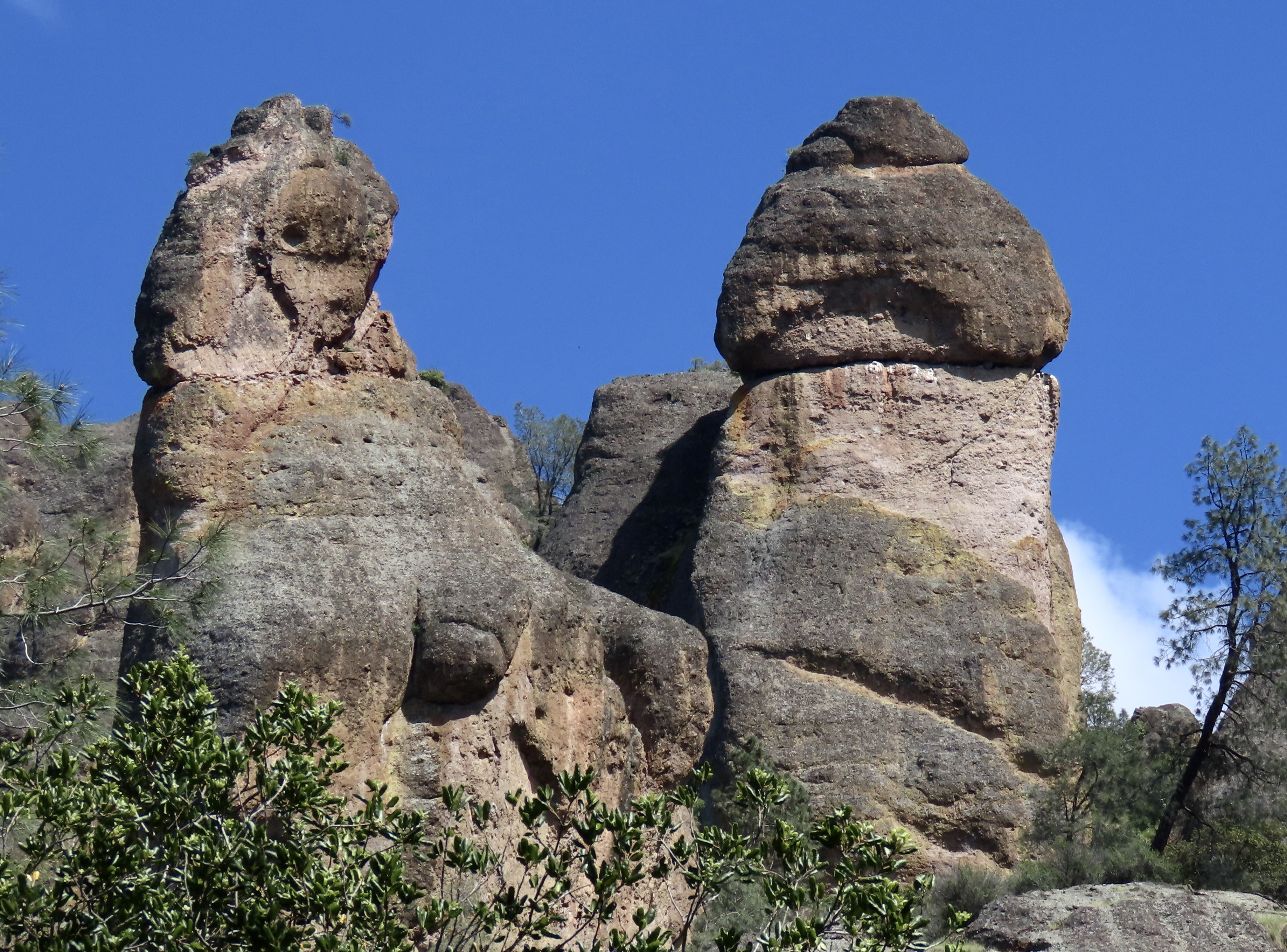
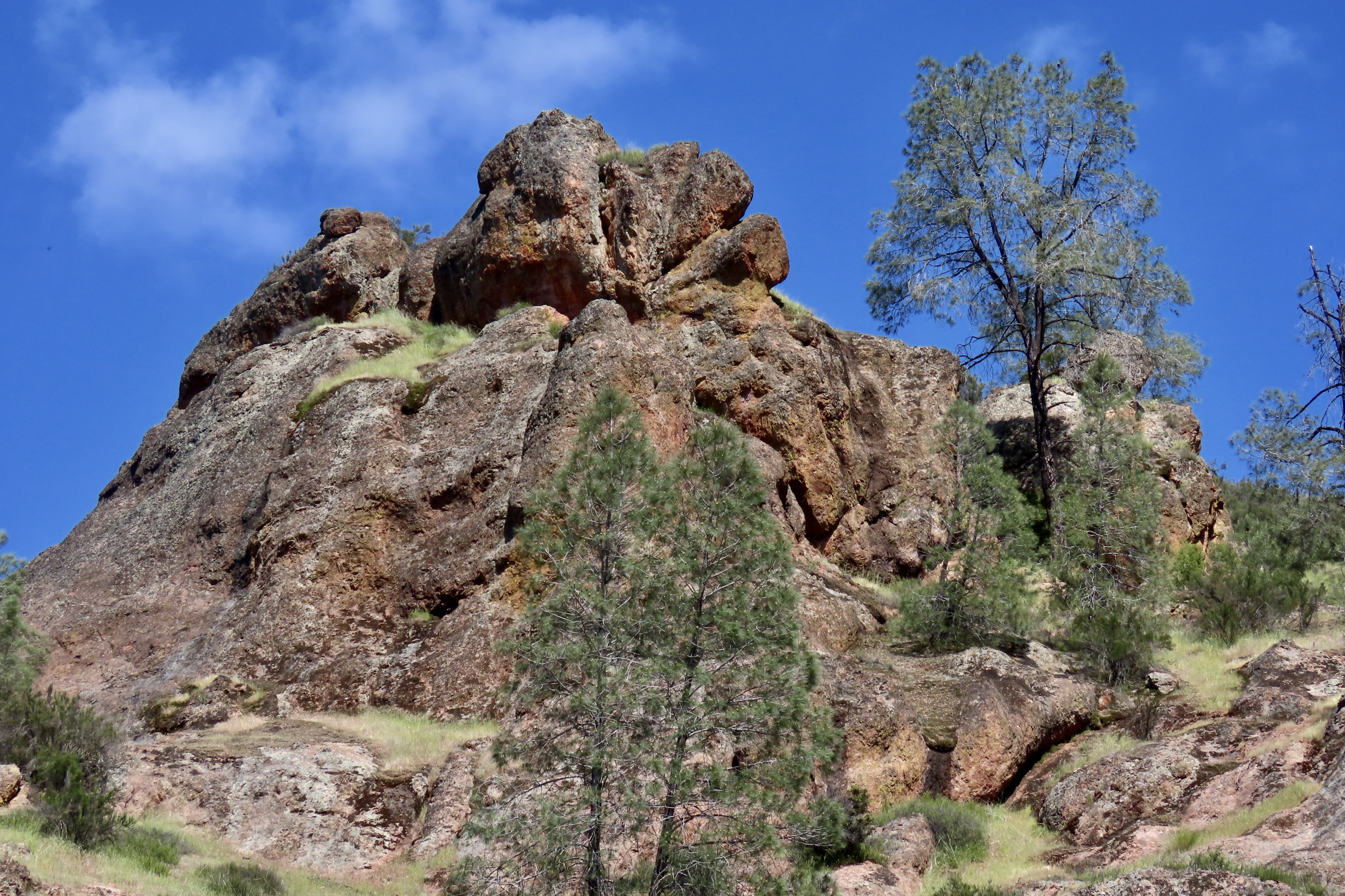
Noted for its personality-plus pinnacles, talus tunnels, and wild flowers, the region was declared a National Monument by Teddy Roosevelt in 1906. Legislation by Congressman Sam Far from the Monterey/Carmel area in 2012 led to its being established as a national park. (Sam, like me, was an early Peace Corps Volunteer. For a brief time, we worked together in the Western United States as Peace Corps Recruiters.)
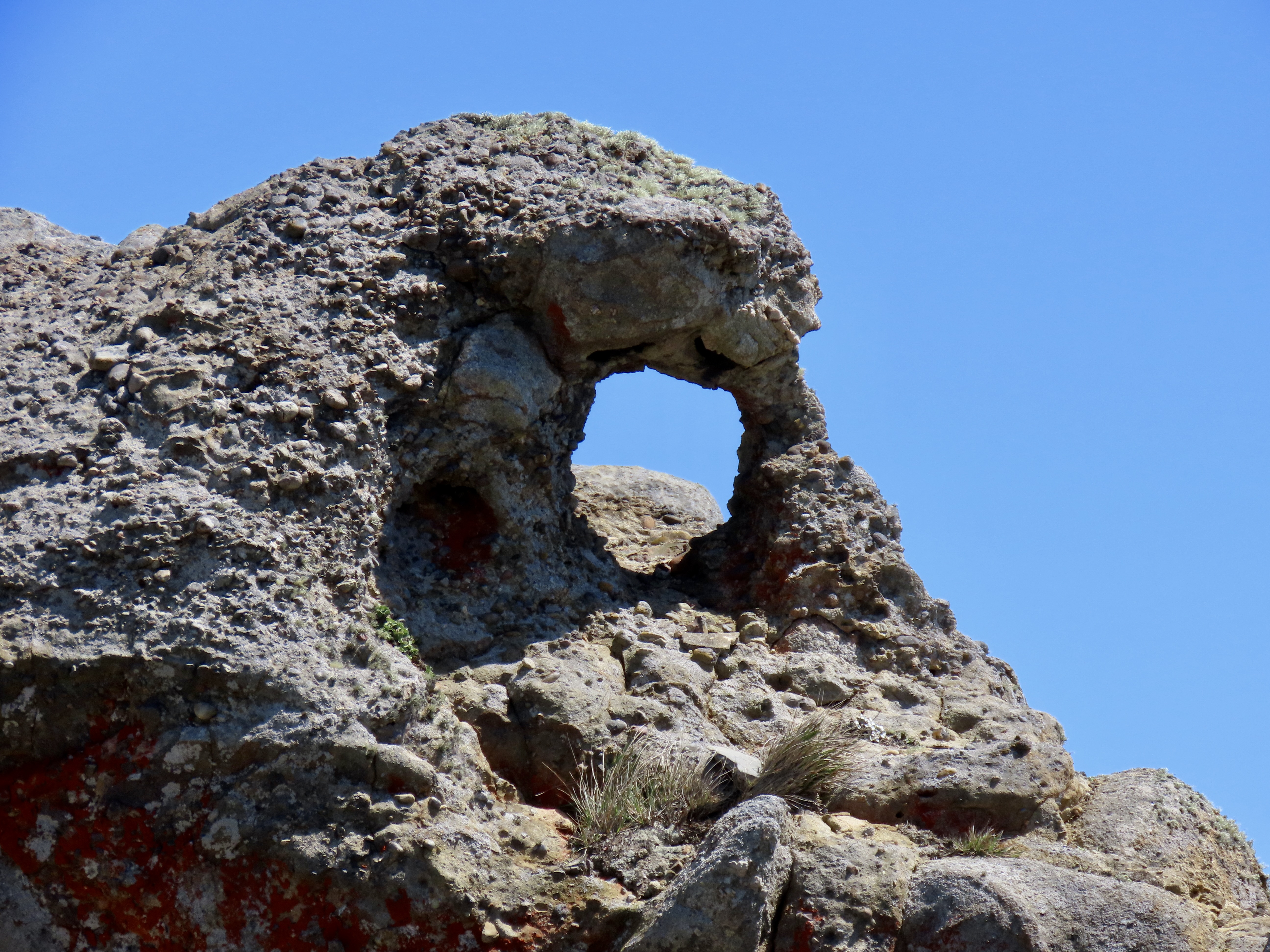
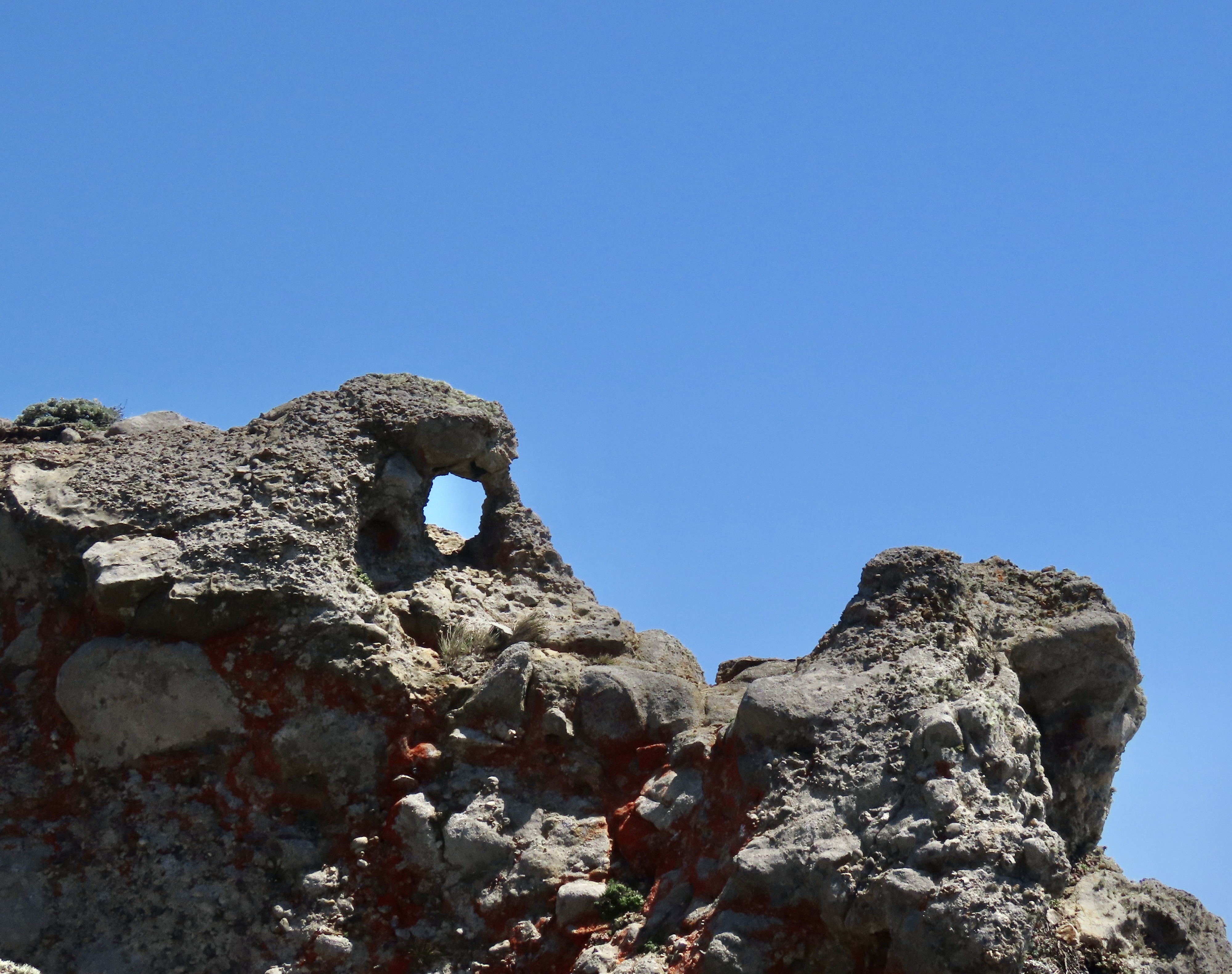
The Pinnacles are something of a poster-child for Plate Tectonics. While the existence of the plates and their impact on geology and geography is a well-known and accepted theory today, the history of the concept is relatively recent. I remember sitting in a geology class I took at UC Berkeley in 1964 when the professor came in almost glowing. “I have something to share,” he declared, “please understand that it is still a theory. I’m late because I was just in a meeting where substantial evidence was given that the surface of the world is made up of giant plates that separate, crash into each other, move along each other’s edges.”
The close relationship between the rocks and minerals of Pinnacles and the Neenach Volcanic Formation helped to show that the Pacific Plate and North America Plate have been moving past each other via the San Andreas Fault for 20 some million years. Pt. Reyes National Seashore north of San Francisco, where we are now, also sits on the San Andreas Fault and is another example of the movement. In fact, our campground is sitting on top of the fault. Our fervent hope is that it stays in place, at least for another week!