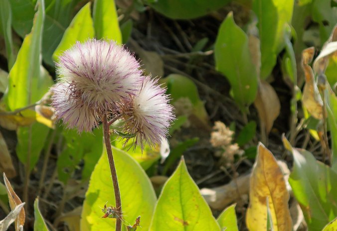
The Incredible Castle Crags… Hiking from Etna Summit to Castle Crags: Section P of the PCT, Part 3

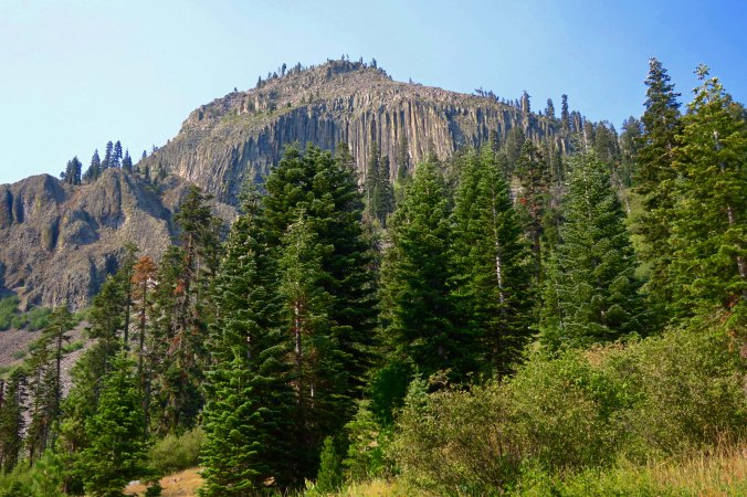
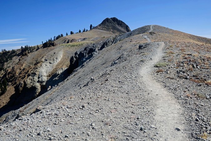
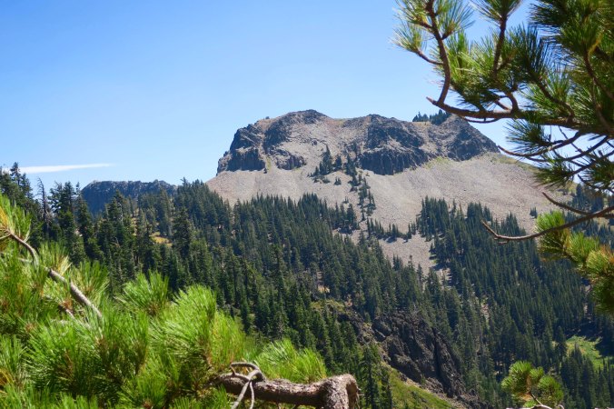
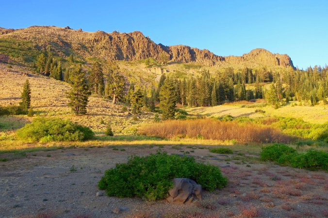
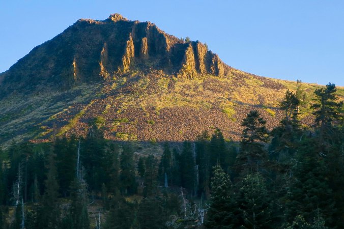
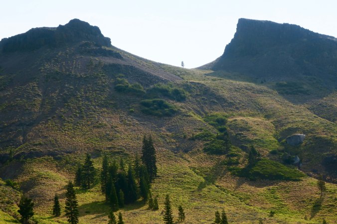
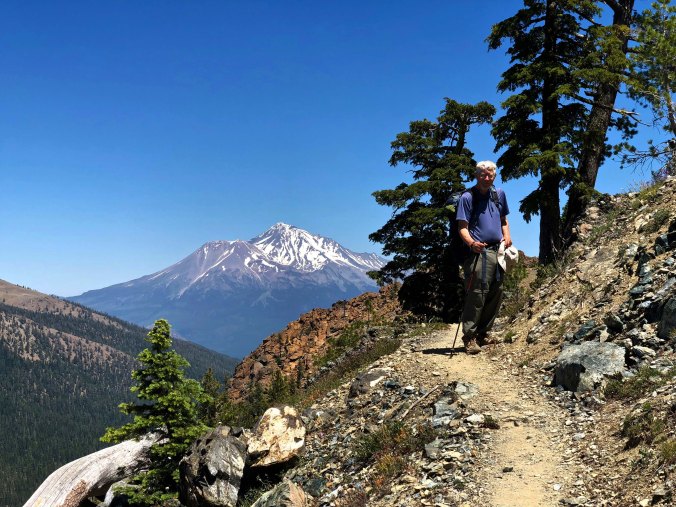
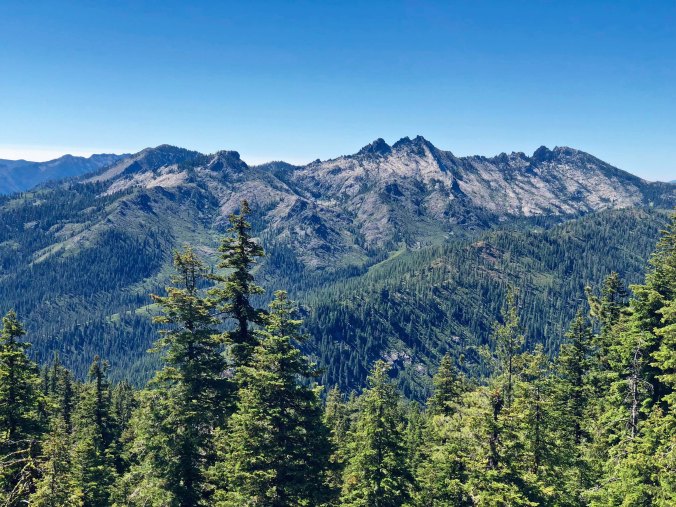
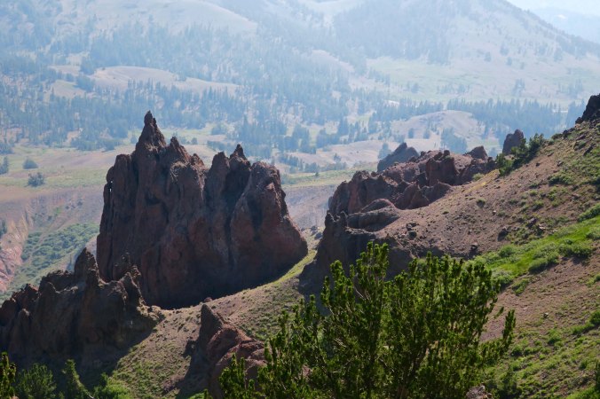
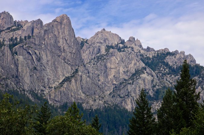
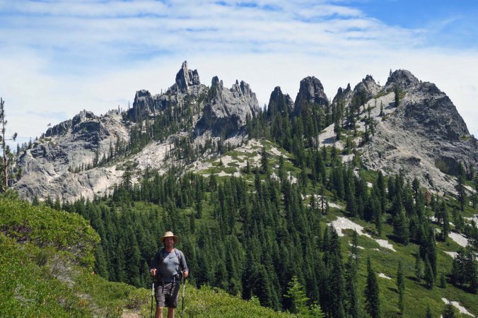
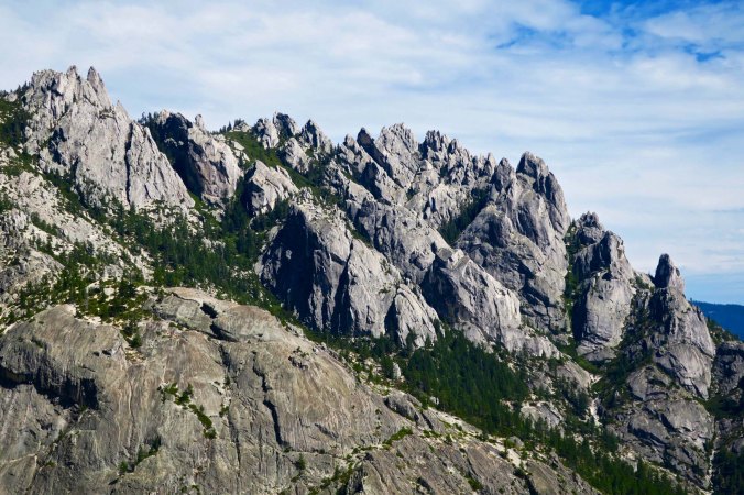
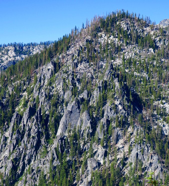
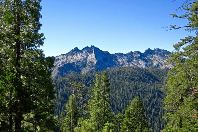
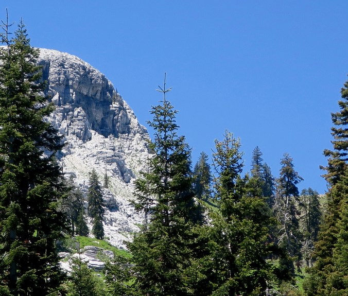
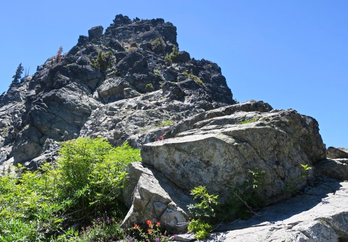
One of our first views of the Crags, which are indeed craggy.


For those of you who are following me along on my journey, I am now in the Northern California town of Chester, having finished hiking through Lassen National Park. I just ate four pieces of French Toast, two eggs, two sausage patties and half of Peggy’s garlic french fries. I’m ready to blog!
Actually, when you read this post, I should be nearing the town of Belden on the Feather River, which will be close to my halfway mark! Peggy and I are planning to take a break for a few days there, which should allow me to get caught up on the blog.
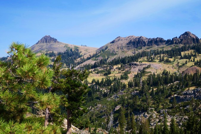
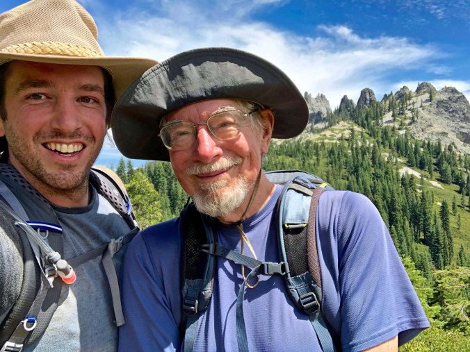
But for today, I want to introduce you to Castle Crags, a massive hunk of carved granite that sits beside Interstate 5. I’ve been passing and admiring it from the highway for decades. It is totally different to see it from the Pacific Crest Trail. My nephew, Jay, and I experienced it as we dropped several thousand feet down to I-5 on an 18 plus mile day. The views and photography helped me forget my aching feet.

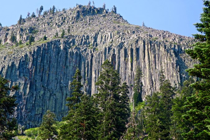
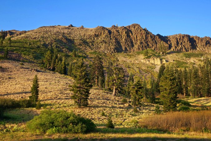
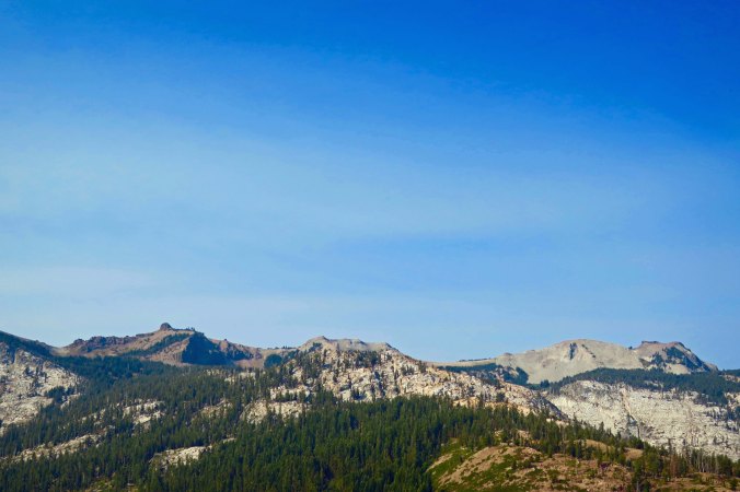
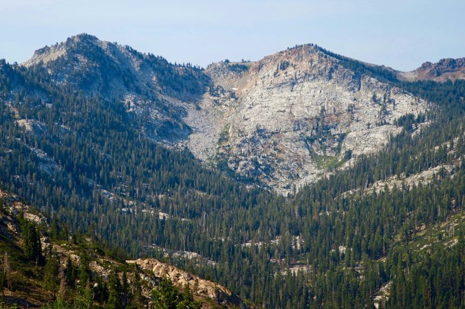
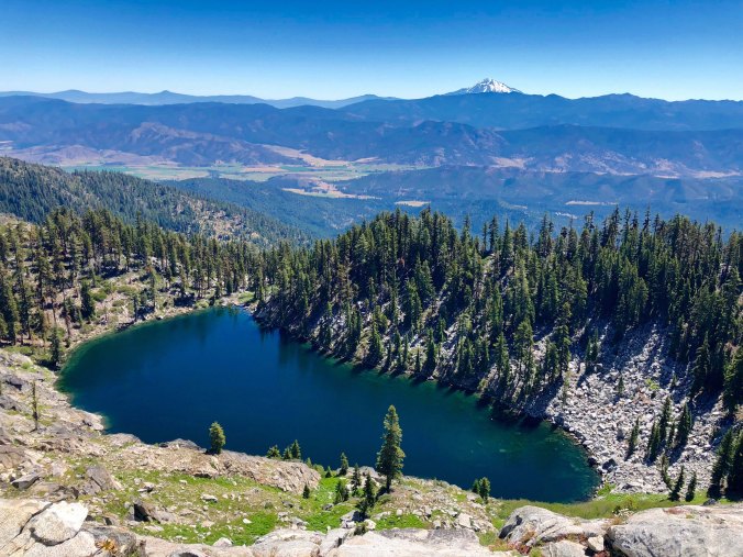
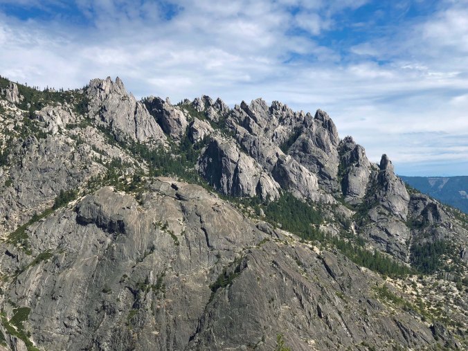
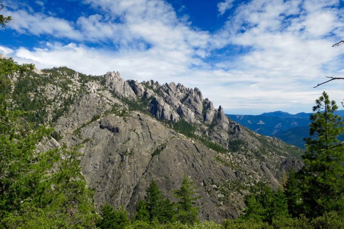
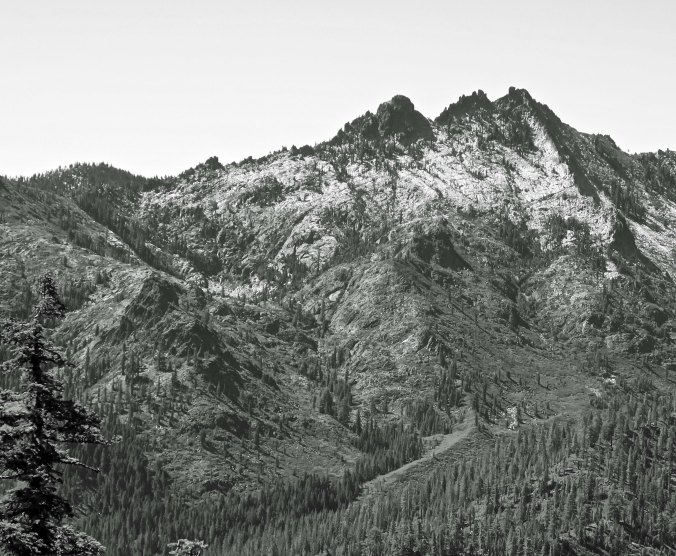
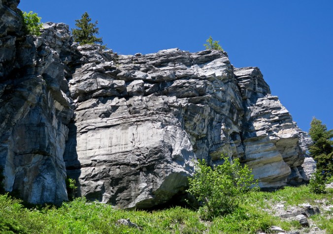
The Crags are noted for their white granite.

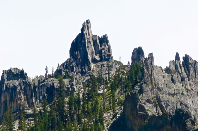
A photo showing how dramatic the spires can be.

And a closer view.

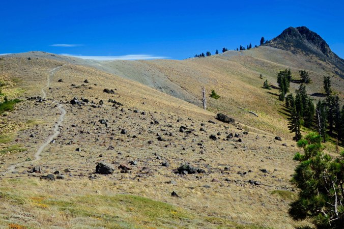
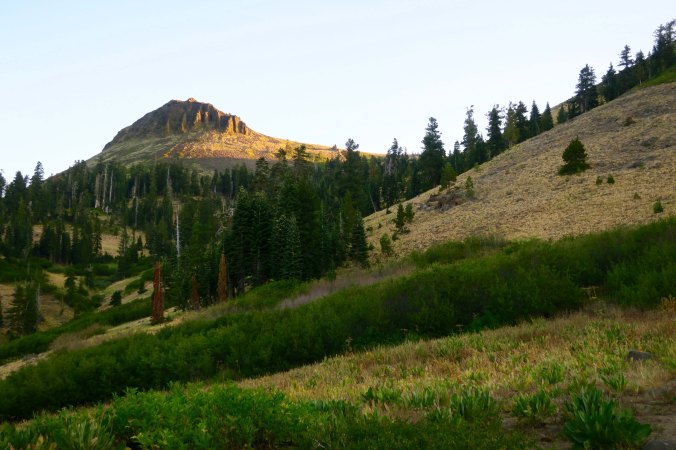
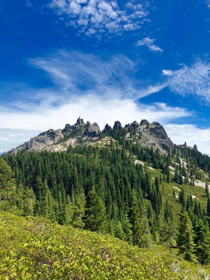
As we dropped down, the Crags took on a different look.

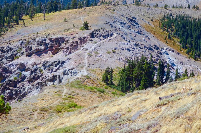
Again, closer.

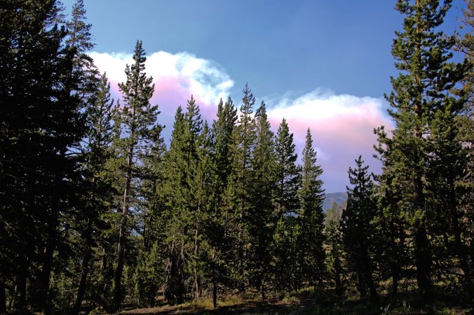
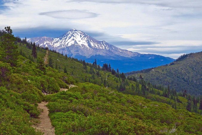
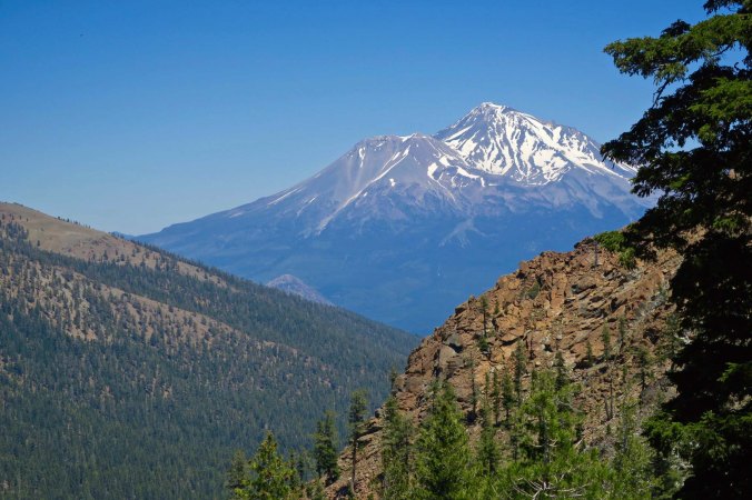
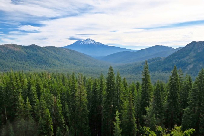
The trail down also provided this dramatic view of Mt. Shasta with its interesting cloud.

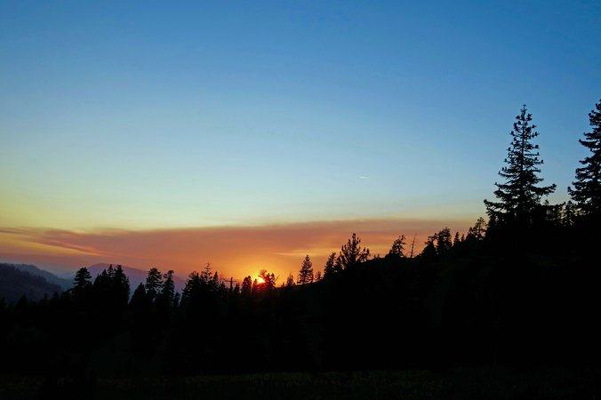
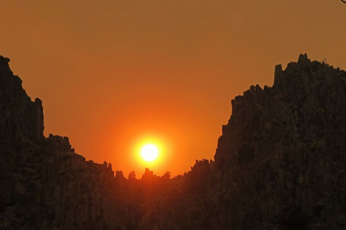
Early the next morning provided this view.

Followed by this…

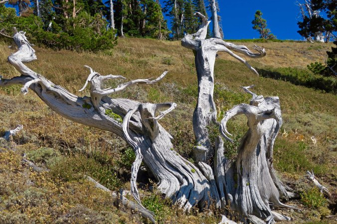
A final view from the trail.

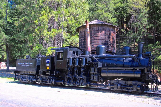
And this was Peggy’s view from where she was staying at the Railroad Resort RV Park. No climbing up or down involved. (grin)


Scenes from along the Trail… Hiking from Etna Summit to Castle Crags: Section P on the PCT Part 2

The100-mile section of PCT trail through the Russian Wilderness, Trinity Alps and Castle Crags Wilderness is filled with beauty and wide open vistas, making it one of the most impressive sections of the route,


I played a bit in my last post, featuring wood sculptures and ‘faces’ from along the trail from Etna Summit to Castle Crags following the PCT. I can’t resist these sometimes beautiful, sometime humorous and sometimes downright weird contributions by nature. You’ll see more. Guaranteed! Today, I am going to take a different tack and make an effort to capture the beauty of the Russian Wilderness and the Trinity Alps, which I hiked through with my nephew, Jay. I’ll follow up with a post on the incredible Castle Crags. As one through-trekker noted, “Why aren’t these a National Monument?”

I wish I had more time to devote to these posts, but I face the same problem as folks doing the whole PCT. Time. You have to do the miles. Because I am only doing a thousand, I have a bit more. I can leave my camp around seven and usually get in somewhere between three and four, having done my 12-15 miles. It’s a good thing! My 75-year-old body can use the recovery time. When I camp with through hikers, they are almost always out by 6 or earlier (some tromp by in the dark), and don’t come in until 7-9ish. Or by flashlight. Once they hit the trail, they are moving. There is little time to stop and admire the flowers like I do.

My layover days, when Peggy picks me up, are crammed with activity. First up, is stuff Curt. Peggy is quite concerned about how skinny I have become and I have no objection to her admonitions to “eat!” Then there are the necessary chores to prepare for the next leg. I am ever so lucky to have Peggy’s help here. She does the laundry, for example, and earns beaucoup credits for handling my ‘trail-flavored’ clothes. PCTers are a smelly bunch. There is no help for it, even though most of us make an effort to stay clean. A shower is top priority, right after the cold beer. Organizing my resupply and repacking takes time, and I need to review and pack my next set of maps. And then there are the posts, reviewing my journal, downloading and processing photos, and writing.

So, without further ado, here’s my photo essay for the day. These are from the Russian Wilderness.

Views of mountain ranges entertained, and wowed us, every day. These photos are from the Russian Wilderness.

Another view…

Snow was light this year, so there isn’t much left.

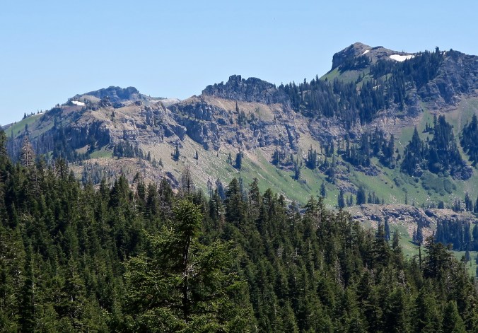
I found these craggy peaks lined up against the mountain unusual.

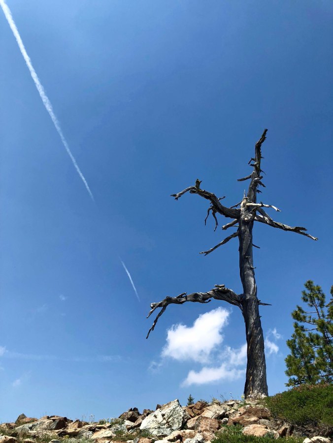
A snag added color here.

Every corner Jay and I hiked around provided another view. We were cutting across the ridge on the left. In a day or two, we would be to the distant mountains.

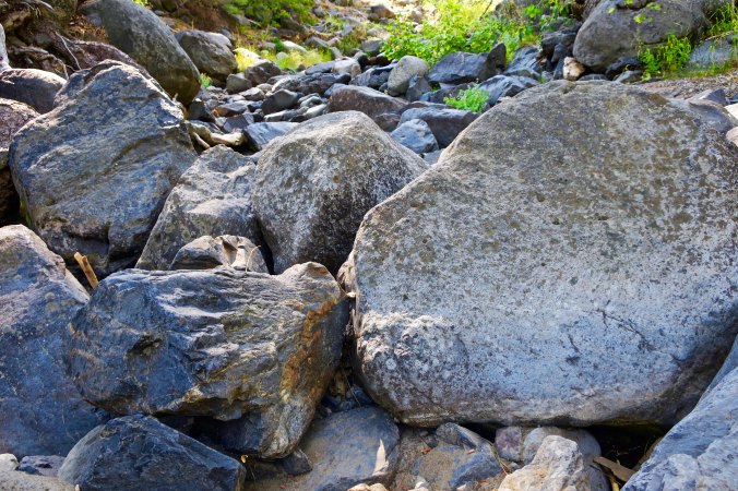
This section had much more than mountains. Rocks, for one.

A close up.

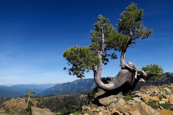
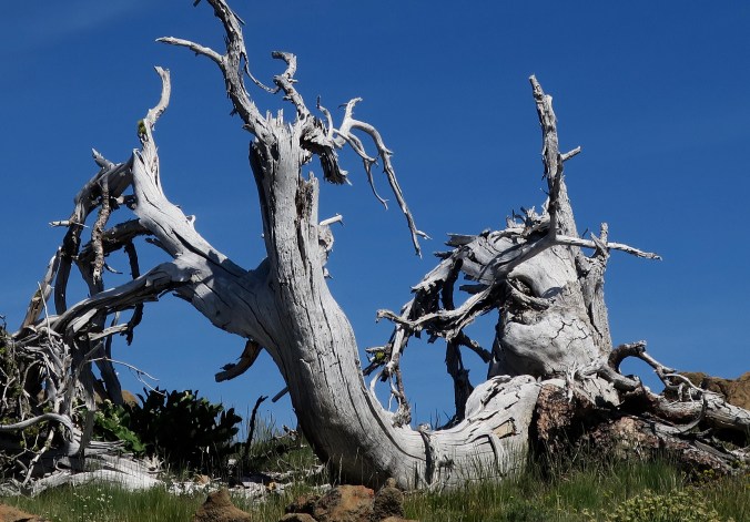
This snag with its curled limbs caught my attention. Our trail snakes along on the bottom right across quite steep terrain.

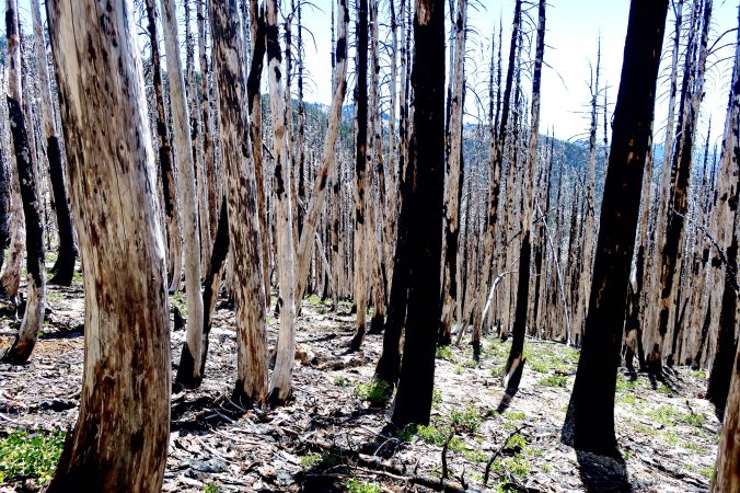
Again, we found ourselves passing through burned over areas.

Our campsite that night, however, was blessed with these beauties, and a barely flowing stream. But water is water!

Our journey then took us into the Trinity Alps.

The area has a number of enticing lakes, many of which I have camped on in previous treks into the area.

And Alp-like mountains, for which it was given its name.

The same peaks rendered in black and white.

And, as we have gotten used to in our trek through Northern California, enticing views of Mt. Shasta.

Another.

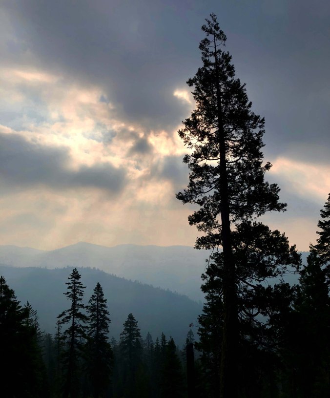
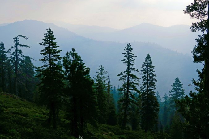
Forest fires burning in the area provided this smokey perspective.

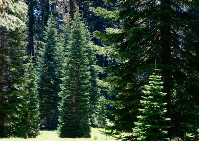
This stand-alone forest giant, a cedar, was impressive.

And who can resist mountain meadows that invite you into distant views.

Another.

I liked this white pine with its long cones.

And I will close today with this forested view of Mt. Shasta in the distance.

What’s in a Name? … Hiking from Etna Summit to Castle Crags: Section P on the PCT Part 1

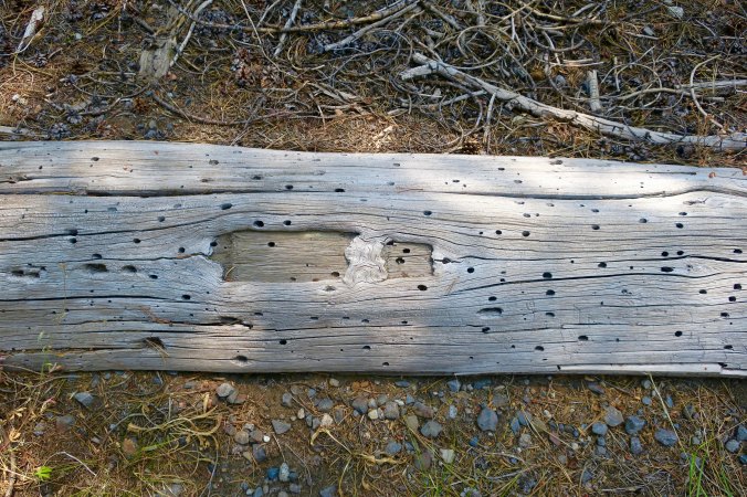
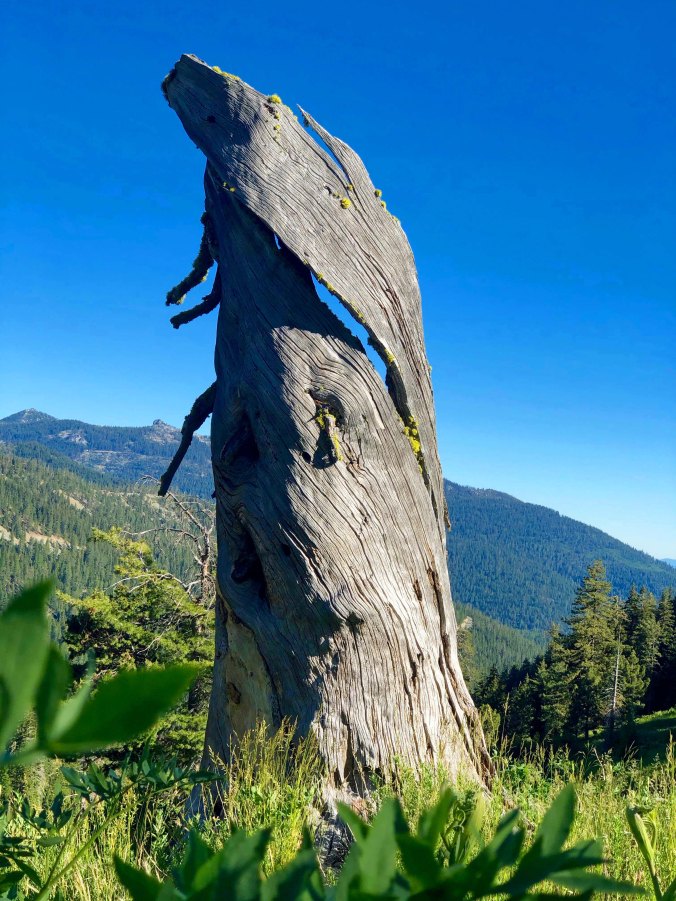
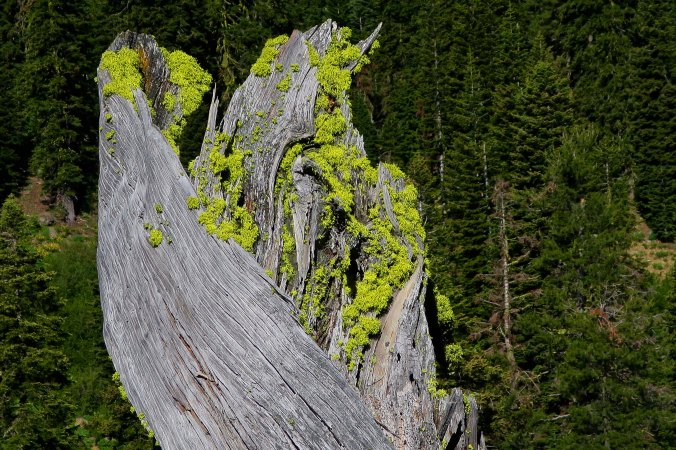
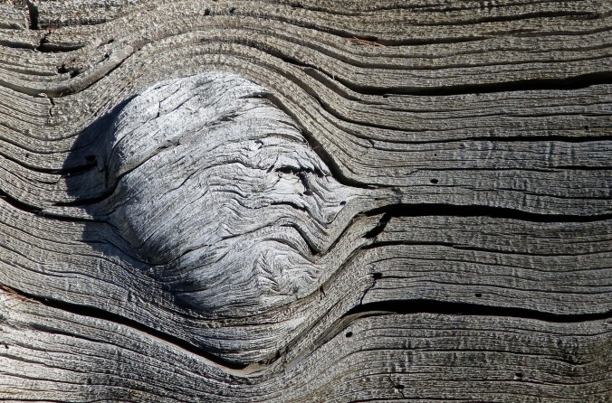
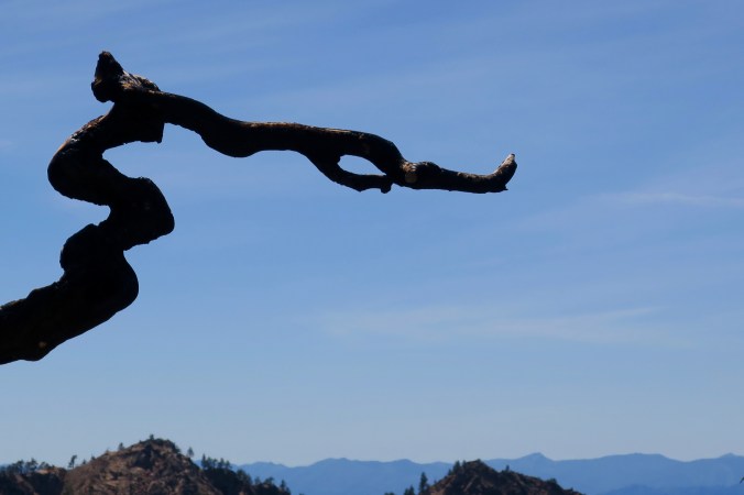
My nephew, Jay, and I couldn’t resist the beautiful wood sculptures along the PCT between Etna Summit and Castle Crags. I liked the drama created by rendering this one in black and white.


It’s official: I am The Wanderer, or more simply, Wanderer, which will come as no surprise to followers of this blog. Trail names are important out here on the PCT. You are supposed to earn one by your actions, looks or quirks. For example, a young woman came in to get water at Deer Creek Springs above the McCloud River where I was camping for the night and introduced herself as Pez. Apparently, she likes the candy, was using it for encouragement along the trail, and was glad to share.

“I’m running low,” she told me, somewhat concerned. I understood. It would be like my eating the last of my nightly Oreos before reaching Peggy and my resupply. It’s like seeing your gas needle hit empty on a lonely road. I pictured Pez raiding the stores in the Castle Crag area, buying enough to get her over the next mountain range.

Pez allowed that she might not keep the name. Through-trekkers are allowed to accept or reject the trail names they are given, and choose another— if a better one comes along. Does that make us a fickle bunch? She chatted for a while, maybe a little lonely. Her boyfriend was hiking the Appalachian Trail while she was hiking the PCT. She seemed so young. “I felt it was important for my independence.” I admired her.

There is great equality out on the trail. We are all hiking up the same mountains, facing the same issues of weather, biting insects, and miles and miles to travel. The lack of water in the last section I just hiked through, added the serious problem of having adequate water to drink. Forget having enough to bathe or wash clothes! My nightly sniff-test suggested I was deteriorating rapidly.

Beat up feet are one of the things that PCT hikers share, although problems like blisters are more likely in the beginning before feet toughen up. Paper tape has always been my go-to solution. I earned the black and blue toenail on the Rogue River. In six months there should be a new one.

“Grab a handful of fir needles and rub them over your shirt,”Pop Corn! suggested. “Then you will smell like a fir-tree.” I was bemoaning the fact that there was no swimming hole in Peavine Creek to jump in before I met up with Peggy. None of us ‘smell like a daisy’ out on the trail, which isn’t a problem until we approach civilization. I thought Pop Corn’s! suggestion was the ultimate in PCT wisdom. (grin)

Temperatures climbing above 100-degrees F (37.7 C) on the sizzling hot afternoons didn’t help. There was also a major lightning storm. It missed me; Peggy was worried. Another through-trekker was struck. Luckily he wasn’t killed and is recovering. Several forest fires were started as well, which are always a worry for those of us who live and travel through Western forests in this era of global warming. I can smell smoke now. One is out there lurking, waiting to pounce.

As a general rule, the through-hikers are a cheerful bunch. I rarely hear a negative word, regardless of how tough the day. A ready smile and “How are you doing?” is the normal greeting. “Great” or “Good” is the normal answer. And there is always, “Have a great hike!” or something similar. Occasionally we stop and chat. But the need to get on down the trail always drives us on.

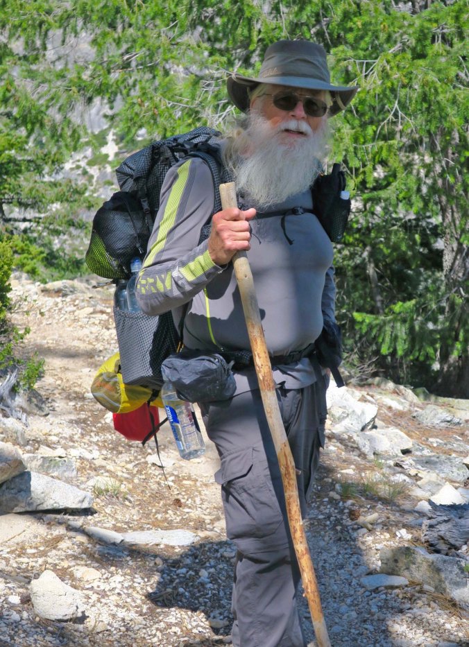
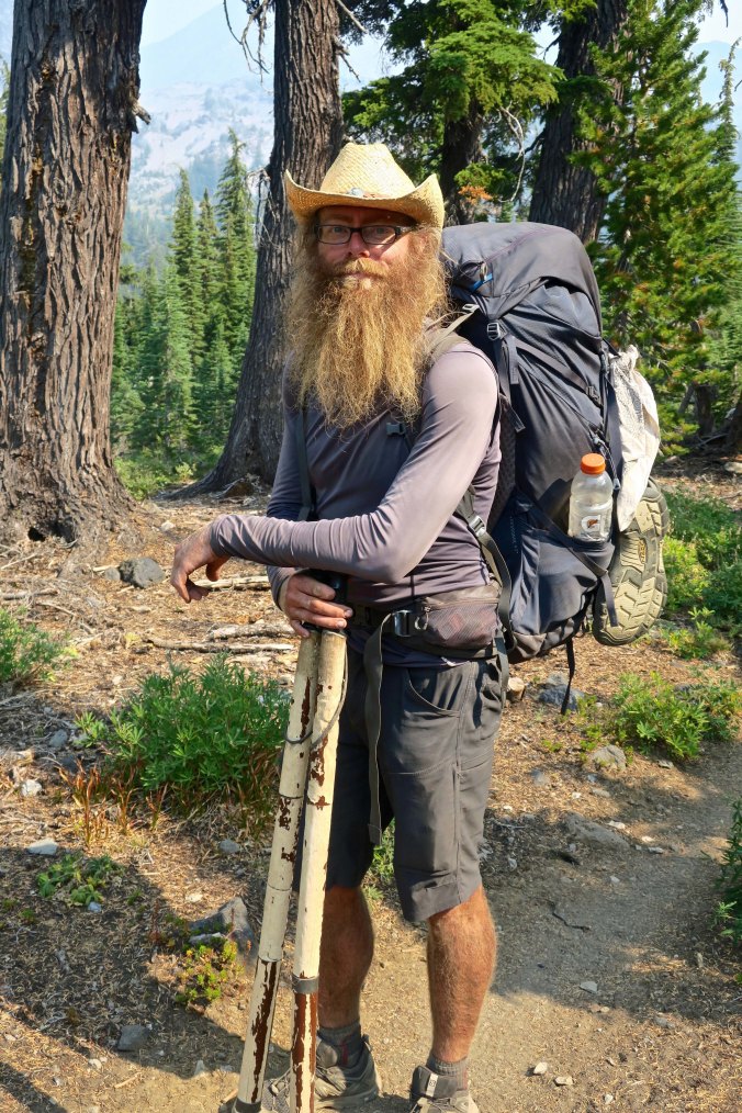
As usual in my life, I am going against the flow. While the vast majority of trekkers are going south to north, I am going north to south, hiking to my own drummer, so to speak. In fact, I have only met one other couple going the same direction I am. It makes it more difficult in the name game. One minute, or even five-minute encounters along the trail, are hardly enough time to observe a quirk or trait that might suggest one. “Grey Beard” Peggy urged. And that fit. At 75, I am certainly of the age that a name implying elder seems appropriate. And it made me think of Gandalf the Grey! But I have seen several youngsters along the trail in their 60s with magnificent grey and white beards that put my puny efforts at growing whiskers to shame.  (My students in Africa where I was a Peace Corps Volunteer teaching high school in the 1960s called me Ho Chi Minh because I sported a see-through beard like his.)

It’s pretty hard to claim the name Grey Beard when the competition is this tough. Jay and I ran into Bill Whittaker as he was climbing out of Castle Crags.

I was hiking up Grider Creek out of Seiad when I came on Adam and Eve. They wanted to know my trail name. “Happy Wanderer,” I replied spontaneously. I had just been singing the song to help me up the trail. Immediate recognition filled their eyes as they sang a few bars of the tune that was once popular in my (and their) youth. It fit even better than Grey Beard.

The title of my blog is “Wandering through Time and Place.” My business card for this trip announces ‘celebrating 75-years of wandering in the wilderness.” I have a lifetime of wandering behind me. But it goes further. Ancestors on both sides of my family were wanderers. My father’s side, the Mekemsons, arrived in Pennsylvania in 1755 and had soon moved on the Maryland. (All six sons fought in the Revolutionary War.) They were living in Kentucky by the late 1700s and had then moved on to Illinois, Iowa and then west coast by the early 1900s. My mother’s side, the Marshalls, followed a similar route, arriving even earlier in Boston in 1630. They had moved on to Connecticut, New York, Illinois, and then west. Wandering is in my blood.

The name fit well but I had given it to myself, which certainly happens… but isn’t supposed to. I was reluctant to use it.  The next time someone asked, I replied “still searching,” meaning I was still searching for my name. They assumed it was my name and liked it! It certainly isn’t a bad one. I am ‘still searching’ at 75 and would love to be at 95. But now I had three active names, and that can get a bit confusing.

I was hiking along the ridge above Moosehead Springs a few days ago between Castle Crags and Burney Falls when a fellow with a large red beard, named Red of course, stopped me and asked “Are you Curt, or Grey Beard, or Wanderer?” Naturally I was delighted. The question meant he had run into Peggy and was carrying a message. But you can see the difficulty.

It came to a head when I was hiking out to Burney Falls. Peggy was a bit confused about when I would arrive and had found a much better location to pick me up. The confusion wasn’t surprising. My first four days on the section had been tough (I’ll cover them in a later post.) I’d given myself a semi-layover day on the McCloud River and fallen behind. Three days out from the falls, I’d found myself with over 45 miles to travel— a walk in the park for the hardened PCTers with 1500 miles under their belts, but tough for my 75 year-old-body that was already complaining.  None-the-less, I buckled down and vowed to do it. I dutifully arrived at Peavine Creek, 15 miles from the Falls at the end of the second day. The next morning found me shooting down the trail at 3-4 miles per hour. I can still move when inspired and It was mainly downhill. Peggy, cold beer, a shower, a good meal, and clean clothes were waiting!

I’d made it 10 miles when Patch stopped me. He had pointed to his belt pouch and pulled out my card. “You must be Grey Beard or Wanderer, or something else,” he had announced laughing. ‘Peggy is waiting for you at the Dam and she is a really neat woman.” Peggy had given him and his buddies apples and PCTers respond amazingly well to fresh fruit. Thus, it started. A dozen people must have told me that Peggy was waiting and raved about her. “A lovely young woman is waiting for you at the Dam and she said you should hurry,” was one comment. I hurried. Peggy was now distributing cold beer and I wanted to make sure I got there before she ran out. (Kidding, sort of.) A couple greeted me at Rock Creek and the man asked if I was Graveyard— at least that’s what my ears heard. “Um, not yet,” I had responded. He assured me he had said Greybeard. His companion asked, “Wanderer?”

Patch pulled out my business card and told me Peggy was waiting for me at the Pit River Bridge/Lake Britten Dam.

That did it. When I reached my lovely wife, and had been properly greeted and handed a cold beer, she announced, “We have to do something about this name thing. You are Wanderer!” Peggy had spoken— and I couldn’t have agreed more.

*******

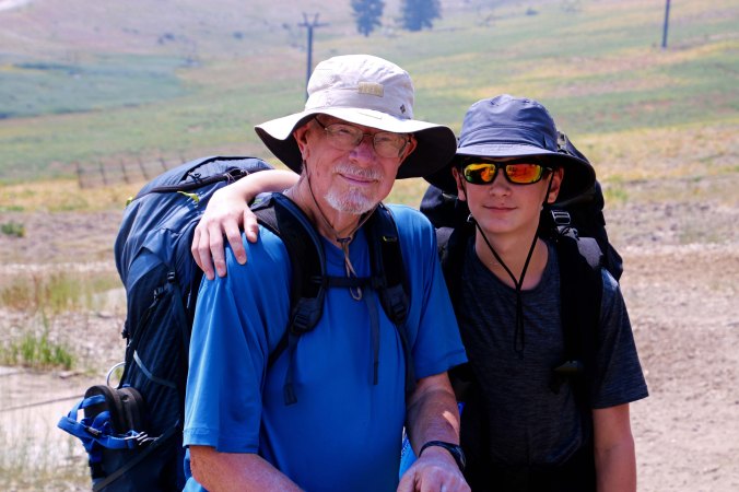
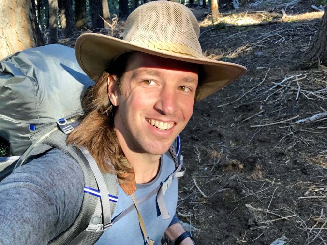
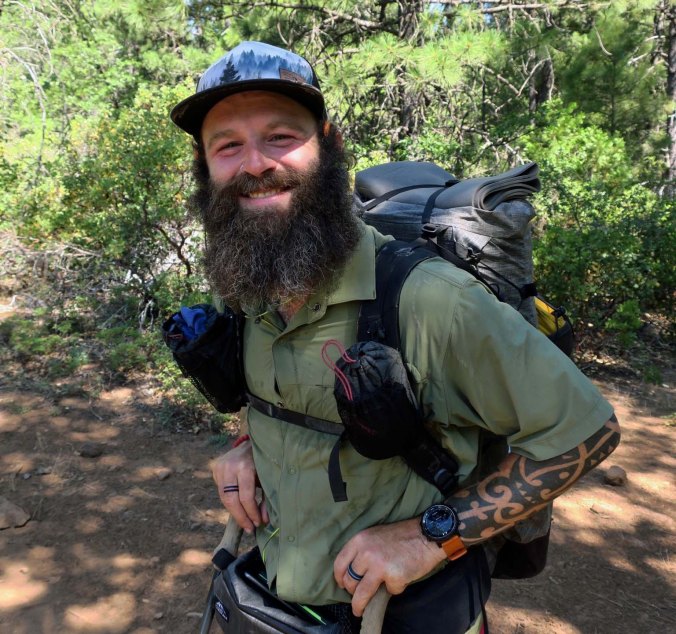
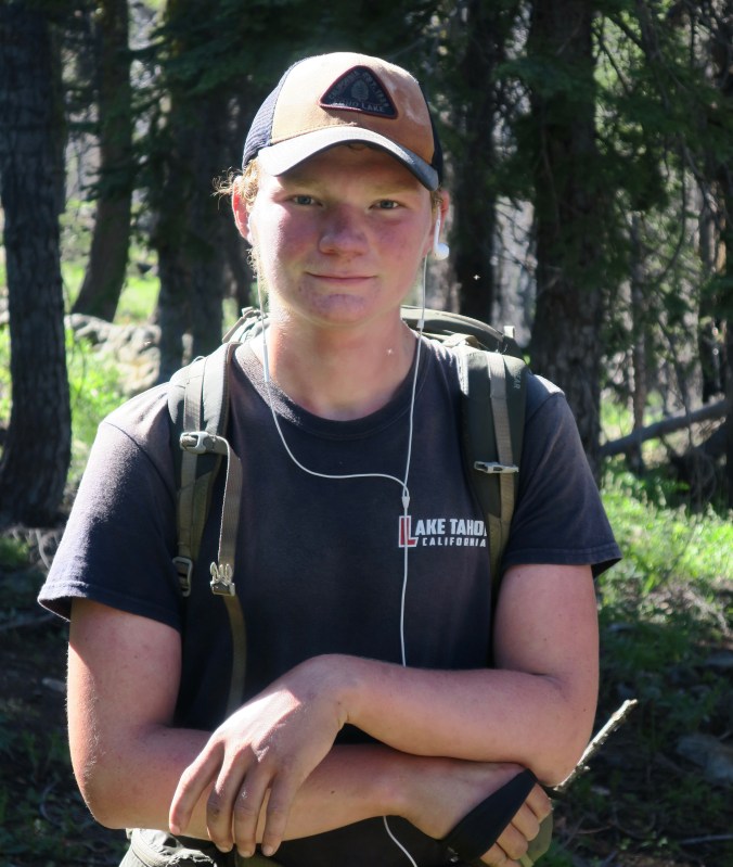
Now it’s time to drop back to my 100-mile trip between Etna Summit and Castle Crags of a week ago. There is a lot to cover, having hiked through the Russian Wilderness, the Trinity Alps, and the magnificent Castle Crags Wilderness. I was lucky to have my nephew Jay along. He had joined when he was a somewhat shy 16-year-old as I wrapped up a 360-mile backpack trip from Lake Tahoe to Mt. Whitney 15-years ago. Now he was 31 years old and a talented photographer, cameraman, and director in the early stages of a Hollywood career. He was also in love; no longer shy. I heard a lot about the young woman. (grin) More to the point of this trip was his incredible enthusiasm for the country we were hiking through. I’d often hear him exclaim “Wow!” as he found something of interest or beauty. It seemed that half of our hiking time was taken up with photography as we found something new to photograph.

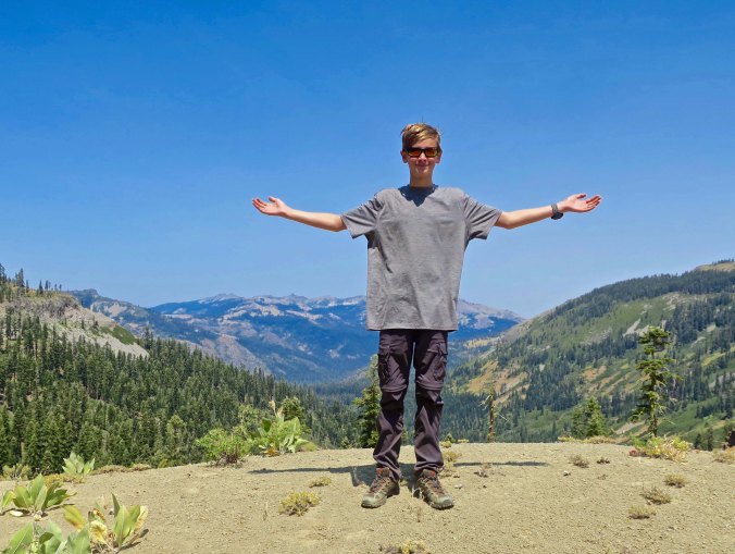
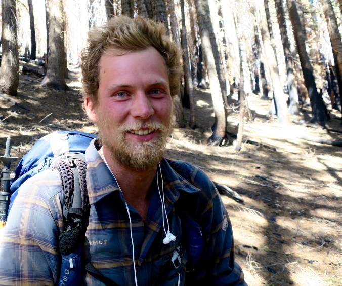
Jay on our Etna Summit to Castle Crags trip.

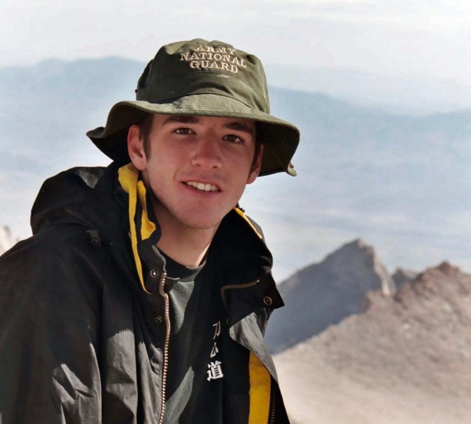
At age 16 on top of Mt. Whitney when he joined me on part of a 360 mile backpack trip I did from Lake Tahoe to Mt. Whitney.

I could tell that Jay was a serious photographer by the various poses he assumed while taking photographs— all with a pack on his back!

Here’s my photo of what I believe Jay was trying to capture.

I am going to do several posts on this section. One, because there is so much to cover, and two because I would like to do a separate post featuring Jay’s photography and another featuring Peggy’s photos of Etna. The small towns along the PCT are very important to the through hikers. They are where they pick up their resupplies but they also provide a break from the trail. Again: think cold beer, good meal, shower, and clean clothes.

I’ll do these as photographic essays on a thematic basis. Where to start is the question? Logically, I would show photos of the general terrain we were hiking through. But for fun, I am going to start with the natural wood sculptures Jay and I found along the trail. These almost guaranteed a frenzy of photography. Also, there were the strange faces peering out at us from the wood. The forests are alive. A little theme music please…

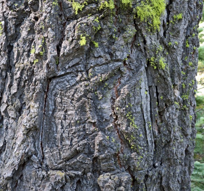
I am a bit of an Animist when it comes to nature. I believe that awareness flows through all living things, be they animal or plant. Finding faces staring out at you is totally for amusement, however. This fellow with his bulbous nose and laughing eyes resembled an ancient Greek comedy mask.

While this guy hidden in the crack seemed a bit more ominous!

And this one was just ducky. Check out his bill. Is he grinning or grimacing?

It was the ‘wind-blown’ hair that captured my attention here.

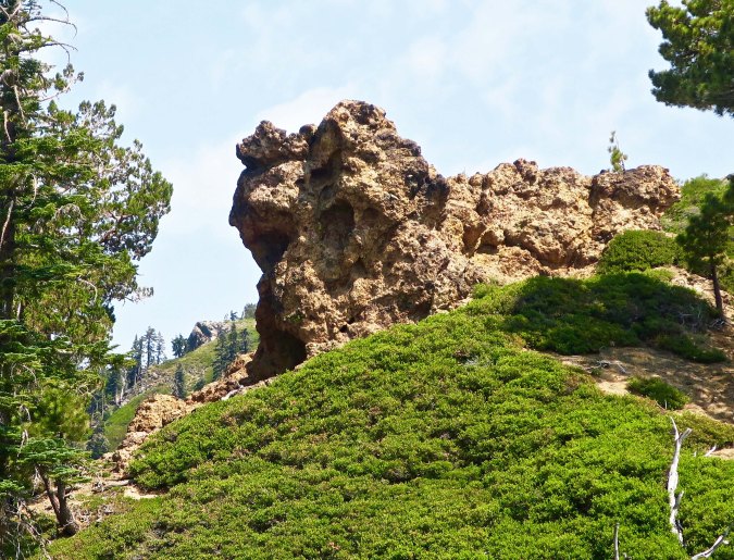
This was our first view of the wood sculpture I featured at the beginning of the post. It guaranteed that Jay and I would be off on another detour. Completing the PCT would probably take the two of us years because of all the time we spend being sidetracked.

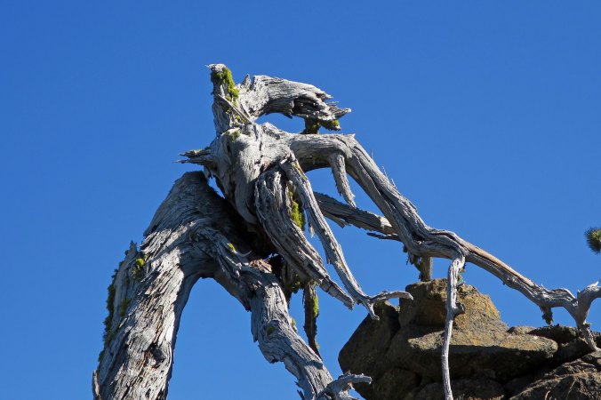
This was another impressive wood sculpture that caught our attention. It looks like it was climbing the cliff.

A close up.

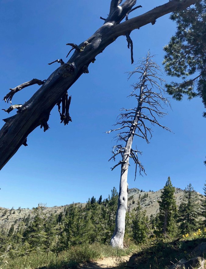
Less dramatic wood sculptures created by dead trees also demanded stops. I thought of these two as ‘family.’

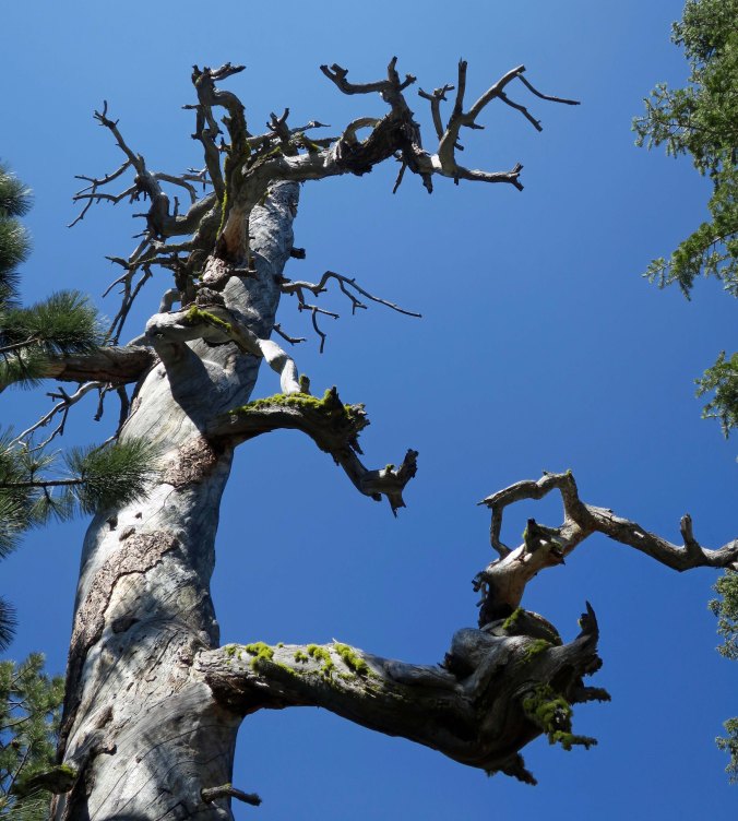
This large dead tree provided…

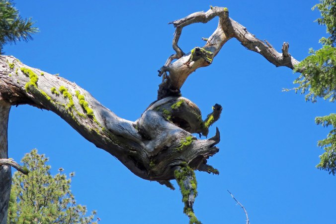
… this interesting limb.

Roots grow around rocks and continue to hold onto them after the tree dies, providing for interesting contrast of wood and stone.

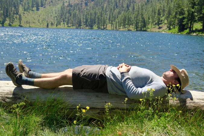
And one of the downed trees that give Deadfall Lake its name provided Jay with a convenient place for a nap.

I imagined a discussion going on here. The bird with the large beak is giving the snooty creature on the left an earful, and he doesn’t want to hear it!

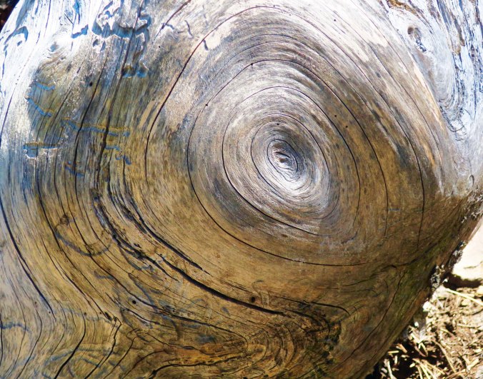
I’ll conclude today’s post as I started, with another black and white.

I am back into the woods today, but this time for a short 50 miles. I’ll get up more posts on the PCT between Etna Summit and Castle Crags when I come out, including photograph collections by both Jay and Peggy.


Hiking from Seiad to Etna Summit on the PCT: Part 2— I Photograph Bigfoot, and Peter Pan… The Thousand Mile Trek

Marble Mountain. This may not be the type of marble that excited Renaissance Sculptures, but it obviously caught the attention of the people who named the Marble Mountain Wilderness as it does people who hike the area today.

I am stuffing myself. Today is my last day to cram in the calories before I hit the PCT again and I am bone-showing skinny, skinnier than I have been in about a thousand years, give or take a few. “Eat!” Peggy commands, and I eat. Bring on the half pound hamburger.

Today I am focusing on the second half of my trek from Seiad to Etna Summit, Section Q as it is defined on the PCT. I’ve just left Paradise (as in Lake), and what the heck is left after Heaven. How about meeting up with Bigfoot and his partner Peter Pan. Once again, I’ll be using the photograph format for my post.

I meet Truckee near Big Rock. “My trail name is Truckee,” he informs me, “because I live in Truckee.” Good reason. Truckee was raised in the California Central Valley city of Stockton but returned to the mountain town of Truckee so often he moved there. Having lived in Stockton’s sister city of Sacramento, I was forever escaping to the mountains.

Following Truckee south as he disappears into the distance, I come on Black Mountain, the partner to Marble Mountain, as dark as it is light.

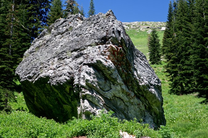
My next landmark is Big Rock , a huge chunk of Marble that resides near the PCT giving both a creek and campsite its name. I wonder if it rolled down from a nearby mountain or was deposited here by a glacier.

I meet up with a snowpack and see Truckee’s trail racing across it. I follow in his footsteps.

I work my way around a marble rock face…

And find this hole. Water dissolves marble as it does the rock it derived from, lime, often leaving caves and holes in the ground such as this.

I catch up with Truckee again filling his water bottles at this small stream…

He introduces me to Uphill. “You need to talk with this man,” Truckee announces. Like me, Uphill (Mark Bowden) is blogging about his PCT experience. “Back home,” he explains to me, “I blog about hikes along the Appalachian Trail.” He is out of Atlanta, Georgia. “I retired one day and was on an airplane west the next.” Two days after his retirement he was on the PCT. His blog is http://www.uphillhike.com. “Be sure to say hi to Dirt and Rye when you meet them,” he admonishes me.

I thought Christmas when I saw these firs and then apologized to them about my evil thoughts of turning them into Christmas trees.

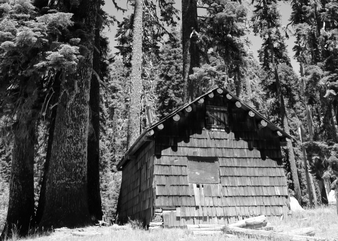
I’ve rendered the Marble Valley Guard Station in black and white given its historic status. Years before I had hiked through here and even then it seemed old.

There was nothing old about Dirt and Rye who came into the meadow as I was eating lunch. I had to ask about the names. Dirt had Dirt tattooed on her knee. There had to be a story, which I didn’t hear. Rye was a baker, so rye bread was the answer. The girls were sisters hailing from Southern California.

The Guard Station also had a great view of Marble Mountain.

Another perspective.

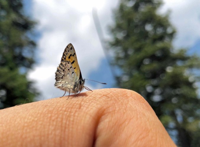
A creek, running close to the ranger cabin, was filled with butterflies on its moist sides.

A close up of one of the butterflies.

There’s great water down here,” I heard piping up from below the trail after I had just finished a long climb. “Come on down,” they urged. “You must be the 75-year old blogger.” (They’d run into Truckee.) And thus it was that I met Bigfoot after searching for him for years. He wasn’t nearly as hairy as I expected. And what was he doing running around with Peter Pan? And since when was Peter Pan a girl? It was all more than I could grasp. “I tried to persuade him to take the name Tinker Bell, ” Peter Pan told me with a laugh. No deal. Turns out that this delightful couple is from Palmer, Alaska. They had worked for the National Outdoor Leadership School for decades and are dedicated outdoor adventurers.

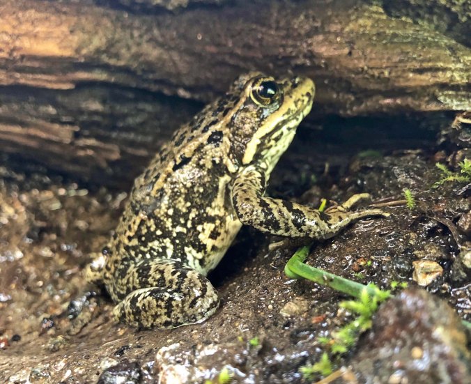
I detoured off the trail that night to camp at Cold Springs, which I shared with a frog.He didn’t drink much.

The view from the springs the next morning.

The trail to Etna Summit continues on, providing stunning vistas:


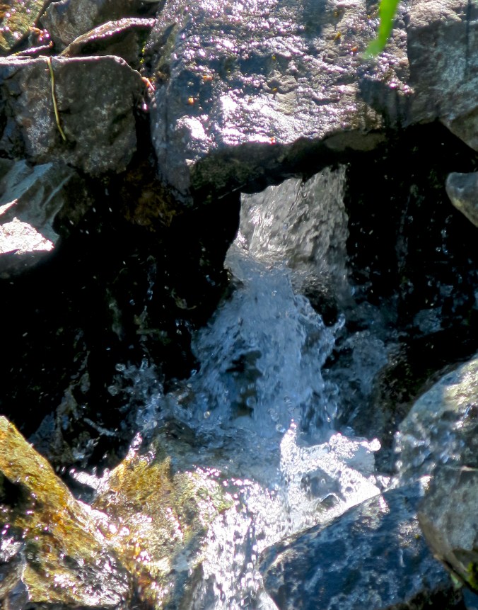
Welcome water…

Colorful flowers…

Red Mountain Heather.

Marsh Mallows…

Poppies…

Close up of poppies…

These beauties…

A member of the composite family…

And this strange fellow.

Closing with Spirea.

I continued to meet through-trekkers hurrying on their way north. Very few travel north to south, the direction I am traveling. Some pass by with barely a grunt of recognition as they run their unending marathon. But most have a smile and a hello, and many stop to chat. Hiking the PCT is much more of a social experience than I ever imagined.

The PCT has become a major attraction for hikers from all over the world. This is Oscar from Birmingham, England.

Caveman from Austria stopped to chat. “This trail is incredible,” he told me. “We have nothing like it in Austria or Europe.” It is a refrain I have heard over and over again. I flashed on the Sound of Music, however, and broke out with a not so stirring rendition of “Climb Every Mountain”. He laughed. “I guess I need to see the movie again.” I apologized for my breaking out in song. “It happens all the time,” he assured me. My girlfriend is an opera singer.”

Ridge Route and Short Cut were from closer to home: San Diego. Ridge Route explained to me that Short Cut got her name because she was just over five-feet tall. It didn’t seem to slow her down.

There are times when the trail seems to go forever on, like it will never end…

But eventually, through trekkers come to another trail head, another opportunity to resupply, another opportunity for a cold beer, hot shower and good food. For me it’s the view of Peggy waving excitedly, and our van. I am ever so lucky.

The cold beer comes next.

Hiking from Seiad to Etna Summit on the PCT: Part 1— Searching for a Fig Leaf… The Thousand Mile Trek

This tree I found along the PCT near Paradise Lake reminded me of Japanese Bonsai.


1200 feet up, 5,000 feet down, 18.5 miles, two rattlesnakes, and a stretch with no water for 12 miles. I want to go on for another 1.5 miles, to break into the lower range of what through-trekkers consider an average day. But neither I, nor my nephew Jay, who is doing this 100-mile segment with me, see any convenient campsites ahead on our maps. We’ve found a semi-dry stream bed with a few inviting water holes and a ‘sort of’ level campsite. A quick decision is made. We will stay. My first 20-mile day can wait. I make my way across large boulders on my now shaky legs to the campsite. A large blister on my right heel and a shin splint on my left leg complain. (A couple of smaller blisters on my toes shout, “Hey, don’t we get credit?”) I’m careful, almost behaving like the 75-year-old I am. We’ve been on the trail for 10-hours, hoofing it.

Arriving at the campsite, we break into our routine. Jay offers to take Spot, our GPS locator device, to a clearing where it can reach a satellite. Peggy likes to know where we are— and that we are okay. While he scrambles up the mountain, I head down to the stream for a bucket of cold water; it’s bath time! We are meeting up with Peggy in the morning and I want to be clean. Well, make that partially clean. Or, make that at least less smelly. A few hopeful mosquitos follow along. I’ll be exposing parts of my body not covered with the potent insect repellent, DEET, and be a target for the blood suckers. But the target is smaller than it was. I’ve now been on the trail for 250 miles, one-quarter of my 1,000-mile journey. There isn’t much fat left. Quick swipes with my pink wash cloth qualify as my bath. The water turns brown. Who needs soap? I quickly don my ‘clean’ clothes which were swirled around in water the day before. A sniff-test by a not-very-discriminating nose suggests I’m ready for Peggy. Besides, she will be hustling us off to showers first thing. No dummy, that kid.

Next up is dinner. I’ve decided to go cold. After a week on the trail, our fuel is low. Hot coffee in the morning is more important to me than a hot dinner. I happily munch away on one of my “Old Trapper” sausage sticks and a chunk of cheddar cheese that has survived the week. Then I greedily down the last of my nuts. Jay, who is cooking himself up some Miso soup offers me a chunk of salami that also goes down my gullet. I follow up with a Cliff Bar and then my last two Oreos— almost growling like a dog with a bone over my cookies. Dinner!

We clean up our dishes (mine is the spoon I sampled Jay’s soup with), put up our tents and crawl in. I barely have enough energy to read a few pages in “The Snow Leopard,” do my journal, and re-bandage my blisters before arranging my mattress on what I hope is the most level section of ground and drift off to sleep. Is that a rock digging into my hip? Who cares? I am no princess with a pea under her mattress.

Peggy and I are now hanging out in our van at the Railroad Park Resort beneath the towering and magnificent Castle Crags that Jay and I had just hiked by on our trip from Etna Summit through the Trinity Alps and the Castle Crags Wilderness. That’s the story for my next series, however. For today, we will return to the small town of Seiad where I wave goodbye to Peggy and begin the first solo-section of my trek. I’ll be hiking through Klamath National Forest and the Marble Mountain Wilderness. Once this area was part of an ancient sea bed with sea creatures depositing lime from their skeletons to the sea floor for millions of years, lime that would eventually become the marble of Marble Mountain. I am dividing this part of my trip, which is known as Section Q of the PCT, into two parts: my hike from Seiad to Paradise Lake and then on from Paradise Lake to Etna Summit. Once again, I will be doing it as a photograph essay.


Peggy drops me off at the Grider Creek Campground in the Seiad Valley to start my first solo section of the PCT. It’s early. Temps are supposed to climb to a hundred degrees F and I want to climb out of the valley.

I wave goodbye to Peggy. I can’t deny the slight lump in my throat. My buddy and I are rarely apart for a week.

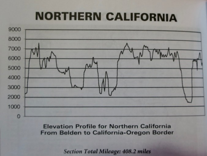
This elevation profile of the PCT in Northern California amuses me. While the foreshortened nature of the graph exaggerates the ups and downs, it gives a good perspective of the nature of the PCT. You follow the Crest and then drop off it into valleys and towns. The downhill on the far right represents our drop into Seiad Valley. The climb back up represents what I faced when Peggy dropped me off. I’d be climbing over 4000 feet in 13 miles! (The next big drop represents Jay and my 18 mile drop into Castle Crags.)

I’ve become used to faces staring out at me from trees and rocks as I hike along the PCT. (I’ll feature several on the Etna to Castle Crag’s section.) Most are natural, but this one appears to be carved into a burned tree. If not, a bit scary.

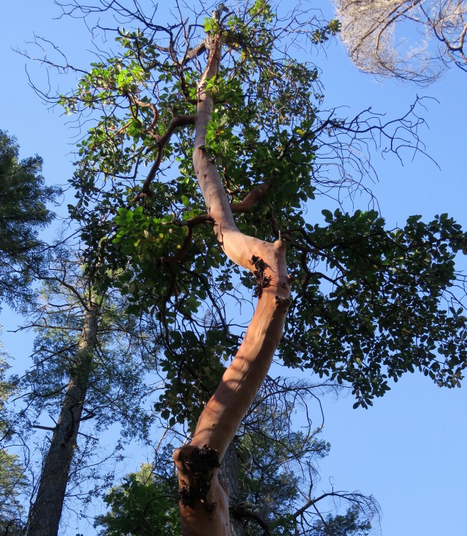
This beautiful Madrone reminded me of the giant that provides shade in our back yard.

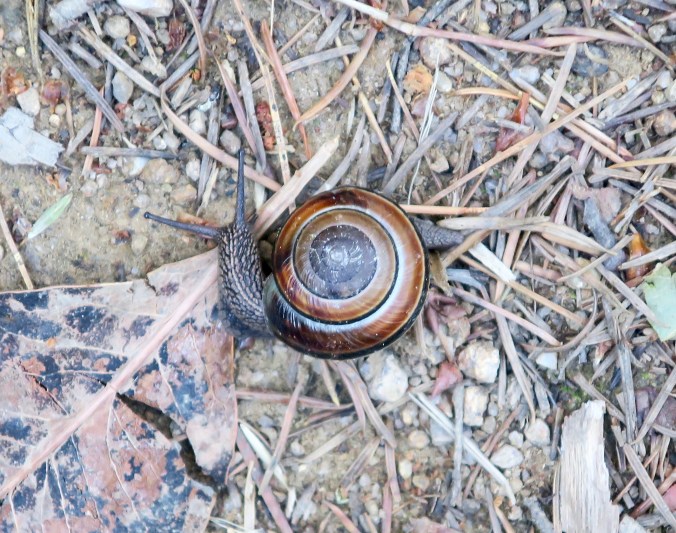
One key to getting up long climbs is to amuse yourself along the way. I stopped to chat with this snail and he commented on the speed of my travel. “I may beat you to the top of the mountain!” The next morning as I left my camp, I found a snail with its neck stretched out racing up the mountain at the fantastic pace of .5 inches per minute. “Told you so,” it said.

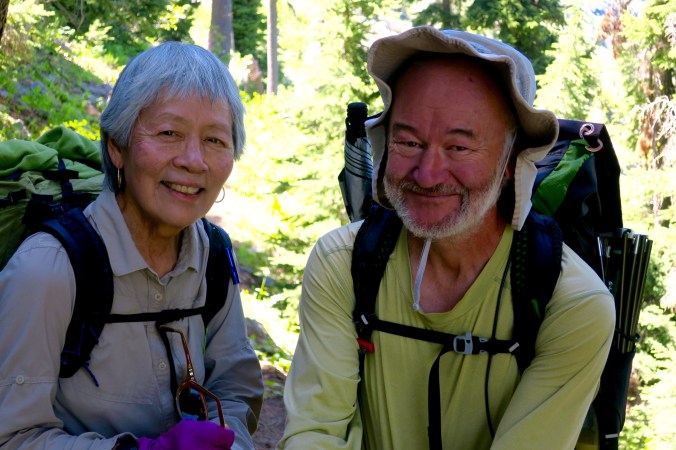
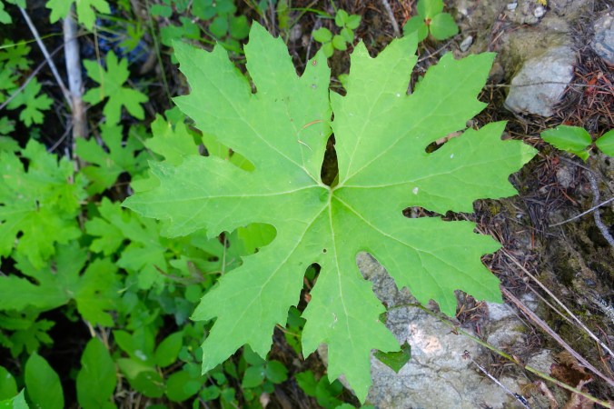
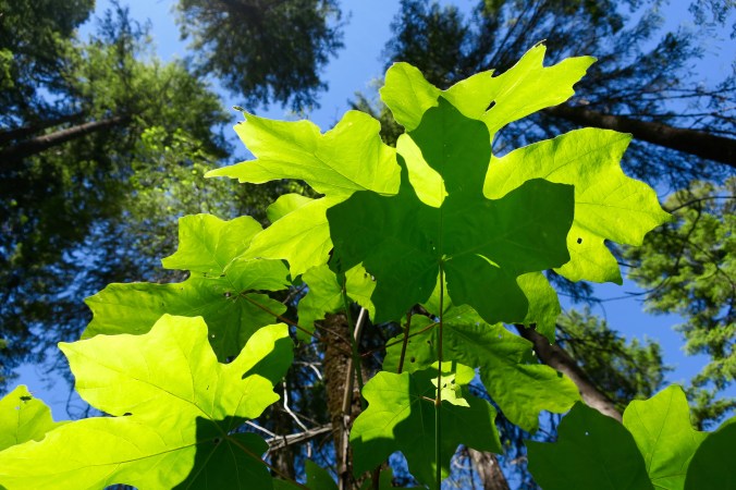
I met up with an older couple on the PCT. “We’re Adam and Eve,” they told me, revealing their trail names. “That’s because we are older than the hills.” They were six months older than I, which made me wonder about how old I was. While they weren’t hiking my distance, they had hiked 1200 miles of the PCT over time. I’m sorry I didn’t get their photo, but their status led me to an interesting observation: There weren’t any fig leaves on Grider Creek. That led me to go in search of possible substitutes. I suspect this Big Leaf Maple was the best bet, but I found others with possibilities. Thoughts?

Looking up at the sun through Maple leaves capturing the sun.

The most enjoyable part of hiking up Grider Creek was the creek itself, burbling and roaring as it tumbled down the mountain.

I also crossed over several small streams, always welcome for a cold drink and resupplying my water bottles!

My lunch break provided this view looking up.

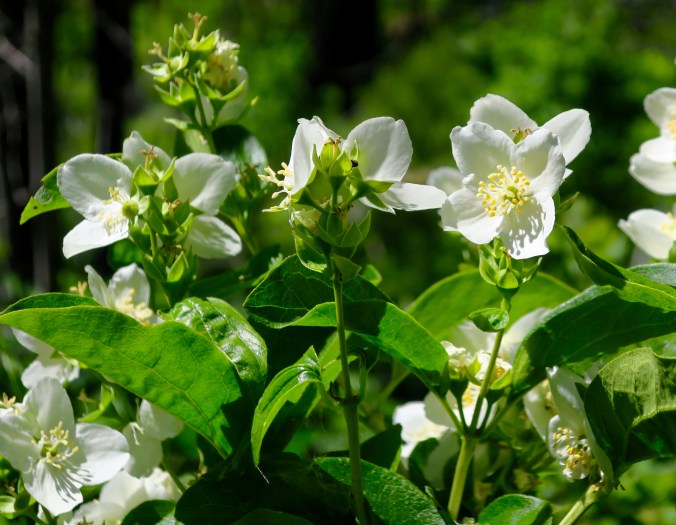
Flowers also kept me company as I hiked up the trail. These happen to be Mock Oranges that we have growing on our property. Their smell is out of this world, easily matching that of roses.

I think this was the flower of a salmon berry.

And these pretty fellows…

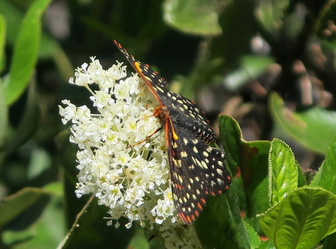
Butterflies were everywhere, often flying up the trail in front of me. This one seemed to be saying, “My flower!”

Eventually the trail left Grider Creek and began to climb seriously. Sometimes it was so covered in brush, you couldn’t see your feet. I like to know were mine are stepping! Here, it was a gorgeous woodland path.

Eventually my trail out of the canyon came to an overlook where I was able to look back to where I had been. The two distant peaks left of center are the Red Buttes that Peggy and I had hiked around three days previously. We’d dropped down the ridges into Seiad Valley. Our home is beyond the Buttes.

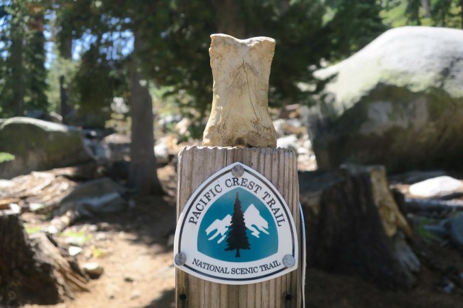
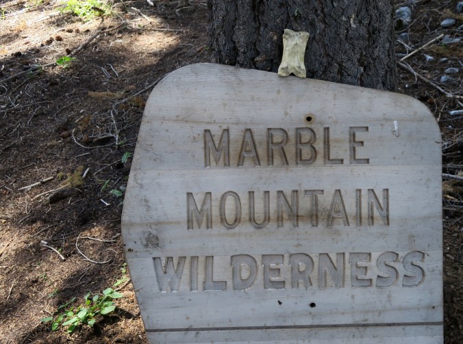
Shortly afterwards, I came to the Marble Mountain Wilderness and Bone insisted on getting into the photo.

I found it interesting that different National Forests mark the PCT differently. This is one more example.

Water is often an issue along the trail. That is one of the primary challenges of hiking the crest. Careful planning is required to reach water before you run out.

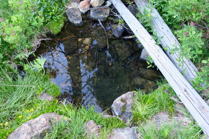
Buckhorn Spring. Not much, maybe two feet wide and three feet long, and filled with swimming critters, but very welcome!

Camp sites are normally found next to sources of water. These trees provided shelter for the site next to the springs.

I still had miles to go. These mountains are above my destination for the night at Paradise Lake. The rock on the right is known as King’s Castle.

Once again, flowers such as this Scarlet Gilea are in abundance.

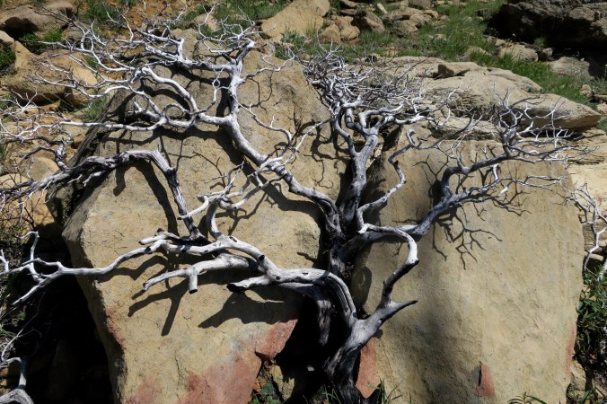
Fascinating wood sculptures also catch my eye and lead me detouring off the trail to catch their photos. This is manzanita that had been killed by fire.

Again and again, I come across wood sculptures with individual personalities.

This strange, senuous, snake-like limb also caught my attention.

These steps were toward the end of my day and near Paradise Lake. The amount of work that has gone into building and maintaining the Pacific Crest Trail is amazing.

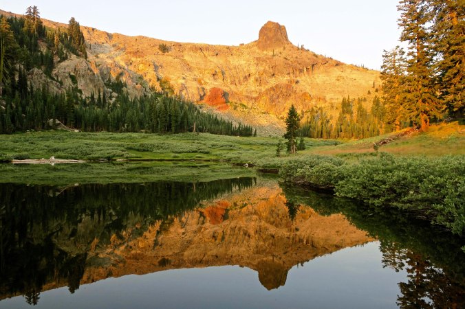
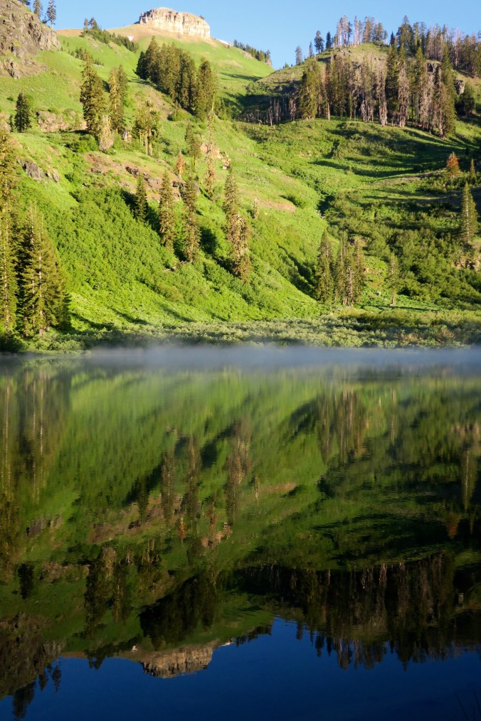
And finally, I reach Paradise Lake, my long day over.  I took this reflection shot featuring King’s Castle the next morning when there was still mist on the lake.

NEXT POST: I continue on from Paradise Lake to Etna Summit and take my first ever photo of Bigfoot. But what is he doing hanging out with Peter Pan?


SaveSave

Hiking the Rogue River Trail… Part 2: From Horseshoe Bend to the Rogue River Ranch

A view of the Rogue River from our camp on Quail Creek.


Today marks the second of my three-part series on hiking down the Rogue River Trail. It’s a beautiful 40-mile hike, best done in the spring or the fall. Peggy and I made a leisurely six-day backpack trip out of it, both to enjoy the beauty and to condition our bodies for our summer of backpacking where I will be hiking 1000 miles from Mt. Ashland to Mt. Whitney. Peggy will be joining me for parts of it plus doing back-up, a true trail angel!


Dark skies were suggesting rain when we rolled out of our tent at six. ‘Rolling out’ is a good description. My sore muscles and creaky joints were complaining about our first two days of hiking down the Rogue River Trail. They refused to cheerfully jump up; they threatened to go on strike. I told them to behave or I would double the number of miles they had to travel and cut off their Ibuprofen. They whimpered— but the Ibuprofen got their attention.

I have yet to tell them that they are going on a thousand-mile backpack trip this summer. And I may not, at least until the first 500 miles are over.

Things began to morph. My down pillow of the night before became my down jacket. My Thermarest air mattress changed into a comfy breakfast chair. Fifty years of backpacking have taught me that anything that can serve multiple purposes is a good thing. Routine is also good. I had packed my sleeping bag, clothes and personal items before leaving the tent. Now they were waiting to be packed into my backpack. Right after I put my chair together, I went to gather our food.

It was dutifully waiting in the middle of the ranger-built, electric fence enclosure. No bears had made a feast of it. Either they hadn’t been by to visit or they truly don’t like being zapped. I suspect that a tender nose coming in contact with a live wire is not a pleasant experience. If I were a bear, I’d skedaddle out of there on all fours and look for a ranger to eat.

Breakfast was next; I’m the camp cook. My job description is to boil up two 32 ounce pots of water per day, one for breakfast and one for dinner. Takes about five minutes each. Peggy arrived from doing her chores about the time the pot began to boil. We sifted through our food bags and pulled out instant oatmeal, breakfast bars, Starbuck’s instant coffee, and dried apricots. The latter are to help keep us digging cat holes. “Meow.” Or maybe I should say, “Purr.’” Being regular out on the trail is important.

The literature had promised an outhouse at Horseshoe Bend, but it had been decommissioned, i.e. filled up. The same is happening with the other ‘bathrooms’ that the trail maps promote along the river. Be prepared. Rafters are expected to carry their own port-a-pots. Backpackers are left with digging cat holes. We are used to it. Watch out for the poison oak. (grin)

With breakfast over, we took down the tent and packed up. A few drops of rain encouraged us to put on our rain jackets and pack covers. It promised to be a cool day, which was welcome after the heat of the first two days.

The trail continued its ups and downs, starting with the very steep up we had hiked down the evening before. At times our route dropped almost to the river. The closer we got, the thicker the poison oak and blackberries grew.  Peggy and I stopped and laughed at one point. The blackberries were occupying a third of the trail and the poison oak the other, leaving only a few inches for passage. It was like the plants had an agreement to drive you toward one or the other. We chose the blackberries on the theory that it is much better to suffer a few scratches than be covered in an itchy rash.

We also crossed several recent slide areas where the trail was minimal, about a shoe wide. Careful attention was called for and looking down not recommended. On one slide area, a tree trunk was stretched across the trail, forcing us to balance precariously while climbing over. It was not for the faint-hearted, or for people with a fear of heights.

Beyond that the trail was quite pleasant; passing through woodlands, providing dramatic views of the river, and crossing over brooks and streams on attractive bridges. Once again, cheerful flowers kept us company.

We found that the bridges along the trail were well built and fit in with the environment. This is Meadow Creek Bridge.

Another view of the Meadow Creek bridge.

Peggy on the Kelsey Creek bridge looking down at the water. A rain cover is on her backpack. It never did rain.

Our views of the river ranged from raging rapids…

…to more tranquil scenes.

A number of flowers were found beside the trail, including this wild rose…

This Pretty Face brodiaea…

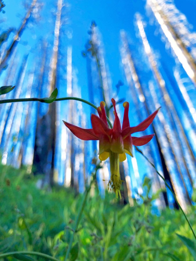
And a Columbine.

A snack at Ditch Creek provided this view of several small waterfalls tumbling down the hill. Zane Grey’s cabin was a mile or so down the trail.

We missed Zane Grey’s cabin. The trail to it wasn’t marked and we weren’t paying attention to our map. Too bad. I had been an avid fan of his cowboy books during the Western phase of my youth. Such classics as Riders of the Purple Sage had kept me glued to my seat as good triumphed over evil in the Old West of six-gun justice. Grey had used the cabin as a fishing lodge in the 1920s. He even wrote a book about the area, Rogue River Feud.

Our campsite that night on Quail Creek made up for missing the cabin. Located on the edge of the Rogue River, it provided the striking view that is featured in the photo at the beginning of this post. Geese, buzzards, rafters and lizards provided entertainment. The buzzards seemed to be following us. “Maybe they think we are old,” I suggested to Peggy, which elicited a snort. The lizards were just curious, checking out all of our gear and climbing up on convenient rocks to watch us.

Rafters waved at us from the Rogue as they passed our camp on Quail Creek.

And a pair of Canadian Geese kept their offspring in a careful line.

The morning part of our hike the next day took us in to the Rogue River Ranch, which is a gem. Now on the National Register of Historic Places and operated by the Bureau of Land Management, the ranch was established in the early 1900s by George and Sarah Billings, becoming a lodge for travelers, the post office, and a social center for a small but growing community. In 1927, Billings sold the house to Stanley Anderson, the builder and owner of the Beverly Hills Hotel in Los Angeles. The Andersons upgraded the property and used it to entertain their friends from Los Angeles and Hollywood up until 1970, when they sold it to the BLM.

An old barn on the Rogue River Ranch. One of the volunteer caretakers, Sally, can be seen raking up grass the old fashioned way. It went with the barn.

A close up of Sally.

Looking toward the river from the ranch.

Sally and Frank, the volunteer caretakers for the ranch, took a break from raking up grass and gave us an overview of its history. Peggy and I then visited the main house that had been turned into a museum. I was amused to find this description of the one room upstairs lodge provided by an early visitor:

When the place was full at night, it was a nightmare. There was almost continuous coughing, snoring, grinding of teeth, urinating in a can or out the window, and other night noises. There always seemed to be someone walking around the room or to the window or stairways, which shook the floor and building. Sound sleep for any length of time was impossible.

Not quite as fancy as the modern lodges that are found along the river today. But then again, three meals and a bed for the night could be had for a dollar, a far cry from the $150 plus per person charged today by the resorts.

A view of the main house at Rogue River Ranch. A single large room upstairs provided lodging for early travelers.

The ‘Tabernacle’ is located behind the house. This building served as a barn for horses and mules on the first floor and a meeting hall, dance floor, and church on the second floor. Today the building houses a number of artifacts.

Such as this old coffin…

A pot bellied stove…

And cooking stoves.

I’ll close today with a view of Mule Creek, which flows beside the Rogue River Ranch. The creek was named after a mule named John who wandered off and became lost. The story has a happy ending. Several years later his owner found him. I assume they lived happily ever after.


FRIDAY’S POST: What does a skunk have to do with my first date in high school. The MisAdventure series.

TUESDAY’S POST: I’ll wrap up my Rogue River series.

Hiking the Rogue River Trail: Part 1… Over the Side I Went!

The Rogue River is noted for both its beauty and its rapids. The Rogue River Trail has been cut into the steep sides of the canyon, providing spectacular views of the river as well as an introduction to the interesting plant and animal life of the region.


Peggy and I backpacked down the 40-mile Rogue River Trail last week. It has been on her bucket list ever since she rafted down the Rogue a few years ago. I, too, wanted to explore the area but also needed to do a conditioning trip for my thousand mile backpack trip from Mt. Ashland to Mt. Whitney this summer. My new gear and my 75-year-old body needed to be tested. Both worked, more or less. This is the first of 3-4 posts on the trip.

The Rogue River Trail starts from a large paved parking lot named Grave Creek.  (The daughter of a pioneer was buried nearby in 1846, thus the ‘Grave.’) The site is mainly used as a kick off point for people rafting the river. No surprise. This section of the Rogue is world-famous for its rafting. And the majority of people traveling this way prefer to have a raft carry their food and gear as opposed to carrying it on their back. As my friend Tom Lovering the boatman says, “Why wouldn’t they?”

We arrived at 11:00, an hour later than I had hoped, and the sun was beating down mercilessly. Summer had arrived early, it seemed. The day before had been yet another cool spring day. We had been whining that it was never warming up! Go figure. I could see the trail snaking up the side of the canyon without an iota of shade. Peggy and I futzed around: slathering on sun-block, filling our water bottles, putting on our boots, and taking advantage of the out-house (twice). But inevitably, the time arrived, as it always does; we shouldered our packs and headed up the trail.

The beginning of the Rogue River Trail as seen from the Grave Creek parking lot. Up and in the sun.

Face it, backpacking can resemble work. There’s a part of your mind that lets you know this when you load everything you will need to live in the woods for a week on your back and start hoofing it up a mountain in the hot sun. Mine usually has some unprintable comments for me. If it’s the first trip of the year, if you are out of shape, or if you are over 50, the mind might even say a bit more. Well, Peggy and I were in fairly good shape (score one for us), but it was our first trip of the year, and, at 67 for Peggy and 75 for me, we definitely resembled the over-50 crowd.

There are also rewards, of course, otherwise people wouldn’t go backpacking unless they were forced to— or had masochistic tendencies. “Ah yes, pain, bring it on!” They’d stay home in front of their big screen TVs and veg, or write blogs. While our trail shot up the mountain, it also provided us with great views of the Rogue River. And we soon noted an abundance of wild flowers. The trail even seemed to flatten out a bit and trees provided welcome shade.

Peggy at the beginning of the trail with the Grave Creek Rapids behind her. A few years earlier I had waved good-by to her as the rapids grabbed her boat.

The canyon walls were often covered with flowers, especially if springs provided a bit of moisture.

The yellow flowers above are monkey flowers, one of my favorites, as you’ve probably noted from past posts. A friend once told me you can hear them say “eek,eek, eek” if you listen. I’ve never heard them, but I still listen. (grin)

These colorful stonecrop flowers also decorated the cliff sides. Their succulent leaves provide water for dry times.

More shaded spots provided a variety of brightly colored iris flowers. This is a golden iris. We found several other varieties along the way. You will see more!

Shaded trails like this one provided welcome relief from the more exposed sections of the path.

As did the frequent cool streams along the way. We stopped often to refill our water bottles. (Water along the route needs to be filtered.)

Most of the streams have bridges built over them, which eliminates the issue of fording.  I’ll show several in the next posts. Many were quite attractive.

It was a river trail, however, and that means ups and downs. They come with the territory. I was on a down when the accident happened. The path had dropped to maybe 50 feet above the river and the sheer drop-off cliff had switched to a steep embankment. My left foot, i.e. the foot on the river side, slipped on some loose gravel. No biggie. Years of trail hiking have given me an automatic sense of balance and fancy foot-work to deal with such contingencies. This time, however, I was using walking poles and I set the left one to provide the necessary balance.

The next thing I knew, I was toppling over. Peggy, who was behind me, said it was in slow motion, like I had fainted, or suffered a heart attack, or had a stroke. You can imagine how she felt. I didn’t have a clue what had happened. All I knew was that I suddenly found myself stomach down, head first on a crash course for the river. You know how they say your life flashes before your eyes in such circumstances? All that flashed in front of mine was another 40 feet of rocky slope topped off by a cold bath. Not good. I would have loved to have had my pack where I could have used it for a brake. But it was on my back, along for a free ride. Whoopee! Packs are like that. I used my left arm instead, pressing it down. I could feel the rocks ripping off my skin. But it worked. I slid on for a couple of more feet and stopped.

“Are you okay?” Peggy yelled. Apparently, I didn’t answer quickly enough because she threw off her pack and scrambled down. I was busy checking out my arm. It looked a bit like hamburger. To paraphrase an old Tex Ritter cowboy song, there was blood on my pack and blood on the ground, there was blood on my arm and blood all around. But the arm felt fine. At least it wasn’t broken or gushing. Peggy helped me get my pack off and I stood up and carried it back to the trail while she gathered up my walking poles.

We hiked back up to some shade and I took out my water bottle and washed my arm off. Good news. It was mainly a scrape with some 14 small cuts providing the blood. Only one seemed worthy of attention. Another couple came by at that moment. “My husband is a nurse,” the woman announced. He glanced at my arm, pronounced “You aren’t going to bleed to death,” and hurried on. So much for the medical profession, I thought. Peggy smeared on Neosporin and slapped a band-aid on the larger cut. We were good to go.

We hiked down a few feet and I picked up my walking poles. One was considerable shorter than the other. And then it struck me. The left pole had collapsed when I had shoved it into the ground for balance, and I had collapsed with it. There is probably something in bold letters, or at least the fine print that suggests you check them before use. Otherwise, the poles would be a lawsuit waiting to happen. I was relieved to know that the cause of the fall was the poles and not me!

Eventually we reached our first night’s camp, a lovely tree-shaded site below Whiskey Creek. Booze Creek is the next stream down, which may say something about the early gold miners that populated the area. We got out our flask of Irish cream liquor and toasted them— and ourselves, for surviving day one. Chores that evening included setting up camp, a quick, soap-less rinse of our clothes and selves in the icy river, and dinner. At one point, I had the mother of all cramps, as my leg protested against what it was sure was abuse. Were we having fun, or what? It was early to bed. Peggy crawled in at the sign of the first mosquito. I hung out for another hour or so.

Every bird in the world arrived at our camp at 5 a.m. the next morning and immediately burst into song. It was a virtual cacophony of noise as each bird competed with the next over who could trill the loudest and the longest. I rolled over and pretended to go back to sleep.  We crawled out at six and started our second day.

It was a lot like day one except I managed to stay on the trail. The trail continued its ups and downs, climbing down to cross streams and immediately back up afterwards. Once again it was hot. We were treated to great views of the river.

There were many more views of the river on the second day such as this, which featured rapids that the river runners love so much.

At one point, I spotted a snake out of the corner of my eye beside me on the trail. There is something primeval about seeing snakes, especially when they surprise you. Alarms go off deep in your brain while your leg muscles bunch up for a humongous leap. Almost simultaneously, I recognized that this fellow was one of the good guys, a king snake. I thought ‘photo-op.’ It’s difficult to photograph snakes when Peggy is around. She gets nervous. “Don’t get too close, Curt,” she urged. “It might bite you.” Possibly, if I grabbed it by the tail. But king snakes prefer to crush their food, winding around them like a boa constrictor. That’s what they do to rattlesnakes, even rattlesnakes that are bigger than they are. And then they swallow them, whole. I’d like to see that. Apparently, they are impervious to the venom.

Out of the corner of my eye, I saw a snake making its way along the edge of the trail…

Having noticed me, the snake made his way up the cliff, providing ample opportunity for me to take pictures. The closer I got, the more nervous Peggy became. I don’t know what the snake thought.

Later, Peggy noticed a large slug. At first we thought it was a banana slug, given its size. Banana slugs are well known as the mascot of the University of California at Santa Cruz, a fact I love. You really have to like a college that selects a slug as its mascot. But our guy/gal lacked the characteristic yellow color. It seemed fat. “Maybe she’s pregnant,” Peggy mused, which led me to wonder how slugs mated. “Slowly,” Peggy suggested.

This large slug checked out Peggy while I took its photo. The walking pole is Peggy’s. Mine stayed affixed to the back of my pack after the accident for the whole trip.

Our greatest excitement of the day was getting from the trail down to our campsite at Horseshoe Bend. It was a long way down, and apparently, the Bureau of Land Management adheres to the philosophy that the shortest distance between two points is a straight line.  Anything resembling a switchback was totally coincidental. The trail was so steep in places that we had to side step. We eventually arrived in one piece and discovered a new way of protecting our food from bears. It was shocking. BLM had created a small enclosure with an electric fence. I sat up that evening hoping to see a bear try to break in. No such luck.

Peggy provides her commentary on the trail down to Horseshoe Bend.

The electrified enclosure built to keep hungry bears away from rafters’ and backpackers’ food.

Do you think bears can read?

Our new, ultralight Big Agnes tent overlooking the Rogue River at Horseshoe Bend. We love the tent! It is big enough for the two of us (we like each other), and light enough that i can carry it to use as a solo tent.

The view from our campsite…

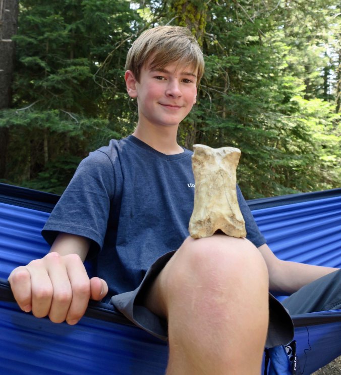
And finally, for those of you who were concerned about Bone being left behind this summer, here he is, happily ensconced in one of my belt pouches, peering out like a baby kangaroo.


FRIDAY’S POST: Smelly chemicals and long dead frogs discourage me from pursuing a career in science in the MisAdventure series.

TUESDAY’S POST: Part 2 of the Rogue River Trail series.

The First 500 Miles on My Thousand Mile Backpack Trek: Mt. Ashland to Lake Tahoe

I should see the striking Mt. Shasta several times as I make my way through the Siskiyou’s, Marble Mountains and Trinity Alps— and quite likely after I cross Interstate 5.  Mt. Shasta is part of the volcanic Cascade Range that stretches up to Canada.


It’s time to get down to the nitty-gritty planning of my thousand mile trek from Mt. Ashland in Southern Oregon to Mt. Whitney in California. I’ve been poring over maps, thinking about distances and planning out resupply points. I love maps, so this is a fun activity for me. I think I am being realistic, but you never know. Most through hikers (as people who hike the whole PCT are called) can average around 20-25 miles per day. Maybe even more. That’s a marathon per day! But the 75-year-olds out there are few and far between. I am planning on 12-13. If I can do more, great.

Today, I am going to share the first half of my route, approximately 500 miles, beginning at Mt. Ashland and ending north of Lake Tahoe. While I have backpacked in the Marble Mountains, Trinity Alps, and Lassen National Park, it is the area I am least familiar with. Once you hit Interstate 80 southward to Mt. Whitney, the second half of my journey, you are in my ‘old stomping grounds,’ so to speak. I’ve hiked through this country many times over the years. Below is a map of the first half of the trail.

This map of the PCT traces my route from Mt. Ashland to Lake Tahoe. While not as clear as I would like, it provides a good overview. Peggy and I live just north of the trail where it snakes its way along the California/Oregon border. Our property backs up to national forest land.

The Sierra Nevada Mountains provide some of the most beautiful hiking in the world. They are John Muir’s Range of Light. The northern part of my journey lacks the drama of the Sierra’s, but there is still considerable beauty in the Siskiyou’s, Marble Mountains and Trinity Alps. Once I cross Interstate 5, I have Burney Falls and Lassen National Park to look forward to. Here are a few photos I have taken over the years to whet your appetite for what is coming.

Another view of Mt. Shasta.

The PCT works around the edge of the Red Buttes Wilderness where Peggy and I have been backpacking the last few years. This small lake is in the wilderness.

As are a number of giant trees such as this sugar pine Peggy is standing next to.

And this large red cedar.

Last year Peggy and I followed what is known as the Cook and Green Trail up to the PCT. We camped under this canopy of trees.

We found three through hikers on the pass. They were quite excited to be nearing the Oregon Border after their long sojourn from the Mexican Border. Most through hikers travel south to north.

We also found a PCT trail marker. They will serve as my guide on the trek.

The trail is well-marked for the most part. Where it isn’t, I’ll be using other guides, like maps and tree blazes.

The Marble’s and the Trinity Alps have numerous pristine lakes such as this.

And mountains. These are part of the Trinity Alps.

There are cascading waterfalls…

And large and small streams to cross— always a challenge for backpackers…

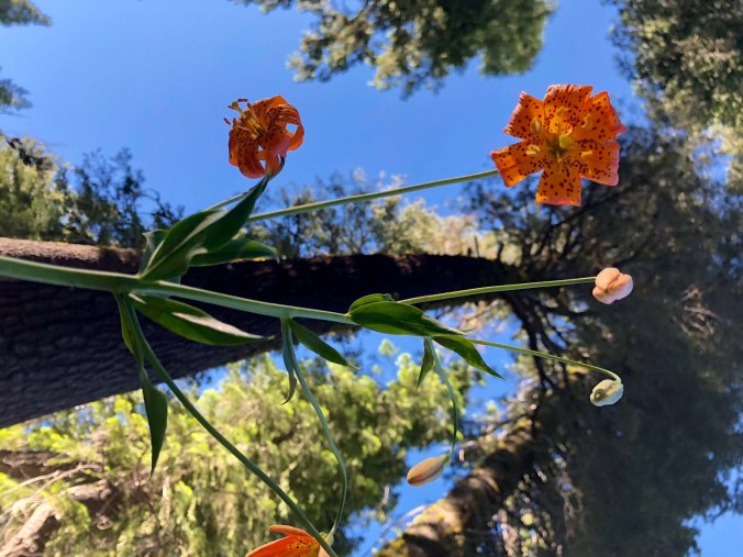
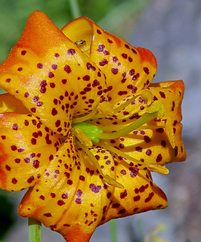
There are lovely flowers to admire, such as this Tiger Lily.

And possibly bears. This tree has been well-marked by bear claws! Peggy and I were in the Marble Mountains a few years back celebrating her birthday with a small cake I had brought along when a bear decided to drop in. Peggy told it in no uncertain terms that it was not invited to the party! Rather than face such a formidable opponent, it remembered some ants it wanted to eat.

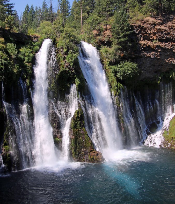
Ponderosa Pine tree and Burney Falls in Northern California.

Once across I-5 , I will travel 83 miles to reach Burney Falls. In this photo, a lone Ponderosa Pine grows between the two channels.

Water comes out from layers of rocks as well as over the top at Burney Falls.

The water shooting out from the rocks provides an almost etherial quality to the falls. Peggy will meet me at the falls with resupply. Basically, she will be catching up with me once a week and I will have a layover day to feast, shower, and hopefully put up a post on my previous 6-8 days.

Burney Falls in Northern California. Photo by Curtis Mekemson.

A final view of the falls.

Another week down the trail should bring me to Lassen National Park, one of two parks I will be hiking through. The other is Yosemite. Mt. Lassen looms above the meadow. I’ve climbed to the top of both Lassen and Shasta.

I thought this reflection shot of the mountain was fun.

And this one.

I’ll close today with this view of a stream winding its way through a park meadow.

Next Tuesday, I will take you through the second half of my journey from Lake Tahoe to Mt. Whitney. Peggy and I will be doing our 40 mile conditioning trip down the Rogue River Trail. I should say conditioning plus trial. I’ll be carefully monitoring how my body responds to being back out on the trail with a loaded pack!

FRIDAY’S POST: MisAdventures. It is really hard to be a sports hero when you are as blind as a bat! Especially when it comes to playing hard ball… “Where’d that ball go?” Bonk!

Out and About on Kodiak Island… The Last of the Alaska Series

Tony and Cammie took us out fishing on streams like this. The fishing was fun, but it was the beauty of the country that caught me. The family had been camping on this stream.


We had gone to Kodiak to visit our son Tony, his wife Cammie, and our three grandsons: Connor, Chris and Cooper. Tony was flying helicopters on rescue missions for the Coast Guard, often in stormy weather over dangerous seas.  Cammie, in addition to overseeing our rambunctious grandsons, had started a jewelry business using sea glass that she collected off of the beaches. Some of the glass was particularly colorful, having ended up in the ocean as a result of a popular bar being destroyed by the 1964 Tsunami.

Cammie and Tony.

The boys and I check out a tide pool. I am pretty sure that’s what grandfathers are supposed to do with their grandkids!

The kids took us around the Island, at least the part that was easily accessible by road. We played tourist, went fishing for salmon, helped Cammie gather sea glass, and ventured out into the bay on a halibut fishing expedition. I’ve already posted on our bear watching trip and a series of closeups. Today’s photos reflect our outings with the kids and bring to an end our visit to Kodiak Island and the Alaska series.

We did a fair amount of salmon fishing. Here’s Peggy working a stream.

Our catch… Of course Peggy caught more than I did. That’s par for the course. Sigh.

She also caught this halibut! Few fish taste as good. The kids have a halibut chowder recipe to die for.

When Tony went to Alaska, he didn’t fish, nor did he have any desire to. But he fell in love with fishing. Salmon and halibut were often on the menu.

Cammie took to salmon fishing as well. Here she receives a high-five for catching one. She’d even grab her pole and head out when Tony was on assignment. Remember, this is Kodiak bear country…

We fished this stream. A Kodiak bear was fishing the same stream a couple of hundred yards away! I found him when I was out wandering around, without my camera, unfortunately.

This attractive cliff was just up from where we were fishing.

Looking out toward the bay.

Another example.

The whole family went searching for sea glass. It’s like going on a treasure hunt!

Cammie turns the sea glass into beautiful jewelry. If you would like to see more of her work, her Facebook site is Coastal Road Designs.

A final photo of the beautiful Kodiak Island.

SaveSave

I Am Going on a Thousand Mile Hike… At 75

View of Mt. Whitney from the west including Curtis Mekemson.

I’ll be completing my thousand mile journey by climbing Mt. Whitney, the curved mountain in the background and the highest mountain in the contiguous United States. I’ve climbed it many times. Here I was wrapping up a 360 mile backpack trip to celebrate my 60th birthday. Will I be looking as spunky after a thousand miles at 75?

Expect some changes in my blog. I am gearing up for a thousand-mile backpack trip this summer starting on June 17, 58 days from now. I’ll be travelling from Mt. Ashland, a few miles from our home and following the Pacific Crest Trail south to Mt. Whitney through the Siskiyou, Marble, Cascade and Sierra Nevada Mountains. With mountains to climb, rivers to cross, wild animals to confront, swarming insects to avoid, and bad weather to face— not to mention the challenge of backpacking 1,000 miles— there will be plenty of adventures along the way. And there will be lots of photographs. Much of the country I will be backpacking through is drop-dead gorgeous.

My journey will take me through a variety of terrains, including Yosemite National Park.

I estimate the total trip will take about three months, including breaks. It’s my intention to blog about the journey along the way. Peggy will be backpacking part of the trip with me, but mainly she will be doing back-up, meeting me at places where the trail crosses the road. When we have cell phone service, I’ll have Internet. I am excited about sharing the journey with you. Once the adventure gets underway, I’d appreciate your sharing a post or a link with your followers. I figure the more people hiking along with me, the merrier! I’d like a few thousand beside me when I encounter my first bear!

Black bear with cave in Alaska

Yosemite is black bear country. I once woke up with one standing on top of me. At 75, I might have a heart attack! 🙂

Not many people go out for a thousand-mile backpacking trip. And the number of 75-year-olds who do it are far fewer, maybe a handful. But I am no stranger to long distance adventures and this year marks my 50th year of backpacking. I think of the journey as a celebration of doing what I love to do, and a statement that age isn’t necessarily a detriment to having grand adventures.

Having said that, I realize I am 75 (grin). I’ll be seeing my doctor before I go. And Peggy and I are doing a 40-mile conditioning backpack trip along the Rogue River in four weeks. That, along with the first 60-mile section of the trail, will give me a hundred miles. The way I think is that if I can do a hundred miles, I can do a thousand! If not… well there are always other adventures.

There is a ton of preparation that needs to be done in getting ready for the trek, in addition to conditioning. I’ve started by putting my gear together. I’ll be traveling ultra-light, using the modern terminology. Peggy turns white and checks the budget each time I head out to REI. My new tent, backpack, sleeping bag, and mattress weigh seven pounds, which is what my old backpack alone weighed. I am hoping to keep all of my gear to under 15. With food for a week, this should keep my total weight to 30 pounds max.

The route, food considerations, resupply points and permits all need to be planned out and reviewed. There will be less time for my blog over the next couple of months. I will be limited in the number of posts I can put up and the number of posts I can read. My apologies in advance. But I will do what I can! And I will put up a few posts on my preparation efforts, including the backpacking trip along the Rogue River.

The beginning of my journey will take me around the edge of the Red Butte Wilderness, which includes the Red Butte Mountains seen here from our deck. Thunderstorms are often a challenge when hiking through the various mountain ranges of California in the summer.

WEDNESDAY’S POST: I wrap up the Alaska Adventure with more photos from Kodiak.

FRIDAY’S POST: It’s ground zero in MisAdventures with Freshmen PE Dance Class!

MONDAY’S POST: A look at today’s ultralight backpacking equipment.