Abbot’s Lagoon is a great place for bird watchers. Or people watchers. This great blue heron with its neck stretched out like a rubber band had a wary eye on Peggy. Wisely so. She was stalking it with her camera. (Photo by Peggy Mekemson.)
It’s a wrap on my Pt. Reyes series today. Peggy and I will take you for a hike out to Abbot’s Lagoon and a visit to Pt. Reyes Station, a favorite town of mine.
The hike is suitable for almost anyone. We even watched a mom and dad pushing their baby along in a stroller. How much easier can it get? The baby seemed quite happy as did the parents. Visitors can turn around whenever they want, hike out to the Lagoon, or go on a leisurely stroll all the way to the ocean. We chose the latter.
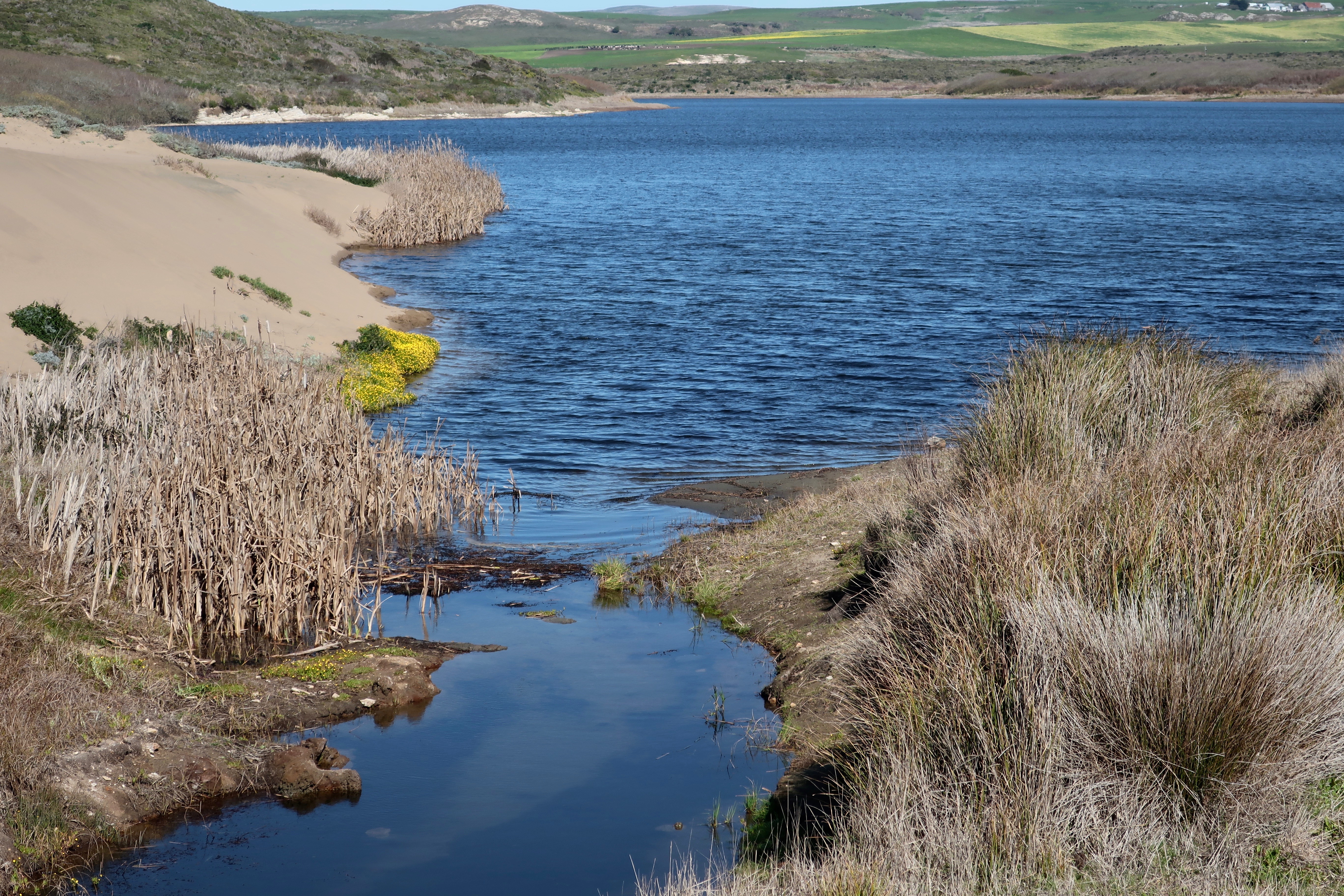
The Abbot’s Lagoon trailhead leading out from the parking lot. The Lagoon can be seen in the distance. The Pacific Ocean is out beyond the Lagoon. The narrow strip you can see on the left is the continuation of the trail.
The red marker shows the location of Abbot’s Lagoon on the Google map. Down to the right you can see Pt. Reyes Station next to the Highway 1 marker. Highway 1, BTW, follows the San Andreas fault through this area. The 1906 San Francisco Earthquake shot what is now the National Seashore over 20 feet northward. San Francisco is 30 miles to the south.
Another photo of Peggy’s great blue heron. This time he was back at work catching fish. I liked the slight hint of a reflection. (Photo by Peggy Mekemson.)
I was impressed with the red eye on this coot. (Photo by Peggy Mekemson.)
We crossed a small bridge and looked back up the Lagoon toward the parking lot.
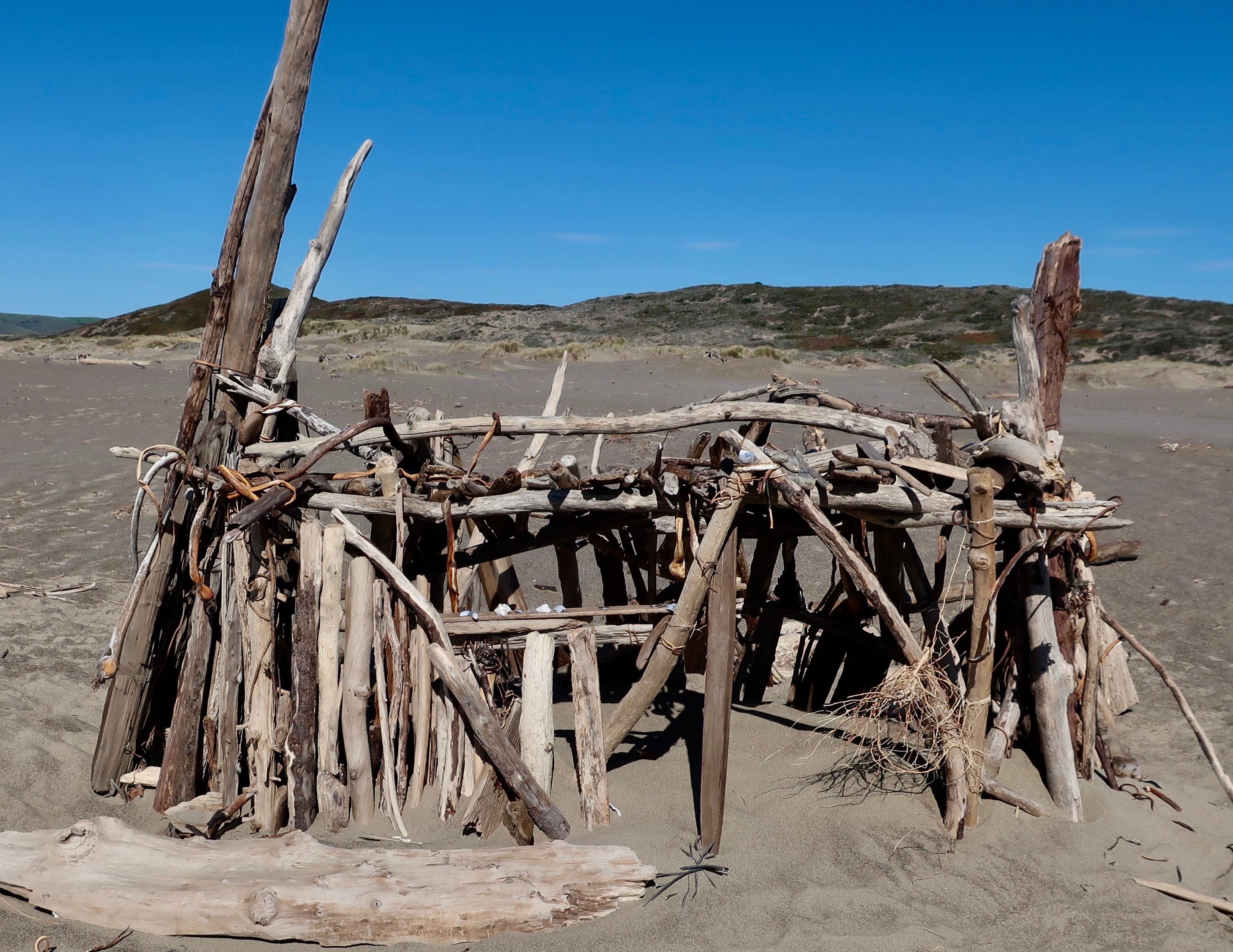
There was a drift wood structure along the trail on the beach out near the ocean. It had been cleverly woven together with kelp.
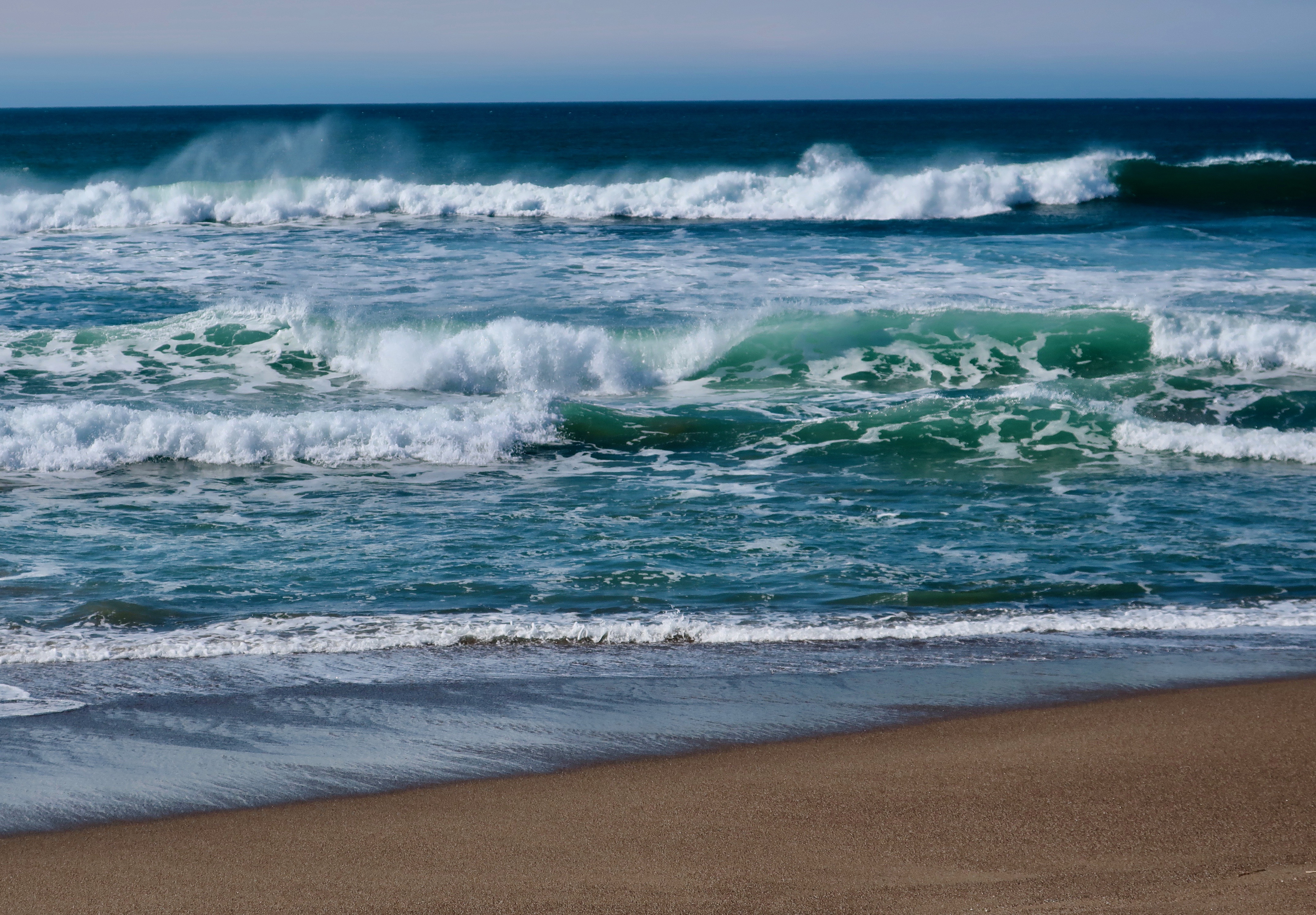
Finally we arrived at the Pacific Ocean.
The North Pacific Coast Railroad had arrived in the area 146 years earlier in 1875 and let passengers off in a cow pasture to make their way to nearby Olema and dairy ranches out on the peninsula. The cow pasture soon added a hotel and the town of Pt. Reyes station was born. It’s a story told over and over in the West. The railroad arrives and a community springs up, making land barons/developers happy and rich. This time it was a dentist in San Francisco. The railroad was making its way north to retrieve redwoods that were being cut down to build the city. Many a giant redwood gave its life to the cause.
I first arrived at Pt. Reyes Station in the late 1960s and I’ve returned again and again. The town has become somewhat yuppified and more expensive since then due to its close vicinity to San Francisco, but it still retains much of its charm. The following photos reflect some of what makes it charming.
The Pt. Reyes Book Store is one of the best small, independent bookstores we have ever been in, and we’ve been in a lot. Peggy told me to go in and spend $200 for my birthday. Boy, does she know me…
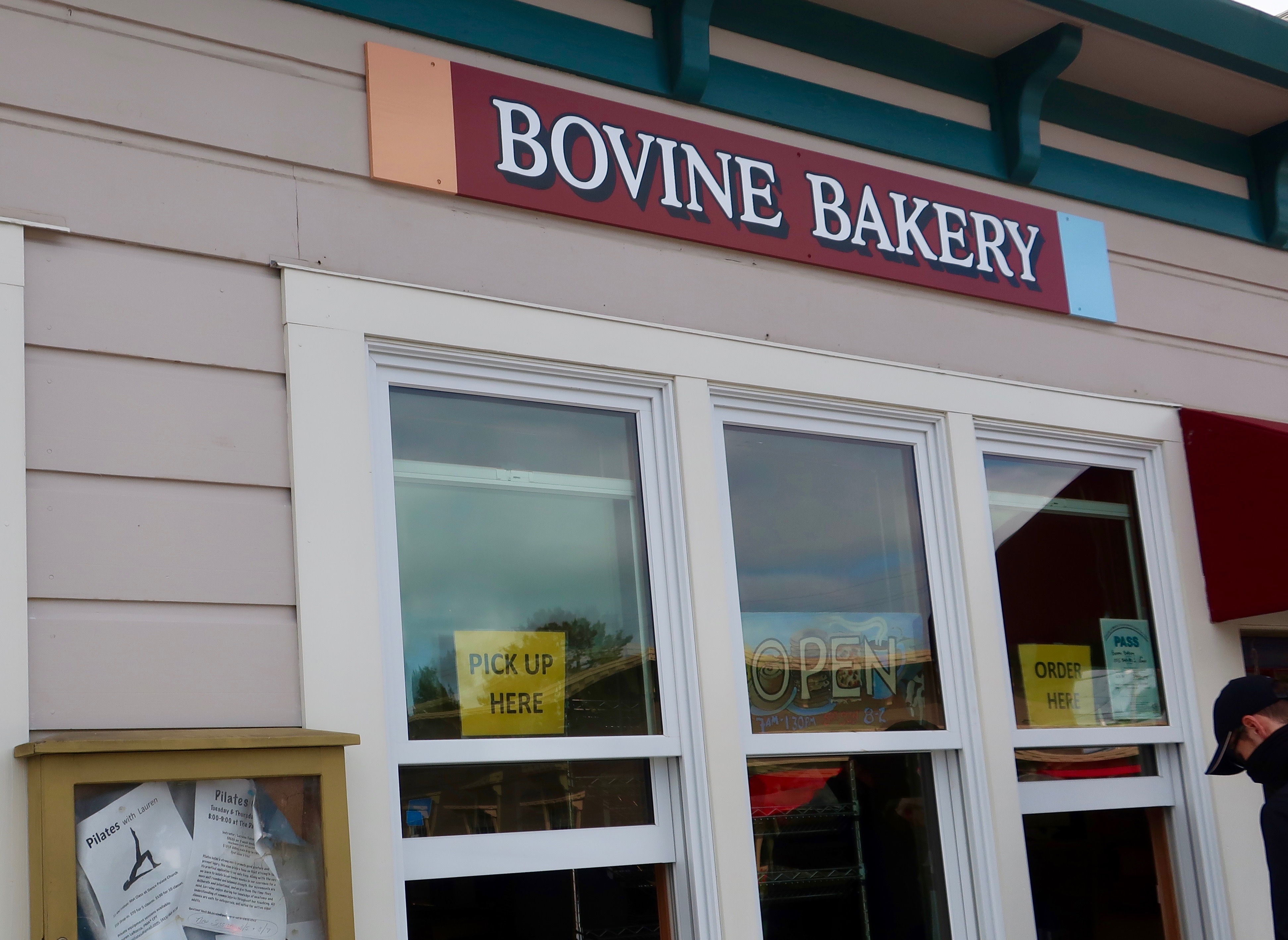
The Bovine Bakery is on one side of the book store. The buttermilk scones are to die for! I never leave town without one, or two, or three, or four.
Feeling Horsey? A saddlery is on the other side of the bookstore.
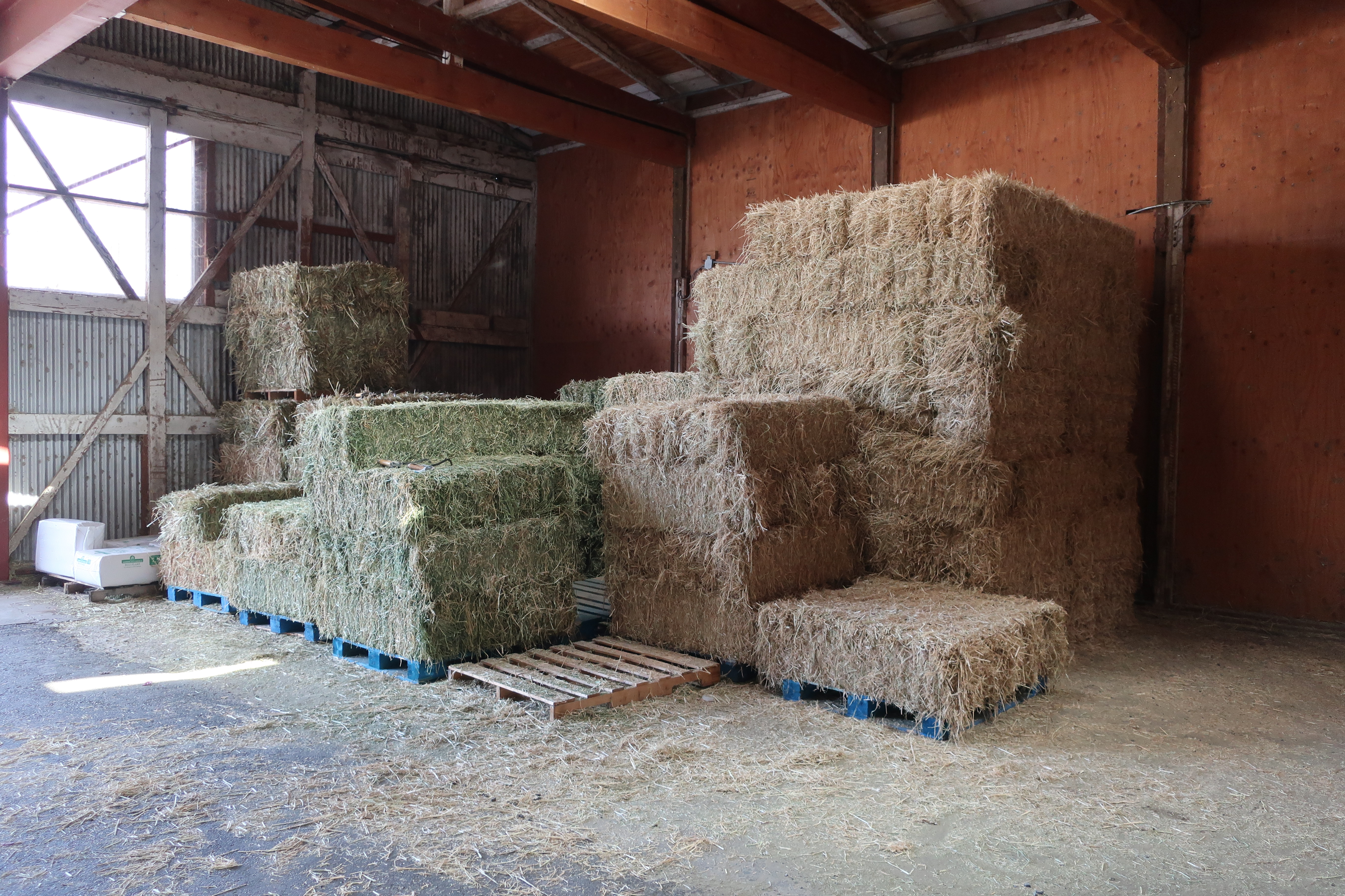
If your horse is hungry, Toby’s Feed Barn is across the street.
But what feed barn do you know that also serves gourmet coffee and freshly baked, large chocolate chip cookies. Now, that’s what I call charm!
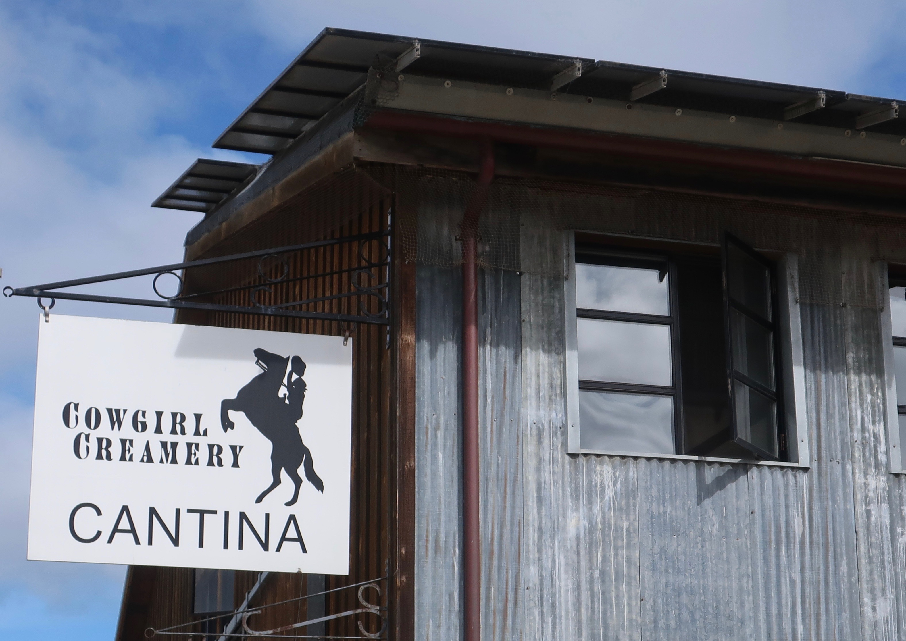
A walk behind the the bookstore building brought us to the Cowgirl Creamery, famous for its cheeses, and I might add, its grilled cheese sandwiches. I’ve never been a fan of grilled cheese, but one bite of its aged white cheddar on sourdough bread and I was hooked. Peggy and I were back for another one the next day, which we took out and ate at the Abbot’s Lagoon parking lot.
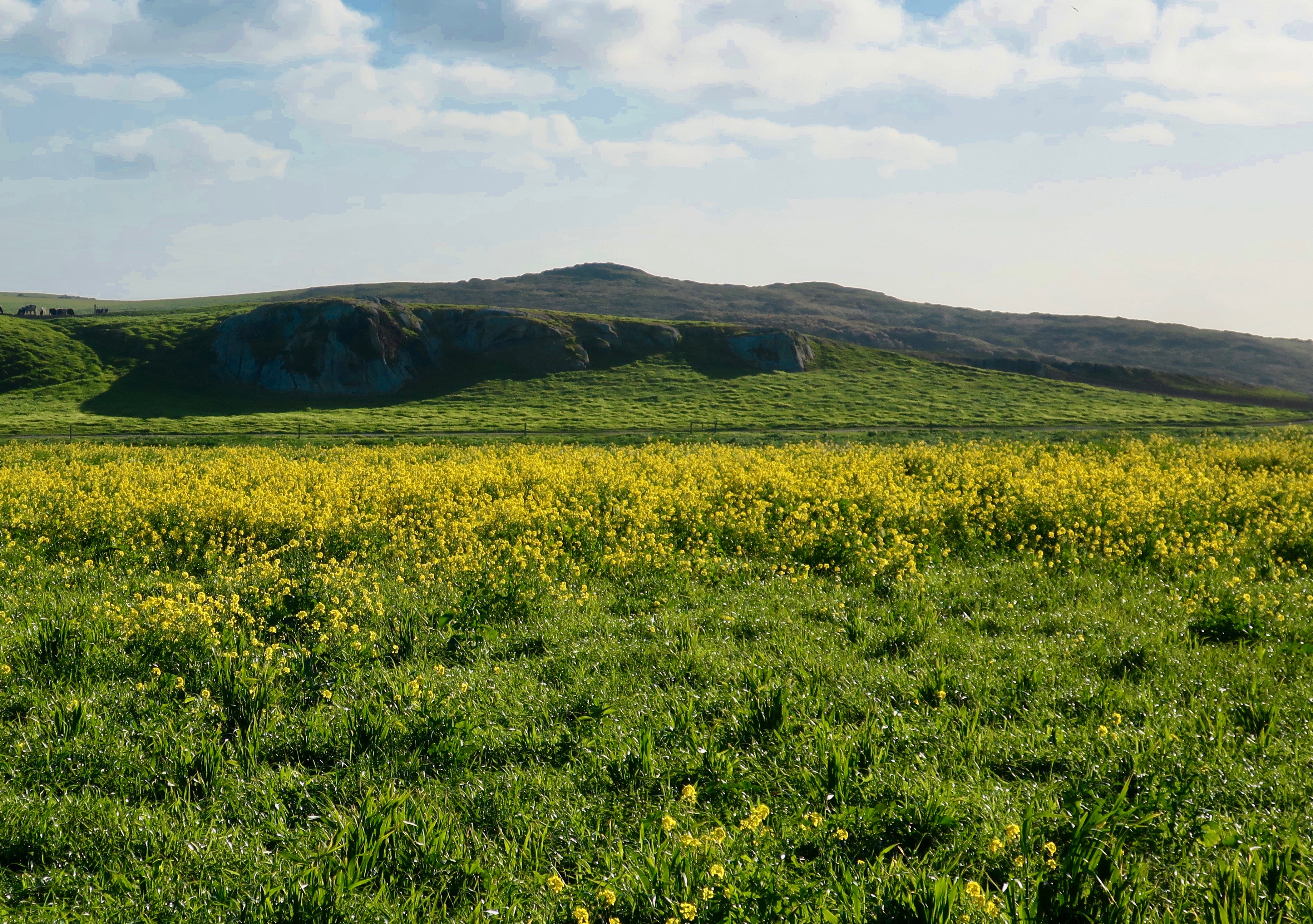
Our view from where we chowed down on our grilled cheese sandwiches in the Abbot’s Lagoon parking lot.
A bit of living history. Cheda’s Garage is the oldest contract Triple A garage in the nation.
This was the view inside Cheda’s Garage. Putting two and two together and thinking roadside pickup of wrecked cars, I couldn’t help but irreverently think “Roadkill.” Just kidding. Old Cheda must have been one heck of a hunter.
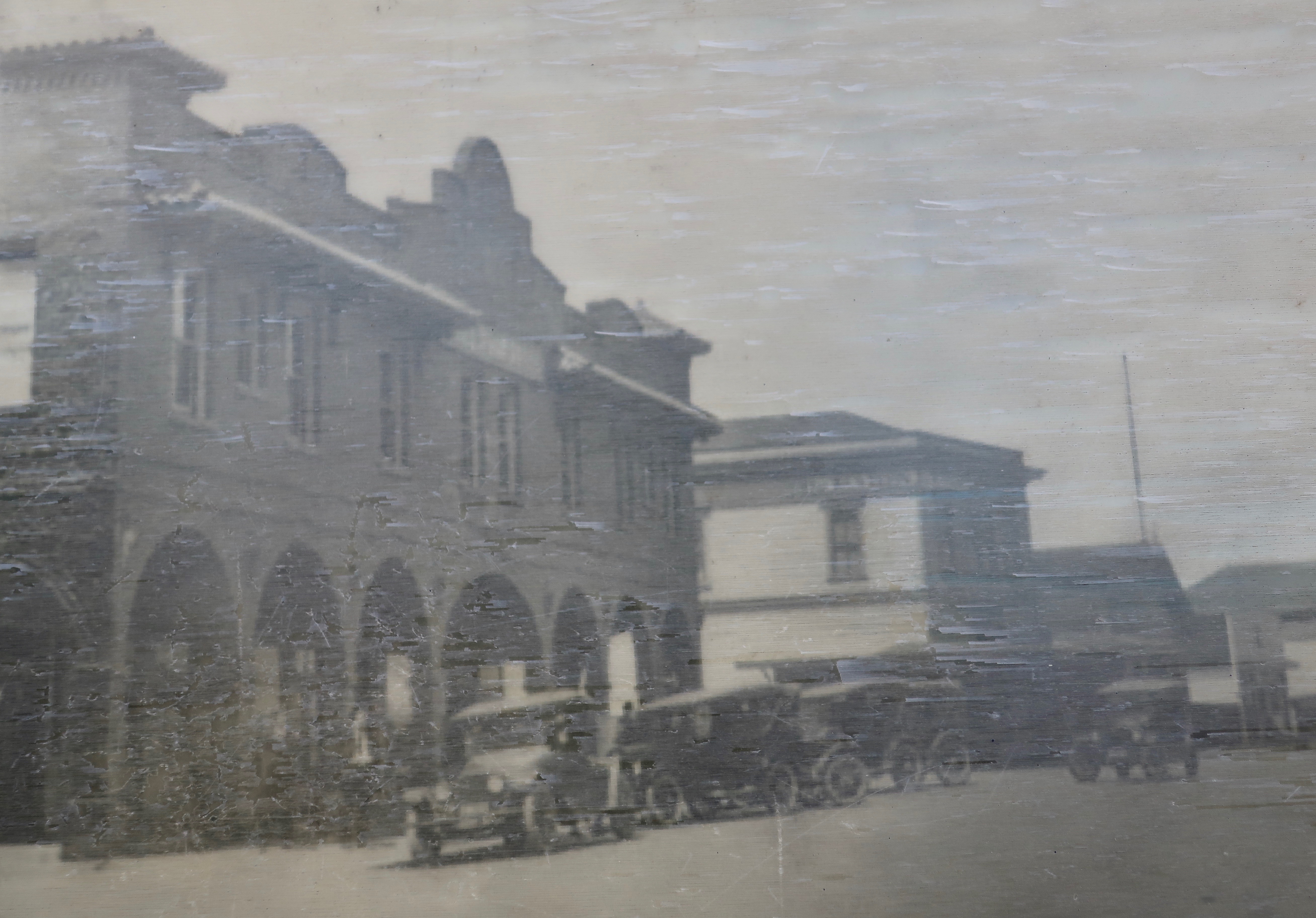
A photo of early Pt. Reyes Station…
The building today.
The mural on the front of the building capturing some of the activities and wildlife of the area.
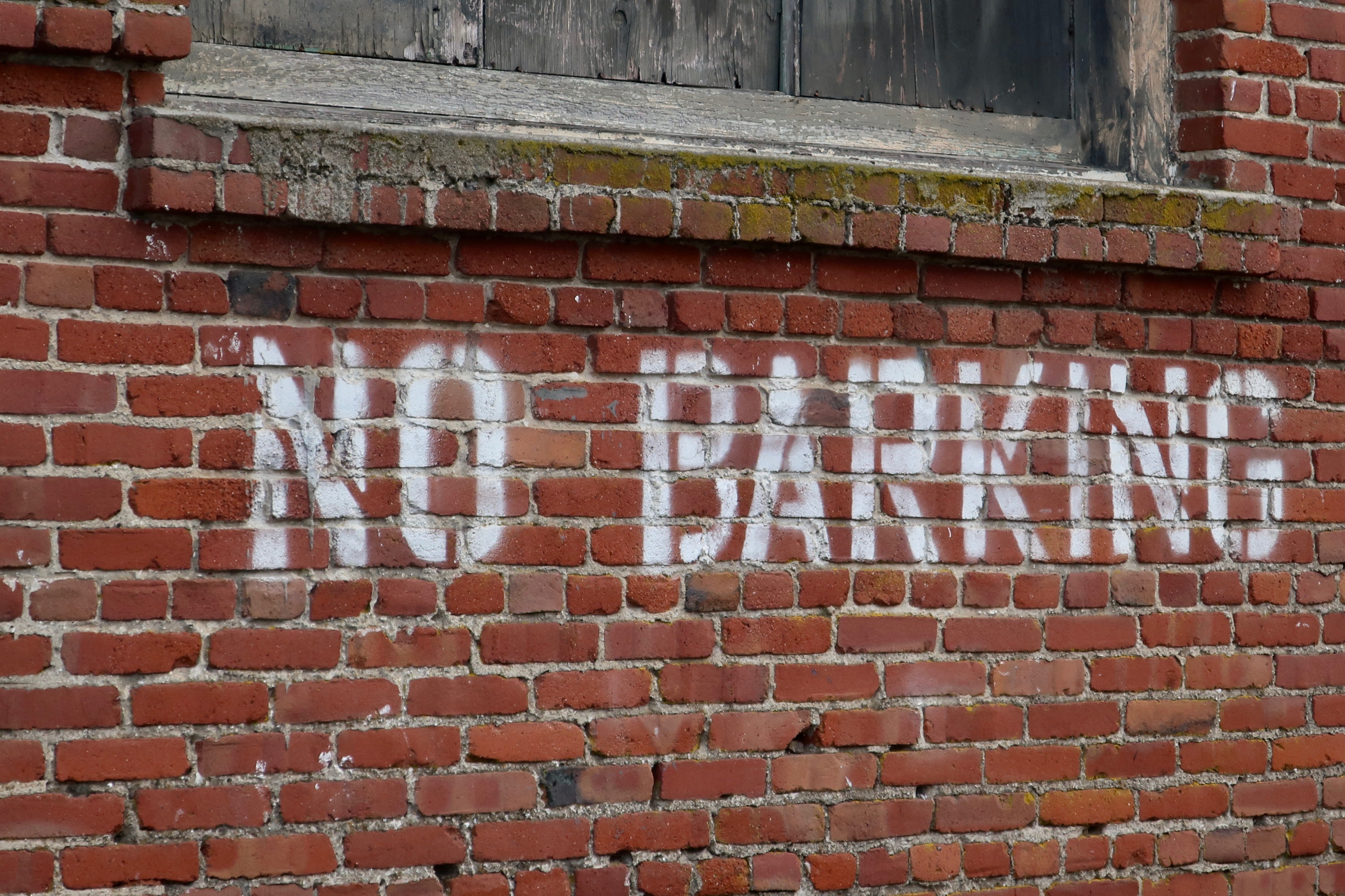
Just around the corner we found a sign that made us smile. A No Parking Sign had been cleverly modified to become a No Barking sign. Several cars were lined up in the no parking zone. Not one had a barking dog. A law-abiding town, for sure.
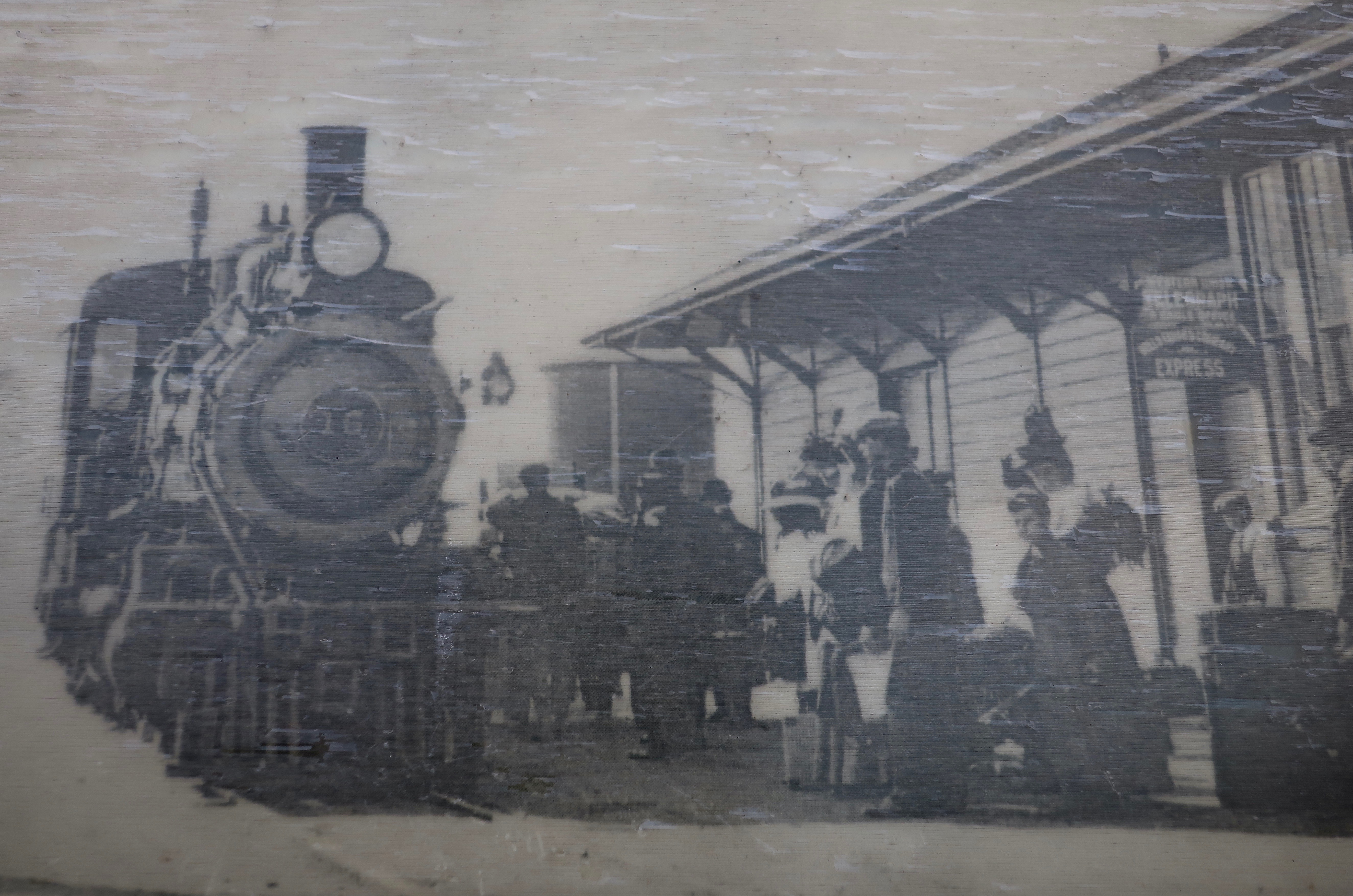
I’ll conclude my Pt. Reyes series with a historic photo of the train that gave the town its name. Join me next Friday on my travel blog as I take you on a spring walk around our property.
MONDAY’s BLOG-A-BOOK POST from Its 4 AM and a Bear Is Standing on Top of Me: I decide that doing an inventory of the local skunk population is ever so much better than being conked on the head by a Little League hardball. But have you ever faced a skunk standing on its front legs with its tail pointed toward you— ready to spray?
“Point Reyes is the windiest place on the Pacific Coast and the second foggiest place on the North American continent. Weeks of fog, especially during the summer months, frequently reduce visibility to hundreds of feet. The Point Reyes Headlands, which jut 10 miles out to sea, pose a threat to each ship entering or leaving San Francisco Bay. The historic Point Reyes Lighthouse warned mariners of danger for more than a hundred years.” From the Pt. Reyes National Seashore website.
It was hard to imagine frequent winds of 60 MPH that have been clocked as high as 133 MPH and weeks on end of pea-soup fog the day we visited the Pt. Reyes Lighthouse in March.
For as much as I enjoy Pt. Reyes National Seashore, I studiously avoid it in the summer. One reason is the fog. That’s true for much of the Pacific Coast. The other is tourists, gazillions of them. Traffic slows to a turtle’s pace along Highway 1, campgrounds are full, and popular sites such as the lighthouse are packed. I have a limited sense of humor about any of the above, especially given that I can visit during the late fall, winter, and early spring when few tourists are out and about and days are often crystal clear. Or, if I am particularly lucky, a raging storm will send huge waves crashing ashore producing spectacular views. I love both.
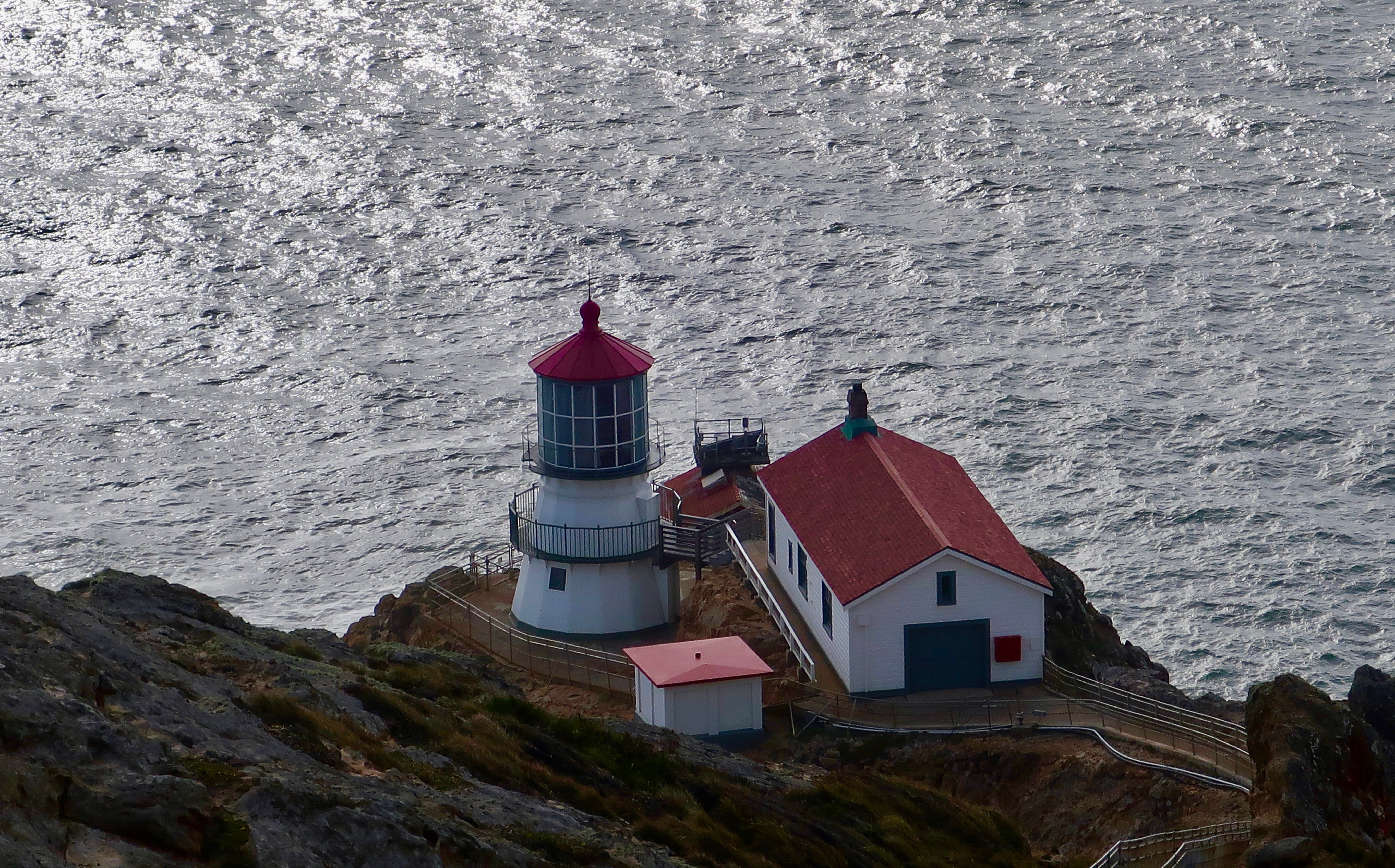
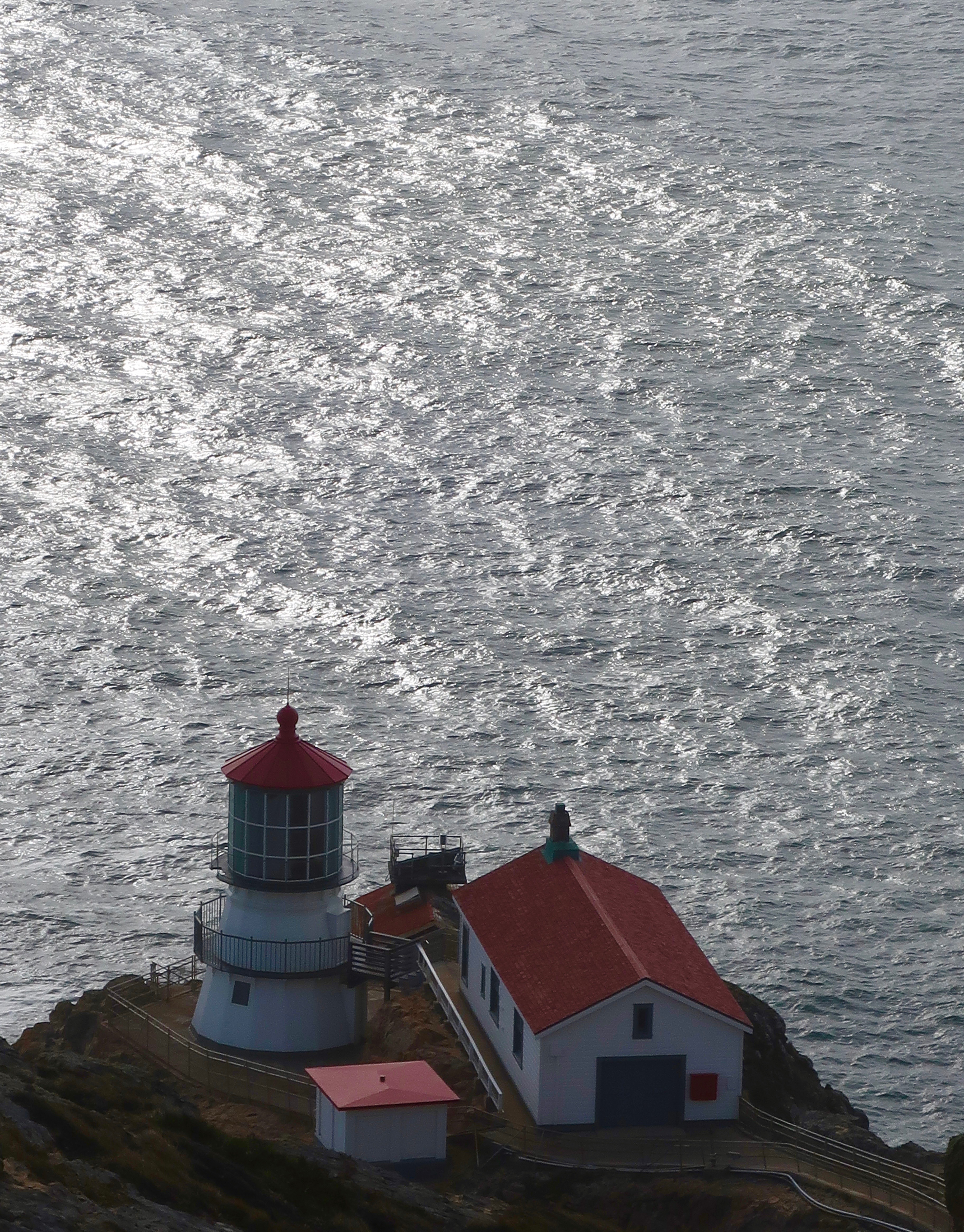
It was mainly sunshine when Peggy and I visited the National Seashore in early March to celebrate my birthday. The lighthouse was closed due to Covid, but I have visited it before. This time, we admired it from above.
The Lighthouse was built in 1870 to help counter the frequent shipwrecks that took place in the area. A steam driven fog horn was used when the fog was too thick to see the light.
The lighthouse served its purpose for over 100 years, finally shutting down in 1975 when the US Coast Guard replaced it with an automated light found just below the historic lighthouse. Up until then it was tended by a lighthouse keeper whose responsibility was to keep the light burning. In addition to warning mariners off of the treacherous rocks, the lighthouse served as a navigational aid. Each lighthouse along the coast has a different frequency of light that ship pilots recognize. At Pt. Reyes, the light flashed once every five seconds.
Looking out to sea.
A historic view of the Pt. Reyes Lighthouse from the National Archives.
Peggy and I parked Quivera and followed the trail that led out to the lighthouse. Along the way, we found trees that showed the effects of the high winds that frequent the headlands.
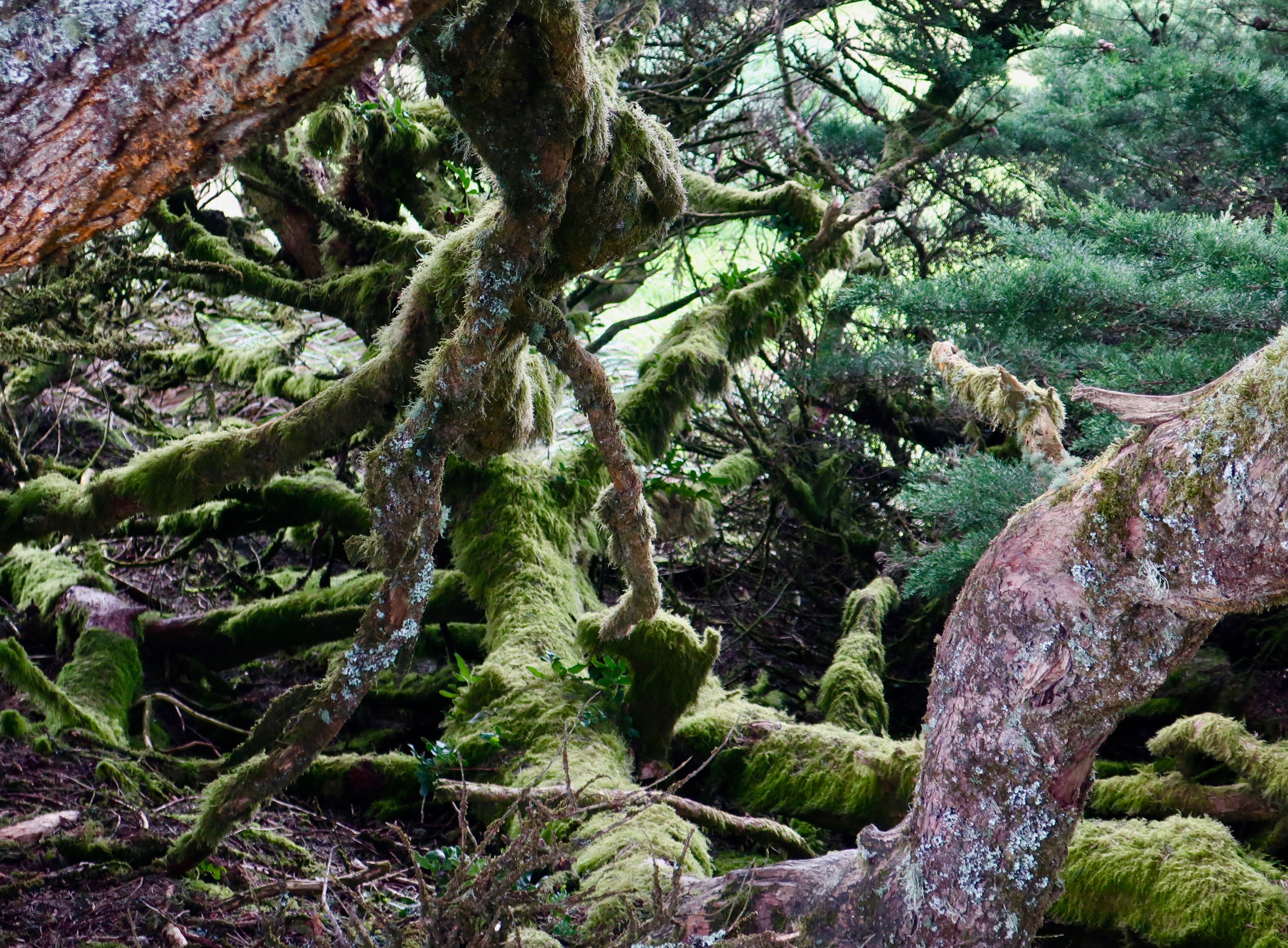
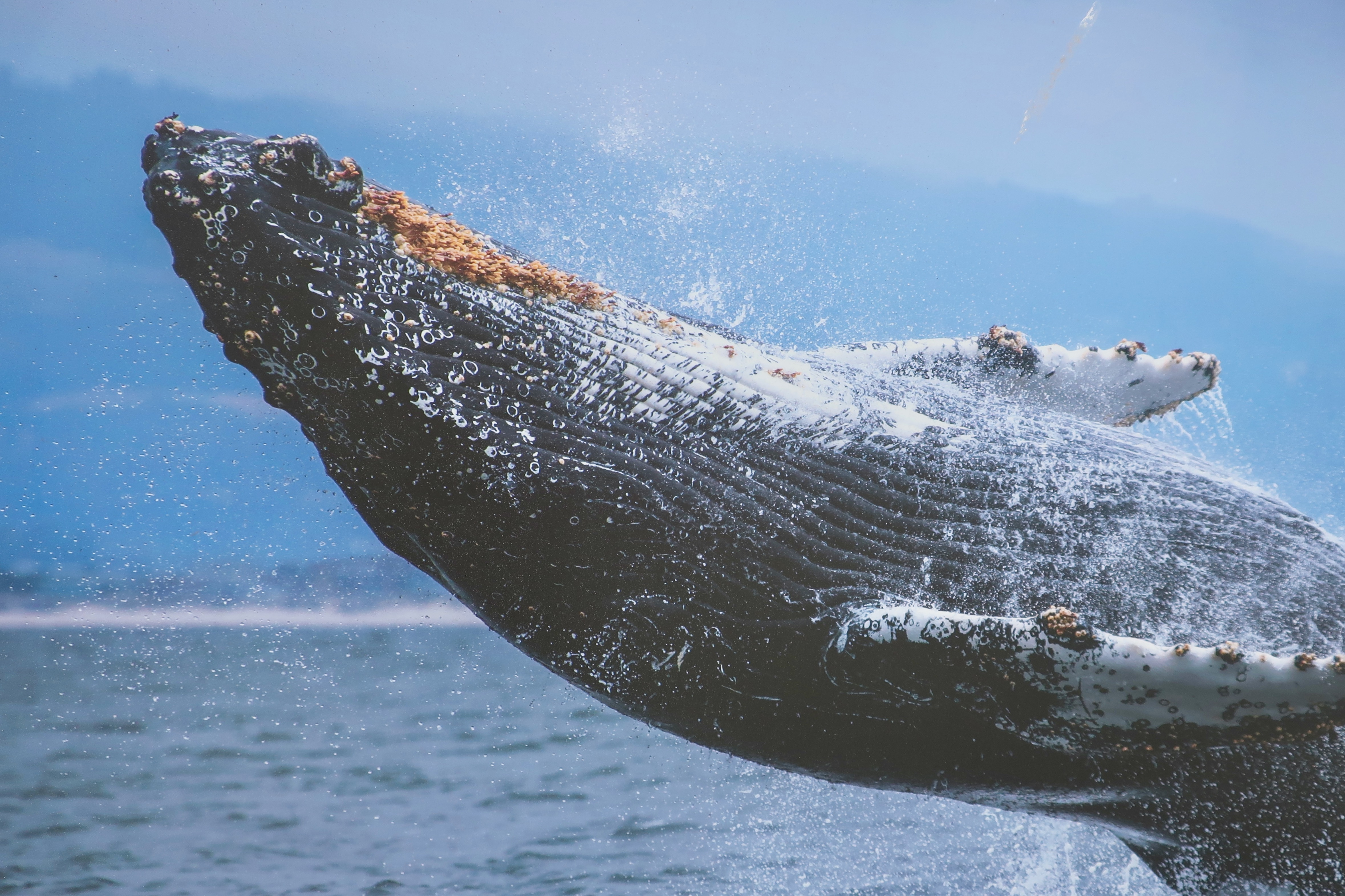
Wind sculptured treesI pictured children having a blast climbing over the gnarled limbs on the trees.The Pt. Reyes headlands are a great place for whale watching when they are migrating south toward Mexico and then north toward the Arctic. We didn’t see any, but we were greeted by this large mural as we neared the lighthouse.
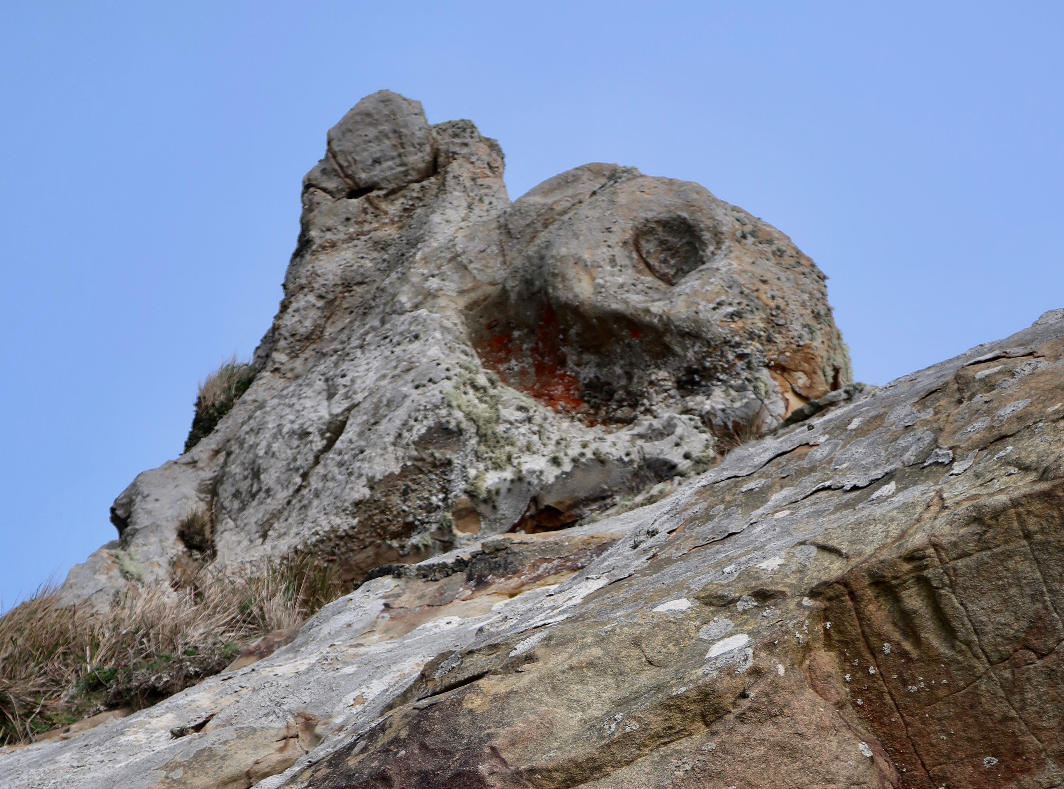
We found this interesting rock perched above the lighthouse.
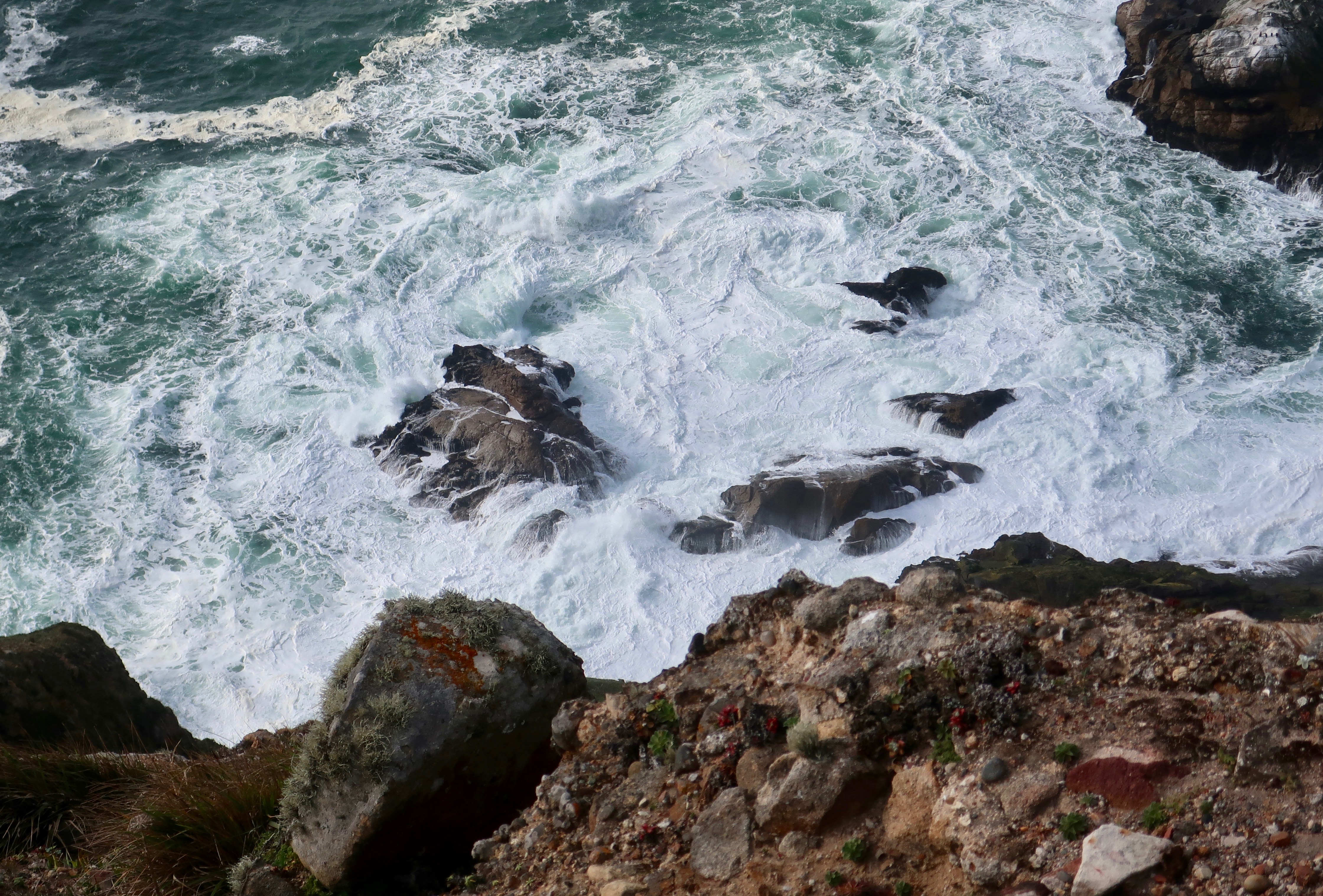
And looking down below the lighthouse, we watched these waves crashing ashore among the rocks— which is where I will conclude my post for today.
NEXT FRIDAY’S TRAVEL BLOG: I’ll wrap up my Pt. Reyes series with a pleasant walk out to Abbot’s Lagoon and a visit to the colorful town of Pt. Reyes Station.
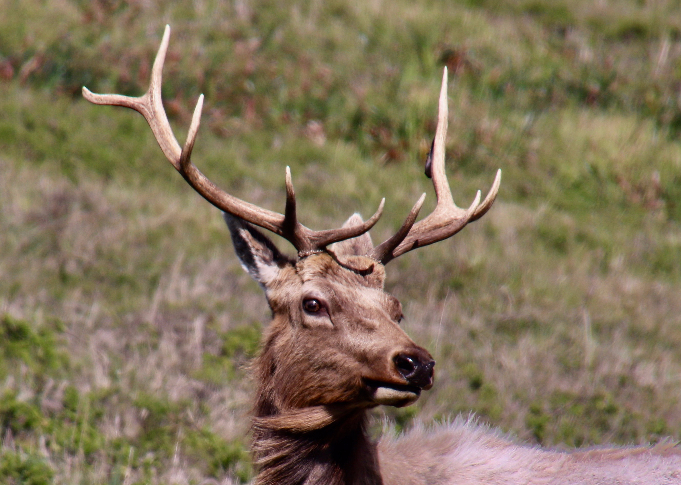
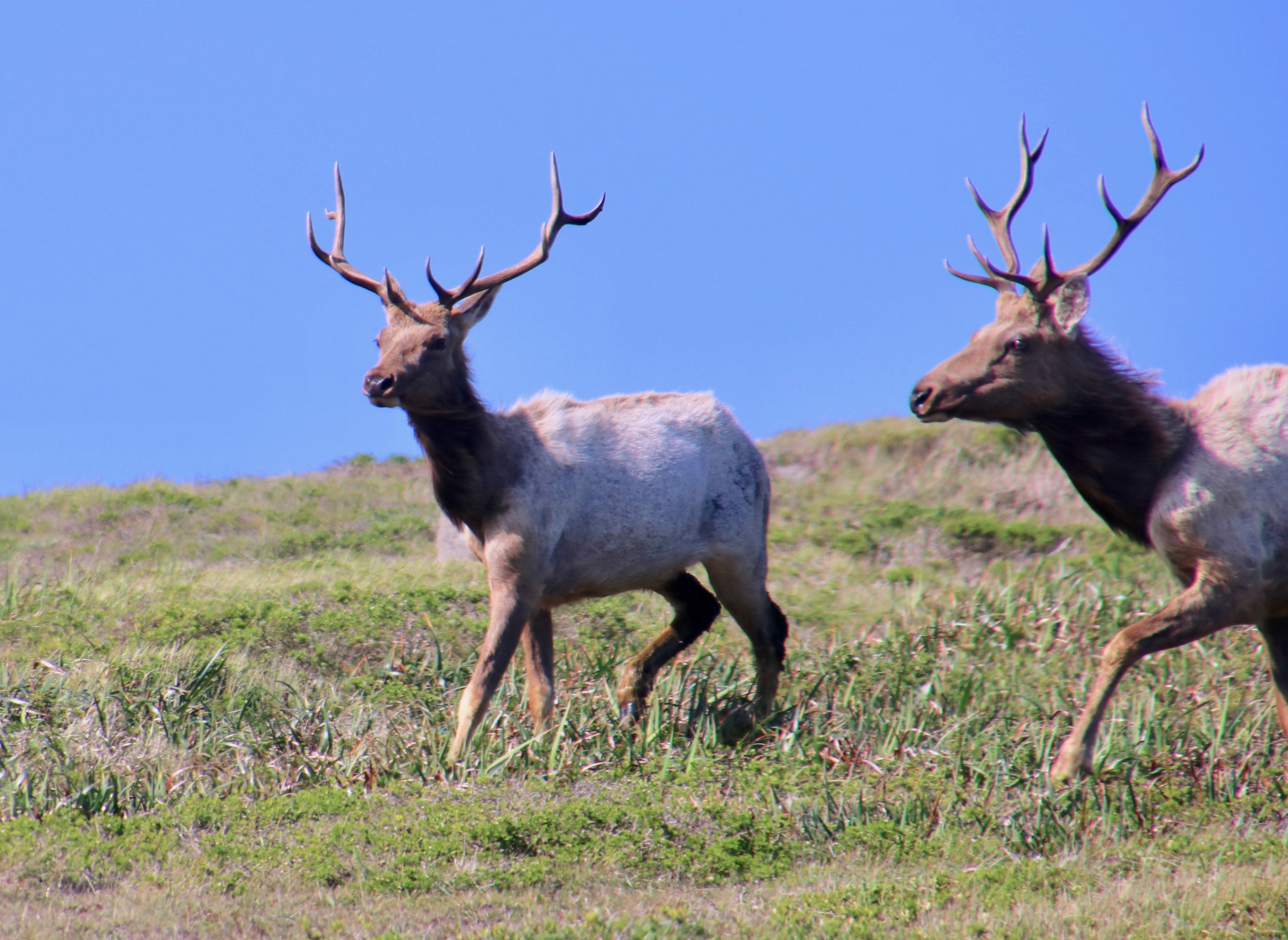
This bull elk that came down to see us as we hiked out the Tomales Pt. Trail looked quite elegant until we looked at his back. He was still shedding his winter coat and had yet to grow his summer fur. The deer herd that hangs out on our property goes through the same stage, looking frowzy for a couple of months. (Photo by Peggy Mekemson.)
Any trip to Pt. Reyes National Seashore should include a drive out to the historic Pierce Pt. Ranch and Tule Elk Reserve. The ranch will introduce you to an important piece of Pt. Reyes history. A hike out the Tomales Pt. Trail from the ranch will take you through some impressive scenery and likely give you a view of tule elk and other wildlife. Ever since the elk were reintroduced to the area in 1978, the herd has thrived. Our photos today start with our hike and end back at the ranch.
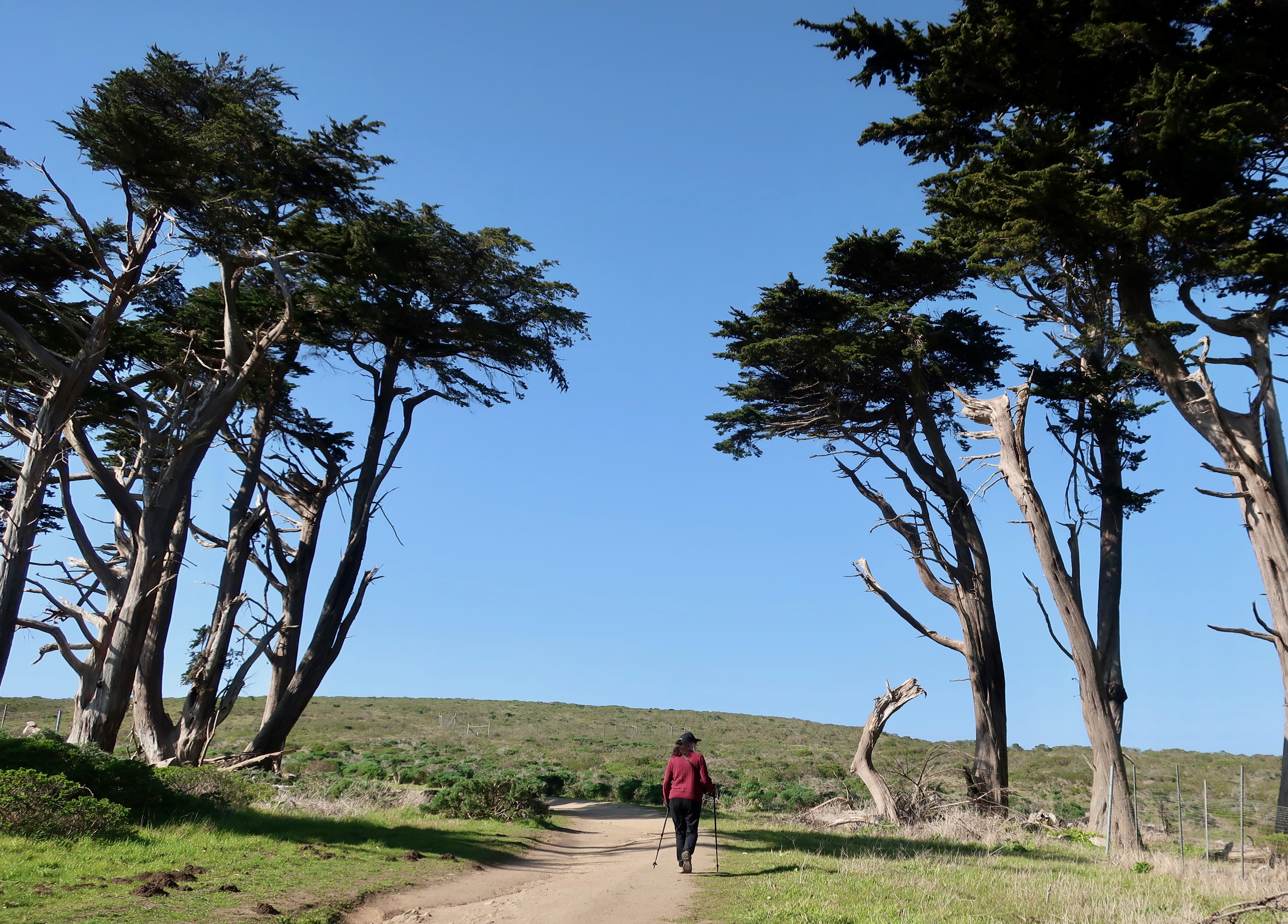
The Tomales Pt. Trail starts at the Pierce Pt. Ranch passing under tall Cypress trees planted originally by the ranchers as a wind break. Peggy provides perspective.
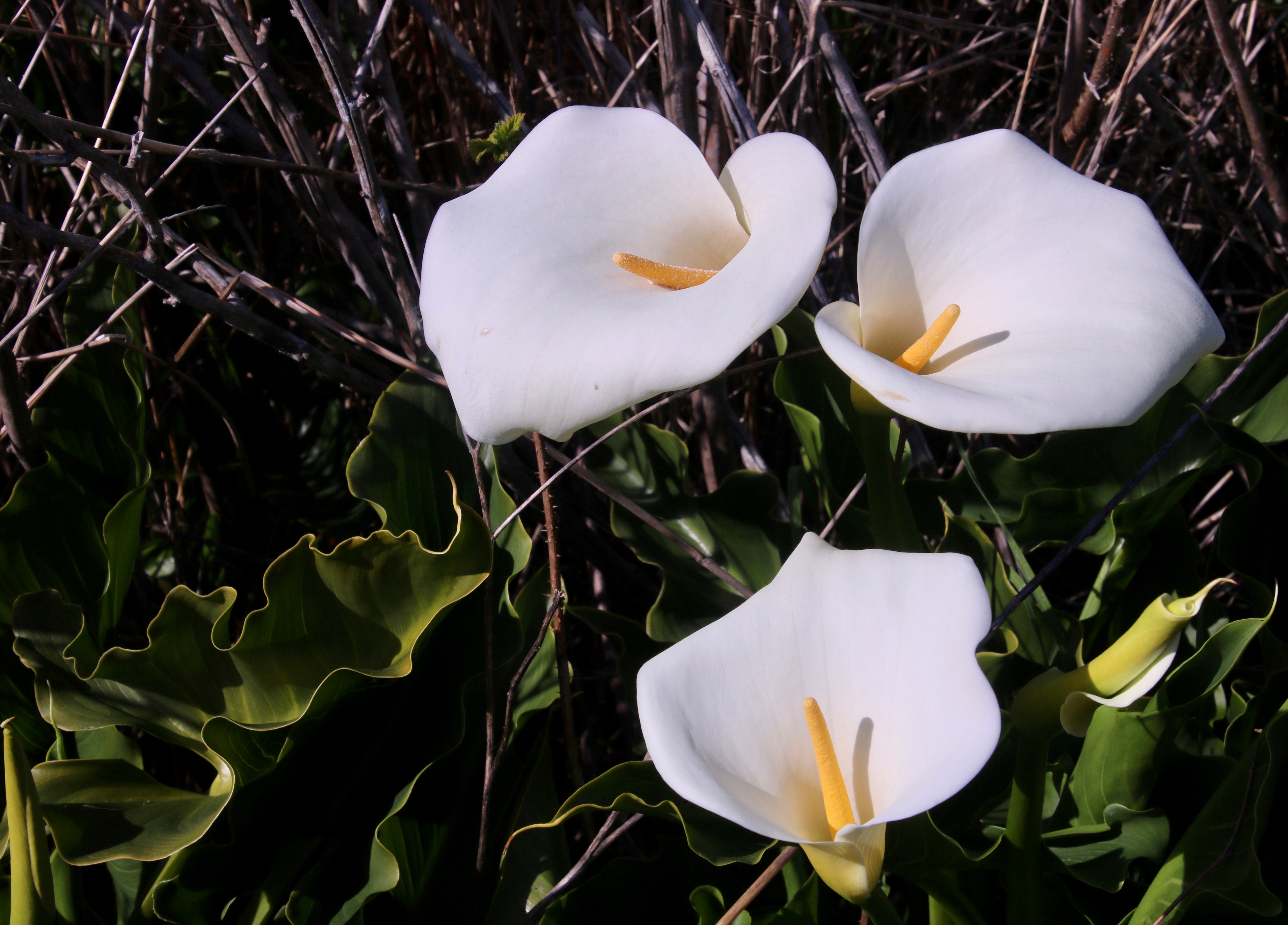
A few hundred yards brought us to a number of Calla lilies. Peggy and I wondered if a rancher’s wife had planted them to remind her of a home the family had left behind. (Photo by Peggy Mekemson.)
Of course, I had to take photos of the lilies as well.
We stopped to admire the scenery looking out toward Tomales Pt. and the Pacific Ocean.
Another view. The Bodega Headlands can be seen in the distance. If you’ve been to Bodega Bay, it’s possible you’ve driven out there. I like to go out on the headlands and look for whales passing by.
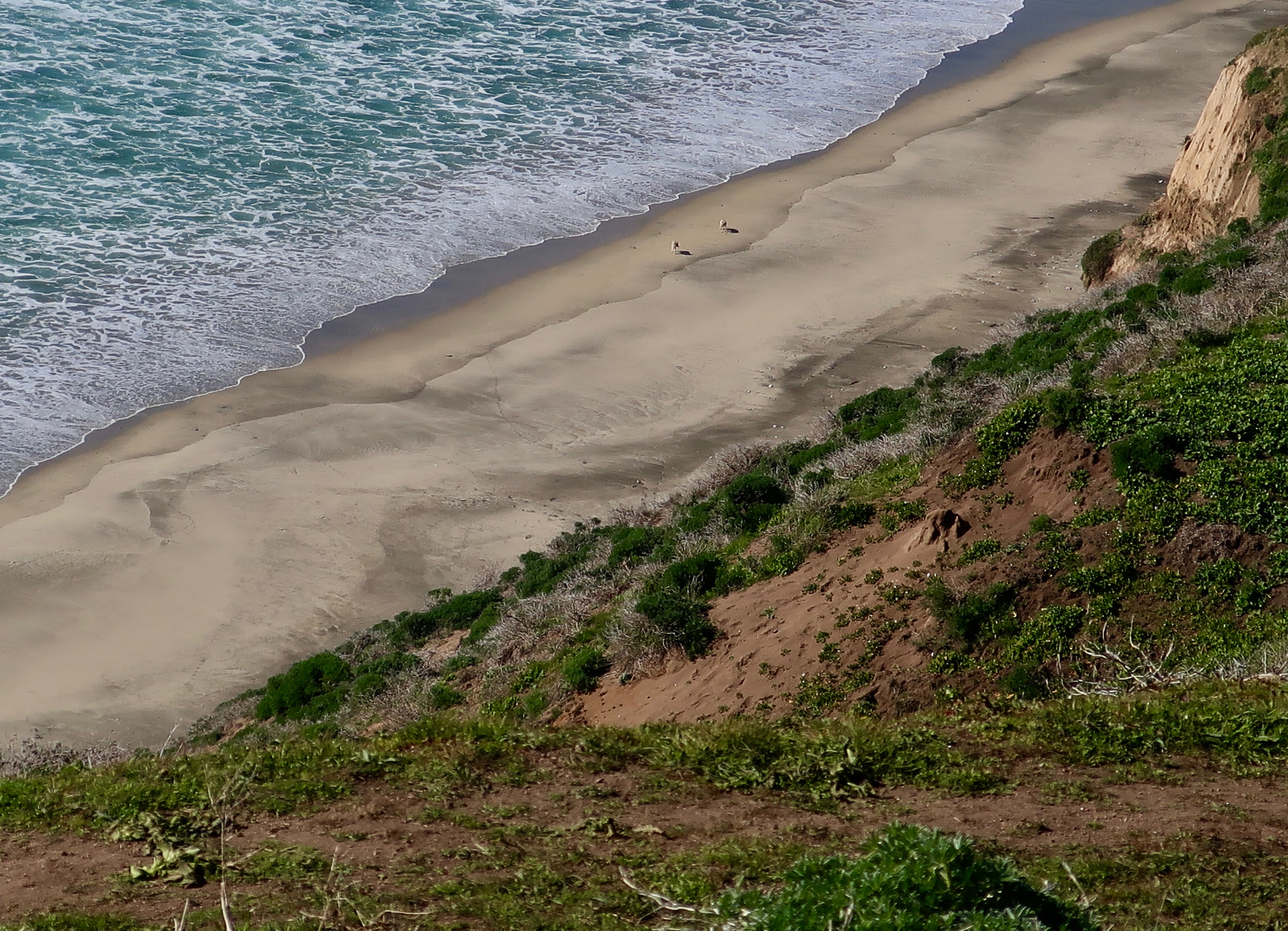
Far below us we saw a pair of coyotes working their way along the beach.
Peggy used her telephoto for a closer shot and, much to our surprise, the coyotes were digging in the sand. Whether they were after clams or crabs or some other seafood delicacy, I don’t know. But what was clear was that the coyotes had developed a tase for sushi!
Shortly afterwards we spotted elk on the ridge above us.
And they came down the hill to see us… (Photo by Peggy Mekemson.)
Bringing their cows with them. (Photo by Peggy Mekemson.)
I caught this photo of one of the bulls checking us out. You can see that he is in that ‘awkward’ stage between losing his winter coat and growing his summer one.
This cow elk was also looking a bit bedraggled. (Photo by Peggy Mekemson.)
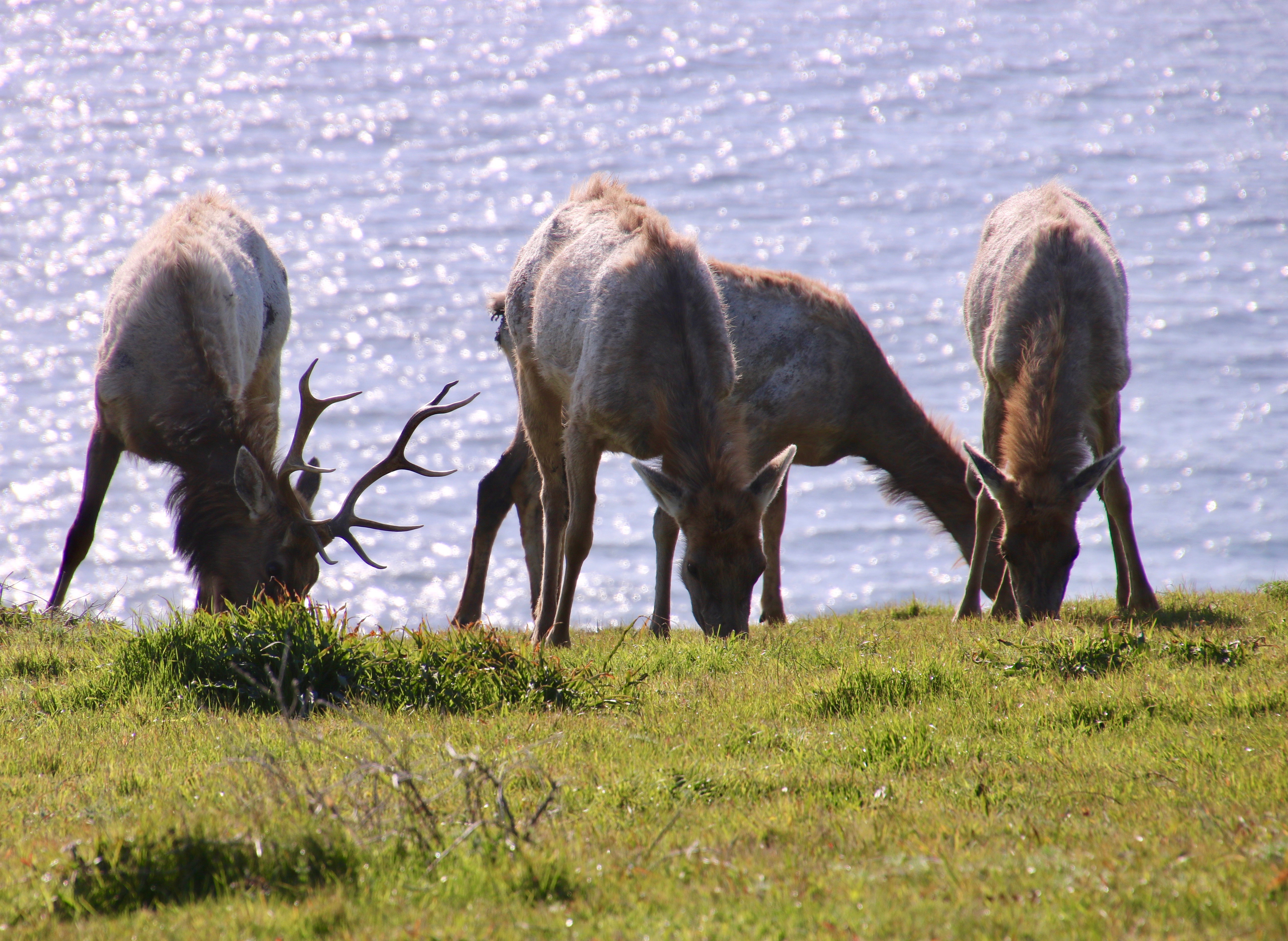
A final shot of the elk browsing. I liked the backdrop of the Pacific Ocean.
The Pierce Pt. Ranch ceased operation in 1973. Visitors are now invited to walk through the grounds and get a feel for what dairy ranching was like before modern dairy operation took over.
I liked the roofs.
I believe a park ranger lives in the ranch house now. I could live there!
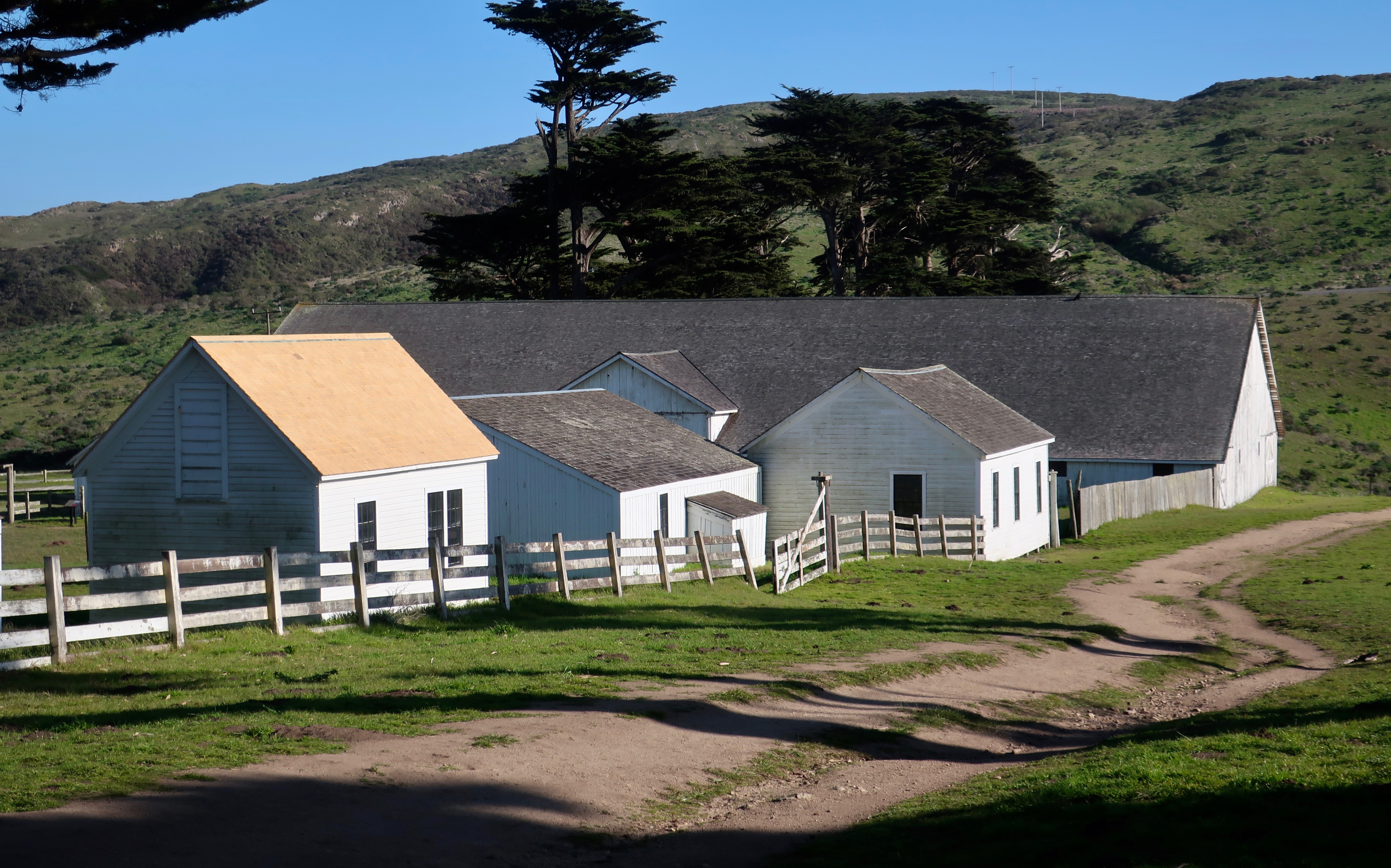
The old dairy barn is humongous.
I took a peek inside. This is only half of the barn.
While Peggy stood at the barn door.
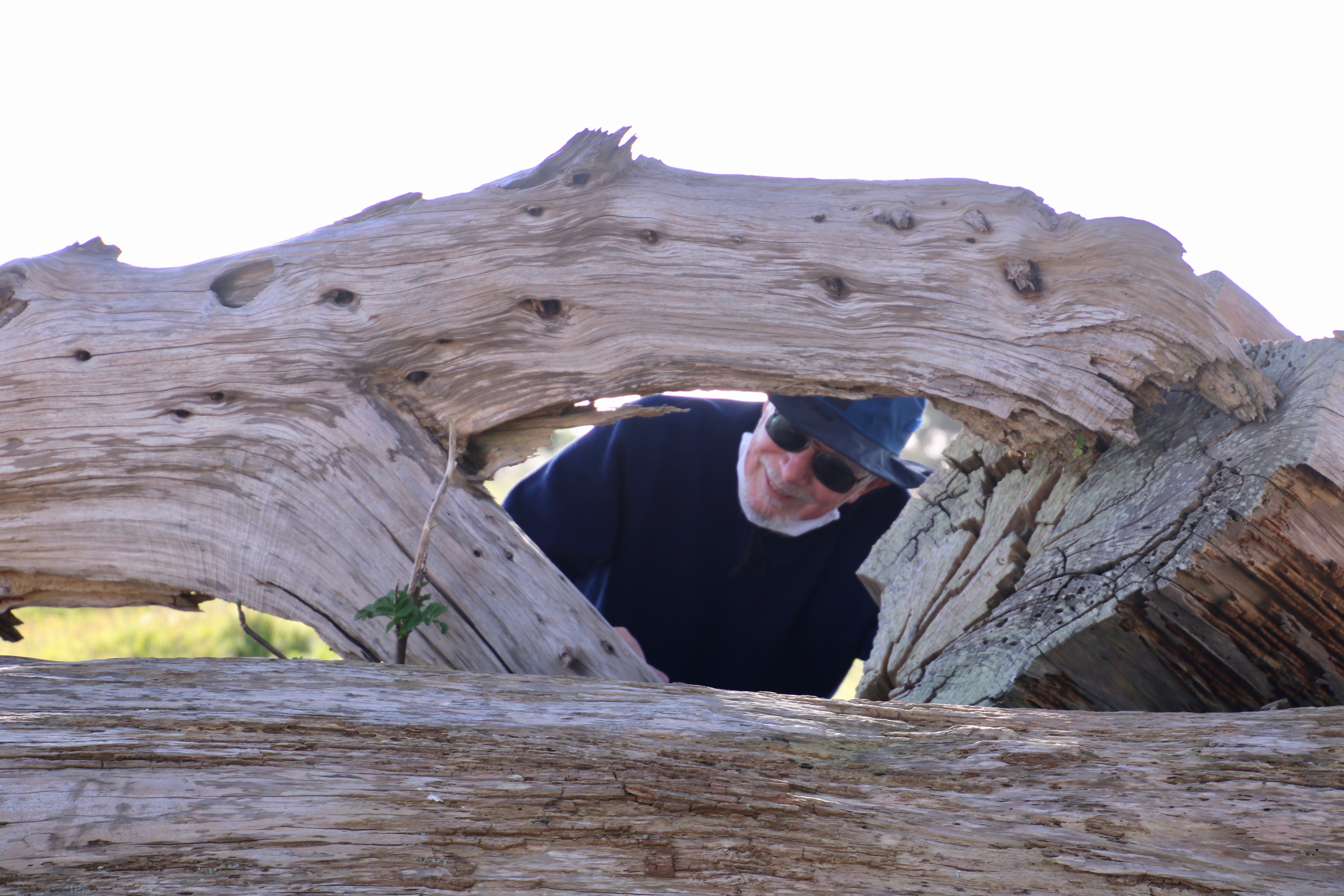
Since I took a photo of Peggy, she insisted on taking one of me. I took advantage of one of the downed Cypress trees. And that’s a wrap for today!
NEXT POST:
Monday’s Blog-A-Book from It’s 4 AM and a Bear Is Standing on Top of Me: I leave the Graveyard behind and journey off to the Pond where bullfrogs and catfish rule and pirates lurk.
Wednesday’s Blog-A-Book from my lead-up to joining the Peace Corps: I help corral a police car at Berkeley and the rallying cry of ‘Never trust anyone over the age of 30‘ is born.
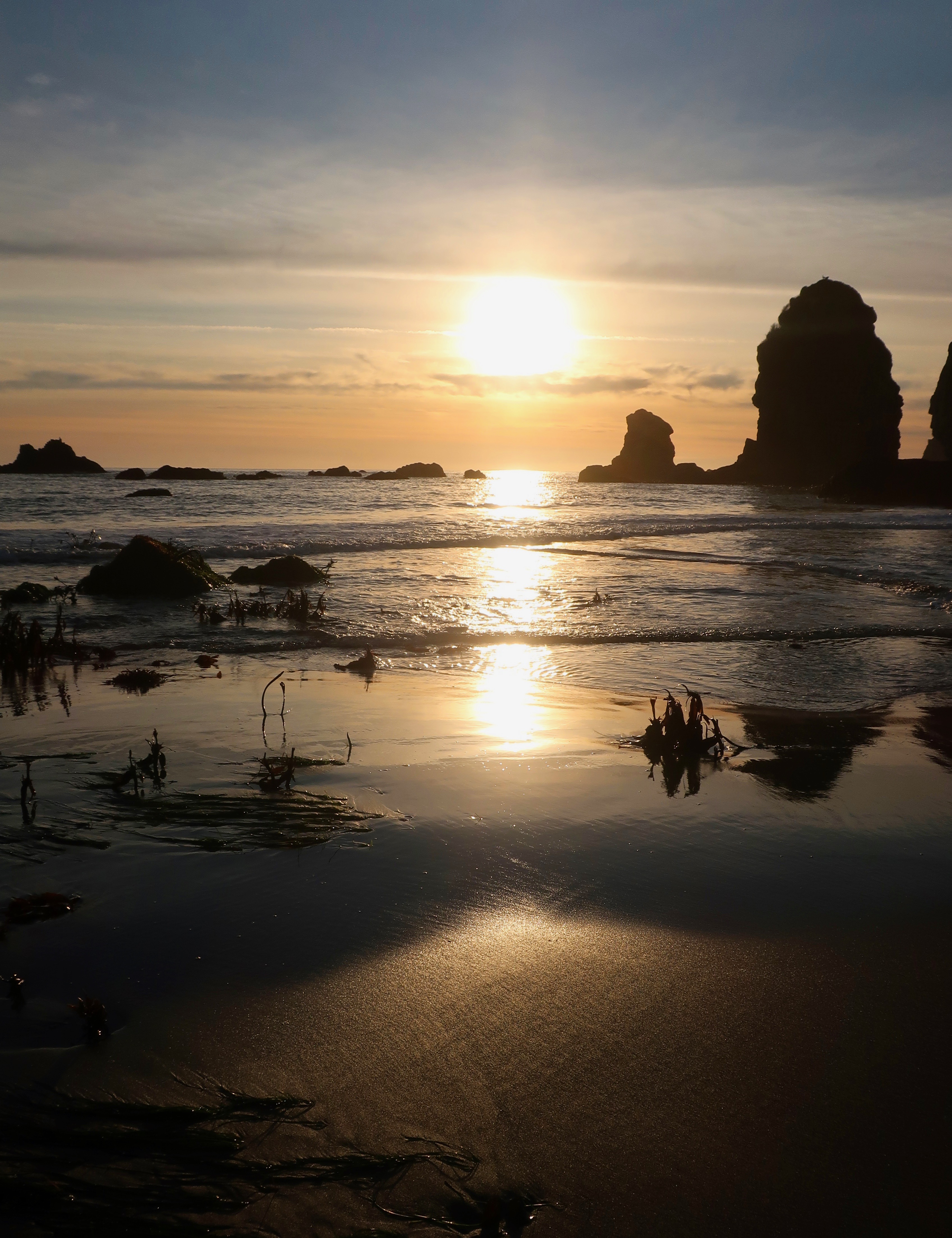
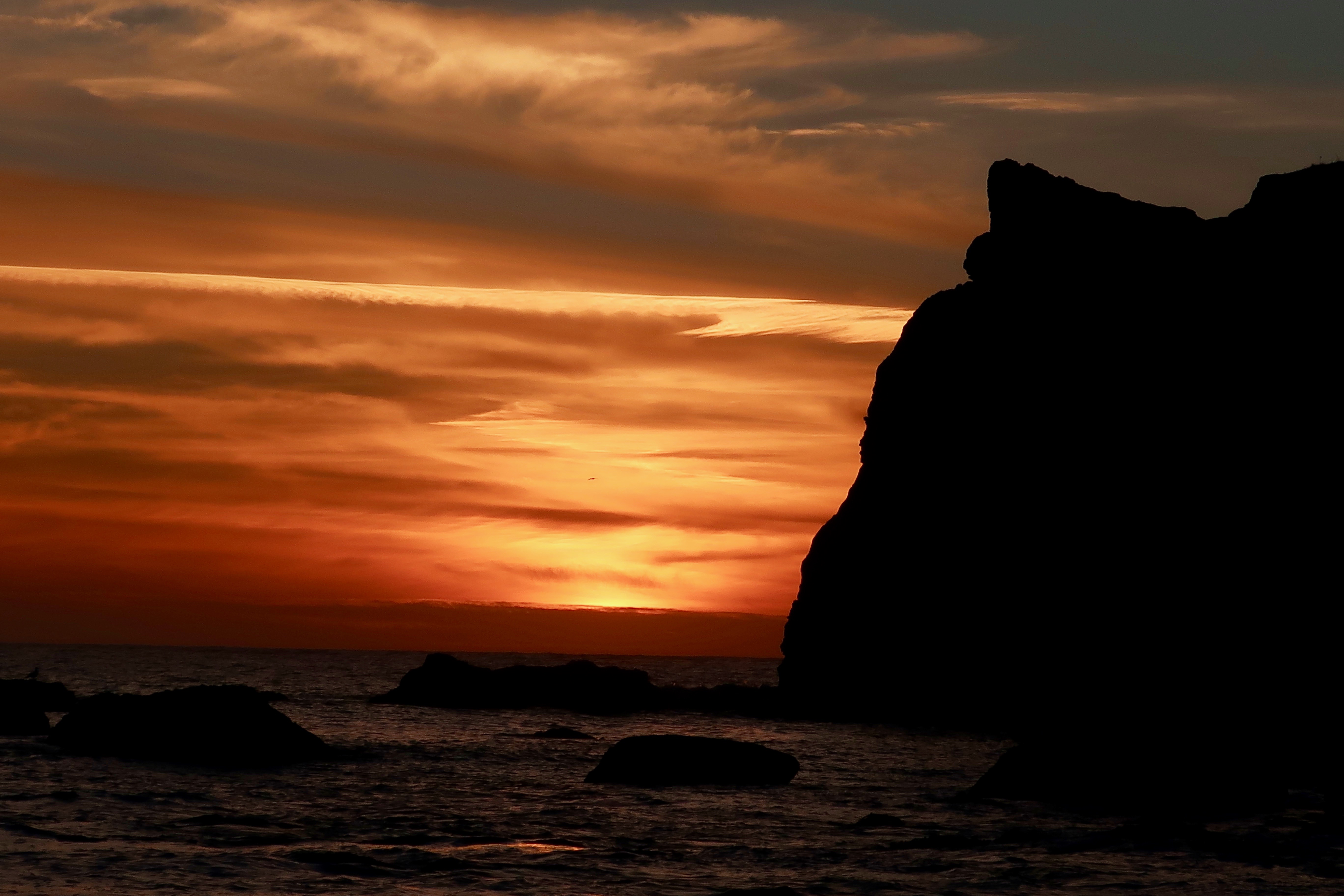
The sun appears to drop into the Pacific Ocean at Harris Beach State Park on the Oregon Coast.
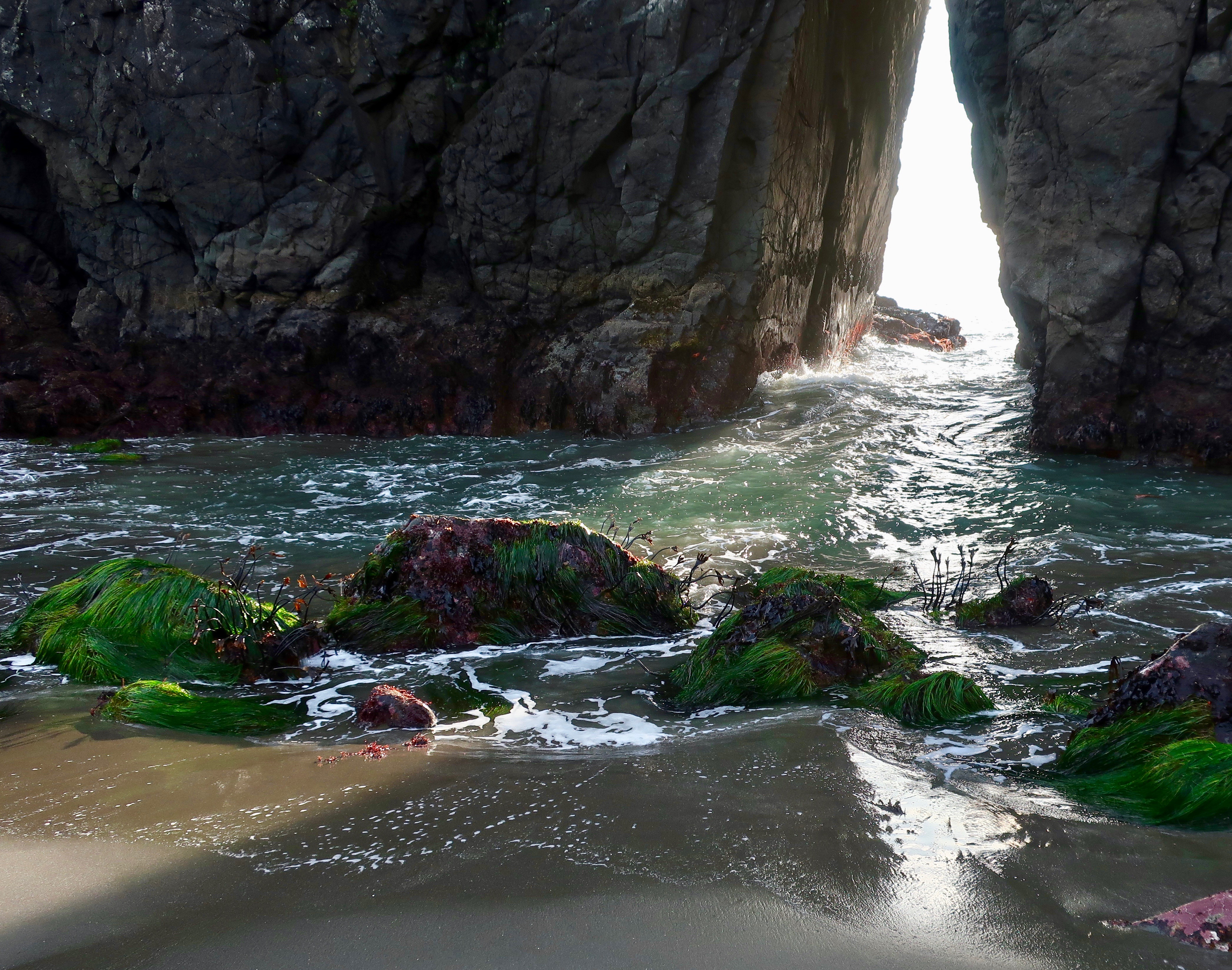
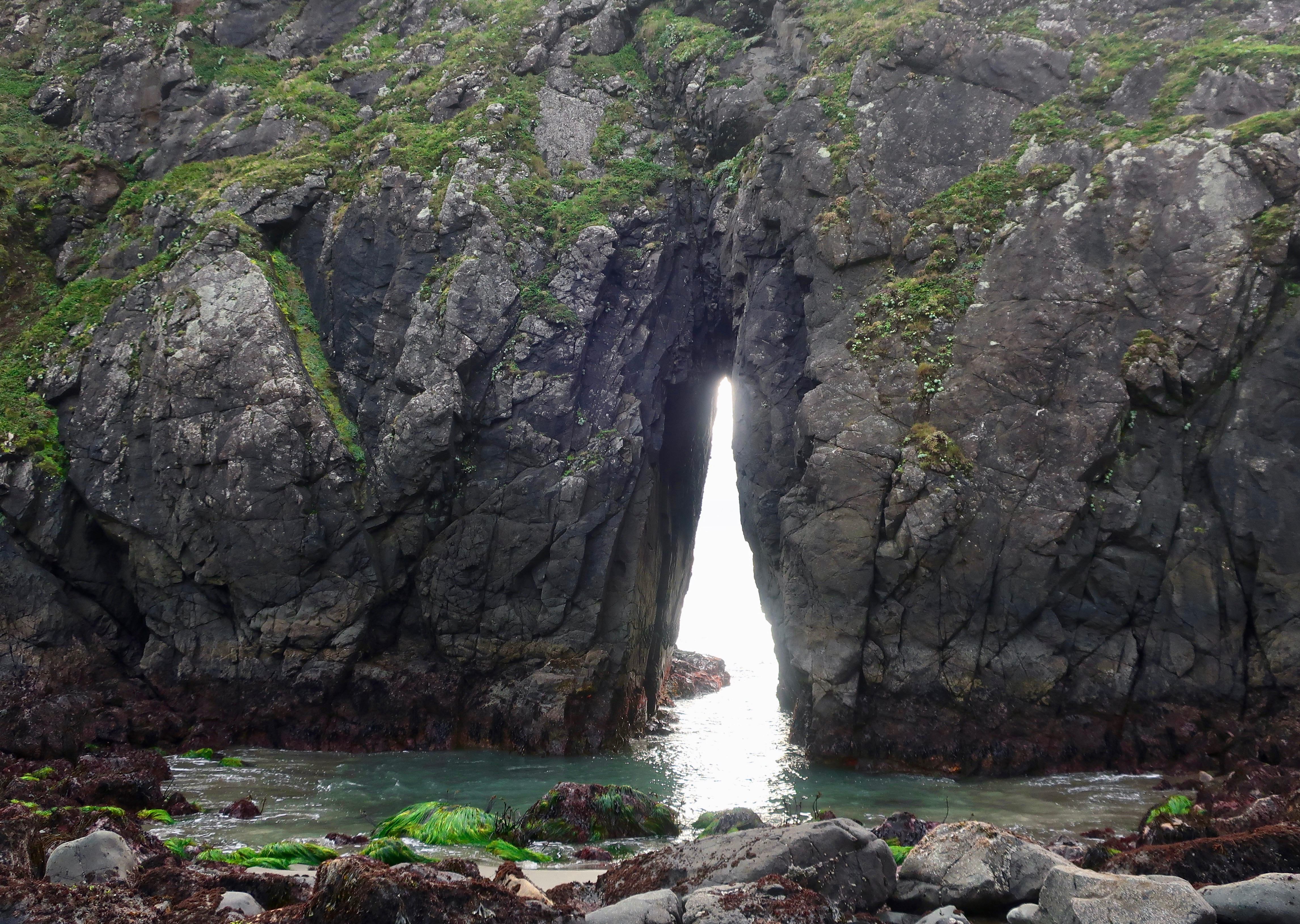
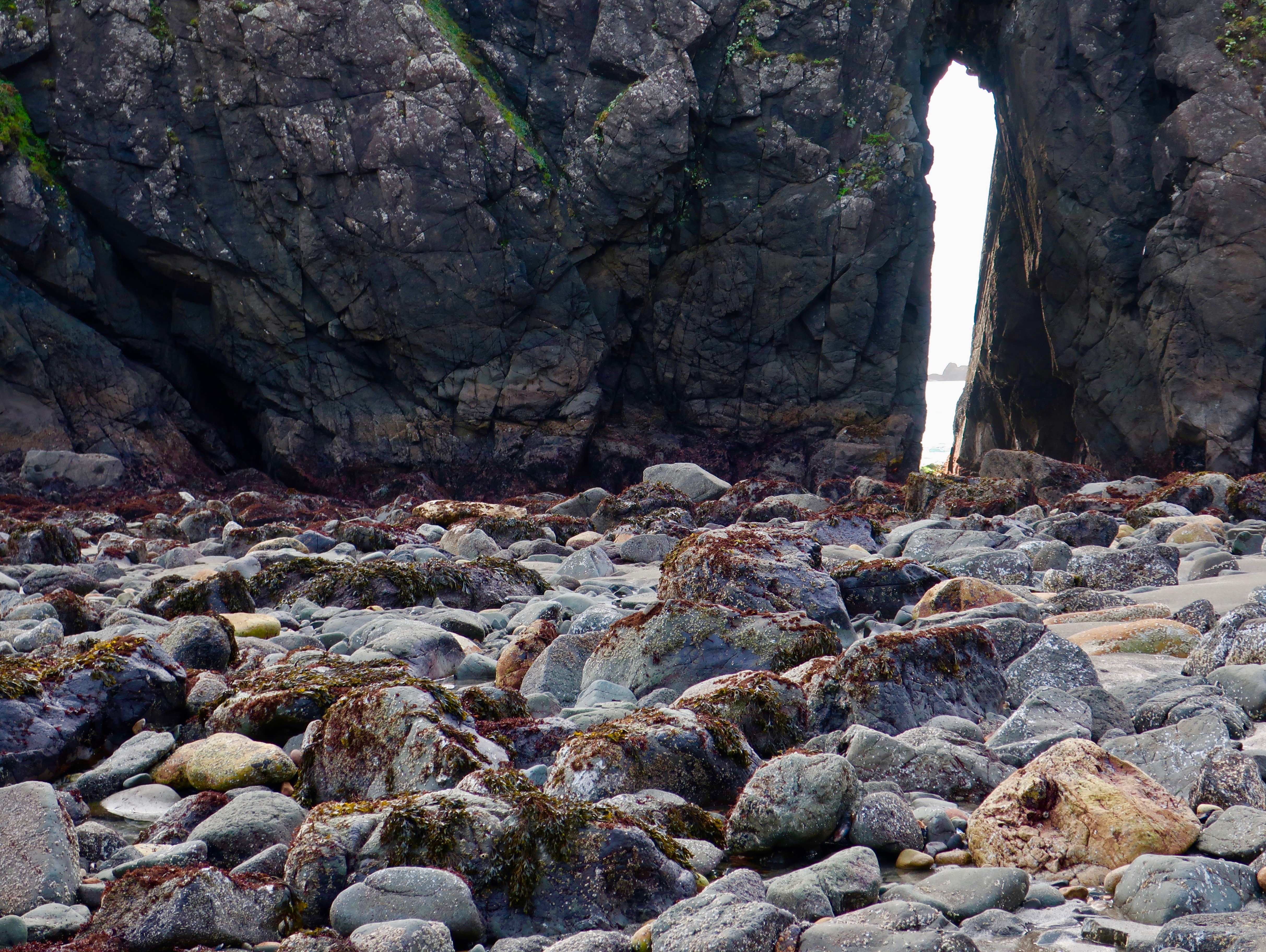
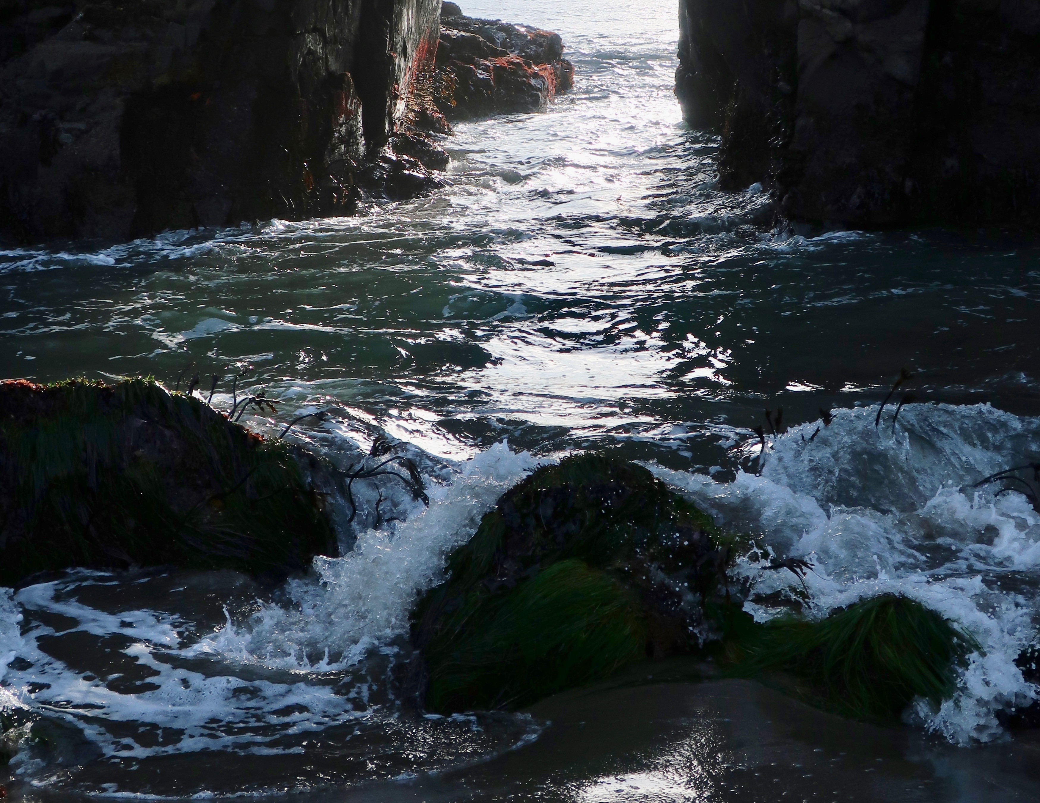
It seems appropriate to end my series on Harris Beach State Park with photos of the setting sun like the one above and those below. But first, I would like to cover a striking geological feature: Key Hole Rock.
Sea stacks often have caves or holes in them caused by the action of waves and weather. Key Hole Rock at Harris Beach is a prime example. The light and waves that make their way though the hole provide endless photo ops.
A massive sea stack hovers above the hole. At some time in the probably distant future the whole edifice will come crashing down.
Different angles provide different perspectives as do tide levels. The tide is out here.
Here, the tide is coming in…
A photo from an earlier visit provides an interesting perspective of Key Hole Rock at high tide. (Photo by Peggy Mekemson.)
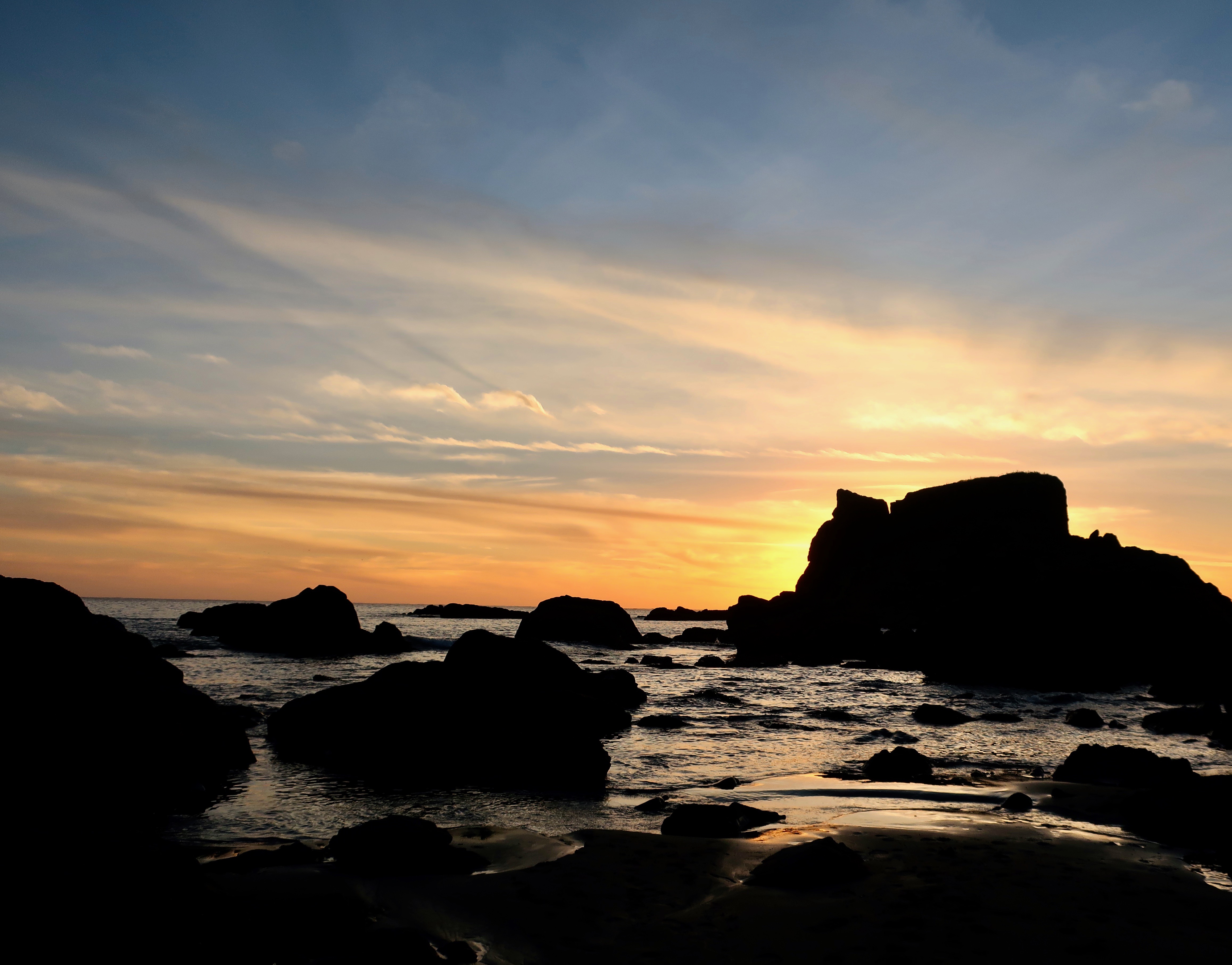
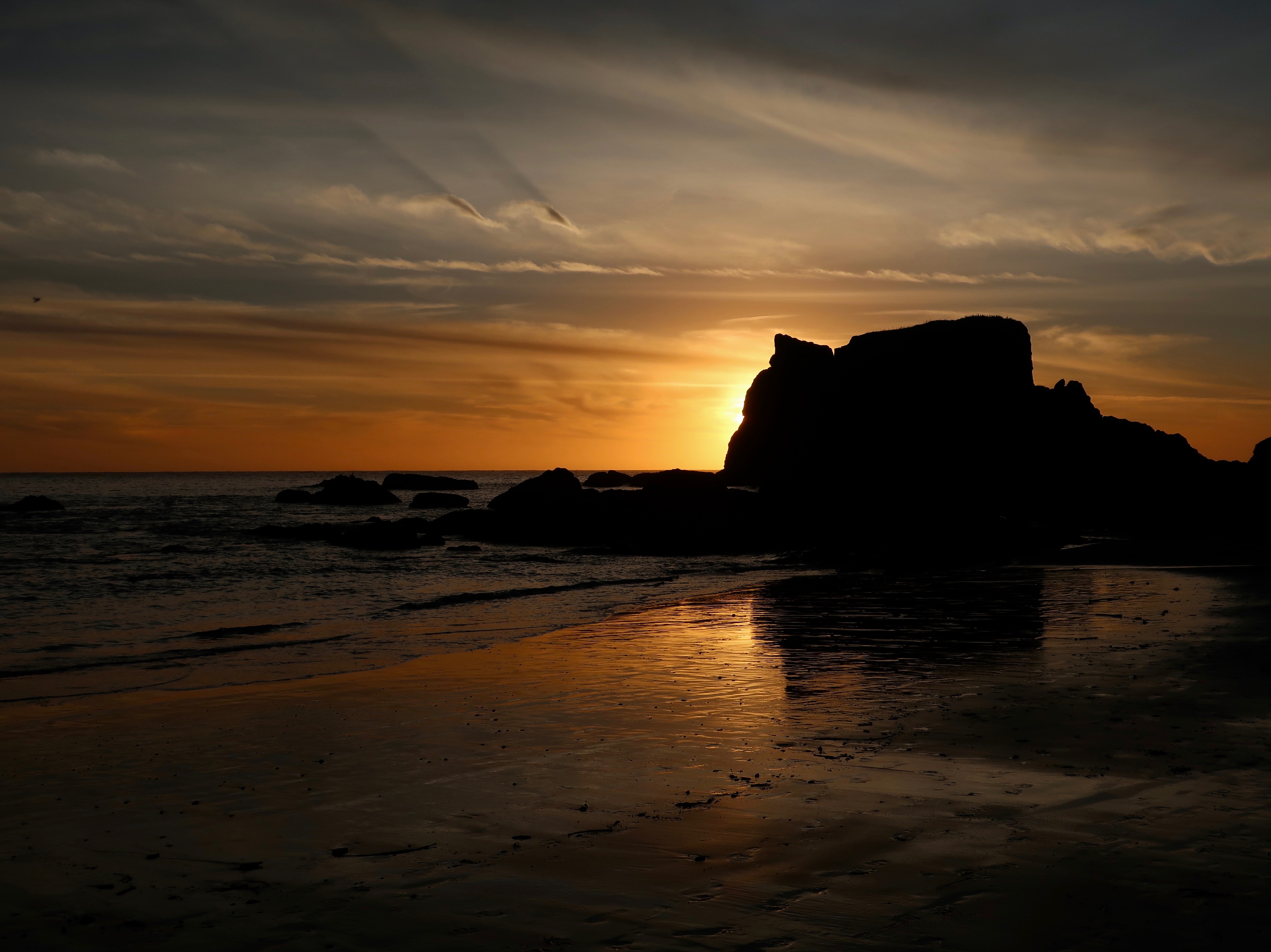
And now for the promised sunset photos:
I’ll conclude with this photo as we say goodbye to Harris Beach. I took it a few minutes after the first photo was taken. On next Friday’s travel blog, Peggy and I will be taking you south to Pt. Reyes National Seashore just north of San Francisco, Ca. I’ve already done a post on the elephant seals. This time we will be taking you on a cow walk.
NEXT POST:
Monday’s Blog-A-Book Post from It’s 4 AM and a Bear Is Standing on Top of Me: On a lonely night walk home from visiting her boyfriend, my sister Nancy encounters a ghost from the Graveyard that floats down in front of her. She screams, and screams, and screams…
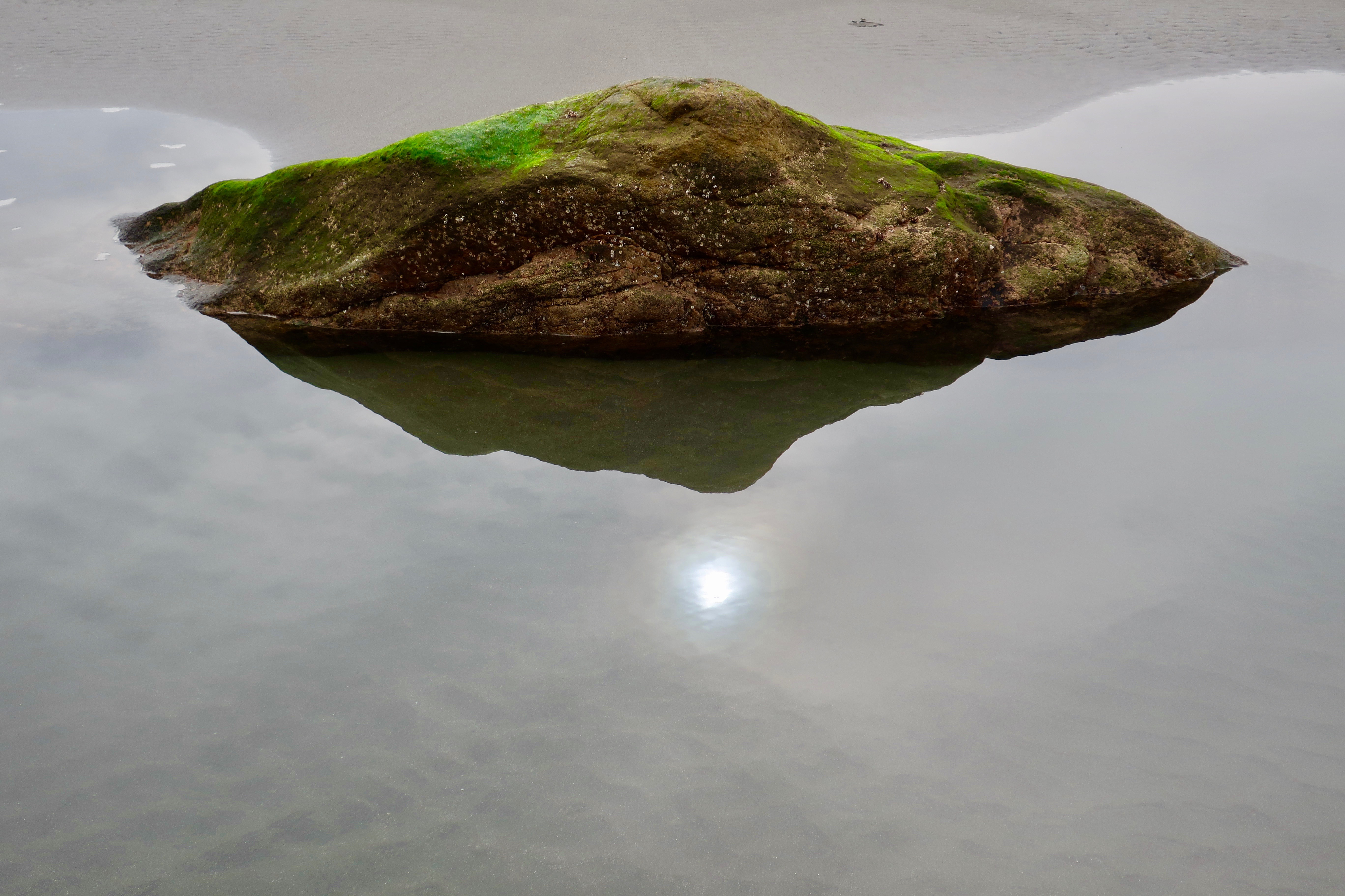
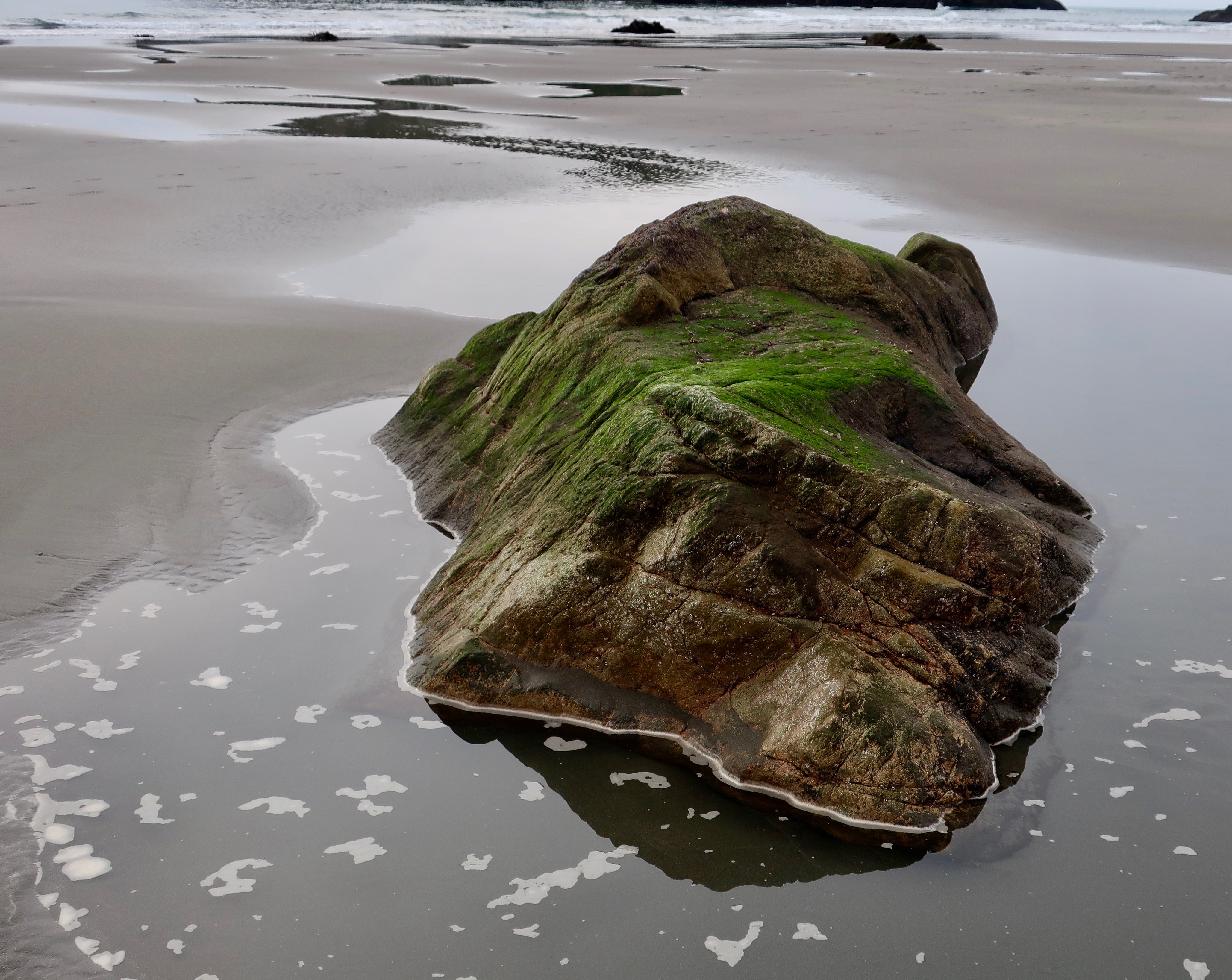
The bright green moss and reflected sunlight are what caught my attention with this rock at Harris Beach State Park near Brookings, Oregon.
The pounding surf and towering sea stacks at Harris Beach State Park near Brookings, Oregon tend to pull your view up and outward. It’s easy to skip looking down. So far in this series, I’ve introduced tide pools and sea stacks. Today I am going to feature the beauty and personality of smaller rocks and driftwood.
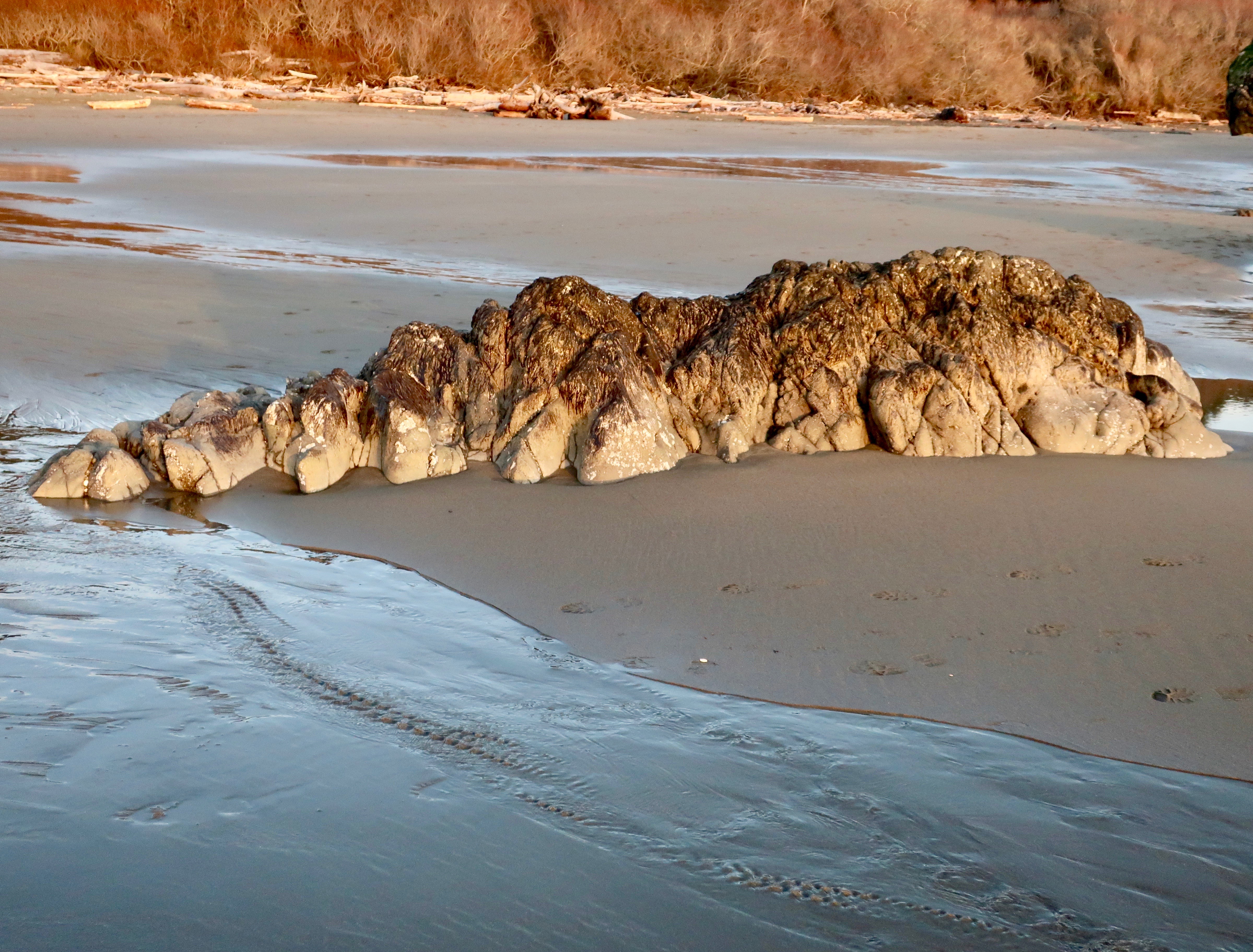
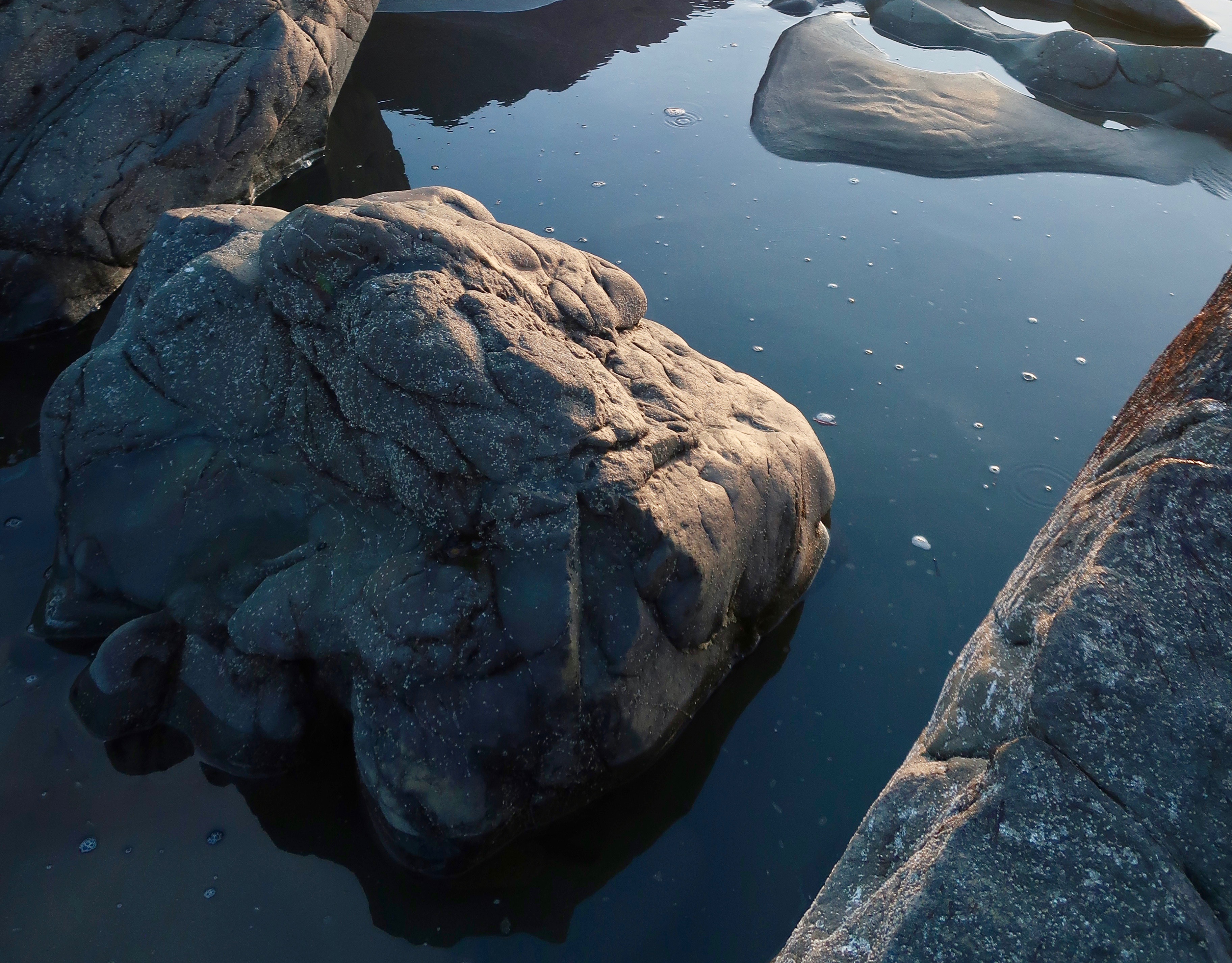
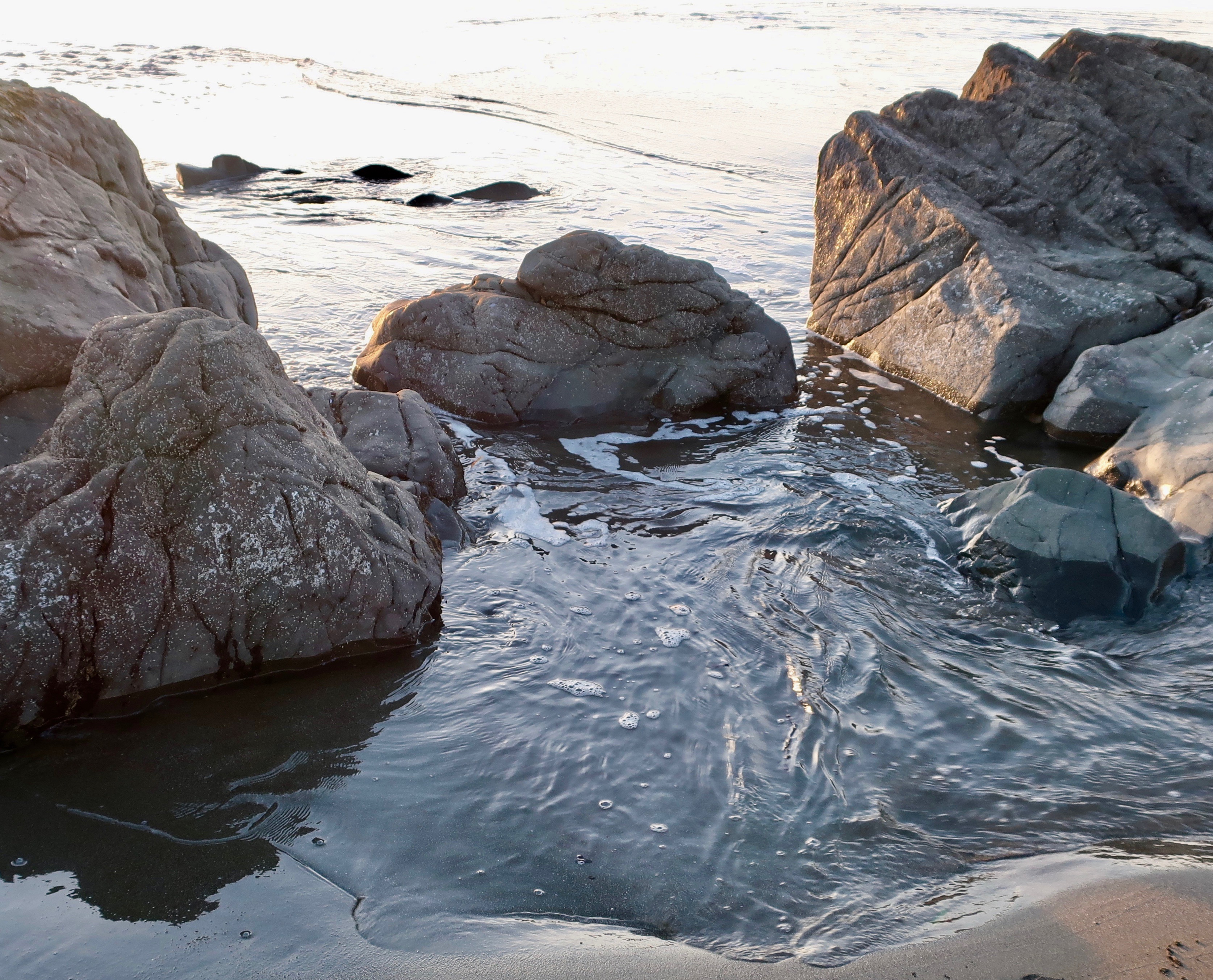
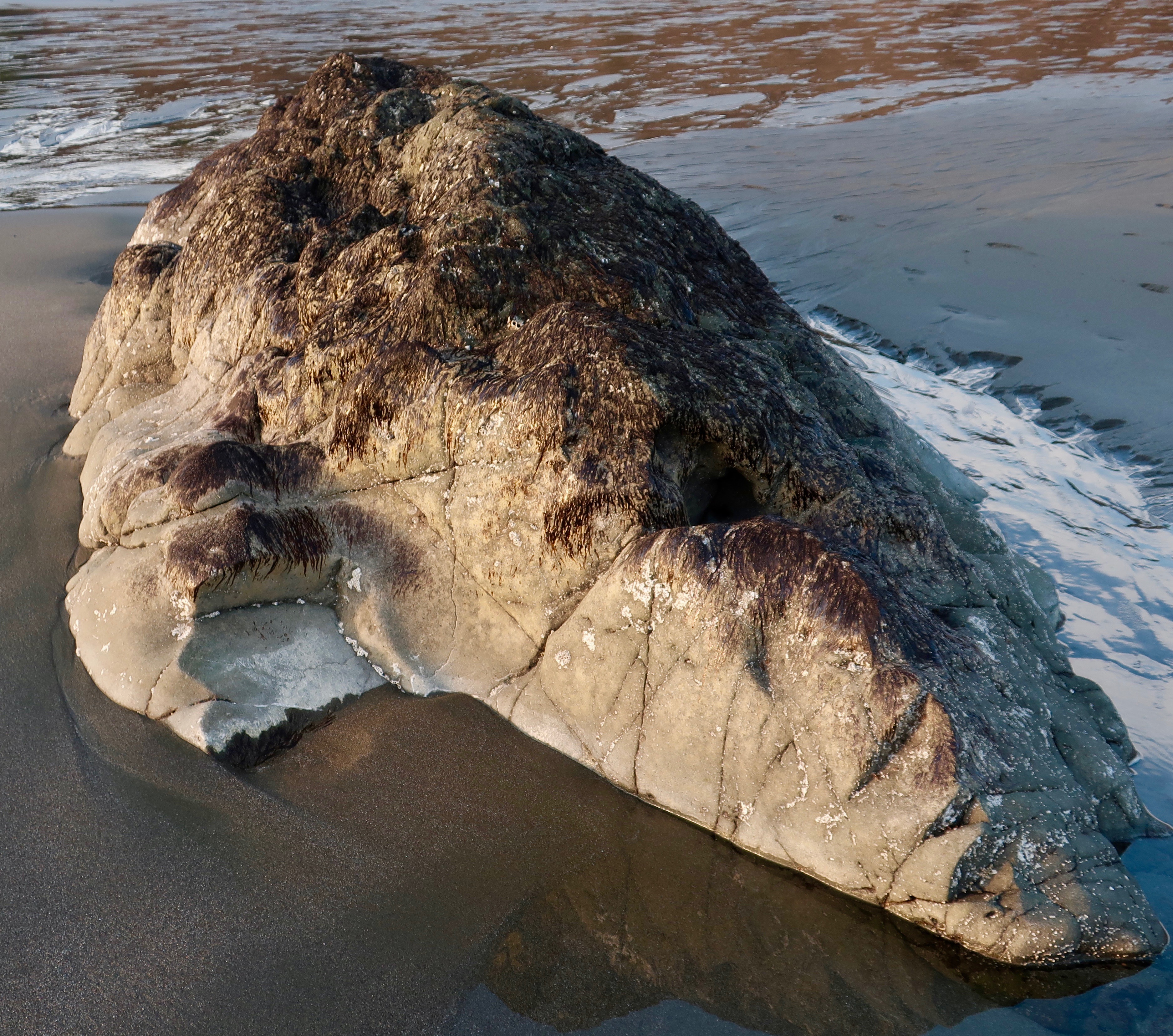
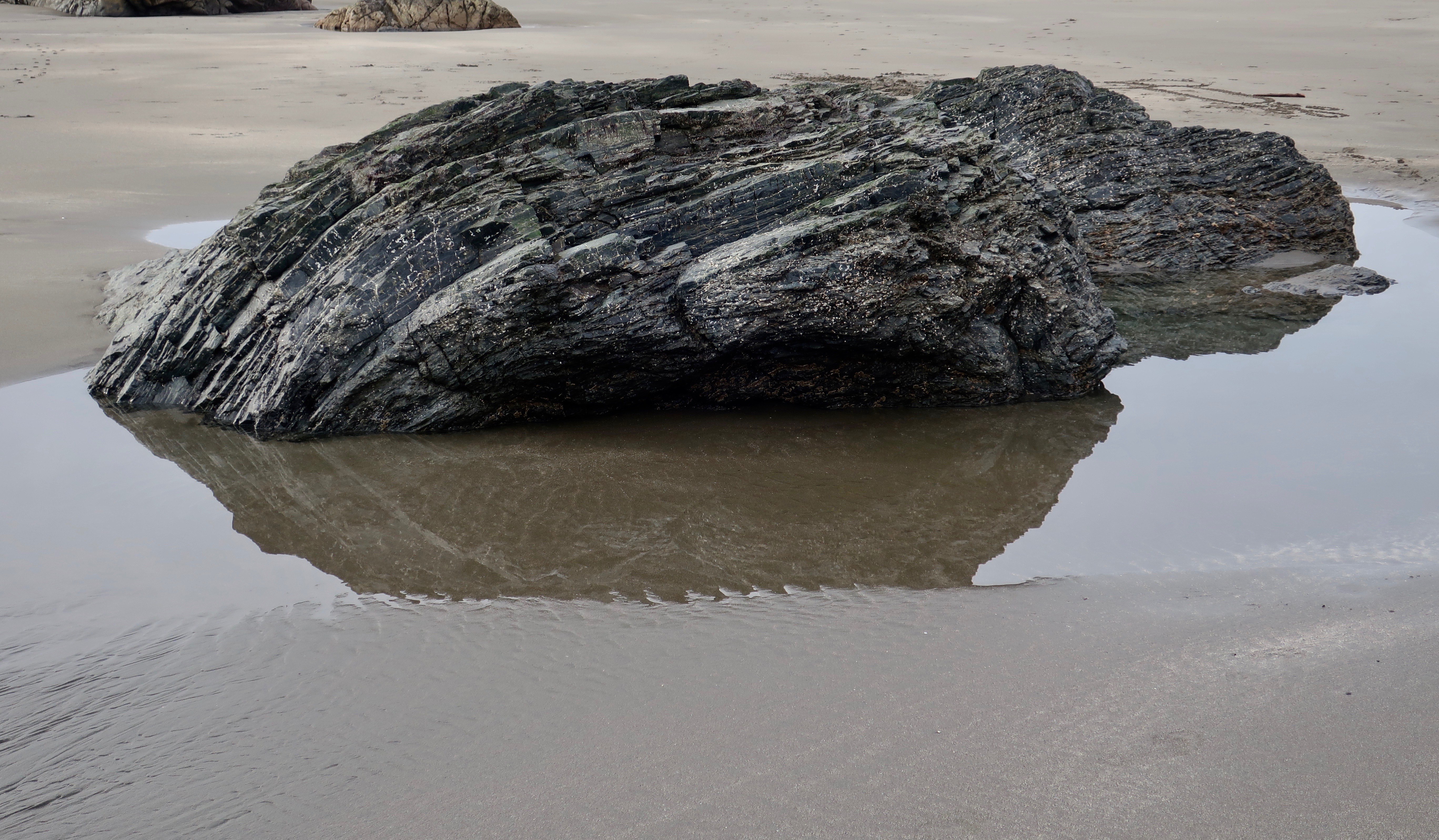
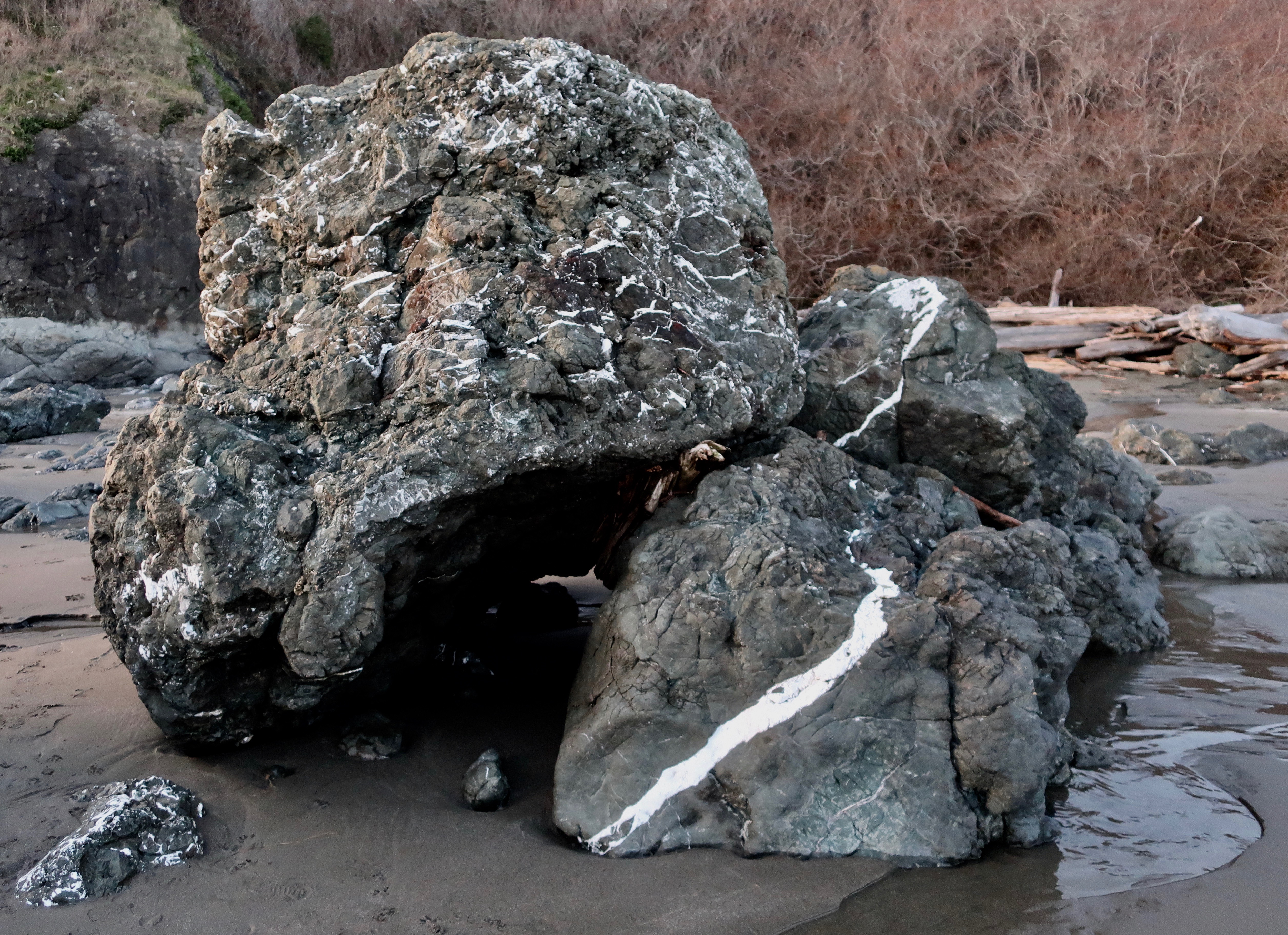
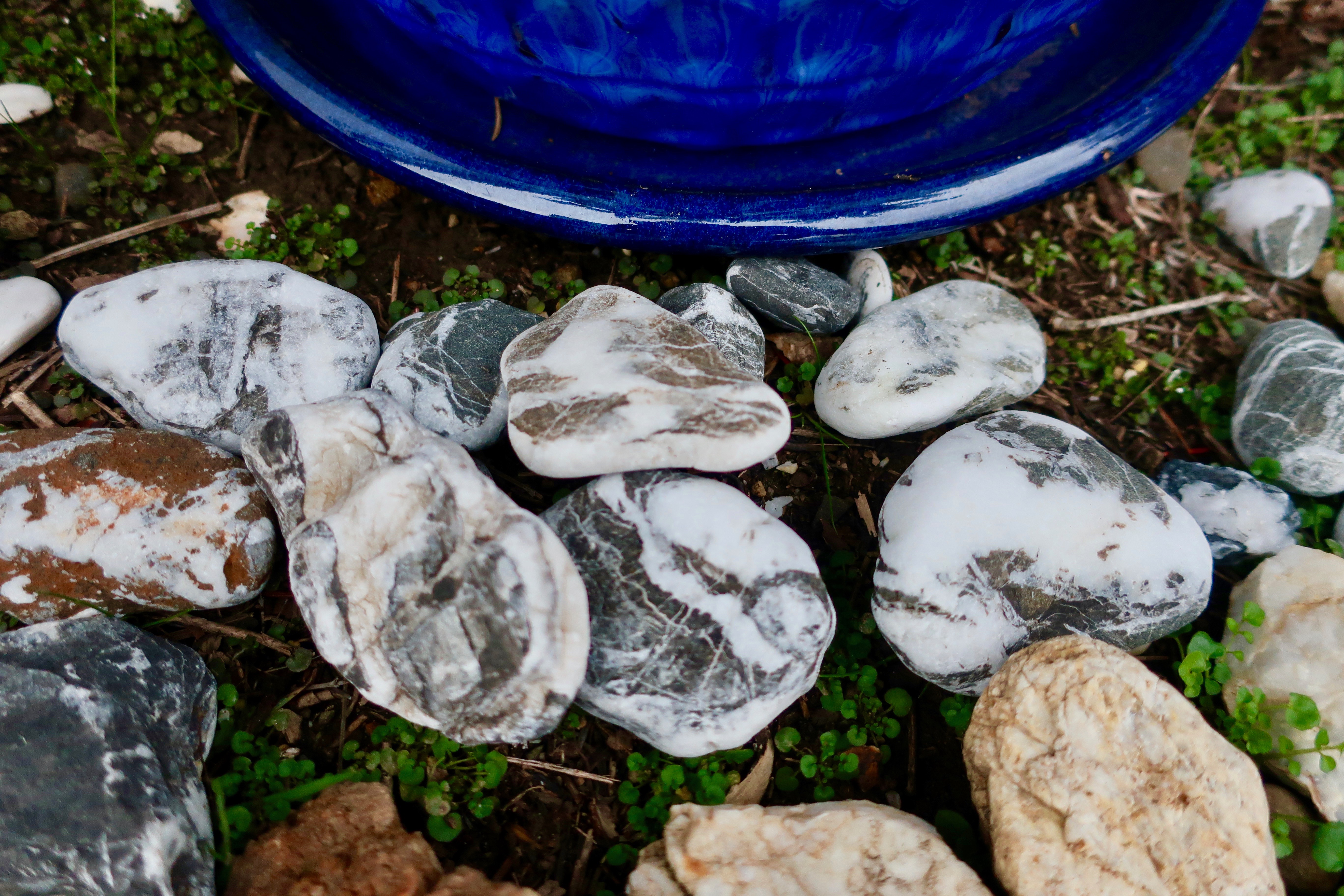
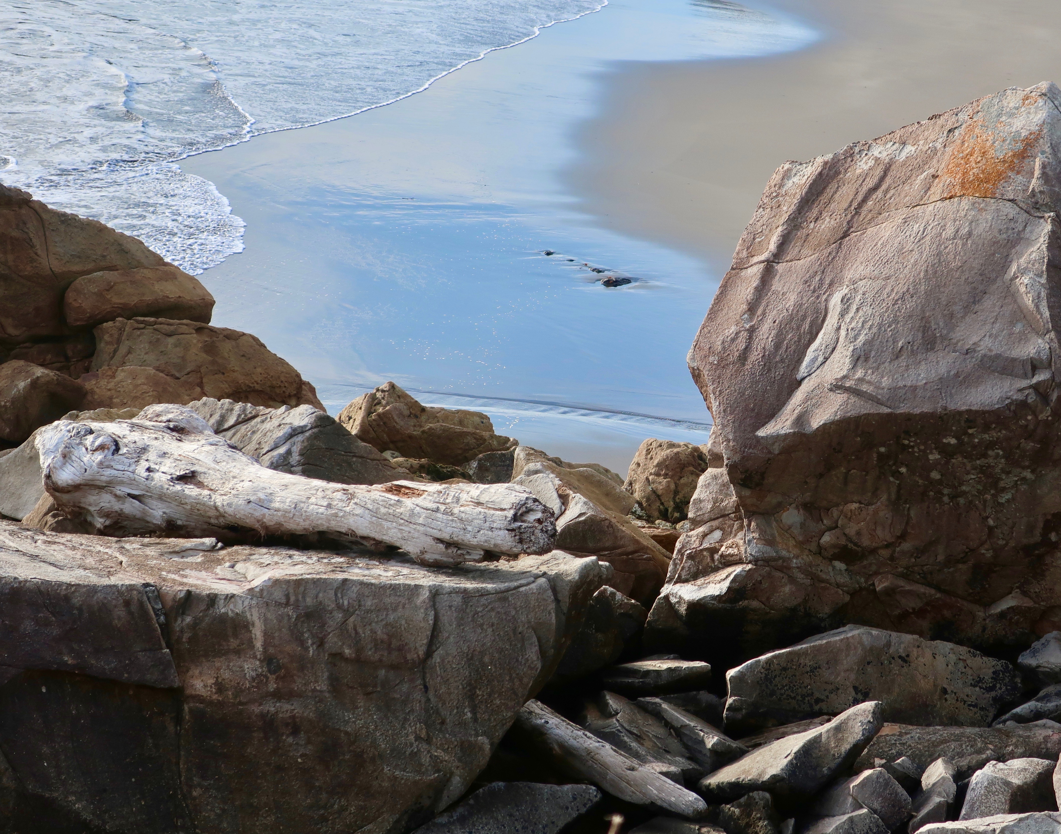
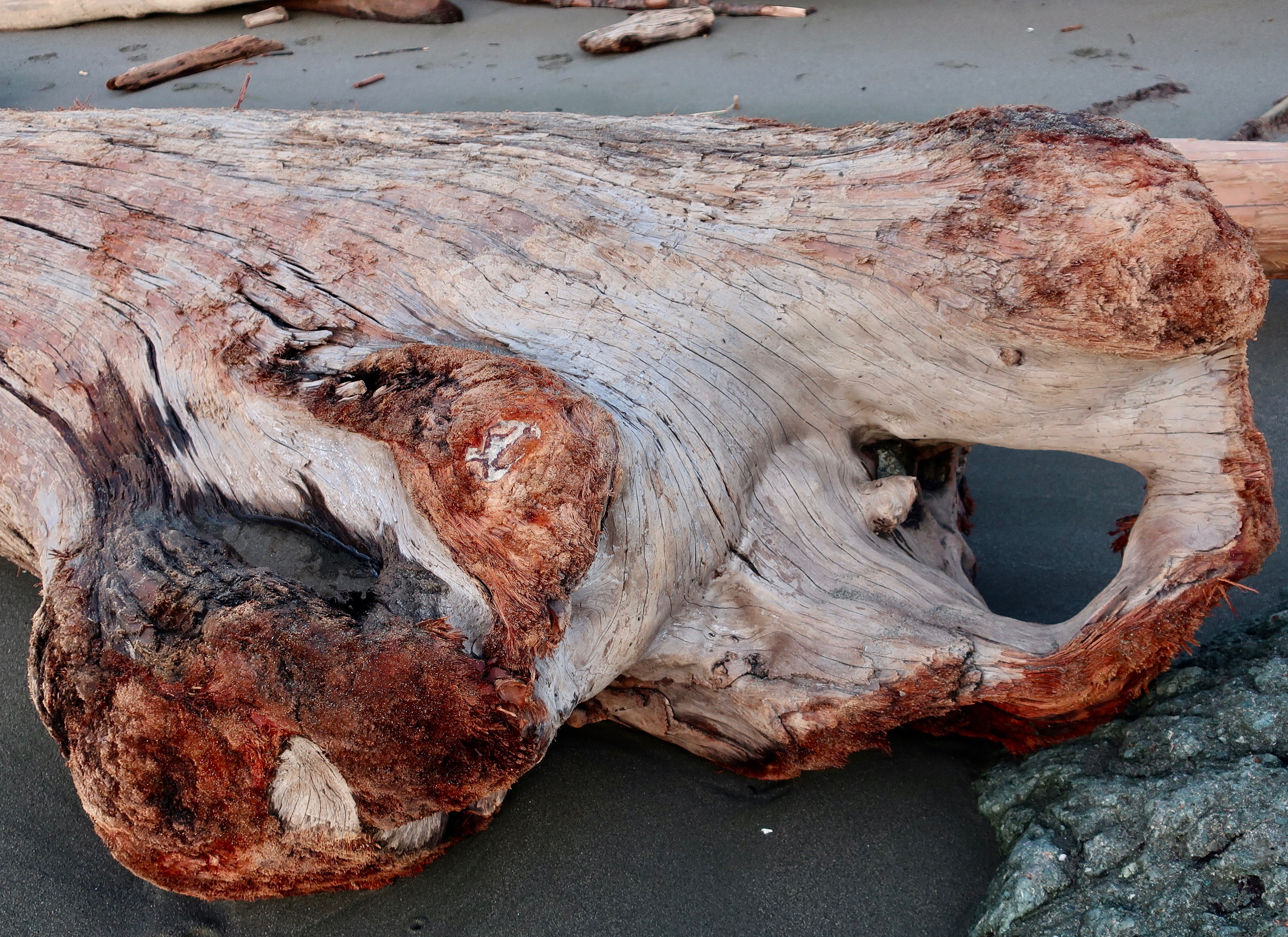
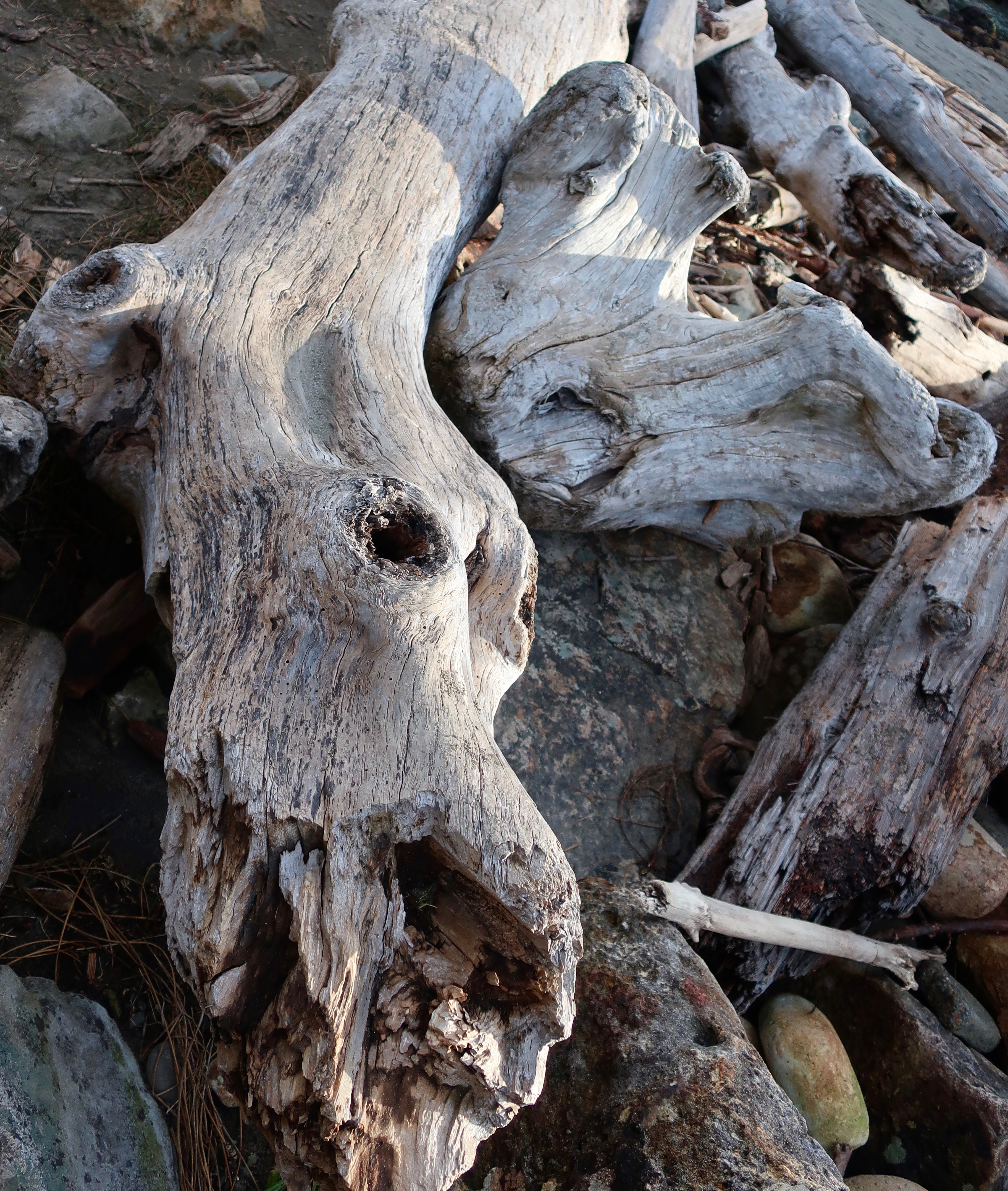
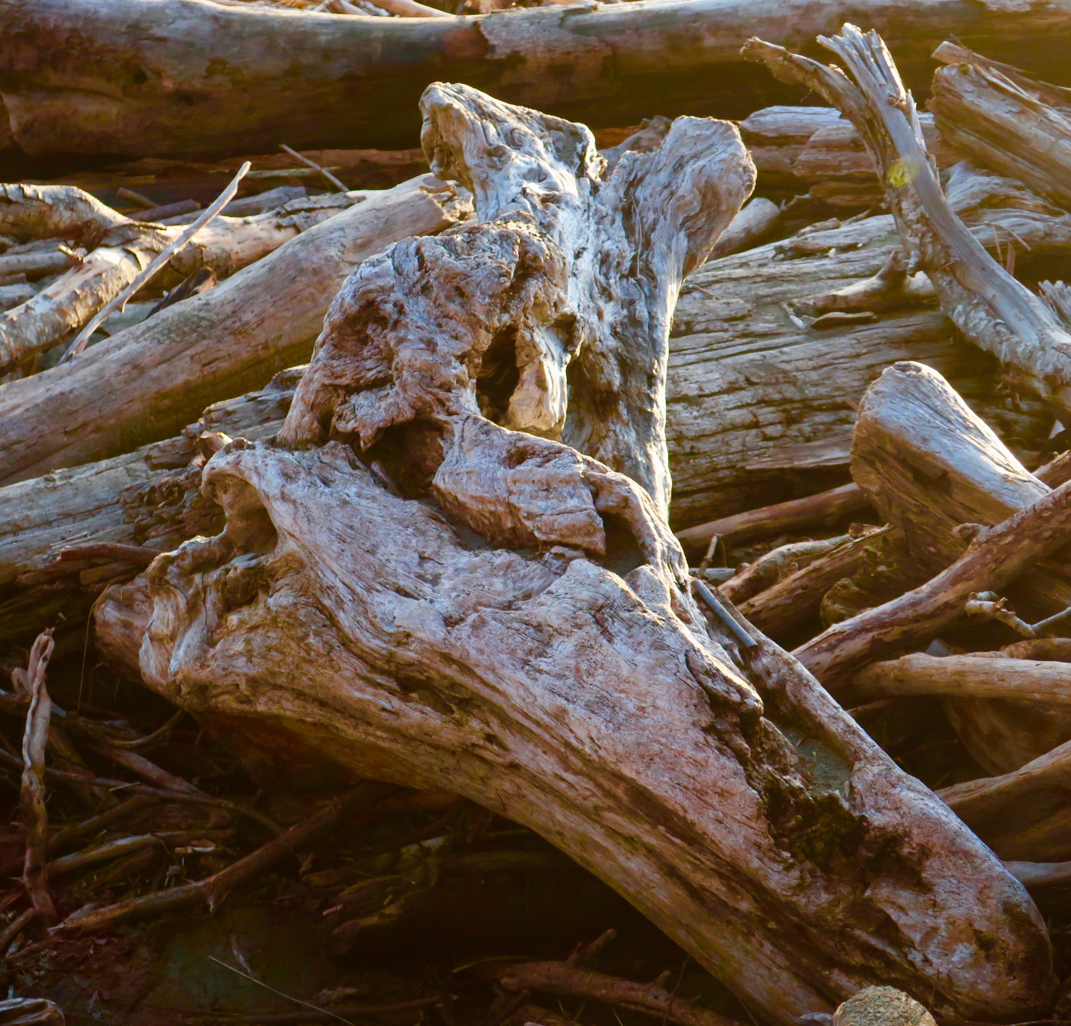
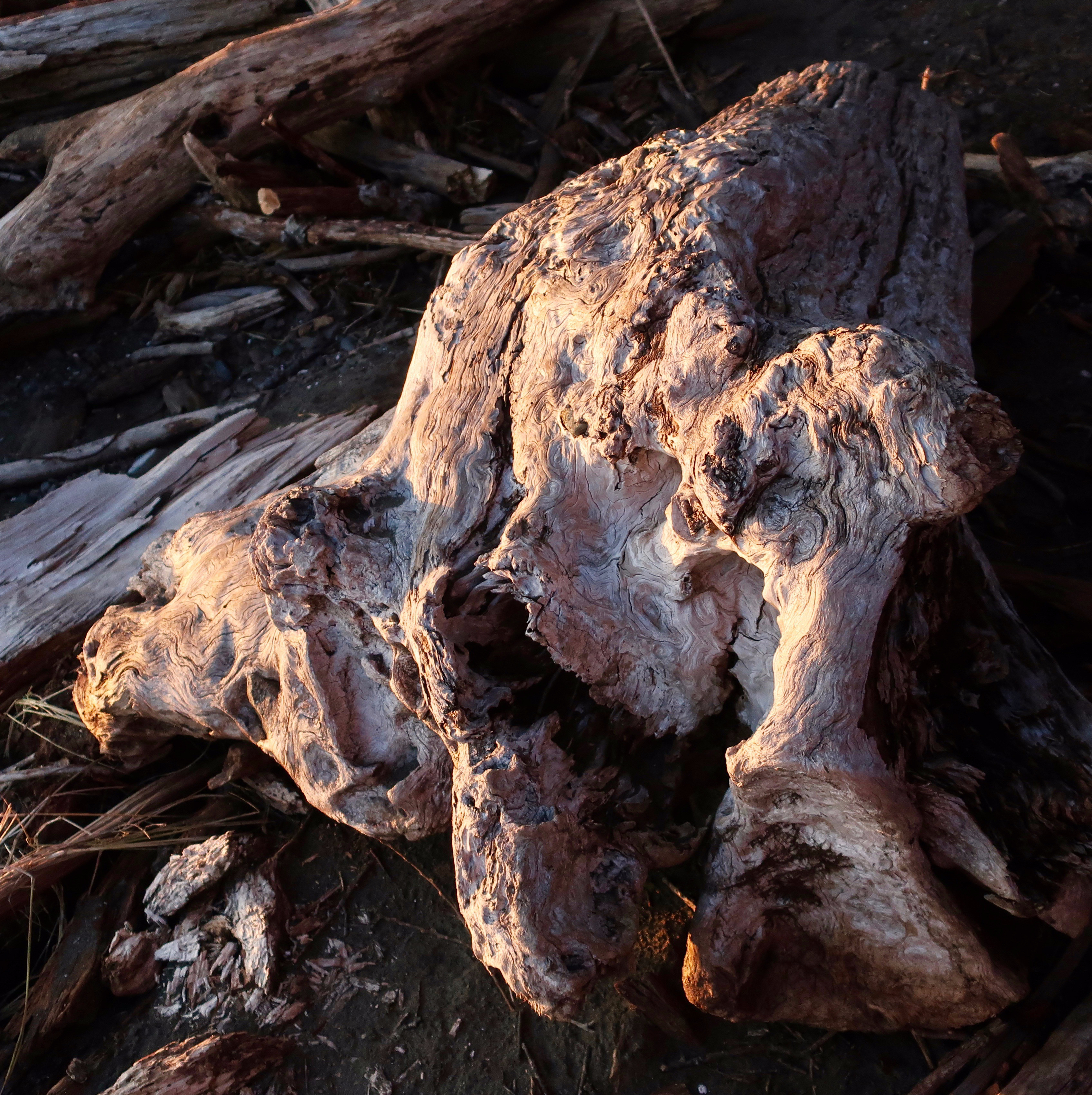
I was amused that the bike tracks here look like they may have been left by this rock as it wandered across the beach and made a right turn.The tide flowing in and out would soon disturb these calm waters among the rocks. I liked the contrast between the sunlight on the rock and the darker water.A low tide shot with water flowing out toward the ocean.The tide was flowing in here.This rock had an obvious personality, but I’m not sure what it was.Layers of sedimentary rock deposited over eons and then bent by the earth’s moving mantle.This basalt rock had quartz veins running through it.Chunks of the rock had broken off and been rounded by the pounding surf. Peggy gathered a number of them and put them in my pack. (One of my jobs is to carry rocks that Peggy gathers. ) She brought the rocks home and added them to her ever-growing rock garden.Imagine how high the sea must have been to place this giant, storm-tossed log this far above the beach.I find driftwood endlessly fascinating because of the way it displays patterns in the wood. Color was an added factor here.I’ll conclude with my favorite. On next Friday’s travel blog I’ll feature a dramatic hole in one of the sea stacks and finish the series with sunset on the beach shots.
NEXT POST:
Monday’s Blog-a-Book… from “It’s 4 AM and a Bear is Standing on Top of Me” : You’ve met Demon the Black Cat, now it’s time to meet MC the White Cat who lived in the Graveyard except for dinner. There was a reason…
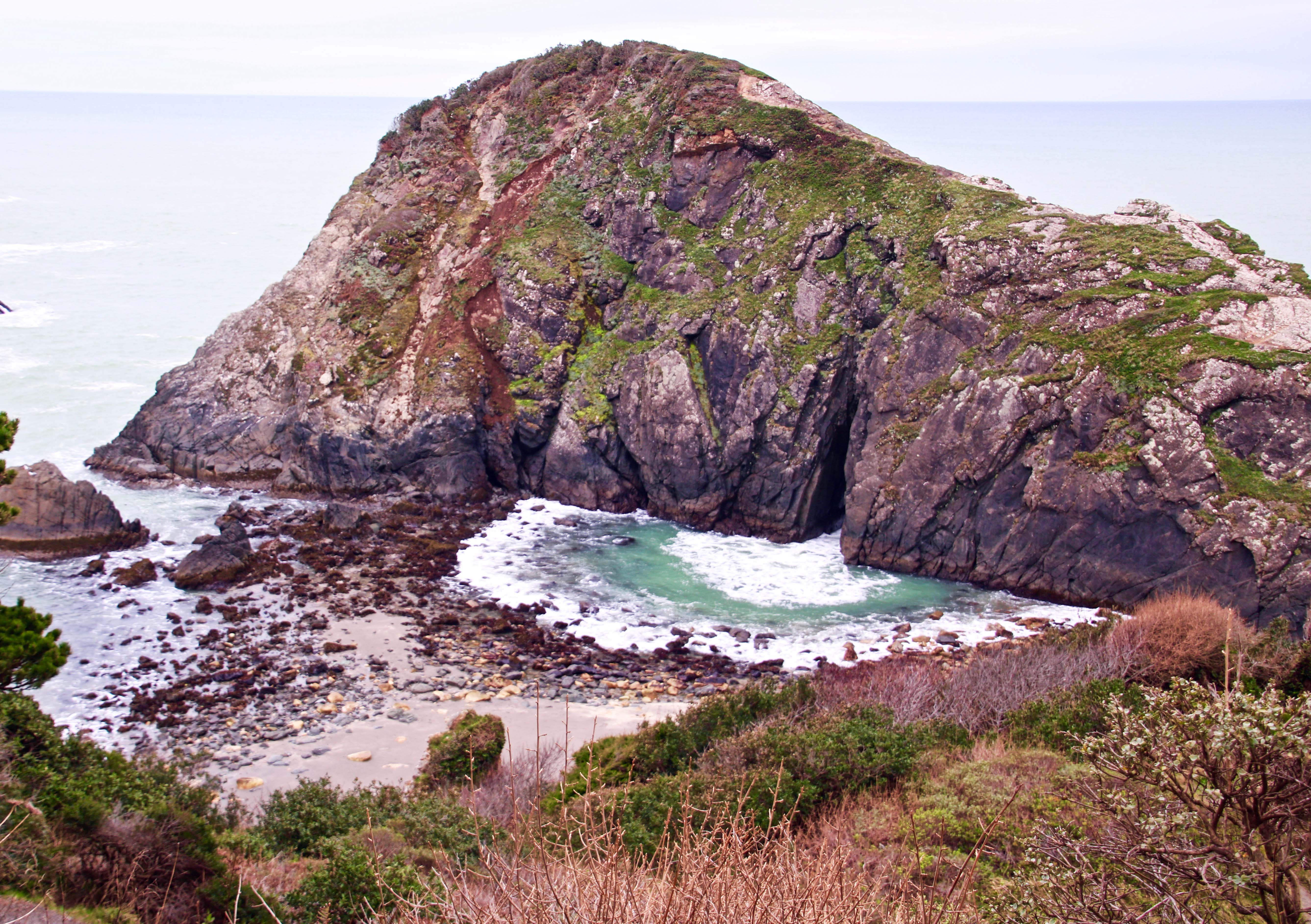
Once, these two magnificent sea stacks would have been part of the coast. Erosion made them part of the ocean. The evening sun was bathing them in a gentle glow.
I am continuing the exploration of the Oregon Coast on my Friday travel blog. This is part of the Harris Beach series. So far, Peggy and I have given you a tour of the tide pools teeming with interesting sea life. Today I will focus on the sea stacks that adorn the coast. Harris Beach State Park is located next to the town of Brookings, which is just north of the California border. The following photos are taken by both Peggy and me.
Goat (or Bird Island) at Harris Beach SP near Brookings is the largest Island on the Oregon Coast. According to the Audubon Society it is an IBA, an Important Bird Area. And it is. Over 100,000 birds nest there annually, including tufted puffins, a bird I more closely associate with my years of living in Alaska. The island is off-limits to people.
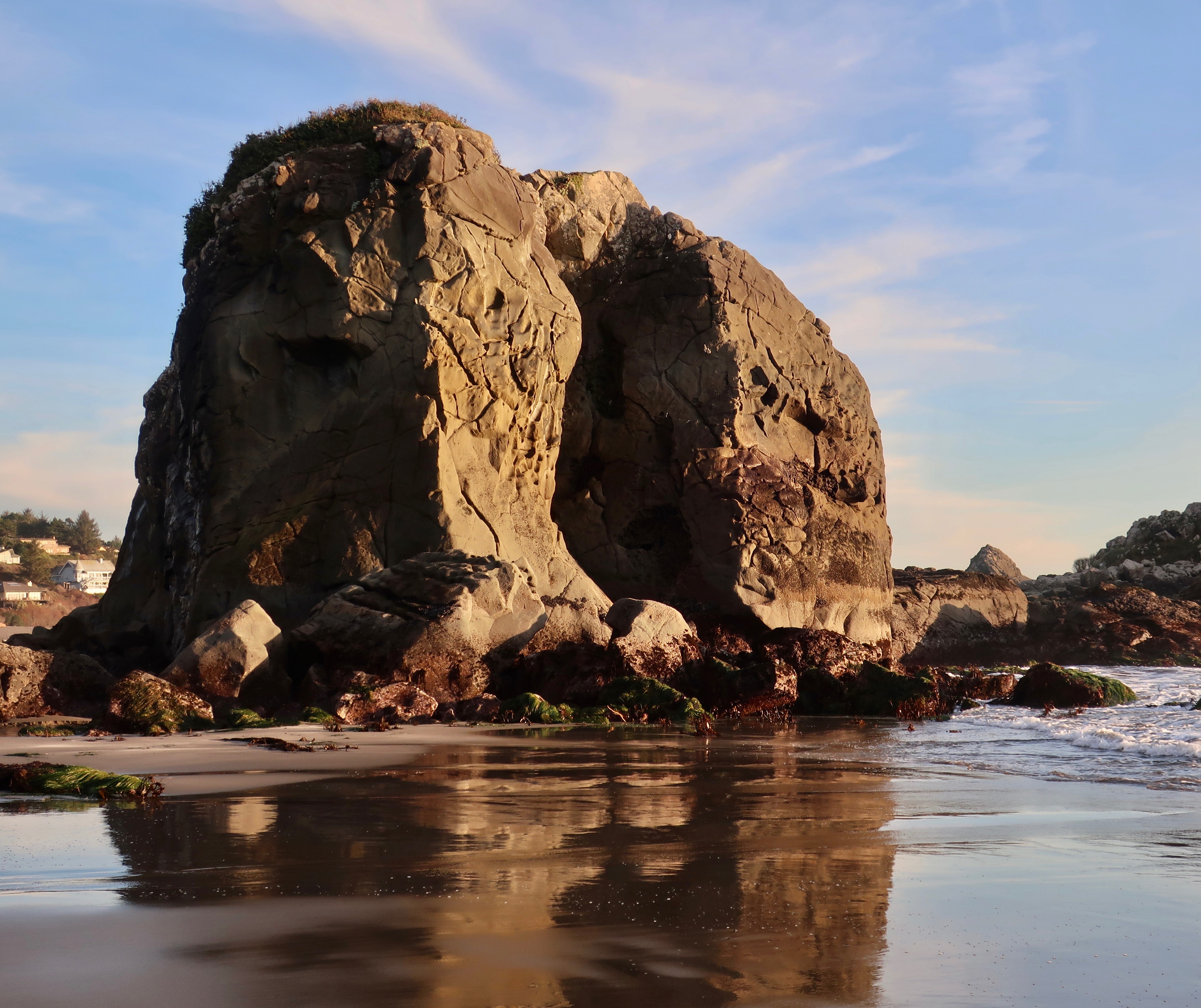
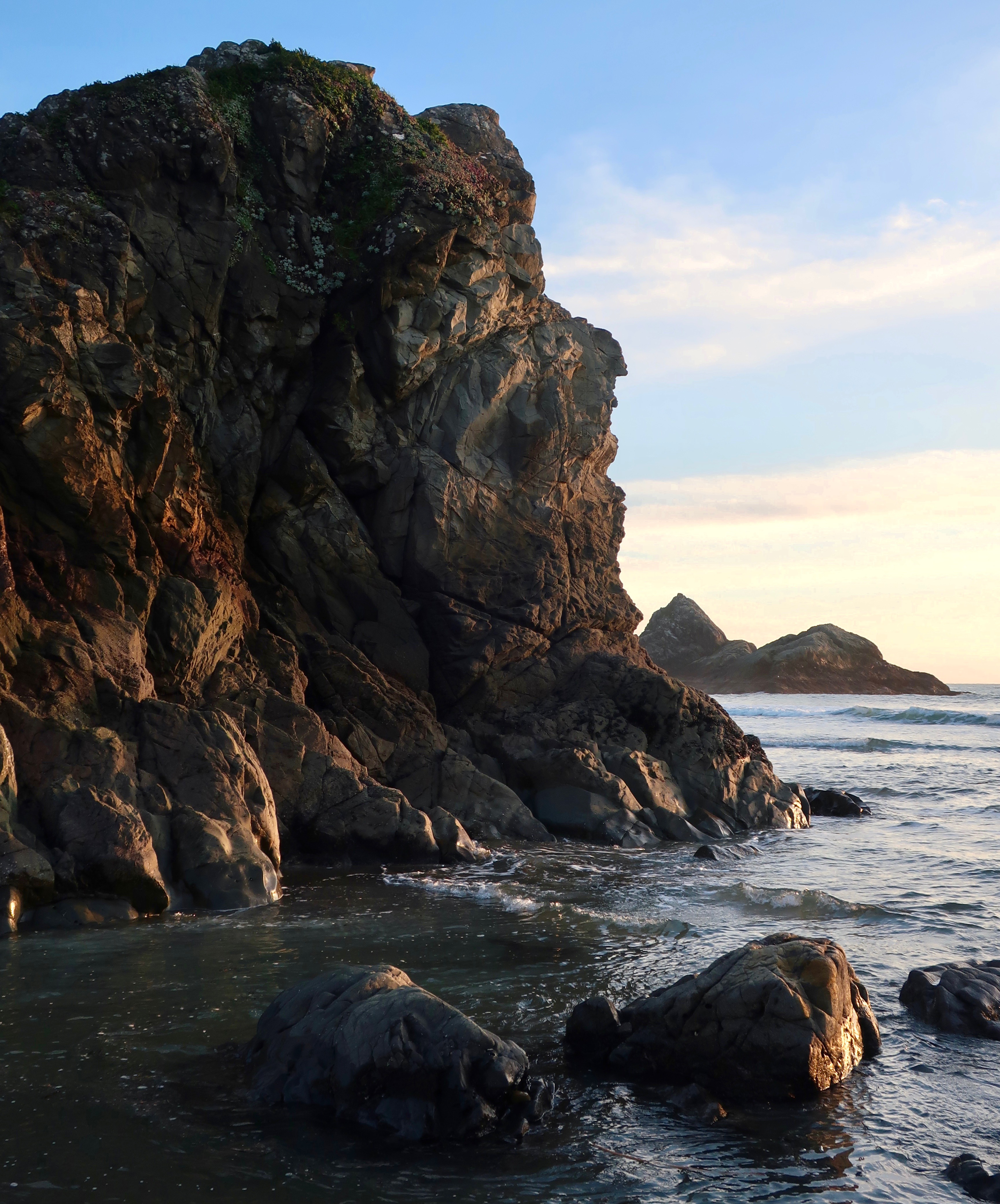
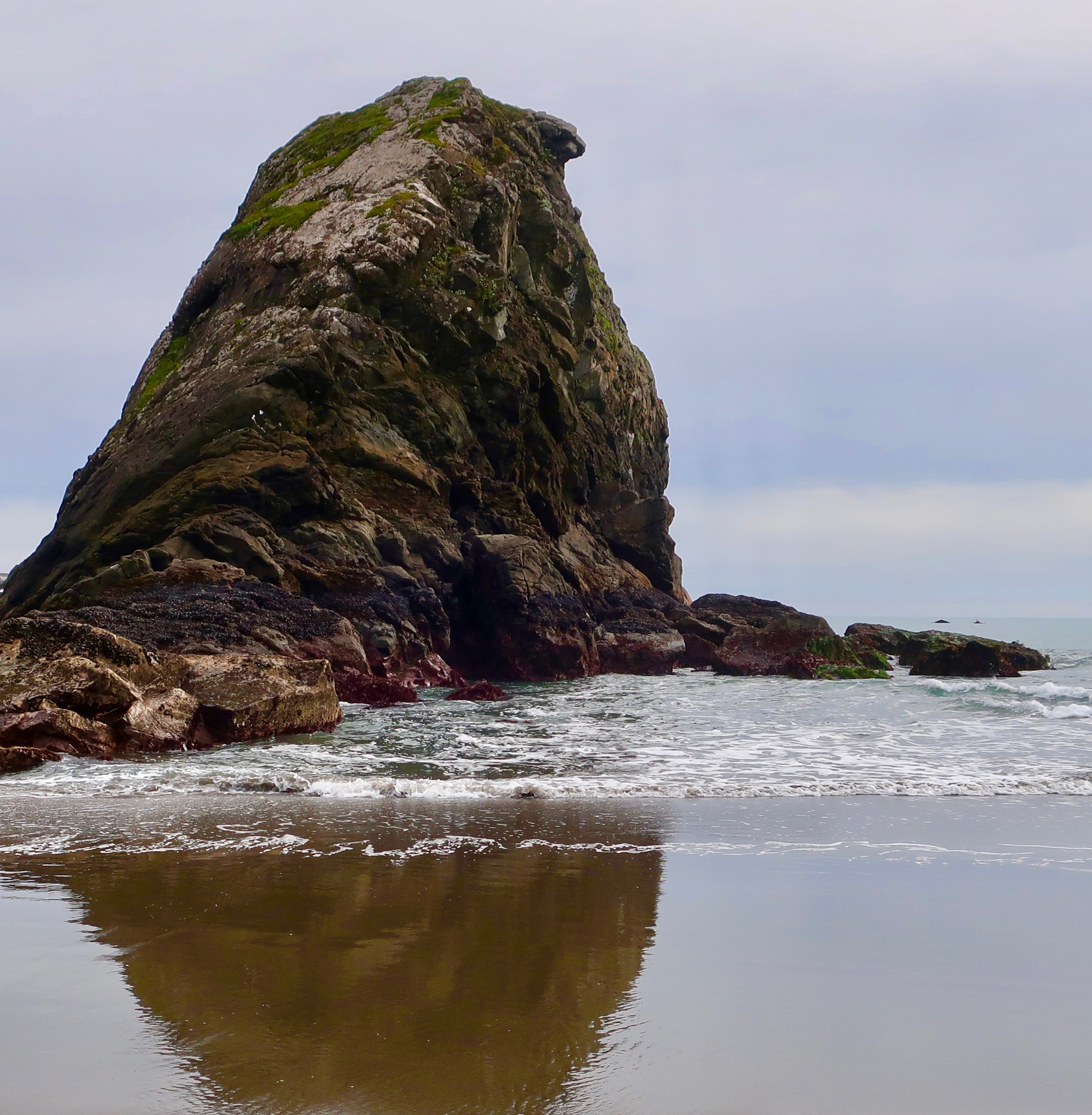
This massive sea stack appeared to have a face looking out toward sea. The rock base made me think of a many legged creature.
A closer view.
The reflection caught our attention here.
Peggy and I wandered among these rocks checking out tide pools.
Later in the day, the tide started coming in. It was time to stop playing in tide pools and start thinking about the sunset.
More color here.
I’ll conclude with this sea stack which was smaller but also colorful. My travel blog next Friday will include human-size rocks, an impressive hole in one of the sea stacks, and drift wood.
NEXT POST:
Monday’s Blog-a-Book Post… From “It’s 4 AM and a Bear Is Standing on Top of Me” : The shameless shenanigans of Pat the Greyhound and Demon the Black Cat get them fired from ghost guard duty.
It’s the first day of spring here in the Applegate River Valley, and behaving like it. I watched two male flickers (woodpeckers) strutting their stuff this morning for a female while she studiously ignored them by pecking at the ground. One very pregnant doe was busy chasing off her twins from last year. She’ll soon have a new fawn— or fawns— to take care of. And, the swallows have arrived back in our neighborhood. Their aerial performances are truly amazing. Before long, they will start checking out our oak trees and bird houses for possible nesting sites.
The first of our daffodils have burst into bright yellow blooms, shooting stars are covering the hillsides, and irises are popping up everywhere. Peggy and her sister Jane dug up our iris bed last year to separate the bulbs that were crowding each other out. Peggy discovered that there were more than she could possibly plant, so she started stuffing the extras into gopher holes and covering them— like you might sweep dirt under a rug. Well, that’s what I thought. The gophers will have a feast. I couldn’t have been more wrong. Each hole is now proudly sporting its own iris and Peggy is giving me an “I told you so” look.
And what else happened this morning? There was snow, rain and sunshine. Sometimes simultaneously. Spring has arrived for sure.
Meanwhile, I have a nasty cold. “We don’t likes it,” as Gollum of Hobbit fame would say. I have a box of Kleenex on one side and a paper bag on the other. I feel like I am an essential part of an assembly line for creating dirty tissues. Pull a Kleenex out of the box, sneeze into it, and stuff it in the bag. Repeat. I filled two bags yesterday. I’d be worried in this age of Covid, but my sniffer is working fine, I don’t have a fever, and Peggy and I had our second dose of Moderna in February.
I was totally out of it yesterday and the day before. Instead of writing, I read a 400-page fantasy novel about a reluctant hero, a kick-ass princess, a unicorn without a horn, and a dragon that collected butterflies instead of virgins and gold. It was just what the doctor ordered. I’m almost human today, which is why I am back to blogging. Today I am returning to the tide pools of Harris Beach for a look at sea anemones.
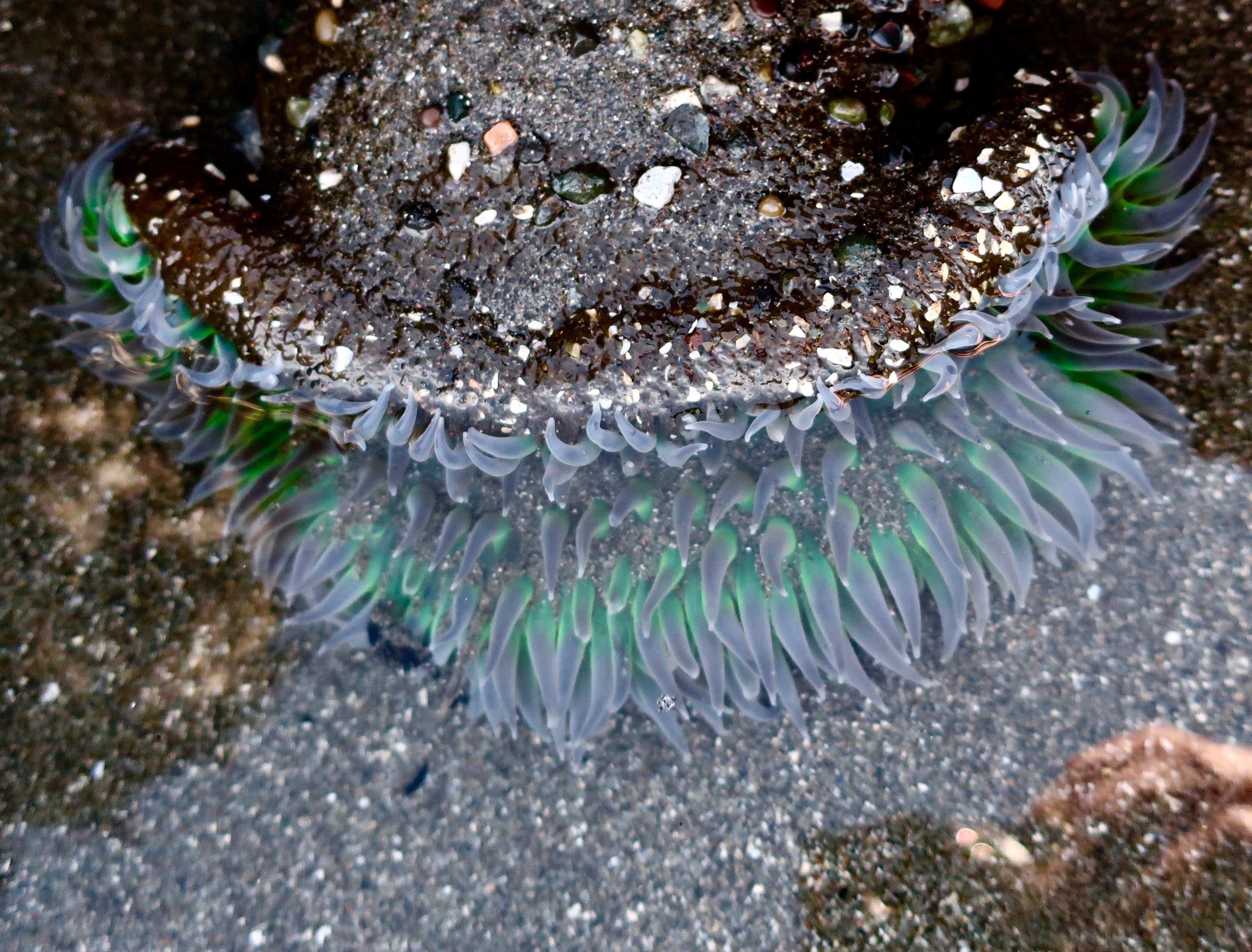
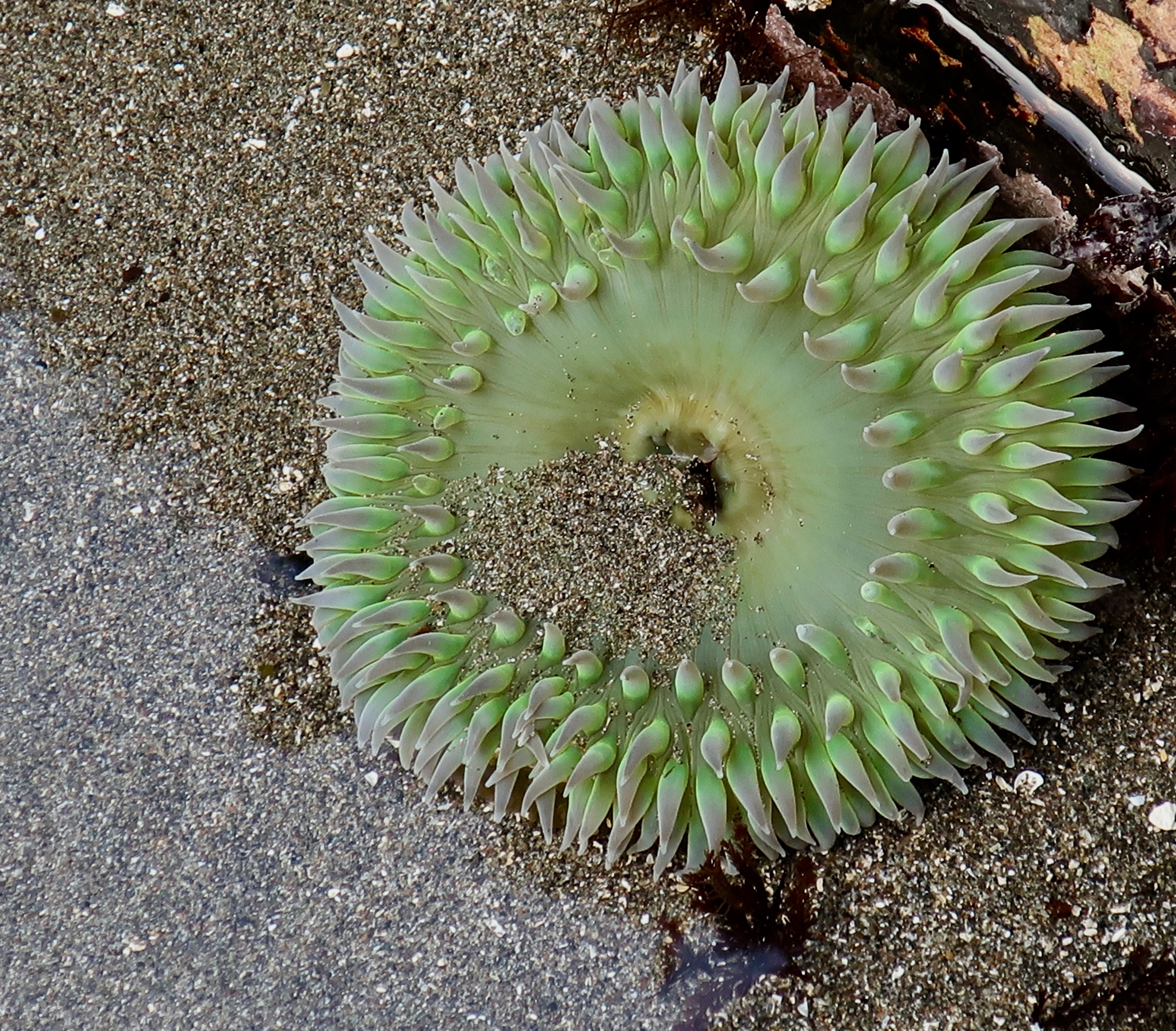
The sea anemones at Harris Beach come in a variety of shapes and sizes. This was one of the larger ones we found, a giant, green sea anemone or Anthopleura xanthogrammica, if you want to be scientifically correct.
A more typical view. The tentacles are covered in stinging cells that the anemone throws into small prey like a harpoon. Once the poison has done its job, the anemone then uses its tentacles to work its prey into the gaping mouth seen in the center. When the feast is over it jets the leftovers out its mouth that has conveniently become an anus. I wonder if the anemone then gargles with sea water. The anemones stinging cells are more or less harmless to humans. How do I know this? I petted a few in my youth. The anemones don’t seem to like it; they immediately close up shop, like the anemones below.
A few of the big guys hanging out together at low tide. Anemones close up when exposed to air as a way to protect their tentacles. A small, dark fish is lurking in the remaining water. Some small fish seem to have a symbiotic relationship with anemones and swim among the tentacles, free of worry. Predators beware.
I found this interesting. A number to the anemones were covered in brightly colored pieces of rocks and shells. Scientists speculate that this serves as a natural sunblock when the anemone is exposed to air at low tide. I was curious about how they go about gathering and affixing their collection but couldn’t find anything about it.
Some smaller sea anemones live in colonies as seen here. These are clones of each other except they differentiate into scouts, warriors and moms. When two colonies meet, they go to war. It’s the scouts job to find new territory for the colony as it expands. When they come on another colony, the warriors take over by whaling away at each other with their tentacles. The ‘moms’ stay in the middle out of harm’s way. Next Friday, I’ll cover the other sealife we found in the tide pools.
NEXT POST:
Monday’s Blog-a-Book Post… “It’s 4 AM and a Bear Is Standing on Top of Me”: I move outside to commune with nature in the summer but the ghosts continue to haunt our backyard. I hire the family pets for protection. They charge a high fee.
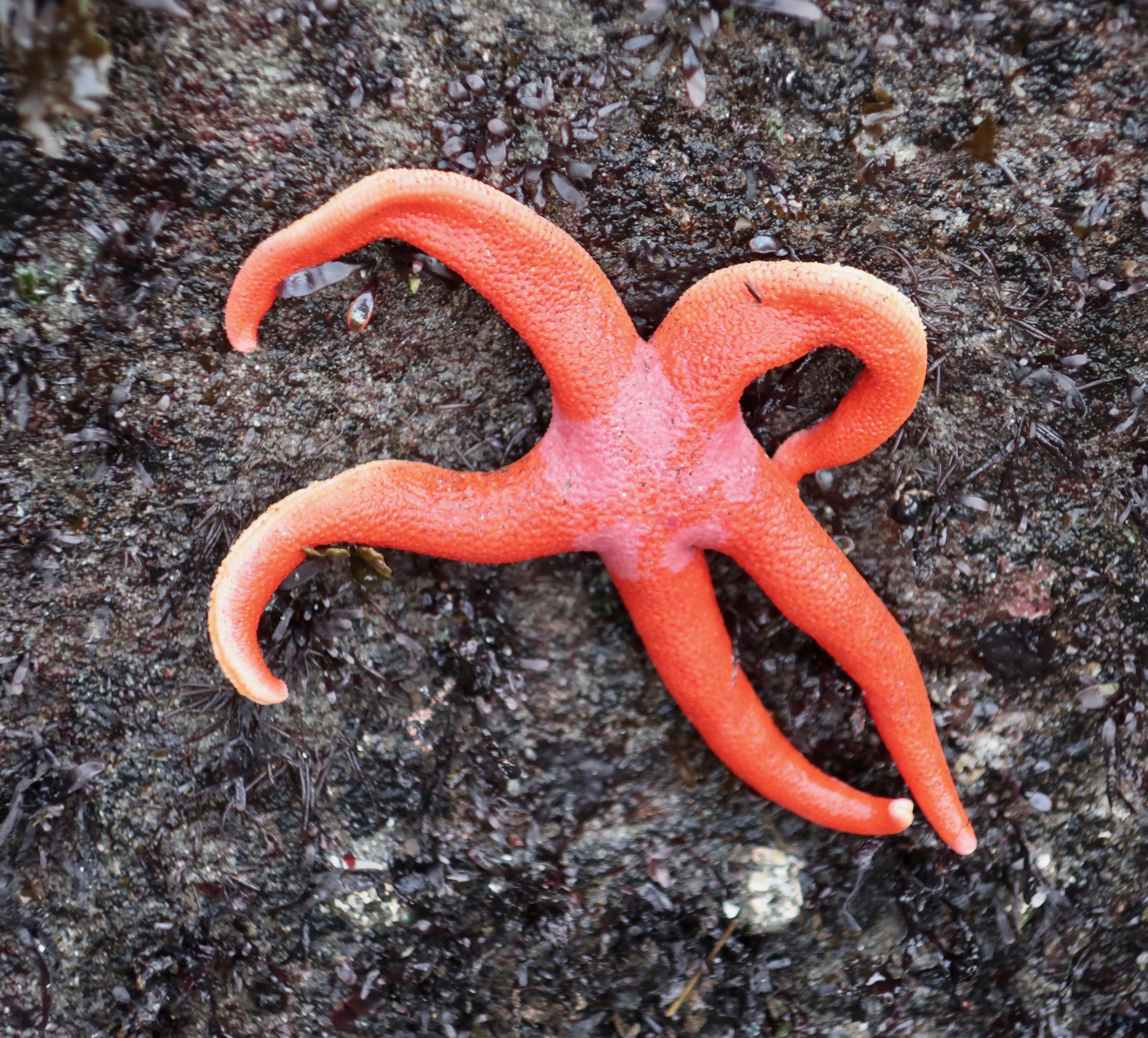
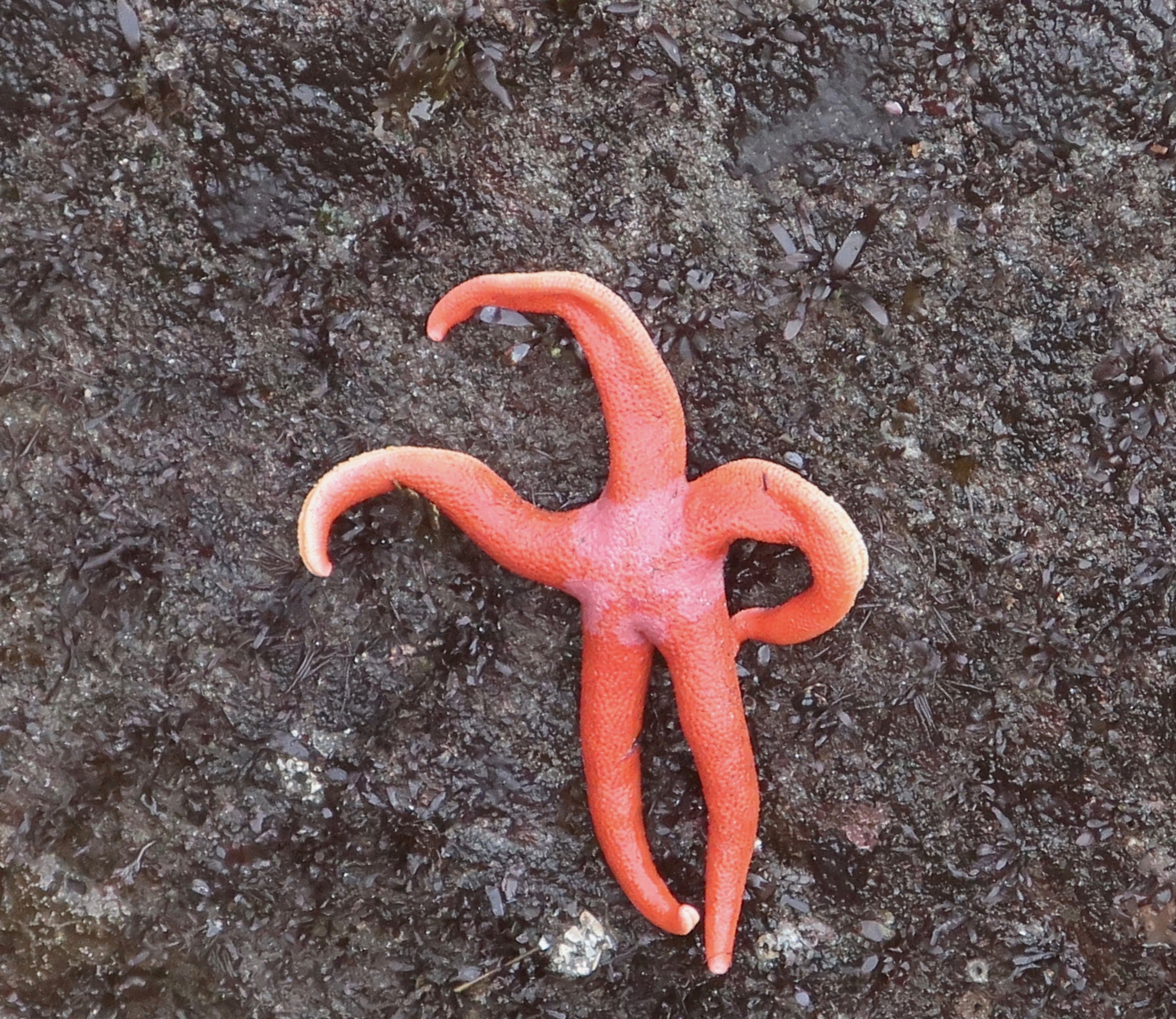
We saw this colorful starfish from a distance and came over for a closer look. It’s scientific name is Henricia leviuscula. It common name is Pacific blood star.
I decided a slight shift in perspective would create a twirling ballet dancer! Or is it a whirling dervish?
We were lucky to find any starfish at all. The population up and down the Pacific coast came close to being wiped out in 2013. A rather nasty virus that melted these attractive creatures from the inside killed millions. Legs would fall off and go crawling away. It sounded like the plot to a Grade B horror flick. Fortunately, evolution came to the rescue. A small portion of the population seemed immune to the virus. Maybe some of the legs got lucky. They came back with a vengeance. We did find a few that were obviously dead. I touched one. It was mushy. Melting.
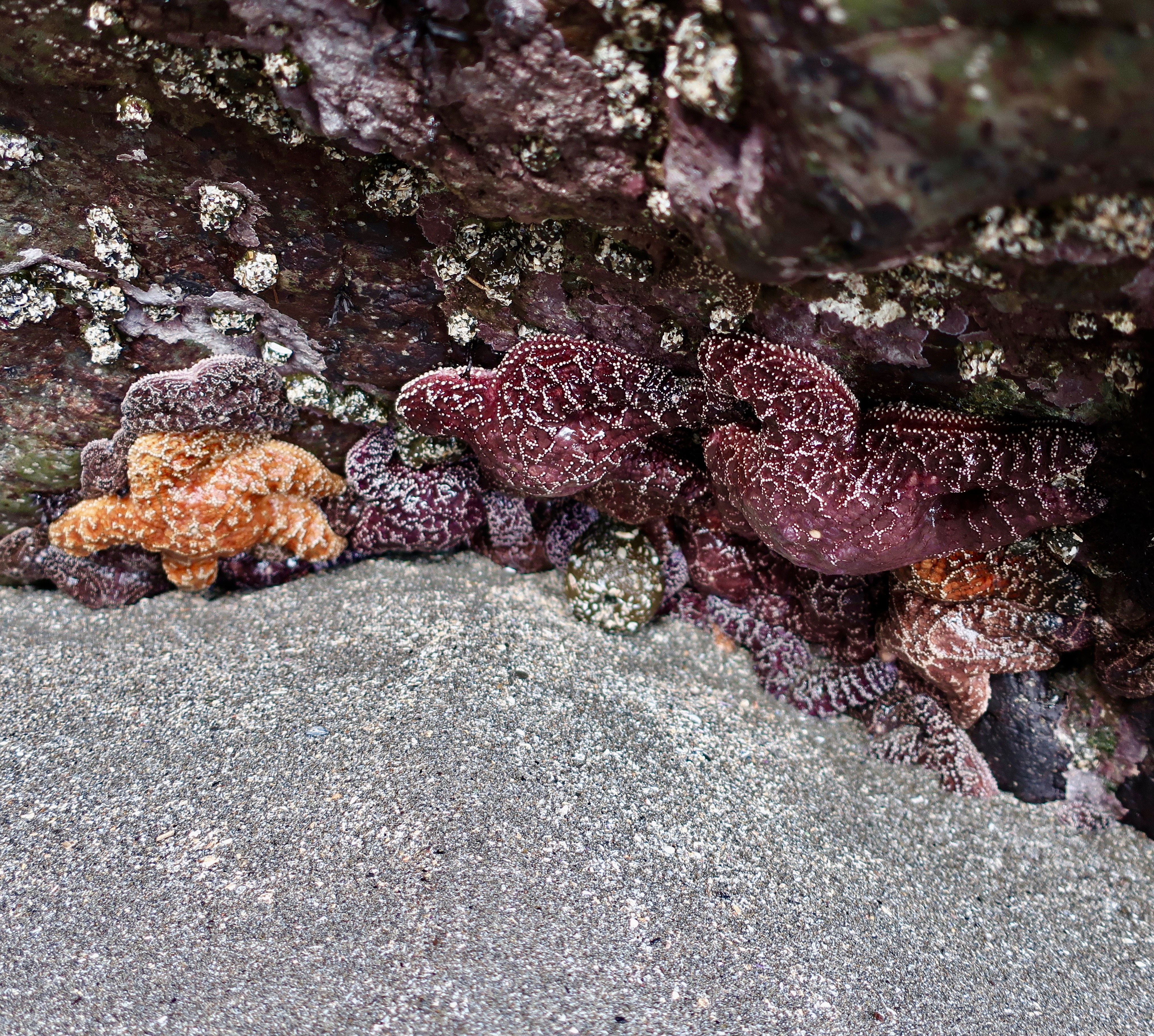
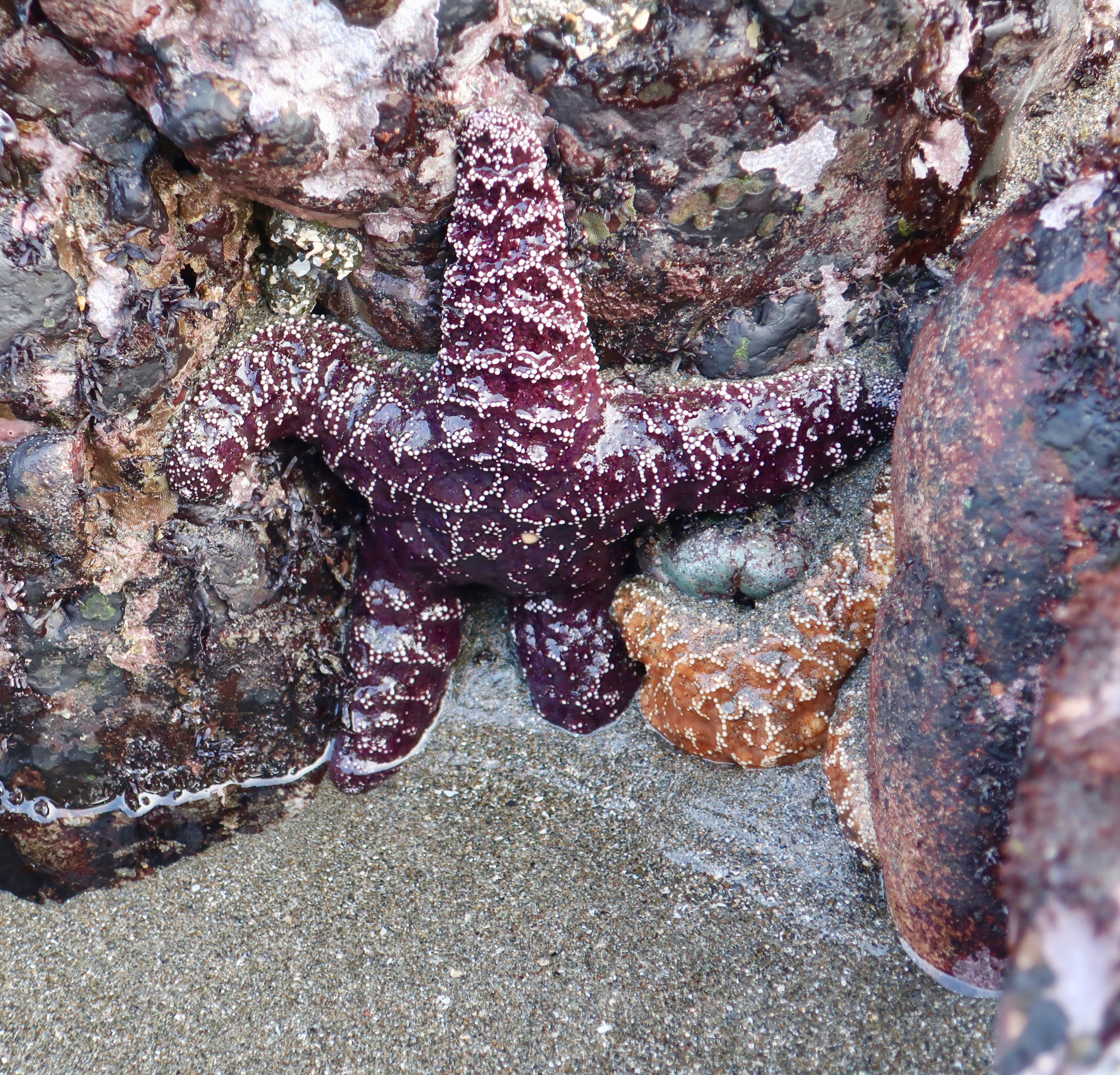
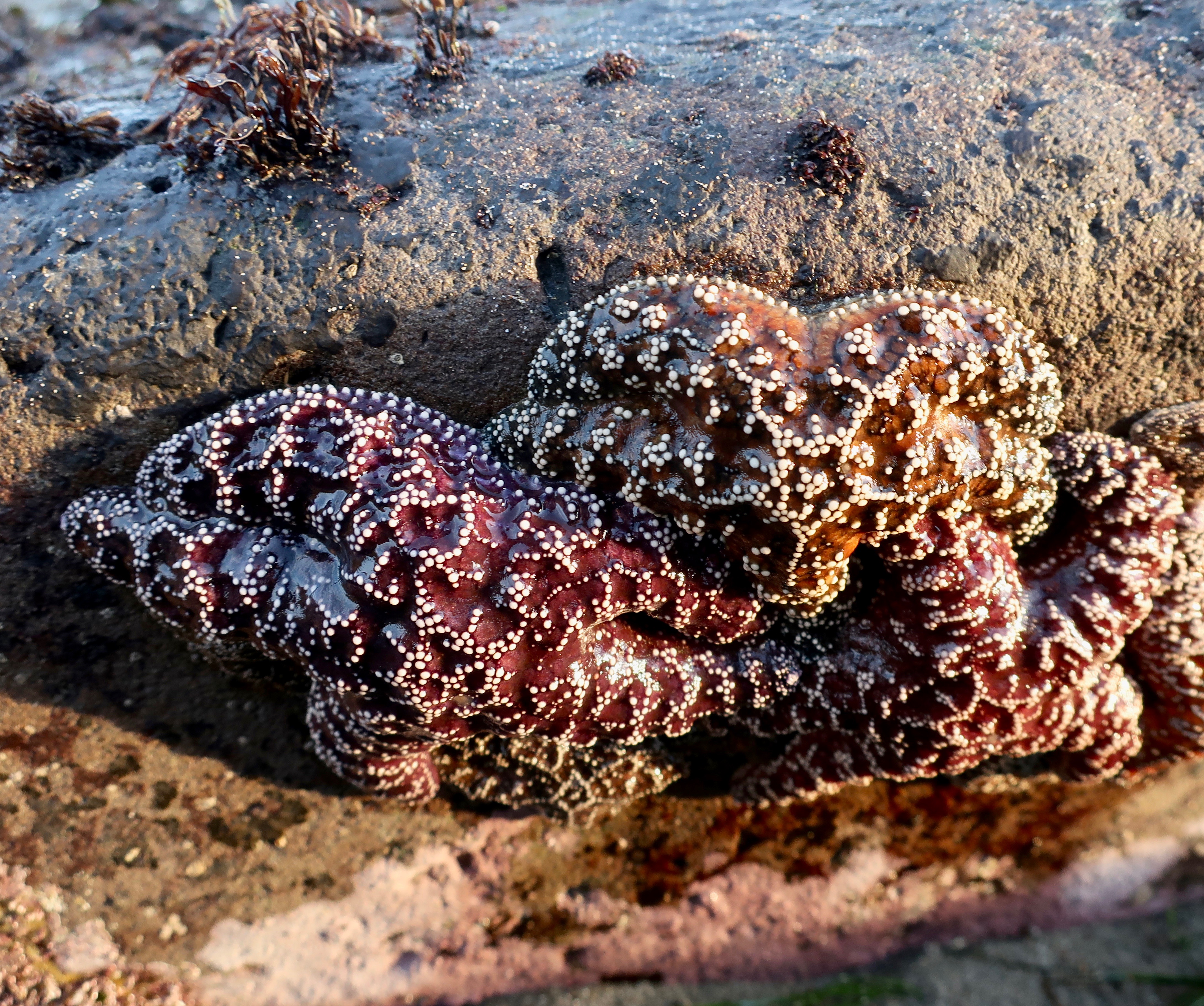
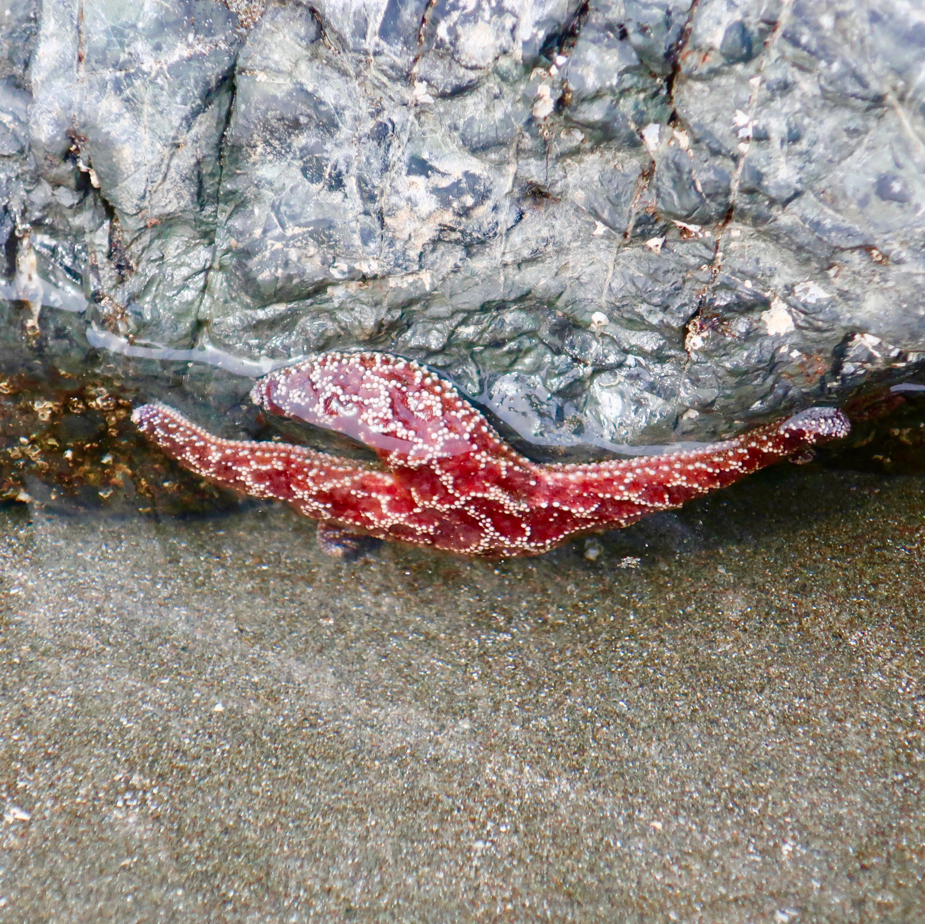
Everywhere we looked we saw starfish. Sometime in bunches. These purple and orange star fish belong to the same family, Pisaster ochraceus. Scientists don’t know why they come in two colors.
Here are some fun facts:
These rather amazing five-legged creatures have seawater for blood. It serves the same purpose, delivering nutrients to cells.
Starfish can regenerate an arm lost to a predator. But what if the arm loses its starfish? It can regenerate a new starfish, an exact replica. Pretty cool, huh.
They have very small mouths but like large, tasty morsels, like mussels. Not a problem. They have big stomachs. They send them out through their mouths and wrap them around what they want to eat. They digest their dinner and then suck the nutrients back into their mouths, along with the wandering stomachs.
They move around on tiny little feet that are found on their arms. They fill these little feet with water and mimic walking. They travel slowly, at least I have never seen one move quickly.
The feet also serve another purpose; they work as suction cups. The starfish will wrap itself around a closed mussel, attach their little feet, and pull the shells apart. Not an easy task.
One more thing about their arms, each one comes with eyes. Not eyes like you and I have but photo receptors that allow them to distinguish between light and dark and move around in search of food, or to avoid becoming food.
Following are more of our photos:
At first, I thought that the ugly guy above the starfish was seaweed. But looking at it more closely, I decided that it wasn’t something I wanted to meet up with on a dark night.
I’ll conclude with this edgy fellow.
NEXT POSTS:
As you read this post, Peggy and I are on our way to Pt. Reyes National Seashore north of San Francisco. When she asked what I wanted to do for my birthday week, it popped up. The National Sea Shore is one of my all-time favorite places and I have been escaping there for 50 years. So, beyond responding to comments, I will be taking a break from blogging and reading blogs this coming week. Translate: Vacation! I’ll be back to work on March 8. See you then. –Curt
While many people think of the desert as a wasteland to travel through at 70 MPH plus, there is great beauty.
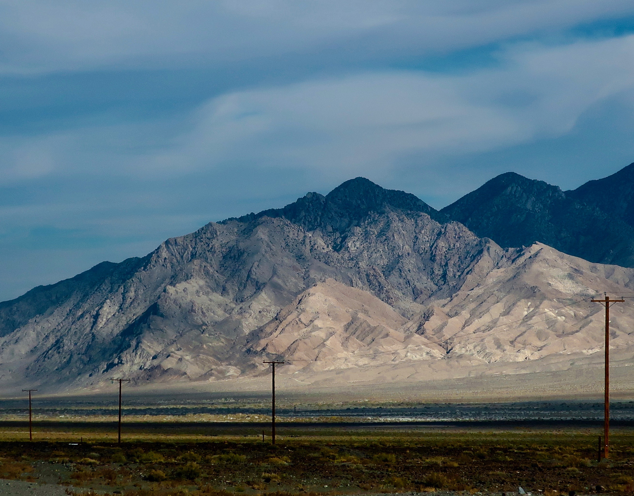
Peggy and I have made numerous trips up and down Nevada’s Highway 95. Most of our journeys to the Southwest start with that route. We never tire of the beauty along the way. Our frequent trips up and down the highway mean that I have done several posts on it over the years. The photos I am posting today were taken near the Town of Tonopah. There’s a good chance that you will have seen some of them. But they are worth looking at again. At least I think so…
I always think these lonely power poles add to the photo.
Black and white works as well. I think it adds drama.
A distant shot may classify as a close-up in the desert.
Another example.
I’ll conclude with what a distant shot looks like in the desert.
Peggy and I have now wrapped up our visit to Brookings on the Oregon Coast. Next Friday I’ll begin posting photos of what we saw. Naturally there will be sea stacks that the coast is famous for. We also captured a spectacular sunset. No surprise there. The tide pools provided a different perspective, however. We hung out with starfish, and anemones, and seaweed, and hermit crabs, and limpets. Oh my!
NEXT POSTS:
Monday’s Blog-a-Book from “It’s 4 AM and a Bear Is Standing on Top of Me” : I kick off the second section of my book— Growing Up in a Graveyard— with the story of how I was kicked out of the first grade for a poorly done forgery and began my wandering ways.
Wednesday’s Blog-a-Book from “The Bush Devil Ate Sam” : I am put in the hospital for my Republican political views, as a fourth grader, and make a left turn from the right lane in community college preparing myself for the 60s, Berkeley, and the Peace Corps.
Here kitty, kitty, kitty. I was amused by this petroglyph of what appears to be a cougar running at Lyman State Park in Arizona. Other petroglyphs of cougars that Peggy and I have seen in the Southwest often have their tails over their backs.
We had started our backroad exploration of Highway 191 at Arches National Park in Utah and would wrap it up at Lyman State Park in Arizona. The two parks made nice bookends. I’d been by the park twice and considered stopping both times but thoughts of the Rocky Mountains looming ahead had kept me moving. The first time I was on my bicycle and planned to do a hundred mile trip across the range the next day. This time it was getting late and Peggy and I were tired from a long day of driving. We were lucky to get a space.
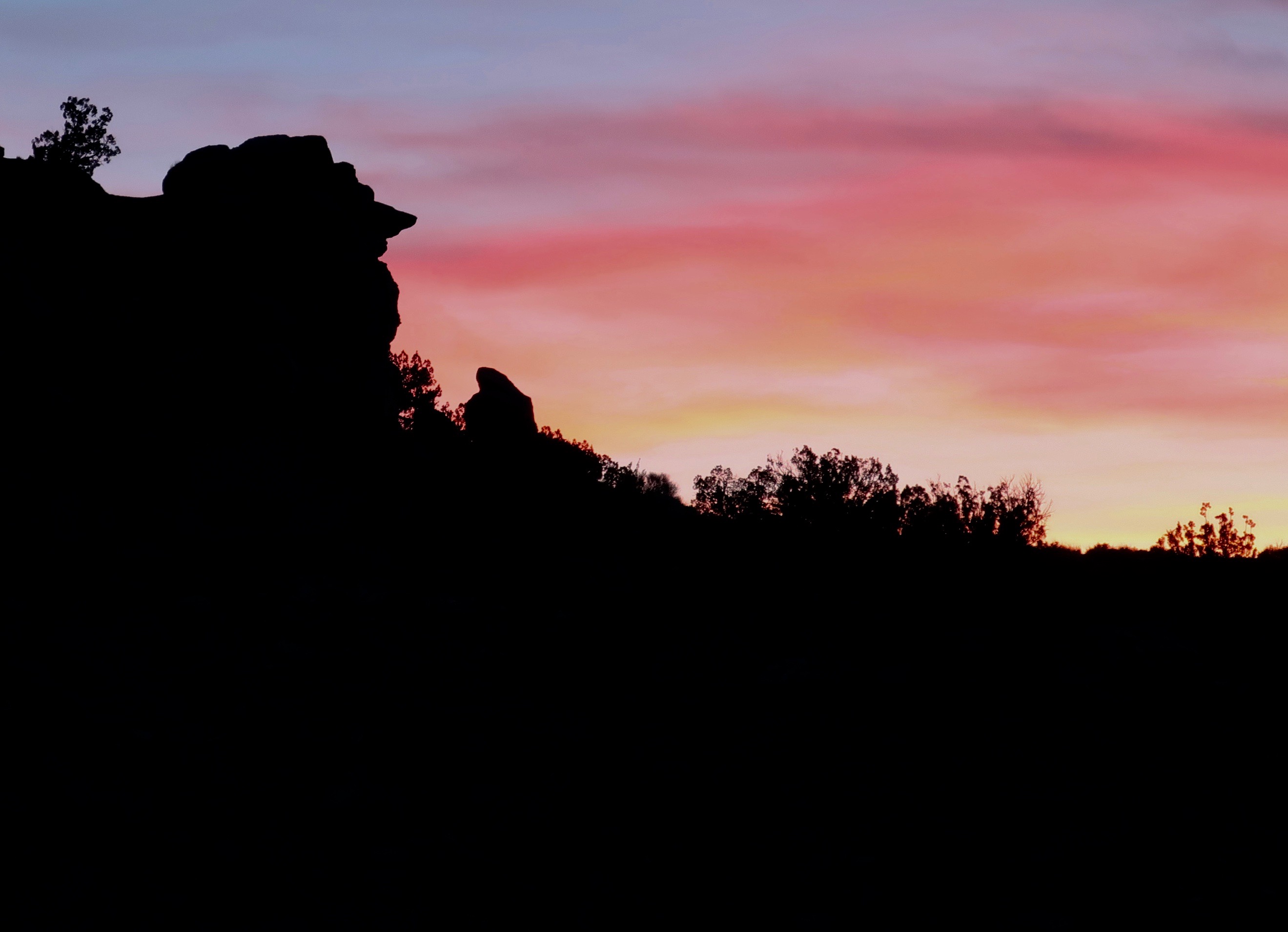
We went out for a walk as the sun was setting. The comic-appearing rock face on the left caught my attention. The nose was hard to ignore!
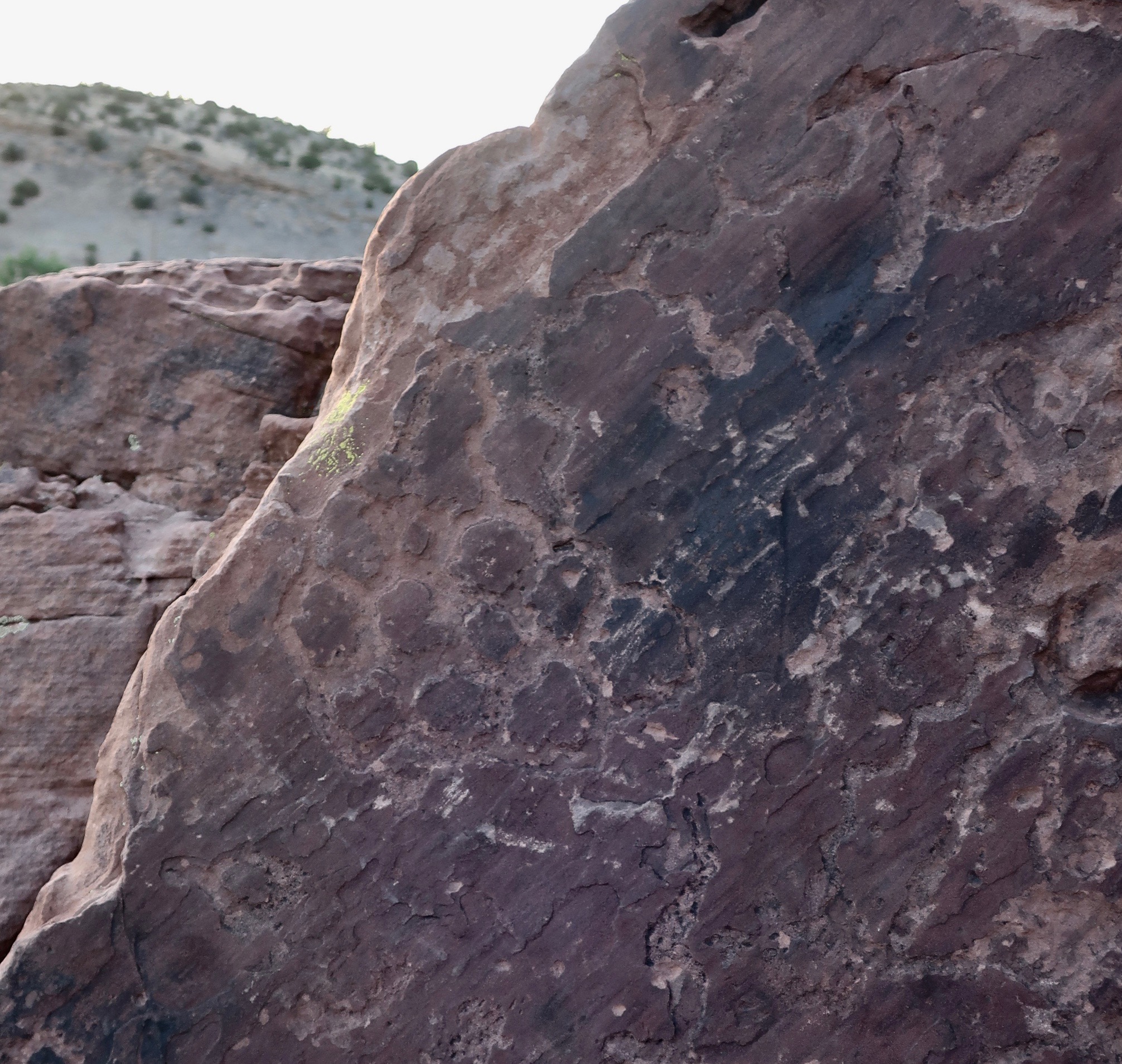
Our evening walk had taken us past a sign announcing a petroglyph trail, a happy surprise. Peggy and I have visited a number of petroglyph sites throughout the Southwest, many of which I have blogged about. We hadn’t realized that Lyman State Park also features the ancient rock art. We made a quick trip up the trail and vowed to return in the morning. Both the Anasazi and the Hopi had made their homes along the Little Colorado River, which was now damned up forming Lyman Lake. The petroglyphs were found in the rocks above the river. The Hopi believe they entered this world from another world near where the Little Colorado enters the Colorado River.
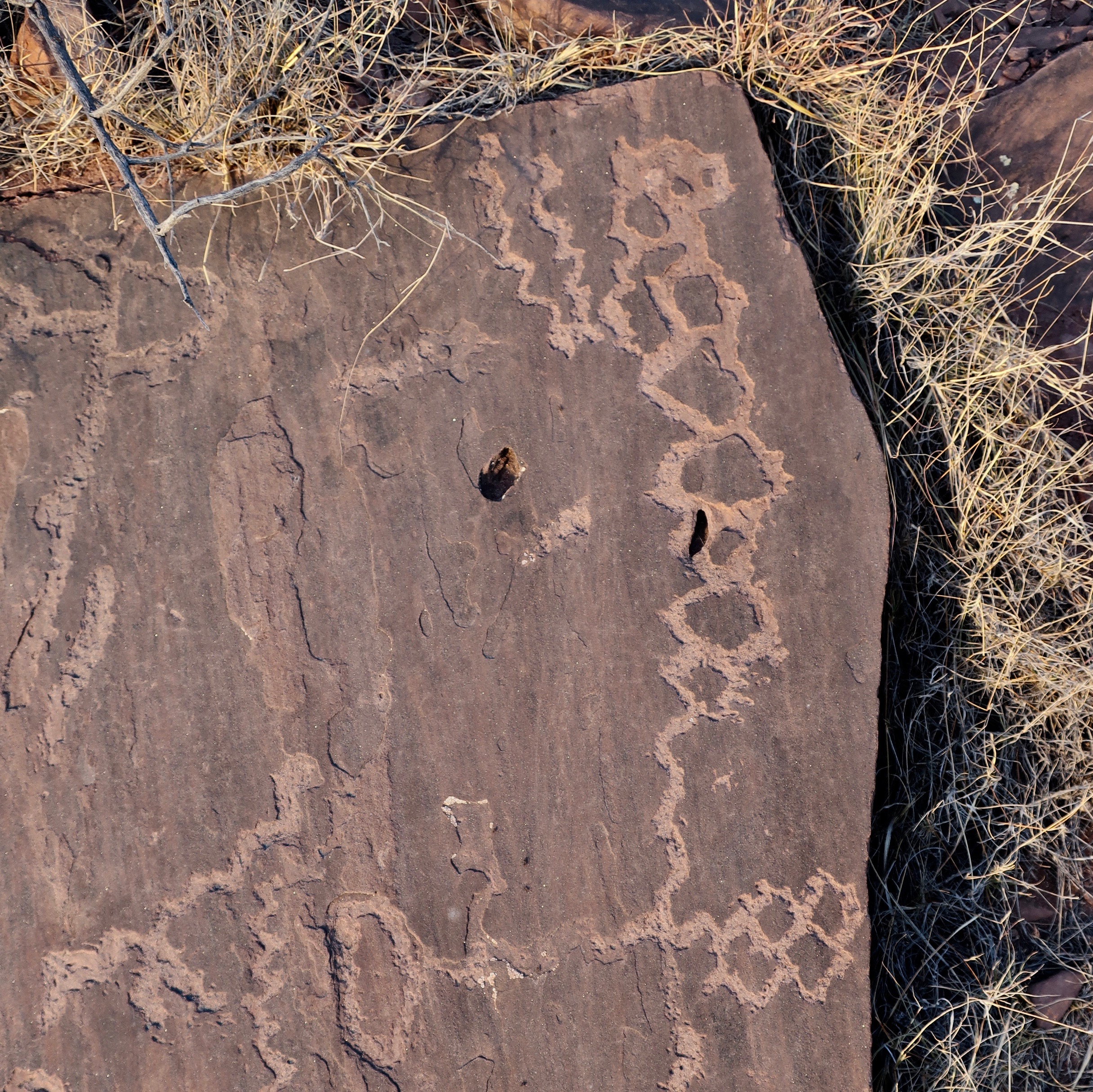
A sign placed by the park interpreted this rock art. The wiggly line represents the Water Serpent the Hopi would ask for water when water was scarce. Obviously they found it in the Little Colorado, which meant they could settle in the area. The guy on the right is jumping up and down holding corn they were able to grow. Or maybe he’s excited about his companion having a baby. You can see it hanging down. The umbilical cord hasn’t been cut yet. I’d be jumping up and down too. The wildlife looking on may symbolize the availability of game for hunting.
Behold the turtle who only makes progress when it sticks its neck out. At least, I think it’s a turtle. I also admired the lichen on the right.
A pair of very long snakes? Or at least their trail. Have you ever seen a snake trail crossing a dirt road?
There was also an interpretation sign for this. The thick line in the middle was apparently a migration route. Off to the left are snakes. The guy on the right may be dead since that is how death is sometimes shown in petroglyphs. I wonder if the snakes got him. Or Kitty, which was just to the left.
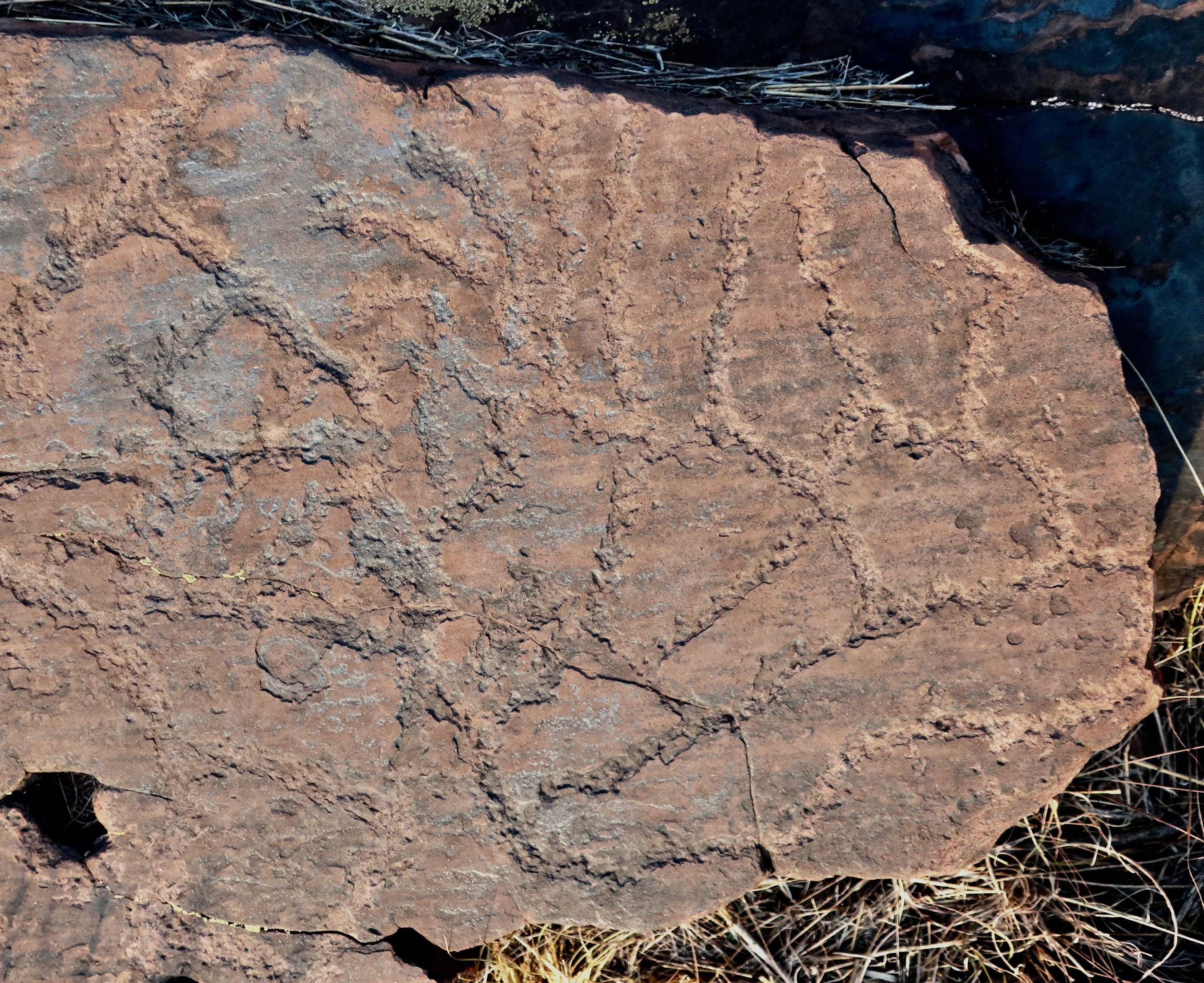
Land use planning? A sign suggested that this was a map that showed the various farms or settlements along the Little Colorado.
Another example of a petroglyph map.
Who knows?
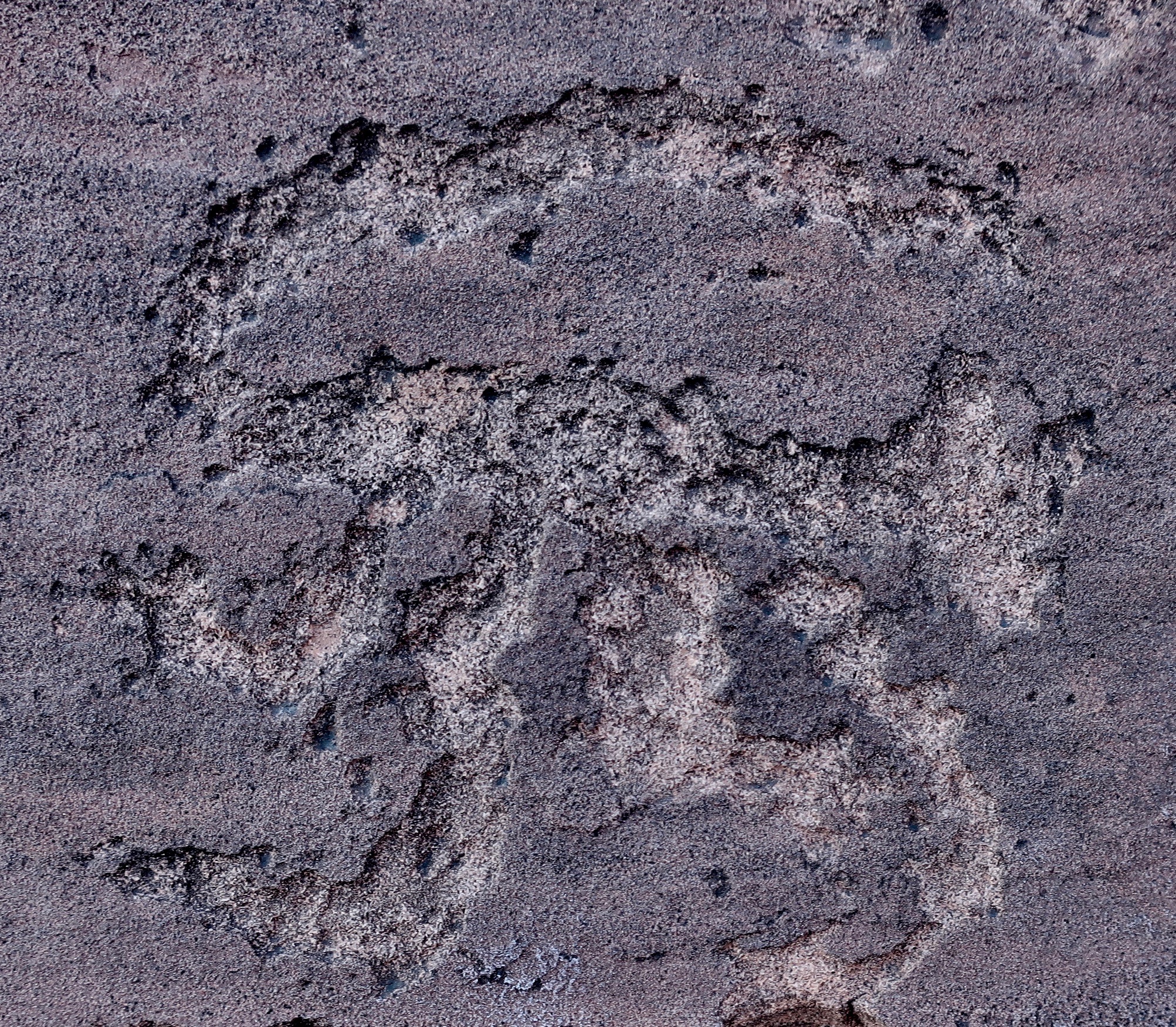
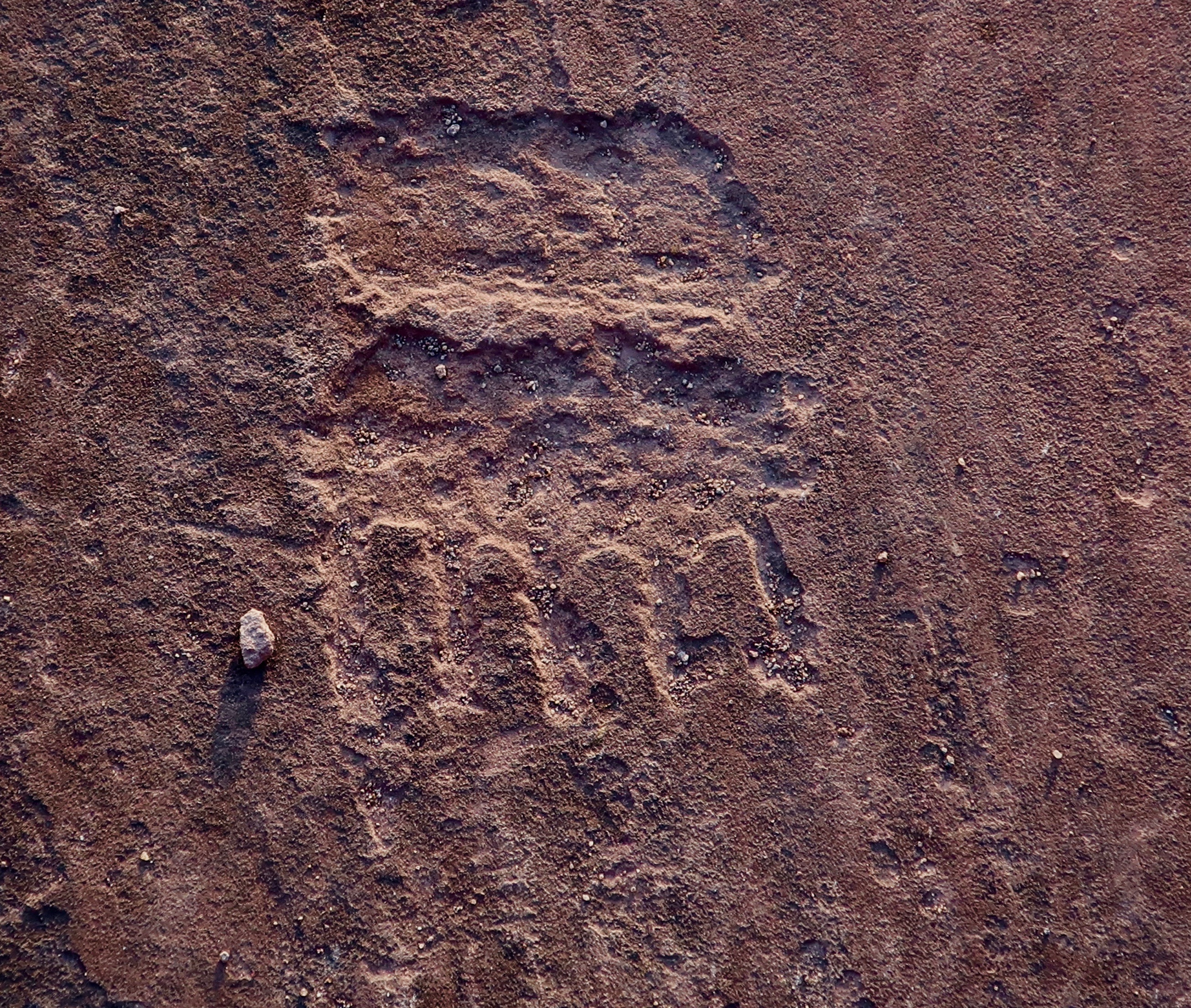
My interpretation here is of a bear print with lots of sharp claws…
There’s much more to Lyman State Park than petroglyphs. For one, the lake is apparently a popular boating lake. None were there at the time, which pleased us given the likely noise. We wandered around and took in the sights
What the…? How’d you like to come home to this?
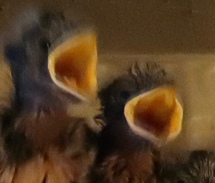
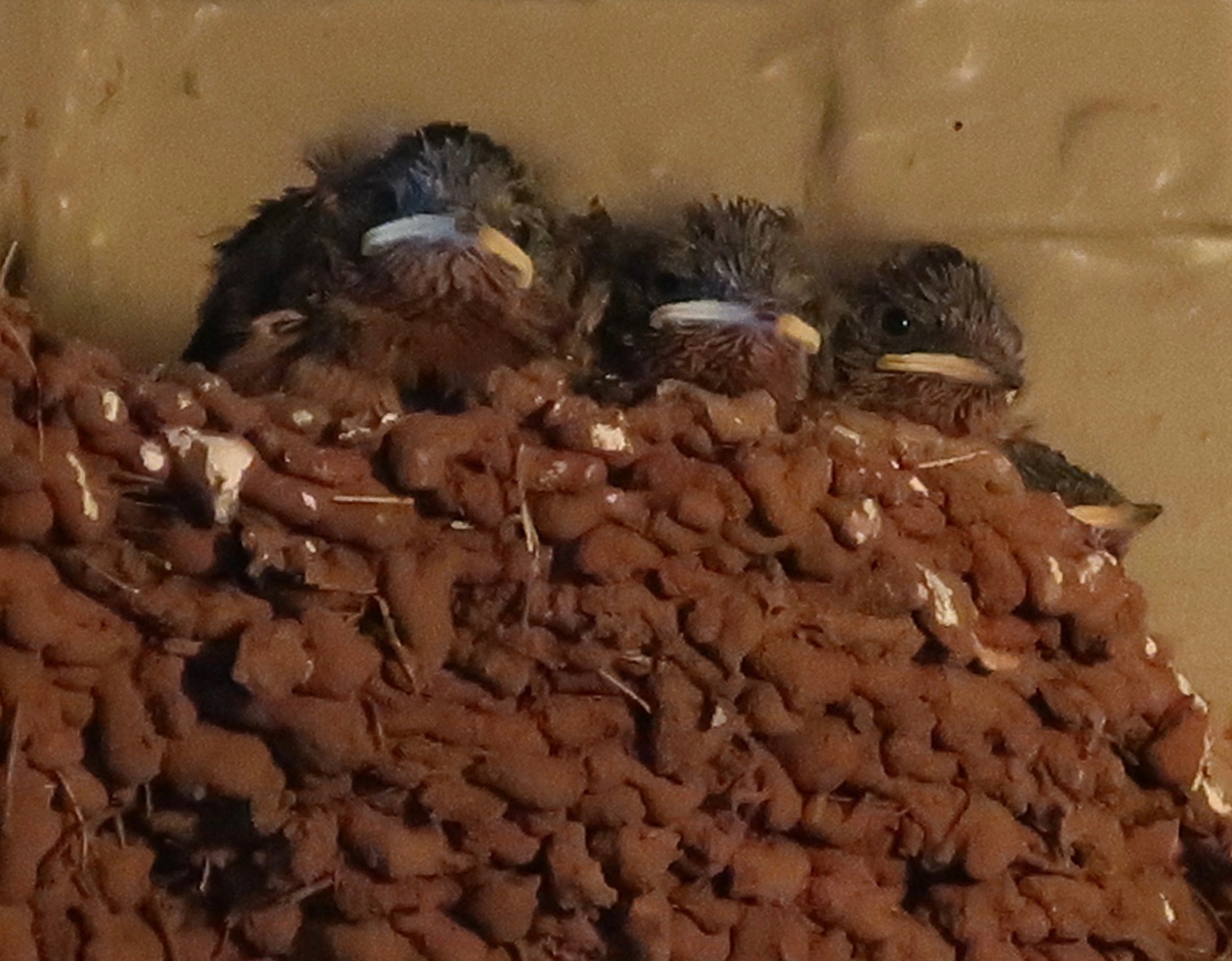
Hungry swallow chicks. 🙂
Who lives here? It’s a spider. I didn’t shove my finger down the hole.
Peggy made her way along the Petroglyph Trail.
Which overlooked the lake.
And featured this tree…
Rocks…
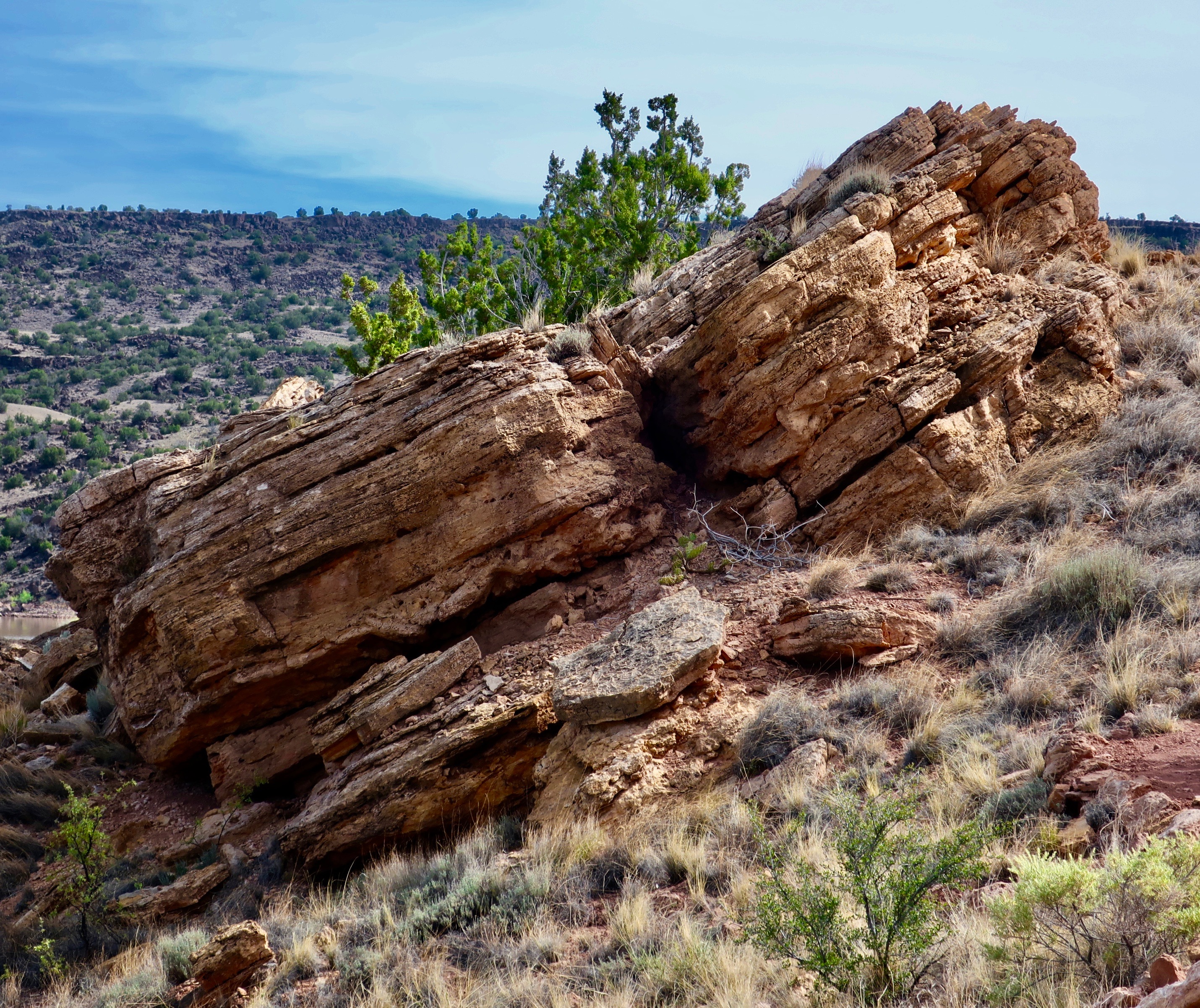
And more rocks.
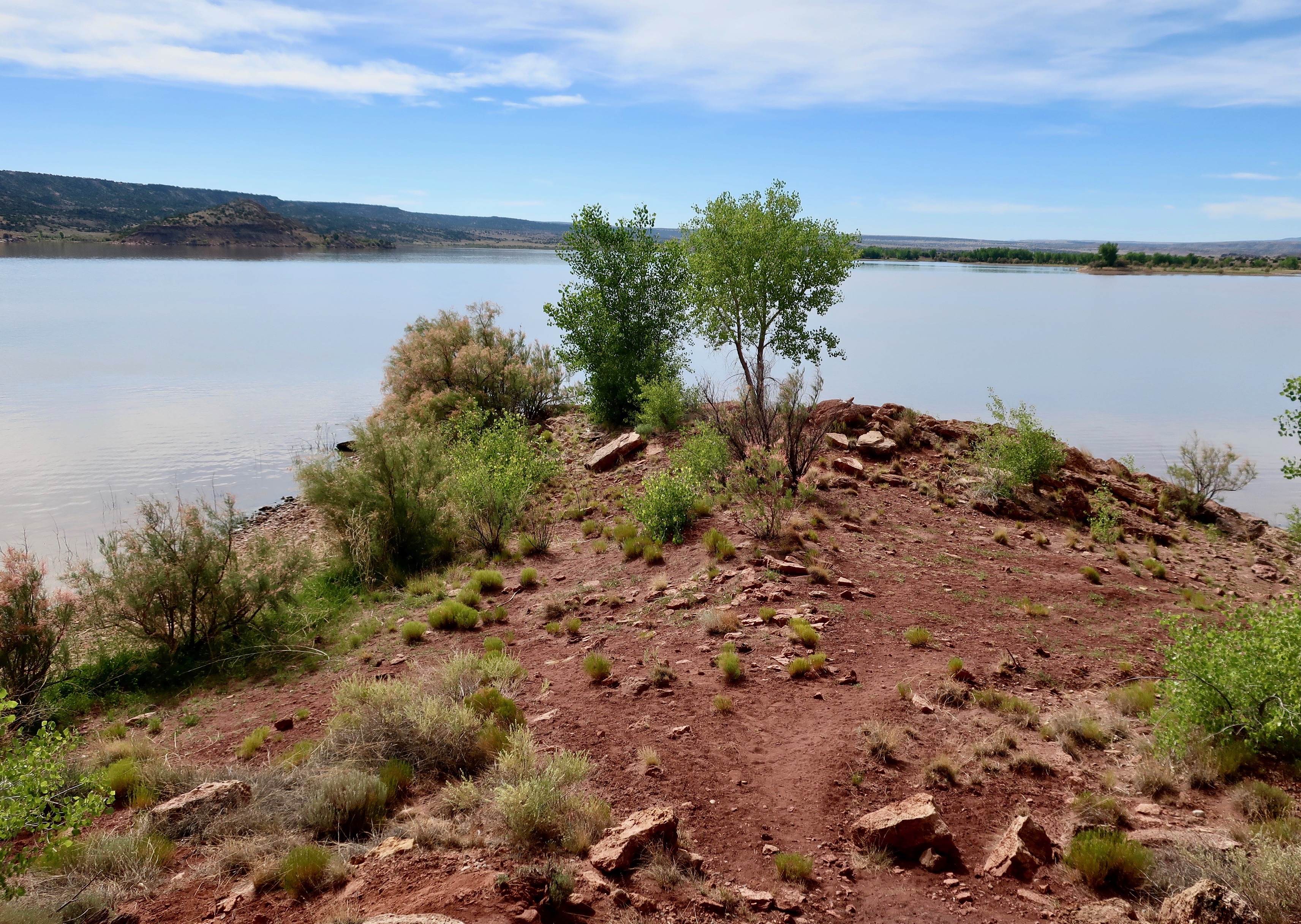
I’ll conclude with this attractive peninsula jutting out onto the lake.
NEXT POSTS:
Blog-a-Book Monday: It’s 4 AM and a Bear Is Standing on Top of Me… I conclude the Sierra Trek story with the greatest surprise of all.
Blog-a-Book Wednesday: The Bush Devil Ate Sam… I contemplate the wandering ways of my ancestors as a factor in my decision to join the Peace Corps. I’ve often been jealous of these early mountain men who travelled with the likes of Daniel Boone. But not Uncle Bill. He had his head cut off by a tomahawk and rolled down a hill…