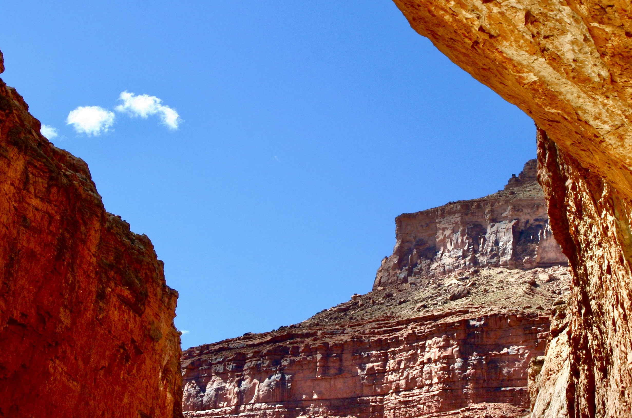
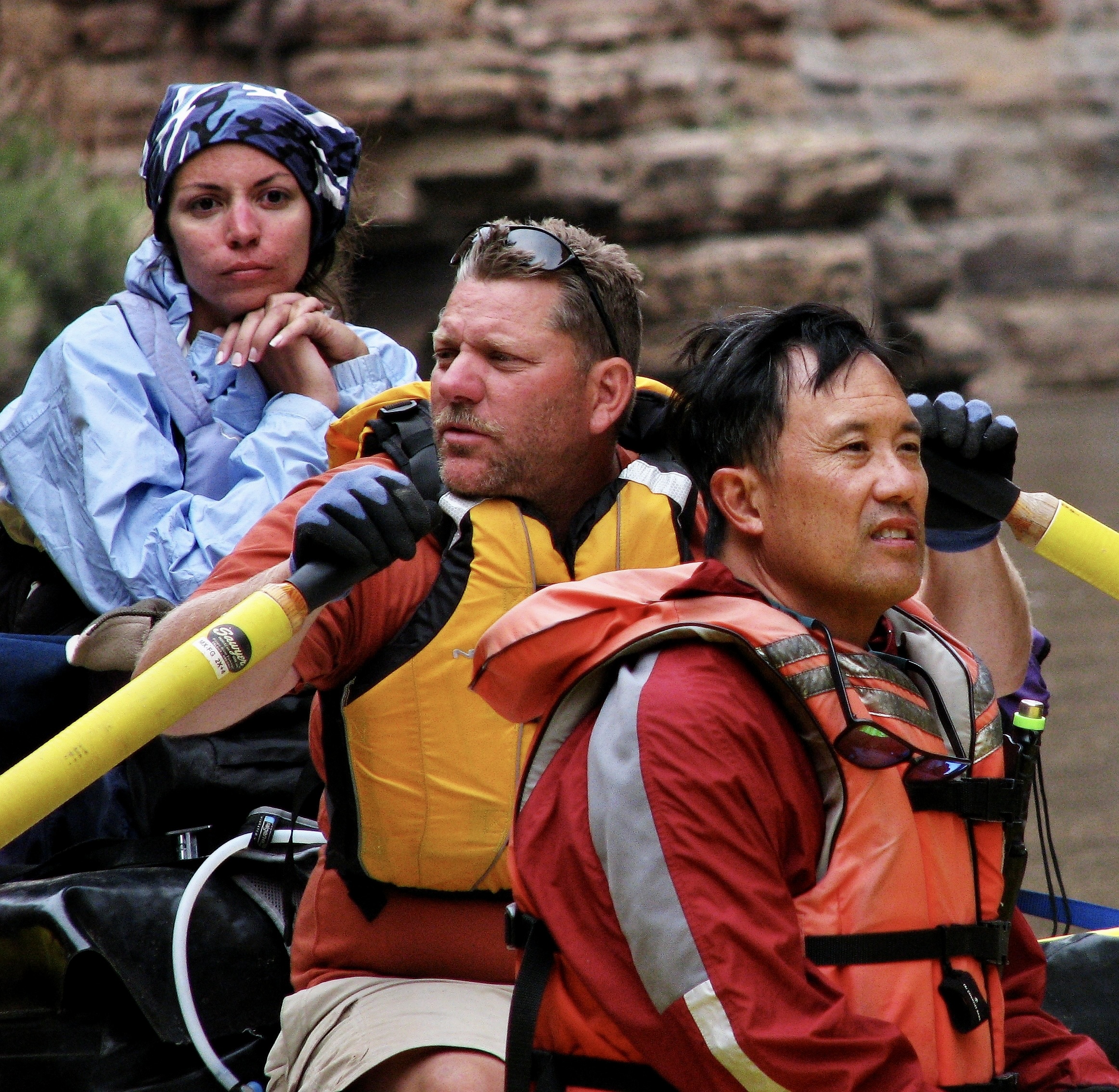
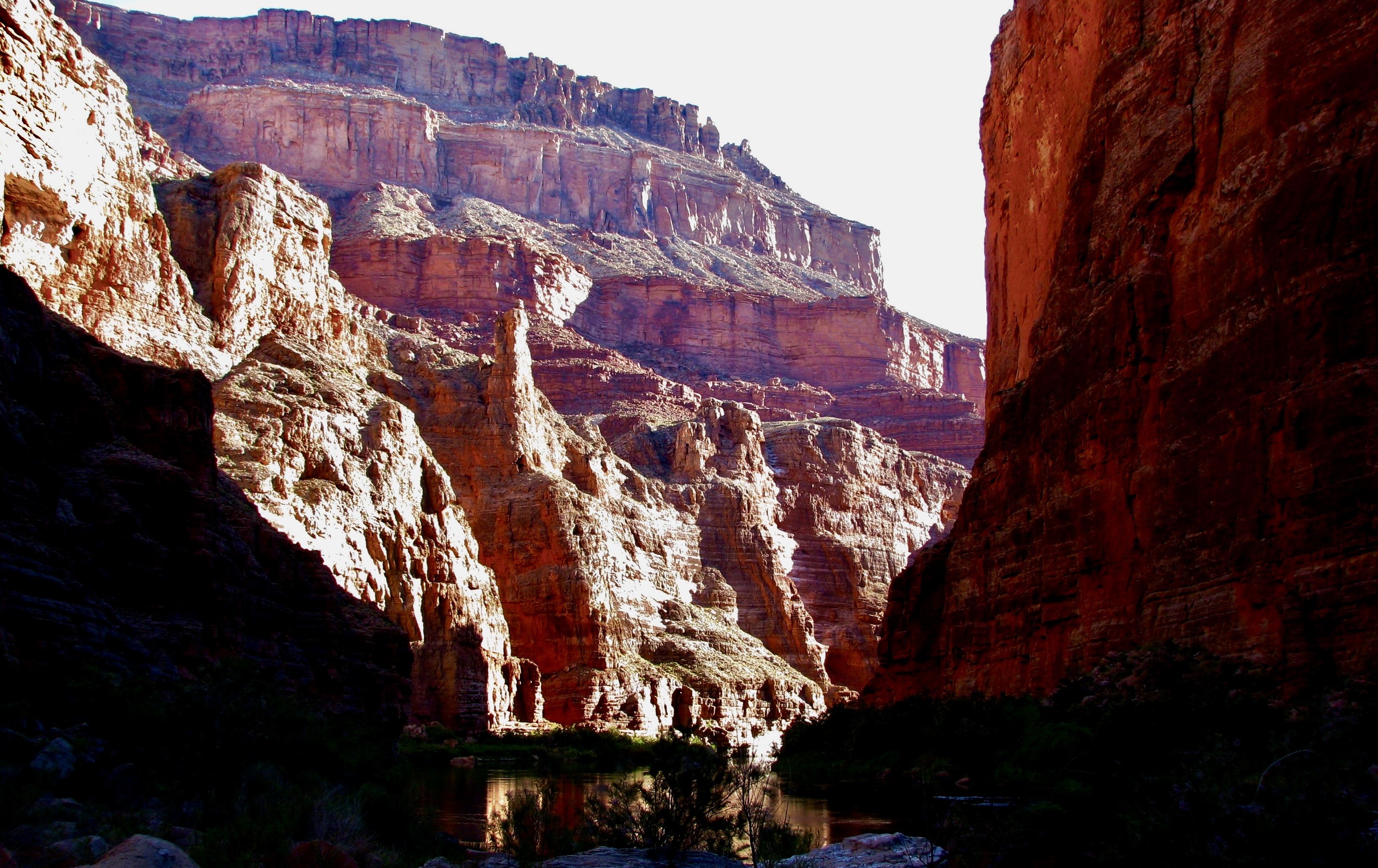
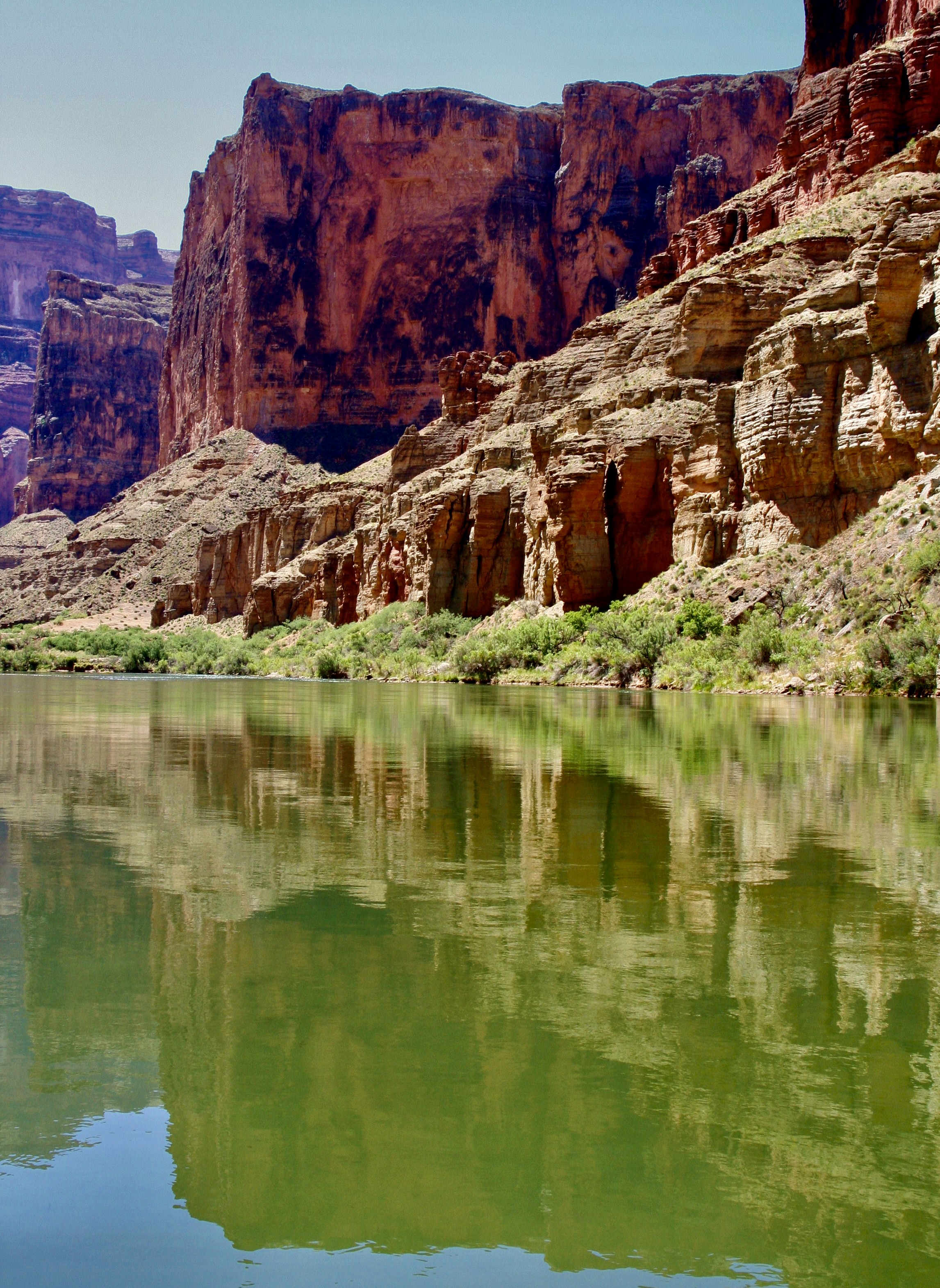
As we made our second trip up Hawaii’s Highway 11 to continue our exploration of Volcanoes National Park on our recent visit, smoke from the continuing eruption of Kilauea provided a dramatic backdrop. That was in February. The volcano is still erupting!
Our blog today is doing triple duty. One: It features our recent month long trip to Hawaii where we rented a VRBO for a month about 30 miles from Hilo. Two: I am using it to introduce Peggy’s newly published book on artistic word searches featuring petroglyphs of the Southwest.
Three: I’m kicking off my series on the value of protecting America’s national parks, national monuments and wilderness areas in light of the recent and ongoing Trump Administration threats to our national treasures. For the latest issues, I urge you to visit the National Parks Conservation Association that has been working to protect our parks since 1919.
This will primarily be done by selecting photographs from the thousands that Peggy and I have taken of parks showing their beauty, geologic uniqueness and historical significance while emphasizing the value of maintaining them for our present use and that of our children, grandchildren and future generations. Each blog will feature a different park, monument or wilderness.
Today’s is Hawaii’s Volcanoes National Park.
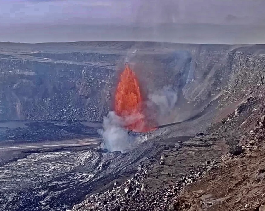
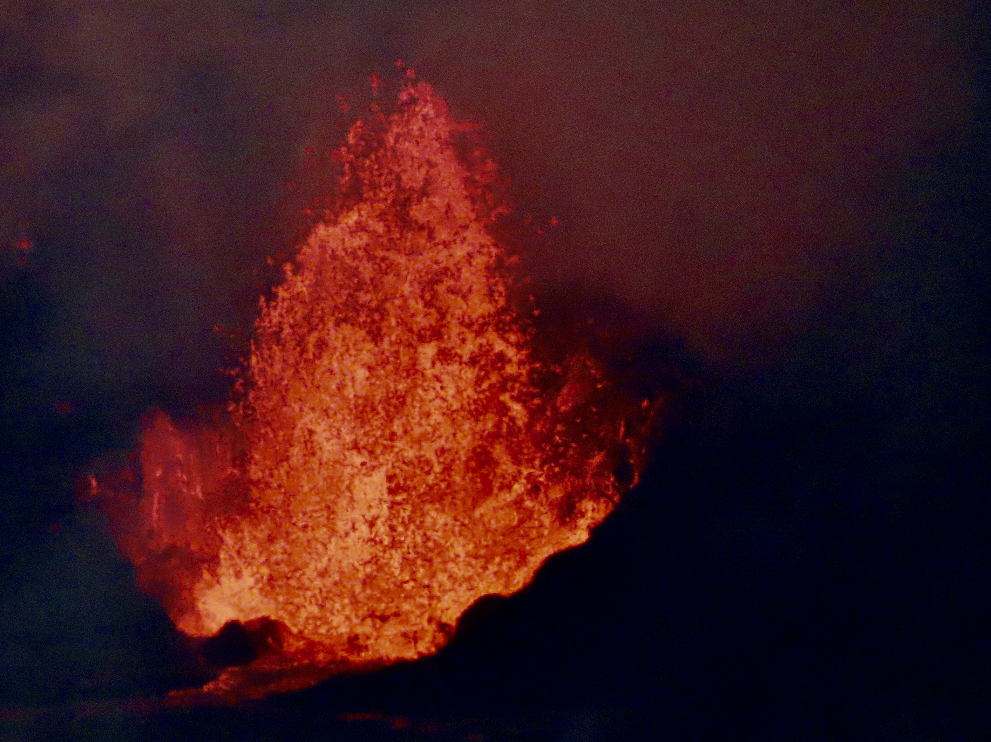
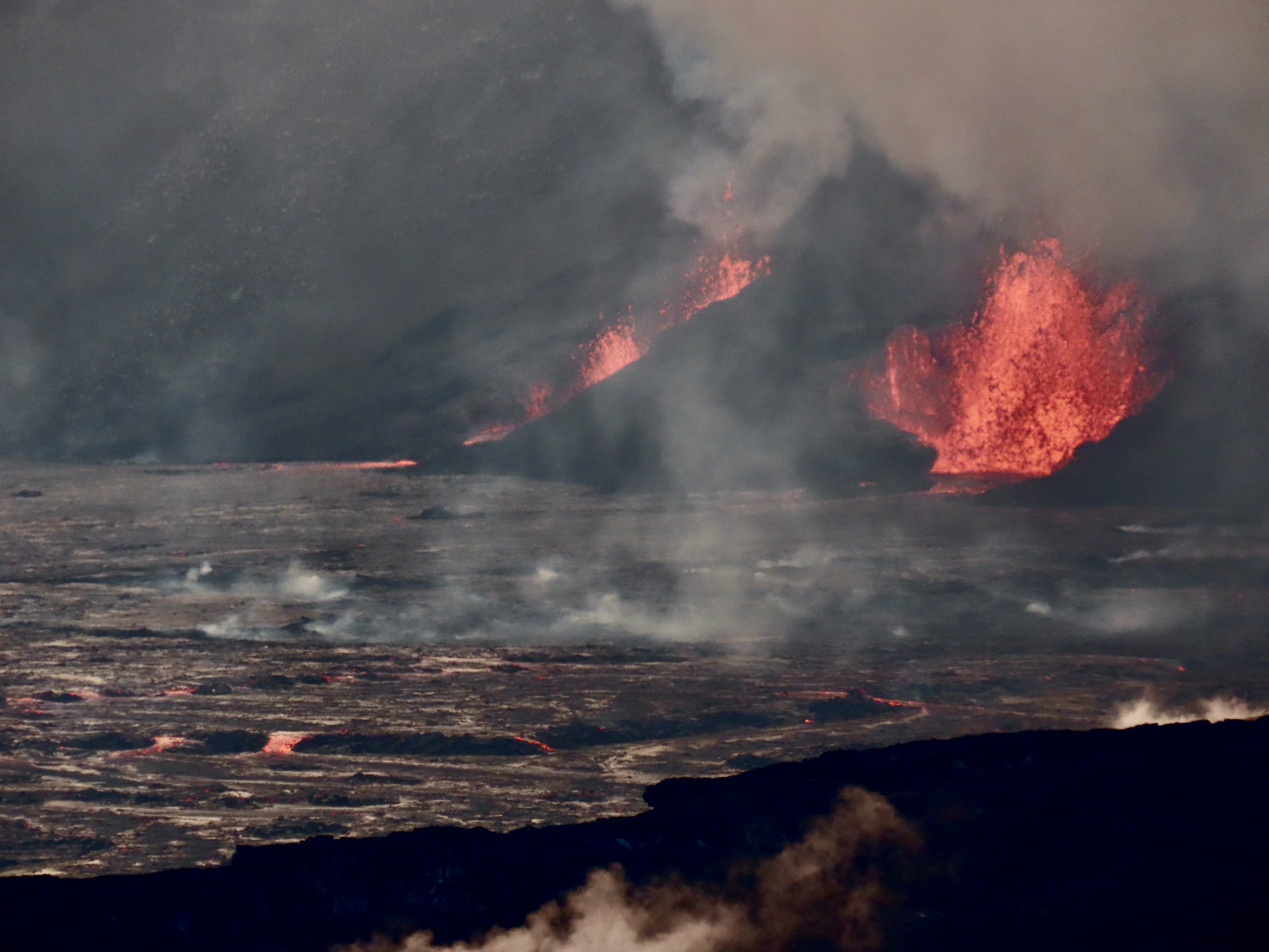
This map shows Volcanoes National Park’s Kilauea Caldera. Halemaumau Crater, which is part of the Caldera is shown on the left. The present active vents are located in Halemaumau, which seems appropriate given that ancient Hawaiians considered it to be the home of Pele, the Hawaiian goddess of fire, volcanoes, and volcanism.This photo captures the volcano sending up the smoke that fills the sky. Called vog (like smog) the smoke can damage people’s lungs, especially if they already have some type of lung disease or are elderly. (Hmm, I wonder if 82 meets the second criteria. Cough cough.)Up close and personal, as seen through our telephoto lens. At around 300-350 feet the lava was shooting higher into the air than it did on our first visit, but nothing like it has on its latest eruption.This is what the eruption last week looked like with lava shooting up 700 feet, nearly twice as high as we saw it! (USGS Photo) BTW, this is the south vent. The north vent is only smoking.
National Parks are selected for beauty, geological features, flora and fauna, and cultural history. The fact that Kilauea is considered the most active volcano in the world would definitely qualify it for National Park status. But there’s much more to see at the park regarding volcanoes plus unique cultural history shown through petroglyphs left by native Hawaiians. And there are Nene!
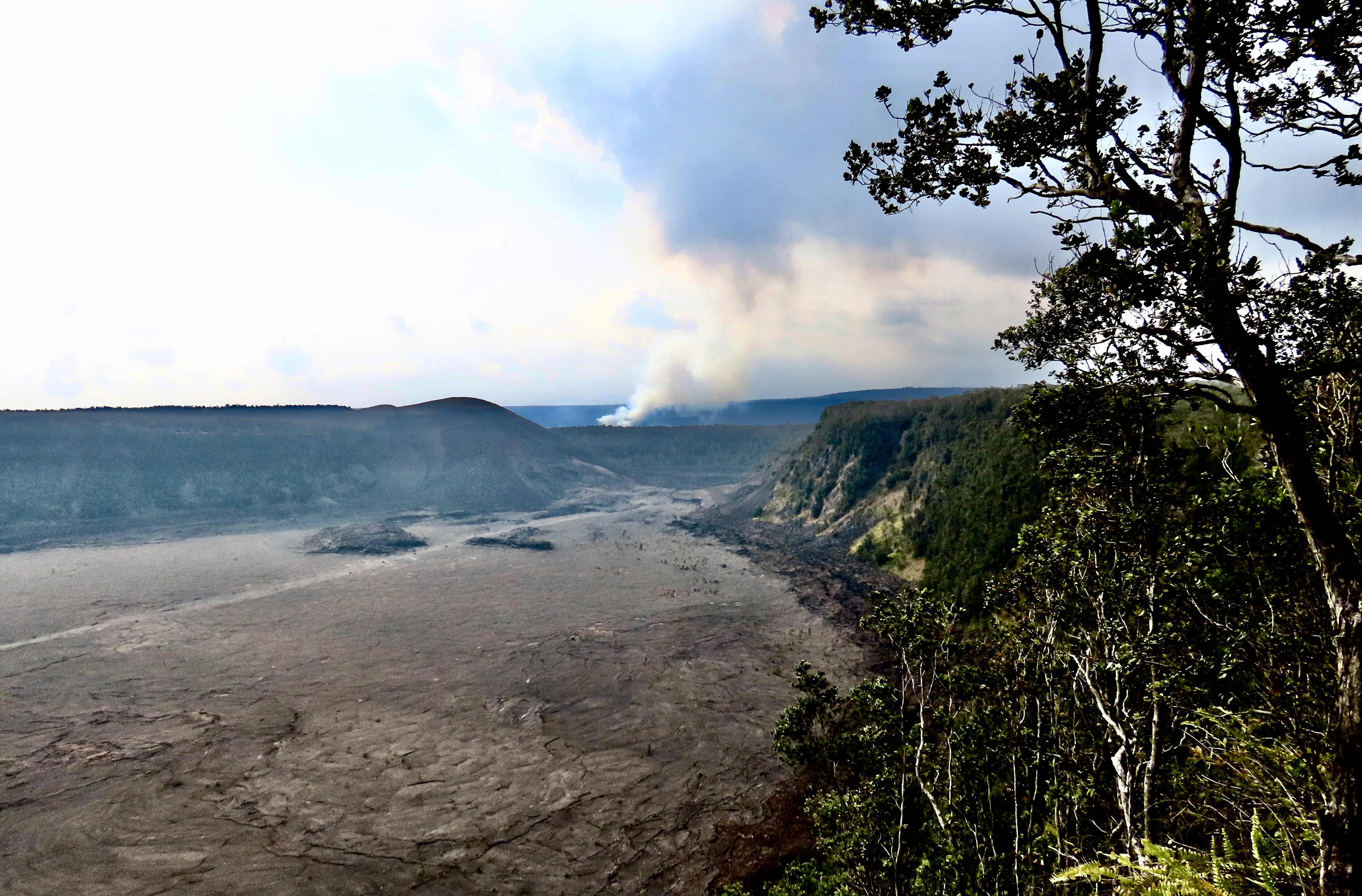
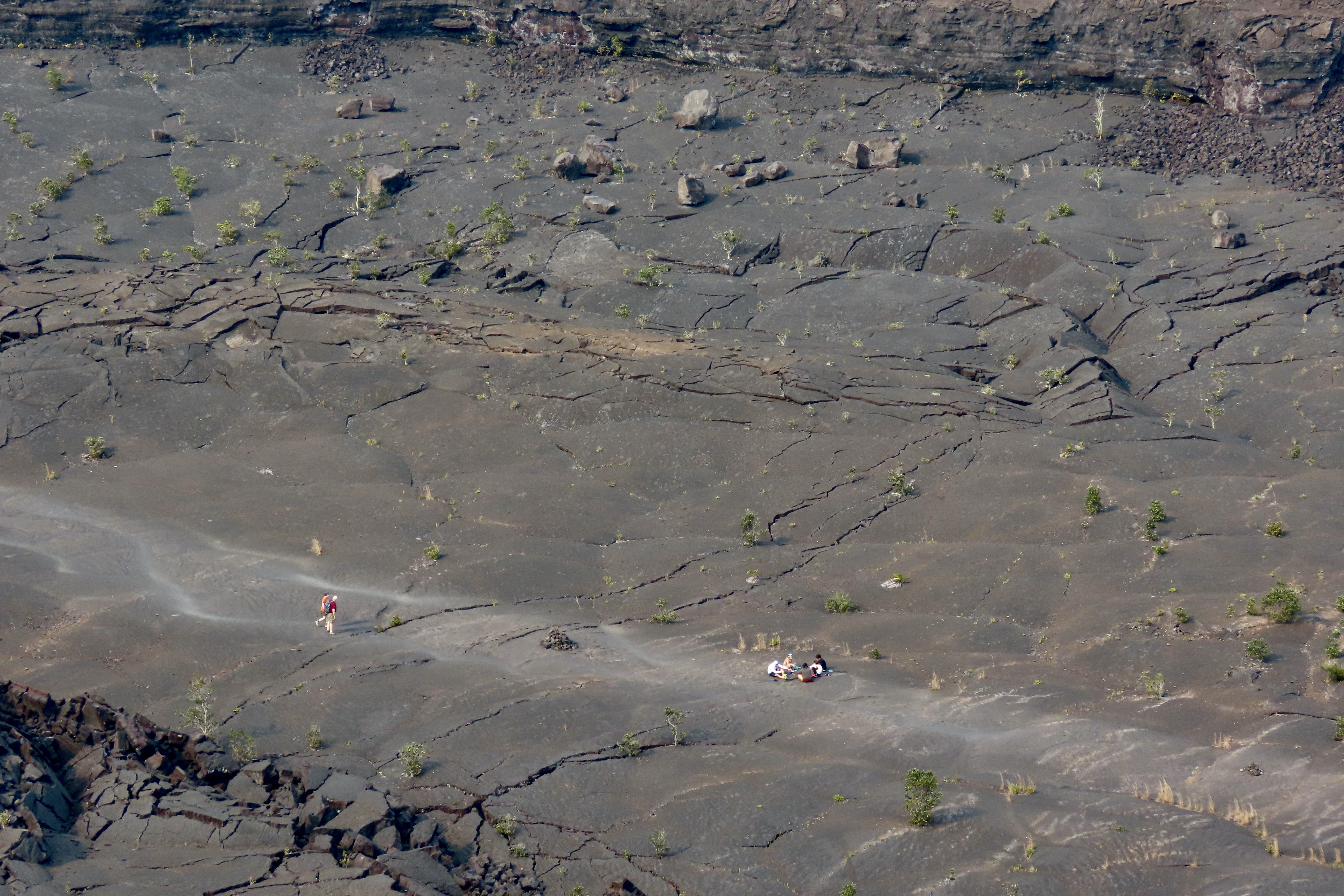
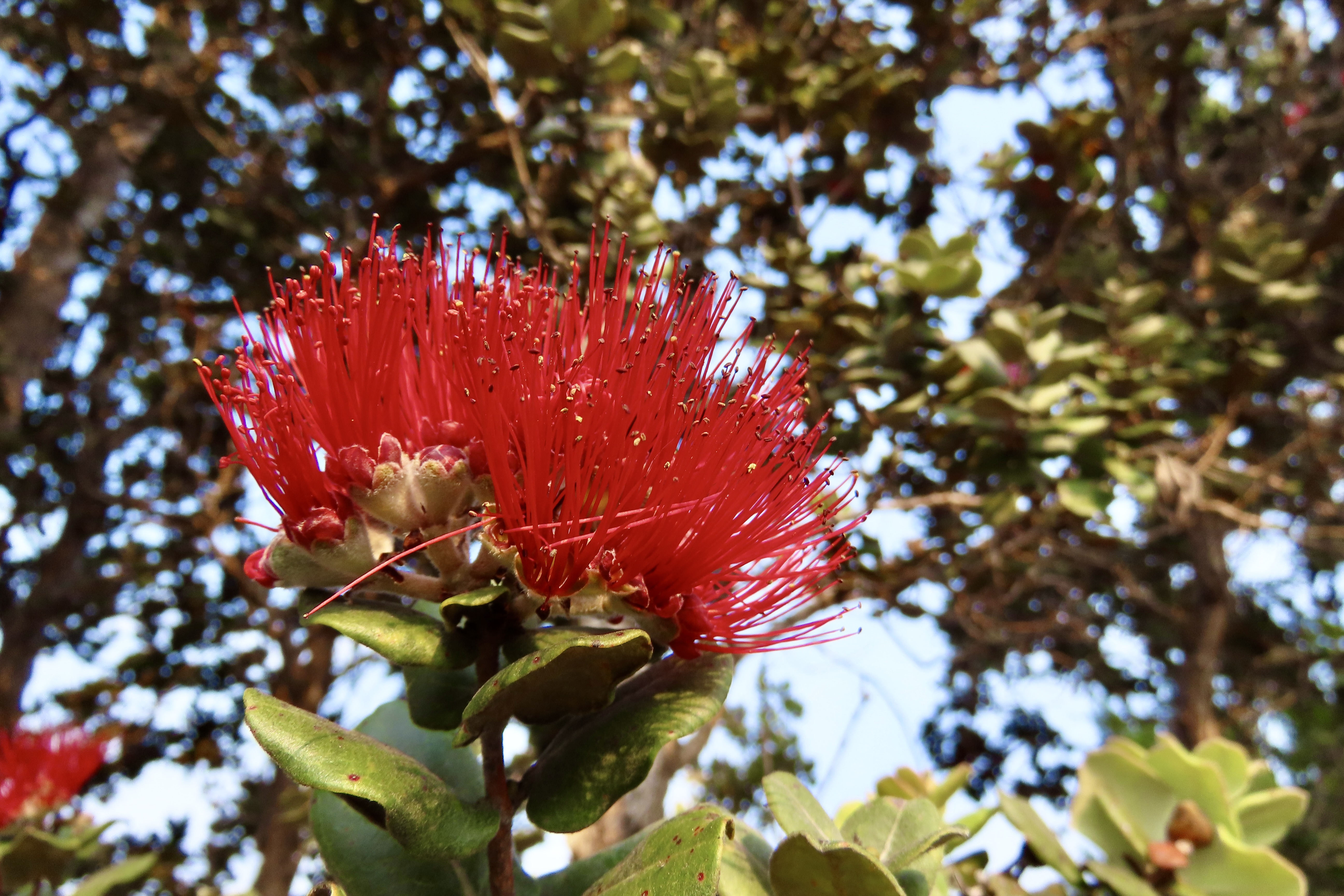
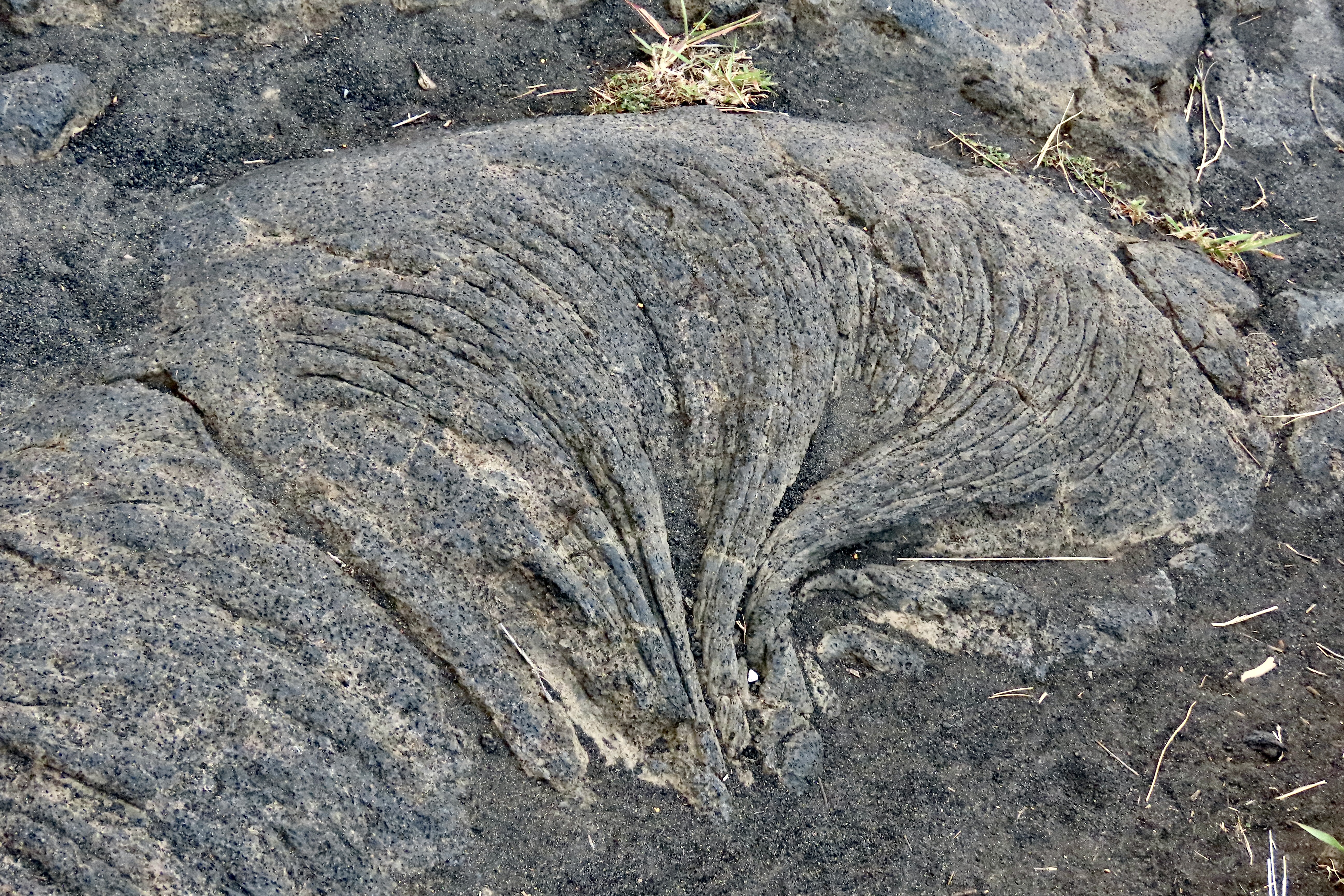
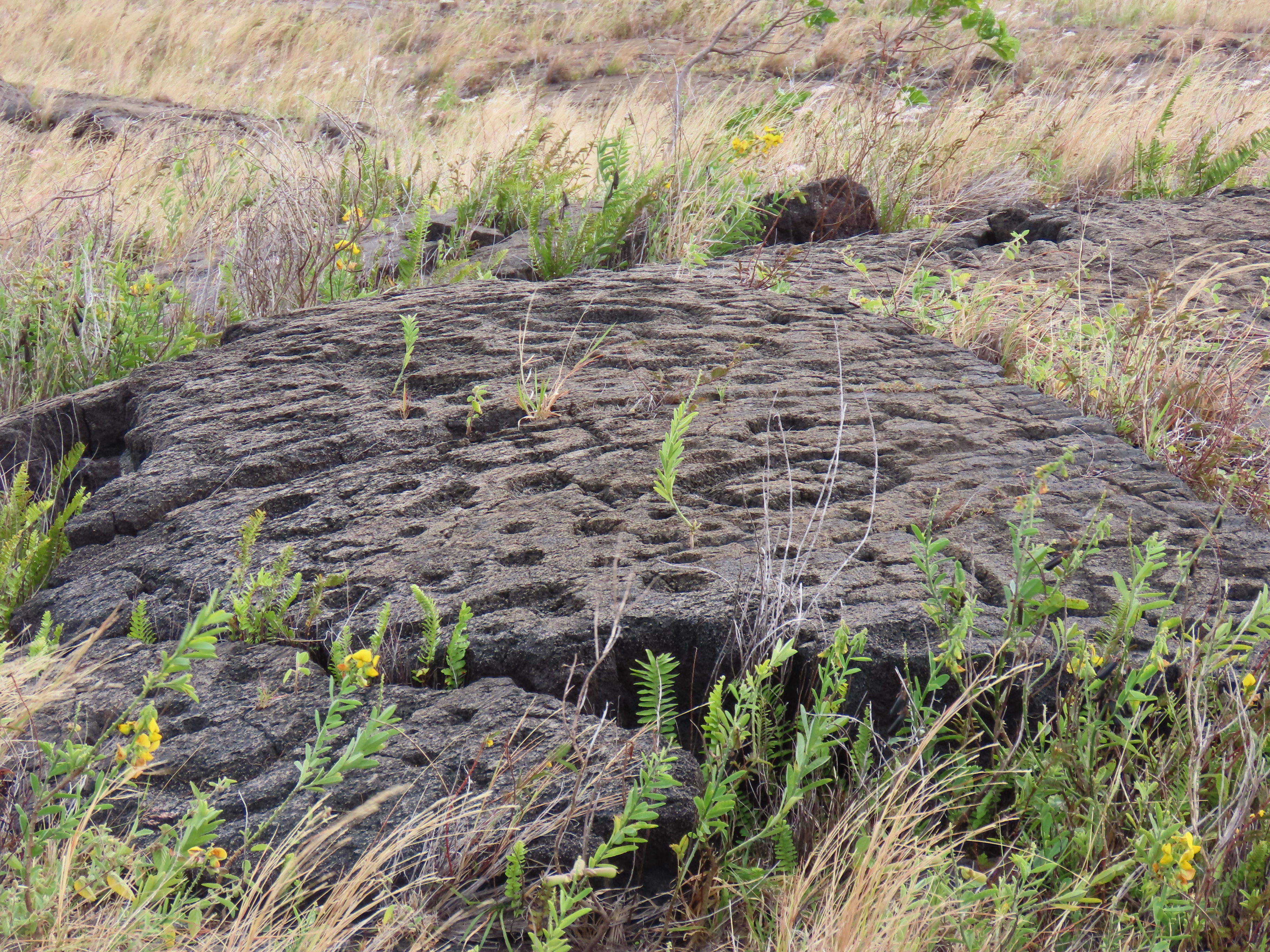
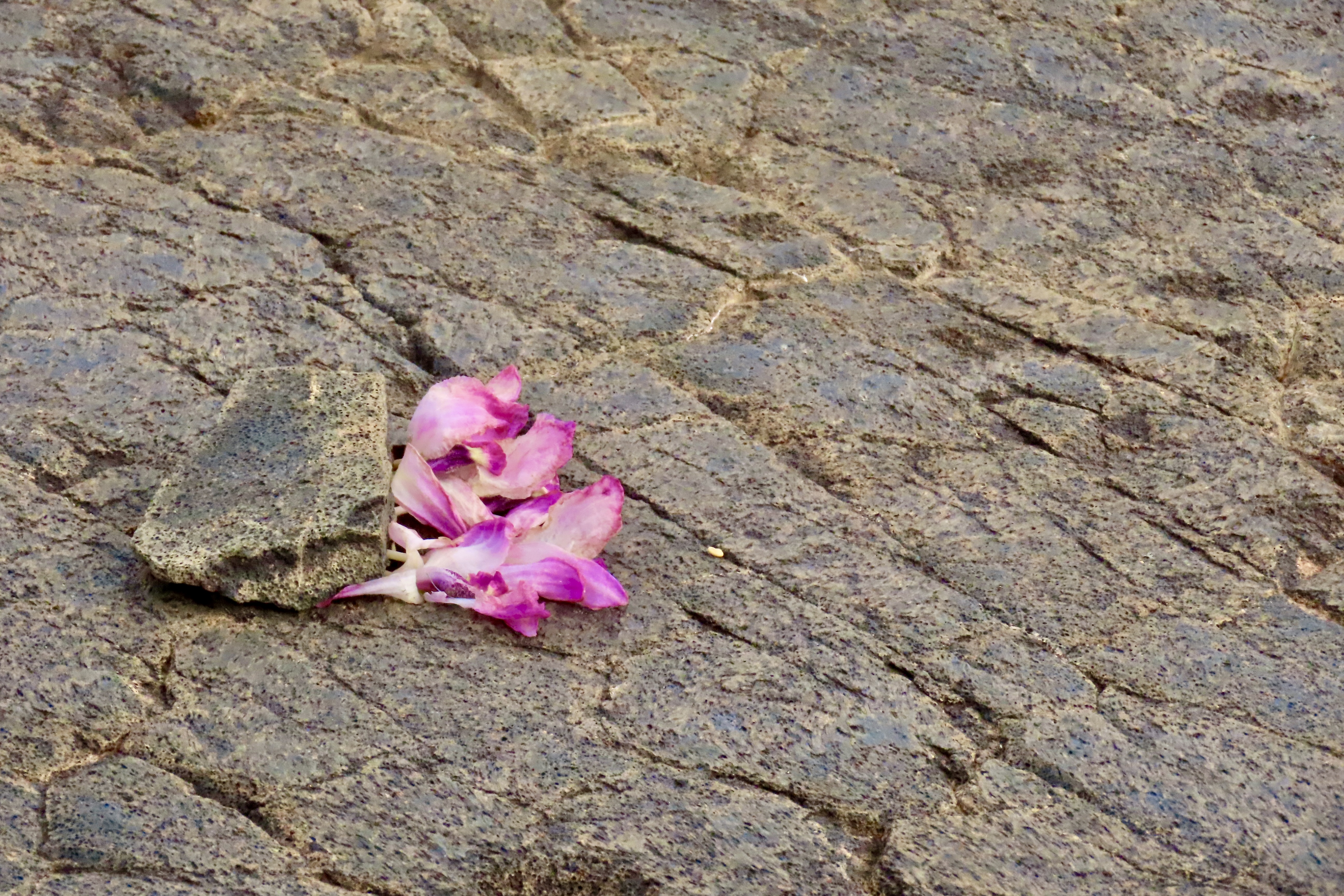
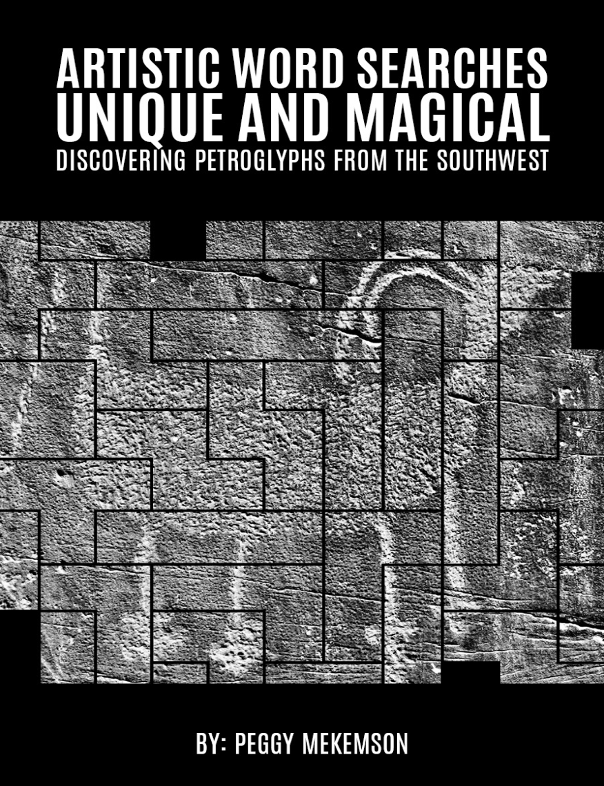
If you are a crossword buff, you will definitely recognize this bird. Its name is a favorite of crossword puzzle creators. Signs on roads throughout the Park warn drivers to watch out for them. This fellow has a “Are you looking at me?!” expression. The Nene or Hawaiian Goose is endemic to the Hawaiian Islands and is the official state bird of Hawaii. The Kilauea Iki Crater, southeast of the Kilauea Caldera, is on the Crater Rim Drive East. It was our first stop as we headed for the Chain of Craters Road. As you can see, a hiking path makes its way across the crater floor.A view of the Kilauea Iki Crater with its hiking trail. The Halemaumau Crater eruption in the Kilauea Caldera can be seen in the distance.A lone hiker makes his way along the trail through the Kilauea Iki Crater while a family rests and eats snacks.The Kilauea Iki Overlook also features a number of attractive plants like this fern…And fiery red Ohia Lehua flowers.On our first trip up to the Park, we hung out at the Volcano House (next to the Visitor’s Center) and drove along the Crater Rim Drive West because of the great views of the eruption. Our second trip up took us down the Chain of Craters Road, known for its presently inactive volcanoes craters and past lava flows. The road goes all the way to the ocean, first across a lava created plateau before dropping over Holei Pali Escarpment down to a broad coast plain. The grayer areas show lava flows dating back to the 1970s. I was there!The Chain of Craters Road was bumpy, which isn’t unusual for our road system. What’s unusual is the bumps were caused by earthquakes and the earthquakes were caused by the volcano. These bumps appeared to be recent. Increased earthquakes in volcano country often mean that lava is on the move. Seismographs measured over 60,000 connected to the 2018 eruption (most were below the level that people could feel, thankfully. I would have been out of there after 100, or 5.)As we drove down the bumpy road, a sign pointed us toward a pull off for Pauahi Crater shown above. (Site 5 on the map.) This crater has erupted three times in recent history: May 1973, November 1973, and November 1979. A description of the November 1973 eruption said “lava pooled into a dramatic, fiery, swirling whirlpool on the crater floor.” Given the description, I believe this is the crater I visited in the early 70s. A wooden walkway worked its way out from the road to the edge of the crater. I walked out in the dark to get the full effect of the ‘swirling’ lava. I remember large bubbles coming to the surface, bursting, and sending lava shooting 20-30 feet into the air. The experience was Incredible— and unforgettable.Broad flows of both pahoehoe lava and aa lava cover both the upper plateau and the coastal plain along the Chain of Craters Road. This photo is from the coastal plain. Pahoehoe is characterized by its smooth, ropy, or billowy surface.it can create fun, almost artistic patterns.The darker, rough lava is aa, another favorite of crossword puzzles. This photo shows aa lava flowing over the edge of the Holei Pali Escarpment and down toward the coastal plain, possibly flowing as far as the Pacific Ocean, which is seen in the distance.A close up of aa. Nothing smooth here. We took this photo from the 2018 flow.Looking back at the escarpment from the coastal plain, the more recent lava flows can clearly be seen.Number 6 on the Chain of Craters Road marks the location of the Puʻuloa Petroglyph site where some 23,000 petroglyphs were pecked out on a 500-550 year old lava field by native Hawaiians. In geological terms, the center of Puʻuloa site consists of a volcanic pressure dome slightly higher than the surrounding lava fields.While a variety of petroglyphs are found at the site, over 80% are holes like these. Puʻuloa means the’ hill of long life.’ Original Hawaiians believed that placing the umbilical cords of their babies in the holes would help insure a long life for the children. The holes also show family relationships.A boardwalk around the major Puʻuloa site provides views like this. It’s easy to see how there could be thousands of holes for the umbilical cords.Orchids left behind by a native Hawaiian at the Puʻuloa site are a reminder that this site is considered holy ground. Without the protection of a national park, monument or historic site (or equivalent state protection) such sites are often lost or vandalized, destroying an important part of human history, and possibly, one that is considered sacred. (Think of bulldozing down Notre Dame because it had oil under it.) That’s it for Volcanoes National Park. But…While we are on the subject of petroglyphs, this is an excellent time to introduce Peggy’s new book on artistic word searches that will take puzzle solvers on a journey exploring the unique and magical petroglyphs of the Southwest. Here, Peggy studies a life-sized petroglyph of a cougar or mountain lion at the Three Rivers Petroglyph site in New Mexico.
As you are probably aware, Peggy and I are fascinated by petroglyphs because of their historical, cultural, and artistic significance (not to mention finding them can be like going on a treasure hunt). We have wandered extensively thoughout the Southwest exploring and photographing both major and minor sites.
Peggy also loves word games, one of which is word searches. “I find them fun and challenging,” she notes. “They are a form of meditation for me and they help to keep my mind sharp. I particularly like the ones that teach me something new, whether it is about a subject, an area or vocabulary.
Three years ago, she decided that it would be fun to combine her passion for petroglyphs and word searches in a book. This is the result:
Peggy’s book contains word searches on 25 different petroglyphs from the Southwest. Here’s an example of how the book works.
First, Peggy selects a petroglyph she wants to use. In this particular instance, it is Kokopelli, a humpbacked flute player responsible for promoting fertility and prosperity. Representations of him can be found throughout the Southwest. The one on the left lying down is found in Canyon de Chelly National Monument. While this isn’t the representation that Peggy chose, you get the idea. (That’s a snake on the left. On the right, I’m not sure, but may be a woman under Kokopelli’s influence….. Or a frog.)Next Peggy came up with a list of words related to the specific petroglyph and petroglyphs in general. This photo shows two pages featuring the words she selected for the Kokopelli petroglyph and the puzzle where the words are to be found. In most word searches, merely finding the words solves the puzzle. What is unique about the Peggy’s book is as one finds the words an image of the petroglyph appears. See the solution for the Kokopelli puzzle below.And here’s Kokopelli!
If you like word searches or Native American Culture, or would like to learn more about the fascinating world of petroglyphs— or know someone who does— Peggy’s book will make an excellent choice. You can buy oneby going to Amazon.com and entering ASIN:1966468555 on the search line. (Peggy and I know that there is a link but we spent an hour following all of the directions that Amazon provides and kept getting ‘no such page exists.’ I’m sure one of you who sells your books on Amazon will say it’s simple Curt, just do it… My thanks. Grin.)
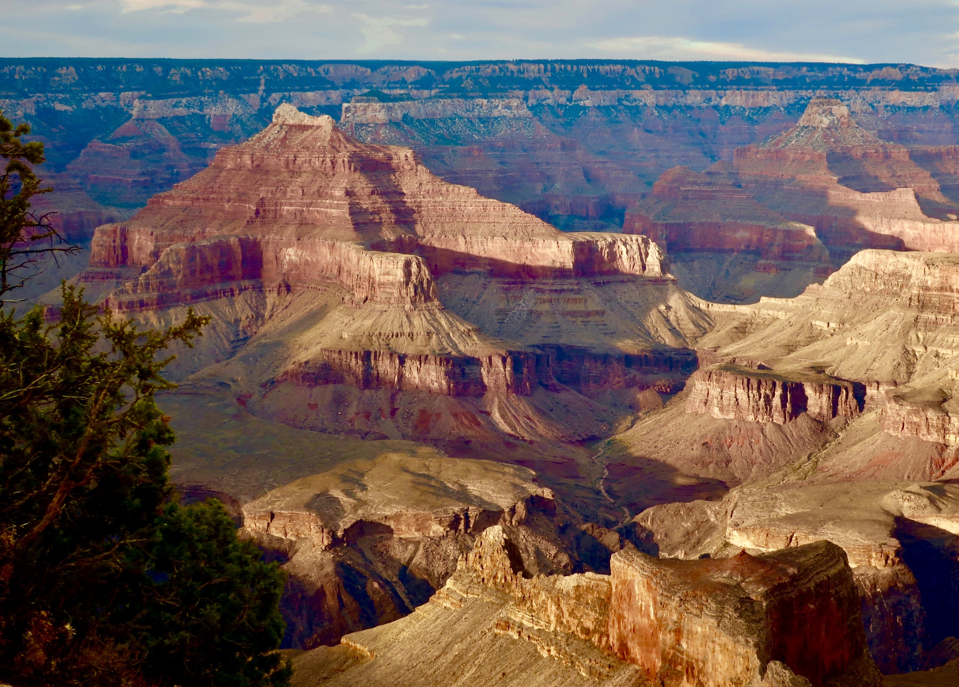
“The ages have been at work on it and man can only mar it. What you can do is to keep it for your children and your children’s children and for all who come after you, as one of the great sights which every American, if he can travel at all, should see.” Theodore Roosevelt on the Grand Canyon.
I have avoided politics for the most part in this blog. Peggy’s and my objective in producing Wandering Through Time and Place over the past 14 years has been to share our travels to some of the world’s most beautiful and interesting places, offer background information on the areas we visit, and hopefully provide some laughs (or at least chuckles) along the way.
It isn’t that we don’t care deeply about what is happening in the nation and world today. We do. Yet I have resisted using this blog to jump into the fray. We all deserve a break from the constant pounding and negativity. That is, I have resisted until today.
As you all know if you have followed this blog for more than six months, Peggy and I love America’s incredible national parks and monuments. Like Teddy Roosevelt, we regard them as a sacred public trust. In the past four years alone, we have travelled over 40,000 miles visiting and blogging about over 25 national parks and monuments.
While it is impossible to predict what Donald Trump will do or say on any given day, his actions and words during his first few months of his presidency have signaled his unwillingness to support our parks and monuments. There have been three actions in particular. One he has cut 9% of the staff, which will severely limit the ability of the parks to deal effectively with the more than 300 million people who hope to visit this year. Sections of parks have already been closed because they can’t be covered safely. Two, he is proposing to to sell visitor centers and museums connected to the parks. These are the primary sources of public education and support for those who visit. And finally he is moving to eliminate two of America’s newly created national monuments. This may only be the beginning. Or not. A lot depends on us.
If you are at all concerned about our parks and monuments, whether you are pro or con regarding the present administration, I urge you to contact, contribute to, and join the National Parks Conservation Association that has been leading the effort to protect our parks since 1919. NCAA will keep you informed of developments and the most effective way to preserve our national treasures.
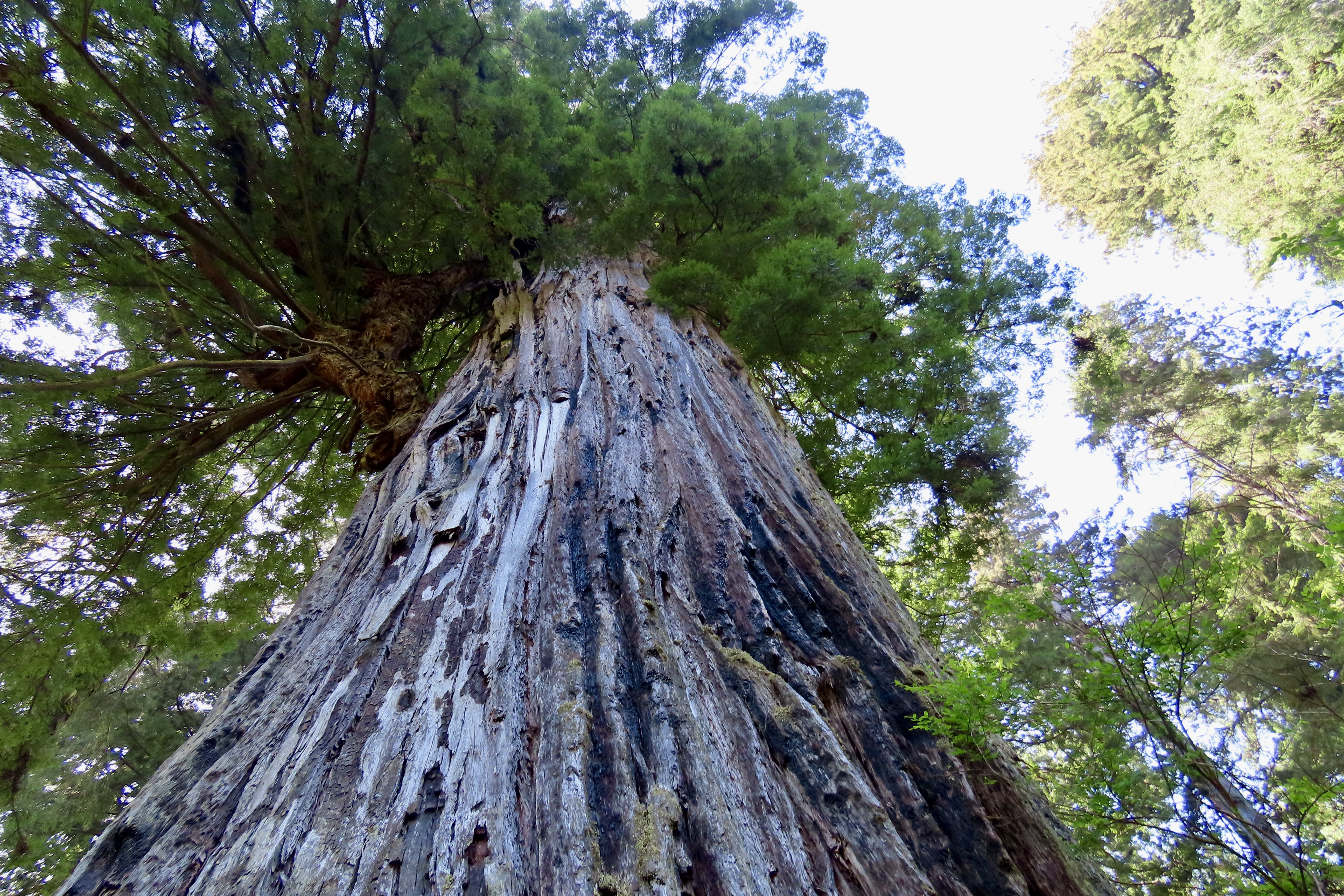
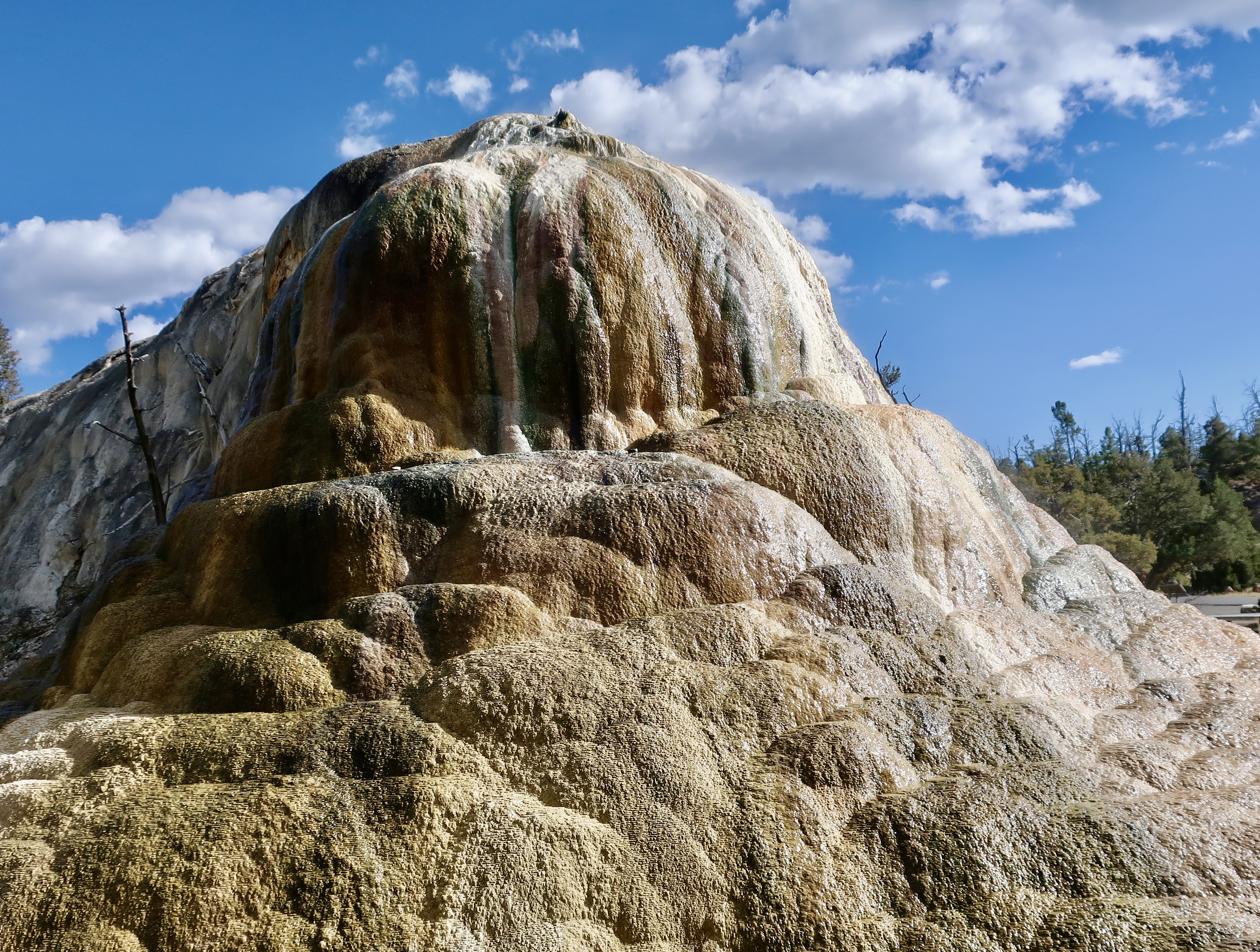
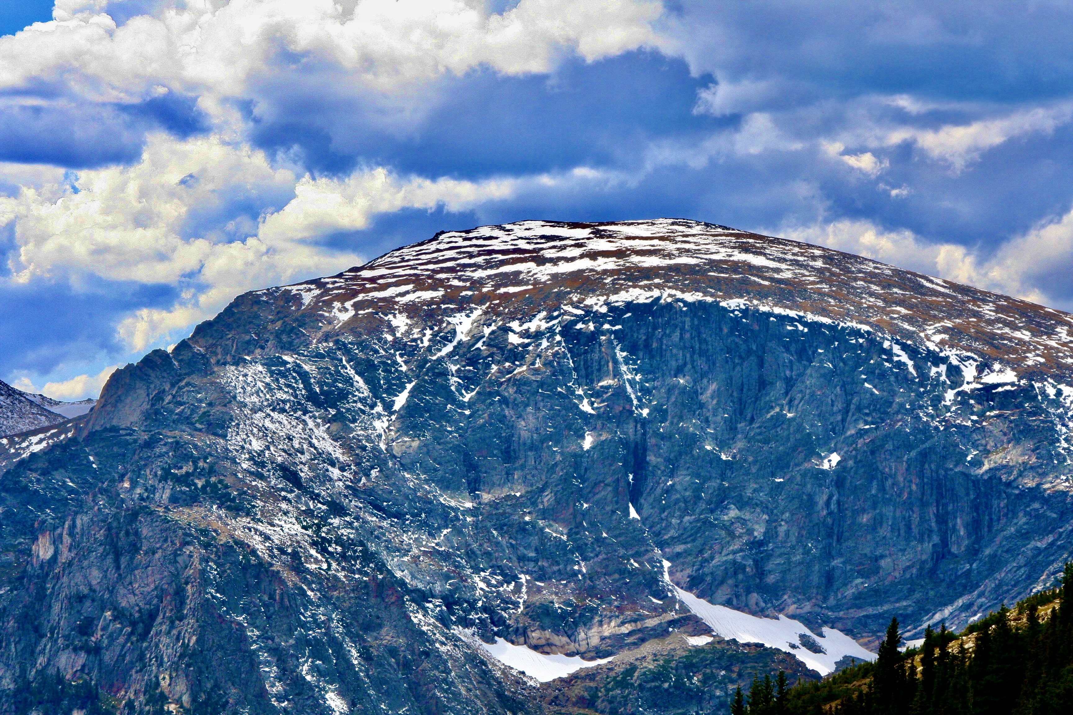
Along with the Grand Canyon shown above, here are 25 reasons to join NCAA and become an advocate for our parks. All photos have been taken by Peggy or me.
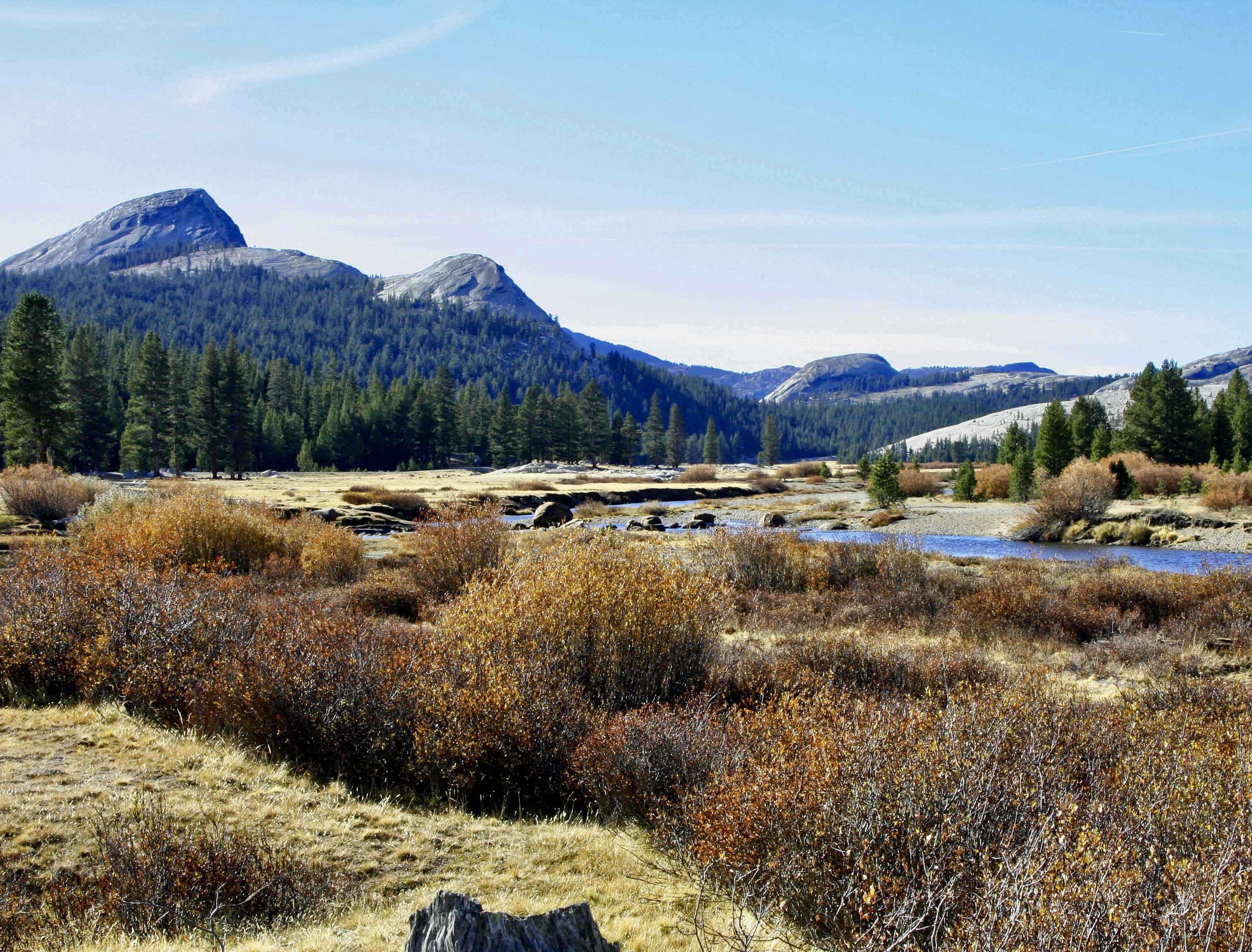
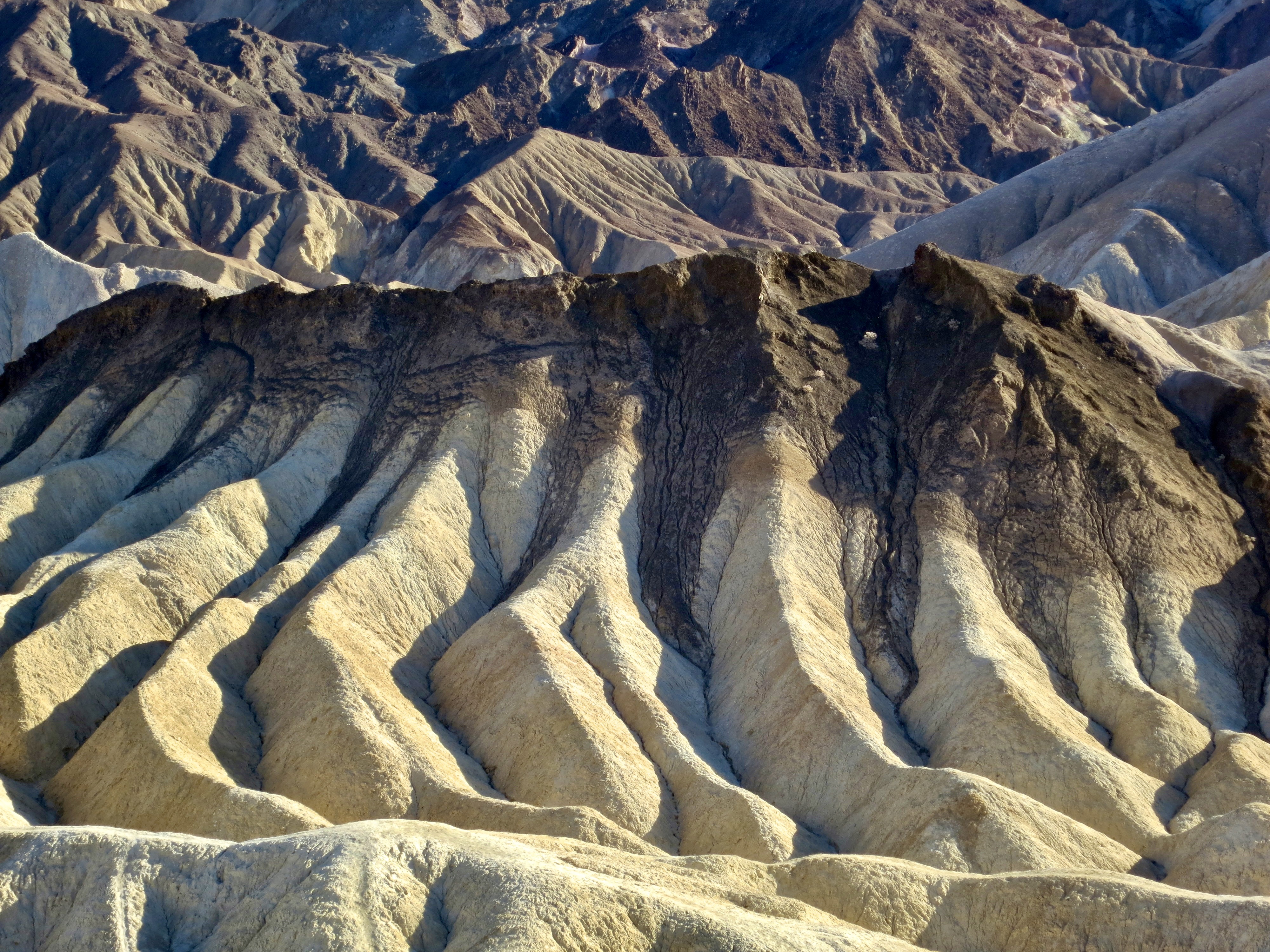
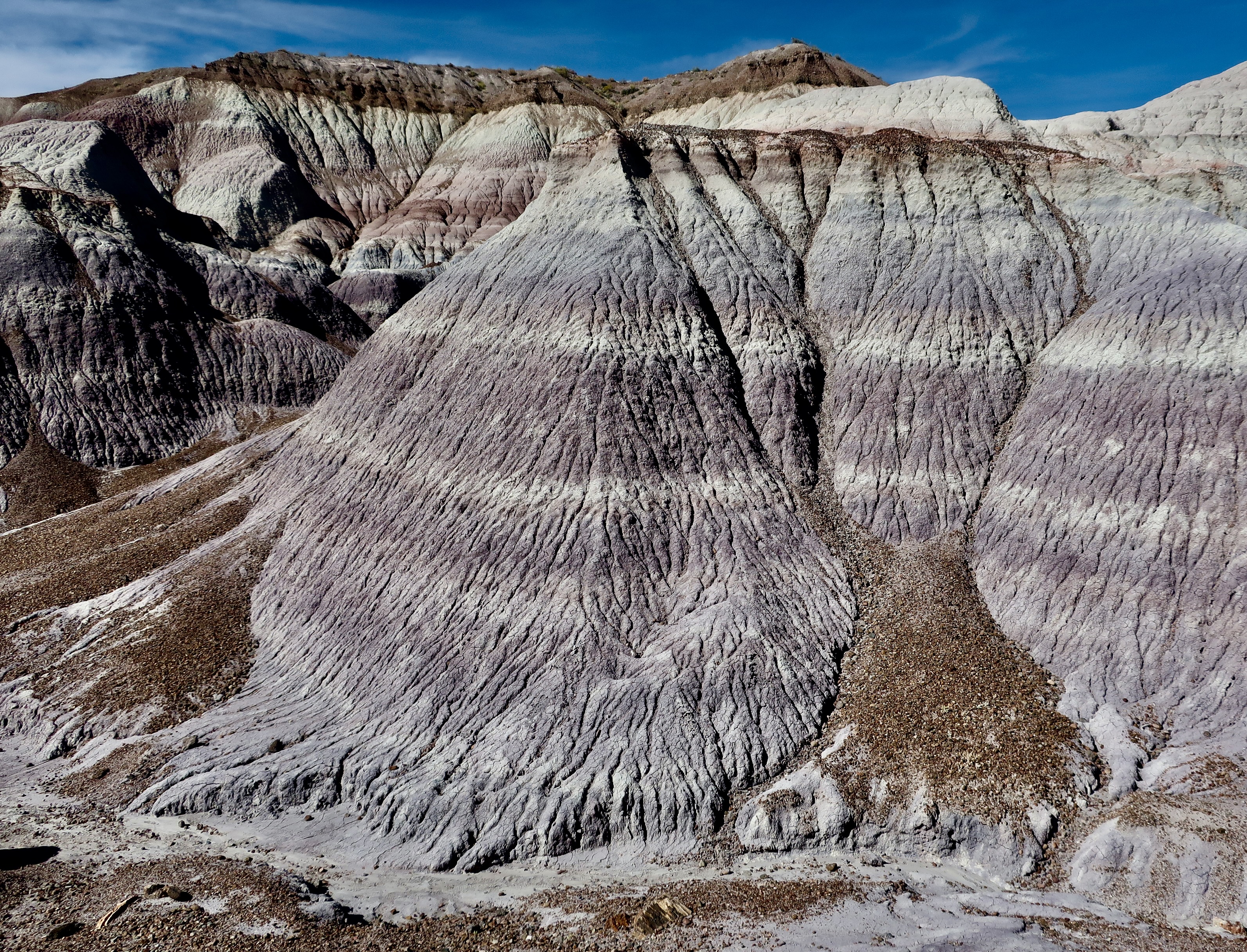
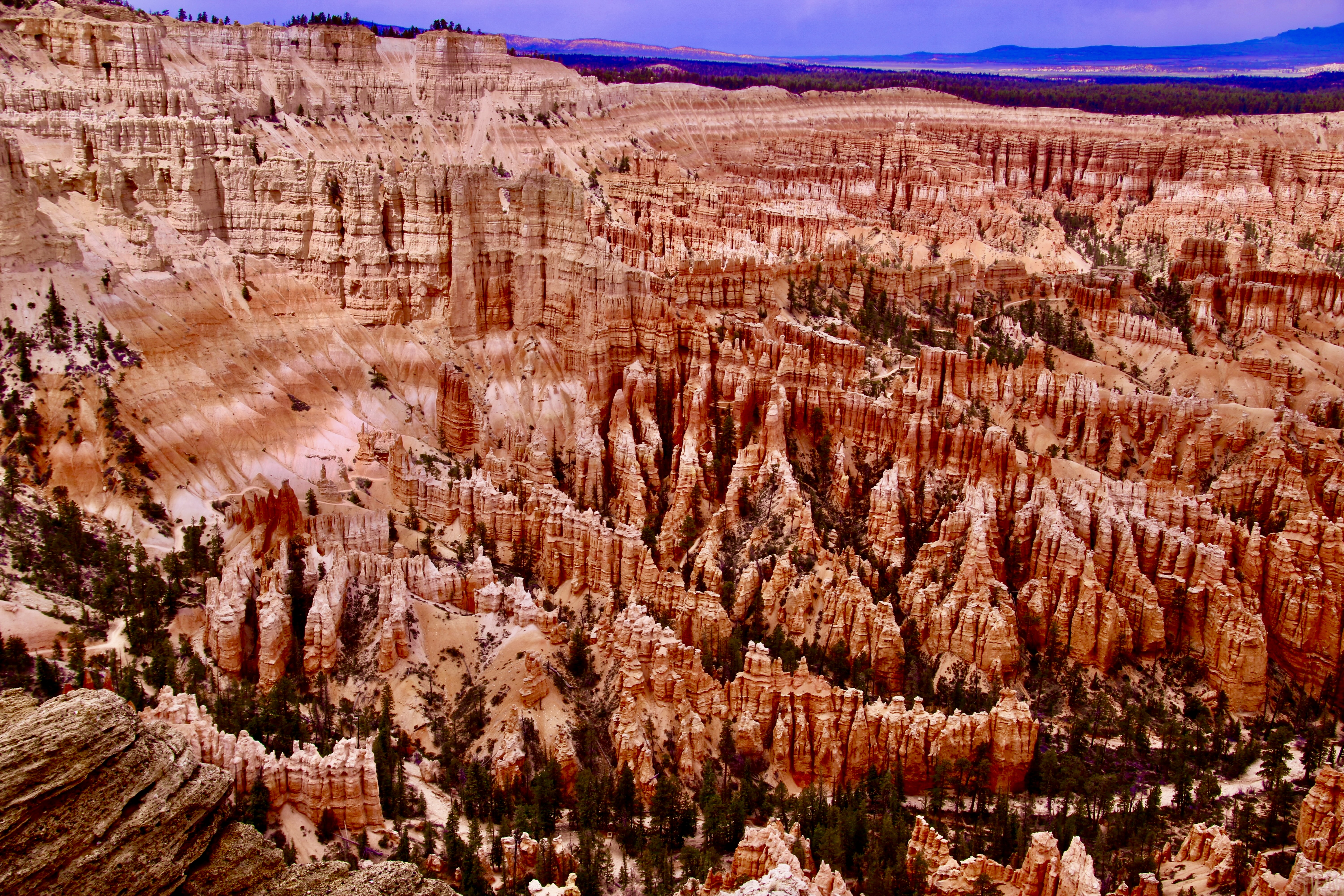
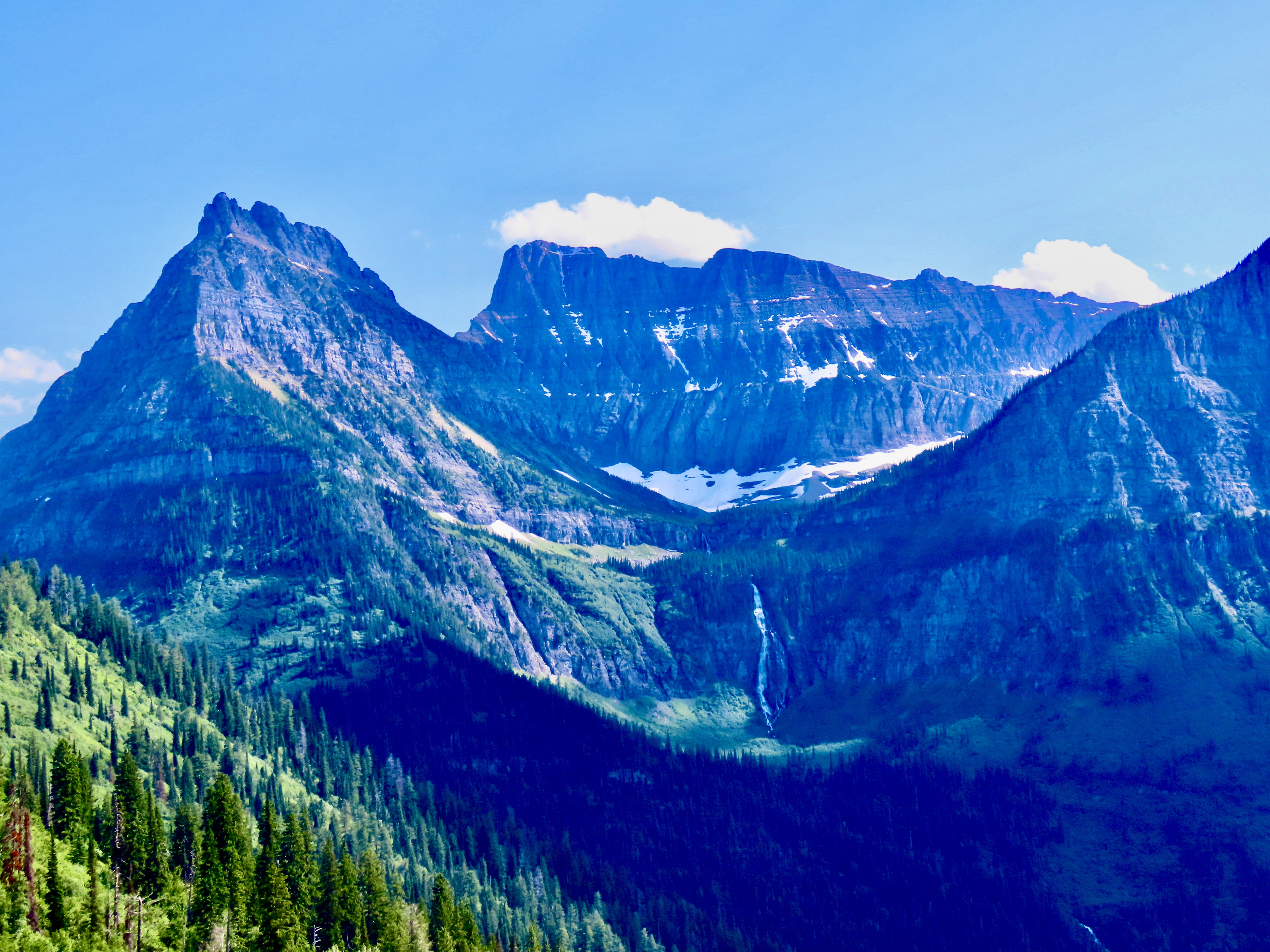
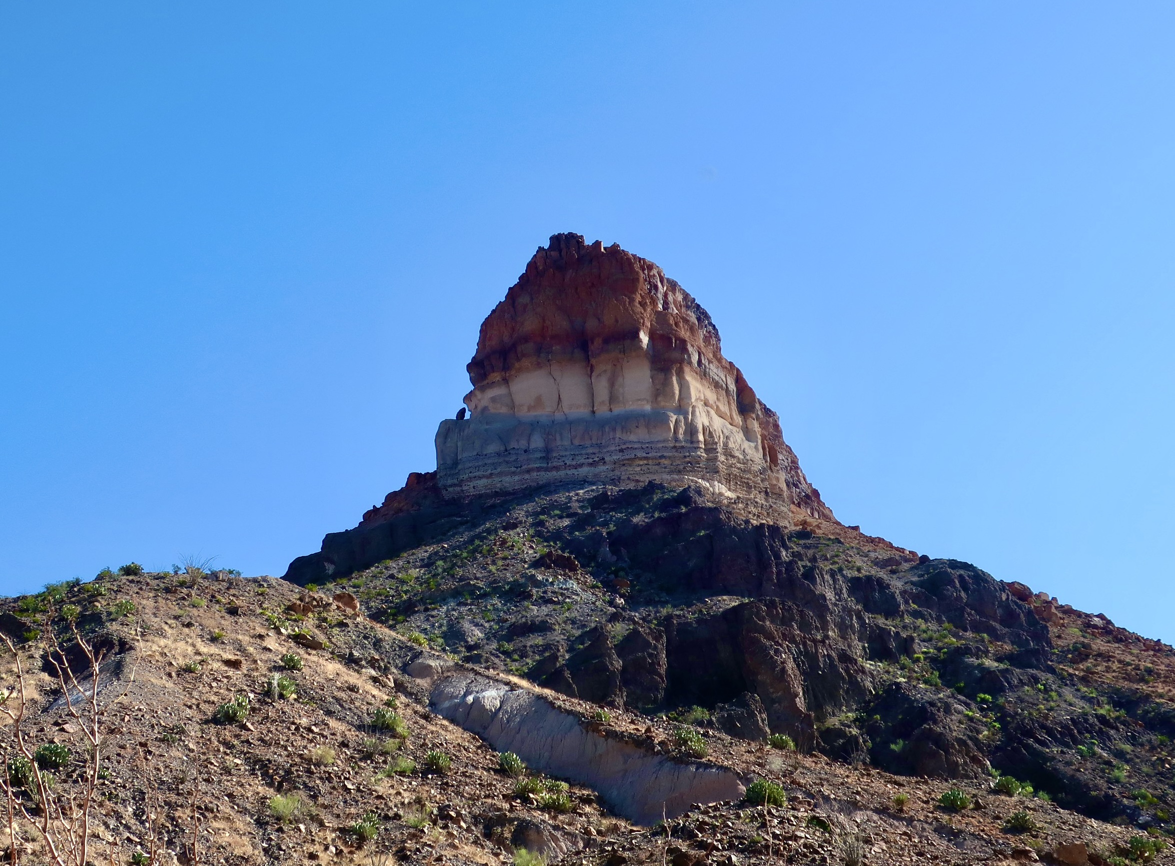
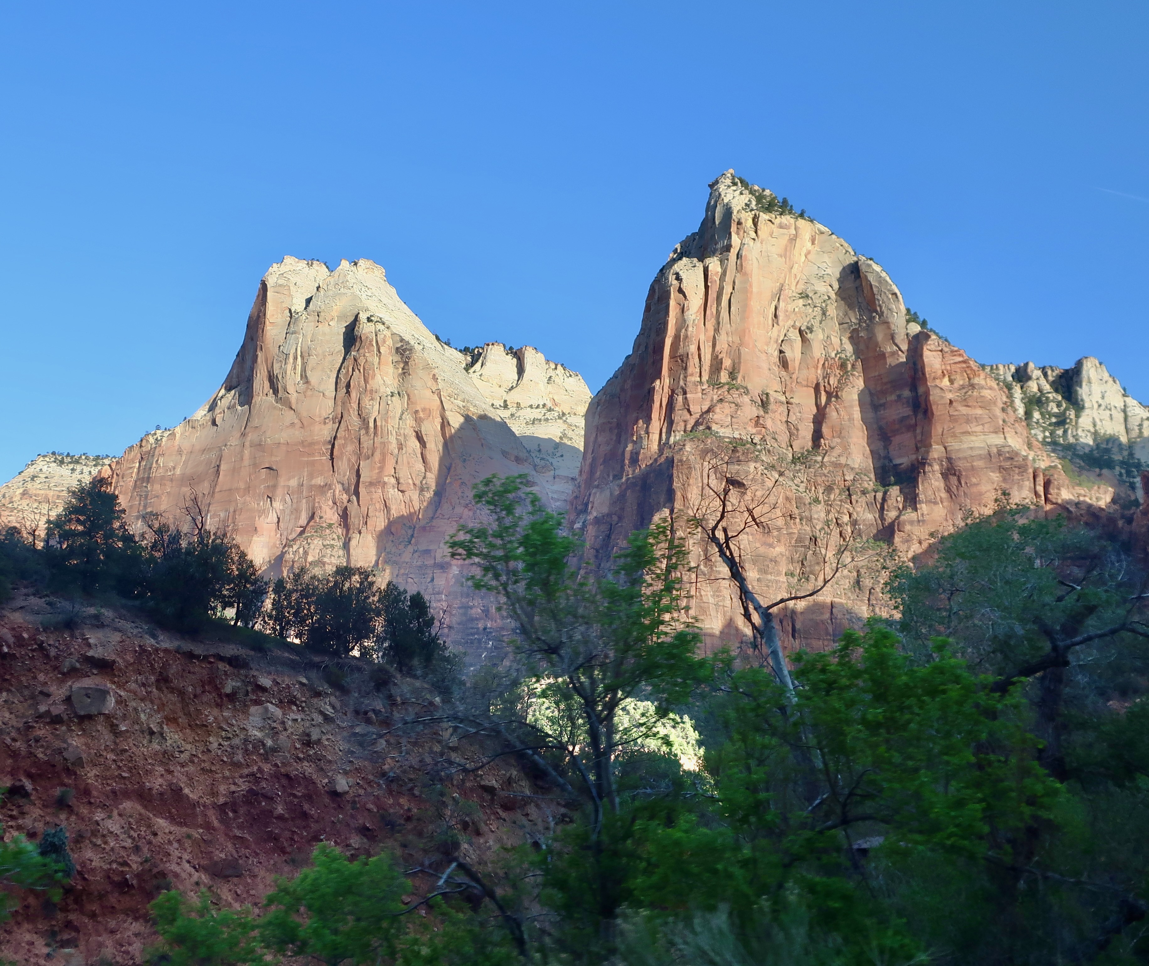
Redwoods National ParkYellowstone National ParkRocky Mountain National ParkPt. Reyes National SeashoreTuolumne Meadows, Yosemite National ParkDeath Valley National ParkThe Florida Everglades National ParkDenali National ParkTheodore Roosevelt National ParkPetrified Forest National ParkNorth Cascades National ParkOlympic National ParkGreat Basin National ParkCanyonlands National ParkMesa Verde National ParkMt. Rainier National ParkBryce Canyon National ParkLassen National ParkGlacier National ParkCapitol Reef National ParkBig Bend National ParkZion Canyon National ParkPinnacles National ParkGrand Tetons National Park
Over the next several months, I will feature 25 photos each Monday from specific national parks and monuments that Peggy and I have visited over the past several years. (We have thousands of photos to select from!) Please stop by to enjoy the beauty.
Friday’s blog will continue to feature our ongoing travels, focusing now on the Danube River and the Big Island of Hawaii.
When Peggy and I visited Hawaii’s youngest and most active volcano, Kīlauea, on January 17, we took this photo of lava erupting 200 feet into the air in the Halemaʻumaʻu Crater.The location of where we are staying for the month in Sea View, Hawaii at the Starlit Skies of Kalapana VRBO rental (Very nice). To provide perspective Hilo is 32 miles north of us via road and the Kīlauea Volcano is 46 miles to the west.
The Hawaiian goddess of volcanoes and fire, Pele, is said to live up in the Kilauea Volcano. She’s been restless since we arrived, spewing lava into the air and covering the floor of the Halemaʻumaʻu crater.
A painting in the park’s headquarters showed an artist’s conception of Pele. You might say ‘she’s hot,’ too hot to handle in fact. The temperature of lava when it erupts is somewhere between between 1,300 to 2,200 degrees Fahrenheit. Early Polynesians who arrived by boat between 1000-1200 CE, have a myth describing how Pele ended up on Hawaii: she was escaping from her sister, Nāmakaokahai, goddess of the ocean. In one version of the myth, Nāmakaokahai was jealous of Pele’s beauty and strength; in another, Pele had seduced her husband. (Before you ask, the egg contains Pele’s younger sister and companion, Hi’iaka),
Scientists have a different theory of what makes Hawaii one of the most active volcano sites in the world. It is sitting on top of a hot spot in the middle of the Pacific Ocean where lava is rising up from the earth’s mantle. The island is making its way over the hotspot as the Pacific Tectonic Plate moves in a northwest direction at a speedy 2-4 inches per year. With the exception of Maui, the other islands have moved beyond the hotspot and their volcanoes are extinct. A new island named Loihi Seamount is currently being created about 20-30 miles southeast of where we are. You can expect to see it rise above the ocean— if you are around— in about a hundred thousand years or so.
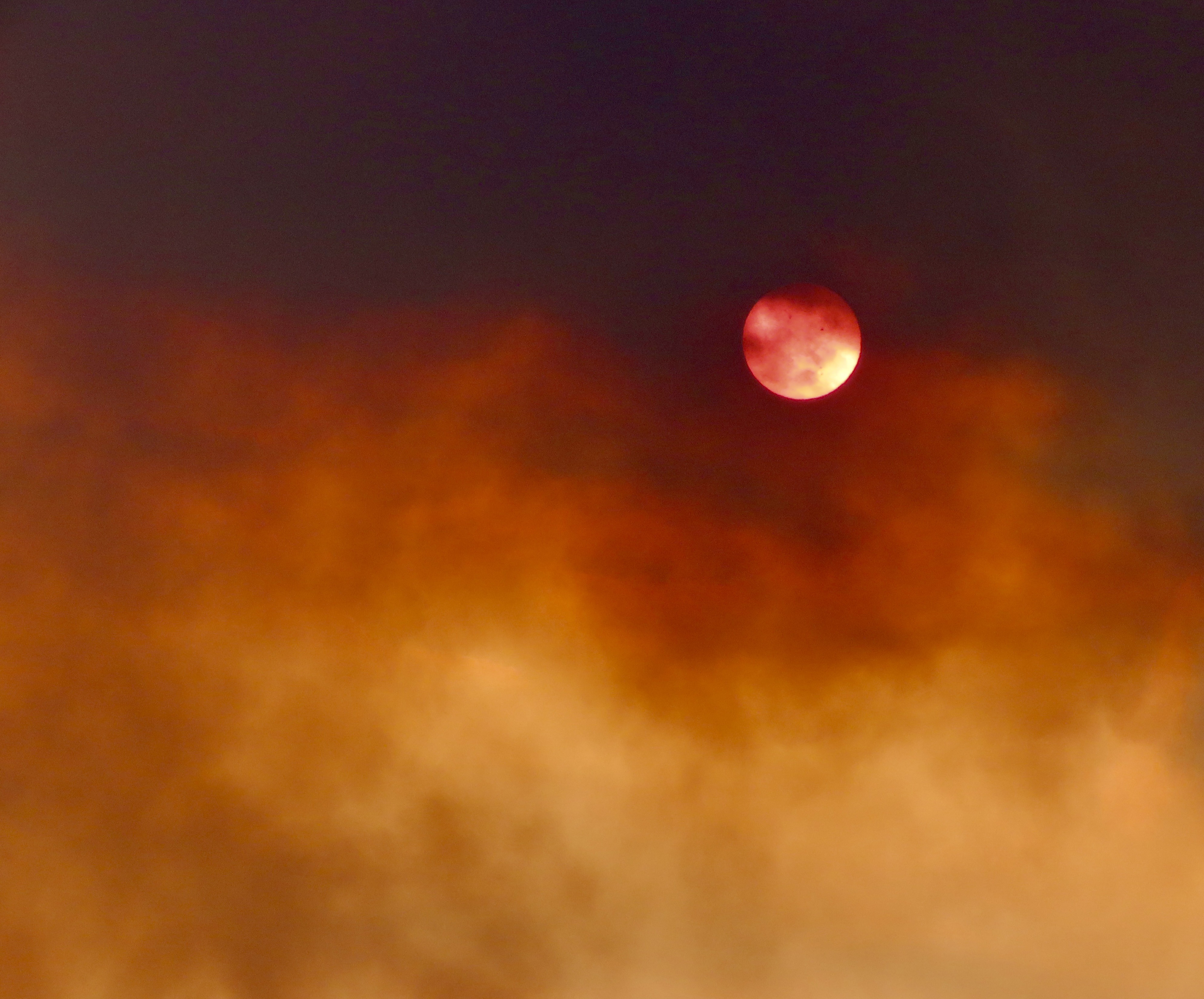
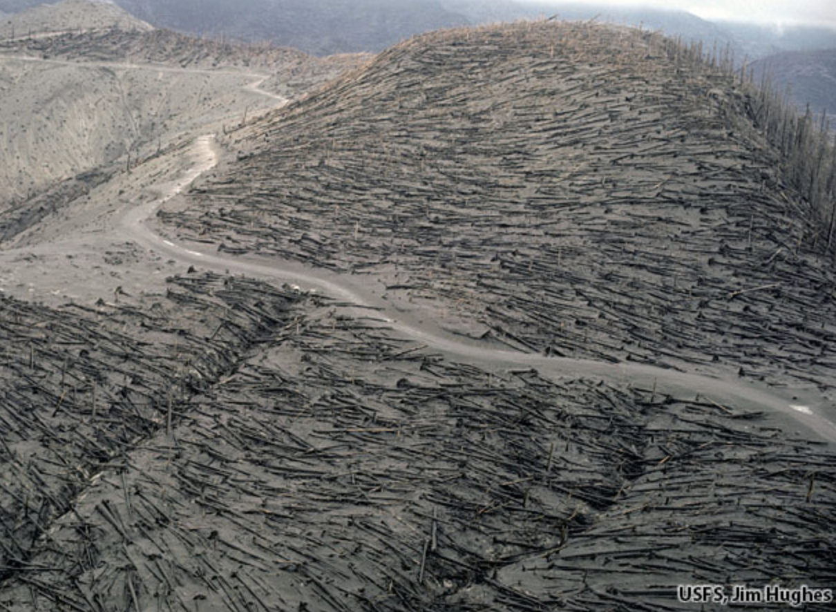
Most people think of the Hawaiian Islands as being the green ones on the lower right. There are actually 132 islands, atolls and undersea volcanoes included in the chain that extends over 2600 miles toward Alaska’s Aleutian Islands! They all originated over the hot spot that the Big Island now occupies. The area within the dotted line is the Papahānaumokuākea Marine Reserve (Pronounced Pa-pa-hah-now-mo-koo-ah-keh-ah in Hawaiian.) You will be quizzed on the name and its pronunciation later. (National Oceanic and Atmospheric Administration map.)Peggy and I standing in front of the Kīlauea Crater as the volcano does what active volcanoes do. The last time this particular section of the volcano erupted was almost 50 years ago. I was on the island at the time. The National Park had built a walkway out to the crater so visitors could look down into its seething mass.This time we were at least a mile away. Fortunately, we both have excellent telephoto lens.We could look into the heart of the crater. This is a close up of the lava spewing out.Two vents were blasting away. Note the lava flowing out of the vent on the right as it covered the crater floor.A view of the vents and a portion of the floor.A plume rose from the volcano and played hide and seek with the sun. (This is how far away the volcano looked without our telephoto lenses.)The plume led to a photo op, and an observation…At one point, the plume looked almost like a mushroom cloud created by an atomic bomb. It wasn’t, of course, but it did serve as a reminder that volcanoes are more than tourist attractions. They are dangerous, sometimes extremely so. Even the cloud carried a risk: Vog. Think smog but worse. When we were there, the National Park had posted a health advisory alert. We were also told to be on the lookout for Pele’s Hair. One could only ask, “what?” The National Park provided a photo…Looks like hair to me, but who knew Pele was a blond? Actually it is volcanic glass produced from lava stretched into thin strands and transported by air. Touching is not advised. It can break into small splinters and enter your skin.What we saw had already been broken into small pieces. I didn’t try to pick up one. Of much greater concern than the vog or Pele’s Hair is what magma decides to do when it erupts as lava. It depends on the type of lava. All magma holds gas that is highly compressed under intense pressure in the earth’s mantle. As the lava approaches the surface, the gas expands and has to escape in one way or another. Thicker lava, like that found along the Pacific Rim where the Pacific Plate is plunging under continental plates, holds the gas, not allowing it to escape. The result is violent explosions that lead to the creation of steep, conical shaped, composite mountains like California’s Mt. Shasta shown below.A photo of Mt. Shasta I took while I was hiking down the Pacific Crest Trail. The devastation created by these explosions can be extensive. I flew over Mt. St. Helens a couple of weeks after it erupted in 1980 and thousands of trees had been blown down by the eruption.This photo by Jim Hughes of the US Forest Service shows what I saw. Between asphyxiation and burns, 57 people lost their lives because of the eruption.
The lava flowing out of the volcanoes on Hawaii is much thinner. The gas can escape in bubbles. It doesn’t have to explode and is much ‘kinder,’ so to speak— if you don’t mind seeing your homes and roads burn and disappear under thick layers of lava. No one was killed in the major 2018 eruption that took place near where Peggy and I are staying. People could walk faster than the lava was flowing. The eruption will be the subject of our next post on Hawaii.
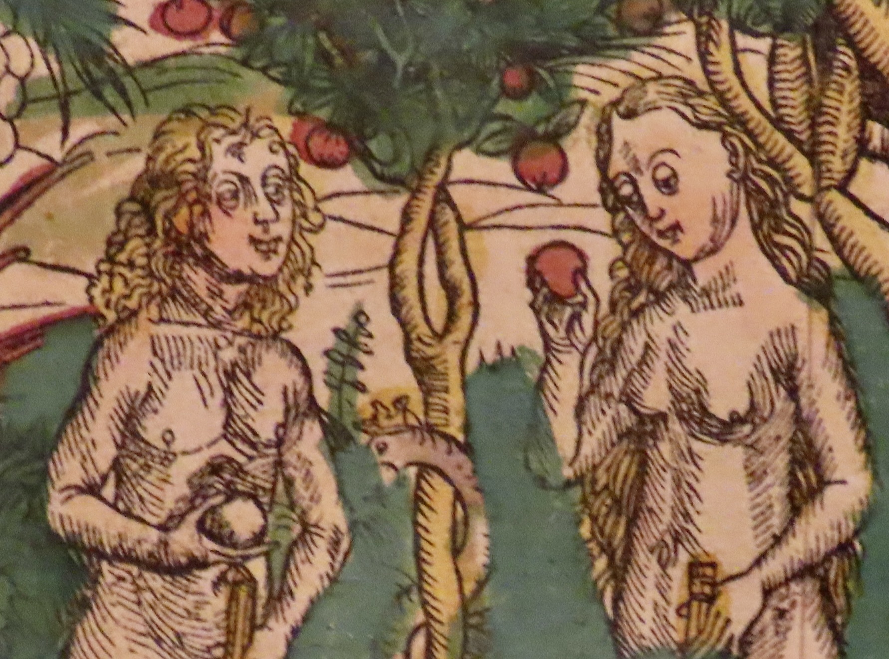
But first, as promised, we will return to our fall journey down the Danube River and the historic town of Kalocsa, Hungary where we visit a library featuring thousands of illustrated books that are hundreds of years old. I found this Adam and Eve illustration humorous. Is Adam holding a duck? (The words underneath are mine.)“Eat the apple,” Snake urges. “God made it. What could possibly go wrong?”
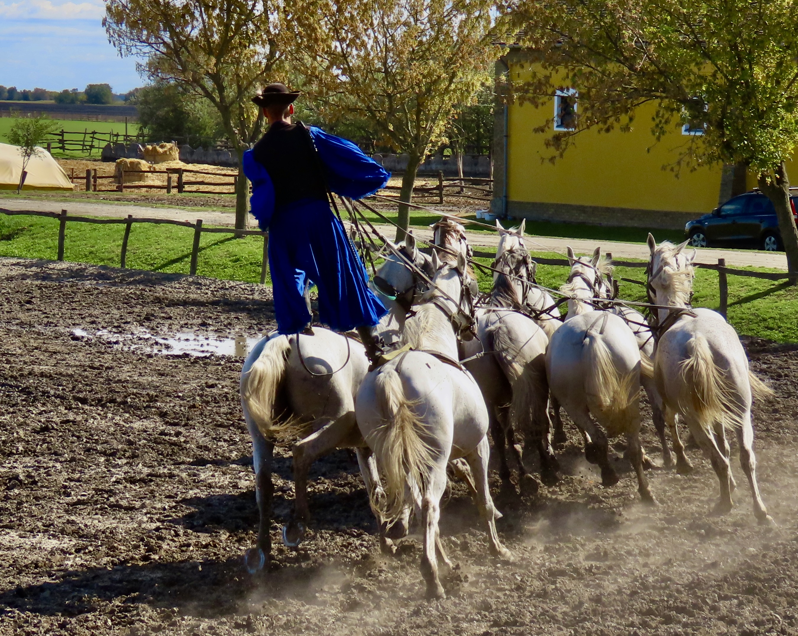
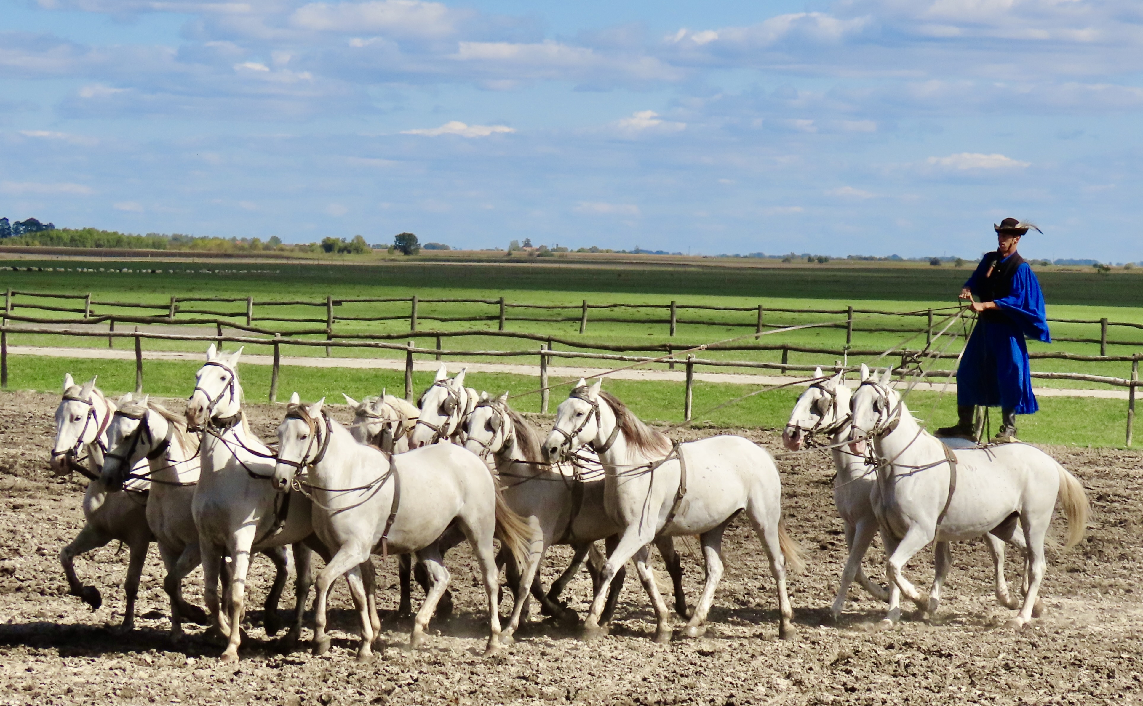
88 miles south of Budapest, we came to the Hungarian town of Kolaska. We’ll have a post relating to the town but, first, I’m going to feature the Bakod Horse Farm located near the town and its incredible horsemen, the Csikos, along with their handsome and well-trained horses. This particular display of horsemanship is called a Hungarian post.
We left Budapest feeling as we always do when we leave a new area: There was so much more that we could have done. Still, we had an introduction to the city’s beauty, culture and history, which was 100% more than we had before. No regrets. Plus, new adventures awaited us. Our next day down the Danube River would bring us to the historic town of Kolaska where we would explore the town and visit a farm that featured folk dancing, paprika, and horses. While I am not a horse fan per-se and the last time I had did folk/square dancing was in 1966, I do use paprika. Peggy who loves horses and dancing, and— on occasion— wishes I loved them more, was excited. Okay, I thought, I can do this.
I have a confession: I found the paprika interesting, enjoyed the folk dancing, and was blown away by the horse show. It’s up first.
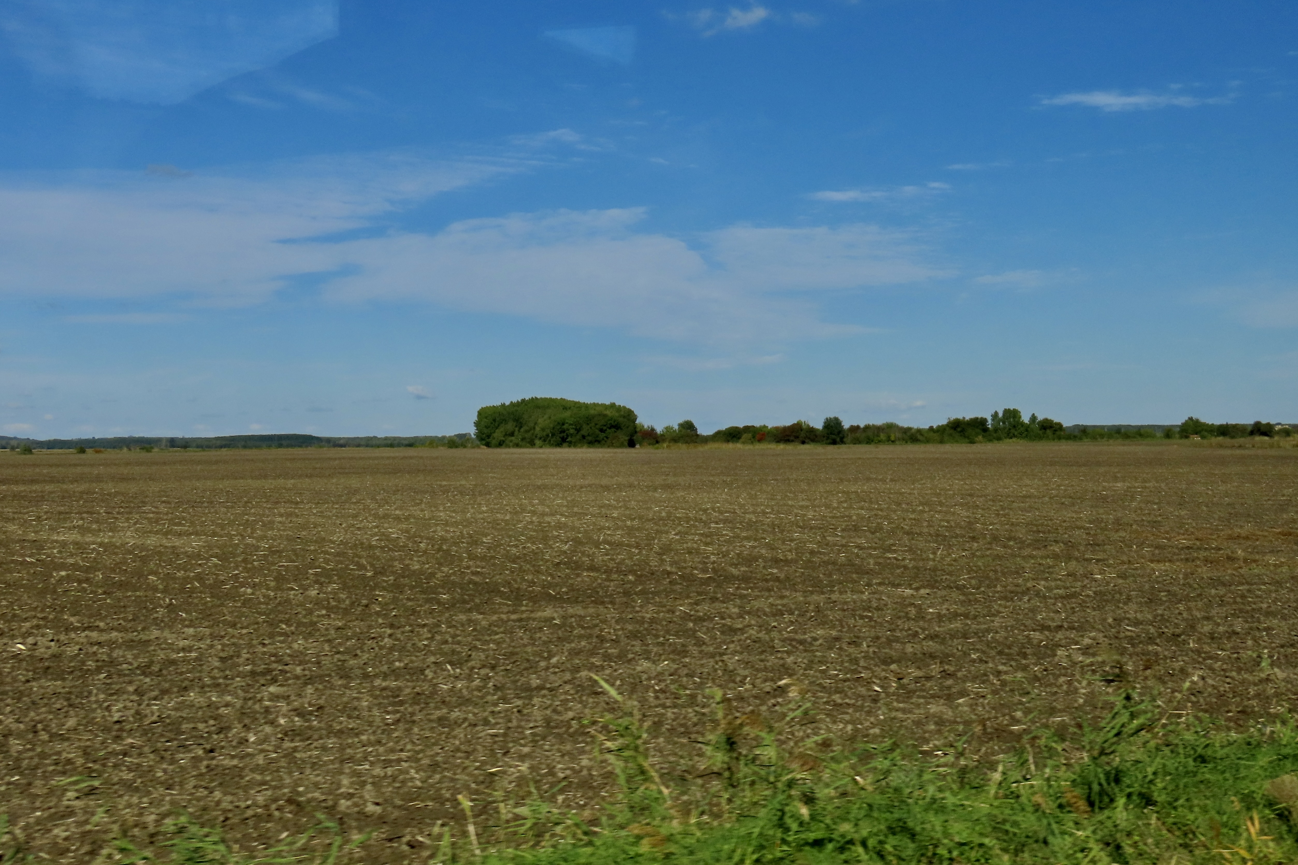
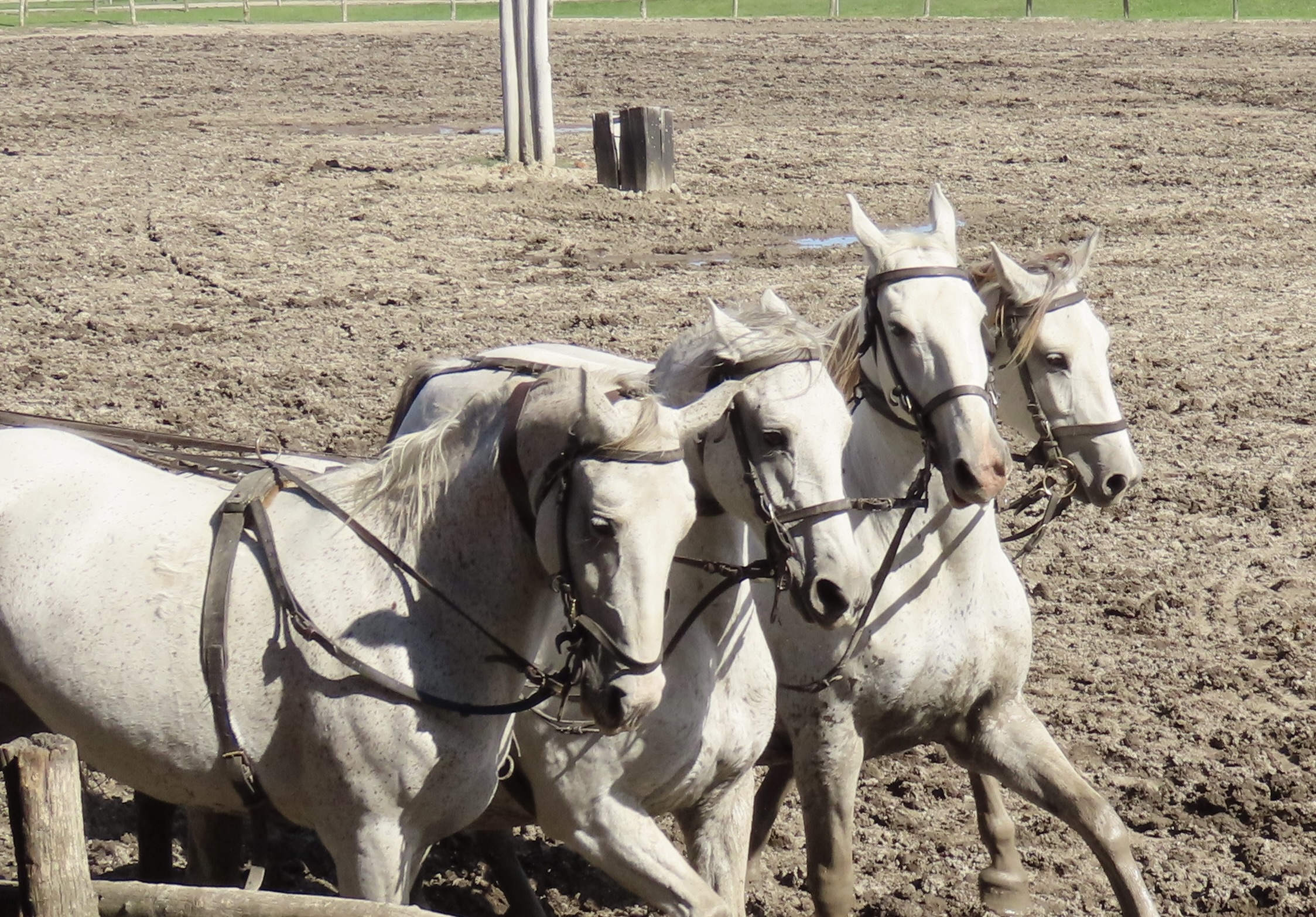
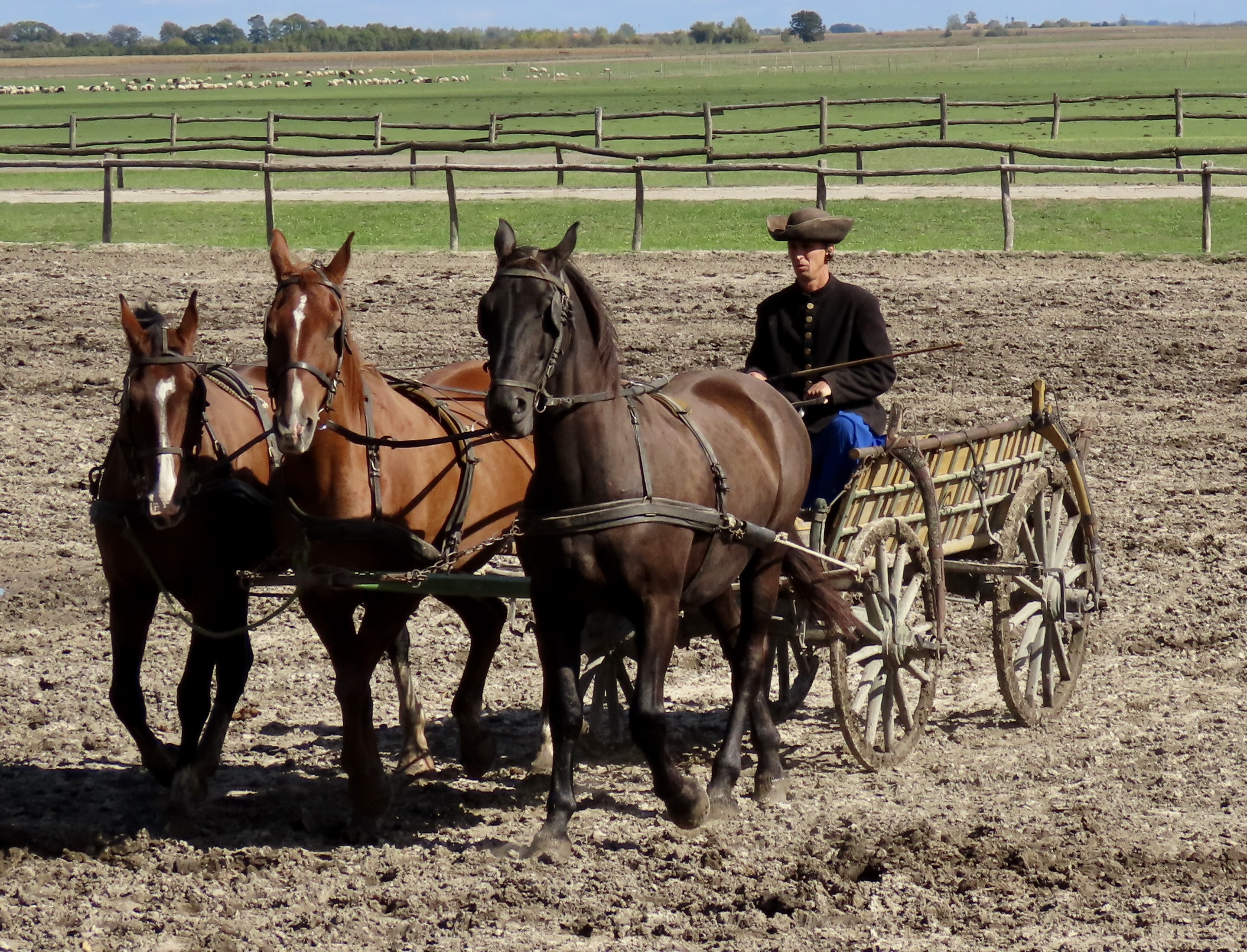
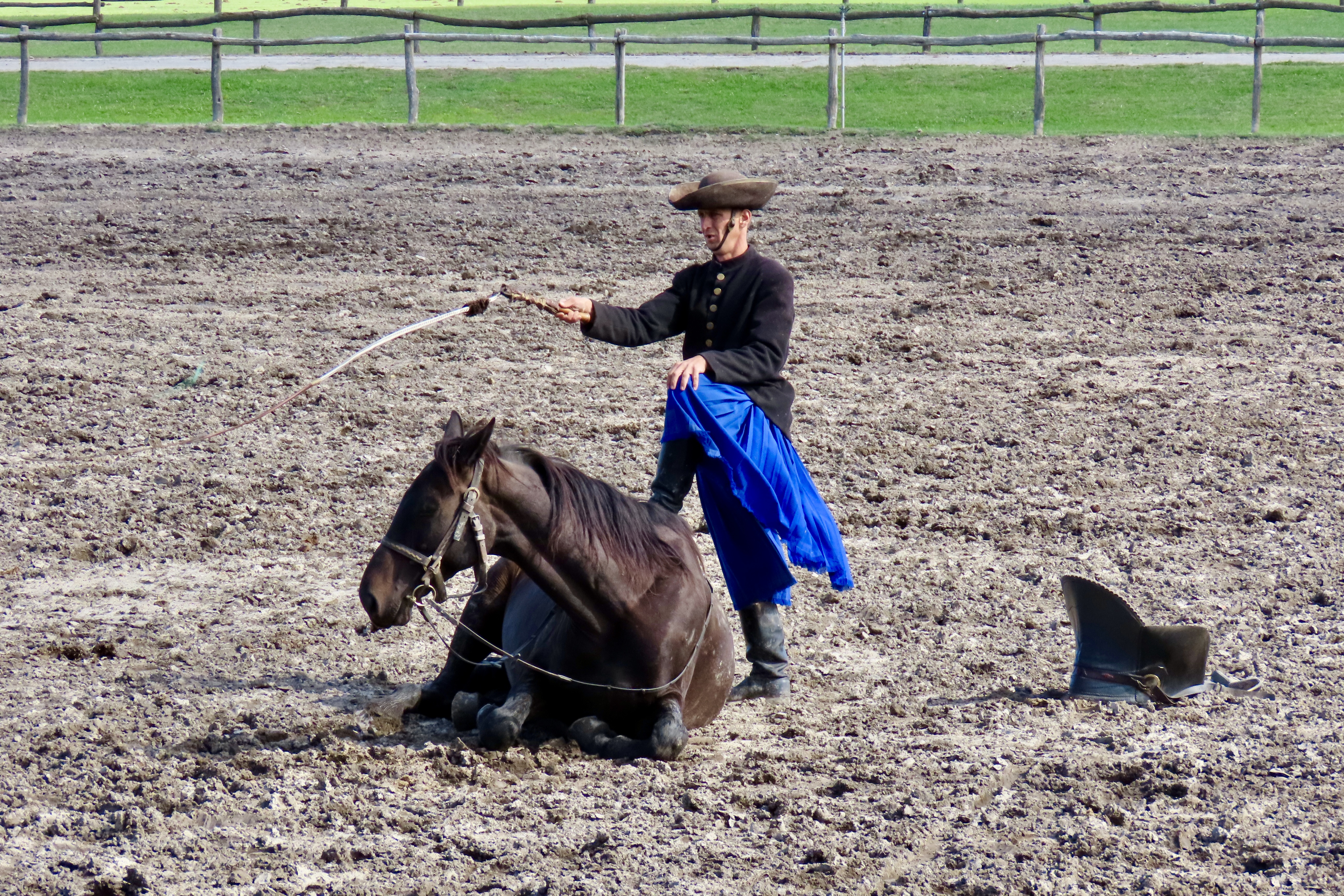
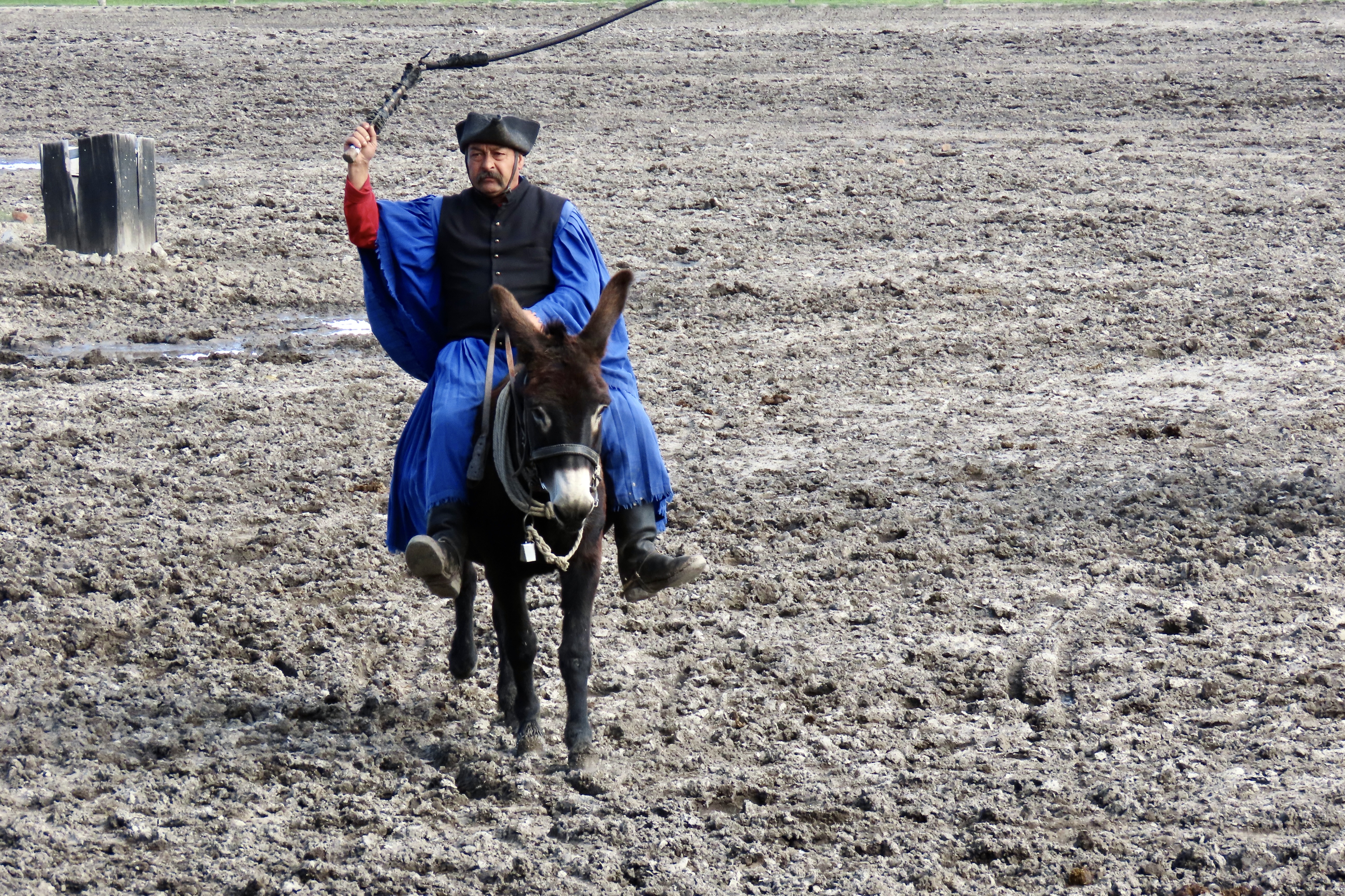
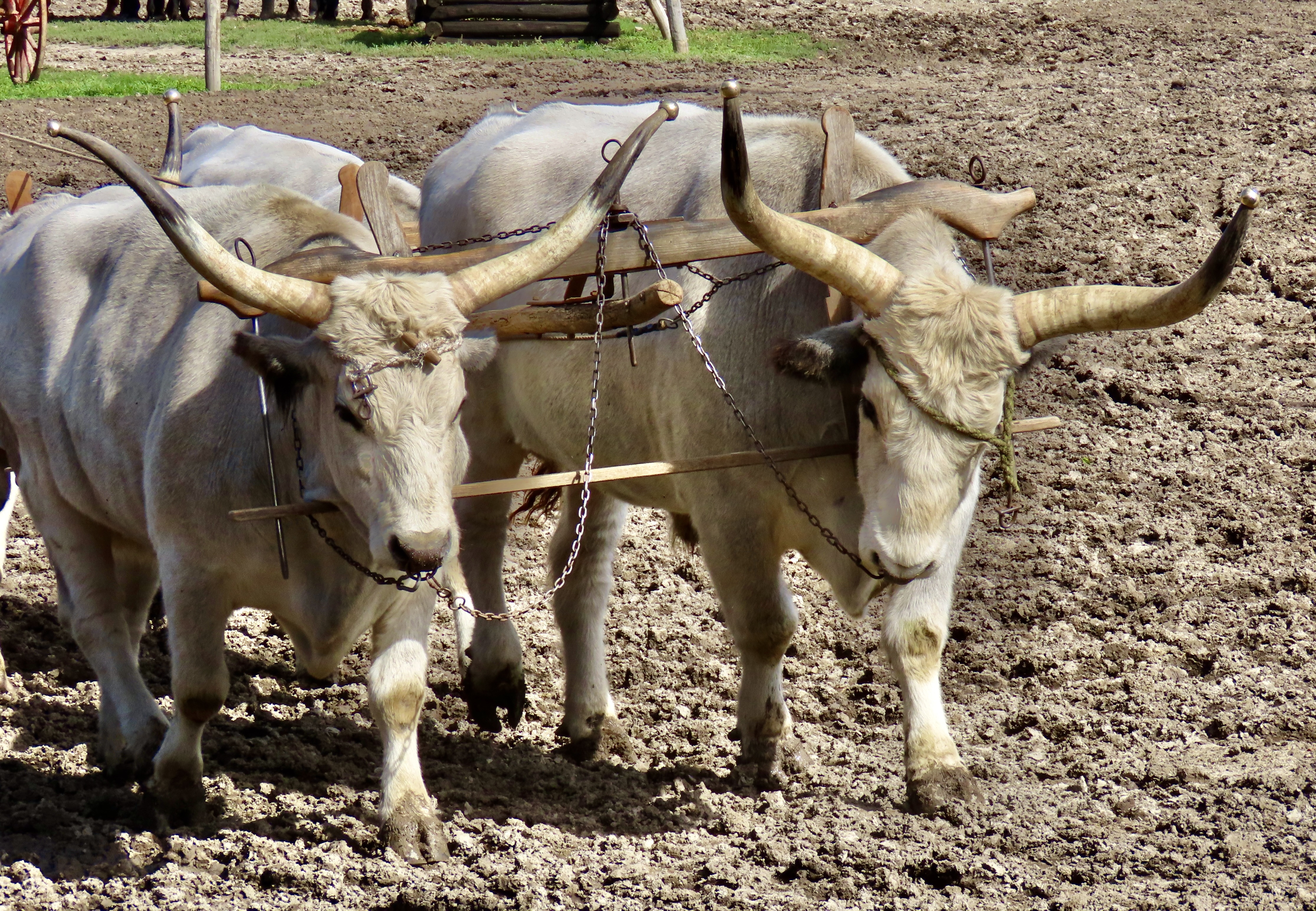
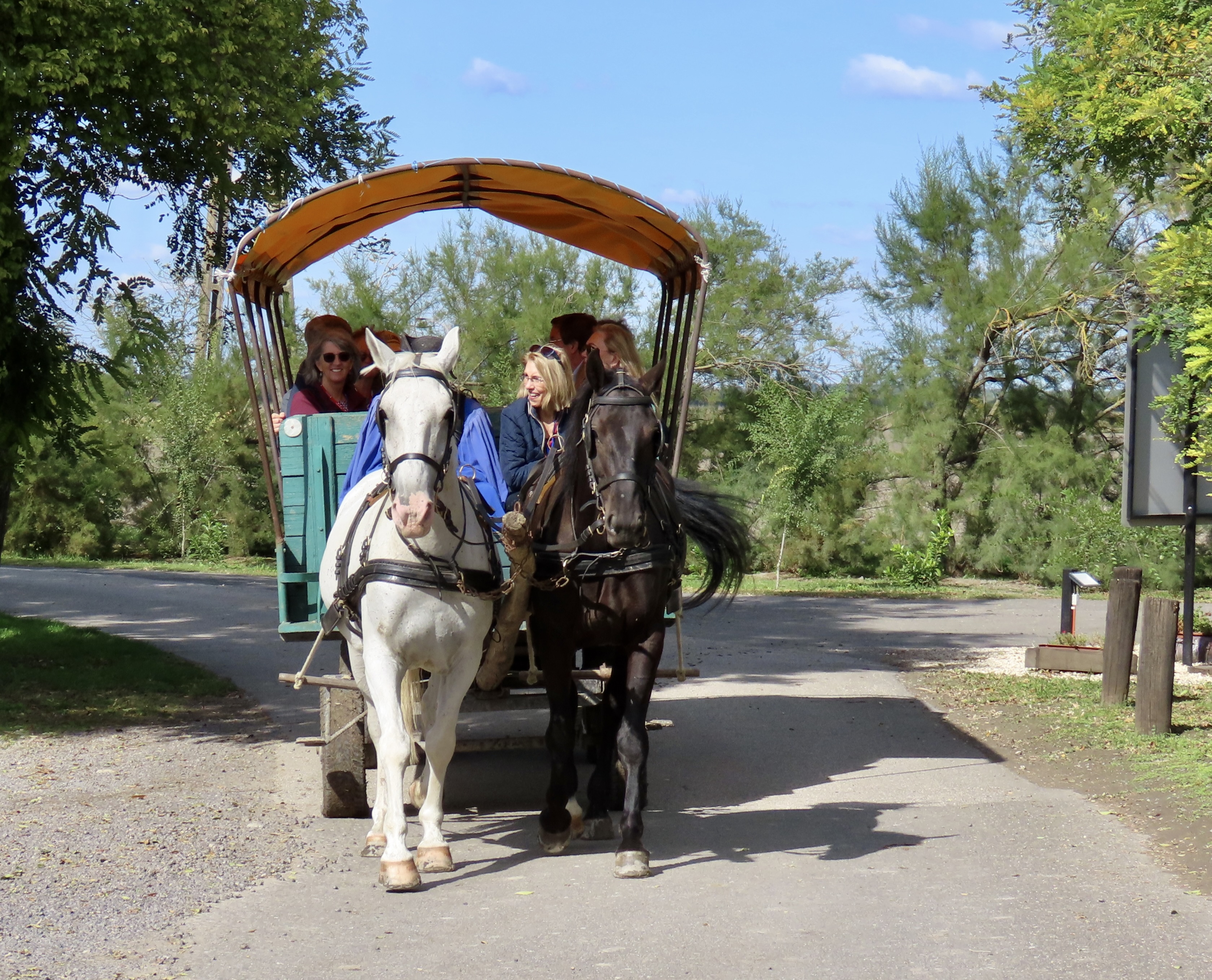
Any discussion of the Csikós and their horses needs to start with Hungary’s Puszta, a vast open plain which is a section of the Great Hungarian Plain. It covers some 19,000 square miles and is made up of saline steppes, low, wet forests, and freshwater marshes. The region has a pastoral history that goes back thousands of years and is associated with several breeds of Hungary’s domestic animals which includes the Nonius horses and Hungarian Grey cattle that are featured today. I’m not sure what the breed of the white horses used in the Hungarian post is.But they were handsome, if a bit muddy.A head on view of the Hungarian post at the Bakod Horse Farm. The Csikos rider is balanced on two horses controlling eight horses in front of him.This provides a good side view of the Hungarian post.Here’s how the Csikos rider places his feet on the two horses he rides.The Csikos horsemen had their beginning on the Puszta with its large horse and cattle herds. Unlike the famed cowboys of the Old West, however, their job was to work with the horse herds while shepherds handled the cattle and other domestic animals. That’s a whip over his shoulder.The go-to horse for the Csikos is the Nonius breed, which dates back to 1813 when Napoleon was defeated and the Hungarians helped themselves to one of his stud horses, Nonius, and rode him back to Hungary. Nonius was then introduced to the Hungarian State Stud Farm where he provided his services (happily, I assume) up to 1832— making numerous babies with cooperative mares and giving the breed its name.The Nonius horse has a strong, large-framed body which makes it excellent for pulling carts. Good natured and easily trainable, they also make great riding horses.The hat and blue riding clothes are traditionally clothing for the Csikos horsemen. I’m not sure about the feather in his cap. This is not a Nonius horse. The rider is sitting on his ass. You might say he is backasswards. Leading up to World War I, the last time warhorses were used in fighting, Csikos were hired to train them. The whip isn’t being used on the horse. It sounds like someone firing a rifle and was used to acclimate the horse to the sound and not panic when in battle. The object on the right is the horse’s saddle.The horses were also taught to lie down so they could hide when necessary.Here, the rider stands on his horse while cracking his whip. The highlight of the show, at least for me, was the horse sitting. I suspect that image will be sharp in my head long after the others have faded. The Csikos rider continued to crack his whip. Actually, they are quite skilled with their whips and put on demonstrations using it. Here, donkey-man cracks his whip while riding. The other riders were cracking their whips in unison. A bit like syncronized swimming, eh. (Peggy used to do that….without the whip!)The Csikos also demonstrated the use of Hungarian Grey cattle to haul a cart. These cattle with their massive pointed horns are native to the Puszta. Note that the horn tips are covered. For good reason.A closer look at the Hungarian Grays, complete with their nose rings.The Csikos finished off the horse show by giving us a ride out onto the Puszta. Next up, Peggy and I will do a post on the folk dancing and paprika. But first…
Aloha! Peggy and I had to fly out to Sacramento to a Celebration of Life for a very close friend. Since we were over half way to Hawaii, we decided why not go there as well. It makes perfect sense, right. What’s another 2300 miles. Anyway, here we are on the Big Island for a month about a mile away from the ocean and 30 miles away from Volcanoes National Park where the Hawaiian Goddess Pele is putting on quite a show in the Kilauea Caldera. We drove up to see it on Friday. Incredible!
We will try to slip in a couple of posts on the Big Island in between our Danube River posts over the next few weeks.
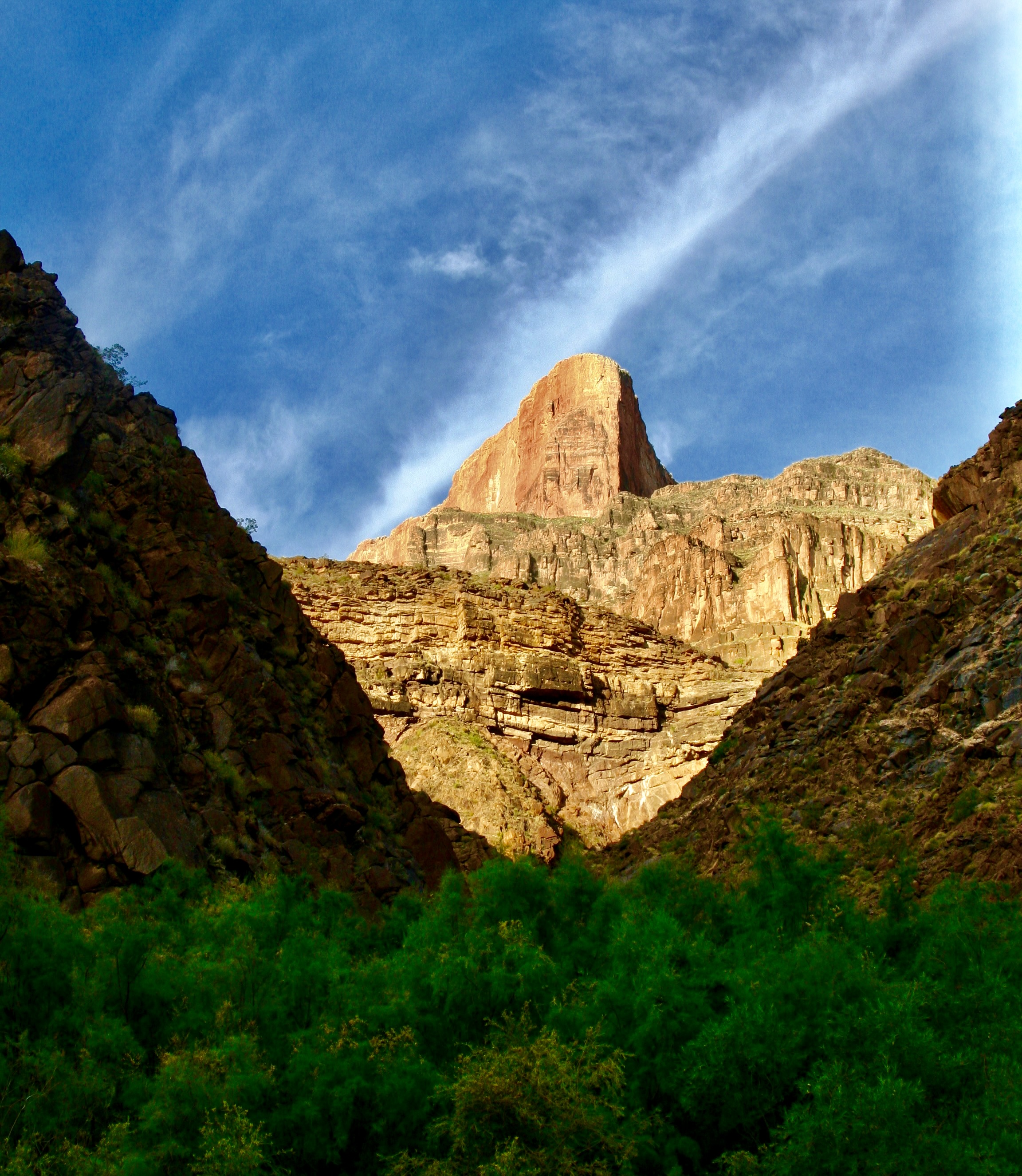
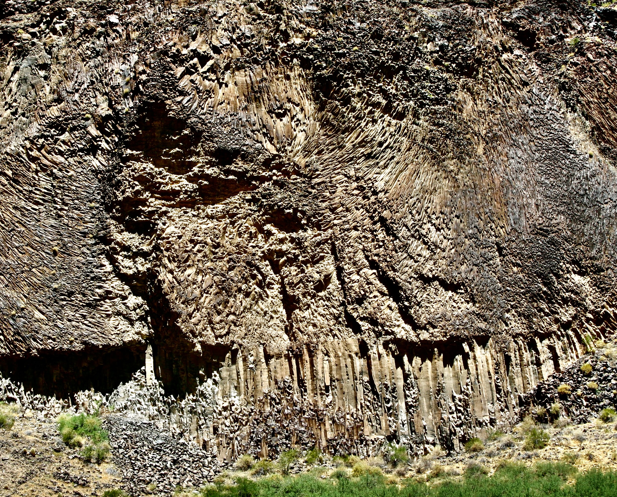
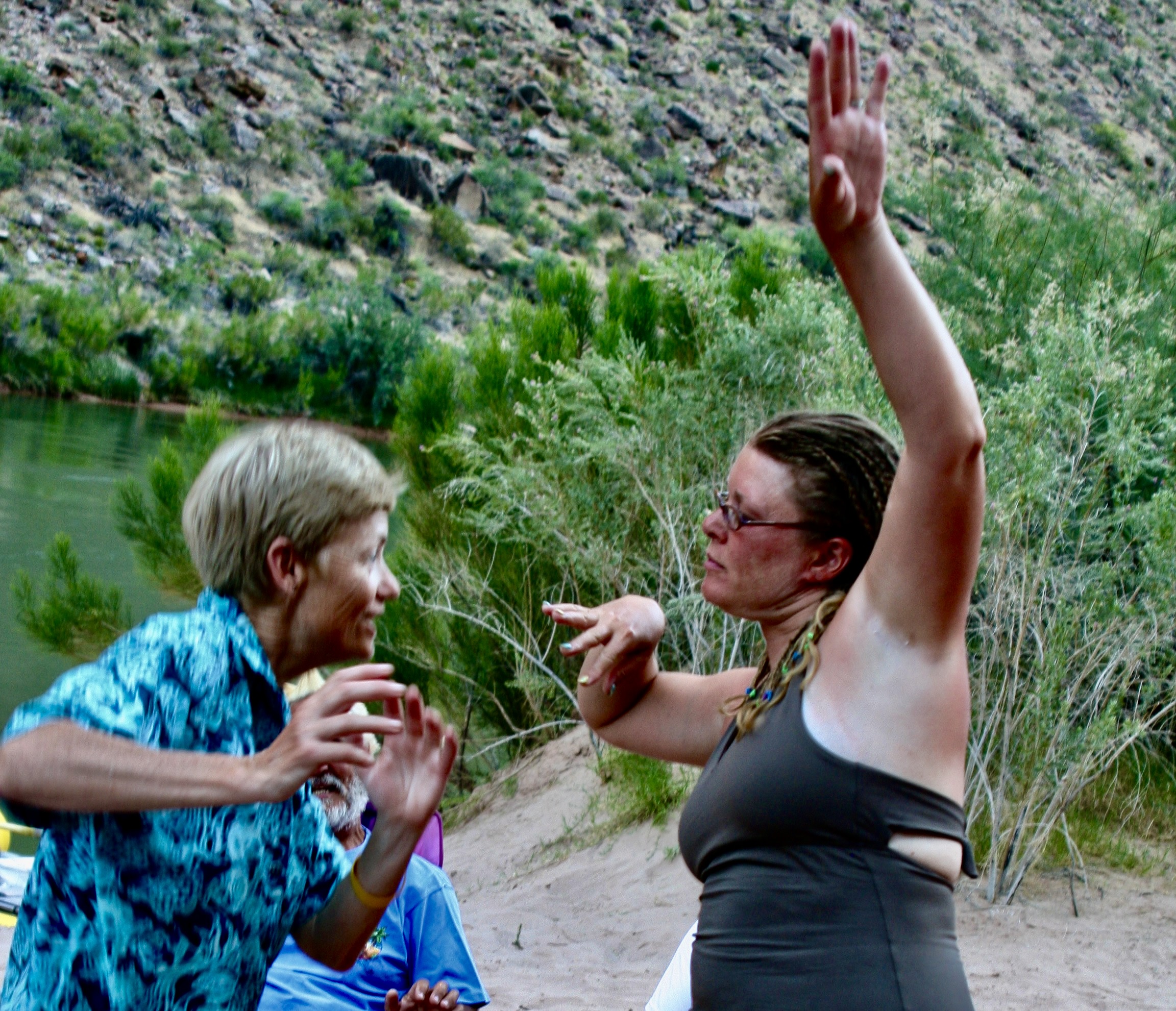
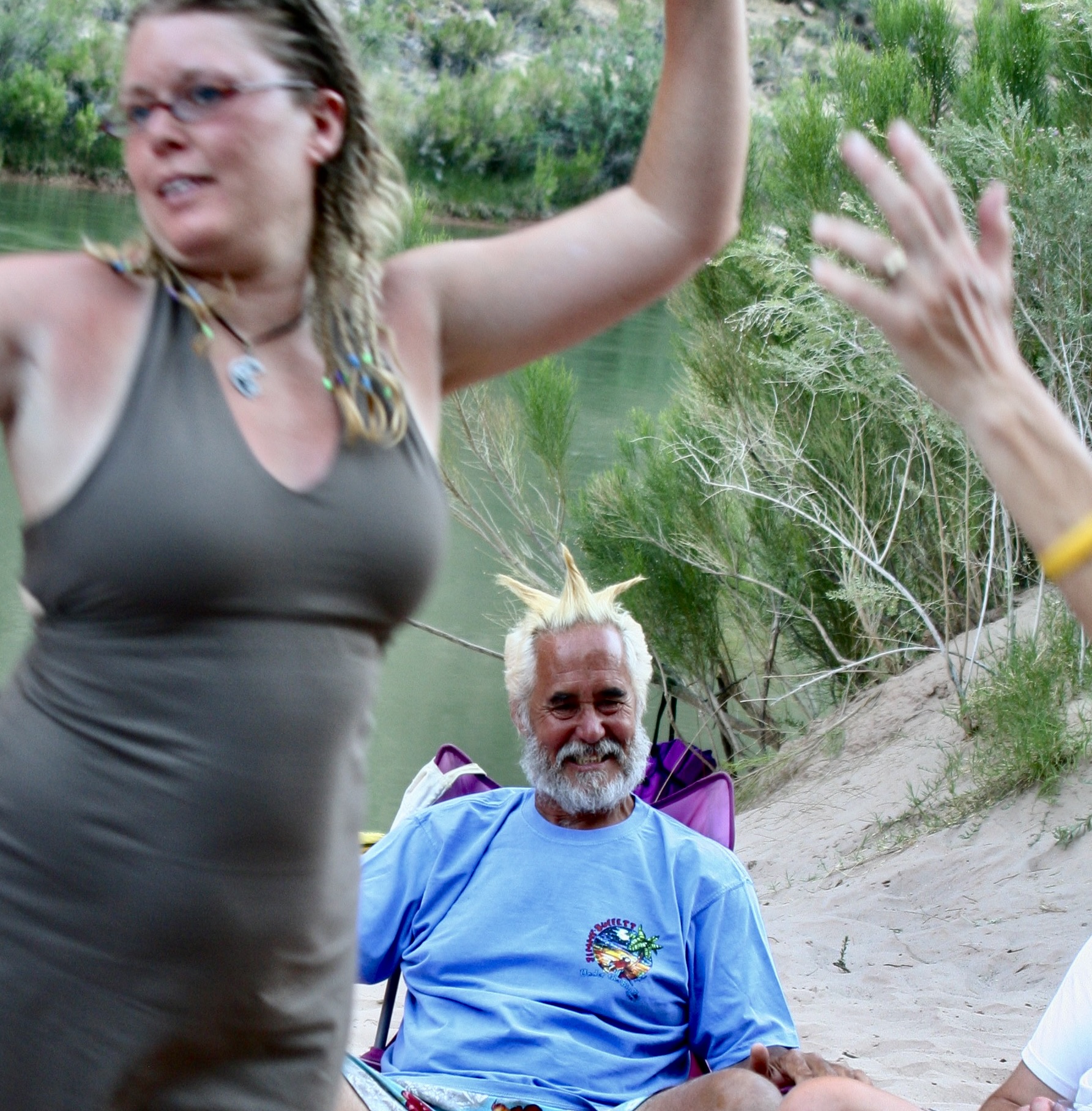
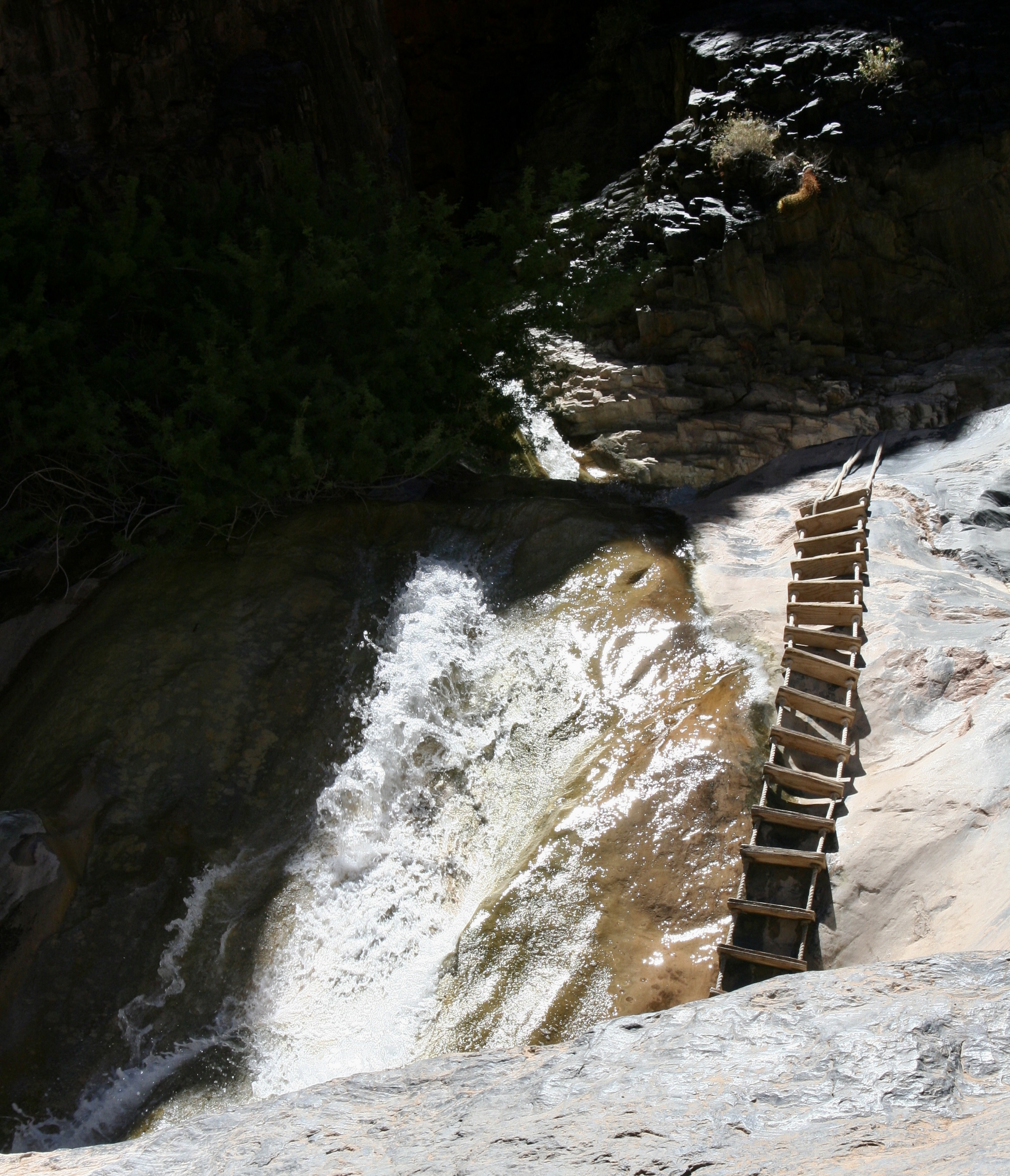
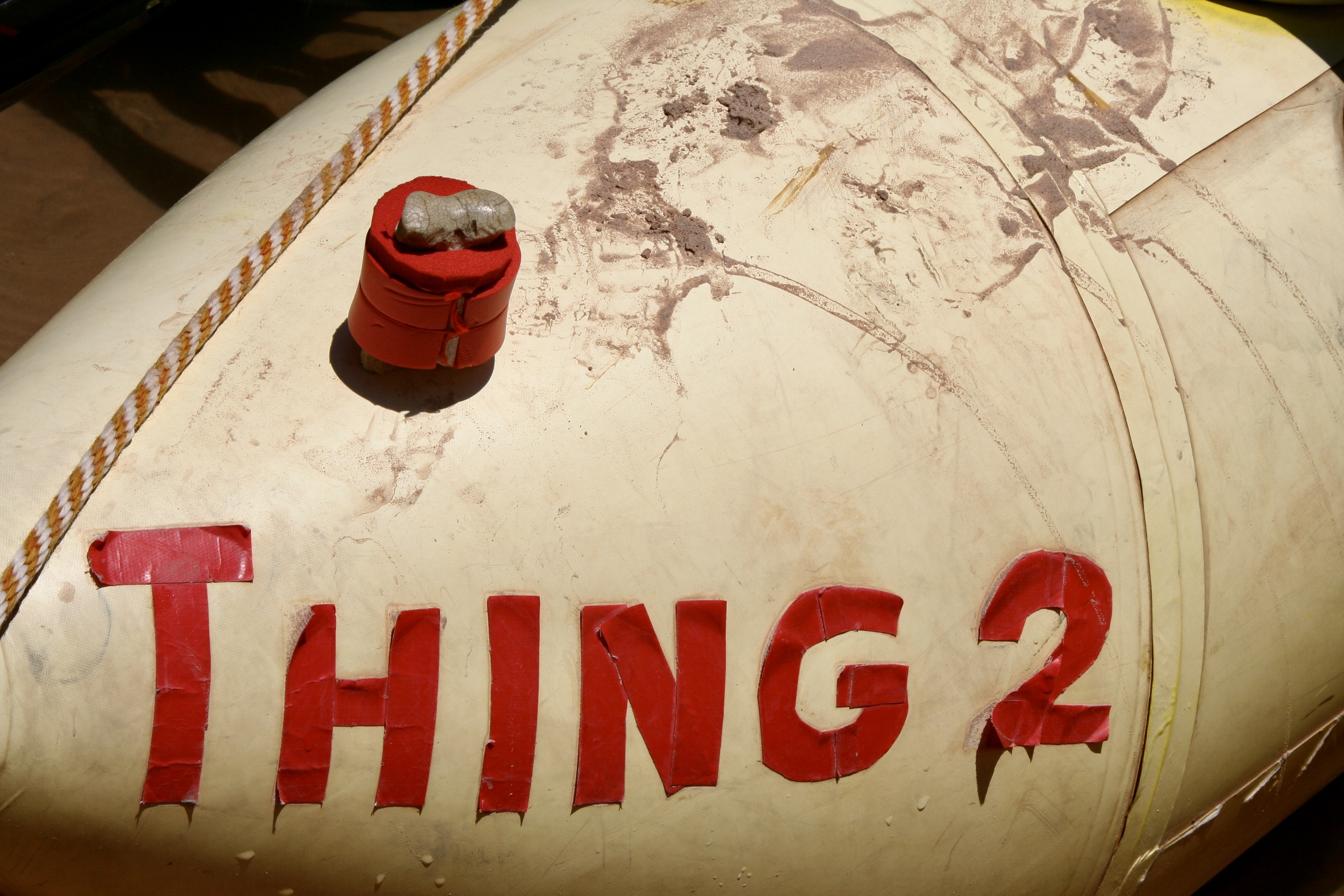
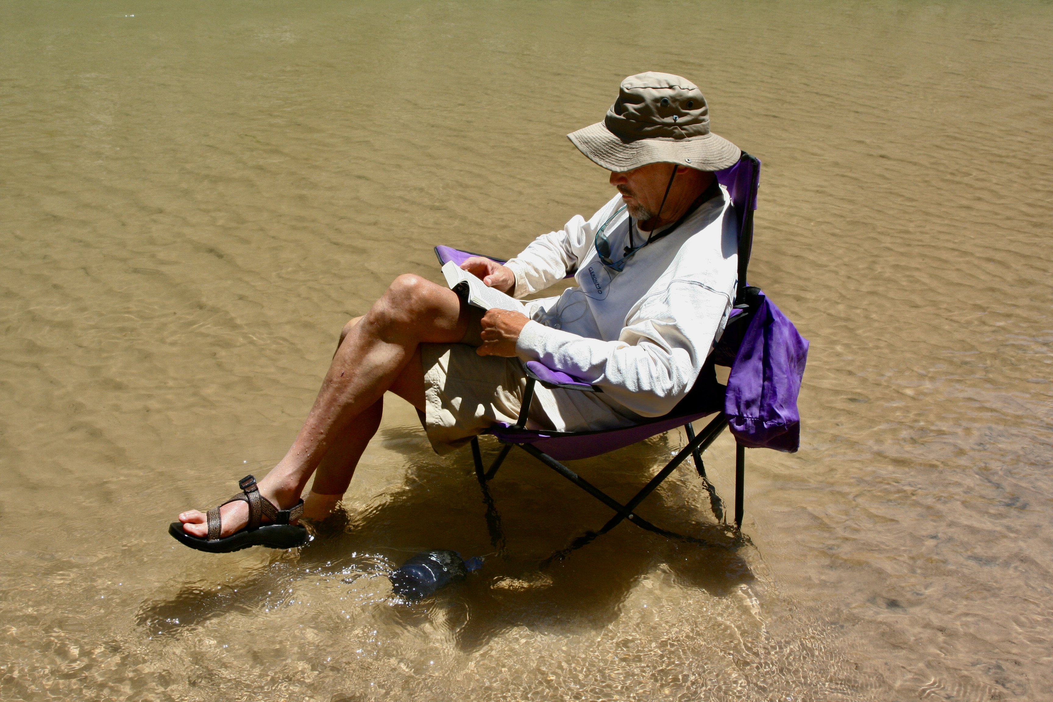
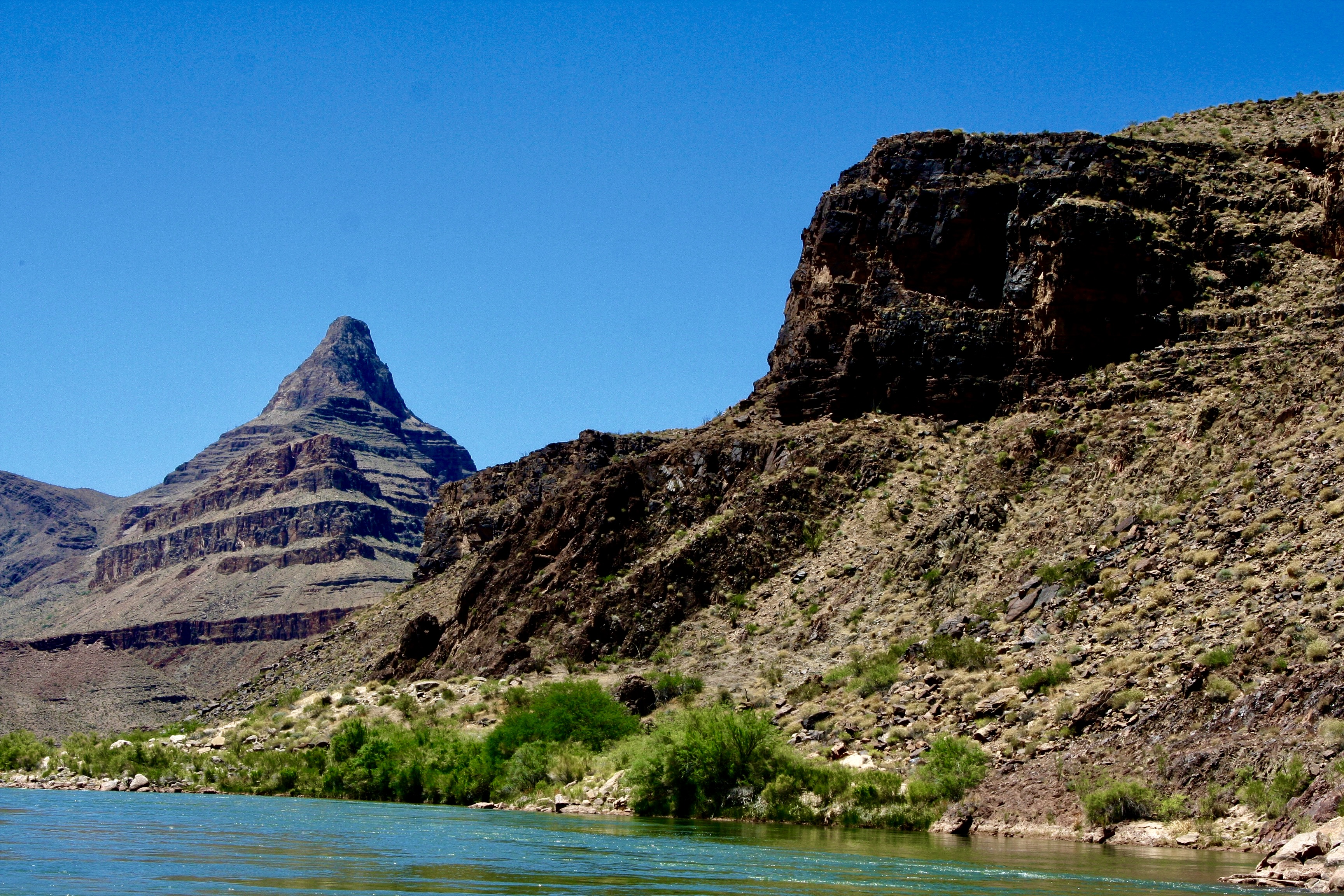
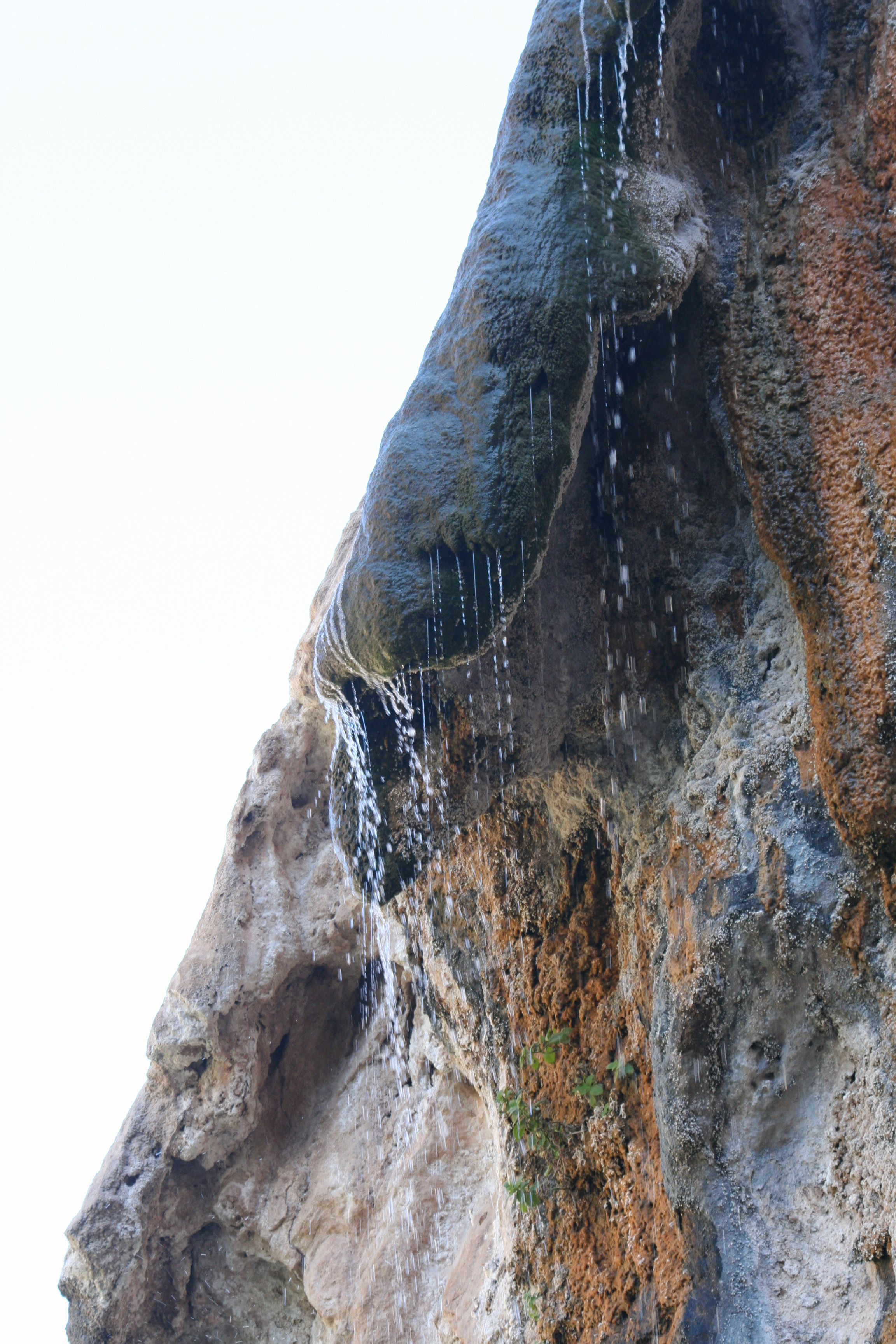
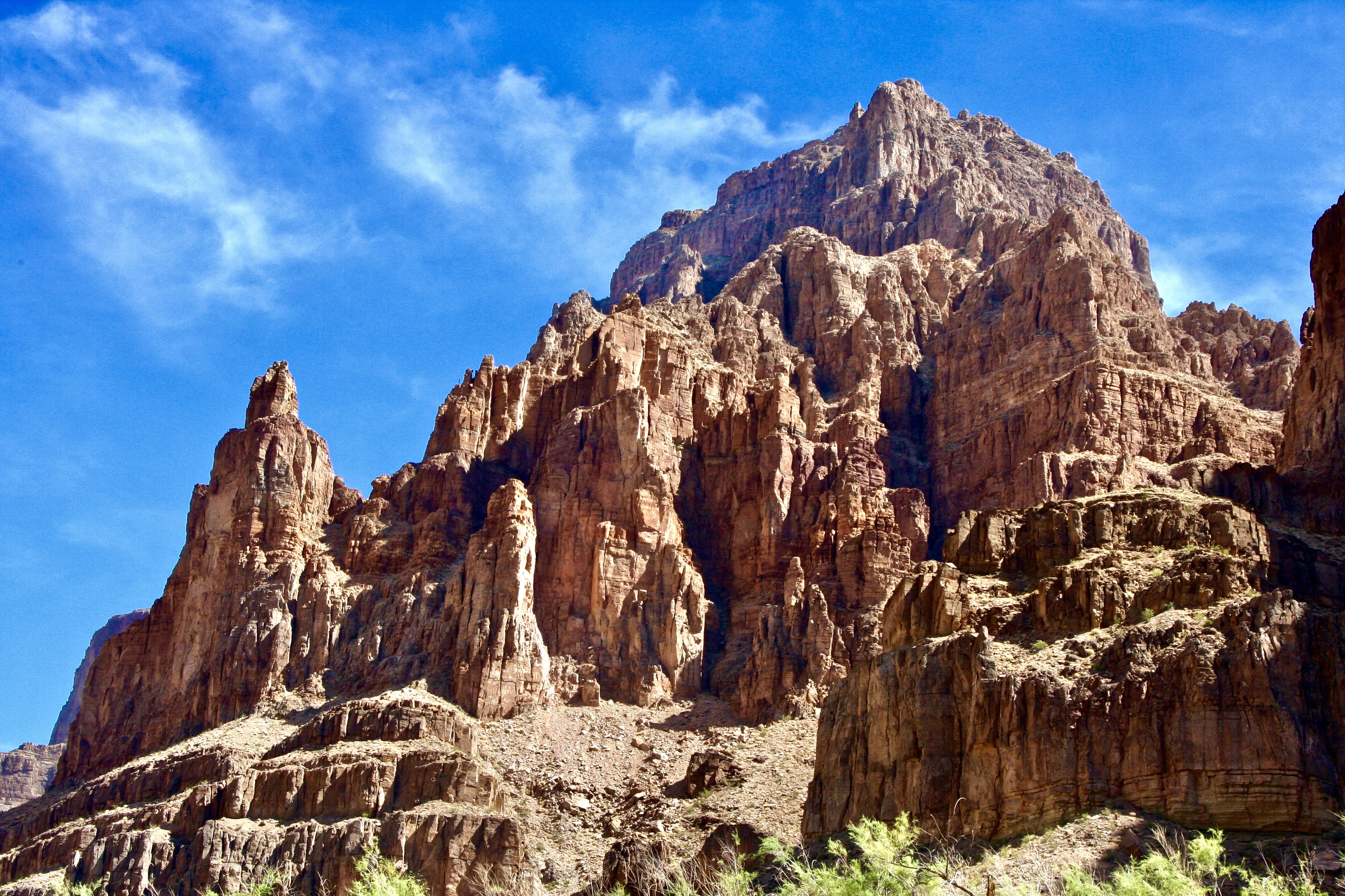
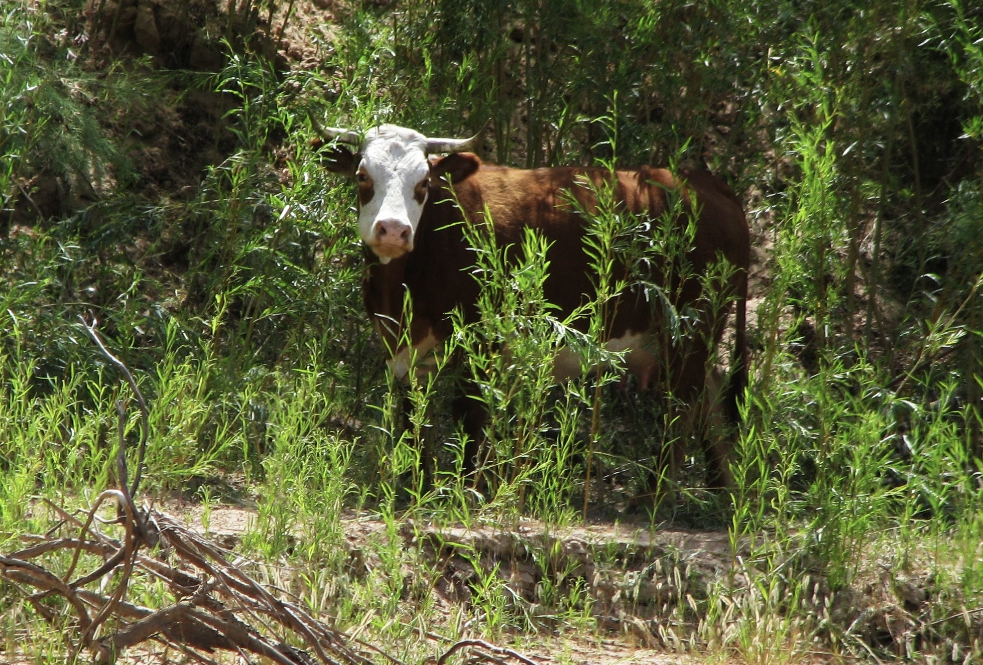
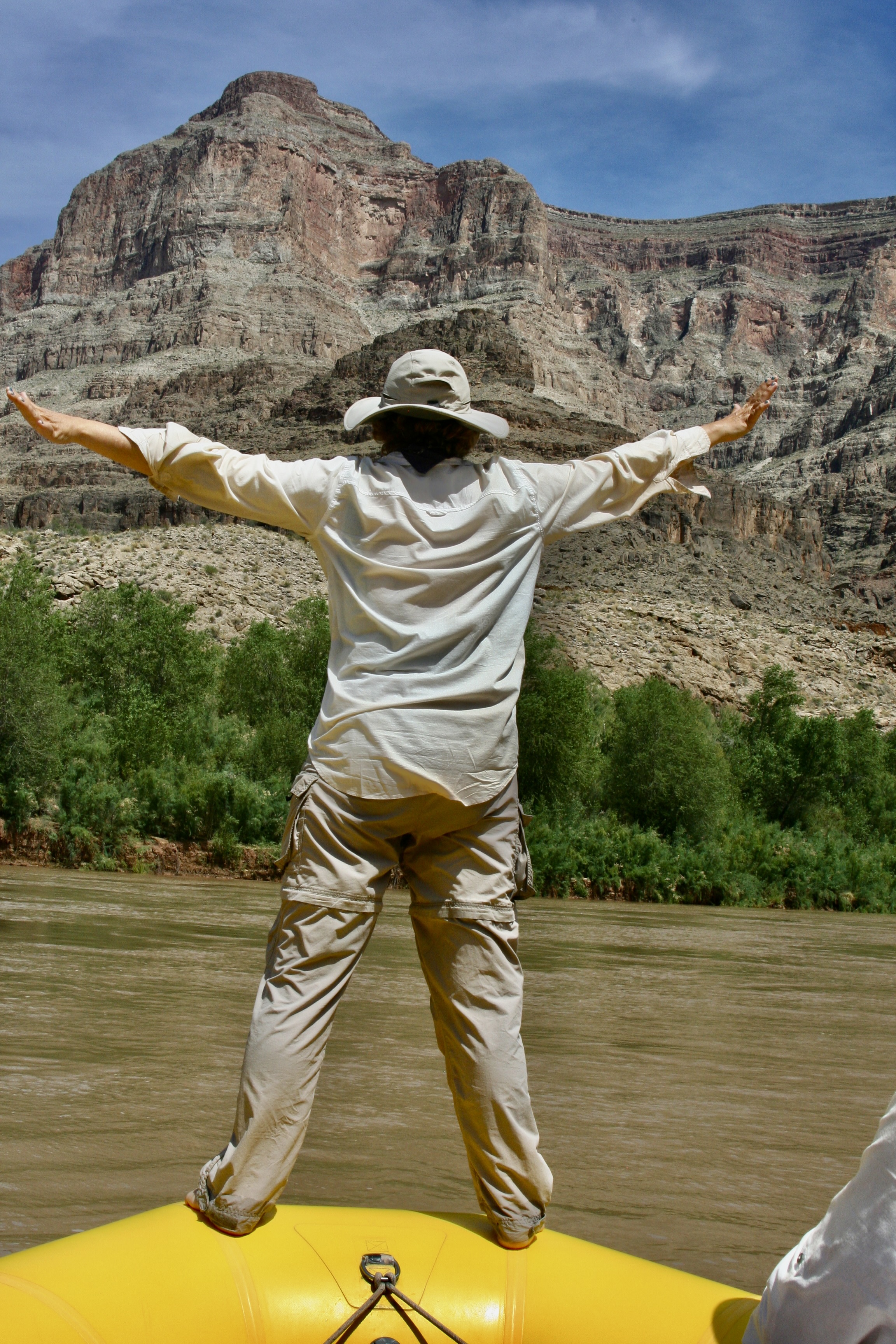
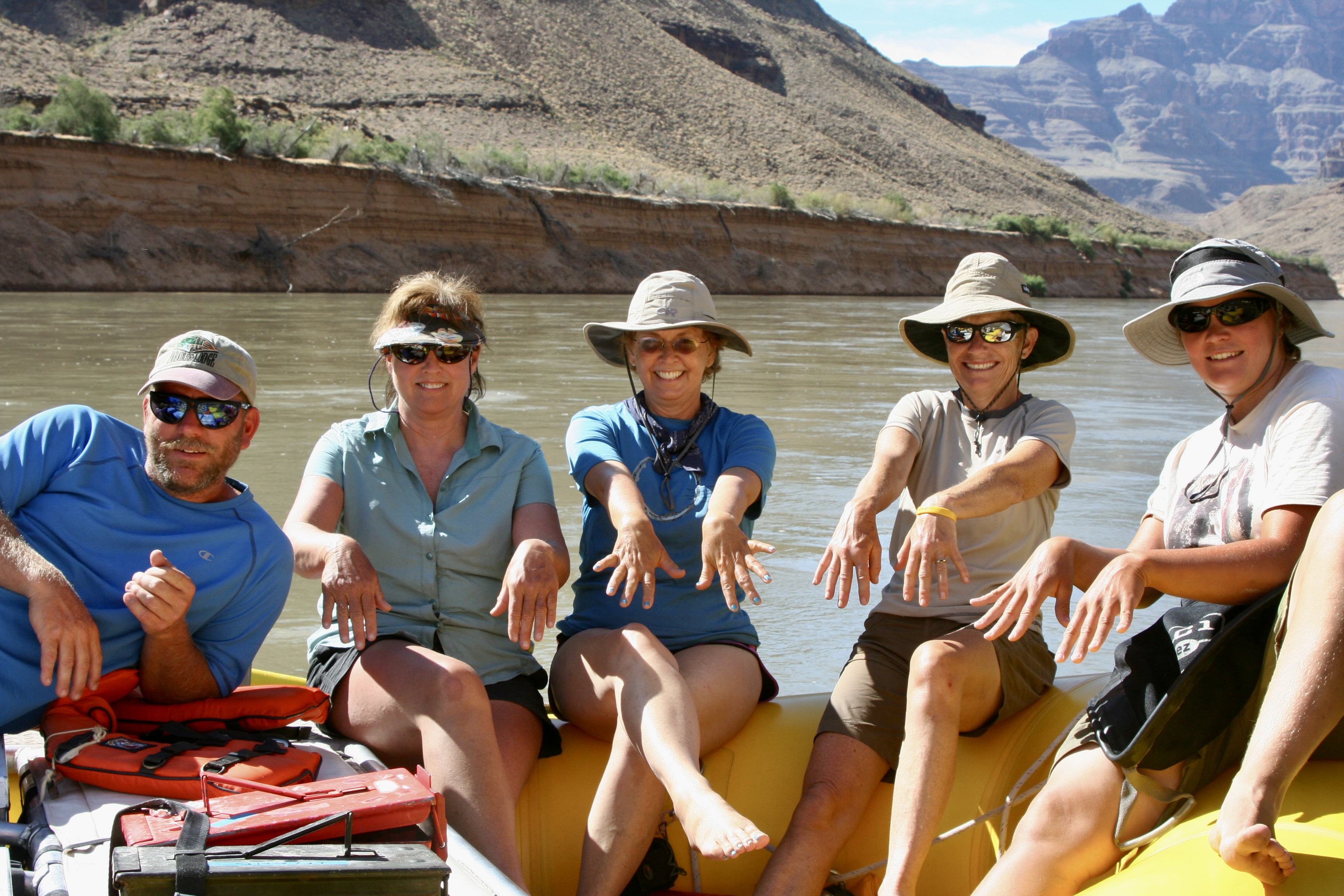
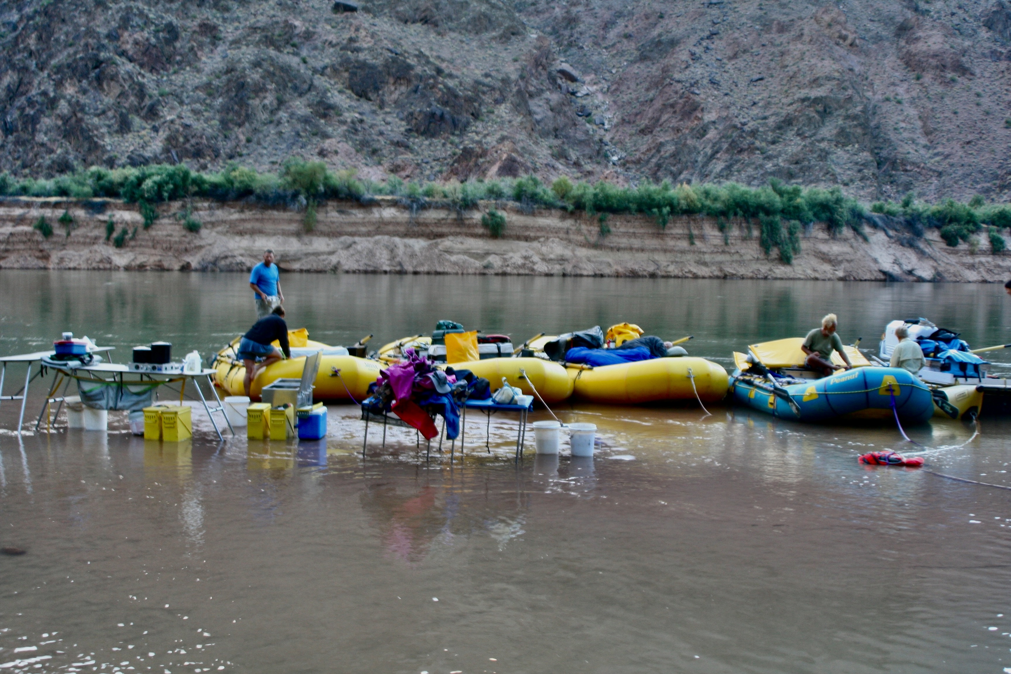
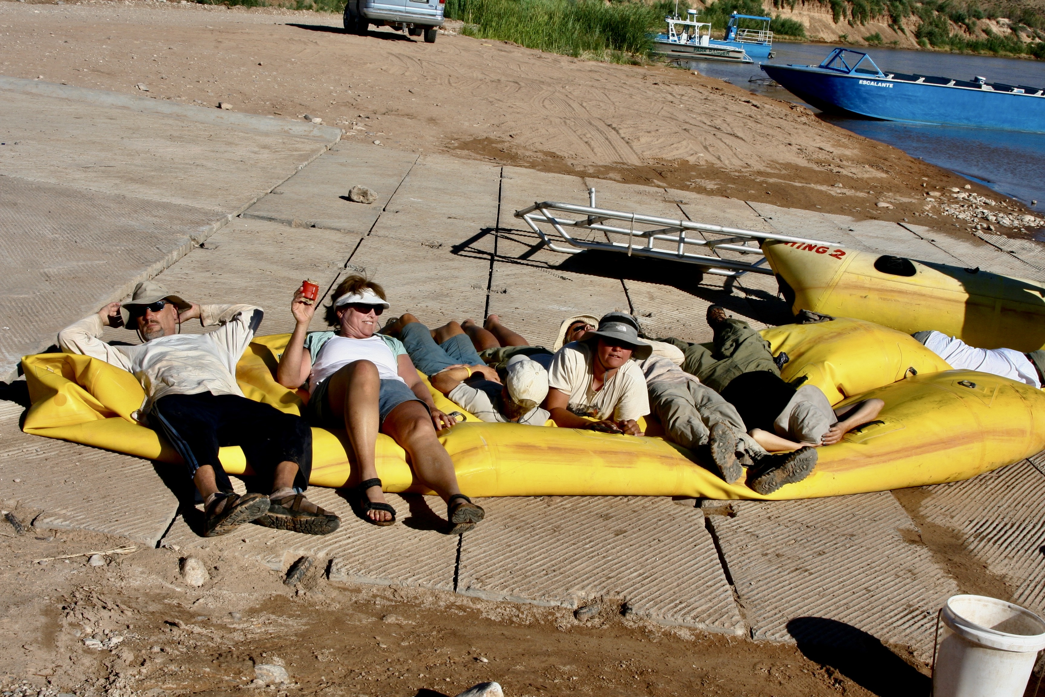
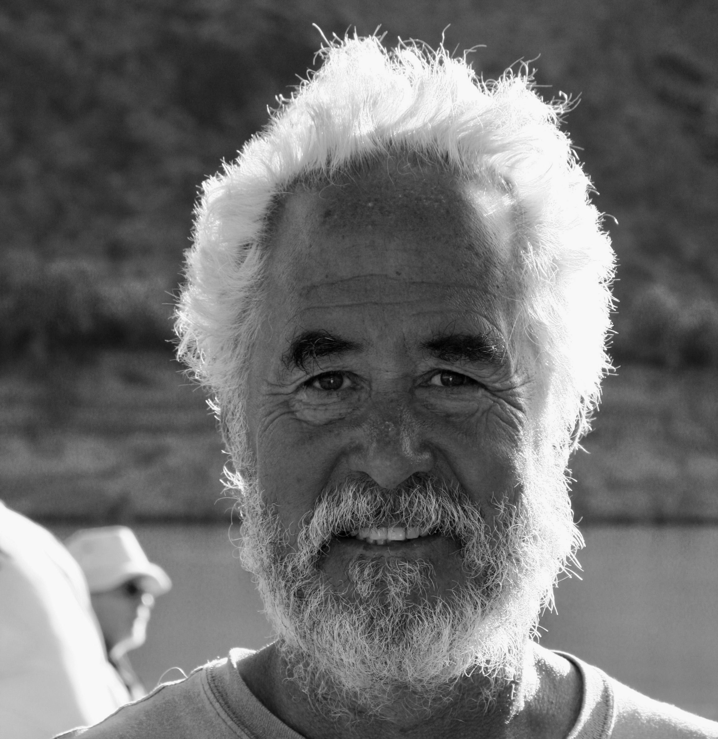
I’m going to wrap up our Colorado River posts on the Great River Series today. We will start just below Lava Falls Rapid where we ended our last post and journey to the beginning of Lake Mead where we finish our trip. I chose this photo from near the end to make a point: There never was anywhere in our trip down the Colorado that lacked in beauty.Much of this post will focus on the scenic views as we made our way from the Grand Canyon to Lake Mead. (Photo by Don Green.)I’ll also feature interesting rock formations such as this lava flow. This one was appropriately near Lava Falls Rapids. The columns are formed when a lava flow has turned solid but is still hot. And of course we will continue to feature the fun folks we had along on our trip and their interesting antics. Spontaneous dancing took place at camp after we had successfully made it through Lava Falls. Tom is in the background…Admiring the performance and supporting a new ‘do.’Further adventures awaited us as well…As expected, Bone would continue to find ways to get into mischief and amuse us.Now this would be a great place to row a boat!With most of the rapids behind us, I finally took a turn.Dave saw it as an opportunity to nap until we reached a minor rapid and I insisted he wake up to guide me through it.Peggy also was willing to take an oar. With Jame’s help…You can probably guess the name of this rock. It’s called Pumpkin Springs. The color is caused by minerals flowing out of the hot springs above it that include high levels of arsenic , as well as zinc, lead, and copper. Bathing in the hot springs is discouraged. Drinking the water is not an option!The cooking crew was getting a little rowdy in Camp.But Peggy was seeking balance.A convenient ledge gave those not working at the moment front row seats.Bone decided he had something in common with Steve Van Dore’s boat, Thing 2.A ‘cool’ way to read a good book?This pyramid-like structure in the background, Diamond Peak, reminded me of our trip up the Nile River. We will be returning there as part of our Great River Series. The dark rocks are volcanic.Tom had a final adventure planned for us that I mentioned above. it involved climbing this step/rope ladder near Diamond Creek. The Hualapai Tribe built series of ladders to help people access a ‘bathhouse’ on the creek.Beth climbing the ladder. (Photo by Don Green.)A cold shower was one of the options of the bathhouse. I decided Bone, me and my clothes would all benefit.A more civilized approach was a few feet away.I was attracted to a colorful set of rocks found in the area.Our ‘bathhouse’ provided creative frames.Another example.One of the most unusual sites we saw along the Colorado was this hundred foot waterfall made out of Travertine Rock.Another perspective.I caught this close-up of travertine framed by the sky at a stop nearby.And Don caught these maidenhair ferns.While Bone found a barrel cactus to perch on. Tough butt.And the scenery kept being spectacular as the miles rolled (rowed) by.Cliffs.Distant vistas.A combination of the river’s edge and far away.And a final view of the beauty that had awed us on our 280 mile journey through the Grand Canyon to Lake Mead.We were privileged to see several big horn sheep in our last hundred miles. I think these may have been lined up for their turn at a natural salt lick. It came as a big surprise when we spotted a different type of animal with horns…That convinced us that our journey was nearing its end! (Photo by Don Green.)Peggy struck her Titanic pose. I saw her do the same thing once over the piranha infested water of the Amazon River. At least, if she fell off here, the only thing that would happen to her is she’d get wet.Jame introduced us to a new way of rowing…And the women, for a reason I couldn’t quite fathom, decided to do a fingernail check. It’s possible that Jame felt as perplexed as I did. Or is that a semi-thumbs up?We woke up on our last morning with our campsite flooded. Go figure. Everyone good-naturedly went about his or her business of doing morning chores.A few miles down river we reached the take-out point. Our journey was over. It was time to pack up one last time. It may look like everyone was ‘laying down on the job’ here. Actually we were squishing the air out of one of the rafts. A final photo of Tom. He looked tired— but it was well earned tired. We all owed him a great debt of gratitude for the incredible adventure he had taken us on: For all of the planning and organizing, and for doing everything in his power to assure that we experienced everything the Colorado River and the Grand Canyon had to offer, and doing so in a safe manner— while having loads of fun along the way. While thanking Tom, I also want to thank the boatmen (plus Megan) whose hard work and skills meant so much to our successful journey.Don, I think, represented us all, while looking a bit scruffy, looked off into the distance one last time, contemplating the wonder of what we had just been through.Looking equally scruffy, I had added another whole layer of appreciation for the Canyon I had loved and explored over the years on foot, by mule, by car and by helicopter. And now by raft.And Peggy, who had loved every minute of the adventure, looked just about like she always does. How in the heck does she do it? (Photo by Don Green.)And finally: Bone. No-one had more fun than he did. Virtually everyone spent time with him. As a final gesture, he made sure that everybody initialed his PFD.
Next post: It’s on to the Danube River and Vienna!
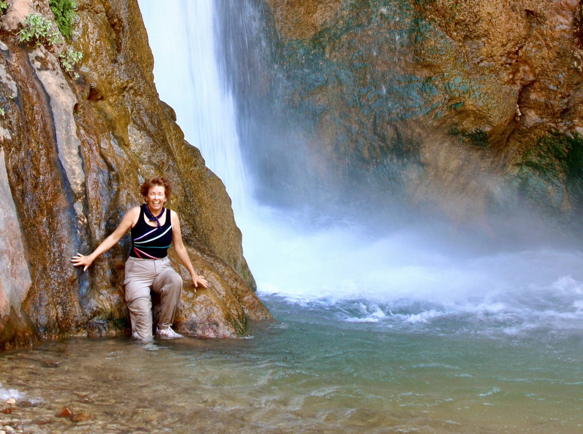
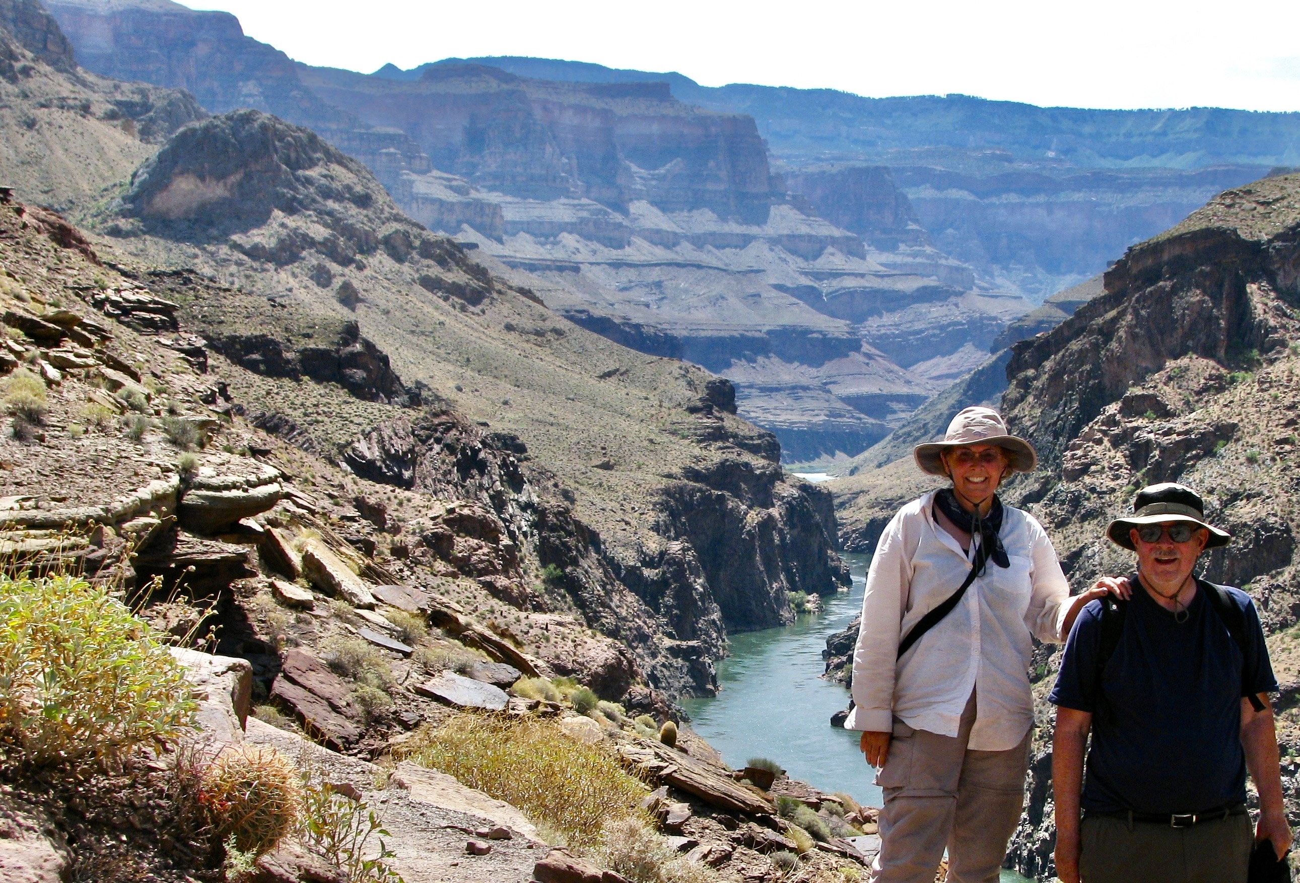
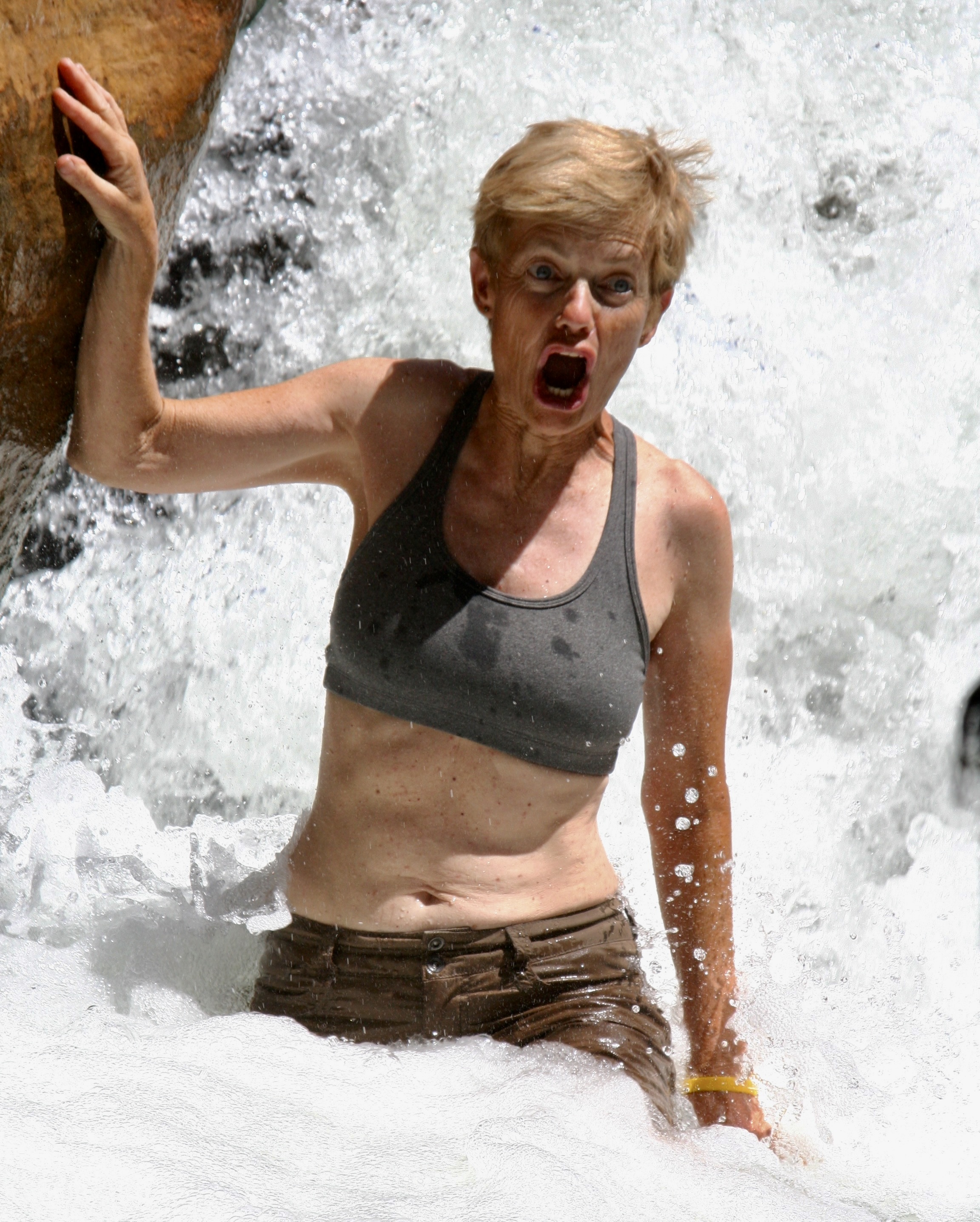
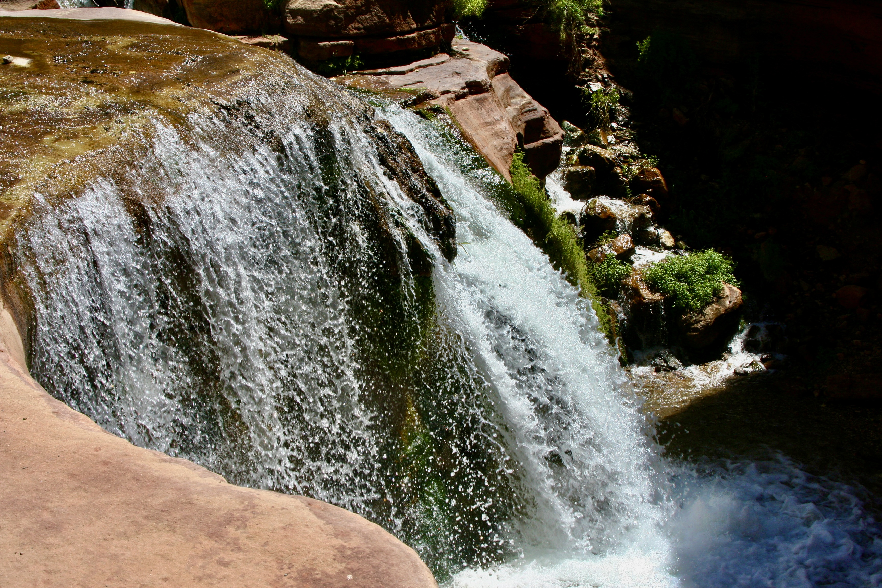
Deer Creek Falls was at mile 136, less than a mile below Christmas Tree Cave where I finished our last post. Here, Peggy enjoys the roar and the mist.
Today will take us another 44 miles down the river, which is short on miles but filled with both beauty and adventure. The beauty will be provided by Deer Creek Falls combined with a hike that takes us high above the river, and Havasu Creek that feature sparkling aqua blue water. Lava Falls Rapid will provide much of the adventure. Its #10 rating in difficulty recognizes it as one of the most challenging rapids in the world. We looked forward to it with excitement, and I might add, more than a little trepidation.
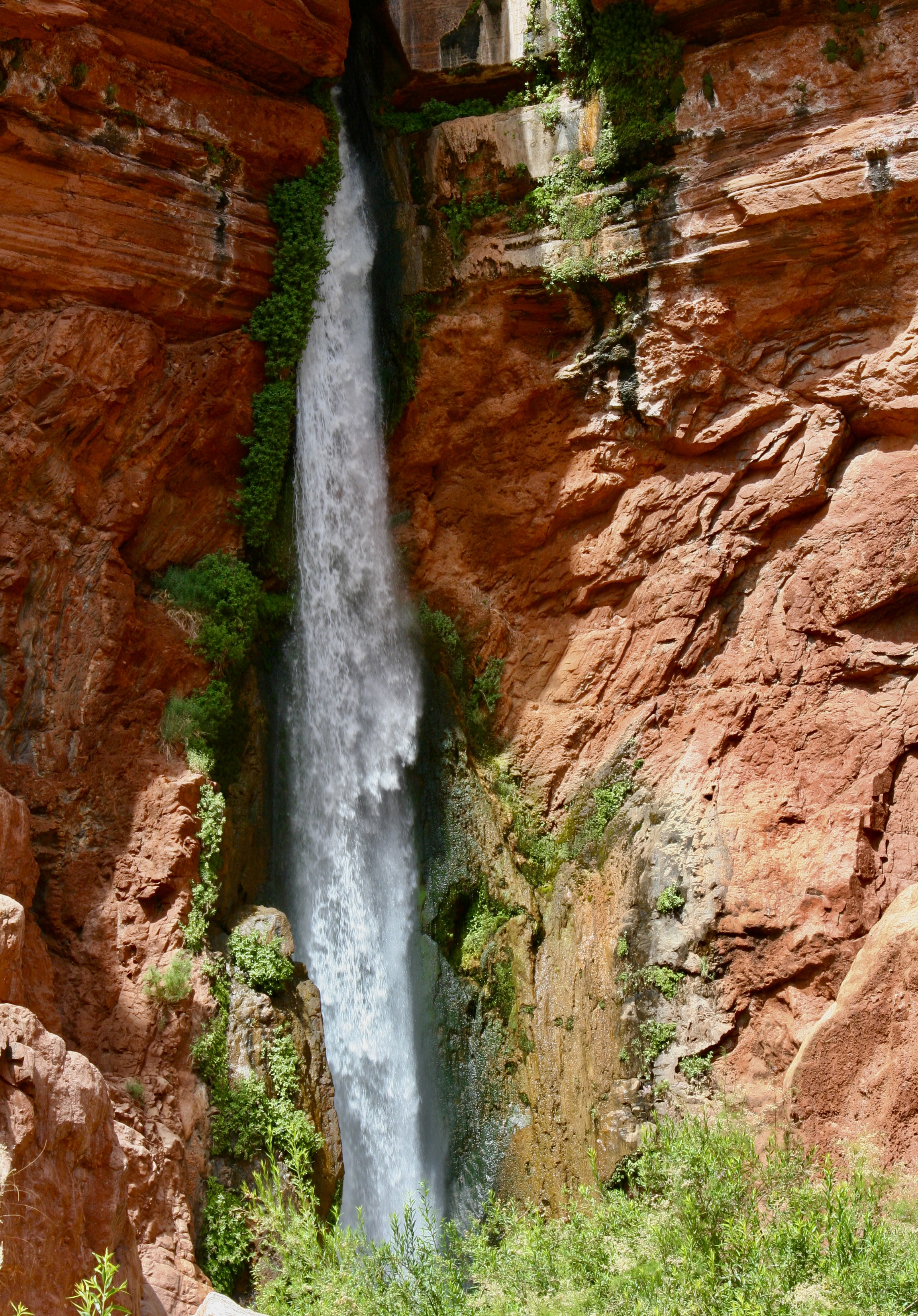
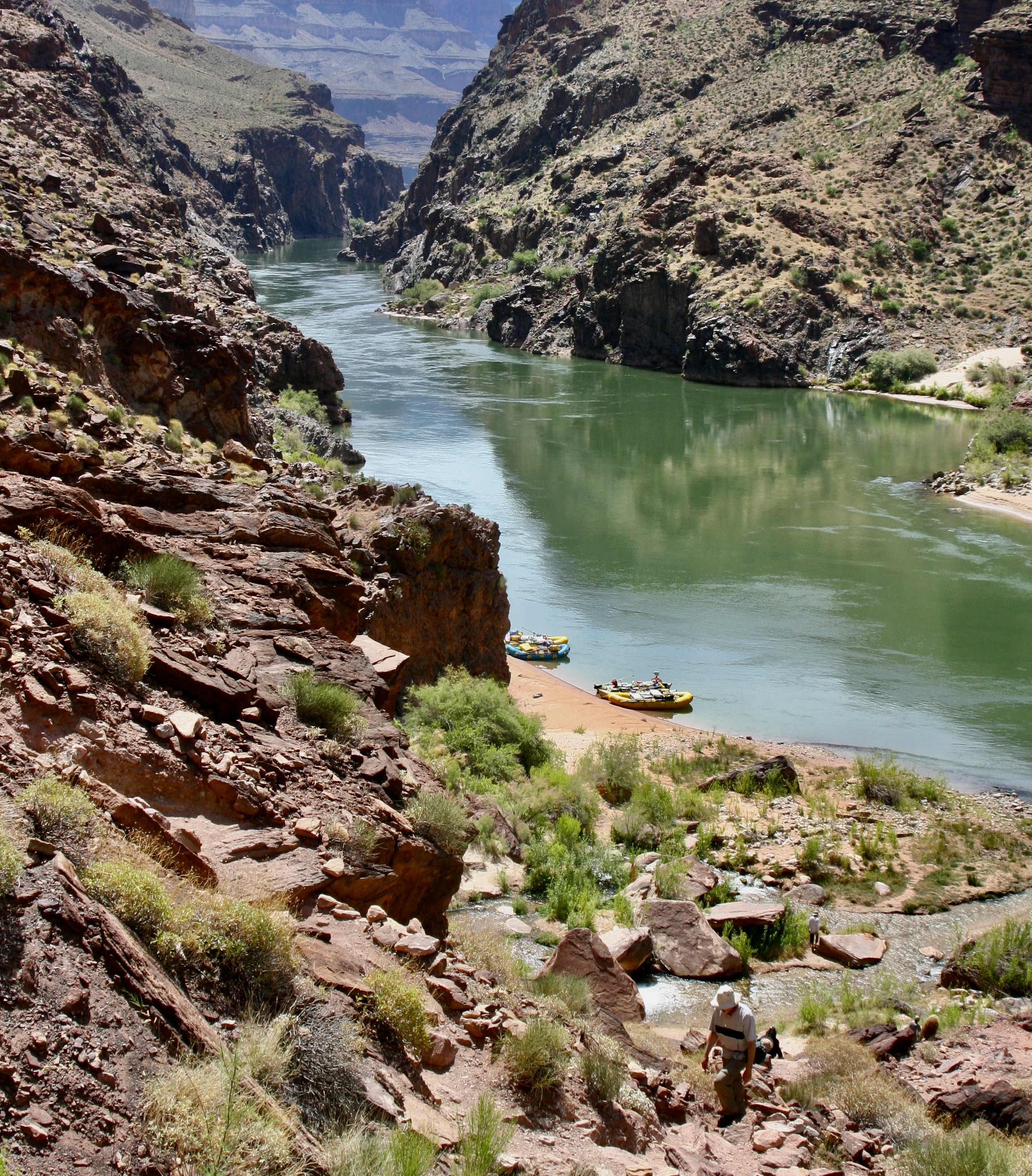
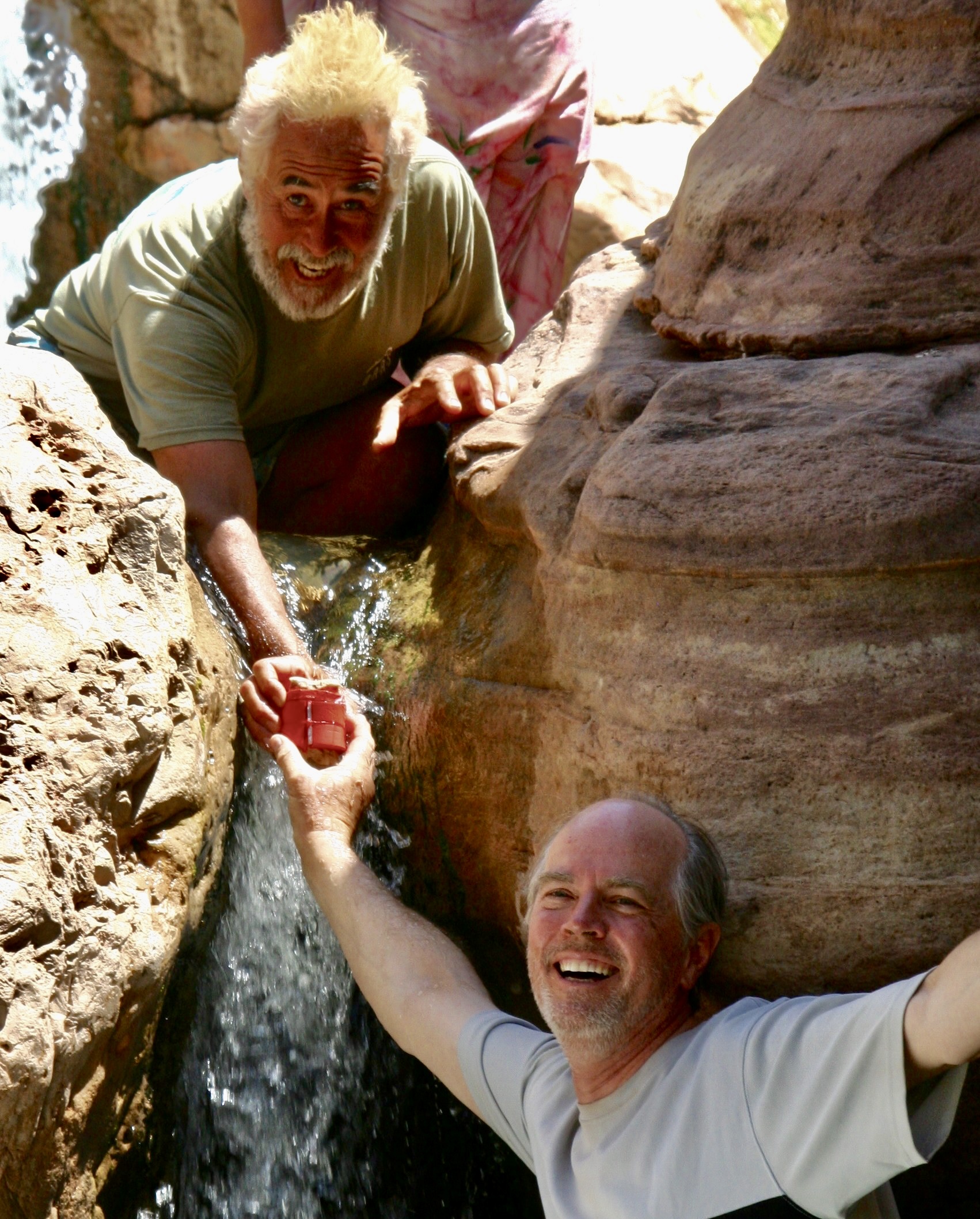
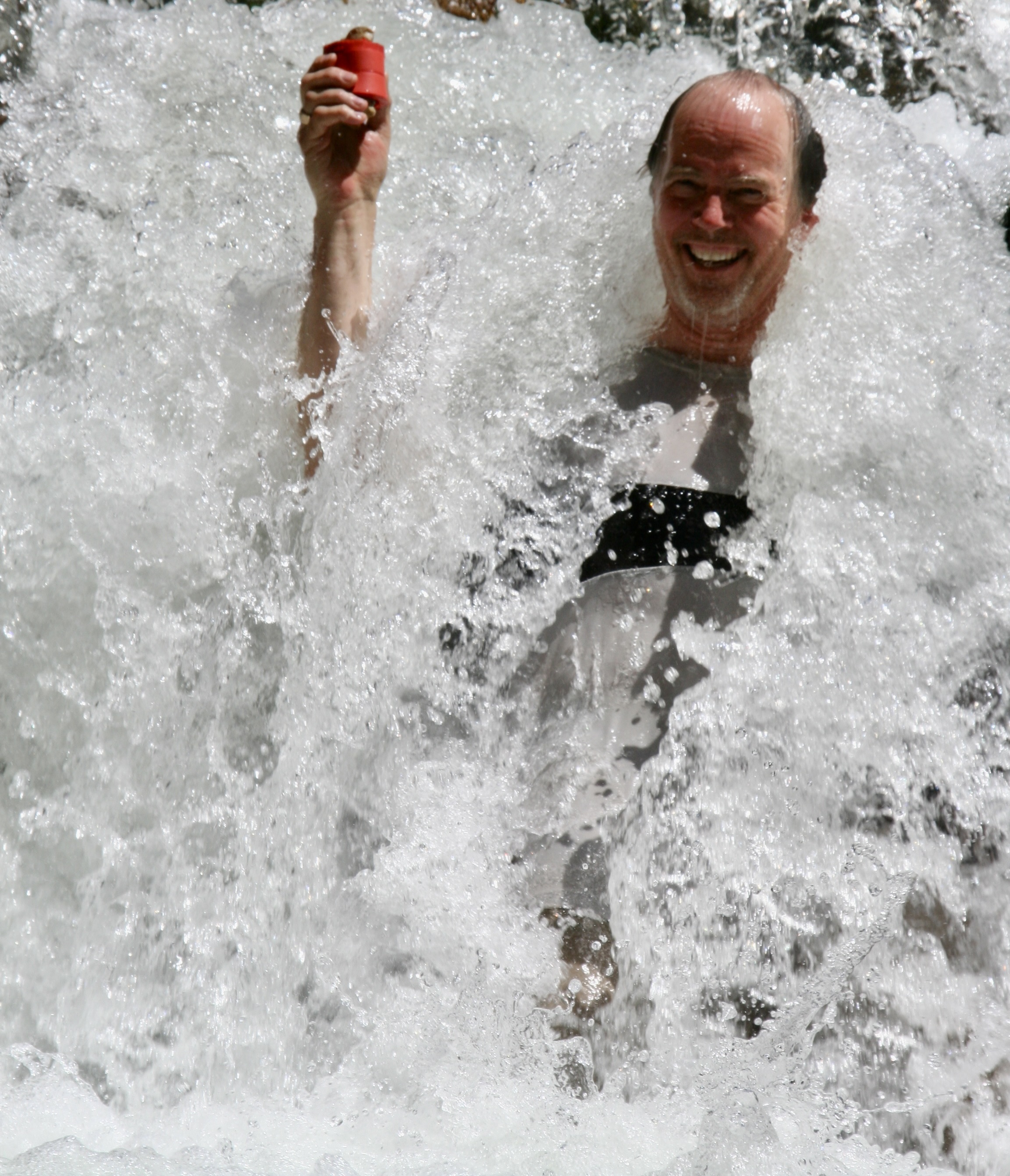
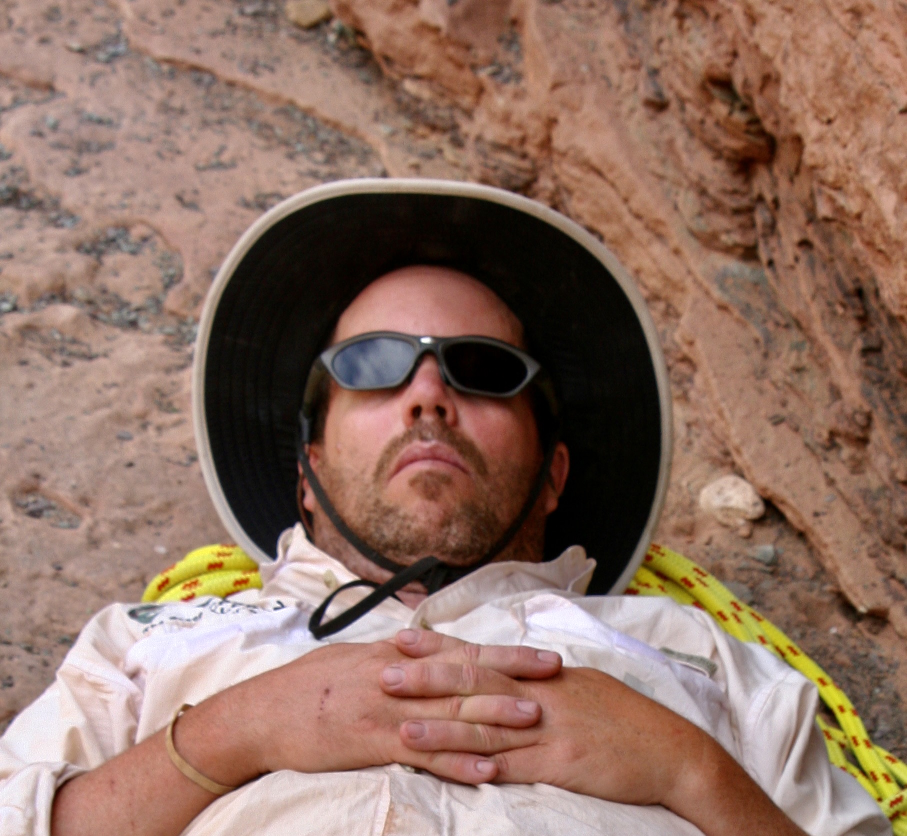
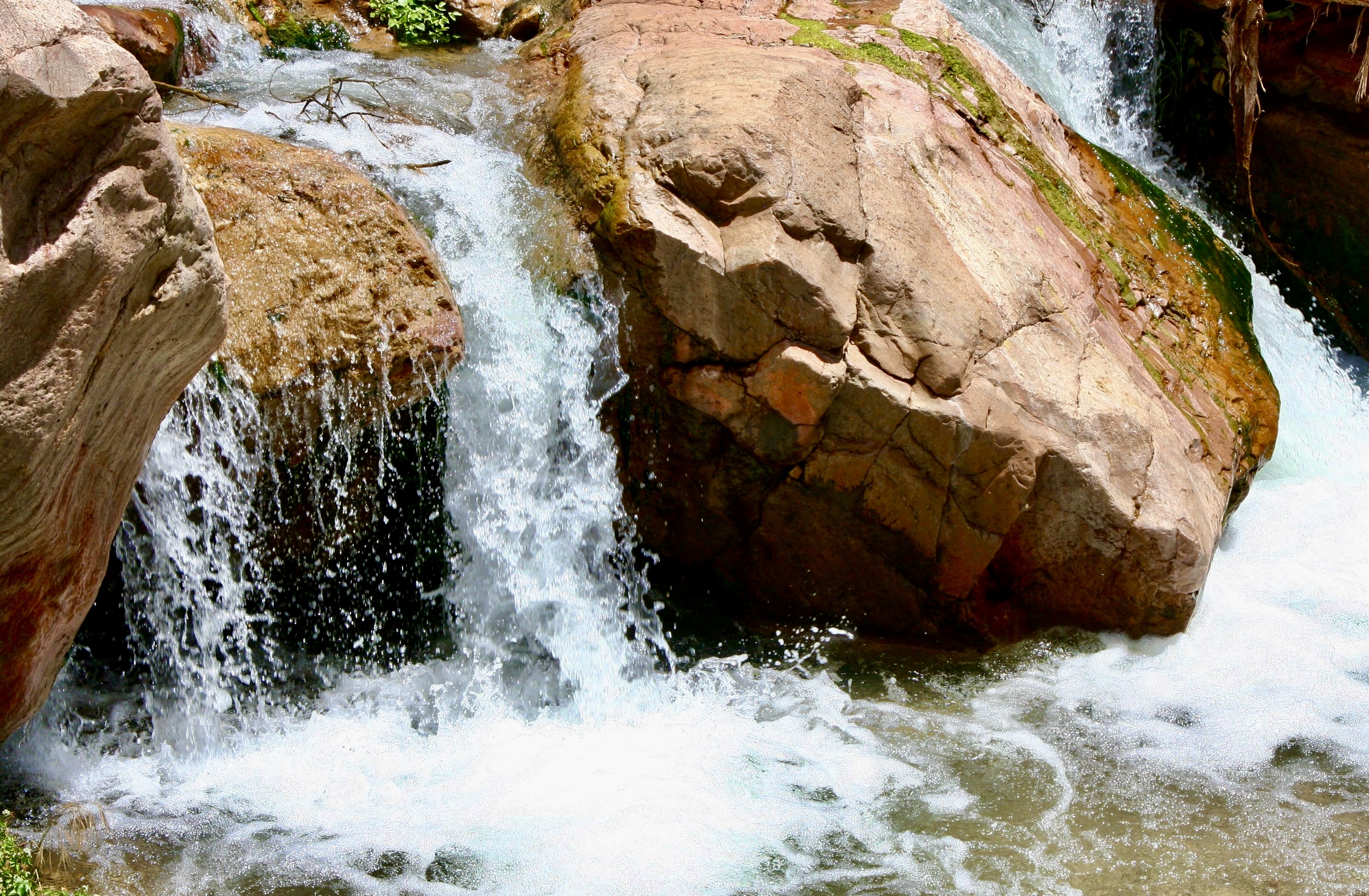
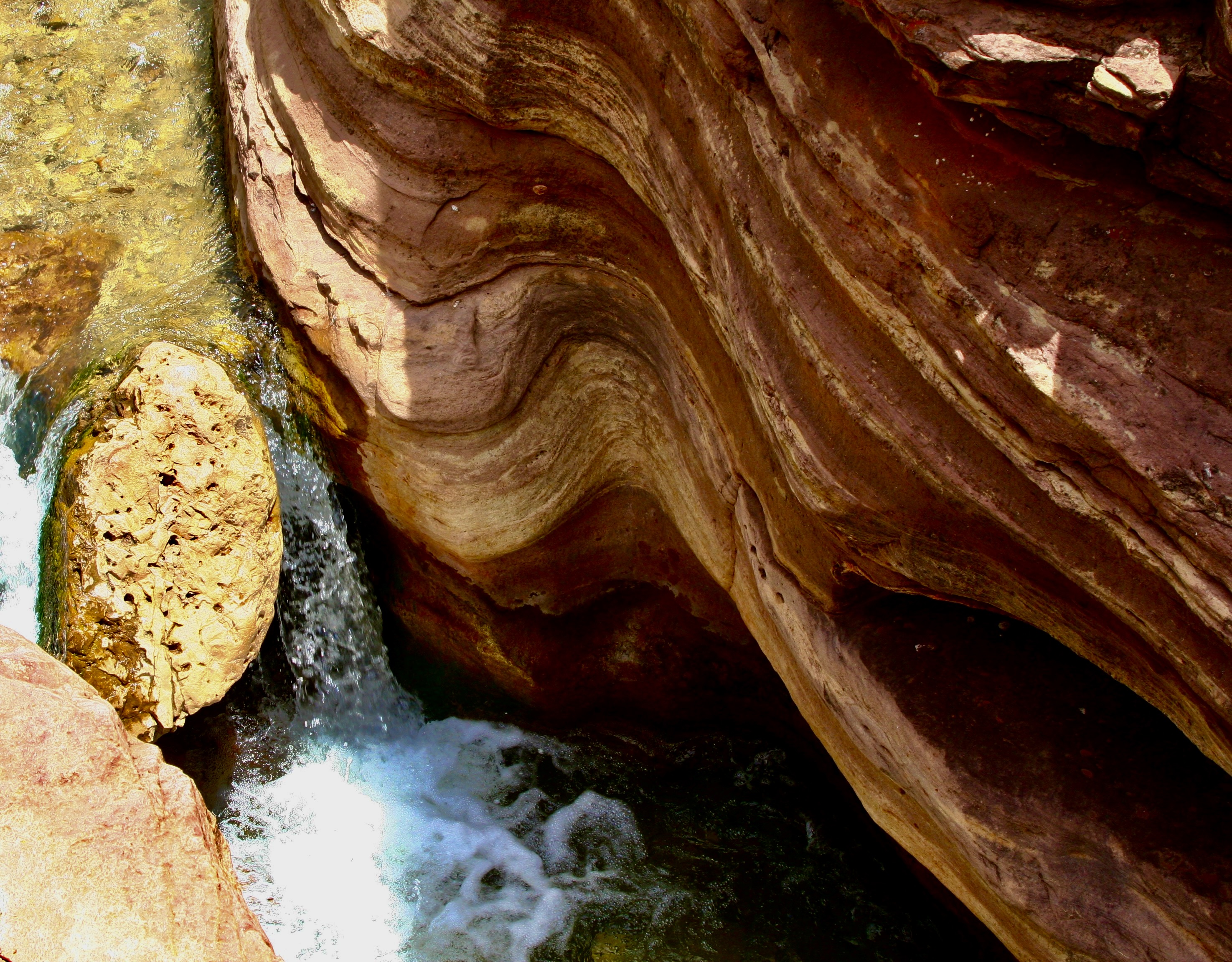
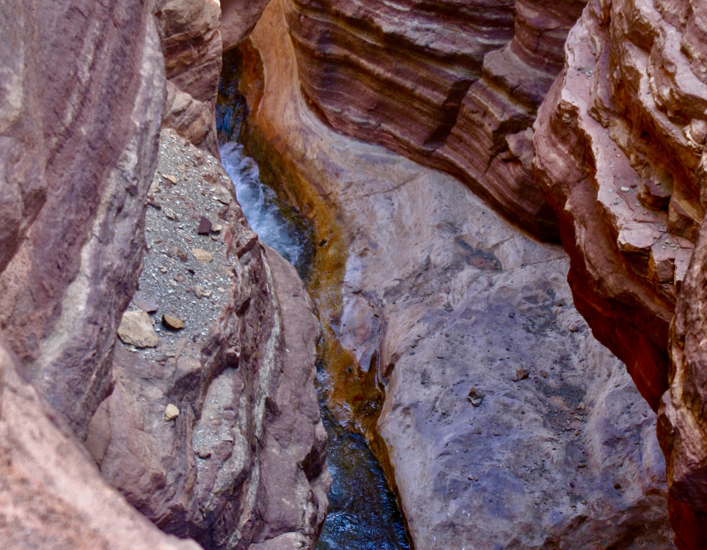
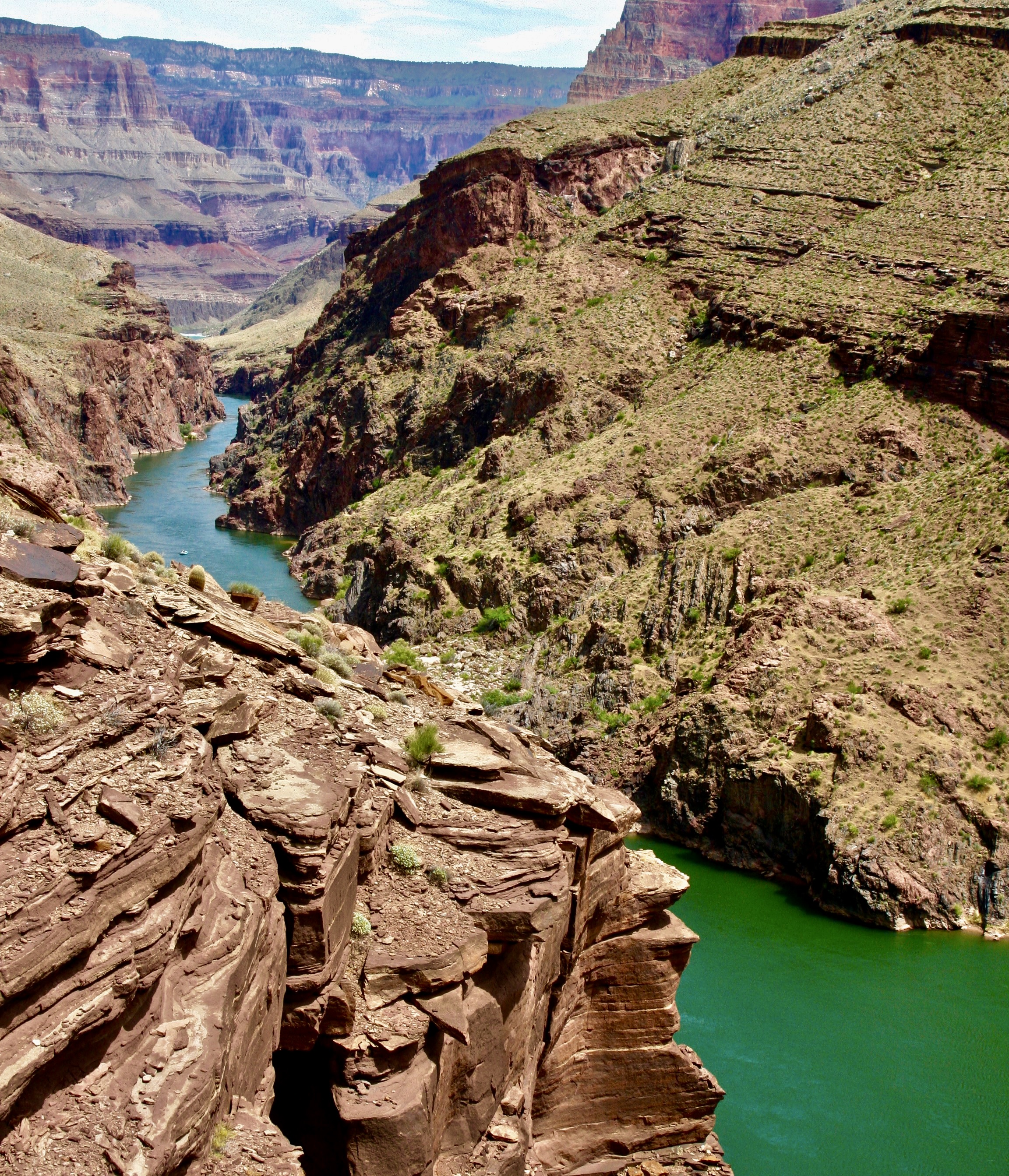
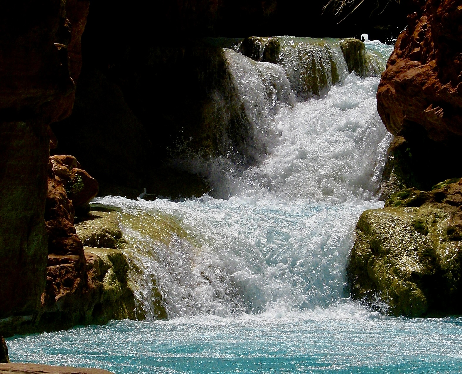
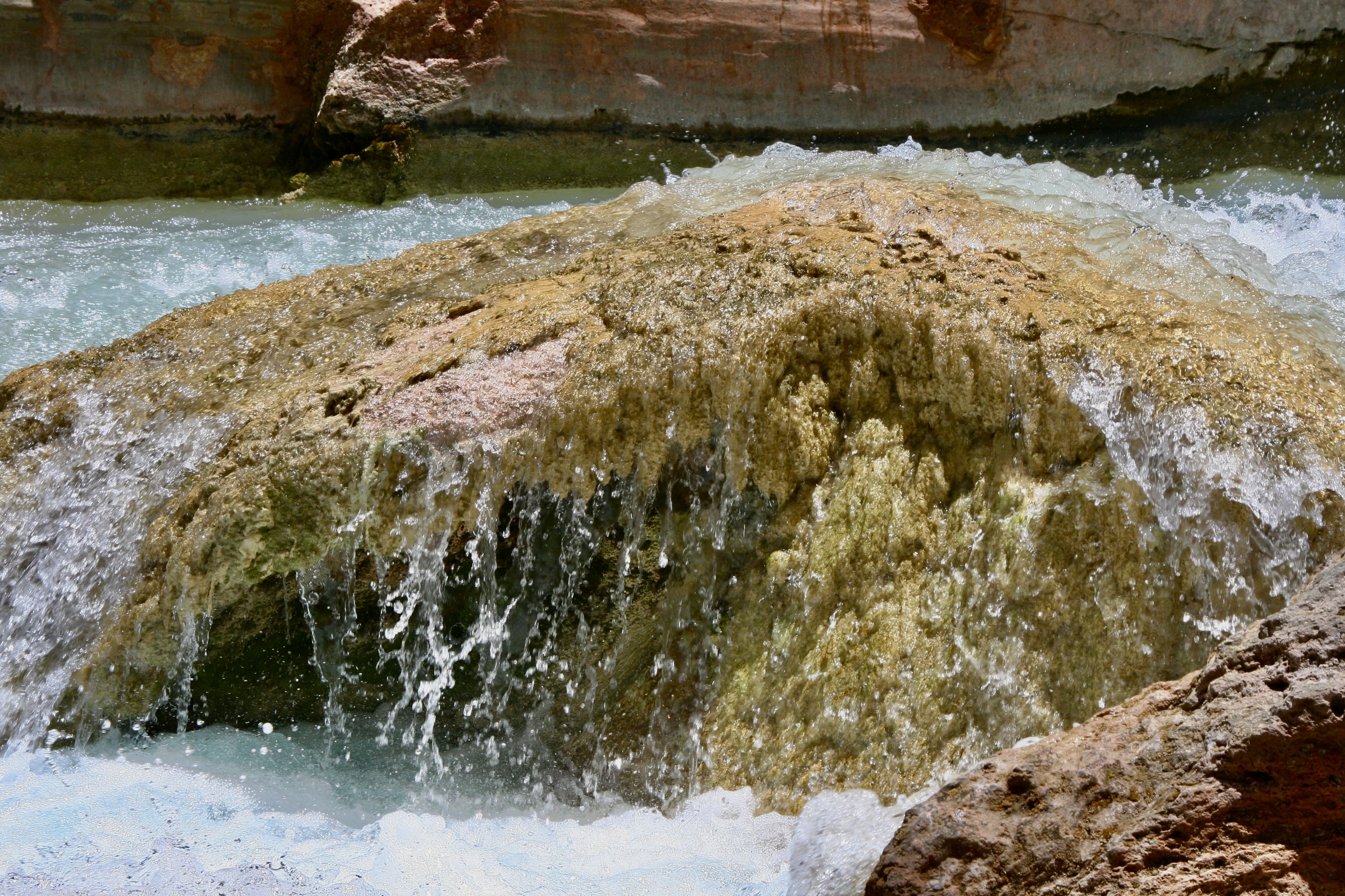
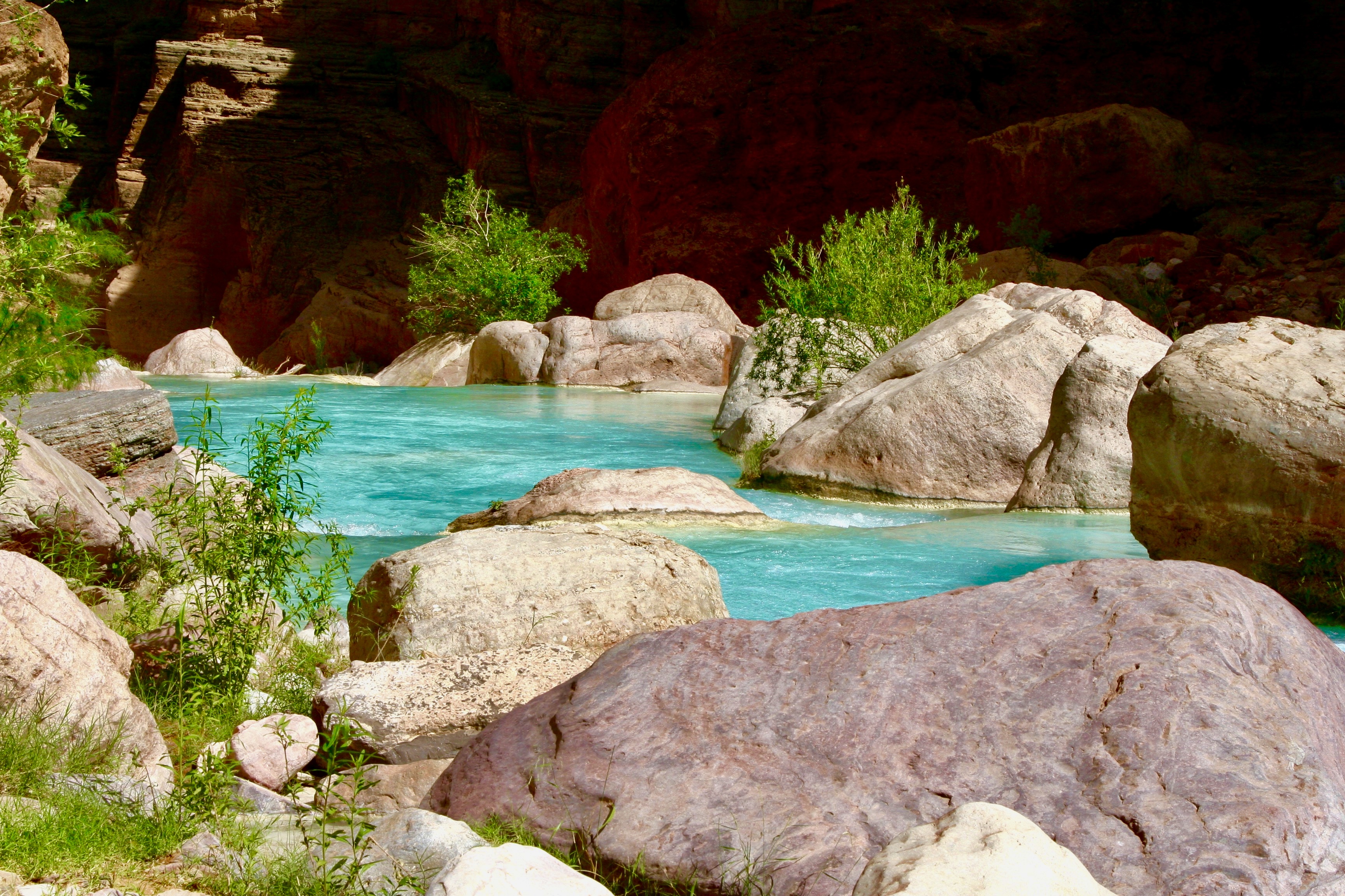
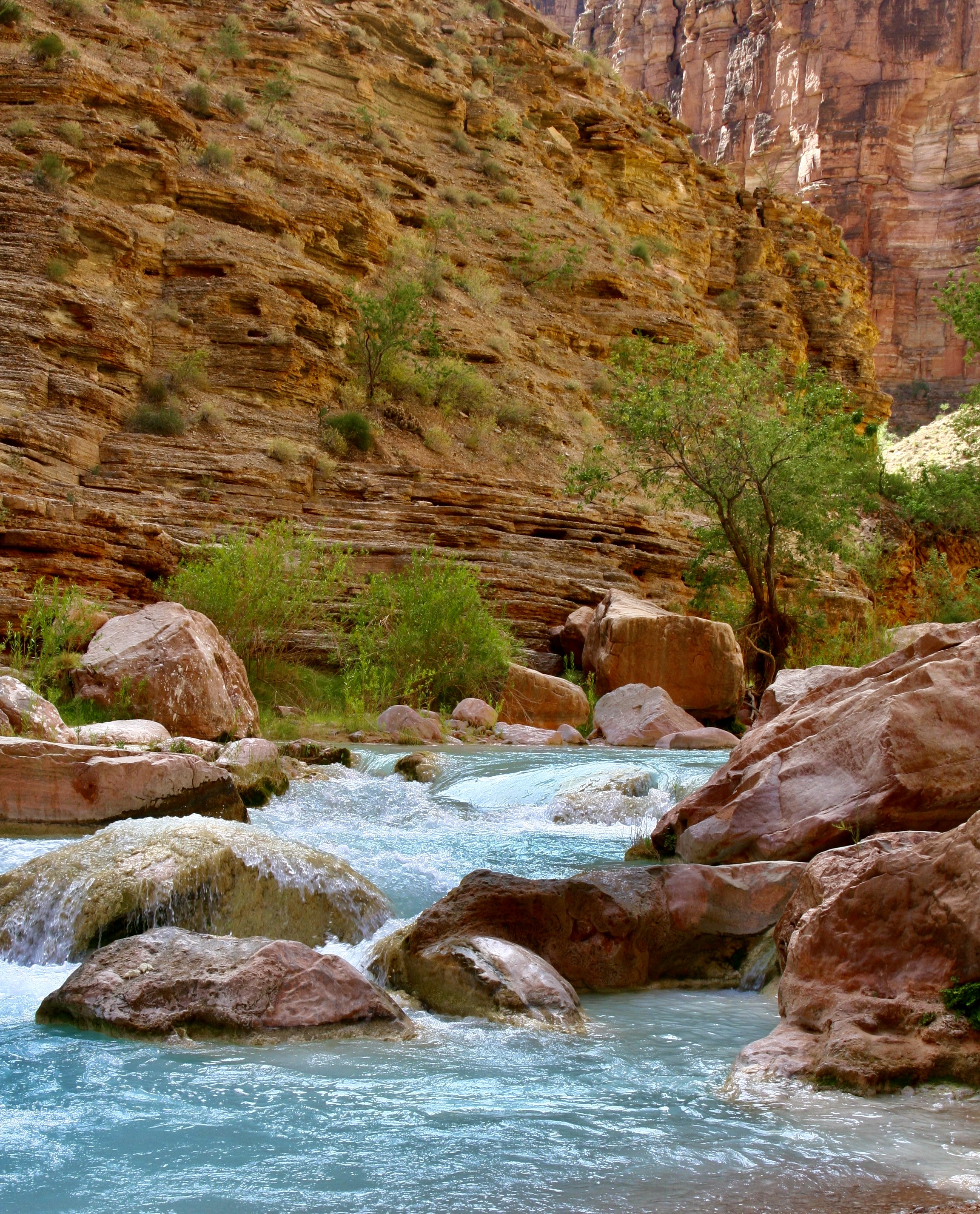
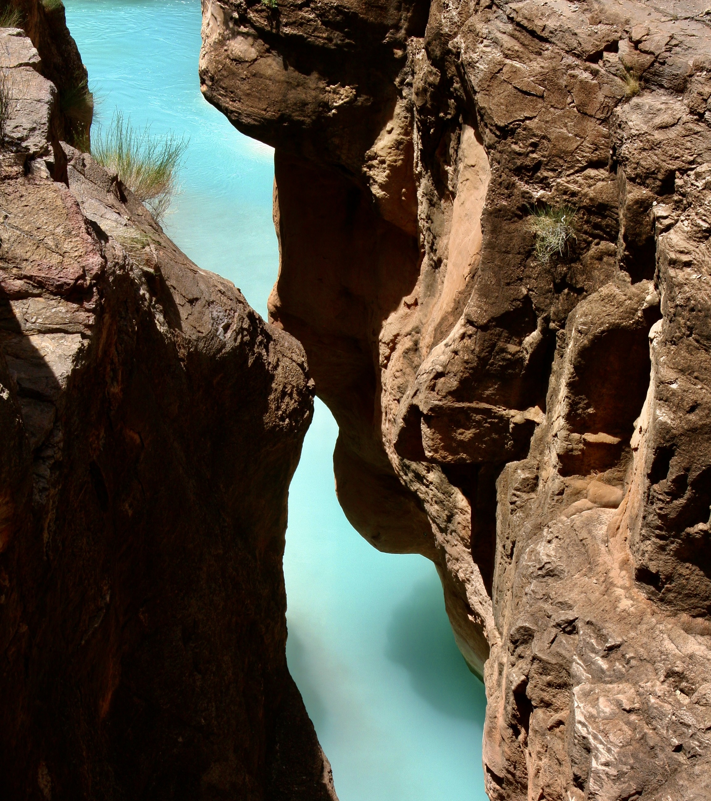
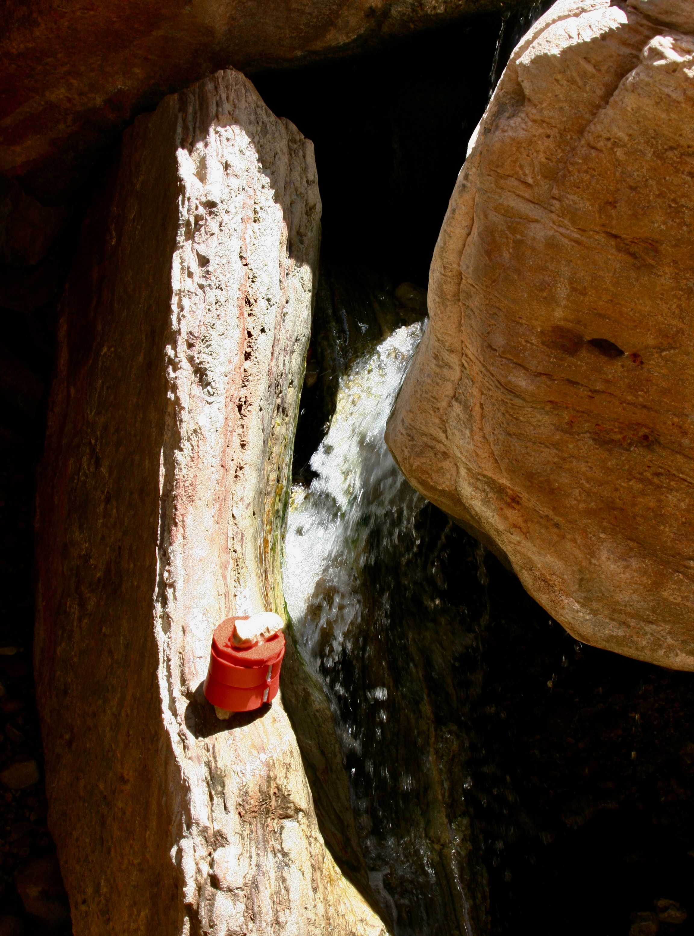
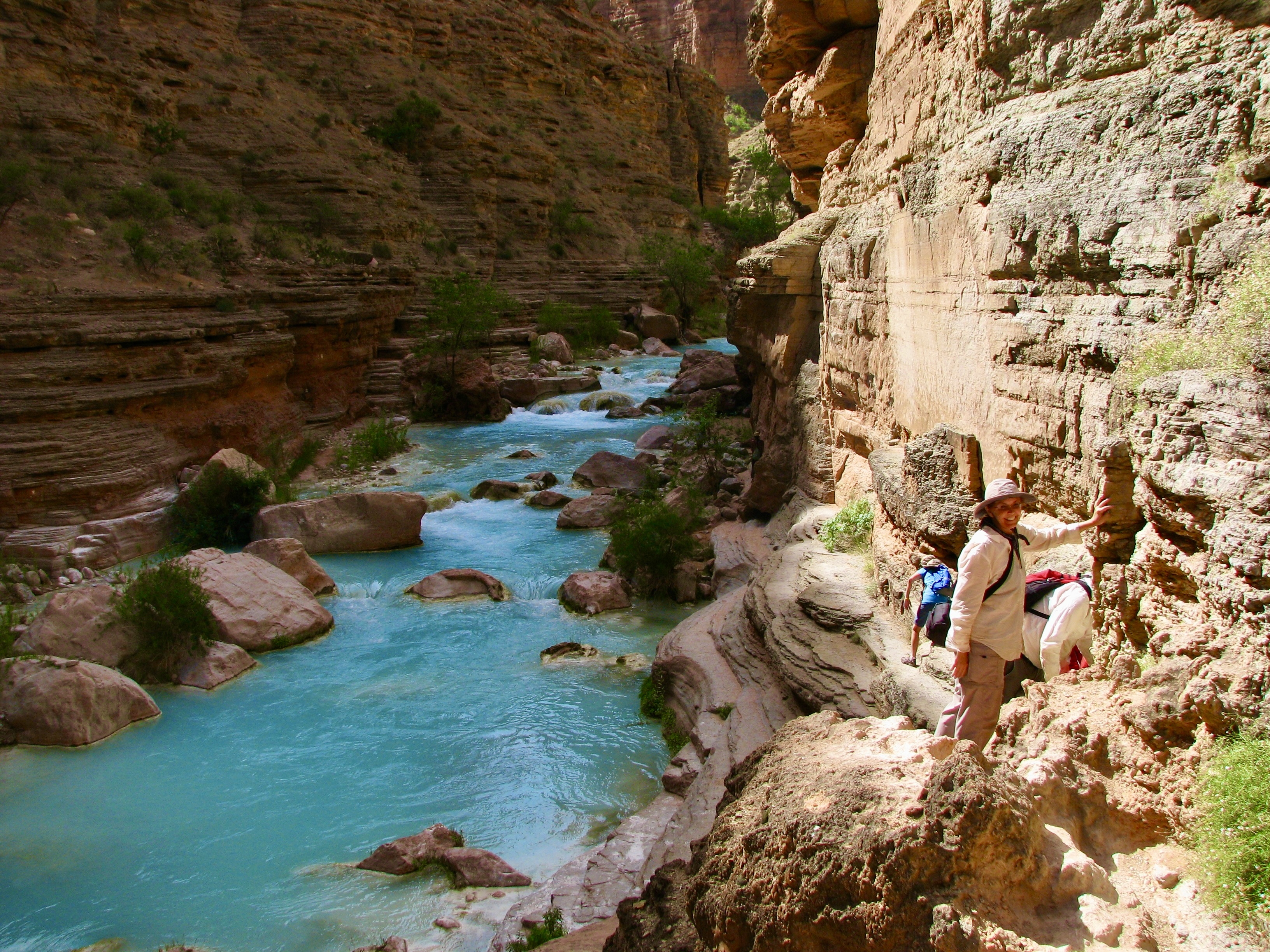
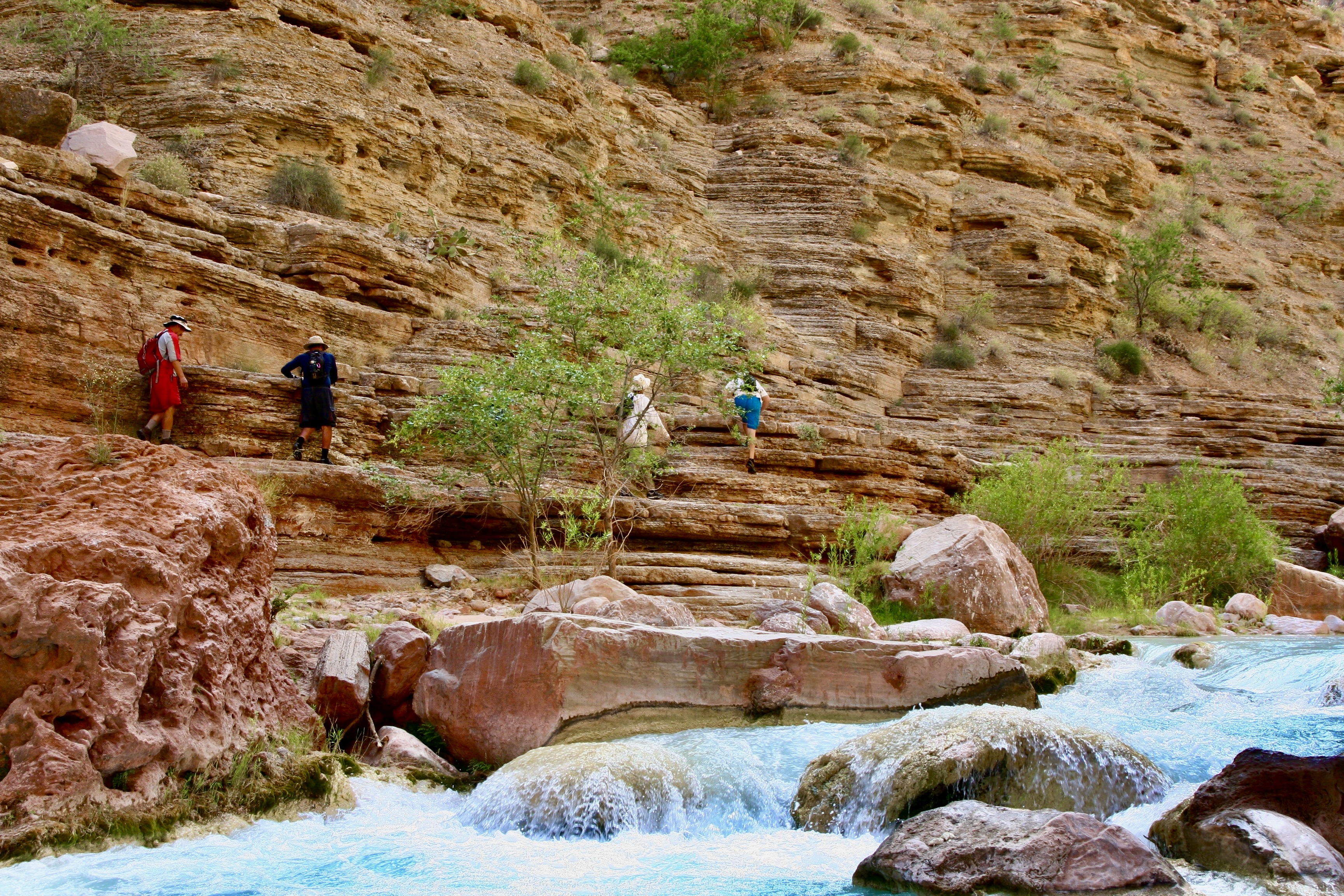
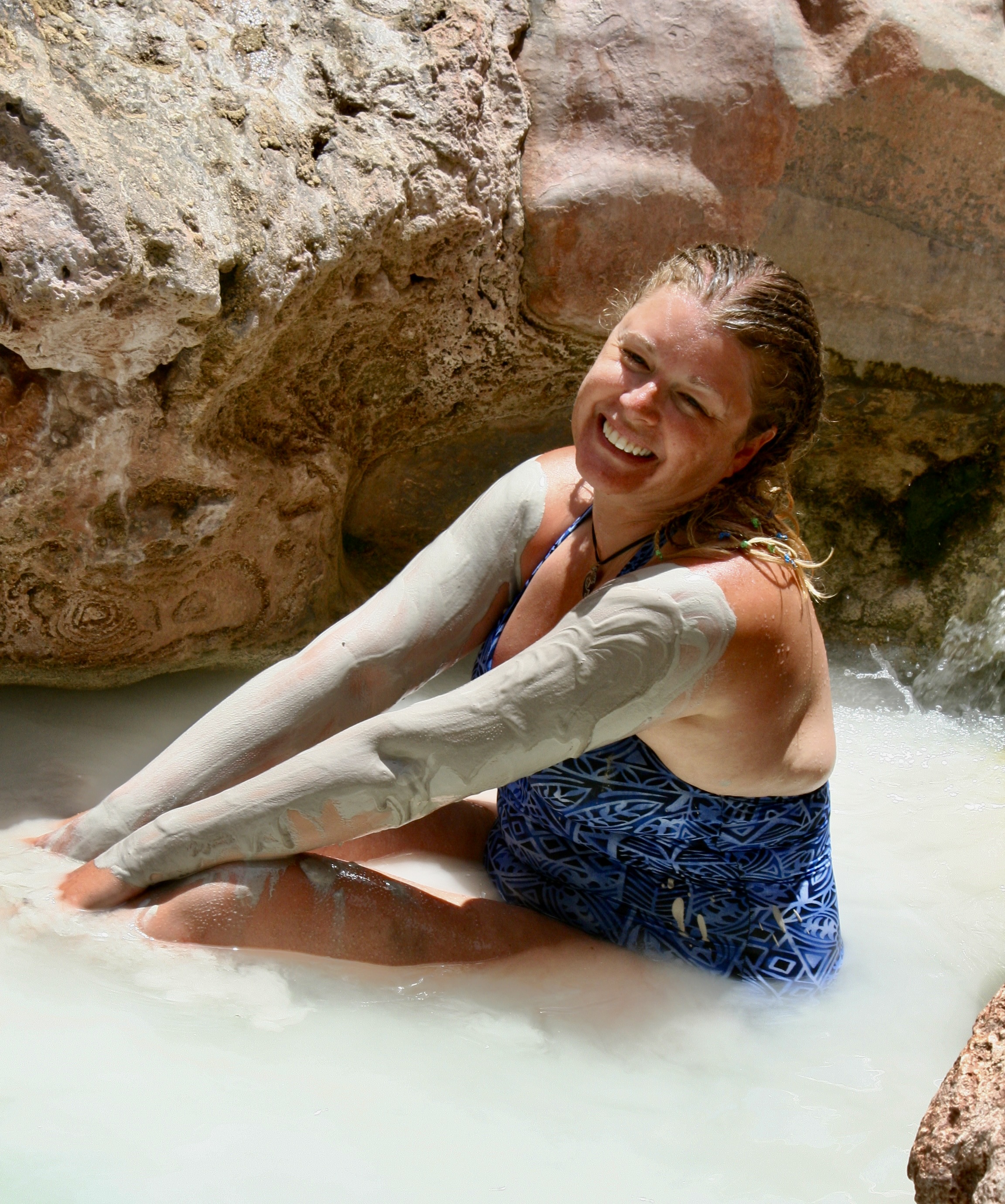
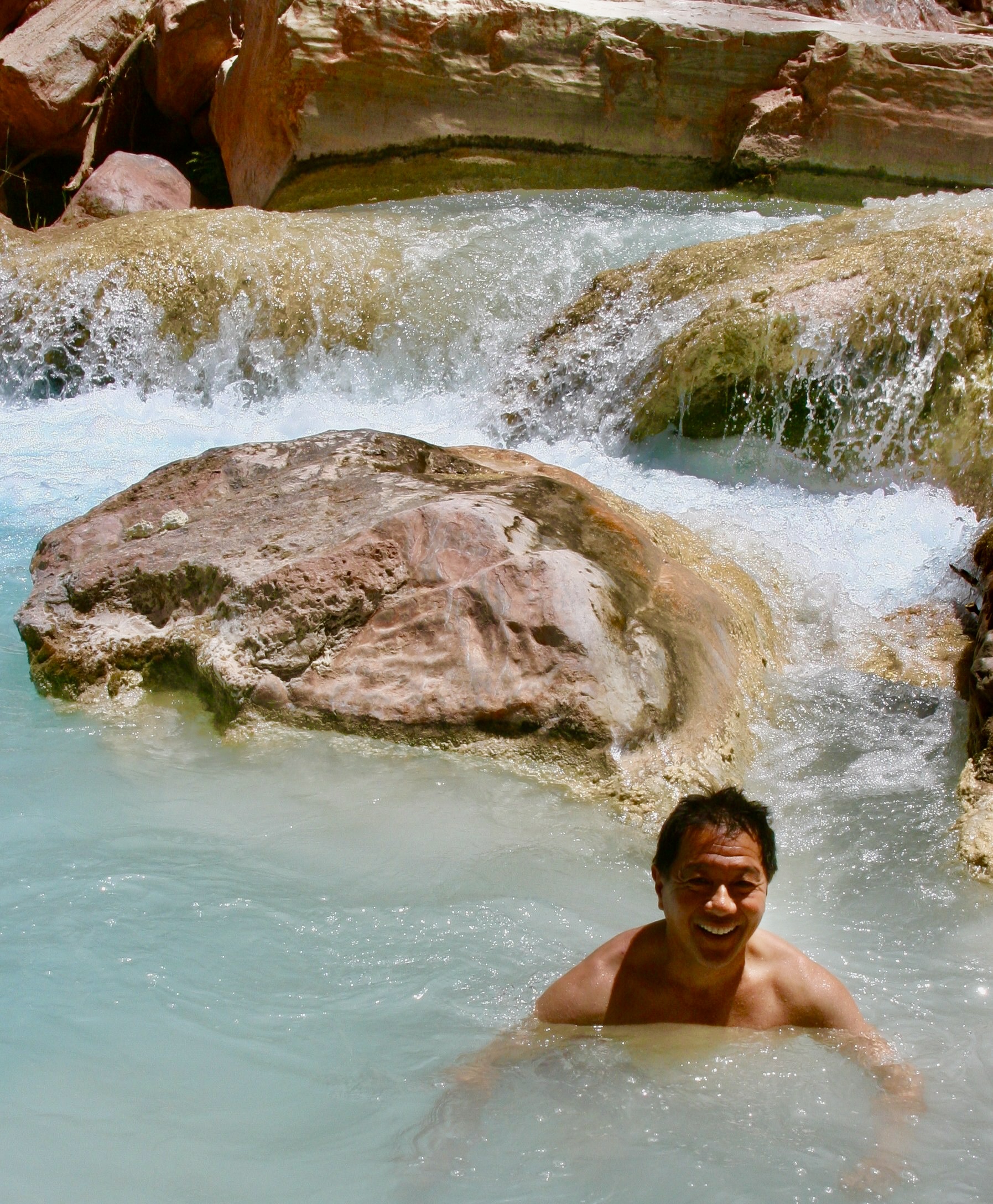
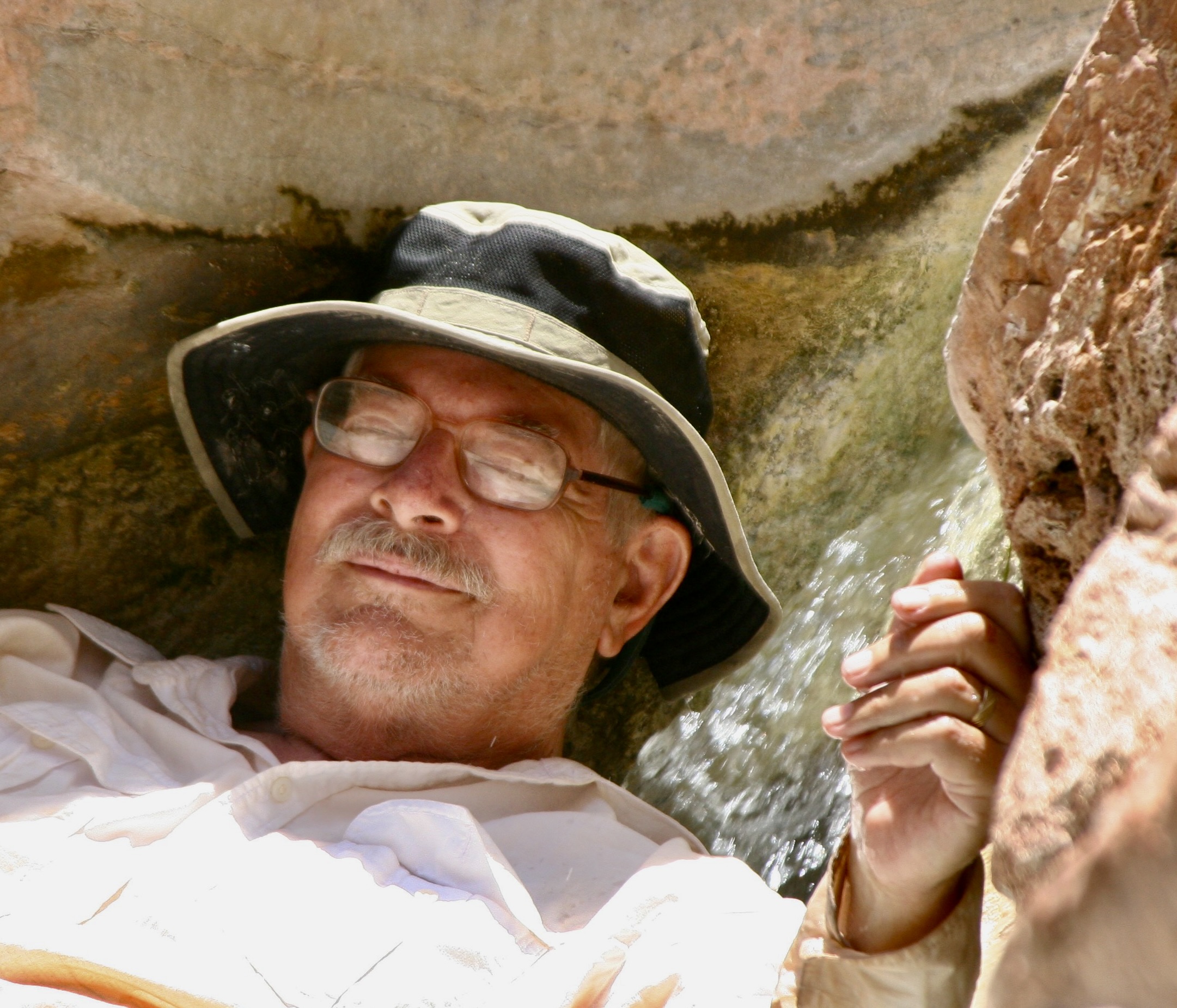
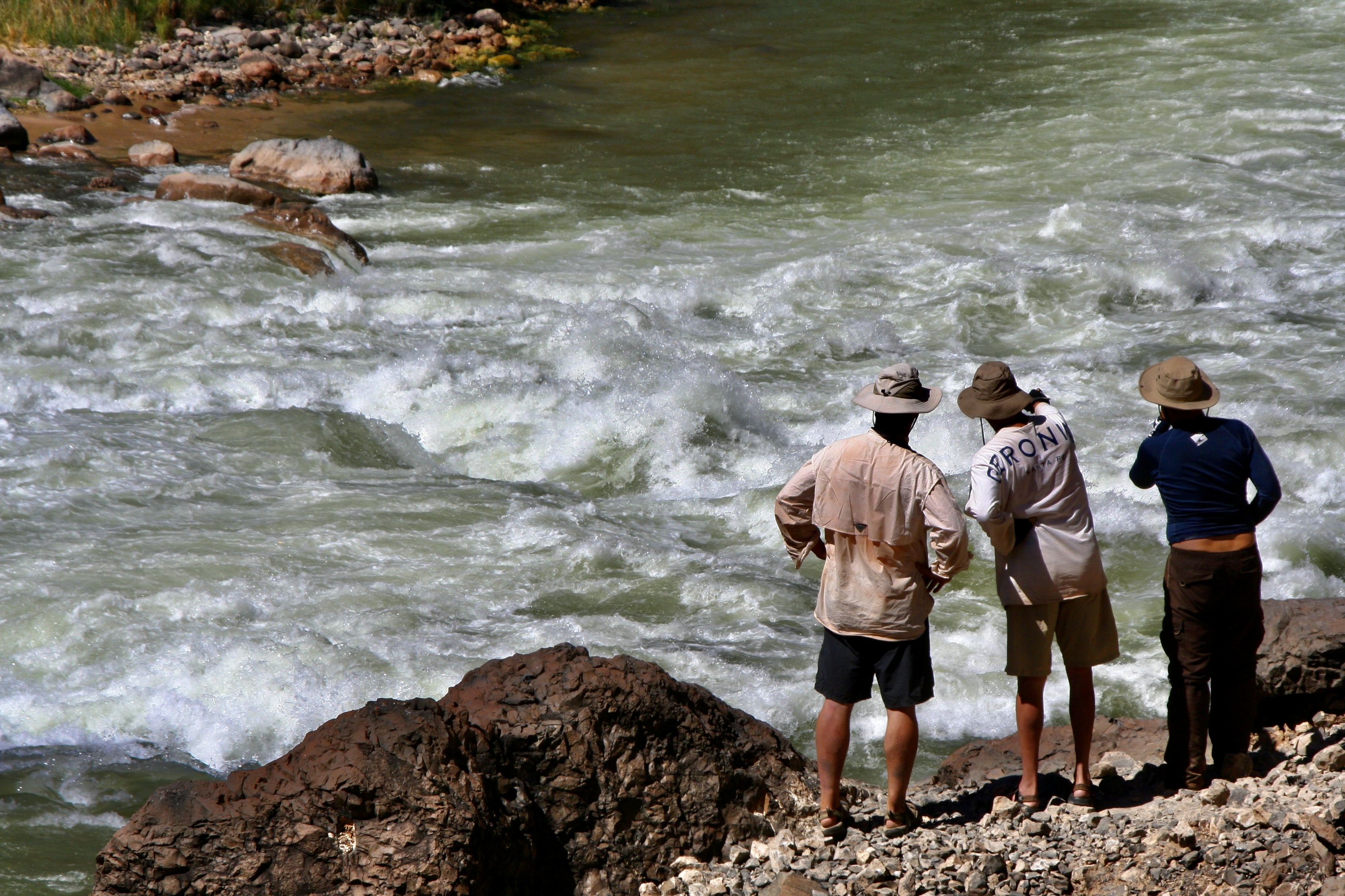
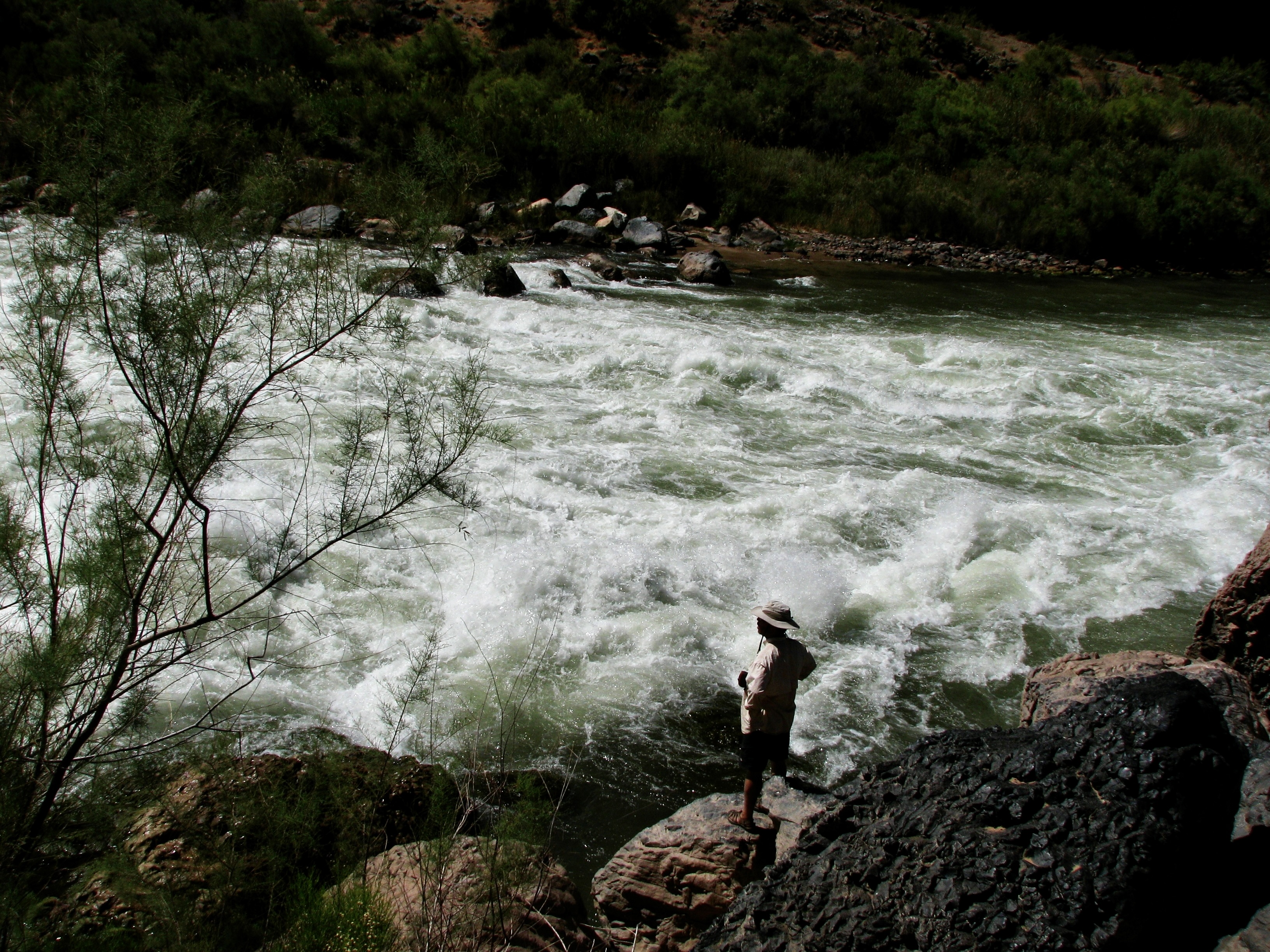
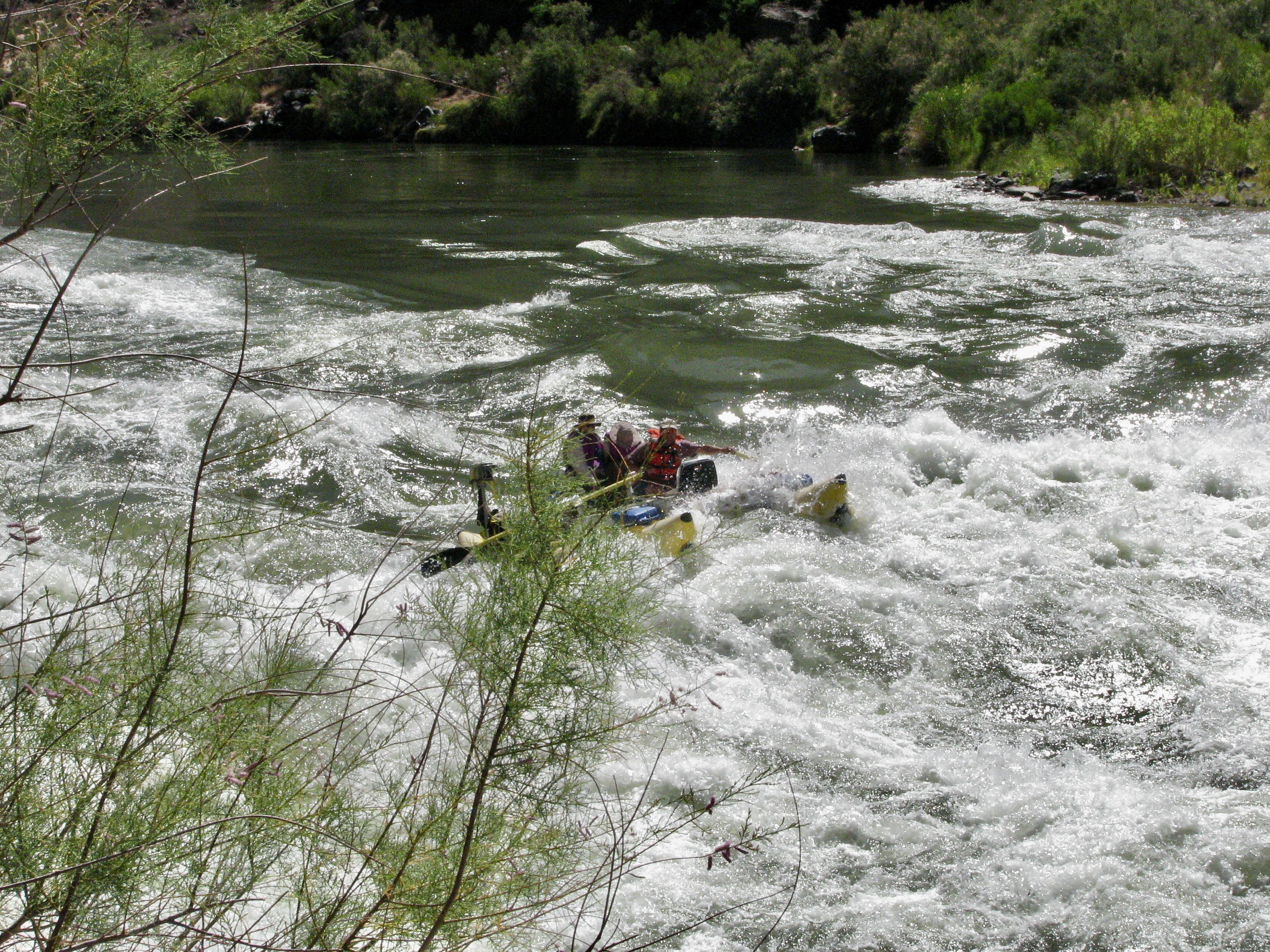
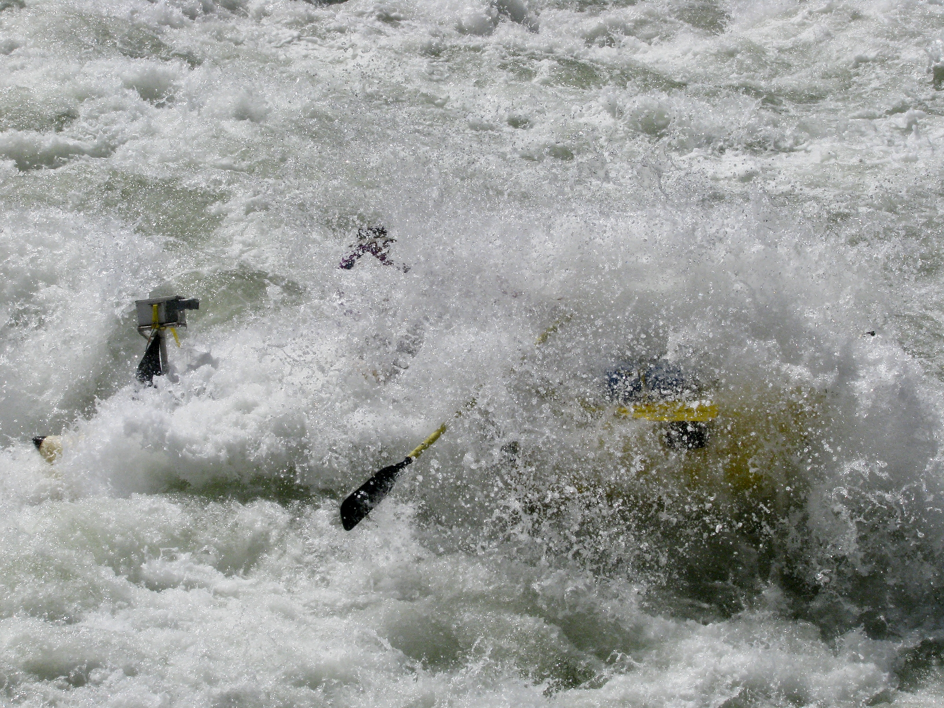
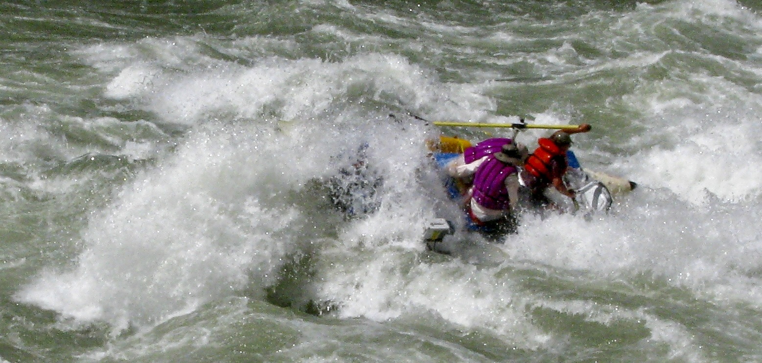
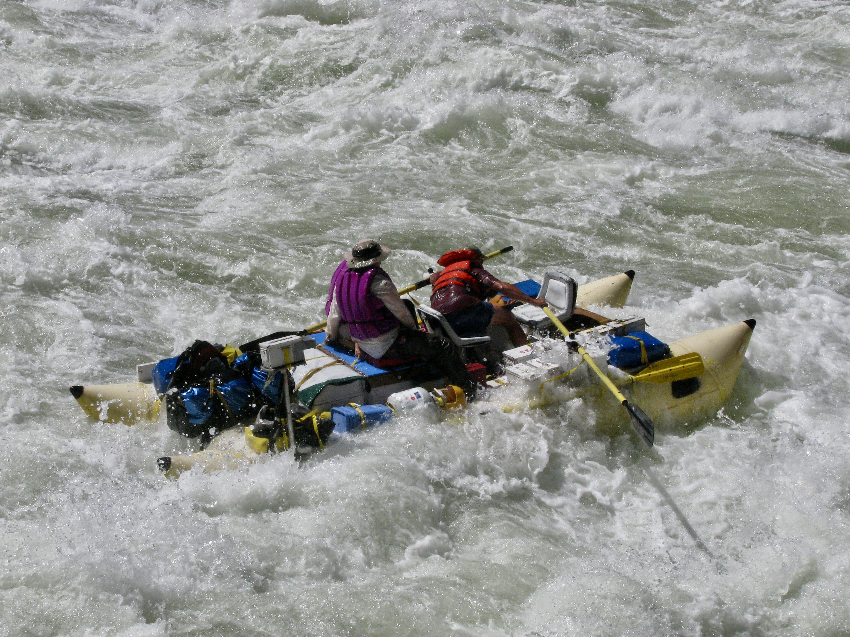
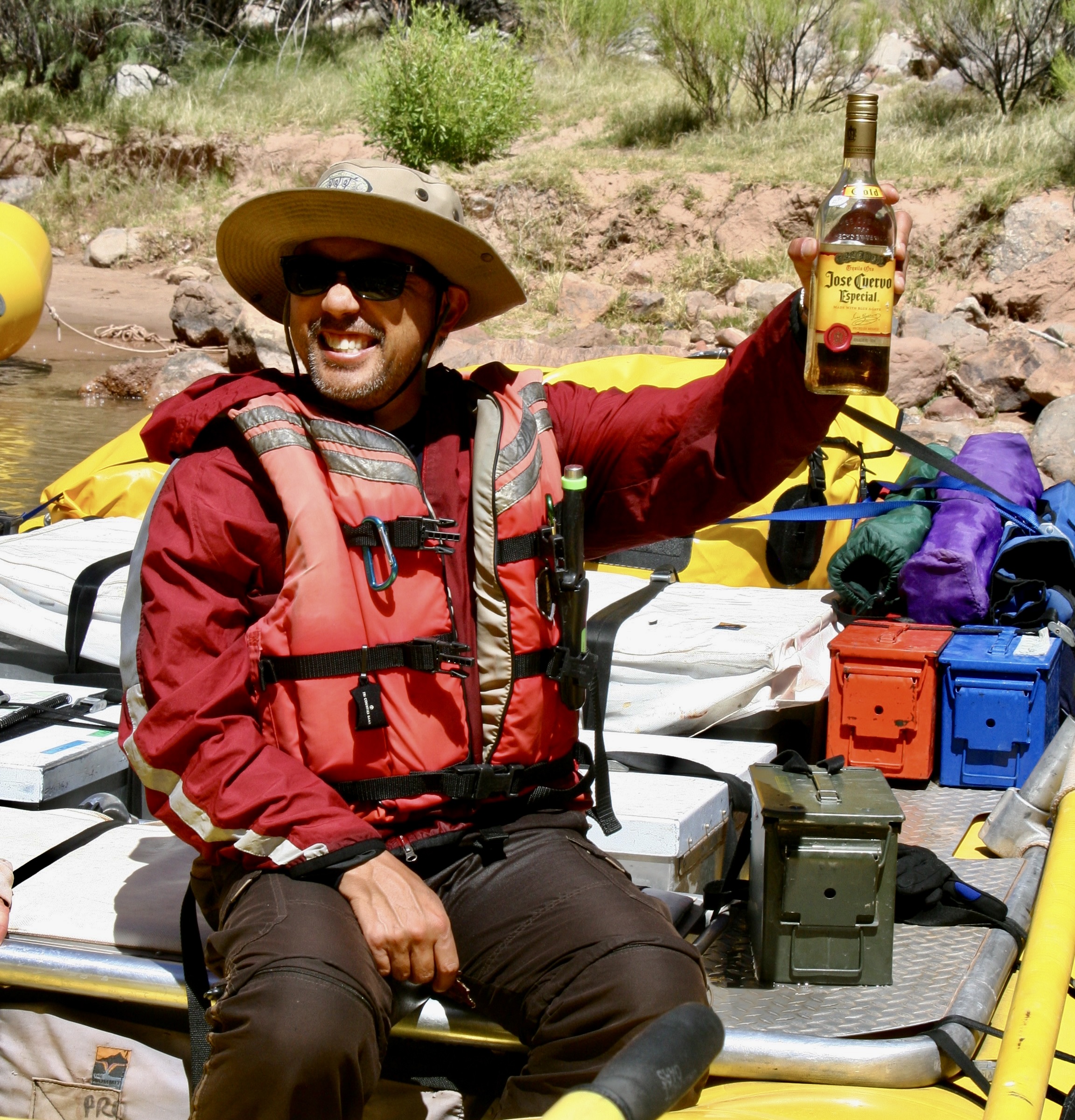
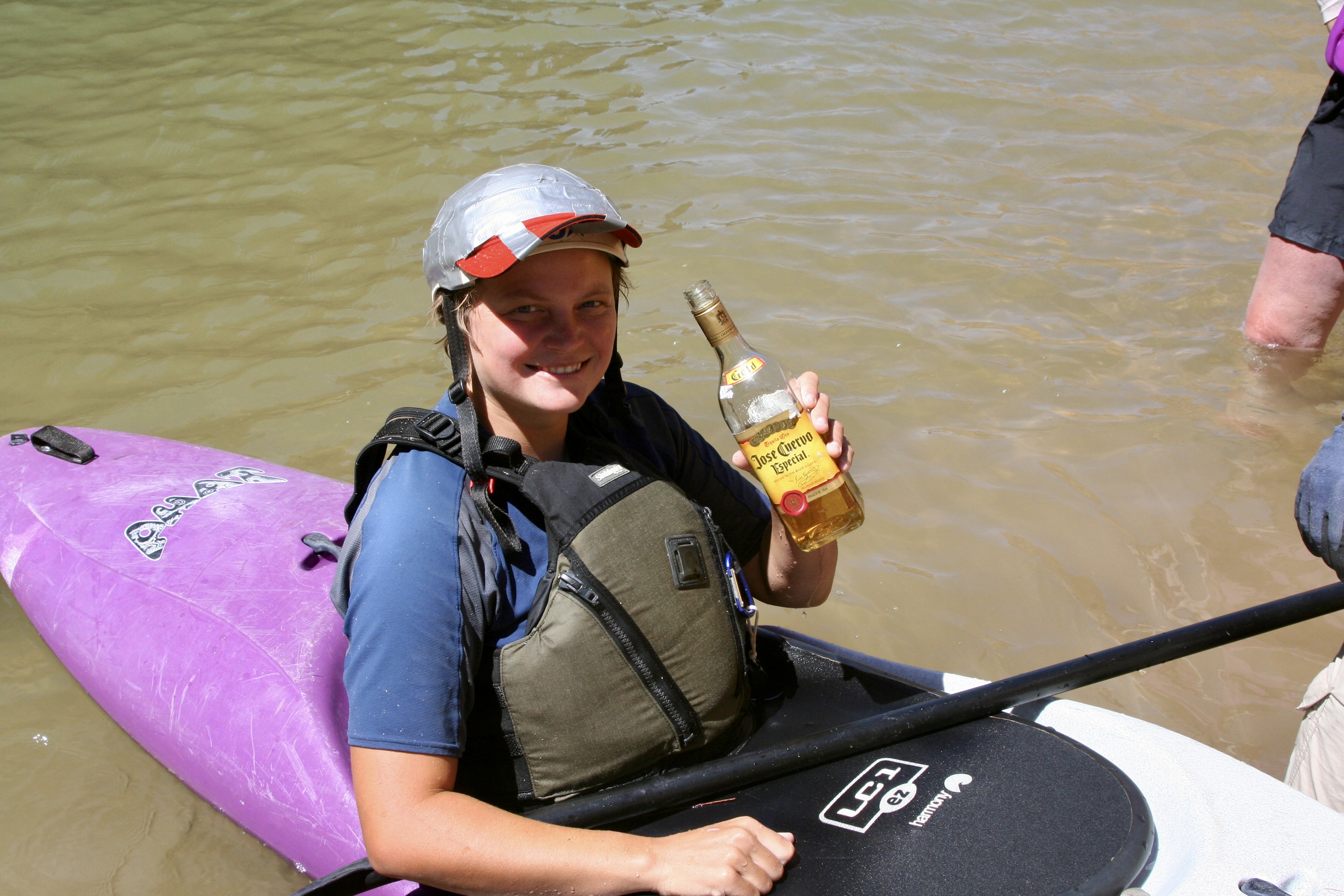
Deer Creek Falls and its 180 foot drop.Getting up to Deer Creek above the falls involved a substantial climb. You can see the trail as it makes its steep, windy way up.Don caught a photo of us high above the Colorado. (Photo by Don Green.)This Shangri-La with its welcome shade, magnificently carved rocks and cool water, made the trip up more than worthwhile.Or maybe I should say cold water. Susan obviously thought so.Beth Annon found another way to enjoy the coolness of Deer Creek. (Photo by Don Green)Bone wants to jump into the waterfall. Peggy is providing him with advice, “If you do that, it will be bye-bye Bone.”She also warned him to watch out for Tom and Don, the very definition of trouble.With good reason.After people got though playing in the waterfall, we all had time for R and R. Dave took it seriously. I’m convinced he can nap anywhere. The rope provided a rather unique pillow. Nice rubber band bracelet, too.Peggy and I took advantage of the time to capture some of the areas unique beauty.Deer Creek had cut an impressive canyon of its own.The colorful carved rocks and crystal clear creek made for fun photos.Another example.Our trip back down provided more views of the Colorado River…And our boats.Our continuing trip down the Colorado provided more views of the magnificent Grand Canyon.And another.When we reached Havasu Creek at mile 156.8, we weren’t alone. It’s a popular area and a commercial group was exploring the creek. They were wrapping up their visit, however, and we soon had the creek to ourselves. (Photo by Don Green.)The creek is known for its vibrant blue color and unique travertine formations, both of which are caused by large amounts of calcium carbonate in the water. The beauty of the area is jaw dropping. (Photo by Don Green.)Water flowing over a travertine formation.Whether flowing in a flat stream…Down a gentle rapid…Or through a carved canyon, it captured us.Even Bone found himself on edge over its beauty. We hiked up the creek along a narrow path. (Photo by Don Green.)While some continued to hike up the creek toward the Havasupai Village… (Havasu Creek is on the Havasupai land.)Others chose to luxuriate…..with a mud bath for example.Or quiet swim…Or seeking bliss. Peggy and I stayed behind because we had been to the Havasupai Village a few years earlier when our son Tony had flown us in by helicopter.While this looks weird, it’s a rafter tradition. The crew here is forming a butt dam. (Note Tom. I sometimes wondered if he had a hidden stash of magic mushrooms along.) When the ‘dam’ had created a lake…The crew dashed off to the side, creating a mini flood.Once again, we are floating down a beautiful calm river. That’s about to end. Lava Falls Rapid is waiting for us.First we camp, however. Don demonstrates how to be a pack animal. Was he planning to give up his day job as a probate judge and apply for a position as a Grand Canyon mule?You can hear the roar of Lava Falls Rapids long before you get there. Here we were floating down a calm river, came around a bend and there it was— churning! Waiting to eat our boats. We had been living in anticipation of this moment the whole 180 miles of our journey.Extremely careful scouting is called for.We look on in awe as our boatmen plotted out the best route. There was huge hole waiting to suck our boats in and a narrow pathway around it. Dave stood there for a long time, staring at the river, planning his route. He had been waiting for years for this opportunity, applying again and again for a permit. Don took this photo. I wish to thank him again for his superb job of capturing Peggy and me as we went through the rapids with Steve. Otherwise we wouldn’t have the record we do.This is Megan kayaking through the rapids. Can you imagine yourself being there? Shortly afterwards, she rolled. (Photo by Don Green.)And we begin one of the most intense experiences we have ever had. It’s the journey of a lifetime that lasts forever and takes approximately 20 seconds.I still get the jitters when I see this photo. Peggy and I were hanging on to special ties with all of the strength we had. Steve was rowing like a madman, using all of his considerable skills, trying to keep control of his boat. (Photo by Don Green.)Five seconds later we had disappeared under a wall of water on the edge of the massive hole. (Photo by Don Green.)And then emerged out the other side! Check out Peggy. I think she was hanging on with her teeth as well as her hands. (Photo By Don Green.)Even then our ride wasn’t over. Wait! Where’s Peggy? UH-OH. (Just kidding, she’s hidden on the other side of me.) Photo by Don Green.We made it to Tequila Point just below the rapids. The tequila was waiting!Folks helped Megan gather her equipment. She was fine, but definitely ready for a shot.Everyone was happy.Next post: The final hundred miles of our trip down the Colorado River.
This photo at mile 68.5 has a special meaning to me.
When I left Alaska in 1986 after three years of working as an executive director of a non-profit focused on health and environmental issues, I took six months off to solo backpack various locations in the West. My first stop was the Grand Canyon, perhaps not the best location to kick off a season of backpacking. Day one was spent hiking down the Tanner Trail from the high peaks on the rim to the scrawny tree on the right. I started with a 70 pound pack, including a generous amount of water. It was a steep, unmaintained, rocky and somewhat dangerous trail of 8-9 miles that dropped 4700 feet with the first source of water being the Colorado River.
Not surprising, I didn’t see another soul along the way and was exhausted when I arrived. I had just enough energy to pump some water, eat a handful of gorp, and throw out my tarp and sleeping bag. I buried my food bag in the sand next to me and crawled into my sleeping bag. That’s when the mouse chose to go dashing across my chest from its home at the base of the tree to my food sack. “Go away Mousey!” I yelled as I dropped into oblivion.
When I woke up in the morning, the first thing I checked was my food bag. Other than helping itself to some peanuts, Mousey hadn’t done much damage. I looked over at the tree to see if I could spot its home. Nope, but I did see something round, grey and skinny on the side of my tarp. “What the” I thought, and then it dawned on me. It was Mousey’s tail! Something had sat on the edge of my tarp and eaten the mouse during the night!
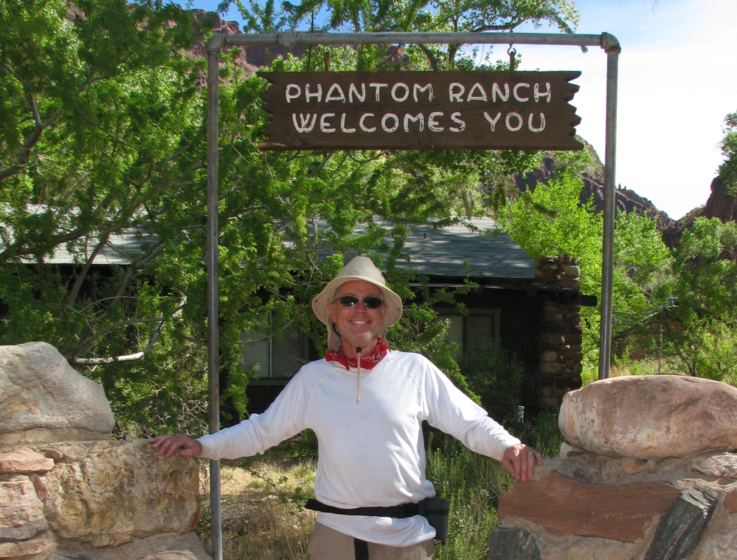
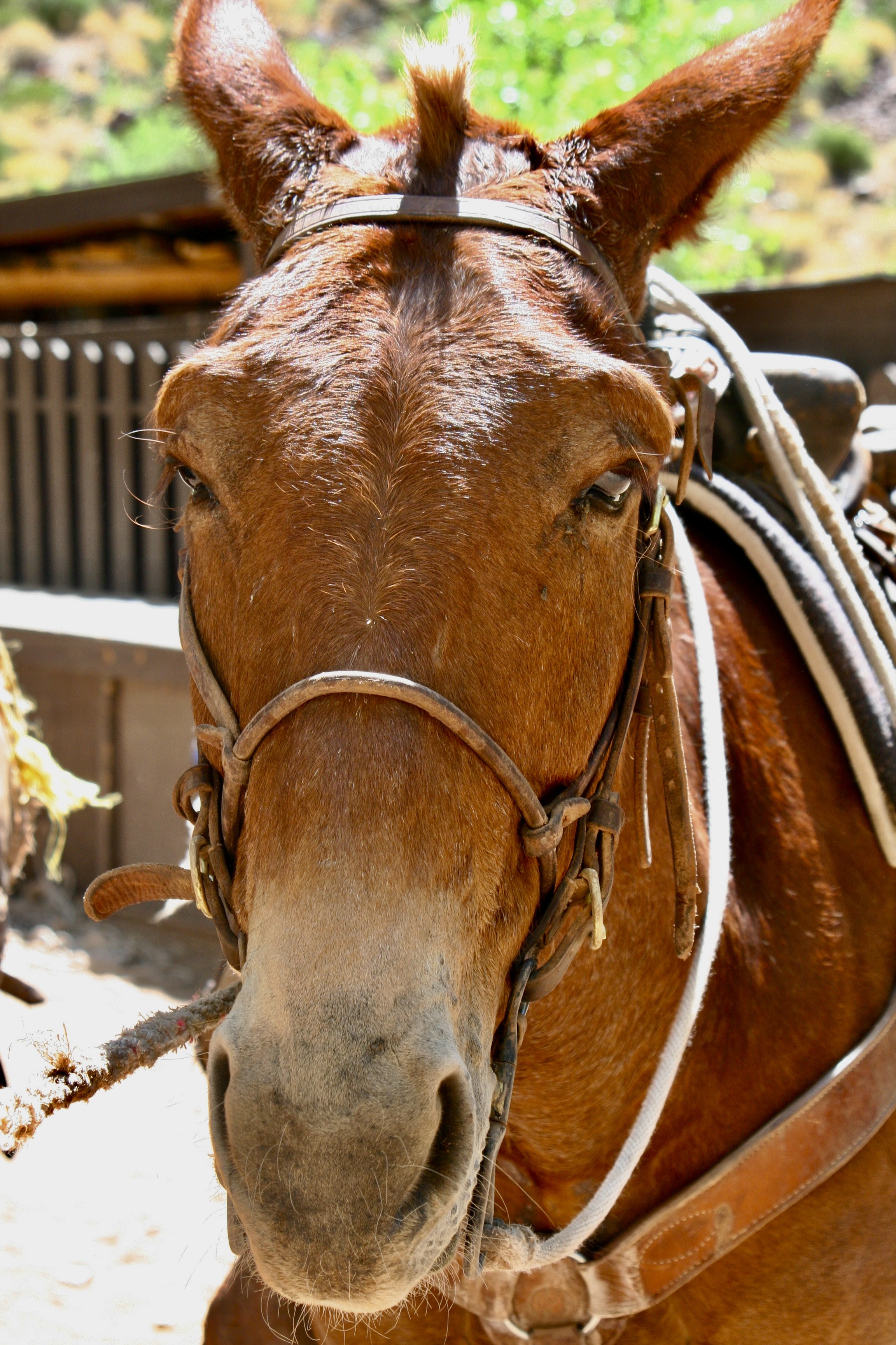
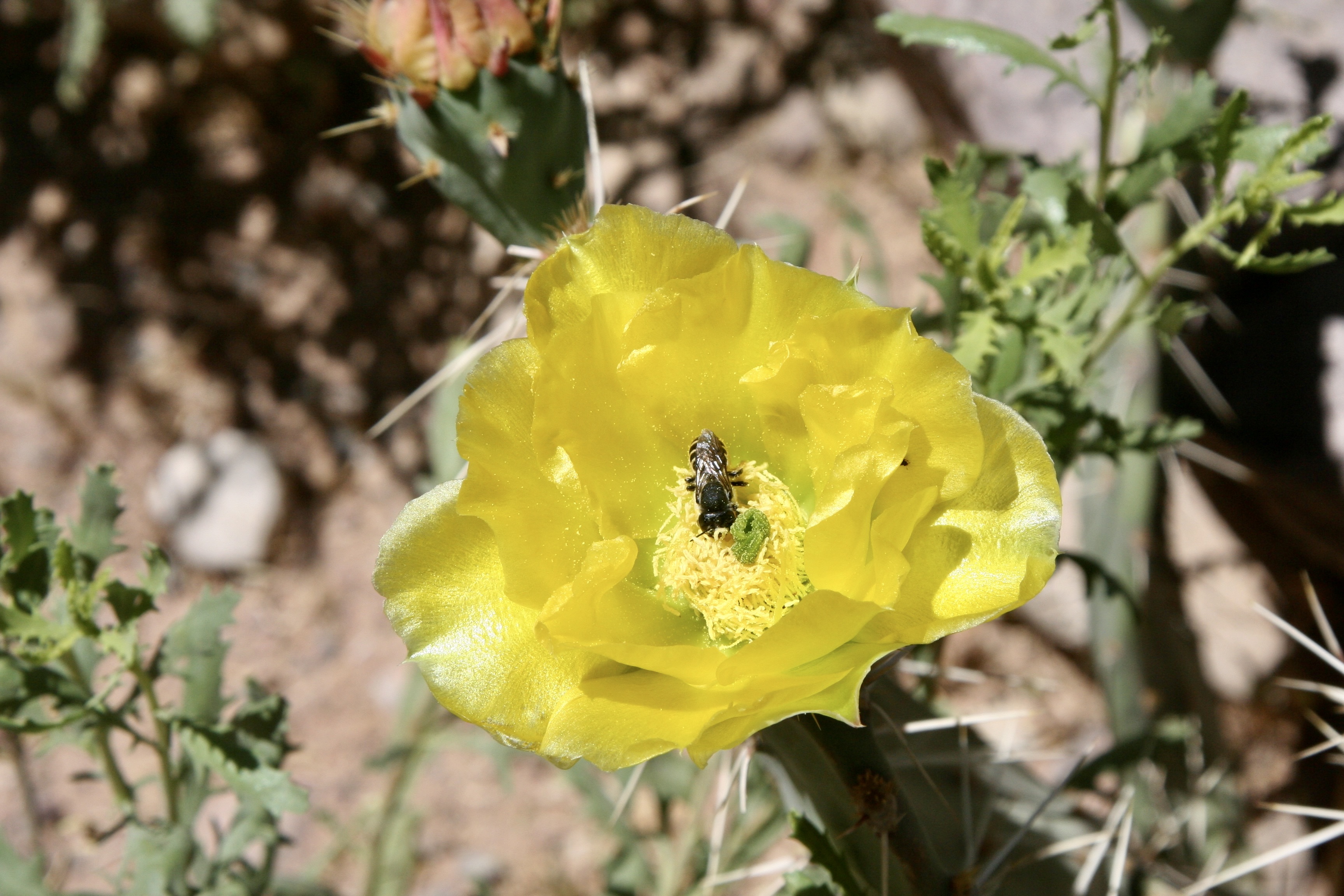
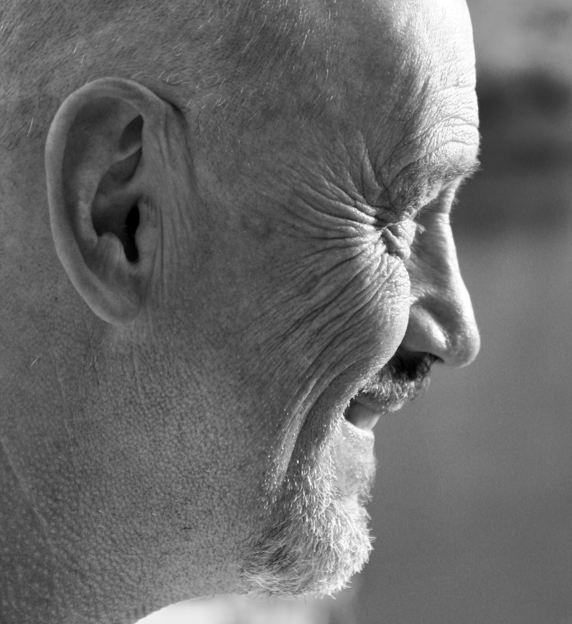
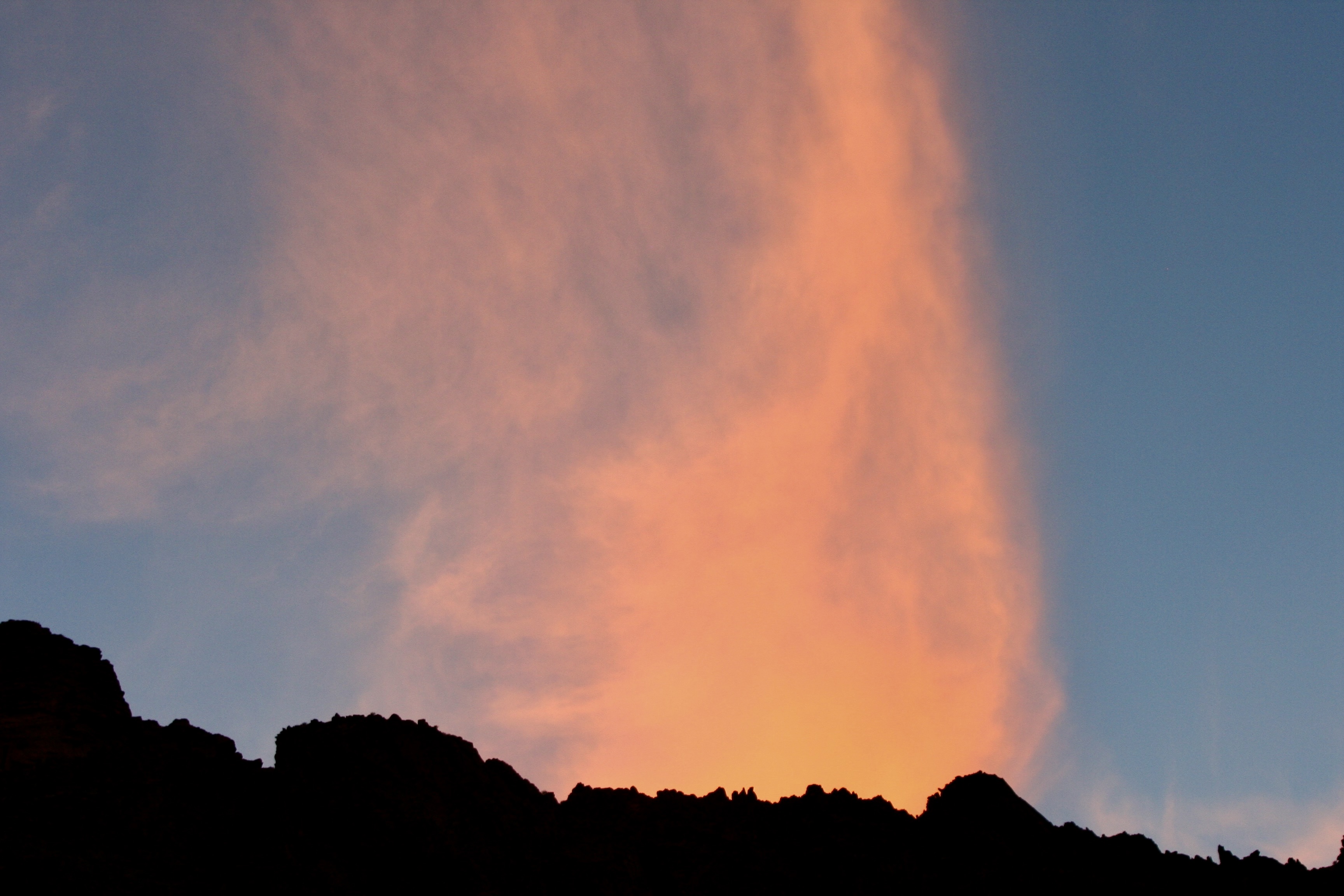
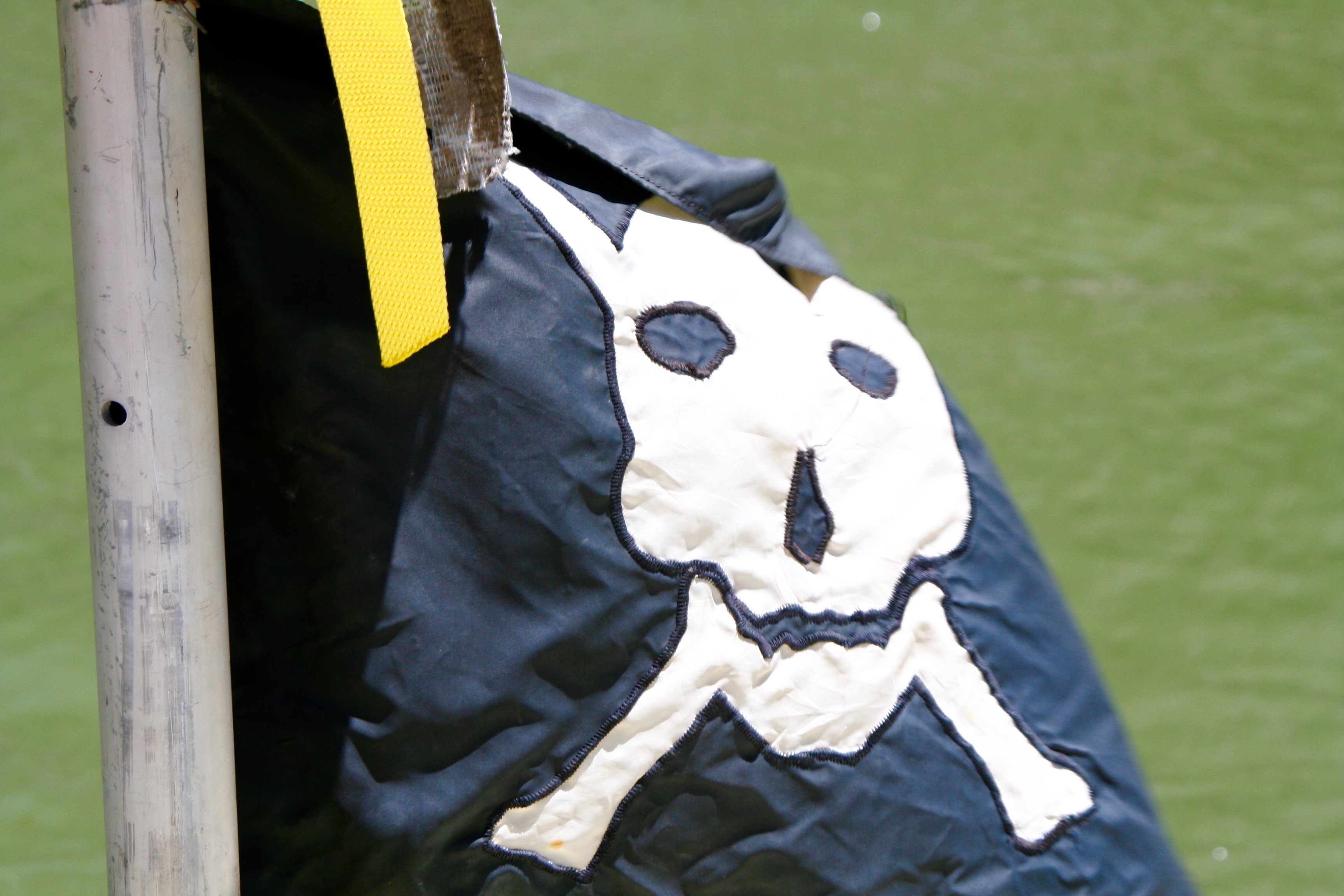
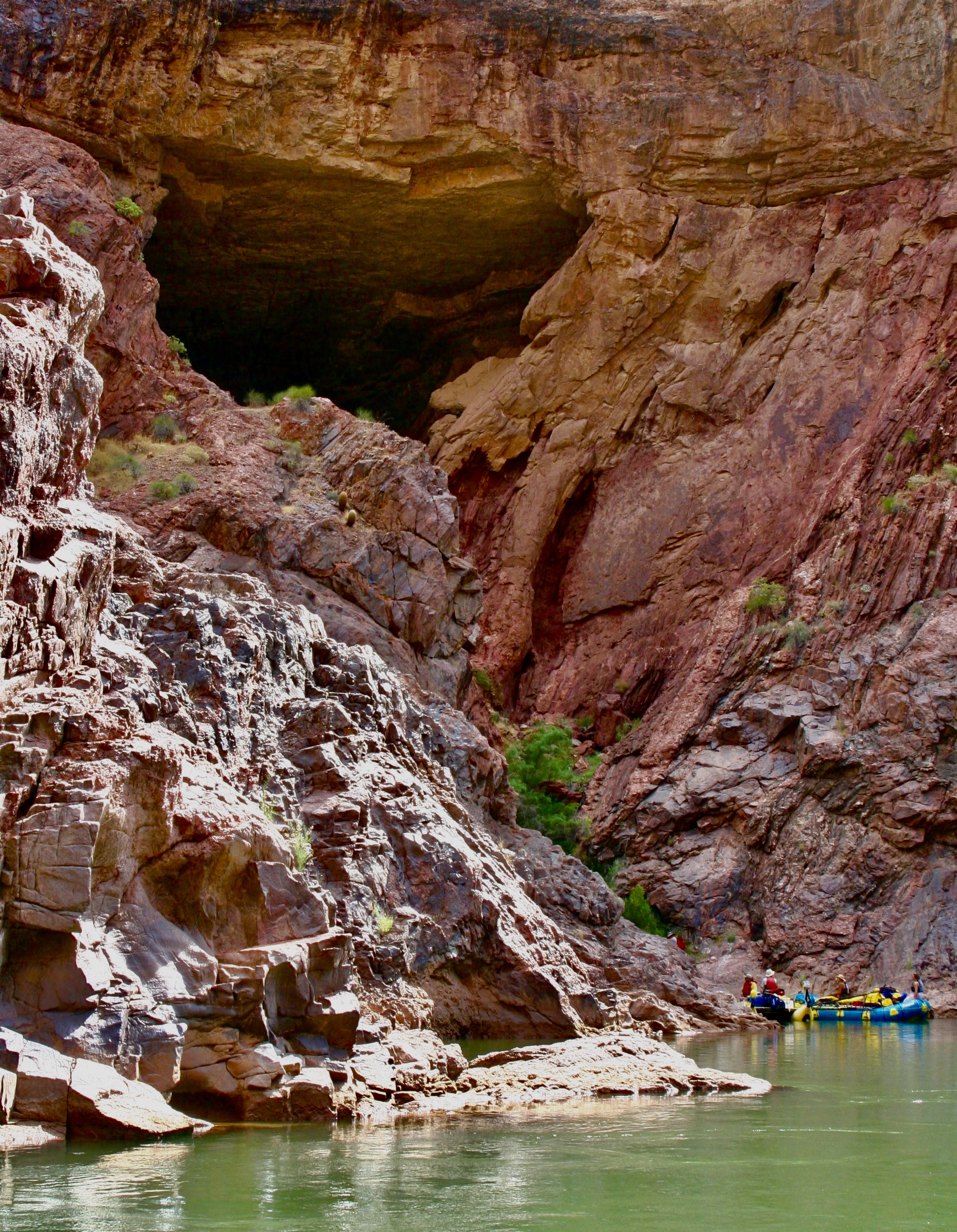
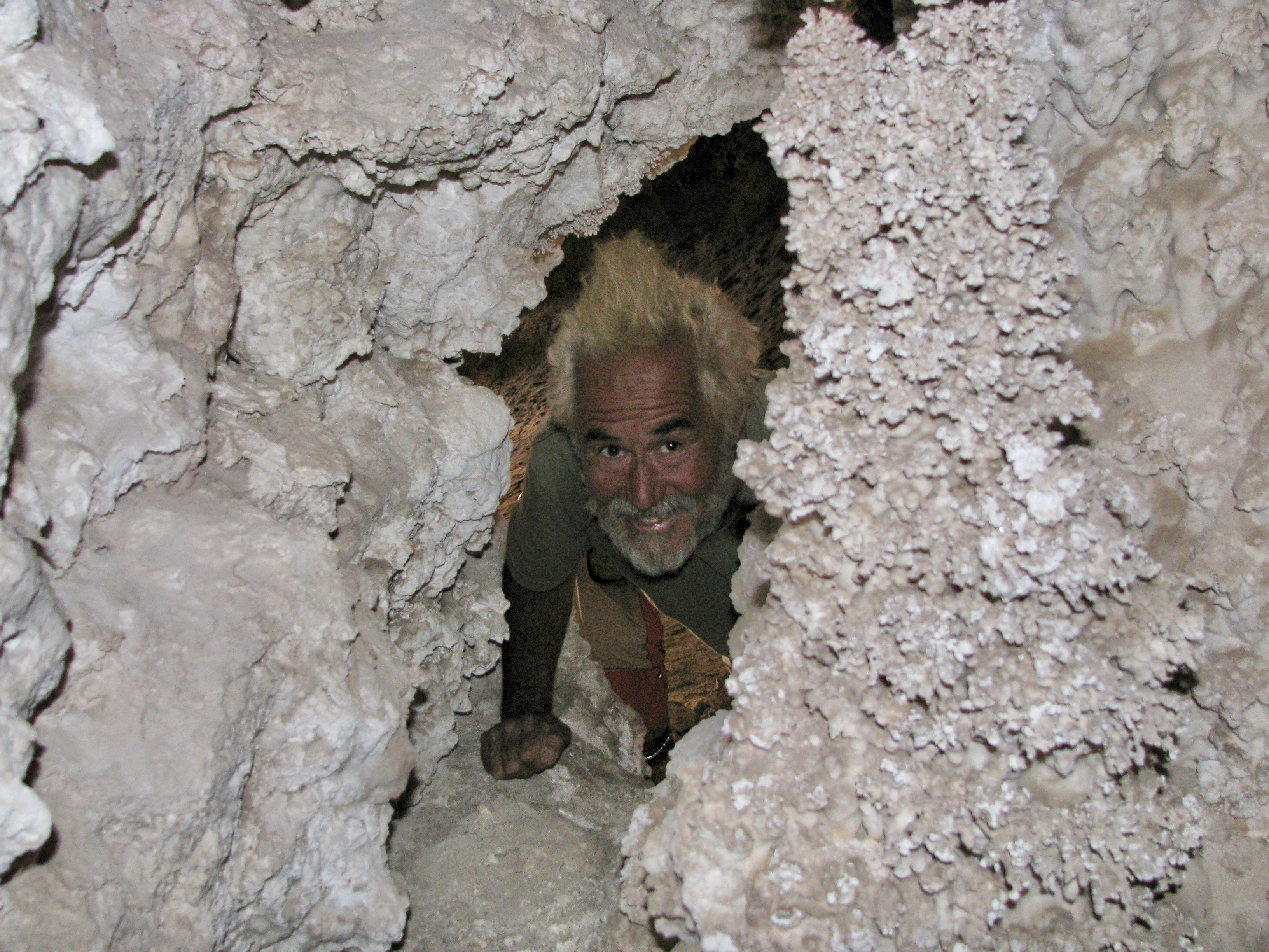
Heading on down the river, we continued our drop through time until we left the layered look of the canyon behind and and entered the dark metamorphic and granitic Vishnu Basement rocks of the inner canyon. That told us that we had passed the billion year mark in the Earth’s history.Just past mile 84, after a long day, we stopped for the night at the Zoroaster camp site. An intense game of bocce ball entertained the troops. There seems to be some question over whose ball was the closest. I think Peggy’s stare was meant to persuade her ball to move closer via telekinesis. Steve seemed to be involved in a similar activity. Either that or he was wringing someone’s neck.Sunset that night provided a dramatic contrast to the dark canyon walls and river. (Photo by Don Green.)Three miles down the river the next morning brought us to the Kaibab Trail bridge that hikers and mules use traveling from the South Rim to Phantom Ranch. Tom had camped us near since one of our rafters, Nancy Pape, would be leaving us to hike up to the South Rim, and another, Jonas Minton, would be hiking down to join us.Phantom Ranch welcomed Bone…And Don.Hamburgers and TV news occupied us while we waited for Jonas to arrive from his hike down the South Rim. I slipped outside…To talk to a mule…Admire the scenery above Phantom Ranch…And ponder a bee as it worked a flower on a prickly pear.Eventually Jonas, who was older than I, arrived exhausted from his hike down. I’d known Jonas since the 70s when he and Tom and I had been environmentalists in Sacramento fighting for clean water and air in California. He was known for his quirky sense of humor. Like Tom, Jonas was a longtime boatman. He would take over for Megan who was shifting to her kayak. We rode with Jonas to our next campground. Given how tired he was, the ride was a bit on the wild side with us bouncing off rocks twice. His experience and adrenaline kept us right side up, however, or as boatmen like to say, the messy side up. The smooth side is the bottom of the boat.Things got strange in camp that night as Tom struggled for a new look… (Photo by Don Green.)And decided to wear Bone. Bone told me afterwards: “You know Curt, I have had some strange experiences in my life. Like the time 50 Japanese tourists got off a bus and insisted on having selfies with me! But nothing has been weirder than this.” (Photo by Don Green.)Or maybe not. Don’t ask.We learned it’s always valuable to have a dentist along when someone’s foot needs attention. This is Bradley Yee, Tom’s dentist.And Megan demonstrated how to get the best out of a yummy dessert by licking her plate clean.All of which led Peggy to assume a bandida look and go incognito.There was another magnificent sunset that night.Crystal Rapids at mile 89, the next morning, presented a challenge. The water flow was high and dangerous. There was a long discussion between Steve and Tom whether to chance it or wait for the river to drop in a couple of hours. That’s possible because flows each day are determined by the amount of water released from Lake Powell, and the timing of the release. It was decided to wait, which meant more time to goof off.The Dread Pirate Steve assumed his pirate persona…And threatened to cut off Bone’s head if he didn’t tell Steve where he hid his gold.A commercial boat went flying past us, providing a contrast with our private trip.Working our way down the river, we passed a bighorn sheep.And came upon the attractive Shinumo Creek at mile 108.5…And hiked up it to see its 12 foot waterfall. The current was swift and the rocks were slippery. Thus the help. (Photo by Don Green.)A few miles farther along, Tom had us stop at this charming grotto: Elves Chasm at mile 116.5.And Tom, being Tom, had us leap 15 feet into an icy pool. Looks like Jamie was trying to fly. (Photo by Don Green.)Damn, that water was cold!Here I am looking much warmer and relaxed.River view.A camp group photo.A view from our campsite in the evening. Gorgeous, isn’t it!Moving on (because this post is already too long), another river view.And another campsite. It was getting hot and we were hanging out under a tarp and flying a Jimmy Buffet flag. Tom’s a fan. I went searching on Google for the date when Tom and I had attended a Buffet concert at Lake Tahoe in the early 80s. AI responded that Buffet had never had a concert at the Lake. Scrolling down to his tours, I learned Buffet had been there in 1981 and 82. I think we attended the Coconut Telegraph Tour in 1981. The moral of the story here is… don’t trust AI, at least not yet. If it can screw up Jimmy Buffet, imagine what it can do with medical information.Our final stop for this post was at Christmas Tree Cave ay Mile 135.5.It was big…And inhabited by strange creatures. Run! Next post: Two incredibly beautiful streams that flow into the Colorado River: Deer Creek and Havasu Creek. Plus the world famous Lava Falls Rapids.
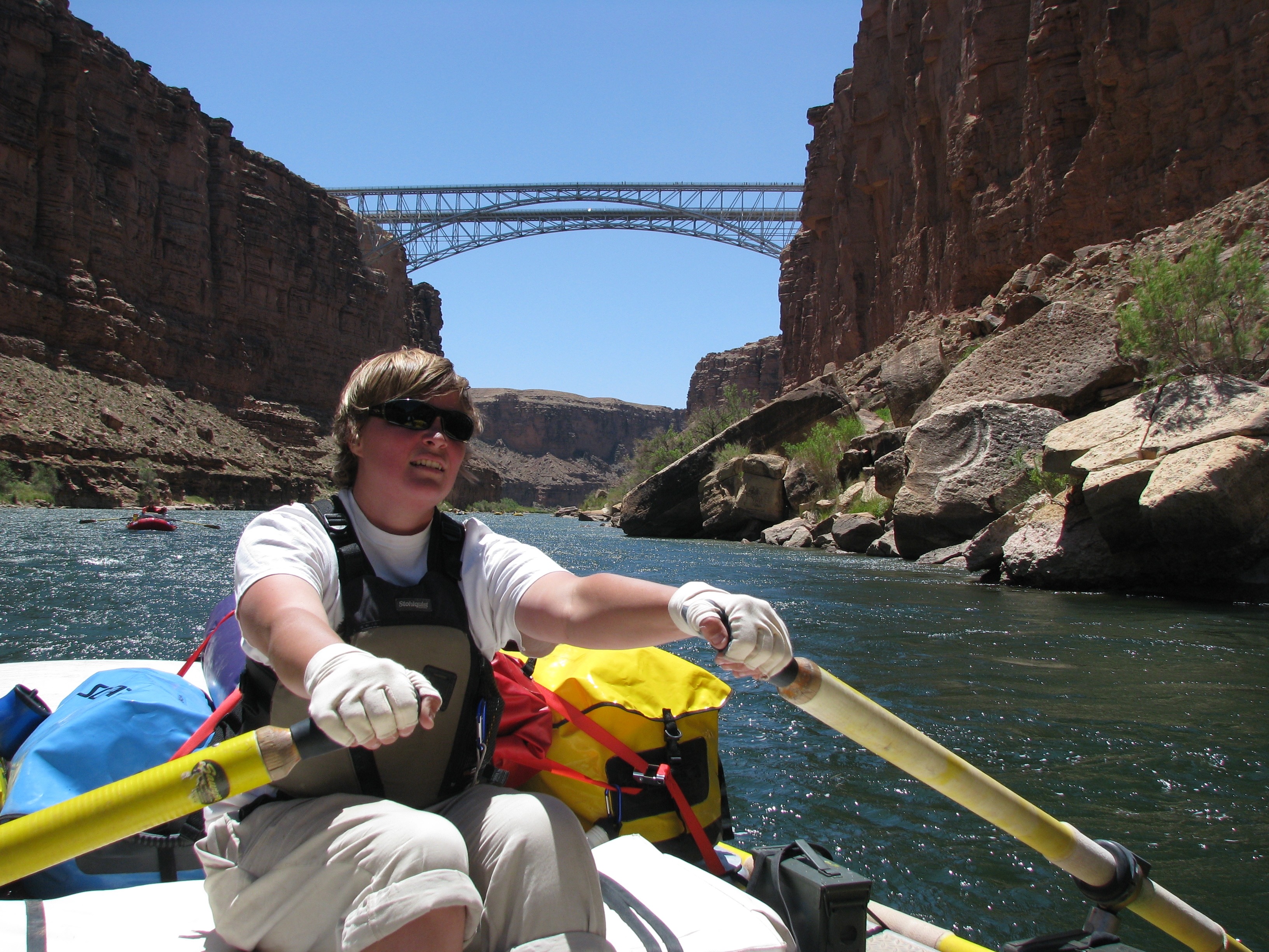
Megan rows toward Navajo Bridge at mile 4. It was our first notable landmark. Actually there are two bridges: an old one competed in 1929 to replace Lee’s Ferry and a new one finished in 1995 to accommodate modern traffic. The old one now serves as a a foot bridge. Crossing the bridge is how you get to the North Rim of the Grand Canyon from the South Rim. Or vice-versa. (Photo by Don Green.)
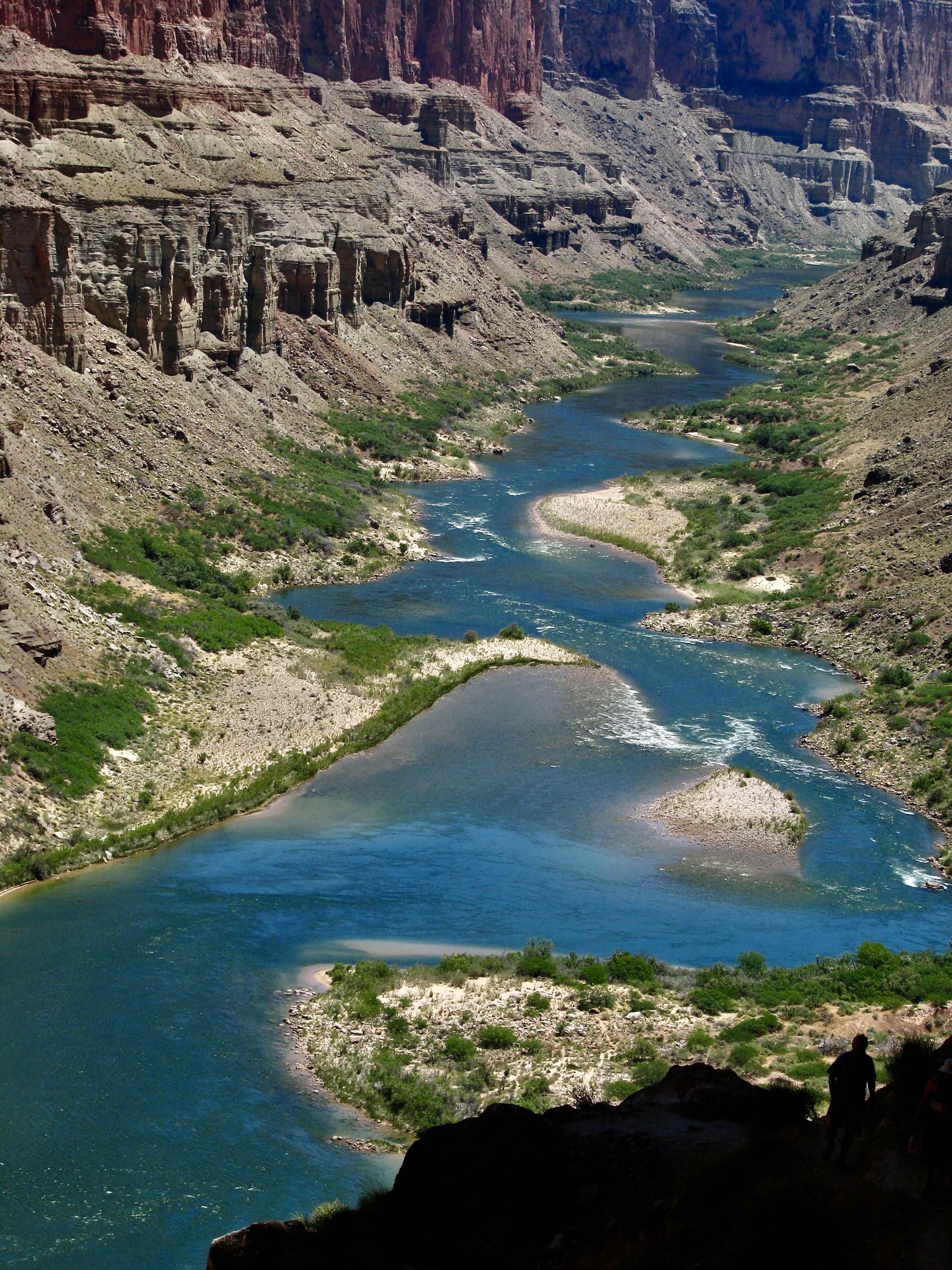
For those of you who like facts, here are a few about the river: The Colorado is 1,440 miles long from its headwaters in the Rocky Mountains to its mouth in the Gulf of California. I’ve backpacked through the area where it originates and kayaked in the Gulf of California. It ranks 6th in length among U.S. rivers. At its widest point it reaches 750 feet. At its deepest, 90. It flows along at 3-4 miles per hour but may reach 15 miles per hour in rapids. Given that the water comes out of the base of Glen Canyon Dam, it’s cold— an icy 46 degrees Fahrenheit during the upper part of our trip. Washing off in it usually elicited screams. Over the course of our adventure, it dropped 1700 feet in altitude, an average 8 feet per mile. That’s 25 times the average of the Mississippi River! Thus, the 250 rapids in the Grand Canyon.
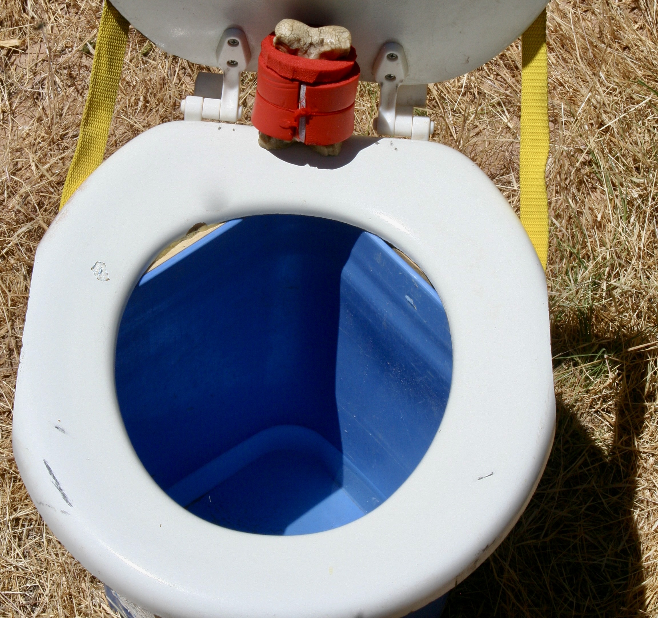
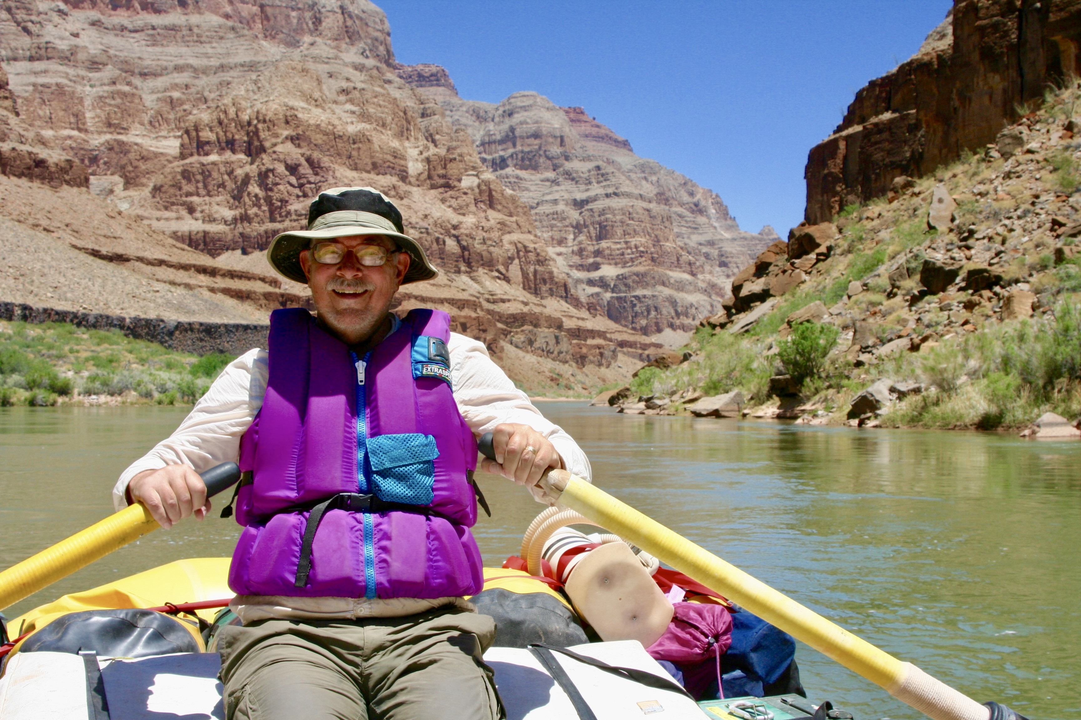
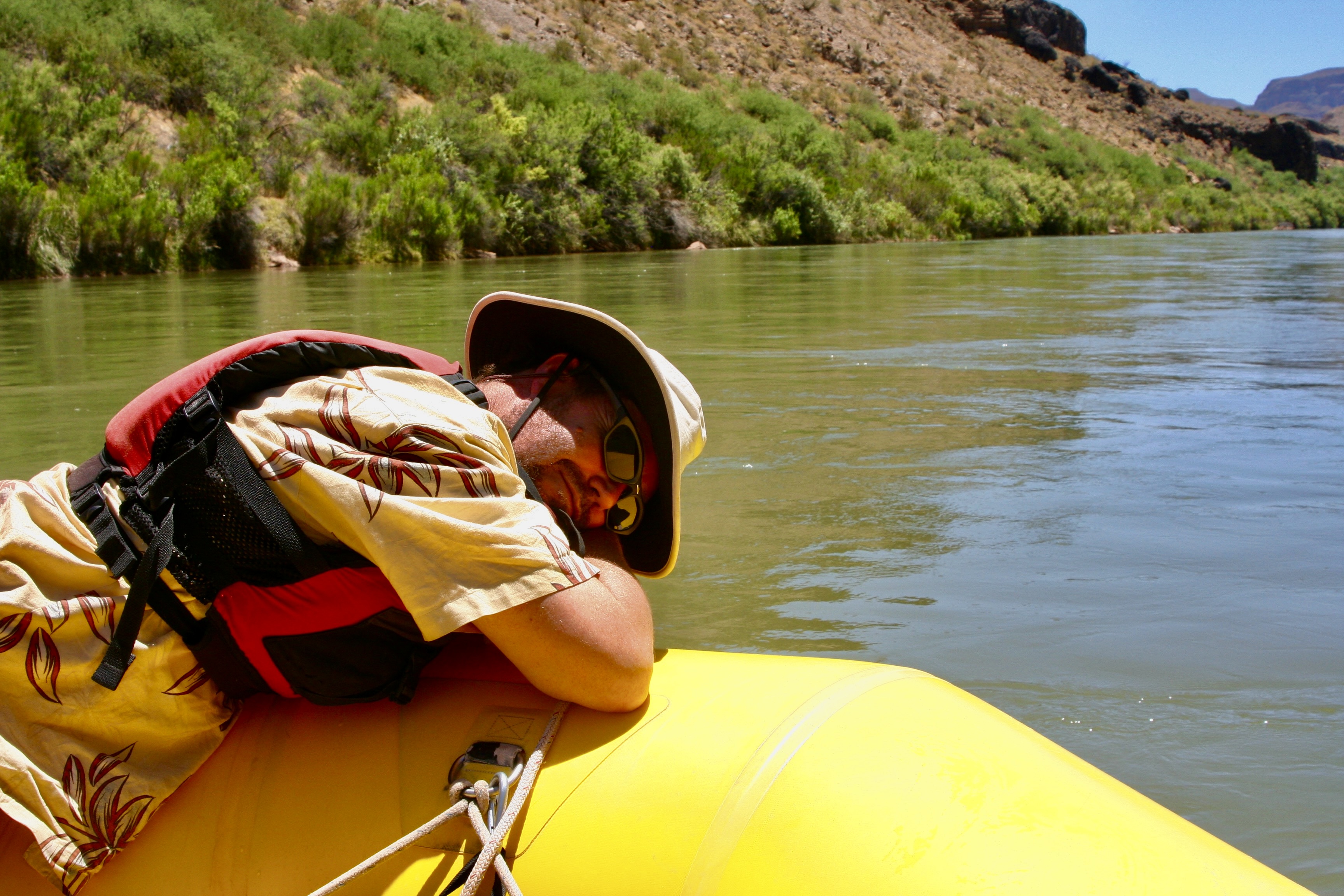
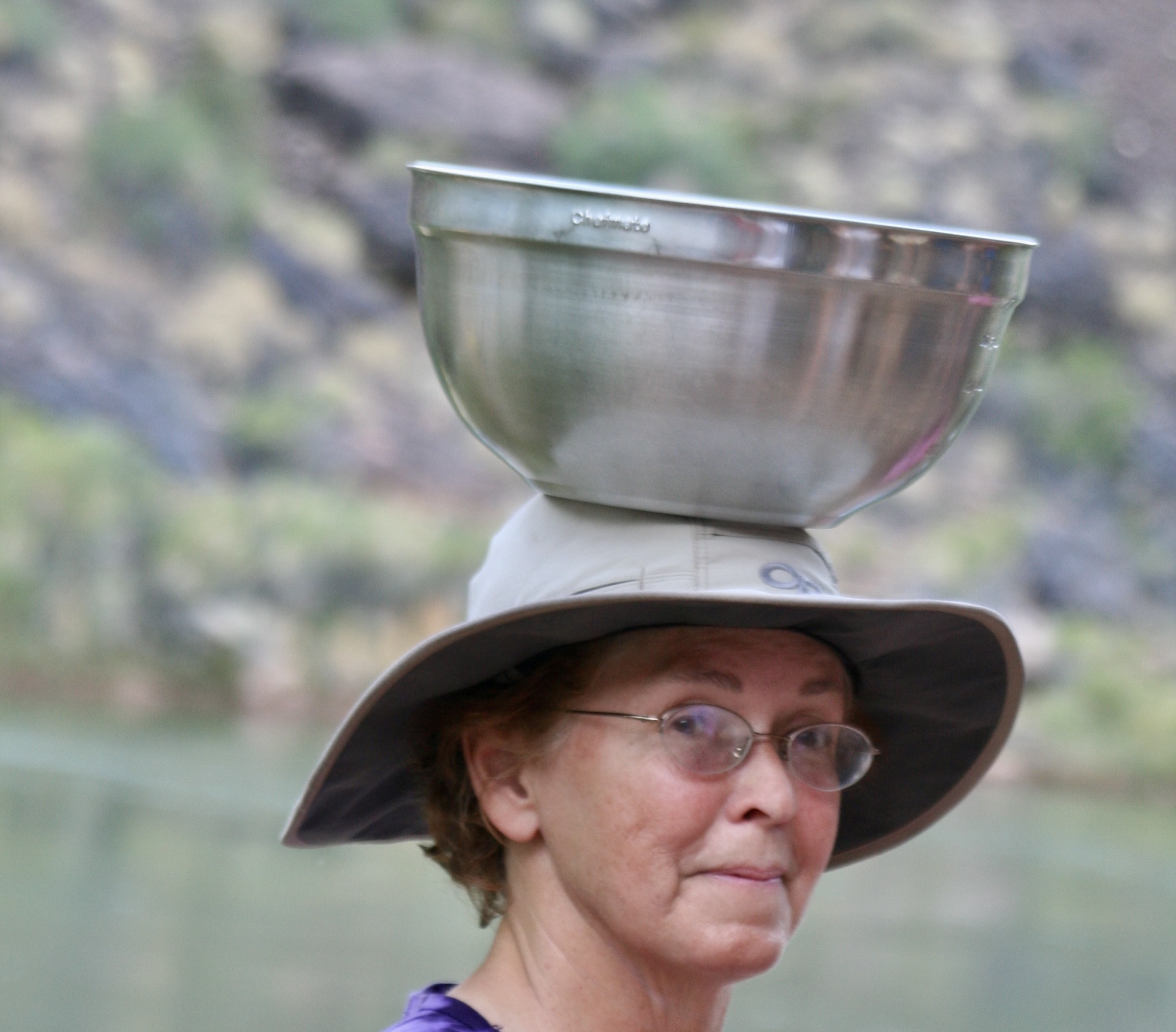
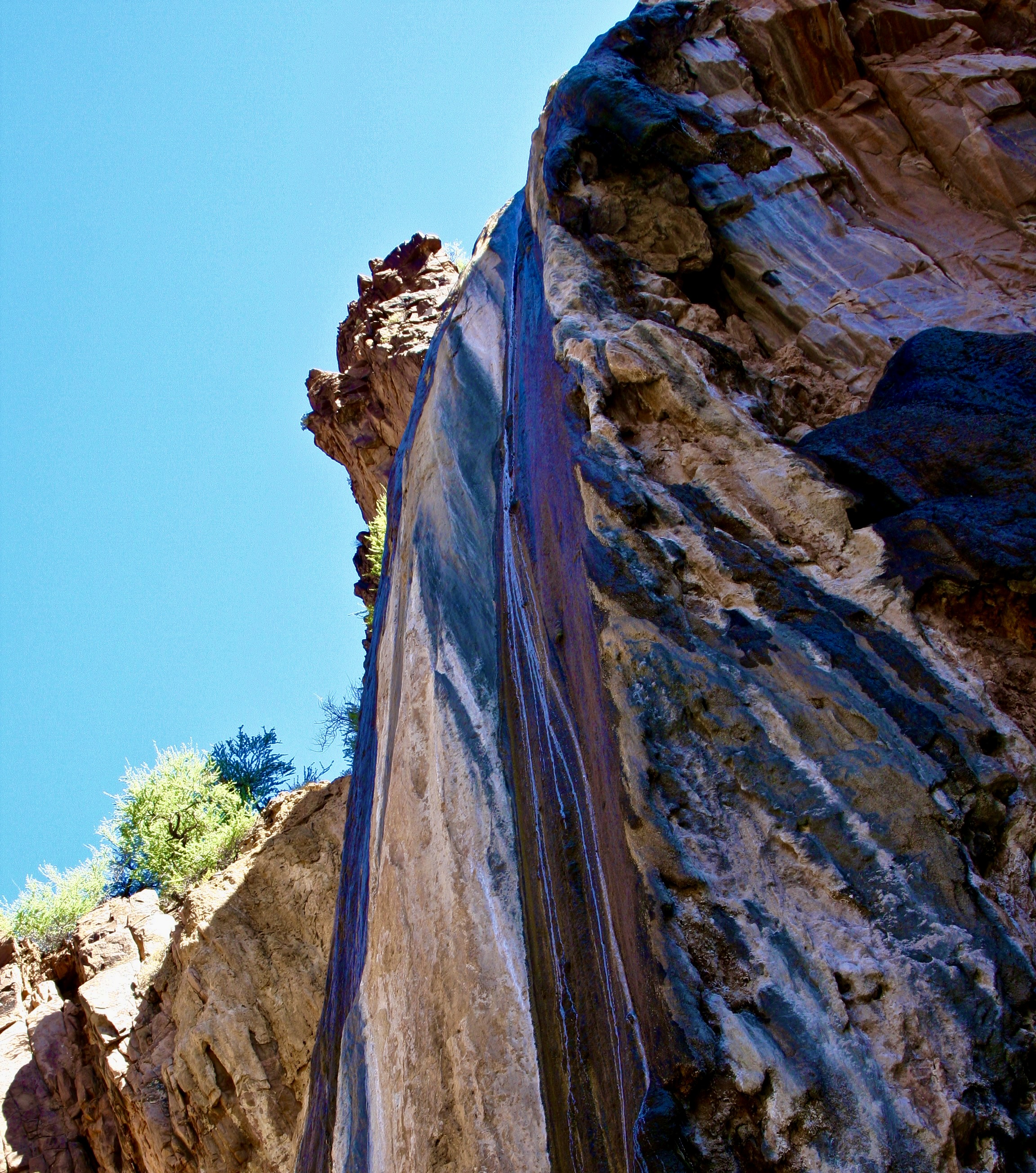
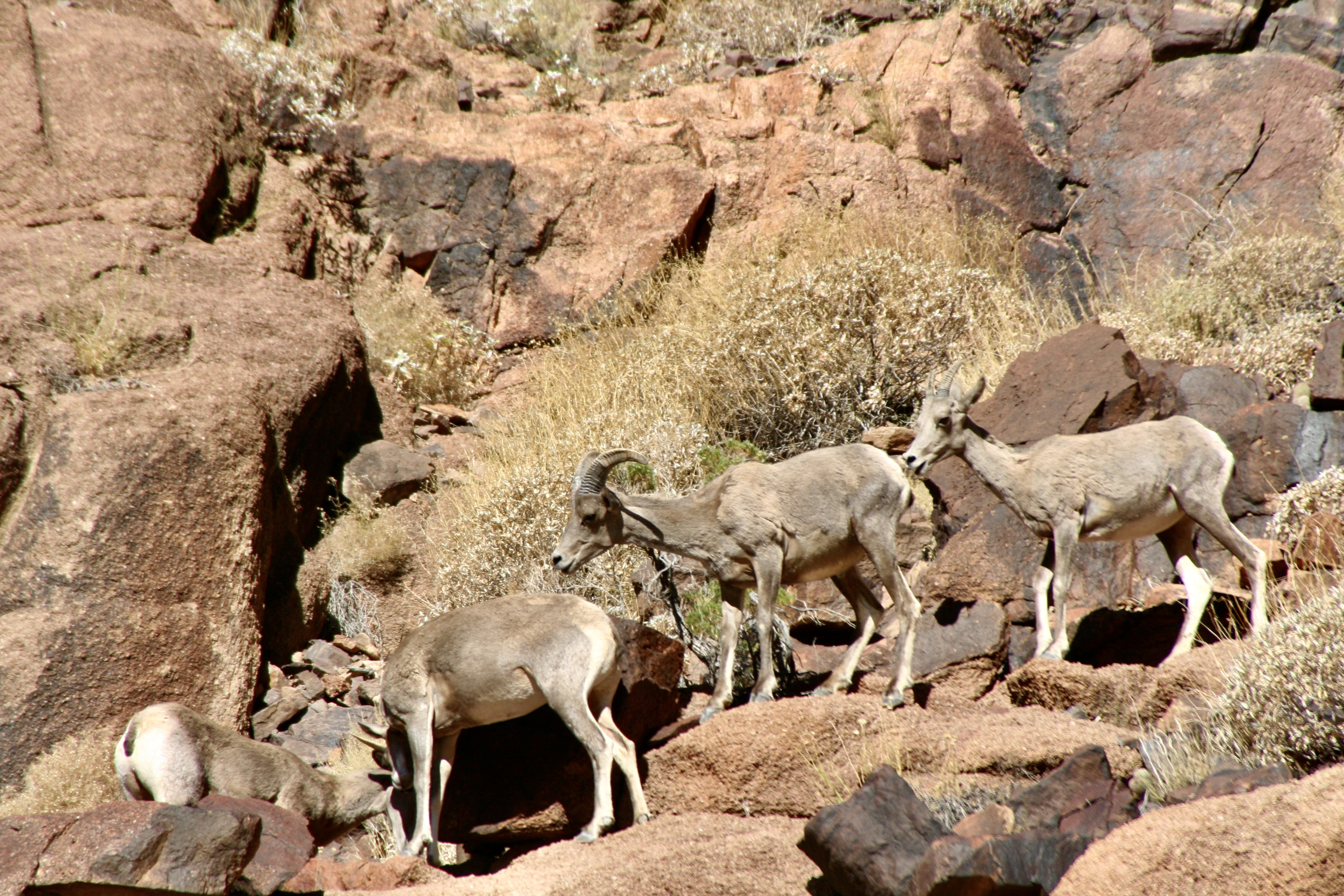
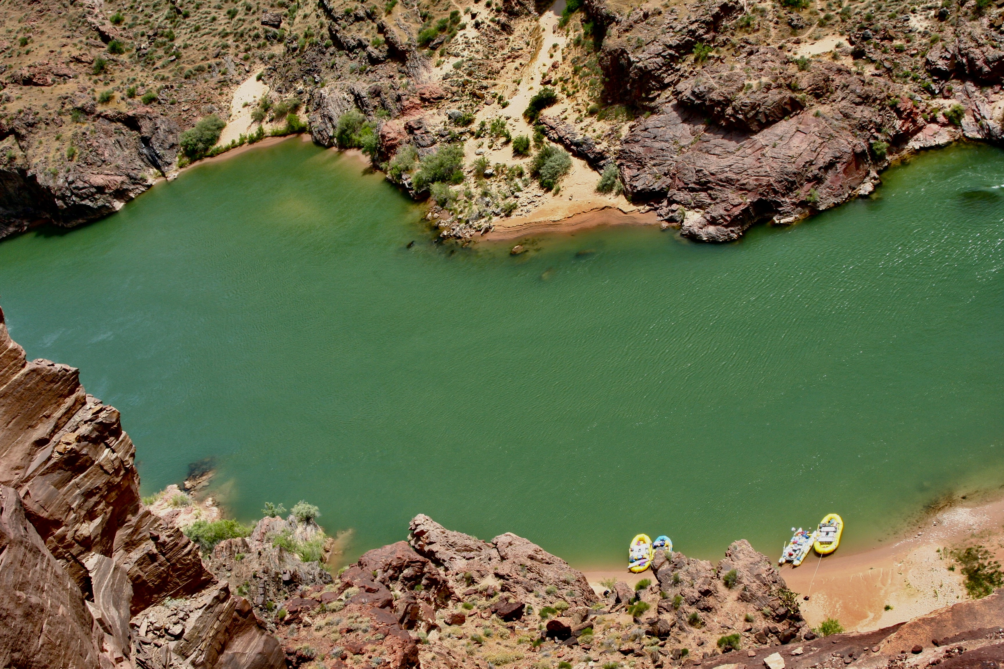
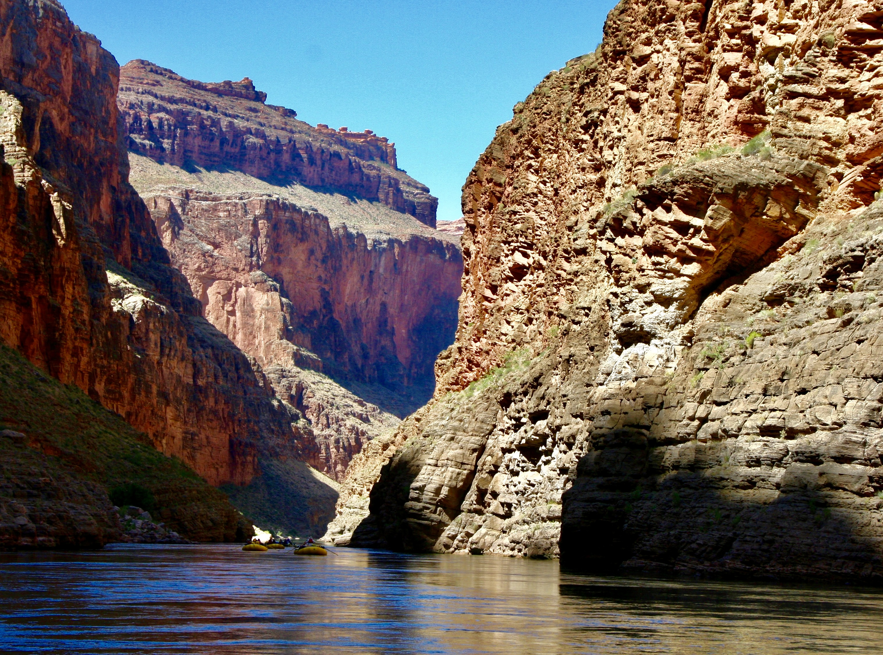
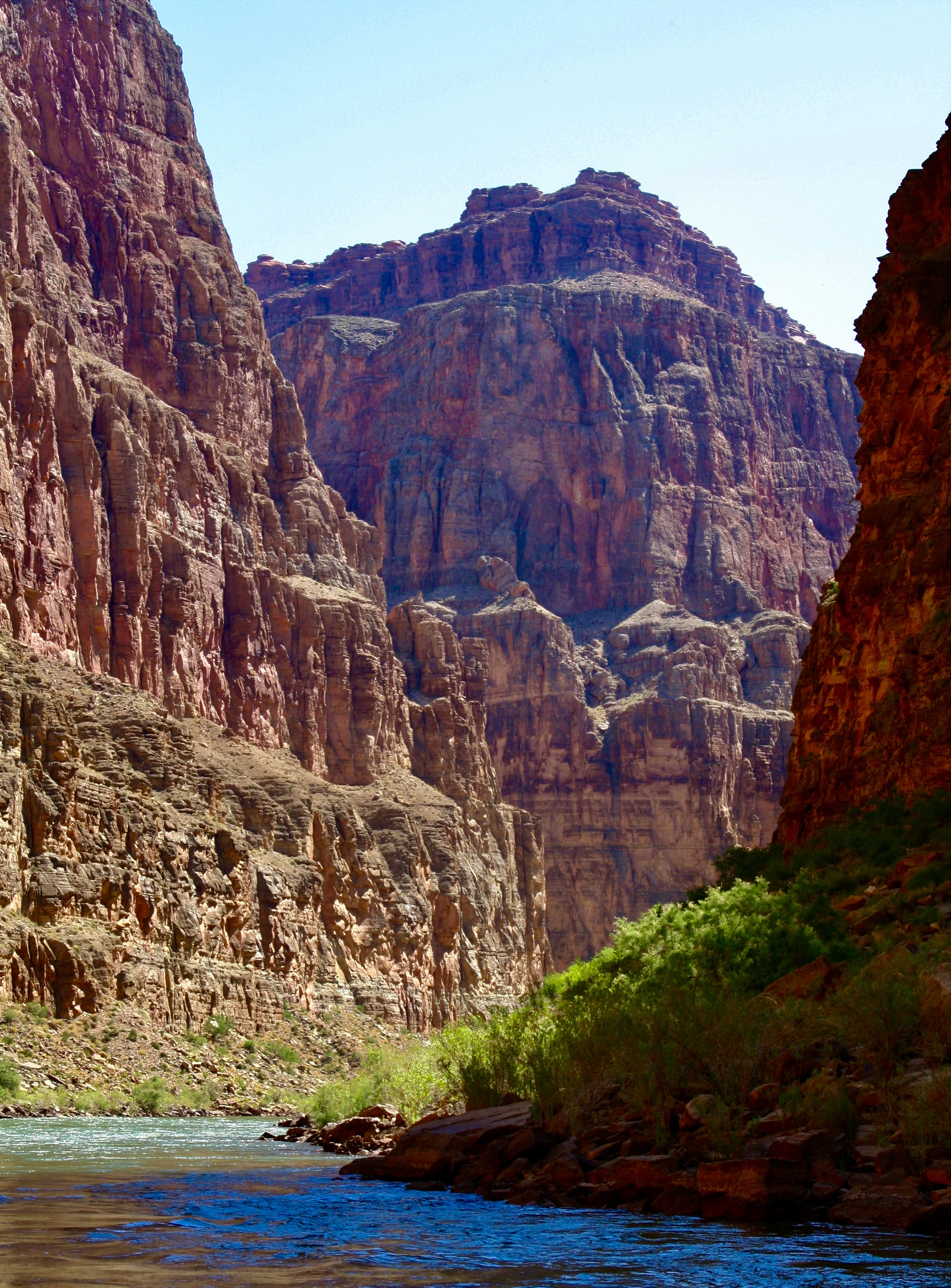
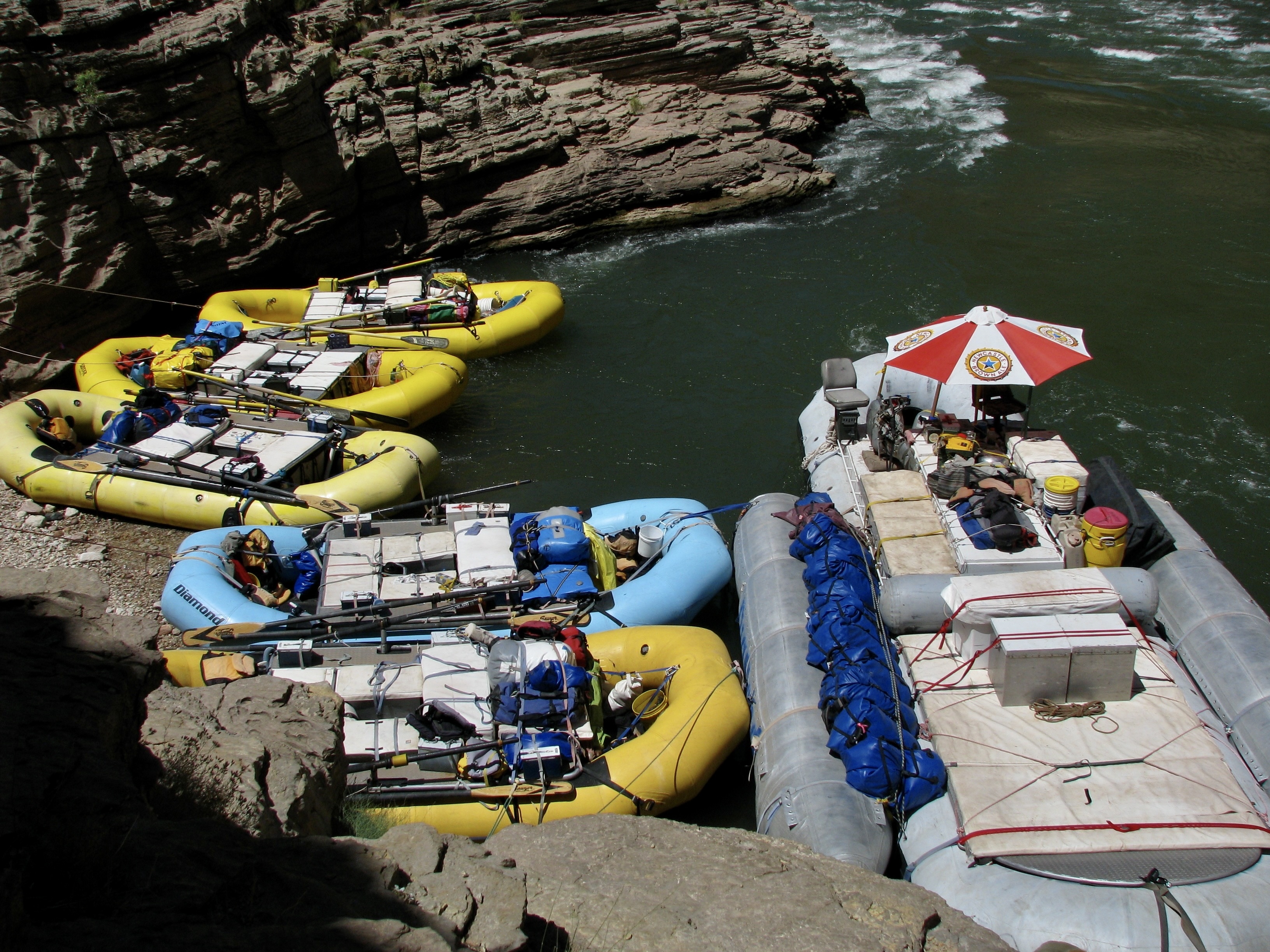
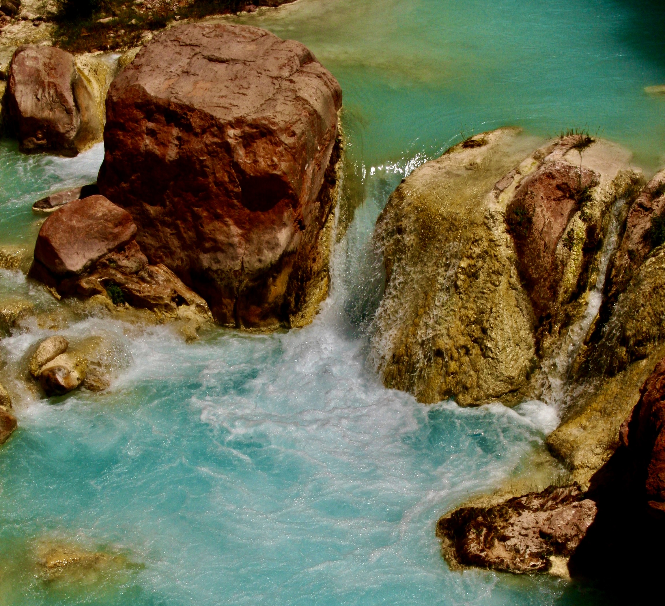
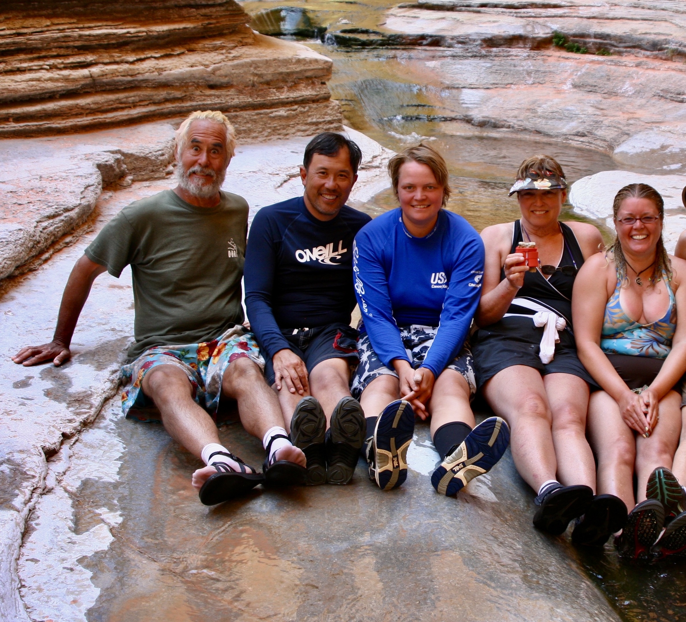
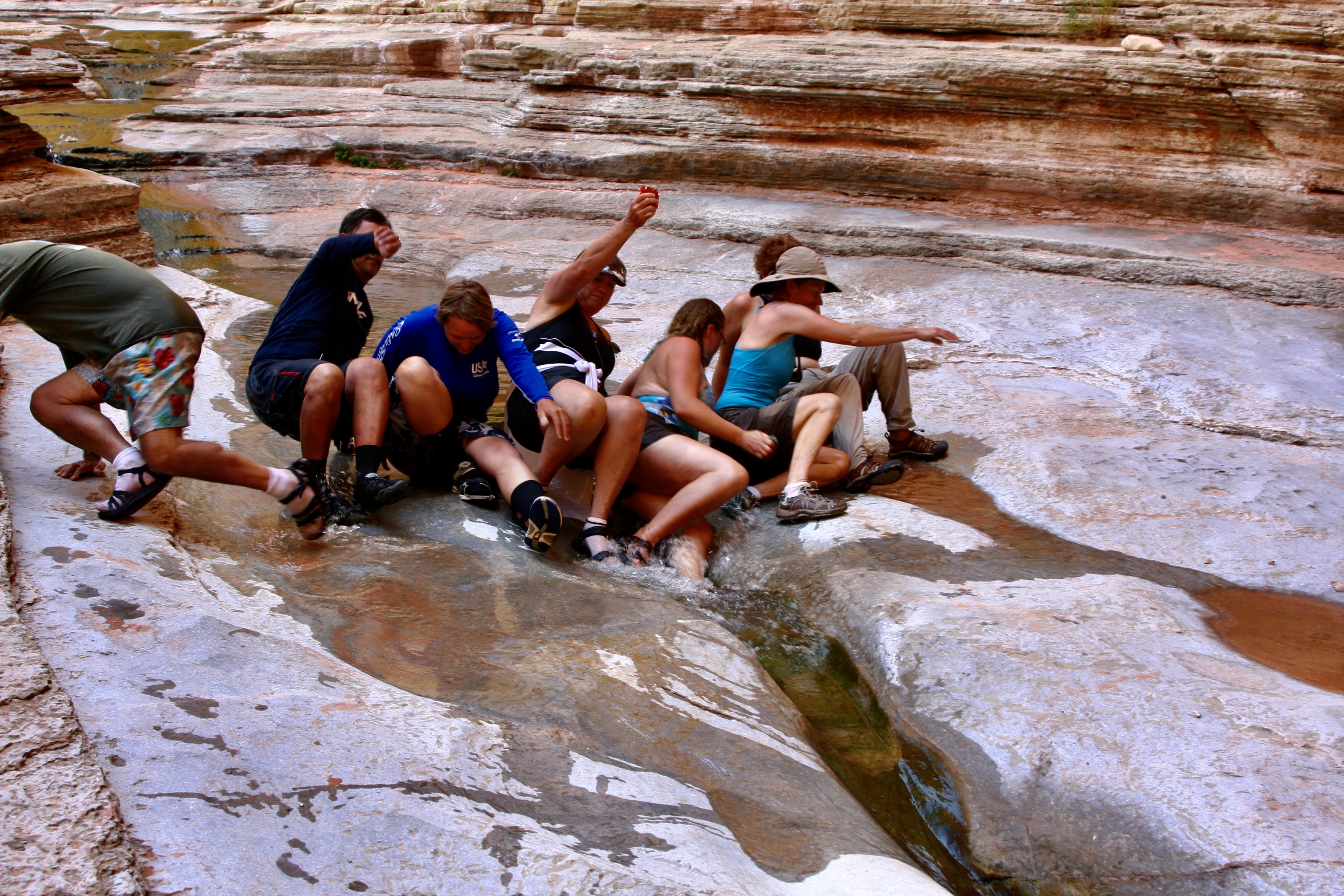
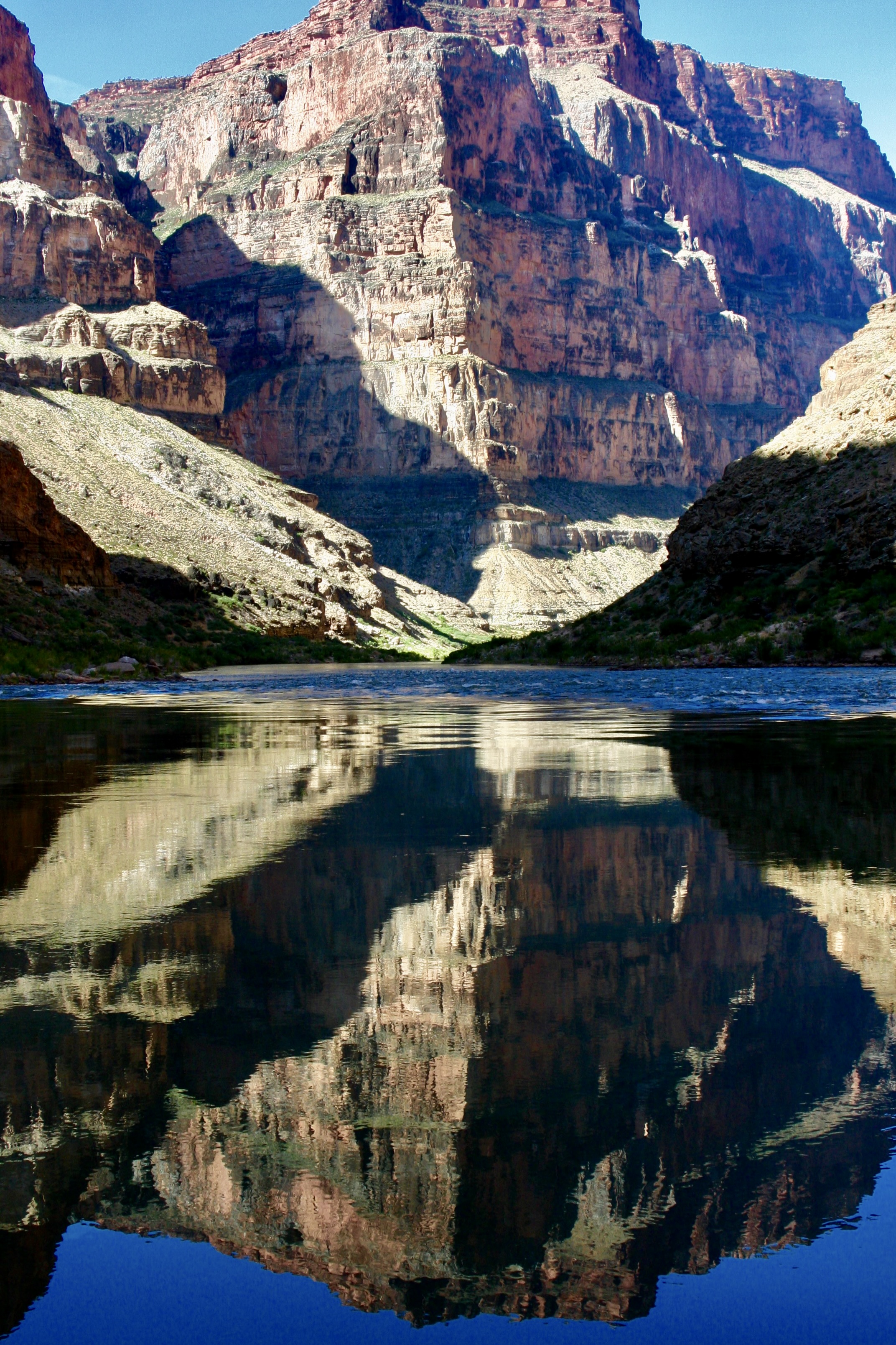
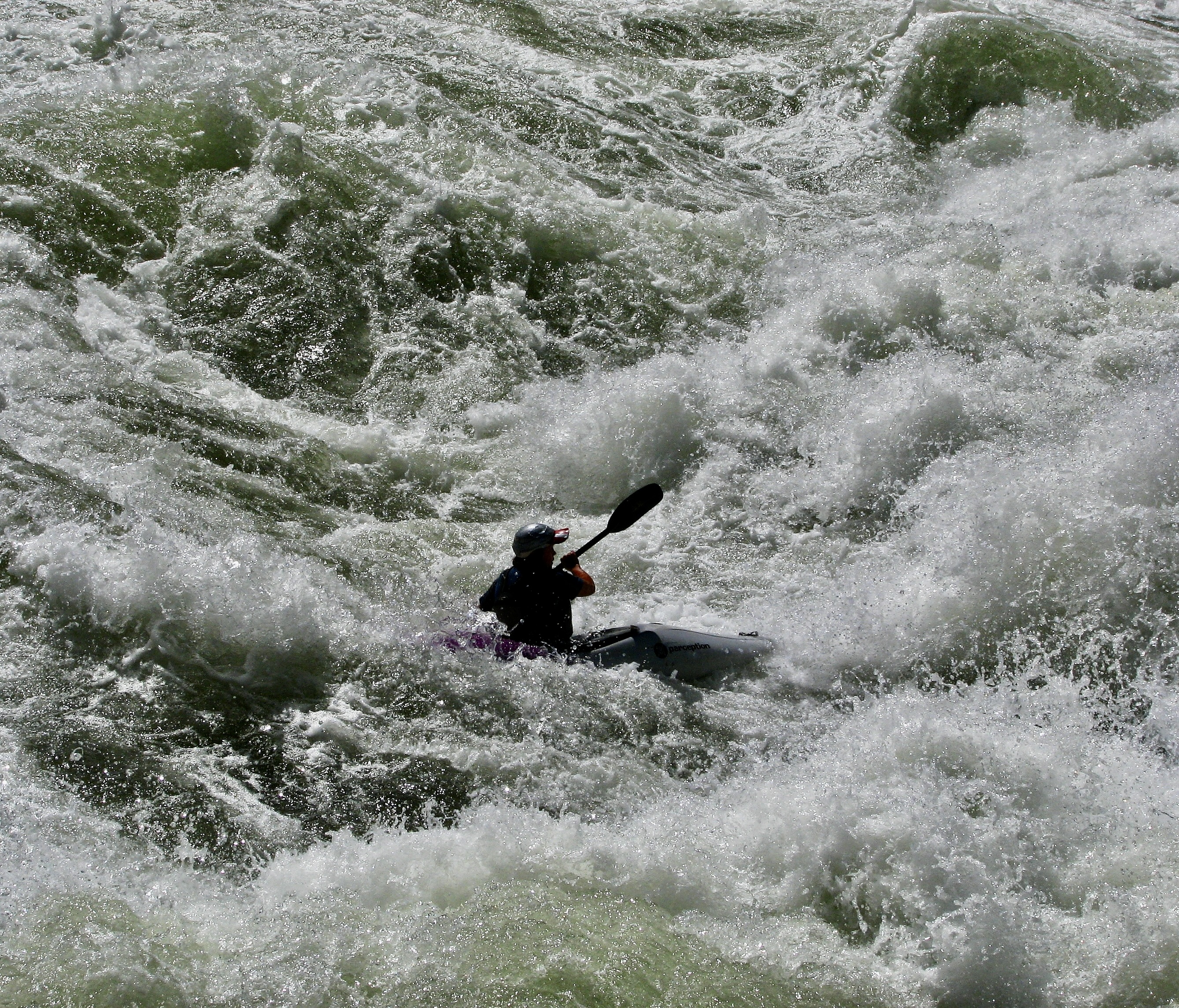
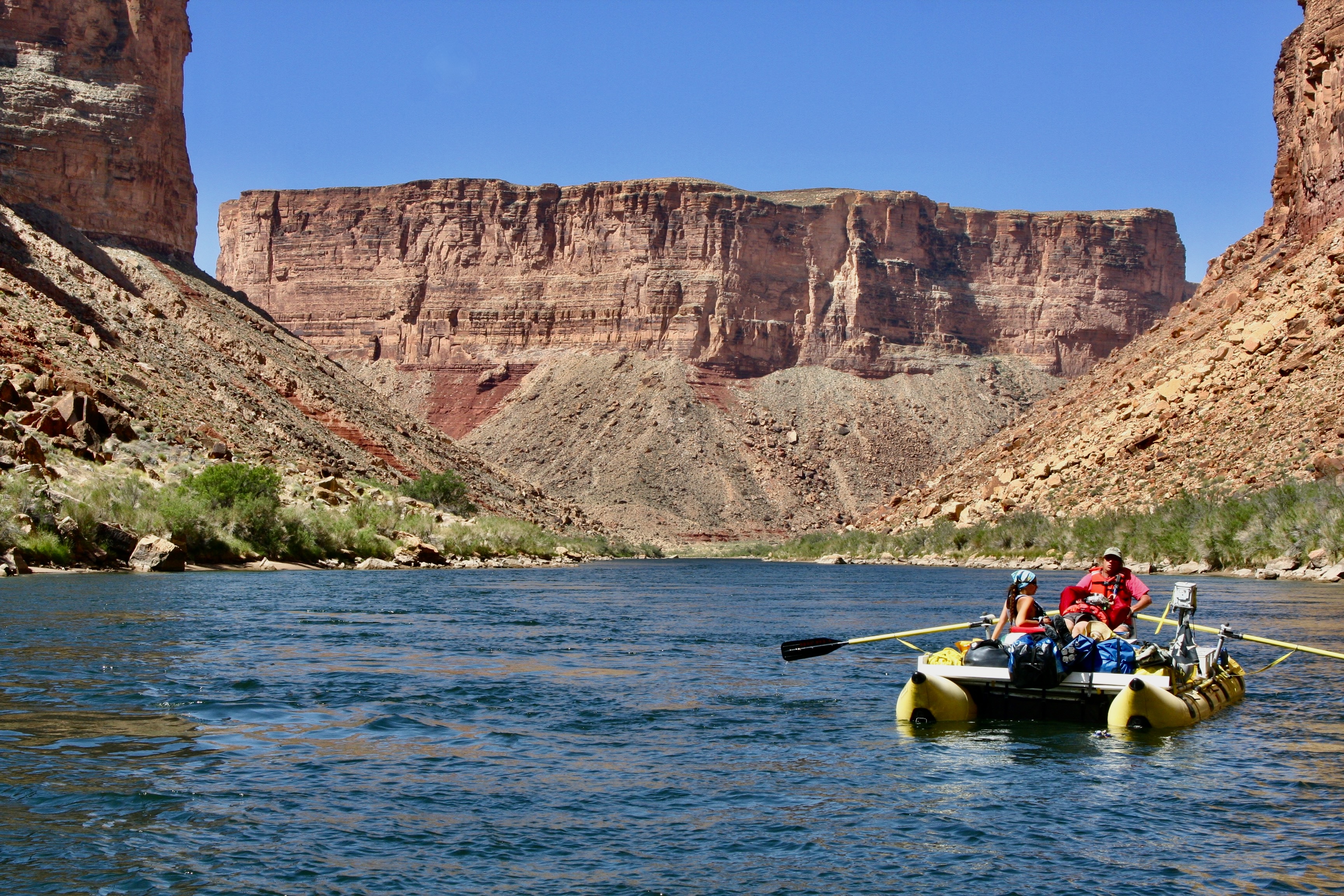
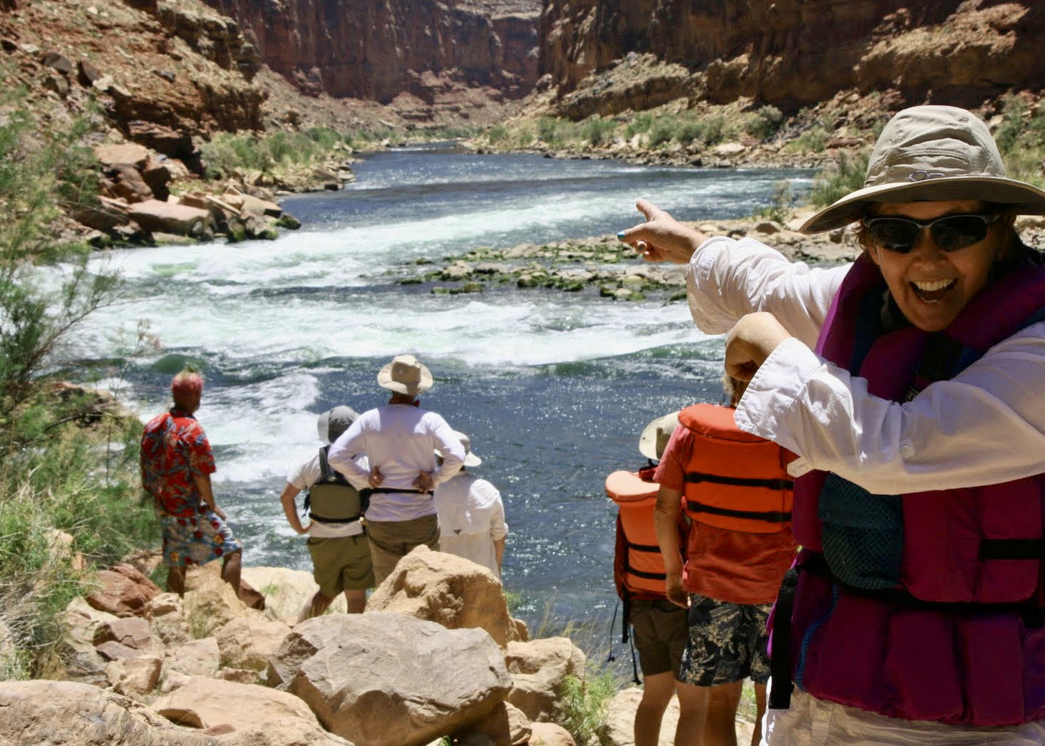
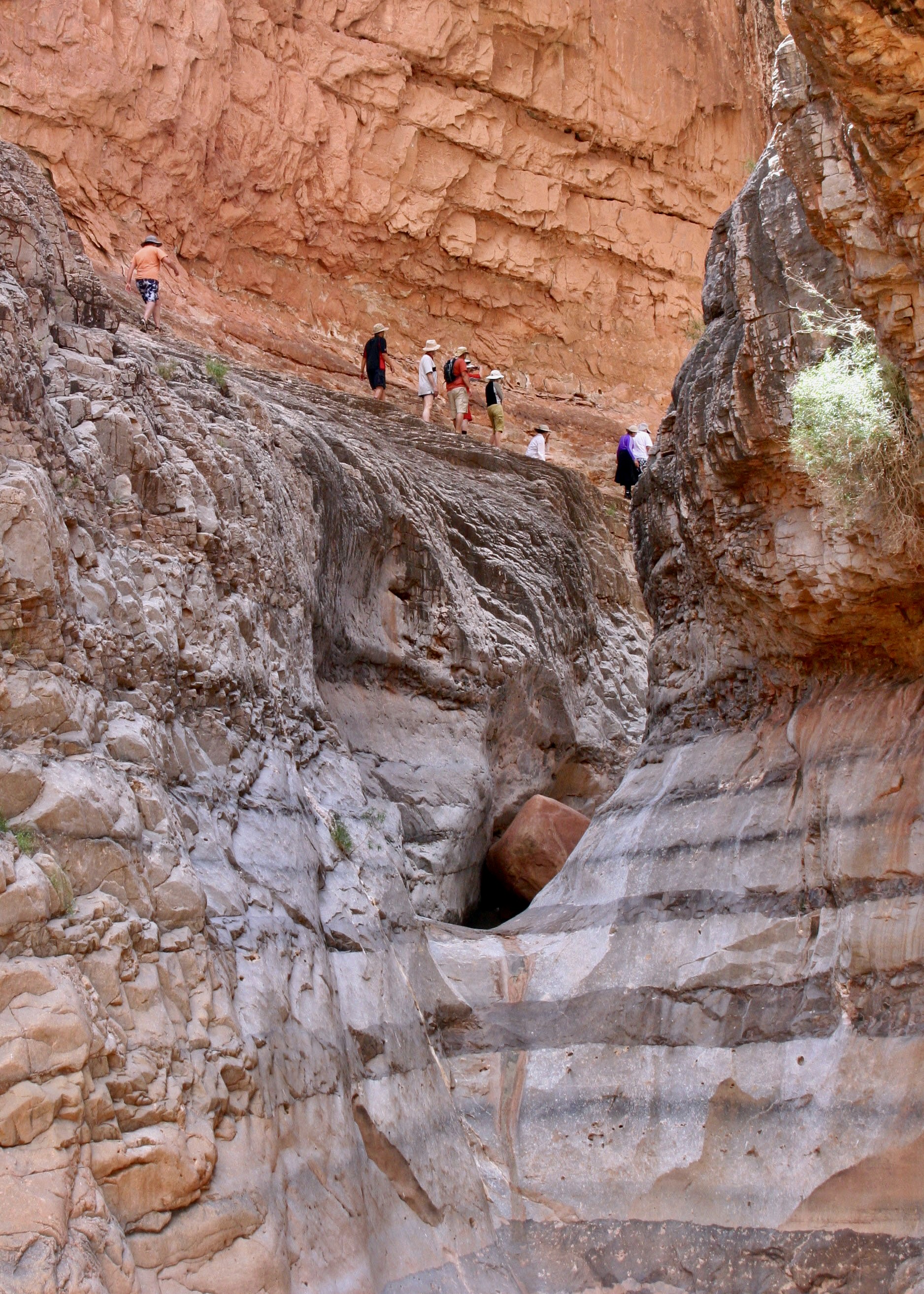
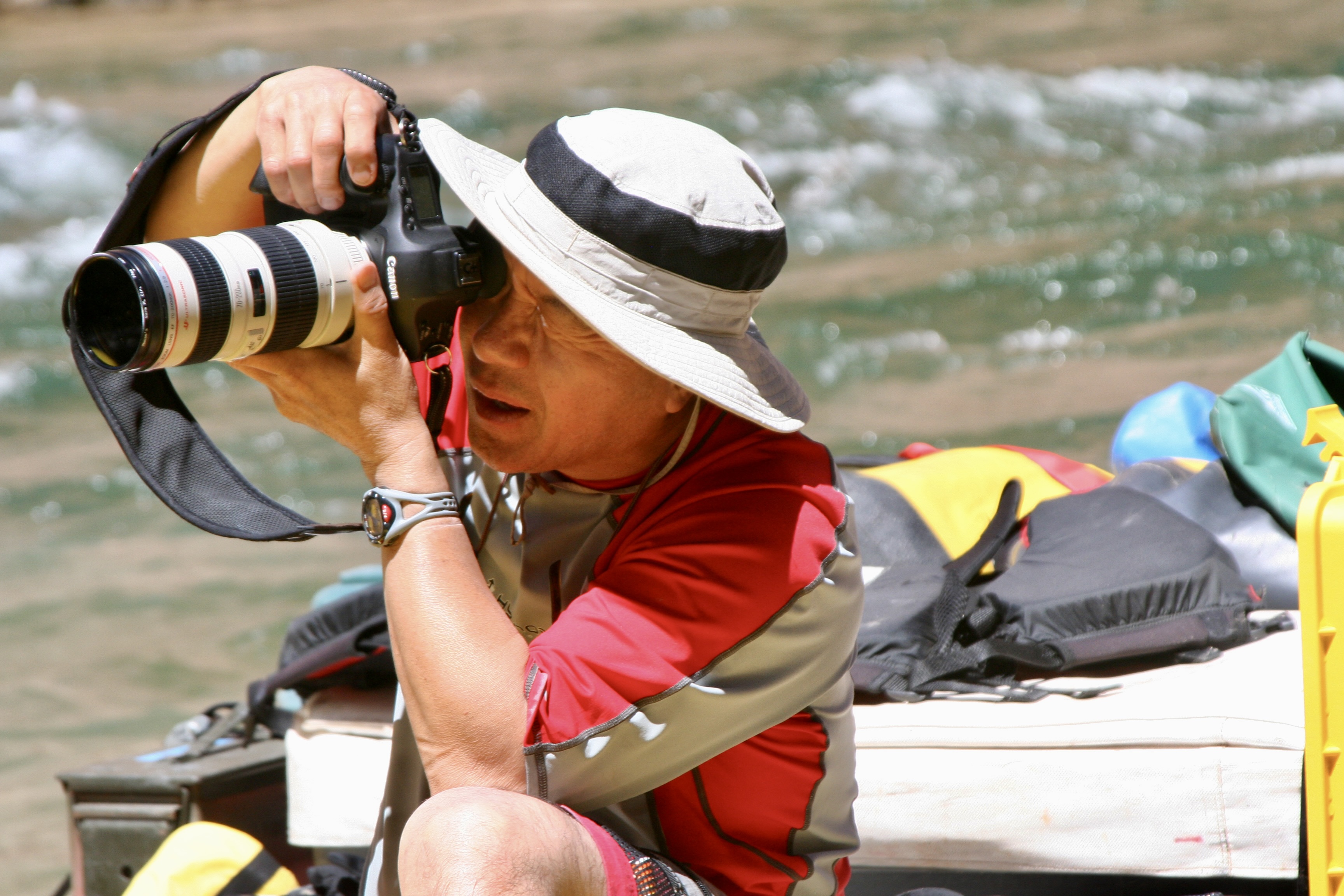
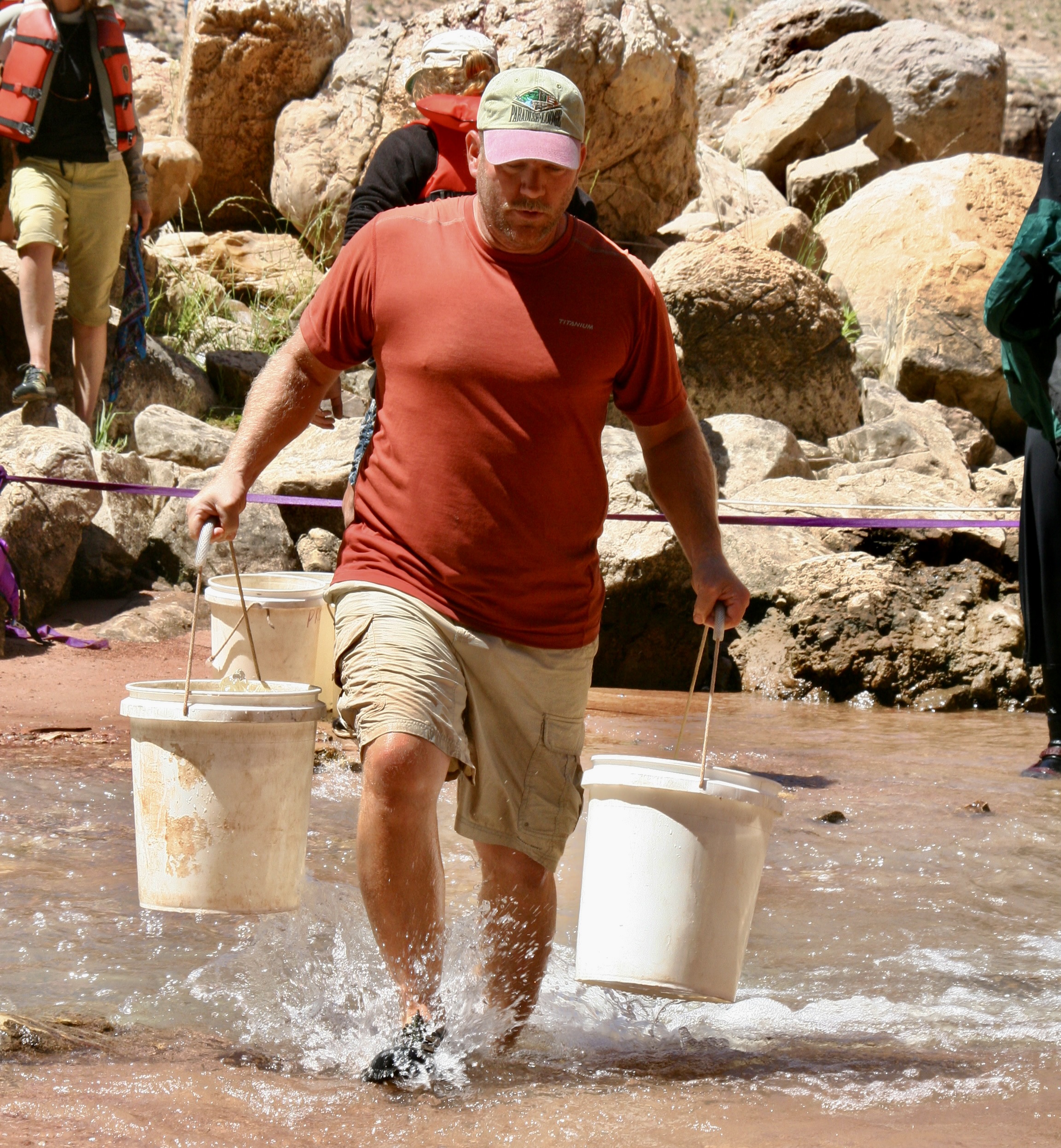
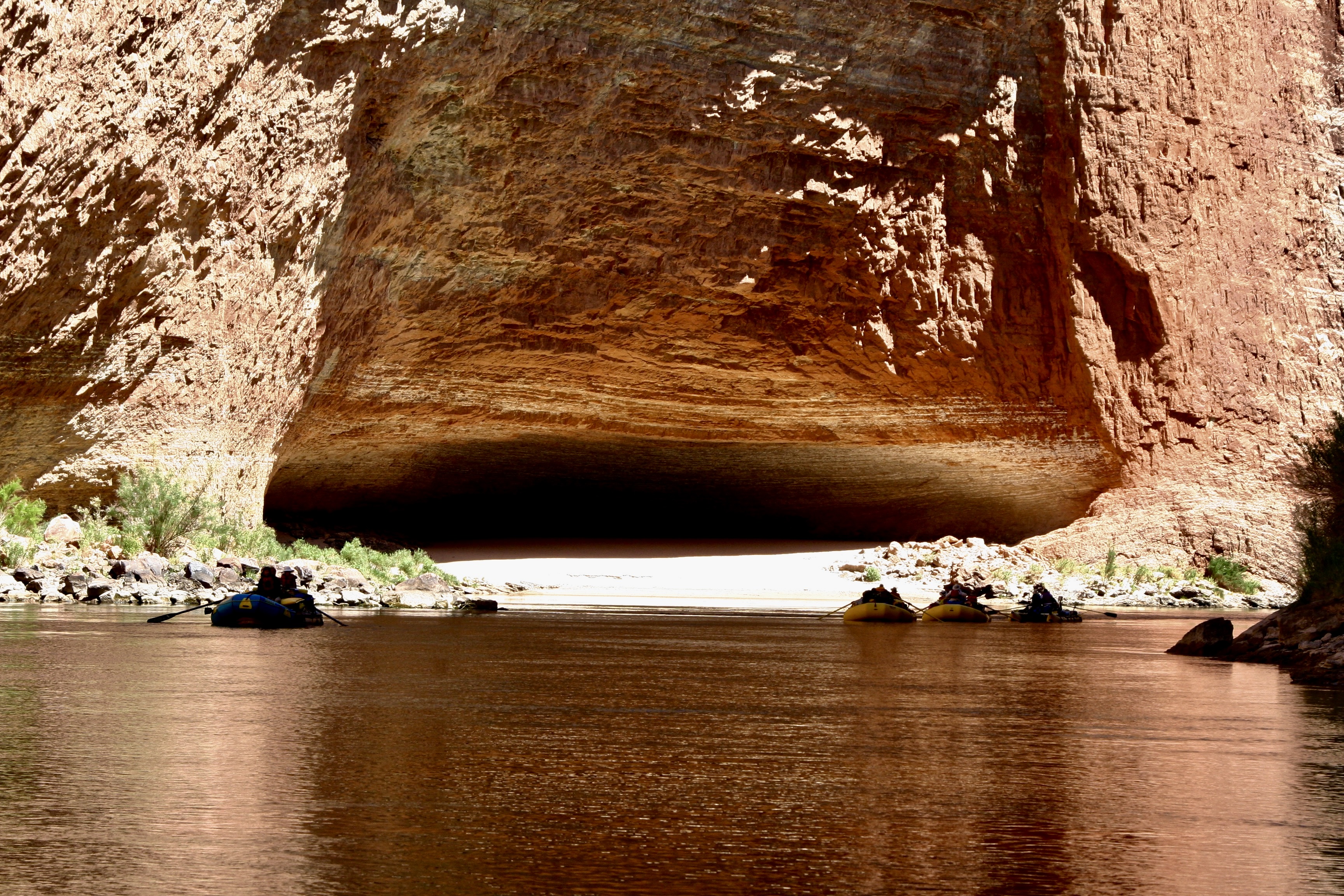
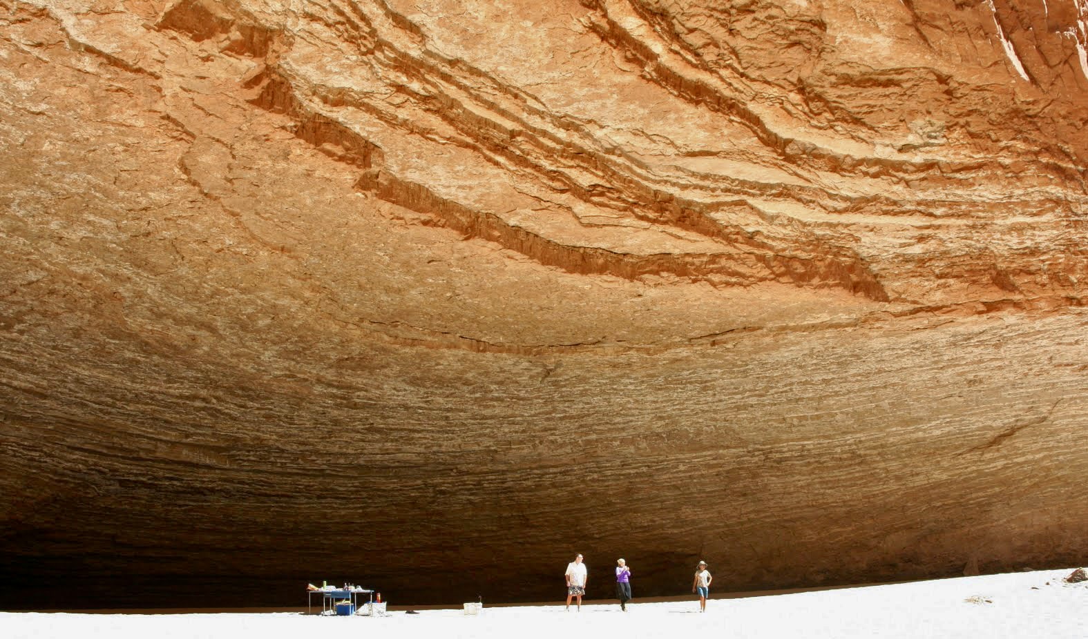
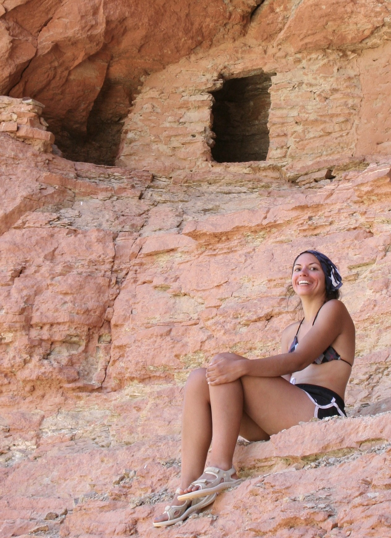
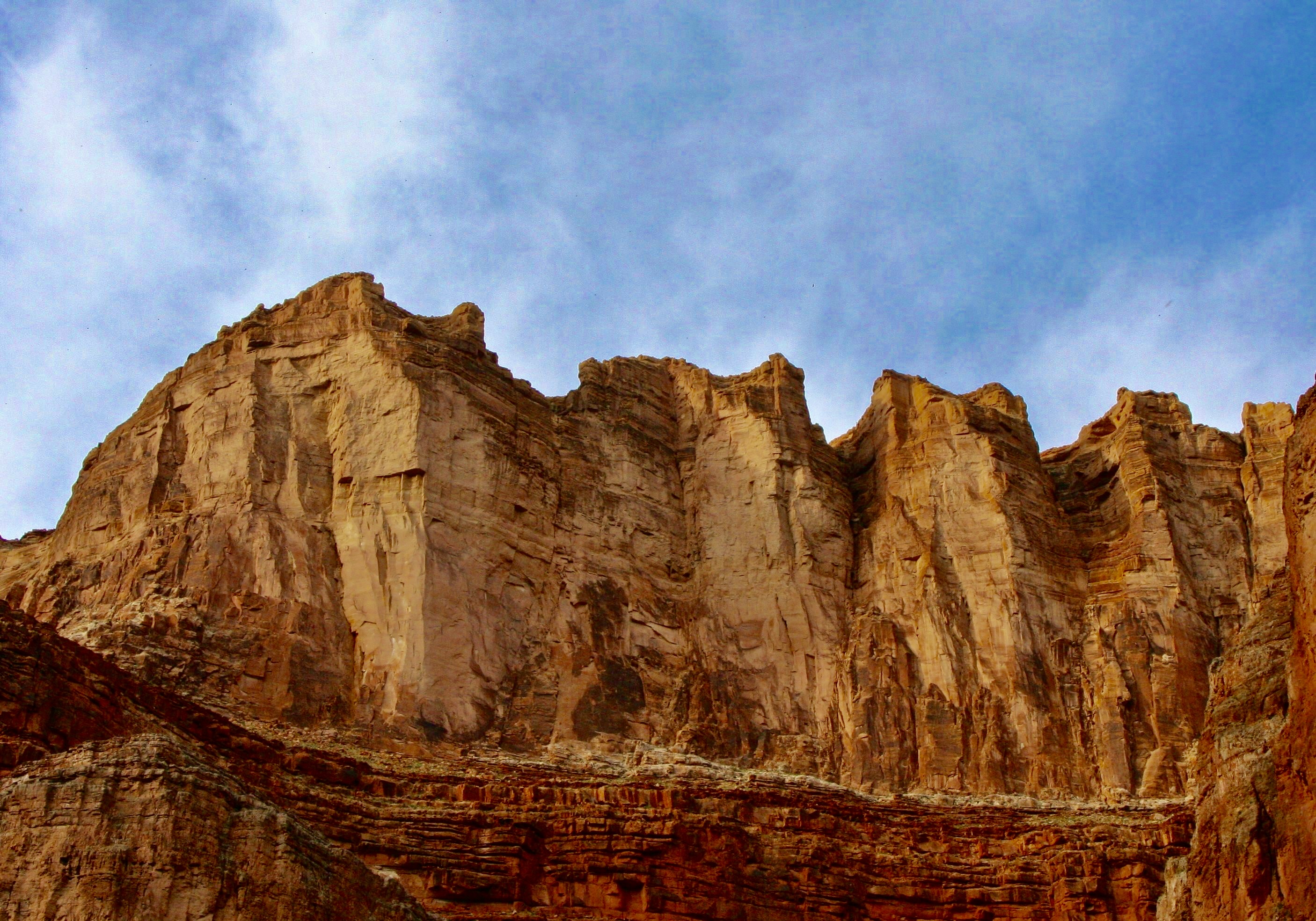
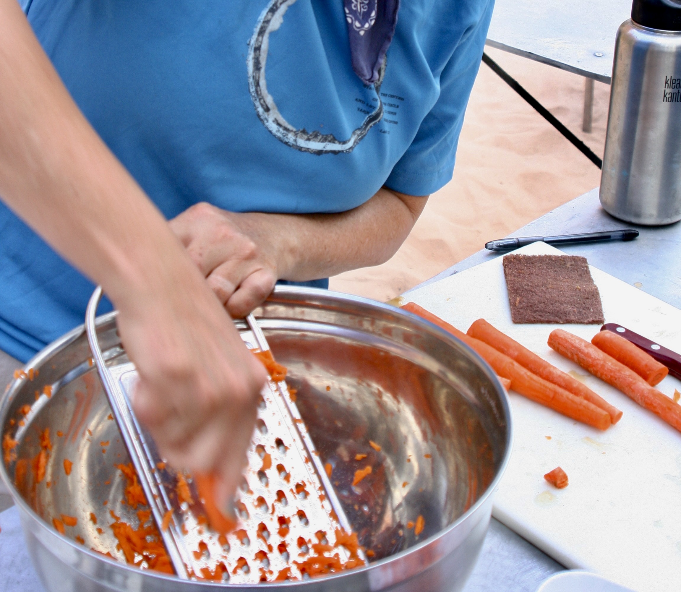
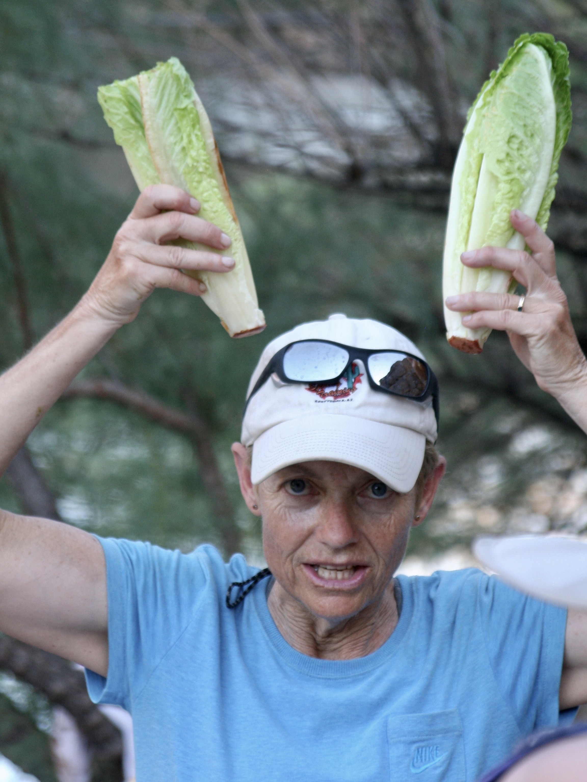
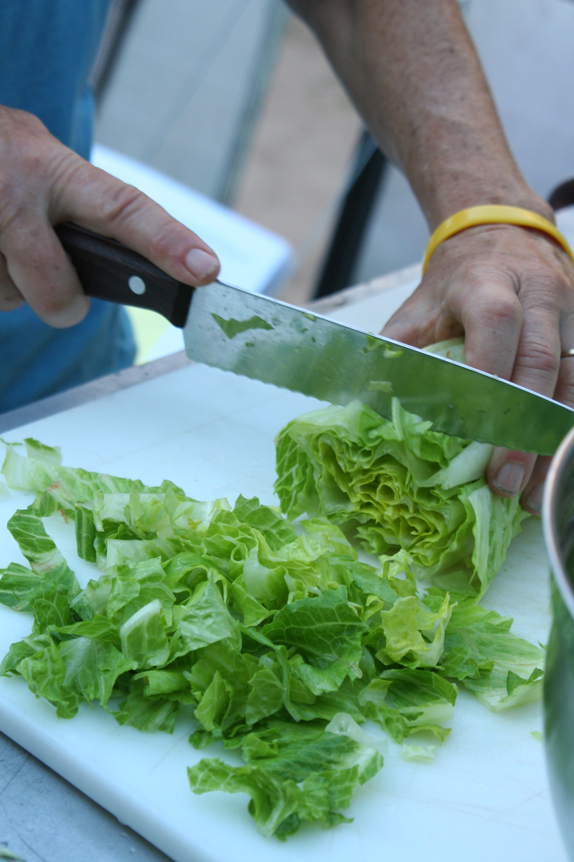
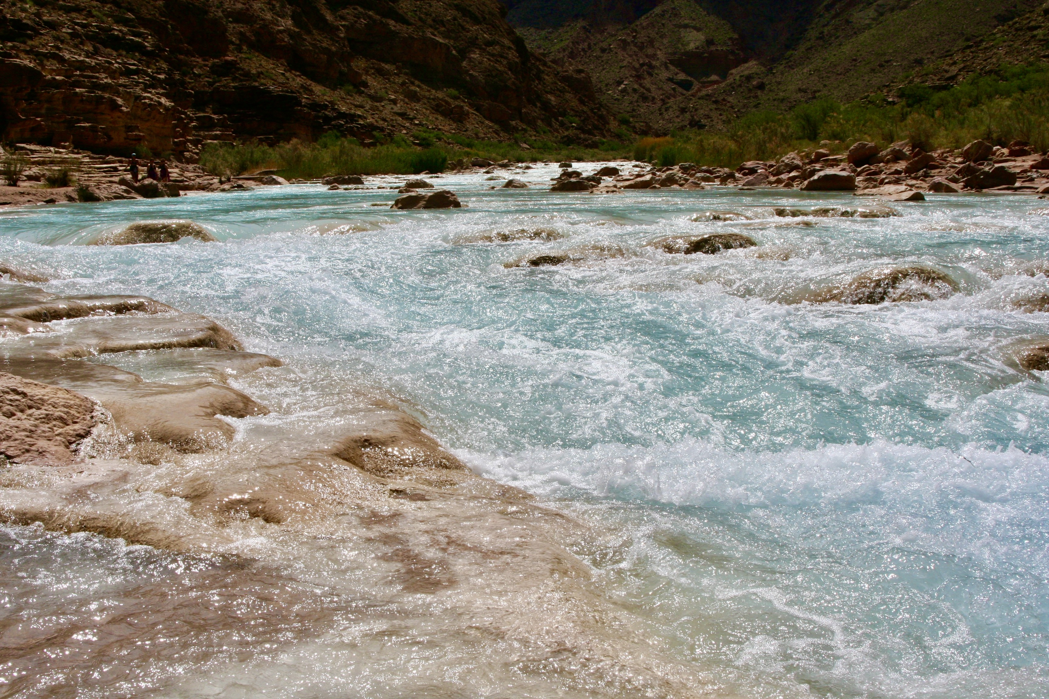
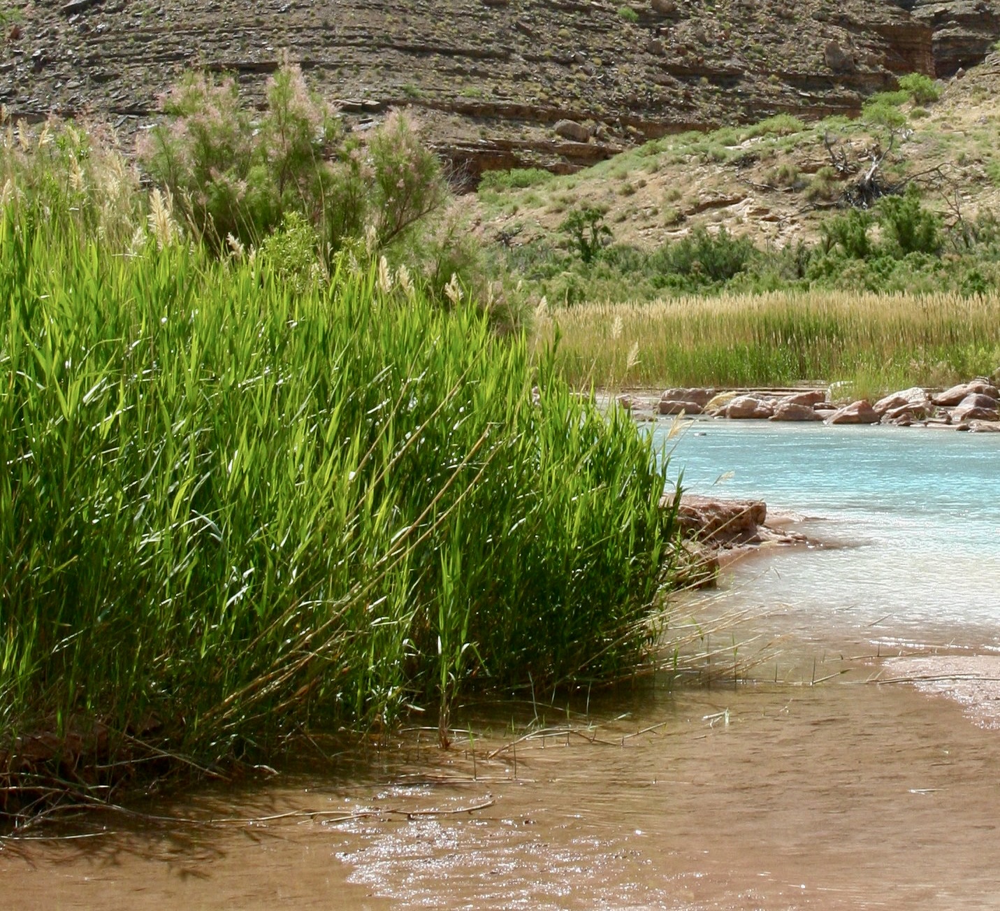
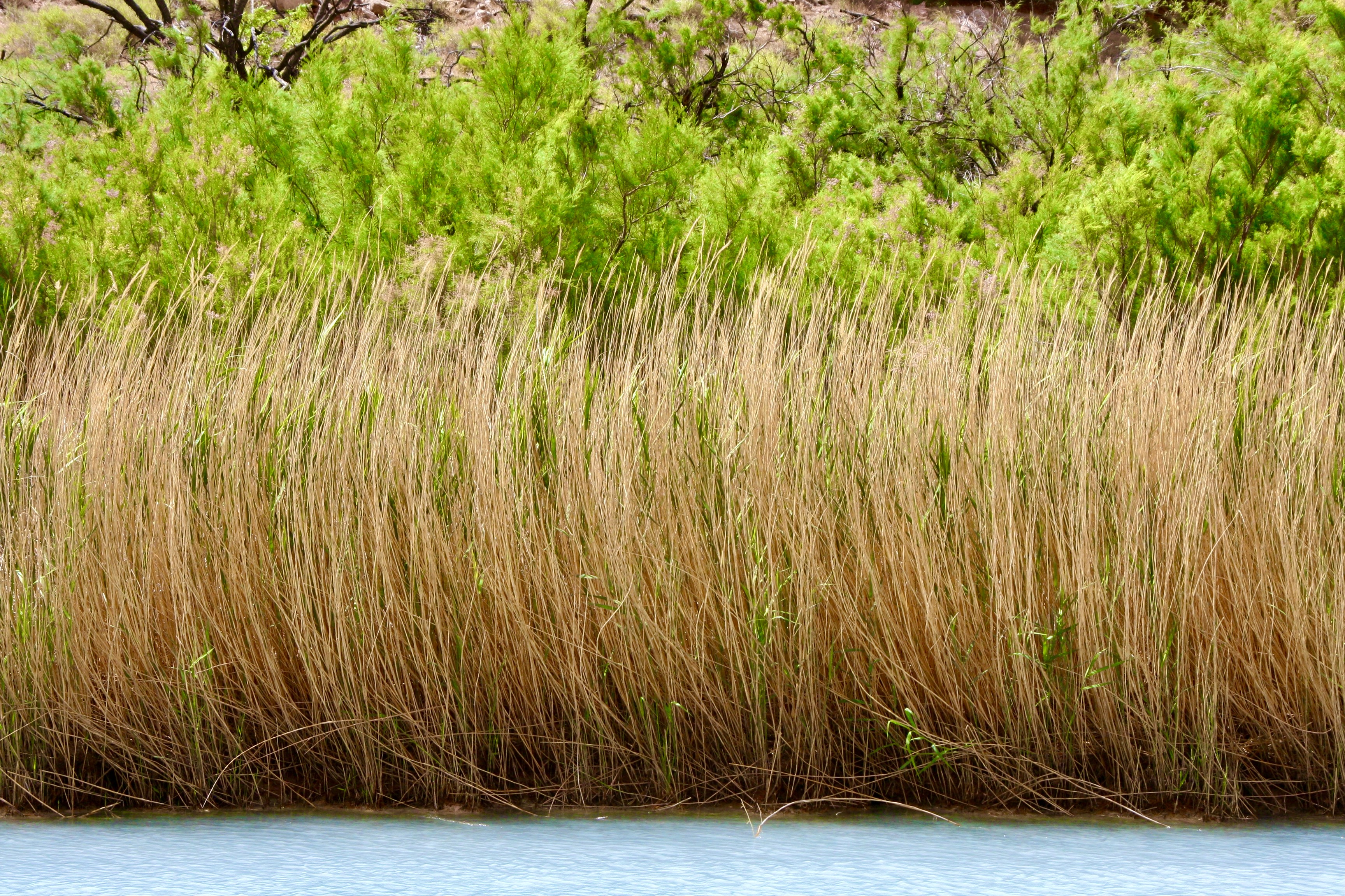
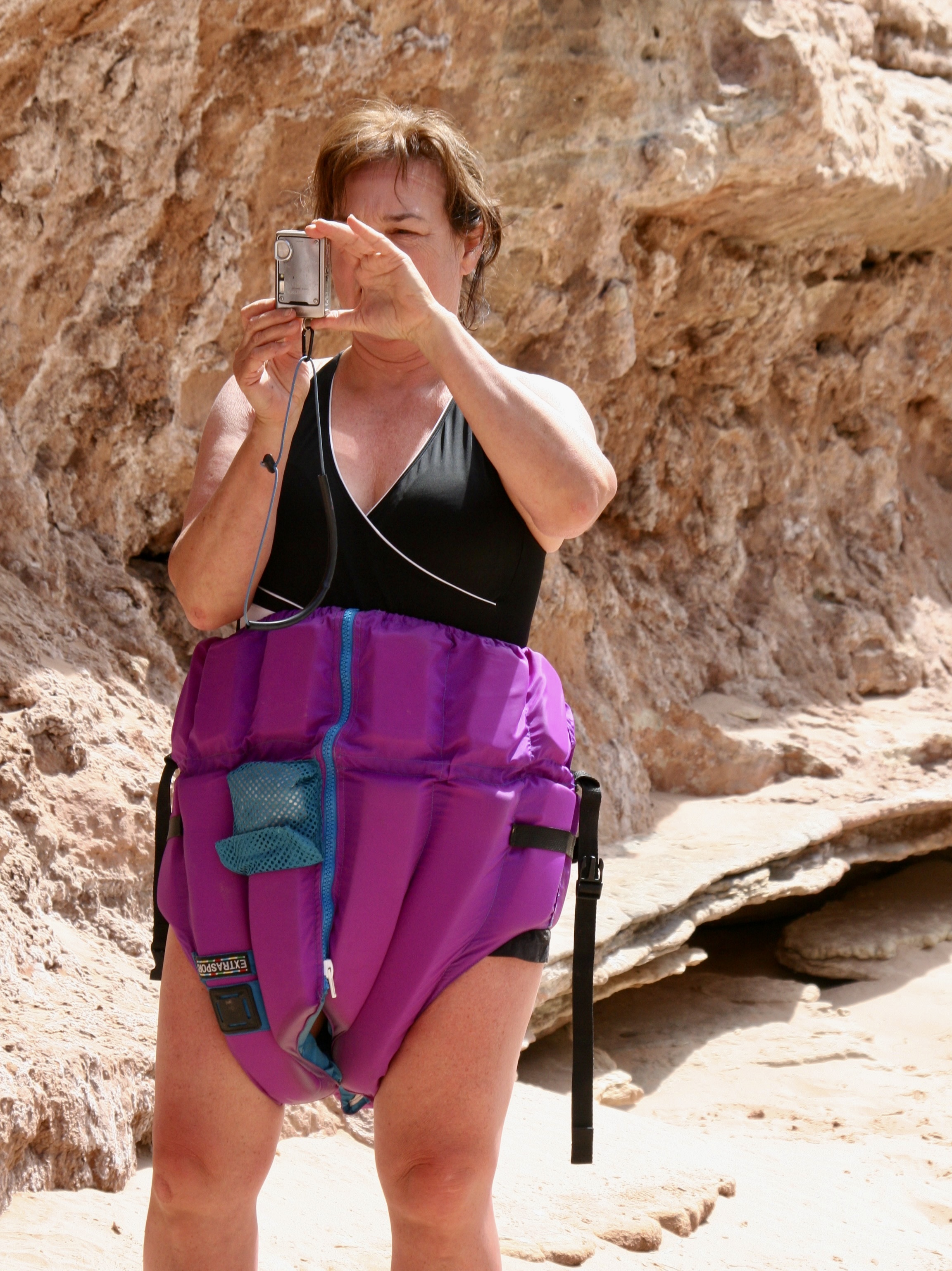
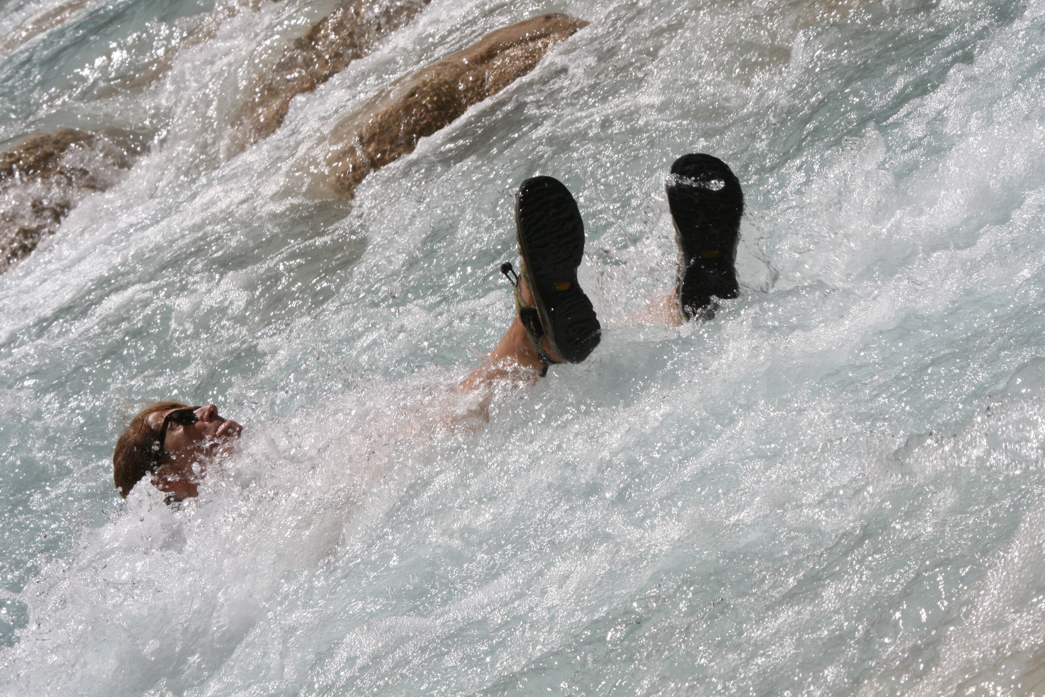
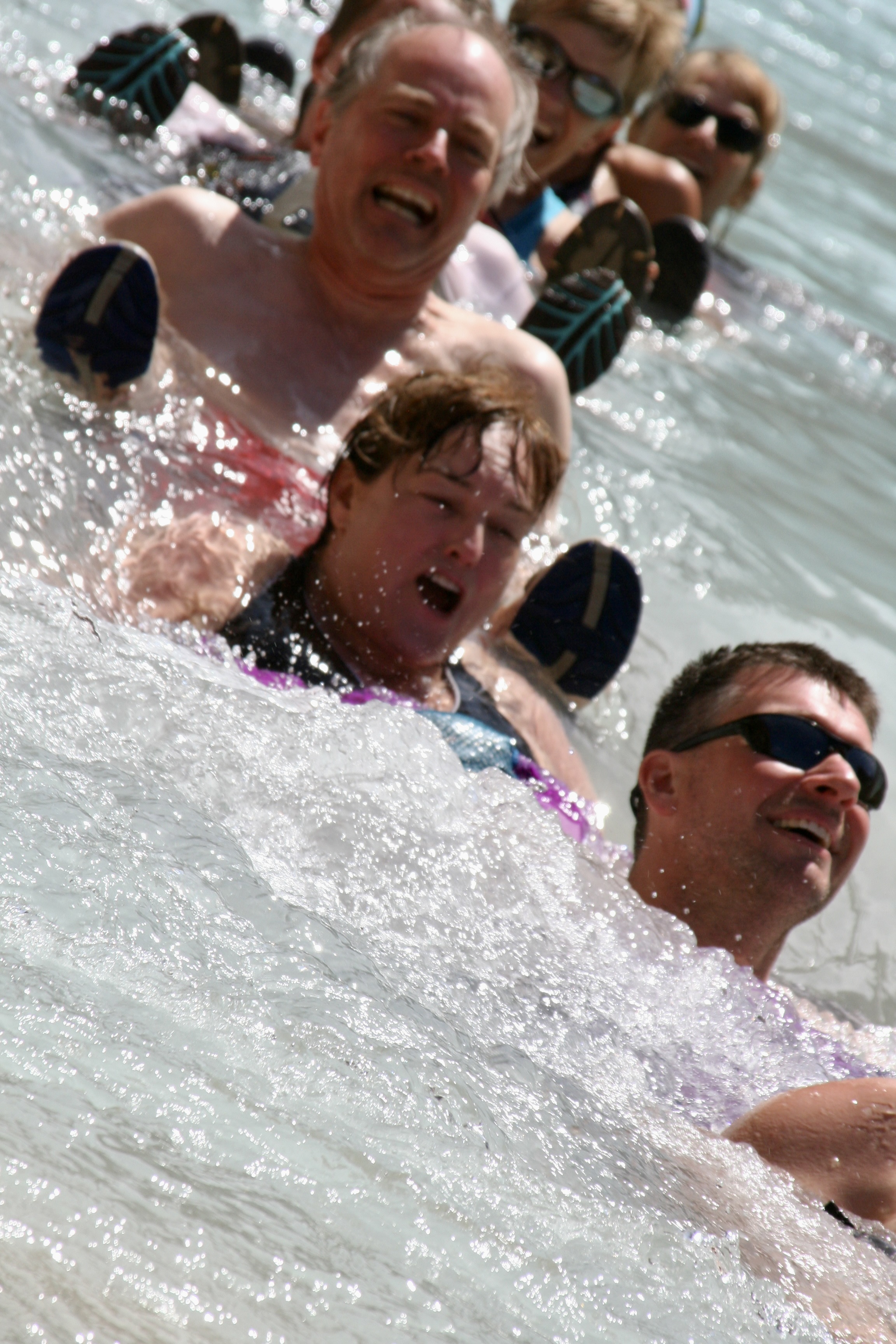
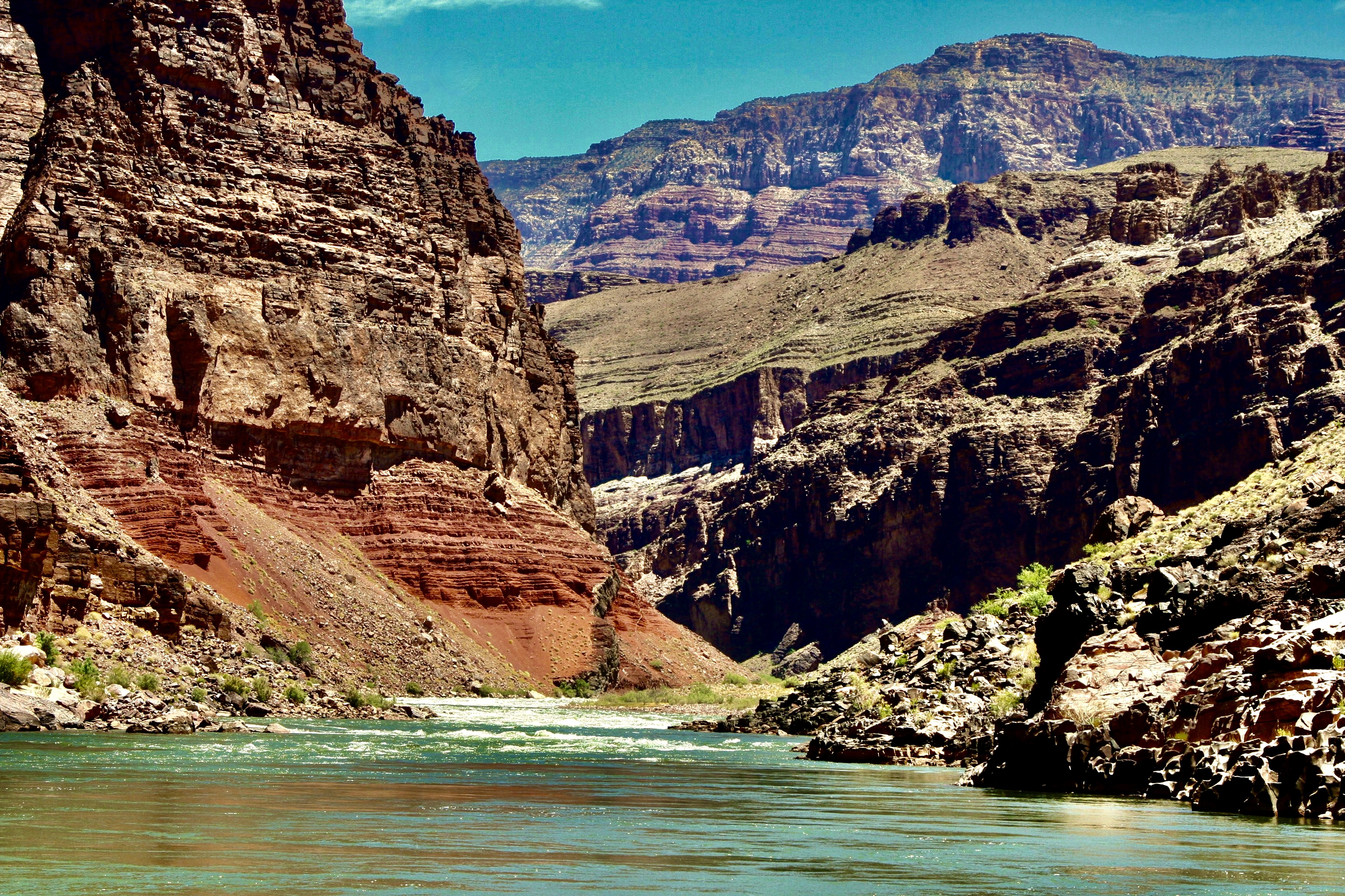
As we floated down the river, we were awed over and over by the surrounding beauty! The pontoon boat, BTW, is rowed by Steve Vandoor. Steve’s boat is rigged to carry groovers (honey buckets), which is something of a specialty of Steve’s. While it might seem strange, it guarantees that he is invited to join river trips on a regular basis. Does this mean Steve is groovy? More on groovers later.This huge slab of Coconino sandstone at mile 10 once stood hundreds of feet above the river before it came tumbling down and stuck— standing up. It’s a reminder of the constant geological forces involved in creating the canyon. As the river digs deeper, erosion brings rocks crashing down, widening the canyon. It’s also a reminder that one wouldn’t want to be anywhere near when it fell!This was one of our first rapids. It’s where Tom lost an oar and ended up rowing heroically to get us out. Afterwards was one of the first times I ever heard him be totally silent. (Photo by Don Green.)Major rapids like House Rock were always scouted by the most experienced boatmen. Peggy is obviously quite excited. “Listen to the roar, Curt!” I was thinking more about the ‘hole’ that we might be sucked into. The boatmen plot out the best way to avoid such obstacles. They were amazingly good.In addition to our raft trip down the river and camping, Tom had planned several excursions. This is in Silver Grotto, which was quite beautiful. I’d chosen to stay in camp for photography and a little ‘Curt Time.’ See the slot canyon. Tom had them hike to the upper rim and then slide down some 20 feet to a small pond in what was close to a straight drop. The rocks were wetted to assure a smoother slide. Everyone survived and had fun, but it did make me wonder about the ‘safety’ part of my responsibilities.I discussed the ‘thrill ride’ with a raven that came to visit me and perched on a boatman’s seat. It told me she would share her opinion for food. I declined. I’m pretty sure she would have said, “It’s easy. Just fly.”While the major rapids provided for a minute or two of pure adrenaline rush for both boatmen and passengers, floating on calm waters was a much more common experience for us.Every corner brought a new marvel such as this towering cliff. Check out our boats at the bottom for perspective.Vasey’s Paradise at mile 32 is one of the most beautiful waterfalls we saw on our journey. It flows out of what is known as the Redwall, one of the Grand Canyon’s most prominent features.As you might imagine, we all took photos. This is Leland Lee, who, in addition to being a talented photographer, is a periodontist.While we relaxed and enjoyed the falls, Jamie gathered the cold fresh water for our drinking and cooking needs. Gathering and pumping water through filters to purify it was one of our daily chores. Redwall Cavern, a mile or so beyond Vasey’s Paradise, is one impressive cave! We headed in for lunch.Some of our rafters and the lunch kitchen provide perspective on the cavern’s size. When John Wesley Powell, the one armed veteran of the Civil War and first dedicated explorer of the river, came on the cavern in 1869, he estimated it could hold 50,000 people. Modern estimates are closer to 5,000, but that is still a bunch!This is a view looking out from the Redwall Cavern at the surrounding canyon walls.I thought this was a great people shot by Don…And scenery shot. (Photo by Don Green.)Colorado means red, which is the color of the river after rainstorms (reddish brown). Obviously it hadn’t rained recently, and, as I recall, it didn’t rain at all during our trip. Quite the monument.Theresa provides perspective on the ancient Anasazi Granary we hiked up to visit high above the Colorado River near mile 53. (Photo by Don Green.)Looking down the Colorado River from the Anasazi Granary. One of us is making our way back toward the river in the shadows on the right. (Photo by Don Green.)A view looking up, downriver from the granary.And another.Food is quite important to river runners as I mentioned in my first post on the river. And why not, since the boats can carry massive amounts. It’s not like backpacking where every ounce matters. Here, Peggy is working on a carrot salad. Each of us was expected to do kitchen duty. Tom, who owned a popular Mexican restaurant in Davis at the time, the Cantina, was proud of what he had brought along to eat— and quite particular on how it was prepared. He hovered providing directions. Like a chef.For example, the correct way to cut romaine lettuce. Susan Gishi holds up the lettuce like rabbit ears on an old fashioned TV set. She is about to demonstrate how to cut it and looking much more serious than the rabbit ears would suggest.Like this.Tom discovered me tearing it up instead of cutting it and got quite excited. Being allergic to taking directions from Tom about cutting lettuce, I made a trade with Peggy. I would handle her groover duty if she would take my kitchen duty. Here’s the thing about groovers, you are required to carry your poop out. Peeing is done in the river. My duty was to work with Steve in finding a suitable private place for the men’s and women’s groovers when we landed in the evening and then loading them back on his boat in the morning. BTW, the reasons these large ammo cans are called groovers is because people sat on them directly until someone figured out how to attach toilet seats. Duh. They left grooves on your butt! (Photo by Don Green.)Our next great stop was at the Little Colorado River where it flows into the Colorado at mile 61. Its beautiful color is due to mineral content. The minerals settle out to form the rocks you are seeing. There is a cave a few miles up the river where Hopi mythology claims they made their entrance into this world.As always, my camera was kept busy.I suspect the Hopi would have seen these reeds as weaving material.Not a thong bikini. Bobbi Allen was busy taking photos as well, but more to the point, she is wearing her PFD upside down per Tom’s direction. The purpose was to enhance our floating down the Little Colorado. They seemed strange and looked like bloated diapers. I’m not sure Bobbi meant to serve as a model but I wasn’t up for a selfie. That would have been scary.People floated down as individuals or in groups. I couldn’t tell which one this was for sure, but If she looks a little out of control, you should have seen me. My PFD slipped down around my feet and I bounced down the river with my head removing rocks along the way. I think it was Jamie who waded in and pulled me out. My guess is that others thought of it as a Kodak moment, and Tom thought it might pound some sense into my head.Here’s a Conga Line with Tim Spann, Bobbi, and Don plus others.Even Bone gave it a try, but he preferred the calmer part of the river.A sucker found him amusing…Nancy Pape praised him for being so brave. Nancy and I go way back to the early 1980s when she joined me on one of the hundred mile backpack treks I led. And many more after that. She has also gone to Burning Man with Peggy and me, as have Tom, Don and Bone.And Jamie decided to teach Bone how to row.In fact Bone became so confidant in his rafting skills, he decided he could serve as a scout checking out rapids.Fortunately, no one drowned. That does it for today. Next Friday we will continue our trip down the river with its great beauty and wild adventures. (Photo by Don Green.)
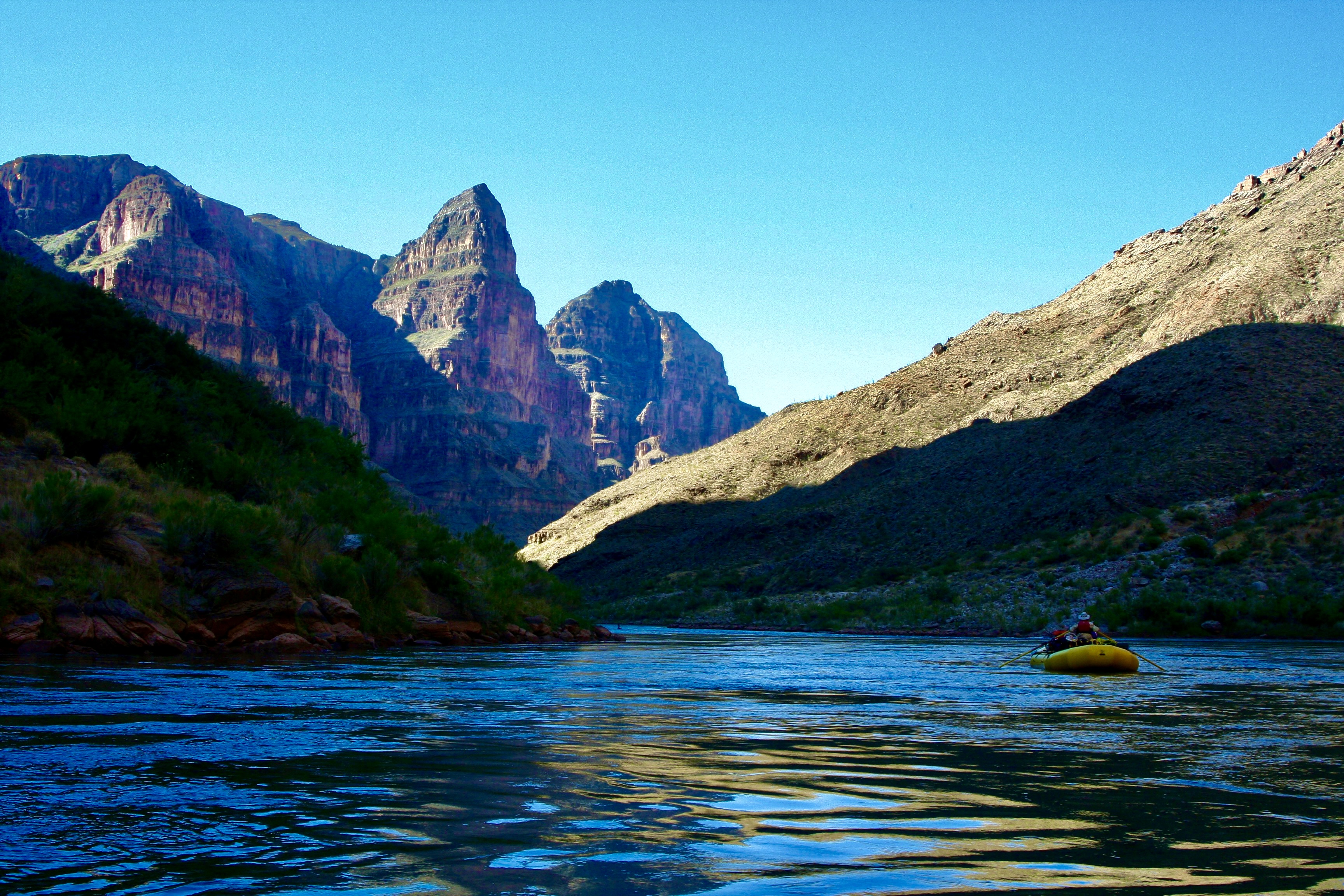
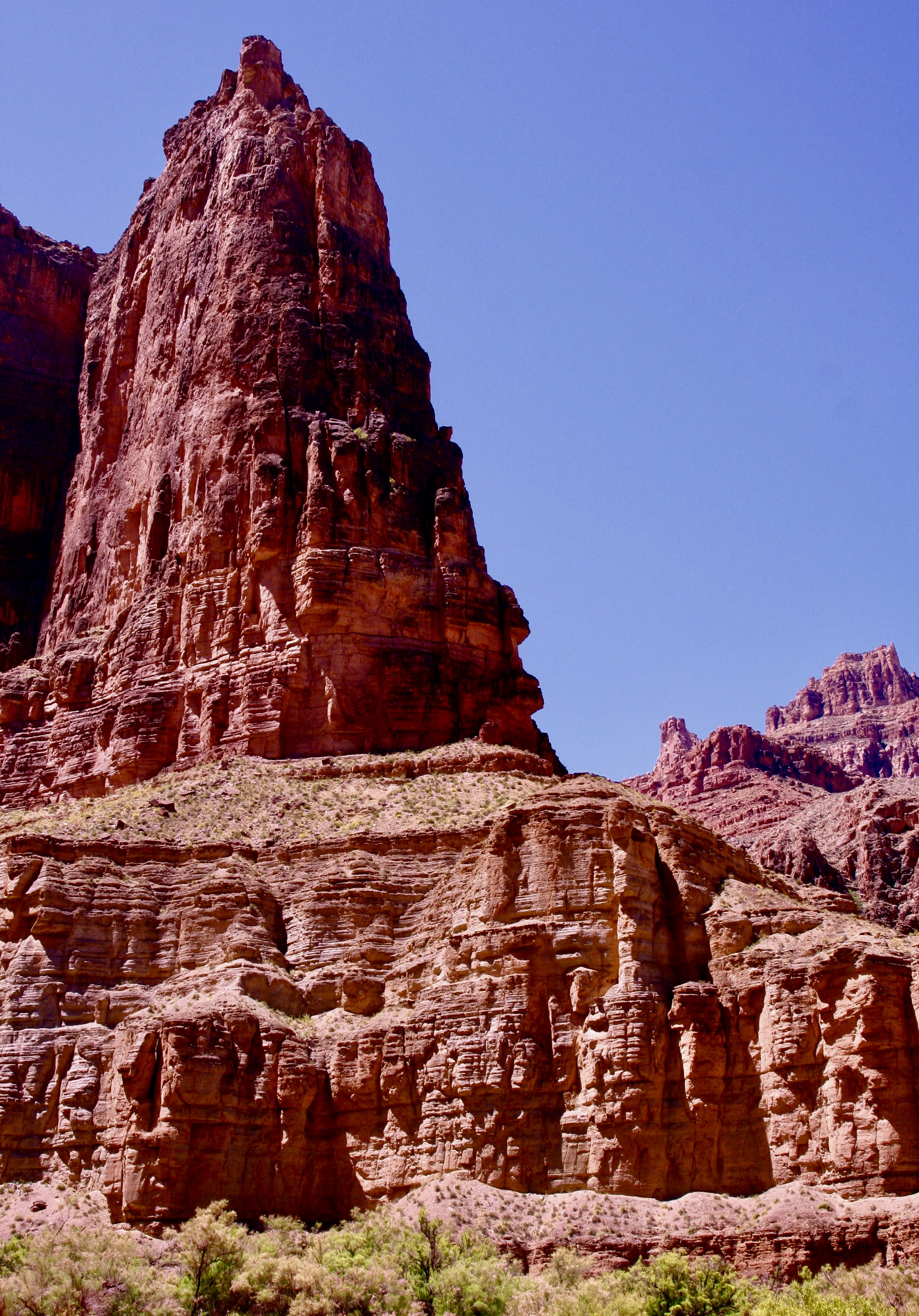
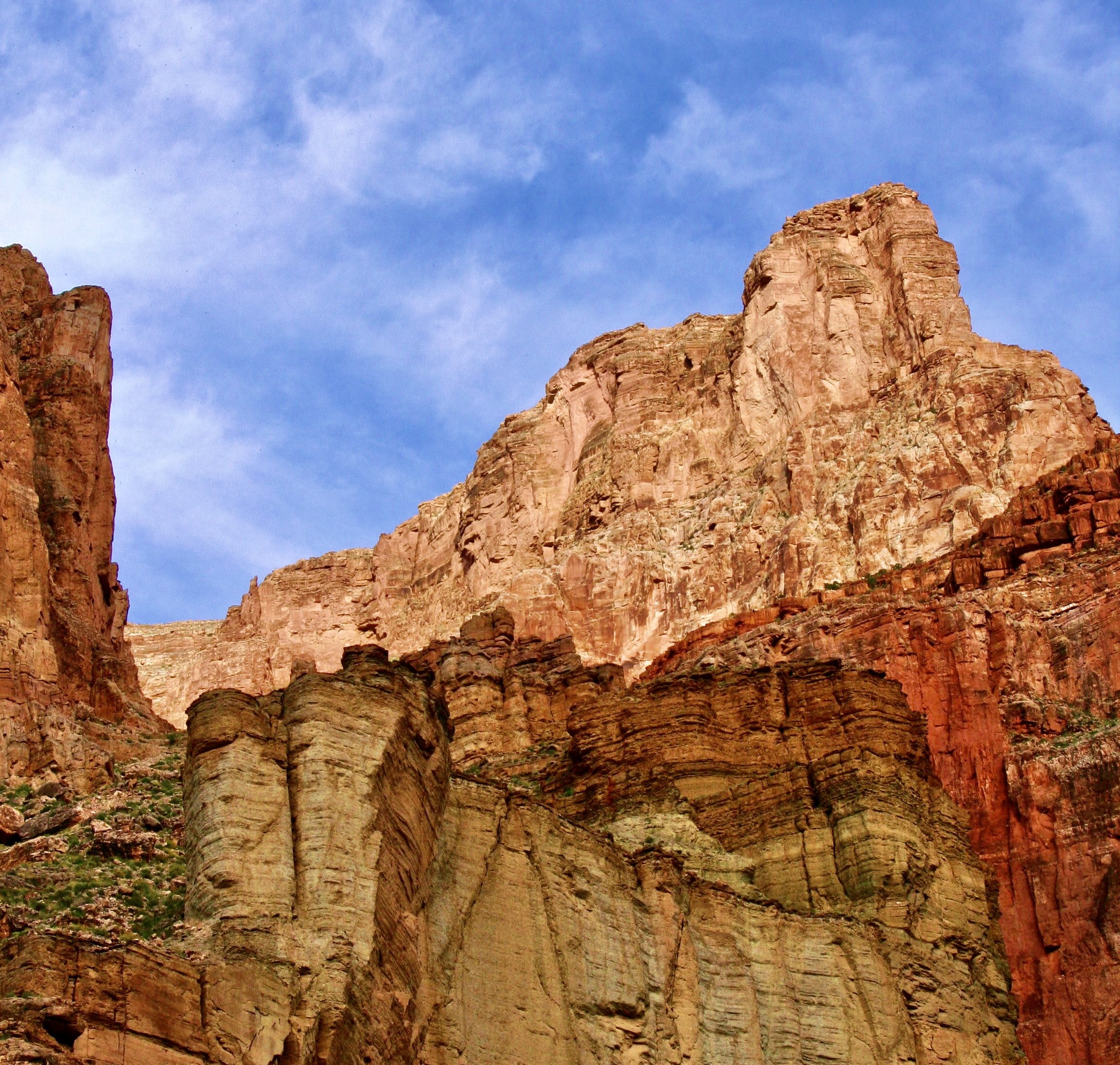
Over one billion years of the earth’s history, great beauty, and adventure await those who are lucky enough to raft through the Grand Canyon on the Colorado River.
Most of our adventures start with a fair amount of forethought. Our 18-day raft trip through the Grand Canyon was an exception. It started with a phone call from our friend Tom Lovering.
“Curt, you need to jump online right now and sign up for a chance to win a lottery permit to raft the Grand Canyon.” It was more in the nature of a command than a request. Tom was plotting. There are relatively few private permits granted every year in comparison to the ton of rafters who want them. Floating down the Colorado through the Canyon is one of the world’s premier raft trips, providing a combination of beauty and adventure that are rarely matched. Tom figured that the more people he persuaded to sign up for the lottery, the better the chances of getting a permit. He’d made the request to several friends.
I would have probably skipped the opportunity. We were in the midst of wrapping up a three year exploration of North America and were seriously looking for a place to light— a semi-wilderness home. We were closed to settling on Southern Oregon. We had an hour to meet the filing deadline and the chances of winning, as I mentioned, were close to zilch. Plus I was woefully out of shape and 67 years old. I wasn’t sure that my body would have a sense of humor about the journey. Floating down the river on a private trip actually involves a substantial amount of work and everyone is expected to do their share. Rightfully so.
My child bride Peggy, however, who is seven years younger than I am and loves everything related to water, went straight to the site, filled out the required information in my name, filled out another in hers, and hit send. Fine, I thought to myself. That’s that. We can go merrily on our way and report back to Tom that we tried.
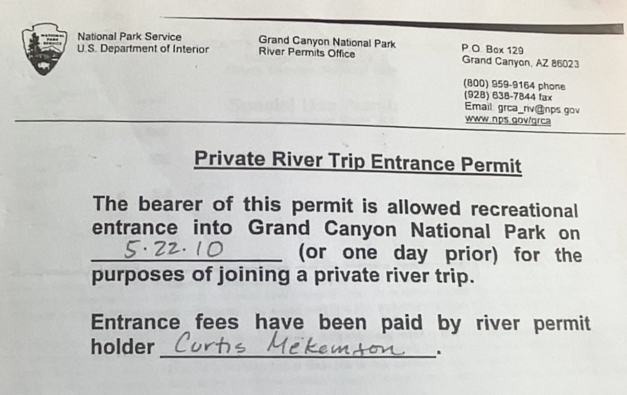
What I wasn’t expecting, as those of you have read my blogs about the trip know, was waking up the next morning and finding an email from the National Park Service announcing that I had won a permit. “Woohoo!” Peggy yelled. “Oh crap,” my fat cells responded. Tom didn’t believe me when I called him from somewhere in Nebraska. It took several minutes to convince him. And then he got excited. Here’s the actual permit:
My first task was to make sure that Tom would do the majority of the work in setting up the adventure. We didn’t have the time and I didn’t have the expertise for a white water raft trip. My experience was in organizing and leading long distance backpack and bicycle adventures. Tom, on the other hand, was an experienced white water enthusiast who had run the river several times and had boundless energy. Plus, he had volunteered. “There is a fair amount of paper work for you and certain responsibilities,” he mentioned in passing. Paper work, as I recall was a 40 page document, maybe it was 400. The responsibility, I learned was daunting. If we screwed up in some way by breaking the Park’s environmental or safety rules, I was accountable and subject to a large fine.
The raft trip in 2010 was the first blog series I ever did. I reposted it in 2018. Since I have already blogged extensively about the journey, I am going to use this and my next two posts as a summary of the trip and include many photos I didn’t use before.
I will note here that while the trip was even more physically challenging than I expected— and there were times I could have strangled Tom (and vice-versa, I’m sure)— I owe him a debt of gratitude for the opportunity. I love the Canyon and have explored it in many ways over the years including five backpacking trips into it. The river trip provided a whole new way to experience the beauty. Traveling with a great group was icing on the cake.
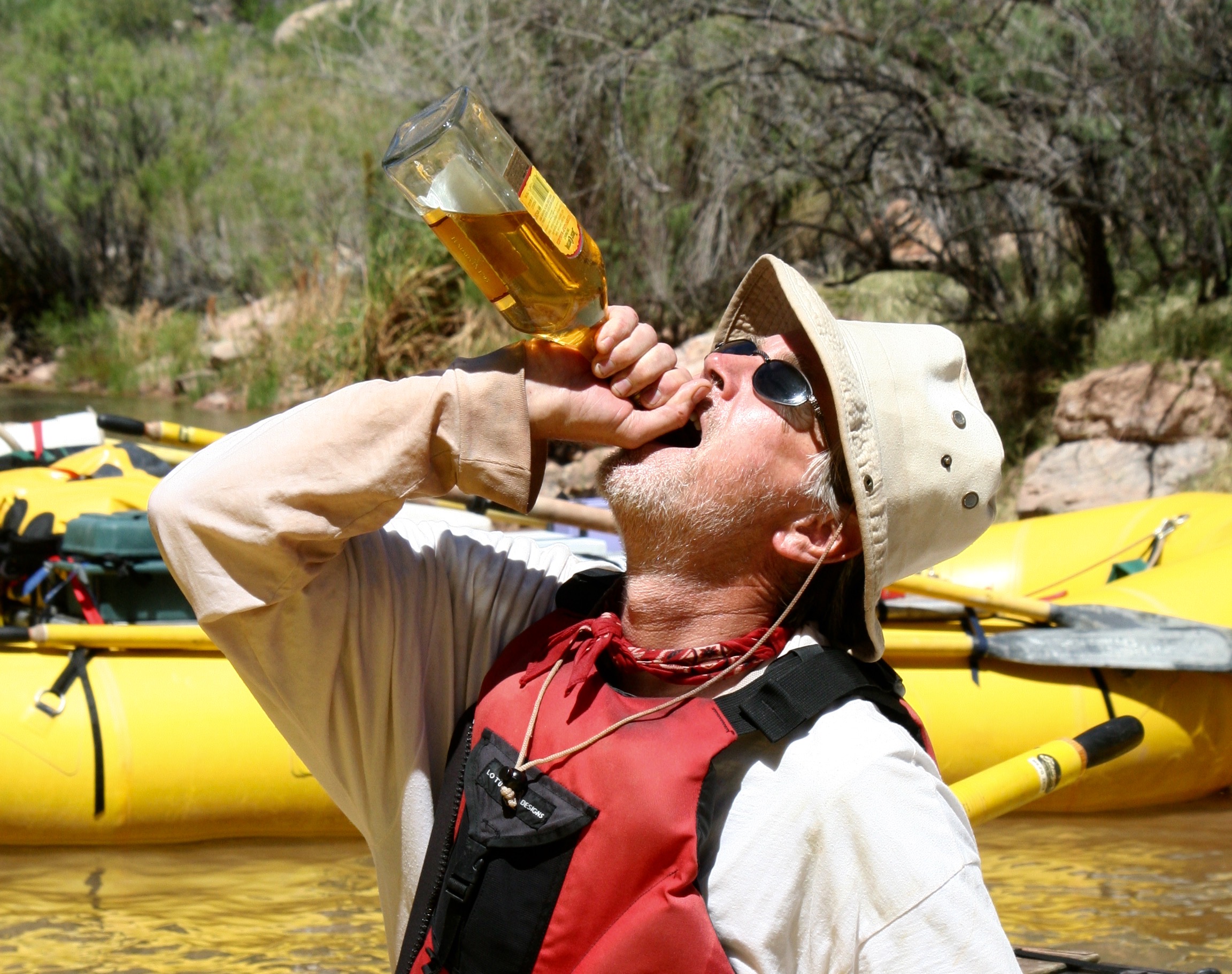
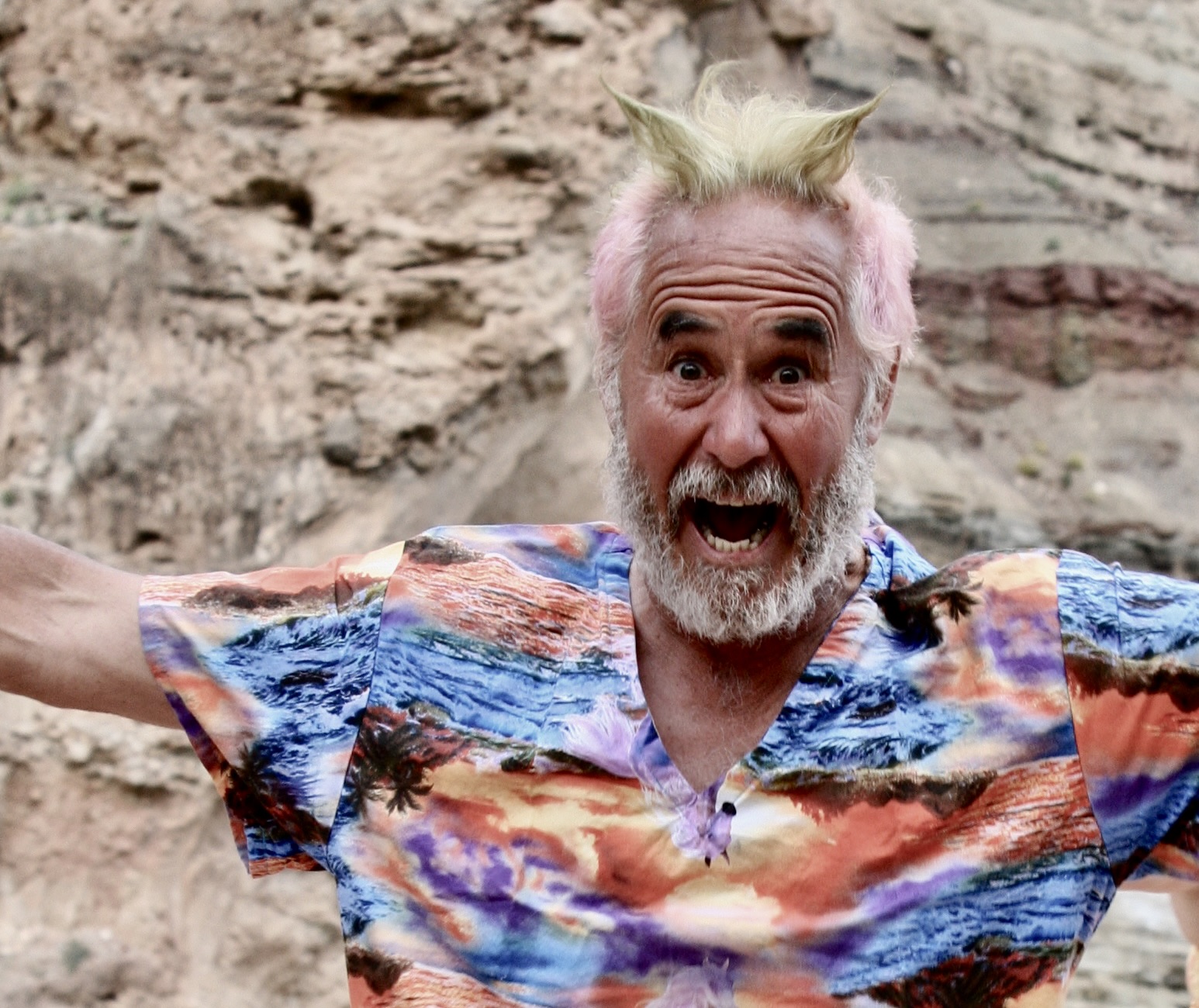
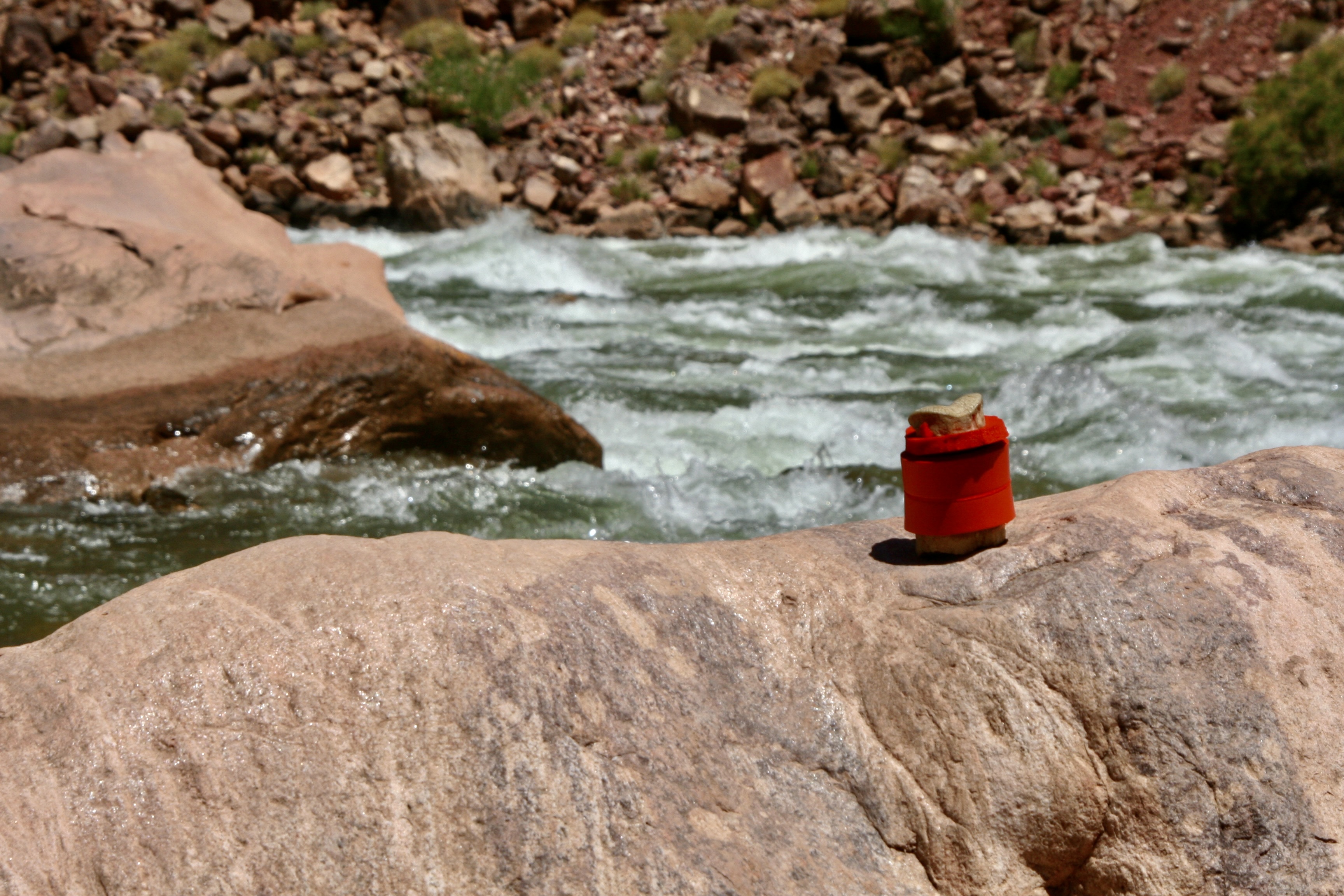
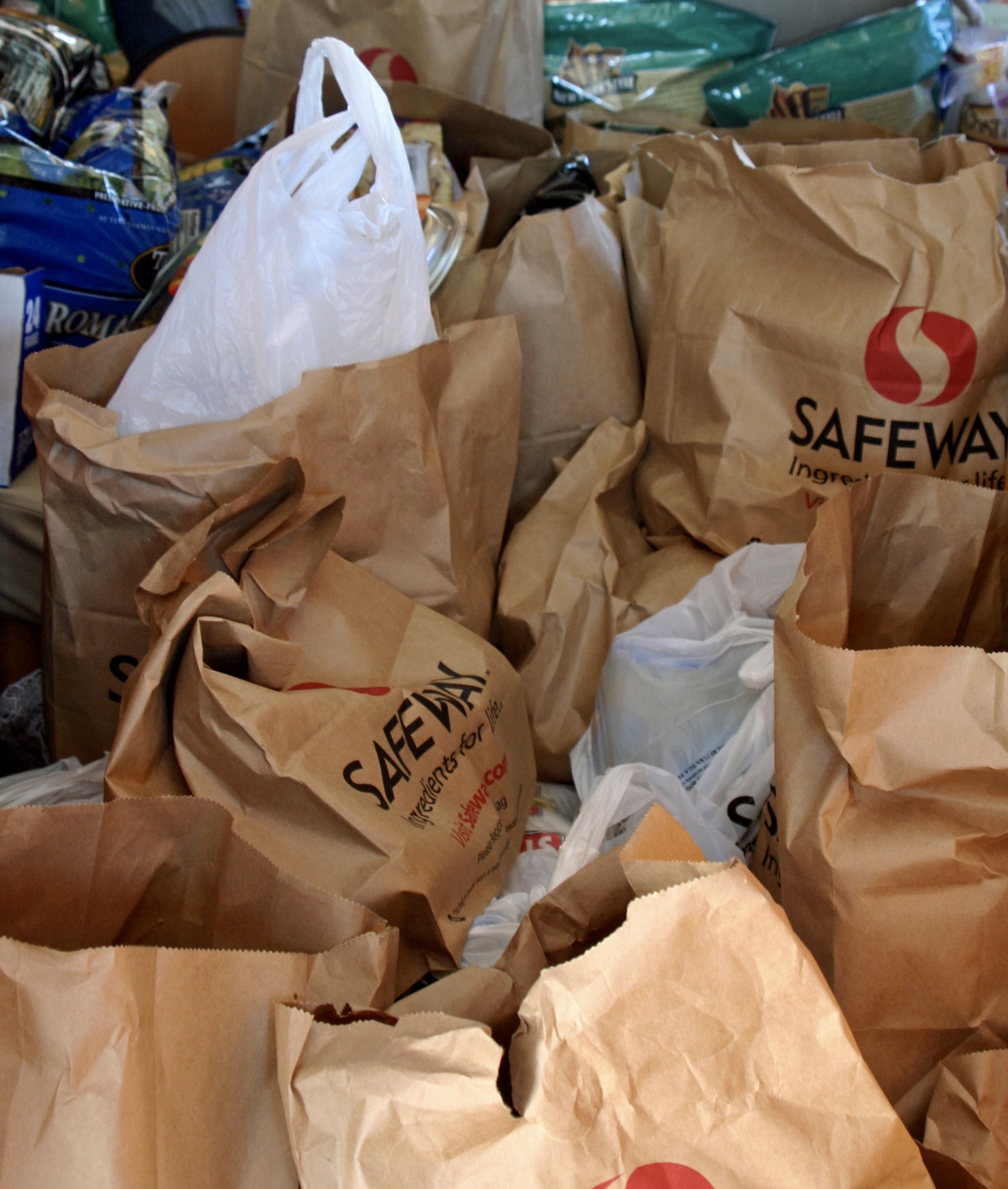
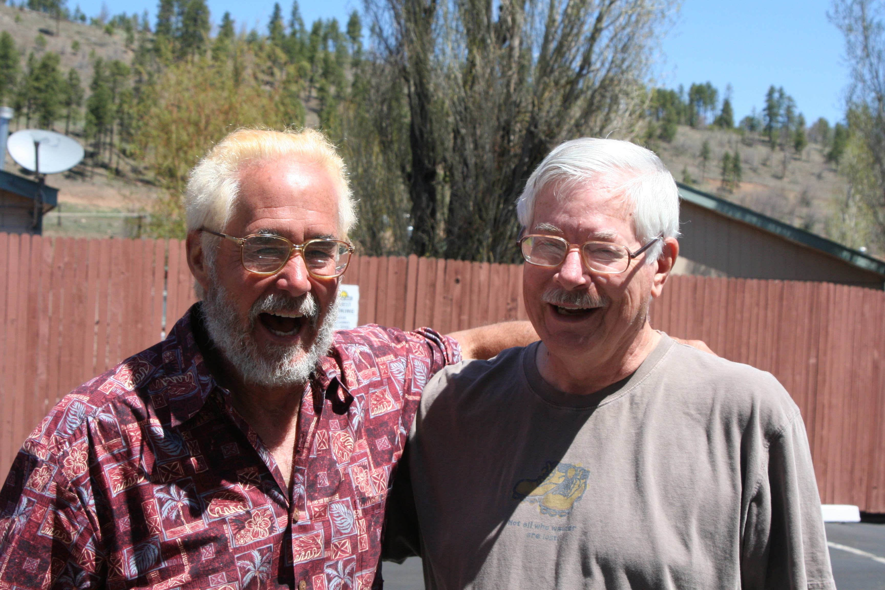
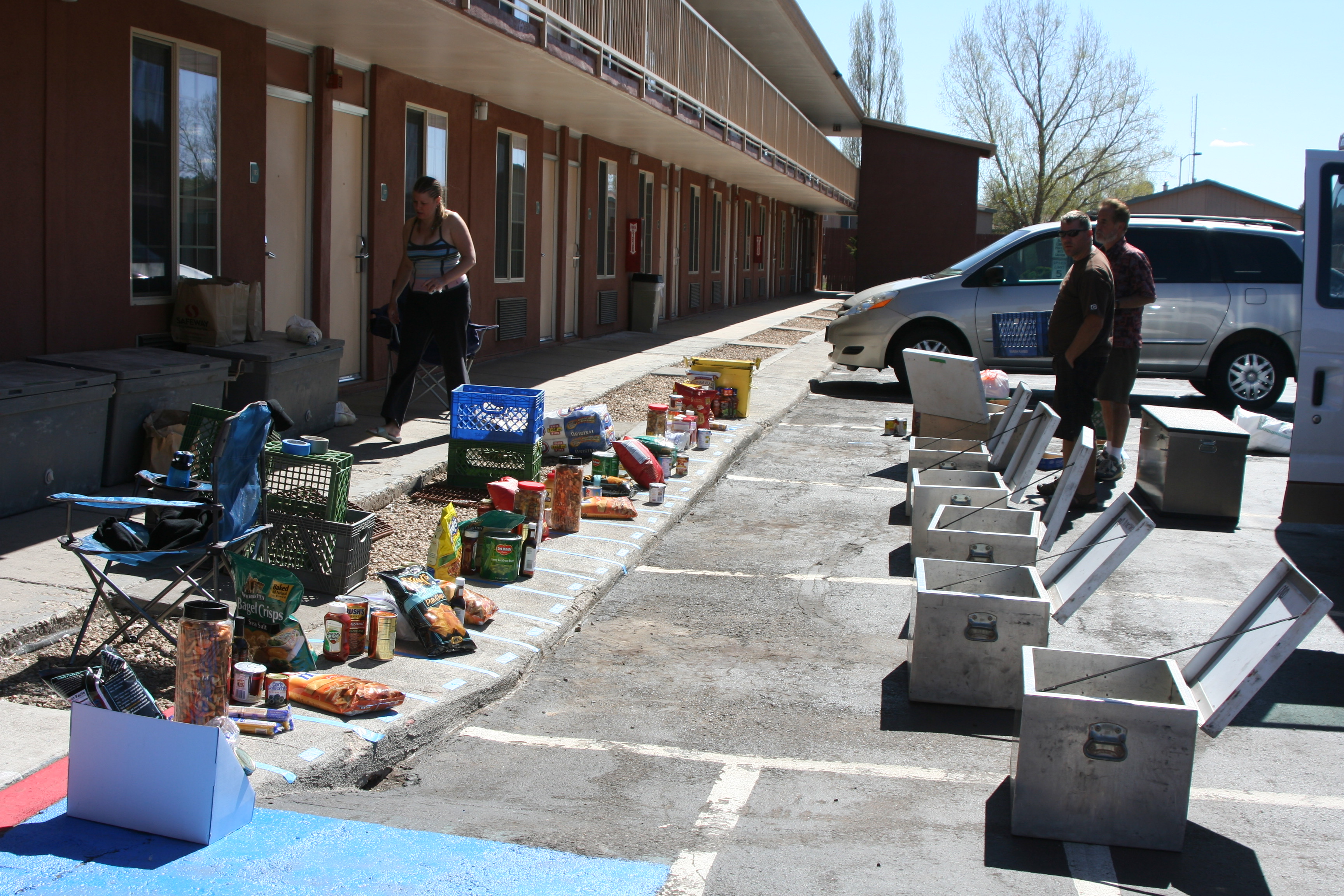
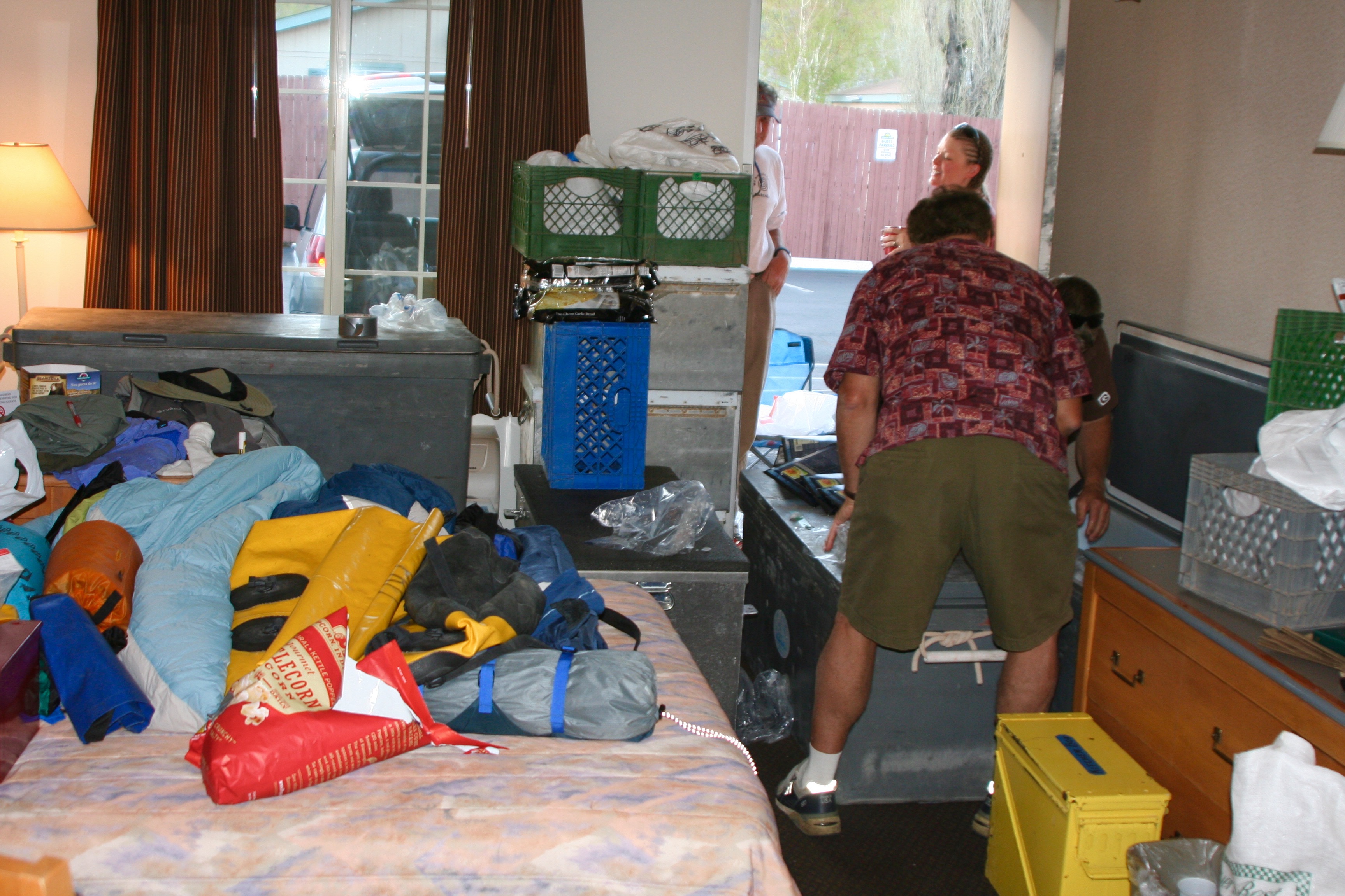
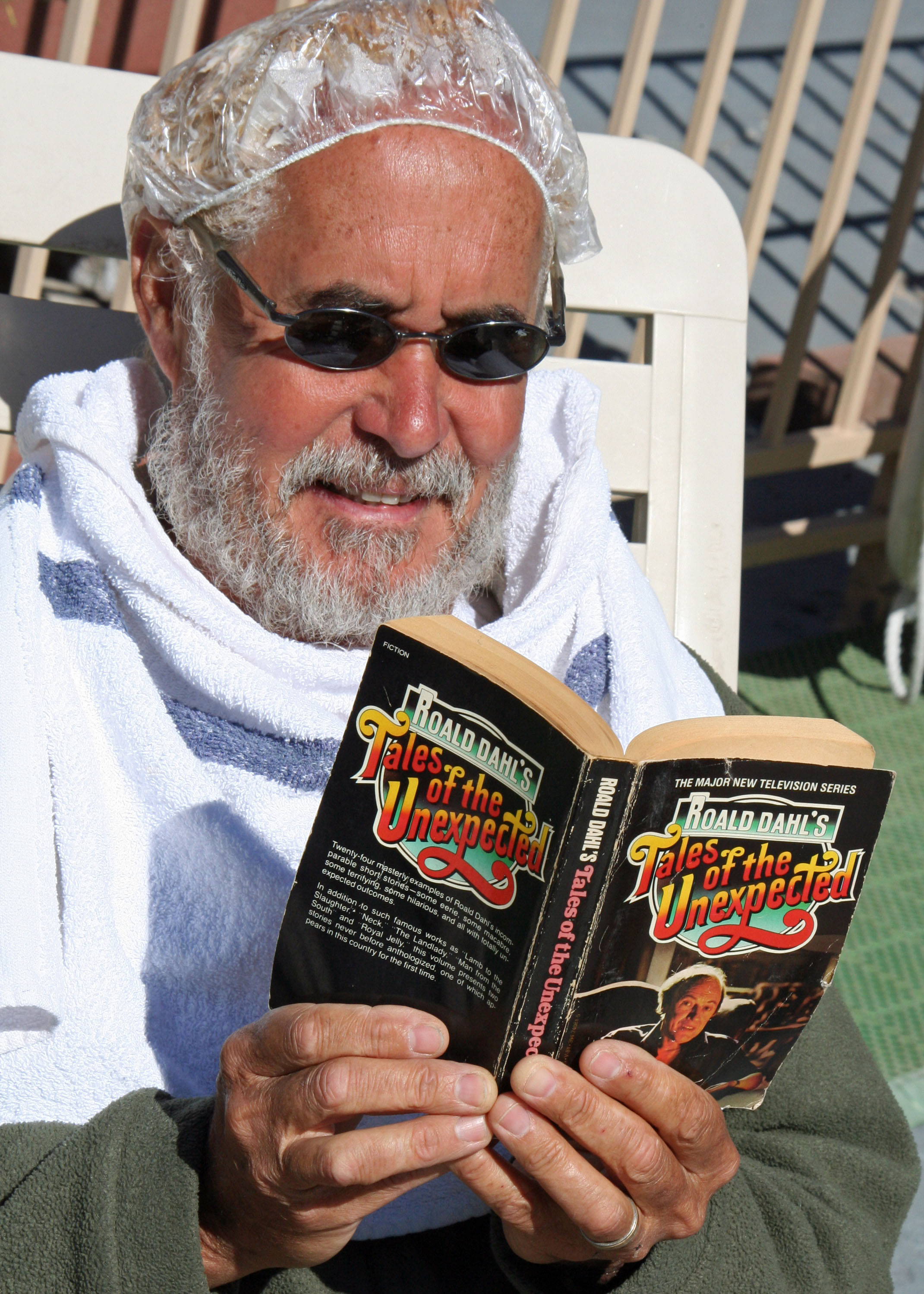
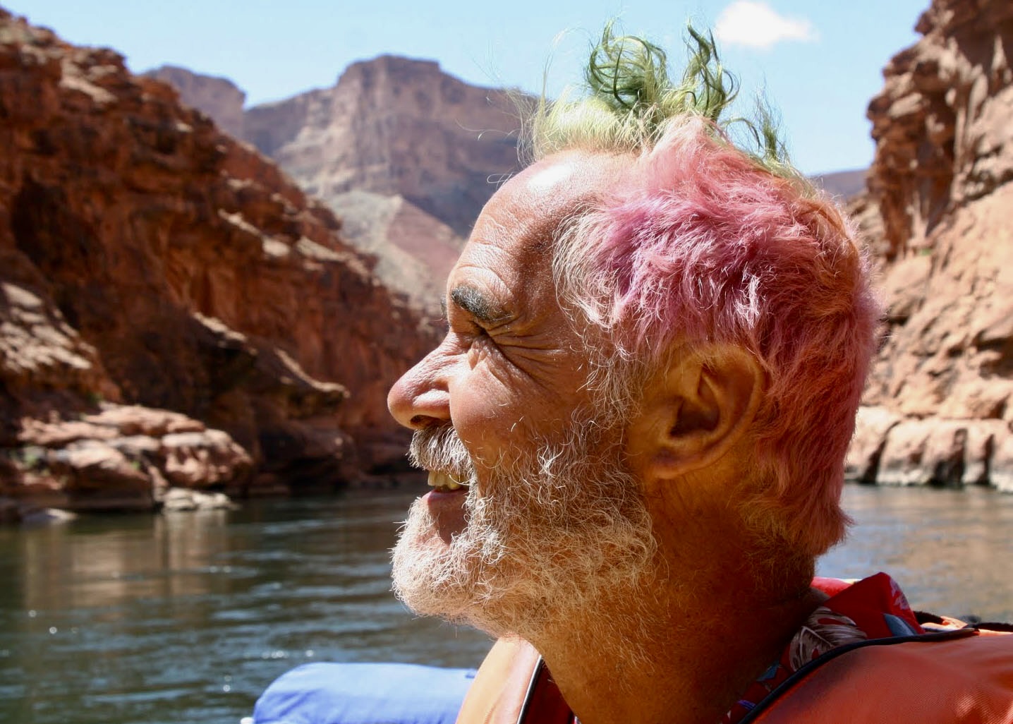
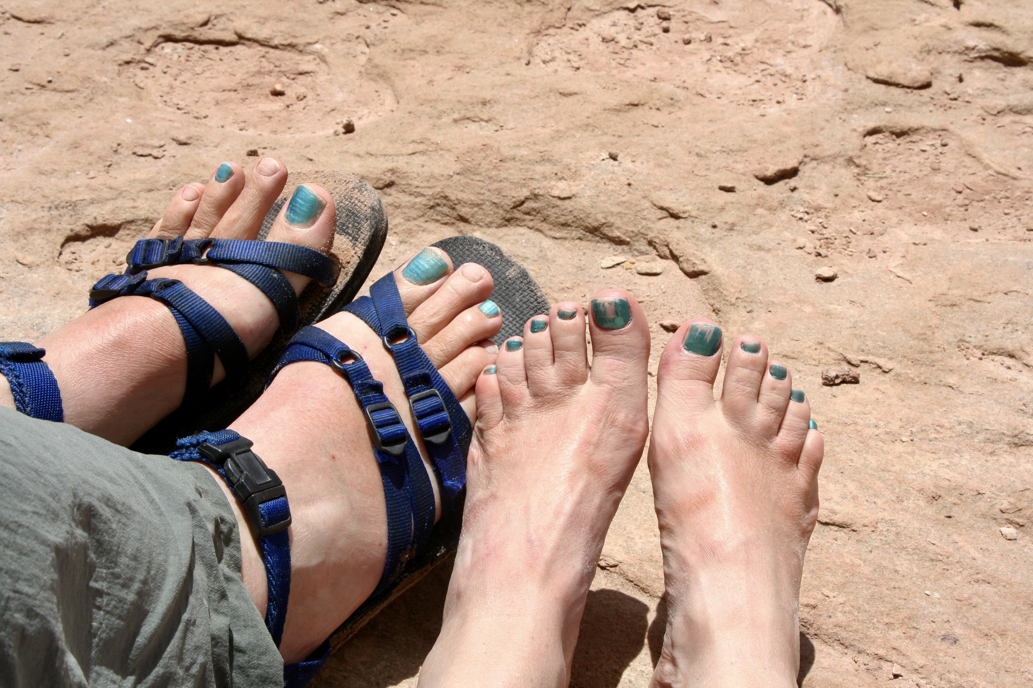
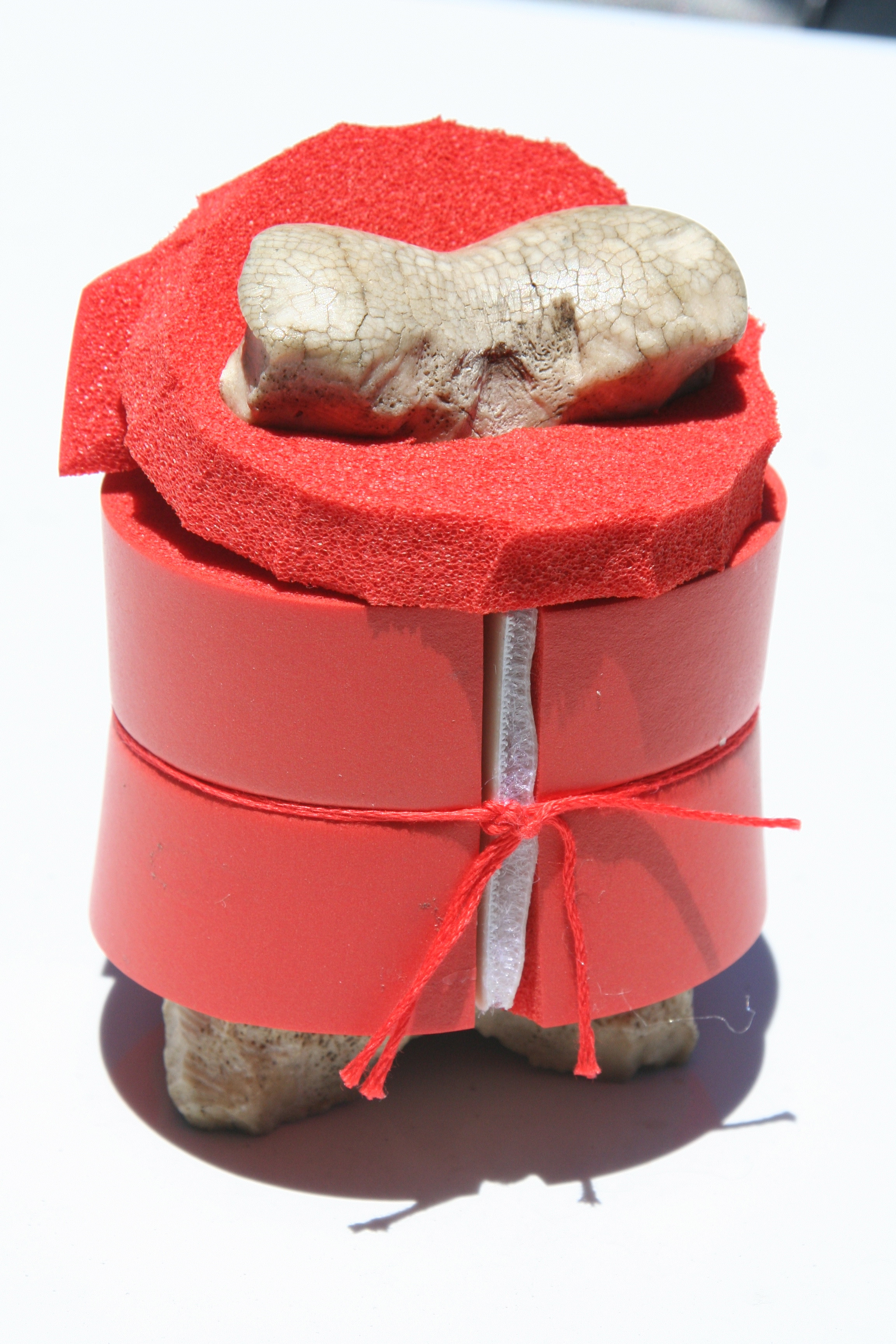
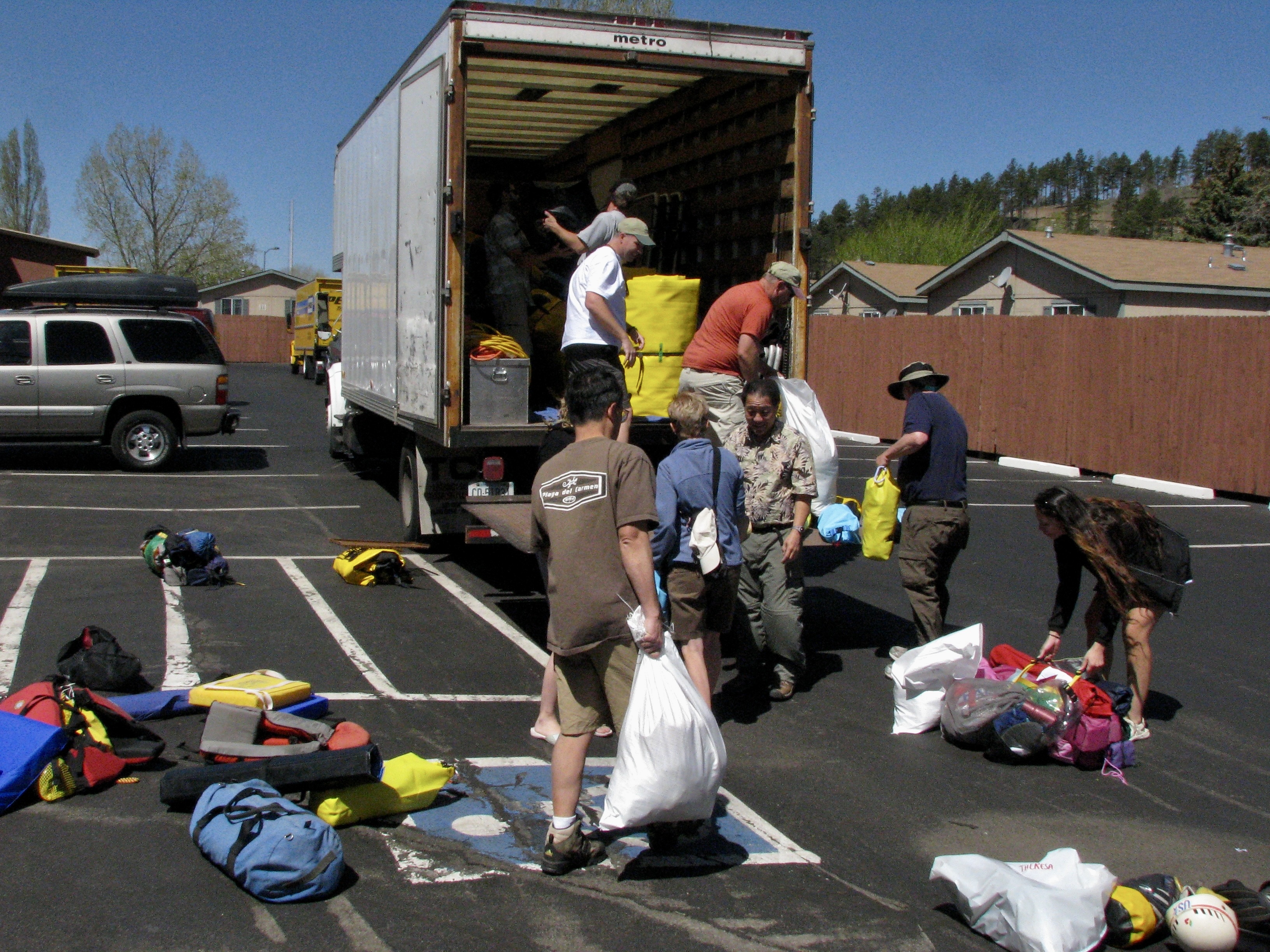
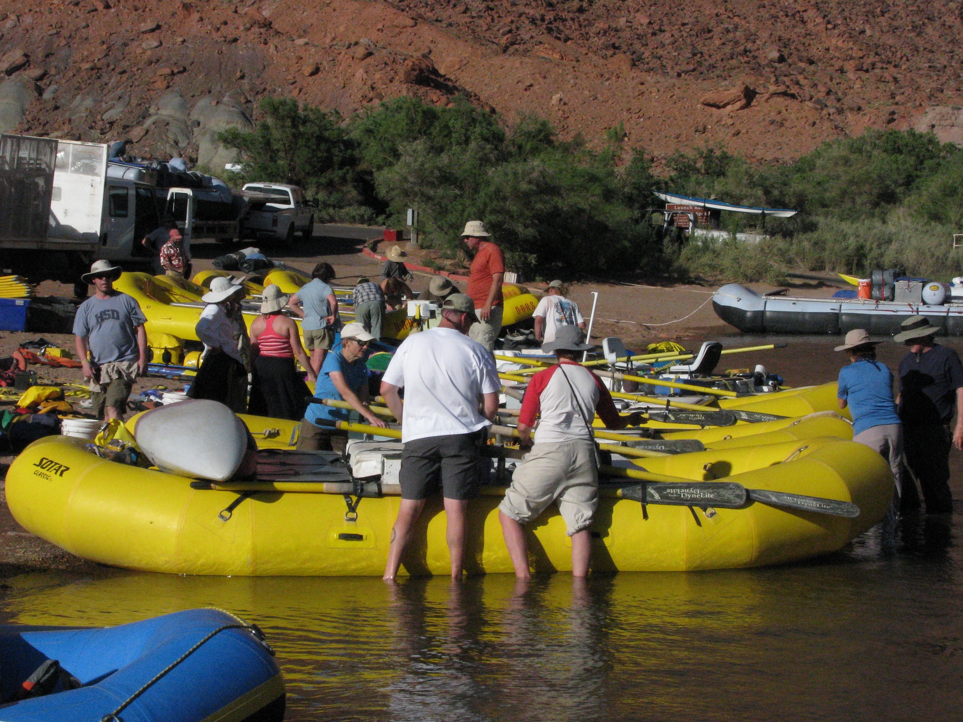
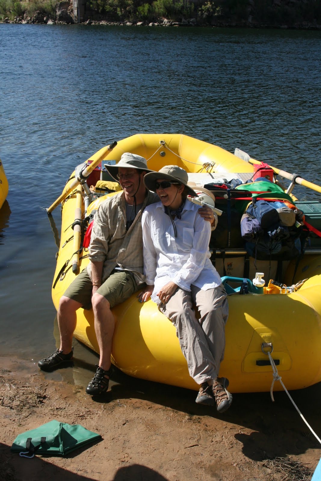
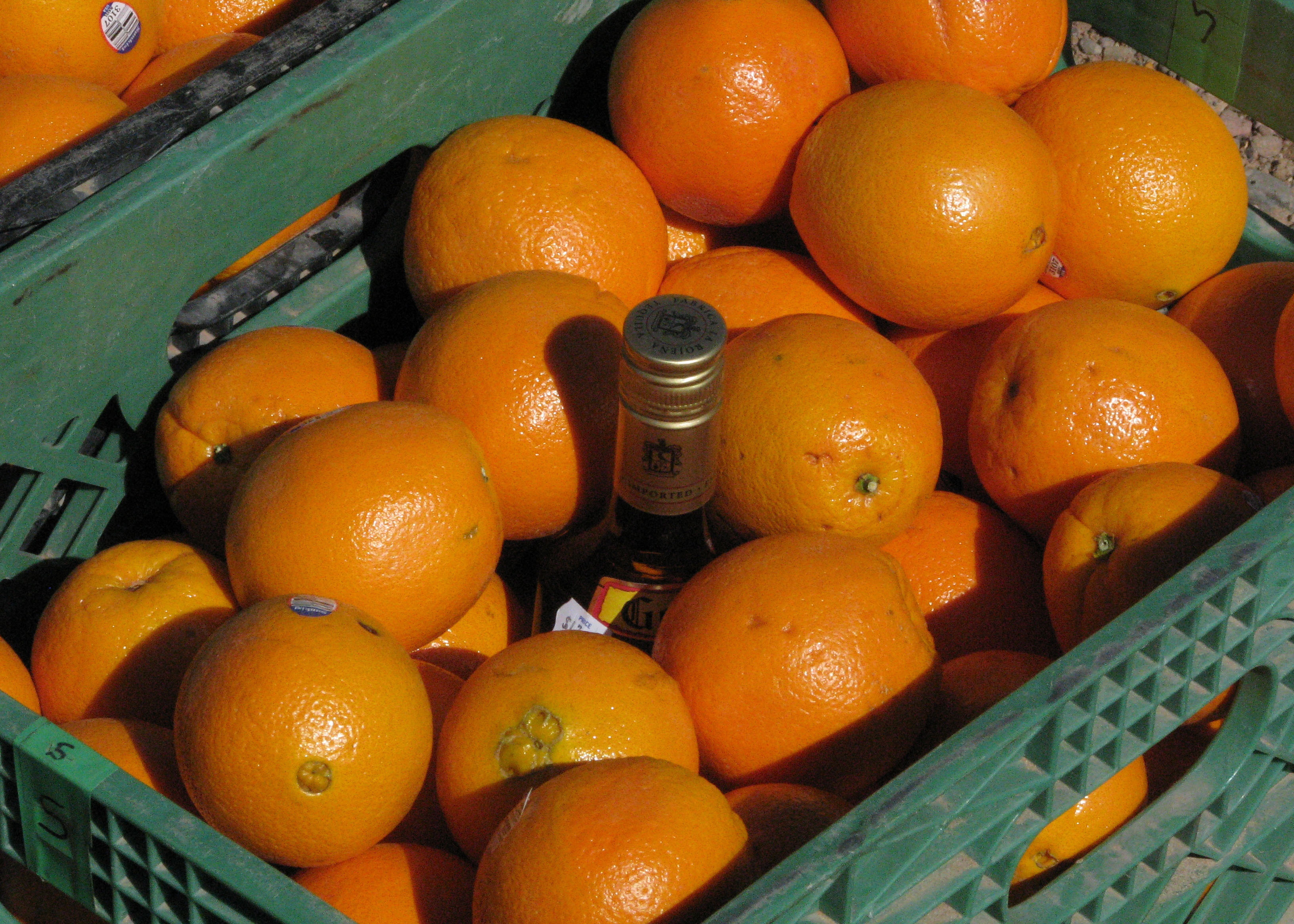
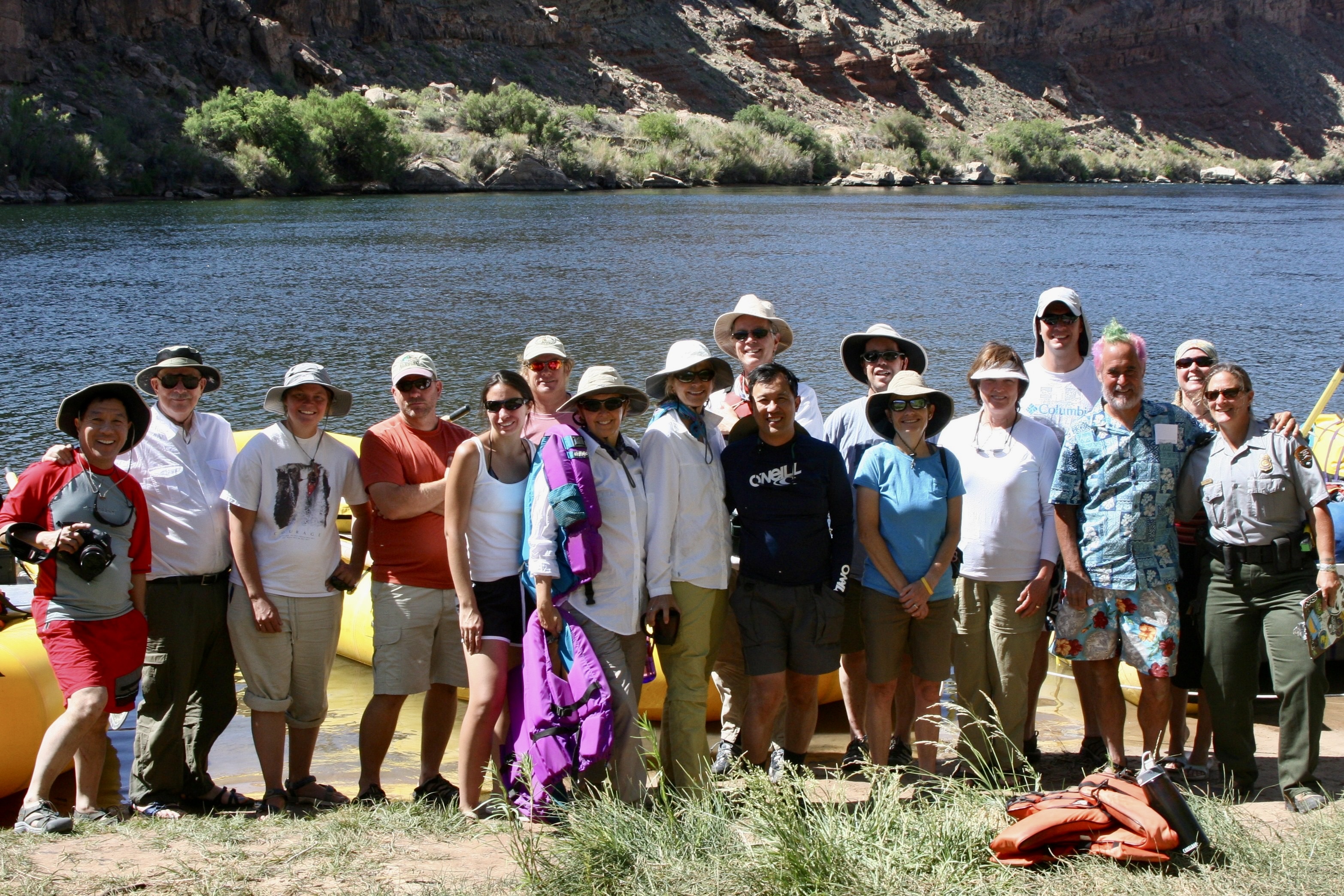
Tom had plenty to keep him busy in preparation for the trip. Finding qualified raftsmen and women was first up. The Park insists. Running the river is no joke. There are world-class rapids to negotiate. Food was another major item. River runners have a tradition of eating well, if not gourmet. He had a total of 54 meals to plan. Tom and his partner bought the nonperishables before coming. We bought the rest when we joined him in Flagstaff, Arizona, our base for the trip. Between Costco and Safeway, we packed our 22 foot Pleasure Way Van, twice.Tom and I in Flagstaff getting ready to go on the trip in 2010. Do I appear a little dubious?Large, specialized containers were required for the food. Each was labeled for what it would contain.Huge ice chests were necessary to keep perishable food cold for the 18 day journey. Our room had been the central storage point for food. Minus the Kettle Corn, the bed was covered with our camping gear for the trip. It would soon find its way into a large, waterproof dry sack. Things we would need during the day went into ammo cans like the yellow one on the right.Tom had other responsibilities as well. He’s getting his new “do” here, coloring his hair for the trip. Roald Dahl is one of his favorite authors. Tom likes weird, a trait I share. But coloring my hair isn’t one of them. Neither is painting my toenails.The results.One thing we were required to do was paint our toenails. River lore is it protects you from flipping your raft in rapids. “I won’t let you on my boat unless they are painted,” Tom warned ominously. I painted two of mine on each foot. We didn’t roll over in Tom’s boat when we went through a major rapid. But he did lose an oar. I might have felt guilty but it’s rumored that Tom travels through life without an oar. We had one more major responsibility: Get Bone ready for the trip. Tom and I had discovered him hanging out in the Sierra Nevada Mountain Range in 1977 and he has been wandering around with us and others ever since. He had to have a life vest. Finally everything was packed and the participants had arrived. We loaded the truck to the brim with what seemed like a ton of equipment, drove over to our starting point at Lee’s Ferry and unloaded the truck, all in 100° (38°C) plus weather. My body had some unpleasant, unprintable things to say to me about being out of shape. (Photo by Don Green, one of the participants and a long time friend of ours.)Next we had a quick lesson in rigging boats and went to work. (Photo by Don Green.)Dave Stalheim and Peggy pose on Dave’s boat. Dave was to be the first boatman that we traveled with. Dave came from the state of Washington where he worked as a county planner. The plan was to ride with different boatmen each day. Protocol involved that we ask for a ride and help in loading and unloading the boat.A bottle of tequila was slipped in among the oranges. It would be saved for drinking at Tequila Point, just below Lava Falls, where it would be needed! (Photo by Don Green.)That night we moved a couple of hundred yards down from where we had rigged and loaded the boats to a campground I had found. We went out for dinner and came back to a major wind and dust storm that was whipping our tents around and making them difficult to find. With the heat, wind, and dust, I was reminded of our trips to Burning Man. Here we are, ready to begin our adventure. Ranger Annie is down on the end. She’d been by the day before to check our gear. When Tom introduced me as the ticket holder, I commented, “We have an excellent leader in Tom.” She had looked at me steely eyed and said, “You are responsible.” My muttered response was, “I’ll try to keep Tom in line.” Yeah, like that’s possible. She came back that morning to remind us of all the safety and environmental rules.
That’s it for the preparations. Now the ‘fun’ begins. The wind was back! We spent our first day fighting headwinds with gusts up to 60 miles per hour. If my dreams of a leisurely float down the river hadn’t already been demolished, they were now. We actually took turns with our boatmen rowing double. All of the photos were taken by either Don, Peggy, or me. I’ll note which ones are Don’s.
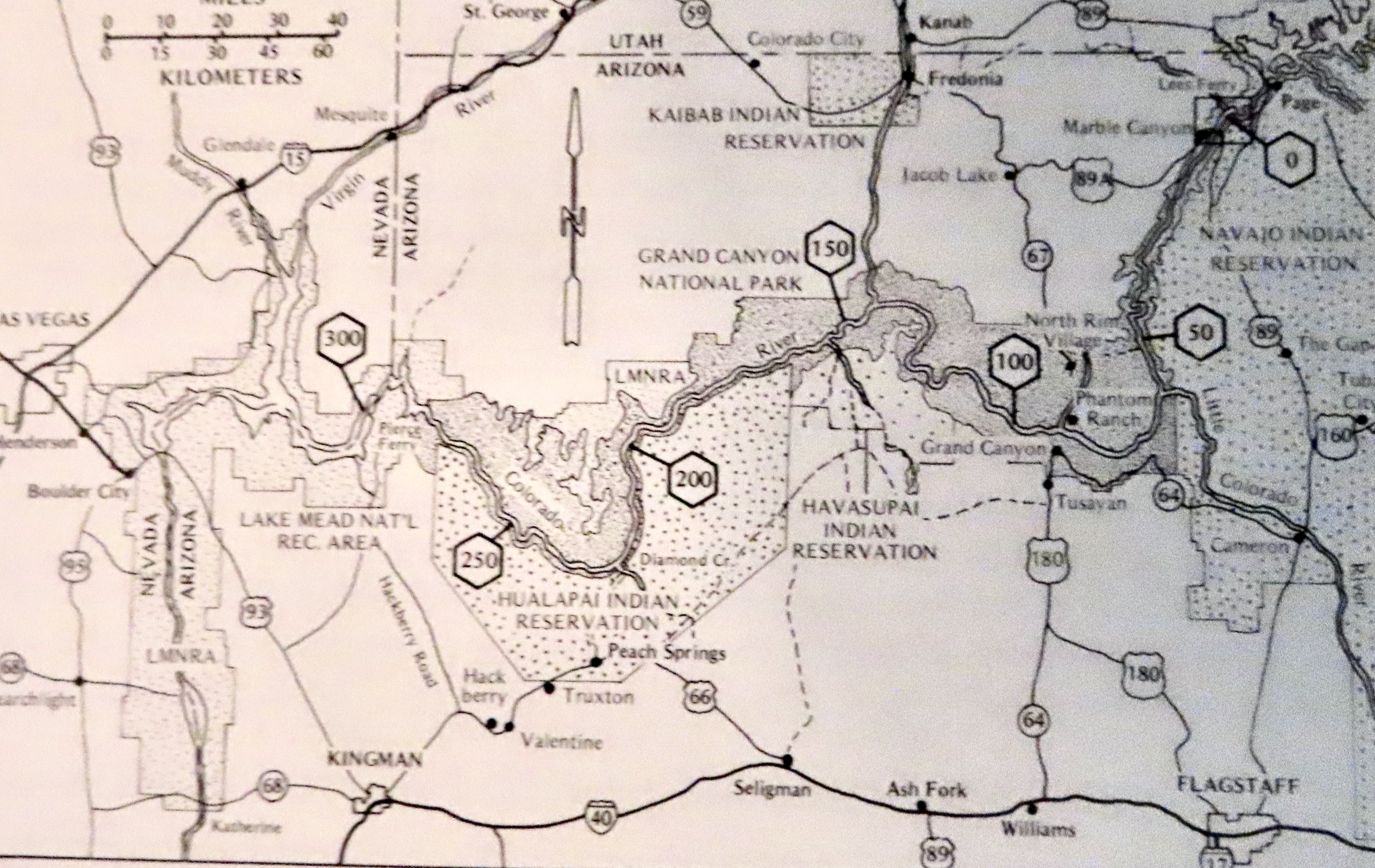
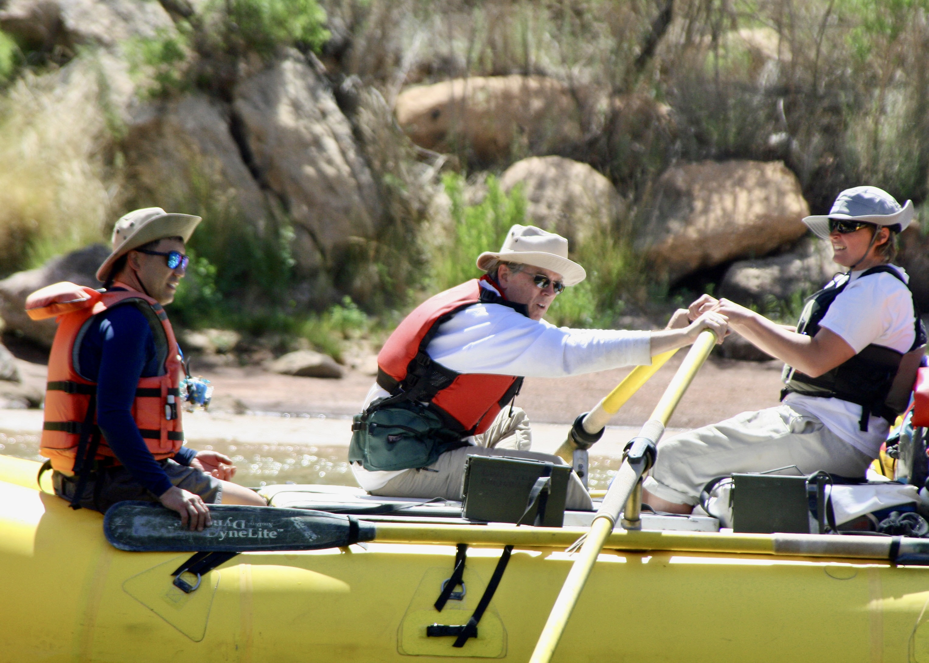
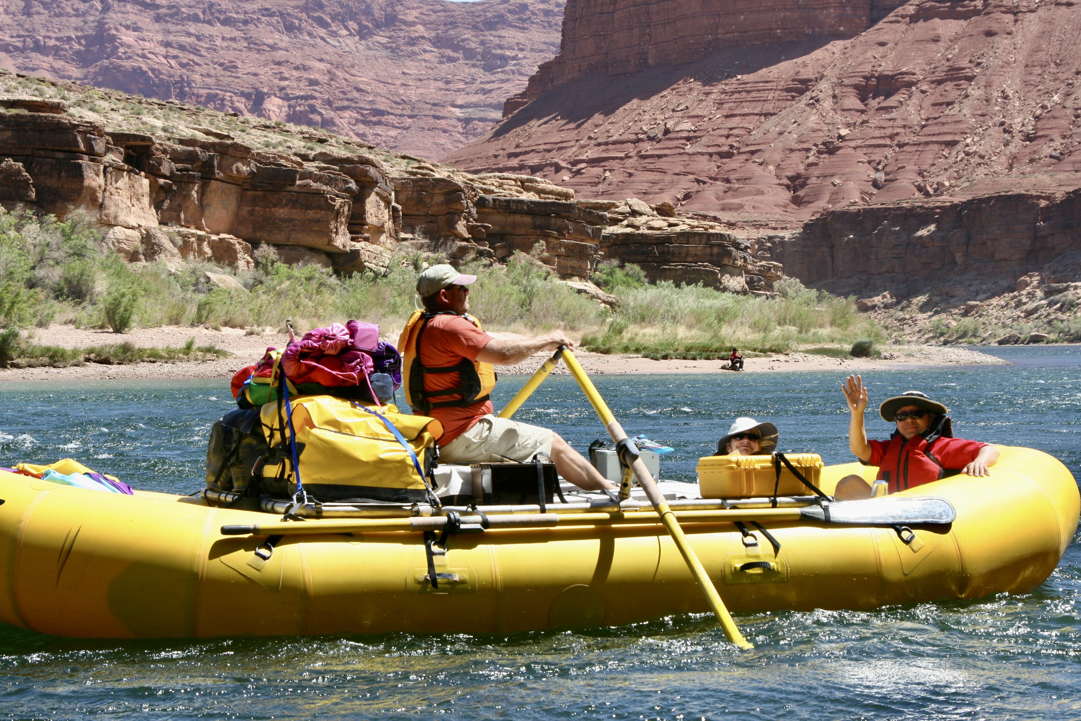
This map, which I took from the book The Colorado River in the Grand Canyon, an excellent guide by Larry Stevens, isn’t as clear in reproduction as I would like but still serves as a good reference for this and my next two posts. Our journey over 18 days would take us 280 miles down the Colorado River from mile 0 at Lee’s Ferry to mile 280 at Pierce Ferry, just this side of mile 300 at the beginning of Lake Mead. We finished putting the trip together in Flagstaff (lower right) and then followed Highway 89 up to Lee’s Ferry (upper right).Don Green and boatwoman Megan Stalheim double rowing to counter the strong head wind. Megan is David’s niece and, like me, was a former Peace Corps Volunteer in Africa. While rowing a raft was a new sport for Megan, her experience as an Olympic level white water kayaker gave her excellent knowledge of how to read and run a river.This photo of boatman Jame Wilson is a good example of what our fully loaded rafts looked like.
My post next Monday will take us from Lees Ferry to just below Phantom Ranch. Thursday is Halloween, however, and Peggy and I have a special treat for you, a tour of Dracula’s castle in Transylvania that we visited 2 1/2 weeks ago on our Danube River trip.
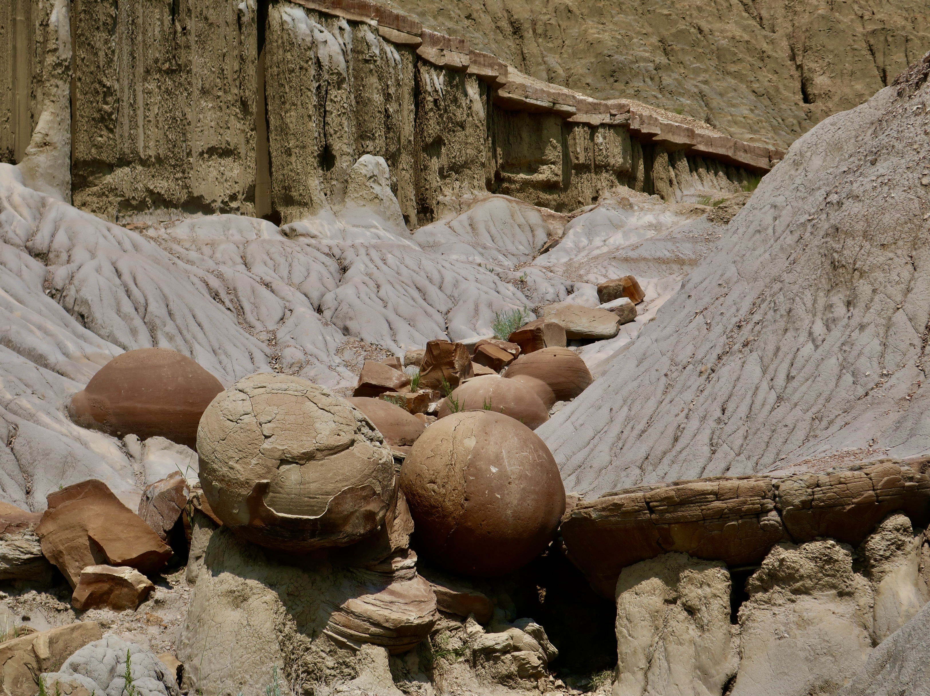
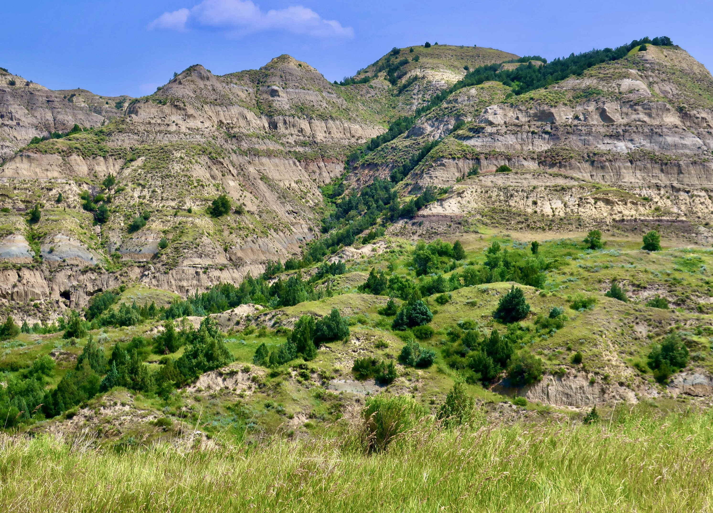
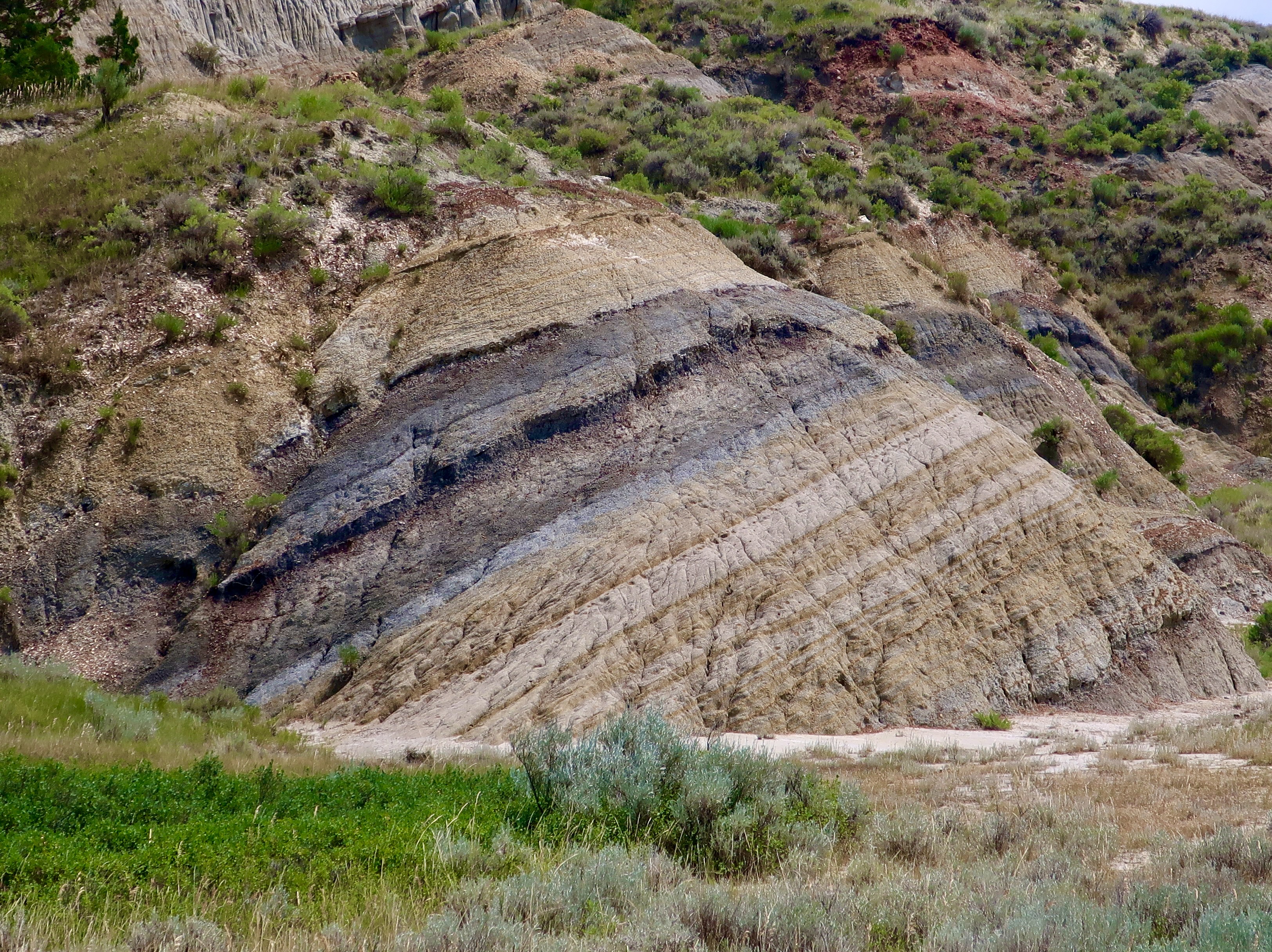
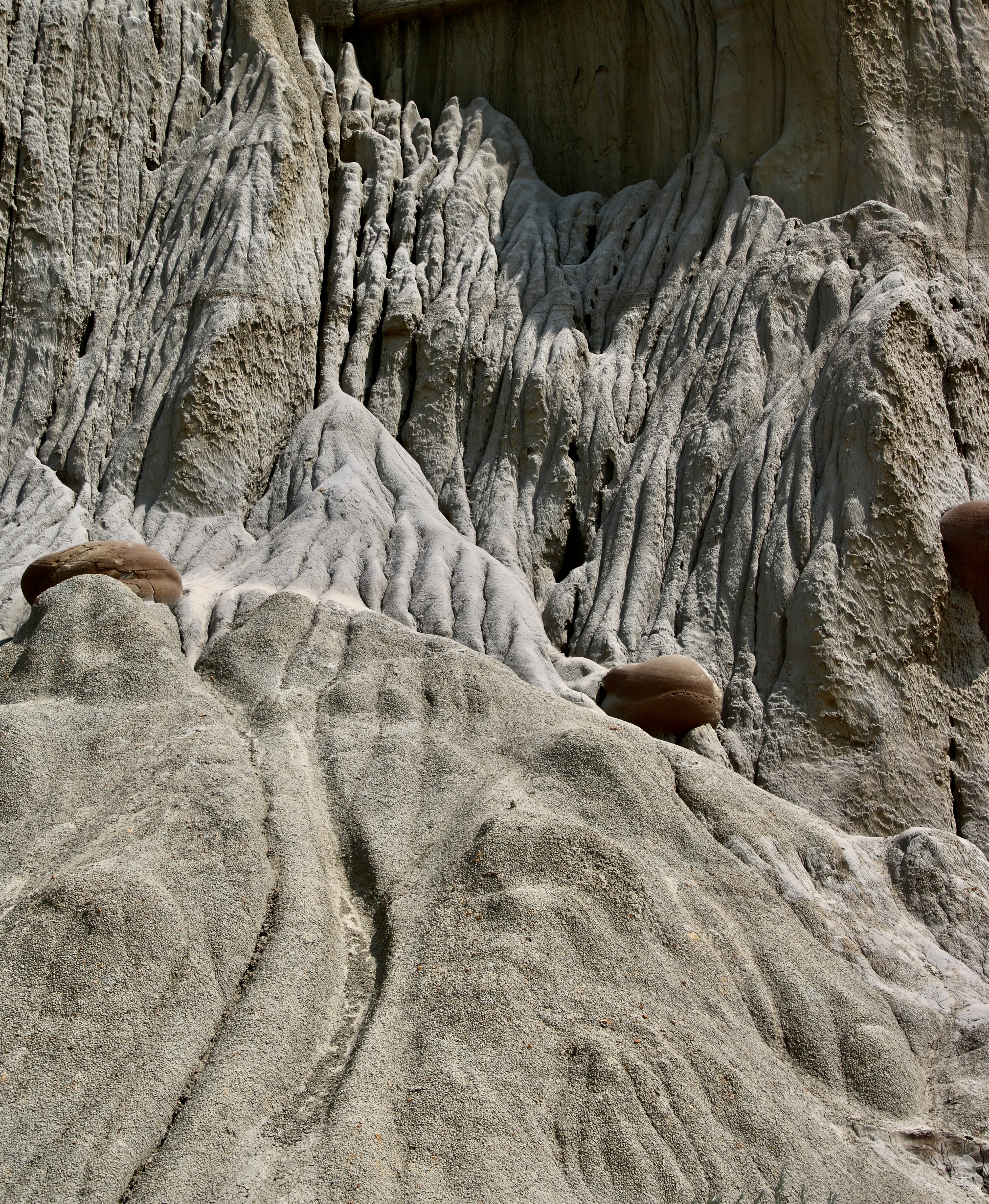
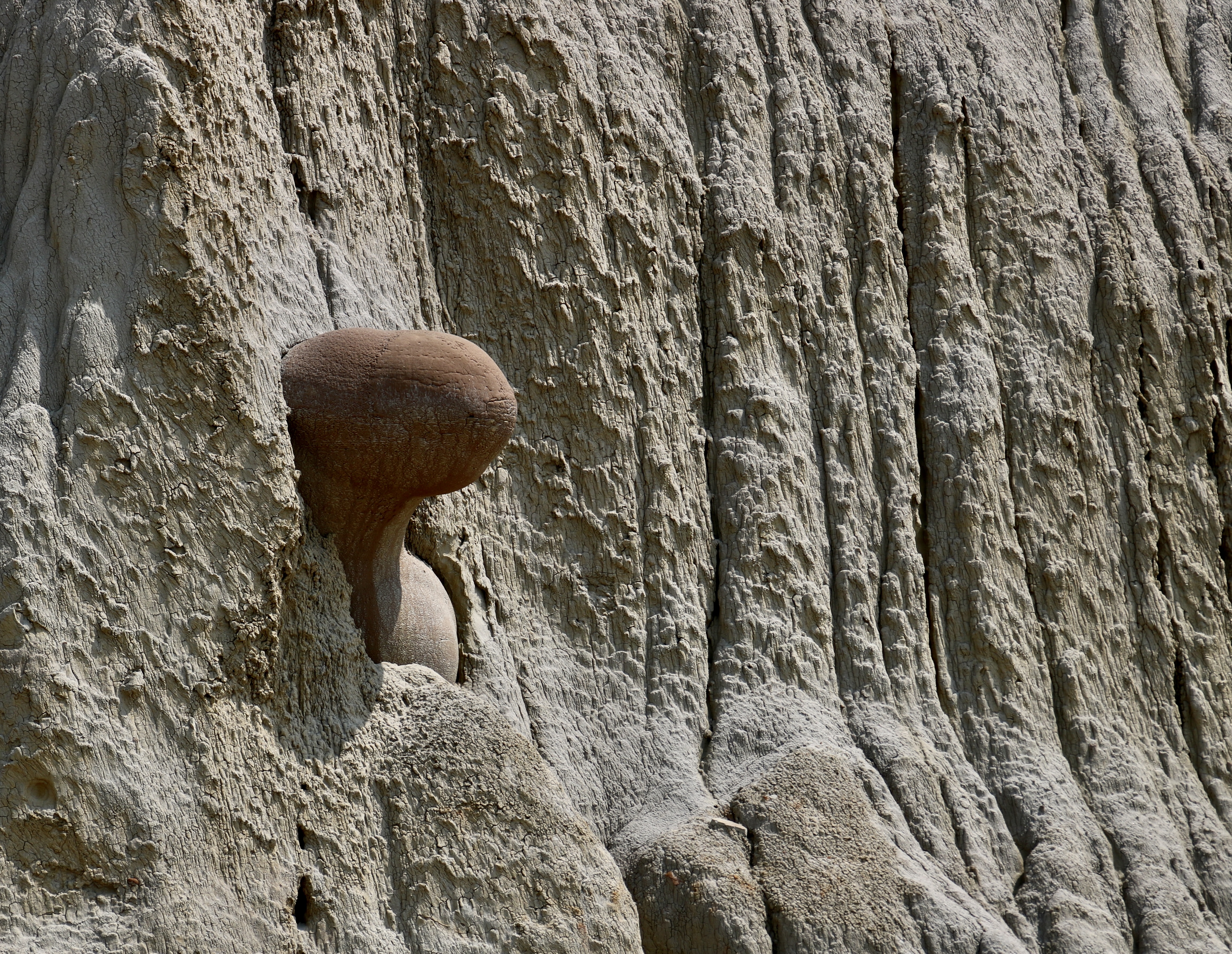
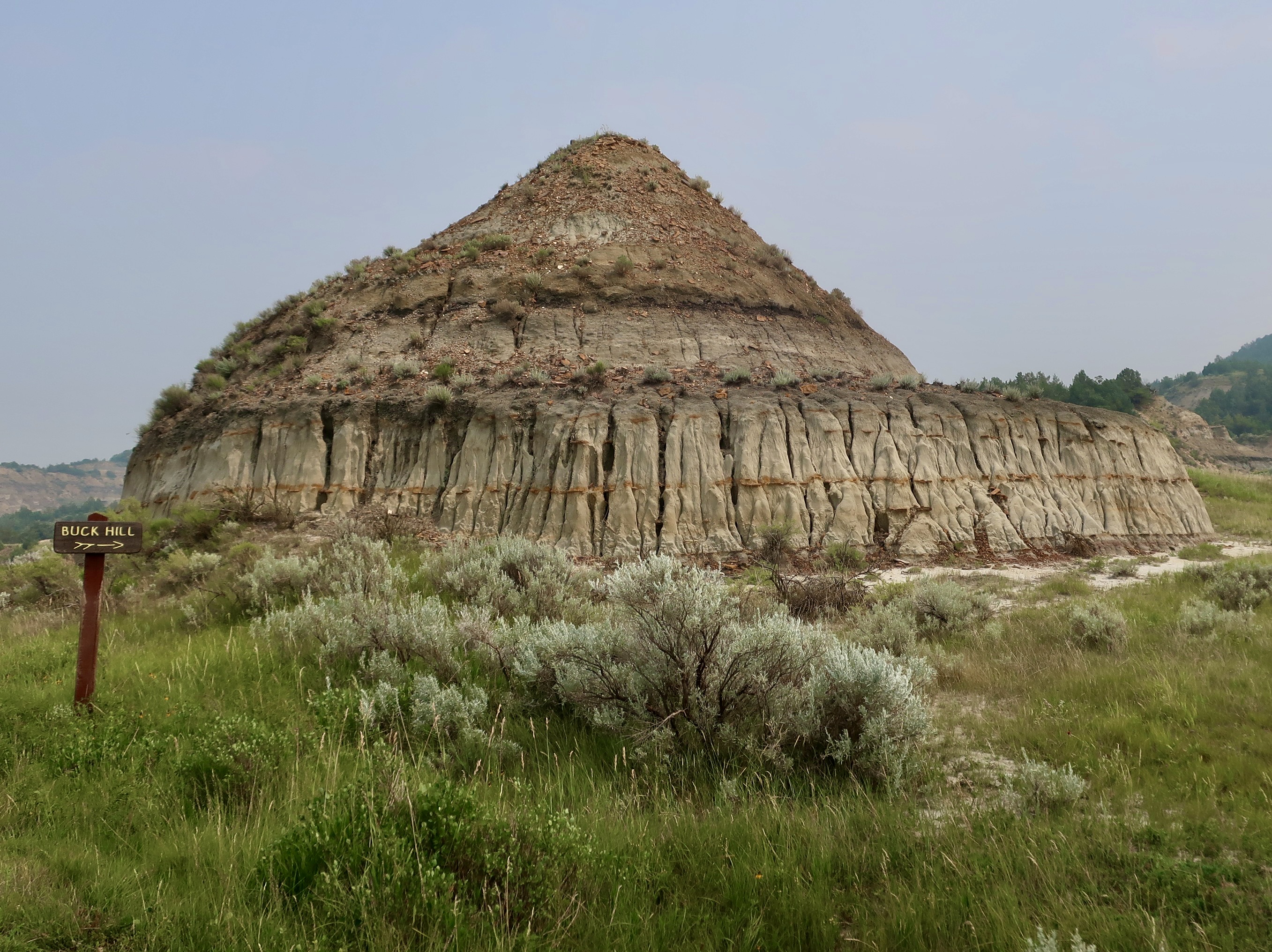
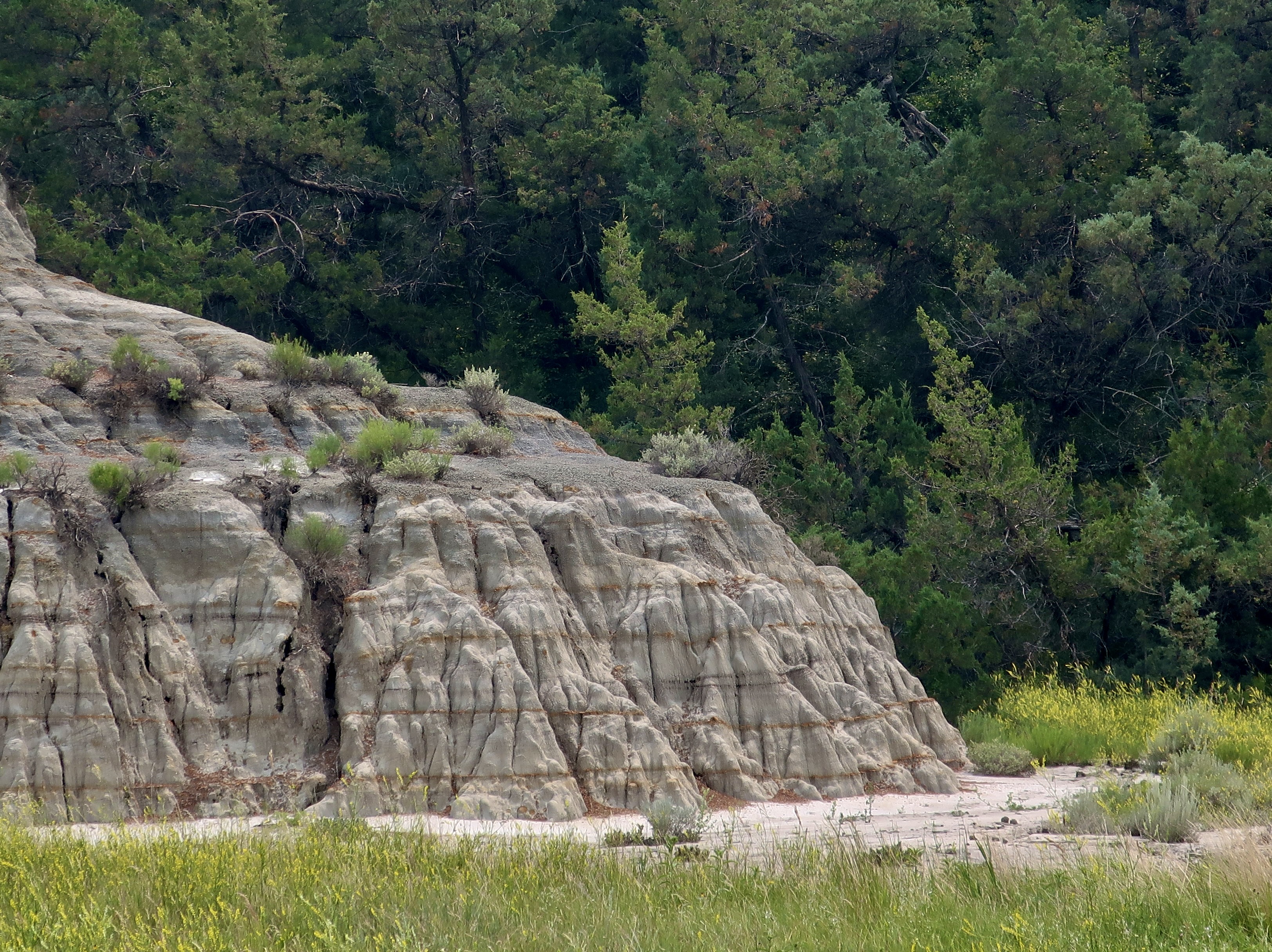
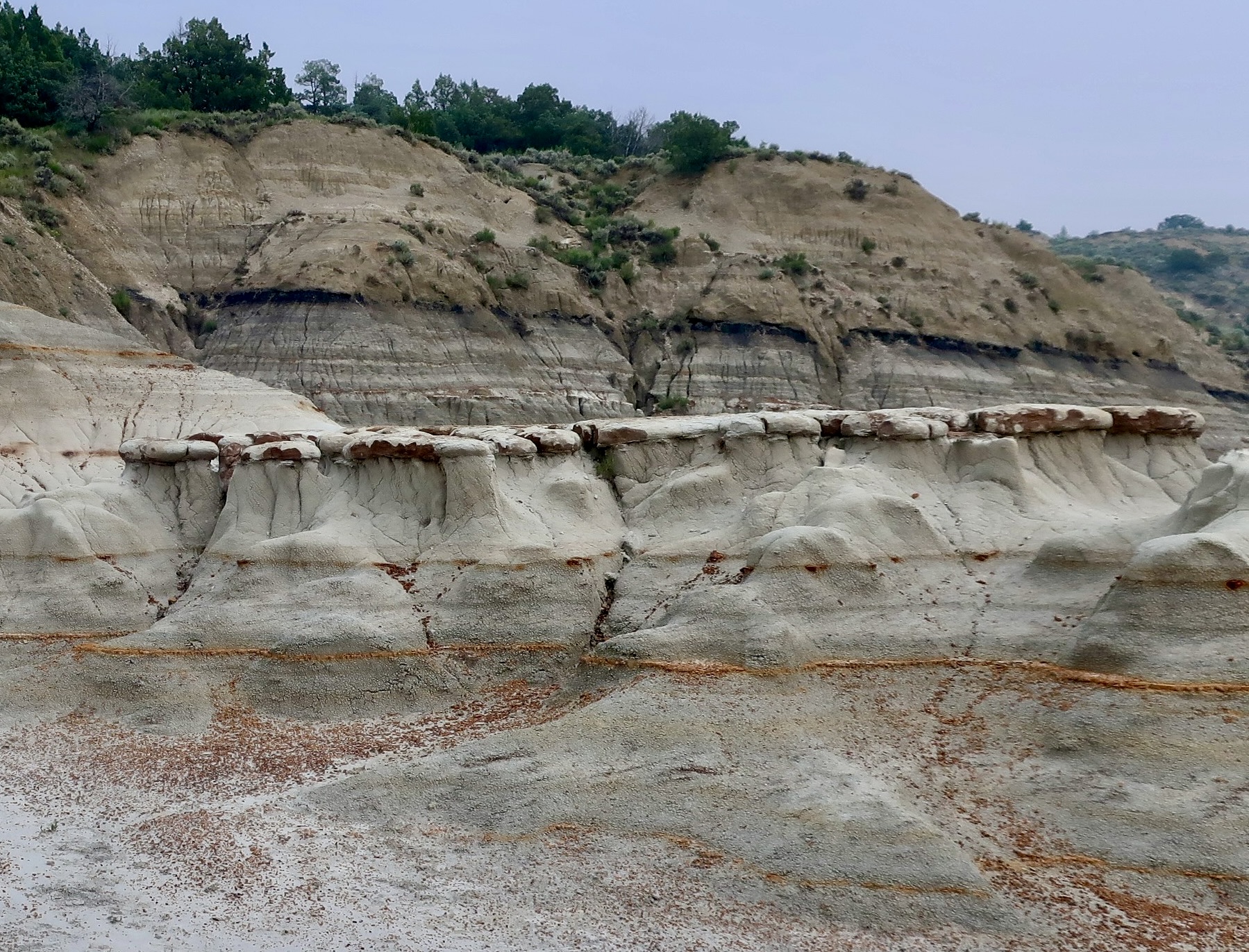
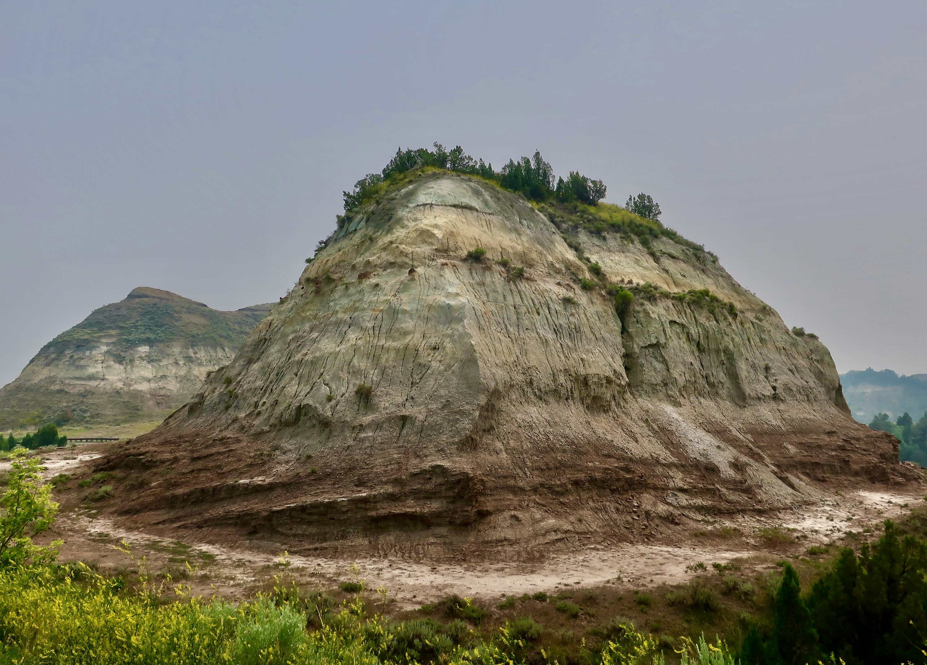
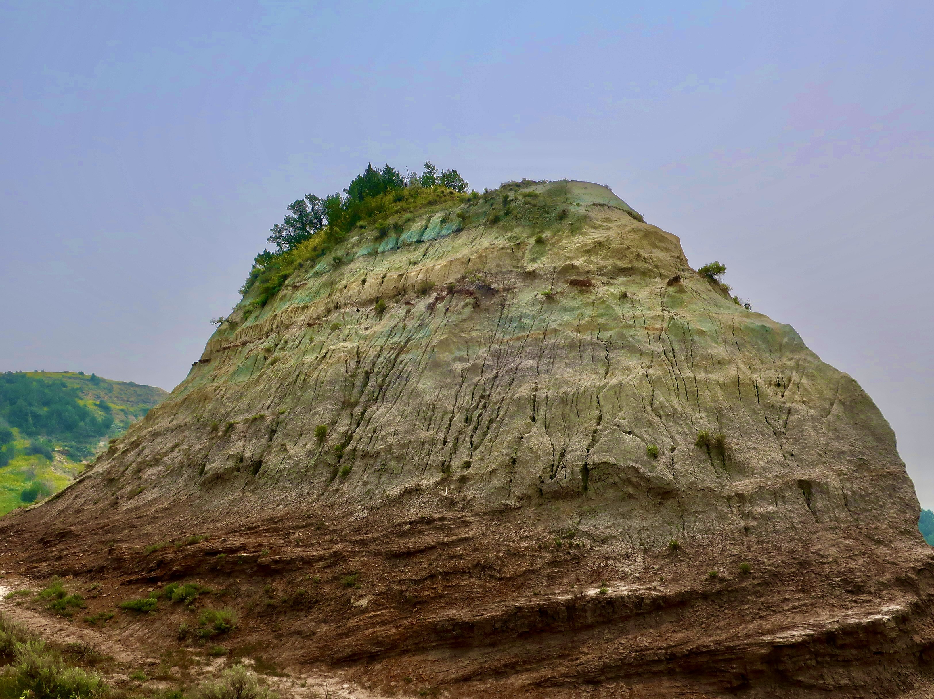
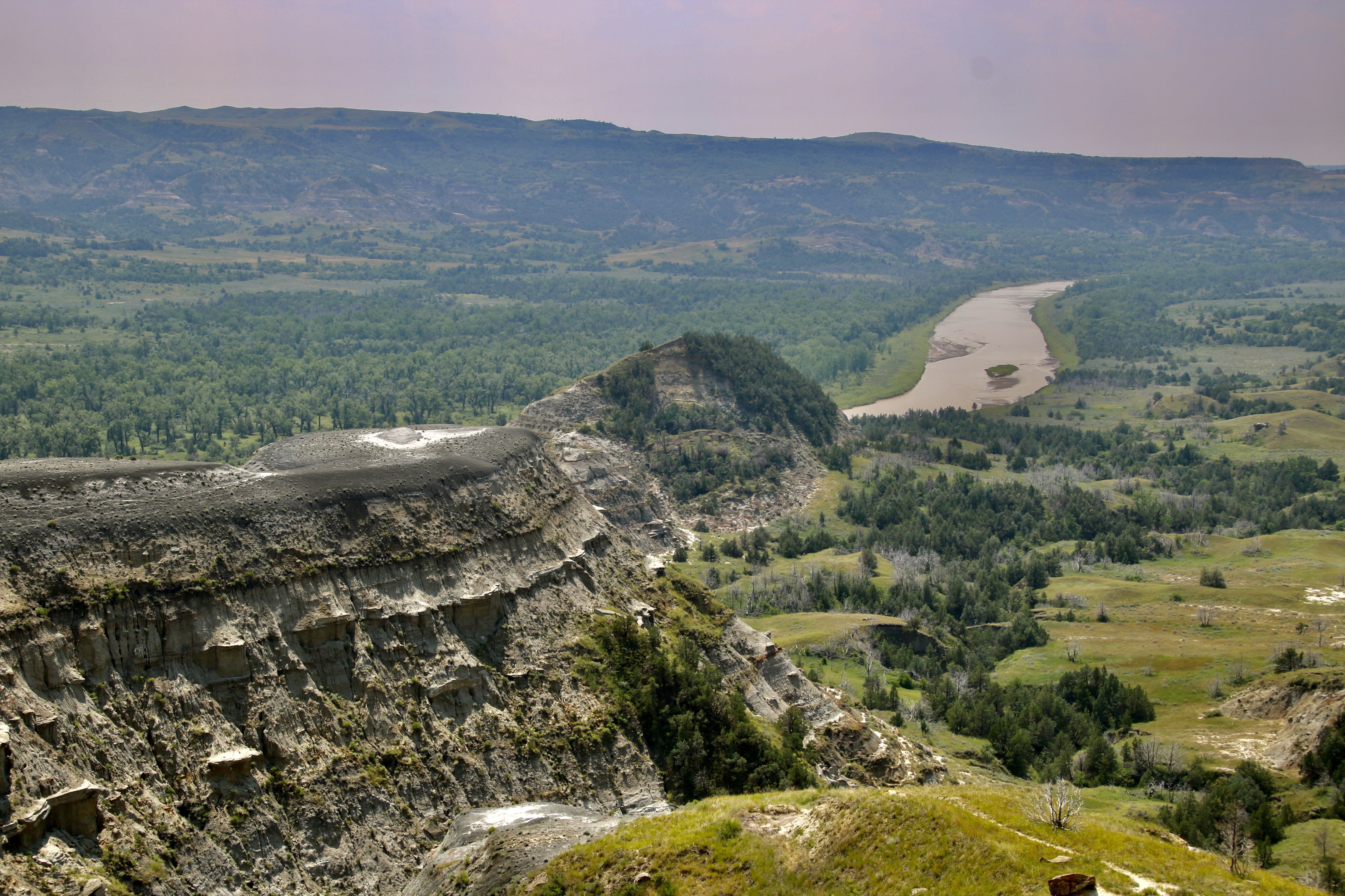
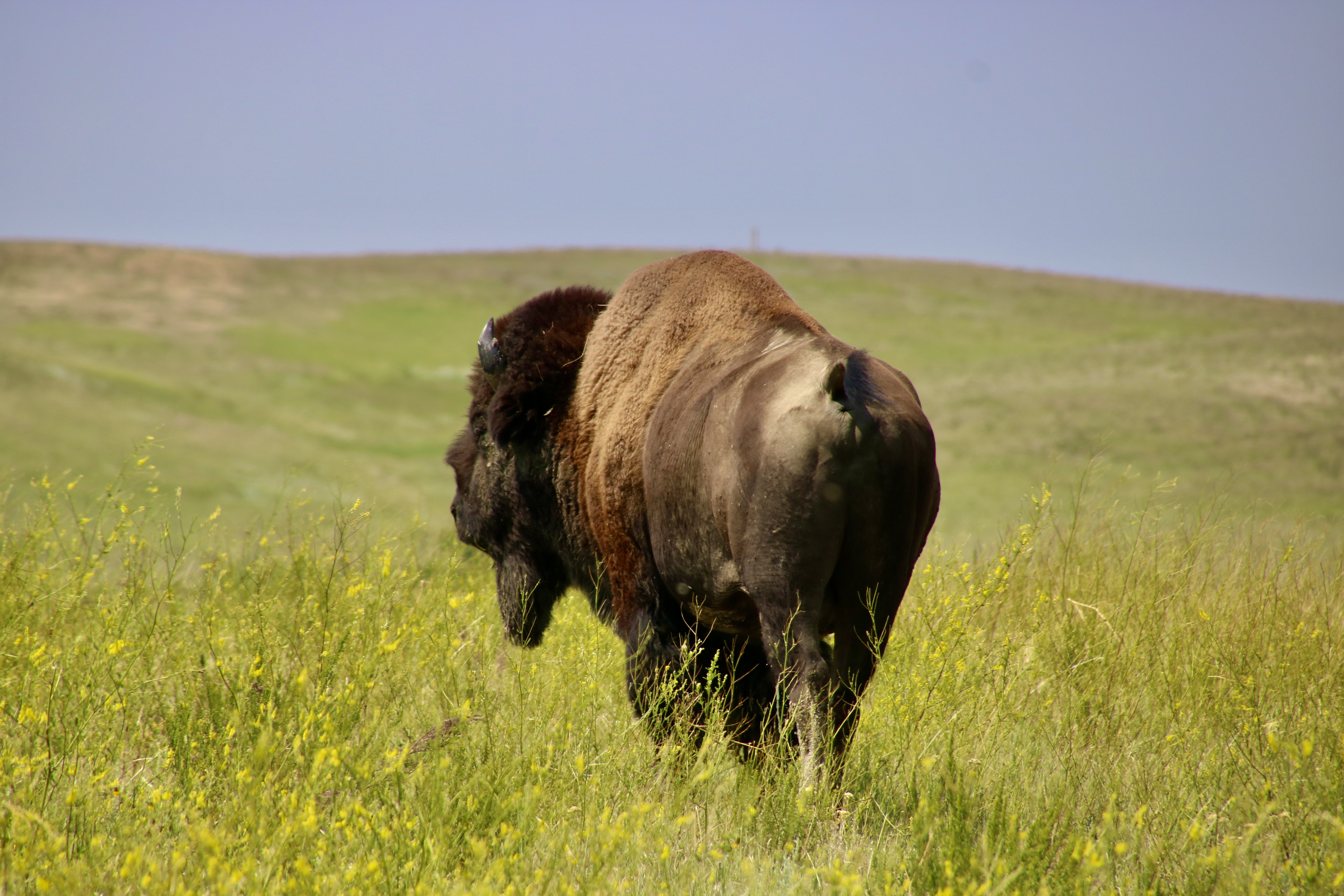
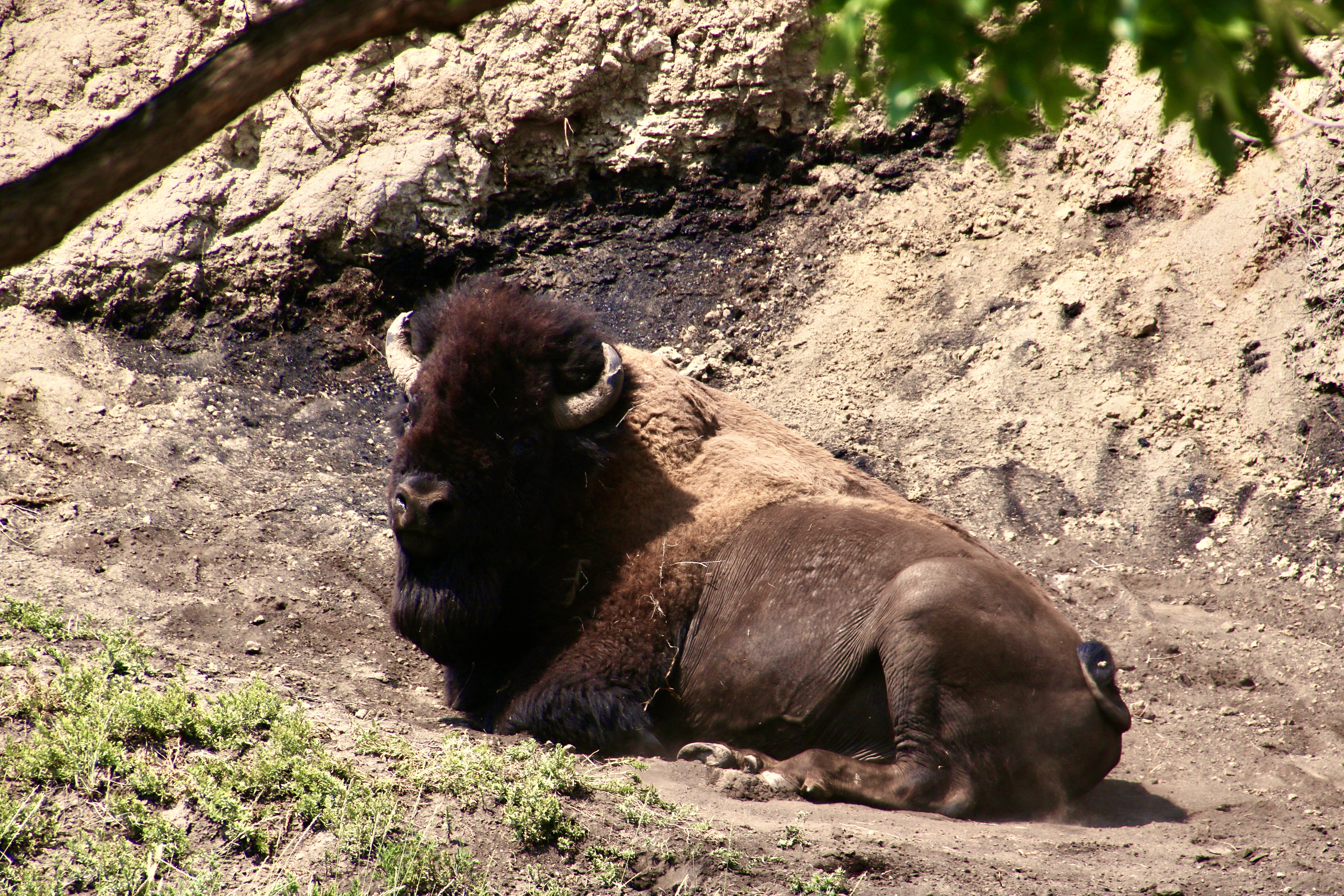
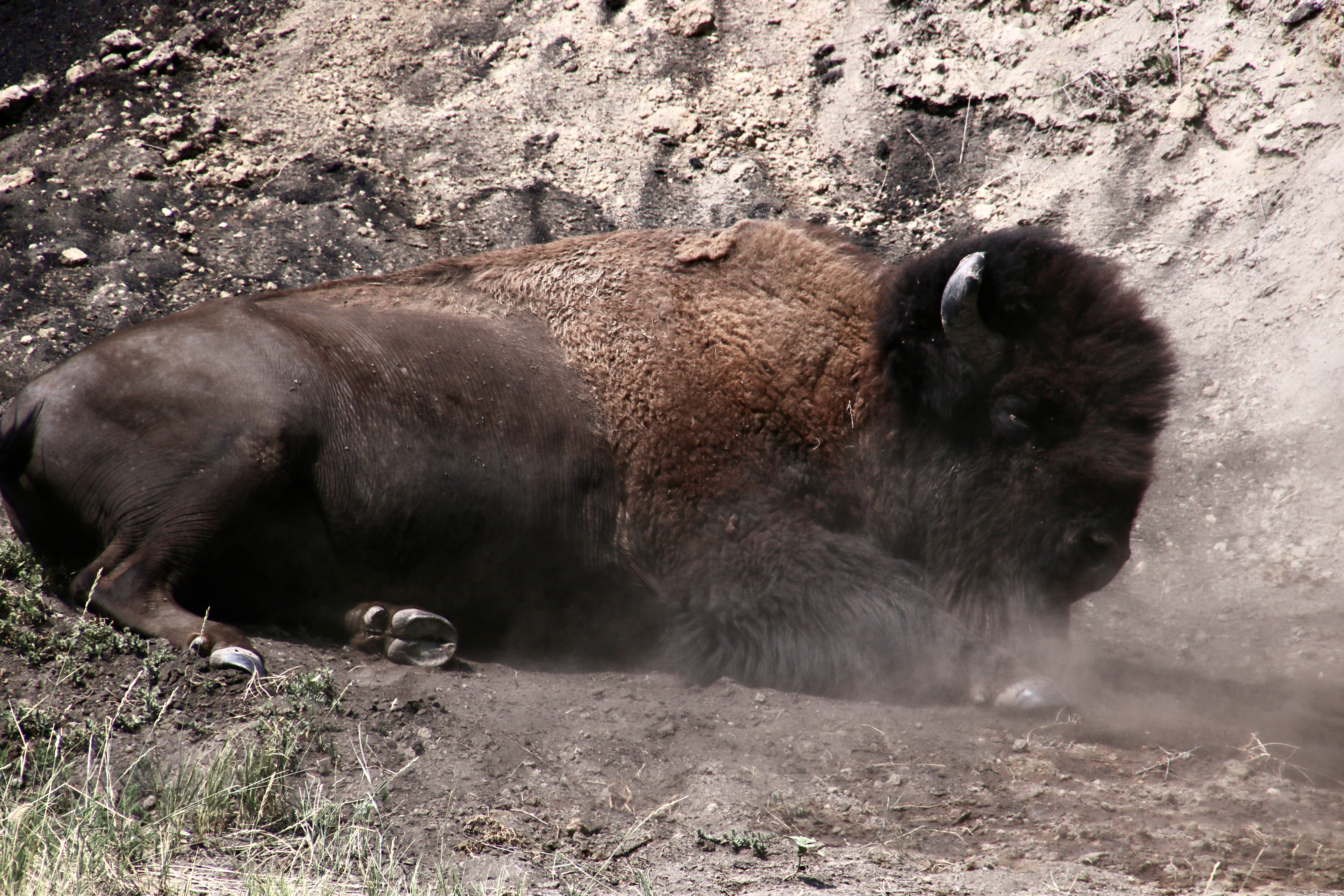
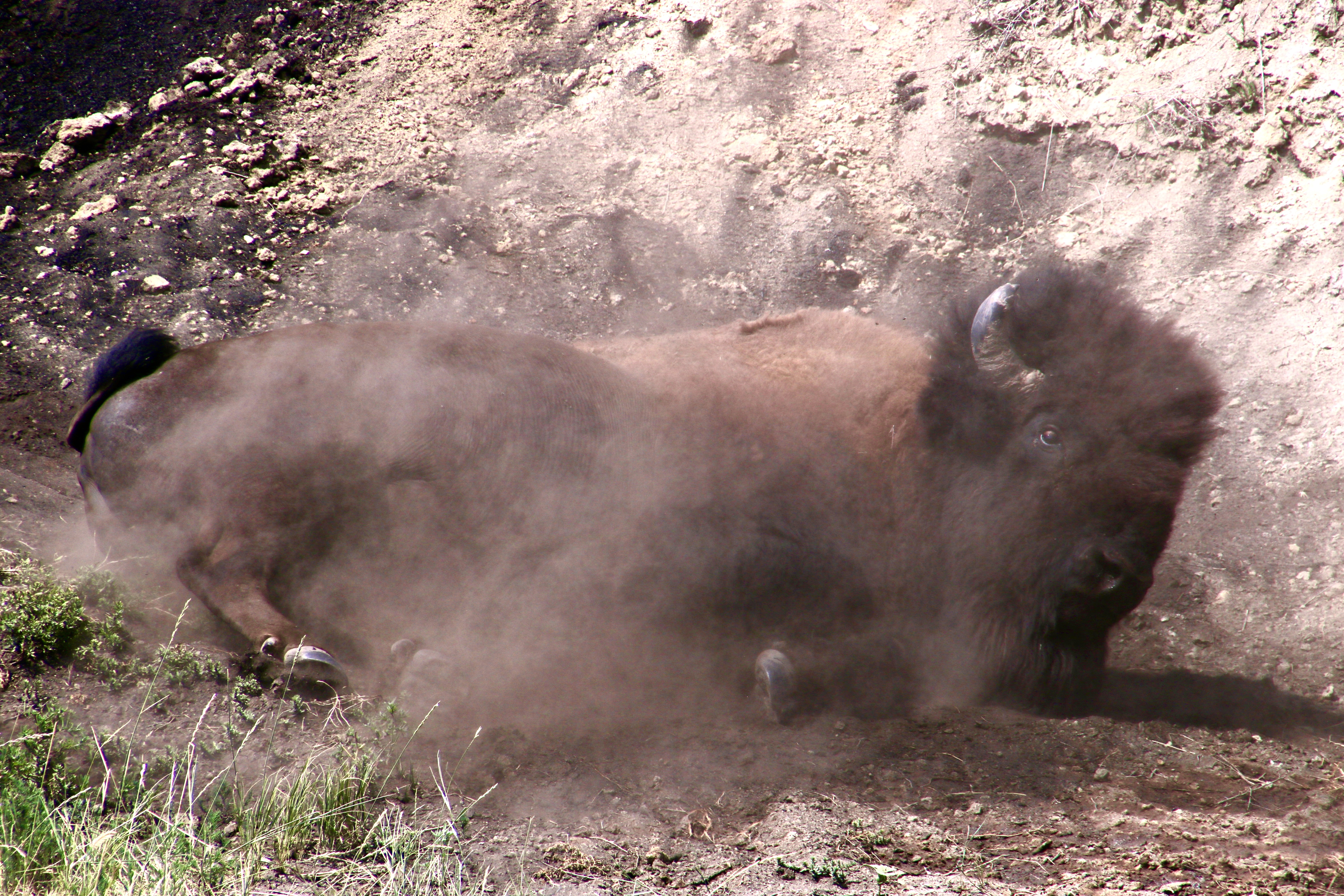
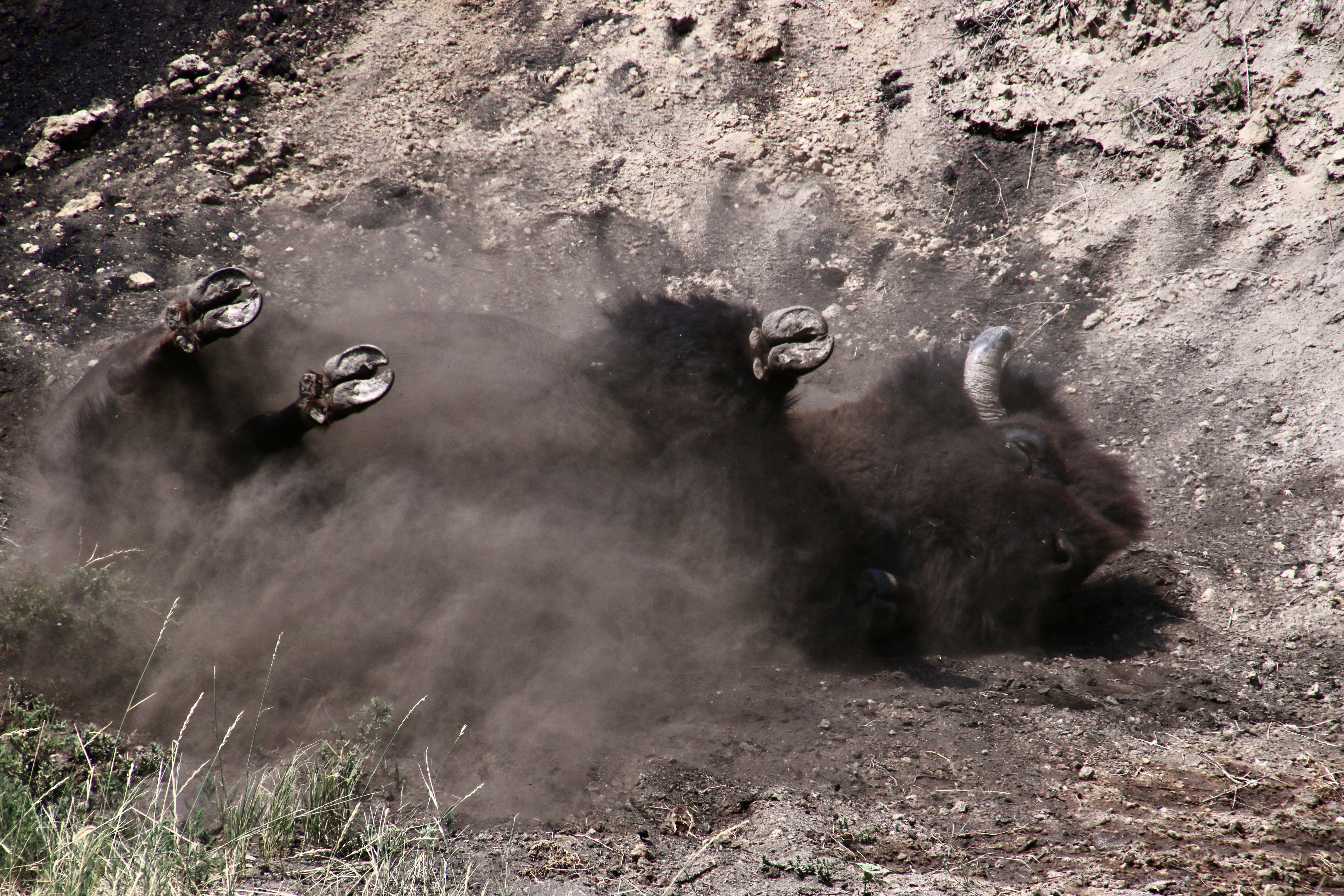
Multi-colored layers of sandstone, clay and shale infused with seams of black coal— all easily eroded rocks— are what give Theodore Roosevelt National Park its unique, otherworldly look. They put the Bad in badlands in the sense of teen slang, like really great, like wow!TRNP is located in North Dakota close to the border of Montana. Canada is to the north.The park is divided into a north and south section. Peggy and I spend the majority of our time in the north section, which has far fewer visitors and, in my opinion, is more scenic. Visitors will find numerous multi-colored hills, like this…And this— an example of earth slump where a whole portion of one of the cliffs came sliding down intact. Note the coal seam. Lightning can actually set these seams on fire. They can burn for years.A close up. Coal was formed some 300 million years in large swamps where dead plant materials settled to the bottom and were eventually compressed into rock. Petrified wood from redwoods, cypress and cedar can also be found in the park.The strangest rocks, however, are these cannon ball shaped concretions that are formed when minerals settle out of water in sandstone and shale, around a pebble or fossil in layers.How much more unworldly can you get than this scene where the mud-like rock seemingly melts.And appears to have flowed out of holes and cracks.In addition to its cannonball look, the concretions also took other forms.Another example of a concretion.There seems to be no end to erosion carved features at TRNP. BTW, I think this is the way to Rock Hill, not the hill. A park information sign informed us that the grass on Rock Hill has never been plowed, making it one of the rare examples of pure native grass found in North America. The eroded hill here had a beautiful setting.Capstones, made up of harder rocks, help create the layered look.I felt that this example had a jumbled mass of erosion that had a dark, post-apocalyptic feel to it…So I added a noir filter.On a brighter note, we loved this massive hill with its trees on top.A side view. Like a massive vessel rising out of the earth.A distant view of the Little Missouri River that flows through TRNP. Note the small blip on top of the ridge.It’s the hill on top. I promised buffalo, right? There are lots of them in TRNP. But I promised more: Buffalo wallowing.That’s what this big fellow is about to do.Wallowing is all about stirring up dust. Buffalo do it to to discourage biting flies and shed fur. The males also do it during mating season to leave behind a scent and demonstrate what big, strong fellas they are. It’s important to get dust all over their bodies.And this involves…Getting down and dirty!
That’s a wrap on Theodore Roosevelt National Park, but even more it’s a wrap on our national park series. Peggy and I hope you’ve enjoyed it. In addition to the six I have featured here, there were the four others I included in our trip up the coast this spring and Everglades National Park we visited in February for a total of 11 in 2022.
But (isn’t there always a but), Peggy and I are going to bring you one more national park as part of our next series: Great Rivers. We will return to the Grand Canyon with a twist: Instead of looking down, we will be looking up— floating down the Colorado River on a 20 day private trip by raft through the park. I’ve blogged about the trip before, so I know several of you are familiar with it. This will be different, however, a photo essay stretched out over 6 posts with lots of new photos that Peggy and I haven’t included before.
First, however, Peggy and I are taking a vacation. (Do I hear a snort in the background. Isn’t that what you always do?) Actually, it will be a vacation from blogging as we float down the Danube River. Think of it as a vacation from a vocation, to the degree blogging is a vocation/work. I’m sure fellow bloggers will agree, it certainly feels like it at times. 😳We will be missing from the blogosphere for five weeks: This week in preparation for the trip, three weeks in Europe, and one week in recovery. I’ll check in from time to time to respond to comments. Beyond that, we will see you in mid-October!
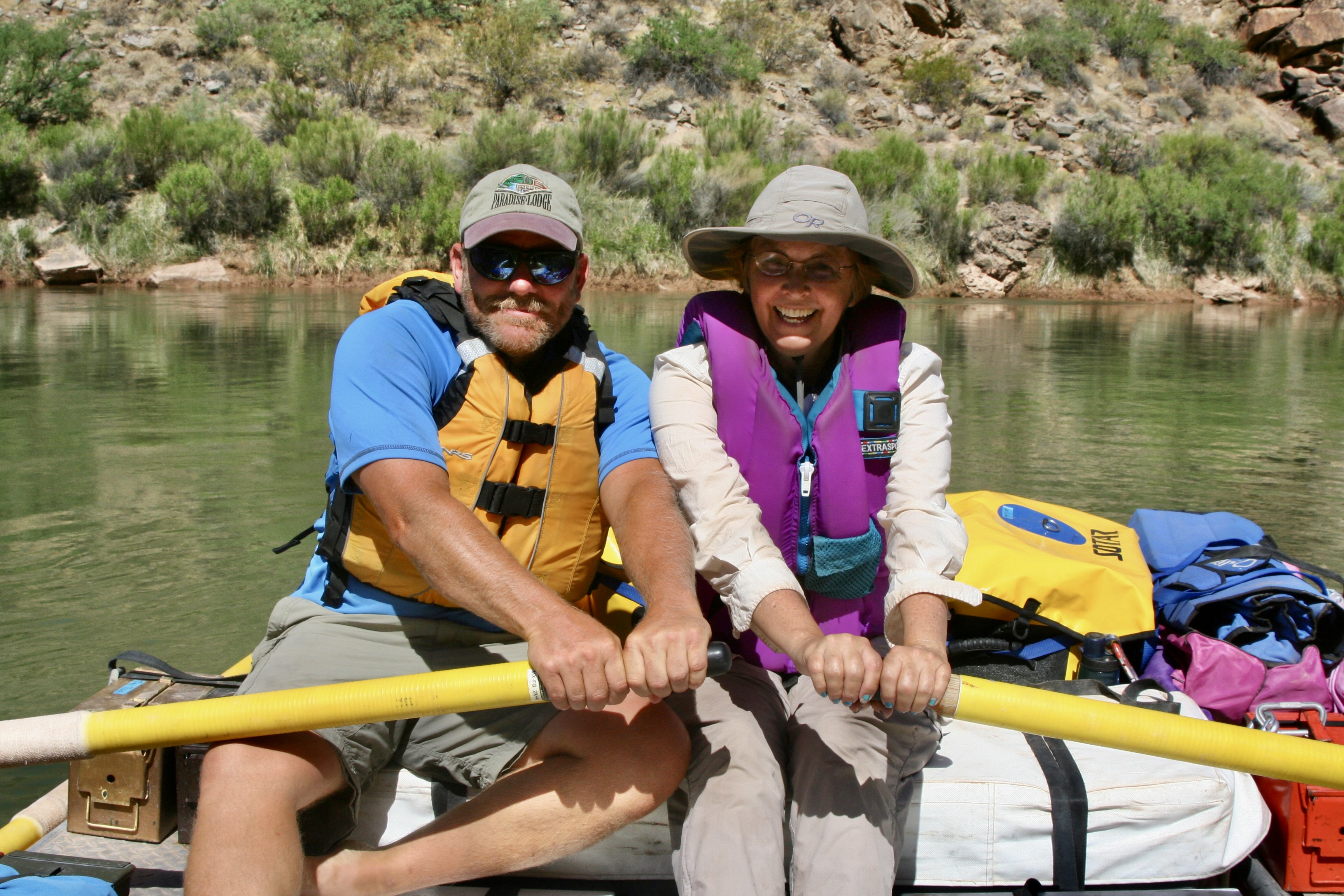
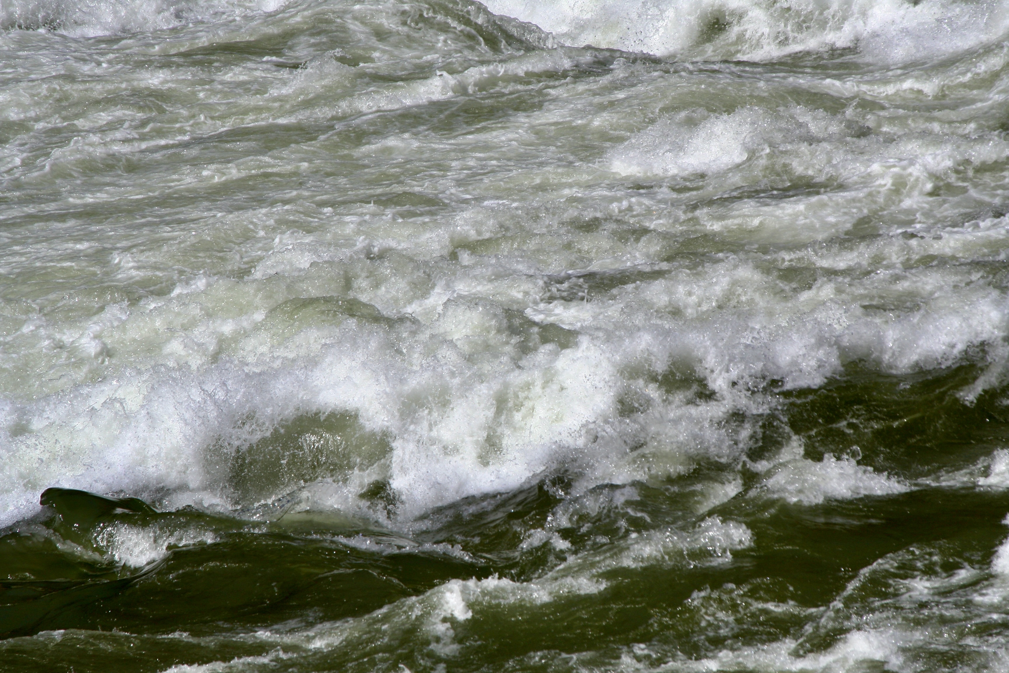
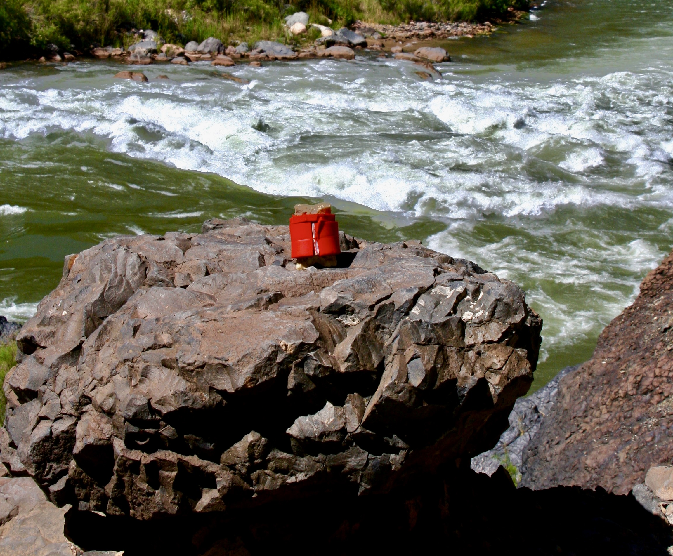
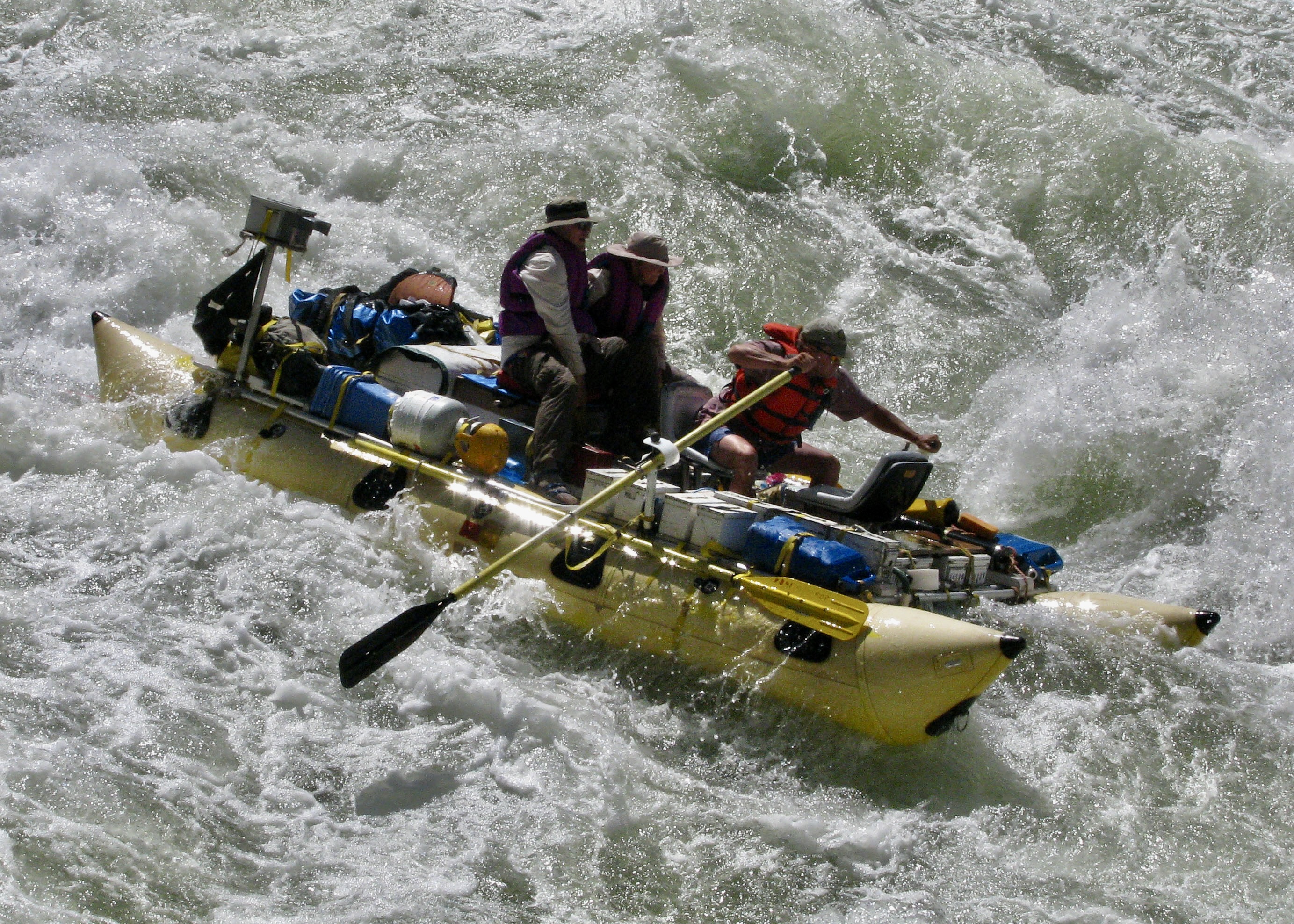
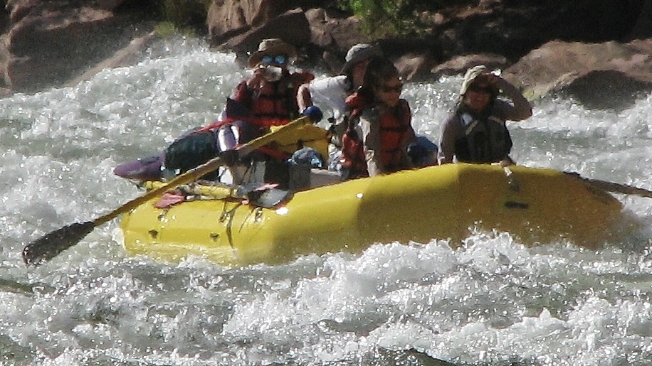
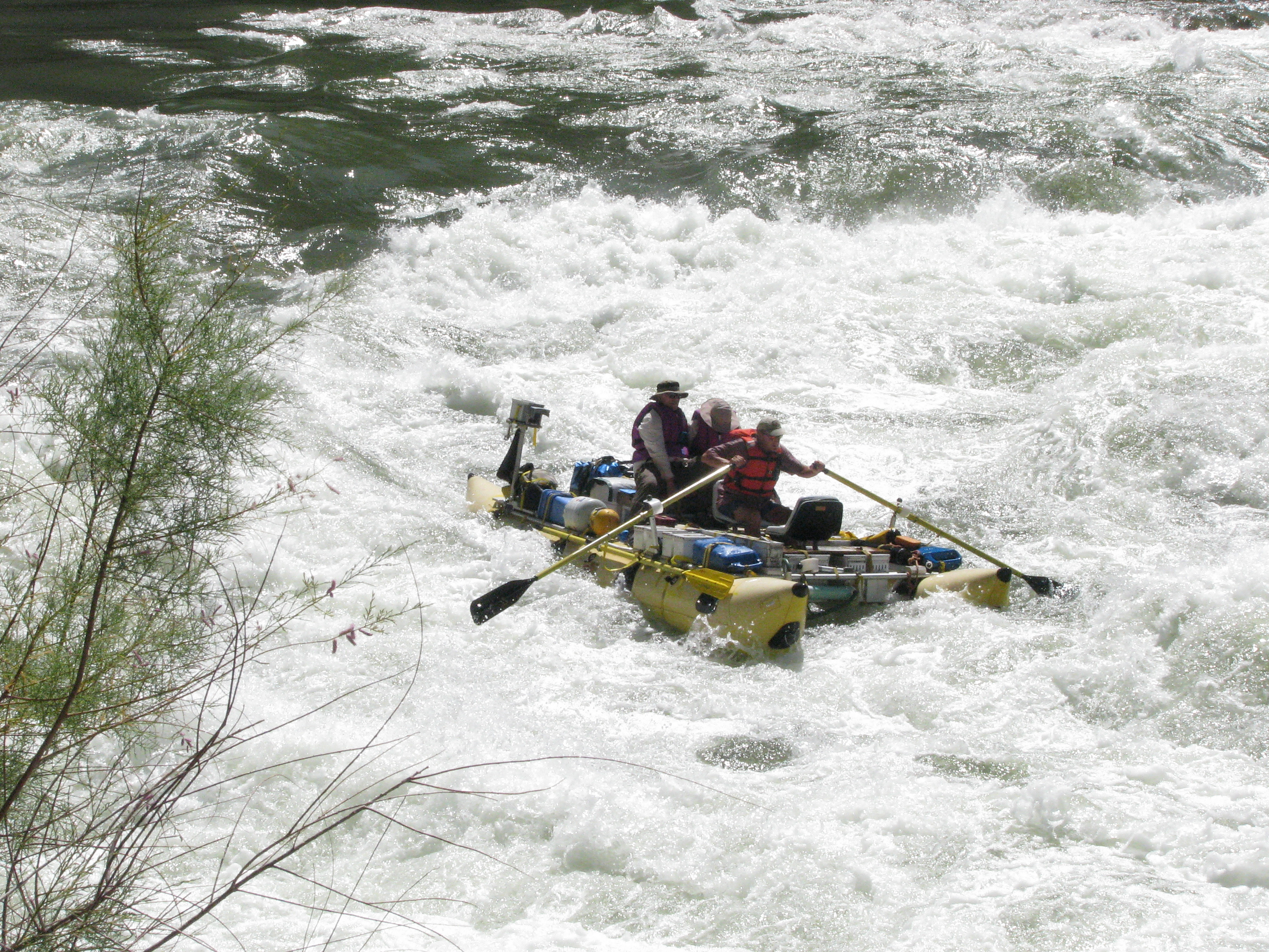
Peggy and I hold on tight while Steve Van Dore rows us through rapids on the Colorado River. Is Peggy praying? Grin. (Photo by our friend Don Green)