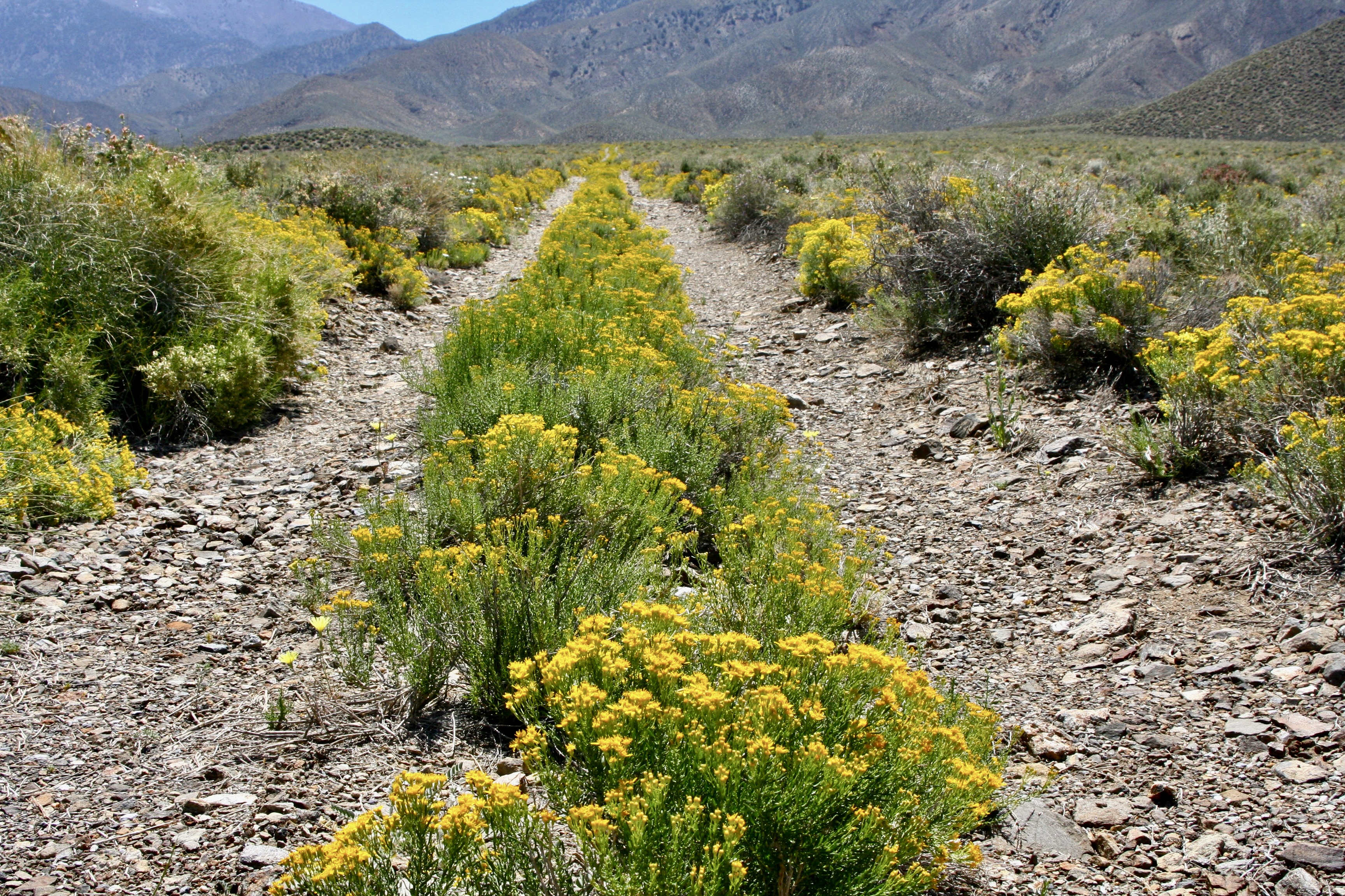
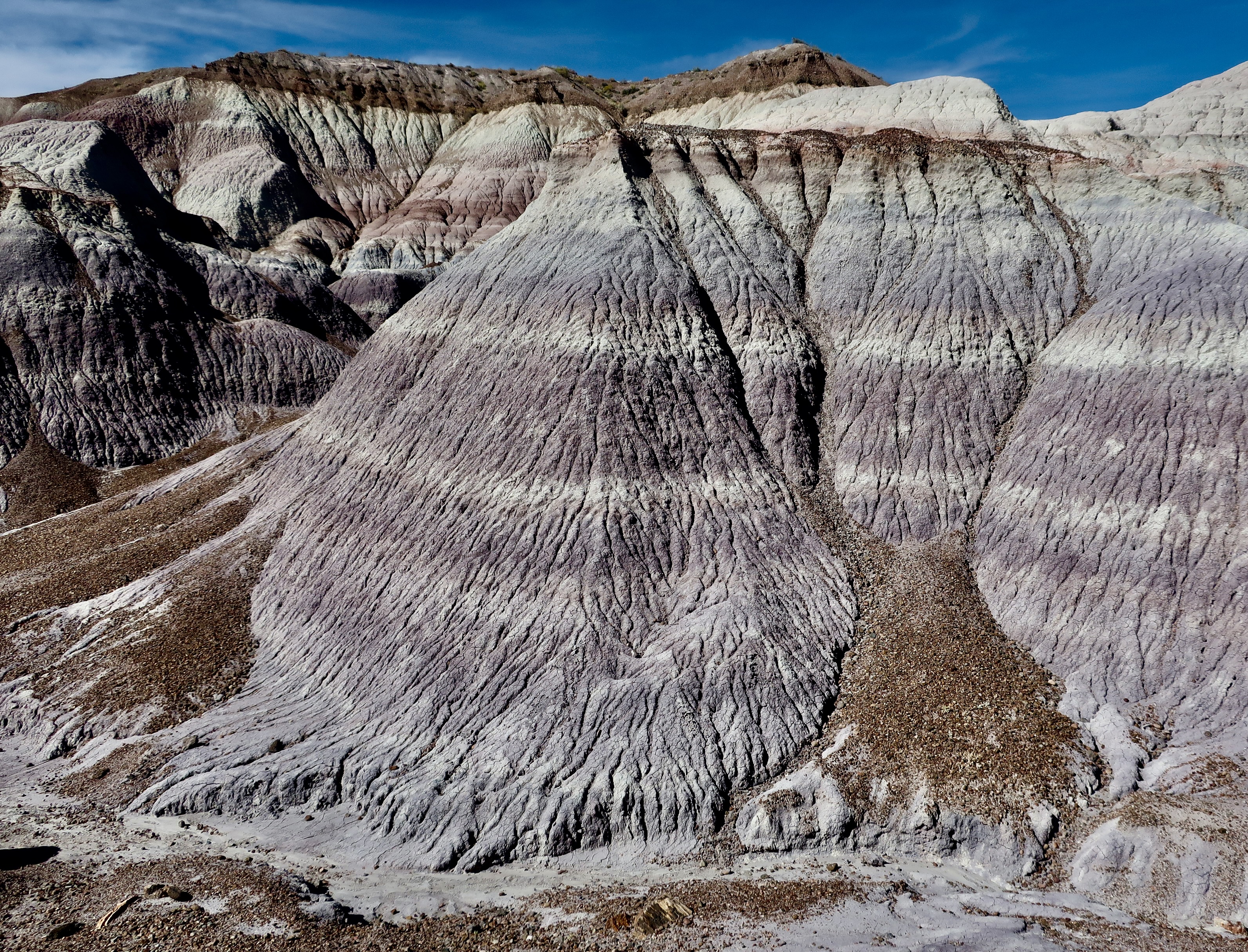
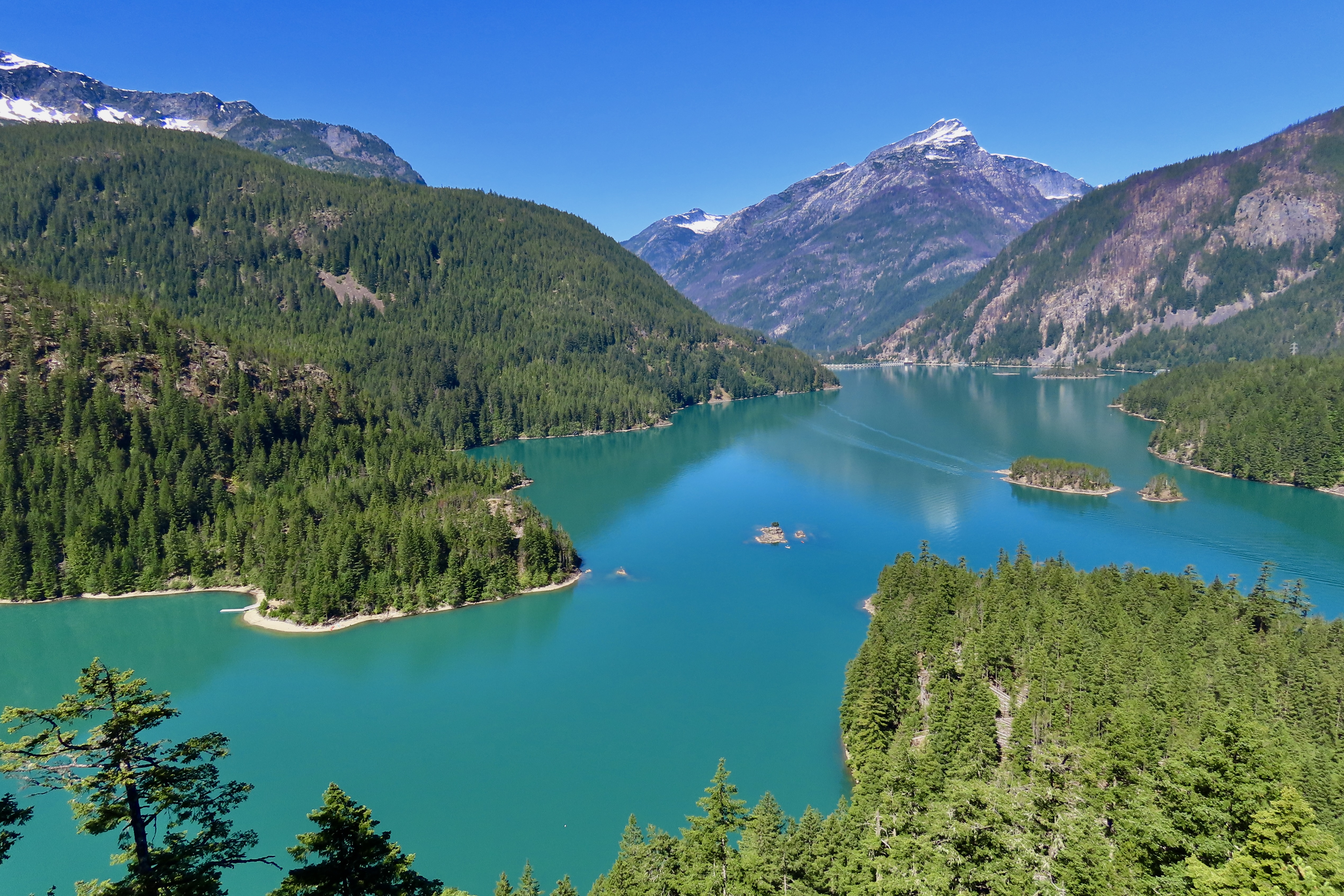
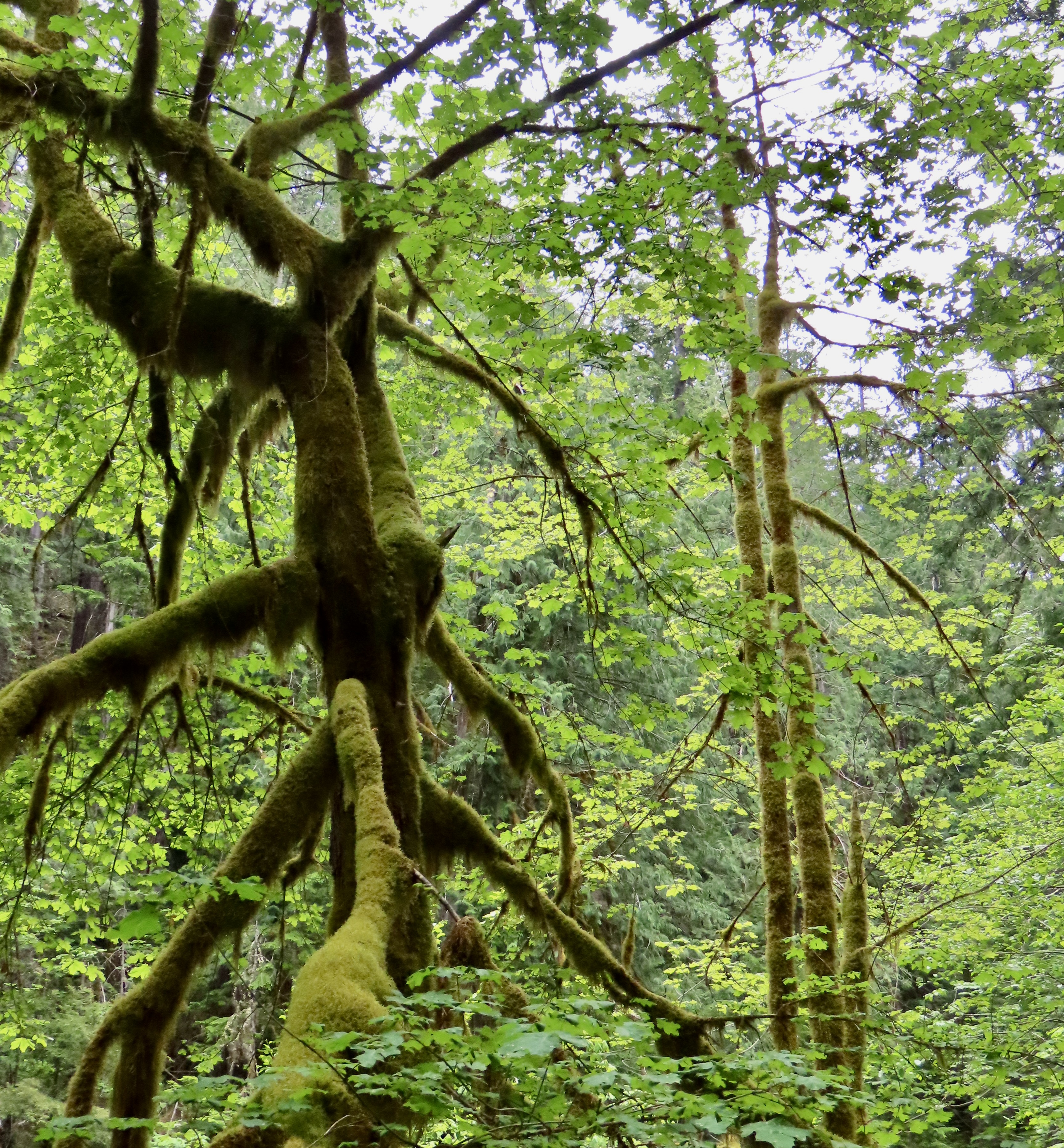
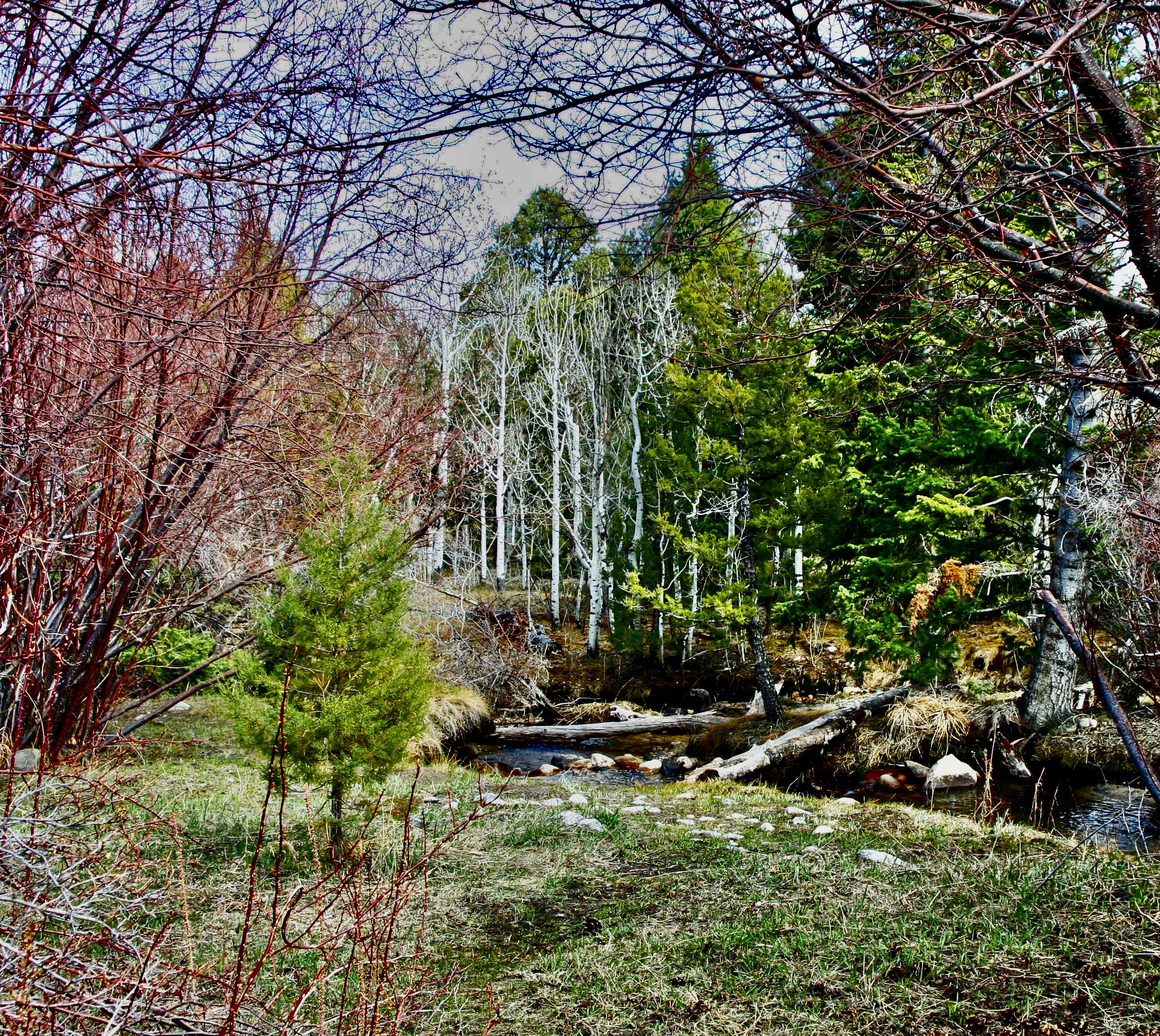
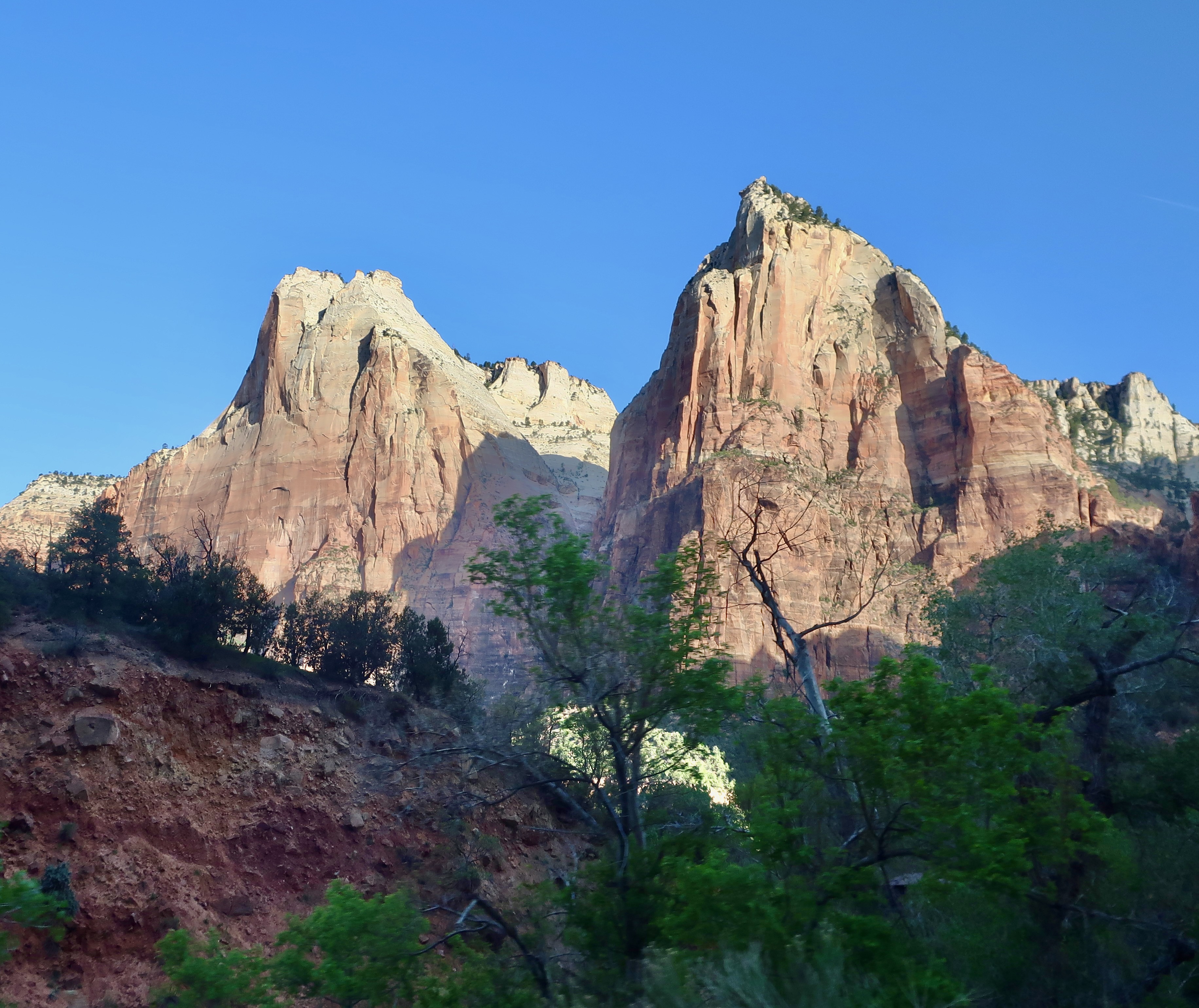
“The clearest way into the Universe is through a forest wilderness.” John Muir
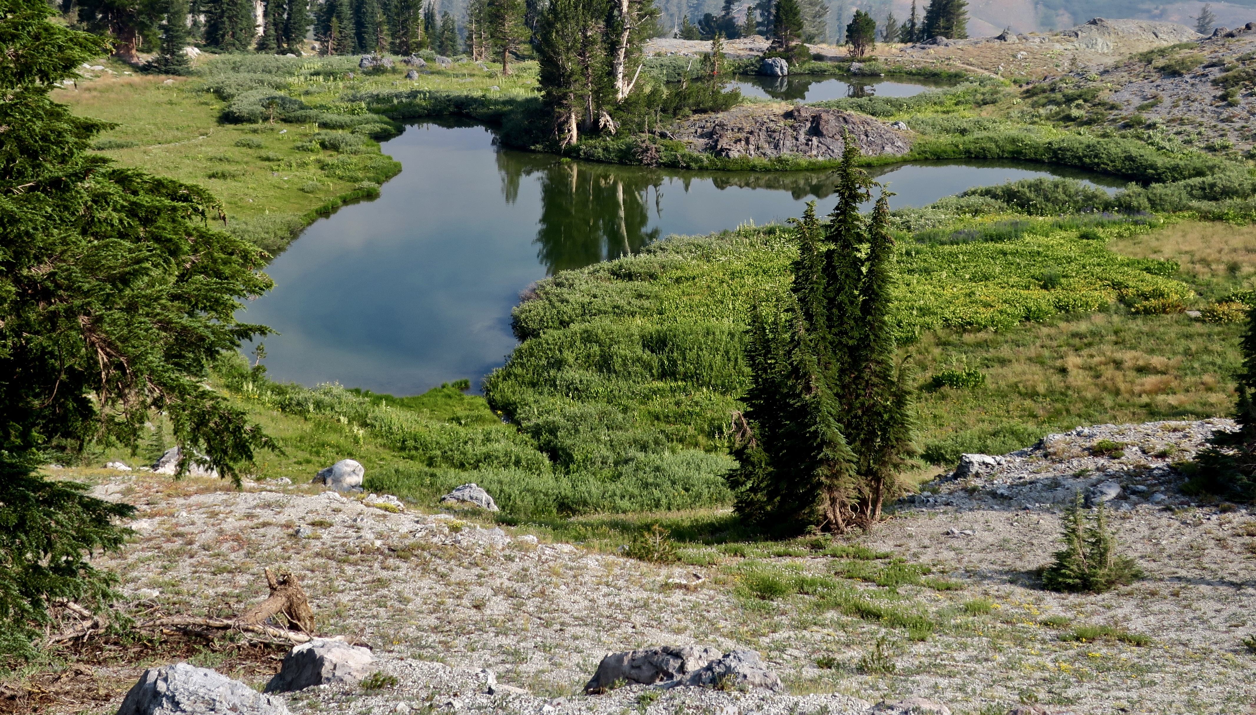
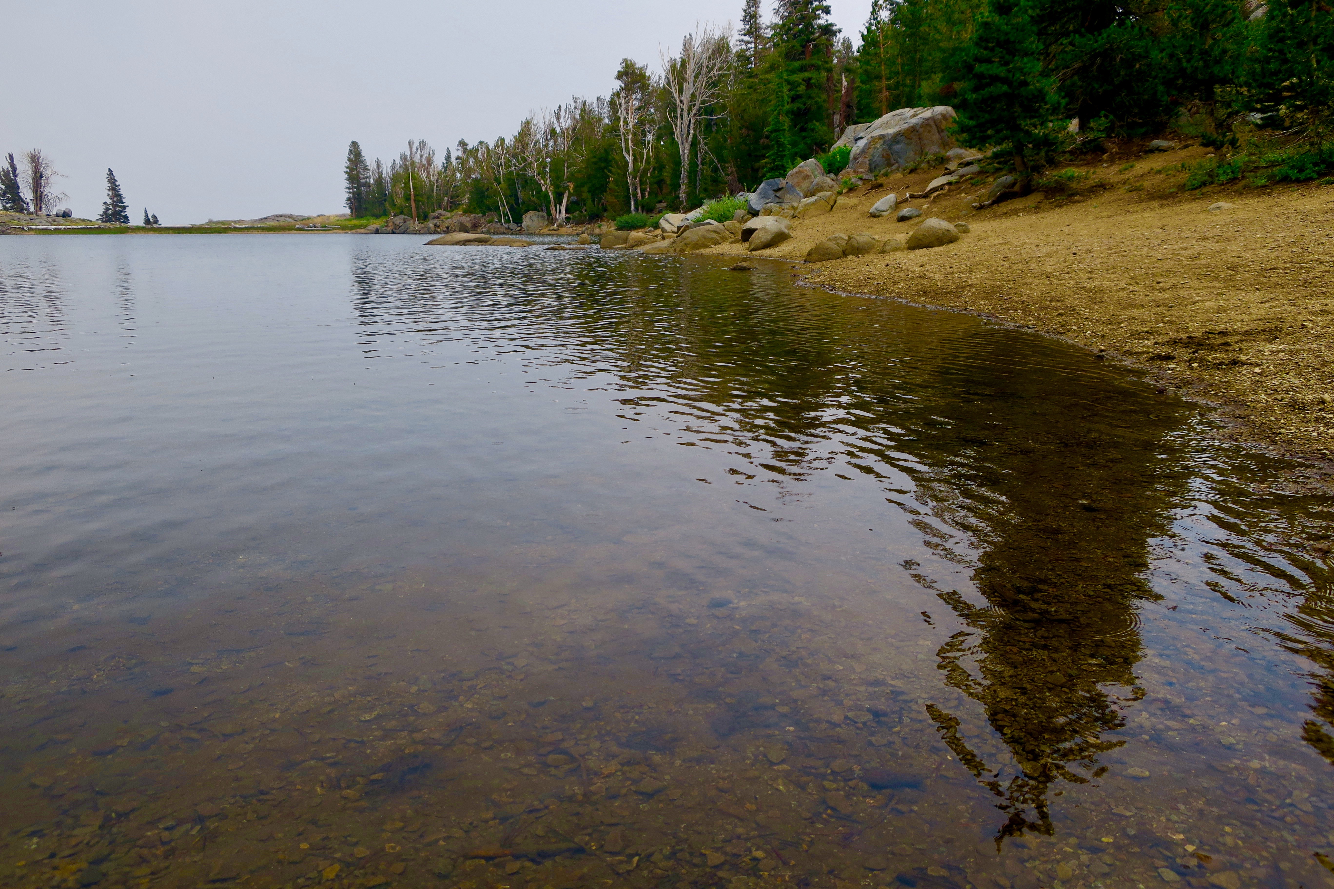
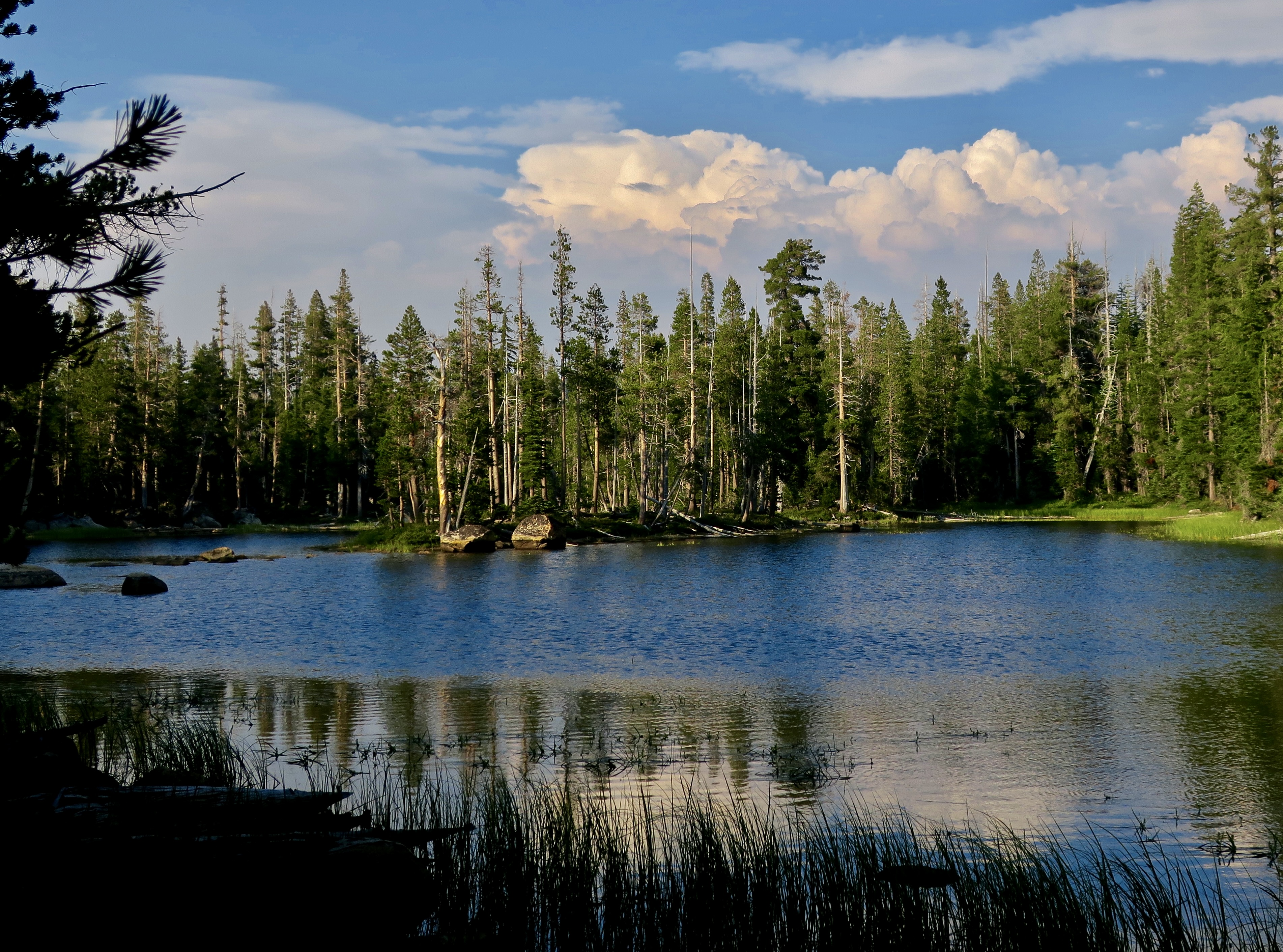
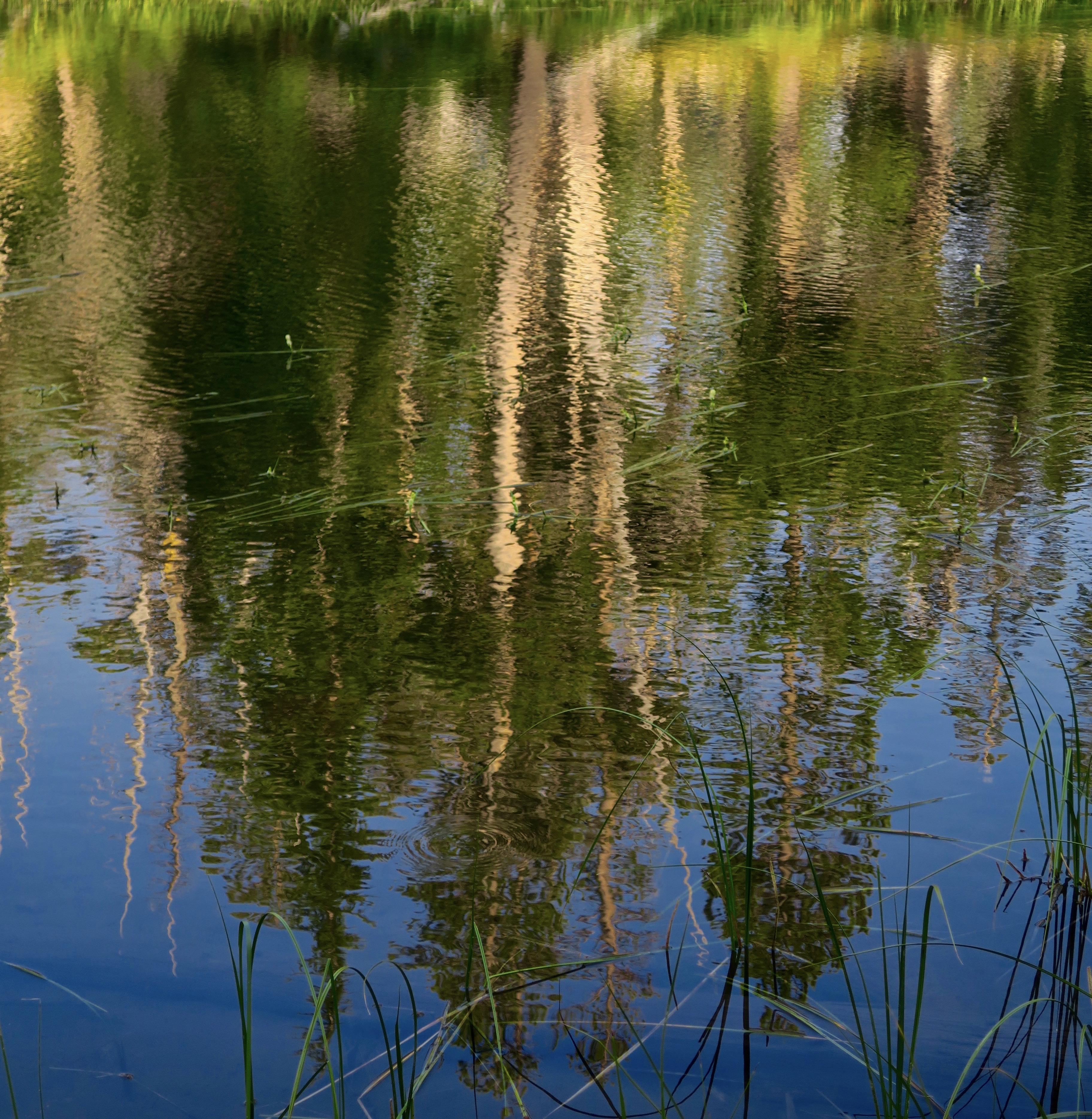
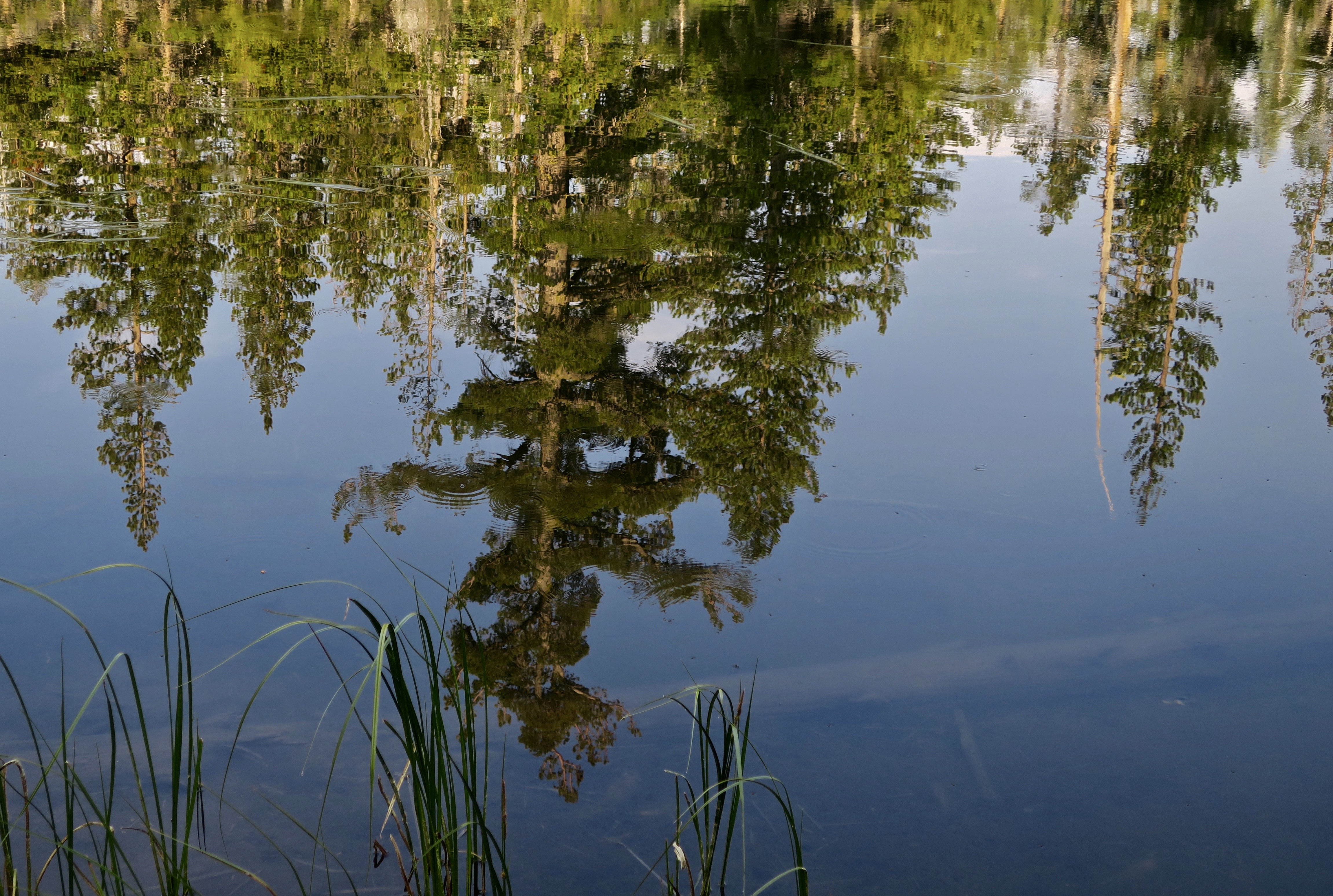
A small unnamed lake reflects the beauty and peace of the Mokelumne Wilderness. There’s a chance that John Muir stopped to admire it, given all of the time he spent exploring California’s Sierra Nevada Mountains. I’ve spent a bit of time wandering there as well— starting in 1957.
The Wilderness Act of 1964
“A wilderness, in contrast with those areas where man and his own works dominate the landscape, is hereby recognized as an area where the earth and its community of life are untrammeled by man, where man himself is a visitor who does not remain.” –Howard Zahniser, Author of the Wilderness Act
What does this mean? Transportation is by foot or horse. No bicycles or motor vehicles are allowed. Even chainsaws are banned for use on trail maintenance. No one can build permanent structures of any type. It’s just you and nature.
As of 2023, there were 806 wilderness areas located in 44 states and Puerto Rico. These areas are overseen by the National Park Service, the US Forest Service, the US Fish and Wildlife Service, and the US Bureau of Land Management. All in all, some 5% of land in the US is set aside as wilderness area, the majority in Alaska.
Over the past three months, I’ve been blogging (with Peggy’s help) about our national parks and monuments with an emphasis on their unique beauty, geology, flora, fauna and history that makes them so important to us— and about the threats that they are presently facing from the Trump Administration. Today we are switching to wilderness areas with the same emphasis. I’m going to cover three that I backpacked through on my 750 mile trip down the PCT in 2018 to celebrate my 75th birthday: The Mokelumne, Granite Chief/Desolation, and Marble Mountains Wilderness areas. If you’ve been with this blog for a while, some of the photos may be familiar to you.
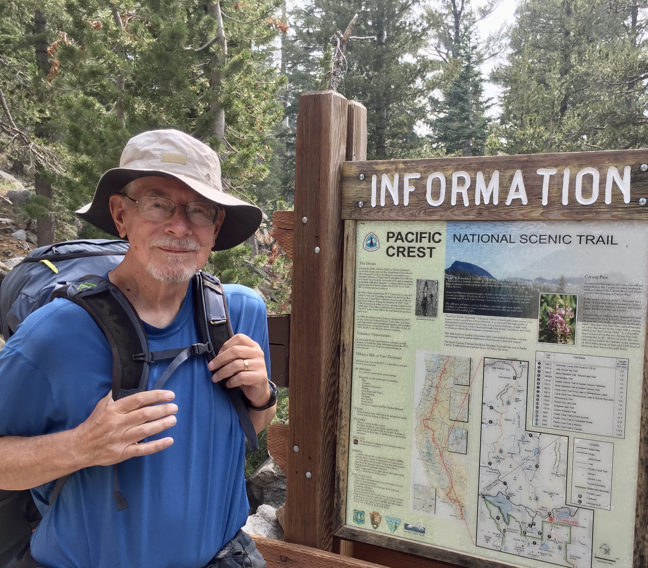
The Mokelumne Wilderness is conveniently located between two of California’s highways that cross the Sierras. Since I was hiking north to south, I started at Carson Pass (elevation 8573’) on Highway 88 and ended at Ebbet’s Pass (elevation 8732’) on Highway 4. The distance on the PCT is approximately 30 miles, which is relatively short— but there are plenty of ups and downs! And, as you will see, great diversity and beauty.
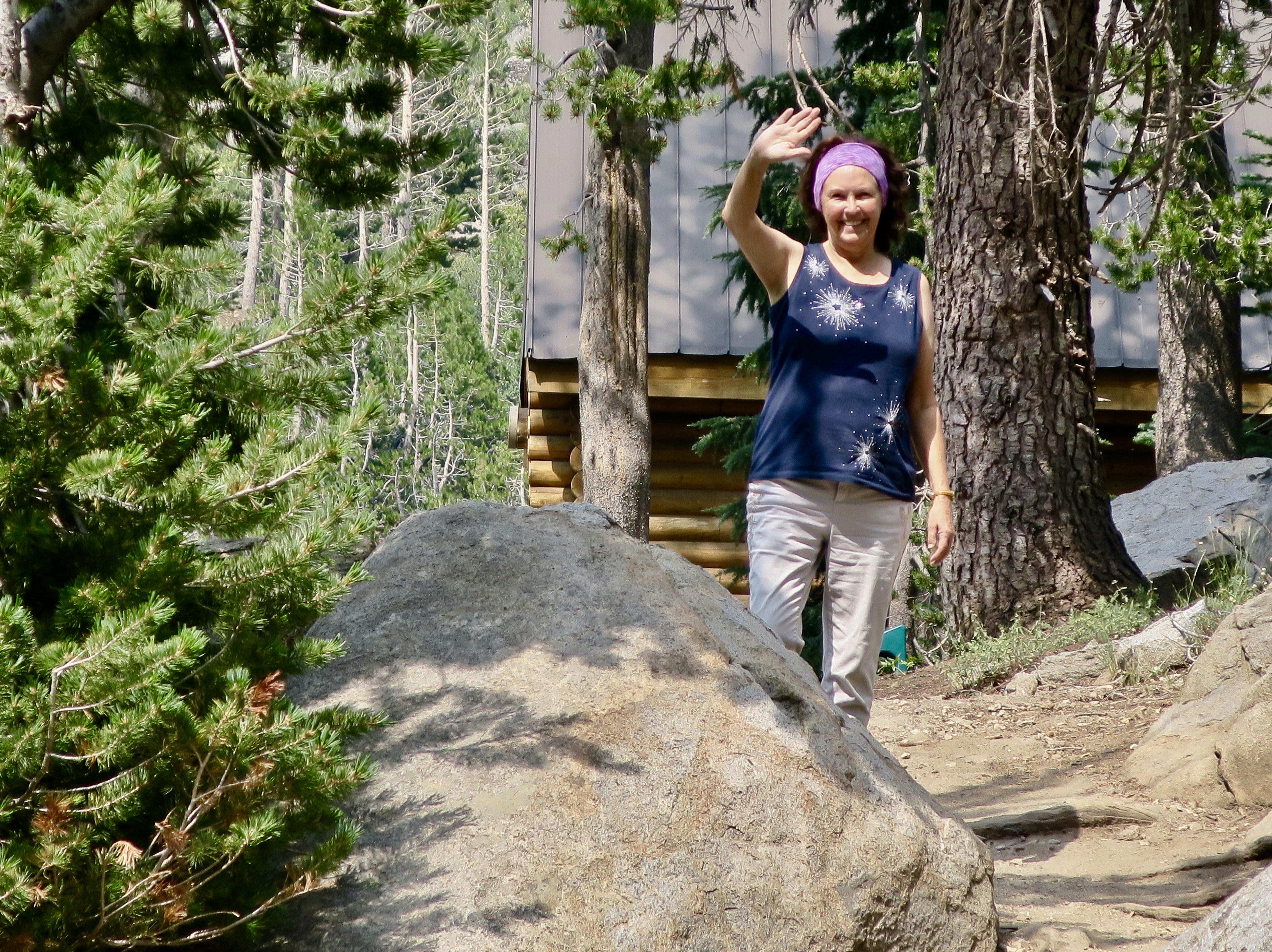
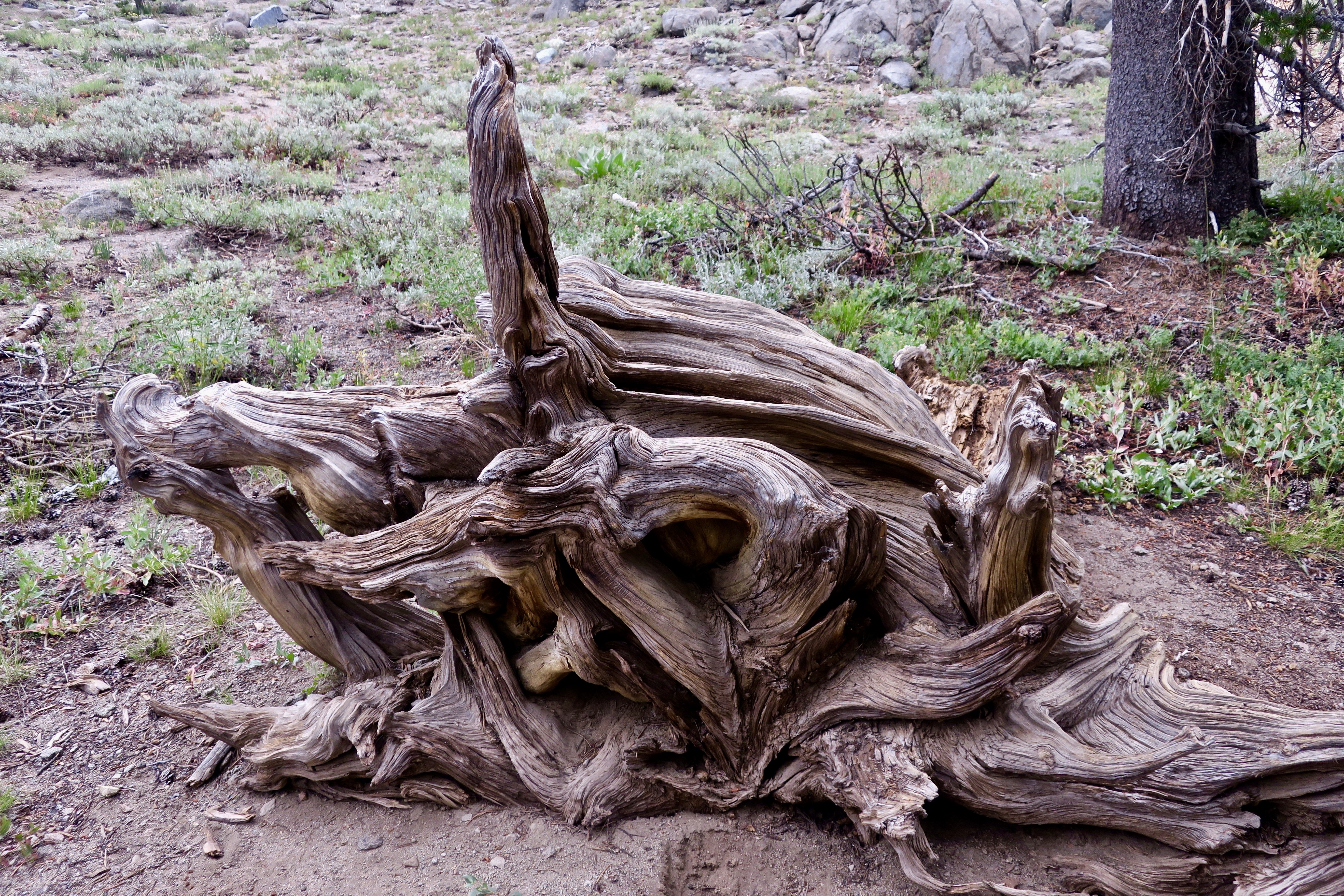
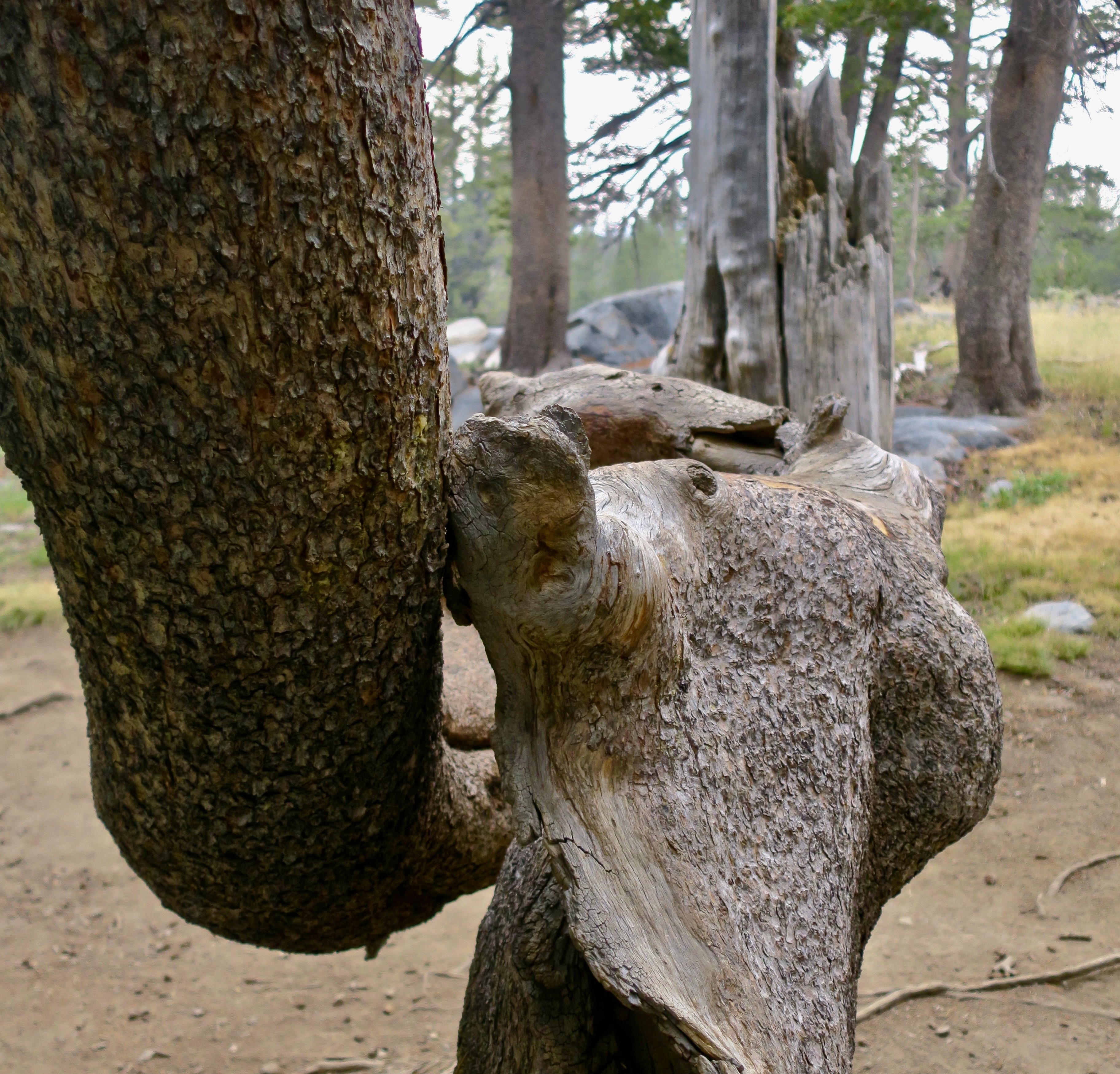
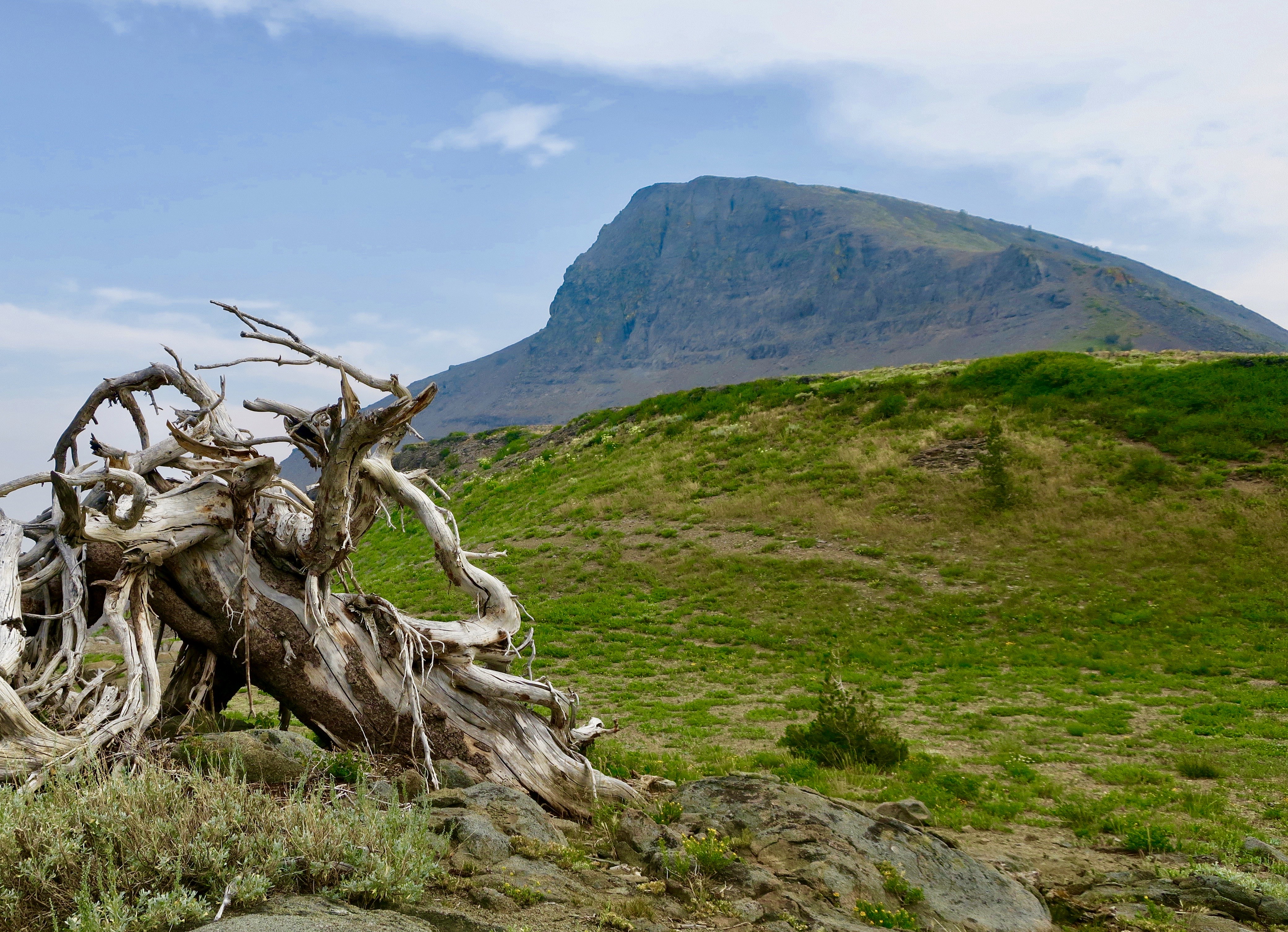
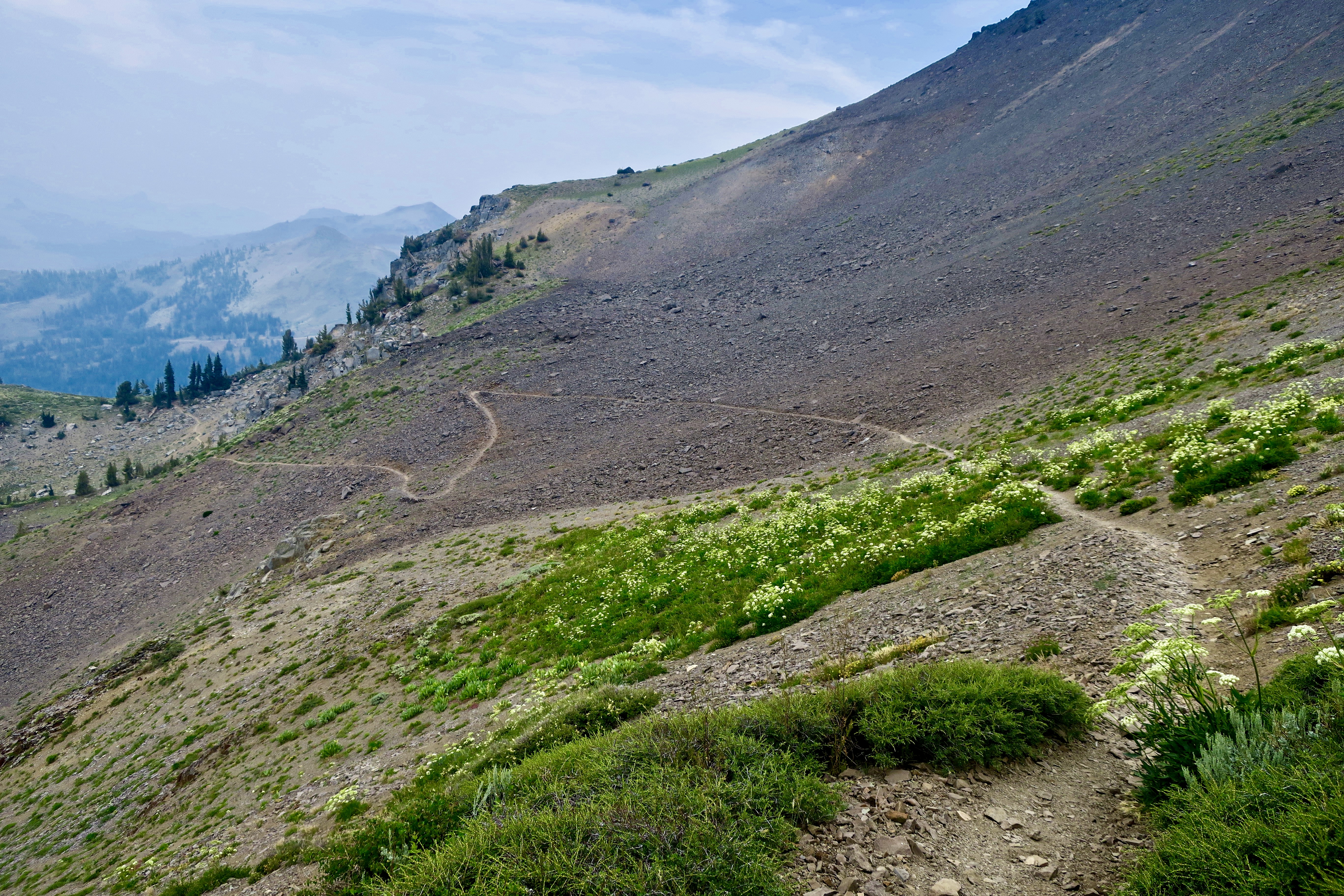
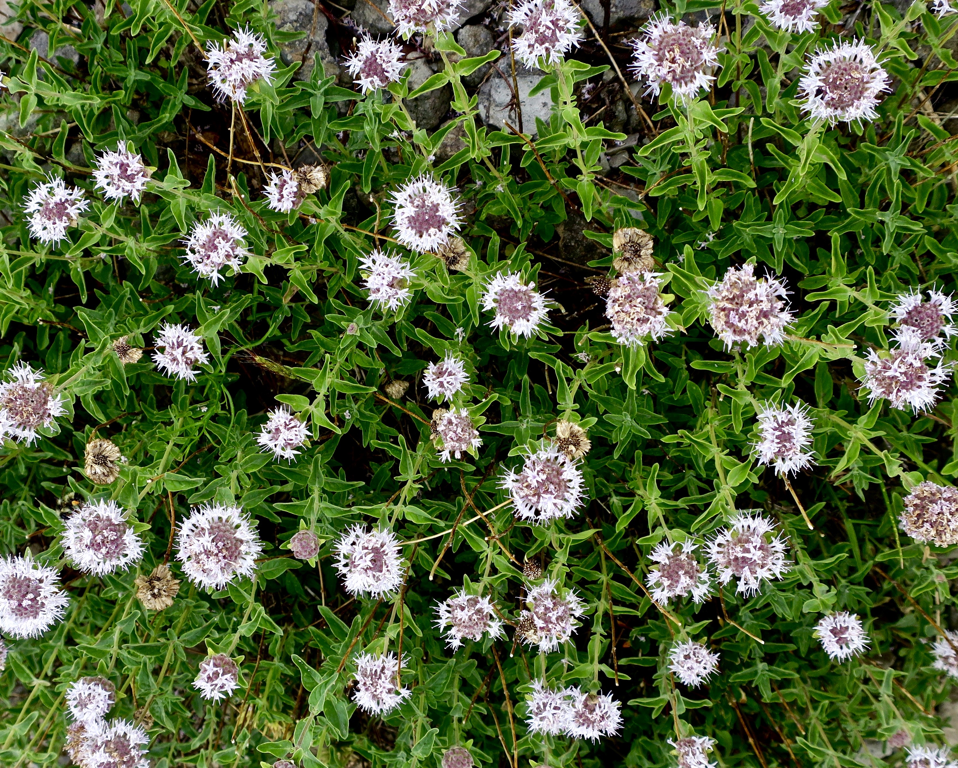
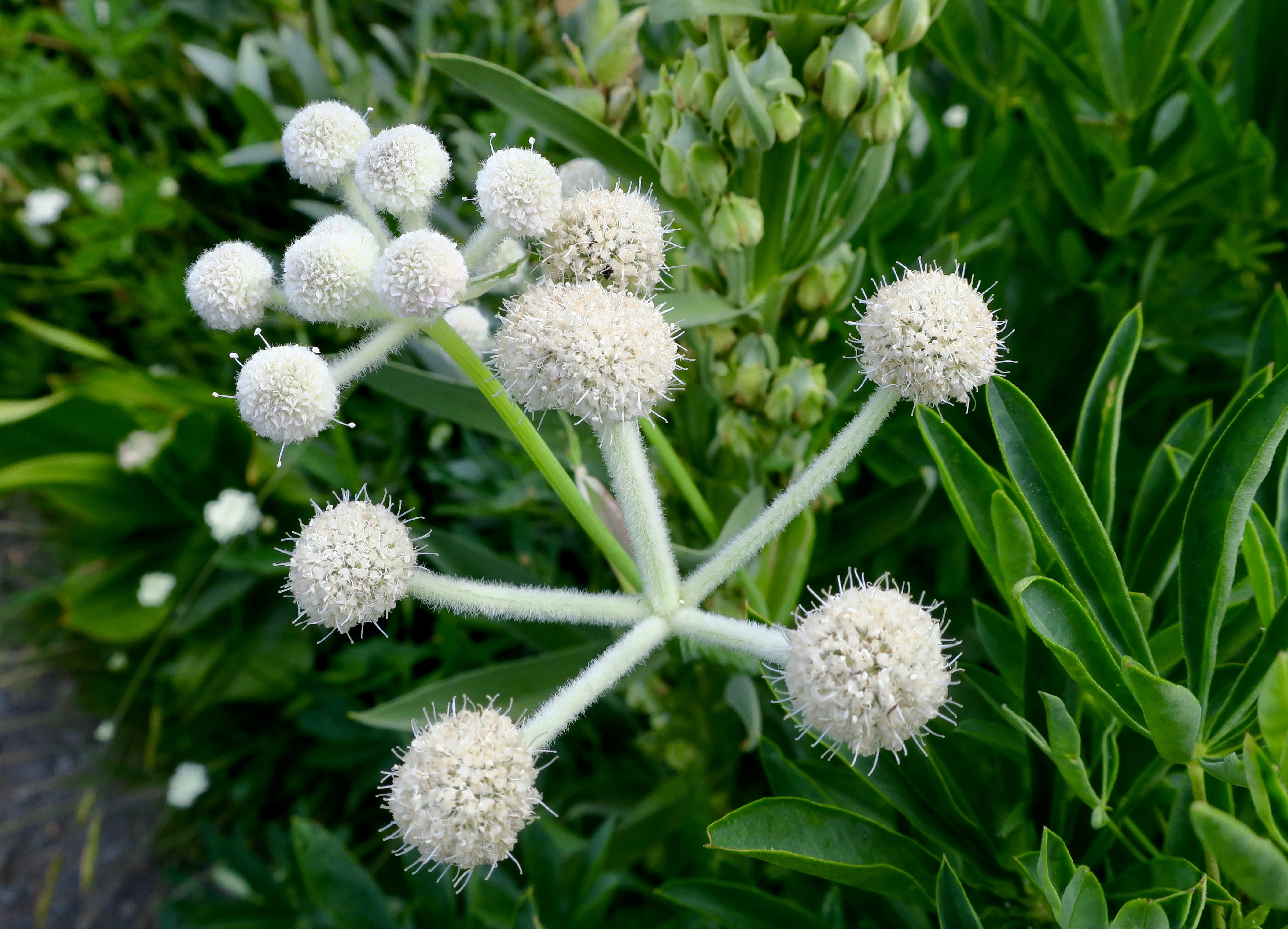
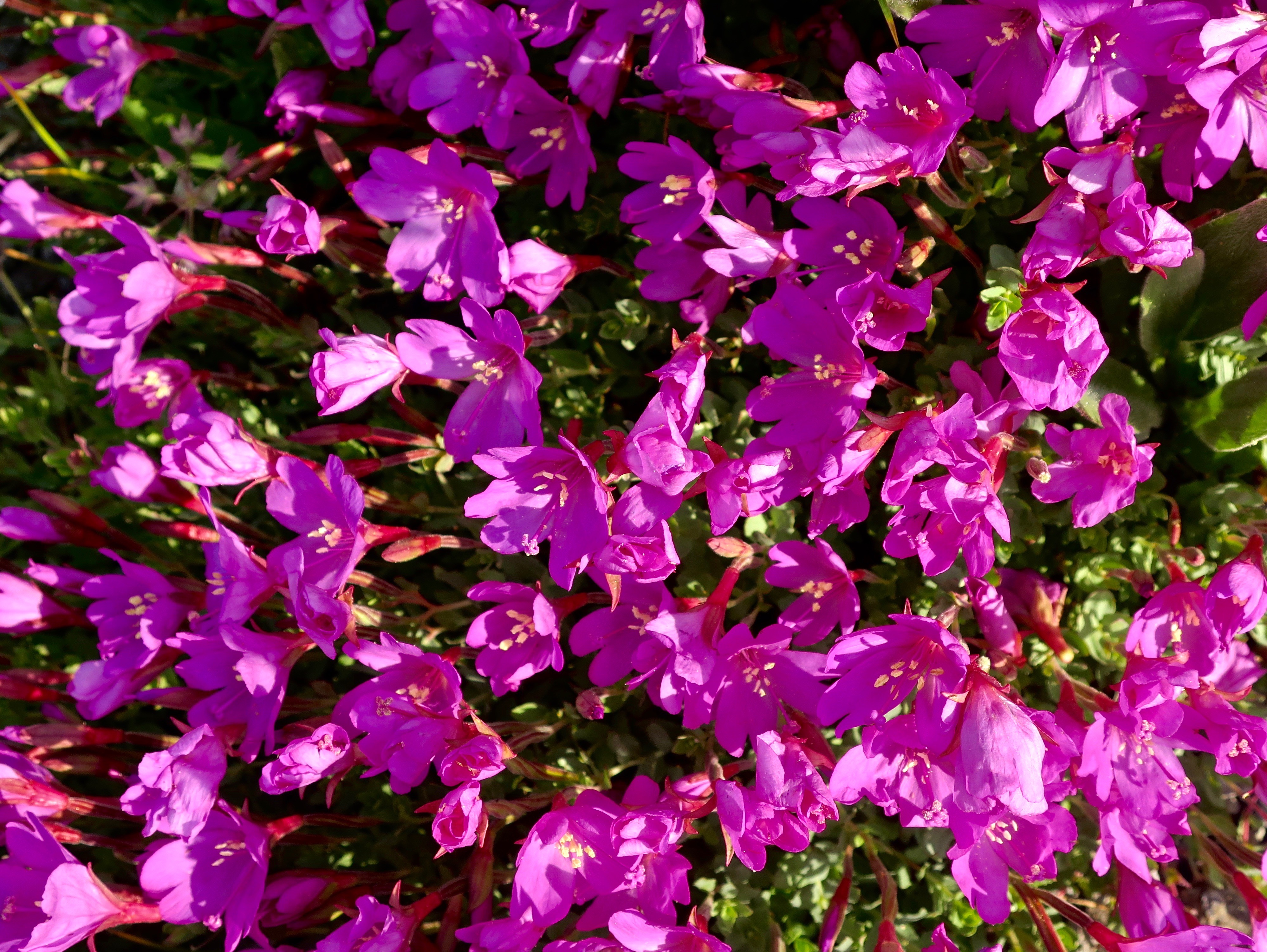
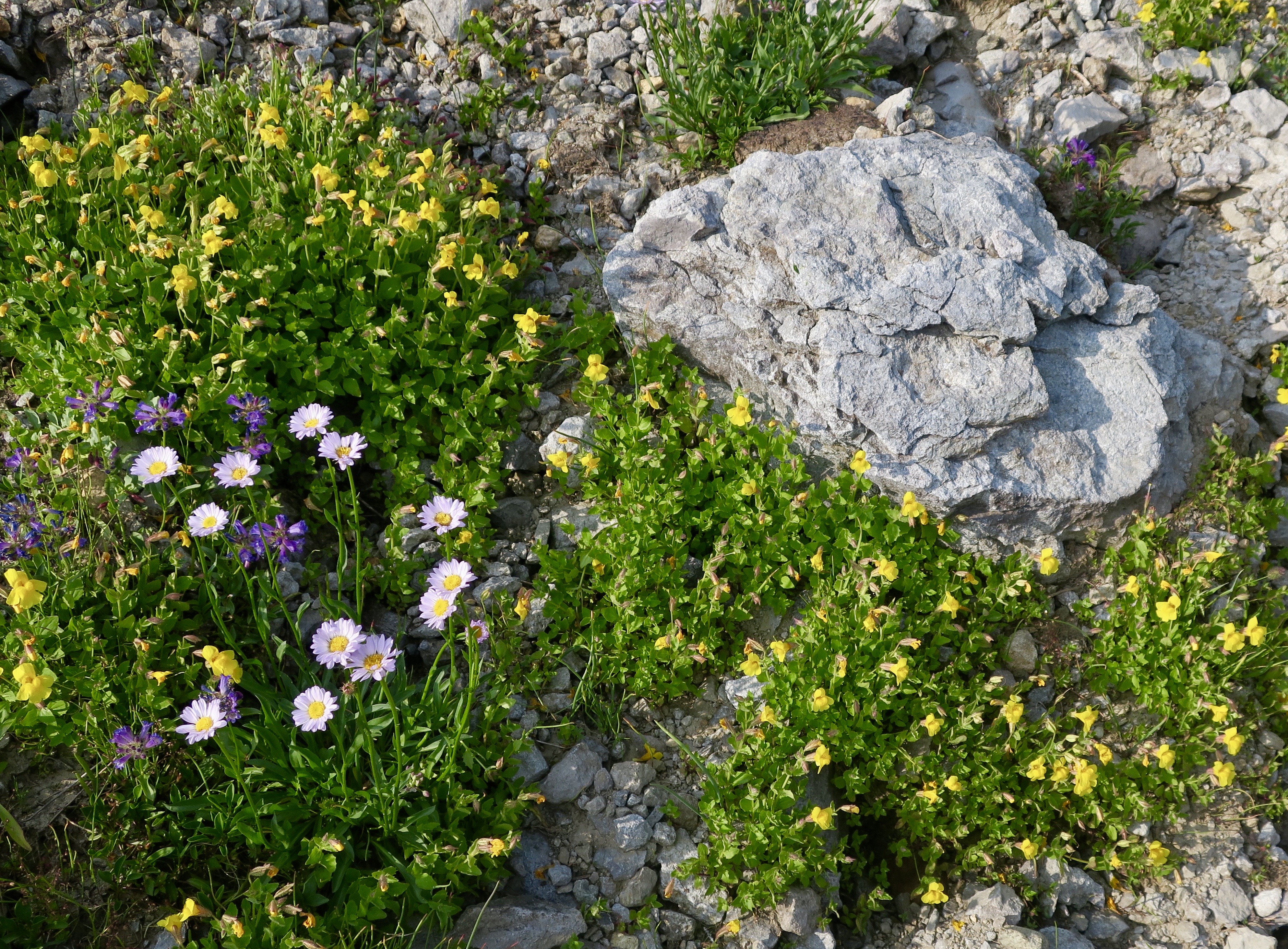
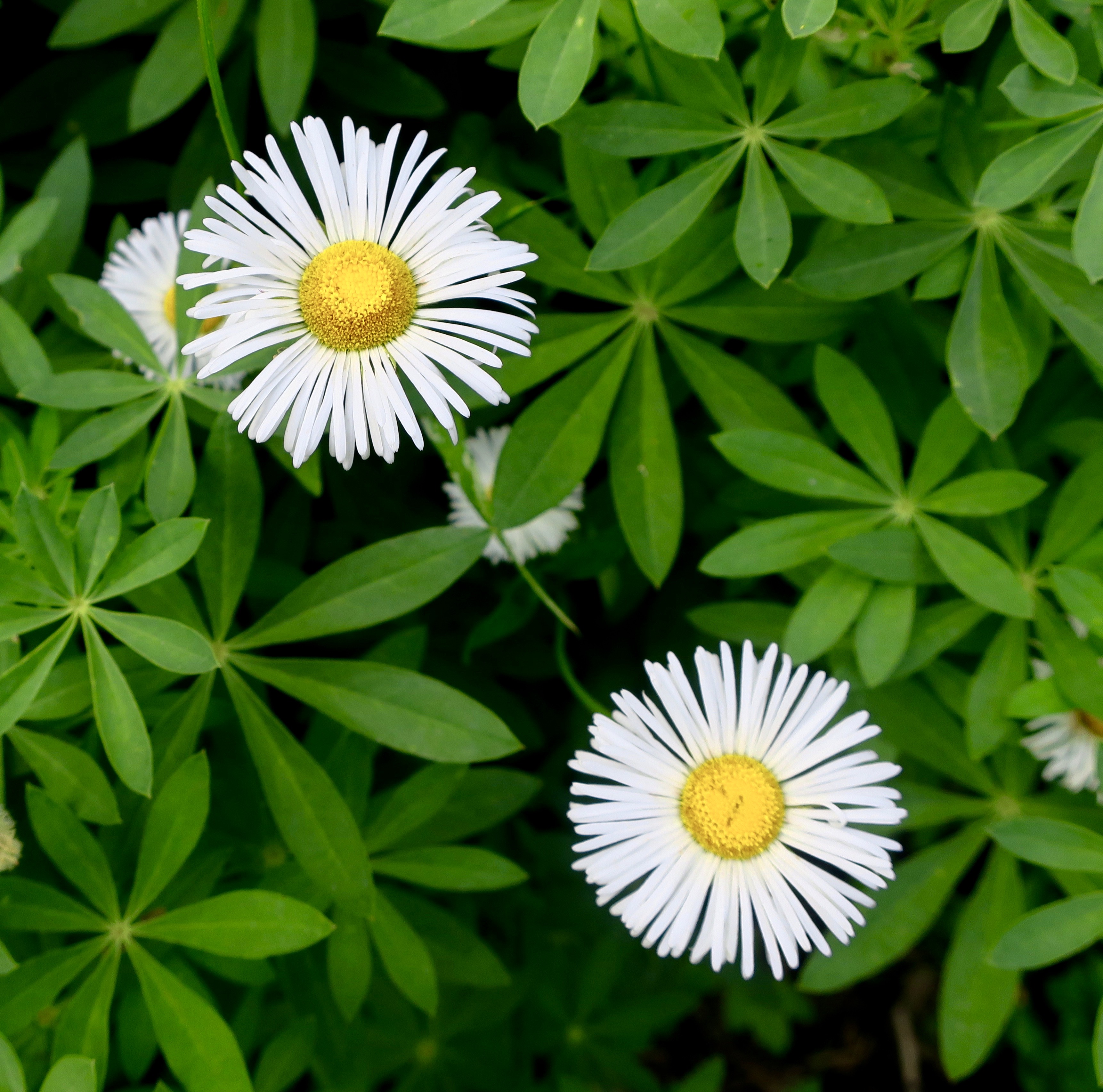
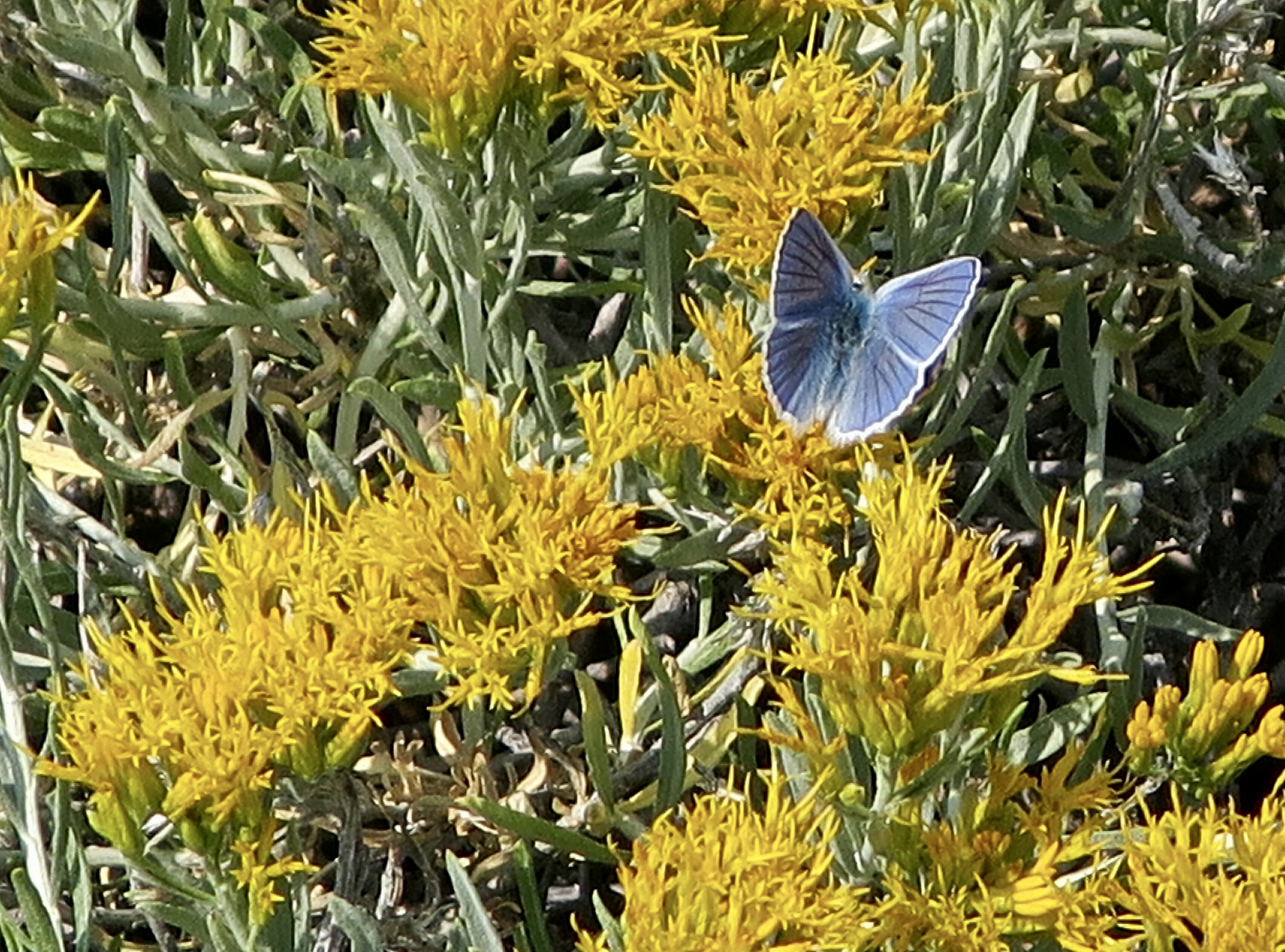
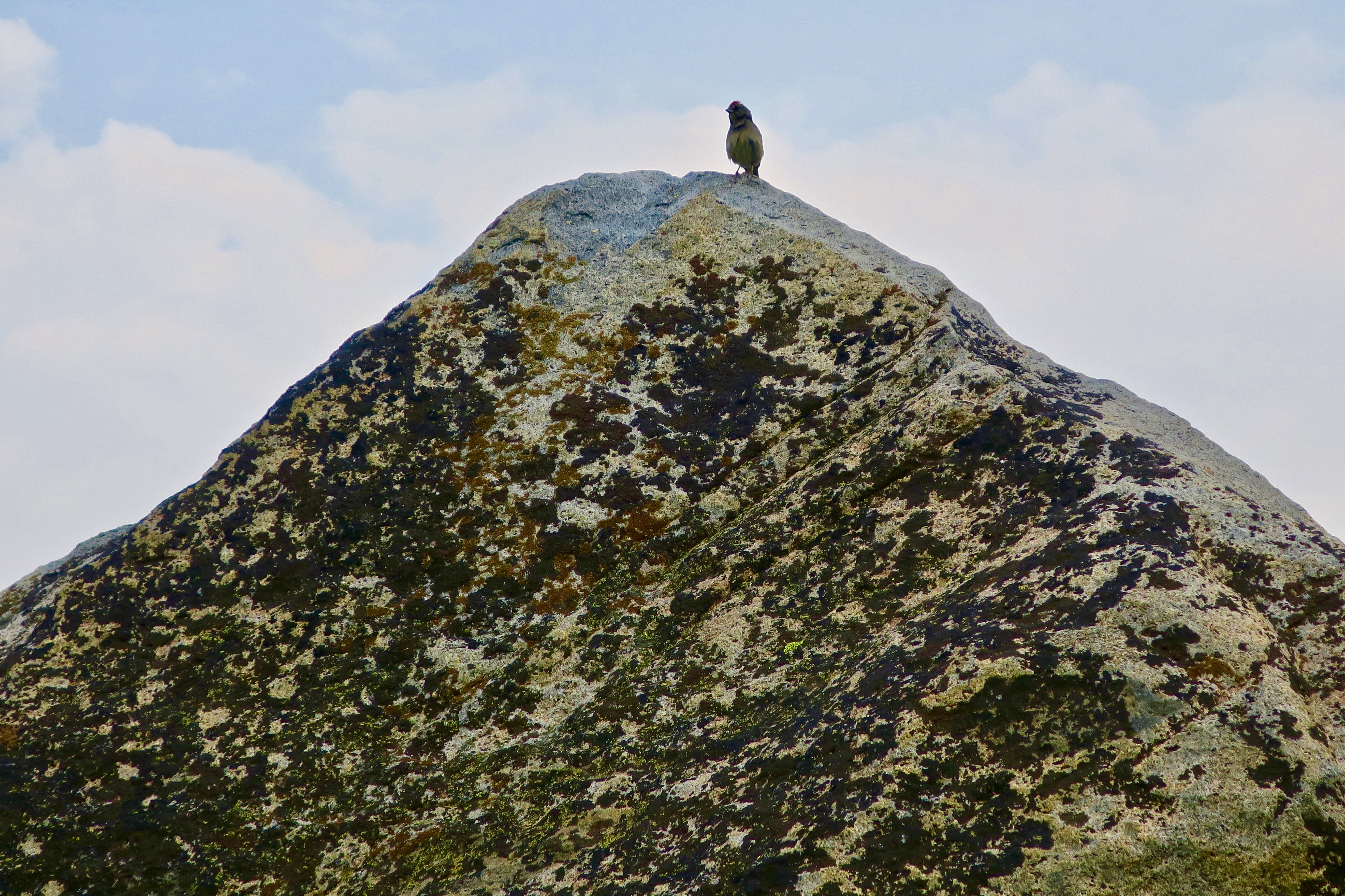
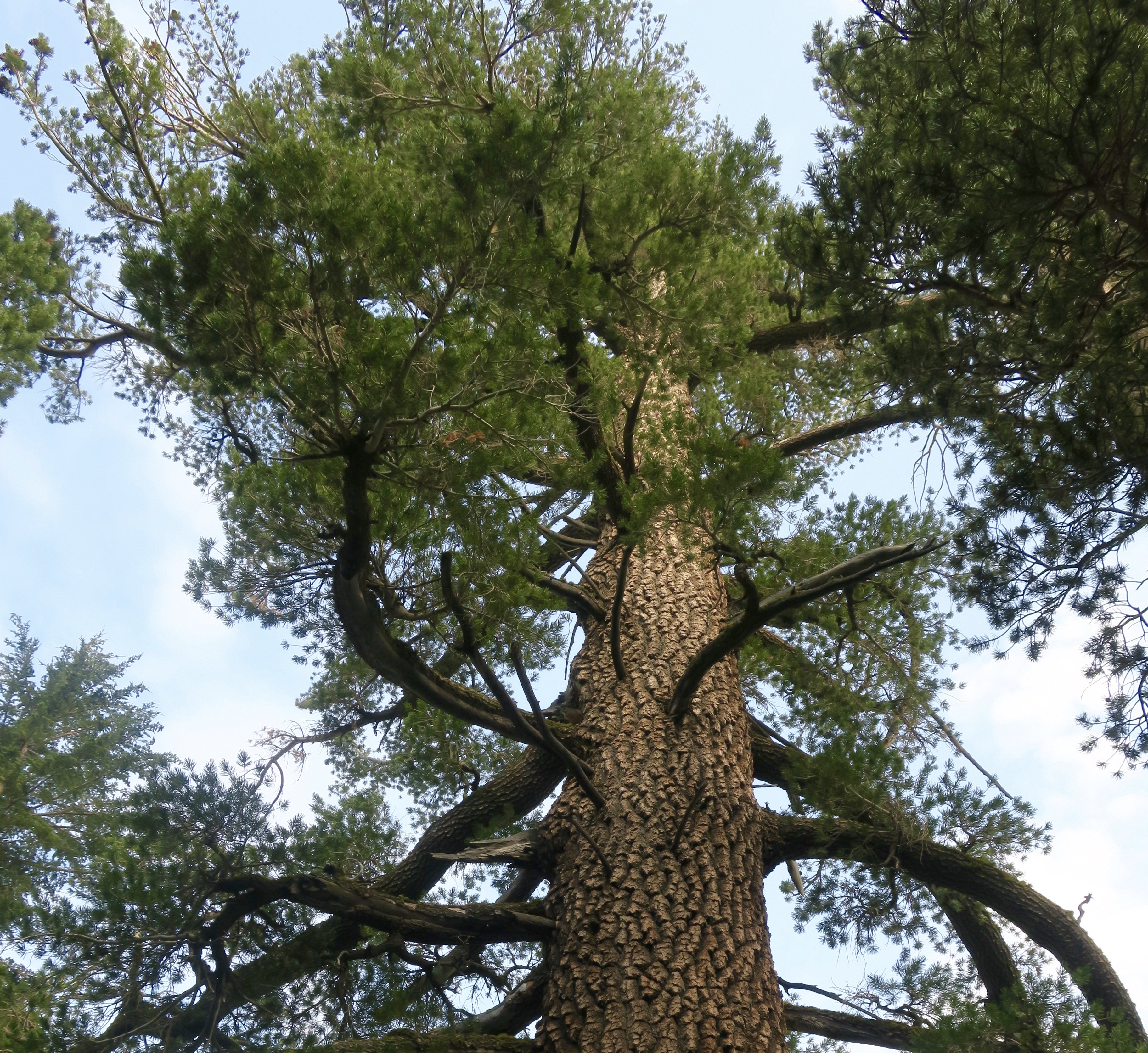
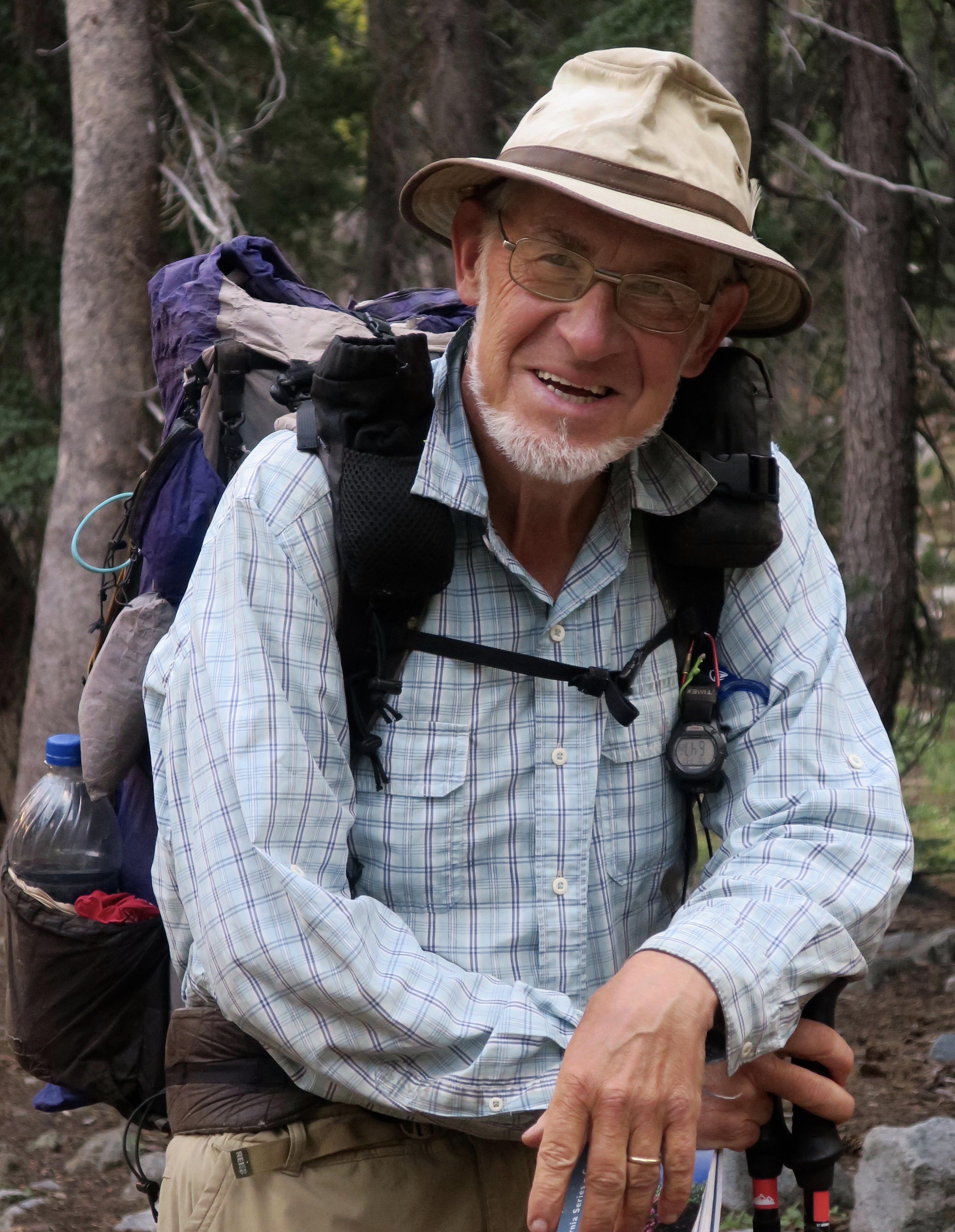
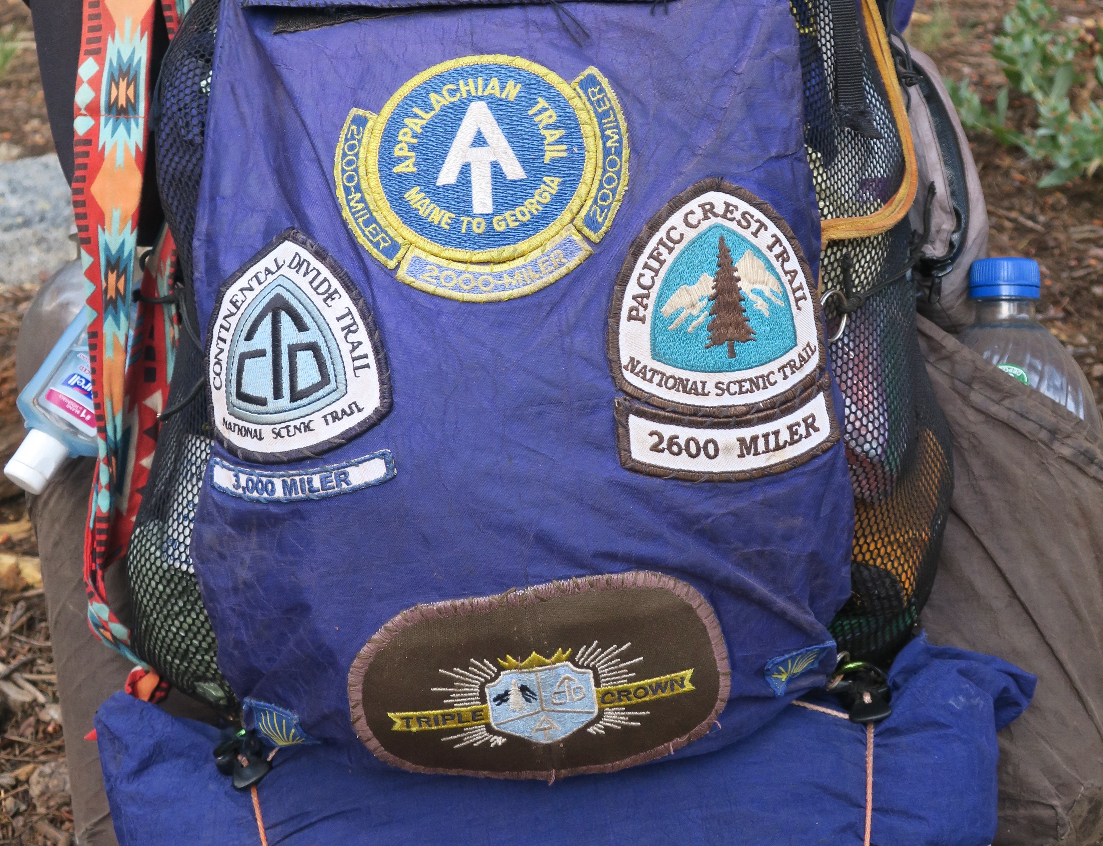
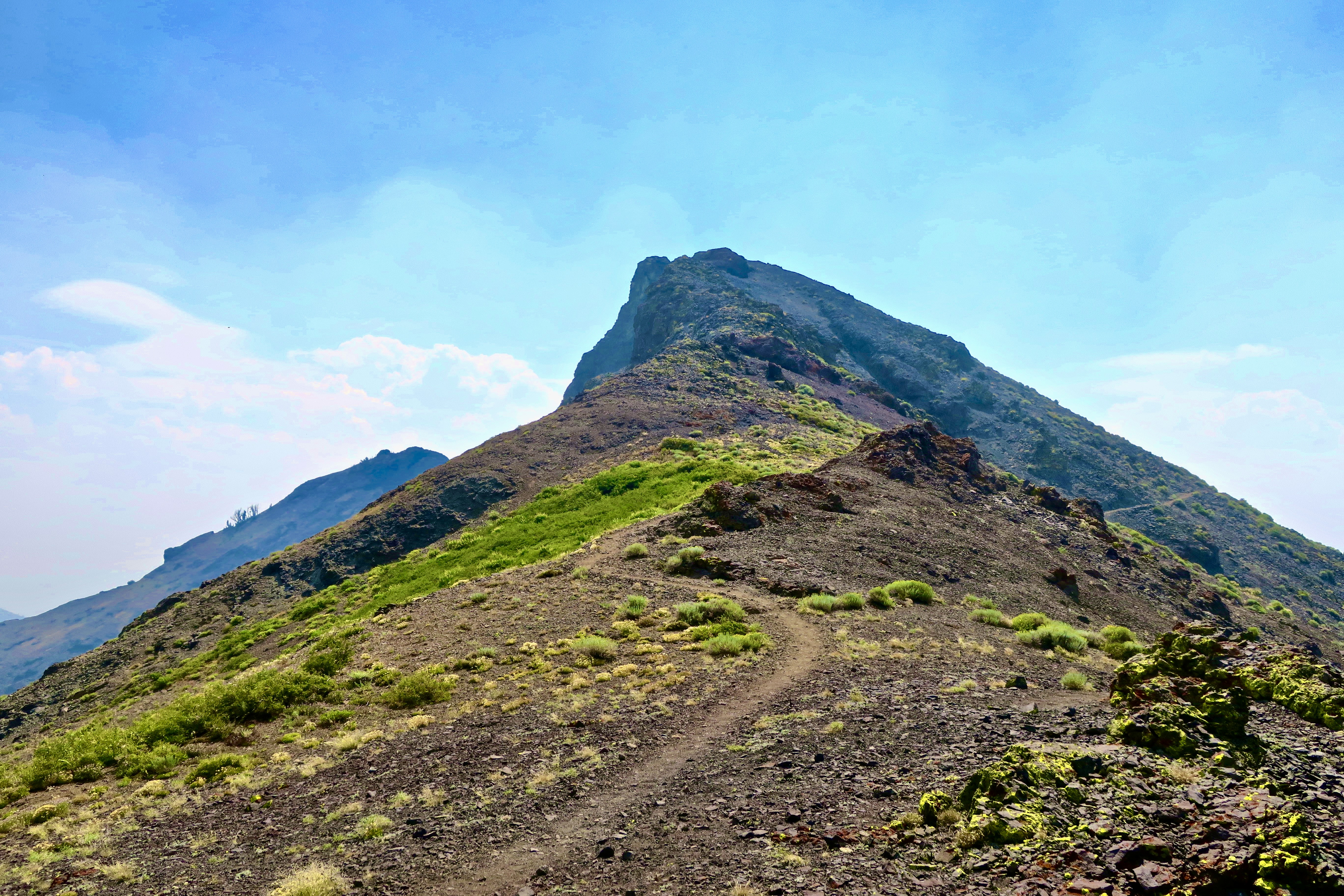
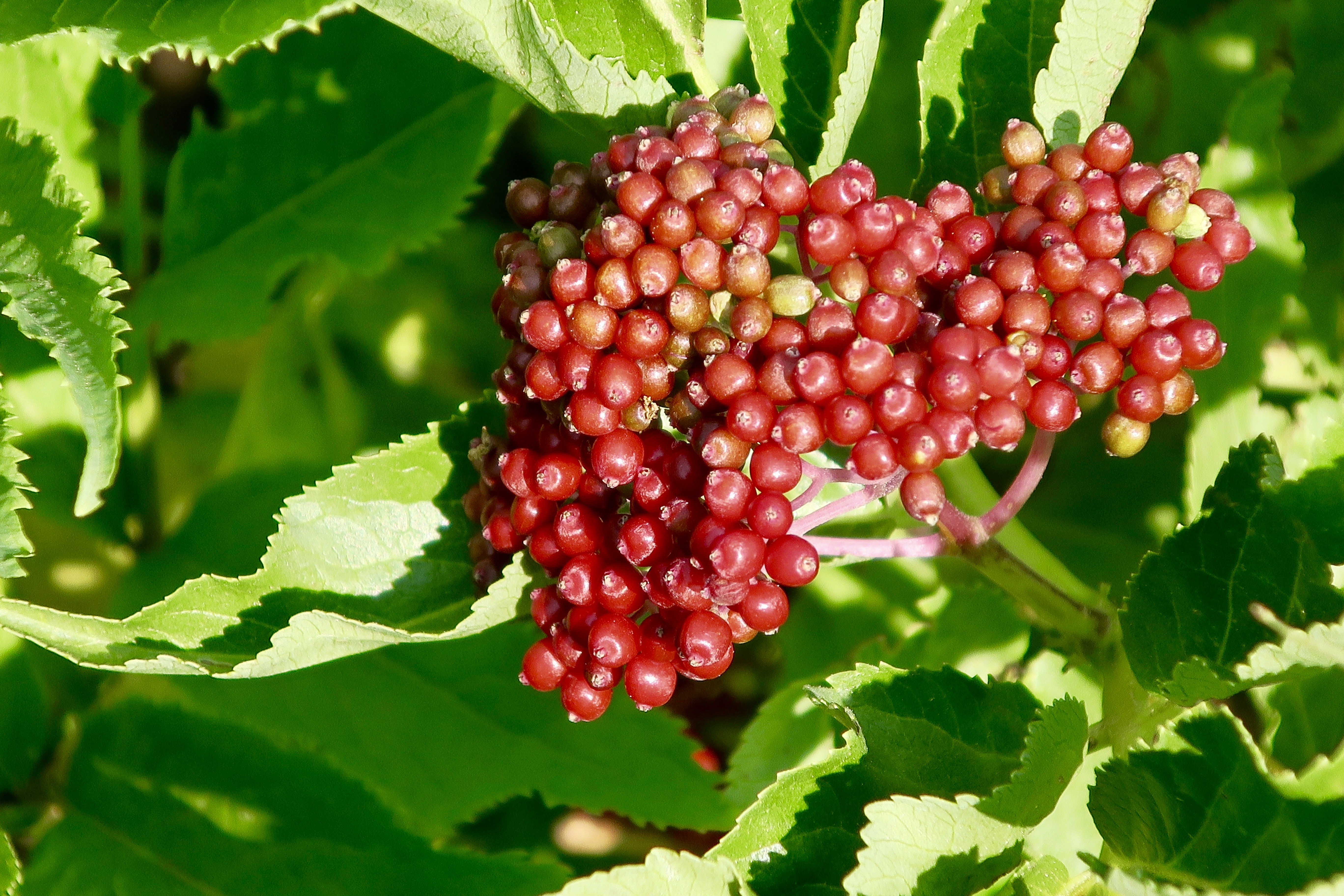
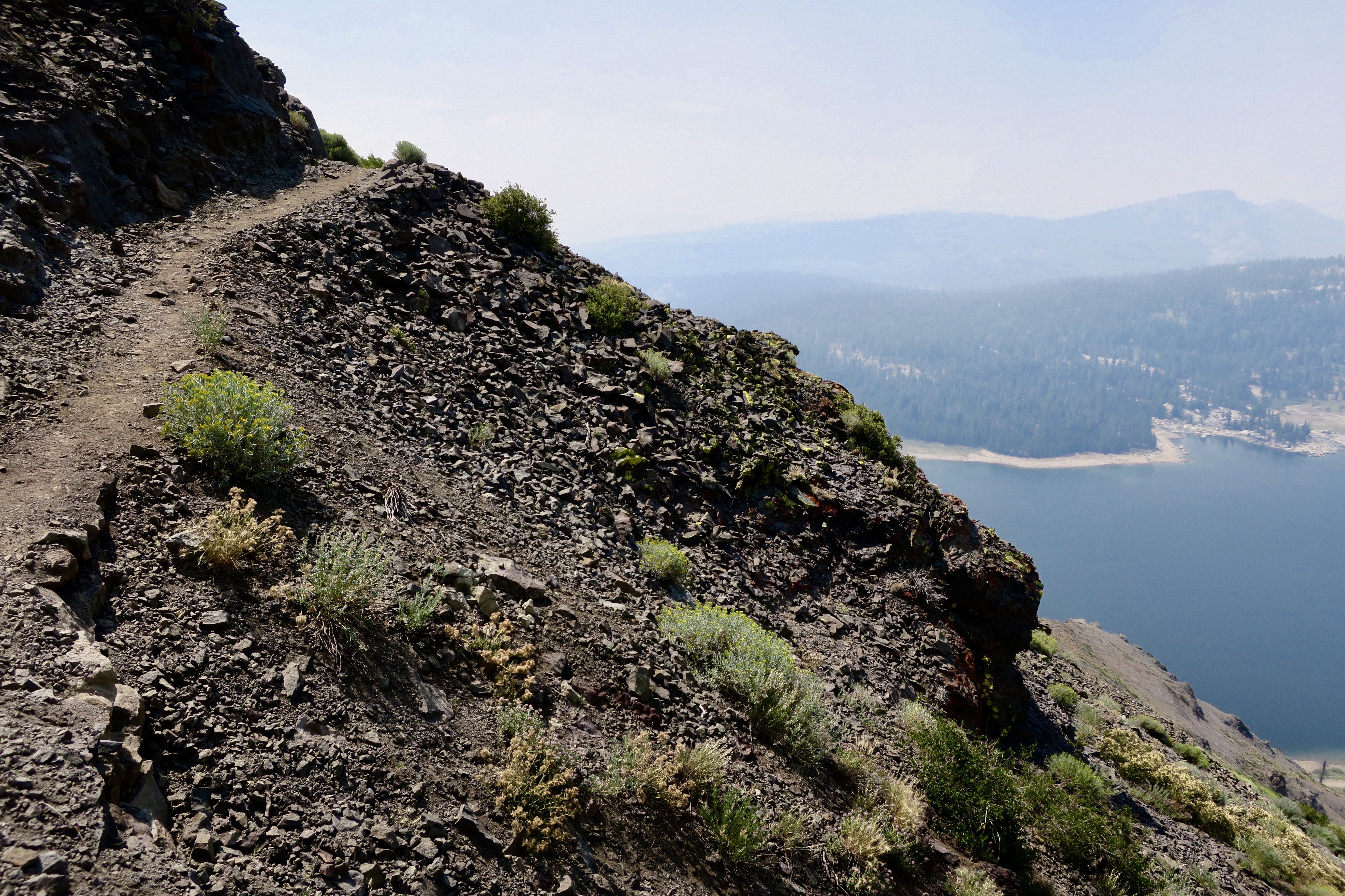
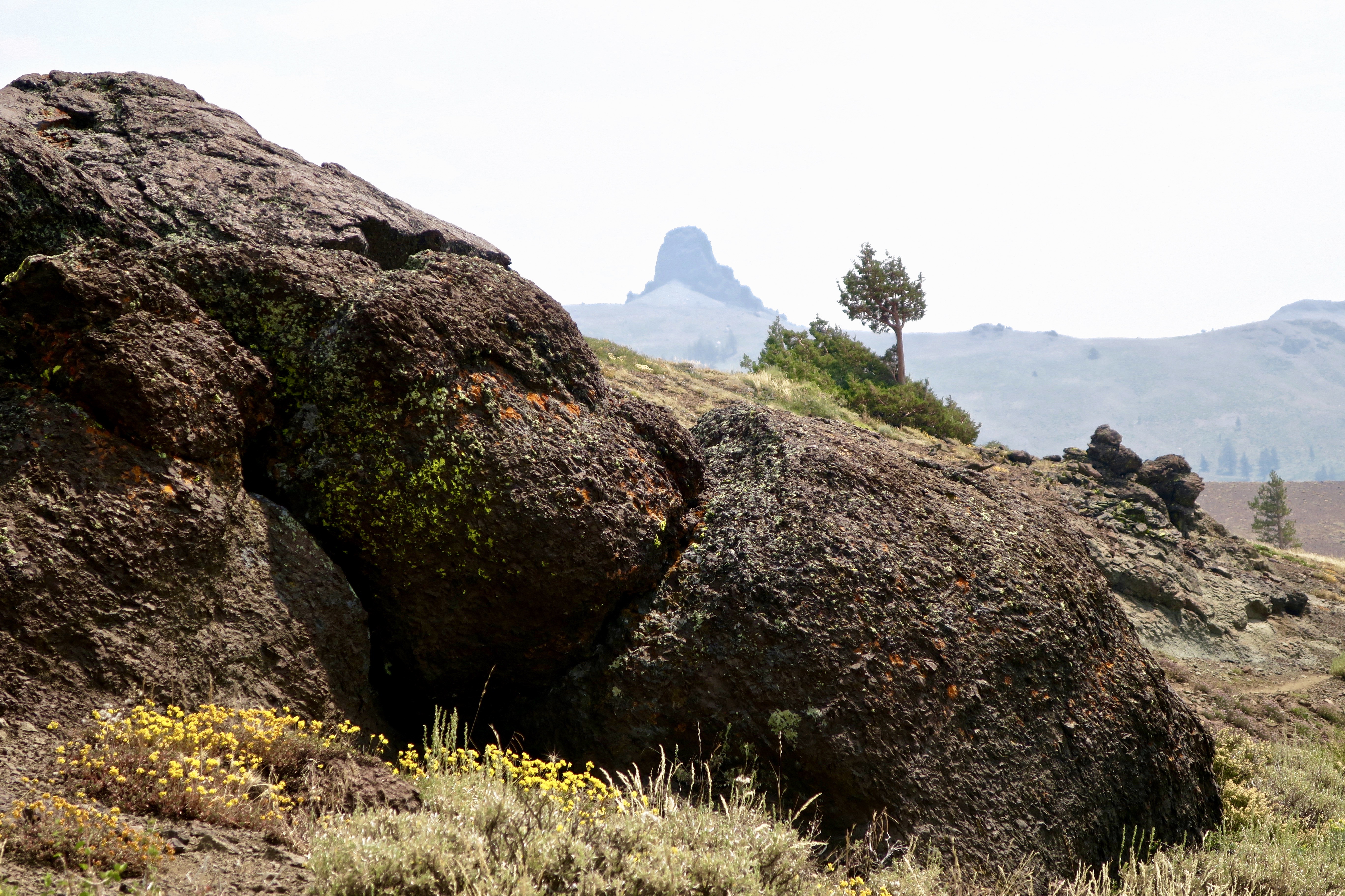
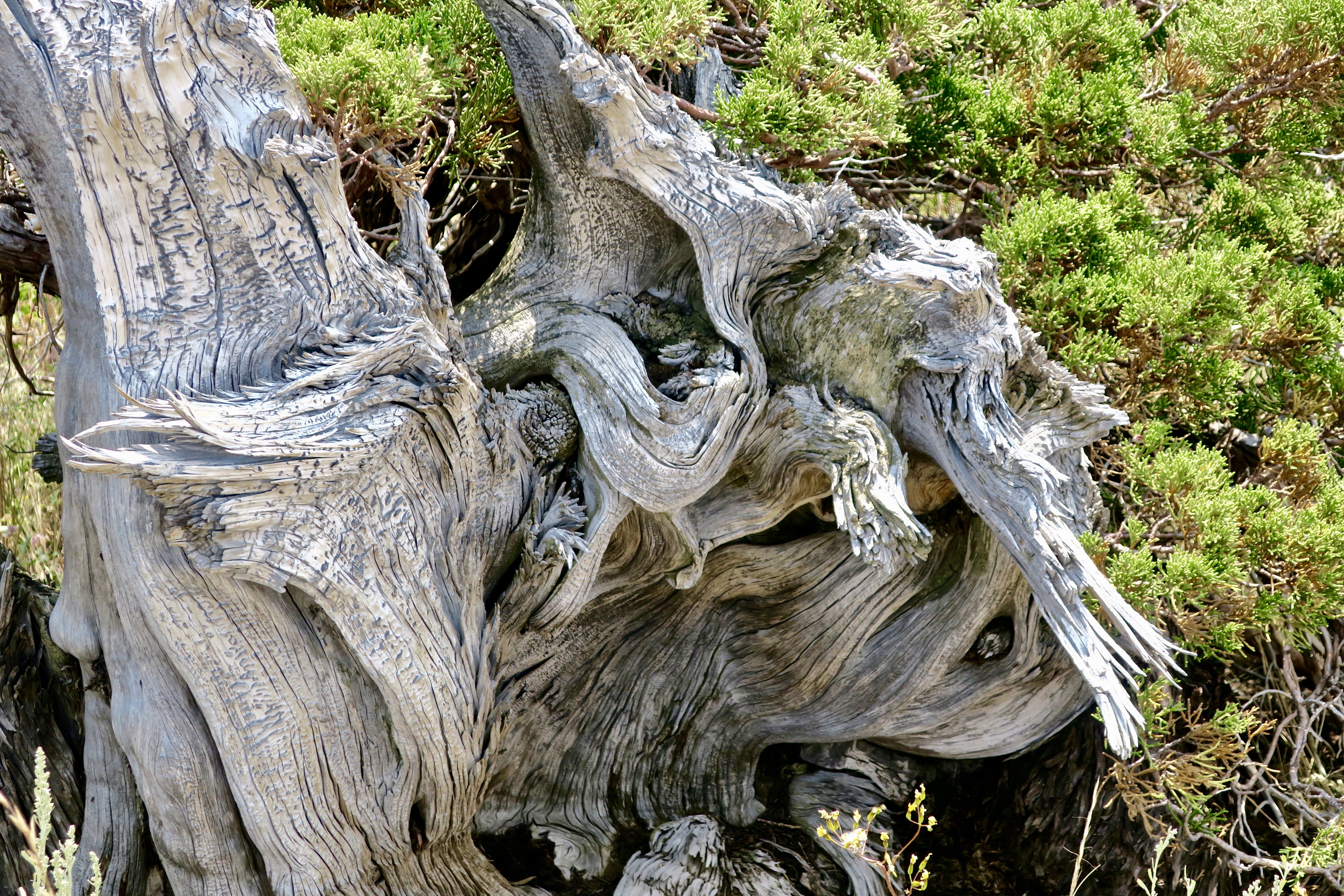
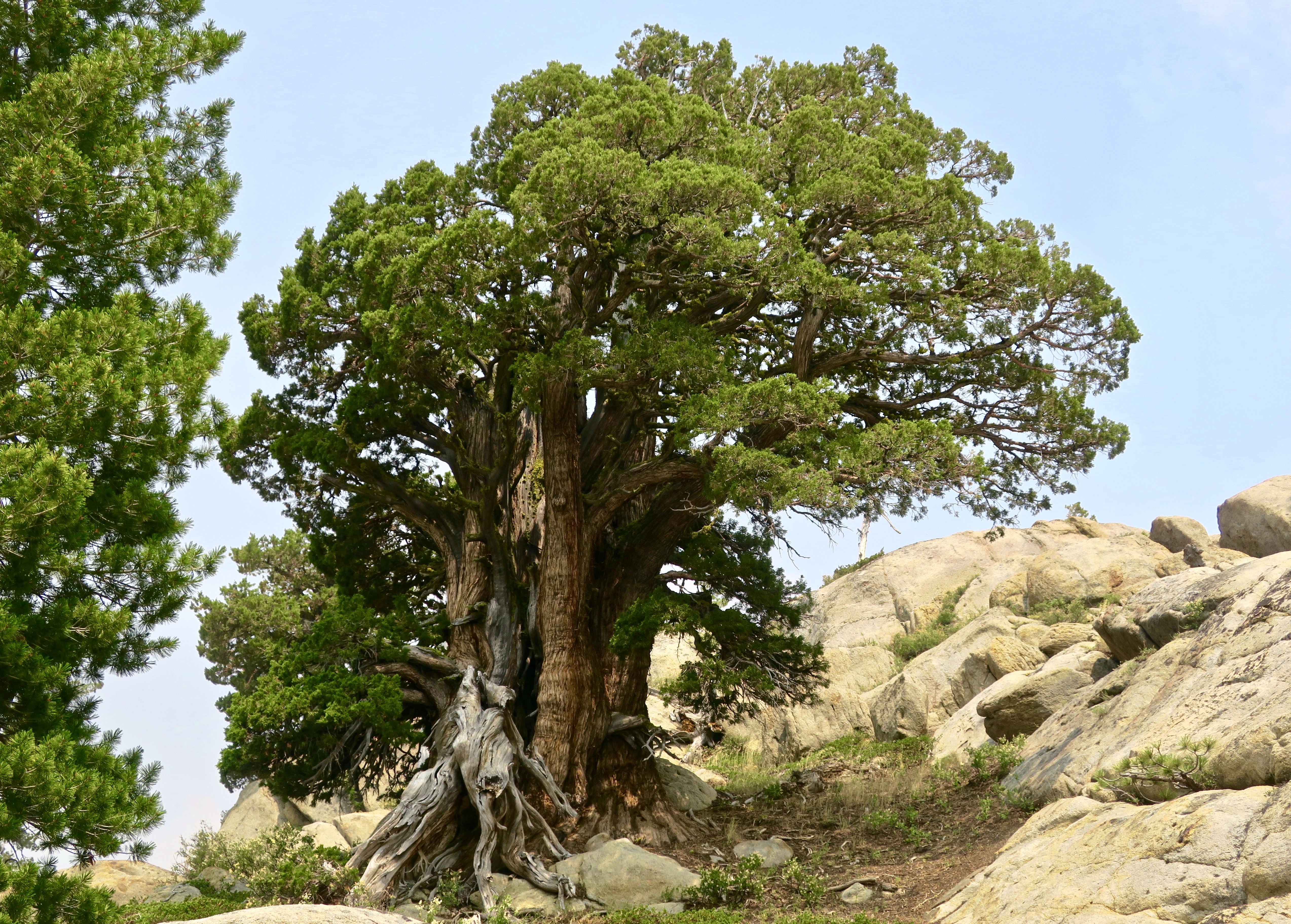
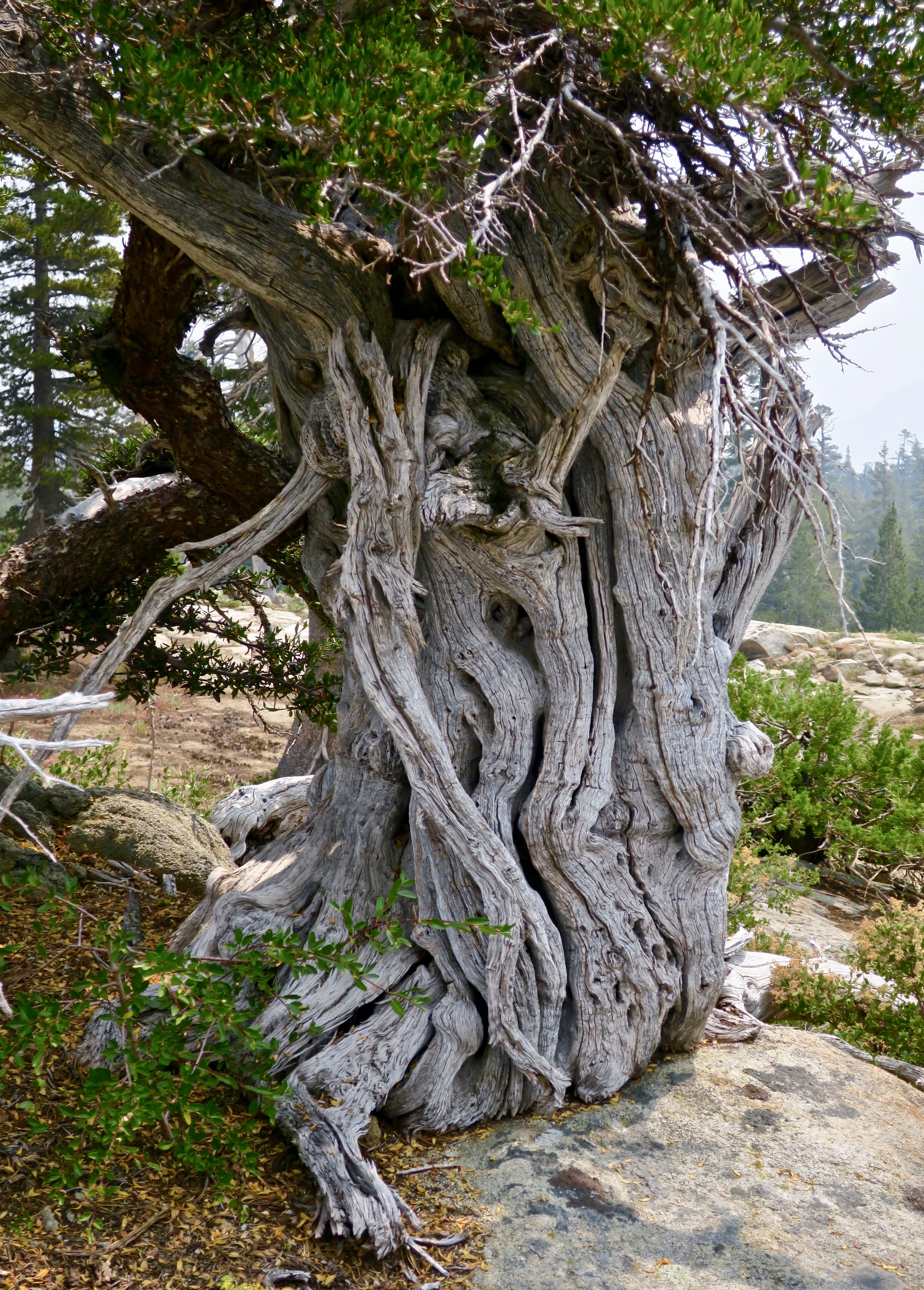
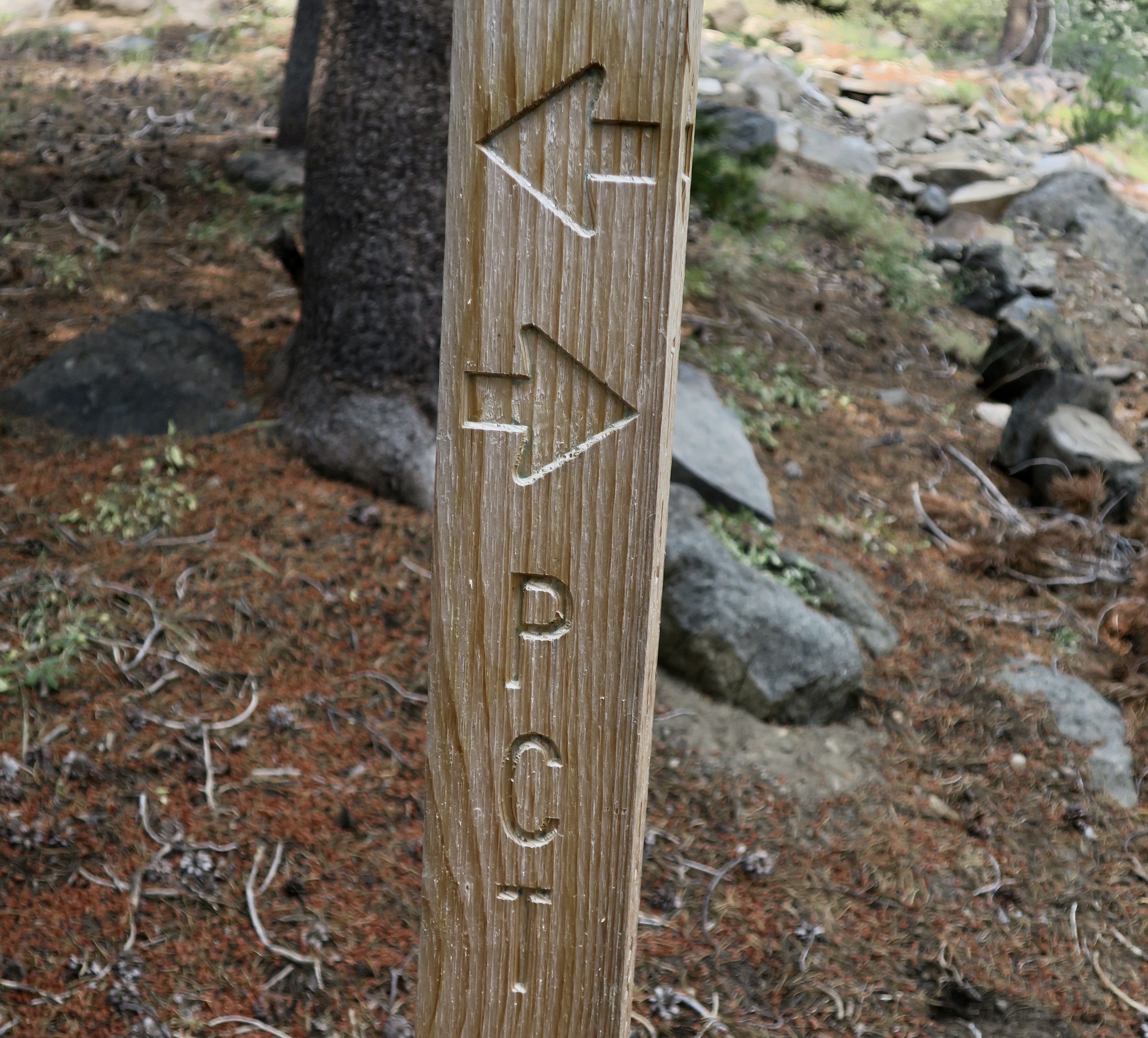
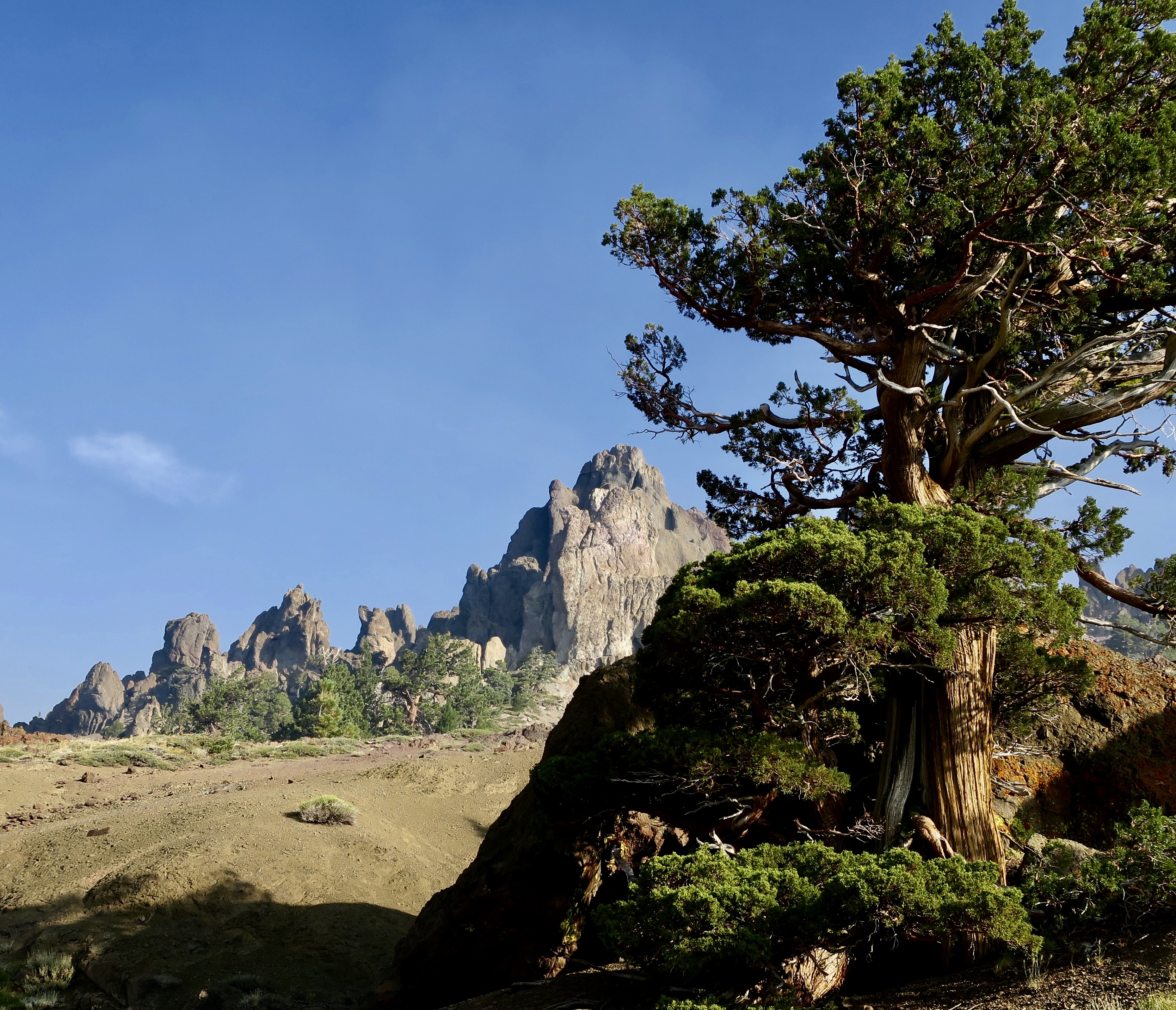
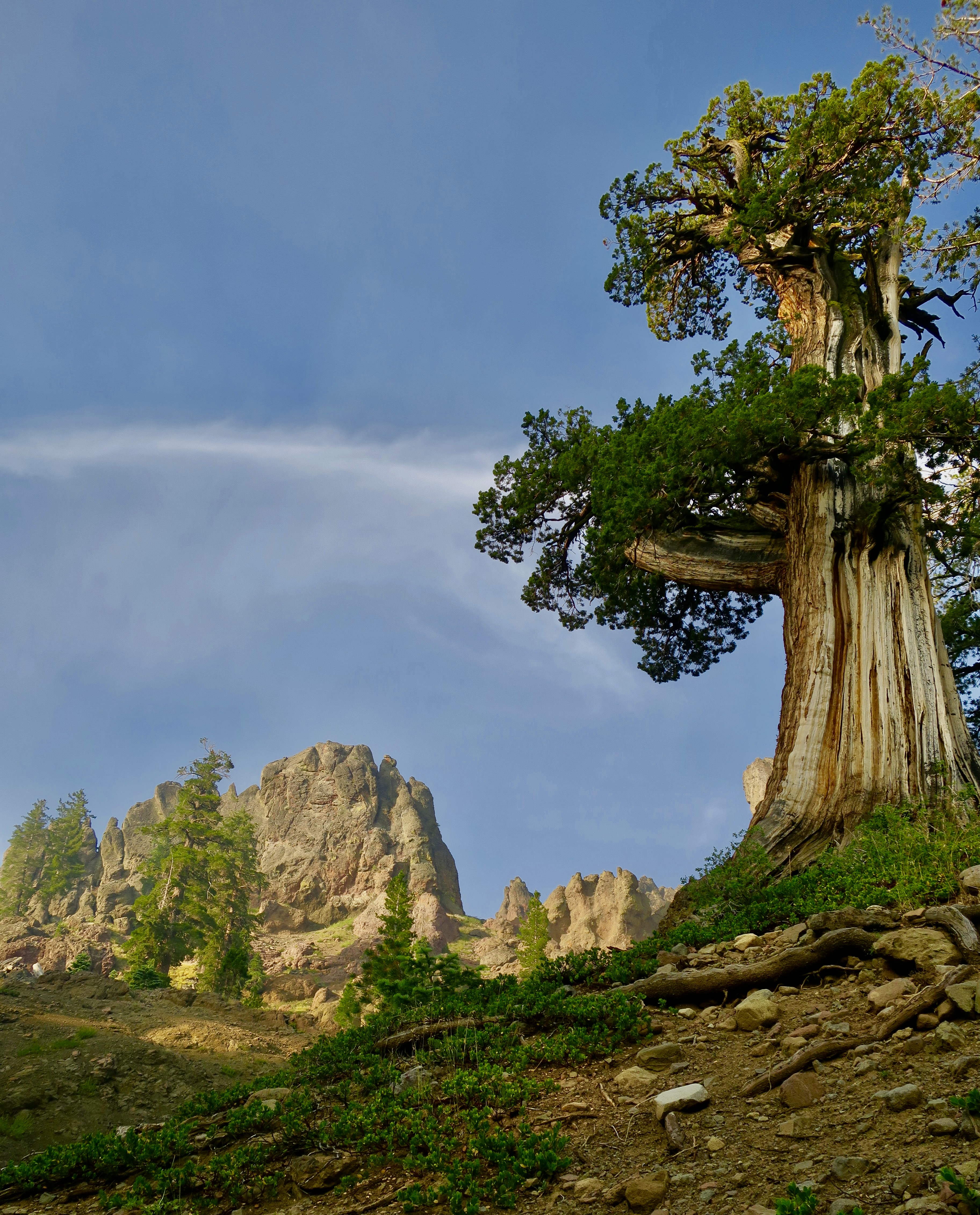
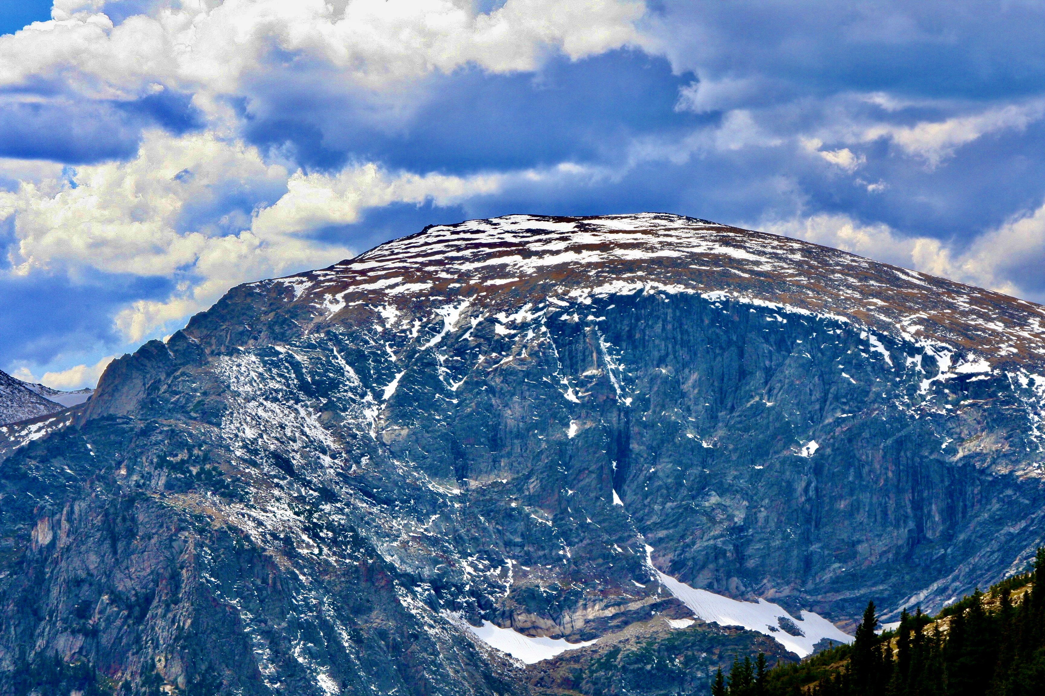
By the time I got to the Mokelumne Wilderness section of the PCT, I was looking a little scruffy, not to mention skinny.Peggy, who is never scruffy, sent me off with a smile. She hiked three sections with me and provided support on all of the others, for both me and through-hikers. By this point, she was almost over being nervous about sending me off on my own.Almost immediately, I came on this old snag. I always enjoy their personality and beauty. You will see several on my two Mokelumne Wilderness posts. This one is all about roots.And how about this lodgepole pine that was insisting on doubling back on itself. It must have had a warped childhood.This is Frog Pond, maybe a mile along the trail from Carson Pass and a tenth of a mile off the PCT. I’d hiked by it several times over the years and not stopped. My loss. If it looks like the end of the world on the opposite end, close. There is a steep drop off just beyond the rocks.This well known landmark is known as Elephant Back. My first challenge of the day would be hiking around it on the left.Fortunately, it was all downhill. But there’s a truism about hiking in the Sierras, what goes down inevitably goes up!The Mokelumne Wilderness features flowers galore. There were whole gardens of them, planted and tended by nature. This one was also tended by a bumble bee,Pennyroyal, a member of the mint family. I picked a leaf and munched on it as I hiked down the trail.Ranger’s buttons. People who name flowers have great imaginations. As noted in the beginning, there are lots of them along the trail.Birdie on a granite rock. It sang me a song so I took its photo.I camped under this magnificent Jeffrey pine my first night…And met this young fellow in his 60s. He had quite a story to tell.He had hiked all three of America’s National Scenic Trails including three times on the Appalachian. He was now doing the PCT a second time.Did I mention the trail went up?I figured an alien from a UFO planted this so I avoided touching it… just in case.This, on the other hand, was an old friend of mine from growing up in the Sierra foothills: California Holly.Looking down on Upper Blue Lake from the trail. Note the smoke. It was a summer of fires along the PCT and I ended up breathing lots of smoke and avoiding fires. The distant knob was a prominent landmark for pioneers. Any guess for what they named it? The Nipple.Another snag.The trail worked its way through granite boulders and junipers.Which are one of my favorite trees.Heading off the trail, I found an attractive small lake to camp on. The clouds were threatening a thunderstorm.But the lake remained calm, reflecting the surrounding trees from impressionistic…To realistic.The next morning found me back on the PCT by 7 am, which will be the subject of my next Mokelumne Wilderness post…With a very different terrain.
In our last post we emphasized the beauty of El Morro and checked out the waterhole that has drawn people to El Morro for the past thousand years. Our focus was on the Spaniards and the pioneers who left their signatures behind. Today we are going to spotlight the Ancestral Puebloans who lived on top of the monument in the 1200s and left petroglyphs on the cliff near the waterhole.
Peggy and I were admiring the petroglyphs and signatures on the walls of El Morro when a woman walked by and gushed, “Aren’t the signatures wonderful.” And then, dismissively, “You can find petroglyphs anywhere.” We didn’t disagree on the signatures. The first one had been carved into the rock by the Spaniard Don Juan de Oñate, 15 years before the Pilgrims landed at Plymouth Rock. But the petroglyphs reflect the life of a people who were living here hundreds of years before Oñate was born.
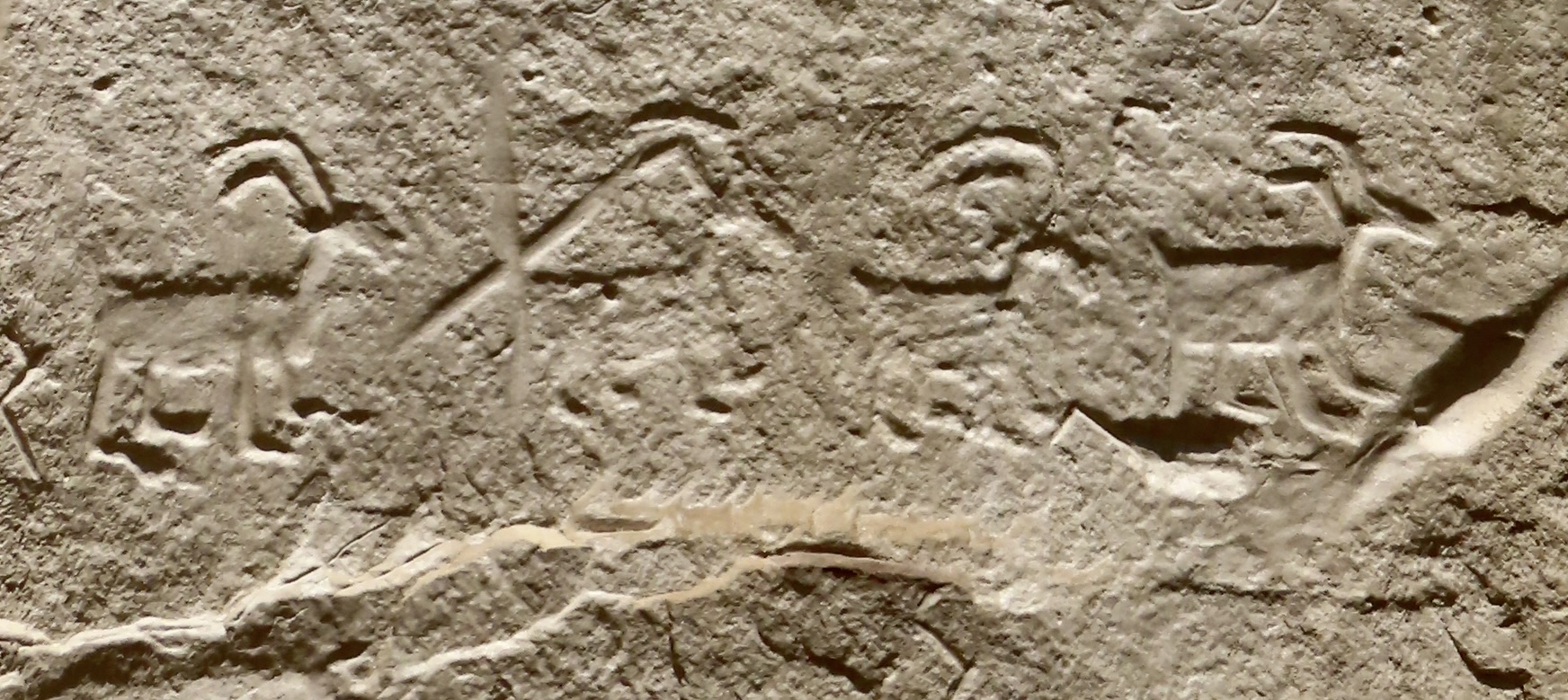
While our understanding of the petroglyphs is limited, we can appreciate the creativity and at least guess at their meanings. The four big horned sheep walking in a row on the Inscription Loop Trail are still four big horned sheep walking in a row, regardless of what else the petroglyph might mean. With insights from the beliefs, legends, and interpretations of modern pueblo people and other indigenous groups, our guessing can improve, opening a whole new world of wonder for us. They certainly have for Peggy and me.
The pueblo, signatures, and petroglyphs are part of the rich history that our public lands preserve and protect. It’s an important aspect of what our national parks and monuments do. Without this protection in El Morro, graffiti would likely cover the inscriptions and petroglyphs on the Inscription Loop Trail, while much of the Atsinna Pueblo would be dug up with zero concern for history— left in shambles as treasure hunters search for ancient artifacts to sell. Before the creation of our park system, such pillage was common. It still can be in unprotected areas.
Today we are facing an even more insidious threat: erasing our history. Apparently, the Trump Administration has decided that including what we have done wrong in history detracts from America’s greatness rather than serving to remind us that we can do better. For example, my Great Grandfather in Illinois utilized his house as a part of the Underground Railroad. It was dangerous. He was helping free slaves. In early April, a page on a national park website described the effort this way: “The Underground Railroad — the resistance to enslavement through escape and flight through the end of the Civil War — refers to the efforts of enslaved African Americans to gain their freedom by escaping bondage,” the page began. The statement was removed as well as a photo of Harriet Tubman, who was central to the effort. The Underground Railroad became part of the Civil Rights movement. There was to be no mention of slavery. After a sustained outcry and substantial media attention, slavery and Harriet Tubman were returned to being part of our history.
It continues. Two weeks ago, Interior Secretary Doug Burgum issued Secretarial Order 3431 that instructs all land management agencies, including the National Park Service, to post signs asking visitors to report any negative stories about past or living Americans by rangers or in signage— even if it is historically accurate.
Rewriting history to match the President’s concept of it and asking Americans to spy on Americans is a whole new type of scary.
And now, it’s time to return to our post on El Morro National Monument, which is part of our series emphasizing the beauty and value of our national parks, monuments, historical sites and other public lands.
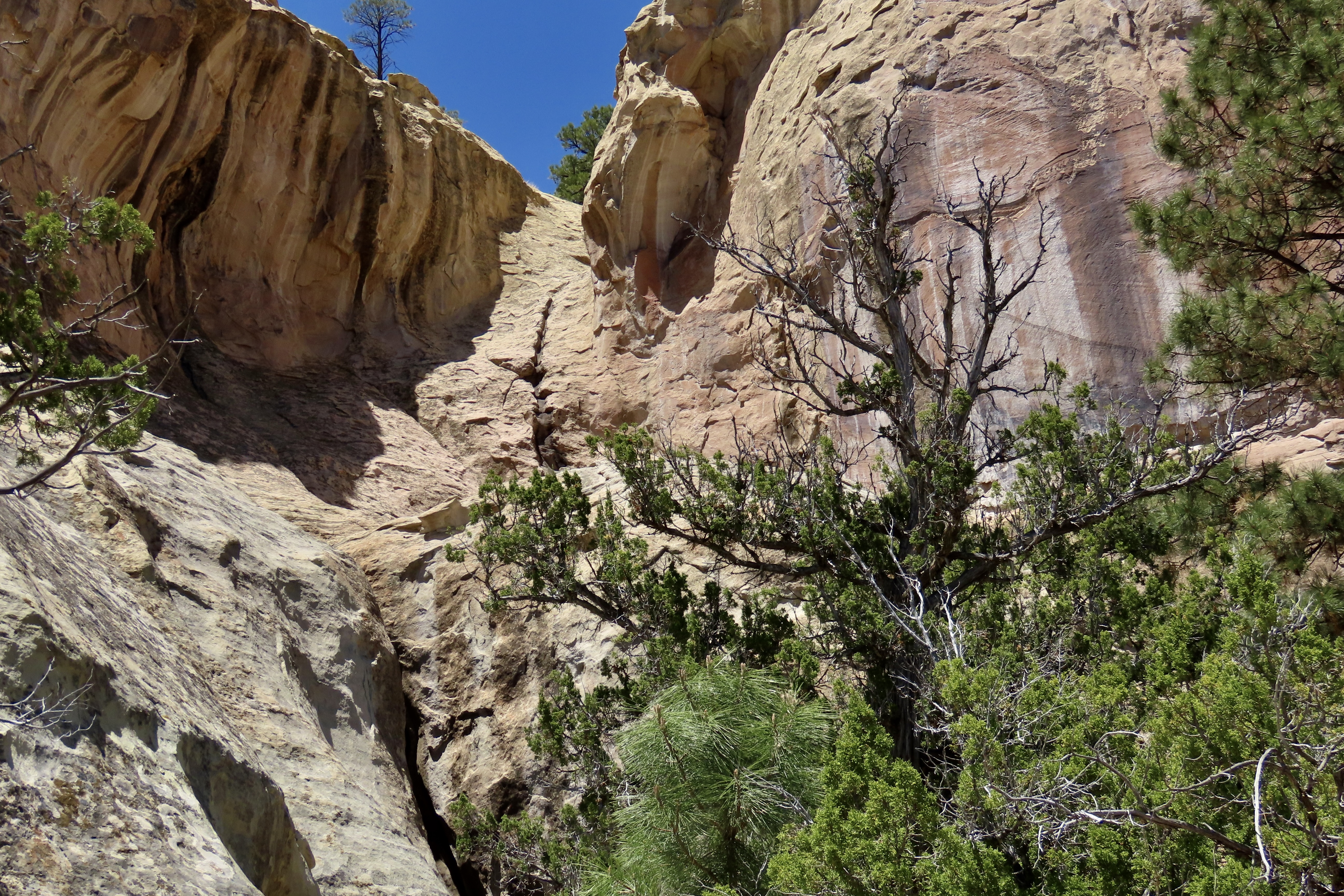
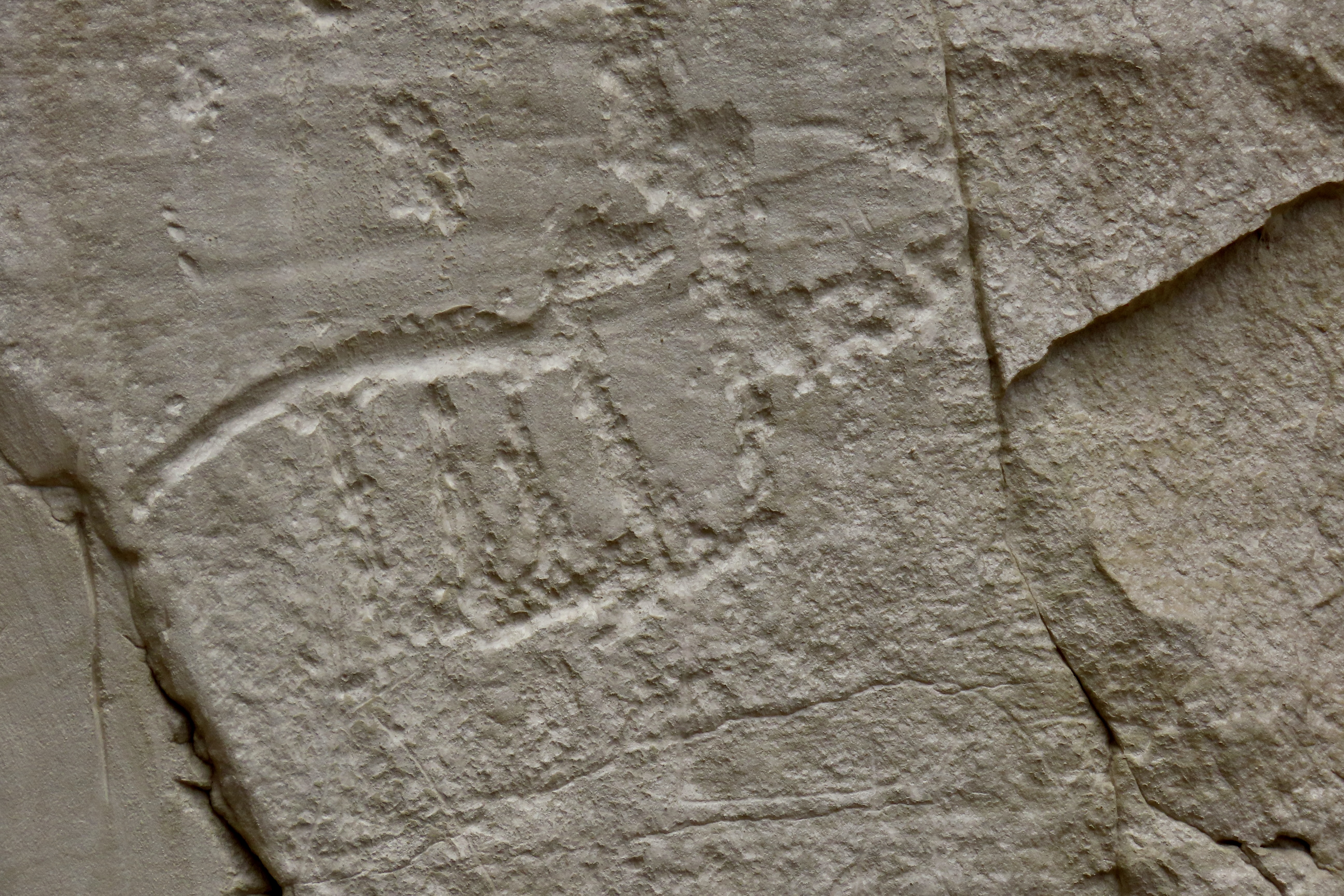
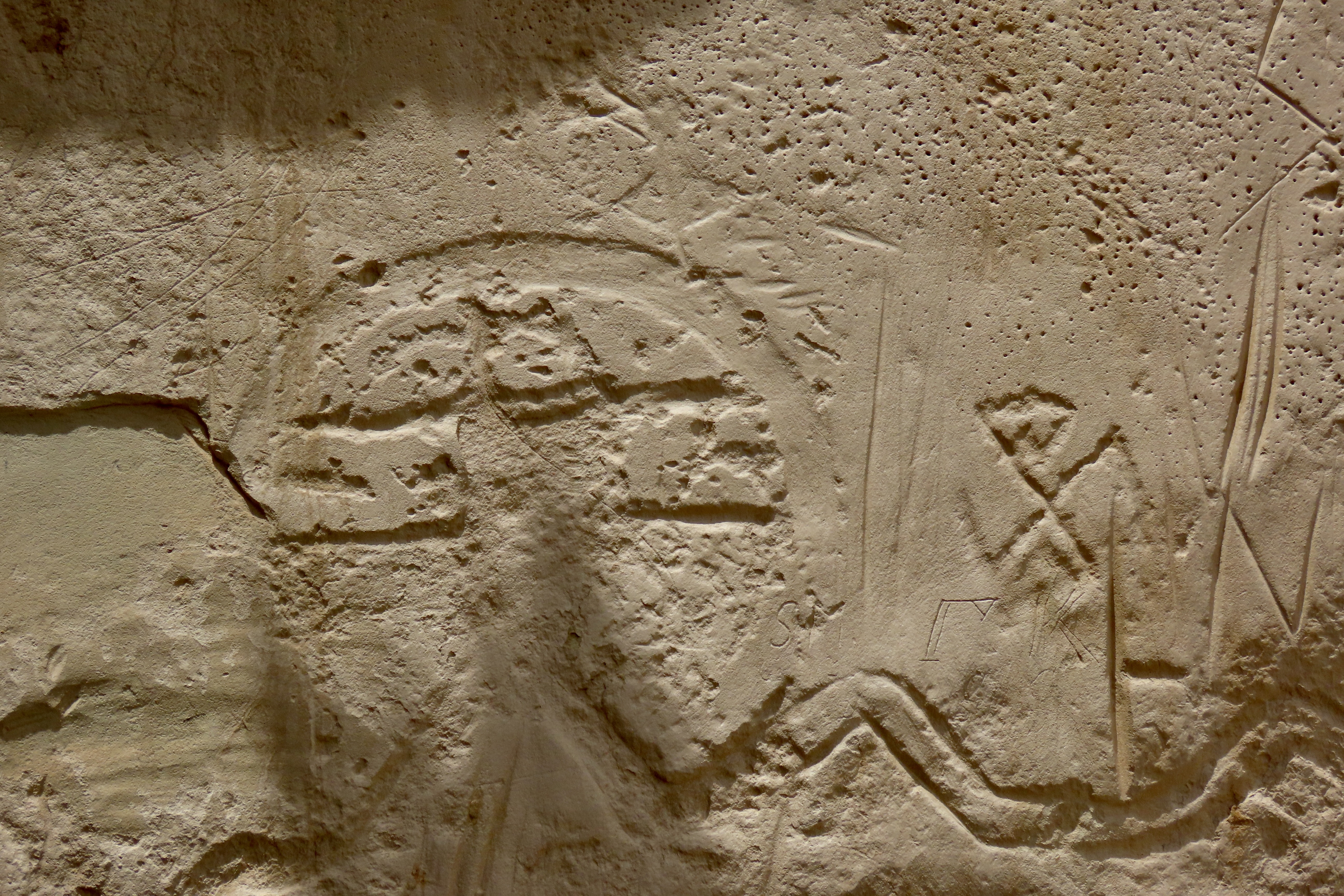
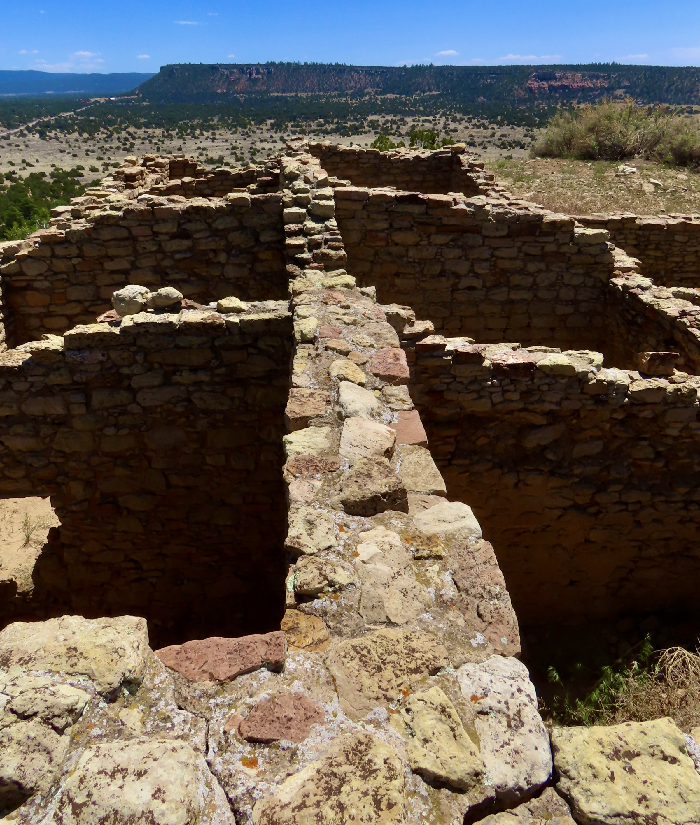
We found these holes in the rock near the waterhole. We’ve seen similar holes at a number of other pueblos. They are foot and hand holds that the Ancestral Puebloans used to reach their cliff dwellings, and, in this instance, Atsinna, the pueblo up on top of El Morro.The water hole is off to the right. The foot holes are behind the pinyon trees center left. It’s thought that the Ancestral Puebloans worked their way up the draw to the head of the canyon where they would have used a ladder or rope to climb up to the top. Note the door like structure on the left. Peggy was fascinated with it. The rangers told us it was caused by how the minerals in the sandstone split. The major splits, like those to the right and left of the ‘door,’ cut through the whole bluff and help determine where major erosion takes place.A close up of the canyon gives a better perspective on the nature of the climb. Imagine carrying water up! Not easy. My imagination (plus experience from 50 years of backpacking) would have them work across the canyon to the dark split, follow it up, work around the boulder and then use a ladder or rope on the last section. I was amused to learn that one type of ladder that Ancestral Puebloans reportedly used was cutting foot notches in a slender log…Like this one I used as a Peace Corps Volunteer in Africa (1966). Grin.El Morro National Monument protects the petroglyphs found in the park. Some of these would have been carved by the residents of the Atsinna, while others would have been left by Ancestral Puebloans living in different locations in El Morro Valley. Add to this, petroglyphs left behind by indigenous peoples living in the area before the Ancestral Puebloans, and it’s likely that the petroglyphs represent several cultures. We found 25 on this panel alone including several hands, a likely bear print, lizards, a snake, a deer and possible sandal prints. Some of the petroglyphs may represent various clan symbols. I would guess the holes were made by people using the petroglyphs for target practice.There are times when Peggy and I just have to smile at a petroglyph whether the original artist meant us to or not. This long legged coyote or dog is a case in point. Road Runner, of cartoon fame, might have been in serious trouble had Coyote had legs like this.While this may not be the case here, this petroglyph is often used to represent a woman having a baby. It isn’t surprising that such an important event is commonly found among petroglyphs.We rarely find petroglyphs in the Southwest that don’t include lizards (and snakes). No surprise.This particular series of petroglyphs contained three important symbols of Ancestral Puebloan culture. The large round petroglyph with its two lines represents the Sun Father, one of the most important deities of Zuni Culture. The squiggly line is the water serpent that helped Ancestral Puebloans find water, a critical contribution to their survival in Southwest deserts. The swastika-like symbol on the right was used in Europe, Asia and America long before it was adopted by Hitler. In the Southwest, it was used by both the Navajos and the Ancestral Puebloans with a positive message. The Zuni saw it as a whirling log that represented the six cardinal directions: North, South, East, West, Up and Down— and the guardians associated with each direction.
I joked with the park rangers when we came back to see Atsinna about using the Ancestral Puebloan route up. He laughed, “I’d recommend the stairs. There are 130 of them.” “Piece of cake,” had been my response. “Actually,” he amended, “there are 132.” “Oh no!” I whined.
Some of the steps leading up to Atsinna. I suspect that the Ancestral Puebloans would have loved them.We stopped frequently on our way up to Atsinna to admire the view over El Morro Valley.And admire the wildlife. Not our best lizard picture, but she’s special. The desert whiptail lizard reproduces by parthenogenesis, which is a rather long word that means she doesn’t need a male in her life to make babies. (Although she can do it the old fashioned way.)Eventually, we reached our goal. The climb up had been easy, given our stops to admire the scenery. The name Atsinna, which means ‘place of writing on the rock,’ was given to the pueblo by the Zuni whose home pueblo is a short 34 miles away.
One of the real treats on our visit to El Morro was to meet two Monument Rangers who are Zuni and live at the Zuni Pueblo: Calvin and Valentino. We first met them when we were hiking up to Atsinna and they were doing trail work, and again when we came back down, this time just outside of the Visitor Center, where we talked for a half hour or so. Before we could ask, Valentino explained to us he was named Valentino because he was born on Valentine’s Day. I’m sure he gets asked that question a lot. I had been picturing the dashing “Latin Lover” of the silent film days, Rudolph Valentino.
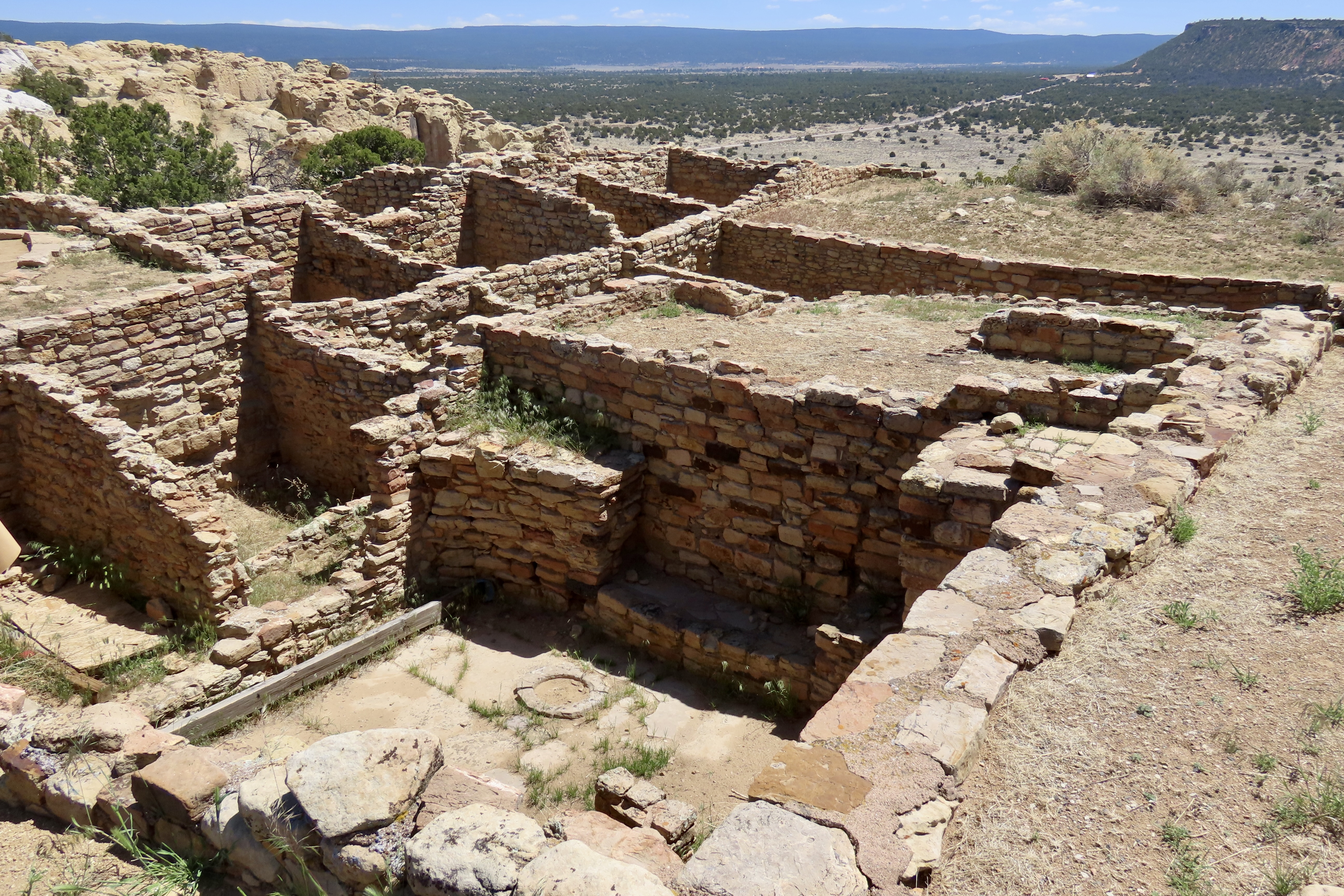
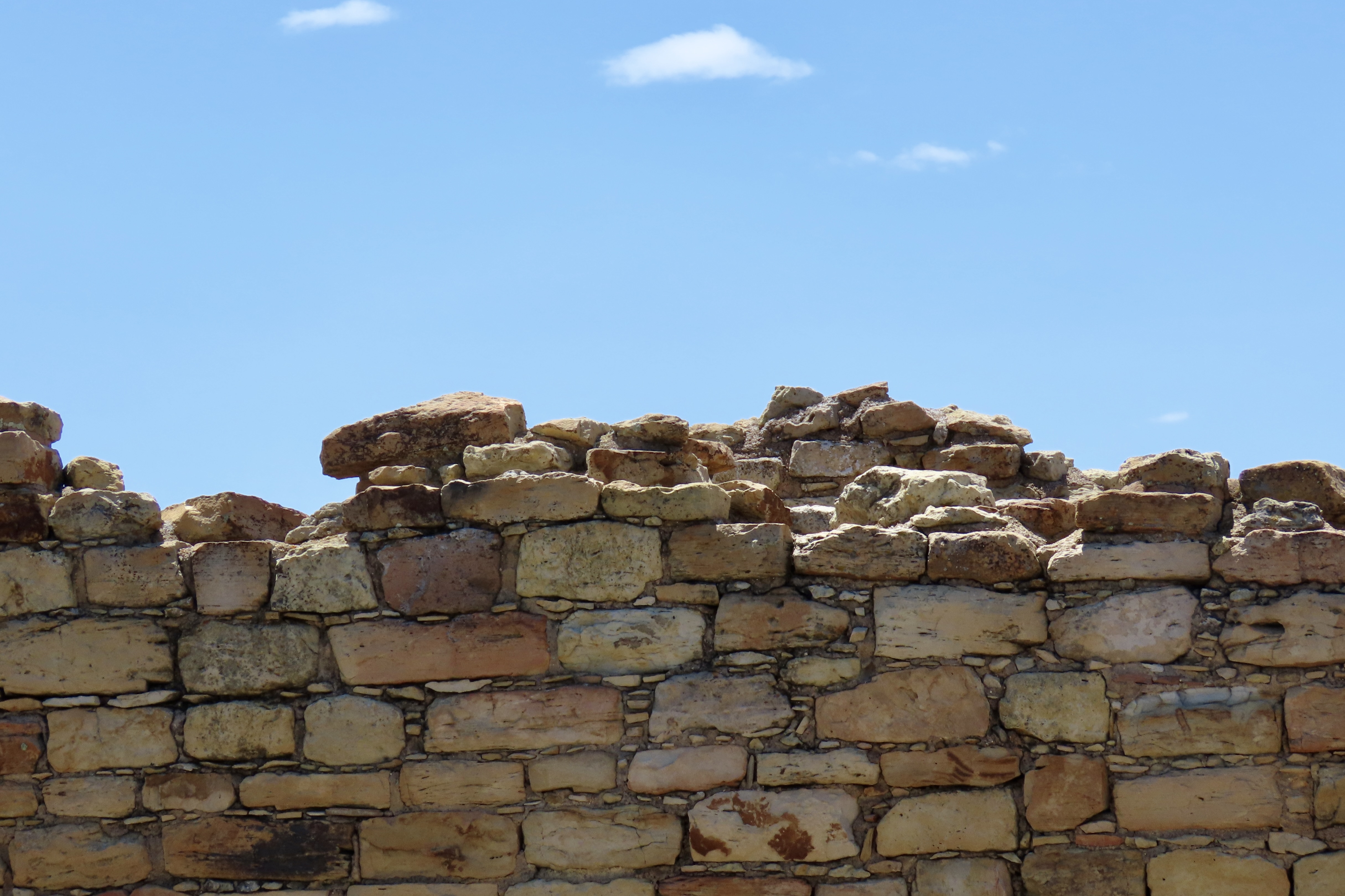
In addition to working at the Monument, both held important roles of educating children at the Zuni Pueblo on tribal history, culture and language. At 70, Valentino was a tribal elder. Our discussion ranged from the preservation and restoration of Atsinna Pueblo to the Zuni Belief system.Atsina was built around 1275 CE and occupied for a hundred years or so. It covers an area of 200’ by 300’ and accommodated between 500-600 people. There were 355 interconnected rooms that surrounded an open courtyard.This old aerial shot by the National Park Service shows the original size of the Pueblo outlined by the difference in vegetation as well as the rooms that were excavated in the 50s.Another view of the excavation. The room in the front is one of two kivas excavated at Atsinna, this square one and a larger round one.Kivas were central to Puebloan life for important religious rituals and ceremonies. They also played a role in maintaining social cohesion and supporting cultural traditions. Most were laid out in a similar fashion. Pueblo people today continue to build kivas and use them much in the same way.Preservation and restoration has become an important part of maintaining Atsinna and other Pueblos. Valentino and Calvin told us that the excavation of the 1950s had used concrete to reinforce the upper walls. The added weight had caused the walls to collapse. Walls are held together today using materials that mimic the original in texture and hardness. A view of the top as seen from the pueblo. I found the contrasting colors of the red and white sandstone both interesting and photogenic. Atsinna rests on the red Dakota sandstone deposited in a Mid-Cretaceous Sea. In turn, the Dakota sandstone rests on bleached Zuni sandstone that was laid down around 150 million years ago when a vast Saharan type desert of sand covered the area. What’s known as an unconformity of 80 million years exists between the Zuni and Dakota sandstone, i.e. 80 million years of geological history was eroded between the two! That’s enough for today! More than enough?
Next up I am going to explore three wilderness areas in California as part of my series: The Mokelumne, Granite Chief/Desolation, and Marble Mountains Wilderness areas. While these wilderness areas are not presently threatened by Trump Administration policies, there is no guarantee that they won’t be.
El Morro National Monument is located in western New Mexico about 40 miles south of the Route-66 town of Grants (just off I-40) in a water starved region. It’s hardly surprising that a year round waterhole located at the base of the promontory has been a welcome stop for people passing through and/or living in the area for over a thousand years. Many left their mark.
Ancestral Puebloans— whose descendants include modern day Zuni— came first. They lived on the top of El Morro in a pueblo that the Zuni have named Atsinna, and climbed down to the waterhole where they gathered water and used rocks to pound and carve petroglyphs into the relatively soft Zuni sandstone.
The Puebloans were followed by Spanish treasure hunters driven by an insatiable hunger for fabulous wealth and everlasting glory. They believed they would find it in the legendary, gold-filled Seven Cities of Cibola. (El Morro is in modern day Cibola County.)The treasure hunters were accompanied by Spanish missionaries with a different goal: Winning souls for God and King. Turns out the the cities of gold were a myth and the indigenous population didn’t understand why they couldn’t keep their own deities while accepting God’s help as well. They were even more dubious about a distant king whose motives were questionable at best.
Finally, American pioneers and soldiers passed through in the mid-1800s. The pioneers were seeking a new life from the one they had left behind in the East. They, too, were searching for treasure but theirs was to be found as farmers, ranchers, miners, loggers and merchants. The fact that indigenous populations already lived in the areas they wanted to settle was of little concern, unless, of course, the natives objected. That’s what soldiers were for.
The Spaniards and Americans, like the Puebloans, left their marks on the cliff, but this time they signed with their signatures using chisels and knives. One of the primary reasons people visit El Morro is because of the various signatures and petroglyphs. There are over two thousand. Some, like Peggy and me, also come because of the beauty and culture.
Because of the length of this post, I’ve decided to break it into Part 1 and Part 2. The first part will emphasize the area’s beauty and the early visits by Spaniard treasure hunters and American pioneers between the 15th and 18th centuries. In the second part, Peggy and I will focus on the Ancestral Puebloans from the 11th century.
Today, Peggy and I are continuing our series on national parks, monuments, and wilderness areas with an emphasis on their unique beauty, geology, flora, fauna and history that makes them so important to us today— and to our children, grandchildren and future generations. I can only repeat how vital it is at this point in history to let decision makers know how we feel about protecting and maintaining public lands. It makes a difference.
For example, the Trump Administration’s provisions for selling off public lands and building a mining road through the Gates of Arctic National Park in Alaska were both removed by Republicans from his “Big, Beautiful, Bill” last week for FY 25/26. Once gone, the public lands (that belong to all of us) would be gone forever. As for Gates of the Arctic, it is one of the world’s largest remaining roadless and trail-less wilderness areas. A road through the heart of it would change its pristine nature significantly and open up other National Parks for similar treatment.
As with each of our previous posts in this series, we will present photos that focus on the beauty and unique characteristics of the park, monument, or wilderness we are blogging about. All photos have been taken by either Peggy or me unless otherwise noted.
Now, please join us as we explore El Morro.
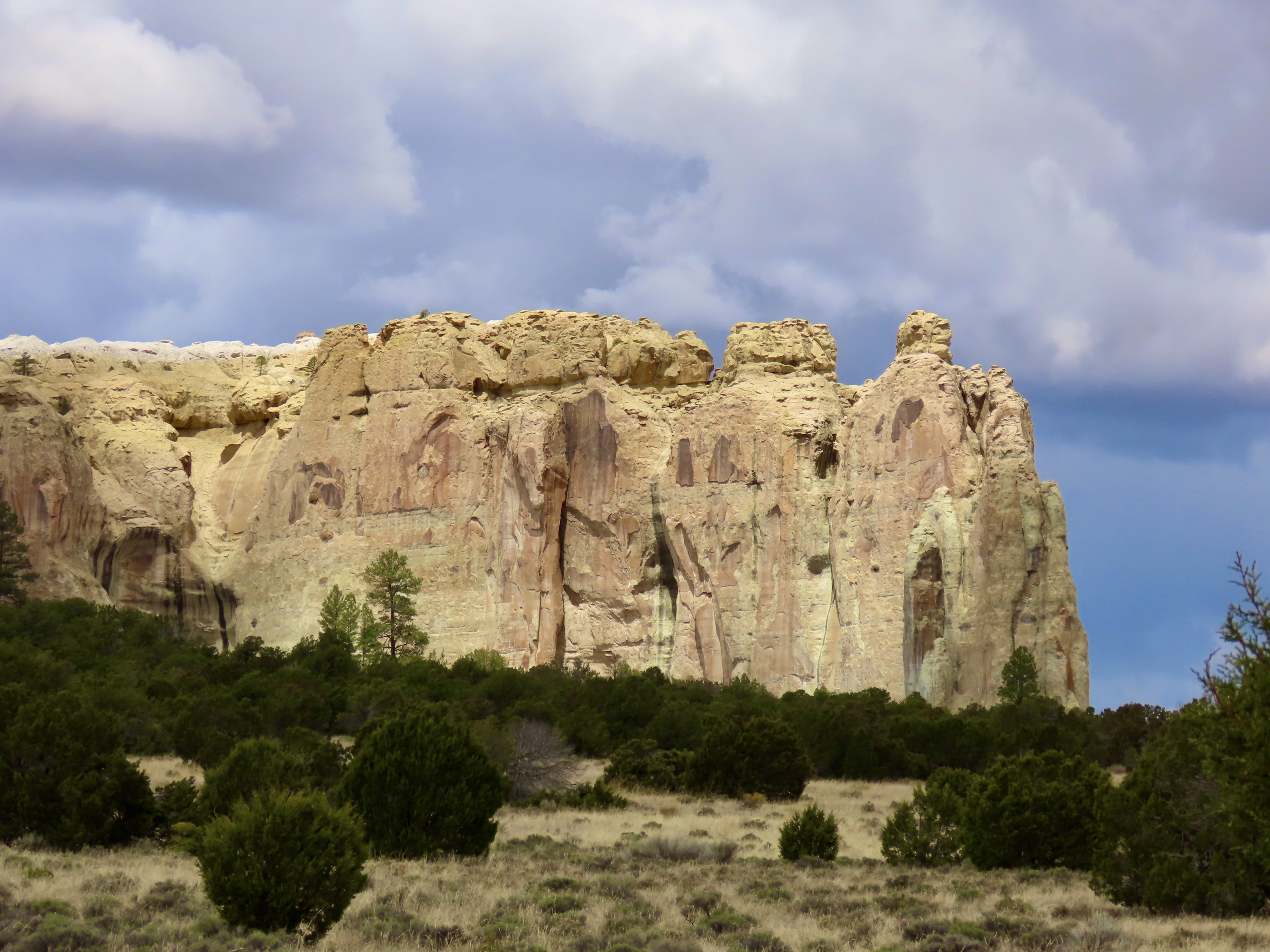
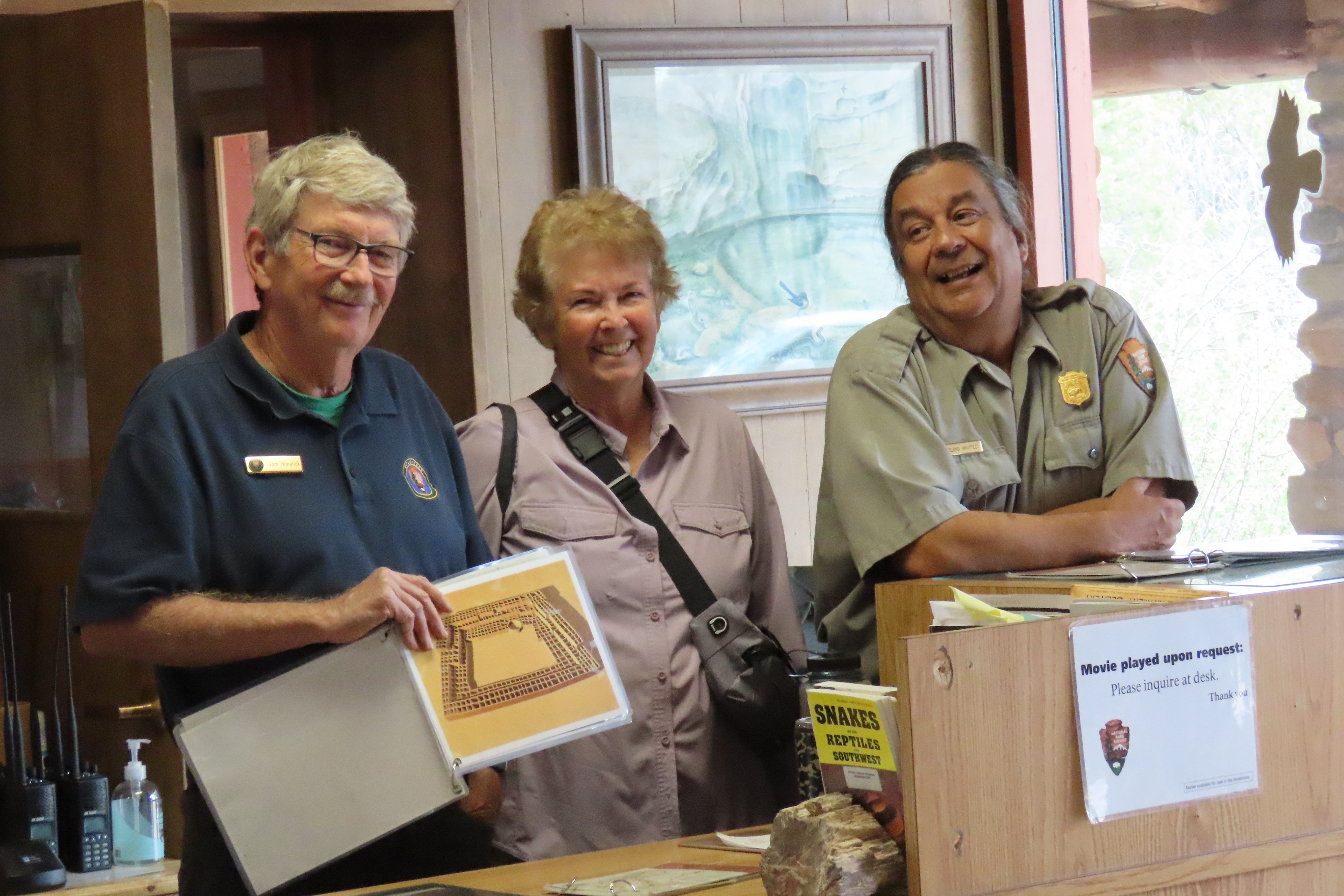
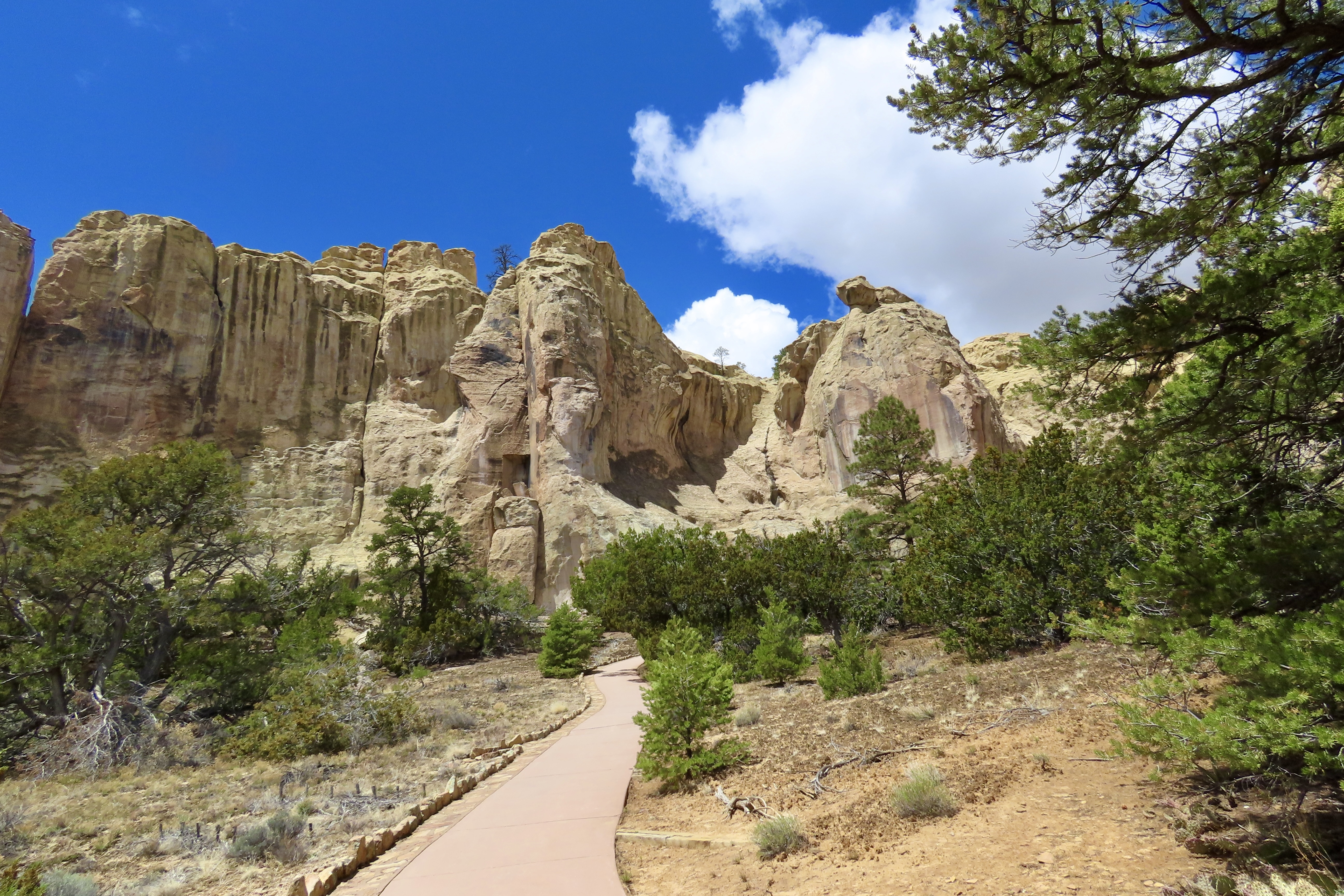
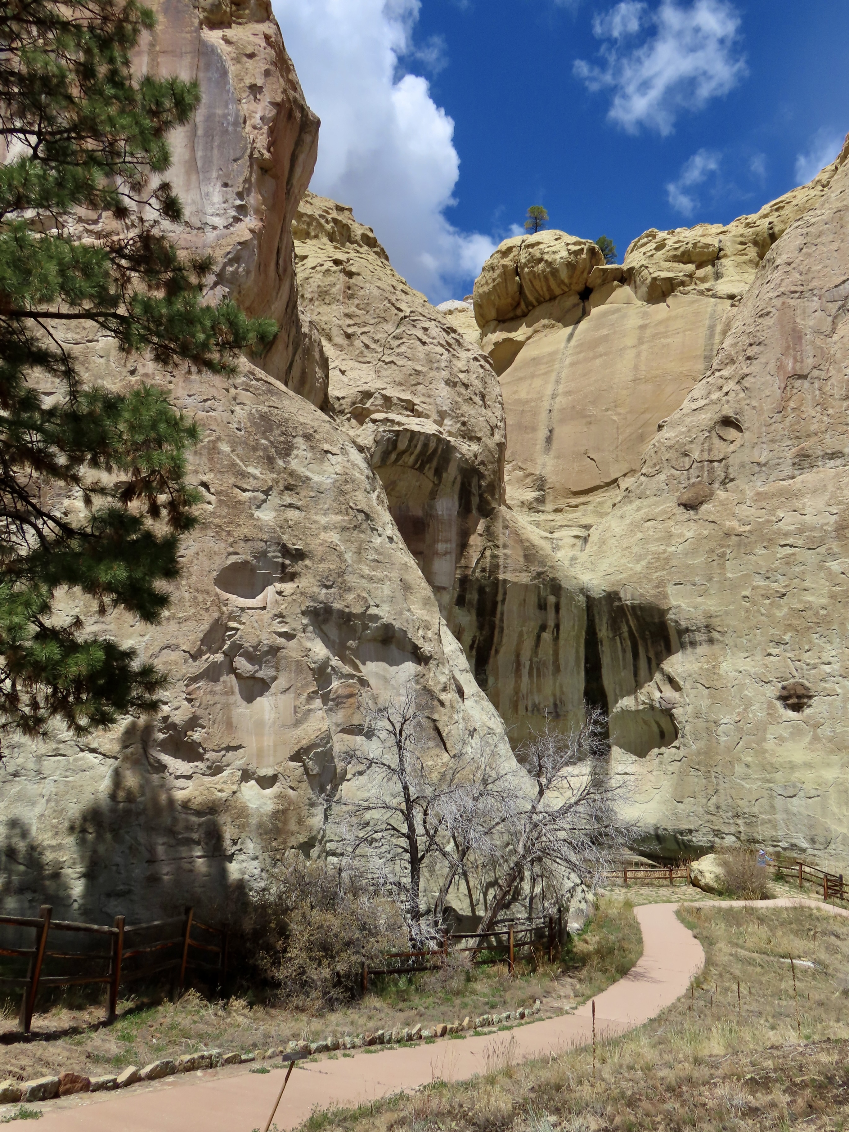
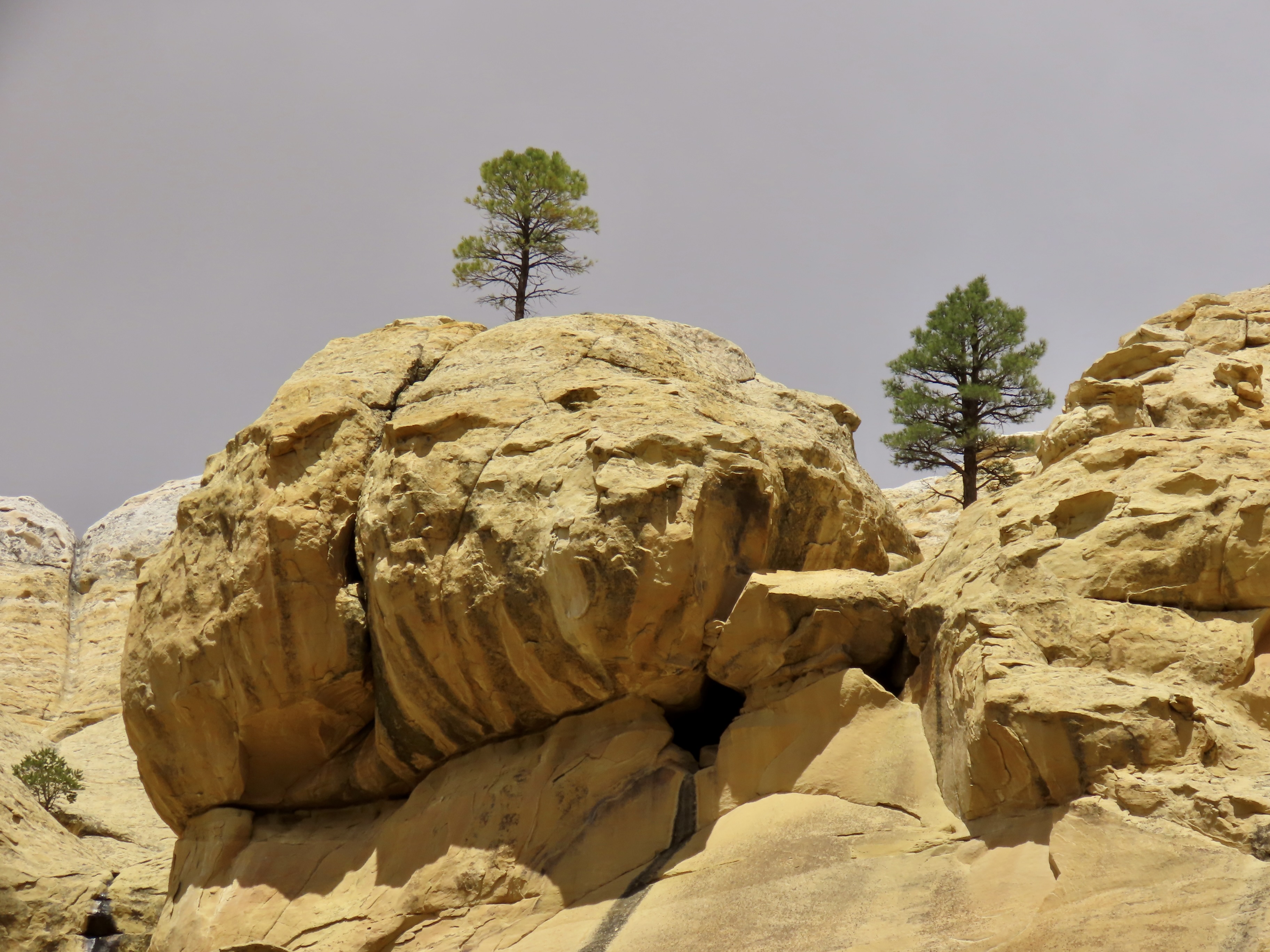
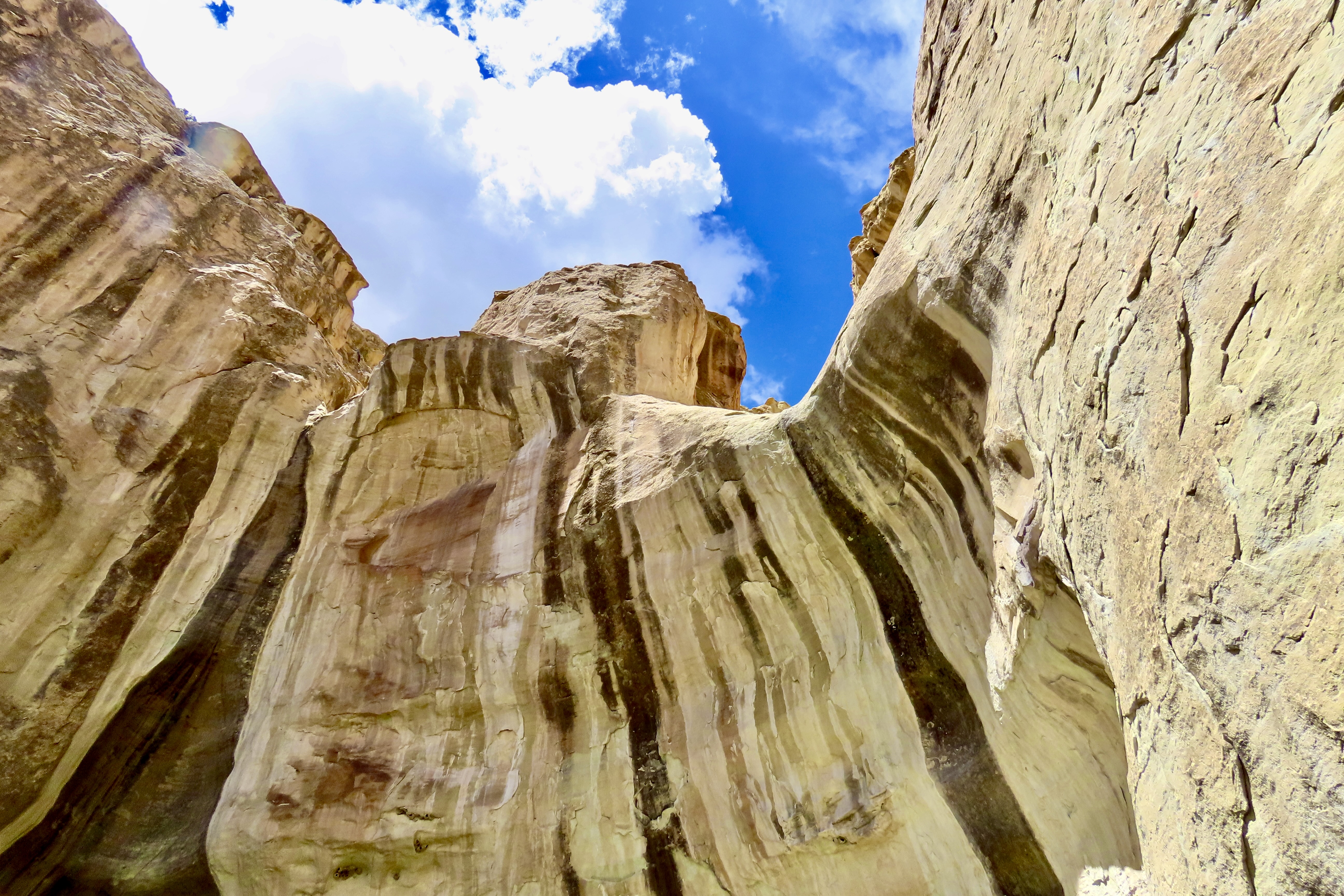
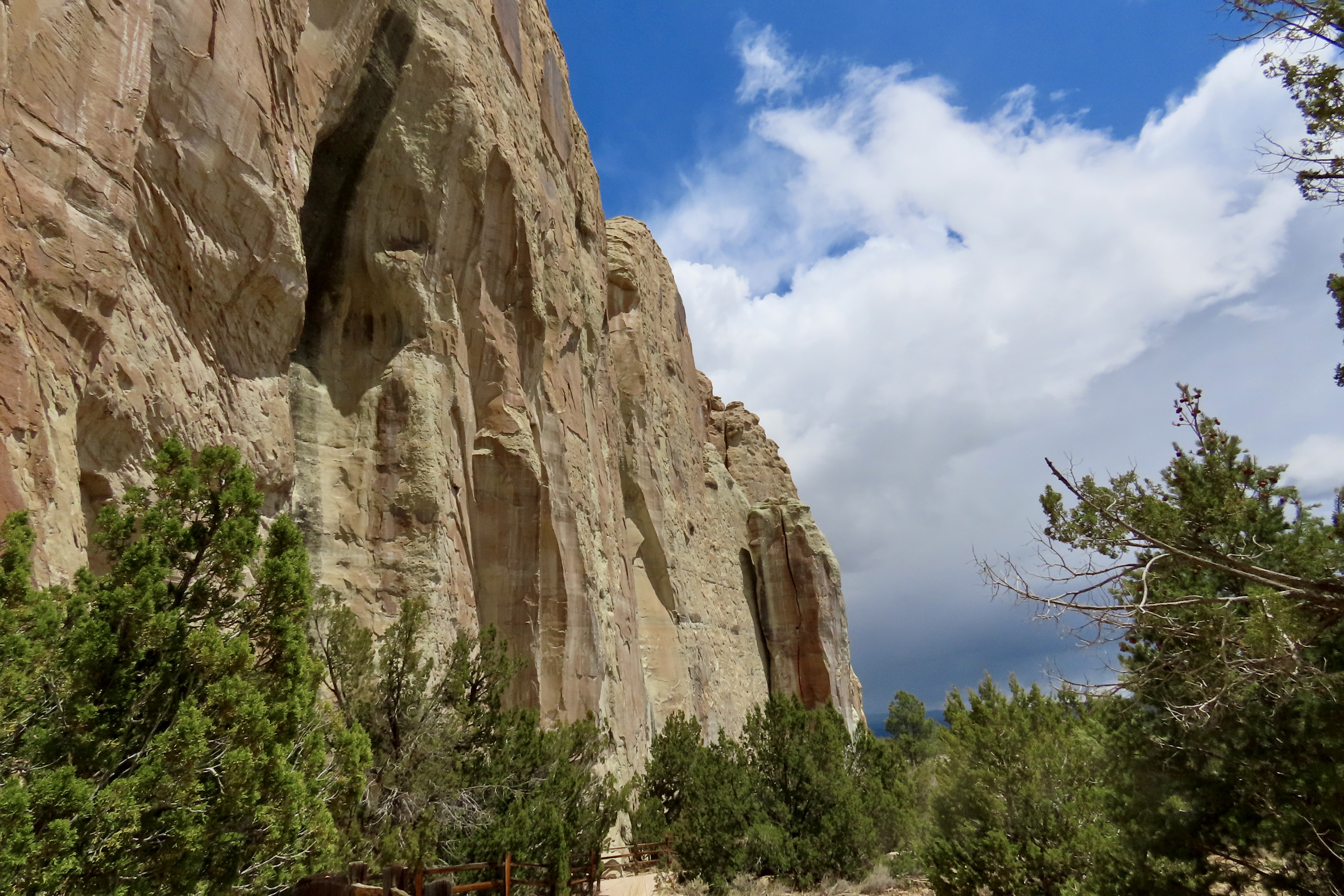
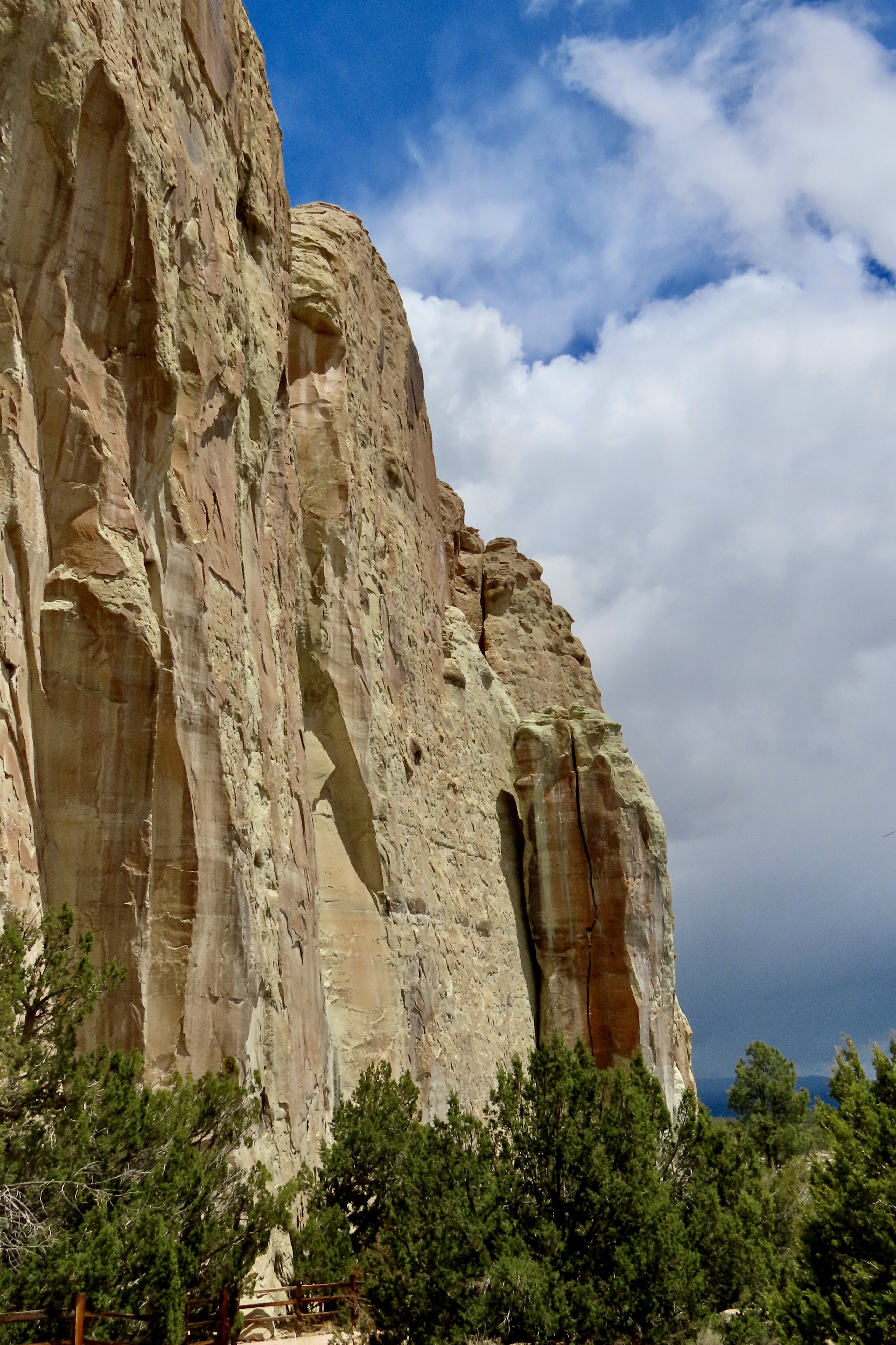
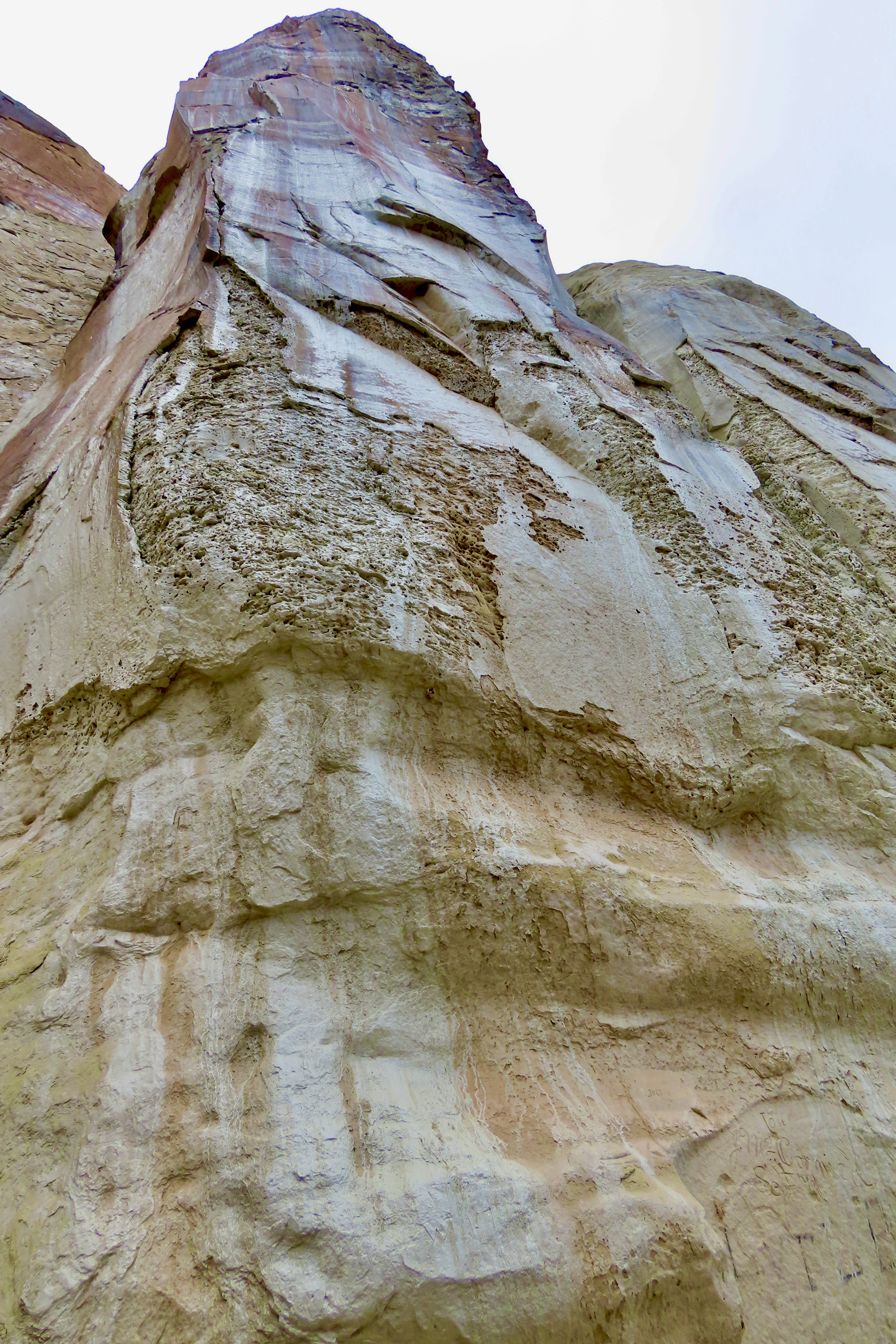
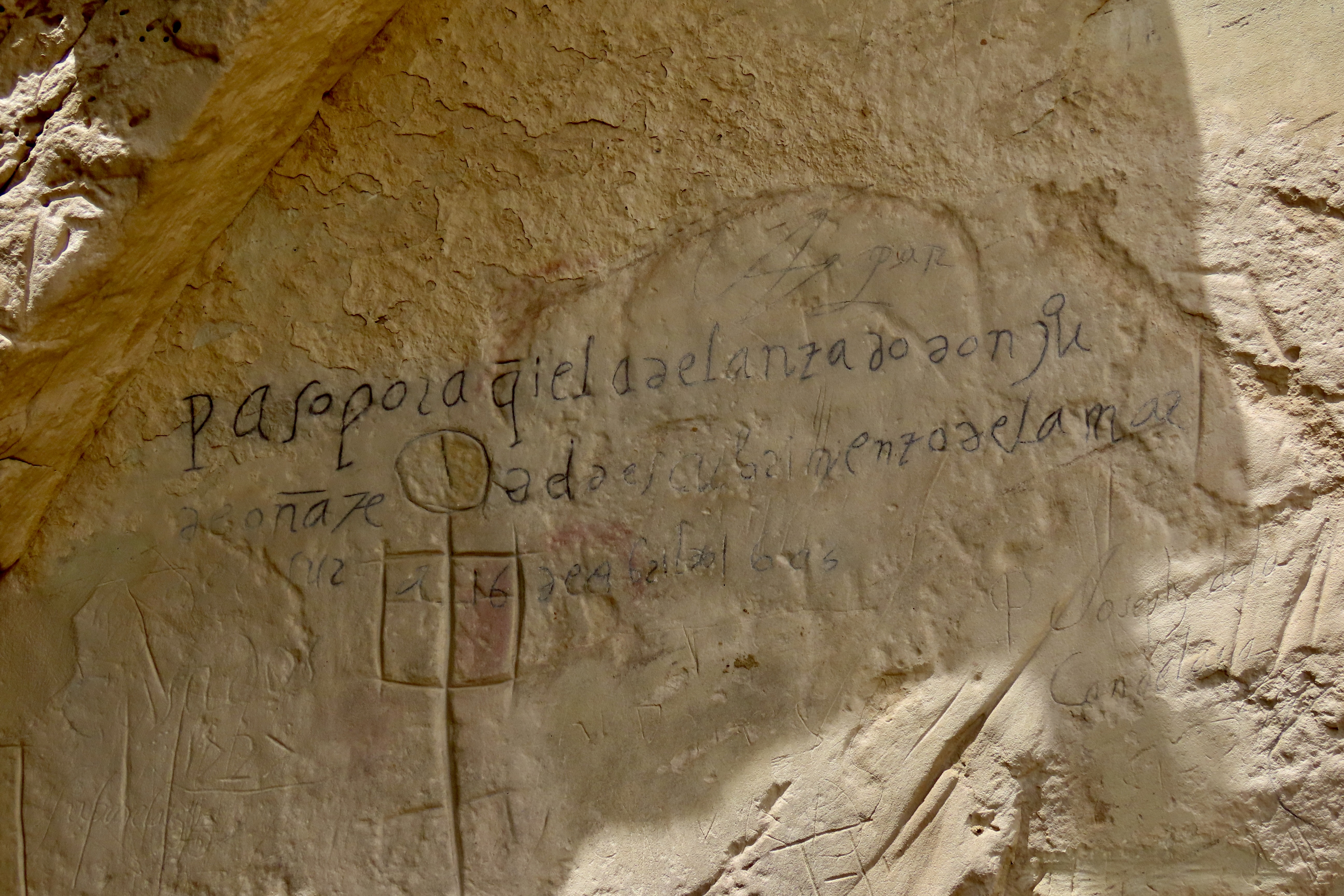
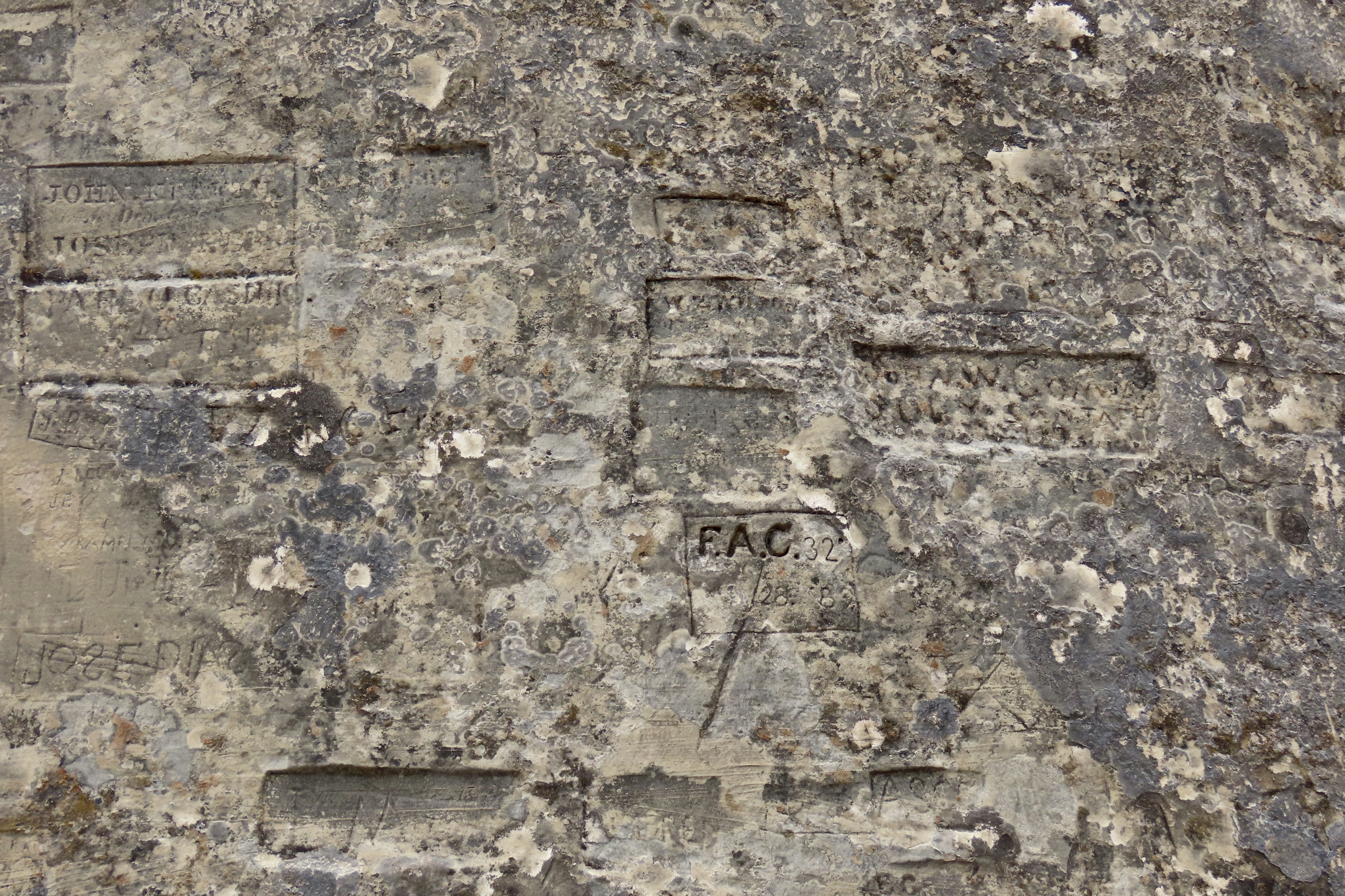
This was our view of El Morro as we approached the National Monument on Highway 53 ( the Trail of the Ancients) from Grants,New Mexico. The Spaniards gave El Morro its name, which translates as a promontory or headland. Geologically speaking, El Morro is a cuesta with a sharp, steep face on one side and a gentler slope on the other. I was interested in the white top you can see on the left (more on that later). The signatures and petroglyphs started to the left of the two Ponderosa pines where the waterhole is and extended along the base of the cliff to around the corner.Like most national park and monument visitor centers, El Morro’ was beautifully designed to fit into its environment. (Note: Peggy and I made two visits to the Monument: One to check out the petroglyphs and signatures, and two, to hike up to the top and explore the Atsinna Pueblo. That’s why our photos include cloudy and relatively clear skies.)The low profile of the building provided excellent views of the main attraction. We were eager to explore, but first we stopped at the Visitor Center…Where we were greeted by staff with welcoming smiles and a ton of information they were eager to share about the monument. Both staff and displays are vital to enhancing the national park/monument experience. The illustration is what Atsinna Pueblo on top of El Morro would like if fully excavated. Note Peggy’s new haircut. El Morro is only open five days a week. That may be because of the Trump Administration’s cuts in staff.An easy, paved trail leads from the Visitor Center over to the water hole, petroglyphs and signatures.The waterhole is at the bottom the bottom of the hill behind the fence. The cliff above the pool is about 200 feet high. A large rock with a ponderosa pine stands on top.This impressive rock monument stood to the left of the pool. We imagined an Ancestral Puebloan looking down at us.It’s hard to believe that this pool of water surrounded by cattails could play the significant role it has. But the fact that it holds up to 200,000 gallons of water and doesn’t run dry made it a treasure for everyone from the Ancestral Puebloans in the 1200s to cattlemen in the 1900s. Up until 1961, it even provided water for the monument headquarters and visitor center. At first it was thought that the water was provided by a spring. Actually it is fed by runoff from the top. The dark stains on the side (desert varnish) are left behind by minerals in the water such as manganese.I’ve always liked cattails. One of my favorite hangouts in my unsupervised youth was a small pond about 1/3 filled with cattails. When the heads reached this stage, I would break them off with a portion of their stem, shake them vigorously, and send their aerial seeds flying off in all directions!We thought looking up at the desert varnish provided an interesting perspective. I believe the section that is missing was a rockfall in 1942 that filled the waterhole and had to be cleaned out.We were quite curious about this boulder embedded in the sandstone above the spring. While the timing was off in terms of when the sandstone was created, it looked like a petrified tree stump. We were at Petrified Forest National Park last week. This was one of many petrified logs we saw.A cliff swallow’s concept of a pueblo! They make their nests above the waterhole. In addition to being a safe location, the insects that live around the waterhole provide a convenient supply of food for feeding squawking, hungry chicks.Leaving the waterhole, we hiked along the path at the base of the cliff checking out signatures along the way. (I’m saving the petroglyphs for my next post.)A close up.Looking up…I’ve selected Don Juan de Oñate to represent the many Spaniards that signed their names on the rock. He was the first. It was in 1605, 15 years before the Pilgrims landed at Plymouth Rock. Oñate was a Spanish conquistador, explorer and first Spanish governor (viceroy) of New Mexico. At some time, the signature had been written over with a black pen to make it more visible. The inscription translates “Passed by here, the adelantado Don Juan de Oñate from the discovery of the sea of the south the 16th of April of 1605.” The sea he discovered was the Gulf of California.I chose Breckinridge’s signature because he represents a fascinating footnote of American history: The US Camel Corps. In the mid 1850s a unique experiment was undertaken by the US Army to tackle problems created by the severe water shortage in crossing the Southwestern deserts. Some men were sent off to Africa to explore the possibility of using camels for transport. They came back with 33 and and 3 Arab handlers. After a period of training in Texas, a test expedition set off across the desert for LA. They passed by El Morro with Breckenridge in charge of the camels. The camels did well— much better than horses or mules. They could carry more weight, travel farther during a day, and get along without water for a significantly longer period of time. Unfortunately, the Civil War came along and the experiment was abandoned.People choose a variety of ways to display their names.Some signatures were scribbled, some quite beautiful, and some encased. Each represented a different life, a different story.The Monument has a brochure that provides information on some of the people who signed their names. RH Orton is one. He was a captain in the Federal forces during the Civil War. He may have been on his way home when he signed this. Later he would become an adjutant-general in the California National Guard. One could easily spend weeks researching the various names. I’m sure people have.
That’s it for today. Next, we will post about our trip up to the the Atsinna Pueblo and also explore the petroglyphs we found scattered among the signatures, predating them by 400 years. We will also include an interesting discussion we had with two Zuni Rangers working on the trail up to the Pueblo, Calvin and Valentino. (“I was born on Valentines Day,” Valentino told us.)Atsinna Pueblo.
Plans to protect air and water, wilderness and wildlife are in fact plans to protect man. -Stewart Udall
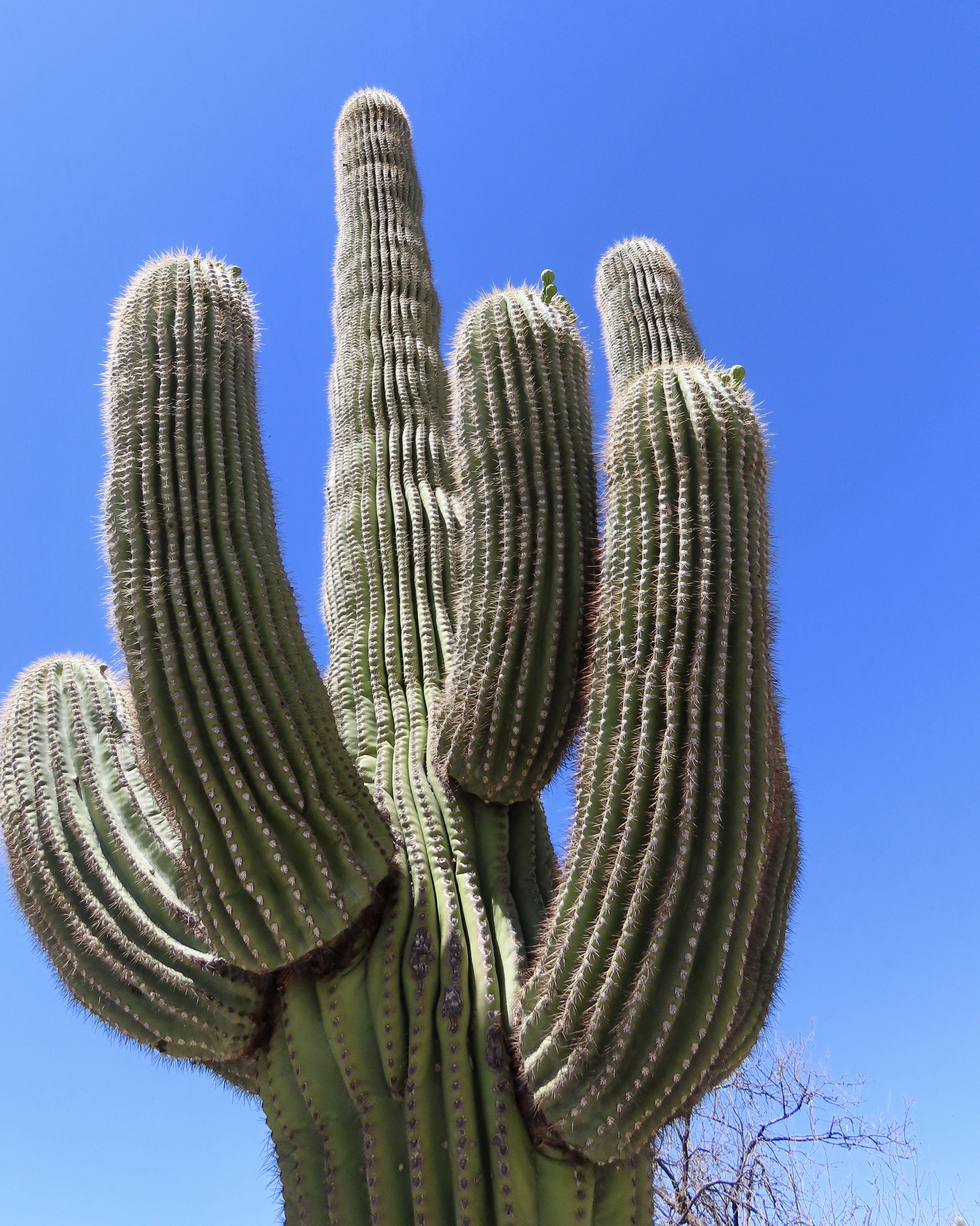
Most folks know what a Saguaro looks like. With its giant arms reaching up to the sky, it’s an icon of the Southwest. And this isn’t one, right? Except it is. It’s called a crested saguaro. It develops when a cactus’s growing point elongates into a line instead of a point. They can grow six feet across and look something like a brain. On this one, the first thing I saw was what appeared to be a clawed hand reaching out from the center. Weird. I like weird. But in moderation…
The Washington Post reported on Monday that it had obtained an internal email from the Trump Administration stating that it was suspending air-quality monitoring programs at all national parks across the country. I could only wonder, why? It was weird in a big way.
A record breaking 331.9 million people visited our national parks, monuments and recreation areas last year. Among them were children, elderly people and numerous others with underlying heath issues, all of whom are affected by air pollution. Air quality information is valuable to them. As a former Executive Director of American Lung Associations in California and Alaska, I can attest to how important it is. On days our air is polluted to a dangerous level, sensitive populations should limit their outdoor activities. Period. But first, they have to know there’s a problem. I couldn’t help but think ‘Let’s Make America Humane Again.’
After the Post broke the story, the Administration apparently backed down. I suspect health groups joined with organizations focused on national parks and educated the administration on the negative consequences of its action. This speaks to how important it is for the public to be informed of edicts that impact their lives and unite in letting political leaders and other decision makers know of their concerns. It makes a significant difference— and it gives us a role in determining our future.
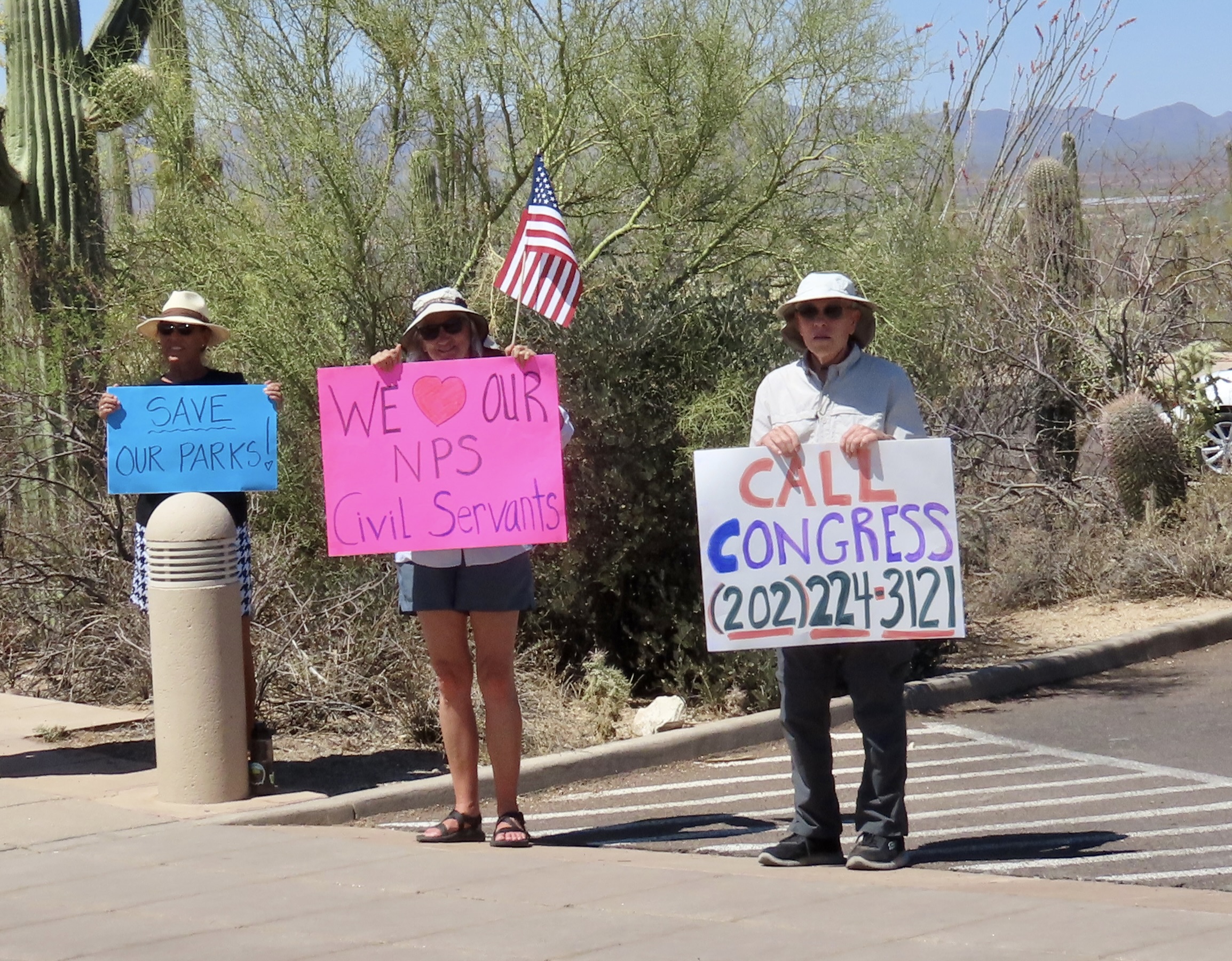
People protesting Administration decisions related to National Parks stood outside the Saguaro NP Visitor Center.
Today, Peggy and I are continuing our series on national parks, monuments, and wilderness areas with an emphasis on their unique beauty, geology, flora, fauna and history that make them so important to us and future generations. As with each of our previous posts in this series, we will present 25 photos that focus on the particular area we are blogging about. Today it is Saguaro National Park just outside of Tucson, Arizona where we were two weeks ago. All photos have been taken by either Peggy or me unless otherwise noted.
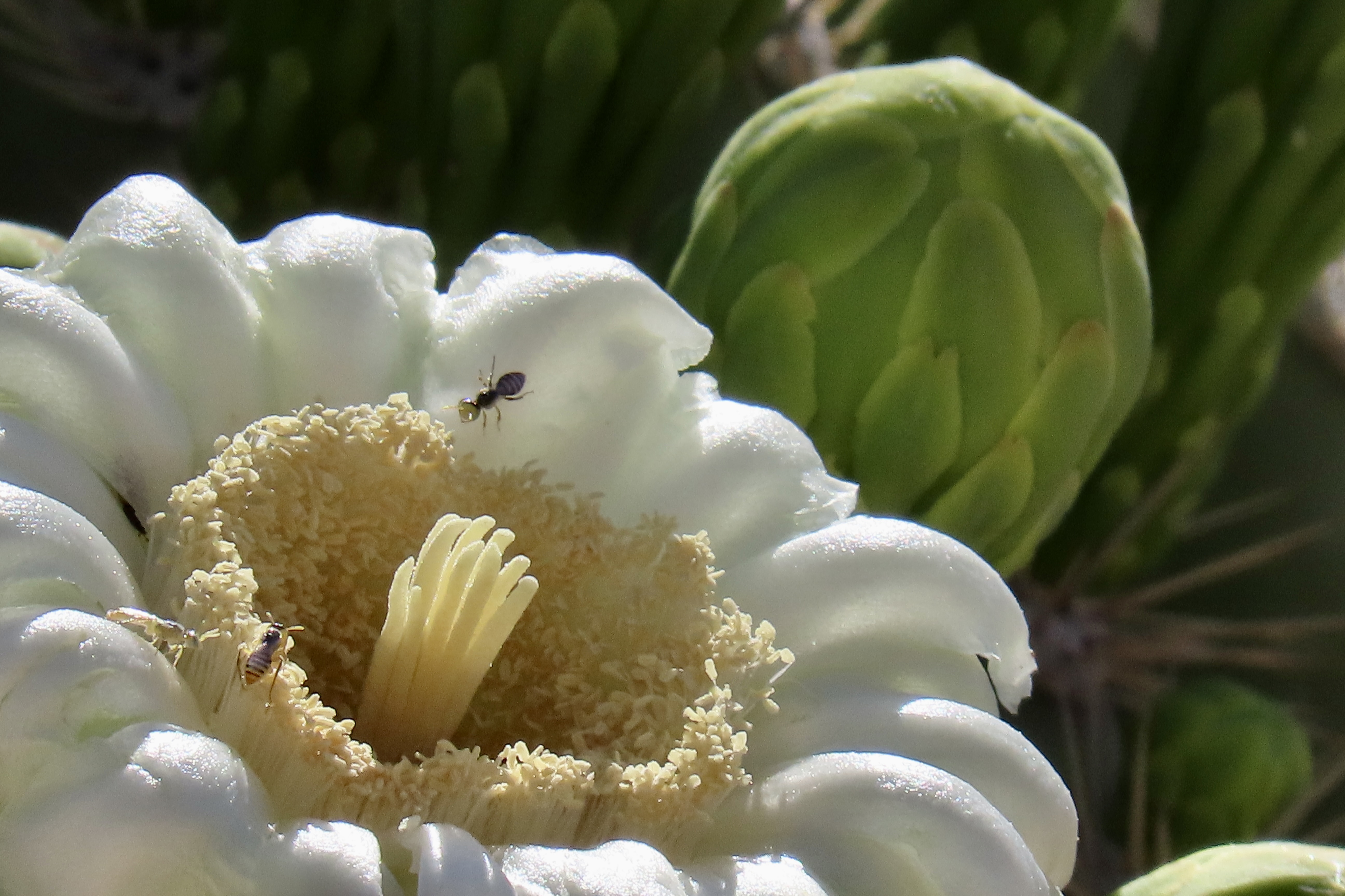
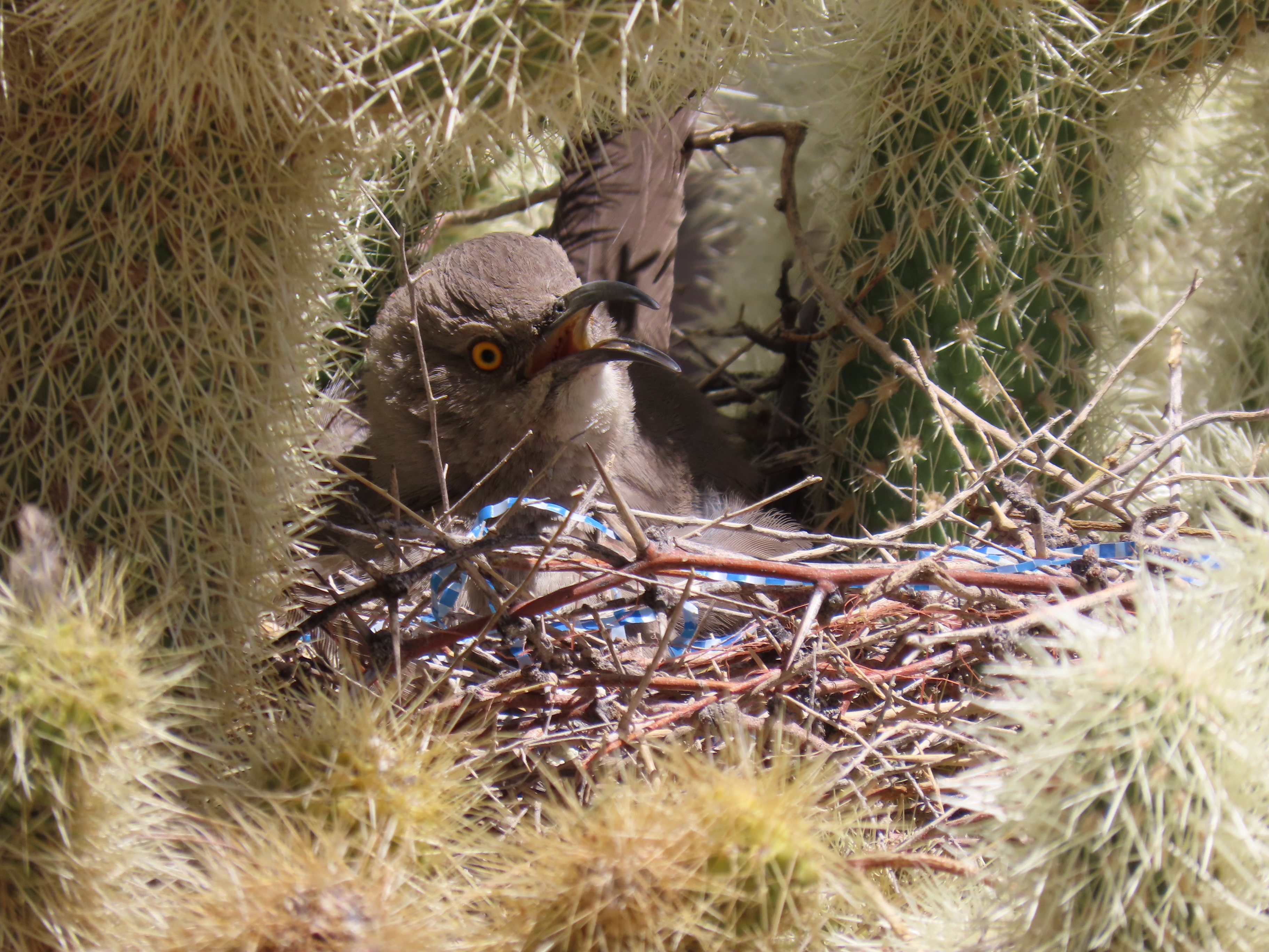
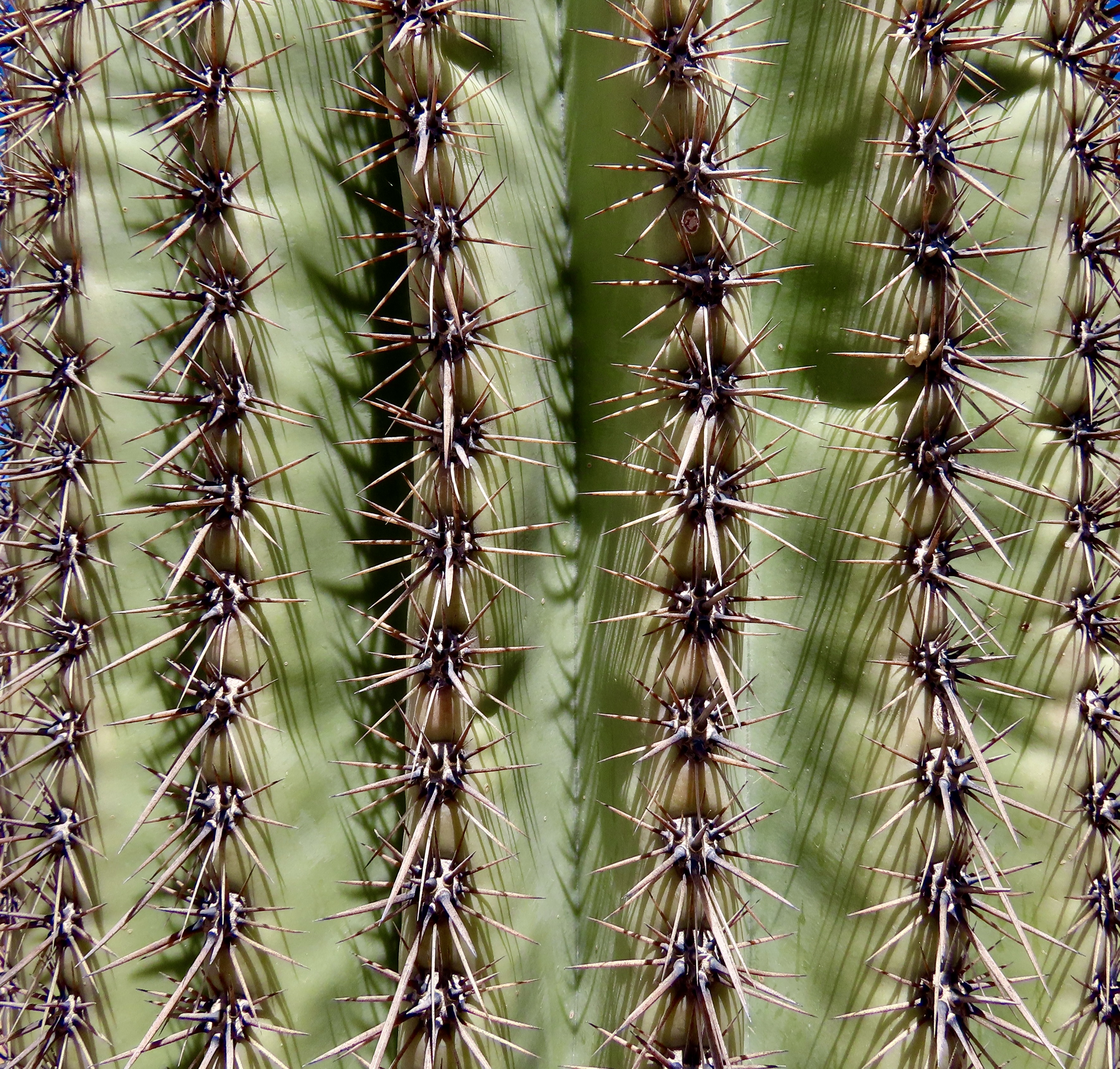
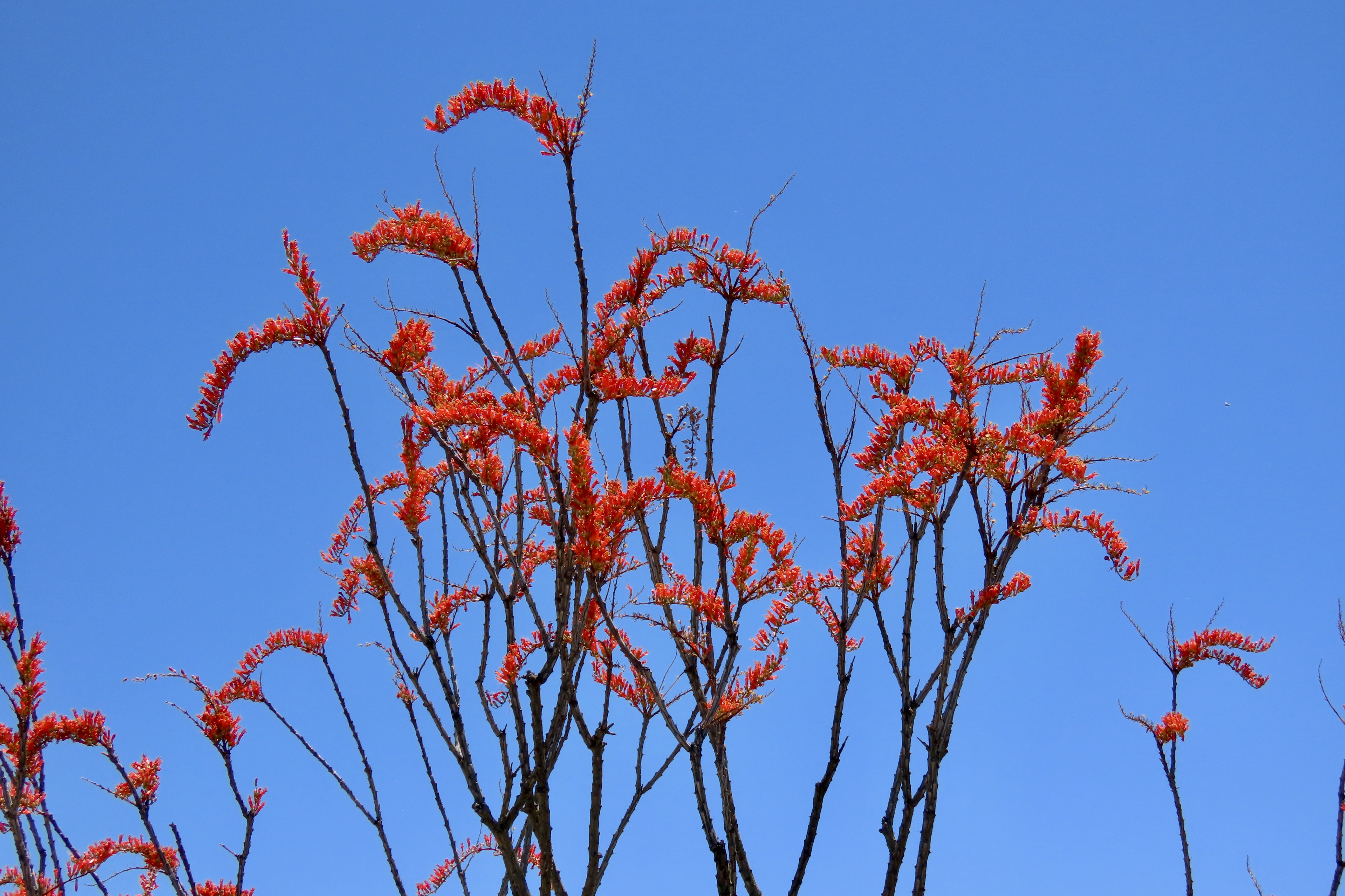
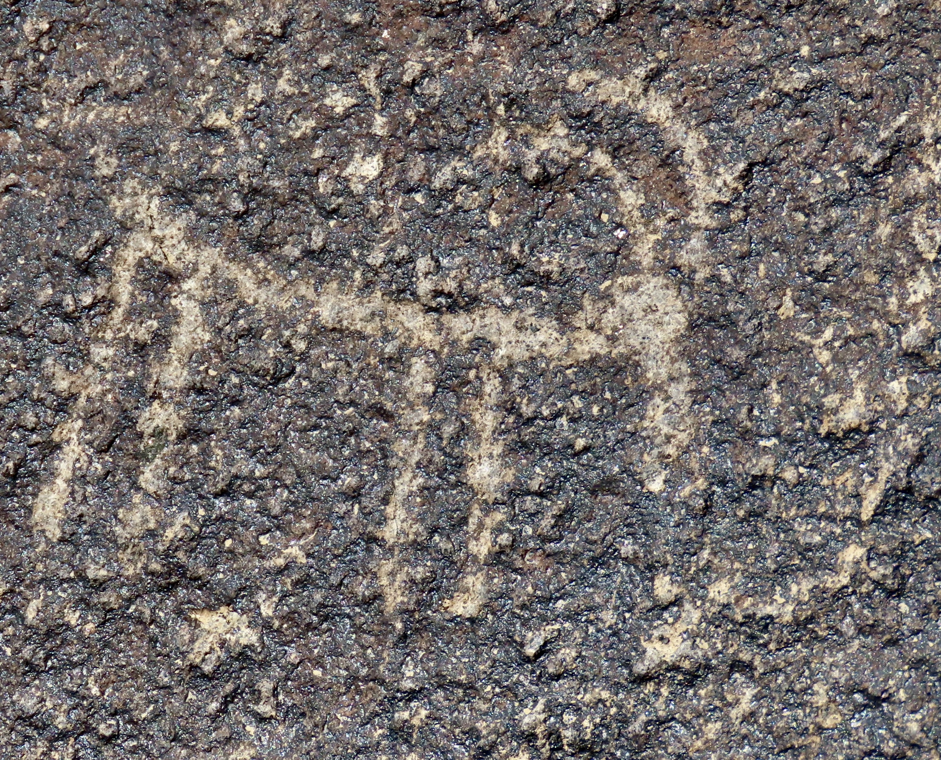
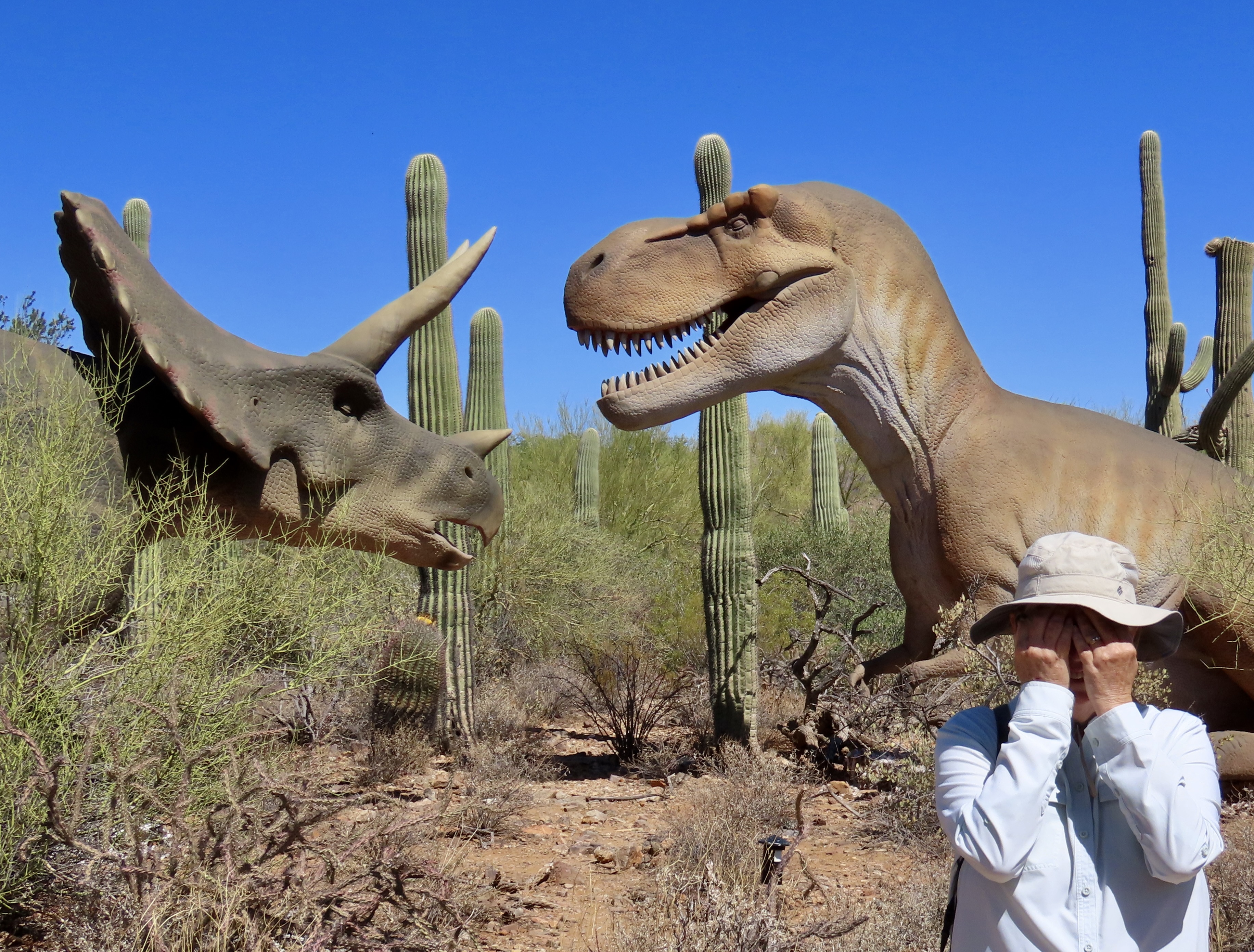
As the headline suggests, Saguaros are big. The giants can grow up to 50 feet tall with a circumference of 8 feet and a root system reaching out 100 feet from the base. This makes them the largest cactus in the US.Peggy provides perspective on the size of a large ( not giant) saguaro. Here’s your math problem for the day. Peggy is 5’7”. Approximately, how tall is the cactus?Saguaros can have up to 24 arms. A lot. I counted 18 on this one, carefully avoiding the small cactus behind that photobombed our picture.This old fellow provides a look at the structure of a saguaro, plus an element of humor. Not sure of the message. “Don’t count me out?” “You are only as old as you think you are?” We were lucky that the saguaros were just beginning to bloom. The buds looked like alien pods and the flowers were gorgeous.A wide range of insects during the day and bats at night are eager to feast on the flowers. The bats and flying insects aid in the fertilization process by carrying pollen to other saguaros.A cactus wren took advantage of the insects visiting the Saguaro for its own feast. The cactus wrens sometimes makes their homes in Saguaros, as do other birds including Gila Woodpeckers and Gilded Flickers.Home sweet home. The holes you see in these cacti are nesting sites.The cactus wren also nests in cholla cactus and may even prefer it. Can you imagine flying in and out of this mass of spines and raising your babies here? Other birds see the cholla as a good place to raise a family as well. Besides the obvious challenge, it’s a great way to discourage predators.Peggy was taking a photo of what appeared to be a nest in a cholla cactus at Roper State Park in southeastern Arizona a few weeks ago when suddenly a curved bill thrasher popped her head up and begin scolding. We speculated that what she was saying to Peggy was R-Rated.There are 35 species of Cholla. This is another one we found at the park.While I am on the thorny subject of spines, I wanted to make one last observation on the saguaro before moving on to other cacti. Each of these clusters, spaced about an inch apart, contains up to 30 spines. They can grow as long as two inches. I estimated that there would be roughly 1,700,000 thousands spines on a giant saguaro. There’s a message here: No matter how much you love saguaros, save your plant hugs for trees.Barrel cactus is another favorite of ours. We called these the “Three Amigos.”Like the saguaros, barrel cactus can be a bit weird. Peggy and I were surprised by this one with waves.We missed the blooms on the barrel cactus. What you are looking at here is the fruit. It’s edible when ripe. It is described as slightly tart. BTW: Another name for barrel cactus is fishhook cactus because of how their spines are curved. While the barrel cactus may have finished blooming, there were plenty of blooms for us to admire at Saguaro. This is an Ocotillo.A close up of the ocotillo flowers. And check out the spines here!Prickly pears were both prickly and blooming. Can you spot the honey bee in this photo with its head popping up? It’s totally covered in pollen that it will carry on its rounds to other prickly pear flowers, aiding in the pollination process.The primary small trees/shrubs of Saguaro NP were also in bloom. This is a mesquite.And here we have palo verde trees. Both the mesquite and palo verde are important to Saguaro, providing shade for their first few years of growth.As we wander through the Southwest, we are always on the look out for ancient petroglyphs. Saguaro had over 200 next to the Signal Hill Picnic site. This small stick-figure big horned sheep was among my favorites. Peggy is now in the process of seeking new ones for a second word search book on petroglyphs. Her first book— Artistic Word Searches, Unique and Magical, Discovering Petroglyphs from the Southwest— is available on Amazon. Peggy was impressed with this spiral petroglyph which is thought to represent a journey or migration.We wrapped up our visit to Saguaro National Park next door at the Arizona-Sonora Desert Museum. The museum was featuring an exhibit titled Dinos in the Desert and we found a number of these grunting and growling beasts as we wandered through the outdoor museum. Peggy couldn’t bare to watch this battle that was taking place between two jurassic giants. Or maybe they were discussing eating us. Grin. While the ‘Dino’ exhibit was very well done, it was only the beginning of what the museum has to offer. Go there if you get a chance.
Our next post will be on the El Morro National Monument, which we just visited and are going back to.This impressive promontory is reason enough to visit El Morro National Monument, but over 2000 inscriptions on the rock make it even more special. A water hole at the base made it a stopping point for a continuing parade of people ranging from ancient peoples, to early Spanish explorers, to pioneers. The earliest Spanish signature is dated 1605, 15 years before the Pilgrims arrived at Plymouth Rock!
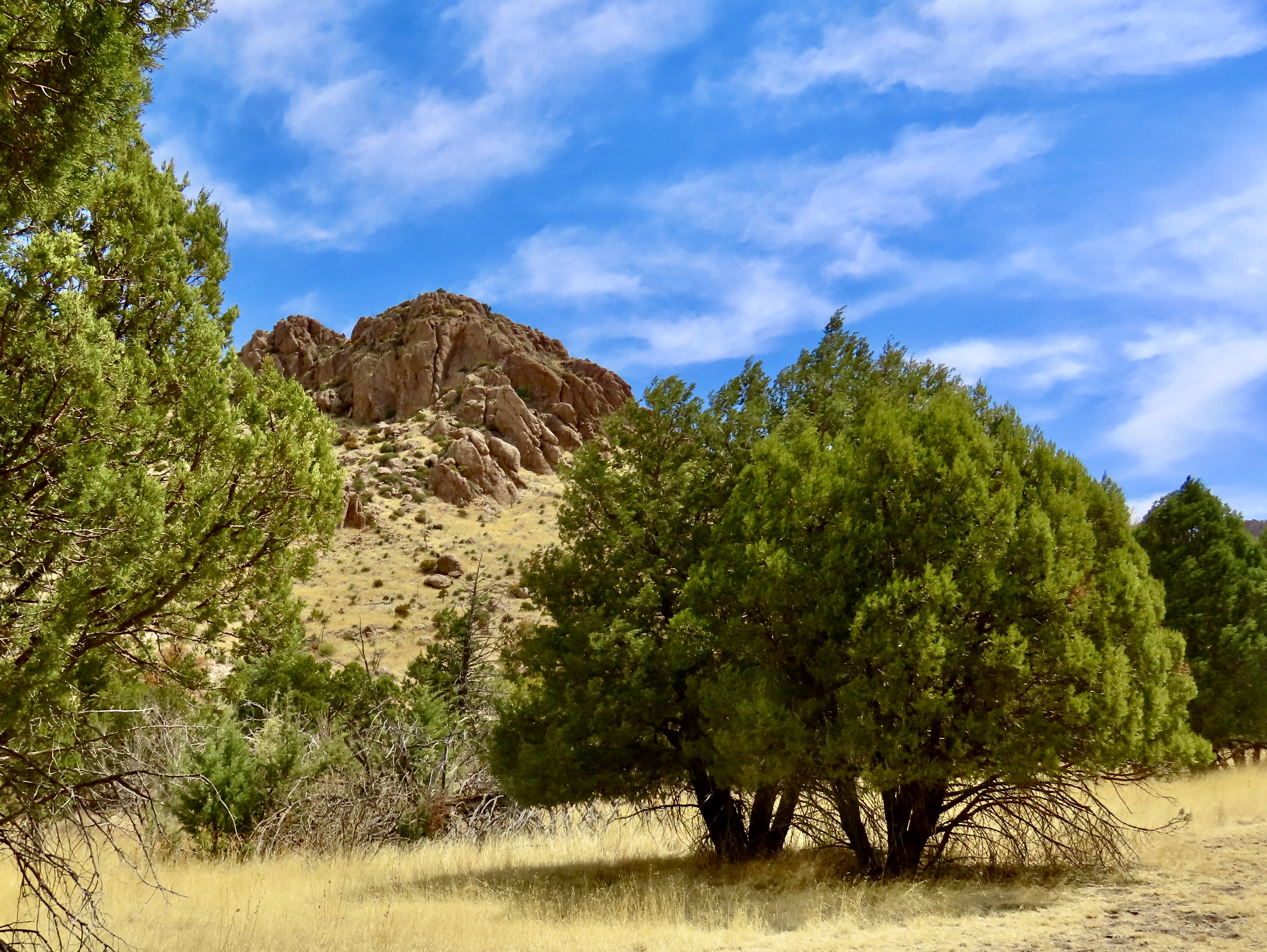
Peggy and I were immediately struck by the combination of golden grass, green trees and impressive rocks set off by the blue skies when we arrived at Chiricahua National Monument two weeks ago. There was little indication, however, of the fantasy-land of rock sculptures we were about to enter.
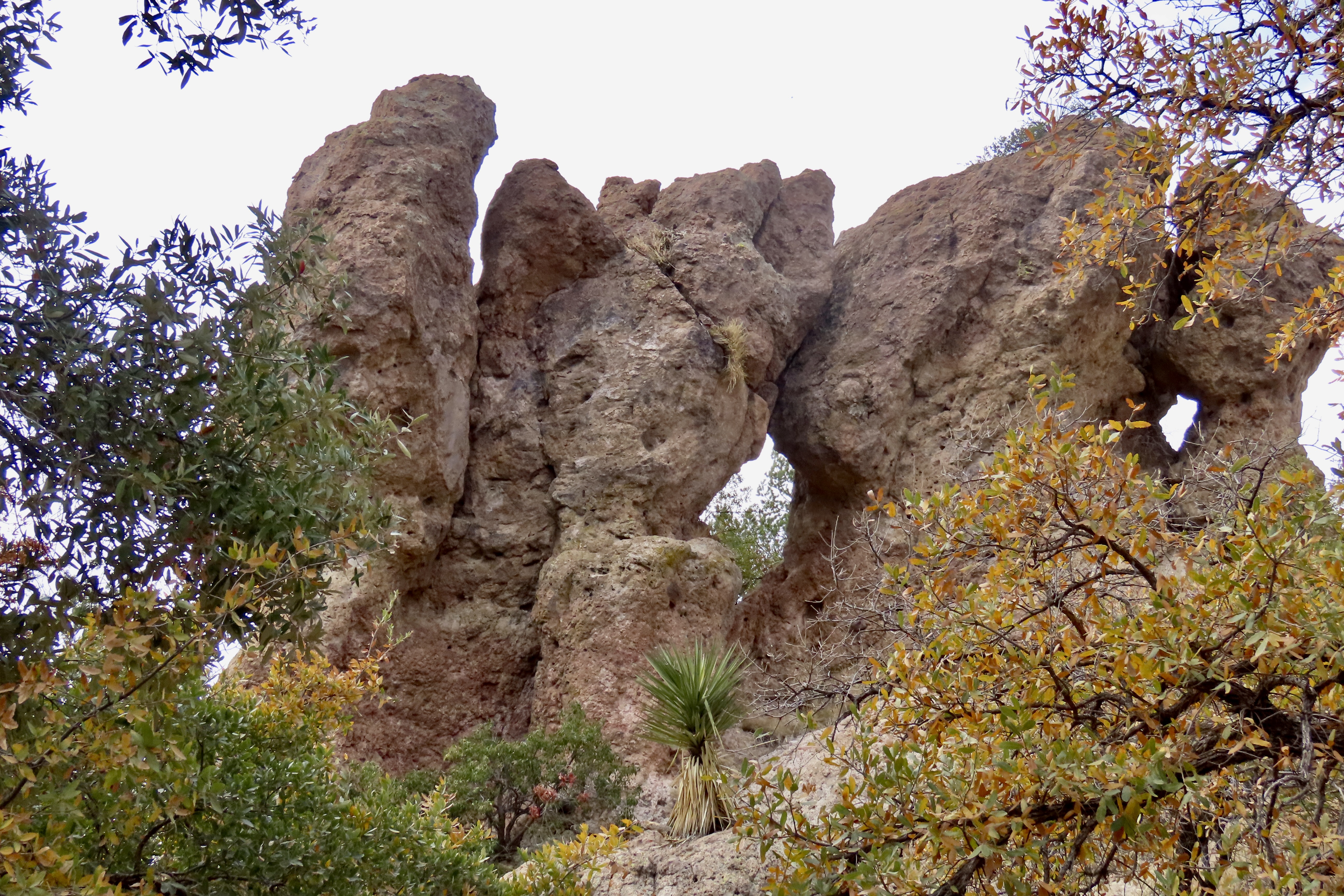
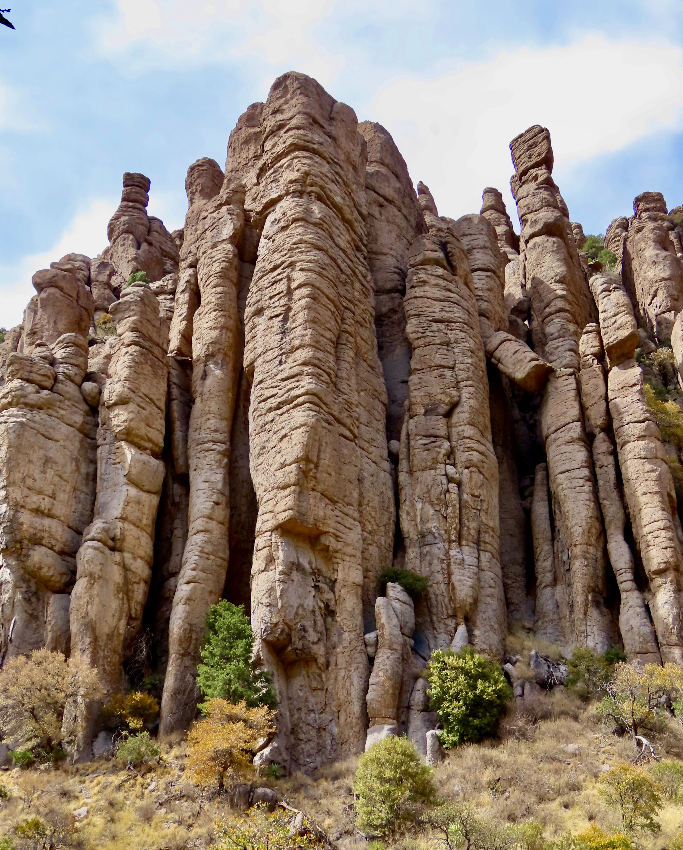
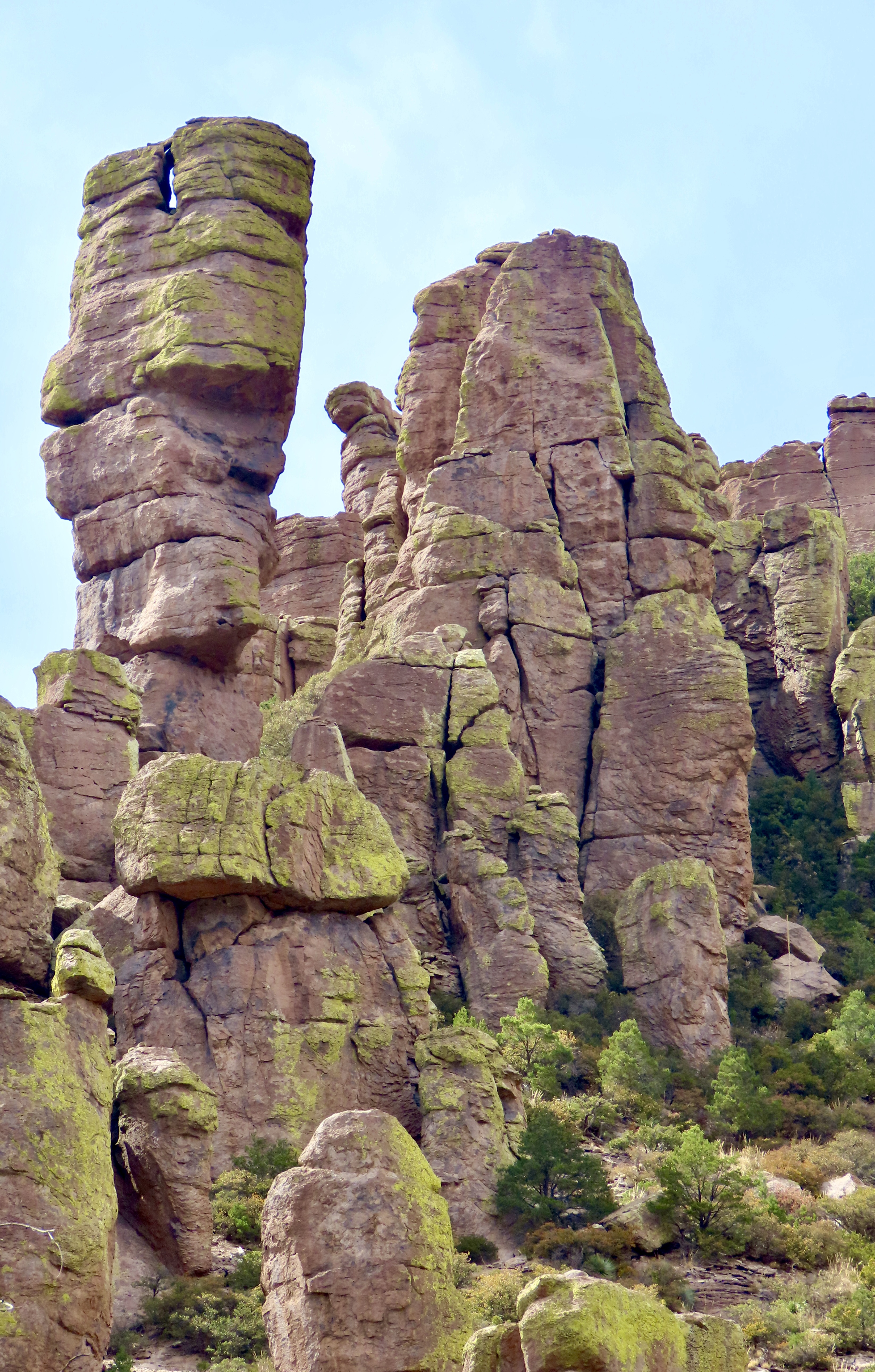
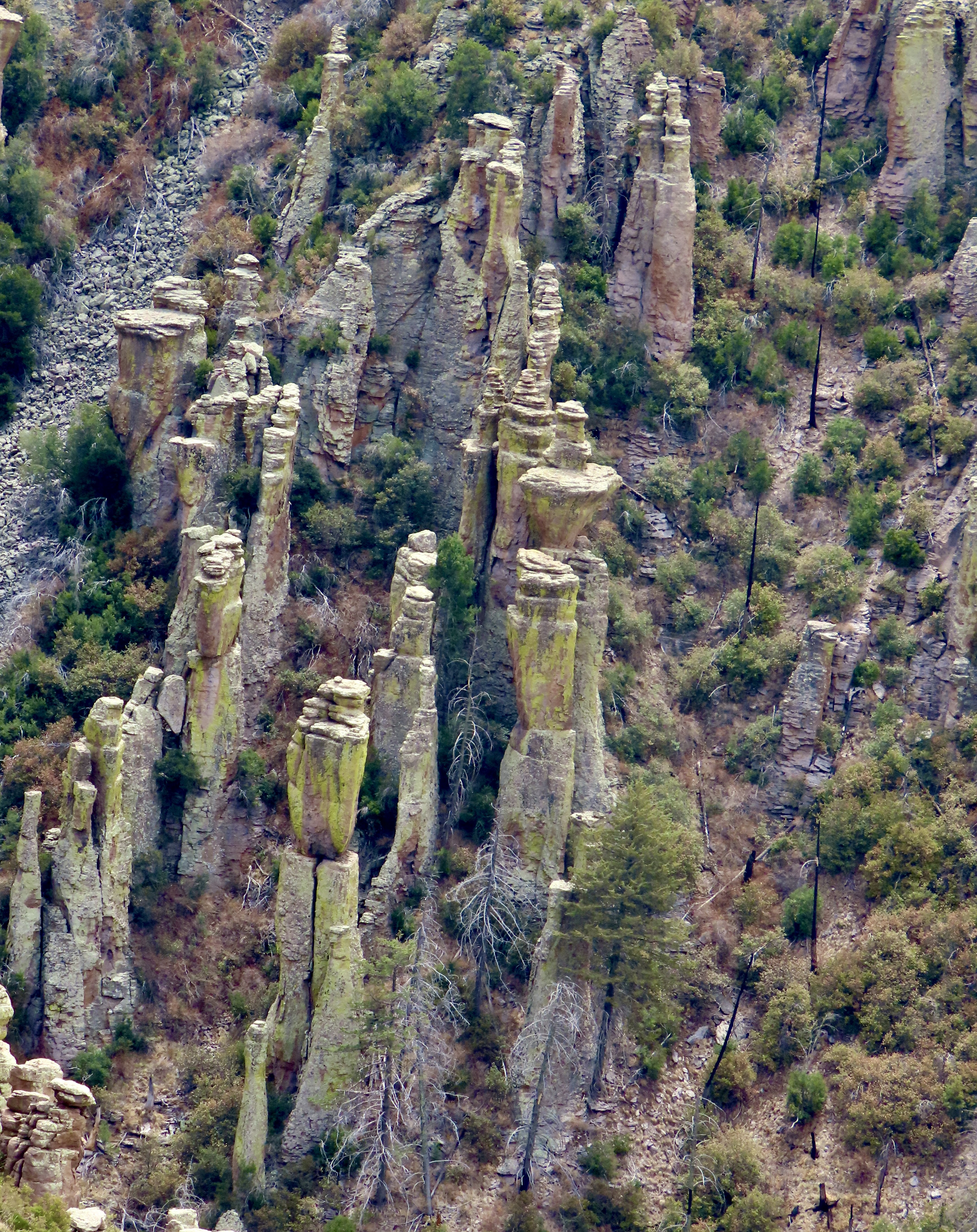
The rock formations got their start when a massive volcanic erupted 26.9 million years ago and buried the area under a combination of hot ash and pumice. Extreme heat then welded the ash and pumice into the rock known as tuff. As the tuff cooled, it contracted, creating cracks and joints. Water seeping into the cracks and then freezing, aided by wind and gravity, caused erosion, eventually creating the thousands of rock columns that Chiricahua National Monument is famous for.
The monument is located in southeast Arizona’s Chiricahua Mountains near the community of Willcox. Curious about the name, I googled it and was entertained by AI. First, it informed me that the Chiricahua Mountains were named after the Chiricahua Apaches who lived in the area. Ok. I then asked asked where did the Chiricahua Apaches get their name. They were named after the Chiricahua Mountains, AI stated. Hmmm. I tried again and was told that the name comes from an Opata word, “Chiwi Kawi” that translates to Turkey Mountain. Now you know. Or do you?
The Apaches were tough. Their Great War chiefs Geronimo and Cochise bordered on legendary and held out longer than most other Indian tribes of the West against the onslaught of Eastern settlers, miners, and cattlemen eager to take away their lands. The military was sent out to solve the problem by forcing them onto reservations. It was not an easy task. First they had to catch the Chiricahua who combined guerrilla warfare with an ability to disappear into the rugged landscape that seemed almost magical.
Today, Peggy and I are continuing our series on national parks, monuments, and wilderness areas with an emphasis on their unique beauty, geology, flora, fauna and history that makes them so important to us today— and even more so in the future as populations continue to expand. As Aldo Leopold said: “The richest values of wilderness lie not in the days of Daniel Boone, nor even in the present, but rather in the future.” A future that is now under threat.
National monuments are particularly vulnerable today as the Trump Administration explores downsizing several of them to open up new lands for drilling oil and mining minerals
As with each of our previous posts in this series, we will present 25 photos that focus on the beauty and unique characteristics of the park, monument, or wilderness we are blogging about. All photos have been taken by either Peggy or me unless otherwise noted.
Welcome to Chiricahua National Monument.
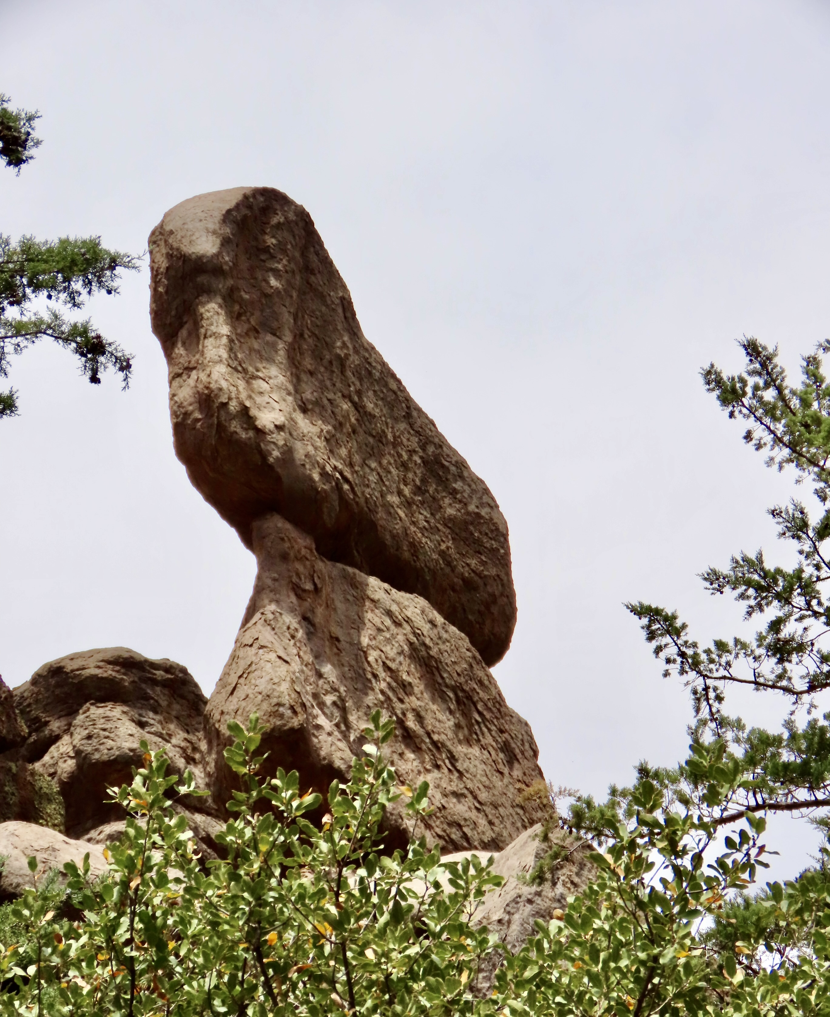
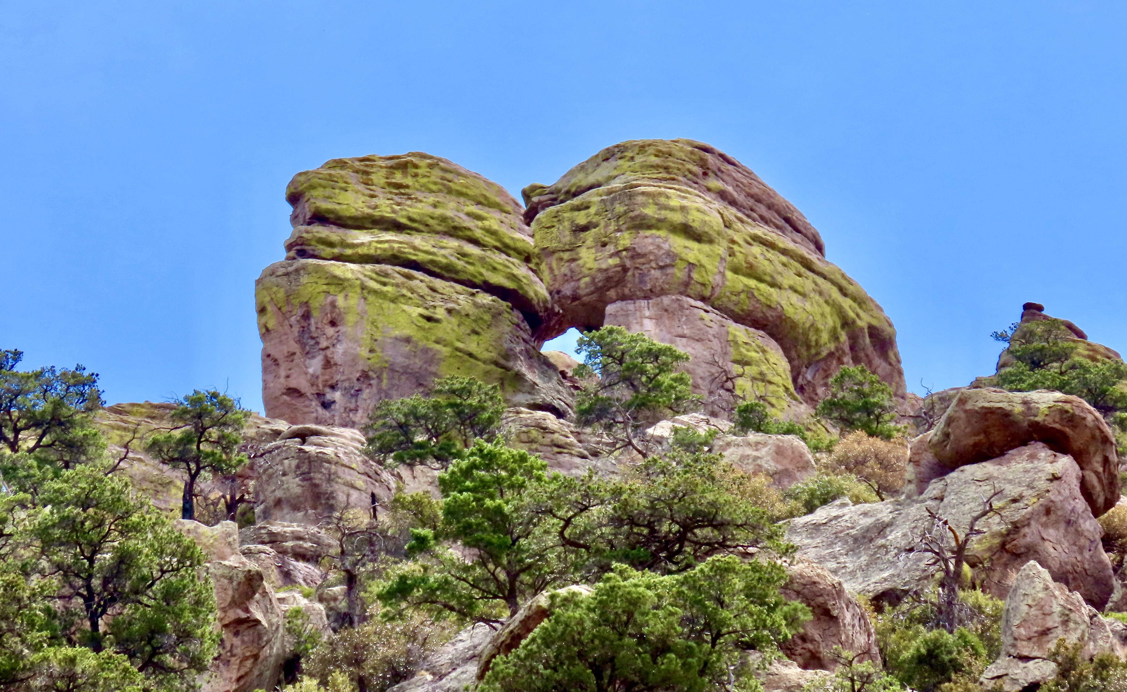
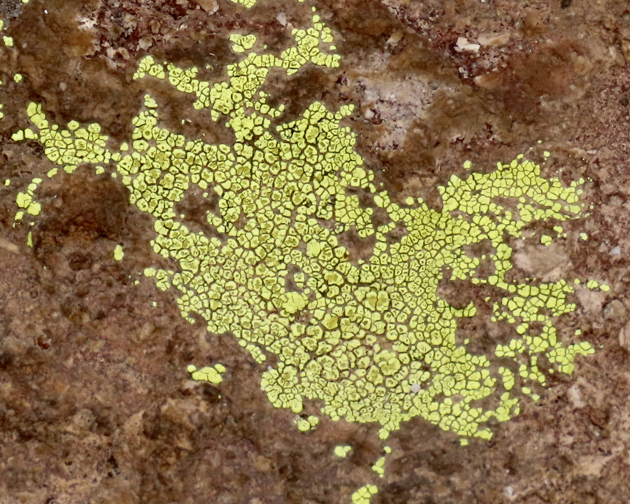
The first place that visitors usually stop at Chiricahua National Monument is the Far Away Ranch, which was built by the Swedish immigrants Emma and Neil Ericson. I think it was Emma who named the ranch Far Away because it was so darned far away from anything else. In addition to the usual challenges that settlers faced, such as irritated Chiricahua, Neil often had to work away from home for long periods to help support the family while Emma oversaw the ranch. Eventually, along with their children, they added a guest ranch to their cattle ranch. The family also became strong supporters of the creation of the National Monument. In addition to the windmill above, the ranch contains a number of buildings that tell the story of early settler life.This lizard was hanging out on the wall of one of them while scrutinizing me. (Or was it smiling?) I complimented the fellow on its camouflage.As we left the ranch and headed for the visitors center, this impressive rock monument came into view.Shortly afterwards we got our first glimpse of the columns we would soon be driving through.This attention-grabbing group of rocks was right across from the visitors center. We went in to check out the center. They are almost always a source of great information. Limited staff may make it difficult to keep them open this summer. A volunteer was busy urging visitors to contact their congressmen and women about the issue.Bonita Canyon Road was our guide into the monument. A campground was located near the entrance. The color of the trees looked like fall, but they were announcing spring.One of our first views of columns along the road was the Organ Pipe Formation towering 75 feet into the air.A closer look provides the view that is usually associated with Chiricahua National Monument. This view shows the joints (up, down and across) that allowed for the creation of the columns. We also found the crooked column interesting.Peggy was quite taken with this column because the top reminded her of a dog (eyes, ears and nose).Numerous other rocks caught our attention as we drove through the canyon including this balanced rock. Peggy thought this pair of large rocks looked like they were kissing. The green color, BTW, is created by lichen.A photo of the crustose lichen we found growing on the rocks.I was impressed with this formation along Bonita Canyon Road— and the lichen.At the end of Bonita Canyon the road made a right turn and began a steep climb up to Echo Canyon and Masai Point. We headed up to Masai Point first and were treated to the view of tall, skinny, capped-off columns.They seemed to be marching up the hill. A much different view was provided just up the trail…Short, stubby columns.Hundreds, maybe even thousands of them.They provided a view across Sulpher Springs Valley and the Distant Dragoon Mountains where Cochise had his stronghold.About a half mile down the road from Masai Point, the Echo Canyon Trail provided us with more scenic views and impressive rocks.A rock that looked bird like…A rock family.Two rocks from the same stone.And another balanced rock.We never would have guessed that Chiricahua National Monument held such treasures. But that is the story of America’s national parks, monuments and wilderness areas over and over and over. Next up, we will take you to Saguaro National Park where the giant cacti were just coming into bloom last week.
The iconic Mesquite Flat Sand Dunes of Death Valley provide a unique hiking opportunity for the adventuresome as well as a world class photo op. They also provide a great backdrop for movies. C-3PO and R2-D2 were lost here on ‘Tatooine’ in Star Wars Episode IV.
Death Valley is known as a land of extremes. At its lowest point, it drops to 282 feet below sea level. Summer temperatures can soar up to 120° F and have been recorded as high as 134° F. Rainfall averages are around 2 inches per year but can drop to zero. It’s hard to get more extreme. You don’t want to visit in the summer.
I would add, however, that Death Valley is also a land of superlatives. My title above about ‘breath-taking beauty’ is no exaggeration. We have 25 photos below to make the point. As I have stated before, all photos are taken by either Peggy or me unless otherwise noted.
Peggy and I have visited Death Valley several times over the years. It’s one of our all-time favorite go-to places. One of our visits was during the government shutdown in 2019 that President Trump had instigated during his first term. Death Valley was without staff. We had entered the Park from the south and stopped at a rest stop along the way. The restroom was closed and people were using the desert as a bathroom. Instead of carrying their trash out, many were simply dumping it next to the already overflowing trash cans. What was worse, a few miles up the road someone had decided that no supervision meant he could take his ATV for a spin on the desert floor and drive brodies (sharp circles). Large gashes in the floor had been created— gashes that would take at least 20 years, if not longer, to heal given the desert’s environment.
I’m relating this incident here because I want to make a point that National Parks need staff to function effectively. While the impacts of reduced staff aren’t as dramatic as no staff, the recent efforts by the Trump Administration to cut employees along with a number of other Trump/Musk driven initiatives related to the parks pose a serious threat. Here’s a quote that the National Parks Conservation Association —a bipartisan organization that has been promoting and protecting our parks since 1919— made after the first six weeks of the Trump Administration:
National parks as we know and love them are changing — dismantled before our very eyes under the new Trump administration in just six weeks. Fired staff, cancelled building leases, erased history. We see the writing on the wall, and it’s dark.
Dark indeed. Among the latest pronouncements from the Administration is one that suggests there is no reason to protect endangered species. Let them die. Another opens 59% of all national forests to be logged with minimal, if any, environmental protection. Old growth trees that have taken hundreds of years to develop will be cut down in minutes.
Today, Peggy and I are continuing our series showing the beauty, geology, flora and fauna of these areas to emphasize the value of protecting them. The parks belong to all of us, and, I might add, the plants and animals that call them home. We cannot afford to let them be lost to the whims of one man and his cohorts who apparently see their value primarily in terms of the money that can be made from their exploitation. Our children, grandchildren and future generations are depending on us.
And now: Death Valley.
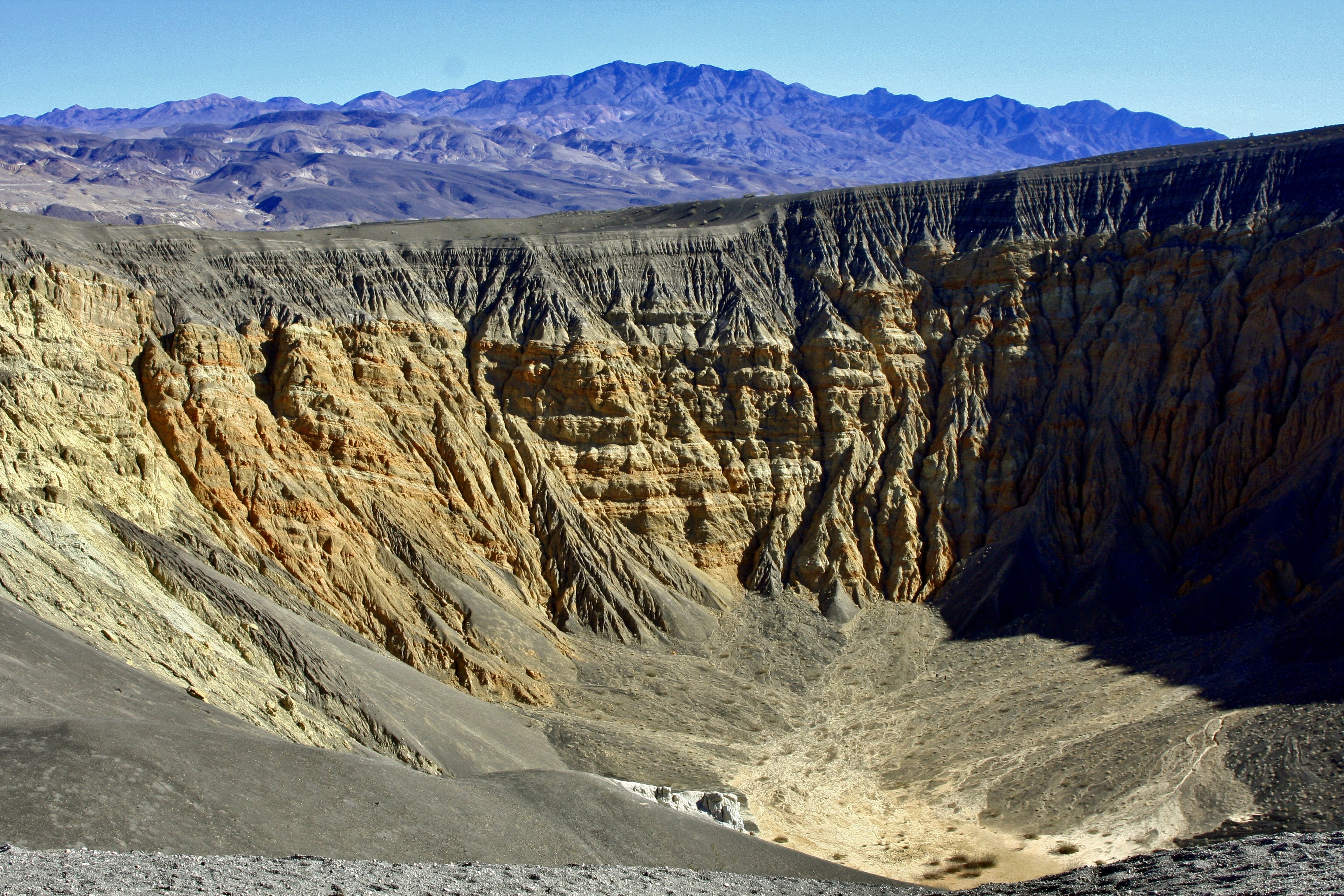
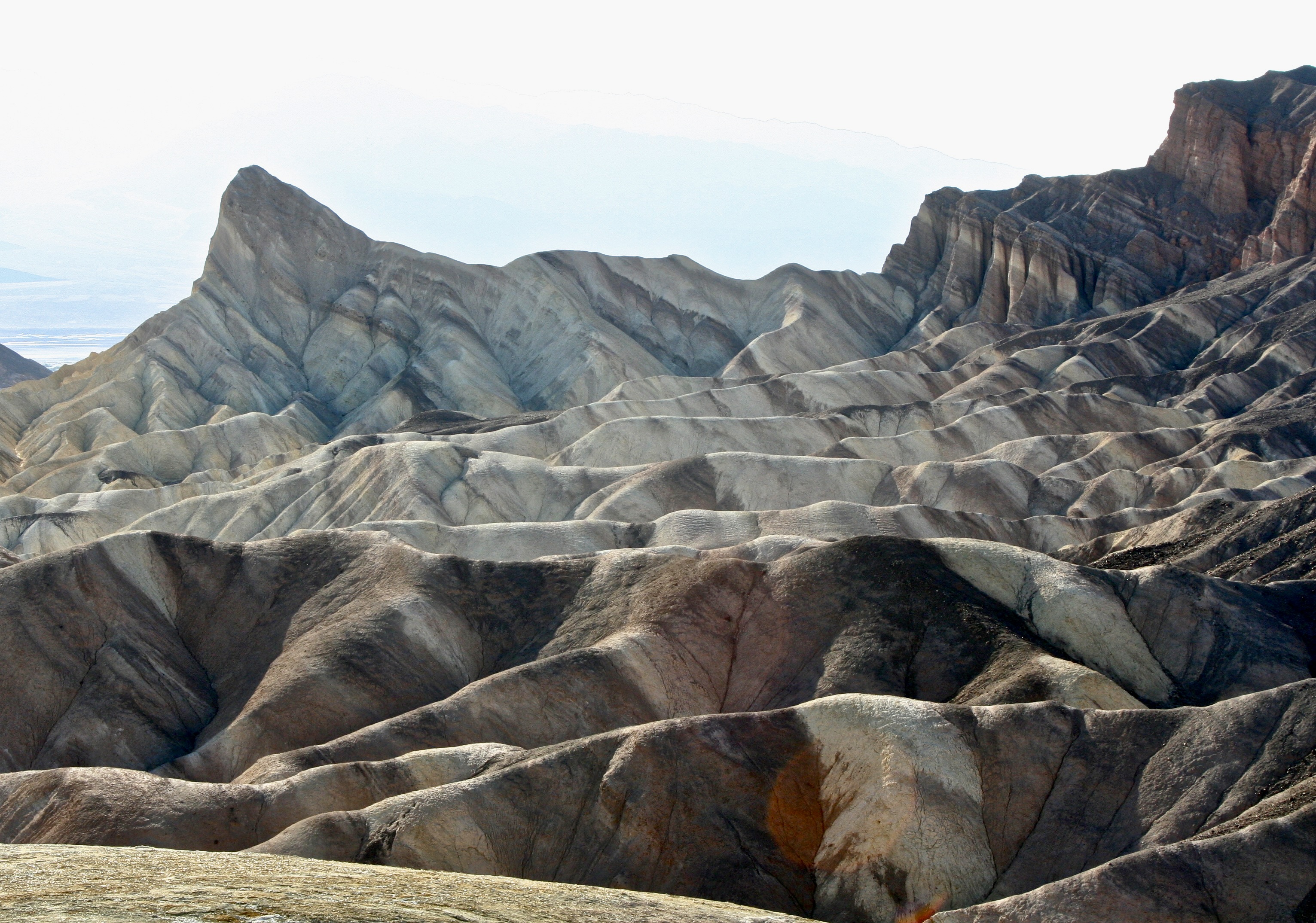
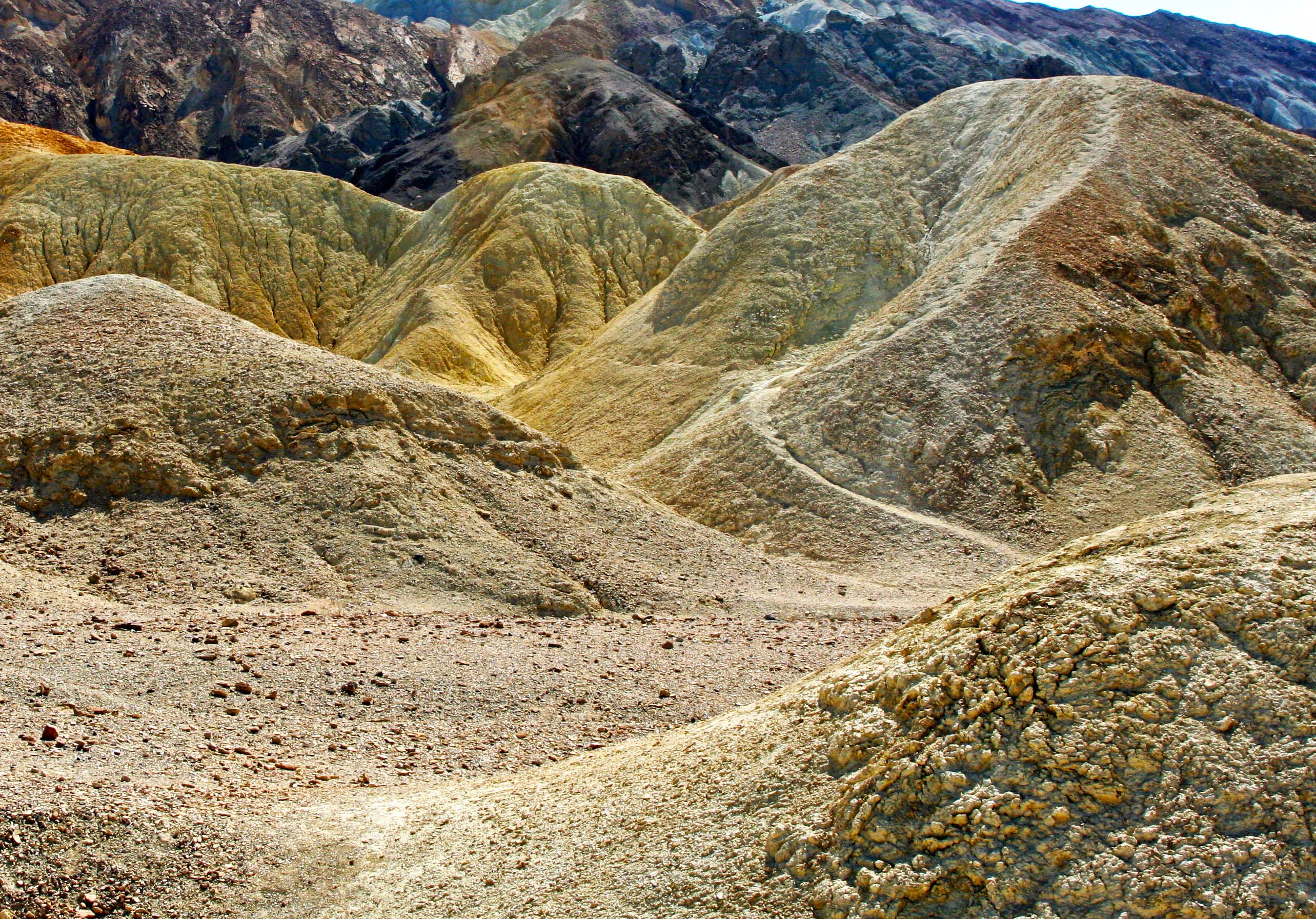
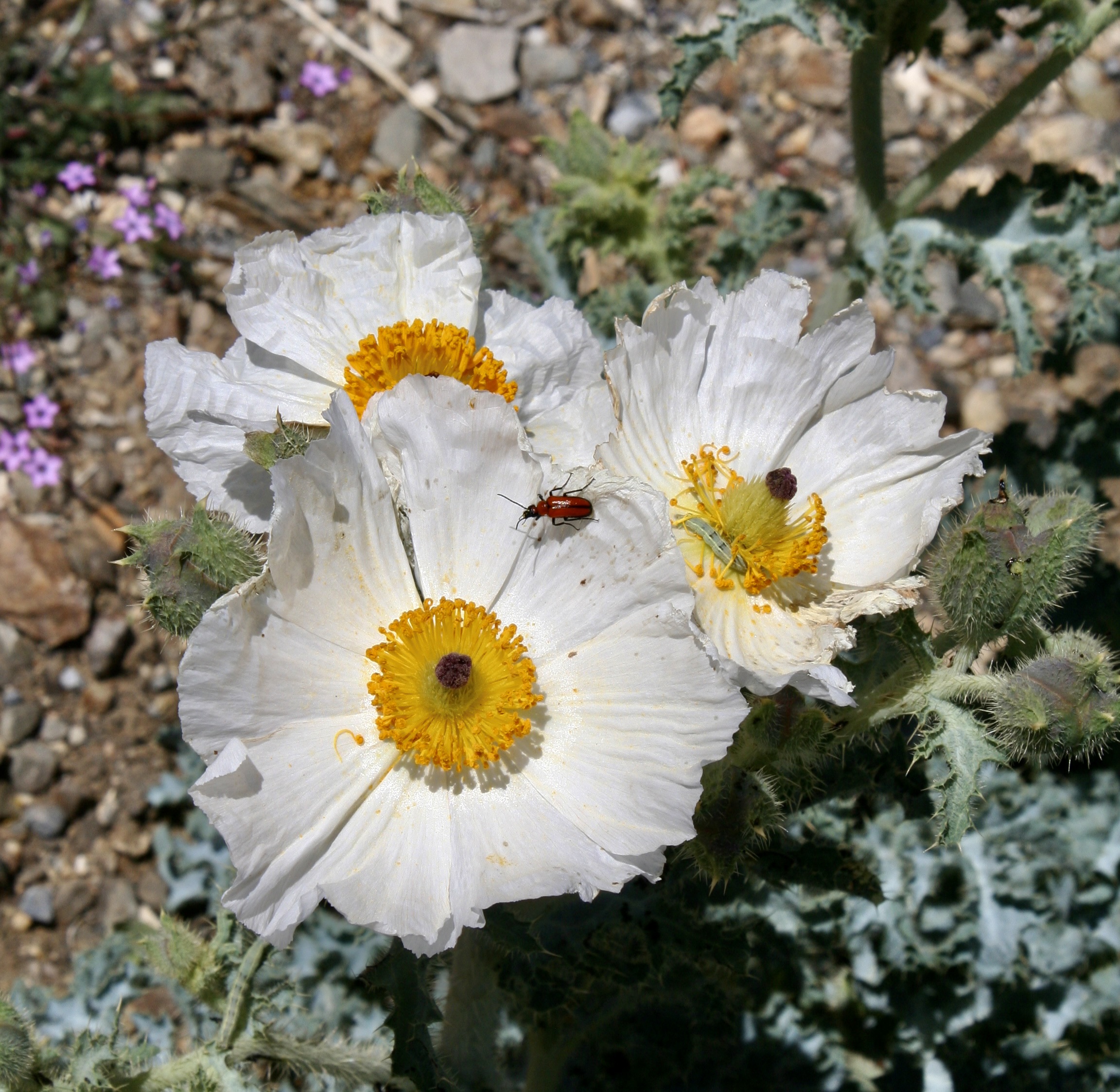
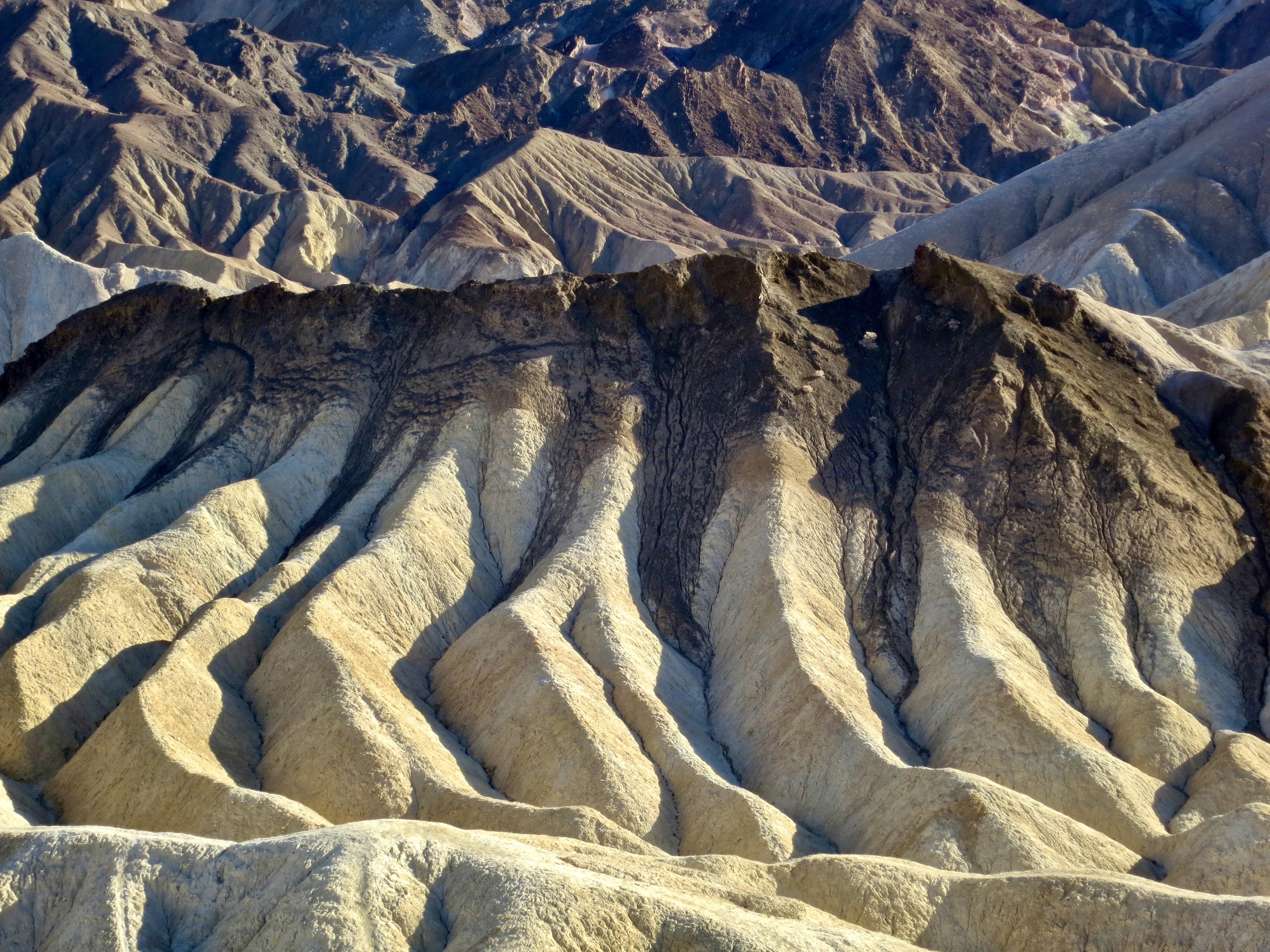
Beauty is everywhere in Death Valley. The extreme dryness of Death Valley allows visitors a rare opportunity to see geological forces at work. This is the Ubehebe volcanic crater in the northern part of the park. The crater, 600 feet deep and half a mile across, was created by a powerful eruption of volcanic steam. Trails lead down into the crater that visitors can hike.We took this photo near Ubehebe Crater. It shows the work of erosion over time creating an almost surrealistic scene.A coyote stood near the road into Ubehebe. Camping in the Valley, you can go to sleep listening to their wild calls in the distance. A moonlit night often produces a chorus.The majority of the sites visited in Death Valley are located within a short drive of the Visitors Center at Furnace Creek. Nearby, Zabriskie Point provides a number of different views that vary over the day as the sun shifts.In the sunlight.Another view we found interesting at Zabriskie Point. The dark ridge at the top represents a different geological era. Over 1.7 billion years of earth’s history can be seen in the Valley according to the National Park. 20 Mule Canyon, a short drive up the road from Zabriskie Point, provides a moderately challenging but gorgeous adventure over a 2.7 mile unpaved road. It’s a section of the route that was used by the 18 mules plus two horse teams that carried borax out of Death Valley. Pull offs along the way provide for further adventures, such as following paths that lead into a world that borders on fantasy.Another example.The road also followed this off-white, high ridge. We saw a couple of people hiking along the top.A final photo along the 20 Mule Canyon Road.Another favorite of ours for its sheer beauty and impressive land forms is Golden Canyon.A quick drive down highway 178 from Furnace Creek will take you to the parking area. From there, visitors can choose a relative easy walk that takes them into the heart of the canyon or select much more challenging hikes with lots of ups and downs! One route takes hikers up to Zabriskie Point.Looking out from Golden Canyon toward the Valley.Want even more color? Continue down Highway 128 to a one-way side road that takes you in to the well-named Artist’s Palate. Different minerals in the rock are responsible for the colors you see here, at Zabriskie Point and along the Twenty Mule Canyon Road.A closer look at the palate.Continuing on down Highway 128 will bring you to the Devil’s Golf Course, which is definitely worth the side trip to see it. If the park is ever privatized, I wonder (he said tongue in cheek) whether the president would add this to the 15 plus golf courses he owns around the world. First, however, he would have to bulldoze the salt flats that formed over thousands of years as ancient lakes evaporated. Given the million dollar membership fee he charges at Mar-A-Largo, I suspect he would charge even more here. Two side roads, one on the east and one on the west of the Park, take visitors up into the mountains above the Valley. Dante’s Peak, on the east side, provides a dramatic view into the valley.And flowers. We took lots of photos.The road on the west side of the valley taking visitors up to historic charcoal kilns had even more flowers.Including these white prickly poppies. A red beetle and a green caterpillar were visiting. The caterpillar was busy chomping down on the poppy’s stamens.An old road leading off the main road to the kilns featured yellow rabbitbush flowers. It demanded exploration. Maybe this year…We also found this rattlesnake along the road. Long time followers of my blog will recognize it. He was about 6 feet long and about as round as my arm. Peggy refused to let me out of our truck to take more photos, zooming off just as I was about to open the door!The historic charcoal kilns of Death Valley were at the end of the road. They were built in 1877 to supply charcoal for the Modock Mines, located 25 miles away, and likely closed after two years of use. We’ll conclude this post with a photo of the sun setting over the sand dunes of Death Valley. Next up we will feature the Chiricahua National Monument in Southeastern Arizona. We were there last week. A photo from next week’s post.
Big Bend National Park, like Death Valley, demonstrates how incredibly beautiful and diverse deserts can be.
I wasn’t going to blog about Big Bend today, given that I blogged about it last year. However, the plan to deploy US Army troops there encouraged me to include it sooner rather than later. It fits the series Peggy and I are doing on the importance of of protecting our national parks, monuments, and wilderness areas against present threats.
Sending troops into Big Bend is part of President Trump’s efforts to reduce illegal immigration into the US. Today’s post isn’t about the issue of controlling illegal immigration; it’s about the logic of sending troops into Big Bend given its potential impact on the Park versus benefits gained. Let’s look at the numbers.
Customs and Border Protection reported that there were 2600 migrant encounters in El Paso, 1600 in Laredo, and 165 in Big Bend during February. For the Park, this breaks down to an average of 5.9 migrants per day. In order to reduce these illegal entries, the Army has stated that it plans to send 500 troops and several Stryker vehicles into Big Bend. While the Army would not release the number of Strykers, let’s assume 6 for the purpose of this discussion. (A large truck hauling what looked like one zipped by us on I-10 not too far from the Big Bend turn off.)
Would it be an effective deterrent? I suspect the answer is yes. If I were an illegal alien faced with the possibility of encountering 83 soldiers (my share: 500 divided by 6) and one Stryker vehicle (more or less)on any given day, not to mention the usual contingent of Border Patrol, I’d seriously consider going elsewhere. Is it a cost effective use of resources given the extent of the overall problem? I can’t see how the answer would be anything other than no. Given this, compare the potential disruption to visitors and the possible damage to the Park given how much time the Strykers spend off road. Desert environments are very sensitive and require long times to repair. While it is difficult to predict what the President will actually do, or not, on any given occasion, the Big Bend scenario shows once again, that little— if any— consideration is given to potential impact on national parks, monuments and wilderness areas in his actions.
A US Army Stryker vehicle. Developed in the early 2000s to increase the army’s mobility and versatility, this million dollar vehicle weighs 19 tons, comes with all of the latest surveillance equipment, and can carry 2 crew members and 11 soldiers. It can travel up to 60 MPH on paved roads. The army claims it will be primarily used for surveillance in Big Bend but can be weaponized if necessary. One can only wonder what ‘necessary’ would constitute? (Media photo.)
And now on to our 25 photos of Big Bend. Once again our objective is to show the unique beauty, geology, flora, fauna, and human history of each area we feature and the value of protecting these national treasures for our children, grandchildren, and future generations.
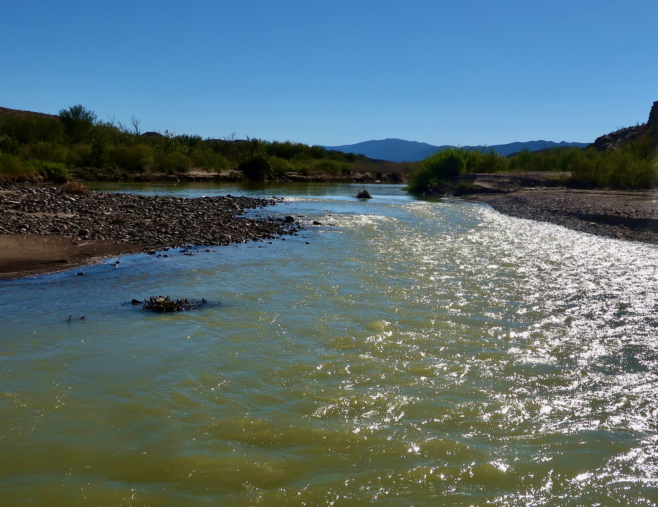
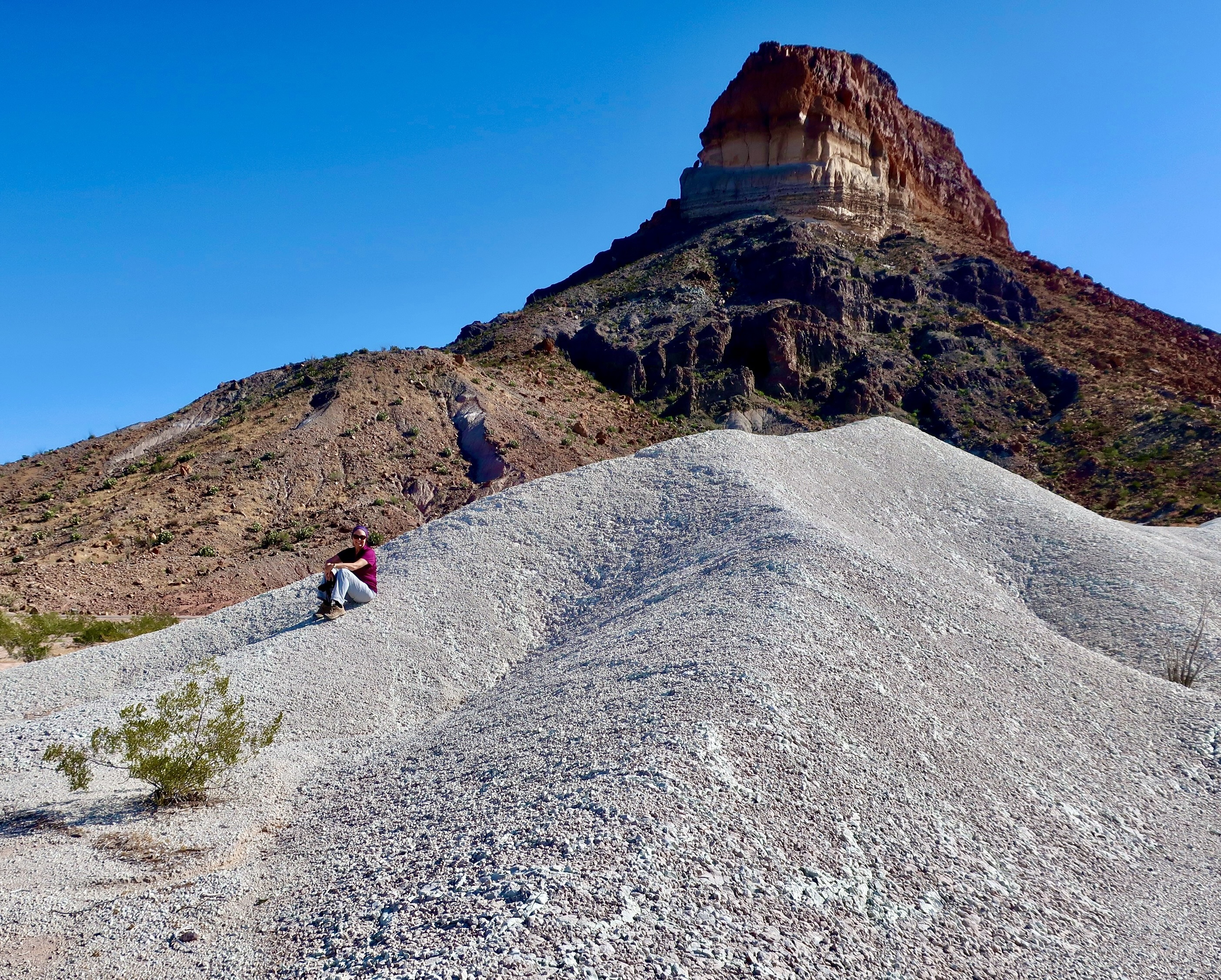
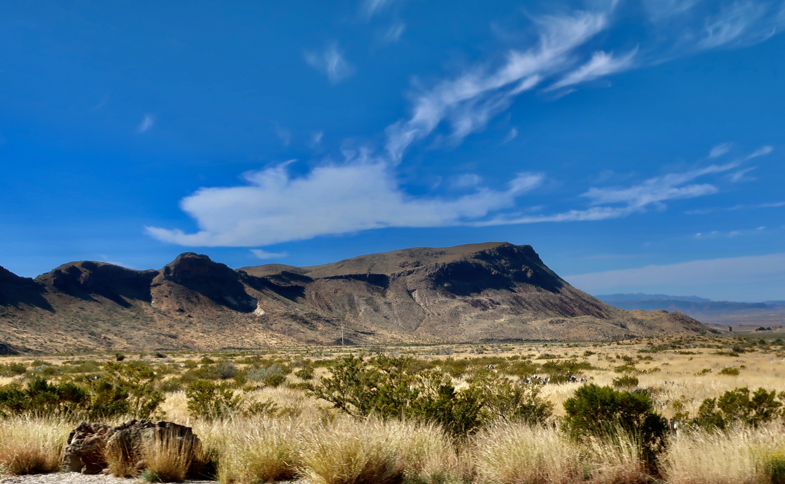
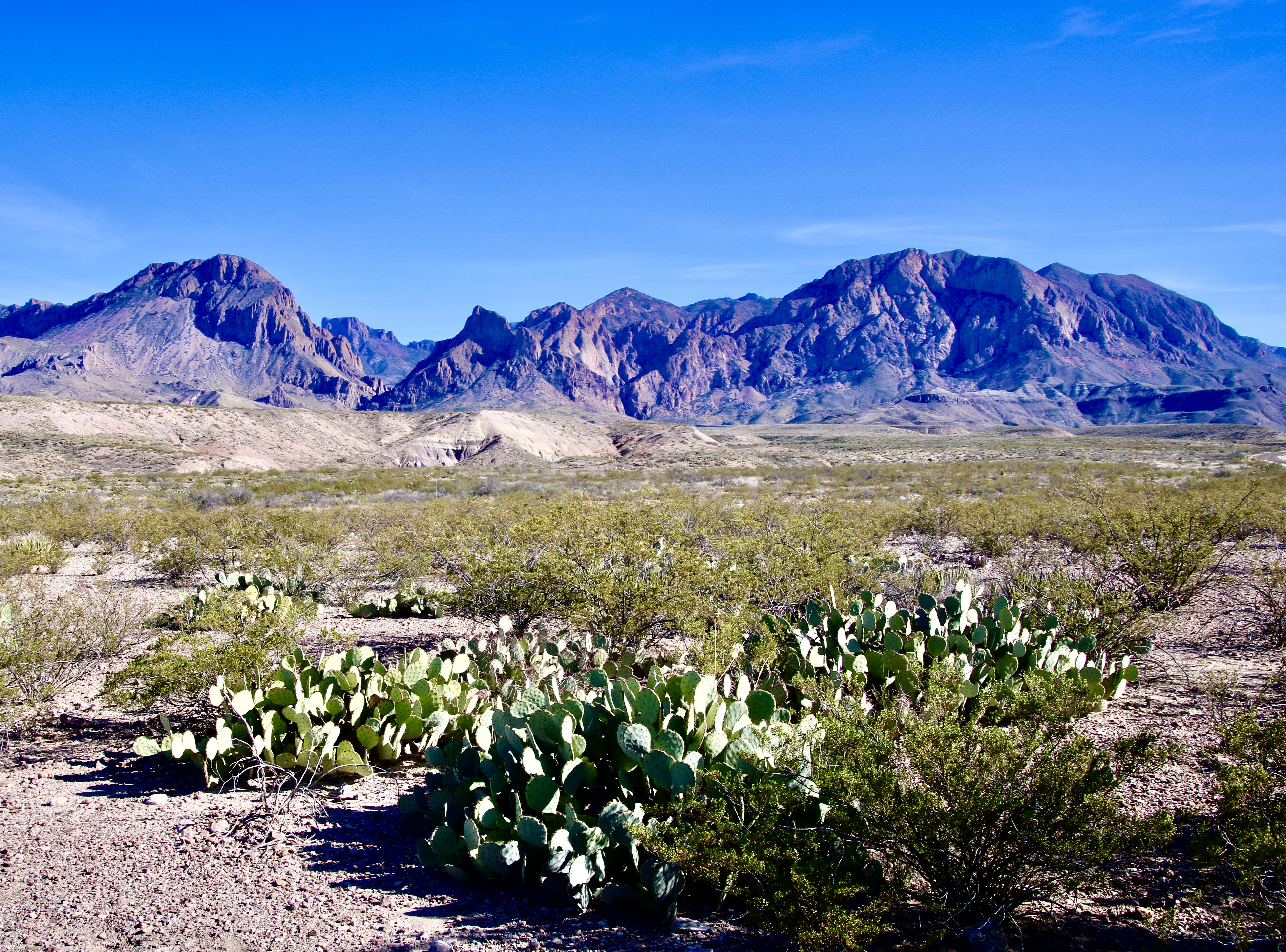
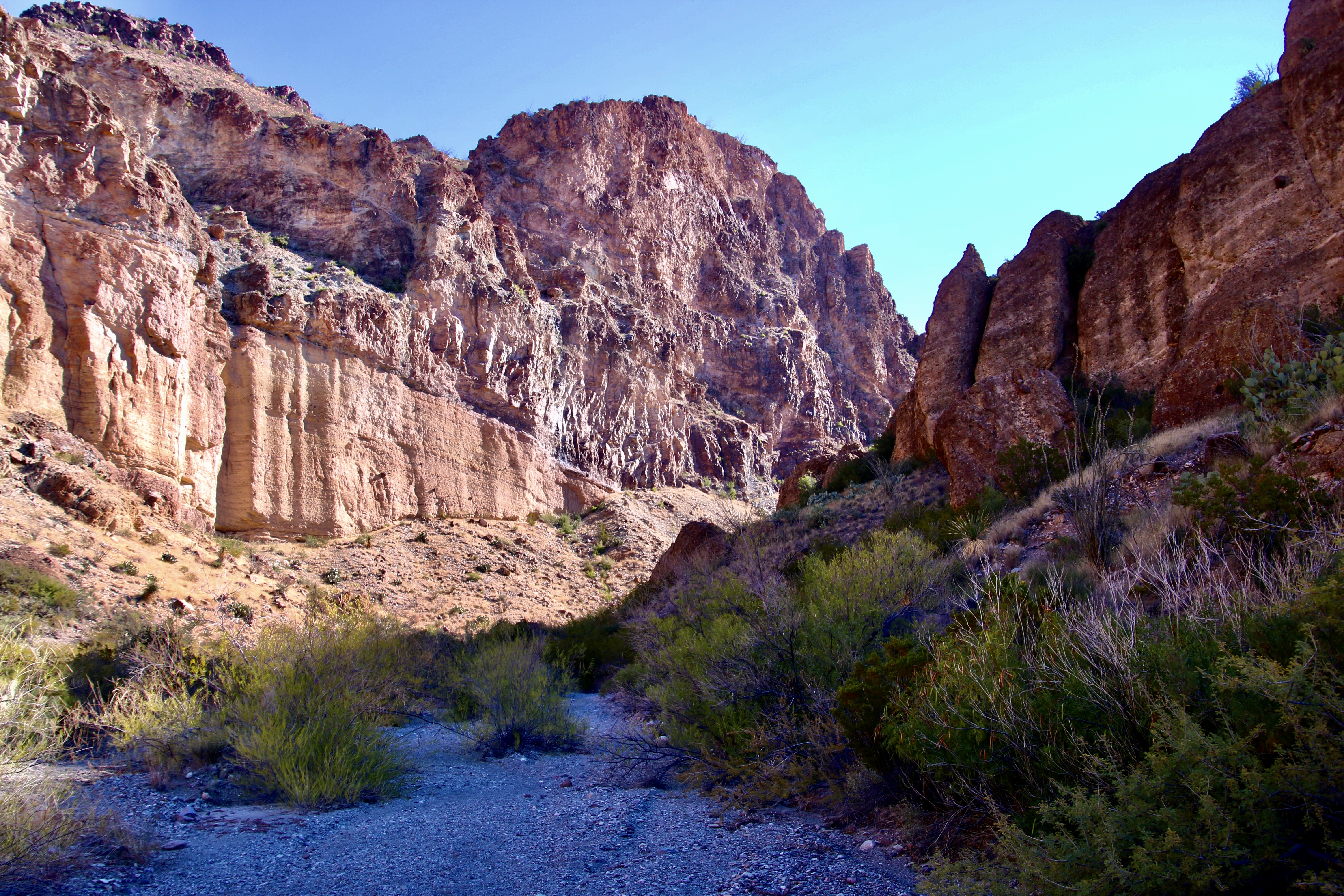
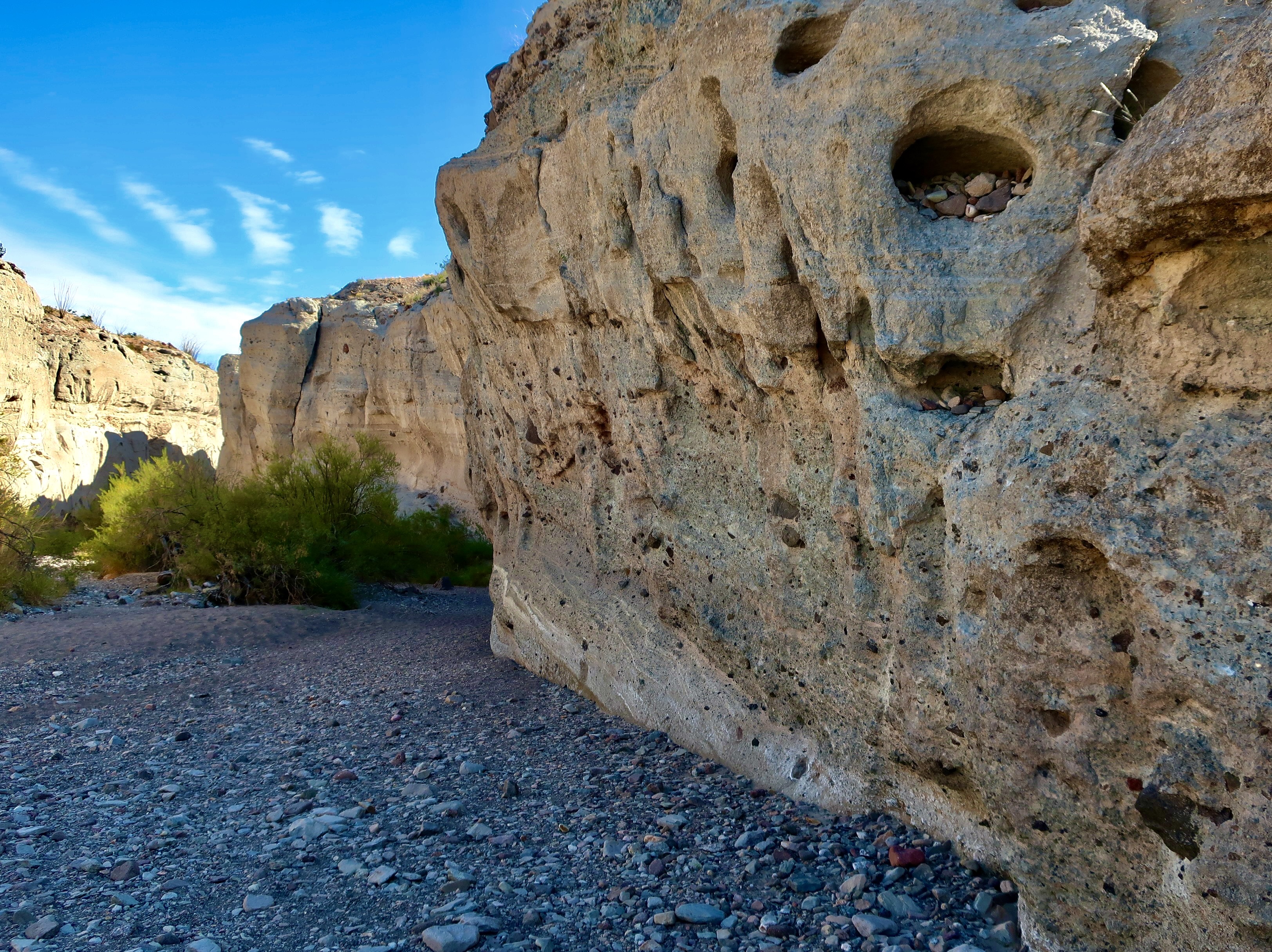
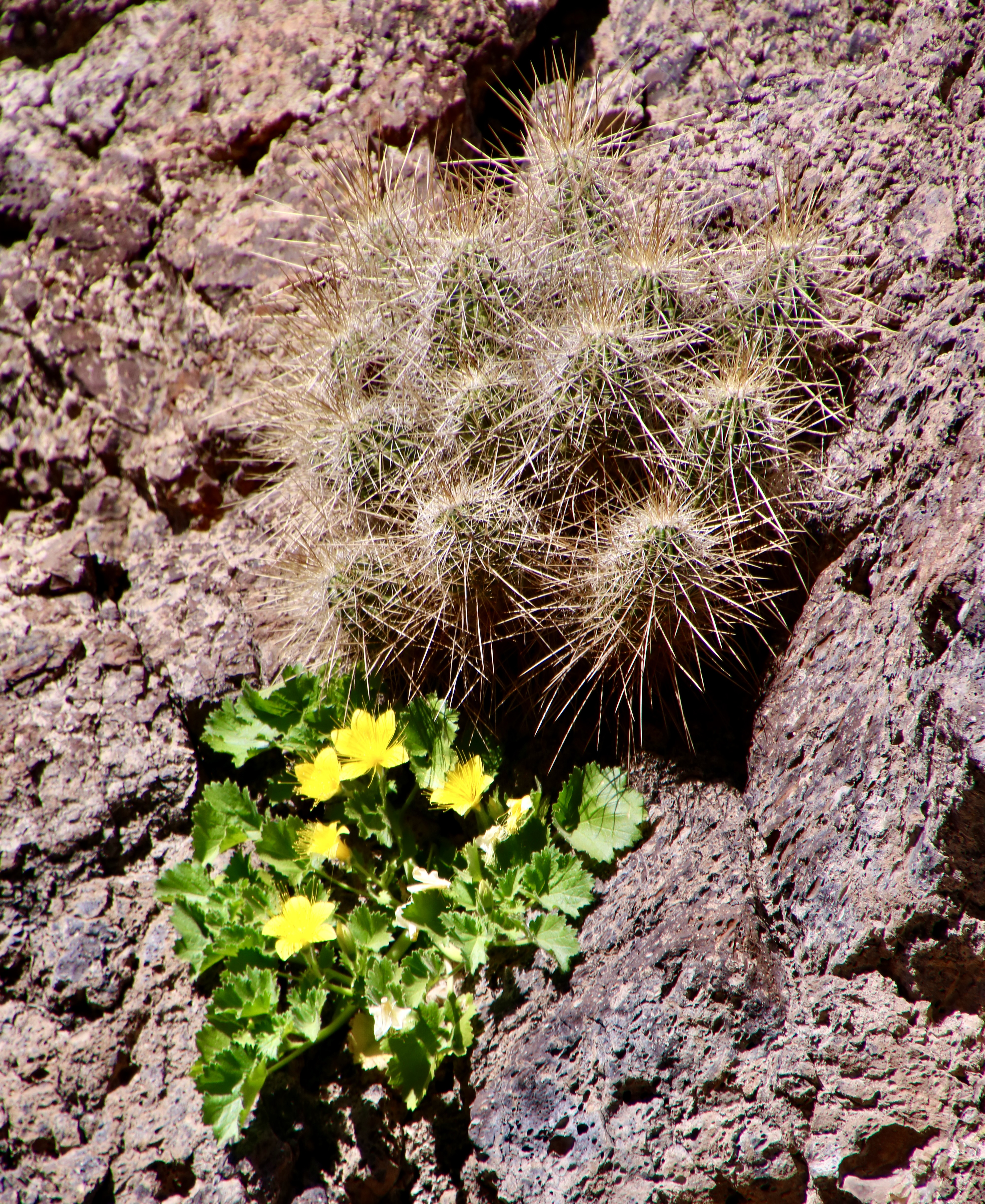
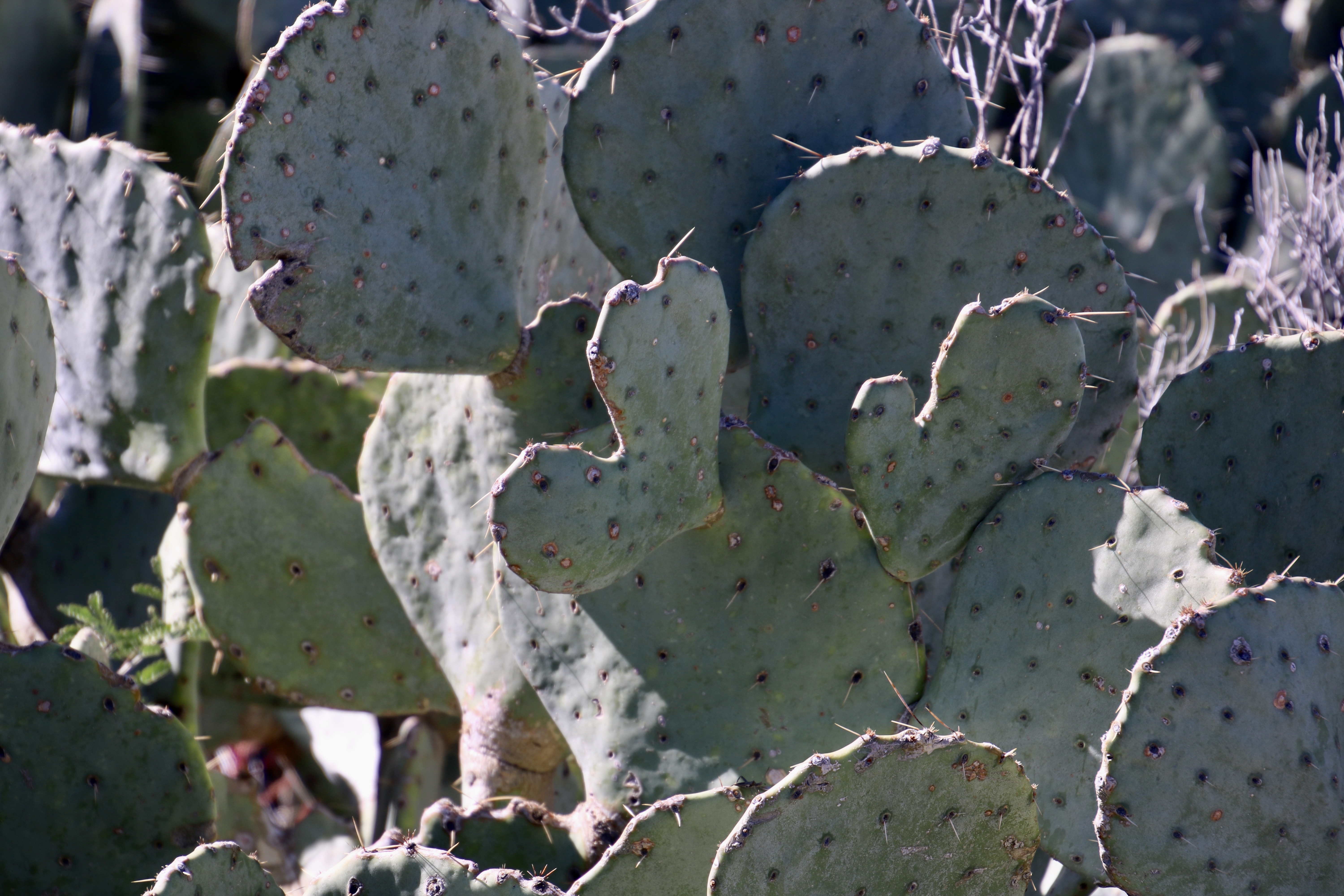
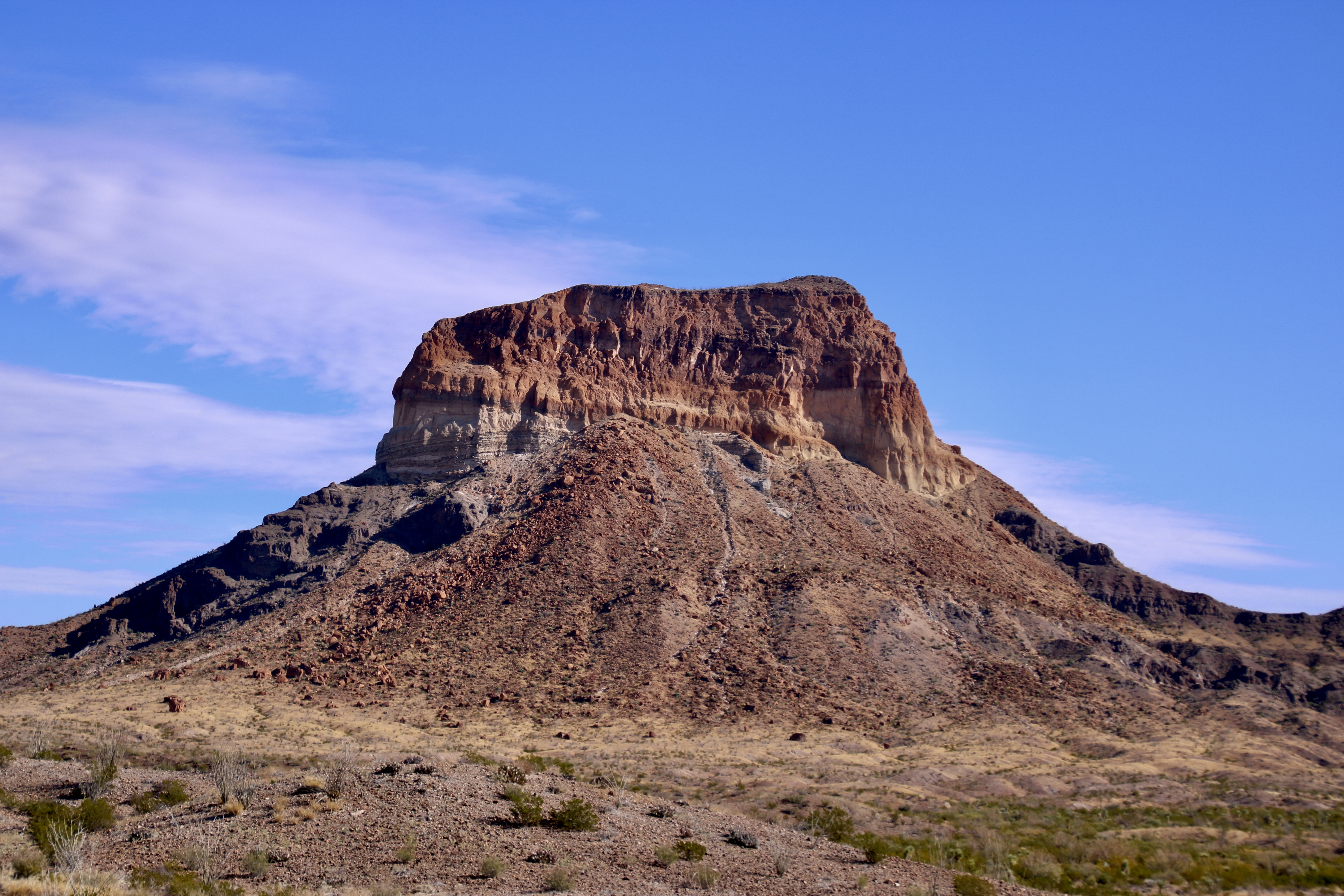
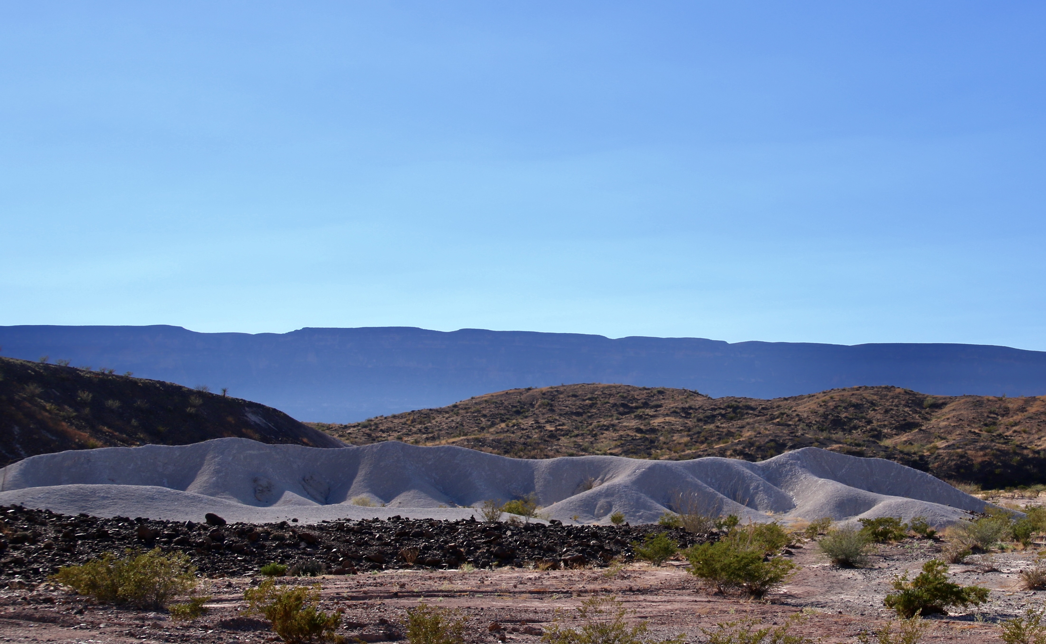
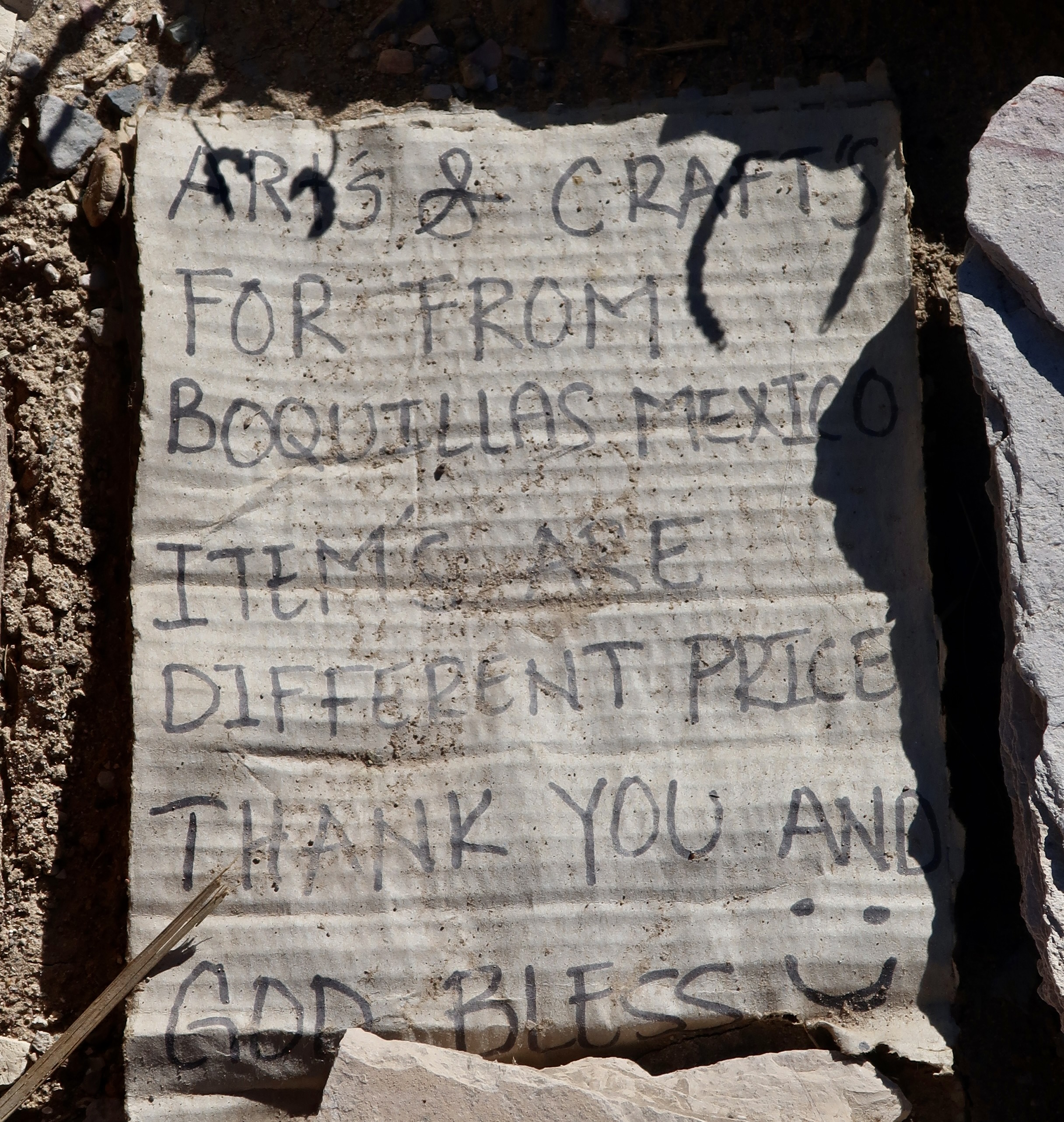
Sharing a border with Mexico provides unique opportunities and challenges to Big Bend. This is the Rio Grande River that forms the border between the two countries.Situated in the Chihuahuan Desert, the Park shows great diversity in its landscape, from the river to the desert floor to the mountains. Peggy has chosen a seat where she can look out over the desert toward the Rio Grande. Cerro Castellan towers over her.Looking across the desert at the distant mountains.This range is on the Mexico side of the river.A distant perspective with attention to both the desert floor and the Chisos Mountains.A closer look at the Chisos.The part of the mountains known as the Mule Ears.Desert floorA touch of greenColorful canyons invite exploration on foot.Peggy and I discovered this outcrop in the canyon.Tuff Canyon provides another opportunity for exploration.Erosion always adds interesting and often beautiful views in the desert. Peggy and I saw a ‘dog’ in this carving. How about you?Thorny cactus are expected in the desert, not so much flowers. But after a rain, they can provide a carpet of color.Speaking of thorns…The ocotillos’ normally bare limbs have broken out in tiny leaves, here.Prickly pears. The small dark spots will immediately teach you the meaning of prickly if you brush up against one. But someone has been chomping on these. Who would be so brave, or foolish!?This guy, a javalena. Their incredibly tough mouths allow prickly pears to be an important part of their diet. This fellow, plus several more, came roaming through our campground. We were tempted to ask to see their papers since they travel back and forth across the Rio Grande between Mexico and Big Bend.Fall colors added their touch to Cerro Castellan.Another perspective.The contrast between the dark lava, light tuff, a reddish ridge ridge and distant blue mountains made for a fun photo.Boquillas is a small Mexican town just across the Rio Grande from Big Bend. The residents supplement their income by selling their arts and crafts in a specific location in Big Bend approved by the border patrol. A metal container with a slit in the top serves as a bank for tourists to pay for what they buy in an honor system. A sample of crafts for sale. We stocked up. Partially because Christmas was coming and partially to help the folks from Boquillas.A number of sites feature historical artifacts ranging from ancient petroglyphs to this symbol of the Old West.And wild horses.
That’s it for Big Bend. Since we featured a desert national park this time, we’ve decided to follow up with another desert national park, one of my all-time favorites: Death Valley. I may also work in another post of what we are up to now. Peggy and I just spent three weeks dodging thunderstorms, heavy rains, floods, hail, and tornadoes as we made our way from Virginia to the Southwest to the start of our next adventure. We didn’t escape the winds— always fun when pulling a trailer. Anyway, our trip across didn’t leave a lot of time or energy for blogging. Back to it!
As we made our second trip up Hawaii’s Highway 11 to continue our exploration of Volcanoes National Park on our recent visit, smoke from the continuing eruption of Kilauea provided a dramatic backdrop. That was in February. The volcano is still erupting!
Our blog today is doing triple duty. One: It features our recent month long trip to Hawaii where we rented a VRBO for a month about 30 miles from Hilo. Two: I am using it to introduce Peggy’s newly published book on artistic word searches featuring petroglyphs of the Southwest.
Three: I’m kicking off my series on the value of protecting America’s national parks, national monuments and wilderness areas in light of the recent and ongoing Trump Administration threats to our national treasures. For the latest issues, I urge you to visit the National Parks Conservation Association that has been working to protect our parks since 1919.
This will primarily be done by selecting photographs from the thousands that Peggy and I have taken of parks showing their beauty, geologic uniqueness and historical significance while emphasizing the value of maintaining them for our present use and that of our children, grandchildren and future generations. Each blog will feature a different park, monument or wilderness.
Today’s is Hawaii’s Volcanoes National Park.
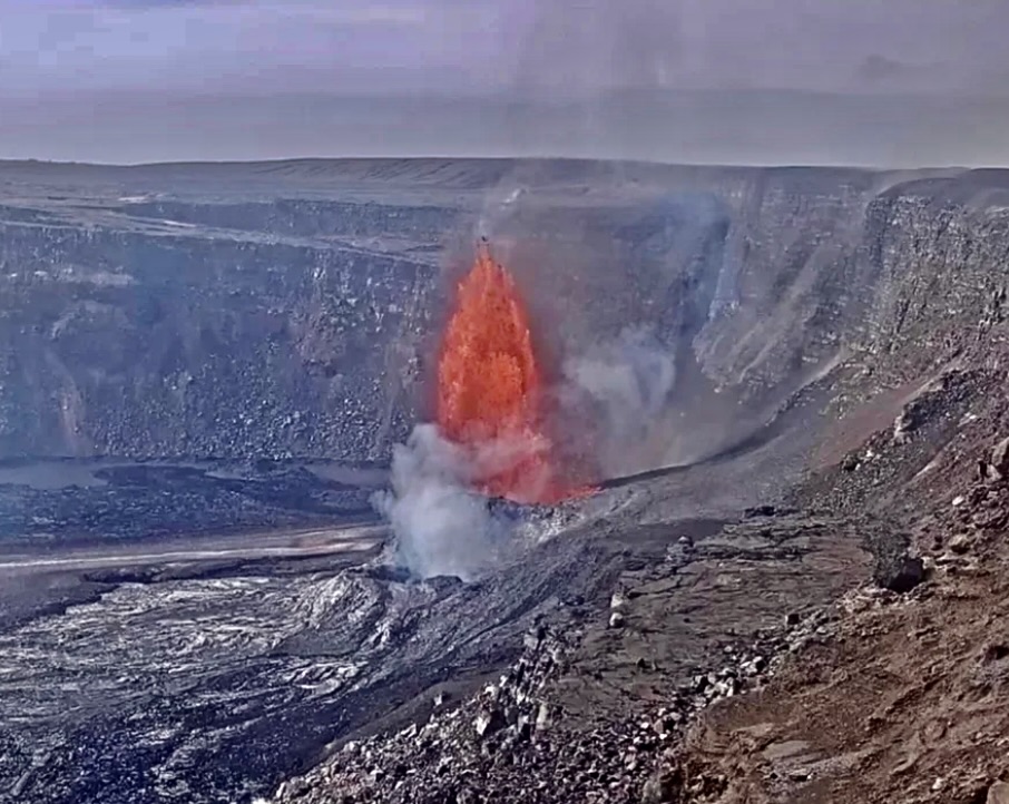
This map shows Volcanoes National Park’s Kilauea Caldera. Halemaumau Crater, which is part of the Caldera is shown on the left. The present active vents are located in Halemaumau, which seems appropriate given that ancient Hawaiians considered it to be the home of Pele, the Hawaiian goddess of fire, volcanoes, and volcanism.This photo captures the volcano sending up the smoke that fills the sky. Called vog (like smog) the smoke can damage people’s lungs, especially if they already have some type of lung disease or are elderly. (Hmm, I wonder if 82 meets the second criteria. Cough cough.)Up close and personal, as seen through our telephoto lens. At around 300-350 feet the lava was shooting higher into the air than it did on our first visit, but nothing like it has on its latest eruption.This is what the eruption last week looked like with lava shooting up 700 feet, nearly twice as high as we saw it! (USGS Photo) BTW, this is the south vent. The north vent is only smoking.
National Parks are selected for beauty, geological features, flora and fauna, and cultural history. The fact that Kilauea is considered the most active volcano in the world would definitely qualify it for National Park status. But there’s much more to see at the park regarding volcanoes plus unique cultural history shown through petroglyphs left by native Hawaiians. And there are Nene!
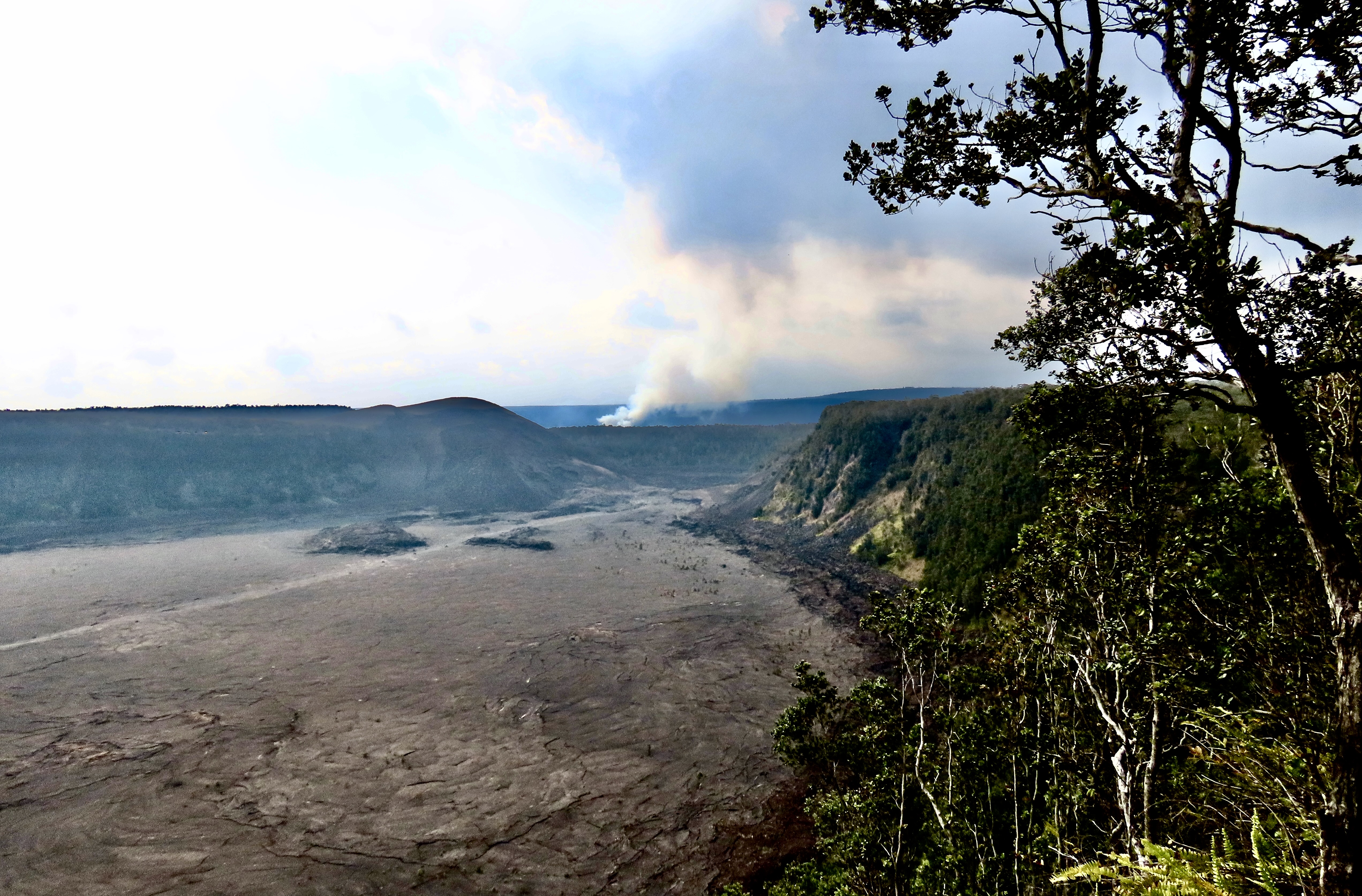
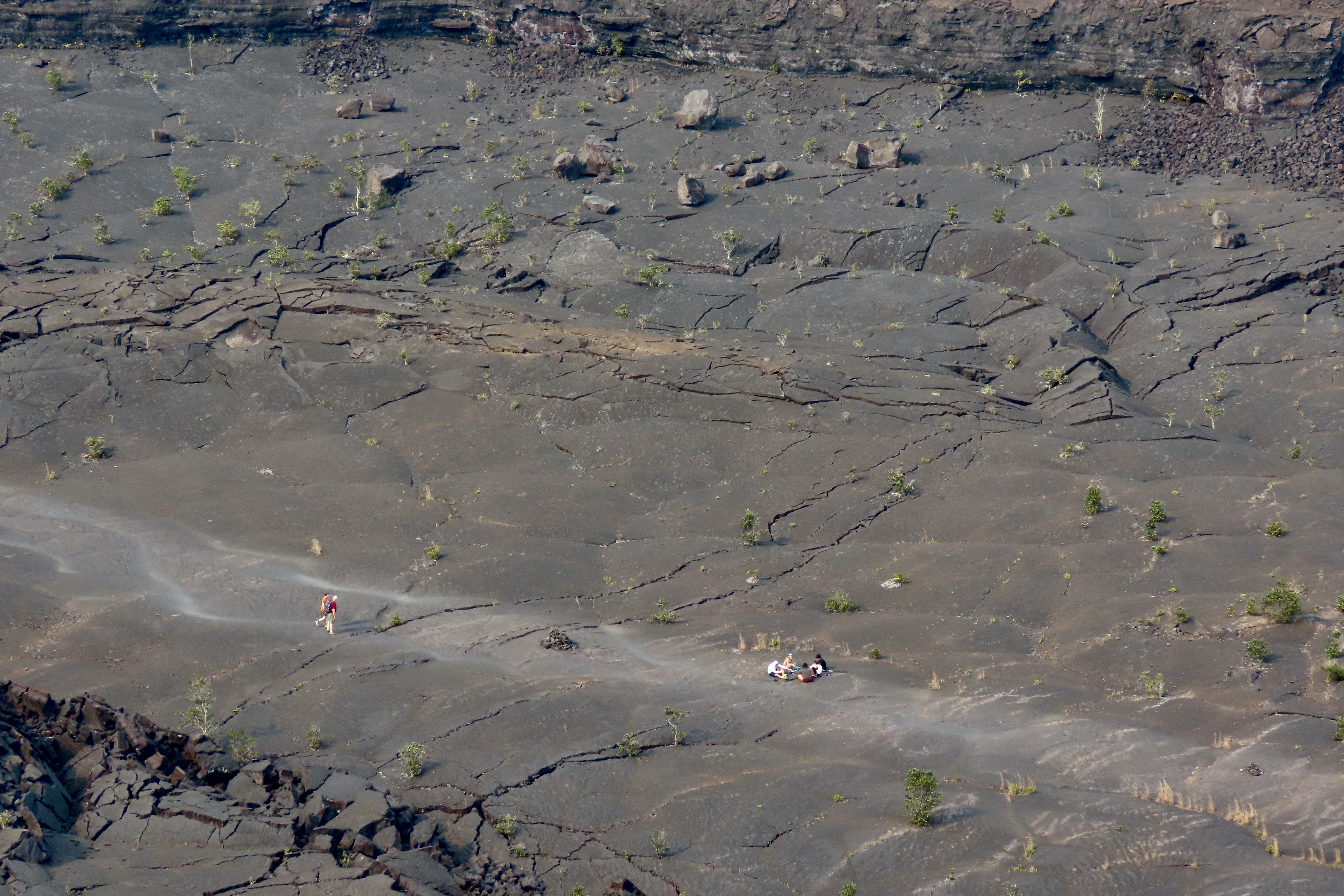
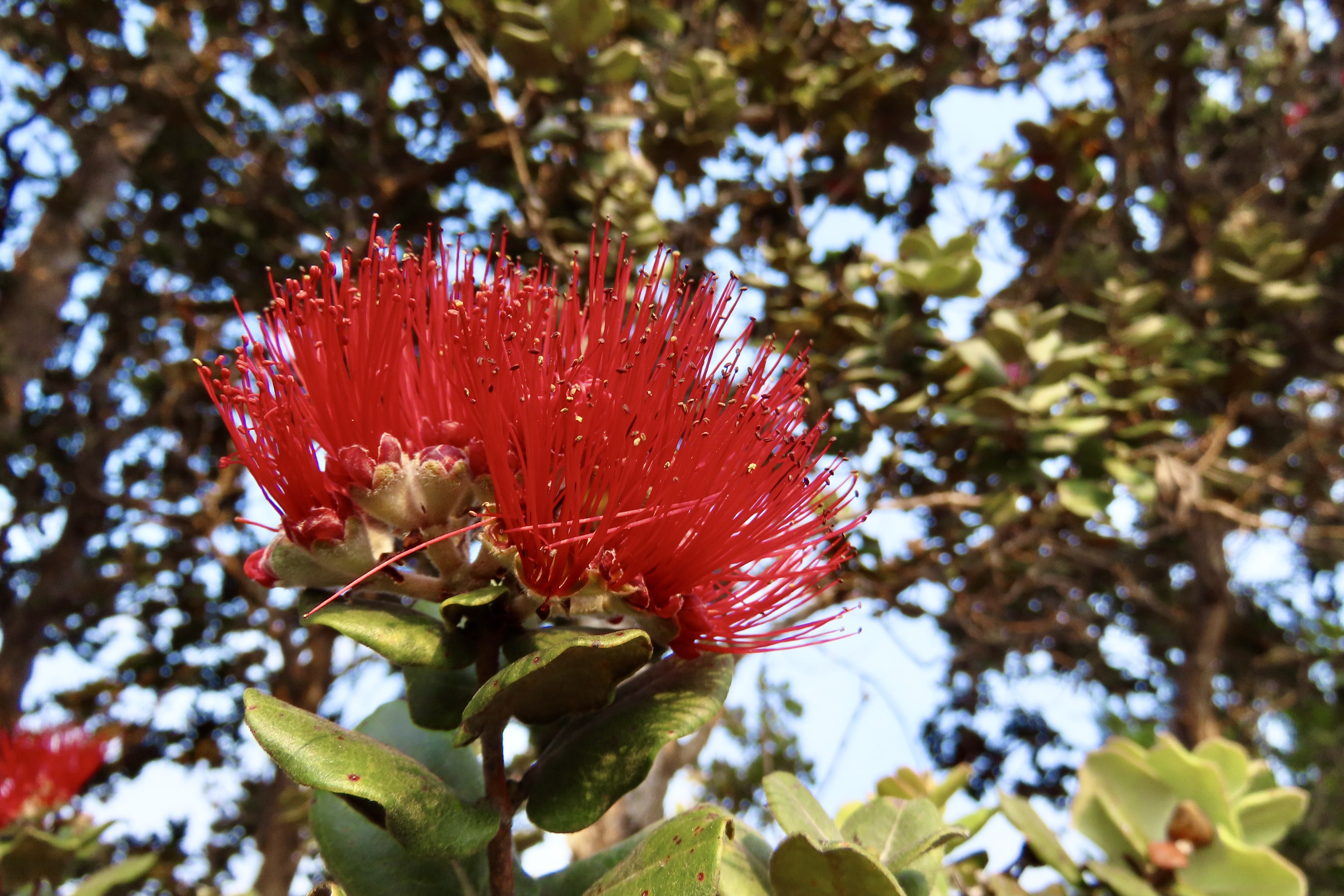
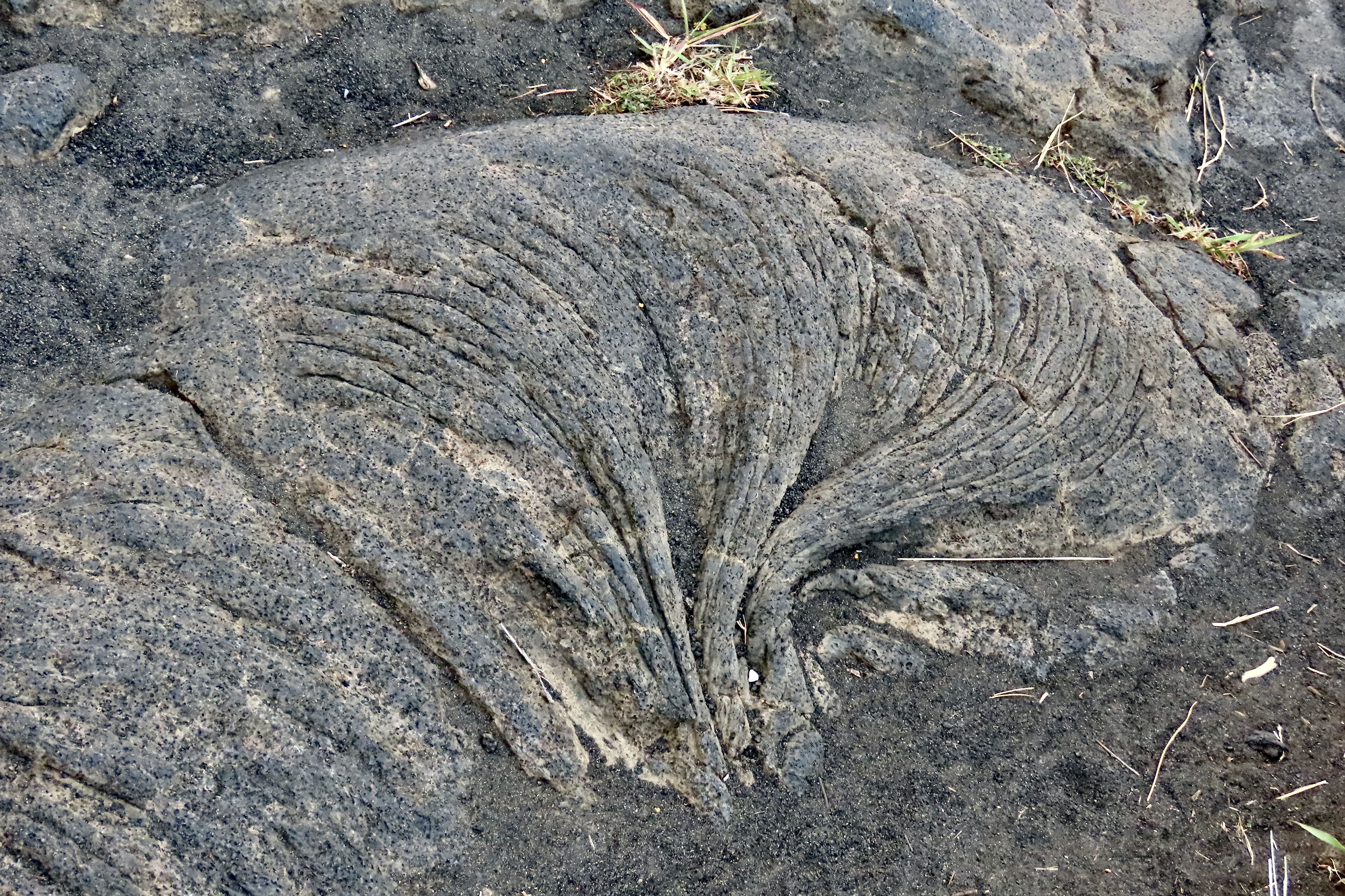
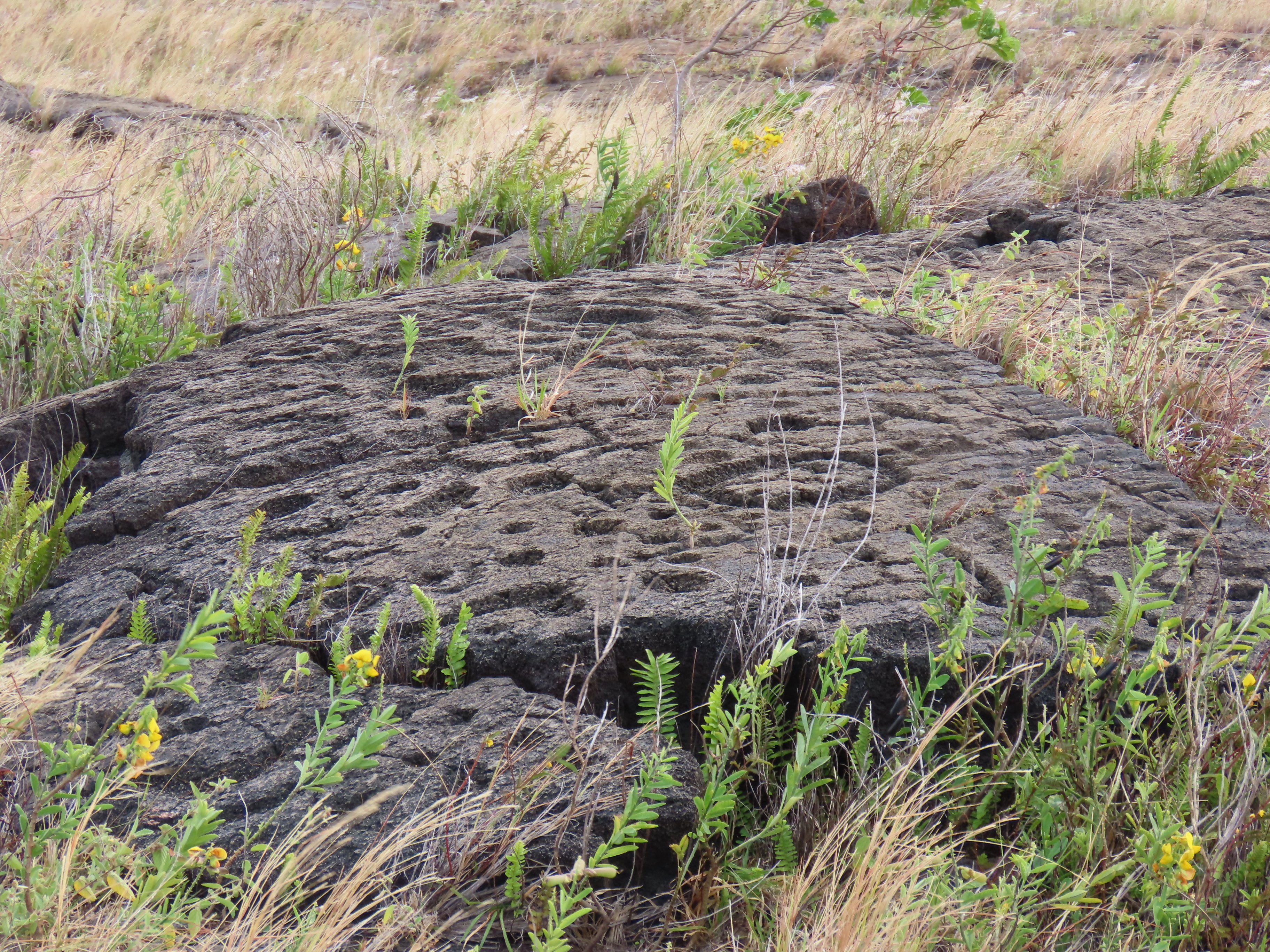
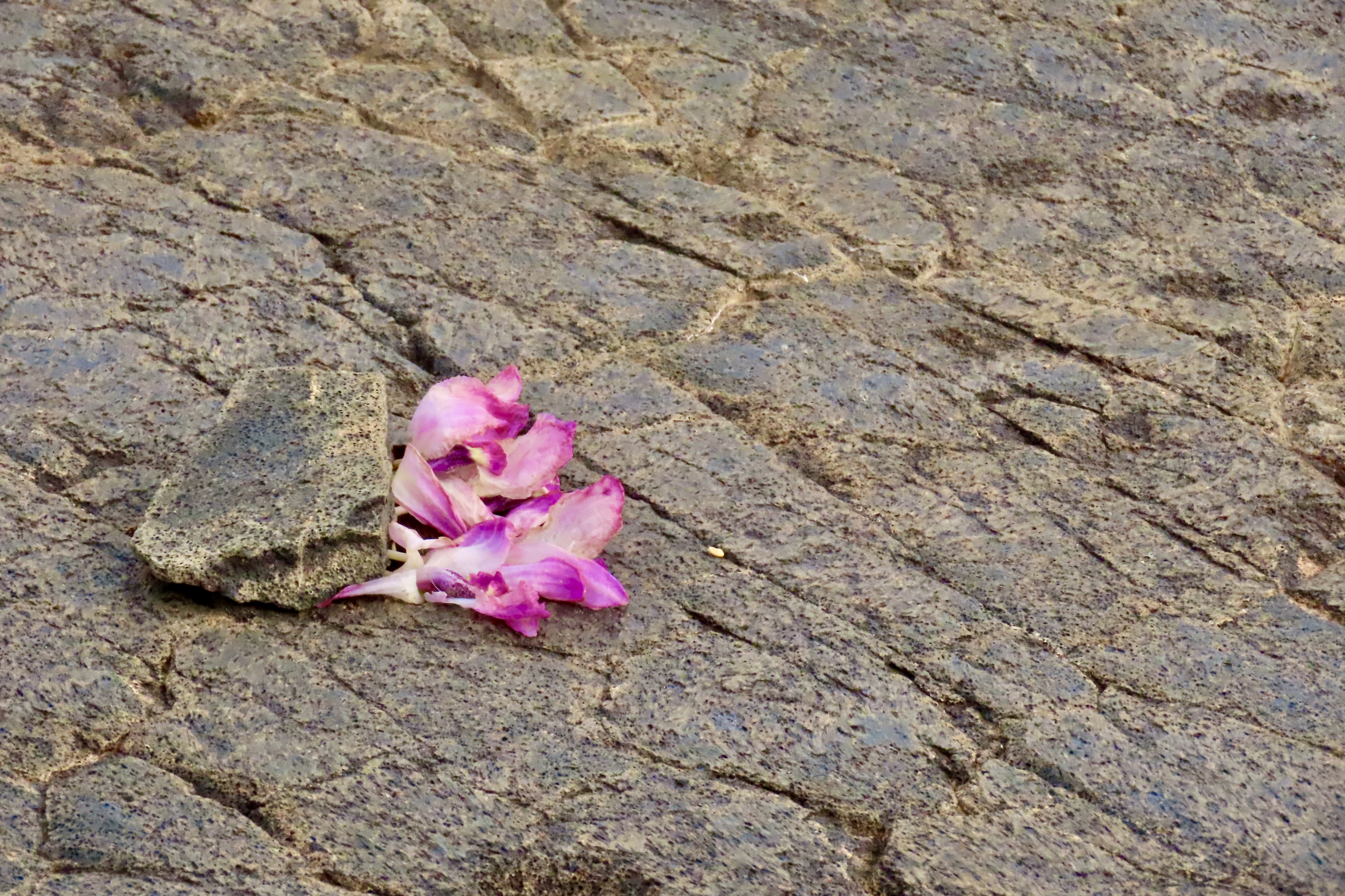
If you are a crossword buff, you will definitely recognize this bird. Its name is a favorite of crossword puzzle creators. Signs on roads throughout the Park warn drivers to watch out for them. This fellow has a “Are you looking at me?!” expression. The Nene or Hawaiian Goose is endemic to the Hawaiian Islands and is the official state bird of Hawaii. The Kilauea Iki Crater, southeast of the Kilauea Caldera, is on the Crater Rim Drive East. It was our first stop as we headed for the Chain of Craters Road. As you can see, a hiking path makes its way across the crater floor.A view of the Kilauea Iki Crater with its hiking trail. The Halemaumau Crater eruption in the Kilauea Caldera can be seen in the distance.A lone hiker makes his way along the trail through the Kilauea Iki Crater while a family rests and eats snacks.The Kilauea Iki Overlook also features a number of attractive plants like this fern…And fiery red Ohia Lehua flowers.On our first trip up to the Park, we hung out at the Volcano House (next to the Visitor’s Center) and drove along the Crater Rim Drive West because of the great views of the eruption. Our second trip up took us down the Chain of Craters Road, known for its presently inactive volcanoes craters and past lava flows. The road goes all the way to the ocean, first across a lava created plateau before dropping over Holei Pali Escarpment down to a broad coast plain. The grayer areas show lava flows dating back to the 1970s. I was there!The Chain of Craters Road was bumpy, which isn’t unusual for our road system. What’s unusual is the bumps were caused by earthquakes and the earthquakes were caused by the volcano. These bumps appeared to be recent. Increased earthquakes in volcano country often mean that lava is on the move. Seismographs measured over 60,000 connected to the 2018 eruption (most were below the level that people could feel, thankfully. I would have been out of there after 100, or 5.)As we drove down the bumpy road, a sign pointed us toward a pull off for Pauahi Crater shown above. (Site 5 on the map.) This crater has erupted three times in recent history: May 1973, November 1973, and November 1979. A description of the November 1973 eruption said “lava pooled into a dramatic, fiery, swirling whirlpool on the crater floor.” Given the description, I believe this is the crater I visited in the early 70s. A wooden walkway worked its way out from the road to the edge of the crater. I walked out in the dark to get the full effect of the ‘swirling’ lava. I remember large bubbles coming to the surface, bursting, and sending lava shooting 20-30 feet into the air. The experience was Incredible— and unforgettable.Broad flows of both pahoehoe lava and aa lava cover both the upper plateau and the coastal plain along the Chain of Craters Road. This photo is from the coastal plain. Pahoehoe is characterized by its smooth, ropy, or billowy surface.it can create fun, almost artistic patterns.The darker, rough lava is aa, another favorite of crossword puzzles. This photo shows aa lava flowing over the edge of the Holei Pali Escarpment and down toward the coastal plain, possibly flowing as far as the Pacific Ocean, which is seen in the distance.A close up of aa. Nothing smooth here. We took this photo from the 2018 flow.Looking back at the escarpment from the coastal plain, the more recent lava flows can clearly be seen.Number 6 on the Chain of Craters Road marks the location of the Puʻuloa Petroglyph site where some 23,000 petroglyphs were pecked out on a 500-550 year old lava field by native Hawaiians. In geological terms, the center of Puʻuloa site consists of a volcanic pressure dome slightly higher than the surrounding lava fields.While a variety of petroglyphs are found at the site, over 80% are holes like these. Puʻuloa means the’ hill of long life.’ Original Hawaiians believed that placing the umbilical cords of their babies in the holes would help insure a long life for the children. The holes also show family relationships.A boardwalk around the major Puʻuloa site provides views like this. It’s easy to see how there could be thousands of holes for the umbilical cords.Orchids left behind by a native Hawaiian at the Puʻuloa site are a reminder that this site is considered holy ground. Without the protection of a national park, monument or historic site (or equivalent state protection) such sites are often lost or vandalized, destroying an important part of human history, and possibly, one that is considered sacred. (Think of bulldozing down Notre Dame because it had oil under it.) That’s it for Volcanoes National Park. But…While we are on the subject of petroglyphs, this is an excellent time to introduce Peggy’s new book on artistic word searches that will take puzzle solvers on a journey exploring the unique and magical petroglyphs of the Southwest. Here, Peggy studies a life-sized petroglyph of a cougar or mountain lion at the Three Rivers Petroglyph site in New Mexico.
As you are probably aware, Peggy and I are fascinated by petroglyphs because of their historical, cultural, and artistic significance (not to mention finding them can be like going on a treasure hunt). We have wandered extensively thoughout the Southwest exploring and photographing both major and minor sites.
Peggy also loves word games, one of which is word searches. “I find them fun and challenging,” she notes. “They are a form of meditation for me and they help to keep my mind sharp. I particularly like the ones that teach me something new, whether it is about a subject, an area or vocabulary.
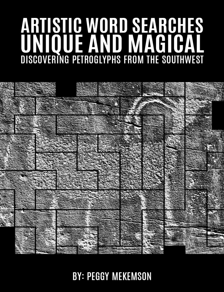
Three years ago, she decided that it would be fun to combine her passion for petroglyphs and word searches in a book. This is the result:
Peggy’s book contains word searches on 25 different petroglyphs from the Southwest. Here’s an example of how the book works.
First, Peggy selects a petroglyph she wants to use. In this particular instance, it is Kokopelli, a humpbacked flute player responsible for promoting fertility and prosperity. Representations of him can be found throughout the Southwest. The one on the left lying down is found in Canyon de Chelly National Monument. While this isn’t the representation that Peggy chose, you get the idea. (That’s a snake on the left. On the right, I’m not sure, but may be a woman under Kokopelli’s influence….. Or a frog.)Next Peggy came up with a list of words related to the specific petroglyph and petroglyphs in general. This photo shows two pages featuring the words she selected for the Kokopelli petroglyph and the puzzle where the words are to be found. In most word searches, merely finding the words solves the puzzle. What is unique about the Peggy’s book is as one finds the words an image of the petroglyph appears. See the solution for the Kokopelli puzzle below.And here’s Kokopelli!
If you like word searches or Native American Culture, or would like to learn more about the fascinating world of petroglyphs— or know someone who does— Peggy’s book will make an excellent choice. You can buy oneby going to Amazon.com and entering ASIN:1966468555 on the search line. (Peggy and I know that there is a link but we spent an hour following all of the directions that Amazon provides and kept getting ‘no such page exists.’ I’m sure one of you who sells your books on Amazon will say it’s simple Curt, just do it… My thanks. Grin.)
“The ages have been at work on it and man can only mar it. What you can do is to keep it for your children and your children’s children and for all who come after you, as one of the great sights which every American, if he can travel at all, should see.” Theodore Roosevelt on the Grand Canyon.
I have avoided politics for the most part in this blog. Peggy’s and my objective in producing Wandering Through Time and Place over the past 14 years has been to share our travels to some of the world’s most beautiful and interesting places, offer background information on the areas we visit, and hopefully provide some laughs (or at least chuckles) along the way.
It isn’t that we don’t care deeply about what is happening in the nation and world today. We do. Yet I have resisted using this blog to jump into the fray. We all deserve a break from the constant pounding and negativity. That is, I have resisted until today.
As you all know if you have followed this blog for more than six months, Peggy and I love America’s incredible national parks and monuments. Like Teddy Roosevelt, we regard them as a sacred public trust. In the past four years alone, we have travelled over 40,000 miles visiting and blogging about over 25 national parks and monuments.
While it is impossible to predict what Donald Trump will do or say on any given day, his actions and words during his first few months of his presidency have signaled his unwillingness to support our parks and monuments. There have been three actions in particular. One he has cut 9% of the staff, which will severely limit the ability of the parks to deal effectively with the more than 300 million people who hope to visit this year. Sections of parks have already been closed because they can’t be covered safely. Two, he is proposing to to sell visitor centers and museums connected to the parks. These are the primary sources of public education and support for those who visit. And finally he is moving to eliminate two of America’s newly created national monuments. This may only be the beginning. Or not. A lot depends on us.
If you are at all concerned about our parks and monuments, whether you are pro or con regarding the present administration, I urge you to contact, contribute to, and join the National Parks Conservation Association that has been leading the effort to protect our parks since 1919. NCAA will keep you informed of developments and the most effective way to preserve our national treasures.
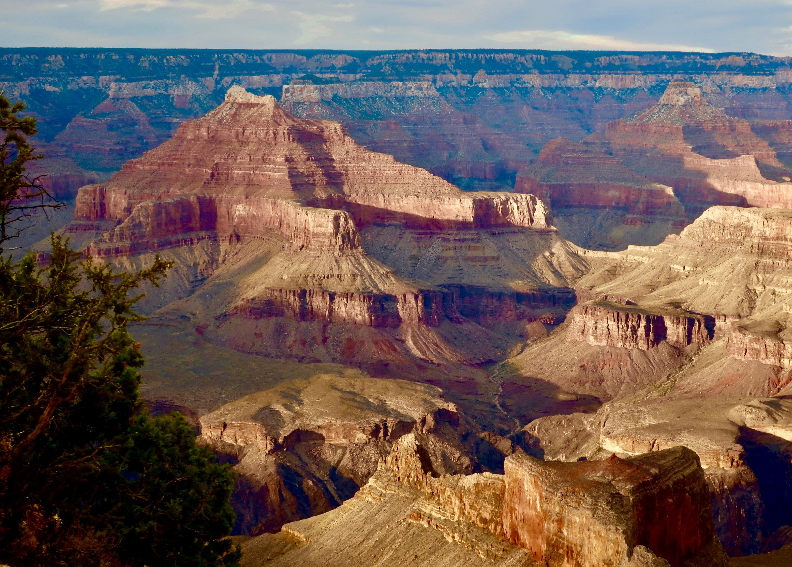
Along with the Grand Canyon shown above, here are 25 reasons to join NCAA and become an advocate for our parks. All photos have been taken by Peggy or me.
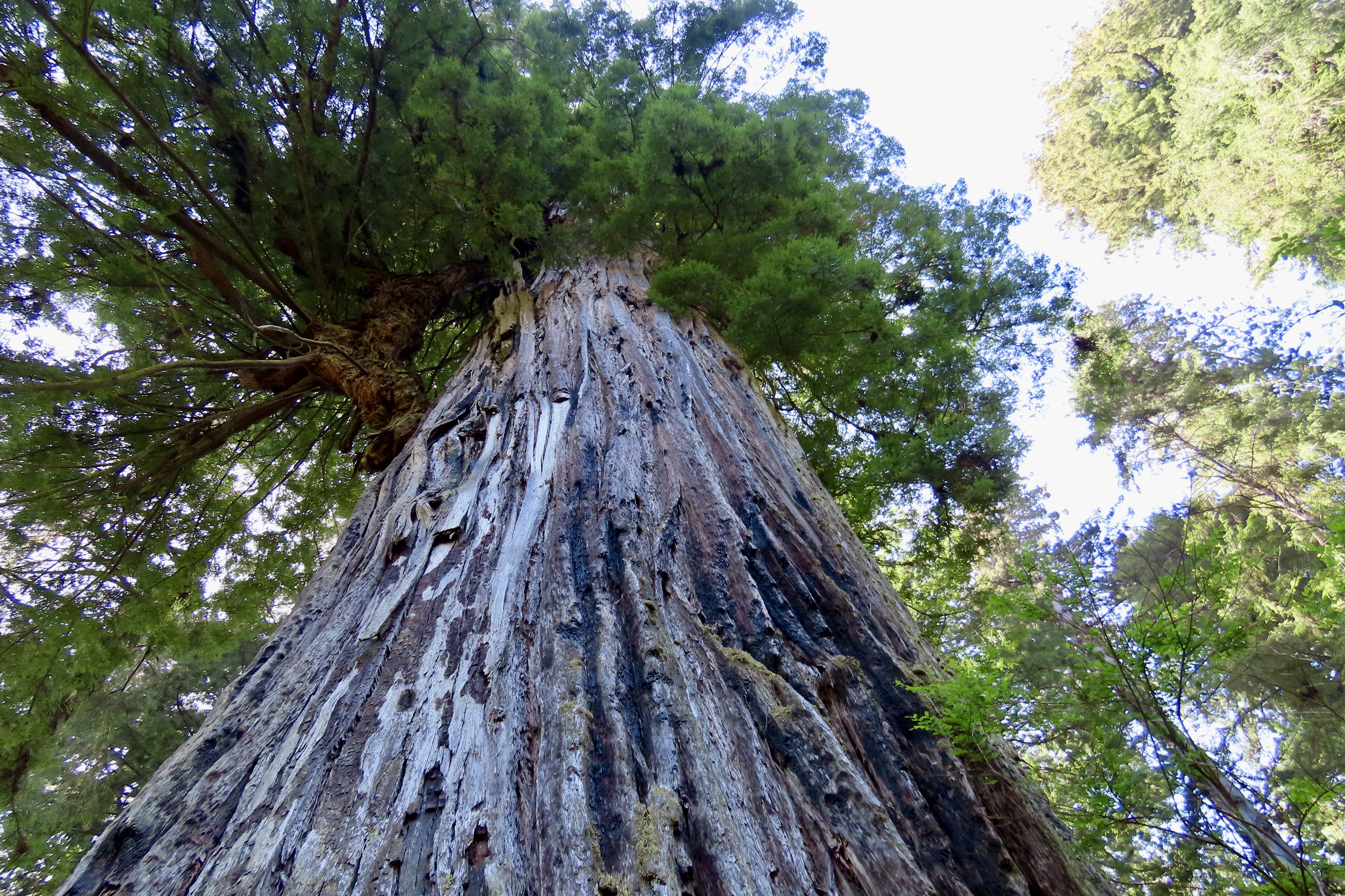
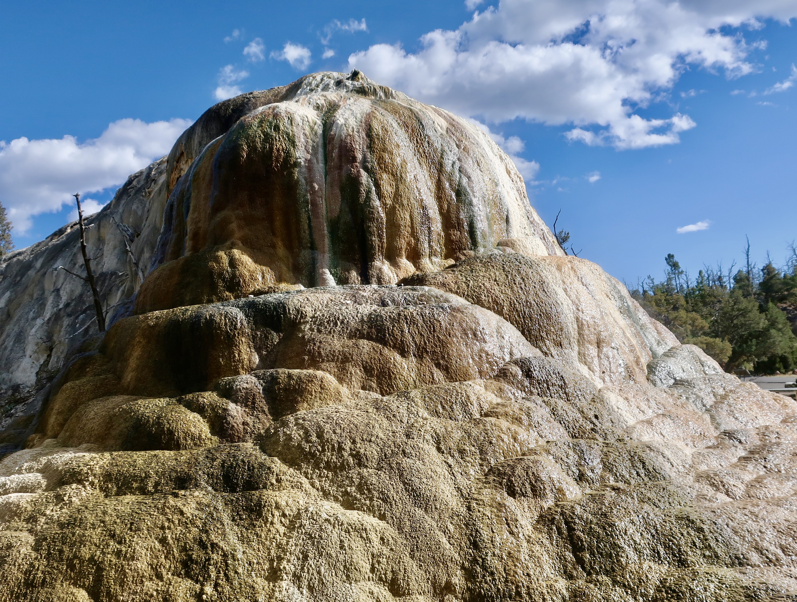
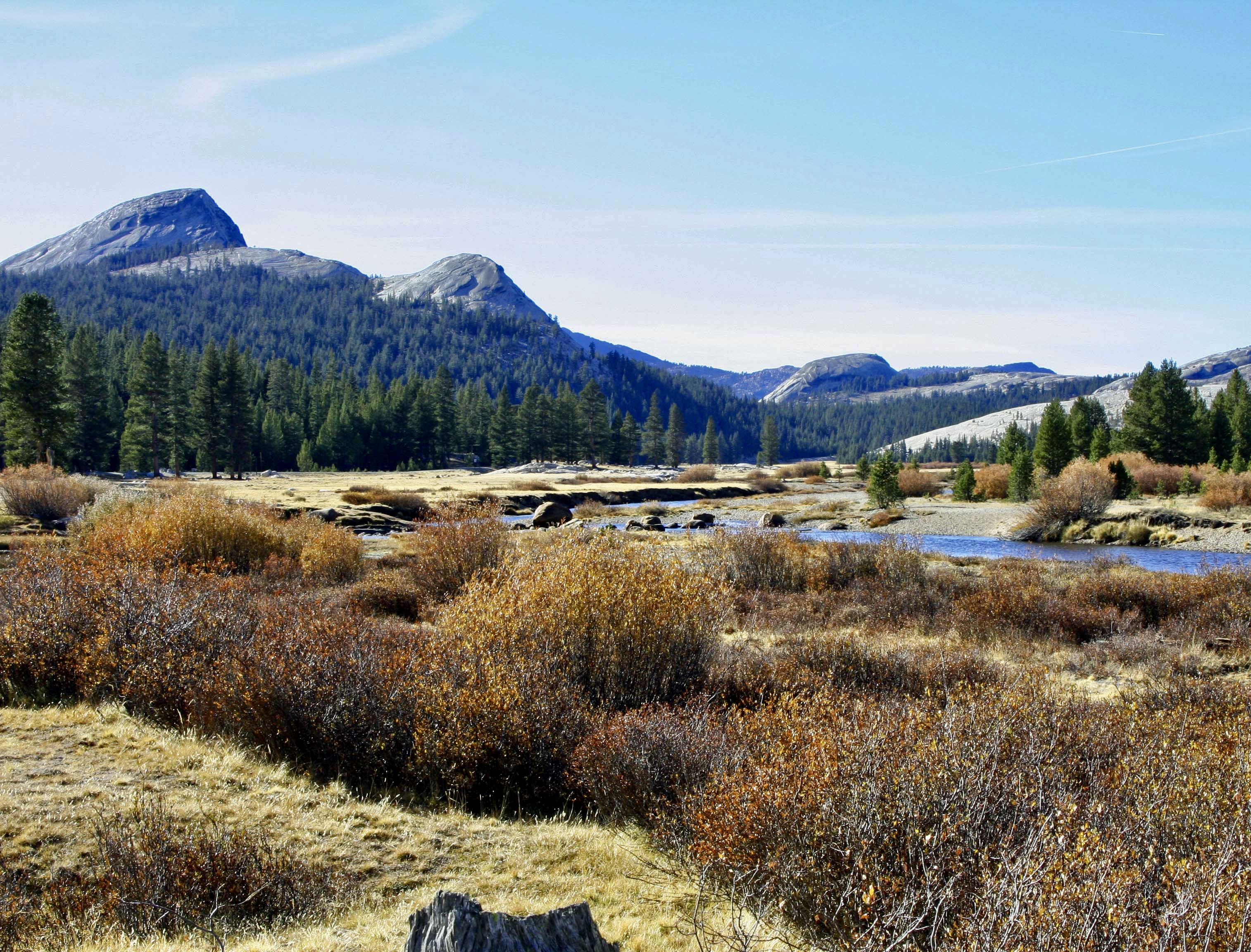
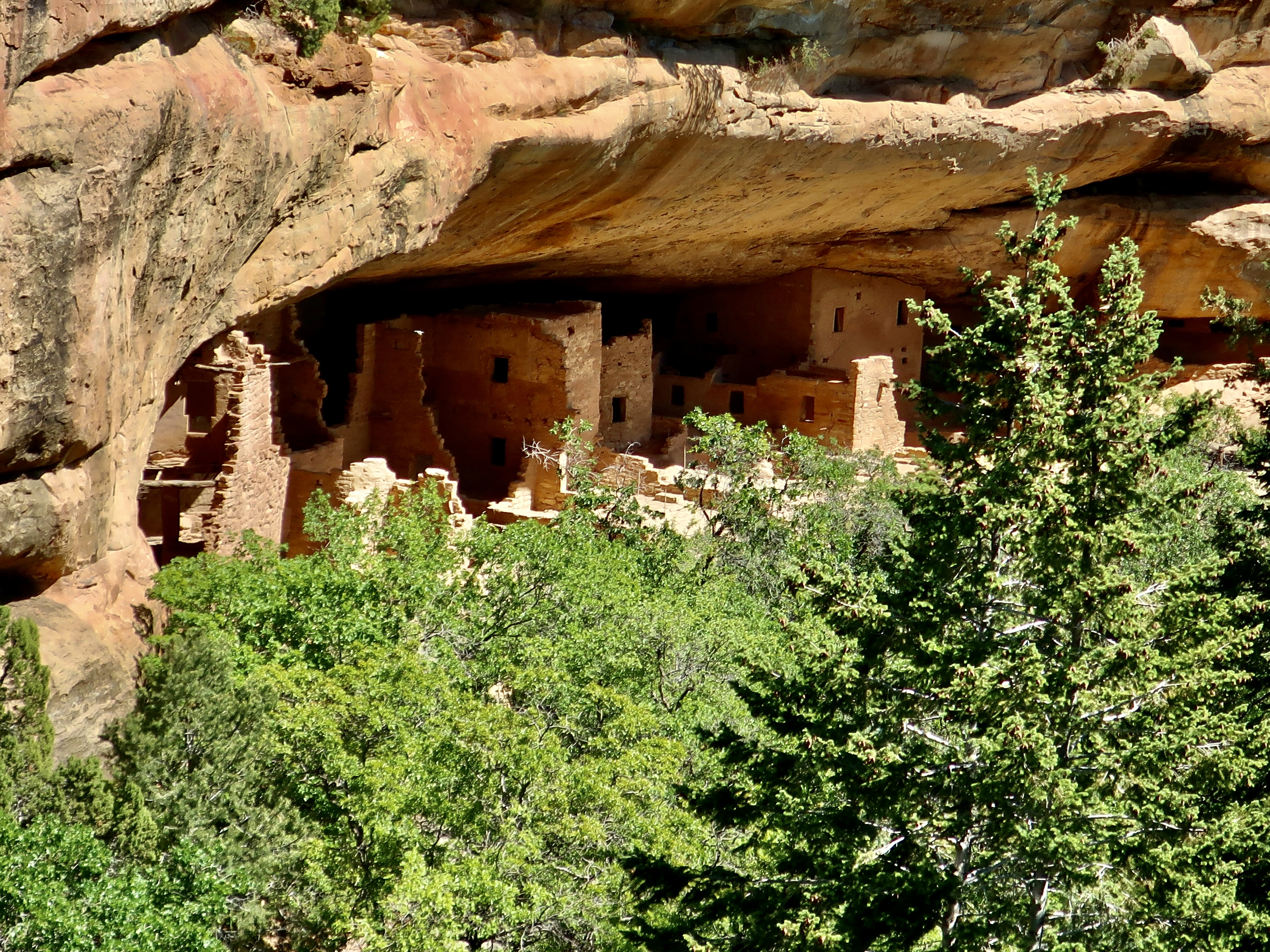
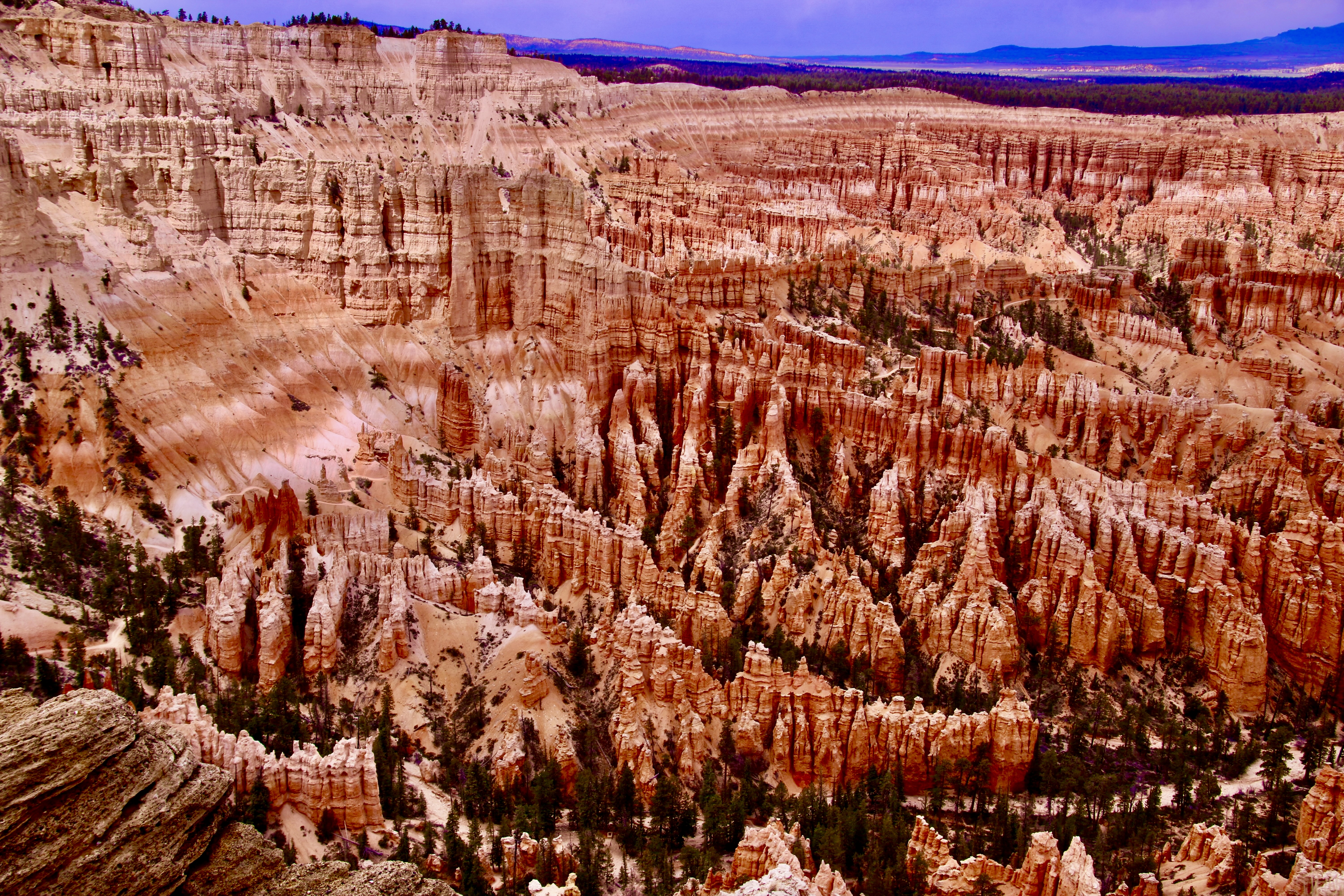
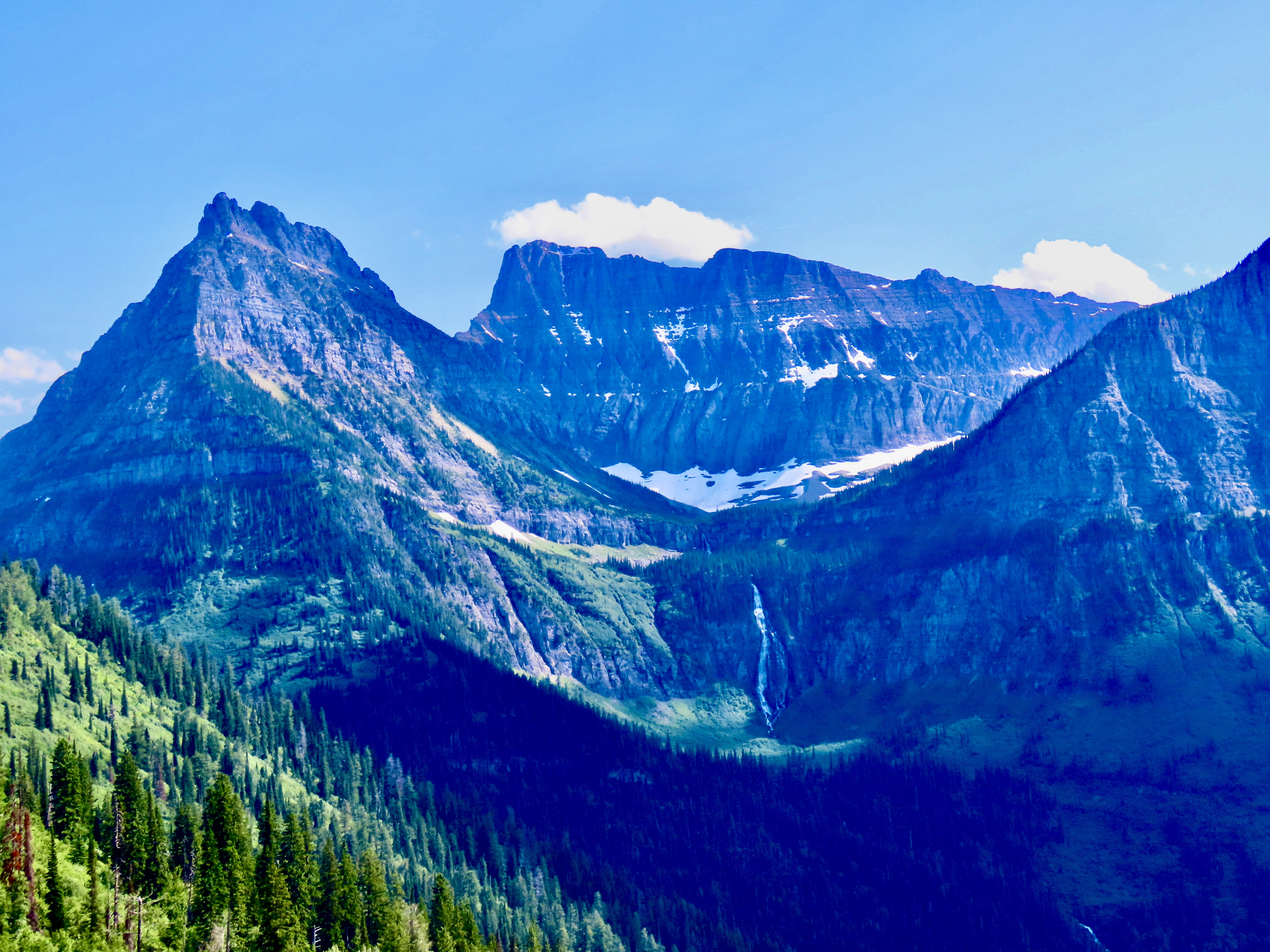
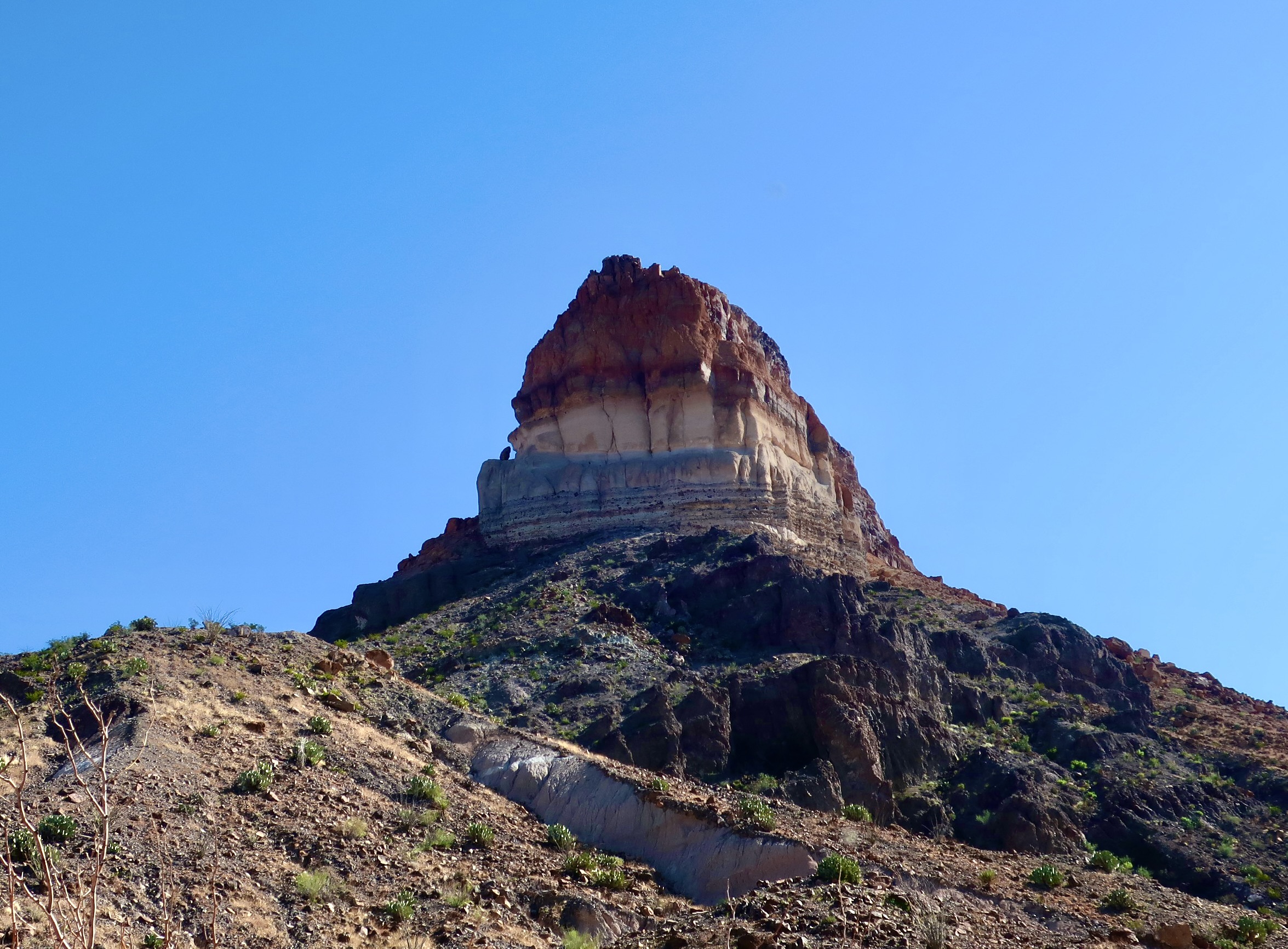
Redwoods National ParkYellowstone National ParkRocky Mountain National ParkPt. Reyes National SeashoreTuolumne Meadows, Yosemite National ParkDeath Valley National ParkThe Florida Everglades National ParkDenali National ParkTheodore Roosevelt National ParkPetrified Forest National ParkNorth Cascades National ParkOlympic National ParkGreat Basin National ParkCanyonlands National ParkMesa Verde National ParkMt. Rainier National ParkBryce Canyon National ParkLassen National ParkGlacier National ParkCapitol Reef National ParkBig Bend National ParkZion Canyon National ParkPinnacles National ParkGrand Tetons National Park
Over the next several months, I will feature 25 photos each Monday from specific national parks and monuments that Peggy and I have visited over the past several years. (We have thousands of photos to select from!) Please stop by to enjoy the beauty.
Friday’s blog will continue to feature our ongoing travels, focusing now on the Danube River and the Big Island of Hawaii.
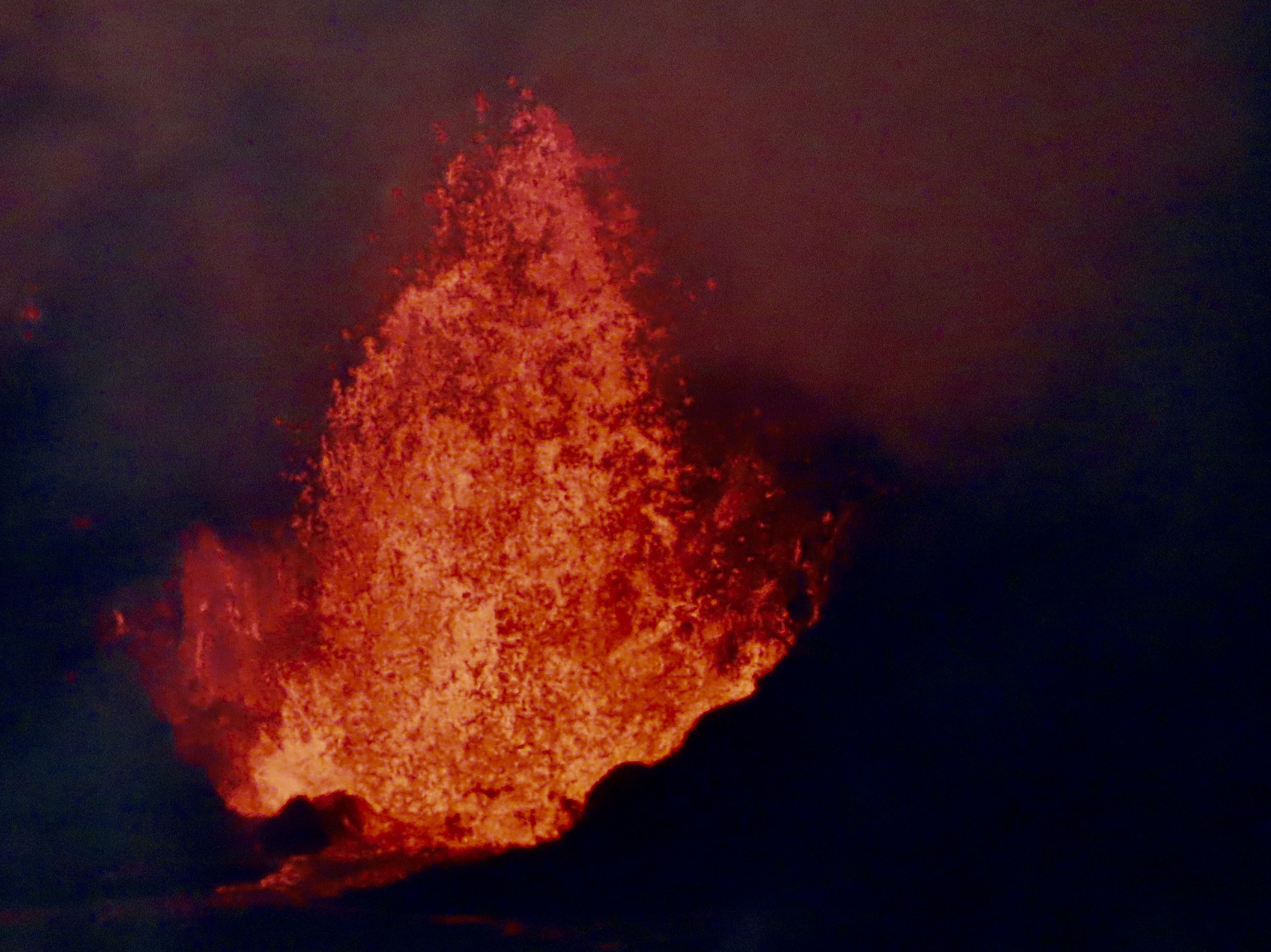
When Peggy and I visited Hawaii’s youngest and most active volcano, Kīlauea, on January 17, we took this photo of lava erupting 200 feet into the air in the Halemaʻumaʻu Crater.The location of where we are staying for the month in Sea View, Hawaii at the Starlit Skies of Kalapana VRBO rental (Very nice). To provide perspective Hilo is 32 miles north of us via road and the Kīlauea Volcano is 46 miles to the west.
The Hawaiian goddess of volcanoes and fire, Pele, is said to live up in the Kilauea Volcano. She’s been restless since we arrived, spewing lava into the air and covering the floor of the Halemaʻumaʻu crater.
A painting in the park’s headquarters showed an artist’s conception of Pele. You might say ‘she’s hot,’ too hot to handle in fact. The temperature of lava when it erupts is somewhere between between 1,300 to 2,200 degrees Fahrenheit. Early Polynesians who arrived by boat between 1000-1200 CE, have a myth describing how Pele ended up on Hawaii: she was escaping from her sister, Nāmakaokahai, goddess of the ocean. In one version of the myth, Nāmakaokahai was jealous of Pele’s beauty and strength; in another, Pele had seduced her husband. (Before you ask, the egg contains Pele’s younger sister and companion, Hi’iaka),
Scientists have a different theory of what makes Hawaii one of the most active volcano sites in the world. It is sitting on top of a hot spot in the middle of the Pacific Ocean where lava is rising up from the earth’s mantle. The island is making its way over the hotspot as the Pacific Tectonic Plate moves in a northwest direction at a speedy 2-4 inches per year. With the exception of Maui, the other islands have moved beyond the hotspot and their volcanoes are extinct. A new island named Loihi Seamount is currently being created about 20-30 miles southeast of where we are. You can expect to see it rise above the ocean— if you are around— in about a hundred thousand years or so.
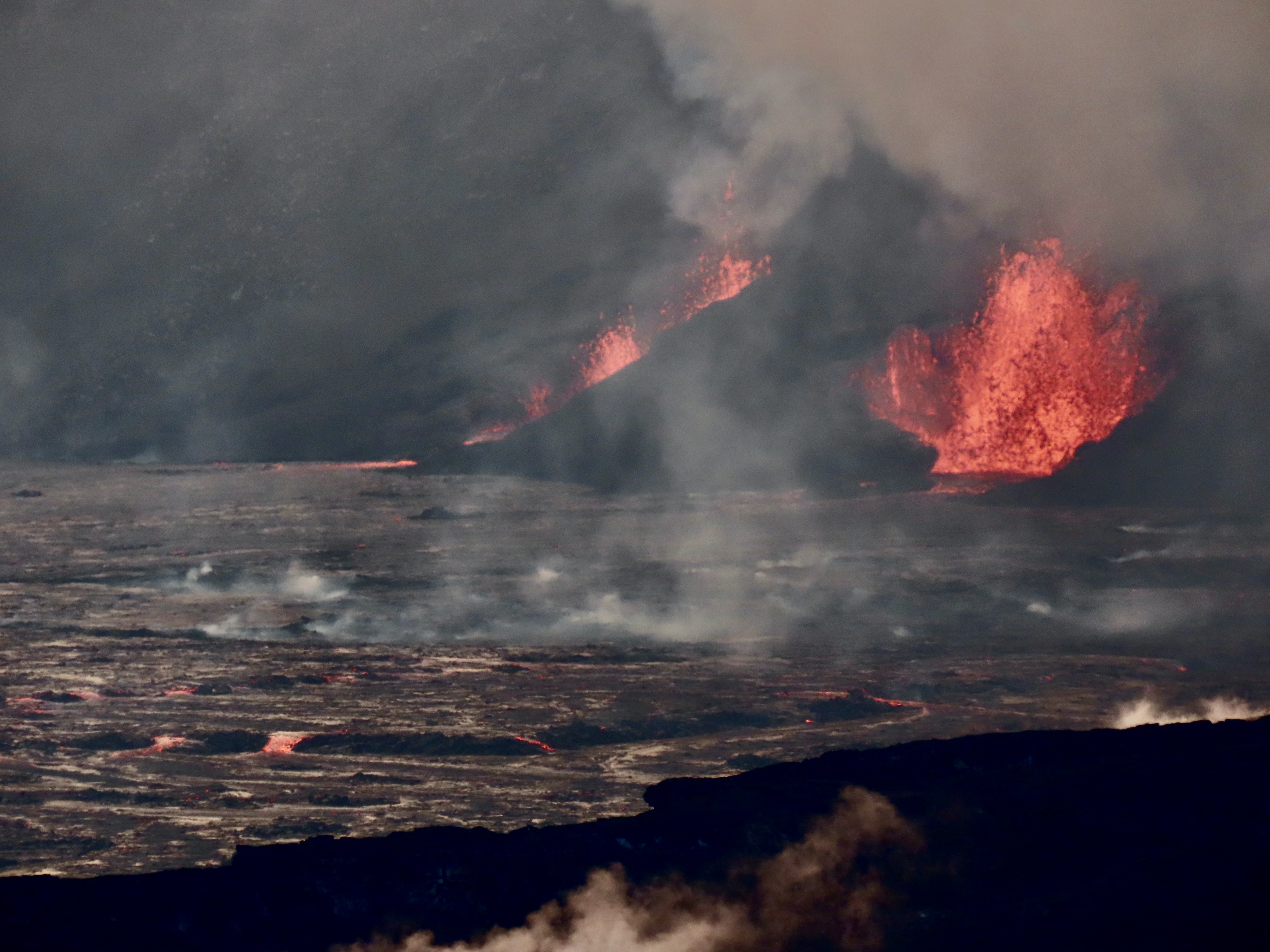
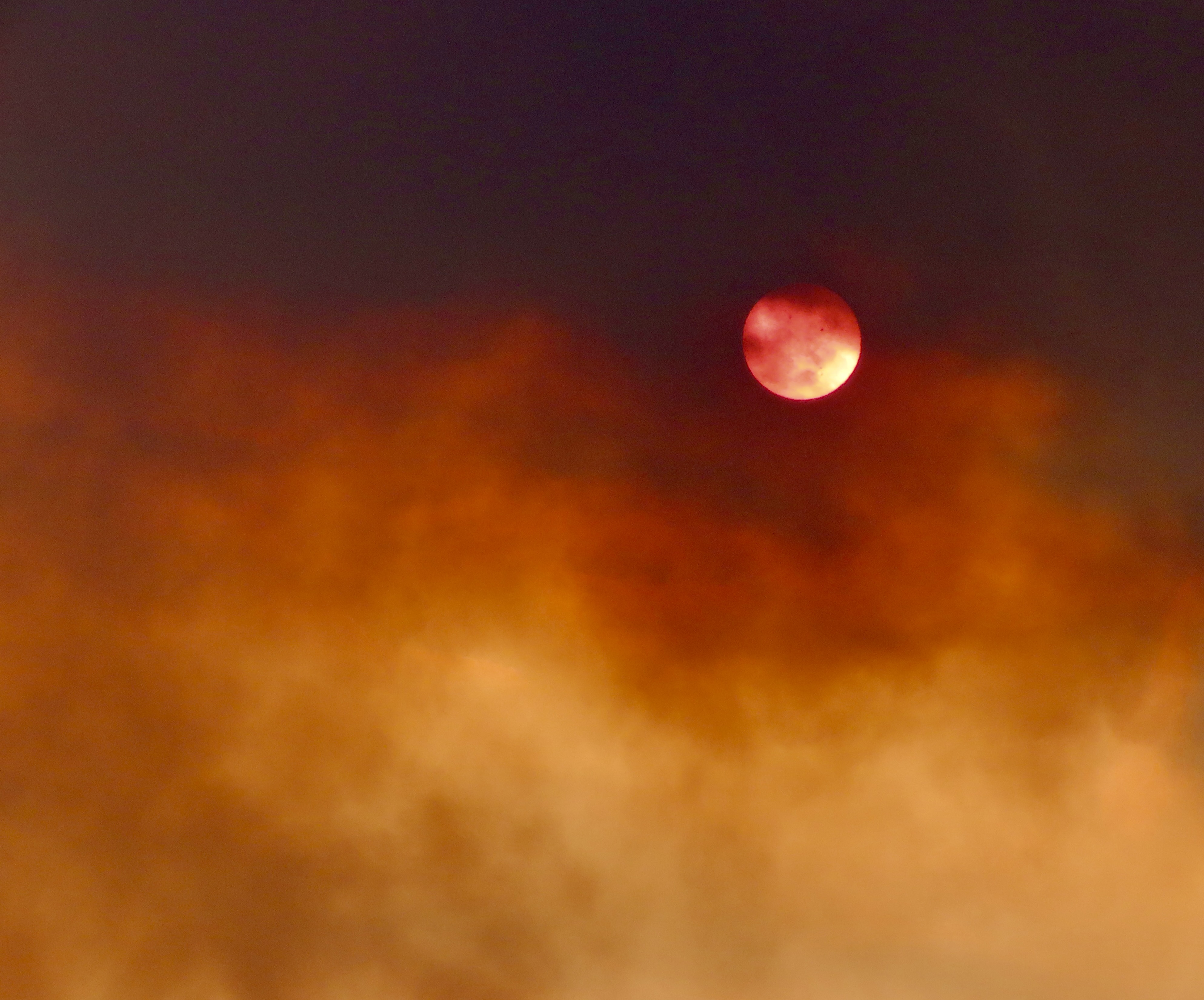
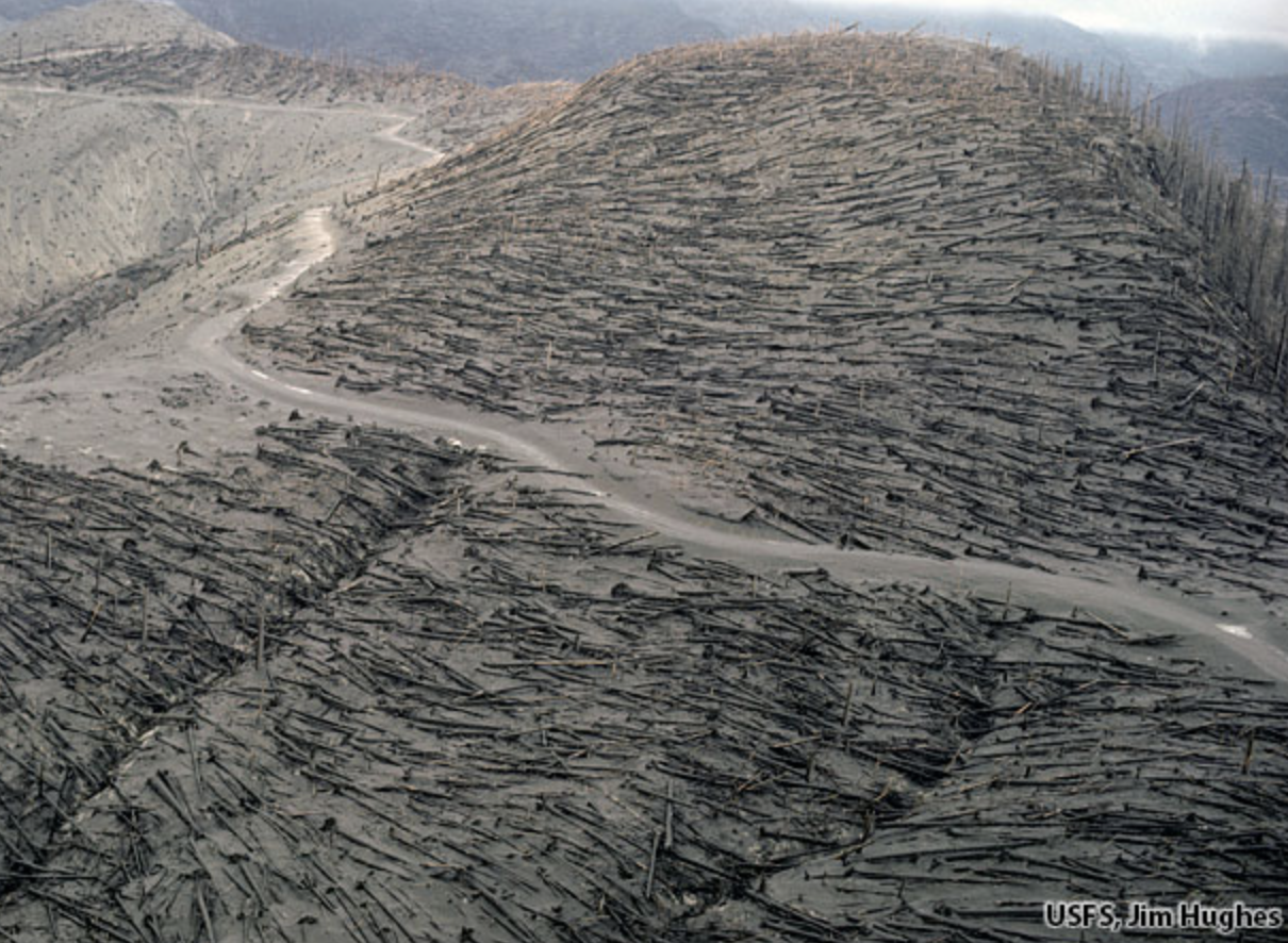
Most people think of the Hawaiian Islands as being the green ones on the lower right. There are actually 132 islands, atolls and undersea volcanoes included in the chain that extends over 2600 miles toward Alaska’s Aleutian Islands! They all originated over the hot spot that the Big Island now occupies. The area within the dotted line is the Papahānaumokuākea Marine Reserve (Pronounced Pa-pa-hah-now-mo-koo-ah-keh-ah in Hawaiian.) You will be quizzed on the name and its pronunciation later. (National Oceanic and Atmospheric Administration map.)Peggy and I standing in front of the Kīlauea Crater as the volcano does what active volcanoes do. The last time this particular section of the volcano erupted was almost 50 years ago. I was on the island at the time. The National Park had built a walkway out to the crater so visitors could look down into its seething mass.This time we were at least a mile away. Fortunately, we both have excellent telephoto lens.We could look into the heart of the crater. This is a close up of the lava spewing out.Two vents were blasting away. Note the lava flowing out of the vent on the right as it covered the crater floor.A view of the vents and a portion of the floor.A plume rose from the volcano and played hide and seek with the sun. (This is how far away the volcano looked without our telephoto lenses.)The plume led to a photo op, and an observation…At one point, the plume looked almost like a mushroom cloud created by an atomic bomb. It wasn’t, of course, but it did serve as a reminder that volcanoes are more than tourist attractions. They are dangerous, sometimes extremely so. Even the cloud carried a risk: Vog. Think smog but worse. When we were there, the National Park had posted a health advisory alert. We were also told to be on the lookout for Pele’s Hair. One could only ask, “what?” The National Park provided a photo…Looks like hair to me, but who knew Pele was a blond? Actually it is volcanic glass produced from lava stretched into thin strands and transported by air. Touching is not advised. It can break into small splinters and enter your skin.What we saw had already been broken into small pieces. I didn’t try to pick up one. Of much greater concern than the vog or Pele’s Hair is what magma decides to do when it erupts as lava. It depends on the type of lava. All magma holds gas that is highly compressed under intense pressure in the earth’s mantle. As the lava approaches the surface, the gas expands and has to escape in one way or another. Thicker lava, like that found along the Pacific Rim where the Pacific Plate is plunging under continental plates, holds the gas, not allowing it to escape. The result is violent explosions that lead to the creation of steep, conical shaped, composite mountains like California’s Mt. Shasta shown below.A photo of Mt. Shasta I took while I was hiking down the Pacific Crest Trail. The devastation created by these explosions can be extensive. I flew over Mt. St. Helens a couple of weeks after it erupted in 1980 and thousands of trees had been blown down by the eruption.This photo by Jim Hughes of the US Forest Service shows what I saw. Between asphyxiation and burns, 57 people lost their lives because of the eruption.
The lava flowing out of the volcanoes on Hawaii is much thinner. The gas can escape in bubbles. It doesn’t have to explode and is much ‘kinder,’ so to speak— if you don’t mind seeing your homes and roads burn and disappear under thick layers of lava. No one was killed in the major 2018 eruption that took place near where Peggy and I are staying. People could walk faster than the lava was flowing. The eruption will be the subject of our next post on Hawaii.
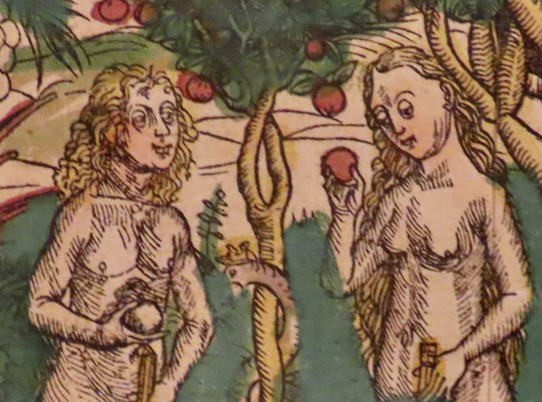
But first, as promised, we will return to our fall journey down the Danube River and the historic town of Kalocsa, Hungary where we visit a library featuring thousands of illustrated books that are hundreds of years old. I found this Adam and Eve illustration humorous. Is Adam holding a duck? (The words underneath are mine.)“Eat the apple,” Snake urges. “God made it. What could possibly go wrong?”