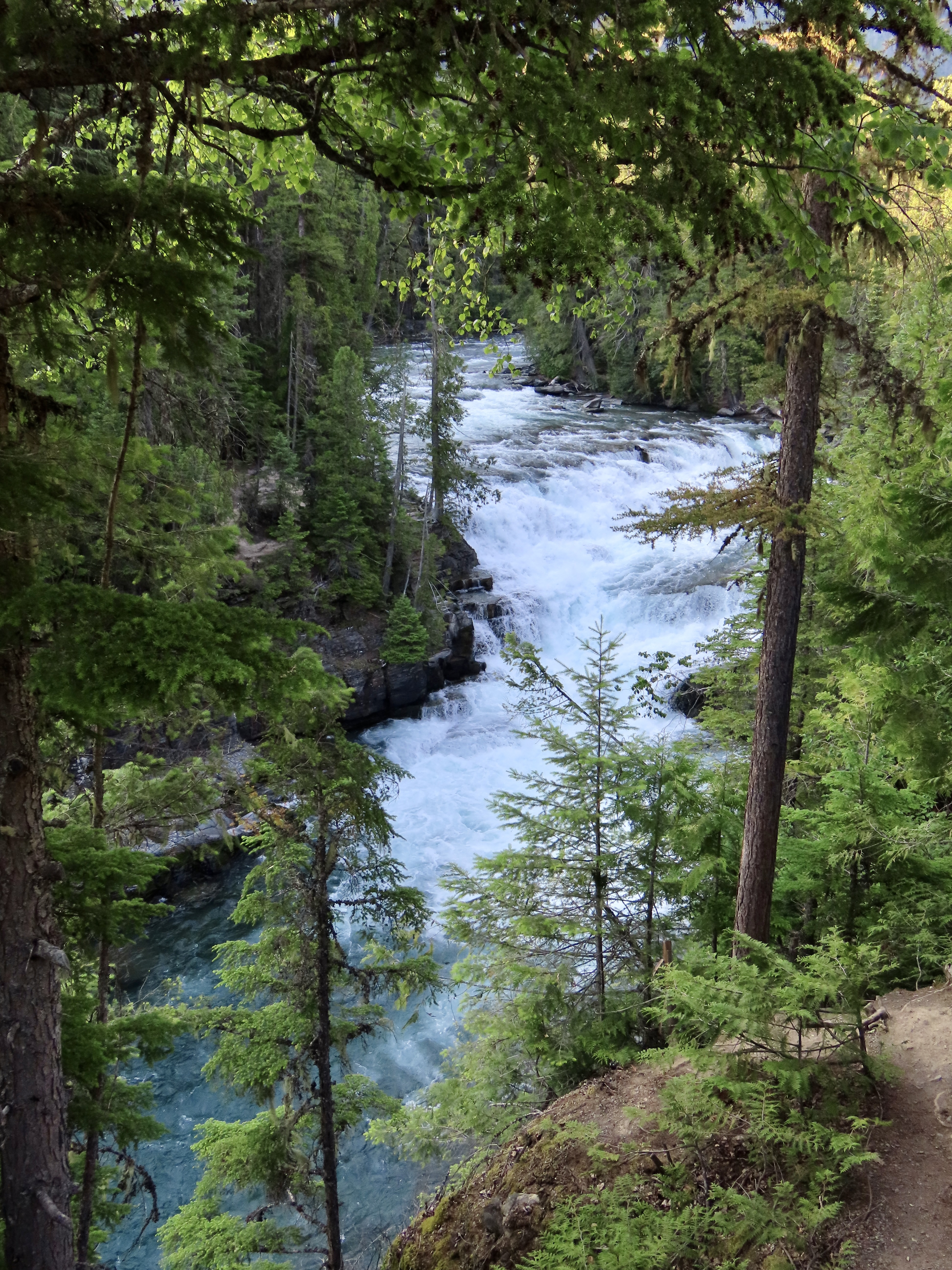
The Rio Grande River forms the southern border of Big Bend National Park and also forms the park’s border with Mexico.
Big Bend is a three-for-the-price-of-one National Park. There is desert, lots of it: Big Bend serves as northern end of the Chihuahuan Desert, most of which is in Mexico. The craggy, volcanic formed, Chisos Mountains reach for the sky in the heart of the park. And the Rio Grande runs along its southern border, creating a ribbon of green and carving deep river canyons.
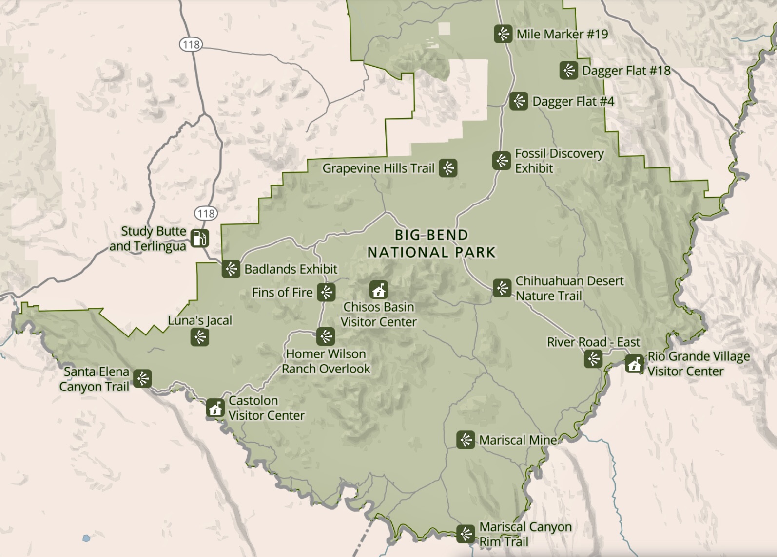
Our journey through Big Bend National Park will start with an exploration of the area around the Rio Grande Village on the right, take you around and up into the Chisos Mountains, and end in the area around the Castolon Visitor Center on the left with its towering Santa Elena Canyon.
We first visited in 1999 when we had taken a year off from work to visit and explore all of America’s national parks. We camped at the Rio Grande Village campground and celebrated Christmas there. A macramé hanging served as our Christmas Tree. Our main present was a long walk along the Rio Grande. We vowed we would come back.
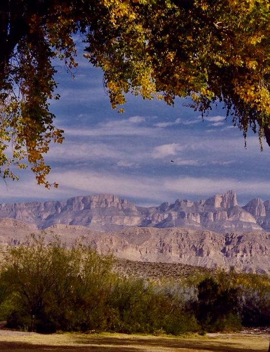
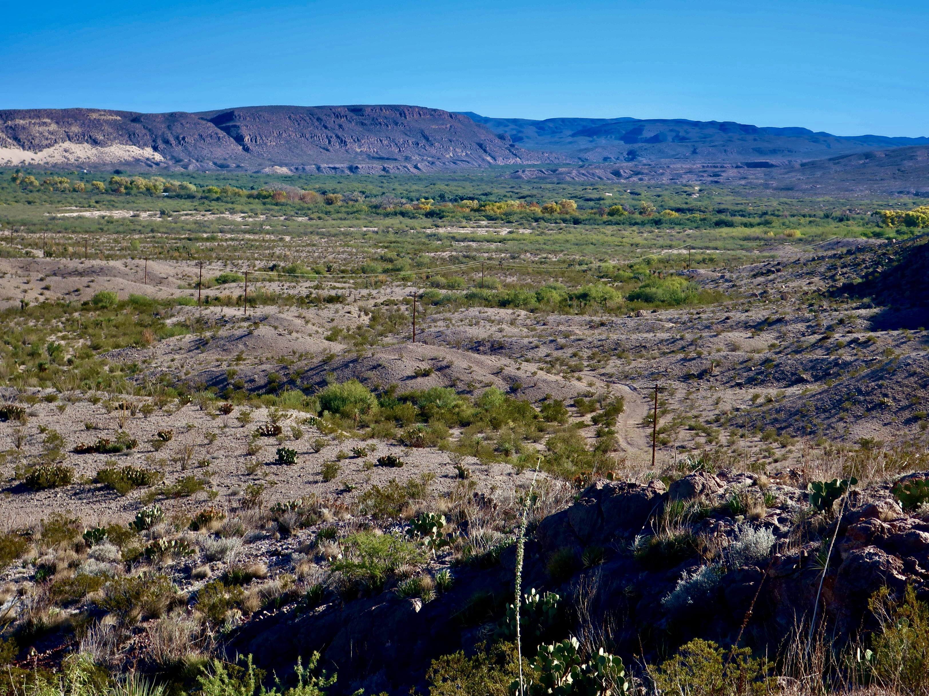
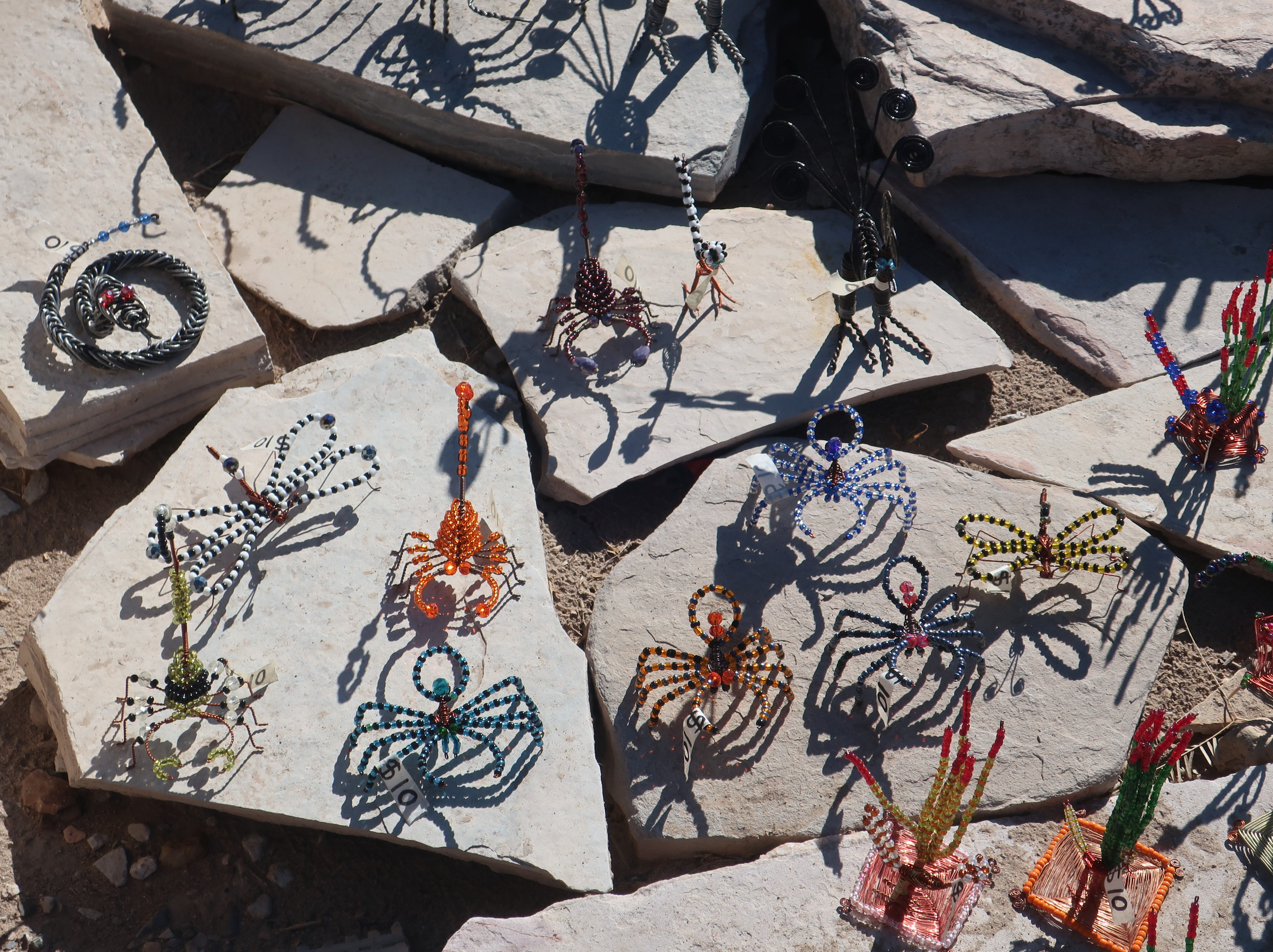
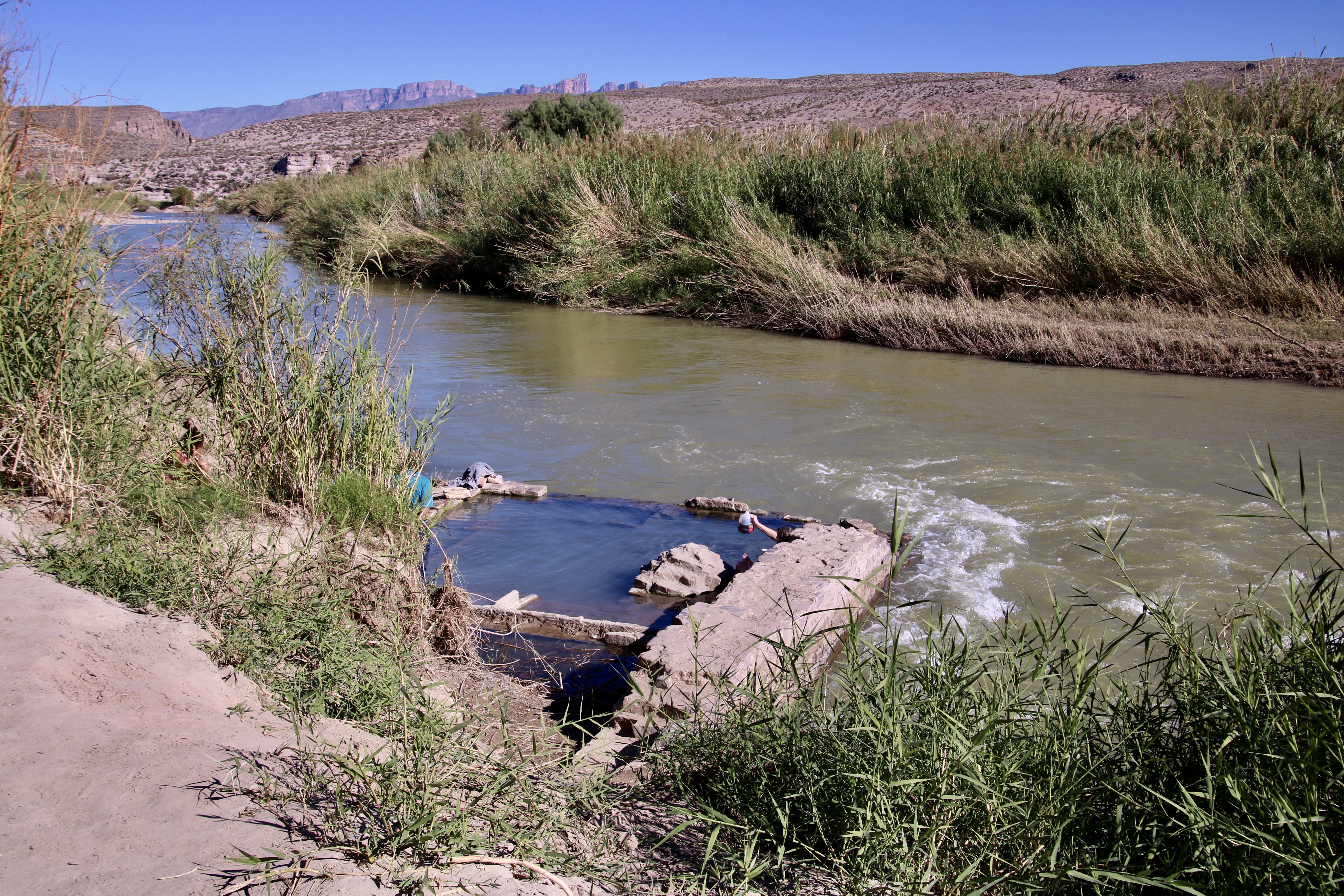
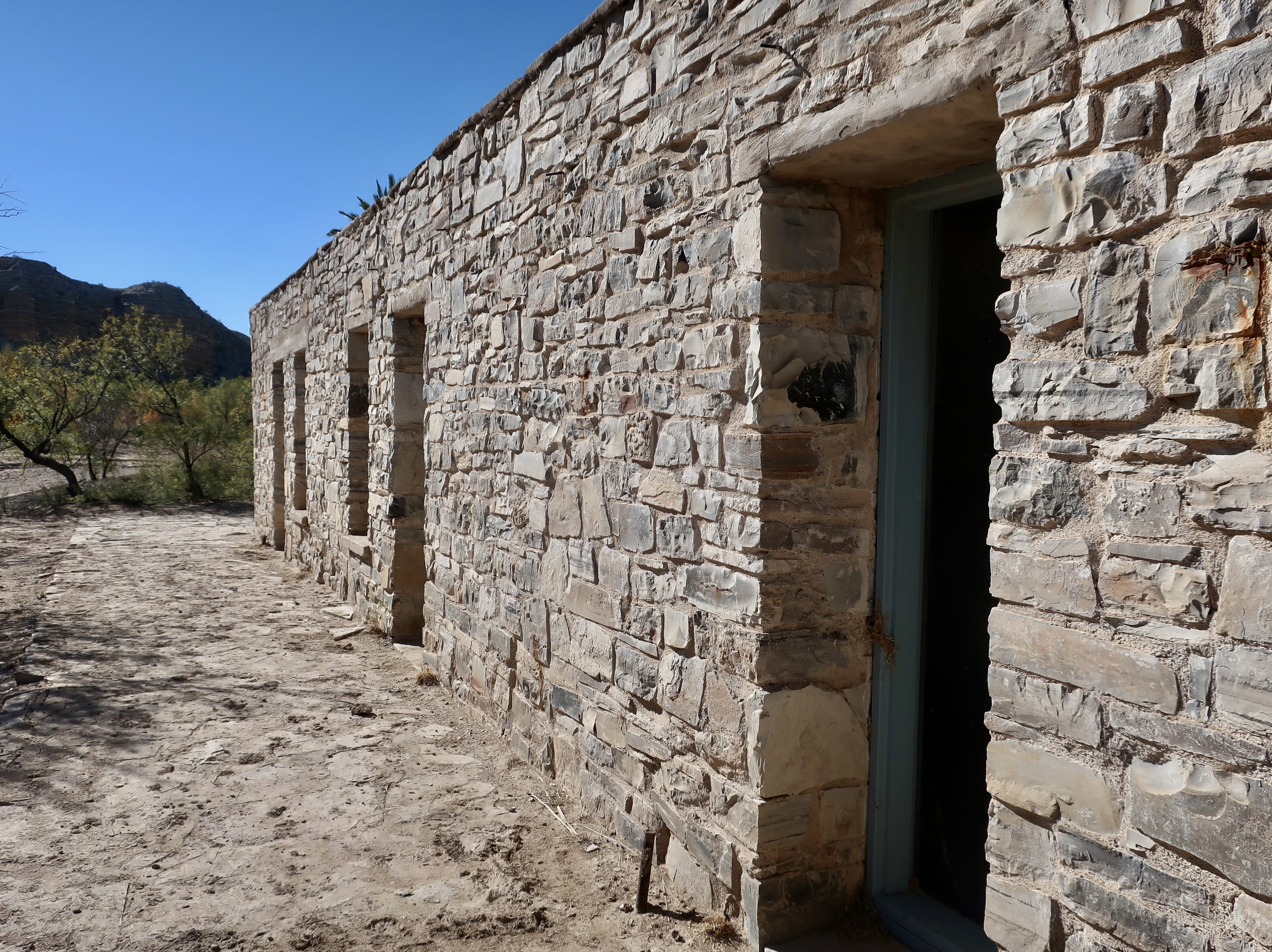
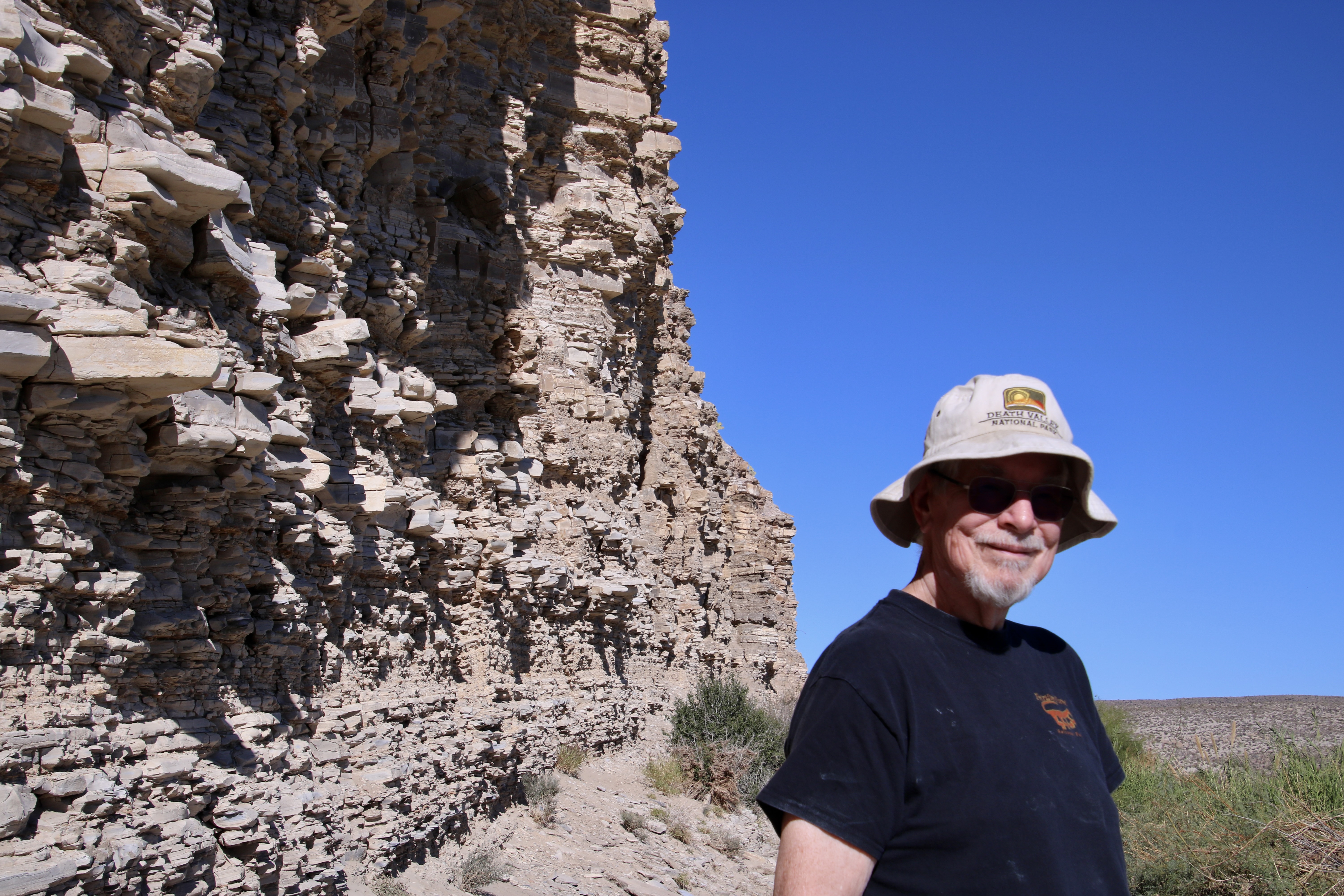
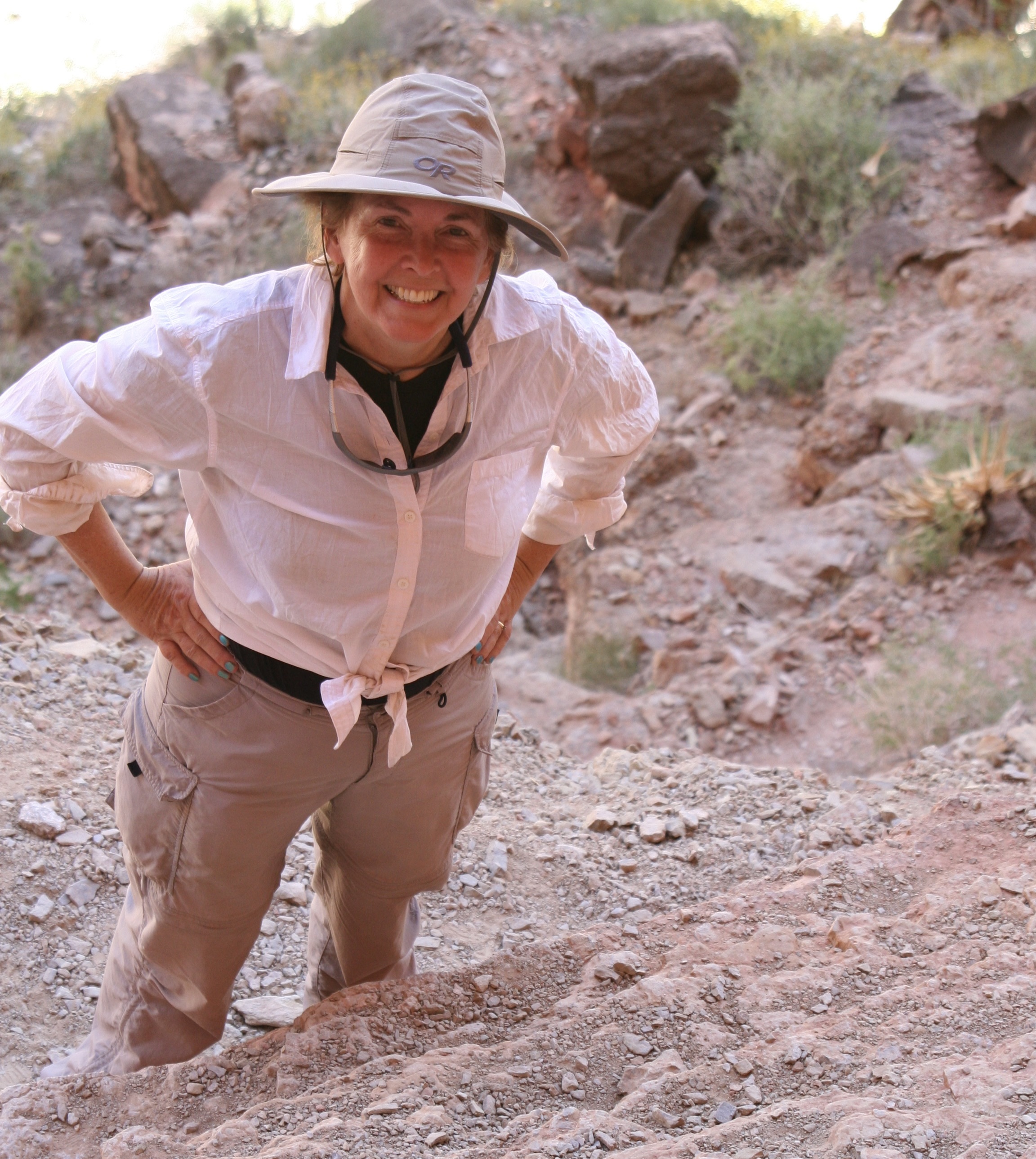
A photo from the Rio Grande Village campground we took on our first visit to the park in 1999.Today’s journey will take us from the area above Boquillas on the right to the Hot Springs on the left.A lookout from above Boquillas, Mexico on the park side provided this view of the Rio Grande Valley. The distant tree line follows the river.It’s a wash! If you have ever spent time in the deserts you will be familiar with dry riverbeds like this one on the right. A thunderstorm can quickly turn it into a raging torrent. You don’t want to get caught in one when hiking, camping or driving! I did once when I was driving across Texas and was very lucky to get out of it. The same series of storms produced softball sized hailstones that night, which I was also lucky to avoid.Great views of the Sierra del Carmen were provided from the Boquillas overlook. Believe it or not, the limestone cliffs you are looking at were formed at the bottom of a vast inland sea between 130 – 83 million years ago. The cliffs were created 20 million years ago when tectonic forces were stretching the continental plate of western North America creating massive, down dropped basins and high, uplifted ranges along fault zones. The highest point you see is appropriately named, El Pico, the peak.A national park sign board provided this view of what the sea would have covered. The small star in the center at the bottom is Big Bend National Park. The sea stretches all the way up to Canada’s Yukon Territory. Another view of the Sierra del Carmen.A fun part of the Boquillas overlook was the Mexican arts and crafts on display there. A wide range of inexpensive, tourist oriented items such as these Mexican bobbleheads were for sale.No one was present. A handmade sign announced that the arts and crafts were from Boquillas. Prices were marked on each item and a container was conveniently located for visitors to put money in. It was totally an honor system.This provides a perspective on the variety of items that were available for sale.Dragonflies, scorpions, and snakes, oh my! I liked the shadows.Since Christmas was only a few weeks away, Peggy bought three Christmasy trees and decorated the biggest one with ornaments she keeps on hand. “Just in case.” Bone, who never misses an opportunity to party, put on a kilt and joined them. Bone, BTW, is wearing the Mekemson family tartan colors according to my 5th cousin who made it for him. Now, if you will look back at the map of the Rio Grande Village area, I’m going to take you over to the left where the Hot Springs are located. (A woman toasted us with her jug.) Originally, these springs were covered and, for a mere quarter, you could take advantage of their healing powers. And what did they heal? There was a flyer advertising them…Rejoice! Apparently, just about anything. Plus you could catch big catfish. (National Park photo)Like this beauty caught out of the Rio Grande on the opposite side of what is now the park near Castolon. (National Park photo)J.O. Langford, who had come to the hot springs from Mississippi in the early 1900s for his own health, built a small resort area including a motel, store and post office in the late 20s to share the health benefits of the springs plus make a profit. Visitors could get a room for a dollar a night or at the bargain price of $6 per week. He operated the resort into the 40s. Some of the old buildings still remain. (National Park photo)The old motel still looks well preserved. Rooms came without water, and, I’m assuming electricity.Since we just posted on Mesa Verde, we couldn’t help but note that the resort also came with cliff dwellings. Grin. They also came without running water or electricity plus required the ability to fly and catch bugs for dinner.A close up.Palm trees provided shade and a resort-like environment. This was the old store at Langford’s resort.A half mile round trip trail along the Rio Grande takes visitors out to the hot springs.Peggy caught a photo of me wearing my Death Valley NP hat along the trail.Mesquite provided us with minimal but welcome shade.Pictographs left behind by Native Americans can be found along the trail. Paleo people were inhabiting the area some 10,000 years before Langford arrived! The original hot springs had flowed into a tub that the Native American’s had carved out of the rock.Another photo of the hot springs.A herd of wild horses was grazing along the trail just above the hot springs…With much swishing of tails.That night we watched the sun set on the Sierra del Carmen Mountains from our campsite at Rio Grande Village. It provides a fitting end for this post. Next up we will explore the picturesque Chisos Mountains in the heart of Big Bend NP.
“Roads go ever ever on, Over rock and under tree, By caves where never sun has shone, By streams that never find the sea; Over snow by winter sown, And through the merry flowers of June, Over grass and over stone, And under mountains in the moon. Roads go ever ever on, Under cloud and under star.” From the Hobbit and Lord of the Rings.
I just rewatched Peter Jackson’s trilogies on the Hobbit and Lord of the Rings, some 17 hours worth. Talk about going ever on. I’ve watched the movies four times. Peggy is a great fan. Me? Not so much. Long before the movies were produced, I read the Hobbit and then went on to read the Lord of the Rings. Also four times. I prefer Tolkien’s version over Jackson’s reinterpretation. The latter is less whimsical, more dark, and more tragic. Part of it is the medium. It’s one thing to read about the tribulations of Frodo. It’s something else to see them rendered graphically on the screen. But there is more. Dark parts are added to the movie, while lighter part are left out. For example, I’ve never forgiven Jackson for leaving out Tom Bombadil and Goldberry, two fun, fascinating characters, at the beginning of the Tolkien’s Fellowship of the Ring.
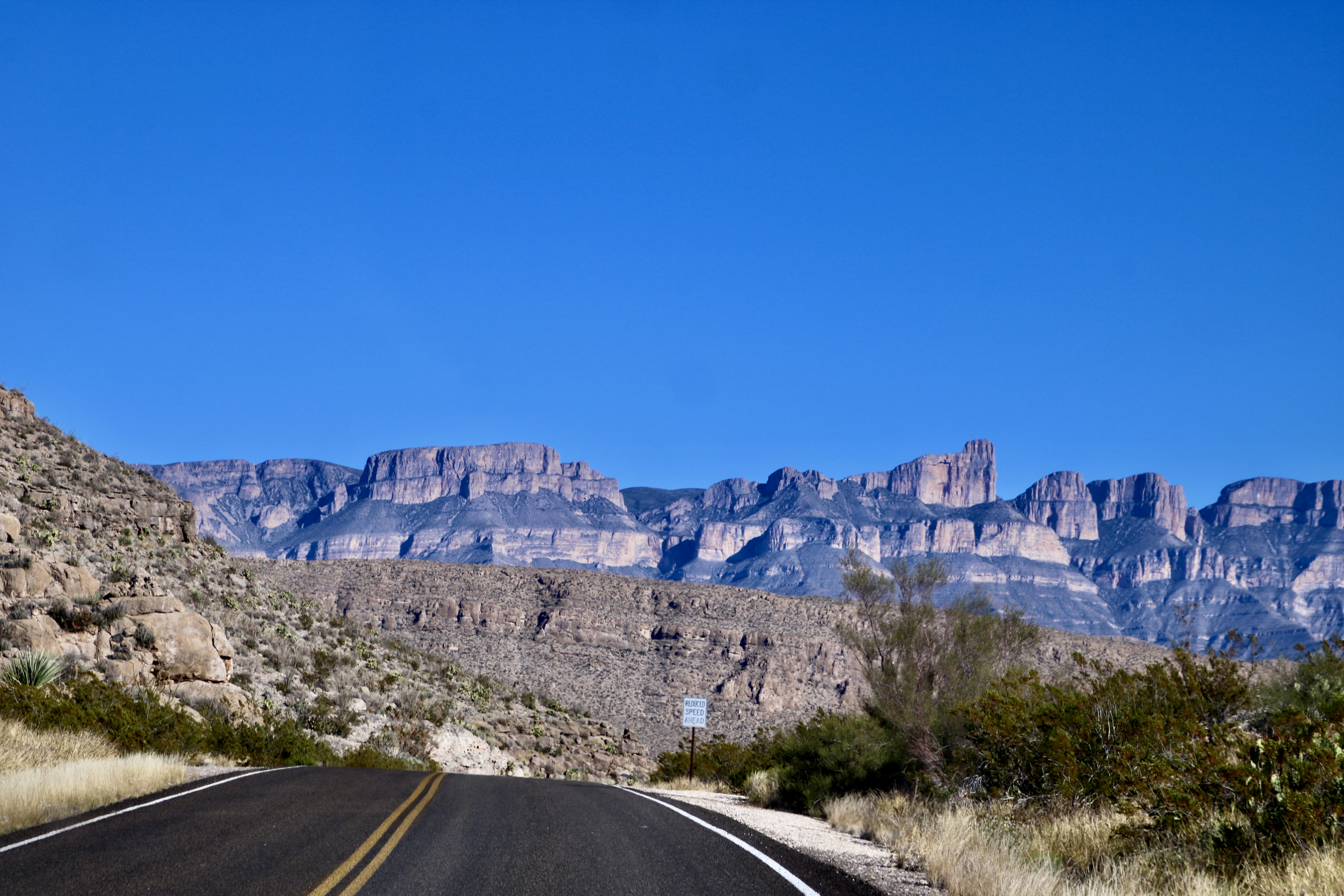
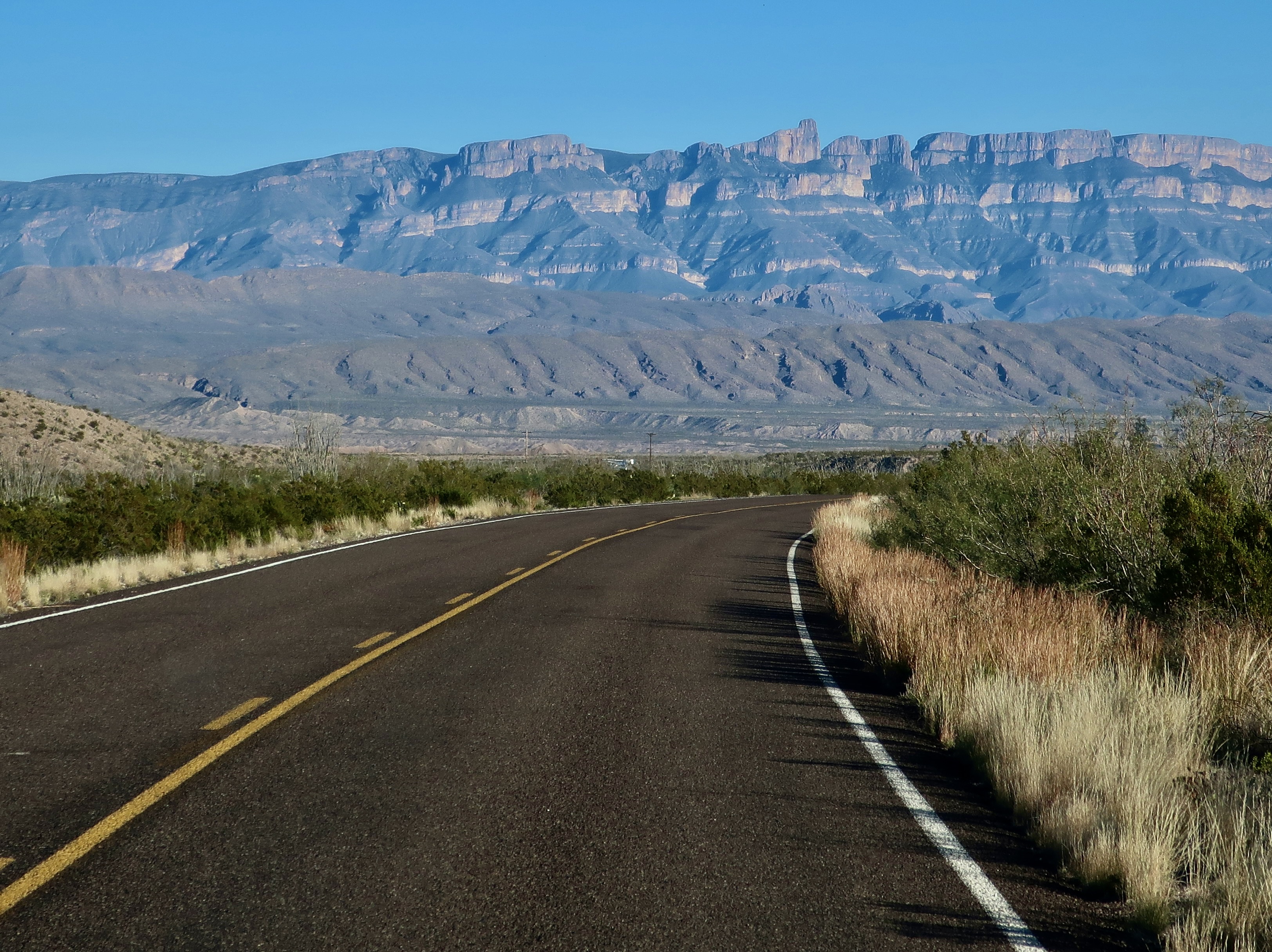
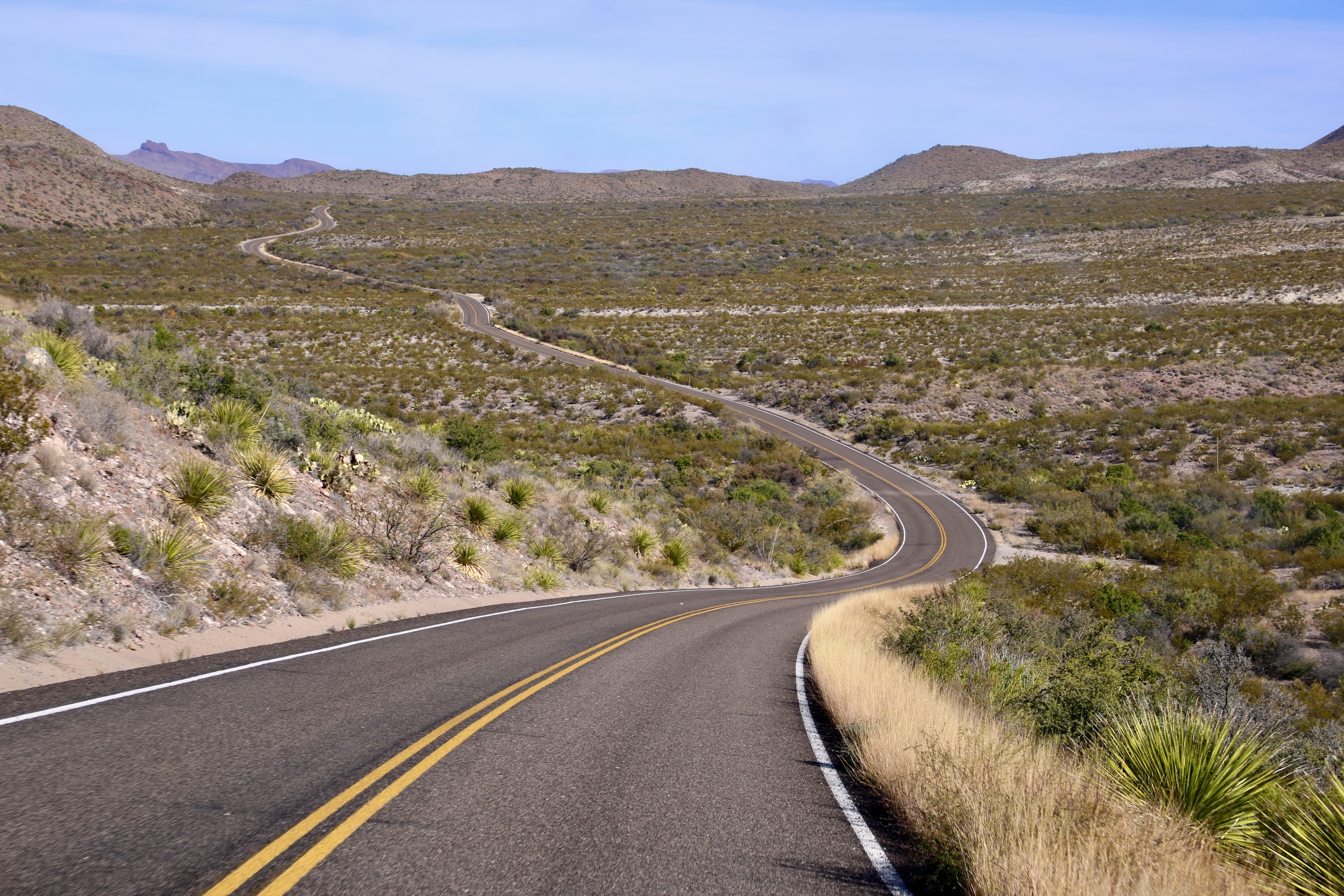
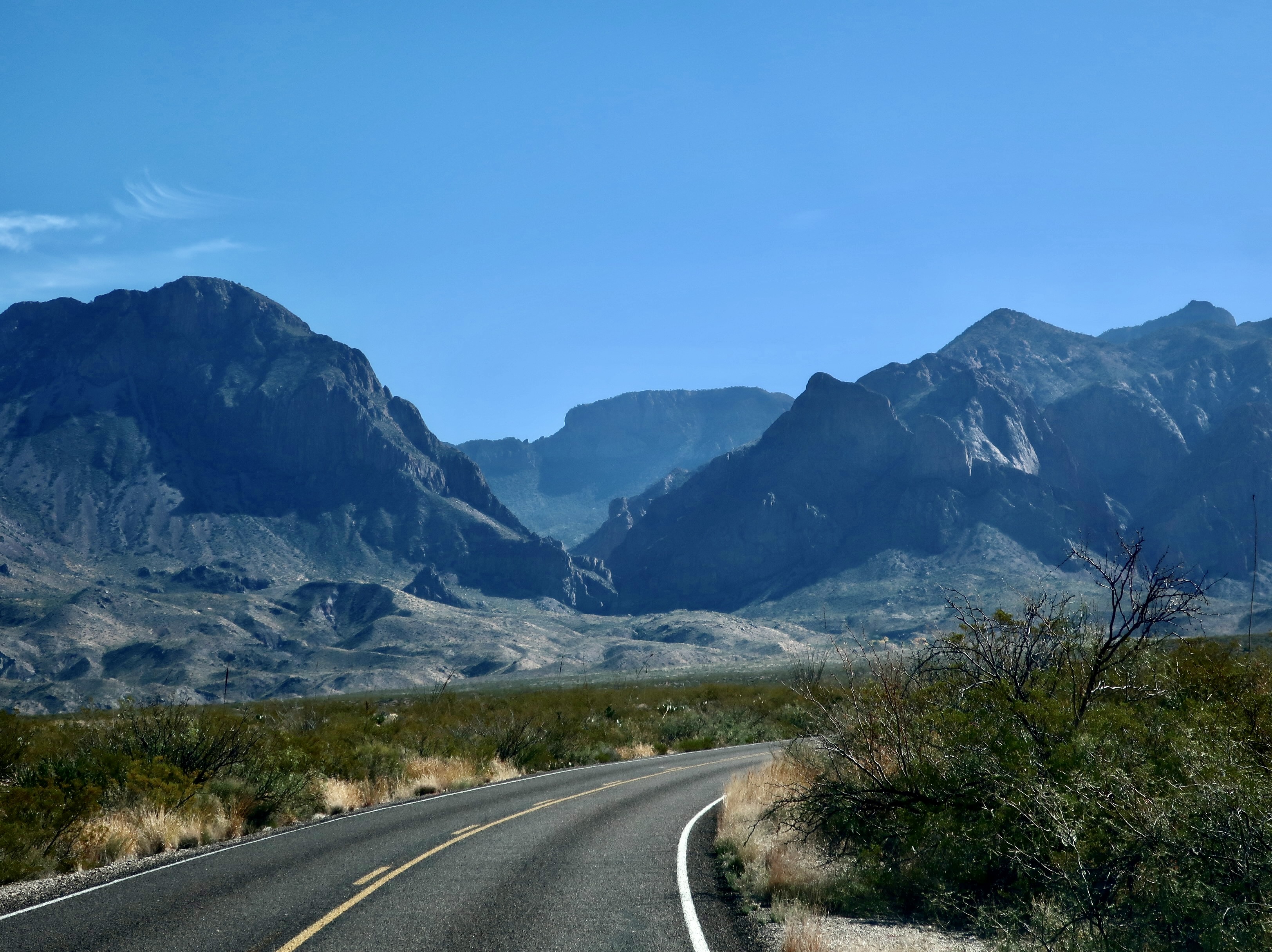
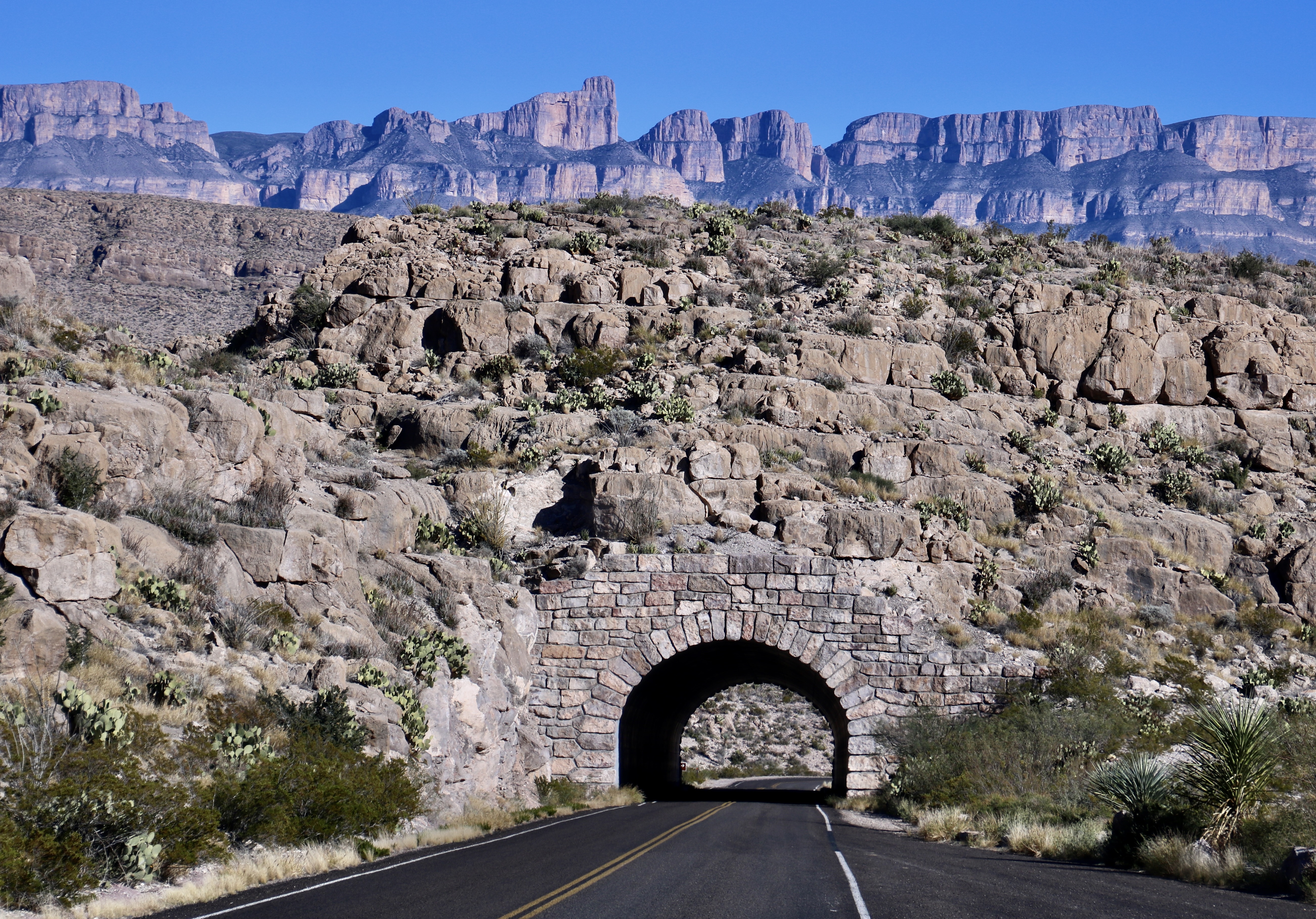
This post isn’t about the books or the movies, although it is about roads. I am going to kick off my first post on Big Bend NP with road shots. Also, I will note in passing, that I used the time we were watching the movies to pick out and process some 725 photos that Peggy and I took of the Park— and that I decided are blog worthy. You will see around a tenth of them is these posts!
I’m going to skip commentary on the road photos. The next two posts after this will feature many of the same areas, plus more. There will be plenty to comment on.
Shooting photos while driving down the road requires a different approach than shooting while still. The photographer is taking ‘snap shots’ in the truest sense of the word. There isn’t time to look for the best photo or consider factors like angles, shadows, sun, and content. Using a telephoto is much more difficult. The camera has to be ready, maybe even turned on. You spot something of interest, raise your camera, and shoot. Bang, bang, bang. Or the photo op has passed by. Note: When Peggy drives, I’m the photographer and vice-versa. Driving and taking photos at the same time fits the category of ‘very bad idea!’ Also, make sure your windshield is clean. Bug guts can ruin the best of pictures! Grin.
So, without further ado, these are some of the photos Peggy and I caught. While there is no requirement to include the road in a road shot, I have done so for the purpose of this post. You might note the lack of traffic. Big Bend is a long ways from major roads and cities! Enjoy.
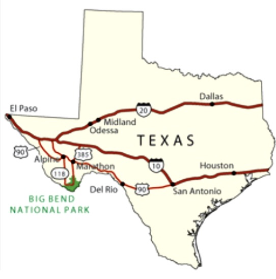
This national park map shows the location of Big Bend Park in Texas. it’s located in the far southwestern corner of Texas on the border of Mexico with the Rio Grande River serving as the borderline. In our next post, we will start on the eastern end of the park and begin to work our way westward.
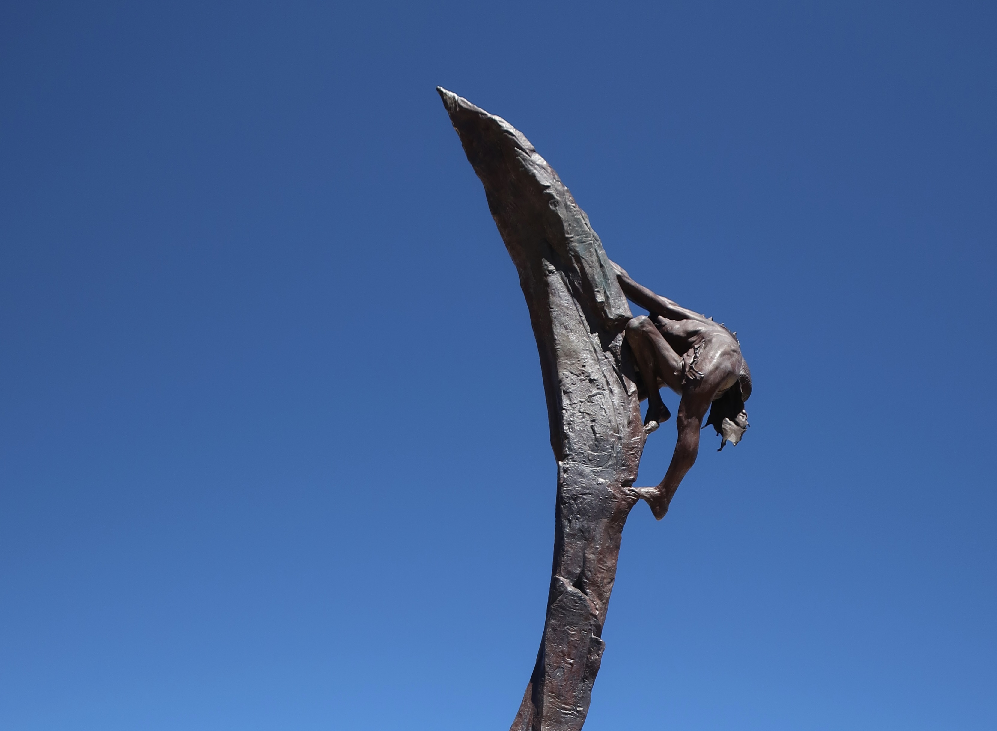
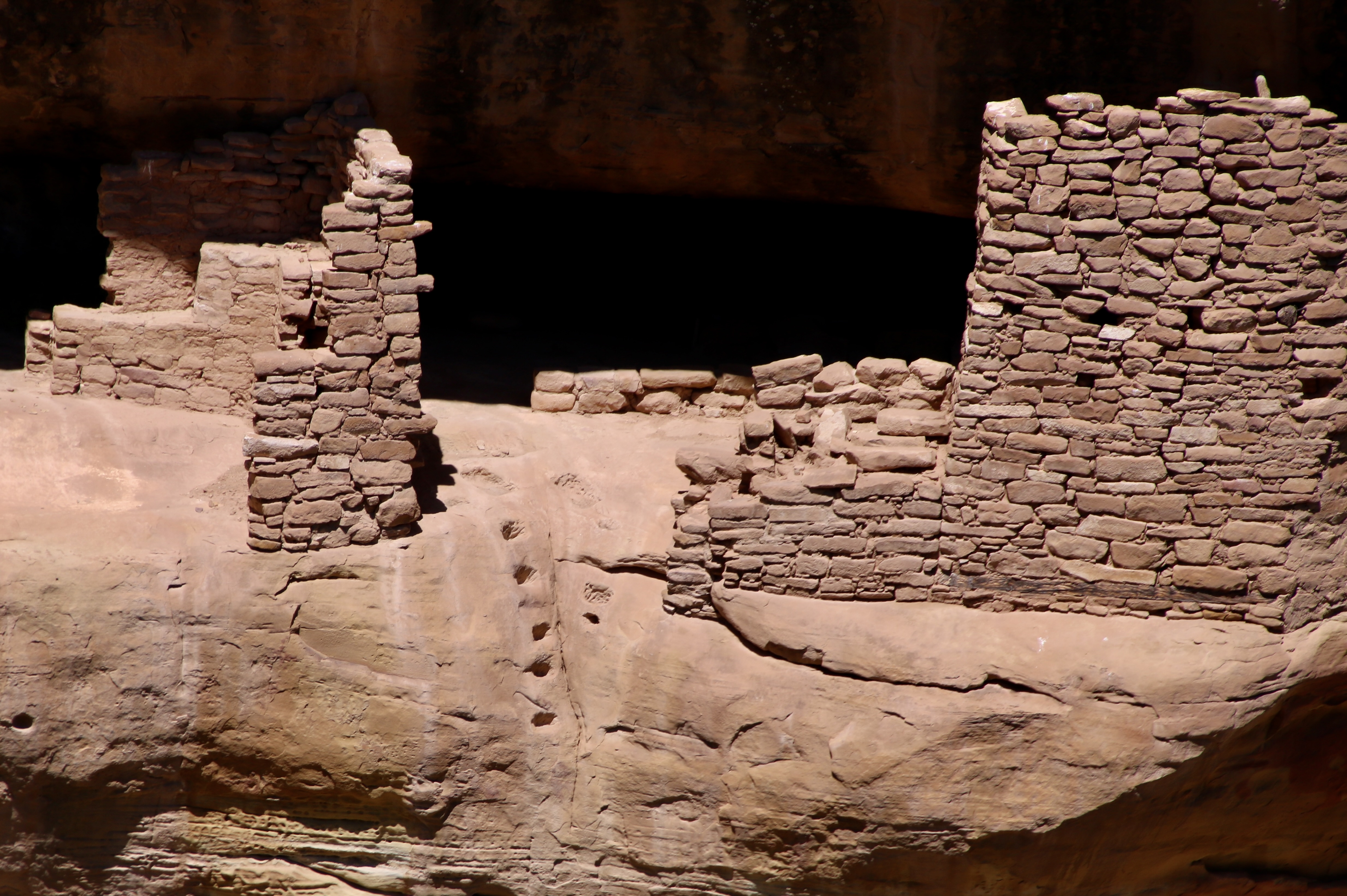
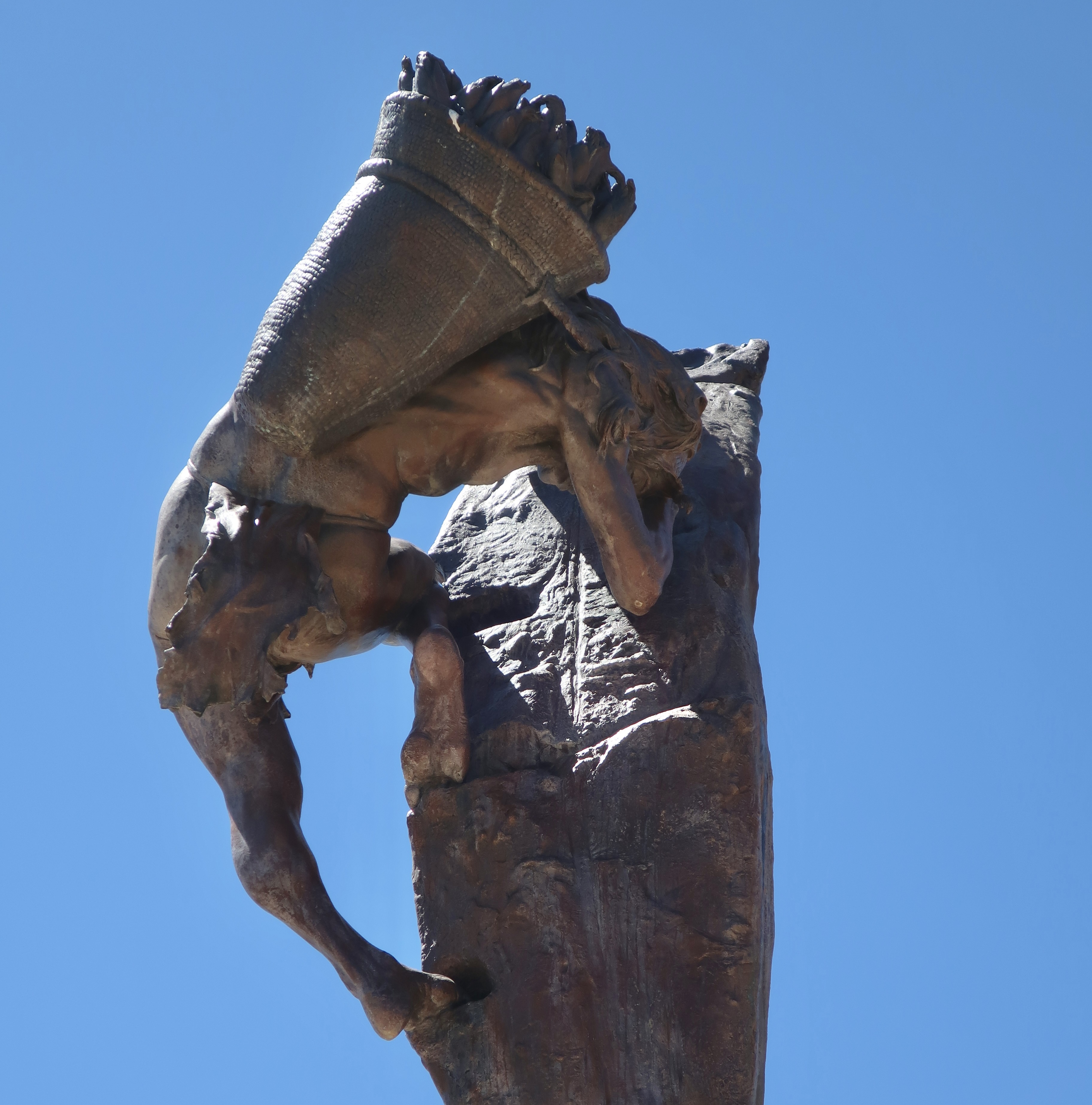
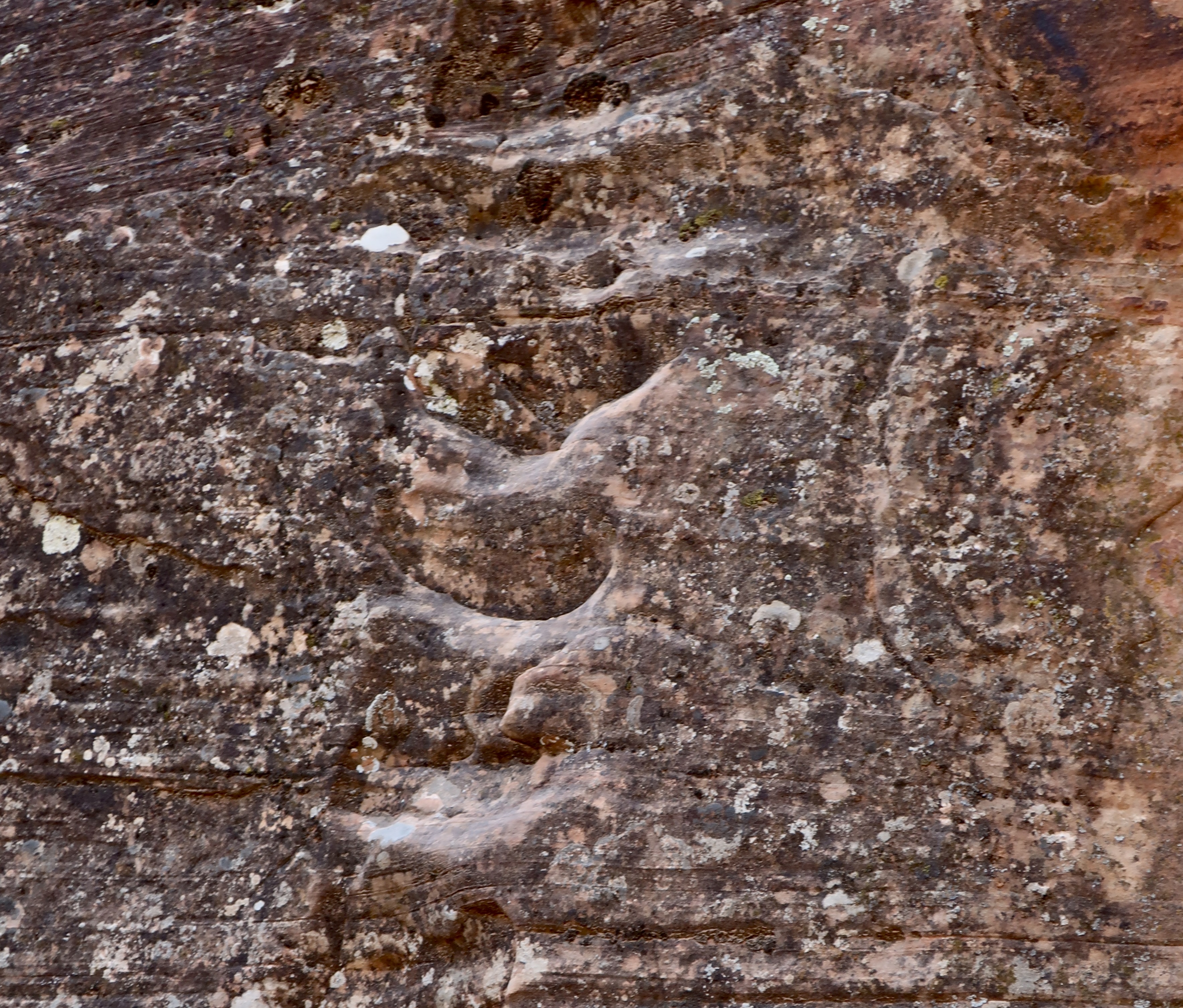
Normally, one would start a post on Mesa Verde featuring cliff dwellings. One of my earliest thoughts as a child about these magnificent structures, however, was how the inhabitants managed to get up to their homes perched high up on cliffs. This 22 foot bronze cast statue by Edward J. Fraughton at Mesa Verde dramatically illustrates the challenge. I couldn’t resist featuring it. Note the footholds, or maybe I should say, toeholds.Split level living at its best? It is thought that the Fire Temple complex at Mesa Verde was used for ceremonial purposes and possibly as living quarters for those who oversaw the ceremonies. It features these structures located on two different levels plus a large open area for ceremonies and meetings off to the left. The toe holds for climbing are clearly visible. Ladders that could have been raised or lowered would have extended below the toeholds: Lowered to get up to the second level under normal circumstances— or raised to frustrate an enemy if under attack.A close up of the toeholds. We wondered if the indentations on the right were used for handholds. Getting up or down would have been complicated by having to carry a load such as shown below when looking at the Ancient One’s statue from a different perspective.“Could you hold that pose while I finish the statue?” It looks like maize/corn in the basket, which was the primary crop of the Ancestral Puebloans. Other things that would have to be carried in addition to food would include water, babies, building materials and items for day to day living. I suspect that children learned to scramble up and down at a relatively young age.Peggy and I found these footholds climbing up a cliff in Zion National Park when we were searching for petroglyphs in a remote area. I thought I’d try climbing them. “Um, maybe not,” my companion suggested rather forcefully. I don’t think my offering to carry her would have made a difference.This is the meeting/ritualistic section of the Fire Temple. A large, raised fire pit is located in the center of the plaza. There is some speculation that the square vaults beside the fire pit may have been covered and used for drumming. I can imagine the people gathered here asking for rain, good crops, health, or protection from a marauding enemy. Or maybe they danced.
Ancestral Puebloans reached the Mesa Verde (“green table”) area sometime around 600 CE (A.D.). They would remain in the area for 700 years reaching the peak of their civilization between 1100-1300 CE. At first, they focused on building pithouses, pueblos, masonry towers, and farming structures on top of the mesa. The National Park Service features a number of the buildings. While we visited several of them, our focus today will be on the cliff houses for which Mesa Verde is famous. But first, a quick look at the countryside where the Puebloans chose to make their homes.
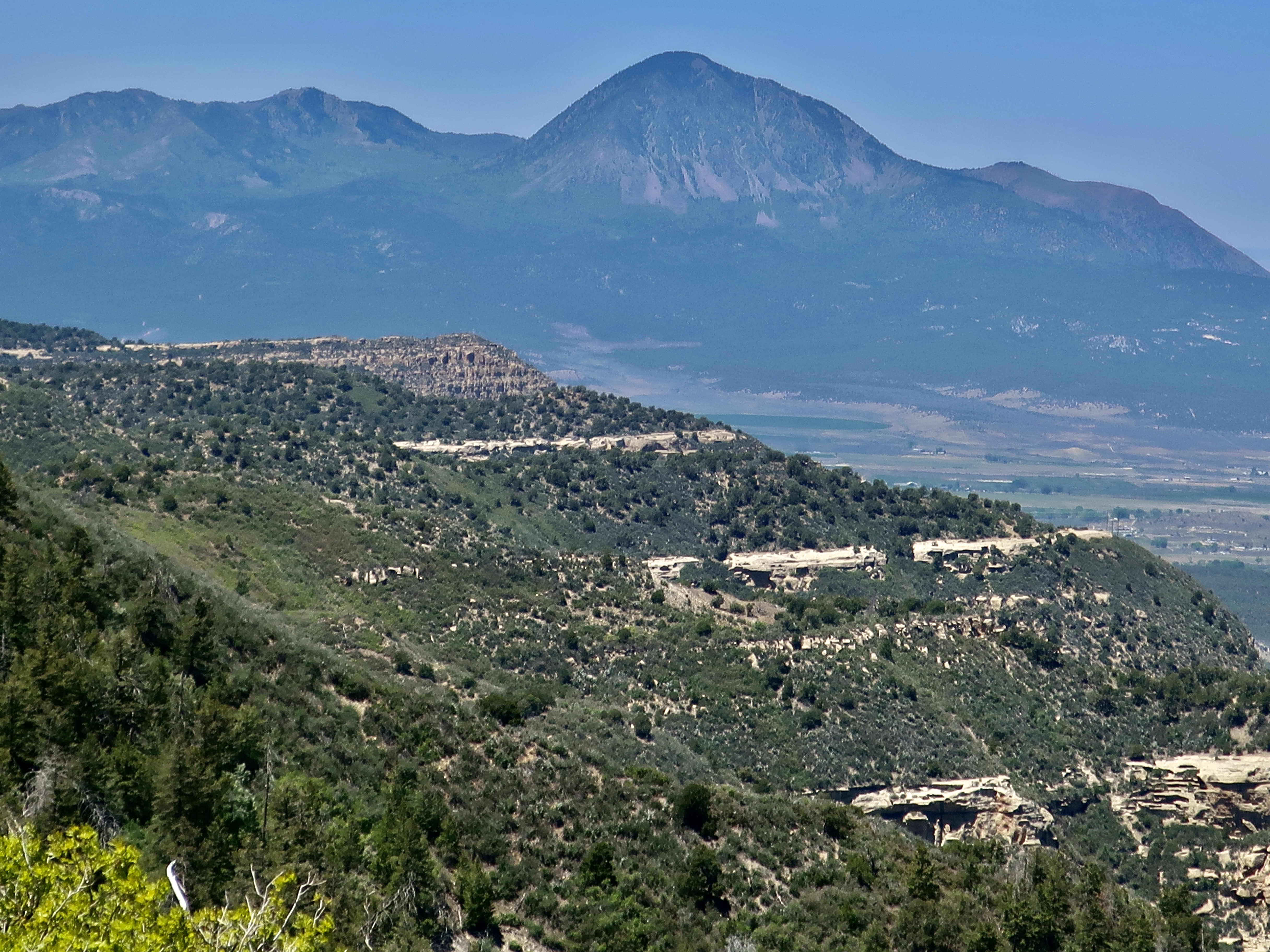
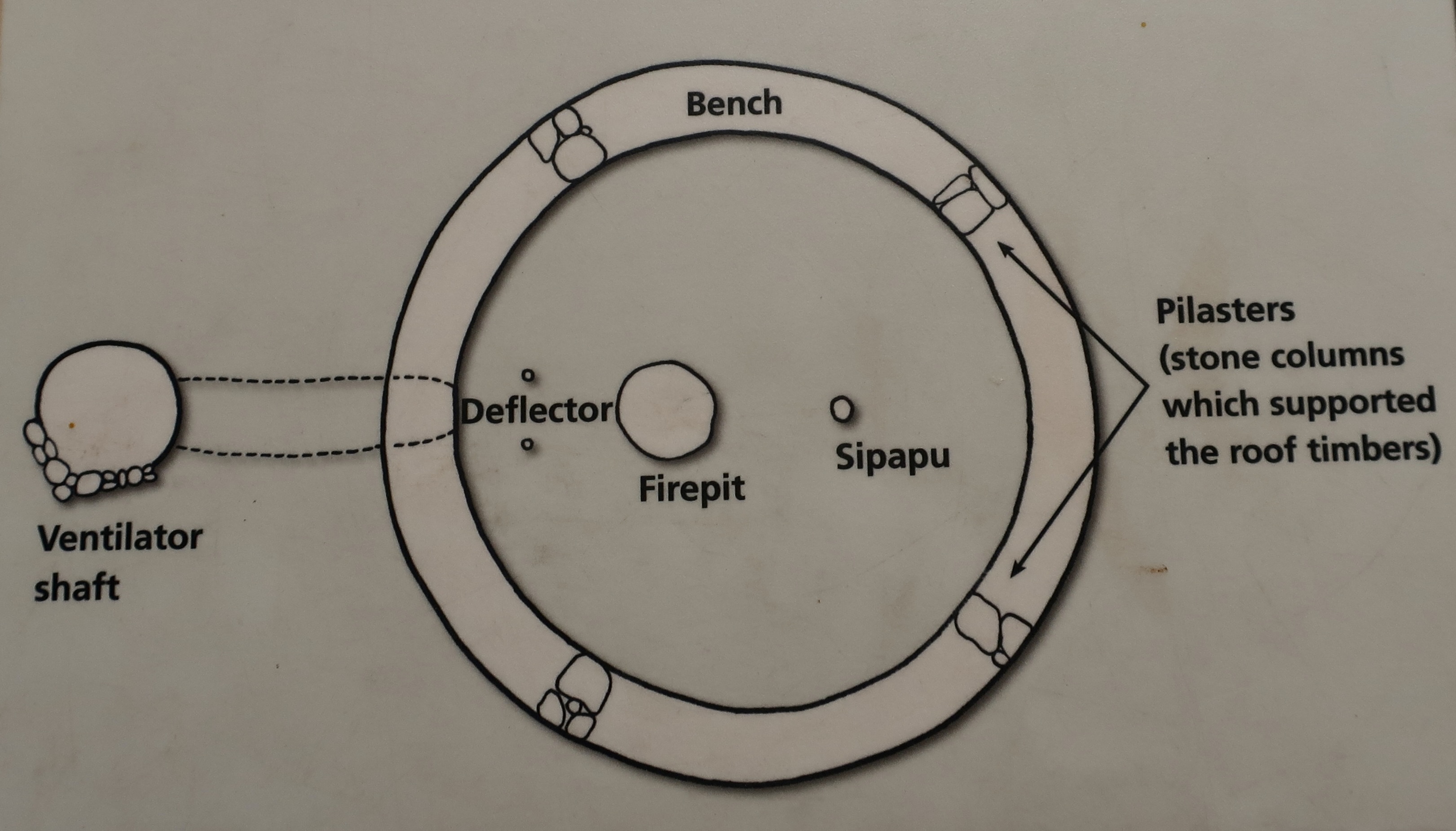
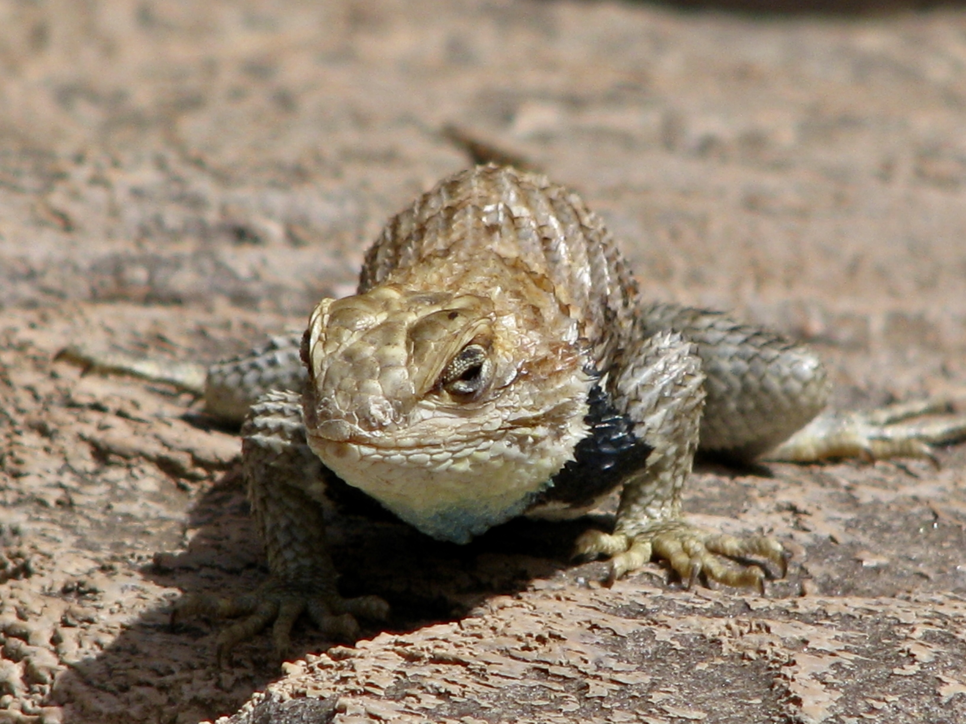
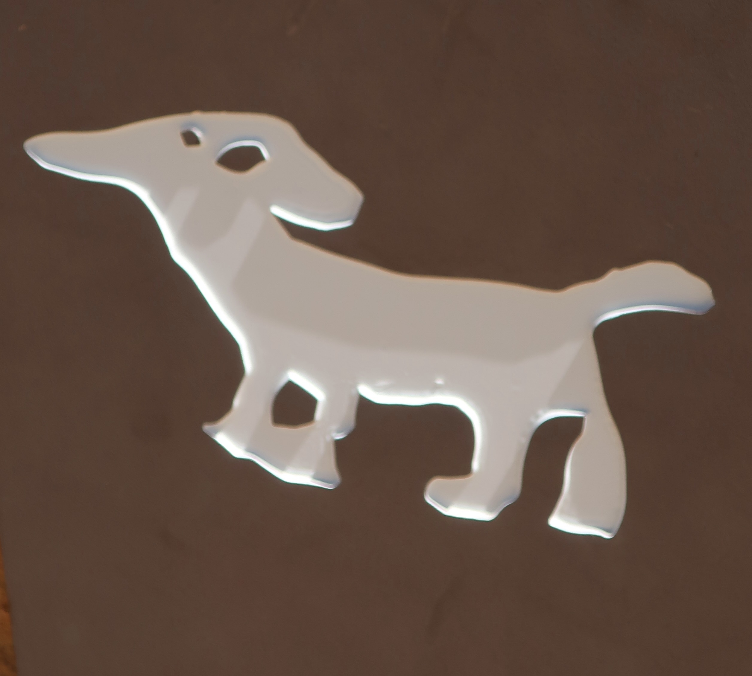
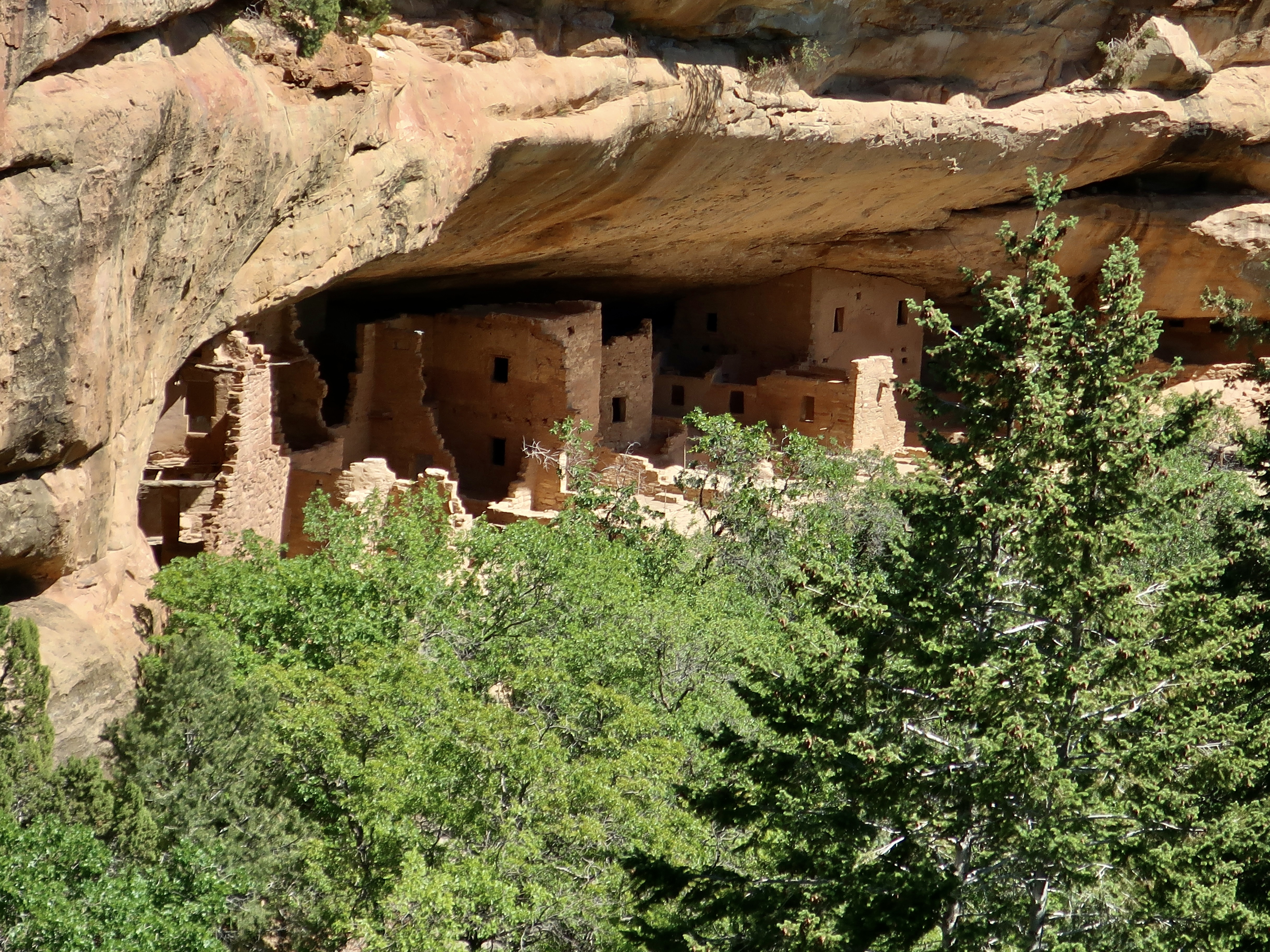
This prominent landmark overlooks visitors as they enter the park. The road works its way up from the lower left. It’s likely that the Ancestral Puebloans would have considered the mesa sacred.Mesa Verde translates as “green table.”A drive up to Park Point, the highest point in Mesa Verde at 8572 feet (2612 m), provides great views of surrounding valleys and distant mountains.Layered sandstone rocks like these provided sites for cliff houses. The distant mountain is known as Sleeping Ute Mountain.And now for three of the major cliff dwellings at Mesa Verde. This one, called Cliff Palace, is the largest cliff dwelling in North America. It has 150 individual rooms and 20 kivas. Kivas are round structures used for ceremonial purposes.This illustration of a kiva was on an information board at Mesa Verde. Most of it is self-explanatory, but you might find yourself asking, “What the heck is a Sipapu?” To the Ancestral Puebloans and their modern day descendants, the sipapu represents the opening through which their ancient ancestors emerged to enter this world as lizards and then changed into their human form.The Hopi believe that the entrance to this world was found on the Little Colorado River a few miles above where this photo was taken. We had stopped here when we were on our 18 day raft trip down the Colorado River through the Grand Canyon. I’ll be reposting blogs from that trip in a few weeks as Peggy and I are boating down the Danube River from Vienna to Budapest.Our friend Don Green, who was with us on the Colorado River adventure, found this fellow watching us from a ledge when we stopped off at the Little Colorado. Hmm.A closer look at the Cliff Palace. The Square Tower House, built in the mid 1200s CE, is the tallest structure in Mesa Verde. Standing at 27 feet (8 m), it is four stories high. Painted murals and petroglyphs are said to be located throughout the structure. Peggy and I have spent many happy hours searching for petroglyphs throughout the West and would have loved to have seen what was in the Square Tower. This might provide a clue. It is a replica of a big horn sheep petroglyph found at Mesa Verde’s Petroglyph Point. Unfortunately, we didn’t have the time for the 2 1/2 mile hike out to the point. This is a National Park Service photo of the petroglyphs found on Petroglyph Point. The sheep is upper center. To the right of it is a turkey and to the right of that, hands. Beneath it are women giving birth. All of these are common themes of petroglyphs throughout the West. I think the cat-looking creature on the far left is a mountain lion. I found it rather humorous. Are its front legs on backwards or is it eating a person? It may be that the animals in the panel represent various clans.Several other structures were located at the Square House cliff dwelling. Was the rock here originally and the Puebloans built around it? Or did Nature add it later?Another large rock was located at the Square House cliff dwelling in the kiva on the right. The same question about how it got there applies.This photo of the Square House cliff dwelling shows how shallow the dwelling was, and how it might be vulnerable to rock fall. Only the Square House seems totally protected.And finally, we come to the Spruce House Dwelling, which is located a short walk away from the Visitors’ Center. It is the third largest cliff dwelling found at Mesa Verde. Built between 1211 and 1278 CE, the dwelling holds 130 rooms and 8 kivas.Another perspective. It was first discovered by pioneers in 1888 when a pair of cowboys found it while they were searching for lost cattle. They climbed down what they thought was a large spruce tree to get in. Thus the name. (It was actually a Douglas fir that is now cut down.) I wonder if they took off their spurs? Below are three photos of the buildings at Spruce House.
Theodore Roosevelt established Mesa Verde National Park in 1906 to “preserve the works of man.” It was the first park of its kind designed to protect and maintain an important historical and cultural treasure. Located in Southwestern Colorado, the park covers an area of 52,485 acres.
Our next post will take you to visit another national park of great natural beauty and relatively few visitors, Big Bend. It is located in southwestern Texas far from any major metropolitan areas.
Join us as we explore its desert beauty, starting Friday.
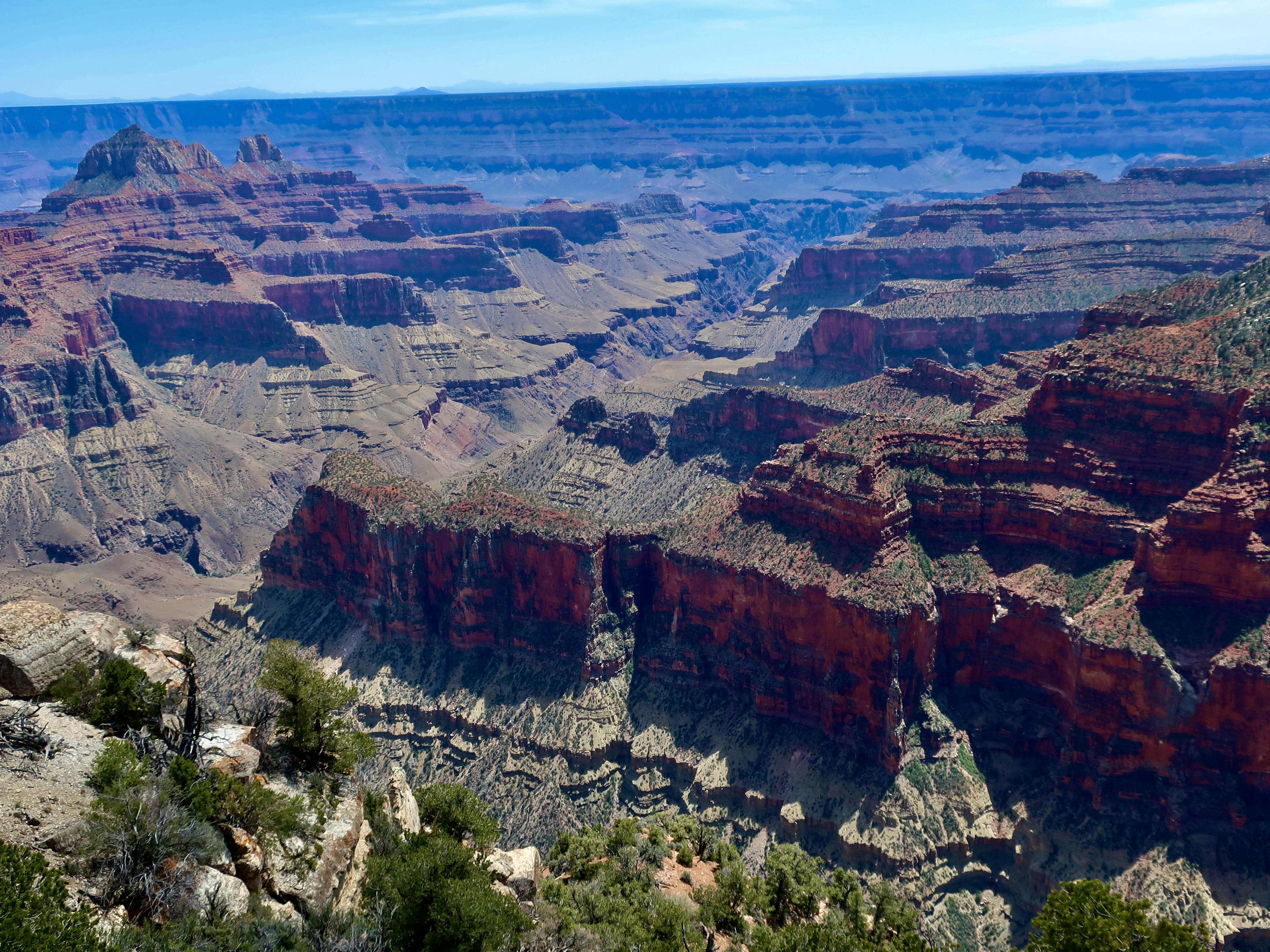
Hundreds of millions of years of the earth’s history is recorded in the walls of the Grand Canyon, much of it in convenient layers. Each layer has a story to tell ranging from sand storms to ancient seas, from raging rivers to quiet mudflats— stories that are told in rocks progressing in age as one goes deeper into the canyon. This photo was taken from Bright Angel Point.
For example, the light rock in the foreground is made up of Coconino sandstone, which was laid down some 275 million years ago when a vast, sand-filled desert covered the area. It’s a hard rock that resists erosion and creates a distinctive layer around the canyon, as seen on the opposite wall.
The two formations below it, Hermit Shale and Supai, represent some 60 million years of geological history and are made up of softer rocks such as mudstone and siltstone formed by clay filtered out of calm water typically found in lakes, lagoons, river deltas and harbors. These rocks erode more easily and create slopes. The Supai formation is interspersed with layers of sandstone that slow the erosion and create small cliffs. It also includes generous amount of hematite, which is rich in iron. Iron oxide (rust) gives the formation its distinctive red color.
The Red Wall, located just beneath the Supai formation, is one of the most prominent features of the Grand Canyon. Created some 340 million plus years ago in a sea that covered the region, it ranges in height from 500-800 feet and is made up of limestone. Its predominant red color doesn’t come from the limestone, however. It comes from the iron oxide that is formed from the hematite in the Supai formation and leached out by water flowing down the wall, painting it red! Like the sandstone, limestone is a hard rock that doesn’t easily erode. Thus, the towering cliffs.
The oldest rocks in the canyon are appropriately found at the bottom, Vishnu Schist, a metamorphic rock of quartz and hornblende that was born in a deep ocean trench some 1.8 billion years ago. Does this mean the Grand Canyon shows 1.8 billion years of earth’s geologic history? Not quite, every so often nature wipes out a few million years through erosion. The most renown is the Great Unconformity where some 1.2 billion years of the the 1.8 billion were razed!
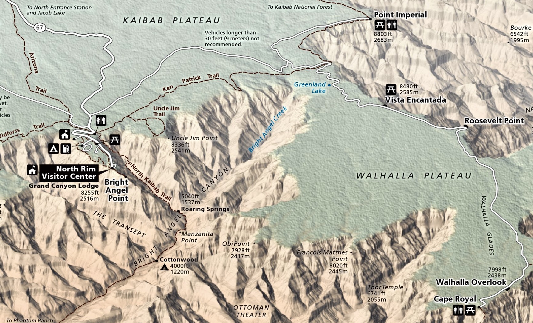
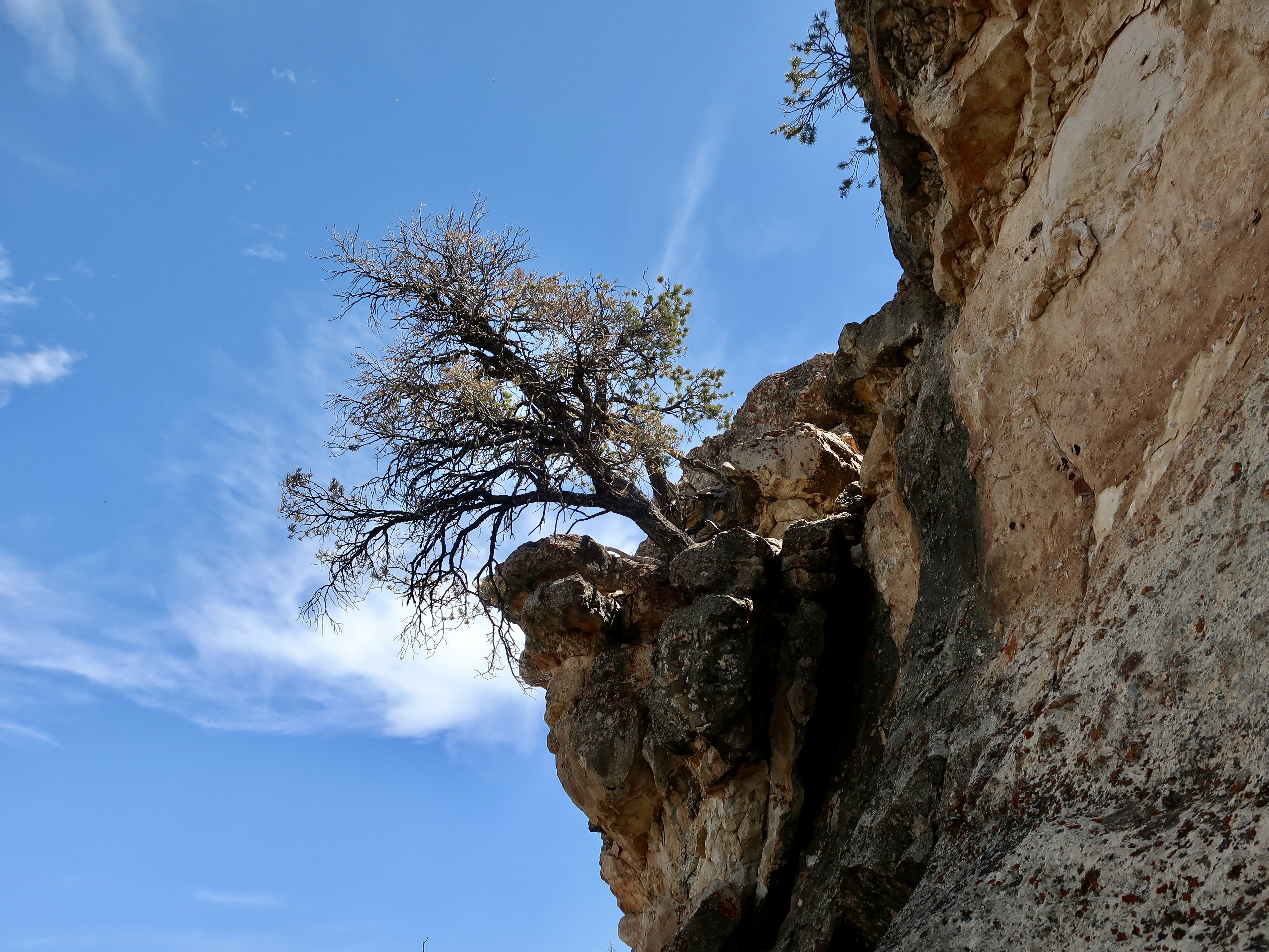
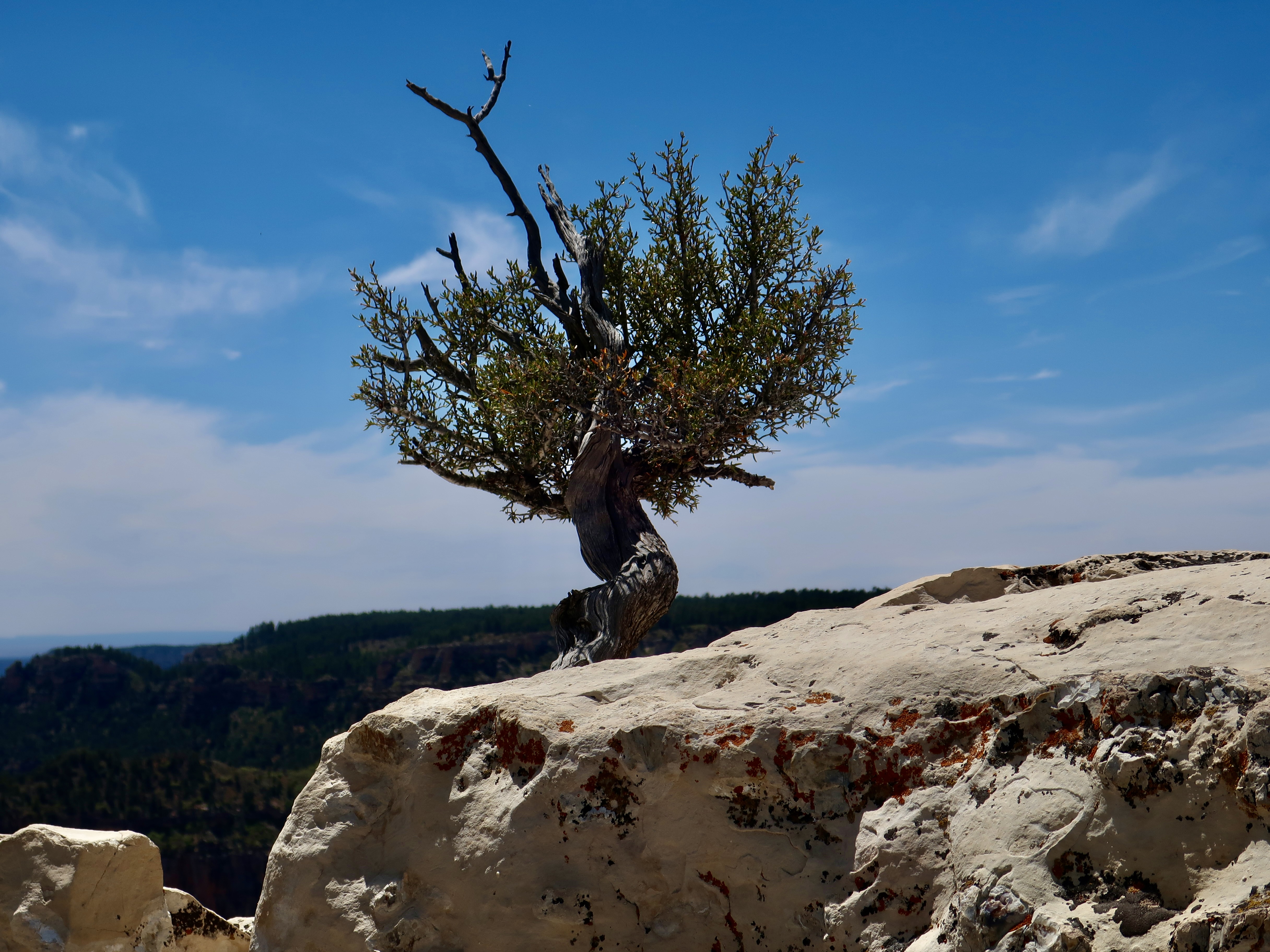
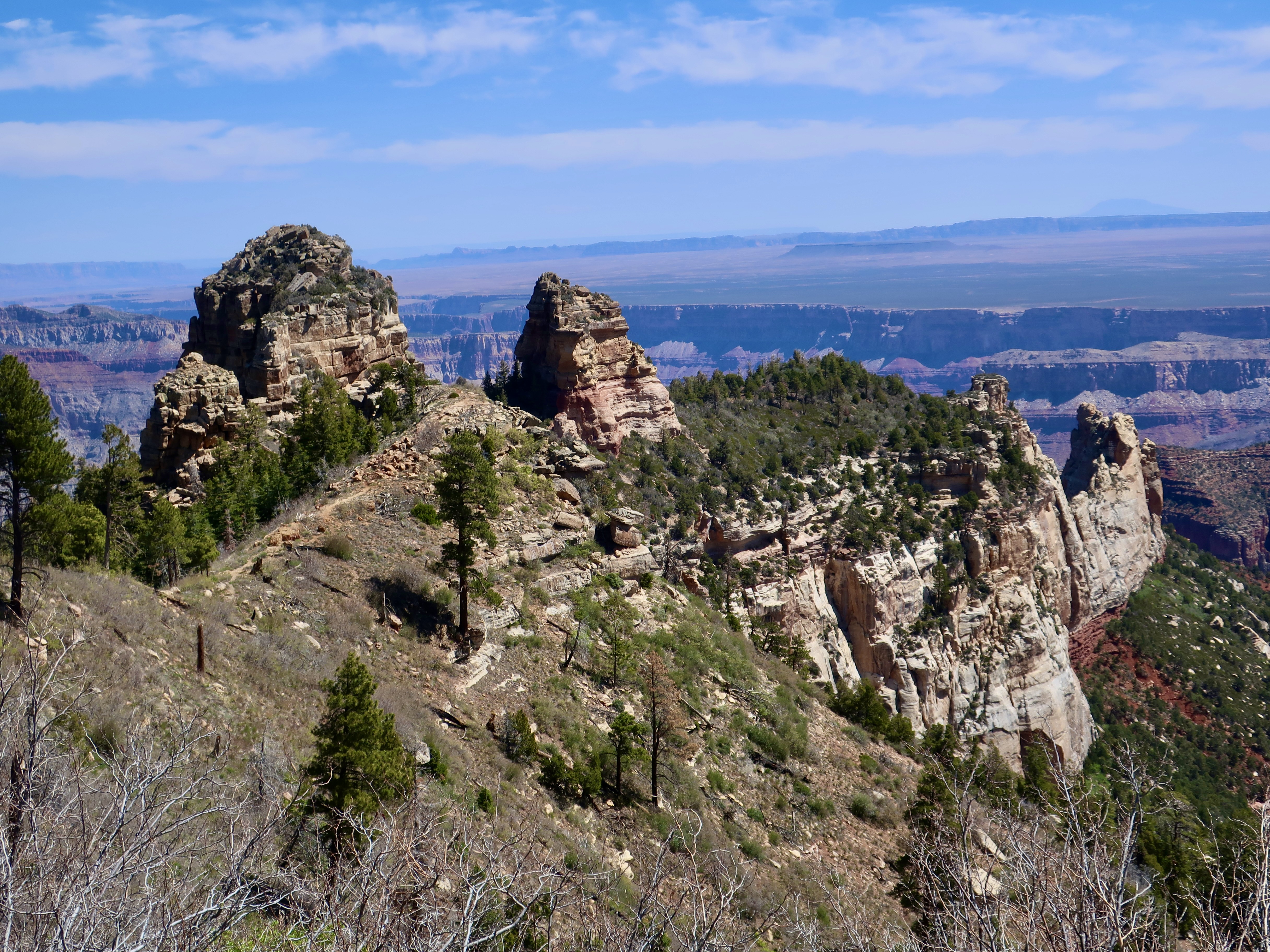
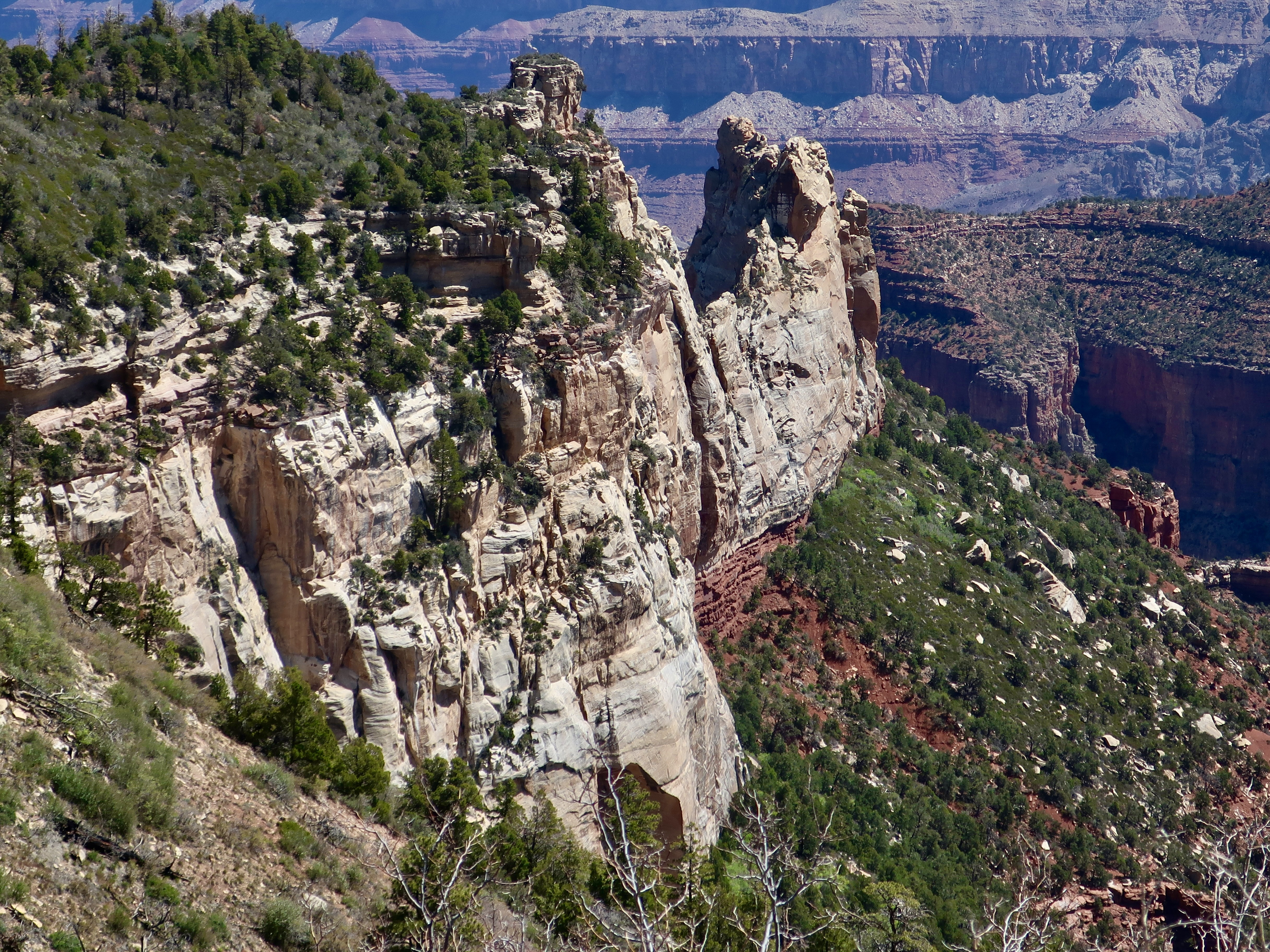
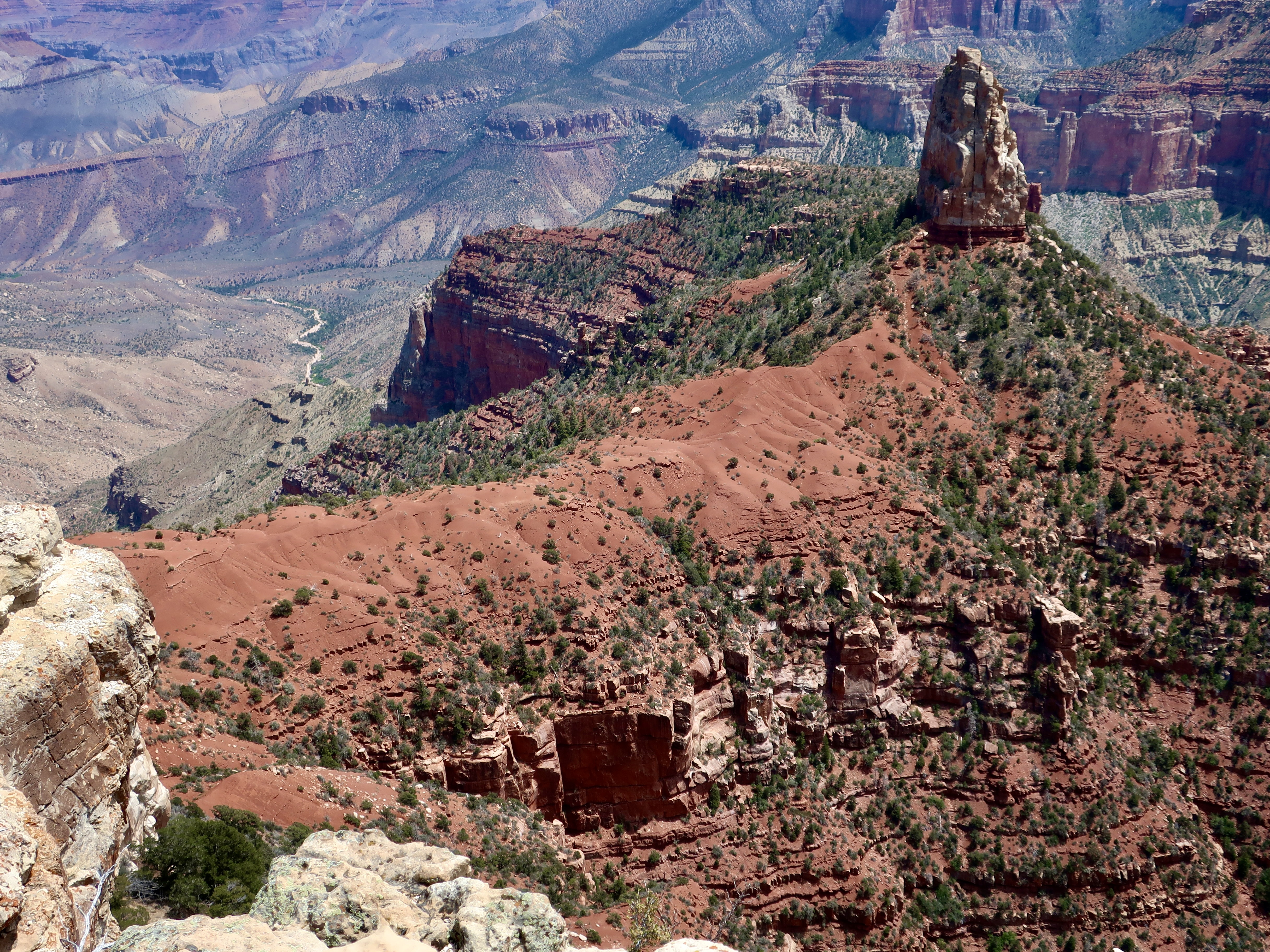
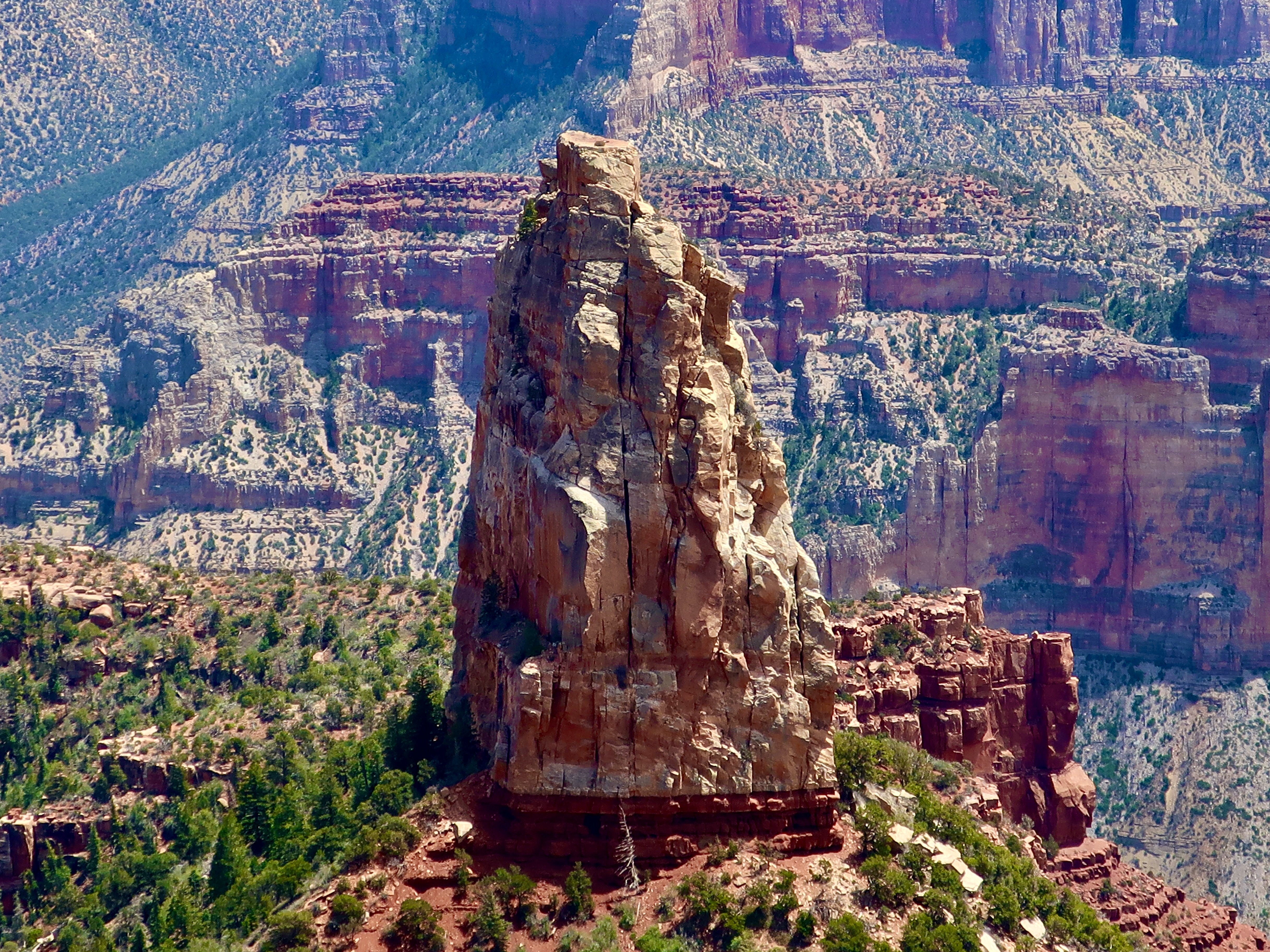
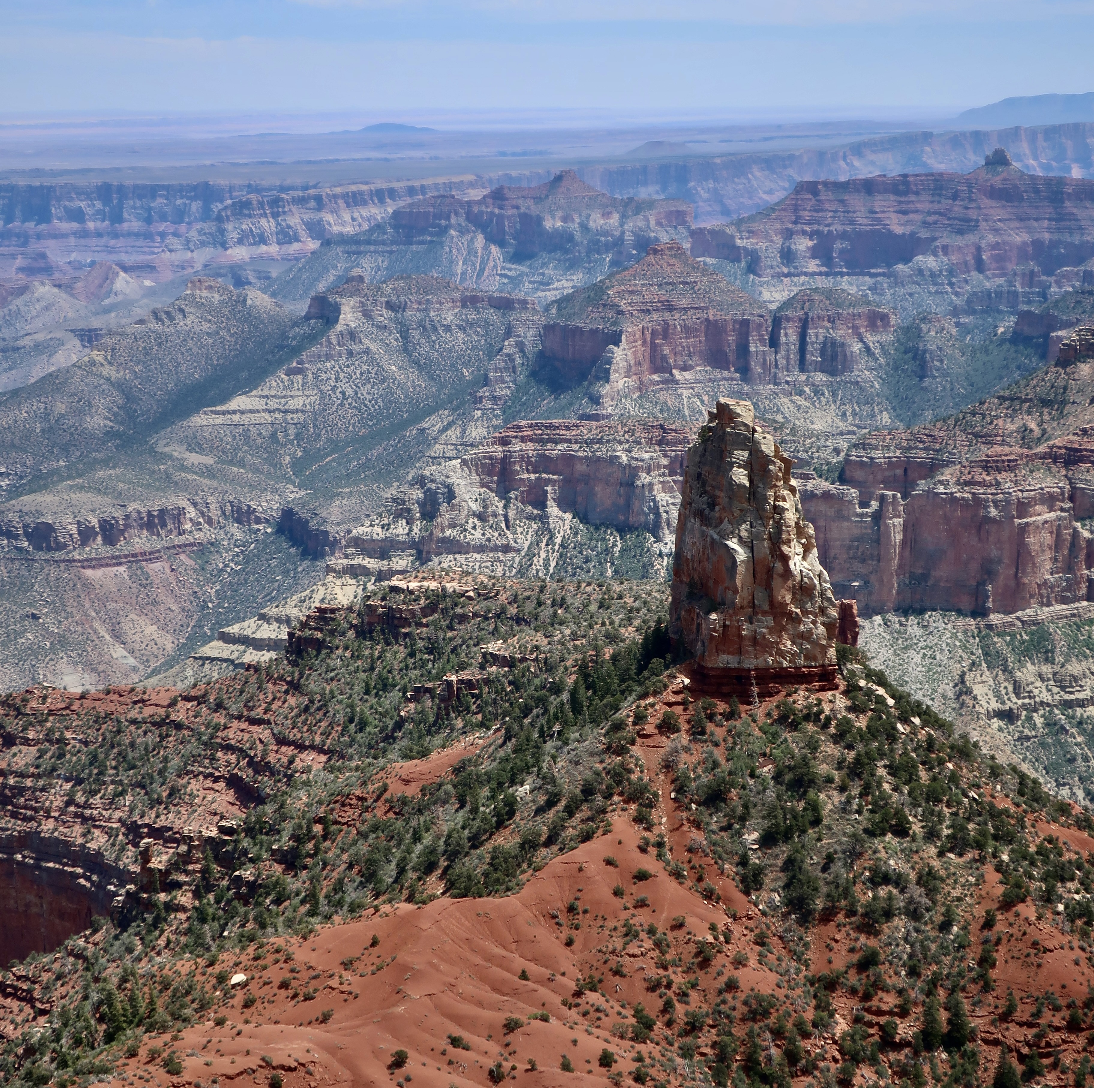
This map from the National Park Service shows the prominent overlooks of the North Rim. In the last post, we featured photos from Cape Royal and the Walhalla Overlook located in the lower right hand corner. This time, I will start with Bright Angel Point located just below the Visitor’s Center and then move on to Roosevelt Point, Vista Encantata, and Point Imperial.National Park map showing location of Grand Canyon in Arizona. A view from Bright Angel Point shows Bright Angel Canyon on the left. Bright Angel Creek makes its way down the canyon to the Colorado River. The popular North Kaibab Trail follows the creek and takes hikers down to Phantom Ranch on the river where they can stay, assuming they’ve landed a tough-to-get reservation. Or, they can continue on the South Kaibab or Bright Angel Trail up to the South Rim— if they don’t mind a 21 mile hike with an elevation change of 11,000 feet. I’ve backpacked it on two different occasions: One from the South Rim to Phantom Ranch and one from the North Rim to the Ranch. Ultra-marathon runners like to run the total path— and return— in one day.This provides a distant view of the South Rim from Bright Angel Point. You can see the village on the rim left center. Bright Angel Trail winds its way down into the canyon starting just to the right of the buildings. Both the Bright Angel Trail and Bright Angel Creek follow an active fault zone. An occasional jolt reminds hikers that even the Grand Canyon is earthquake country.A short trail starts beneath the Visitor’s Center and follows Bright Angel Point out to its end providing dramatic views of the canyon from both sidesPeggy and I also admired the trees that scratched out a living out on the Bright Angel Point.A final tree photo on Bright Angel Point. Now, on to Roosevelt Point.On his first visit to the Grand Canyon in 1903, Theodore Roosevelt exclaimed, “Leave it as it is. You cannot improve upon it. The ages have been at work on it, and man can only mar it.” More than anyone else, he was responsible for protecting the Canyon to be enjoyed by future generations. It’s only appropriate that he would have a point named in his honor. More views from the overlook:Vista Encantata translates as “enchanted view.” It’s easy to see why early visitors gave this overlook the name.When visitors arrive at Point Imperial on the North Rim, they arrive at 8,803 feet, the highest point on the North Rim. You might say it’s breath-taking. The view isn’t half-bad either. The spire, Mt. Hayden, is one of the most photographed views on the North Rim. We will close out this post with three different perspectives of it.And finally, a close up. In addition to being a favorite among photographers, Mt. Hayden is a favorite among rock climbers. This wraps up our brief tour of the North Rim of the Grand Canyon. Next, we will visit Mesa Verde National Park, famous for its ancient cliff dwellings.
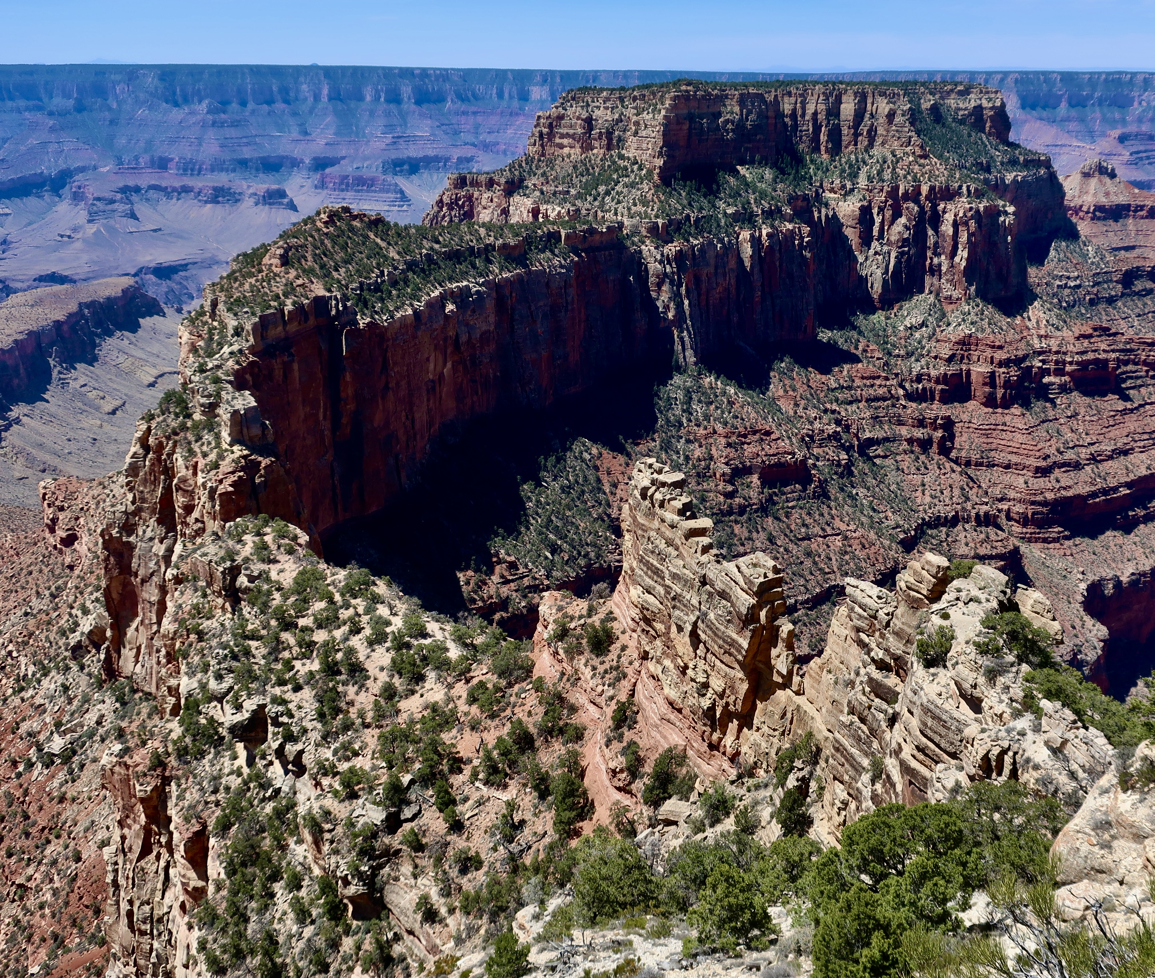
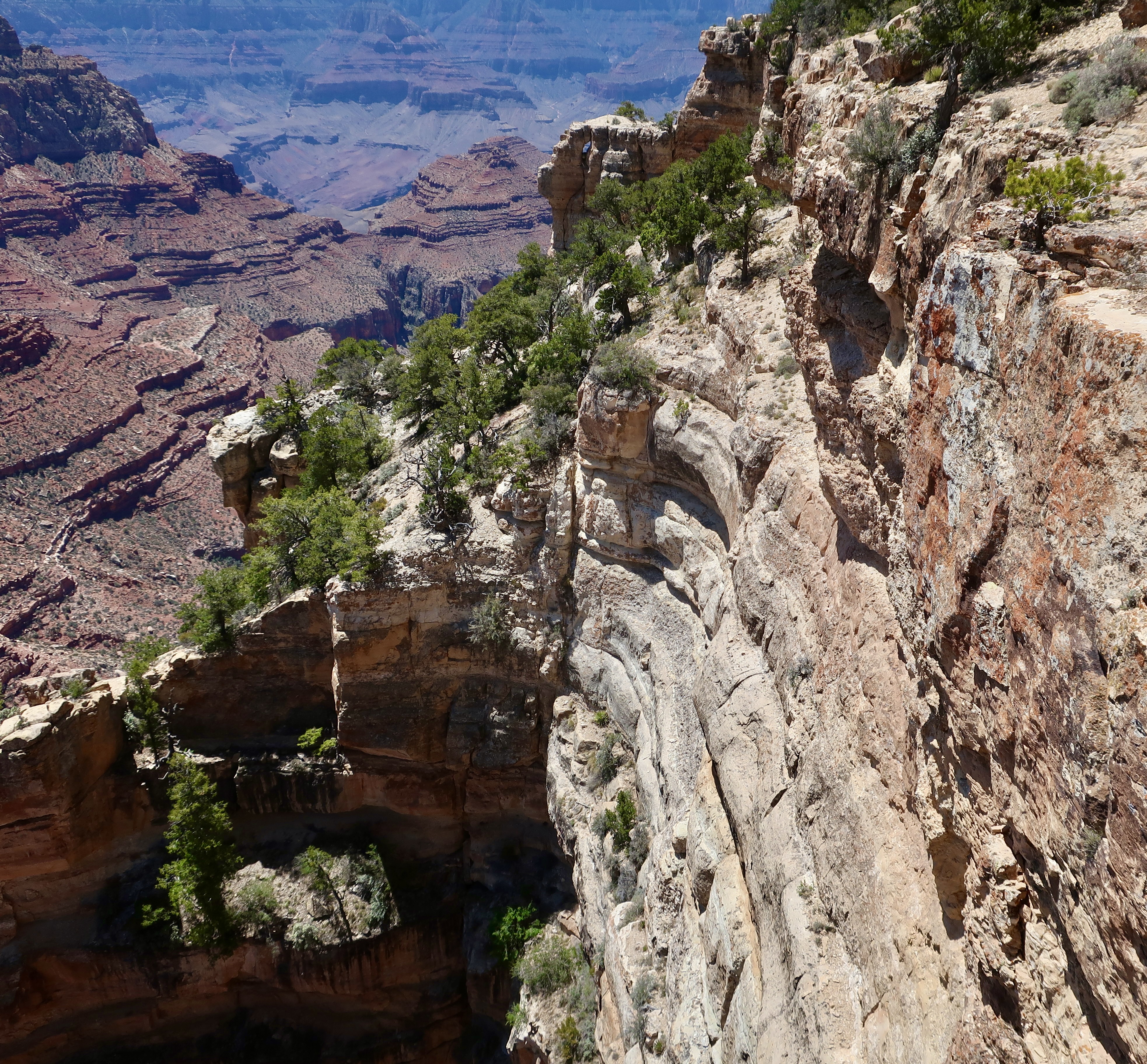
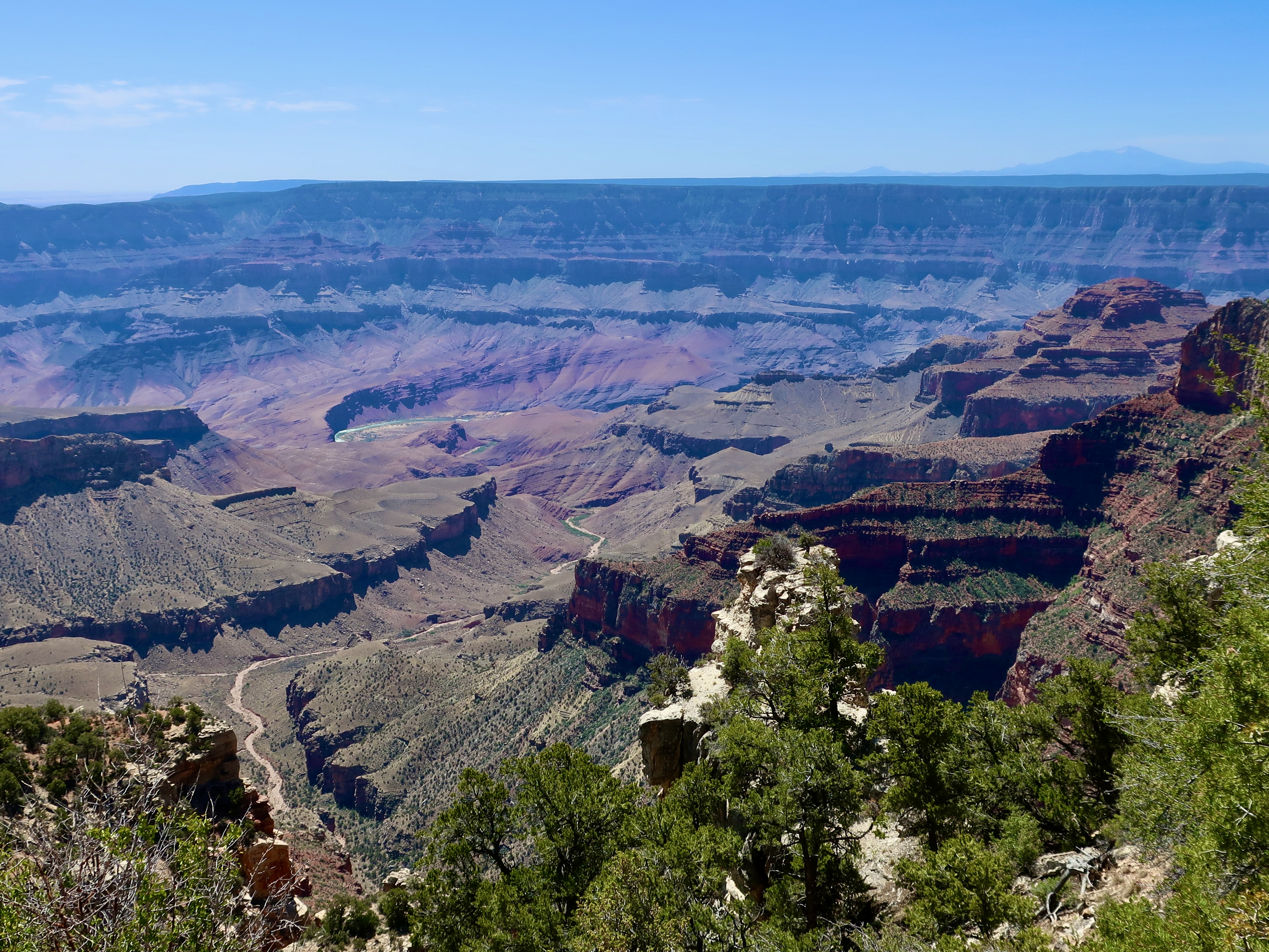
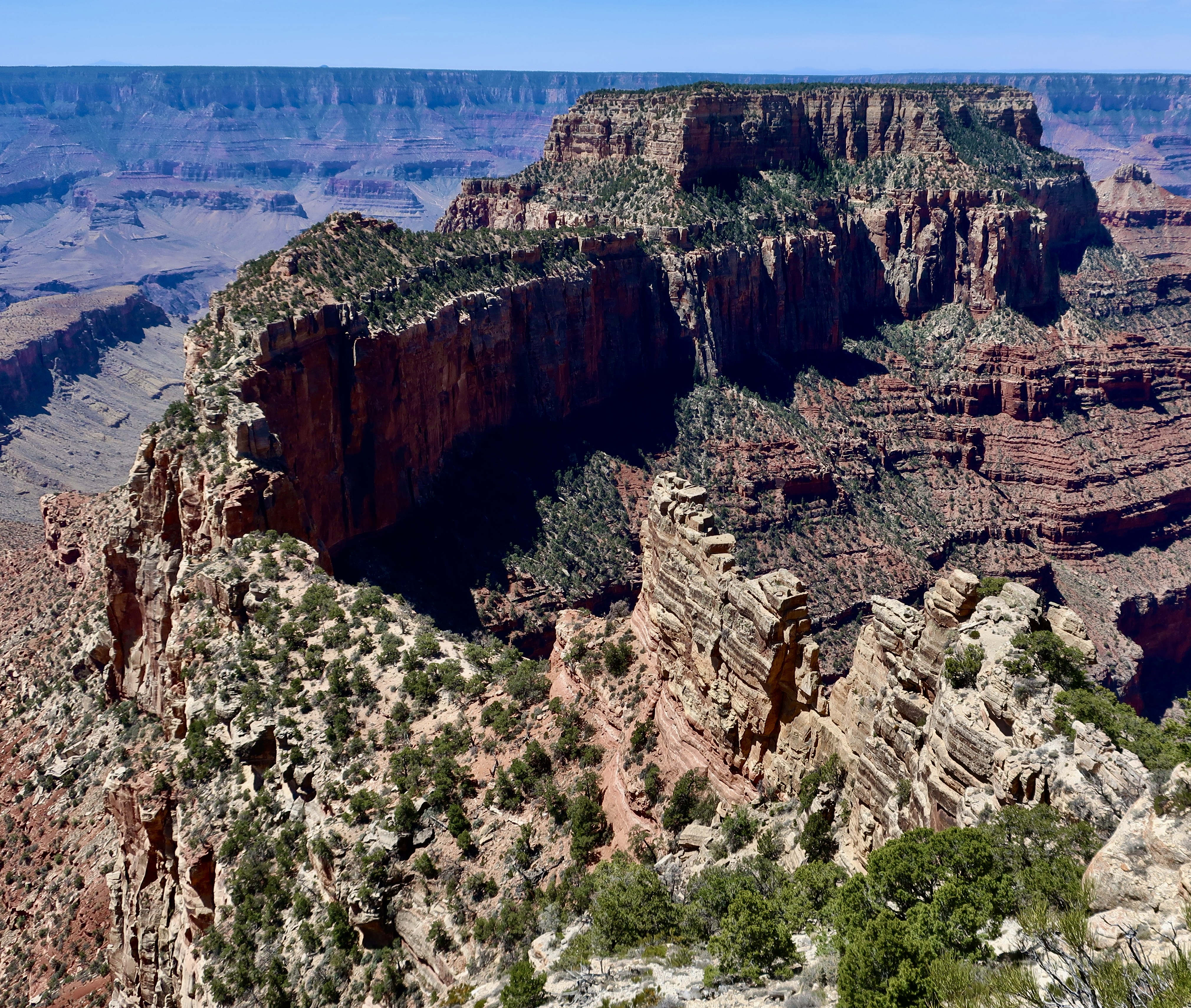
Wotan’s (Odin’s) Throne is one of five prominent landmarks visitors can see from Cape Royal on the North Rim of the Grand Canyon. If you start on the front left and follow the ridge around to the high plateaus, you will arrive at the throne.
Today, Peggy and I are going to take you on a visit to the North Rim of the Grand Canyon as part of our National Park Series. We were there in 2022 but didn’t have time to do a post on it because we were headed off for a trip up the Rhine River.
I’m no stranger to the Grand Canyon. Even before I met Peggy, I had been to the South Rim several times, backpacked into the canyon four times, and even took a mule in on my first visit ever, an experience I didn’t need to repeat. The mule recognized that I was two pounds over the weight limit and kept trying to bite me and throw me off the trail with a several hundred foot drop. The worst insult, however, was to my butt. I couldn’t sit down for two days.
Peggy and I have also been there a number of times with experiences ranging from backpacking into the Canyon to being flown into a section outside the park in a helicopter by our son. We also did an 18 day private raft trip down the Colorado River through the Canyon. Once we took our kids, Tasha and Tony, as teenagers and camped out in the snow. Not surprisingly, I have done a number of posts on the Canyon, but never on the North Rim.
Some 5 million people visit the South Rim of the Grand Canyon. Maybe 10% make it to the North Rim. There are reasons for this, primarily accessibility. The South Rim is easier to get to, has extensive guest facilities, and is open year around. The North Rim, which sits at 8000 feet (2438 M), is closed from October 15 to May 15 because of snow. Plus it is a 212 mile, four hour plus drive from the South Rim— even though the North Rim is only 10 miles from the South Rim as the crow flies! That’s the challenge when you are faced with a ditch that averages 4000 feet deep stretching out for 277 miles.
An argument can be made that the South Rim provides better views of the Canyon, overall. So if you’ve never been, you might want to start there. On the other had, who could argue that the view of Wotan’s Throne featured at the top is lacking in grandeur?
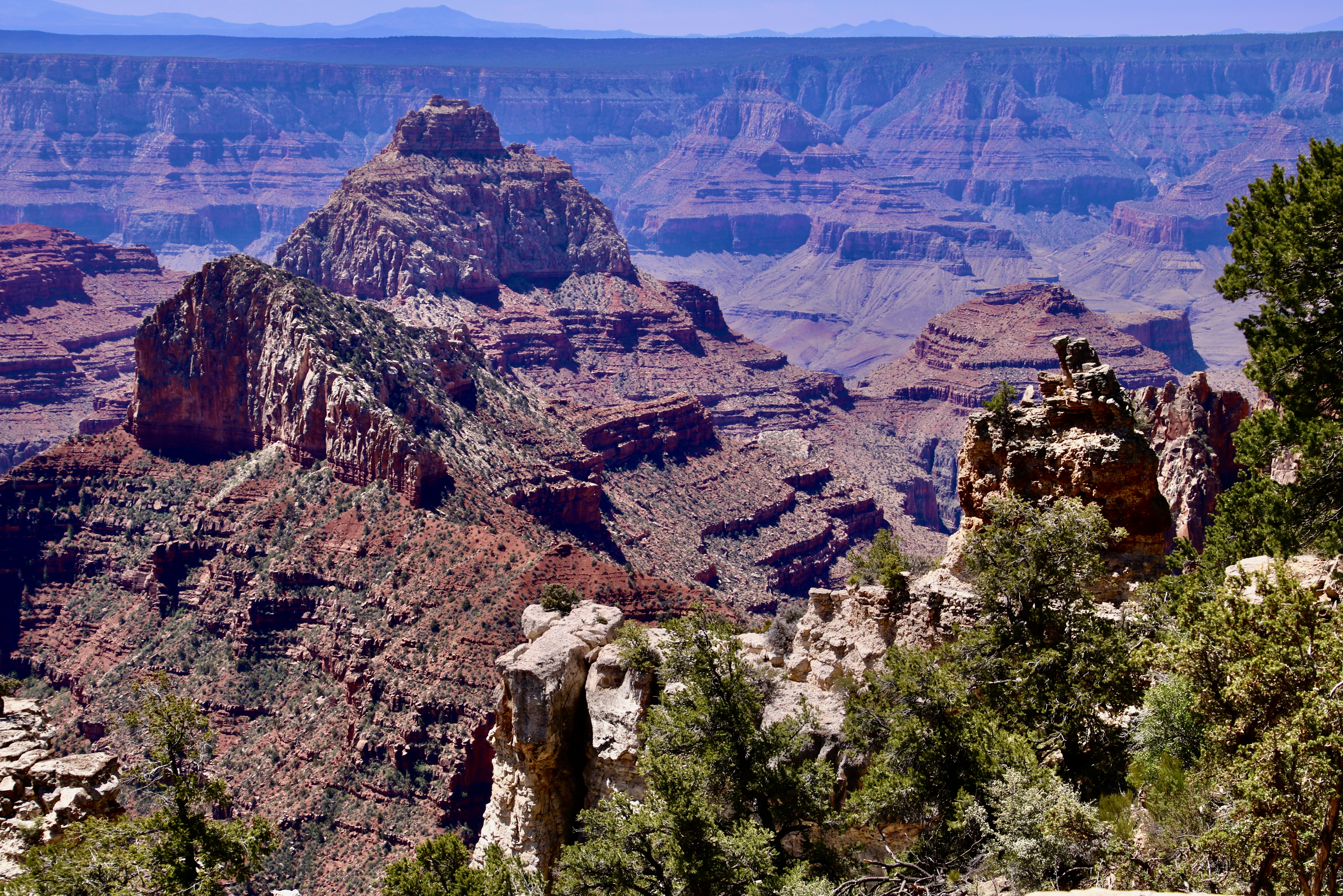
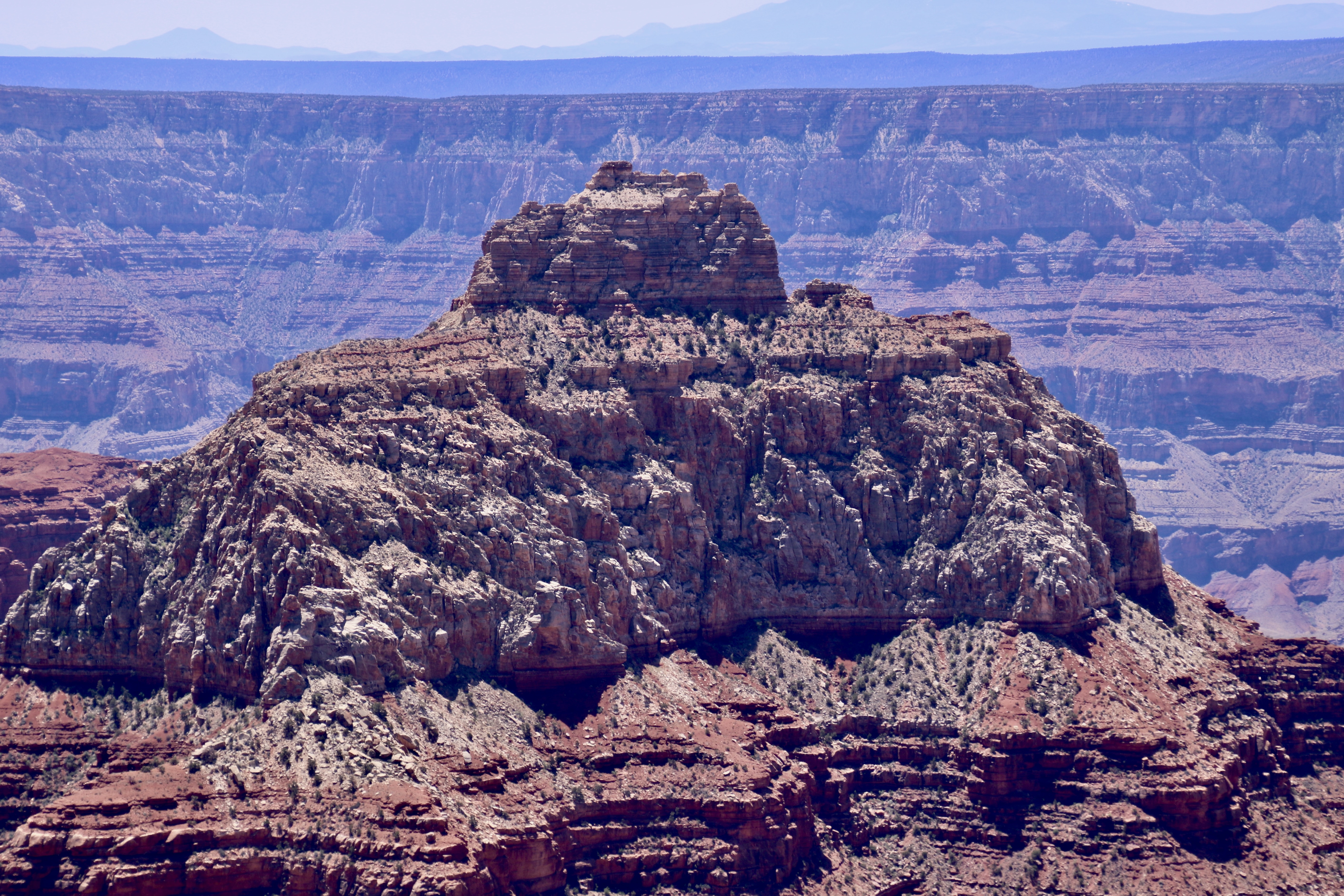
The five prominent landmarks we will visit in this post at Cape Royal will include Wotan’s Throne, Vishnu Temple, Freya Castle, Wahalla Overlook, and Angel’s Window. As you have probably noticed, all of these names are based on mythological themes. We can thank Clarence Dutton for that, an early geologist who felt Vishnu Temple resembled an Eastern pagoda and began the tradition of providing such names to the other rock monuments throughout the Canyon. Vishnu is a major Hindu deity; Wotan is the supreme Germanic deity; Freya was a renowned Norse goddess; Walhalla (Valhalla) was the hall in Norse mythology where the souls of heroes slain in battle were received. And angels are, um, angels?
Let’s get started. All of the photos were taken by either Peggy or me.
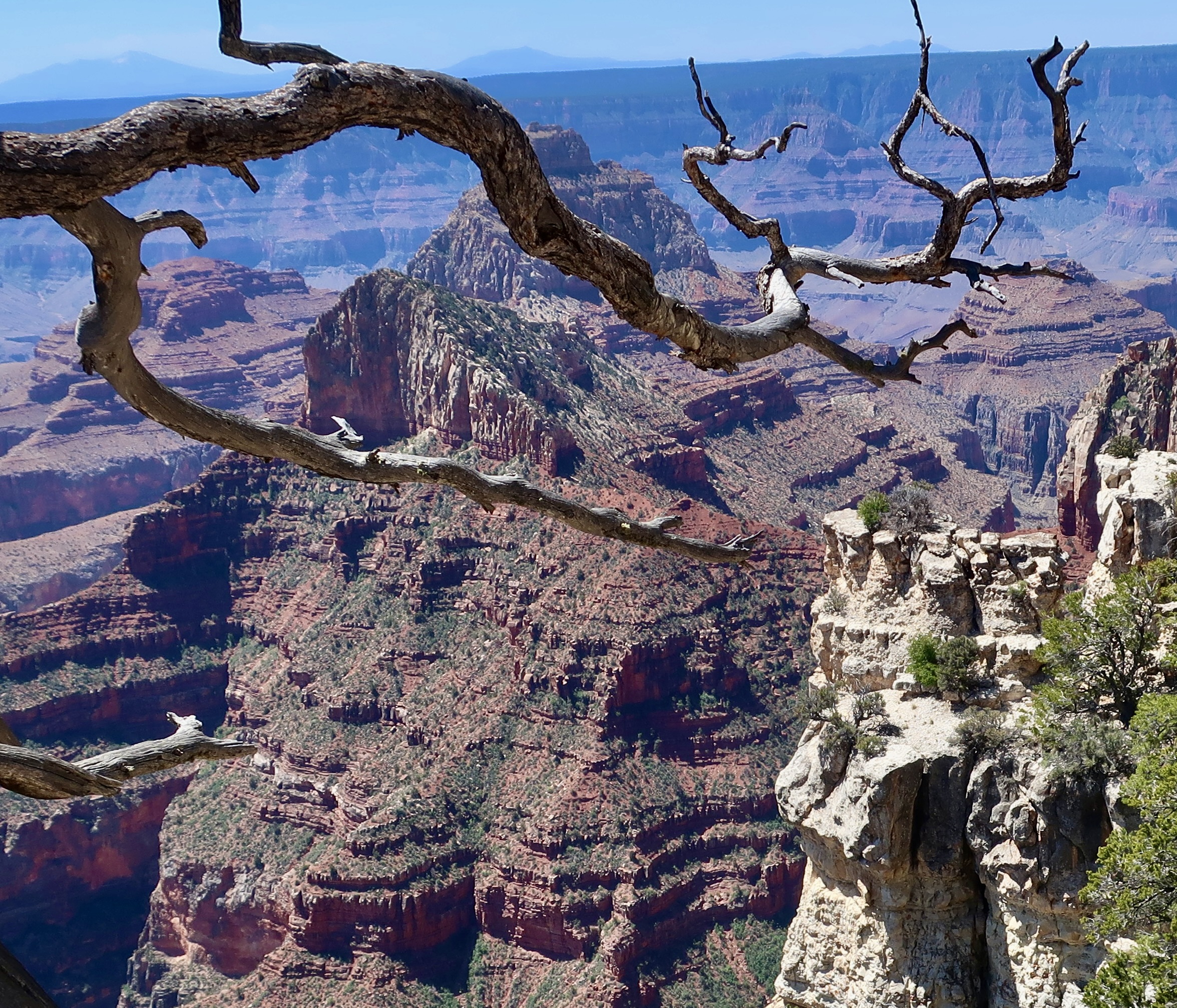
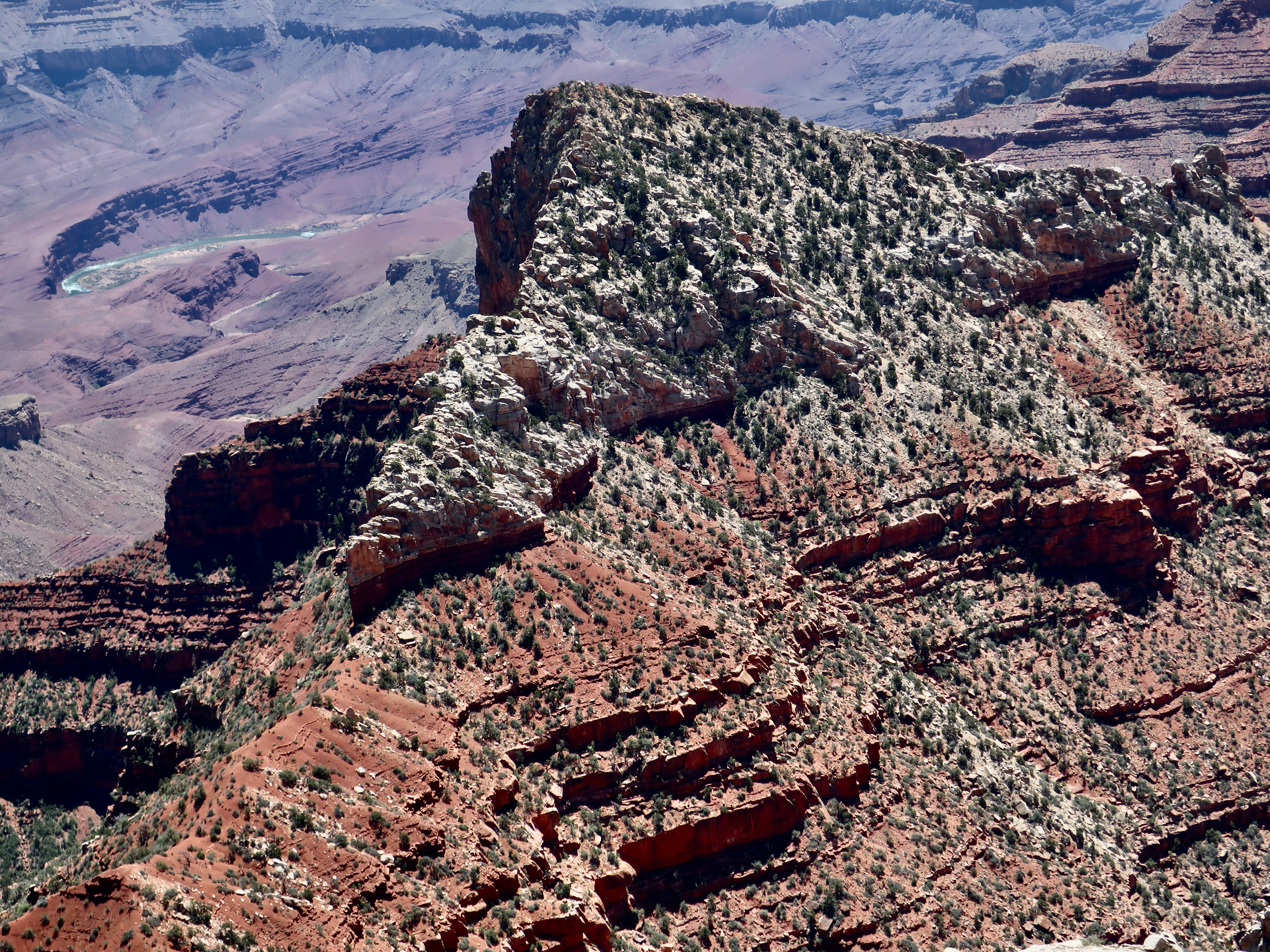
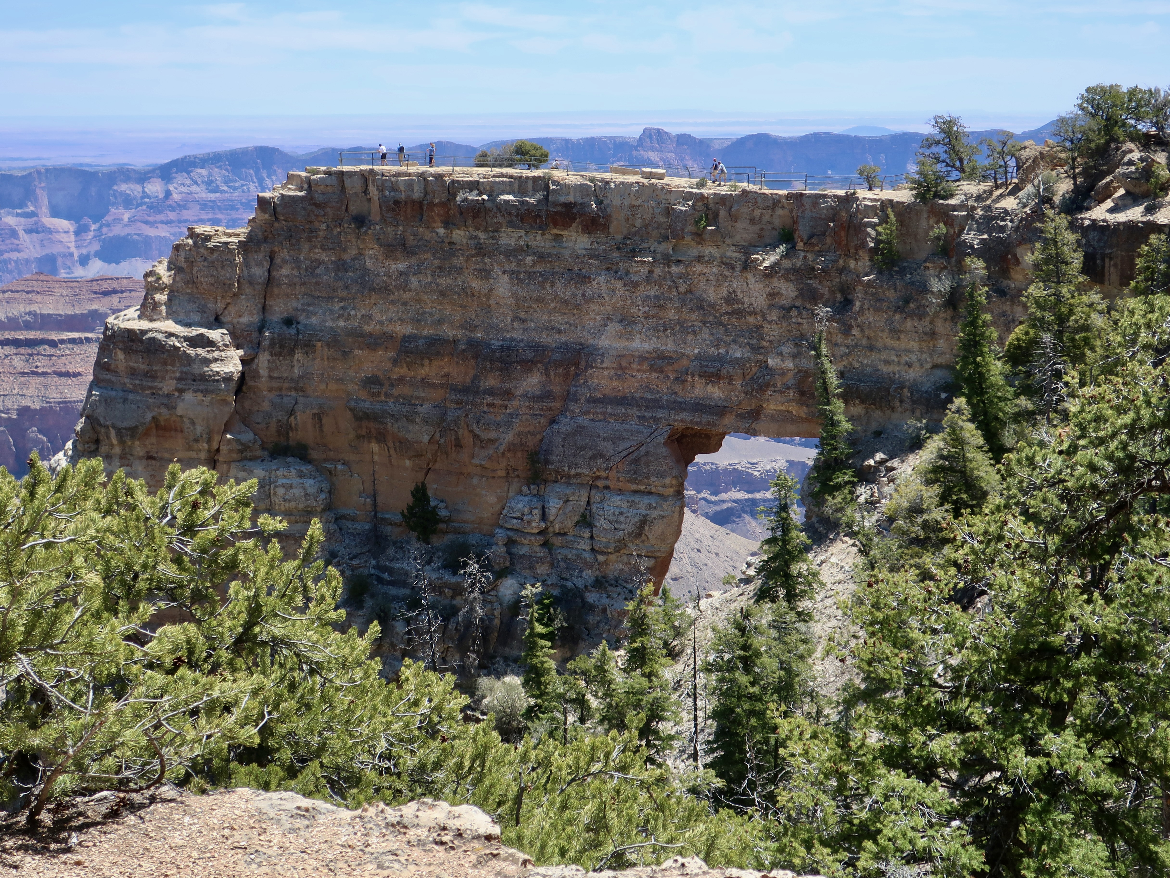
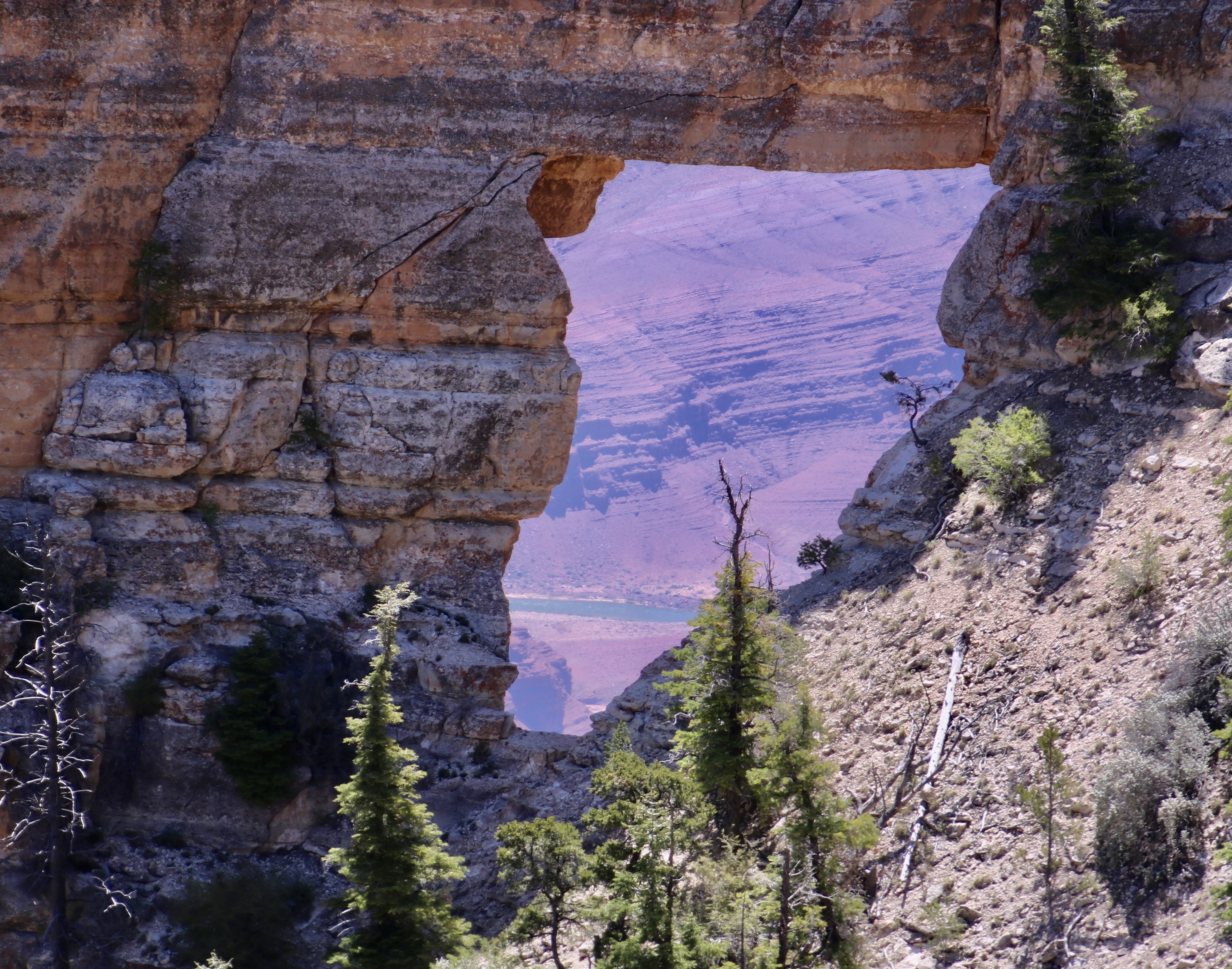
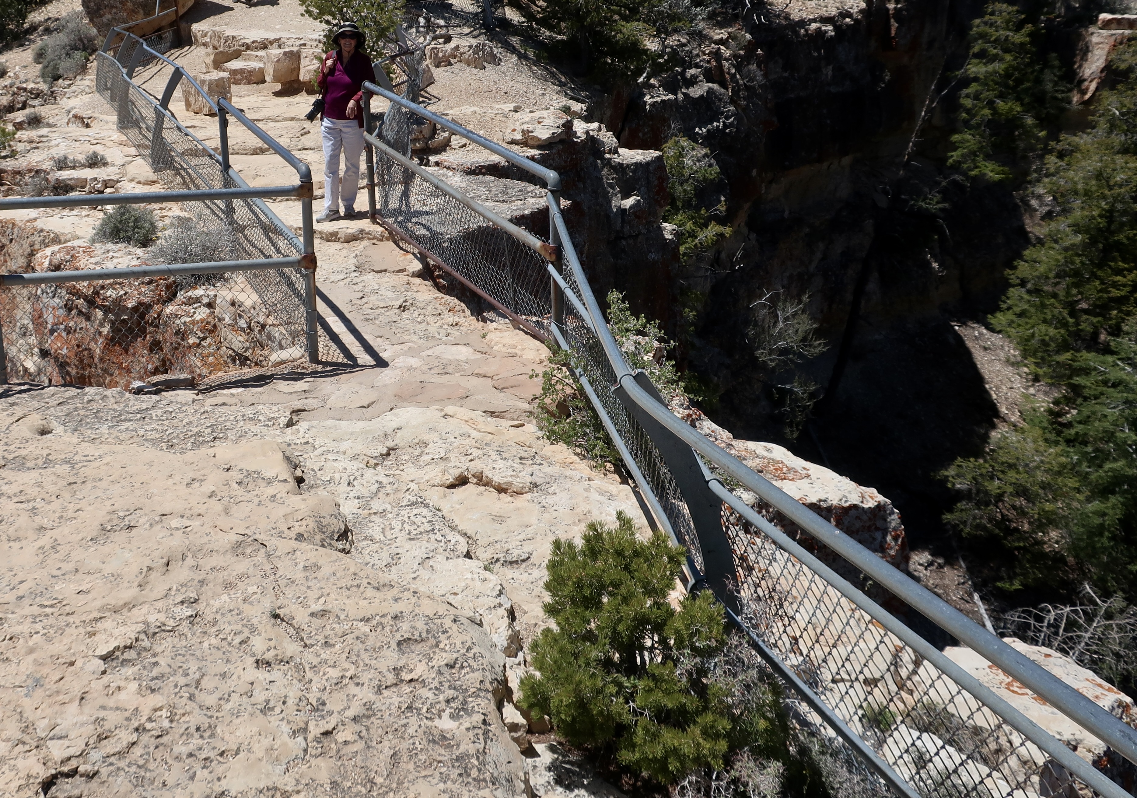
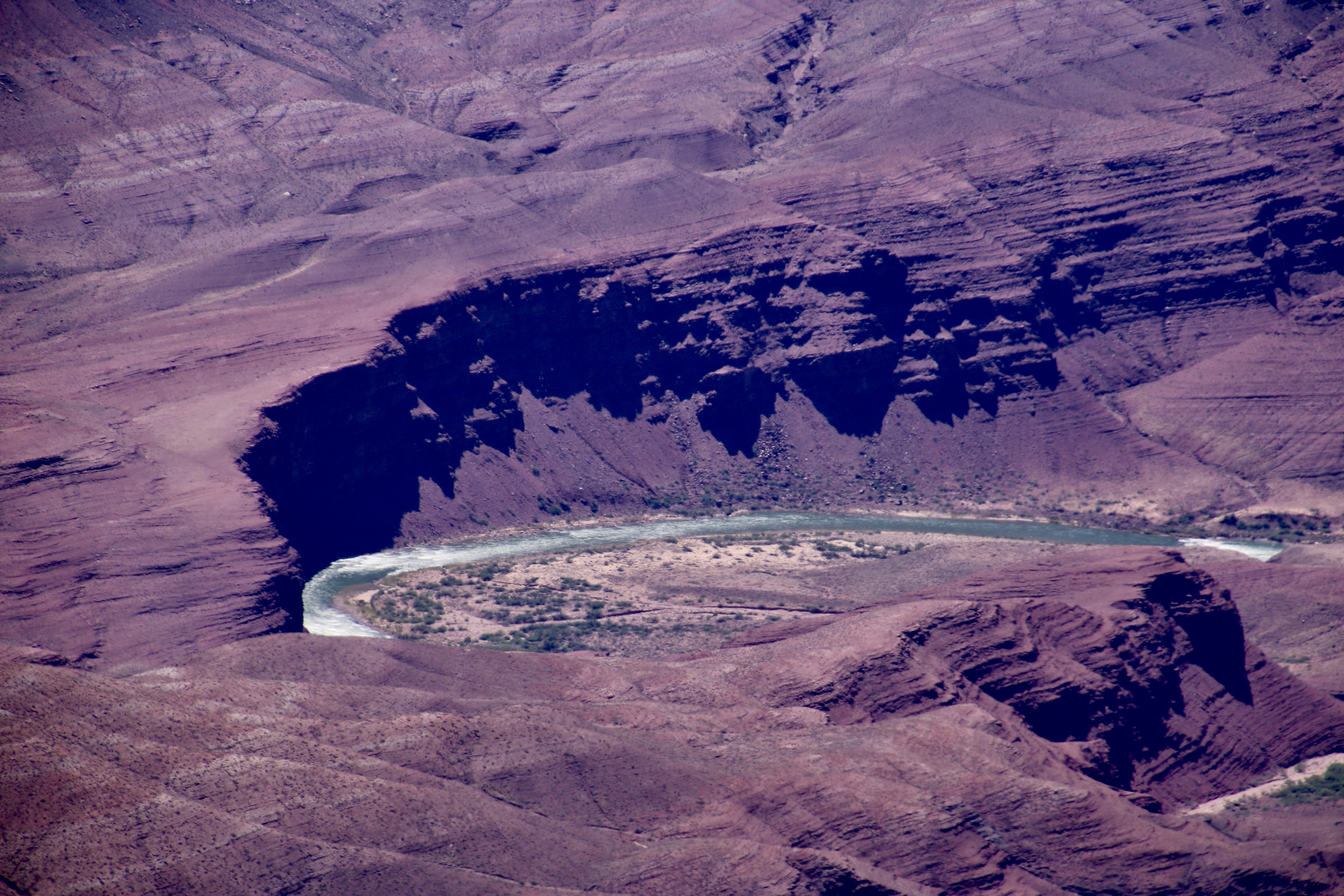
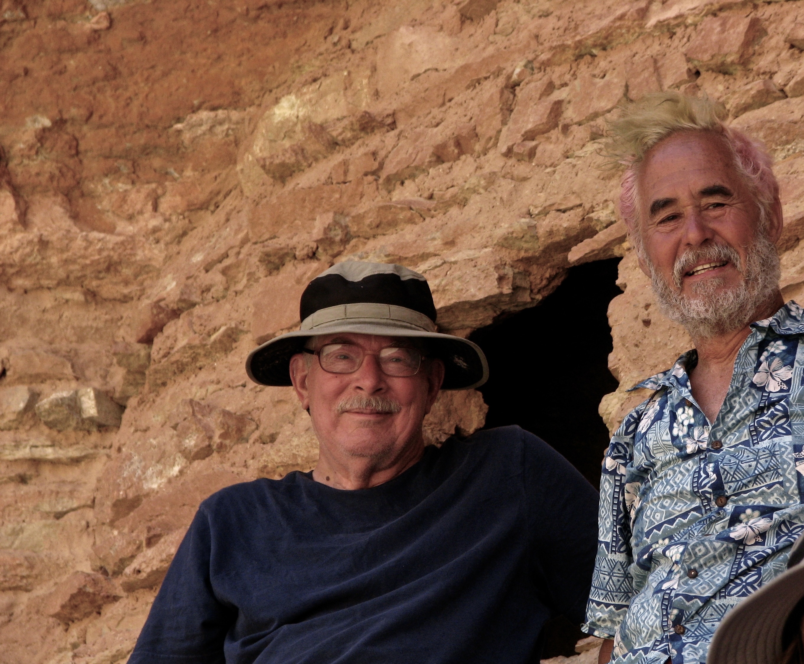
Another perspective on Wotan’s Throne.View of Vishnu’s Temple. Freya’s Castle is in front of the Temple.A close up of Vishnu’s Temple. Freya’s Castle and Vishnu’s Temple from the perspective of a tree.Close up of Freya’s Castle.Angel’s Window with people standing on top. You can actually see the Colorado River through the window.Peggy standing on top of Angel’s Window. Peggy’s view down.This is the view from the Walhalla Overlook. The Unkar Delta on the Colorado River can be seen in the far distance. An information sign at the overlook noted that “ancestral Puebloan farmers 1100 to 800 years ago made the journey from rim to river and back on a routine basis, spending summers farming on the rim and most of the rest of the year farming in the Canyon.”A closer look. Note the rapids. We worked our way through them on our trip down the Colorado River in 2010. We also stopped to check out a storage granary the Puebloans had located high up on the cliffs. Tom Lovering and I at the Puebloan granary. I had the permit for the 18 day trip, and Tom, an accomplished river runner, had led it. Tom, as you may recall, along with his friend Lita, joined us at Point Reyes National Seashore a few weeks ago. Tom colored his hair green for the trip. (Photo by Don Green.)Peggy, climbing up to join us at the granary, looking quite adventuresome. That’s it for the day. Our next post will continue our visit to the North Rim.
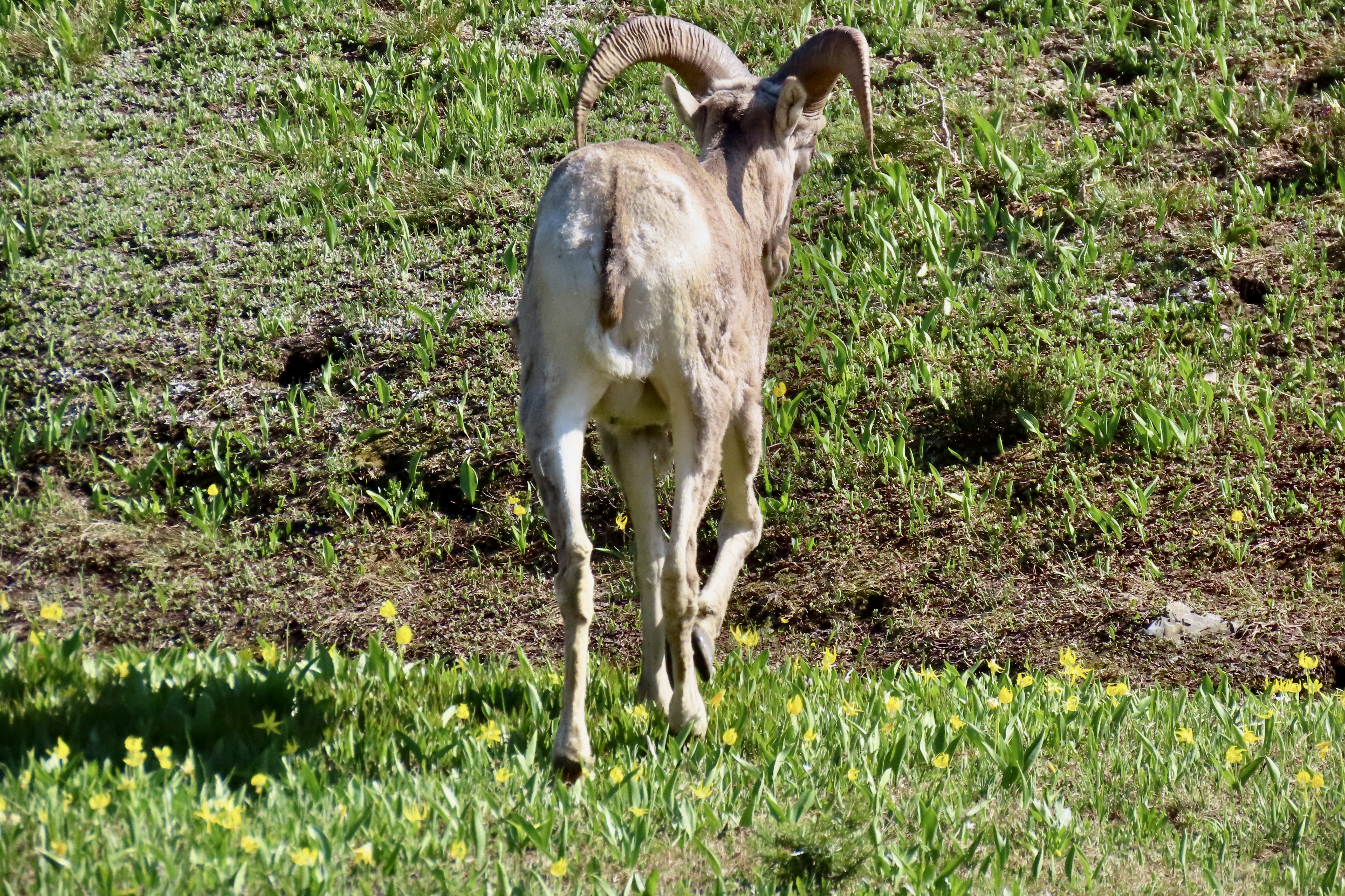
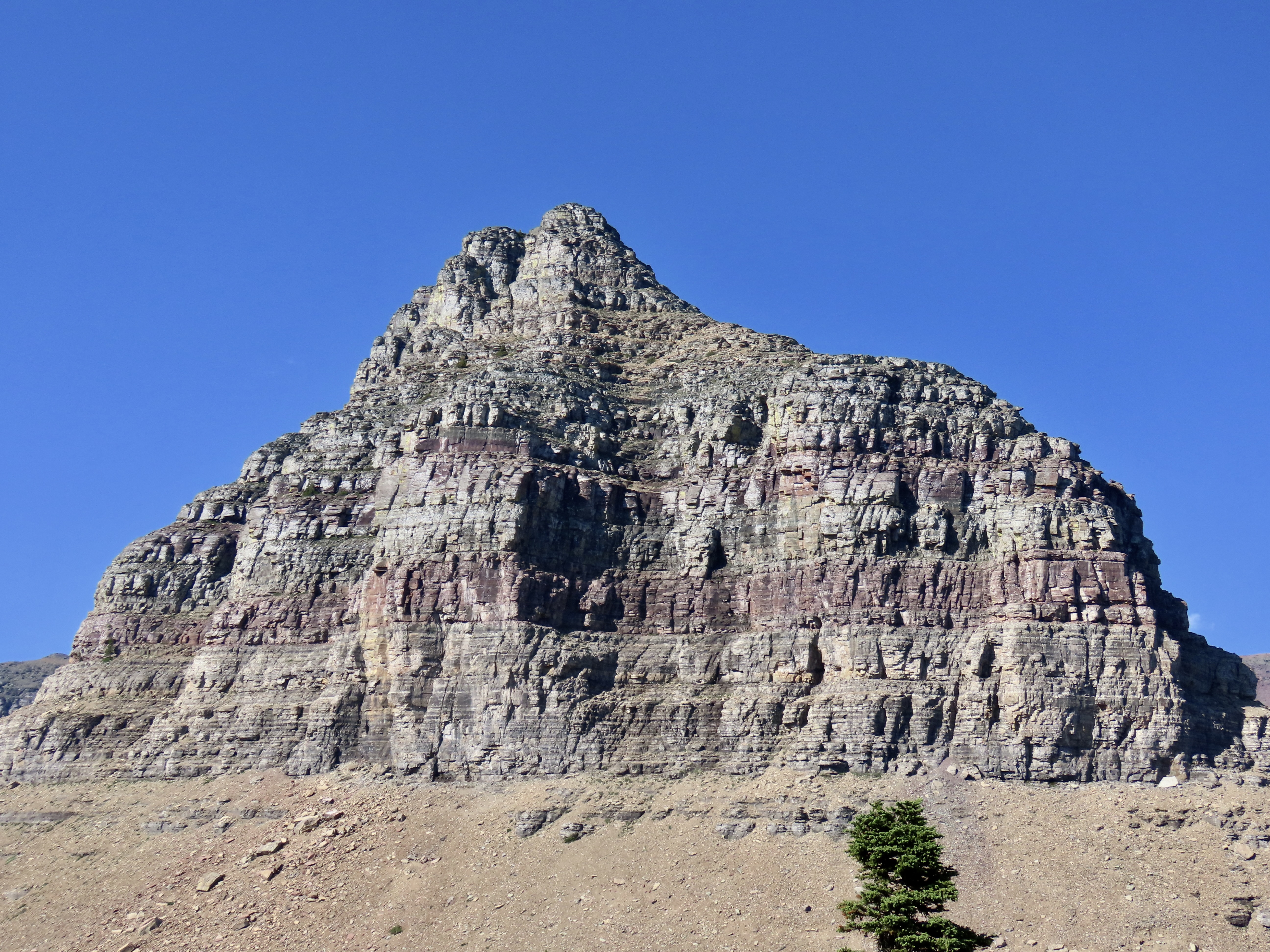
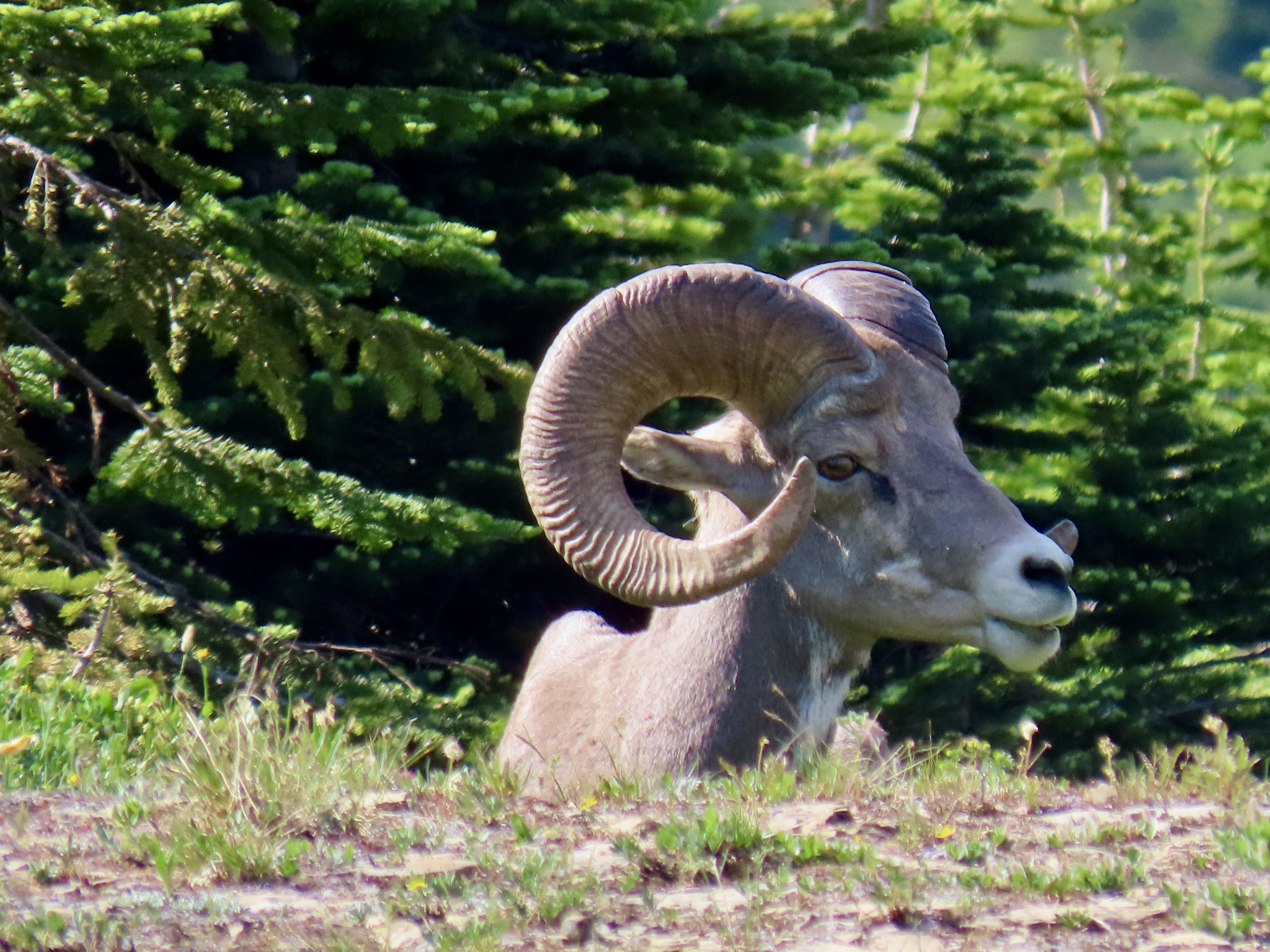
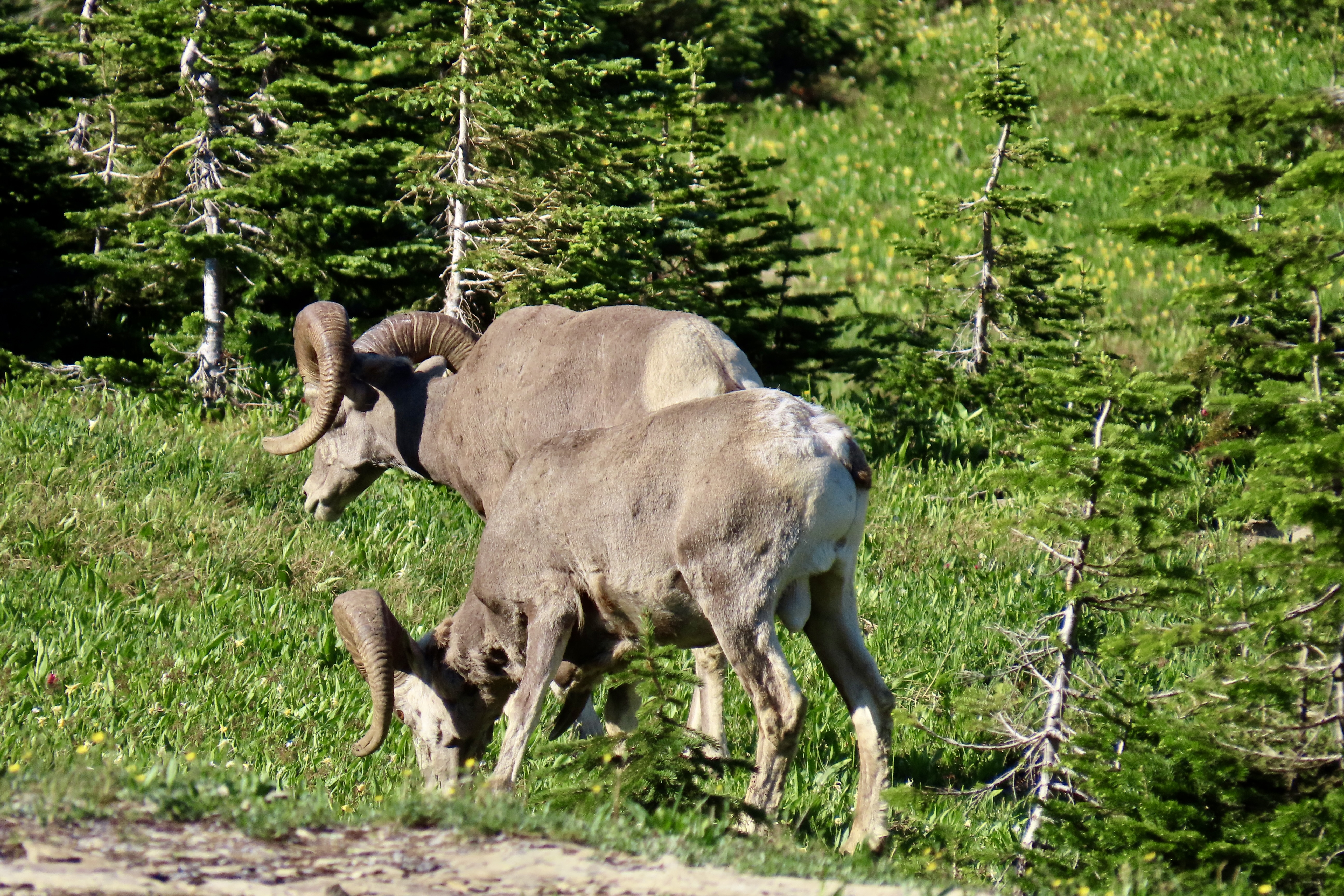
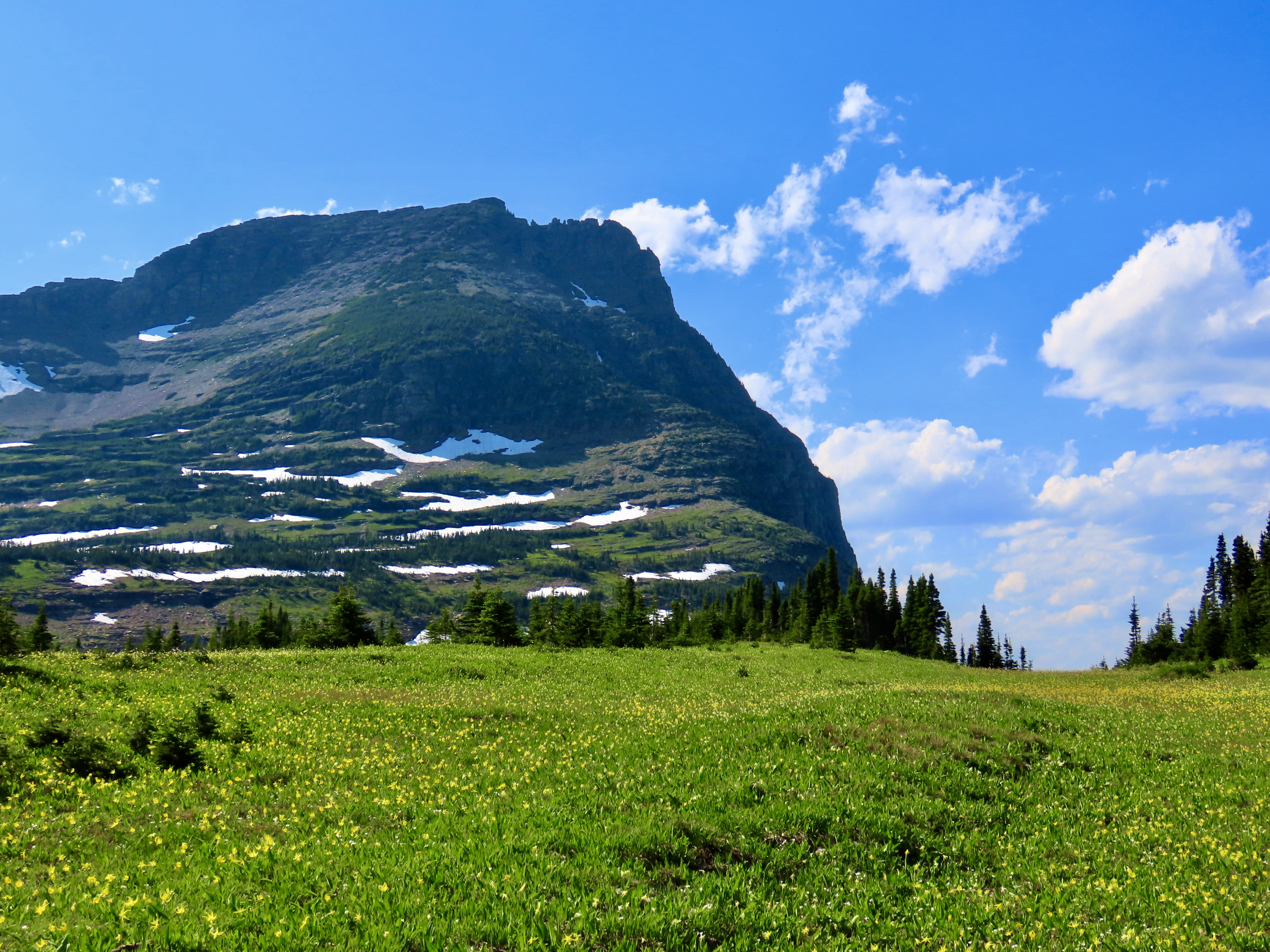
High Mountain meadows often come filled with flowers, streams, snow, distant views, and occasionally a surprise, like these two big horned sheep.
Logan Pass, at 6,646 feet (2,026 m), is the highest point on Glacier National Park’s Going to the Sun Road. It’s located on the Continental Divide. From the pass, water either flows eastward to the Atlantic or westward to the Pacific. On the park’s Triple Divide Peak, water has a third option: The Atlantic, Pacific, or Arctic Ocean! Imagine the adventure you could have following any one of these rivers to its destination.
The real charm of Logan Pass for us is its meadow, however. The visitor’s center on the pass has a trail that leads out from the back of the center and makes its way to Hidden Lake for a three mile roundtrip, much of which is on a boardwalk. The views along the way of both the meadow and the surrounding mountains are spectacular. There is a chance you will see big horn sheep, Rocky Mountain goats, and even grizzly bears. The last time Peggy and I visited the park we were entertained by a grizzly… at a distance, thank you very much.
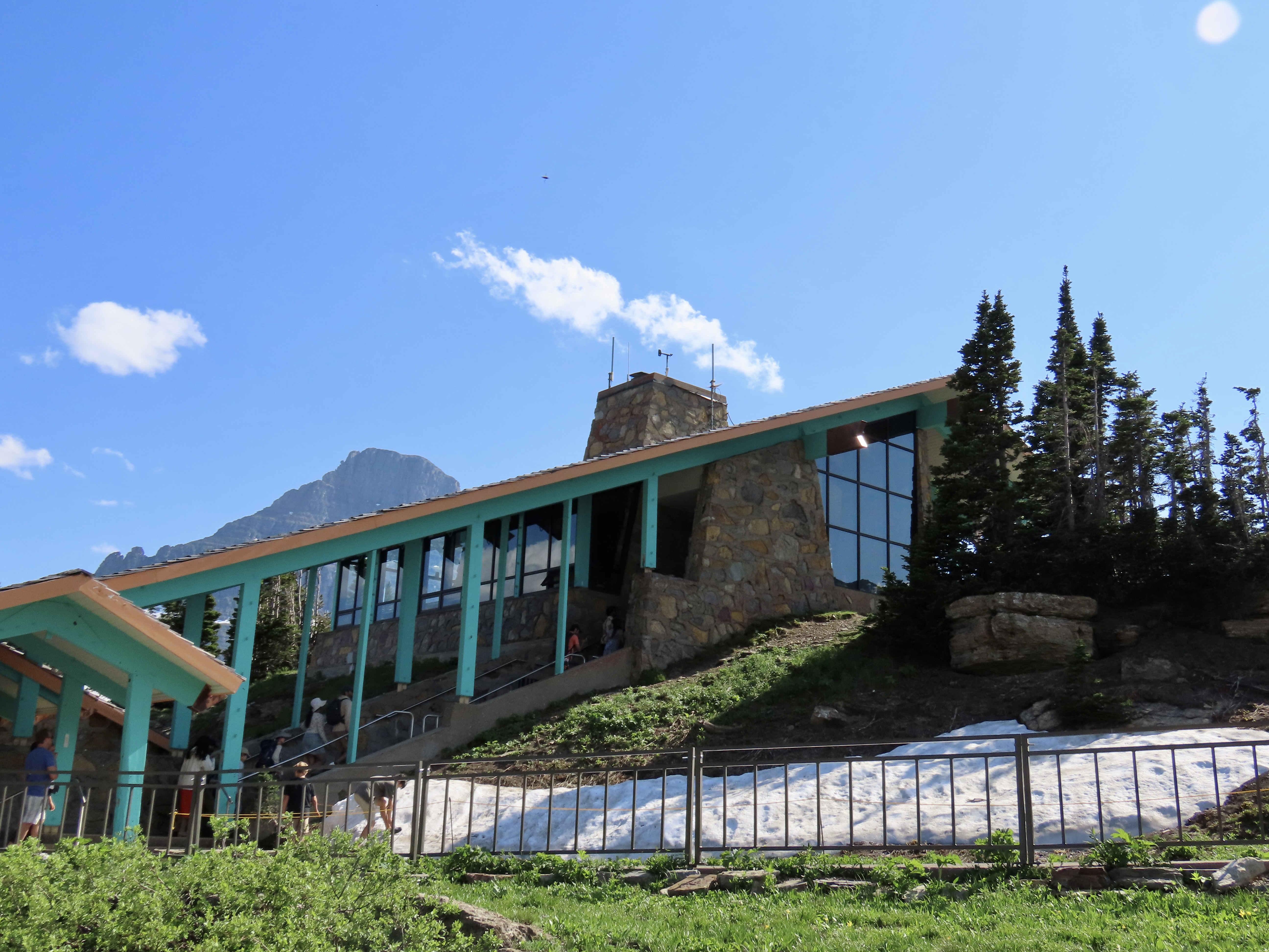
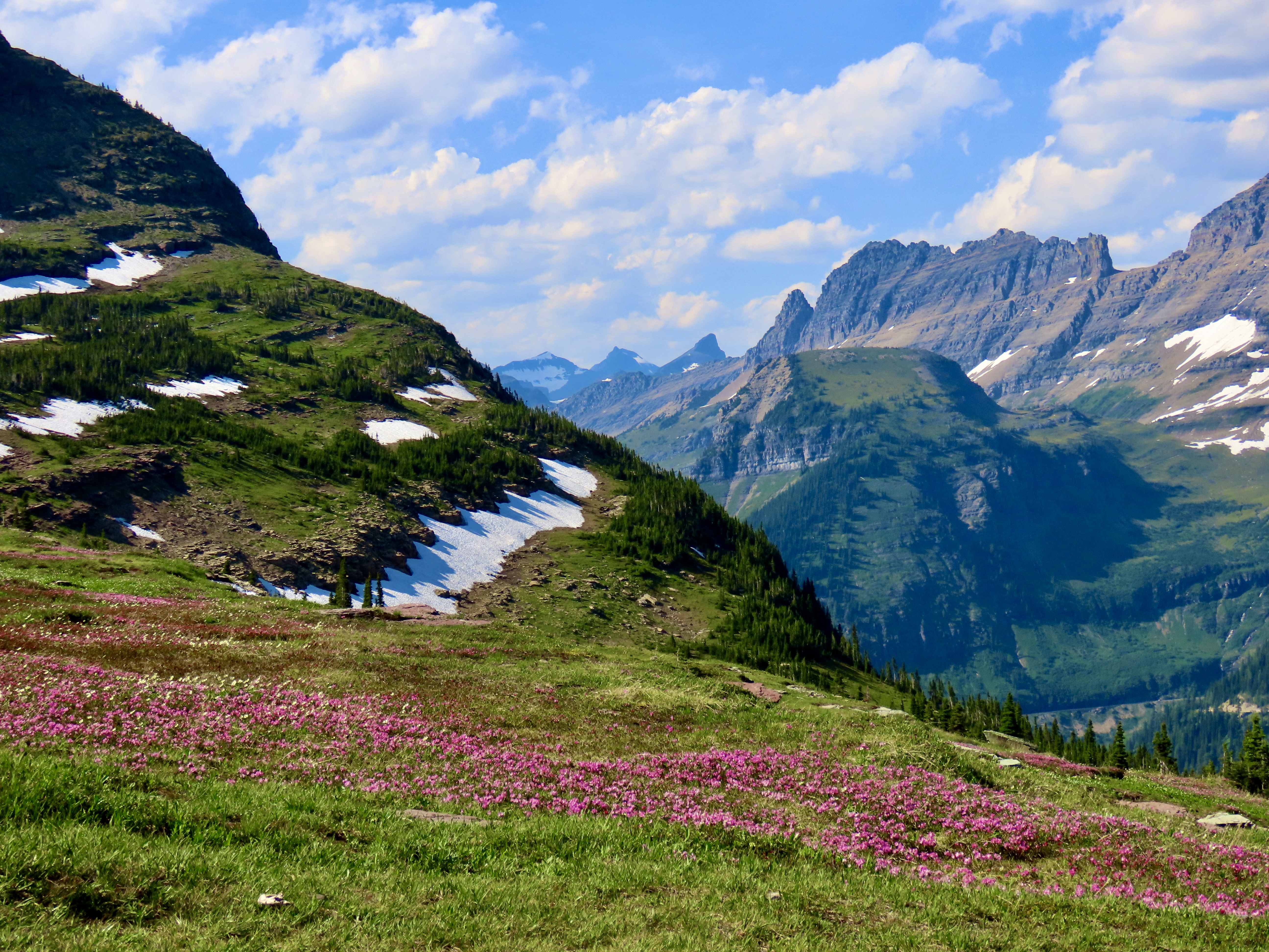
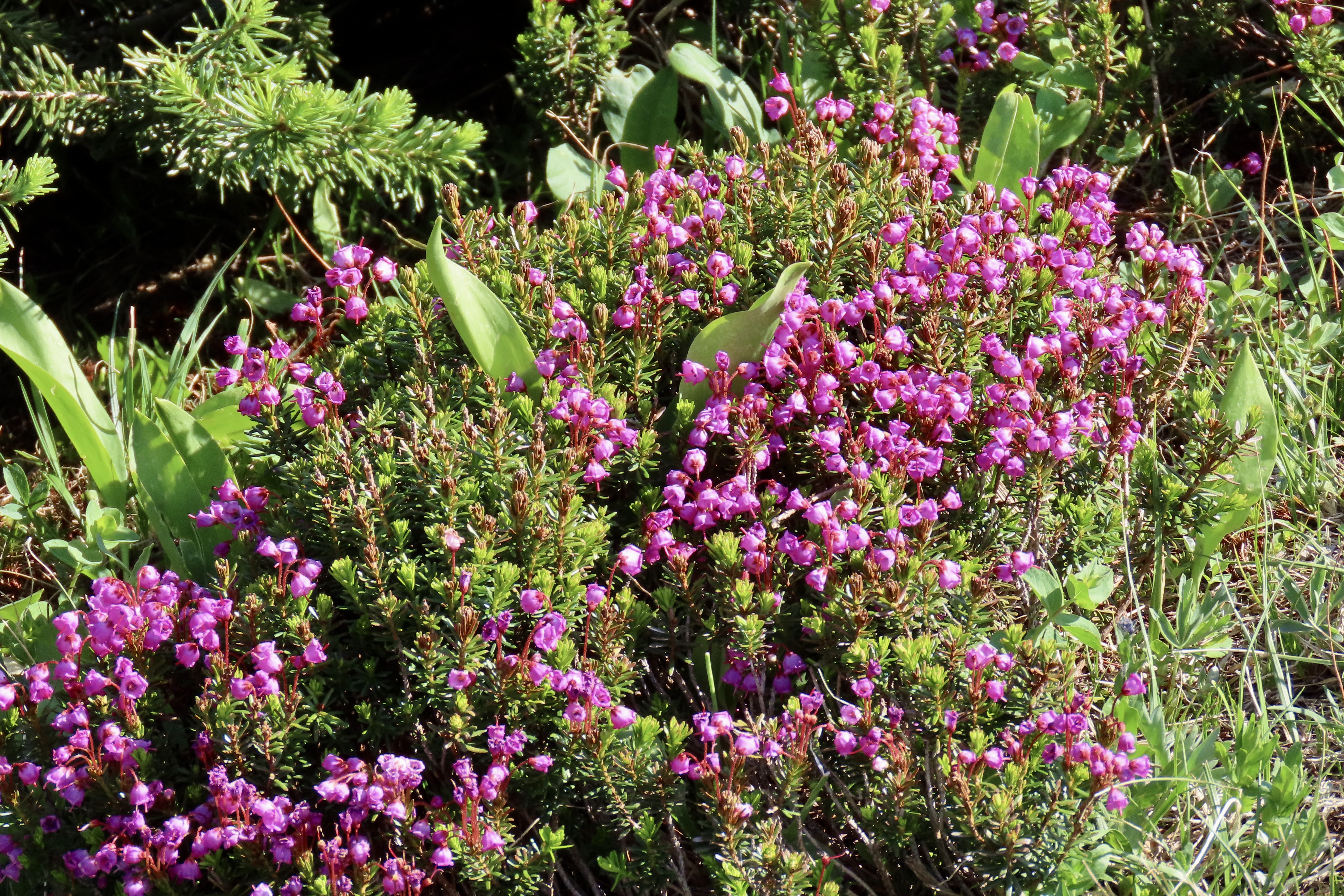
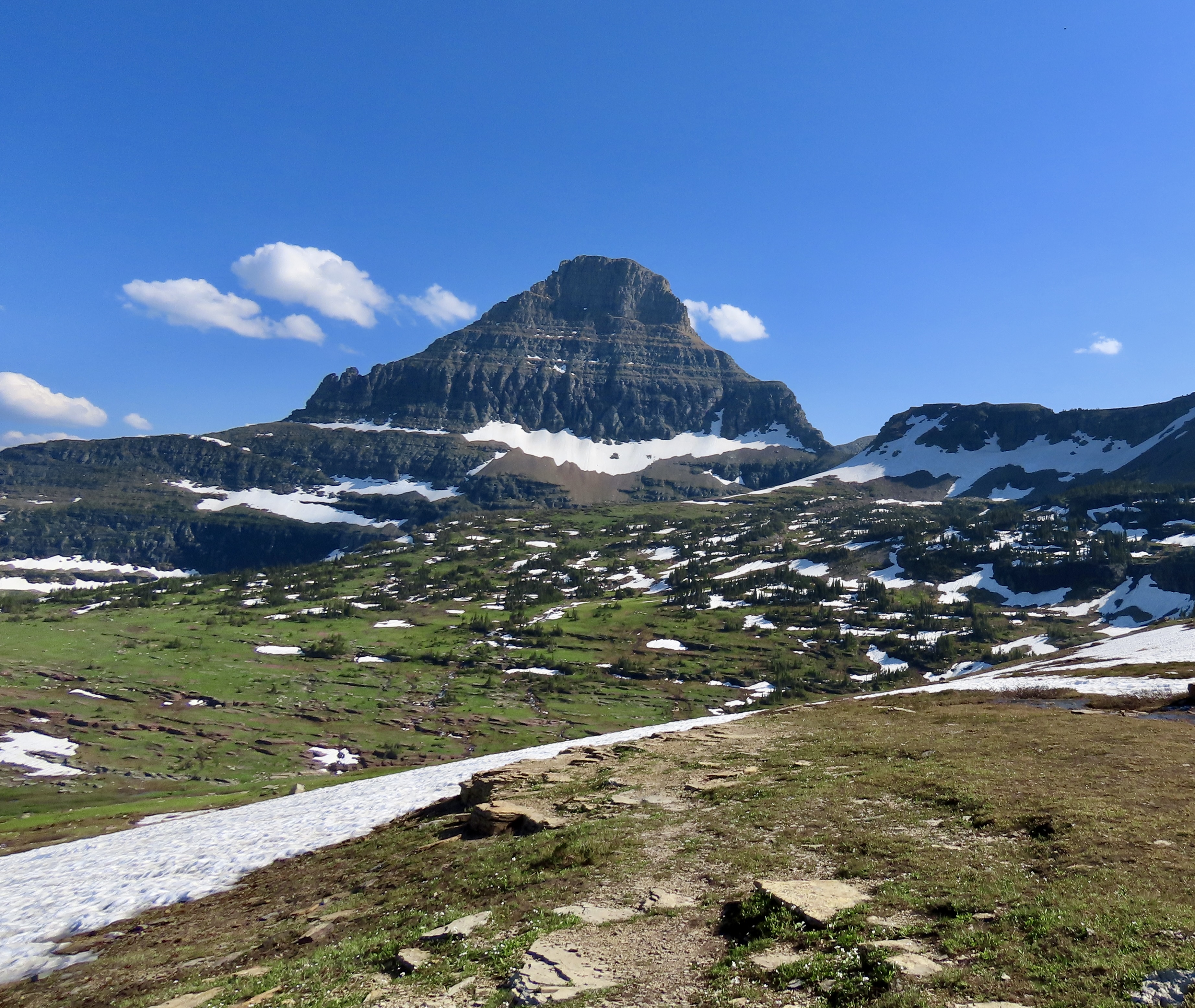
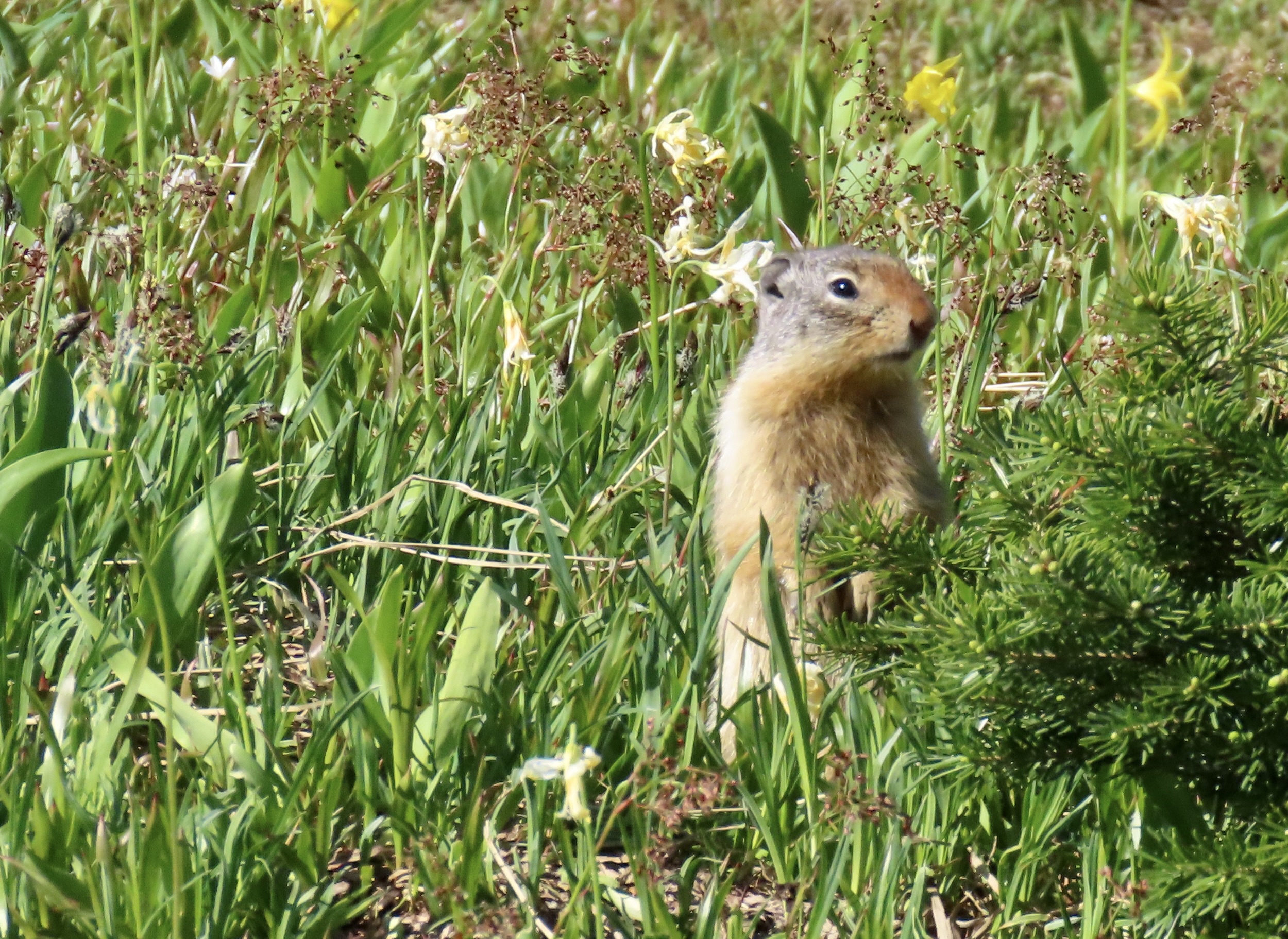
The Logan Pass Visitor Center is designed to fit into the landscape. Windows provide enticing views of the surrounding scenery. While we visited Glacier in Mid-July, the elevation of the park combined with its distance north meant it was more like late spring at the pass than mid summer. Thus the snow.The boardwalk leading out to Hidden Lake behind the Logan Pass Visitor’s Center. It’s a relatively gentle trail taken by a wide variety of people. Squishy snow along the way, this time, made the hike more difficult. It was the kind that encourages one to end up on his or her butt if not careful. At least it made for a soft landing plus served as natural air-conditioning on a warm day. Peggy decided to test the theory by sliding down one of the steeper embankments on her tail rather than walk down it. She laughed the whole way.Pink mountain heather adds a splash of color to a mountain view at Logan Pass.A close up of the mountains…A close up of the heather.Bear Hat Mountain overlooks Hidden Lake.We were hiking along the boardwalk when a young big horn sheep decided to join us, or at least cross our path. He was still shedding his winter coat.And go on his way. The yellow flowers, BTW, are glacial lilies. A ground squirrel decided to check us out.We continued to admire the mountains that surrounded us.The melting snow guaranteed that there were small streams with different personalities everywhere.While we missed seeing a grizzly or Rocky Mountain goats on the pass, big horn sheep made up for it.This pair of big males kept their distance.Fortunately, our telephotos allowed us a closer look.Since we had a late start, we didn’t hike all the way up to Hidden lake, which we had visited before. We stopped on our way back down to take another photo of the big horn sheep. They were moving on as well. A surprise awaited us at the parking lot…Bigfoot! Darn, that guy gets around. I think he squished our truck.On another day, Peggy and I did make it over to the eastern side of Glacier National Park where we kayaked on Upper Two Medicine Lake. It was a windy day. Peggy caught a photo of me admiring Sinopah Mountain.
That’s it for glacier. Our trips up the Rhine and Nile Rivers interfered with posts on our visits to the North Rim of the Grand Canyon, Mesa Verde NP, Big Bend NP, and Theodore Roosevelt NP, so we are adding them to this National Park series starting with the North Rim of the Grand Canyon next week.
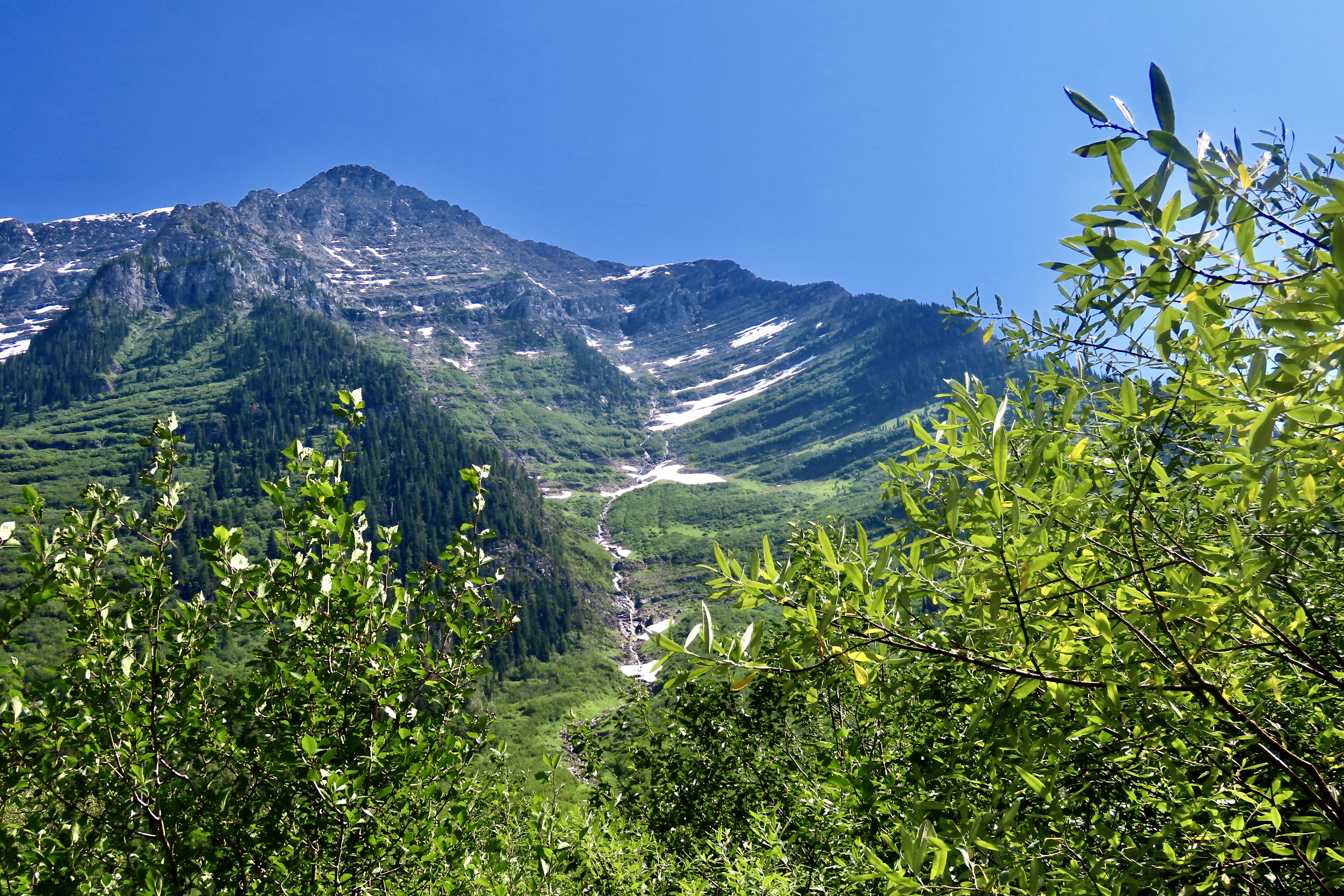
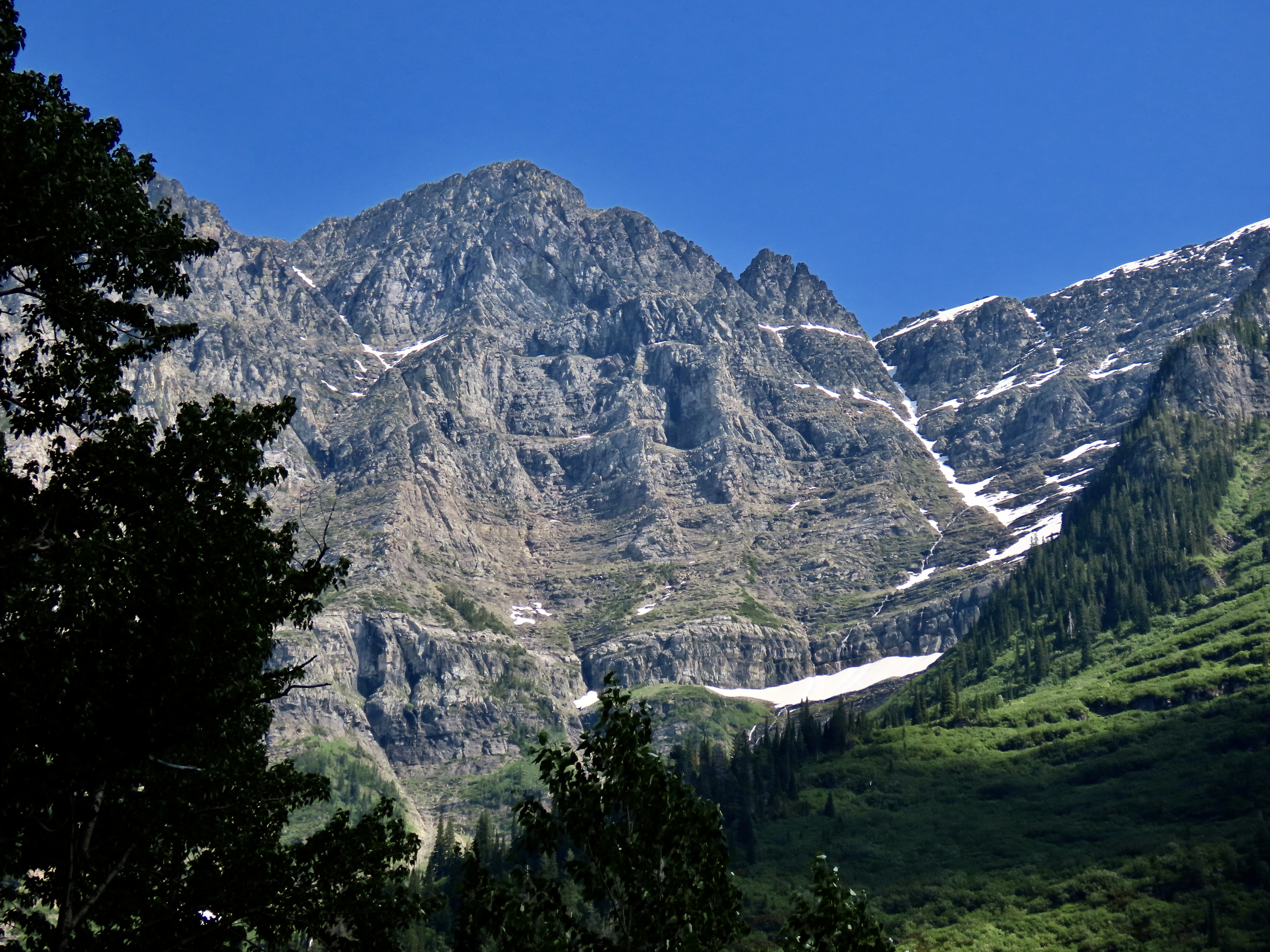
Glacier National Park’s Going to the Sun Road is packed with views like this. Each corner brings a new sight. Whether it is rugged mountains, water cascading down rocks, or high mountain meadows, the road is guaranteed to create a sense of awe.
Peggy and I know a bit about scenic roads. Over past 25 years we have traveled over a quarter of a million miles exploring many of the most beautiful highways America and Canada have to offer. Some, several times. One thing that we have learned is that determining most scenic is incredibly hard. How does one compare driving through the desolate beauty of Death Valley with the rugged wilderness of the Yukon? We both agree, however, that the Going to the Sun Highway in Glacier National Park would be near the top of any list we might compose.
Note: All of the photos in this post were taken by either Peggy or me unless otherwise stated.
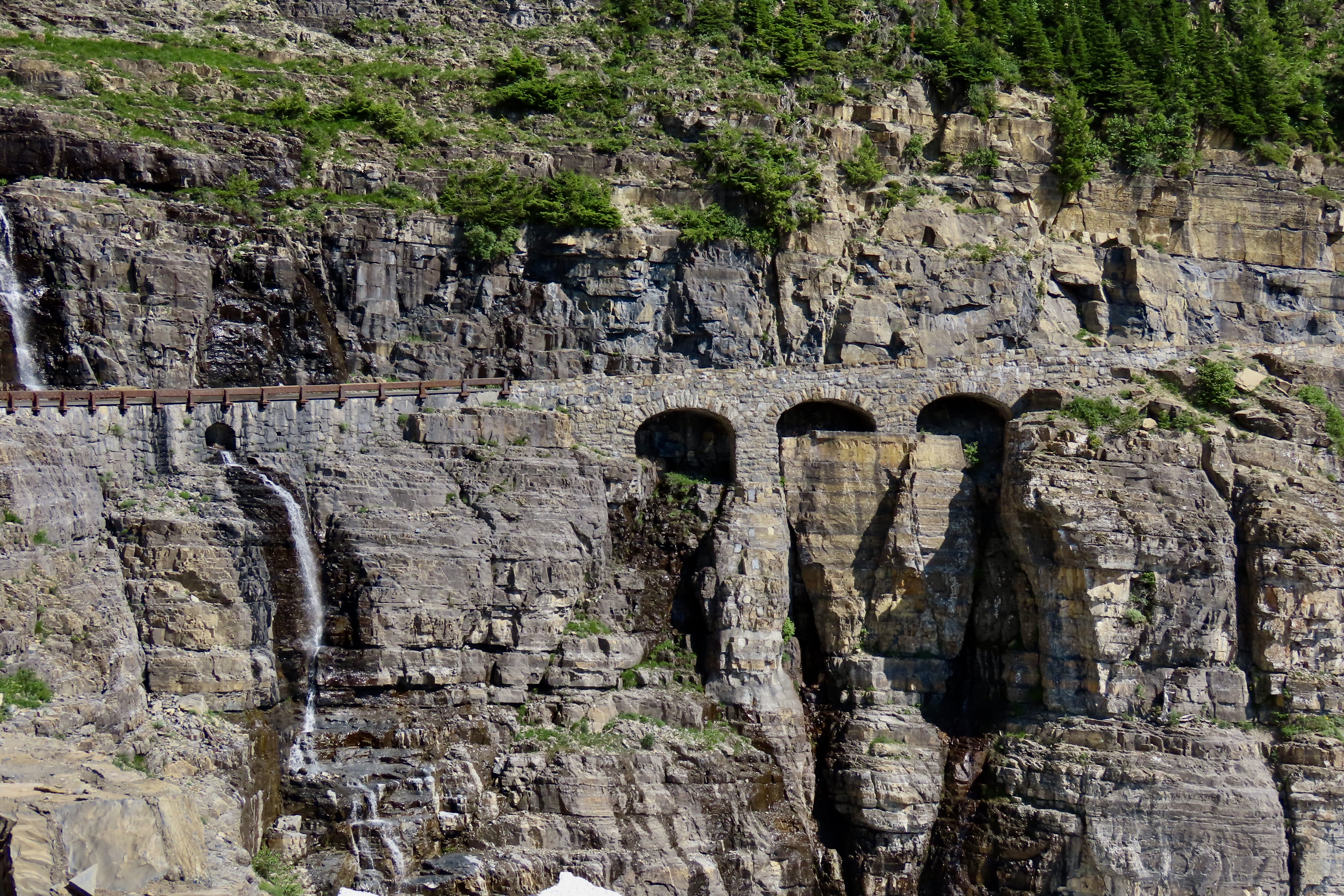
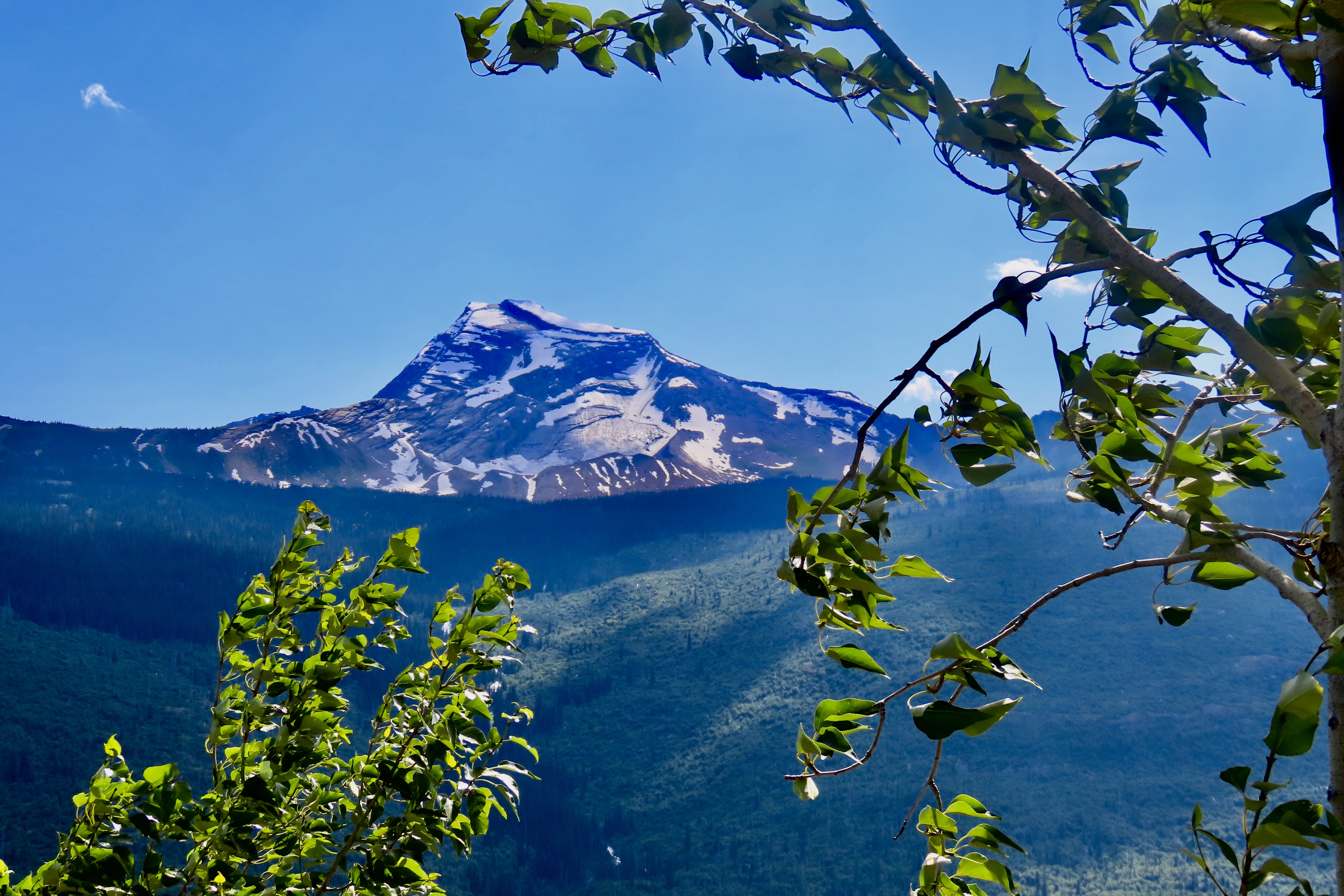
What’s not to love about water cascading over rocks…Or high mountain meadows.The narrow Going to the Sun Highway is a marvel in and of itself, working its way around steep curves and along cliffs with sheer drops, as shown in the photo above. Three Arches is on the right and Haystack Falls is on the left. Driving over it is not for the faint hearted! Neither is it for RVs.
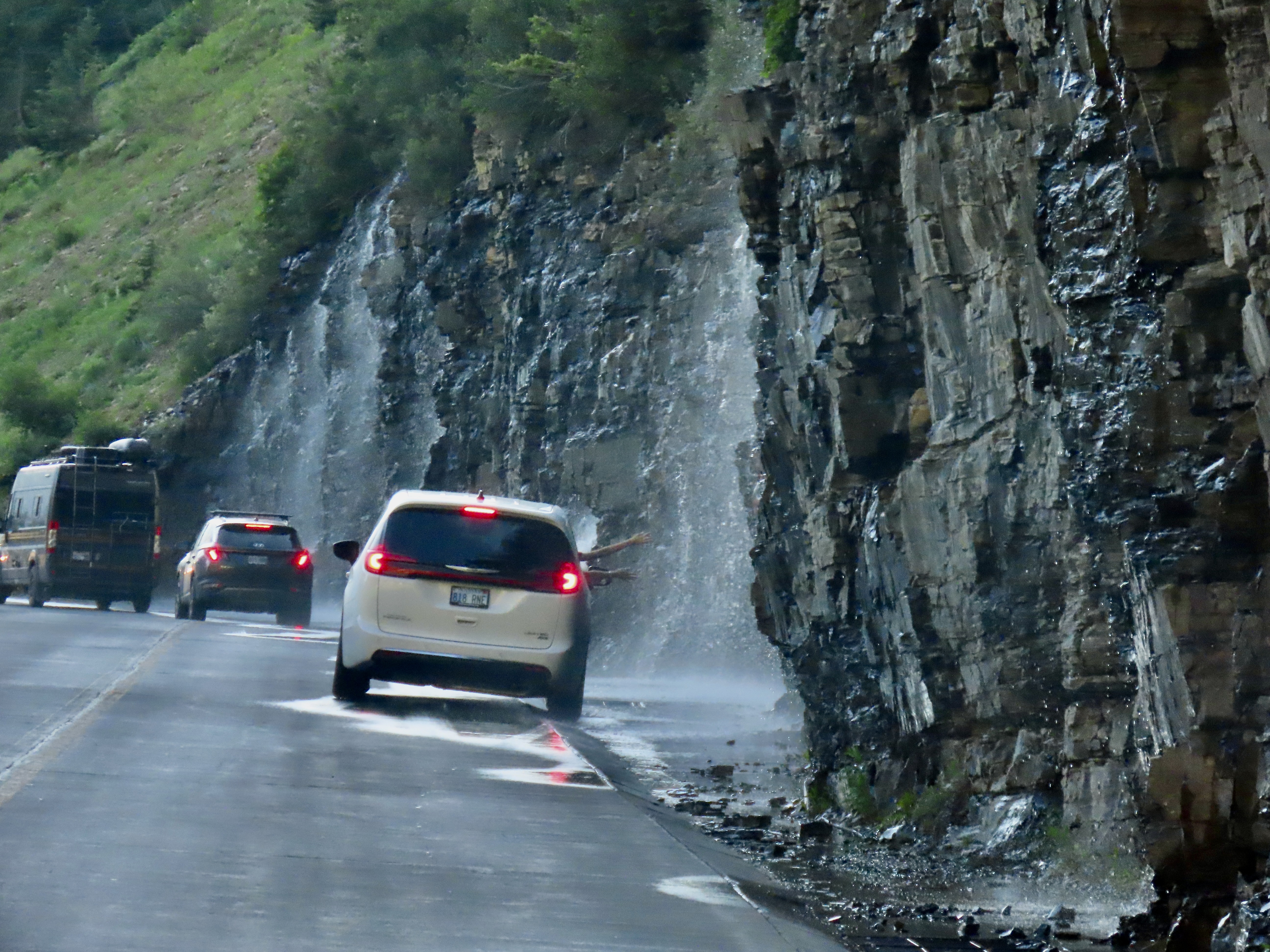
By designing the road to have minimum impact on the surrounding environment, using local materials, and building it to feature some of the park’s most scenic views, the highway became a model for building roads in future national parks.First funded in 1921 by Congress, highway construction took place throughout the 20s. Franklin Roosevelt’s New Deal Program took over in the 30s finishing the road. Here, Civil Conservation Corps members carry a telephone cable over Logan Pass in 1938. Both Peggy’s father and mine worked for the CCC during the 30s, giving them employment options they may not have had otherwise in the Great Depression. (This photo is from the National Archives.)We began our journey up the Going to the Sun Road on the western side of Glacier NP. We were camped about five miles away. The total length of the road is 48 miles. We drove up to Logan Pass, 30 miles from the entrance, and back. Entering from the west requires a permit between 6:00 AM and 3:00 PM in the summer to control numbers. It’s best to get your permits before heading to the park. They are offered 120 days in advance. Day of permits can be purchased the day before starting at 7 PM, but they go fast, often within minutes. Not having a permit, we opted for the after 3 PM entrance.The Going to the Sun Road makes a leisurely trip along the edge of Lake McDonald and McDonald Creek before beginning its climb up toward Logan Pass.We took this and the following photos along the lake and river.In our eagerness to get up the mountain we missed taking photos of McDonald Lake and Creek on our way up, but we did capture some rapids and McDonald Creek Falls on our way back to camp. It was close to sunset.Our first stop going up the road was to admire this mountain.As one might expect, glaciers are a key feature of a National Park named Glacier. Unfortunately, they are melting. Global warming has reduced their numbers from around 86 in 1850 to 26 today. The Loop, a major hairpin turn, and the narrow West Tunnel added more excitement to the already exciting drive up the western portion of Going to the Sun Highway.The Weeping Wall is one the Going to the Sun Road’s most well know features.People drive next to the Weeping Wall on their way down and stick out their hands. Peggy and I thought of driving next to it to give Iorek the pickup a well-needed bath. (But didn’t.)Pull offs above and below the Weeping Wall provided a number of scenic views including Haystack Falls.Haystack Falls above the road.And below the road.A smaller but colorful falls was a short walk away.The 490 feet tall Bird Woman Falls could be seen far across the canyon nestled in among the mountains.The mountains seen from the upper end of the Going to the Sun Road are magnificent.And finally the road (seen on the left) makes its way up to just before Logan Pass, which will be the subject of our next post.And, a final photo. We have been in St. Marys, Ohio the past few days wrapping up our trip by celebrating the 100th Birthday of Peggy’s namesake, Aunt Peggy. She is an incredible lady in the true sense of the word with a smile and a personality that light up a room. She’s shown here with water-color flowers she has painted. We attended the ceremony with Peggy’s brother John, his wife Frances plus 14 other relatives and at least 40 residents of Aunt Peggy’s Senior Living Center. The beautiful event was organized by Aunt Peggy’s daughter, Alice.
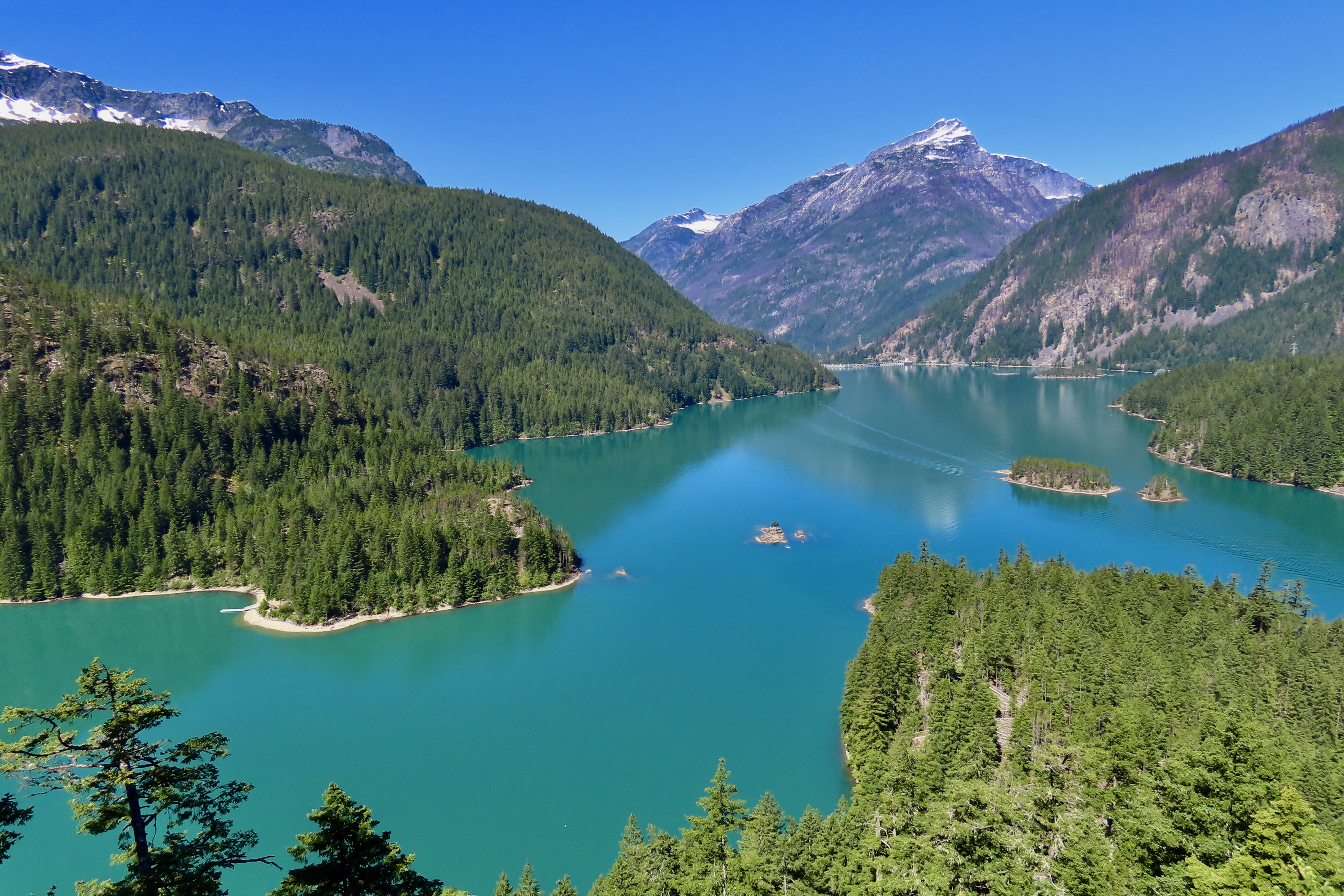
Diablo Lake is known for its beautiful teal-green waters and surrounding scenery. The water’s color is the result of tiny rock particles suspended in the water refracting light. The particles are created by the surrounding mountain glaciers grinding rock into what is called glacier flour. The ‘flour’ is then washed down to the lake by glacial streams. Having lived in Alaska for three years, I was quite familiar with the process. Here, Peggy is kayaking up the Thunder Arm of the lake toward Thunder Creek.
Peggy and my first trip through the Northern Cascades National Park was in 1999 as we marathoned north to join our friends Ken and Leslie Lake for backpacking and kayaking in Alaska. They were flying into Anchorage and we had promised we would be there to pick them up. A long trip up the Alaska Highway was ahead, so there was no time to tarry. We spent a night camping in the park where we were entertained by a banana slug and the beautiful surroundings.
A bright yellow banana slug makes its way along the forest floor. Some interesting facts about this unique creature are that they can grow up to 10 inches in length, which makes them the second largest slug in the world. They can zip along the ground at the amazing speed of 6 1/2 inches per minute. They are covered in slime which is an anesthetic. You can discover this yourself if you lick one. They breathe through their skin and their eyes are located on the ends of retractable antenna. The guy/girl above is looking around. Yes, guy/girl. They come equipped with both male and female parts and can mate with themselves. They prefer to mate with others, however, and that’s when their procreation activities get really weird. Enough said.
What we remembered most about the park— other than the banana slug— was Diablo Lake. Located in the heart of the park, its dramatic setting combined with the milky-teal color of the water is guaranteed to make a life-long impression. We vowed to return someday and kayak on the lake. A quarter of a century later, this summer, we finally accomplished our goal.
Diablo Lake is one of three reservoirs built by the power company, Seattle City Lights, to create the Skagit River Hydroelectric Project in the 1920s and 30s to provide electricity to Seattle. The lakes are Ross, Diablo and Gorge, shown on the map below. When it was completed in 1930, Diablo Dam at 389 feet (119 meters) was the highest dam in the world. (The highest dam today is the Jinping-I Dam in China at 1001 feet (305 meters)). Today, Seattle receives approximately 90% of its electricity from hydroelectric power. 20 % of it is provided by the Skagit River Hydroelectric Project.
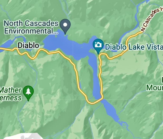
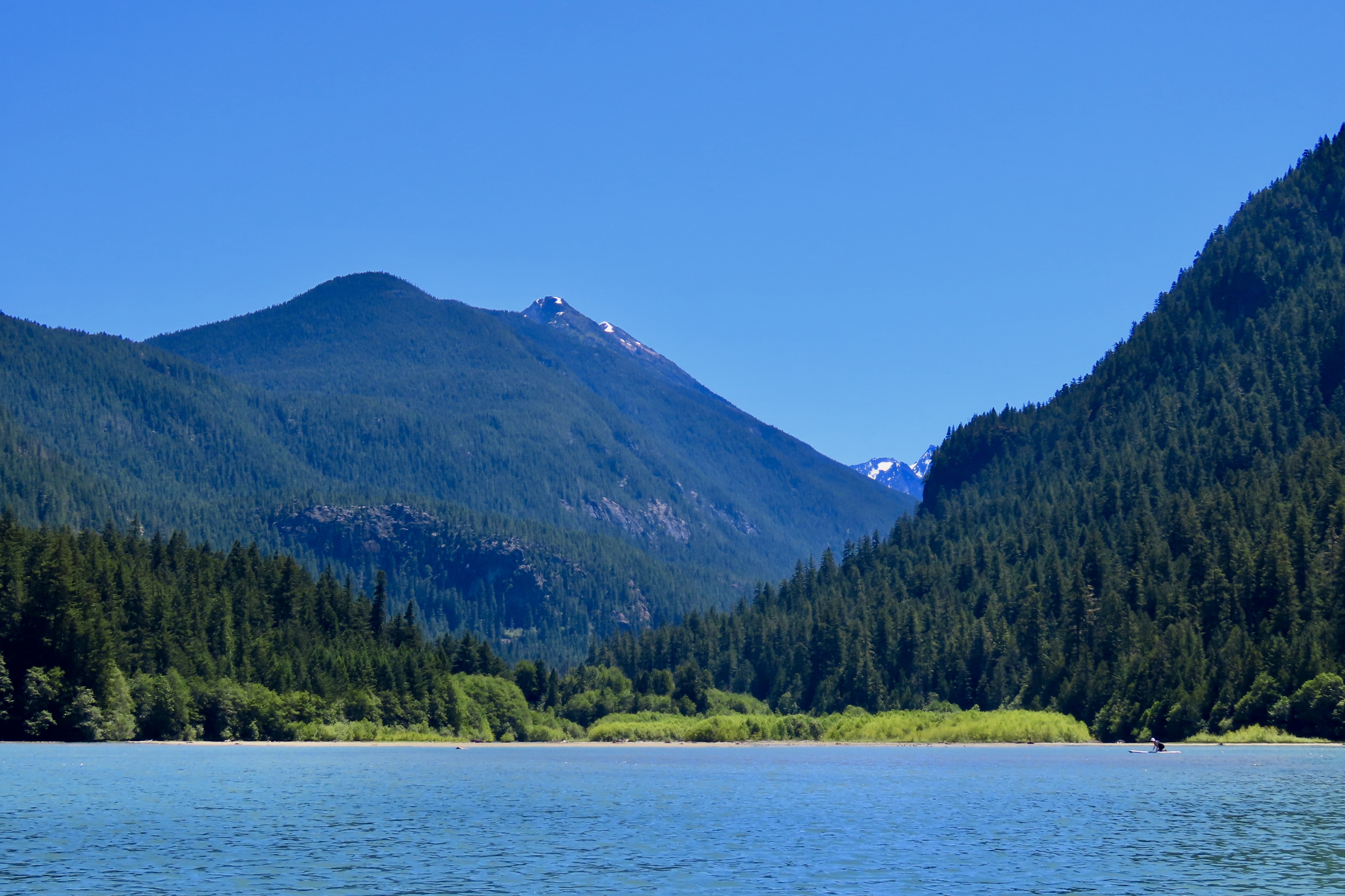
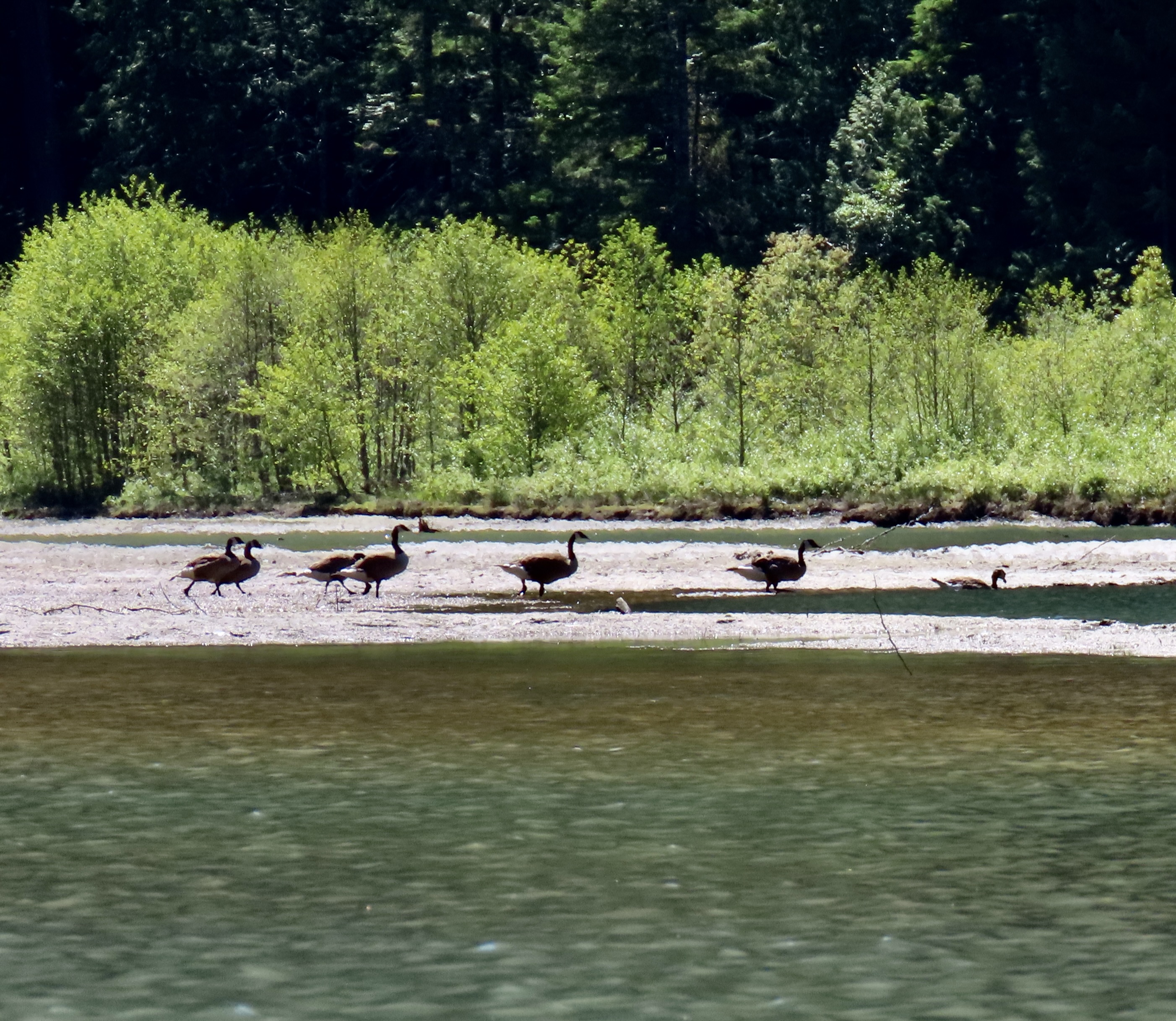
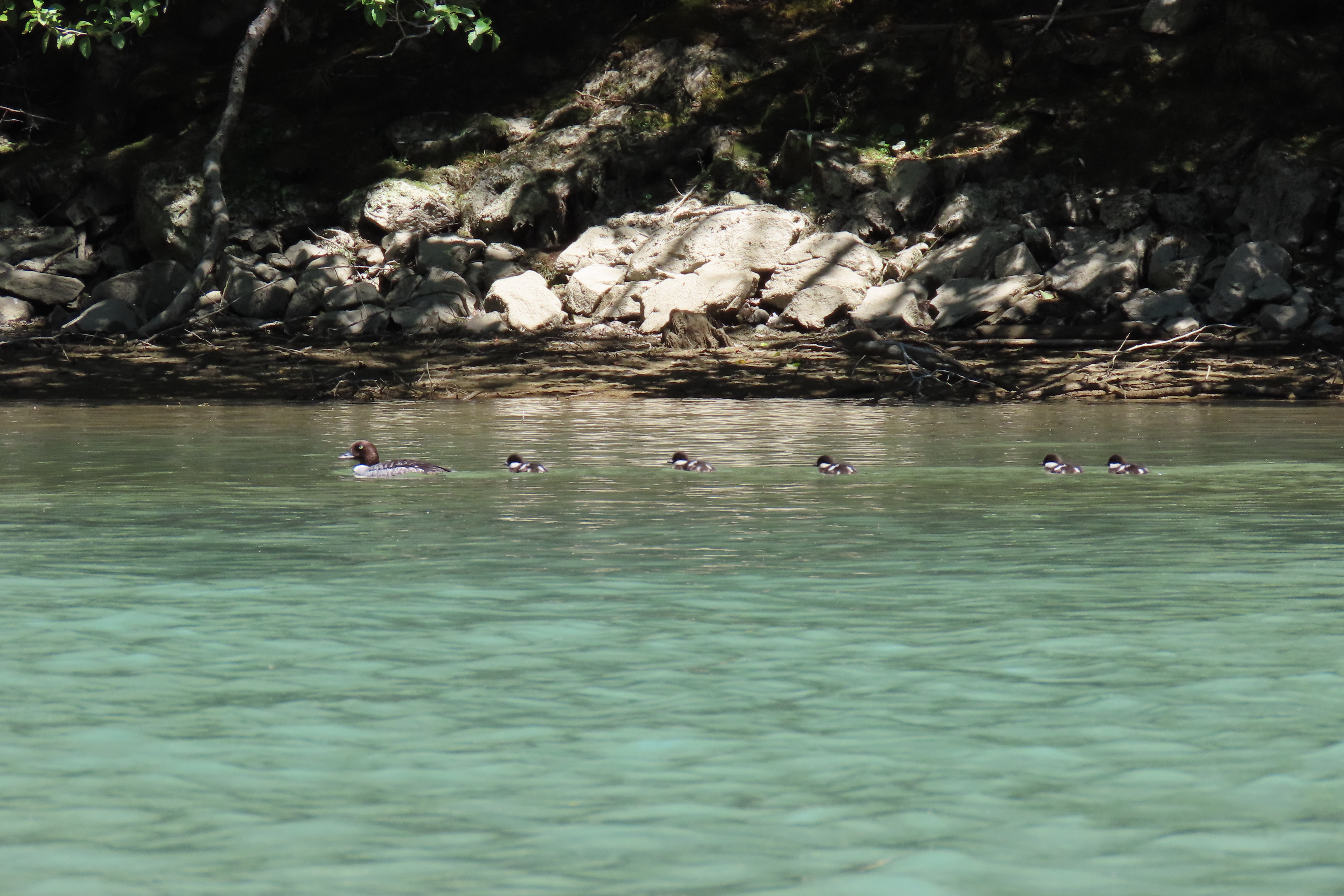
This map from an information board shows the three lakes included in the Skagit River Hydroelectric Project. Diablo is in the middle. The tannish line shows the route past the lakes with its multitude of great views. Map showing Diablo Lake. The camera is where we shot the photos looking down at the lake. We kayaked south from the bridge down the lake’s Thunder Arm to Thunder Creek.This view of the lake and the next one led us to our vow that we would be back. In the distance you can see Diablo Lake Dam. Note the small island in the middle. There were kayakers exploring it.This view provides a look at some of the surrounding mountains hanging above the Thunder Arm of the lake. We were kayaking off to the left. A slight reflection of the mountains and surrounding hills can be seen in the lake.This is the island with kayakers I mentioned above. We didn’t have time to explore Thunder Arm plus paddle out to the island. Maybe on our next visit. If I wait another 25 years I’ll be 106.We found the upper end of the Thunder Arm particularly attractive with its contrasting colors of green and looming mountains. If I appear a little laid back, that’s because I am.Another perspective. More distant mountains can be seen up the valley. Slightly hazy skies dimmed our views of the mountains.Canada geese greeted us at the head of the lake.And grazed along the shore. A teenage goose is behind this one.A goldeneye appeared to give us a the ‘look.’And another one scurried away with her chicks. I caught up with them, however.And mom had a fit, flapping her wings, screaming at her chicks to hide, and squawking at me with a very clear message. It’s probably a good thing I couldn’t understand what she was saying. I left mom and her ducklings to go about their business. Kayaking back, we had more views of the surrounding mountains.Our final photo. Next post: We will travel on to Glacier National Park in Montana.
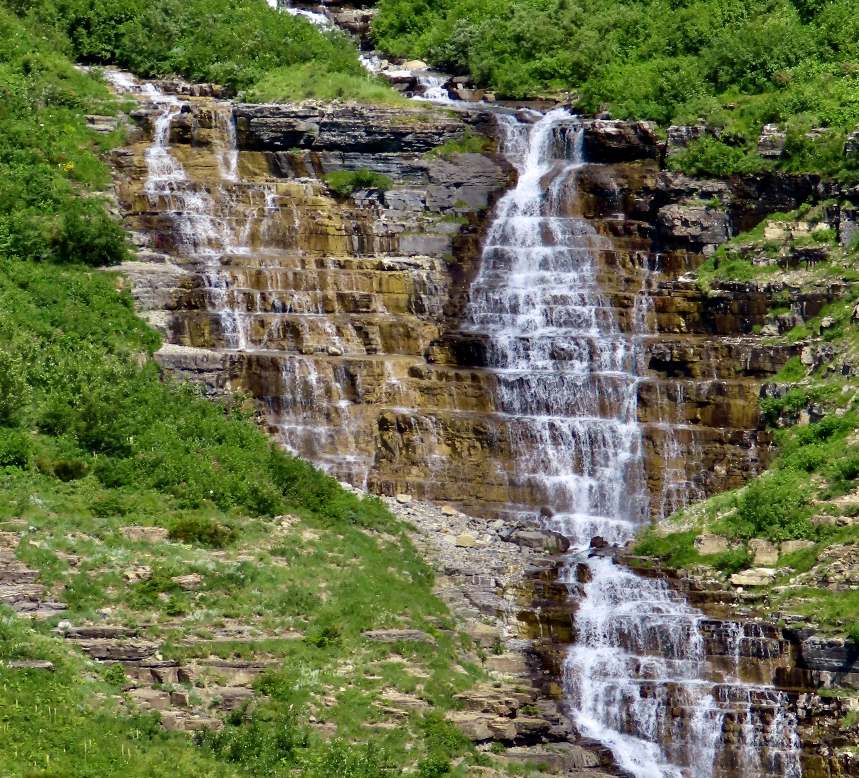
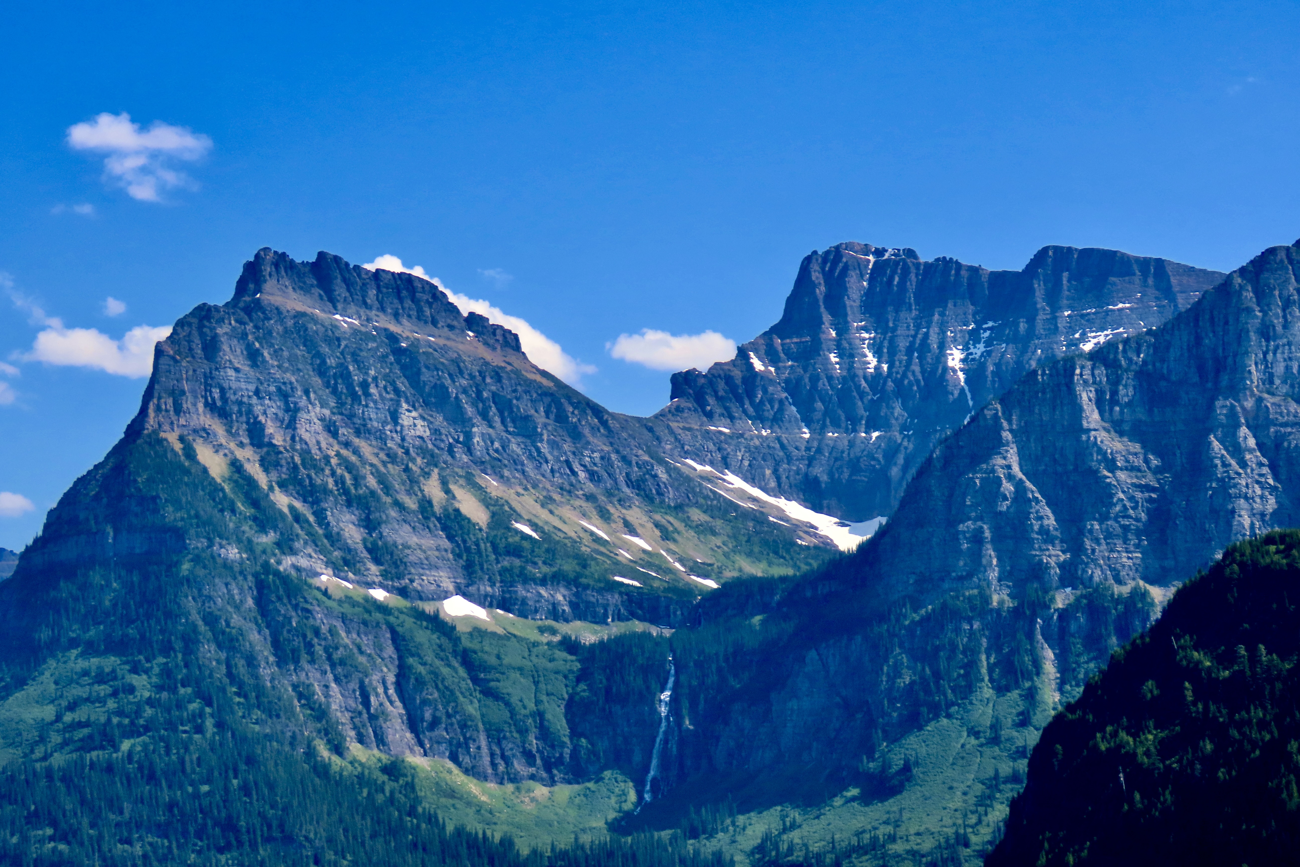
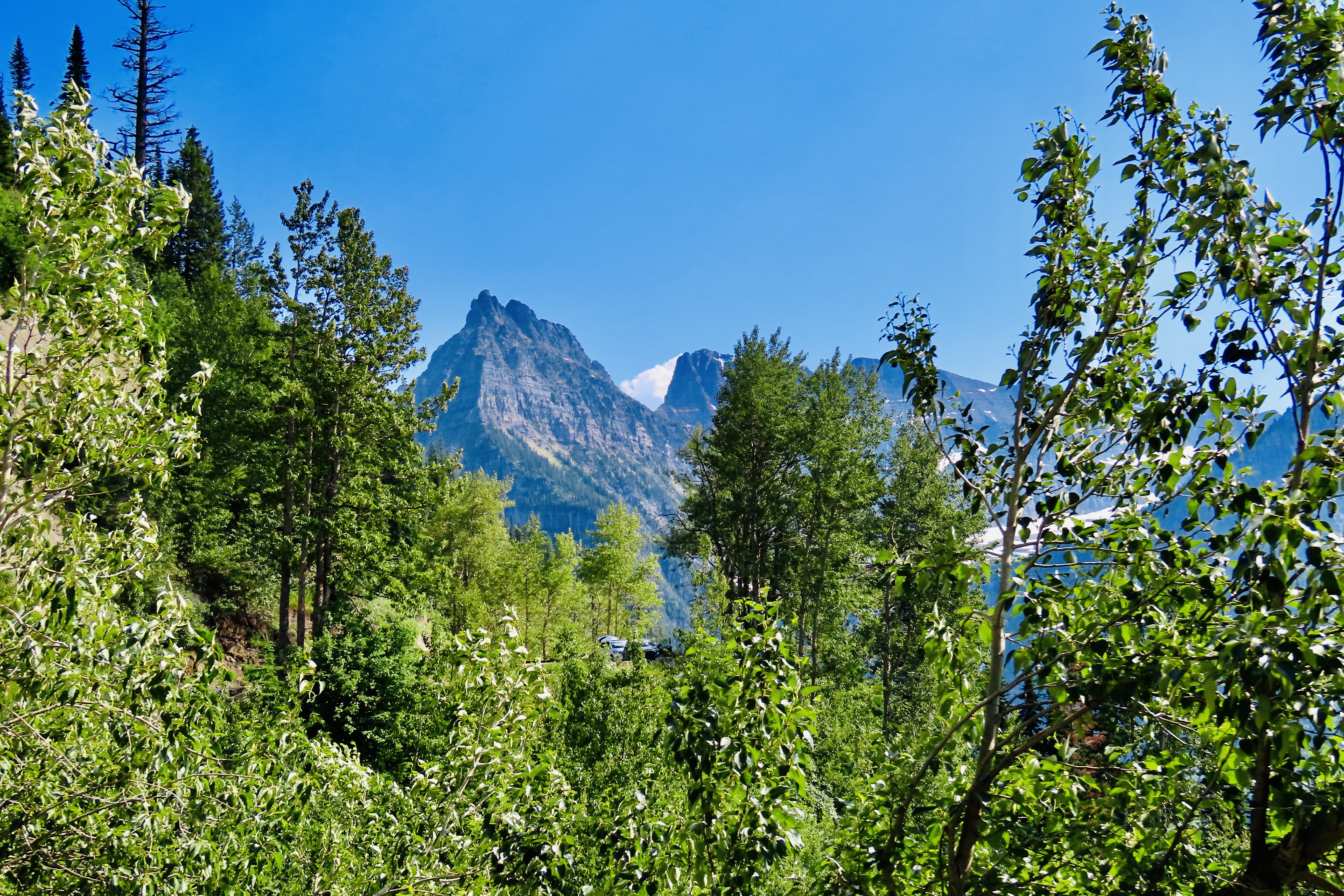
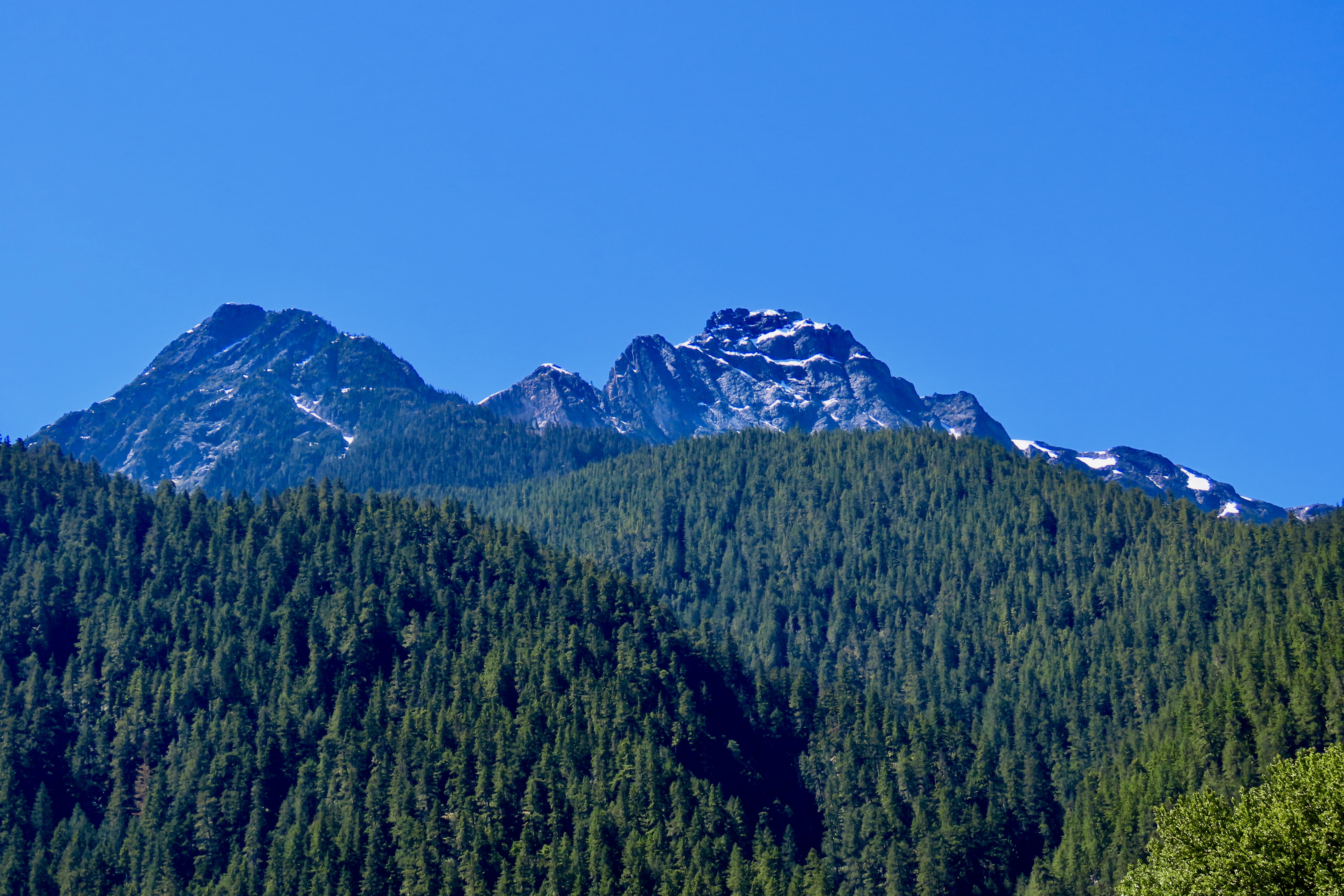
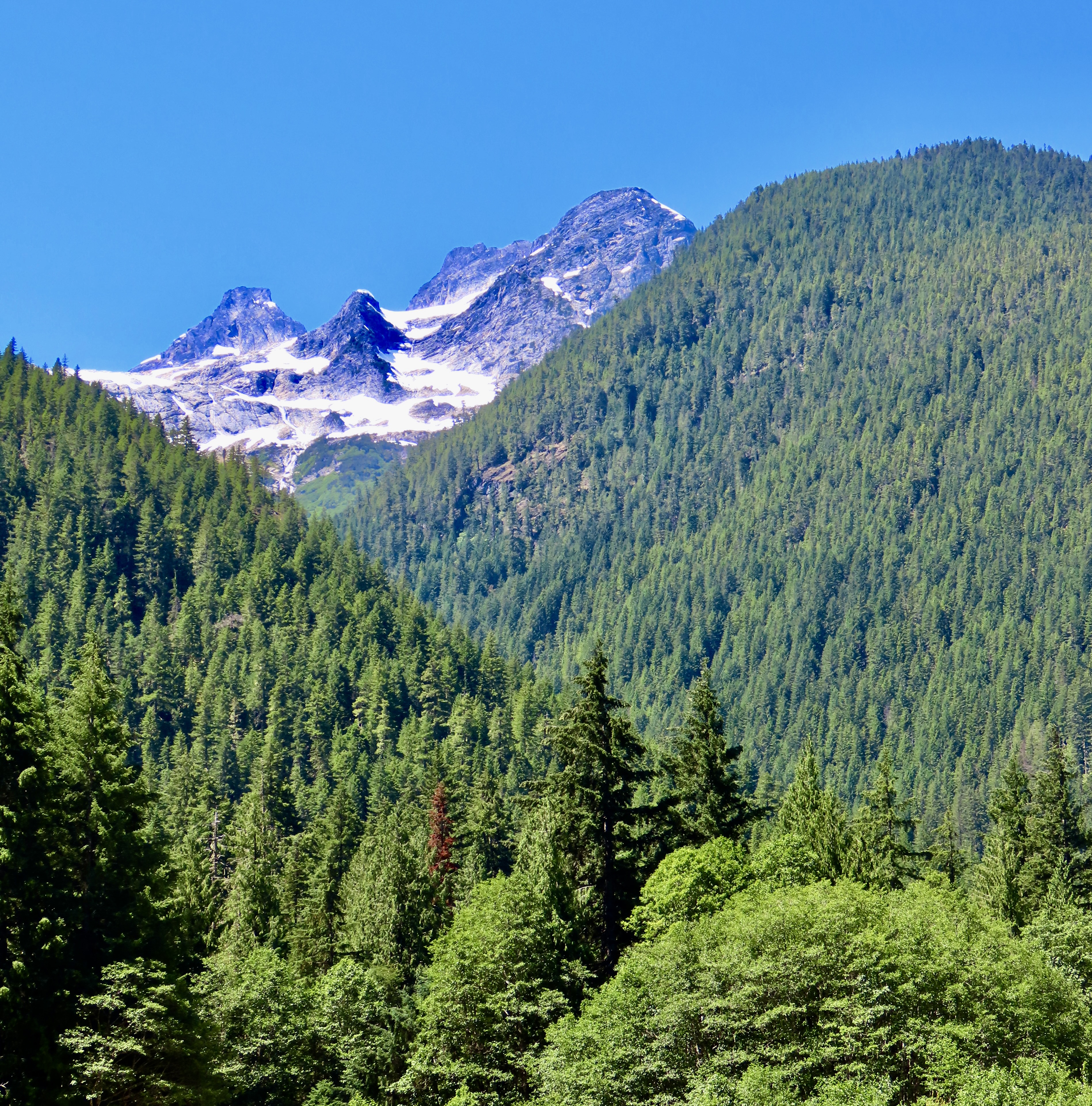
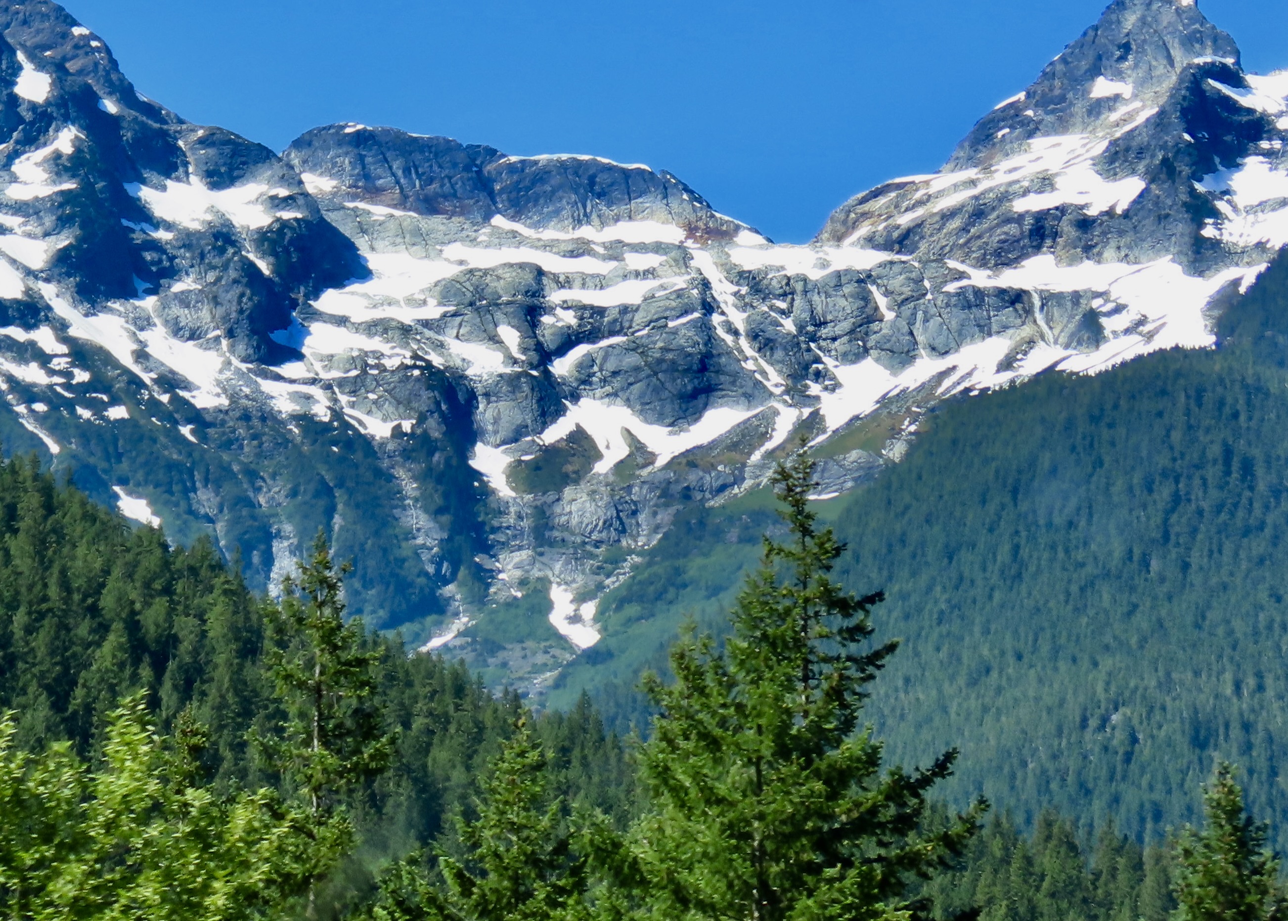
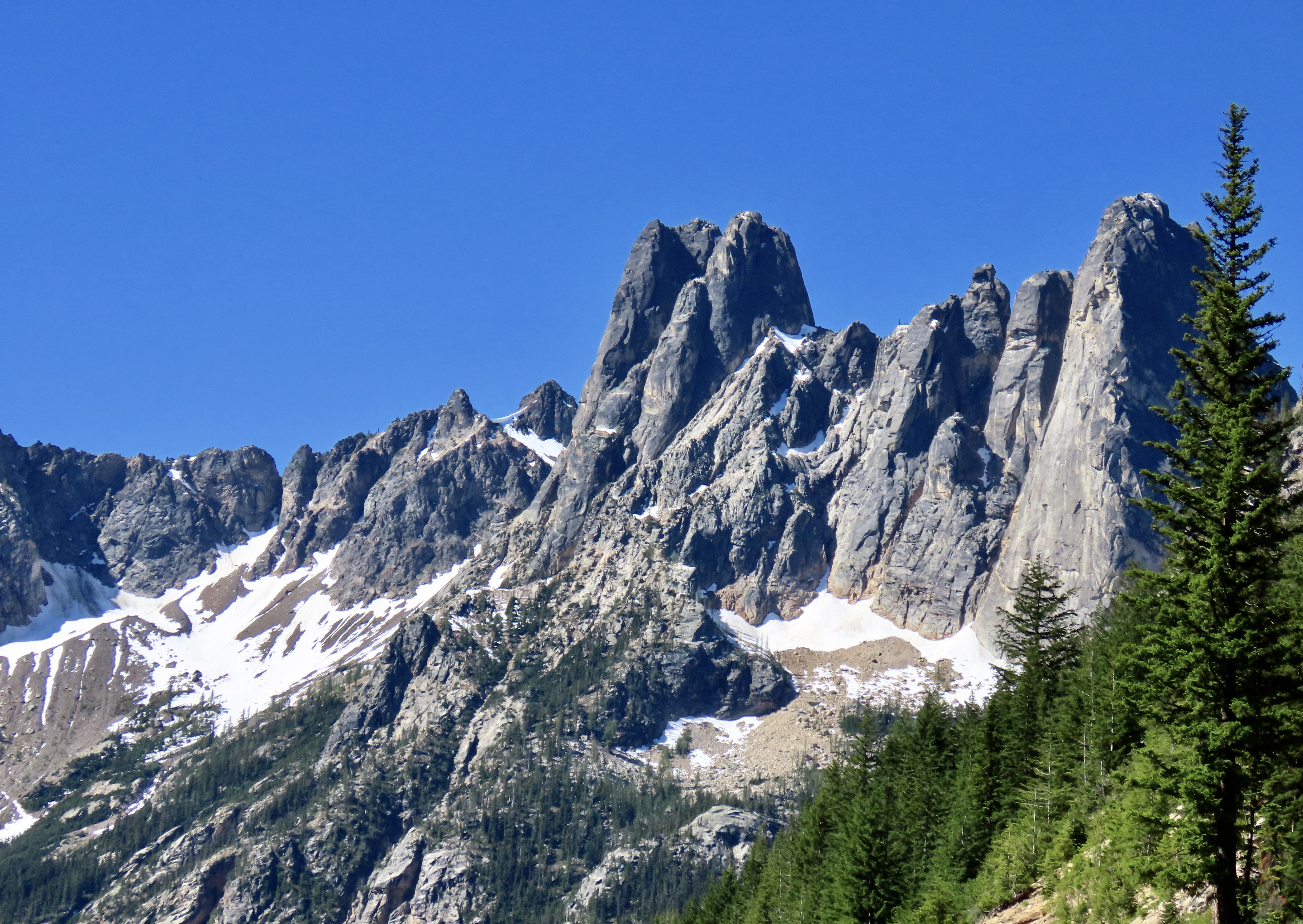
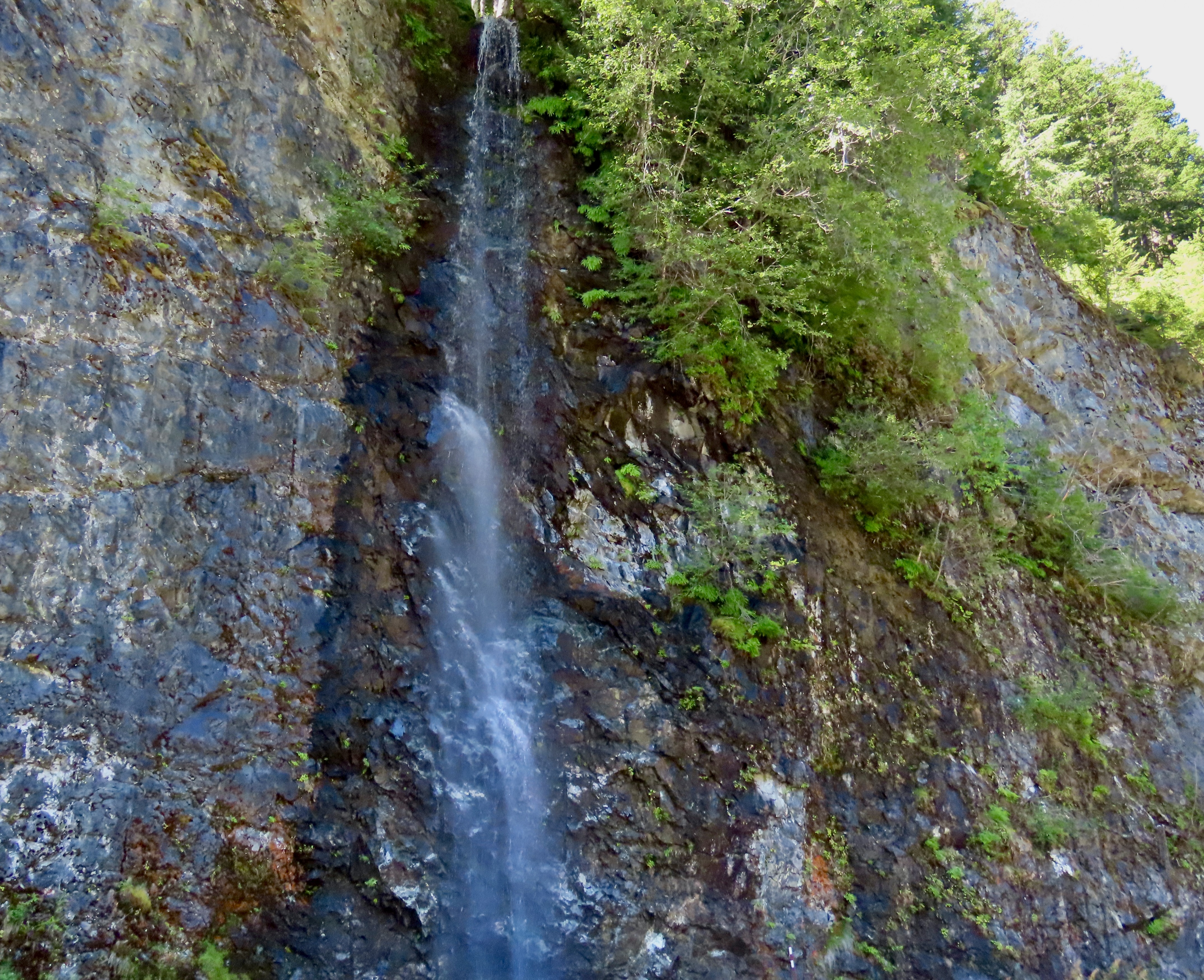
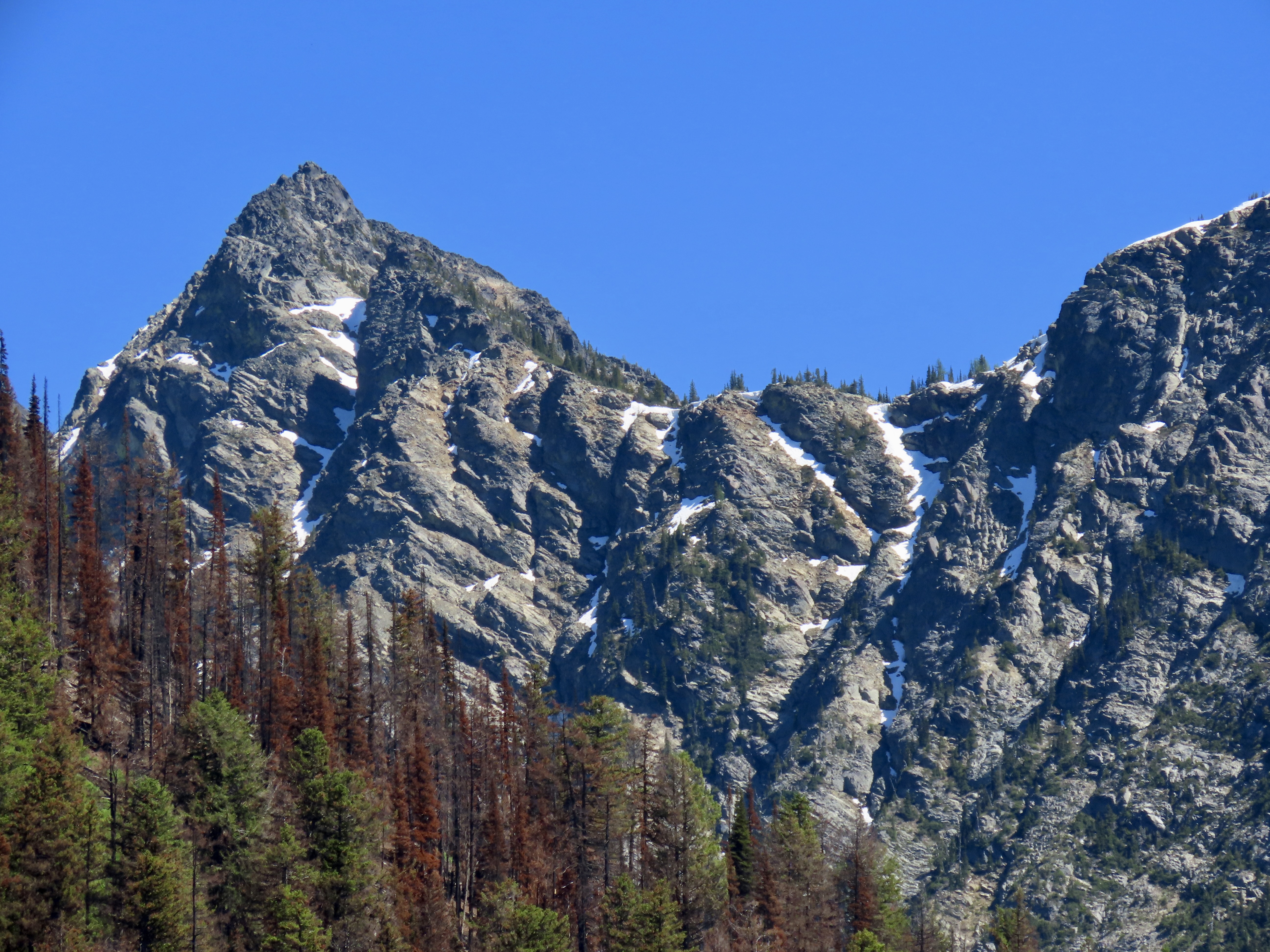
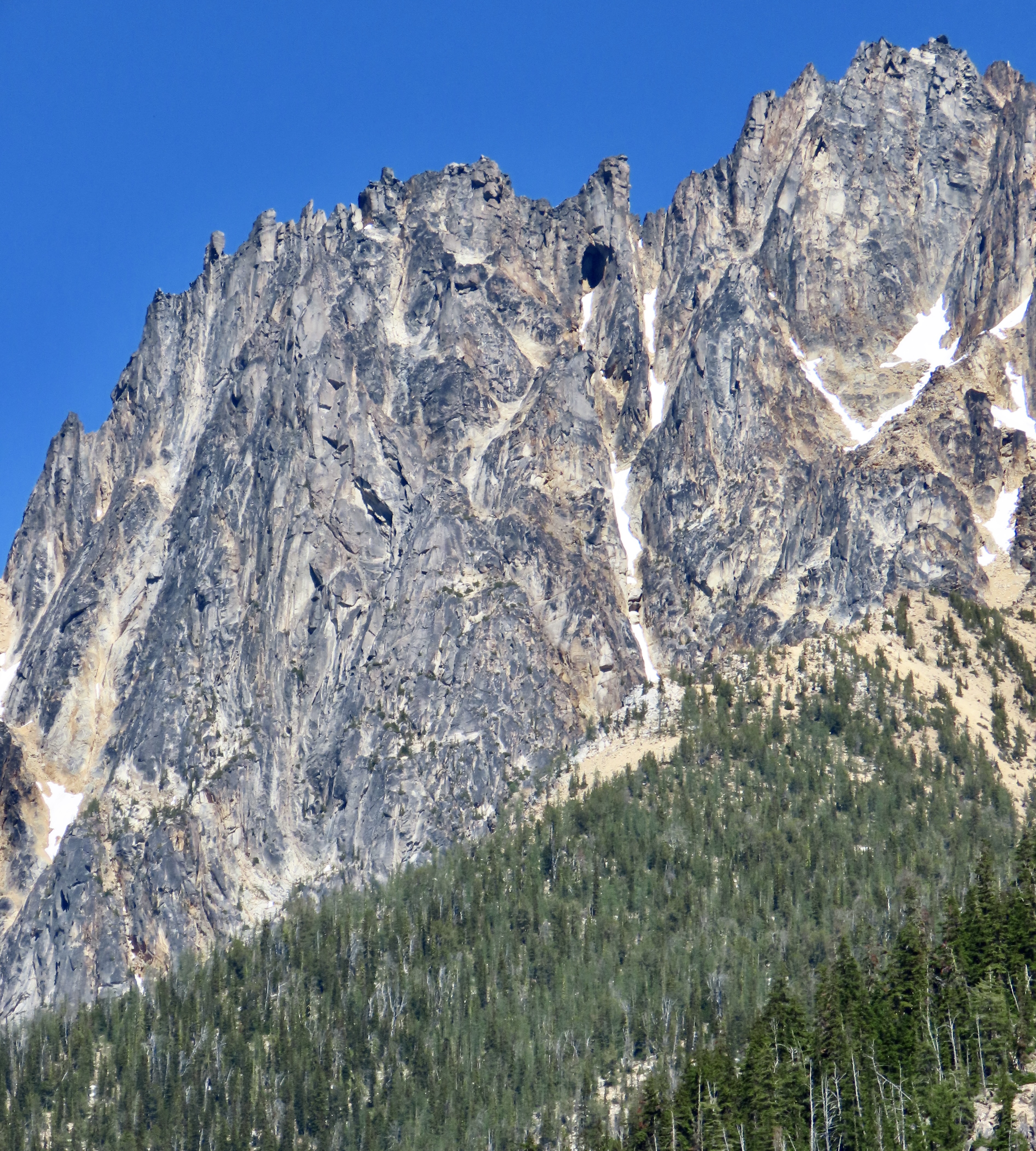
It’s no surprise that the North Cascades National Park is often referred to as America’s Alps. The Park is noted for its mountains, glaciers, turquoise lakes and rugged beauty. Located in northwestern Washington on Canada’s border, it comes with 93 named mountains and over 300 glaciers. It has the most extensive glacial system in the US outside of Alaska.One would think that the park’s beauty and relatively close proximity to Seattle, would make it one of America’s most popular parks. Not so. It had just over 40,000 visitors last year. In comparison, Olympic National Park, which we visited just prior to North Cascades had 2.94 million, and Glacier National Park, where we just were, had 2.93 million. It’s not the least visited, however. That honor goes to the Gates of the Arctic NP in a remote section of Alaska that had 11,000 visitors in 2023. That park has neither roads or trails. I once took a group backpacking there. It was the ultimate wilderness adventure. BTW, the most popular national park in the US is Great Smokey Mountains NP with 13.3 million annual visitors.We drove into the park from our campground in the small town of Twisp on the east side. The views were spectacular. The RV on the highway provides an interesting perspective.The mountains seem to spring into the air. Mountain climbing is a favorite sport in North Cascades, as you might imagine from this photo. I admire people who can scale peaks like these, but no thanks. It has never been a bucket list item of mine, nor Peggy’s.The park’s altitude ranges from 605 feet to 9,206 feet.Another spectacular view from Highway 20 traveling from east to west. Both grey wolves and grizzlies wander through the park along with cougars and black bears.There are numerous waterfalls in the park. We found this small but colorful one along the highway. It was cascading waterfalls that led Meriwether Lewis and William Clark to name the mountain range the Cascades on their journey to the Northwest 1806. The range runs from Mt. Lassen in California to the North Cascades. While the mountain range has a complicated geological history, it is best known for its imposing volcanoes.The goal for our trip into North Cascades National Park was to go kayaking on Diablo Lake, shown here. Which we did. But that’s the subject for our next blog. We will finish today’s post with photos we took returning to our campground in Twisp on the eastern side of the park.The most significant difference between the west side and east side of Cascades National Park is the amount of rainfall. The west is drenched by storms rolling in from the Pacific and receives an average of 110 inches per year. By the time the clouds reach the east, they have been drained of much of their moisture. The east only receives an average of 35 inches. This is known as a rain shadow effect. Both the mountains and the forest above reflect this.A close up.The trees next to the mountain here are impacted by drought. We saw a lot of this in Oregon when we lived there. Peggy and I had 50 dead trees removed from our property for fire protection.Peggy spotted an ogre in the outcrop above. It took me a while. Grin.It was the huge cave here that caught her attention.We took a close up. That’s it for today. Next, we meet some devilish birds while kayaking on Diablo Lake in the heart of the park.
Each national park has its own beauty and uniqueness. We visited the Florida Everglades in February just before we started our trip west.
Peggy and I are great fans of national parks. Each has its own beauty and uniqueness. After all, that’s how they become national parks! In 1999 Peggy and I took a year’s sabbatical from our jobs for an extended trip around North America. One of our goals was to see as many national parks as we could. We ended up visiting 50, which was close to all that America had at the time. We also visited Canadian national parks as we drove the Alaska Highway up and back from Alaska.
We’ve continued to visit parks ever since. Several, we have returned to many times. Our journey up the Pacific Coast that we just concluded included four. I’m going to do a quick review of them today and throw in the Everglades since we were there before we headed west. Then I will move on to the two parks we just visited: North Cascades and Glacier. But there is more—as they always used to say on late night tv ads.
Over the past three years, as Peggy and I zigzagged our way across the US six times, we visited several parks including four that I didn’t have time to blog about: The North Rim of the Grand Canyon, Mesa Verde, Big Bend, and Theodore Roosevelt. That will bring the total in this series to 11 counting today’s review. Let’s get started! Note: All photos in this series were taken by either Peggy or me unless otherwise noted.
THE EVERGLADES
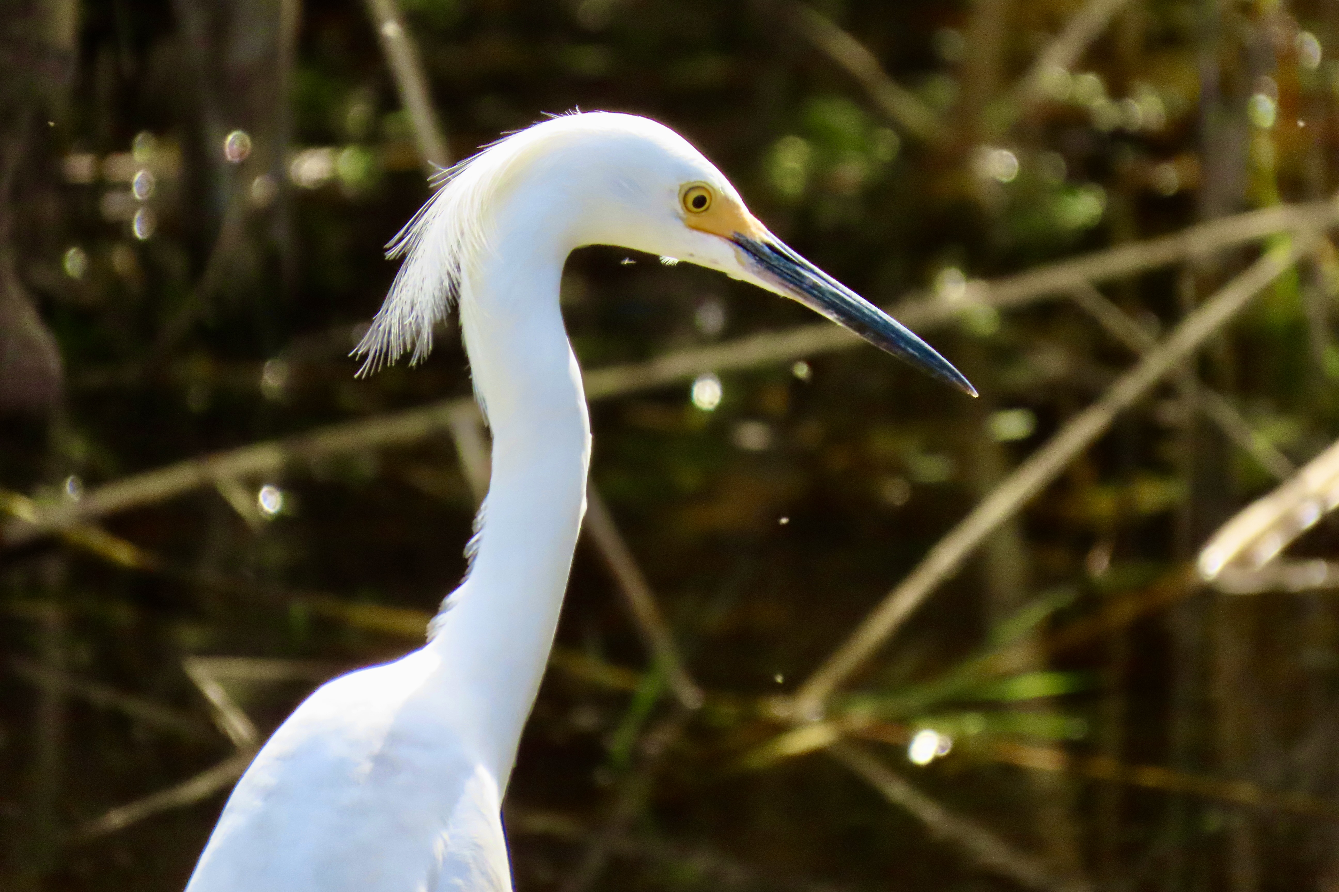
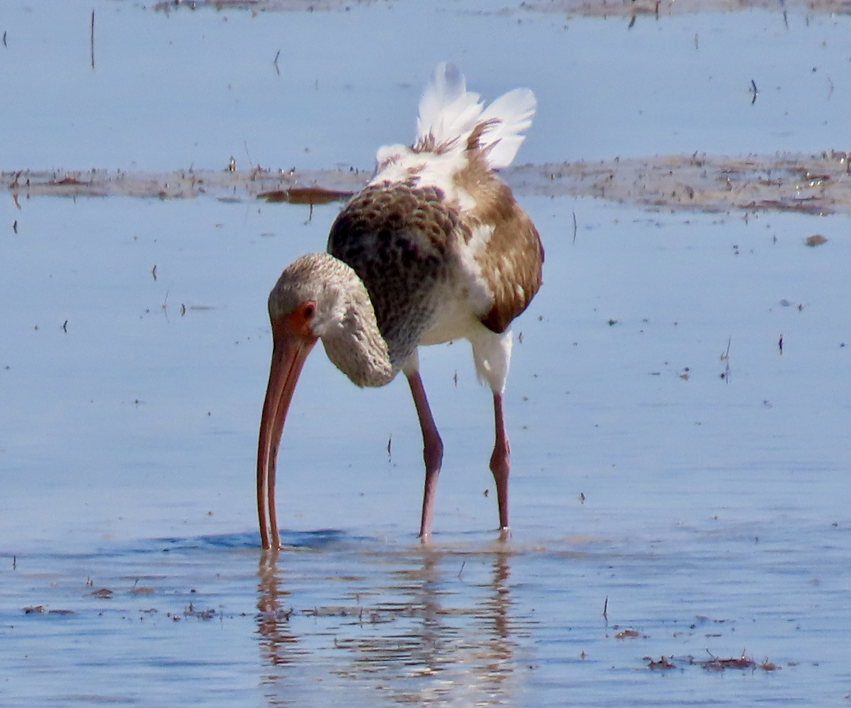
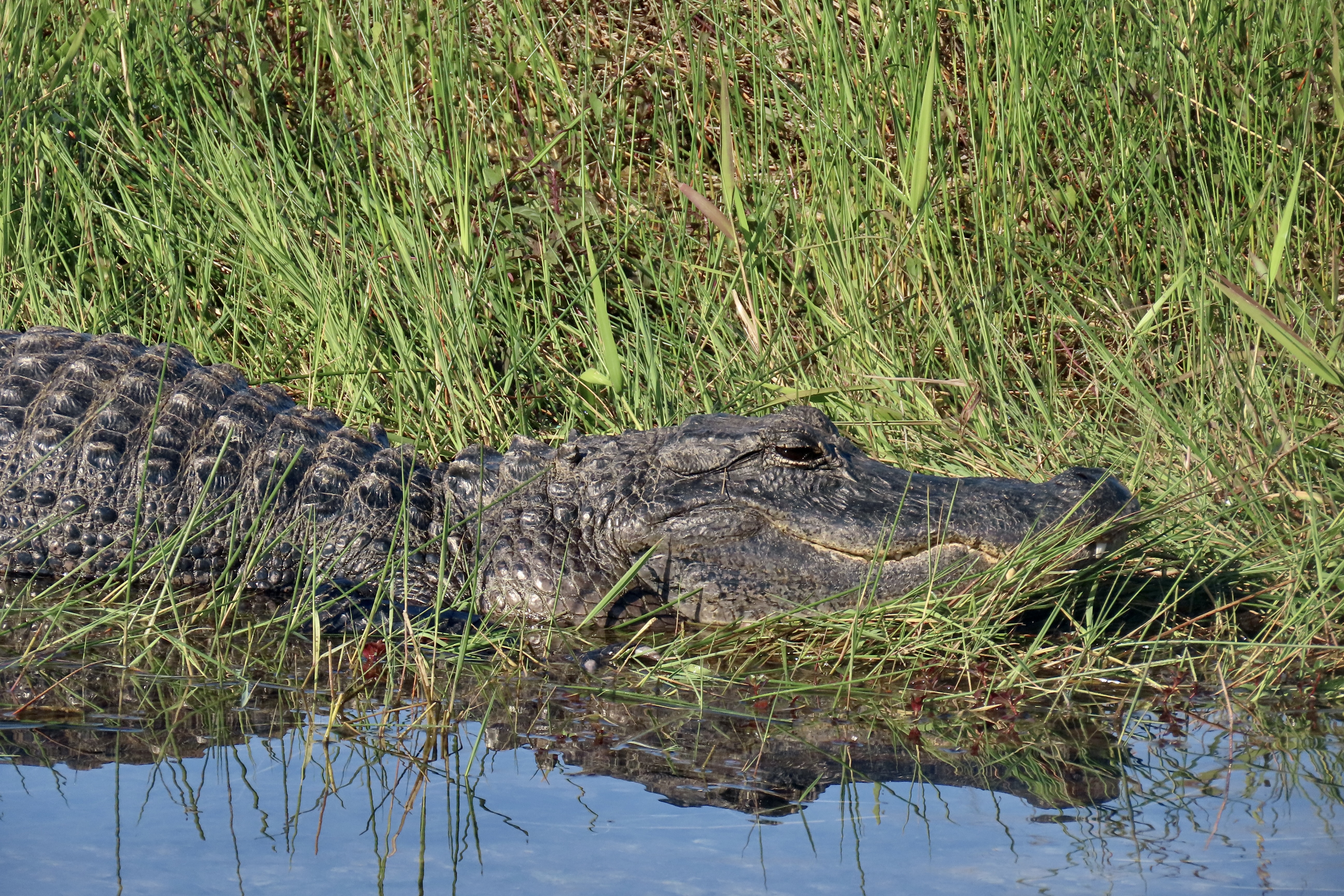
One way to think of the Everglades is as a vast, slow flowing river spread out over 7,000 square miles. According to the National Park Service, the “Everglades are home to frogs, toads, alligators, hundreds of species of birds, 300 different species of fish, Florida panthers (endangered), crocodiles, and snakes, just to name a few!” There are, also, more mangroves than anywhere else in North America.
The bird life was incredible! It ranged from Osprey…To anhingas…To snowy egrets…To ibis and many, many other species.We also saw a number of alligators, and several crocodiles. We liked the reflection on this alligator. The look on its face made us wonder what it had been up to!
THE PINNACLES…
The Pinnacles National Park, located just east of the Salinas Valley in central California, was the first national park we visited on our trip up the coast. Raised to national park status in 2013 by President Obama, it is a recent addition to the system. The park is noted for its monoliths, spires, canyons and the beauty of its spring wildflower display.
Huge monoliths rise up from the ground…As do impressive spires.Massive boulders have tumbled down from the ridges creating talus slopes and ‘caves’ people can actually walk through. This small one contained a creek we followed up a canyon.We were there in April and wildflowers were everywhere. We had never seen a shooting star displaying this many flowers.A lone oak standing on the crest of a hill caught our attention.
POINT REYES NATIONAL SEASHORE
Technically, Point Reyes National Seashore is not a national park. The primary reason is that the land incorporates a number of dairy ranches that were there before the park was created. But it is a unit in the national park system. And, I might add, a well-justified unit. Located just north of San Francisco, it is renowned for its beauty and wildlife. It also has the interesting geological history of having migrated north from Southern California along the San Andreas Fault. (Pinnacles has a similar history.) I was a regular visitor during the years I lived in Sacramento. It served as my winter go-to break. The summers were for the mountains.
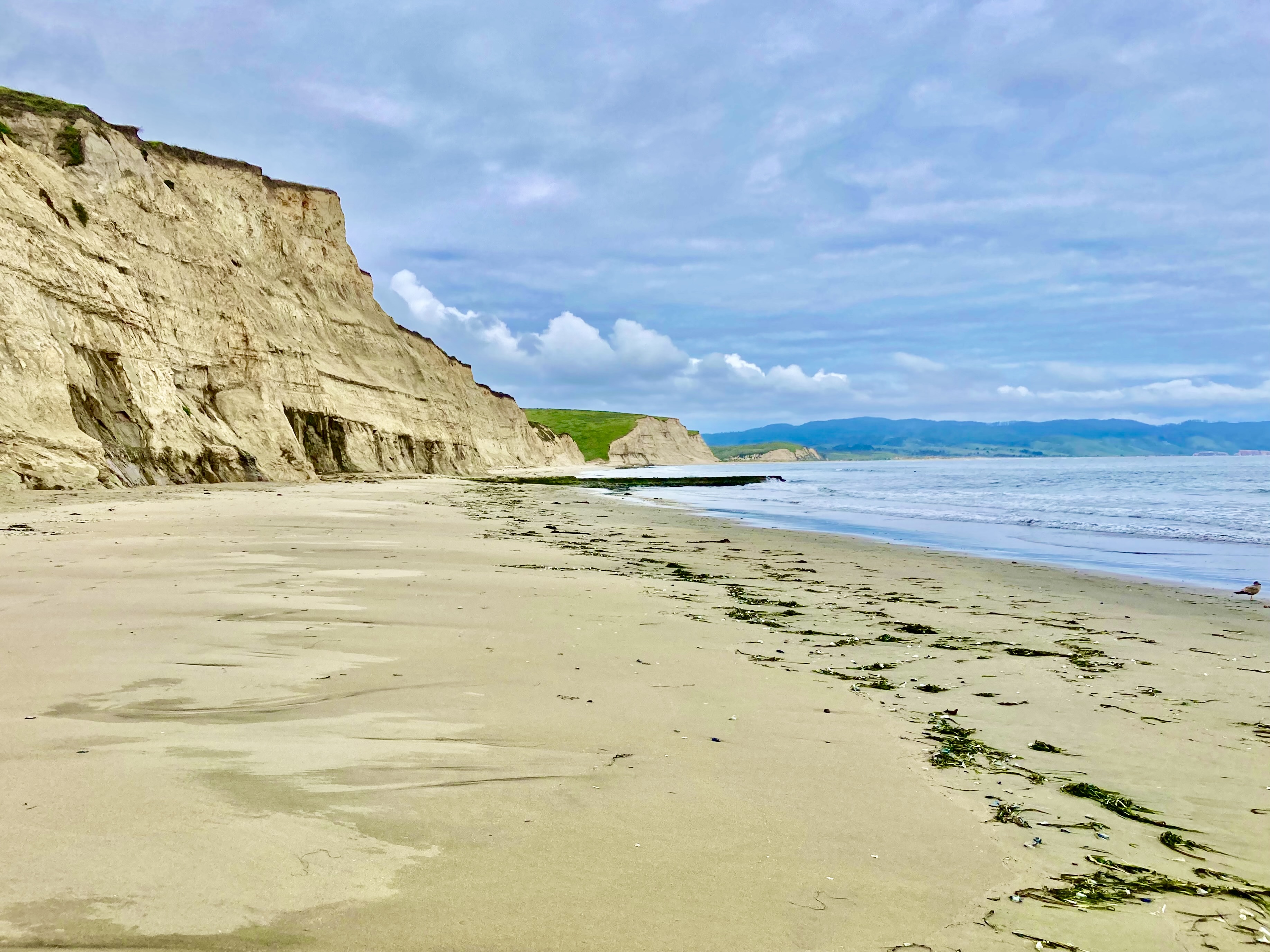
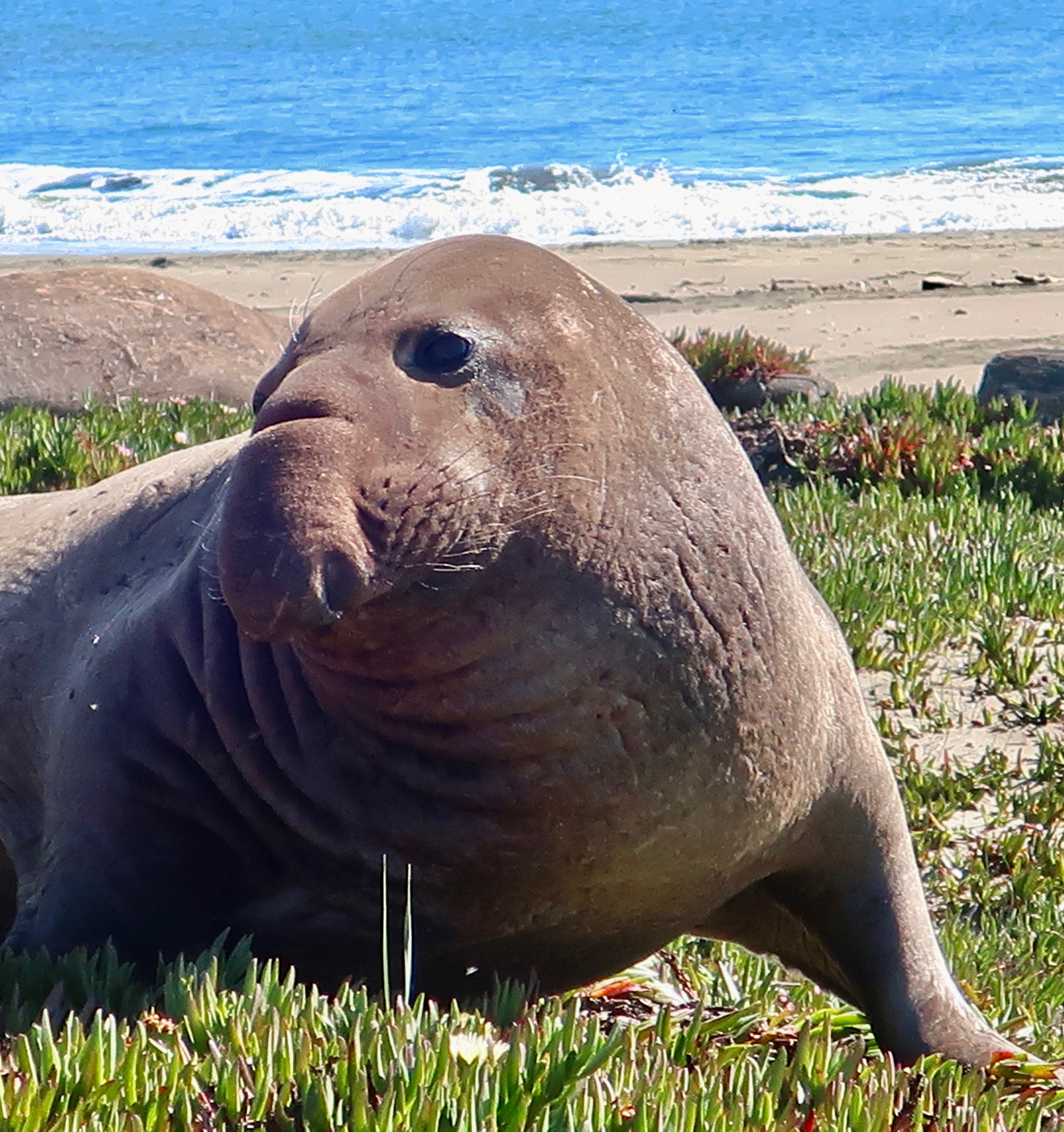
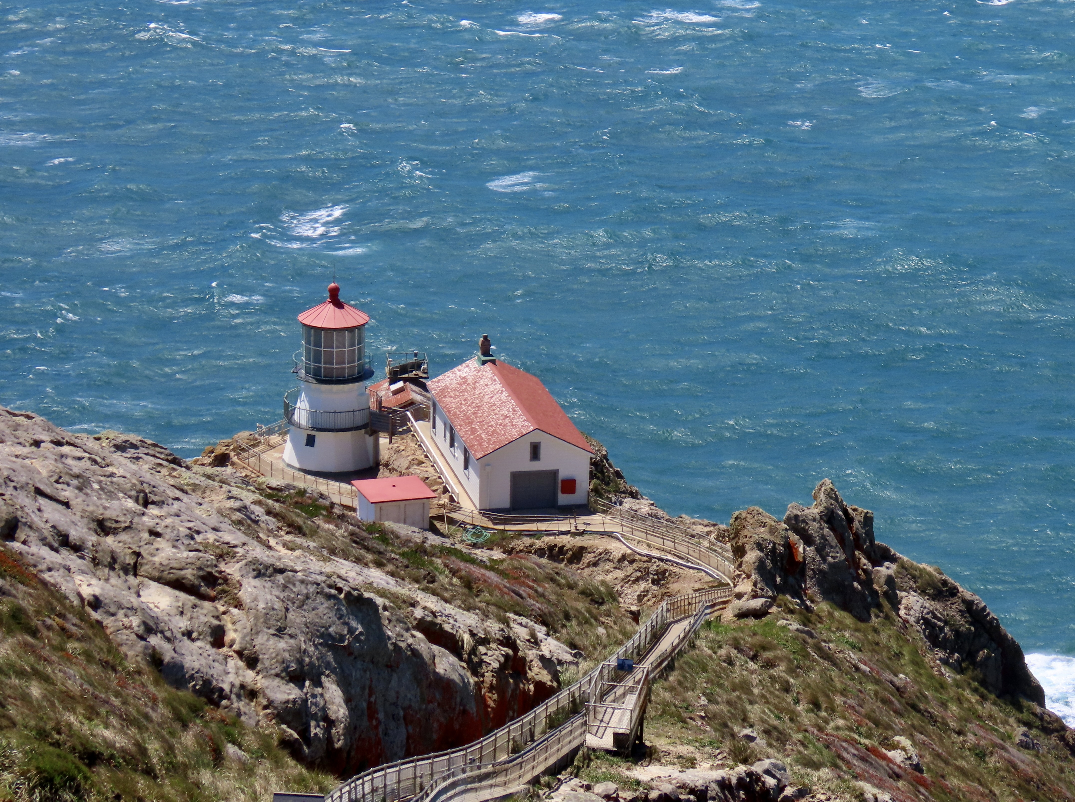
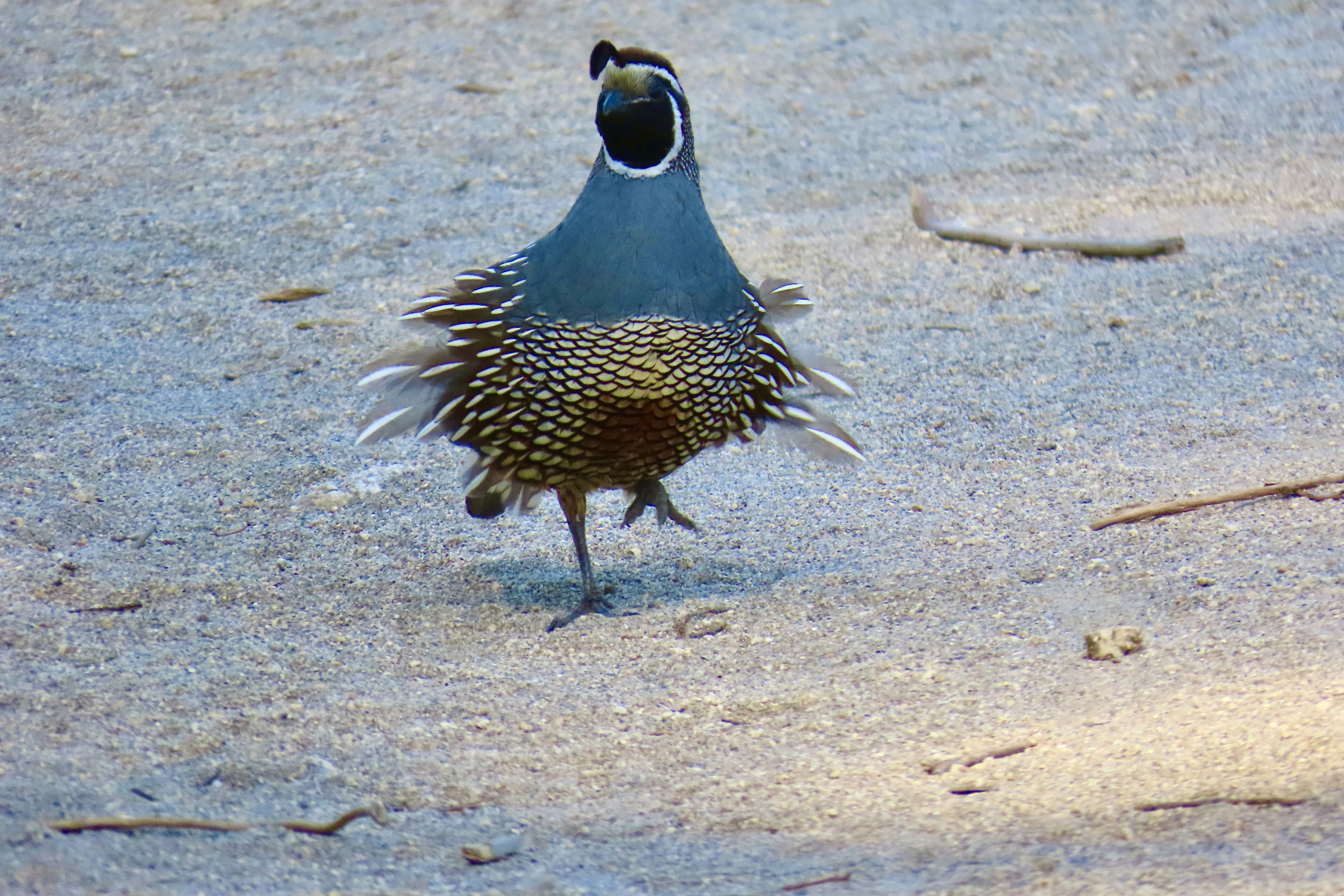
Long Beaches with spectacular cliffs, forested mountains, grass covered hills and valleys, plus abundant wildlife contribute to the appeal of the park. During December through March, this beach will be busy with elephant seals breeding and having pups.We found this charming fellow and other elephant seals at Drake’s Beach on a previous visit. He’s come ashore looking for love.This whimbrel was strolling down the shore at Limantour Beach.A great blue heron made a lightning fast strike to catch a fish at Abbots Lagoon.The Point Reyes Lighthouse, always worth a visit.The Pierce Point Ranch provides an introduction to the historic significance of dairy farming at Point Reyes.California quail were running around the ranch when we visited. The wind was ruffling this guy’s feathers.And a large herd of tule elk is usually found nearby.
REDWOODS NATIONAL PARK
The National Park Service works in close coordination with the California Department of Parks and Recreation to maintain the towering redwoods that grace the coastal area of far northwestern California. It’s all about the trees , some of the oldest and tallest in the world, but its rainforest character, crashing waves and wildlife add to its splendor.
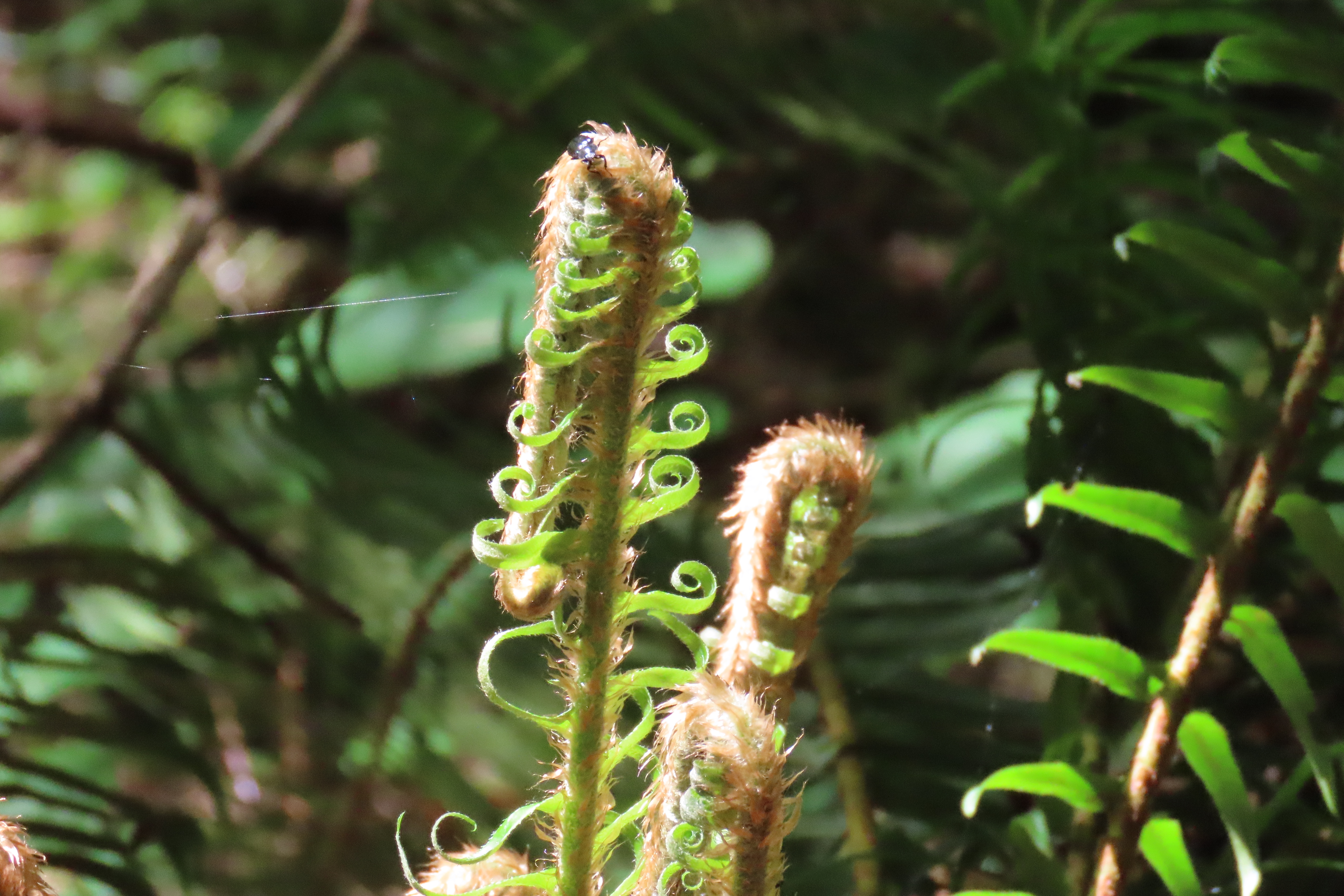
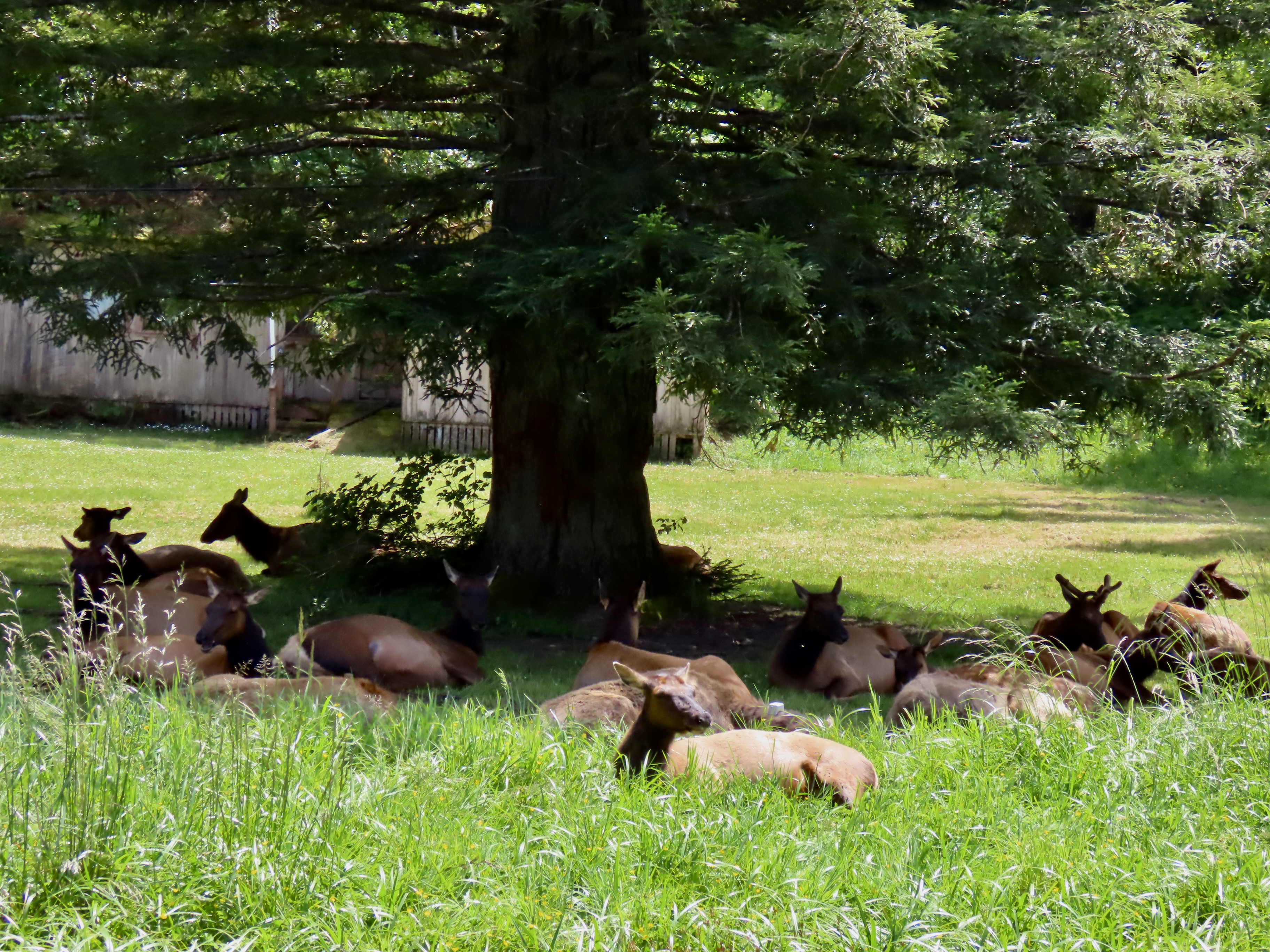
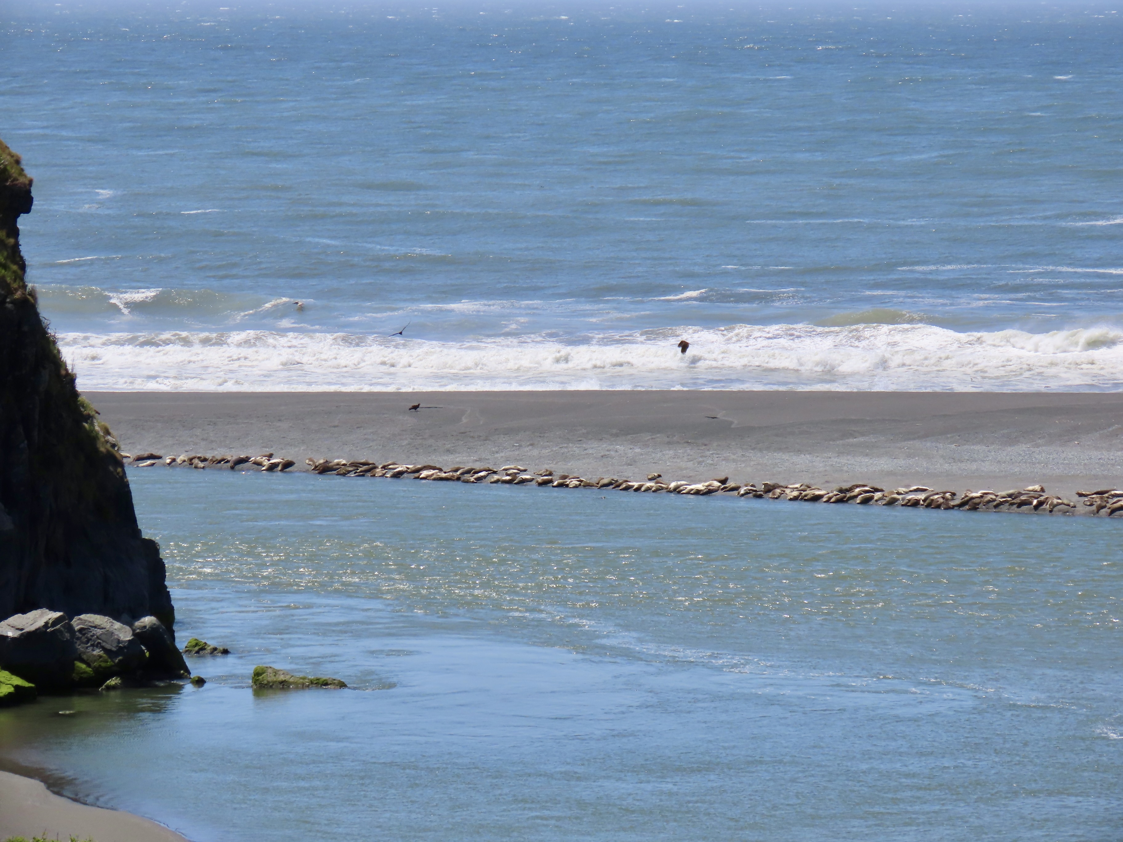
Massive trees reach for the sky…Crashing waves roll ashore…The rainforest harbors ferns whose origins are lost in the mist of time…Herds of Roosevelt elk are as likely to be found bedding down in someone’s front yard as they are wandering through the redwoods…And hundreds of seals pull up on remote shores to rest and bathe in the sun.
OLYMPIC NATIONAL PARK
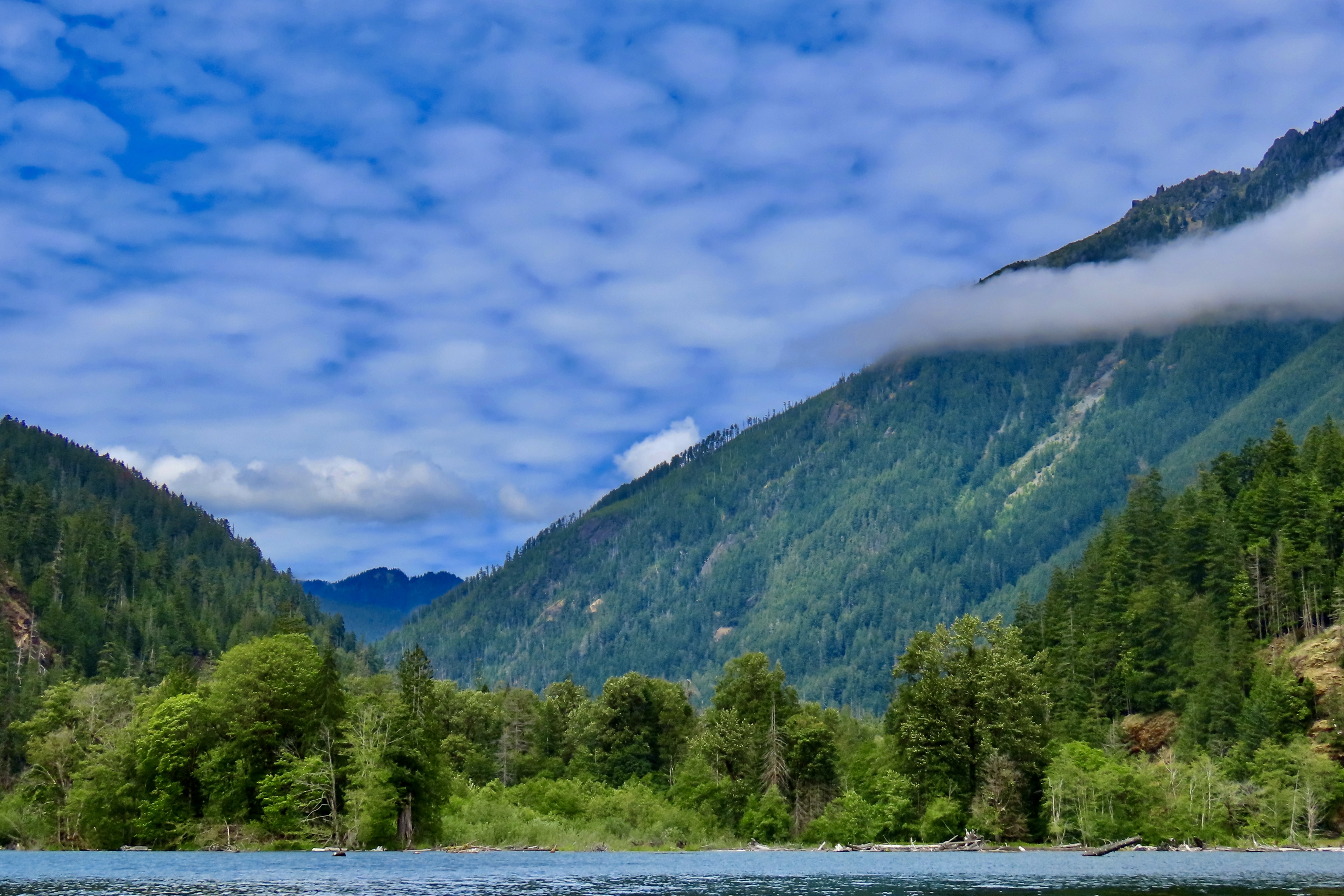
Olympic National Park serves as an iconic example of a temperate rainforest receiving over 150 inches of rain on its west side while harboring old growth forests on its drier east side. Major rivers come tumbling down from its glacier covered peaks. Its 62 miles of wilderness coastline constitutes the longest undeveloped coastline in the contiguous US. As I noted in my post on Olympic National Park, our visit was limited this year, so I have added a couple of photos from previous trips. The other photos you will probably remember from last week!
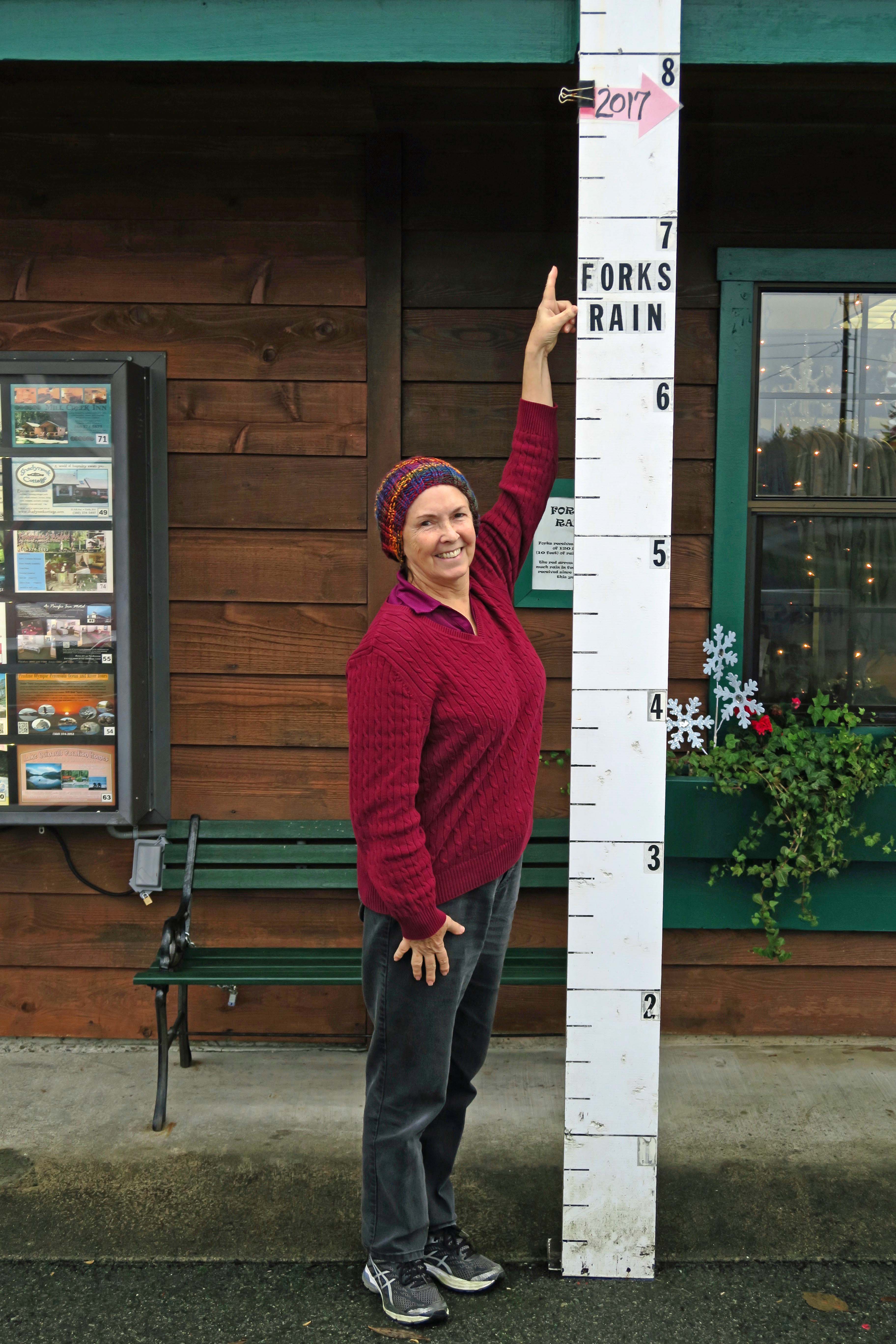
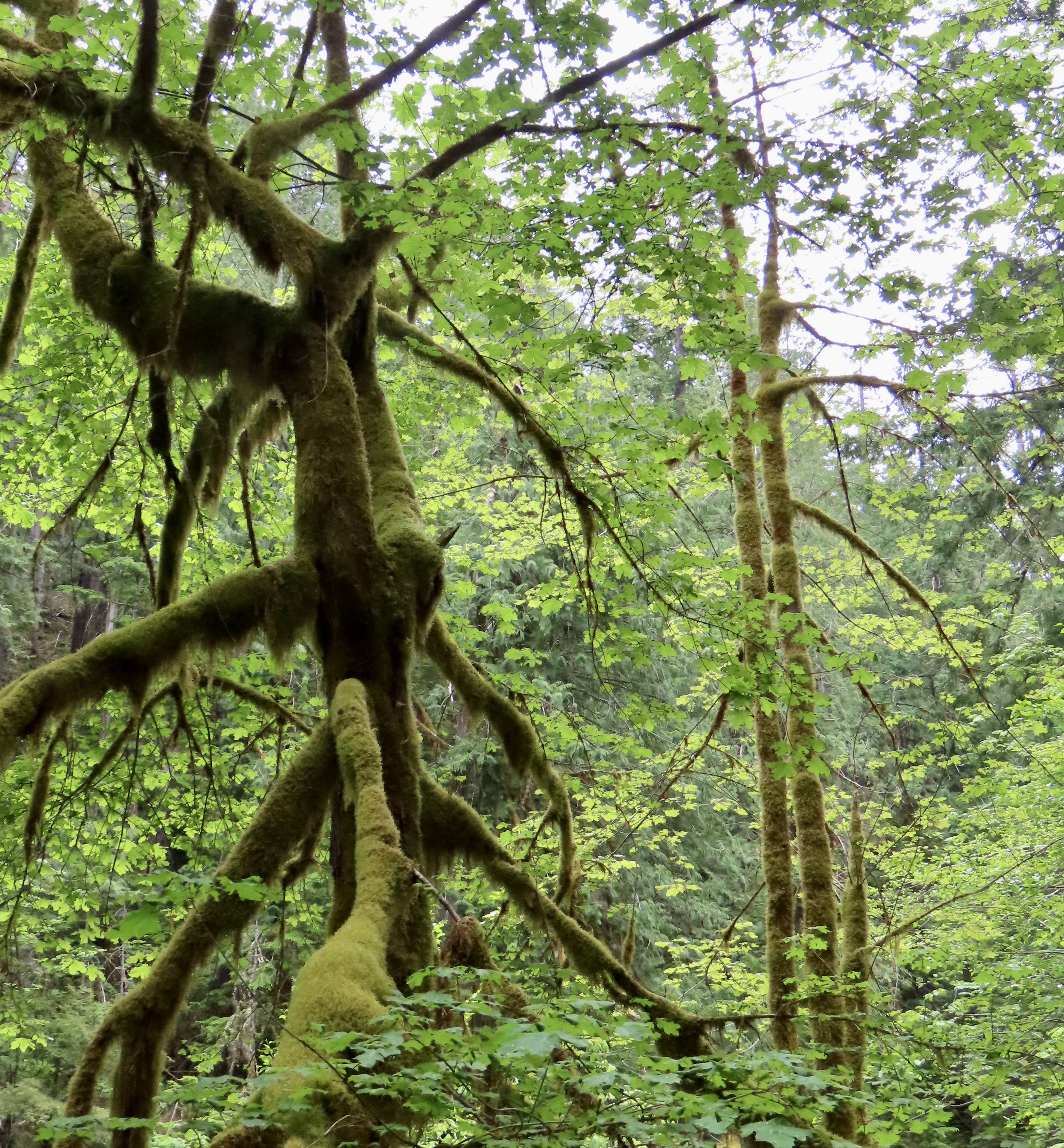
The Skokomish River is one of several that flow out of the park fed by the extensive rainfall and high glaciers.In 2017 we stopped in the small town of Forks (home to the Twilight books and movies) on the western side of Olympic National Park. Here Peggy points out how much rain the park had received by November.On that same trip, we drove over to the wilderness part of the park that runs along the Pacific Coast. Here Peggy is admiring sea stacks. Huge piles of driftwood brought in by Pacific storms stretch up the coast. Back on the southeastern portion of the park, we admired the moss covered trees that are typical of temperate climate rainforests.Our hike up the Staircase Rapids trail along the Skokomish, led to this view we had when crossing a bridge that had been wiped out twice before by the raging river during spring melt. A final photo that provides a view into the park from our kayak trip on upper Cushman Lake. Next, we will explore the impressive mountains of Cascades National Park as we leave our trip up the Pacific Coast and start our journey back to our basecamp/home in Virginia.Cascades National Park