Today marks the beginning of my Backroad Series where I will feature highways that Peggy and I traveled over this past summer on our 8,000 mile journey around the US in our small RV.
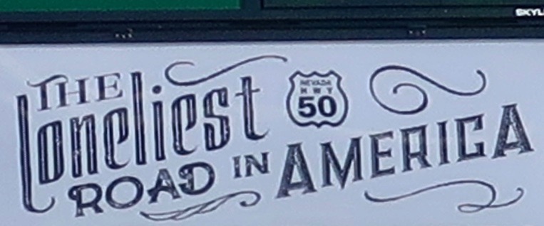
In 1986, Life Magazine declared that the section of Highway 50 that stretches across the Nevada desert was The Loneliest Road in America. It wasn’t meant as a compliment. It was more like, “Why would anyone in their right mind choose to drive this road?” But Nevadans saw it differently. They knew an opportunity when they saw it. After all, the state got its kick-start when silver and gold were discovered in abundance. And then it built Las Vegas.
Who wouldn’t want to drive The Loneliest Road in America, the folks in Carson City, Nevada’s capitol, reasoned? Adventuresome souls would immediately add it to their bucket list! Signs were made and publicity was cranked out. Maybe the road wouldn’t be so lonely…
It worked for me. I’ve driven the highway three times since. My last time was this past summer when Peggy and I went out in search of backroads across America. Highway 50 definitely qualifies— and it is still one of the loneliest roads in America. It wasn’t always that way. Once upon a time in the 60’s, that’s the 1860s, it served as the premier route for people making their way West. The Overland Stage Coach Company, the Pony Express, and the country’s first national telegraph all made use of it. In 1913 it became part of the Lincoln Highway, America’s first transcontinental road.
I know a bit about the road. I was raised in the small town of Diamond Springs, which is located in the western foothills of the Sierra Nevada Mountain Range, three miles from Placerville, AKA Hangtown. If you walked out my front door and hiked a block east on Highway 49 past Fitzgerald’s house and the jungle-like graveyard that backed up to our property, you came to Missouri Flat Road. Turning left there took you to Highway 50, a mere mile away. My brother Marshall and I often made that hike in the summer when we were on our way to one of our favorite swimming holes, the 20-foot-deep Tub on Weber Creek.
I was vaguely aware at the time that if you climbed on the road and drove east for a long time, you could reach the Atlantic Ocean. I also knew about the Pony Express connection. The parents of one of my close friends in Diamond Springs owned a small café in a historic building that had once served as a Pony Express stop. That was about it except for the annual Wagon Train that made its way from Lake Tahoe to Placerville on Highway 50 to celebrate the ‘good old days.’ The town would close Main Street to traffic and everyone would party. As I remember, the men would grow beards for the event, have fast-draw contests, and get drunk. Luckily, their six shooters were filled with blanks.
Later, when I was in college, I had a laundry route in the summer that ran from Placerville up to South Lake Tahoe over Highway 50. The beautiful 120-mile round trip across the mountains paid for my college education. That section of Highway 50 was far from lonely, however. On Fridays and Saturdays, it could resemble a parking lot as people made their way up from the Bay Area and Sacramento to play at Lake Tahoe and gamble.
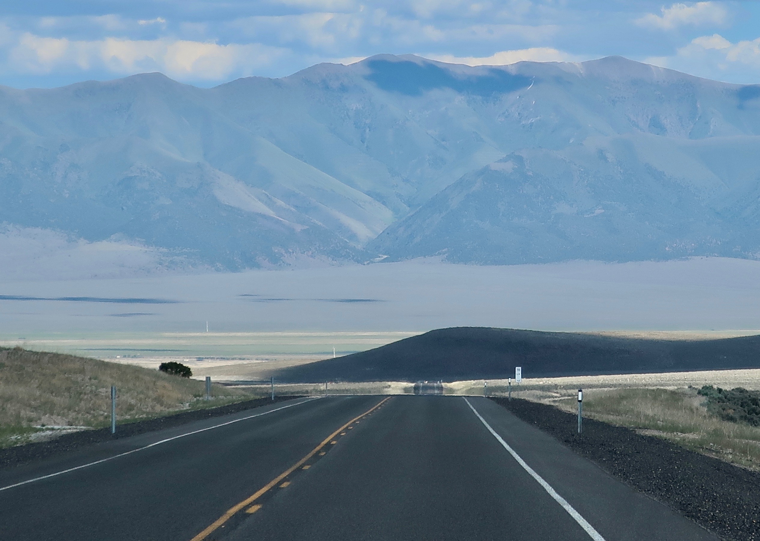
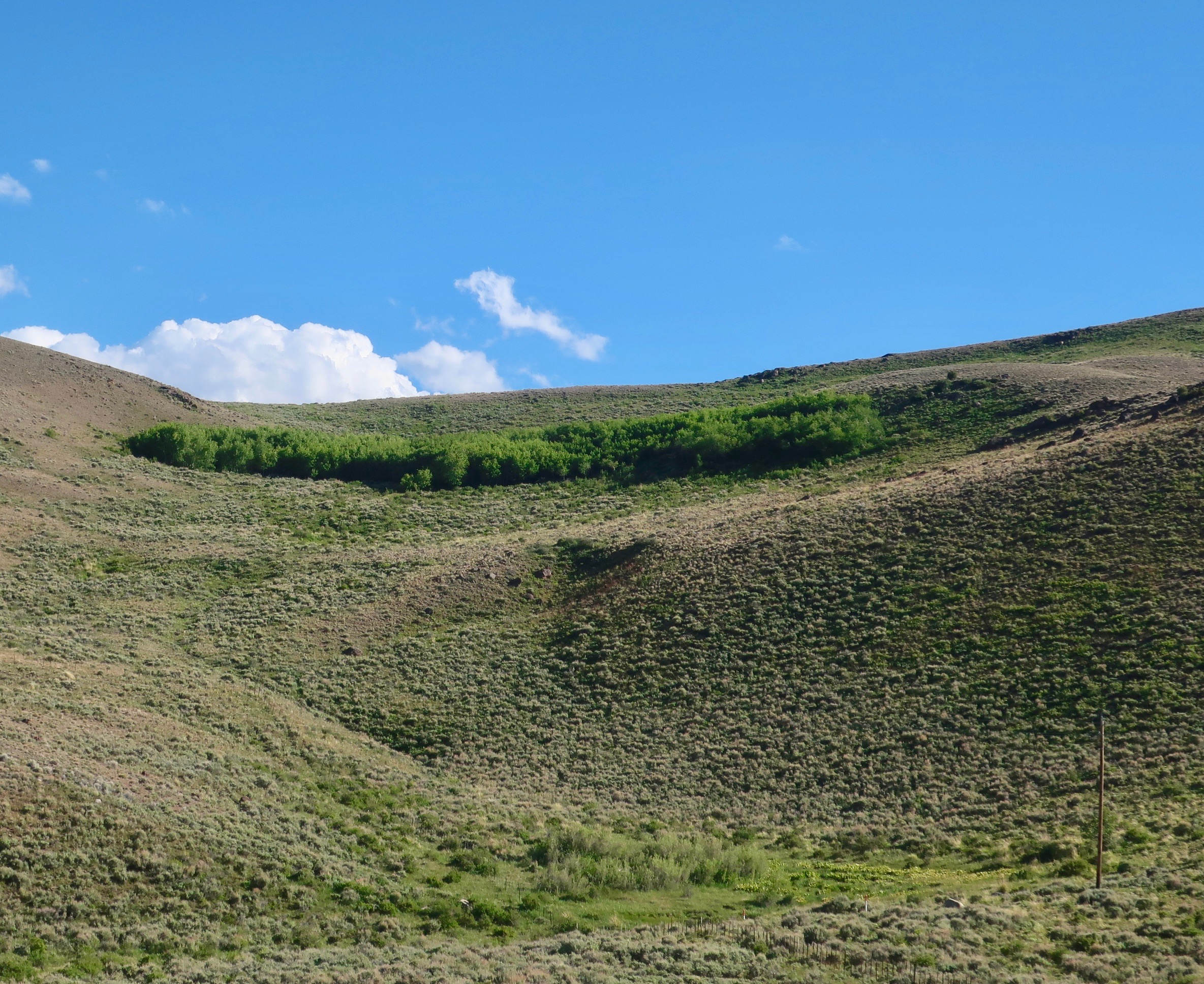
To avoid the possibility of the crowded highway this past summer, Peggy and I climbed on Interstate 80 in Sacramento and zoomed over the Sierras through Reno to the small town of Fernley, where we left the freeway behind and drove southeast to pick up 50 as it passed through Fallon, Nevada. That’s where lonely begins. (BTW: Had we gone north from Fernley for 60 miles, we would have ended up in the Black Rock Desert, the site where Burning Man takes place.)
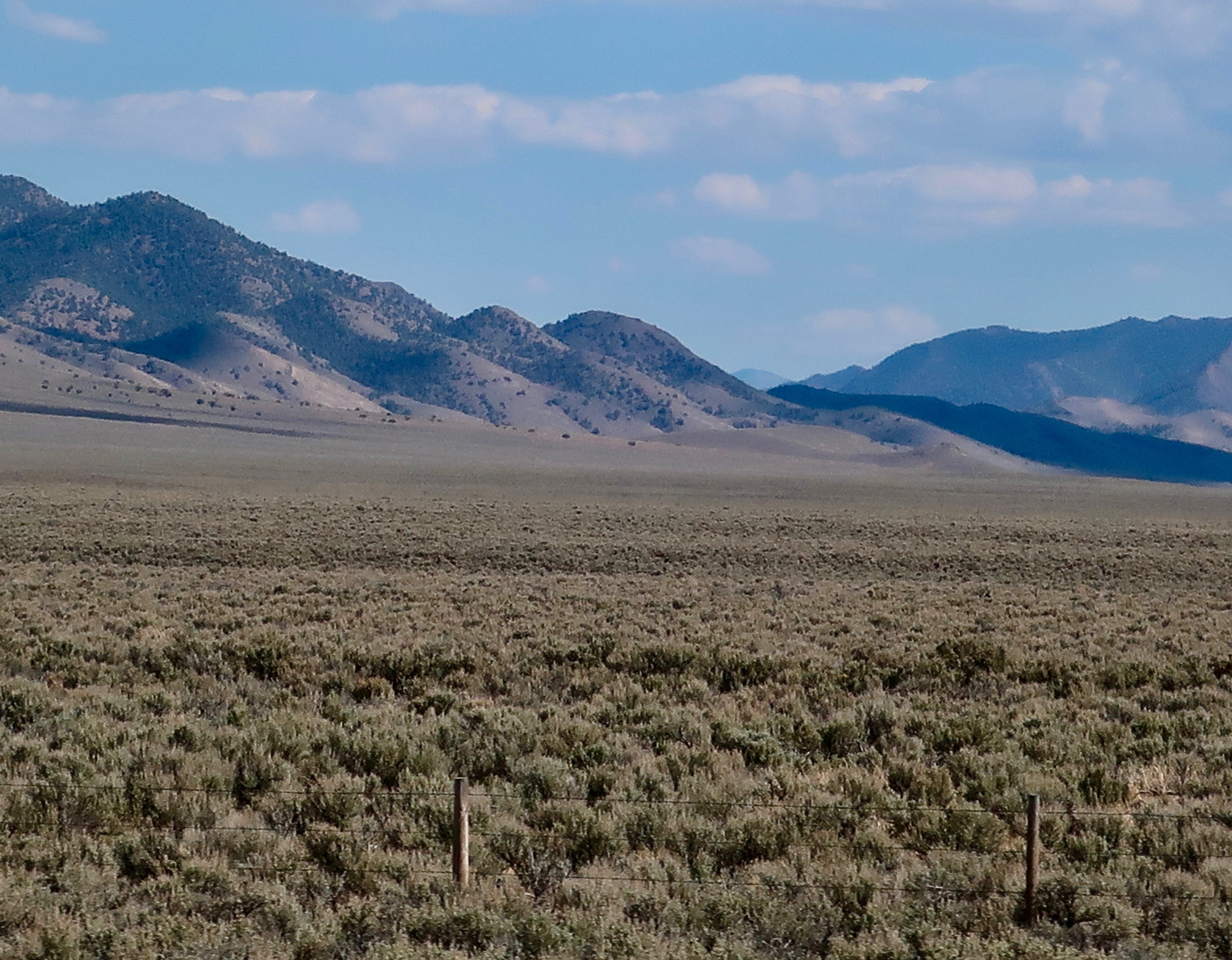
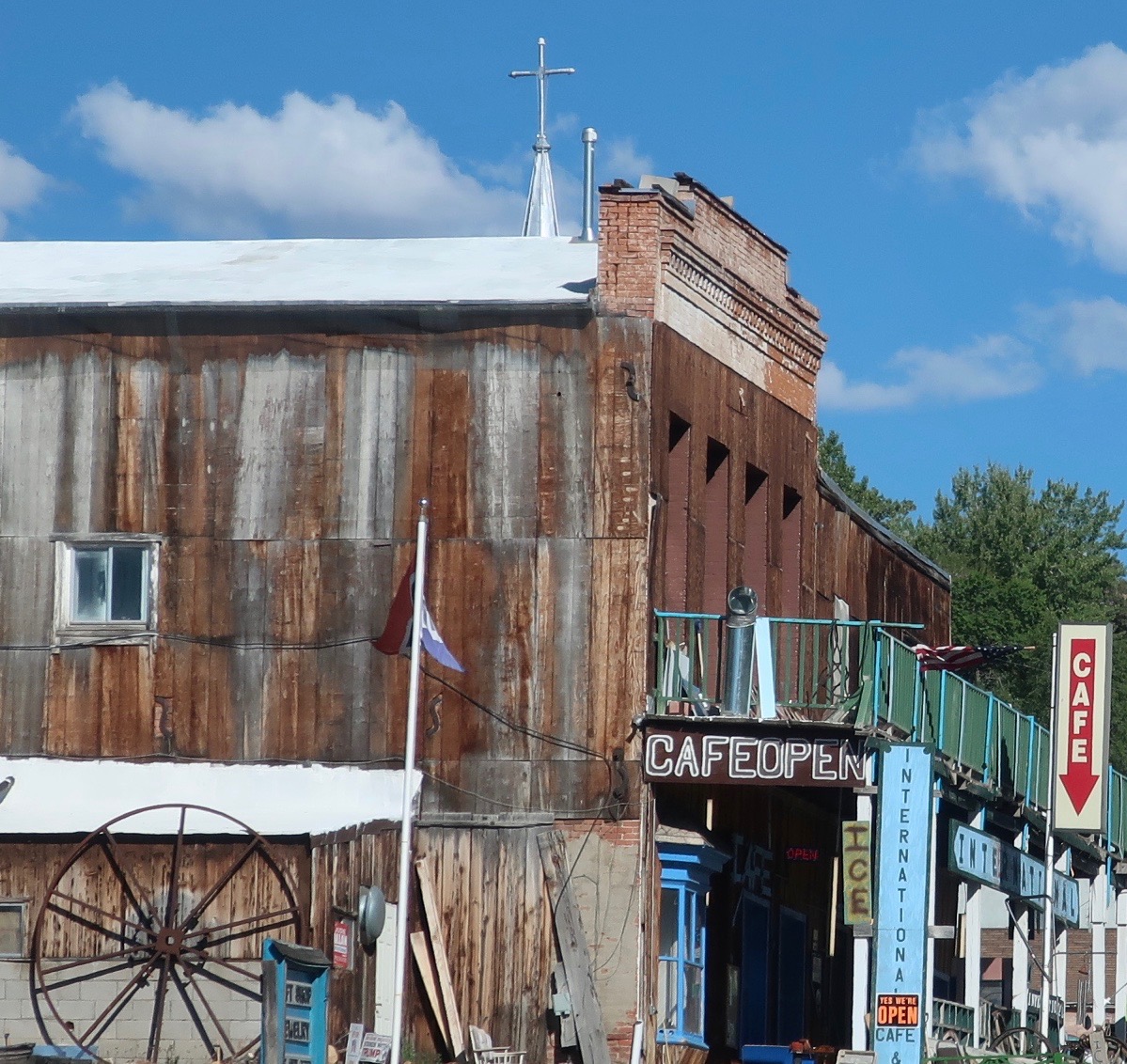
I am going to do three posts on Highway 50 through Nevada. Later, I will do a couple of posts on 50 in West Virginia and Ohio as part of my backroad series. I took the photos in this post between Fallon and the Hickison Petroglyph Recreation Area in the center of the state.


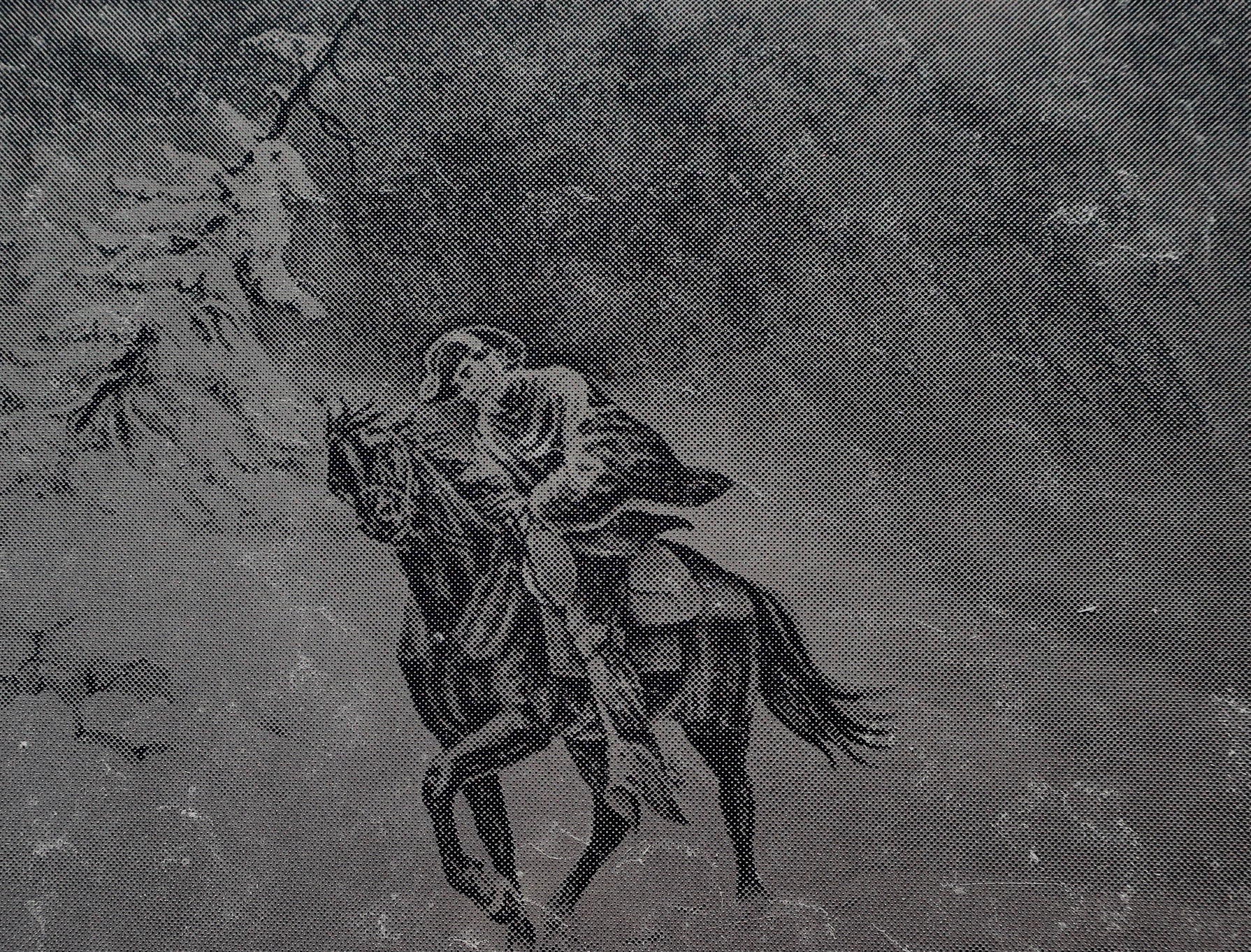
About half way between Fallon and Austin, Nevada, we came upon a small, historical marker site that featured the Overland Stagecoach, the Pony Express and America’s first cross country telegraph. All three were inspired by the North’s need to maintain communication with the West during the Civil War. Both the Pony Express and the Overland Stage Company had stations here. Three illustrations (early photos?) at the site captured our attention.


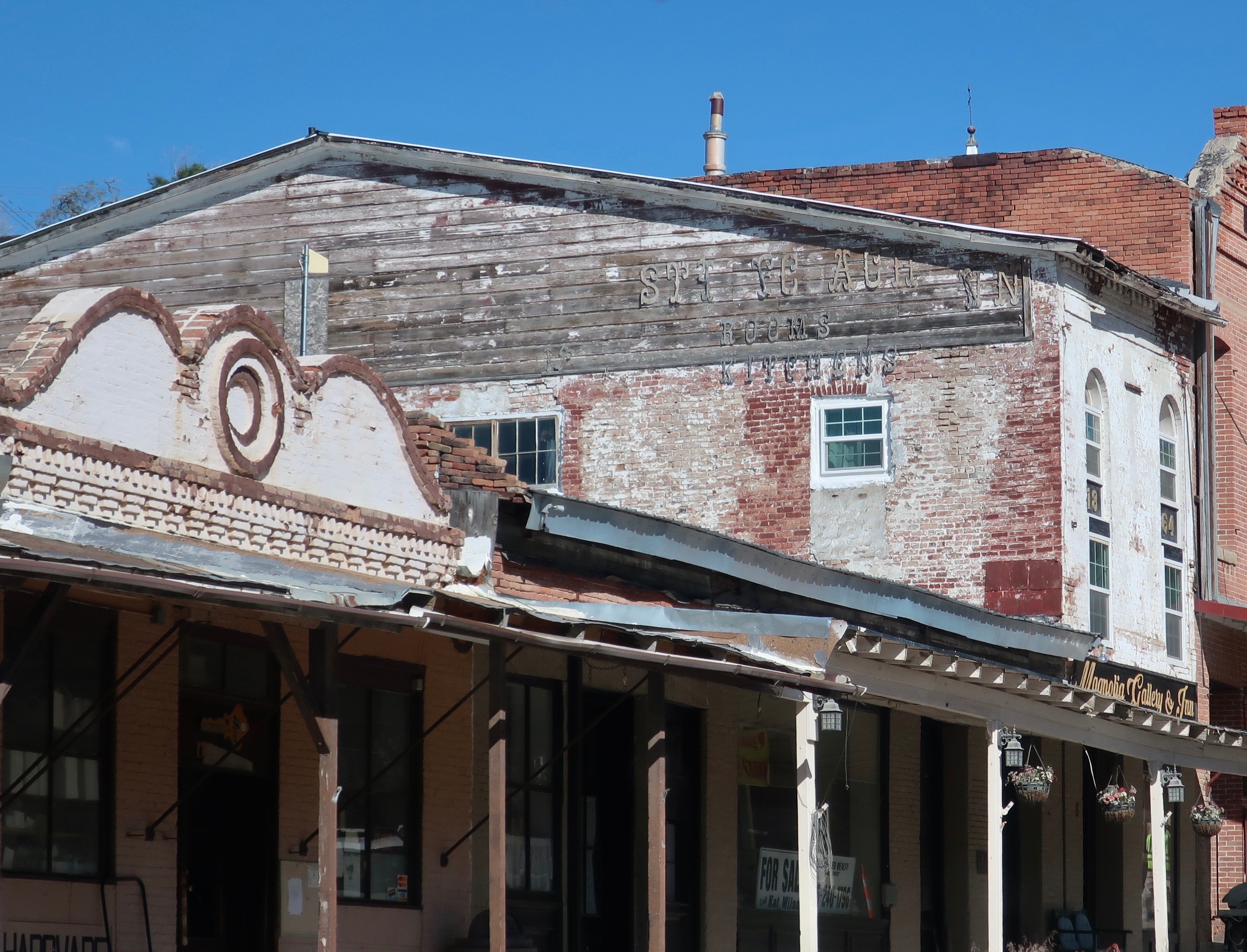
Rumor is that a Pony Express horse kicked over a rock that showed silver and the rush was on. Whether this is true or not, the presence of silver led to a silver rush and suddenly the town of Fallon was born. Soon it boasted a population of over 10,000 and even had a castle! Now it is best described as sleepy and historic.

NEXT POST: On Tuesday, I will feature the second part of my introduction to the book I am blogging, “It’s 4 AM and a Bear Is Standing on Top of Me.” I answer the question about why I would undertake a 700 mile plus backpacking journey down the PCT at 75. Will a plea of insanity work?
