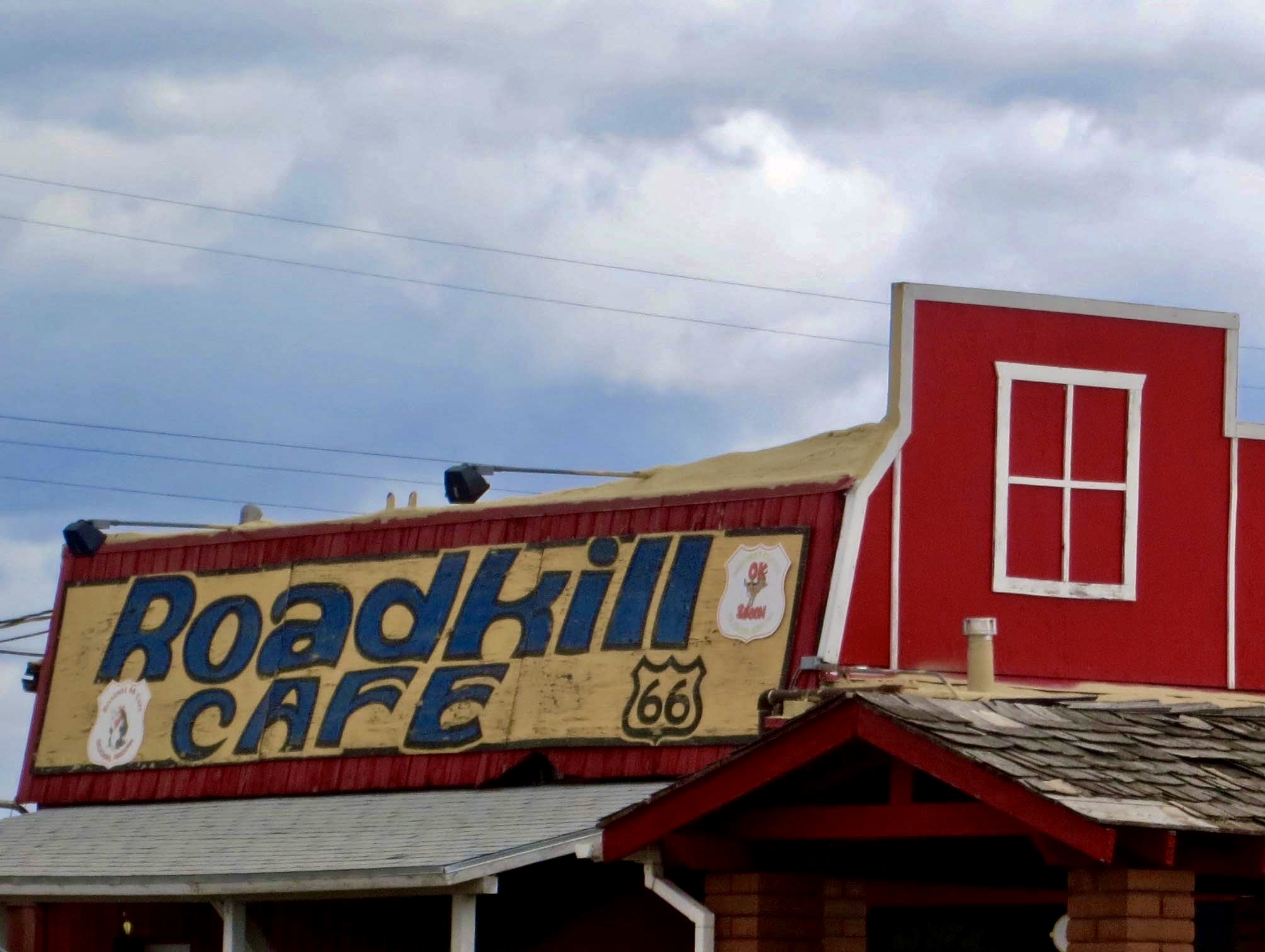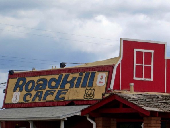
This cafe in Seligman, Arizona on Route 66 has a special significance for bicyclists whose view of road kill is often up close.
I recognized there were inherent risks when I decided to undertake my bike trip. I would be traveling for 10,000 miles on 1¼ inch tires through all types of terrain and weather conditions. The roads would range from smooth and modern, to filled with pot holes, to dirt. Some came with wide shoulders to ride on, others with none. Everything from 18-wheelers to drunk drivers would be passing me, and some frighteningly close. I would be traveling over some of the most remote roads in North America. And, I would be by myself. (I might also note here that it was the era before cell phones.)
I accepted these risks willingly; it is the nature of adventures. Besides, I was an experienced bicyclist and camper, carried appropriate clothing and equipment, and didn’t take unnecessary chances. I am not a thrill seeker. When I camped out beside the road, for example, I hid. When the weather was particularly severe, I headed for shelter. On steep downhills, I didn’t say, “Wow, let’s see how fast I can go!” (Okay, there were a few times.) There was ample challenge in what I was doing; I didn’t need to wave my finger at fate.
Most days reminded me of my mortality in some way or the other. A truck would brush by me; I’d pick up a flat in a tight situation, a drenching rain would hit when I was miles from nowhere, a big dog would decide I’d make a nice dinner. But these went with the territory and didn’t particularly worry me. Anybody who does a bit of cycling has experienced them. Occasionally, however, something would get my heart beating like a rock drummer on steroids. One such event took place in Winslow, Arizona. But I wasn’t ‘standing on a corner,’ in Winslow as in the Eagle’s song “Taking It Easy”; I was happily zonked out in bed. The story is coming up at the end of this post. First, I had to get there.
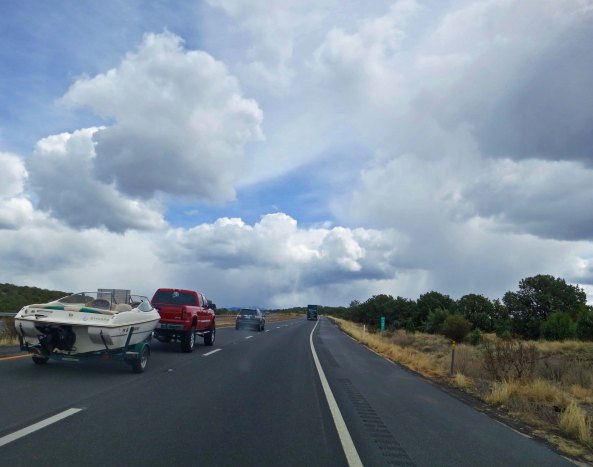
As I rejoined Route 66 from my camp at the Grand Canyon Caverns, dark clouds threatened on the horizon. There were showers about, and I was hoping to dodge them. Although deserts don’t get a lot of rain (the definition is under 10 inches a year), when it rains, it can pour— so to speak, and there is nothing to absorb the water. This is a bad time to be camped out in a gully. Or be bicycling, as far as that goes. Thunder and lightning frequently accompany the storms and you and your metal lighting-rod bike may be the tallest thing around. Fortunately, the storms hit elsewhere and the most exciting thing I did on my morning ride into Seligman was watch the long freight trains of the Santa Fe Railroad cross the desert.

You have a lot more time to worry about storms in the desert! You can see them from a long ways off.

Trains provided me with a form of companionship on my journey, or at least a distraction. I usually climbed off my bike and watched them pass.
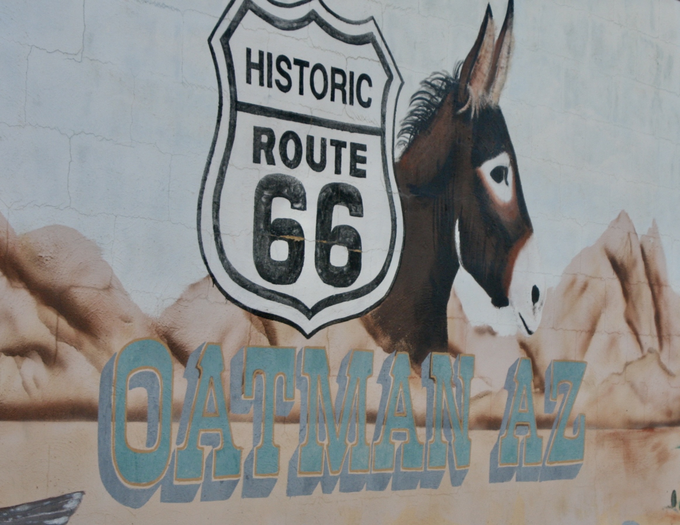
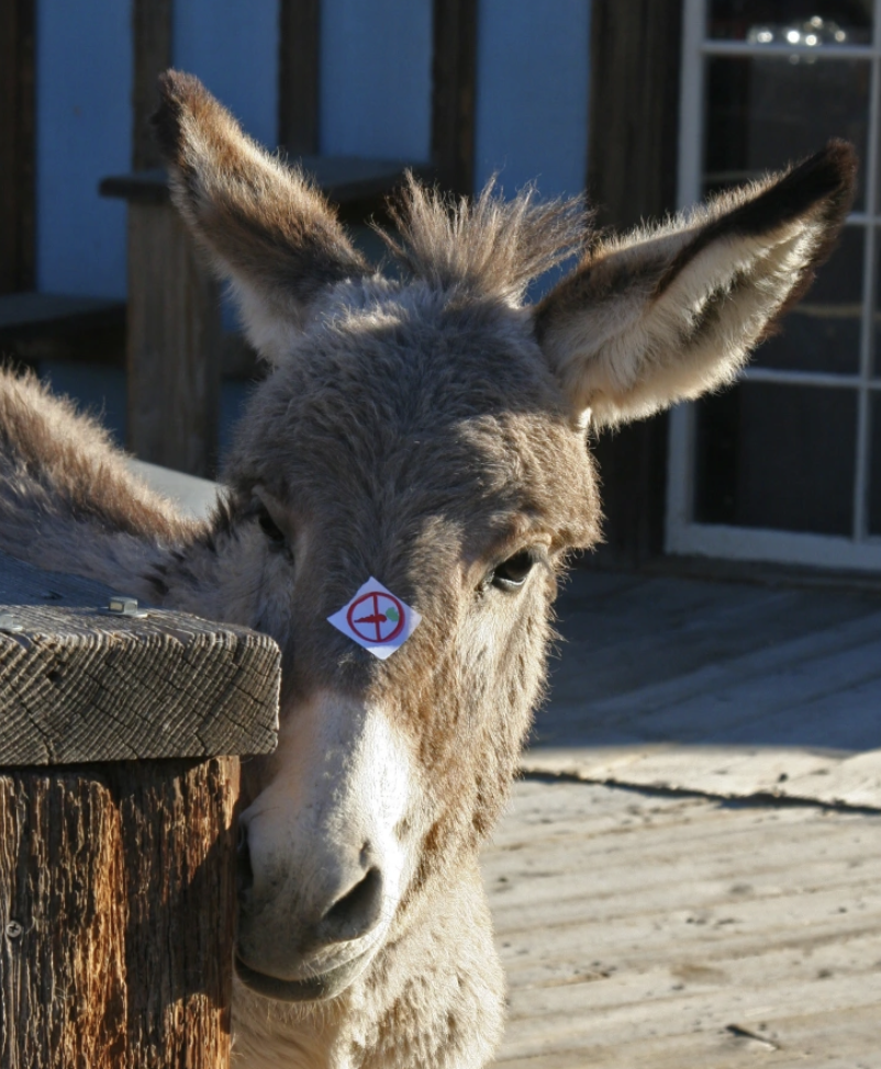
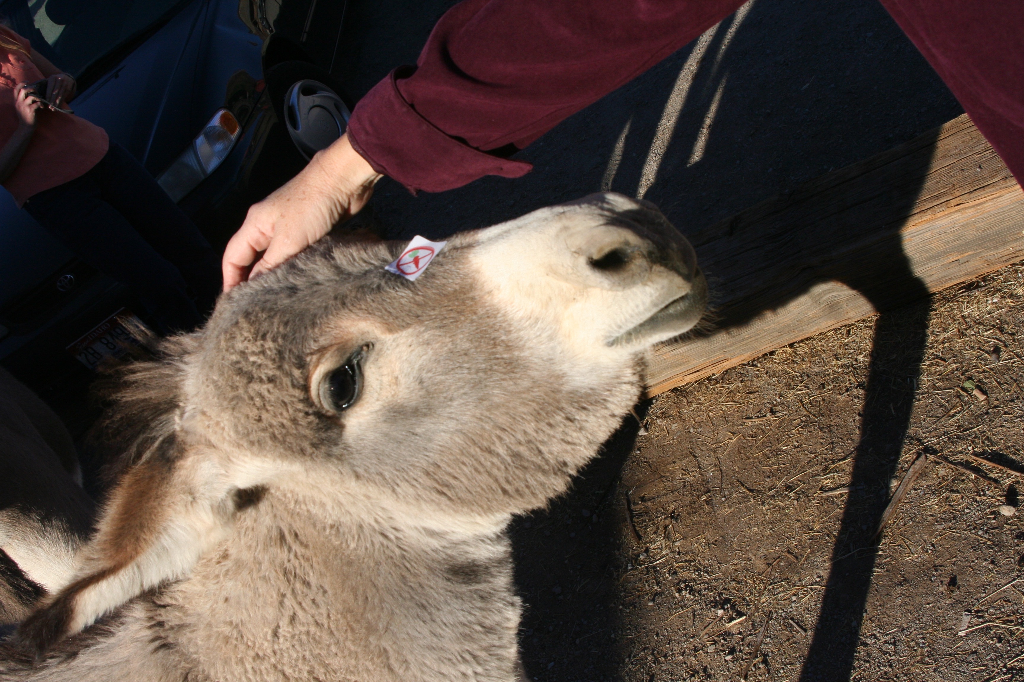
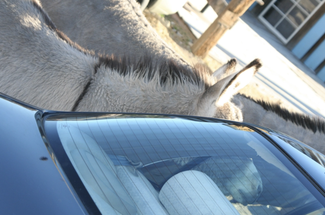
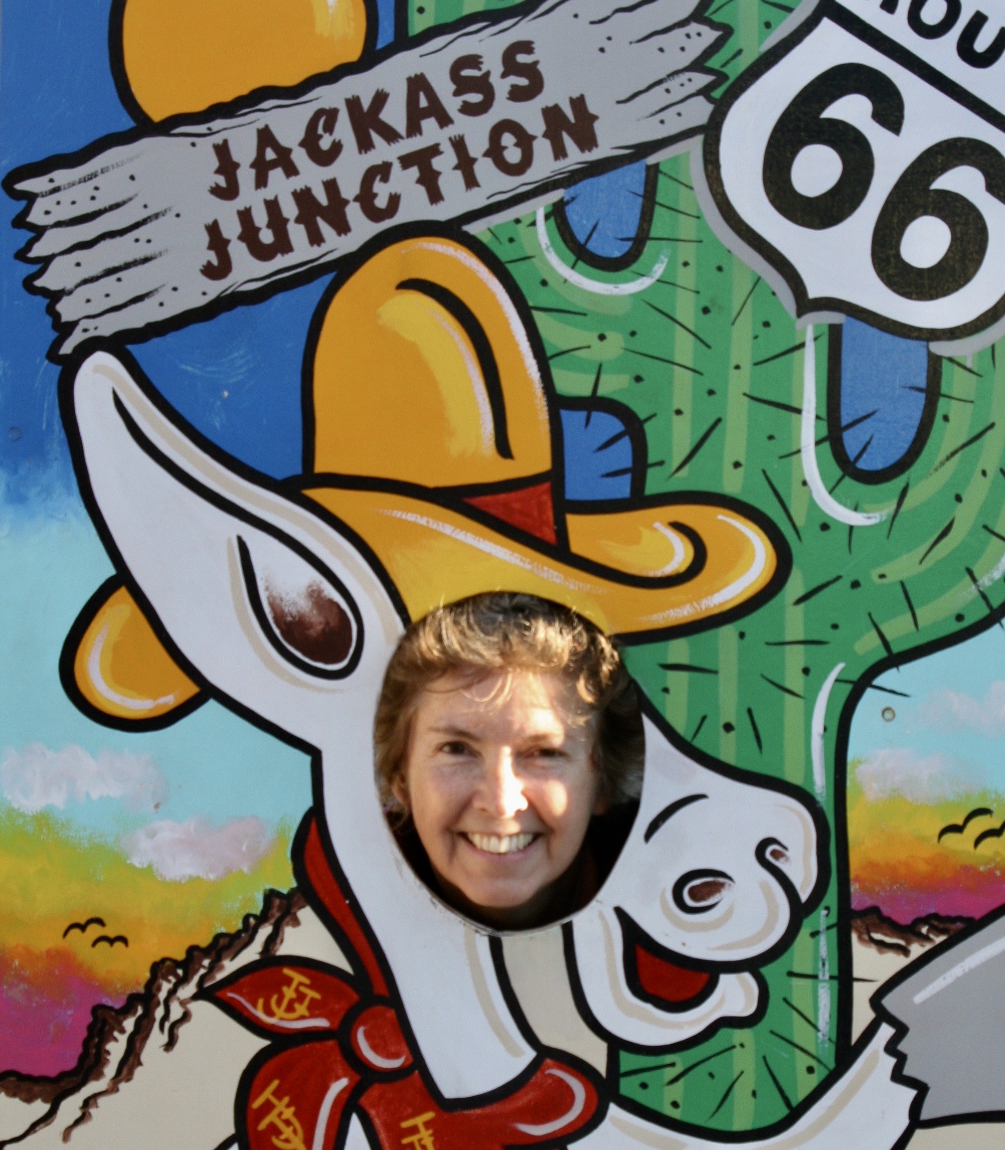
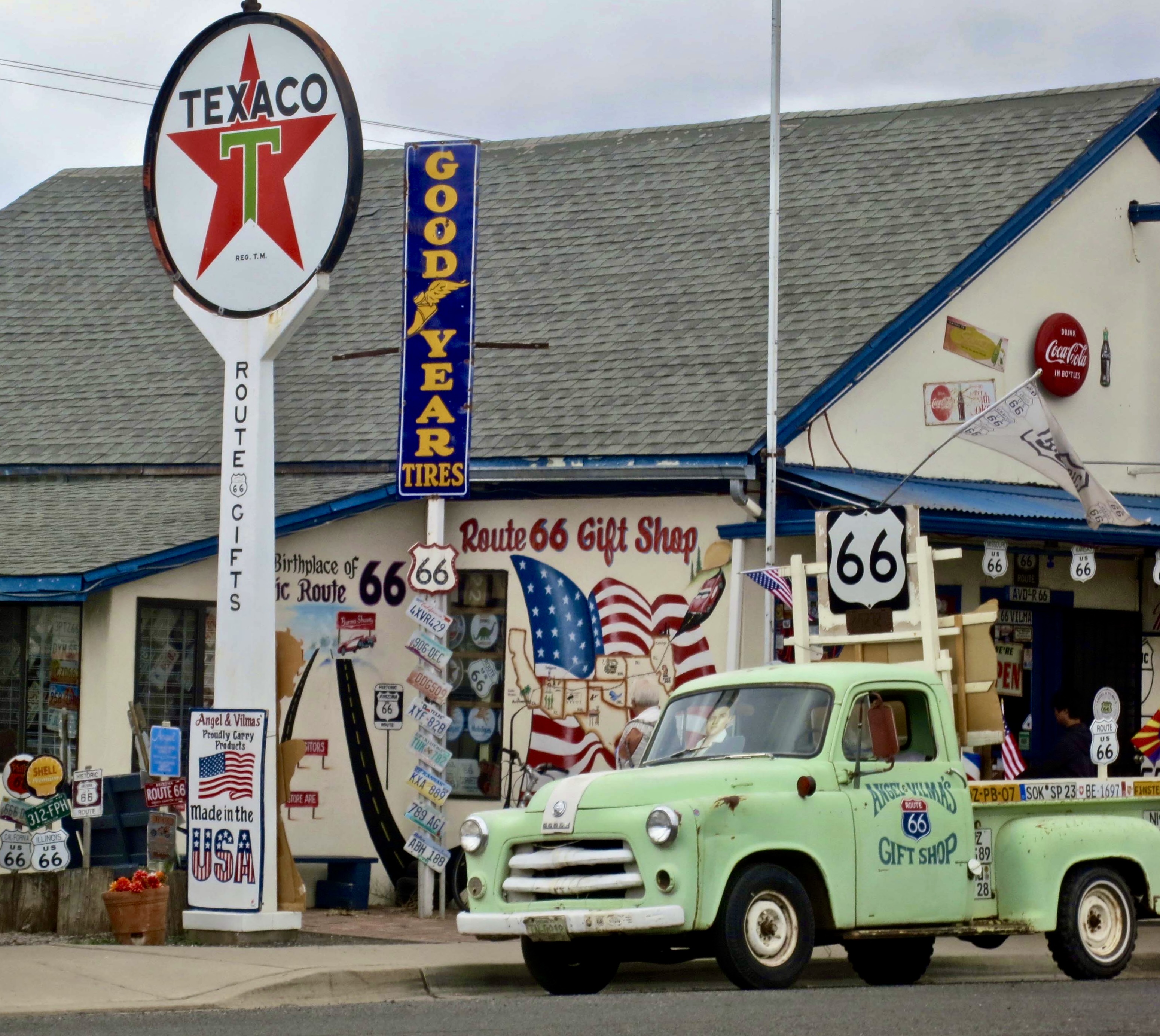
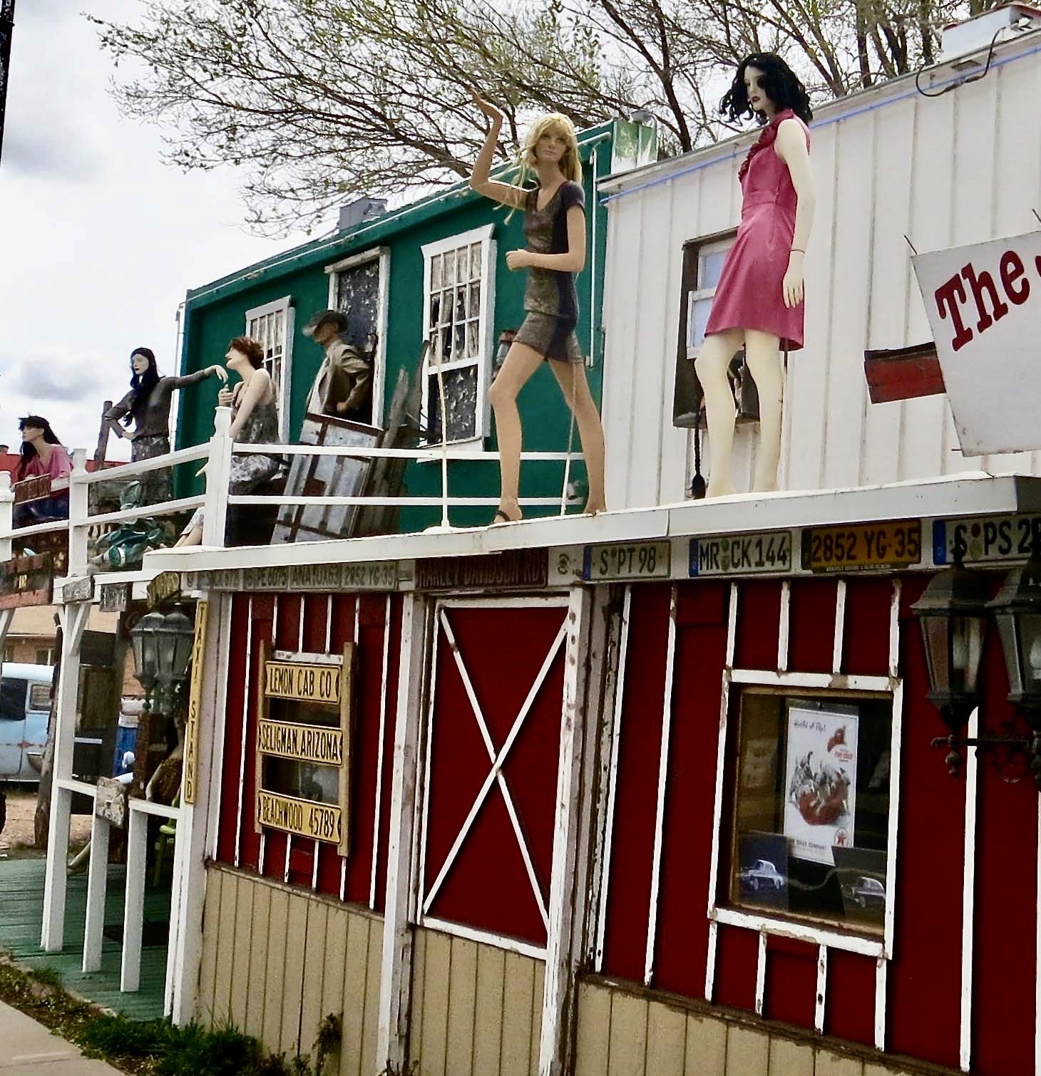
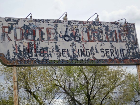
Breakfast provided an opportunity to look around the small town. I am pretty sure there is not another community on Route 66 that is so dedicated to making money off the fact. It was in 1989 and it still is today. Consider the photos that Peggy and I recently took when we drove through the town retracing my bike trip:

I don’t think this store could have worked in more Route 66 signs. How many can you count?

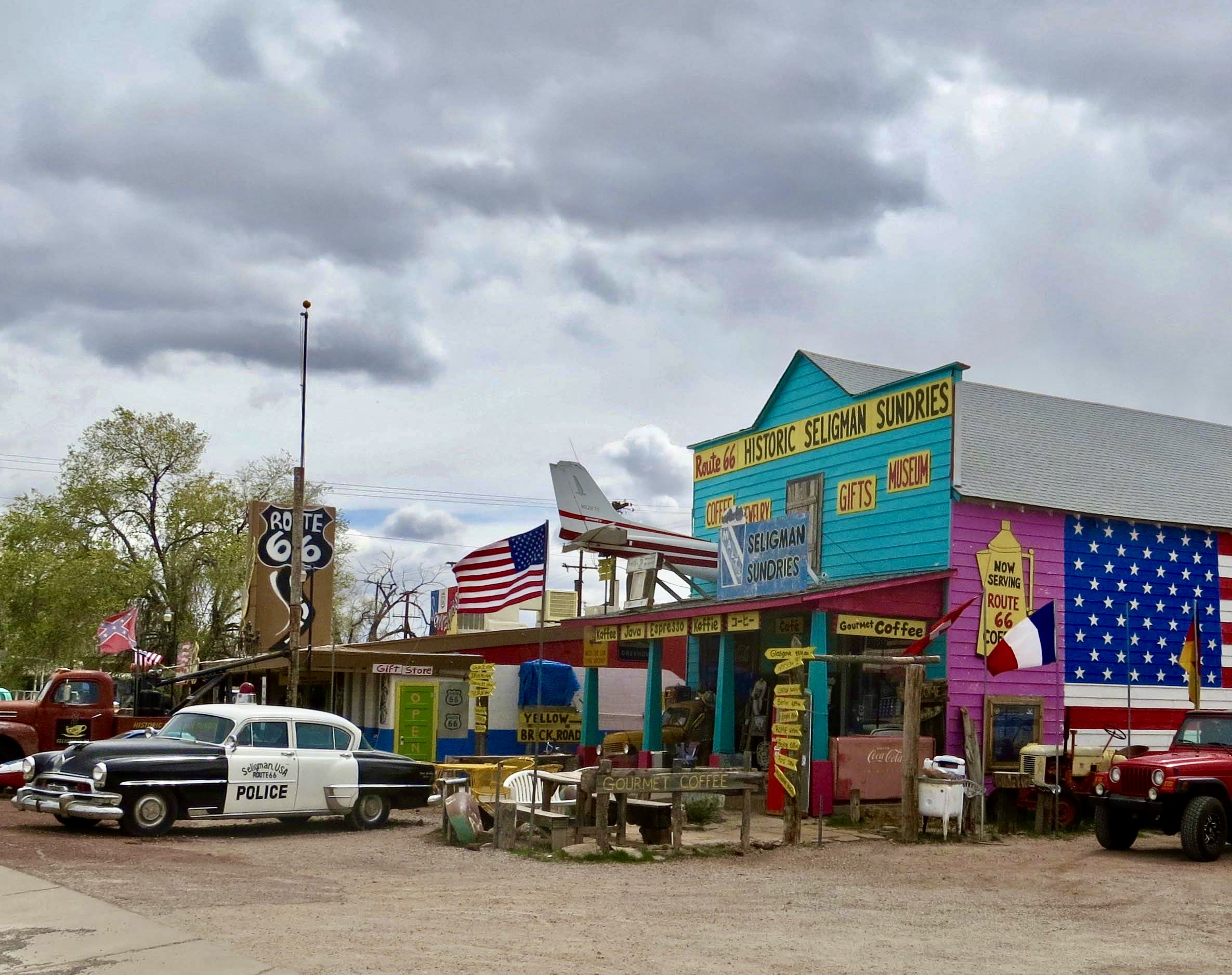
Here’s another example of Seligman merchants struggling to make a profit off of their Route 66 heritage.

This bar featured what I can only assume were supposed to be ladies of the evening.

I understood the girls but what was with the Lord of the Rings type character staring out the window? And what did he have in mind doing with his hand?
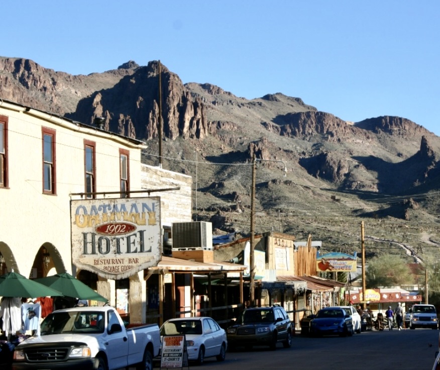
Historic Route 66 travelled on for another 20 or so miles before dropping me on to Interstate 40. If you were around in 1989, you may have heard my sigh. I left one of America’s bluest highways to one of its busiest, chock full of big rigs travelling as fast as the speed limits allowed— and faster. Fortunately, there was a decent shoulder. Five miles of freeway travel brought me to Ash Fork, another town that once served Route 66 travelers. Unlike, Seligman, Ash Fork has another claim to fame: The Flagstone Capital of the USA. If all of the rocks piled around the town are any indication, it is probably true. I spent the night. The next morning found me out on the freeway again. It was my only route to Winslow.

The railroad tracks came closer to the road just outside of Seligman. This happens to be one of the busiest freight lines in America. When I traveled through it was the Santa Fe Railroad of Atchison, Topeka and Santa Fe fame. Now it is part of the Burlington North Santa Fe Railroad owned by Warren Buffet.

Do you remember the days of the Burma Shave signs posted along the highways of America? This would have been five different signs stretched out over a mile or so. The chick he wed— Let out a whoop— Felt his chin— And Flew the coop— Burma Shave. New signs with similar humor are now posted along Route 66 in Arizona promoting safety.
So much for my peaceful road. Route 66 dumped me on to Interstate 40.

Fortunately it wasn’t far. I came to Ash Fork just up the road, which is quite proud of its association with flagstone. The small campground where I stayed was located somewhere on the other side of the rocks. There was also my kind of motel off to the right.
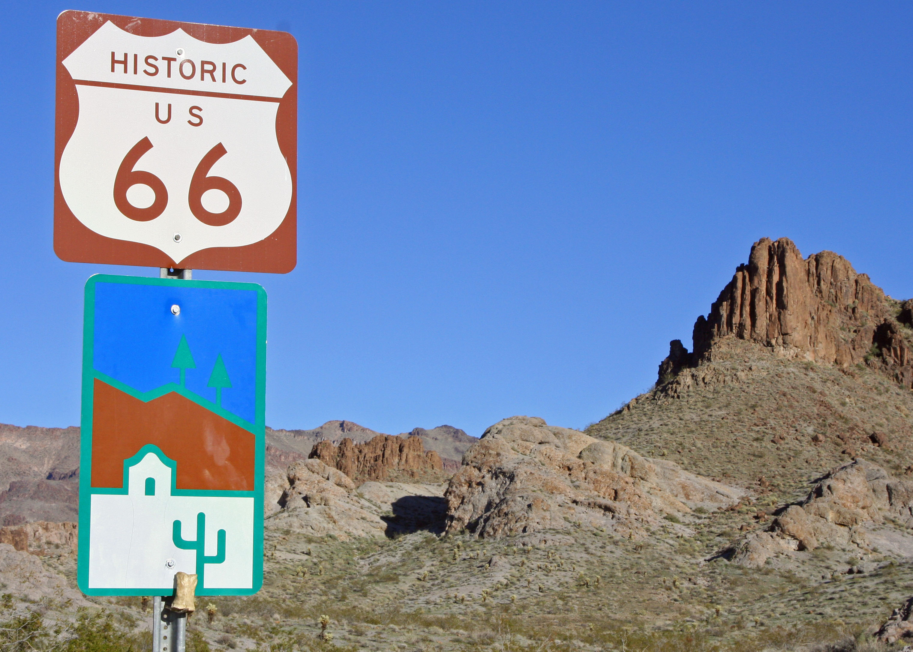
Ash Fork is also an historic Route 66 town as indicated by this sign.
Climbing was the order of the day, all the way to Flagstaff, one of my favorite Arizona towns. Nestled in the pines beneath the towering San Francisco Mountains, it features decent restaurants, coffee, bookstores, and campgrounds… everything I needed to keep me rolling down the road. I’ve stopped there many times, both on my way east and west and on my way north and south to the Grand Canyon and Sedona. I enjoyed myself so much that evening, I didn’t get out until two the next day. Fortunately, the 50 plus miles to Winslow on I-40 were mainly downhill or flat so I arrived before dark. My only disappointment was that I didn’t have time to stop off and see the huge meteor crater along the route. (Peggy and I stopped to check it out. It’s impressive.)
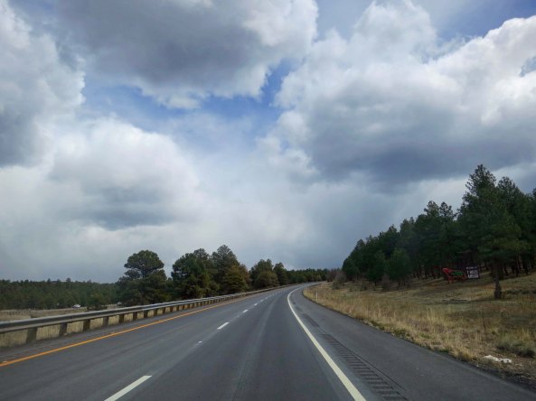
It was a steady climb out of Ash Fork to Flagstaff. But it had its rewards. I came on the first pine trees I had seen since I left Greenhorn Pass. I was so excited that I got off my bike and did a dance. Then I had to pee. You know how that goes…
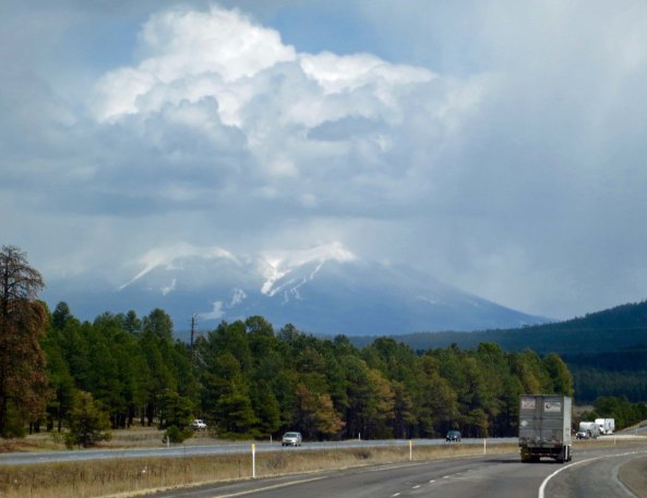
A storm rages over the San Francisco Mountains. Hopi legend has it that their Kachina gods wander the mountains during storms. Apparently they don’t like to be disturbed. Nasty things can happen to the unwary human. I camped up there once and was quite careful.

Another view of the San Francisco Mountains— this time from the east. Flagstaff nestles at their base.

I missed seeing the Arizona meteor Crater on my bike trip so Peggy and I stopped by there a few weeks ago as I retrace my route. It is a very impressive hole in the ground.

Because of its similarity to craters on the moon, the Arizona Crater was used of early astronaut traIning. And no, I wasn’t ‘on’ the boiler plate. (Photo by Peggy Mekemson.)
But now to Winslow and my story. Since it was late, I didn’t have a lot of time to search for lodging and I did what I rarely do… stopped at a motel with a huge sign proclaiming it was “American Owned.” It’s not that an American owned the motel that bothered me; it’s the prejudice that it likely reflected. Anyway, a very, very old lady was behind the desk. She stared at me and demanded to know what I wanted. (My showing up on a bicycle made me very suspicious, I’m sure.) “A room?” I hazarded a guess. “It’s $20 up front.” The emphasis was on ‘up front.’ The price was right and I handed over the cash. She seemed surprised but checked me in, a process that went on and on. Finally, she showed me the key. “There is a five-dollar deposit,” she announced, holding onto the key. I was becoming a bit ouchy but turned over the money.
Twenty-dollars was too much for the room. It was small, poorly lit, and came with a television that may have worked when “I Love Lucy” was a hit. It smelled like 50-years of tobacco smoke. The bed seemed hardly made, if at all. I wondered what kind of vermin it might contain. I checked. I also decided that my bike would be much safer inside. Exhaustion alone drove me to bed and asleep.
It was around one a.m. when I awoke with a start as I heard a key being inserted into the door and the door knob begin to turn. I sat up so fast I left my brains behind. A dark form was looming in the doorway. It screamed. I screamed back, primeval.
“What in the fuck are you doing in my bed?” he yelled!
“What in the fuck are you doing in my room?” I yelled right back.
“I am getting the manager,” he shouted in parting. I breathed a sigh of relief— too soon, as it turned out. The manager must have heard the ruckus because he was there faster than I could put on my pants, foaming at the mouth.
“What are you doing in this room,” he demanded. “I am calling the police.”
“An old woman checked me in and gave me a key,” I jumped in to deflect a 911 call.
“Oh,” he responded, deflated. “Mother.” As if that explained it all. “Her sight is gone and her memory is worse. I left her here when I had to run to the grocery store.”
That was it for an apology, but I was allowed to stay in the room and the police weren’t called. Small compensation, to say the least. No offer was made to return my money. It was a while before I fell back asleep and I was out early. New adventures were waiting.

The Winslow Visitor Center. Once again, the connection with Route 66 is emphasized. This was once a store that sold Navajo blankets and jewelry. Many such stores were located along historic Route 66 in Arizona and New Mexico.
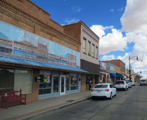
Downtown Winslow as it looks today, pretty much as it looked in 1989 and 1949.
NEXT BLOG: On to the edge of the Rocky Mountains.