Peggy and I are continuing our journey through Greece, the Scottish Highlands and Northern Ireland. Today’s tale from my WordPress blog-a-book, UT-OH!, is about the time my friend Bob Bray, got lost in a snowstorm…
Over the years I’ve had a number of challenging experiences in the snow. They have ranged from being buried under three feet fresh snow in an emergency snow shelter to camping out in 30° F below zero weather in the Alaska wilderness. I know what it is like to be on the edge of hypothermia and to cross country ski through avalanche country.
Only once, however, have I been involved in a search and rescue effort during a snowstorm.
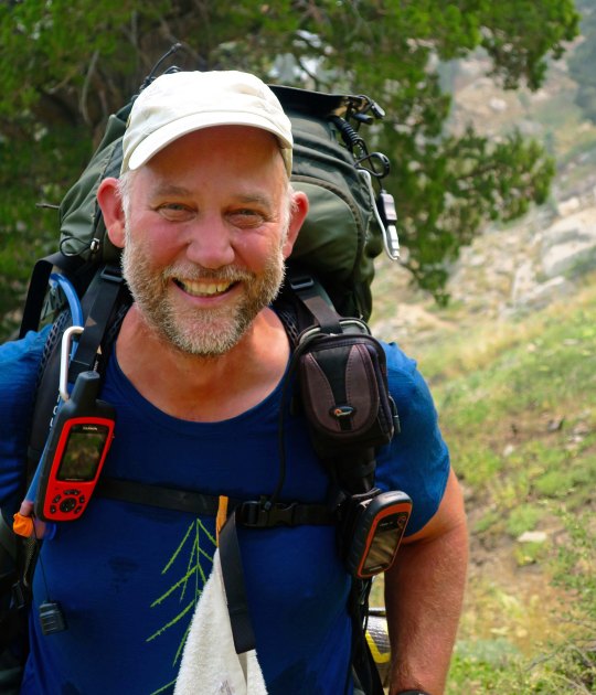
I was out hunting with my friends Bob Bray, Hunt Warner, and Phil Dunlop in the early 70s. As usual, I regarded hunting as an excuse to be out in the woods with friends, not a reason to shoot a deer.
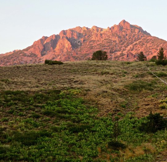
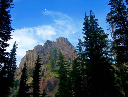
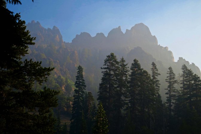
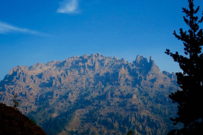
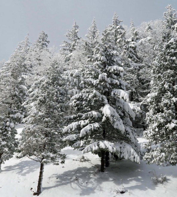
Deer season had come down to its last weekend. Pushing the season to its limit meant risking bad weather. We were hunting north of Highway 50 in El Dorado National Forest one Saturday afternoon in late October when the snowflakes started drifting lazily out of the sky.
It wasn’t much to worry about. We zipped up our coats and continued hunting. If anything, the gently falling snow added an enjoyable element to the trip. But it kept snowing and the flakes became more serious. After a couple of hours there were six inches of the white stuff on the ground and my tracks were beginning to disappear. I decided it was time to make a judicious retreat to the T-bone steaks that were waiting for us back at the jeep. I soon ran into Hunt who was walking with Phil.
“Have you seen Bob?” I asked. He and I had parted an hour earlier at the edge of a large thicket of brush where Bob had been convinced he would jump an evasive buck.
“I haven’t seen him since it started to snow,” was Hunt’s reply. Phil hadn’t see him since lunch. Normally we wouldn’t have been overly concerned. We were used to traipsing around through the woods on our own. But evening was coming, the temperature was dropping, and the snow was continuing to accumulate.
“Maybe Bob has more sense than we do and has already returned to the jeep,” Phil suggested. That seemed logical so we made the short 15-minute walk back to it. No Bob.
“This is getting worrisome guys,” I said in a definitely worried tone. It wasn’t like Bob to be late for dinner. “Let’s go back to where I saw him last and see if we can find his tracks.” The advantage of snow is that it leaves a trail even a city slicker can follow, assuming that it hasn’t already covered the tracks. Even then, there are usually dimples in the snow.
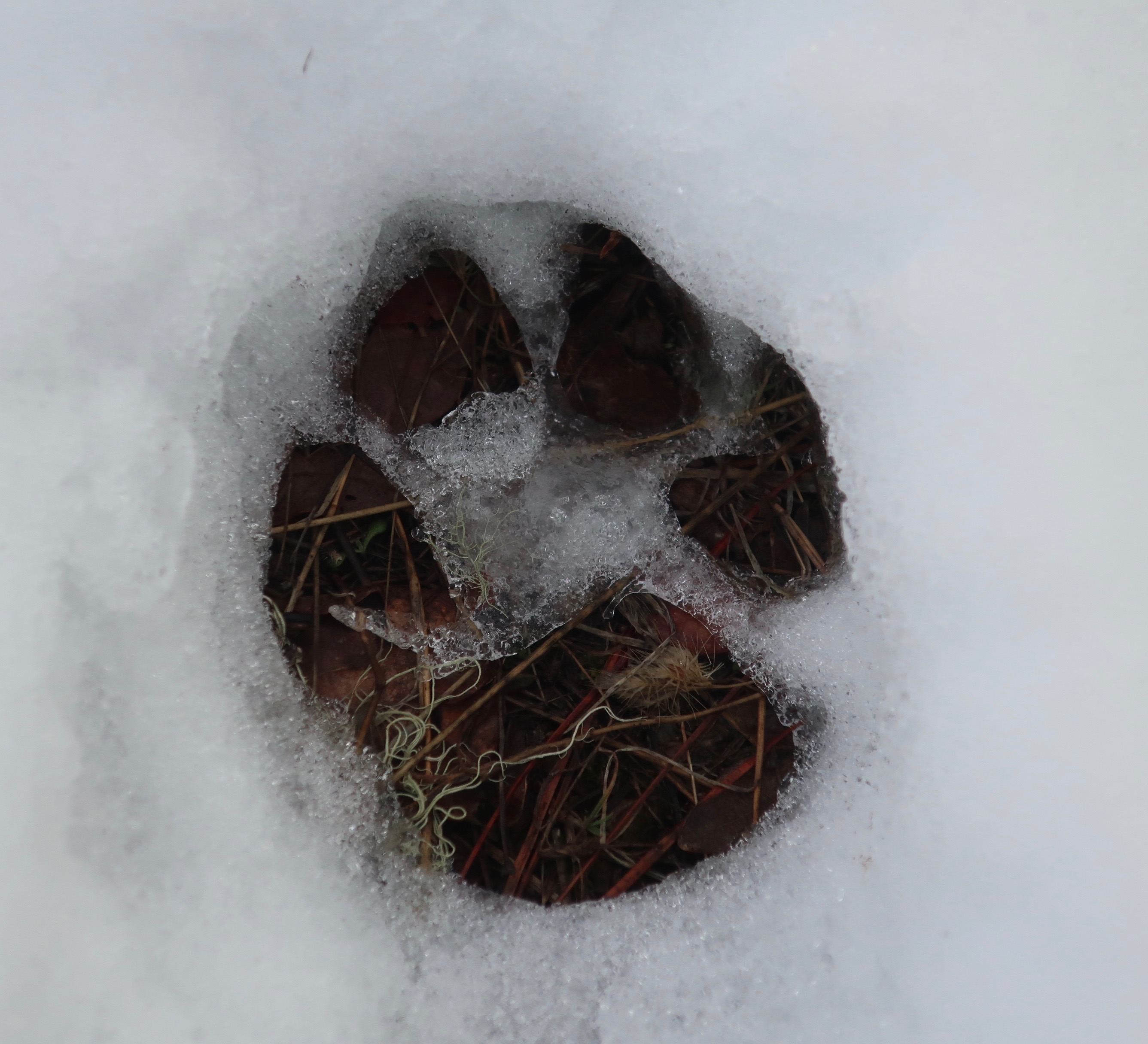
Unfortunately, no tracks or convincing trail-like dimples were to be found. I did spot the tracks of a very large deer, but they disappeared at the edge of the thicket.
“It looks like the buck stops here,” I said to Phil and elicited a weak groan. I suggested we split up and look around.
“We need to meet back here in 30 minutes,” I urged. “Don’t go far, and pay attention to where you are going. It is getting close to dark and the last thing we need is a second person missing. If you come across Bob’s tracks, fire your rifle and we will join you.” My degree of concern was reflected in my bossiness. Normally we were a very democratic, almost anarchical group.
Ten minutes later I had made my way to the other side of the thicket and found nothing. Neither had I heard any rifle shots announcing that either Hunt nor Phil had success. Discouraged, I turned around to rejoin my fellow searchers. It was then I spotted tracks leading out of the thicket. Up went my Winchester and I fired off a shot.
“Bang!” the sound of another rifle being fired resounded from the direction Bob’s track had headed. I quickly levered in another bullet and fired again. There was no response. I did hear Phil and Hunt making their way through the brush toward me, though. They sounded like a pair of large bears. We held another council. Once again, we decided to split up.
Phil would return to the road where the jeep was parked and flag down a car. His job was to get a message through to the El Dorado County Sheriff’s Department that Bob was missing. Hunt would cut back through the thicket and wait on the jeep trail where the thicket began in case Bob made his way back there. He’d fire his rifle if Bob appeared. I was going to follow Bob’s tracks until dark to see if I couldn’t catch up with him. There were only about 30 minutes of daylight left so the odds were slim. My concern was that Bob had somehow injured himself and was stranded, or that he had become disoriented and become lost.
Following the tracks was a challenge. They would be clear for a few yards and then disappear under the snow. It was continuing to fall and beginning to drift, whipped on by a strong breeze. Each time I lost the tracks, I would work forward in a zigzag pattern until I found them again. It didn’t help that Bob was tending to wander or that I was tired from a full day of tramping over mountains. Dusk was rapidly approaching when I came across another set of tracks that crossed the trail I was following. They were fresher, and they were Bob’s! I yelled but the only response was the silence of the snow filled woods. It seemed to me that Bob was beginning to follow the classic lost person syndrome of wandering in circles.
I wanted to go on, needed to go on, but knew that the decision would be the wrong one. Dark had arrived to reduce an already limited visibility. I was tired, close to exhaustion, and cold. Hypothermia was a real threat. Ever so reluctantly I turned around and begin to make my way back toward Hunt, leaving Bob behind to face whatever fate the dark and snow and cold had in store for him.
The realization of how tired I was really hit me when I came to a downed tree and couldn’t persuade my leg to step over. We had quite the discussion. I reached down, grabbed my pants cuff and gave the reluctant appendage a boost. Hunt was waiting where we agreed and I filled him in on my findings as we made way back to the jeep through the ever-deepening snow.
Phil had had more luck. The vehicle he flagged down had a CB Radio and the driver was able to contact the Sheriff’s office. A team with snowmobiles would be at our jeep at first light, prepared for a full search and rescue operation. Bob, who was manager of Placerville’s newspaper, The Mountain Democrat, was well-known and liked in the community. We knew we would have lots of support in our search.
There wasn’t anything else we could do. We were too tired to set up the tent so we climbed in the jeep, grabbed a bite to eat, downed a Bud, and prepared for a long night. Hunt got the front seat—it was his jeep. Phil and I shared the back. It was beyond uncomfortable and even exhaustion couldn’t drive me to sleep. Somewhere around two I finally managed to doze off only to be awakened at 5:30 by Hunt’s cussing about how damn cold it was. And it was. Our sleeping bags hadn’t kept us warm and the doors had frozen shut. We had to kick them open.
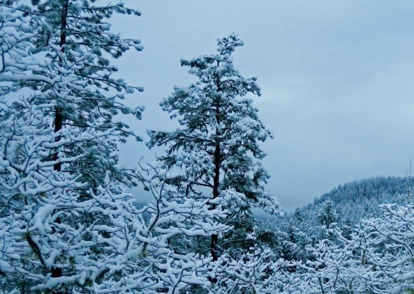
We soon had our Coleman lantern blasting out light and our Coleman stove cooking up a mass of bacon, eggs and potatoes. We were expecting a long day and knew we would need whatever energy the food could supply. The storm had passed, leaving an absolutely clear sky filled with a million twinkling stars.
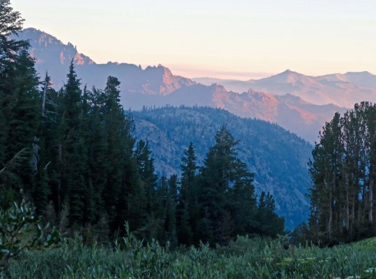
The Sheriff’s team arrived just as the sun was climbing above the Crystal Range of the Sierra Nevada Mountains, exactly on time. Introductions were made and snowmobiles unloaded. We filled the team in on our efforts of the previous day. The deputy sheriff in charge asked me to climb onto the back of his snowmobile and take them to the point where I had left Bob’s tracks the night before. It was to be my first ever snowmobile ride. Except it wasn’t.
Just as the search team was firing up their engines, a wraithlike figure wearing a plastic poncho came slowly hiking up the hill toward the jeep. He looked like a bad guy out of an early Clint Eastwood western. It was Bob. As soon as the sun provided a hint of dawn, he had managed to orient himself and start walking back toward the jeep. Yes, he was freezing, but he was alive. We knew just how alive he was when he demanded his share of breakfast. As we cooked up another mass of bacon and eggs (fortunately we hadn’t eaten everything), Bob told us his story.
He had become disoriented after coming out of the thicket and headed off in the direction he thought would take him back to the jeep. It didn’t. He fired his rifle several times to get our attention but the sound of shots is fairly common in the forest during hunting season. We just assumed a deer hunter had gotten lucky. Bob continued wandering and eventually came across his own tracks. That was when he seriously began to worry.
Knowing he was lost and knowing night was coming on, he gathered wood for a fire. The wood was wet and refused to start burning. Bob’s lighter ran out of fuel but he still had a few matches. He took his lighter apart, placing the innards under the wet wood and used his last matches to light it. The good news was that the fire started. The bad news was that the wind and snow put it out almost immediately. It was some time during this process that I had fired my rifle and Bob had used his last shot to respond. Out of options, he had dug out a packrat’s nest to provide shelter and prepared for the longest night in his life. He had survived in lodging that made Hunt’s ancient jeep seem like a five-star hotel.
“I even fell asleep once or twice,” Bob managed to get out around a mouthful of eggs.
Of course, the Mountain Democrat ran a major story on Bob and he had to take considerable ribbing in Placerville over the next several months. It was a small price to pay considering the alternatives. That Christmas, Bob received several compasses for gifts. It was years before he had tolerance for any temperature below 70.
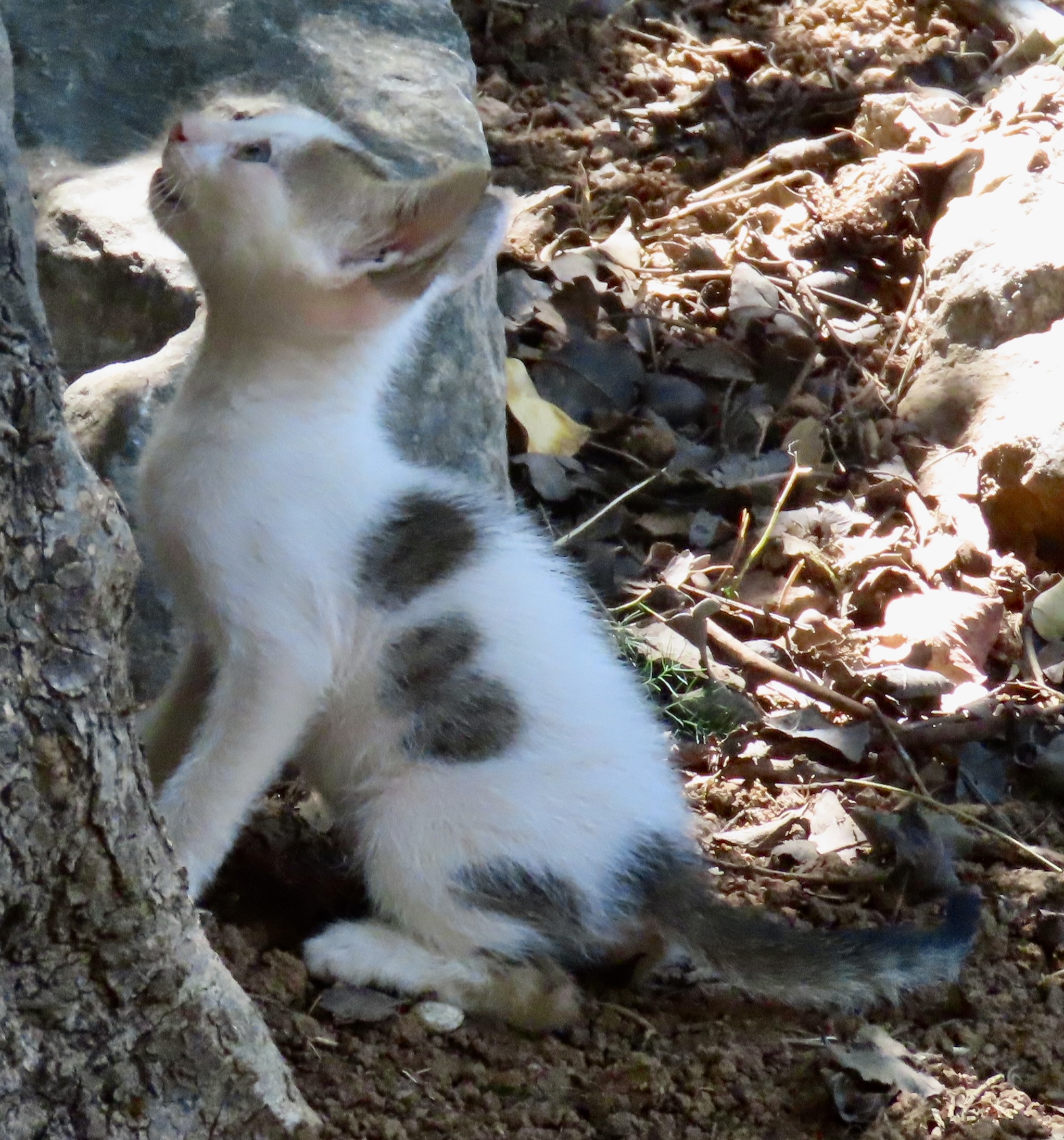
Next Post: You will get to meet both ancient and modern cats of Greece. They were everywhere.