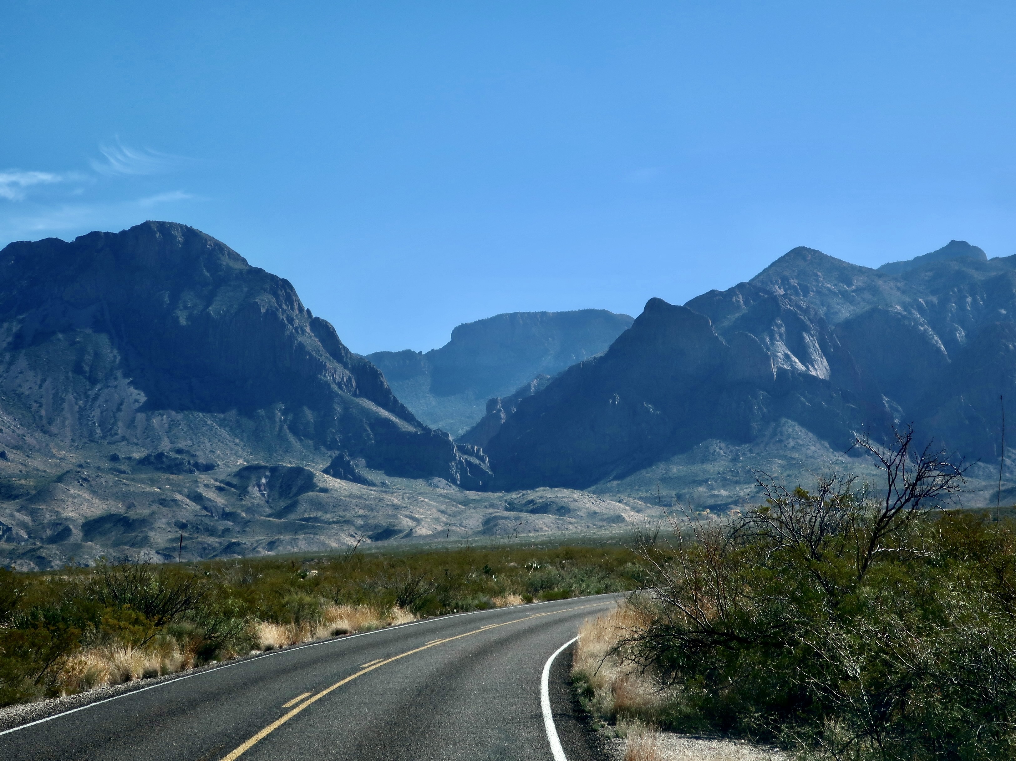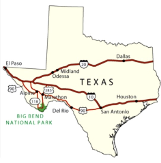
Most of our adventures start with a fair amount of forethought. Our 18-day raft trip through the Grand Canyon was an exception. It started with a phone call from our friend Tom Lovering.
“Curt, you need to jump online right now and sign up for a chance to win a lottery permit to raft the Grand Canyon.” It was more in the nature of a command than a request. Tom was plotting. There are relatively few private permits granted every year in comparison to the ton of rafters who want them. Floating down the Colorado through the Canyon is one of the world’s premier raft trips, providing a combination of beauty and adventure that are rarely matched. Tom figured that the more people he persuaded to sign up for the lottery, the better the chances of getting a permit. He’d made the request to several friends.
I would have probably skipped the opportunity. We were in the midst of wrapping up a three year exploration of North America and were seriously looking for a place to light— a semi-wilderness home. We were closed to settling on Southern Oregon. We had an hour to meet the filing deadline and the chances of winning, as I mentioned, were close to zilch. Plus I was woefully out of shape and 67 years old. I wasn’t sure that my body would have a sense of humor about the journey. Floating down the river on a private trip actually involves a substantial amount of work and everyone is expected to do their share. Rightfully so.
My child bride Peggy, however, who is seven years younger than I am and loves everything related to water, went straight to the site, filled out the required information in my name, filled out another in hers, and hit send. Fine, I thought to myself. That’s that. We can go merrily on our way and report back to Tom that we tried.
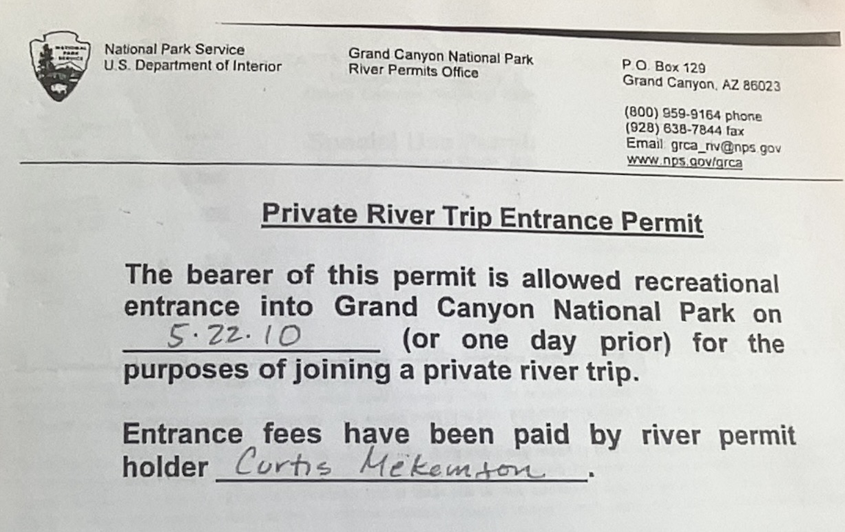
What I wasn’t expecting, as those of you have read my blogs about the trip know, was waking up the next morning and finding an email from the National Park Service announcing that I had won a permit. “Woohoo!” Peggy yelled. “Oh crap,” my fat cells responded. Tom didn’t believe me when I called him from somewhere in Nebraska. It took several minutes to convince him. And then he got excited. Here’s the actual permit:
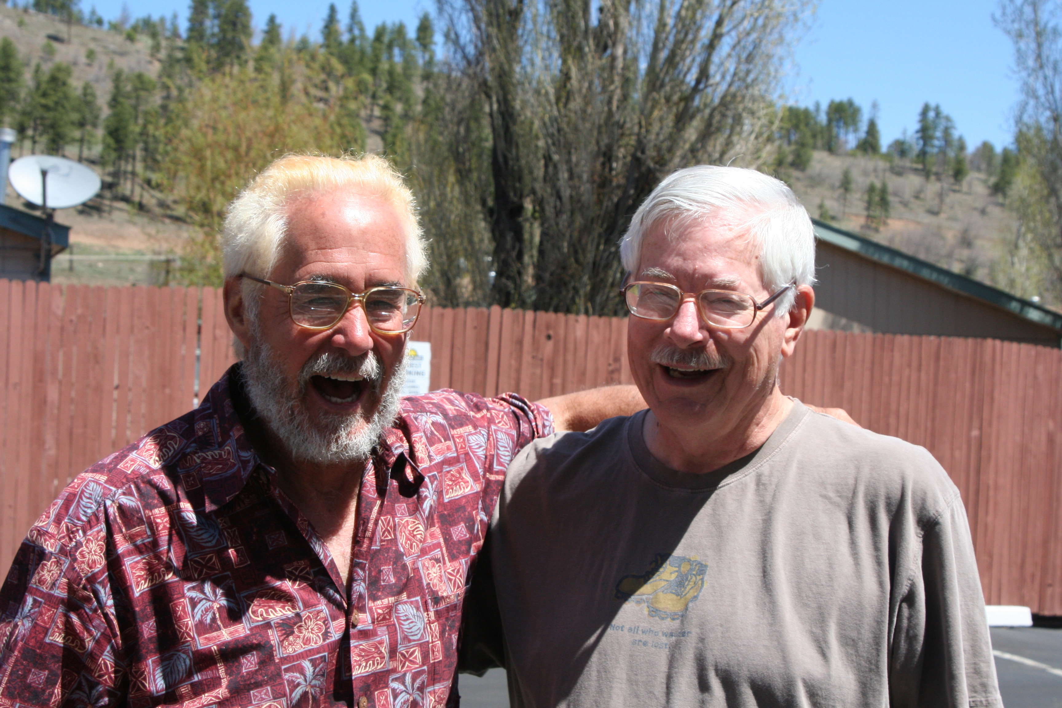
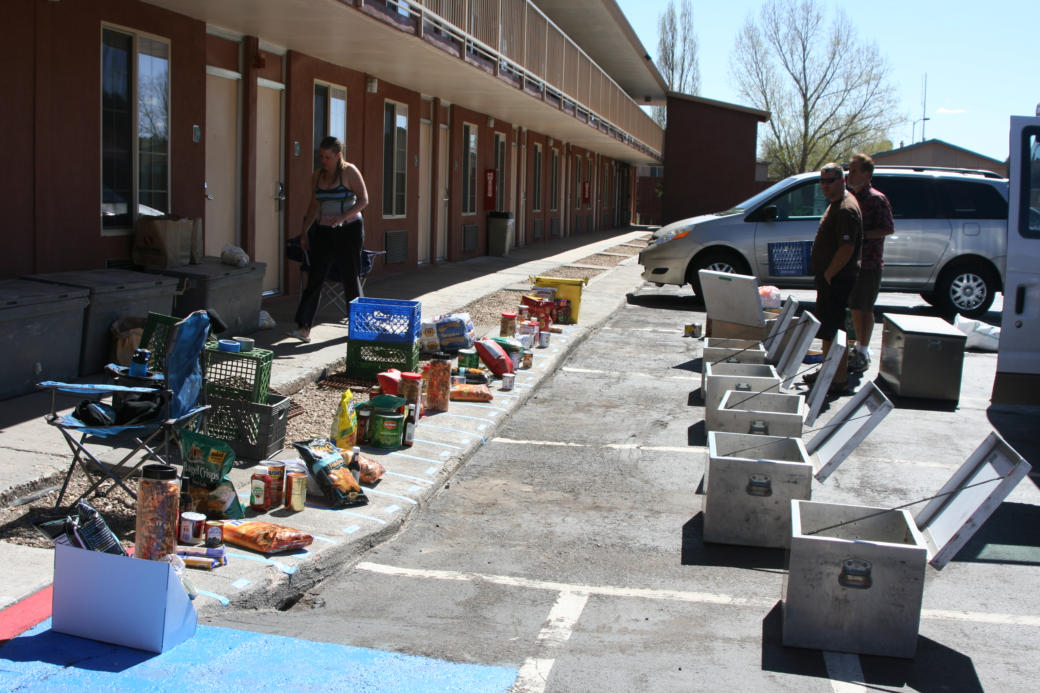
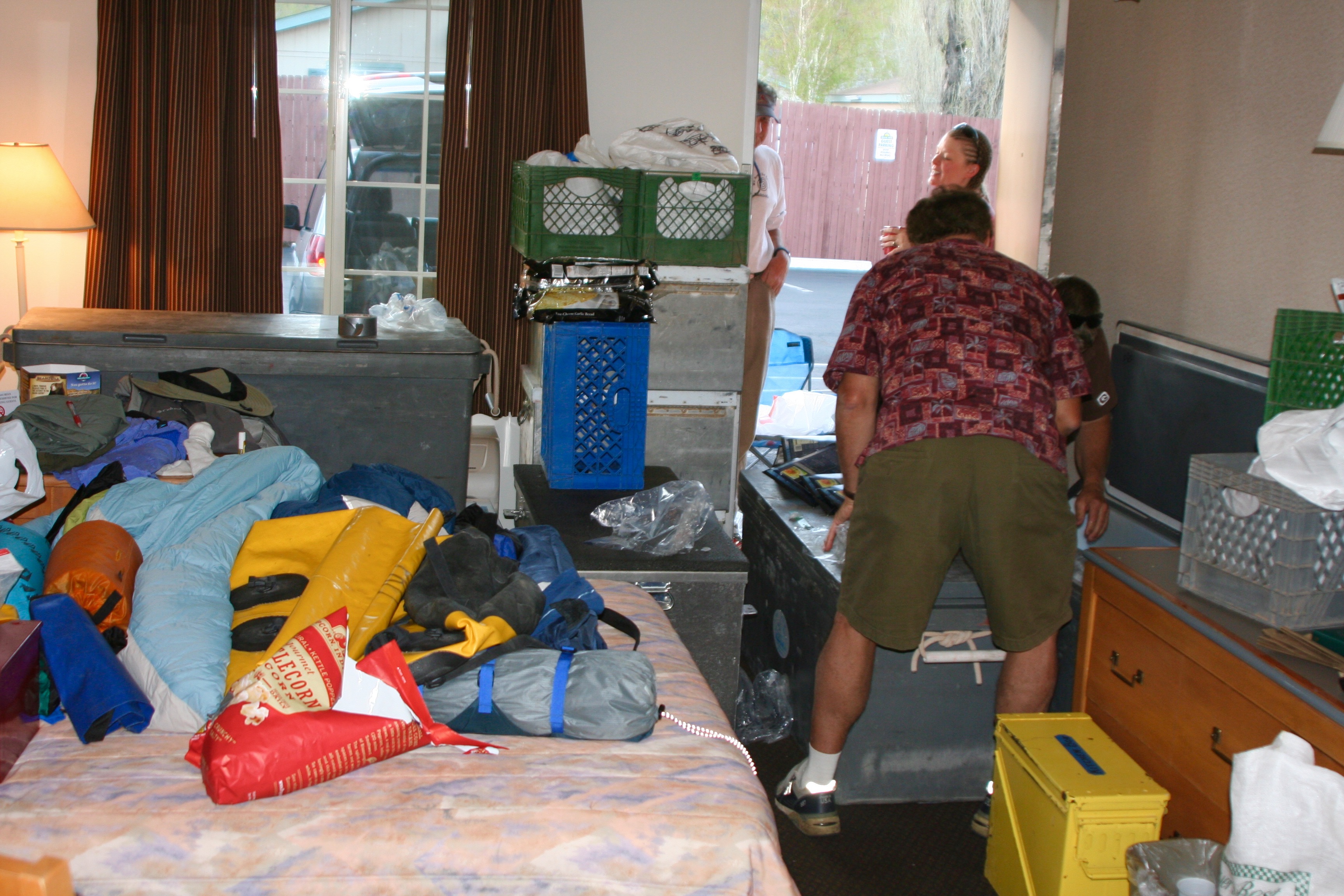
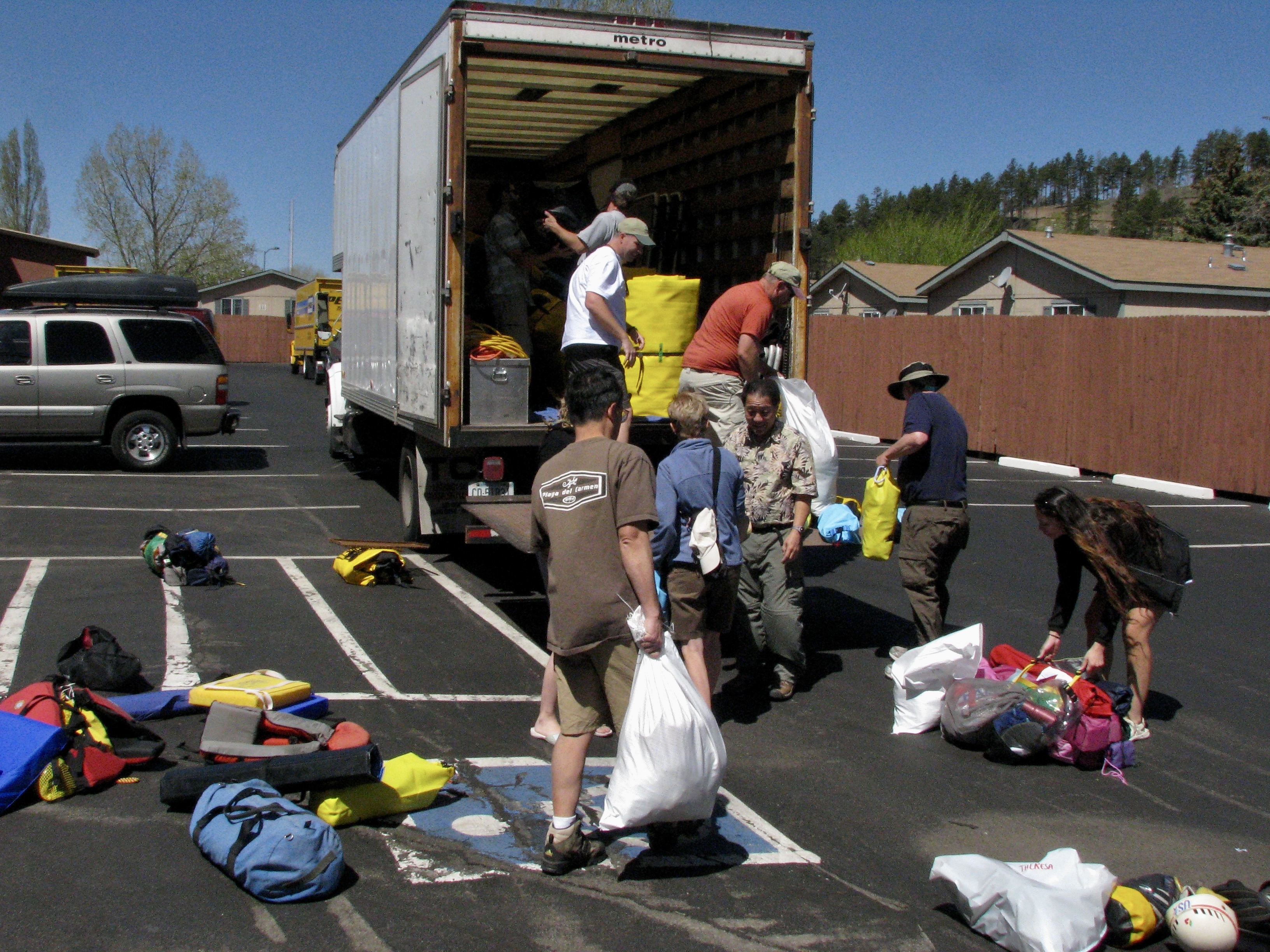
My first task was to make sure that Tom would do the majority of the work in setting up the adventure. We didn’t have the time and I didn’t have the expertise for a white water raft trip. My experience was in organizing and leading long distance backpack and bicycle adventures. Tom, on the other hand, was an experienced white water enthusiast who had run the river several times and had boundless energy. Plus, he had volunteered. “There is a fair amount of paper work for you and certain responsibilities,” he mentioned in passing. Paper work, as I recall was a 40 page document, maybe it was 400. The responsibility, I learned was daunting. If we screwed up in some way by breaking the Park’s environmental or safety rules, I was accountable and subject to a large fine.
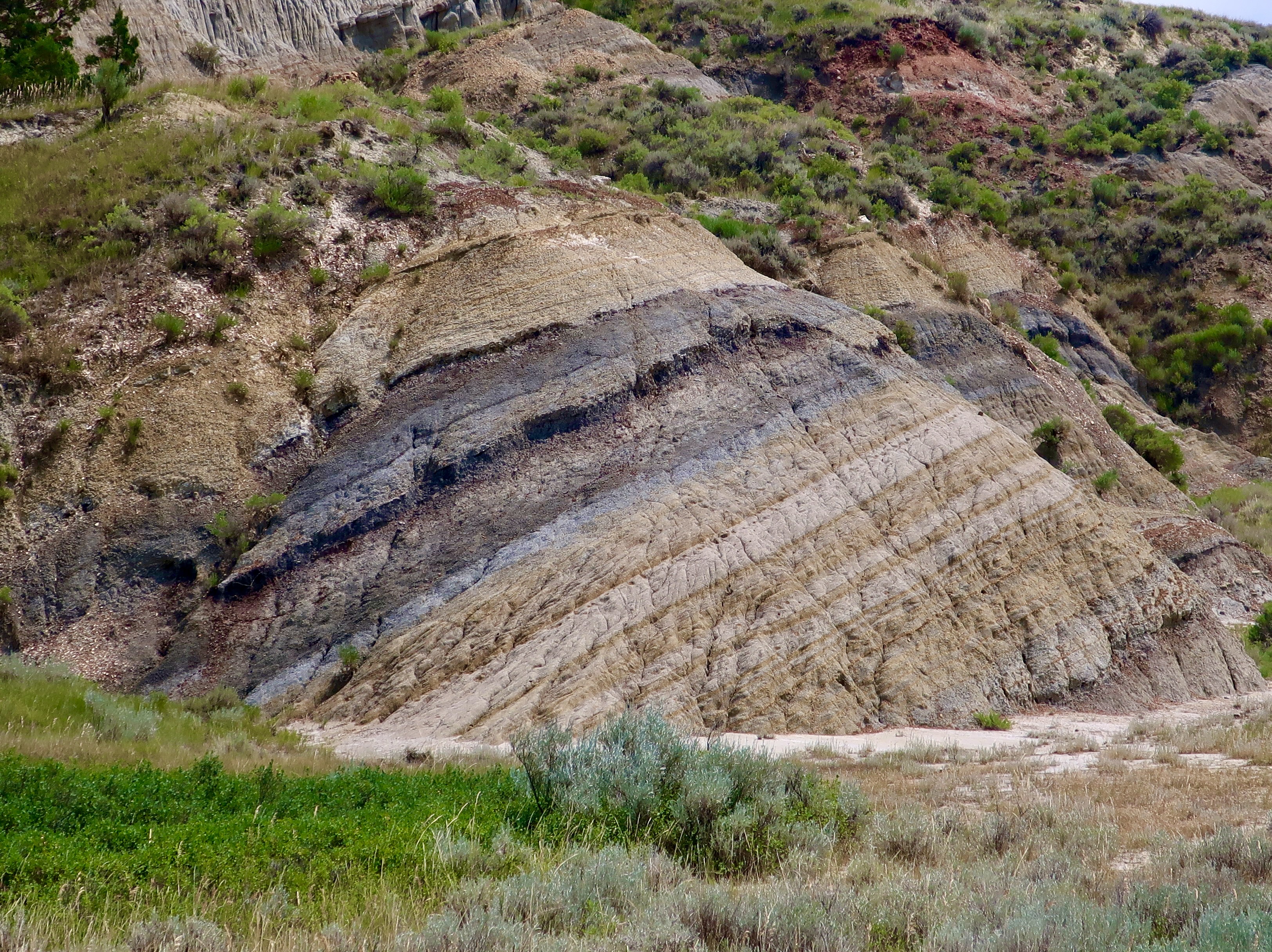
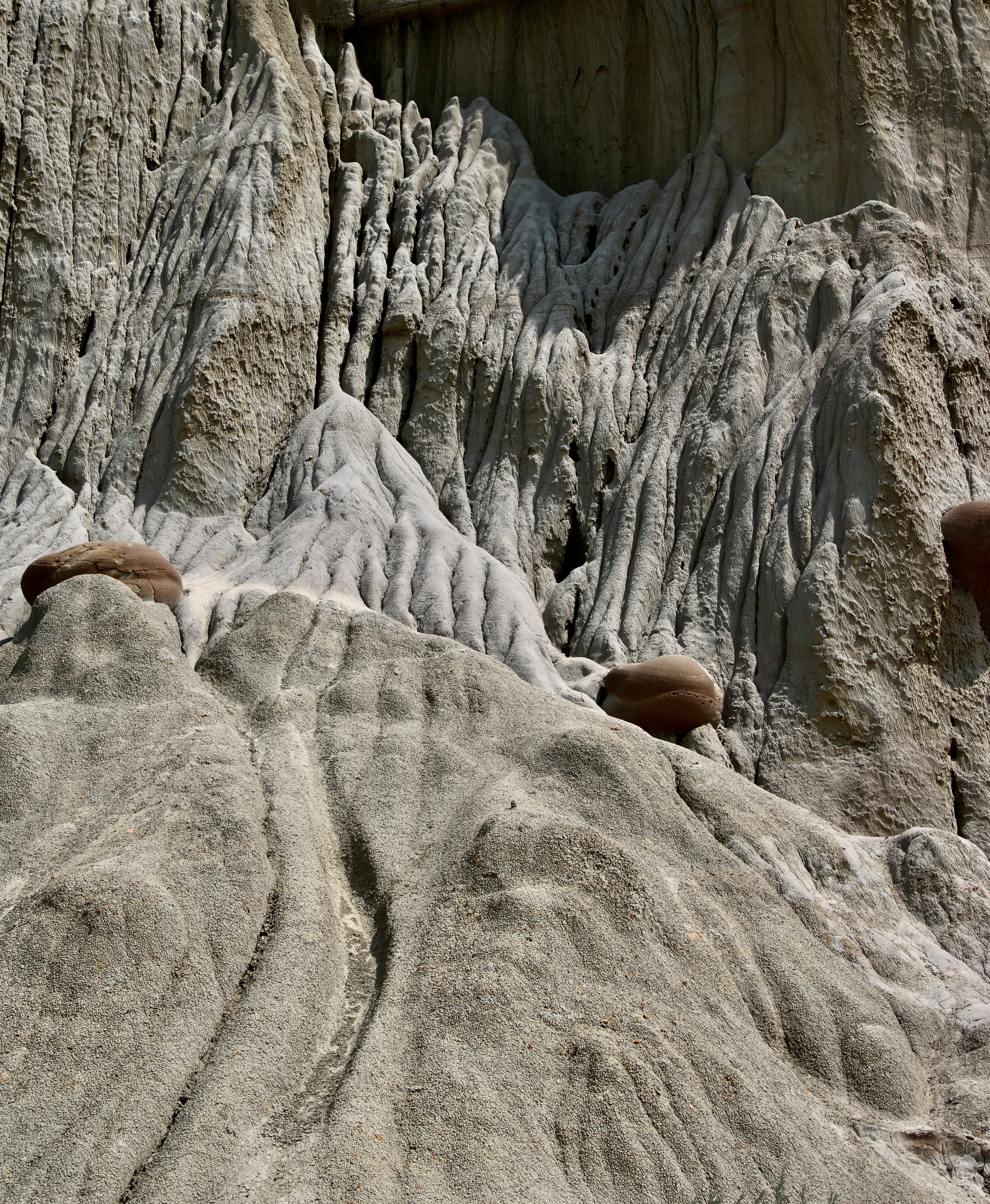
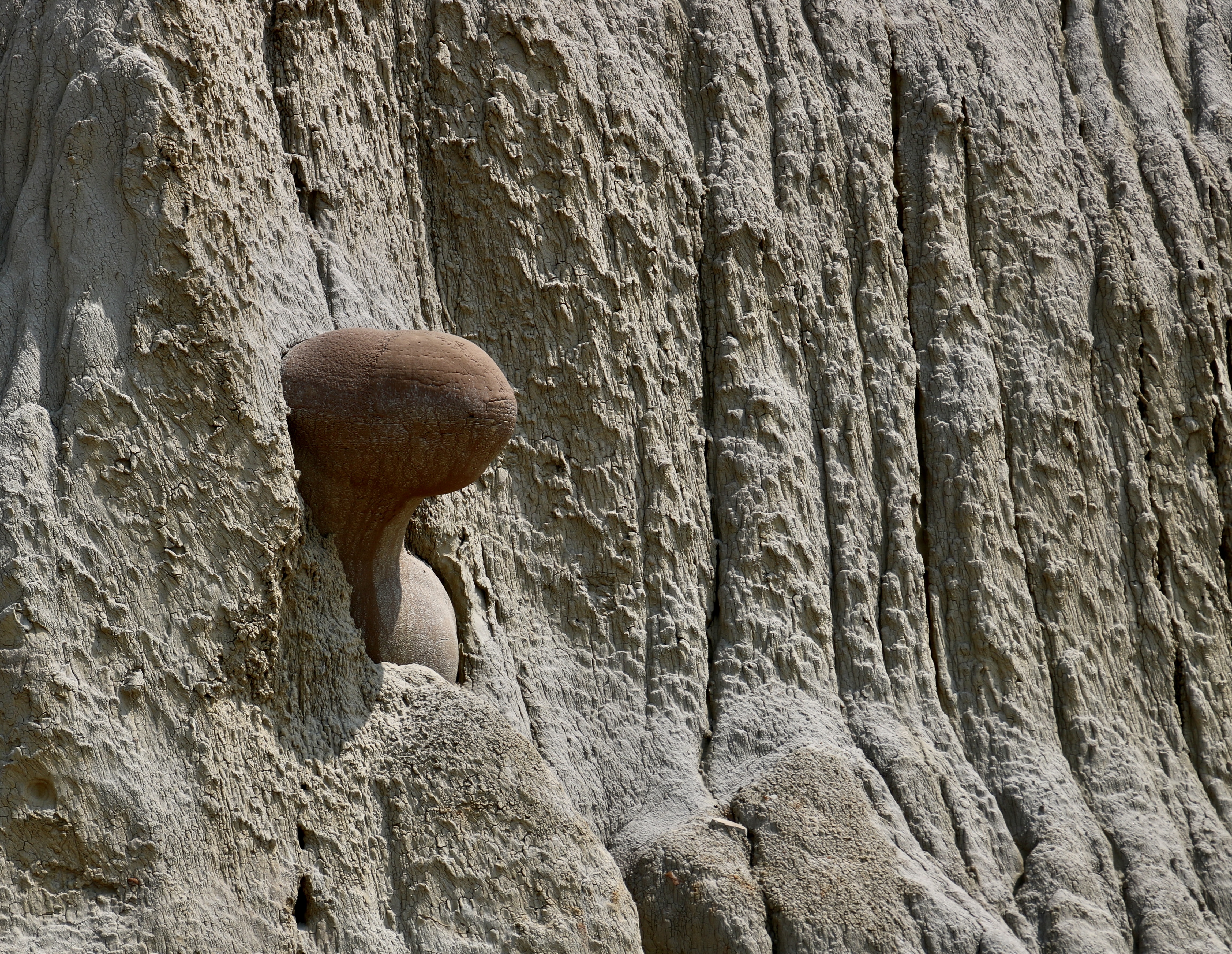
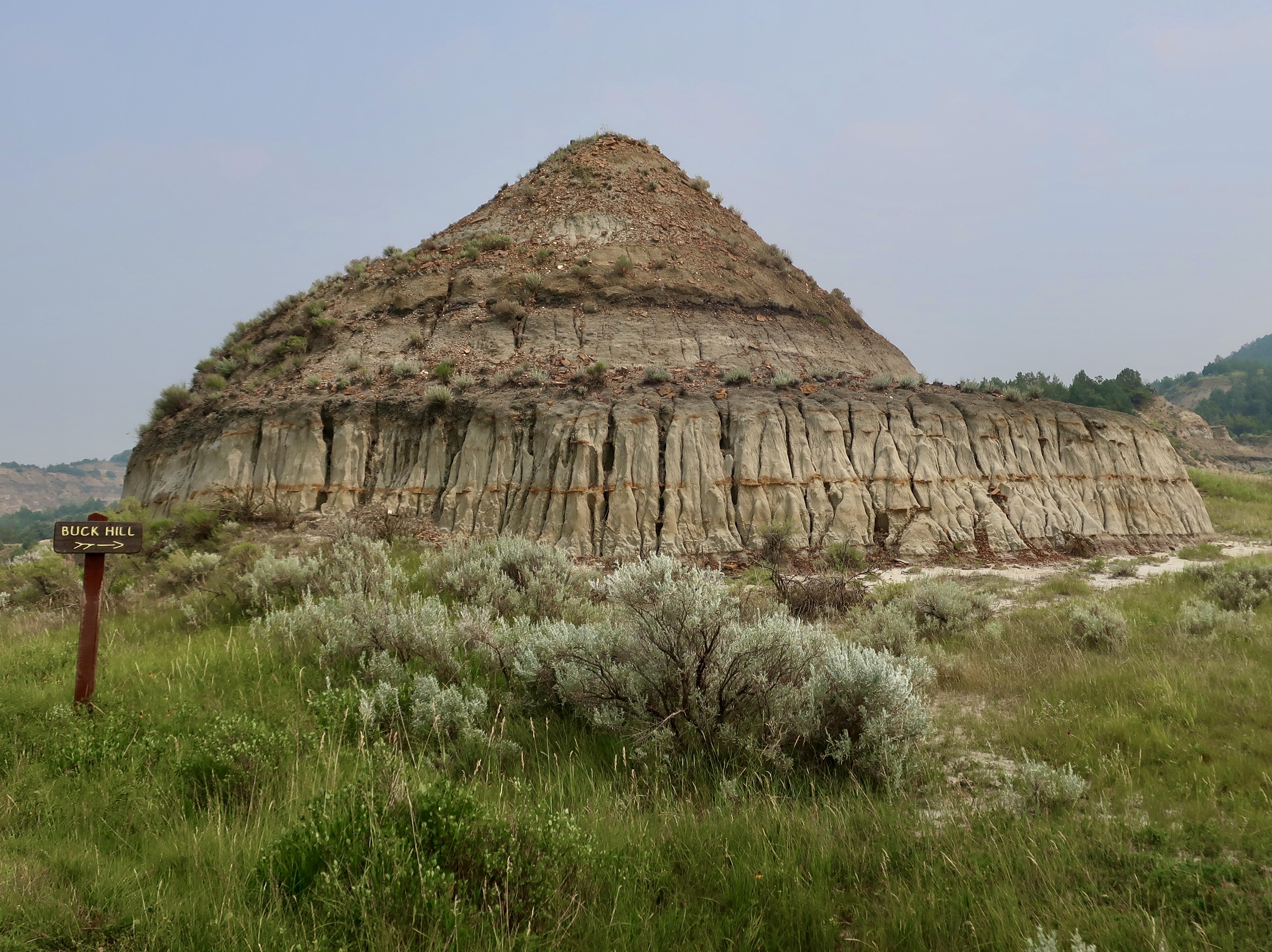
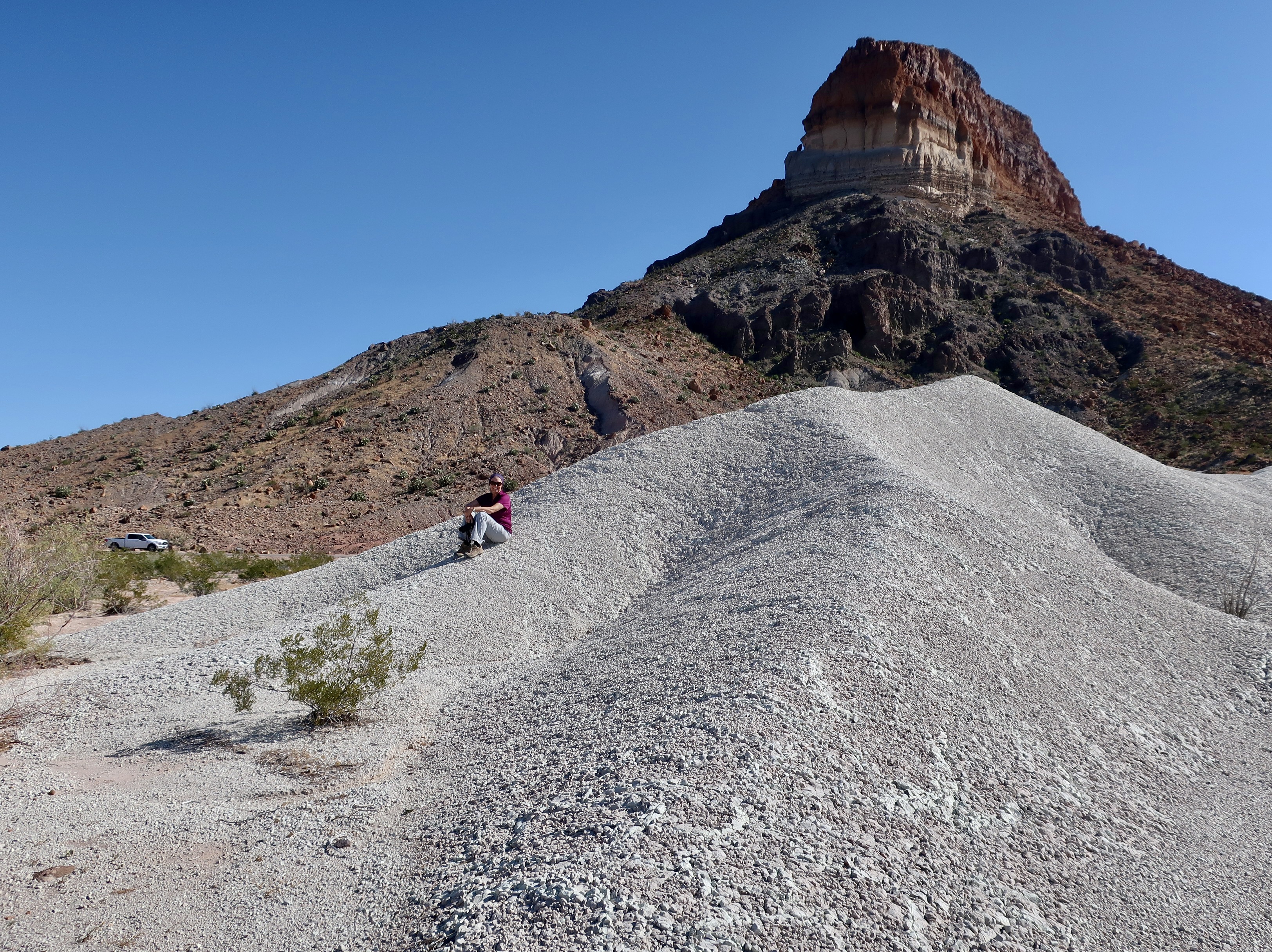
The raft trip in 2010 was the first blog series I ever did. I reposted it in 2018. Since I have already blogged extensively about the journey, I am going to use this and my next two posts as a summary of the trip and include many photos I didn’t use before.
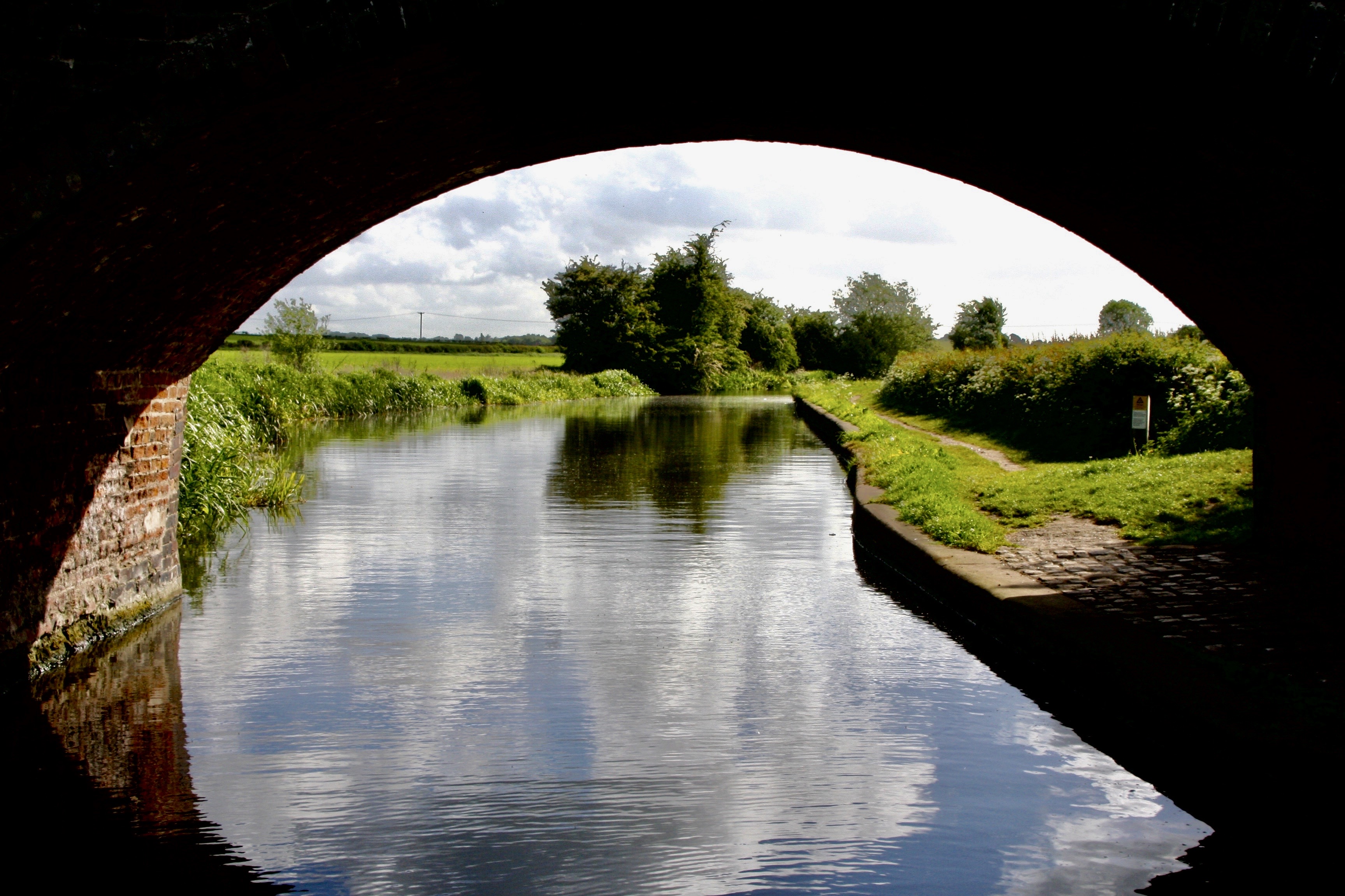
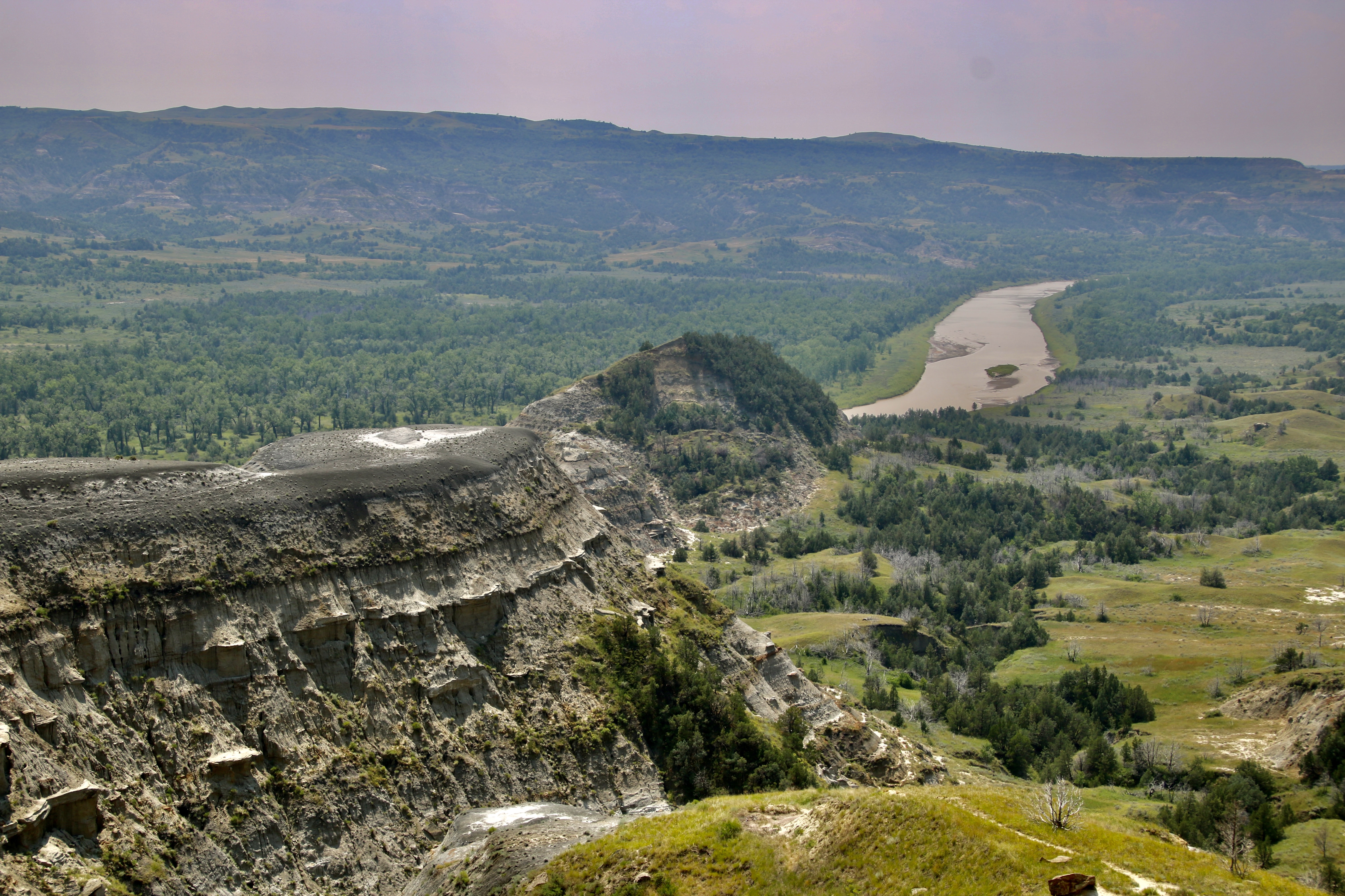
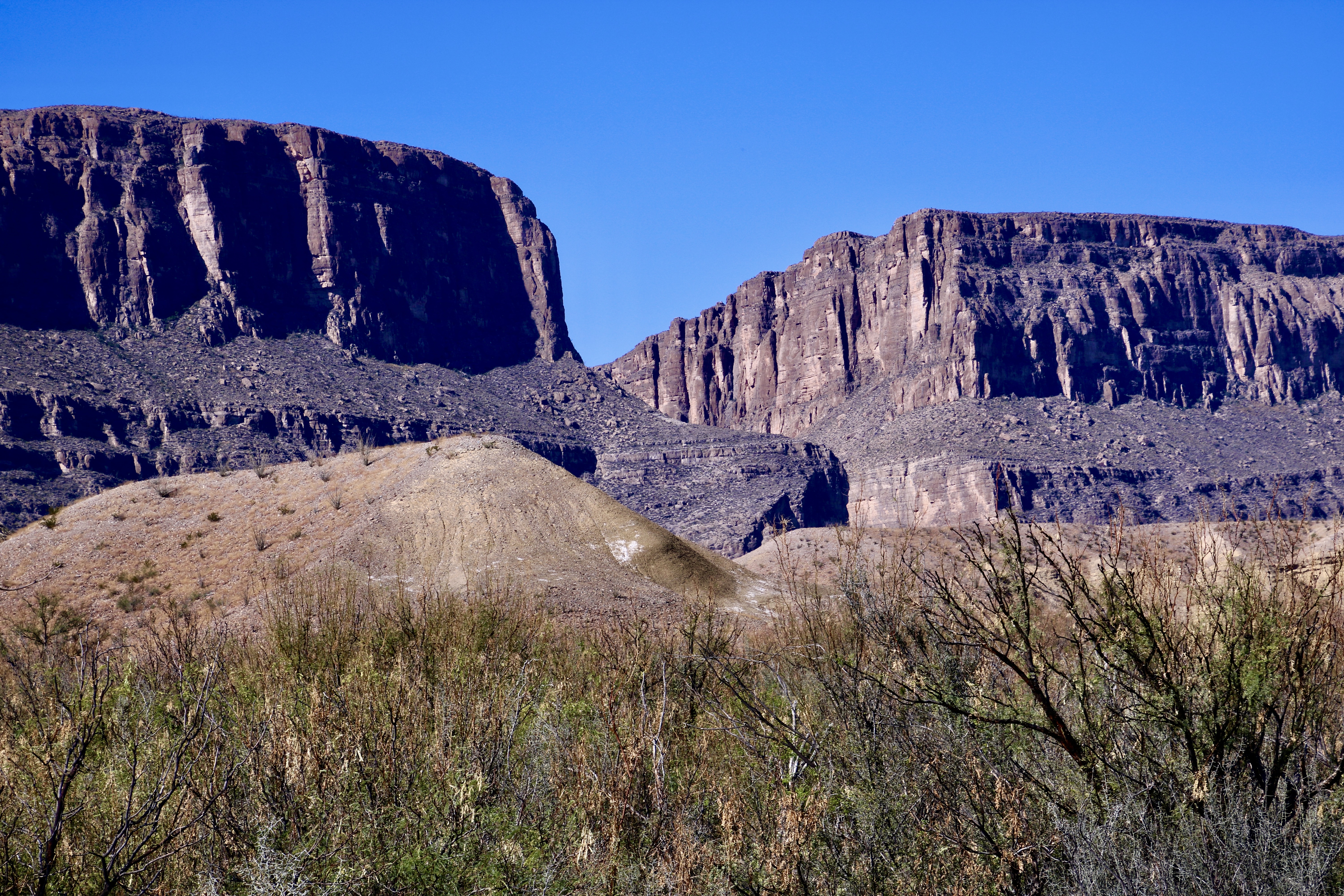
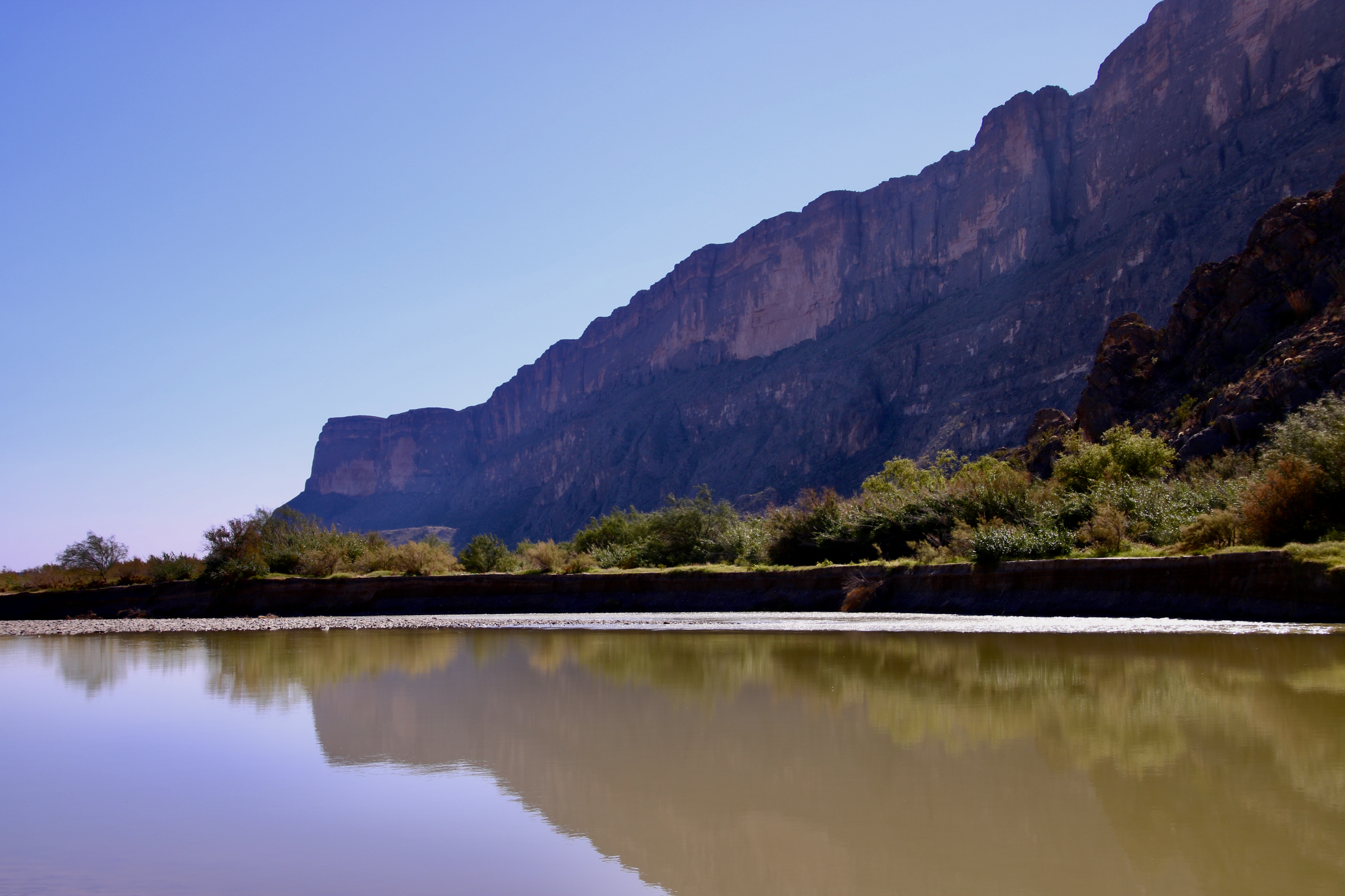
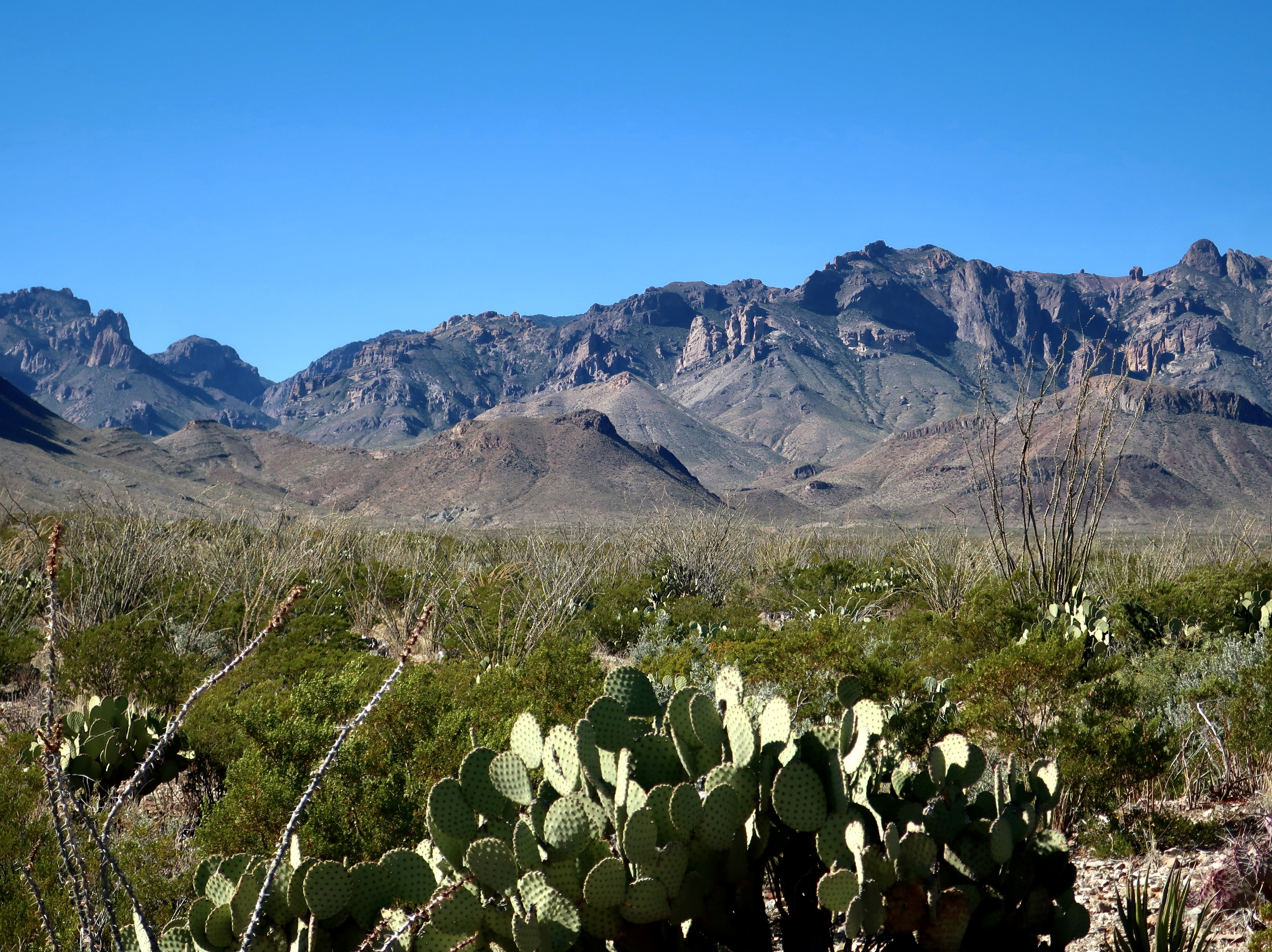
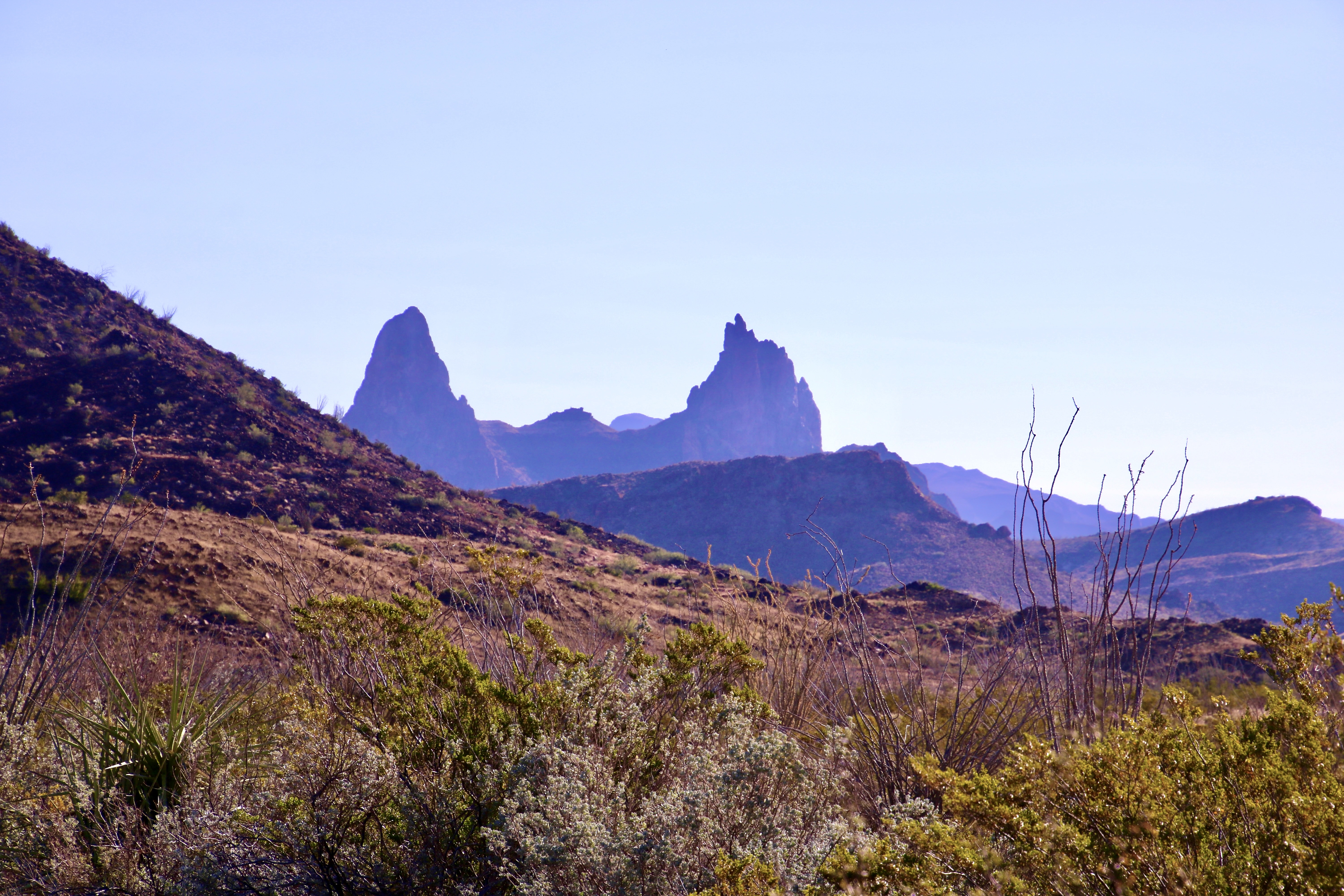
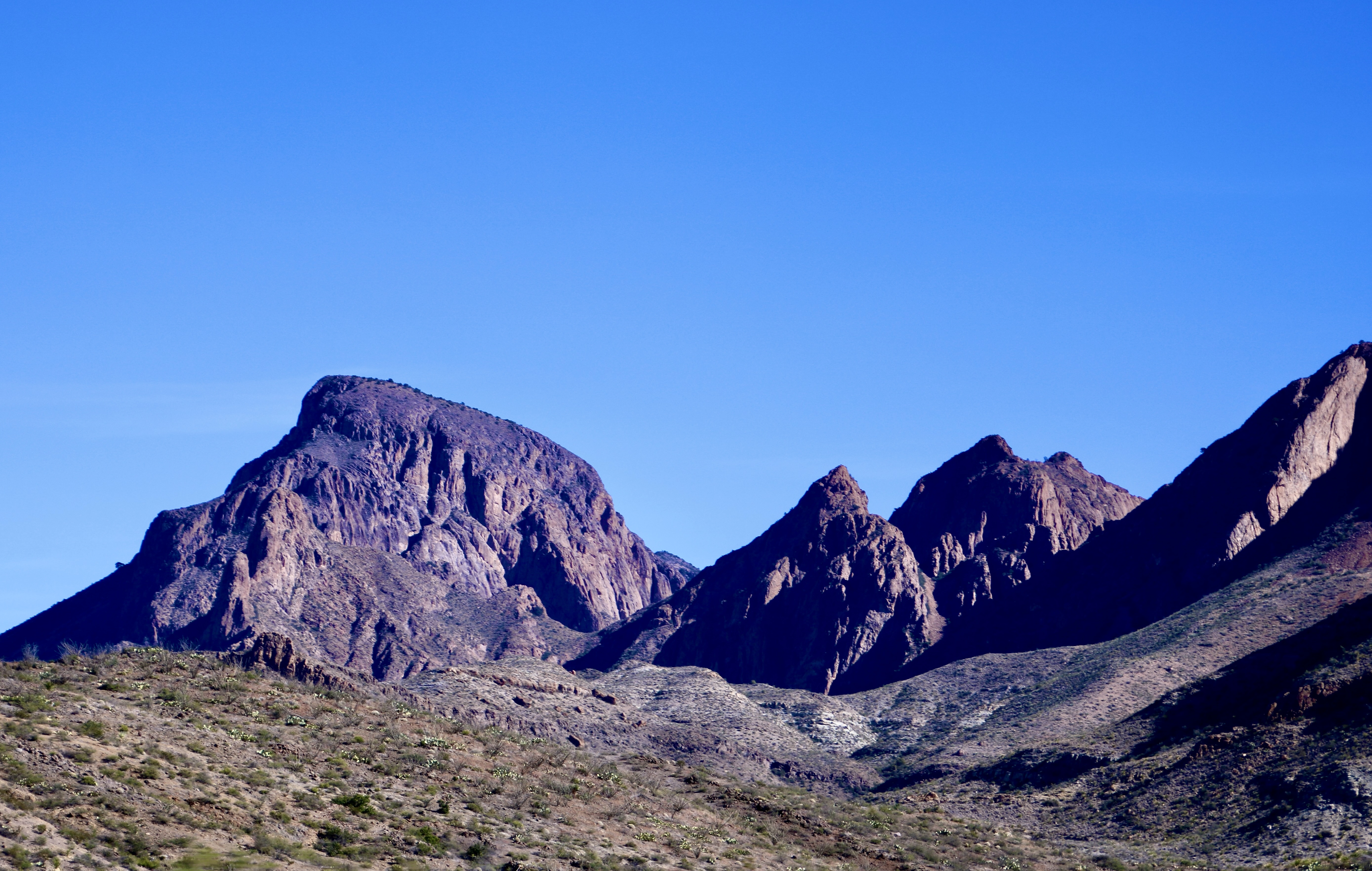
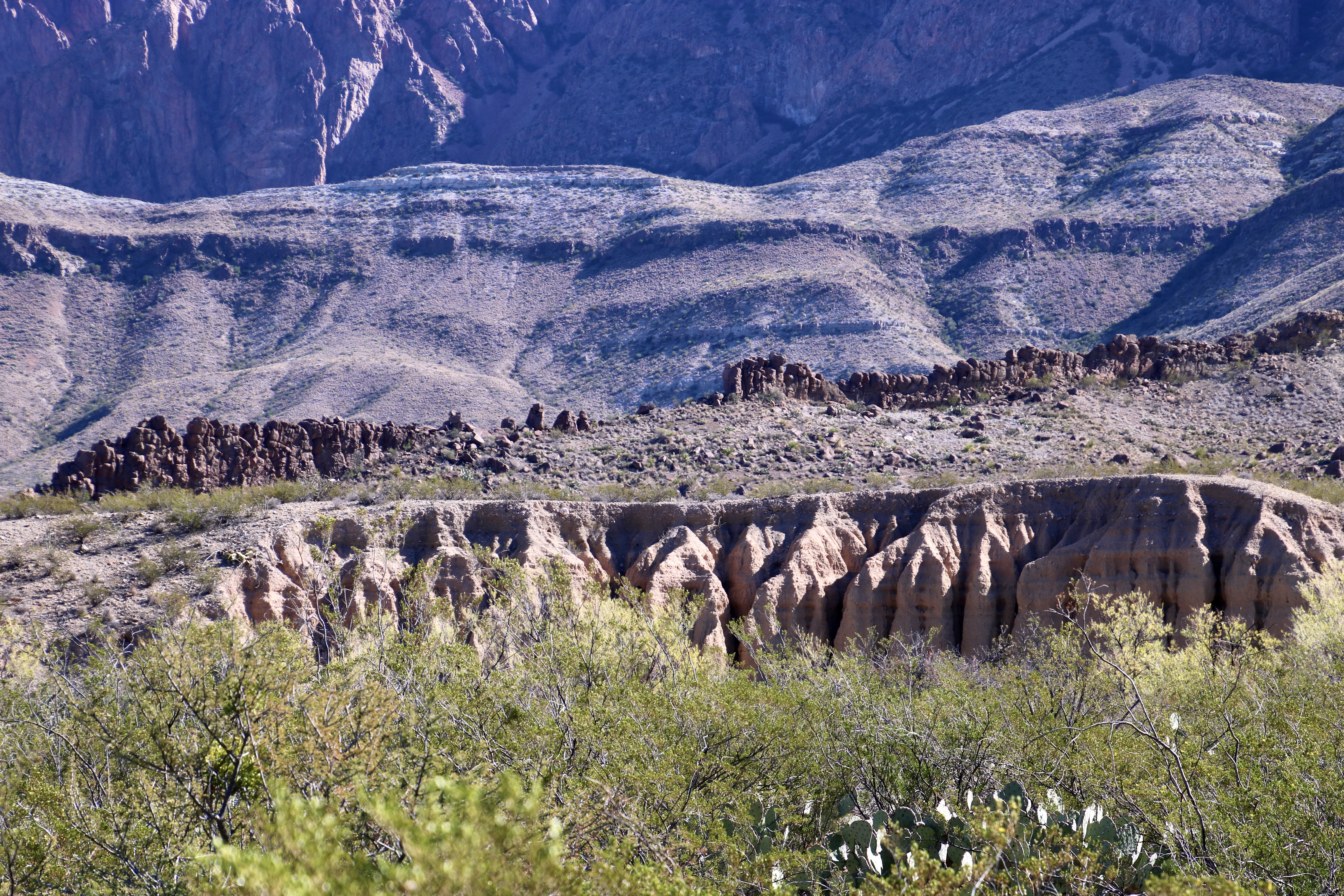
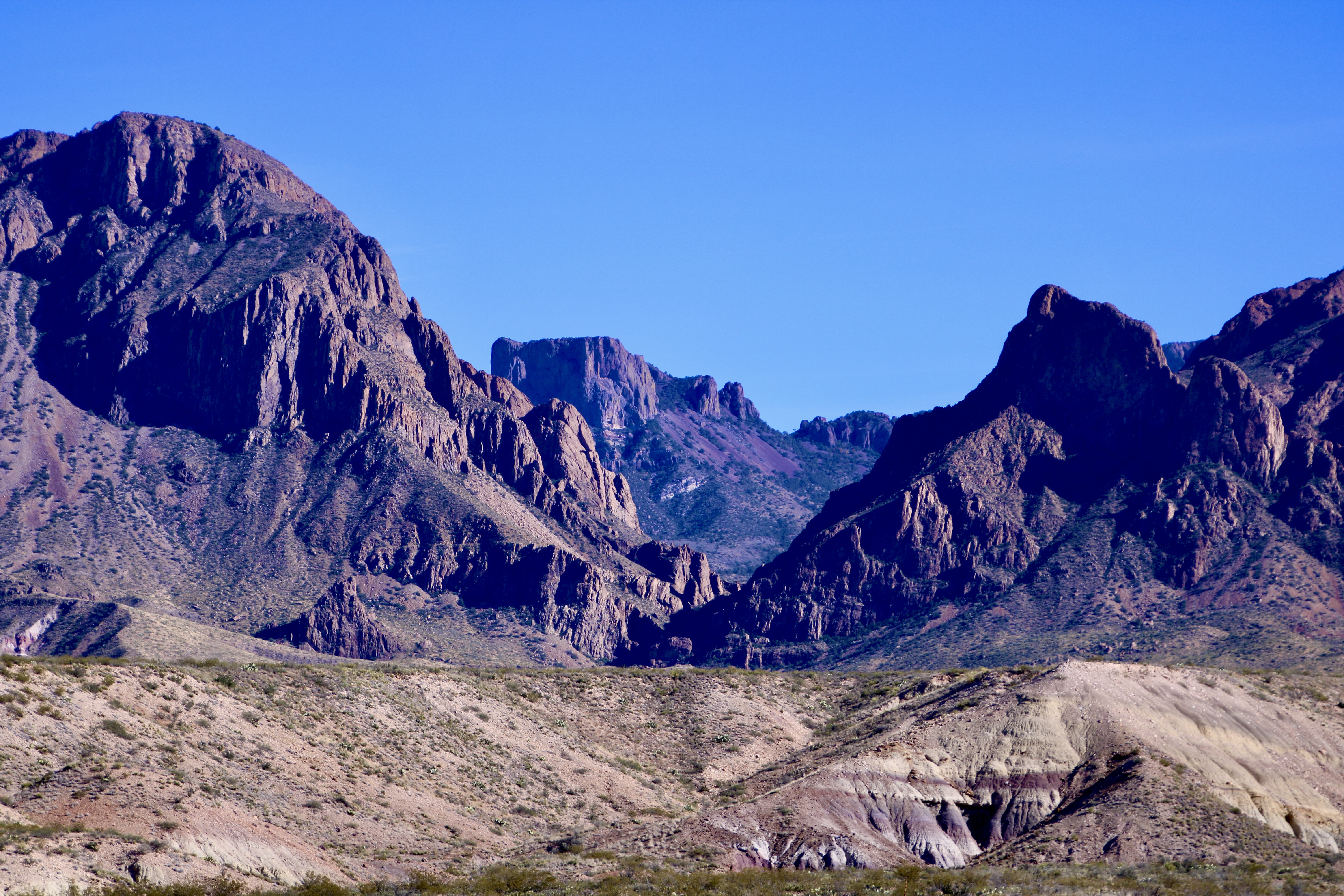
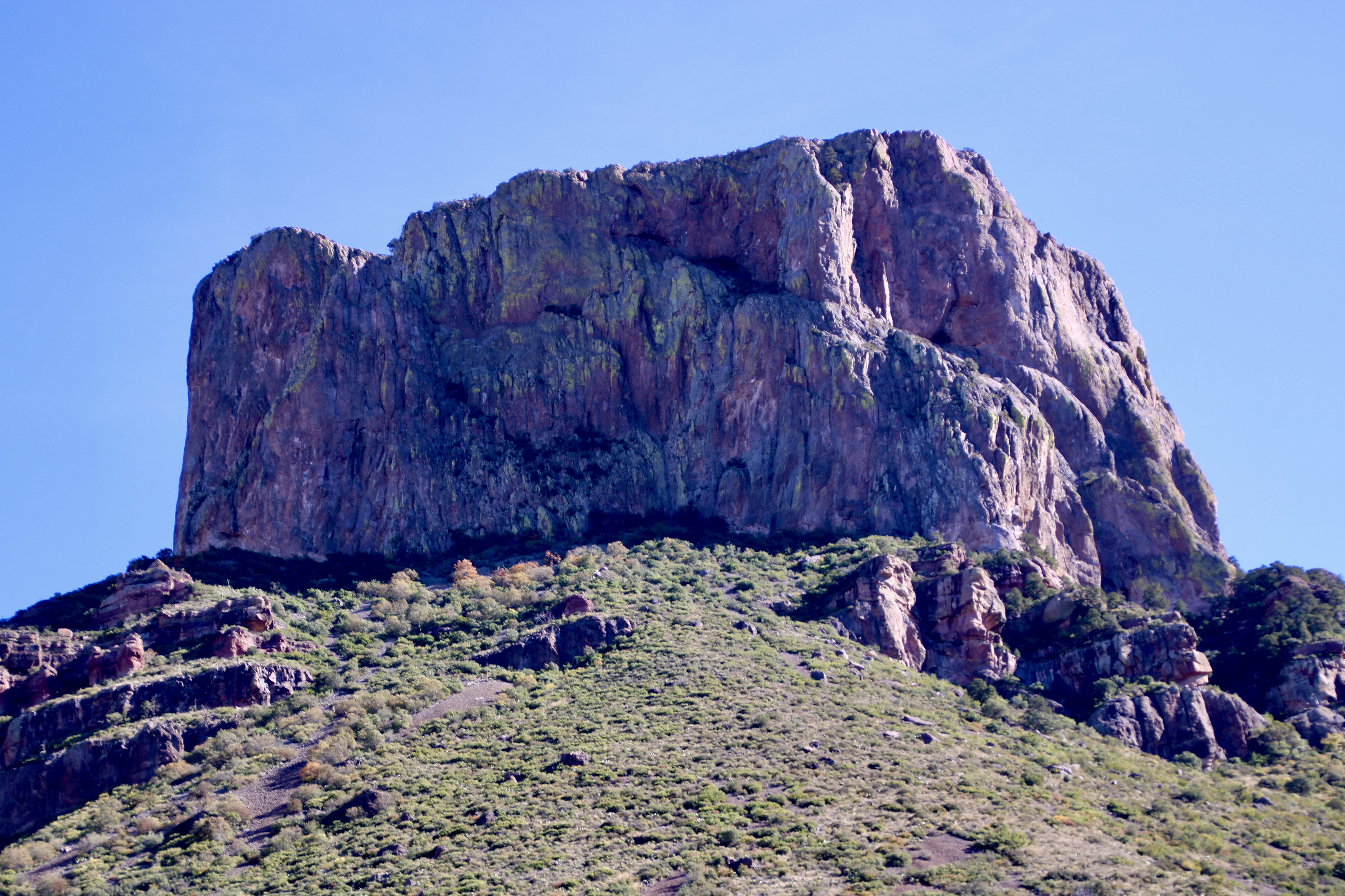
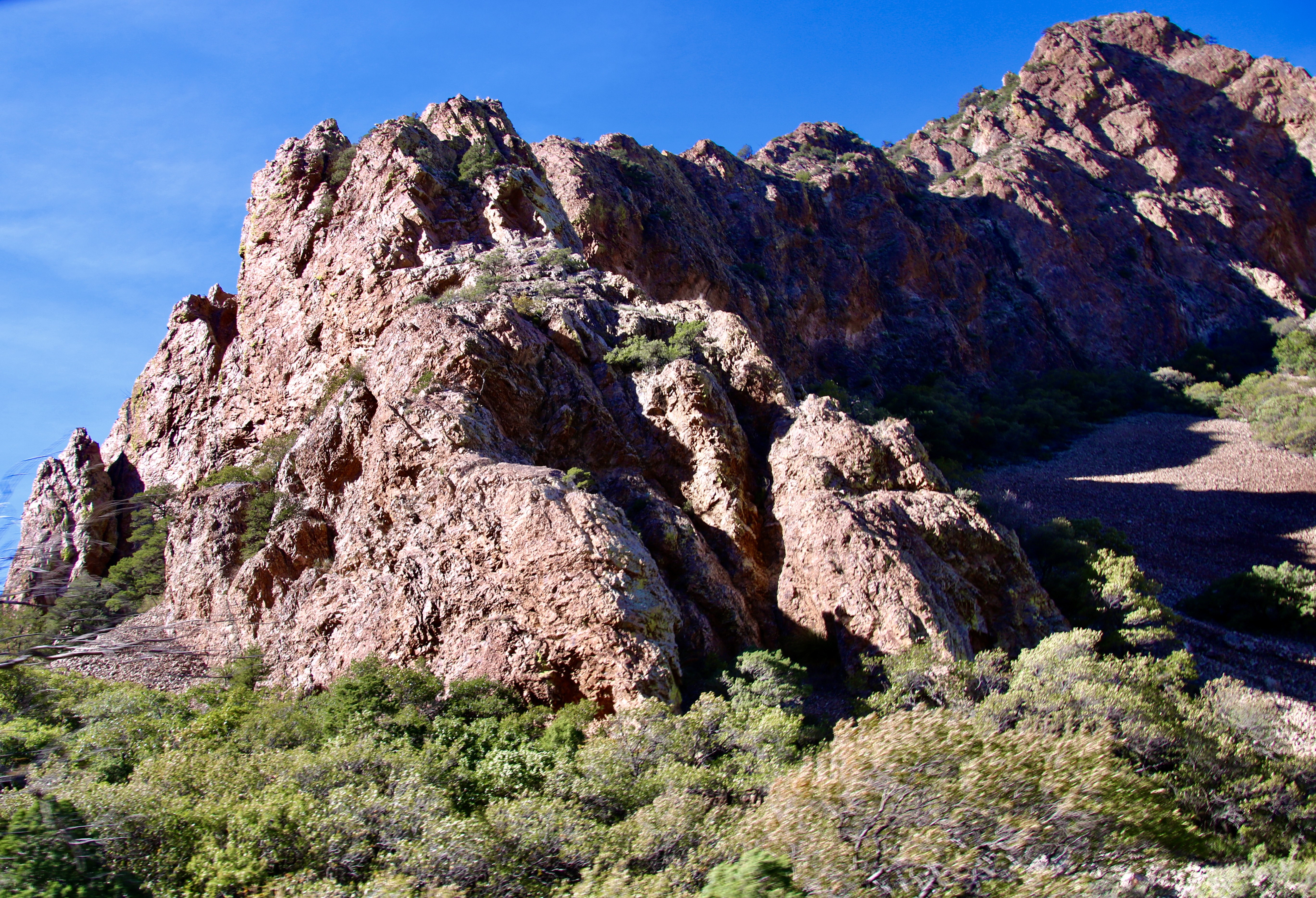
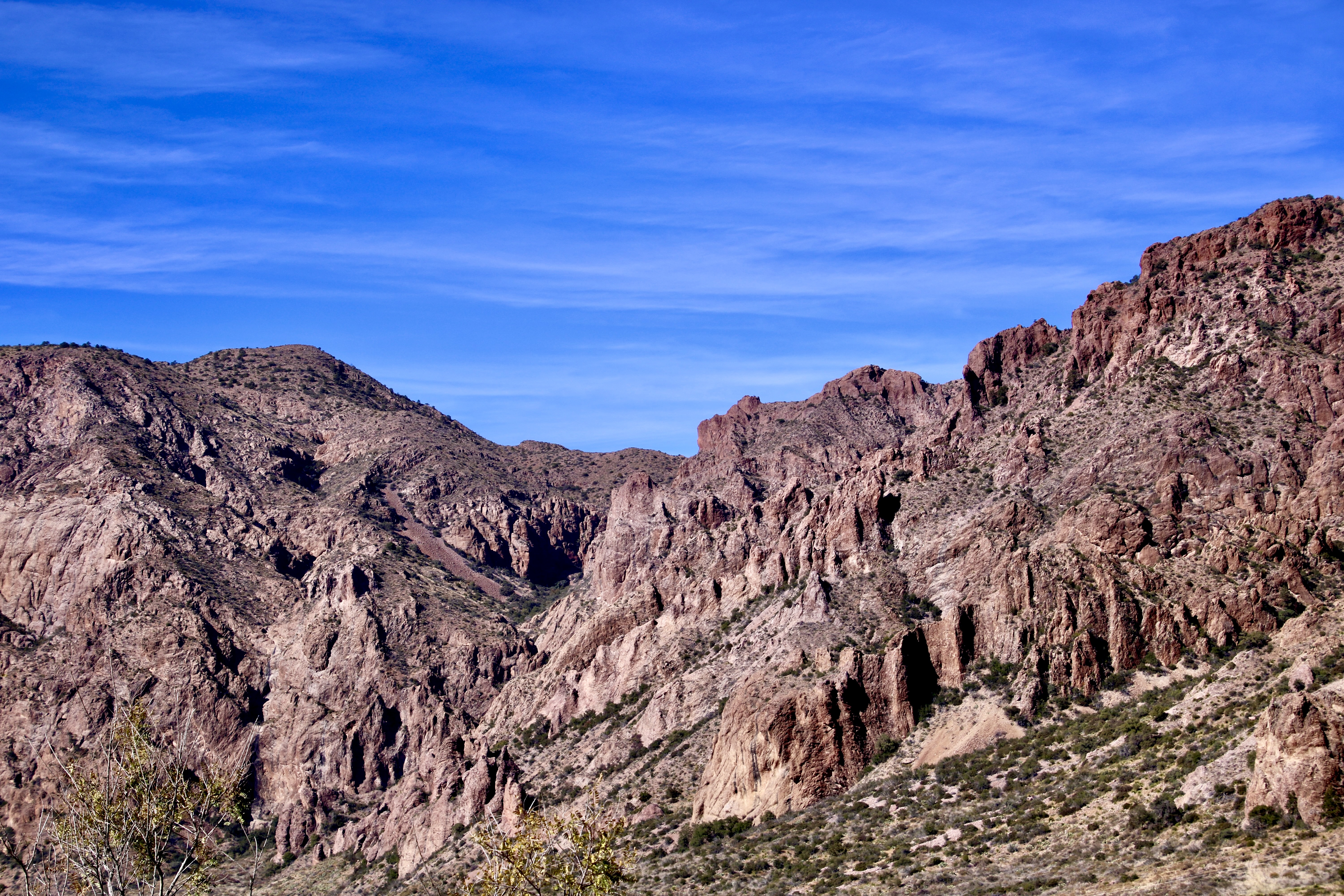
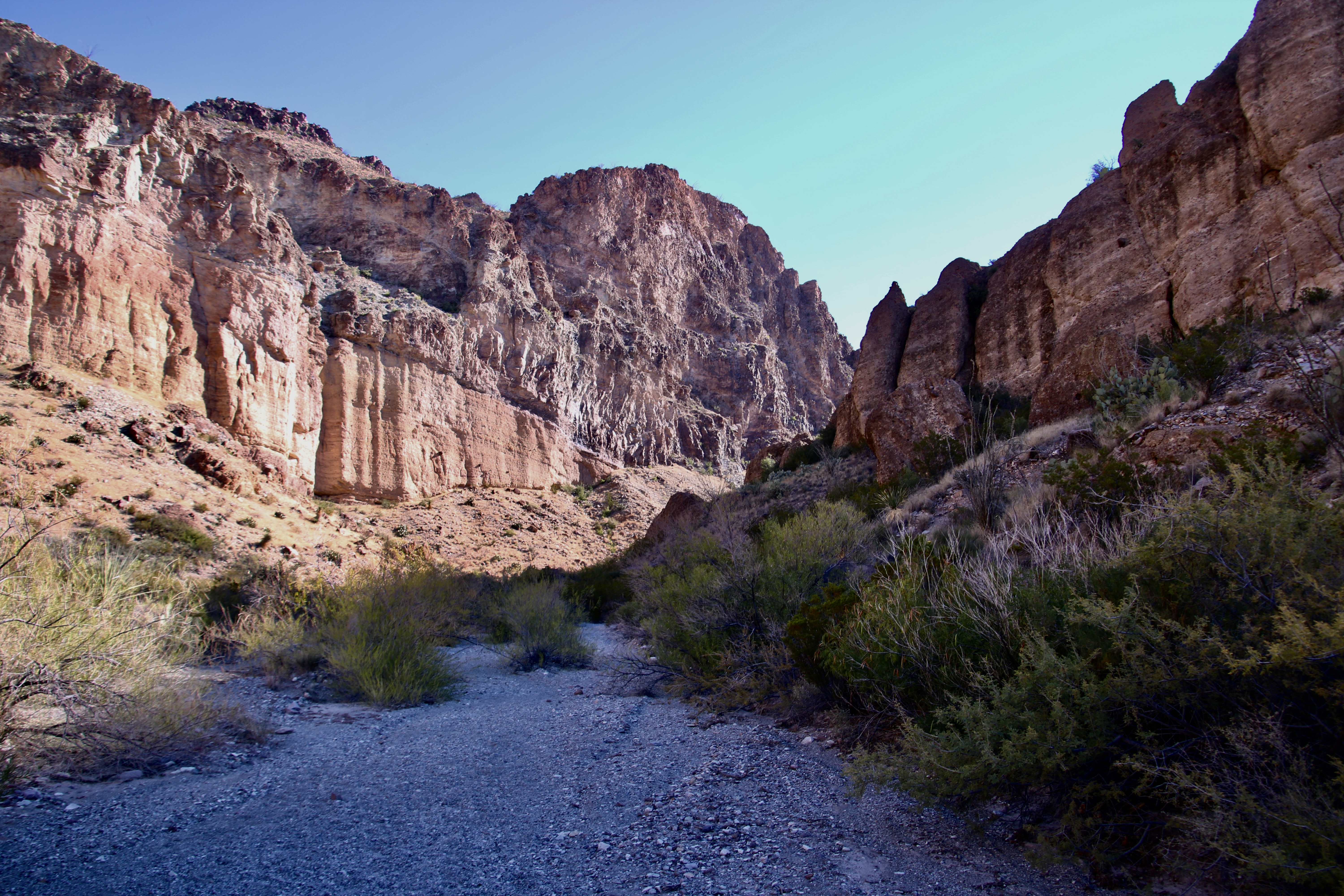
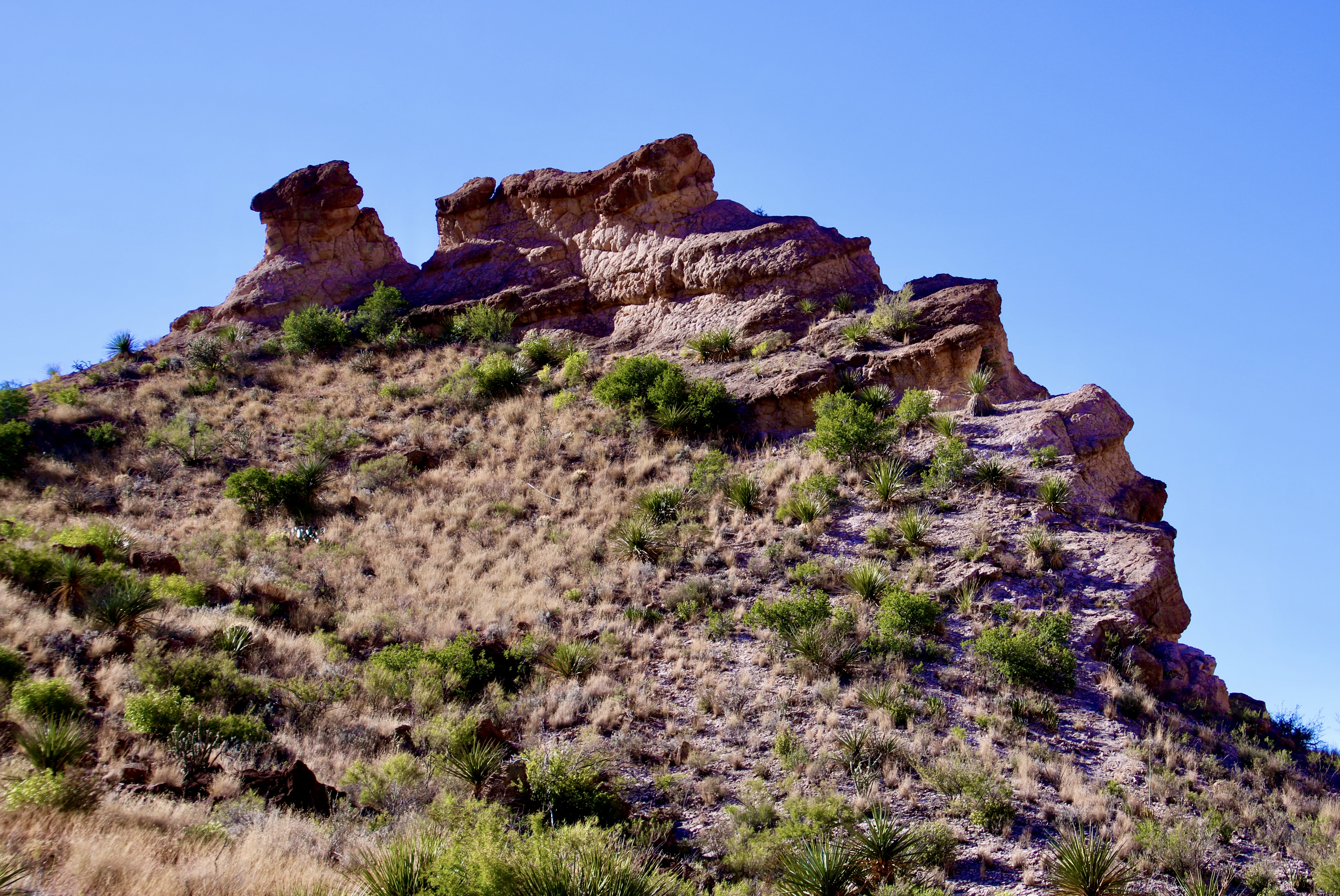
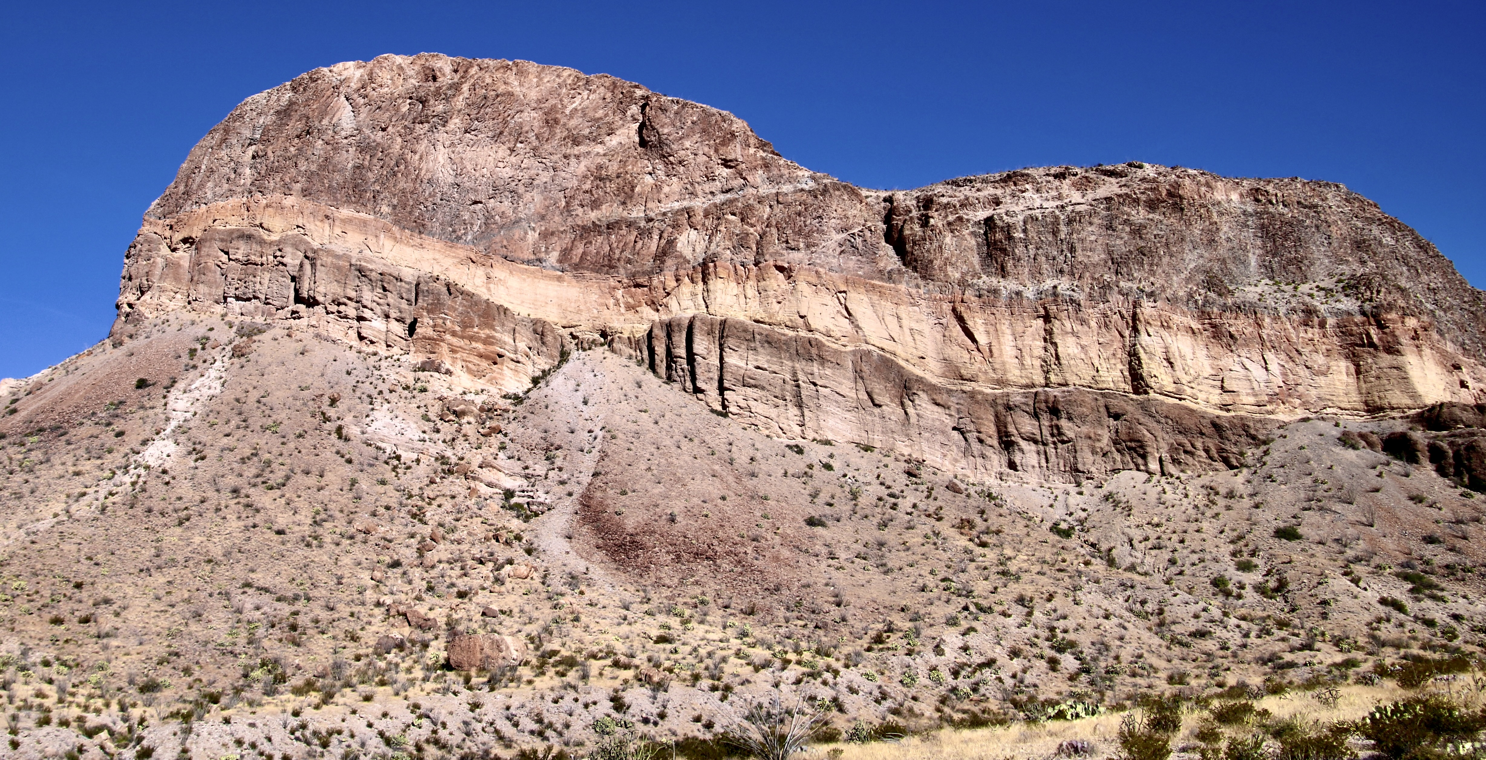
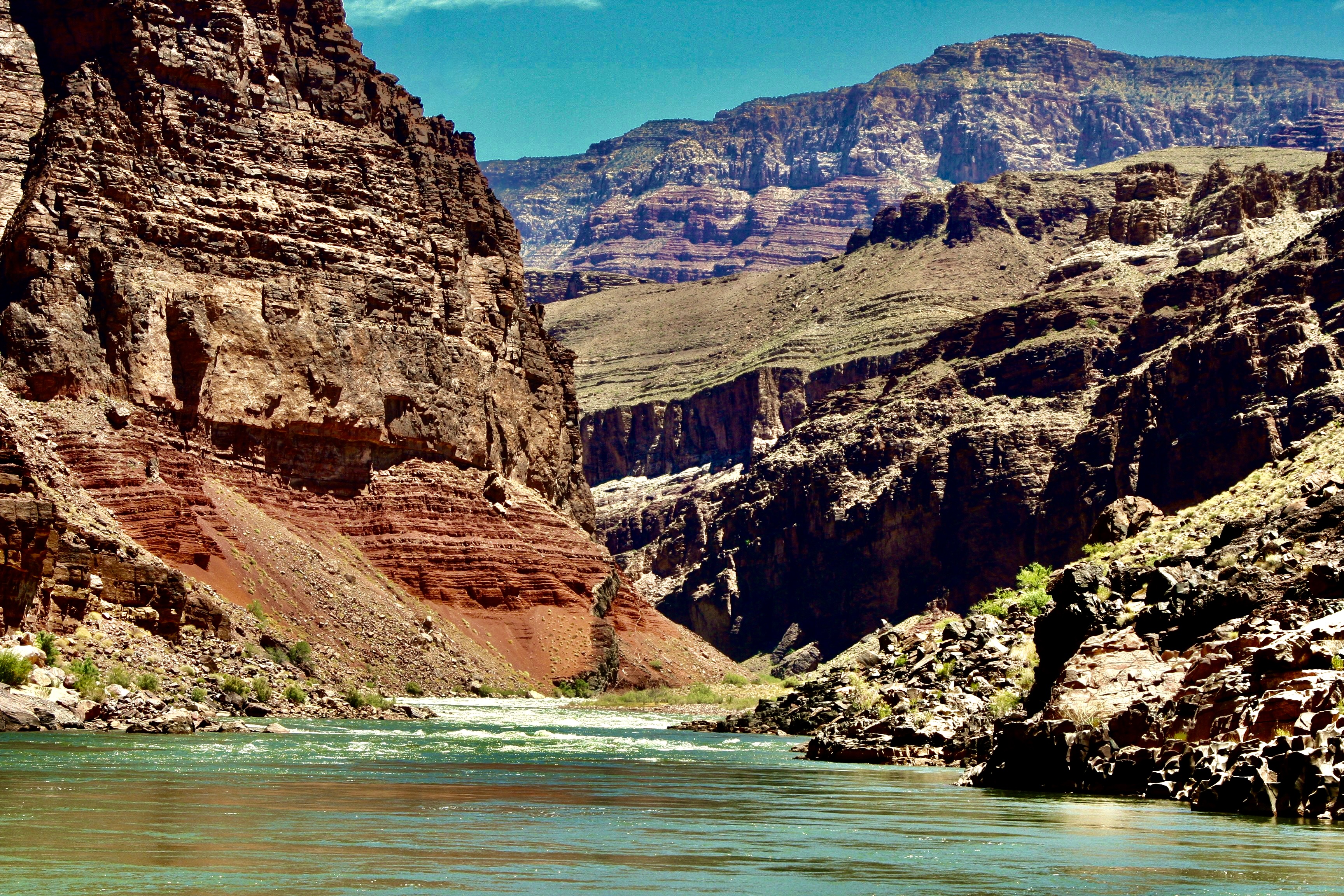
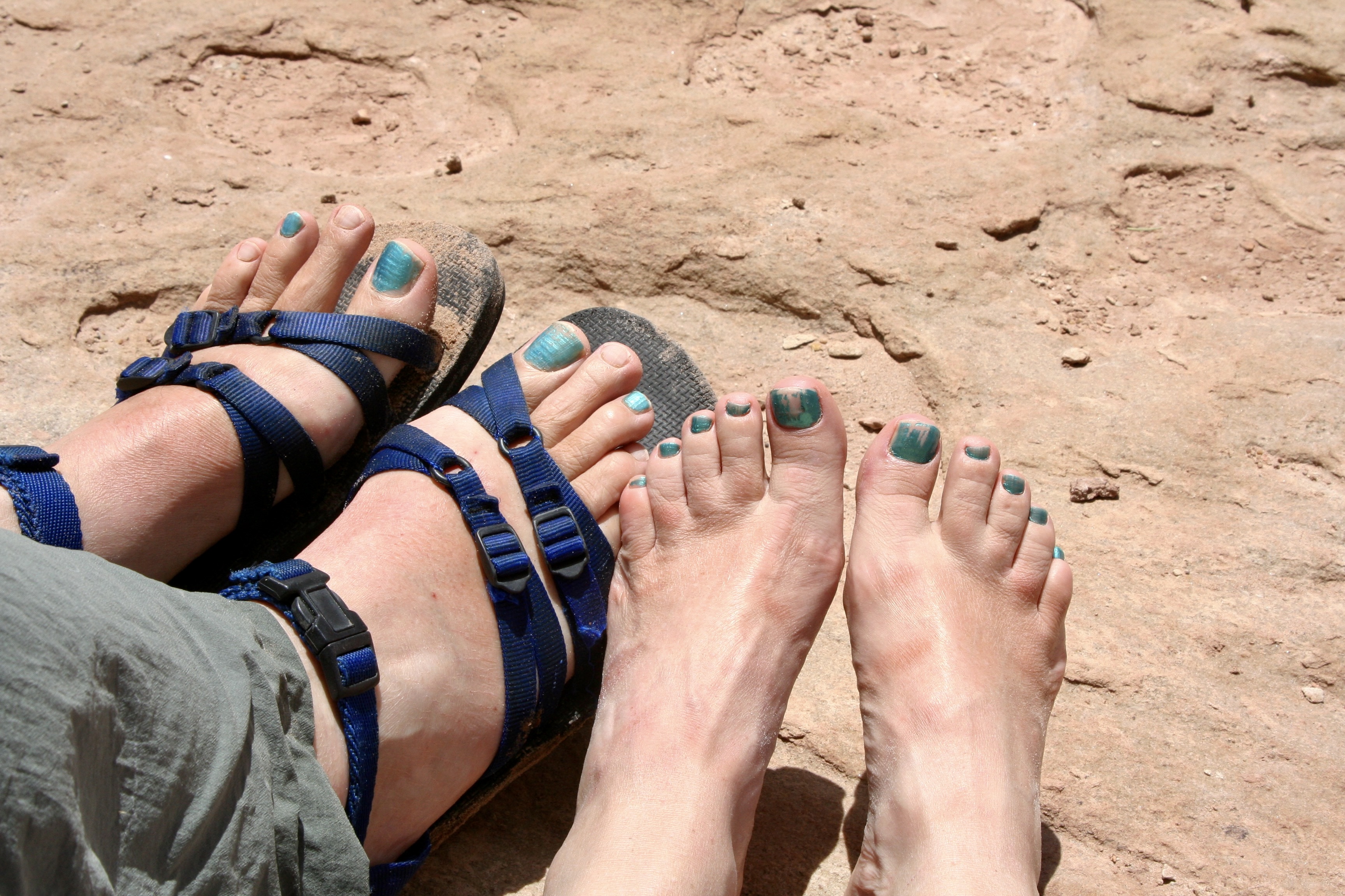
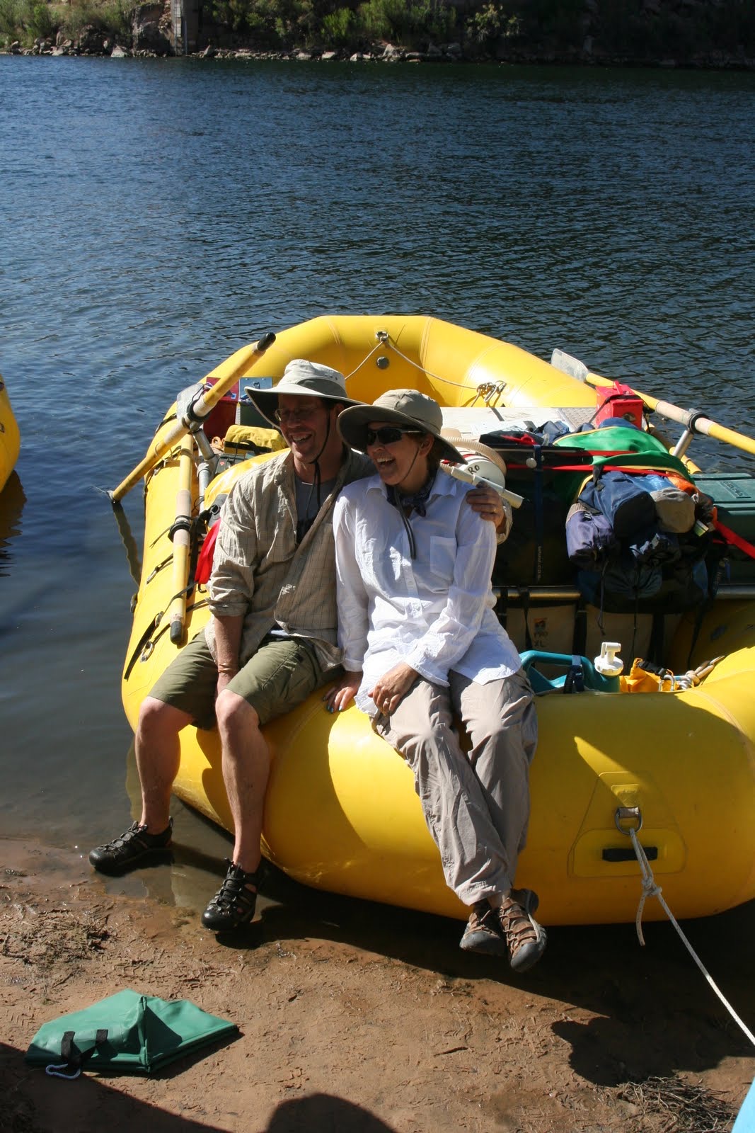
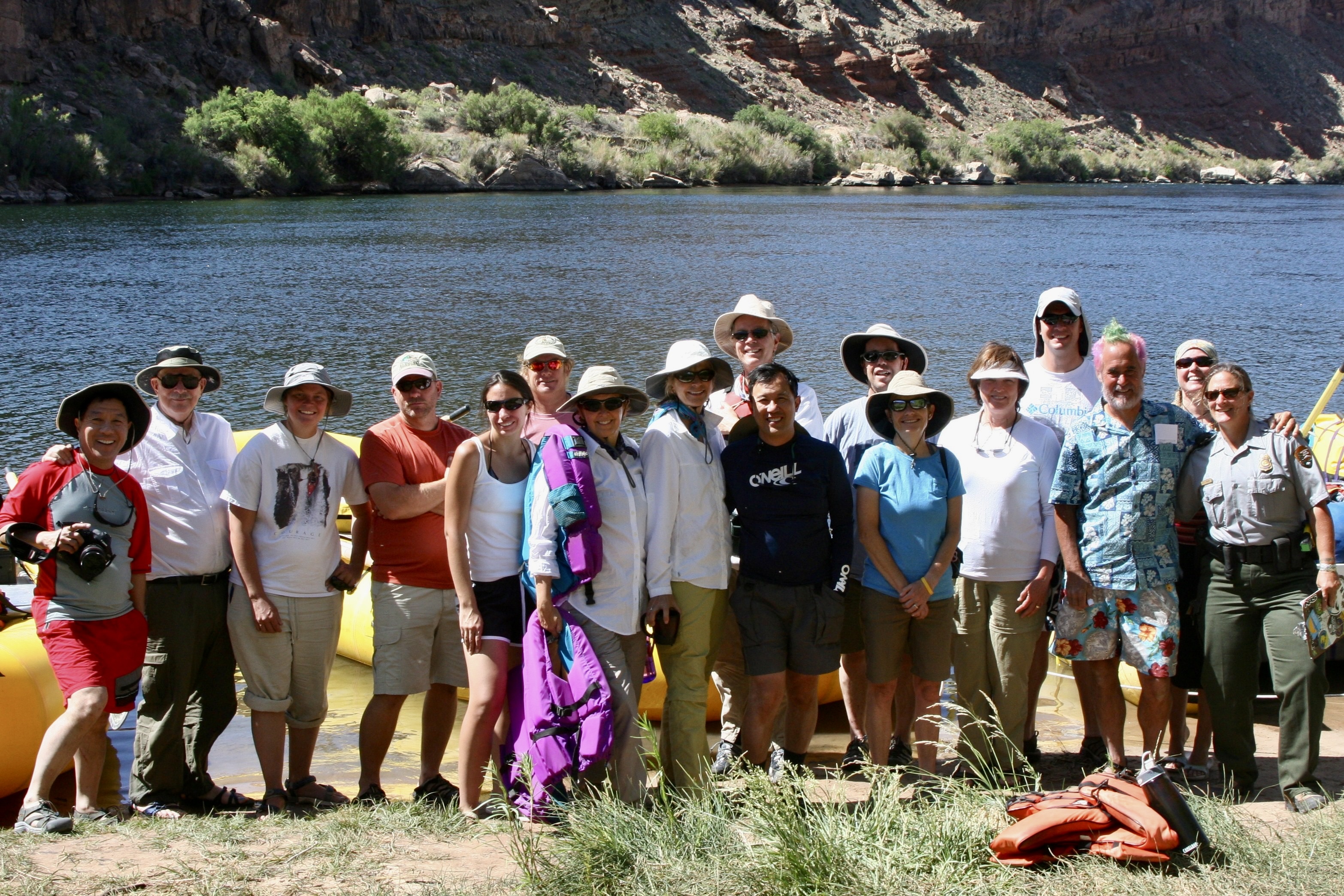
I will note here that while the trip was even more physically challenging than I expected— and there were times I could have strangled Tom (and vice-versa, I’m sure)— I owe him a debt of gratitude for the opportunity. I love the Canyon and have explored it in many ways over the years including five backpacking trips into it. The river trip provided a whole new way to experience the beauty. Traveling with a great group was icing on the cake.
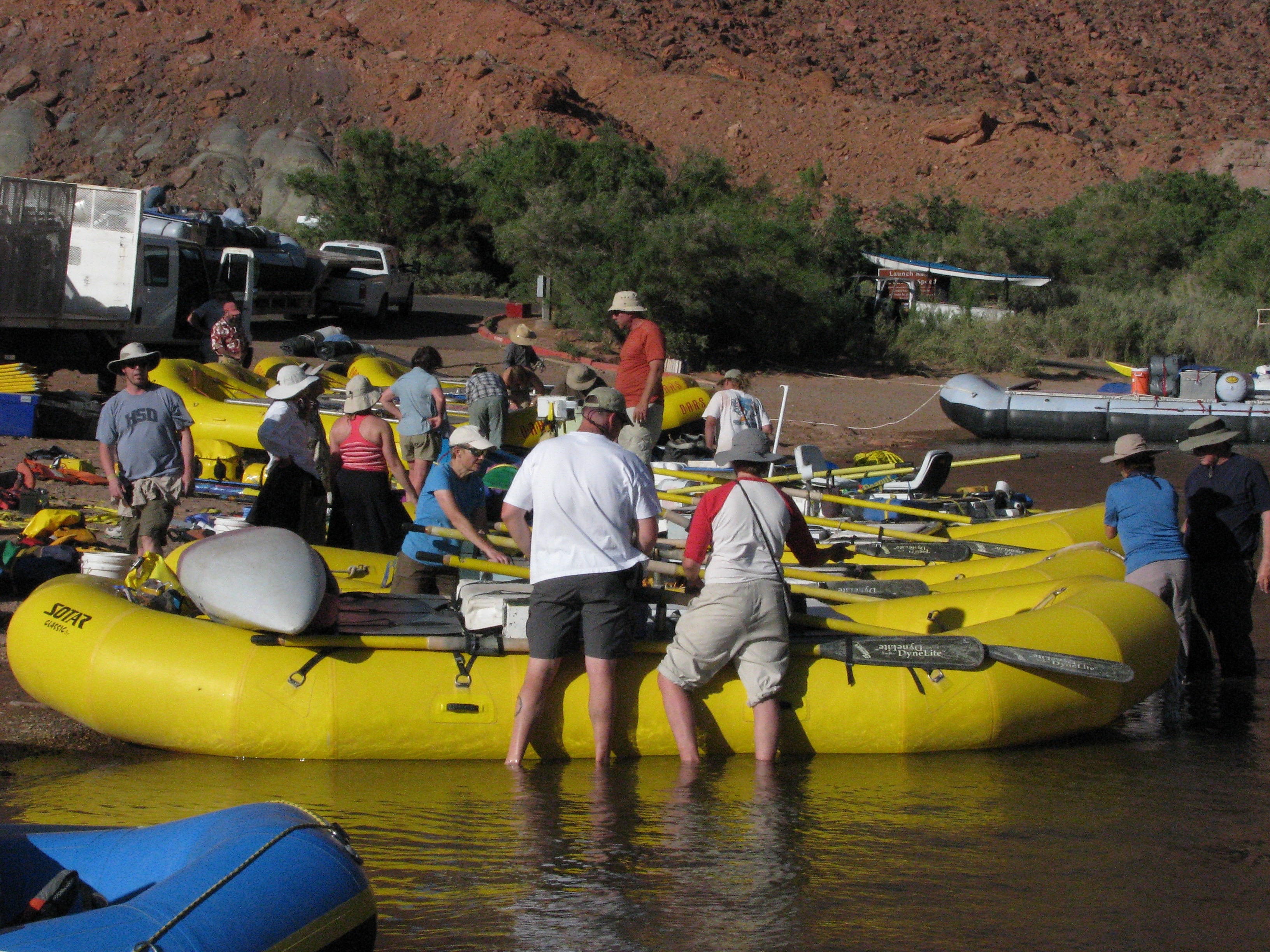

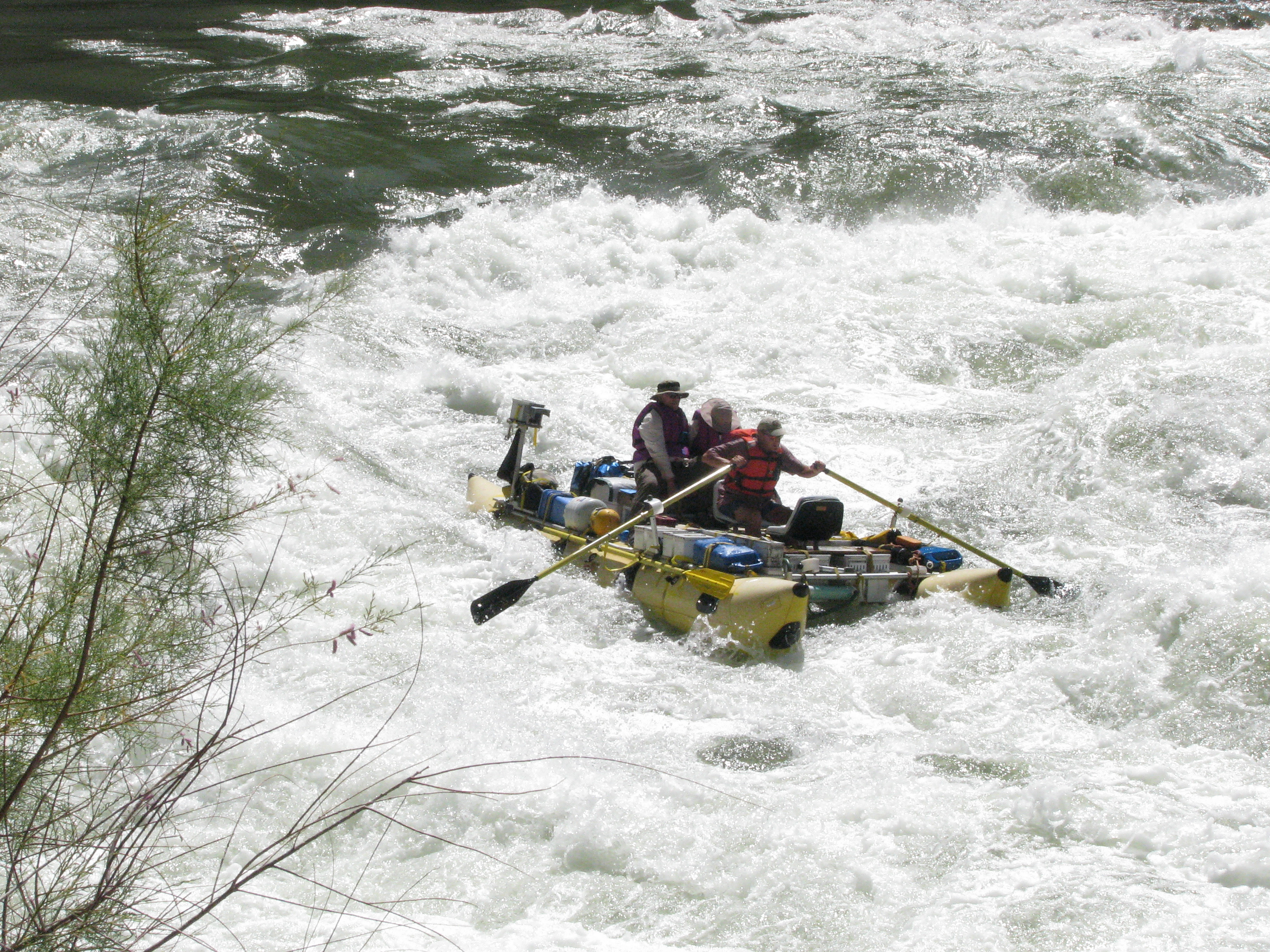
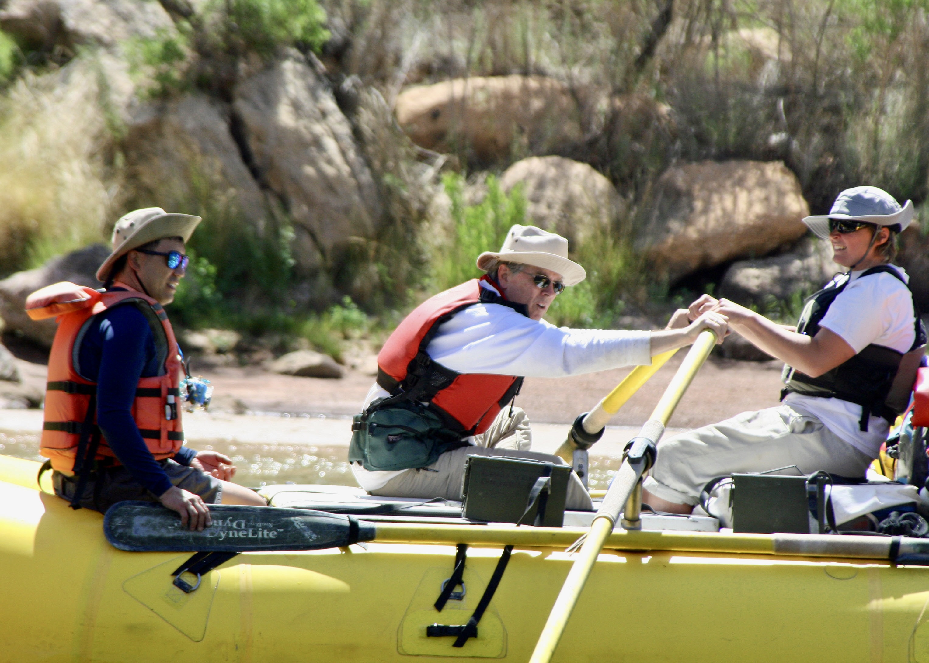
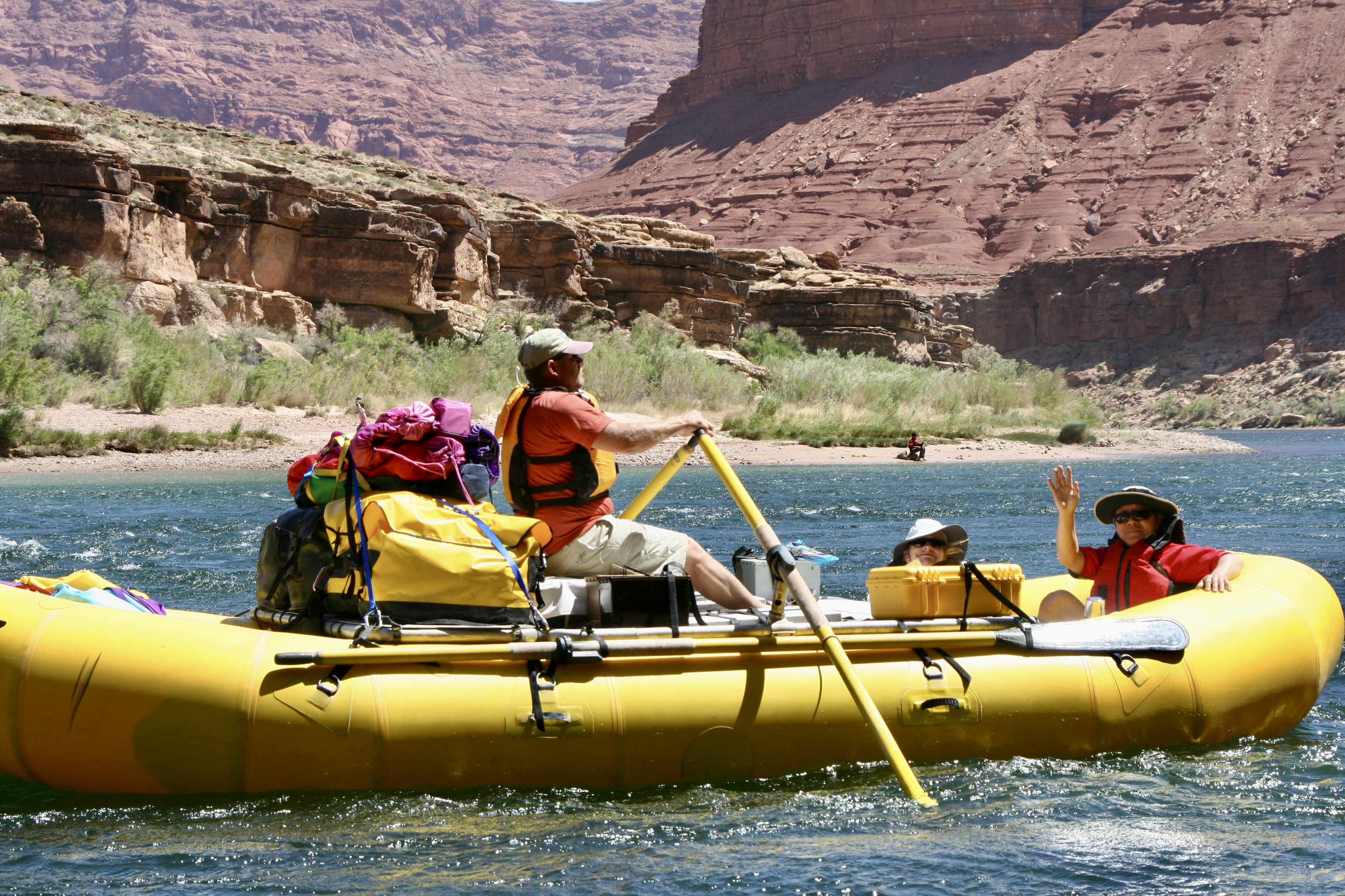
That’s it for the preparations. Now the ‘fun’ begins. The wind was back! We spent our first day fighting headwinds with gusts up to 60 miles per hour. If my dreams of a leisurely float down the river hadn’t already been demolished, they were now. We actually took turns with our boatmen rowing double. All of the photos were taken by either Don, Peggy, or me. I’ll note which ones are Don’s.
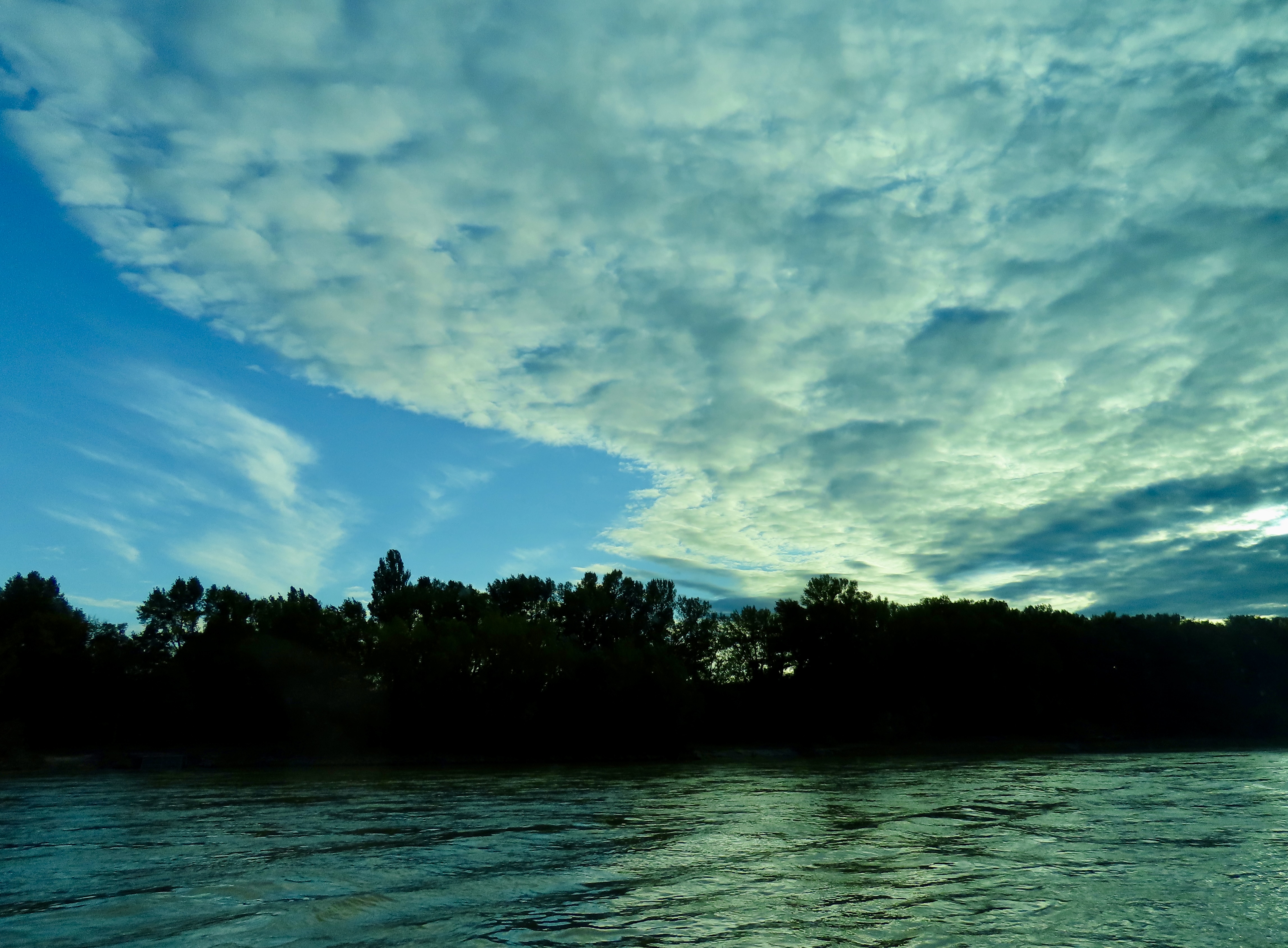
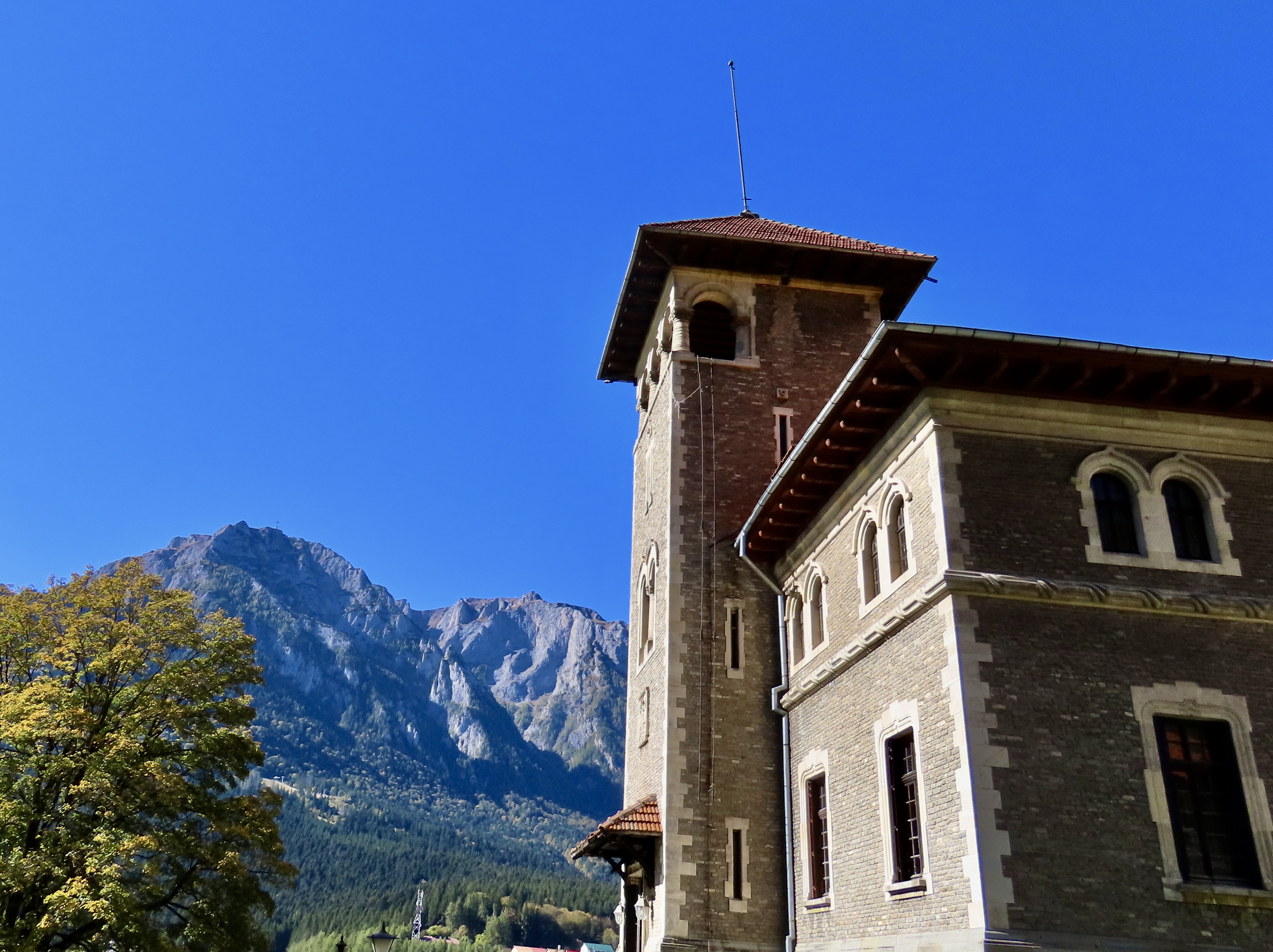
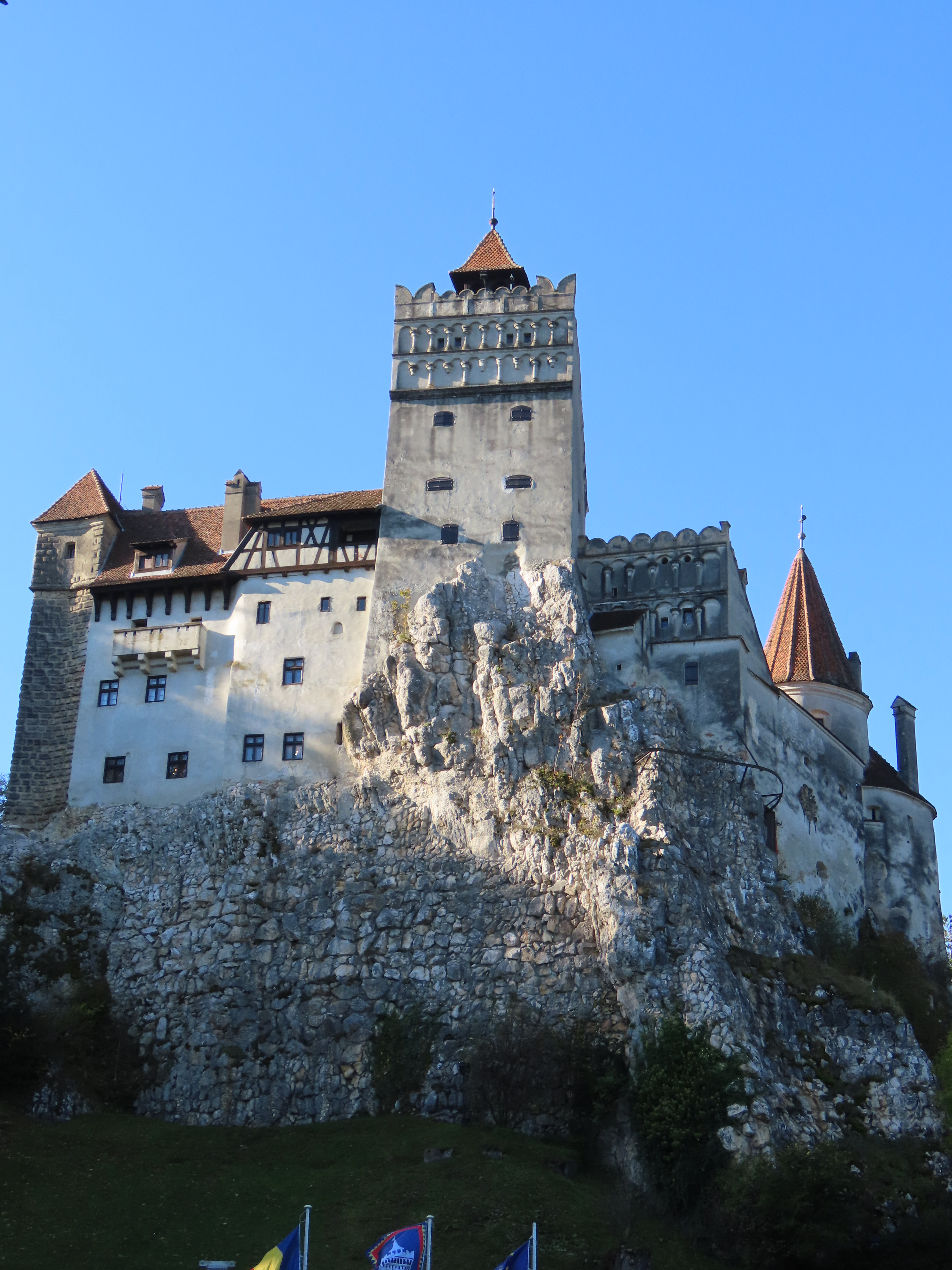
My post next Monday will take us from Lees Ferry to just below Phantom Ranch. Thursday is Halloween, however, and Peggy and I have a special treat for you, a tour of Dracula’s castle in Transylvania that we visited 2 1/2 weeks ago on our Danube River trip.