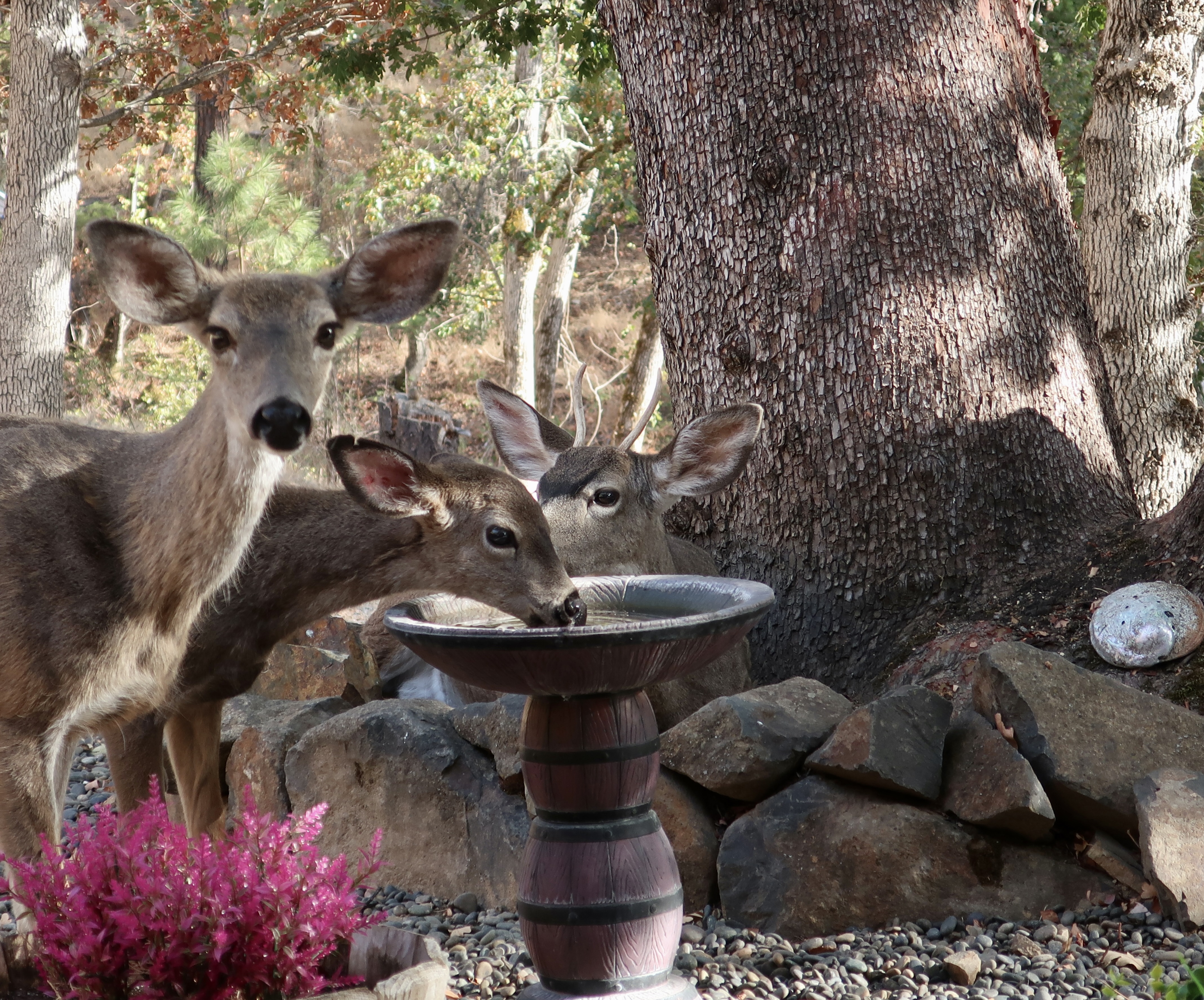
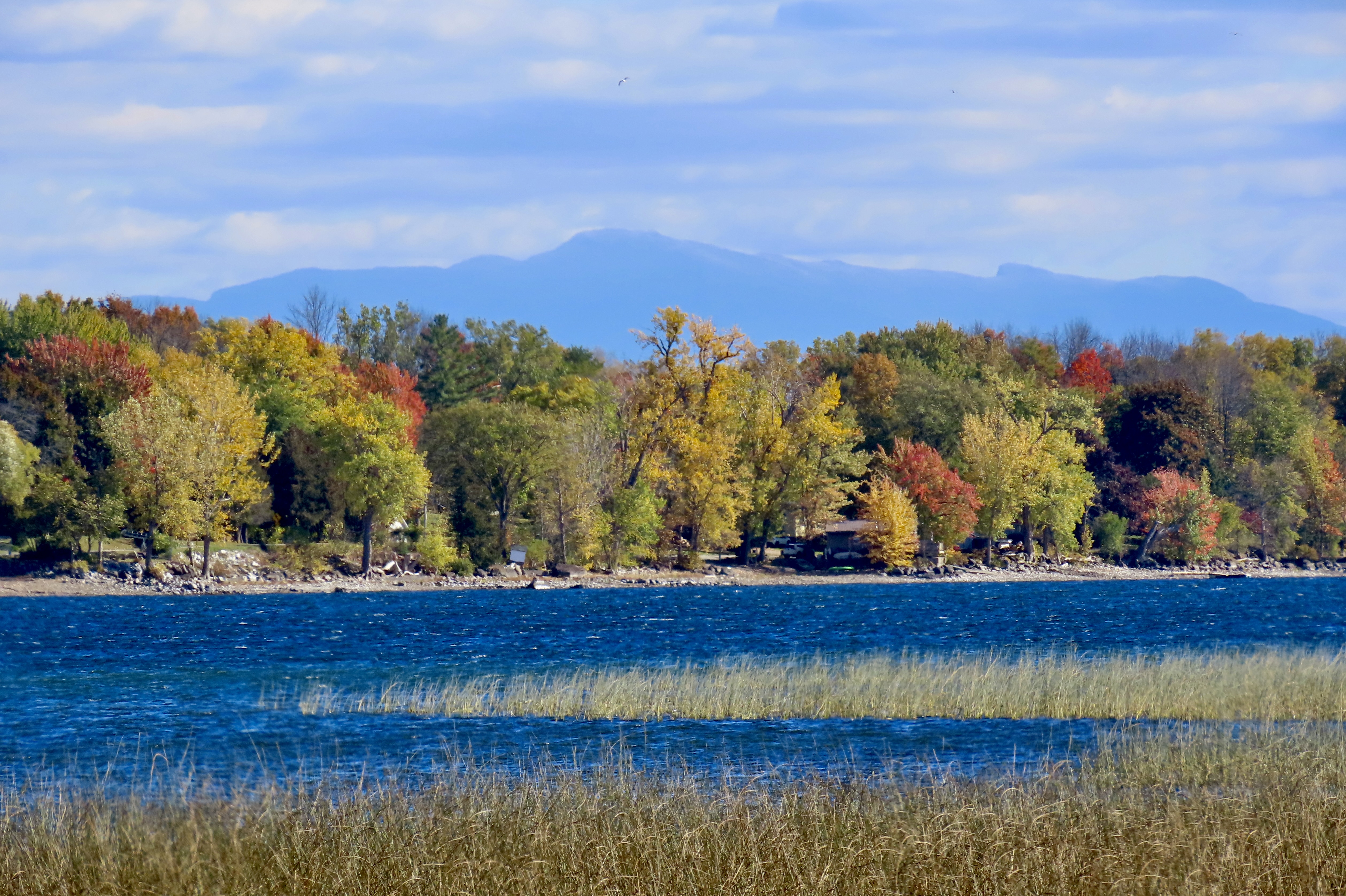
The Graveyard was out the backdoor and across the alley.
We lived with its ghostly white reminders of our mortality day and night. Ancient tombstones with fading epitaphs whispered of those who had come to seek their fortune in California’s 1849 Gold Rush and stayed for eternity. Time had given their resting place a sense of permanence and even peace. But not all of the graves were old. Occasionally a fresh body was planted on the opposite side of the cemetery. I stayed far away; the newly dead are restless.
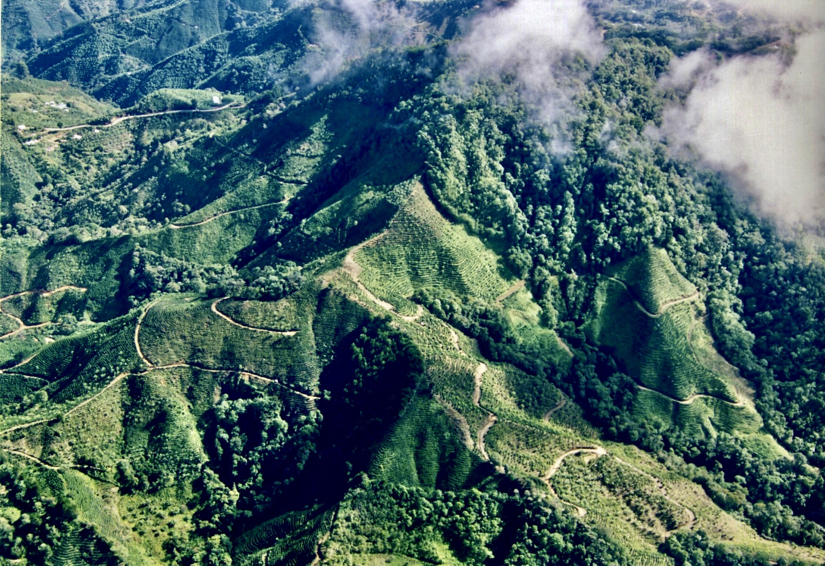
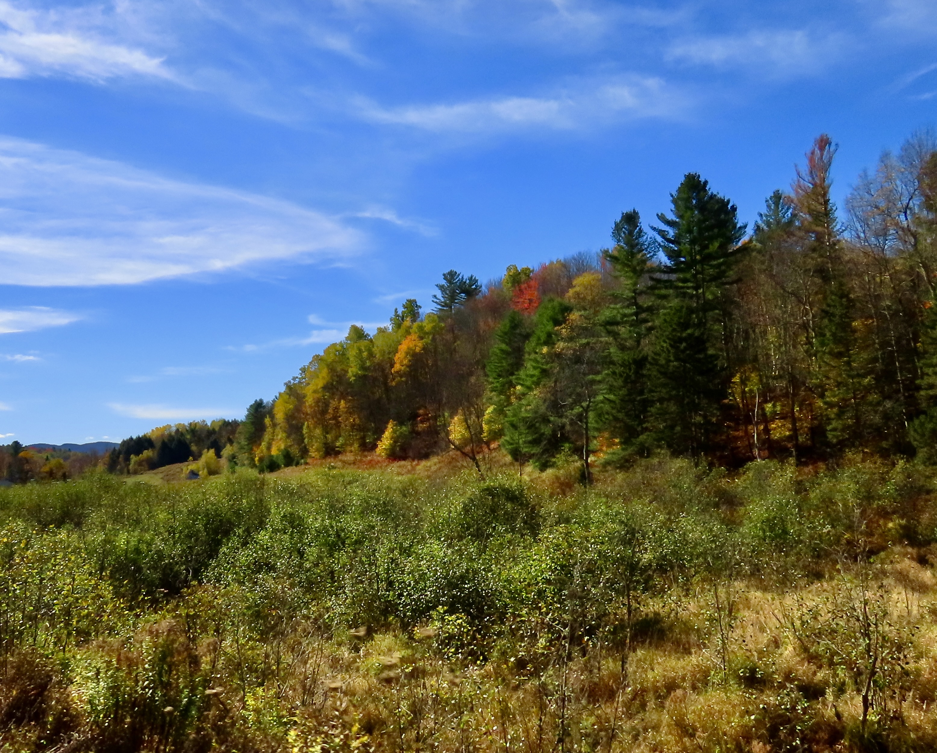
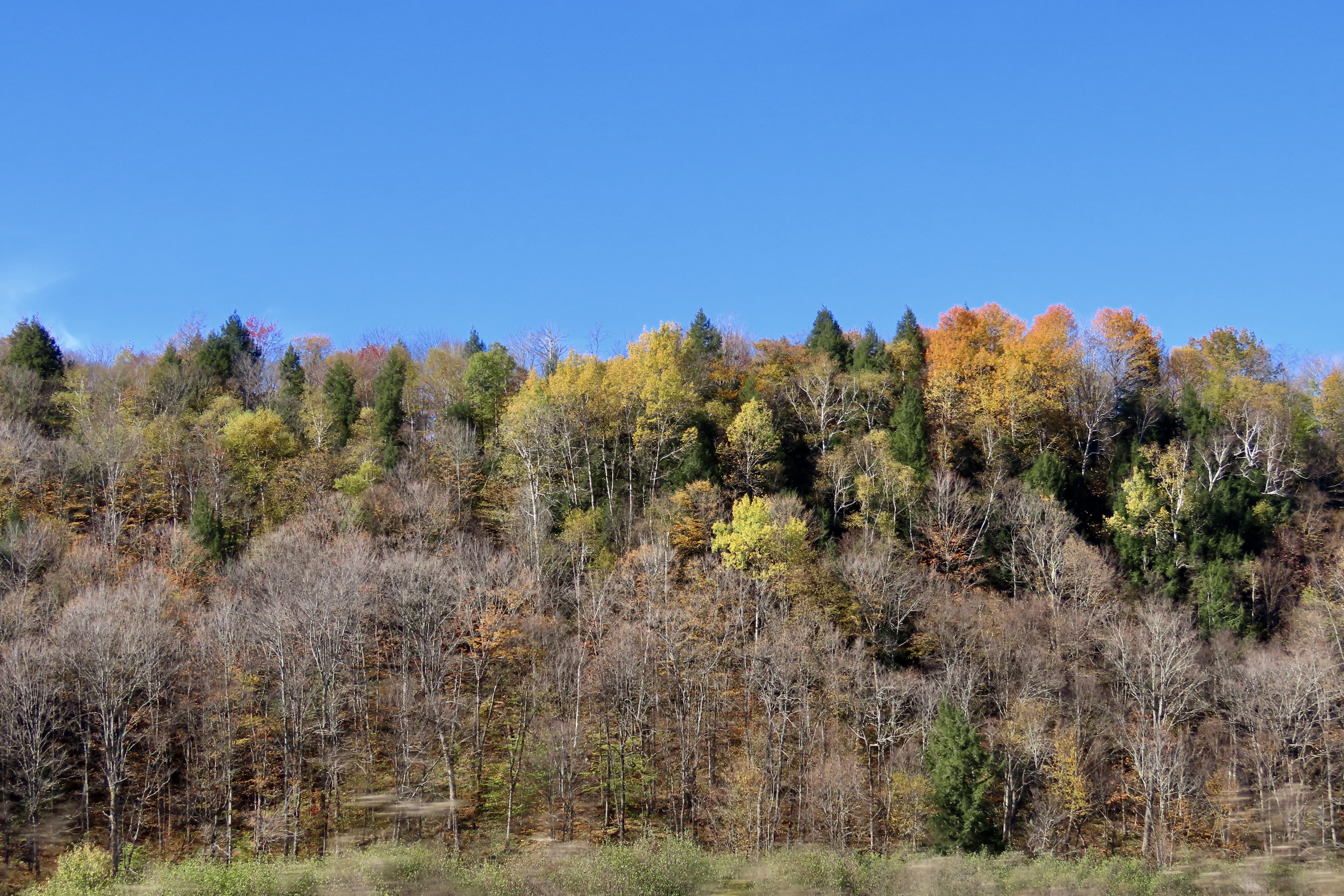
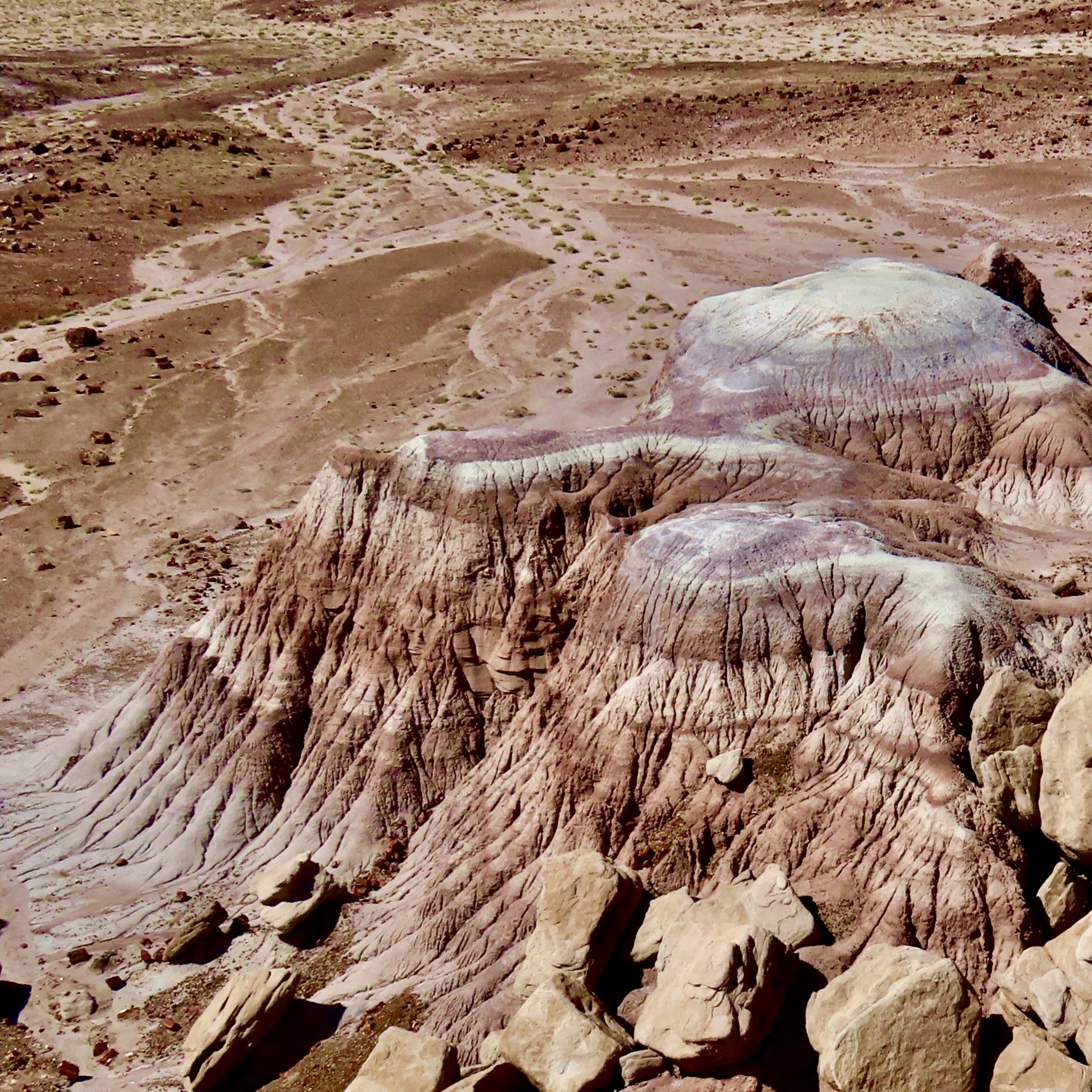
At some point, Heavenly trees, brought over from China by Chinese miners during the Gold Rush, had been planted to shade the aging bones. They behaved like devil driven weeds. Chop them down and they sprang back up, twice as thick. Since clearing the trees provided Diamond Springs Boy Scout Troop 95 with a community project every few years, the trees retaliated by forming a visually impenetrable mass of green in summer and an army of sticks in winter. Trailing Myrtle, a cover plant with Jurassic aspirations, hid the ground in deep, leafy foliage.

The Graveyard provided my first ‘wilderness’ experience. During the day, it took little imagination to change this lush growth into a jungle playground populated with ferocious tigers, bone crushing boas, and half-starved cannibals. Marshall and I considered the Graveyard an extension of our backyard. Since it was within easy calling distance of the house, our parents had a similar perspective. Either that or they were glad for the quiet time.
The skinny Heavenly trees made great spears for fending off the beasts, or throwing at each other. At least they did until we stuck one in Lee’s hand. Neither he nor his parents were happy. (And why does William Golding’s Lord of the Flies come to mind?) Spear throwing was crossed off our play schedule. We turned to hurling green, black walnuts at each other instead. They grew in abundance on the trees in our front yard. Plus, we could hide behind the trees and toss them at passing cars on Highway 49. Screeching brakes and one really pissed-off driver brought that activity to a halt.
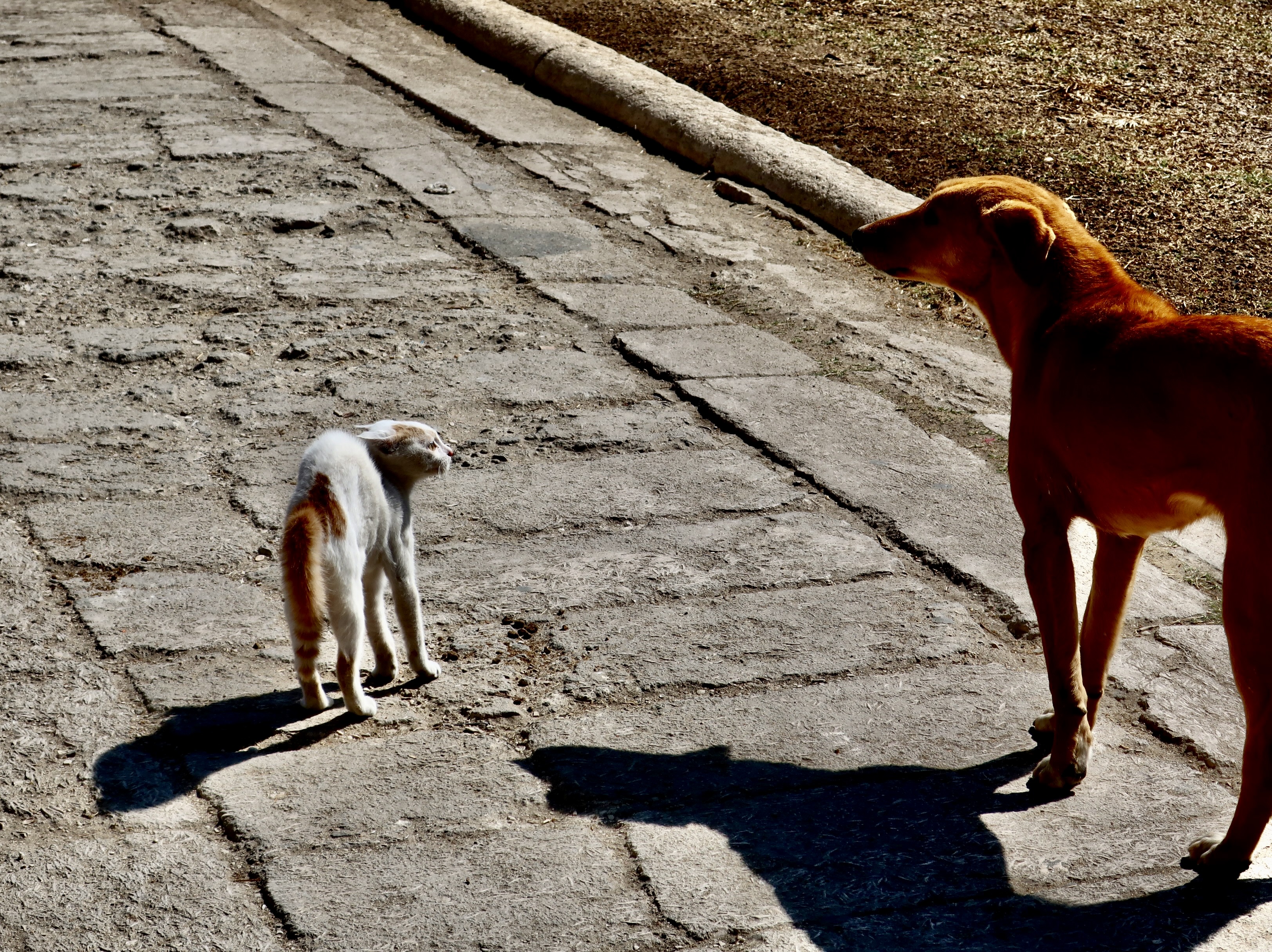
Night was different in the Graveyard— it became a place of mystery and danger. Dead people abandoned their underground chambers and slithered up through the ground. A local test of boyhood bravery was to go into the Graveyard after dark and walk over myrtle-hidden graves, taunting the inhabitants. Slight depressions announced where they lived. Marshall persuaded me to accompany him there on a moonless night. I entered with foreboding: fearing the dark, fearing the tombstones and fearing the ghosts. Halfway through I heard a muzzled sound. Someone, or thing, was stalking us.
“Hey Marsh, what was that?” I whispered urgently.
“Your imagination, Curt,” was the disdainful reply.
Scratch, scratch! Something was digging behind a tombstone and it was not my imagination. Marshall heard it too. We went crashing out of the Graveyard with the scary creature of the night in swift pursuit, wagging her tail.
“I knew it was the dog all of the time,” Marsh claimed. Yeah, sure you did.
I also began to explore the Graveyard on my own. One of my 6-year-old memories was spying on Mr. Fitzgerald, a neighbor who lived across the alley. He’s dead now— and has been for decades— but at the time he was a bent old man who liked to putter around outside. At one time he had been the Superintendent of El Dorado County Schools. A black locust tree, perched on the edge of the Graveyard, provided an excellent lookout to watch him while he worked.
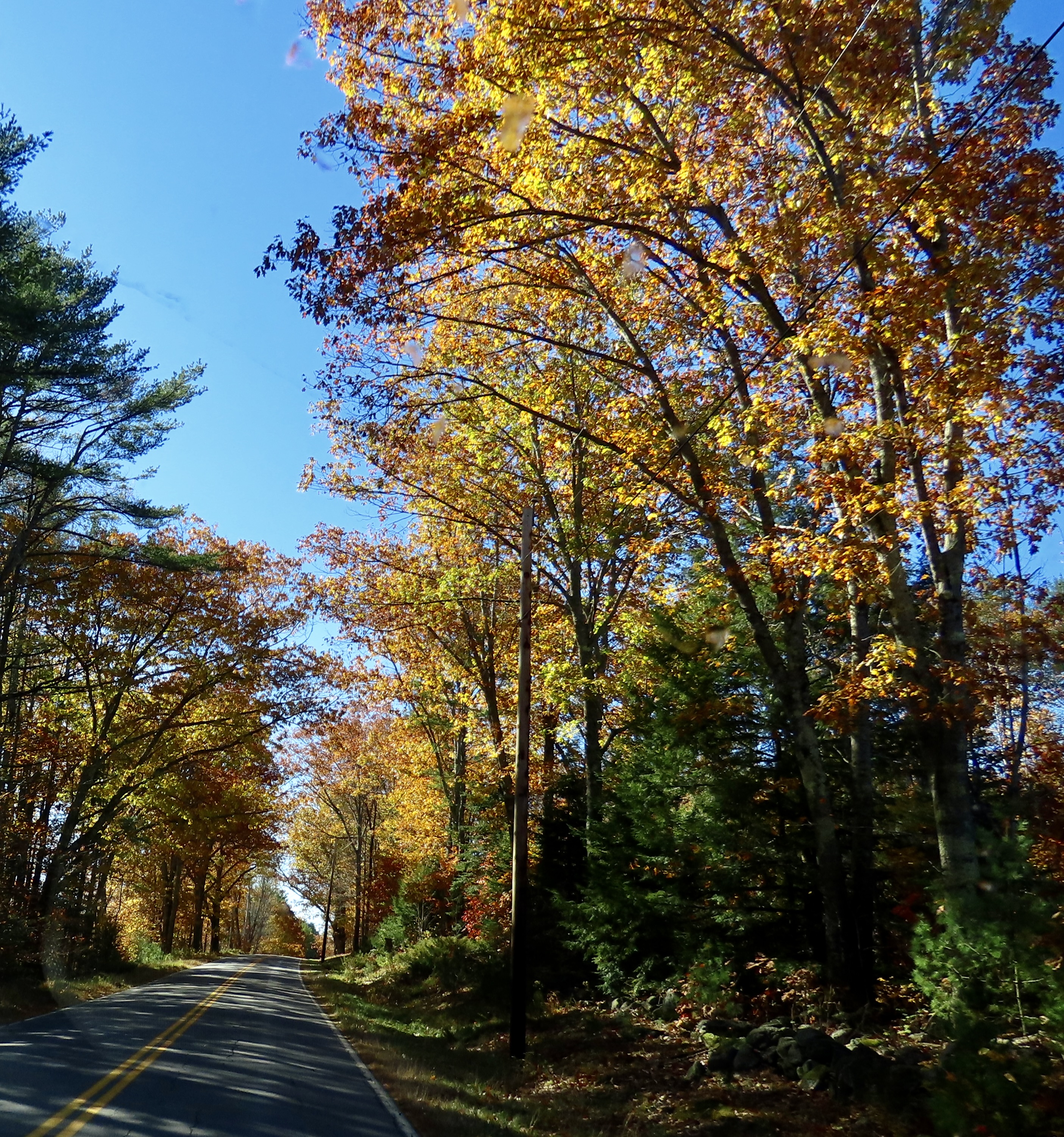
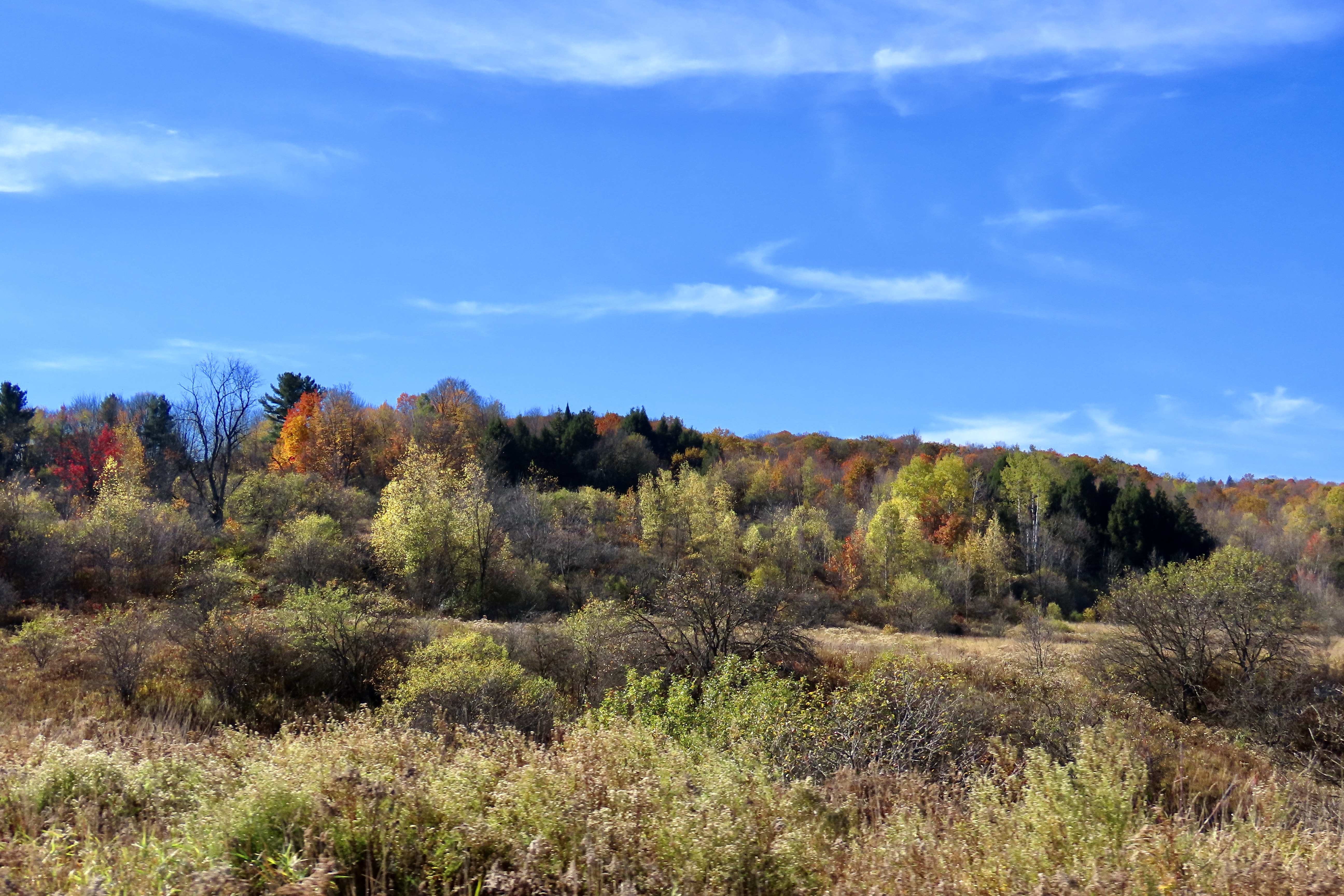
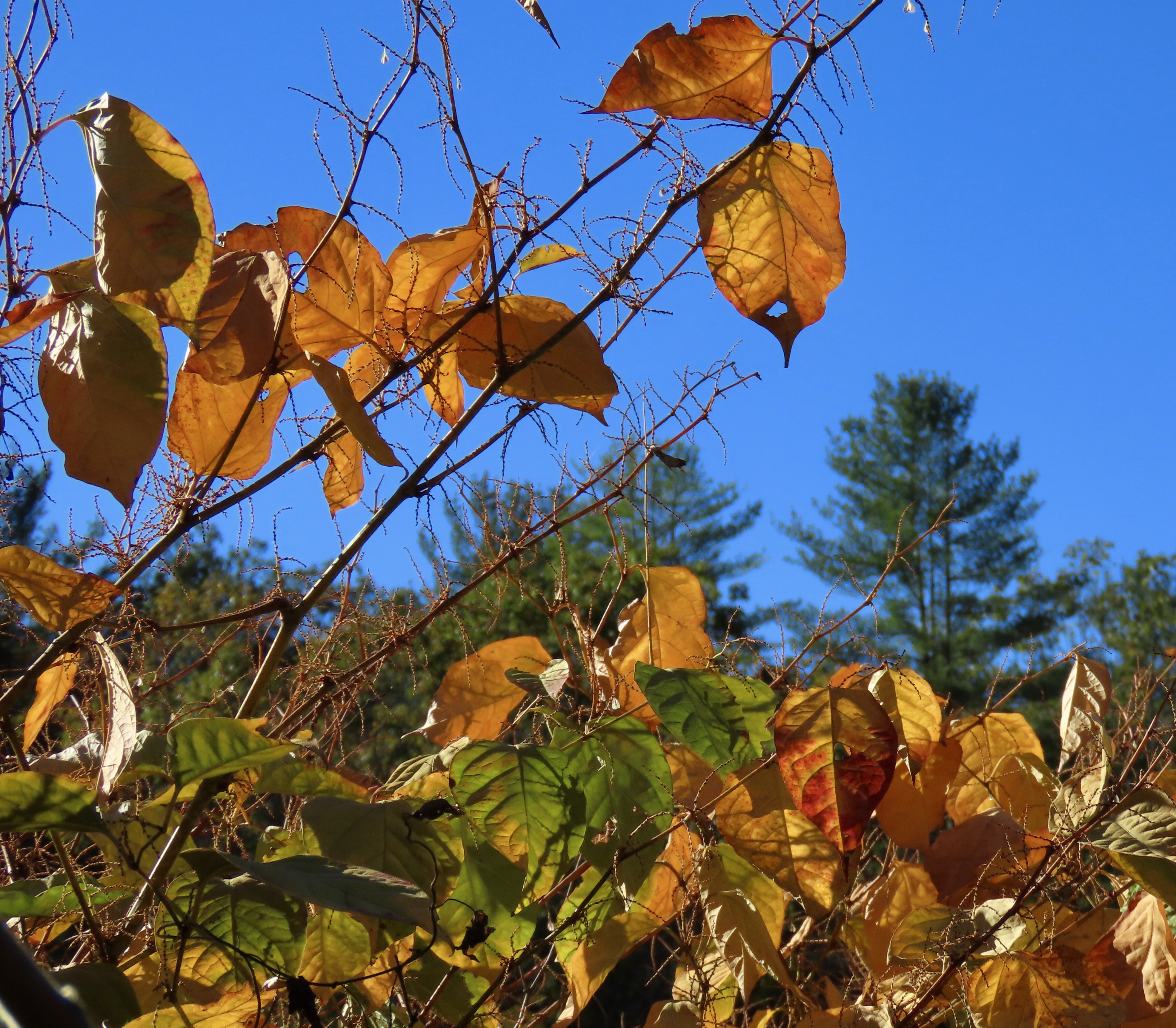
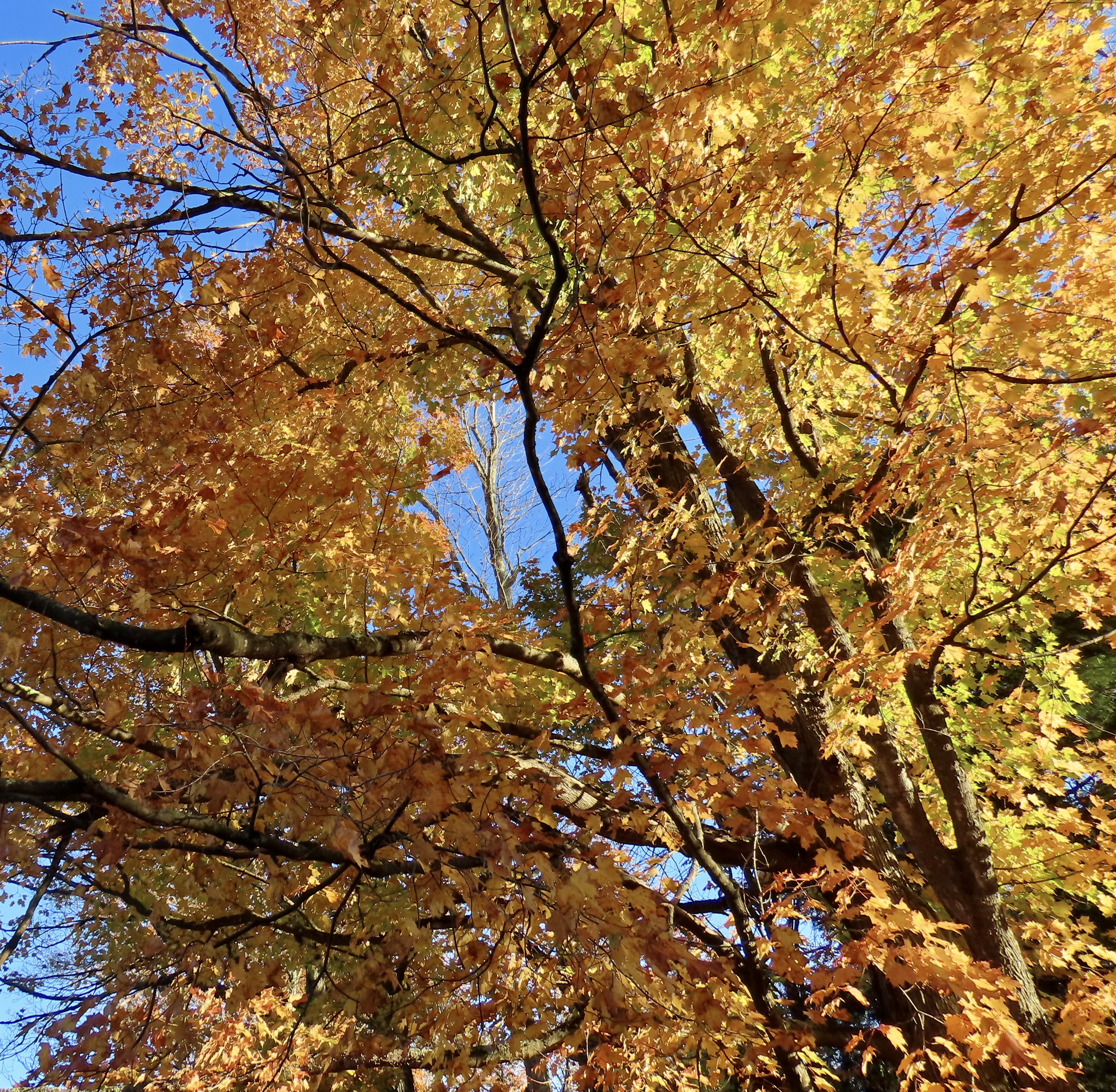
One particular incident stands out in my mind. I had climbed into the tree and was staring down into his yard. It was a fall day. Dark clouds heavy with rain were marching in from the Pacific while distant thunder announced their approach. A stiff, cool breeze sent yellow leaves dancing across the ground.
Mr. Fitzgerald wore a heavy coat to fight off the chill. I watched him shuffle around in his backyard as he sharpened his axe on a foot operated grinding wheel and then chopped kindling on an oak stump. When he had painfully bent down to pick up the pieces and carry them into his woodshed, I scrambled down from the tree so I could continue to spy on him through a knothole. I must have made some noise, or maybe I blocked the sunlight from streaming into the shed. He stopped stacking wood and stared intently at where I was, as though he could see through the weathered boards. It frightened me.
I took off like a spooked jack rabbit and disappeared into the safety of our house. Mr. Fitzgerald was intriguing, but his age and frailty spoke of death, and the dead people who lived in the Graveyard.