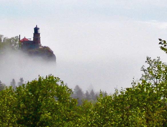
They call it Big Sky Country for a reason. The heavens seem to stretch on forever. But the enormity of the sky is matched by the state’s mountains and rivers and valleys. Even this single tree has a statement to make.
I don’t really know if you can make a wrong turn in Montana. Almost everywhere you go the skies are big, the mountains high, the rivers clear, and the views forever. With that said, I am not 100% sure about my bike route through the state. For most of my 10,000-mile journey I had maps, or my journal, or letters, or even just logic to retrace my route of 27 years ago. Many of the roads I traveled down were the only roads available or at least the only roads I could use and get where I wanted to go without a major detour.
And often there were significant events that reminded me where I traveled. Many of the views I saw in Montana could have played this role— except those views were just about everywhere. The two events I do recall happened on my first day. One, I bicycled 120 miles with the elusive tailwind I had hoped for in North Dakota. Two, I found a restaurant that offered a free pancake to anyone who could eat the whole thing. It was a yard across, two inches deep and took the whole griddle to cook. I passed. But I watched a giant consume one and go on to eat a second. I thought he deserved a standing ovation, but hesitated with the thought that he might not like standing ovations. I try not to irritate mountains.
But my memory aids were unavailable for Montana. Still, I know most of my route. About 250 miles are in contention, which in Montana isn’t a big deal. Now if I were talking Rhode Island or Delaware… Anyway, if you are a map fiend, I either traveled from Malta on Highway 2 to White Sulphur Springs, or from Havre on Highway 2 to White Sulphur Springs. Both seem logical choices. Since the former route came first, Peggy and I drove it. Sections seemed quite familiar. Others not so much. One of these days, I will go back and start from Havre. Anyway, here are some views Peggy and I saw along the way.

Another perspective on Big Sky Country. This one along US Highway 2 as it makes its way through northern Montana.

If ever there was a modern catch phrase in the writing, art, and business world, it is “branding.” Over and over we hear about how important it is that we establish our own unique voice or product. Well, there was a time when the concept of branding was a lot simpler. 🙂 We found this fence at a small museum in Culbertson, Montana. These are cattle brands from the region.

We also found this fun weather vane at the Culbertson Museum. Somehow, it reminds me of the recent election. (grin)

Another photo from the Culbertson museum and another bit of post-election humor: After the election, Mrs. B decided to head for the beauty parlor to have her hair done— and her brain rearranged. (Move on Curt.)

Whoa! Another roadside attraction. Dinner? We came on this unlikely pair along with another 20 acres of other such creatures along Highway 2. There was no sign to tell us why they were there.

Here’s a cowboy with high hopes, “high in the sky apple pie hopes.” The Native American is saying, “Go get him guy. I’m behind you all the way.”

Peggy and I came across this old house with its life-affirming message along Highway 2. It’s a great message for these troubled times from a poem by Sam Walter Floss: “Let me live in a house beside the road/ Where the race of men go by/ The men who are good and the men who are bad/ As good and bad as I/ I would not sit in the scorner’s seat/ Nor hurl the cynic’s ban/ Let me live in a house by the side of the road/ And be a friend to man.”

Another Highway 2 site featured the Sleeping Buffalo Rock covered with carved petroglyphs. This symbol is usually interpreted to represent a badger.

In Malta, Peggy and I picked up US Highway 191, which runs from the Canadian Border to Mexico. Unlike most of America’s historic north-south/east-west blue highways, 191 is a combination of many north-south roads that were put together in the 80s.

Another view of Montana countryside along Highway 191.

A calm stream…

And the mighty Missouri River— Montana style.

This is Montana! Cowboys and cattle. Two cowboys rode horses, and one is using an ATV.

Tempting! A trout contemplates a fly in a Lewiston, Montana mural.

I found this town fun. The high school looms in the background. The vote for the 2015 commencement speaker was unanimous. Dakota Jolliff asked her uncle to give the address. She was the only senior. The principal lives across the road from the school. First thing in the morning during winter storms, she looks out her window. If she can’t see the school, classes are canceled. The school is also haunted. Lights are turned on at night and locked doors opened.

You may have noted the windmills in the Judith Gap sign. Check out the cattle at their base. (Tiny dots at the fence line right center— they may be antelope.) There are 90 of these 40-story high structures. They provided electricity to the 80 homes in Judith Gap plus another 360,000.

When it comes to mountains, Montana is not shy. These are the Rocky Mountains.

Another view.

And another…

And another.

Peggy and I stayed at an RV campground in White Sulphur Springs that featured wild animal cut outs. I really liked this moose family with its reflection.

Peggy fed this one. Don’t do this at home kids. Don’t ever stick your hand in the mouth of an elk! 🙂

Here is my mandatory old barn photo for this blog with its dramatic backdrop of the Rocky Mountains. I didn’t feel that this barn was simply falling down. It looked like it was melting!

Mountain men played a key role in the westward movement, first as trappers and later as guides.

Did this guy just hear the election results? (Kidding) We watched this guy and another jump into the Yellowstone River— and come out alive. They had carefully waited for a policeman to pass. I am reminded of a statement by Joseph Campbell. “When you find yourself falling, dive.”

The Yellowstone River

A final view for today’s post. This one is near Bozeman, Montana. In my next post I will head south from Bozeman and into Idaho, another beautiful state.