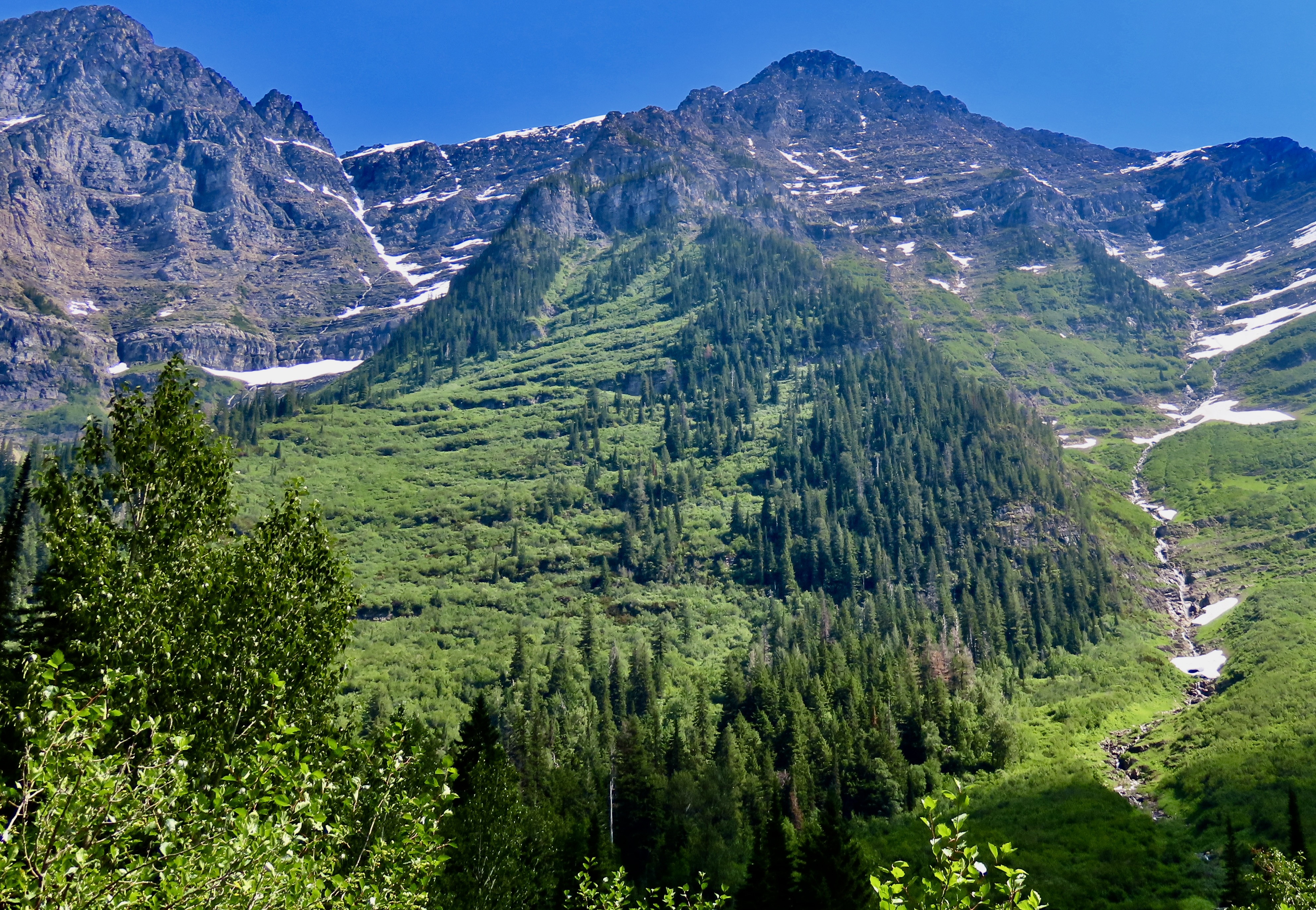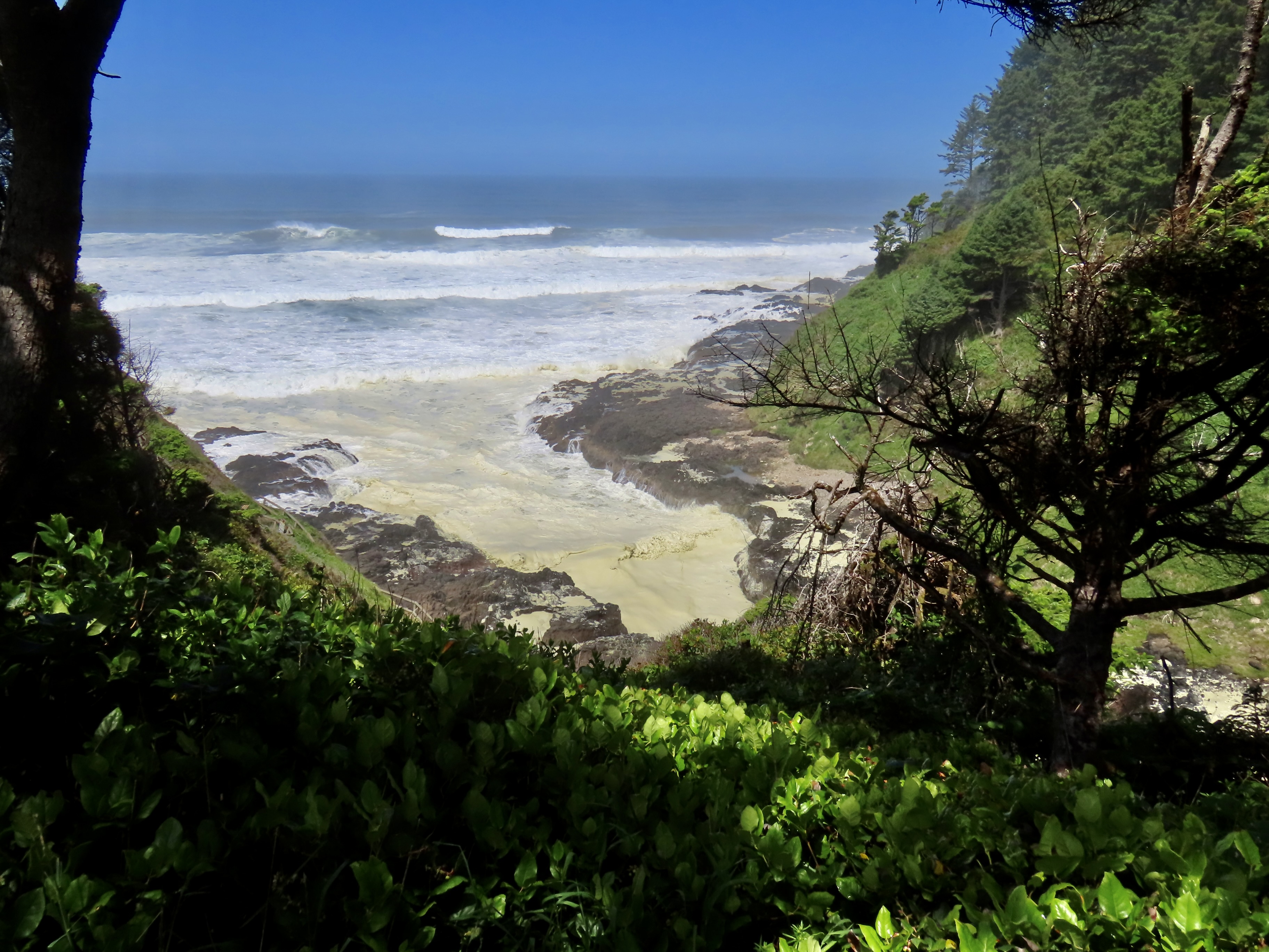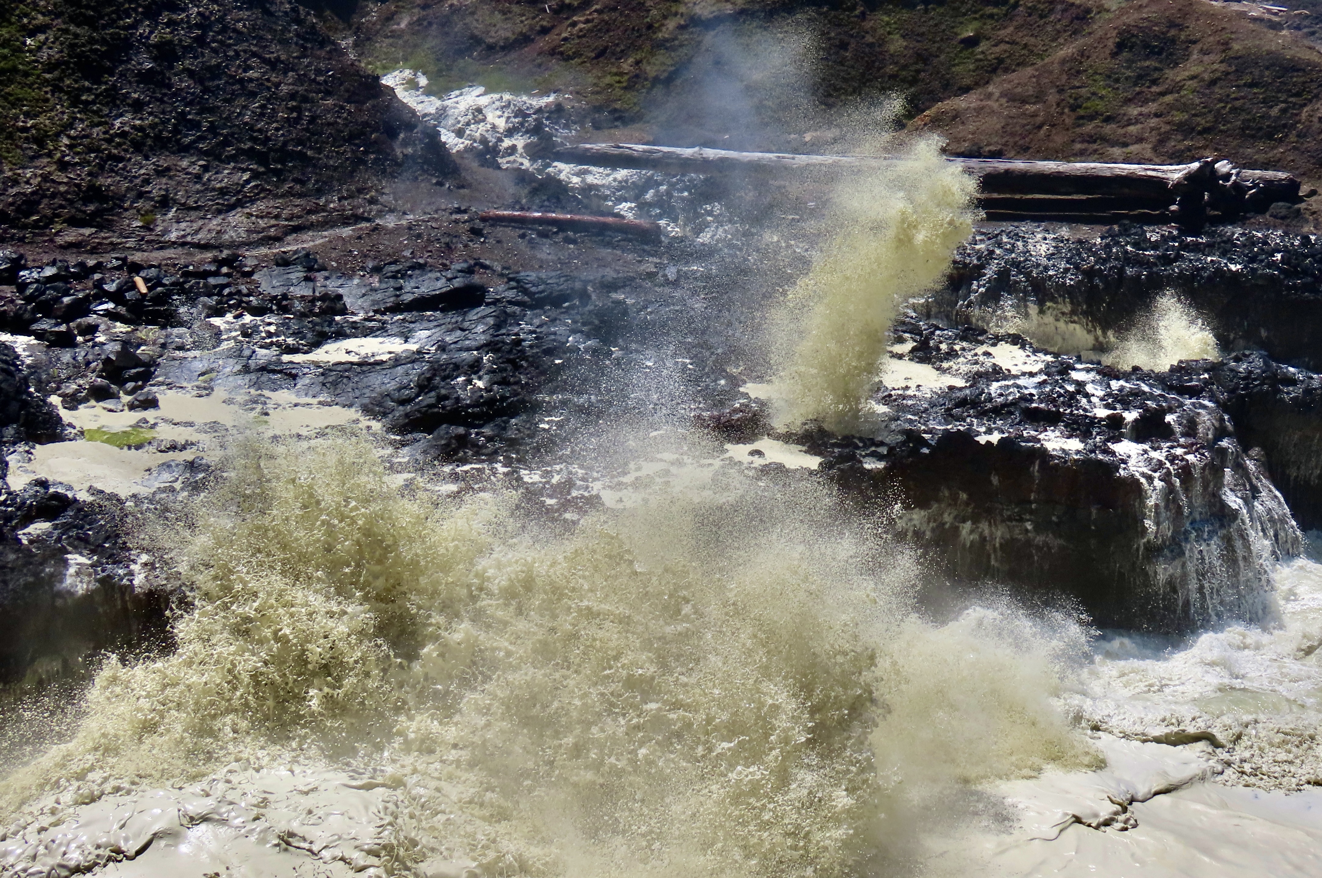
Today, Peggy and I are going to take you on a visit to the North Rim of the Grand Canyon as part of our National Park Series. We were there in 2022 but didn’t have time to do a post on it because we were headed off for a trip up the Rhine River.
I’m no stranger to the Grand Canyon. Even before I met Peggy, I had been to the South Rim several times, backpacked into the canyon four times, and even took a mule in on my first visit ever, an experience I didn’t need to repeat. The mule recognized that I was two pounds over the weight limit and kept trying to bite me and throw me off the trail with a several hundred foot drop. The worst insult, however, was to my butt. I couldn’t sit down for two days.
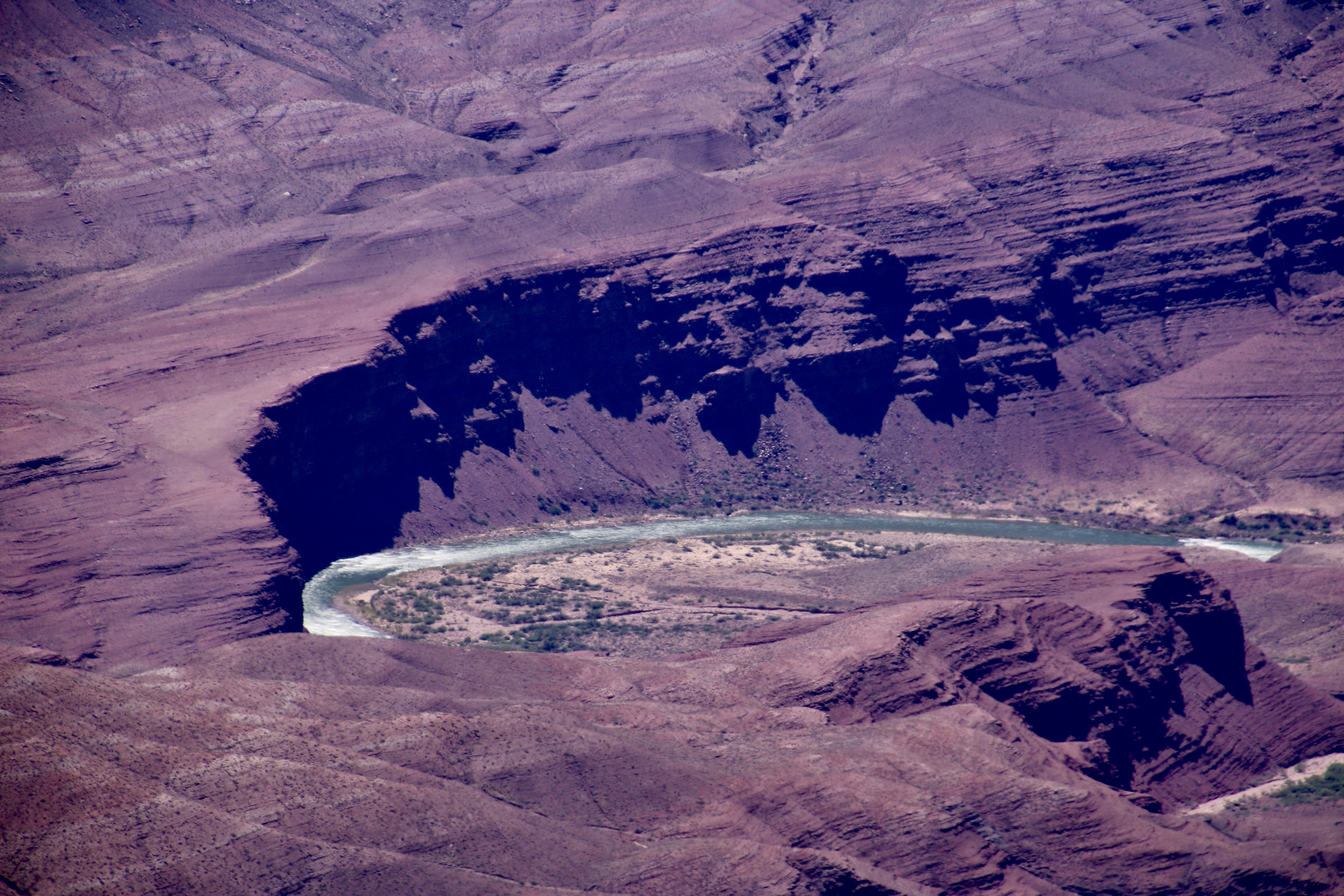
Peggy and I have also been there a number of times with experiences ranging from backpacking into the Canyon to being flown into a section outside the park in a helicopter by our son. We also did an 18 day private raft trip down the Colorado River through the Canyon. Once we took our kids, Tasha and Tony, as teenagers and camped out in the snow. Not surprisingly, I have done a number of posts on the Canyon, but never on the North Rim.
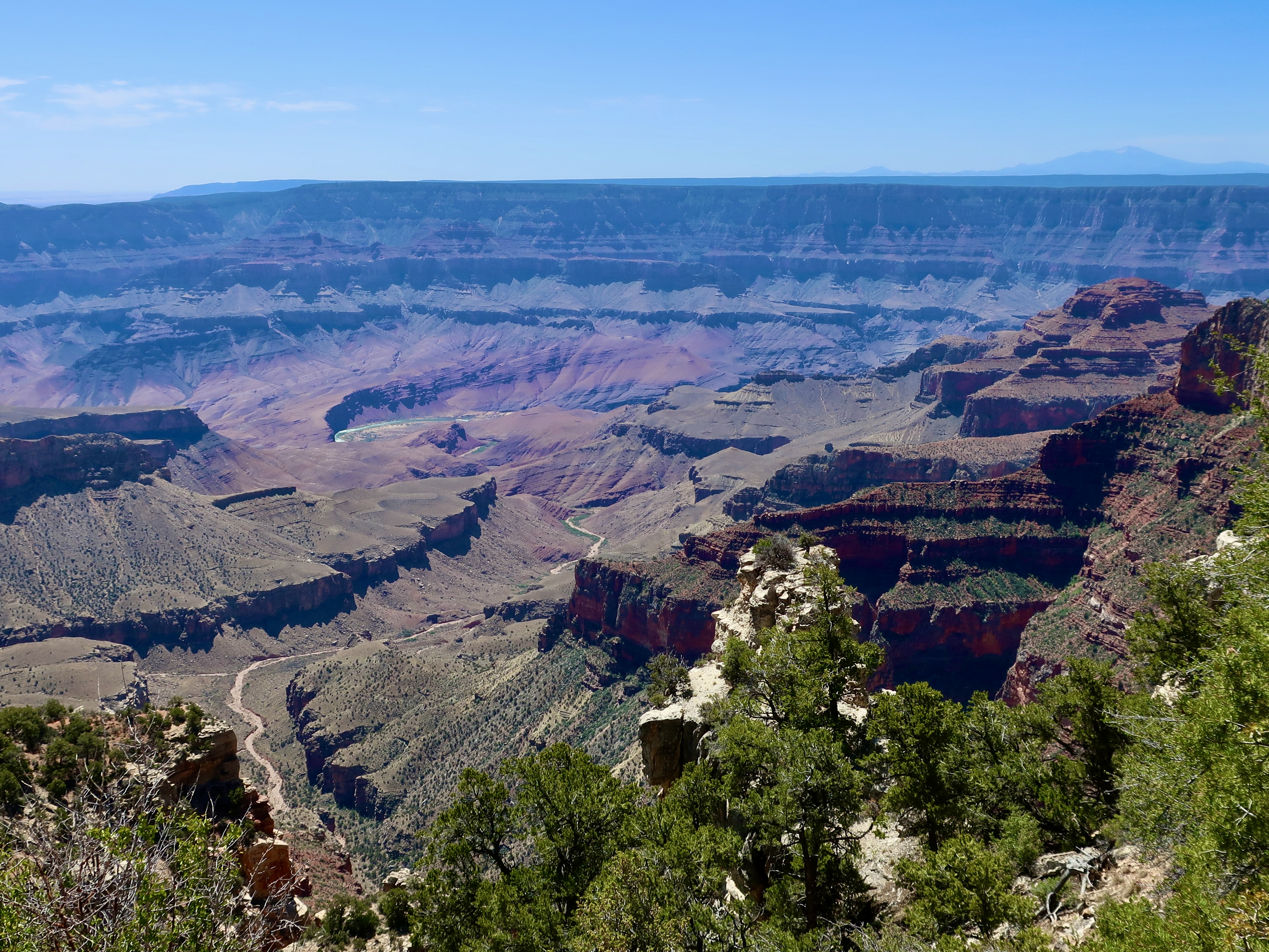
Some 5 million people visit the South Rim of the Grand Canyon. Maybe 10% make it to the North Rim. There are reasons for this, primarily accessibility. The South Rim is easier to get to, has extensive guest facilities, and is open year around. The North Rim, which sits at 8000 feet (2438 M), is closed from October 15 to May 15 because of snow. Plus it is a 212 mile, four hour plus drive from the South Rim— even though the North Rim is only 10 miles from the South Rim as the crow flies! That’s the challenge when you are faced with a ditch that averages 4000 feet deep stretching out for 277 miles.
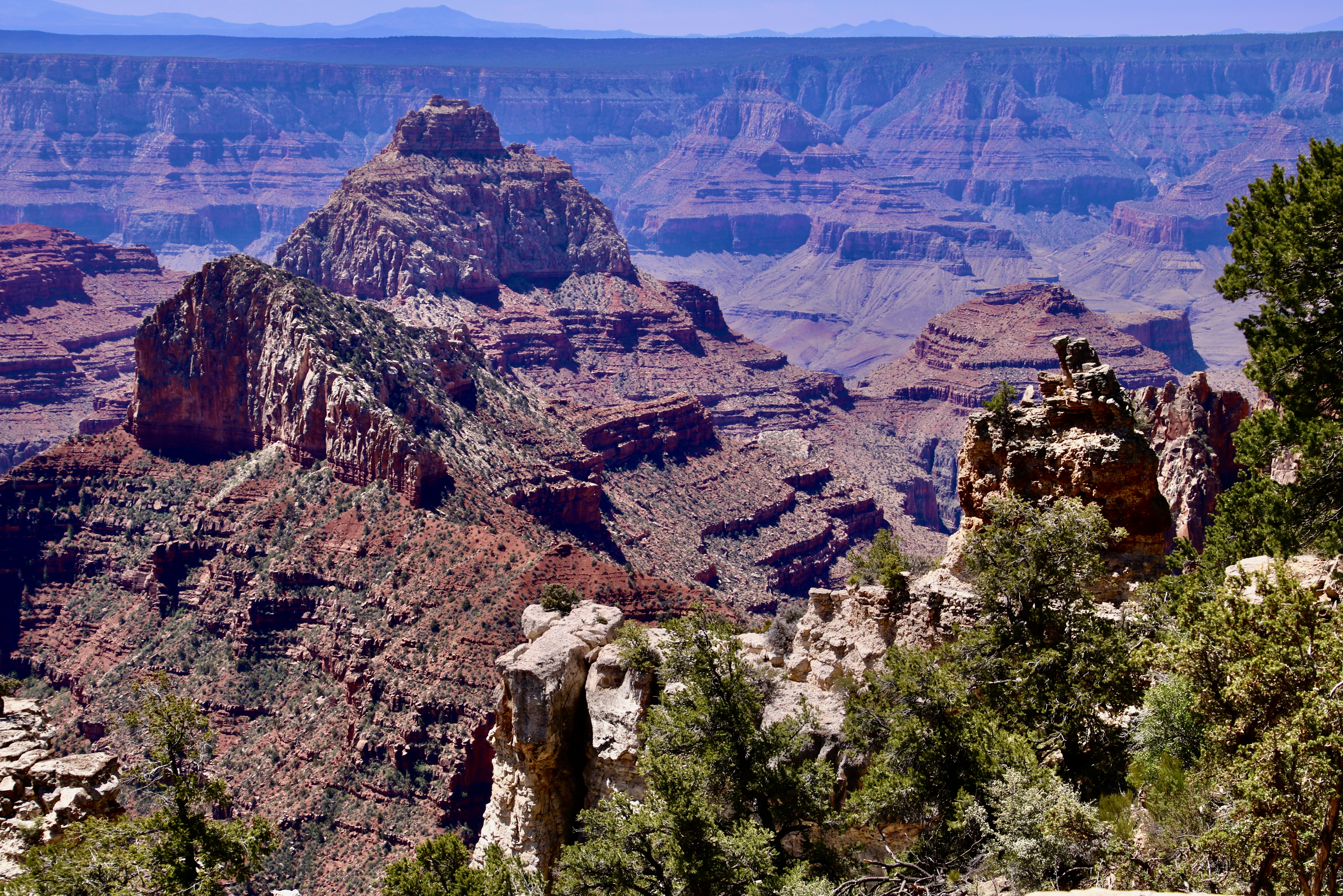
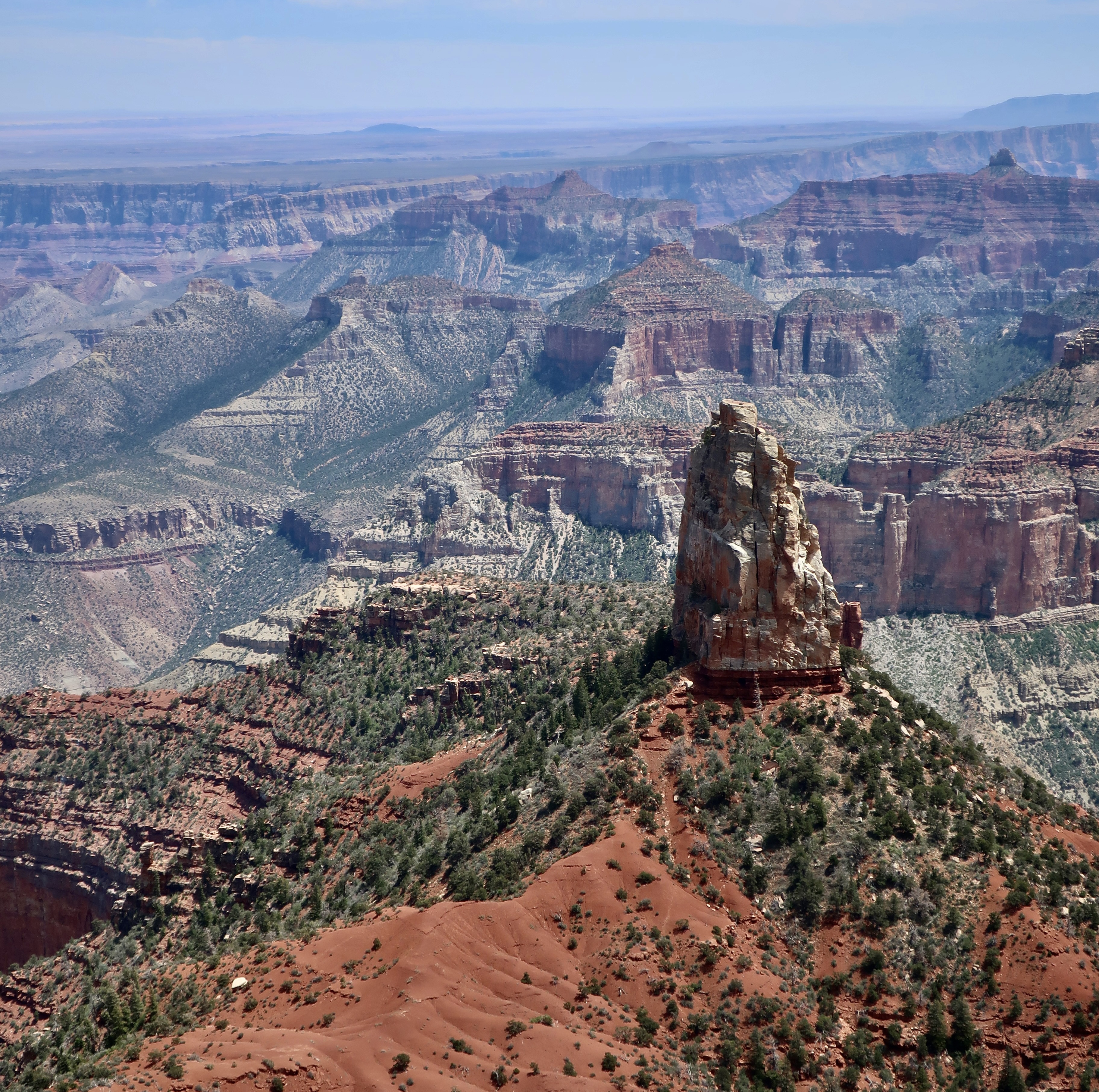
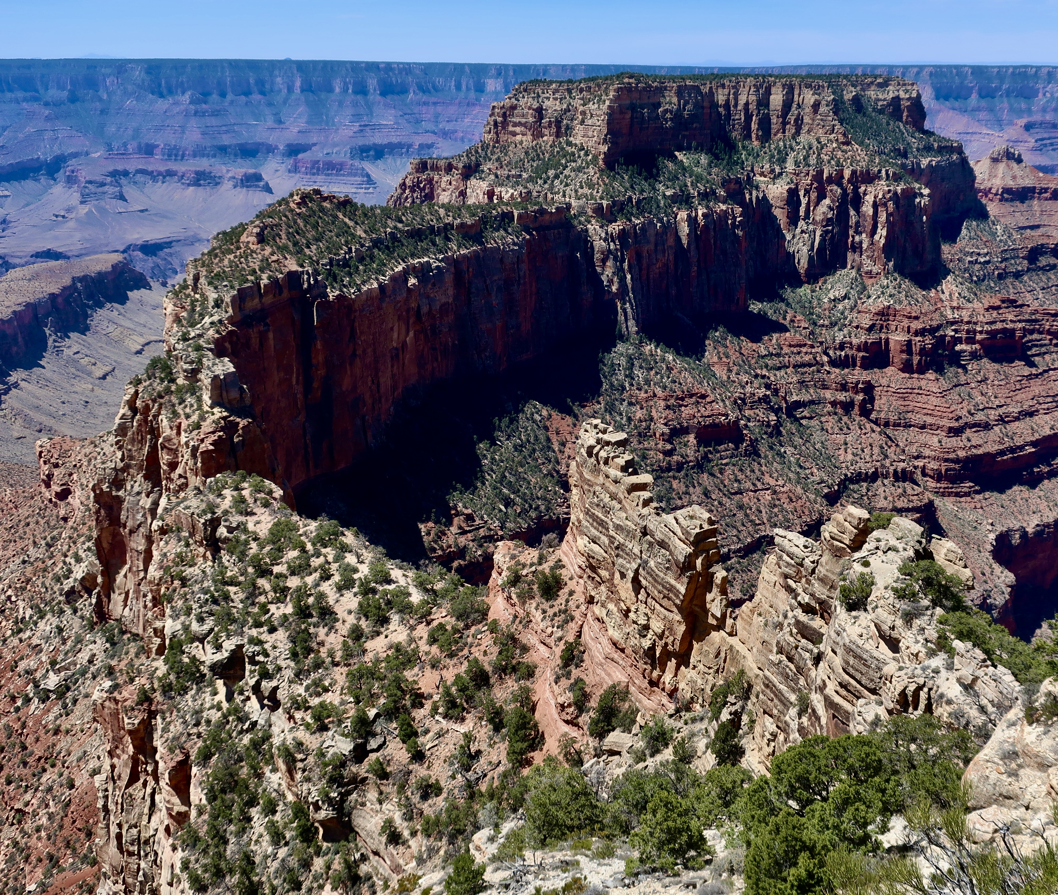
An argument can be made that the South Rim provides better views of the Canyon, overall. So if you’ve never been, you might want to start there. On the other had, who could argue that the view of Wotan’s Throne featured at the top is lacking in grandeur?
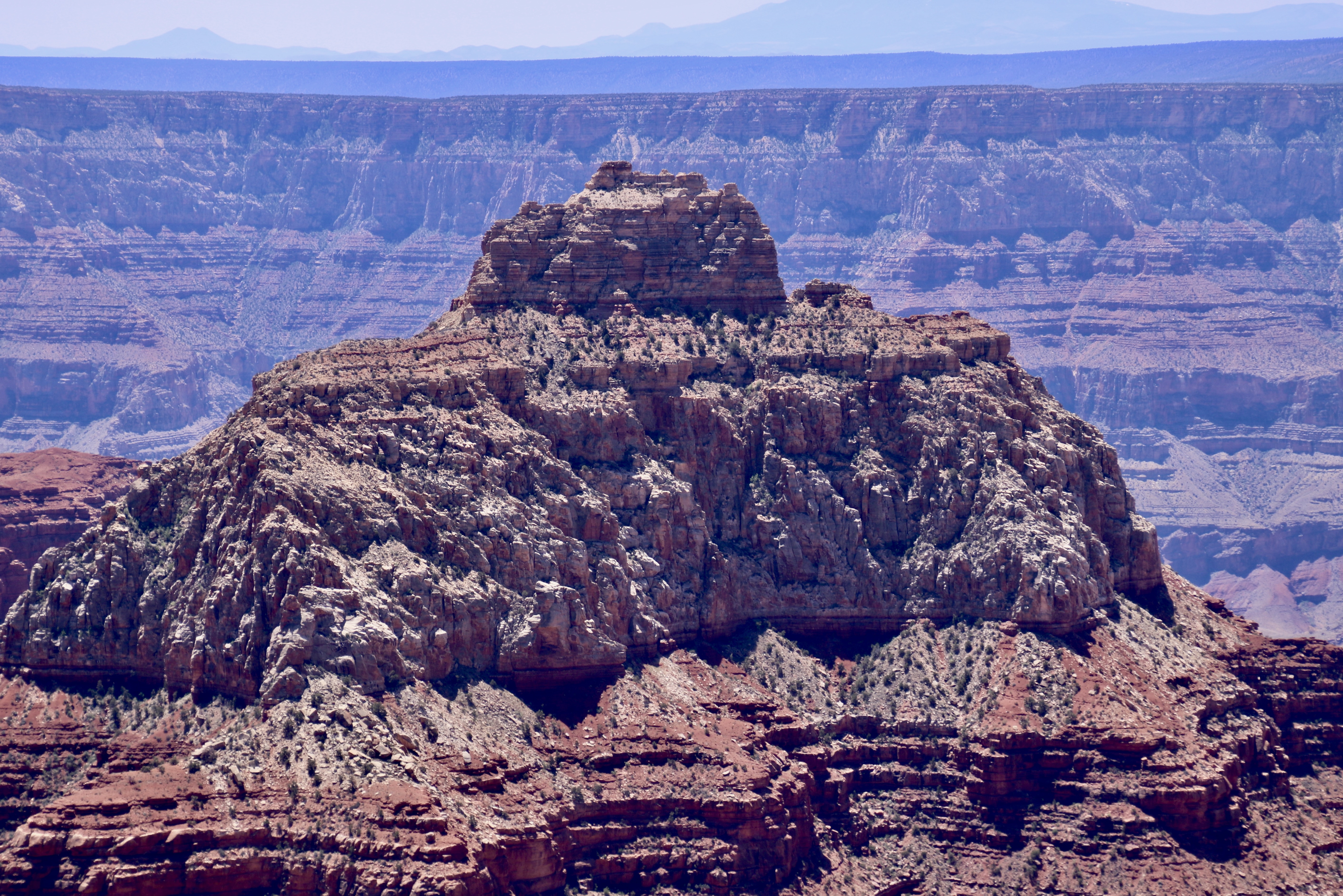
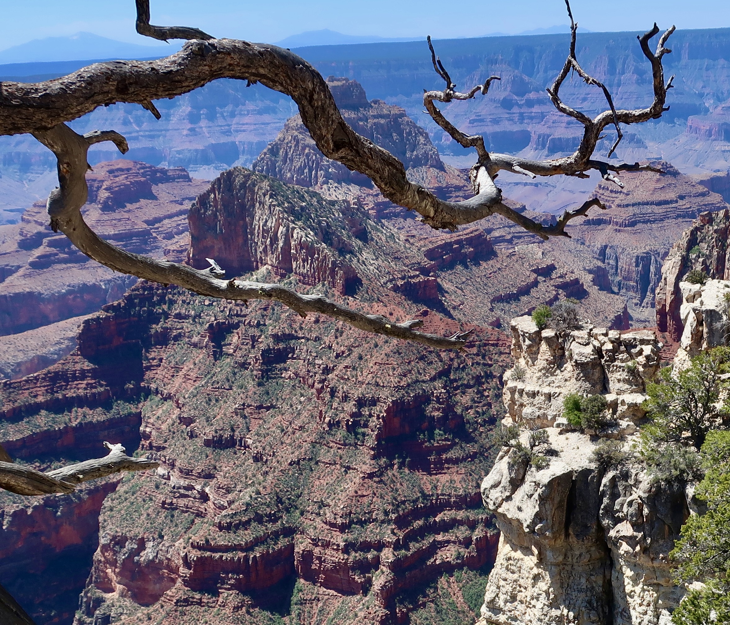
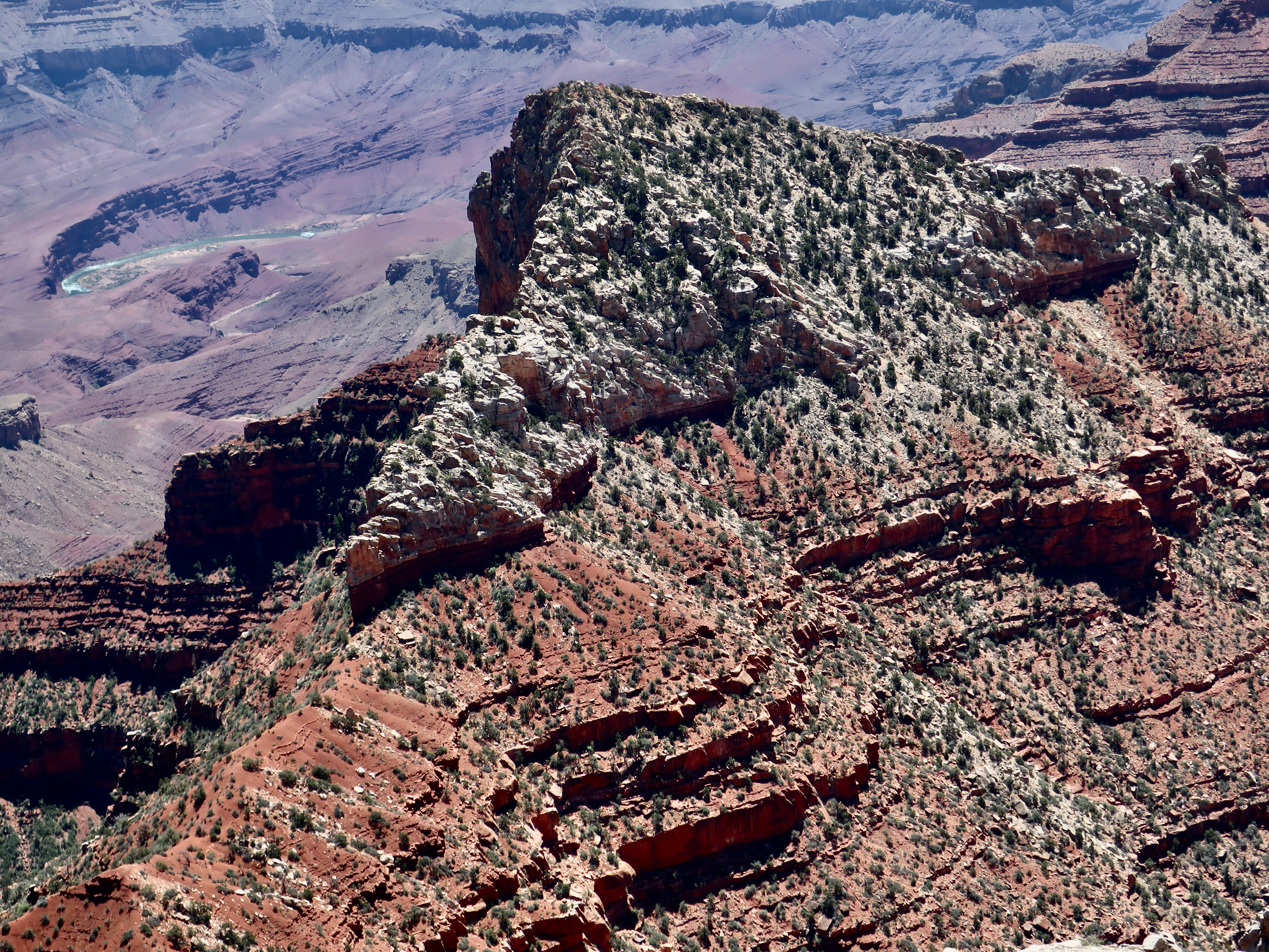
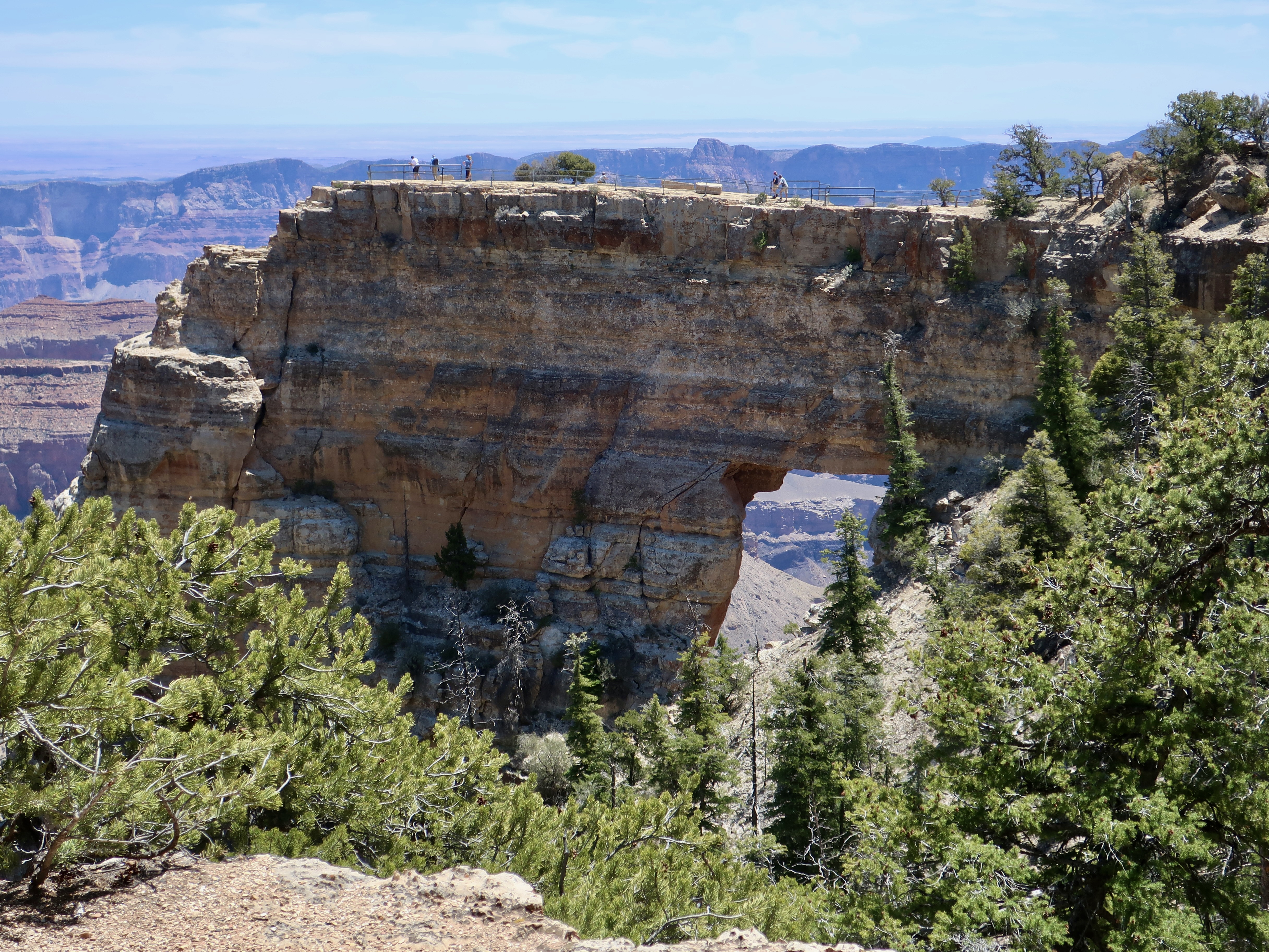
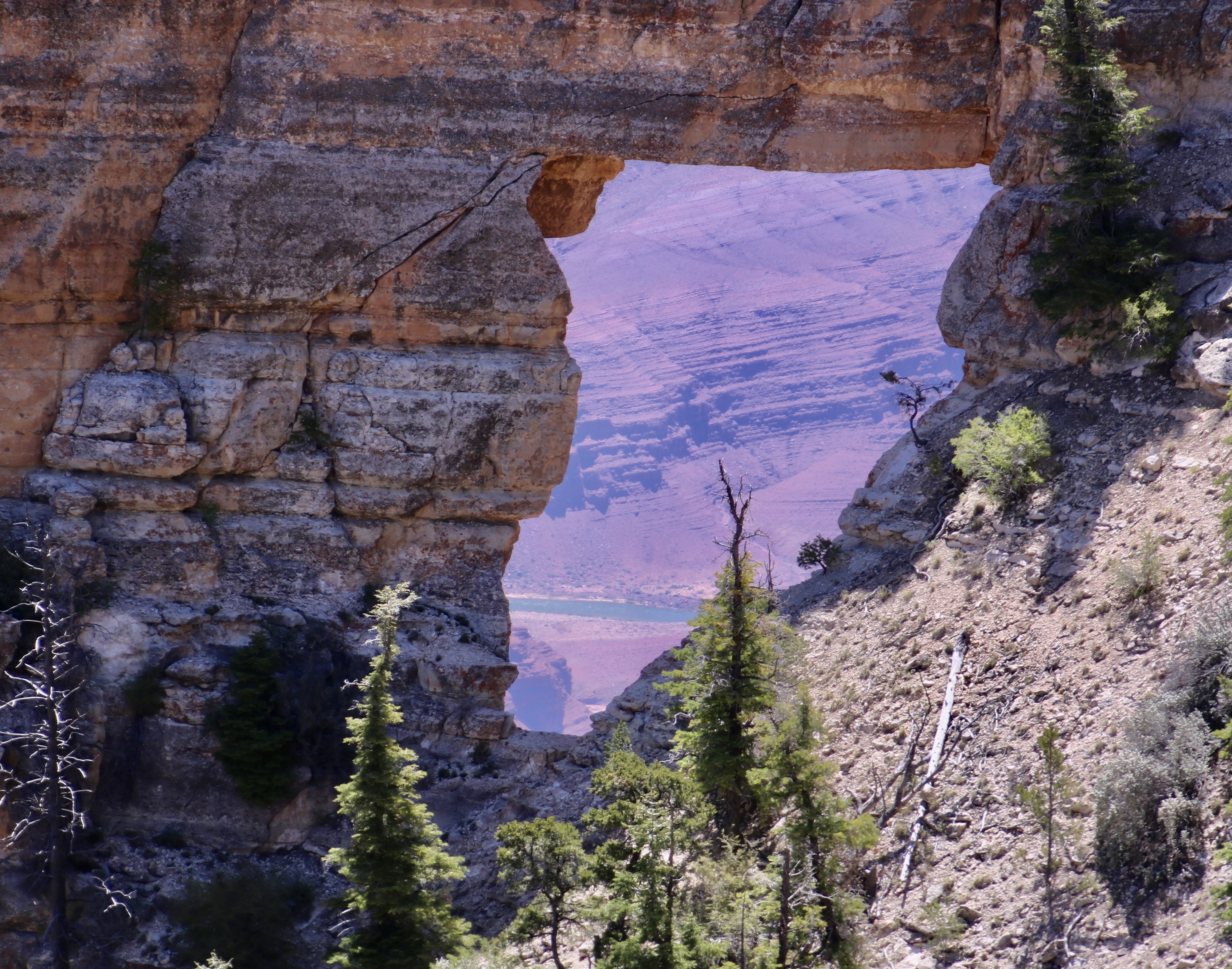
The five prominent landmarks we will visit in this post at Cape Royal will include Wotan’s Throne, Vishnu Temple, Freya Castle, Wahalla Overlook, and Angel’s Window. As you have probably noticed, all of these names are based on mythological themes. We can thank Clarence Dutton for that, an early geologist who felt Vishnu Temple resembled an Eastern pagoda and began the tradition of providing such names to the other rock monuments throughout the Canyon. Vishnu is a major Hindu deity; Wotan is the supreme Germanic deity; Freya was a renowned Norse goddess; Walhalla (Valhalla) was the hall in Norse mythology where the souls of heroes slain in battle were received. And angels are, um, angels?
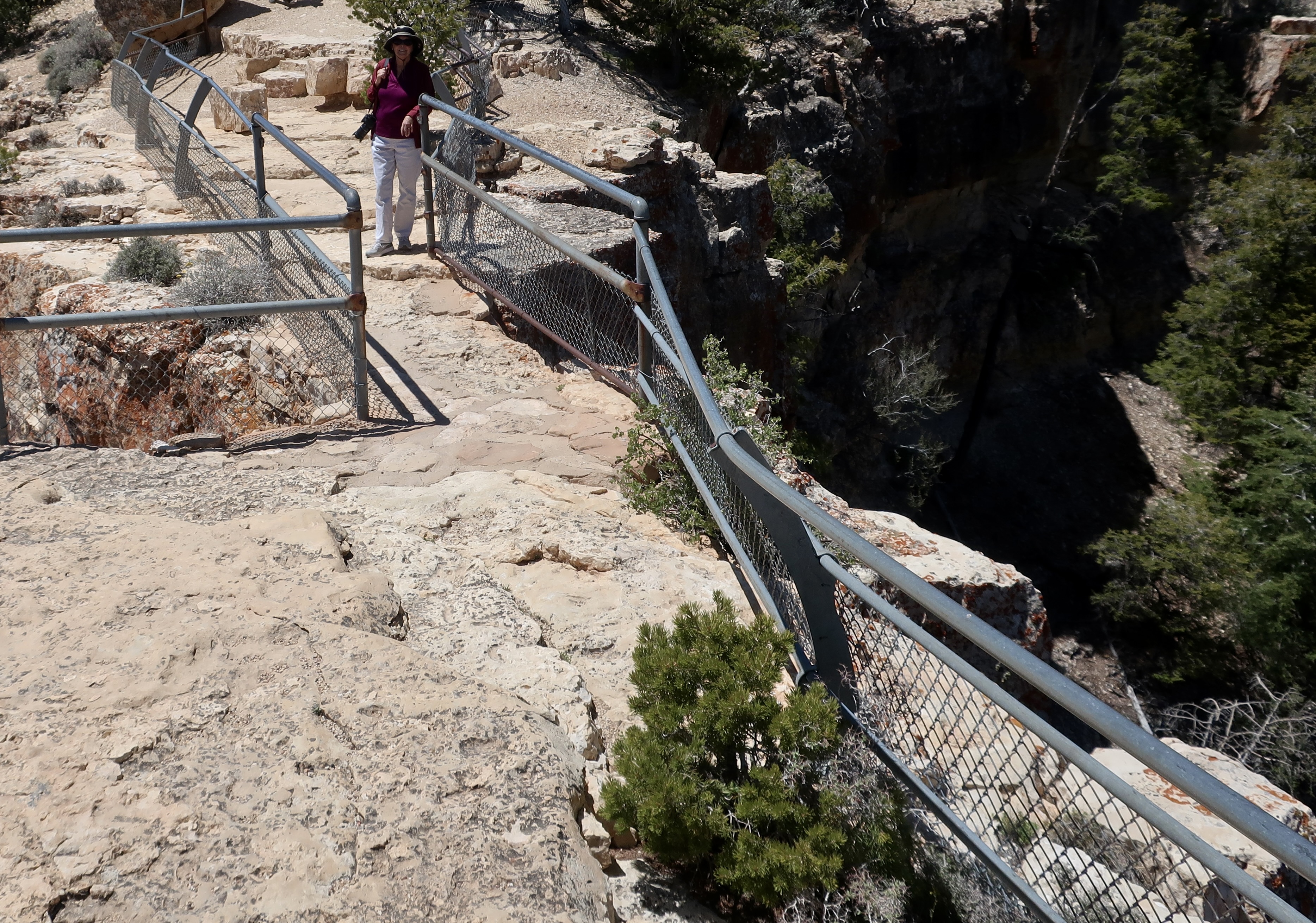
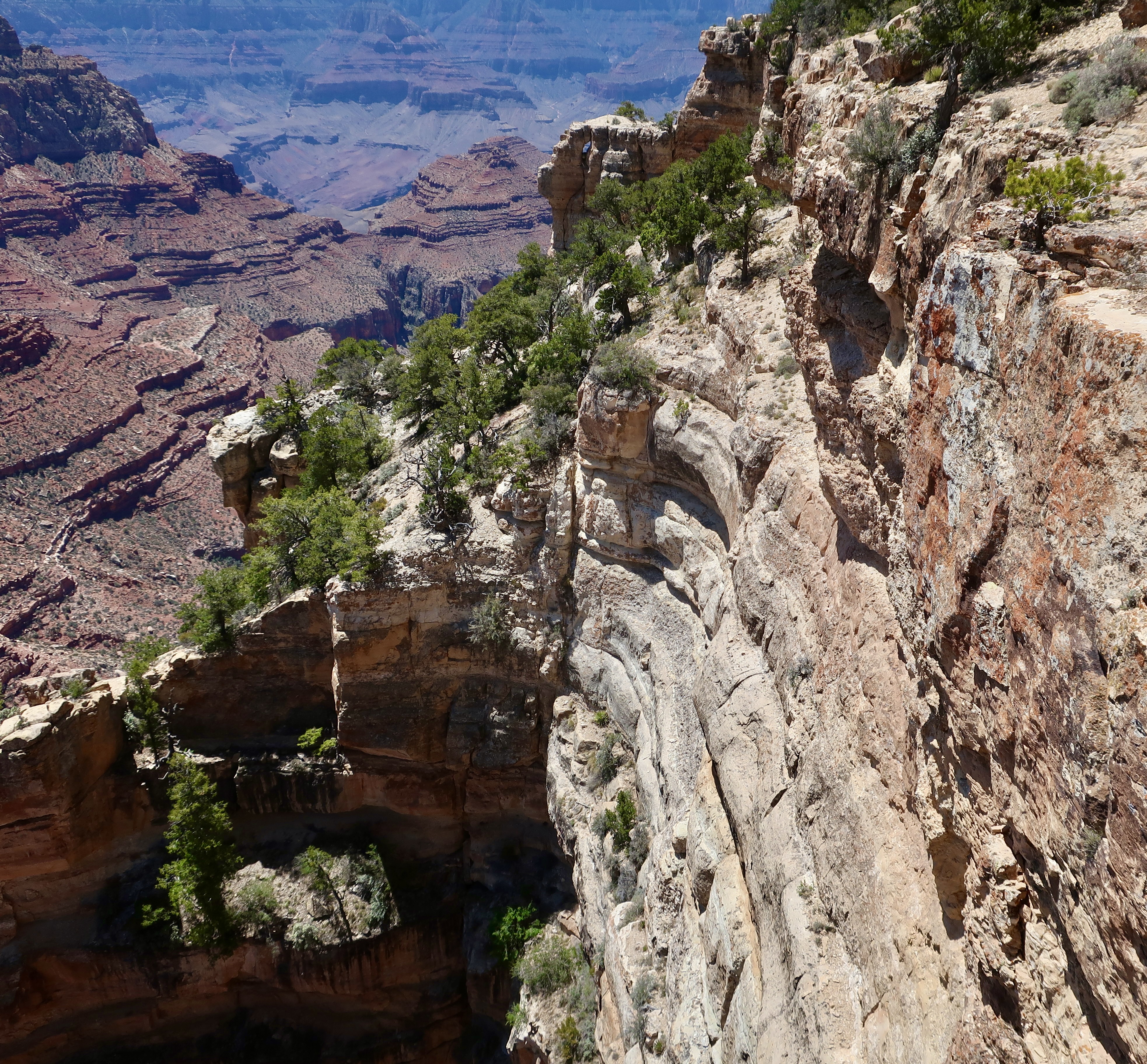
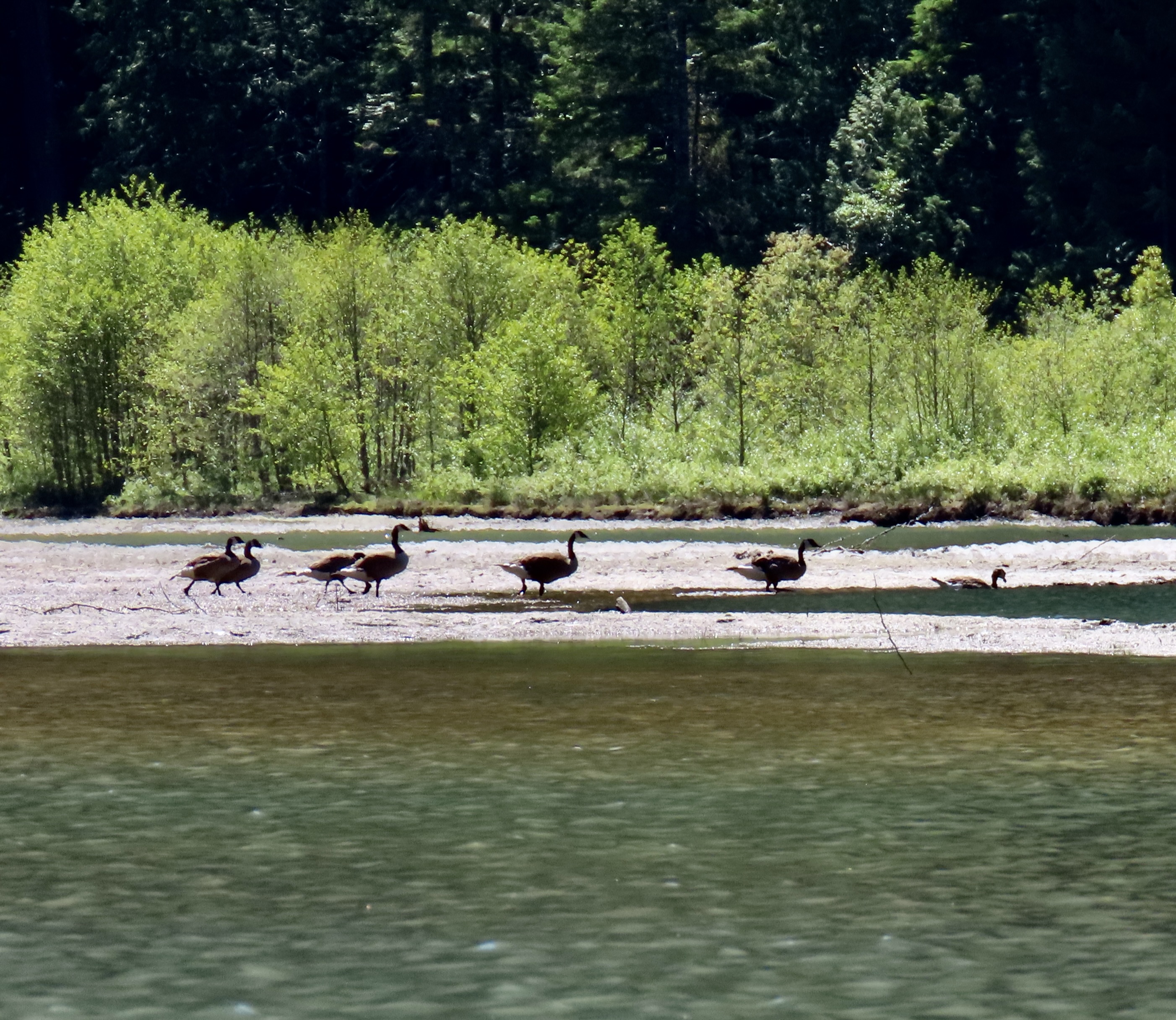
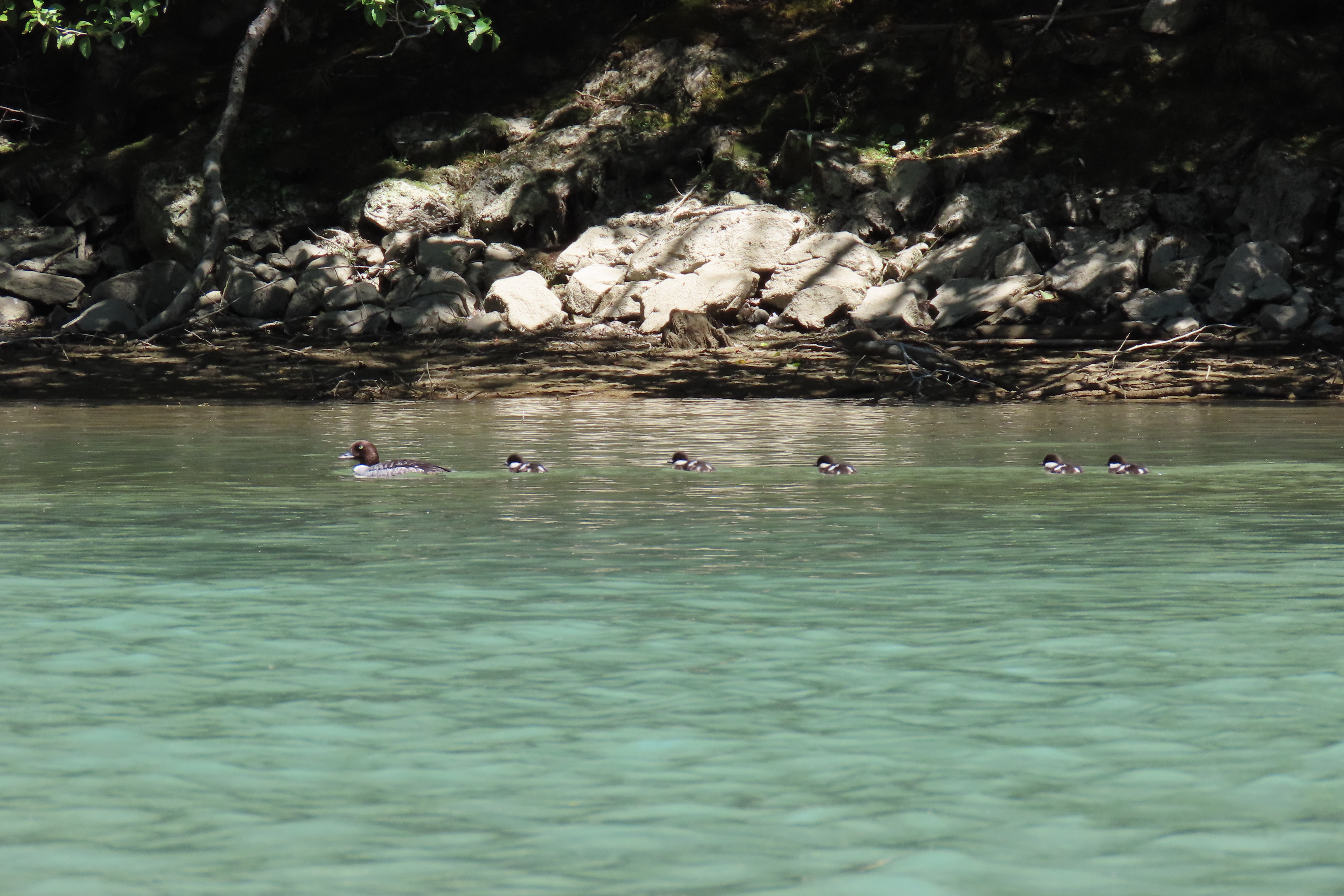
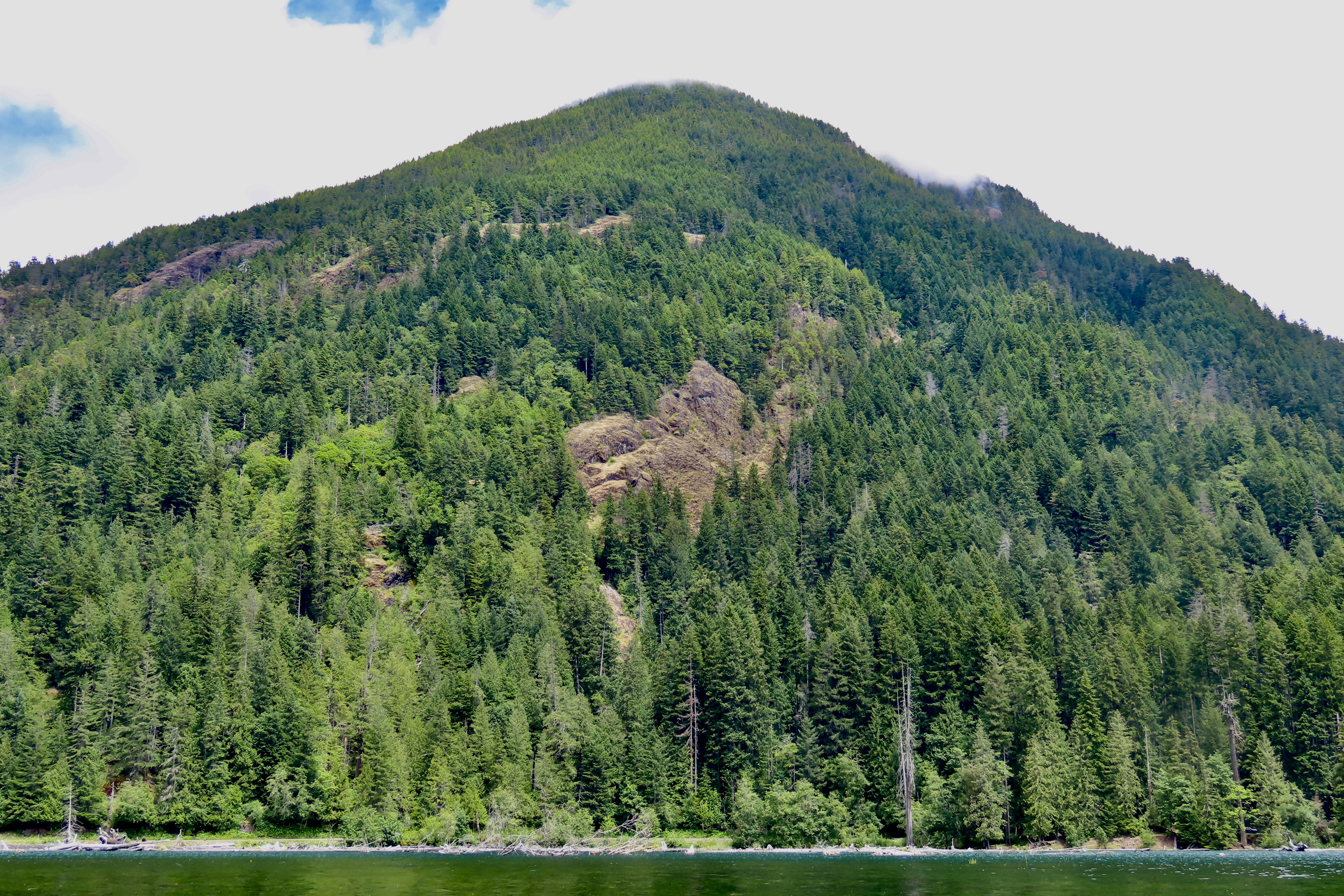
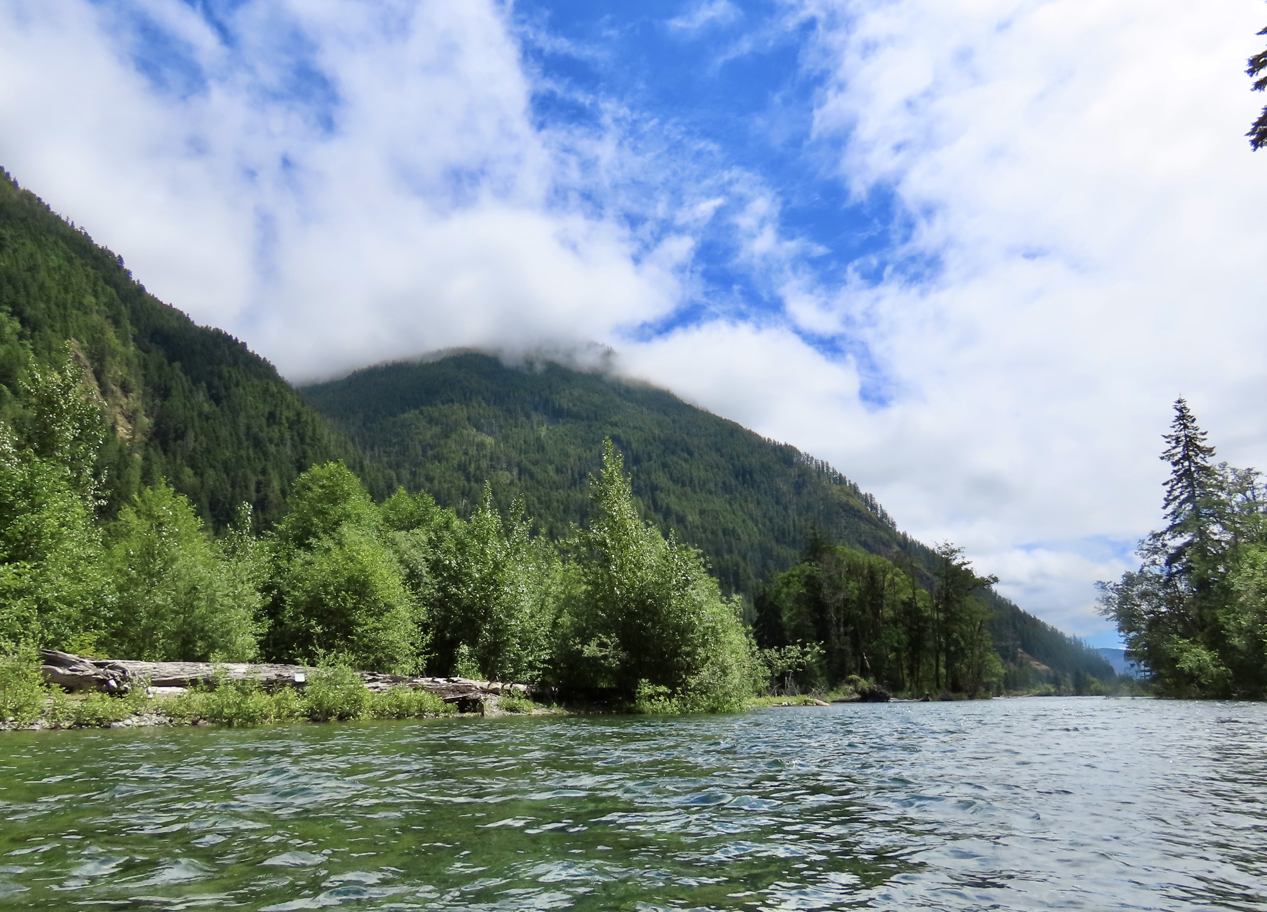
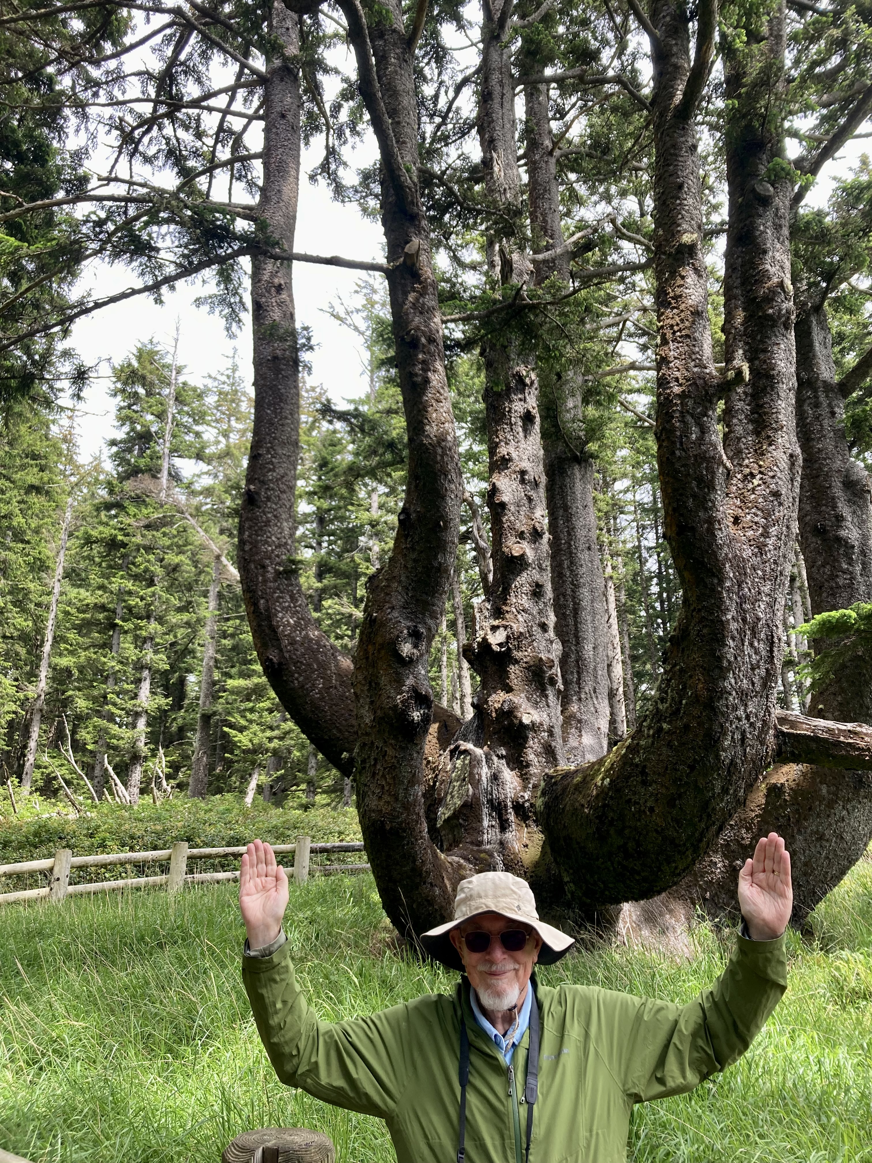
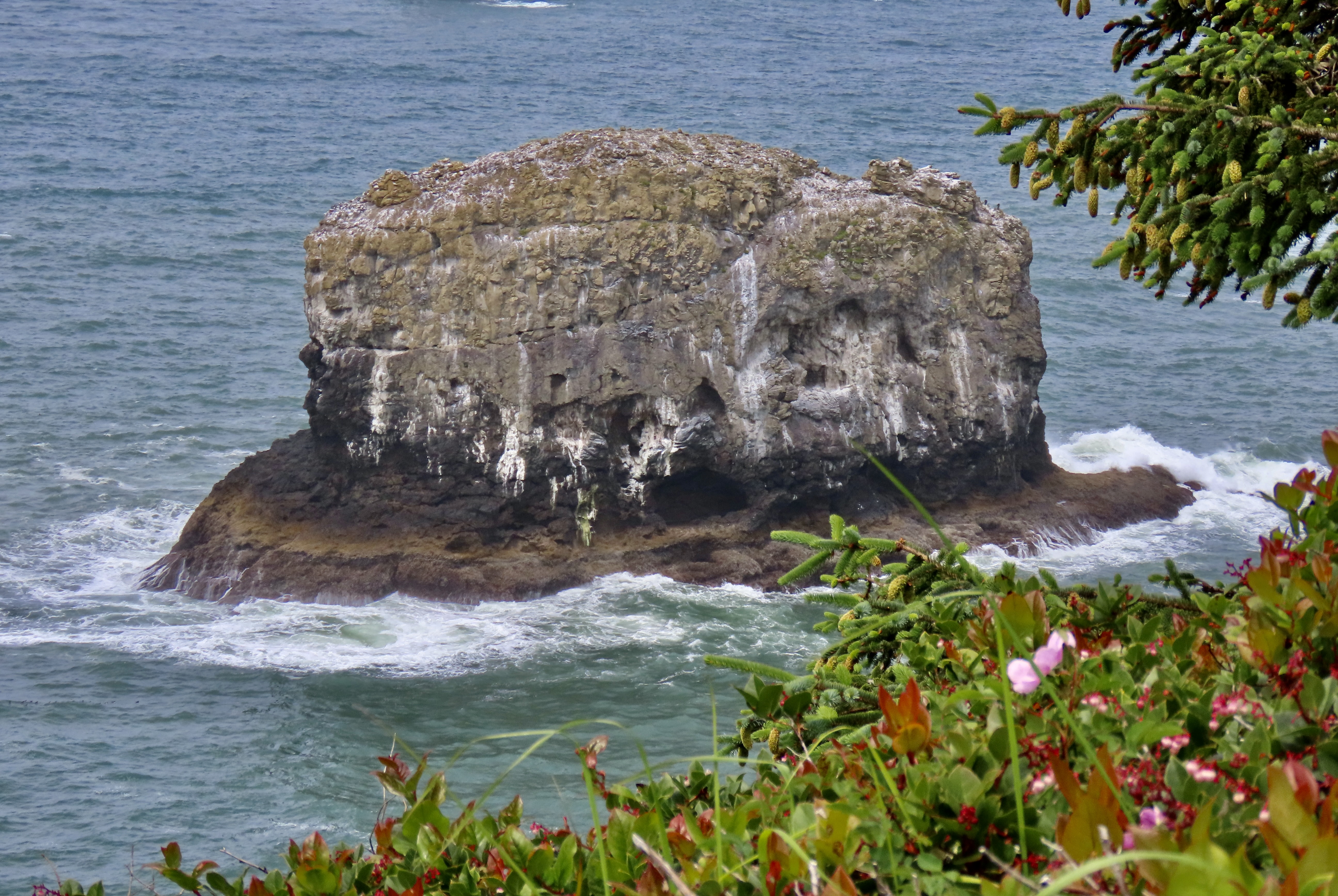
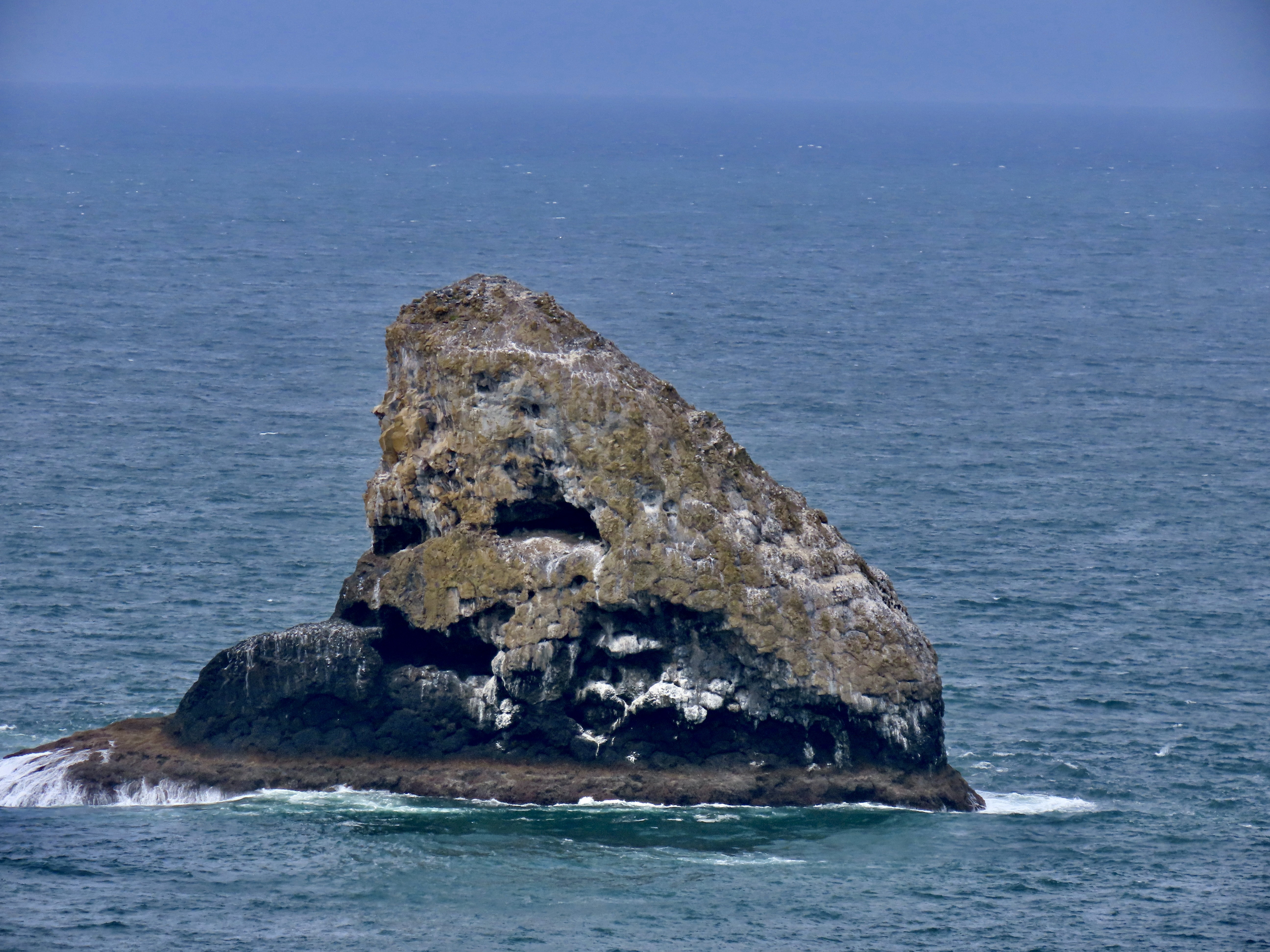
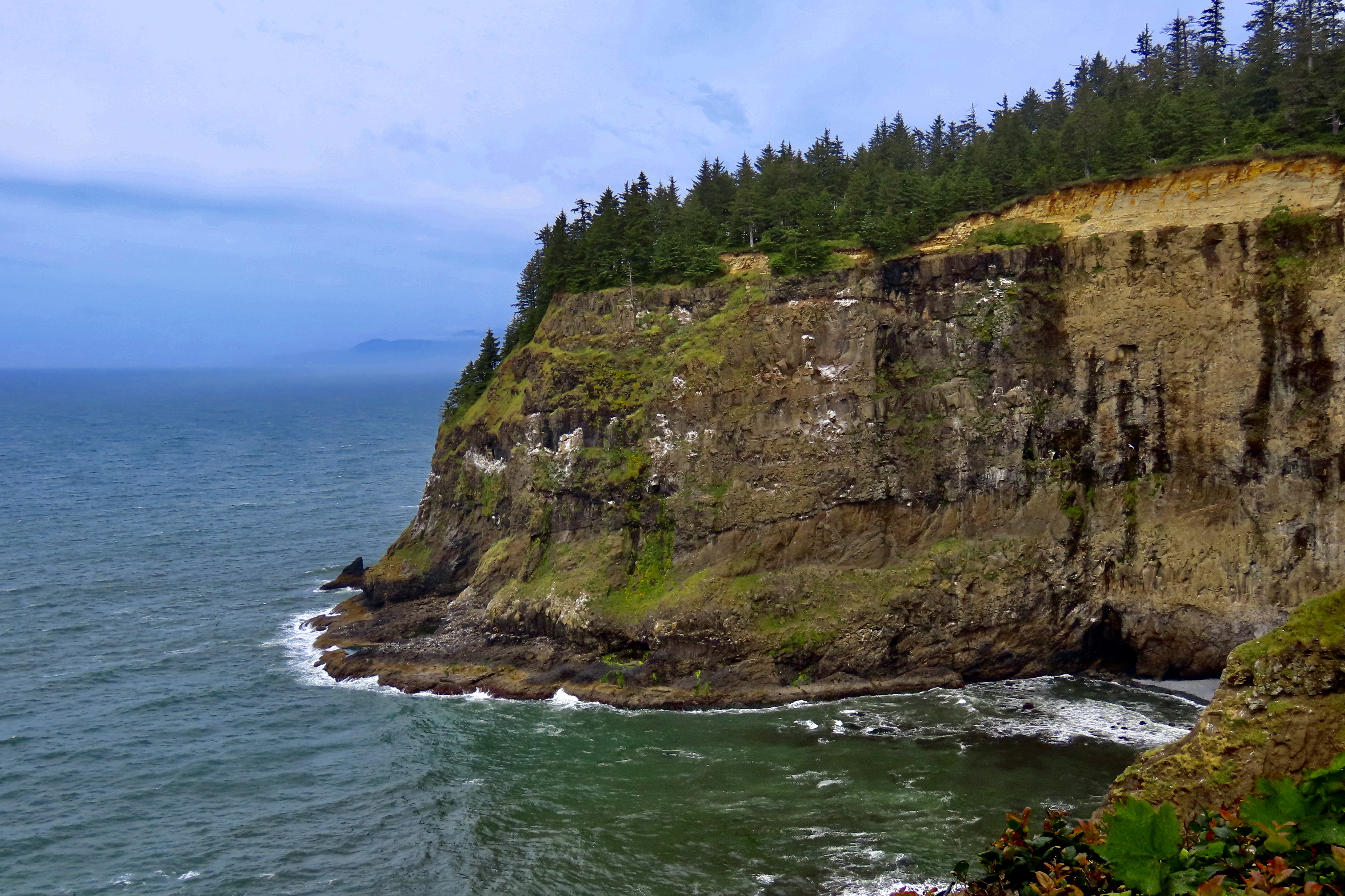
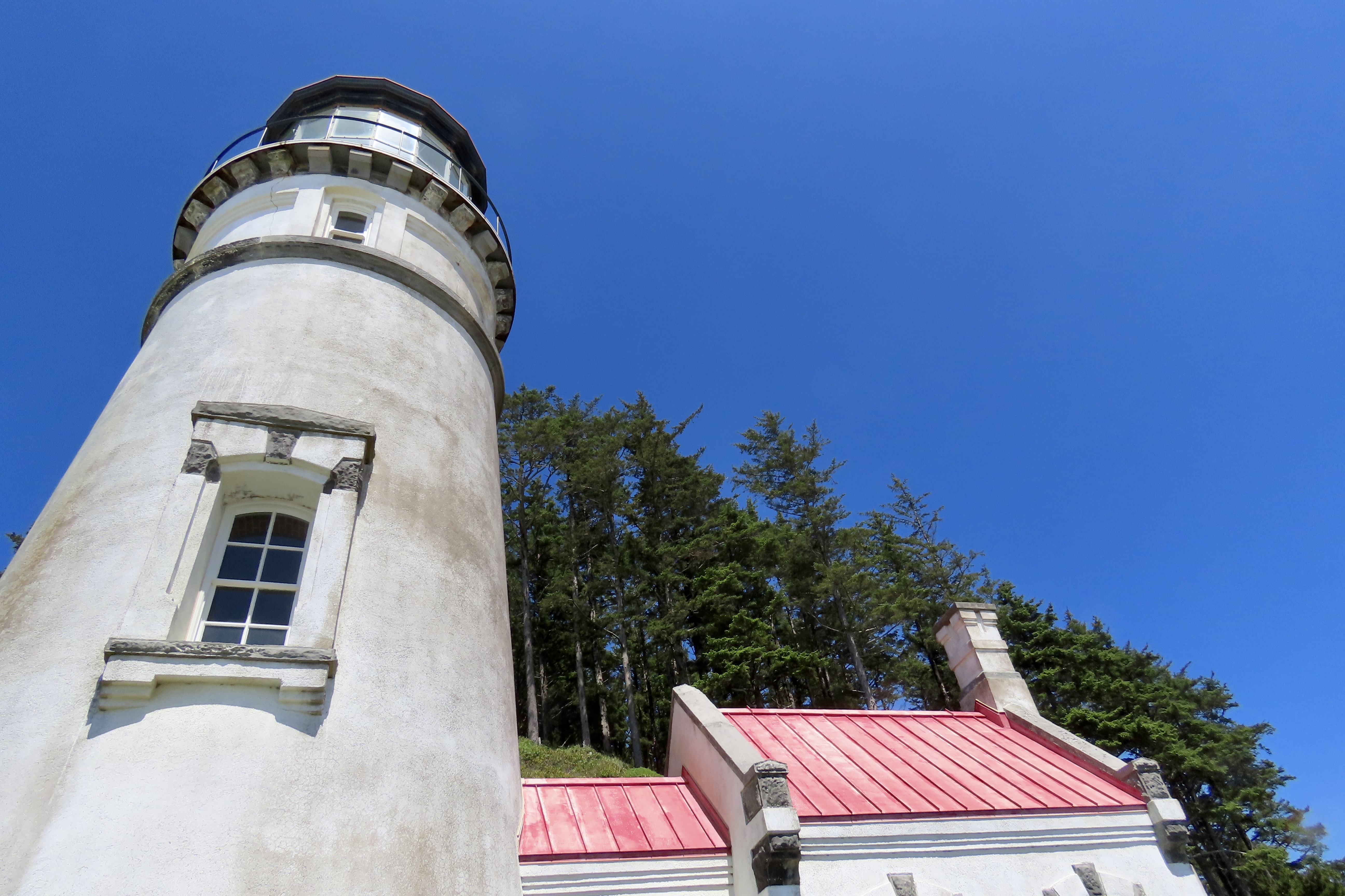
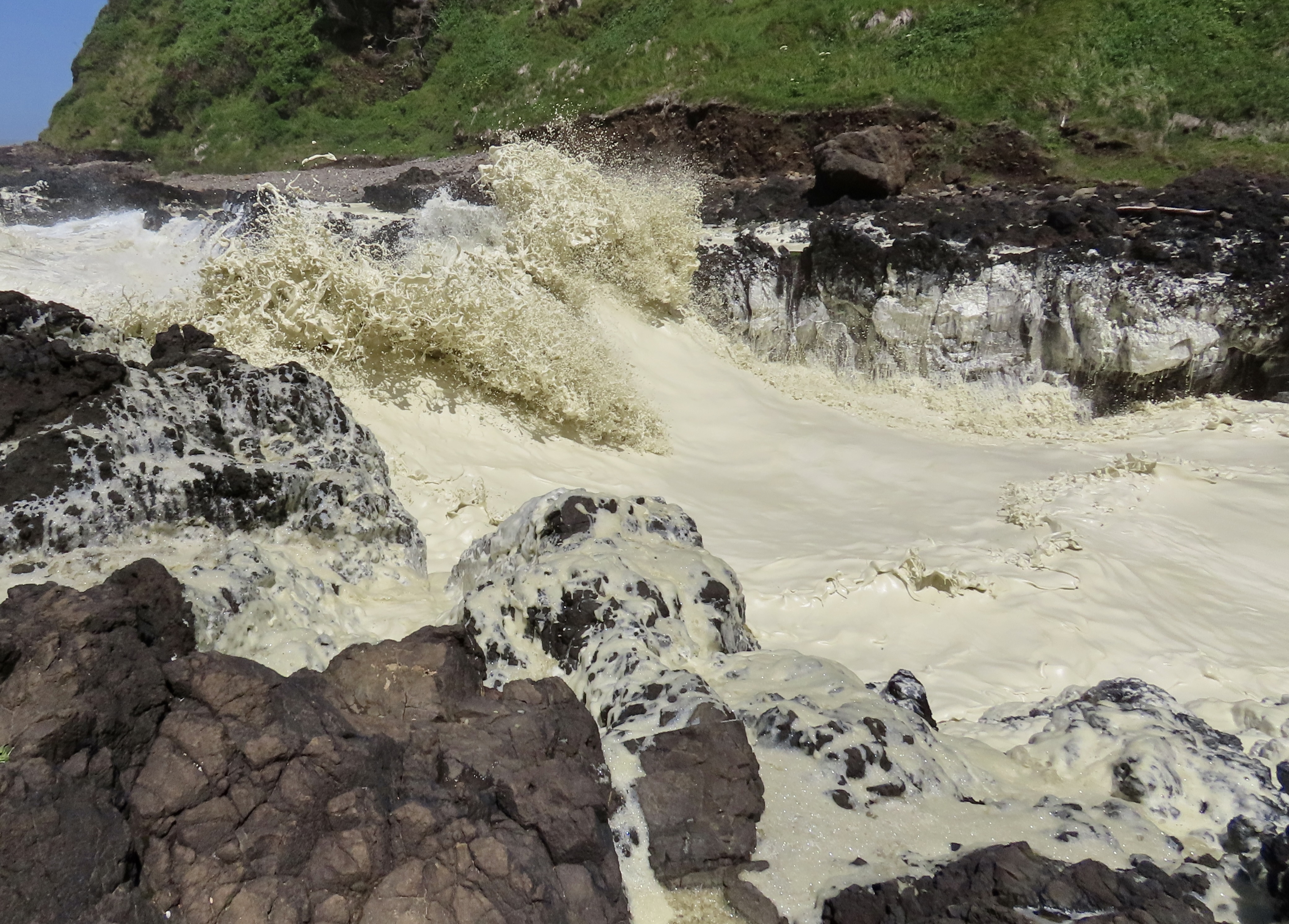
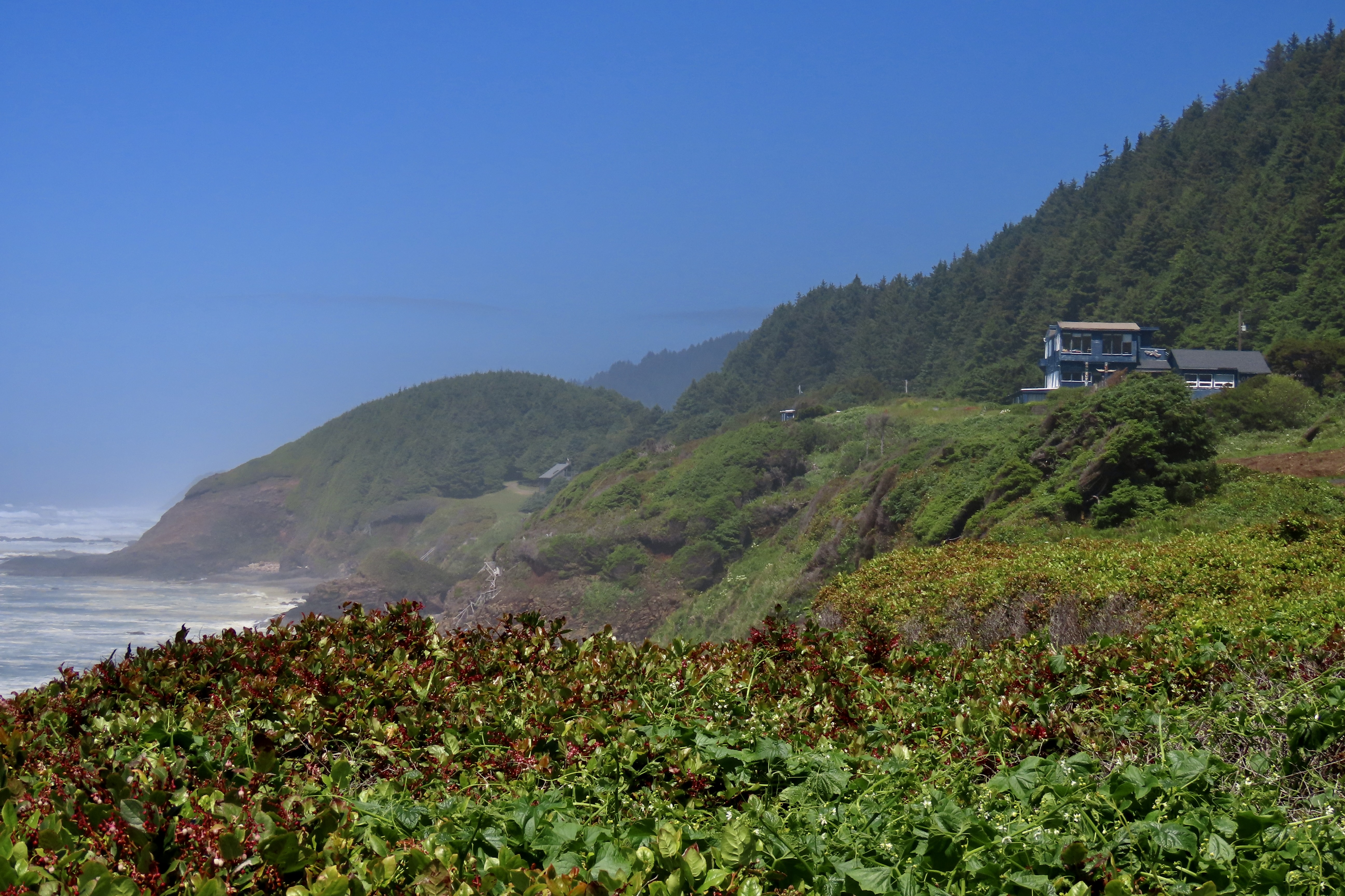
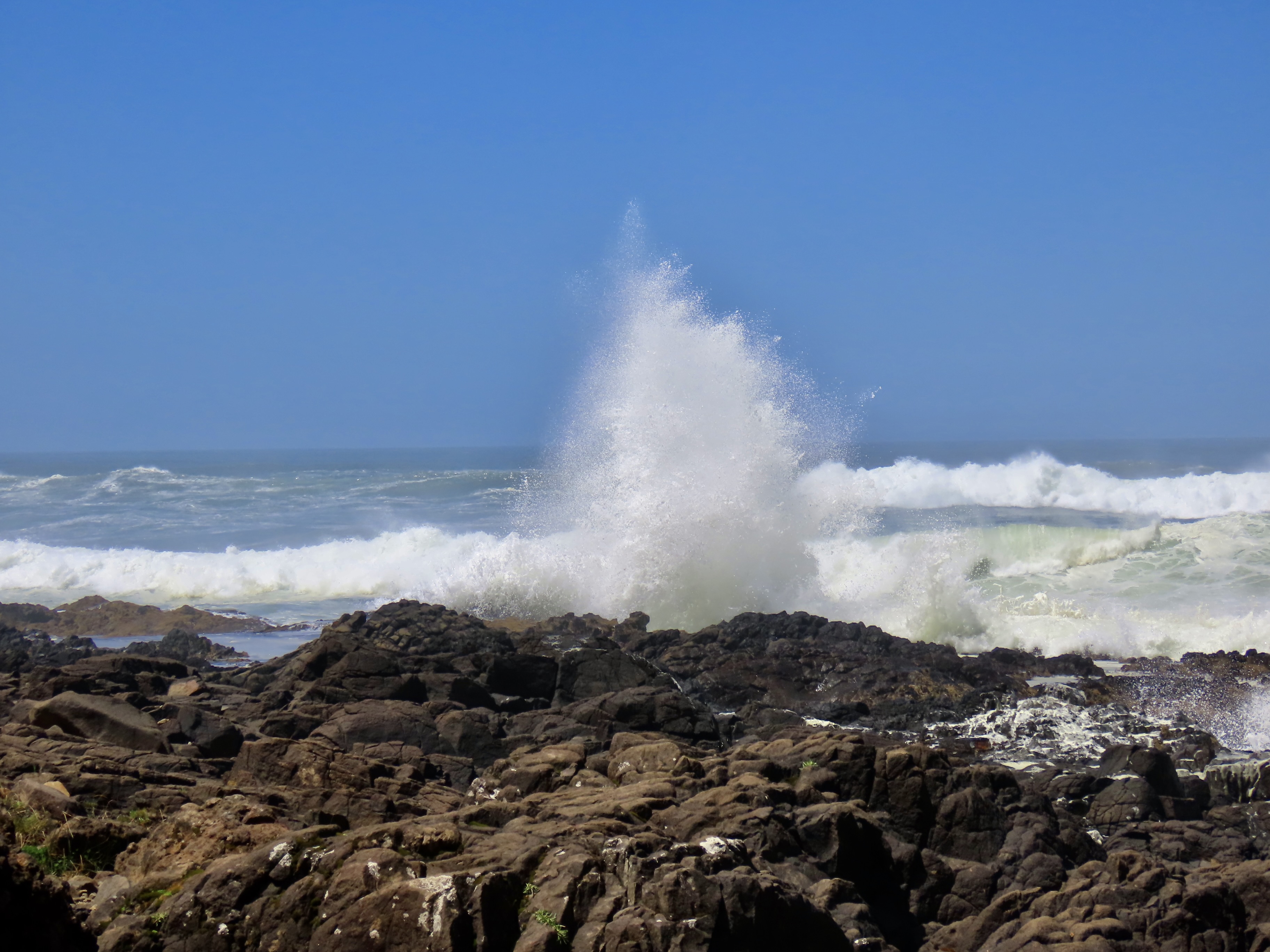
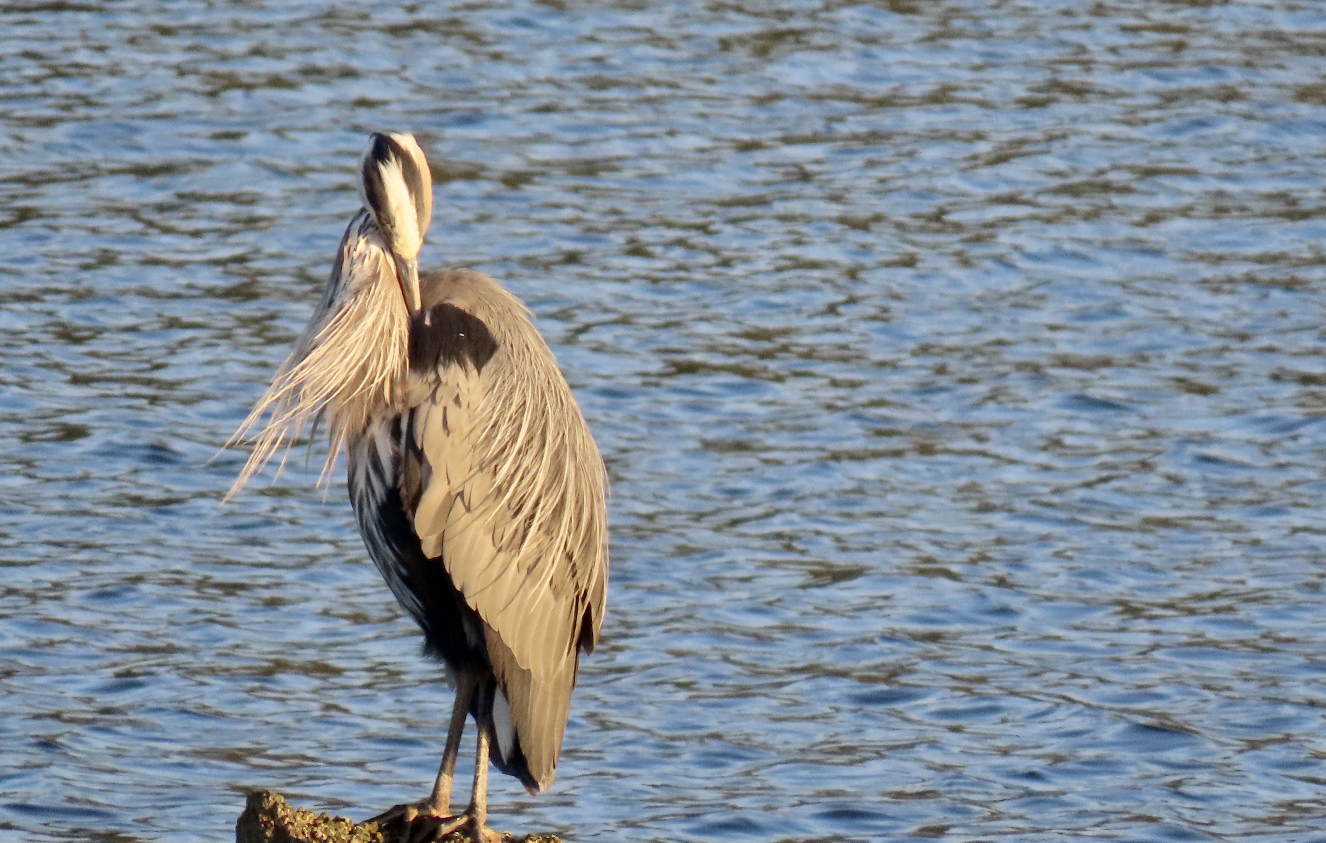
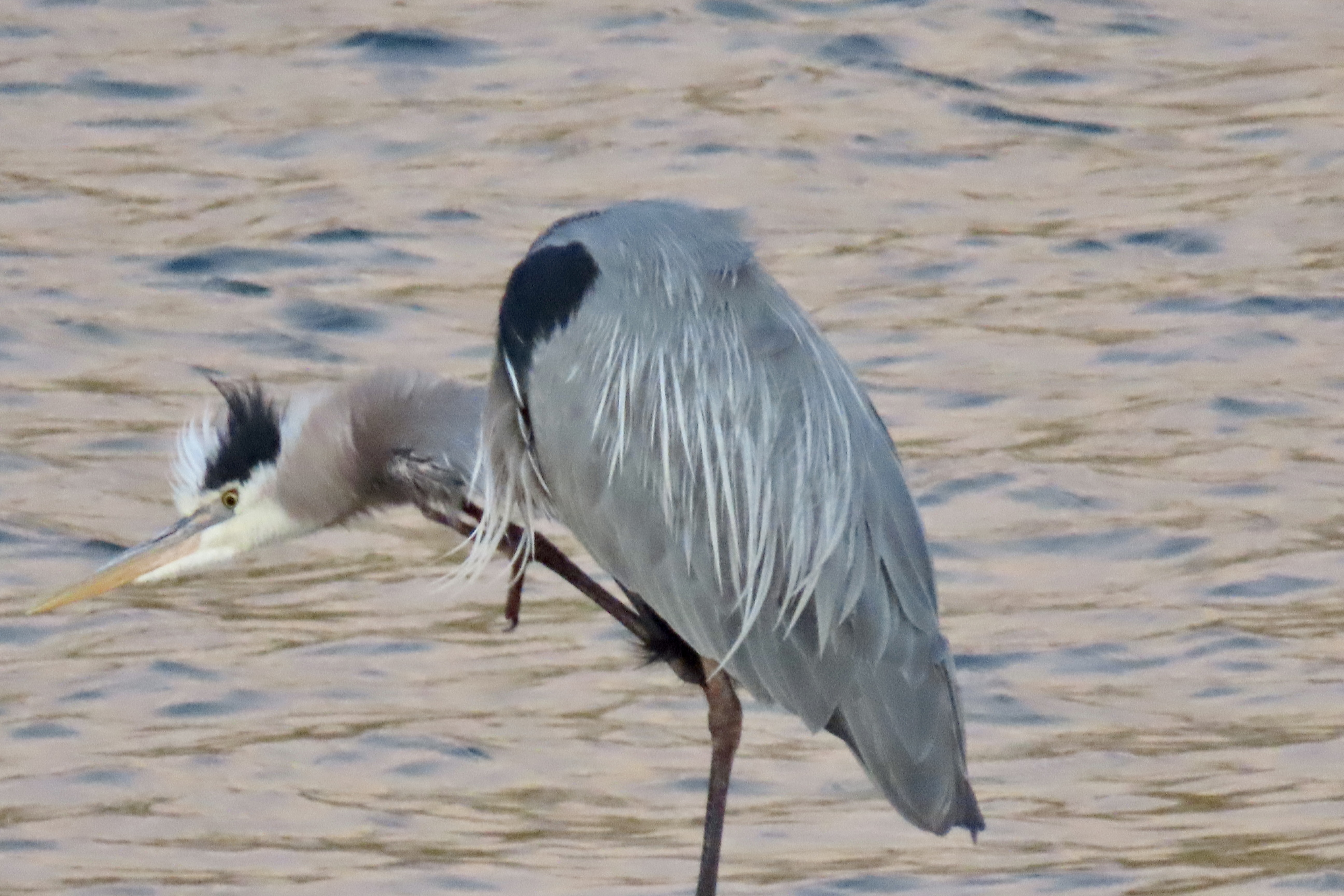
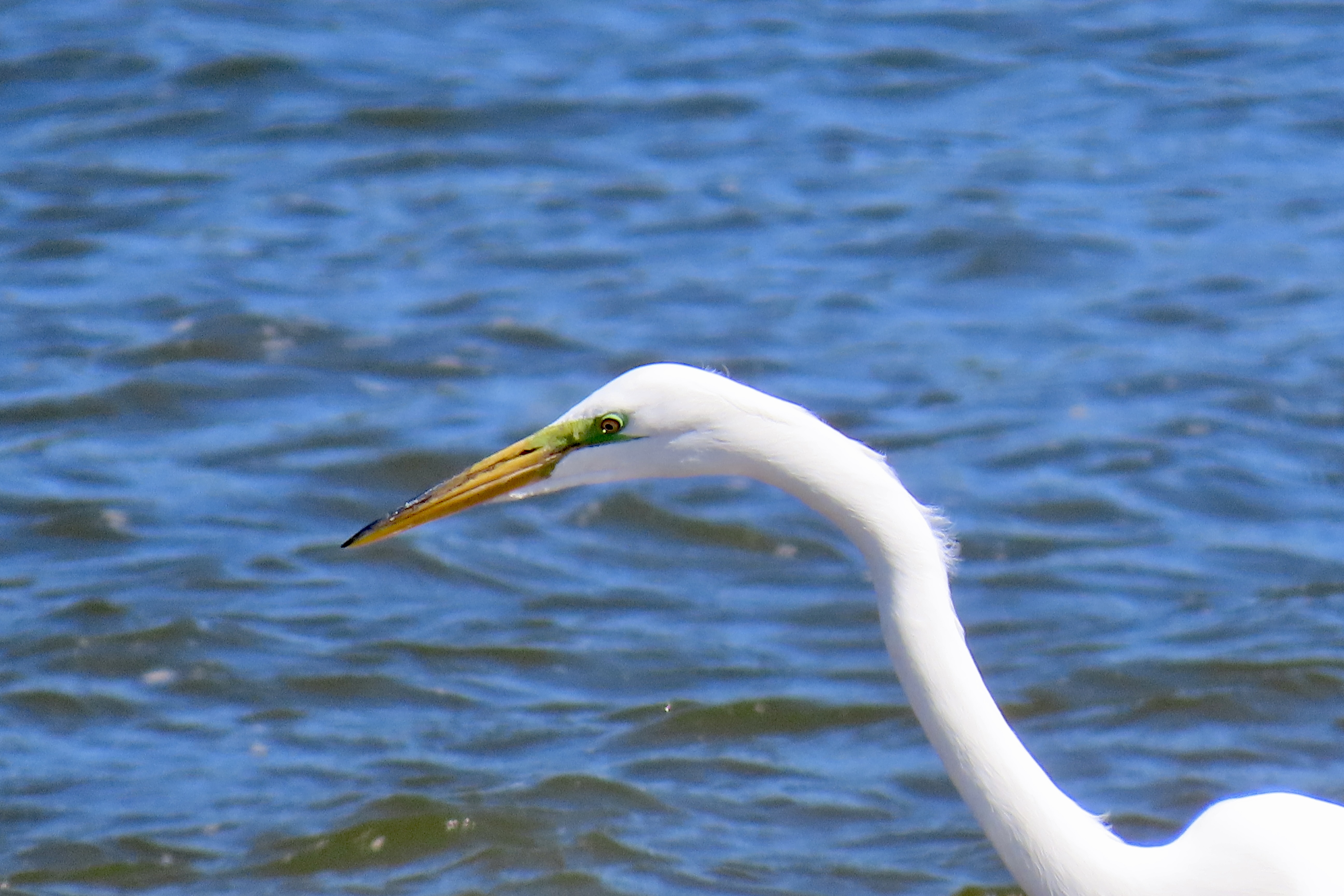
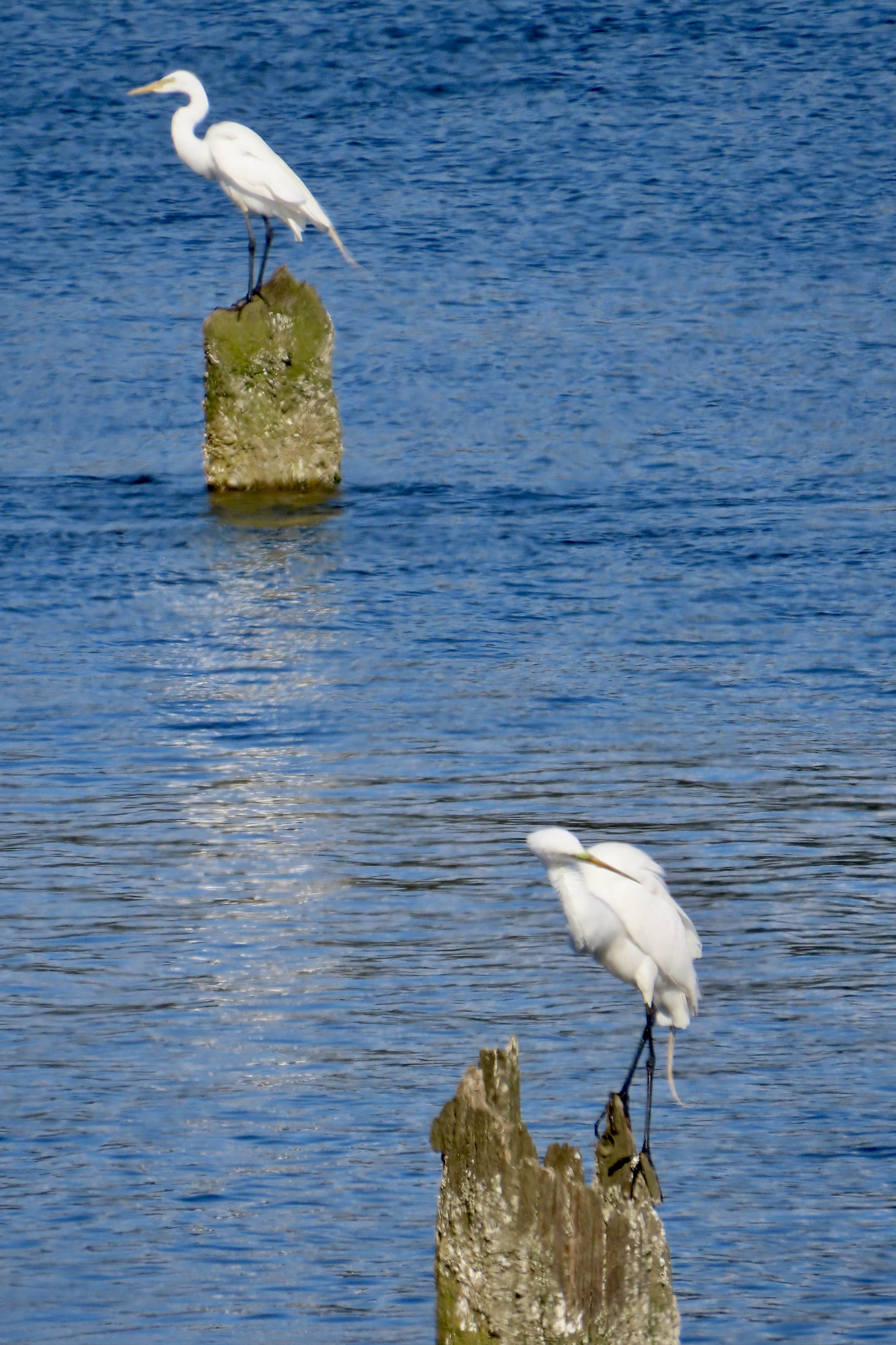
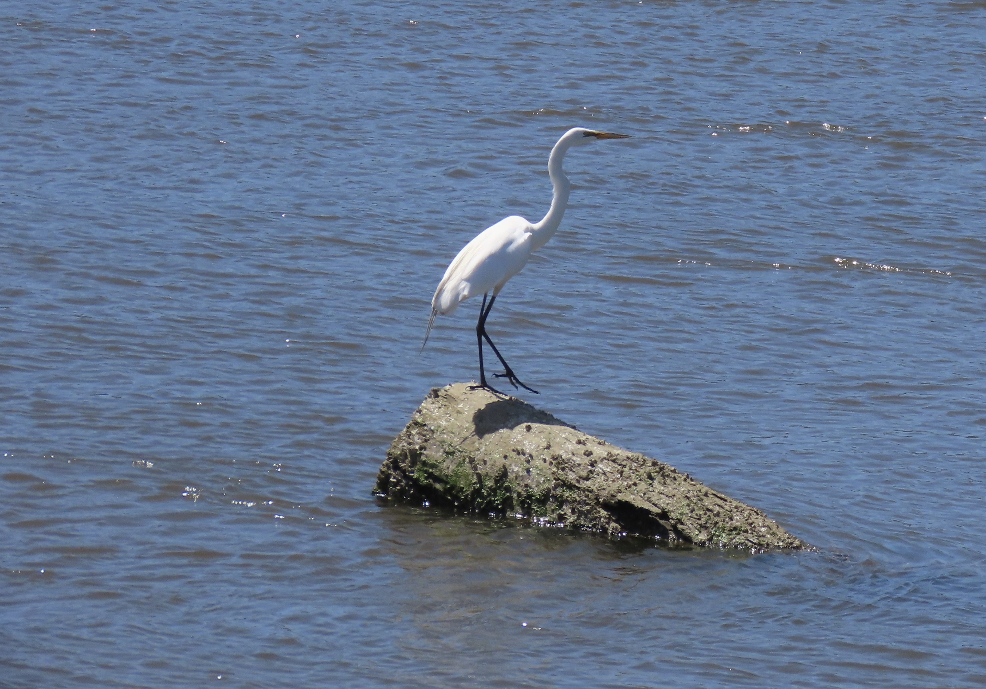
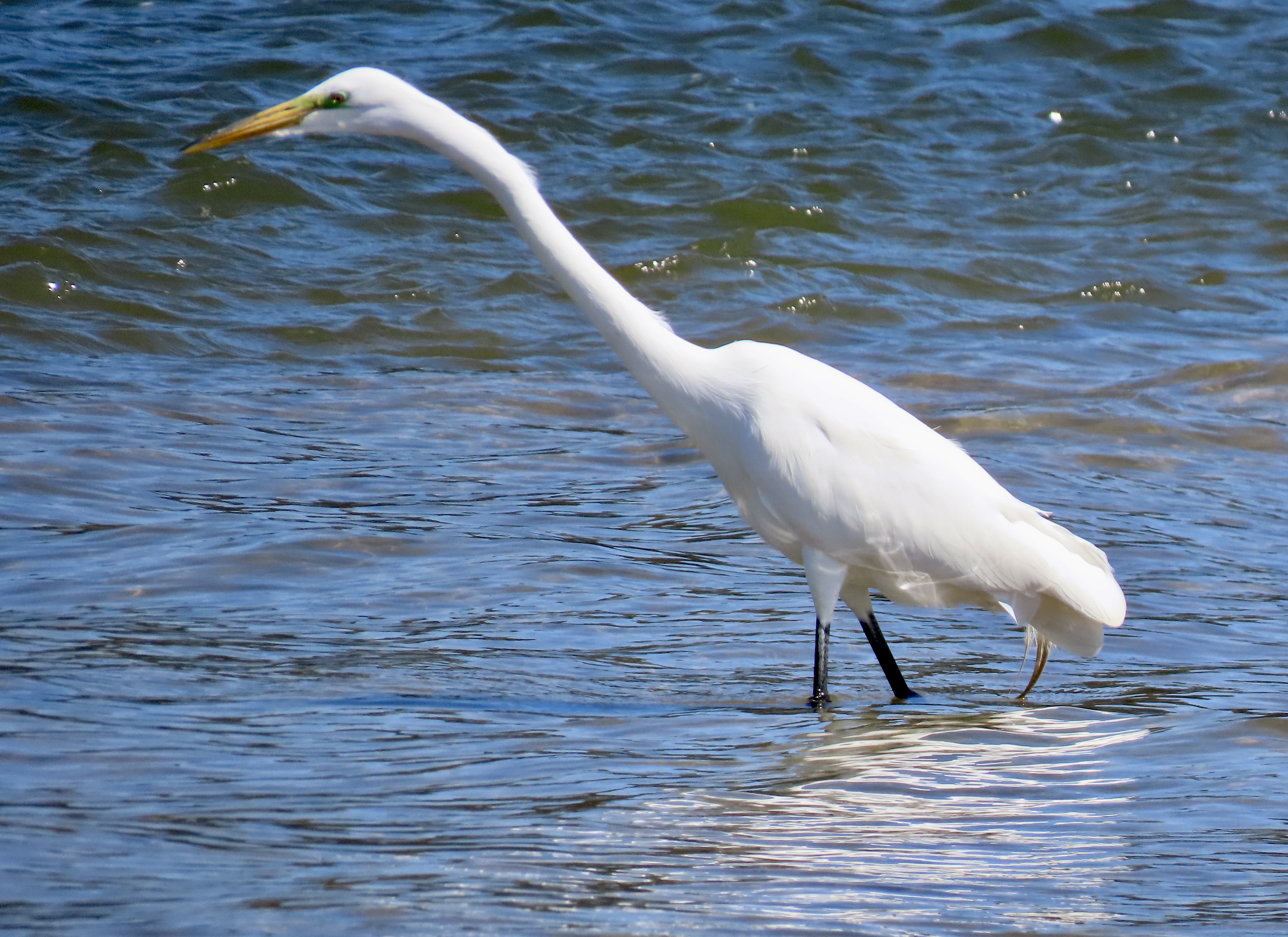
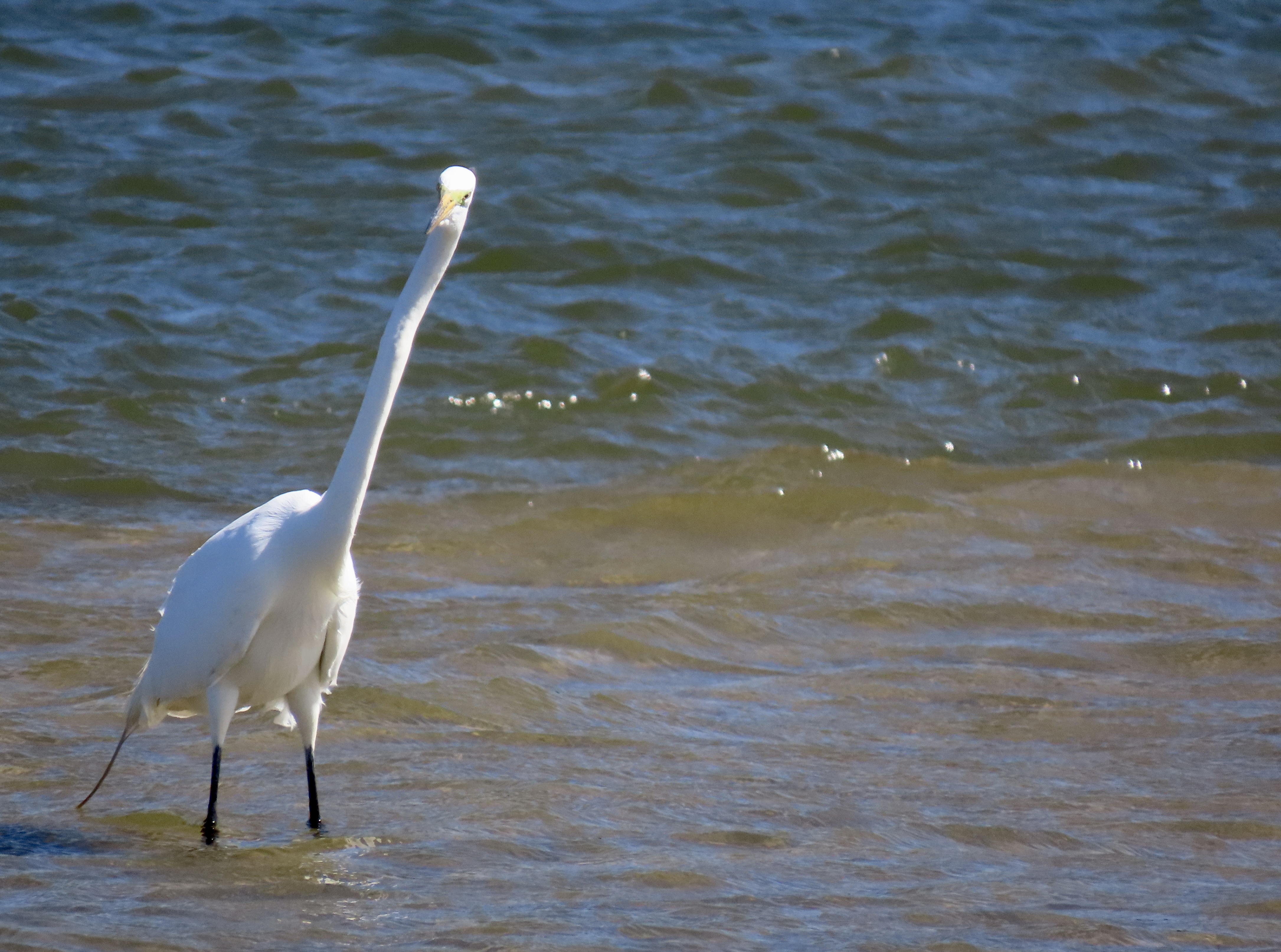
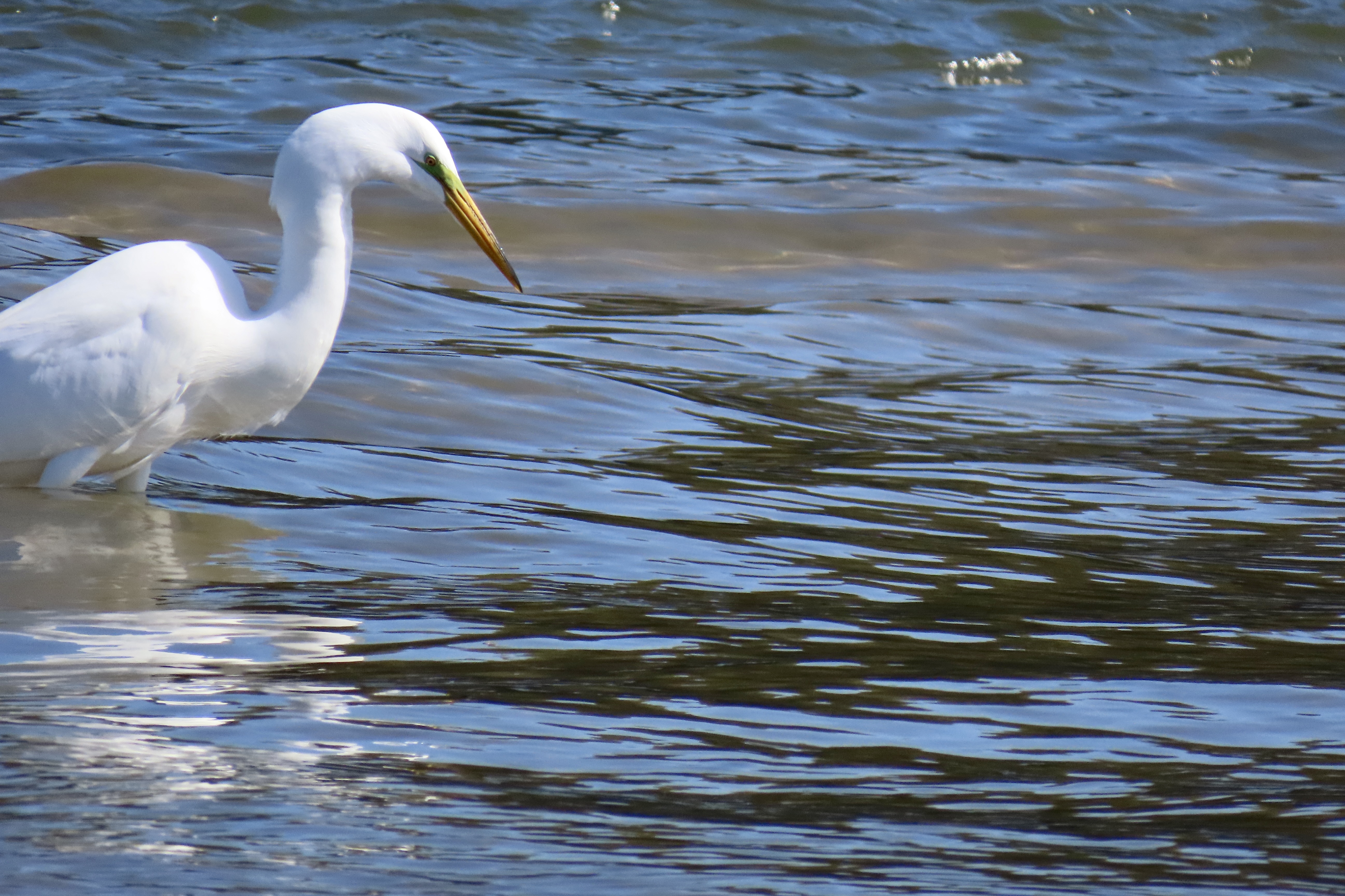
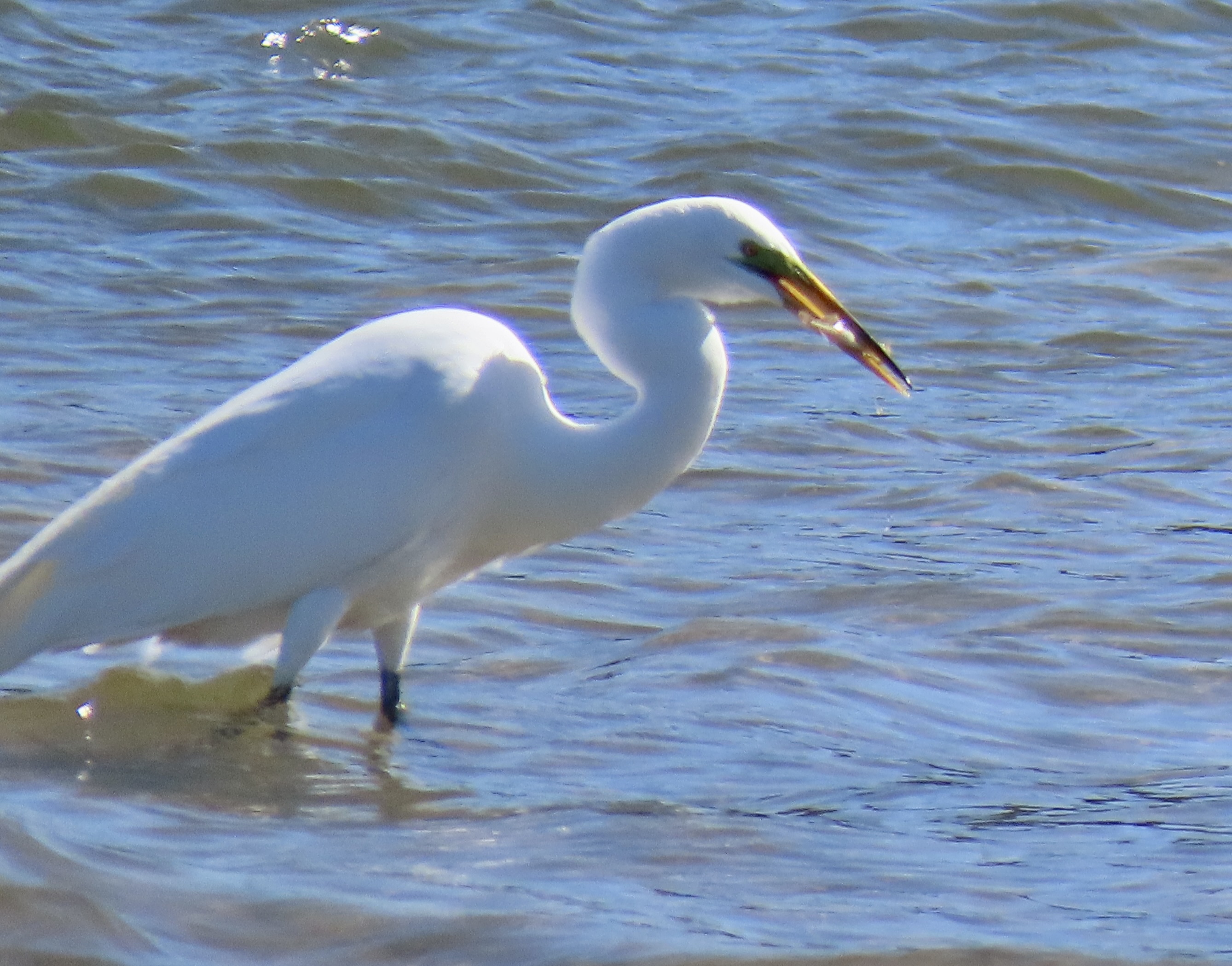
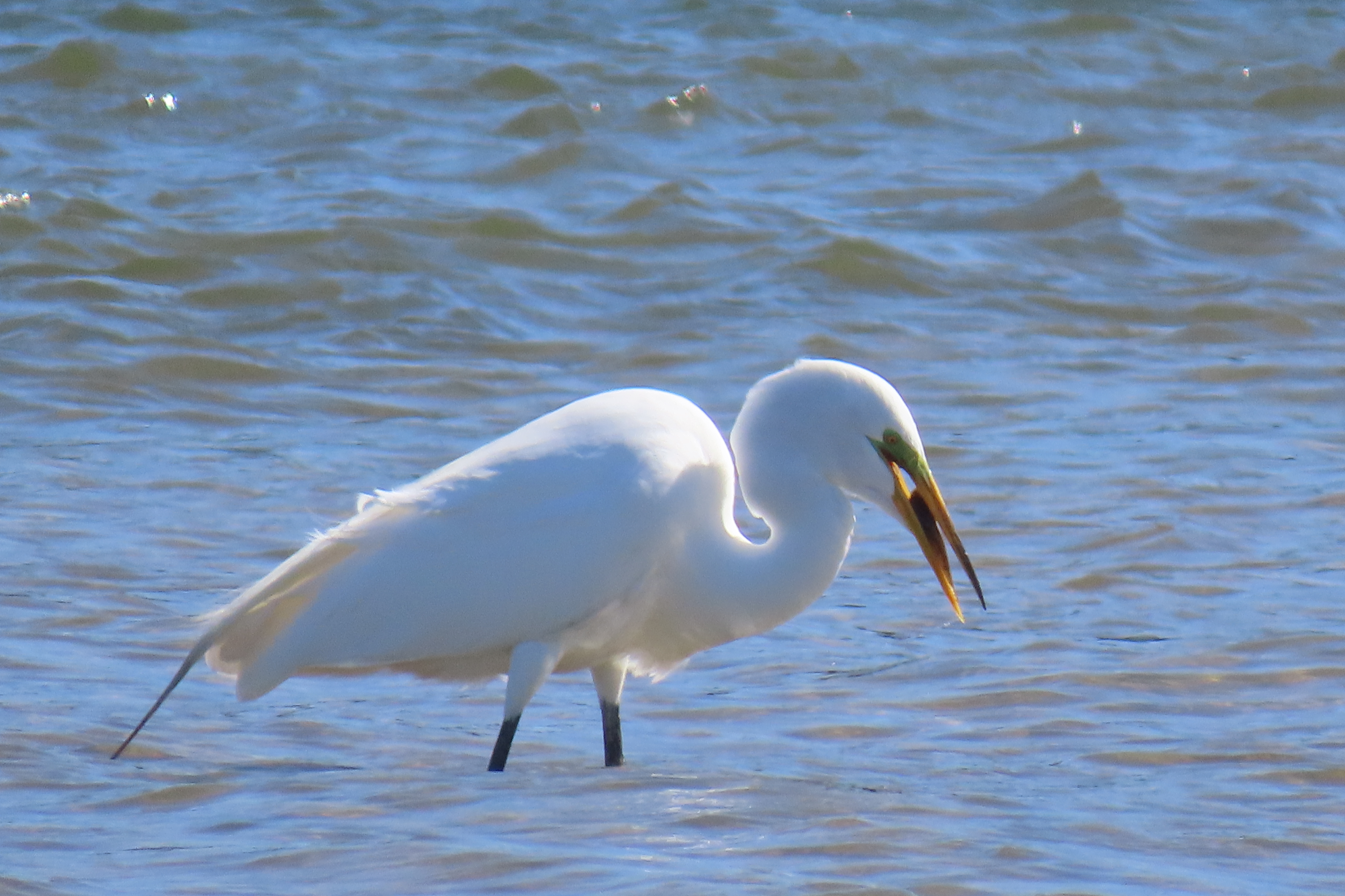
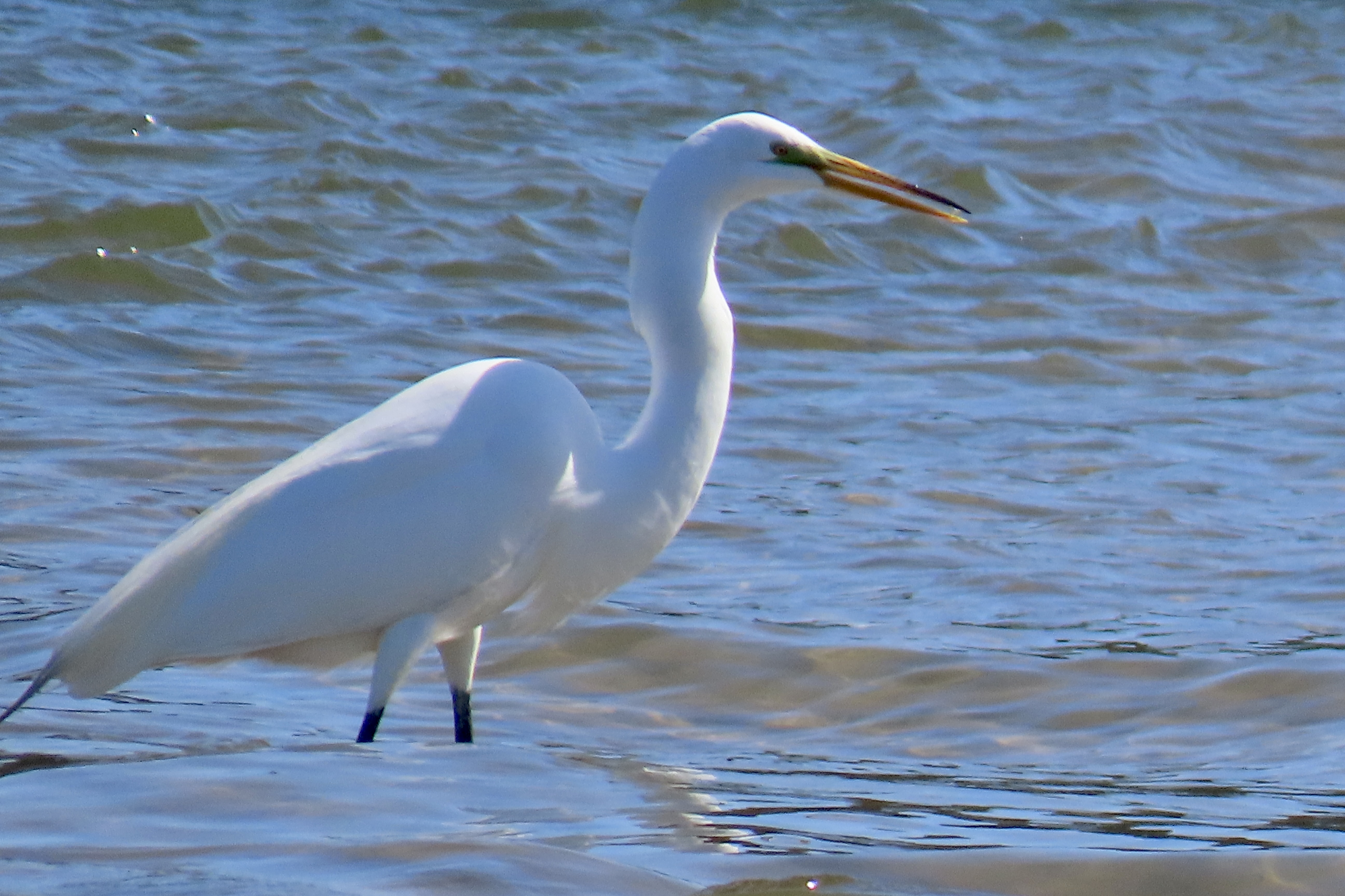
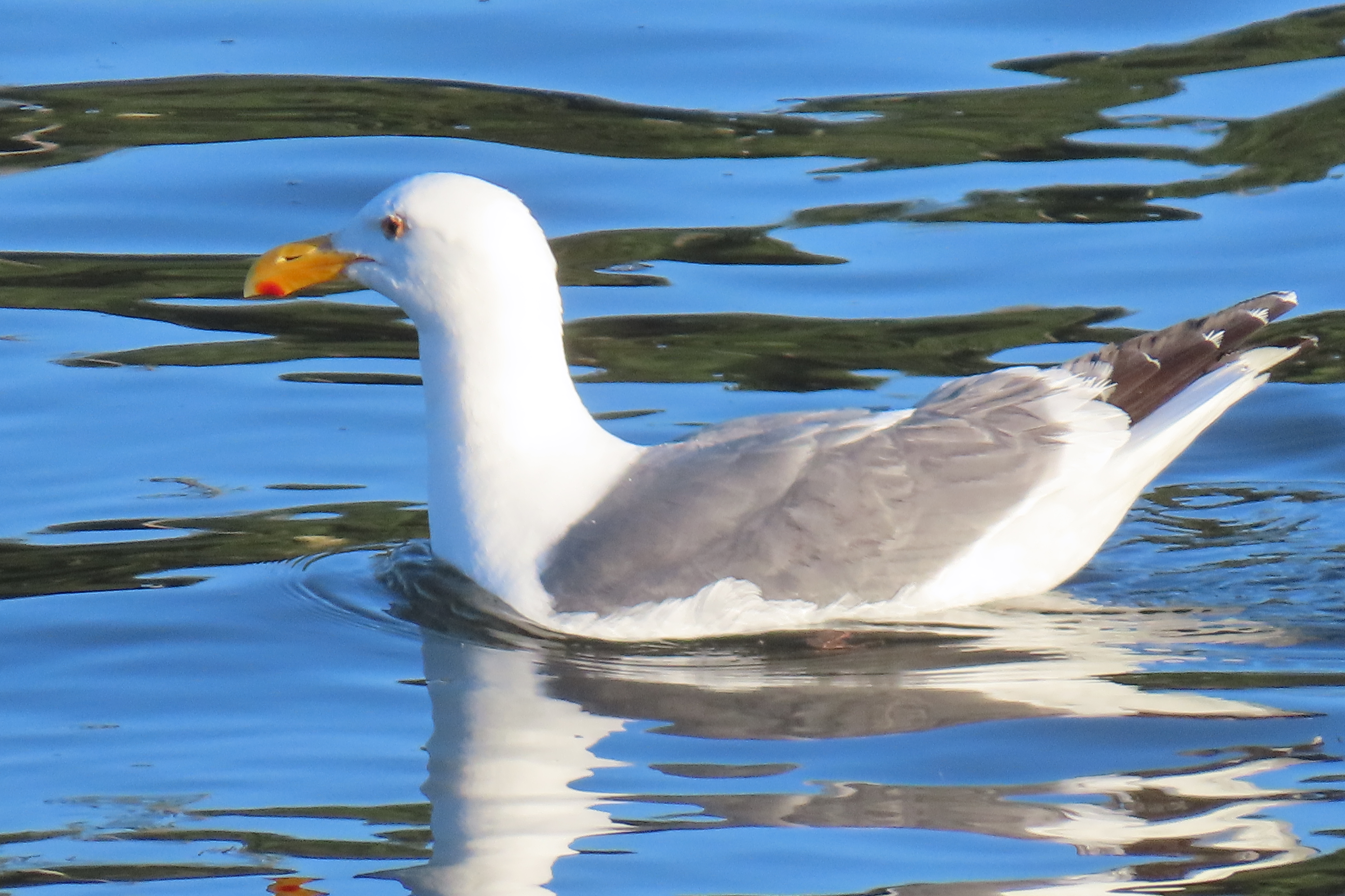
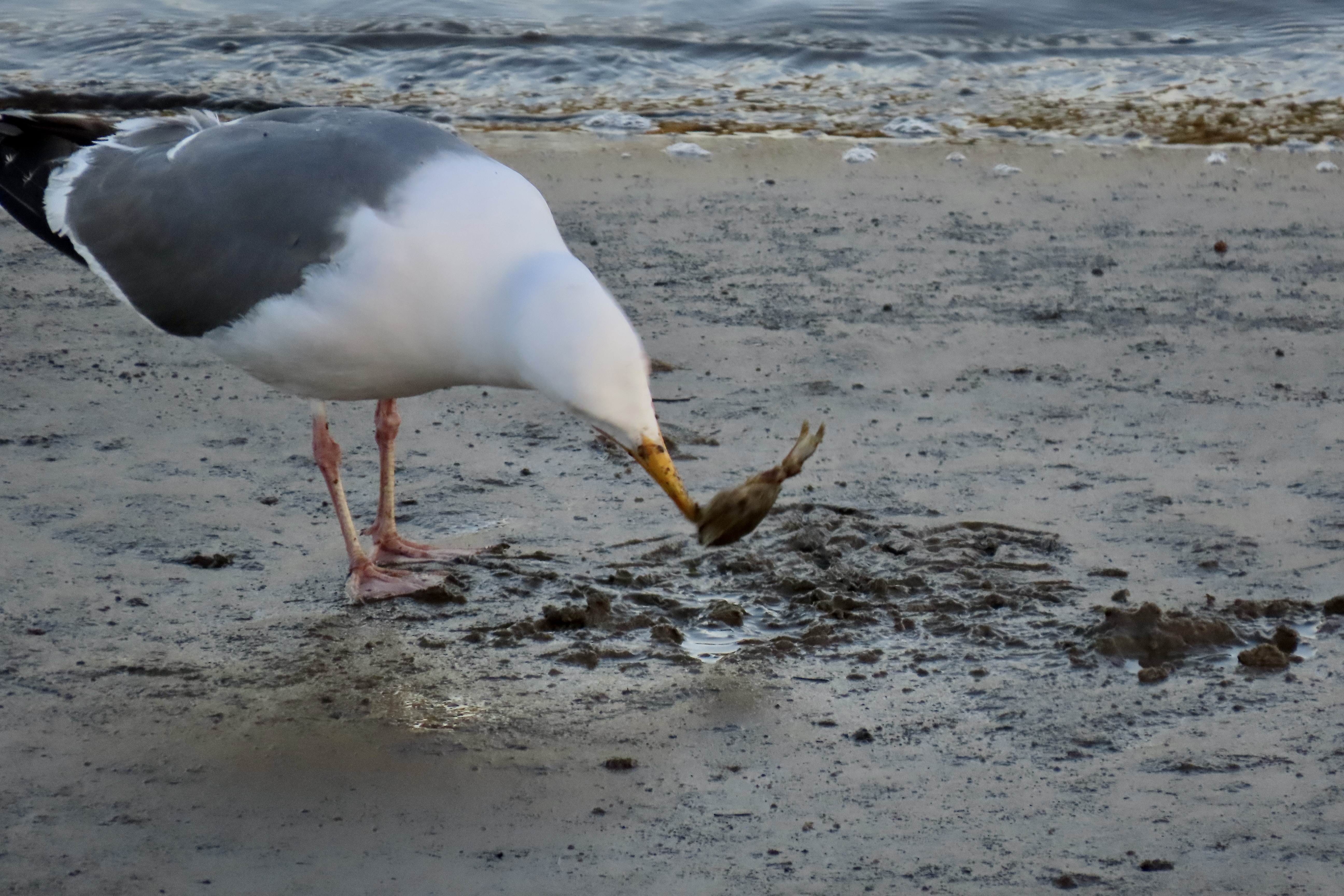
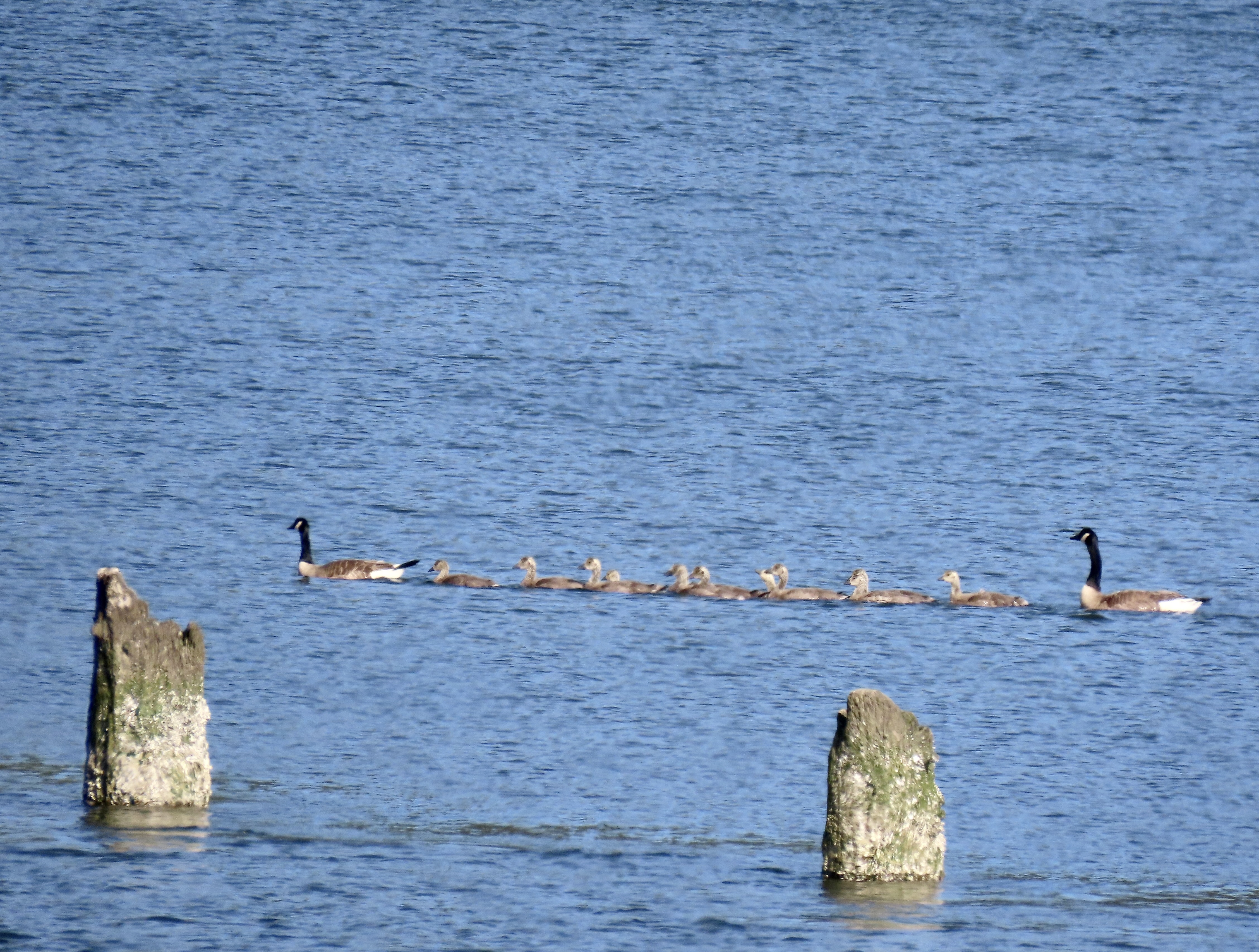
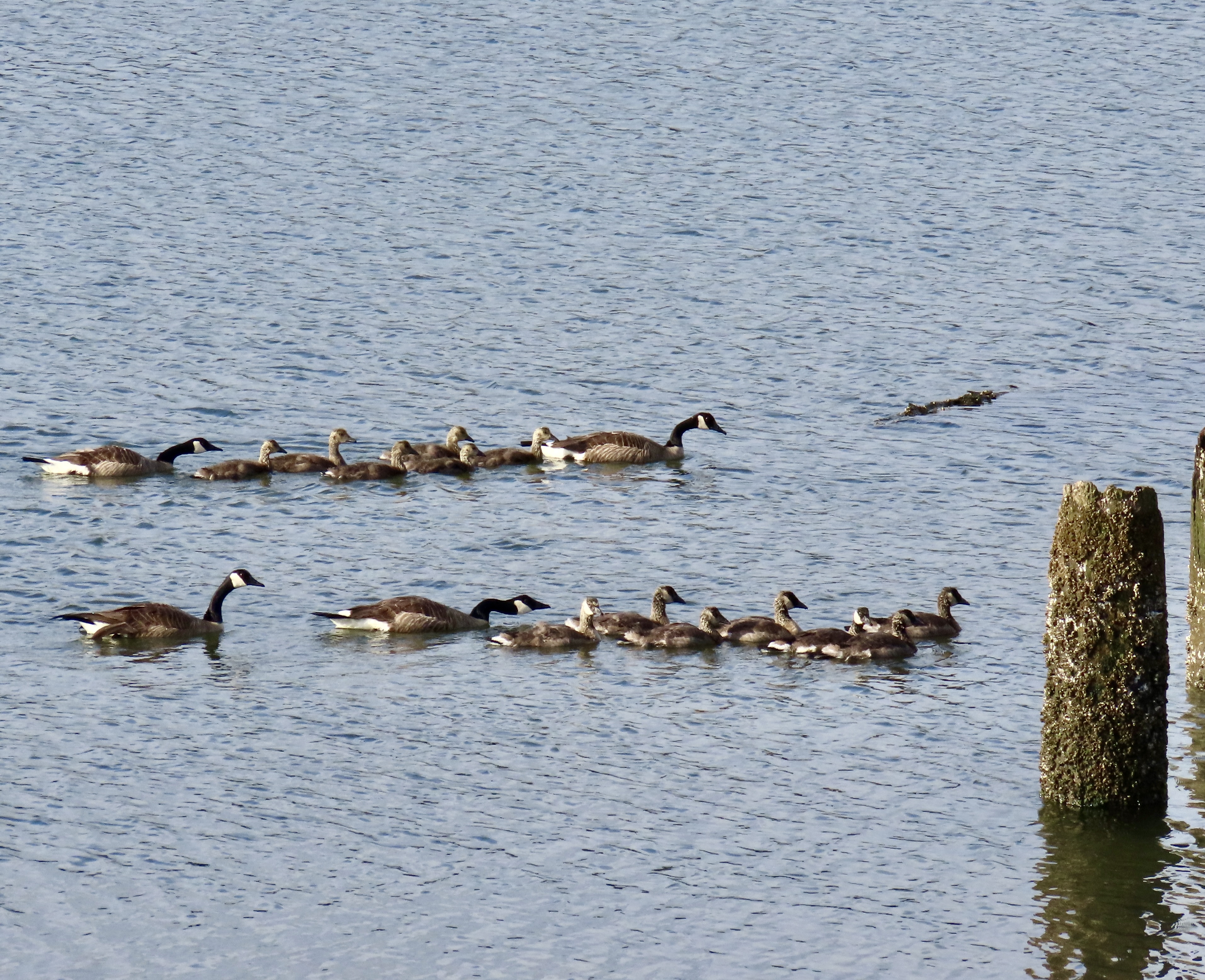
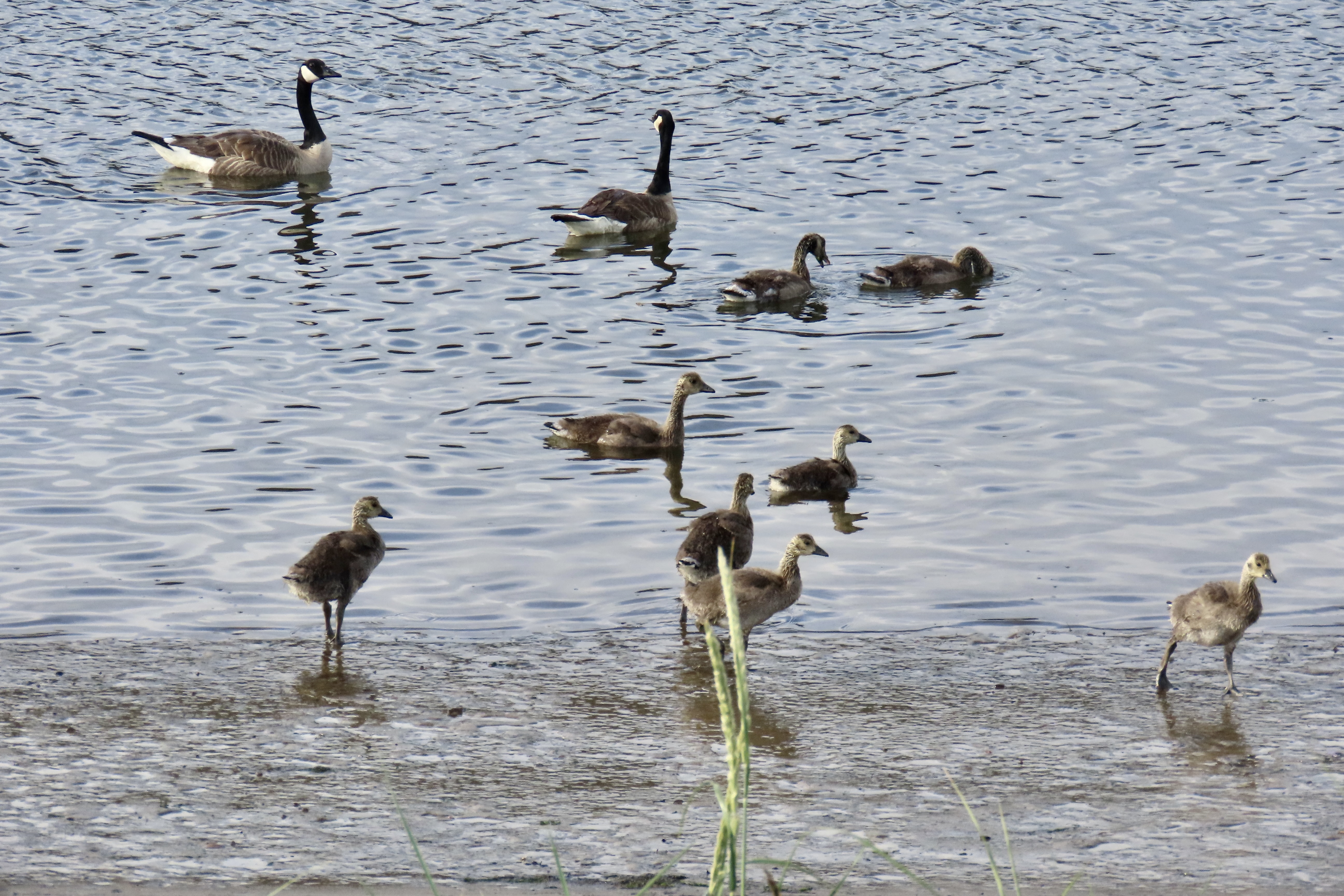
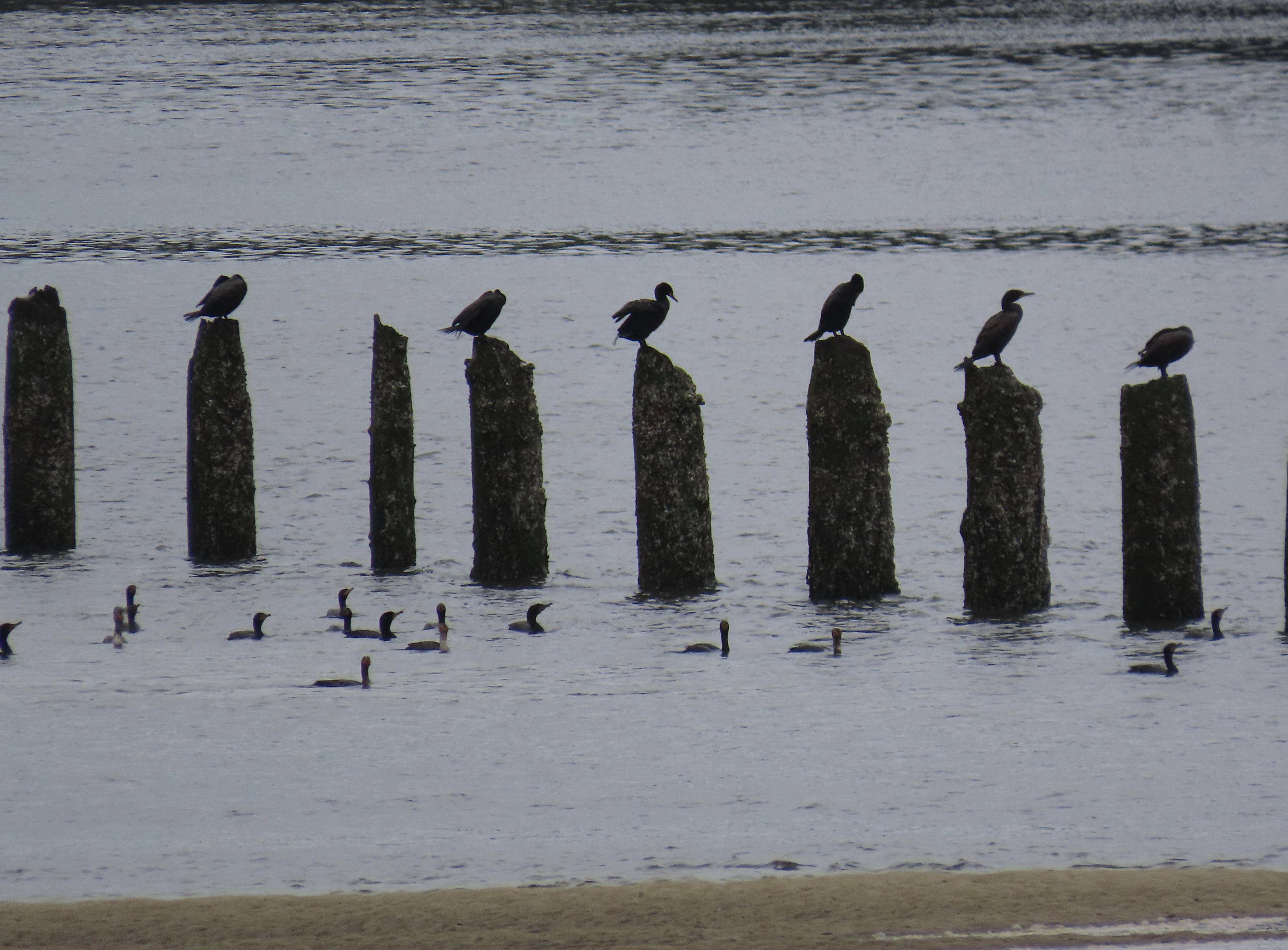
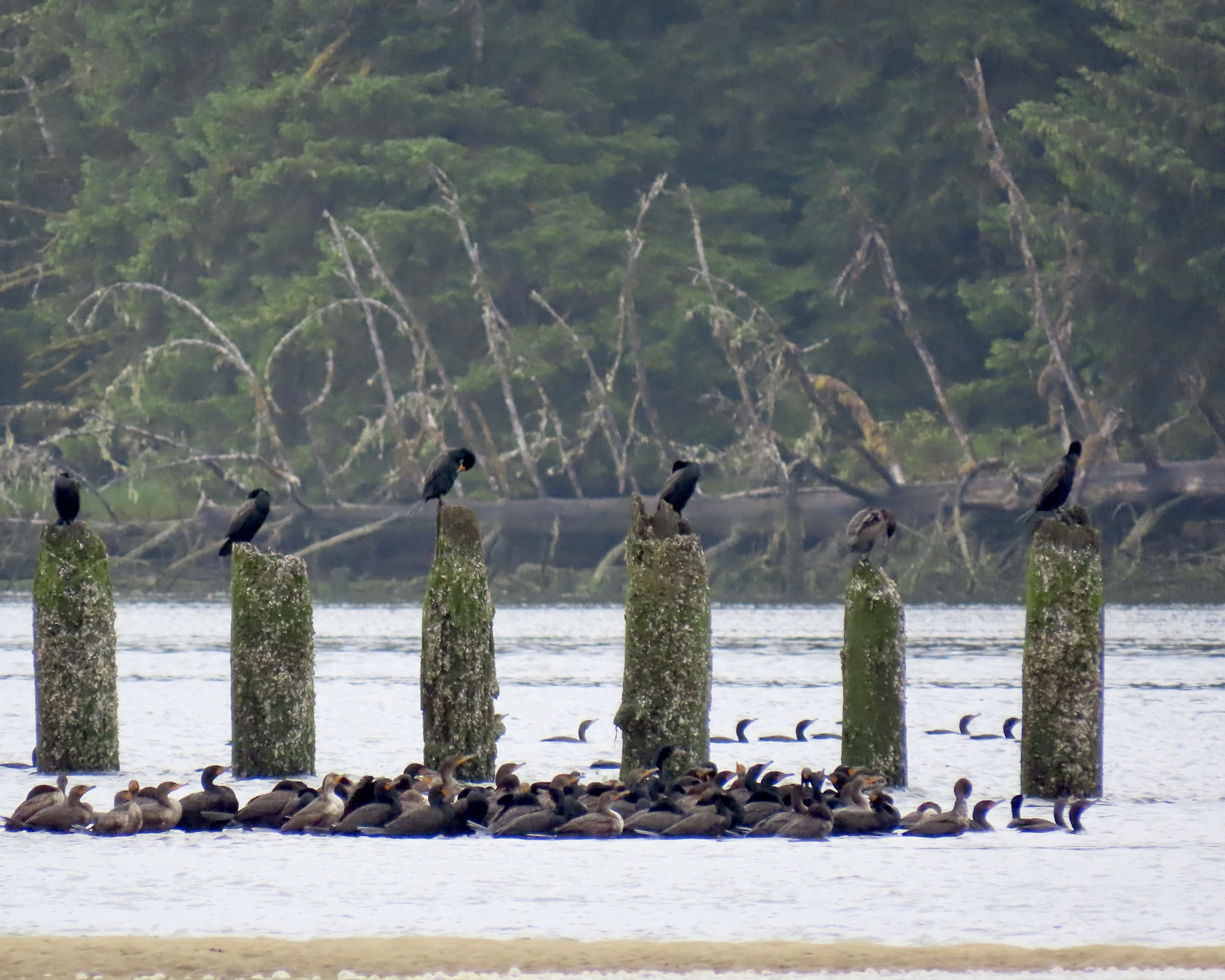
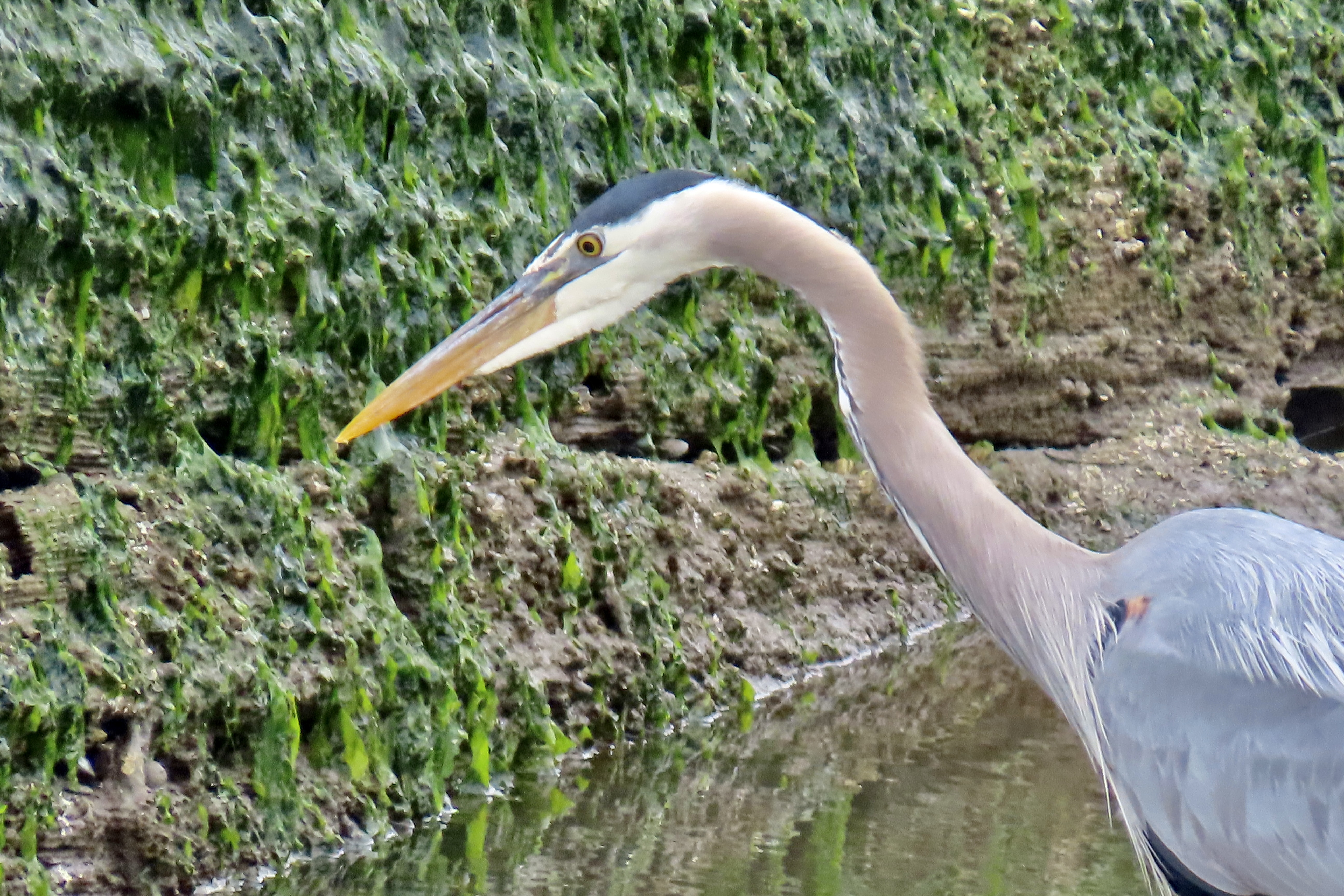
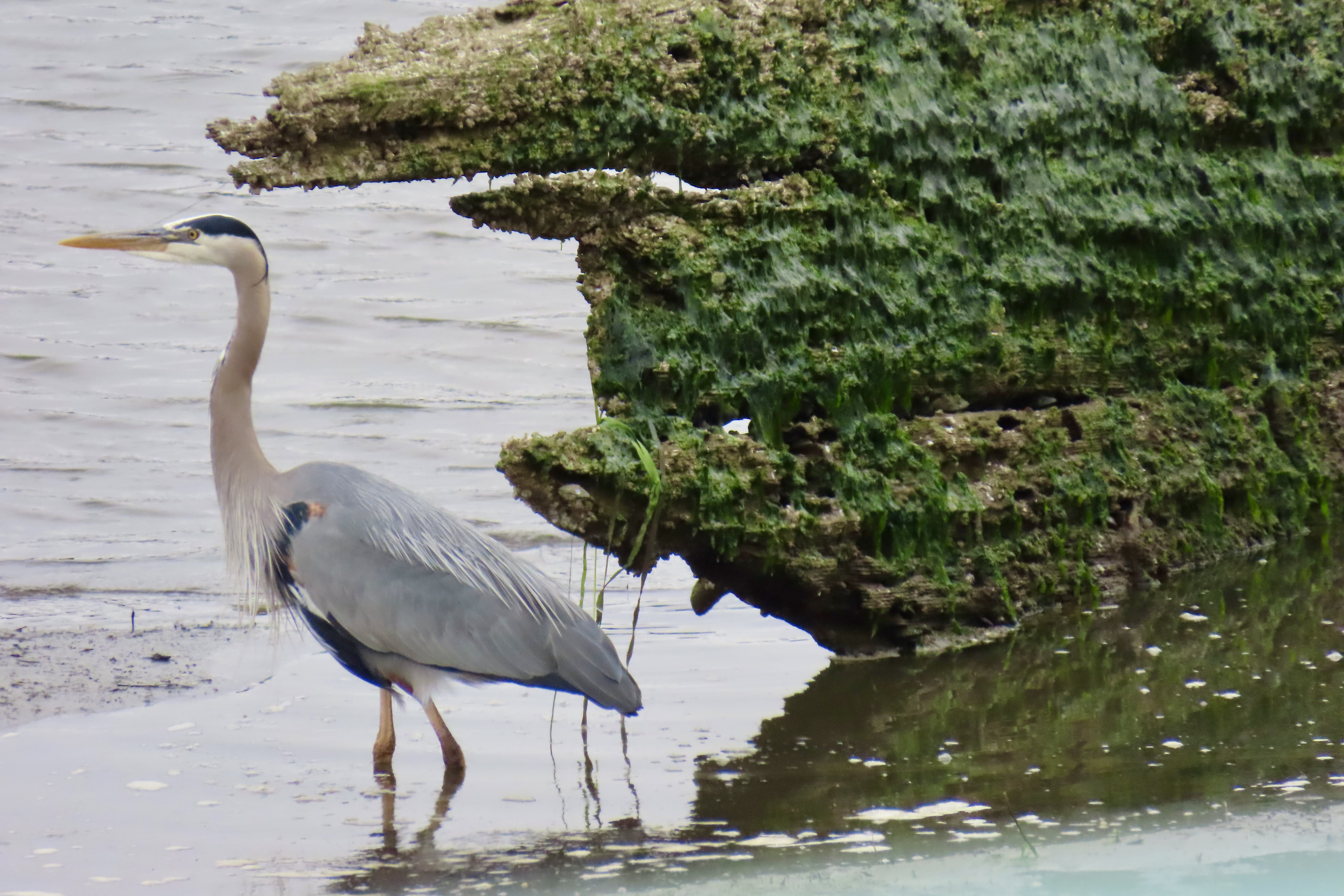
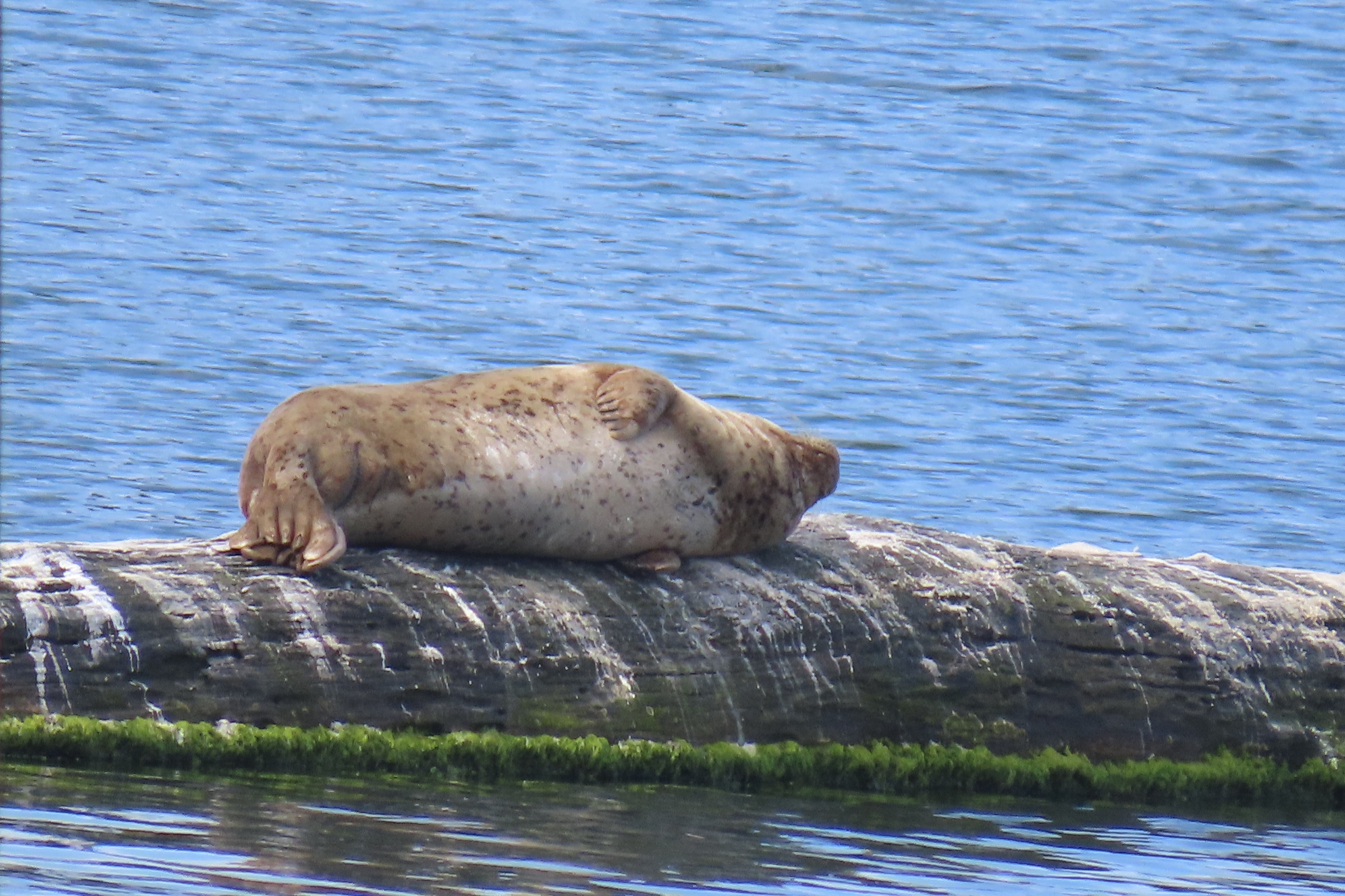
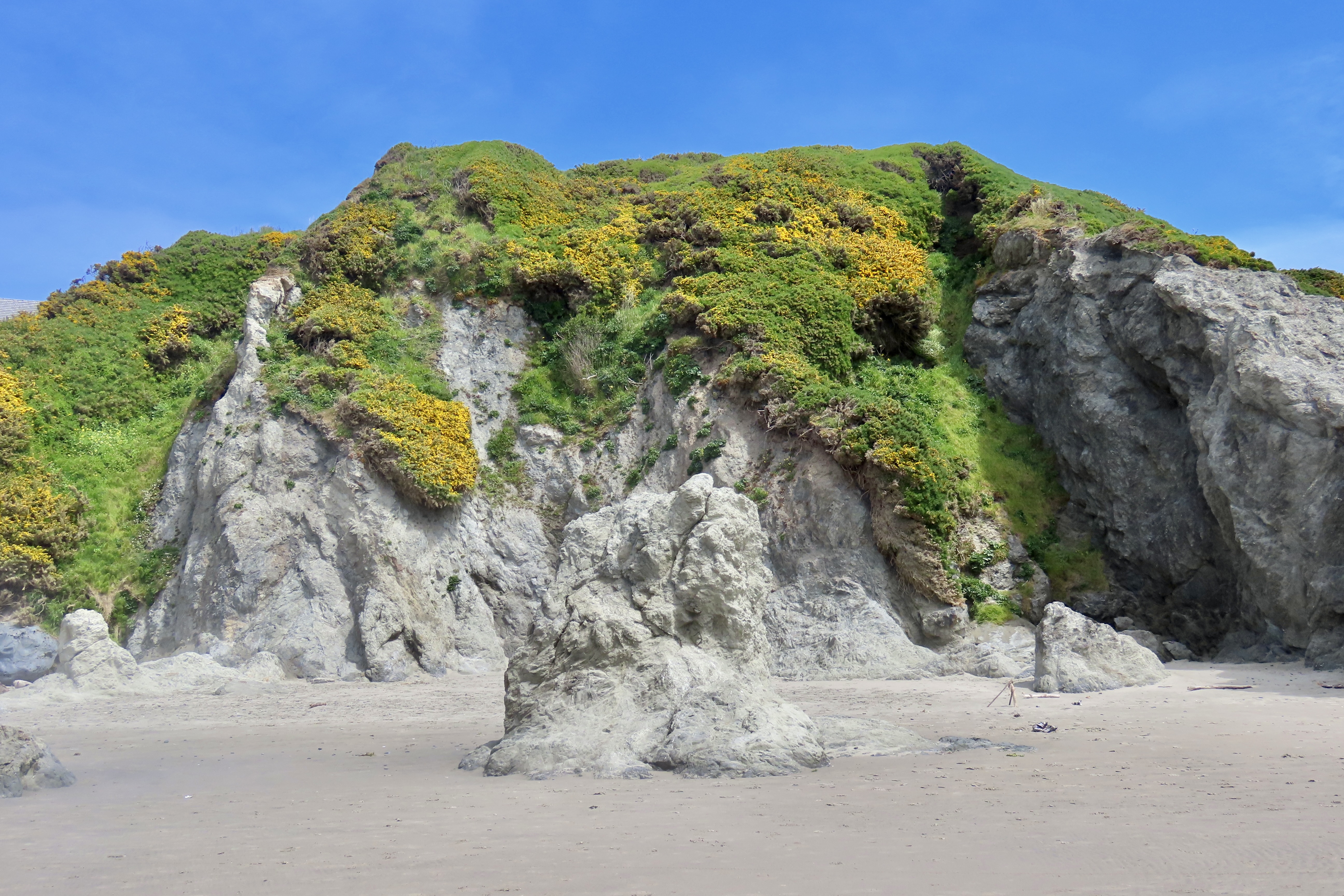
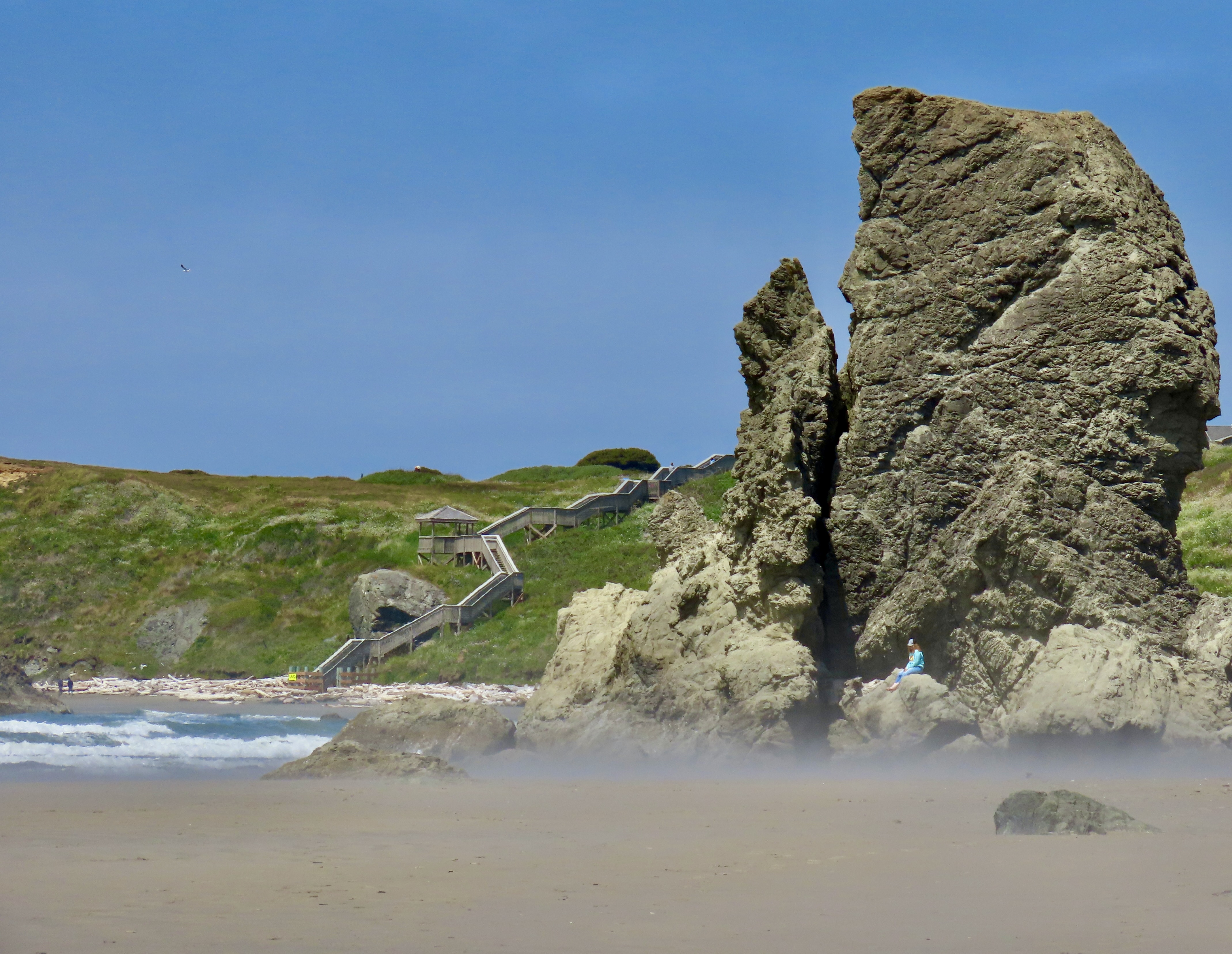
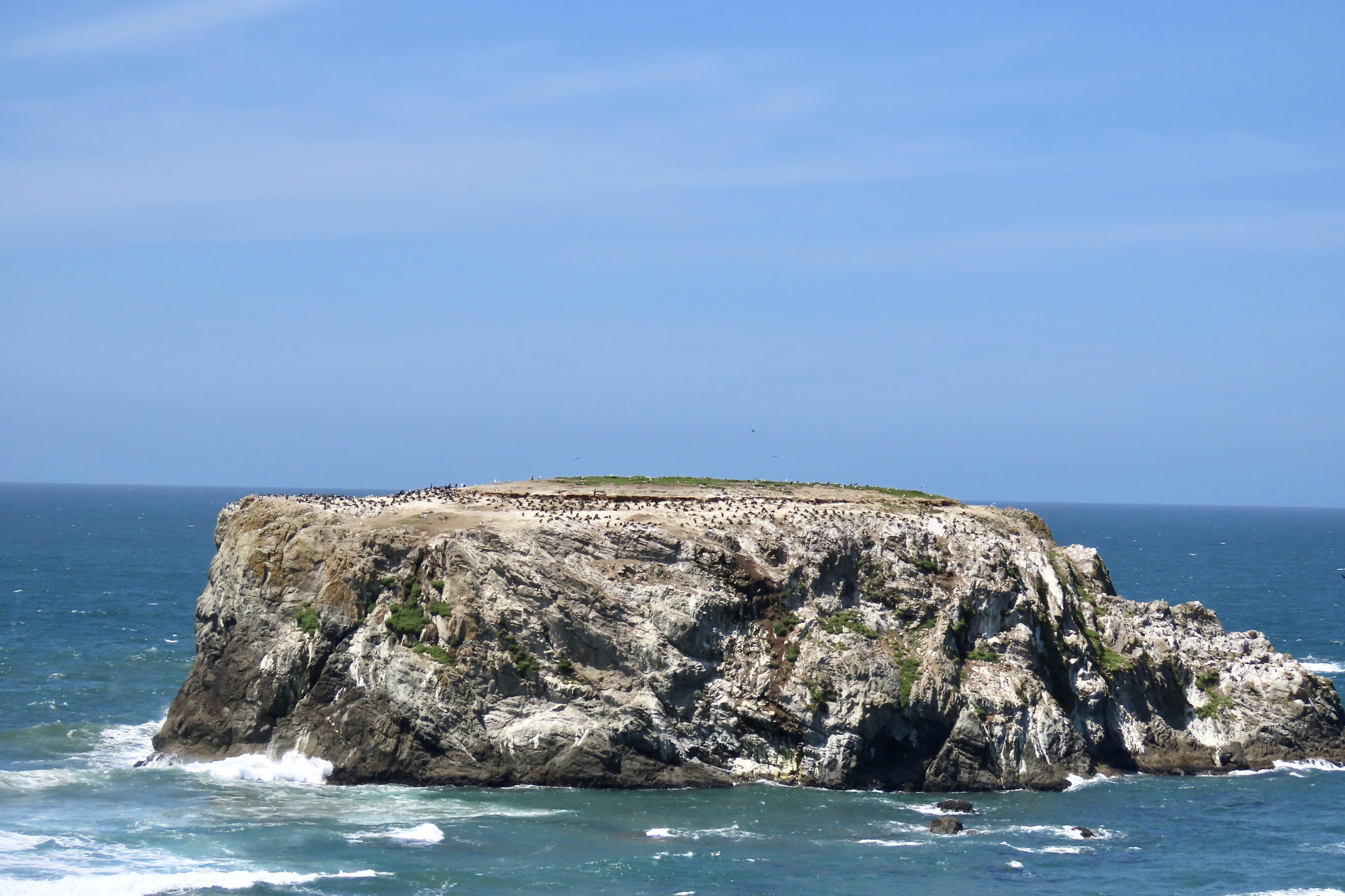
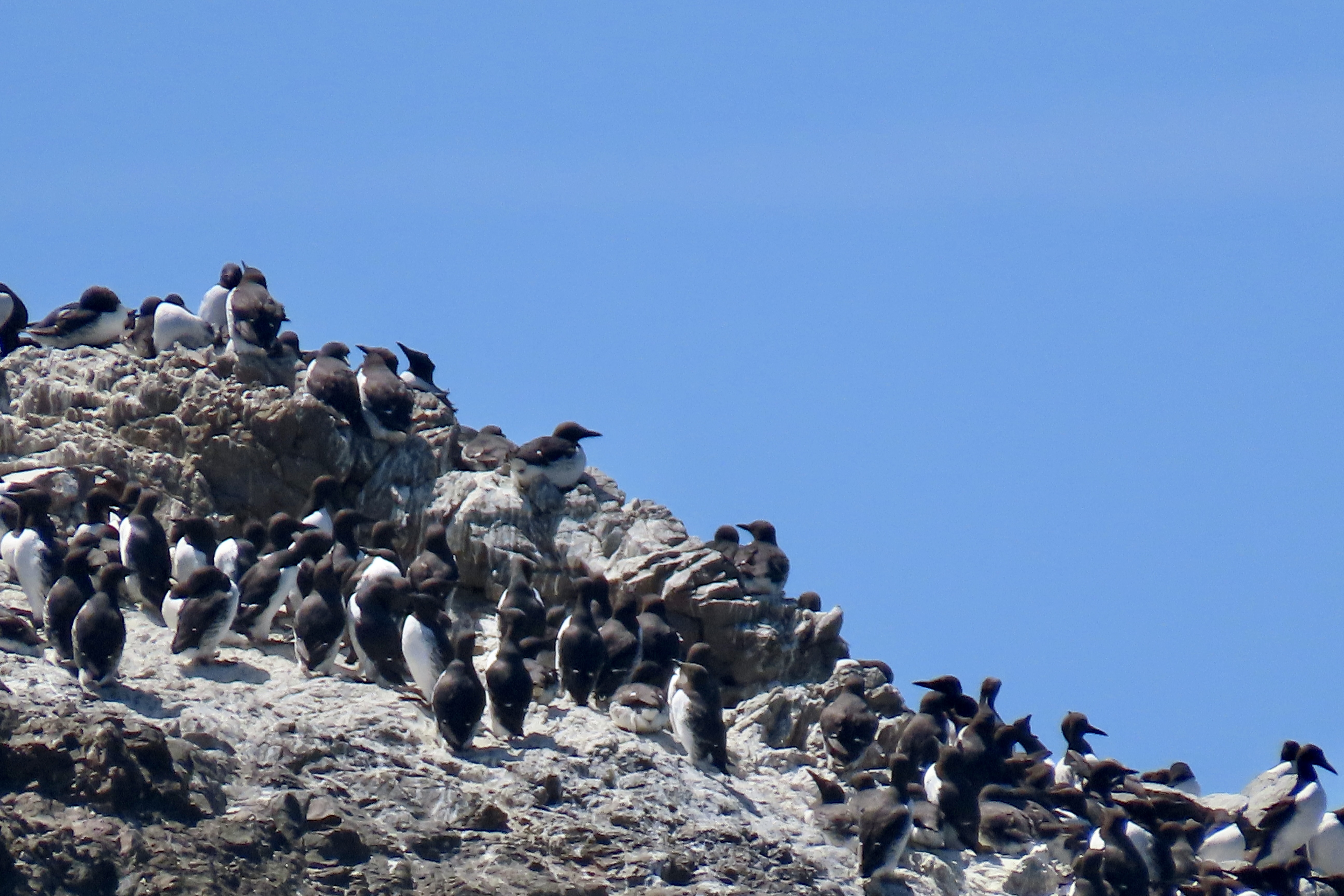
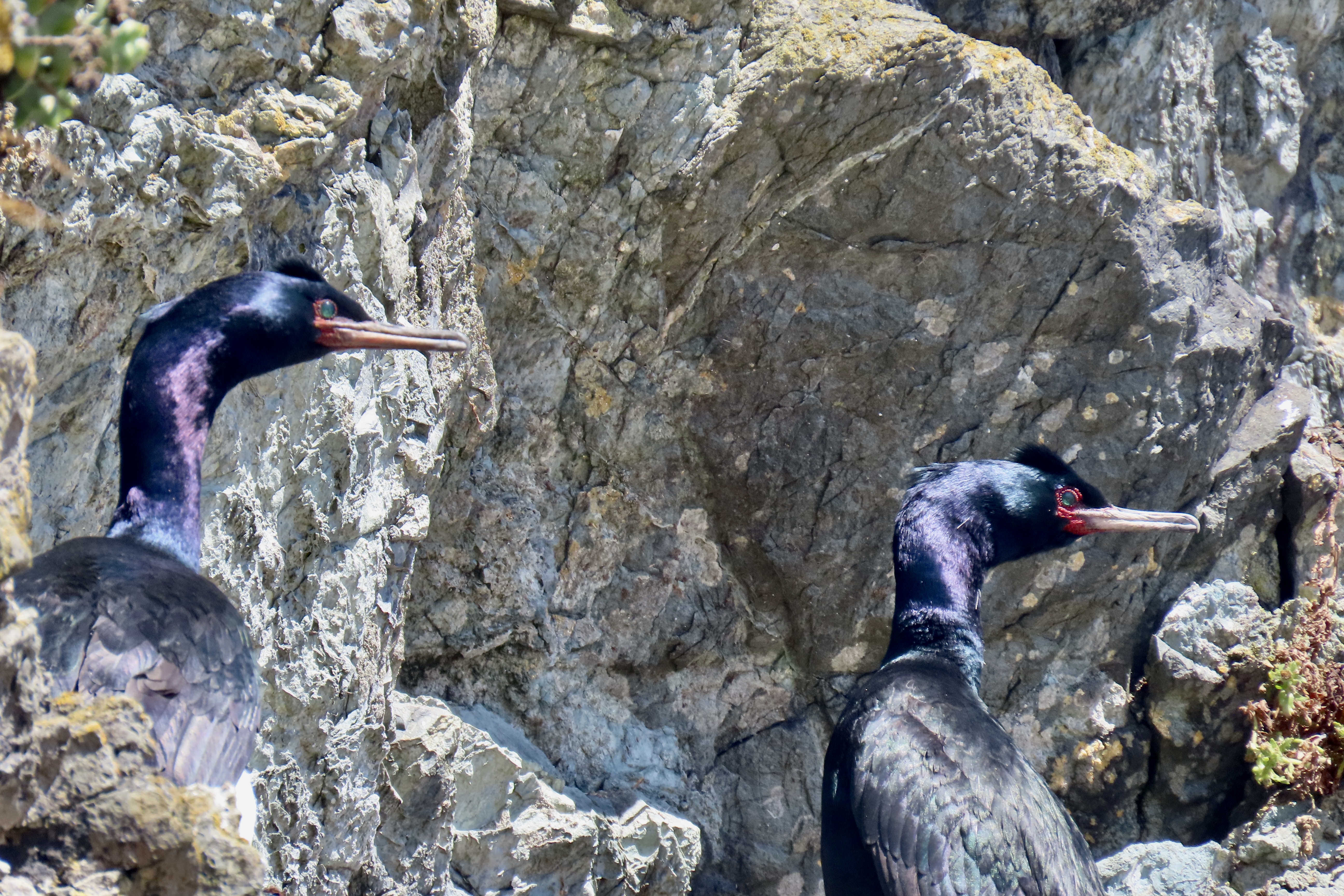
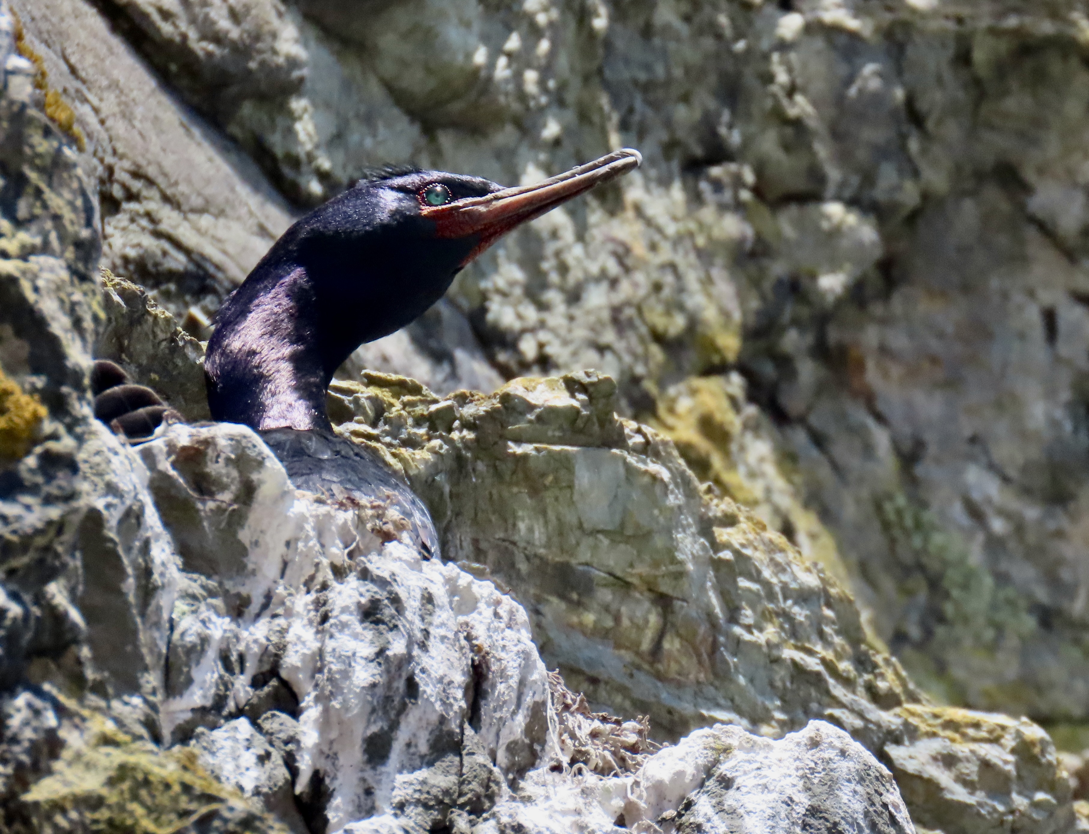
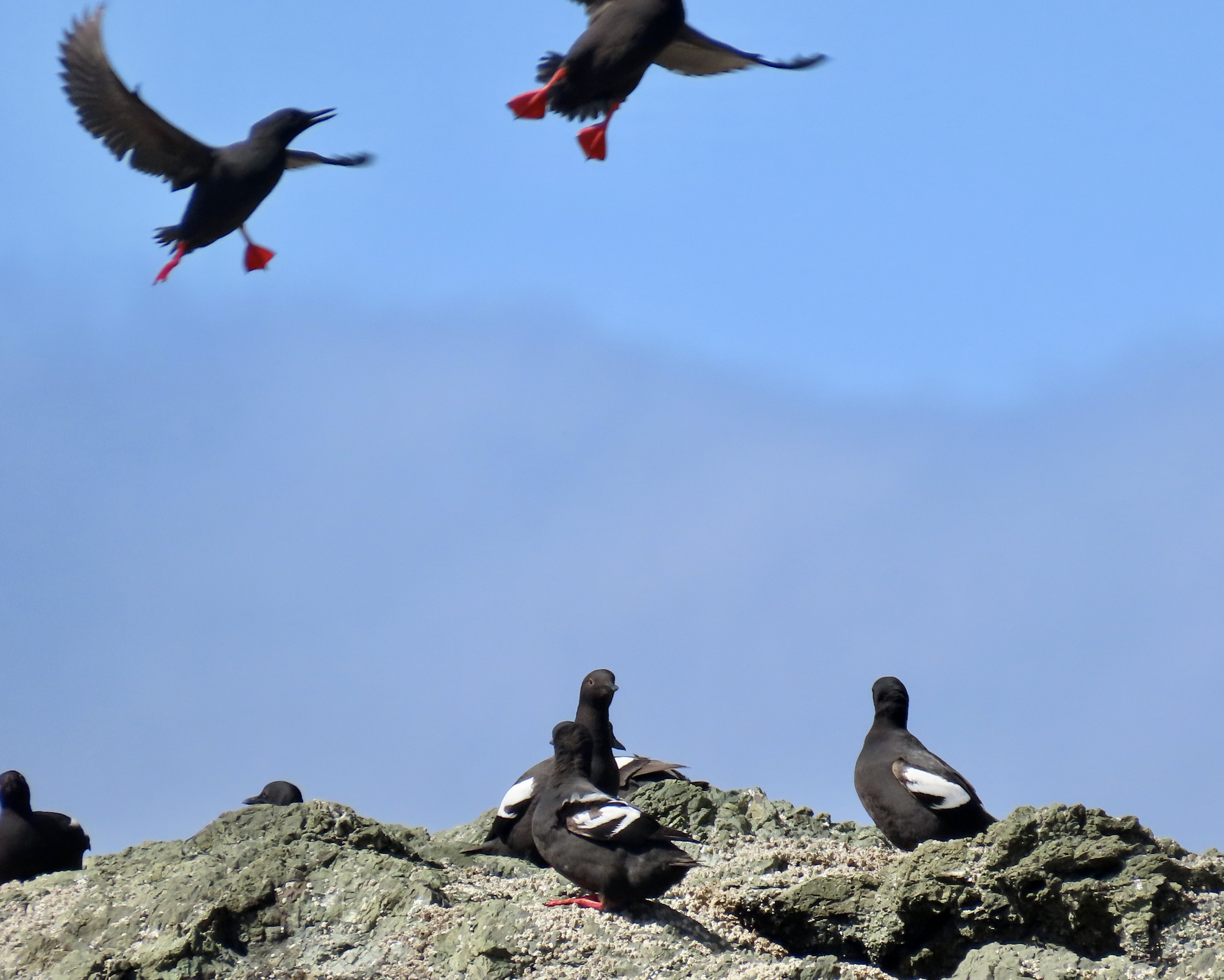
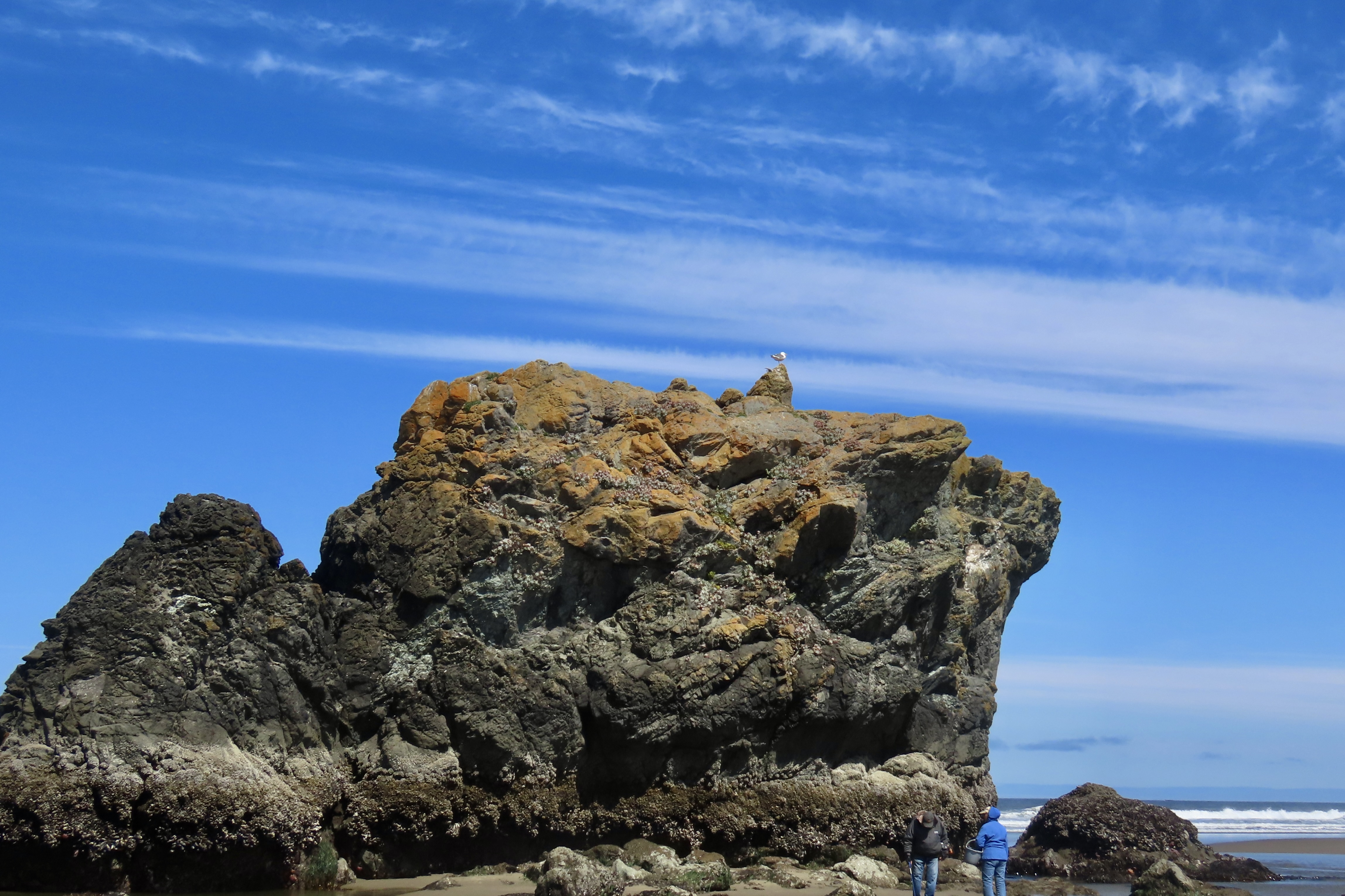
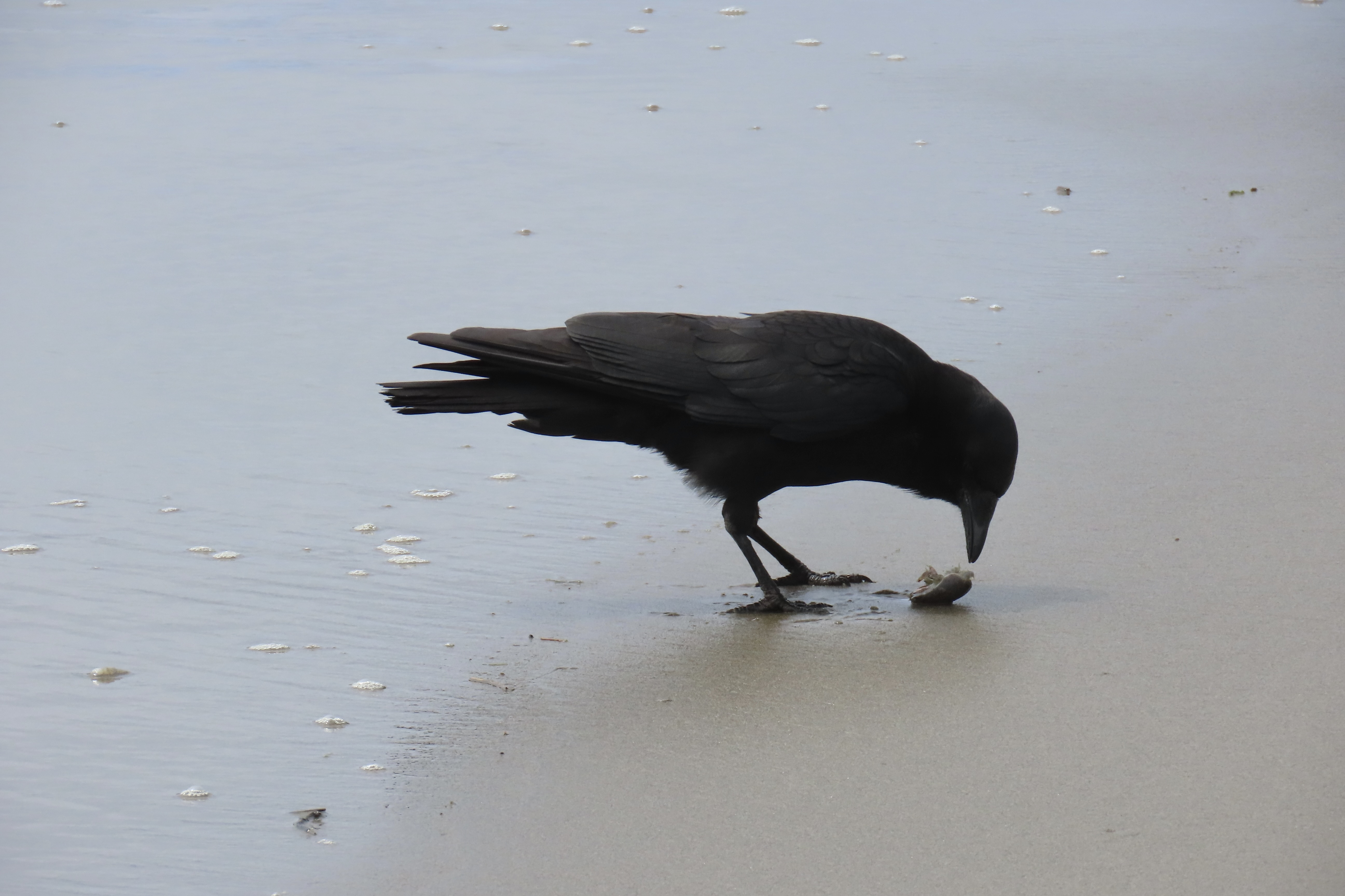
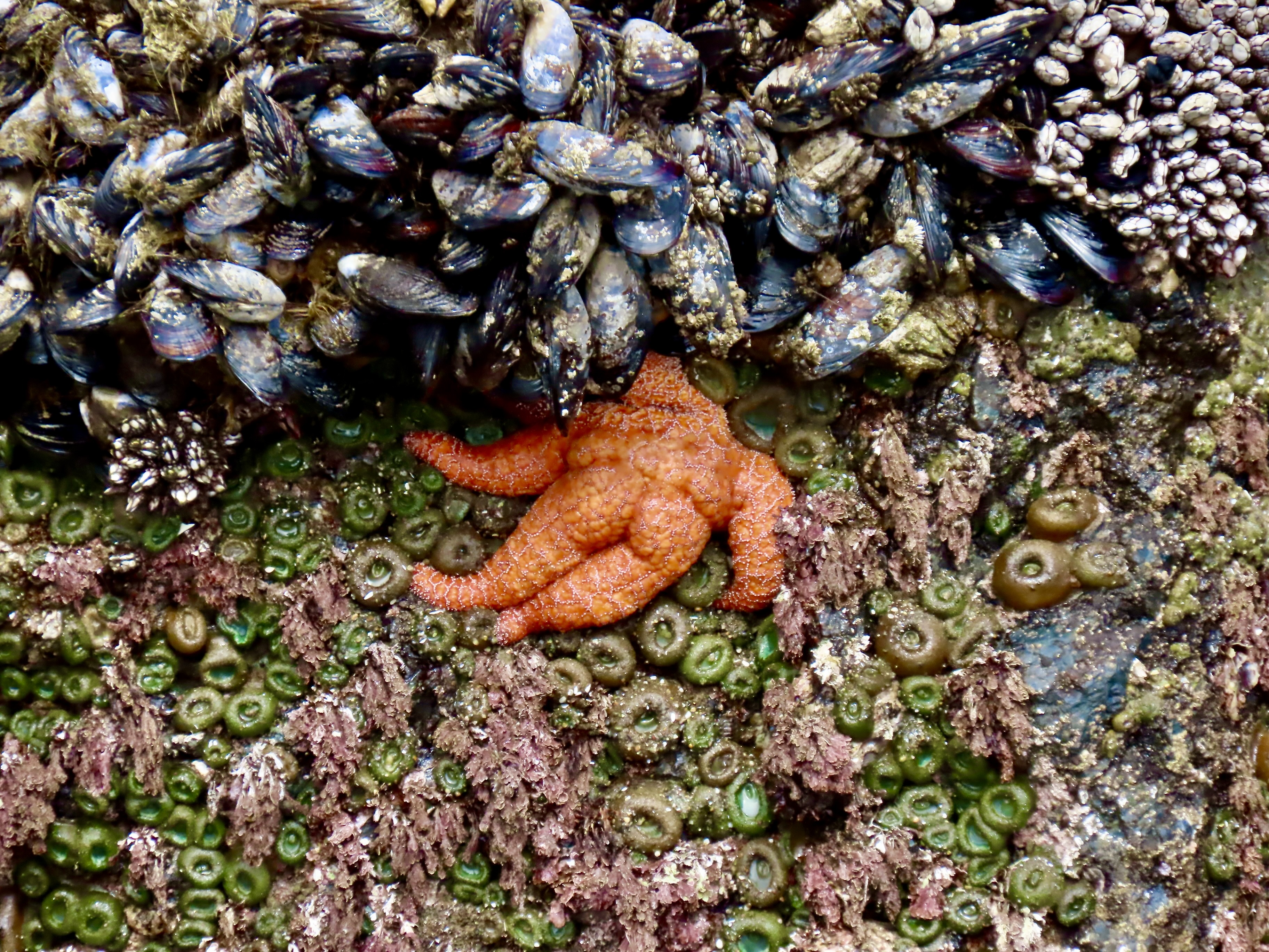
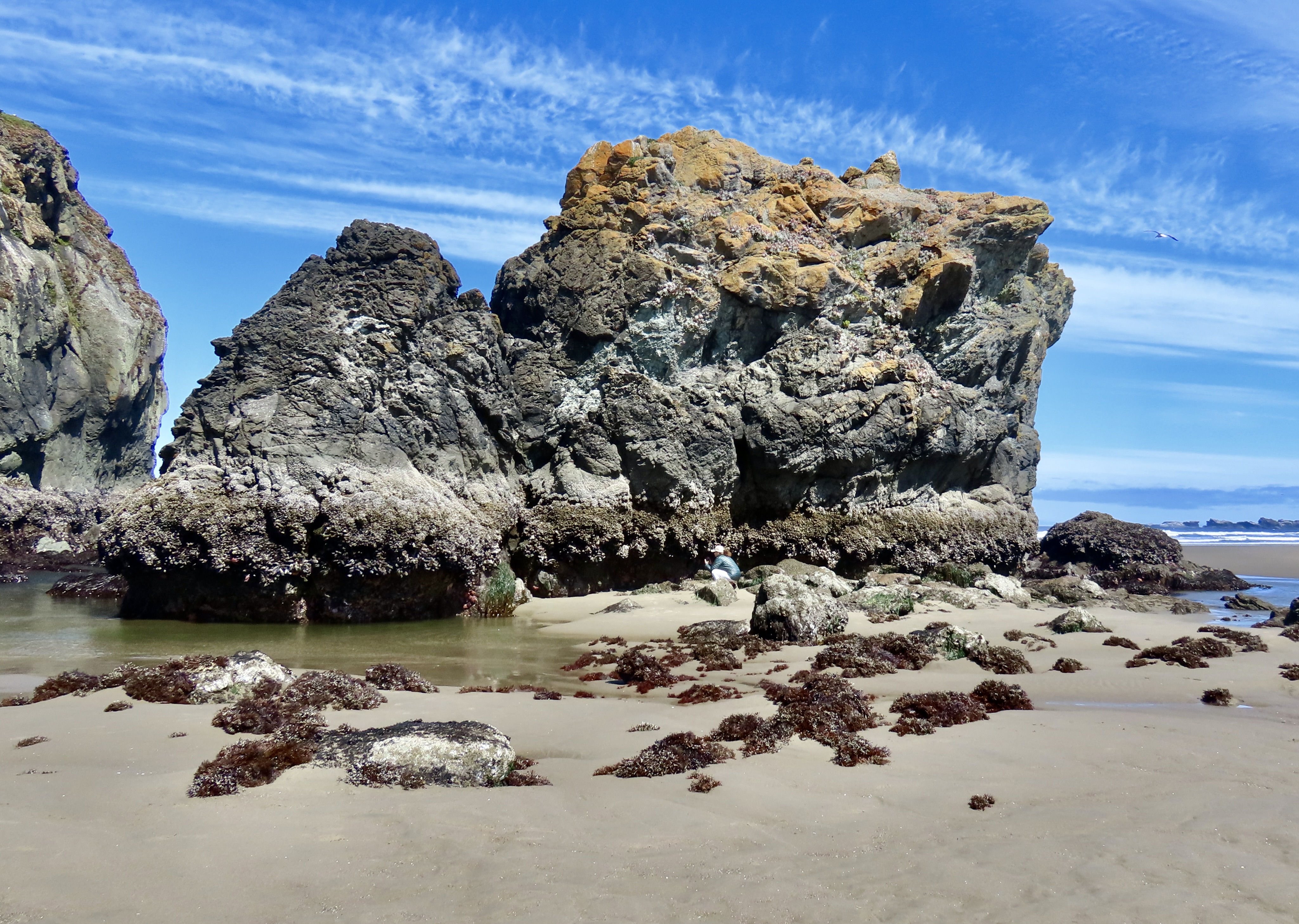
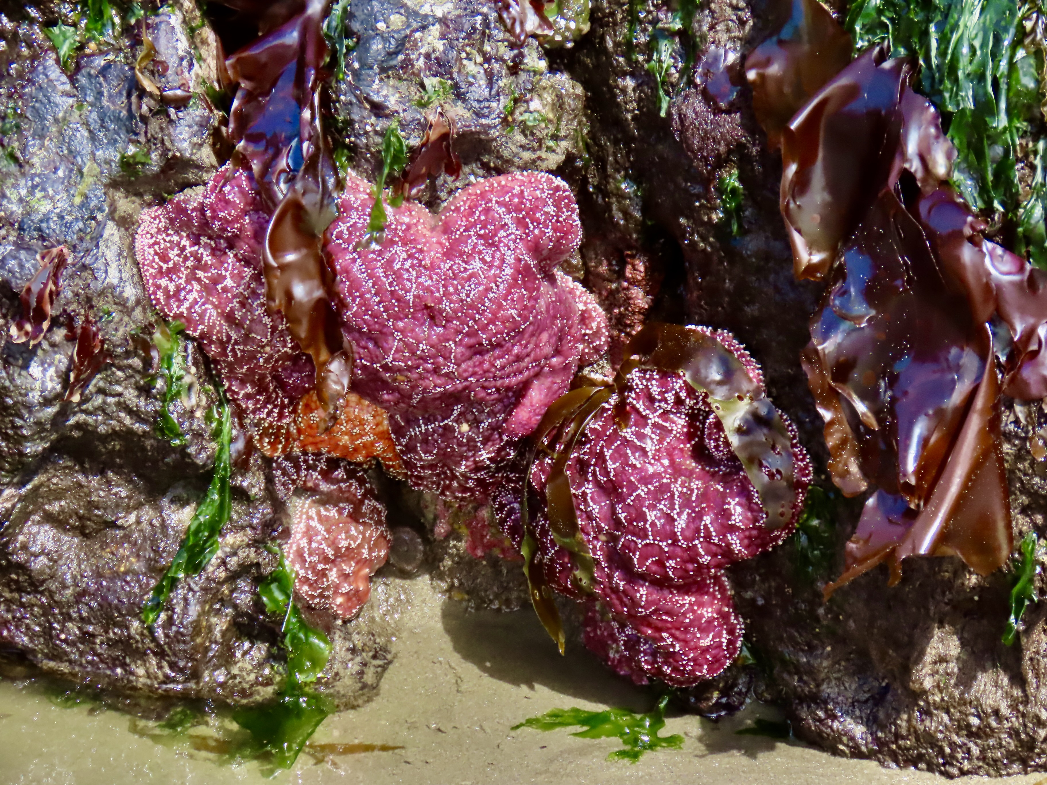
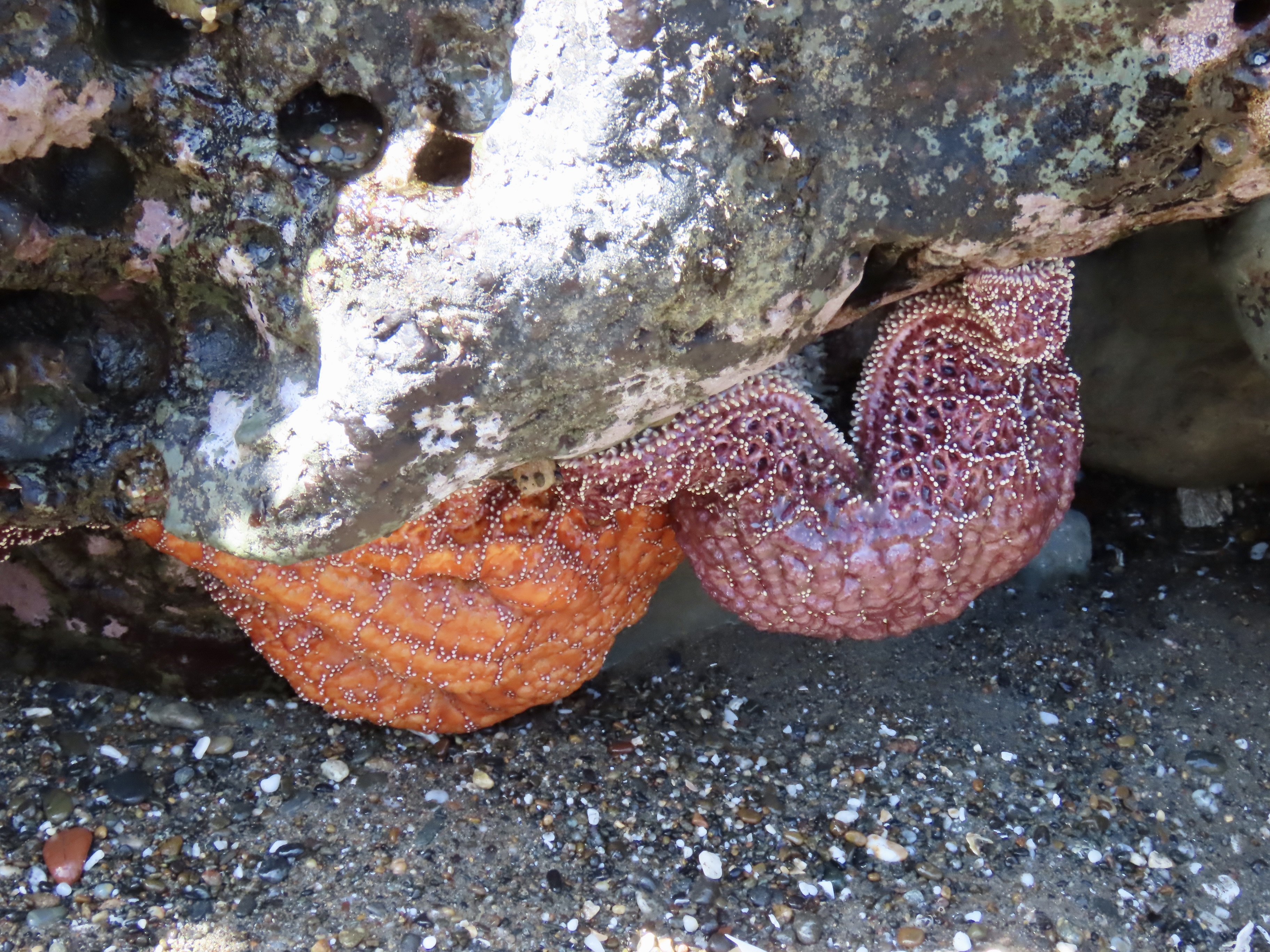
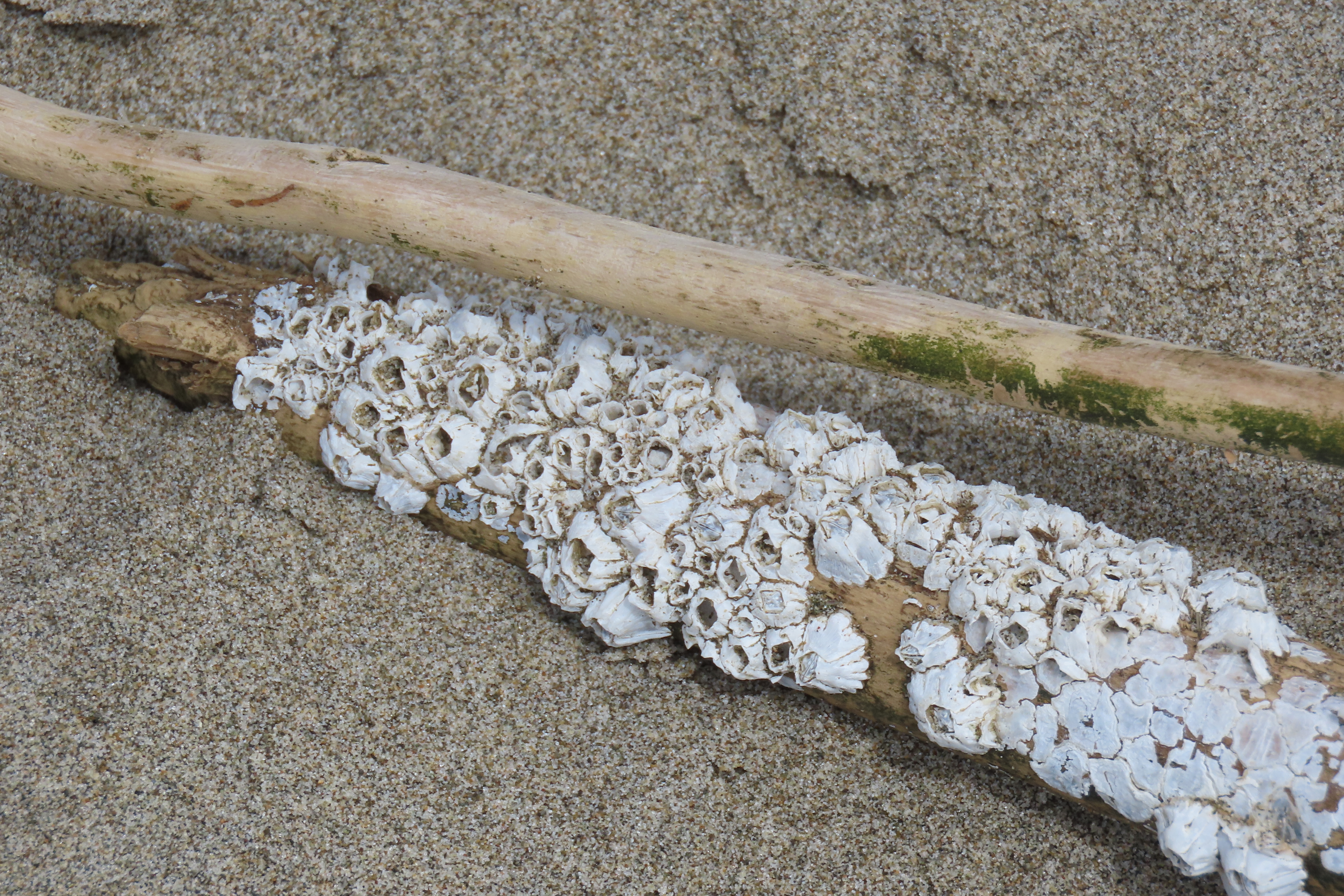
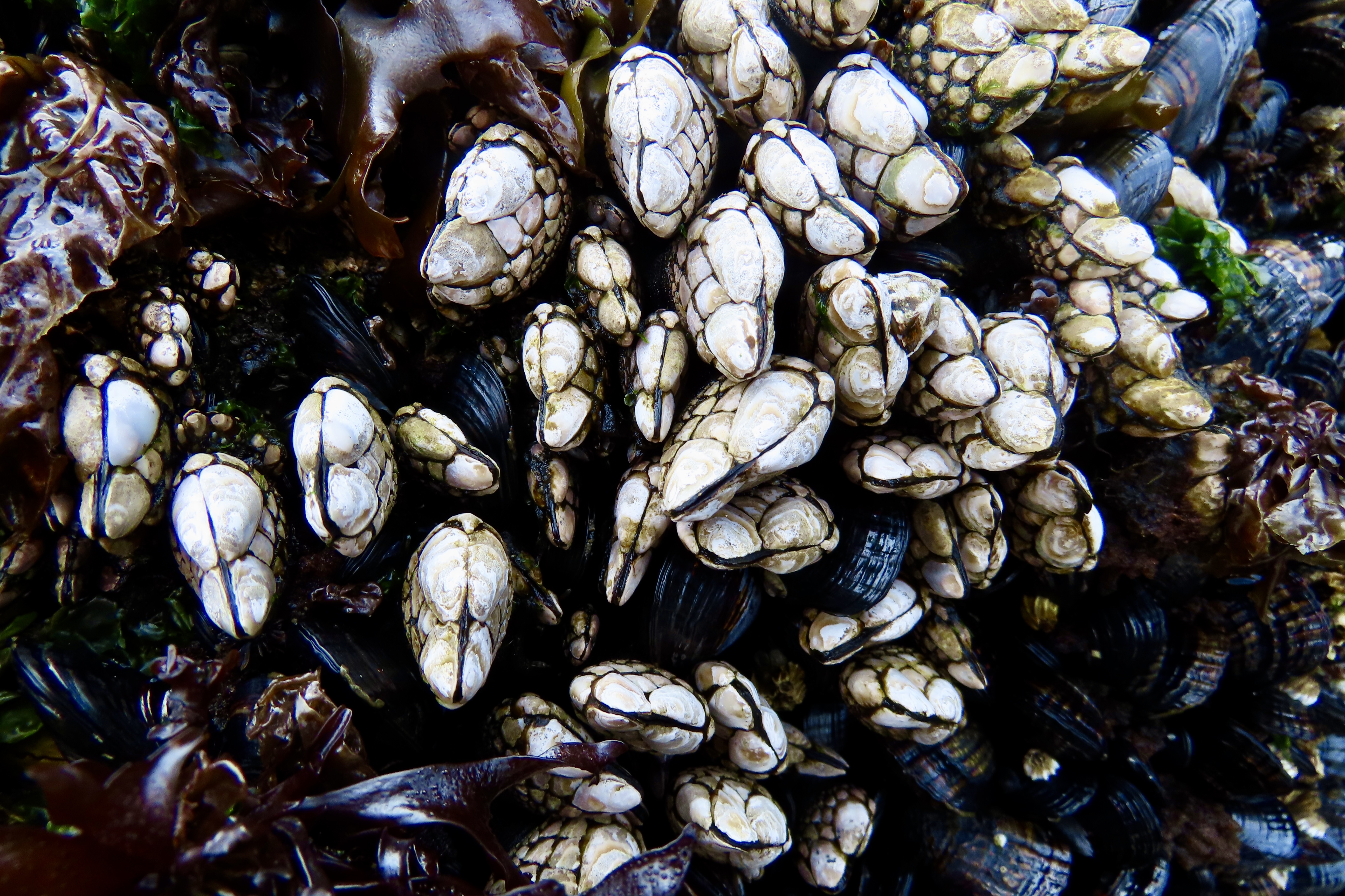
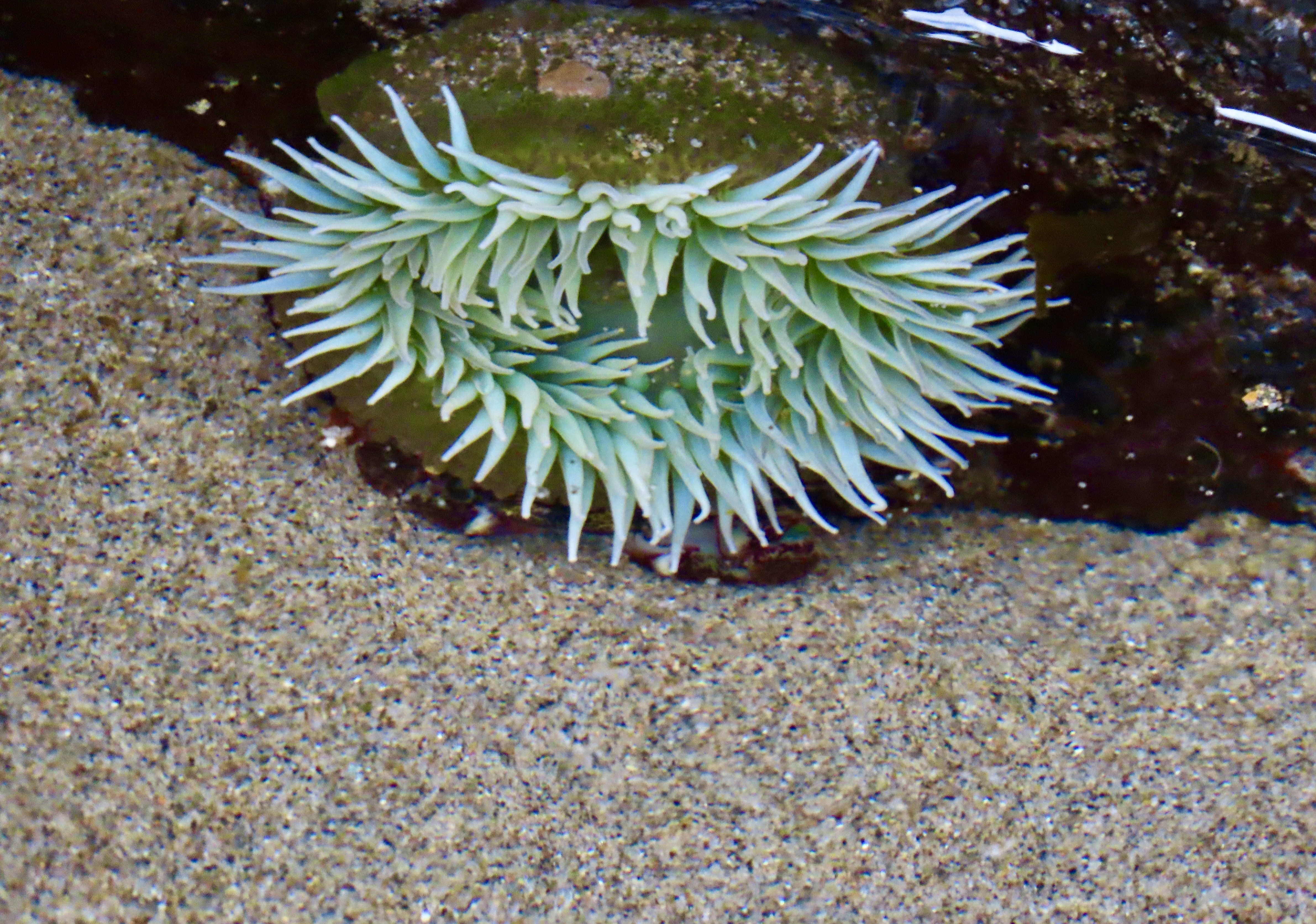
Let’s get started. All of the photos were taken by either Peggy or me.