The Beauty of Death Valley… The National Park Series

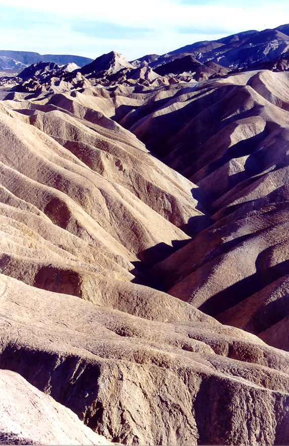
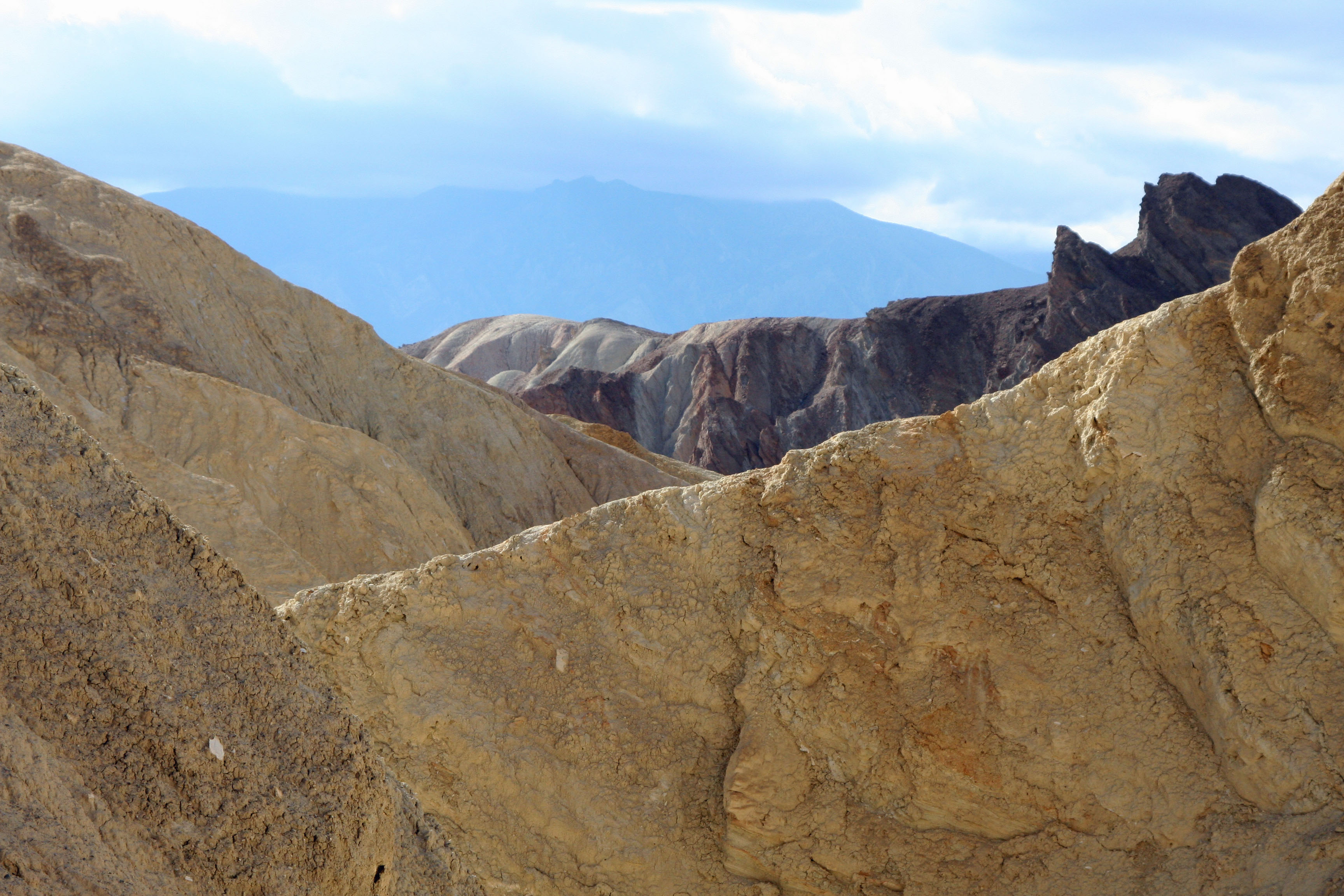
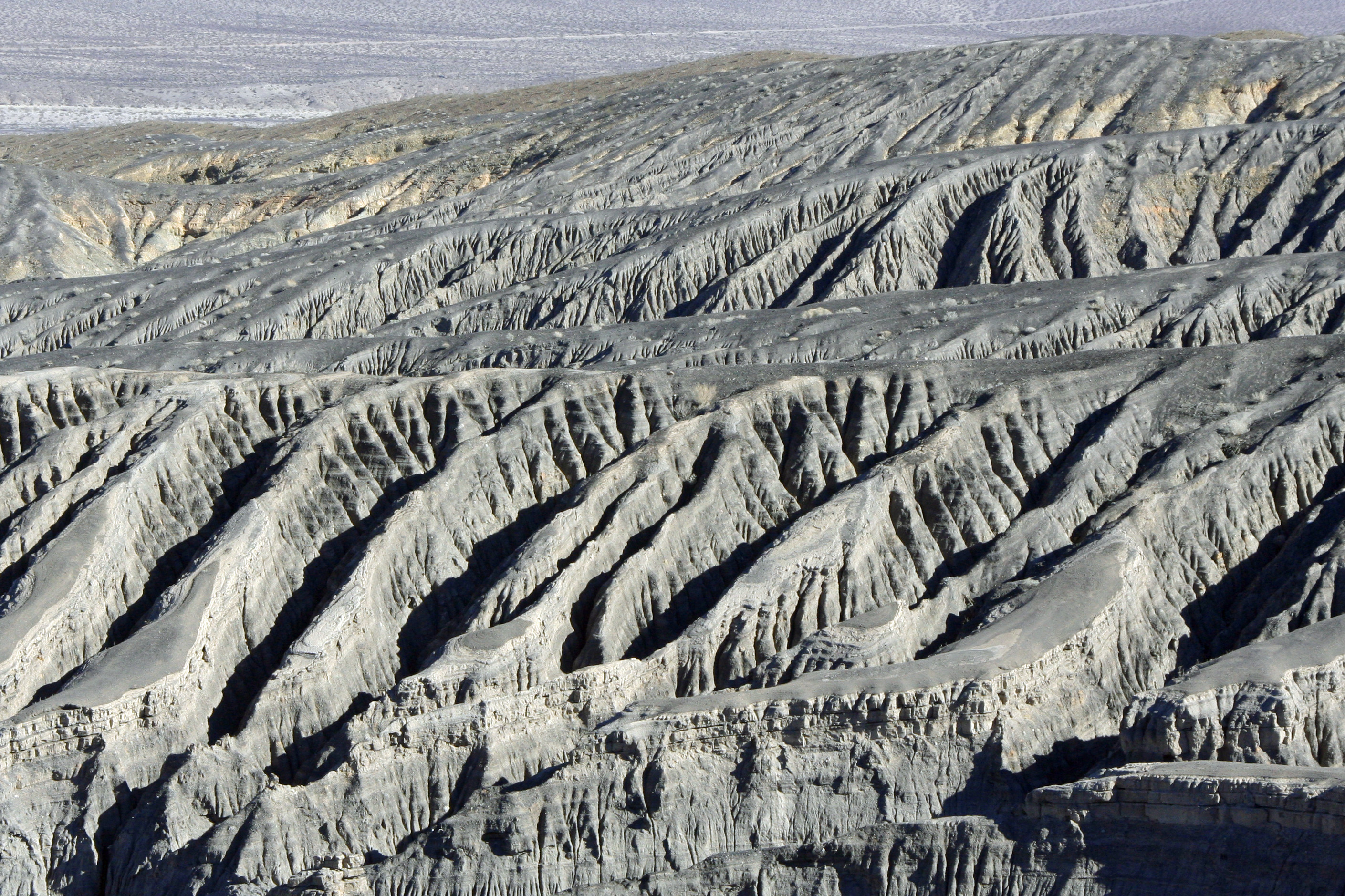
Perched above Gold Canyon off of Highway 190 , Zabriskie Point provides one of many beautiful views in Death Valley National Park.

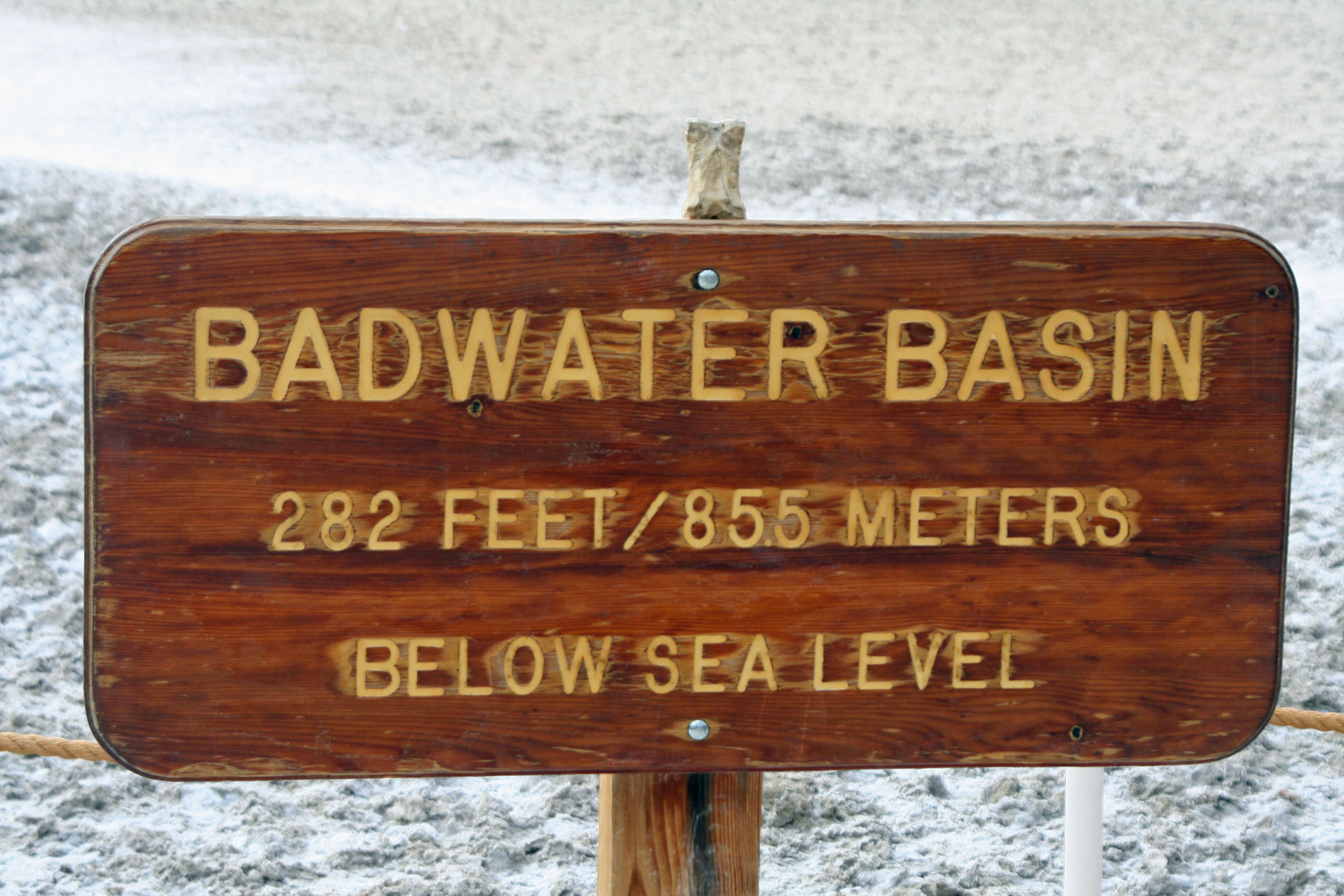
Death Valley exists in a world of superlatives. It is the hottest, driest and lowest spot in North America. Temperatures often exceed 120° F in the summer and have climbed as high as 138° F.  Ground temperatures top out at 200° F! Annual rainfall averages less than two inches (5 cm.). The lowest spot in Death Valley is 282 feet below sea level in Badwater Basin.

Hottest, driest and lowest spot in North America are three superlatives applied to Death Valley. The Peripatetic Bone, who has been wandering the world since 1977, perches on the sign locating the lowest spot in North America in Badwater Basin Death Valley.

While hottest, driest and lowest are adjectives one normally associates with Death Valley National Park, there is one more: beautiful. I have tried to convey this beauty in my last several blogs. Today’s blog will feature several other places I find beautiful or unusual in Death Valley but have not yet featured.

I would also like to emphasize that this is National Park Week (April 21 – 29, 2012). National Parks in the United States (and throughout the world) protect and highlight many of our greatest natural and historical treasures for both present and future generations. They deserve our full support and are always worth visiting.

My wife Peggy and I have had the privilege of exploring most of the National Parks in the United States and several in Canada. My intention is to share our favorites over the next year or two as part of my blogging

Another view from Zabriskie Point. Pioneers designated such areas as Badlands... i.e. they weren't good for growing crops or grazing animals. Today, we realize their intrinsic beauty is a value in itself.

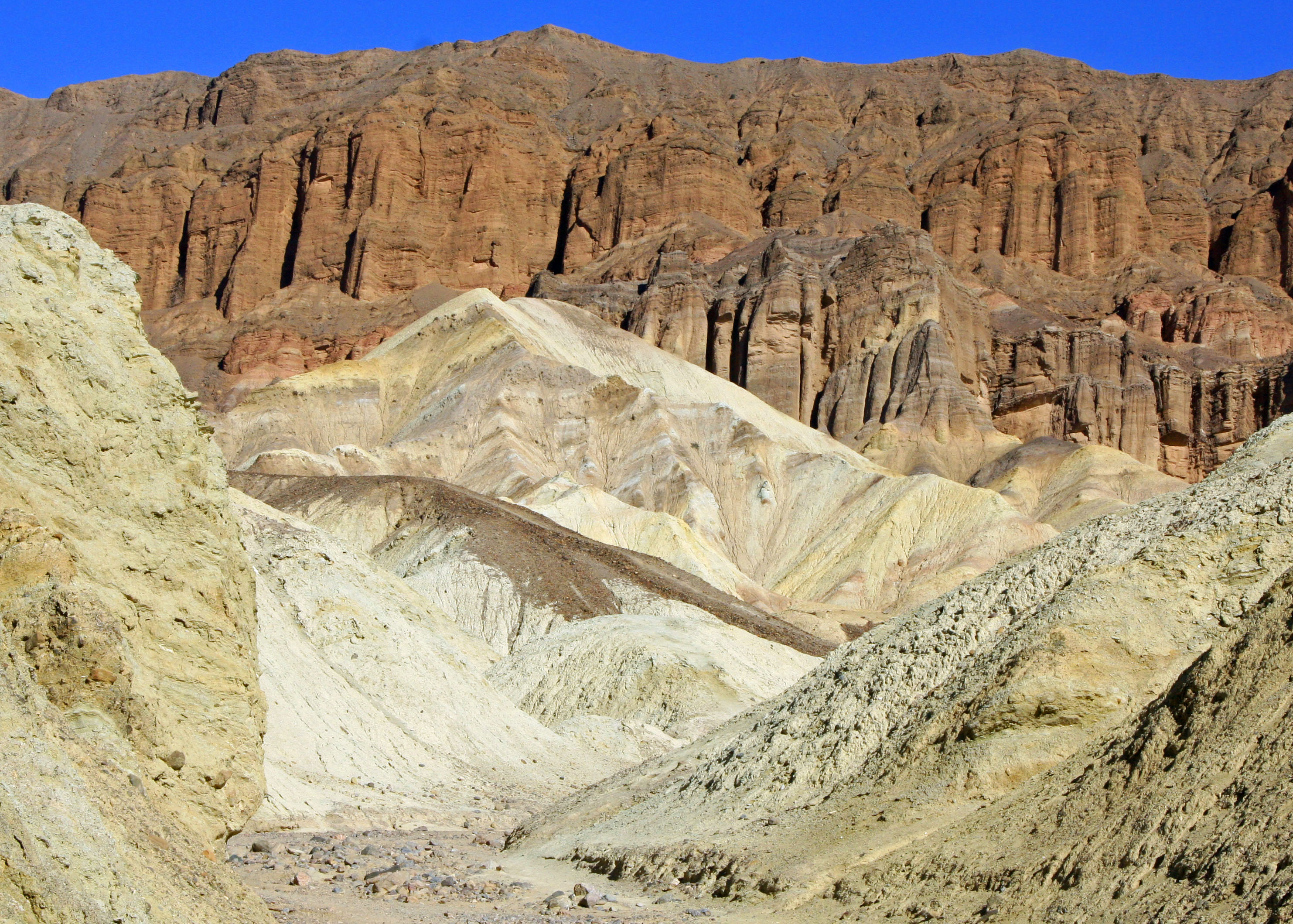
The nine-mile Artist's Drive and Palate off of Badwater Road provides a profusion of colored rocks as the name suggests. These colors are created by the different sedimentary rocks and oxides of various metals. This area was once volcanically active.

A closeup of Artist's Palate.

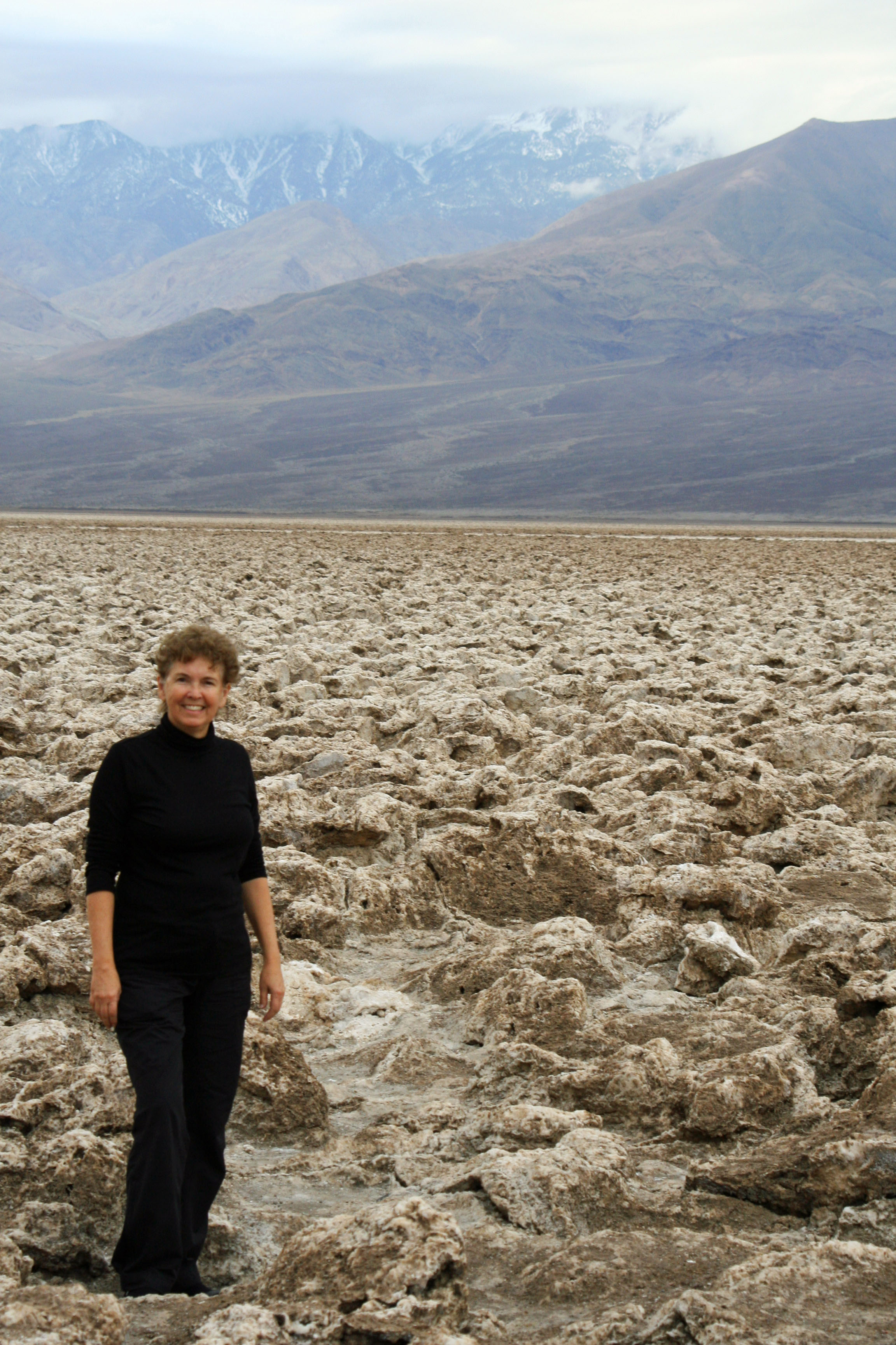
Two to four thousand years ago the floor of Death Valley was covered with a large lake up to 30 feet in depth. Then the climate changed (sound familiar?). The lake dried up and left behind the minerals that had been dissolved in the water... mainly salt. Today this salt works its way to the surface and forms pinnacles through capillary action. The result is the Devil's Golf Course. Peggy provides perspective on the size of the pinnacles.

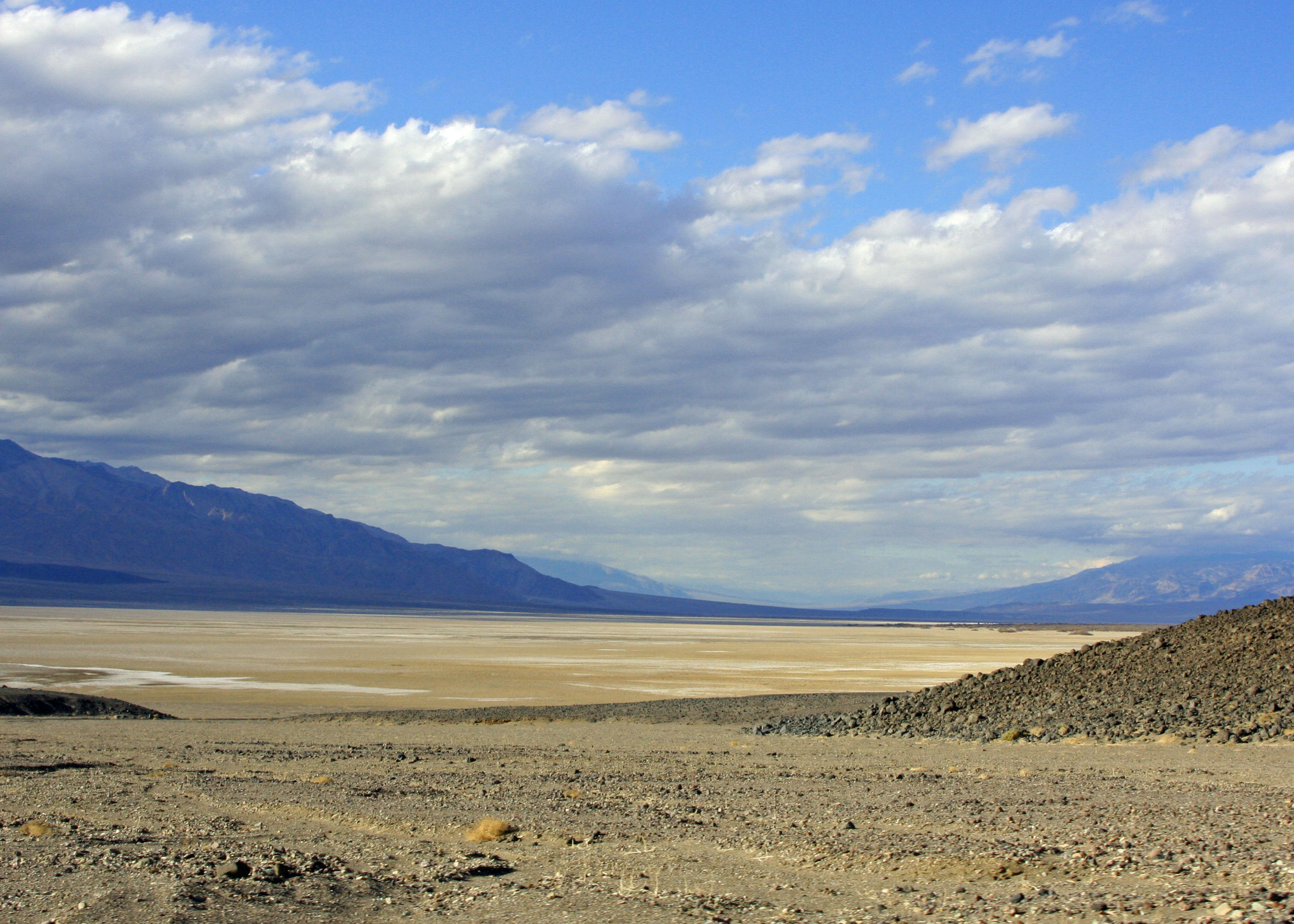
A final view looking across Death Valley.

Death Valley’s Golden Canyon… The National Park Series

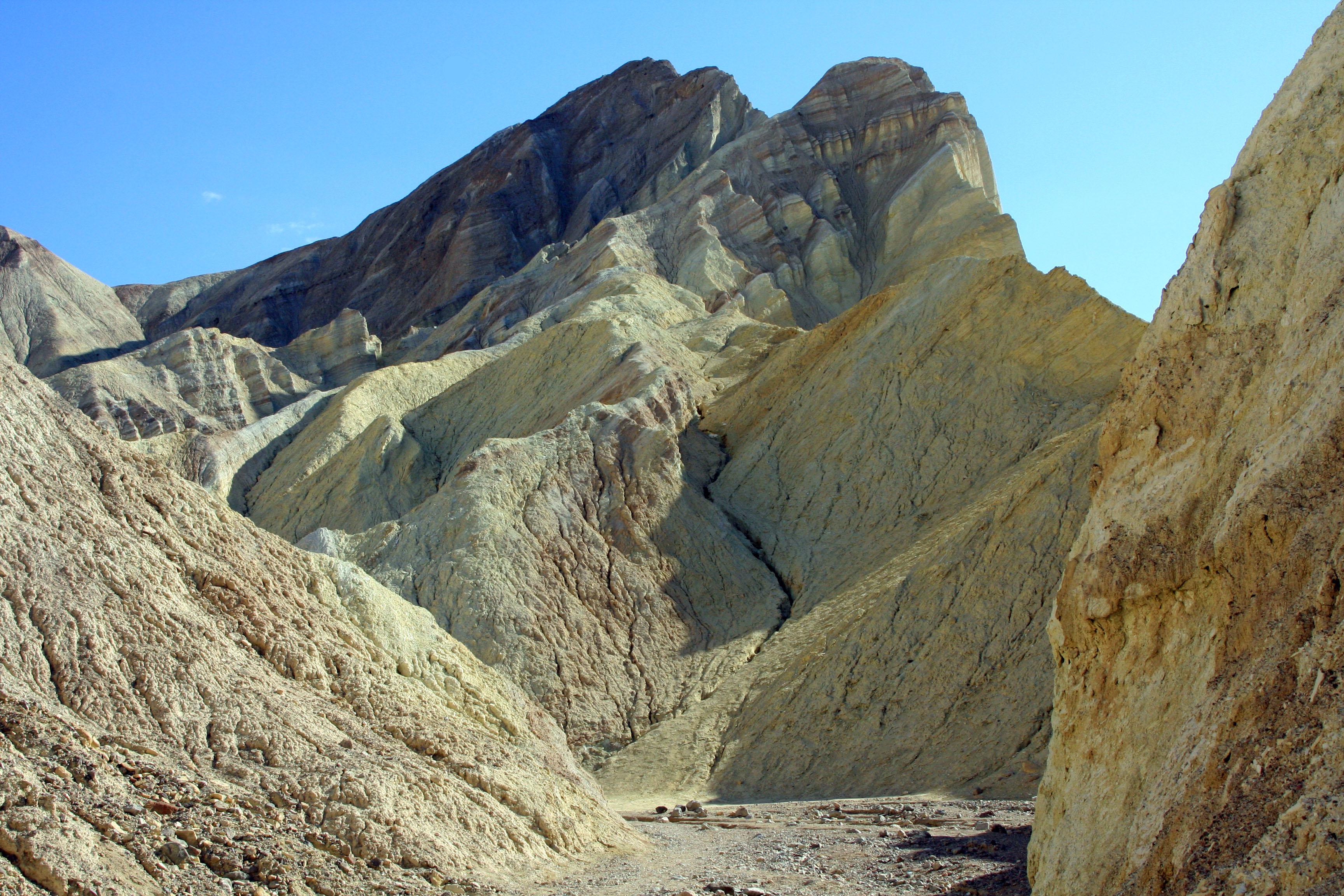
A hike up Golden Canyon in Death Valley National Park awards hikers with this view of Cathedral Ridge.

A paved road once snaked its way into Golden Canyon in Death Valley National Park. Tourists could drive in and enjoy the view.  No effort was required. People would take out their cameras, do the ‘ah’ bit, and leave… hurrying on to the next must see sight.

Flash floods are common in desert areas, however. One roared down Golden Canyon in 1976 and took the road along with it. Ever since, access has been by foot. Consider it a blessing. I am not against driving and gawking. I do plenty. But we miss a great deal of nature as we roll along in our sleek air-conditioned vehicles.

What was once a paved road providing access to Death Valley’s Golden Canyon is now a wide, easy to follow path.

And there is much to see in Golden Canyon. The hike is easy as long the sizzling heat of Death Valley’s summer is avoided. October through April is the best time to visit. I also recommend hiking in early morning or late afternoon when colors are vibrant. Carry water. Stroll up the canyon, stop often and look around. The experience is best when savored. It’s a two-mile round trip. For a shorter version, stop at any point.

Markers along the trail provide insight into area’s rich geological history. Topsy-turvy planet altering processes caused by the movement of the earth’s tectonic plates folded and twisted ancient rocks that had been created from deposits in even more ancient seas. Erosion has exposed this work of eons and gives us a glimpse into the past. The bright colors of the different rocks and the different rate they erode provide a feast for our eyes and imagination, not to mention our cameras.

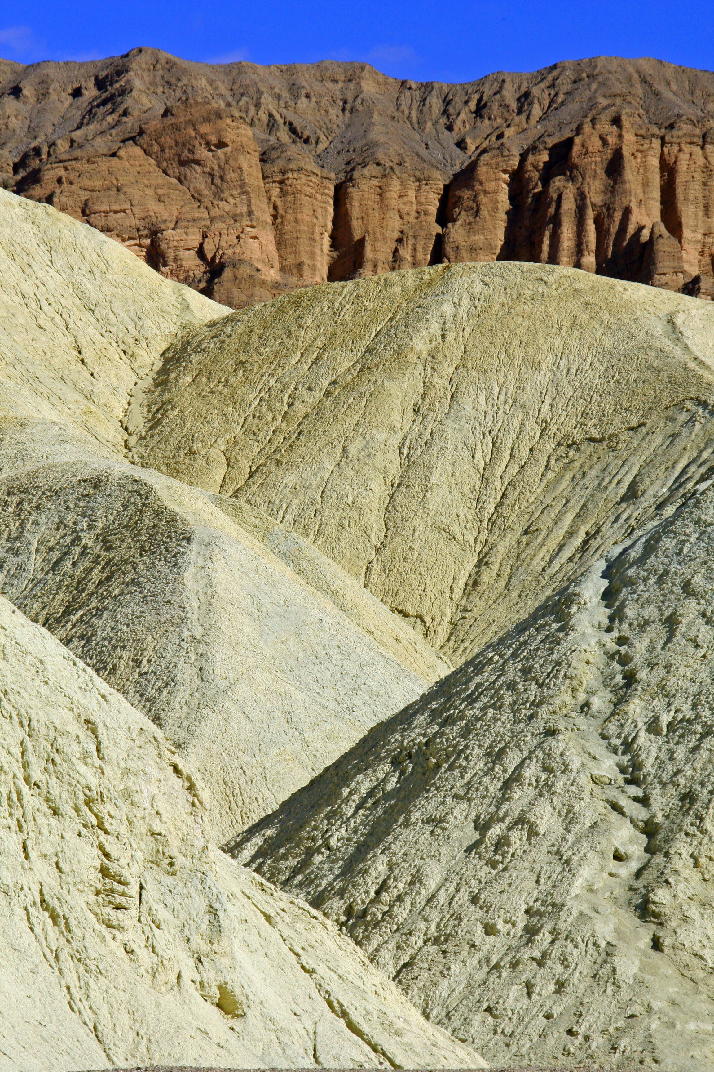
The lower rocks provide a clear view of how Golden Canyon  obtained its name. The upper rocks show sedimentary layers of rocks that were once laid down in ancient sea beds and have since been raised and folded by tectonic forces.

Golden Canyon is located two miles south of Highway 190 on Badwater Road. Trails to Zabriskie Point and Gower Gulch cut off of the Gold Canyon Trail. Ask at Park headquarters for maps and details.

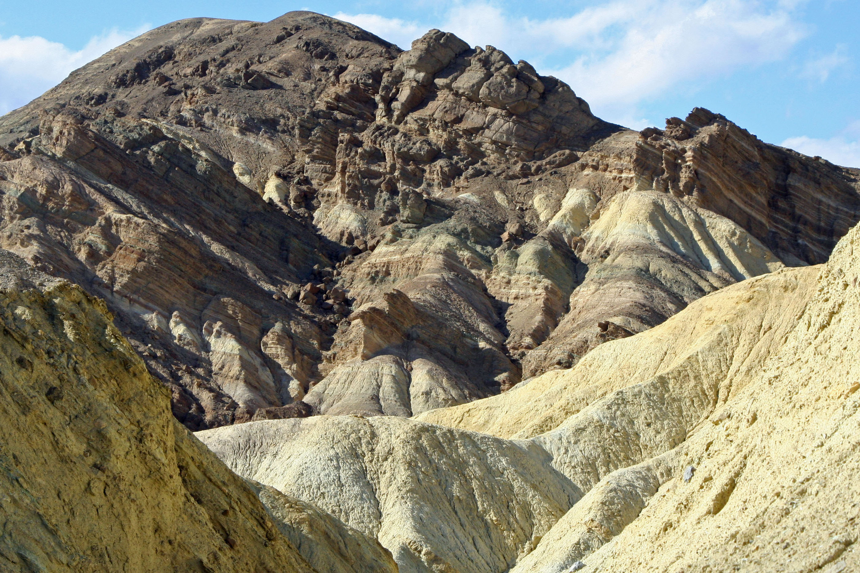
Another view of the red Cathedral Ridge above Golden Canyon in Death Valley. The red color is created by iron oxide.

Views on the way out of Death Valley’s Golden Canyon are equal to views on the way in. I liked the contrasting colors in this photo.

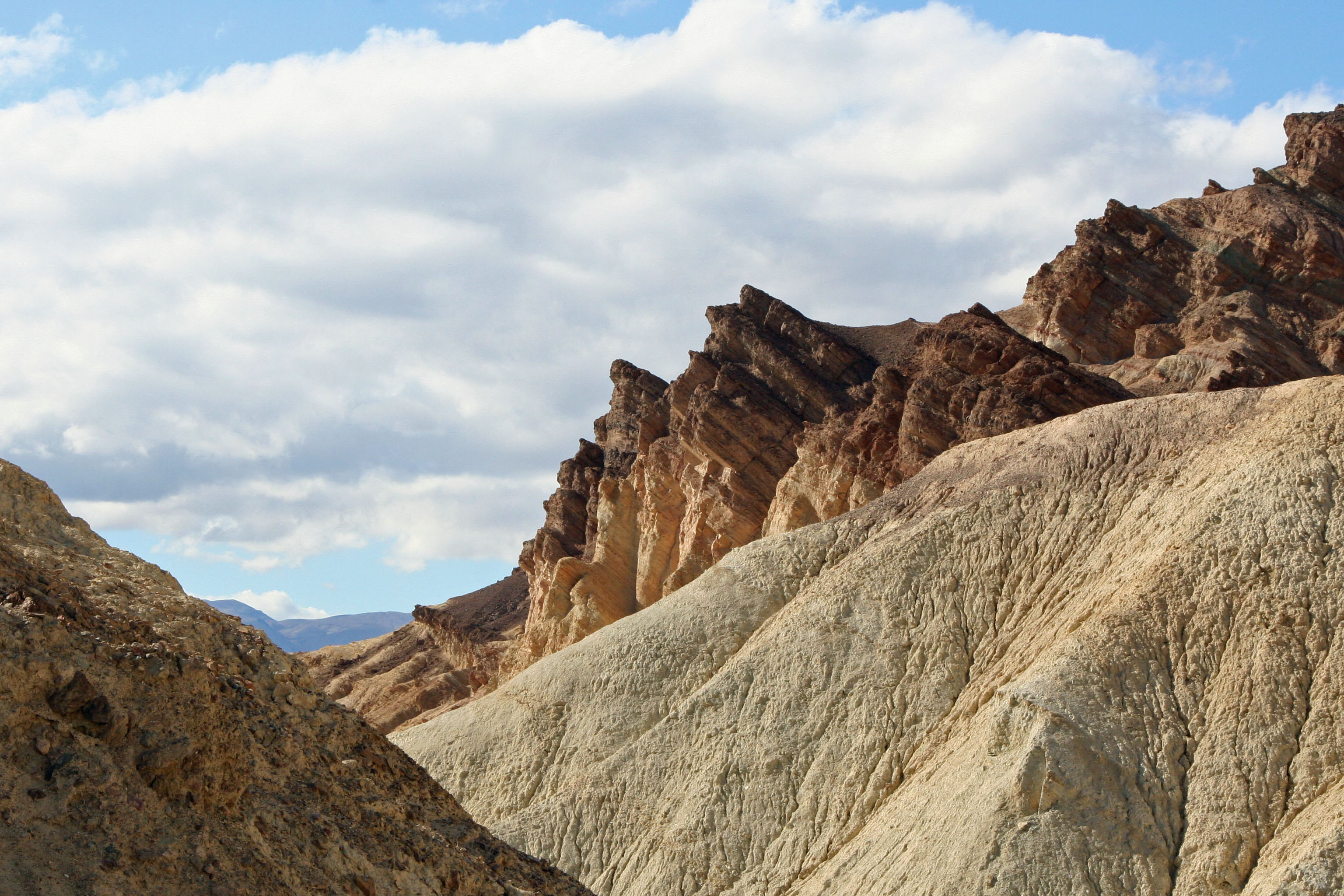
The upward thrust of the layered rocks that were once horizontal is particularly dramatic in this Golden Canyon photo.

Looking down Golden Canyon across Death Valley provides a distant view of the Panamint Mountains wrapped in a blue haze.

Earth Day 2012

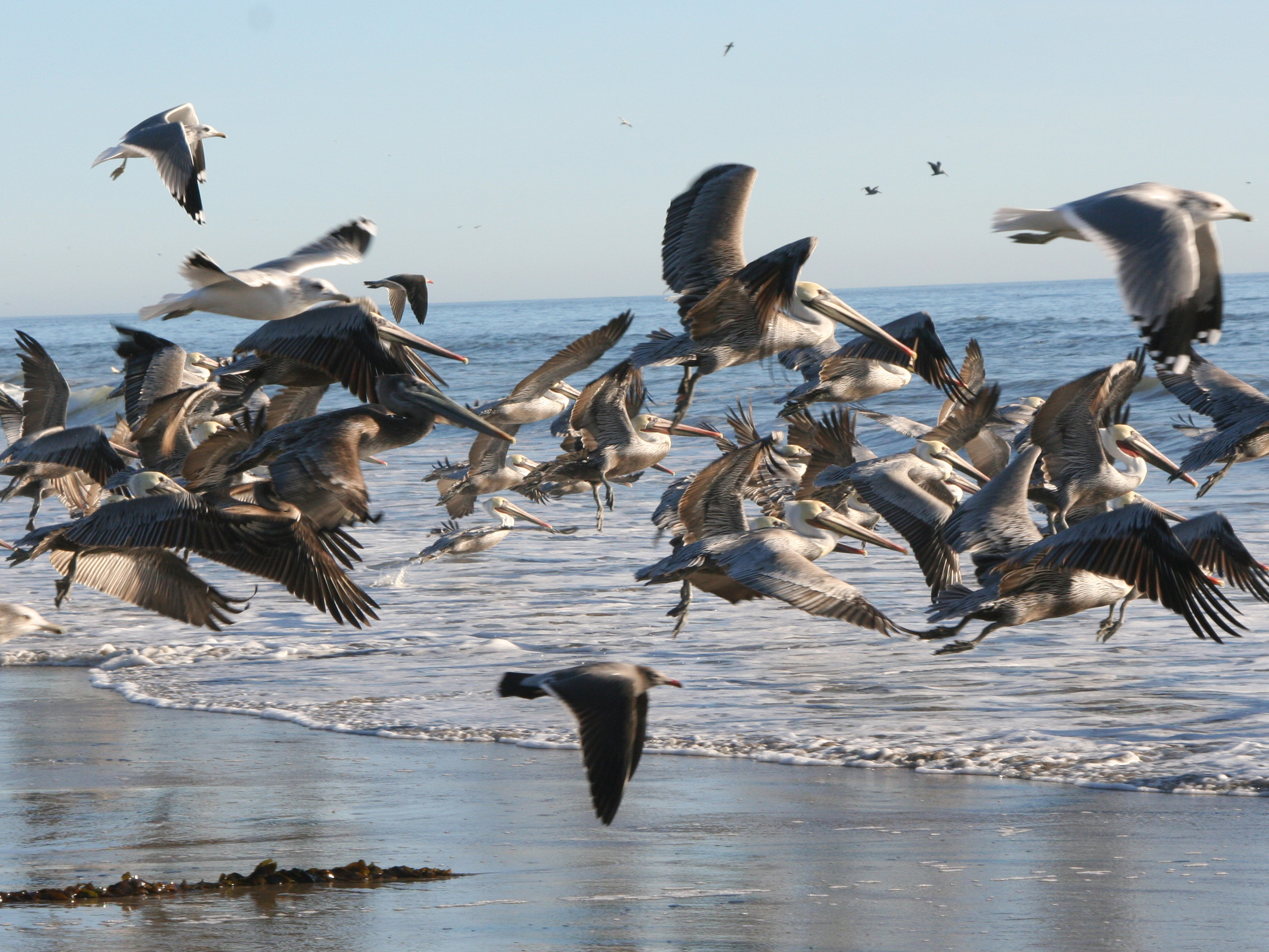
The extensive use of the poison DDT in agriculture was a death sentence to the California Brown Pelican. Rachel Carson's book Silent Spring raised people's awareness of the issue and helped kick off the environmental movement.

The first Earth Day I celebrated was Earth Day 1 at UC Davis in California. At the time I was Director of Peace Corps Public Affairs for Northern California and was recruiting at Davis. Earth Day 1 made a deep impact on how I viewed the world. I quit my job and became Executive Director of the Sacramento Ecology Center. Ever since, on one level of another, I have been an environmentalist.

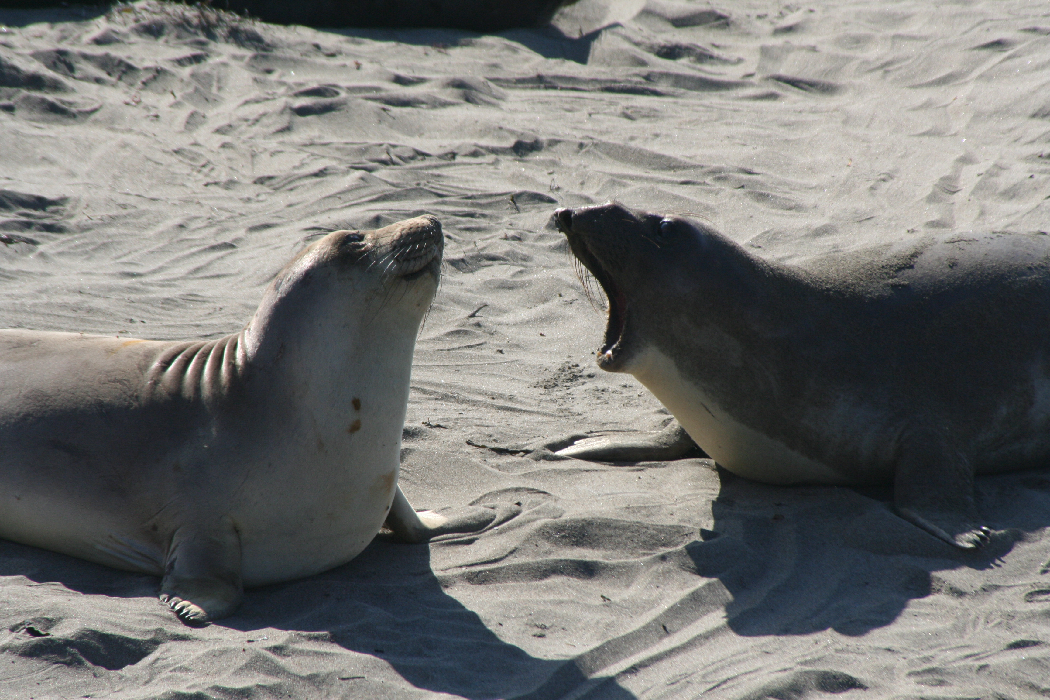
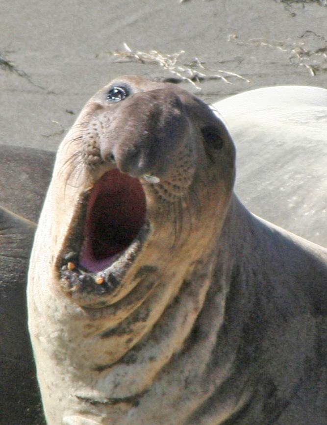
To celebrate Earth Day 2012, I am using my blog to feature two wonderful animals that were on the edge of extinction before they were saved by growing environmental awareness. The California Brown Pelican was victim of the extensive use of the poison DDT. Elephant Seals were hunted to the brink of extinction for their blubber, which was turned into lamp oil.

The world would be a much poorer place with out these animals.

Have you heard the news? It's Earth Day.

The world would be a poorer place if we could no longer hear the roar of a bull Elephant Seal.

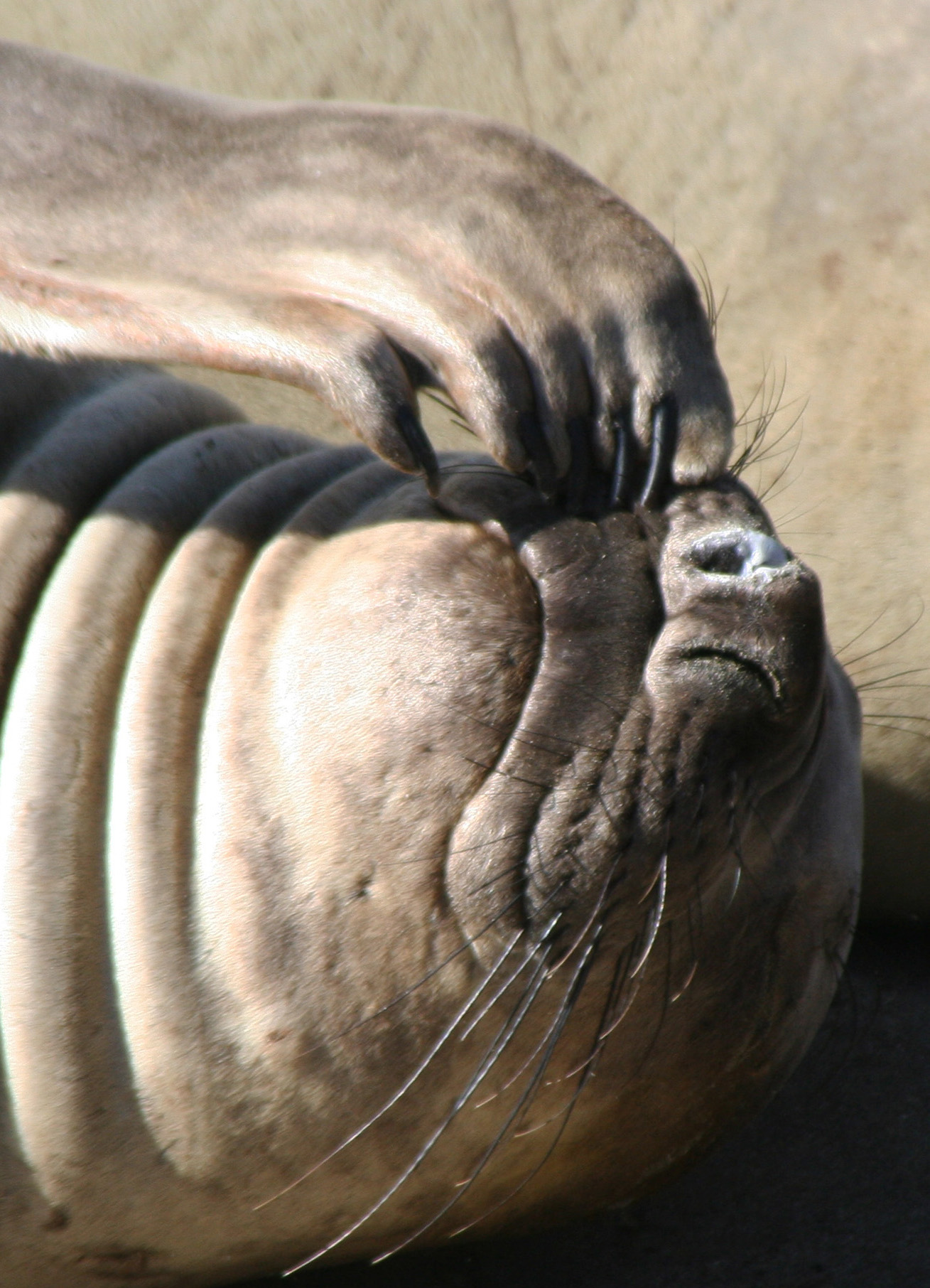
Or watch one scratch his nose.

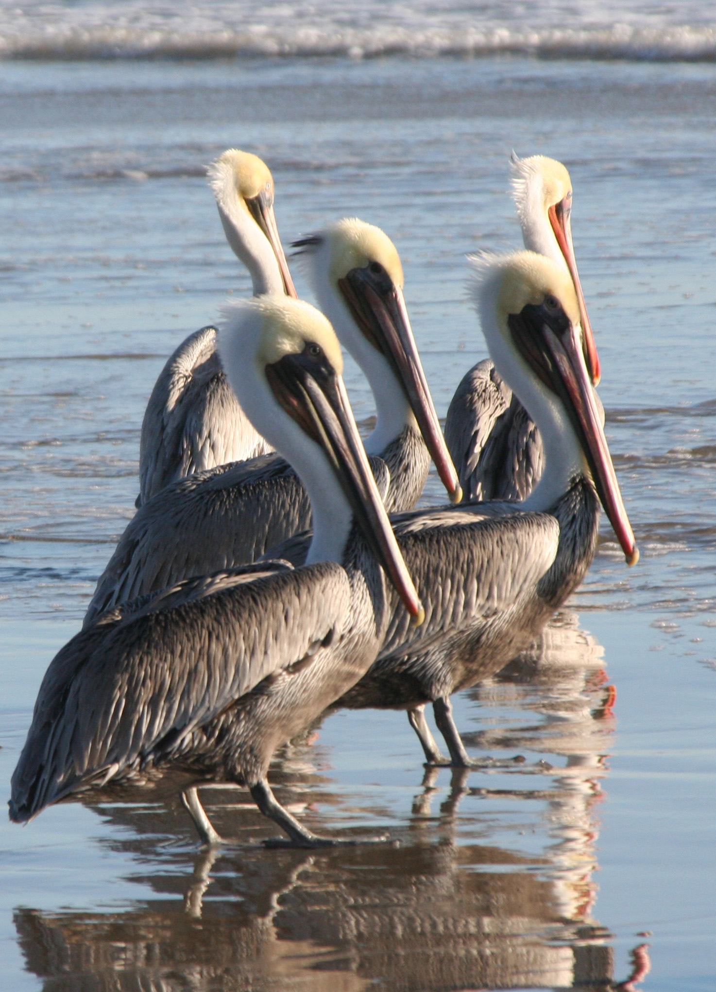
I call this photo of Brown Pelicans The Committee.

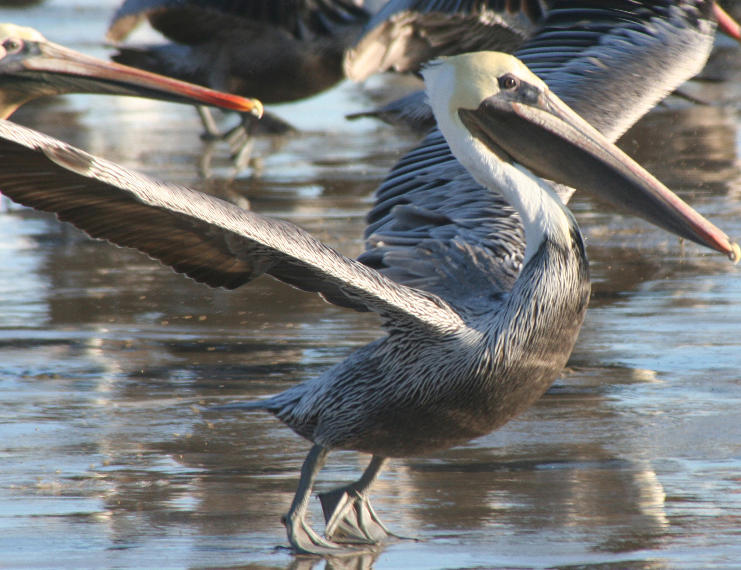
Without environmental awareness and action, this magnificent bird would have never flown. Happy Earth Day 2012, and thank you.

Death Valley’s Ubehebe Crater… The National Park Series

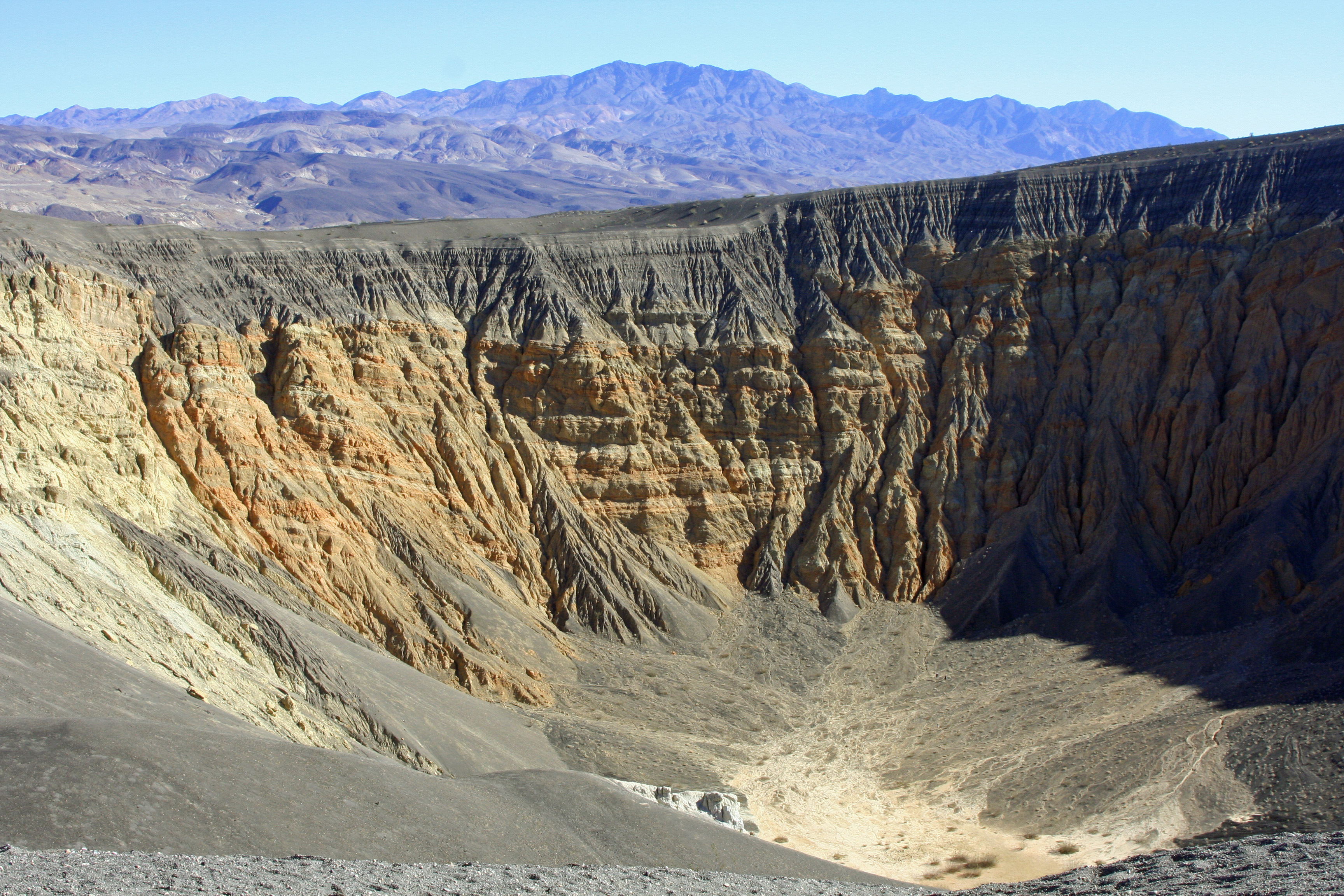
Looking across Ubehebe Crater in Death Valley National Park.

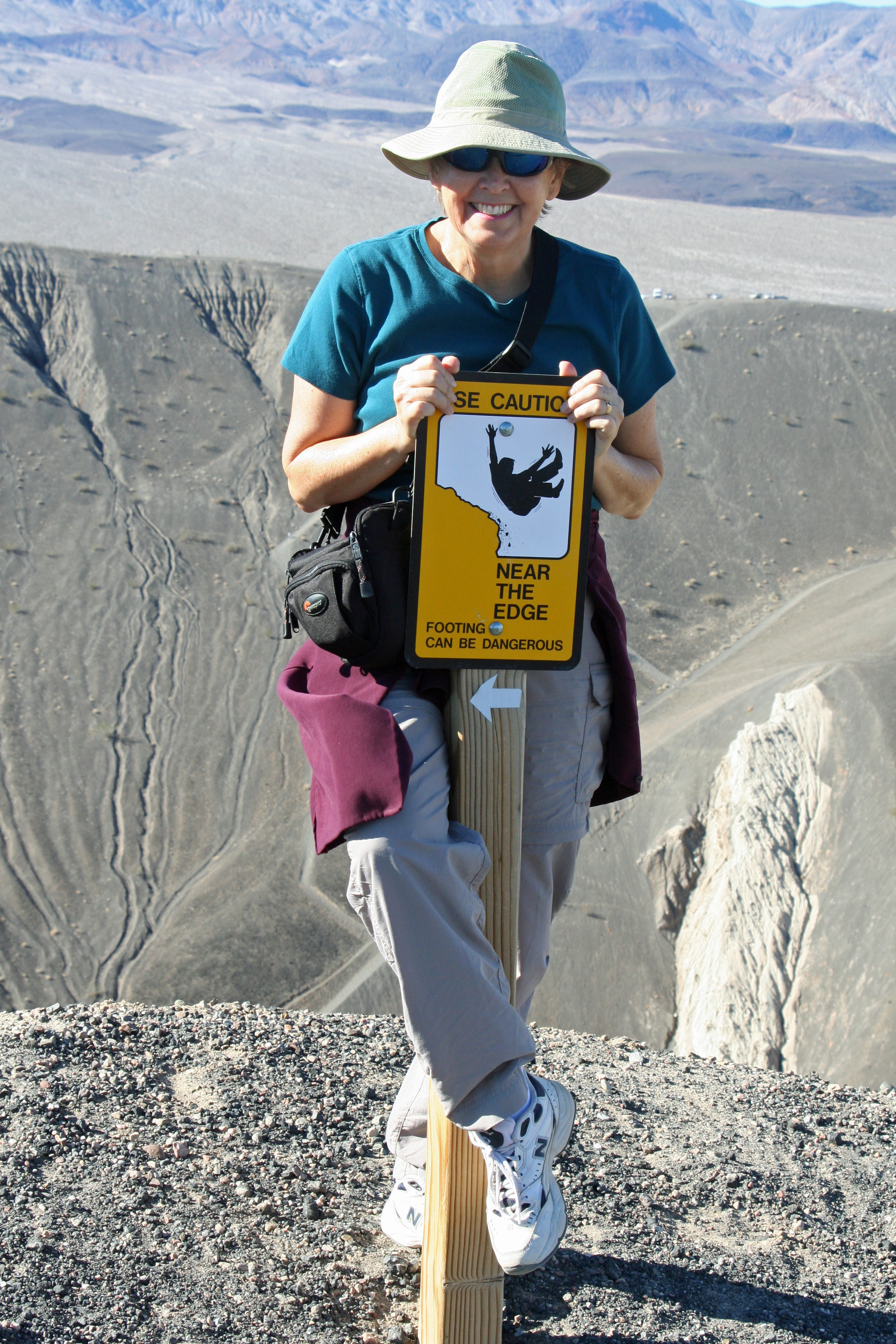
Peggy is perched on the edge of Ubehebe Crater in Death Valley National Park holding on to the sign that warns her not to be there. Fortunately, the sign is several feet away from the big hole. Falling in involves a 600-foot plus tumble.

Peggy on the edge of Ubehebe Crater.

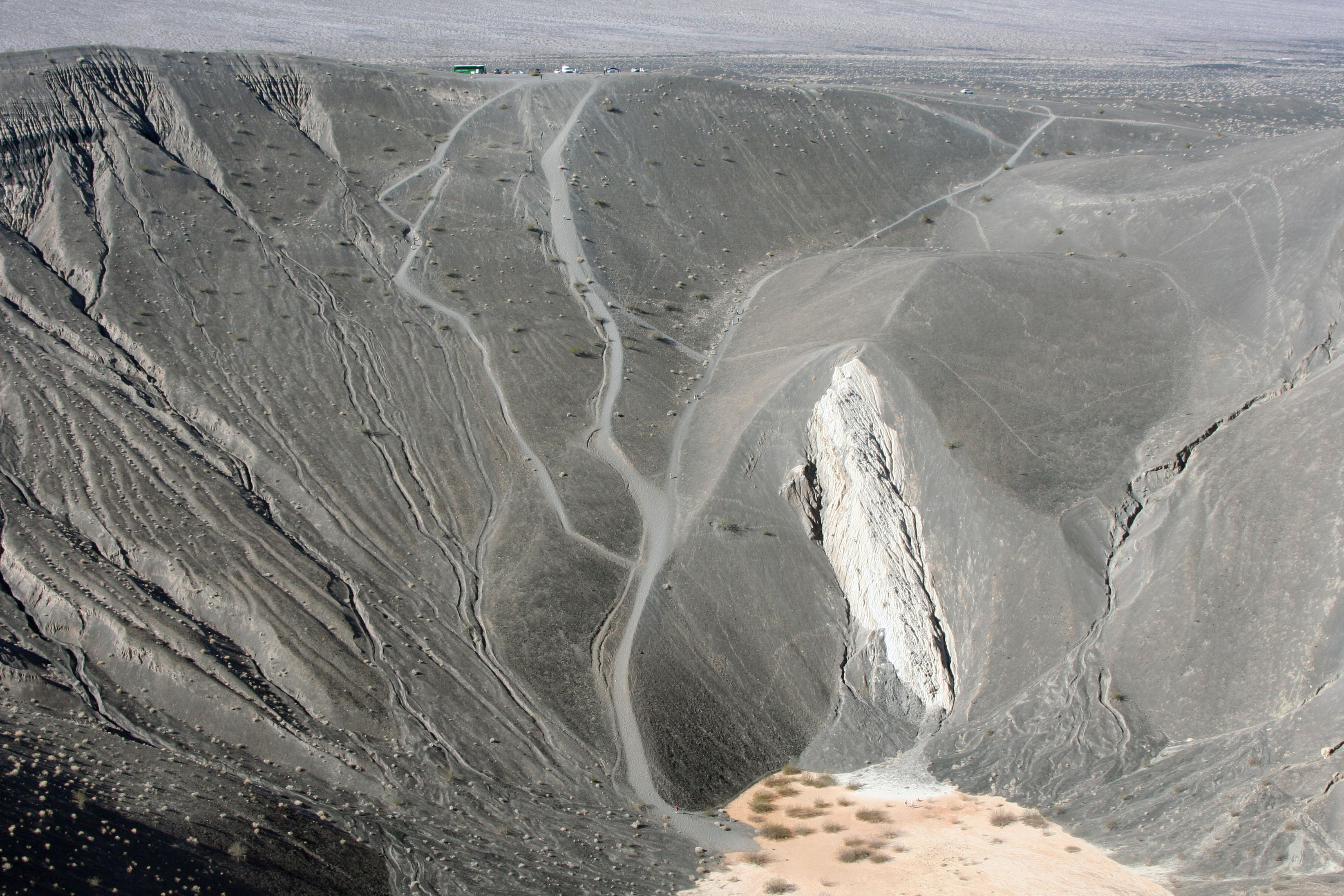
There is a safer, but slower way, to get to the bottom. Several trails snake their way down from the crater’s parking lot. If you have ever had the desire to climb into a volcano, Ubehebe makes it easy. Getting out is the challenge.

Wide paths invite adventuresome visitors to hike into Ubehebe Crater at Death Valley.

Geologists used to believe the volcano was 10-12 thousand years old. A recent study by Columbia University suggests it is much younger. The study also warns that the area is still volcanically active. Ubehebe could explode at any time, or not.

The original eruption was violent, a heck of a big bang. Rising magma came in contact with seeping water. They don’t mix well. The result was instant steam. Boom! Scientists call it a hydro-volcanic eruption.

Peggy and I opted to walk around rather than down the crater. There are a dozen or so volcanoes in the area including Little Hebe, which is easy to reach and provides a different perspective. For me, the surreal nature of the eroded landscape more than justified the 1.5-mile hike. Carry water. Oh yeah, Peggy says stay away from the edge.

If you want to visit Ubehebe Crater, and you should, you will need to drive to the north end of the Park. Scotty’s Castle is next door so you can easily include both sites.

Little Hebe Crater is one of a dozen volcanoes found near Ubehebe Crater.

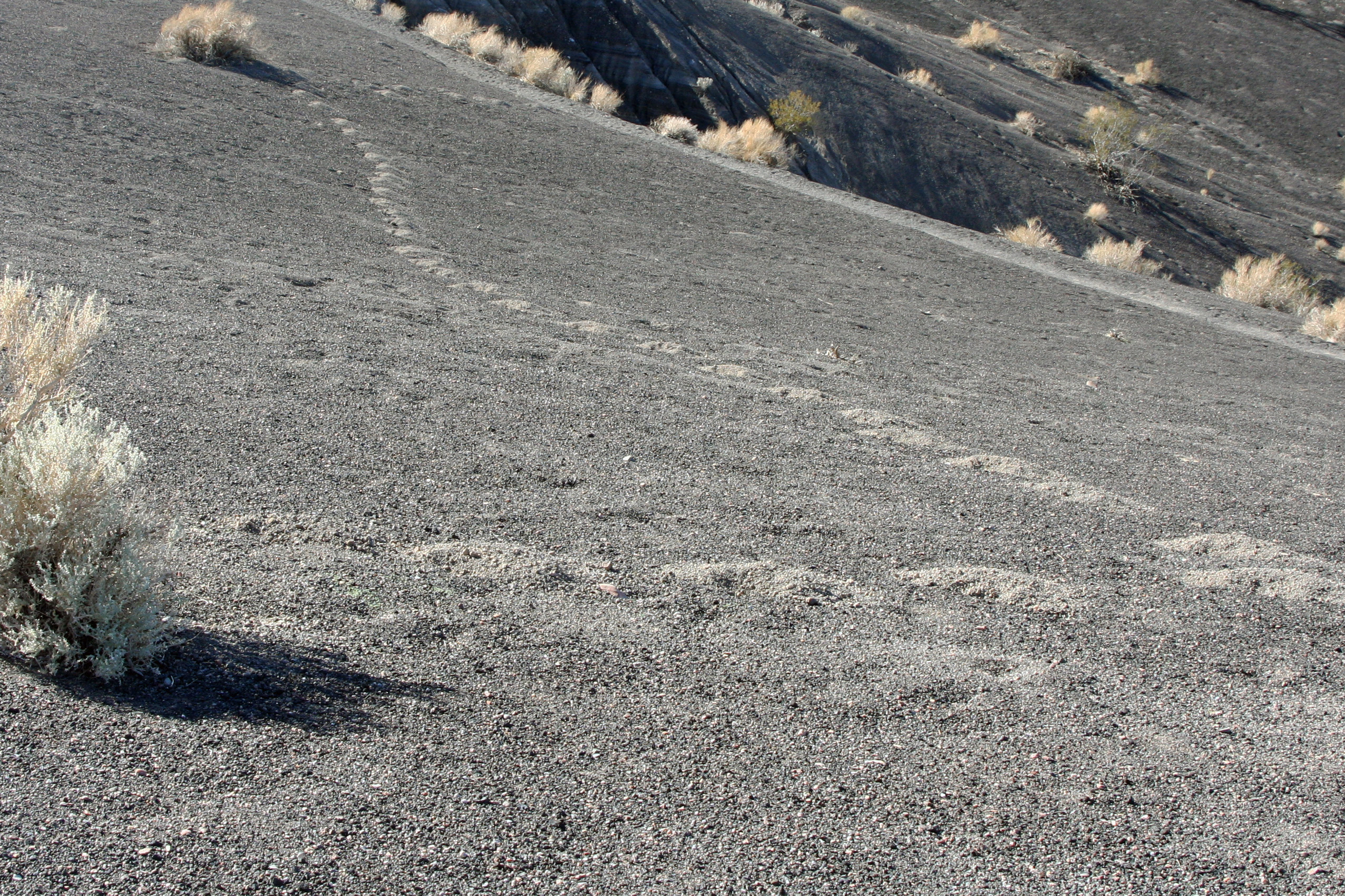
While walking around Ubehebe Crater we came on this strange trail of dirt piles that shot off in one direction from a bush and then switched to head for another bush. I figured it must be a gopher. There is life in Death Valley! I was curious about how it determined where the second bush was.

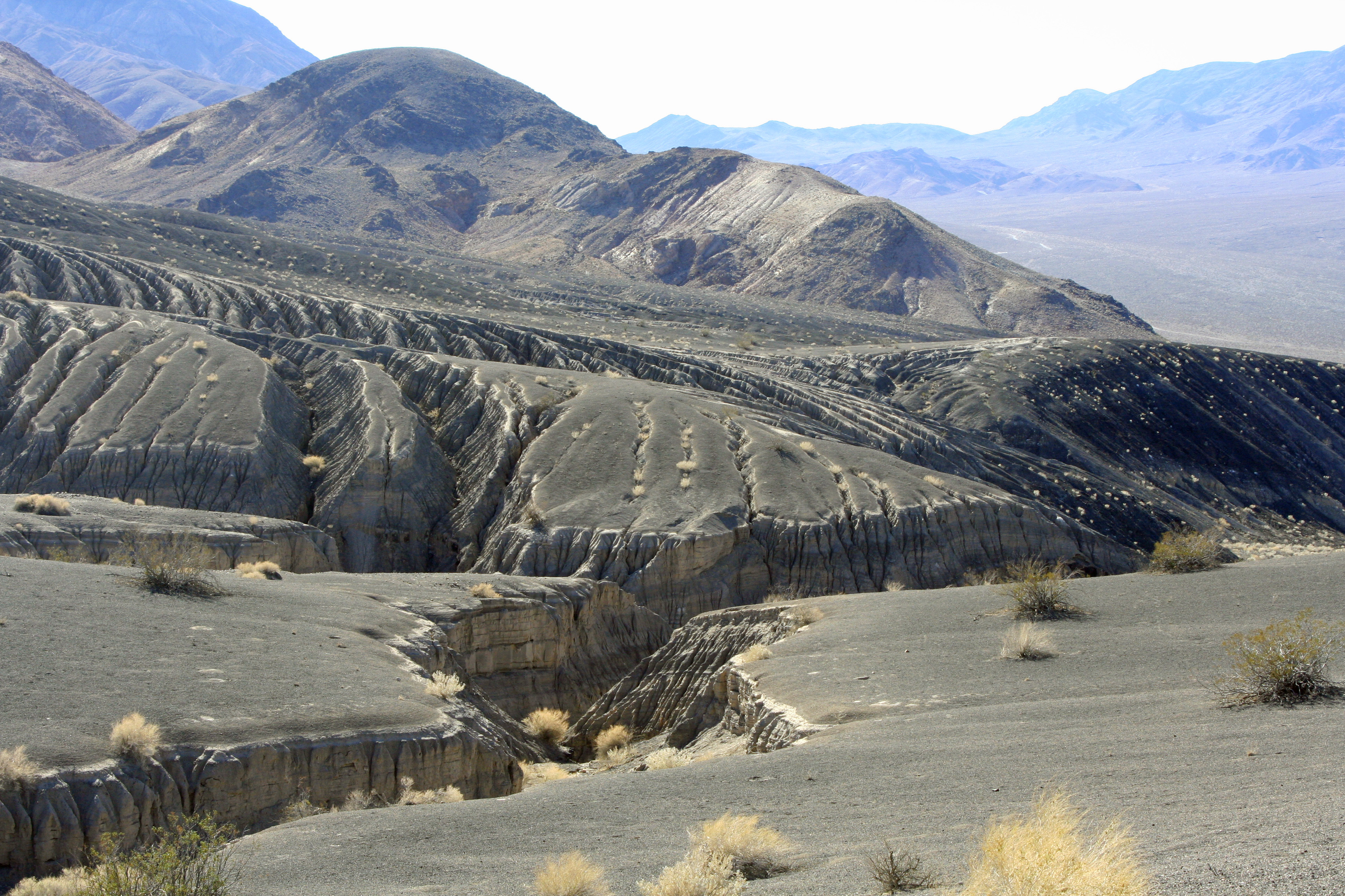
Erosion of the volcanic soils surrounding Ubehebe Crater create a beautiful but almost surrealistic landscape as shown in this and the following photographs.

Another surrealistic landscape near Ubehebe Crater in Death Valley National Park.

What caught my attention about this photo looking south from Ubehebe Crater was the contrast between the green shrubs, eroded landscape and purple mountains.

The Sand Dunes of Death Valley… The National Park Series

The sand dunes of Death Valley National Park provide a striking contrast to the surrounding mountains.

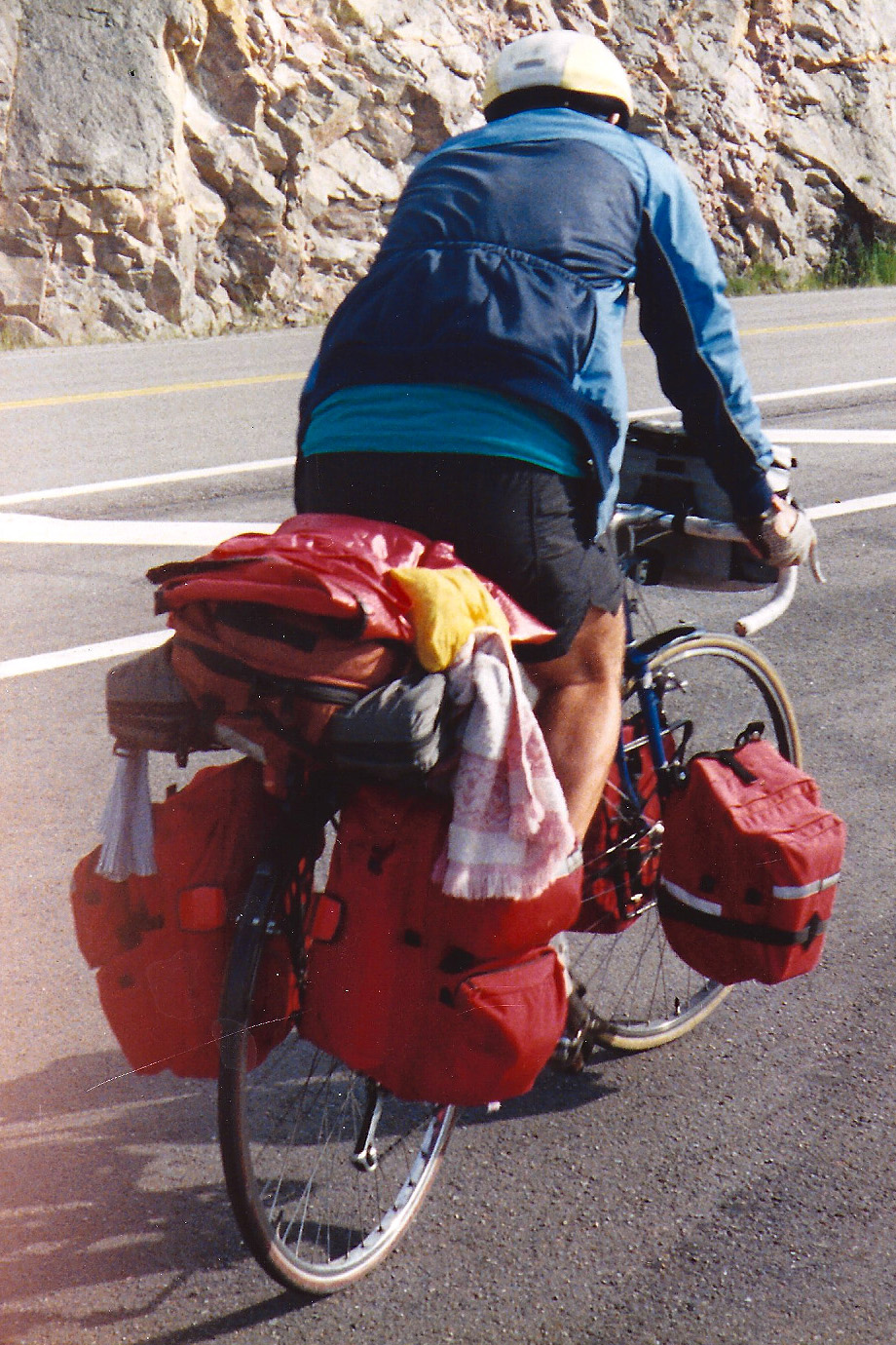
I was in my lowest gear, out of the saddle, and moving at three miles an hour. It would have been easier to get off the bicycle and push, but I am stubborn.

Three days before I had climbed over Greenhorn Pass in the Southern Sierra Nevada Mountains during a blinding snowstorm. I wasn’t going to let the Panamint Range of Death Valley National Park defeat me

There was ample time as I struggled up the mountain to question the sanity of doing a six-month, 10,000-mile solo bike tour around North America. I’d prepared for the journey by increasing my beer ration. Of course I paid for my folly. I usually do.

I started my 10,000 mile solo trip around North America out of Sacramento California. Every thing I would need to survive for six months on the road was packed on my bike, some 60 pounds of gear. It wasn't totally solo. The Peripatetic Bone was riding in my handle bar bag.

By the time I reached Death Valley, however, I was two weeks into the trip and my body was toughening up. I succeeded in making the nine-mile climb out of Panamint Valley to the top of the 4956 Towne Pass even though it took me three hours and burned half of my carefully acquired beer calories.

Euphoria was the result. Looking back, I count the climb as one of the top ten challenges of my 10,000-mile trek. It almost competes with dodging a tornado in Mississippi.

I rewarded myself by declaring it lunchtime. I also allowed myself to contemplate the 17 mile downhill ride into Stove Pipe Wells and what I would find at the bottom: the Sand Dunes of Death Valley.

I’ve been in and out of the Valley numerous times over the years. It’s all beautiful or at least wonderfully strange. But for me, the Sand Dunes are in a class by themselves. I am fascinated with their sinuous curves and how they contrast with the surrounding mountains. I love climbing up and down their slippery slopes in the early morning and wandering along their peaked ridges on a moonlit night.

The sinuous, flowing slopes of the sand dunes in Death Valley National Park are a thing of beauty.

The dunes are a product of wind, sand and topography, all of which Death Valley has an abundant share.  Mesquite Flat Dunes, located at Stove Pipe Wells and featured in this blog, are the easiest to reach and the most commonly visited. Being relatively close to Hollywood, they have starred in many movies, including Star Wars.

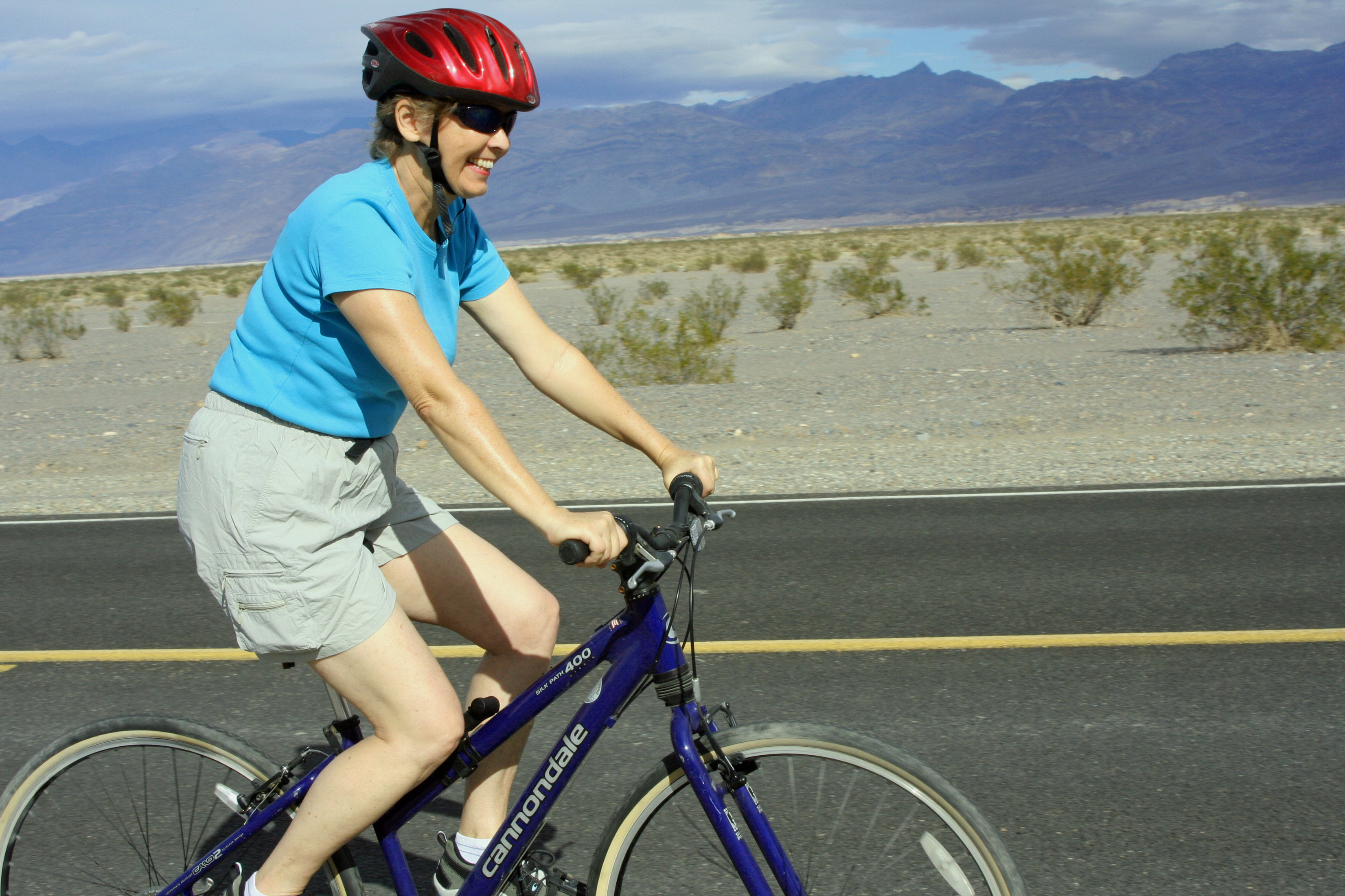
The last time Peggy and I were in Death Valley, we brought along our bikes for a more relaxed tour of the Valley floor and dune area.

How you look when you aren't loaded down with 60 pounds of gear and climbing a mountain. Note Peggy's smile.

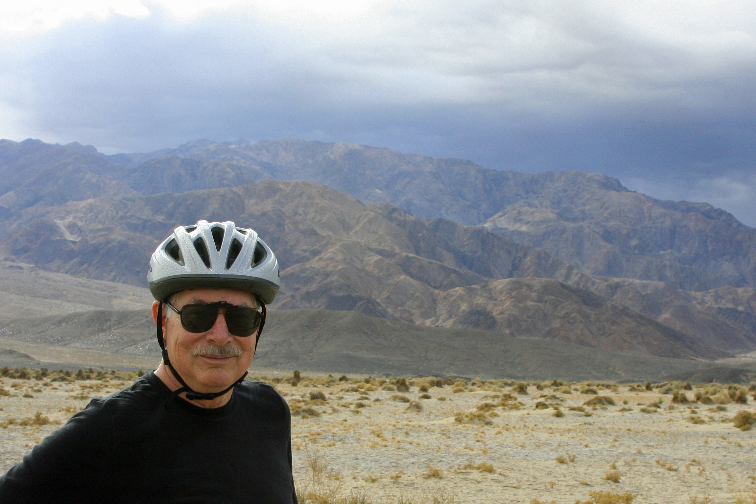
I am looking rather relaxed myself. Peggy took this photo looking across what is known as the Devil's Cornfield. The Panamint Range looms in the background.

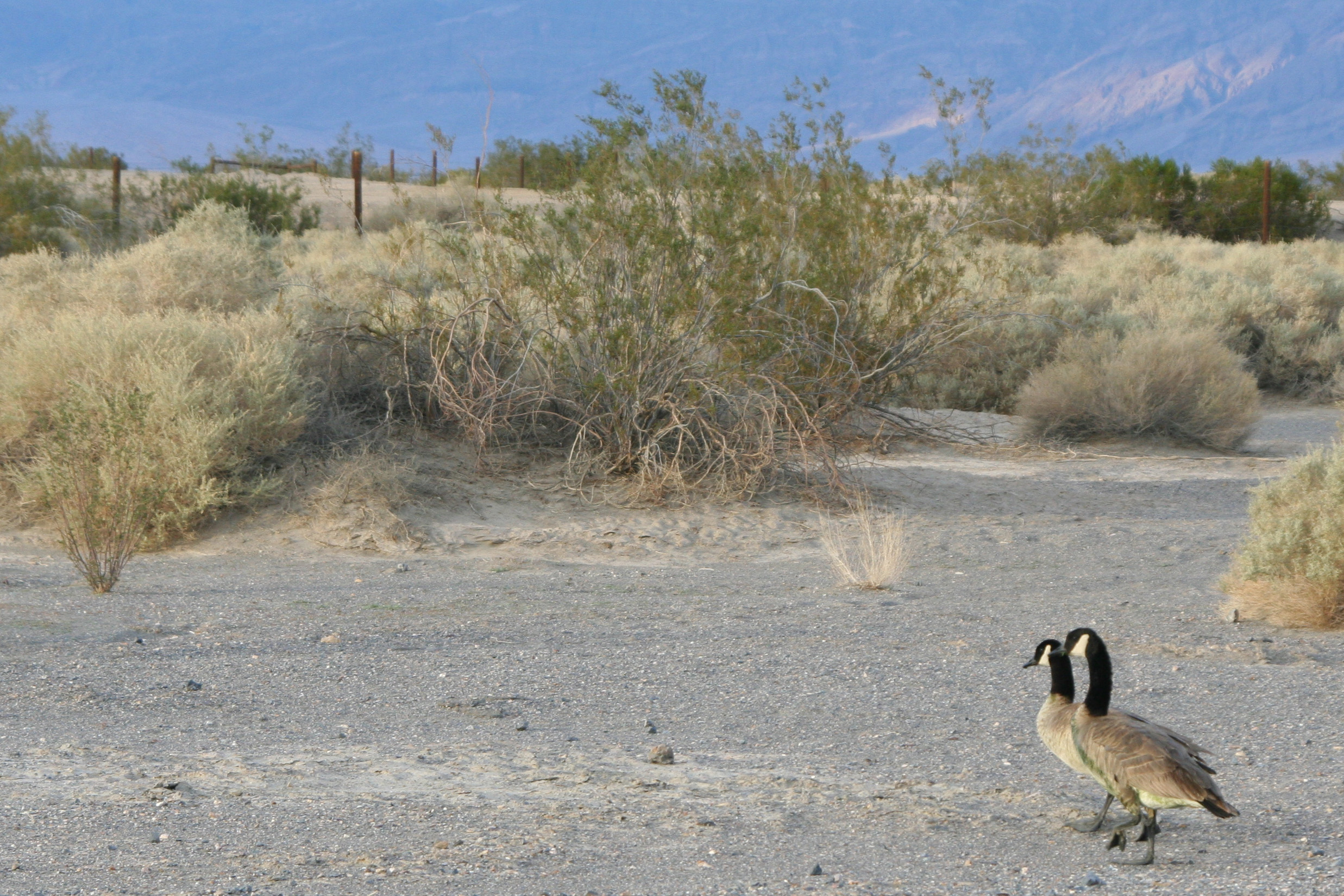
Peggy and I were on an evening stroll out to the dunes when we came across a pair of Canadian Geese. I assumed they were lost but they didn't ask for directions.

A final view of the dunes set off by a cloud filled sky.

Rhyolite, Death Valley: A Ghostly Town… The National Park Series

A ghost sign for Rhyolite, Nevada. Look closely and you will see ghostly letters of the town's name imposed over the name of a long forgotten casino.

The wind was cold with the whispers of forgotten ghosts. We put on our Jackets to fight the chill; Bone found a horseshoe for good luck. We had made a detour to visit the old Ghost Town of Rhyolite on the way into Death Valley National Park from the small town of Beatty in Nevada.

The Peripatetic Bone, who was originally part of a horse just above the hoof, tries on a horseshoe for good luck.

Gold was discovered in the area in 1904. A boomtown sprang out of the desolate desert. Soon there was a school, a bank and even an opera house. The sound of “batter up” could be heard on weekend days and arias on weekend nights. Women flowed in from San Francisco to accommodate the town’s red light district.

Can you hear the children playing?

The town bank.

There was even an ice cream parlor and a house made from 50,000 beer and liquor bottles, which says something about the quantity of liquor consumed in town.

A house built with 50,000 bottles of beer and booze: light, insulation and a doozy of a hangover.

In 1907, electricity came to Rhyolite. It was the same year a financial crisis announced the beginning of the end for the town. Mines started to close, banks failed, and the newspaper went out of business. The lights were shut off in 1916. The boom was over.

A few skeletons of buildings and the bottle house are all that remain today. If you are in the neighborhood be sure to stop by. The ghosts will appreciate your visit. There is also a fascinating sculpture garden located next to Rhyolite that I will blog about next in my National Park/Death Valley series.

Long abandoned vehicles provide great photo opportunities but this one was missing something critical. And no, I don't mean engine...

A hood ornament.

Death Valley Scotty and Scotty’s Castle… The National Park Series

Looking down on Scotty's Castle in Death Valley National Park. This view is looking eastward up Grapevine Canyon. A spring in the Canyon provides water for the Castle and creates the oasis. Our small RV Quivera is peeking out on the far right.

Walter E. Scott was a scoundrel and a showman, a master at bilking rich people out of their money. He was born in Cynthiana, Kentucky in 1872. I may be related.

My Great, Great, Great, Great, Great Grandfather, Andrew Mekemson/Makemson is buried five miles from town. For a time, in the late 1700s and early 1800s, our whole Scotch-Irish clan lived in the area. At one point, Makemsons and Scotts in Harrison County intermarried. Possibly it was with Scott’s family.

Walter didn’t hang out in Cynthiana for long, however. In 1883, at the age of eleven, he split. Some say he ran away. He ended up working as a cowboy with his brother in Nevada.

He must have looked great on a horse. A talent scout for Buffalo Bill’s Wild West Show recruited him as a cowboy and trick rider when he was 18. For the next 12 years he toured the US and Europe along with such luminaries as Annie Oakley.

In 1902 he discovered his true calling. Walter started selling shares to an incredibly rich gold mine in Death Valley, a gold mine he never quite got around to finding. He became the star of his own Wild West act.  Reinvesting his investors’ money, he travelled from LA to New York City, stayed at the best hotels, spent lavishly, and constantly promoted his non-existent gold mine.

Reporters were attracted to him like buzzards to road kill. And why not… they were guaranteed a great story, free meal and all the booze they could consume. The legend of Death Valley Scotty was born. Rich men lined up to contribute.

In 1905 he pulled off one of his most successful self-promotions. Scotty hired a three-car Santa Fe railroad train to make a record run from Los Angeles to Chicago. The ‘Coyote Special’ made the trip in 44 hours and 54 minutes.

“We got there so fast,” Scotty reputedly said, “ we didn’t have time to sober up.”

His pot of gold was waiting. Albert Johnson lived in Chicago and was Scotty’s opposite. While Scotty was a flamboyant con man and adventurer, Albert was a quiet, highly educated and deeply religious man… not to mention very wealthy. He became excited about the gold mine. Scotty had found his meal ticket for life.

Eventually Albert visited Death Valley to see the mine. Or possibly he came out to see why there were no returns on his investment. Scotty saddled up and took him on a strenuous wild goose chase through the desert. It was risky. Albert was not a healthy man and the trip could have killed him. The opposite happened. His health improved and he came to love Death Valley.

What was even more surprising, he developed a close friendship with Scotty and that friendship was more important than the gold.  Time and again Albert returned to Death Valley. He started bringing his wife Bessie along and she also developed a love for Death Valley and Scotty. But she didn’t like sleeping on the ground.

So Albert offered to build her a castle, which he did. It was an incredible feat given the vacation home’s remote location on the northern edge of Death Valley in Grapevine Canyon. Starting in the Roaring 20s and ending in the Great Depression, it cost two million dollars and took five years to complete.

Any respectable castle requires a turret.

Scotty promptly moved in: not as a guest, not as a renter and not even as a caretaker, but as the owner. He claimed it was his castle built with money from his gold mine. Albert and Bessie went along with their friend’s deception and Besse’s home became know as Scotty’s Castle.

Albert died in the 1940s and left the property to the Gospel Foundation, a charitable organization. But he left it to the charity with a proviso: they had to take care of Scotty, which they did up until his death in 1954.

In 1970 the National Park Service bought Scotty’s Castle from the Gospel Foundation and today’s visitors to Death Valley are welcome to include this beautiful and unique property as part of their adventure. A short walk up the hill behind the castle takes visitors to Scotty’s grave and a great view of the castle.

This blog marks the start of my National Park Series. Beginning in 2000, my wife Peggy and I have visited all of the US’s National Parks. From time to time I will feature our favorites. Over the next two weeks I will be blogging on Death Valley and the surrounding region.

Another view of Scotty's Castle in Death Valley. Note the weather vane on top.

A close-up of the weather vane and my favorite photo of Scotty's Castle. To me, it symbolizes the lonely prospector of the West. All that's missing is a donkey or horse.

A short walk up behind Scotty's Castle will bring you to Death Valley Scotty's grave and memorial. The site also provides a great view of the Castle and surrounding desert.

Scotty's faithful companion, Windy the Dog, is buried beside him. Bone, as in the Peripatetic Bone, stops by for a visit. Bone has been traveling the world for 36 years and has a special place in his heart for graves. No surprise there. He is more careful around live dogs.
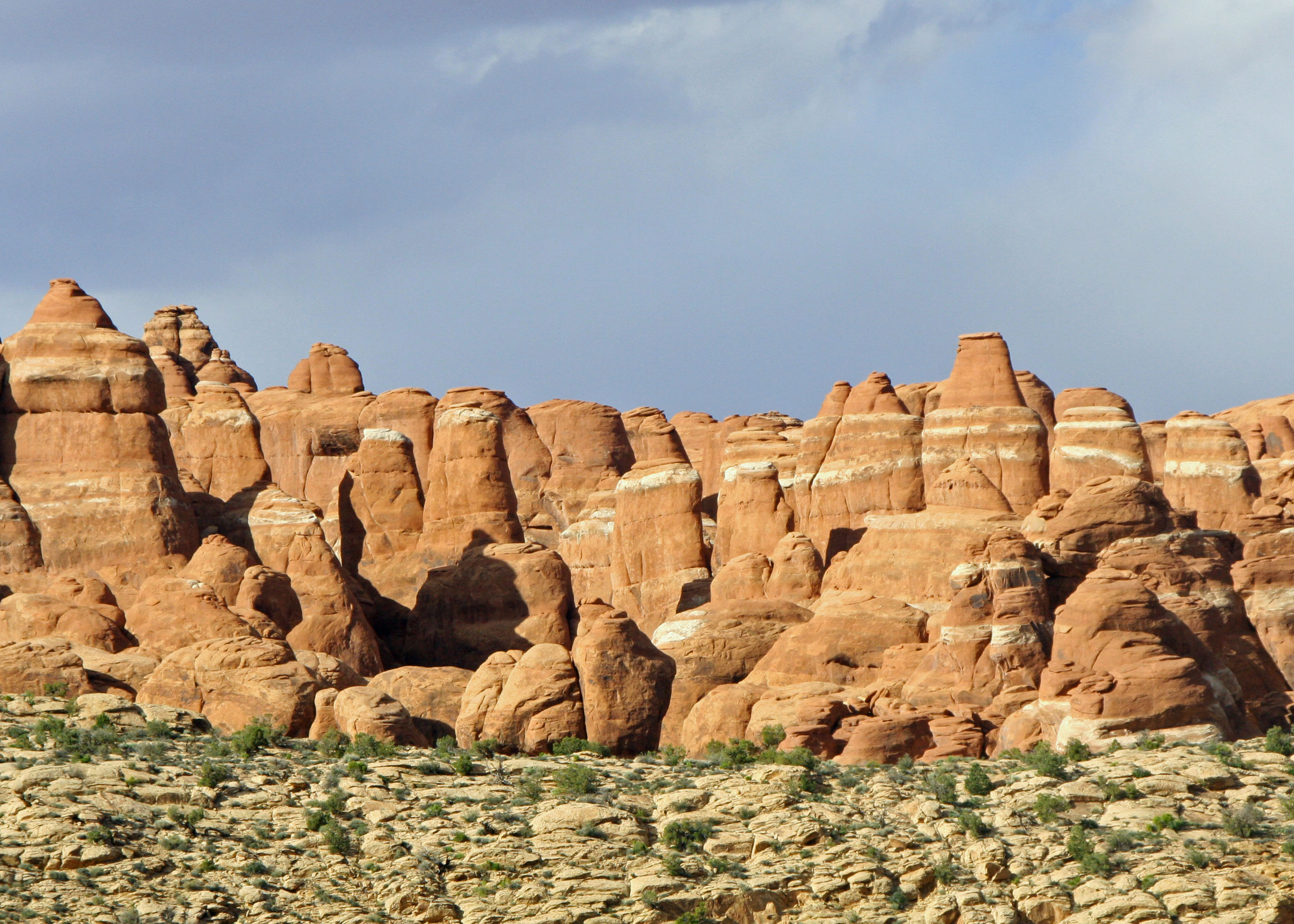
A view of the Clock Tower at Scotty's Castle looking out toward Death Valley National Park.

Dangerous Rapids of the Colorado River

Author’s note: This blog brings us back to our trip down the Colorado River, which we undertook in late spring. My computer crash interrupted the story. My goal over the next few weeks will be to intersperse Grand Canyon blogs along with current happenings.
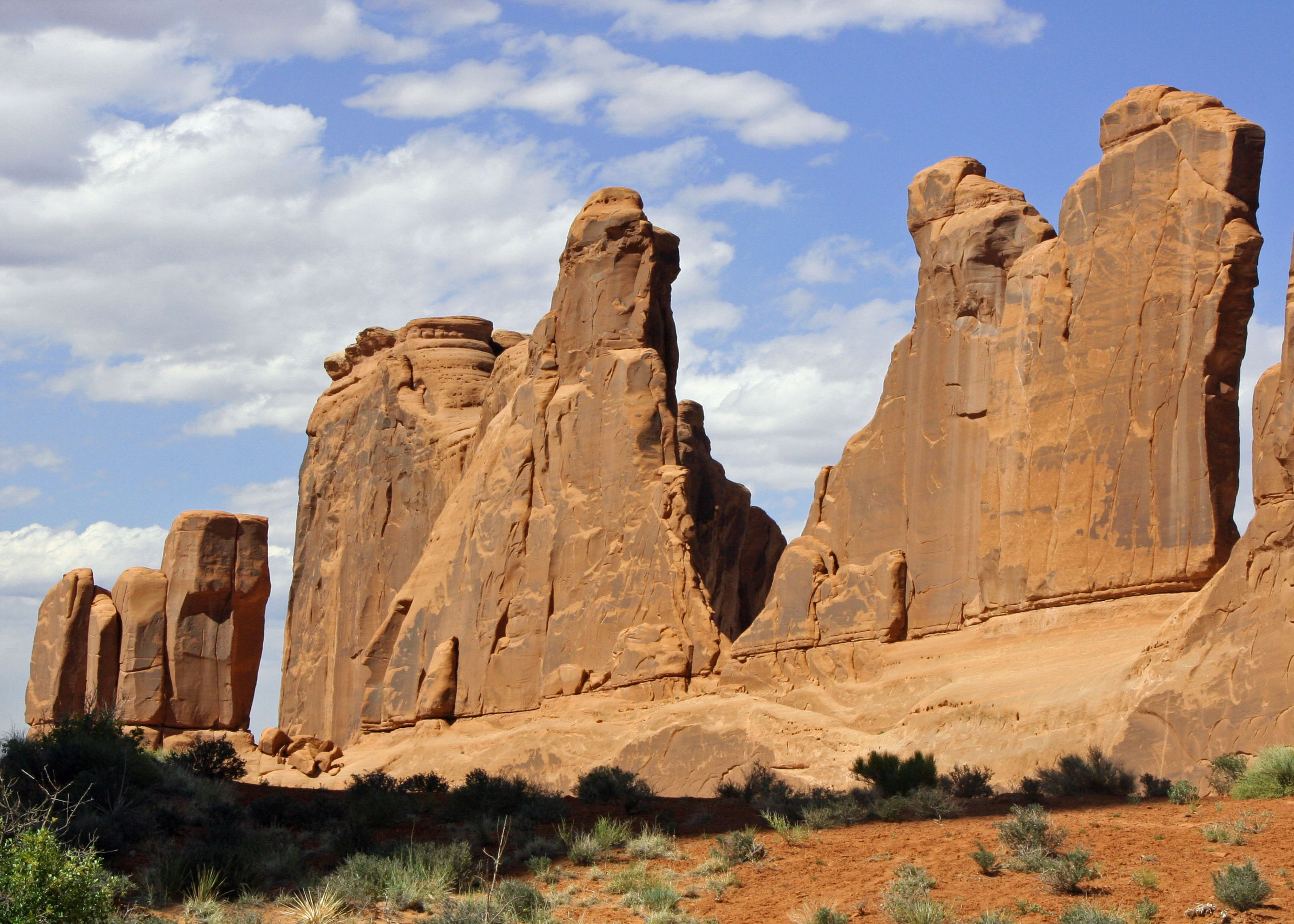
A massive wave in Lava Rapid buries Peggy, I and Steve Vandoor. My hat represents Peggy and I. The oar, Steve. Steve's video camera is recording as we go. Photo courtesy of Don Green.

A serious discussion is taking place among our boatmen. They are nervous about the amount of water flowing through House Rock Rapid. A huge, raft-eating hole gapes at us from river left.

A hole is created by water flowing over a rock or ledge. The resulting waterfall forms the hole and sucks in water from downstream, creating a reverse wave. Once a boat gets caught, it is difficult to get out… and easy to flip.

Boatmen, passengers and gear may go for a swim. The bigger the hole; the greater the danger. The force of the water can suck you down into the murky depths.  It’s possible to surface under the raft.  More likely you’ll be spit out down stream.
There are other worries as well. Sleepers, rocks hidden just beneath the surface, can rip out the bottom of your craft. Cross currents may send you crashing into a wall. Your boat can become wrapped around an obstacle such as a rock or log.

To avoid these hazards, boatmen on private trips normally stop to scout the more dangerous rapids. Less threatening cousins receive a ‘read and run.’ The boatman stands up in the boat, takes a look, and goes for it.  Normally a smooth, tongue like section of the river and standing rapids point the way. Success means a thrilling, bumpy, wet ride that is over in seconds with the messy side up. (The messy side is the one with boatman, passengers and gear. The option is the boat’s smooth bottom!)

The ability to ‘read a river’ is an essential boatman skill. While excellent books describe the rapids and suggest routes, changing water levels create varying situations. High water may demand running one side of the river and low water the other.

Water levels are determined by the amount of water being released from Glen Canyon Dam, which in turn is determined by electrical power needs in the Southwest. Greater power needs require more water being released to run the huge turbines that generate the electricity.

The problem with House Rock Rapid is a lack of water. While this may seem counterintuitive, less water means more rocks are exposed to create hazards. Steve, who is a prudent kind of guy for a pirate, urges Tom to wait until the release from Glen Canyon catches up with us and raises the water level.

We place a small stick in the water to measure the water and wait. Peggy and I find a shady location to update our journals. Several people head for a hike up the side canyon. Others nap. I catch several photos of people sleeping. Eventually Tom and Steve determine it is time to go.

We are on Tom’s boat. He is going first and is understandably nervous. I tighten my grip on the safety lines. The more nervous the boatmen are, the more nervous I become. The boat moves slowly at first, inching forward, the calm before the storm that seems to go on and on. Then the current grabs us. The boat leaps forward, bounces, and then hurtles down. Freezing waves crash over the bow and soak us. The roar is deafening. Peggy and I struggle desperately to hold on while Tom fights for control. He yells. The right oar has slipped out of the oarlock. The boat begins to spin. The huge hole looms beside us, threatening to drag us in. But our momentum carries us forward and Tom’s skill brings us into shore.

The few seconds it takes to come through the rapid are burned into my memory.

Even bigger rapids lie ahead. House Rock is labeled a 4-7 using the Grand Canyon rating system. Crystal and Lava, the Grandmother and Grandfather of Colorado River rapids, are labeled a 7-10 and 8-10 respectively. They are considered two of the most challenging rapids in North America.

Almost all of the rapids in the Canyon are created by flash floods coming down side canyons that deposit huge rocks in the river. Because of the floods, rapids can change over the years. For example, Crystal Rapid did not exist prior to a massive flood in 1966.

Colorado River boatmen speak with awe and a tinge of fear about Crystal and Lava. The sentiment is contagious. We approach both with trepidation. We ride through each with Steve on his catamaran raft. Crystal seems to come and go but Lava is something else, almost mythological in its ferocity.

Steve, Peggy and I in Lava on the cat. Photo courtesy of Don Green.

Vulcan’s Anvil, a large chunk of lava in the middle of the river, is a signpost announcing the presence of Lava. (We have already heard its roar.) Superstitious boatmen kiss the rock to assure a safe journey. Steve, always cautious, obediently performs the ritual.  Scouting is carried out with great care; there is plenty of time to contemplate our fate.

The photos in this blog capture our experience much better than words. Lava is indeed a 10 out of 10. At one point, when I am staring into the massive hole on our left, Peggy is watching Steve almost be washed out of the boat on our right: scary stuff.

On the last night of our adventure, Peggy asks Steve what his most memorable experience was. “Turning around at the end of Lava and seeing that the two of you were still on my boat,” he replies. Ditto.

Boredom Is Not an Option!

Megan Stalheim and Don Green rafted by us demonstrating the push-pull method of rowing. Brad Lee, a dentist out of Sacramento, looks on.

The wind continues to beat against us as we make our way down the Colorado River. Only Dave’s strenuous effort at the oars keeps us from floating up stream. “Go that way,” I suggest and point down the river.

The group pulls in at a tiny beach in hopes our mini-hurricane will die down. It doesn’t.

Dave develops blisters and I develop guilt. A manly-man would offer to take over at the oars.

An option floats by. Dave’s niece, Megan Stalheim, is also one of our boatmen. Don Green, a retired Probate Judge out of Martinez, California, is sitting opposite her and pushing on the oars while she pulls. It inspires me. I join the push-pull brigade.

As tough as the day is, the beauty of the River and the Canyon make our efforts worthwhile. Peggy points out a strange, creature-like rock formation and we admire a family of ducks.

Little imagination is required to turn rock formations into strange faces.

Word passes back to us that Tom wants to scout Badger Rapids. In Boatman terminology this means figuring out the best way to get through without flipping. Badger isn’t a particularly big rapid for the Colorado, but it is our first. We are allowed to be nervous.

There is good news included in the message. We will stop for the night at Jackass Camp just below the rapids. We’ve only gone 8 miles, some 3 ½ miles from our original destination, but we are eager to escape the wind.

Dave is a cautious boatman. He takes his time to study Badger Rapids from shore and then stands up in his raft for a second opinion as the river sucks us in. Time runs out. Icy waves splash over the boat and soak us. Our hands grasp the safety lines with a death grip as we are tossed about like leaves in a storm drain. Mere seconds become an eternity. And then it is over.

“Quick, Curt, I need your help,” Dave shouts. We have come out of the rapids on the opposite side of the river from the camp. The powerful current is pushing us down river. If we don’t get across we will be camping by ourselves. Adrenaline pumping, I jump up and push the oars with all my strength while Dave pulls. Ever so slowly the boat makes its way to camp.

“Chirp, chirp, chirp-chirp-chirp.” It’s dark out and some damn bird is cheerfully discussing its wormy breakfast. I roll over and groan, desperately wanting to go back to sleep. We can’t, however. It’s five AM, time to rise and shine, time to pack up, time to scarf down breakfast, time to hit the river.

“It is not five AM,” Tom argues. It is five AM in California. Arizona refuses to go on Daylight Savings time. This irritates Tom. It is really six.

As we have learned, and I might add, learned well, we are not on a ‘float and bloat’ trip. Adventure awaits us. There are cliffs to climb, waterfalls to leap off, raging side streams to ford, rapids to survive, and miles of river to row. Boredom is not an option.

A family of ducks strolls up the river bank. Photo by Don Green

Wild Winds and a Mormon Massacre

The boats are loaded and ready to launch. Tom's wife Beth appears to be much less anxious than he is. The other passenger is Theresa Mulder.

Finally… we are ready to launch. Eighteen days and 279 miles of the Colorado River and Grand Canyon lie ahead. Ranger Peggy has checked our IDs and we are who we claim to be. The boatmen have strapped down the gear… and Tom is anxious.

The same up-canyon winds that whipped sand into our tent last night are threatening to create a Herculean task of rowing. Gusts of up to 60 MPH are predicted.

Peggy and I perform the ritual of asking a boatman if we can ride with him. It seems like a strange practice to me, designed to remind us who’s in charge. But we have entered the world where each boatman/woman is the captain of his or her ship, even if the ship is a 16 foot raft with two or three passengers.

“May I have permission to come aboard, sir?” Although it’s more like “Can we ride with you today?”

The tradition is so old that it fades into history. Democracy is not an option on a raging sea or, for that matter, in the middle of a roaring rapid. When the captain yells jump you jump.

Our boatmen are mellow people, however, good folks. There are no Captain Blighs. If they are slightly more than equal, it goes with the territory. We are committed to riding with each boatman. First up is David Stalheim.

“I’ve been applying for a permit to go on the Colorado River for 15 years,” he tells us. It makes Peggy and my successful one time, ten minute effort of obtaining a permit seem grossly unfair.

Dave Stalheim and I with that pristine, fist day on the river look. Things will go downhill.

Dave quit his job as Director of County Planning in Bellingham, Washington the day he left for this trip. He will start a new job with City Planning when he returns. He is strongly committed to sound planning and community participation. I suspect he is not popular with land developers and speculators.

We push-off from shore, excited and nervous. The wind strikes immediately, like it was waiting in ambush. “Are we moving at all?” Dave asks plaintively.

An old rock road makes its way tortuously down from the canyon rim on river left. (Left and right are determined by direction of travel.) They are important for giving directions as in “There is a raft ripping rock on river right!” Since boatmen often row with their backs facing downriver, they appreciate such information.

The old road is how people once made their way to Lee’s Ferry, which was one of the few ways to cross the Colorado River between1858 and 1929. The Ferry was named after the infamous Mormon, John Doyle Lee, who was executed by firing squad for his role in the Mountain Meadow Massacre.

The old road to Lee's Ferry.

The massacre took place near St. George, Utah in 1857, where a wagon train of immigrants from Missouri and Arkansas, the Fancher-Baker Party, were murdered by Mormons and Paiute Indians. Lee apparently persuaded the immigrants the Mormons would provide safe passage through the Indians if they would disarm. The Mormons then shot the disarmed men while their Indian allies killed the women and children.

For a while Lee hid out while running the Ferry which was given his name.

And for a while, I believed that Lee had killed some of my ancestors. My grandmother was a Fancher and her family came west right about the time of the massacre. Since the babies with the wagon train weren’t killed, my brother’s genealogical research suggested we might be descendants.

Turns out, it wasn’t so. Still, there may have been some distant cousins among those massacred. More research is needed.

After fighting the wind for what seems like hours, we finally come to the Navajo Bridge which replaced Lee’s Ferry in 1929. We are already miles behind our planned itinerary.

Lee's Ferry was replaced by the Navajo Bridge in 1929, the first bridge shown above. It has now become a walking bridge with the one behind carrying vehicle traffic.