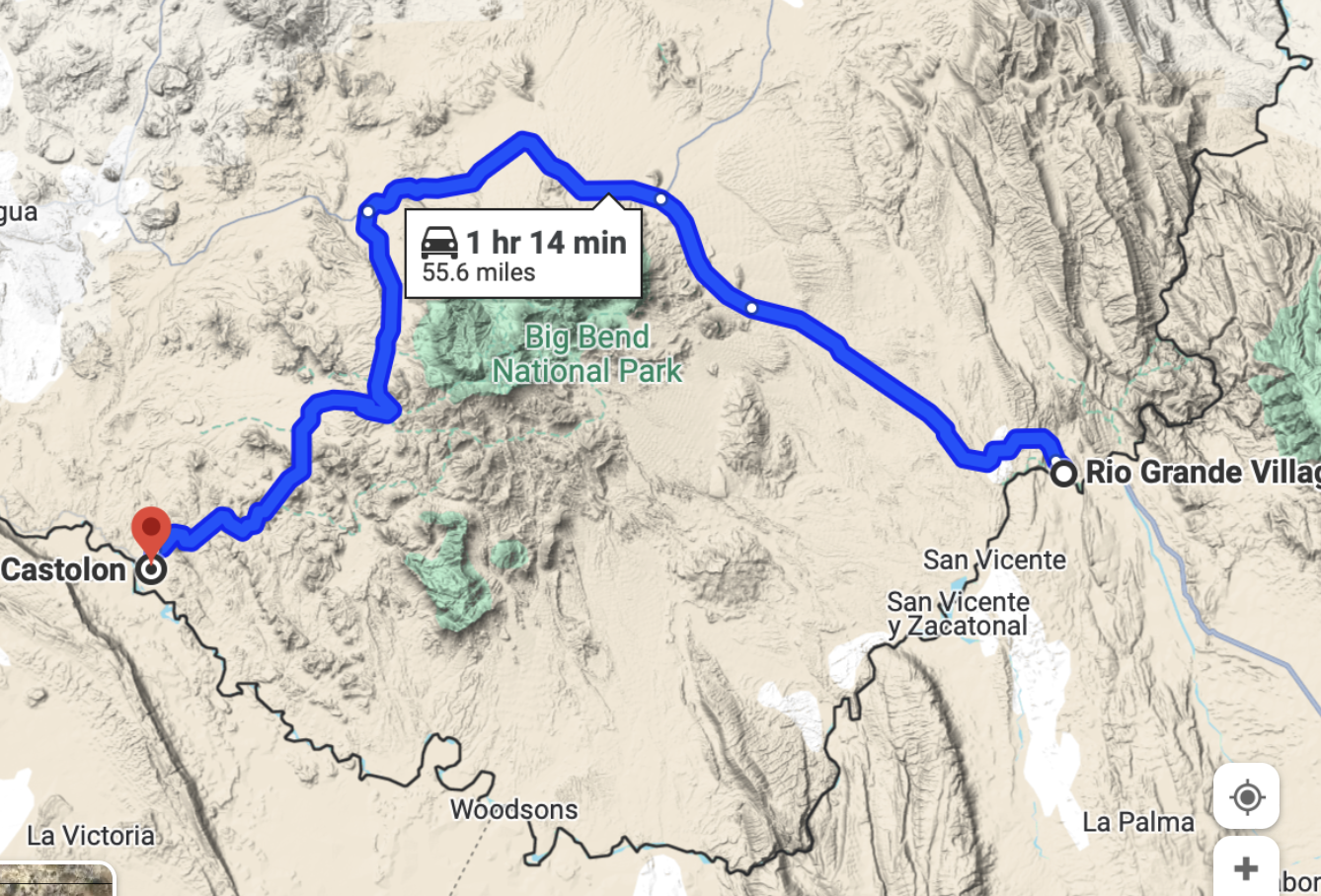


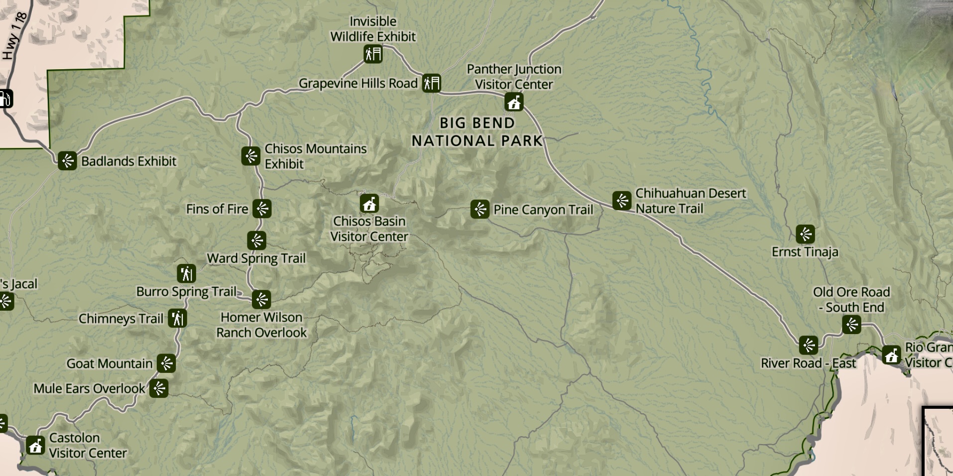

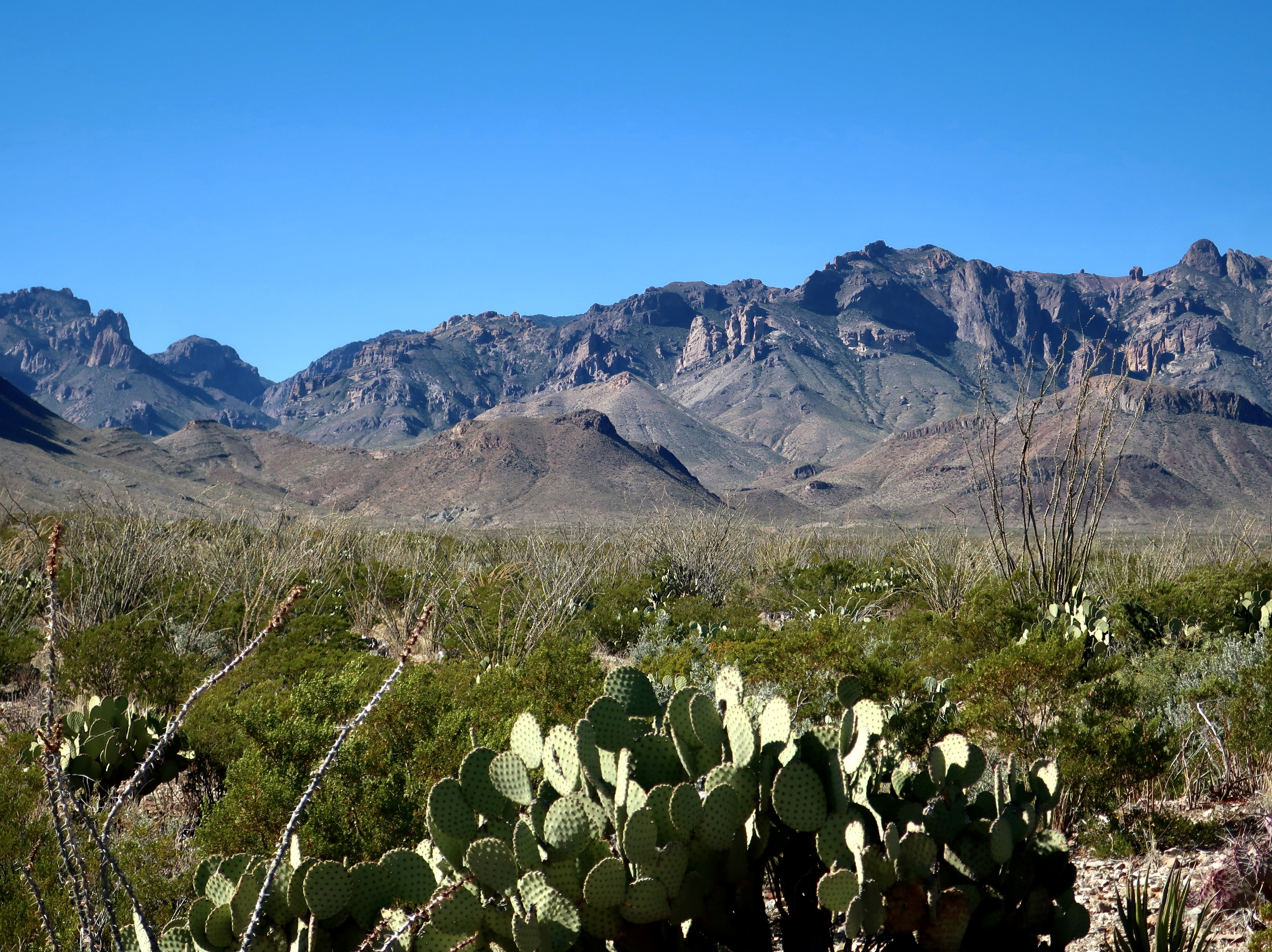


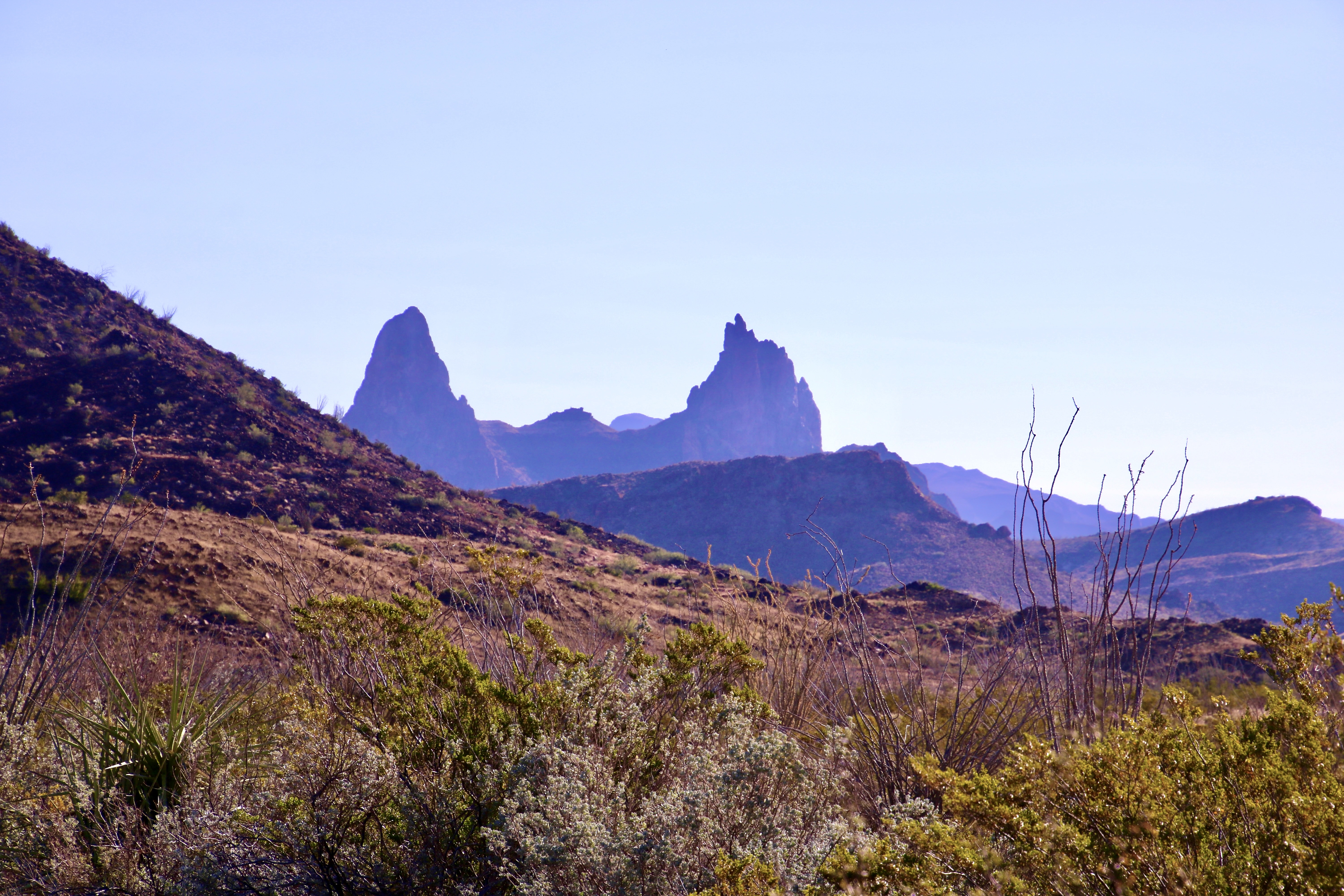


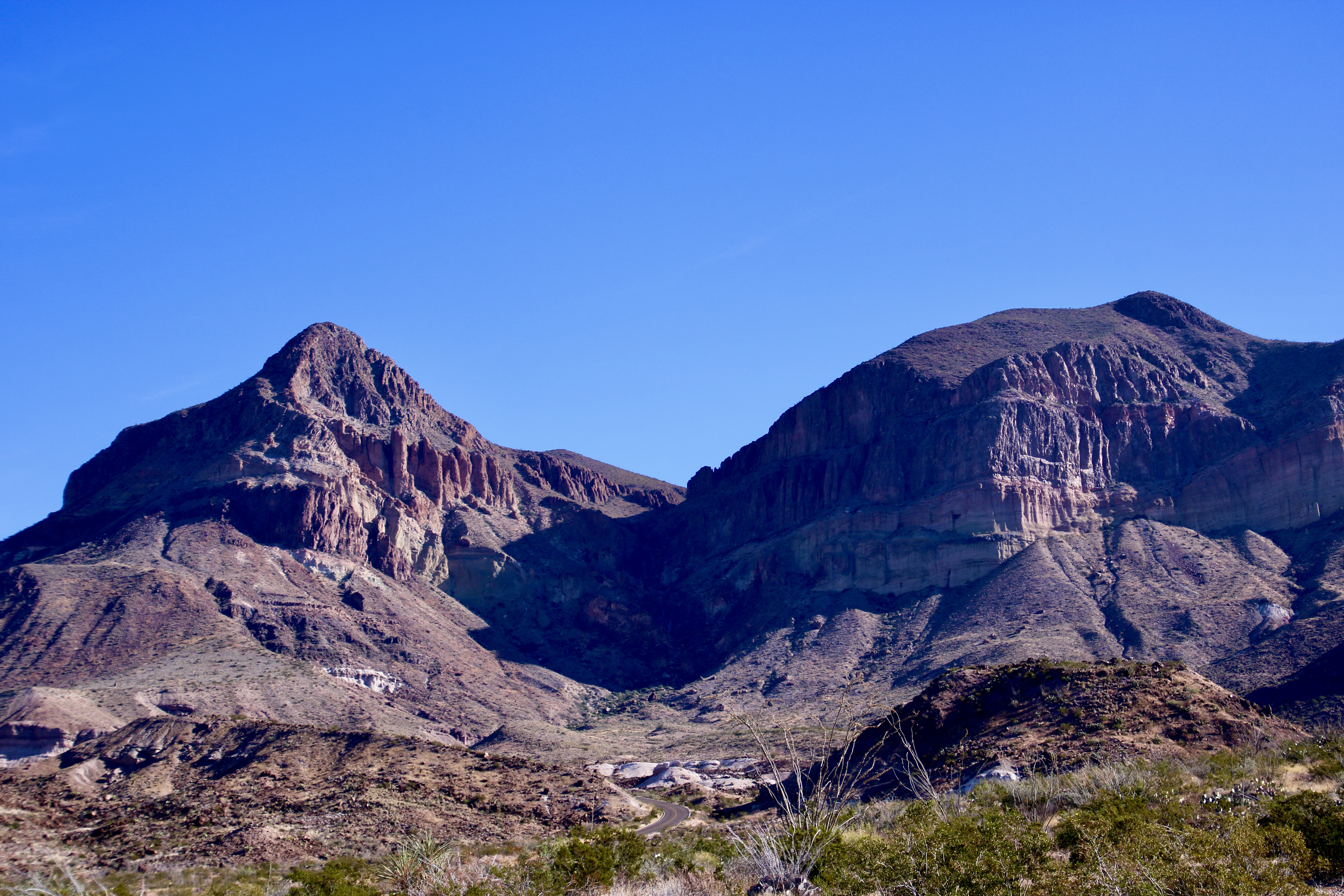
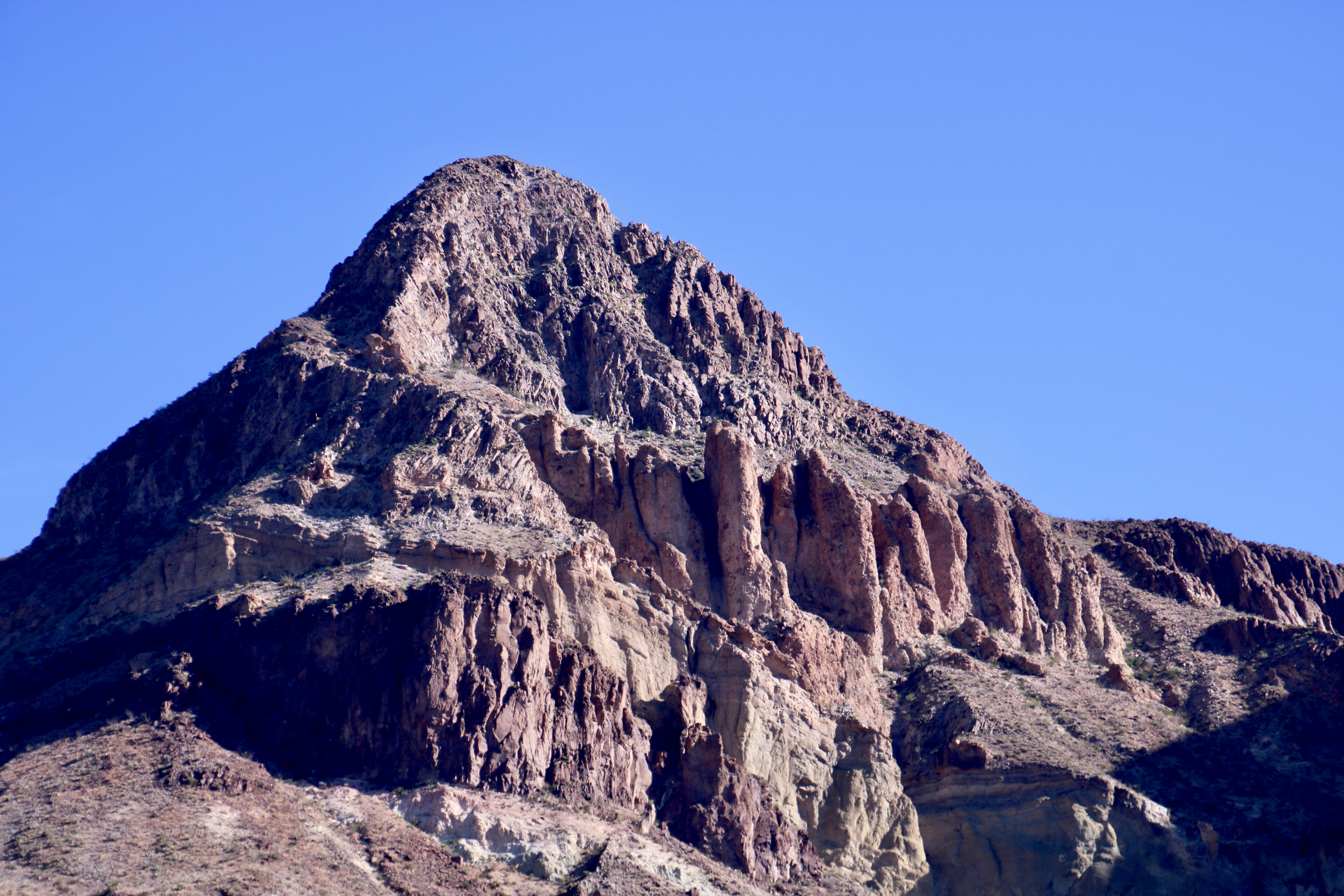

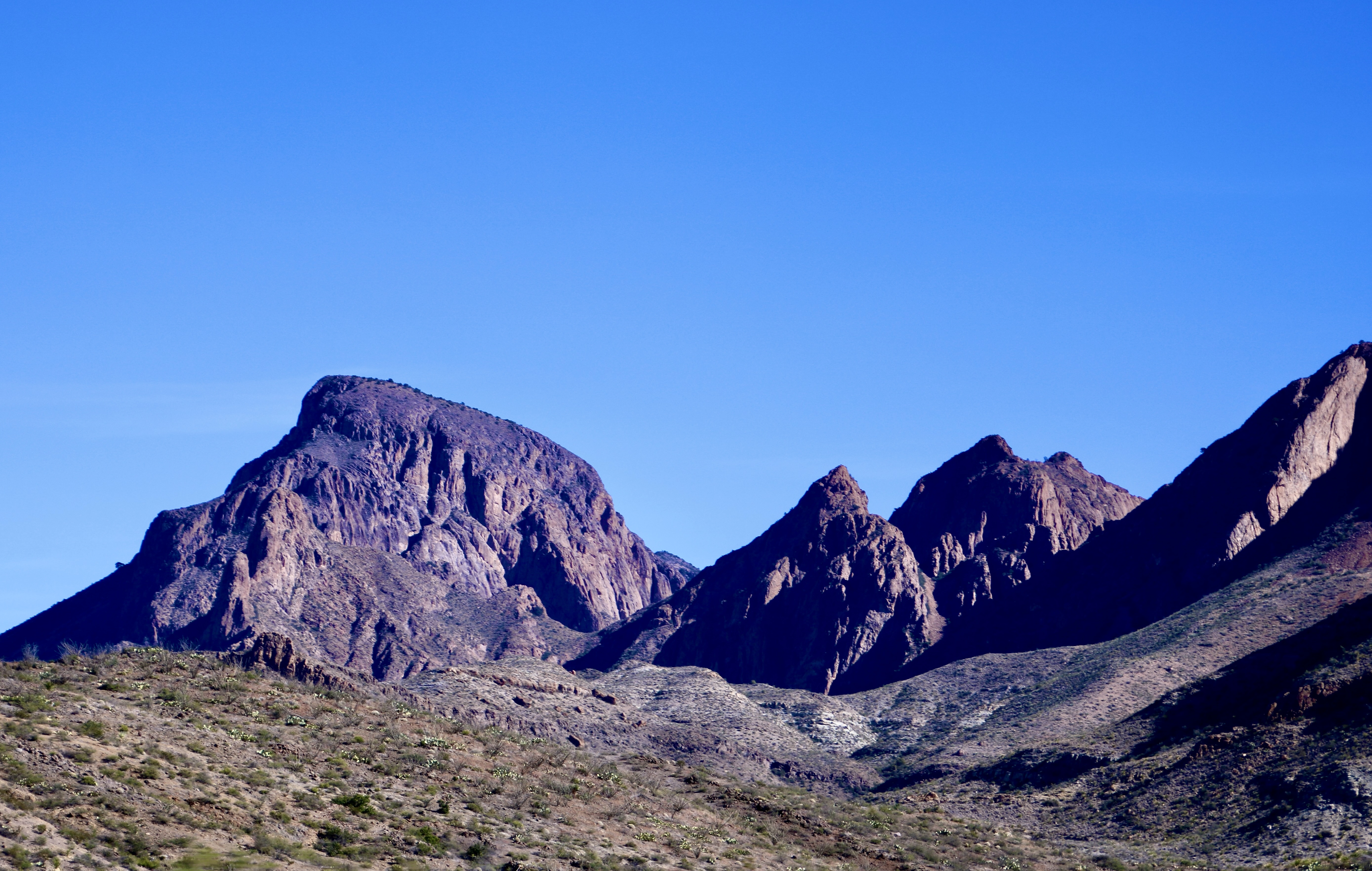
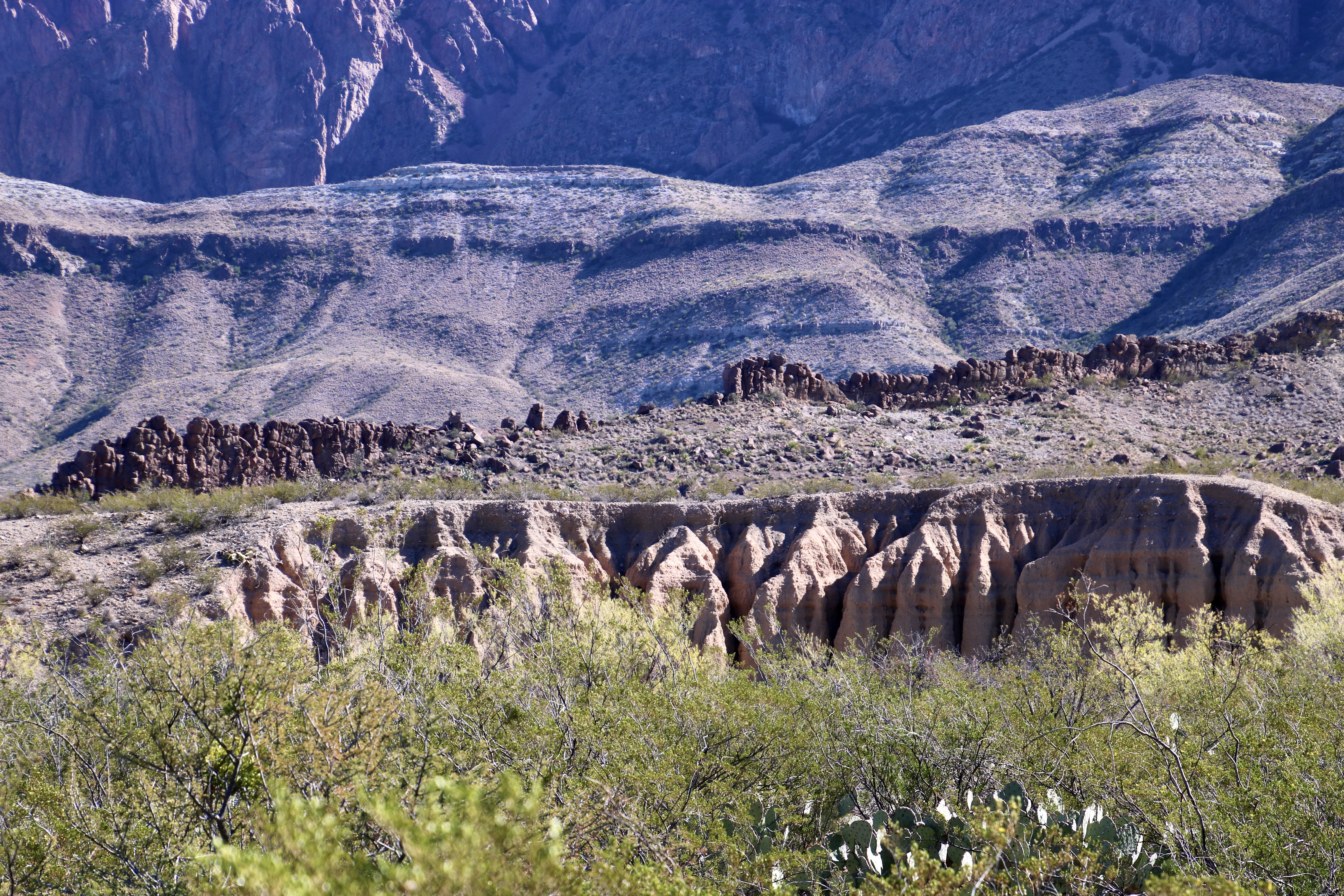
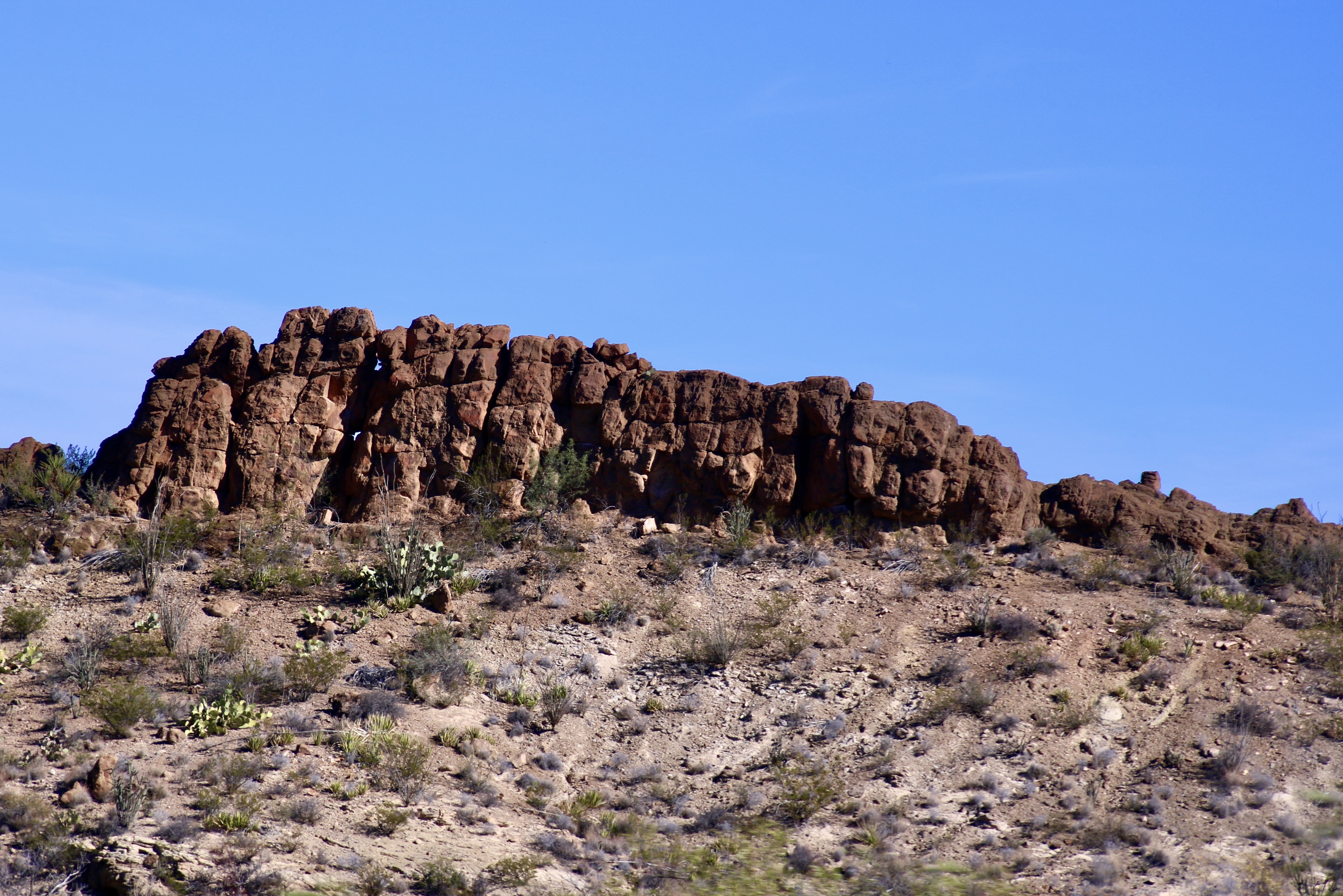
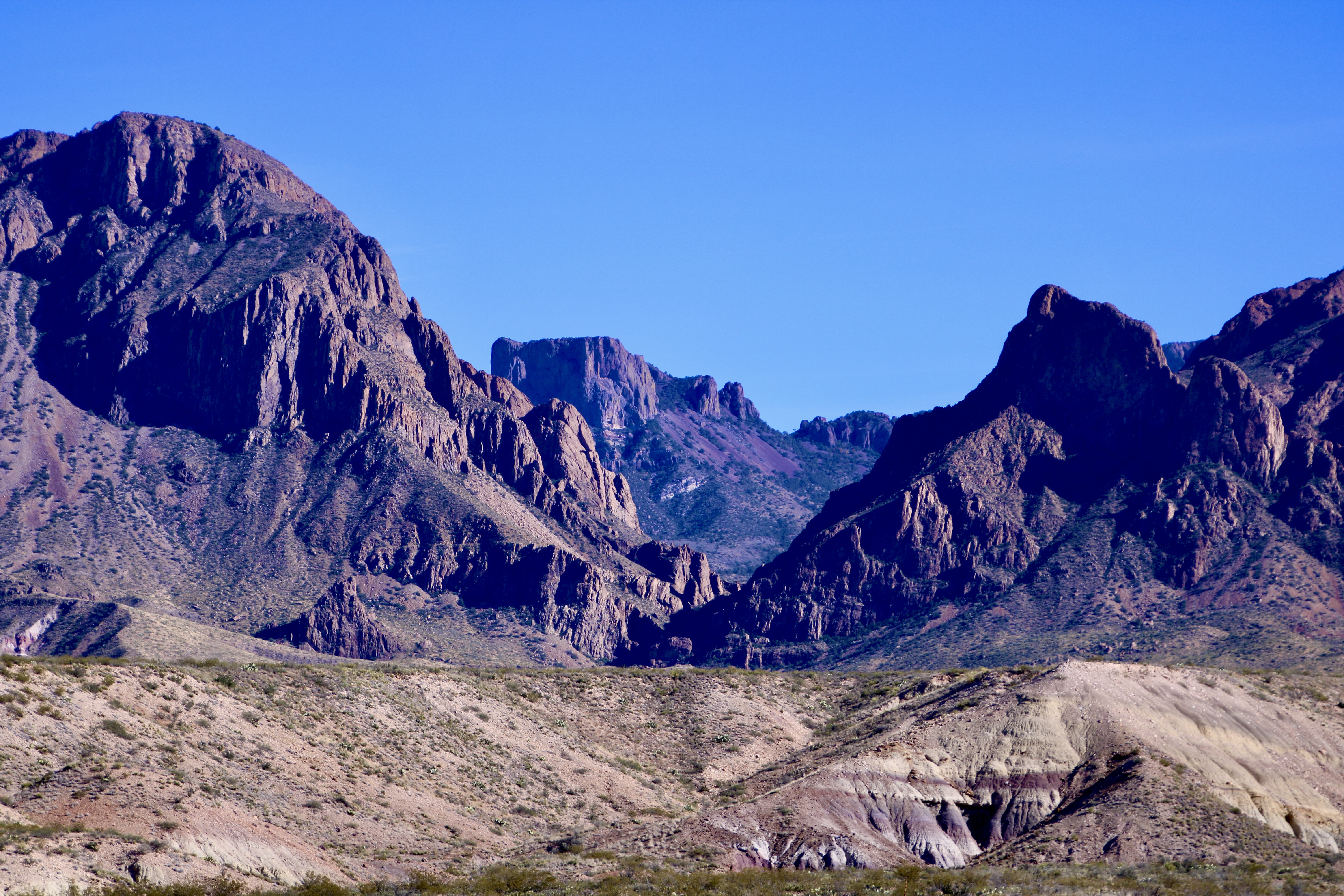
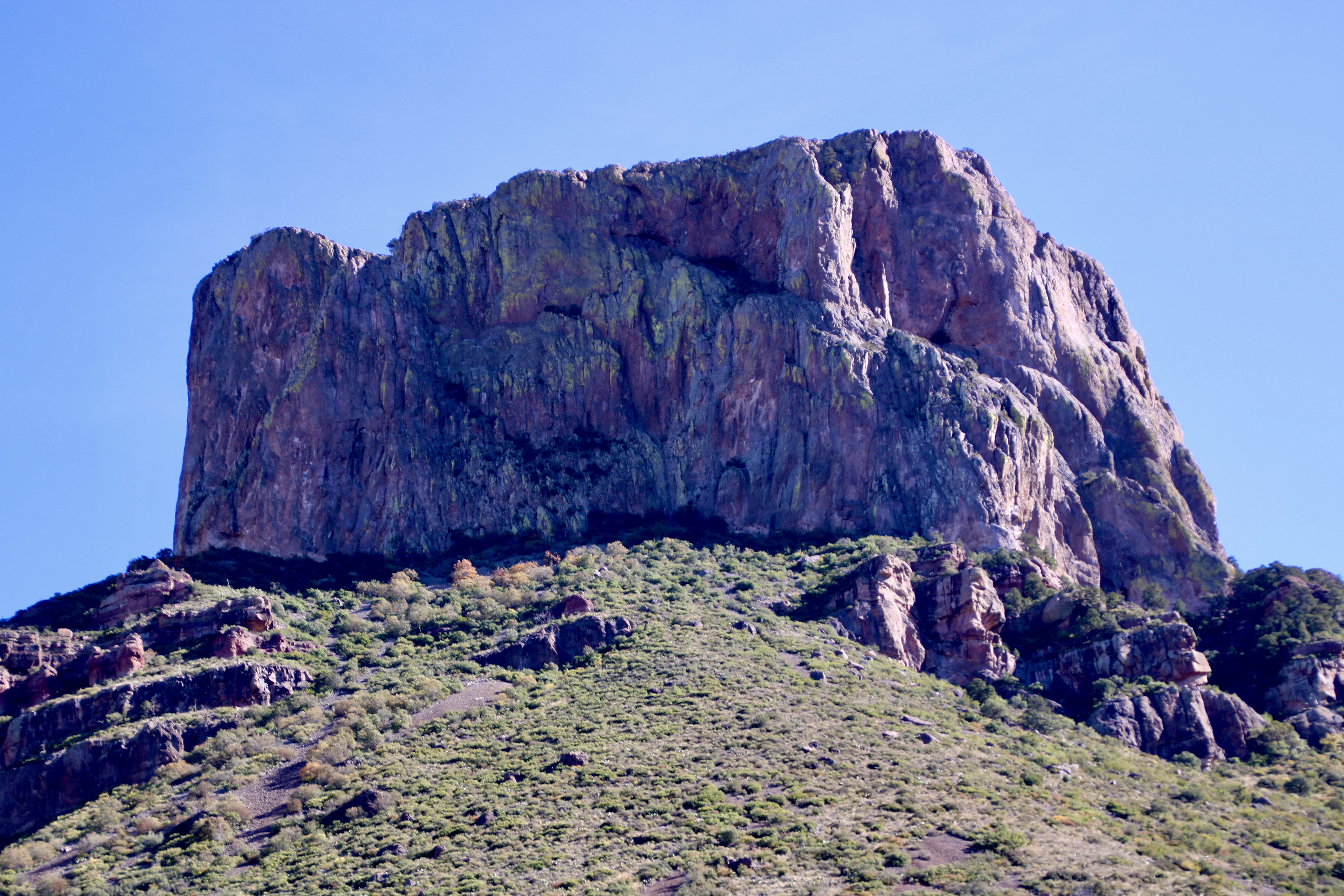


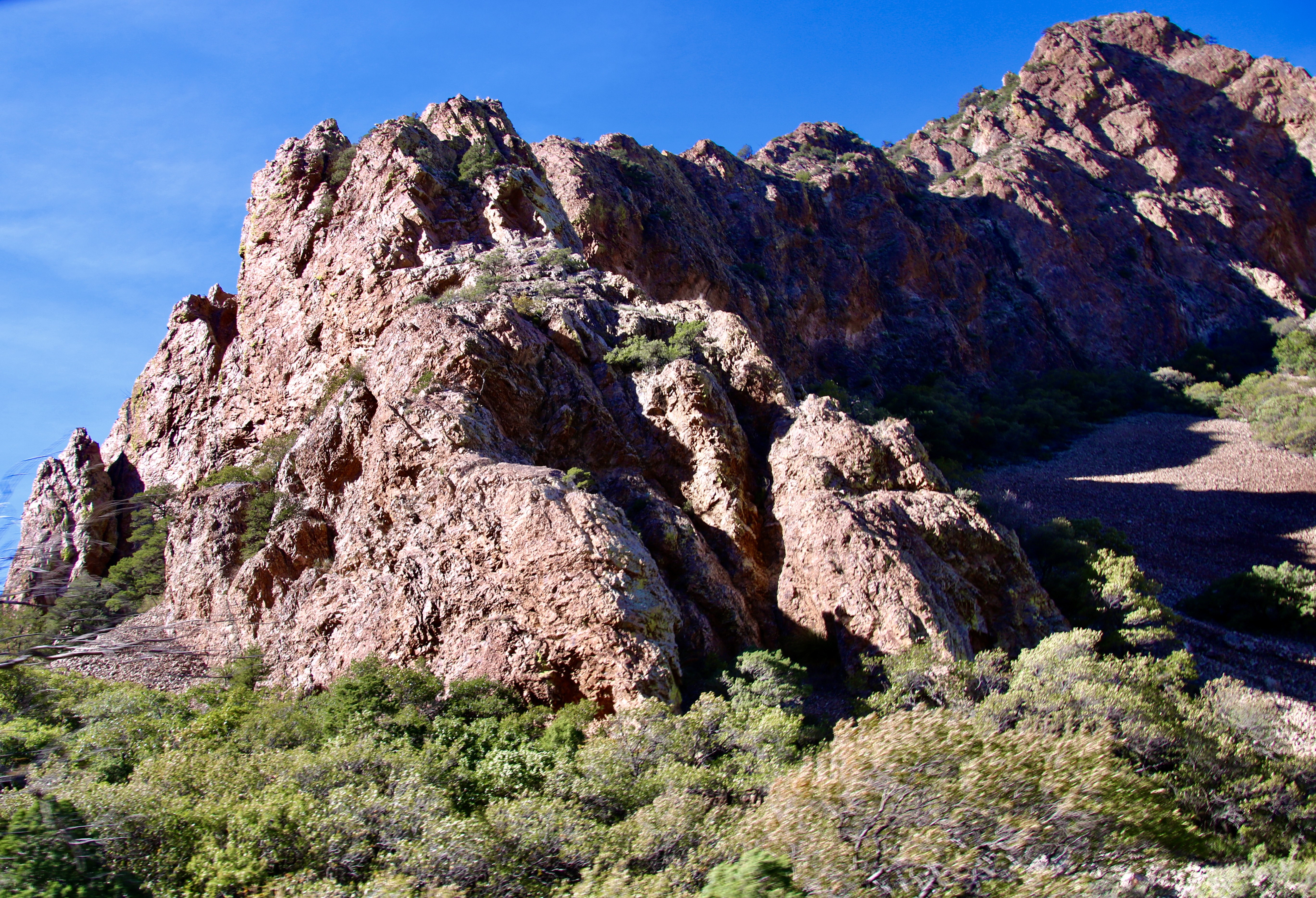


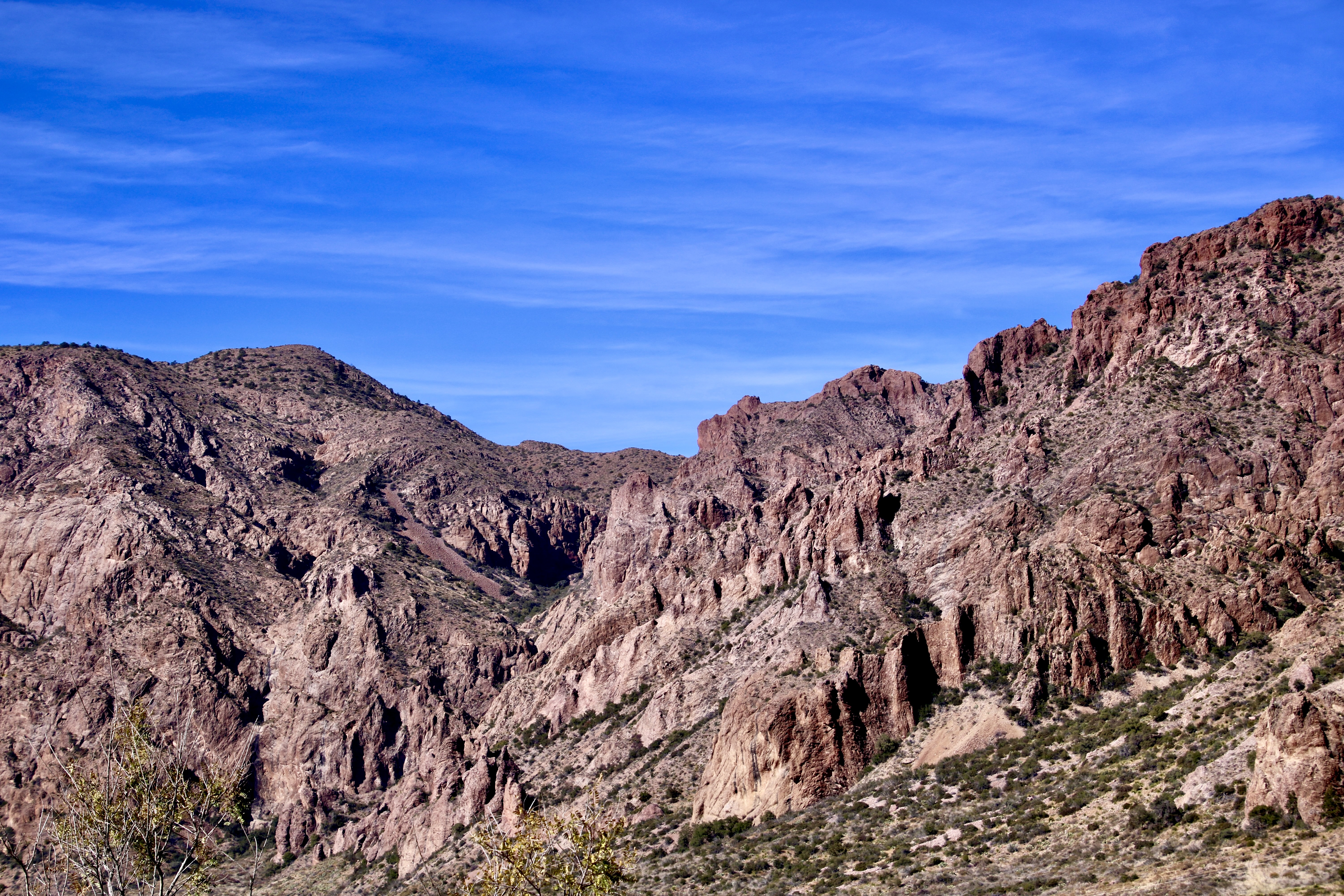


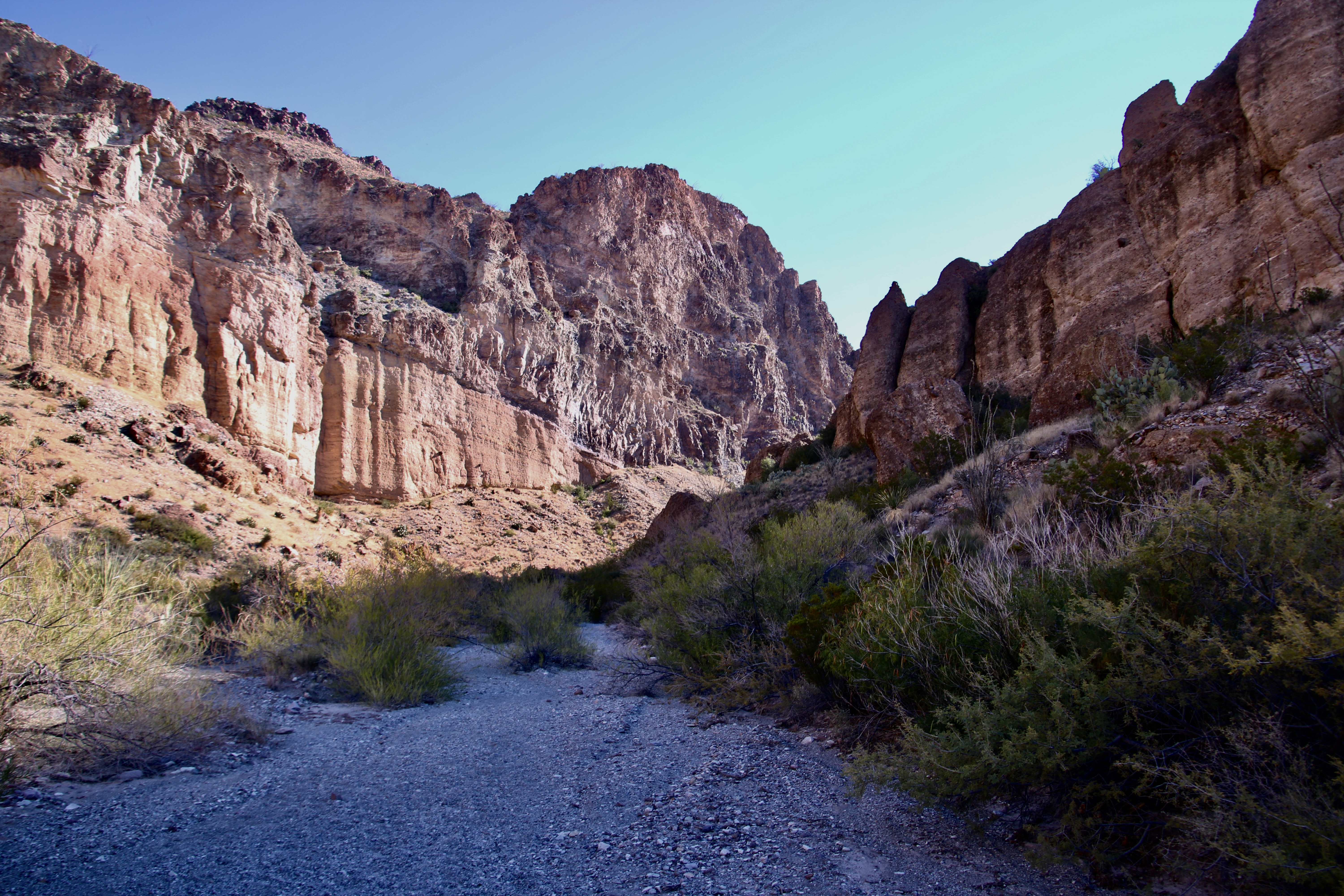
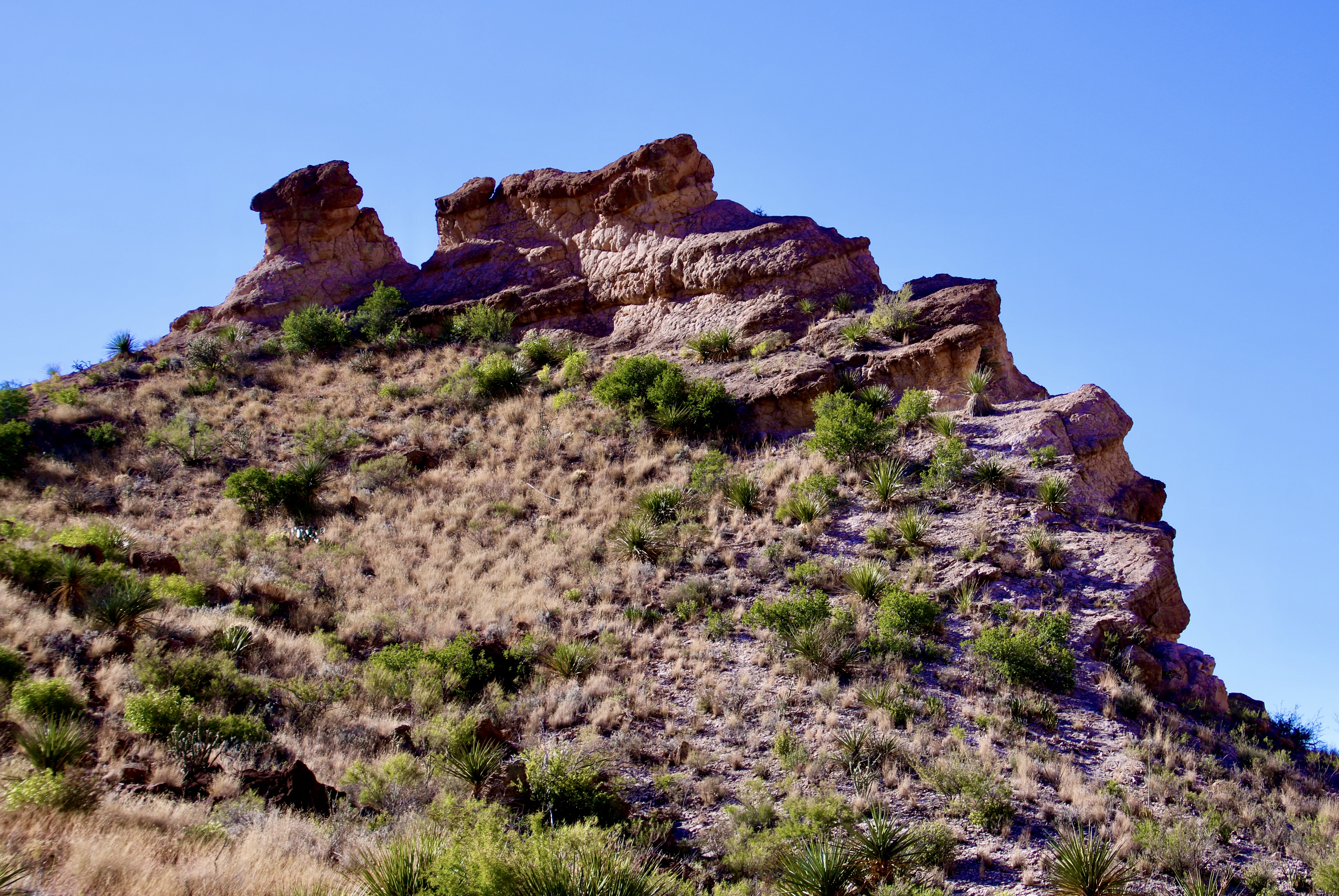
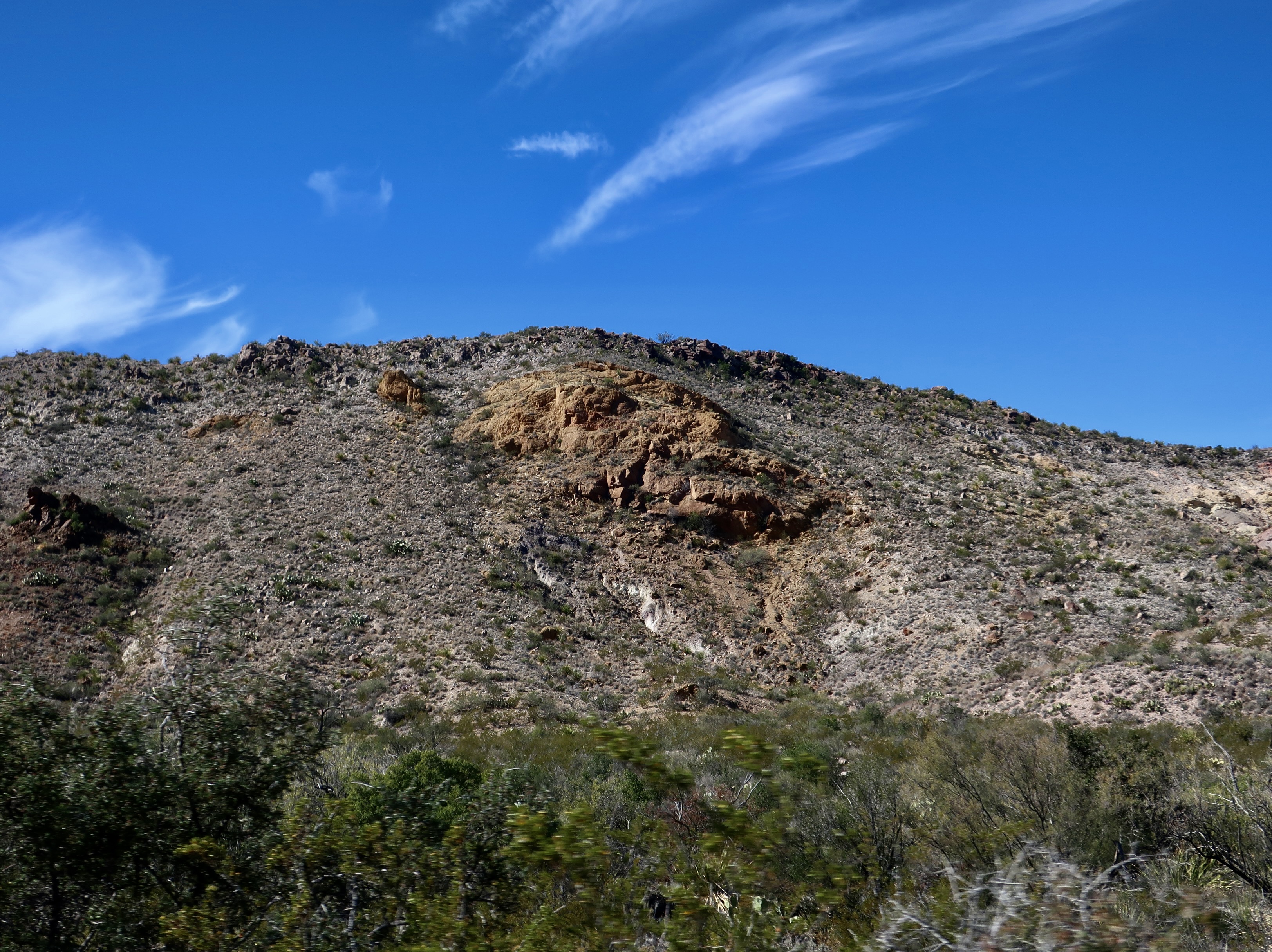
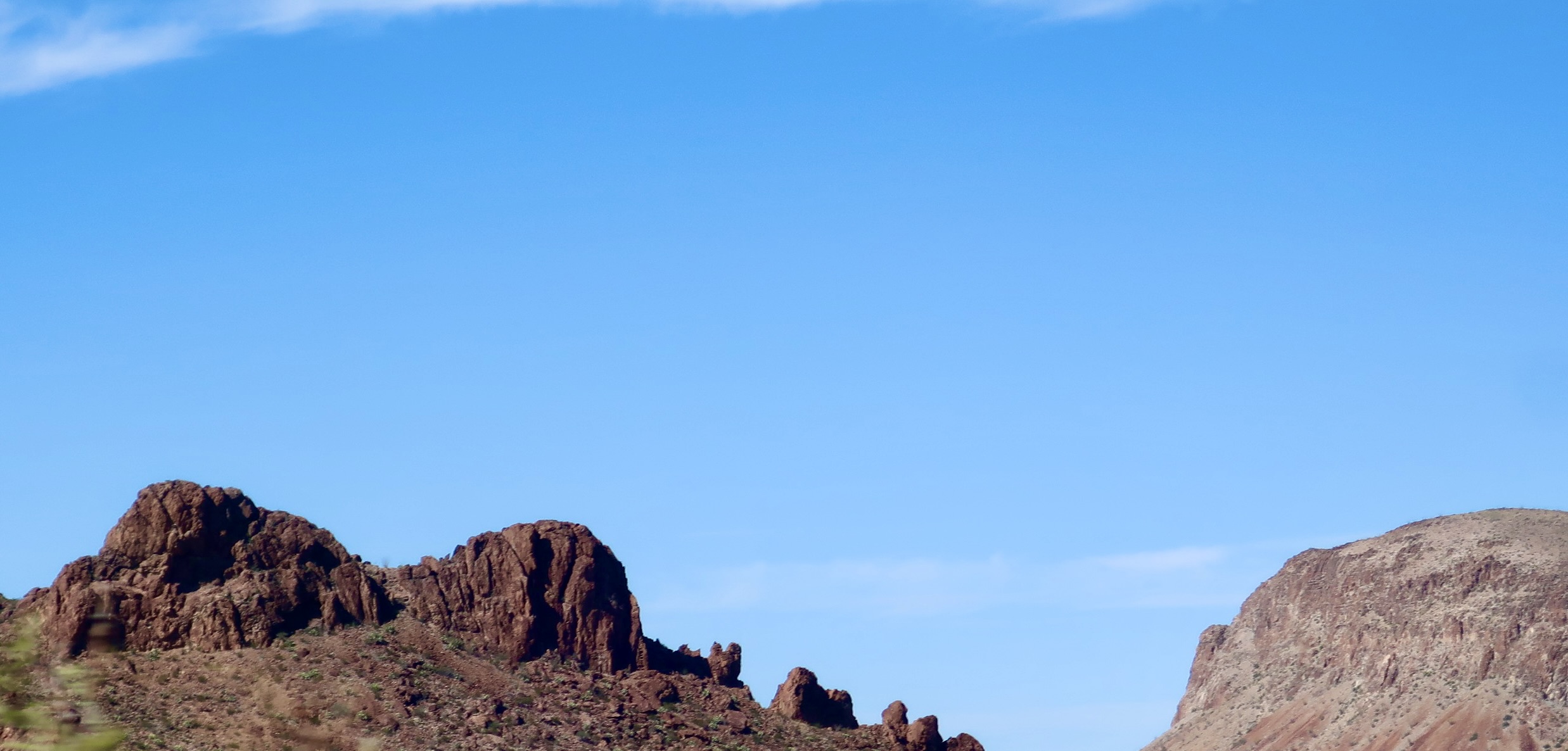
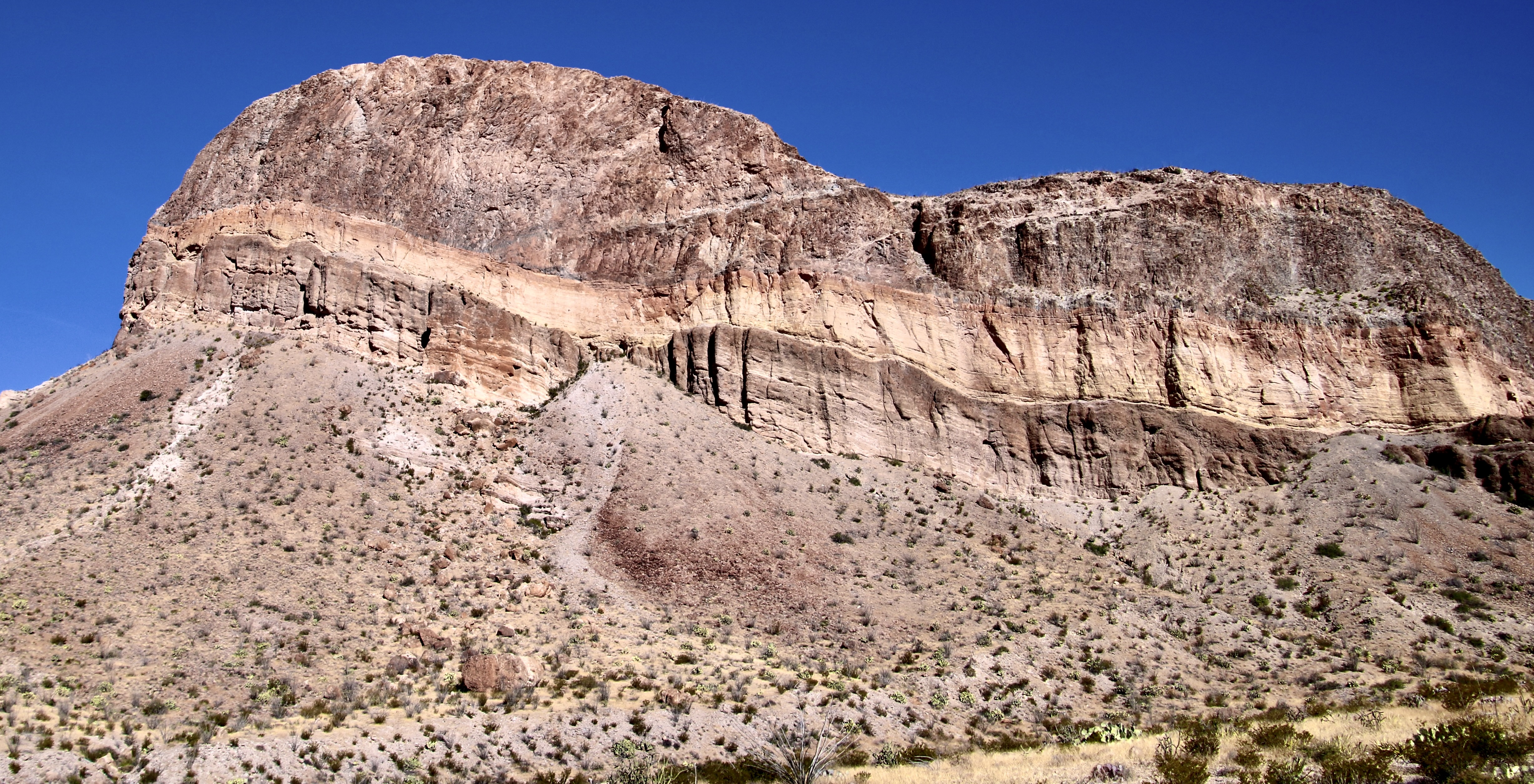
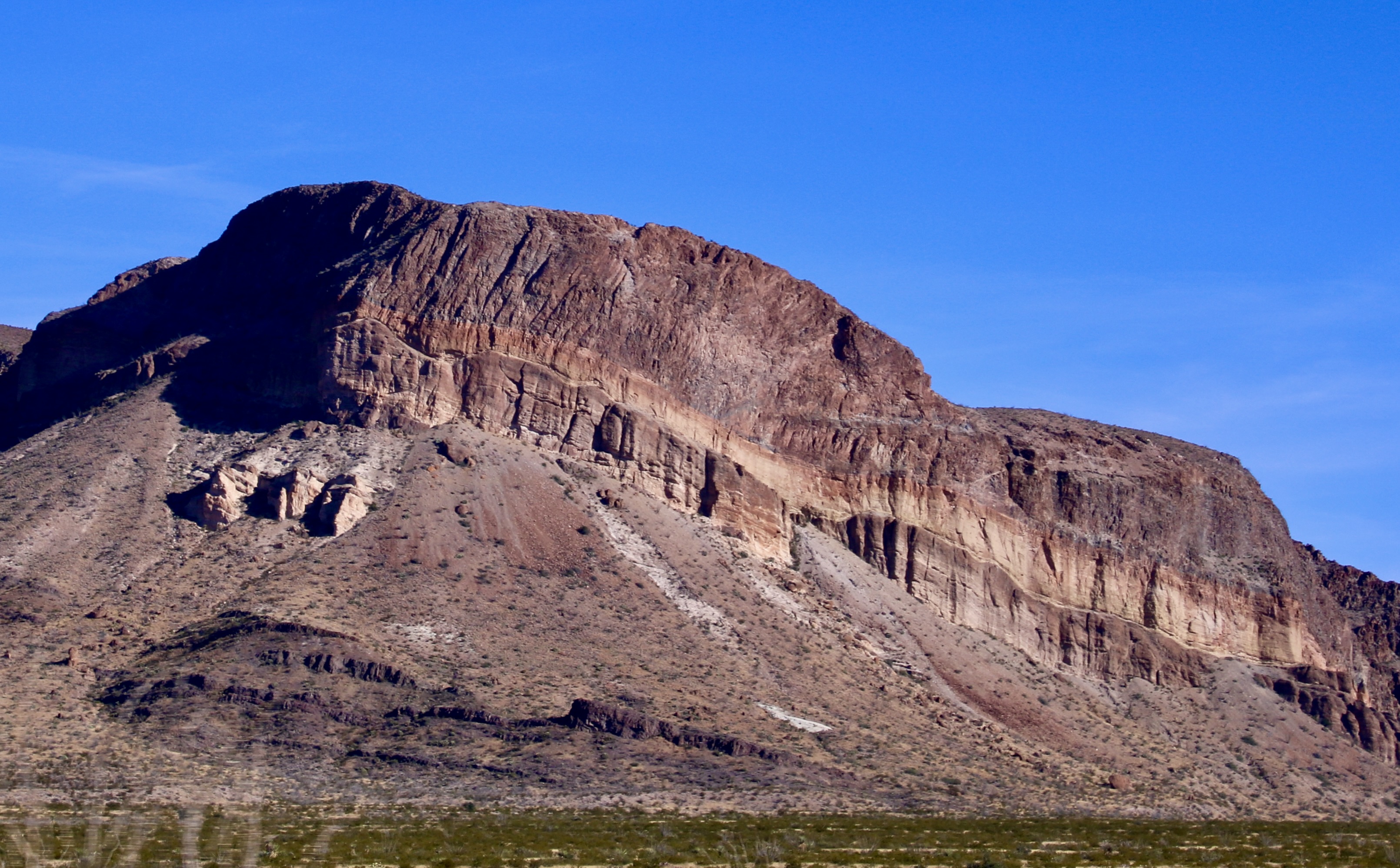
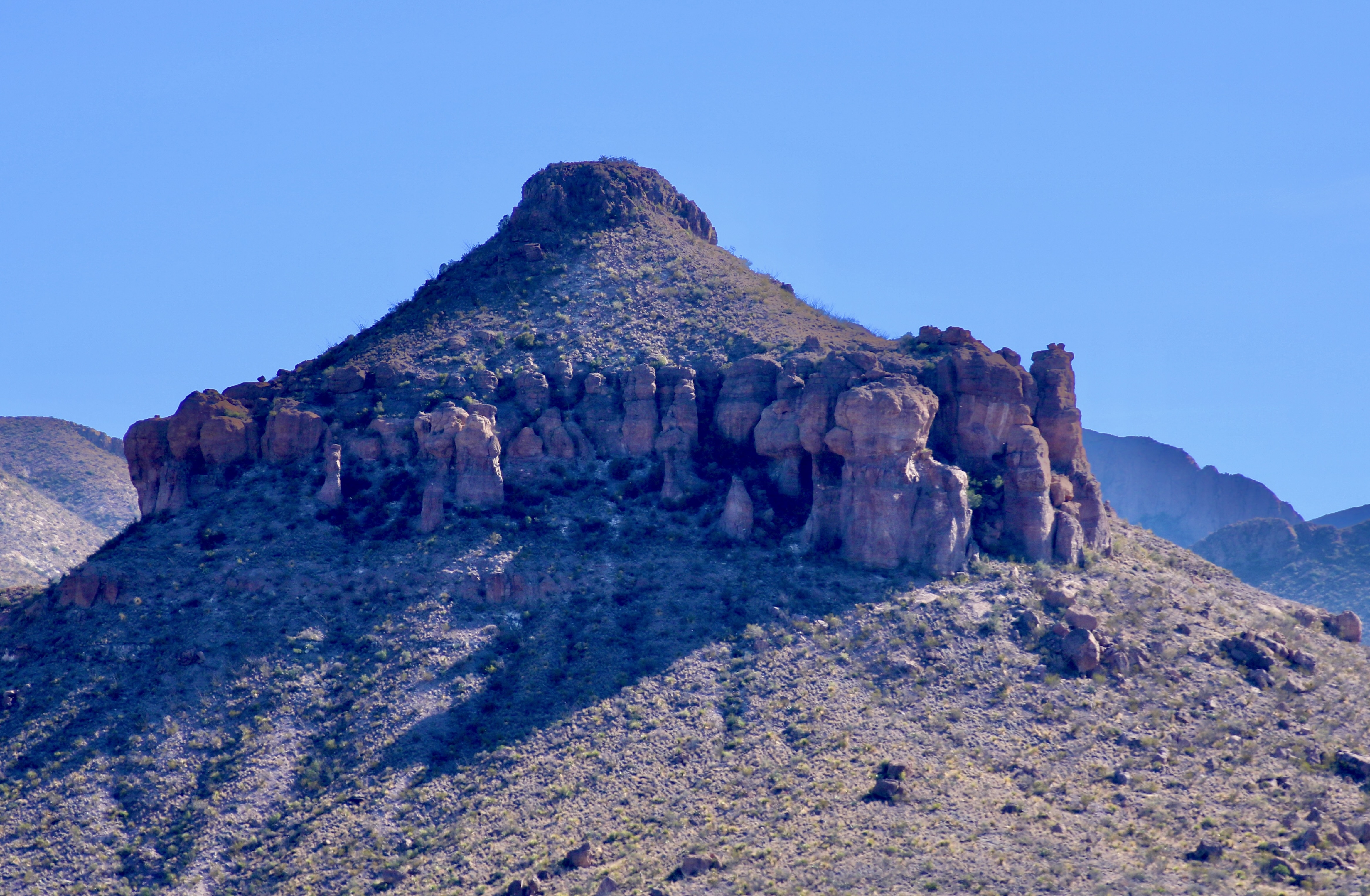
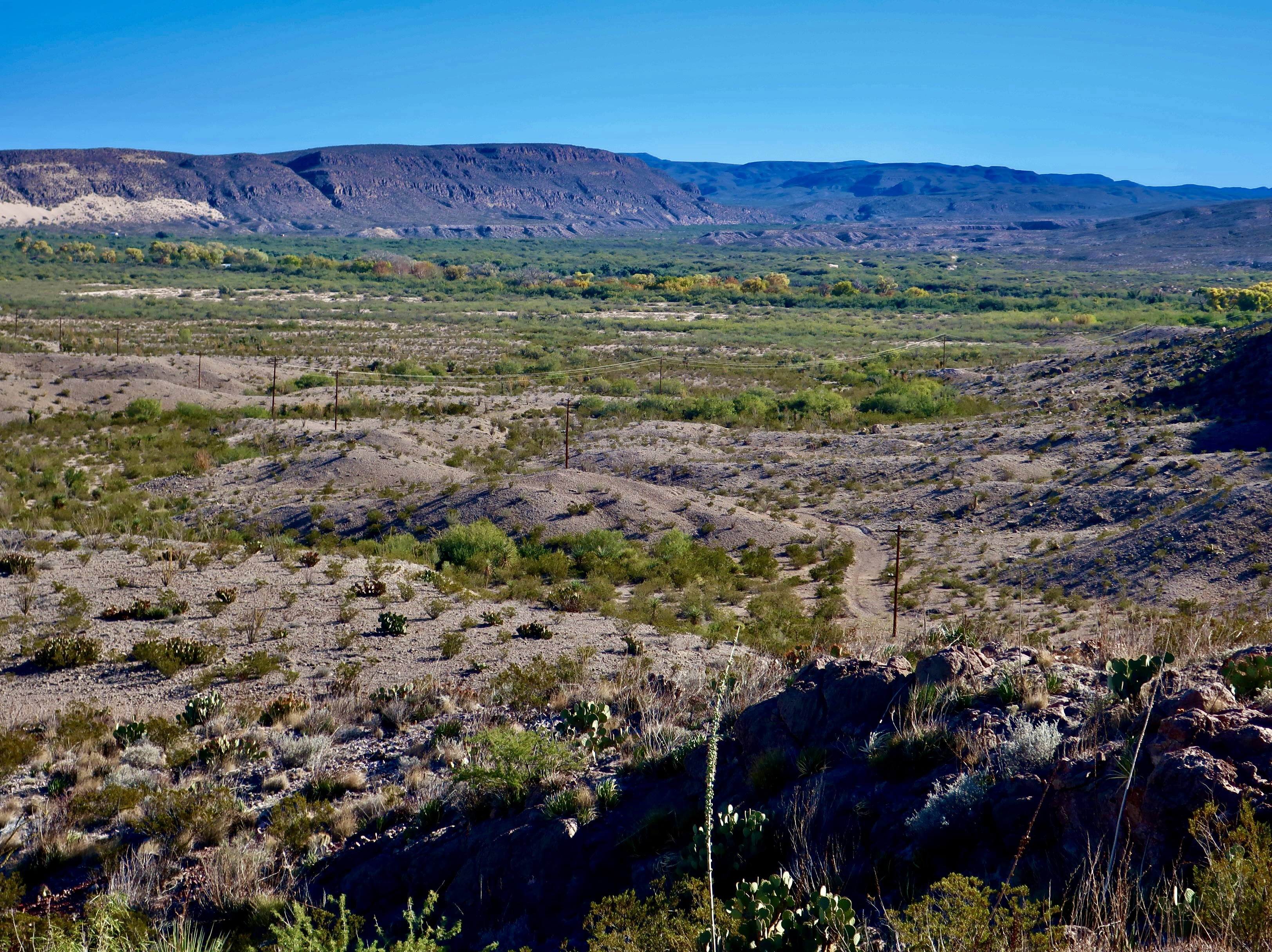
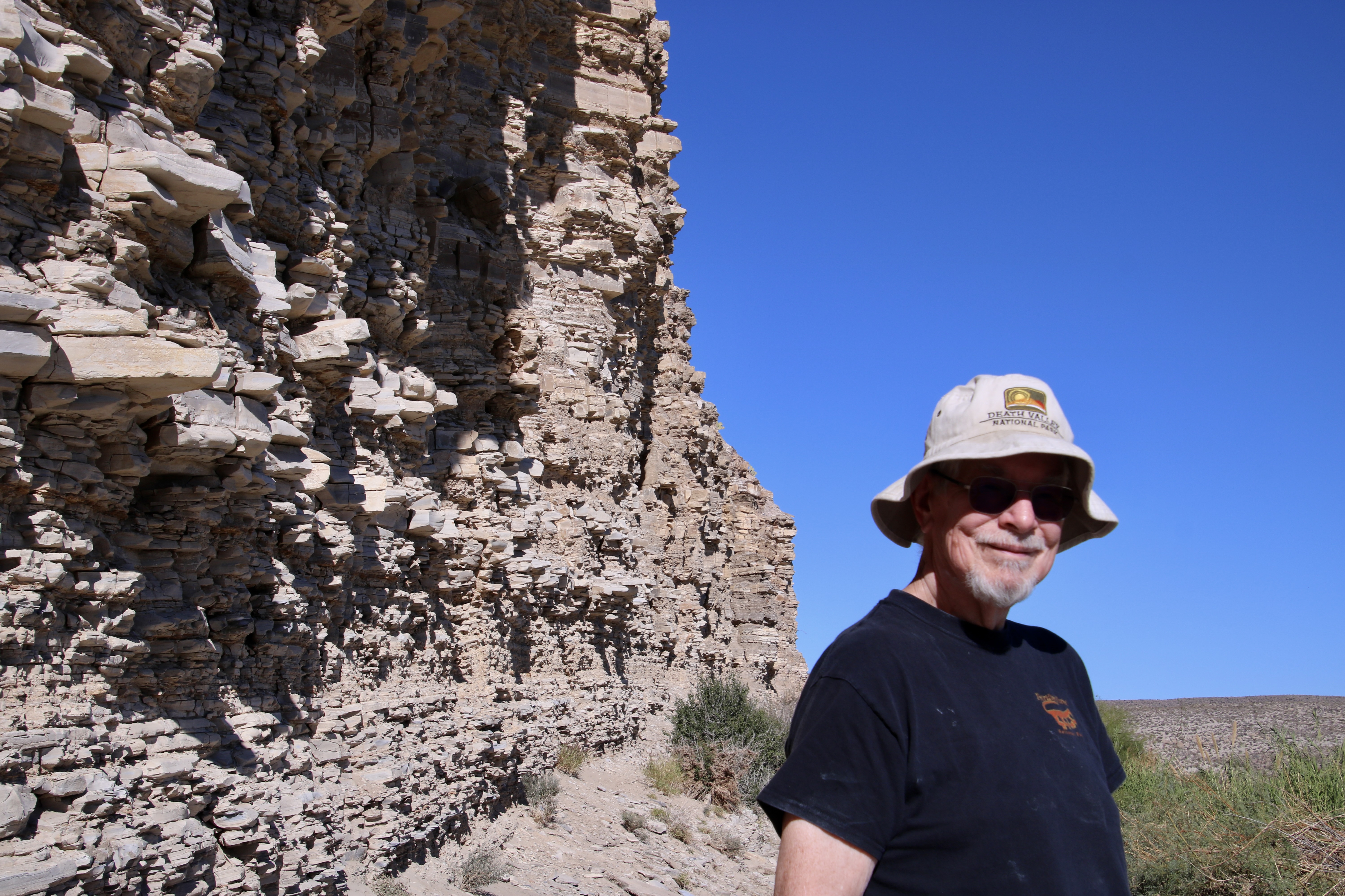
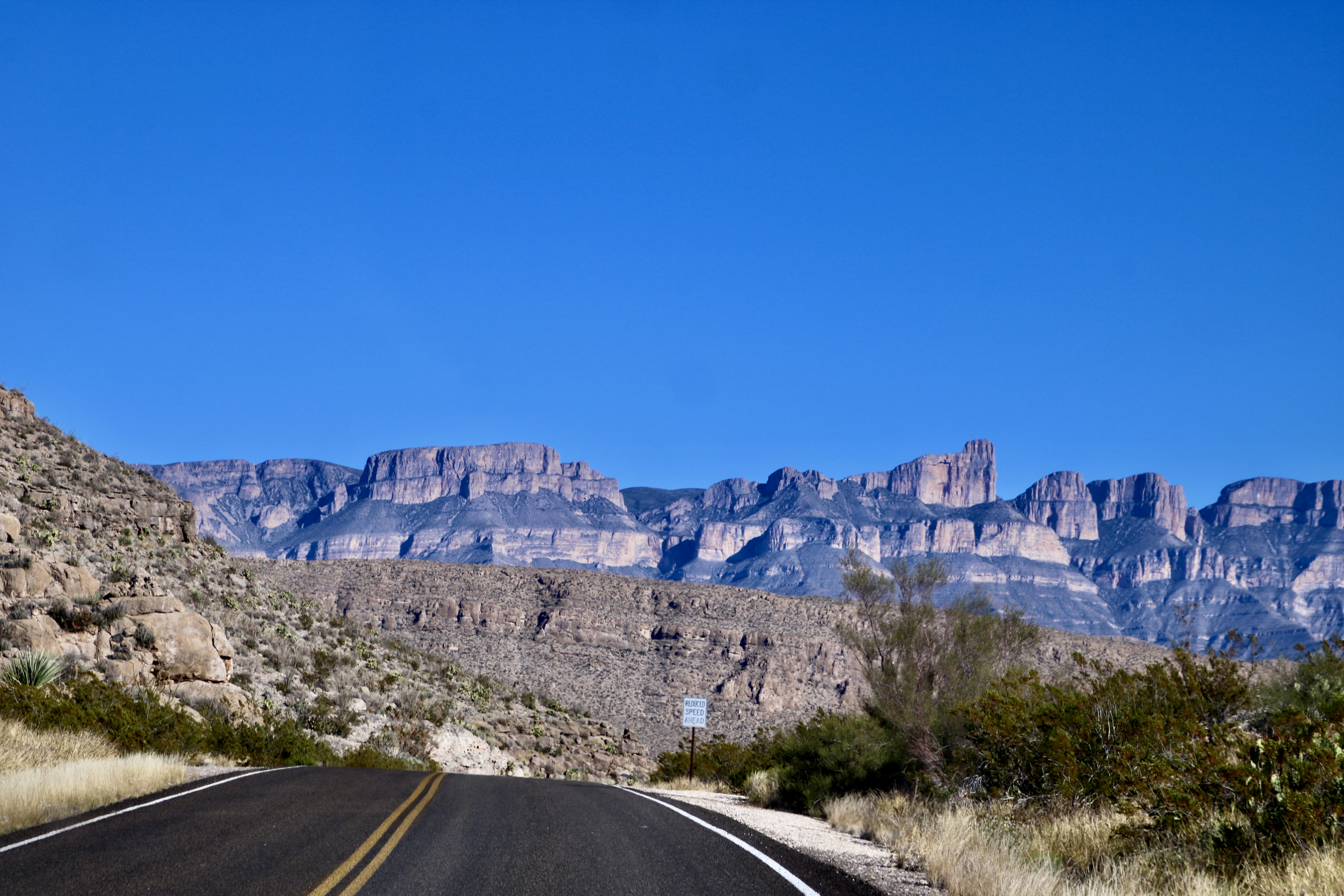
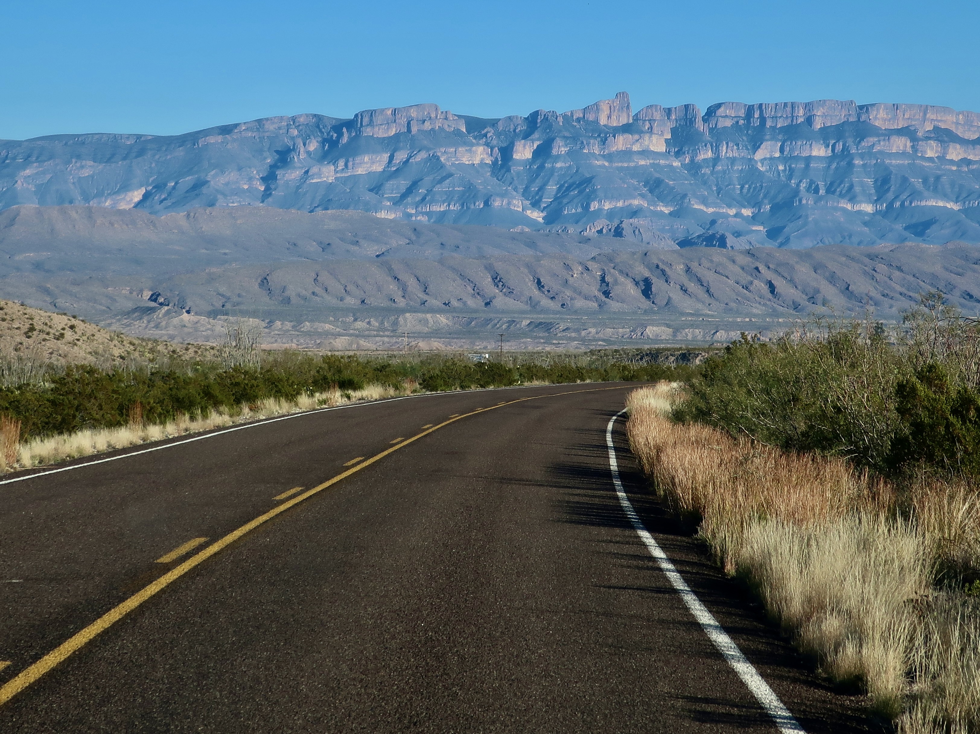
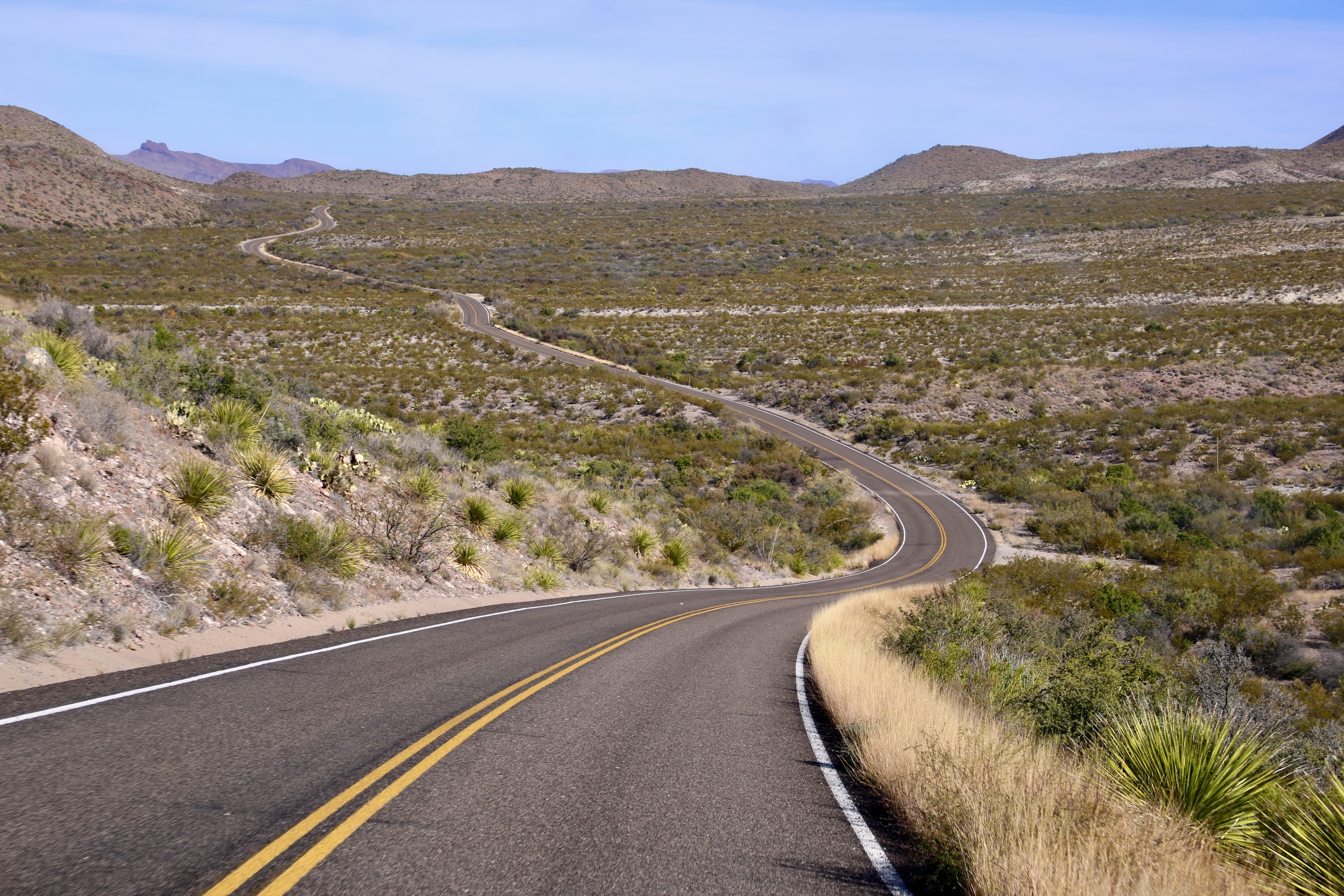
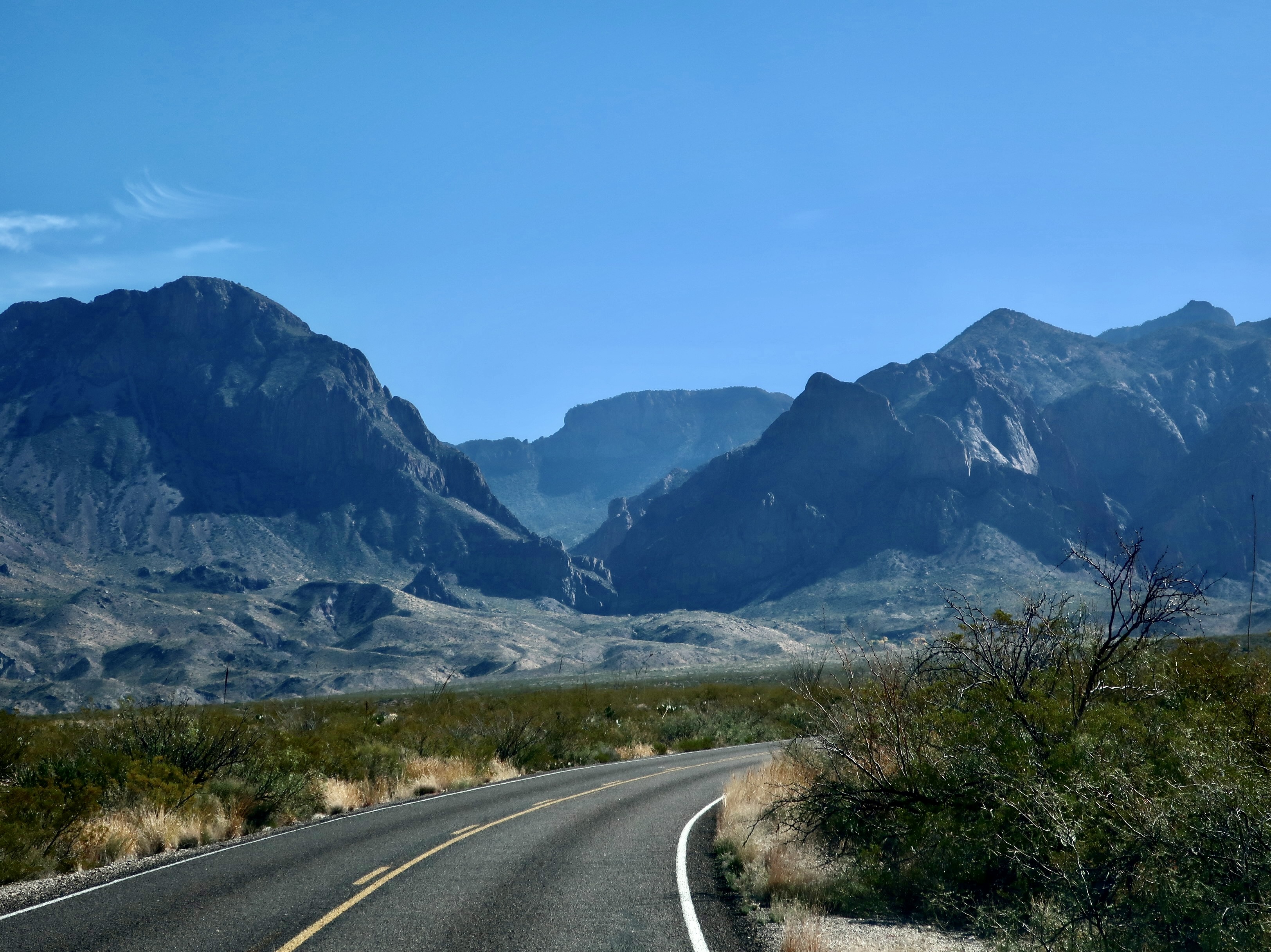
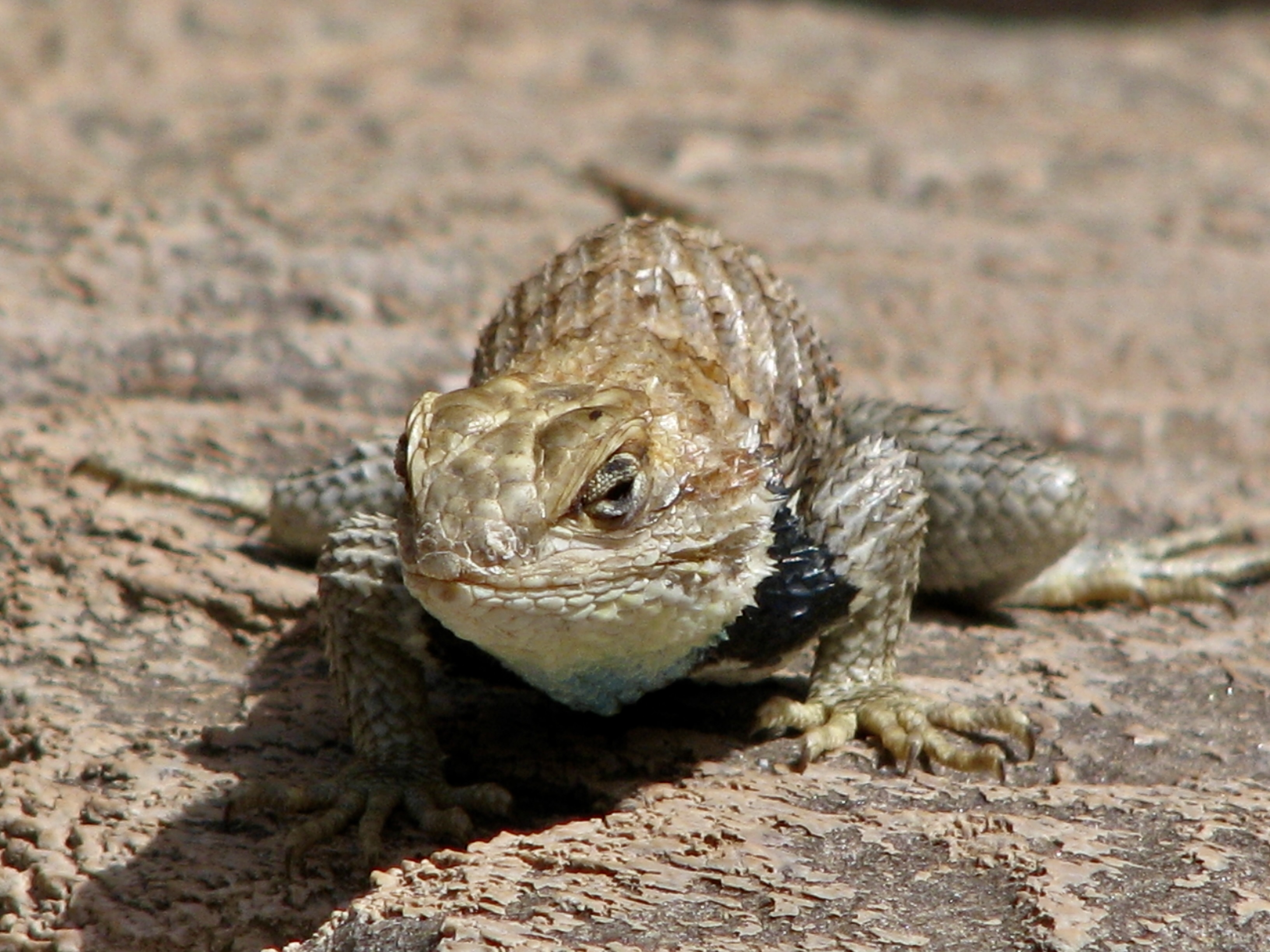
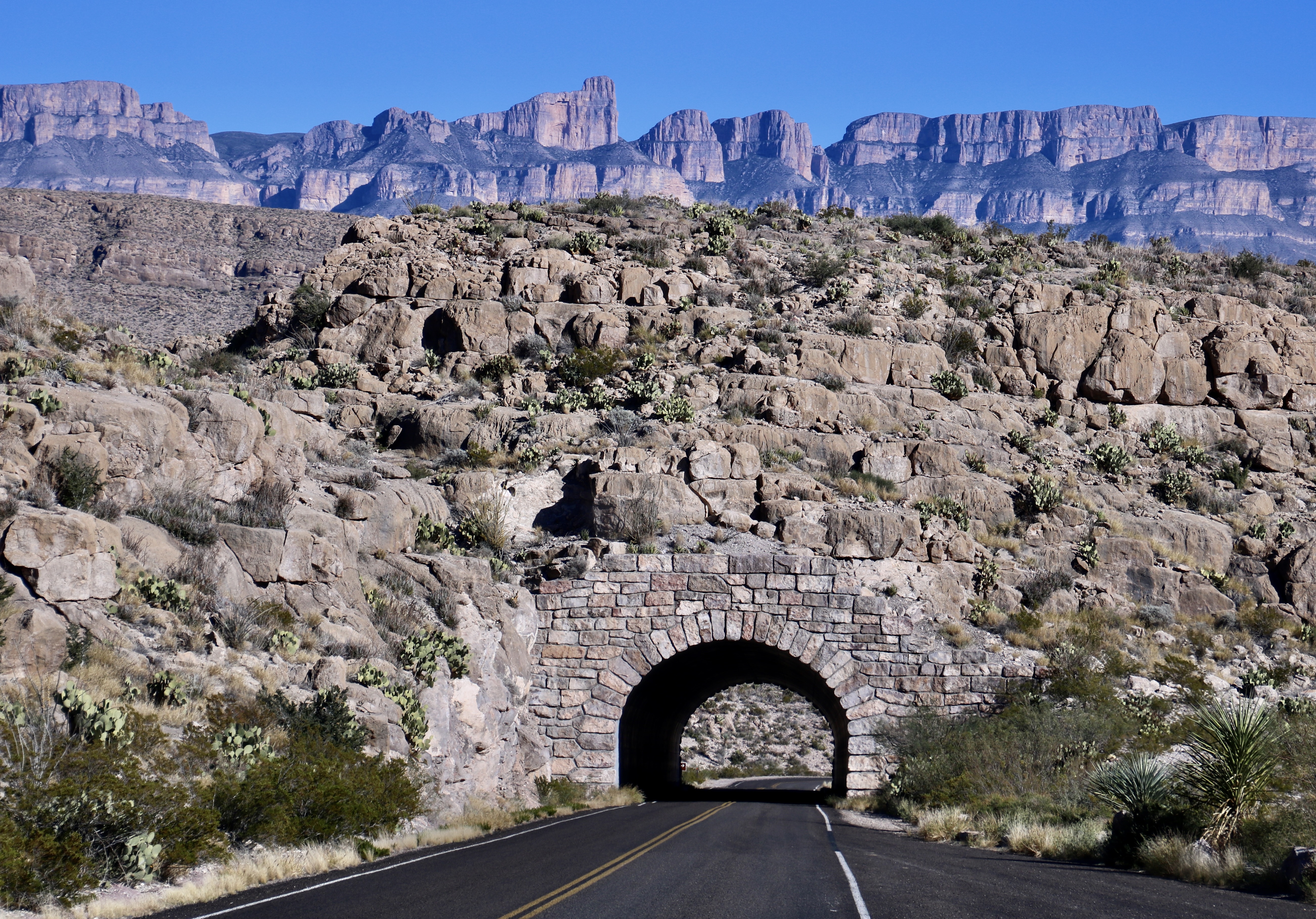
Today’s post was supposed to be about Big Bends Chisos Mountains. I even included a ‘teaser’ photo in my last blog. When I reviewed our photos, however, I quickly decided that a fourth blog was needed. This is it. There may even be a fifth. Most of today’s photos were taken along the Ross Maxwell Scenic Drive shown below.


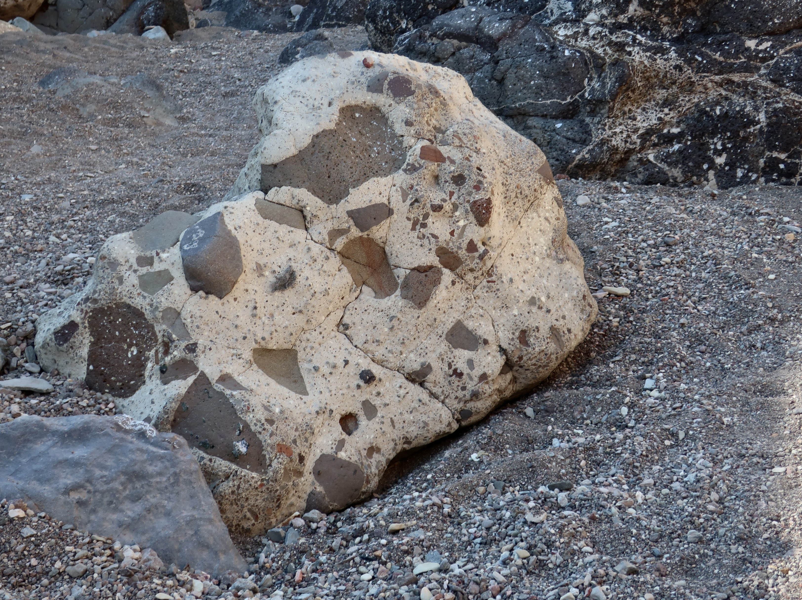
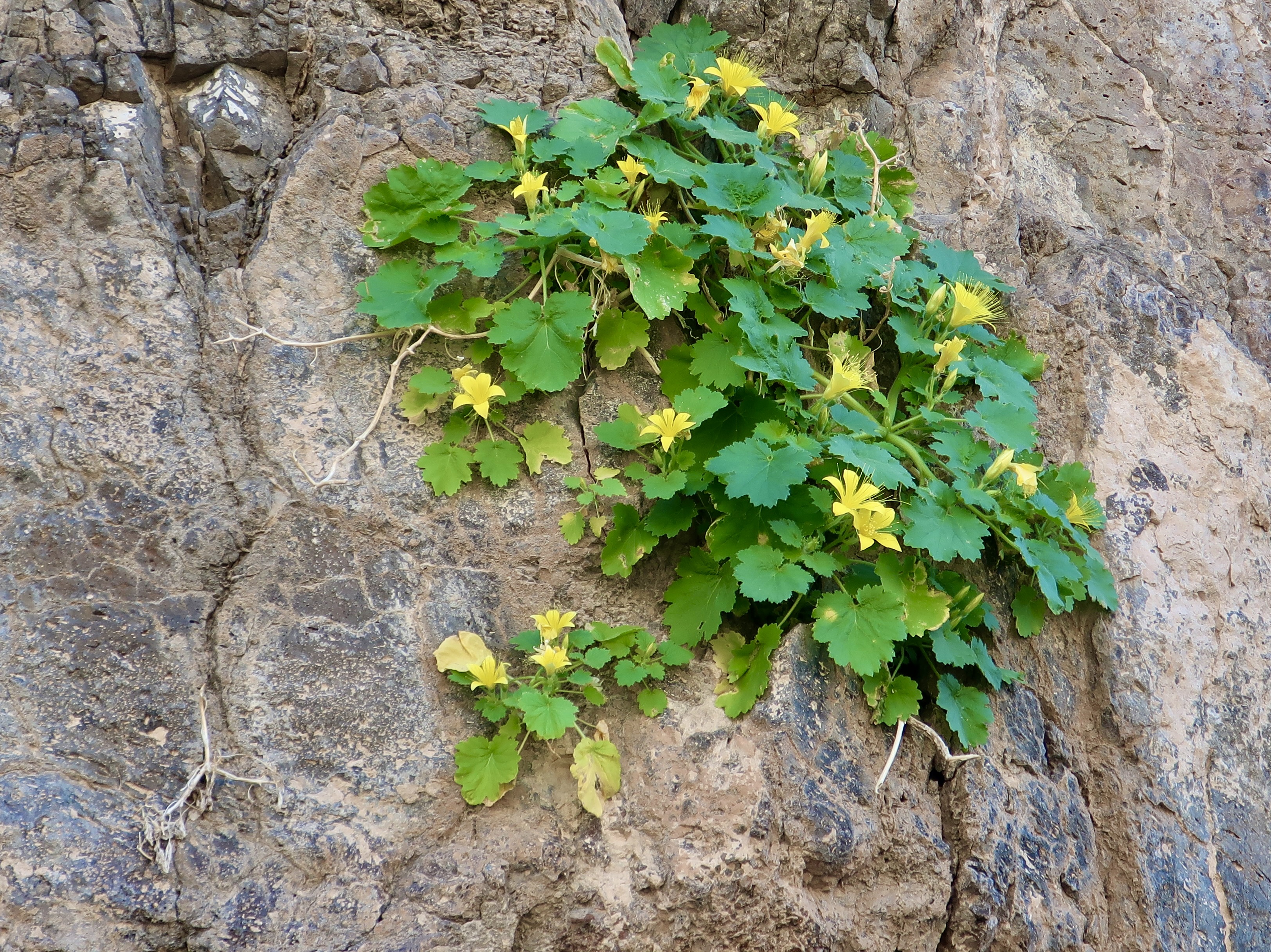
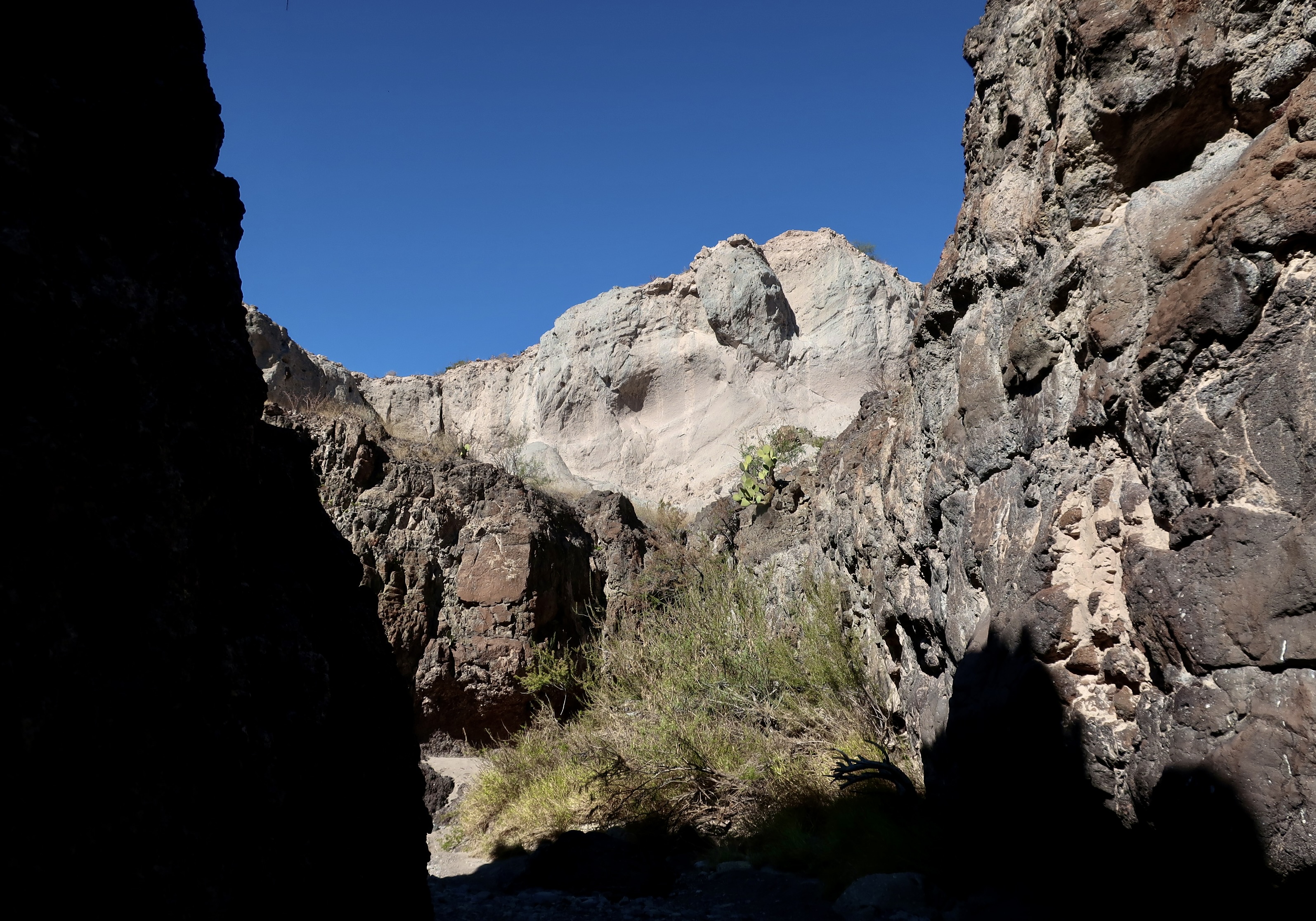
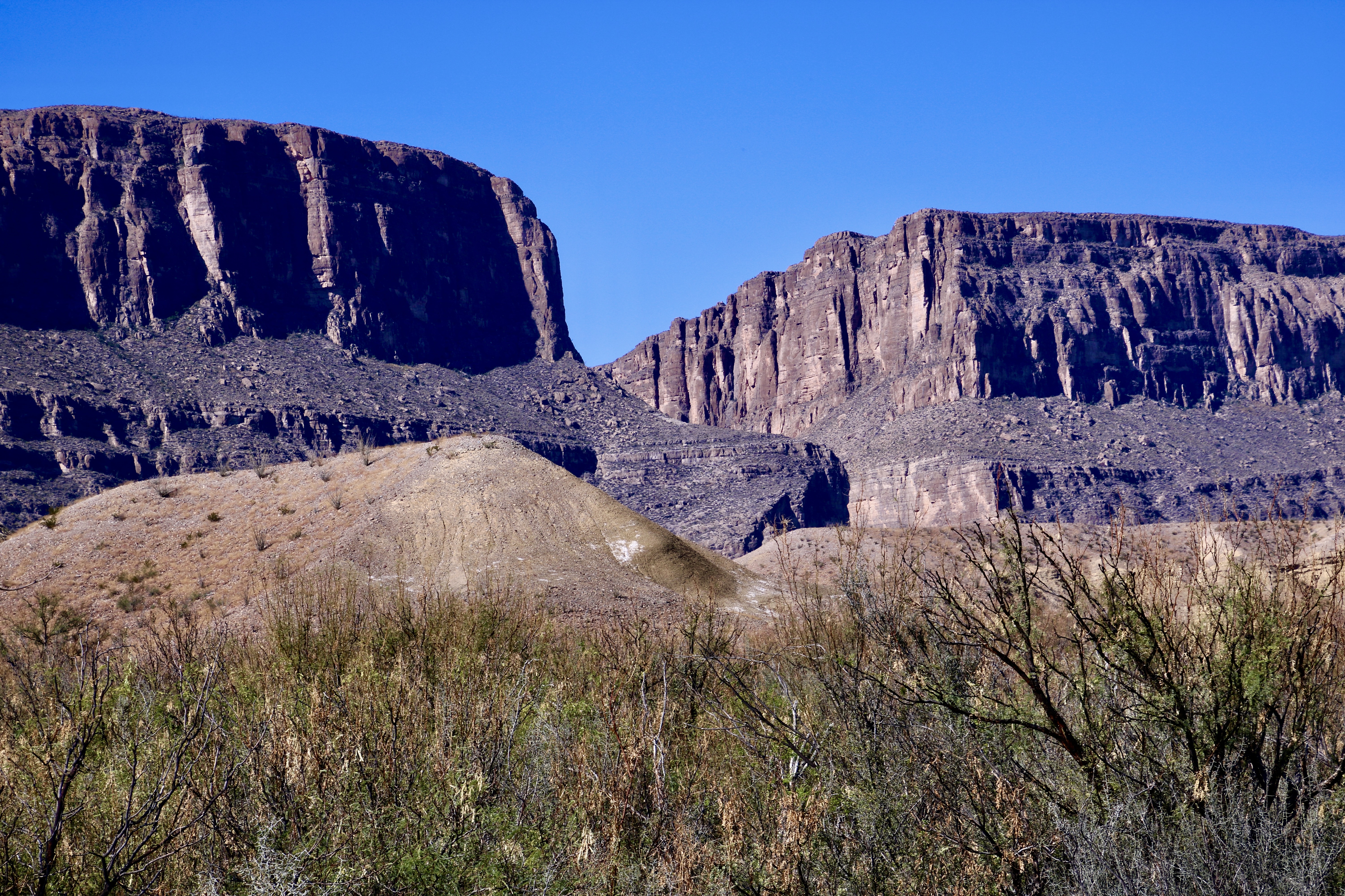
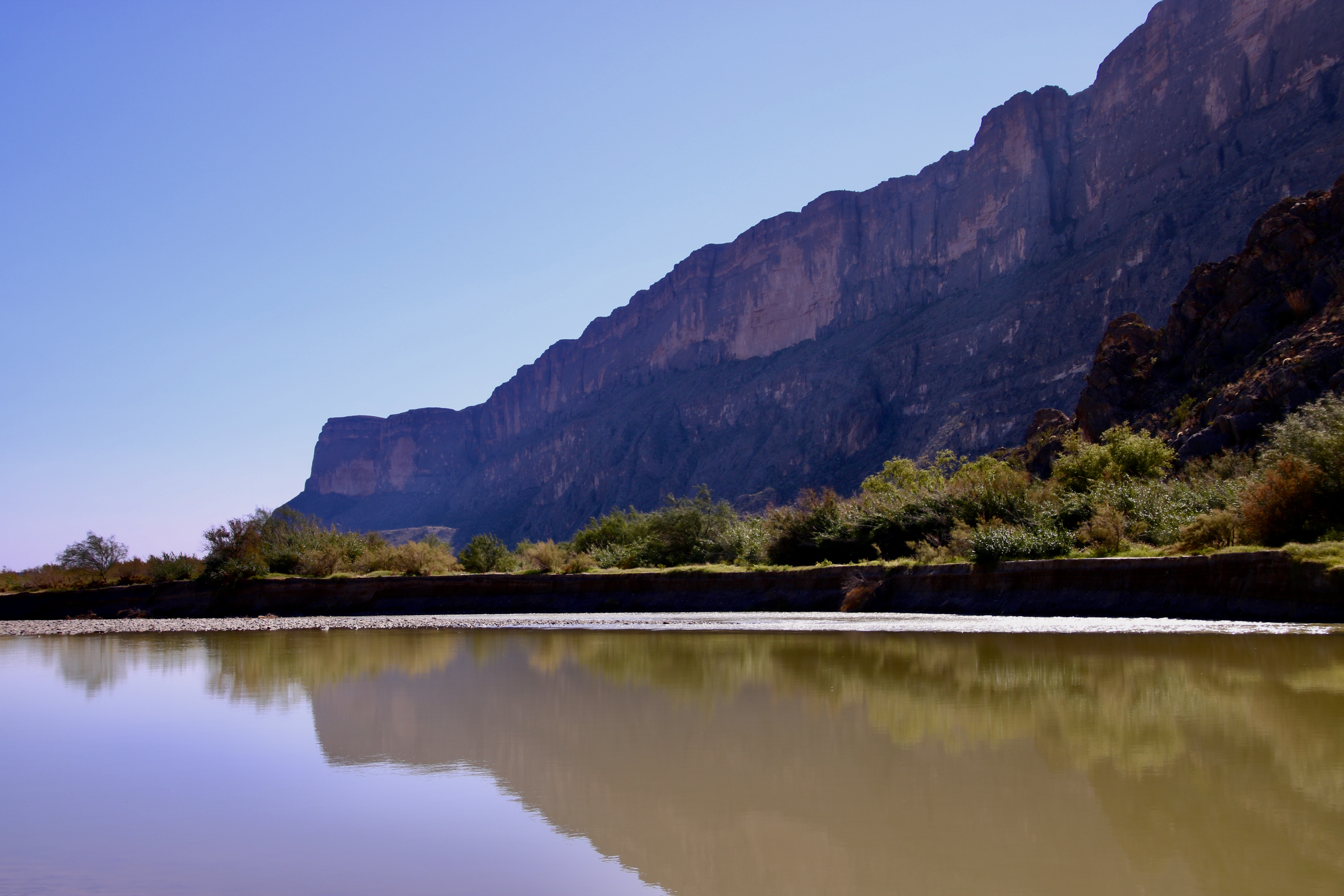
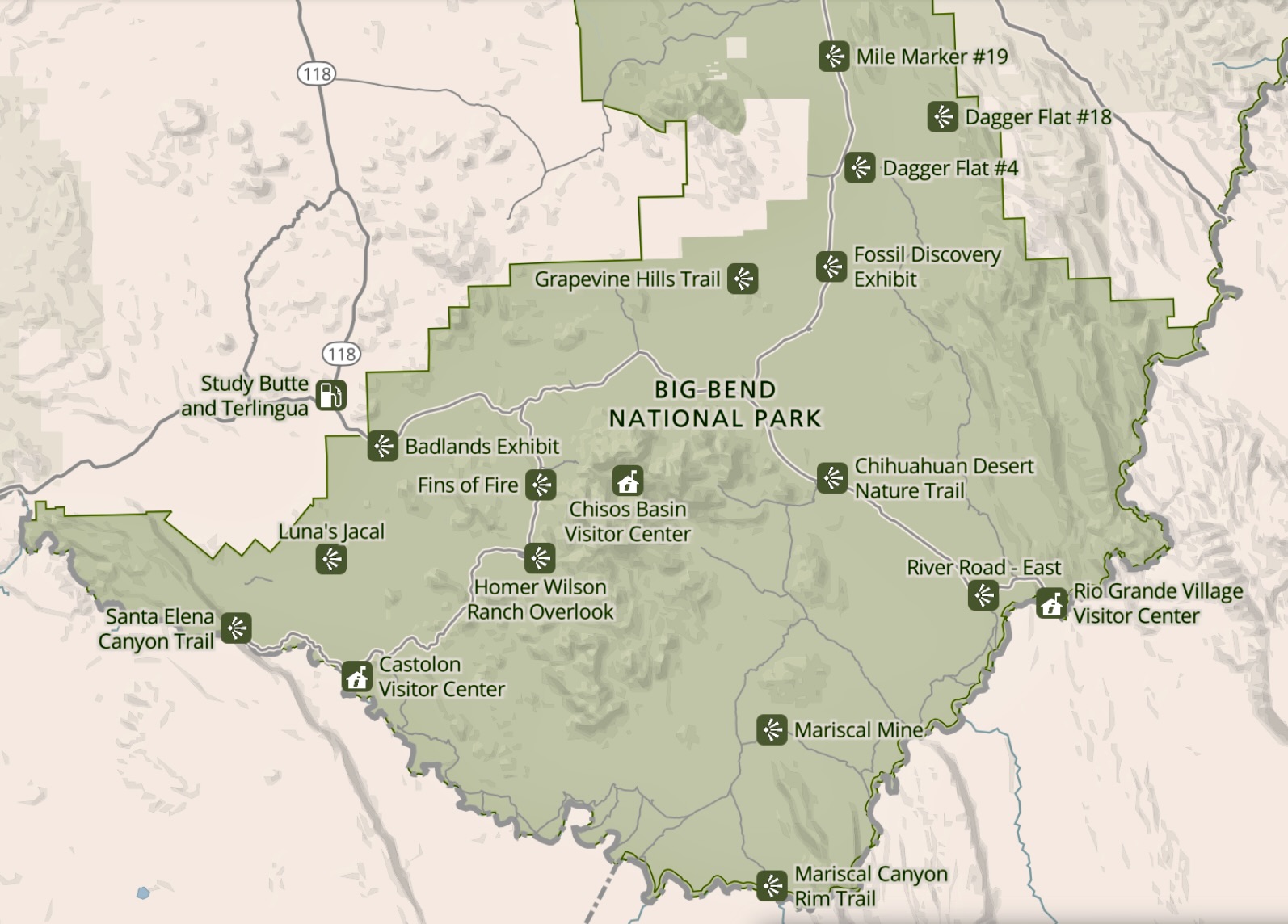
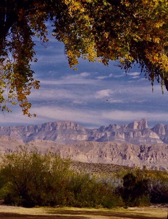
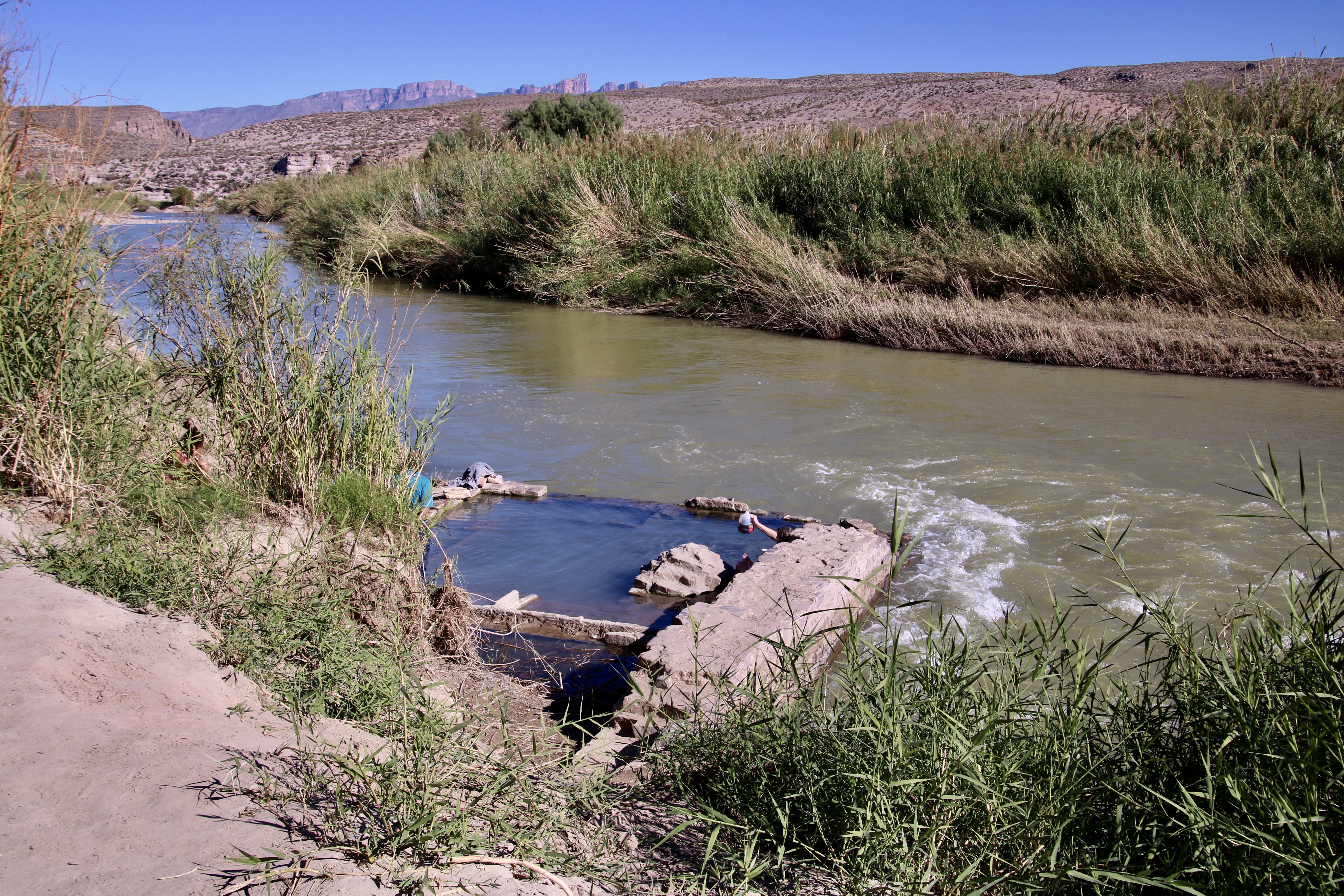
Big Bend is a three-for-the-price-of-one National Park. There is desert, lots of it: Big Bend serves as northern end of the Chihuahuan Desert, most of which is in Mexico. The craggy, volcanic formed, Chisos Mountains reach for the sky in the heart of the park. And the Rio Grande runs along its southern border, creating a ribbon of green and carving deep river canyons.
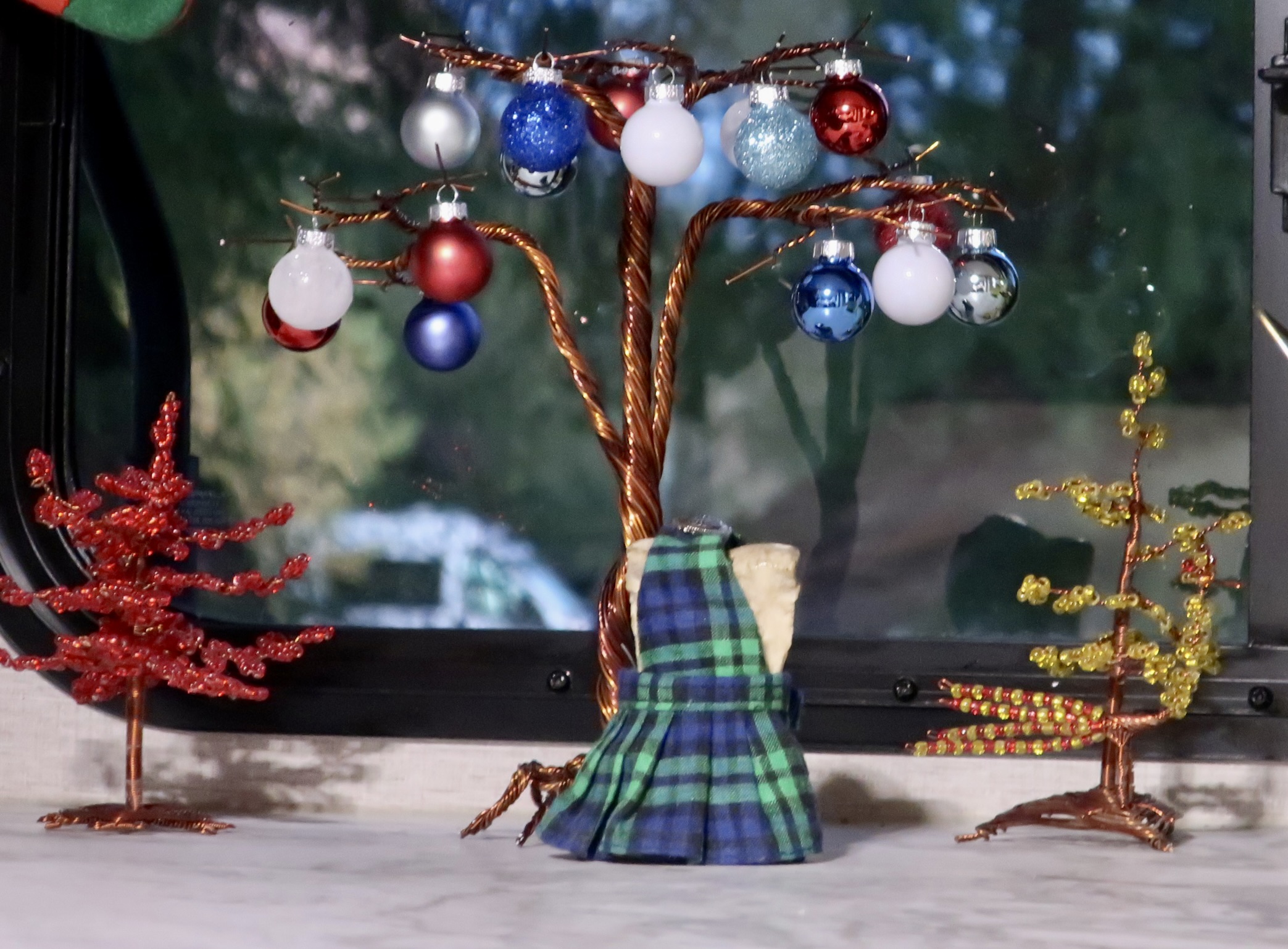
We first visited in 1999 when we had taken a year off from work to visit and explore all of America’s national parks. We camped at the Rio Grande Village campground and celebrated Christmas there. A macramé hanging served as our Christmas Tree. Our main present was a long walk along the Rio Grande. We vowed we would come back.


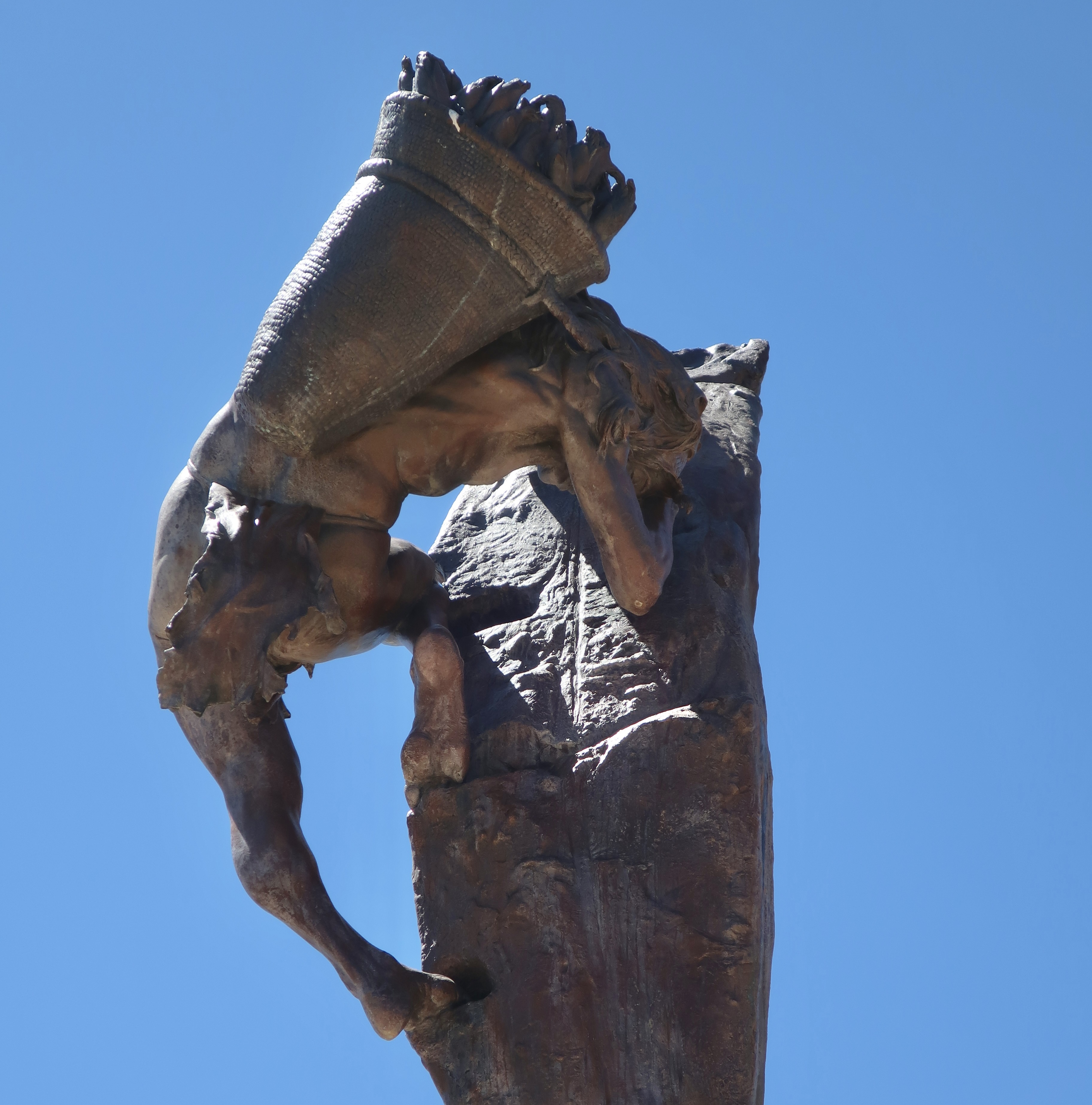
I just rewatched Peter Jackson’s trilogies on the Hobbit and Lord of the Rings, some 17 hours worth. Talk about going ever on. I’ve watched the movies four times. Peggy is a great fan. Me? Not so much. Long before the movies were produced, I read the Hobbit and then went on to read the Lord of the Rings. Also four times. I prefer Tolkien’s version over Jackson’s reinterpretation. The latter is less whimsical, more dark, and more tragic. Part of it is the medium. It’s one thing to read about the tribulations of Frodo. It’s something else to see them rendered graphically on the screen. But there is more. Dark parts are added to the movie, while lighter part are left out. For example, I’ve never forgiven Jackson for leaving out Tom Bombadil and Goldberry, two fun, fascinating characters, at the beginning of the Tolkien’s Fellowship of the Ring.
This post isn’t about the books or the movies, although it is about roads. I am going to kick off my first post on Big Bend NP with road shots. Also, I will note in passing, that I used the time we were watching the movies to pick out and process some 725 photos that Peggy and I took of the Park— and that I decided are blog worthy. You will see around a tenth of them is these posts!
I’m going to skip commentary on the road photos. The next two posts after this will feature many of the same areas, plus more. There will be plenty to comment on.
Shooting photos while driving down the road requires a different approach than shooting while still. The photographer is taking ‘snap shots’ in the truest sense of the word. There isn’t time to look for the best photo or consider factors like angles, shadows, sun, and content. Using a telephoto is much more difficult. The camera has to be ready, maybe even turned on. You spot something of interest, raise your camera, and shoot. Bang, bang, bang. Or the photo op has passed by. Note: When Peggy drives, I’m the photographer and vice-versa. Driving and taking photos at the same time fits the category of ‘very bad idea!’ Also, make sure your windshield is clean. Bug guts can ruin the best of pictures! Grin.
So, without further ado, these are some of the photos Peggy and I caught. While there is no requirement to include the road in a road shot, I have done so for the purpose of this post. You might note the lack of traffic. Big Bend is a long ways from major roads and cities! Enjoy.


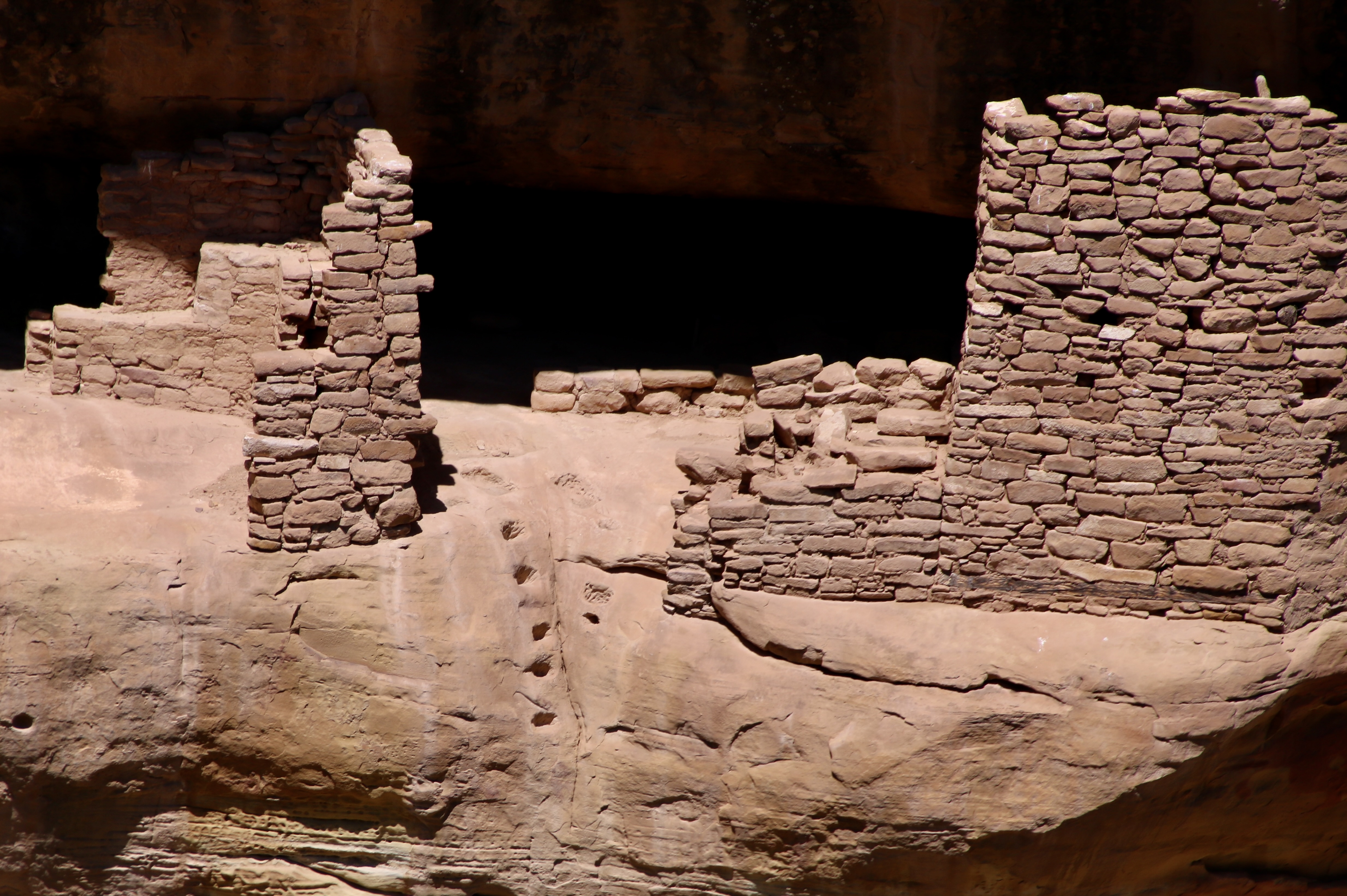

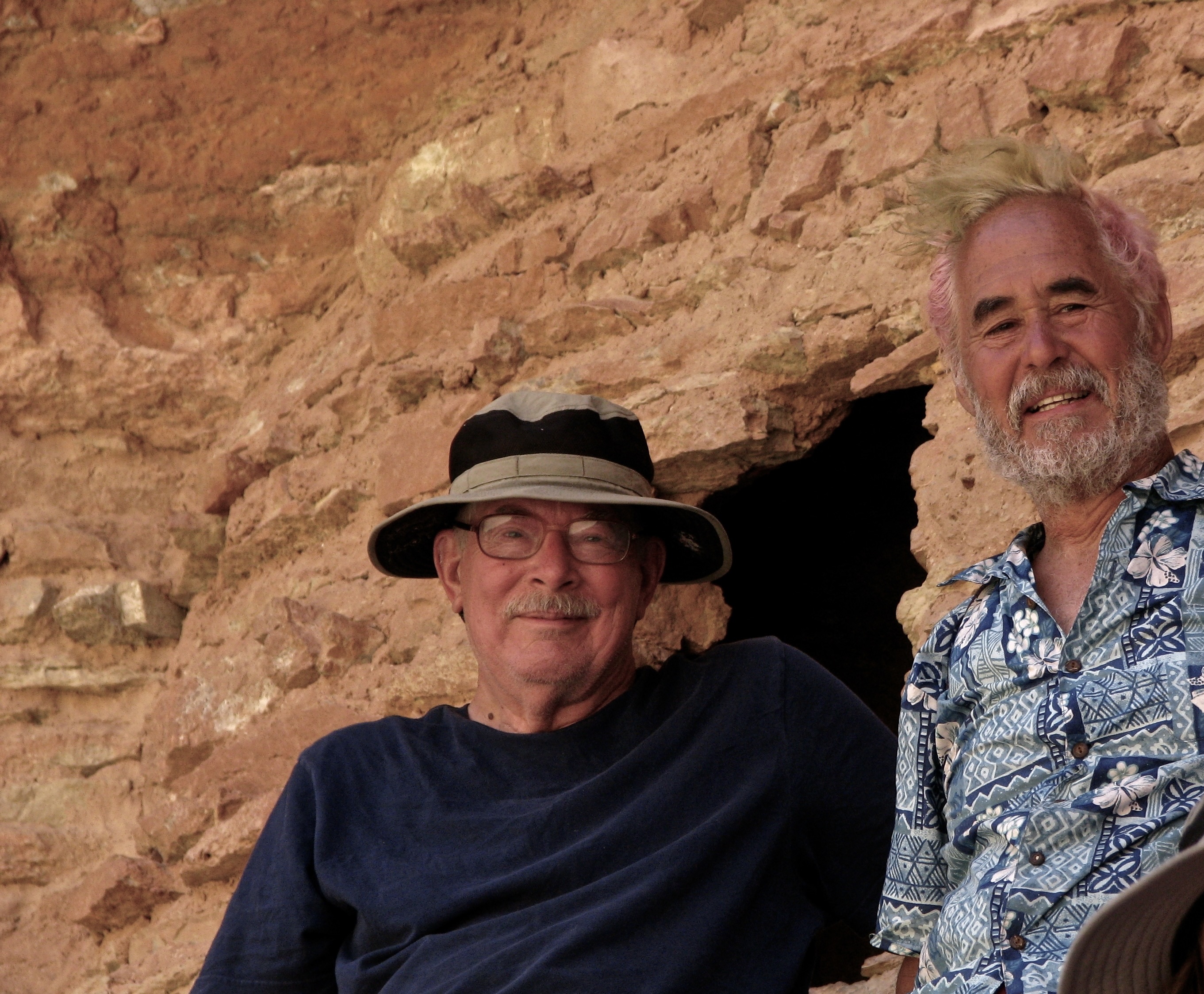
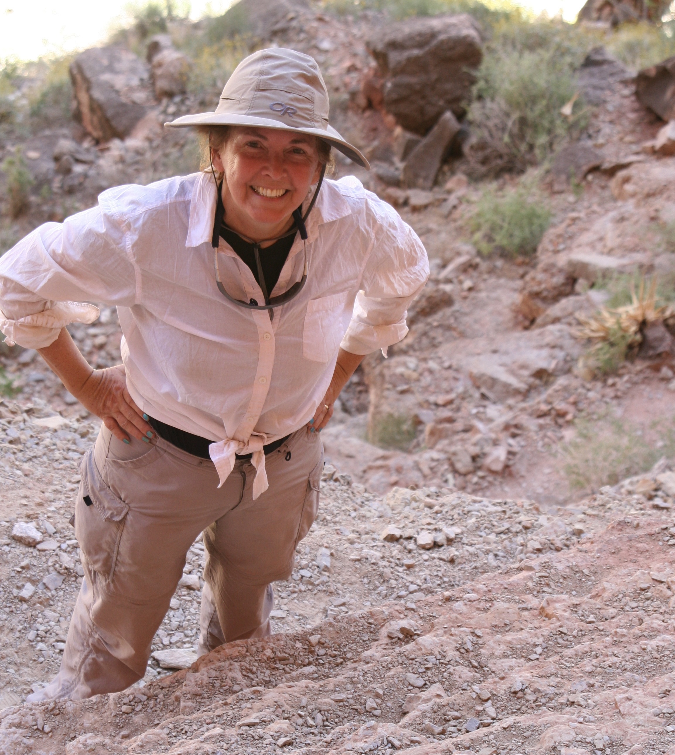
Ancestral Puebloans reached the Mesa Verde (“green table”) area sometime around 600 CE (A.D.). They would remain in the area for 700 years reaching the peak of their civilization between 1100-1300 CE. At first, they focused on building pithouses, pueblos, masonry towers, and farming structures on top of the mesa. The National Park Service features a number of the buildings. While we visited several of them, our focus today will be on the cliff houses for which Mesa Verde is famous. But first, a quick look at the countryside where the Puebloans chose to make their homes.


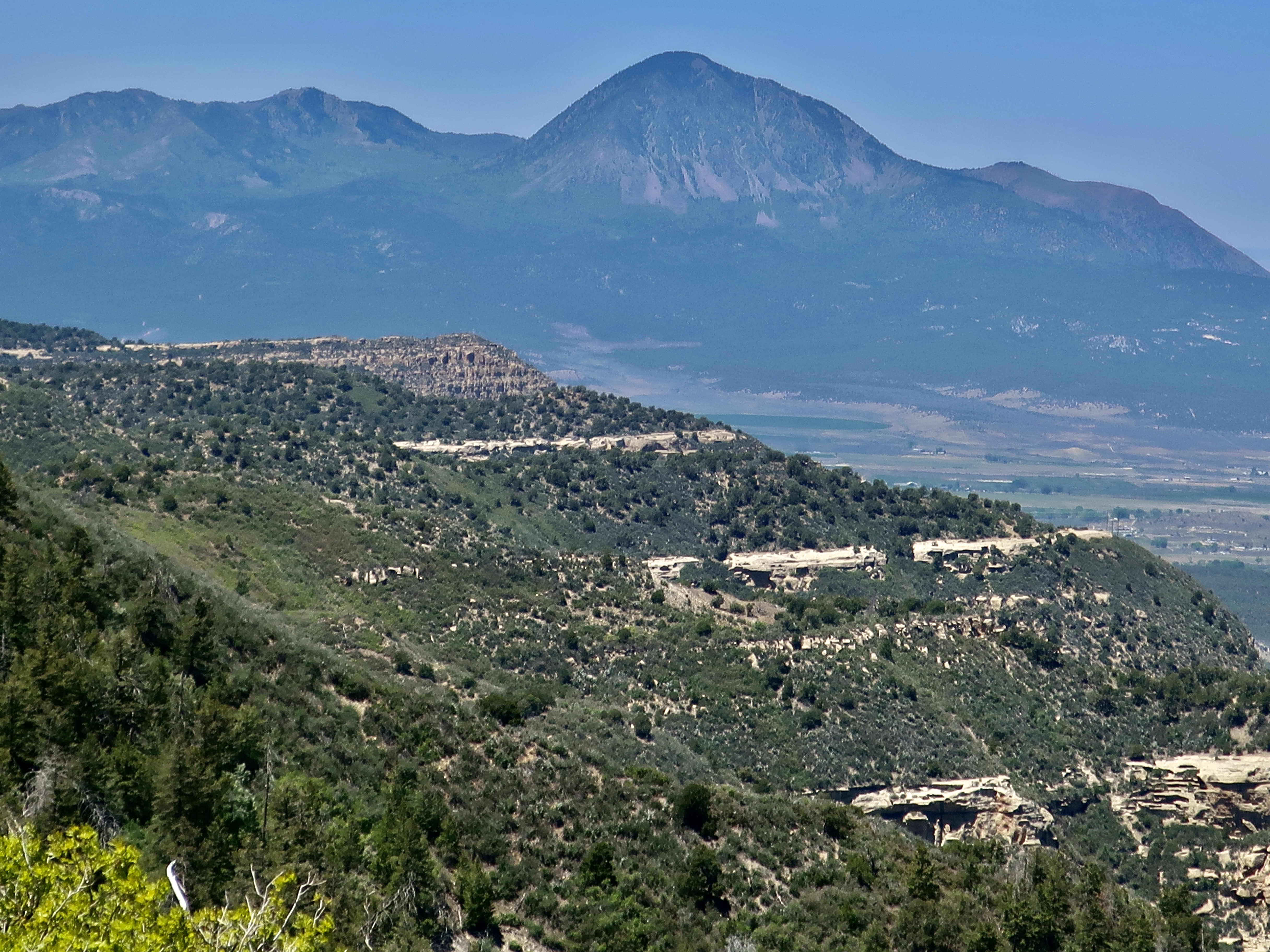


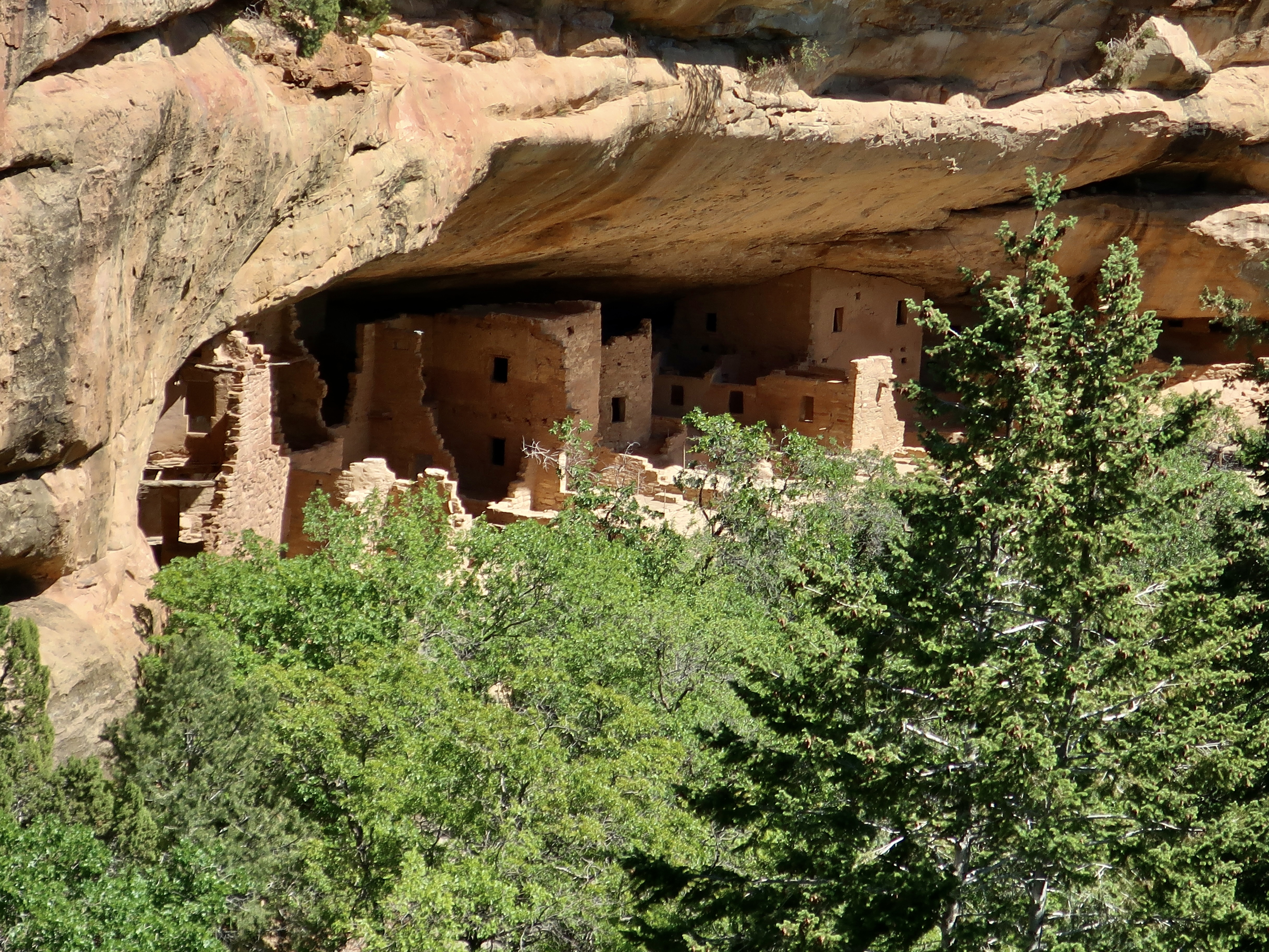


Theodore Roosevelt established Mesa Verde National Park in 1906 to “preserve the works of man.” It was the first park of its kind designed to protect and maintain an important historical and cultural treasure. Located in Southwestern Colorado, the park covers an area of 52,485 acres.
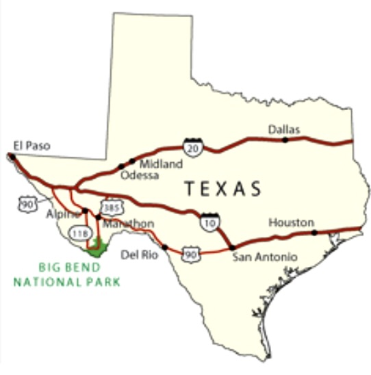
Our next post will take you to visit another national park of great natural beauty and relatively few visitors, Big Bend. It is located in southwestern Texas far from any major metropolitan areas.

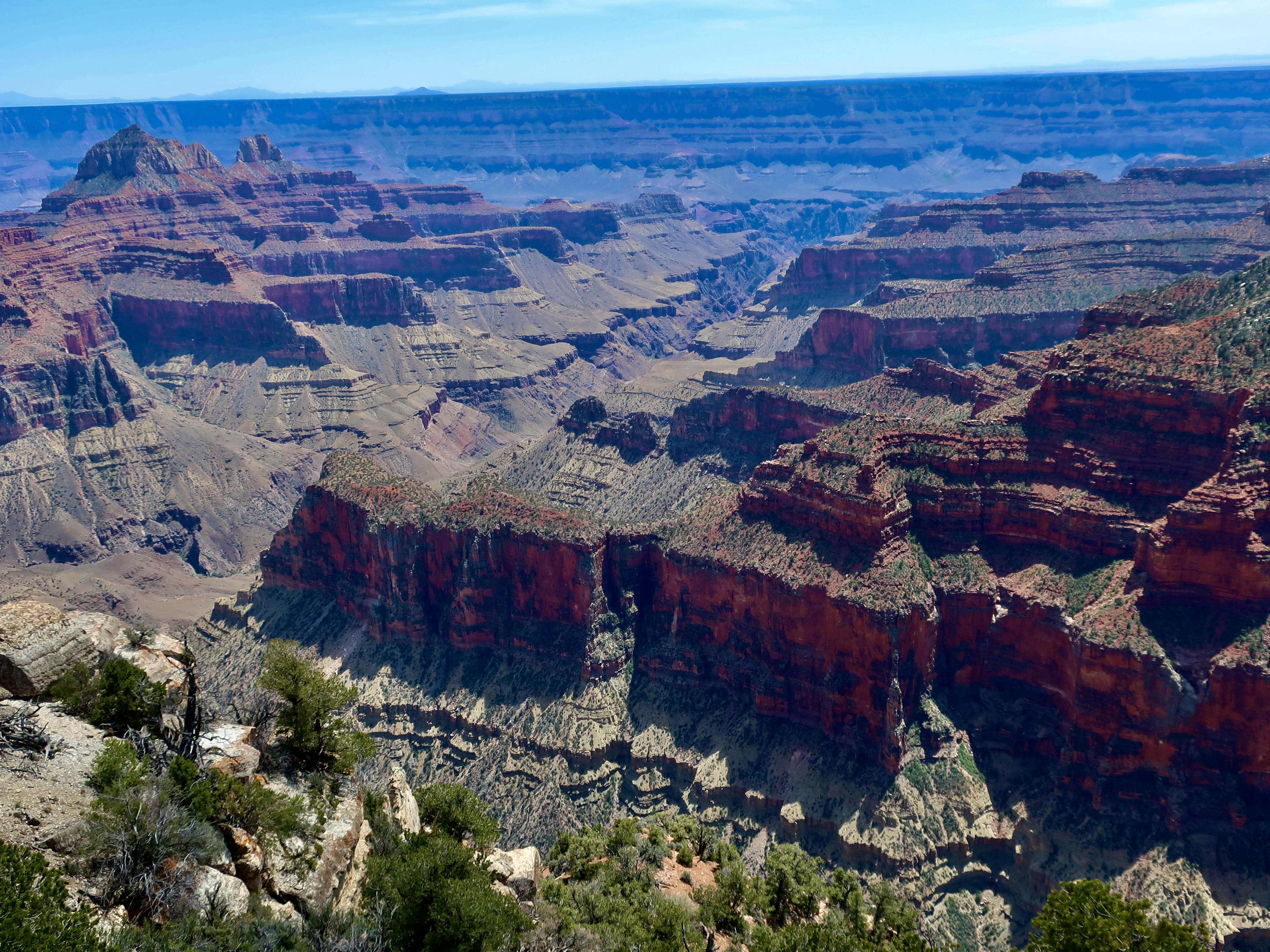
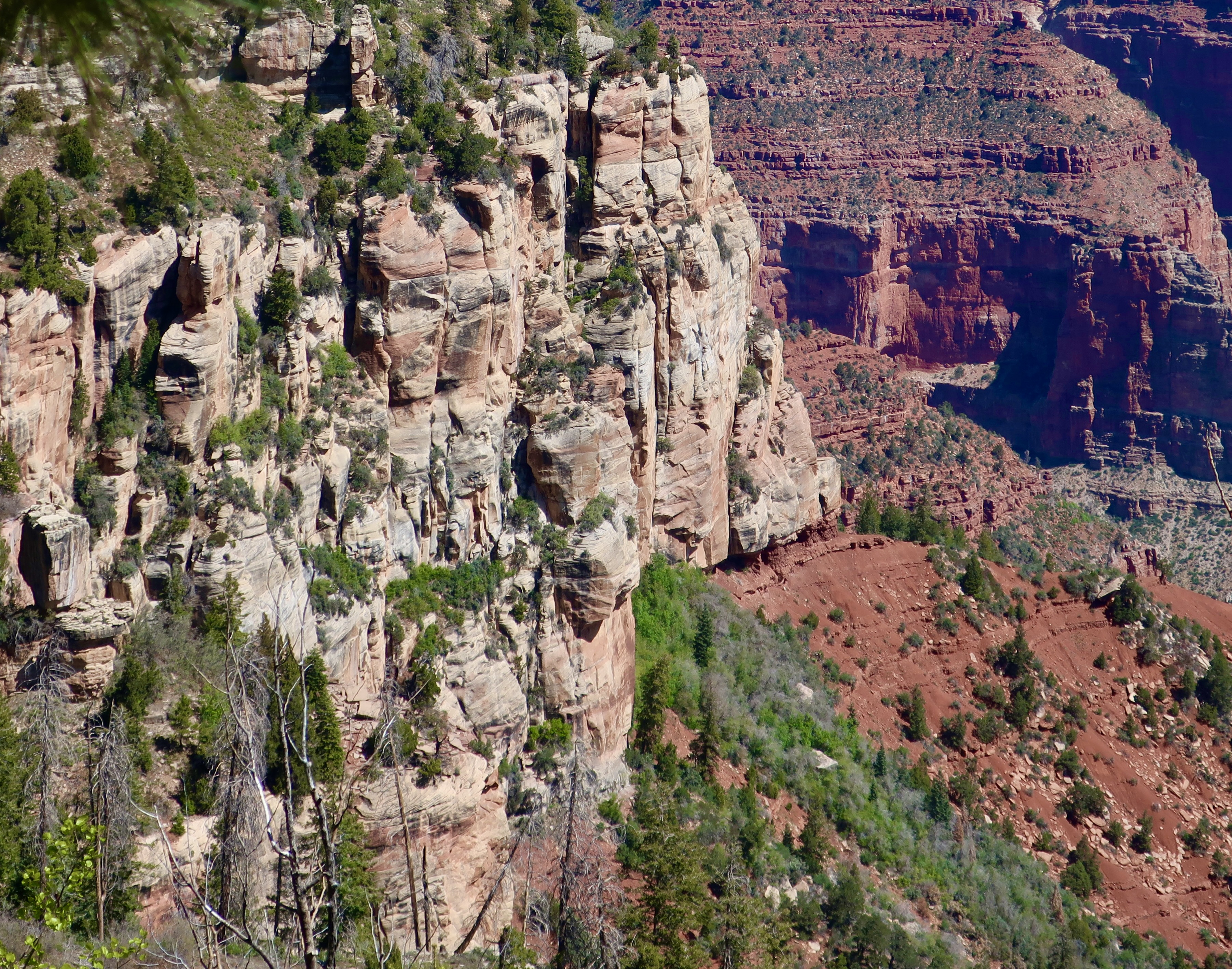
The Red Wall, located just beneath the Supai formation, is one of the most prominent features of the Grand Canyon. Created some 340 million plus years ago in a sea that covered the region, it ranges in height from 500-800 feet and is made up of limestone. Its predominant red color doesn’t come from the limestone, however. It comes from the iron oxide that is formed from the hematite in the Supai formation and leached out by water flowing down the wall, painting it red! Like the sandstone, limestone is a hard rock that doesn’t easily erode. Thus, the towering cliffs.
The oldest rocks in the canyon are appropriately found at the bottom, Vishnu Schist, a metamorphic rock of quartz and hornblende that was born in a deep ocean trench some 1.8 billion years ago. Does this mean the Grand Canyon shows 1.8 billion years of earth’s geologic history? Not quite, every so often nature wipes out a few million years through erosion. The most renown is the Great Unconformity where some 1.2 billion years of the the 1.8 billion were razed!
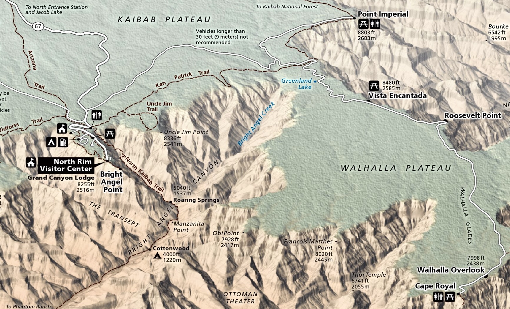


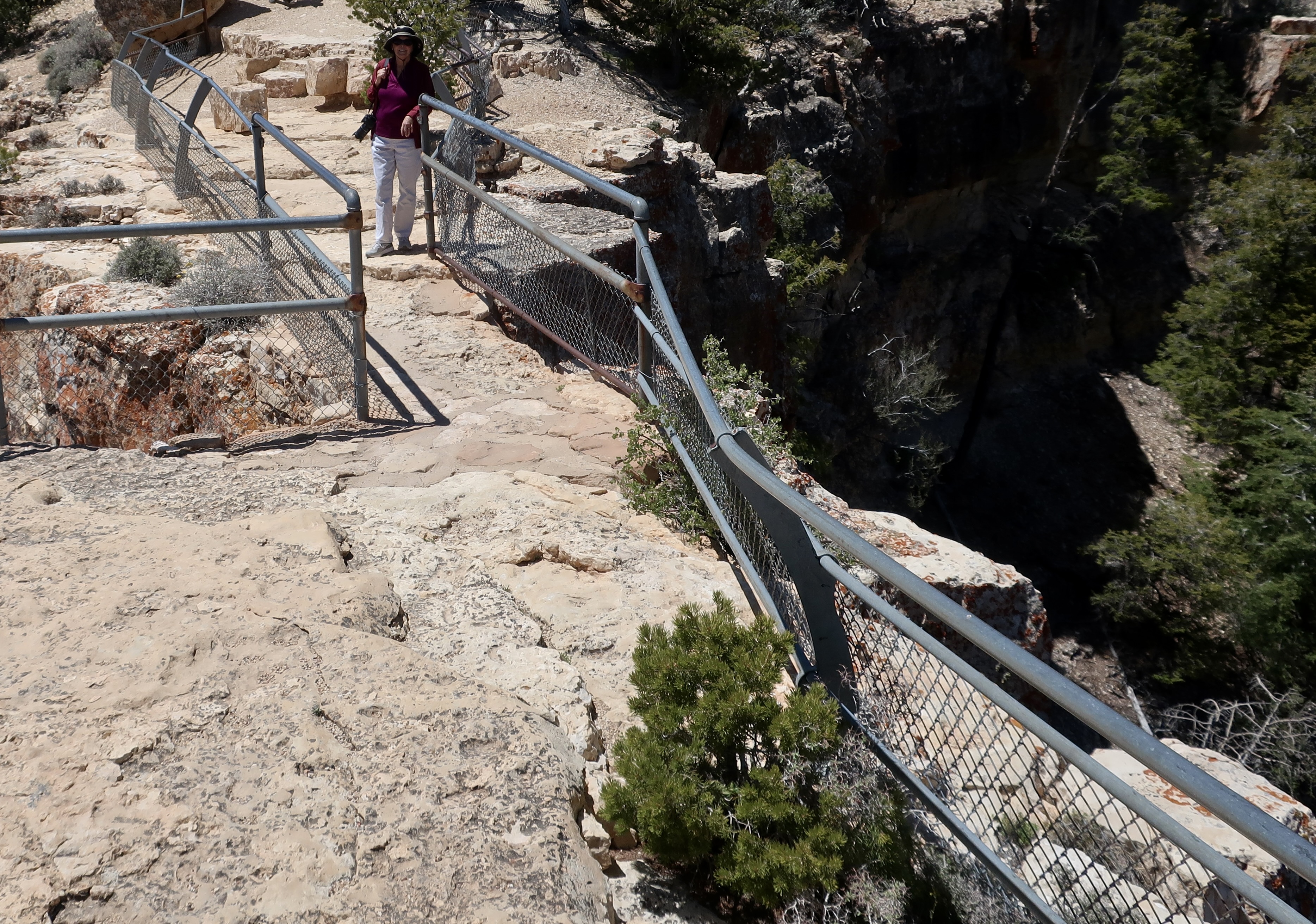
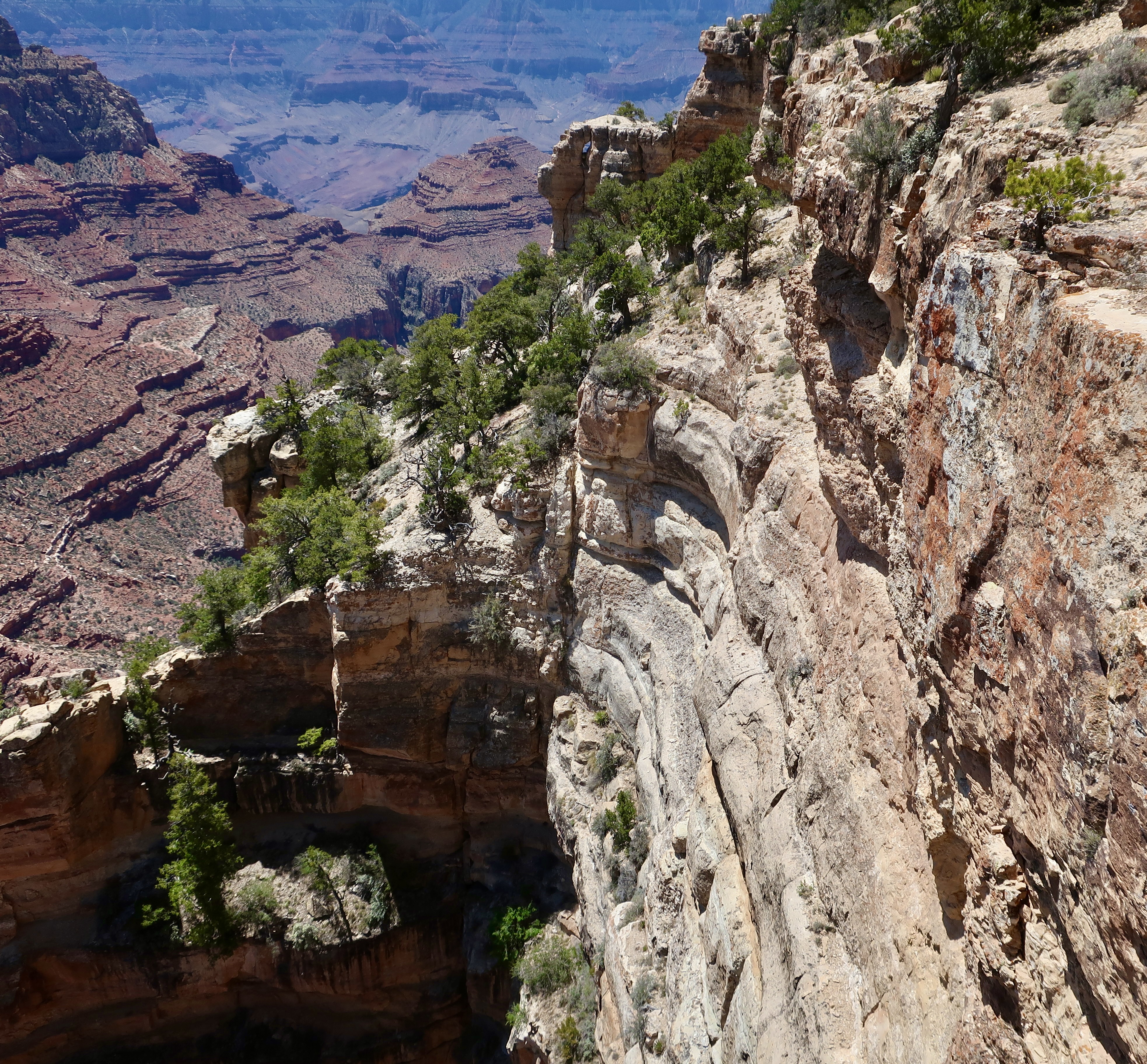
Today, Peggy and I are going to take you on a visit to the North Rim of the Grand Canyon as part of our National Park Series. We were there in 2022 but didn’t have time to do a post on it because we were headed off for a trip up the Rhine River.
I’m no stranger to the Grand Canyon. Even before I met Peggy, I had been to the South Rim several times, backpacked into the canyon four times, and even took a mule in on my first visit ever, an experience I didn’t need to repeat. The mule recognized that I was two pounds over the weight limit and kept trying to bite me and throw me off the trail with a several hundred foot drop. The worst insult, however, was to my butt. I couldn’t sit down for two days.
Peggy and I have also been there a number of times with experiences ranging from backpacking into the Canyon to being flown into a section outside the park in a helicopter by our son. We also did an 18 day private raft trip down the Colorado River through the Canyon. Once we took our kids, Tasha and Tony, as teenagers and camped out in the snow. Not surprisingly, I have done a number of posts on the Canyon, but never on the North Rim.
Some 5 million people visit the South Rim of the Grand Canyon. Maybe 10% make it to the North Rim. There are reasons for this, primarily accessibility. The South Rim is easier to get to, has extensive guest facilities, and is open year around. The North Rim, which sits at 8000 feet (2438 M), is closed from October 15 to May 15 because of snow. Plus it is a 212 mile, four hour plus drive from the South Rim— even though the North Rim is only 10 miles from the South Rim as the crow flies! That’s the challenge when you are faced with a ditch that averages 4000 feet deep stretching out for 277 miles.
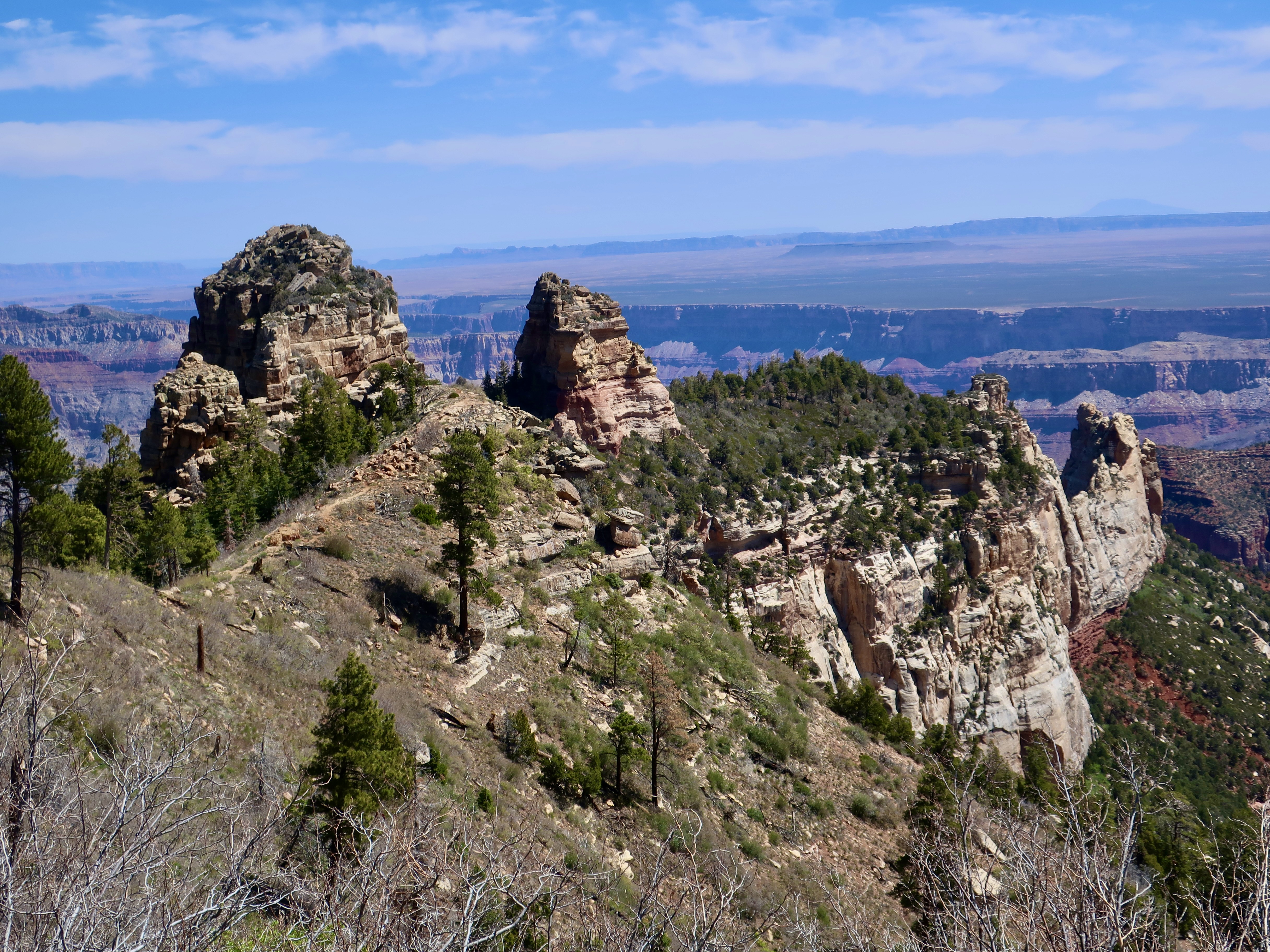
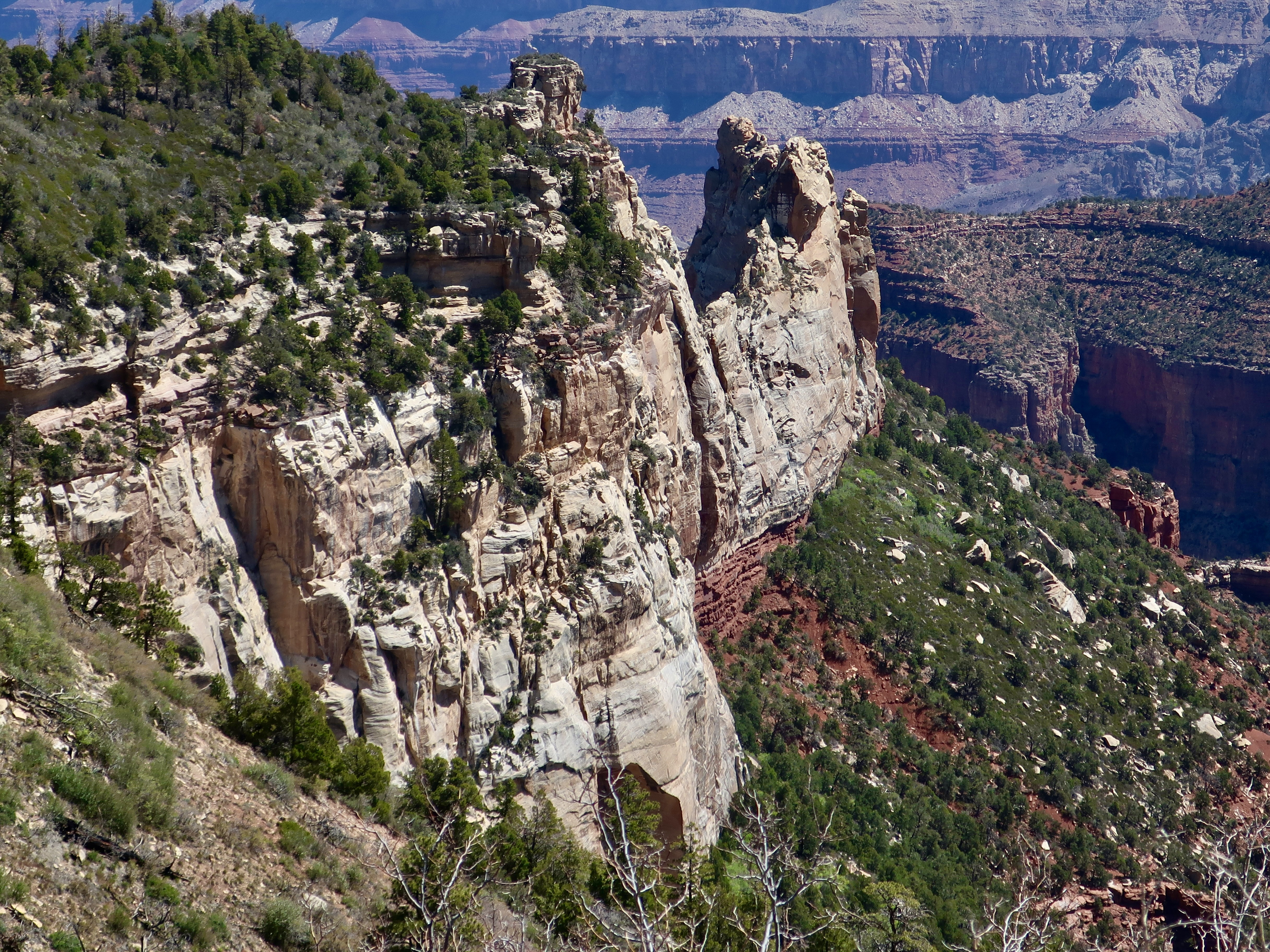
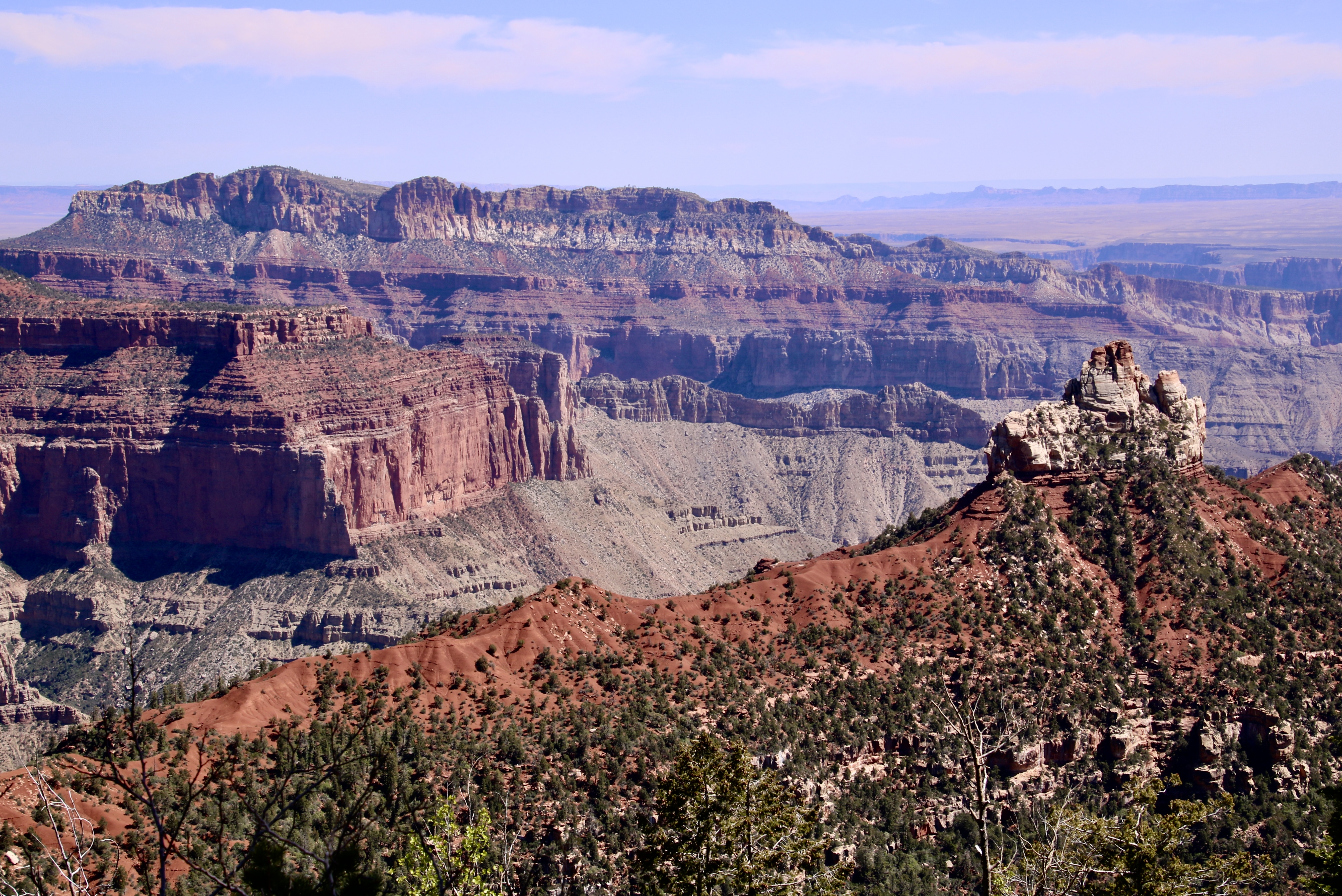
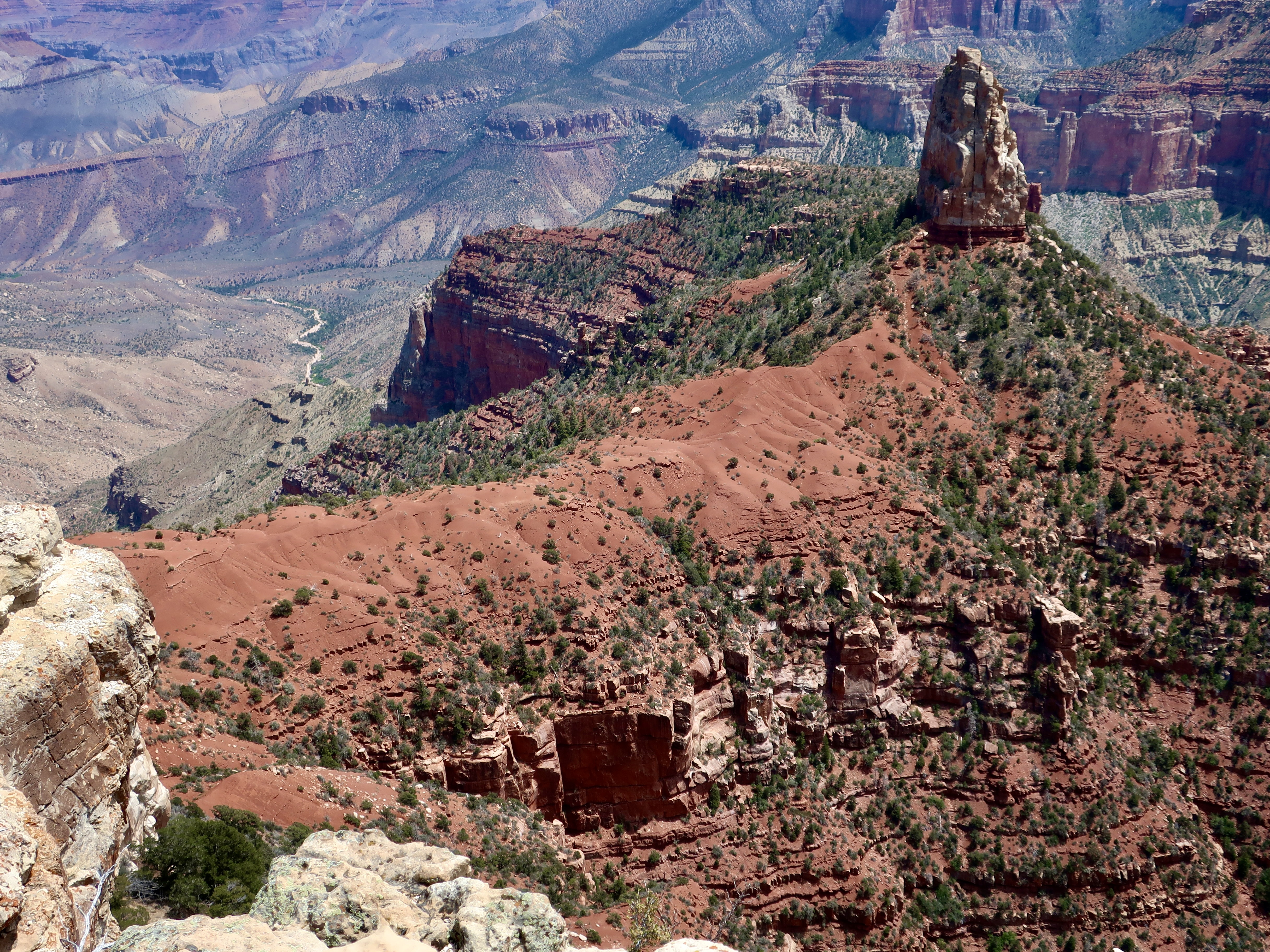
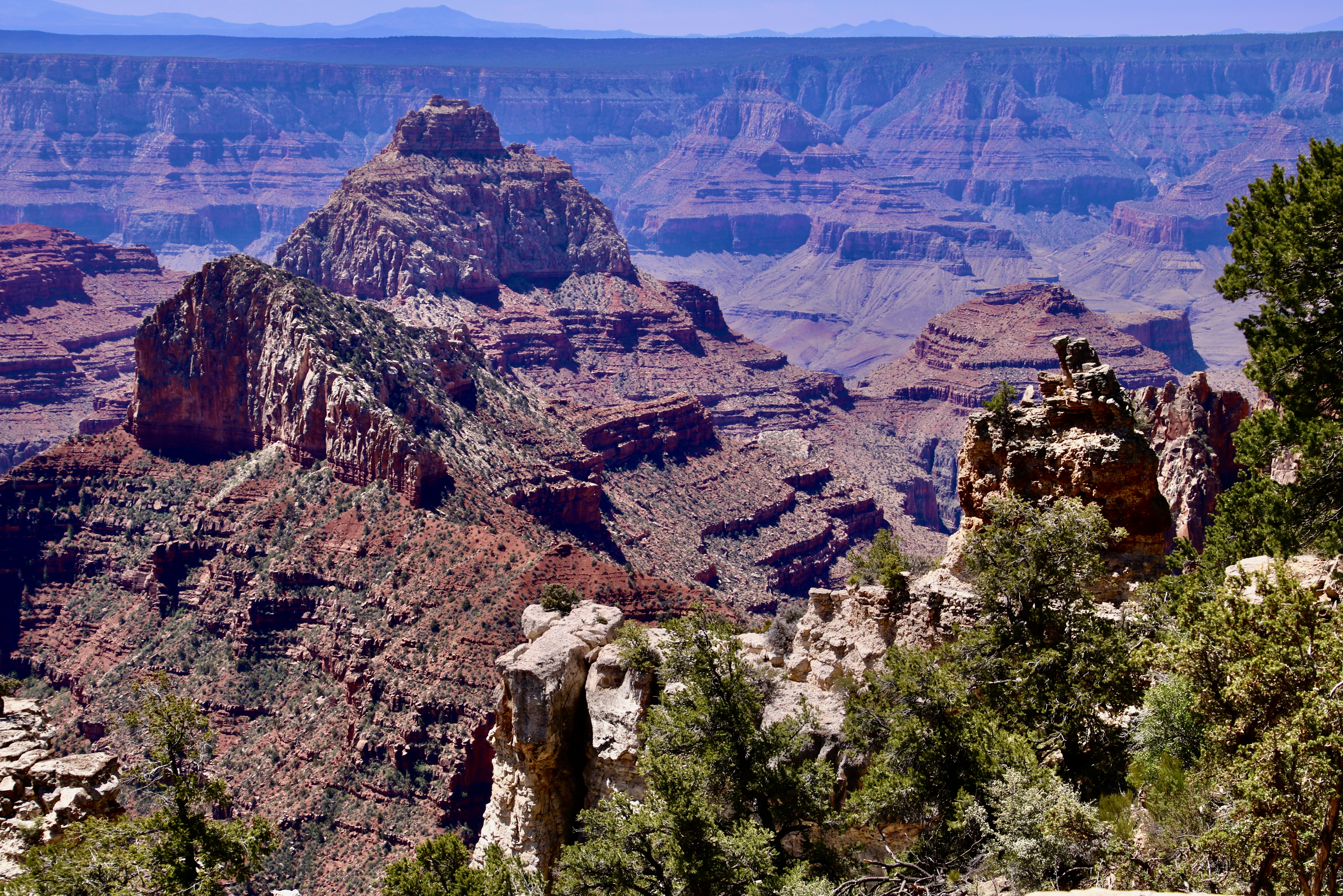
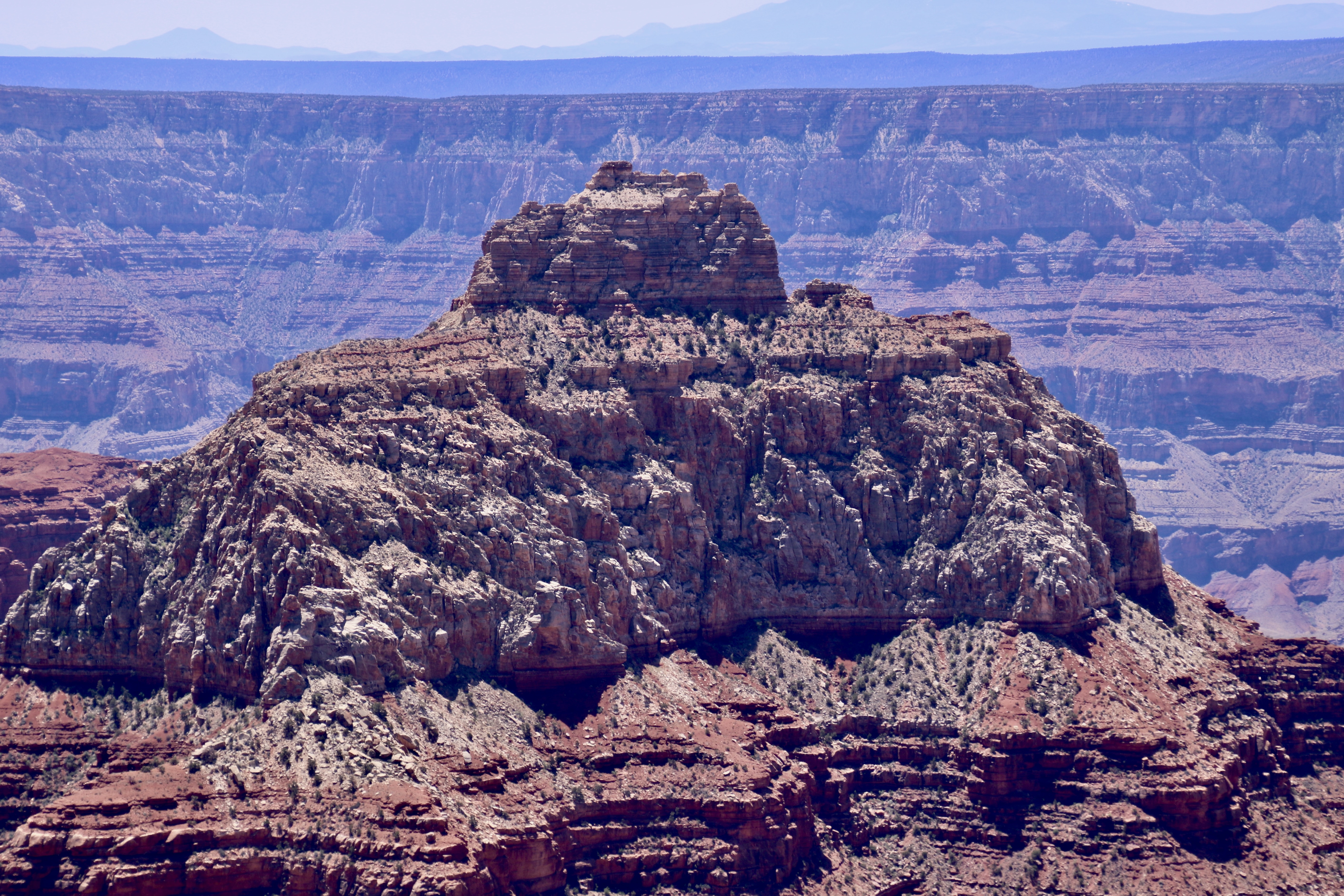
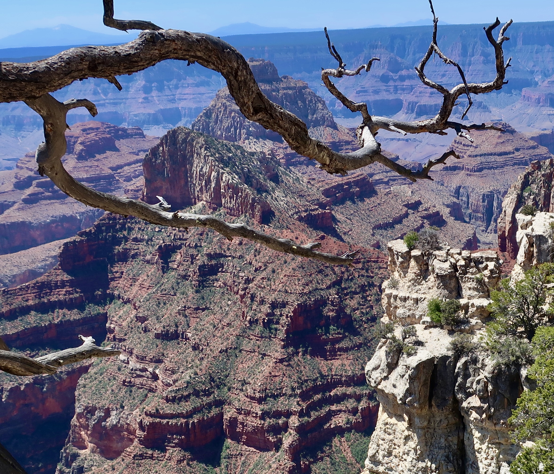
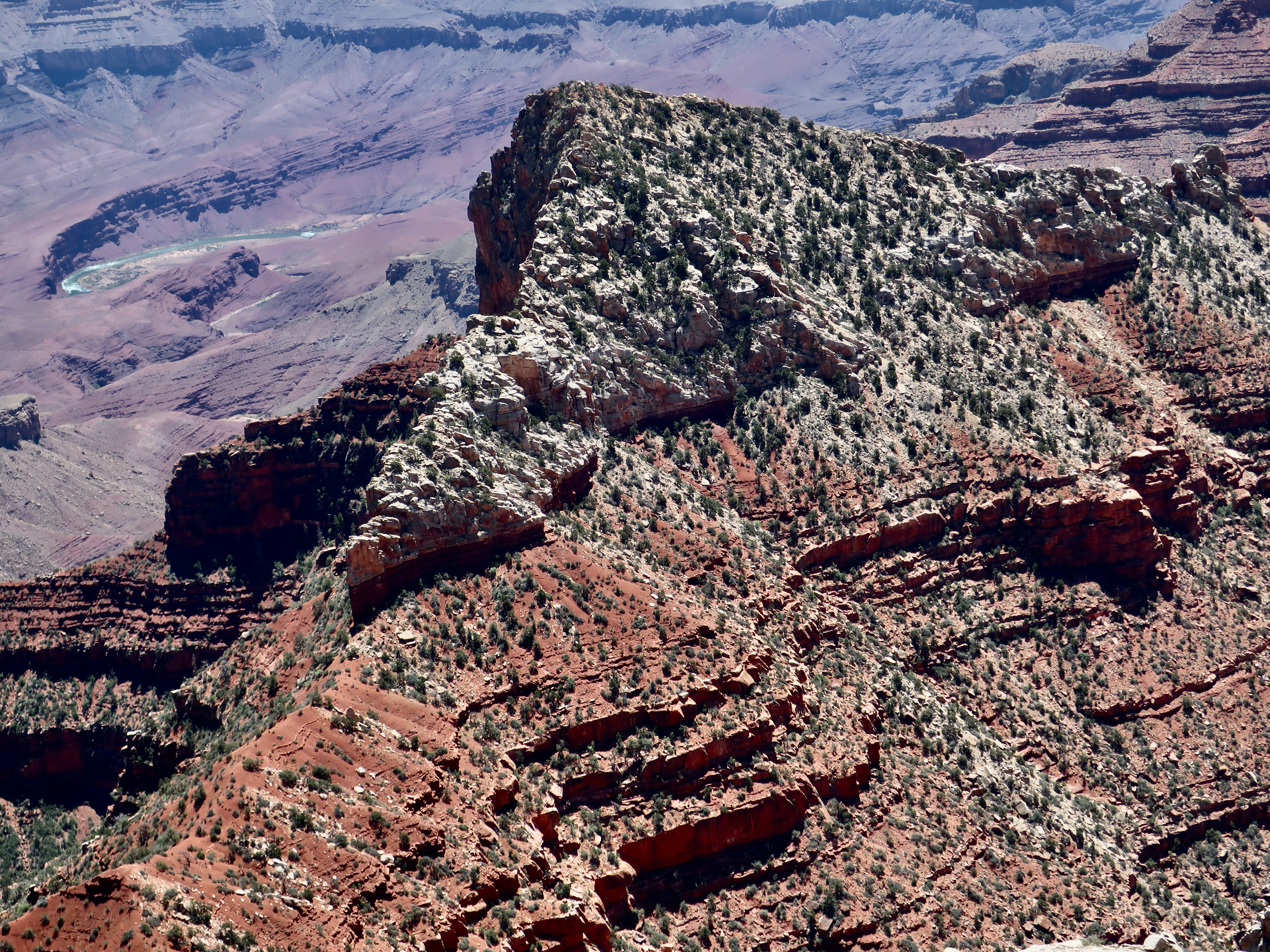
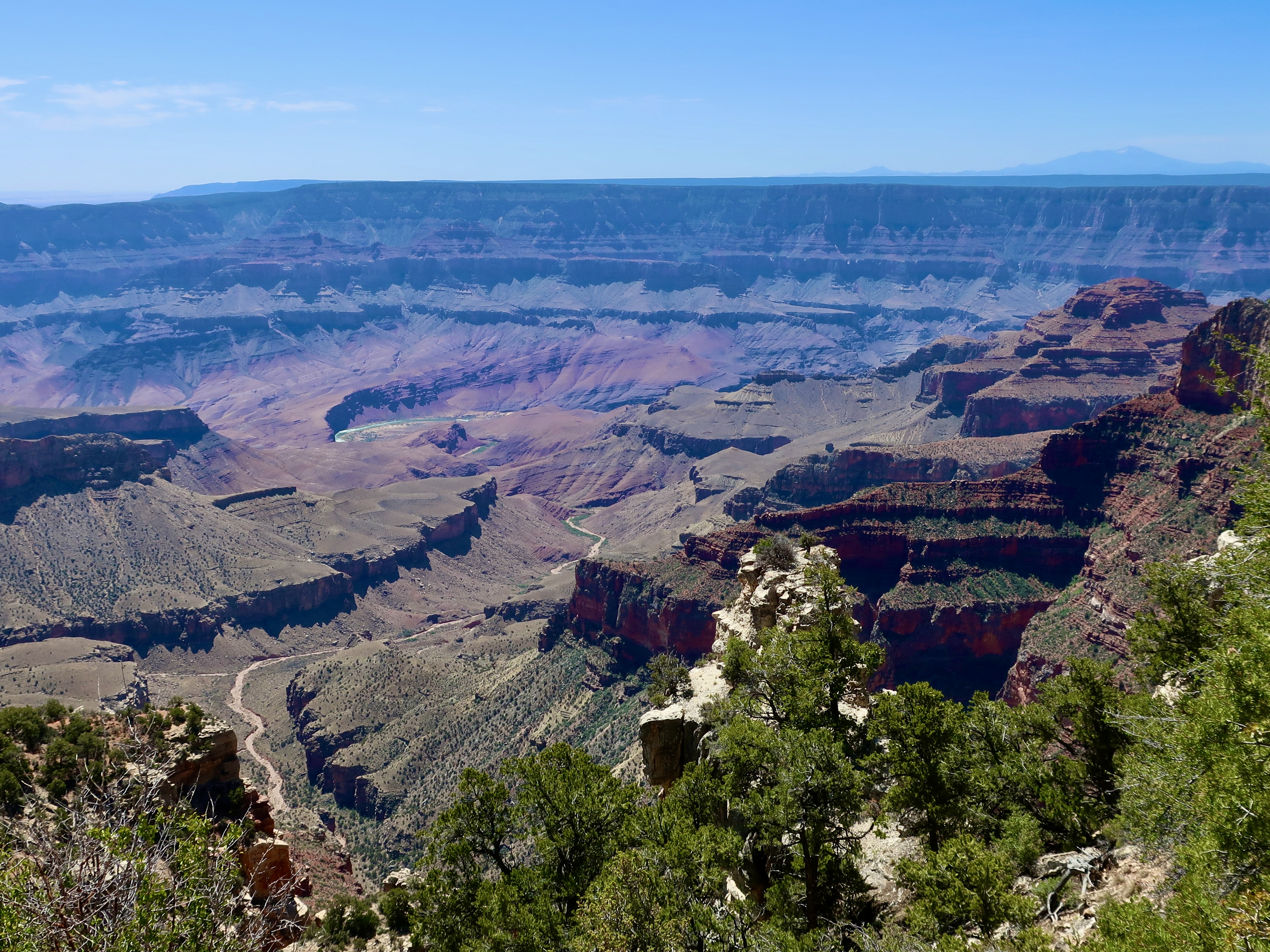
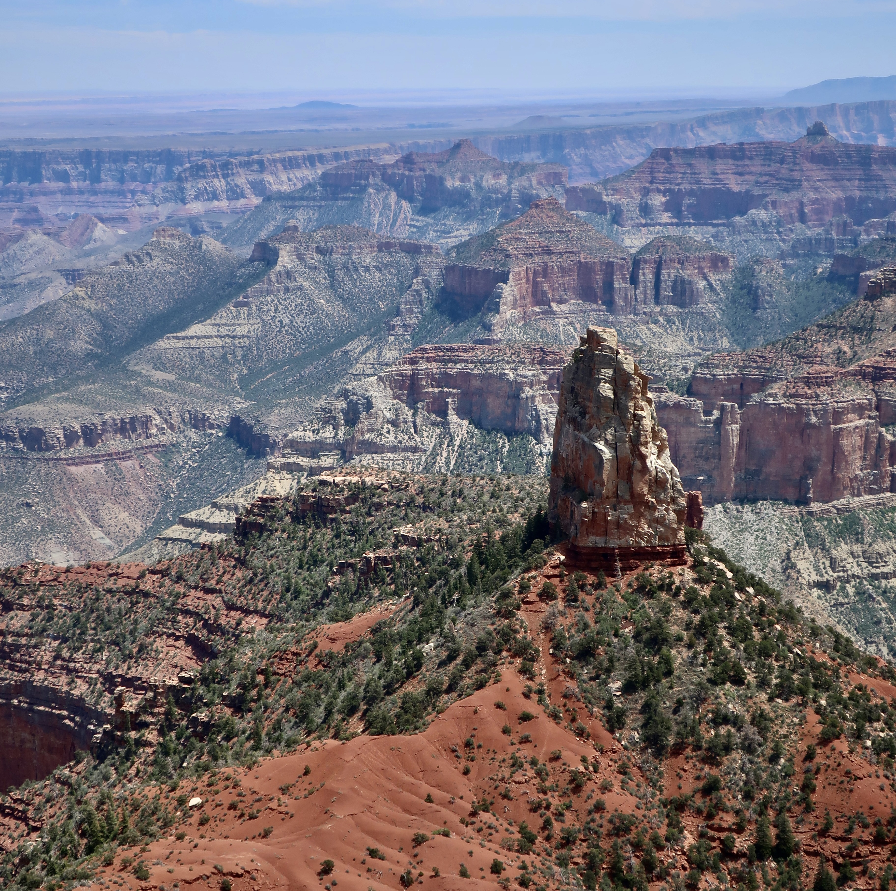
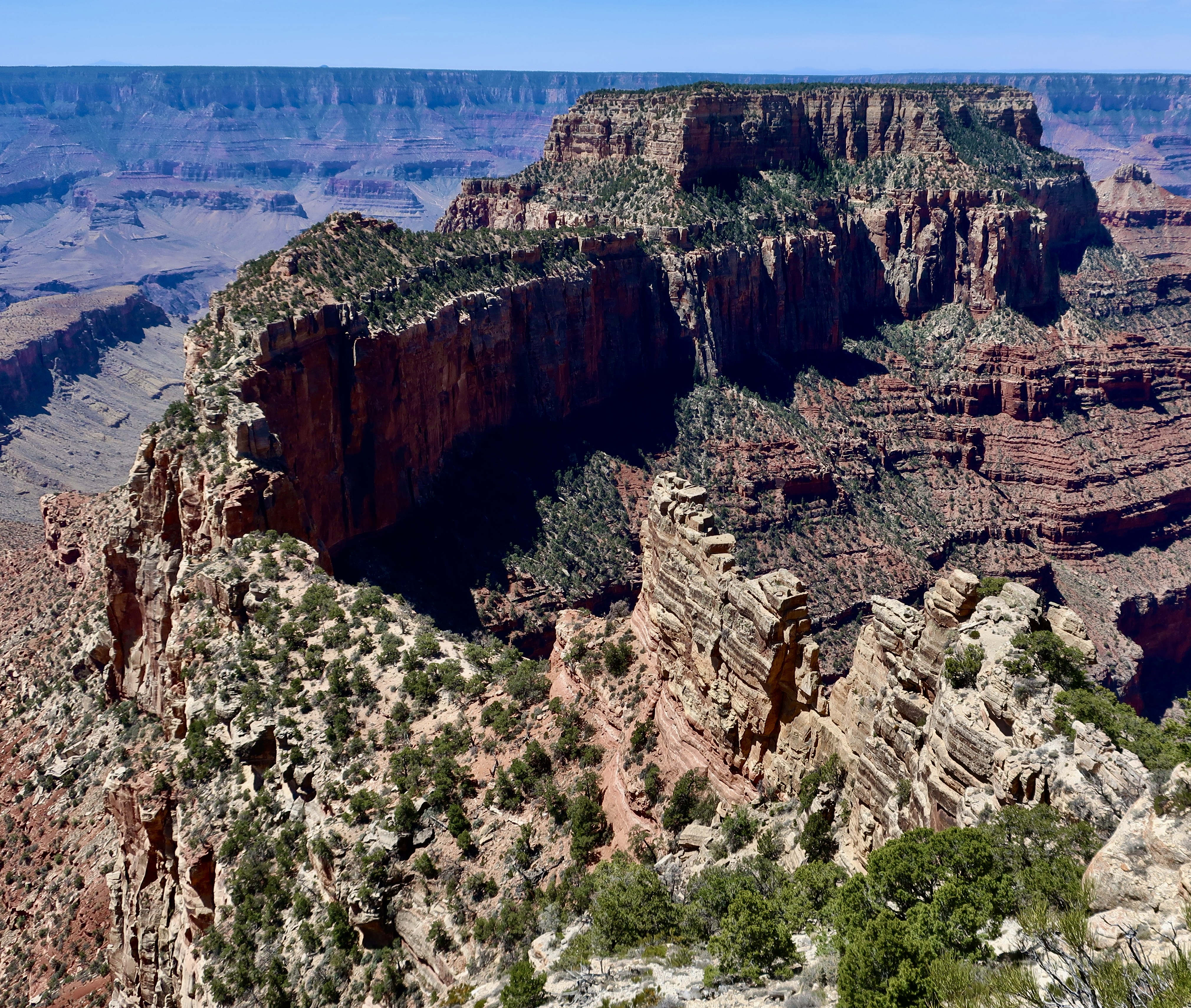
An argument can be made that the South Rim provides better views of the Canyon, overall. So if you’ve never been, you might want to start there. On the other had, who could argue that the view of Wotan’s Throne featured at the top is lacking in grandeur?
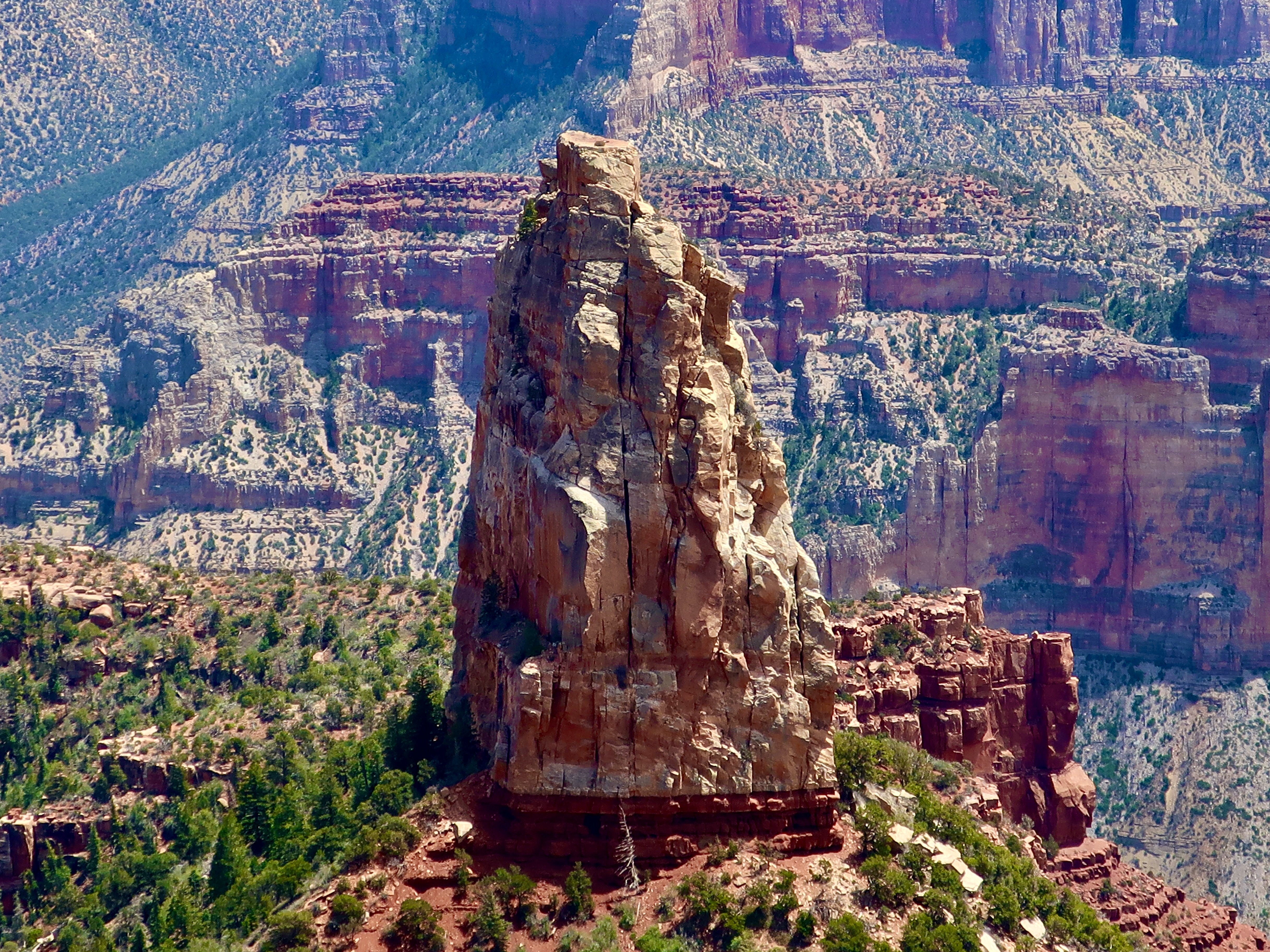
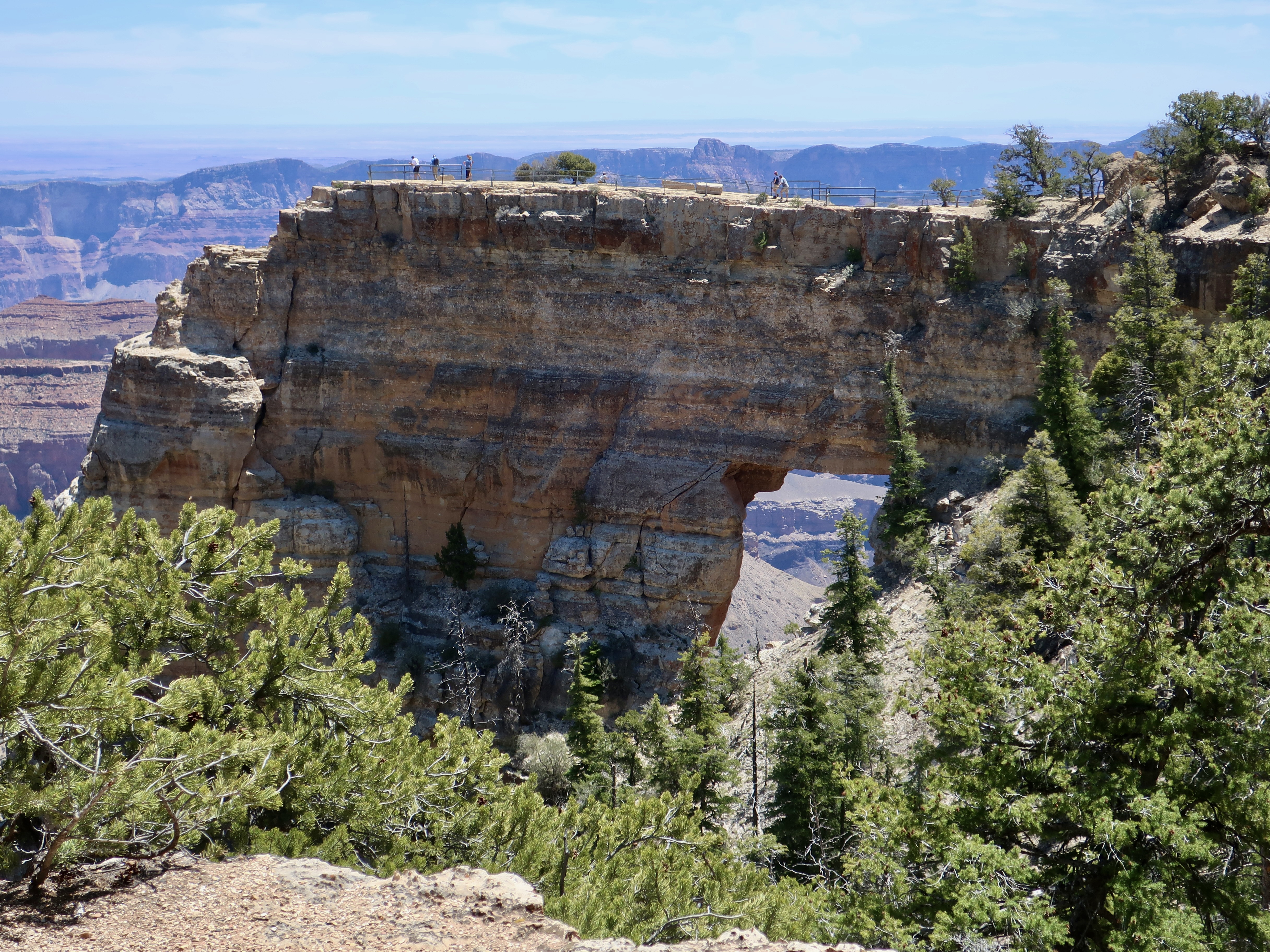
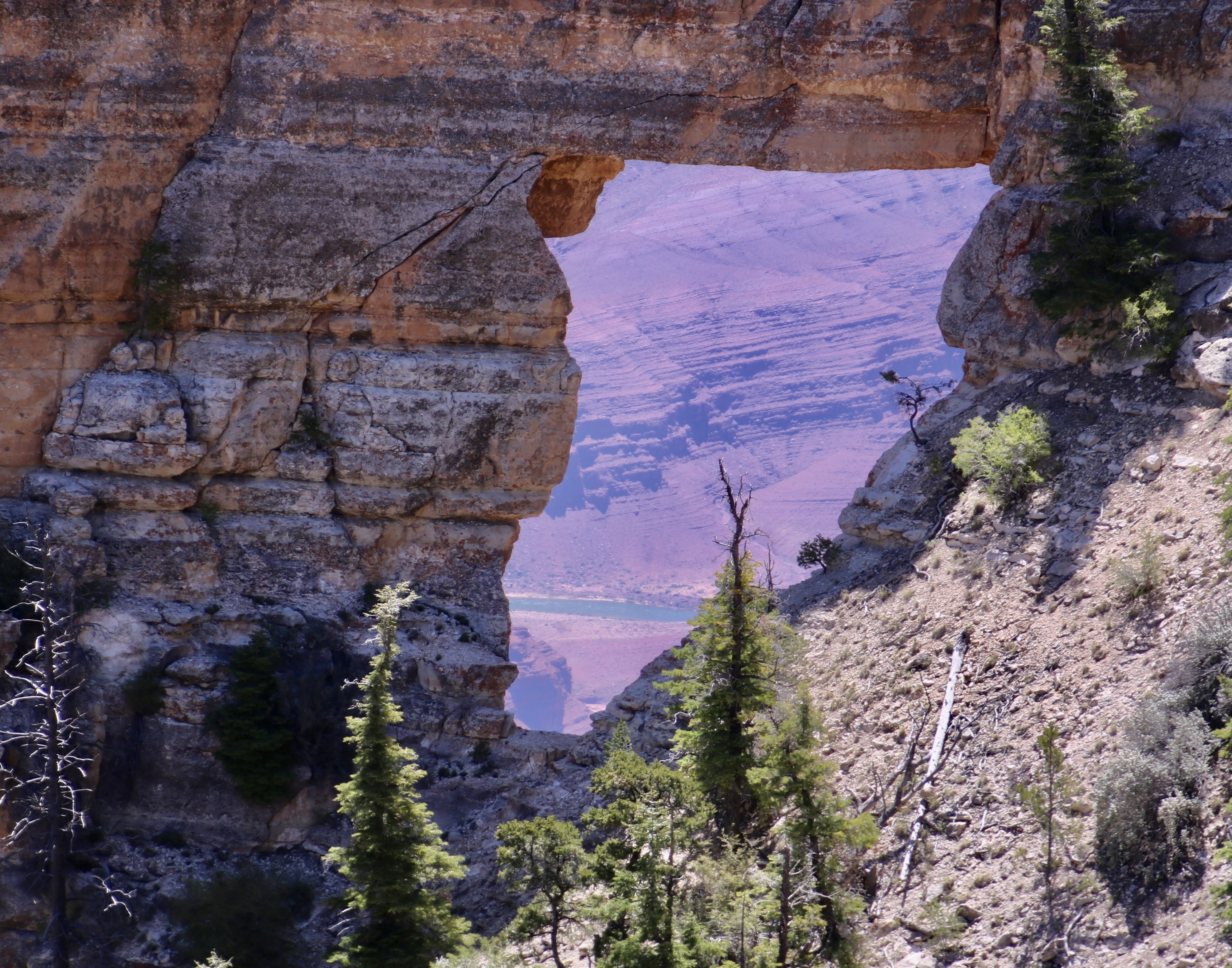
The five prominent landmarks we will visit in this post at Cape Royal will include Wotan’s Throne, Vishnu Temple, Freya Castle, Wahalla Overlook, and Angel’s Window. As you have probably noticed, all of these names are based on mythological themes. We can thank Clarence Dutton for that, an early geologist who felt Vishnu Temple resembled an Eastern pagoda and began the tradition of providing such names to the other rock monuments throughout the Canyon. Vishnu is a major Hindu deity; Wotan is the supreme Germanic deity; Freya was a renowned Norse goddess; Walhalla (Valhalla) was the hall in Norse mythology where the souls of heroes slain in battle were received. And angels are, um, angels?
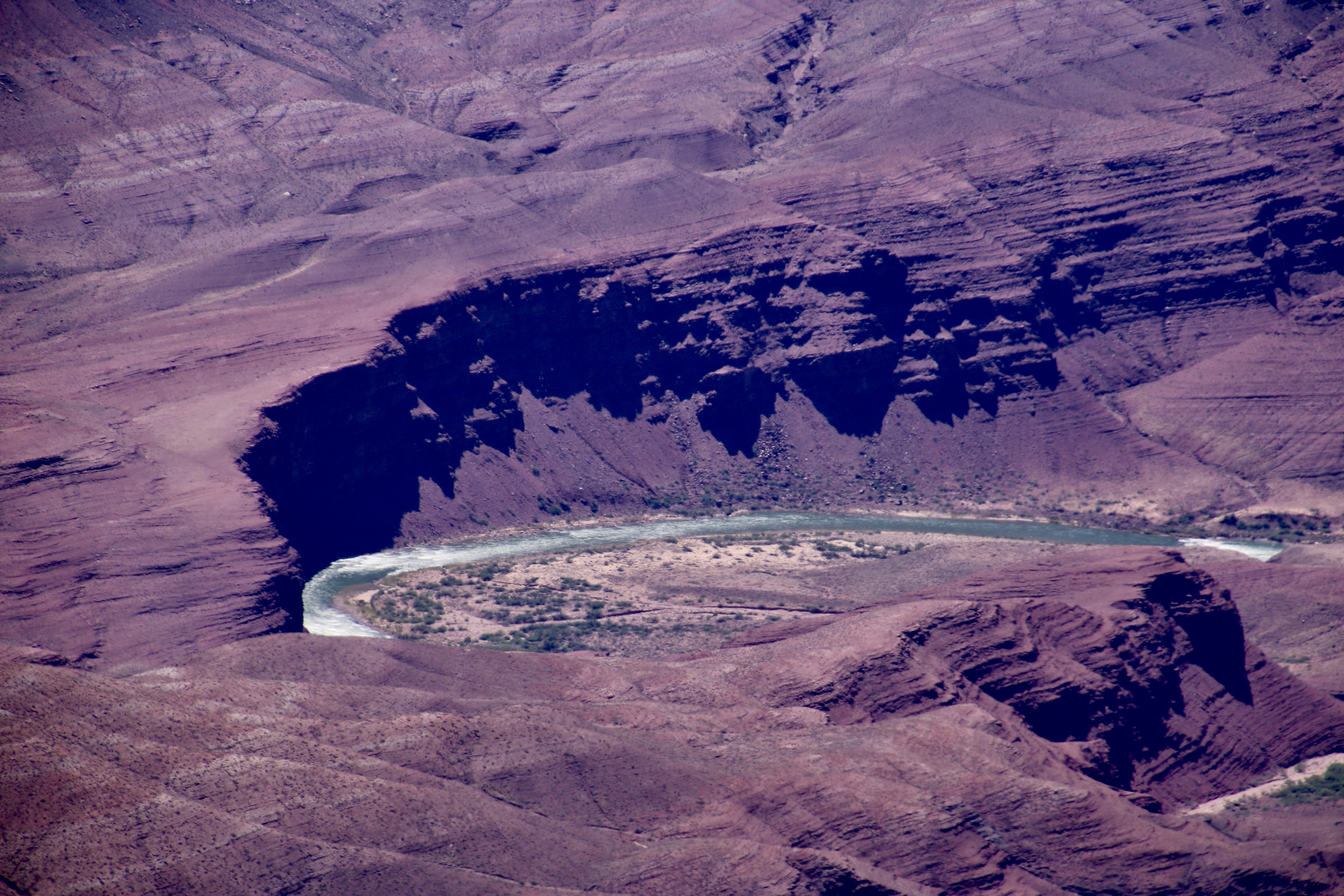
Let’s get started. All of the photos were taken by either Peggy or me.


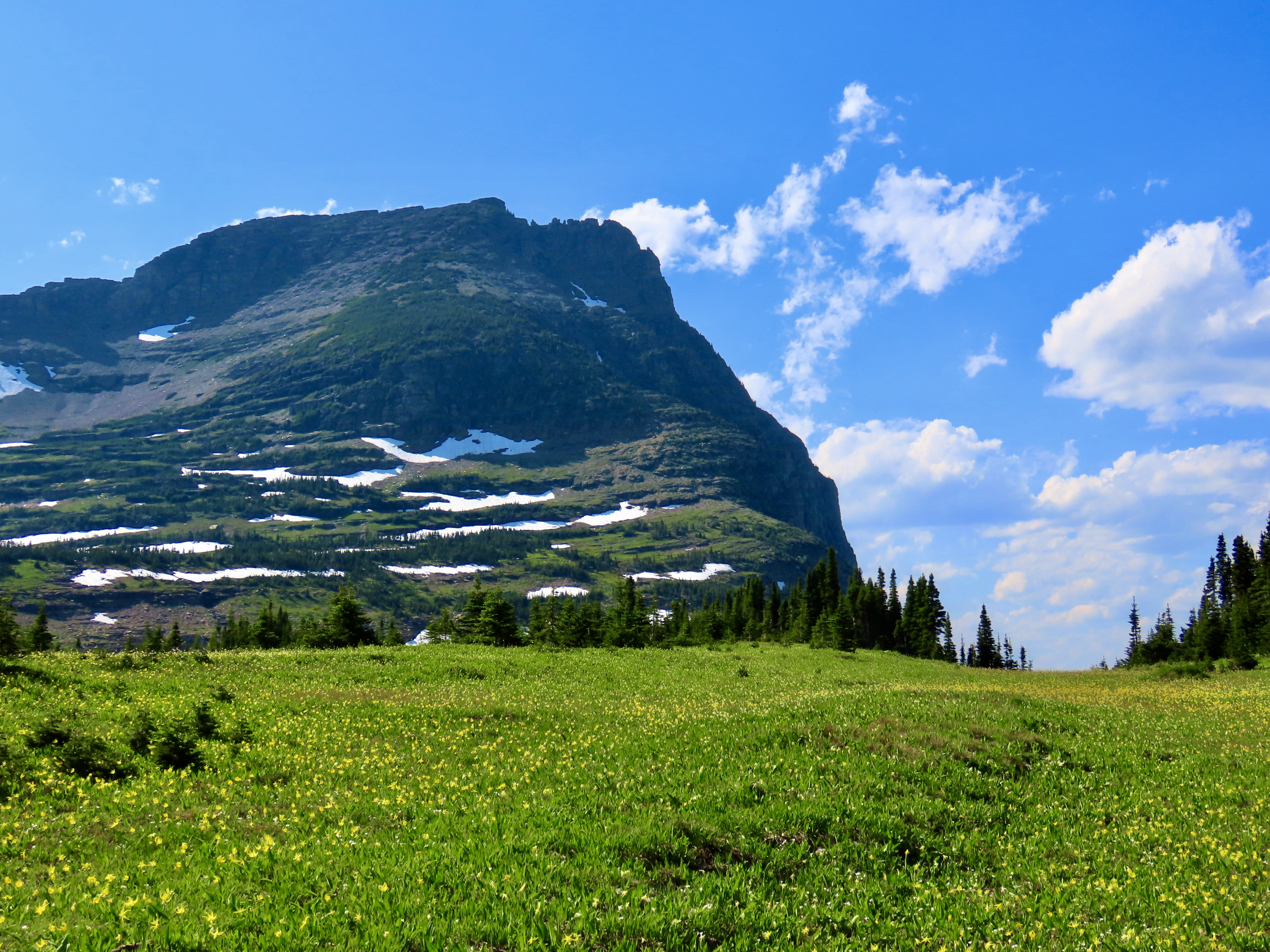
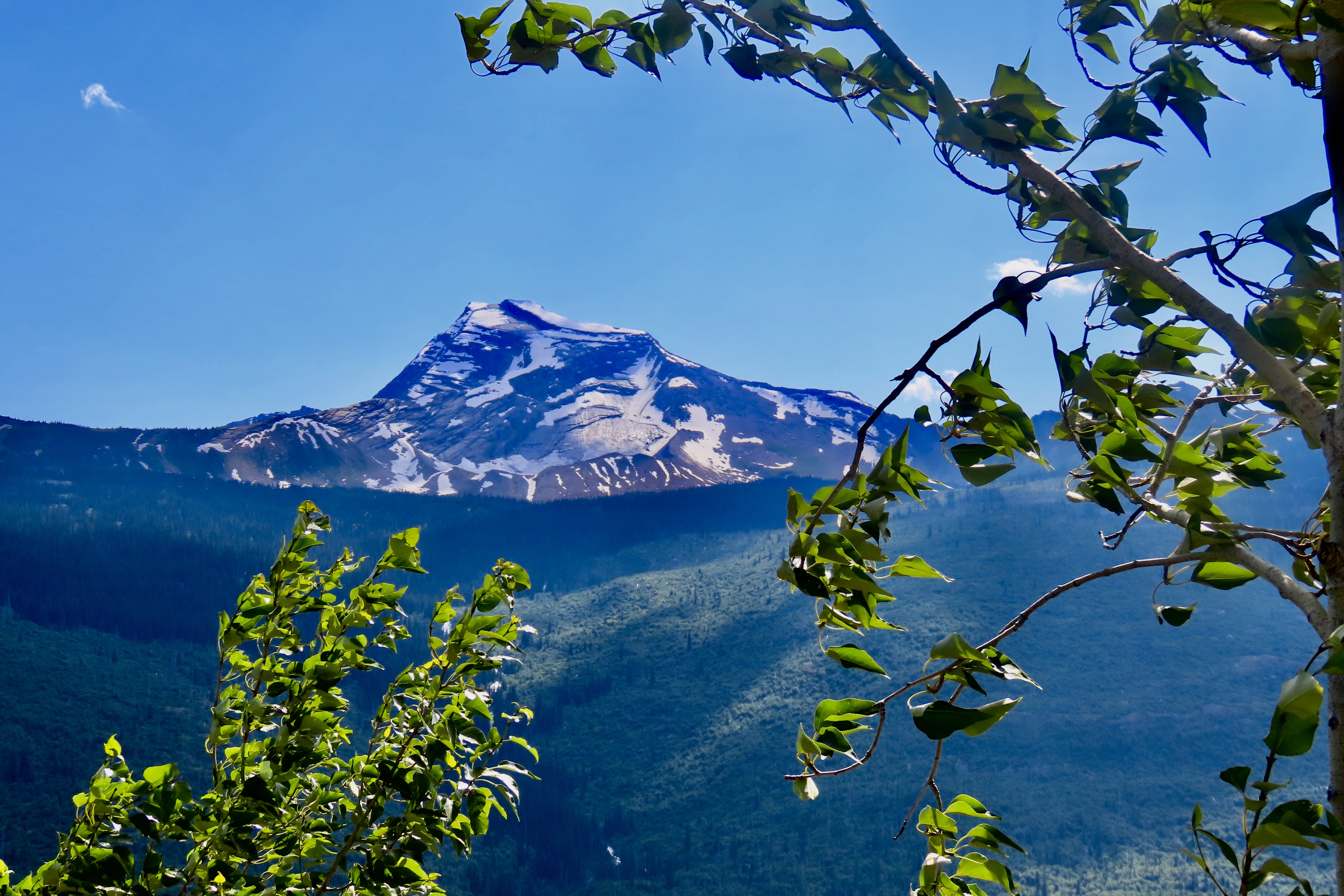
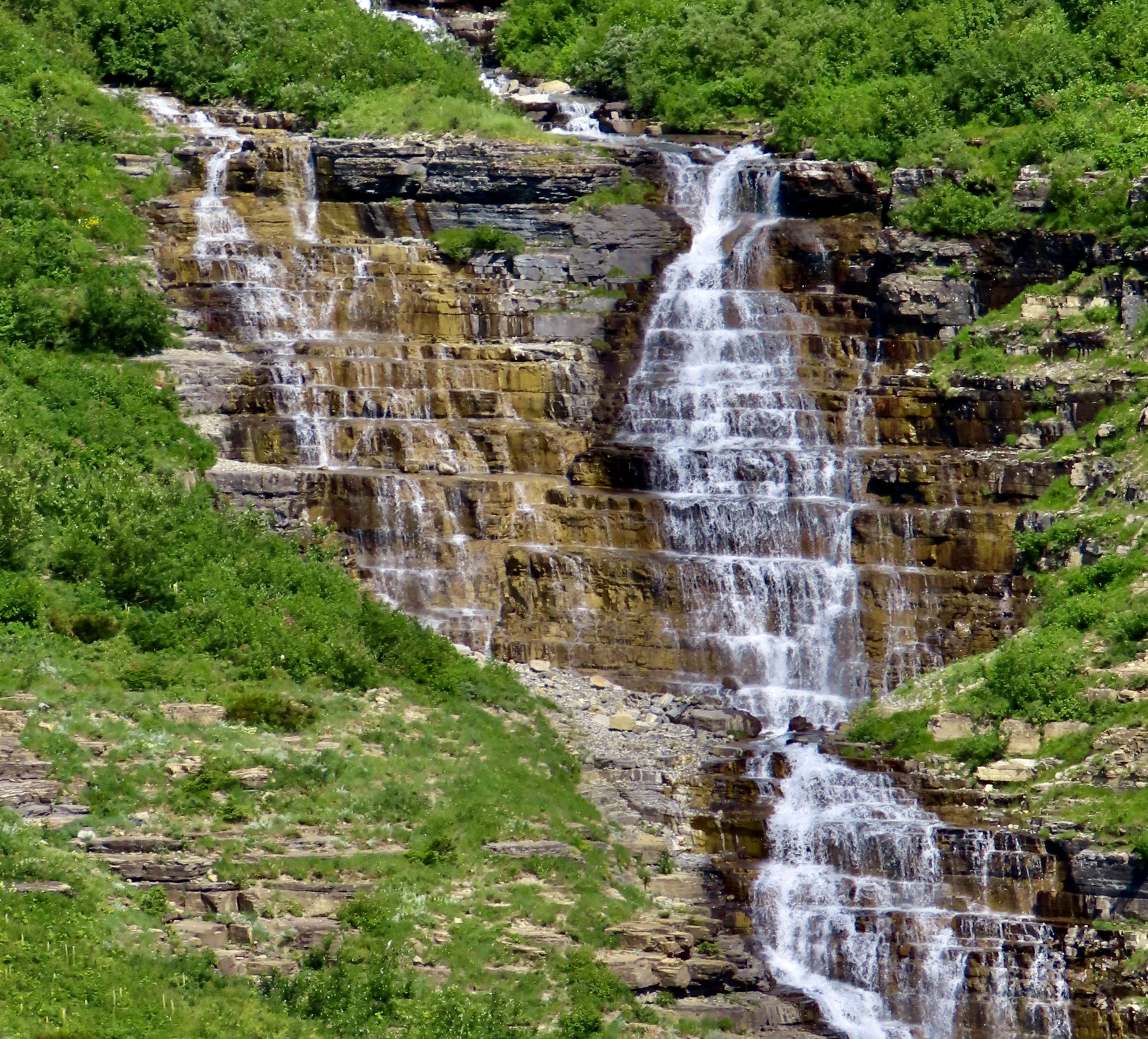
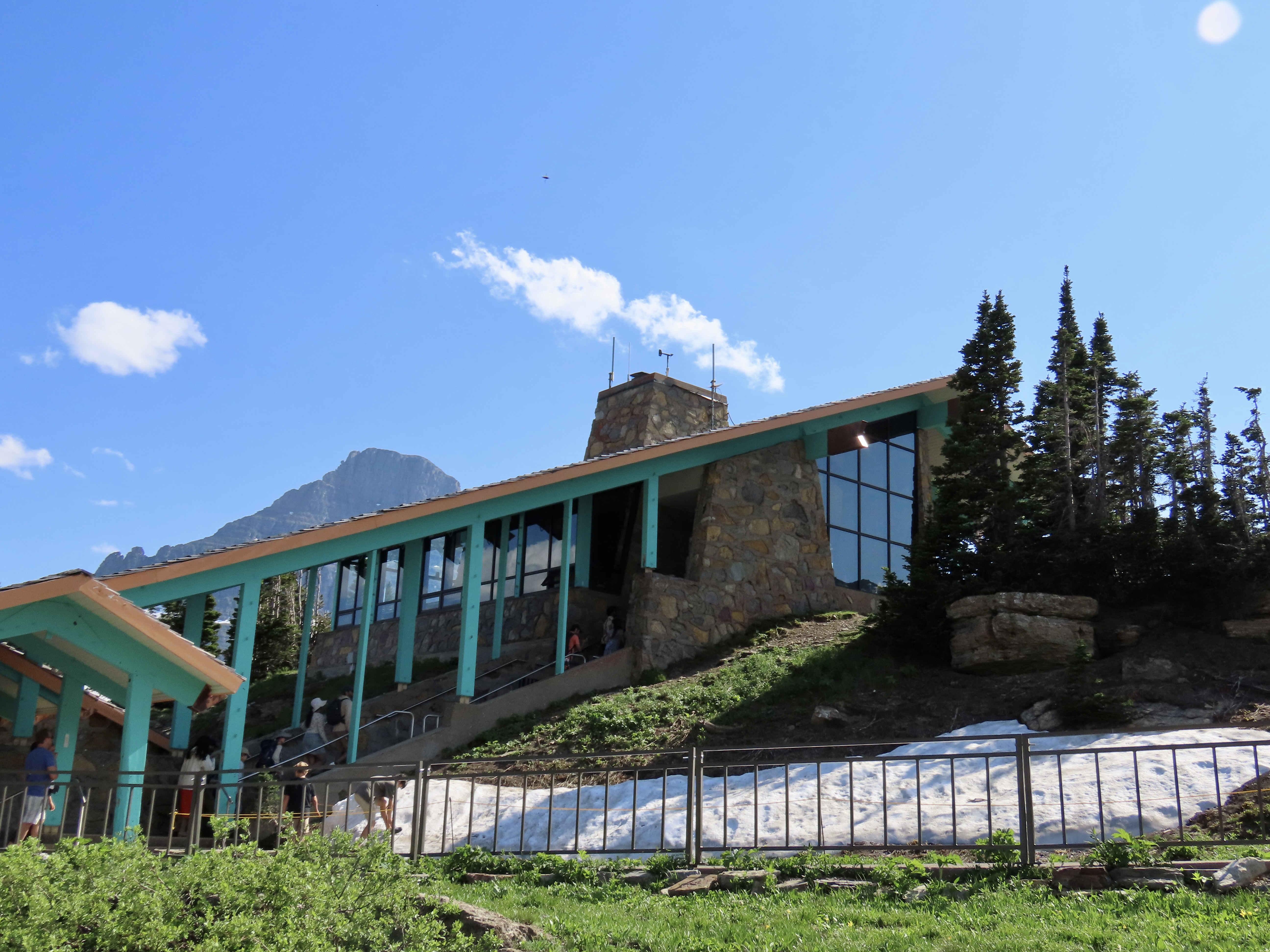
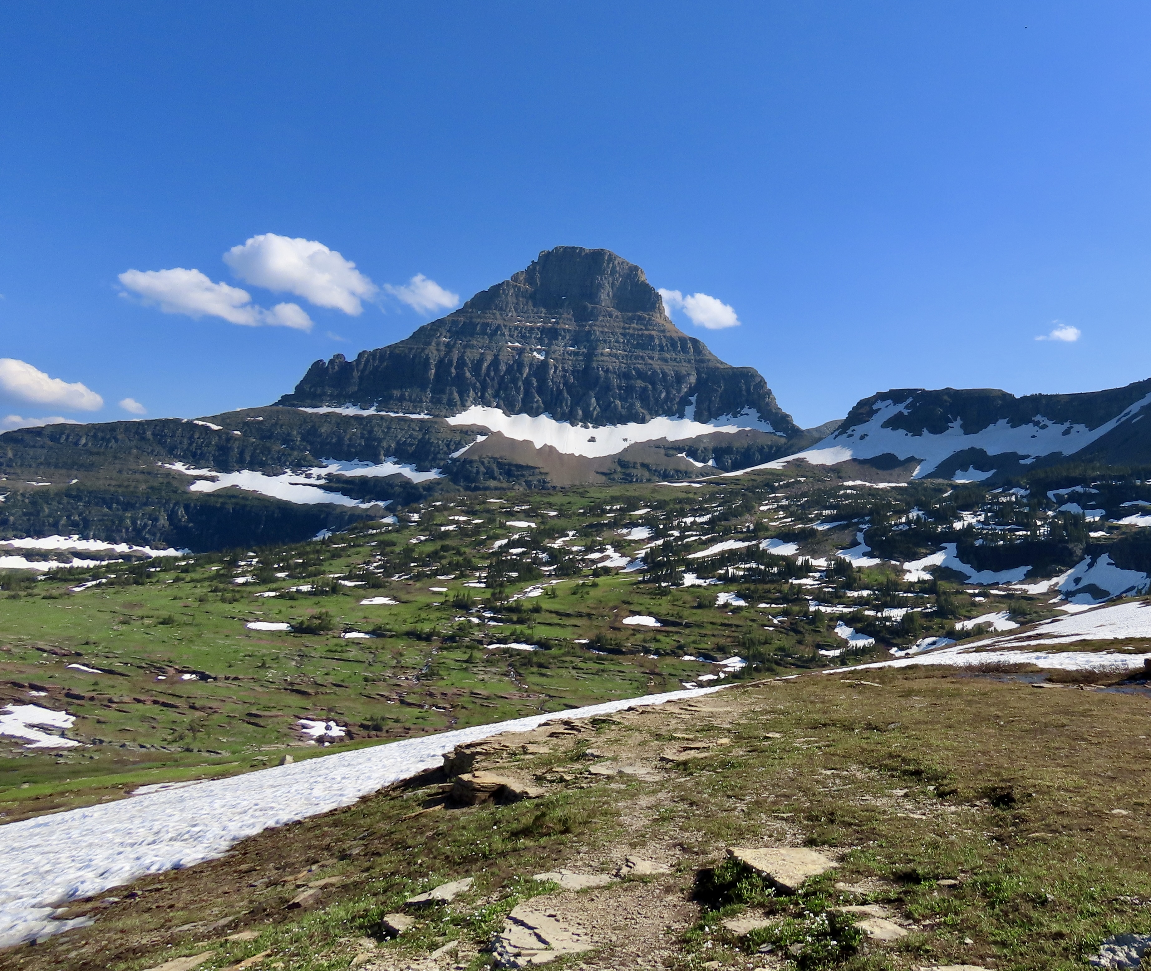
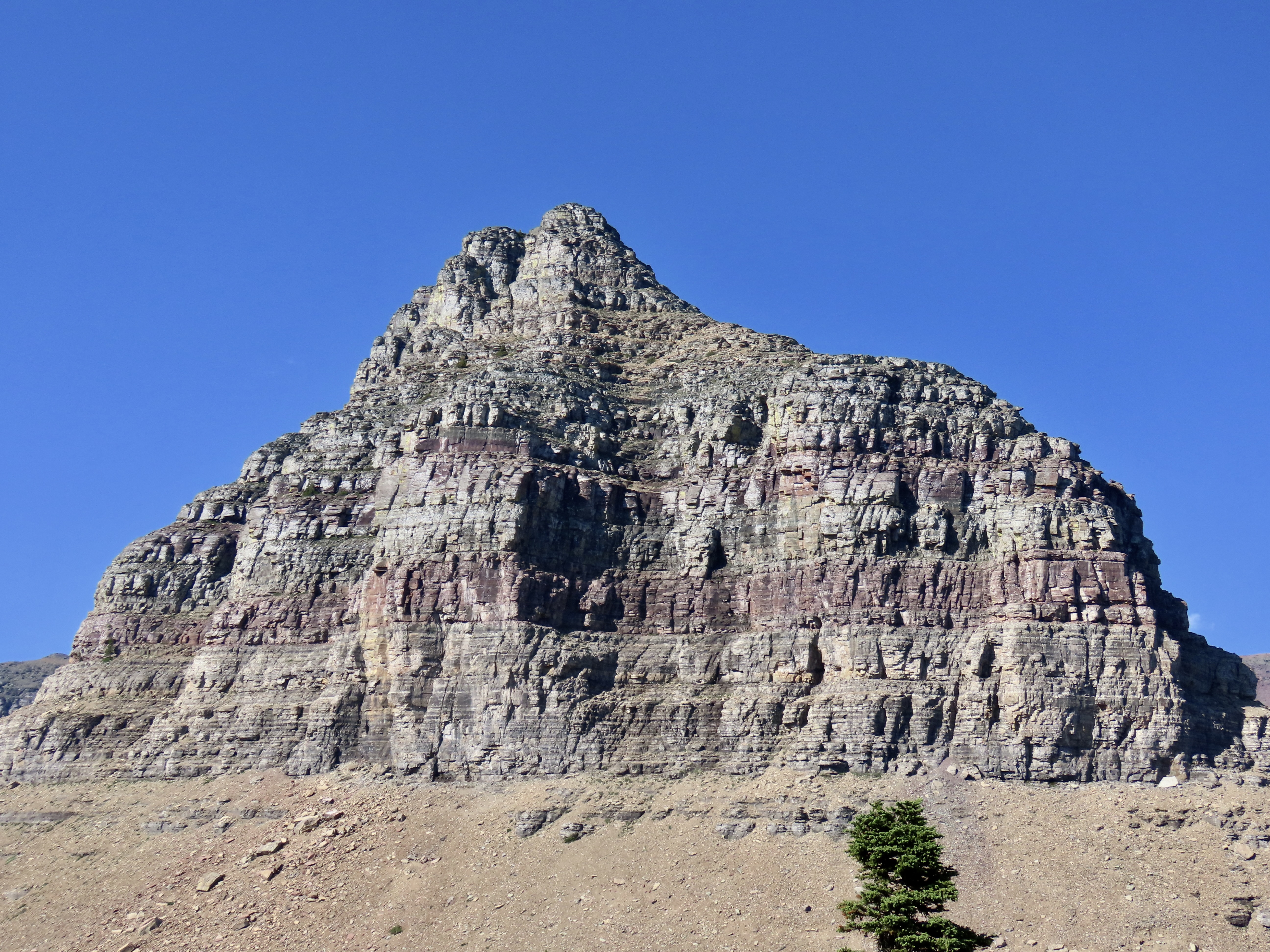
Logan Pass, at 6,646 feet (2,026 m), is the highest point on Glacier National Park’s Going to the Sun Road. It’s located on the Continental Divide. From the pass, water either flows eastward to the Atlantic or westward to the Pacific. On the park’s Triple Divide Peak, water has a third option: The Atlantic, Pacific, or Arctic Ocean! Imagine the adventure you could have following any one of these rivers to its destination.
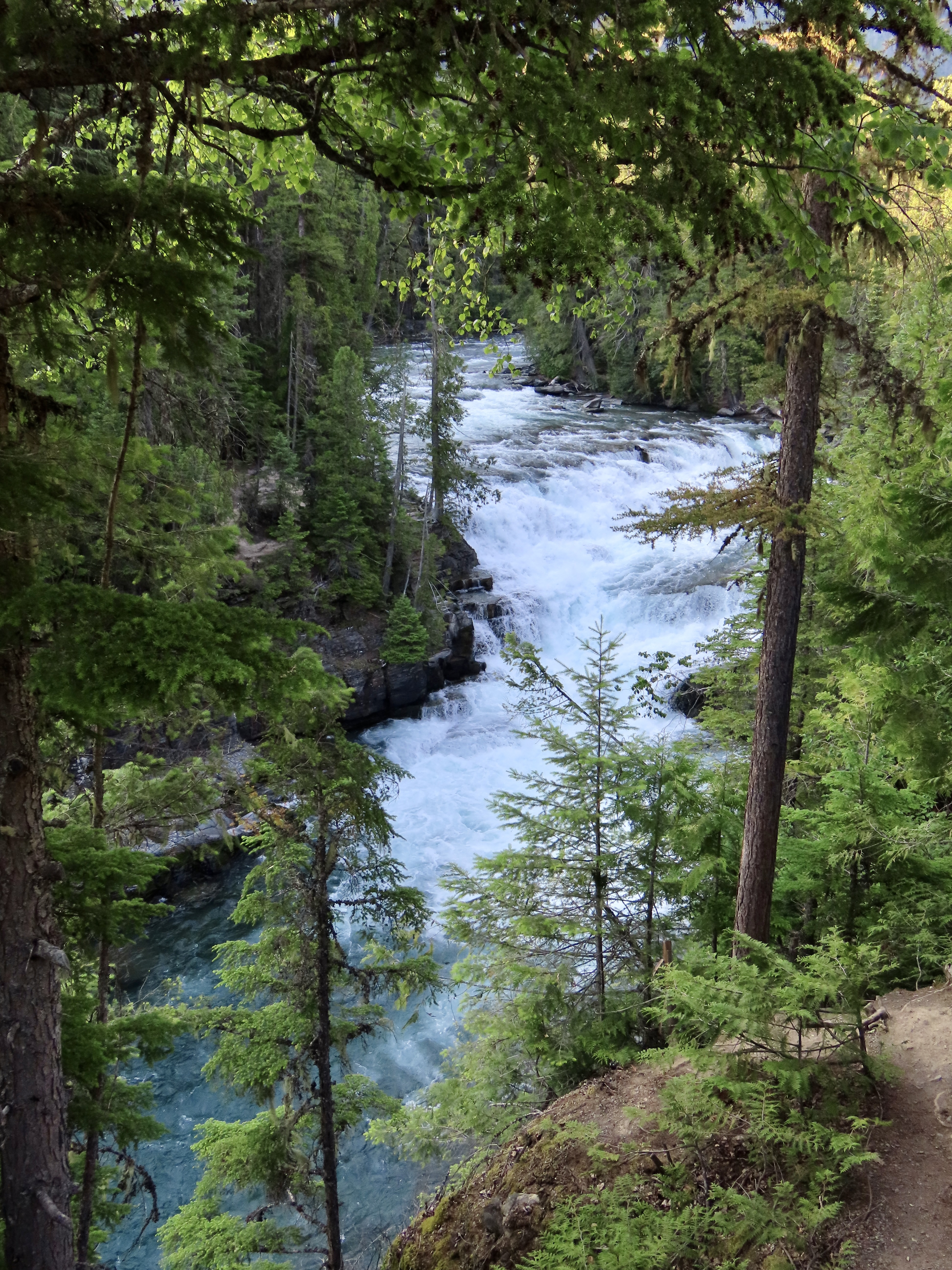
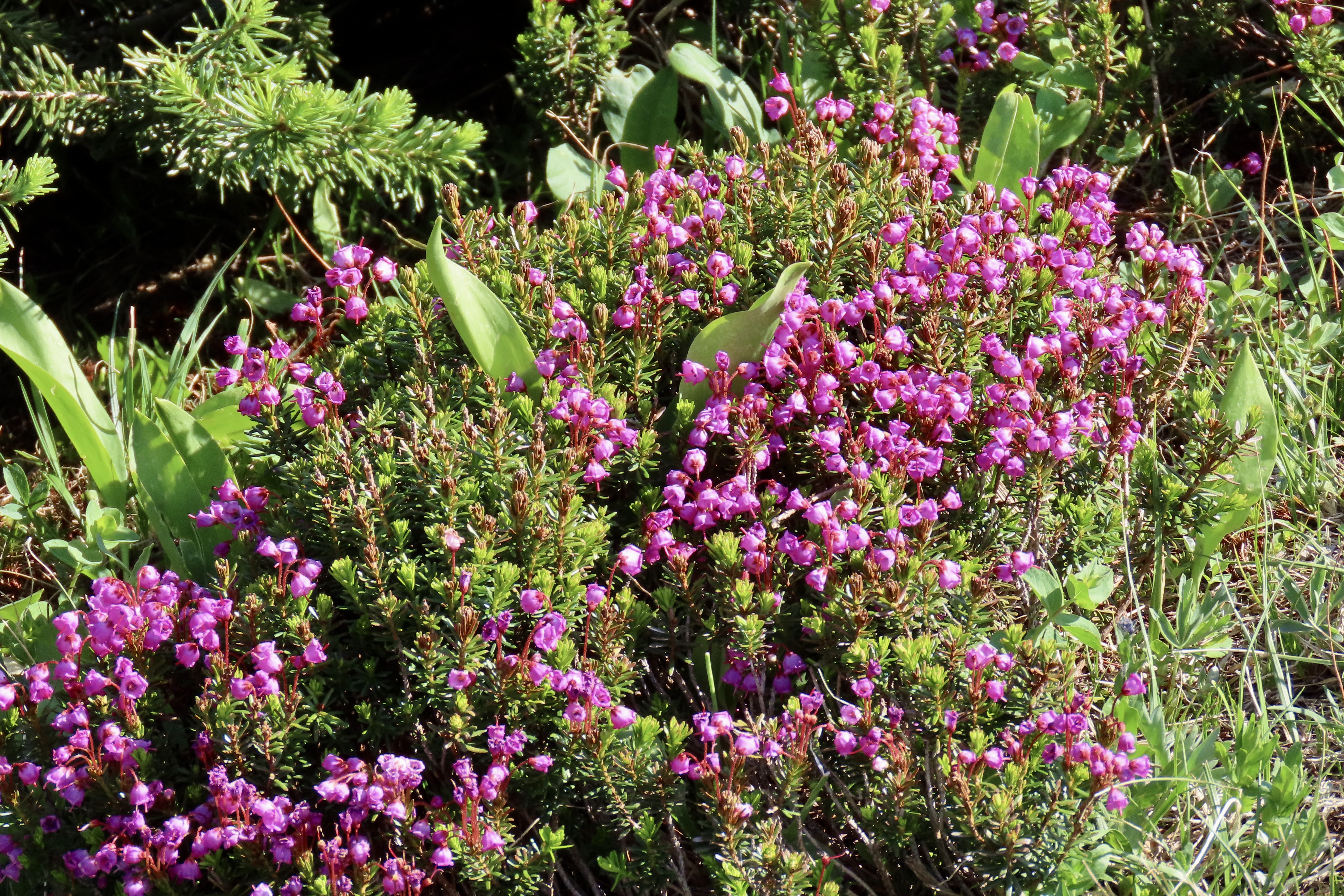
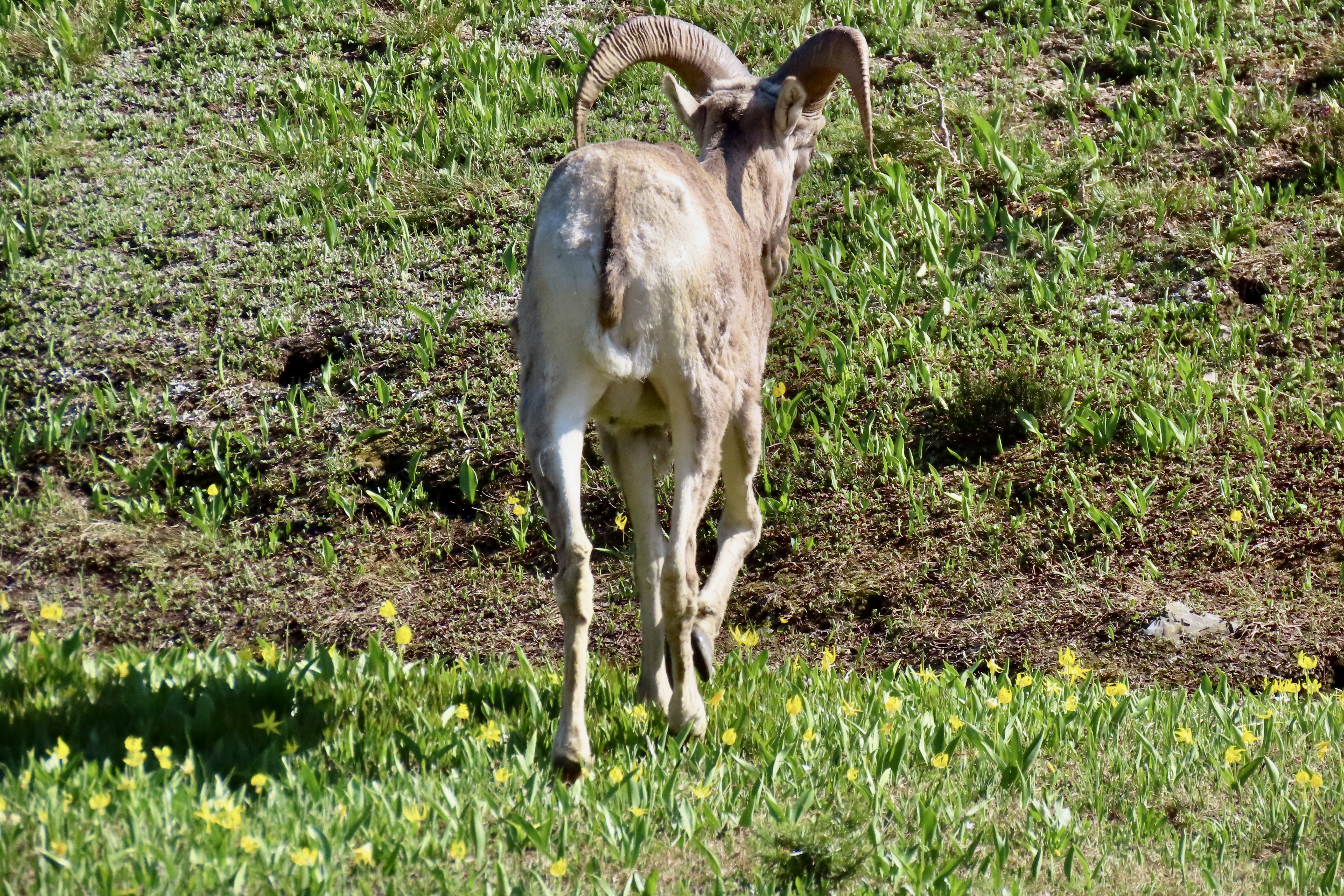
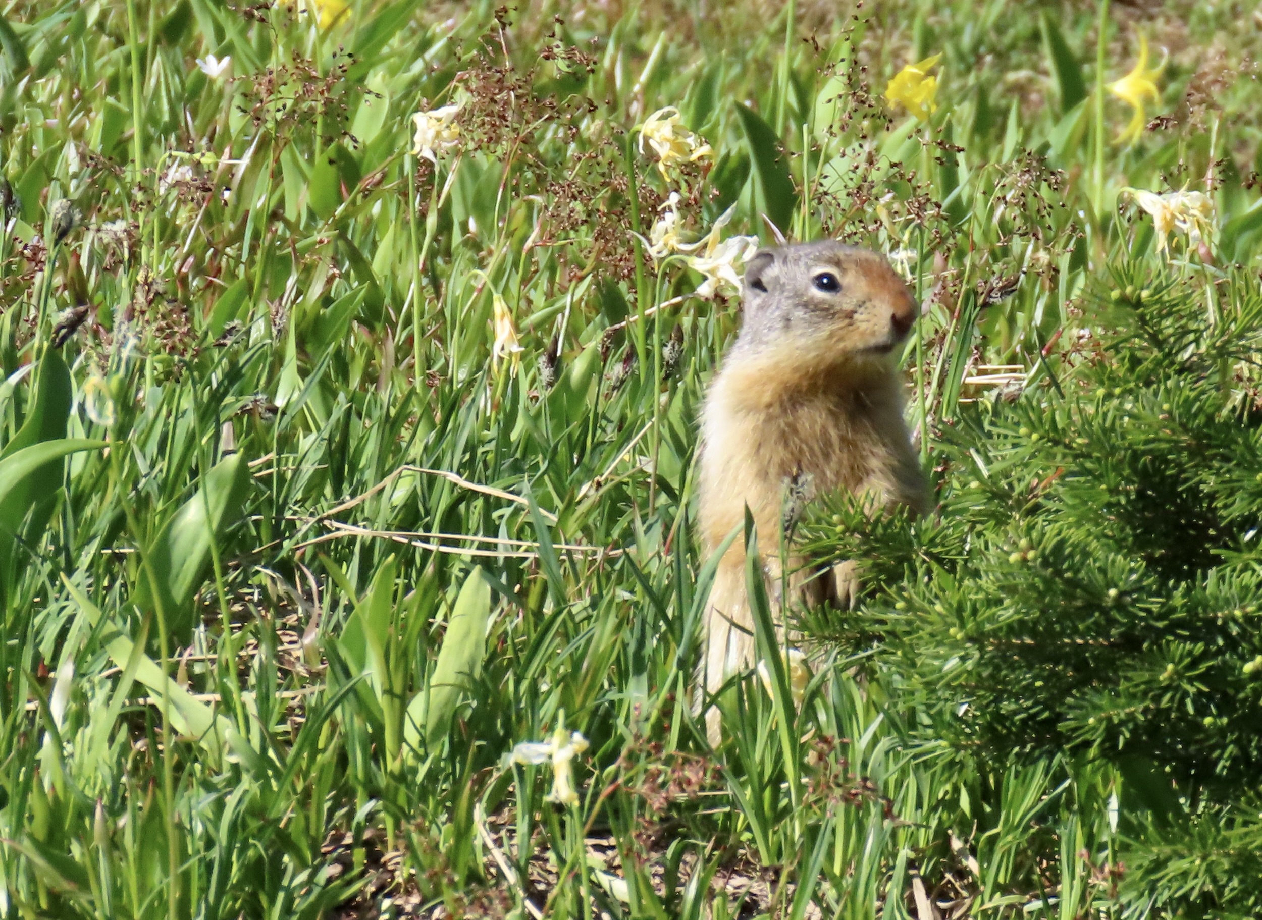
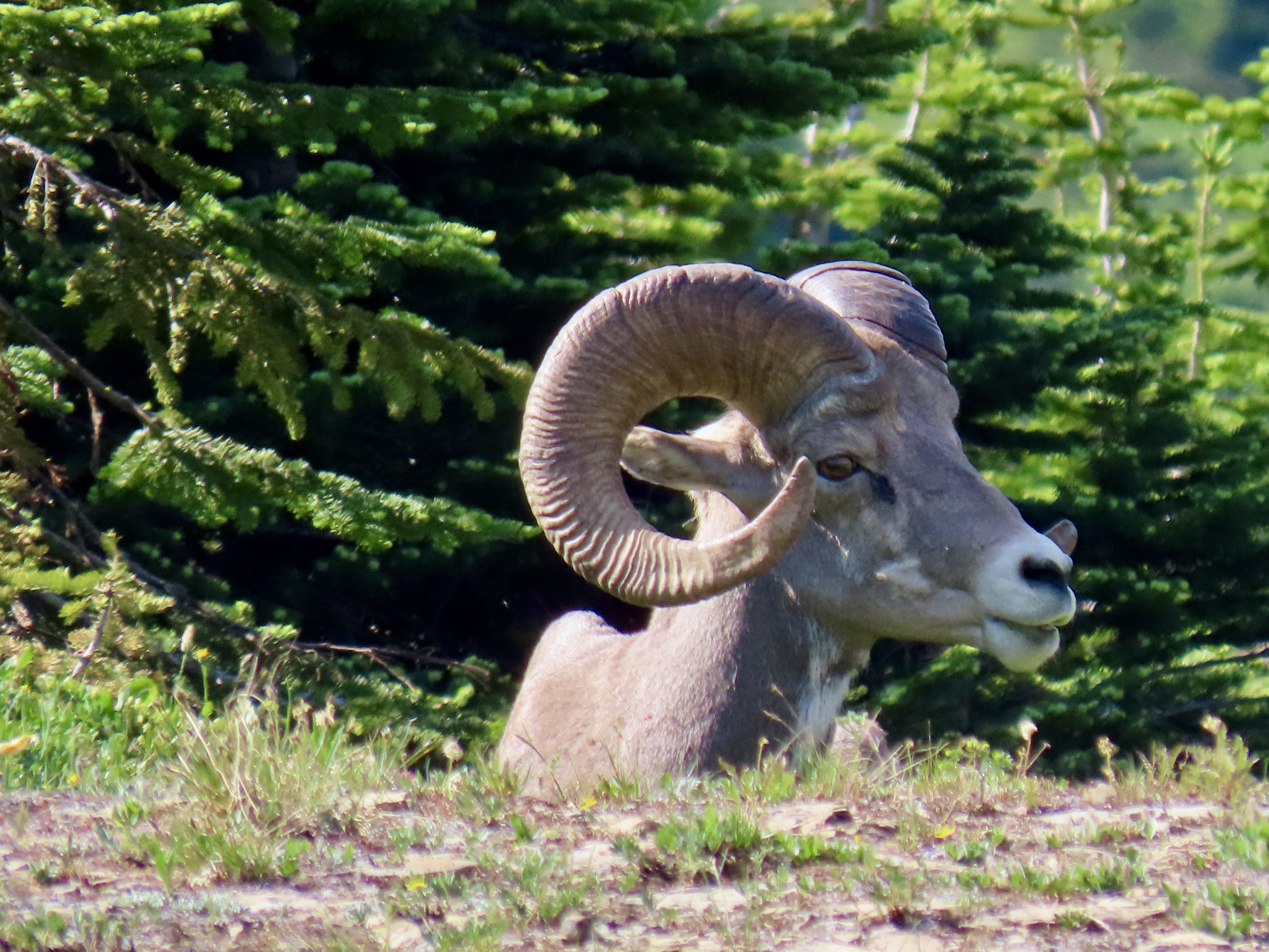
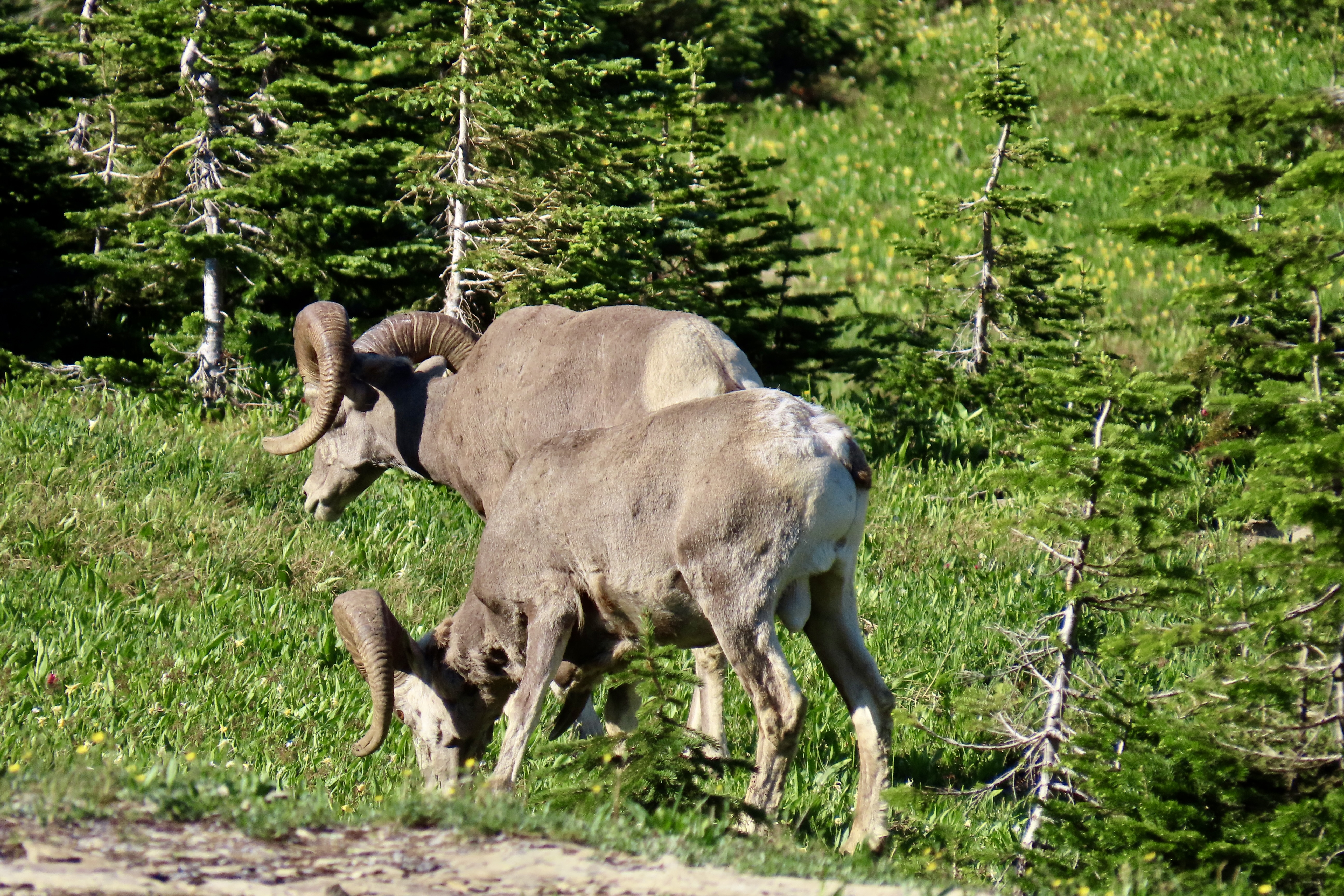
The real charm of Logan Pass for us is its meadow, however. The visitor’s center on the pass has a trail that leads out from the back of the center and makes its way to Hidden Lake for a three mile roundtrip, much of which is on a boardwalk. The views along the way of both the meadow and the surrounding mountains are spectacular. There is a chance you will see big horn sheep, Rocky Mountain goats, and even grizzly bears. The last time Peggy and I visited the park we were entertained by a grizzly… at a distance, thank you very much.

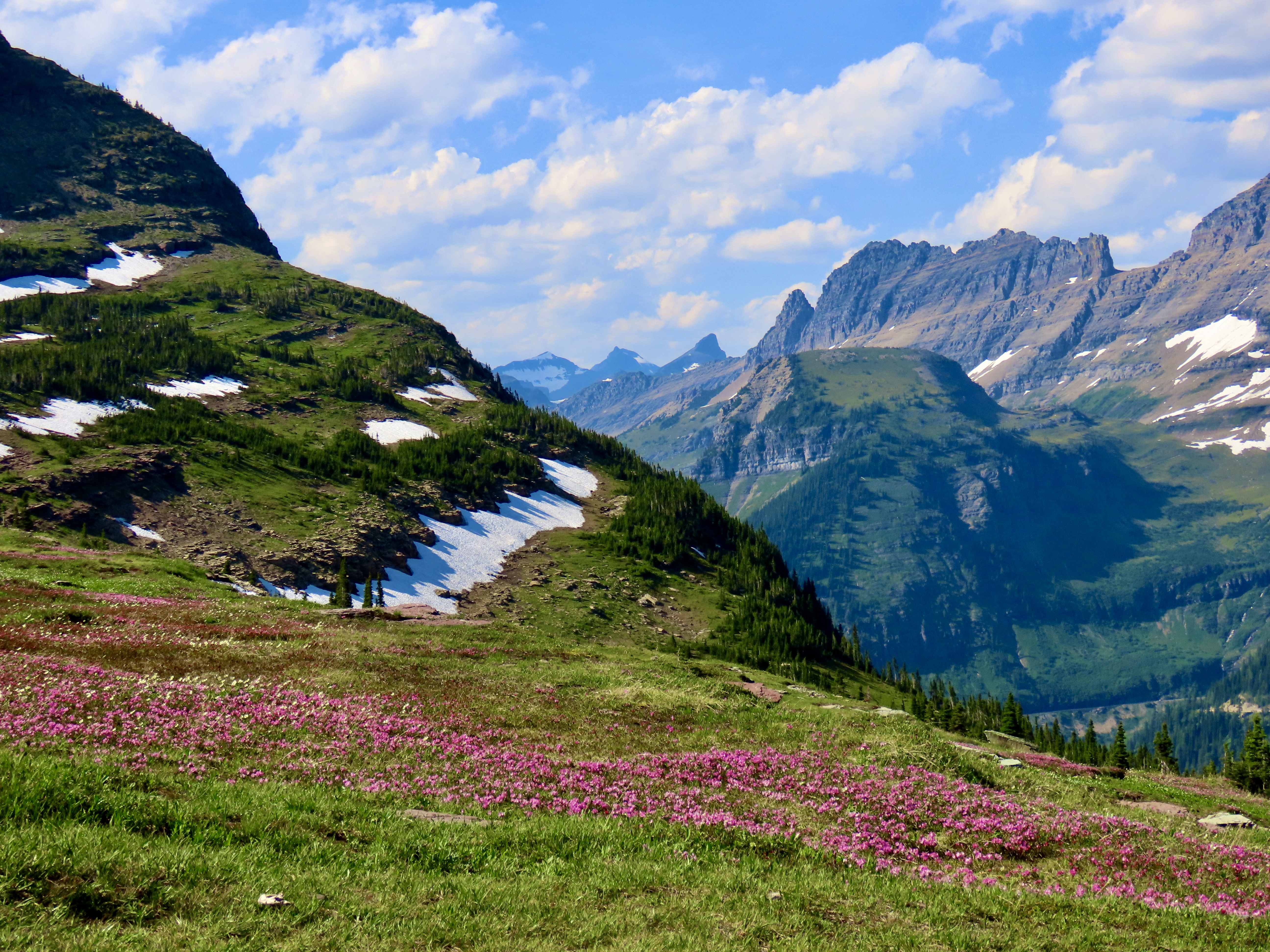


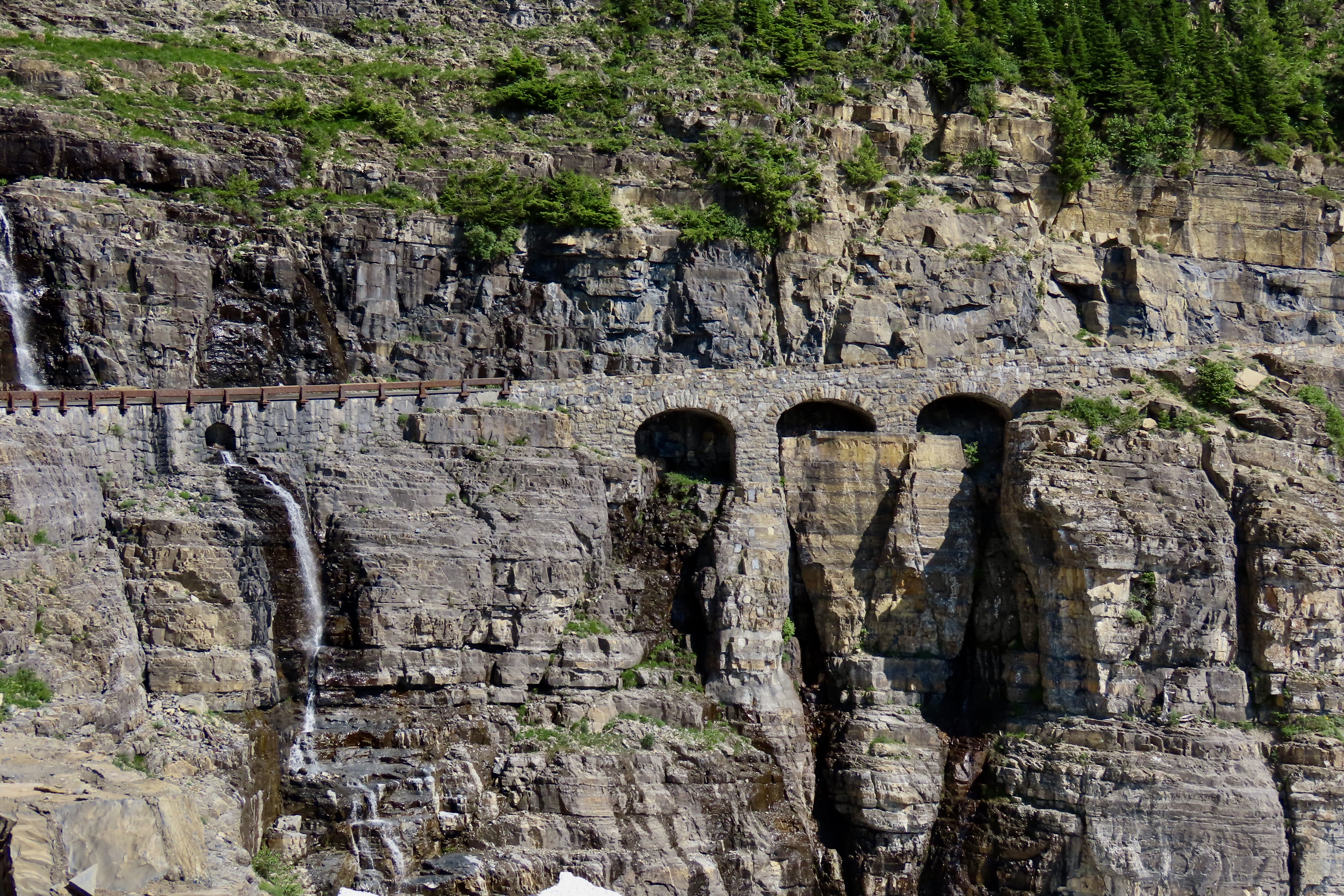
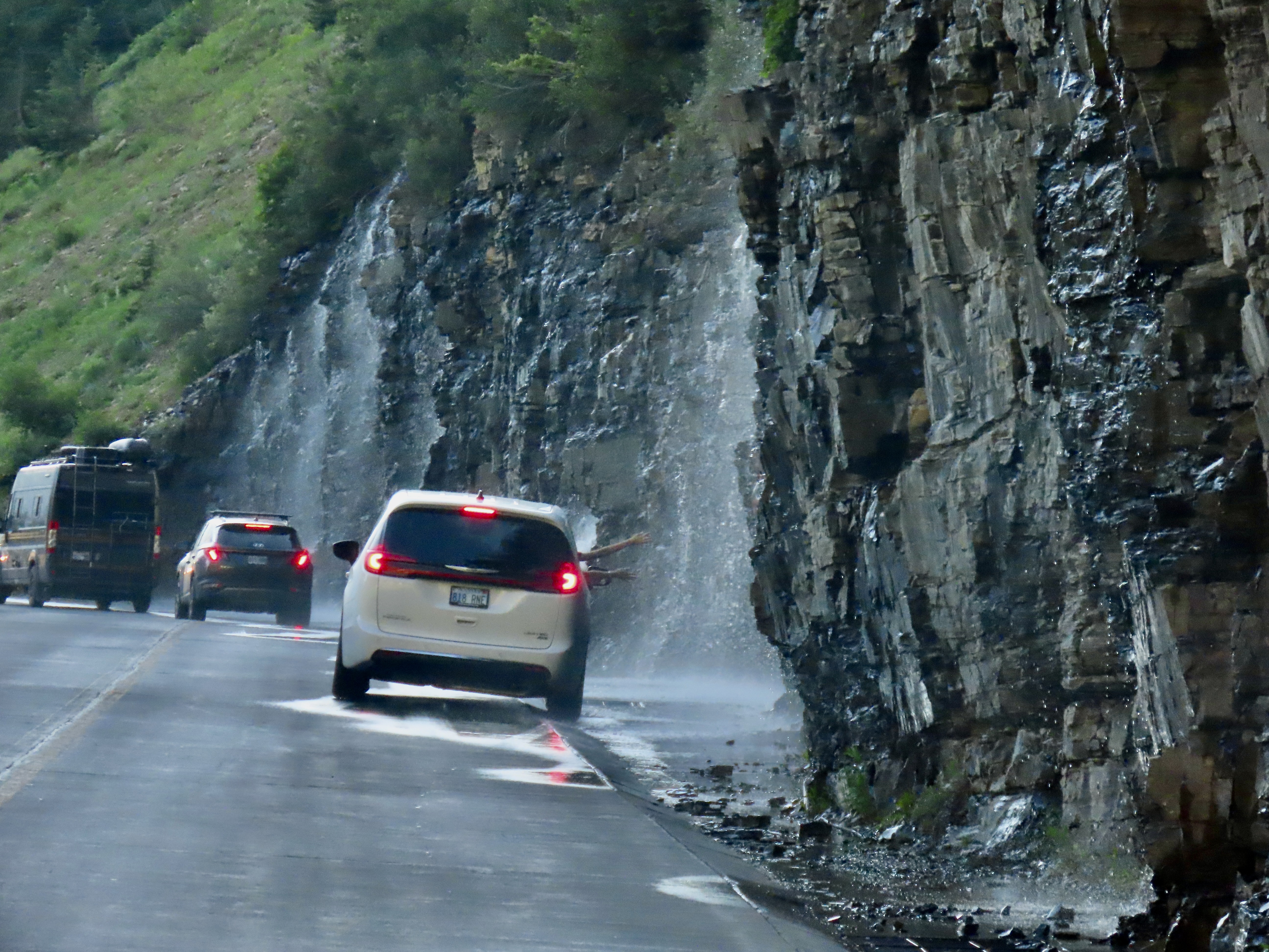
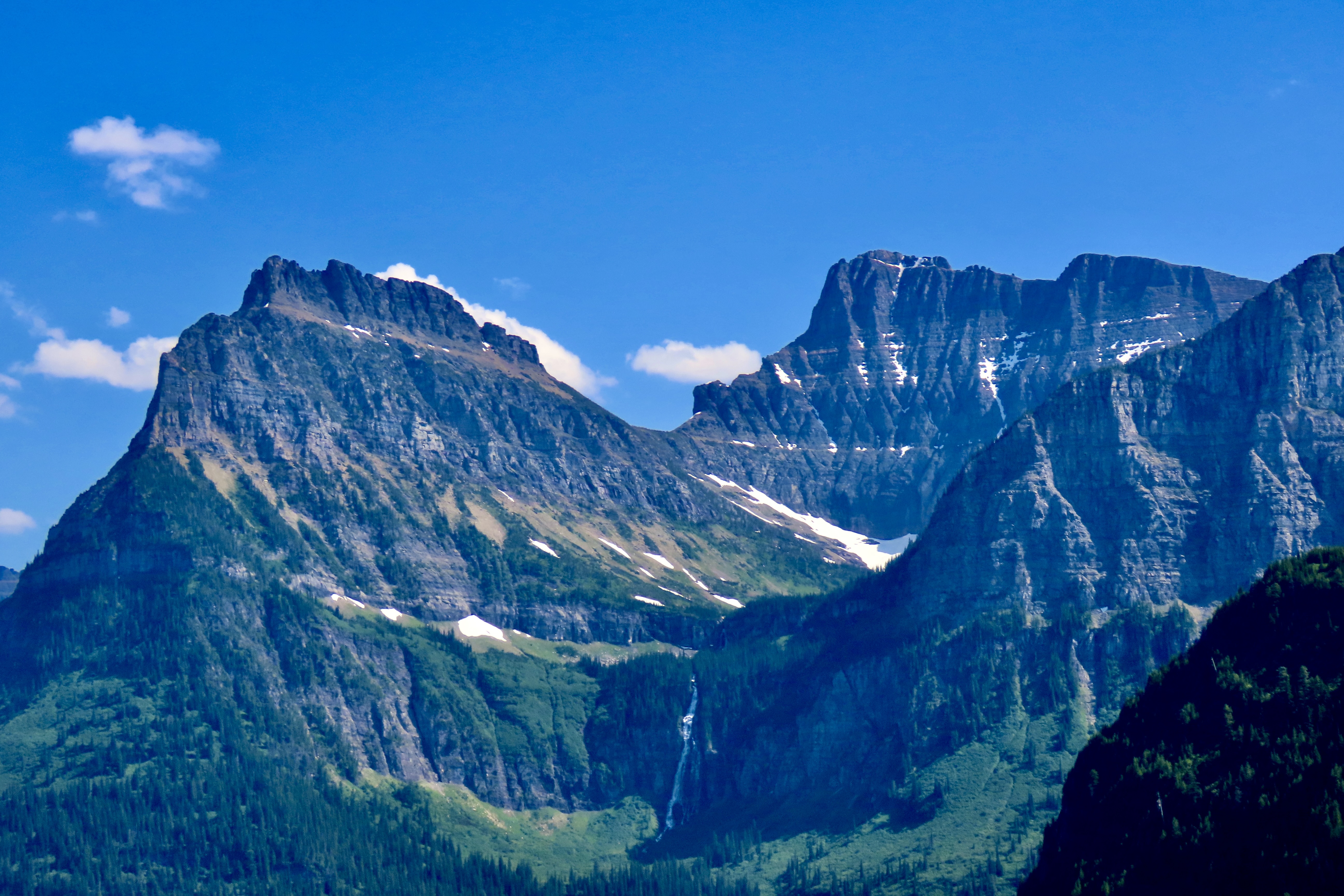
Peggy and I know a bit about scenic roads. Over past 25 years we have traveled over a quarter of a million miles exploring many of the most beautiful highways America and Canada have to offer. Some, several times. One thing that we have learned is that determining most scenic is incredibly hard. How does one compare driving through the desolate beauty of Death Valley with the rugged wilderness of the Yukon? We both agree, however, that the Going to the Sun Highway in Glacier National Park would be near the top of any list we might compose.
Note: All of the photos in this post were taken by either Peggy or me unless otherwise stated.