Peggy and I are wrapping up our travels around the US. This post features the hazards of our road trip and Massacre Rocks State Park along the Oregon Trail in Idaho.

Peggy and I have been on numerous road trips over the years, a quarter of million miles worth according to the odometers on our two small RVs. But nothing can match how strange this summer has been. Let me start by noting our 8,000 mile journey has taken us through 18 states (plus the Navajo Nation) that have had the not-so-coveted designation of being Covid-19 hot spots. I start each morning by feeling my forehead and breathing a sigh of relief when it is cool. If I were you, I wouldn’t come within 600 feet of us. Or 6 miles. Screw the 6-foot rule. When we get home we are going to self-quarantine for 6 months. Or at least 6 days.
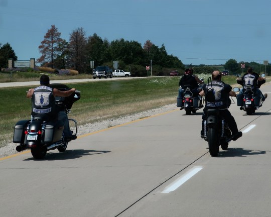
There were some potential Covid-19 hotspots we have avoided, however. Peggy and I crossed off South Dakota even though we wanted to visit the Bad Lands and I would have found the motorcycle rally in Sturgis interesting. It’s kind of a Biker’s Burning Man. Hanging out with 250,000 Harley fanatics who were reluctant to wear masks and liked to party in crowded bars didn’t seem particularly wise, however.
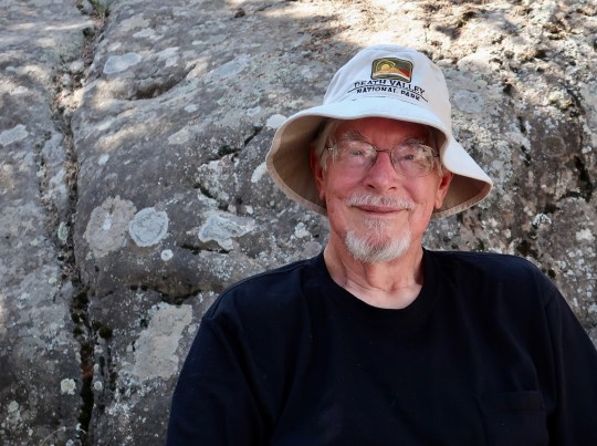
But Covid-19 has been only one of several potential disasters out here on the road this summer. For example, it’s 108° F outside now. That’s miserable, and it can be dangerous. But what if we were in Death Valley? It’s a go-to place for Peggy and me. We’ve been there many times. Earlier this week, it saw a whopping 130 degrees F (54.5 C)! It was the hottest place on earth at the time and was recorded as one of the four top temperatures ever documented. I put on my Death Valley hat in honor of the occasion. Why whine about 108?
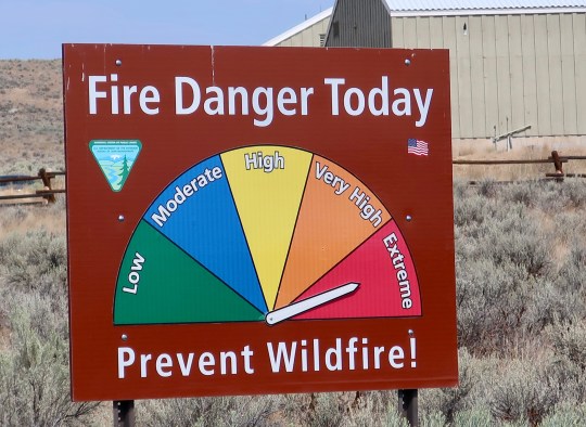
Lightning storms and forest fires come with the excessive heat and are once again devastating the West. Two years ago I was dodging fires as I backpacked 750 miles down the PCT. They’re back with a vengeance now, roaring through Northern California and causing deadly fire tornadoes. I’m ever so glad I am not out on the trail. Fires are much easier to dodge in Quivera the Van than on foot. And we have air-conditioning.
But how about dodging hurricanes? In mid-July, our kids rented a lovely house on the Outer Banks of North Carolina to celebrate Peggy’s 70th Birthday. It was the primary reason for our road trip and a fun way to bring our families together and make up for the family trip on the Rhine River Peggy had planned. Europe won’t let us near the continent.
Our grandkids were a little surprised, however, to see their 77 year old grandfather and 70 year old grandmother risking their necks out body surfing and riding boogie boards with them. “Older” people aren’t supposed to behave that way. It was the crowded beach that worried me, however. That and the dark clouds that hung on the horizon. A week later the Outer Banks had to be evacuated due to the threat from Hurricane Isaias. We dodged the bullet by a week.

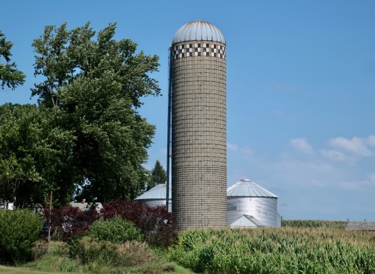
That was minor in comparison to the derecho that roared across Iowa. On August 8th, Peggy and I had driven across the state, laughing about how corn was the scenery. I’d stopped taking photos after 20 pictures. We were camping just across the border that night when a thunderstorm came through that rocked our van and lit up the night sky. We thought of it as entertainment without a clue about the massive storm that was brewing. When we pulled out in the morning, clear skies graced our road west. On the 10th, we were at Buffalo Bill’s Ranch enjoying a beautiful day on the North Platte when the derecho ripped across Iowa and wiped out 40% of the state’s corn crop.
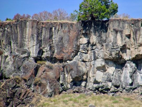
While dodging all of these potentials disasters, why visit a place known as Massacre Rocks? The answer is simple. How could we not? Peggy and I had been following the Oregon Trail since we left Nebraska and Massacre Rocks State Park on the Snake River in Idaho is a noted location along the way. As the name suggest, it is symbolic of one of the challenges faced by the pioneers, attacks by hostile natives. I suspect we would be hostile too if a stranger rode into town and wanted to steal our property.
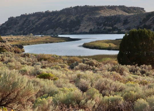
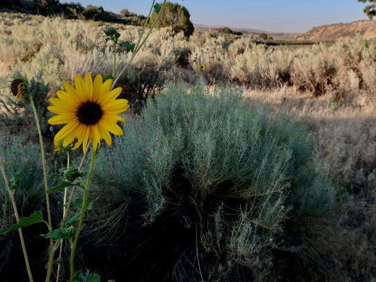
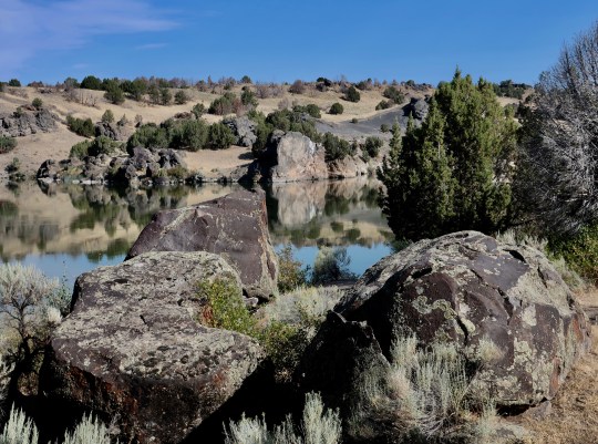
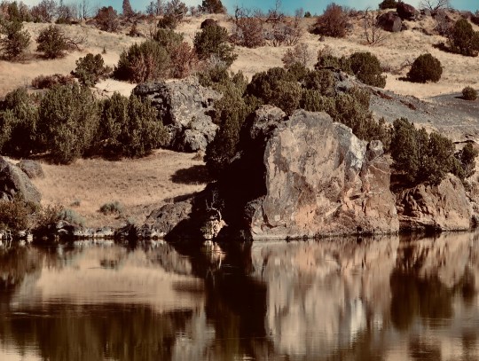
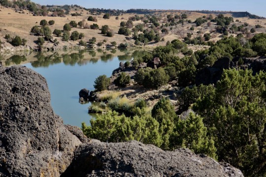
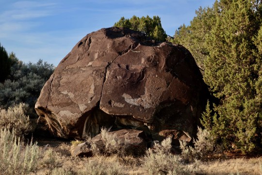
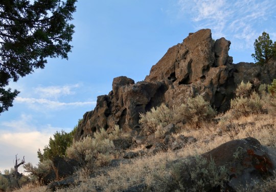
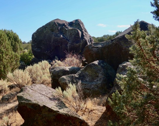
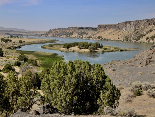
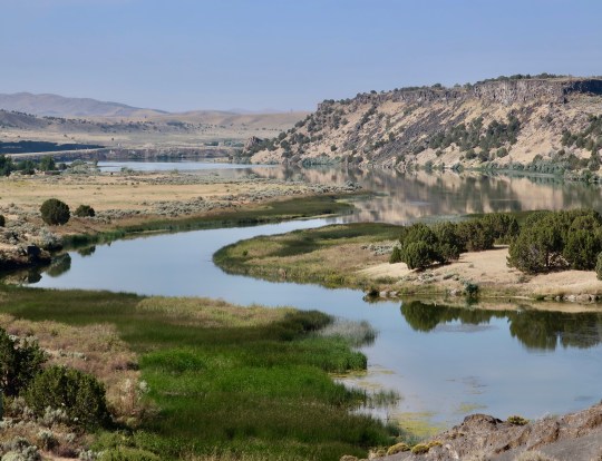
The name is something of a misnomer, since the attacks on wagon trains took place a few miles away. The pioneers were not happy with all of the large rocks in the area, however. They provided an ideal place to organize and ambush or to shoot arrows from behind. Peggy and I, on the other hand, were not worried about anyone shooting arrows at us and found the rocks and the river quite beautiful. I think you will agree…


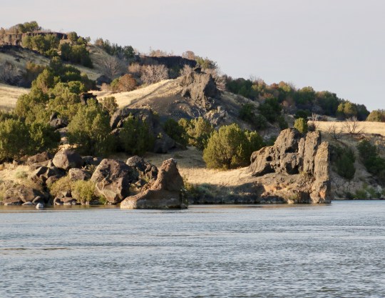
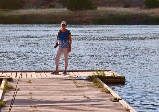
While Peggy stayed in camp captured by a book she was reading, I went for a hike the next morning. Following are several photos I took.
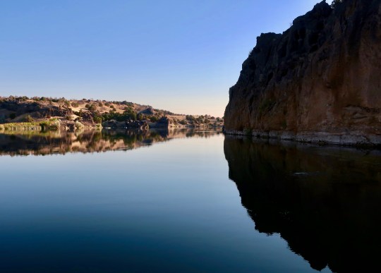
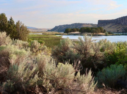

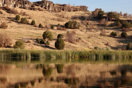
That evening Peggy joined me as I repeated the walk I had done in the morning.


NEXT POST: The Great 1908 Auto Race from New York to Paris.
