Flames shoot out as the Man burns at Burning Man 2014. Fireworks continue to light up the sky.
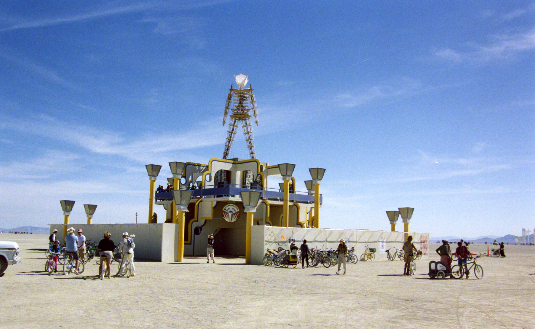
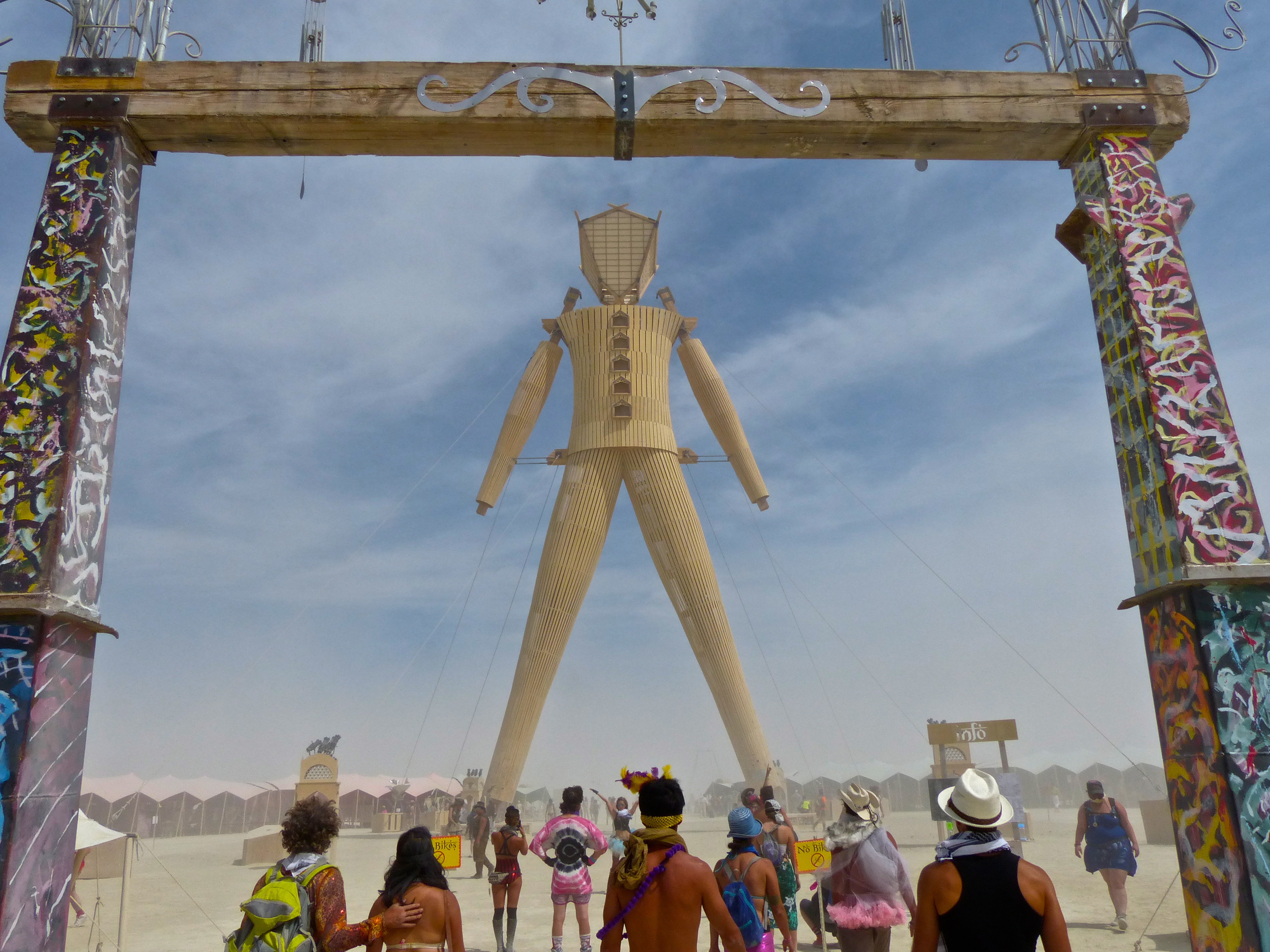
I introduced the Man in my last blog. Now it is time to join him for his fiery end, the quintessential event Larry Harvey created in 1986 that gives Burning Man its name. Think show. Think ritual. Think party. Think three-ring circus. It’s the one event at Burning Man that pulls everyone together at the same time. Saturday night is Burn Night.
Preparations for the 2014 burn began hours earlier. The market surrounding the Man was closed down and packed away, the area was roped off, and the Man was prepared to burn. Firewood was stacked around his feet. Fireworks were stuffed everywhere else.
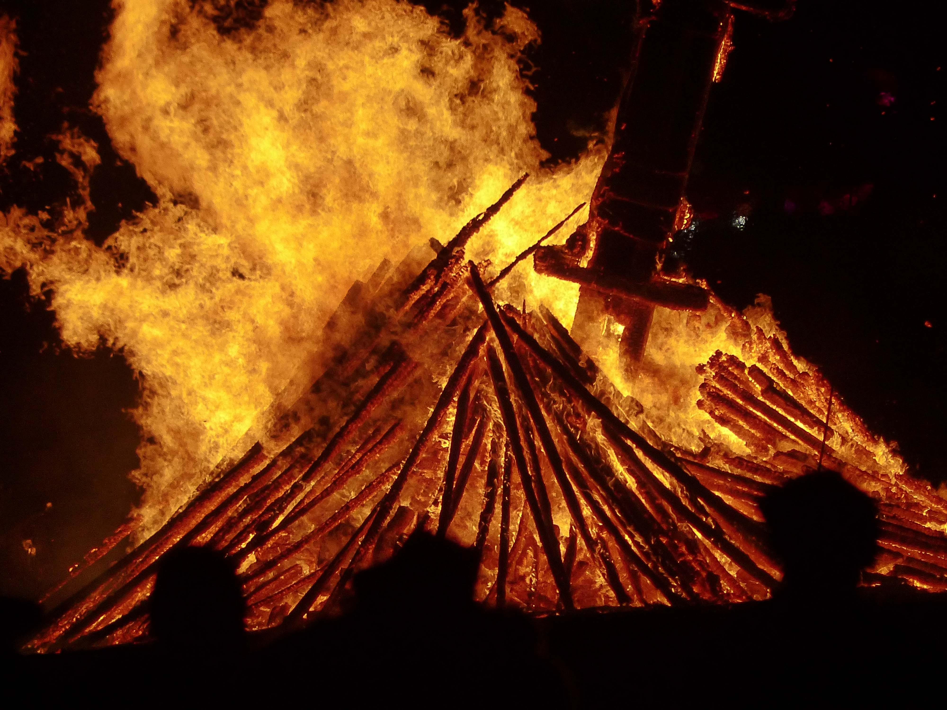
Firewood stacked around the base of the Man helps assure he will eventually fall over. Massive support beams for his hundred foot height were reluctant to burn through, however. (Photo By Don Green.)
Sometime around six, the residents of Black Rock City begin their preparations. Dinner is eaten; costumes are donned; people and bikes are decked out in lights. (I’d love to have a concession that sells glow sticks to Burners.) The dozens, even hundreds of venues that provide free entertainment are shut down. Large and small camps provide final instructions. Are their members traveling by mutant vehicle, bike or foot? Will the bikers and hikers stay together? How? It is ever so easy to get lost in a rowdy crowd of 65,000 people.
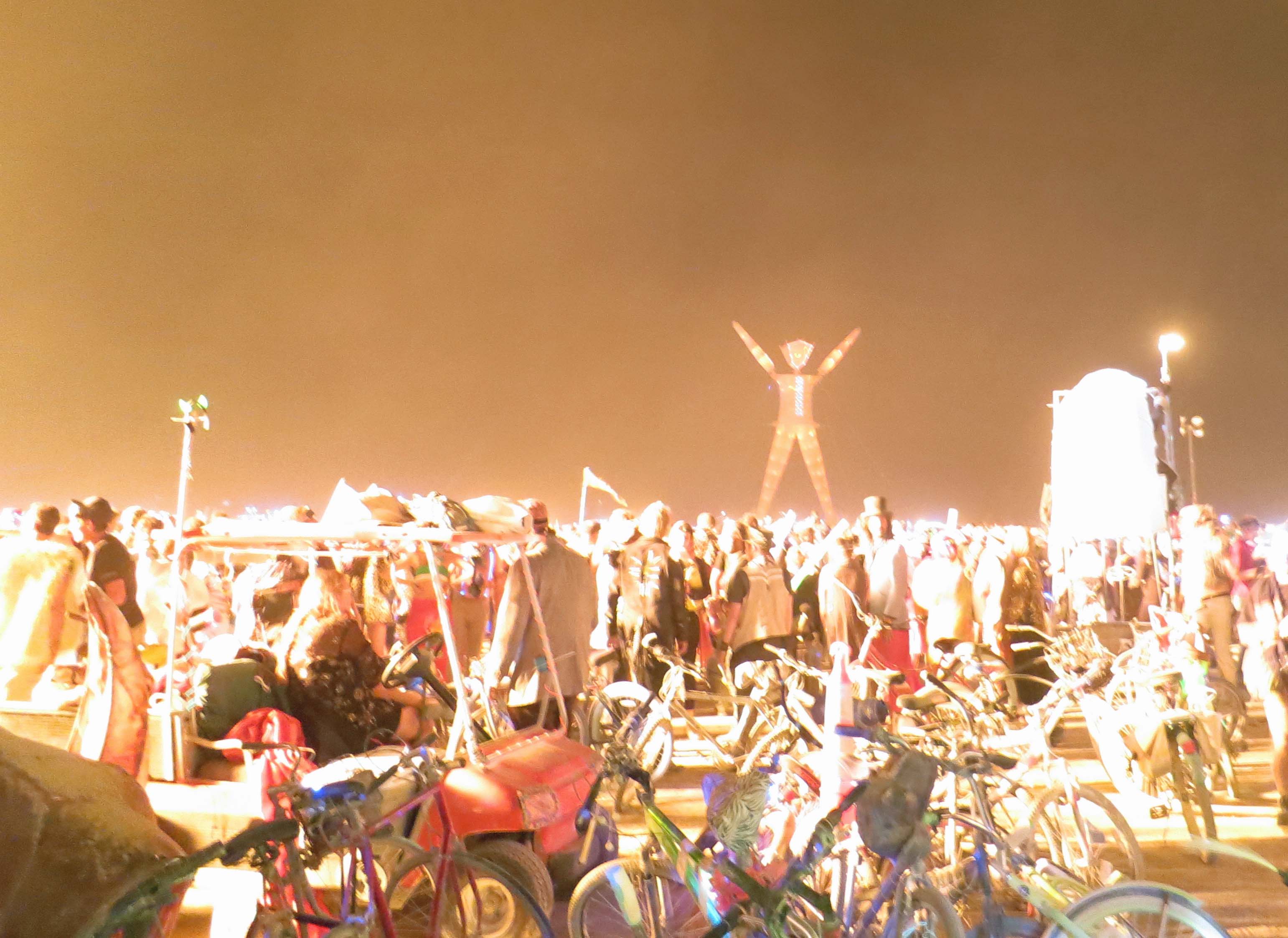
And then the parade (or is pilgrimage a better word?) begins. Large mutant vehicles that hold dozens of dancing, gyrating Burners move out early, eager to find prime locations and begin blasting out ear-splitting, industrial-grade music. Hundreds of performers also head for the Man to find their assigned places inside the huge circle surrounding the Man. Next come the folks who hope to sit close to the circle and have the best views of the fire dancers and burn.
And finally, everyone else. Dark streets become clogged with gaily decorated, lit-up bikes and Burners journeying out into the Playa. Somehow they avoid running into each other. By 8 pm Black Rock City has become vacant, a ghost town.
For the past several years I’ve chosen to walk around the perimeter of the circle. My body has lost its sense of humor for sitting in the dirt for hours. Even now, my tailbone screams at the idea. Plus, there is a lot to see. Burners, dressed up in their finest costumes, stroll and dance around the circle. It’s prime time for people watching. But what really captures my imagination are the mutant vehicles stretching for two miles around the Man. Every vehicle is lit up for the night and many belch fire. Dozens form large viewing and dancing platforms. There are ships and trains and dragons and bugs and almost everything else the human imagination can create. Or at least it seems that way to me.

Great imagination goes into creating the mutant vehicles of Burning Man. I am not sure what this guy was called but I nicknamed him Mighty Mouse. The people on his back provide a size perspective.

Many of the mutant vehicles spout fire. This is one of my favorites, El Pulpo Mechanico. I’ll be doing a whole blog on El Pulpo.
This photo provides an idea of how bright the fire from a mutant vehicle can be.
As for the burning of the Man, it follows a ritualized pattern. The fire dancers twirl fire, drummers drum, the Man raises his arms, fireworks go off, the Man burns, and finally he falls to his fiery grave as 65,000 people first go quiet and then shout in celebration.

Fire dancing/art is an important part of Burn night as hundreds of fire dancers perform in the circle before the Man is burned. I took this photo a couple of years ago.

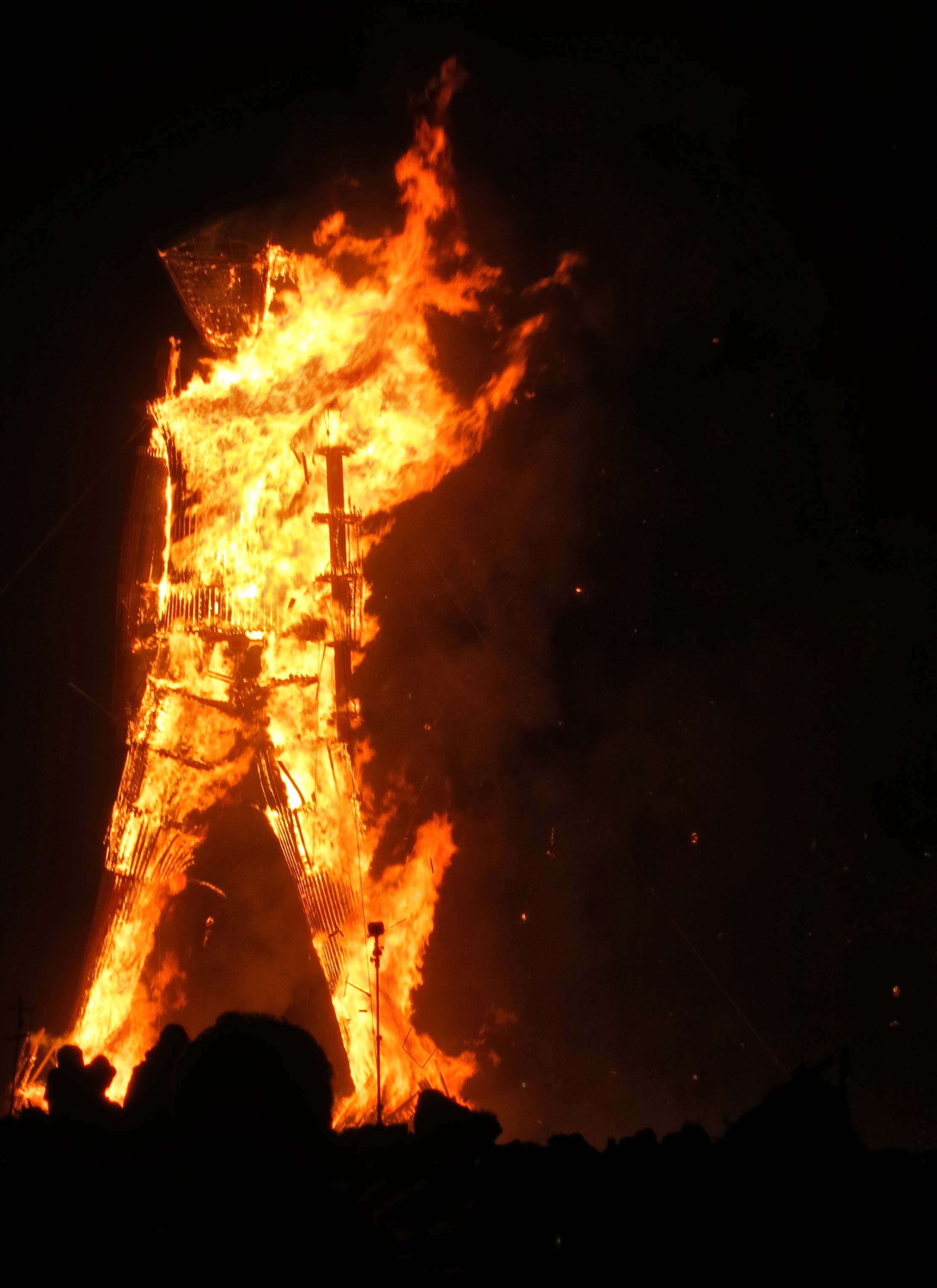
When the Man raises his arms, the fireworks are about to begin!

And they do.

Few fourth of July events are capable of matching the fireworks display at Burning Man, which goes on and on. (Photo by Don Green.)

The fireworks continued as the Man burned quickly. We could definitely feel the heat.
Soon, his basic structure was apparent.

Don caught this photo of the Man’s head. (Photo by Don Green.)

I waited patiently, along with 60,000 other people for the Man to fall as fires licked away at his feet. But he was stubborn. Finally I headed off to Center Camp.
Normally we return home sometime in the night after the Man has burned. But this year we stayed around and visited the site the next morning. Much to our amusement, people were cooking meals over the remaining flames and heat.

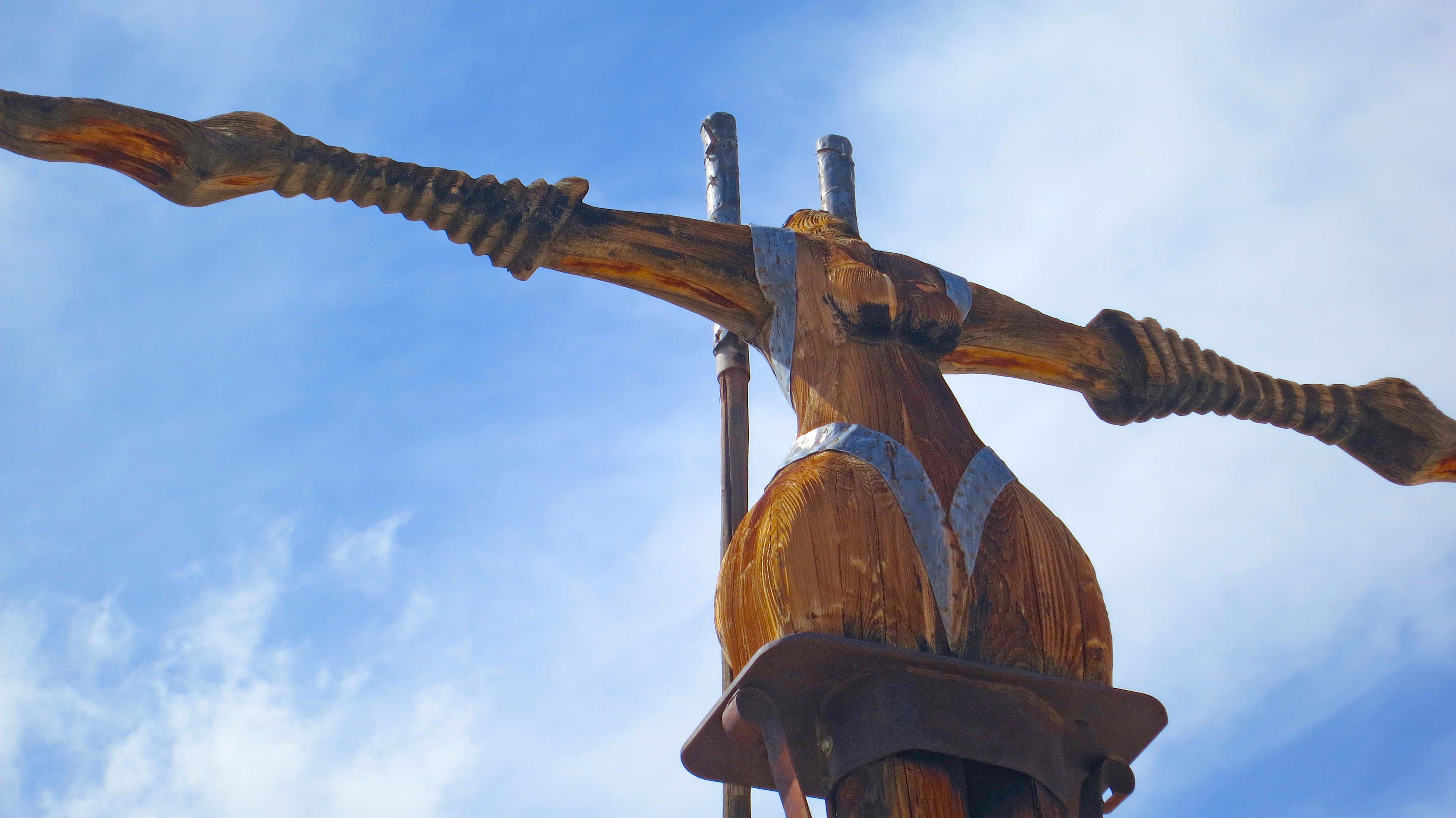
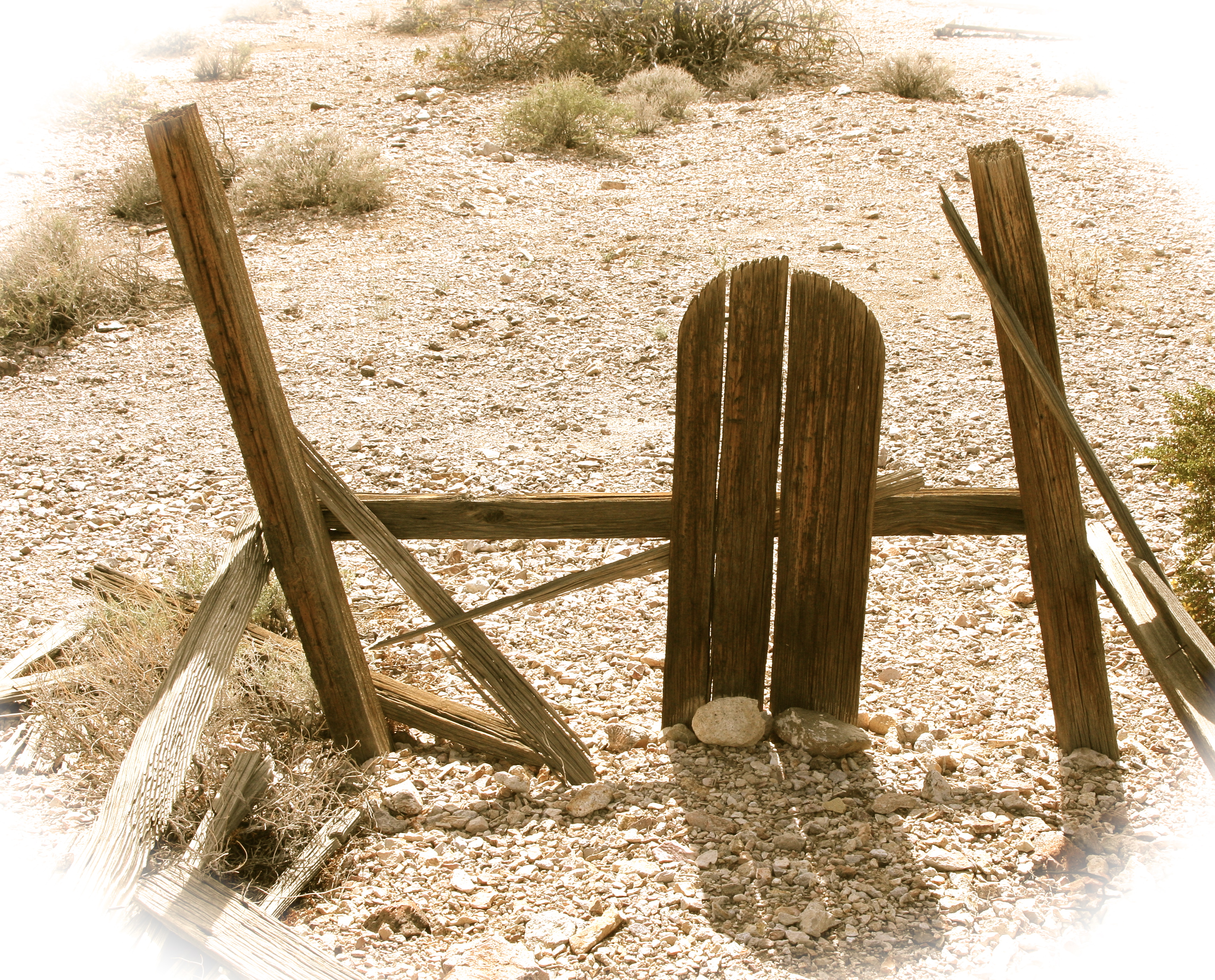
Burners were gathered around the remains of the Man the next morning. The size of the leg support beams suggests why it took so long for the Man to fall. (Photo by Tom Lovering.)

We were amused to find people cooking bacon, eggs, coffee and pancakes. Some one had even roasted a lamb. Nice tongue.

A burner was working hard cutting off small pieces of the Man’s ‘leg’ for souvenirs.He smiled up at me and gifted me my own piece of the Man.
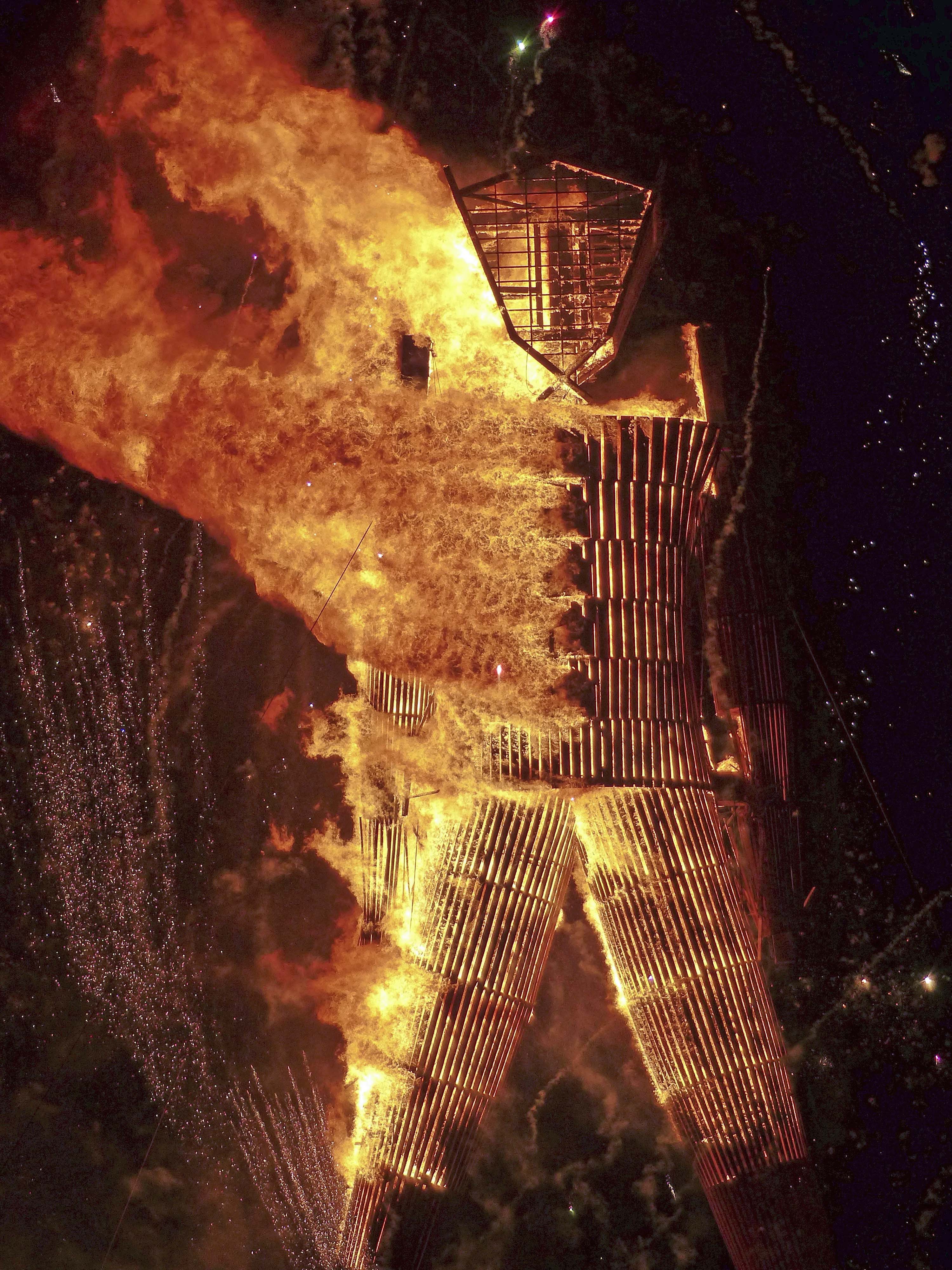
I will close with this excellent close up of the Man burning. (Photo by Don Green.) On my next blog I will visit another Burning Man icon: Center Camp.